For the Fourth of July weekend we had originally planned on a trip to Central Oregon but the drought conditions that were exasperated by the recent heat wave had us reconsidering not being home to guard against rogue illegal fireworks (a house in our neighborhood lost a fence and tree last year on the 4th). Our decision was made final when, following the heat wave, mostly dry thunder storms passed over the Ochoco Mountains where some of our hikes were planned. Lighting caused fires have kept firefighters busy since then as the race to contain the fires that are still cropping up from that storm system. We turned to Plan B, which was in part a modified Plan A, and spent the weekend hiking in the Central Cascades. On Saturday we stuck to our originally planned hike to Berley and Santiam Lakes but instead of continuing on to Bend afterward we drove back home.
This hike is covered in Matt Reeder’s “101 Hikes in the Majestic Mount Jefferson Region” and provided us an opportunity to revisit some places as well as discover some new ones. The hike starts at the Pacific Crest Trailhead along Highway 20 at Santiam Pass.

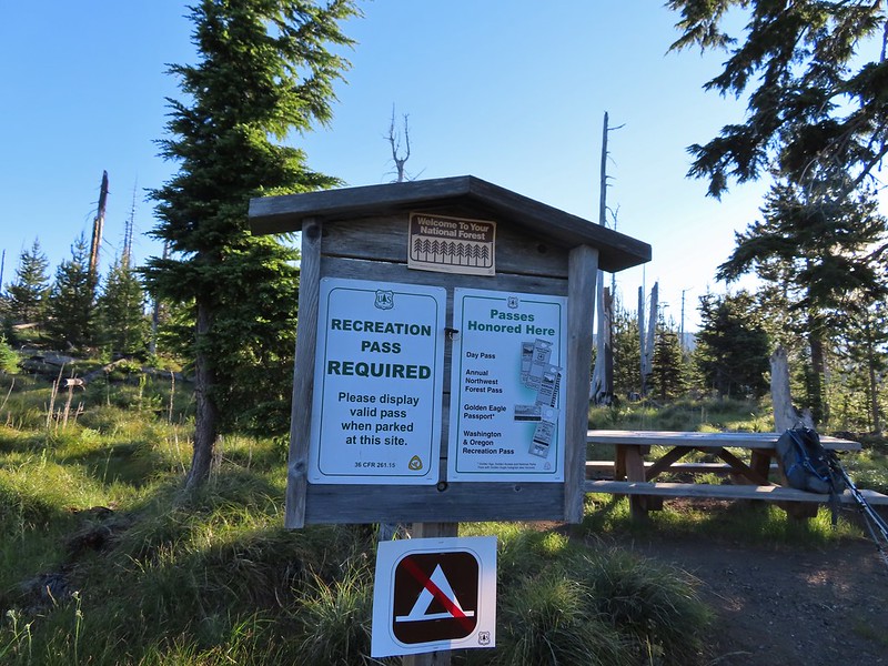
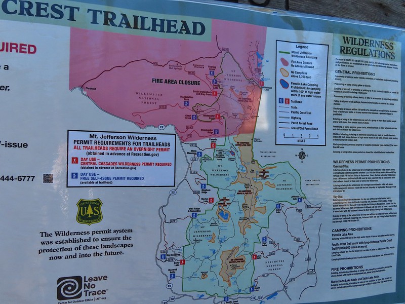
For now this is one of the trailheads where a Central Cascade Wilderness Day Use Permit is not required but a NW Forest Pass ($5/day or $30/annual) is, as well as completing a free self-issue permit. Note that for overnight trips a Central Cascade Wilderness Permit is needed for any visits to the Mt. Jefferson, Three Sisters or Mt. Washington Wilderness areas.
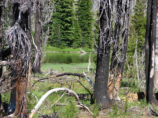
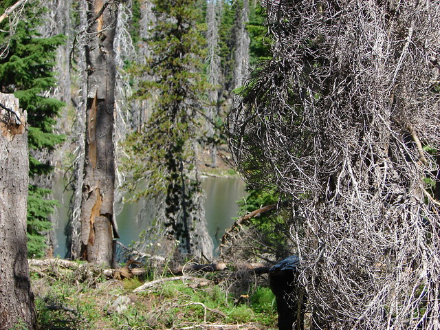
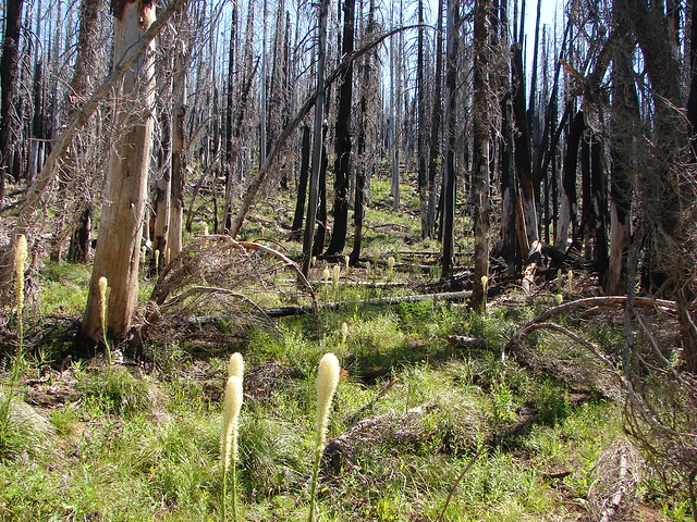
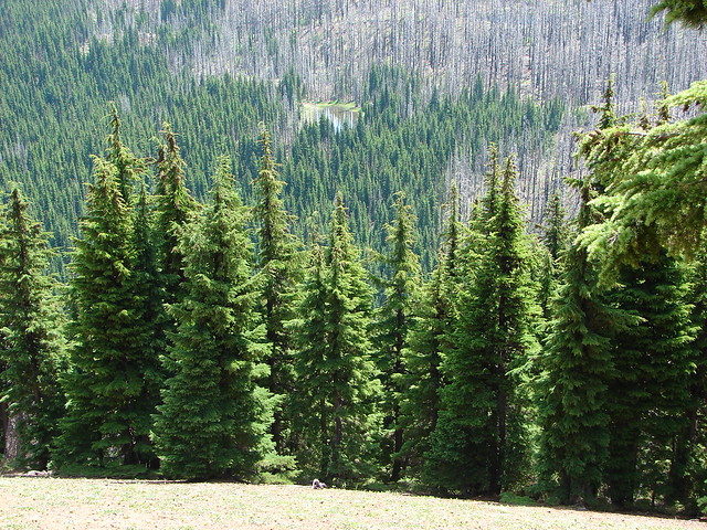
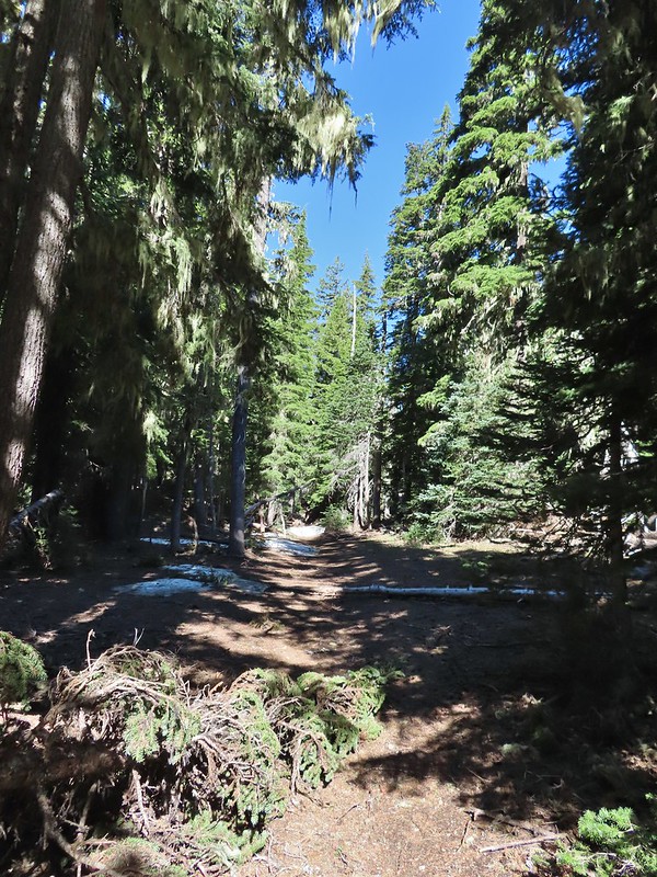
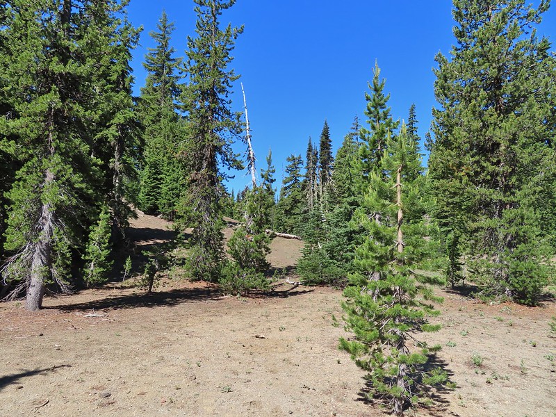
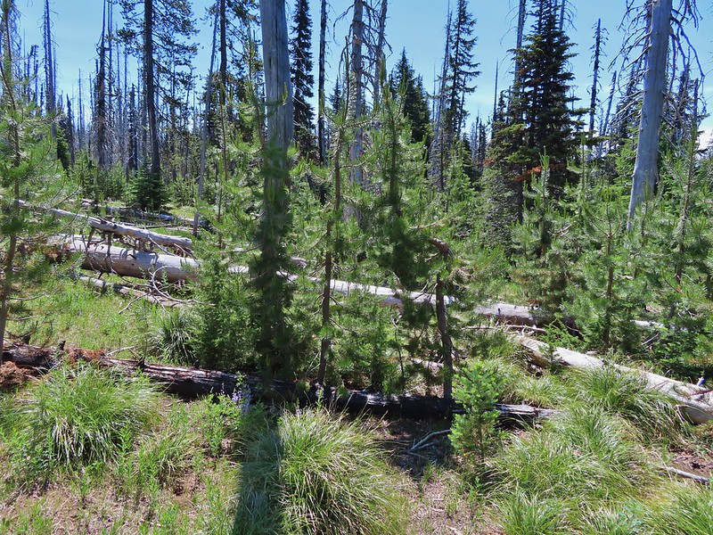
We had started another hike here in October of 2012 when we hiked to the base of Three Fingered Jack then returned on a loop past Martin, Booth, and Square Lakes (post). We were interested to not only see the area during a different season but also to see what had changed in nearly 9 years. This was particularly interesting to us due to the area having been burned badly in the 2003 B&B Complex and this would give us an idea of how the forest was recovering. Given the huge swaths that were burned in the September 2020 wildfires this might give us a small frame of reference for what to expect for some of the areas. The first thing that we noticed was that post fire trees seemed larger than we remembered which was confirmed by comparing some pictures of the Pacific Crest Trail junction with the Old Summit Trail 0.2 miles from the trailhead.
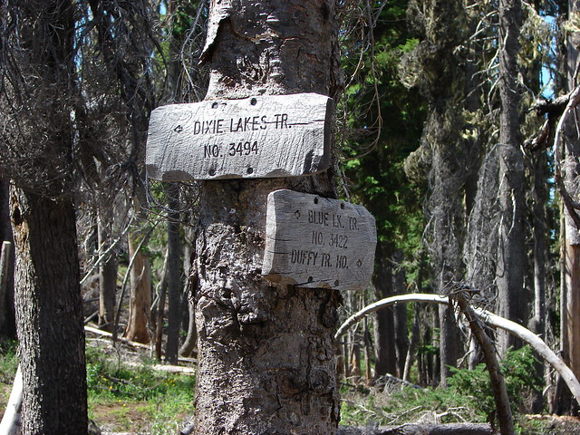
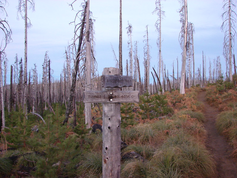 Trail sign at the junction on 10/13/2012.
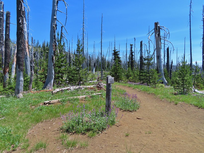
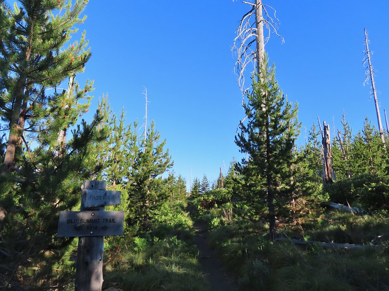 Trail sign at the junction on 07/03/2021.
What we didn’t really notice though was just how many of the snags were now missing.
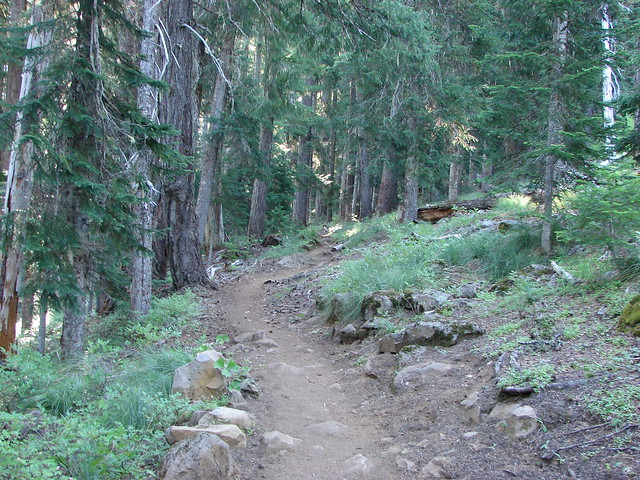
 Entering the Mt. Jefferson Wilderness in 2012 (0.3 miles from the TH).
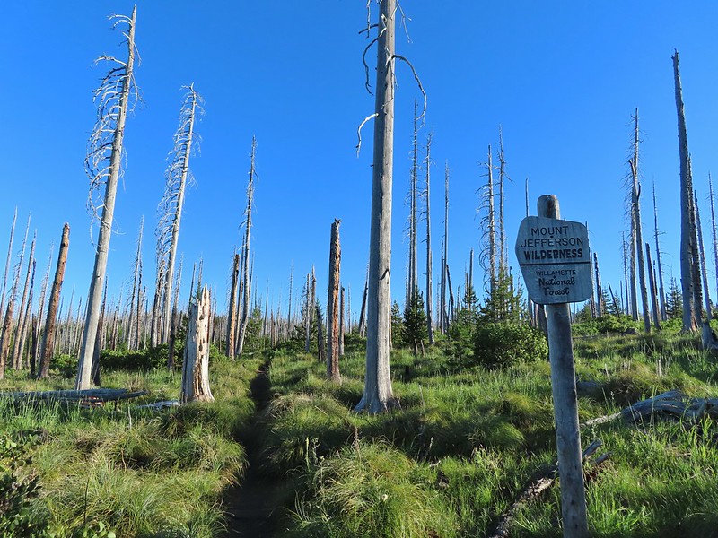 Entering the wilderness in 2021.
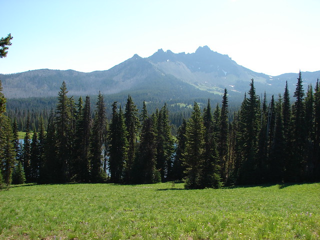
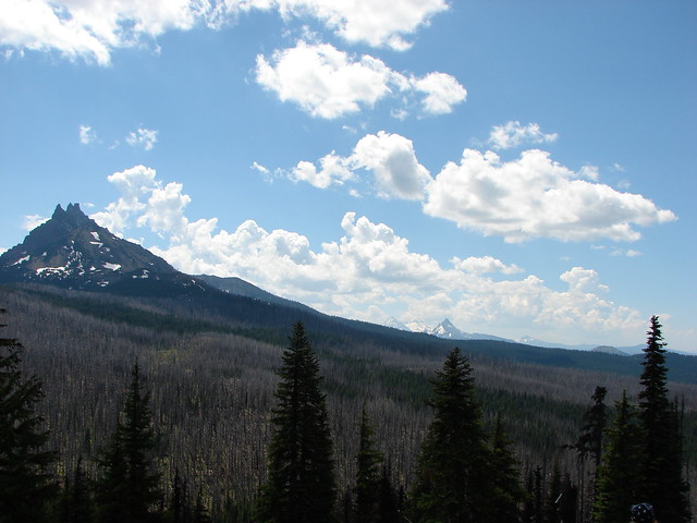
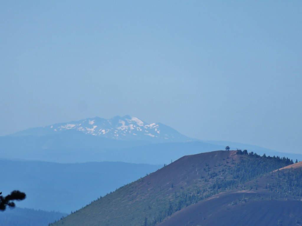
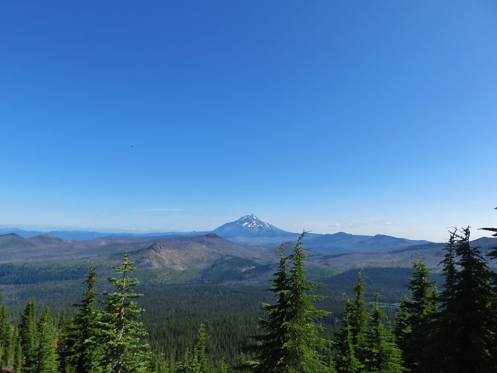
We followed the PCT a total of 1.2 miles to a junction with the Santiam Lake Trail. The view to the south was as spectacular as we had remembered with several Cascade Mountains in view along with several distinctive lesser peaks.
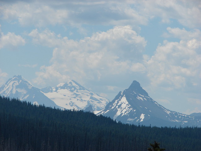
 Cache Mountain, Black Crater (post), Tam McArthur Rim & Broken Top (post), North & Middle Sister, Mt. Washington, and Hayrick Butte (flat top on the right).
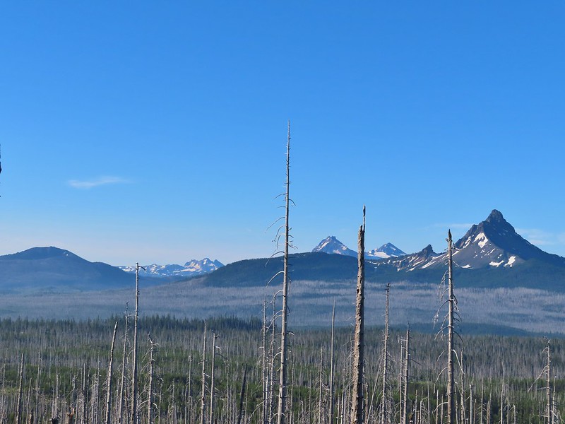
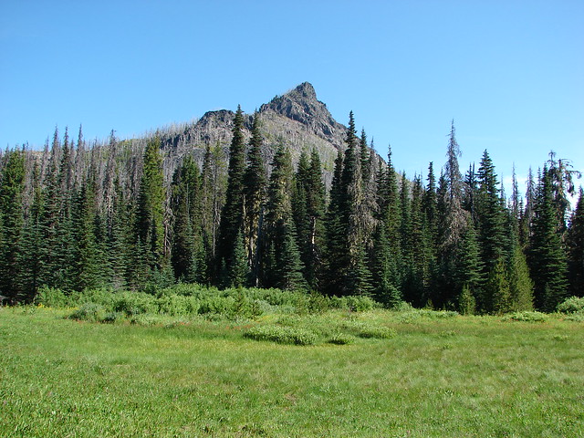
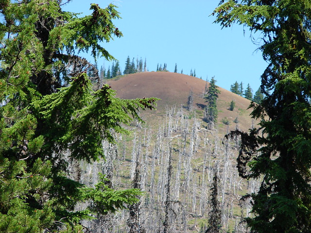
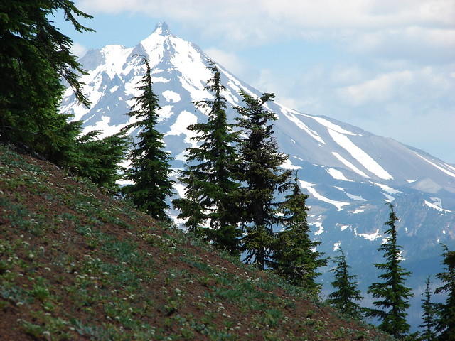
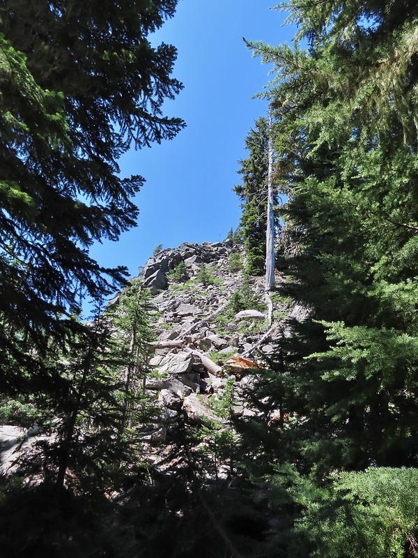
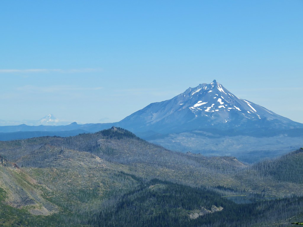
To the north the top of Three Fingered Jack was occasionally visible.

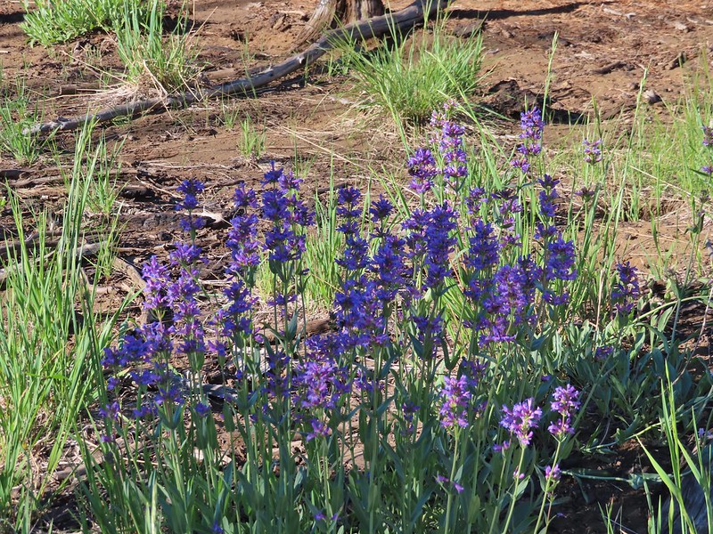
There were a few more flowers in bloom now than there had been in October.
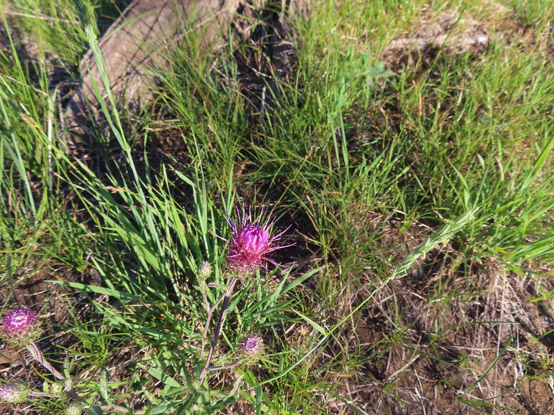 A thistle
 Penstemon
 Bleeding heart
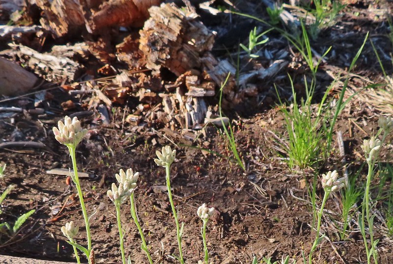 Pussytoes
 California stickseed
 Another penstemon
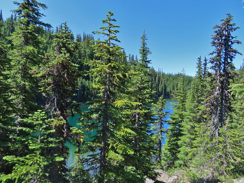
Shortly after passing a small unnamed lake we arrived at the junction.

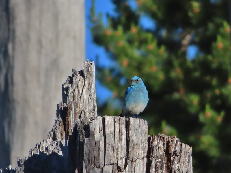 Mountain bluebird by the lake.

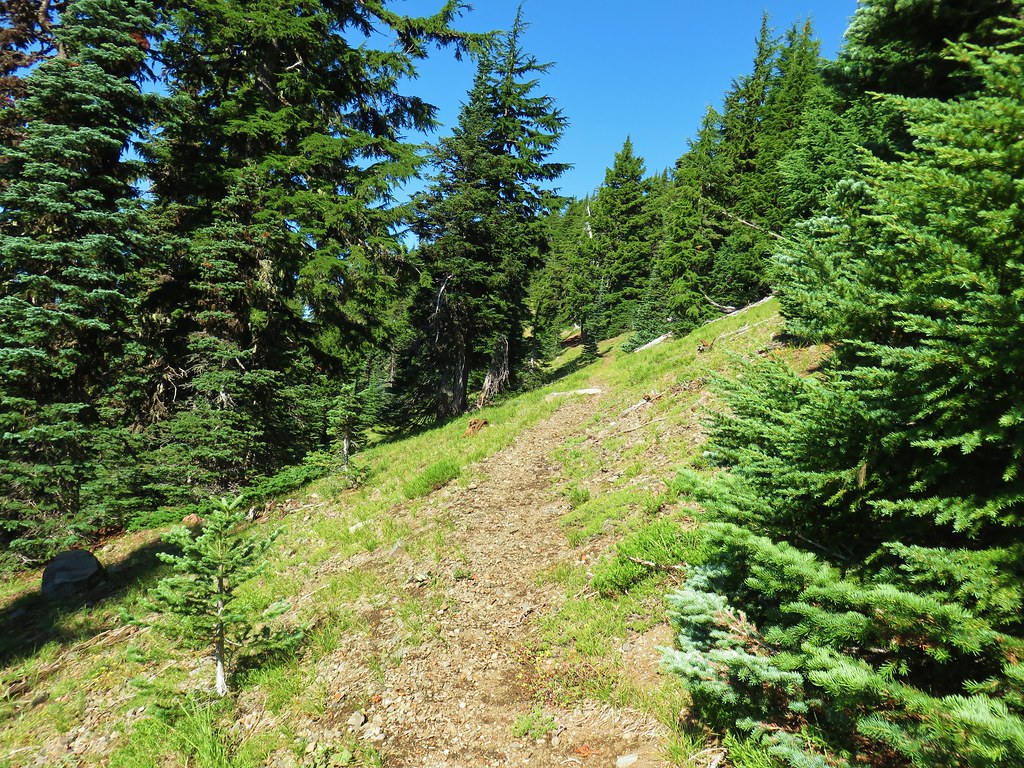
We turned left onto the Santiam Lake Trail at the junction striking off on new to us trail. The Santiam Lake Trail headed slightly downhill to the north passing a series of small ponds/lakes before making a sweeping turn to the west then meeting up with the now abandoned Santiam Lodge Trail (coming uphill on the left) one mile from the PCT.

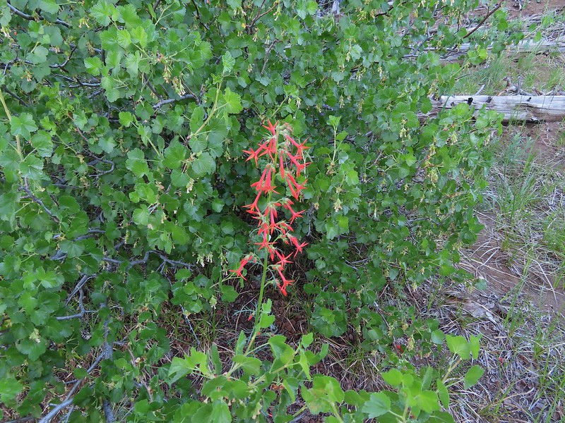
 There was a good amount of scarlet gilia blooming along this section of trail.
 Three Fingered Jack
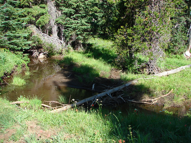
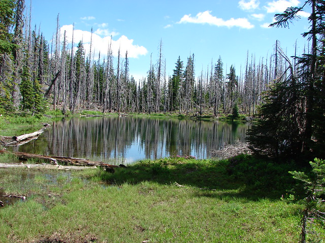
 One of the ponds.
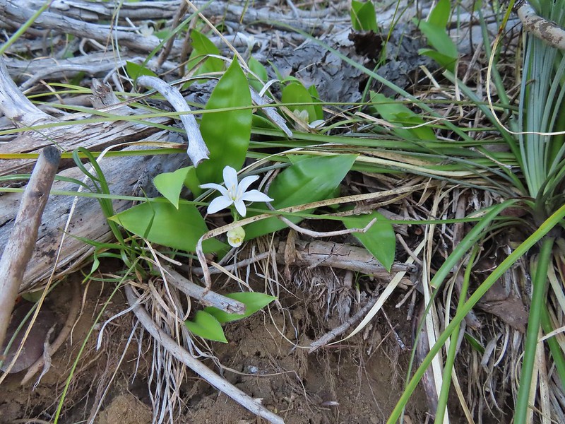 Queen’s cup
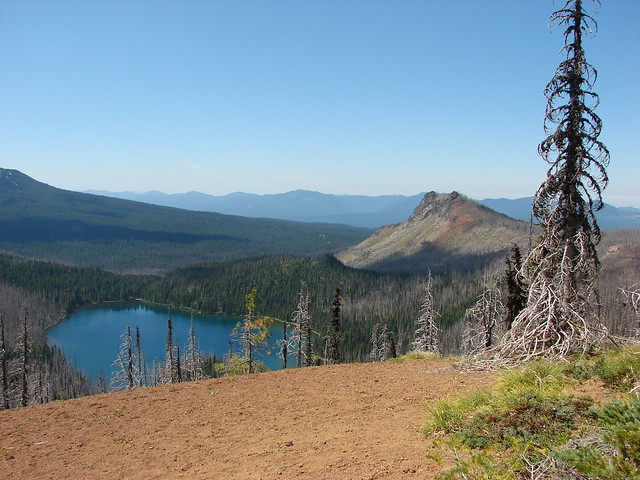
 Another pond with Maxwell Butte (post) behind to the right.
 Unnamed lake along the trail with Maxwell Butte behind.

 Lupine
 Dark-eyed junco
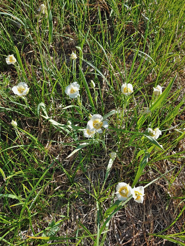 Sub-alpine mariposa lilies
 Woodpecker
 The view south.
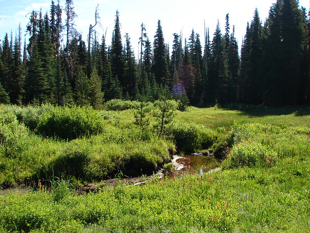
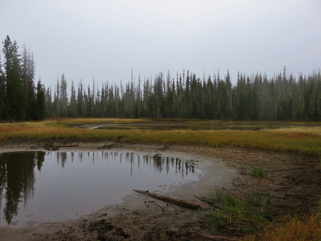
Seasonal pond
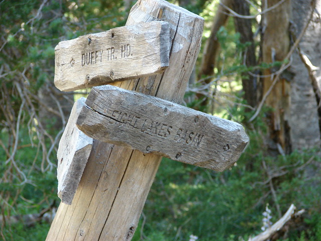
A half mile beyond the abandoned trail (there was part of a sign still hanging, partially hidden on a tree) we came to an unsigned fork.

We admittedly hadn’t read Matt’s hike description recently and had conveniently forgotten that there were no maintained trails to the Berley Lakes and this unmarked fork was where he would have had us turn. It wasn’t shown on the GPS map and since we hadn’t bothered to re-familiarize ourselves with the hike we continued on the Santiam Lake Trail but were still looking for the trail to Berley Lakes.

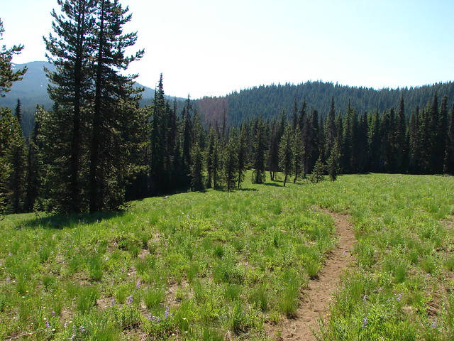
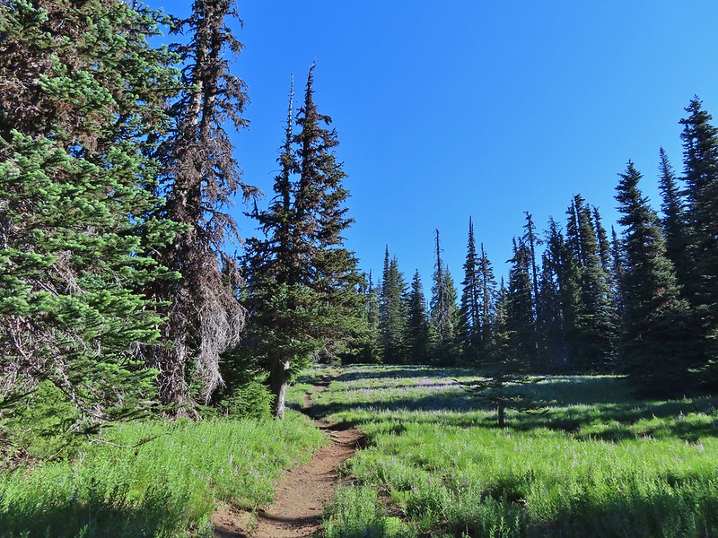
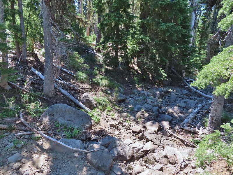
We crossed the nearly dry bed of Lost Lake Creek (There was enough water around to host a healthy population of mosquitos though.) and continued through a meadow filled with lupine into some unburned forest.


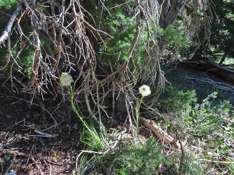 Beargrass
The combined presence of the trees and more water in Lost Lake Creek (which the trail was now following) was a perfect recipe for even more mosquitos. We hustled along as quickly a possible to try and keep as much of our own blood as possible.

 Recent snow melt is another recipe for mosquitos.
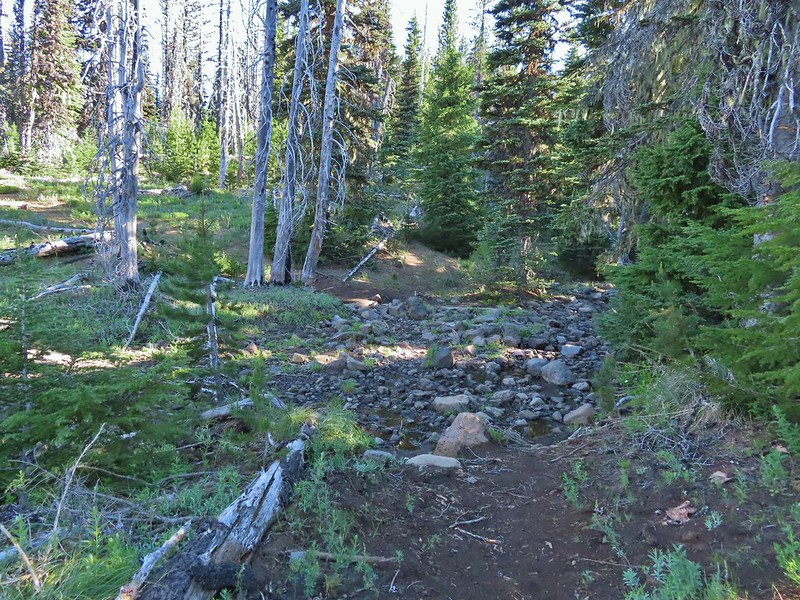
 Another creek crossing.
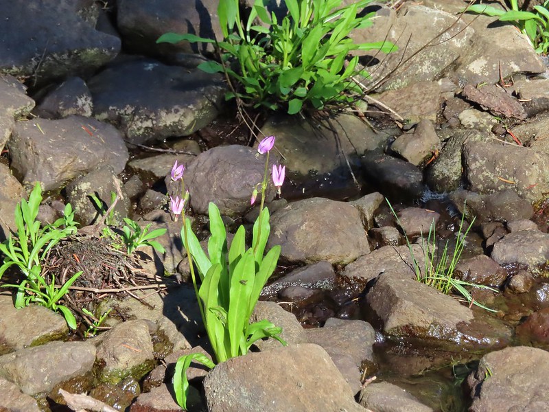 Shooting star
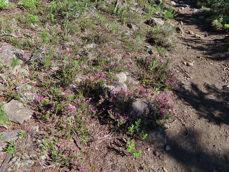 Mountain heather. Typically if we see this blooming we expect there to be mosquitos.
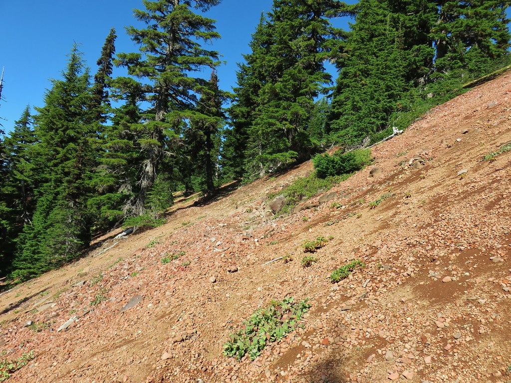
Fortunately the creek soon faded out in an open rocky landscape where the heat of the sun kept the buggers away and we were able to slow down a bit.

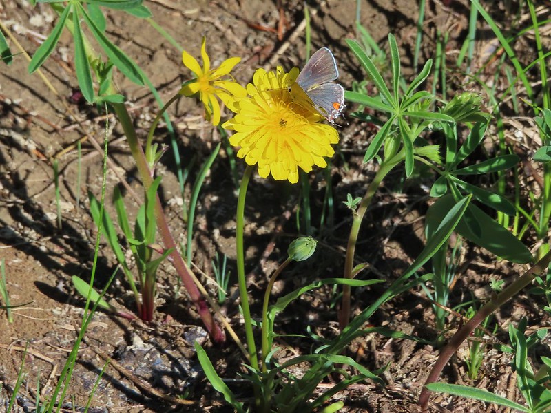
 A sulphur
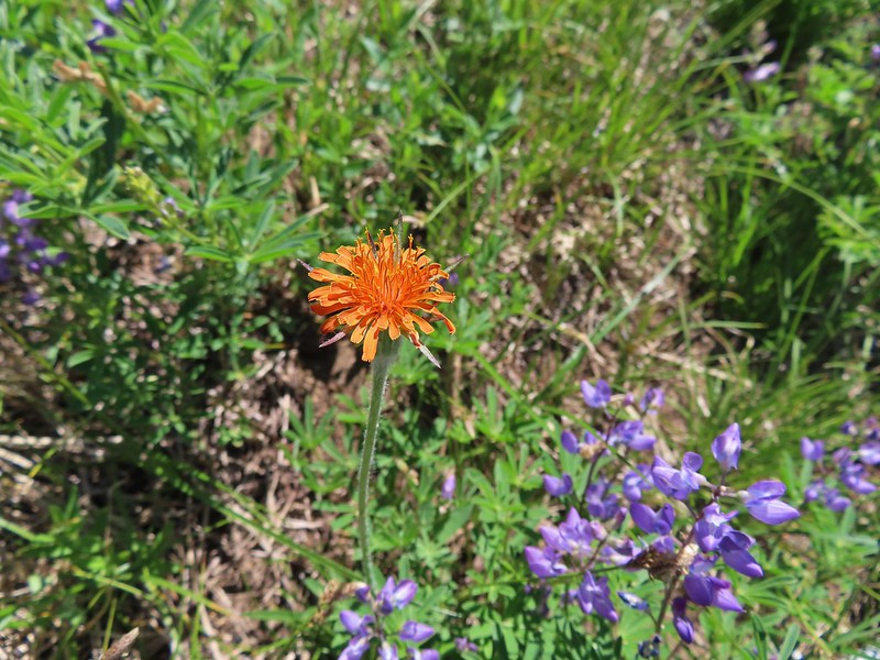
 Alpine false dandelion
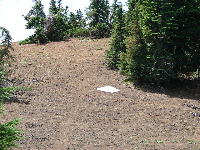
 One of several snow patches at the tree line.
 Nearing the end of the opening.
 More snow in the trees.
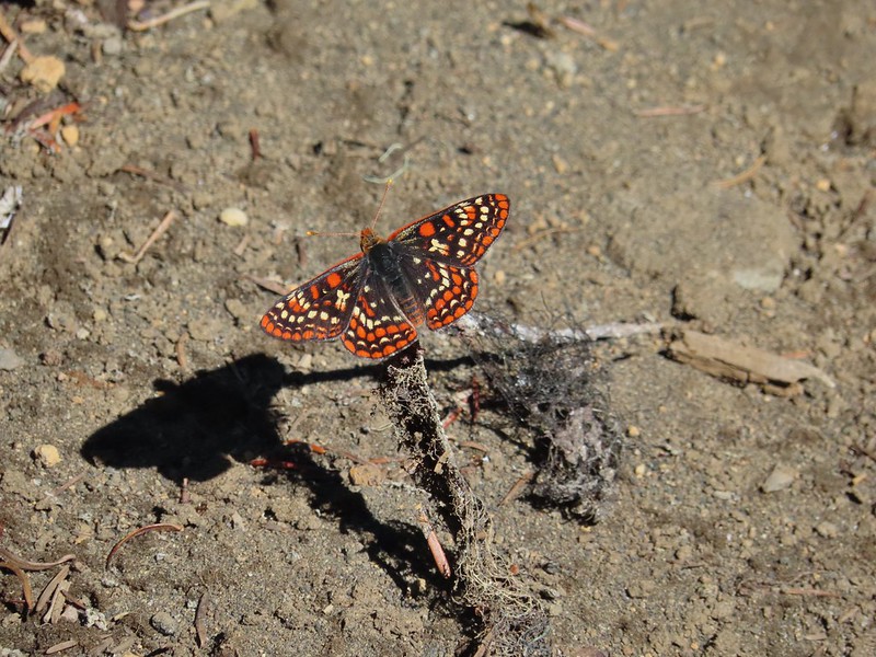
 A checkerspot
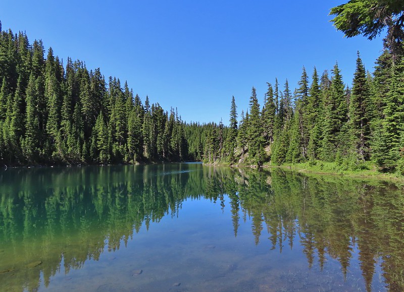
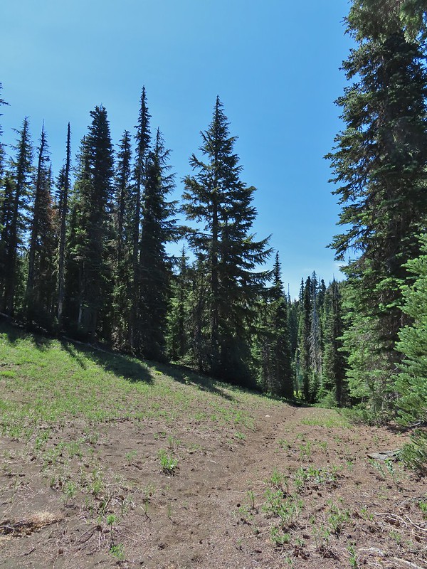
By the time we’d reached the open area it was obvious we had missed our turn and should have taken the fork we’d seen since we were now past the Berley Lakes. That was fine though as the original plan had been to visit those lakes first and hook up with the Santiam Lake Trail beyond Lower Berley Lake then continue on to Santiam Lake and return via the Santiam Lake Trail. Our new plan was to visit Santiam Lake then find the route to Lower Berley Lake, visit it, then check out Upper Berley Lake and return to the Santiam Lake Trail at the fork. Beyond the open plain the trail began a 250′ descent through more unburned forest to Santiam Lake.
 Trees & melting snow = more mosquitos.
 Not Santiam Lake but a very pretty unnamed lake just to the left of the trail approximately 0.4 miles from Santiam Lake.

 Not sure what type this is but the orange on the wing was pretty.
We turned off the Santiam Lake Trail at a “No Campfires” sign and followed a familiar path down to the lake.

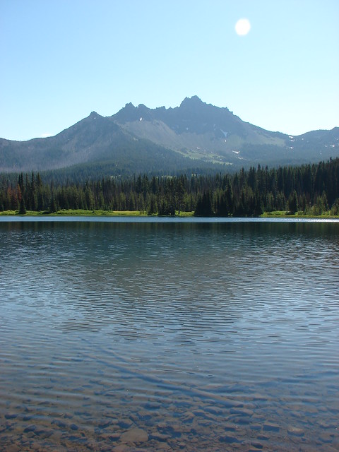
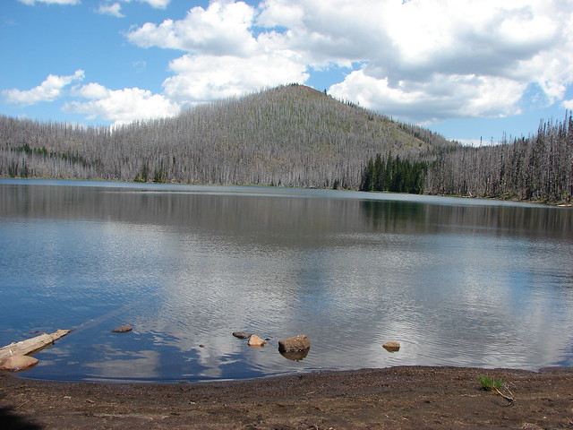
It had been almost 11 years since we visited this lake. On our previous visit we had come up the Santiam Lake Trail from the Duffy Lake Trail (post).
 Mt. Jefferson behind Red Butte

 Duffy Butte on the left.
 Three Fingered Jack
 Paintbrush, shooting stars, and buttercups.
We set off to hike around the west side of the lake but we encountered quite a bit of recent blowdown and decided it was a little more trouble than it was worth.
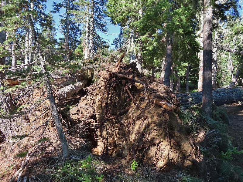 Just one of several large uprooted trees along the shore.
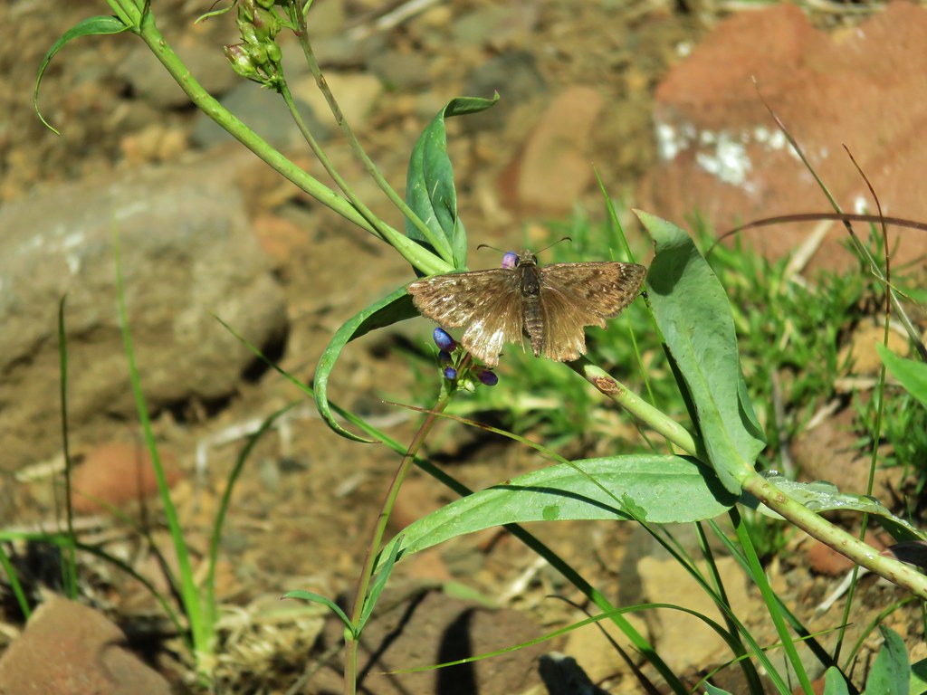
Taking a break along the shore and enjoying the view would have been nice but the mosquitos weren’t interested in letting us sit peacefully so when we came to the third bunch of downed trees we called it good and headed back for the Santiam Lake Trail. We followed it back to the open plain where the mosquitos hadn’t been bad and stopped to study the map in Reeder’s book (still weren’t smart enough to take the time to re-read it though) and we could see that from this end his track showed him heading for Lower Berley Lake just before a topographic feature. We made our way across the plain where butterflies were busy flying from plant to plant.


 The “topographic feature” ahead on the right where we planned on turning for Lower Berley Lake.
 Mountain heather along the trail, it was warm and sunny enough that the mosquitos weren’t as bad this time by.
 Threeleaf lewisia
 Getting closer to the hill where we planned on turning.
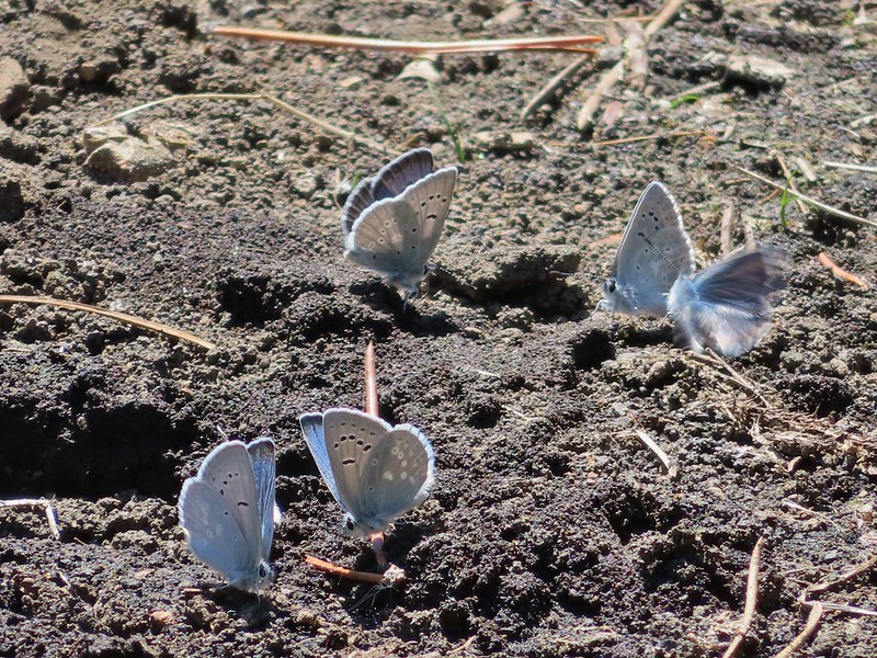
 California tortoiseshell butterflies in the bed of Lost Lake Creek.
Later when we finally did read the hike description Reeder mentioned a cairn marking a user trail but we didn’t notice any cairn (and admittedly may have turned too soon) but we spotted what appeared to be faint tread along a hillside above a dry stream bed and took a right onto it.

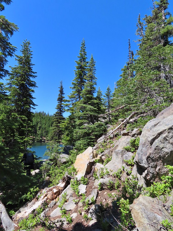
The track on the map showed the route on the south side of the lake but this trail was leading to the south side of Lower Berley Lake. It led past a couple of campsites to some rocks above the lake.

 Three Fingered Jack from the rocks.
We picked our way down through the rocks to the lake shore and followed a user trail west until more downed tress forced us to climb back up above the rocks.

 More tortoiseshells
 A butterfly photo bomb
Once we were back above the lake we came across what looked like another user trail leading away from it.

We thought it might be a side trail to Upper Berley Lake so we turned right on it but soon realized that we were following a dry bed instead of a trail.

 The bed was popular with the butterflies.
A GPS check showed we were heading too much to the NNE and needed to be NNW so we left the bed and used the GPS units to find Upper Berley Lake, but not before startling a doe.
 Cross country to Upper Berley Lake, the doe was in this meadow and headed in the direction of the patch of snow at the far end.
 Upper Berley Lake
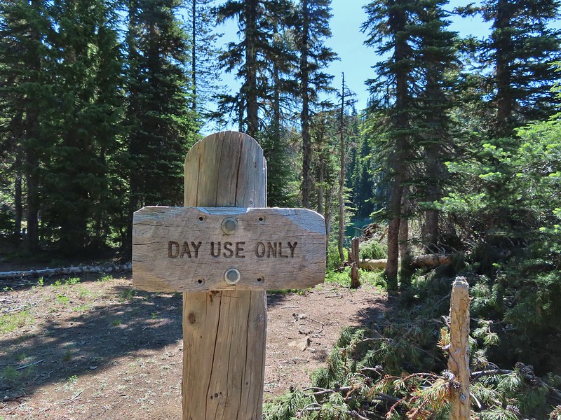
Reeder mentions a view of Three Fingered Jack from this lake as well but we were on the wrong side of it for that. The lake shore where we were was pretty thick with small trees so we would have needed to back track to make our way around for a view but we decided to save that for another time. We took a slightly more direct route back toward Lower Berley Lake and found what seemed to us a bit of a random Day Use Only sign.
 We wound up finding the same “user trail” and followed it down to the lower lake.
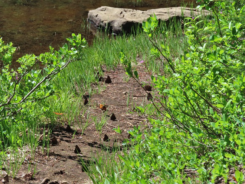
What we could see was a clear trail heading south past the lake. We went down to the lake shore to see if we could pick something up since the track in the book showed it at the SW edge of the lake. We couldn’t make out any clear trail but that could have been because it was covered in butterflies.
 California tortoiseshell butterflies along Lower Berley Lake.
 Three Fingered Jack and about a half dozen butterflies.
We did another comparison of the track in the guidebook and the topographic map on our GPS units and came to the conclusion that we were in the right spot and just needed to hike over a saddle between two hillsides. As we made our way up we found an obvious trail.
 The hillside on the right was rocky.
 The trail dropping down from the saddle with Mt. Washington and the North Sister ahead.
This trail was at times easy to follow and at others non-existent.


Just under three quarters of a mile from Lower Berley Lake we ran into three hikers heading for the lake which we took as a good sign. Just a short distance later we came to the dry channel of Lost Lake Creek.
It was hard to tell where the “trail” crossed or where it was on the far side. Reeder’s track showed the alignment converging with the Santiam Lake Trail at an gradual angle but we could see that we were only about a tenth of a mile from that trail as the crow flies so we abandoned all attempts at following the user trail. We headed straight for the Santiam Lake Trail and found it without much difficulty.
 Found it!
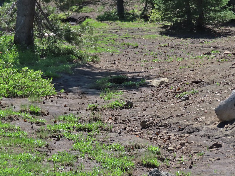
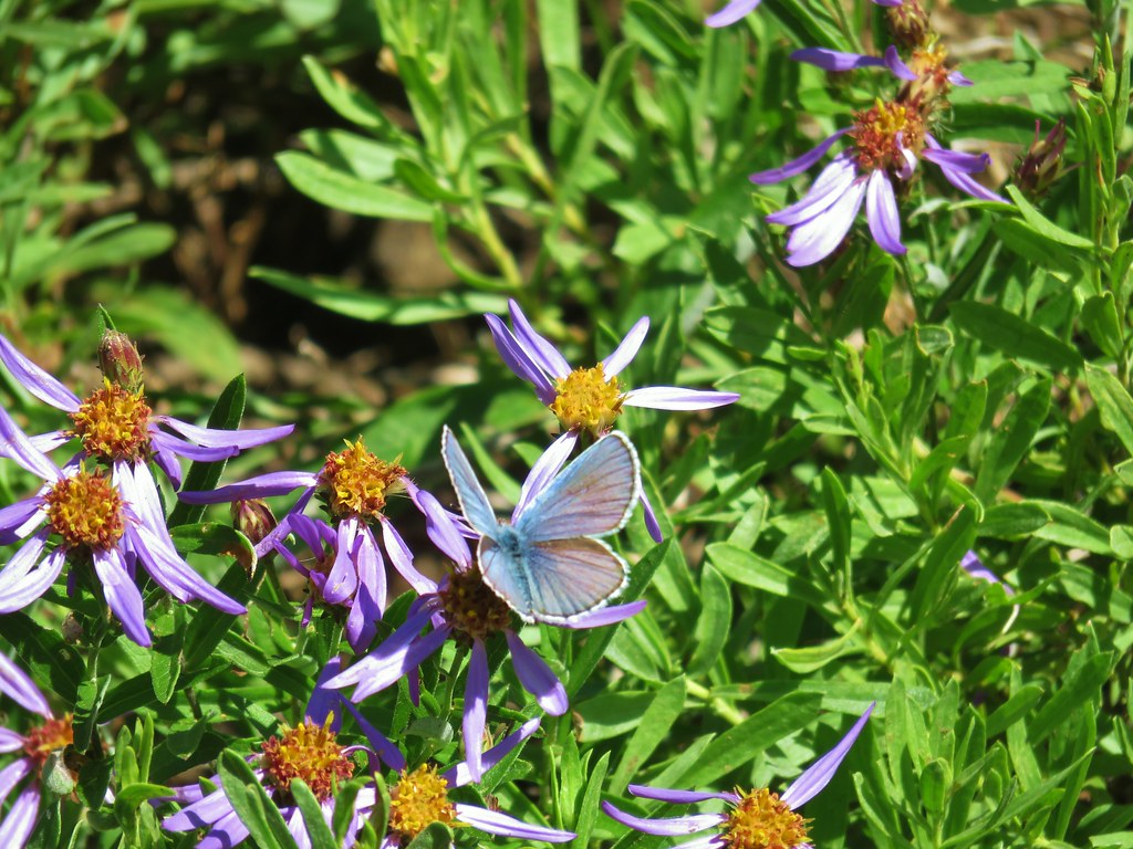
We were a tenth or two of a mile from the actual junction which wound up working in our favor. We had rejoined the Santiam Lake Trail just north of the seasonal pond where there were now dozens of butterflies hanging out and this time they weren’t all the same types.


We made our way back to the PCT then followed it south back to the trailhead but not before stopping at a viewpoint for one last look at the mountains.
 Yellow beetle on lupine.
 Orange agoseris
 Back at the PCT.
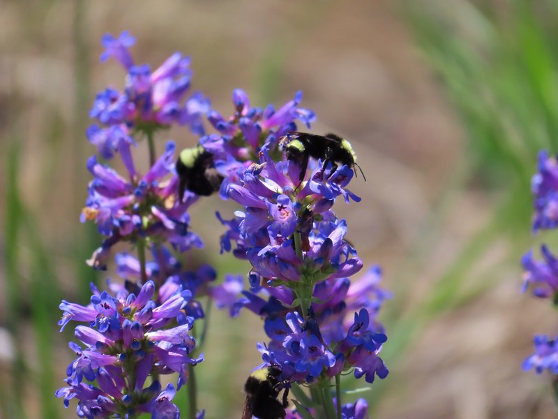 Bumble bees on penstemon.
 Cicada in the grass.
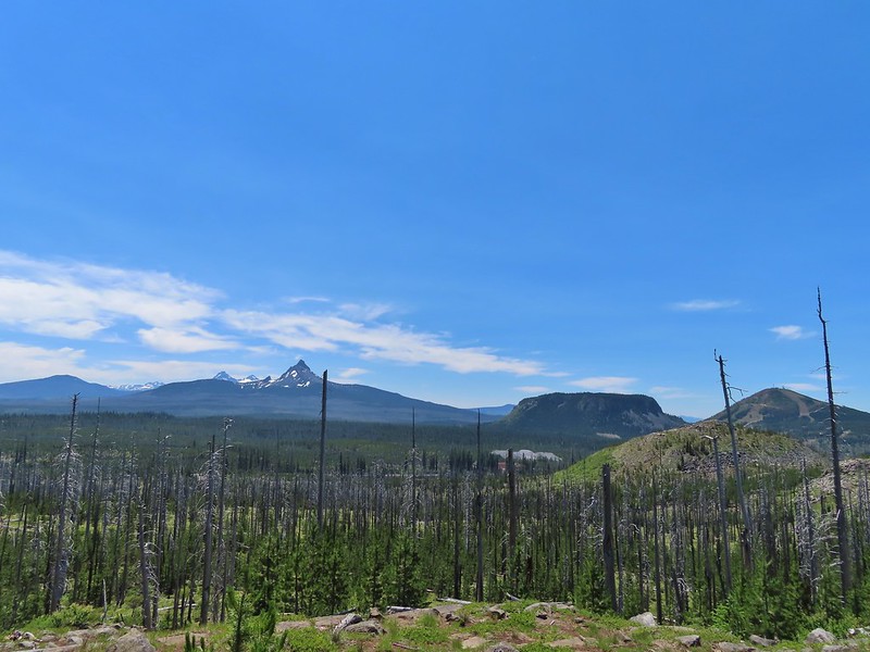 Black Crater, Broken Top, North & Middle Sister, Mt. Washington, Hayrick Butte, and Hoodoo Butte from the viewpoint.
 Three Fingered Jack from the viewpoint.

After a great day of hiking we spent the evening with my Grandma and parents. It was a great start to the holiday weekend. Happy Trails!
Flickr: Berley & Santiam Lakes


 The wilderness sign in 2015.

 2015
2015
 2015
2015

 2015
2015
 Penstemon
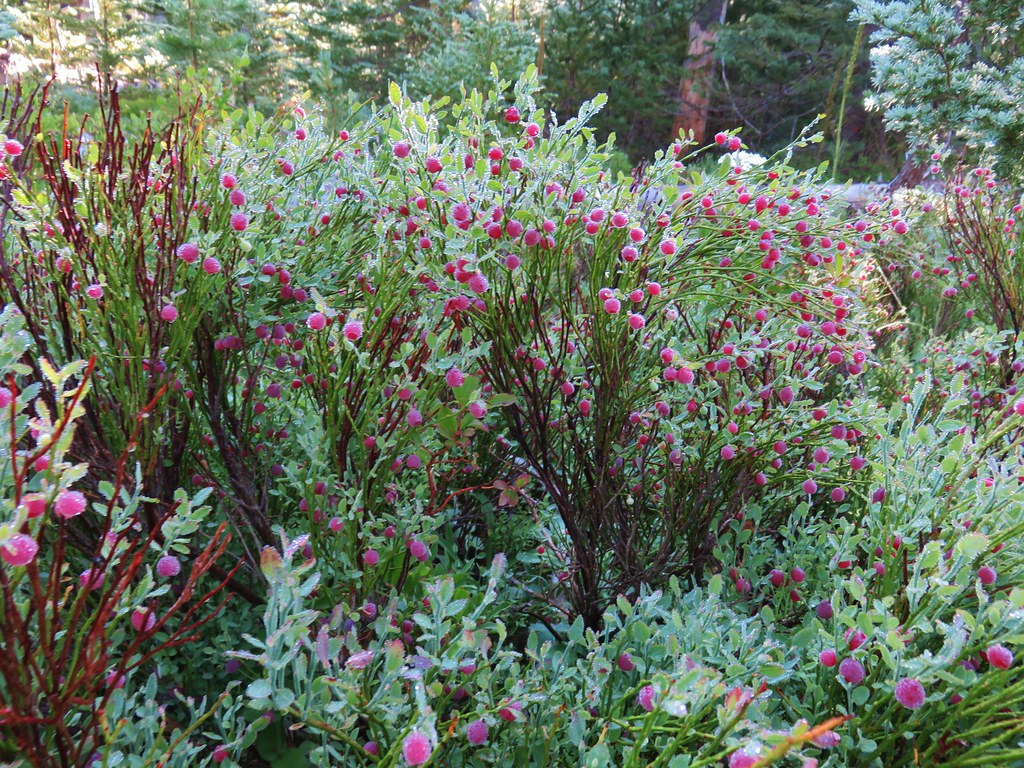
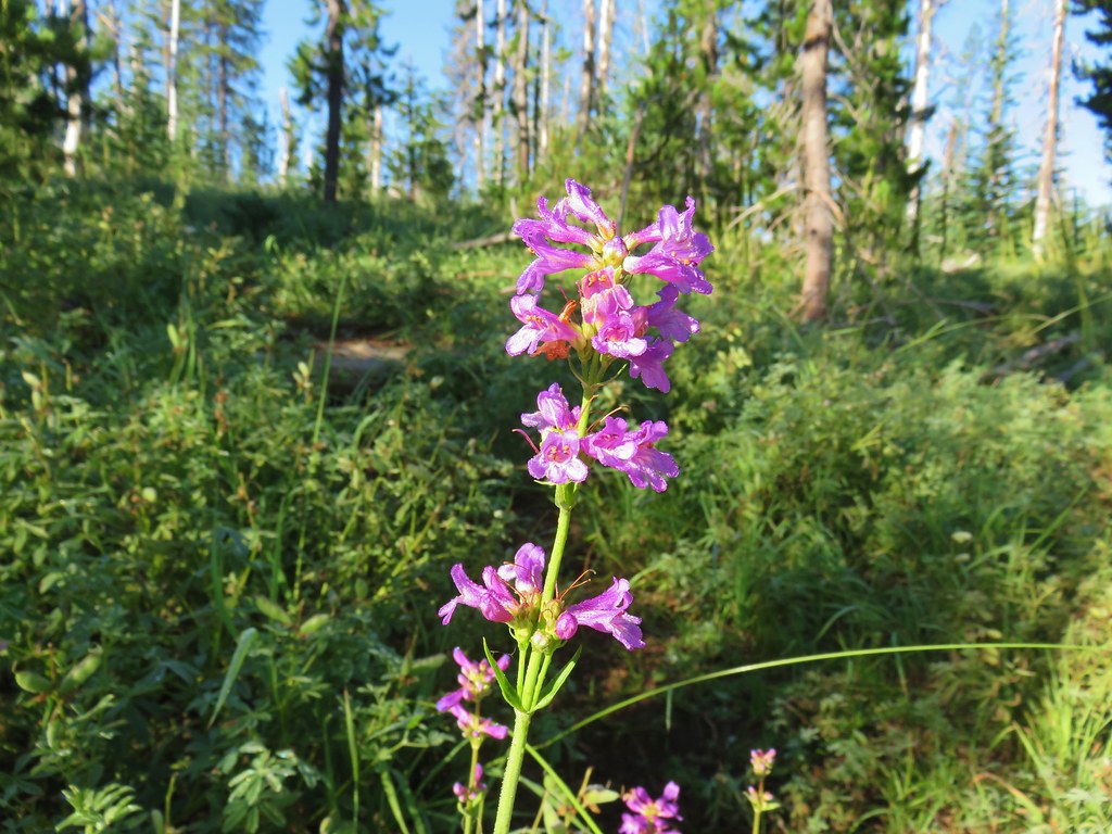
 Lousewort
 Scarlet gilia
 A couple of short (and late) beargrass plumes.
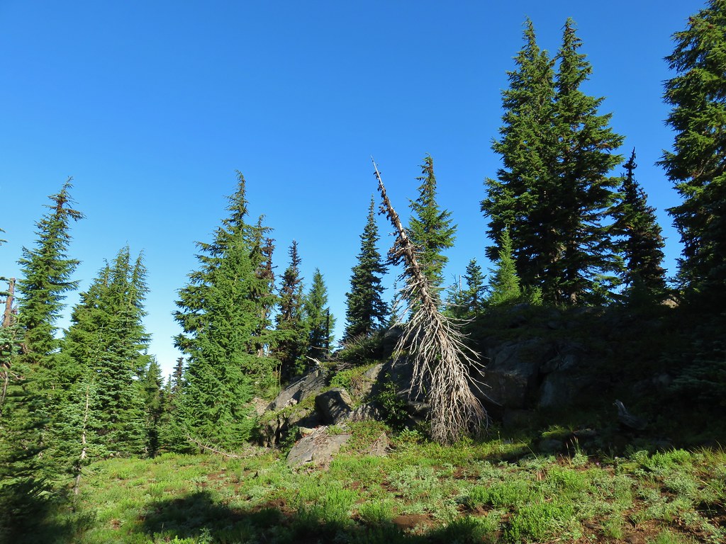

 This looked like prime pika habitat to us.


 Hogg Rock (near left), flat topped Hayrick Butte next to Hoodoo Butte, Mt. Washington with Broken Top behind left and the Three Sisters behind right.
 Mt. Hood in the distance to the left of Mt. Jefferson.

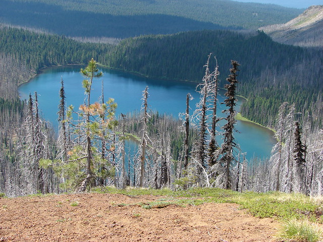
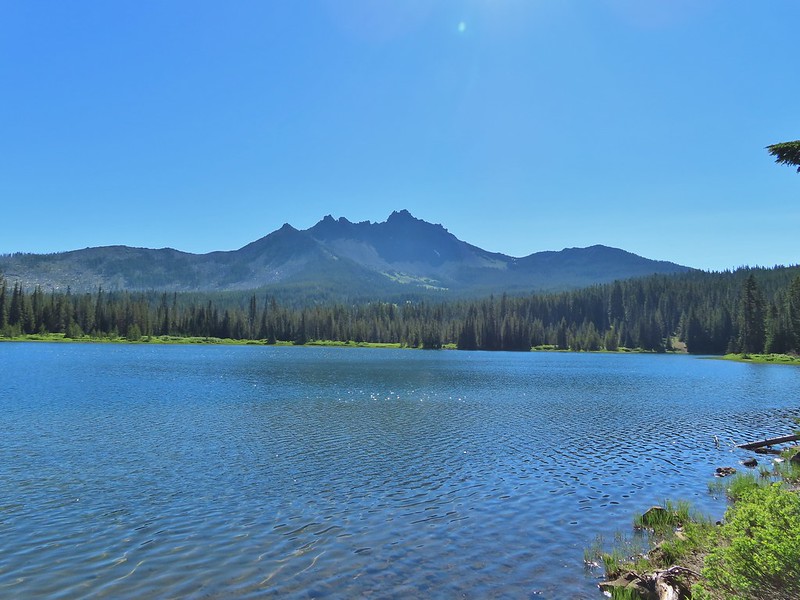
 Mt. Jefferson and Three Fingered Jack with Santiam Lake in the forest below.
 The view south.
 Broken Top, Mt. Washington, and the Three Sisters with Hayrick Butte in the forefront.
 Santiam Lake
 Duffy Lake (
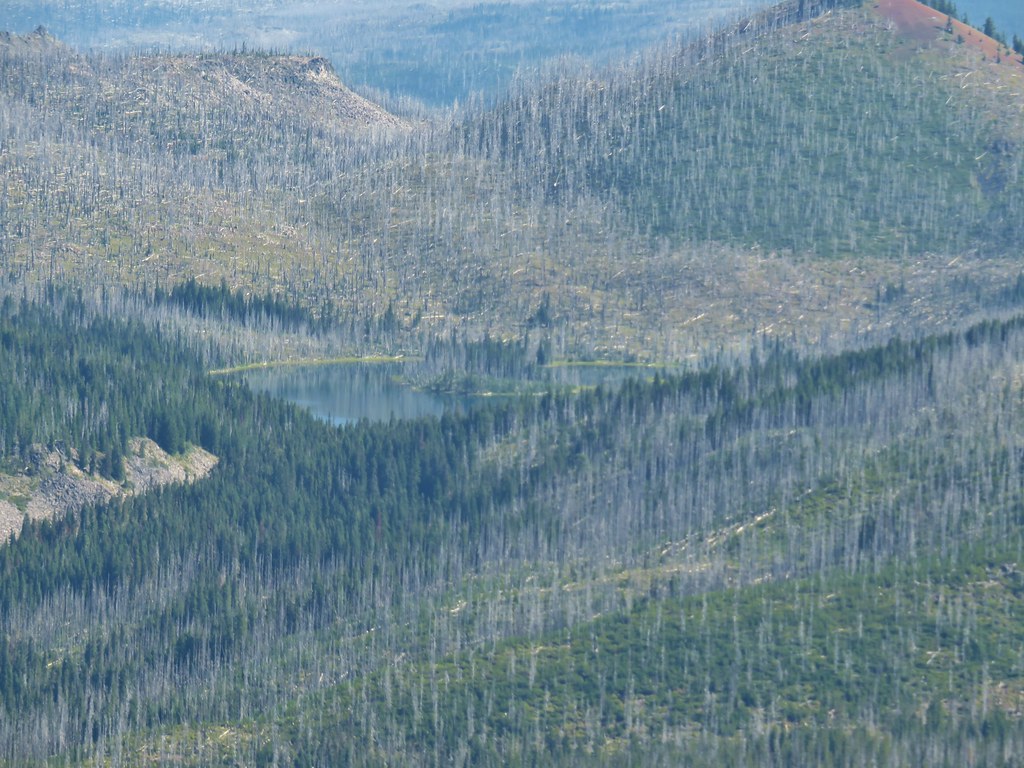 Mowich Lake
 Paintbrush in the crater.


 Pika
Pika Golden-mantled ground squirrel in the same rocky area as the pika.