We continued our 4th of July tradition of hiking by checking off another of William L. Sullivan’s featured hikes, West Zigzag Mountain (Hike #68 “100 Hikes/Travel Guide Northwest Oregon & Southwest Washington” 4th edition). He actually describes two hikes, a 1.8 mile round trip to Castle Canyon and an 11+ mile round trip to the former West Zigzag lookout site. We chose the longer hike for this visit which starts from Zigzag Mountain Trailhead.
 Parking area is just a wide spot in the road.
Two trails start at the trailhead, the Zigzag Mountain Trail heads uphill to the left while the Road 19 Trail follows the closed road to the right. The Road 19 trail connects with the Castle Canyon Trail in 1.1 miles.

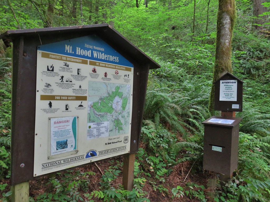
After a short steep climb the Zigzag Mountain Trail arrived at a wilderness permit box and Mt. Hood Wilderness map.
After filling out one of the self-issue permits we began to climb. Our last two hikes had cumulative elevation gains right around 4000′ so today’s 3100′ was a little better. It also helped that unlike the trails on our previous two climbs the Zigzag Mountain trail utilized a number of switchbacks to keep the grade much more manageable.
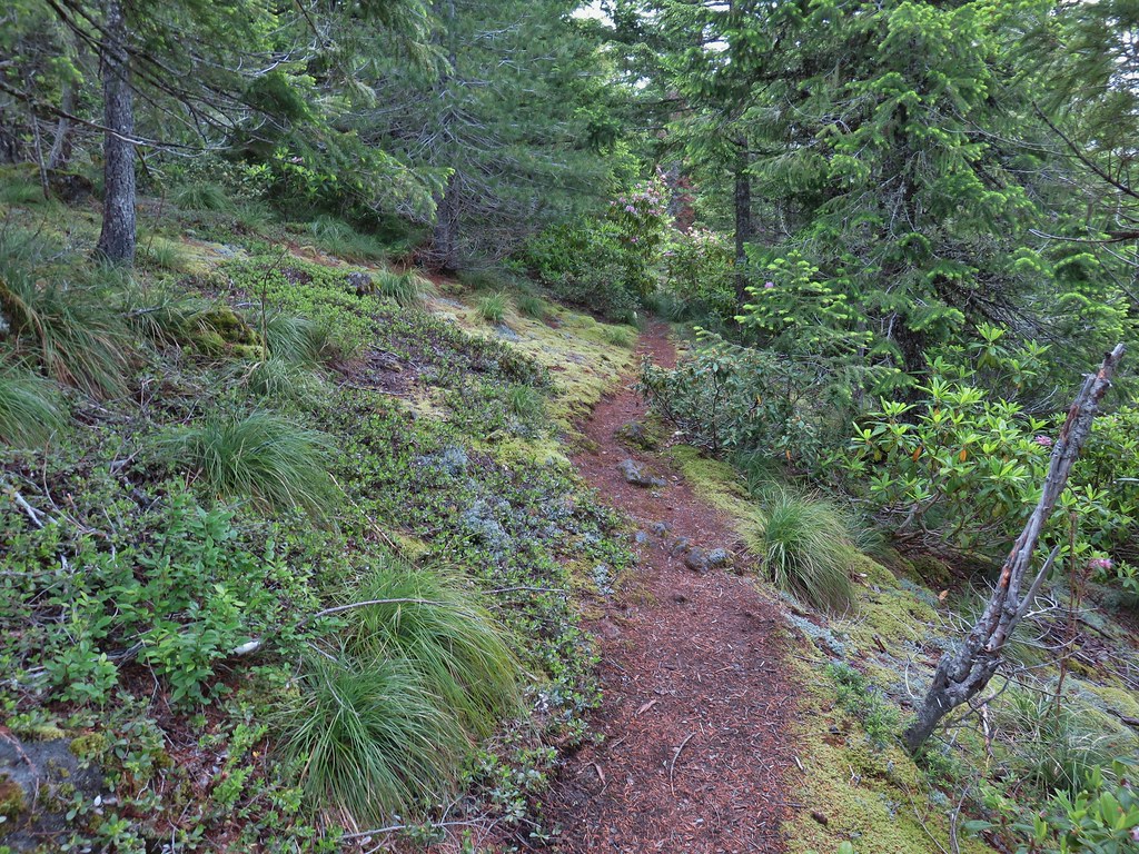
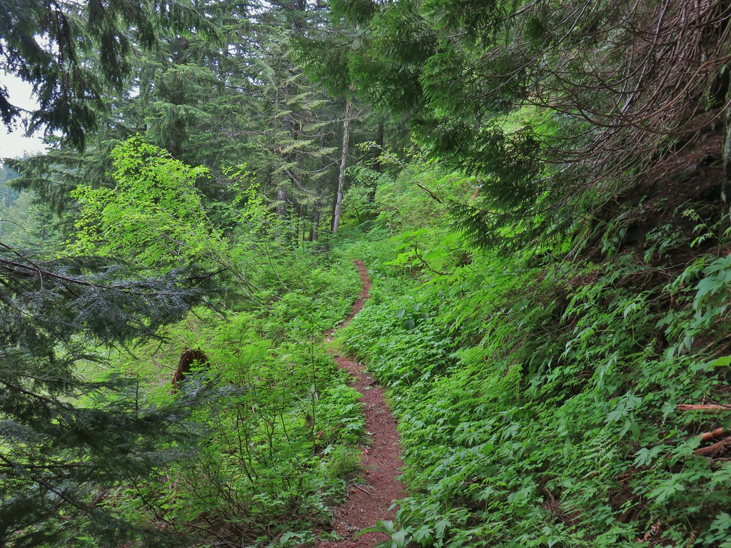
 Zigzag Mountain Trail entering the Mt. Hood Wilderness.
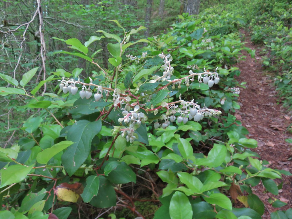
The climb was forested with a few flowers present at the lower elevations.
 Washington lilies
 Tiger lilies
 Self-heal

 Salal
Salal
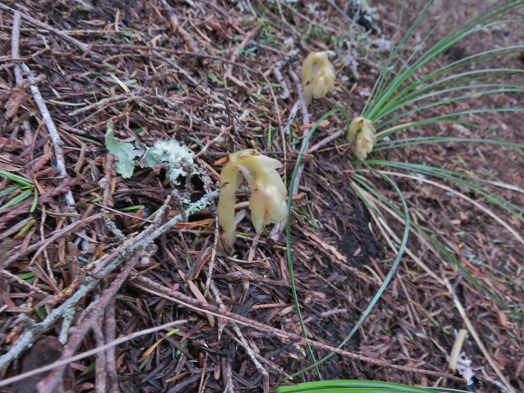
 Candy sticks
 Queen’s cup and bunchberry
 Anemone
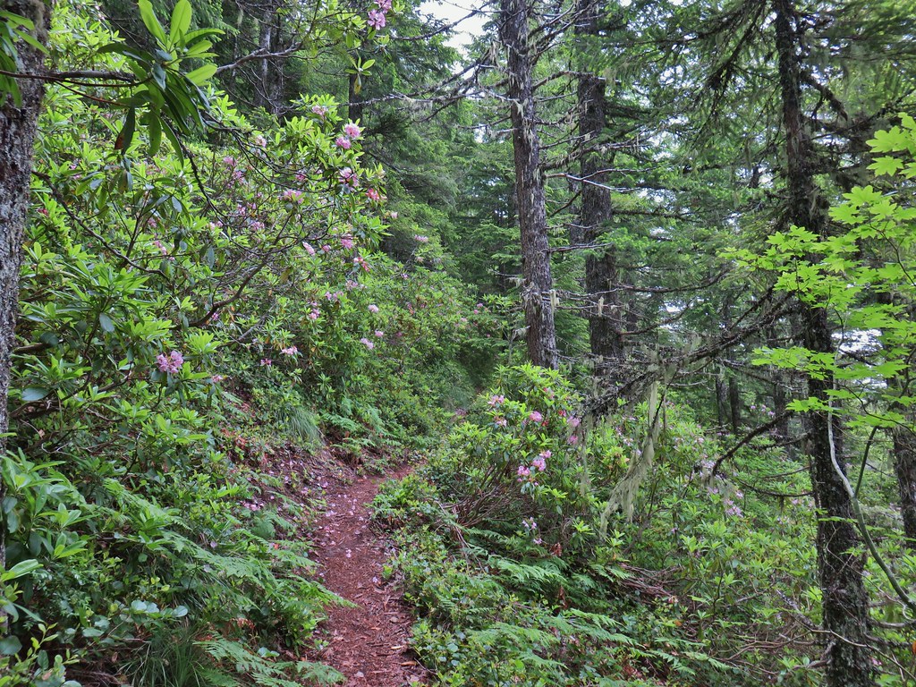
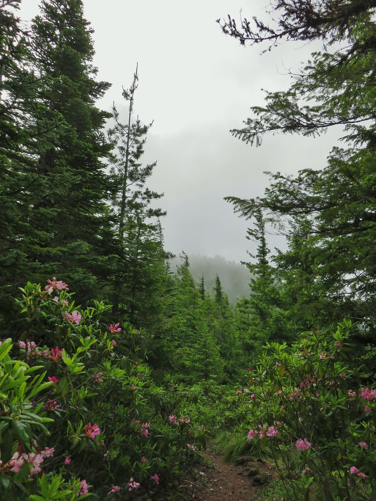
As we climbed we began to see a fair amount of rhododendron in bloom.
The trail made 15 switchbacks over the first two miles before straightening out for a bit along a ridge.
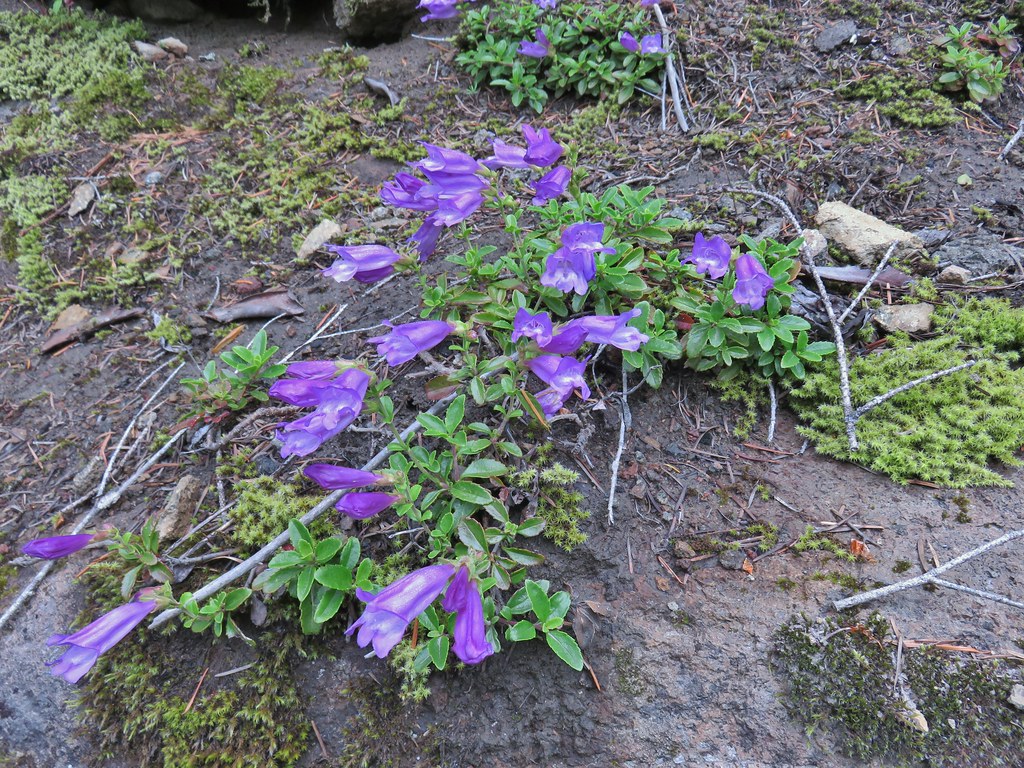
We passed a small rock garden with some penstemon along the ridge.


The ridge was a bit more open and here we found some beargrass and lupine blooming. There were also opportunities for views but it had clouded up overnight and those clouds weren’t burning off very quickly.
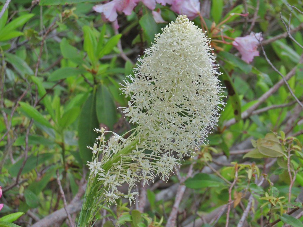 Beargrass
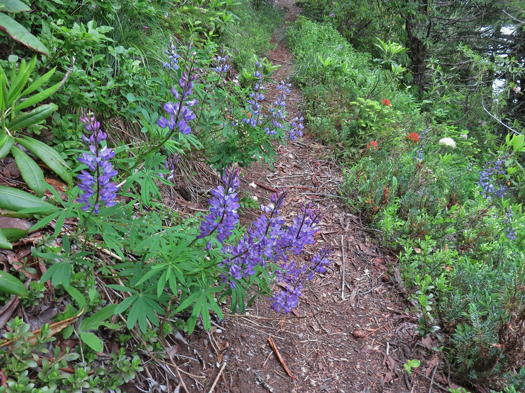
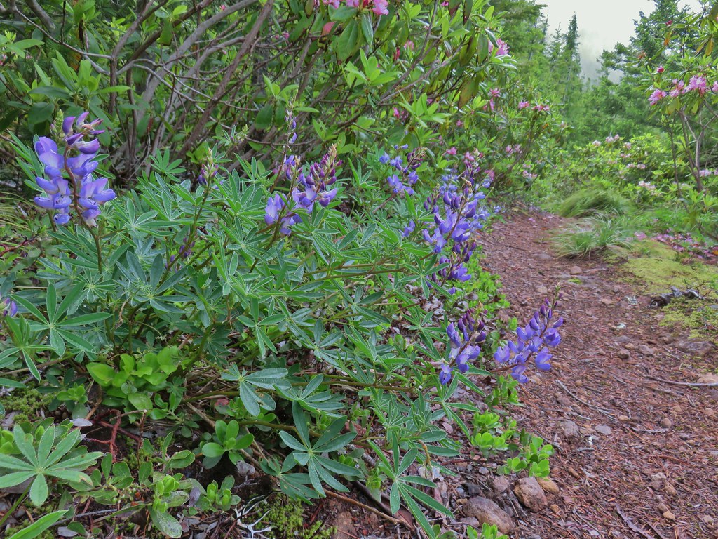 Lupine
The trail spent little time on the ridge top and instead rose up and down switching sides of the ridge as it passed under rock outcrops.
 Trillium along the north facing side of the ridge.
 Mushroom
 Pinesap
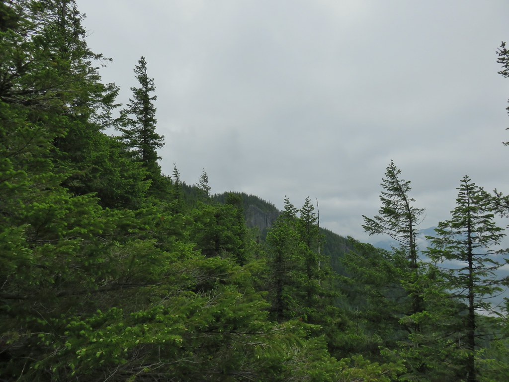
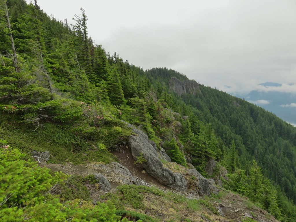
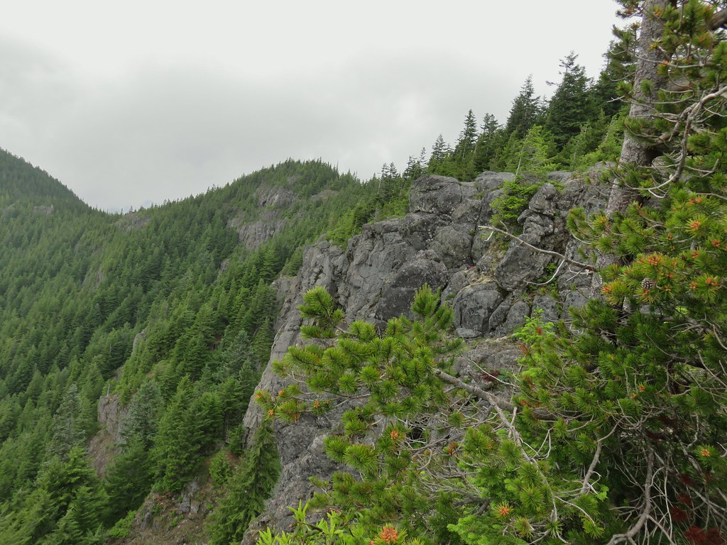
 Passing a rock outcrop.
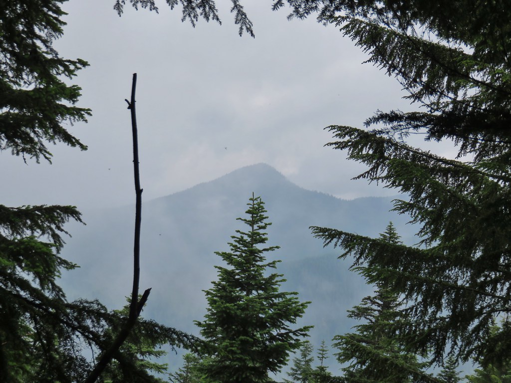
 West Zigzag Mountain from the trail.
 Back to the north facing side.
 Now on the south facing side.
Near the 2.5 mile mark we came to a rocky viewpoint where we had a nice view of West Zigzag Mountain ahead but not of much else due to the clouds.

 Sub-alpine mariposa lily at the viewpoint.
Another series of switchbacks followed before the trail straightened out following the ridge of Zigzag Mountain near the 3 mile mark. After another three quarters of a mile of climbing the trail began a series of ups and downs along the ridge. This lasted for the final 2.5 miles to the former lookout site although none of them were very long or too steep. While there weren’t any wildflowers meadows on this hike there were quite a few flowers to be seen along the way.
 Lupine and paintbrush
 Beargrass and rhododendron
 Huckleberry
 Cliff beardtongue

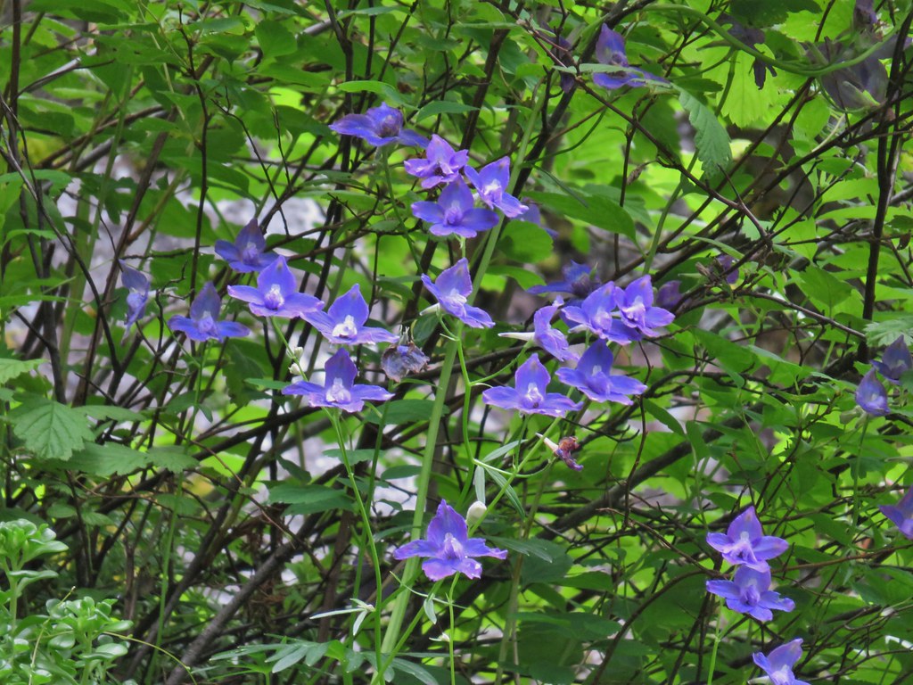 Larkspur

 Phlox
Phlox
 More cliff beardtongue
 Penstemon
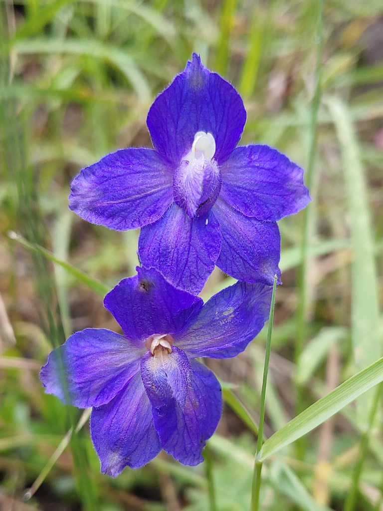 Larkspur
 On the ridge just before reaching the lookout site.
Around the 5.25 mile mark we came to what would have been a great view of Mt. Hood if not for the clouds.

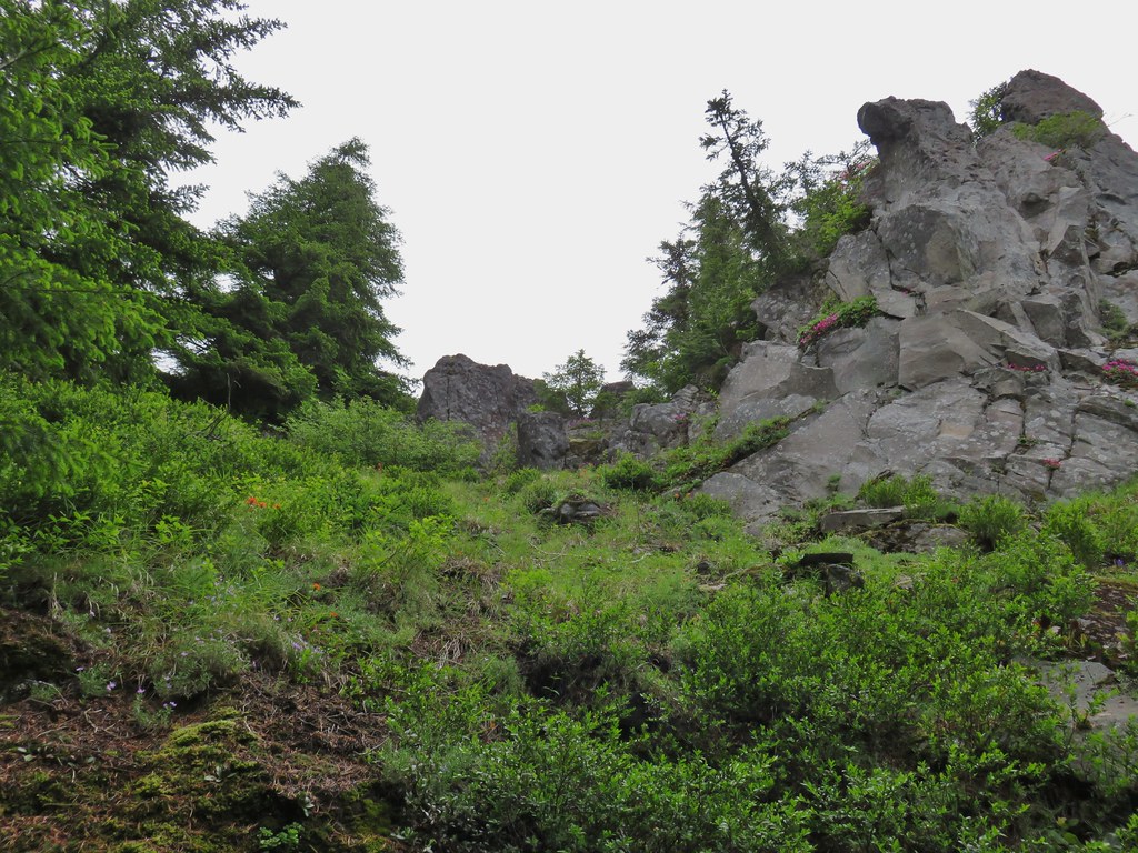
After crossing the ridge the trail emerged from the forest near some rock outcrops that framed the forest below.

We followed a short path led to the top of the southern outcrop where we had a view over to the former lookout site.

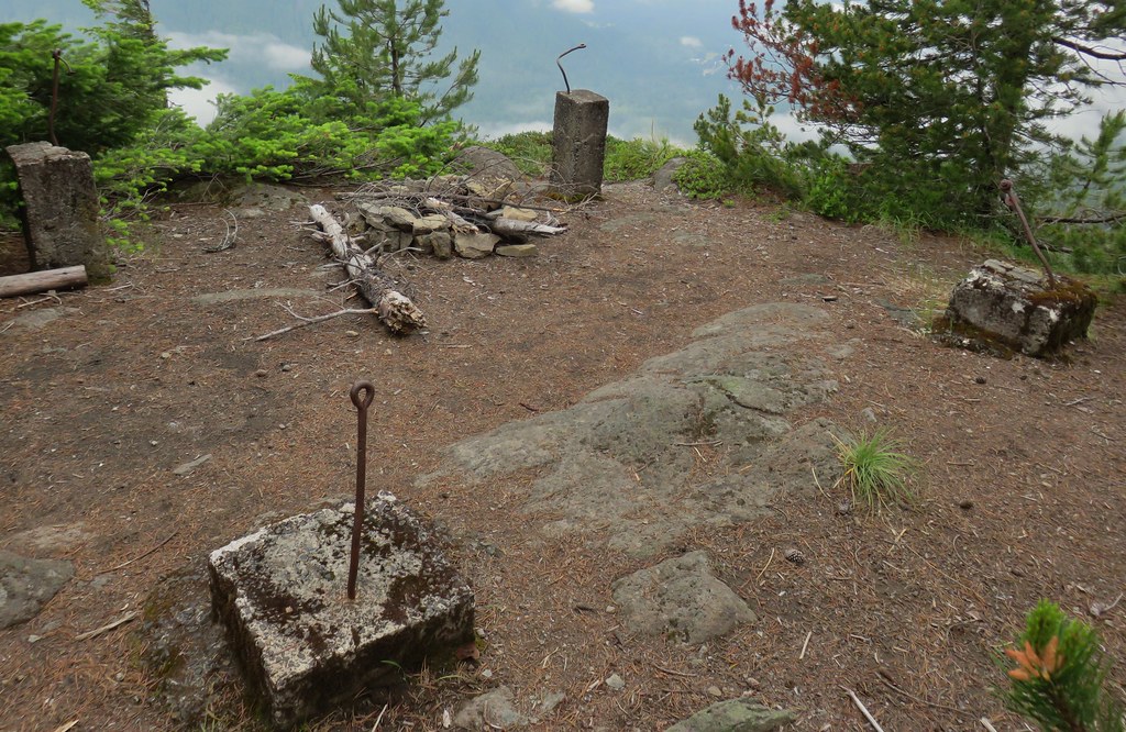
 Former lookout site in the tress to the left.
We sat on the outcrop and watched the clouds pass by.


With the limited views outward we focused our attention down picking out a few flowers that we hadn’t seen on other parts of the hike.
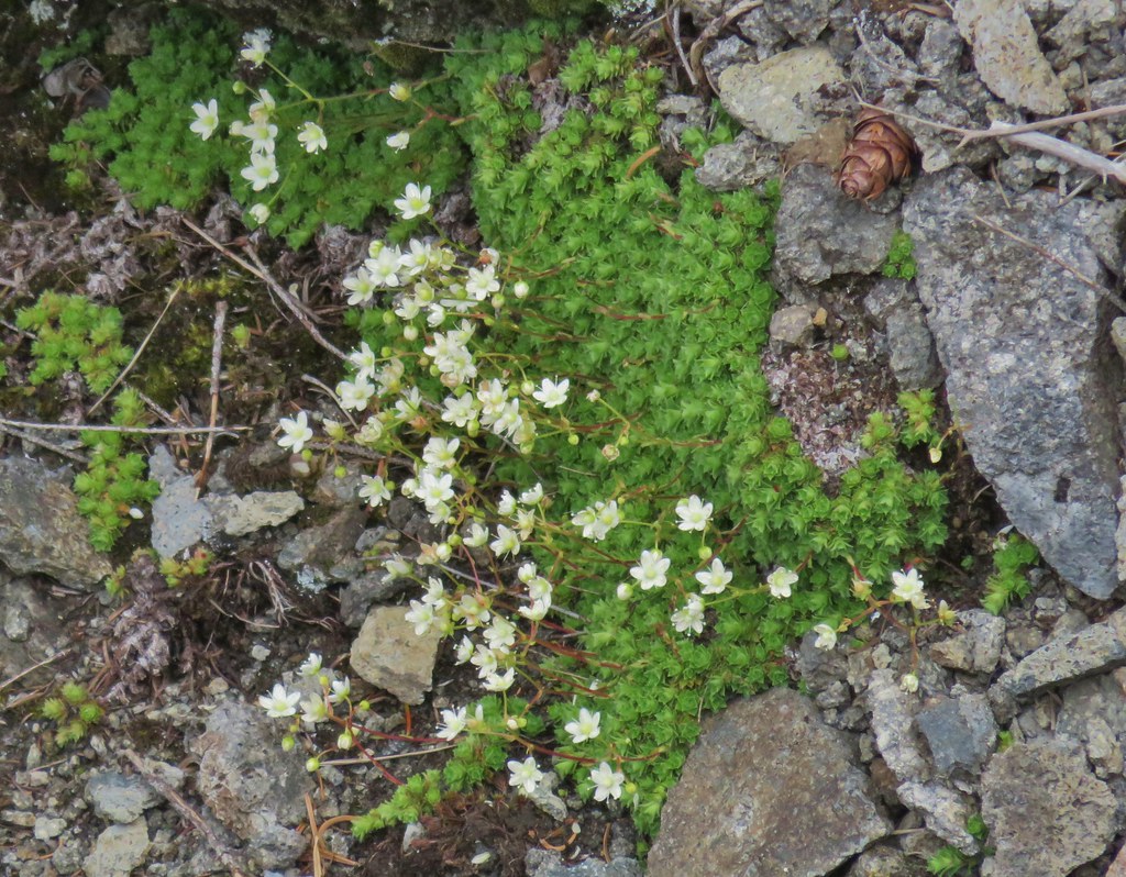 Tufted saxifrage
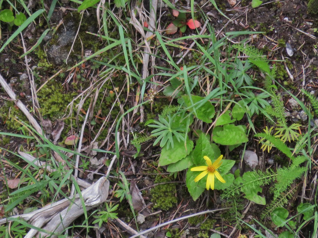 Arnica
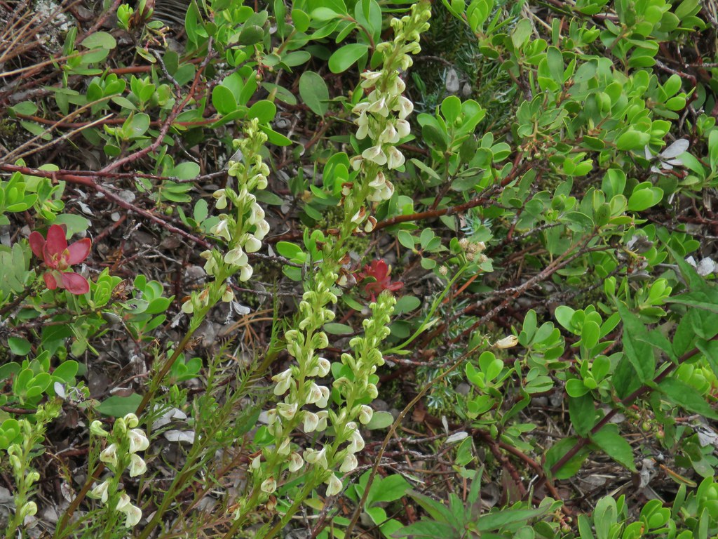 Lousewort
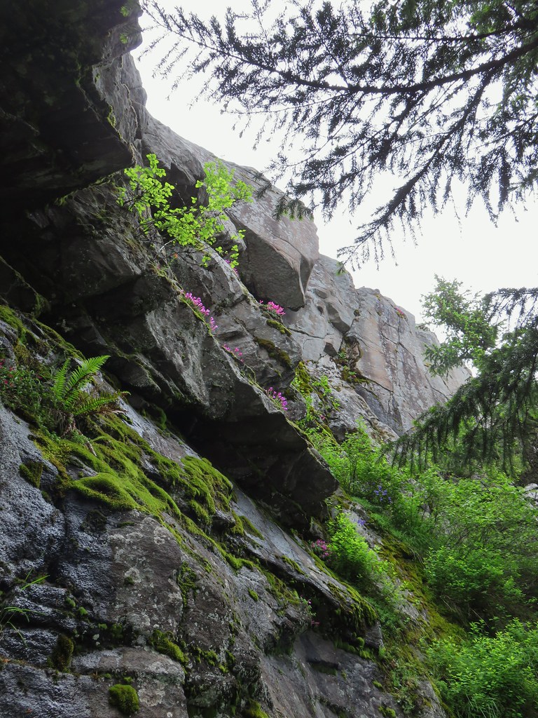
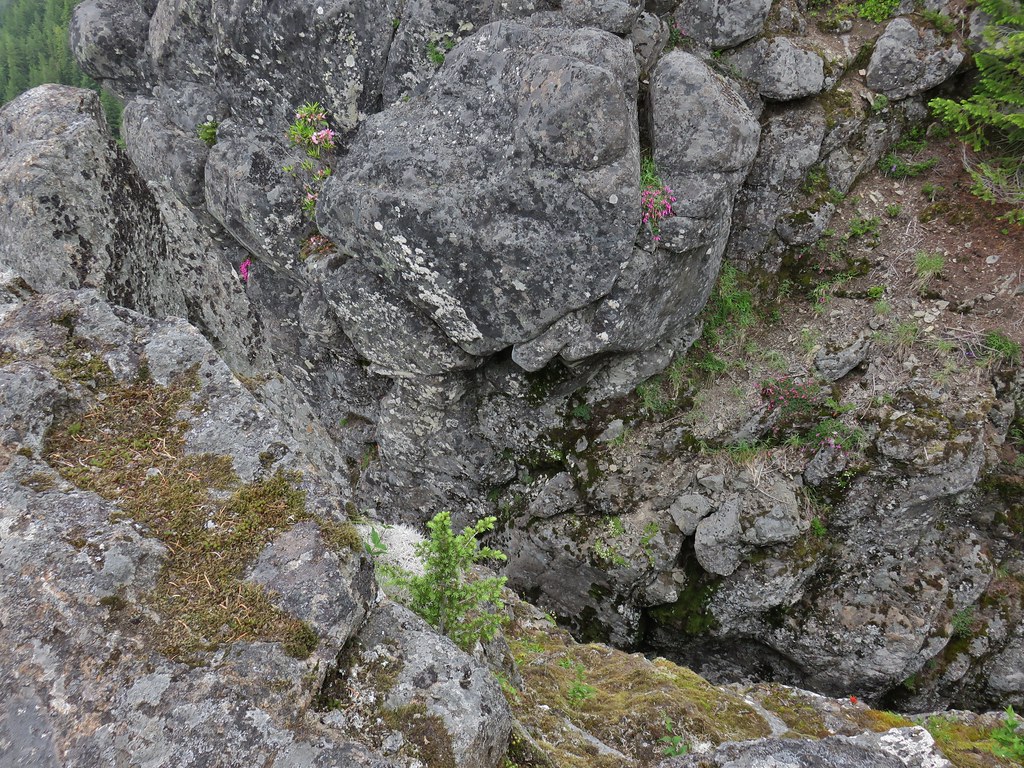
 Some of the rocks in Castle Canyon
When we started to get a little chilly we decided to head back, but first we had to visit the former lookout site to ensure that we connected this hike with our 2012 hike.
 View of the outcrop from the lookout site.
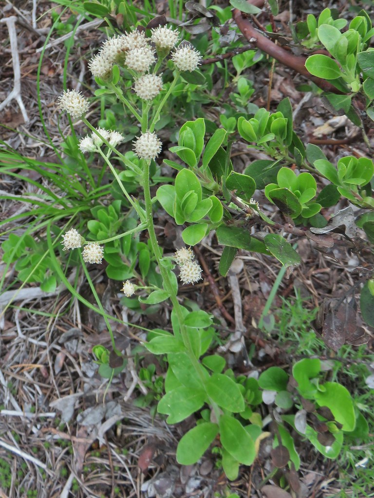 Raceme pussytoes
We returned the way we’d come spotting a few flowers that we’d missed going the other direction.
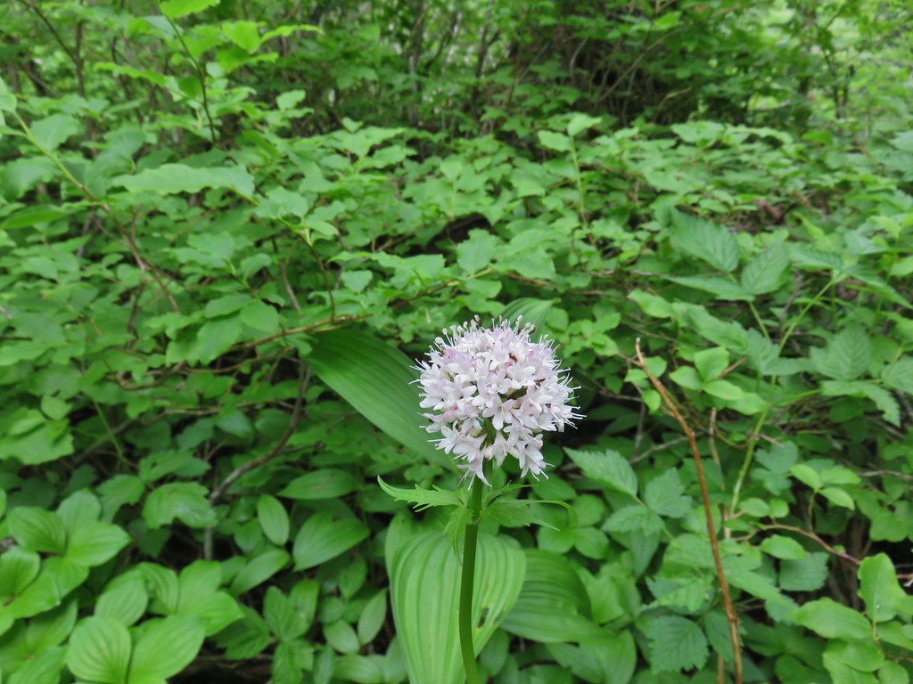 Valerian
 Salmonberry
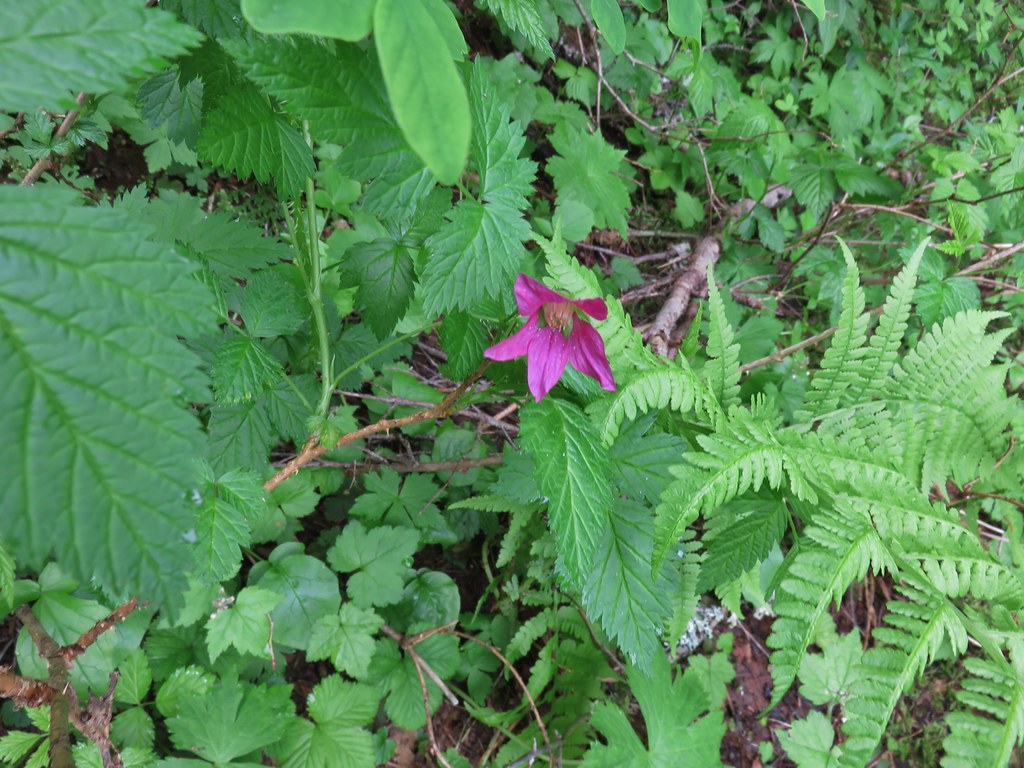
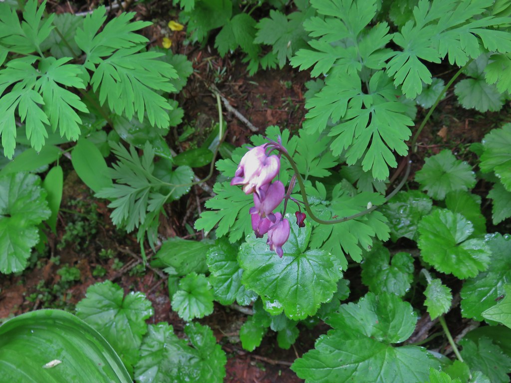 Bleeding heart
 Violet
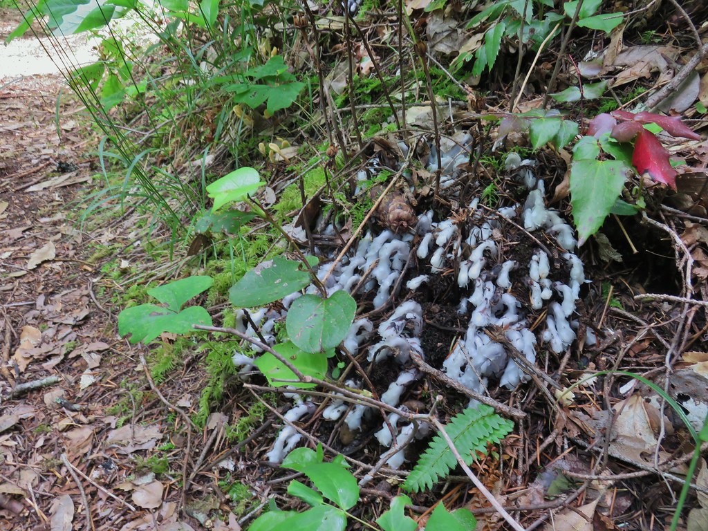 Monotropa uniflora aka ghost plant
Despite the clouds never burning off (we did eventually see a couple of slivers of blue sky) it was a good day for the hike. The flowers were good and the clouds kept the temperature down and the gradual grade of the trail kept the 11.4 miles from feeling difficult. We wound up passing 8 other hikers on our return trip which is a pretty low number for a Saturday hike on a trail as close to Portland as this one is so that was also a plus as we are still doing our best to practice proper social distancing. We capped off our 4th by watching the fireworks in our neighborhood with our son and my parents. Happy Trails!
Flickr: West Zigzag Mountain

3 replies on “West Zigzag Mountain – 7/04/2020”
[…] trailhead is almost directly across Highway 26 from our previous hike, West Zigzag Mountain (post). Based on the forecast there was a really good chance that we’d get to see similar views of […]
[…] #68 West Zigzag Mountain – Hiked 7/9/2012 & 7/4/2020 […]
[…] To start our day we drove to the West Zigzag Mountain Trailhead for the short, but steep, Castle Canyon Trail. We’d parked here in 2020 when we hiked up to West Zigazag Mountian (post). […]