We kicked off our 2021 hiking year by revisiting the Banks-Vernonia State Trail. We had run the entire trail in April 2014 as part of an ill fated marathon and I had hiked a short section between the Buxton Trestle and Manning Trailhead in April 2016 while Heather ran a half-marathon (post). We had used the marathon as our “hike” to check off hike #23 in Sullivan’s “100 Hikes/Travel Guide Oregon Coast & Coast Range”4th edition, but the Banks-Vernonia Trail was only part of a longer lollipop loop through L.L. Stub Stewart State Park that he describes. With this visit we planned on doing the rest of his described hike as well as continuing on to the Tophill Trailhead where we plan to someday start another section hike of the trail.
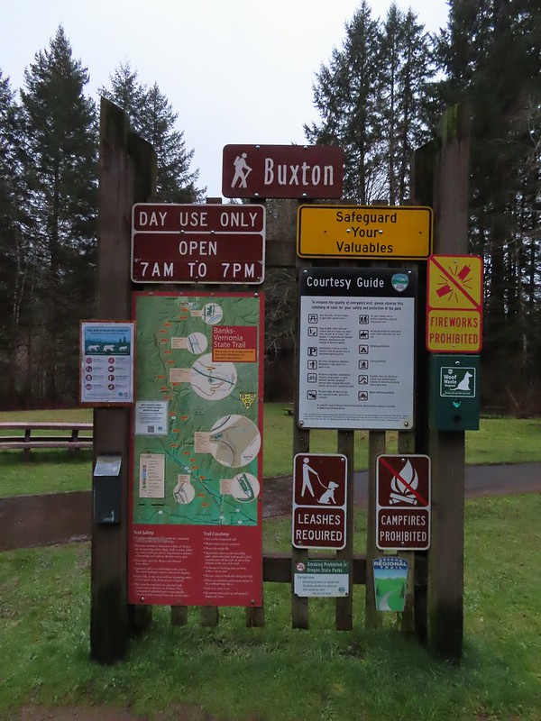
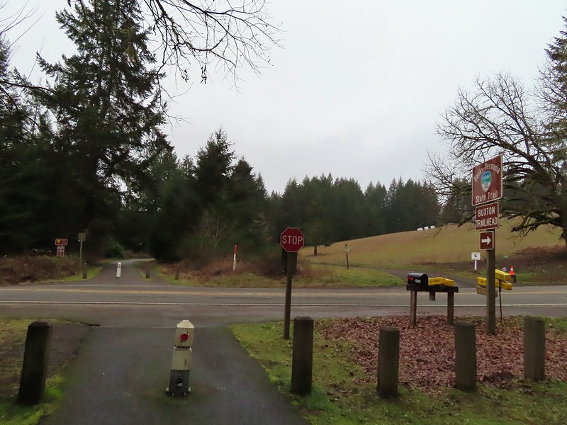
We began our hike at the Buxton Trailhead where I had started my 2016 hike as well.
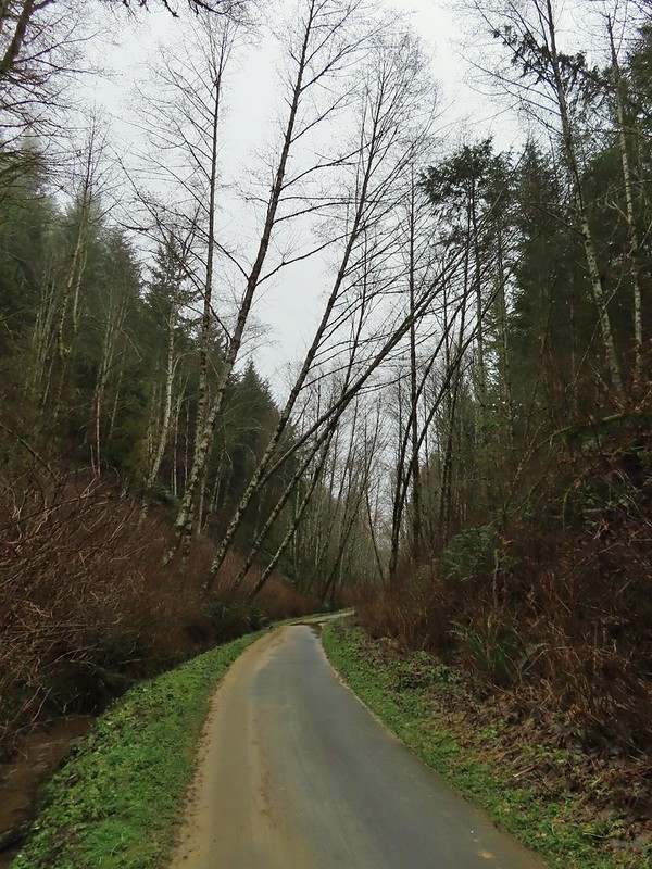
From the far end of the parking lot we took a path down to Mendenhall Creek below the Buxton Trestle.


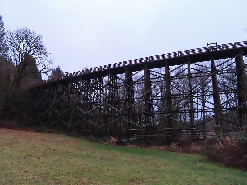
The path then took us up to the Banks-Vernonia State Trail where we turned right and crossed the trestle.


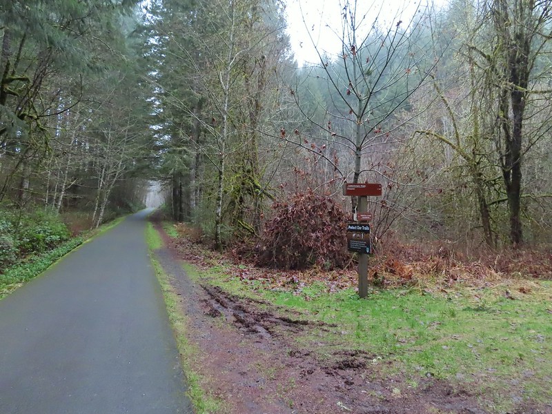
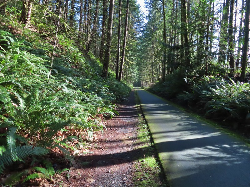
We followed the paved former railroad north approximately 3/4 of a mile into L.L. Stub Stewart State Park.
 Leaving the Buxton Trailhead area.

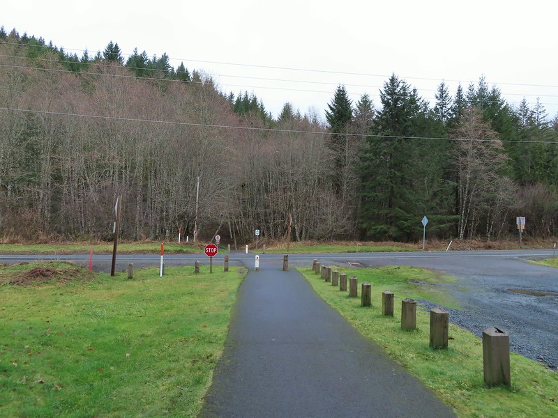
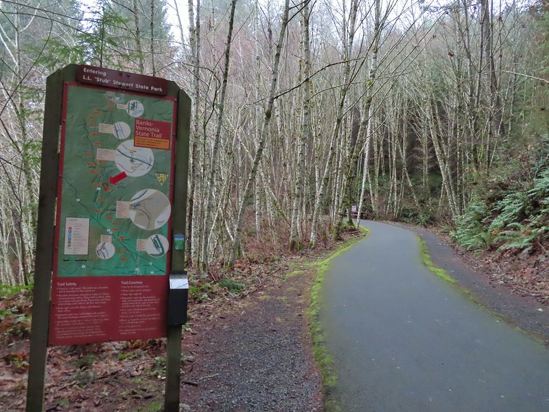 Entering Stub Stewart State Park.
We continued through the park for another mile and a half passing two marked trails to the right before arriving at a third just north of Williams Creek

 This trail was just north of Logging Creek and appeared to just loop back to the Banks-Vernonia Trail a bit further north.
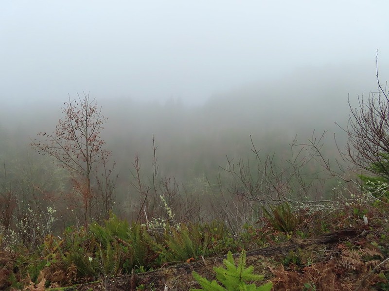
 The Caddywhomper Way(s) Trail was signed better. We skipped the viewpoint given the amount of fog/clouds and not wanting to add another 2 miles to the days total. The Oregonhikers field guide also mentions that there isn’t much of a view left due to the presence of trees.

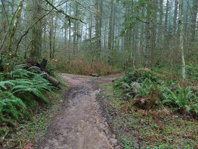
 Trail junction just north of Williams Creek
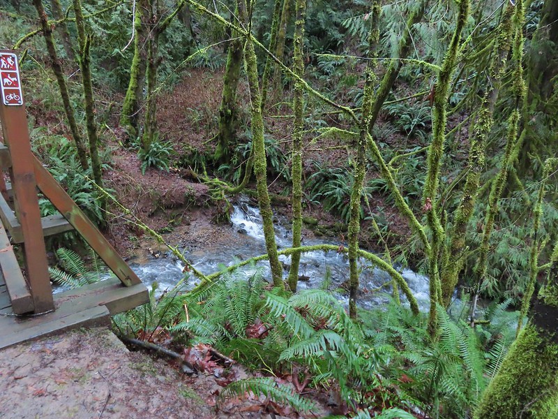
This was our first wrong turn of 2021 although it may have been correct back in 2016 when our guidebook was released. The map in the book showed a single trail splitting off to the right just beyond the creek so we turned down what turned out to be the Shoofly Trail.

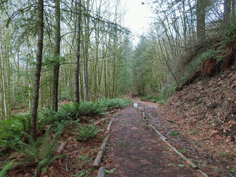
After .2 miles we arrived at a signboard with a map (it would have been more helpful up at the junction).

It was here that we realized that it was the wrong trail and that the Hares Canyon Trail was just a tenth of a mile further north.

Since we were already down there we checked out Williams Creek stopping before the bridge which was clearly marked “no hikers”.


I say that it may have been the correct trail at one point because Sullivan’s description says that “after 100 feet a spur down to the right dead ends at the creek bank” and there was a closed fork up to the left that may have at one time been part of the Hares Canyon Trail. It wasn’t now though so back up we went to the Banks-Vernonia Trail where we continued north the the signed Hares Canyon Trail.

A barricade next to the trail had signs for active logging that was occurring Monday – Friday closing the trail on those days.
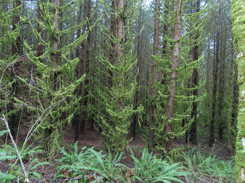
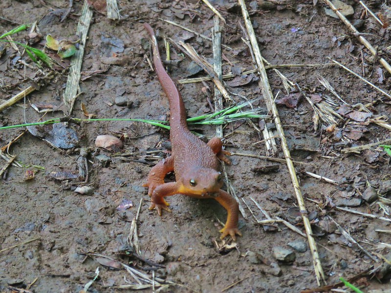
We headed up this trail through the forest where we ran into a pair of rough skinned newts.


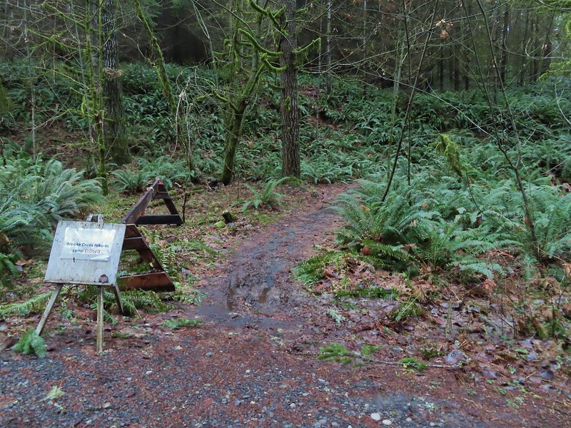
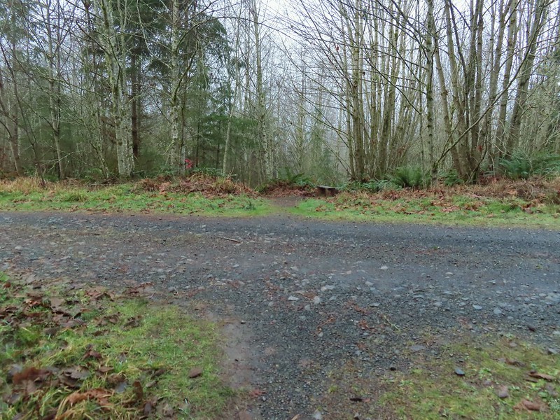
We passed a signed junction with the Brookecreek Trail and then arrived at a new logging road three quarters of a mile from the Banks-Vernonia Trail.


There were no indications of where the Hares Canyon Trail went so we used the map to decide that it must be somewhere to our right and we followed the logging road a short distance before spotting an obvious trail splitting off of it.

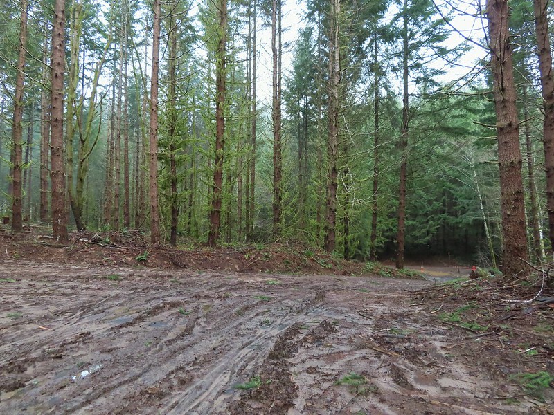
The trail passed through a thinned forest before popping out on another logging road.


We stayed right on the road at junctions and dropped to another barricade at the Widowmaker Way Trail.

 Sign for the Widowmaker Way and Harse Canyon Trails.
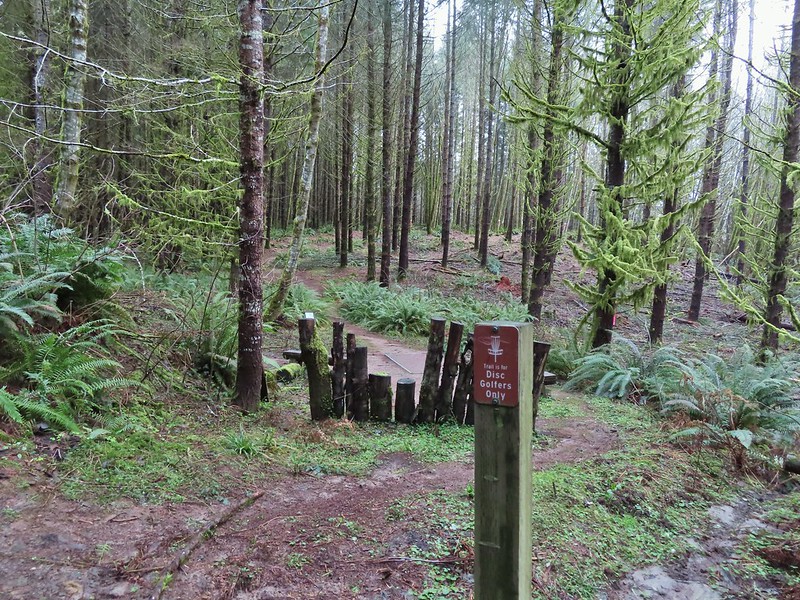
Passing through the logging operation was a bit depressing to be honest. We’ve been on several trails in the last year that have passed through active or recently logged areas and combined with the trails that we’ve lost to wildfires in the last few years and other trails that are being lost to lack of funding for maintenance it’s a bit of a bummer. Ironically this is all at a time when more people then ever are heading out to the trails overloading the most popular and causing issues with litter and human waste. Enough of the doom and gloom though and back to the hike.
The Hares Canyon Trail followed a roadbed of indeterminate age through a disc golf course arriving at a signboard in a mile marking the northern end of the Mountain Bike Area at North Caddywhomper Way.


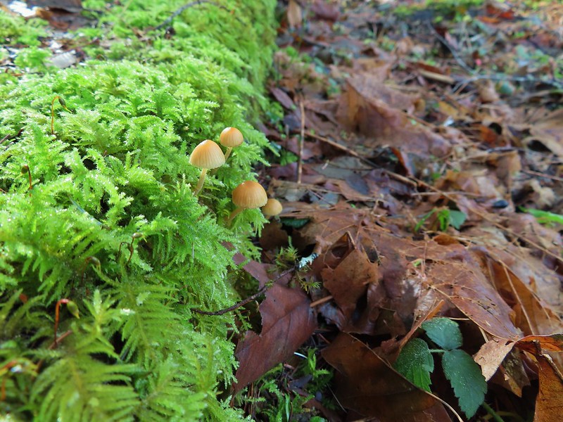
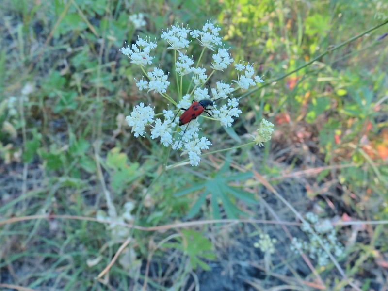
 No flowers yet but plenty of mushrooms and fungi.

 The trails were well signed so it was easy to stay on the Hares Canyon Trail.

 Comming up on North Caddywhomper Way
We turned left here following pointers for the Hares Canyon Trail until it crossed a service road (3/4 of a mile from the signboard).


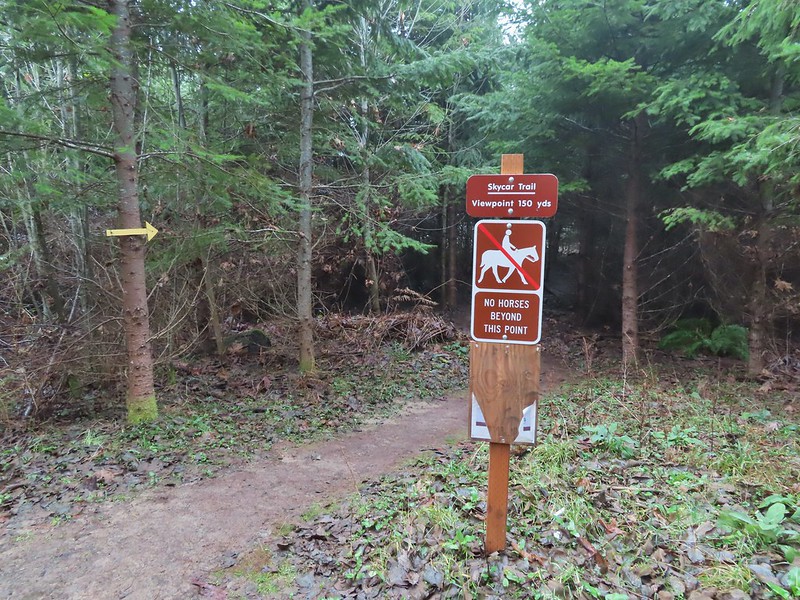
At a junction on the far side of the service road we veered left following the Unfit Settlement View Trail and pointers for the Skycar View and Boomscooter Trail.


 Wet webs in the trees.
We took a detour to the Skycar View despite the fog since it was only 150 yards away.

We returned to the Unfit Settlement View Trail and followed it downhill to a junction with the Boomscooter Trail where we turned right.

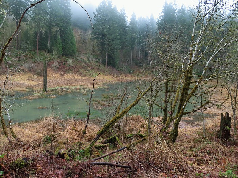
The Boomscooter Trail descended past Boomscooter Pond and ended in three quarters of a mile at the Banks-Vernonia State Trail.
 Chatty squirrel

Sullivan’s description would have had us turn left here and return to the Buxton Trailhead but we turned right instead in order to visit the Tophill Trailhead. There were two reasons for this, one was that if we did do more sections of the trail in the future we didn’t want to have a non-hiked gap in between our section hikes, don’t know why but we prefer them to connect. The second reason was that the Tophill Trailhead had been the halfway point of the 2014 marathon which was also the point at which the train went off the tracks. The section of trail just beyond that trailhead was the only significant uphill of the whole route and we had thought walking it would keep it from doing too much damage, but we hadn’t planned on it being 20 plus degrees warmer that day than it had been during any of our training runs. None of us recovered after the hill and the remainder of the race included a lot of walking and cramping. We were both interested in revisiting that hill and seeing if it really was a bad as it had seemed that day.
It was about 2 miles to the Tophill Trailhead where we walked to Highway 26 then turned around and headed up the hill.
 Passing over Highway 47 on the way to the Tophill Trailhead.
 Orange jelly fungus on a tree.
 Heading up from the hill from the less steep south side.
 Highway 47 at the Tophill Trailhead.
The climb back up the couple of switchbacks was underwhelming. It made us work but it also reinforced that it wasn’t the hill that had done us in that day, it had been the heat. We followed the Banks-Vernonia Trail back to the Buxton Trailhead passing back through L.L. Stub Stewart State Park along the way. The trail was fairly busy by the afternoon with joggers, hikers, bikers, and a couple of equestrians enjoying the dry day (with a bonus sighting of blue skies).
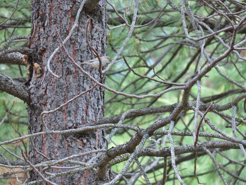
 Chestnut-backed chickadee
 Pond along the trail.

 Entrance road to Stub Stewart.

 Back at the Buxton Trailhead
 Bench at the Buxton Trailhead
We had expected the hike to be around 13 miles but our GPS (and time) put it at 15.5 miles. Although not the most exciting or dramatic hike there was a nice variety of sights and the trails (except for the area being logged) were in great to good shape. Happy Trails!

 Ponderosa Pines in the Boulder Creek Wilderness
 Boulder Creek Wilderness
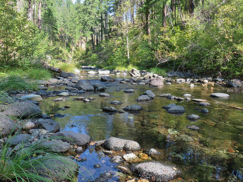 Boulder Creek
 The Palisades
 Gearhart Mountain
 Looking down from Gearhart Mountain
 Meadow below Gearhart Mountain
 Looking up at Gearhart Mountain
 Violet
 Manzanita
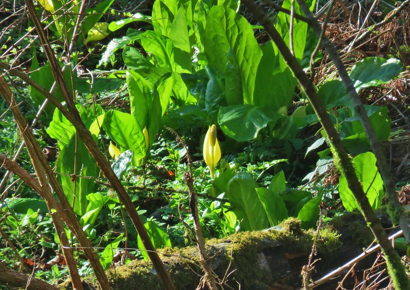 Skunk cabbage
 Violet
 Purple deadnettle
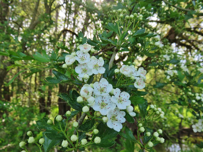 Blossoms on a tree
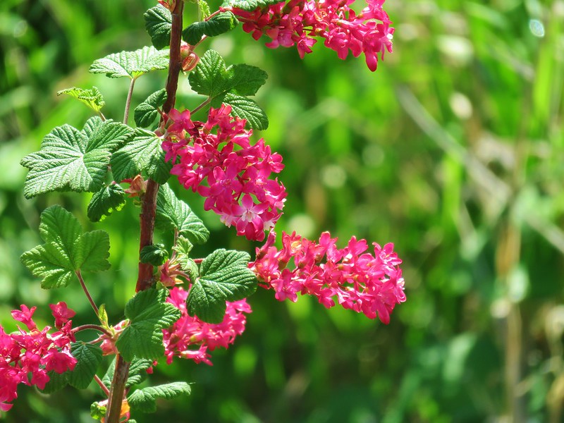 Red flowering currant
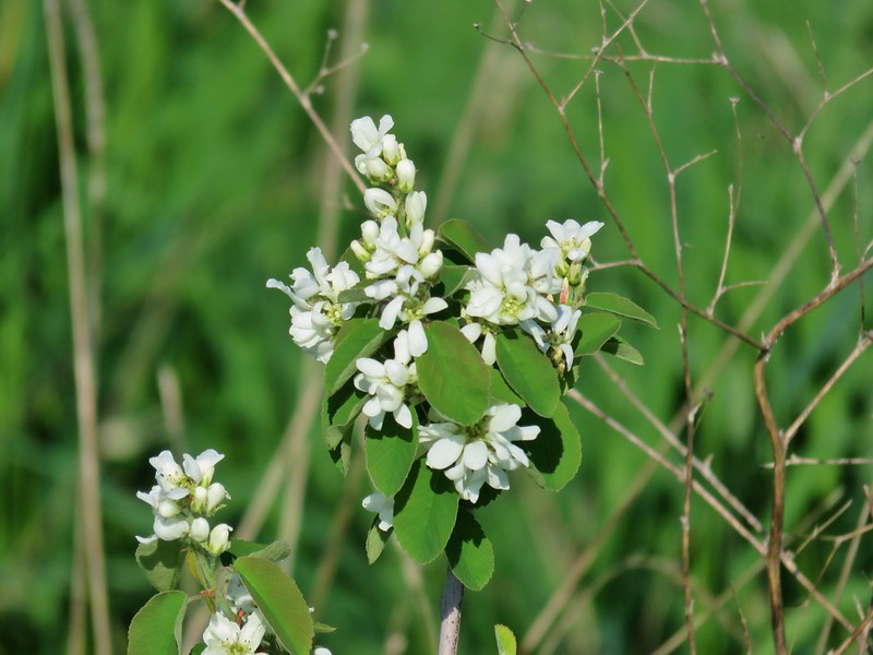 Western service berry
 California poppy
 A checkermallow
 Perriwinkle
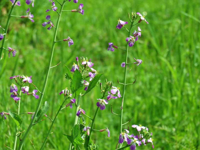 Cultivated radish
 Vetch
Vetch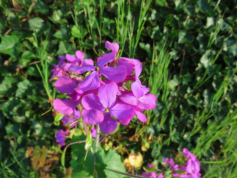 Annual honest
 Giant white wakerobbin
 Camas
Camas Cow parsnip
 Flowering bush as Basket Slough Wildlife Refuge
 Red clover
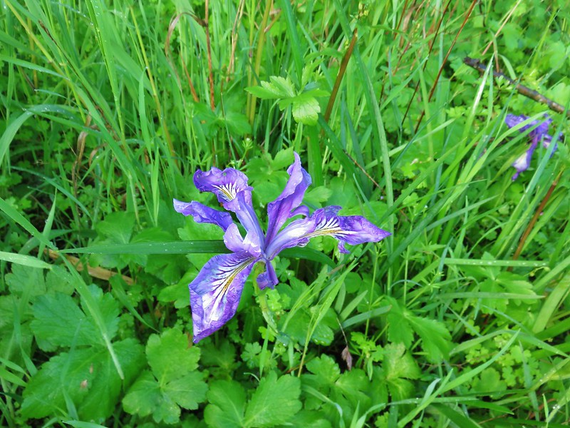 Iris
Iris Columbine
 Indian plum
 Tolmie’s mariposa lily
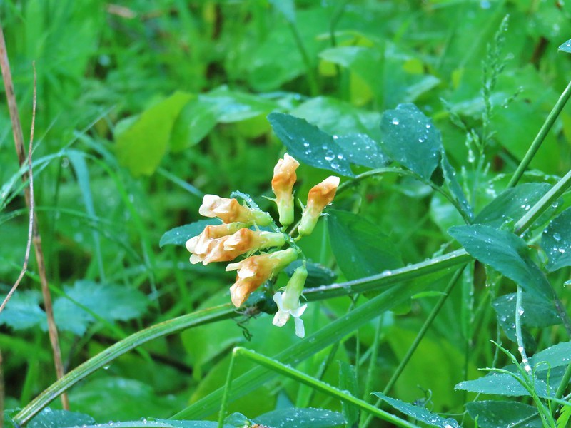 Thin-leaf pea
 Giant blue-eyed Mary
 Golden paintbrush
 Plectritis
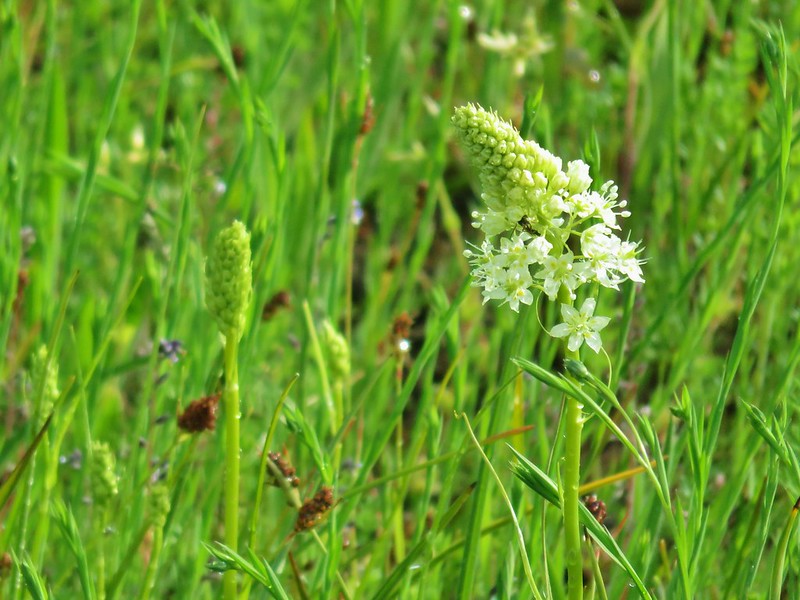 Meadow death camas
 Purple sanicle
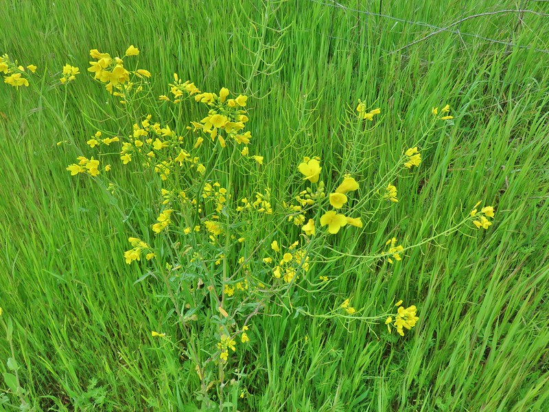 A mustard
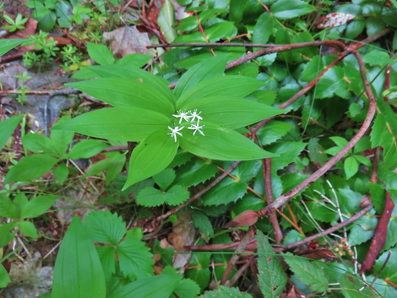 Star flowered solomseal
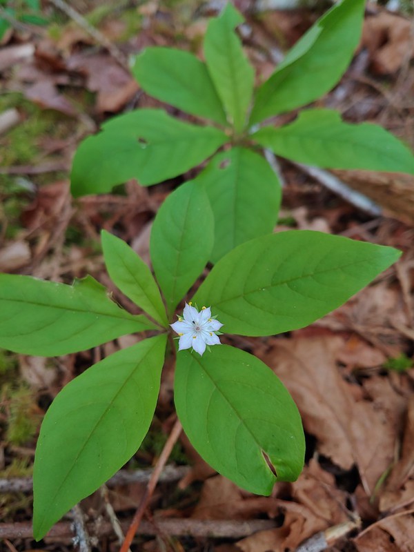 Starflower
 Yellowleaf iris
 Valerian
 Spotted coralroot
 Thimbleberry
 Hookedspur violet
 Fairy slipper
 Dogwood
 Buck Brush
 Fairybells
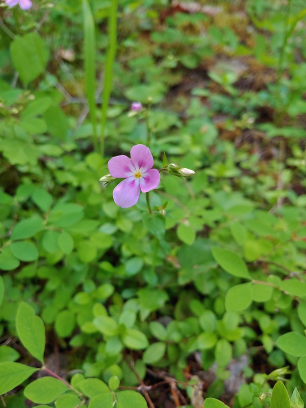 Showy phlox
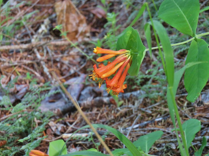 Honeysuckle
 A pea and poison oak
 Yout-on-age
 Monkey flower
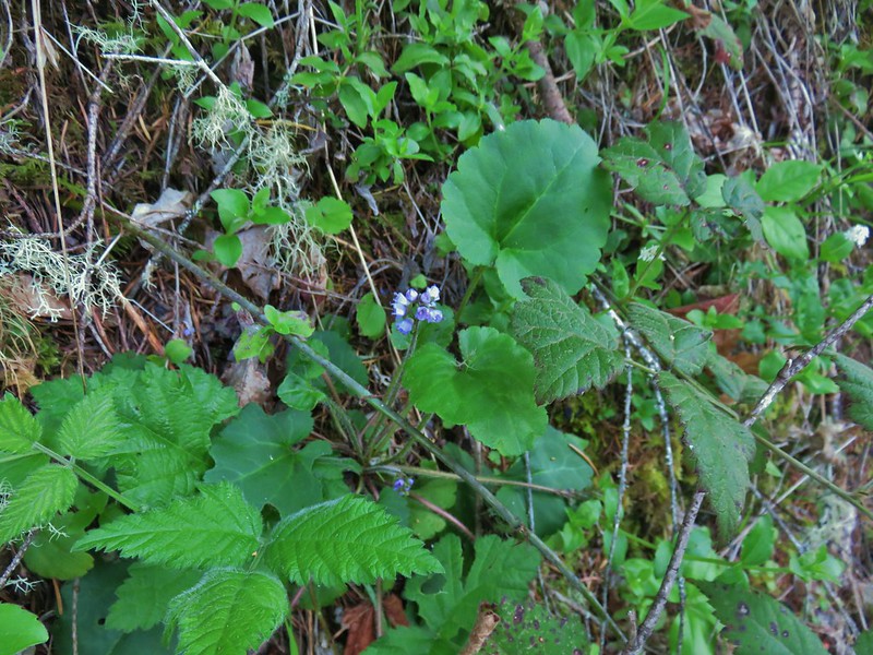 Snow queen
 Pale falx
 Wild ginger
 Oregon grape
 Candy flower
 Striped coralroot
 Bleeding heart
 Strawberry
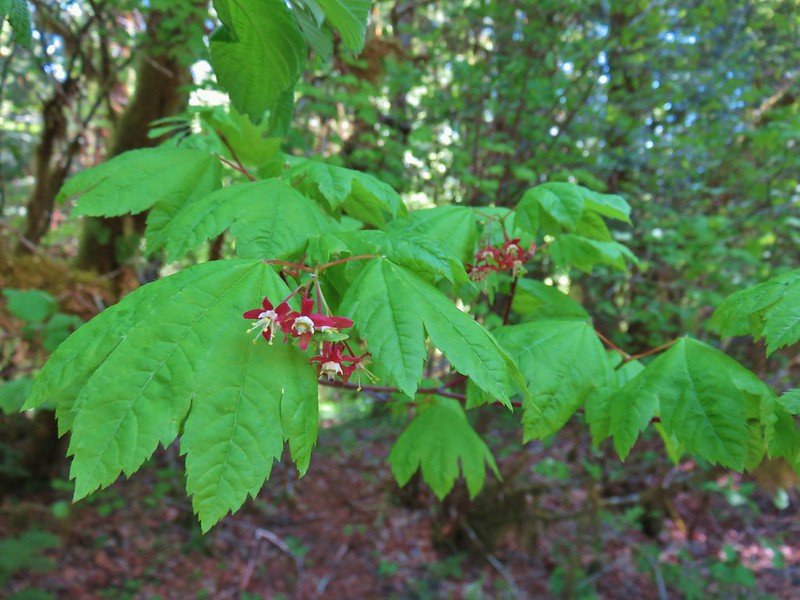 Maple
Maple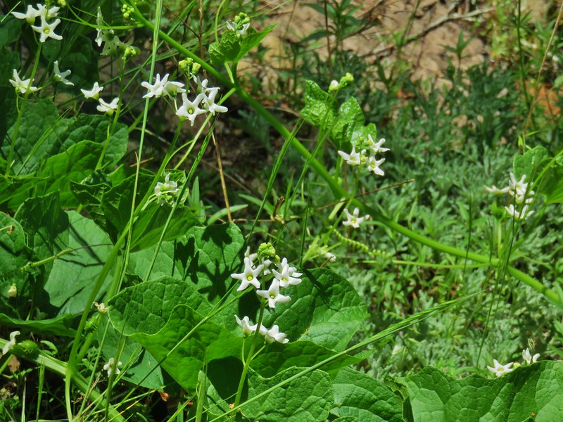 Coastal manroot
 Popcorn flower?
 Variable collomia
 Western yellow oxalis
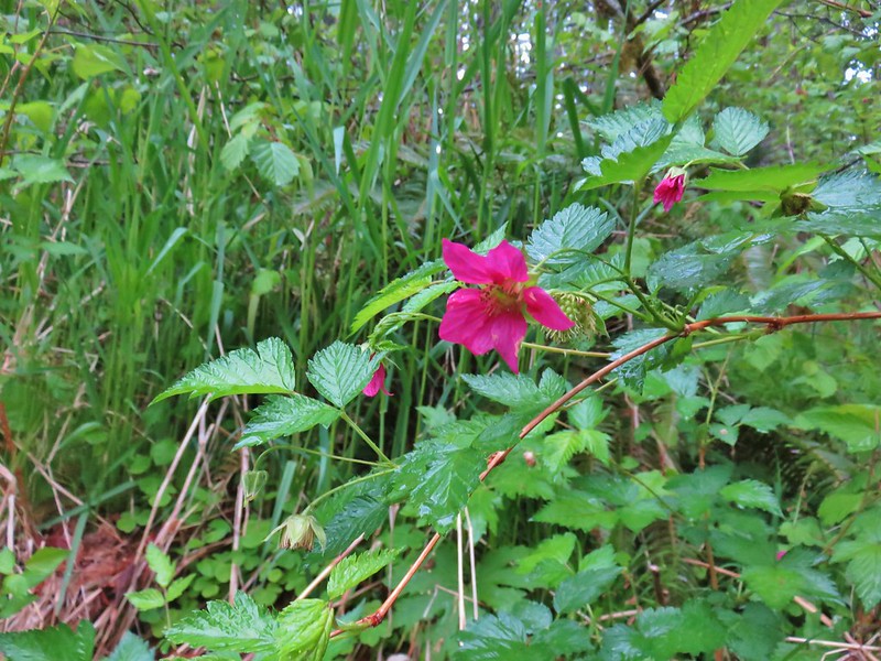 Salmonberry
 Pacific waterleaf
 Queen’s cup
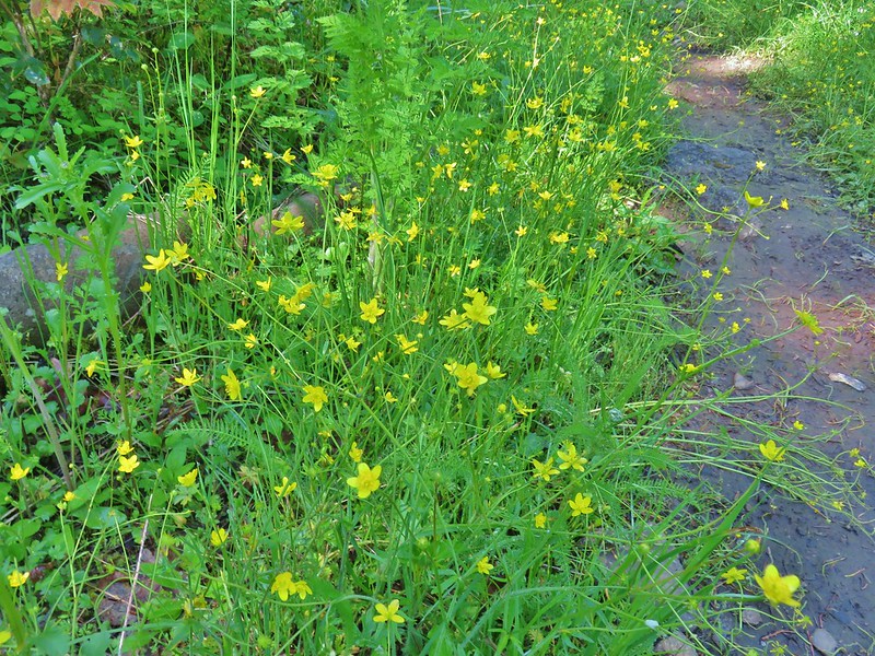 Western buttercups
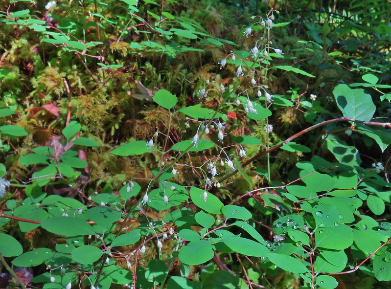 Foam flower
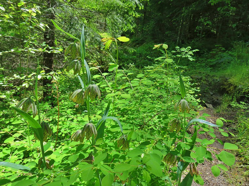 Chocolate lillies
 Vanilla leaf
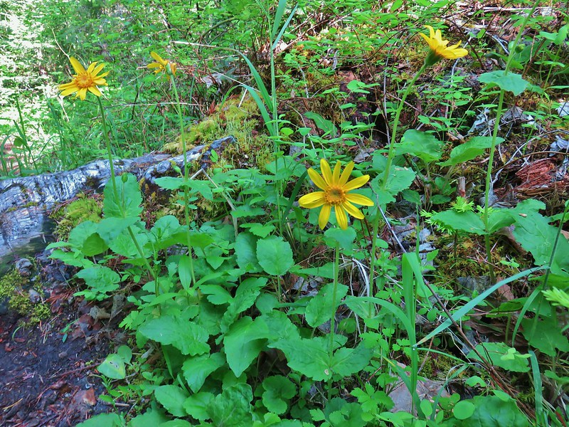 Arnica
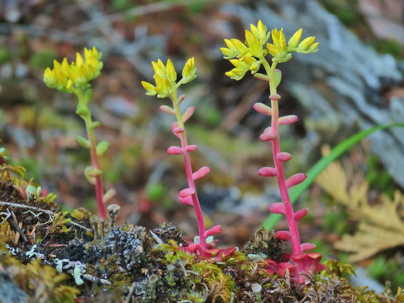 Stonecrop
 Tall bluebells
 Anemone
 Oregon geranium
 Vetch and daisies
 Common St. John’s wort
 Douglas spirea
 Lupine
 Ookow
Ookow Yellow glandweed
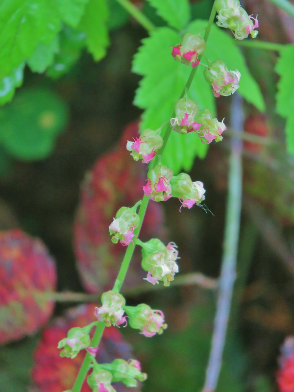 Fringecup
 Wild rose
 Inside out flower
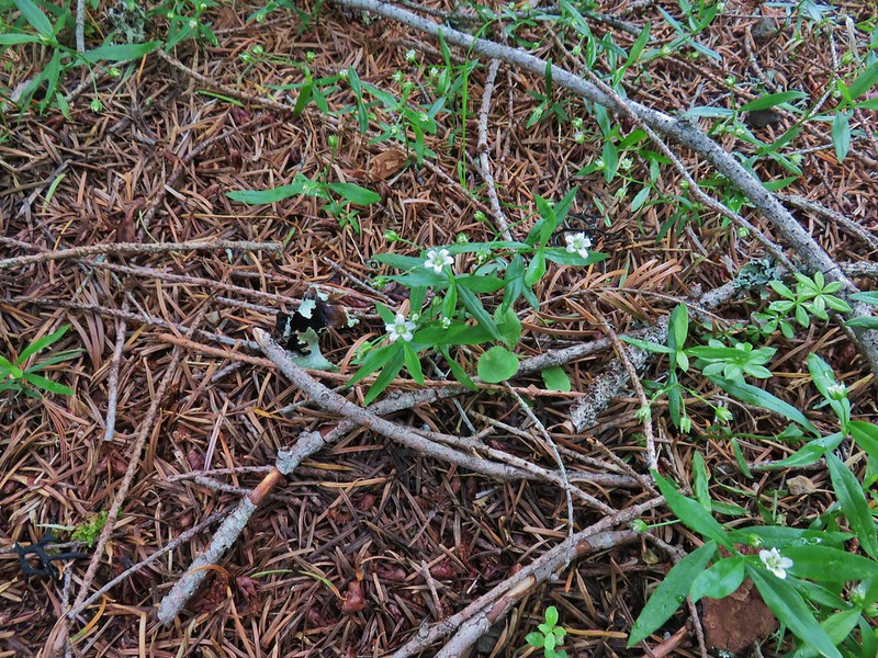 Largeleaf sandwort
 False solomonseal
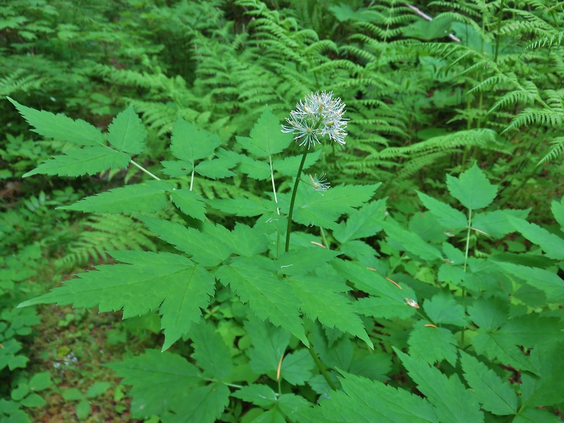 Baneberry
 <Sourgrass
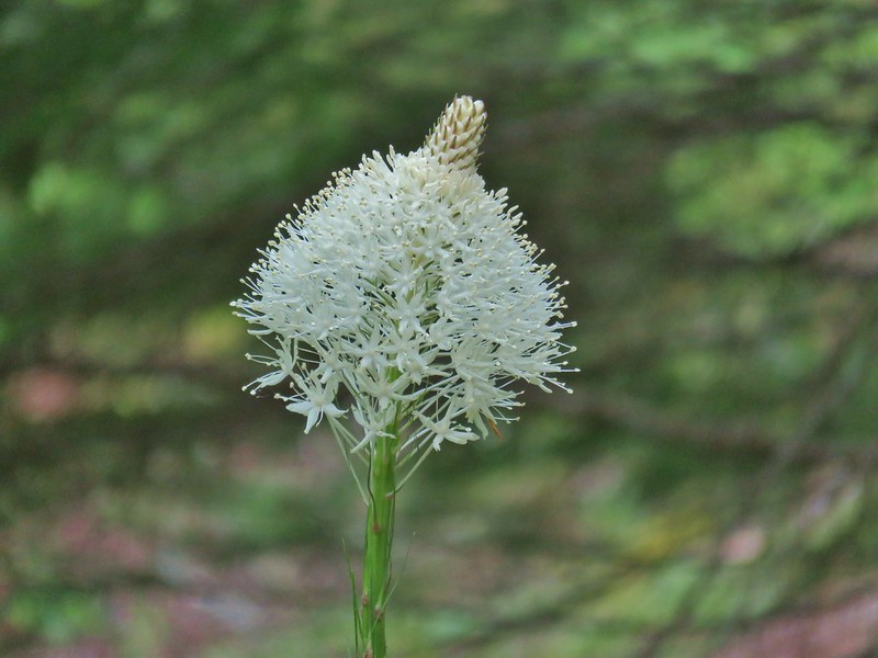 Beargrass
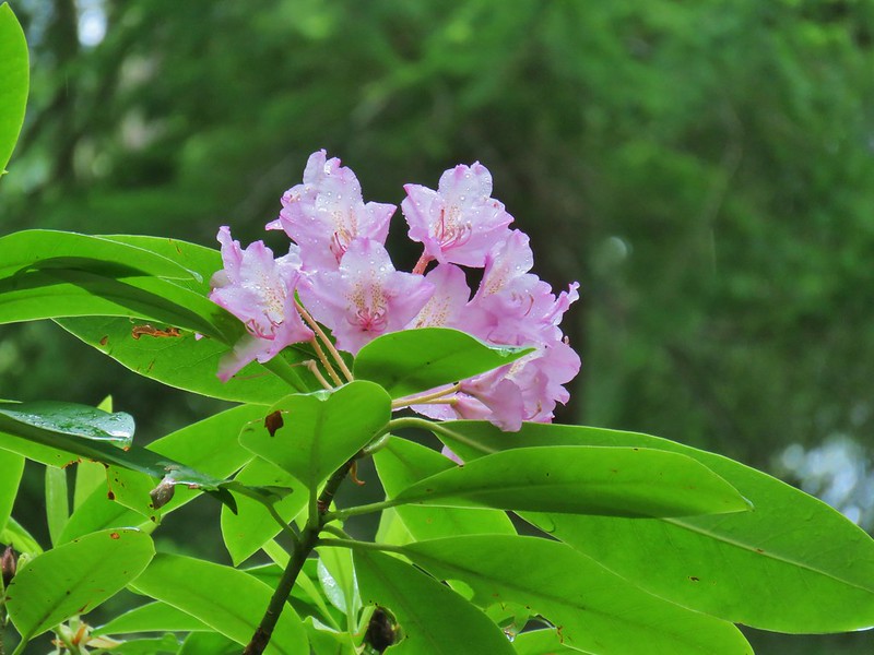 Rhododendron
 Subalpine mariposa lily
 Trillium
 Larkspur
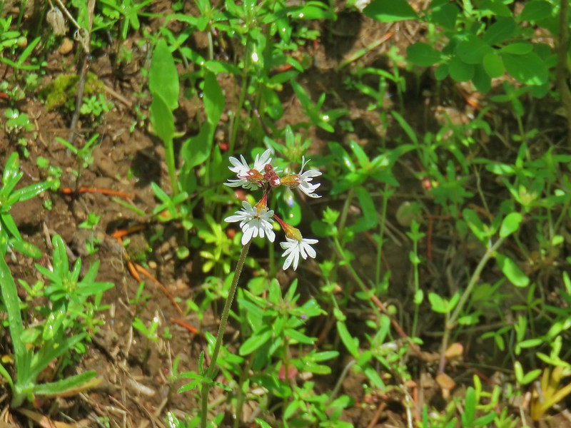 Woodland stars
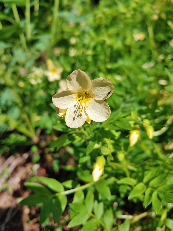 Royal Jacob’s ladder
 Nightblooming false bindweed
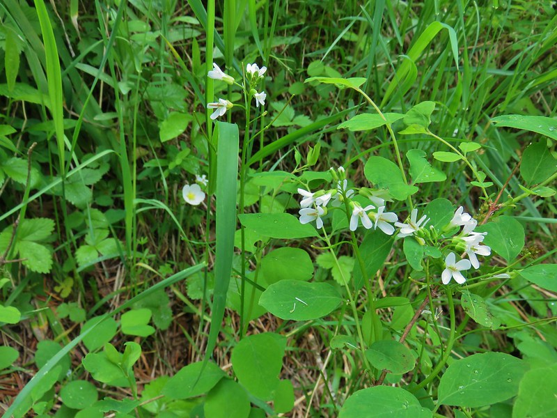 Alpine pennycress
 Twinflower
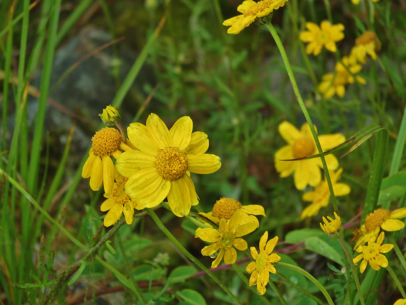 Oregon sunshine
 Bunchberry
 Mountain ash
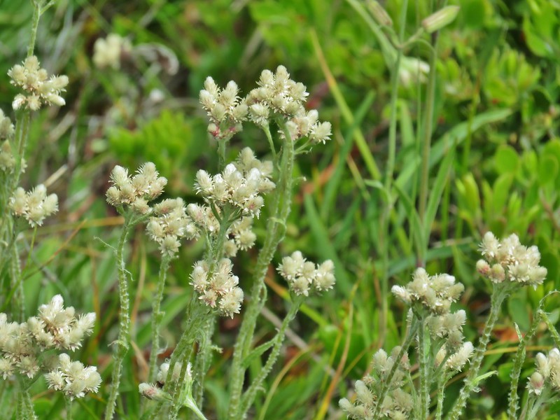
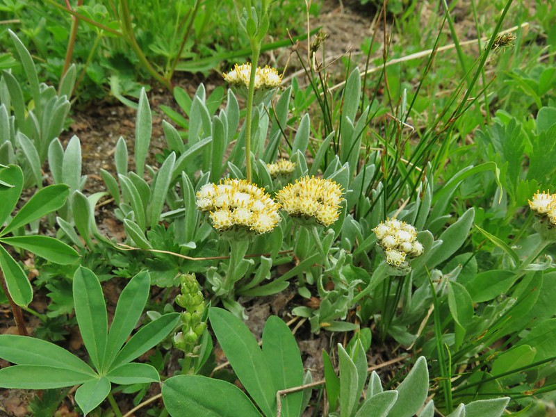 Raceme pussytoes
 Phlox
Phlox Paintbrush
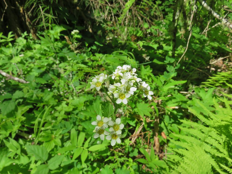
 Rusty saxifrage
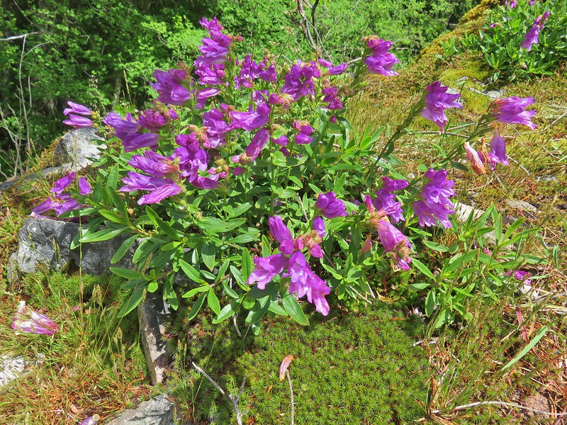 A penstemon
 Salal
Salal A pyrola
 Tiger lily
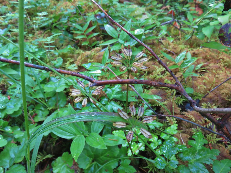 Gold threads
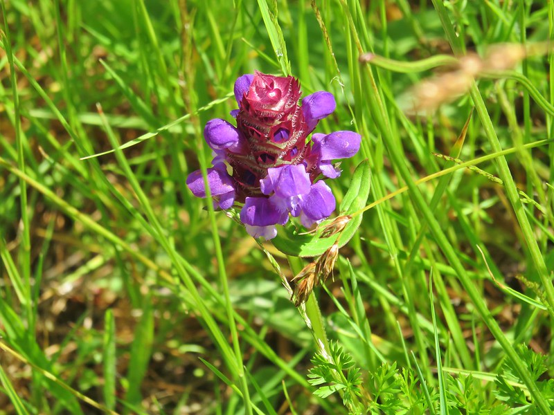 Self heal
 Bachelor button
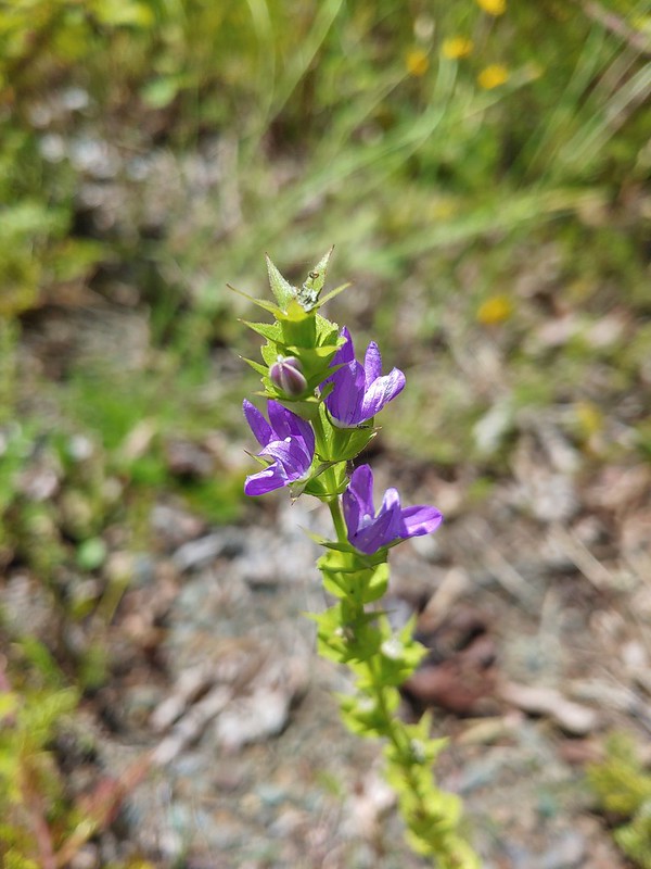 A willowherb?
 A pea
A pea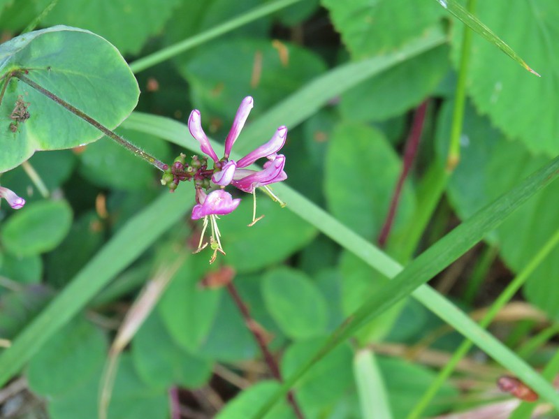 Pink honeysuckle
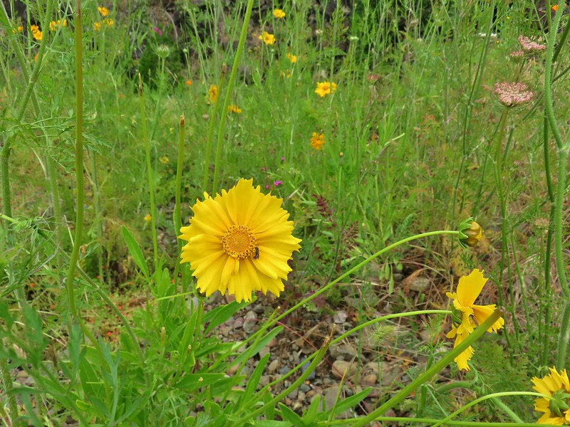
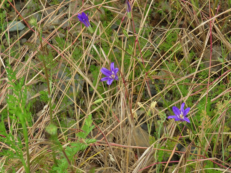 A brodeia
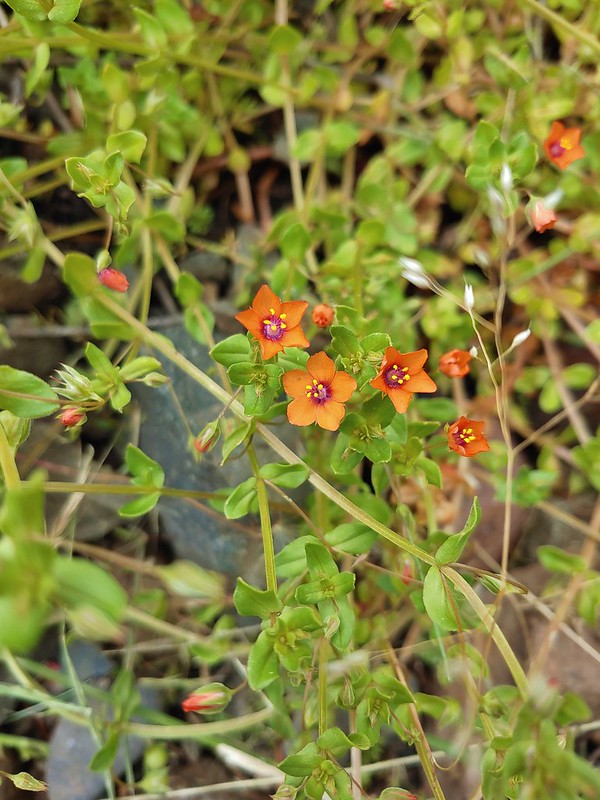 Scarlet pimpernel
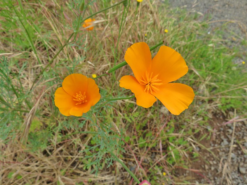 A poppy
 Foxglove
 Hedgenettle
 A phacelia
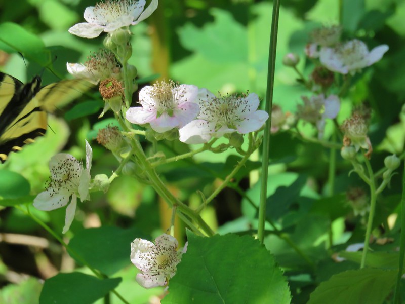 Blackberry
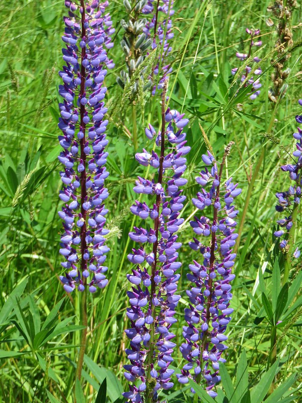 Lupine
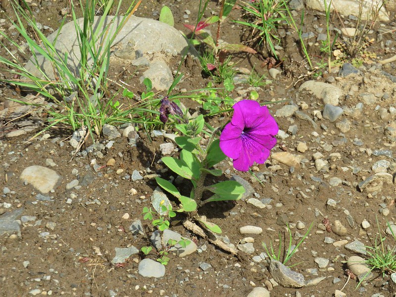 Petunia
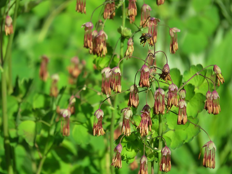 Western meadow-rue
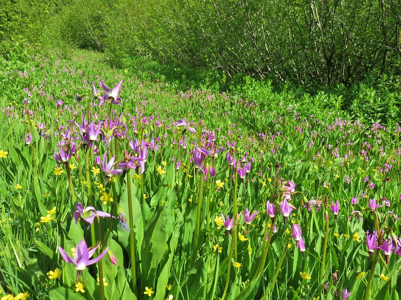 Shooting stars and western buttercups
 Elephants head
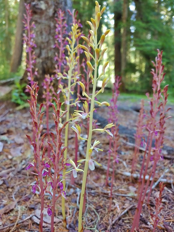 Pacific coralroot
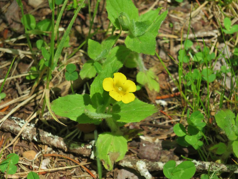 Musk monkeyflower
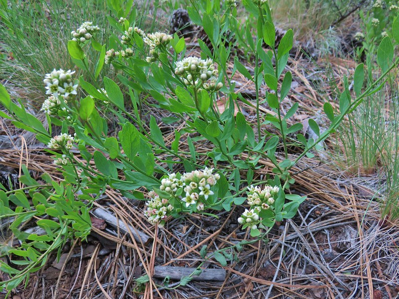 Bastard toadflax
 Yarrow
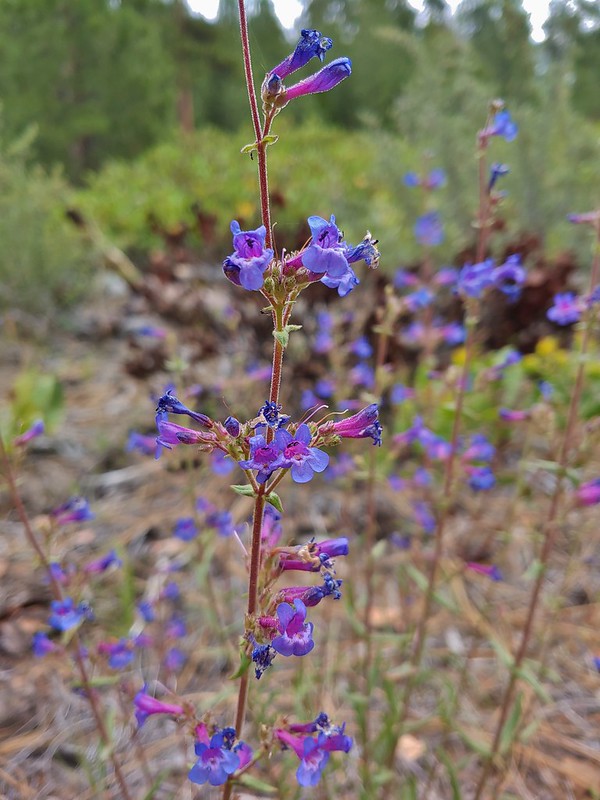 A penstemon
 Silverleaf phacelia
 Washington lily
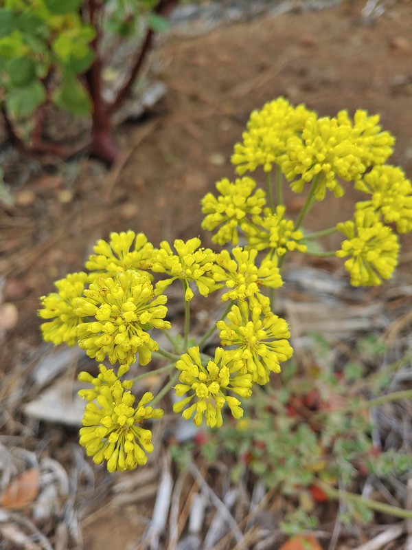 A buckwheat
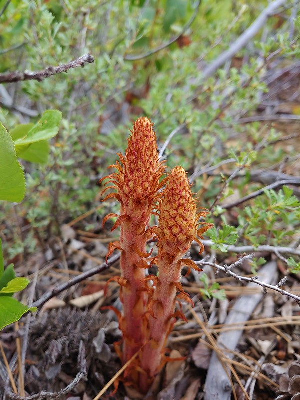 Pinedrops
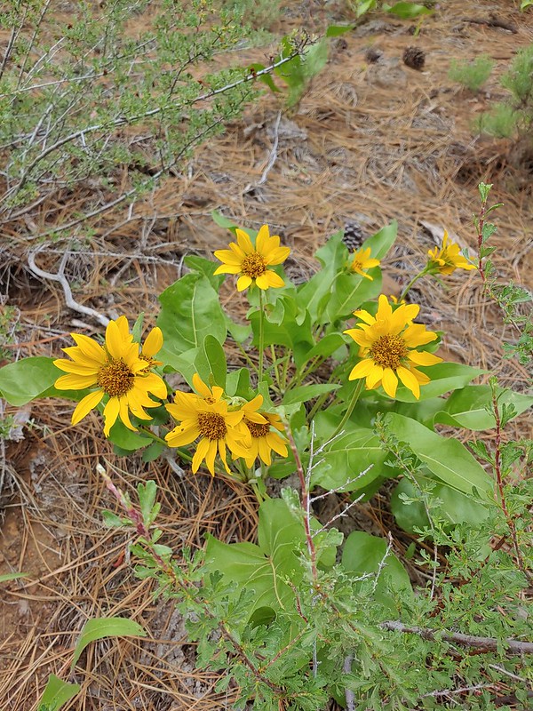 Balsamroot
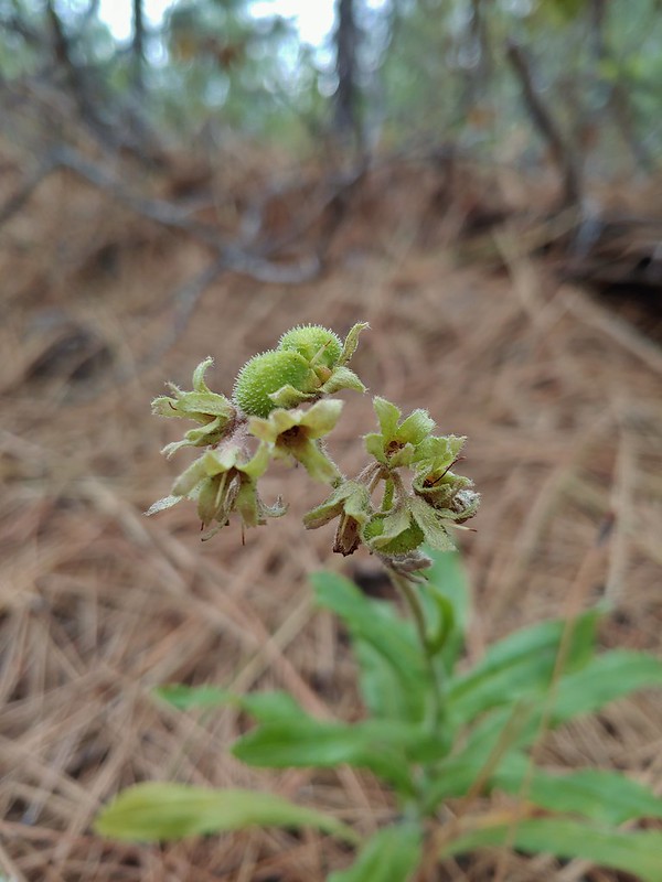 Western hound’s tongue
 Diamond clarkia
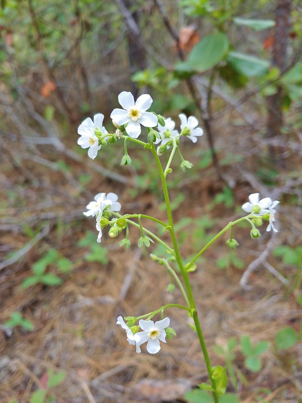 California stickseed
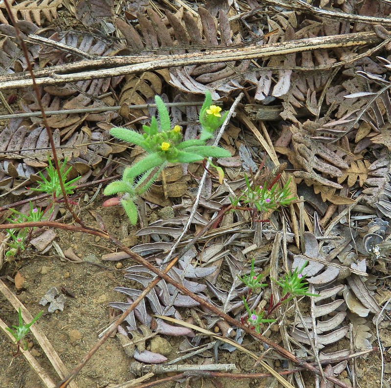
 Scarlet gilia
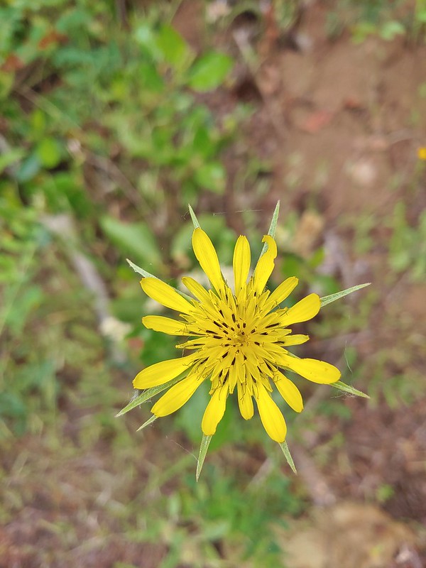 Salsify
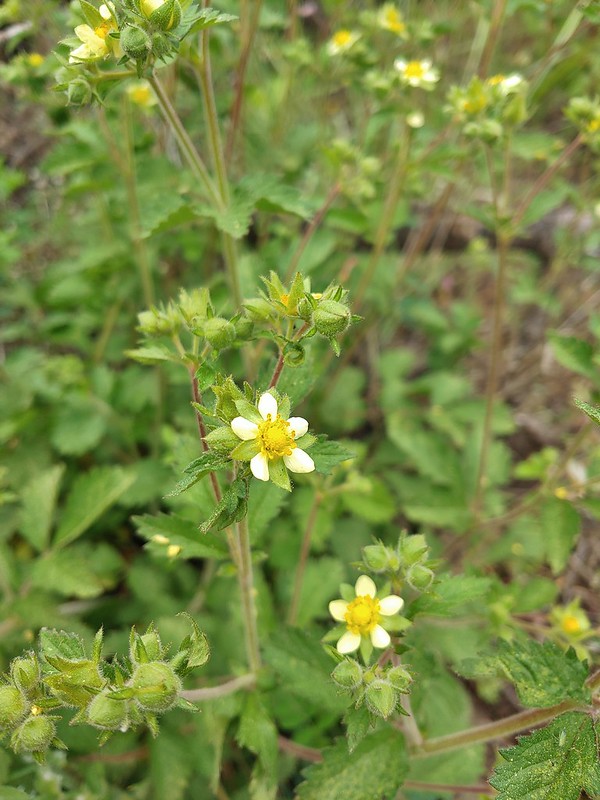 Sticky cinquefoil
 Gooseberry
 A thistle
 A buckwheat
 Blue-eyed Mary
 Fawn lily
 Sandwort
 Olympic onion
 A phlox
 False sunflower
 Bistort and paintbrush
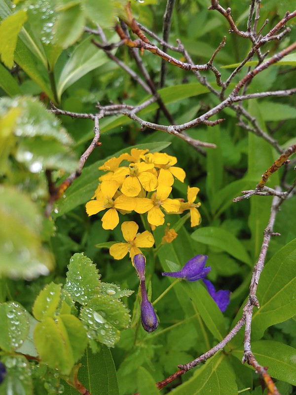 Wallflower
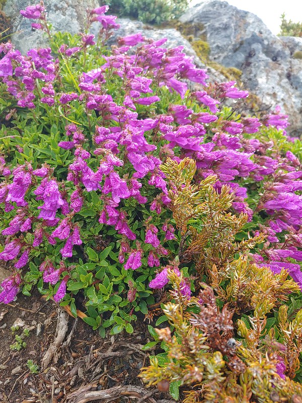 A penstemon
 Phantom orchid
 A penstemon
 A buckwheat
 Tall buckwheat
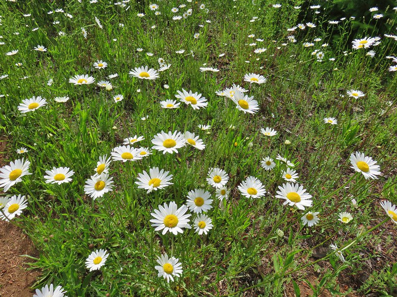 Daisies
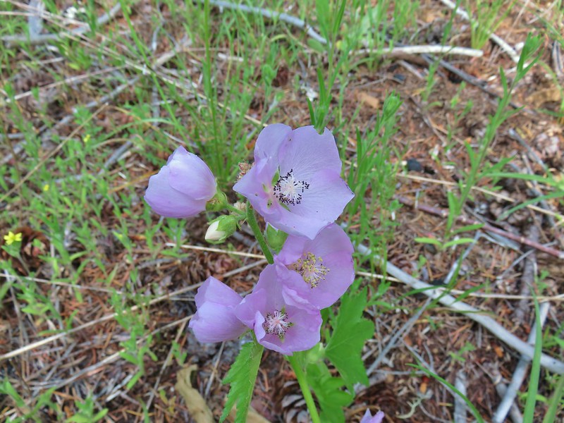 Streambank globe mallow
 Pussytoes
 Tapertip onion
 White stemmed frasera
 Prince’s pine
 Goats beard
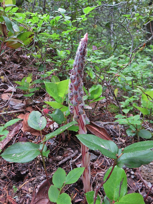 Sugarstick
 A saxifrage
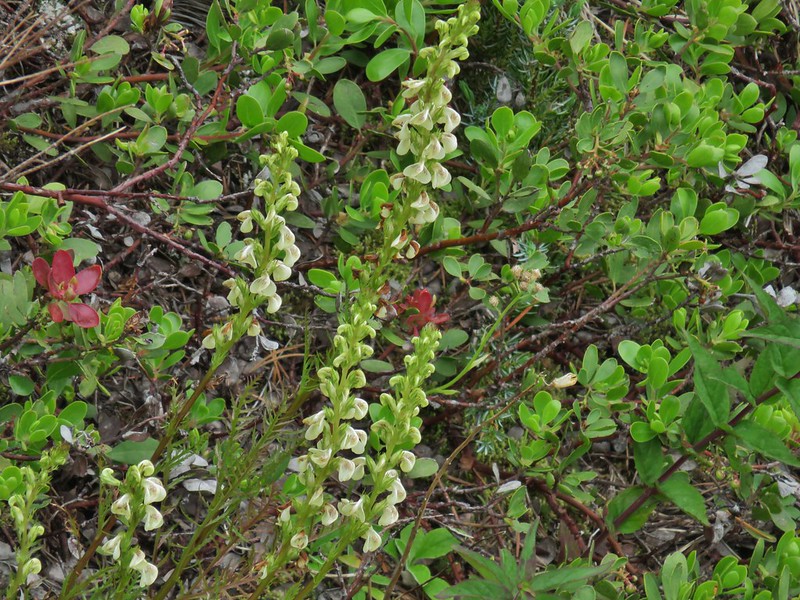 A lousewort
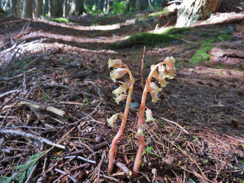 Pinesap
 A stonecrop
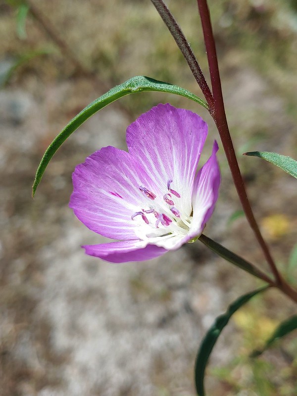 Clarkia
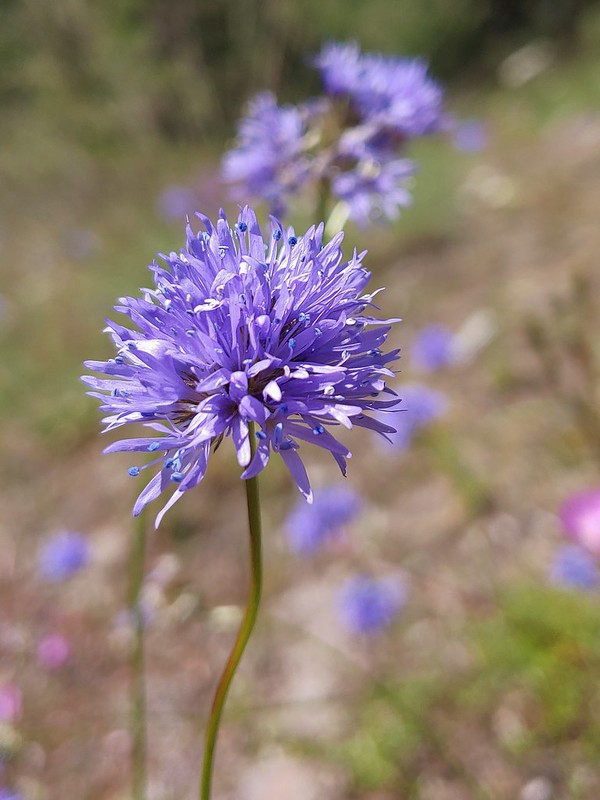 Blue-head gilia
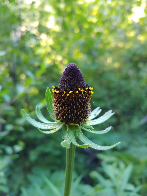 Cone flower
 A currant
 Large boykinia
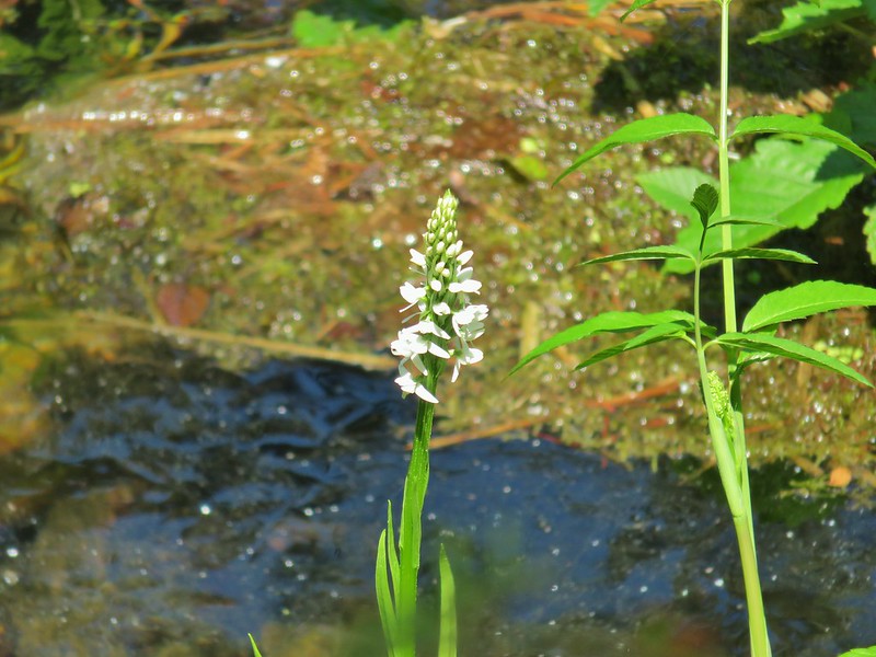 Bog orchid
 Old man’s whiskers aka prairie smoke
 A paintbrush
 Sticky chickweed
 Nettle-leaf giant hyssop
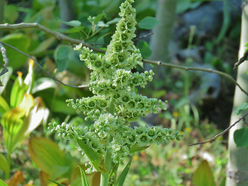 California corn lily
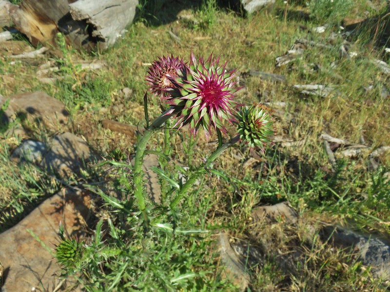 Musk thistle
 A checkermallow
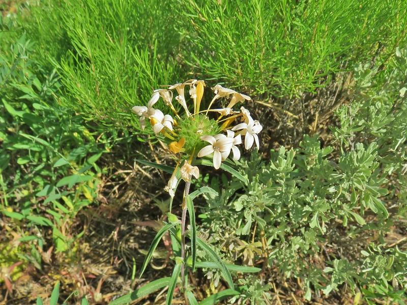 Grand collomia
 Rosy pussytoes
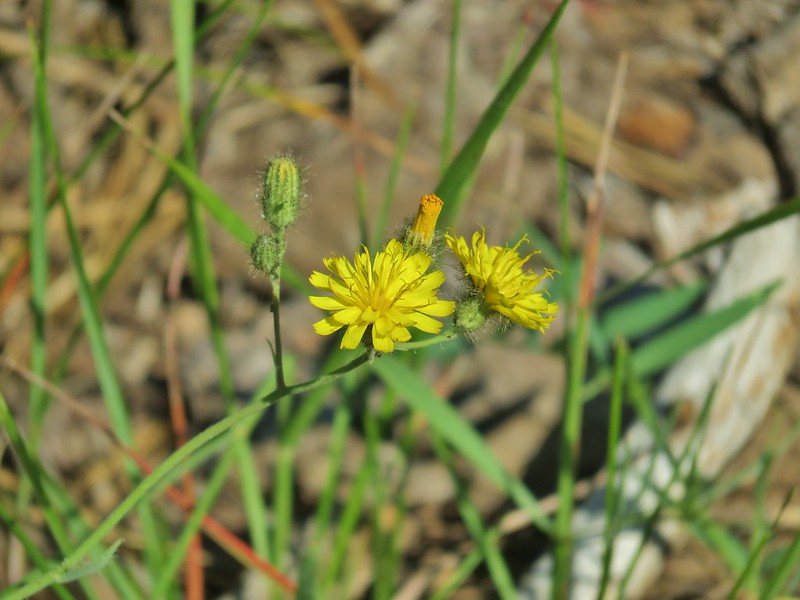 Scouler’s woollyweed?
 An orobanche
 Slender cinquefoil
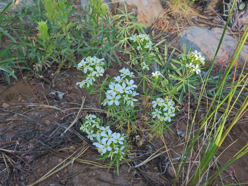 Nuttal’s linanthus
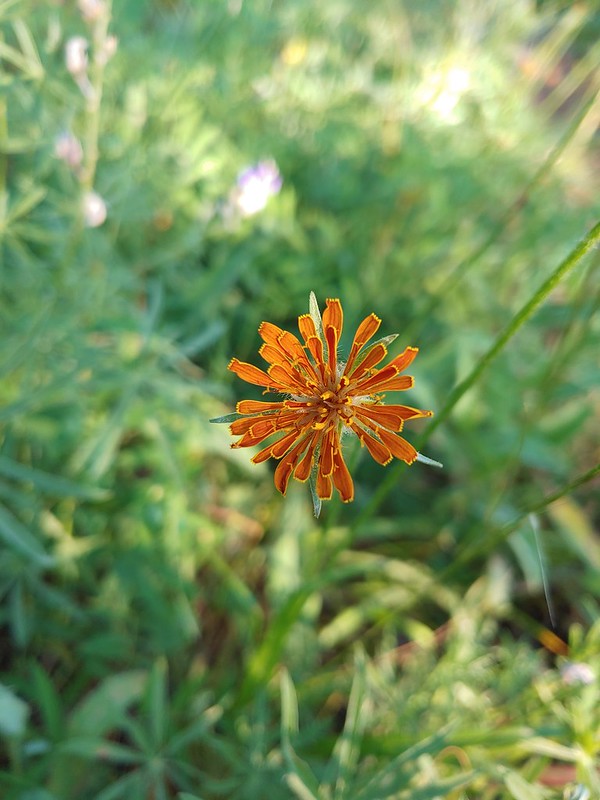 Orange agoseris
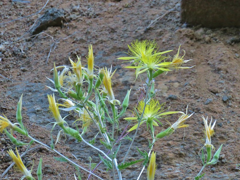 Smooth stem blazing star
 Rough eyelashweed
 A weed
 White water buttercups
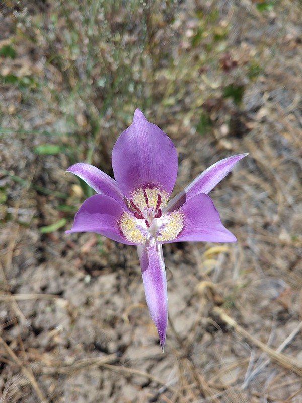 Sagebrush mariposa lily
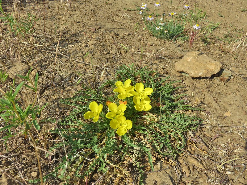 Tansyleaf evening primrose
 Dustymaidens
 A horkelia
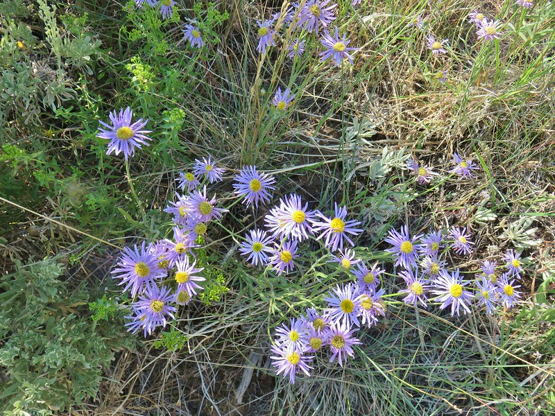 An aster?
 An orobanche
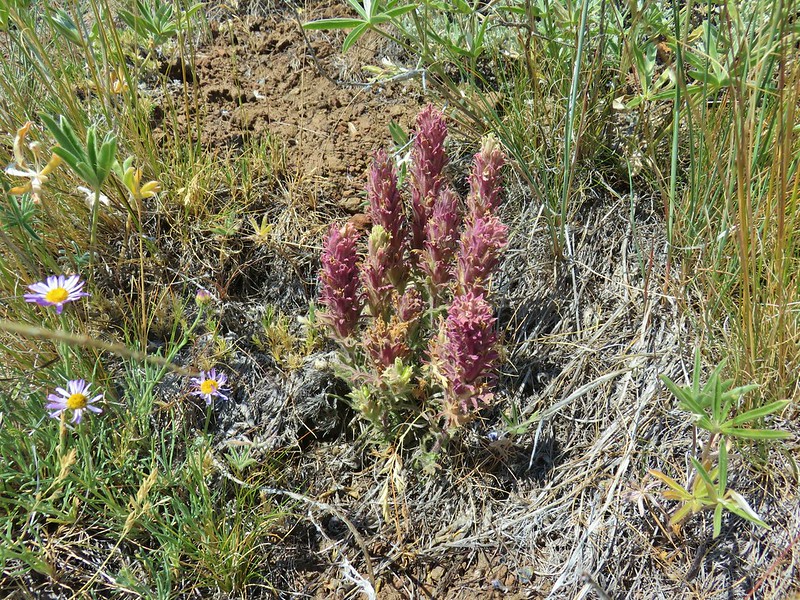 A paintbrush
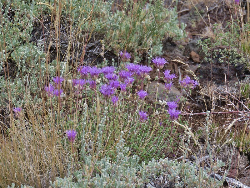 Mountain coyote mint
 Rabbitbrush


 Spreading dogbane
 Monkshood
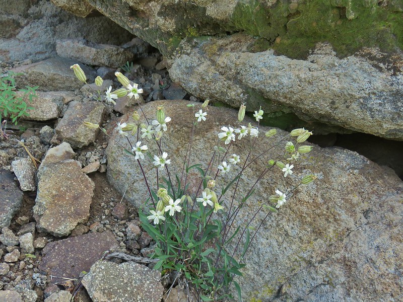 Catchfly
 Pussypaws
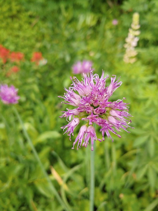 Swamp onion
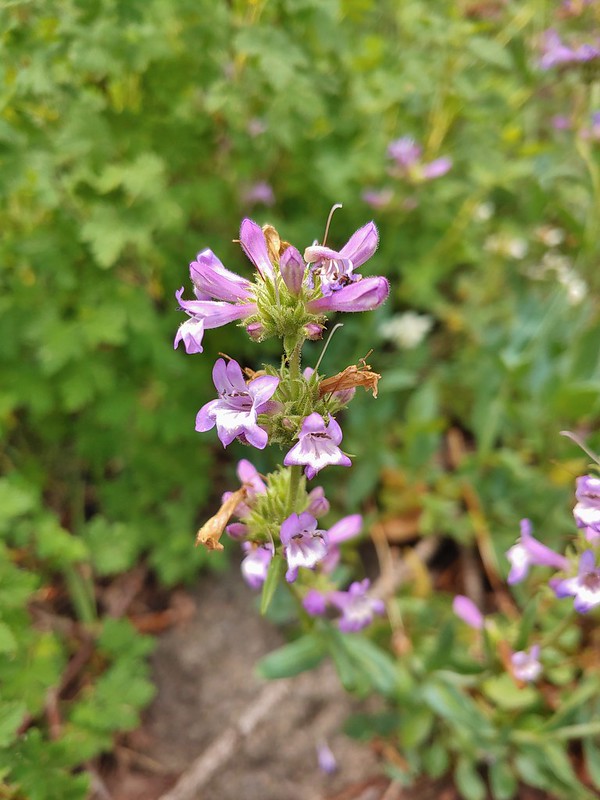 A penstemon
 A thistle
 Common mullen
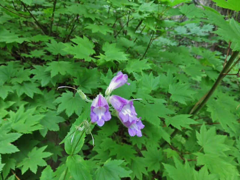 Beardtongue
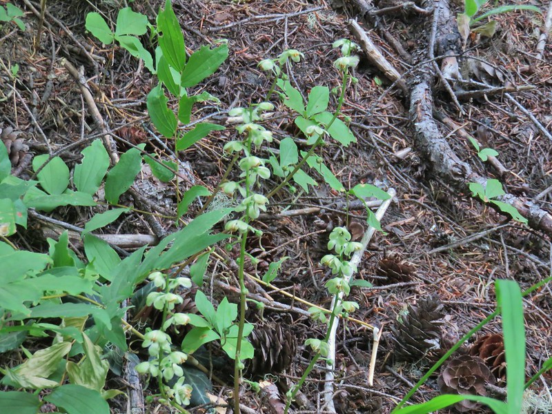 Wintergreen
 Monkeyflower
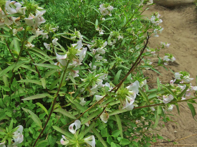 A lousewort
 Lousewort and lupine
 Mountain heather
 White mountain heahter
 False hellebore
 Violets
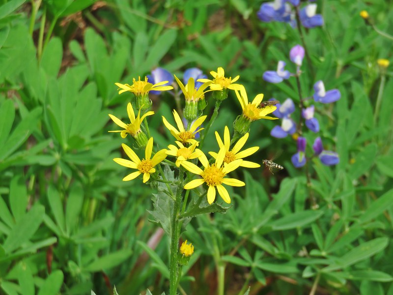 Groundsel
 A fleabane
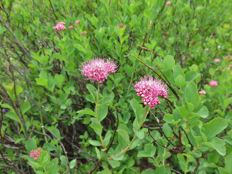 A spirea
 Gentian
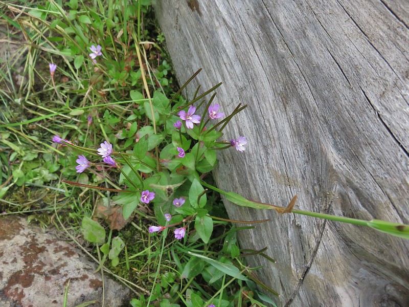 A willowherb
 Cutleaf daisy
 Dwarf alpinegold
 Jacob’s ladder
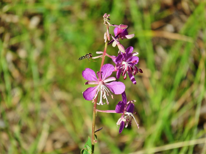 Fireweed
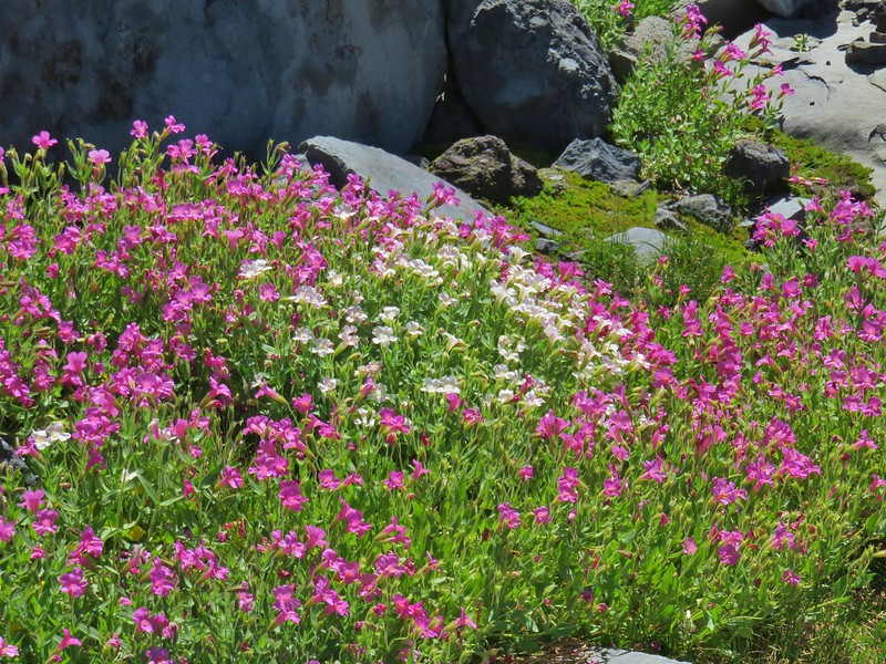 Monkeyflower
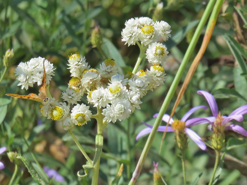 Pearly everlasting
 Drummond’s anemone
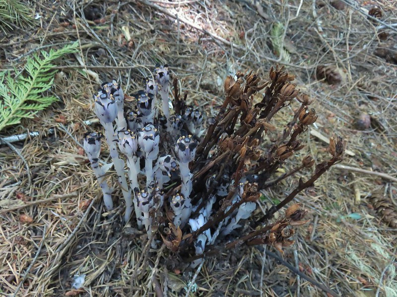 Ghost pipe
 Common madia
 Goldenrod
 Owl’s clover


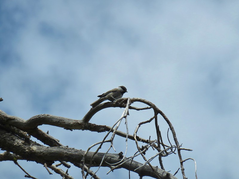


 This one is here for the golden-crowned sparrow.


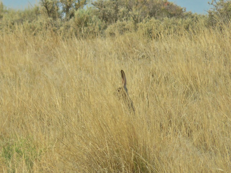
 There is an owl in this photo.


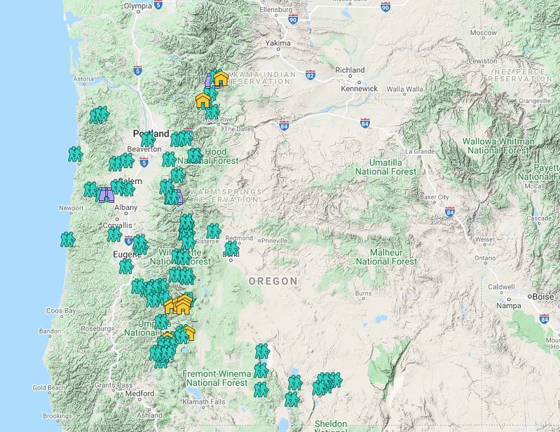 Hiker symbol = Trails/trailheads, yellow houses = campsites, purple binoculars = roadside waterfalls
 Gearhart Mountain
 Netarts Spit
 Spencer Butte
 Shotgun Creek
 Horse Rock Ridge
 Miller Woods
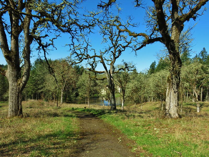 Trappist Abbey
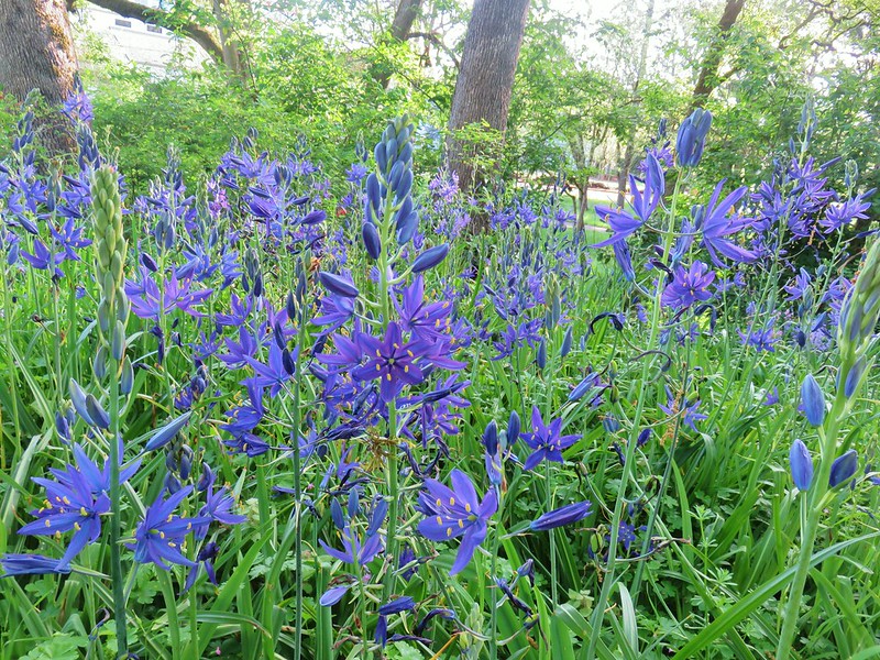 Bush Pasture Park
 Basket Slough Wildlife Refuge
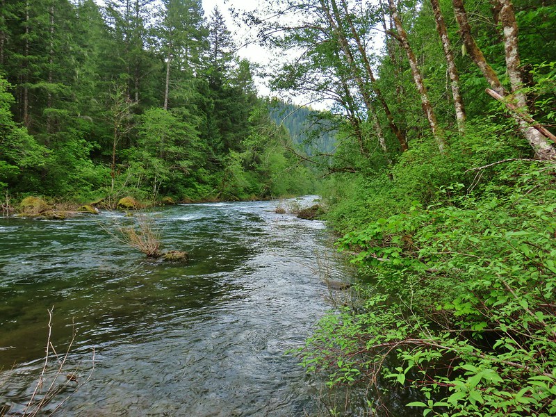 North Fork Willamette River
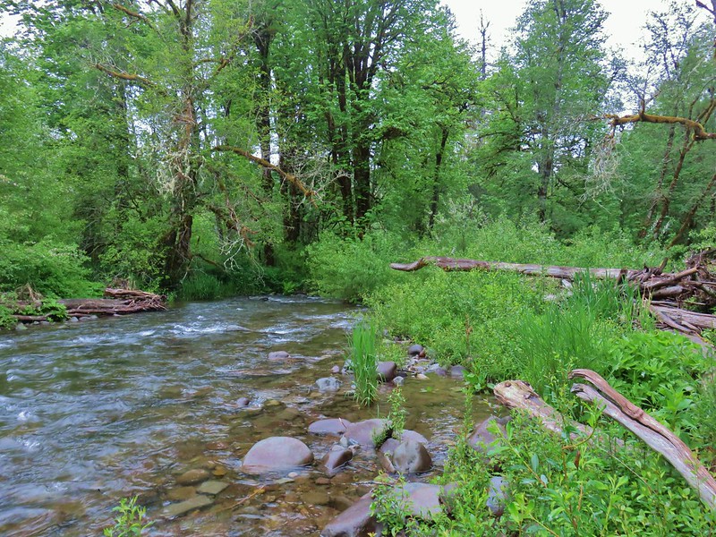 Little Luckiamute River
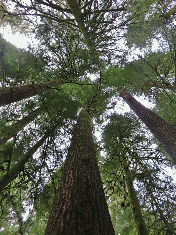 Valley of the Giants
 Indigo Springs
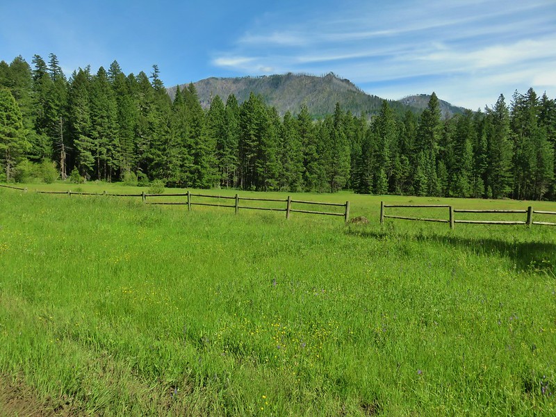 Rigdon Meadows
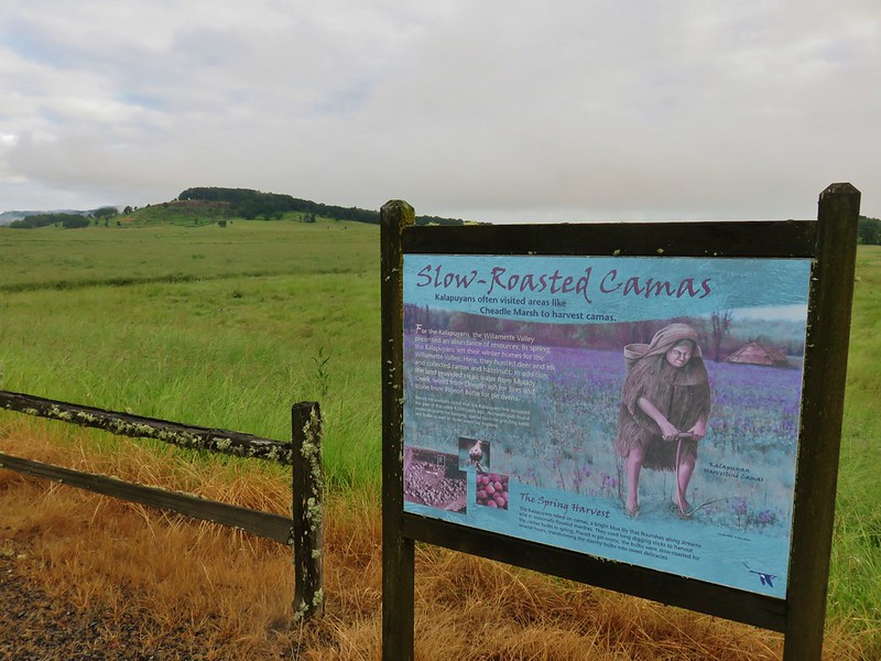 Pigeon Butte
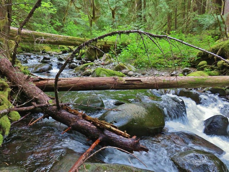 East Fork South Fork McKenzie River
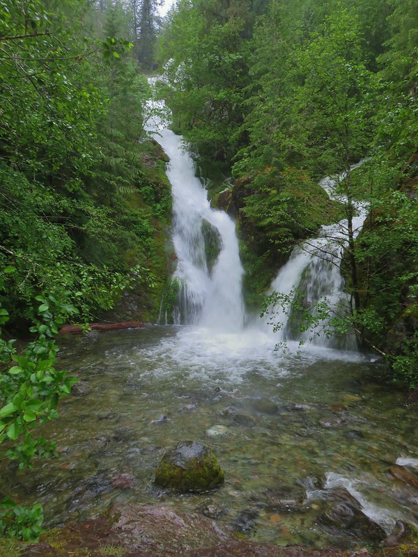 Sullivan Creek Falls*
 Henline Falls*
 Henline Mountain*
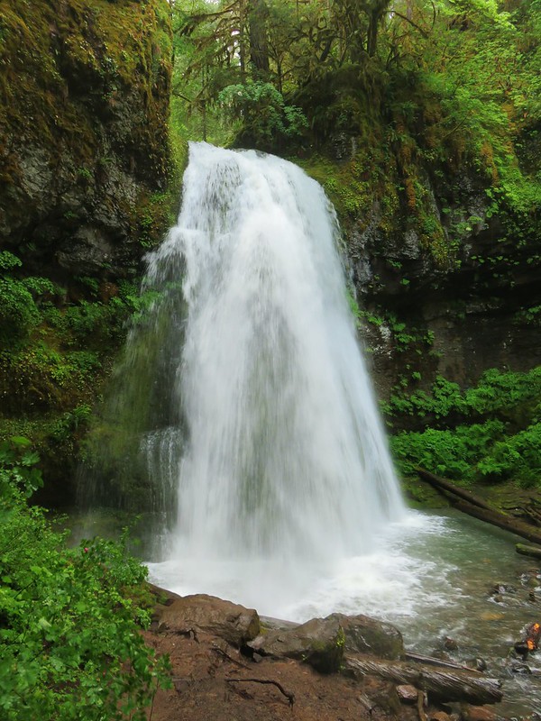 Spirit Falls
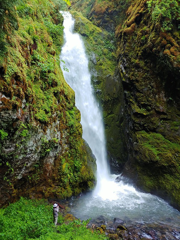 Pinard Falls
 Moon Falls
 Memaloose Lake*
 Echo Basin
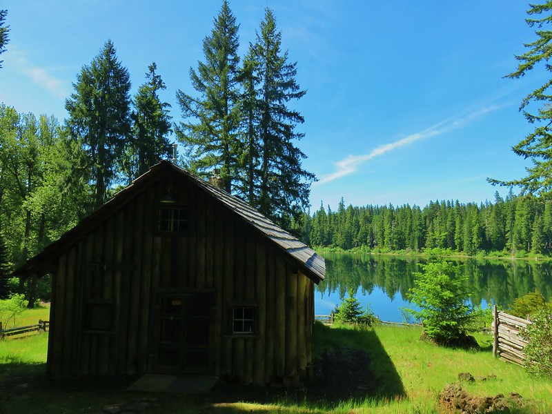 Fish Lake
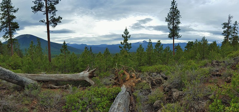 Green Ridge*
 Table Rock Wilderness* (The Riverside fire burned at least the access road and may have encroached into the SW portion of the wilderness.)
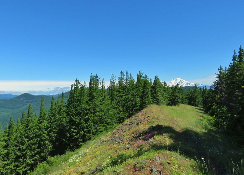 Monte Carlo Trail
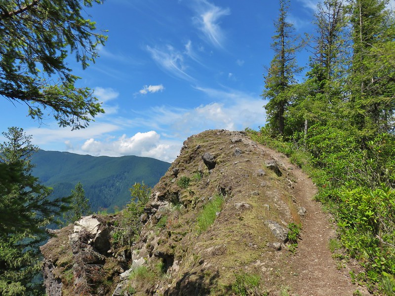 Hunchback Mountain
 Meadow below the Three Pyramids
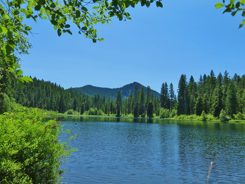 Daly Lake
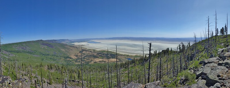 Winter Ridge
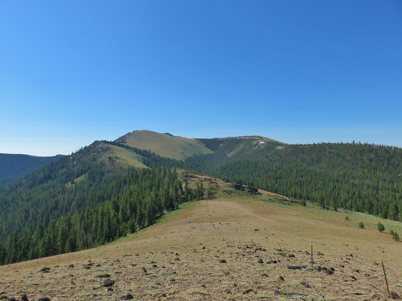 Fence Pass
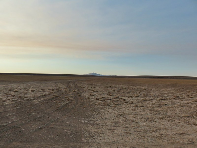 Flook Lake
 Hart Mountain Antelope Refuge
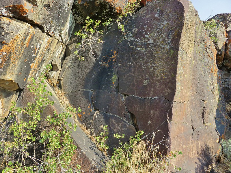 Petroglyphs along Petroglyph Lake
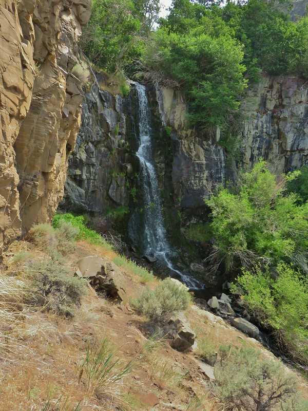 DeGarmo Canyon
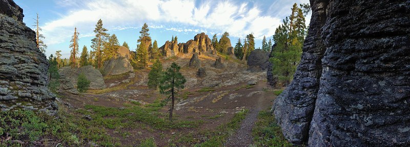 The Palisades in the Gearhart Mountain Wilderness (This was probably our favorite area of the year amid these rock formations.)
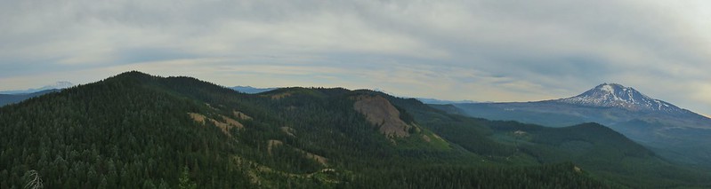 Sleeping Beauty
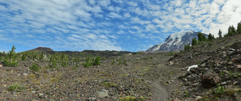 Highline Trail
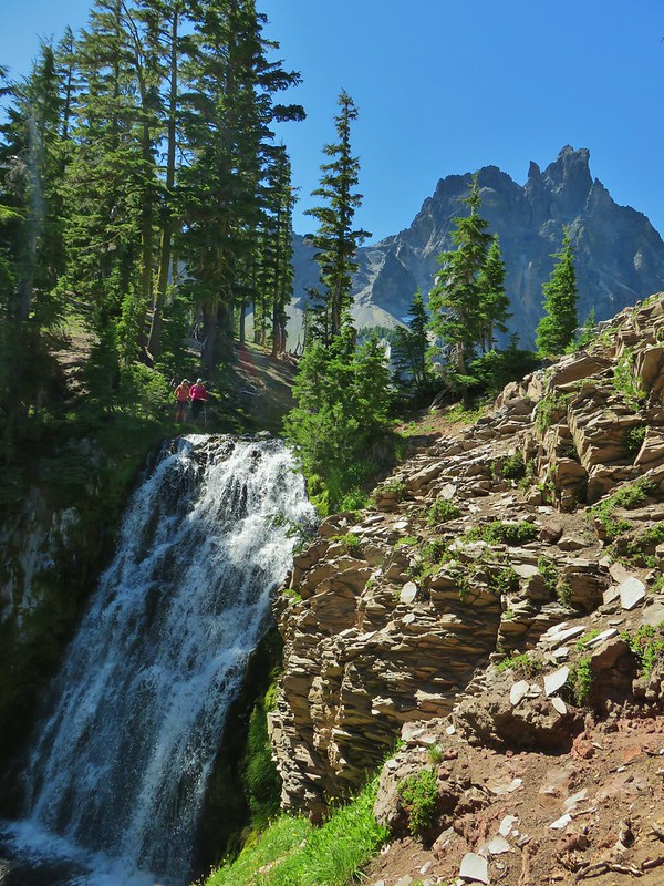 Cottonwood Creek Falls (This was probably the sketchiest hike we’ve done.)
 Mt. Thielsen* (The Thielsen Creek fire burned a small part of the trails in the area.)
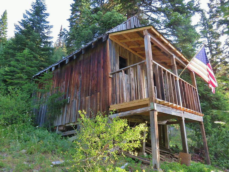 Bohemia Post Office
 Diamond View Lake
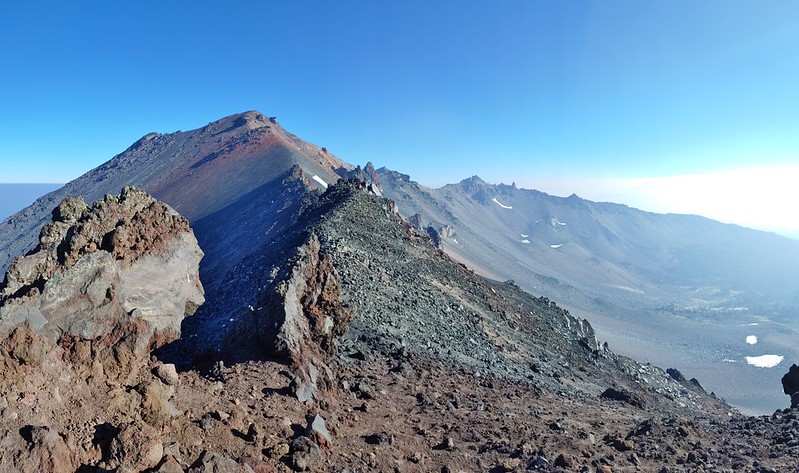 Diamond Peak (The sketchiest hike we didn’t do.)
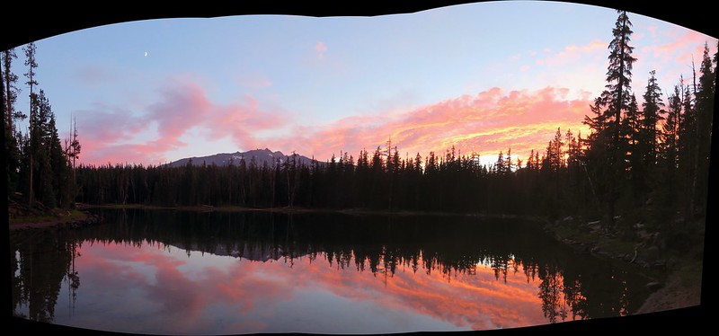 Karen Lake
 Middle Erma Bell Lake
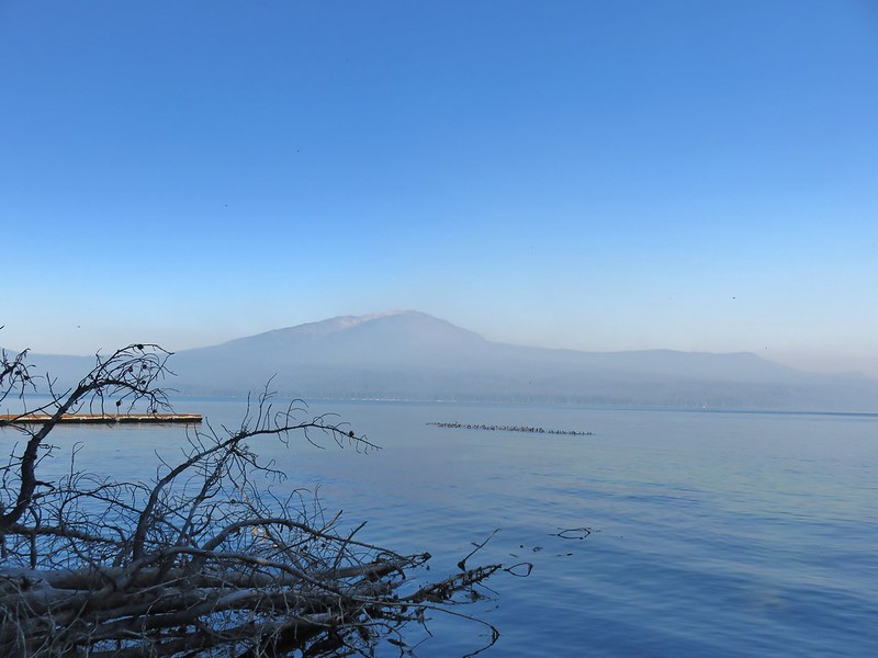 Diamond Lake
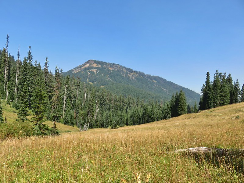 Rattlesnake Mountain
 Spruce Run Creek Trail
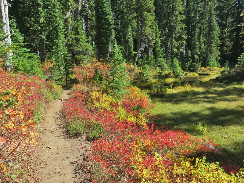 Indian Heaven Wilderness
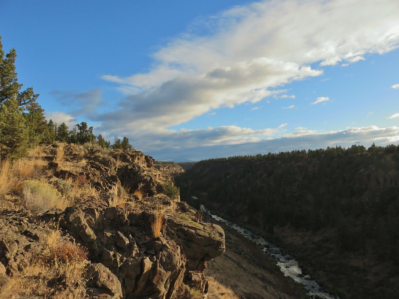 Wildcat Canyon
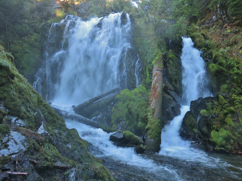 National Creek Falls
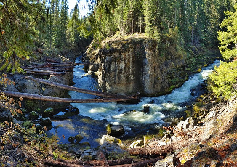 Takelma Gorge
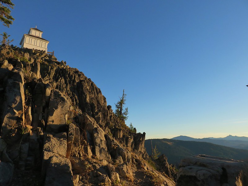 Hershberger Mountain
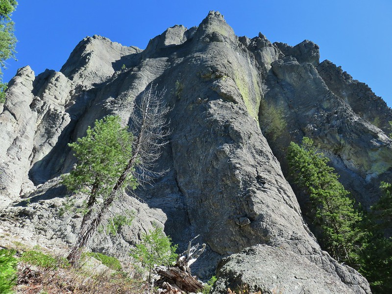 Rabbit Ears
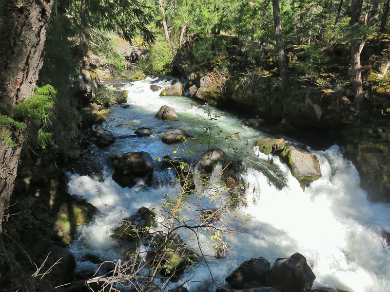 Natural Bridge
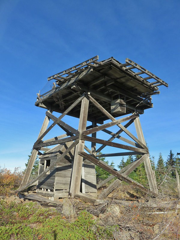 Abbott Butte Lookout
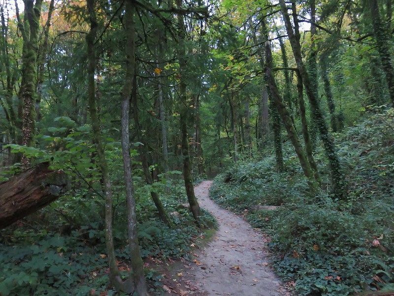 Forest Park
 Upper Latourell Falls
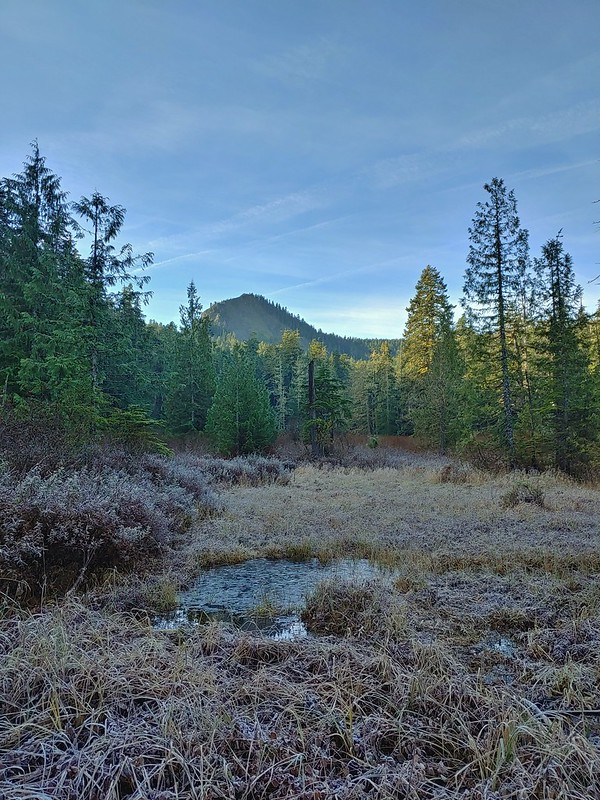 Larch Mountain
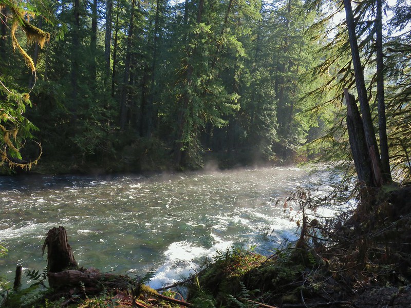 McKenzie River
 Yachats
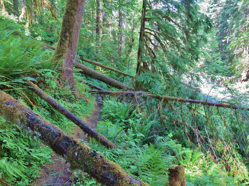 Swordfern Trail
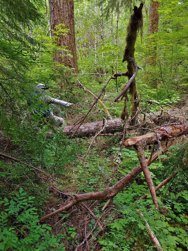 East Fork Trail
 Riggs Lake Trail
 Hackleman Old Growth Loop
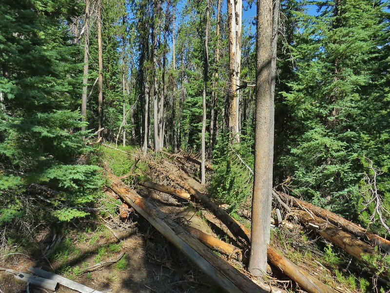 Howlock Mountain Trail
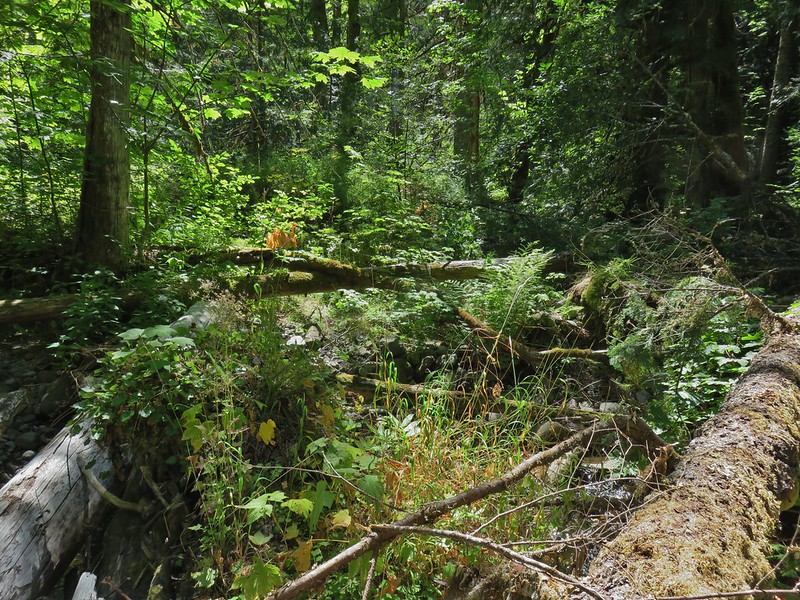 Shale Ridge Trail
 Acker Divide Trail
 Union Creek Trail
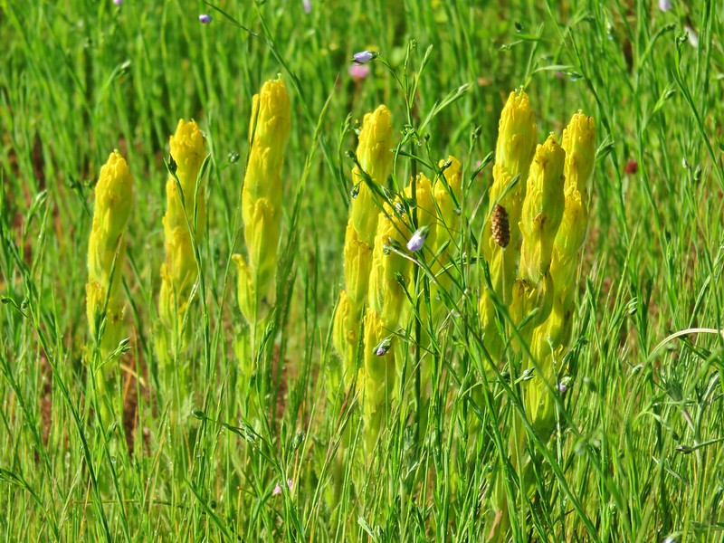 Castilleja levisecta – Golden Paintbrush at Basket Slough Wildlife Refuge (
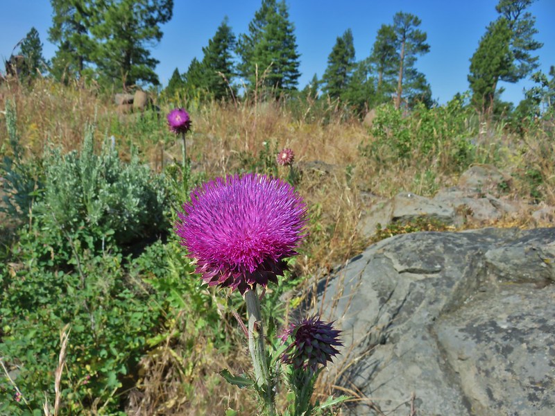 Musk Thistle at Winter Ridge (Unfortunately it’s an invasive but they were impressive.)
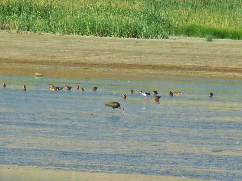 Black necked stilt at Summer Lake