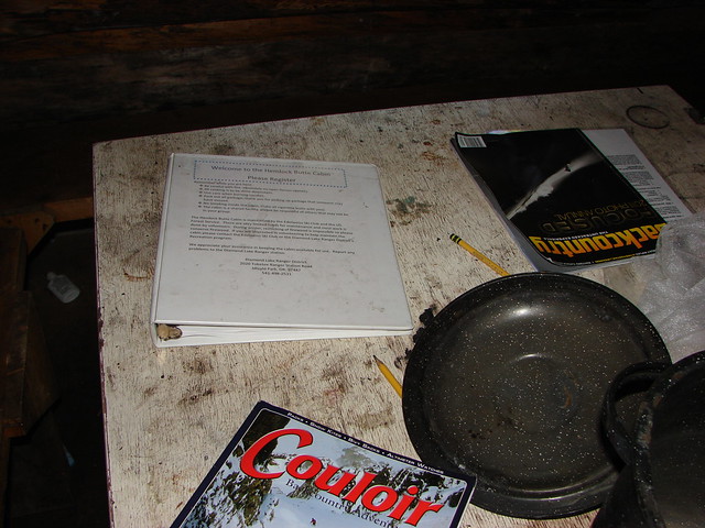
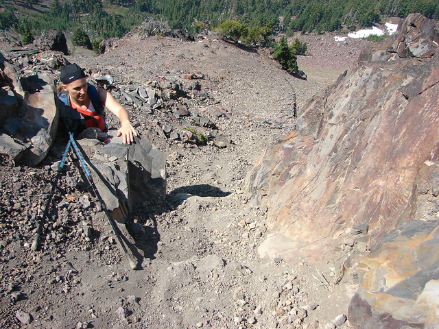
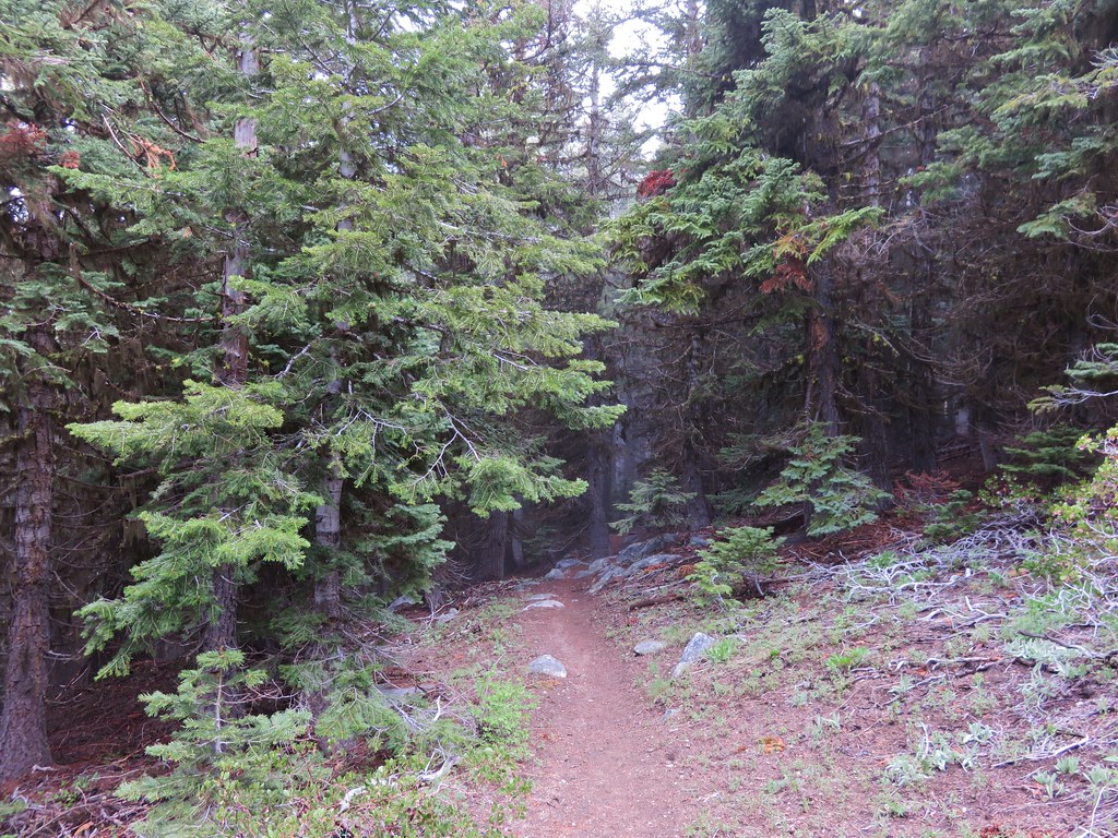
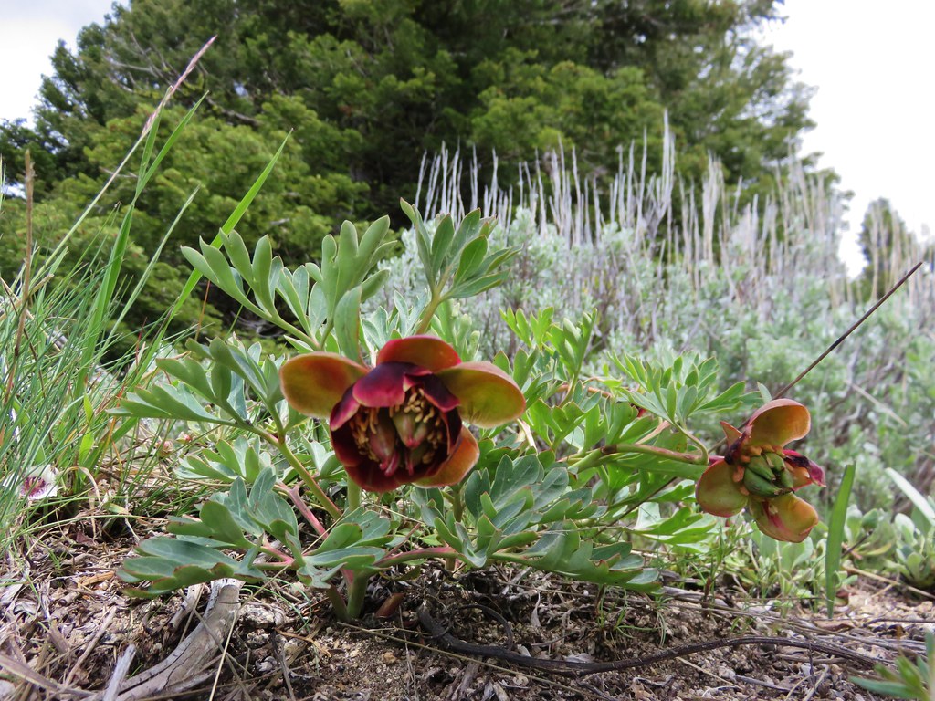
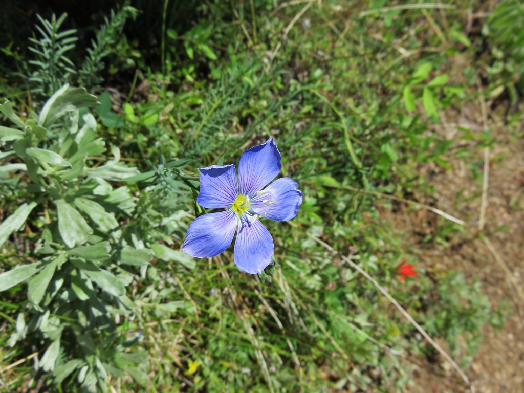
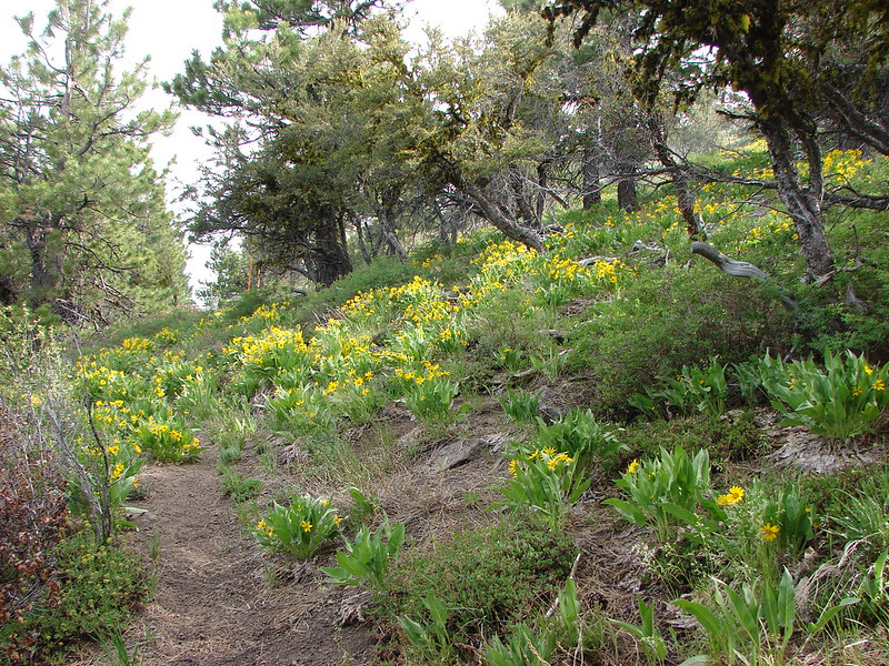
Several years ago we set a goal for ourselves to hike all 500 featured hikes in William L. Sullivan’s “100 Hikes…” series of guidebooks (post). In 2020 we completed the first of these books covering the Central Oregon Cascades (post). We followed that up by completing a pair of books in 2021 starting with Sullivan’s “100 Hikes/Travel Guide Oregon Coast and Coast Range” 3rd edition (post) followed up by “100 HIkes/Travel Guide Northwest Oregon & Southwest Washington” 4th edition (post).
Generally speaking in order to check a hike off our list we need to have hiked a substantial portion of Sullivan’s described hike or visited the main attraction(s) he identifies for the hike. For 66 of the hikes we followed the books described route. For the other 34 hikes various factors contributed to us not completing all of each featured hike. For some we started at a different trailhead, others had portions of trail(s) closed when we visited, and several had longer options that would have required multiple days to complete. In some other cases we did slightly different routes, sometimes by accident.
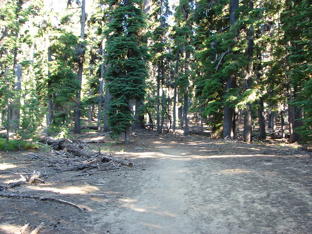
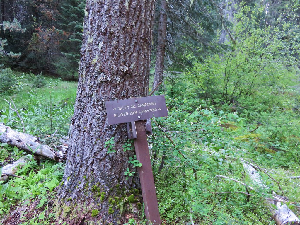
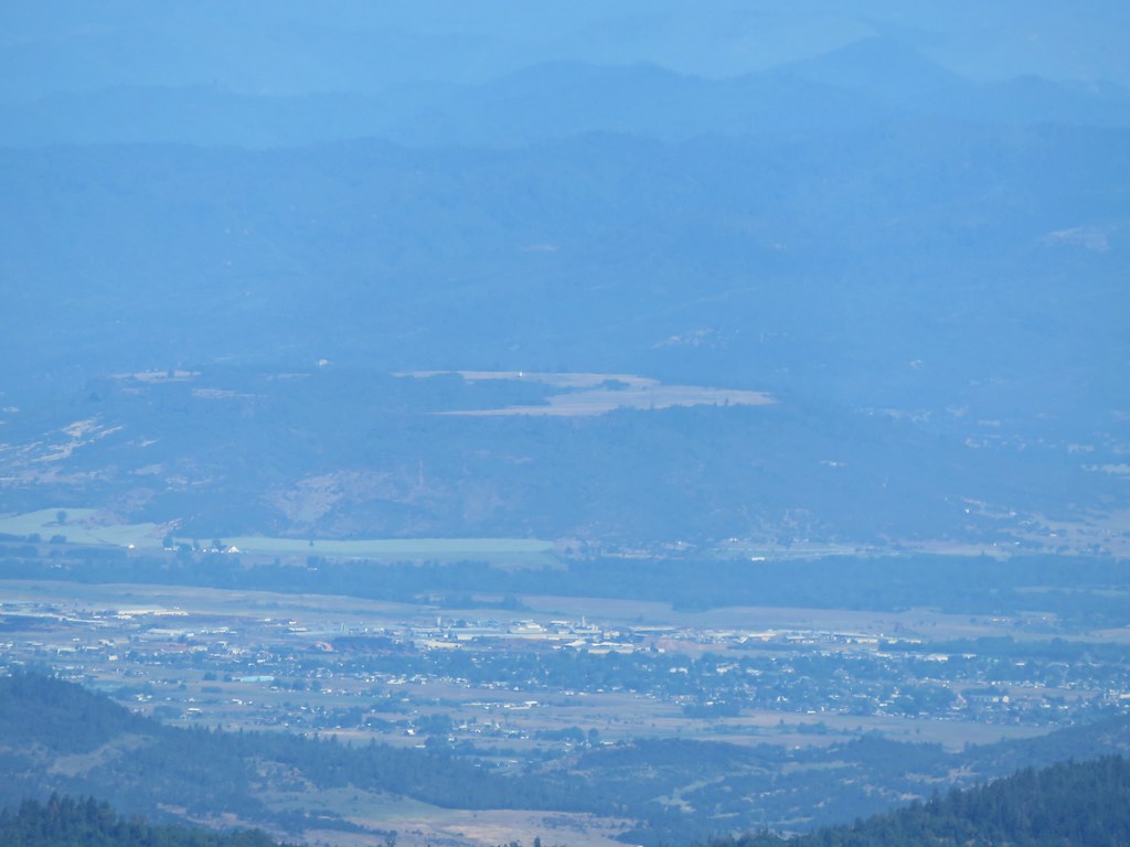
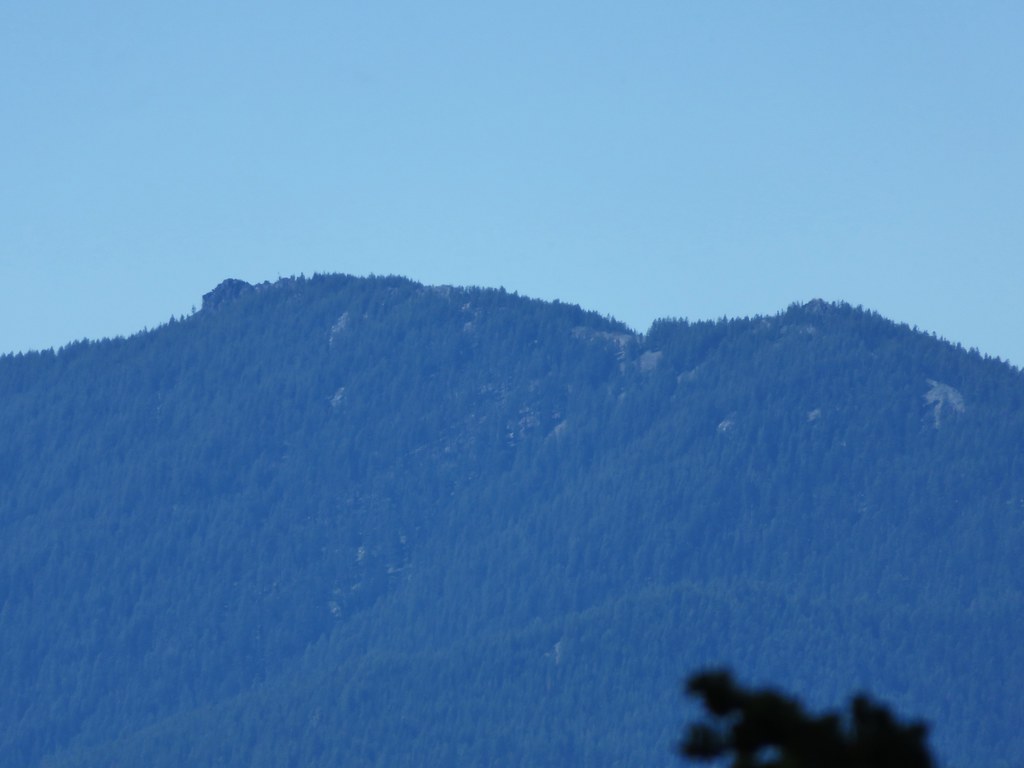
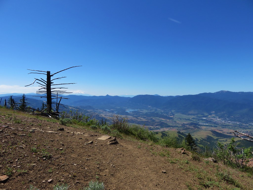
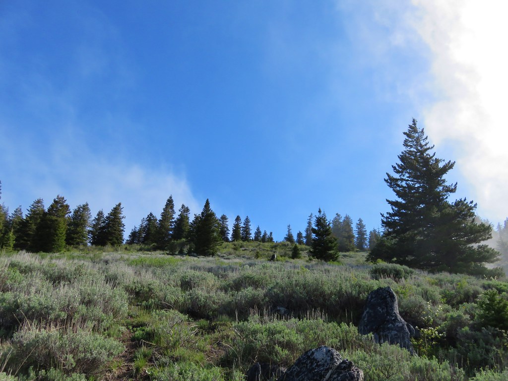
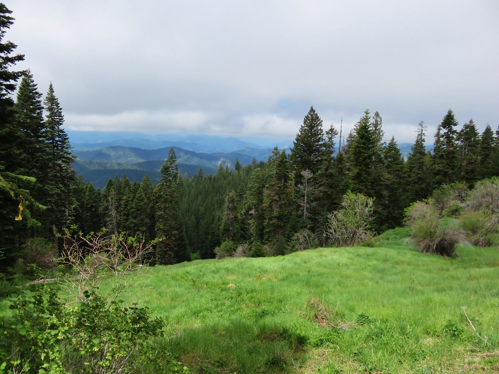
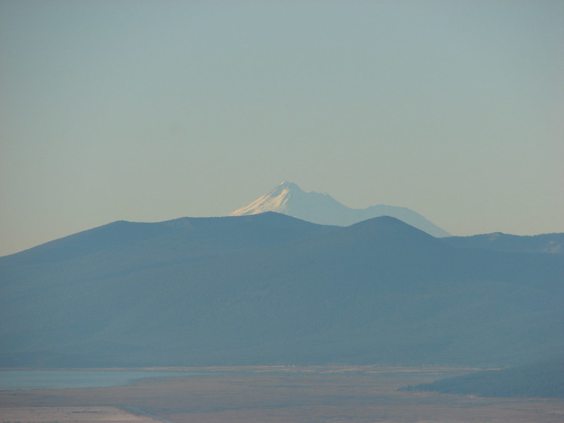
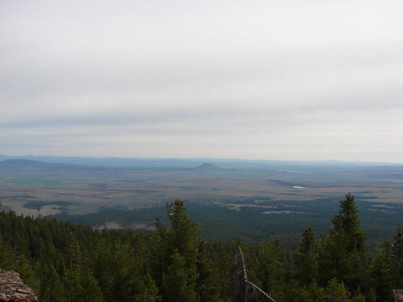
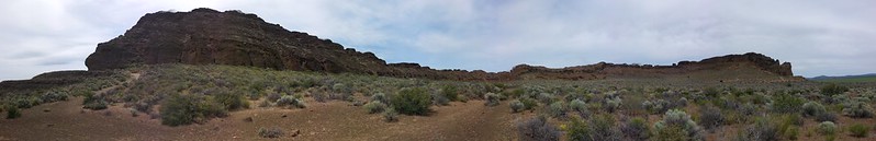
The area covered by Sullivan in this book, as the title suggests includes parts of Southern Oregon and Northern California. It contains his southernmost featured hike, Caribou Lakes. In general the area covered in Oregon begins just North of Roseburg extending East to Highway 97 (with the exception being Klamath Falls which is included in his Eastern Oregon book), South to California, and West to Marial on the Rogue River. In California the area extends south to the Trinity Alps Wilderness, West to the Siskiyou Wilderness, and East to the Mount Shasta Wilderness.


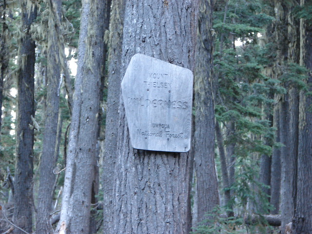
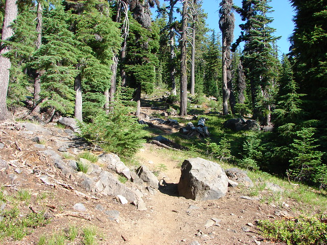
In addition to the three wilderness areas in California mentioned above the featured hikes included visits to the Marble Mountain, Castle Crags, Russian, and Red Buttes Wilderness areas in California. Wilderness areas in Oregon included the Red Buttes (OR & CA share this wilderness), Kalmiopsis, Wild Rogue, Soda Mountain, Mountain Lakes, Sky Lakes, Rogue-Umpqua Divide, Boulder Creek, and Mt. Thielsen.
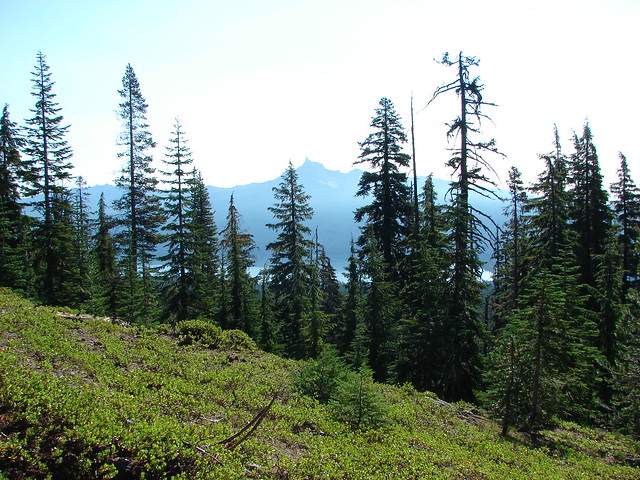
In addition to the 15 designated wilderness areas there were hikes in two National Monuments – Oregon Caves & Cascade-Siskiyou, and Crater Lake National Park.
#1 North Bank Ranch-Hiked 6/5/2015 6/25/2023

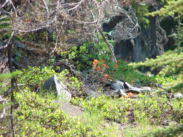
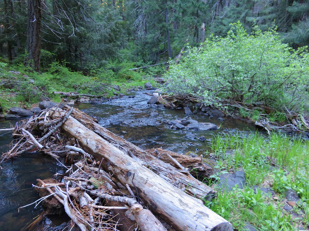
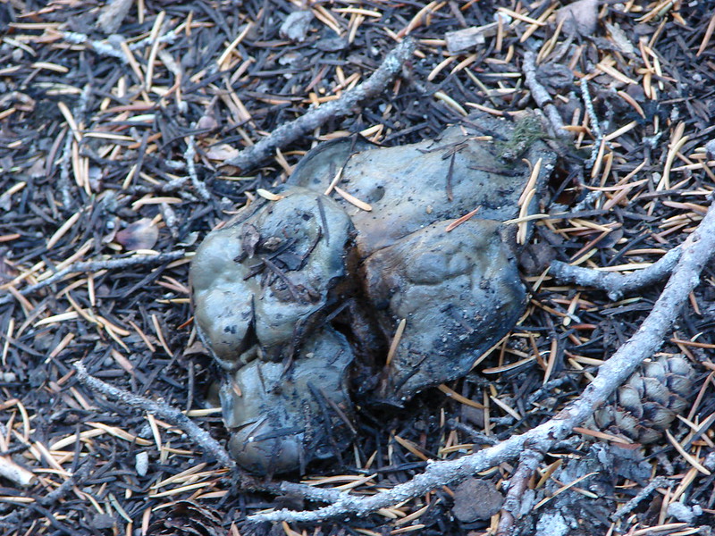
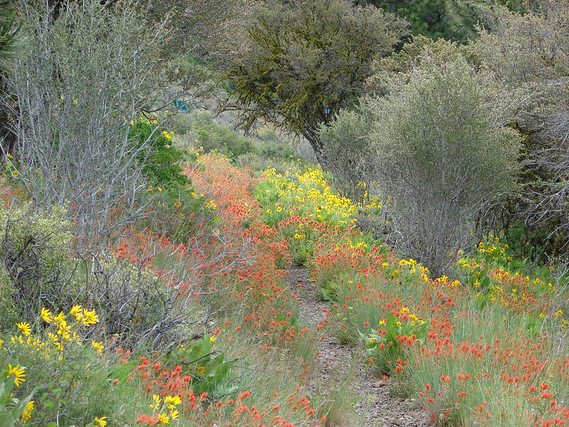
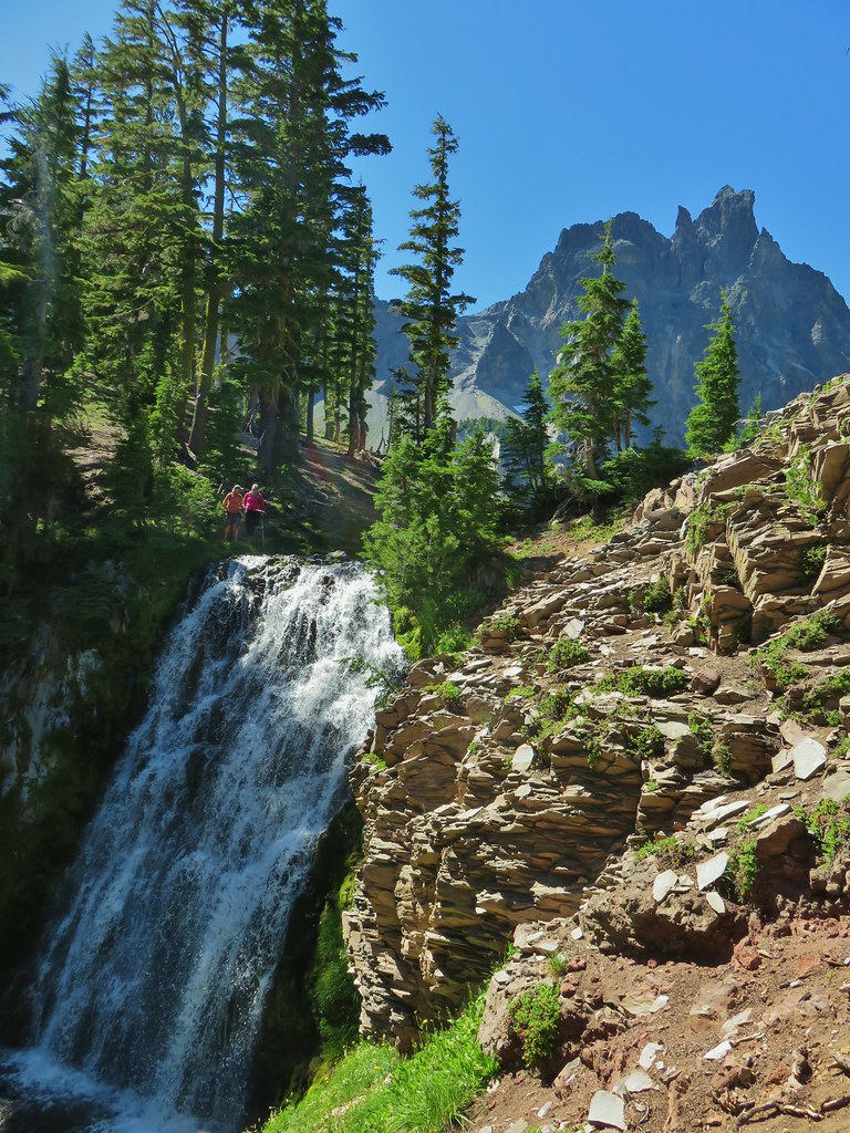
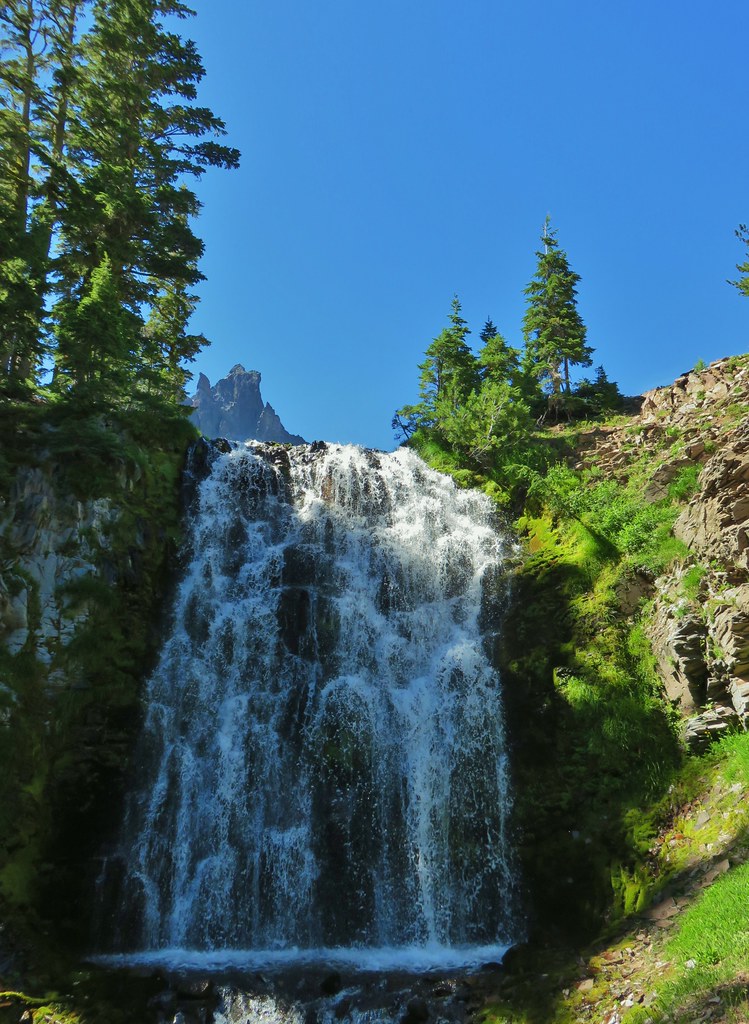
#2 Fall Creek Falls-Hiked 6/13/2022 8/7/2022 6/25/2023
 Fall Creek Falls
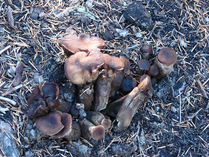
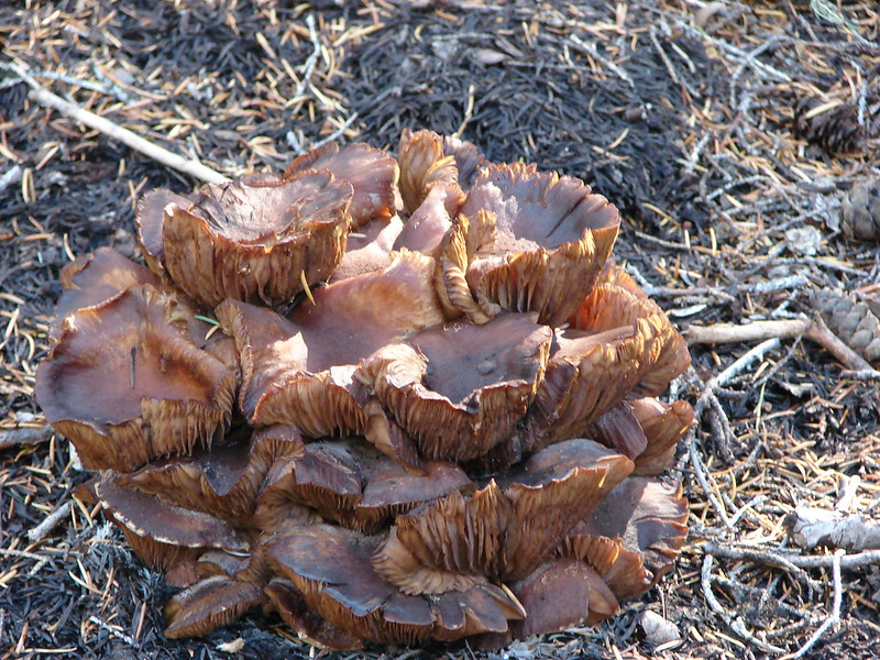
#3 Little River Waterfalls-Hiked 8/7/2022
 Yasko Falls
#4 Boulder Creek-Hiked 9/7/2020

#5 Twin Lakes-Hiked 6/14/2022

#6 Fish Lake-Hiked 9/3/2022

#7 Buckey and Cliff Lakes-Hiked 9/3/2022

#8 Umpqua Hot Springs-Hiked 6/13/2022

#9 Toketee and Watson Falls-Hiked 6/13/2022

#10 Lemolo Falls-Hiked 6/13/2022

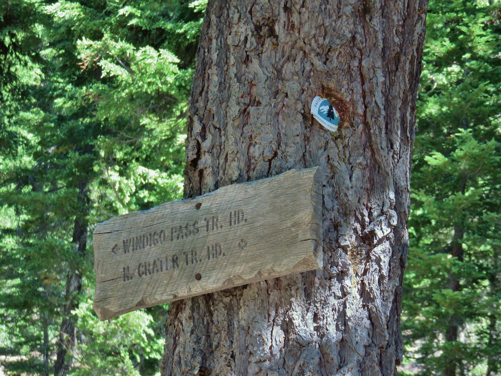
#11 Cowhorn Mountain-Hiked 9/15/2016

#12 Miller and Maidu Lakes-Hiked 8/1/2012

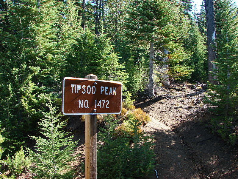
#13 Tipsoo Peak-Hiked 10/2/2014

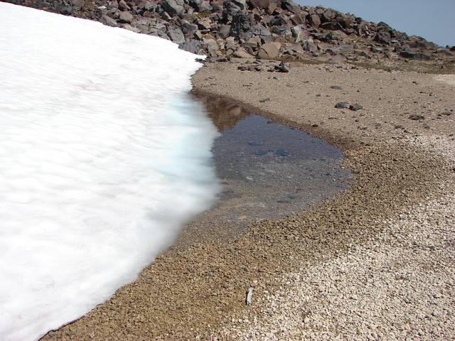
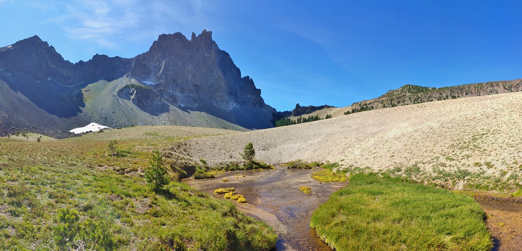
#14 Thielsen Creek-Hiked 8/8/2020

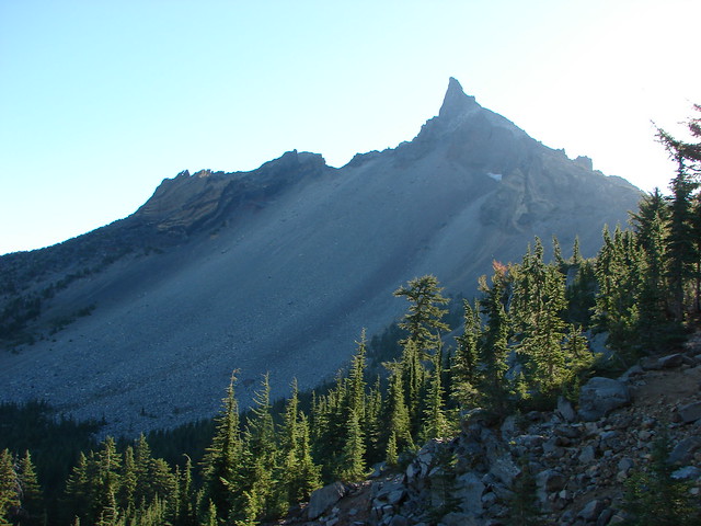
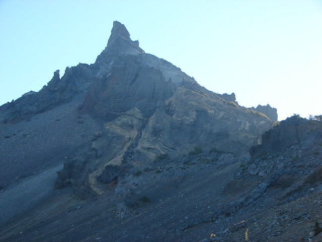
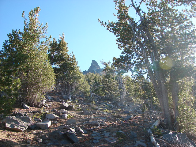
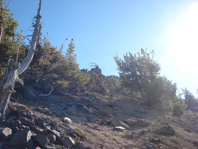
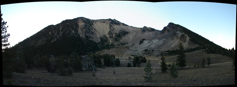
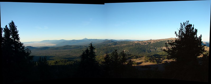
#15 Mount Thielsen-Hiked 9/23/2012

#16 Diamond Lake-Hiked 9/5/2020

#17 Mount Bailey-Hiked 8/12/2012

#18 Boundary Springs-Hiked 6/13/2014

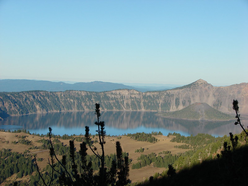
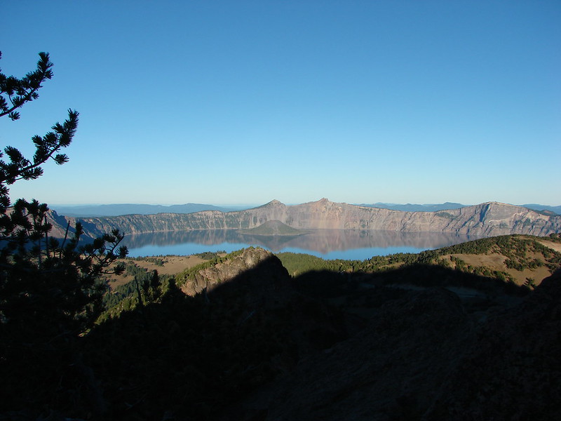
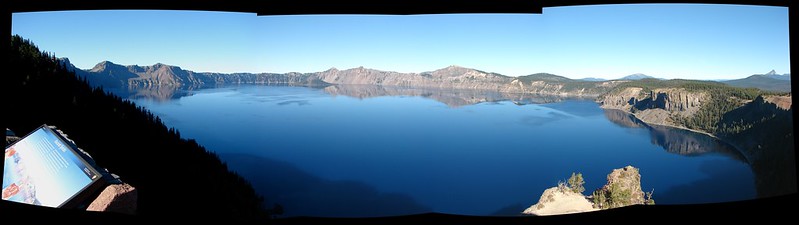
#19 Park Headquarters-Hiked 7/31/2023

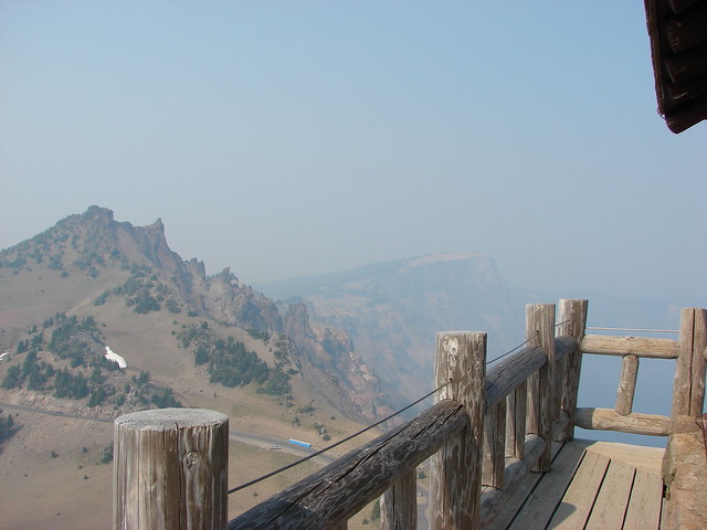
#20 Garfield Peak-Hiked 7/31/2023

#21 Discovery Point-Hiked 9/19/2022

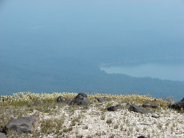
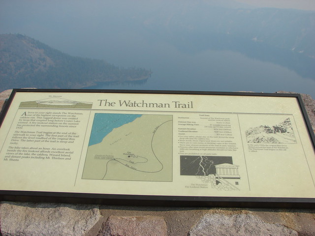
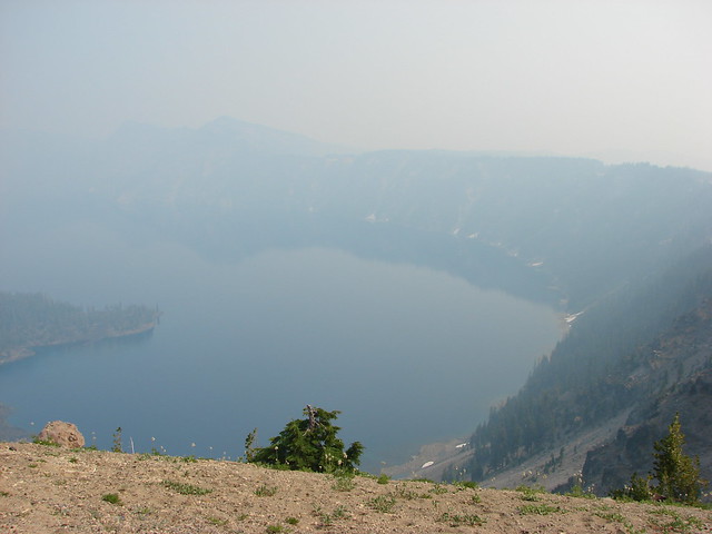
#22 The Watchman-Hiked 8/12/2012 7/31/2023

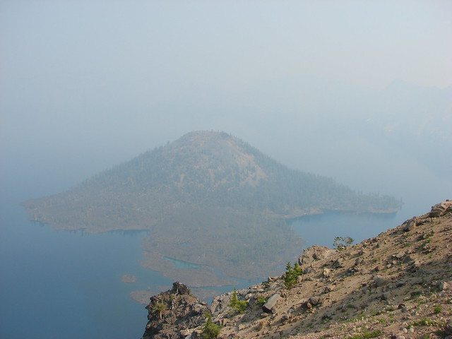
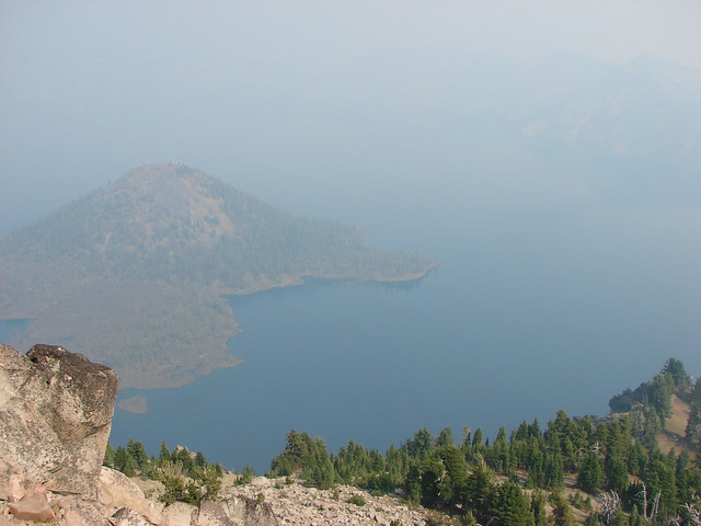
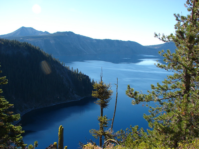
#23 Wizard Island-Hiked 8/1/2023

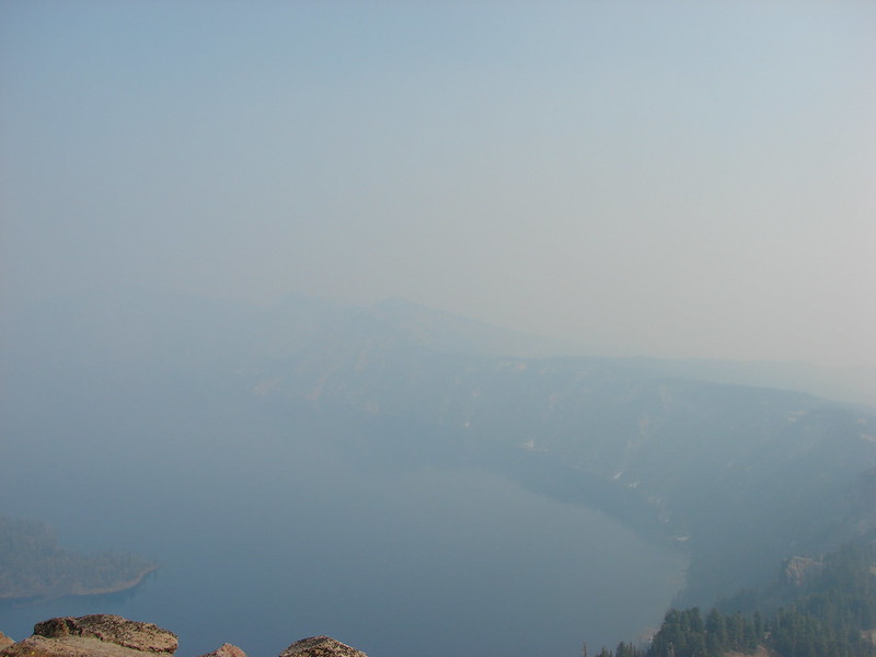
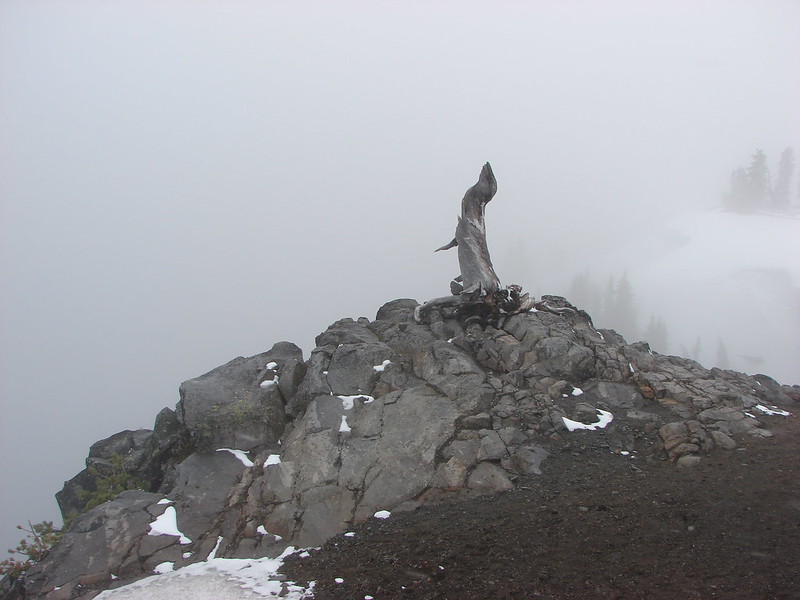
#24 Mount Scott-Hiked 10/2/2014

#25 Plaikni Falls and The Pinnacles-Hiked 7/30/2023

#26 Crater Peak-Hiked 7/30/2023

#27 Annie Creek & Godfrey Glen-Hiked 7/30/2023 7/31/2023

#28 Union Peak-Hiked 9/17/2022

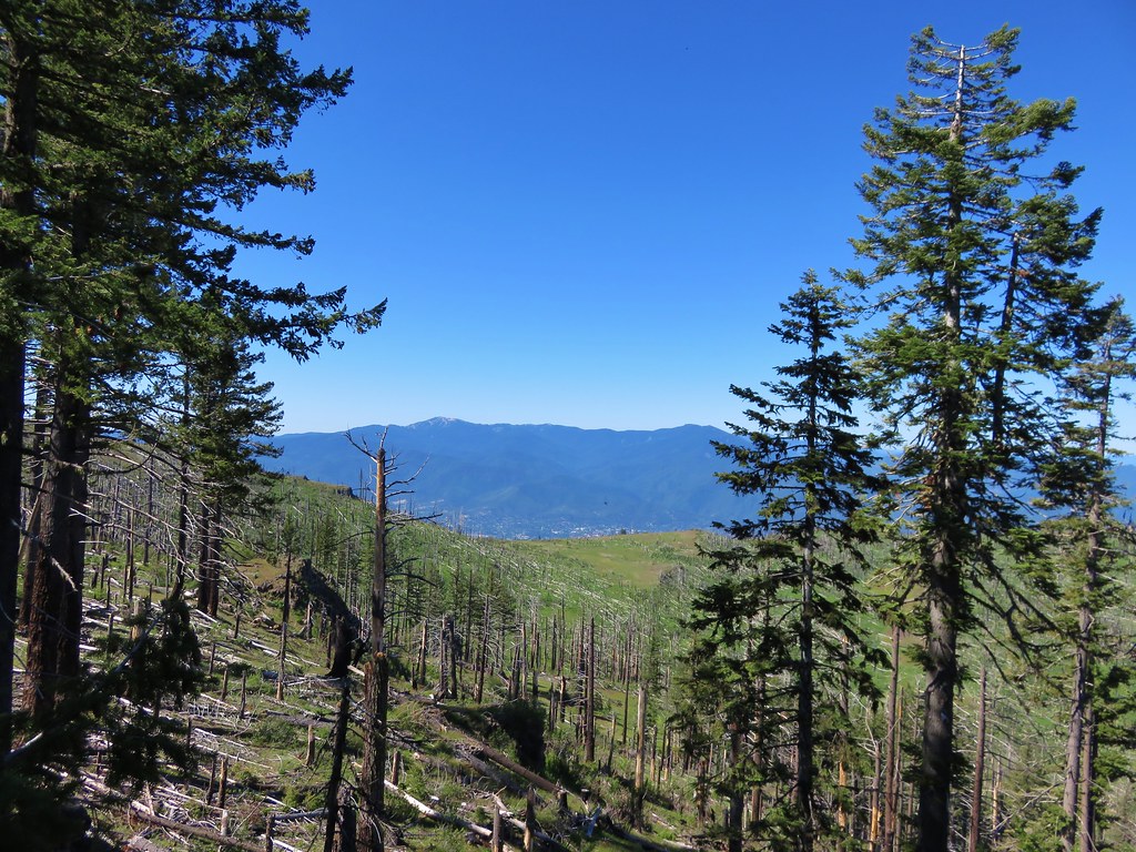
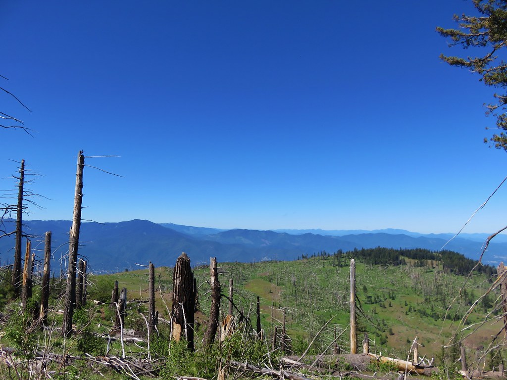
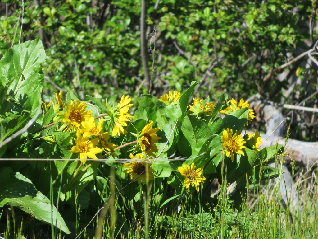
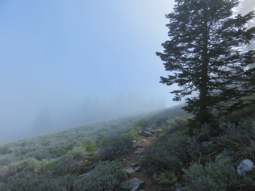
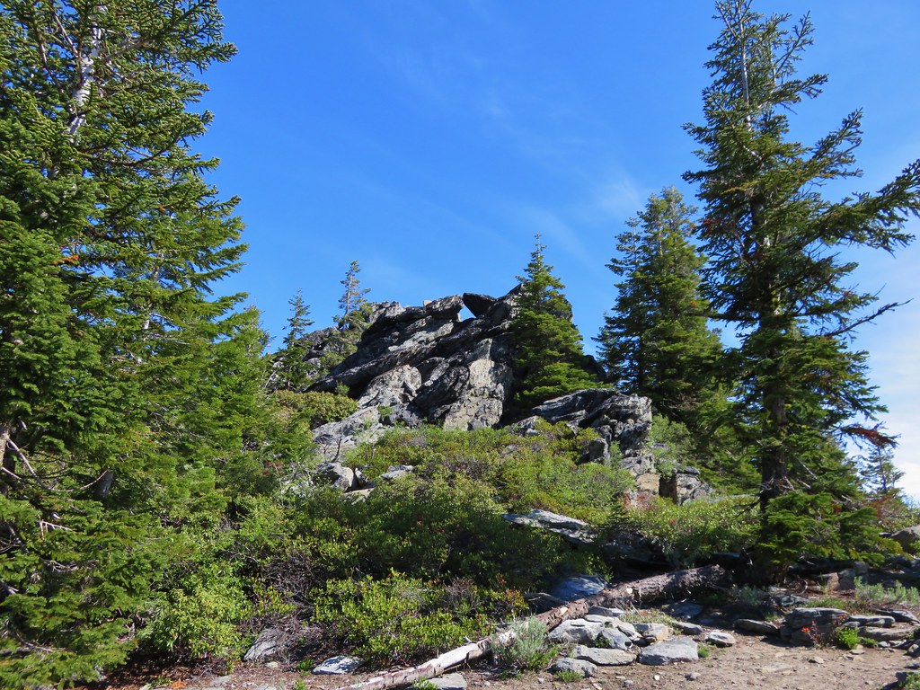
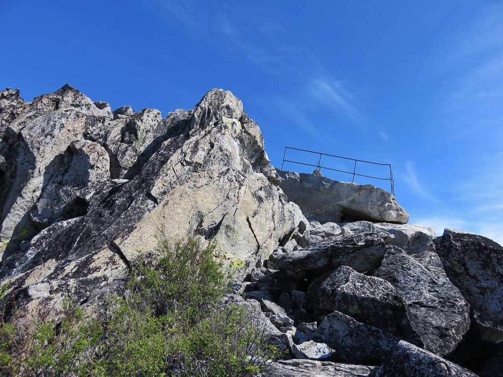
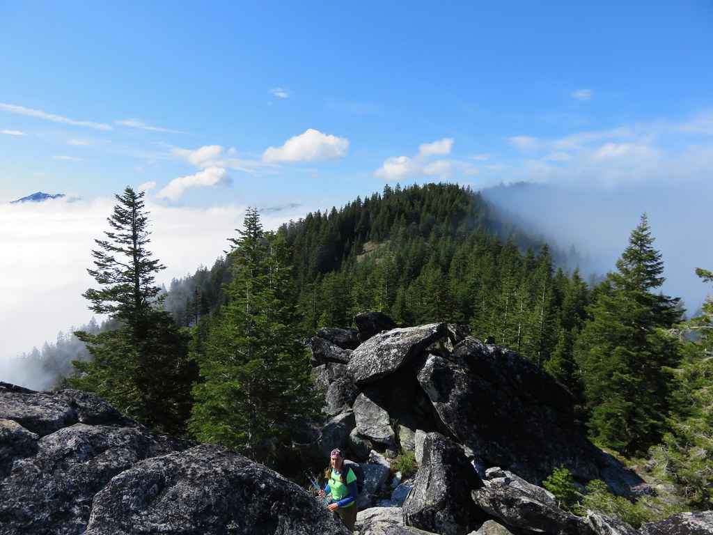
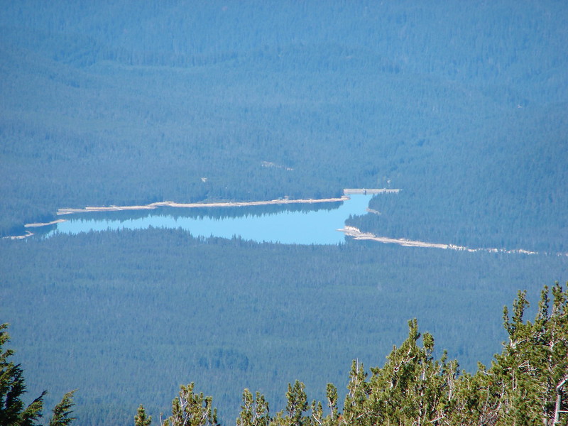
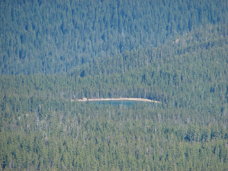
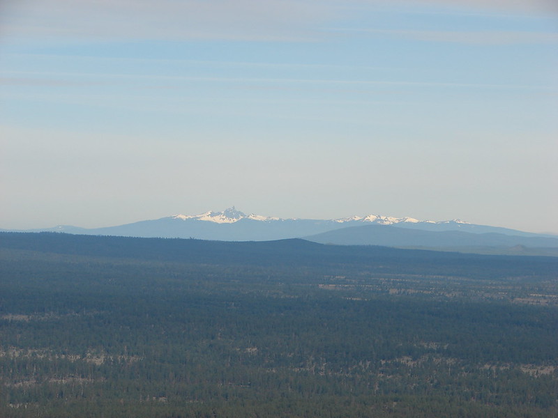
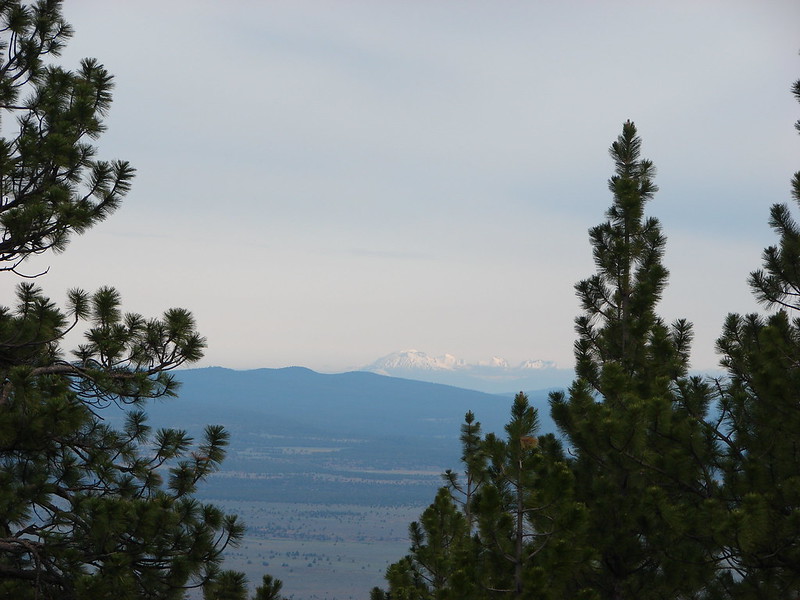
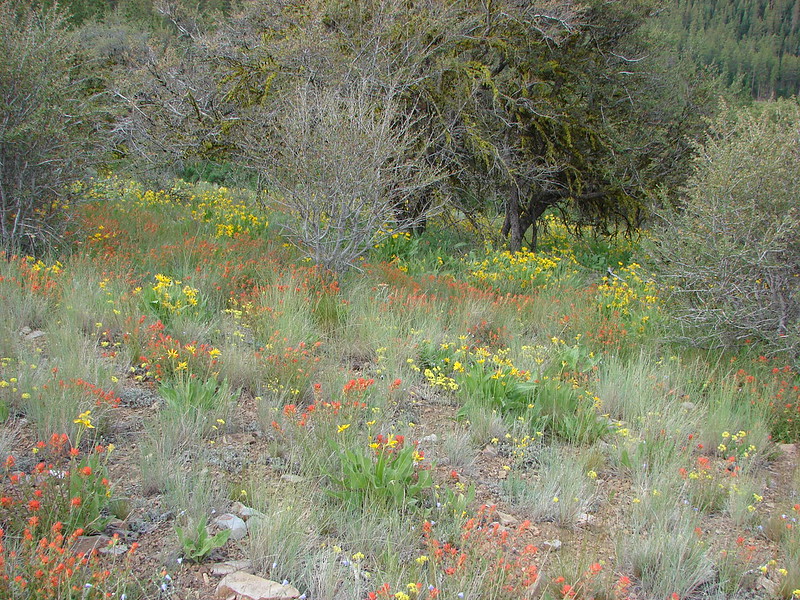
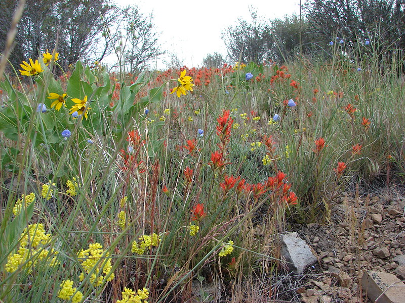
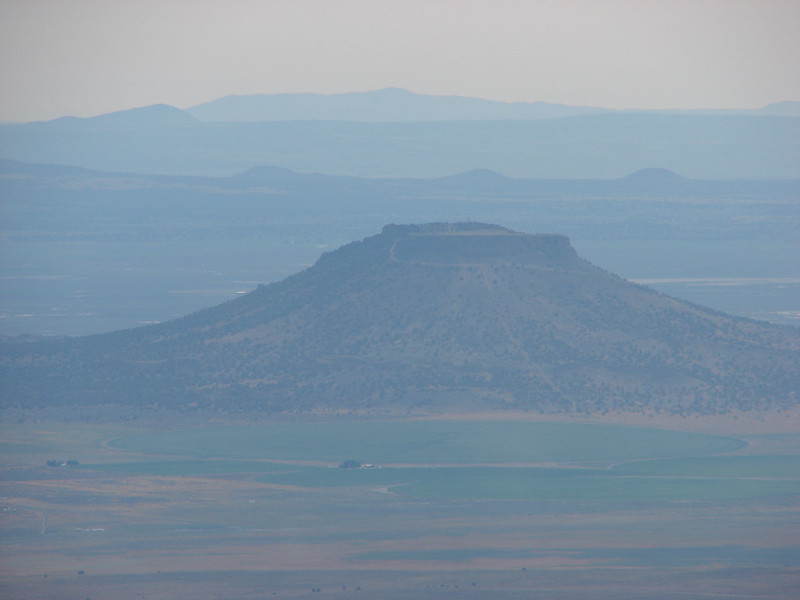
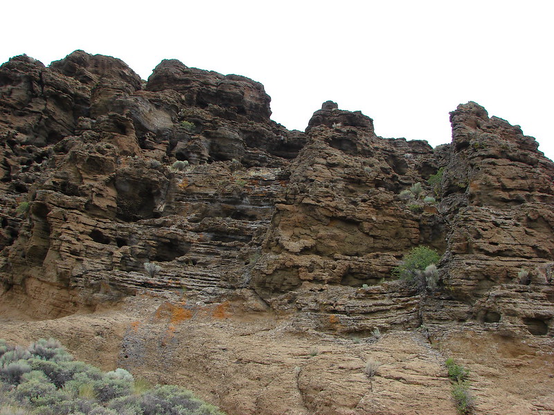
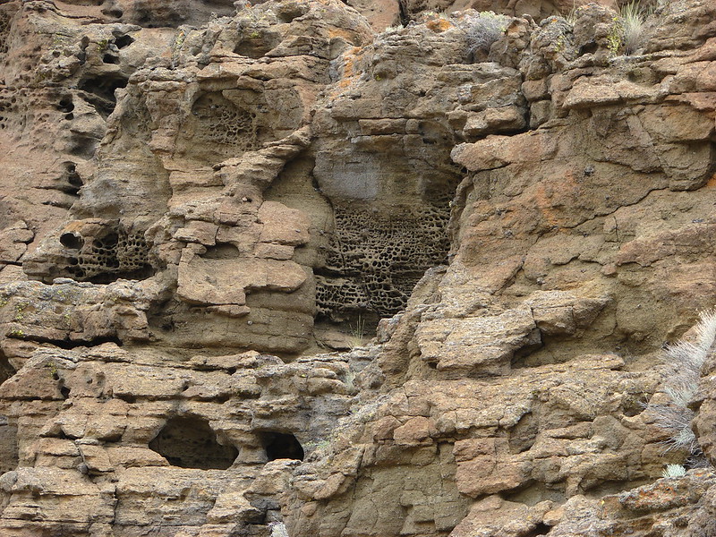
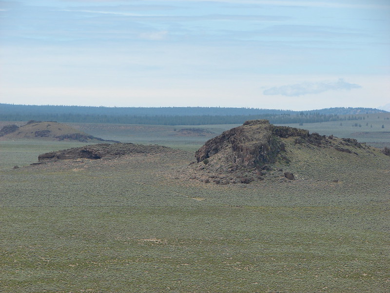
#29 Upper and Lower Table Rocks-Hiked 6/9/2017 (Lower) & 5/26/2022 (Upper)
 Lower Table Rock
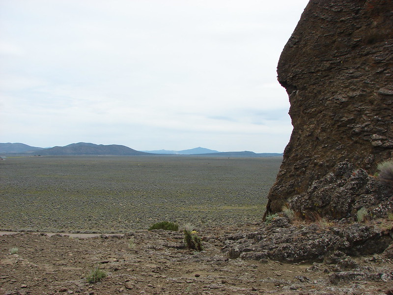
 View from Upper Table Rock
#30 Lost Creek Lake-Hiked 6/9/2017

#31 Takelma Gorge-Hiked 10/15/2020

#32 Natural Bridge-Hiked 10/16/2020

#33 Union Creek-Hiked 10/17/2020 9/20/2022

#34 Abbott Butte-Hiked 10/17/2020

#35 Hershberger Mountain-Hiked 10/16/2020

#36 Muir Creek-Hiked 5/27/2018

#37 Rattlesnake Mountain-Hiked 9/6/2020

#38 Seven Lakes West-Hiked 9/9/2023

#39 Seven Lakes East-Hiked 9/9/2023

#40 Blue Lake Basin-Hiked 9/18/2022

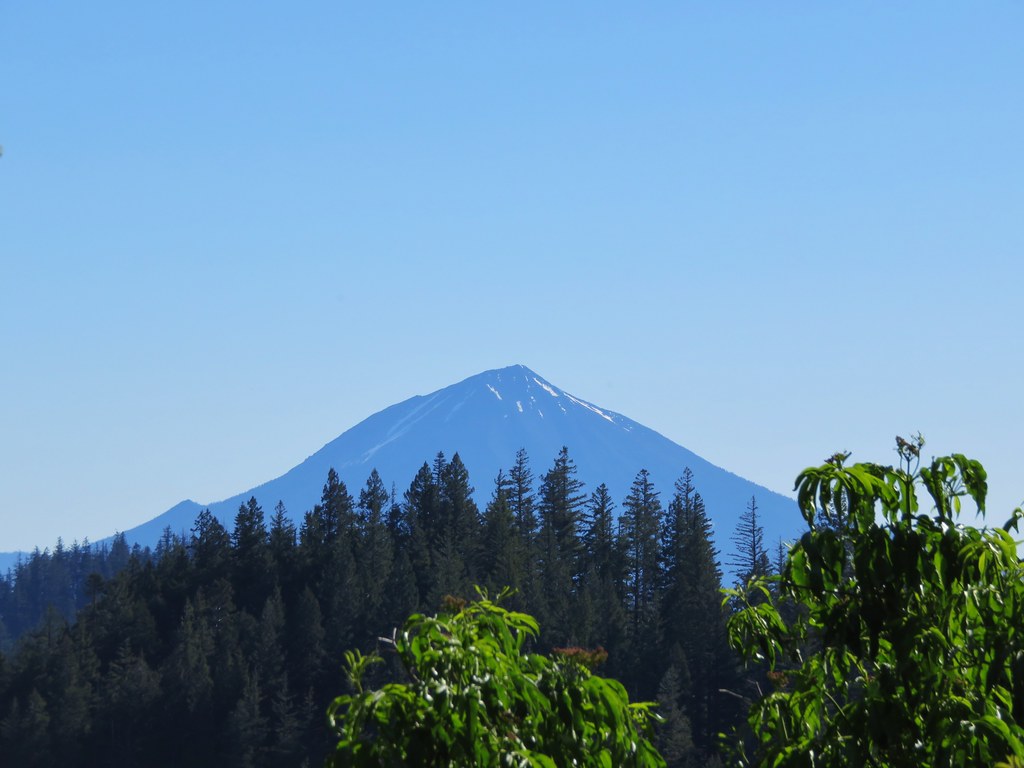
#41 Mount McLoughlin-Hiked 8/27/2016

#42 Fourmile Lake-Hiked 8/26/2016

#43 Sky Lakes via Cold Springs-Hiked 9/24/2022

#44 Sky Lakes via Nannie Creek-Hiked 9/24/2022

#45 Fish Lake-Hiked 10/7/2018

#46 Brown Mountain Lava Flow-Hiked 8/28/2016

#47 Lake of the Woods-Hiked 10/7/2018

#48 Mountain Lakes-Hiked 8/25/2016

#49 Soda Mountain-Hiked 6/3/2015

#50 Pilot Rock-Hiked 7/29/2017

#51 Mount Ashland Meadows-Hiked 6/3/2015

#52 Lithia Park-Hiked 6/2/2015

#53 Bandersnatch Trail-Hiked 6/17/2022

#54 White Rabbit Trail-Hiked 6/17/2022

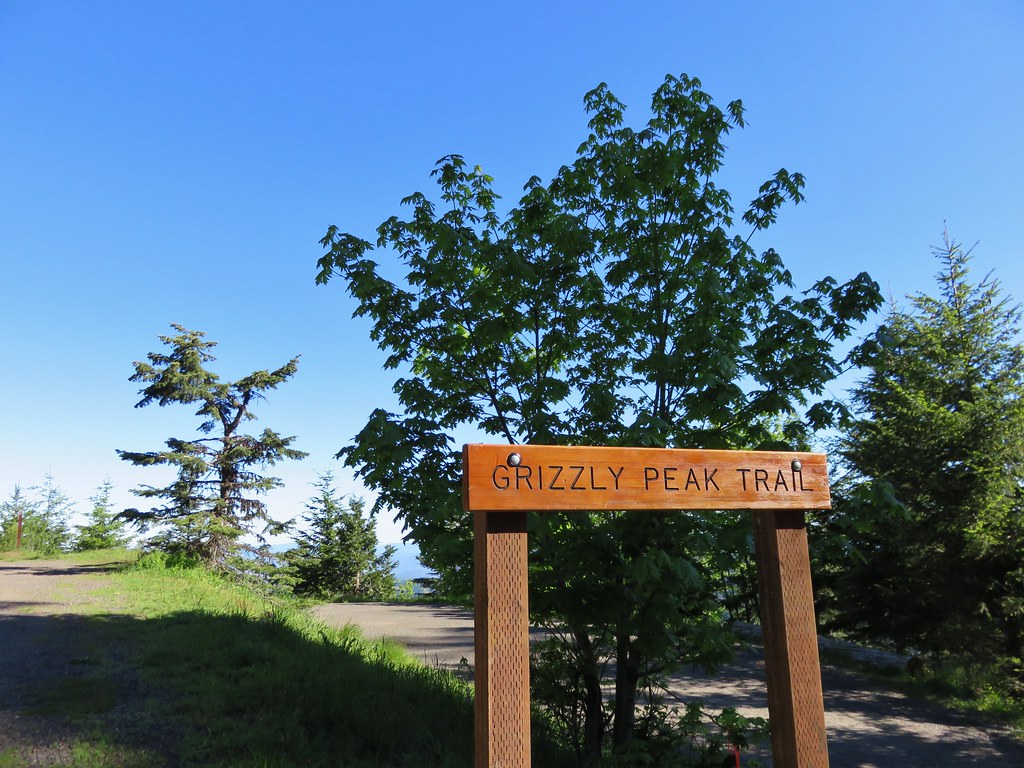
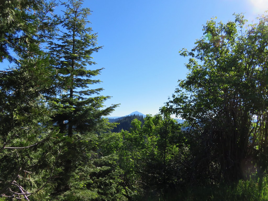
#55 Grizzly Peak-Hiked 6/5/2015

#56 Roxy Ann Peak-Hiked 5/30/2022

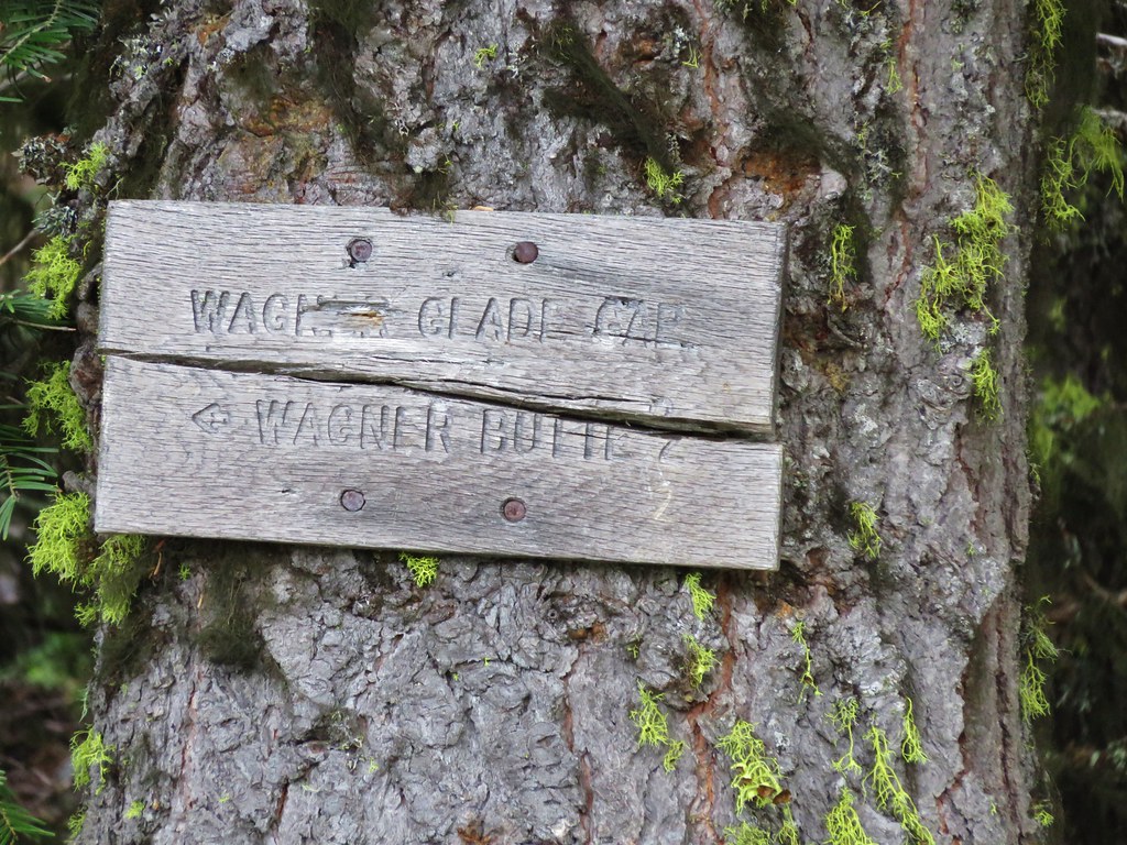
#57 Wagner Butte-Hiked 6/4/2015

#58 Siskiyou Gap-Hiked 6/16/2022

#59 Jack-Ash Trail-Hiked 5/27/2022

#60 Sterling Ditch Tunnel-Hiked 6/10/2017 5/2/2023

#61 Jacksonville-Hiked 6/8/2017

#62 Enchanted Forest-Hiked 6/11/2017

#63 Observation Peak-Hiked 6/15/2022

#64 Collings Mountain-Hiked 6/8/2017

#65 Applegate Lake-Hiked 6/8/2017 5/29/2022

#66 Red Buttes-Hiked 10/27/2015

#67 Frog Pond-Hiked 6/18/2022

#68 Azalea Lake-Hiked 10/26/2015

#69 Sturgis Fork-Hiked 10/7/2023

#70 Grayback Mountain-Hiked 10/9/2023

#71 Oregon Caves-Hiked 10/30/2015

#72 Mount Elijah-Hiked 10/7/2023

#73 Sucker Creek-Hiked 10/26/2015

#74 Tanner Lakes-Hiked 10/8/2023

#75 Bolan Lake-Hiked 10/8/2023

#76 Polar Bear Gap-Hiked 7/1/2022

#77 Raspberry Lake-Hiked 7/3/2022

#78 Devils Punchbowl-Hiked 7/2/2022

#79 Rough and Ready Creeks-Hiked 5/12/2017

#80 Babyfoot Lake-Hiked 10/9/2023

#81 Eight Dollar Mountain-Hiked 5/4/2023

#82 Illinois River Beaches-Hiked 5/4/2023

#83 Grants Pass Nature Trails 5/3/2023

#84 Rouge River Trail East-Hiked 5/1/2023

#85 Rogue River Trail West-Hiked 6/24/2023

#86 Paradise Lake-Hiked 6/28/2016

#87 Sky High Lakes-Hiked 6/29/2016

#88 Campbell Lake-Hiked 6/27/2016

#89 Paynes Lake-Hiked 7/24/2017

#90 Russian Lake-Hiked 8/24/2022

#91 Hidden & South Fork Lakes-Hiked 8/26/2022

#92 Trail Gulch Lake-Hiked 8/25/2022

#93 East Boulder Lake-Hiked 8/23/2022

#94 Kangaroo Lake-Hiked 7/23/2017

#95 Deadfall Lakes-Hiked 7/25/2017

#96 Caribou Lake-Hiked 7/27/2017

#97 Castle Lake-Hiked 7/26/2017

#98 Castle Crags-Hiked 7/26/2017

#99 Black Butte-Hiked 7/28/2017

#100 Mount Shasta Meadows-Hiked 8/22/2022

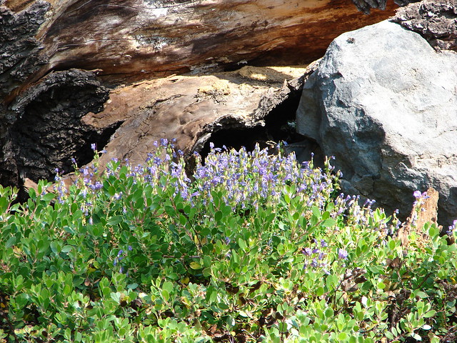
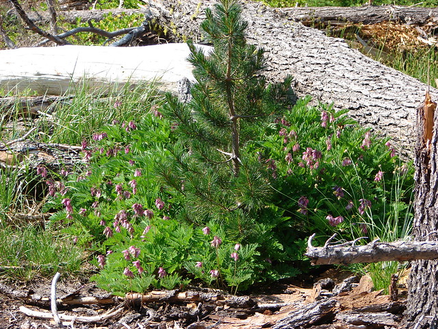
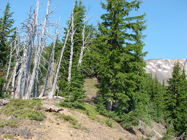
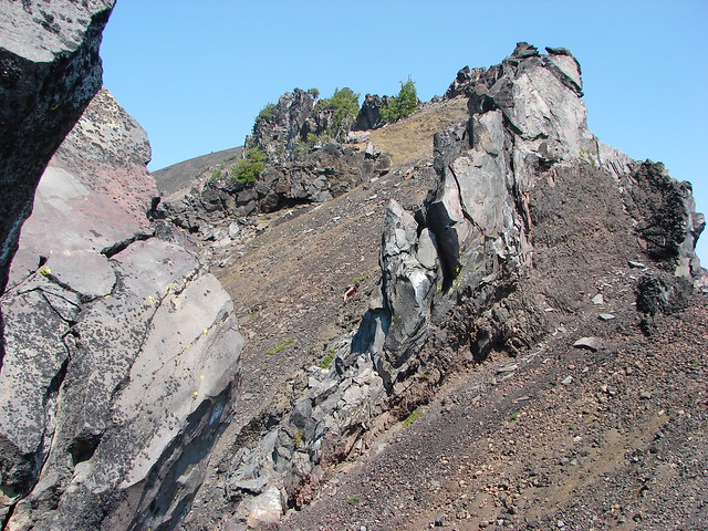
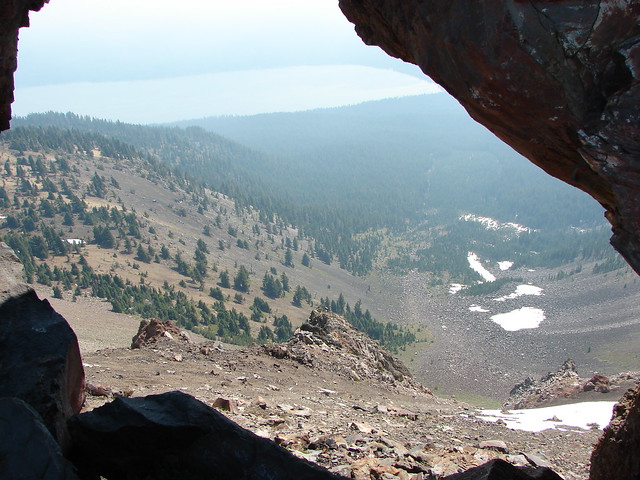
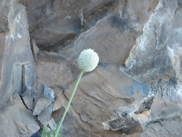
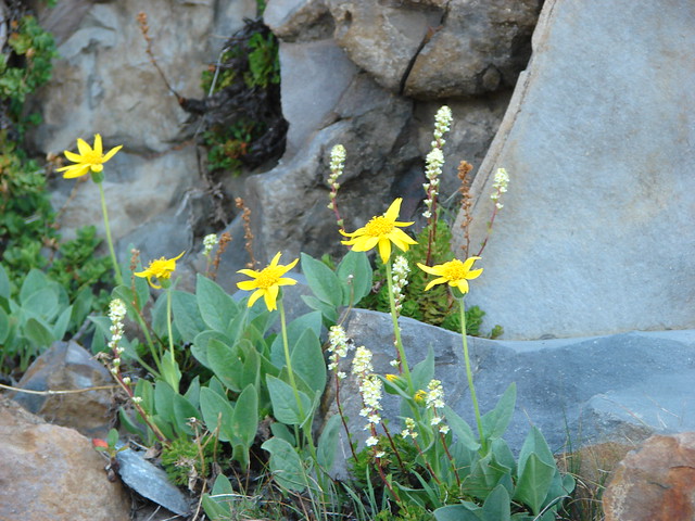
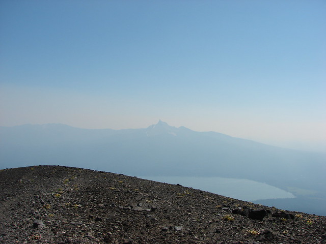
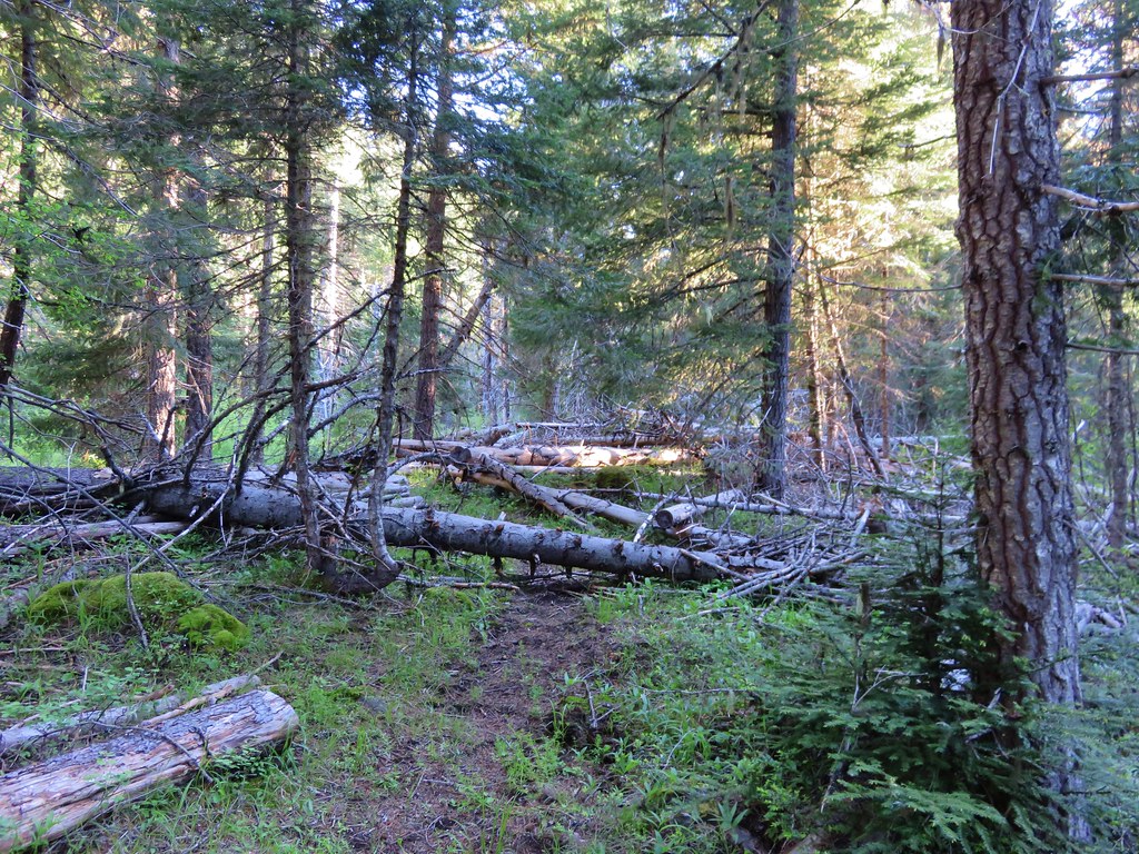
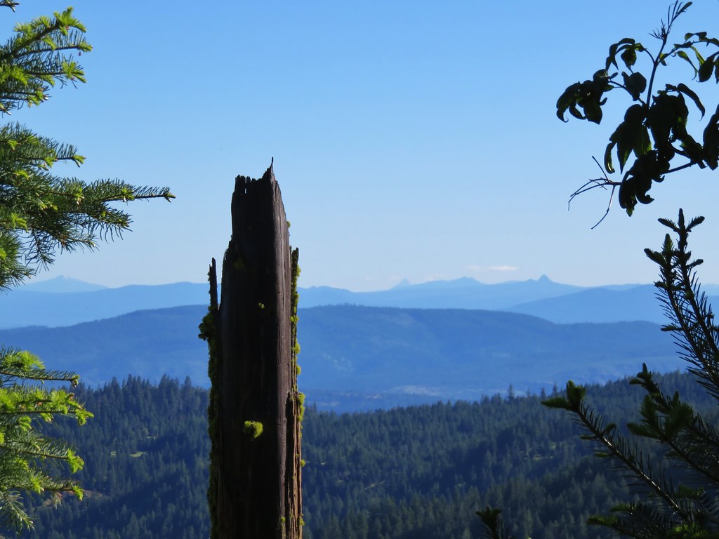
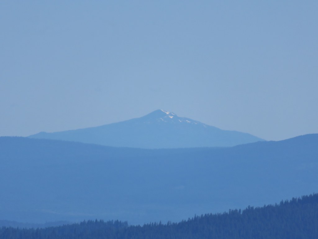
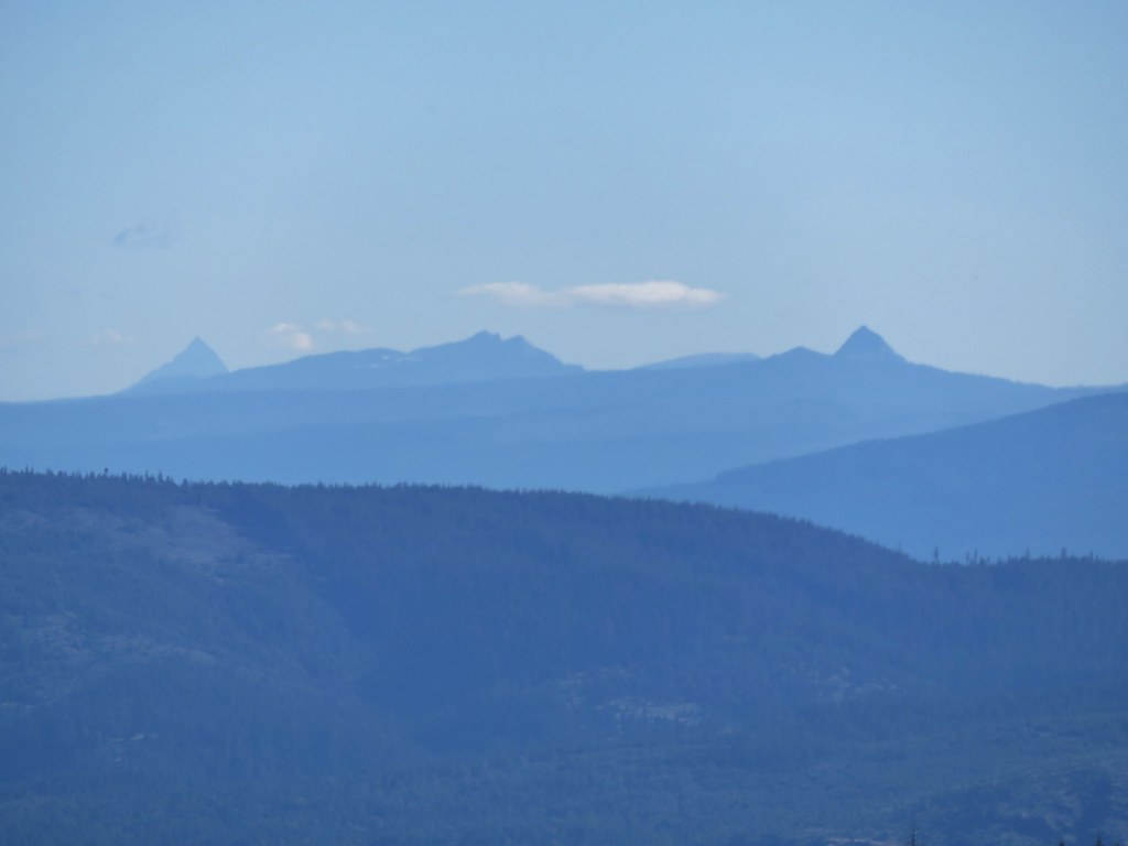
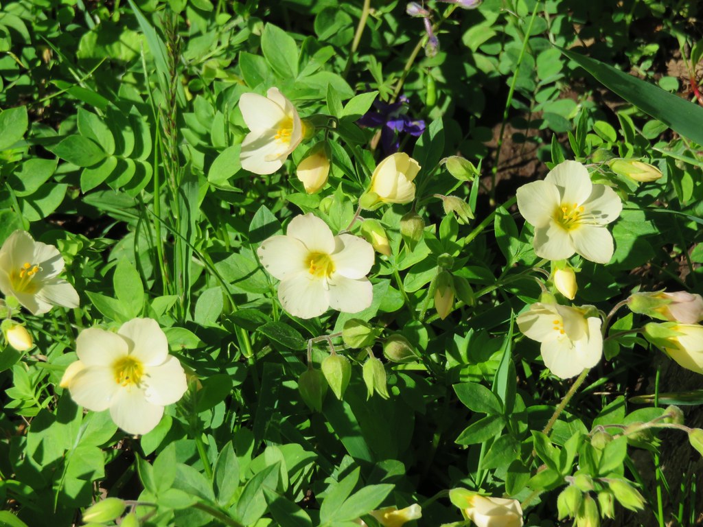
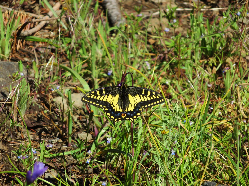
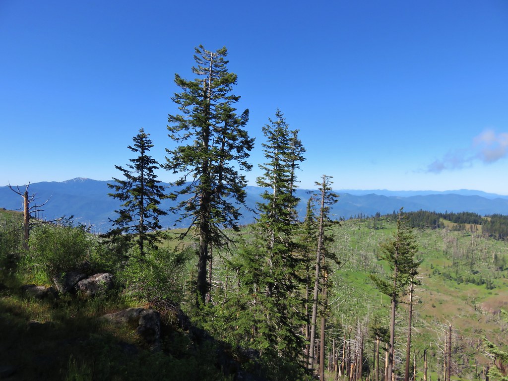
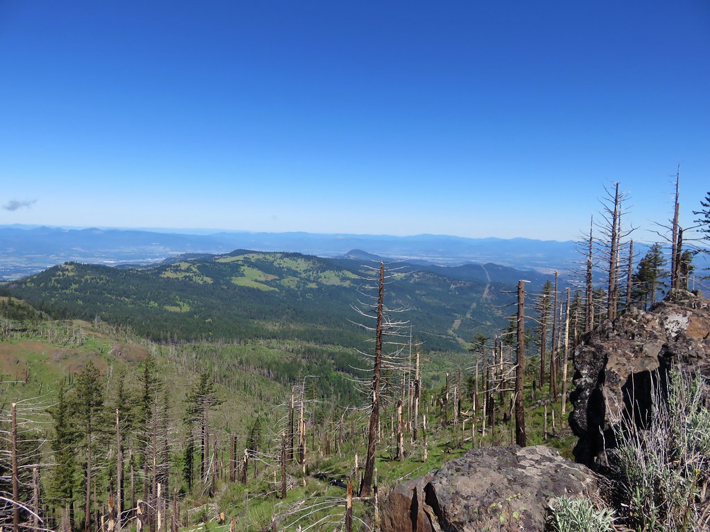
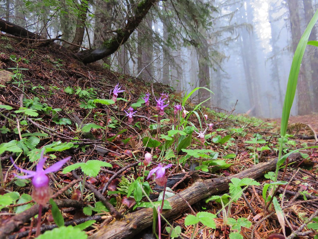
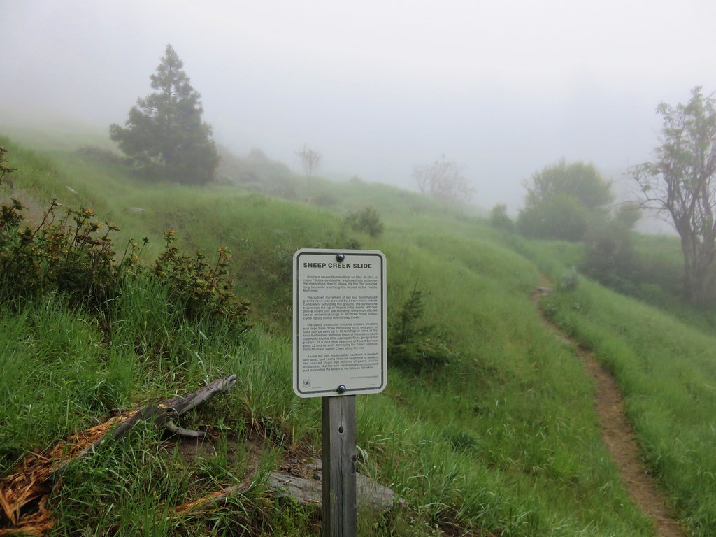
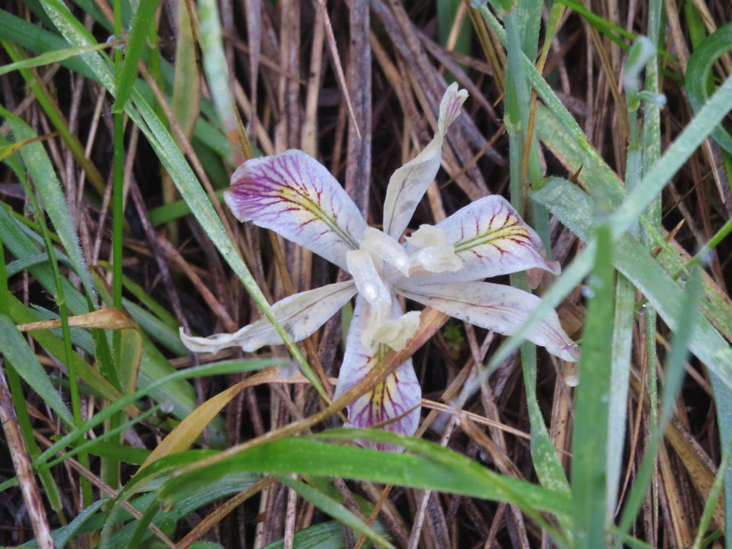
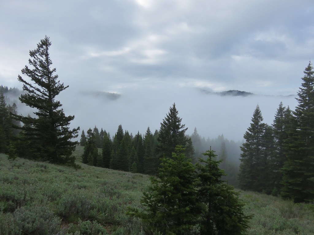
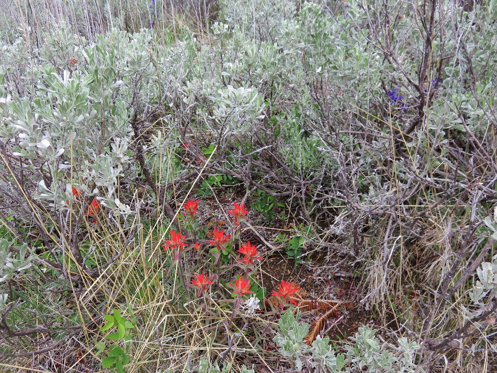
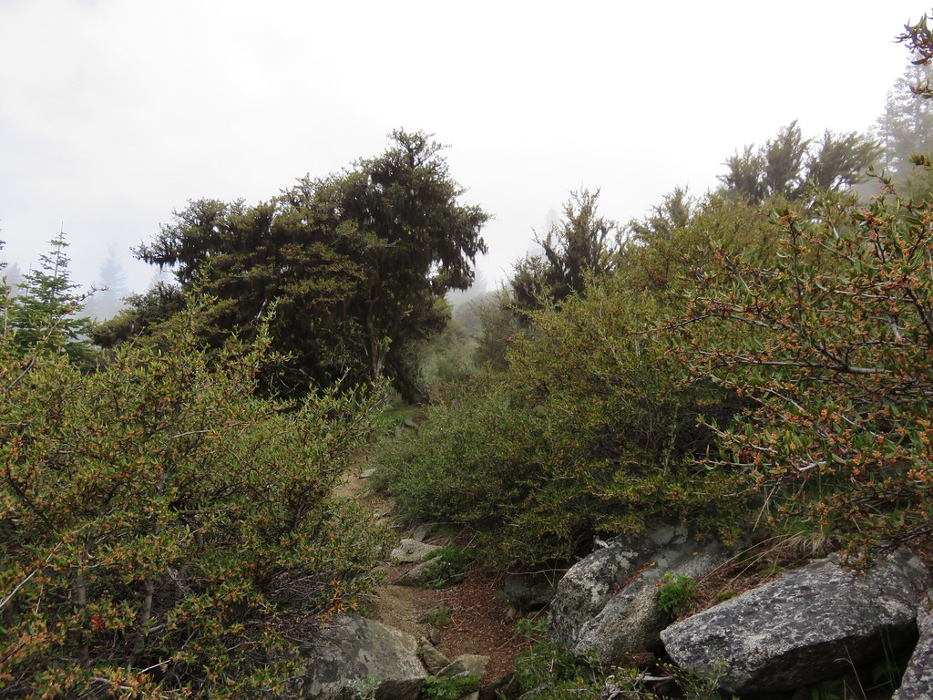
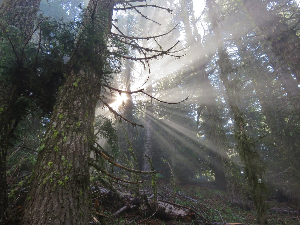
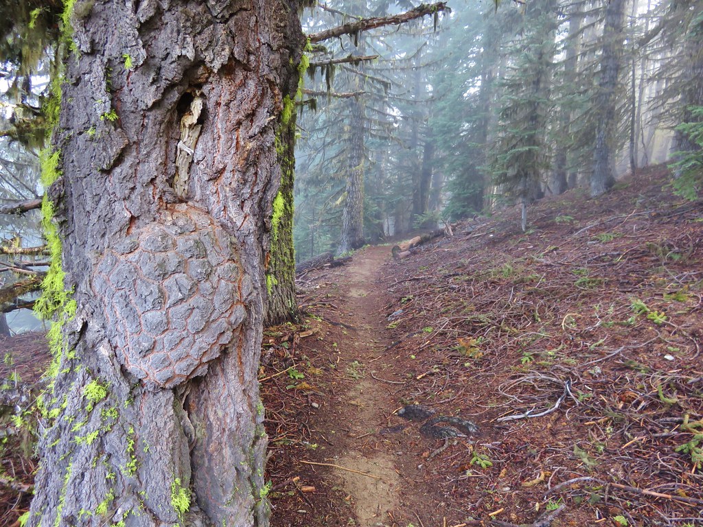
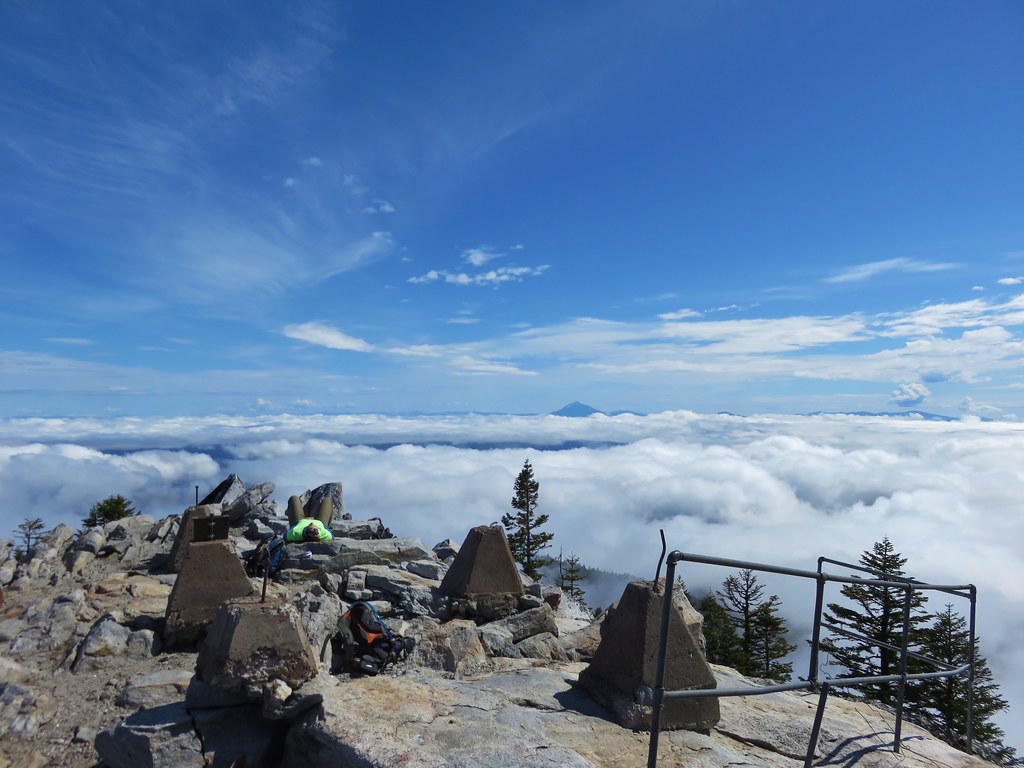
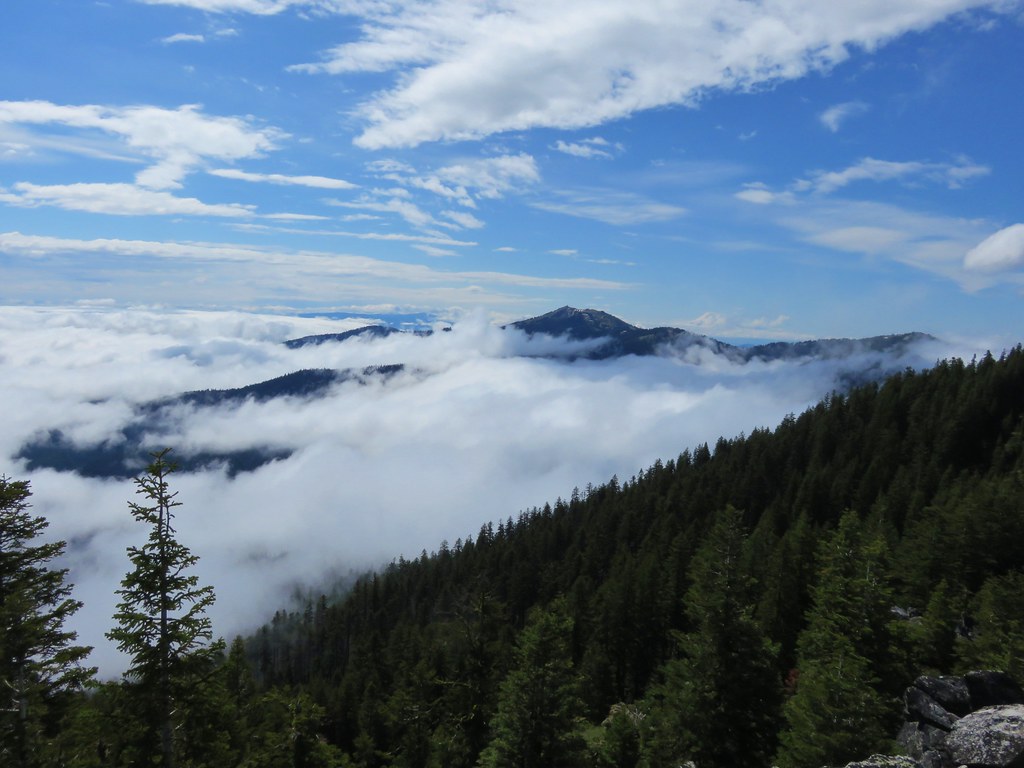
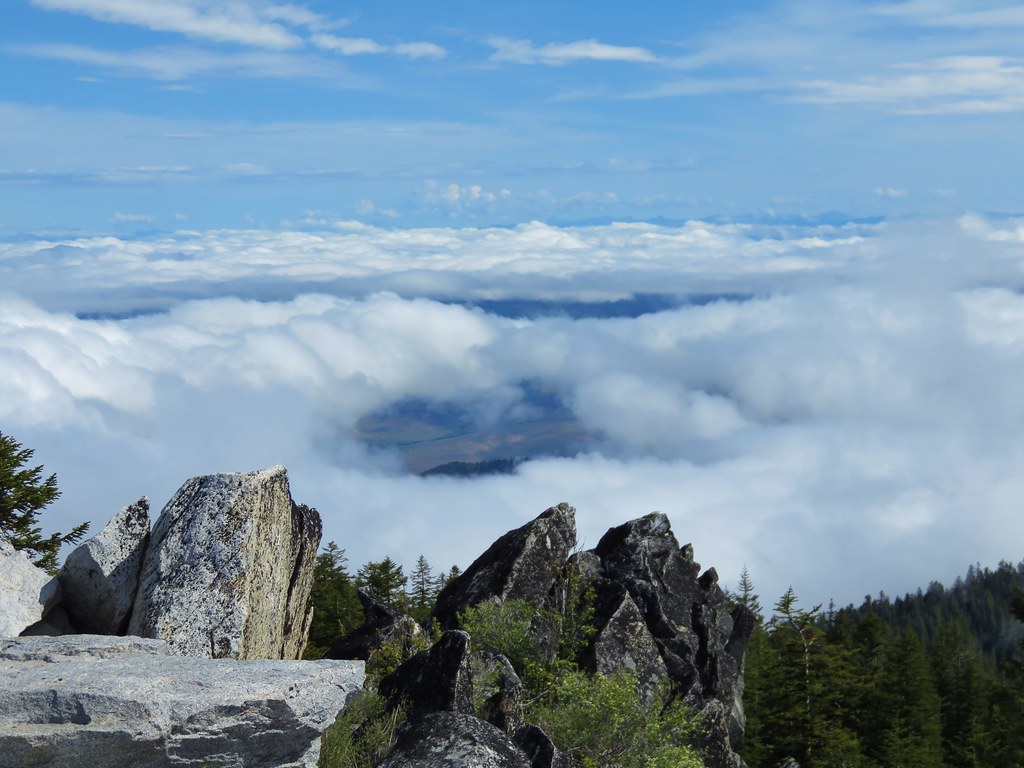
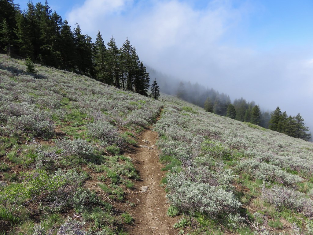
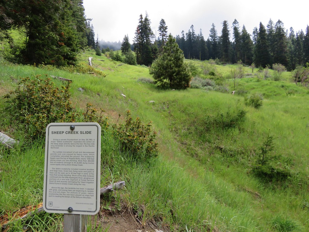
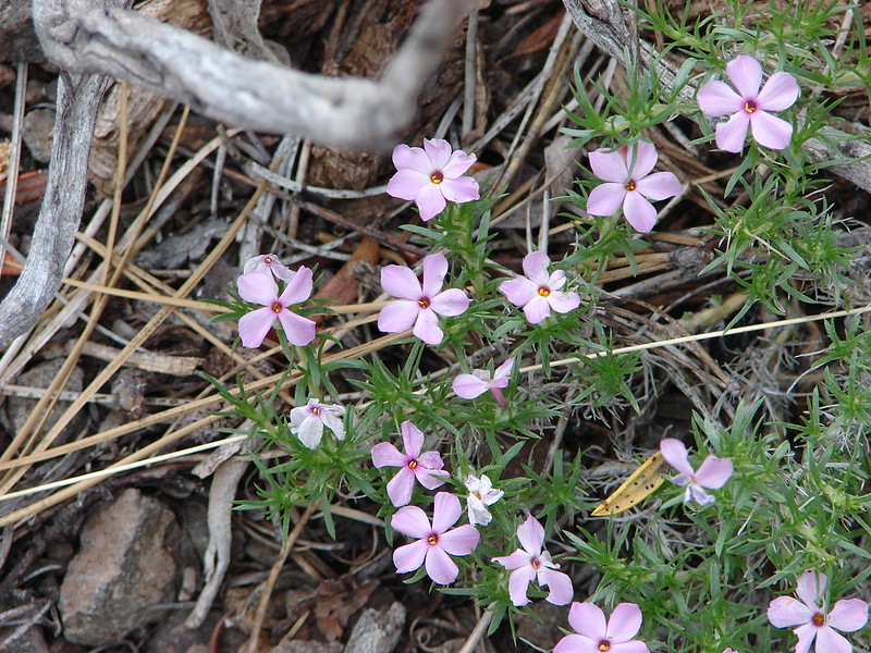
In our minds this was by far the most challenging area to finish even though we did so before completing Eastern Oregon. The difficulty with Eastern Oregon mostly revolves around distance from Salem and the size of the area covered. The Southern Oregon-Northern California area is smaller and the hikes not as far away, but it involved a lot of trails that frankly don’t see the level of maintenance that most of the other areas receive. While we’ve encountered rough trails, all over poison oak is much more prevalent down south which doesn’t invite pushing through overgrown tread or bushwacking around obstacles. This area has also been hit harder by fires over the last couple of decades leaving extra work to reopen them as well as remove additional blowdown as the dead trees fall over. When the conditions were good though the scenery and diverse plant and wildlife made for some spectacular hikes. There are many that we’d love to do again and several non-featured hikes that we have in our future plans, so we aren’t done with area yet. Happy Trails!
 Hiker symbol = Trails/trailheads, yellow houses = campsites, purple binoculars = roadside waterfalls
 Gearhart Mountain
 Boulder Creek
 Netarts Spit
 Spencer Butte
 Shotgun Creek
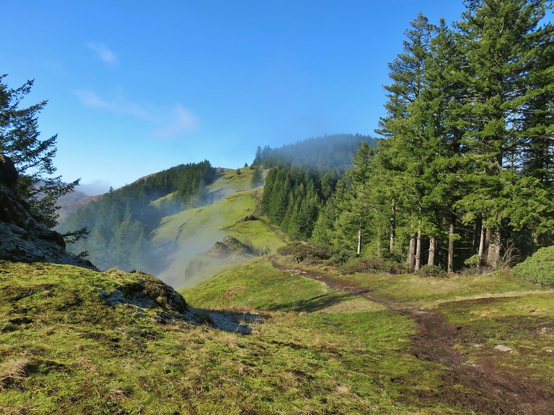 Horse Rock Ridge
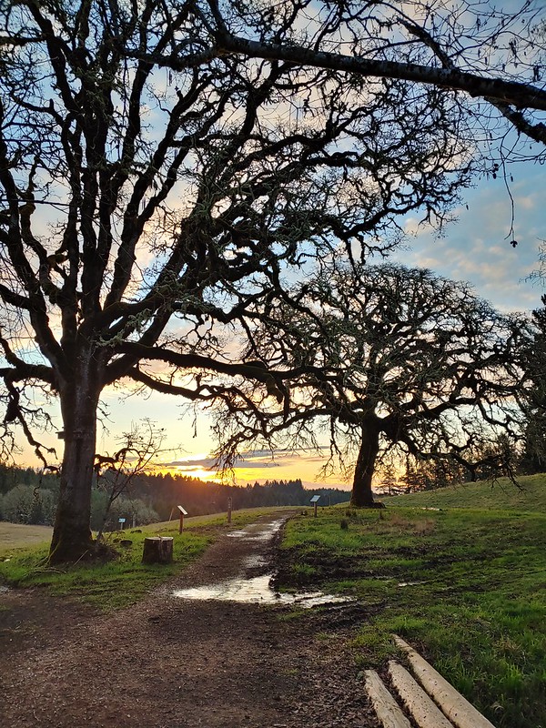 Miller Woods
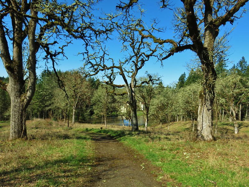 Trappist Abbey
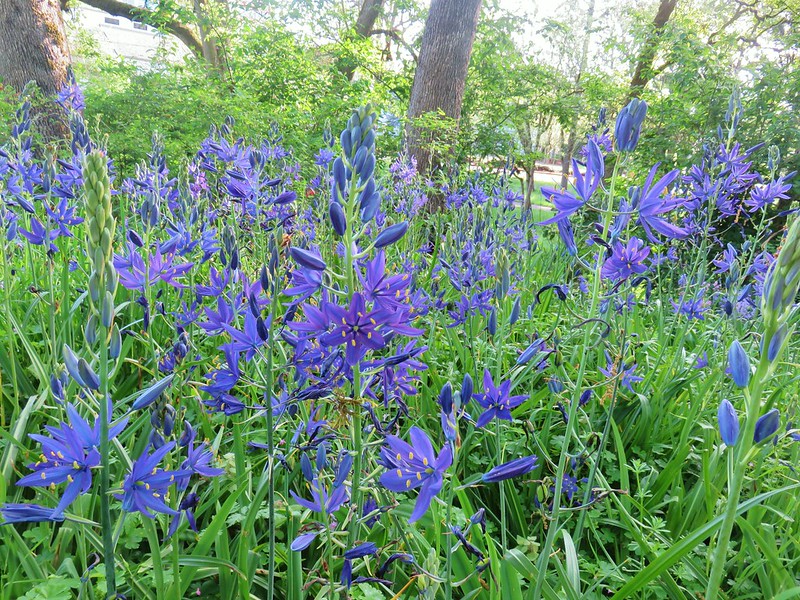 Bush Pasture Park
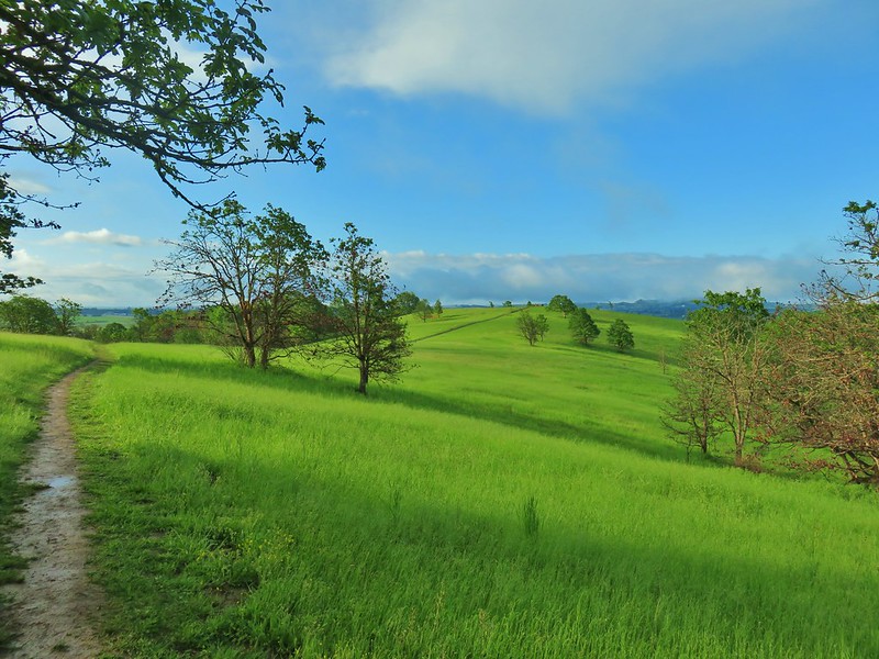 Basket Slough Wildlife Refuge
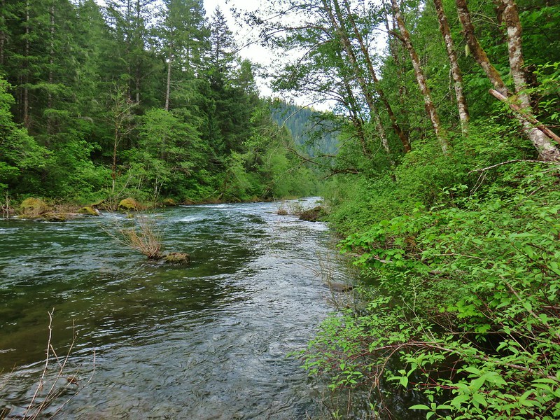 North Fork Willamette River
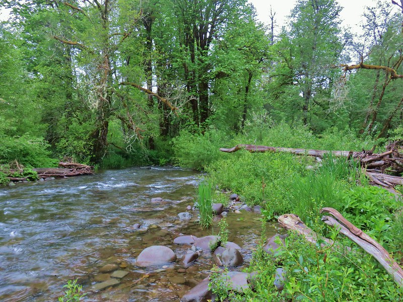 Little Luckiamute River
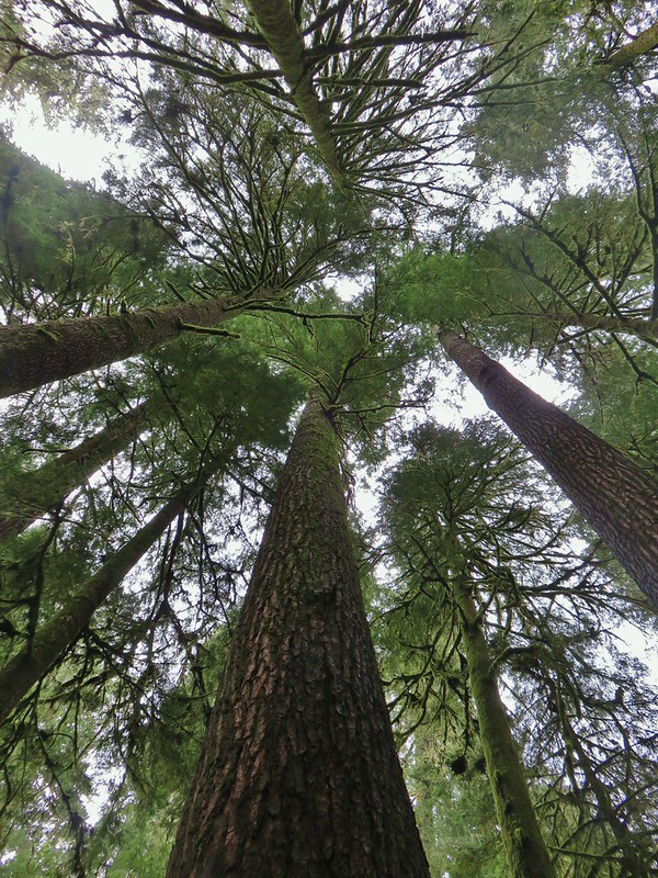 Valley of the Giants
 Indigo Springs
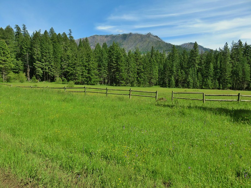 Rigdon Meadows
 Pigeon Butte
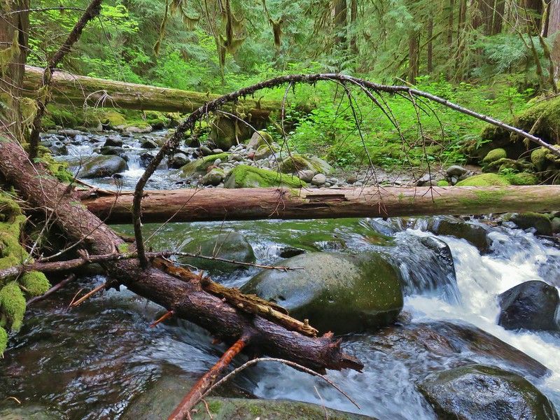 East Fork South Fork McKenzie River
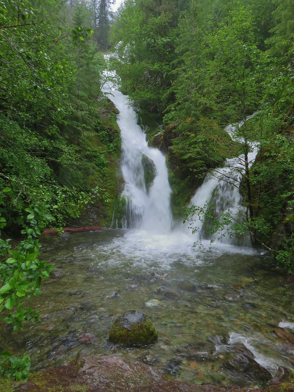 Sullivan Creek Falls*
 Henline Falls*
 Henline Mountain*
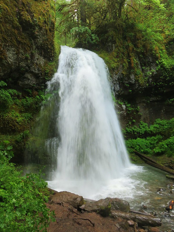 Spirit Falls
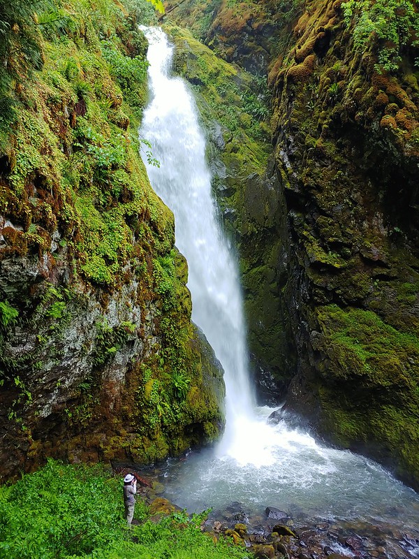 Pinard Falls
 Moon Falls
 Memaloose Lake*
 Echo Basin
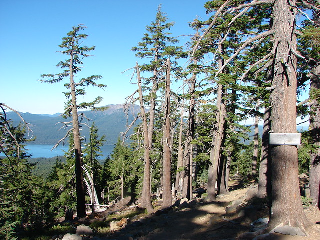
 Fish Lake
 Green Ridge*
 Table Rock Wilderness* (The Riverside fire burned at least the access road and may have encroached into the SW portion of the wilderness.)
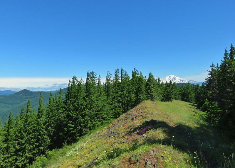 Monte Carlo Trail
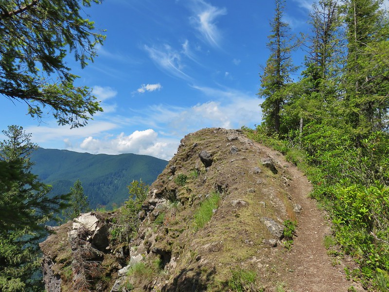 Hunchback Mountain
 Meadow below the Three Pyramids
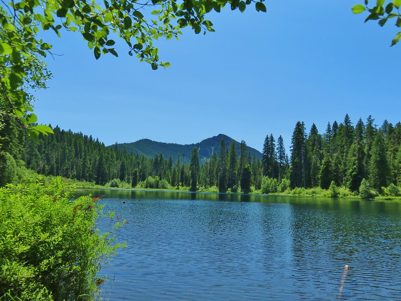 Daly Lake
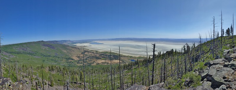 Winter Ridge
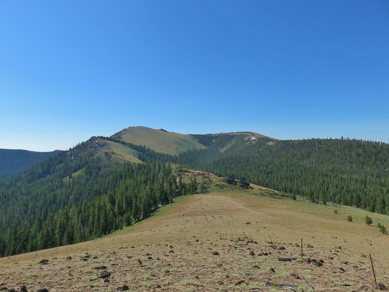 Fence Pass
 Flook Lake
 Hart Mountain Antelope Refuge
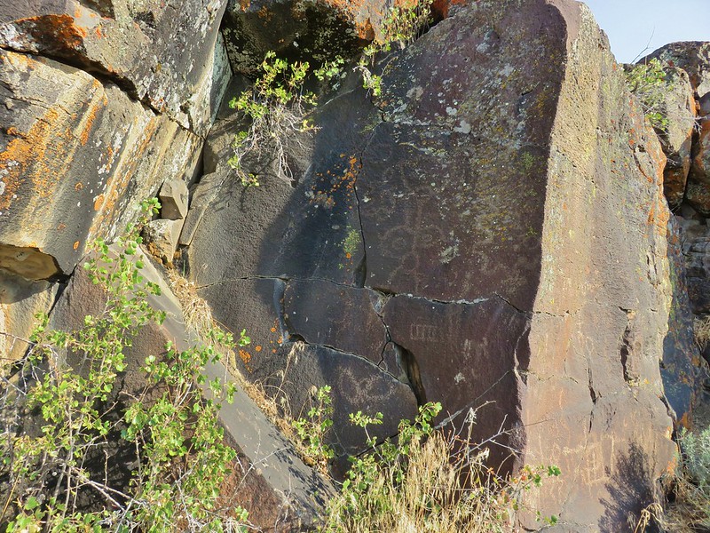 Petroglyphs along Petroglyph Lake
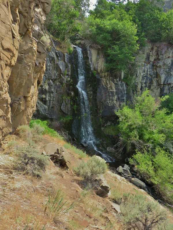 DeGarmo Canyon
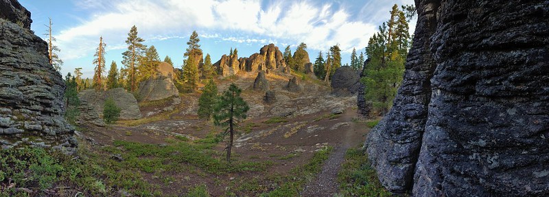 The Palisades in the Gearhart Mountain Wilderness (This was probably our favorite area of the year amid these rock formations.)
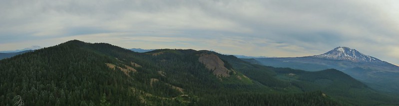 Sleeping Beauty
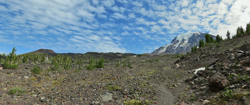 Highline Trail
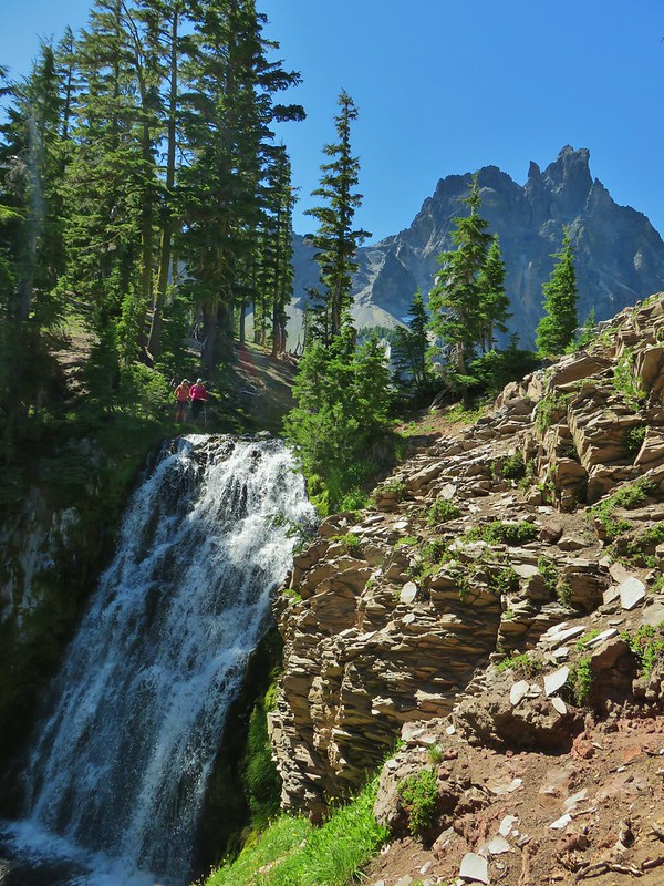 Cottonwood Creek Falls (This was probably the sketchiest hike we’ve done.)
 Mt. Thielsen* (The Thielsen Creek fire burned a small part of the trails in the area.)
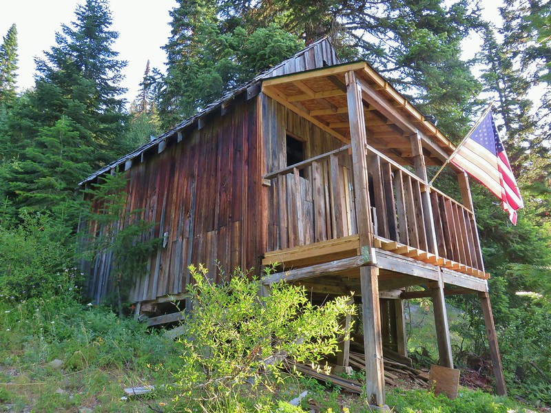 Bohemia Post Office
 Diamond View Lake
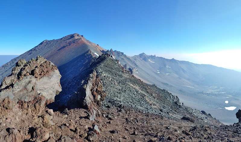 Diamond Peak (The sketchiest hike we didn’t do.)
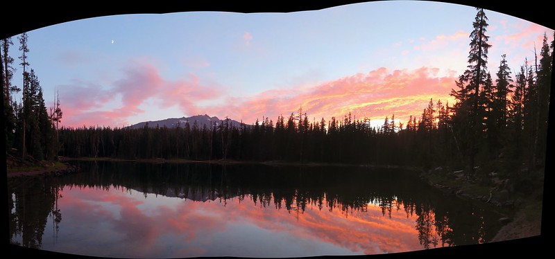 Karen Lake
 Middle Erma Bell Lake
 Diamond Lake
 Rattlesnake Mountain
 Spruce Run Creek Trail
 Indian Heaven Wilderness
 Wildcat Canyon
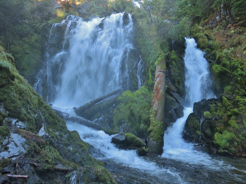 National Creek Falls
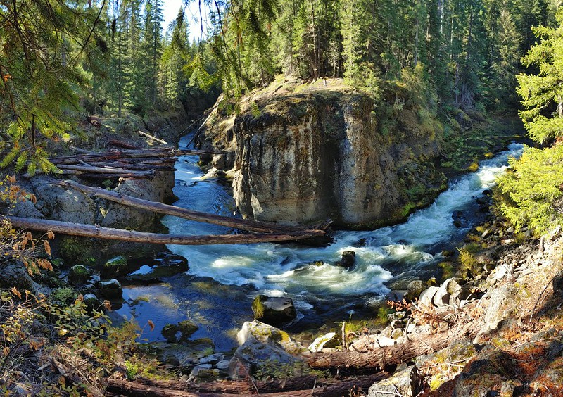 Takelma Gorge
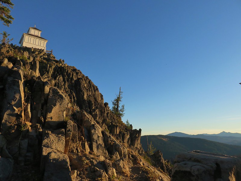 Hershberger Mountain
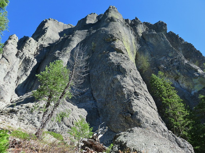 Rabbit Ears
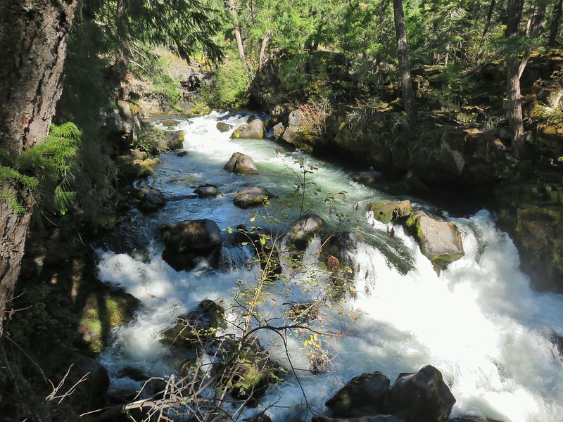 Natural Bridge
 Abbott Butte Lookout
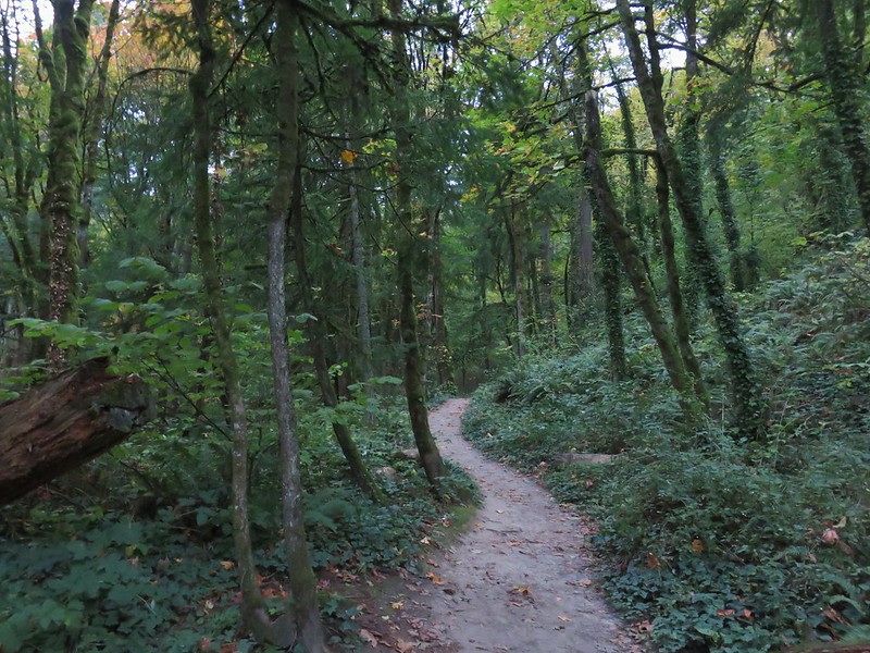 Forest Park
 Upper Latourell Falls
 Larch Mountain
 McKenzie River
 Yachats
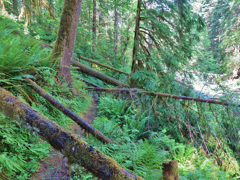 Swordfern Trail
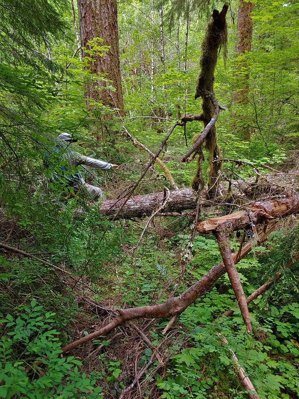 East Fork Trail
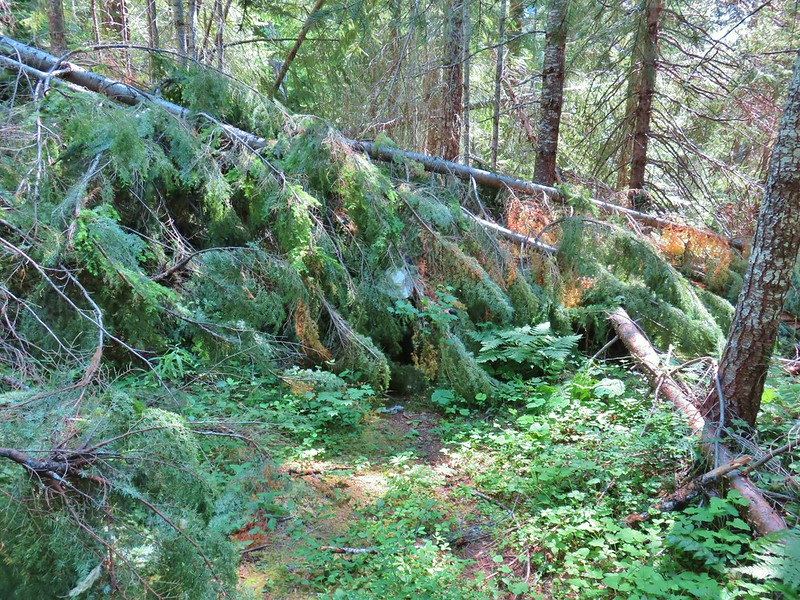 Riggs Lake Trail
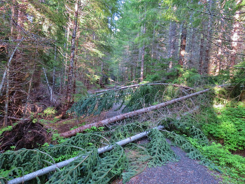 Hackleman Old Growth Loop
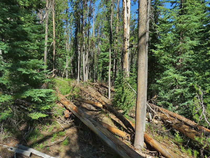 Howlock Mountain Trail
 Shale Ridge Trail
 Acker Divide Trail
 Union Creek Trail
 Castilleja levisecta – Golden Paintbrush at Basket Slough Wildlife Refuge (
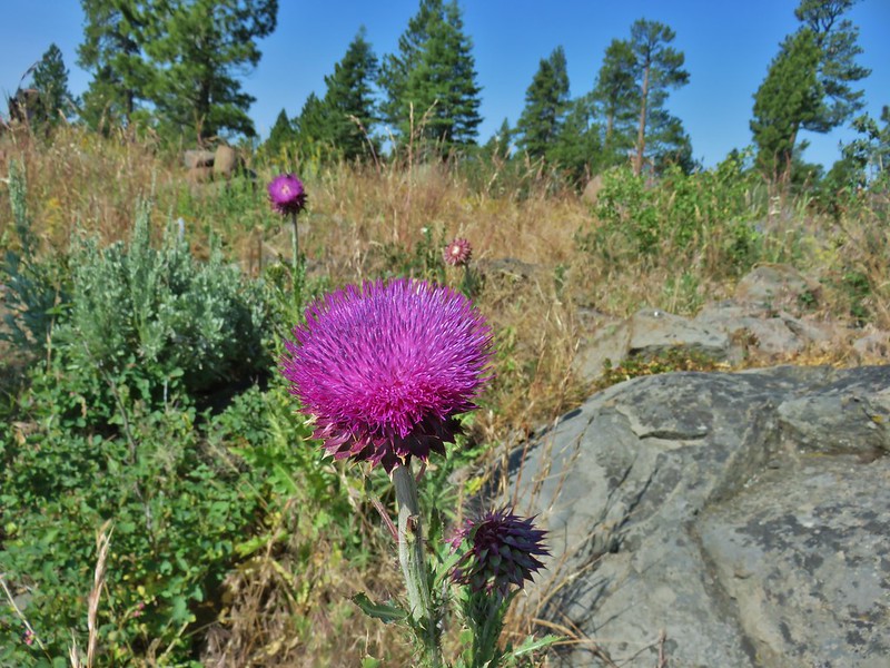 Musk Thistle at Winter Ridge (Unfortunately it’s an invasive but they were impressive.)
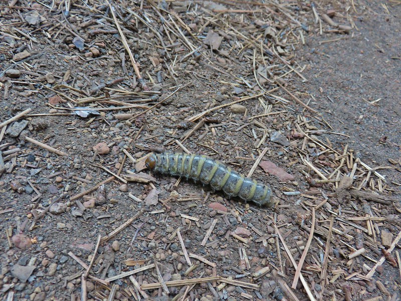 Pandora moth caterpillar at Green Ridge (
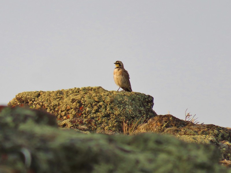 Horned Lark at Flook Lake (
 Gulls and American avocets at Lake Abert
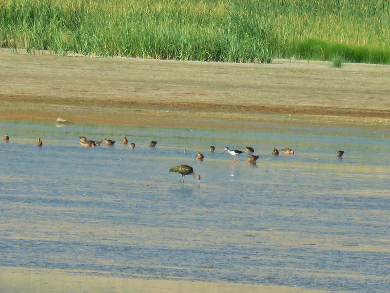 Black necked stilt at Summer Lake
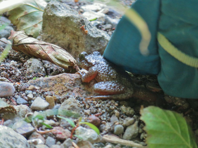 Possibly a coastal tailed frog at Wiley Camp in the Rogue-Umpqua Divide Wilderness (
 Little bee landing on fireweed at the trailhead.


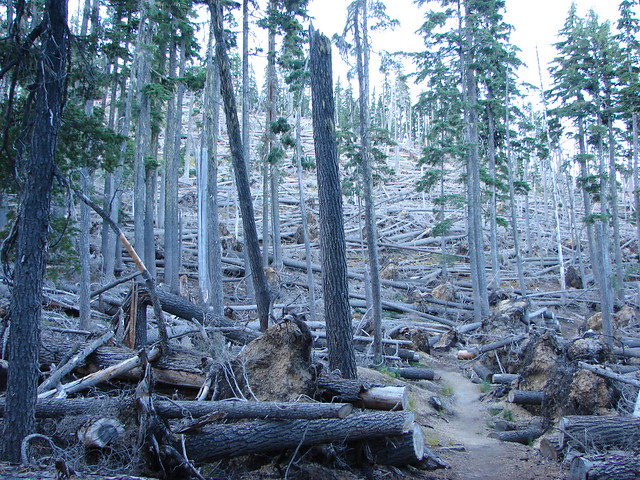
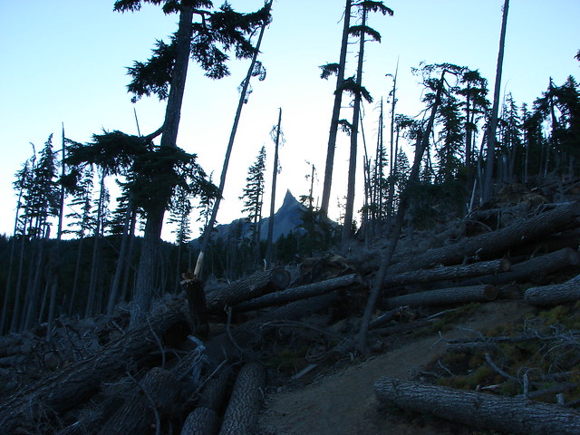
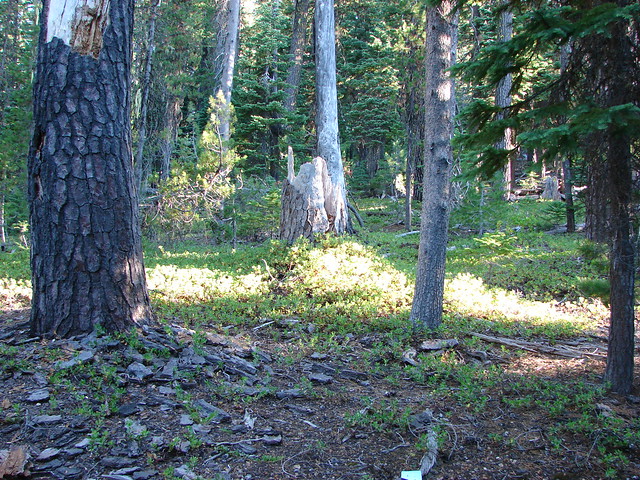
 Sample of the blowdown.
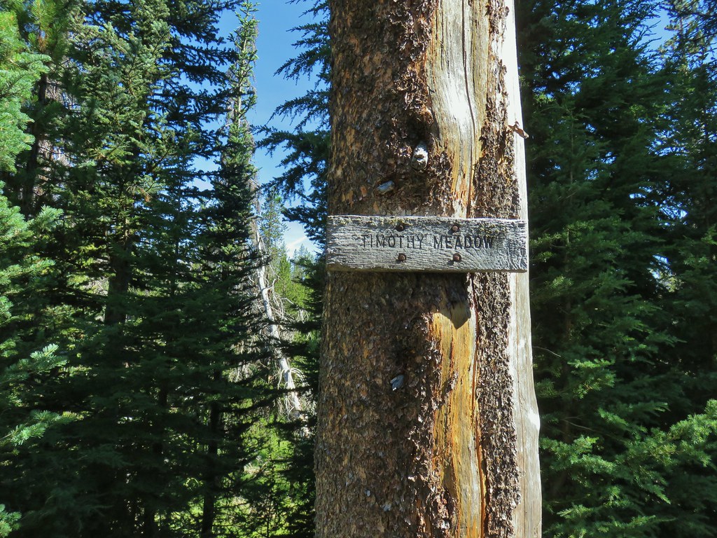

 Fittingly a downed log welcomed us to the wilderness.
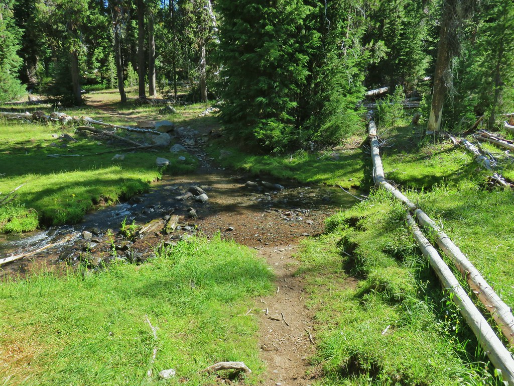 Thielsen Creek at the head of Timothy Meadows
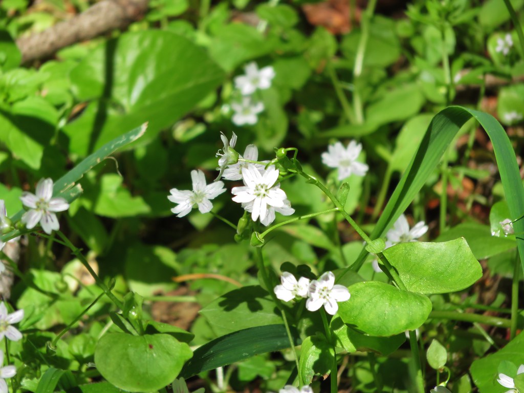
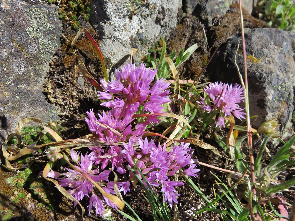
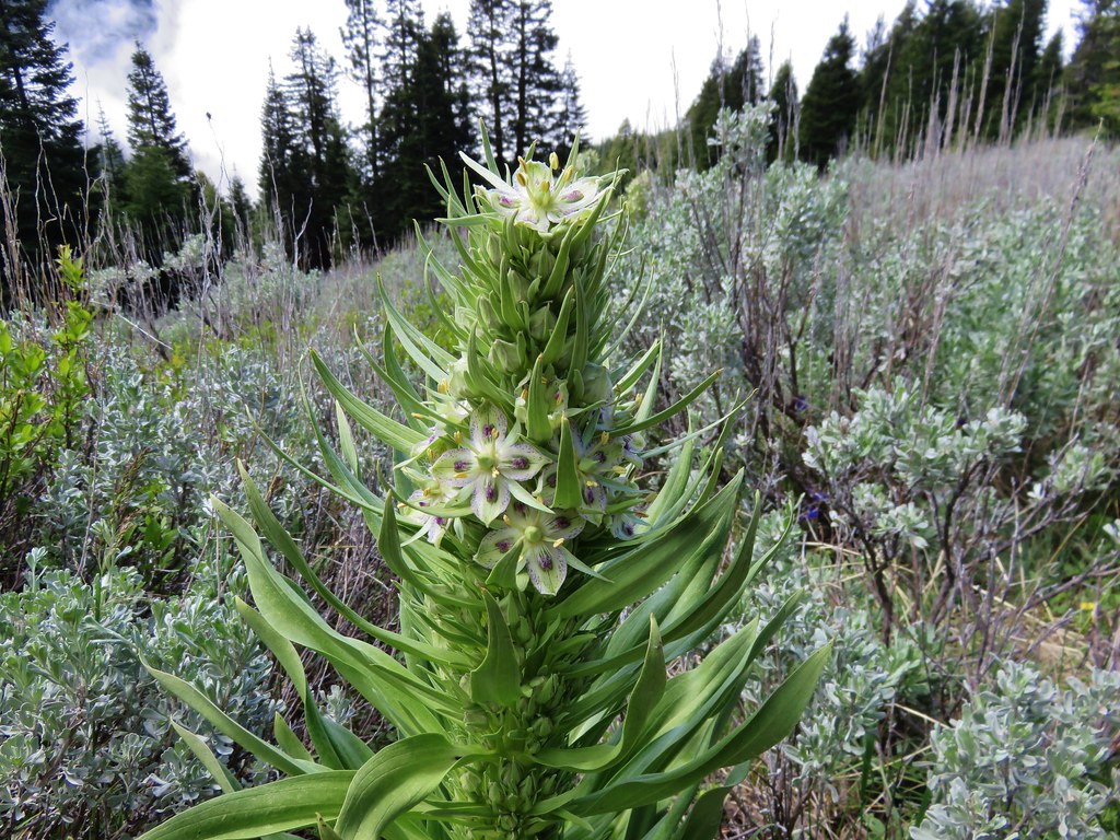
 flower at Timothy Meadows
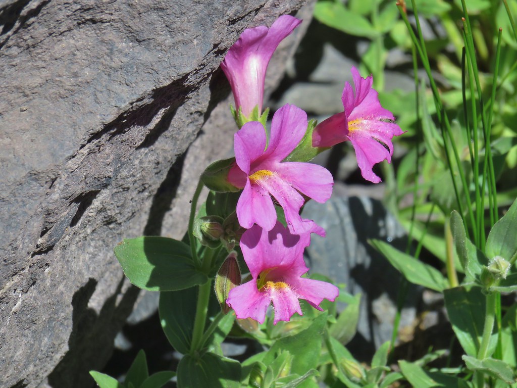
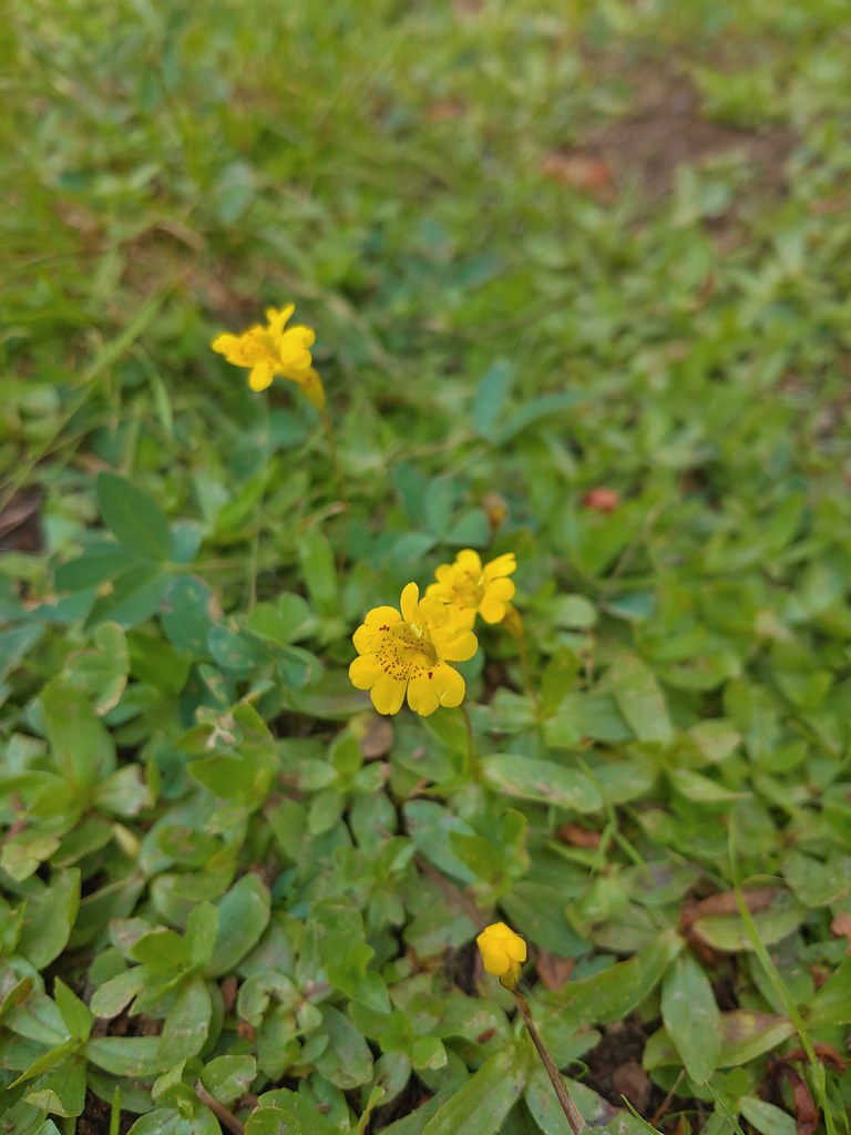 Musk monkeyflower?
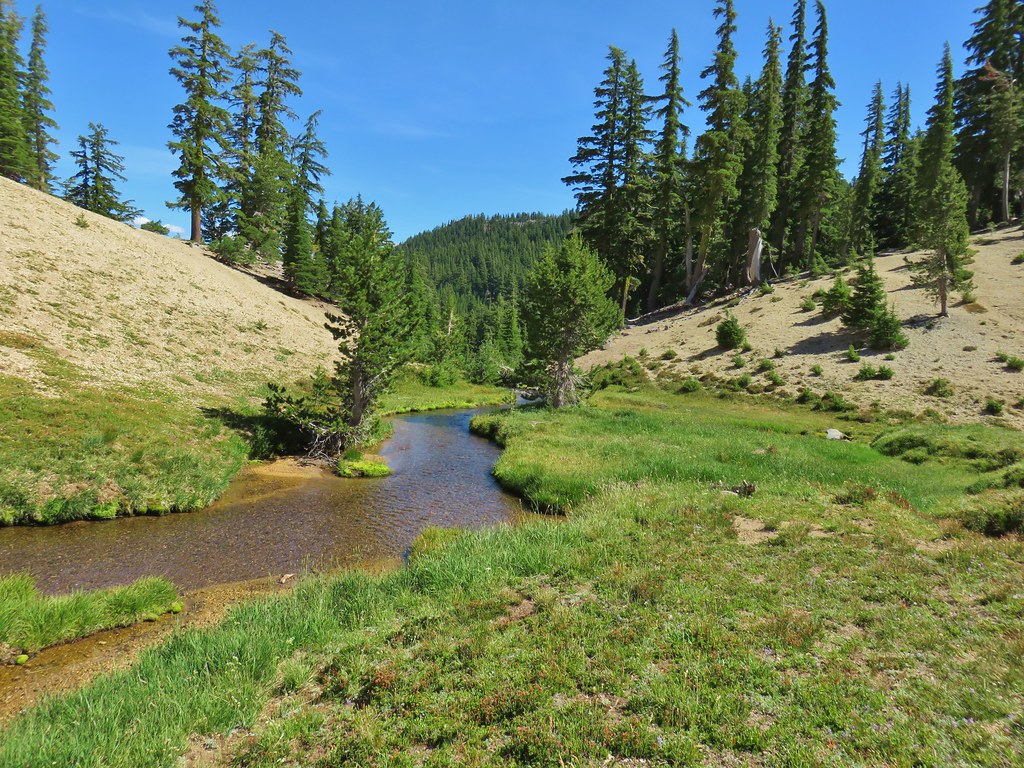
 Thielsen Creek Trail
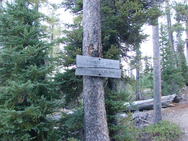
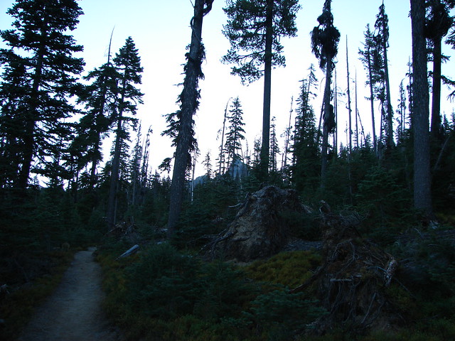
 Howlock Mountain Trail
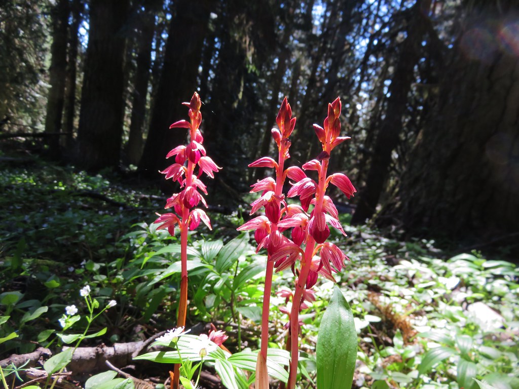
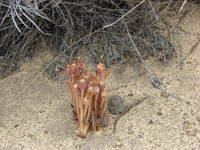
 Pinesap
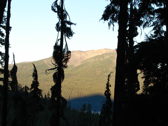
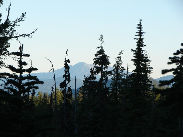
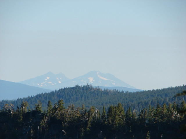
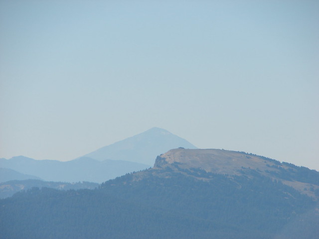
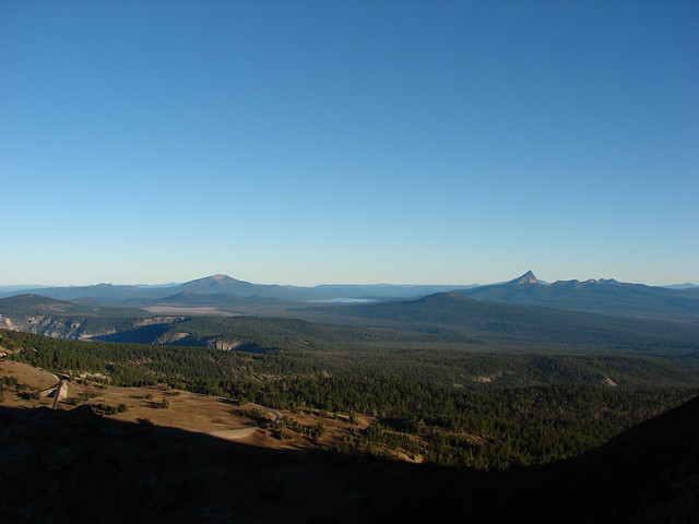
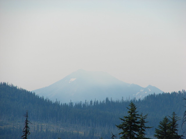
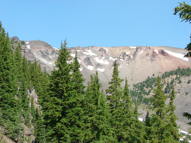
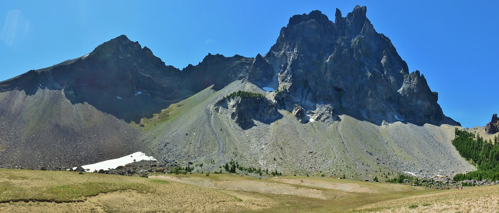
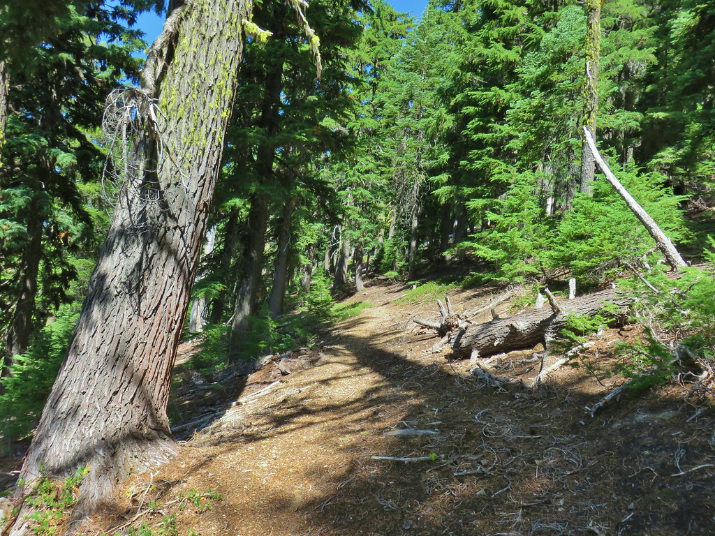 As the trail climbed around a ridge end the forest thinned enough to get some views of both Mt. Thielsen and Mt. Bailey (
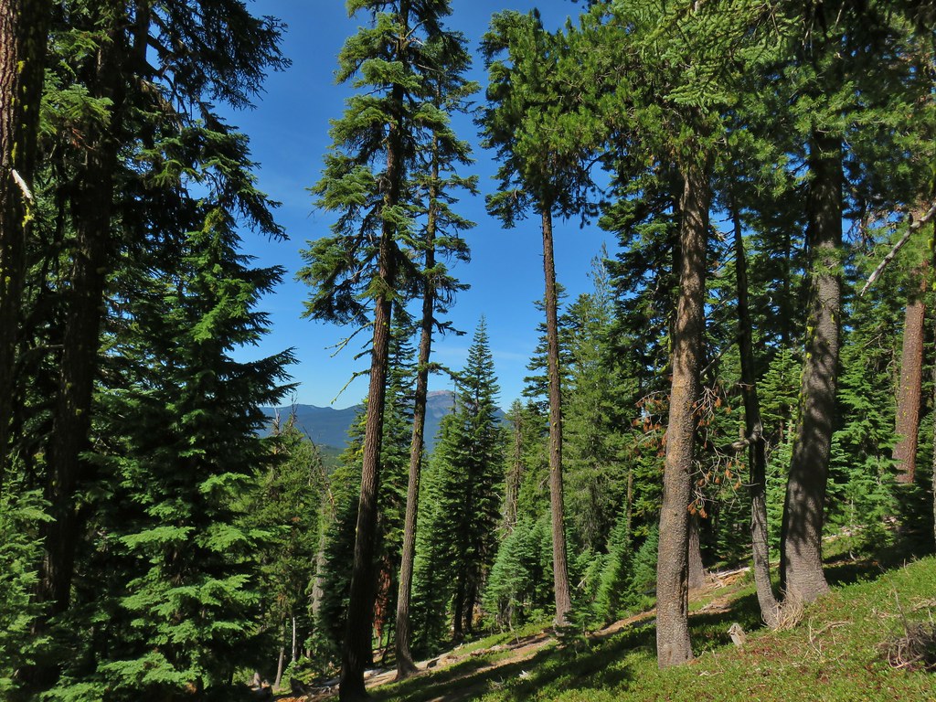 Mt. Bailey
 Mt. Thielsen
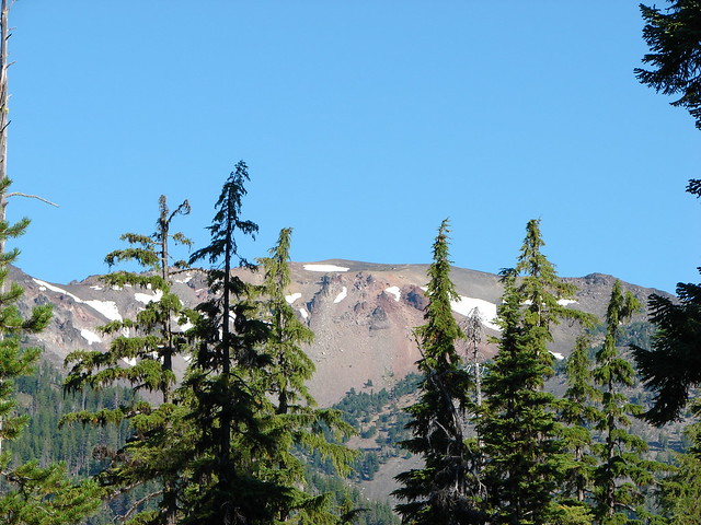
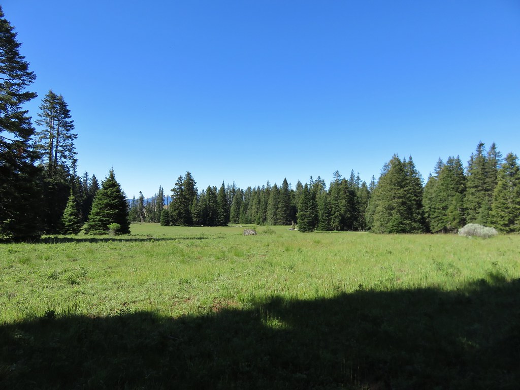
 After rounding the ridge the trail remained mostly in the trees until it neared Howlock Meadows and then Howlock Mountain started to come into view.
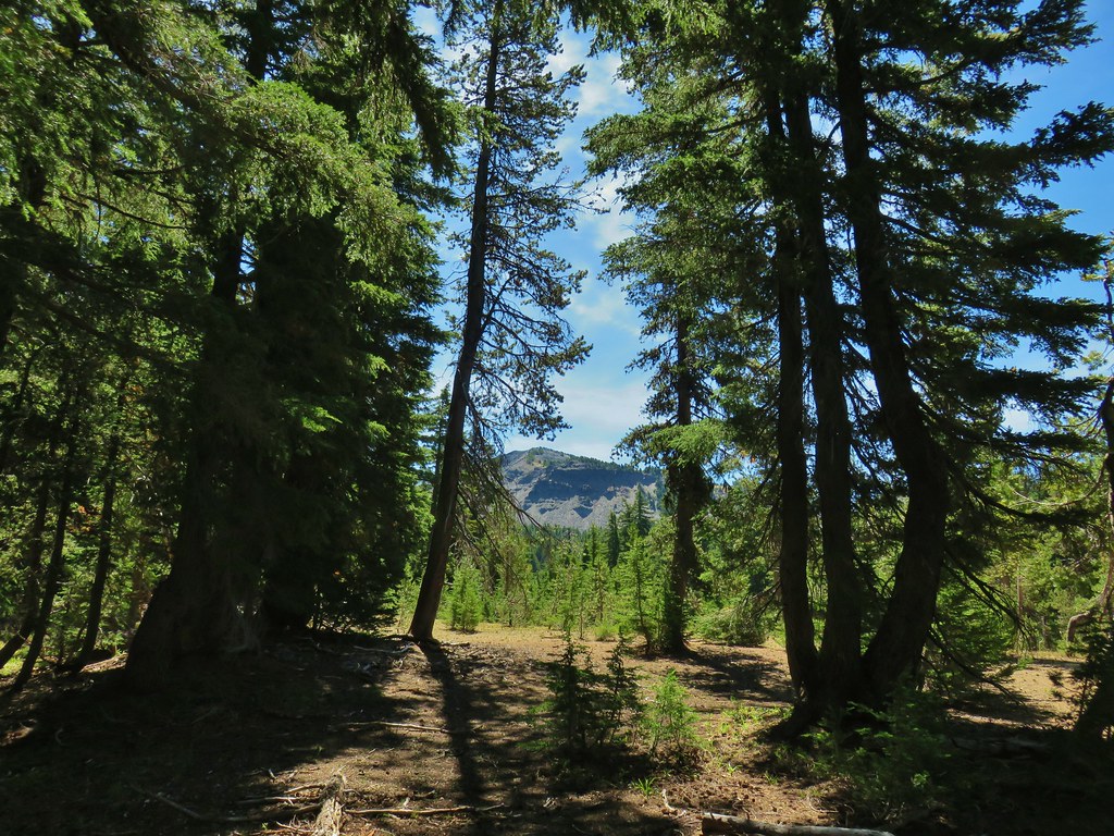
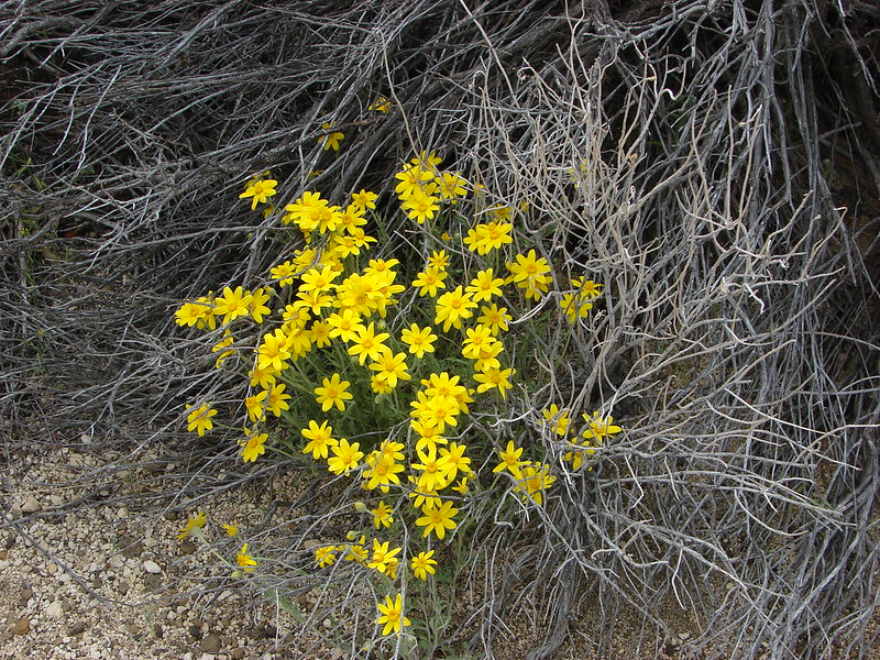
 Orange agoseris

 Butterfly on pumice
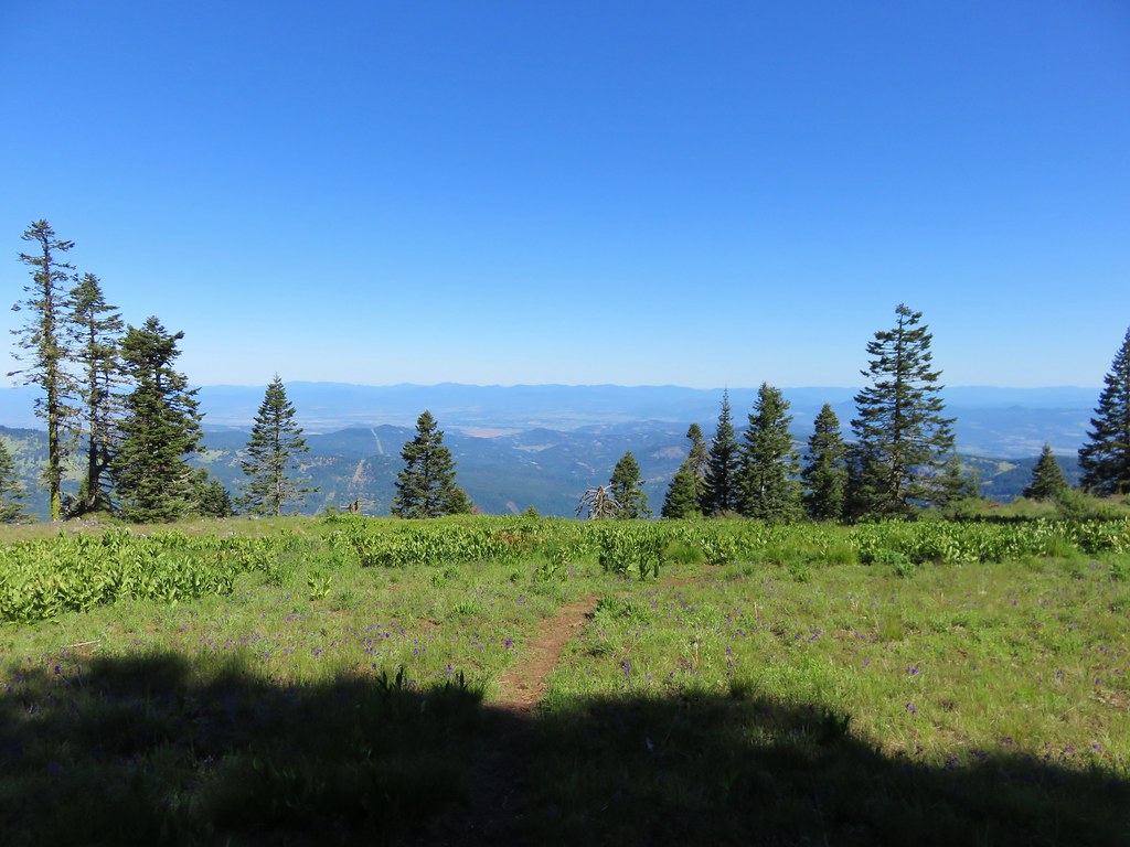
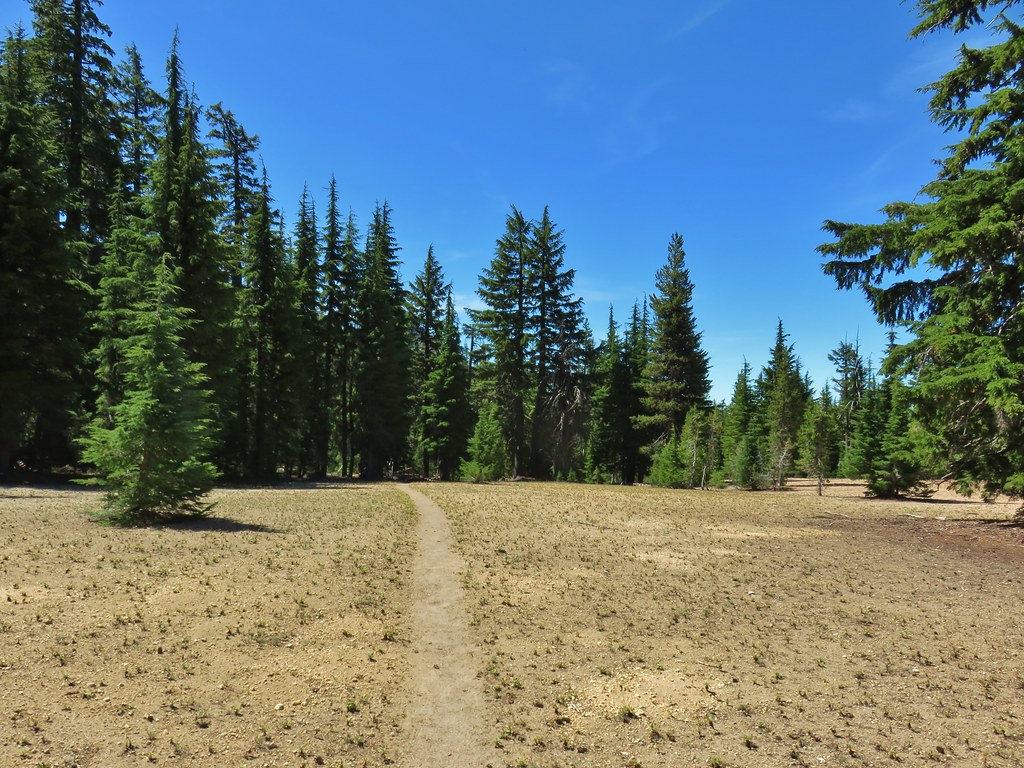 PCT leaving Howlock Meadows.
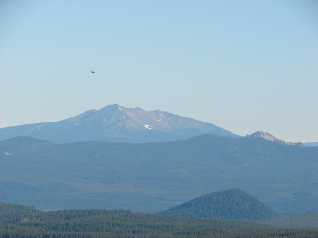
 Mt. Bailey from the PCT.
 Talus slope above the PCT.
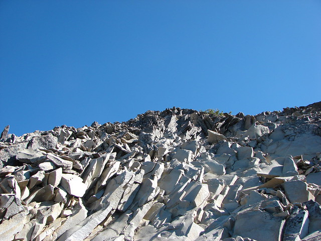
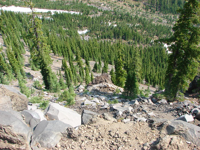
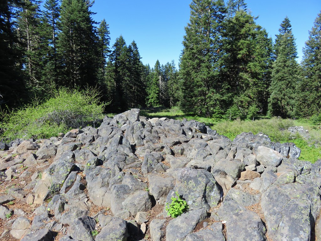
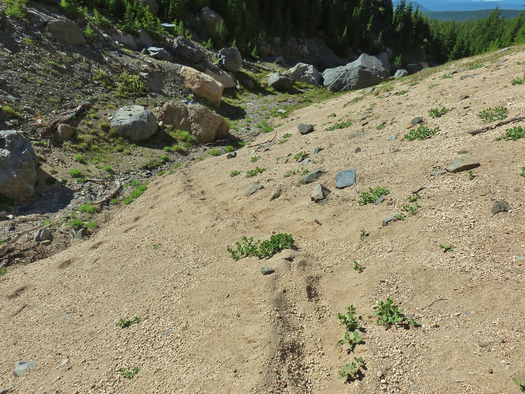
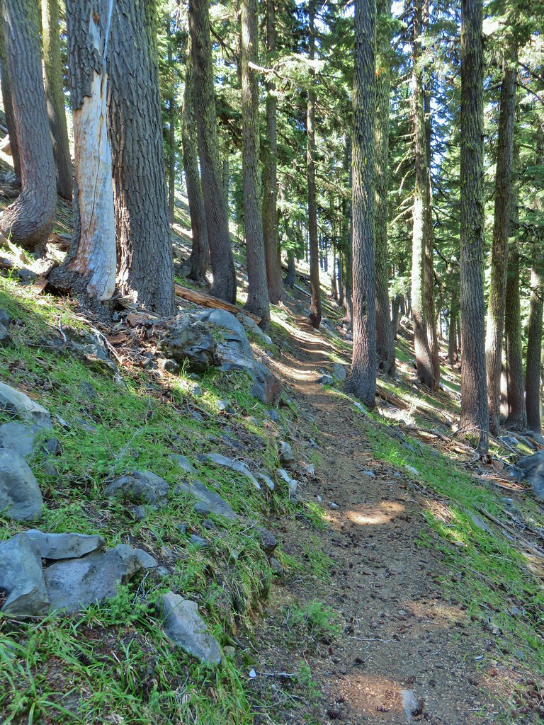 Lots of rocks along the hillside.
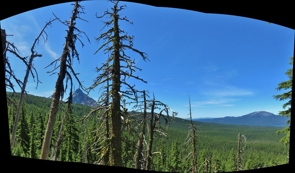

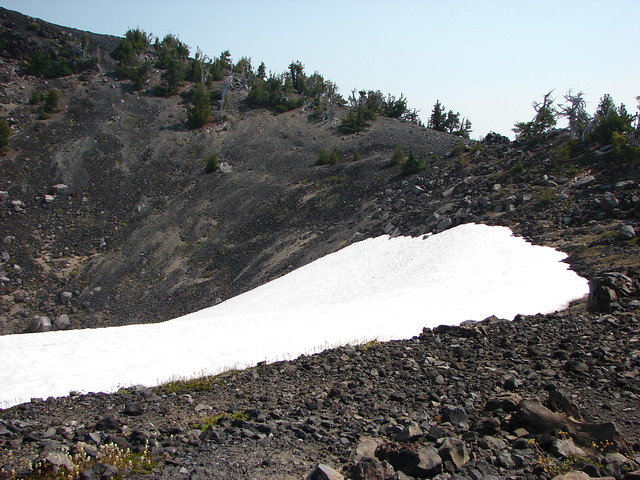
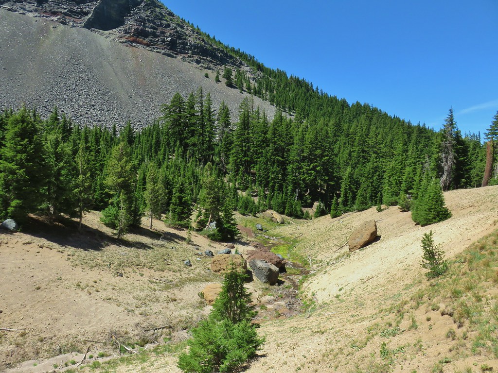
 PCT crossing Thielsen Creek
 Use trails on the left and right hand side of Thielsen Creek.
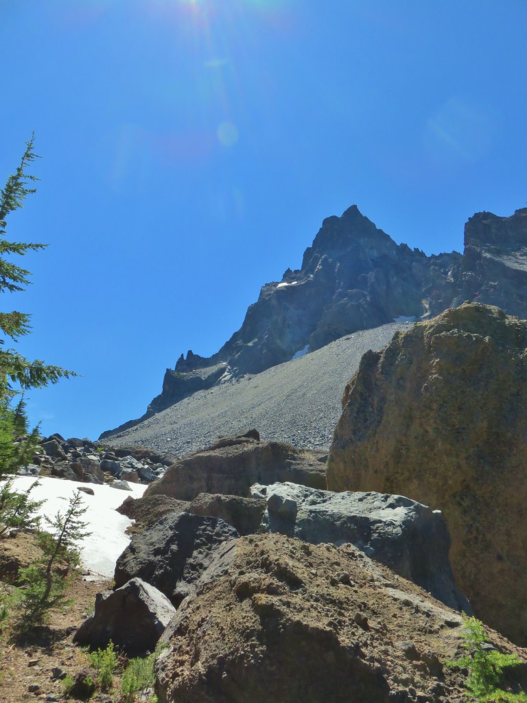
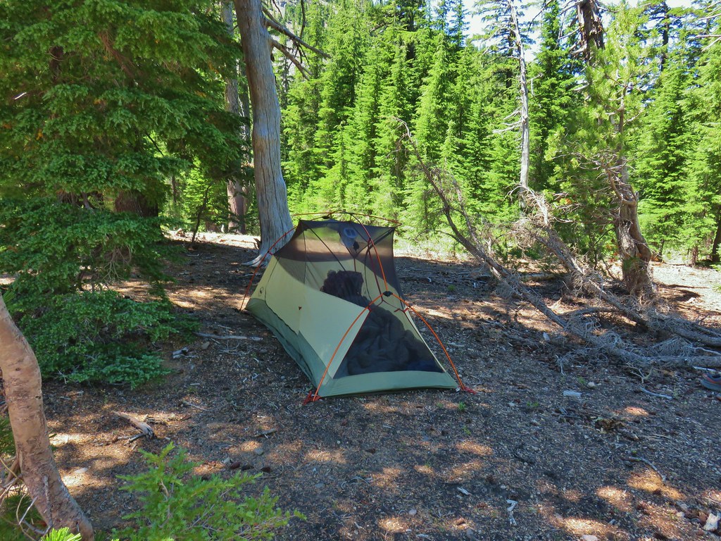 Found our tent.
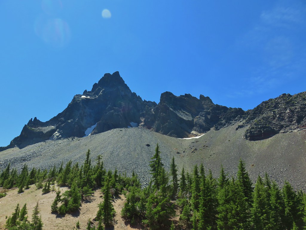
 I was also looking at the saddle between Mt. Thielsen and Sawtooth Ridge which we needed to climb over in order to reach the falls.
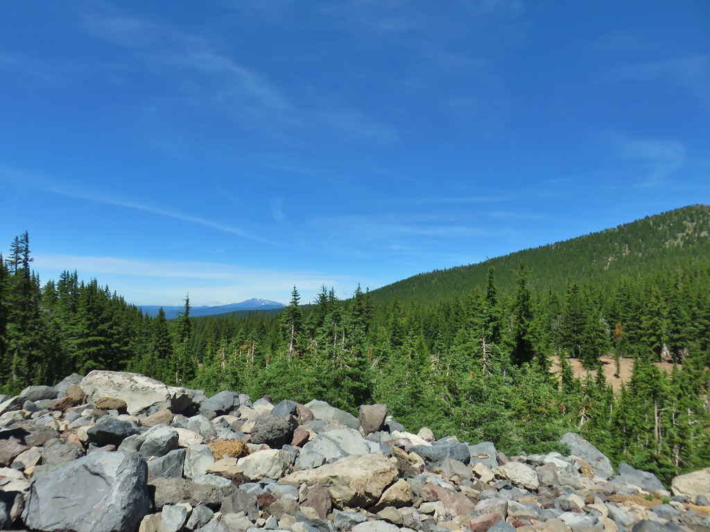


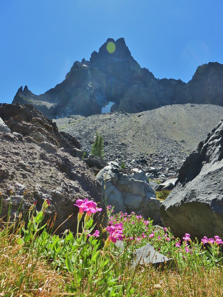
 Pink and white blossoms
 Some yellow monkeyflower too.
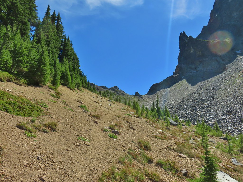 Maybe “clear” use trail isn’t exactly the correct term.
 It’s clearer here.
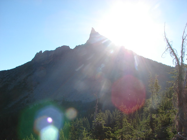
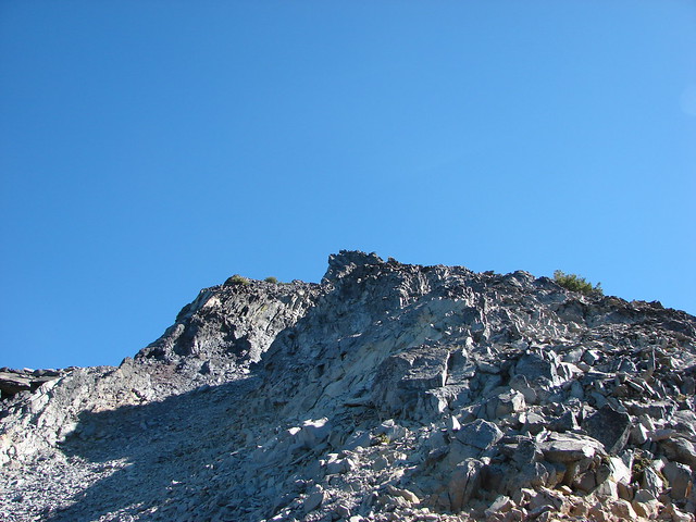
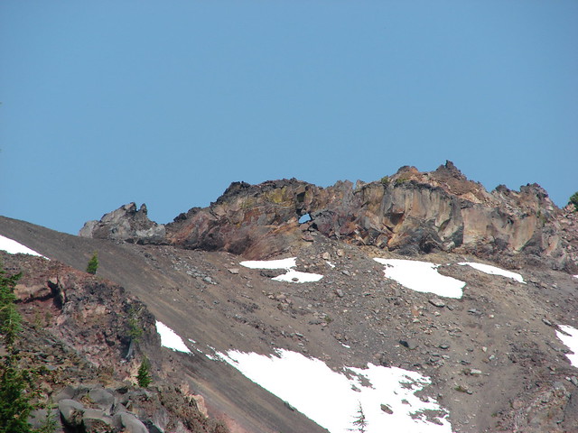
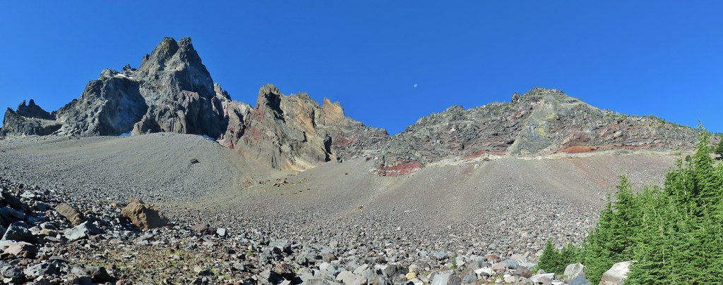
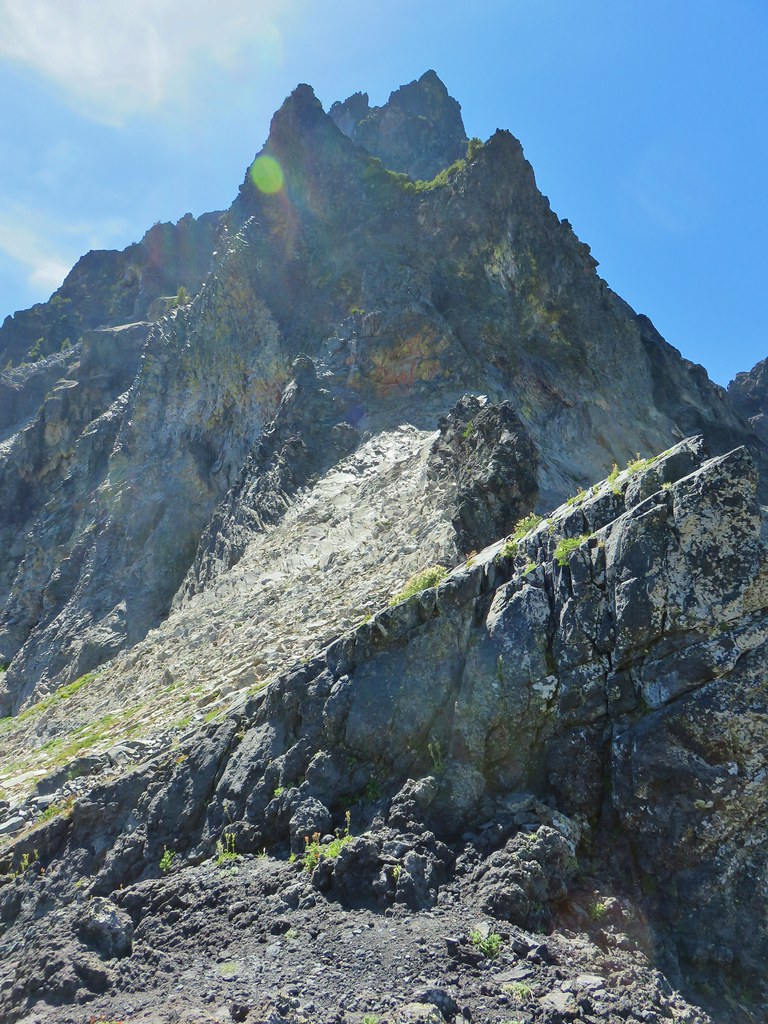 Mt. Thielsen
 Sawtooth Ridge
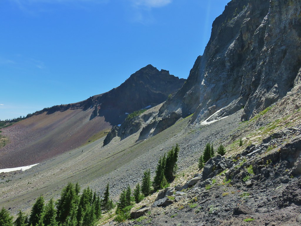 East side of Mt. Thielsen
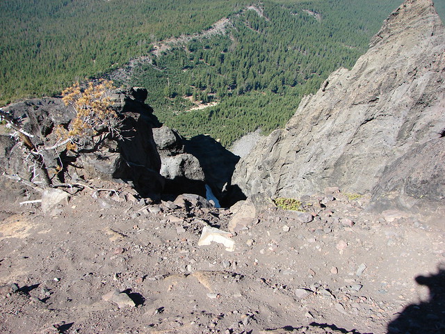
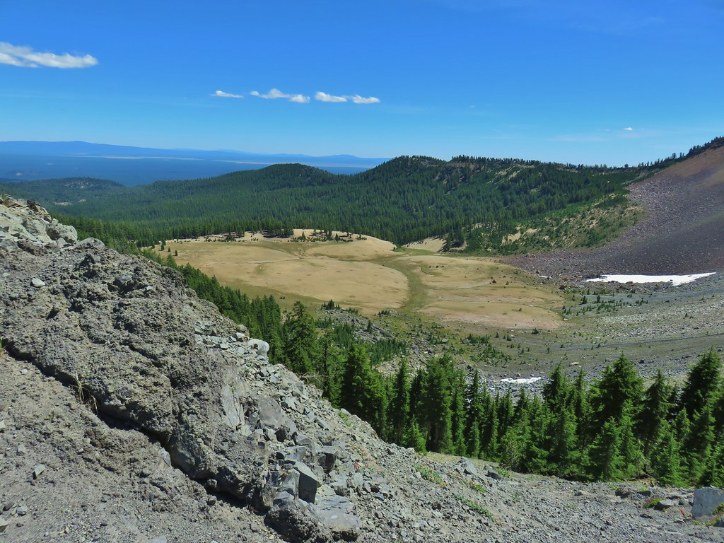 Cottonwood Falls was on the far side of the pumice plain.
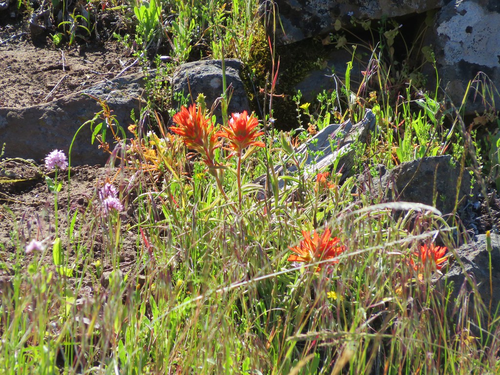
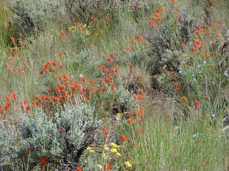
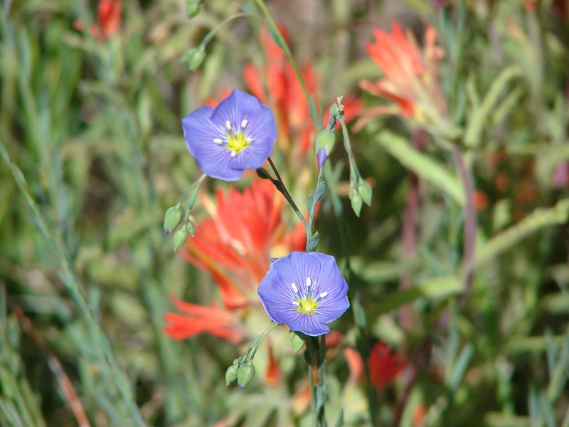
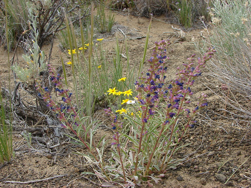
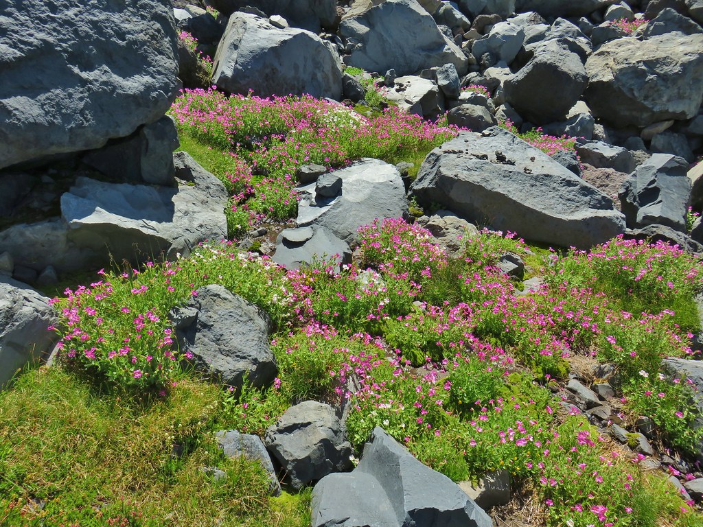
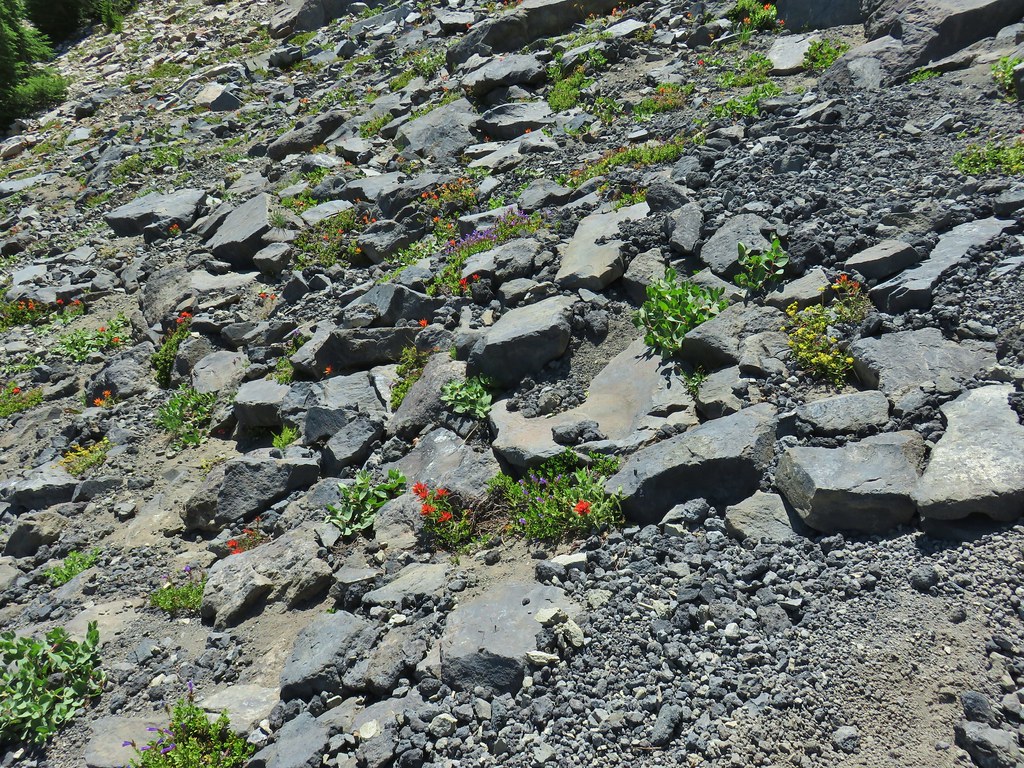 Paintbrush, penstemon, and buckwheat near the saddle.
 I had to drop below this neat rock feature which I got too close to and had a difficult time finding my footing to get around.
 Looking up the hillside.
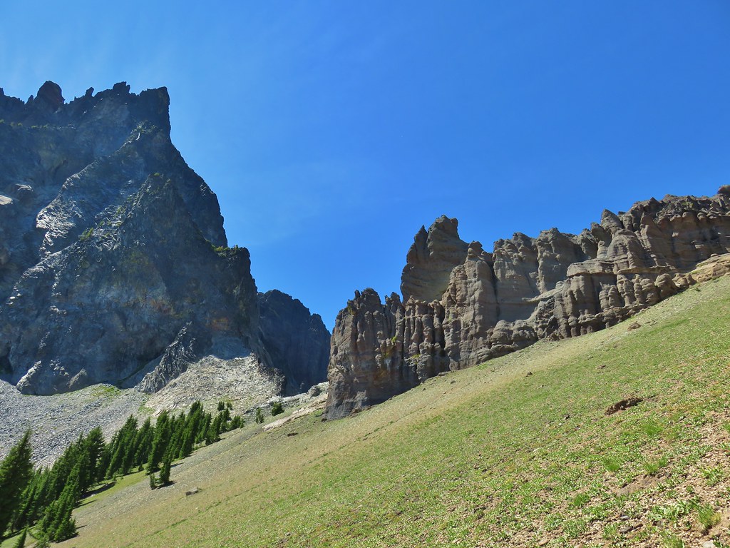 Looking back at the rock formation.

 Impressively large cave on the face of Mt. Thielsen.
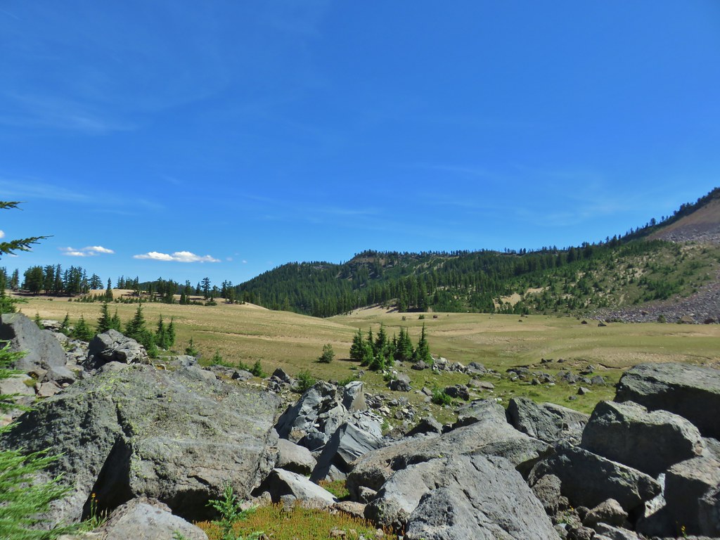
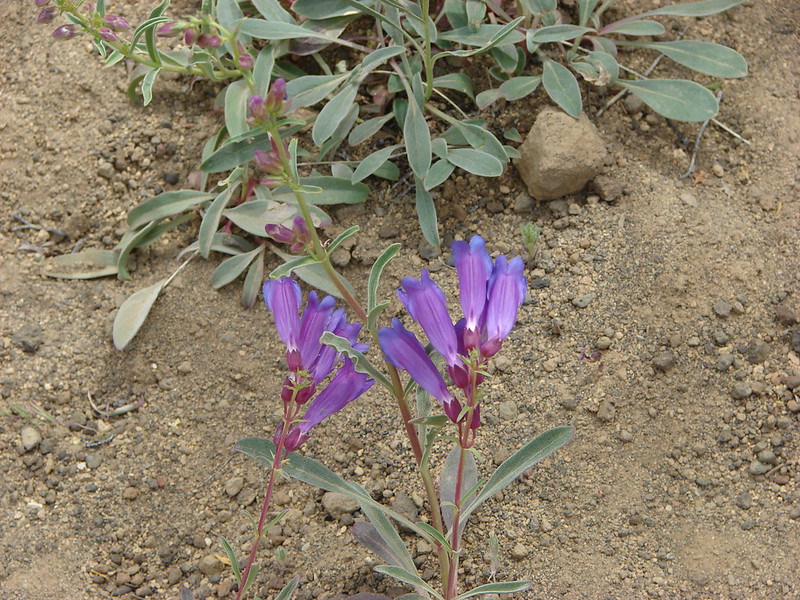
 Penstemon
 The saddle doesn’t look too bad from this angle.


 We got onto the use/game trail as soon as we could going back up.
 The “trail” leading up to the saddle.
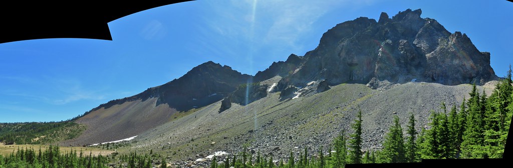
 Mt. Thielsen with the Sun behind.
 Howlock Mountain
 Unfortunately the lighting wasn’t all that great due to the position of the Sun so we never really could capture all the colorful rocks on the mountain.
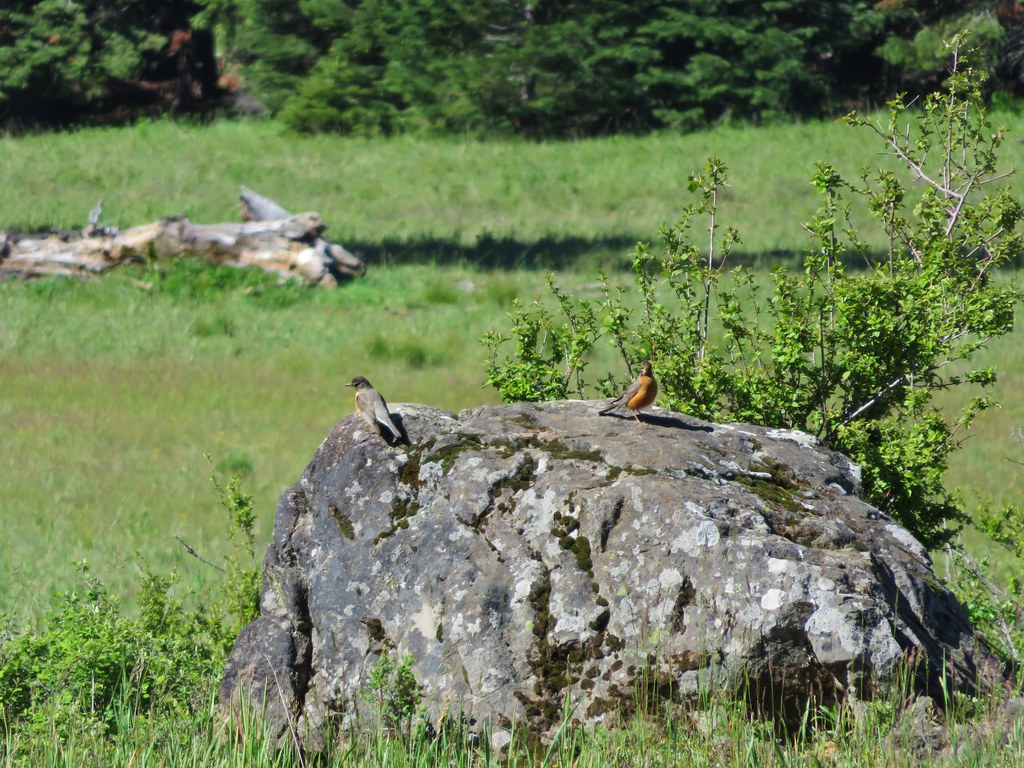
 Junco near camp.
 Mt. Thielsen
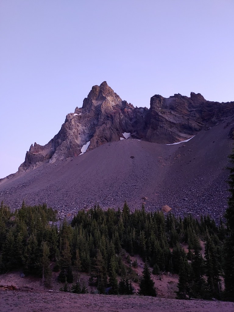
 Anyone know what the celestial body to the right of the Moon is?
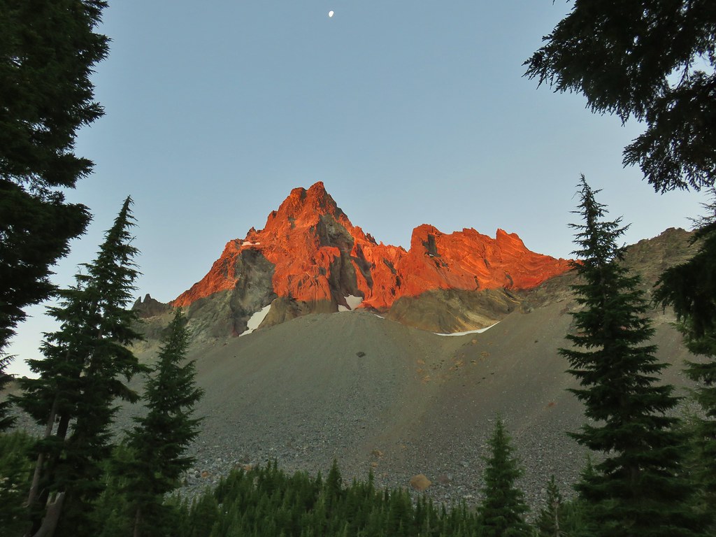


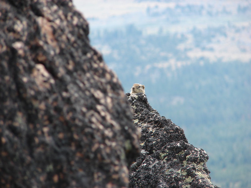
 Searching for pikas in the rocks.
 Jackpot
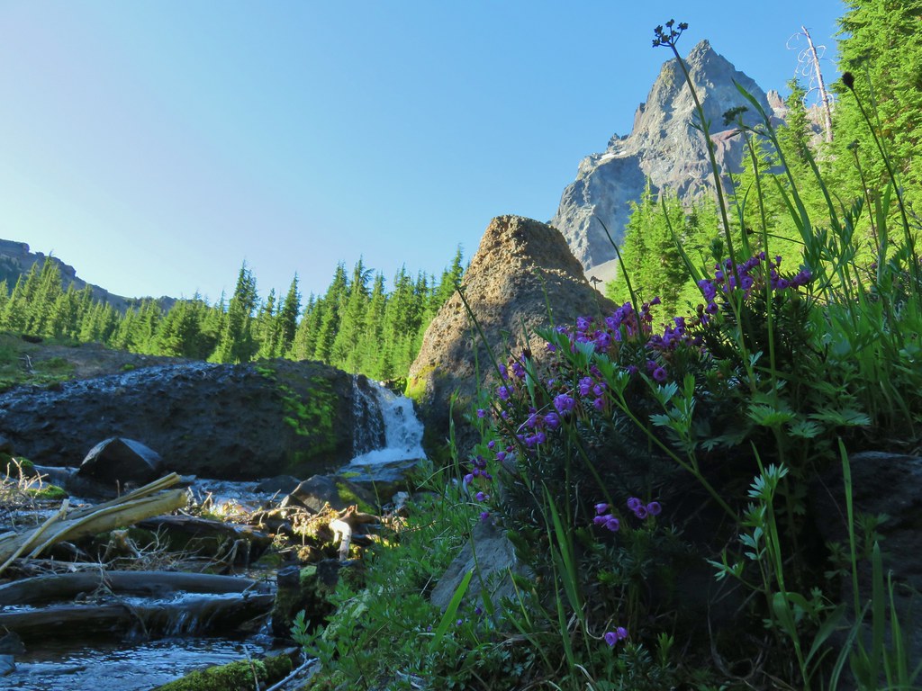 Mountain heather
 Monkeyflower
 Partridge foot
 Golden-mantled ground squirrel
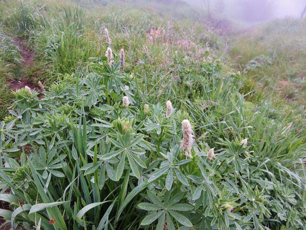
 Lupine
 Merten’s rush
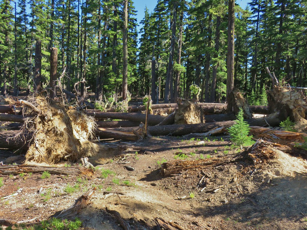
 Another angle of the tree fall.

 Just picture a good sized buck in the trees, I snapped this hoping to get lucky but I don’t see him at all.