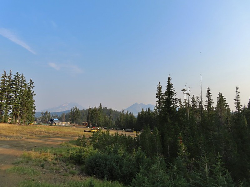
For our August vacation this year we finally returned to the Steens Mountain area for five days of hiking but along the way we made a stop in the Cascade Mountains to hike up to the summit of Mt. Bachelor. As the 6th largest ski resort in the US, Mt. Bachelor is known more for that winter sport than hiking. Hiking also takes a back seat to mountain biking and even a zip line tour but as part of an agreement between the resort and the Forest Service a trail is maintained to the summit for hiking to the 9068′ summit. Growing up in the Bend area I spent a lot of time skiing the mountain but other than riding the Summit lift to the top one Summer (when that lift still operated in the Summer months) neither of us had spent time on the mountain without snow. It was going to be another warm, hazy day as that seems to be the new norm here in the West but the air quality wasn’t in the danger zone so we left early on Sunday morning and arrived at the West Village Parking lot a little before 8am to find a somewhat blue sky overhead.
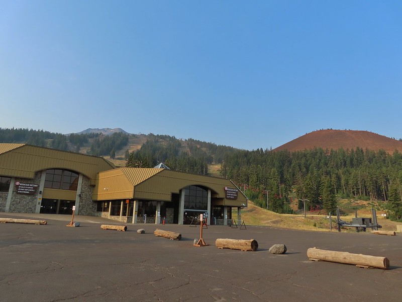
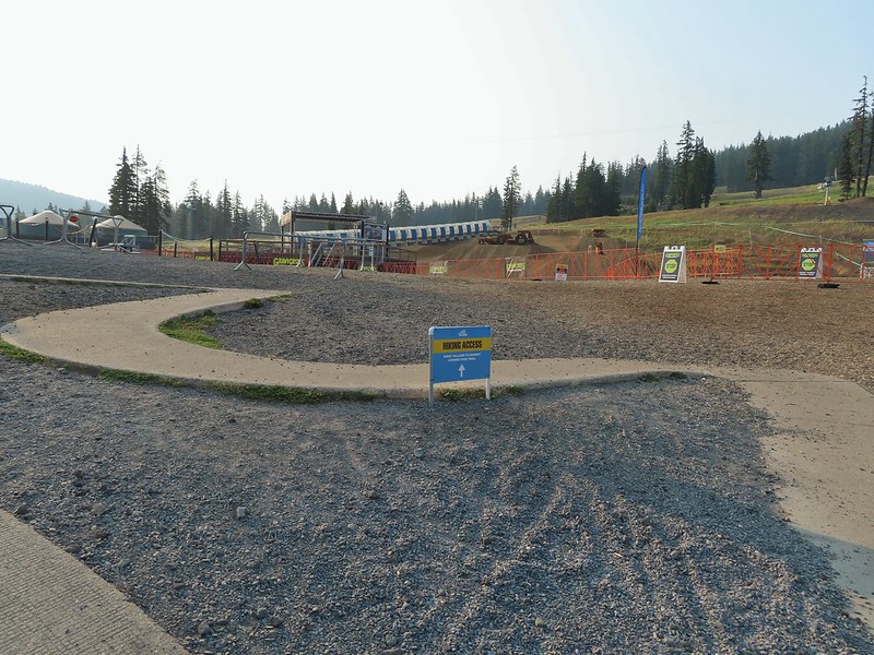
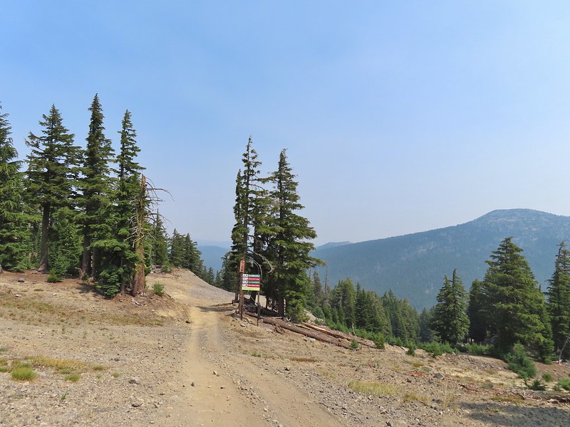
There are currently three routes shown on the resorts web page with the easiest being from the top of the Pine Marten Lift which operates from 10am thru 5 or 7pm depending on the date. The other two routes start at the West Village Lodge near the Pine Marten Lift which allows for a reverse lollipop hike which is what we did. We took the more scenic trail up which was marked by blue signboards for the West Village to Summit Connect Trail.

 A hazy look at the South Sister and Broken Top.
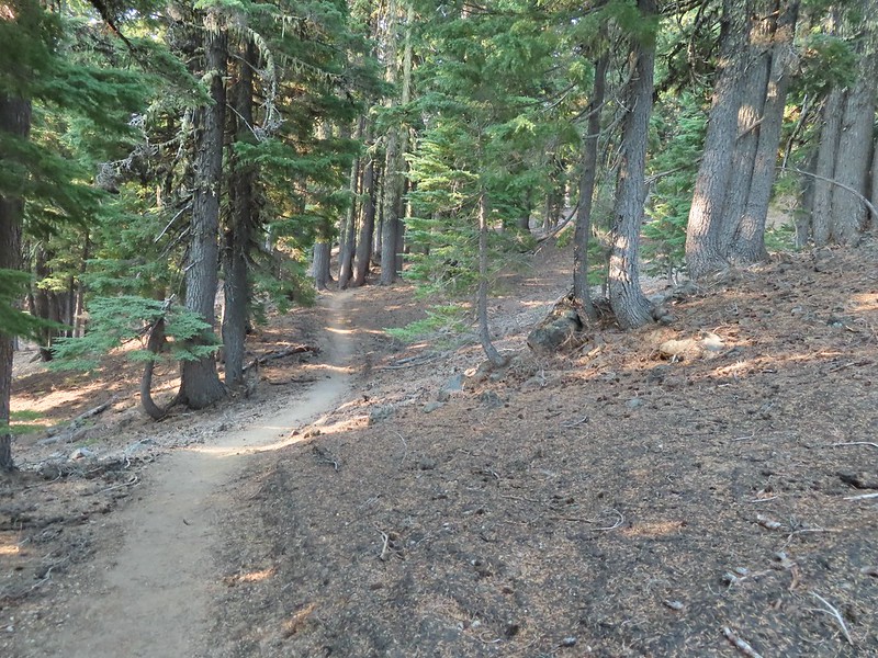
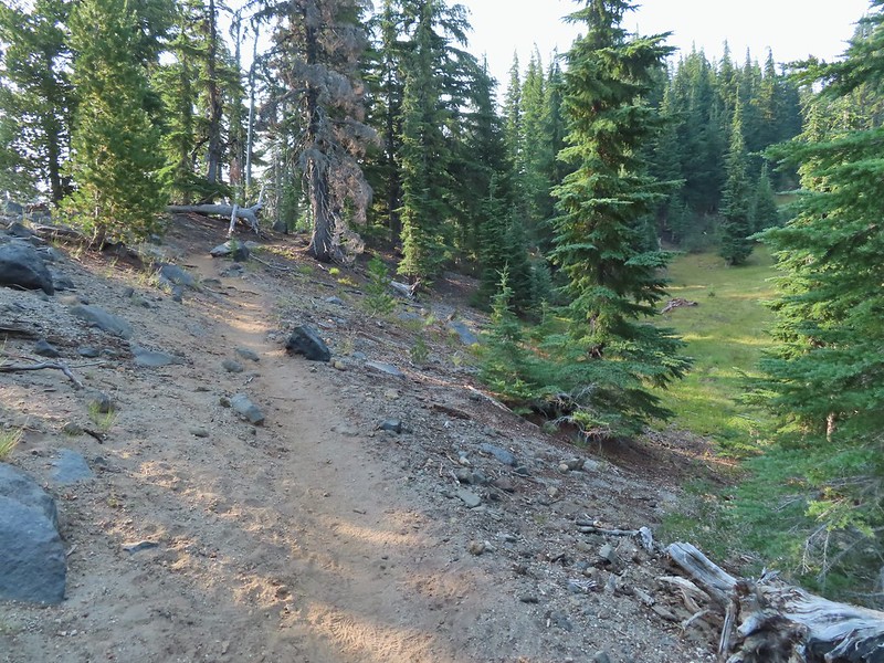
After a short distance on cat roads we came to an actual trail which led into the trees.

The trail traversed along the mountain crossing several ski runs before turning uphill near the “Marshmallow” run and the Sunrise lift.

 Passing under the Skyliner Express

 The ski runs gave us a good look at the top of the mountain.

 Turning uphill
 Spotted a grouse hen and her chicks in this little meadow.

 Two of the chicks.
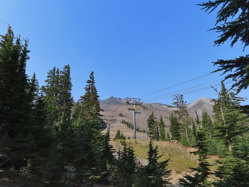
 Passing under the Sunrise lift.
The first 1.4 miles had gained under 350′ but after turning uphill the trail steepened gaining almost 2400′ over the next 2.5 miles.

 Nearing the top of the Sunrise lift.
 Another hazy look at the nearby mountains.
 South and Middle Sister through the haze.
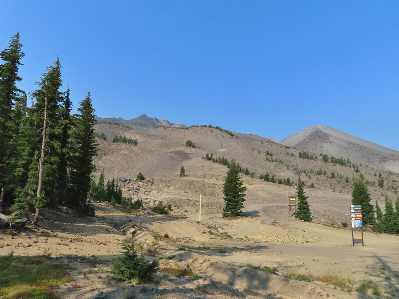
 The top of Sunrise and the bottom of the Summit lifts.
 Looking up from the top of Sunrise.
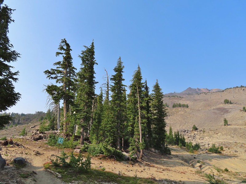
Above the Sunrise lift the trees thinned out leaving a few scattered trees including white bark pines.


 A few saxifrage blossoms still left.

 Alpine buckwheat and paintbrush
 The first patch of snow we passed.
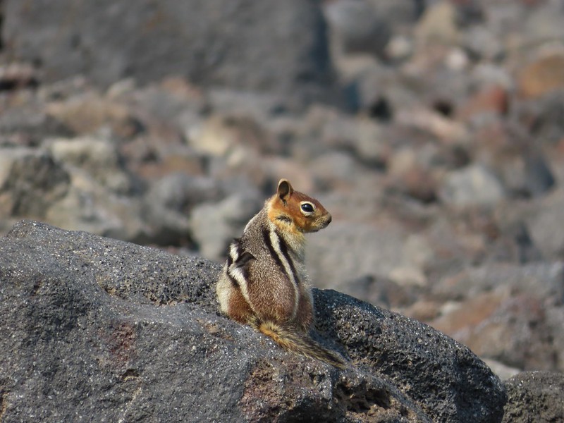 Golden mantled ground squirrel
 Tumalo Mountain (post) in the haze.
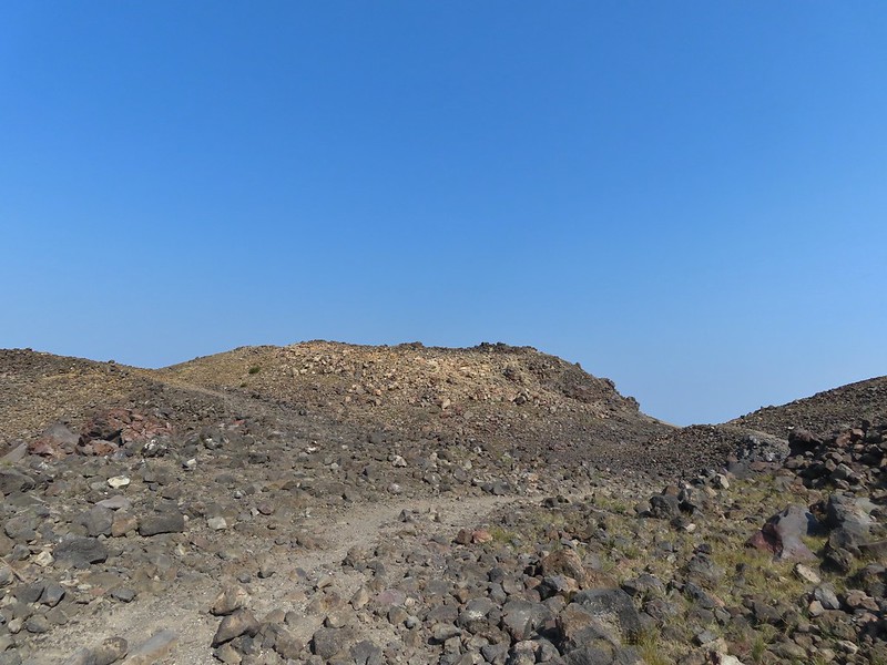
Signs gave way to white arrows painted on rocks at the higher elevations.

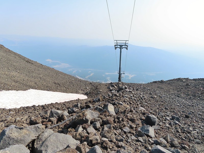 Looking down from beneath the Summit Express.
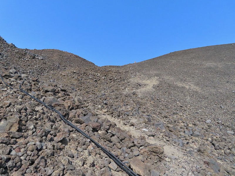 We could really feel the elevation affecting our breathing and by this point we were both sucking wind.
 Dwarf alpinegold
I arrived at the summit first and followed the path the the mountain’s high point.
 Looking back at the Summit Express.
 Heading for the high point.

 A mountain bluebird near the summit.
 South Sister and Broken Top with Sparks Lake (post) the brown patch below.
I took my pack off and had a seat and was soon joined by a curious golden mantle.


 It’s our rule not to feed the wildlife but it was obvious that many don’t adhere to that LNT principle. I had to put my pack back on to avoid having a hole chewed through my pocket.
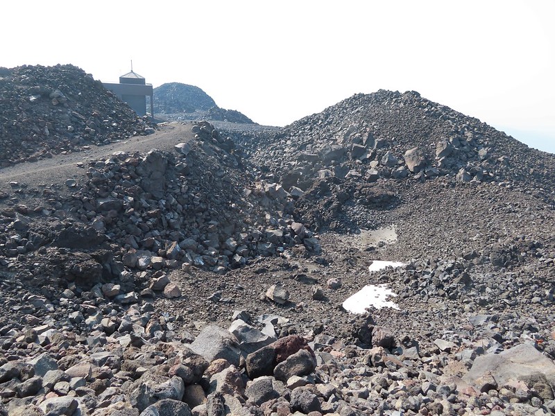
 View of the summit.
The surrounding smoke made it impossible to see anything to the east, very little to the south or west and just the closest features to the north, but a cool breeze made it a comfortable spot for a rest while I waited for Heather to join me.
 Broken Top, the Pine Marten Lodge halfway up the mountain, the West Village Lodge and parking area below and Tumalo Mountain across the Cascade Lakes Highway.
After Heather had a chance to relax at the summit as well we headed back down taking a short detour to a viewpoint above the Cirque.


We then hiked back down just above the Sunrise Lift where we turned left on the West Village Getback road which I could picture skiing on all those years ago.
 A little better view of Broken Top and Tumalo Mountain on the way down.
 Clark’s nutcracker


 Left leads up to the Pine Marten Lodge atop the Pine Marten Express, right to the West Village Lodge.
The road walk is not only not as scenic as the trail route we took up it also passes through the mountain bike trails so we had to keep our eyes open at the crossings.

 A decent look at Tumalo Mountain
 Warning sign for a bike crossing.
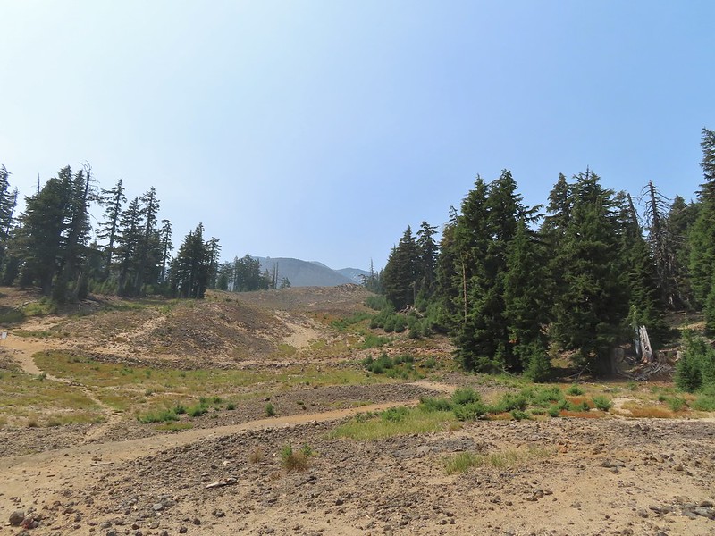 A look at some of the mountain bike trails and some haze moving in overhead.
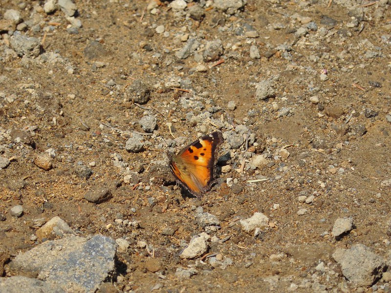 A tortoiseshell butterfly on the road.

The trail map showed this route passing under the Pine Marten Express and turning 90 degrees downhill alongside the lift.

There was a disc golf hole here but no sign of any trail except for a faint line continuing straight ahead through some grass. We followed it briefly before realizing it wasn’t going to get us to the parking lot.
 At least we could see the mountains a little better from here.
We turned back to the lift and headed cross country downhill alongside it. We eventually did find some tread which took us to the base of the lift and back to the parking lot. We were glad we’d gotten there as early as we had because it was now quite a bit hazier overhead and a lot warmer.

We left the mountain and drove to Heather’s parents house where we spent the night before once again heading out early for another adventure. Happy Trails!

Flickr: Mt. Bachelor

10 replies on “Mount Bachelor – 08/15/2021”
In 2010, I hiked to the summit on snow right after the ski area closed for the season. Somehow that made the journey more scenic. But then there wasn’t any haze obscuring everything.
There isn’t really anything the haze helps aesthetically speaking except for maybe a red sunrise.
Another post of hiking Mt Bachelor! It was 8.8 miles 😊
Sent from my iPhone
[…] Bachelor (post) with the […]
[…] Bachelor (post) in the […]
[…] Mt. Bachelor (post) […]
[…] From the ridgetop we gained a view to the NE which included the Three Sisters, Broken Top, and Mt. Bachelor (post). […]
[…] The Husband, Middle Sister, South Sister (post), Broken Top, and Mt. Bachelor (post) […]
[…] Bachelor (post) and Kwolh […]
[…] McArthur Rim (post), Broken Top, Mt. Bachelor (post) and the Three […]