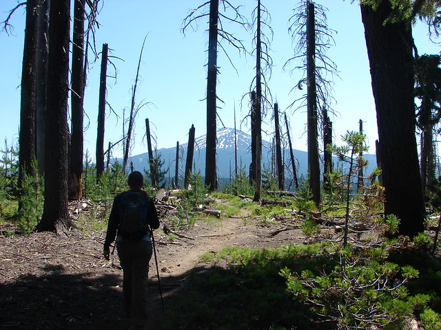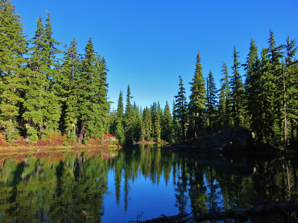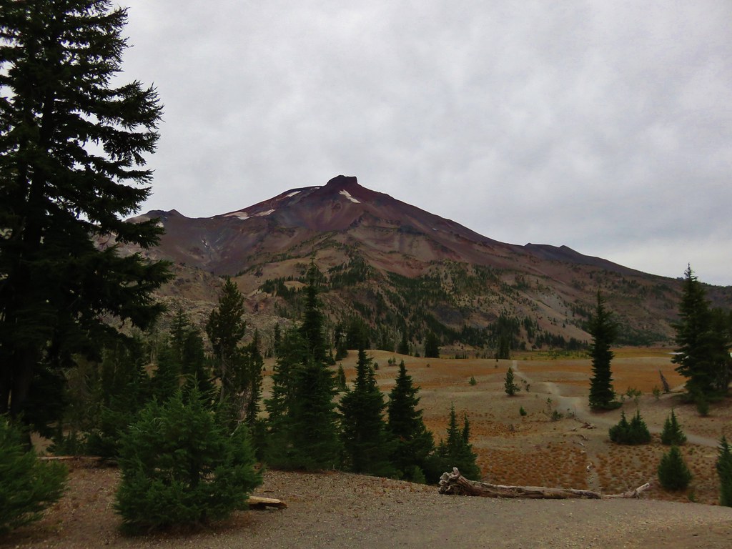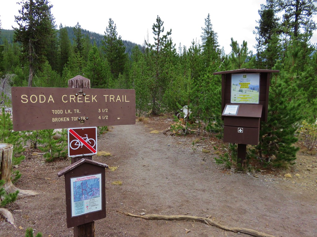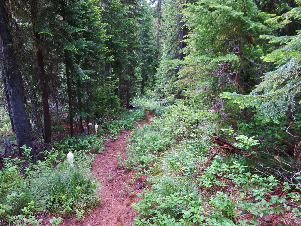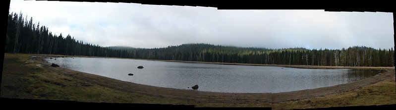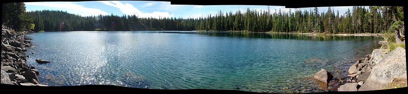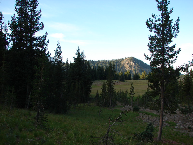
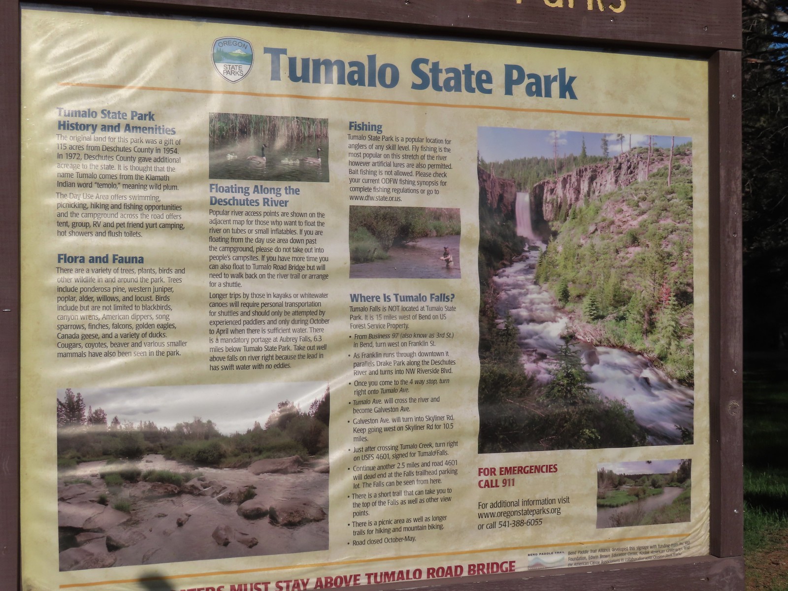
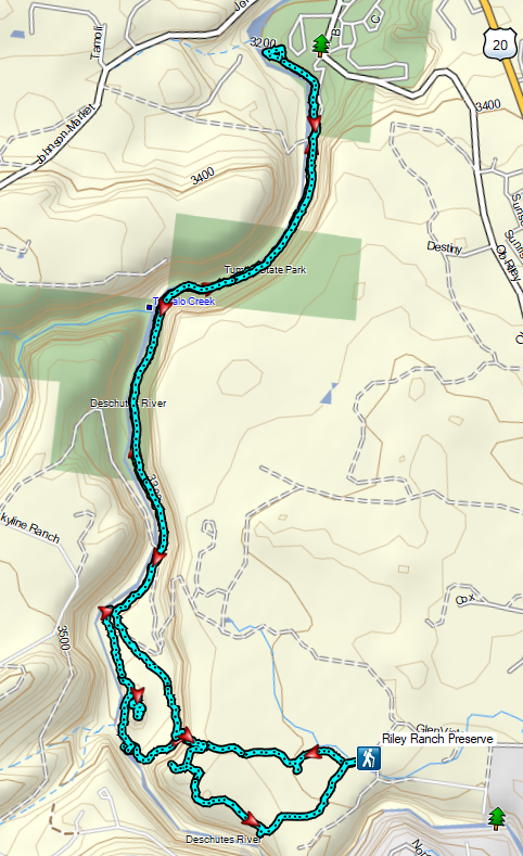
On our way home from Bend we wanted to get one more hike in and had decided on exploring the Riley Ranch Nature Reserve. There are a little under 3 miles of trail at the Reserve, but a trail along the Deschutes River connects the Reserve with Tumalo State Park making a longer hike possible.
We chose to start at the Reserve trailhead primarily due to Tumalo State Park being a fee park. The Reserve is open sunrise to sunset so we arrived early (5:20am) to try and get a jump on the crowds and our drive home.

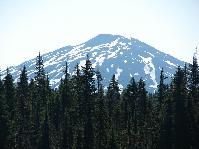
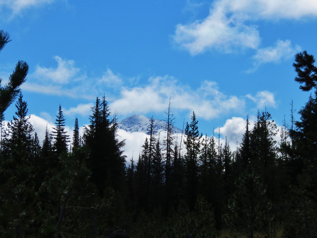
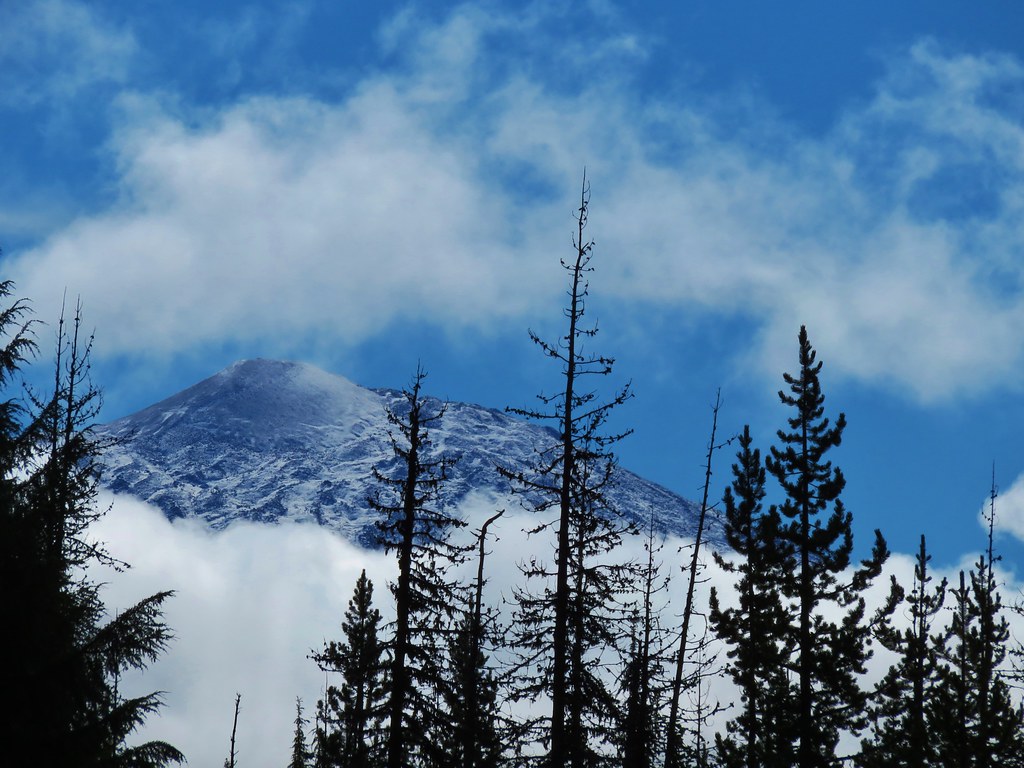
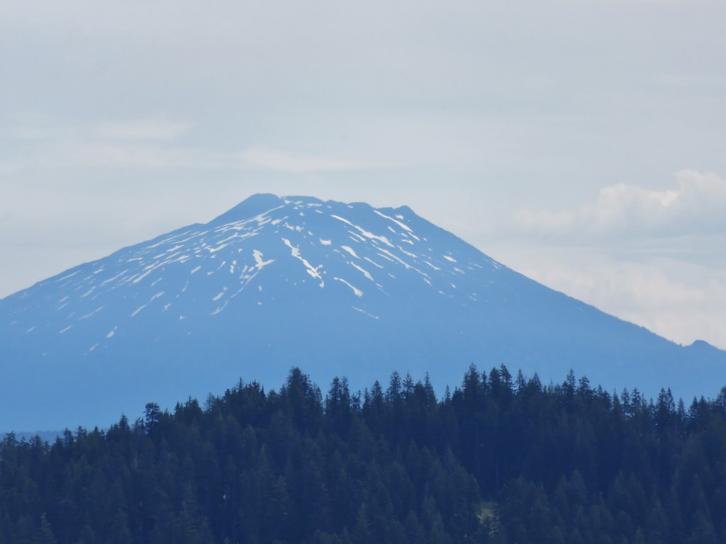
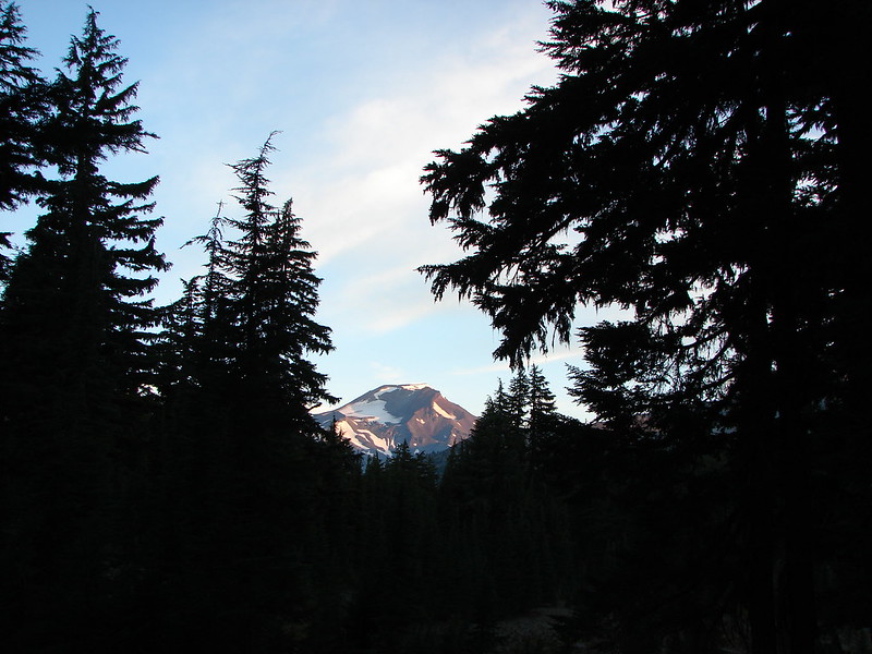
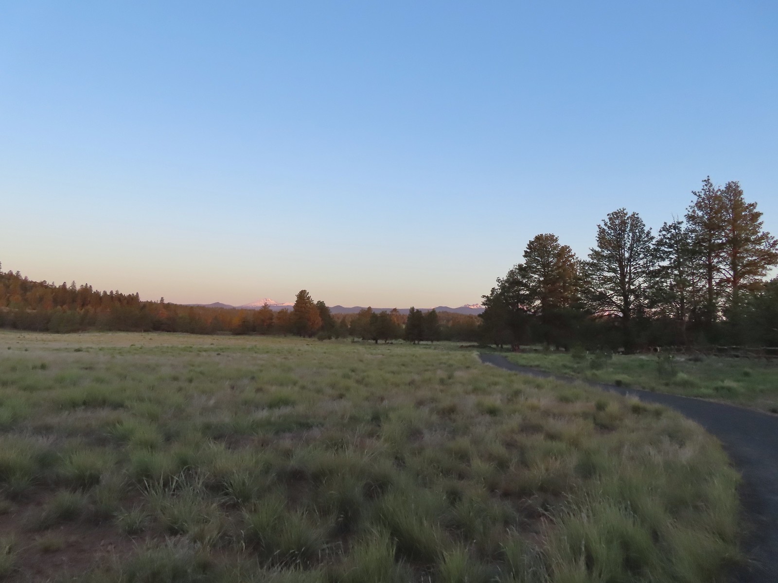
 Mt. Bachelor (post) in the morning.
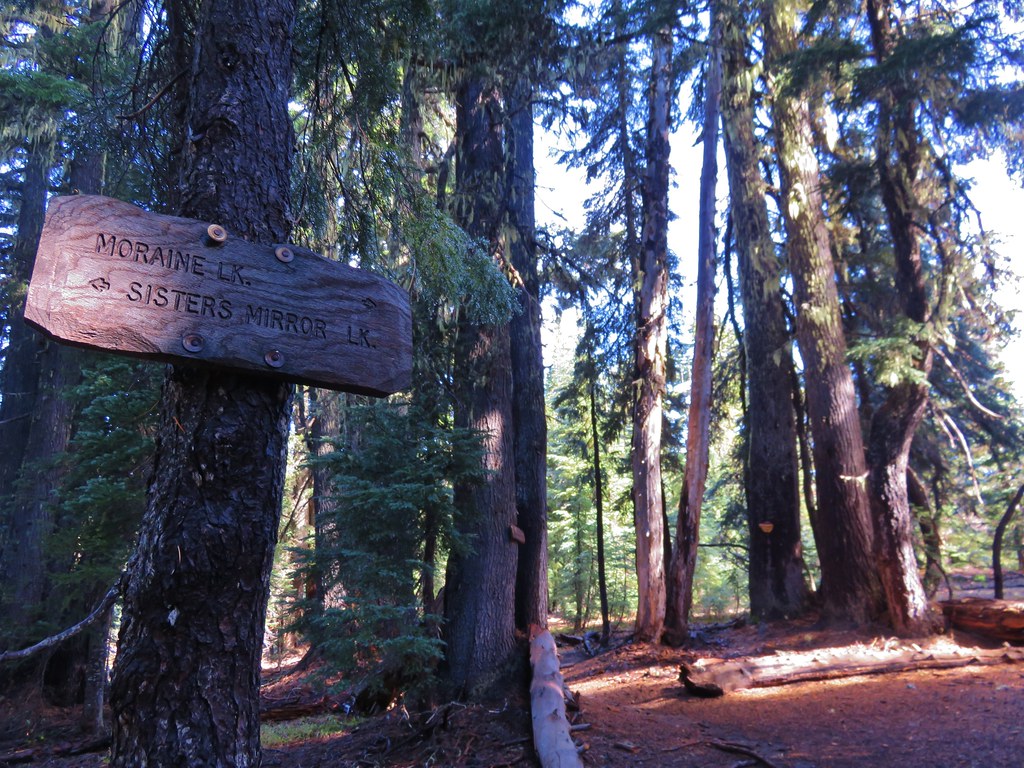
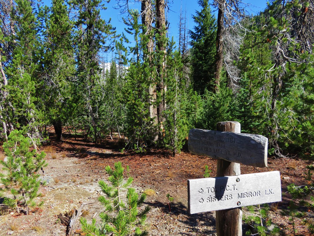
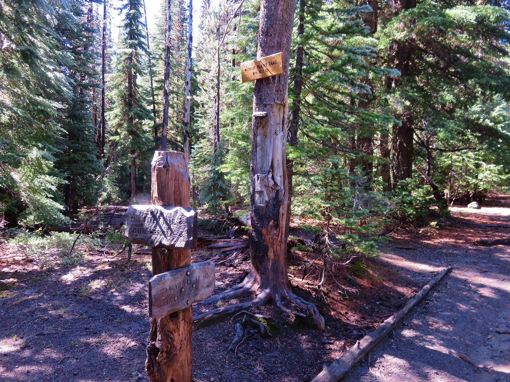
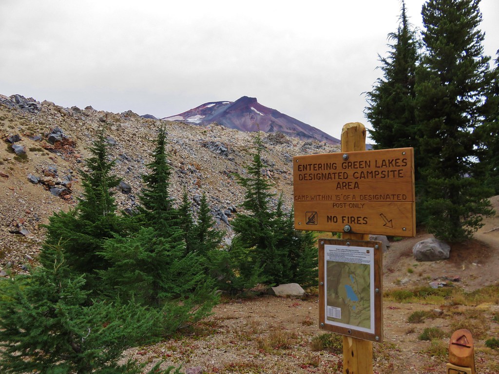
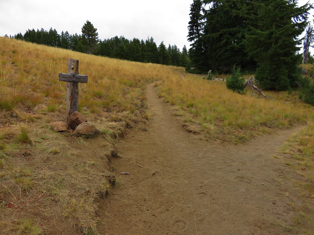
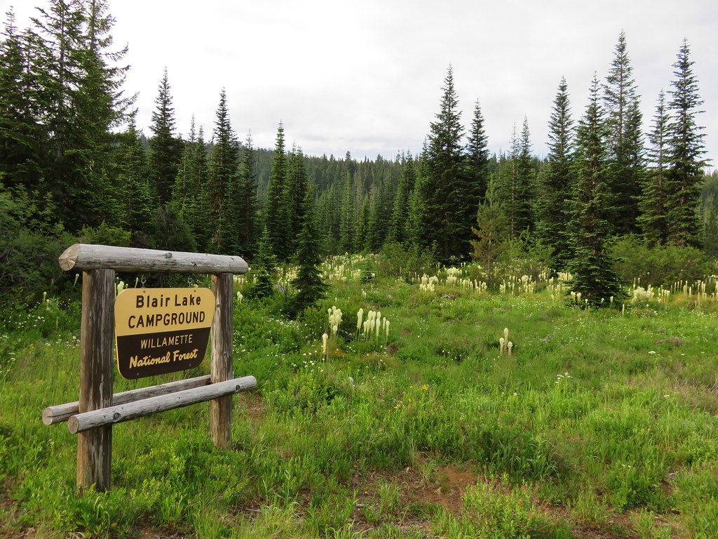
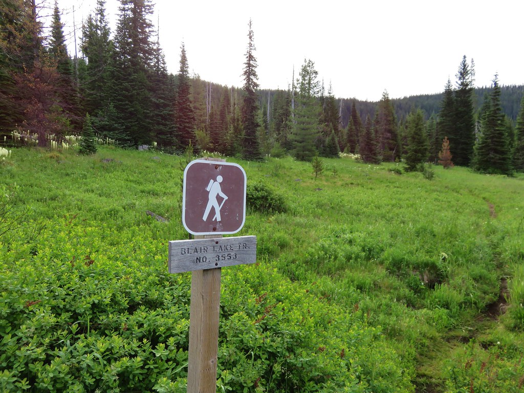
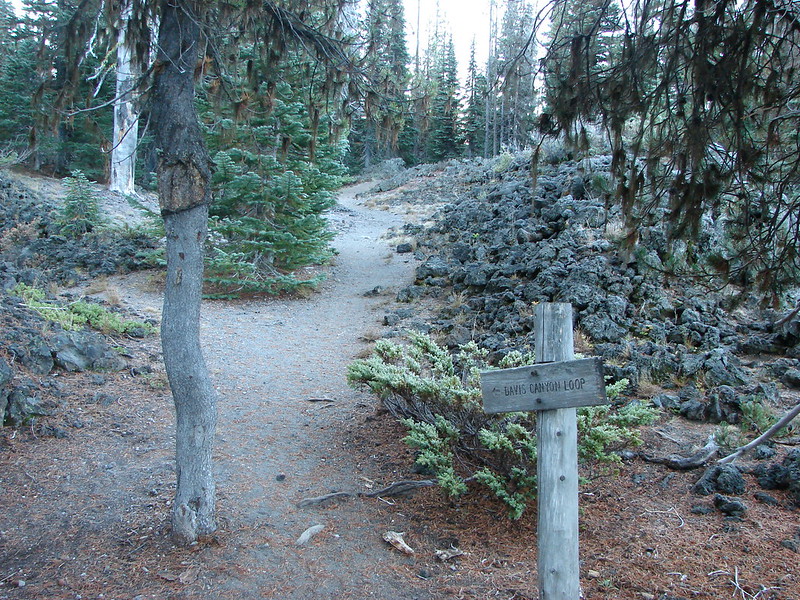
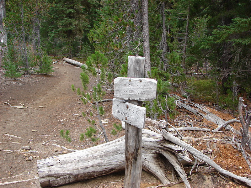
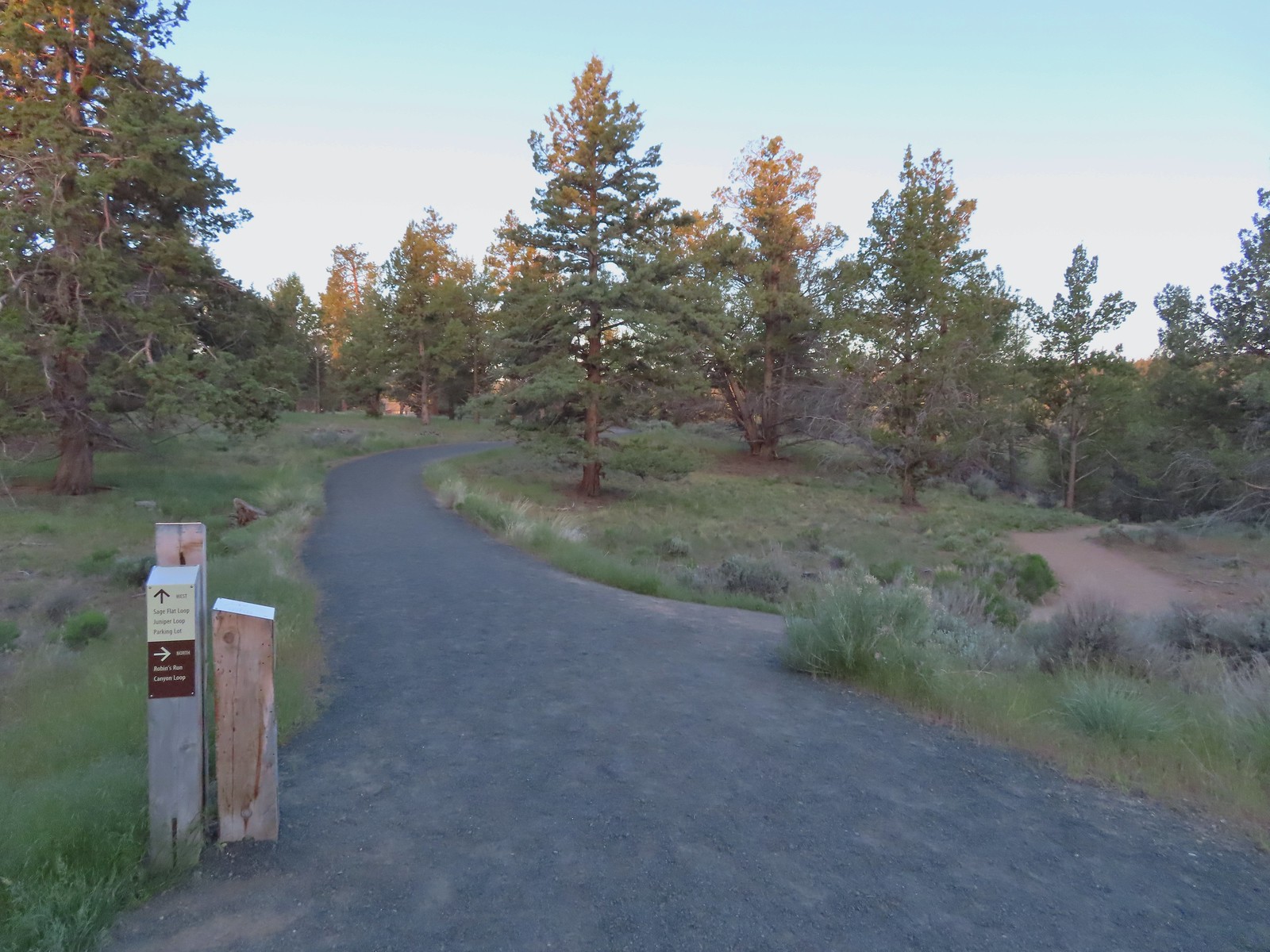
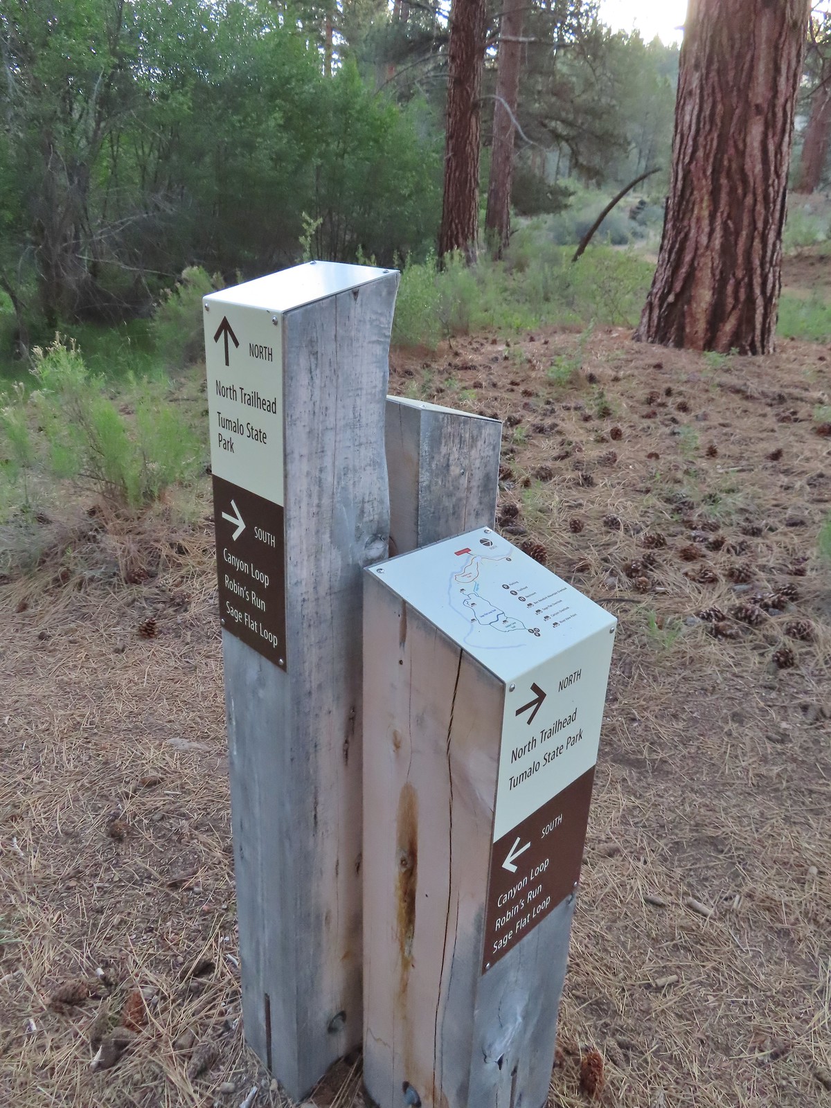
We stopped at the trailhead signboard to finalize our route for the day.

We planned to stay right on Juniper and Sage Flat Loops and take the Robin’s Run down to the Canyon Loop. For the Canyon Loop we decided to go left first to hike along the Deschutes River to the Tumalo State Park Day Use Area. On our way back we would complete the Canyon Loop and stay right on the Sage Flat and Juniper Loops.
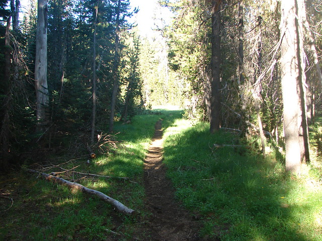
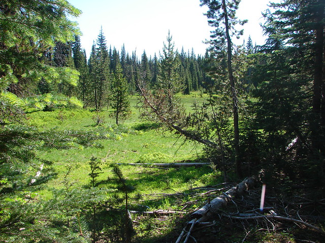
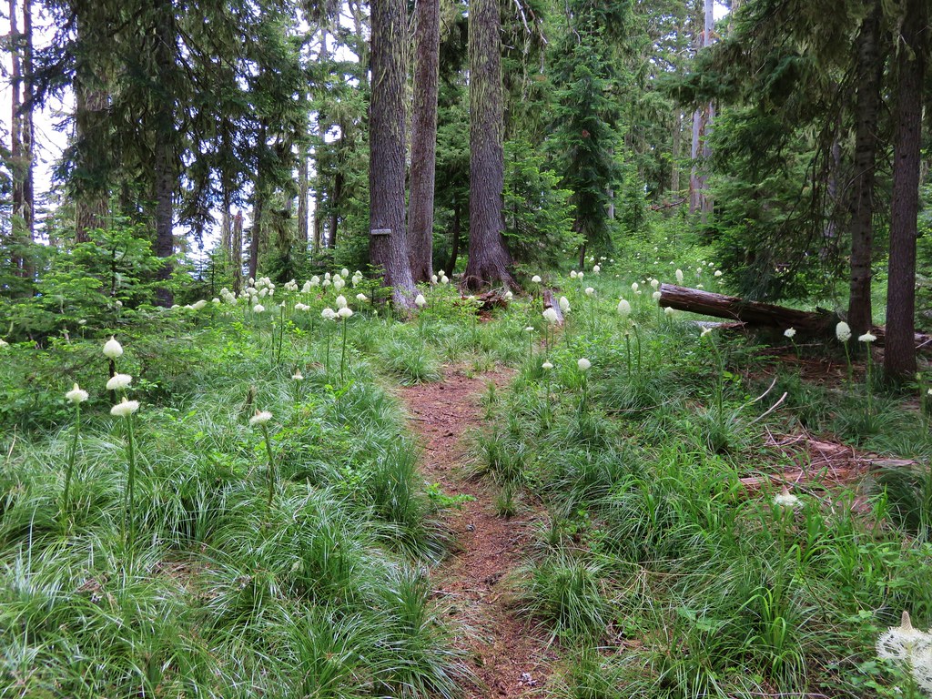
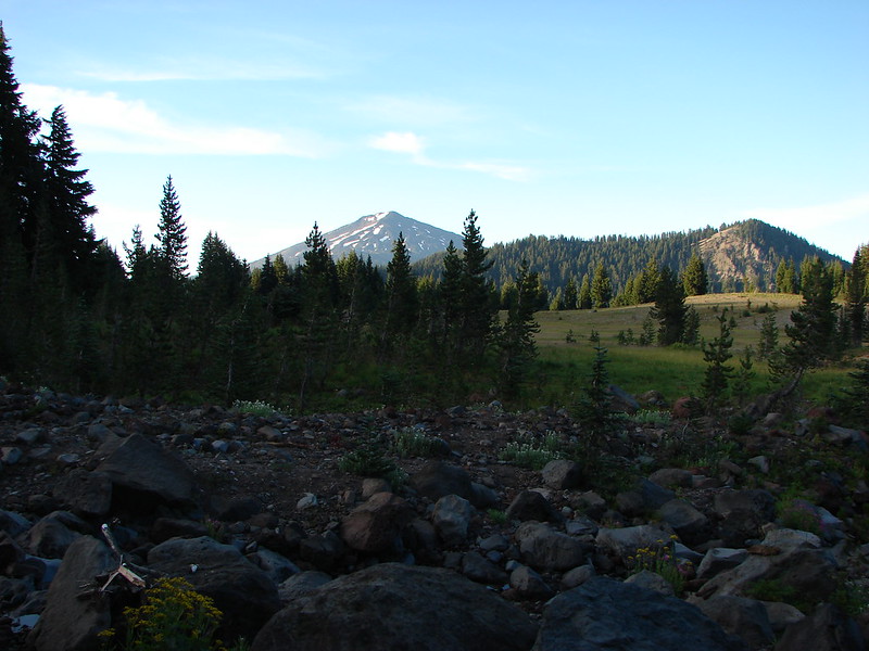
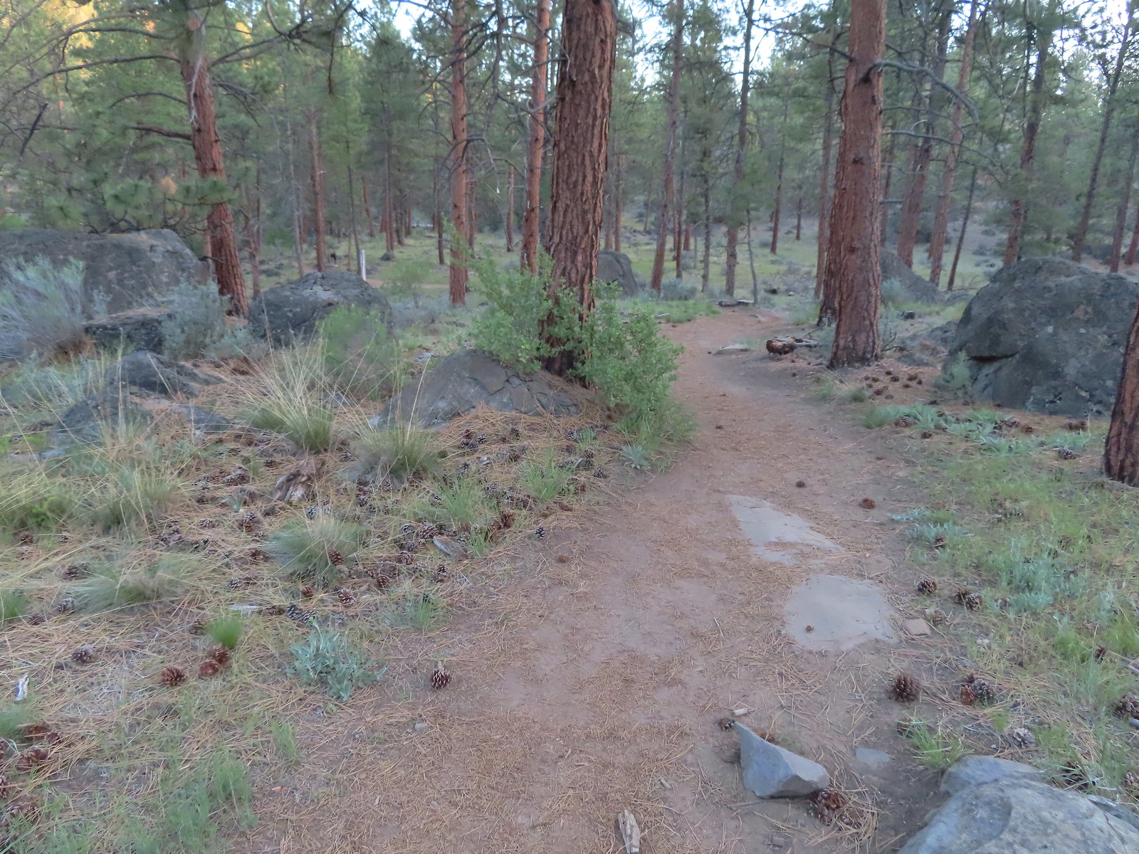
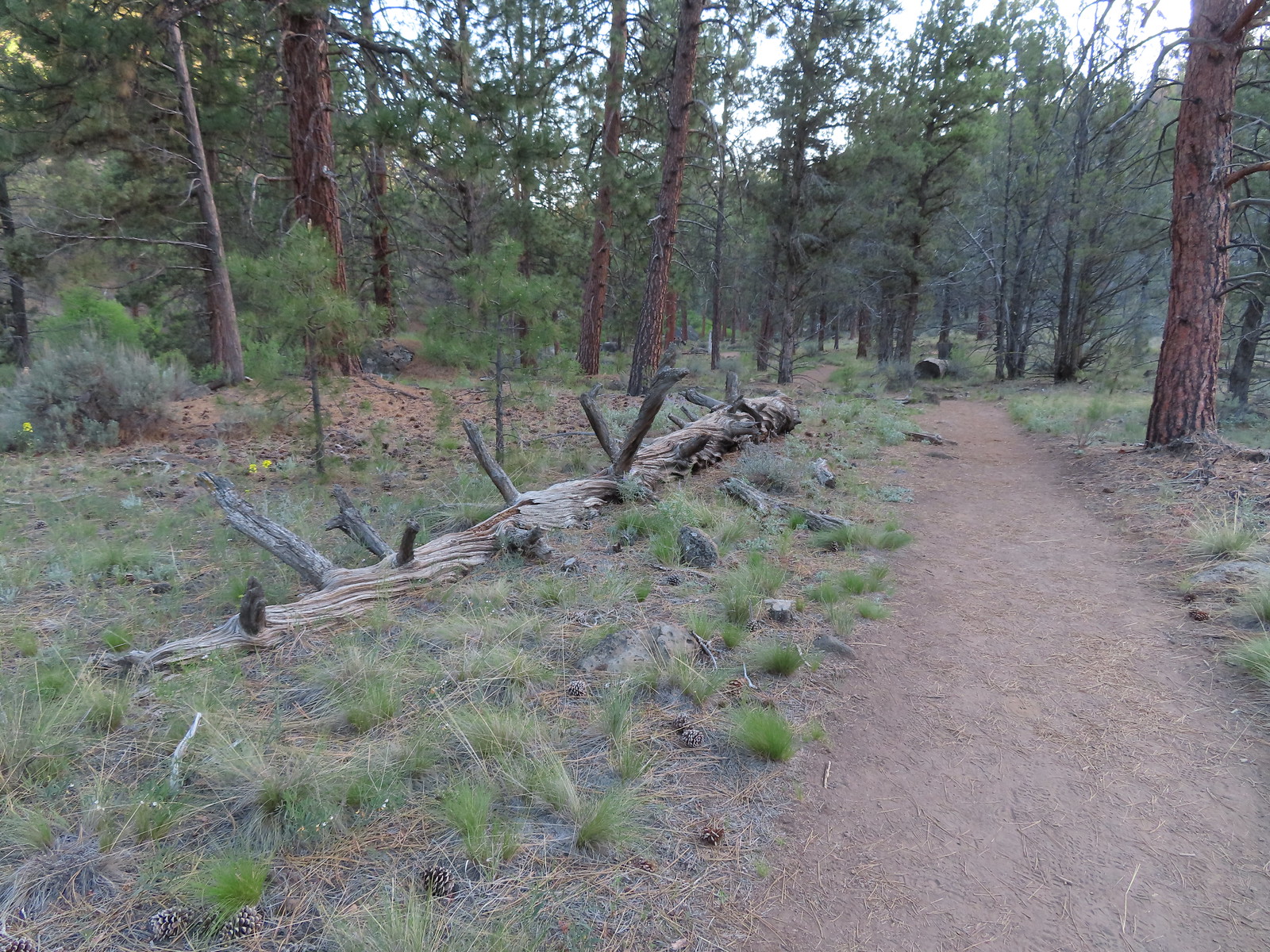
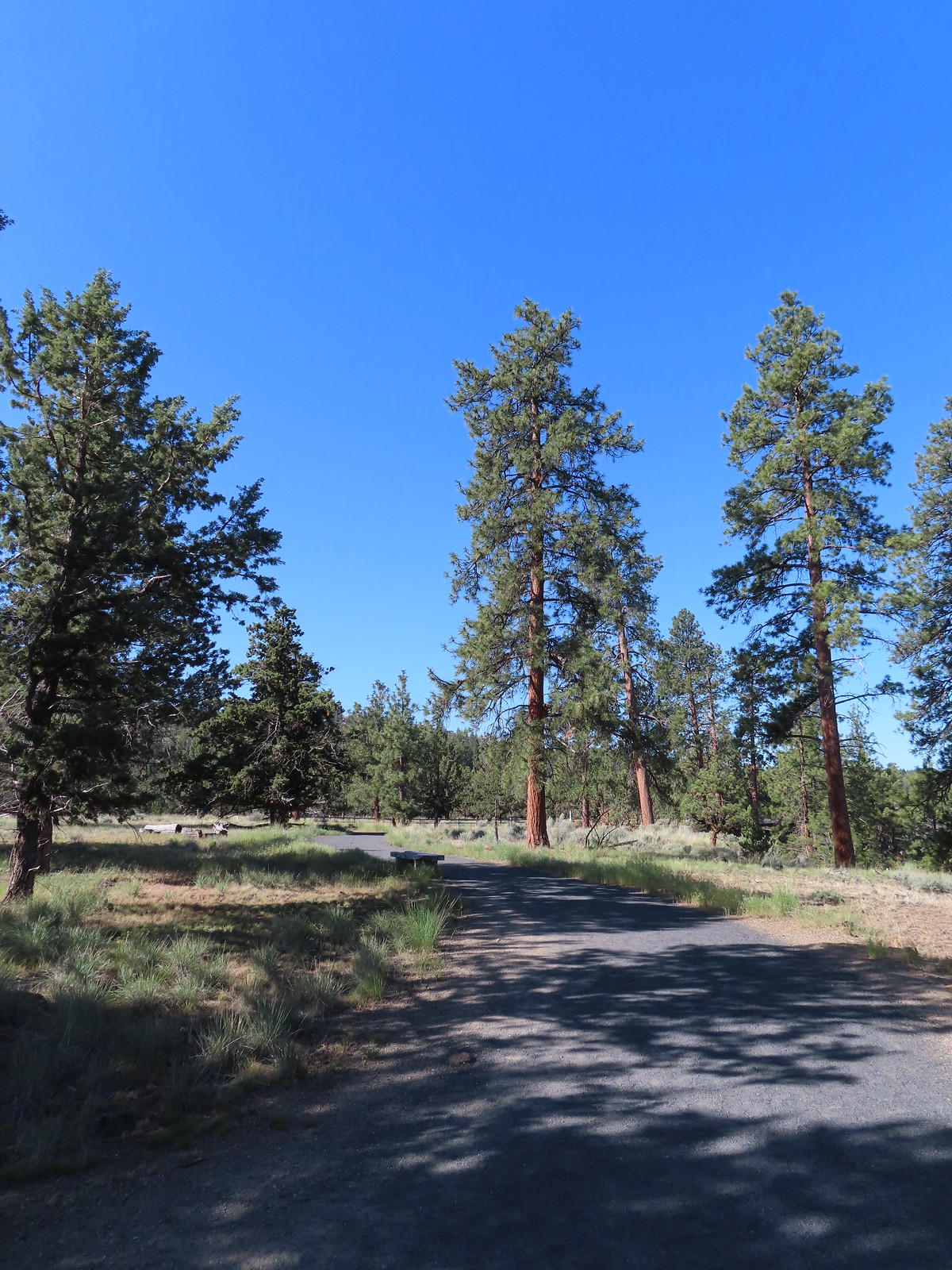
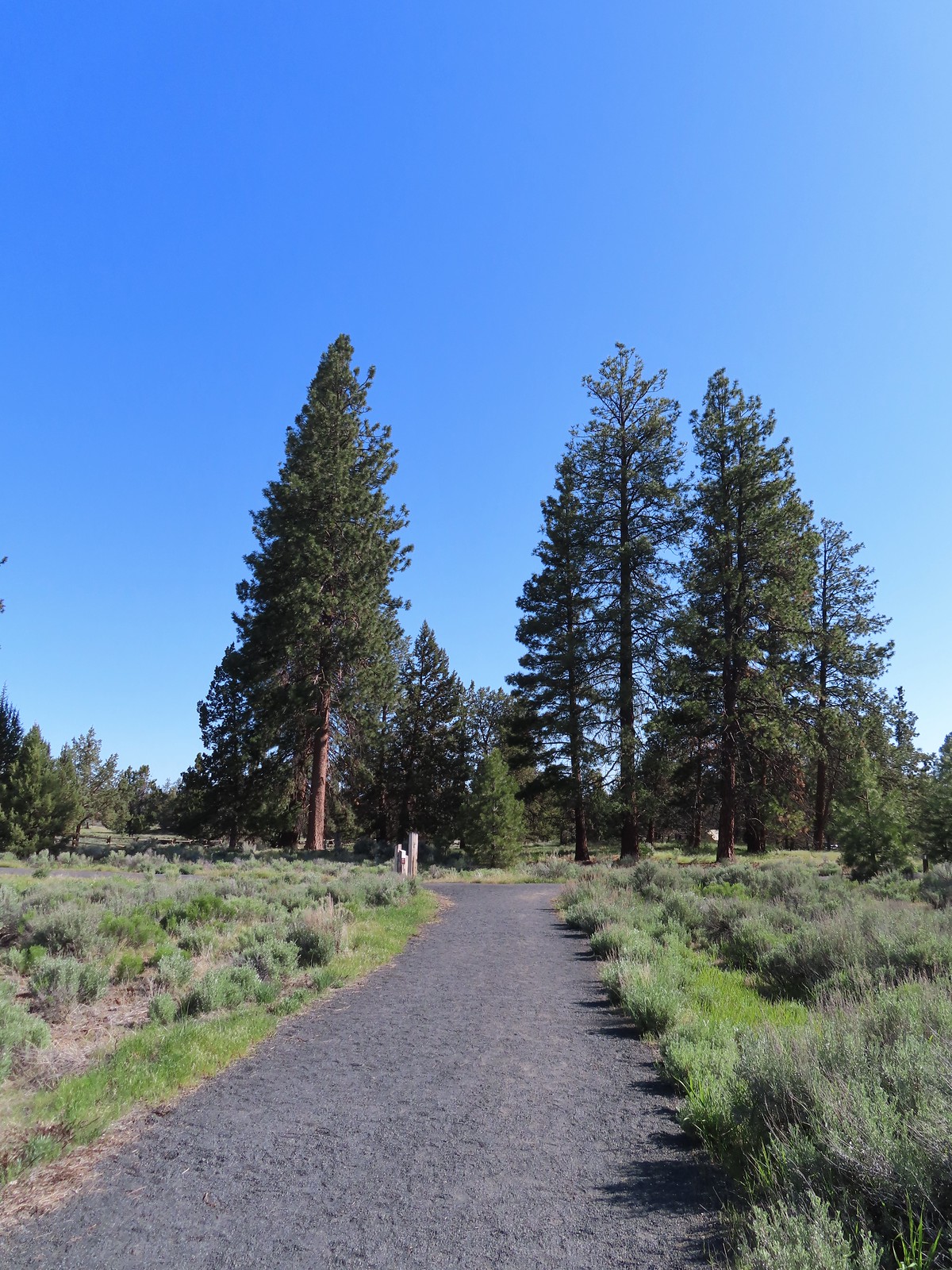
 The start of the Juniper Loop.
 Similar to the Metro Parks we’ve recently visited there were small maps on the trail pointers here.
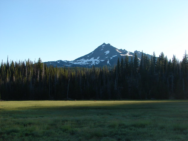
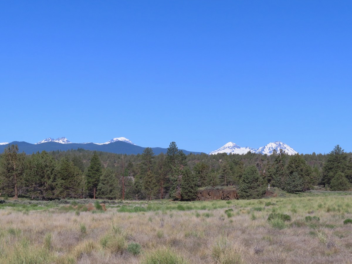
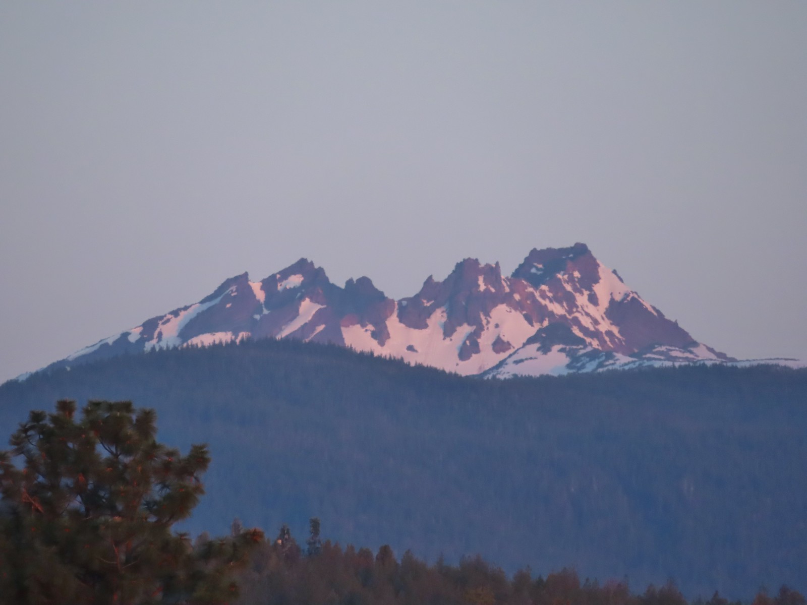
 Middle and North Sister
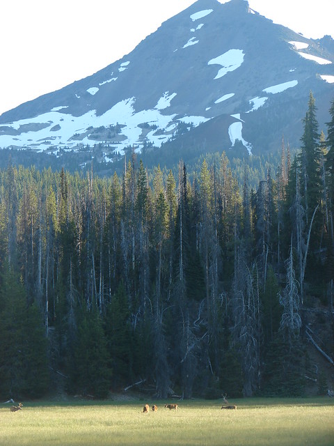
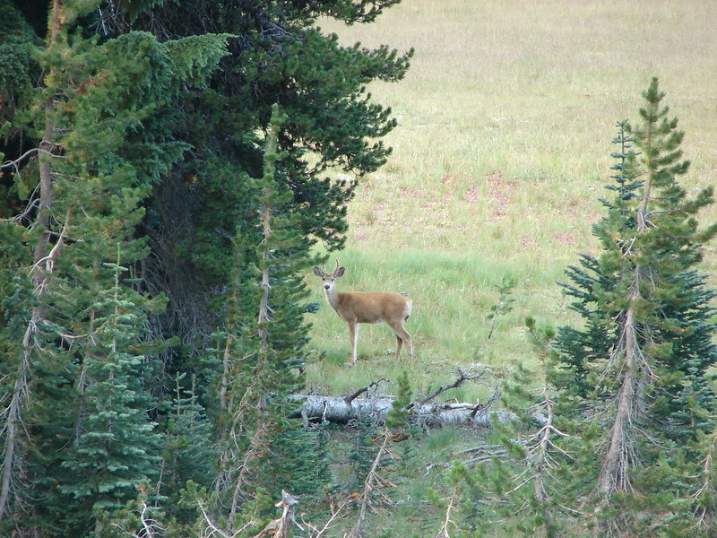
We spotted our first deer of the day amid the sagebrush in the distance.

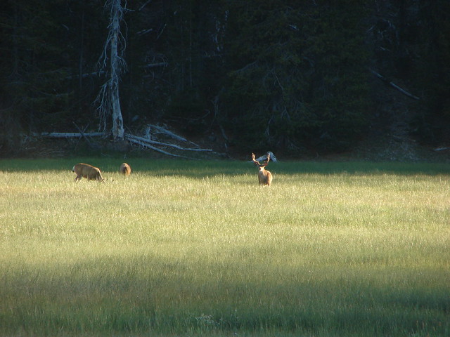
 Blurry shot of the deer.
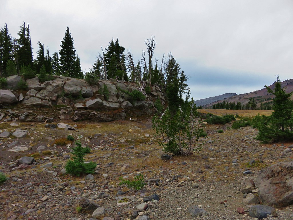
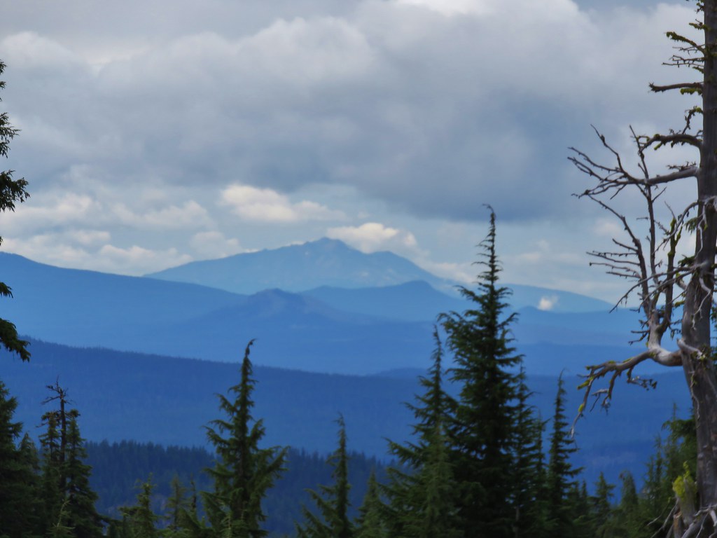
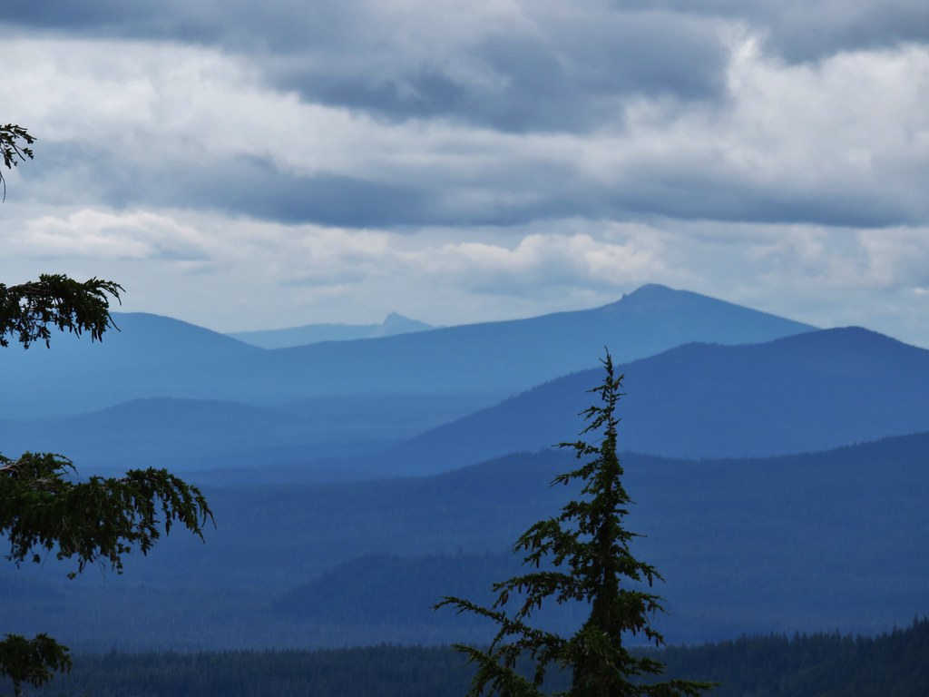
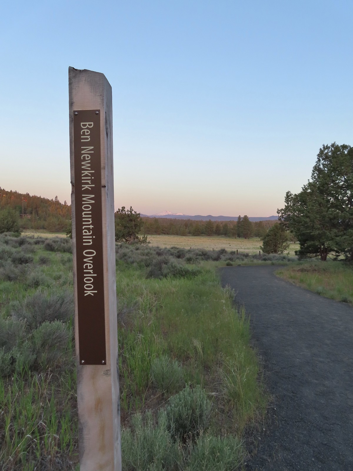
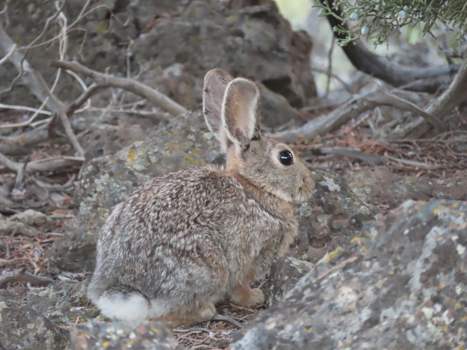
We detoured 40 yards to the Ben Newkirk Mountain Overlook where we saw a rabbit and some mountains.
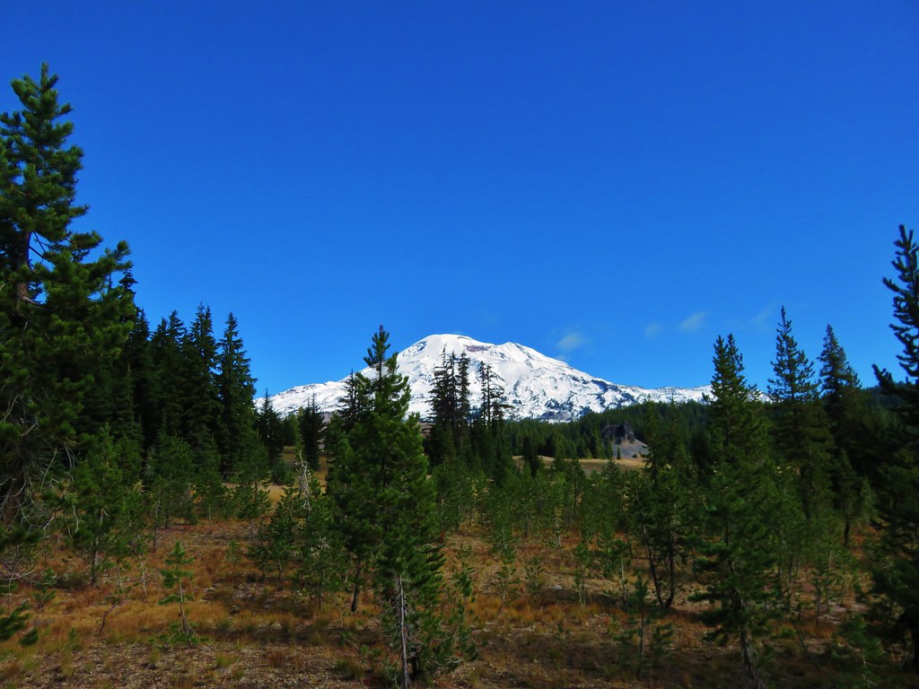
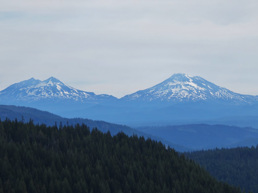
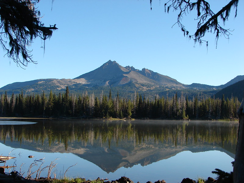
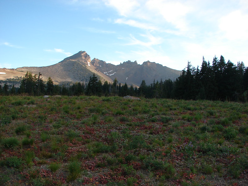
 Mt. Bachelor, Broken Top, and the Three Sisters.
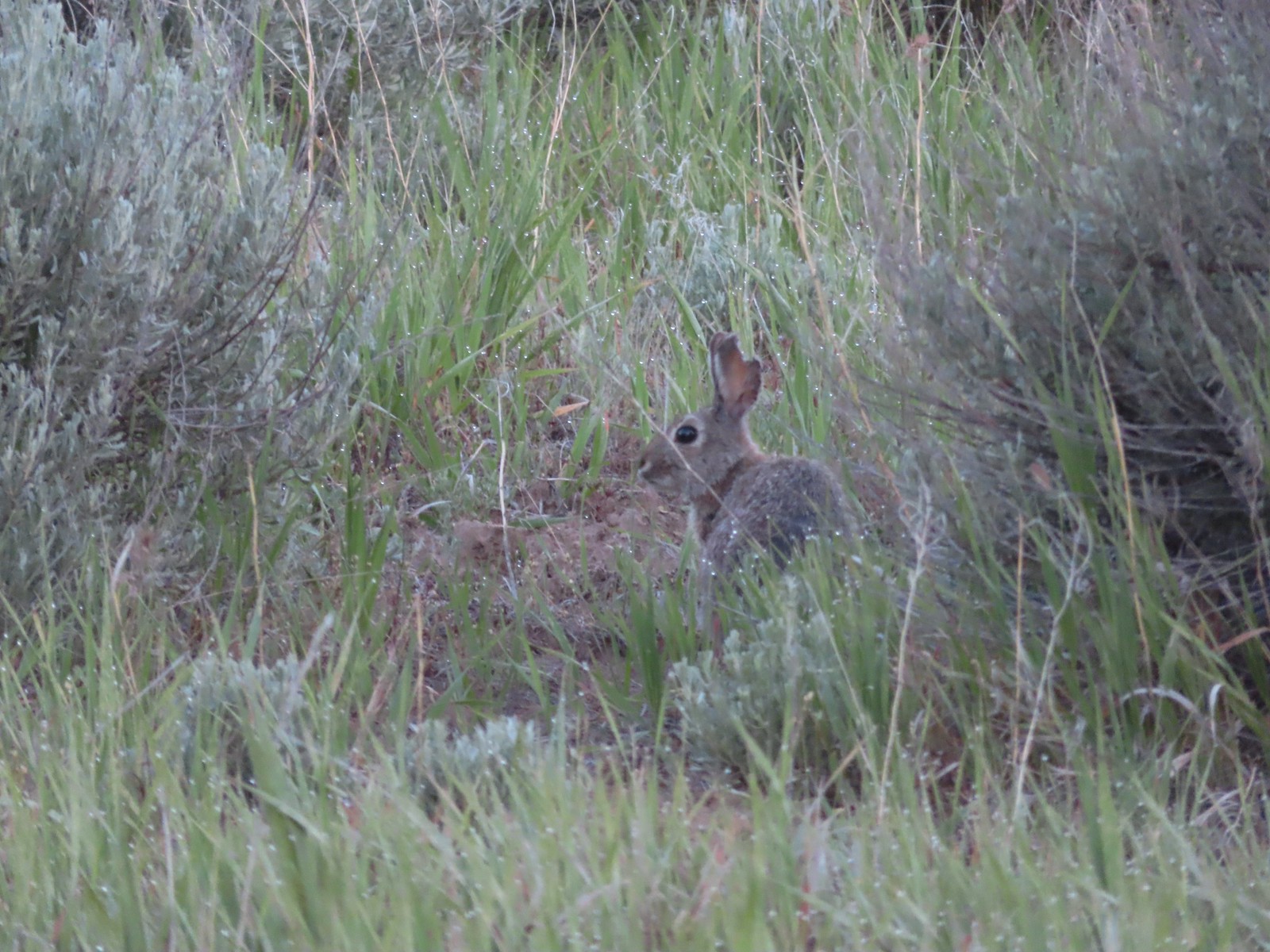 Rabbit
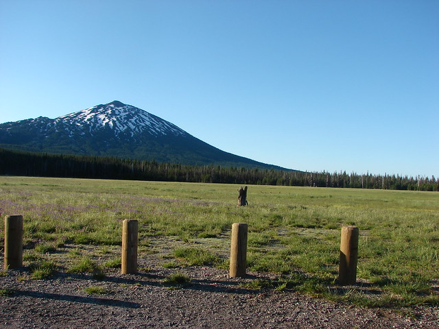
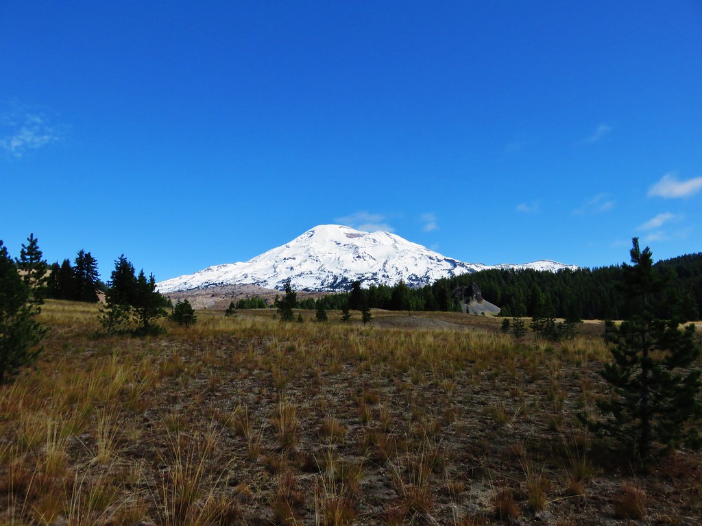
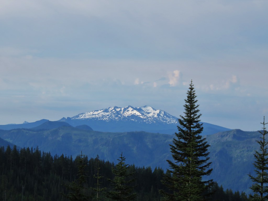
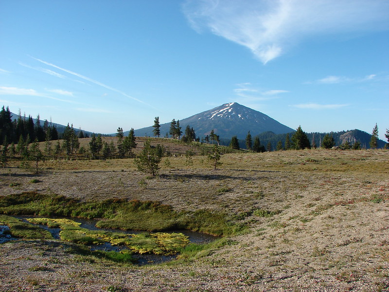
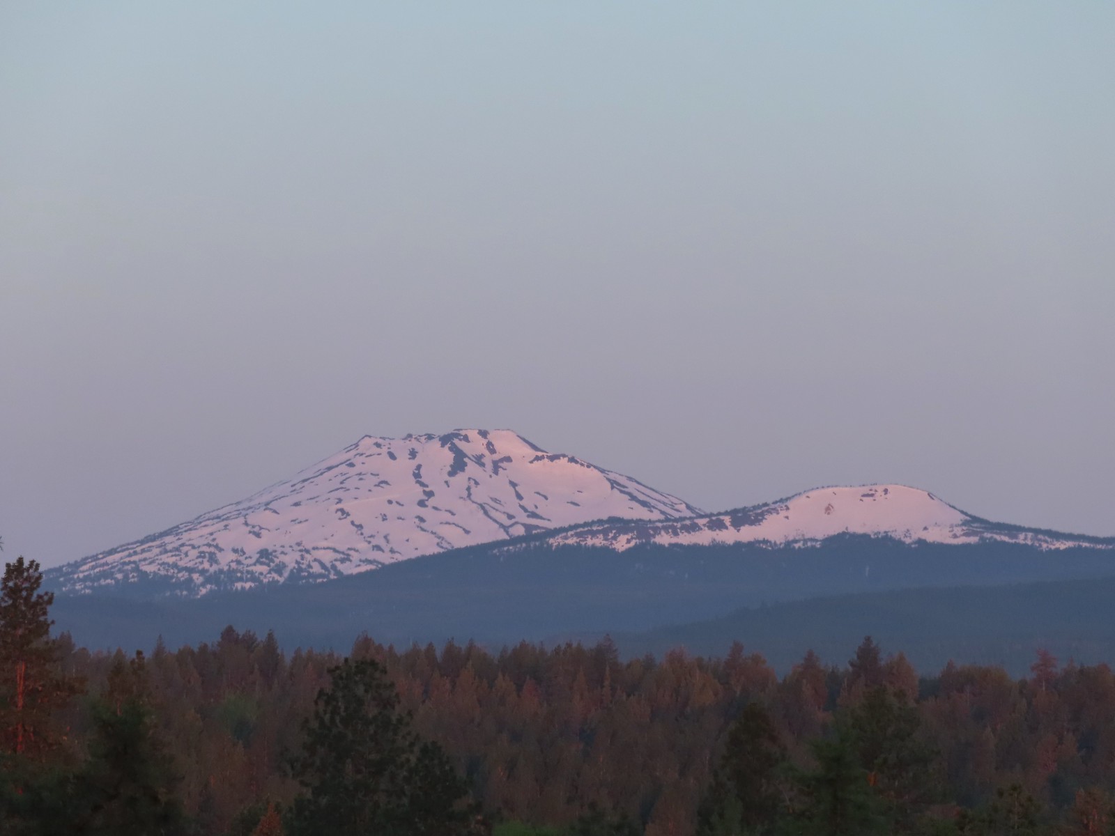 Mt. Bachelor and Tumalo Mountain (post)
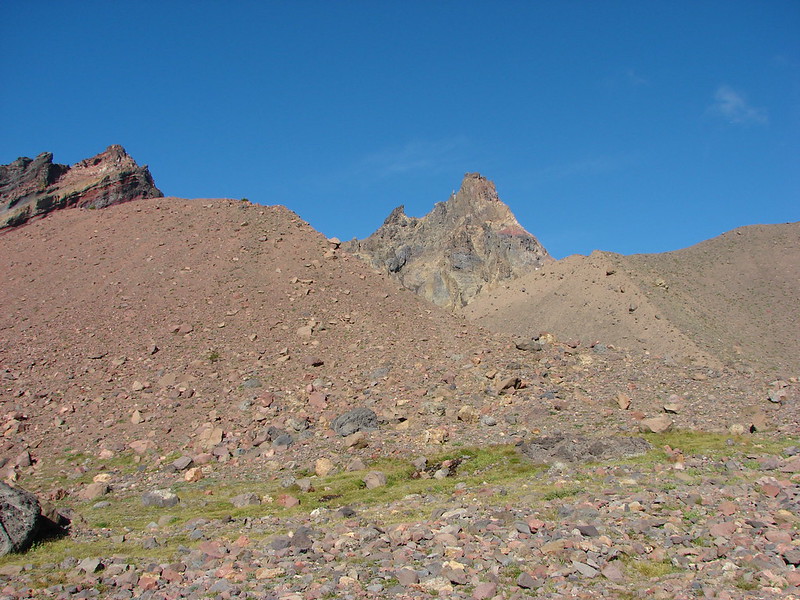
 Ball Butte
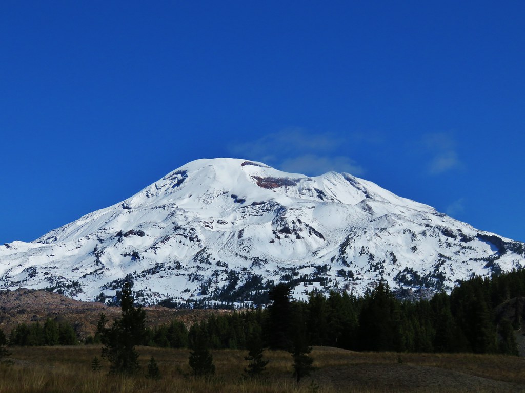
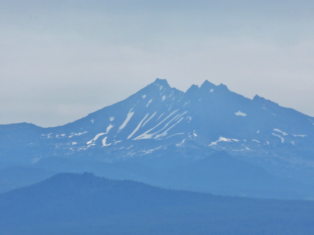
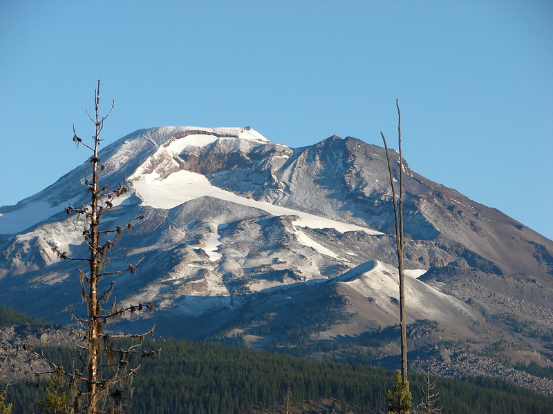
 Broken Top (post)
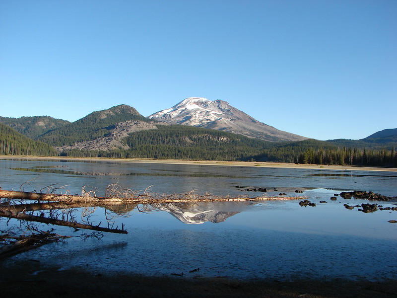
 South Sister (post)
 Middle and North Sister
After checking out the overlook we continued on the Juniper Loop and spotted a second rabbit
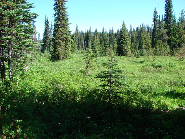
 We passed by the shared Juniper/Sage Flat Trail and continued on the Sage Flat Loop.
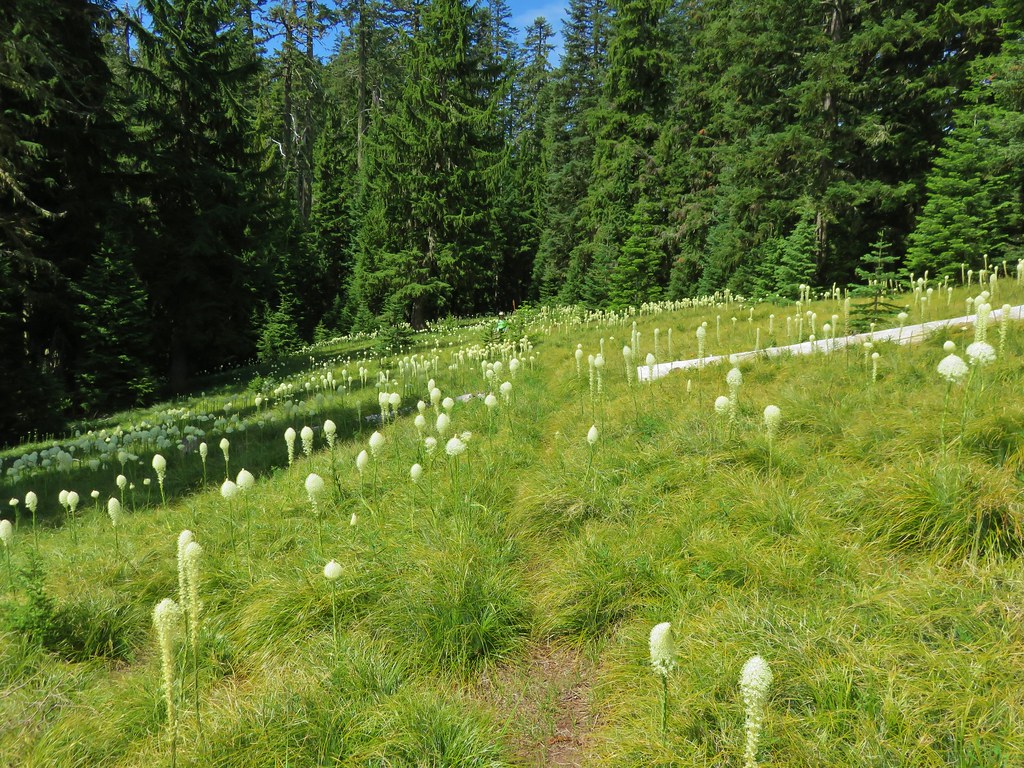
 Sageflat Loop
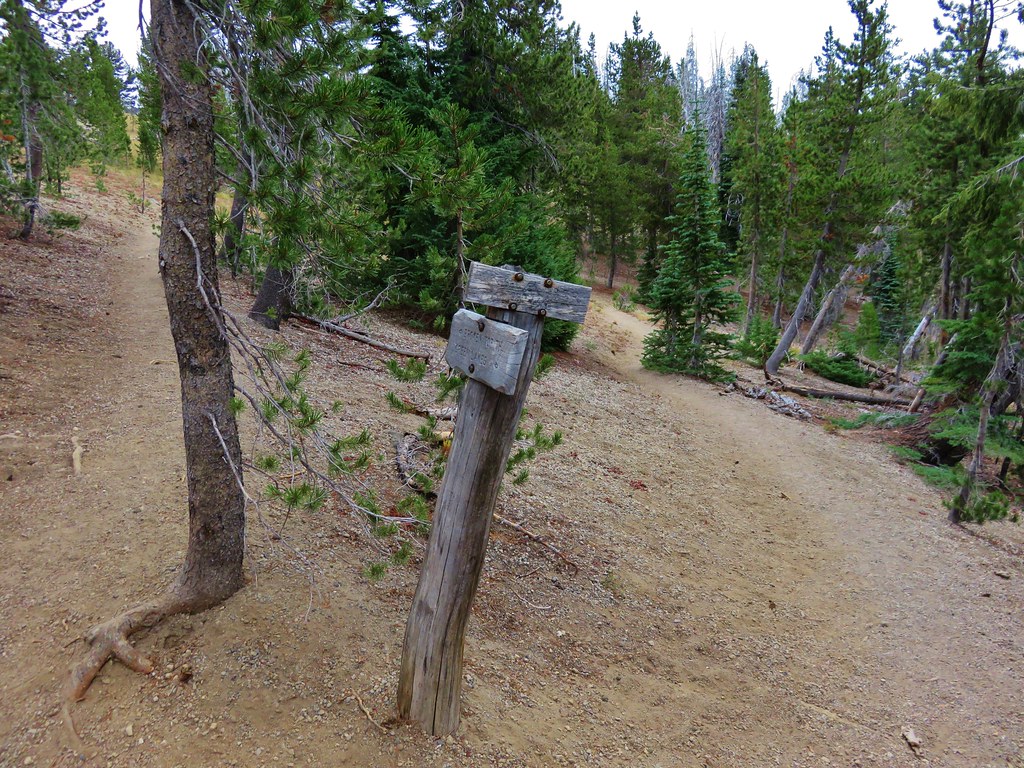
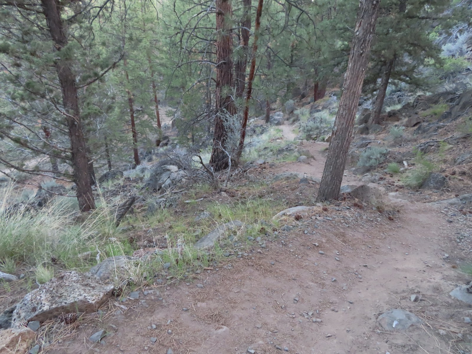
We turned right on the dirt Robin’s Run Trail which led fairly steeply downhill to the Canyon Loop.
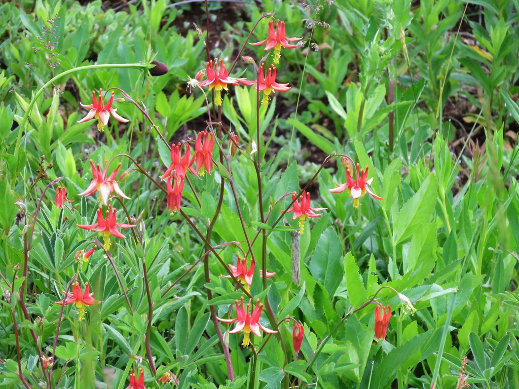
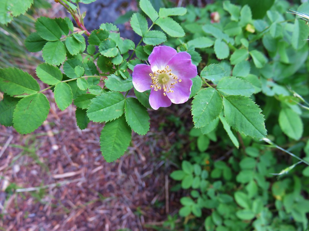
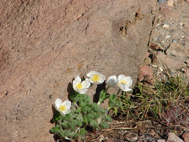
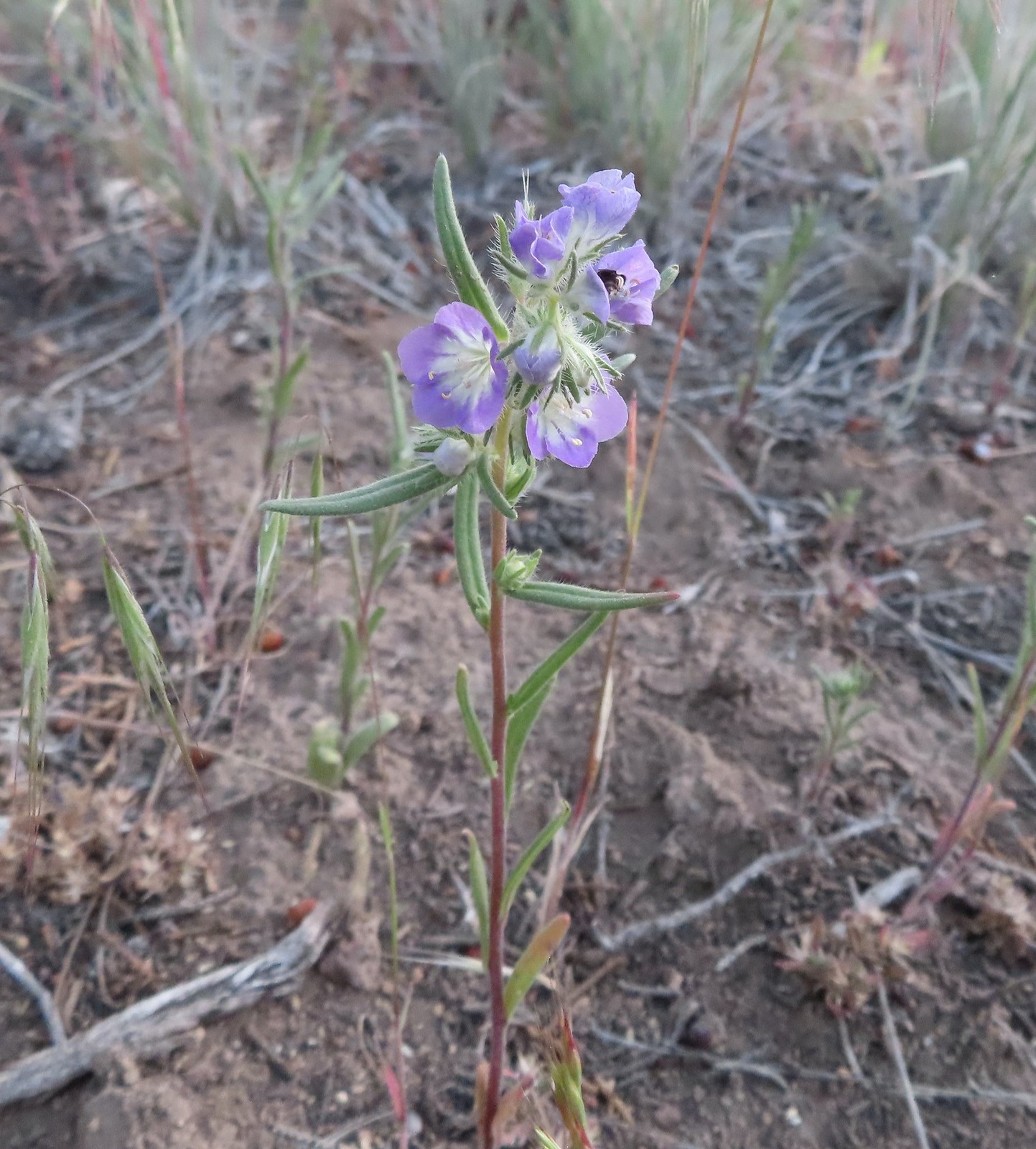 Threadleaf phacelia
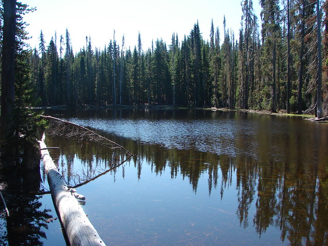
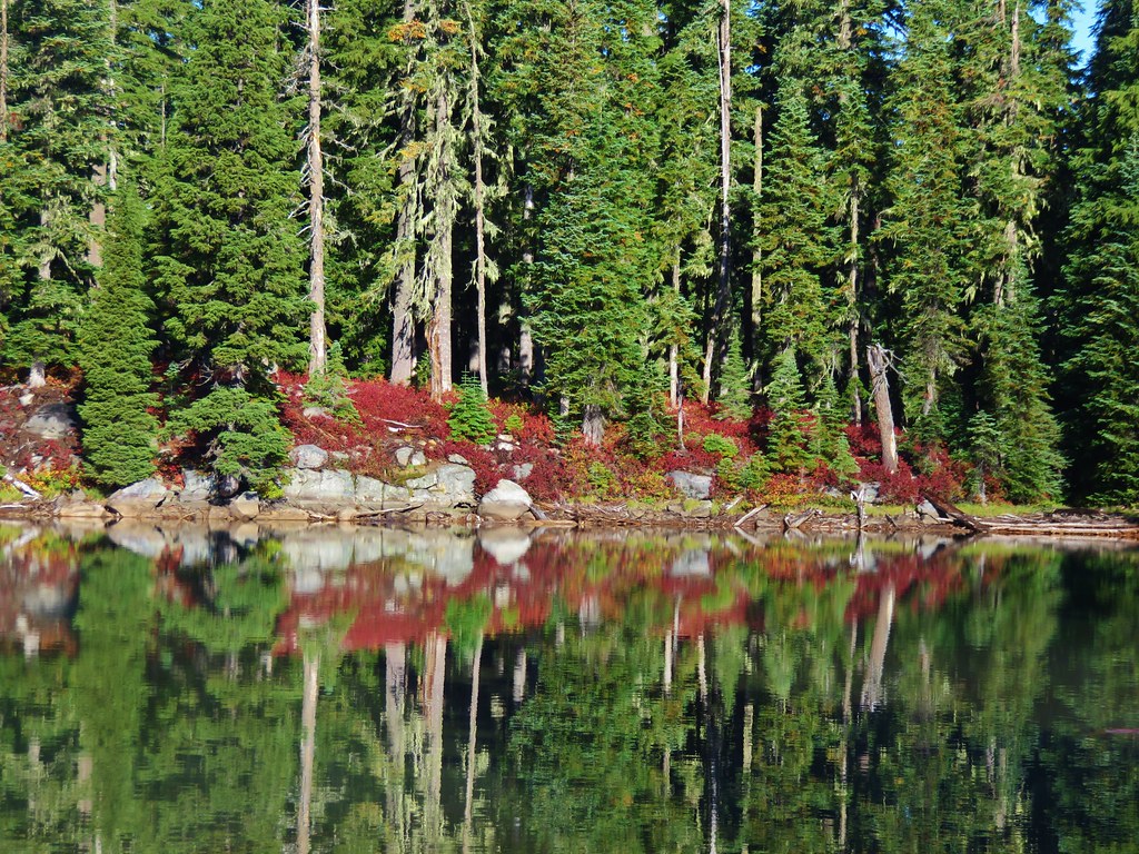
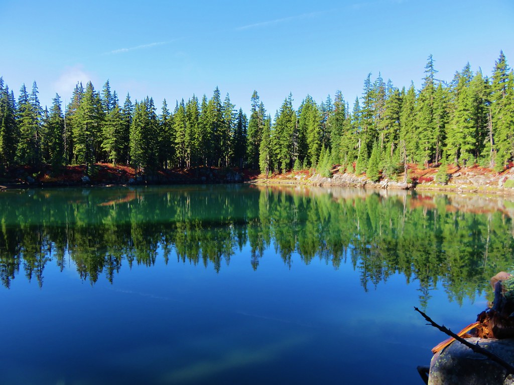
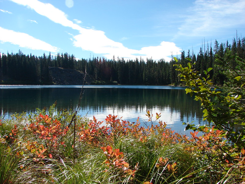
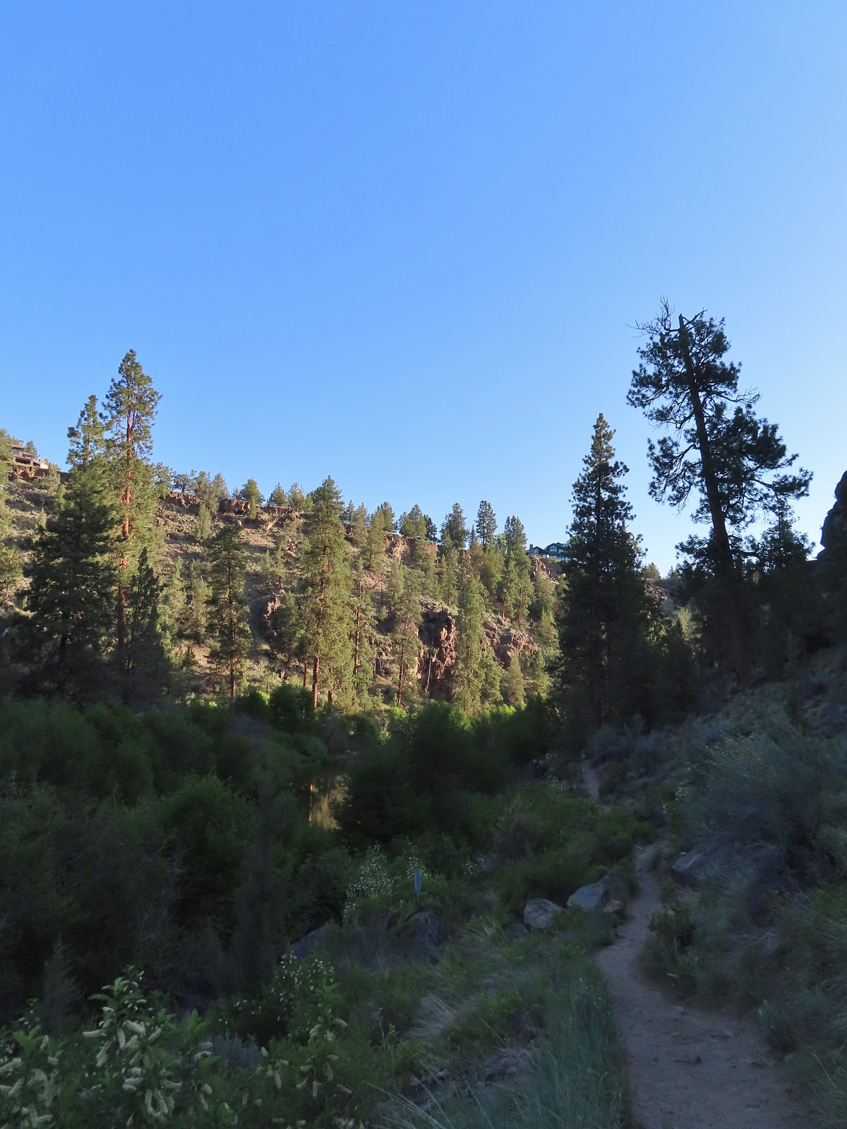
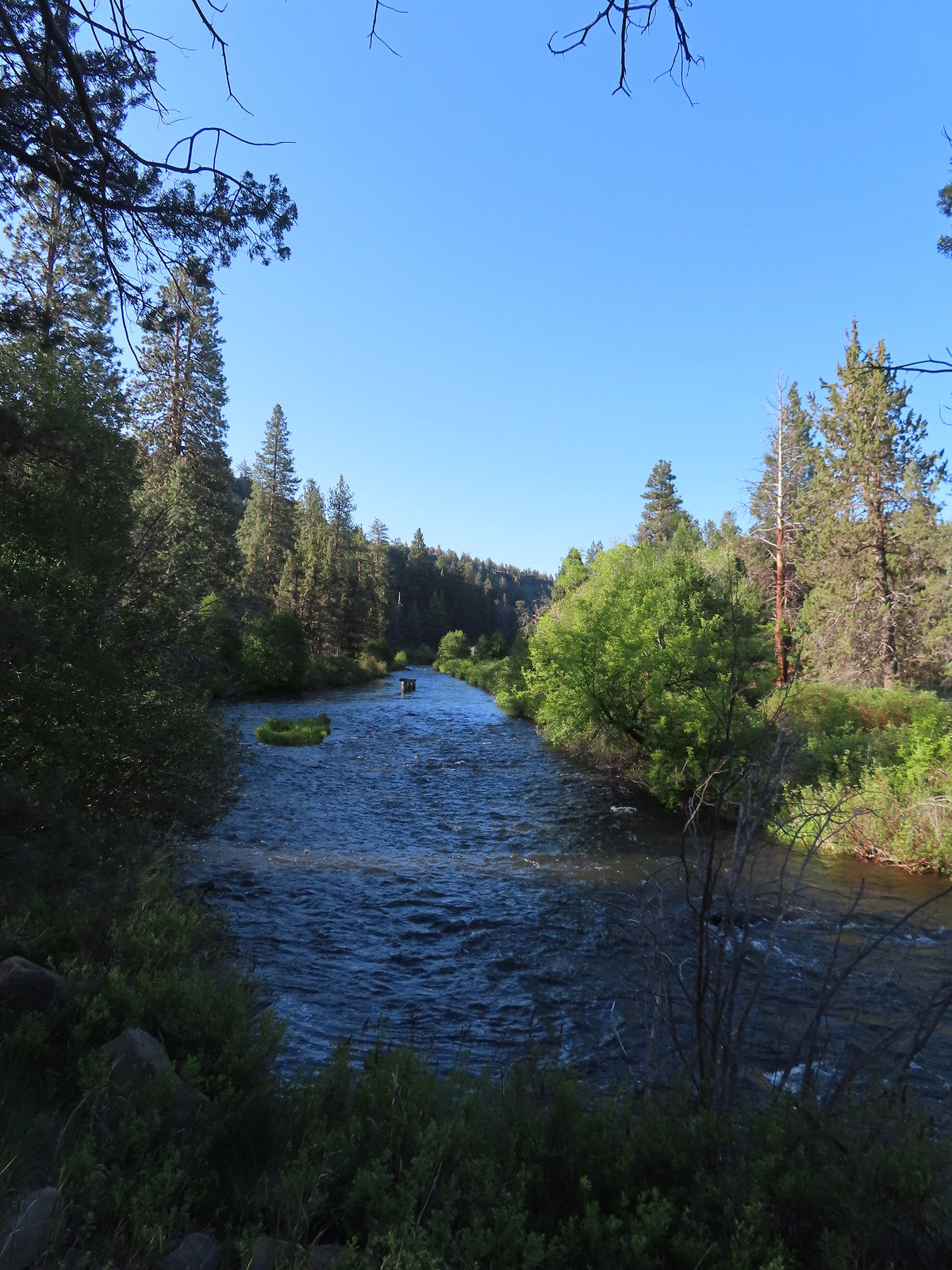
Turning left on the Canyon Loop quickly brought us to the Deschutes River.
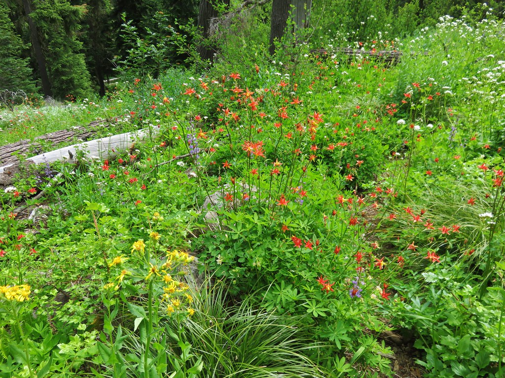
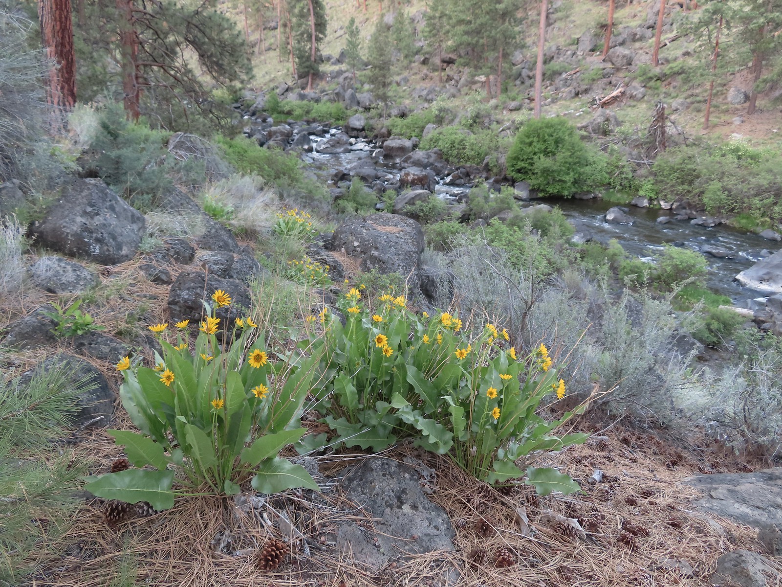 Balsamroot along the Deschutes.
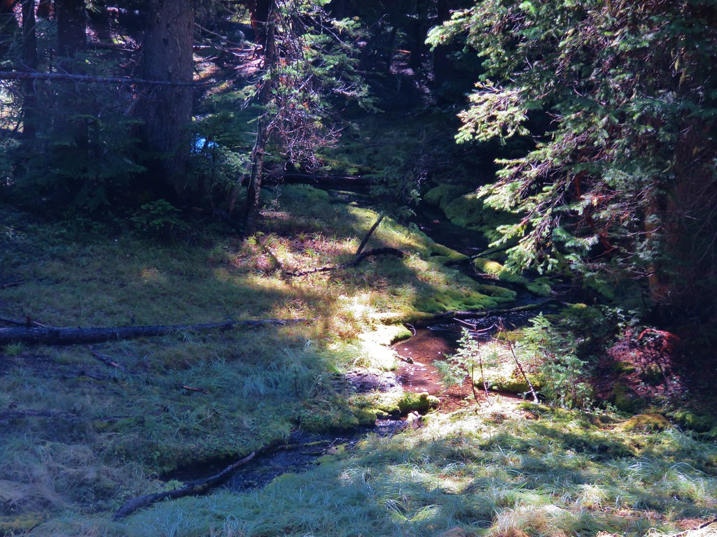
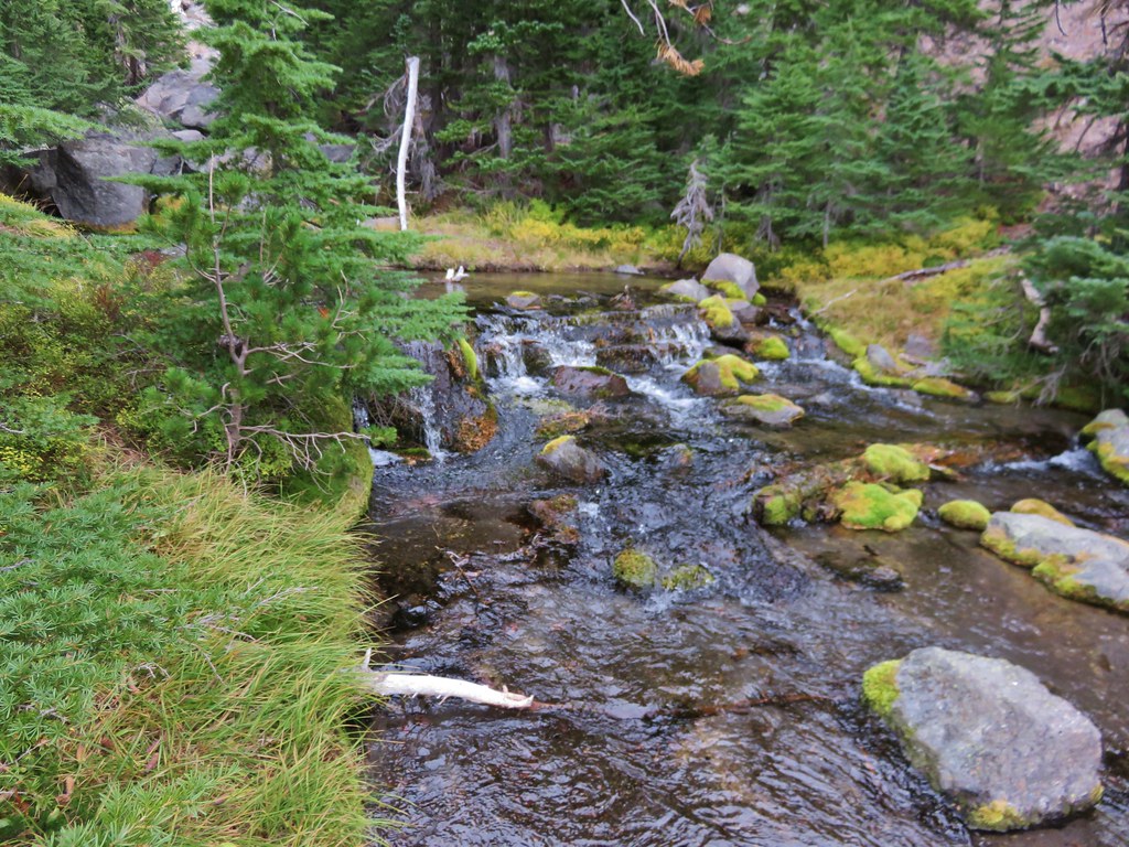
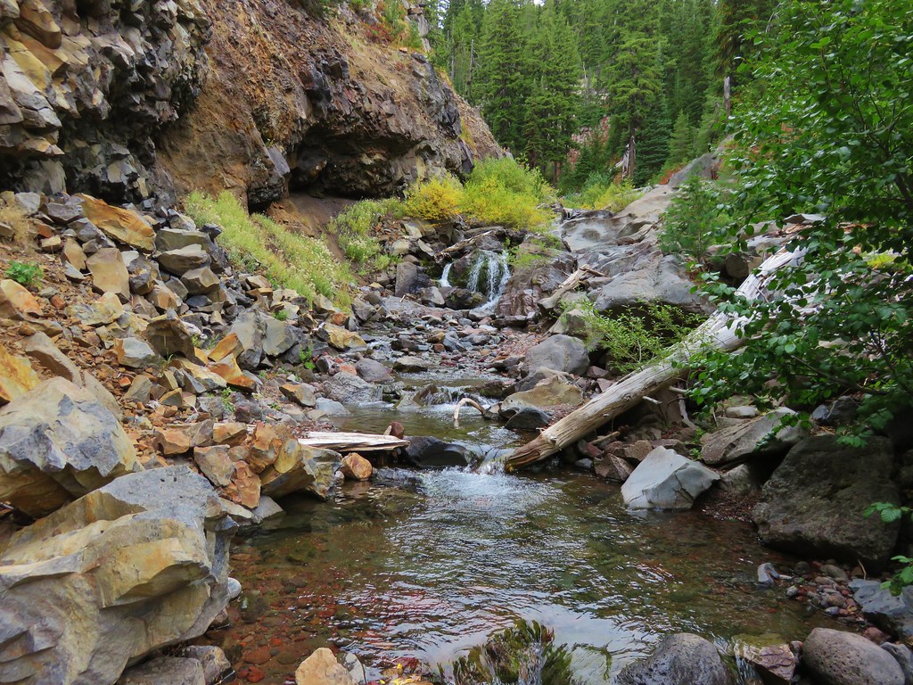
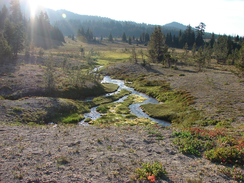
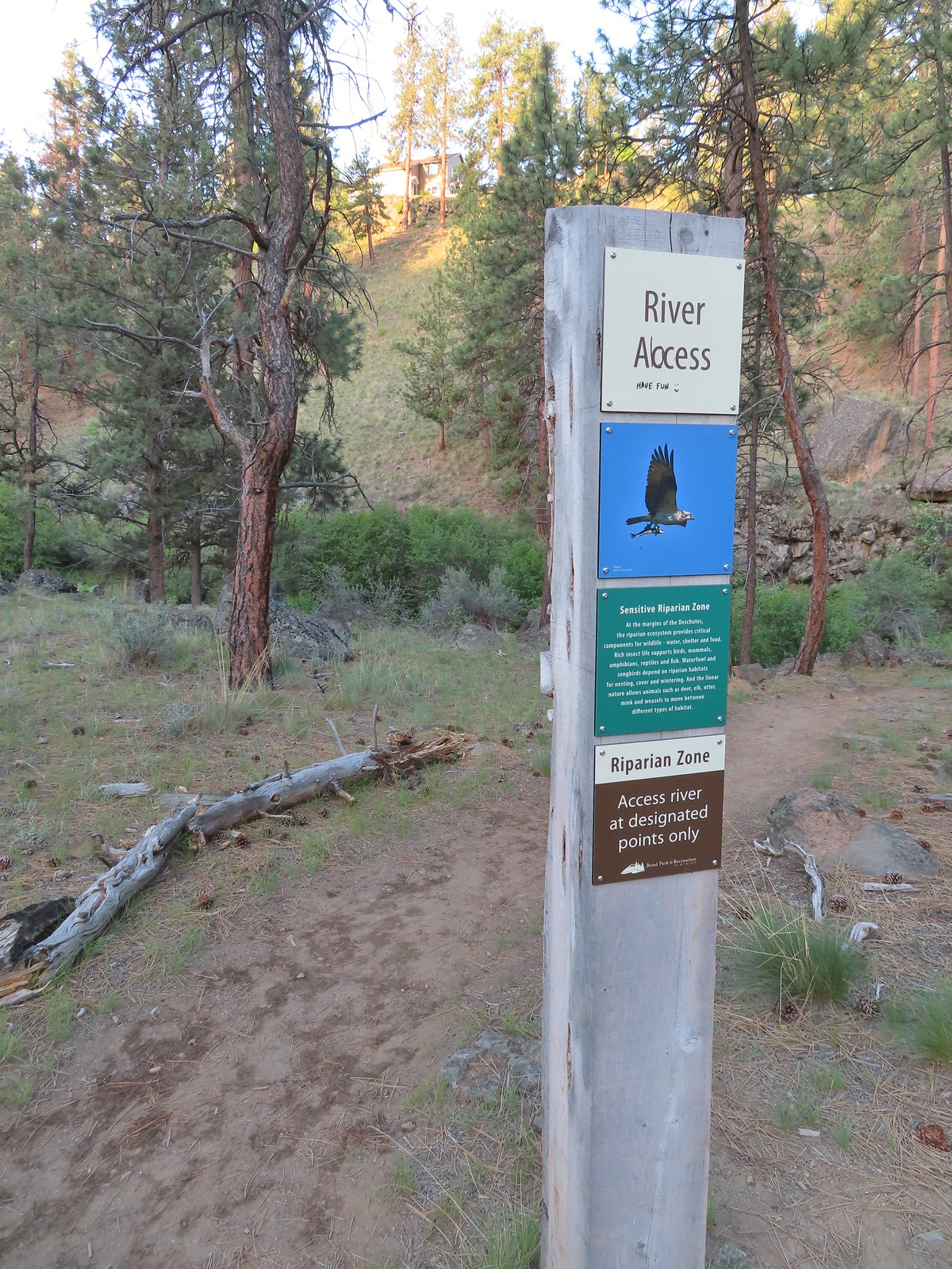
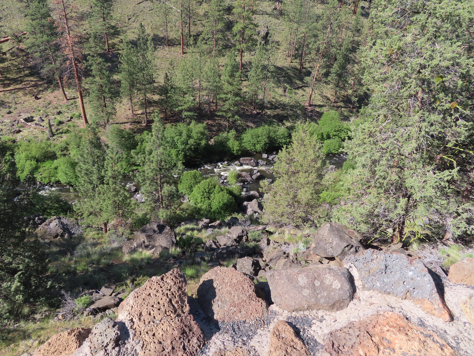
The trail follows the river with occasional “official” river access points marked by posts.


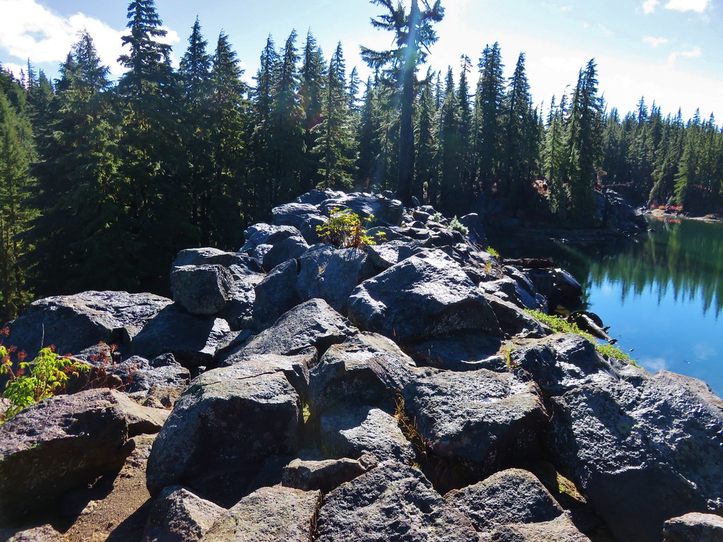
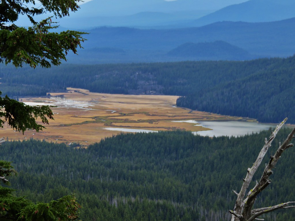
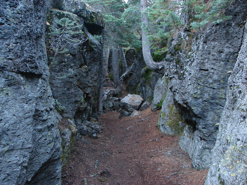
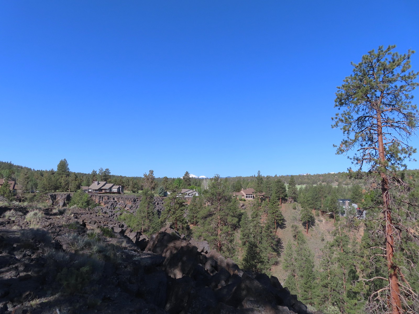
After 0.4 miles on the Canyon Loop we came to an unmarked spur trail that led to the top of a rock outcrop with a bench.

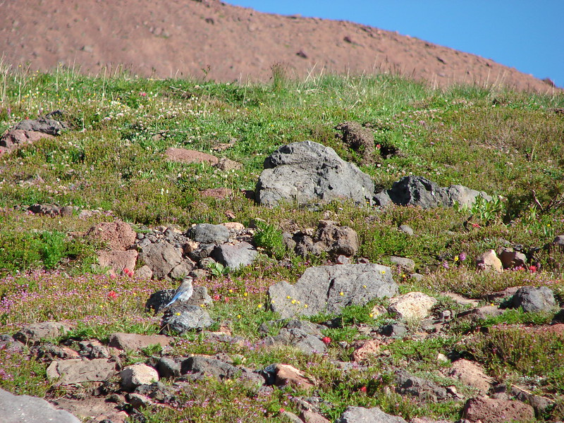
 Robin
Robin
 Longhorn plectritis
 Blackheaded grosbeak
 Heather waited below while I climbed the outcrop.
 The bench on top.
 The top of the outcrop.
As I headed back down to Heather I encountered a deer about 30 yards from her that she hadn’t seen.

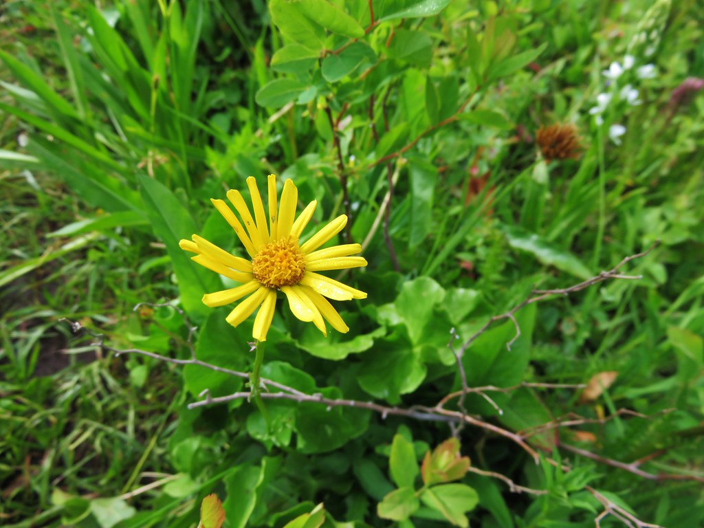
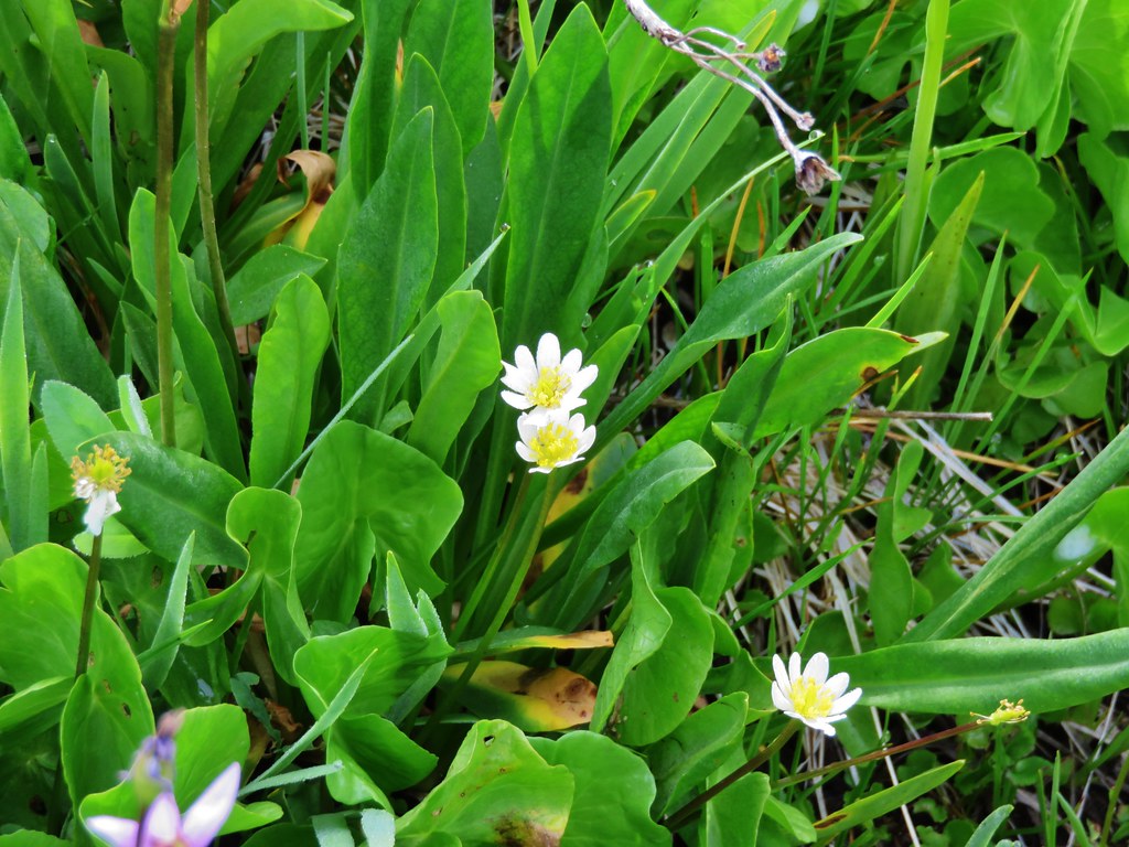
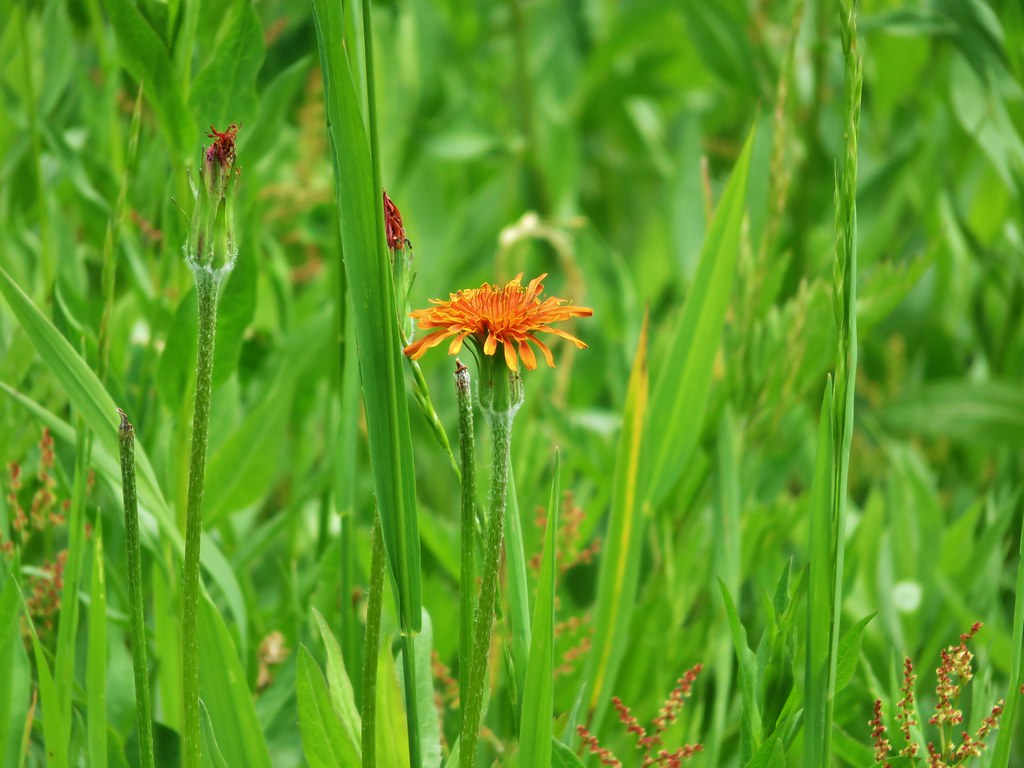
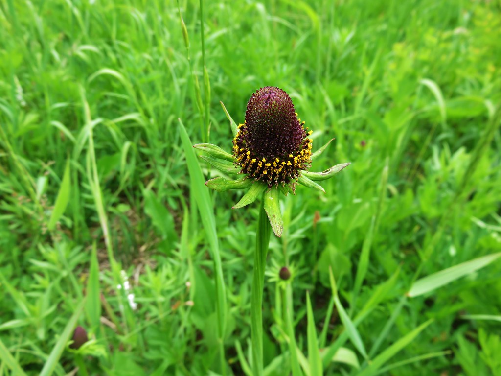
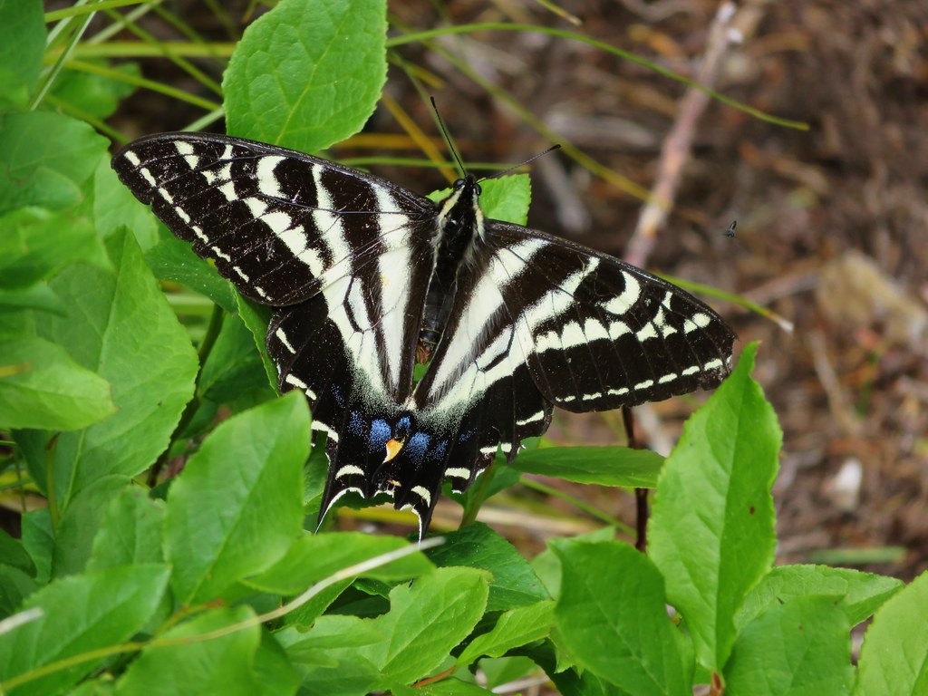
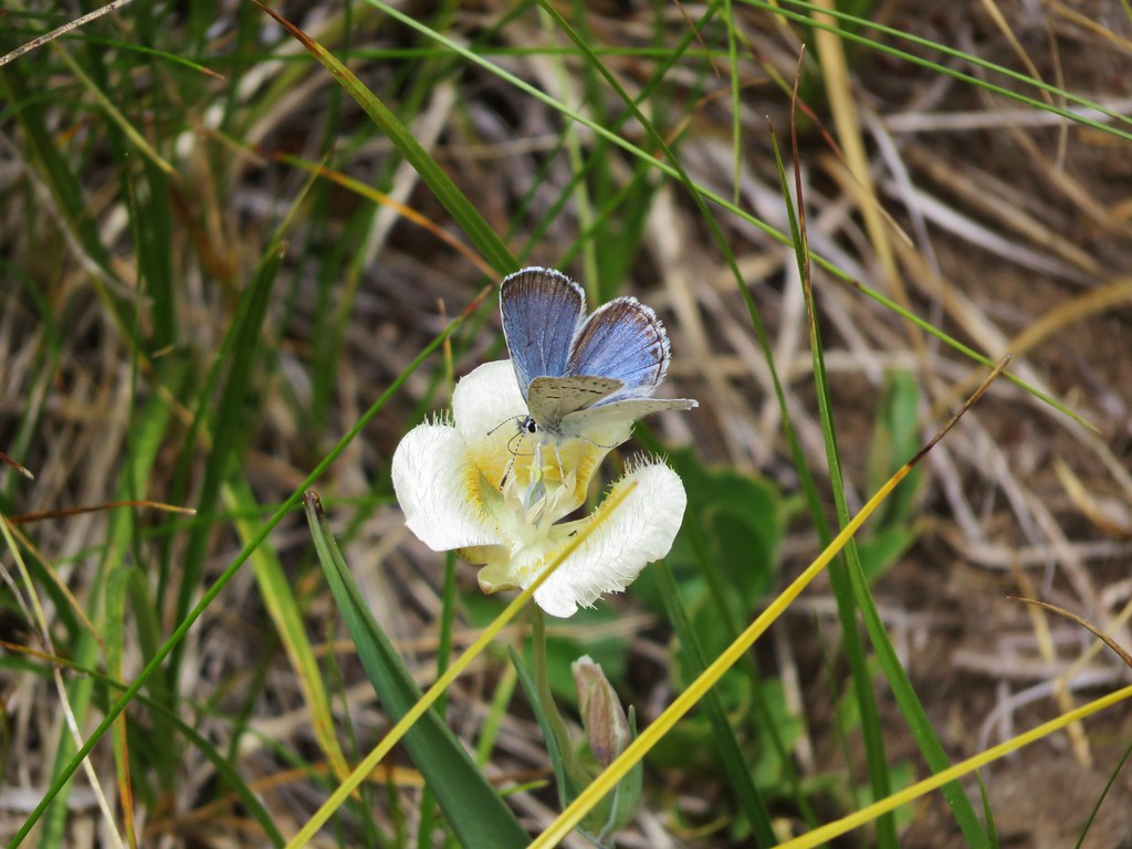
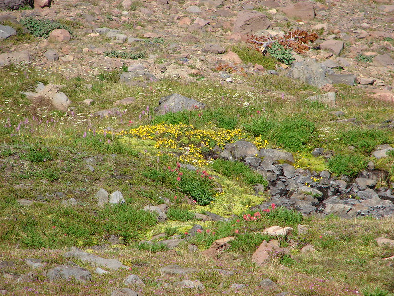
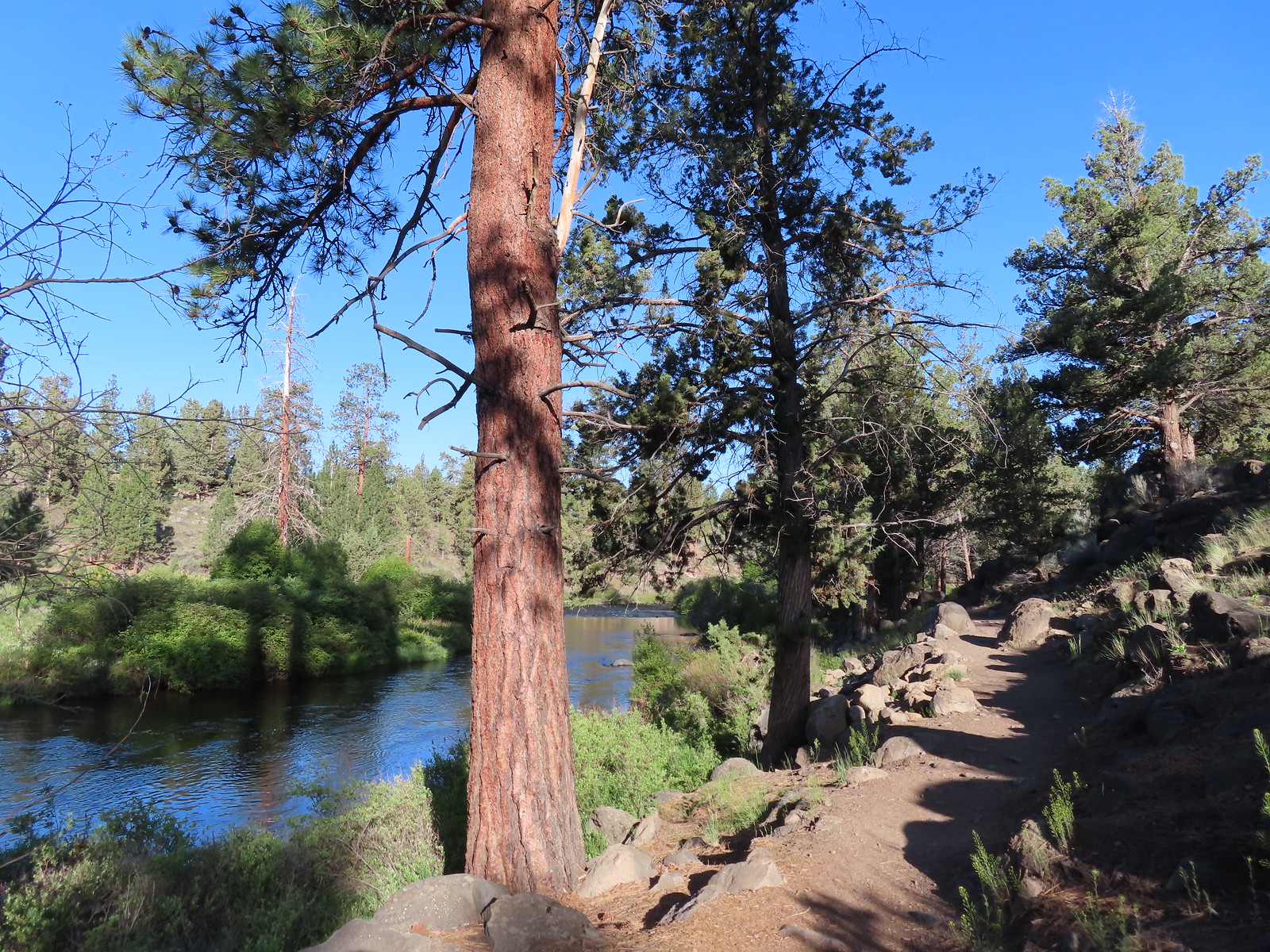
We continued along the river looking for wildlife and wildflowers.

 Western stoneseed
 Larkspur
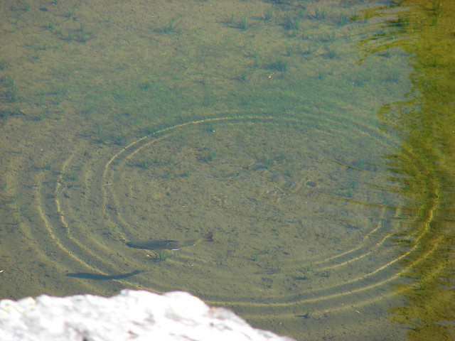
 I spotted something head into the river from the grass on the near bank here.
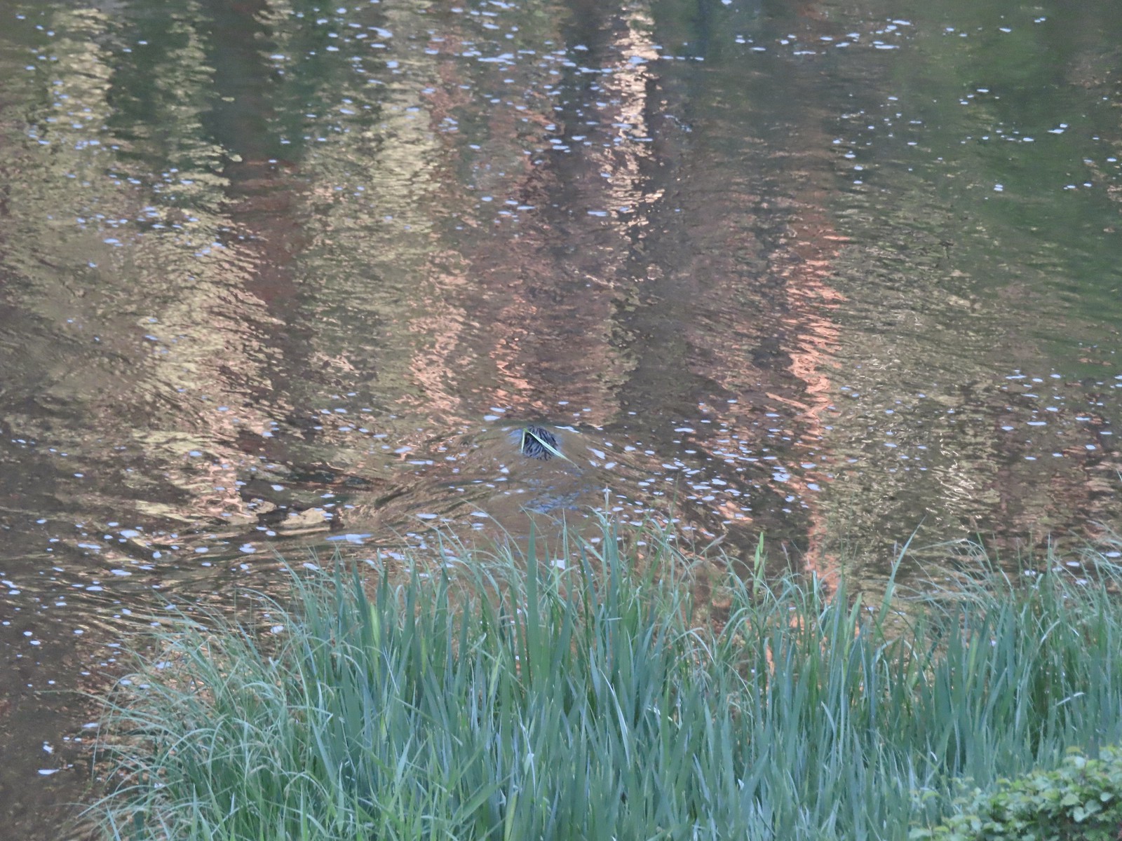 I spotted the grass moving before the animal below which turned out to be a beaver.
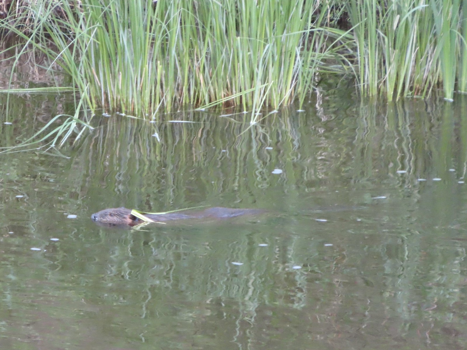 Beaver in the Deschutes River.
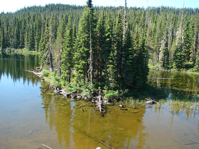
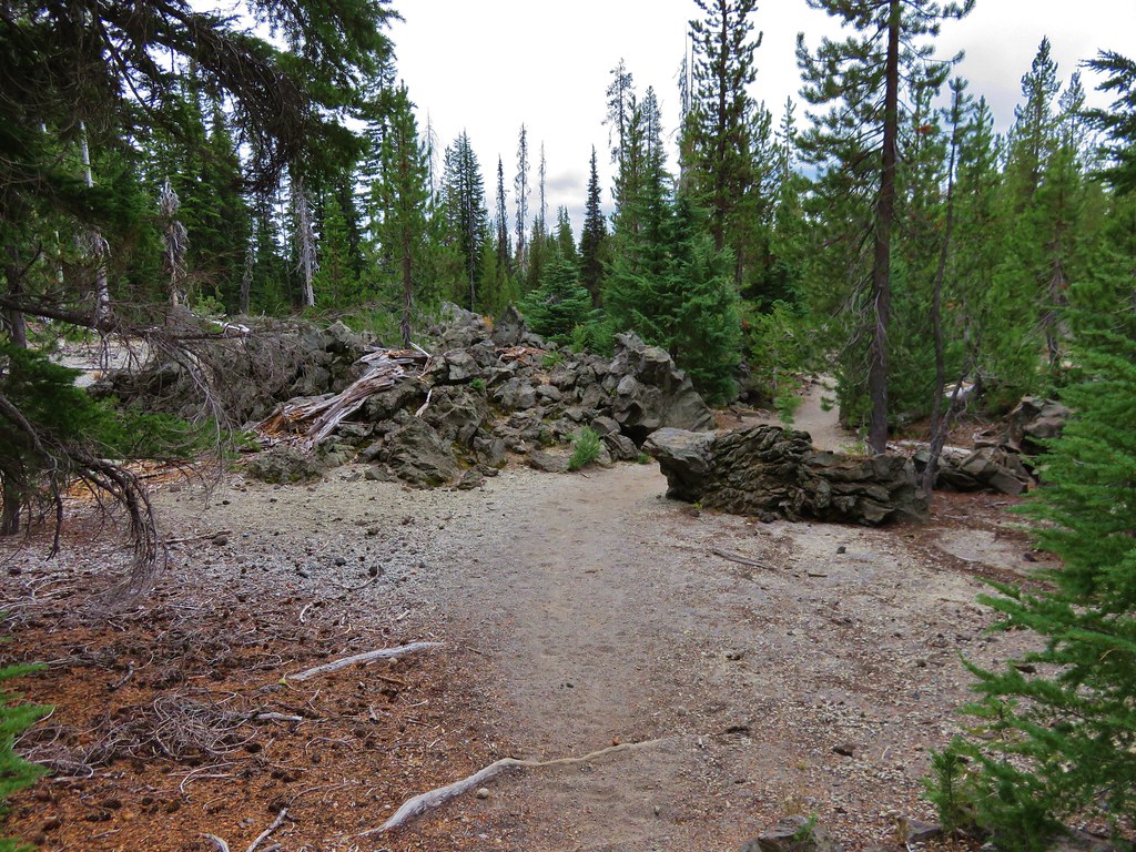
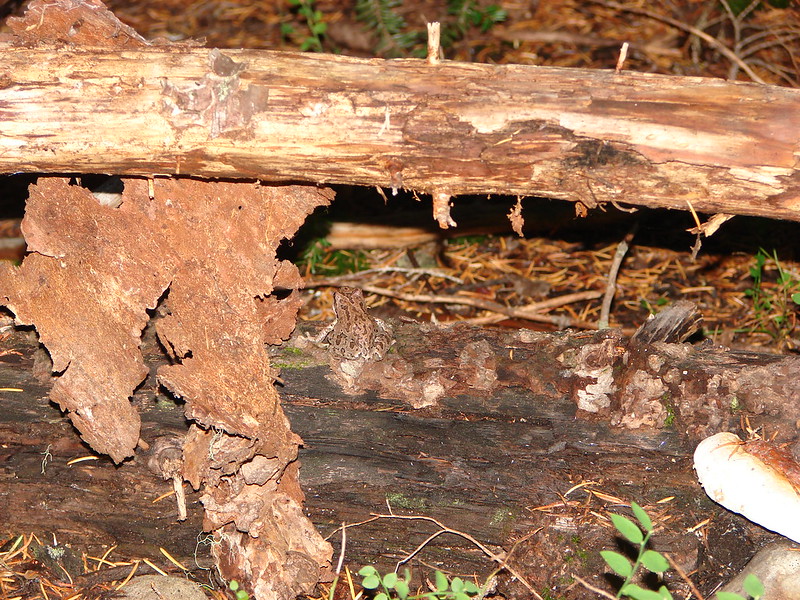
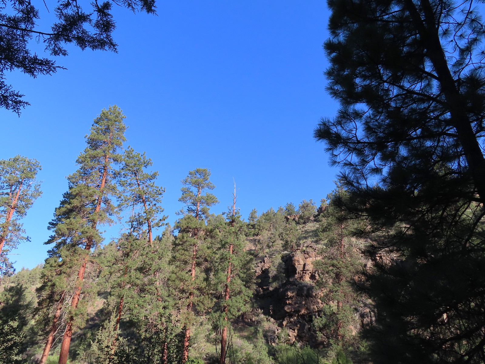
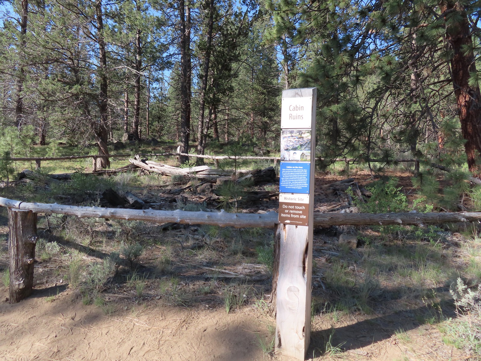
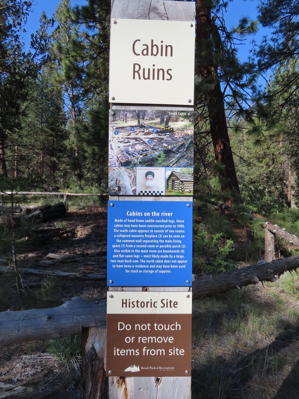
We stayed straight when the Canyon Loop turned inland. There are two cabin ruins in this area, one just a bit further along the loop and the other was just ahead on the trail along the river.
 We followed the pointer for Tumalo State Park.
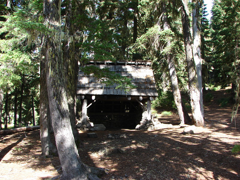
 Cabin ruins
It was nearly 2 miles from the cabin ruins to the day use area at Tumalo State Park.
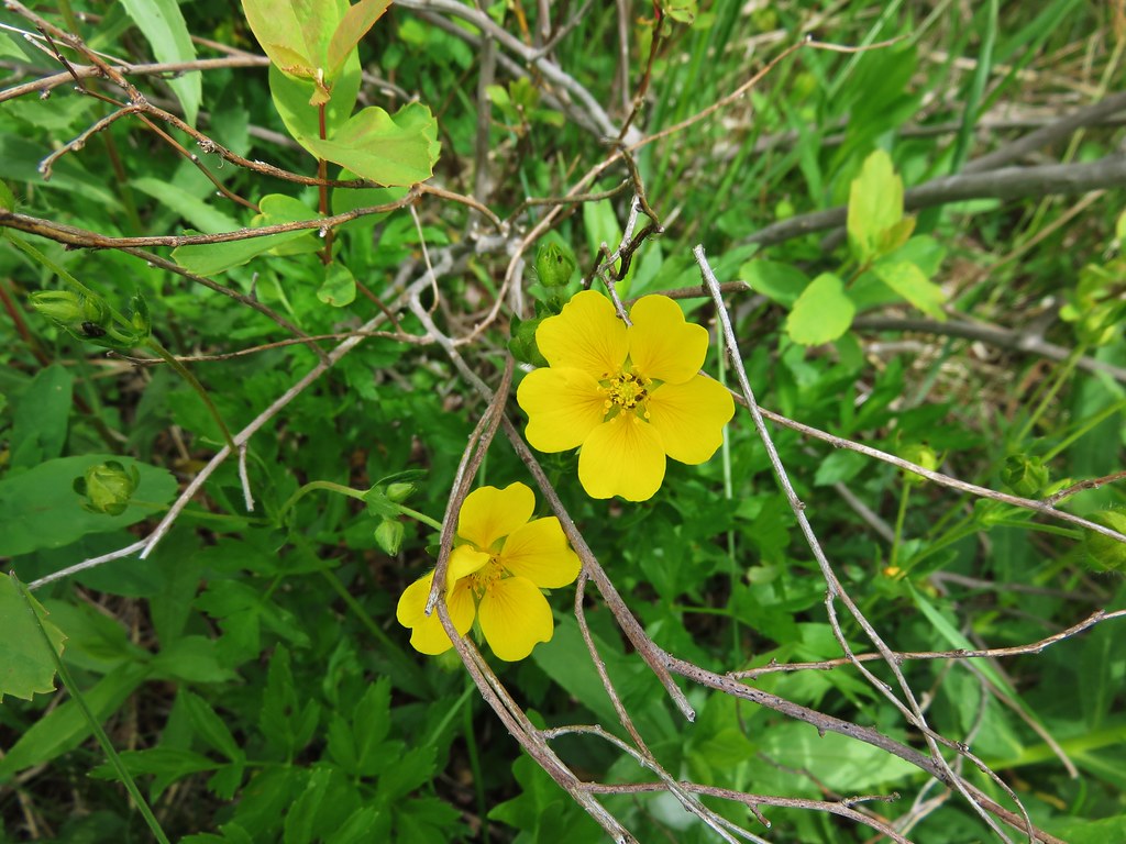
 Western wallflower
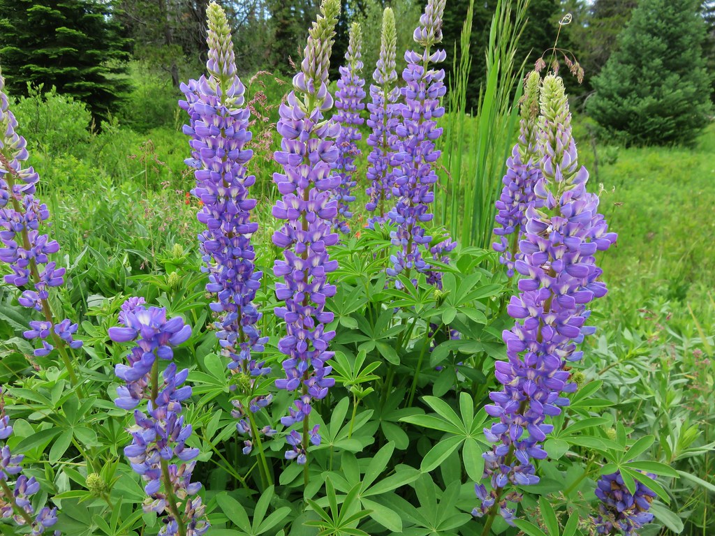
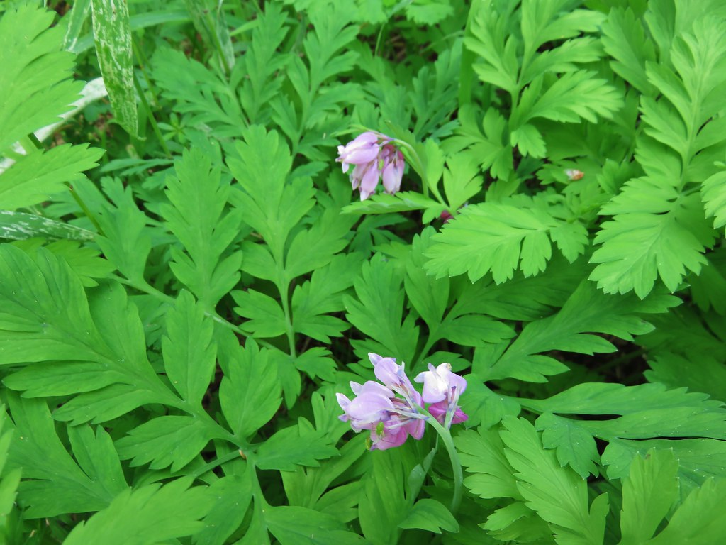
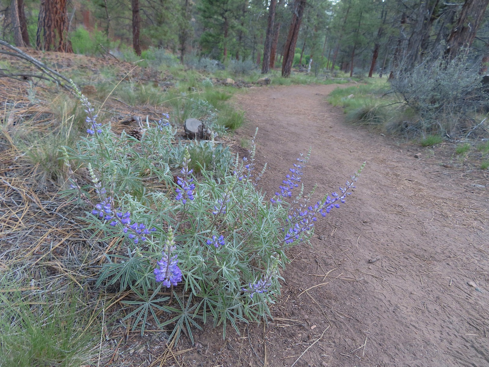 Lupine
 Another river access point.
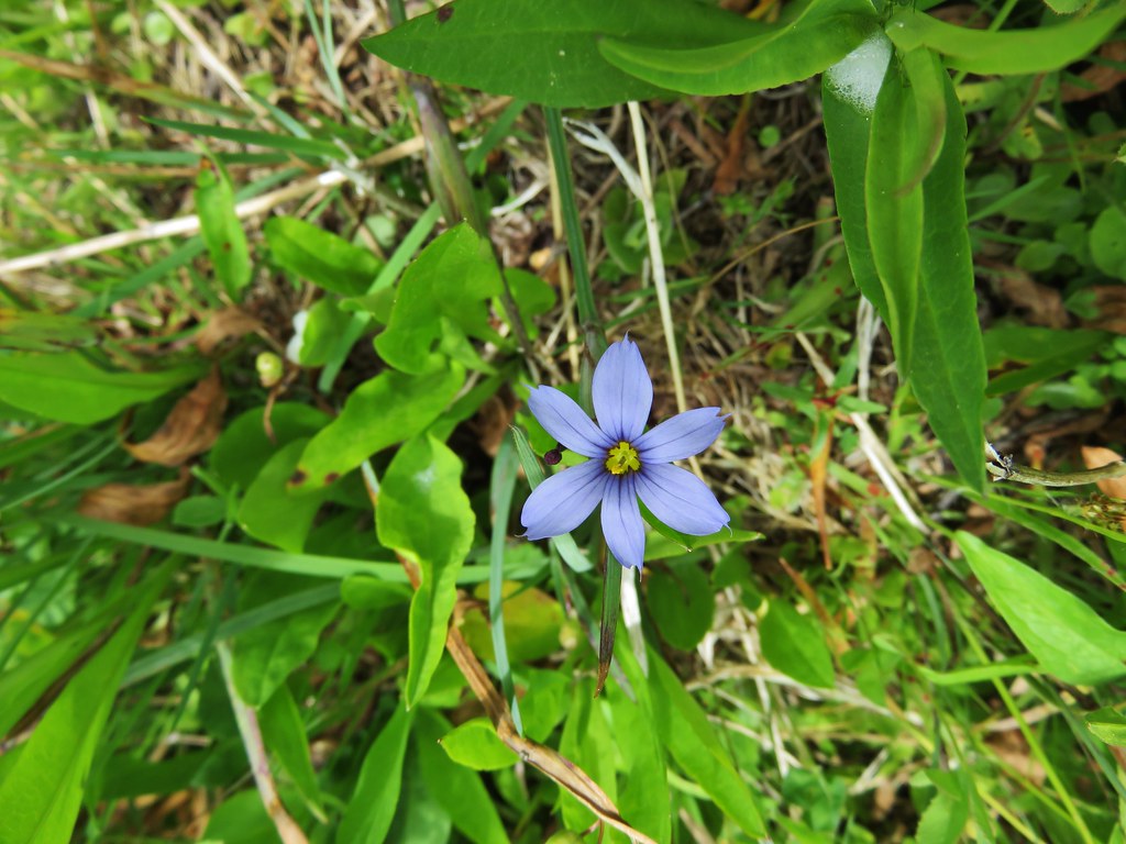
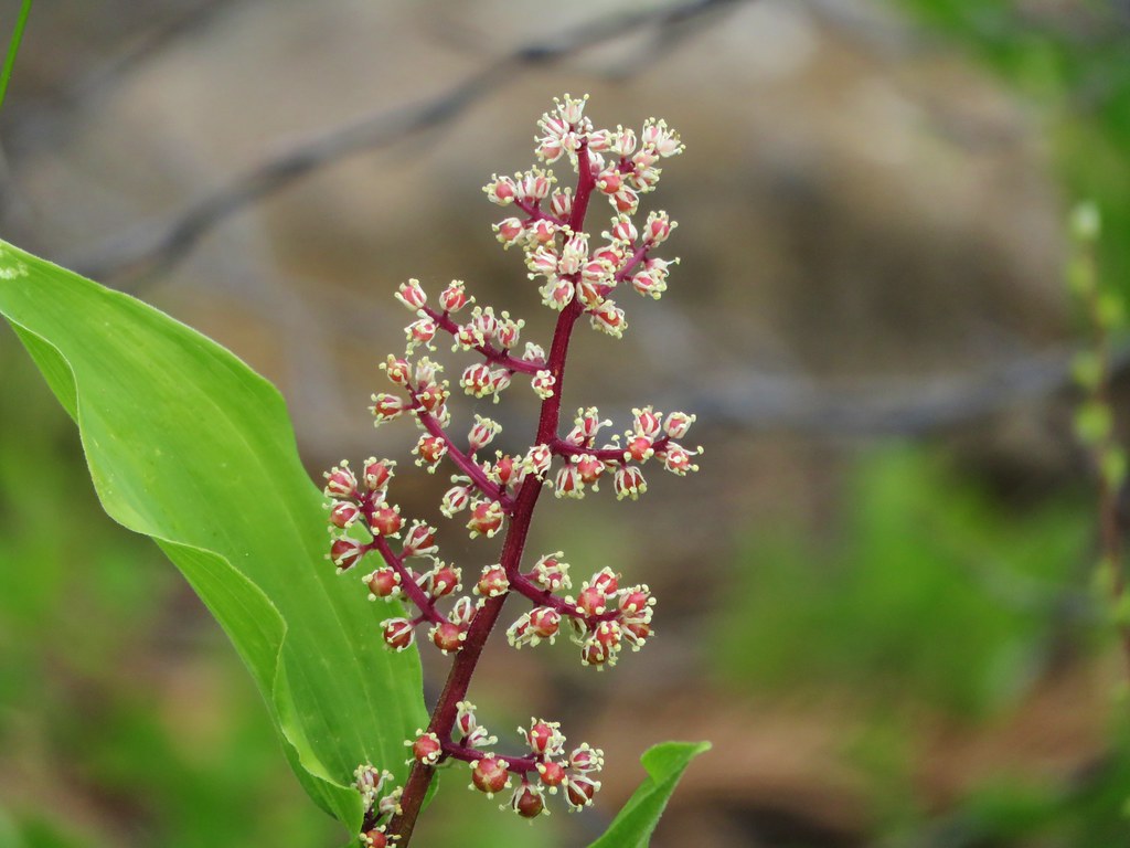
 Rockcress, possibly sicklepod.
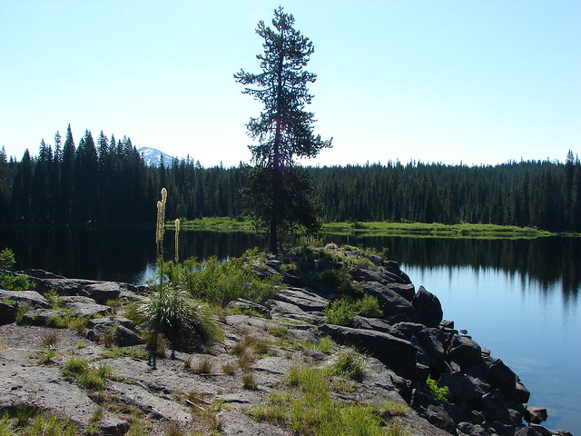
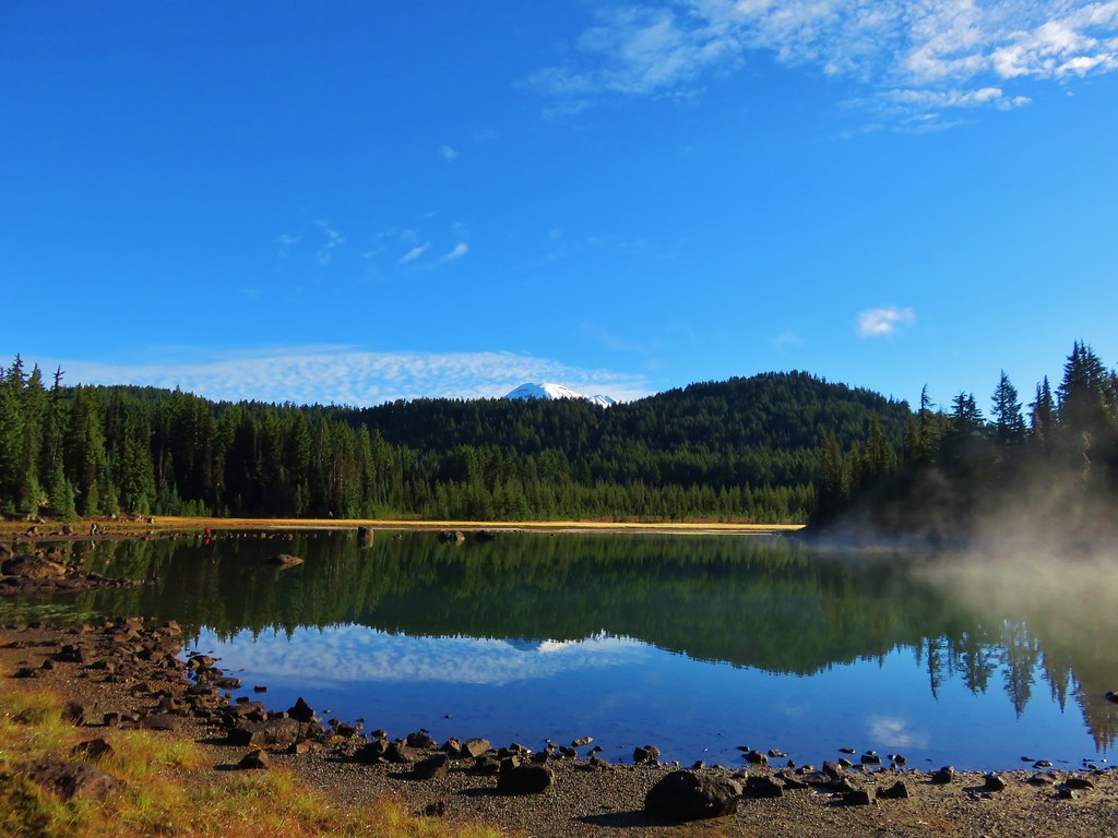
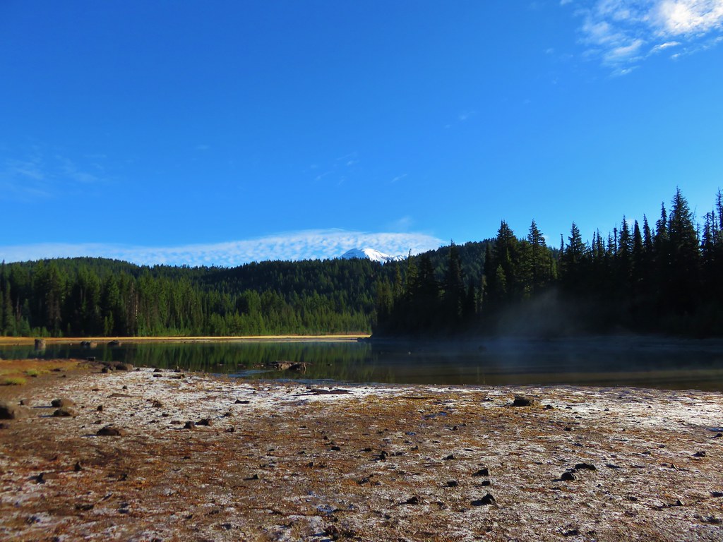
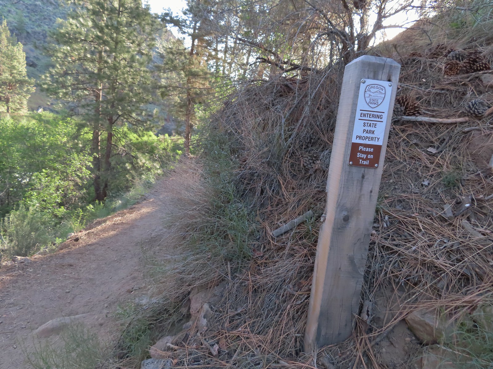
 The northern boundary of the Riley Ranch Nature Reserve.

 Threadleaf phacelia
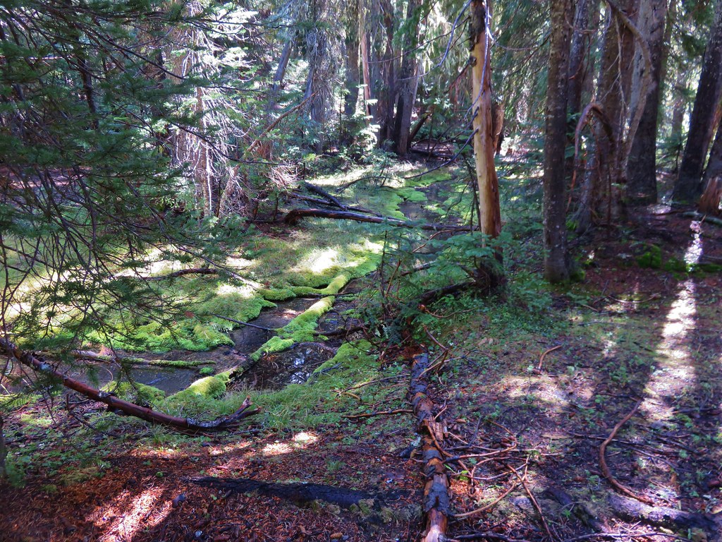
 Tumalo Creek (post) flowing into the Deschutes River.
While we were admiring Tumalo Creek we spotted a bird high up in a snag on the far side of the river.
It turned out to be a Lewis’s woodpecker, one of the prettiest woodpeckers in Oregon.

 Crossing into Tumalo State Park.
One of the neatest features along the trail was a long footbridge crossing over some boulders along the river.

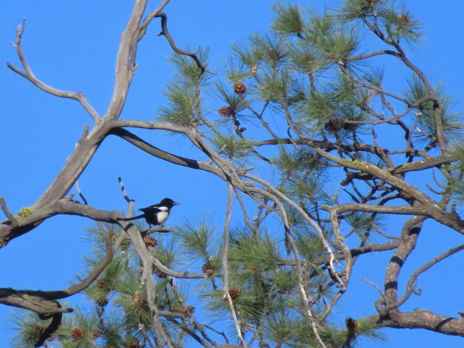 Magpie
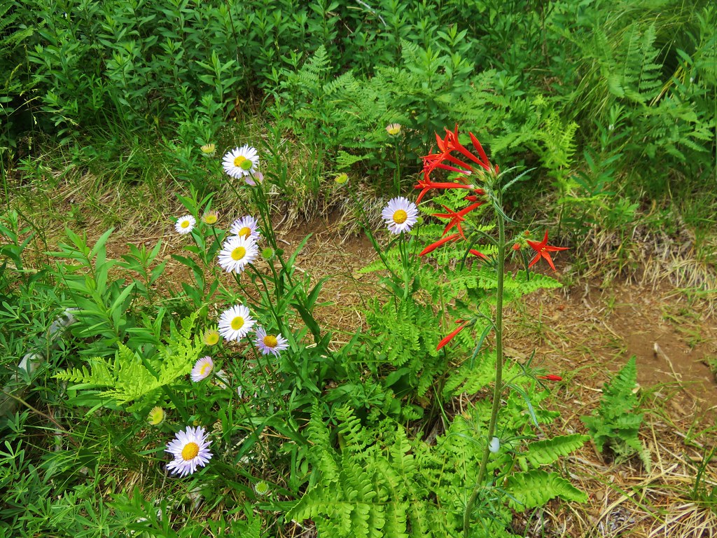
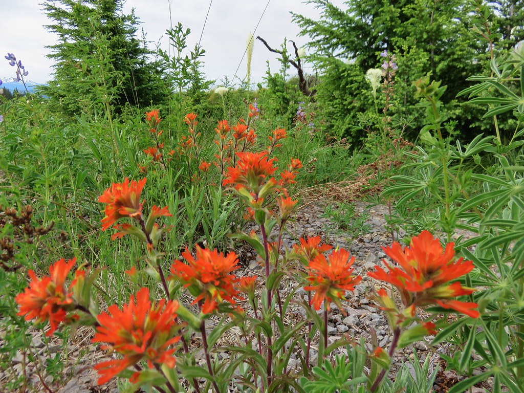
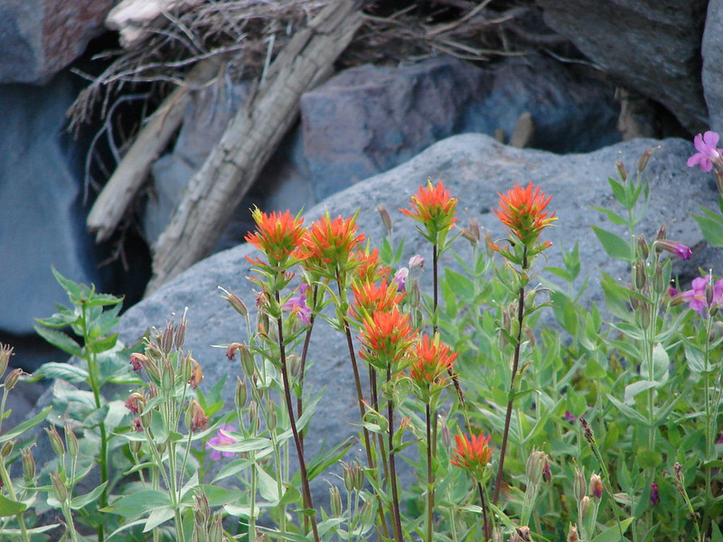
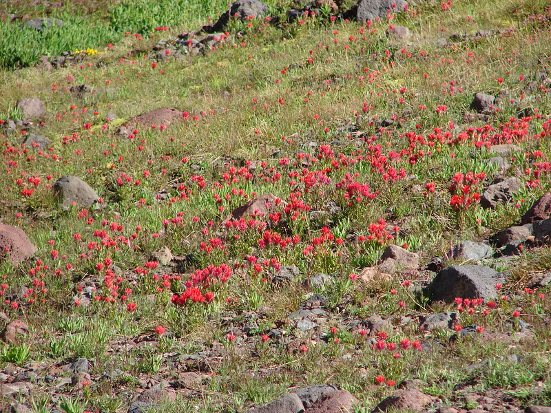
 Paintbrush
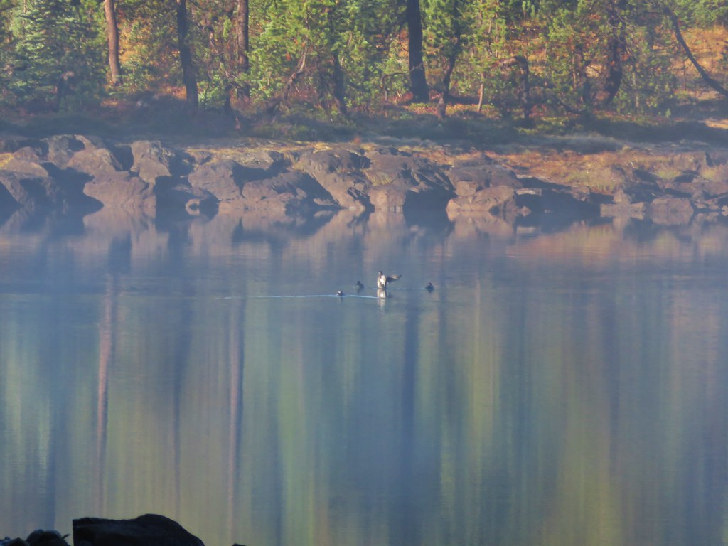
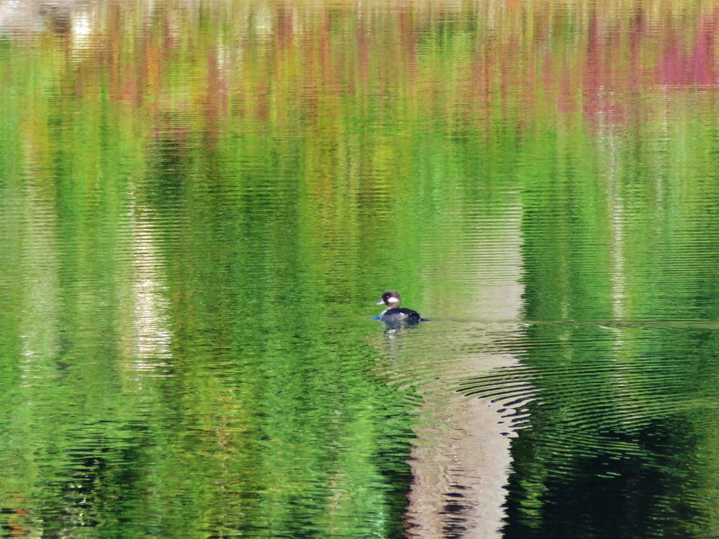
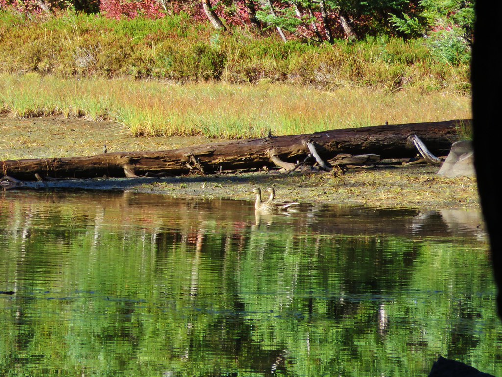
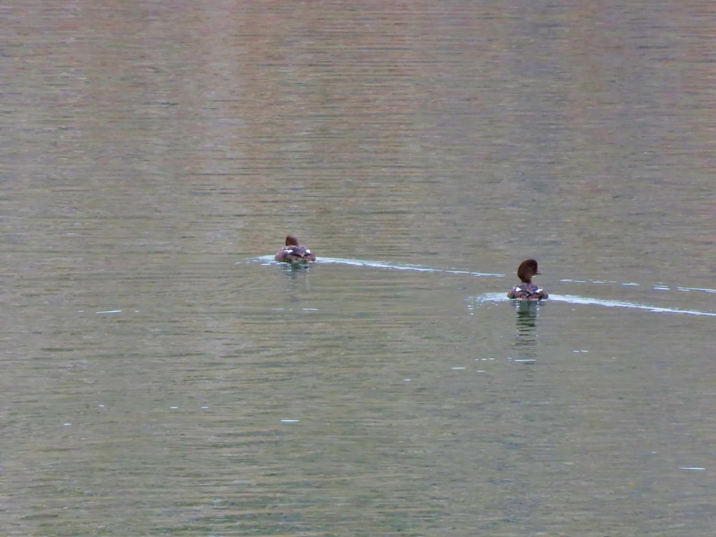
 Mallards

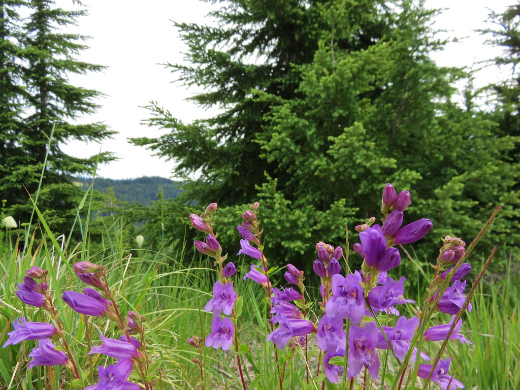
 Penstemon
 A quarter of a mile from the day use area we crossed a road leading to a private bridge crossing the river.
 Remains of another bridge in the river.
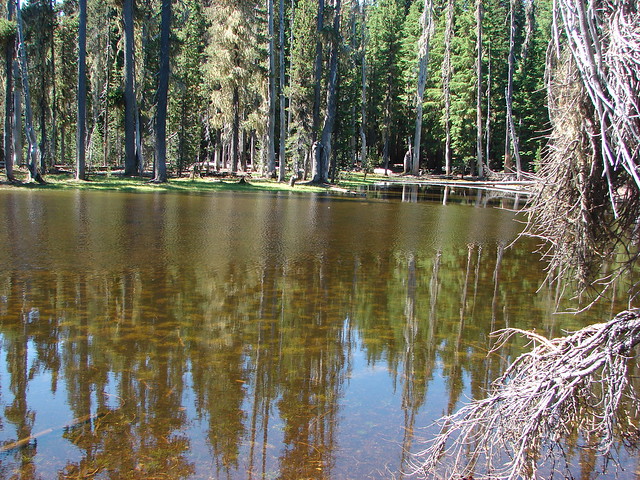
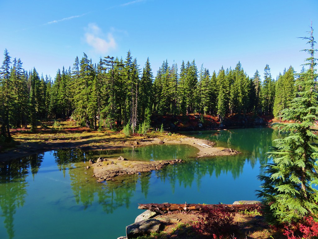
 Tumalo State Park Day Use Area
It was fun to see the day use area. In my school days some friends and I occasionally camped in the park and spent time fishing and swimming in the river.

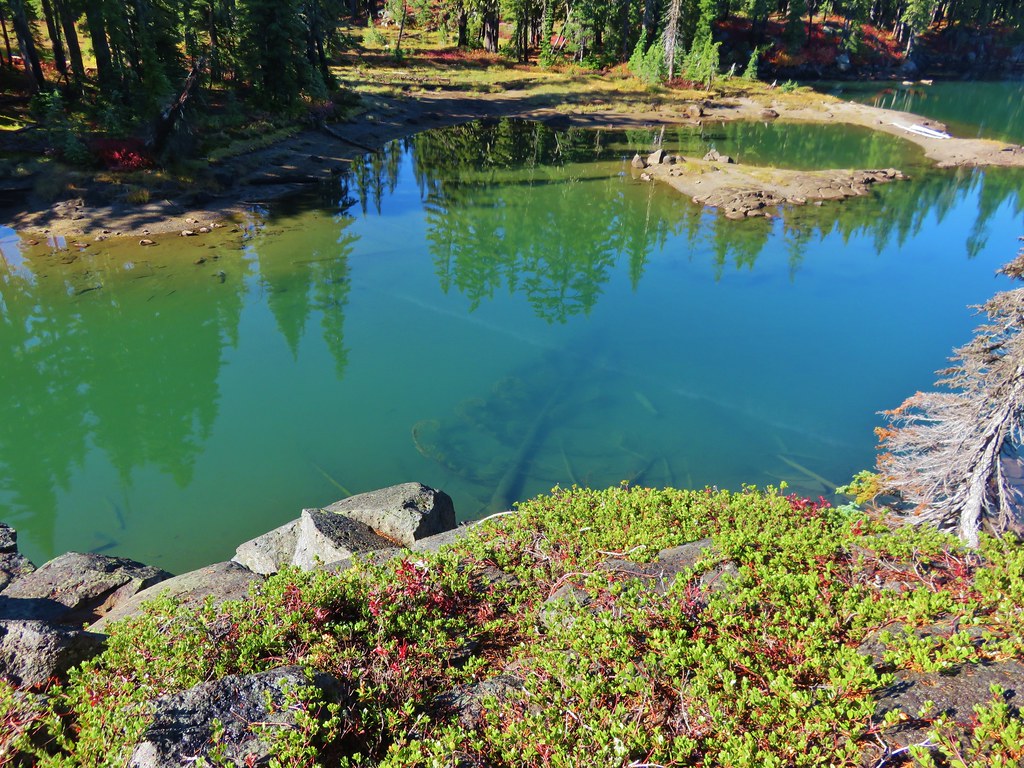
 Deschutes River at the day use area.
After reminiscing at the day use area we headed back. We kept our eyes out for more wildlife and were rewarded with a few more species of birds.
 Kingfisher on the bridge remains. (A bit blurry due to being a long way off.)
 A swallow and a pygmy nuthatch.
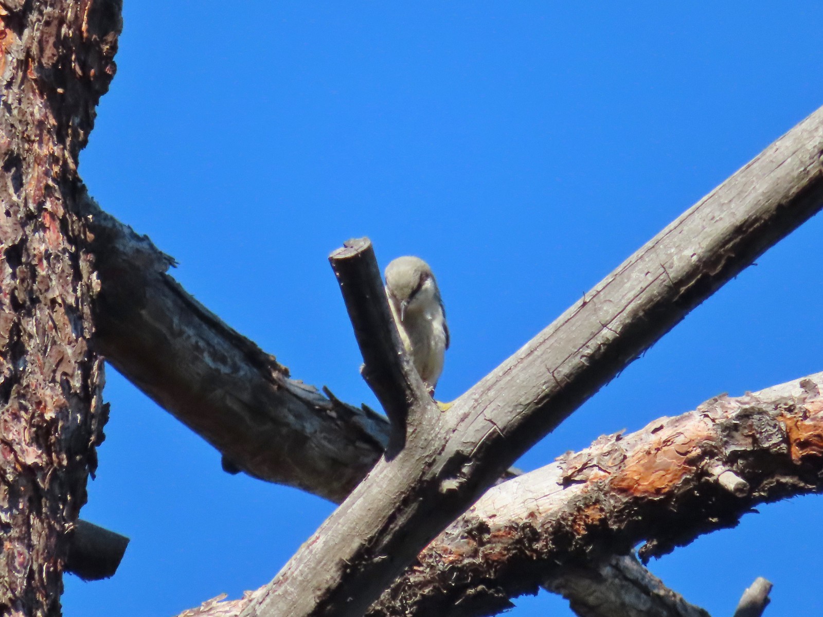 Pygmy nuthatch
We turned left onto the Canyon Loop and immediately arrived at the other cabin ruins.
 Bench along the Canyon Loop.
 Northern flicker
As we neared the junction with Robin’s Run we could hear a large group of trail runners making their way down.
 We were distracted enough by the runners that we failed to notice the deer bedded down to the right of the trail. You can see its ears sticking up here.
We waited at the junction for the group to descend and while we were standing there we finally noticed the deer.
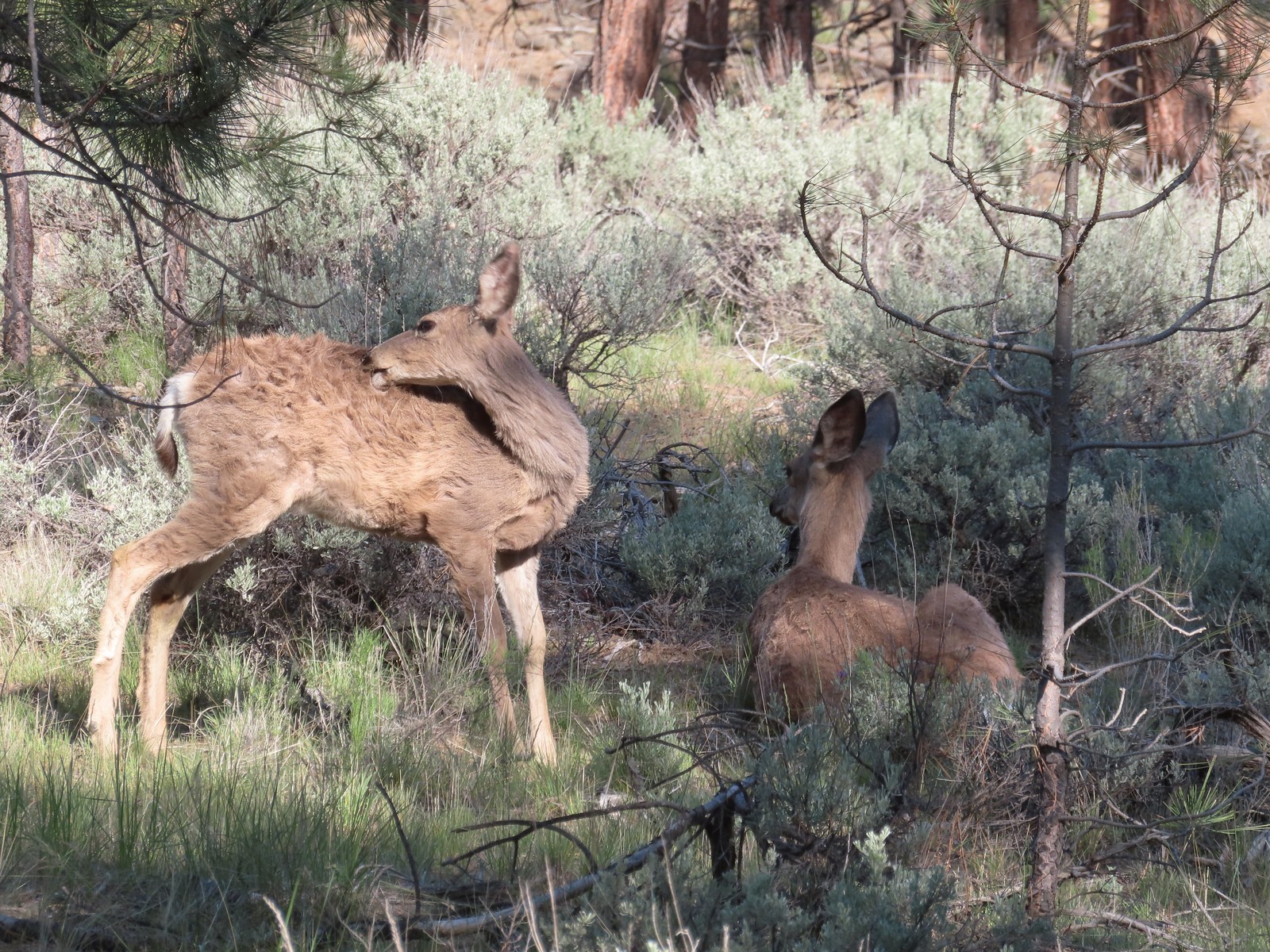
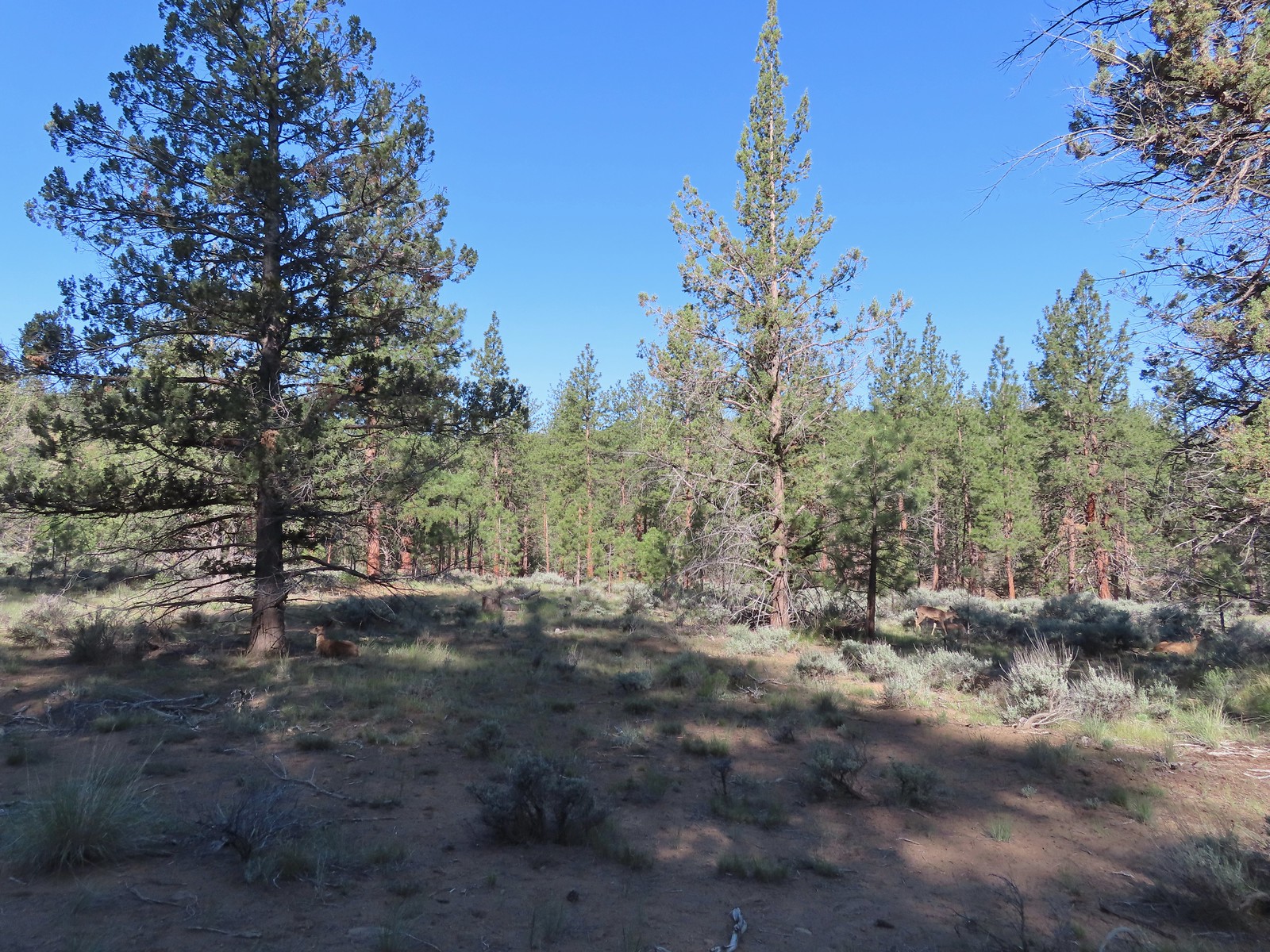 There were at least four deer hanging out here.

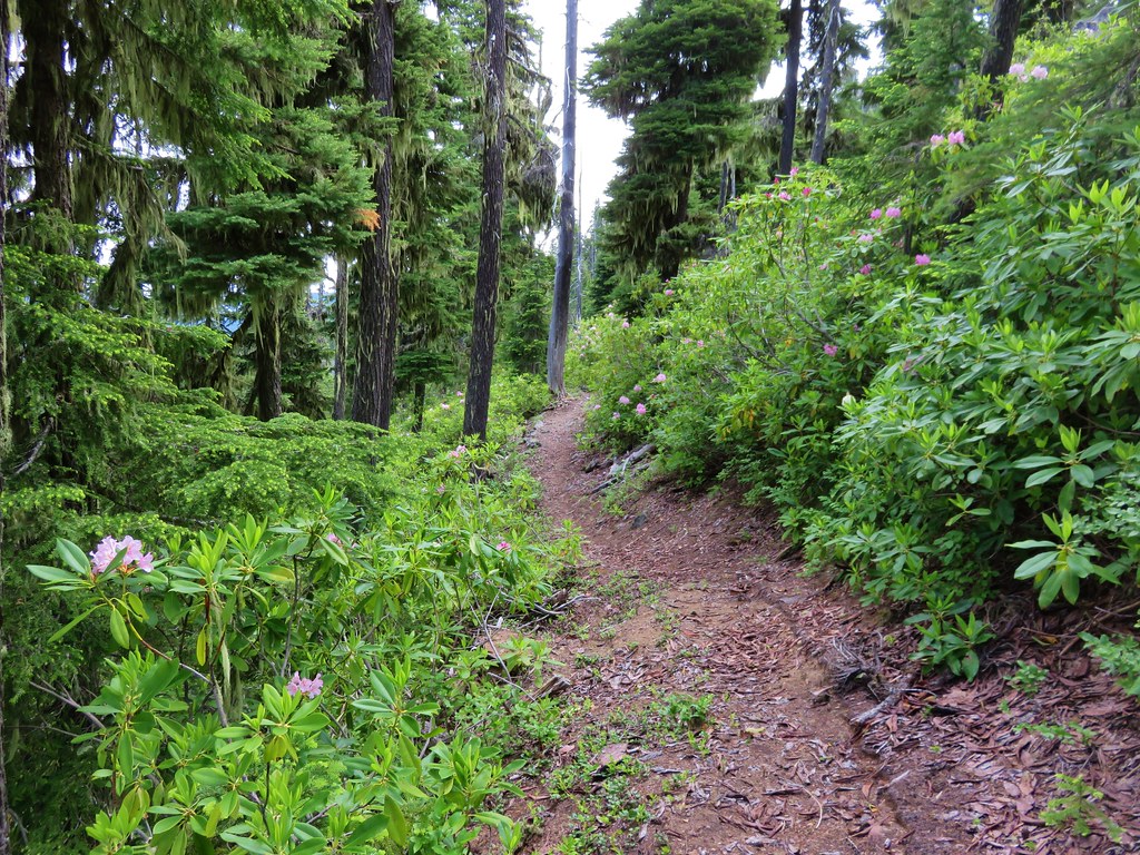
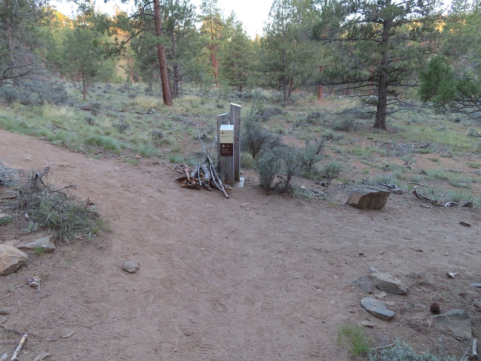
After the trail runners passed by we climbed back up to the Sage Flat Trail and turned right. After just under 500′ we came to a spur trail to the Canyon Overlook where we made a quick detour.
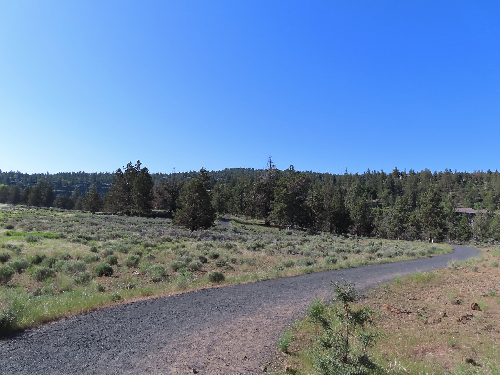
 The Sage Flat Loop Trail.
 Spur to the Canyon Overlook.
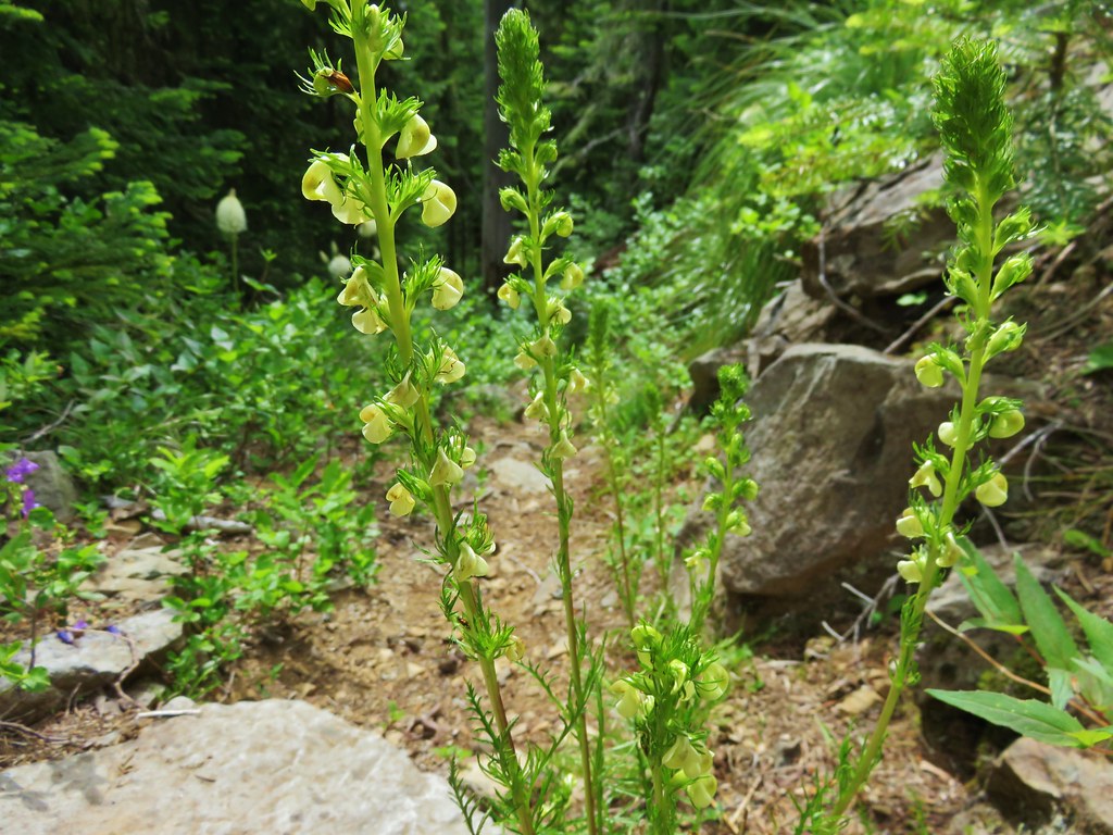
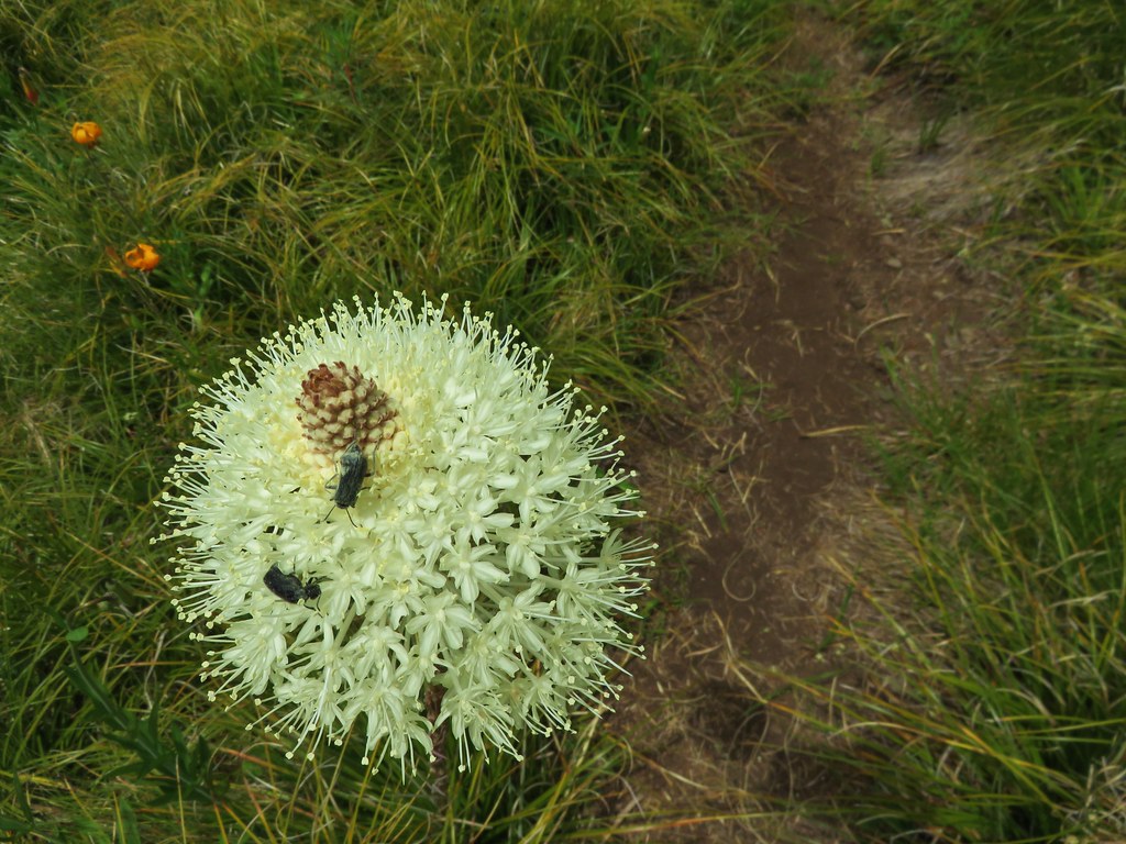
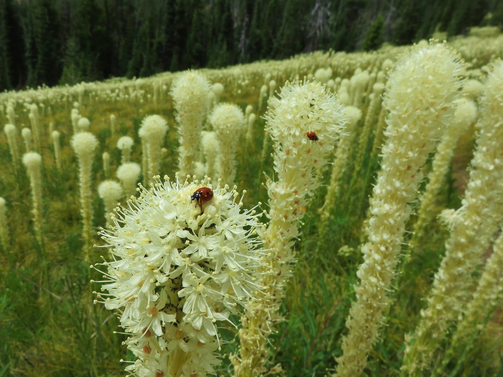
 Death camas
 Mt. Bachelor and Tumalo Mountain
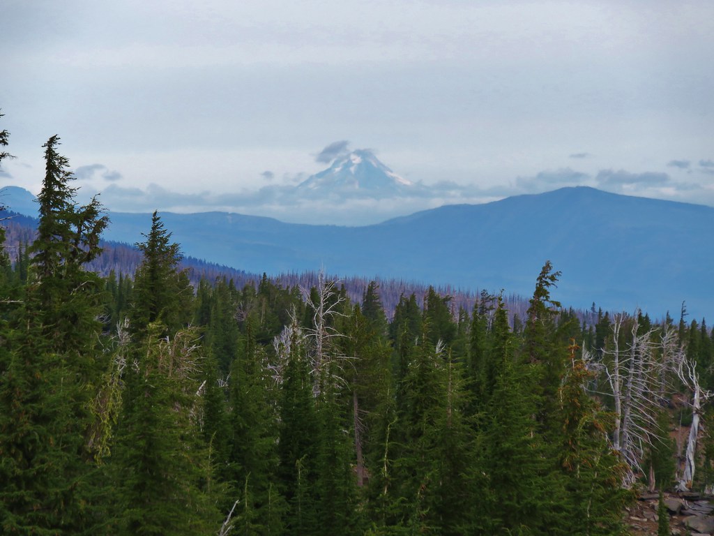
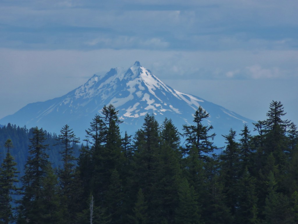
 Mt. Jefferson
We returned to the Sage Flat Loop and continued passing a few Lewis flax blossoms before arriving at another spur trail to the Sage Flat Overlook.
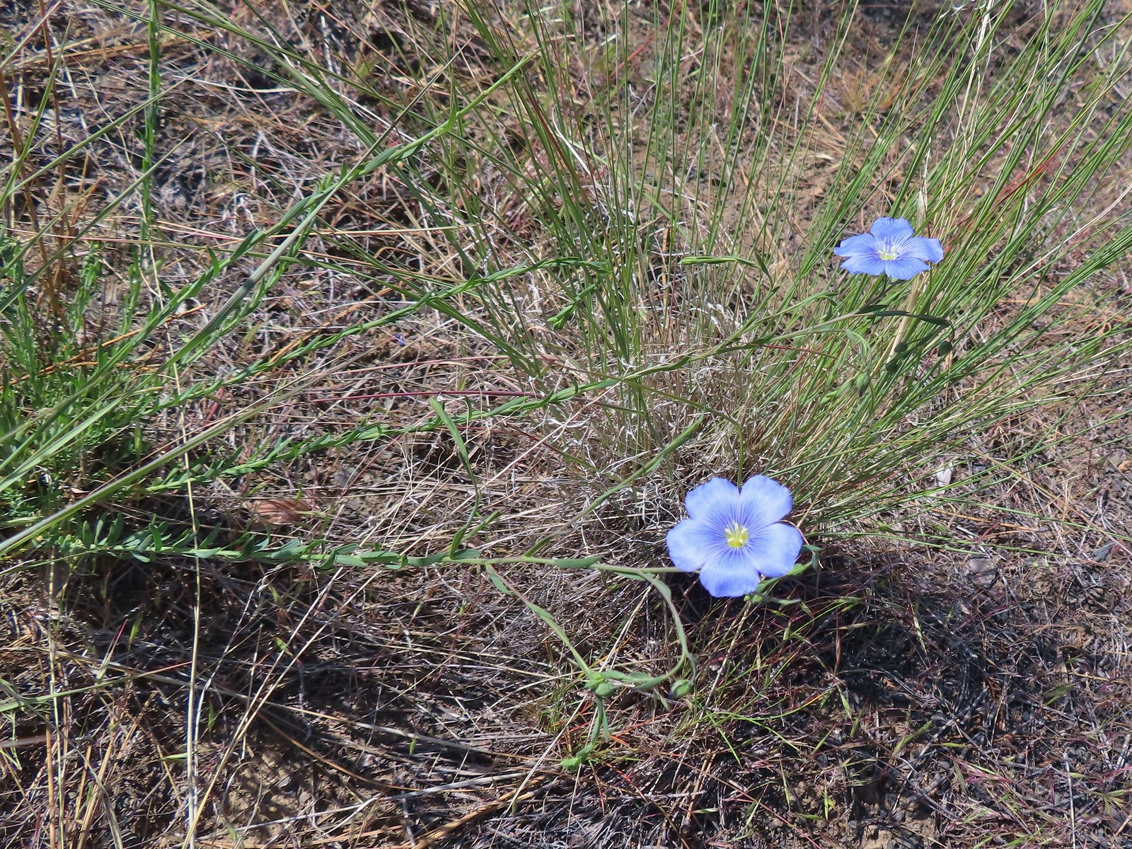 Lewis flax
 Marker for the Sage Flat Overlook.
We skipped this overlook, primarily because I went right when the overlook was to the left but given the time of day we would have been looking directly toward the Sun.
 Looking back at where the Sage Flat Overlook was.
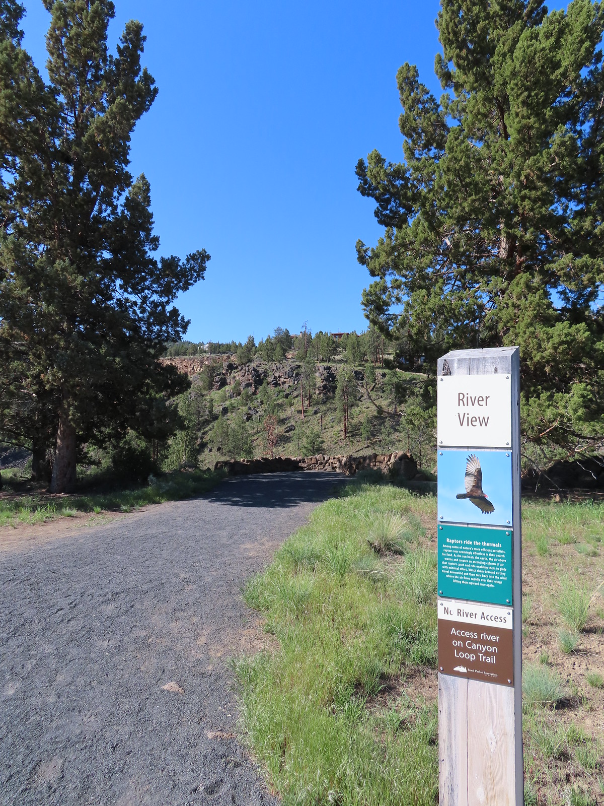
Next up was the River Viewpoint which was just off the Sage Flat Loop to the right.

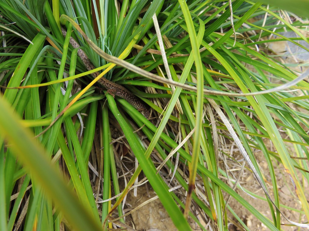
 Lizard near the River Viewpoint.
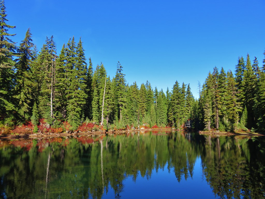
After looking at the river one last time we continued on the Sage Flat Loop which then became the Juniper Loop bringing us back to the trailhead.
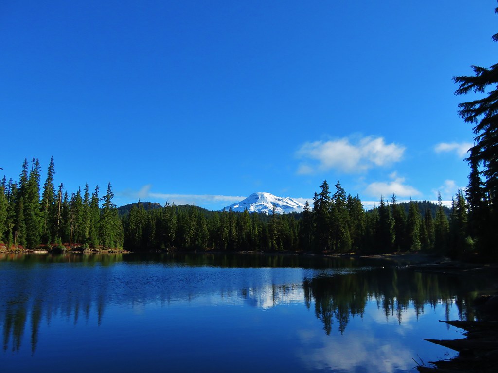
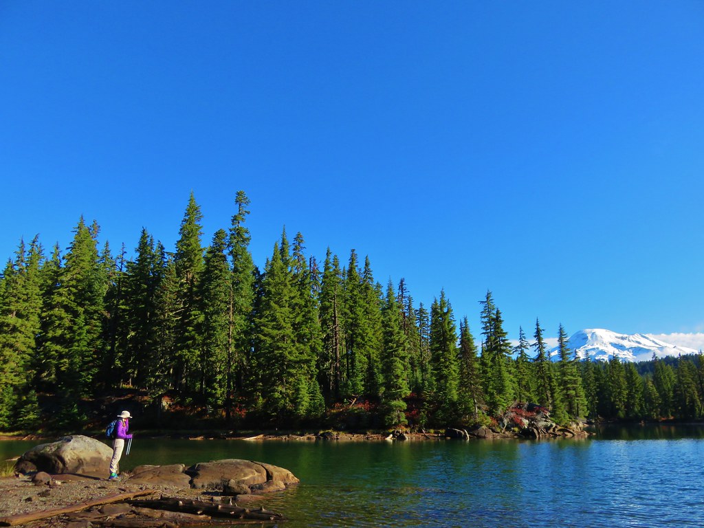
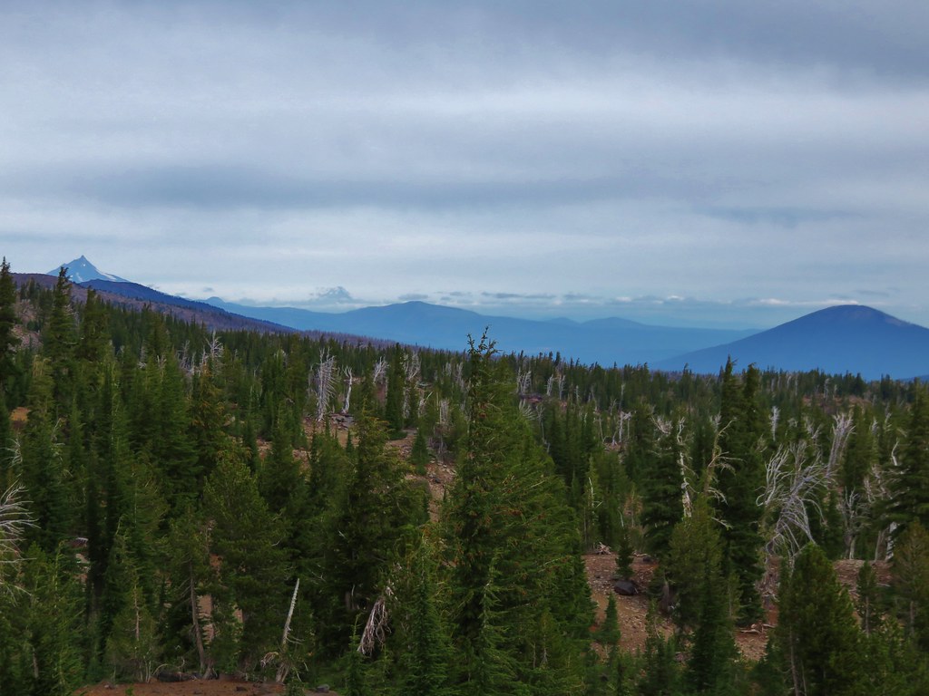
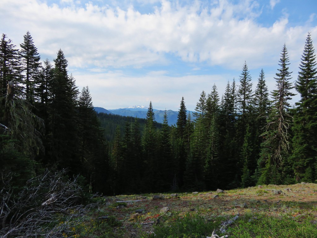
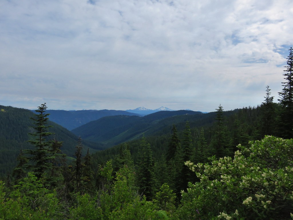
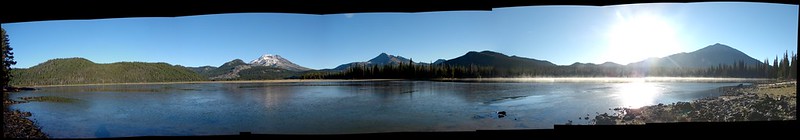
 The Cascade Mountains
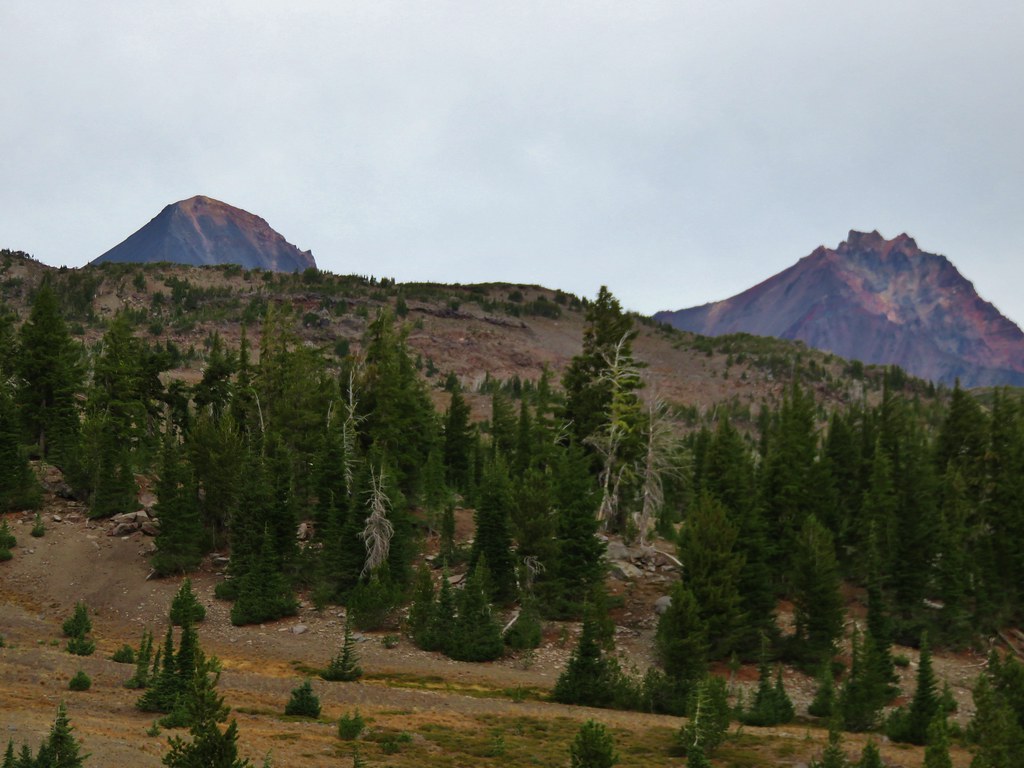
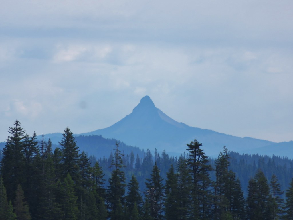
 Black Crater (post) and Mt. Washington
 Finishing up the Juniper Loop.
Our hike came to 7.3 miles with 350′ of elevation gain.
This was a nice, convenient hike to finish off the weekend. The early start allowed us to be finished before 9:30am which put us ahead of the bulk of holiday traffic. We made it home nice and early giving us plenty of time to catch up with the cats. Happy Trails!
Flickr: Riley Ranch Nature Reserve


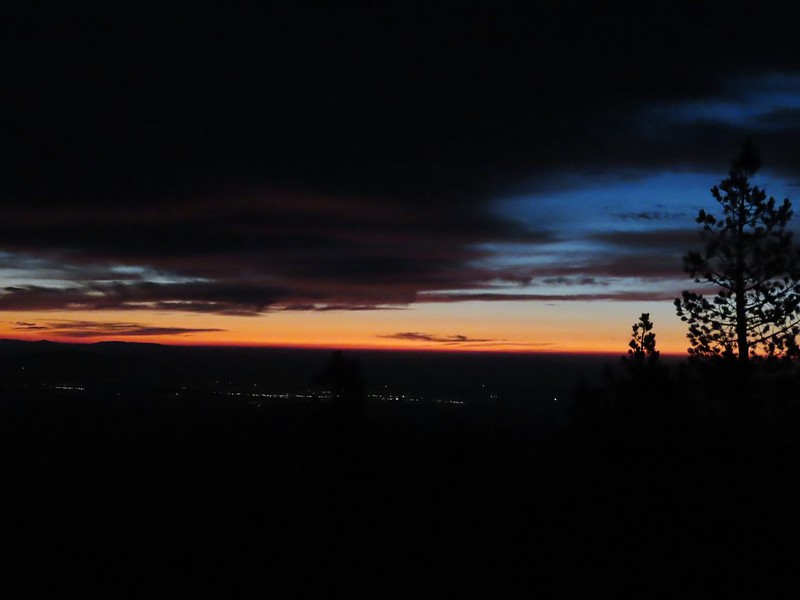
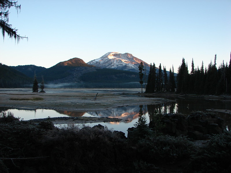
 Mt. Bachelor
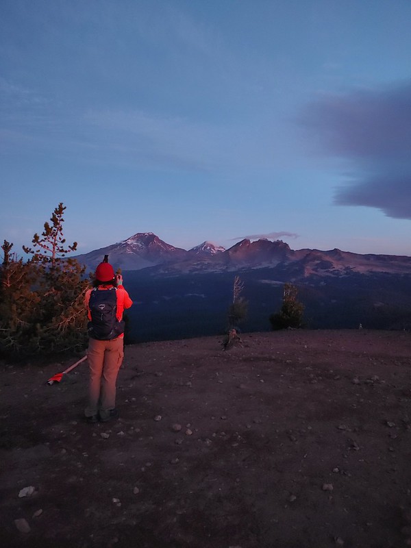 The Three Sisters and Broken Top
 Mt. Bachelor via the Nikon.
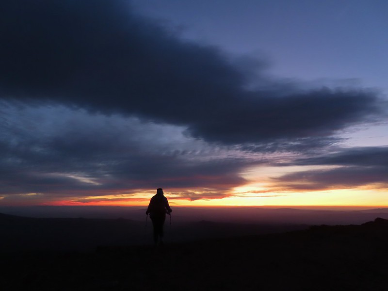 Heather watching the show taken with the Canon.
 The Three Sisters with the Canon.
 Canon
Canon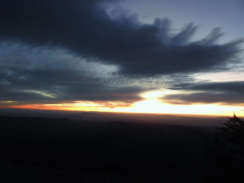 Nikon
Nikon Mt. Bachelor (
 Canon shortly before the Sun became visible.
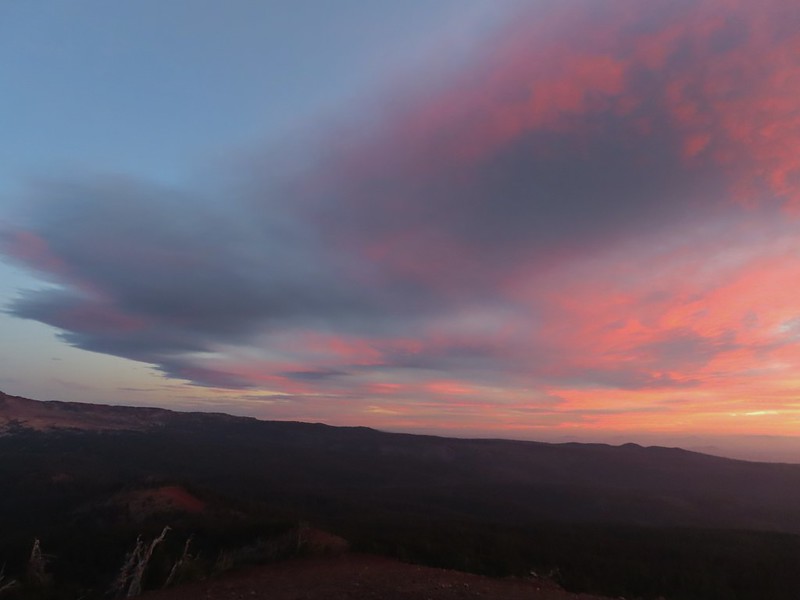 Canon shortly before the Sun became visible.
 The Three Sister just before sunrise with the Nikon.
 The Three Sister just before sunrise with Heather’s phone.
 Canon moments before sunrise. A line of wildfire smoke on the horizon gave it a red tint.
 Canon
Canon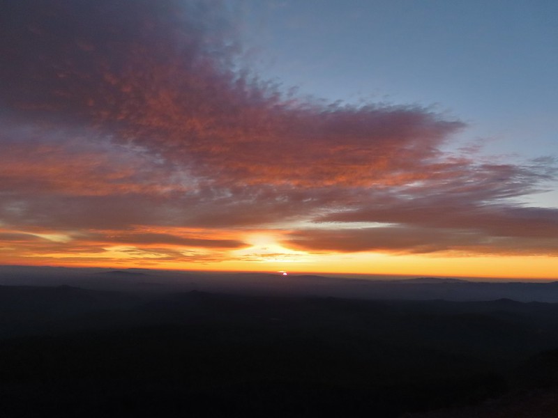 Canon catching the Sun.
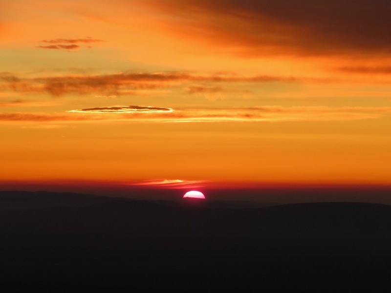 Canon
Canon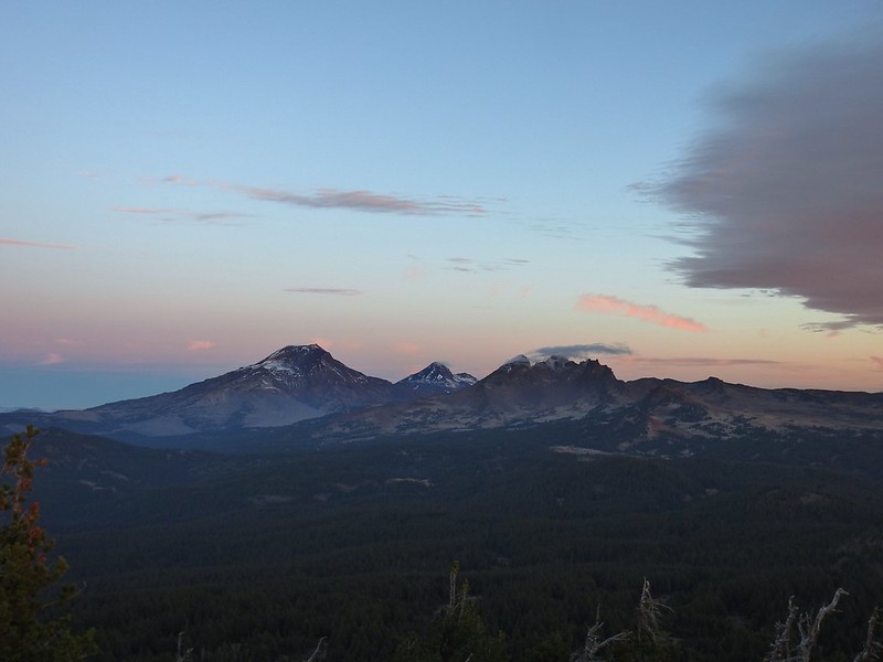 The Three Sisters and Broken Top (Nikon)
 South Sister (
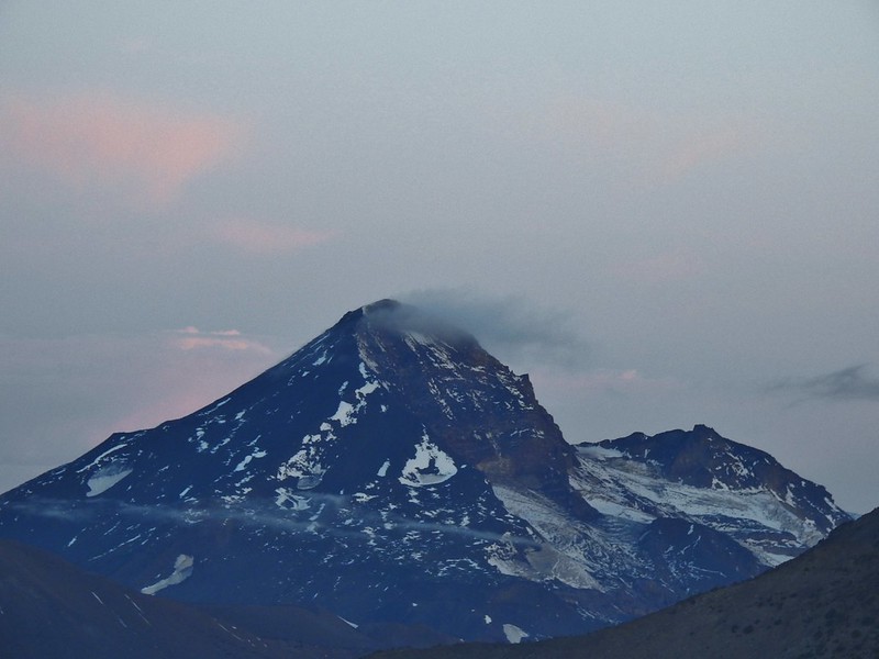 Middle and North Sister (Nikon)
 Broken Top (
 Aline glow hitting the mountains. (Canon)
 South Sister (Canon)
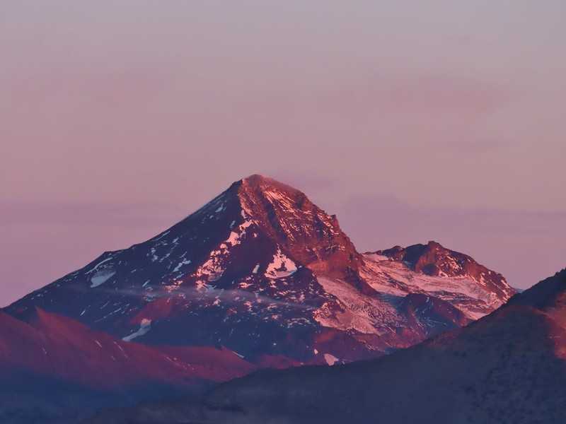 Middle and North Sister (Canon)
 Broken Top (Canon)
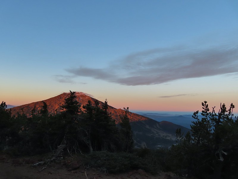 Mt. Bachelor (Canon)

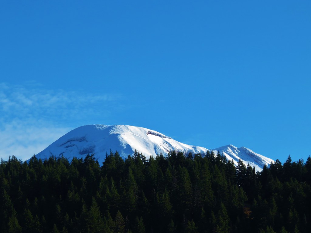
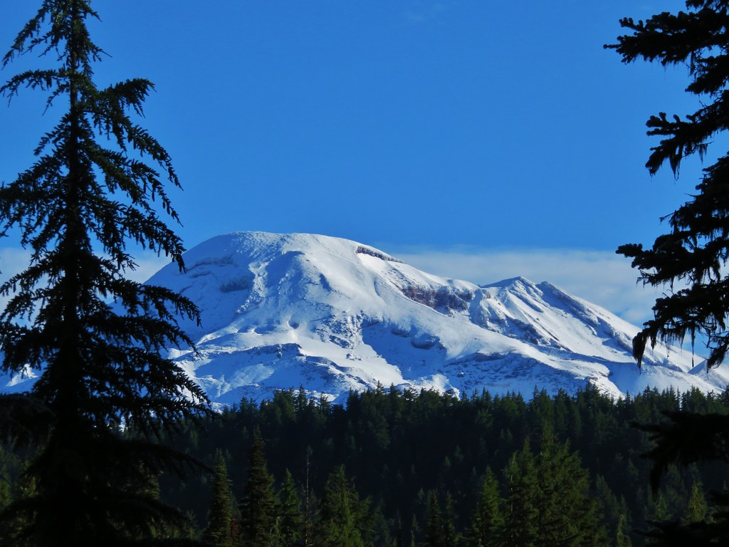
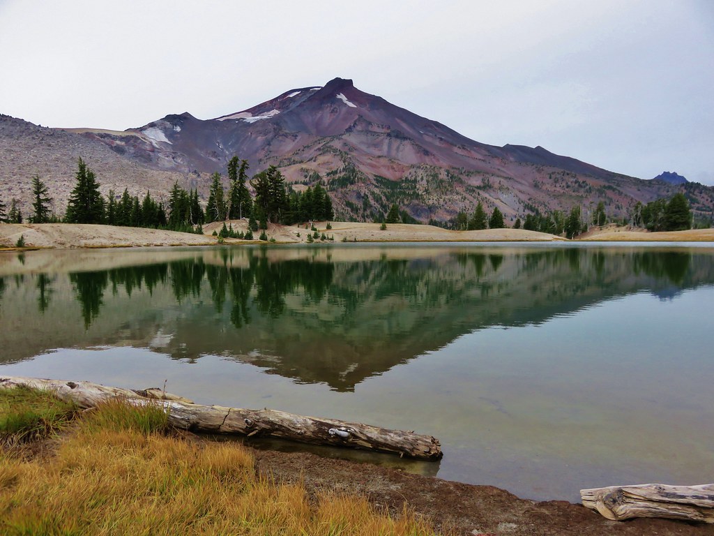
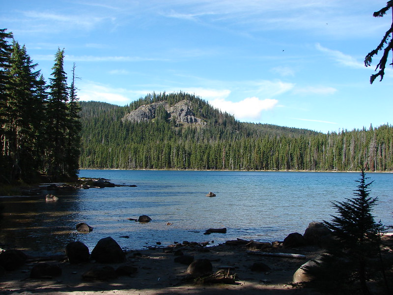
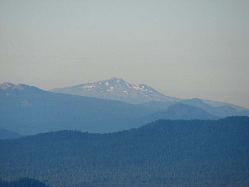
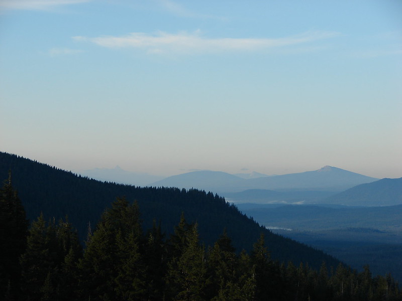
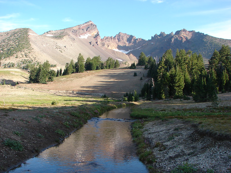
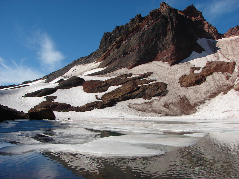
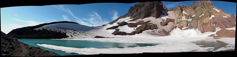
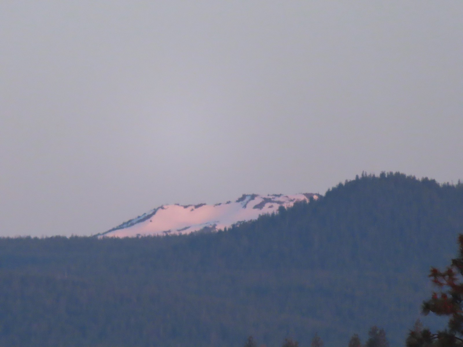
 Mt. Scott to the left and Mt. Thielsen to the right.
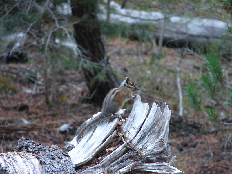
 Grouse
 Chipmunk
 Mt. Bachelor as we arrived back at the snow-park.

 A hazy look at the South Sister and Broken Top.

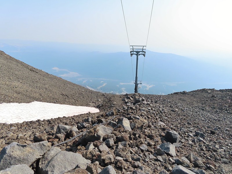
 Passing under the Skyliner Express
 The ski runs gave us a good look at the top of the mountain.

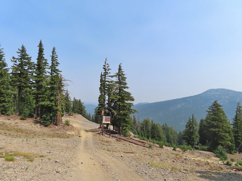
 Turning uphill
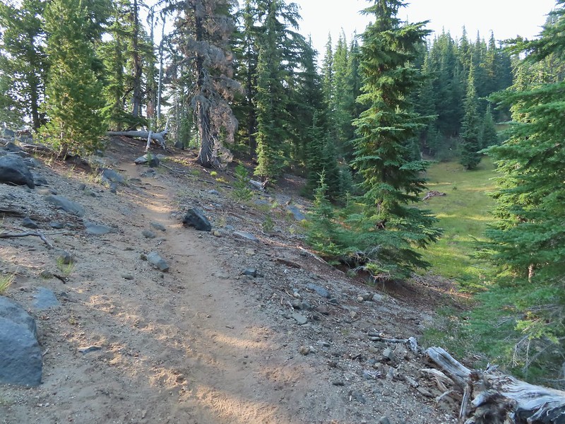 Spotted a grouse hen and her chicks in this little meadow.
 Two of the chicks.
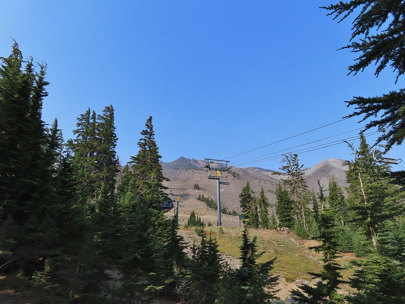
 Passing under the Sunrise lift.
 Nearing the top of the Sunrise lift.
 Another hazy look at the nearby mountains.
 South and Middle Sister through the haze.
 The top of Sunrise and the bottom of the Summit lifts.
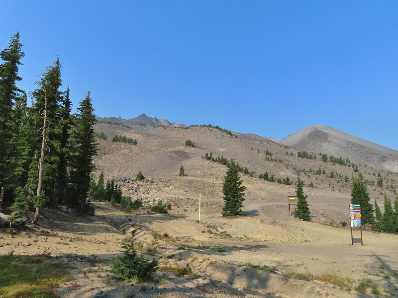 Looking up from the top of Sunrise.
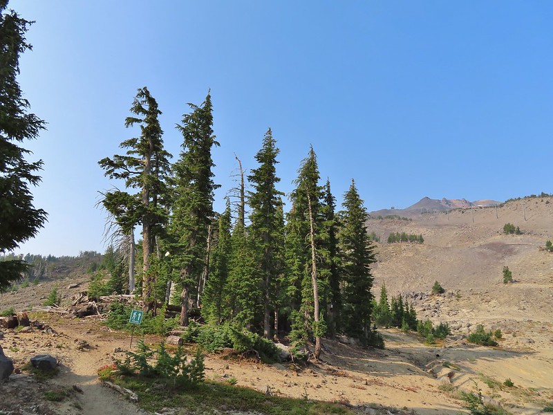


 A few saxifrage blossoms still left.
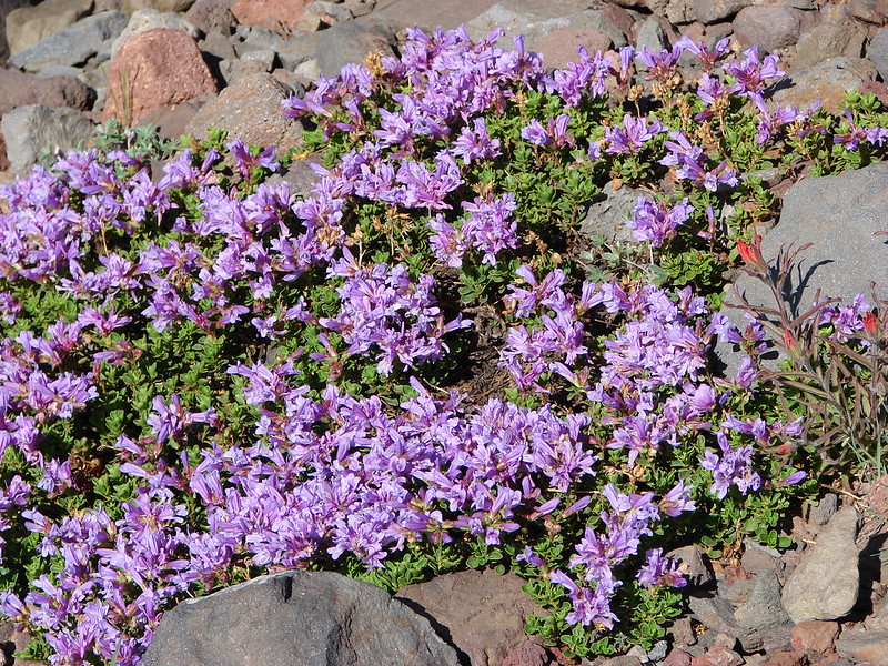
 Alpine buckwheat and paintbrush
 The first patch of snow we passed.
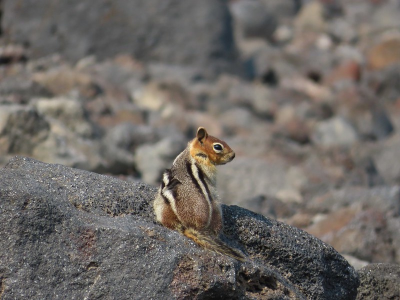 Golden mantled ground squirrel
 Tumalo Mountain (
 Looking down from beneath the Summit Express.
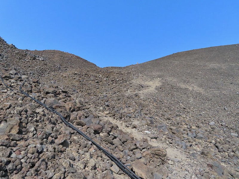 We could really feel the elevation affecting our breathing and by this point we were both sucking wind.
 Dwarf alpinegold
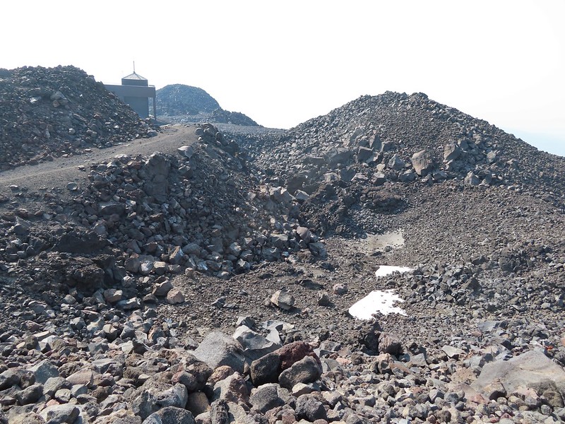 Looking back at the Summit Express.
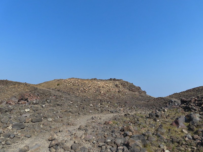 Heading for the high point.
 A mountain bluebird near the summit.
 South Sister and Broken Top with Sparks Lake (

 It’s our rule not to feed the wildlife but it was obvious that many don’t adhere to that LNT principle. I had to put my pack back on to avoid having a hole chewed through my pocket.
 View of the summit.
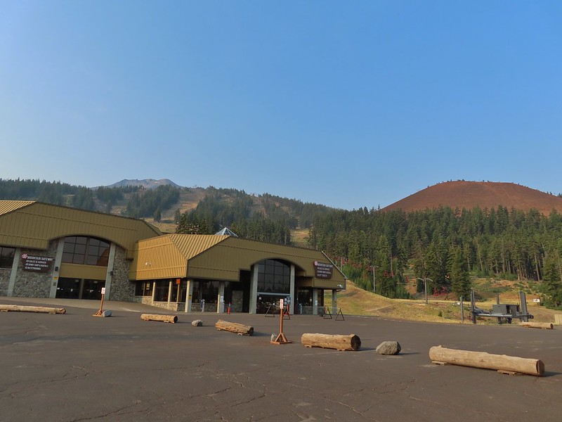
 Broken Top, the Pine Marten Lodge halfway up the mountain, the West Village Lodge and parking area below and Tumalo Mountain across the Cascade Lakes Highway.

 A little better view of Broken Top and Tumalo Mountain on the way down.
 Clark’s nutcracker

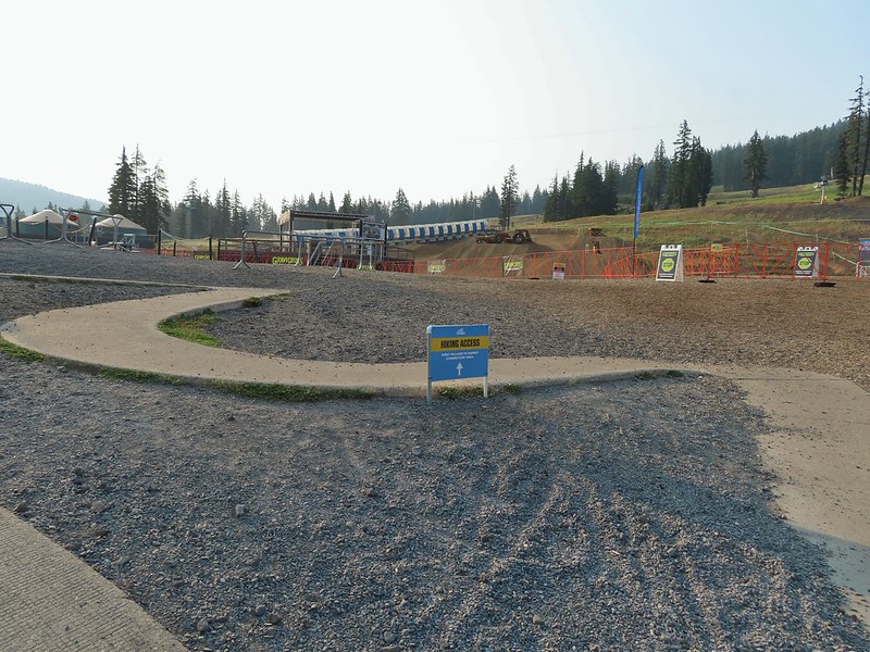
 Left leads up to the Pine Marten Lodge atop the Pine Marten Express, right to the West Village Lodge.
 A decent look at Tumalo Mountain
 Warning sign for a bike crossing.
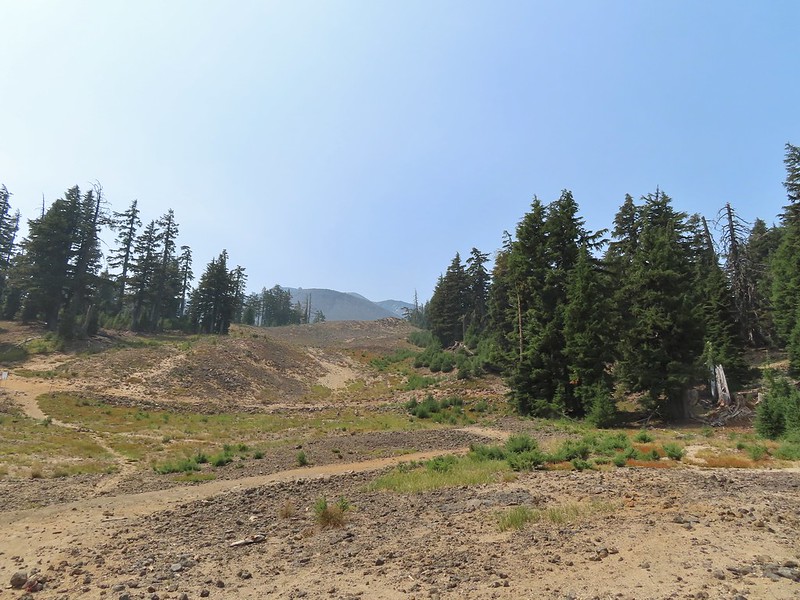 A look at some of the mountain bike trails and some haze moving in overhead.
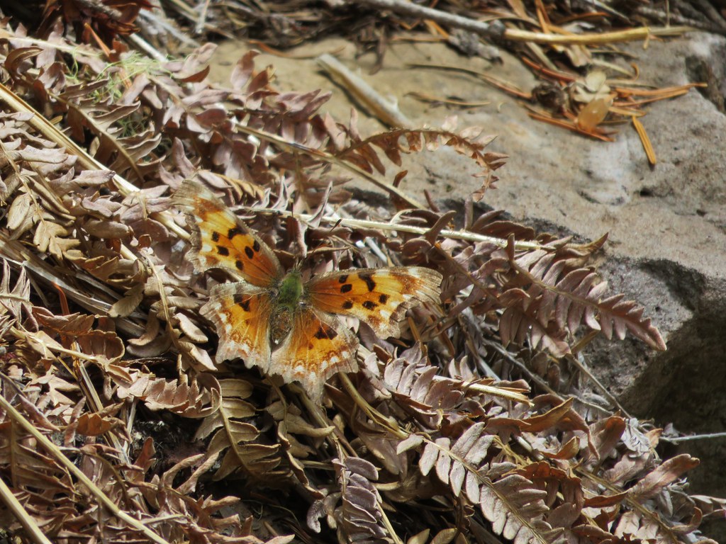
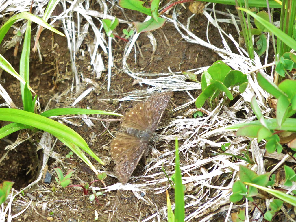
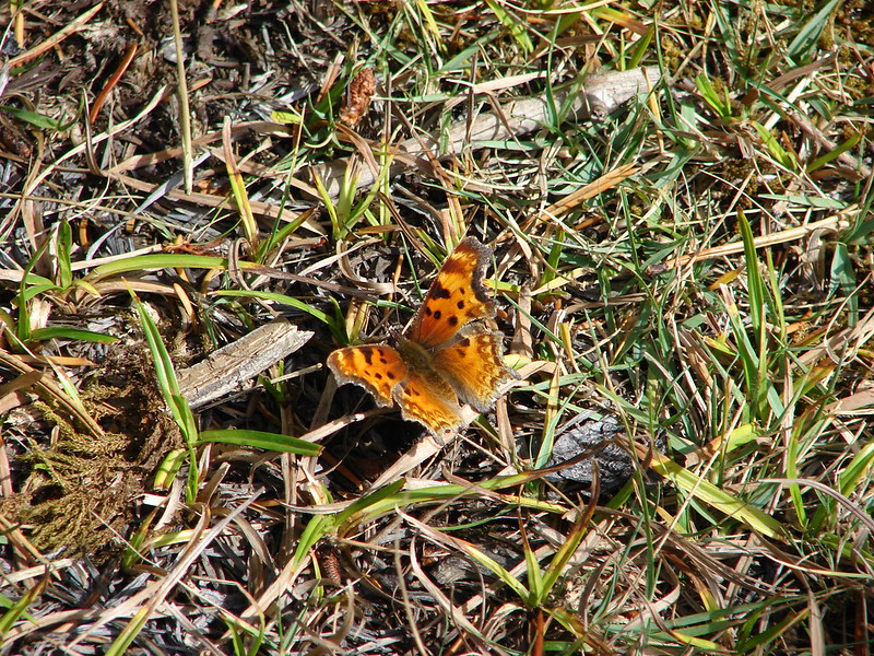
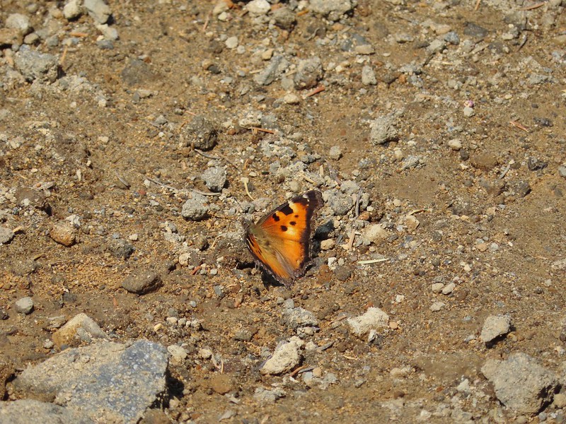 A tortoiseshell butterfly on the road.

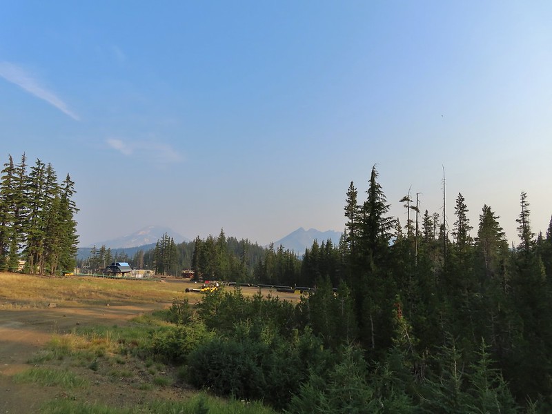
 At least we could see the mountains a little better from here.