Categories
Bend/Redmond Central Oregon High Cascades Hiking Oregon Three Sisters Area Trip report

Tumalo Mountain Sunrise Hike – 09/26/2021

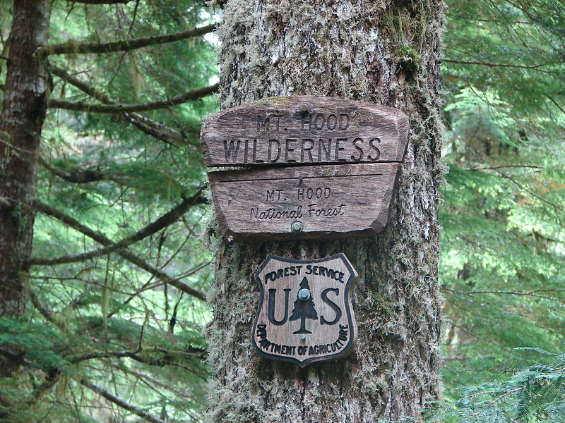
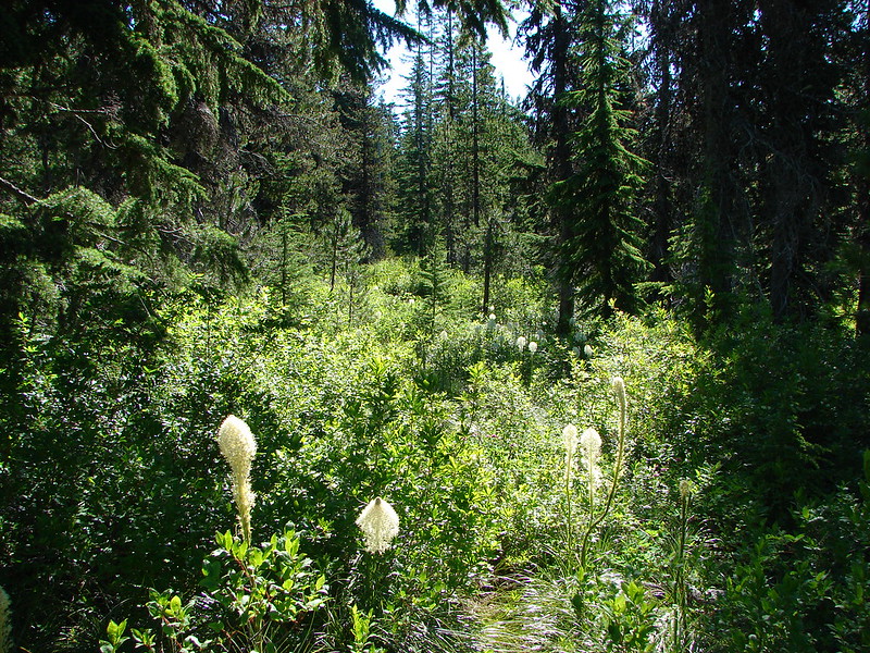
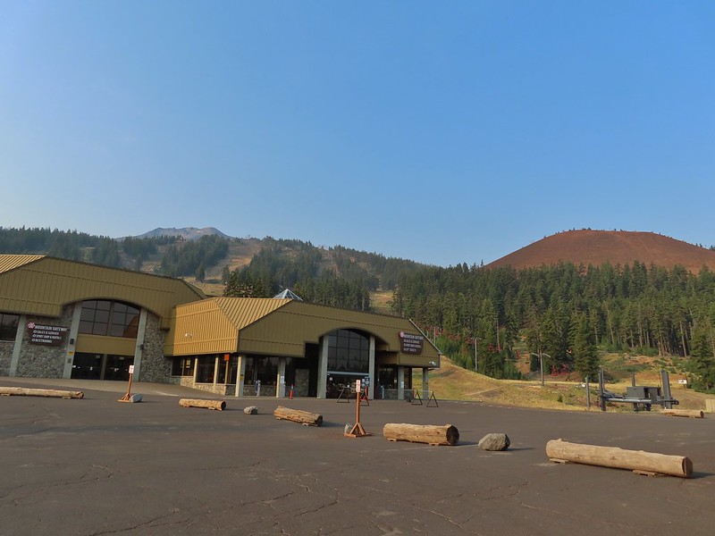
After missing a week of hiking due to heavy rains arriving for the one weekend we’d obtained a Central Cascade Wilderness Overnight Permit we were heading to Bend to celebrate Heather’s parents 50th wedding anniversary (congratulations again). That was possibly the first time we were excited to have to cancel our hiking plans as the rain (and snow on the mountains) continues to be greatly needed. Saturday was set aside for the anniversary party but we planned on getting a quick hike in Sunday morning before driving home.

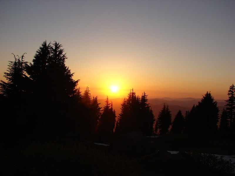
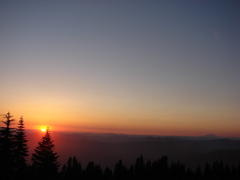
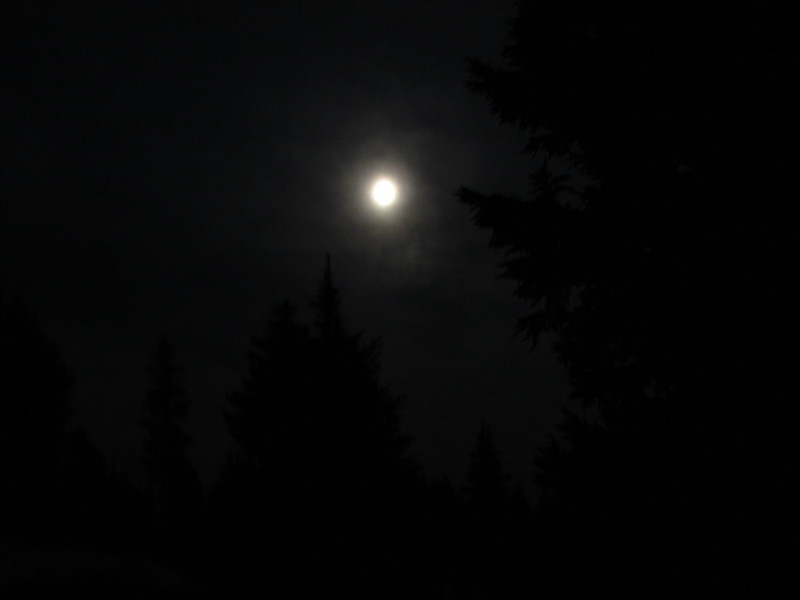
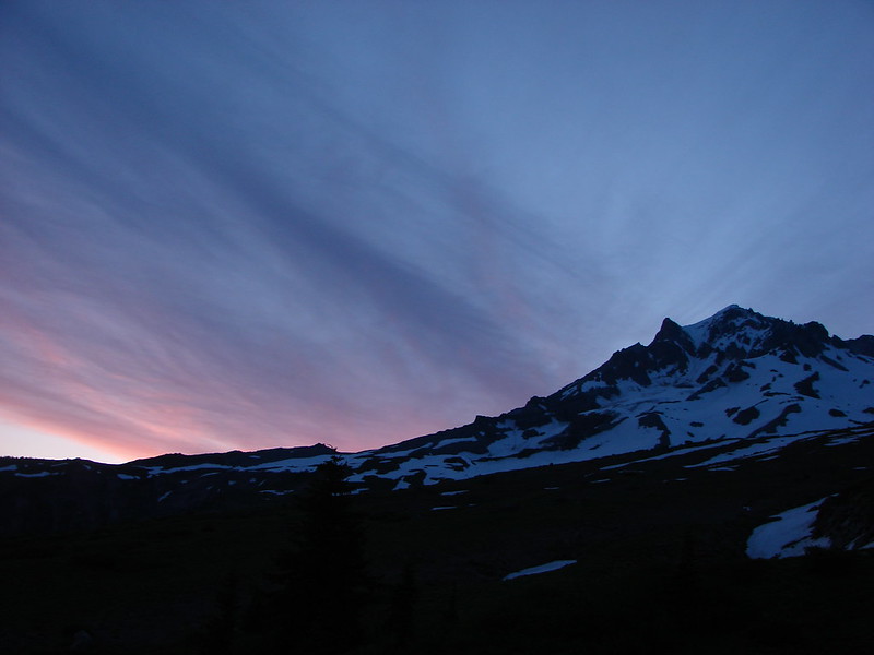
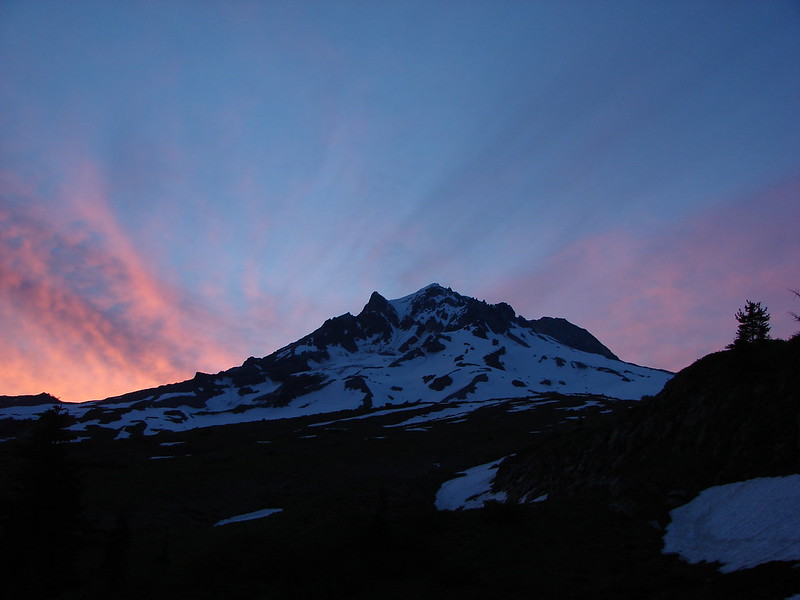
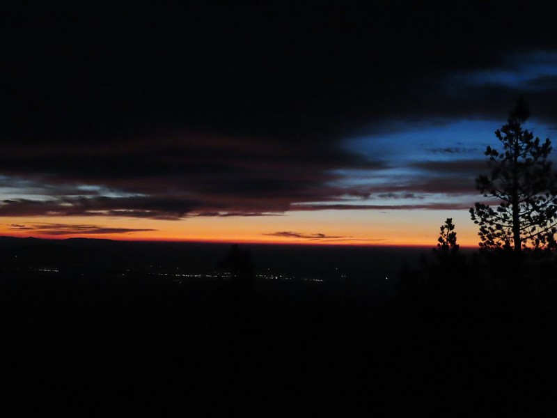
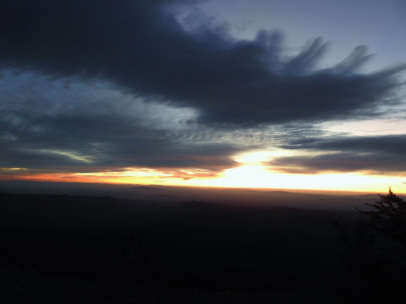
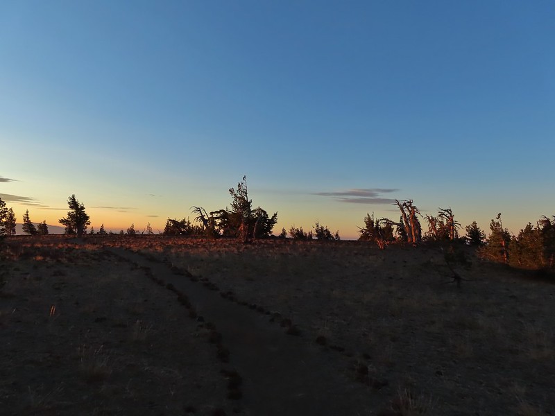
In 2014 we attempted a to catch the sunrise from Tumalo Mountain (post) but were thwarted by low clouds which provided almost zero viability. Nearly seven years later (9/26/21 vs 9/27/14) we returned for another attempt and this time were rewarded with a colorful show. We arrived at the Dutchman Sno-park/Trailhead just after 5am and got ready to head out using our headlamps. Things already looked more promising than on our previous trip as the Moon was visible over Mt. Bachelor.
IMG_5394

IMG_5396

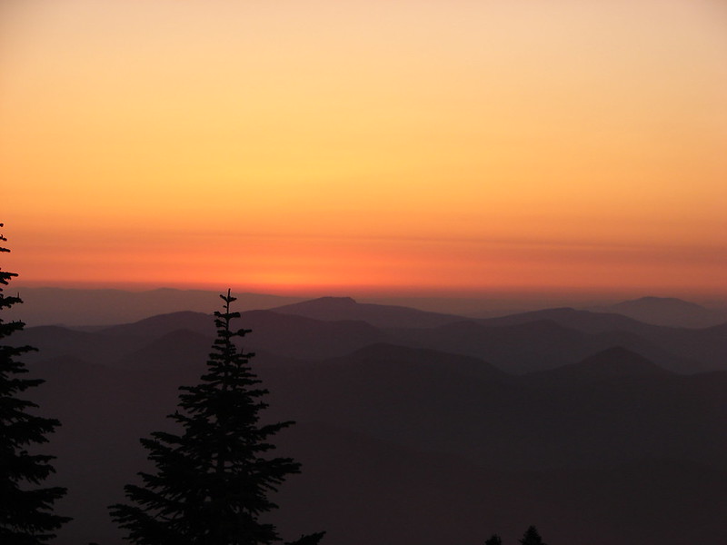
The Tumalo Mountain Trail gains 1425′ in two miles to the site of a former lookout tower. I hustled up to the lookout site as fast as my legs would allow and arrived a little after 6am to catch the first strip of color to the east beyond Bend.
IMG_5406

IMG_5412

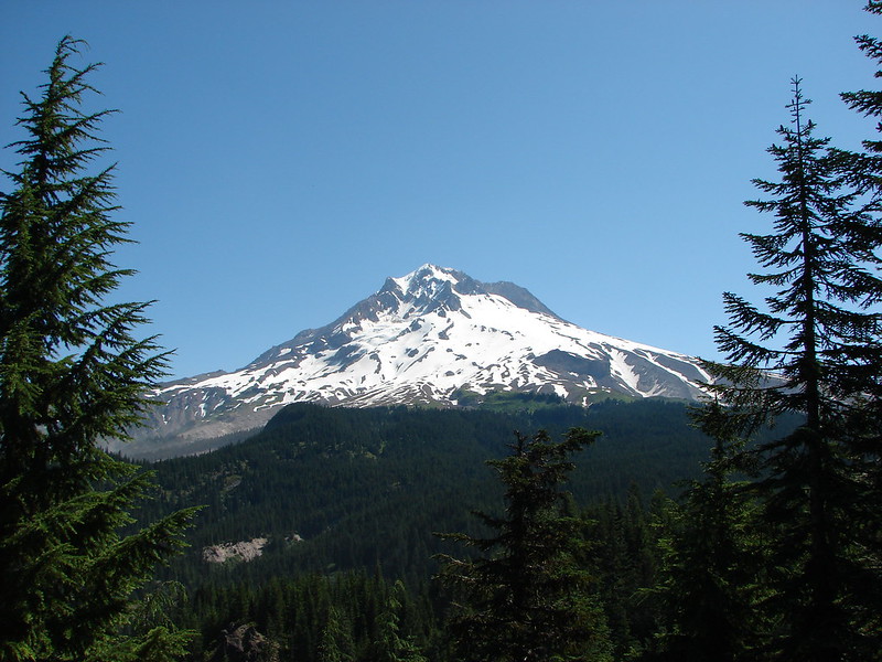
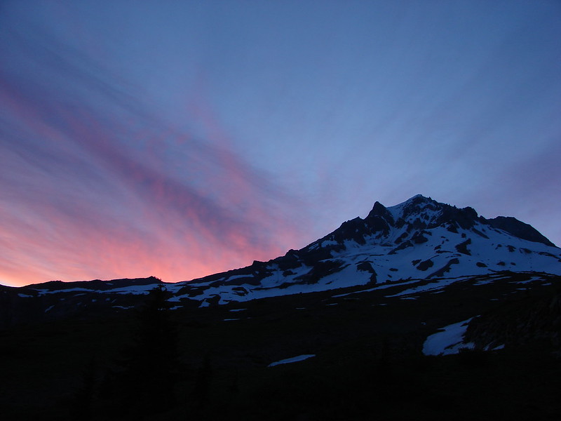
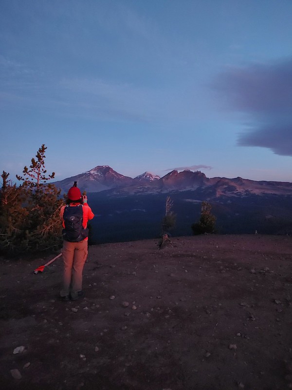
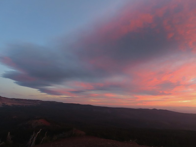
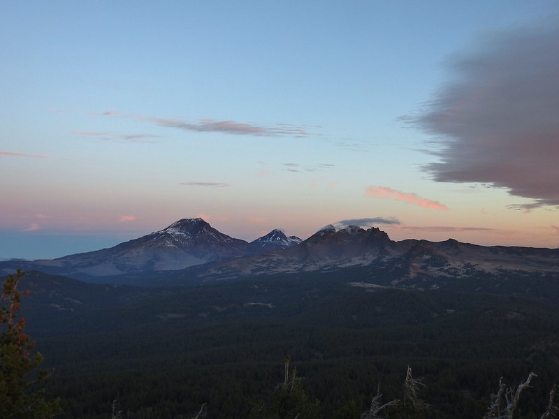
After Heather joined me we continued further along the broad summit to the northern end where the view included Mt. Bachelor to the south and the Three Sisters and Broken Top immediately to the NW.
20210926_062629Mt. Bachelor

20210926_062918The Three Sisters and Broken Top

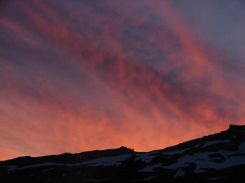
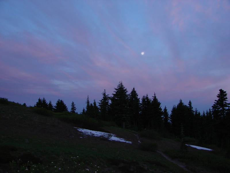
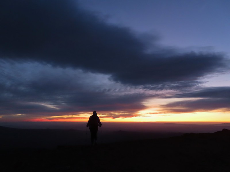
We spent the next half an hour watching the changing light and colors as we waited for the Sun to rise. We had brought an extra camera which I had been using the day before to photograph the anniversary. This proved interesting as each of the cameras we were using captured the sights in their own ways. As I’ve mentioned before I basically have no idea what I’m doing as far as photography and mostly I just rely on getting lucky once in awhile if I take enough photos. My usual camera is a Canon SX740HS, a small point and shoot with 40x optical zoom. Heather was using her phone, an LGE LM-G820, and the other camera, a Nikon Coolpix P900, belongs to my parents.
DSCN1128Mt. Bachelor via the Nikon.

IMG_5444Heather watching the show taken with the Canon.

IMG_5446The Three Sisters with the Canon.

IMG_5450Canon

DSCN1129Nikon

IMG_5455Mt. Bachelor (post) with the Canon.

IMG_5461Canon shortly before the Sun became visible.

IMG_5462Canon shortly before the Sun became visible.

DSCN1140The Three Sister just before sunrise with the Nikon.

20210926_064832The Three Sister just before sunrise with Heather’s phone.

IMG_5467
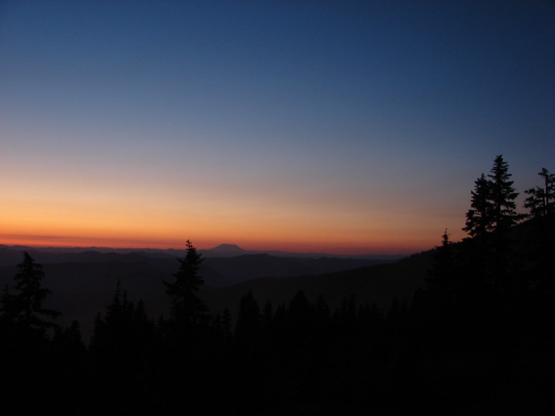
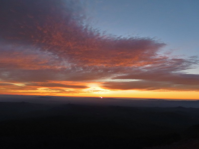
Canon moments before sunrise. A line of wildfire smoke on the horizon gave it a red tint.

IMG_5469Canon

IMG_5471
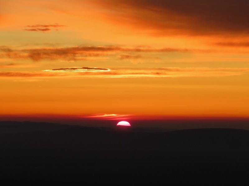
Canon catching the Sun.

IMG_5473Canon

DSCN1155The Three Sisters and Broken Top (Nikon)

DSCN1157South Sister (post) (Nikon)

DSCN1156Middle and North Sister (Nikon)

DSCN1158Broken Top (post) (Nikon)

IMG_5481
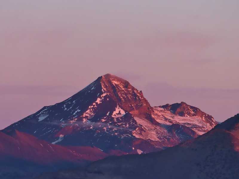
Aline glow hitting the mountains. (Canon)

IMG_5478South Sister (Canon)

IMG_5479Middle and North Sister (Canon)

IMG_5480Broken Top (Canon)

IMG_5484
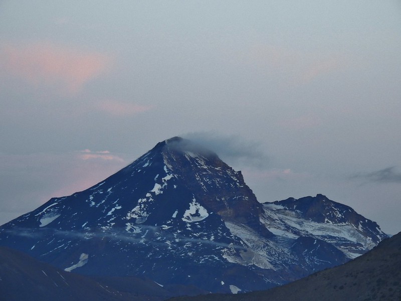
Mt. Bachelor (Canon)

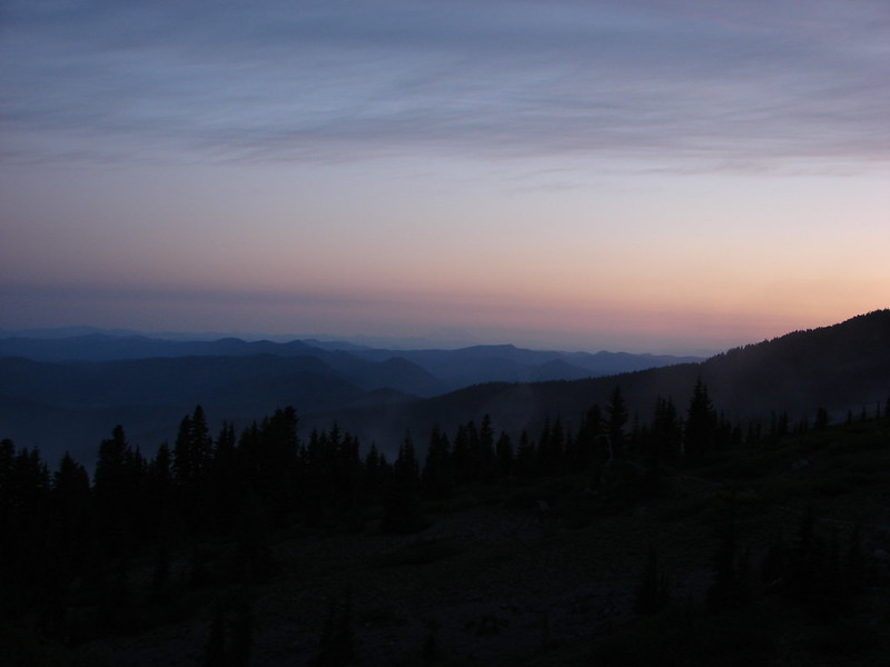
We started back down as soon as the sun was up.
IMG_5491

IMG_5497

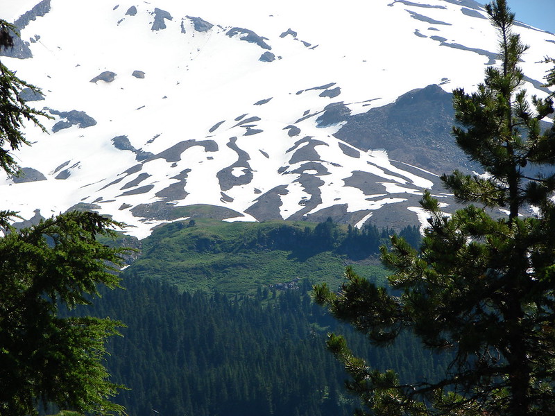
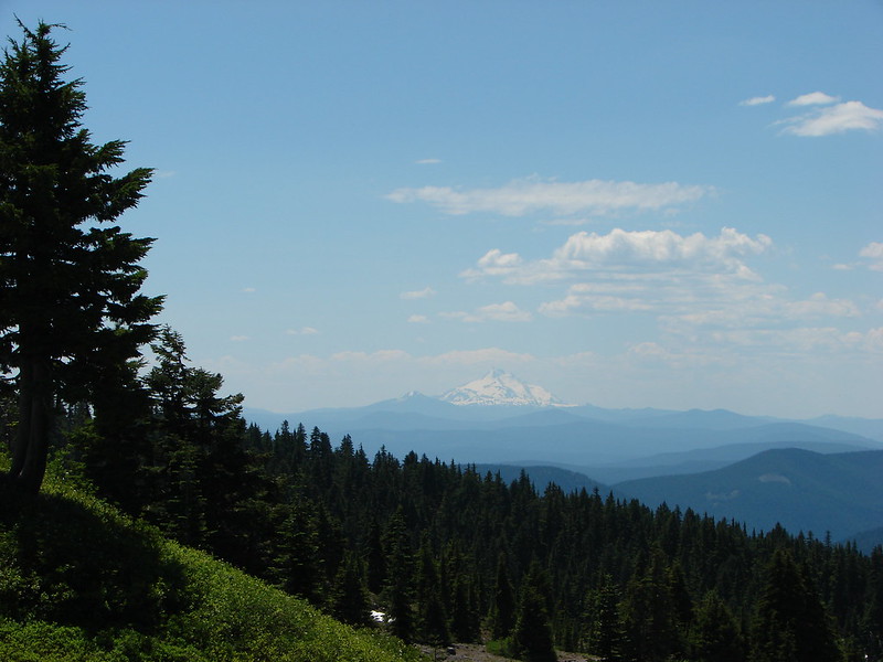
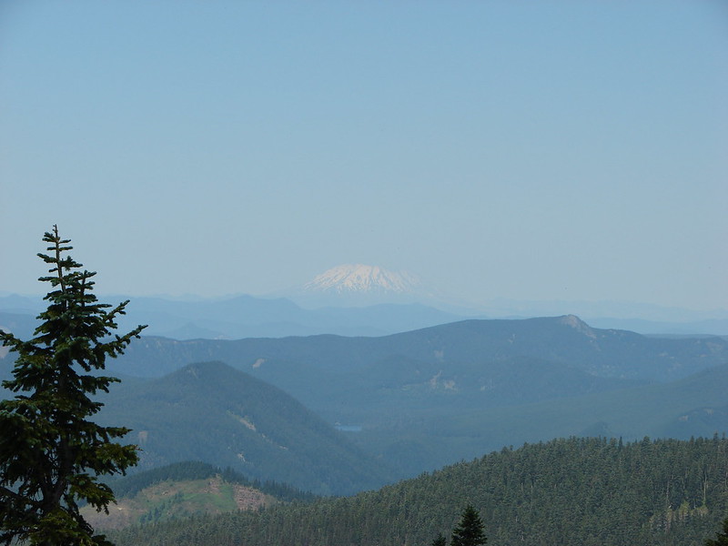
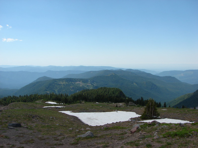
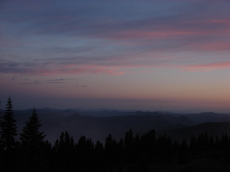
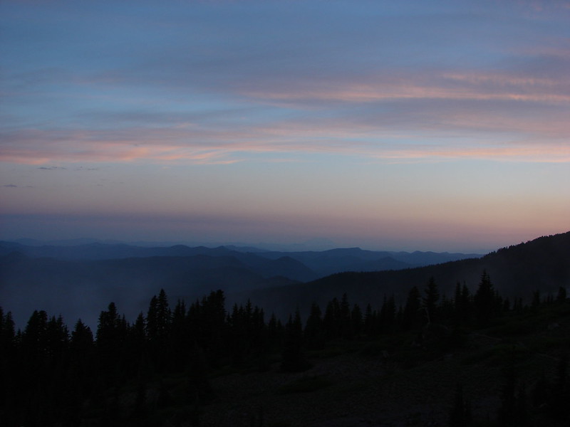
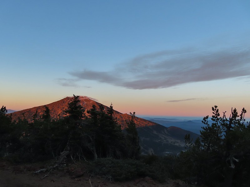
There were lots of views of Mt. Bachelor on the way down and we could also make out Mt. Thielsen (post) and Mt. Scott (post) further south.

IMG_5503Mt. Scott to the left and Mt. Thielsen to the right.

IMG_5506

IMG_5519Grouse

IMG_5523Chipmunk

IMG_5528Mt. Bachelor as we arrived back at the snow-park.

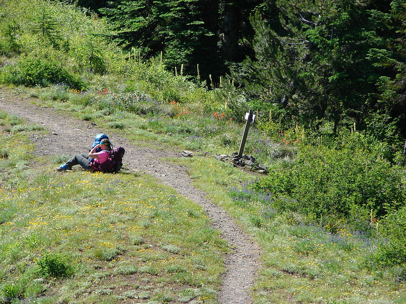
We finished our hike just after 7:45am and headed back to Salem. The hike had been everything we could have hoped for. There were just enough clouds in the sky to create some beautiful colors (the lingering smoke even added a bit although we would rather it wasn’t in the air) and the mountains were all clearly visible. My GPS showed a total of 4.7 miles which made sense given it was too cold to simply sit while we waited for the sunrise, spending over half an hour wandering around at the summit.

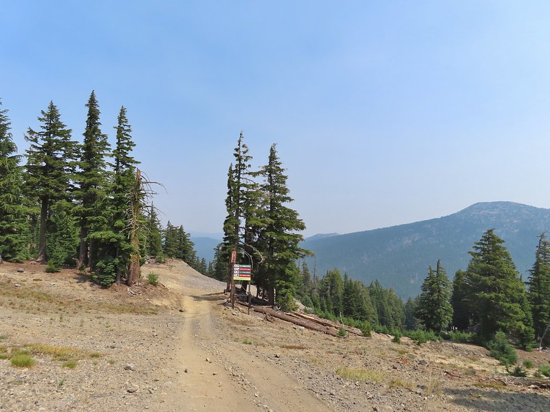
There were two other groups of hikers watching the sunrise with us and we passed many more as we descended. Tumalo Mountain is a great choice for a short hike with spectacular views. It is also just outside the Three Sisters Wilderness meaning that a Cascade Wilderness Permit is not needed. Happy Trails!

Flickr: Tumalo Mountain

Categories
High Cascades Hiking Oregon Three Sisters Area Trip report

Mount Bachelor – 08/15/2021

For our August vacation this year we finally returned to the Steens Mountain area for five days of hiking but along the way we made a stop in the Cascade Mountains to hike up to the summit of Mt. Bachelor. As the 6th largest ski resort in the US, Mt. Bachelor is known more for that winter sport than hiking. Hiking also takes a back seat to mountain biking and even a zip line tour but as part of an agreement between the resort and the Forest Service a trail is maintained to the summit for hiking to the 9068′ summit. Growing up in the Bend area I spent a lot of time skiing the mountain but other than riding the Summit lift to the top one Summer (when that lift still operated in the Summer months) neither of us had spent time on the mountain without snow. It was going to be another warm, hazy day as that seems to be the new norm here in the West but the air quality wasn’t in the danger zone so we left early on Sunday morning and arrived at the West Village Parking lot a little before 8am to find a somewhat blue sky overhead.
IMG_1750

There are currently three routes shown on the resorts web page with the easiest being from the top of the Pine Marten Lift which operates from 10am thru 5 or 7pm depending on the date. The other two routes start at the West Village Lodge near the Pine Marten Lift which allows for a reverse lollipop hike which is what we did. We took the more scenic trail up which was marked by blue signboards for the West Village to Summit Connect Trail.
IMG_1755

IMG_1760

IMG_1761A hazy look at the South Sister and Broken Top.

After a short distance on cat roads we came to an actual trail which led into the trees.
IMG_1764

The trail traversed along the mountain crossing several ski runs before turning uphill near the “Marshmallow” run and the Sunrise lift.
IMG_1766

IMG_1771
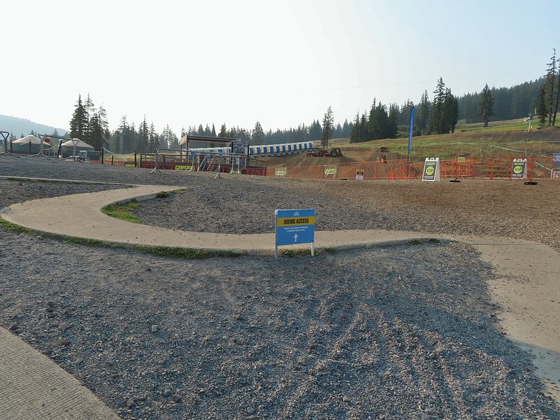
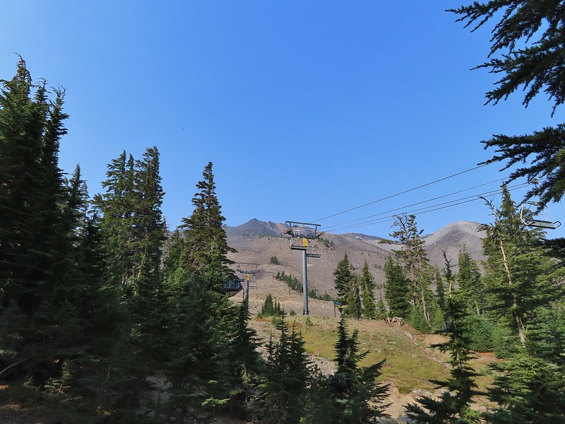
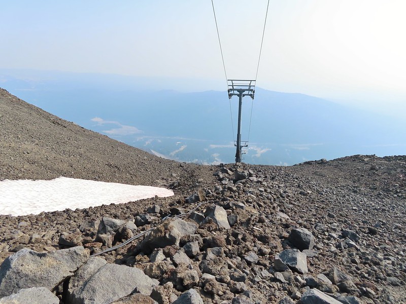
Passing under the Skyliner Express

IMG_1772

IMG_1777The ski runs gave us a good look at the top of the mountain.
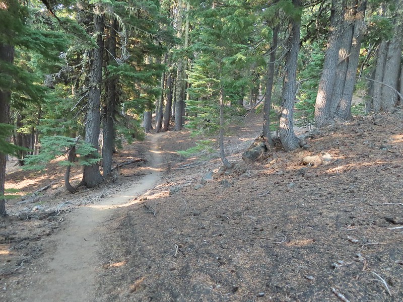
IMG_1779

IMG_1786

IMG_1792Turning uphill

IMG_1793
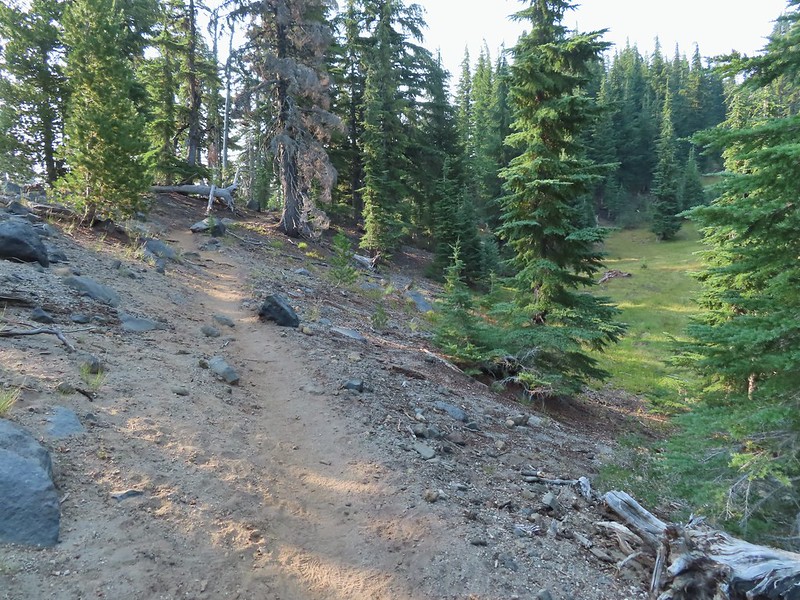
Spotted a grouse hen and her chicks in this little meadow.

IMG_1797

IMG_1807Two of the chicks.

IMG_1812Passing under the Sunrise lift.

The first 1.4 miles had gained under 350′ but after turning uphill the trail steepened gaining almost 2400′ over the next 2.5 miles.
IMG_1816

IMG_1817Nearing the top of the Sunrise lift.

IMG_1818
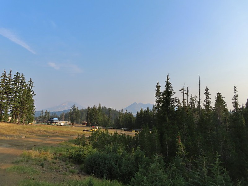
Another hazy look at the nearby mountains.

IMG_1819South and Middle Sister through the haze.

IMG_1823The top of Sunrise and the bottom of the Summit lifts.

IMG_1824
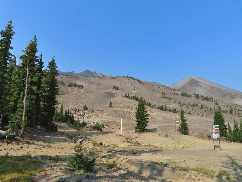
Looking up from the top of Sunrise.

Above the Sunrise lift the trees thinned out leaving a few scattered trees including white bark pines.
IMG_1826

IMG_1828

IMG_1831

IMG_1832
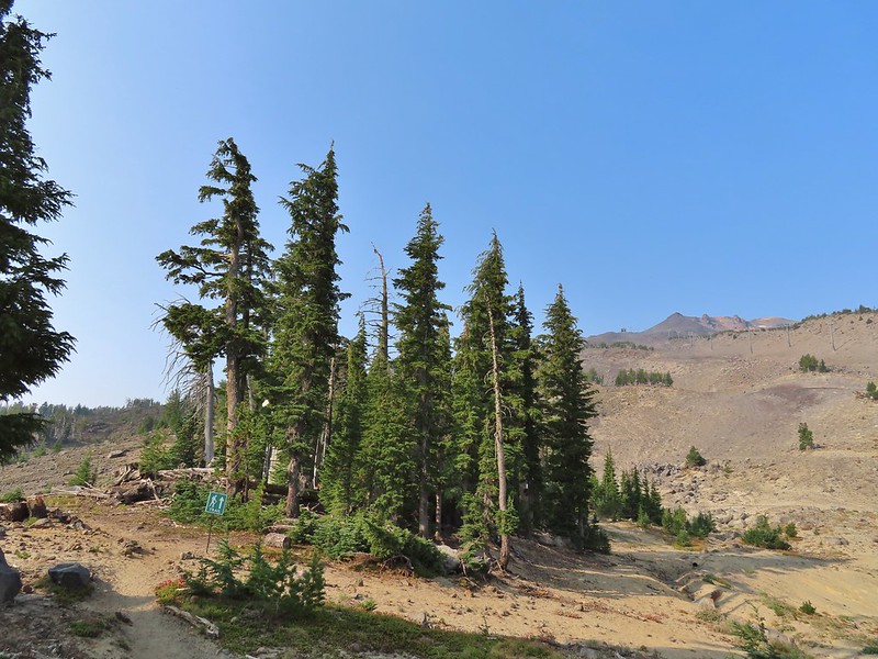
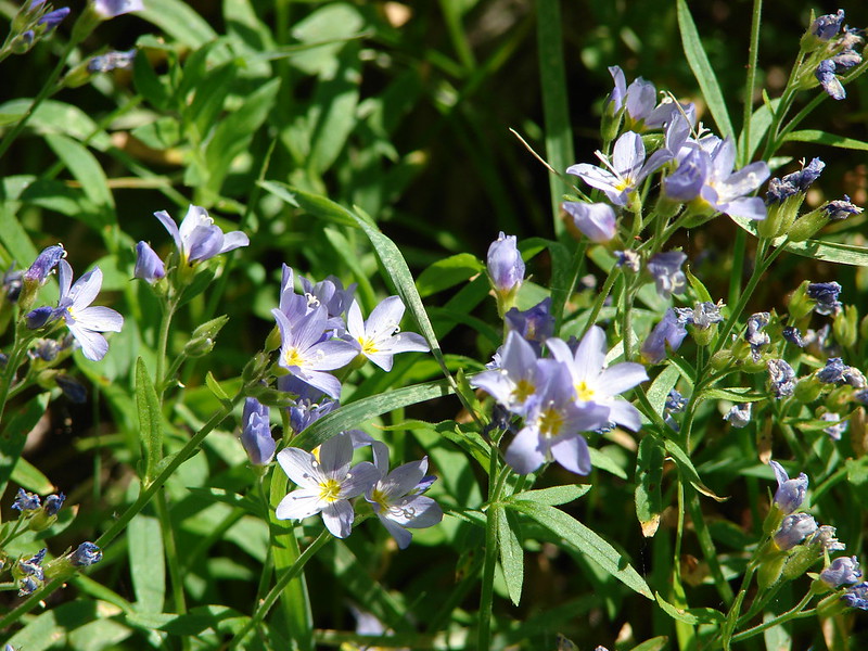
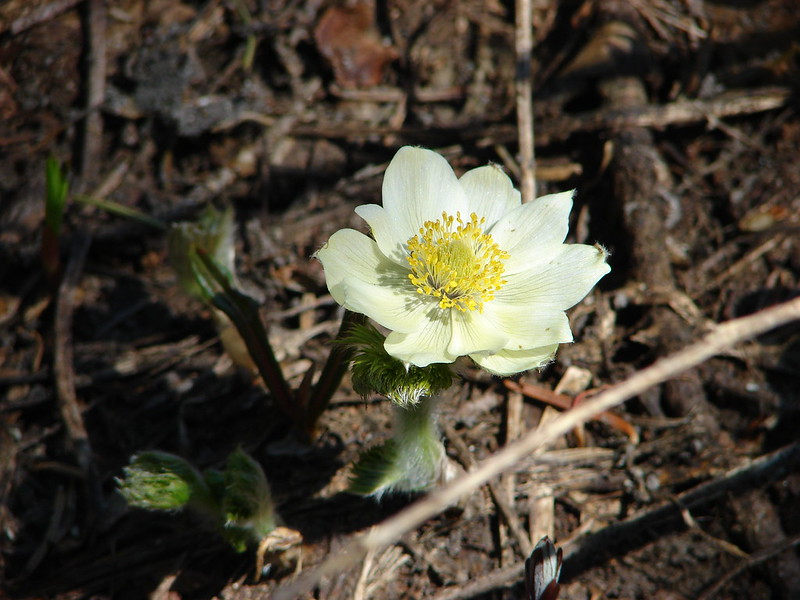
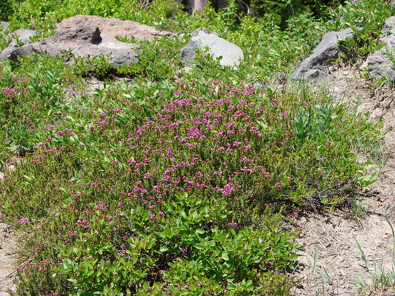
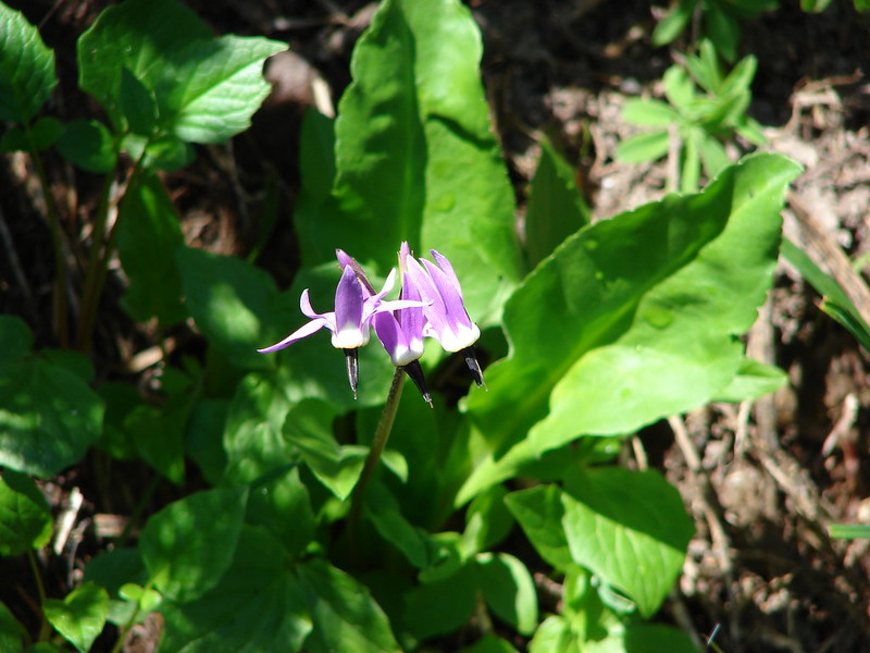
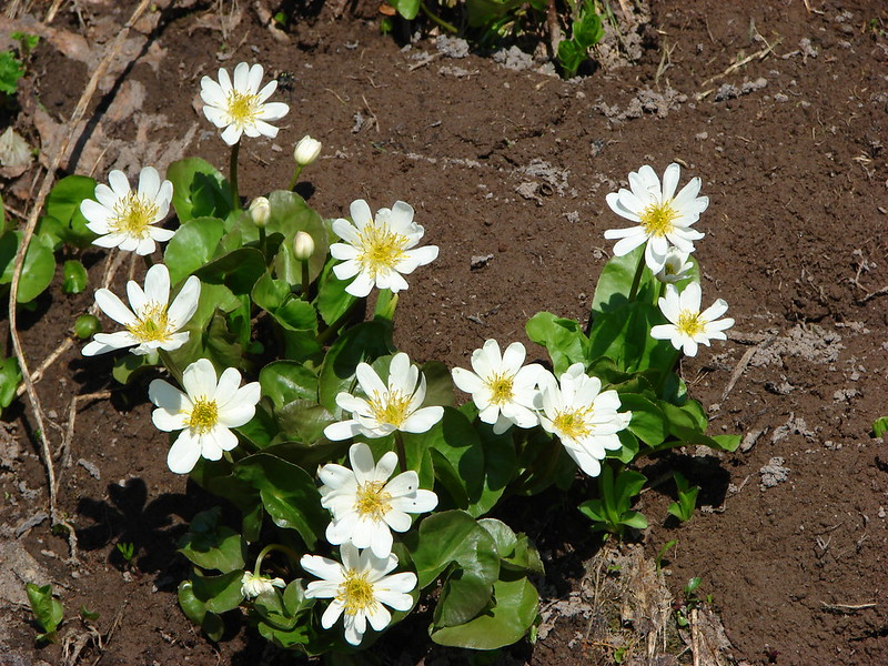
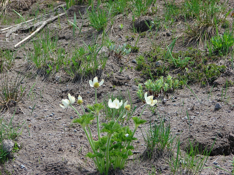
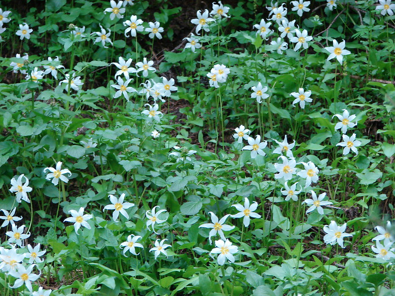
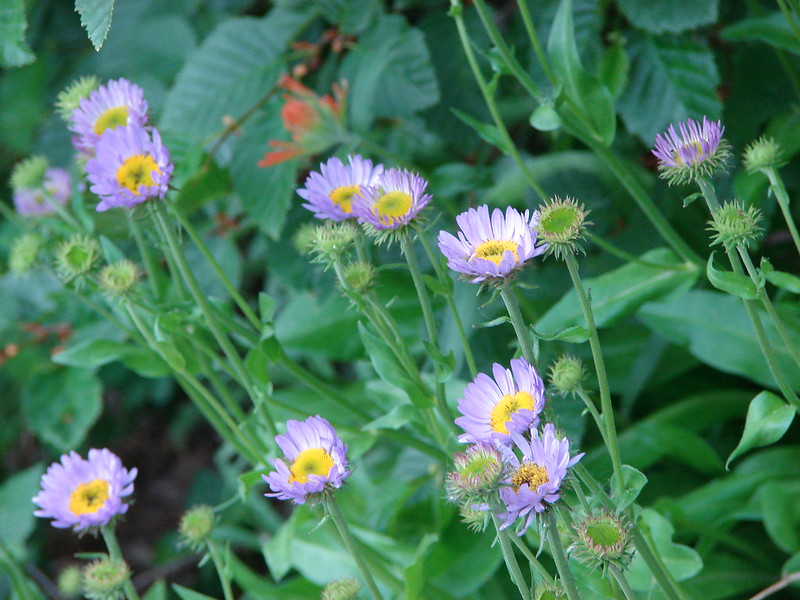
A few saxifrage blossoms still left.

IMG_1834

IMG_1841
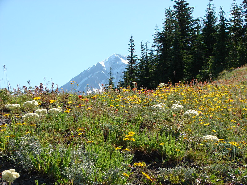
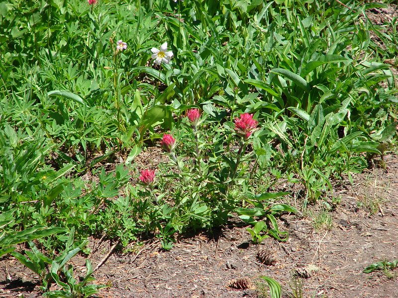
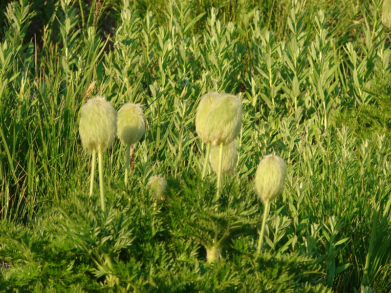
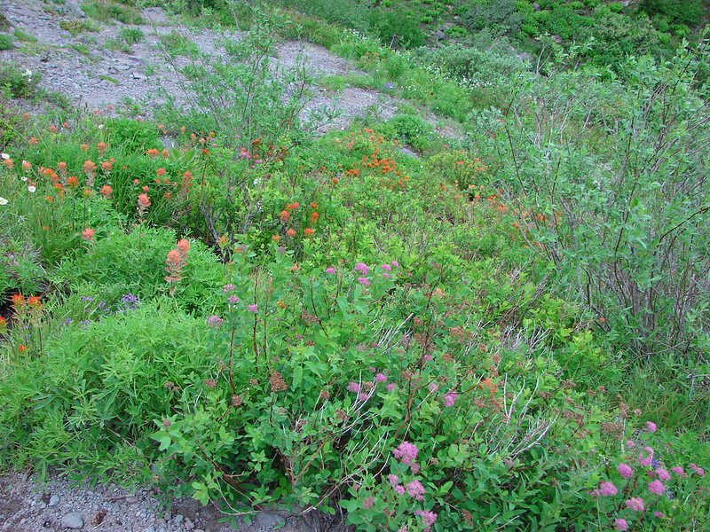
Alpine buckwheat and paintbrush

IMG_1846
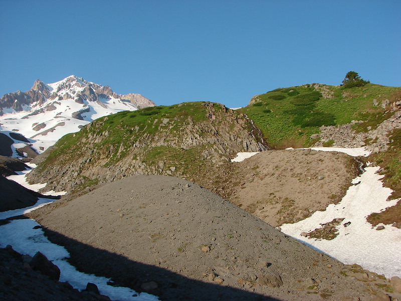
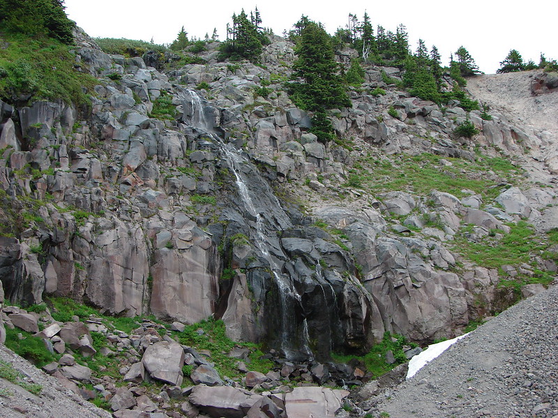
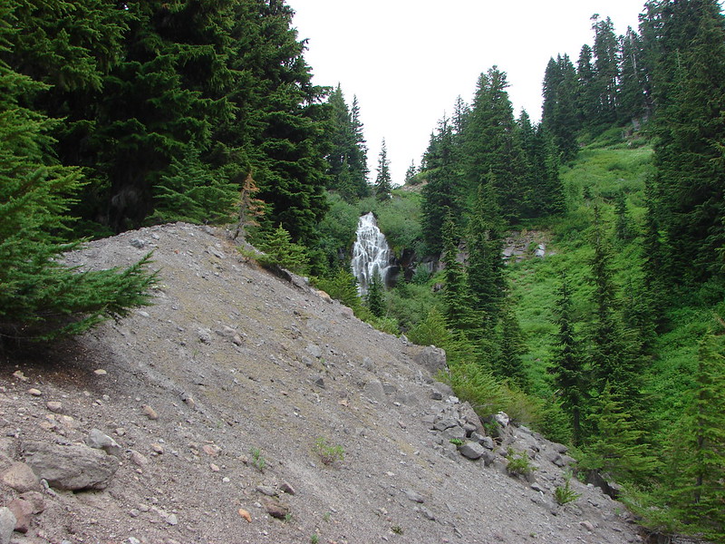
The first patch of snow we passed.

IMG_1848
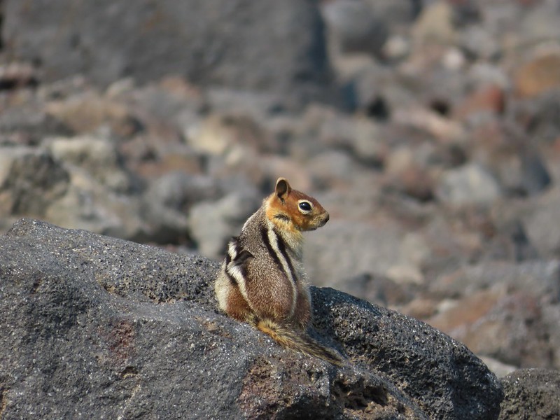
Golden mantled ground squirrel
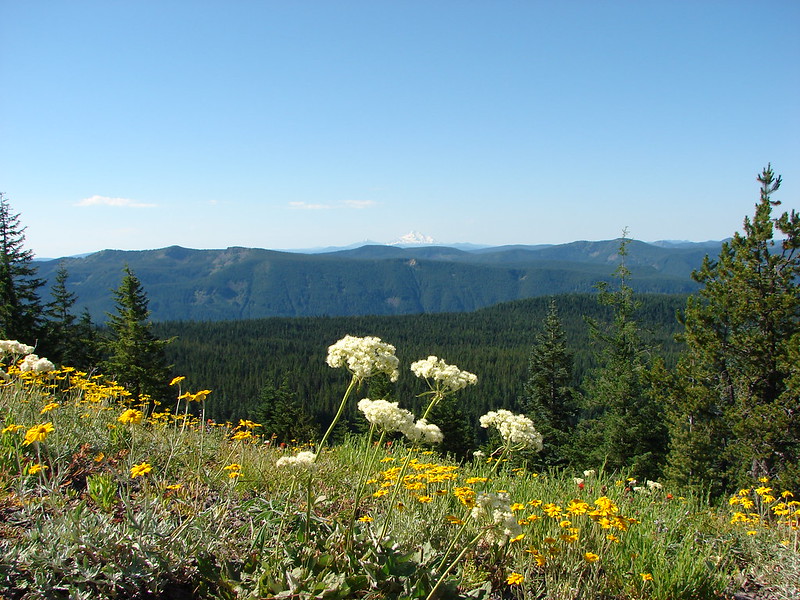
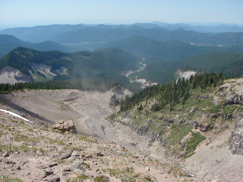
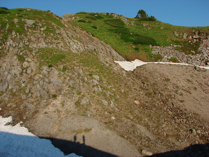
IMG_1850Tumalo Mountain (post) in the haze.

Signs gave way to white arrows painted on rocks at the higher elevations.
IMG_1858

IMG_1861Looking down from beneath the Summit Express.

IMG_1863
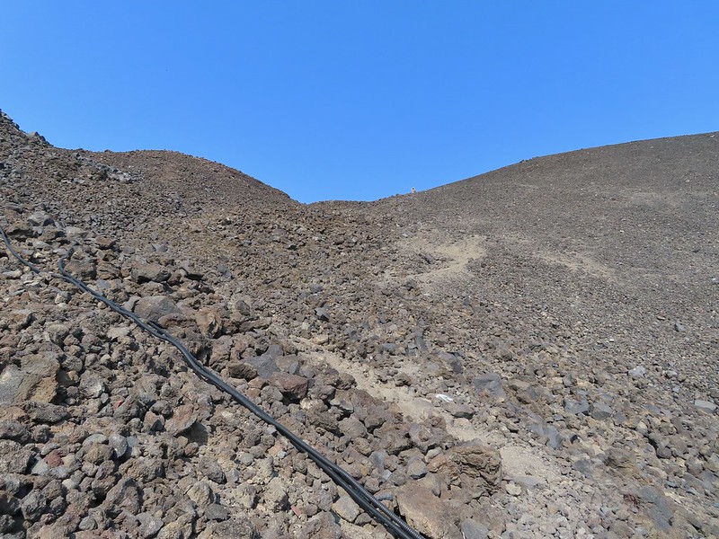
We could really feel the elevation affecting our breathing and by this point we were both sucking wind.
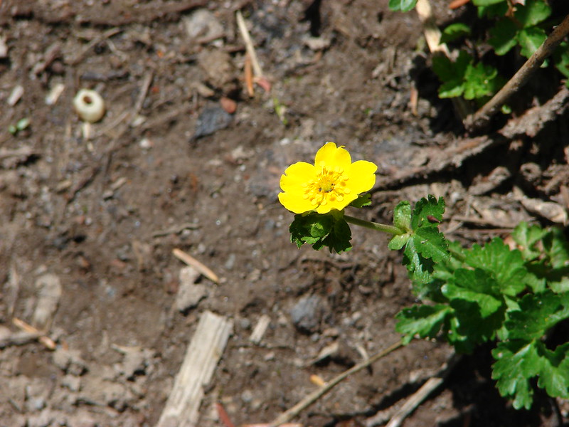
IMG_1864Dwarf alpinegold

I arrived at the summit first and followed the path the the mountain’s high point.
IMG_1869
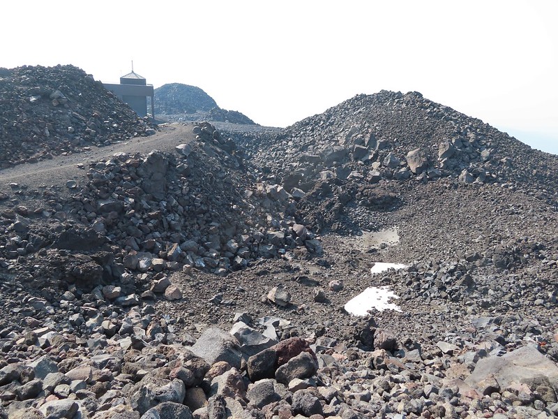
Looking back at the Summit Express.

IMG_1871
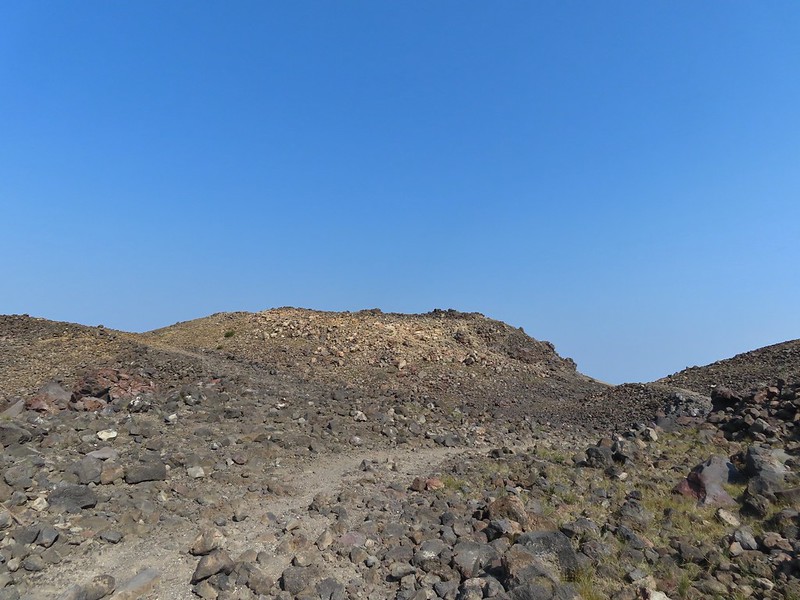
Heading for the high point.

IMG_1878

IMG_1882A mountain bluebird near the summit.

IMG_1887South Sister and Broken Top with Sparks Lake (post) the brown patch below.

I took my pack off and had a seat and was soon joined by a curious golden mantle.
IMG_1892

IMG_1895

IMG_1896It’s our rule not to feed the wildlife but it was obvious that many don’t adhere to that LNT principle. I had to put my pack back on to avoid having a hole chewed through my pocket.

IMG_1901View of the summit.

The surrounding smoke made it impossible to see anything to the east, very little to the south or west and just the closest features to the north, but a cool breeze made it a comfortable spot for a rest while I waited for Heather to join me.
IMG_1899Broken Top, the Pine Marten Lodge halfway up the mountain, the West Village Lodge and parking area below and Tumalo Mountain across the Cascade Lakes Highway.

After Heather had a chance to relax at the summit as well we headed back down taking a short detour to a viewpoint above the Cirque.
IMG_1917

IMG_1918

We then hiked back down just above the Sunrise Lift where we turned left on the West Village Getback road which I could picture skiing on all those years ago.
IMG_1931A little better view of Broken Top and Tumalo Mountain on the way down.

IMG_1935Clark’s nutcracker

IMG_1940

IMG_1941

IMG_1942Left leads up to the Pine Marten Lodge atop the Pine Marten Express, right to the West Village Lodge.

The road walk is not only not as scenic as the trail route we took up it also passes through the mountain bike trails so we had to keep our eyes open at the crossings.
IMG_1944

IMG_1945A decent look at Tumalo Mountain

IMG_1948Warning sign for a bike crossing.

IMG_1949A look at some of the mountain bike trails and some haze moving in overhead.

IMG_1959
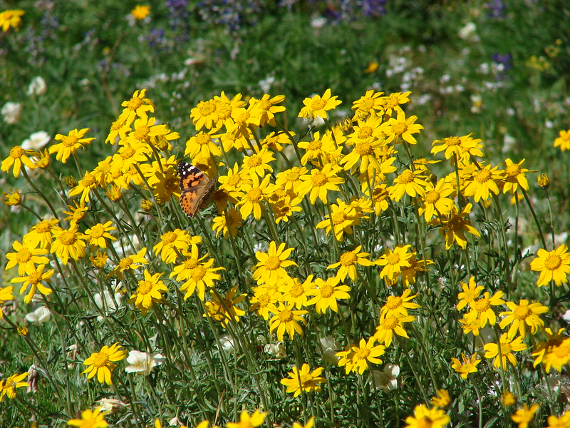
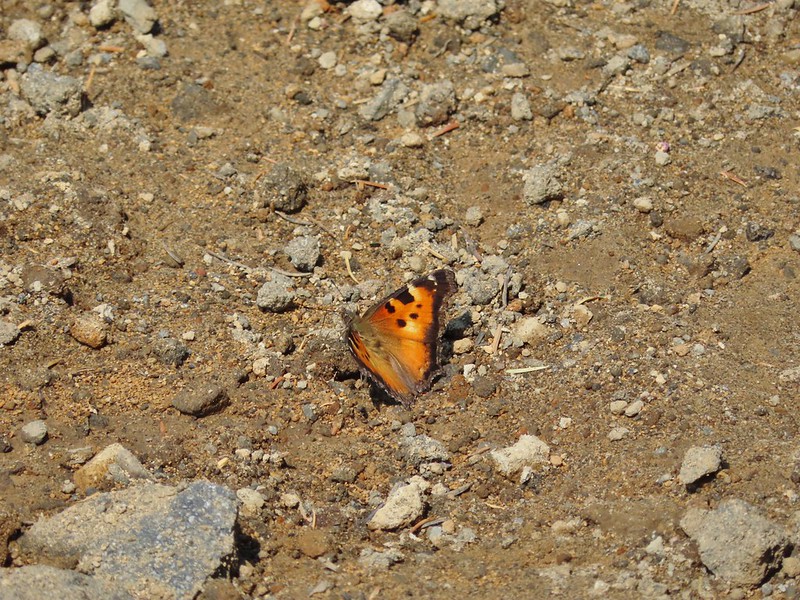
A tortoiseshell butterfly on the road.

IMG_1963

The trail map showed this route passing under the Pine Marten Express and turning 90 degrees downhill alongside the lift.
IMG_1964

There was a disc golf hole here but no sign of any trail except for a faint line continuing straight ahead through some grass. We followed it briefly before realizing it wasn’t going to get us to the parking lot.
IMG_1965At least we could see the mountains a little better from here.

We turned back to the lift and headed cross country downhill alongside it. We eventually did find some tread which took us to the base of the lift and back to the parking lot. We were glad we’d gotten there as early as we had because it was now quite a bit hazier overhead and a lot warmer.
IMG_1966

We left the mountain and drove to Heather’s parents house where we spent the night before once again heading out early for another adventure. Happy Trails!

Our track for Mt. Bachelor. The GPS said 8.8 miles and 2800′ of elevation but the resort lists the hike as 6.5 miles and 2742′ of elevation gain.

Flickr: Mt. Bachelor

Categories
High Cascades Hiking Mt. Hood Area Oregon Trip report

Burnt Lake to Paradise Park Overnight

Our latest overnight trip brought us to the Mt. Hood Wilderness where we planned to continue honing our backpacking skills. We plotted out a trip that would bring us to some new places as well as some previous favorites. The plan was to start at the northern trail head of the Burnt Lake Trail, pass Burnt Lake and climb up to East Zig Zag Mountain where we would take the Zig Zag Mountain Trail up to the Paradise Park Trail. From there we would head up to Paradise Park and camp somewhere along the Paradise Park Loop Trail near Split Rock. We’d been to East Zig Zag Mountain and Paradise Park in 2012 on separate hikes, but we had come in on different trails for those trips.

We set off from the Burnt Lake trail head shortly before 7am and quickly entered the Mt. Hood Wilderness.
DSC01348

The trail climbed between Burnt Lake Creek and Lost Creek for 1.9 miles before crossing and then recrossing Burnt Lake Creek. Near the 2.5 mile mark an unmarked side trail to the left led downhill to Lost Creek Falls. (Waterfalls on Lost Creek became a theme for this trip.)
DSC00785

The trail then veered away from Lost Creek and climbed for a mile up to Burnt Lake. Along the way we got our first glimpses of Mt. Hood.
DSC00792

We stopped briefly to check out Burnt Lake but decided to wait until the return trip to locate the best viewpoint of Mt. Hood from the lake shore.
DSC00797
DSC00800

From Burnt Lake the trail climbed up to the Zig Zag Mountain Trail where we took a brief detour to visit the summit of East Zig Zag Mountain. Heather decided to remain amid the wildflowers at the junction with the southern portion of the Burnt Lake Trail while I climbed up to the former lookout site.
Mt. Hood and Burnt Lake from the south trail junction:
DSC00818

Trail heading up East Zig Zag Mountain:
DSC00830

Wildflowers:
DSC00835
DSC00836
DSC00838
DSC00843
DSC00854

Mt. Jefferson:
DSC00856

Mt. Hood:
DSC00859

Butterfly:
DSC00867

Heather waiting at the junction:
DSC00866

After getting my wildflower fix we headed East on the Zig Zag Mountain Trail and began climbing towards Paradise Park. The trail began with a nice gradual ascent through open meadows of beargrass, huckleberry, and other bushes. It was fairly overgrown but easy enough to follow.
DSC00876

We then came to a forested ridge where the trail suddenly steepened – downhill! We had been at 4600′ when we joined the Zig Zag Mountain Trail and needed to get up to 5800′ in 3.7 miles to reach Paradise Park. Going down meant more climbing on the way up as well as having to climb up on the way back down the following day. There were at least 4 fairly brief but steep descents before we began climbing again. At least were some nice views of the mountain ahead of us and a view of our goal.
Paradise Park is the light green areas just above the tree line:
DSC00890
The Paradise Park Loop Trail passed just below the pile of boulders:
DSC00894

As we neared the Paradise Park Trail Junction we began to see lots of avalanche lilies, a telling sign of recent snow melt, and a few patches of snow still hanging on.
DSC00897
DSC00911
DSC00907

After joining the Paradise Park Trail we passed through several meadows and a nice viewpoint of the Zig Zag River before arriving at the Pacific Crest Trail in a mere .2 miles.
DSC00922
DSC00923
Zig Zag River Canyon and Mississippi Head (the rock outcropping at the center of Mt. Hood):
DSC00916
Oh the choices!
DSC00925

We crossed over the the PCT and climbed up to the Paradise Park Loop Trail which was a fairly steep .5 miles and 400′ above us. It was late August when we visited in 2012 and to this day the wildflowers in the meadow at the junction of these two trails remains the best display we’ve seen. There was little indication of the scene to come this trip as the snow was still melting off and only a few early flowers could be found. The view of Mt. Hood was still top notch though.
Late August 2012
173
Mid July 2014
DSC00935
Western Pasque Flower
DSC00932
Avalanche lilies and paint
DSC00939

We headed left at the junction and started looking for our tent site. We passed several good locations but had something specific in mind. We were looking for a site close to a water source, with a good view, but also with some shade as it was quite warm. We made our way North passing the remains of the Paradise Park Shelter, crossing both branches of Lost Creek, and passing Split Rock before we found what we had been looking for.
South Branch Lost Creek crossing
DSC00945
Mt. Hood from the crossing
DSC00950

North Branch Lost Creek crossing – The snow shelf made this one tricky as the creek was flowing under the edge of the snow.
DSC00960
DSC00963

Split Rock
DSC01002

Camp
DSC01000

After setting up camp we spent the rest of the afternoon and evening alternating between exploring the area and relaxing as we waited for sunset.
Mountain heather beginning to bloom
DSC00970

Cinquefoil
DSC00982

Shooting Star
DSC00989

Marsh marigolds
DSC01040

Western pasque flowers
DSC00991
DSC01066

Mt. Jefferson
DSC00972

Mt. St. Helens
DSC00990

East Zig Zag Mountain and some of our route from earlier in the day
DSC01012

DSC01009
DSC01023

Yocum Ridge on the other side of the Sandy River. The waterfall is on what appears to be an unnamed fork of the Sandy River but I’ve seen it referred to as Paradise Park Creek.
DSC01024

The Sandy River
DSC01031

Waterfall flowing down into Lost Creek
DSC01052
DSC01055

Marmot in the grass near the falls
DSC01061

Our shadows as the Sun was getting lower
DSC01064

Small waterfall on Lost Creek
DSC01073

Sunset
DSC01082
DSC01090
DSC01104
DSC01124

After watching the Sun go down we turned in. For some reason I wound up awake shortly after 4am so I grabbed the camera again and waited for the sunrise.
The Moon was super bright all night and a few clouds had moved in to the South by the morning
DSC01151

Starting to get some sunlight
DSC01180
DSC01184

Then came the colors
DSC01195
DSC01205
DSC01213
DSC01210DSC01224
DSC01227

After a breakfast of Mountain House freeze dried scrambled eggs and bacon (yes we managed to use our stove this trip 🙂 ) we packed up camp and began our return trip. We decided to continue on the loop which would bring us back to the PCT which we could then take South back to the Paradise Park Trail junction. This would allow us to visit a few waterfalls on the way back. The first of the falls is on Rushing Water Creek as it comes down from Paradise Park. There was a nice display of wildflowers just before the falls here.
DSC01272
DSC01278
DSC01294
DSC01297

There was a trail crew from the Pacific Crest Trail Association gathered at the base of the falls that was out doing some trail maintenance.
DSC01300

It had clouded up and as we were passing the falls rain began to fall lightly. We decided to stop at the next set of falls to waterproof our sleeping bags just in case it started to rain harder. The next set of falls were on Lost Creek. Both branches come down within a short distance of each other and both in scenic waterfalls.
North Branch Lost Creek
DSC01303
DSC01305

South Branch Lost Creek
DSC01313
DSC01317

It was raining off and on but not very hard but then we began to hear thunder. We picked up our pace as best we could as the thunder became steadier and we started to see the flashes of lighting. We had made it to the Paradise Park Trail and were back on the Zig Zag Mountain Trail when the hike got really interesting. We came around a bend in the trail and less than 20 yards ahead of us was a black bear. We all instantly froze, even the bear for a split second before it turned in bolted back into the forest. All I’d had time to do was say “bear” before it had vanished. I had just put the lens cap back on the camera and tucked it under my shirt to keep the rain off of it so I had no chance at getting a picture. Heather went for the bear spray just to be safe but it was long gone.

We made it back to the steep sections that we were dreading without further incidents. The climb was pretty much as ugly as we’d expected but the rain had let up without ever getting too heavy so we were dry at least. Dry until we reached the overgrown section of trail that is. By the time we emerged from that section we looked and felt like we’d forded a thigh-high creek. 🙂

When we got back to Burnt Lake we headed down past campsite C where there is a great view of Mt. Hood from the lake shore.
DSC01337

We ticked off the remaining 3.5 miles at a brisk pace pausing occasionally to sample the salmon and blueberries that were ripening nicely along the trail.
Oval-leaf blueberries
DSC01346

Mt. Hood had delivered another amazing adventure. Happy Trails!

flickr: https://www.flickr.com/photos/9319235@N02/sets/72157645261769389/
Facebook: https://www.facebook.com/media/set/?set=a.10204454188061928.1073741893.1448521051&type=1