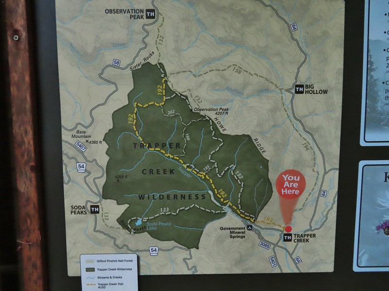
For Labor Day we headed back up to Washington where we’d been able to mostly avoid smoke from the numerous wildfires in the West. We’d spent the day before in the Indian Heaven Wilderness (post) and today we were returning to the Trapper Creek Wilderness for the first time since 2013 (post). The wilderness areas are just eight miles apart, separated by the Wind River Highway (and Wind River).
Our planned hike for the day was inspired by a featured hike in Sullivan’s 5th edition of his “100 Hikes/Travel Guide Northwest Oregon & Southwest Washington” book. While Sullivan describes two options for hike #34, Trapper Creek, both were a bit short for us after the 2 hour drive to reach the closest trailhead. His first option is a 3.8 mile out and back to what he calls the “Grove of Giants”, a stand of old growth cedar trees starting at the Trapper Creek Trailhead. His second option (beginning at a different trailhead) is a 5 mile out and back to visit Soda Peaks Lake. Our plan was to park at the Trapper Creek Trailhead and do an out and back hike passing the Grove of Giants, then continuing on the Soda Peaks Lake Trail to Soda Peaks Lake and beyond to a viewpoint on the rim above the lake.

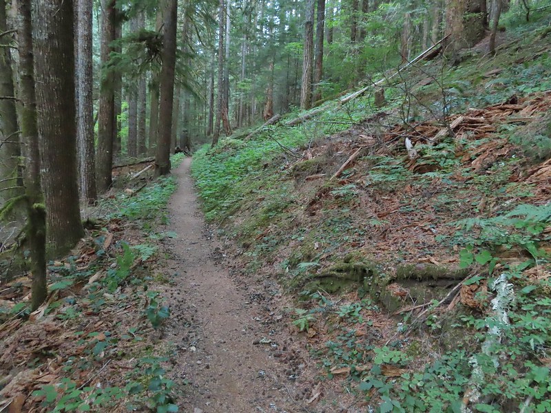
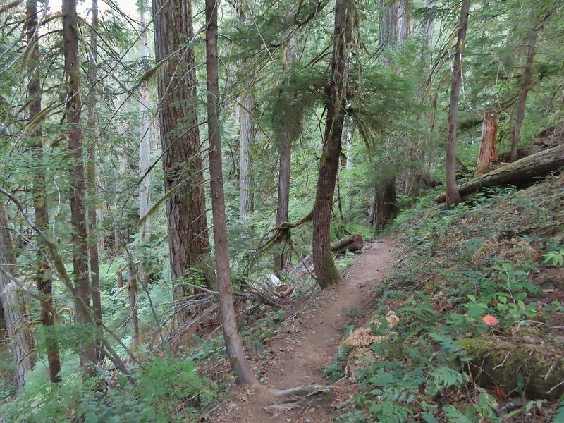
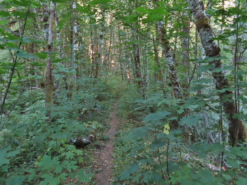
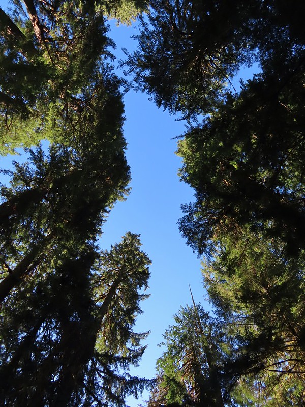
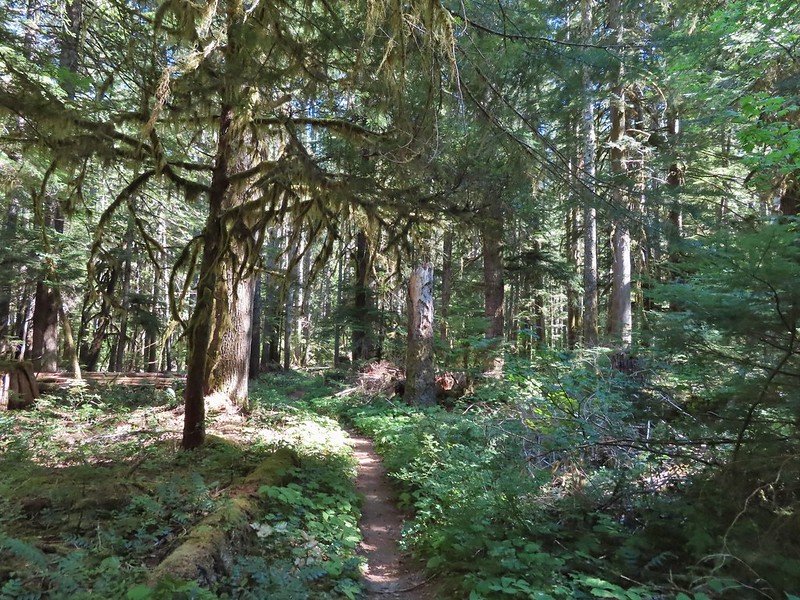
The Trapper Creek Trail started out nearly level which made for a nice warm up before climbing.
Not far from the trailhead the unsigned Dry Creek Trail joined from the right.


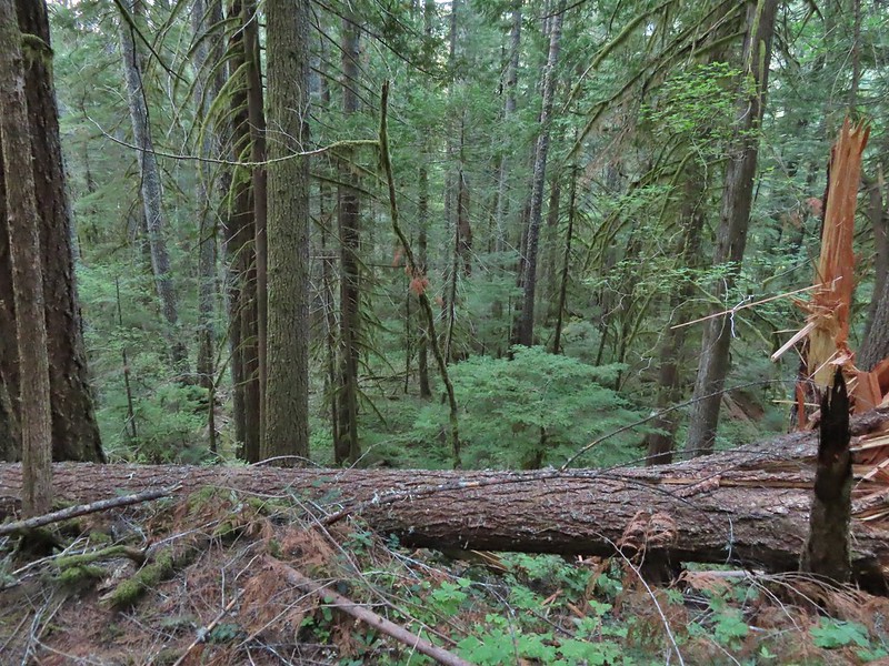
Warning sign for burned trees due to the 2020 Big Hollow Fire (there’s that four letter “F” word again). The wilderness had been closed most of the year due to that fire (and some bad winter storms) and was only reopened in August.
The trail climbed gradually along a hillside above Trapper Creek for three quarters of a mile to a 4-way junction with the Observation Trail which we had been on in 2013.

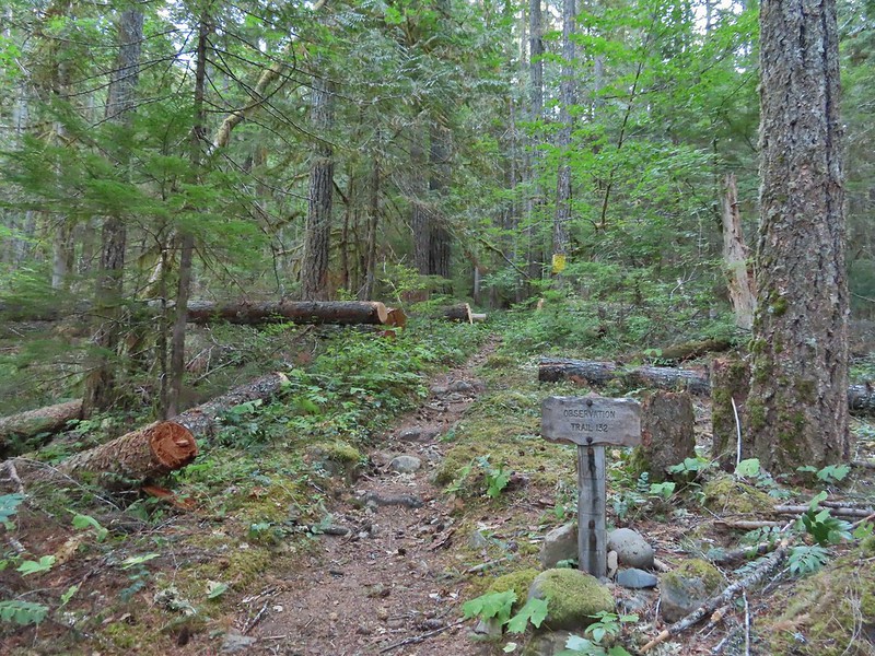
The Observation Trail.
We stayed straight on the Trapper Creek Trail here.
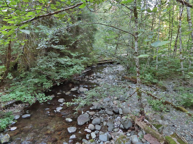
For the next three quarters of a mile the trail gradually descended to a unnamed creek crossing.
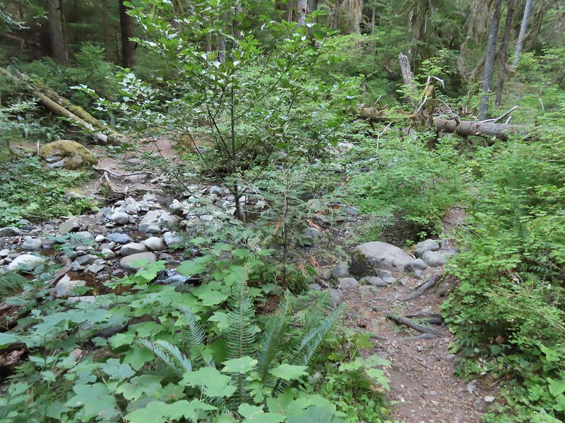
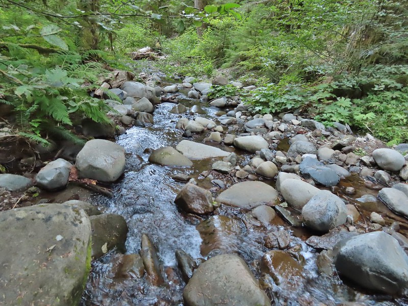

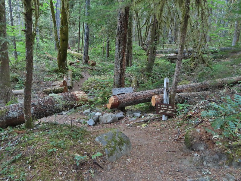
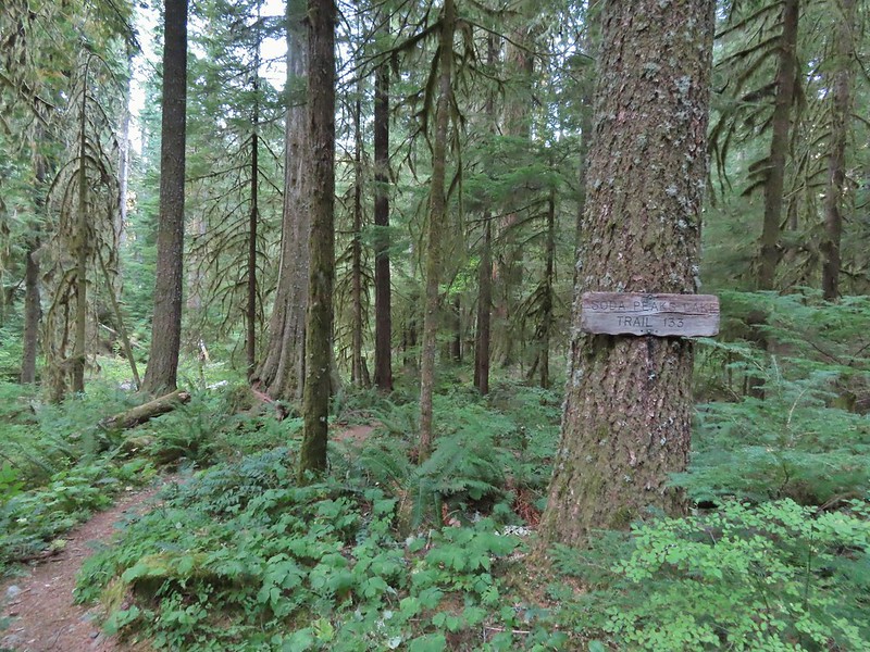
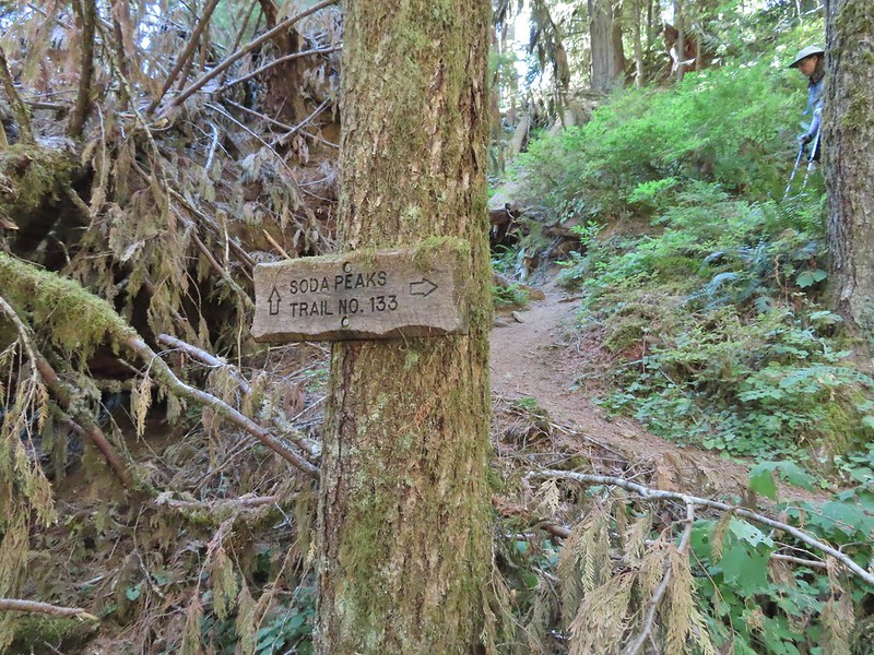
On the far side of the creek we turned left onto the Soda Peaks Lake Trail.

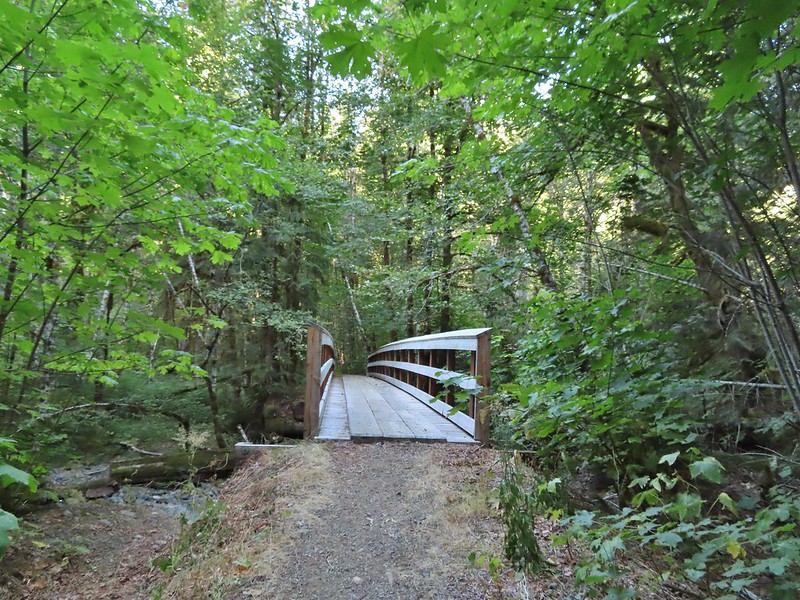
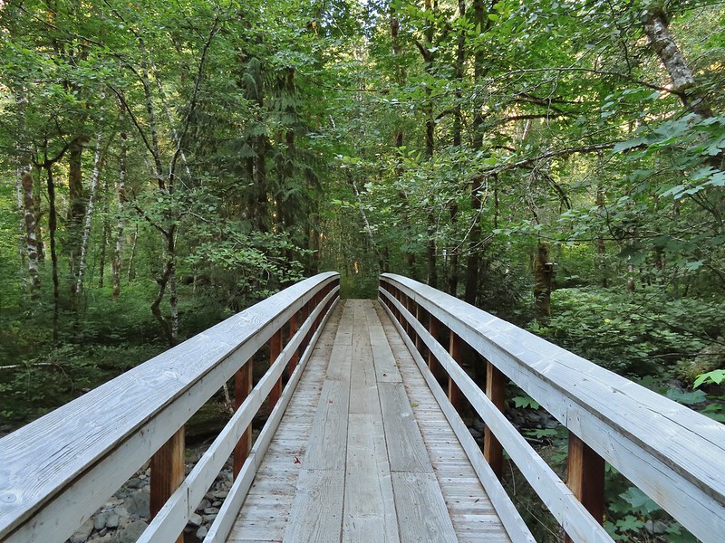
We followed the creek downhill ignoring a side trail joining from the left and came to a footbridge over Trapper Creek.


Sign at the jct with the side trail joining from some private cabins.

The trail then passed through a stand of alder before turning left and reaching the Grove of Giants just under half a mile from the Trapper Creek Trail.


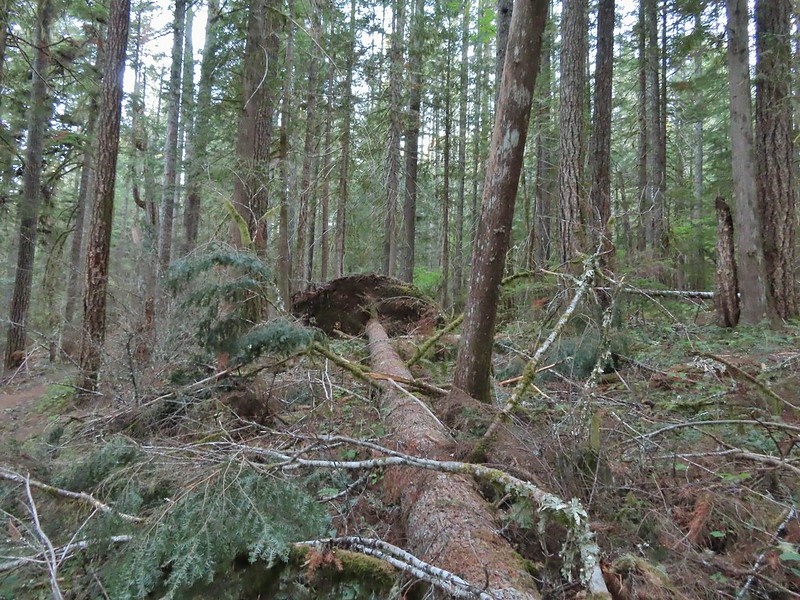
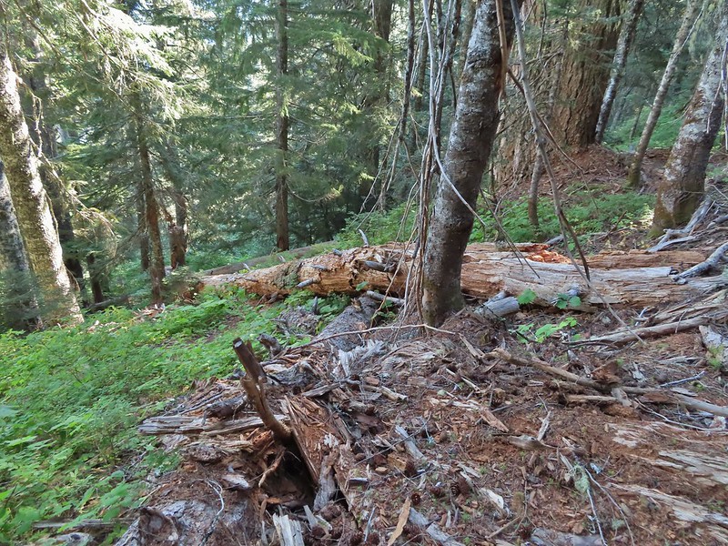
One of the big trees was down.
At the grove the trail made a sharp right turn and began an arduous three mile climb gaining over 2300′ of elevation.
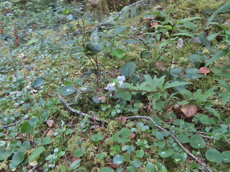
Lousewort was just about the only flowers left blooming along the trail.

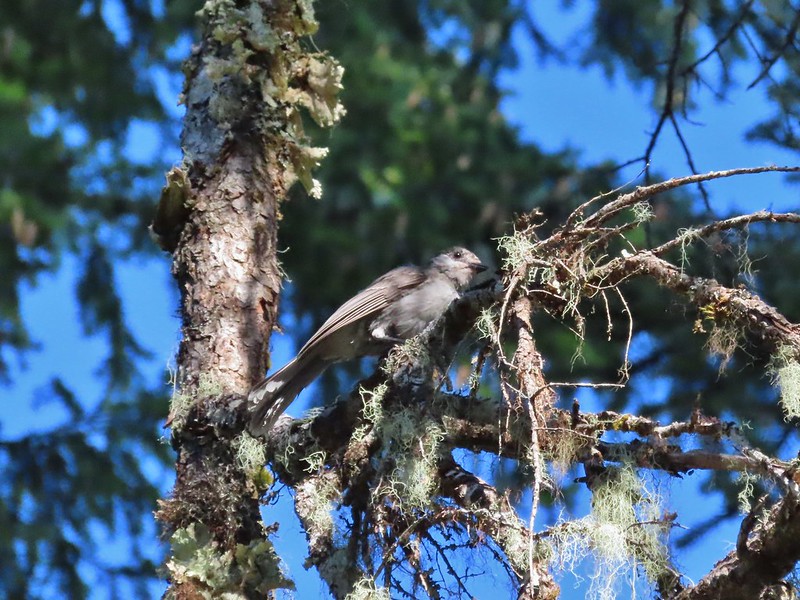
Grey jay
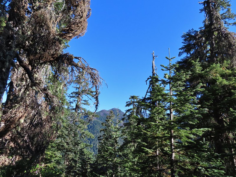
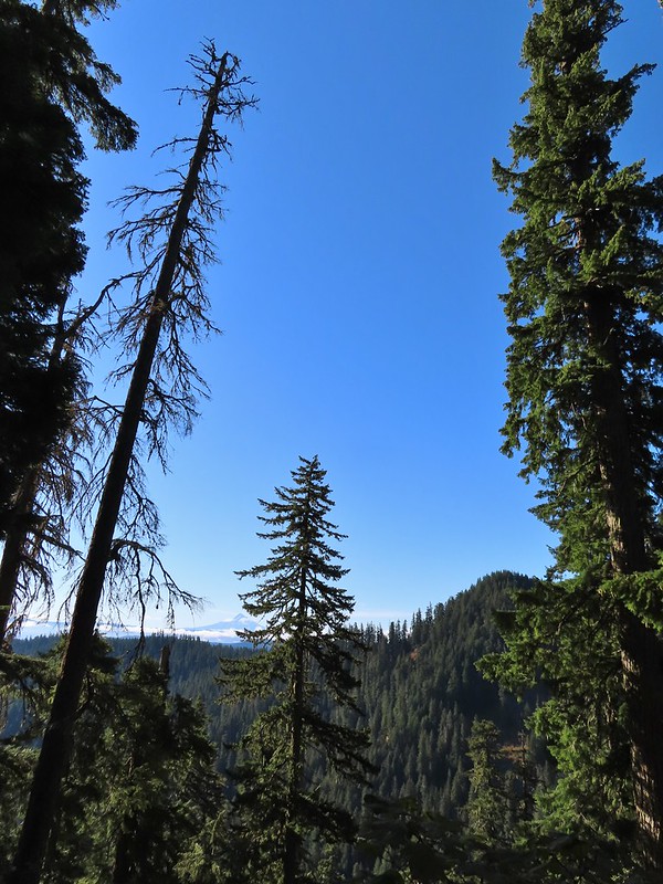
Observation Peak from the trail.

Huckleberry leaves
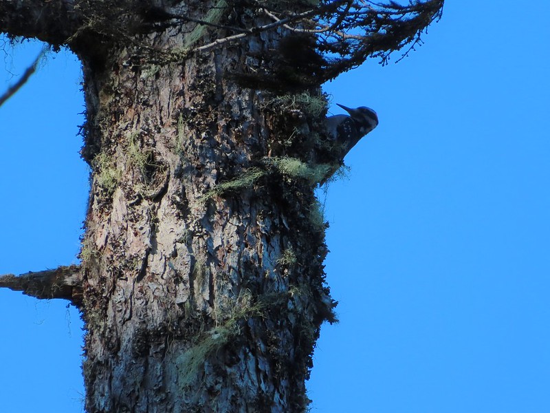
Woodpecker

There were three short stretches in saddles where the trail briefly leveled out giving us a respite from the climb.
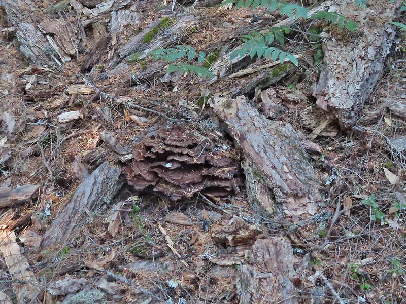
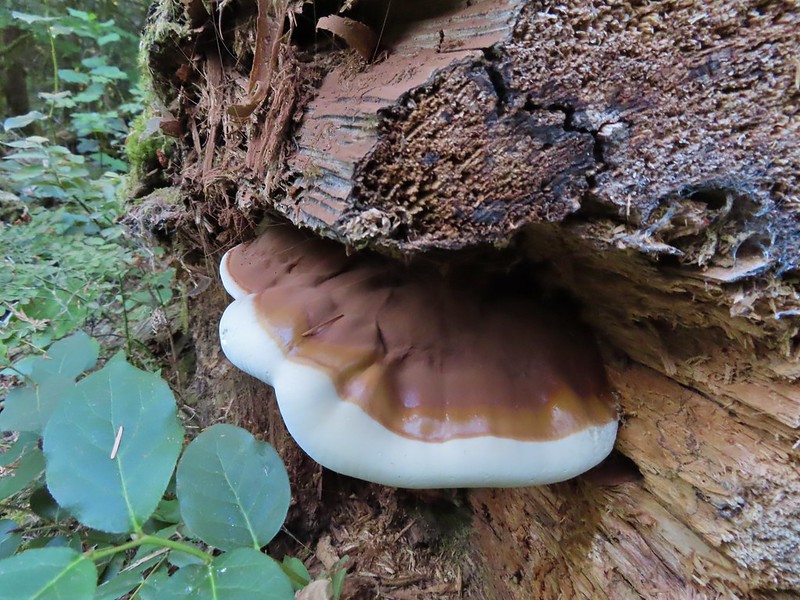
Fungus amid some bark.

Big rock outcrop along the trail.

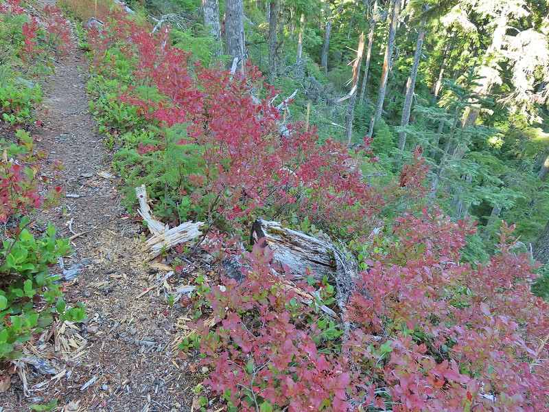
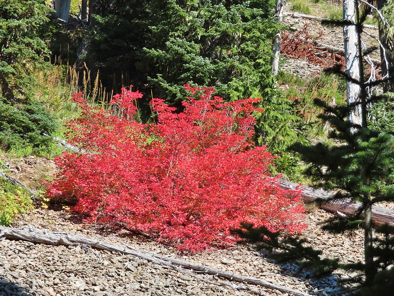
Mountain ash changing into its Fall colors.
Mt. Hood from the trail.
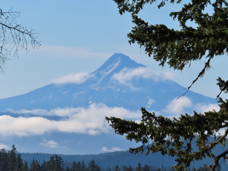
Mt. Hood


Red bunchberries and a blue berry from a queen’s cup.
Mt. St. Helens from the trail.
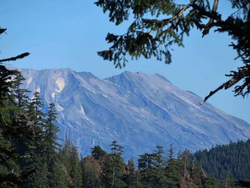
Mt. St. Helens
The only real obstacle came about a quarter of a mile from the lake where a large tree trunk blocked the trail. It was too wide to step over and at too steep an angle to climb over.

The only option was to climb steeply uphill to pass around the top of it.

Mt. Adams from the trail.

Almost to the lake which was busy with folks that most likely took the shorter route in.
Day use area at Soda Peaks Lake.


I don’t think we’d seen anyone all morning on the trails so the barking dogs and yelling people (maybe they were just talking loud but I wasn’t used to hearing voices) were enough encouragement to move on after a short break. The rim viewpoint that we planned to make our turnaround point was another 1.1 miles and 600′ of climbing away. The trail immediately climbed away from the lake from the day use area.

It then curved around the north side of the lake passing through several rock fields where we heard a few pikas but were not able to spot any.

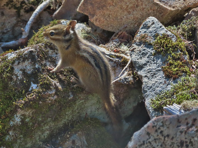
Not a pika, but it was a cute chipmunk.
After some gradual climbing the trail got serious and switchbacked steeply to the rim where it turned right following it for 0.2 miles to the viewpoint.


Mt. Rainier

Mt. Rainier
The Goat Rocks with a smoke plume rising behind them to the north.

Mt. Adams with Soda Peaks Lake in the trees below. The row of peaks in between Mt. Adams and the lake is the Indian Heaven Wilderness.
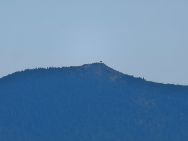
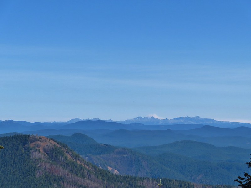
The Red Mountain lookout where we’d been the day before.
There were more people coming down the trail headed for the lake. After a moment admiring the view and catching our breath we also headed back down. We stopped again briefly at the lake then said our goodbyes.

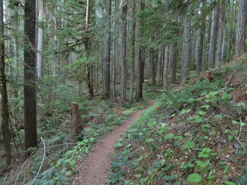
It was a long descent and our knees were happier once we were back on the Trapper Creek Trail. Heather also suffered a yellow jacket sting on her calf on the way down which wasn’t a nice surprise.


Mt. Hood and some vine maples.
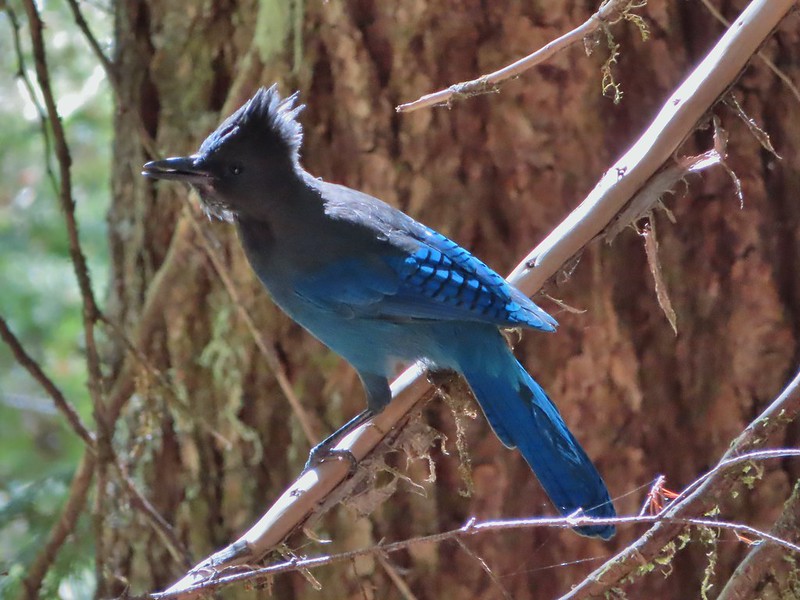
This stellar’s jay almost hit Heather in the head.
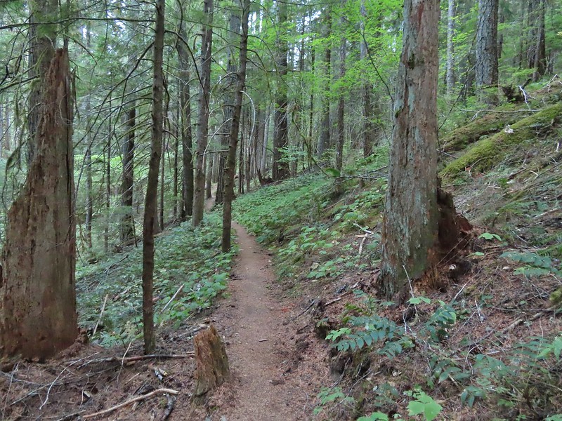
Back on level ground.
The hike wound up being 12.5 miles with 3800′ of elevation gain. It was in the 80’s when we arrived back at the trailhead and the heat just made the hike a little harder. Nevertheless it was an enjoyable day in the Trapper Creek Wilderness. Happy Trails!
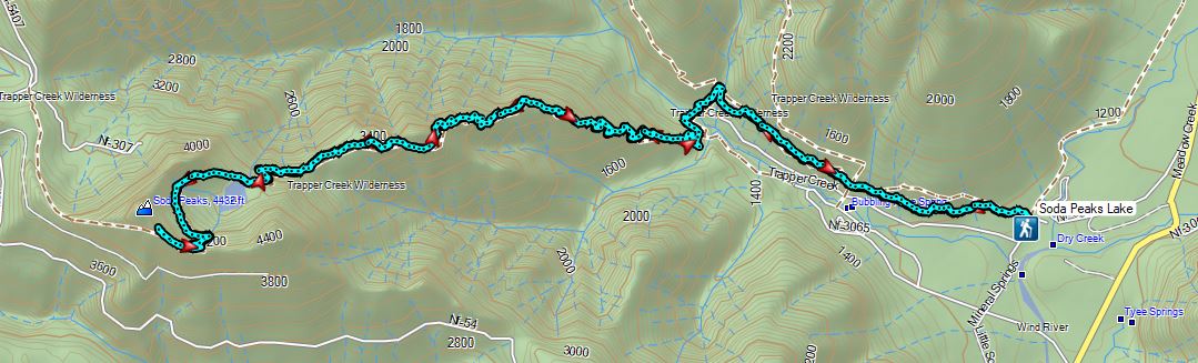
Flickr: Soda Peaks Lake
