
** Note the 2025 Burdoin Fire burned over parts of the route described here. **
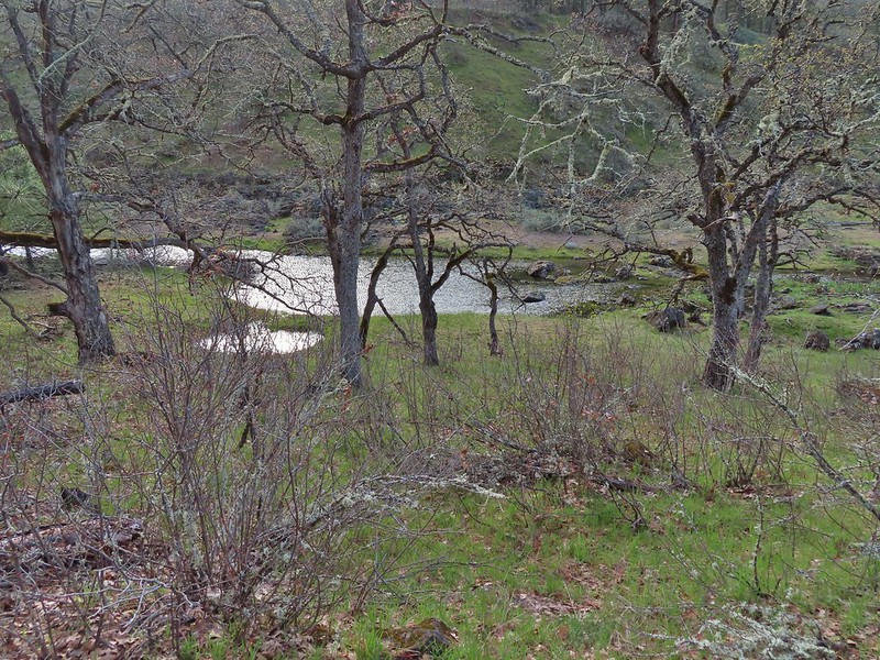
We have spent much of our hiking “off-season” addressing long overdue house projects including replacing siding, windows, floors, and now countertops. Hopefully the projects will be done shortly after our official hiking season starts. In the meantime we welcomed the start of a new month with an outing to Lyle, WA for hikes on a pair of trails along the Klickitat River. Our first stop, on the west side of the river, was at the Balfour-Klickitat Trail. The site of a former ranch this day-use area includes a short interpretive loop, picnic tables, and a wildlife viewing path.

 Rowena Plateau and Tom McCall Point (post) on the Oregon side of the Columbia River
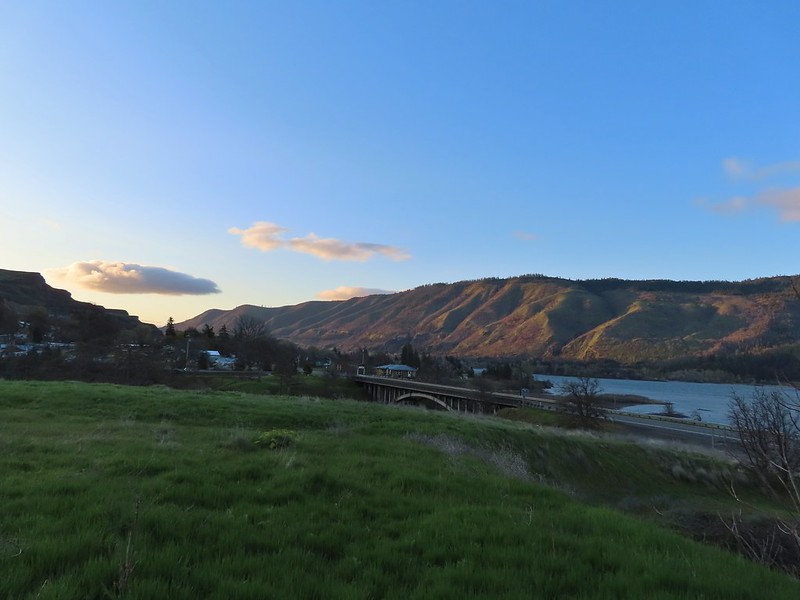
We headed counter-clockwise on the loop which provided views of the Columbia River and across the Klickitat to Lyle.

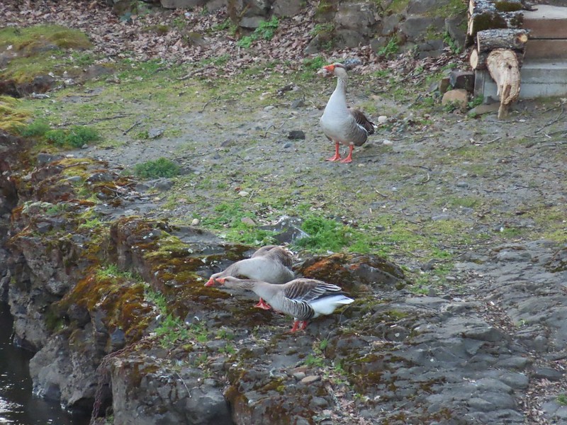
The trail then turned inland along the Klickitat where a noisy group of domestic geese drew our attention to a pair of common mergansers and great blue heron.


 A blurry heron along the river.
We spotted a number of smaller birds in the bushes and trees as we made our way around the loop. We also took a quick detour downhill to a picnic table overlooking the river.
 Acorn woodpecker
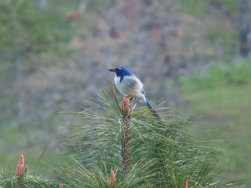 Scrub jay
 View from the picnic table.
A short time after returning to the loop we came to a sign for the Wildlife Viewing Area near a bench where we made another short detour.
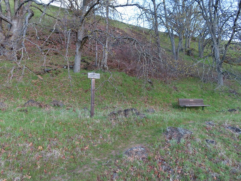
 This trail was not paved.
 Woodland-stars
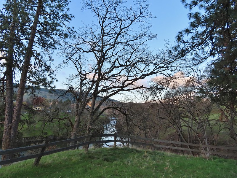
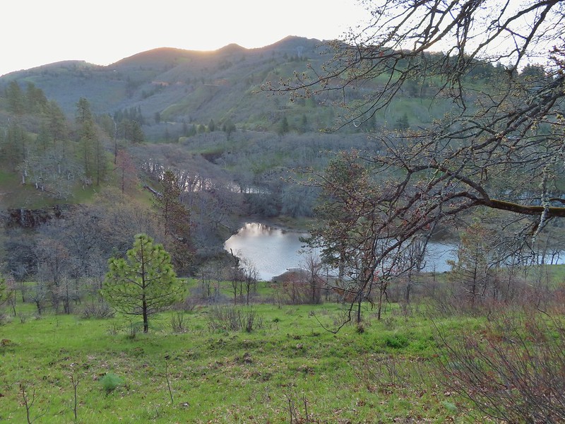 View from a bench at the end of the trail.
 Mallards on the water below.
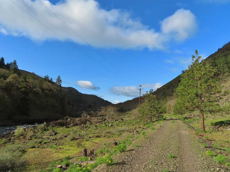
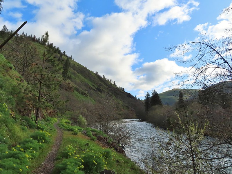
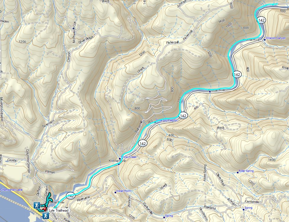
After checking out the wildlife viewing area we completed the 0.75 mile loop which brought our stop here to a total of 1.3 miles. We hopped in our car and drove across the river on Hwy 14 to the Lyle Trailhead. Here the 31-mile long Klickitat Trail begins. This Washington State Park trail follows the historic rail bed of the Spokane, Portland, Seattle Railway (SP&S). A 3 mile section of the trail north of Klickitat, WA is currently unhikeable due to a missing bridge over the Klickitat River effectively splitting the trail southern and northern sections of 13 and 15 miles respectively. We hiked 3.8 miles along the end of the northern section from Harms Road in 2014 (post).


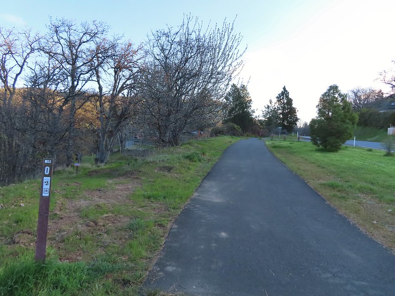 Starting at mile 0.
The trail starts by passing some private homes in Lyle but soon provides views down to the Klickitat River. Across the river we spotted a number of deer working their across the hillside and a bald eagle surveying the river below.

 Keep your eyes out for poison oak which was prevalent along the trail. Luckily the trail is nice and wide so avoiding it was easy enough.
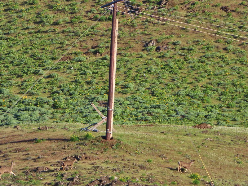 Heather spotted these three deer across the river.

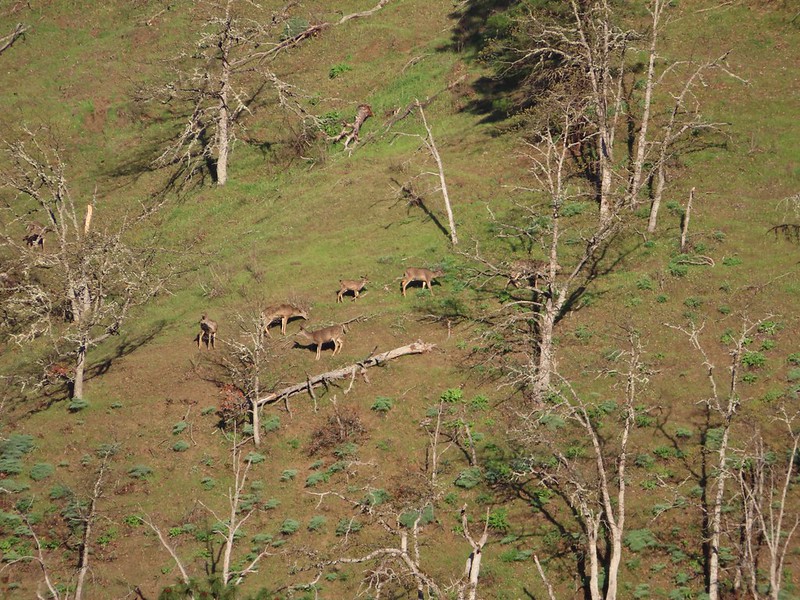 Another group of deer.
 Bald eagle
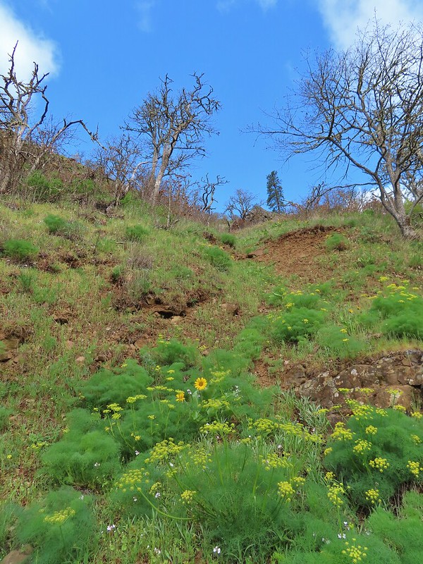
We had chosen this hike based on Matt Reeder’s entry in his “PDX Hiking 365” guidebook where he recommends a late March visit for wildflowers. We kept our eyes out for flowers as we went and were not disappointed.
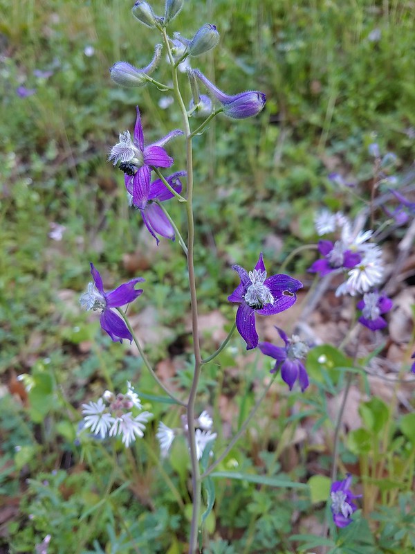 Larkspur and woodland-stars
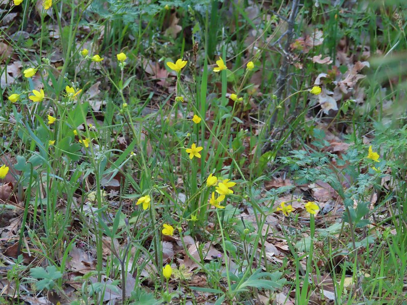 Buttercups
 Pacific hound’s tongue
 Milepost 1
 Saxifrage
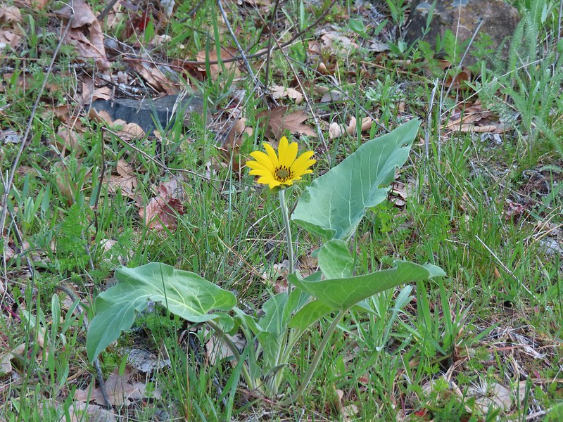 Balsamroot
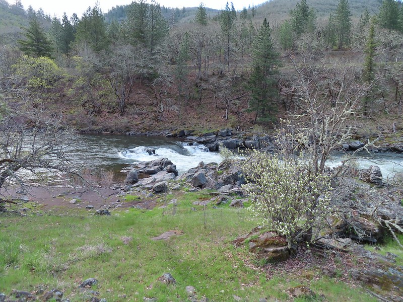
At the 1.7 mile mark we crossed the river on a Fisher Hill Bridge. The view was great and included a series of small cascades on Silvas Creek.

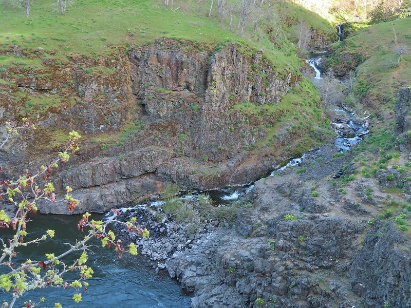 Silvas Creek

We continued north on the trail passing some nice views of the river which were briefly ruined by the smell of rotting flesh (fish?) which brought back memories of the decomposing whale we passed several years ago on our Floras Lake Hike (post).


 Blue-eyed Mary
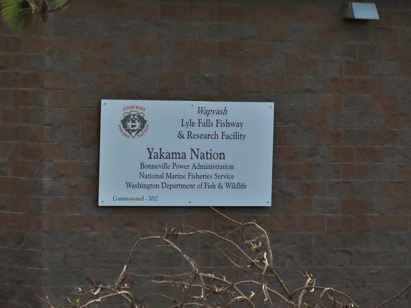
At mile two we passed the Lyle Falls Facility which is a fish monitoring station.


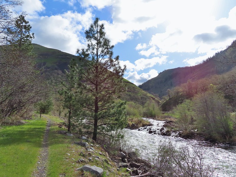
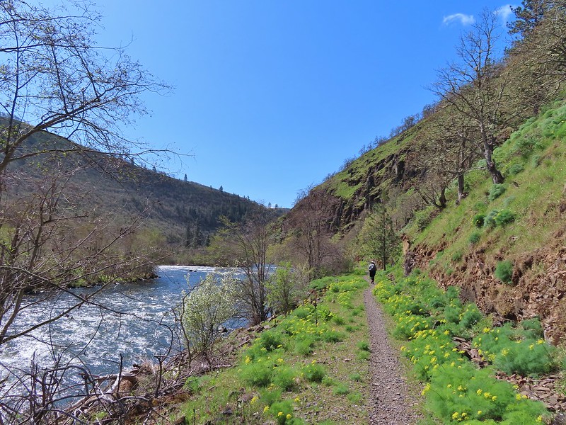
Beyond the fish facility the gap between the trail and the river closed and the views become even prettier.


 Seasonal pool along the trail.
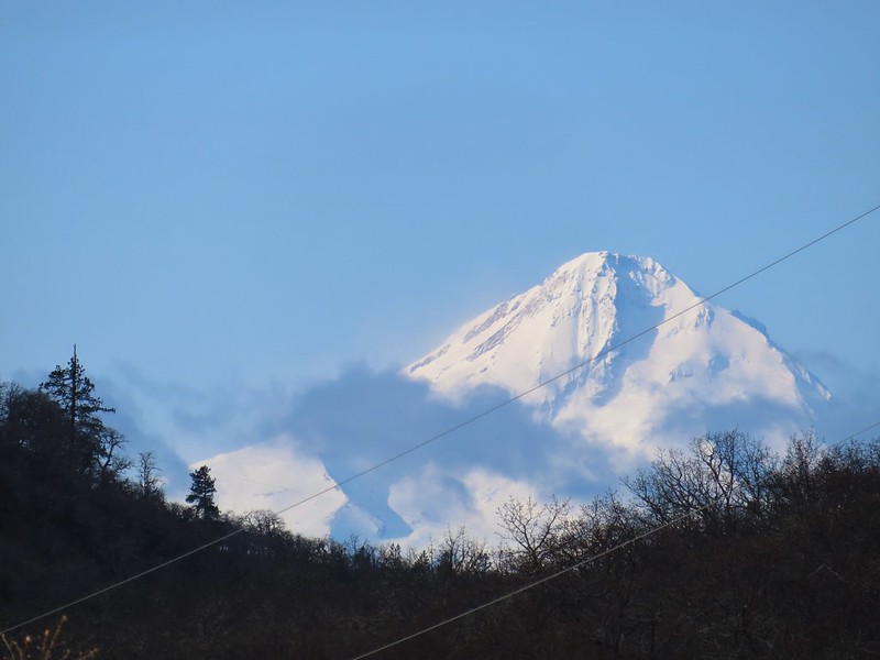
The only mountain view of the day was along this stretch with Mt. Hood making an appearance to the south.
 Common mergansers
A short distance upstream we passed a screw trap, an instrument used to trap and count young fish.

We continued upriver until we reached milepost 6 where we called it good and turned around. I had gotten myself confused by misreading Reeder’s hike description and thought that there was another bridge around the 5 mile mark and had originally planned to turn around at that but since it didn’t exist (and we didn’t realize that until after passing MP 5) we made MP 6 the turnaround marker.

 Popcorn flower
 Columbia desert parsley
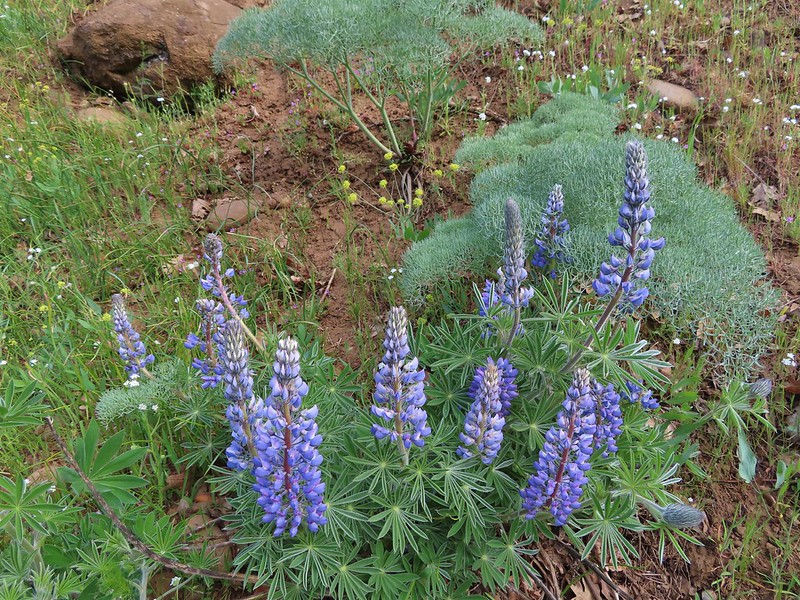 Lupine
 Balsamroot
 Shooting stars
 Buttercups
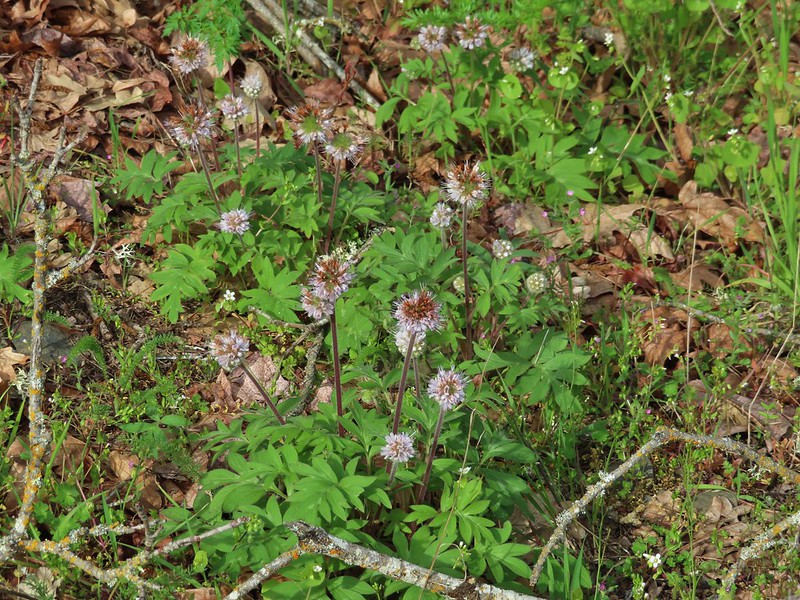 Waterleaf
 A balsamroot amid pungent desert parsley
 Big-leaf maple trees lining the trail.
 Big-leaf maple blossoms
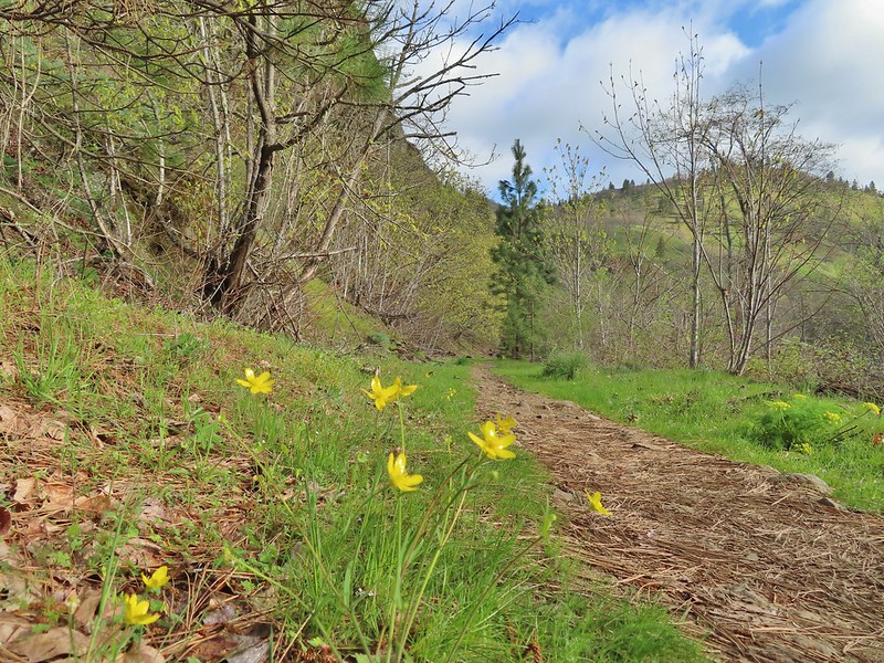
 Gold stars
 Larkspur, poison oak, and buttercups

 Spotted towhee

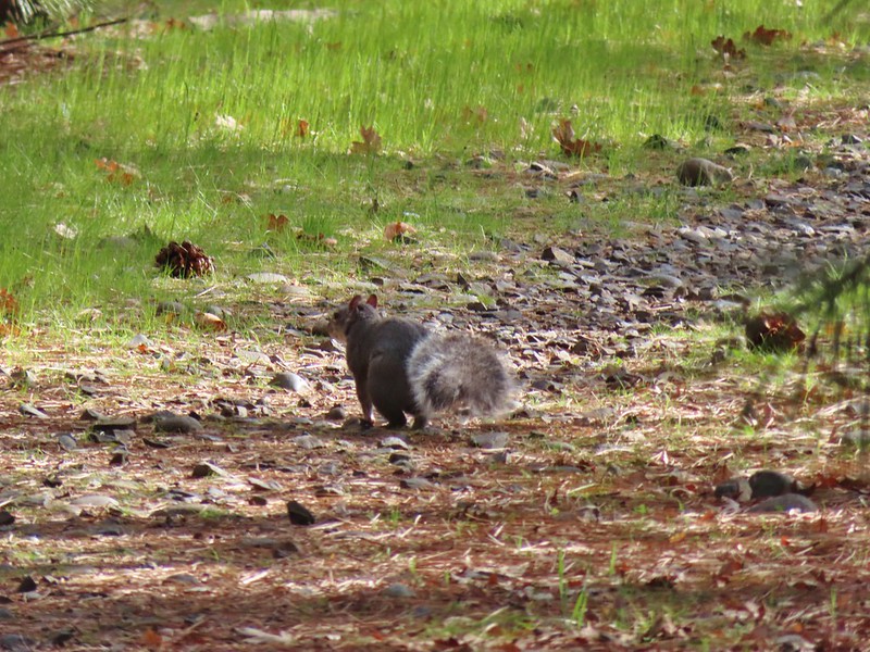 Squirrel
 Dillacort Canyon
 Red-stem storksbill

After turning around we took a brief break on a rocky beach near MP6.

On our way back it had warmed enough for the butterflies (and moths) to come out and we watched for them along with anything we’d missed on our first pass.
 Couldn’t get a good look at this small moth but it was pretty.
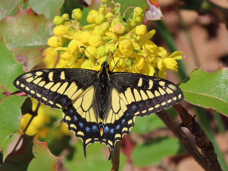 Anise swallowtail
 Sara’s orangetip
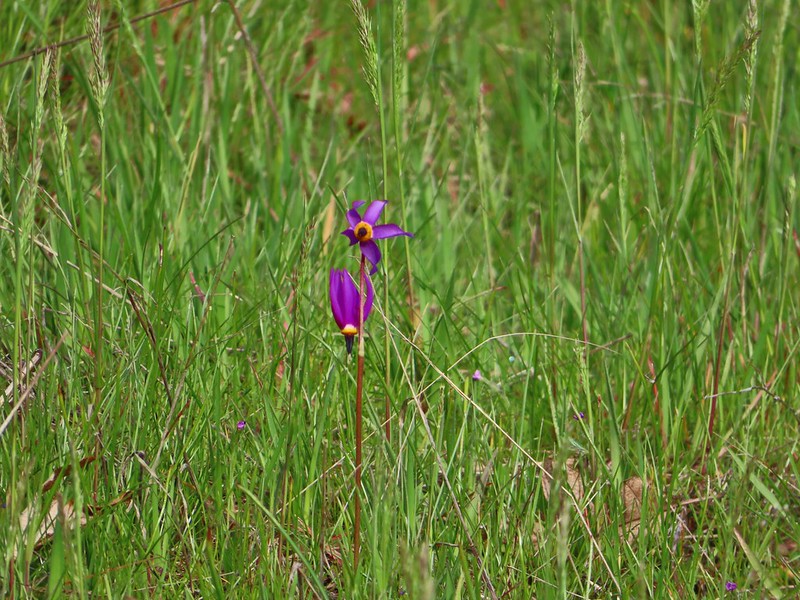
 Grass widow
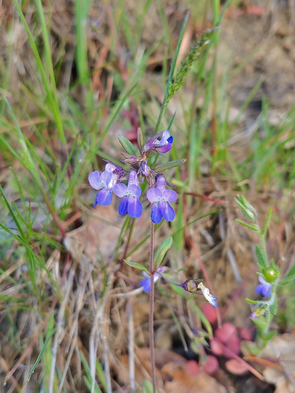
 Slender phlox
 Heading back.
 Immature bald eagle
 Propertius duskywing – Erynnis propertius
 The mergansers had moved to the near bank.
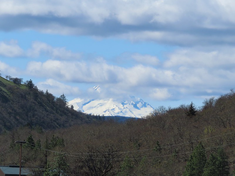 Hood behind some clouds.
 Ground squirrel
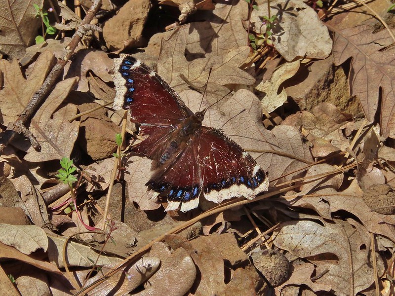 Mourning cloak
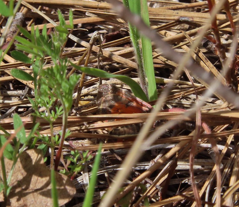
 Lizard


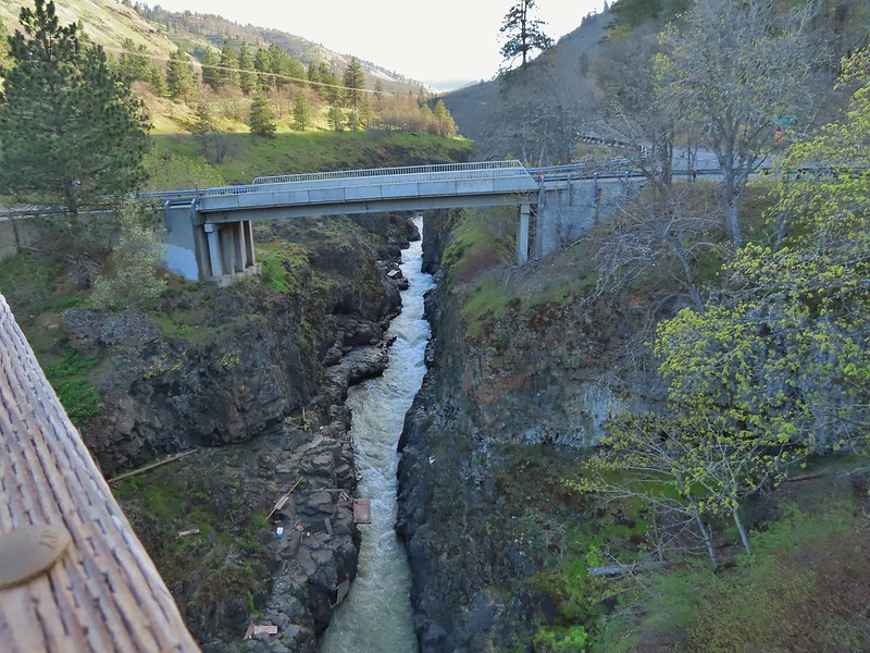
View from the Fisher Hill Bridge in the afternoon.
 Arriving back at the Lyle Trailhead.
Some backtracking and detours brought our hike to a little over 12.5 miles here giving us close to 14 miles on the day with only a couple of hundred feet of elevation gain.
Rattlesnakes and ticks are present in the area but we encountered neither on this day. It was a nice break from the projects at home and a good way to end our off-season. Happy Trails!

3 replies on “Balfour-Klickitat and Lower Klickitat Trails – 04/02/2022”
Lovely pictures of wildlife and flowers! I’ll have to keep this area in mind for spring hiking in the future.
[…] far: (Balch Creek, Yakona Nature Preserve), CZ Trail – East Fork Nehalem River Section, and Balfour-Klickitat & Lower Klickitat Trail. That number includes hikes in Washington and California. While we aren’t going to be able to […]
[…] hike on the converted railroad with our first coming in 2014 (post) and our most recent in 2022 (post). In 2014 we started from the Harms Road Trailhead and hiked west along Swale Creek for nearly four […]