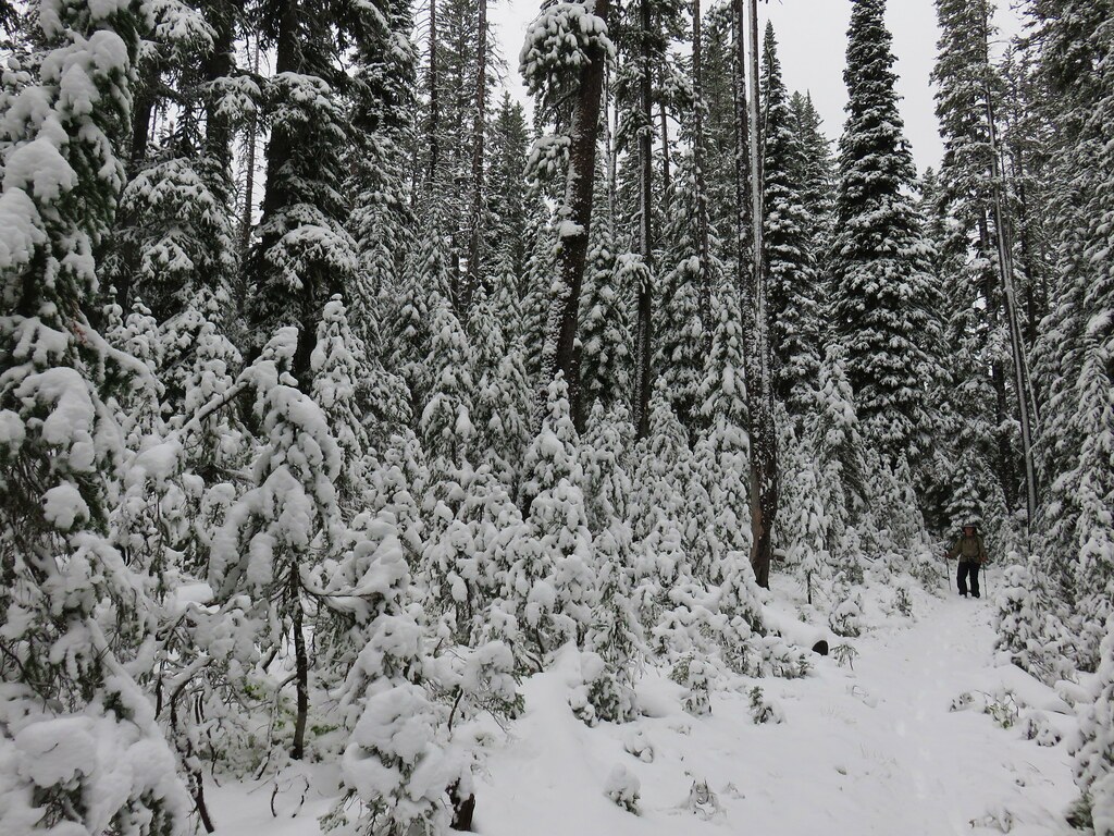
The second day of our Elkhorn Crest backpacking trip began with a welcome chill in the morning. It was actually cold enough to break out the beanie, Buff, and gloves.
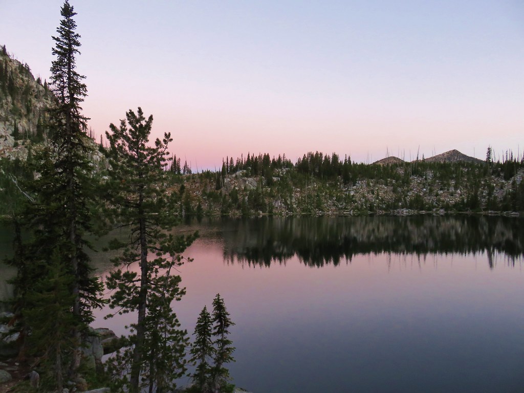
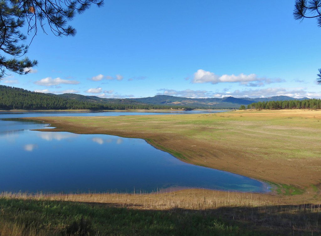
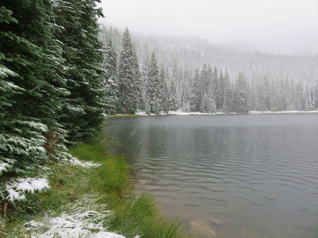
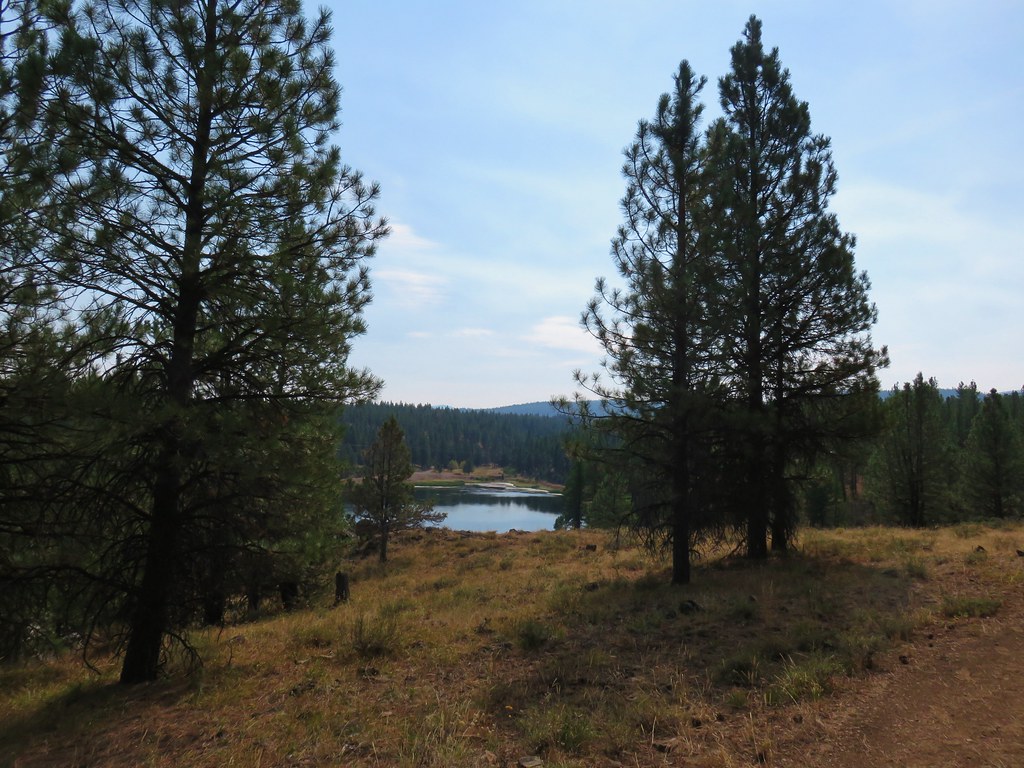
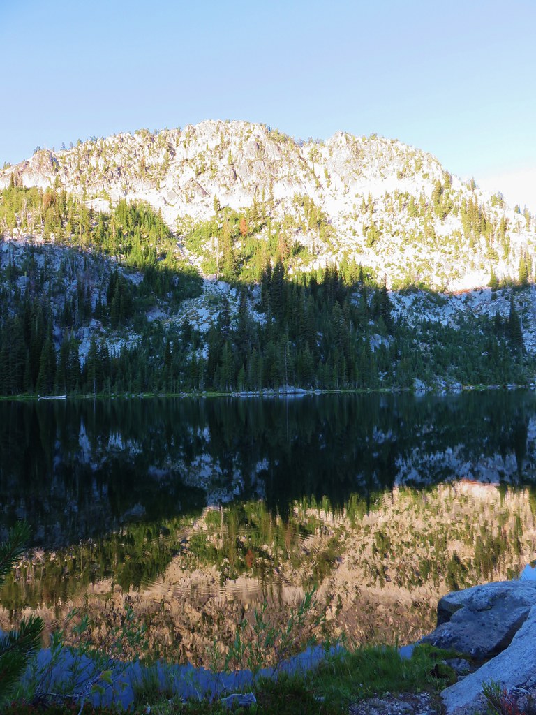
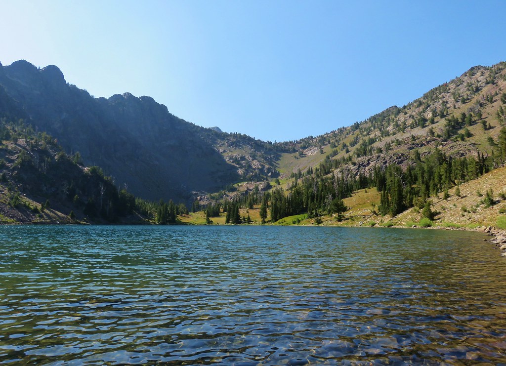
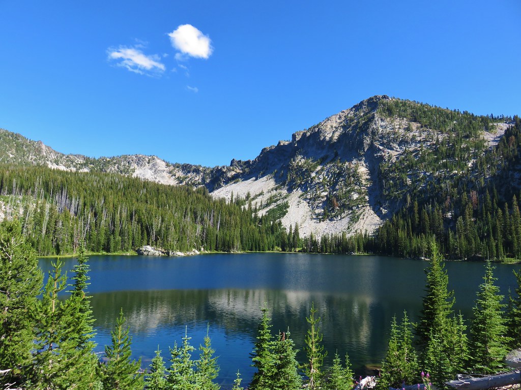
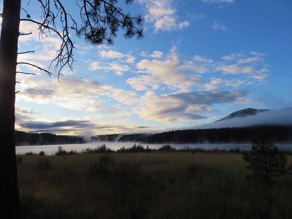
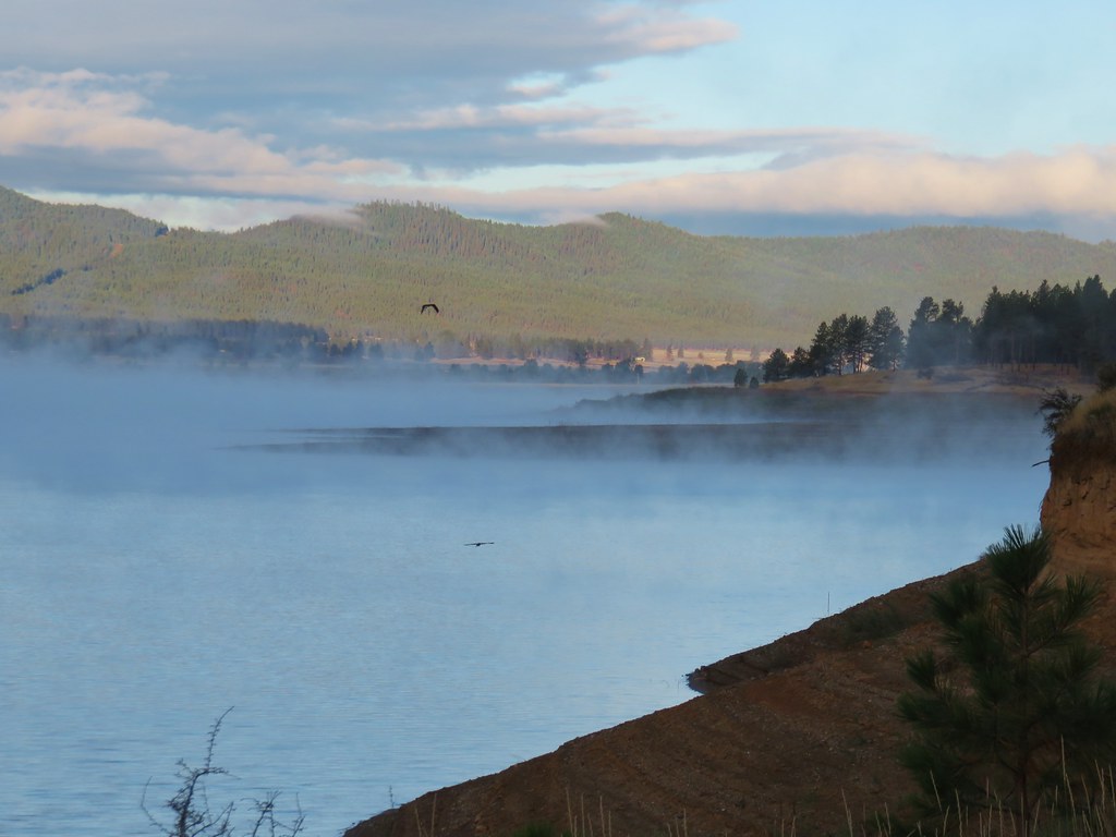
We ate breakfast as the Sun came up creating a nice reflection in Summit Lake.
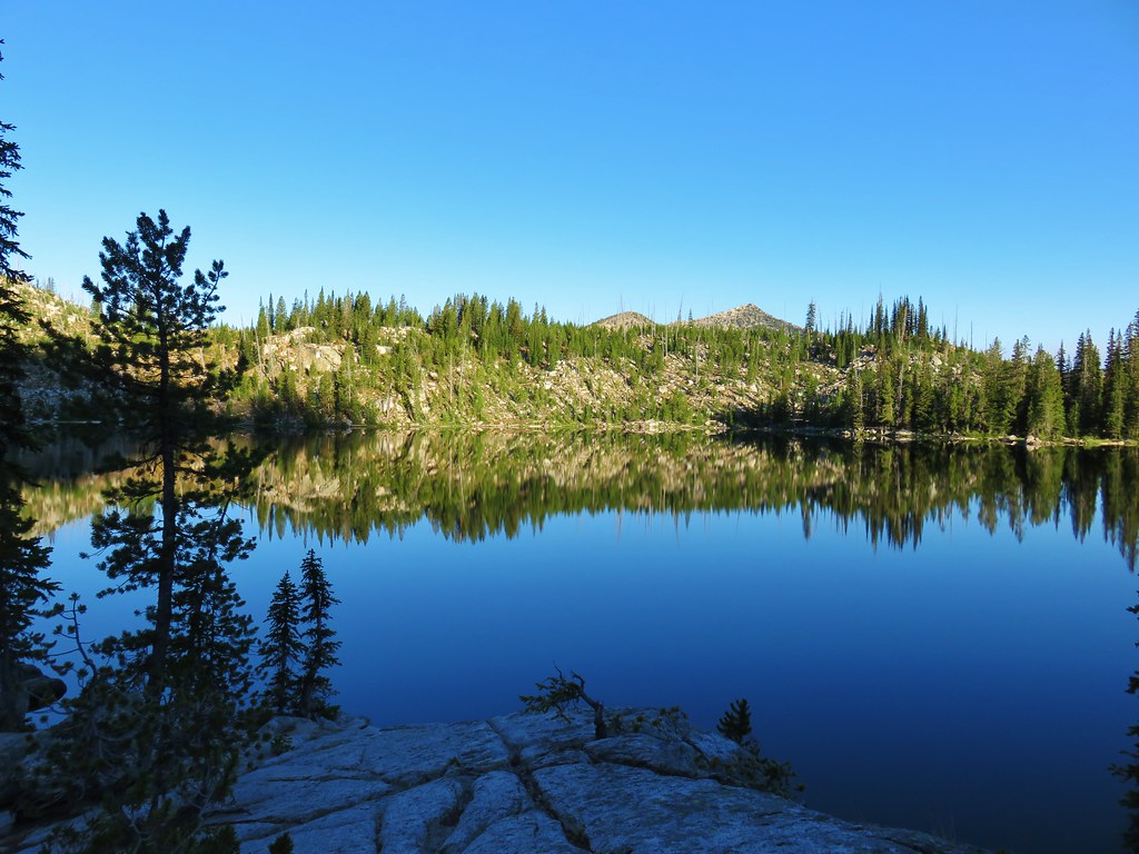
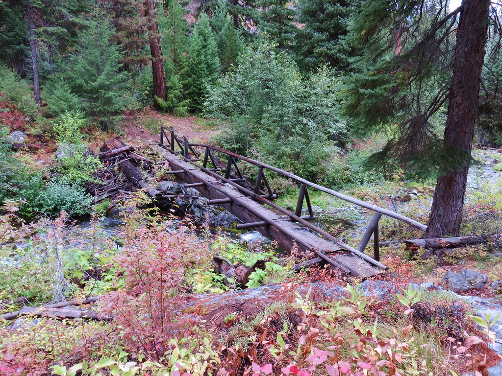
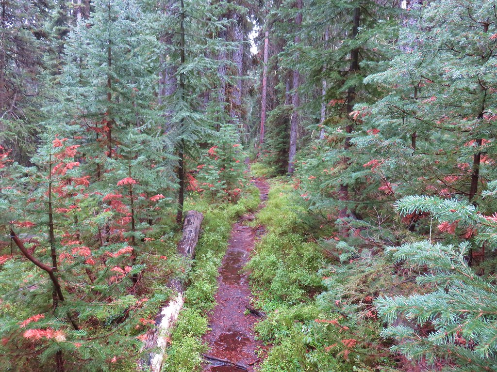
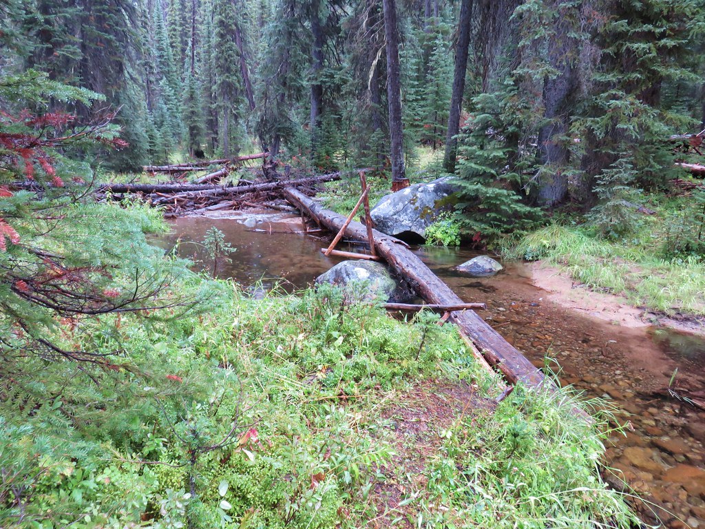
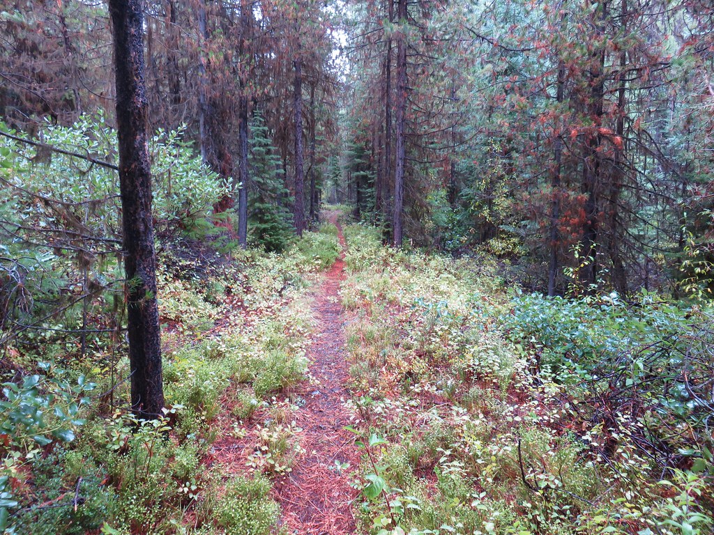
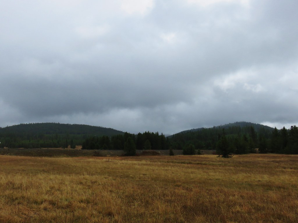
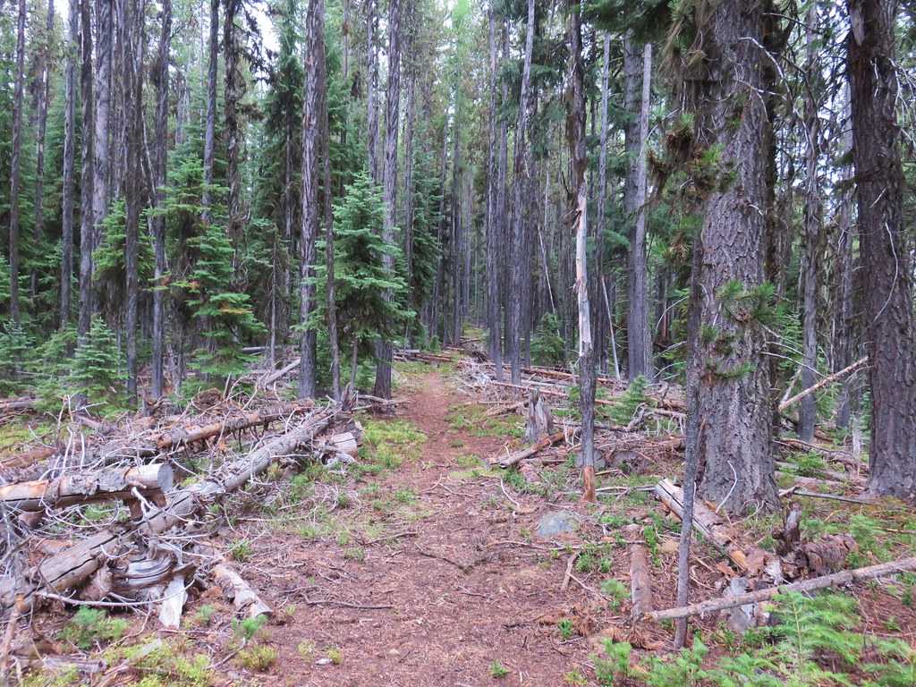
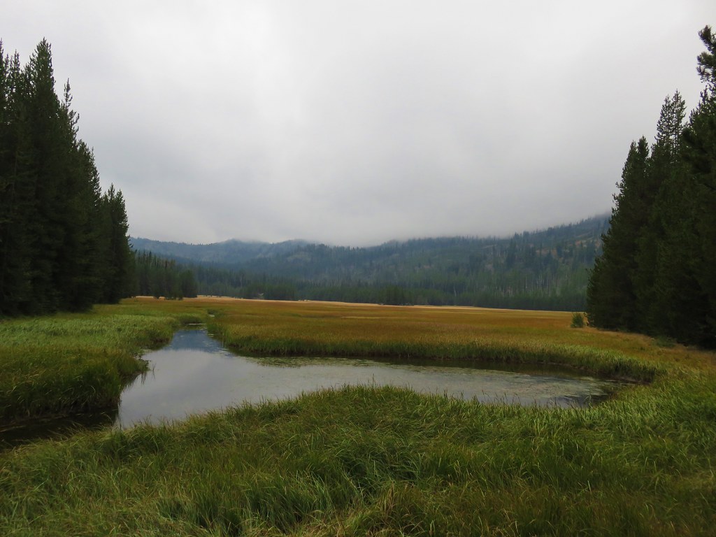
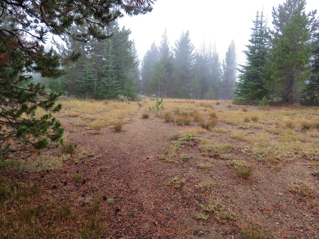
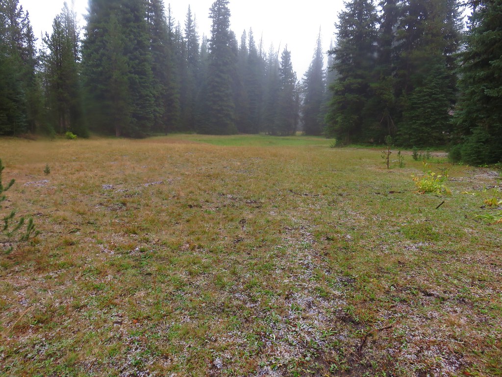
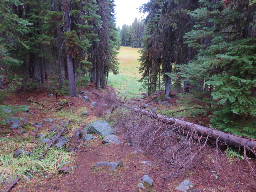
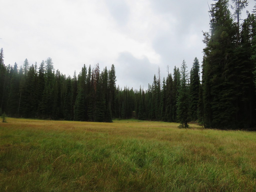
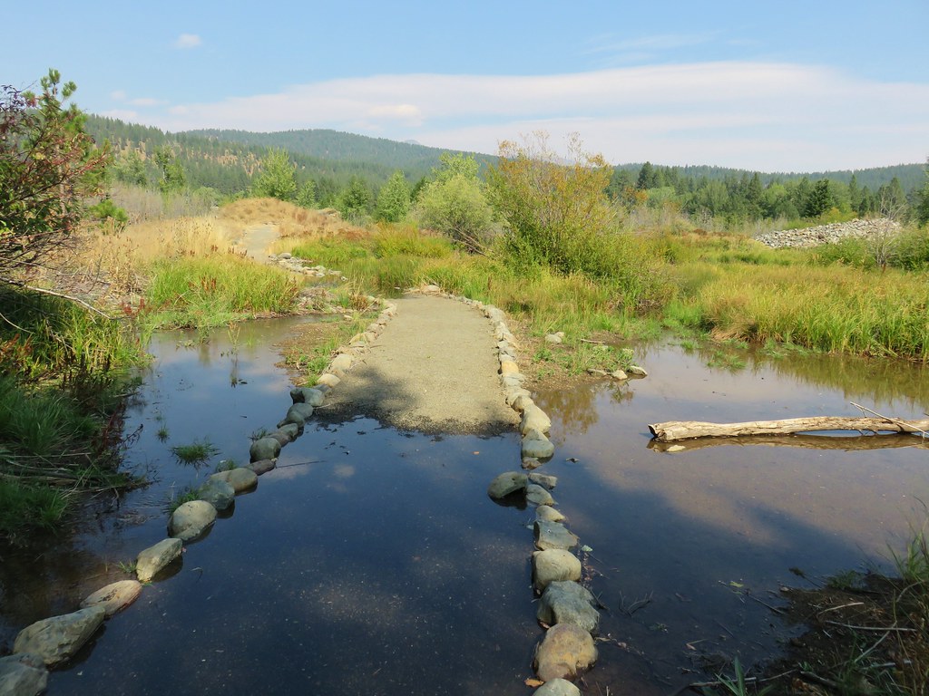
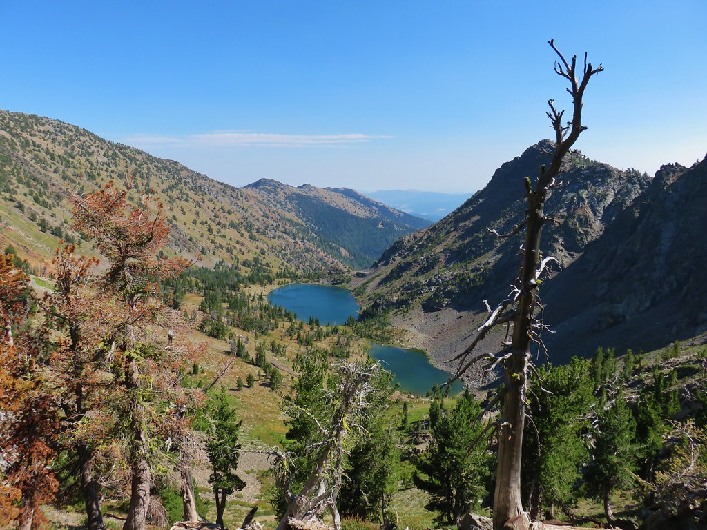
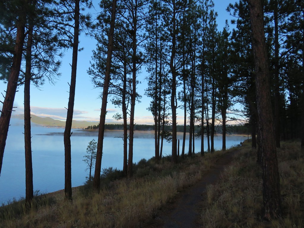
After packing up we decided to continue around the lake counter-clockwise to complete a loop around the shore. We crossed a small inlet in a meadow at the southern end of the lake.
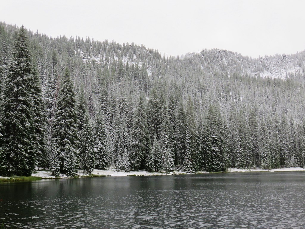
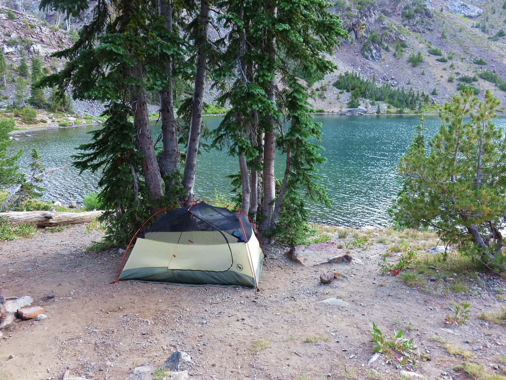
Beyond the meadow the trail passed a couple of other campsites with views to the north across the water.
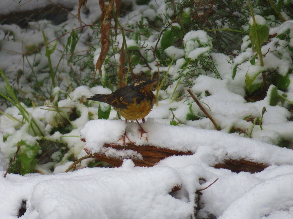
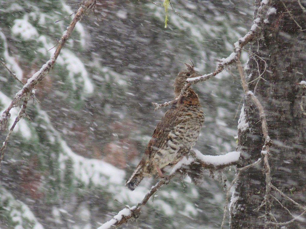
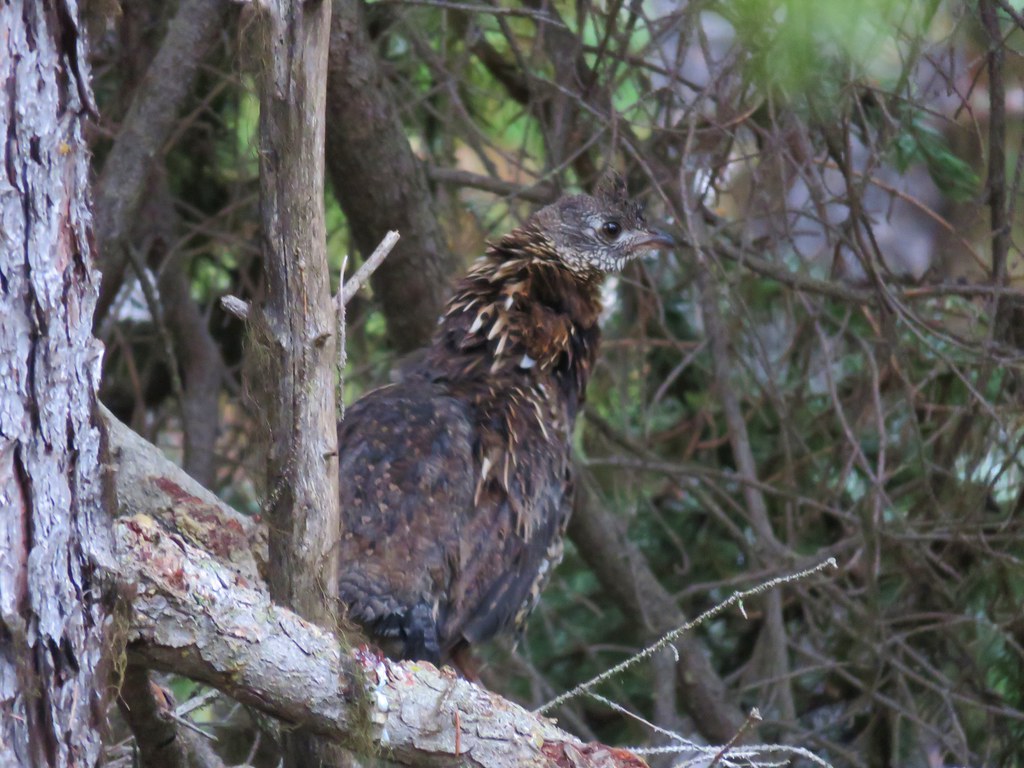
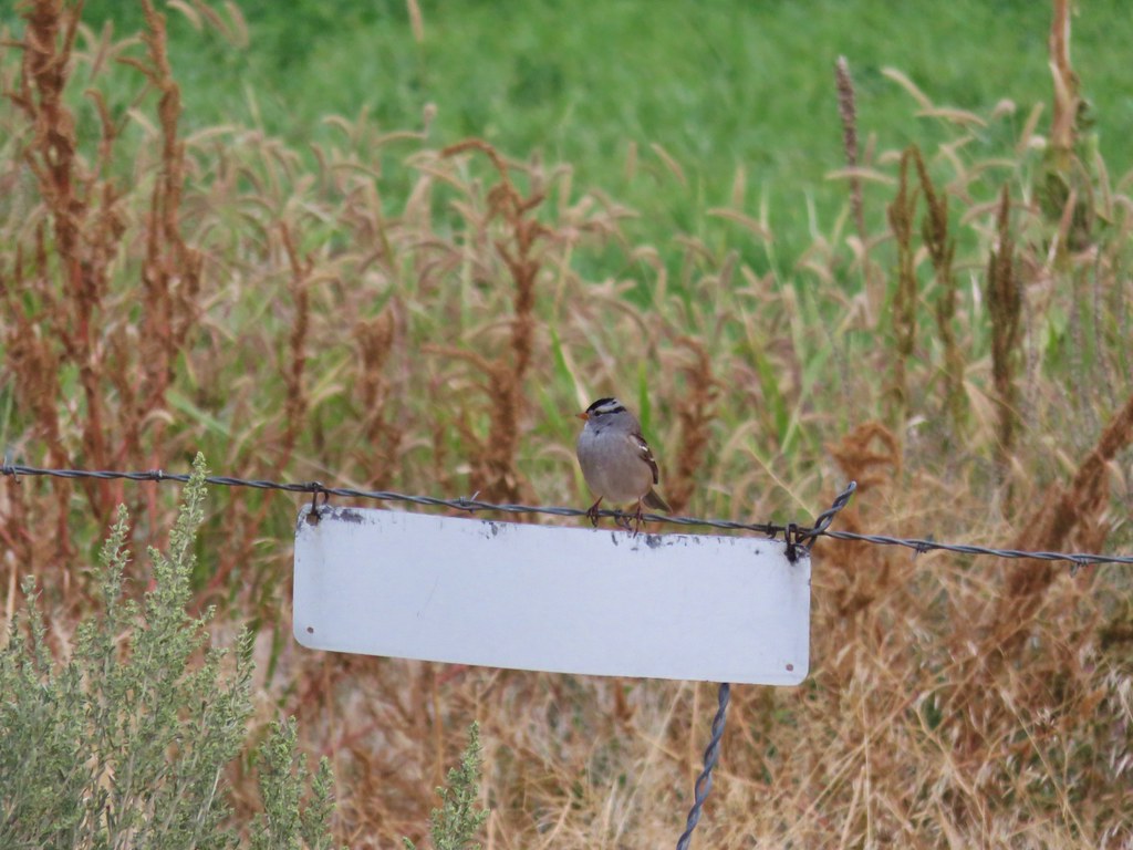
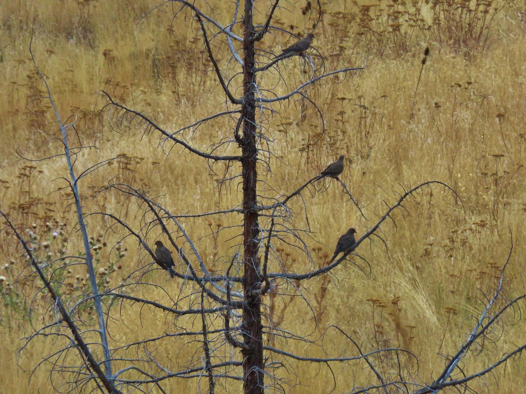
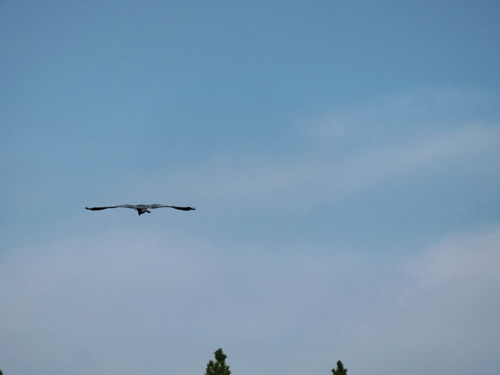
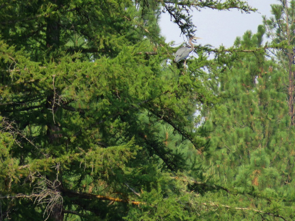
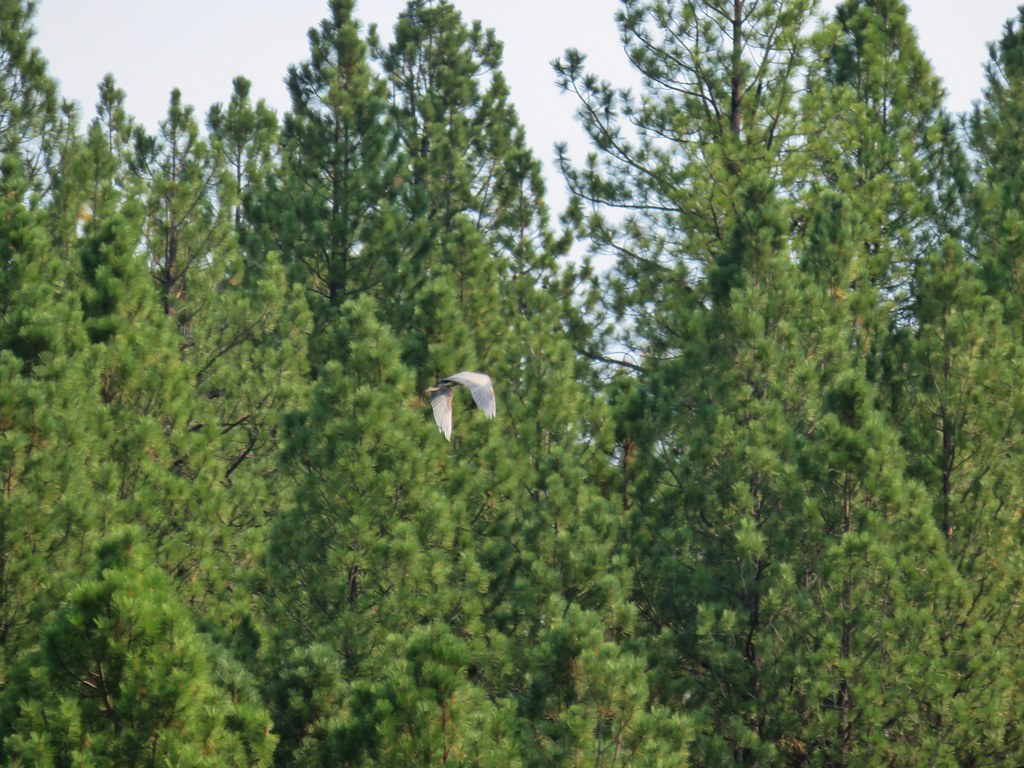
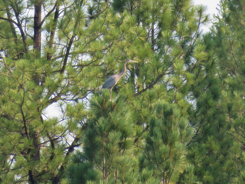
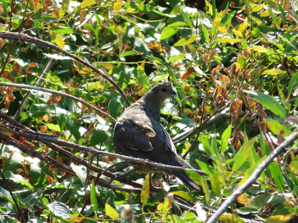
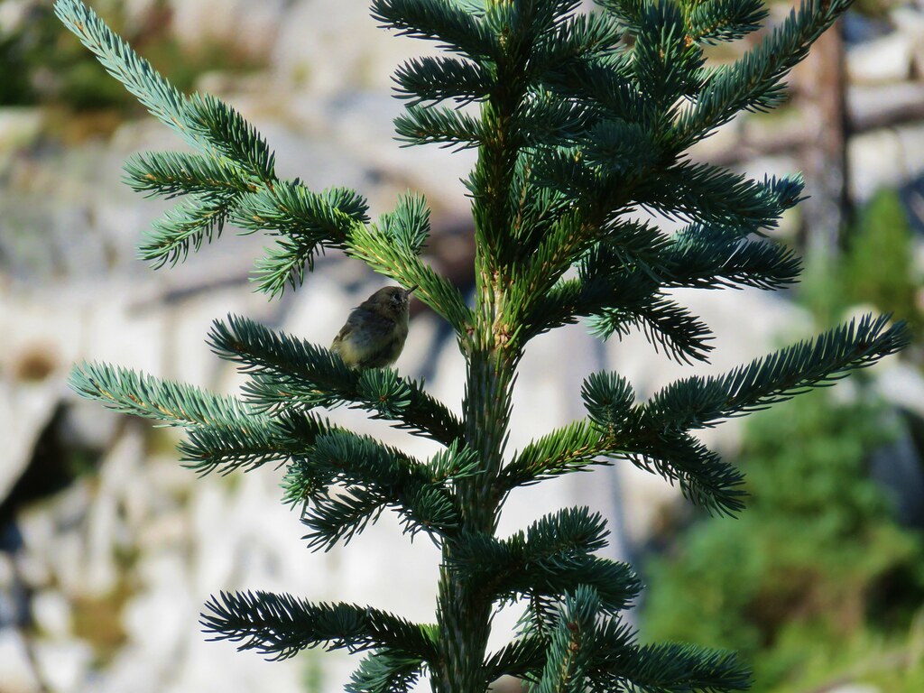
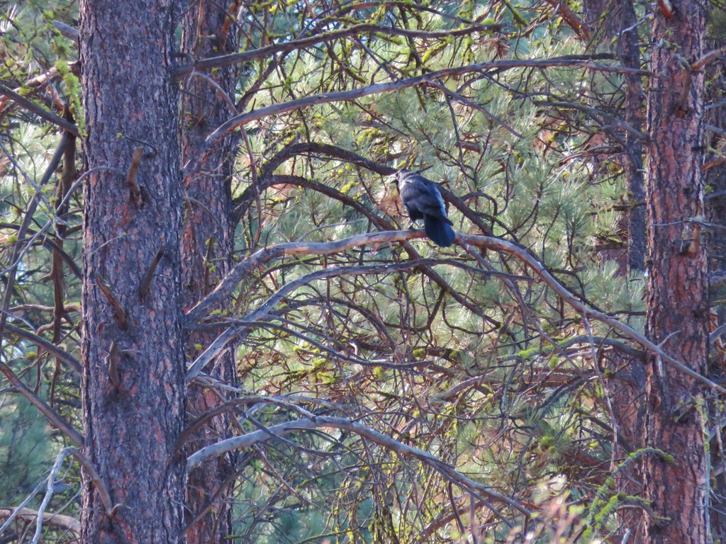
Birds were busily flying from tree to tree but one sat still long enough for a photograph.
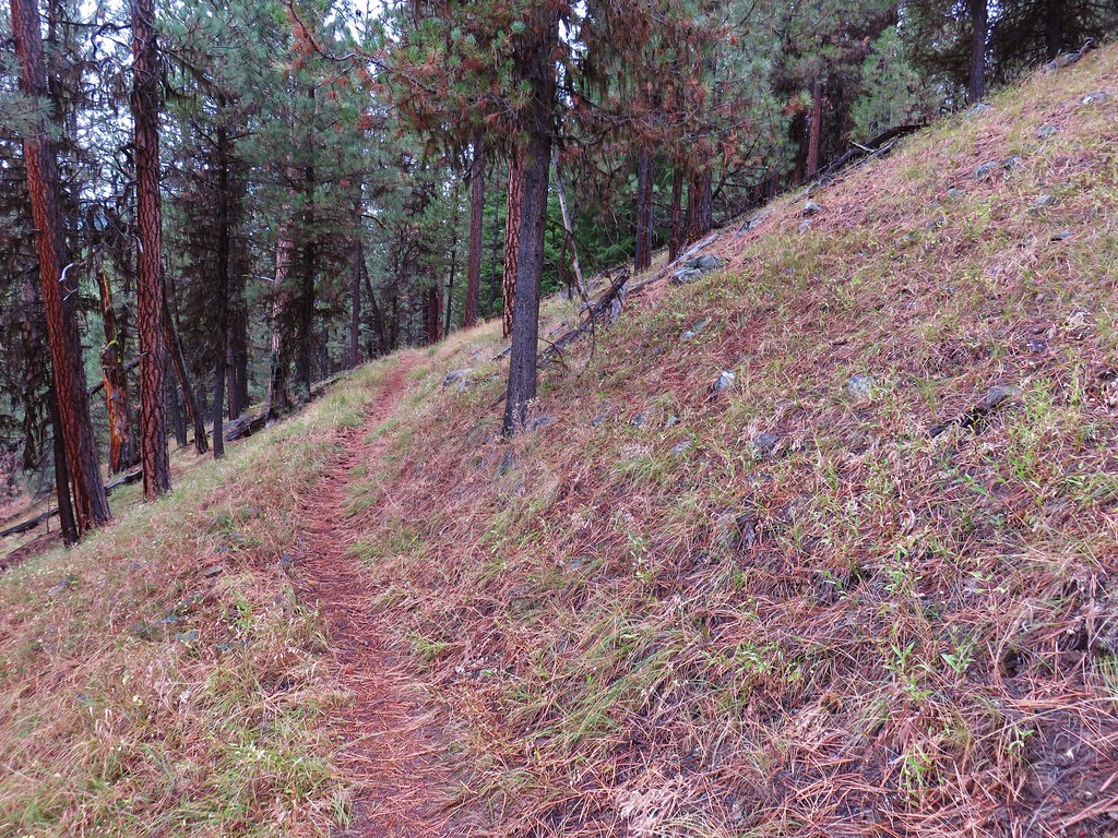
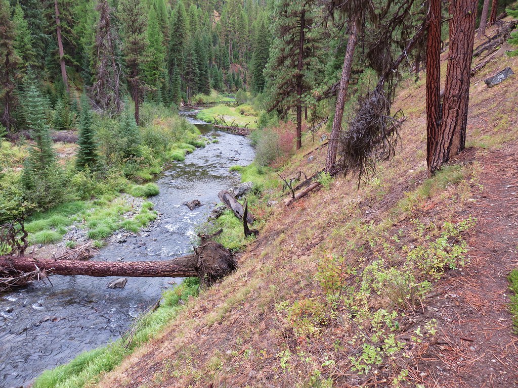
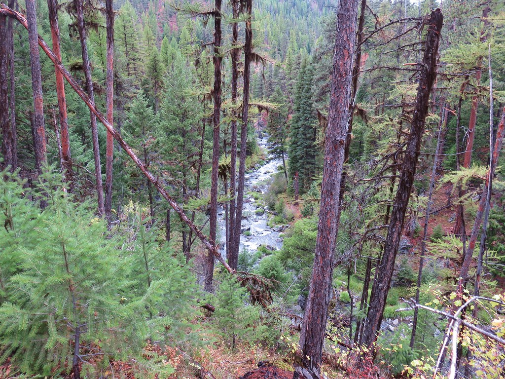
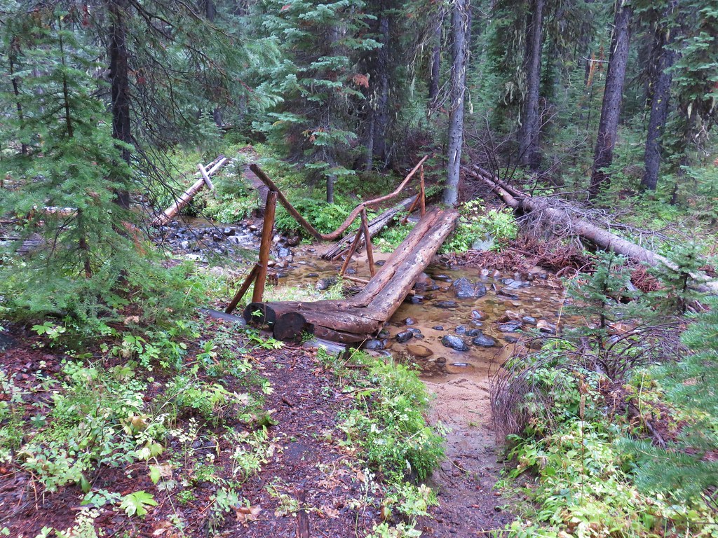
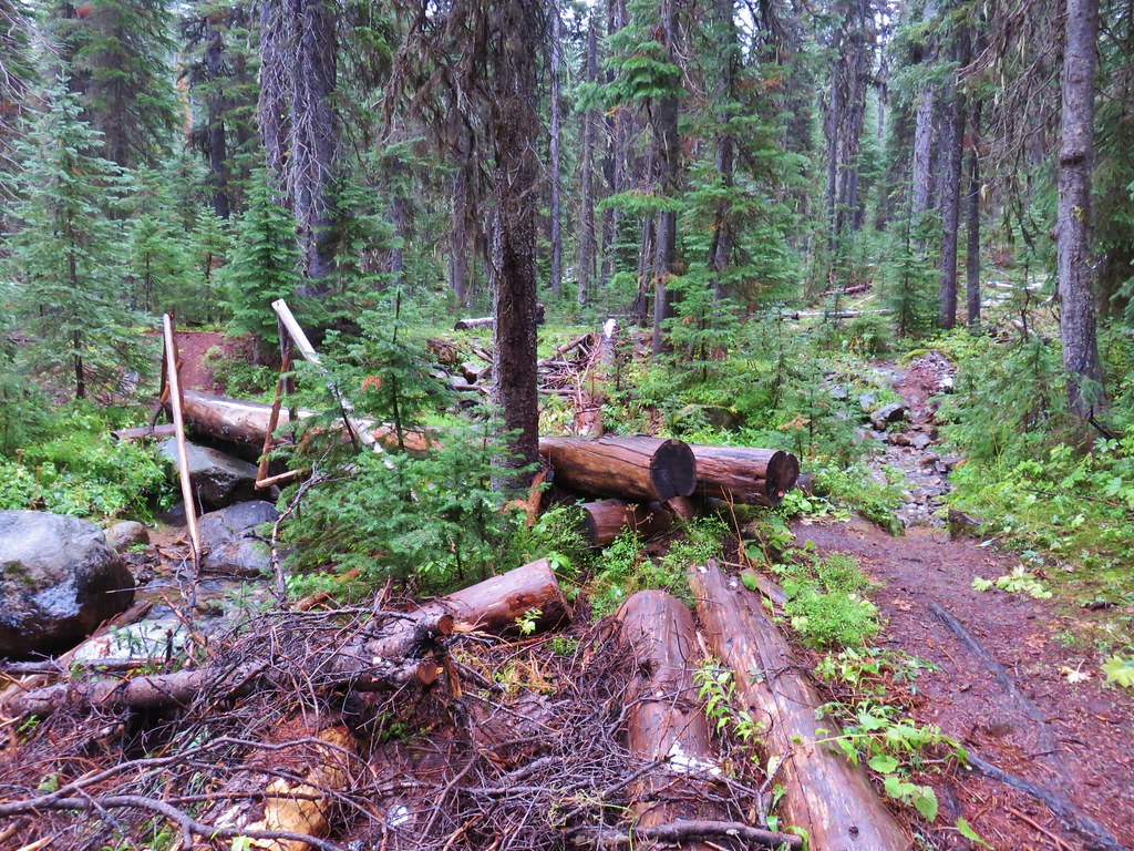
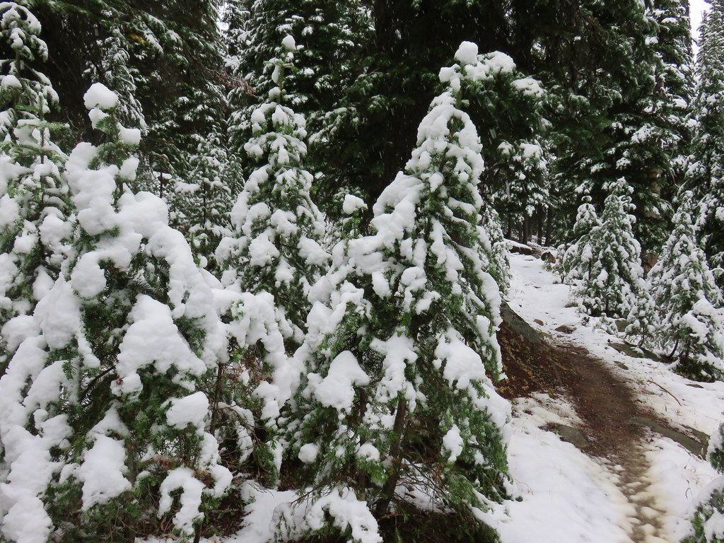
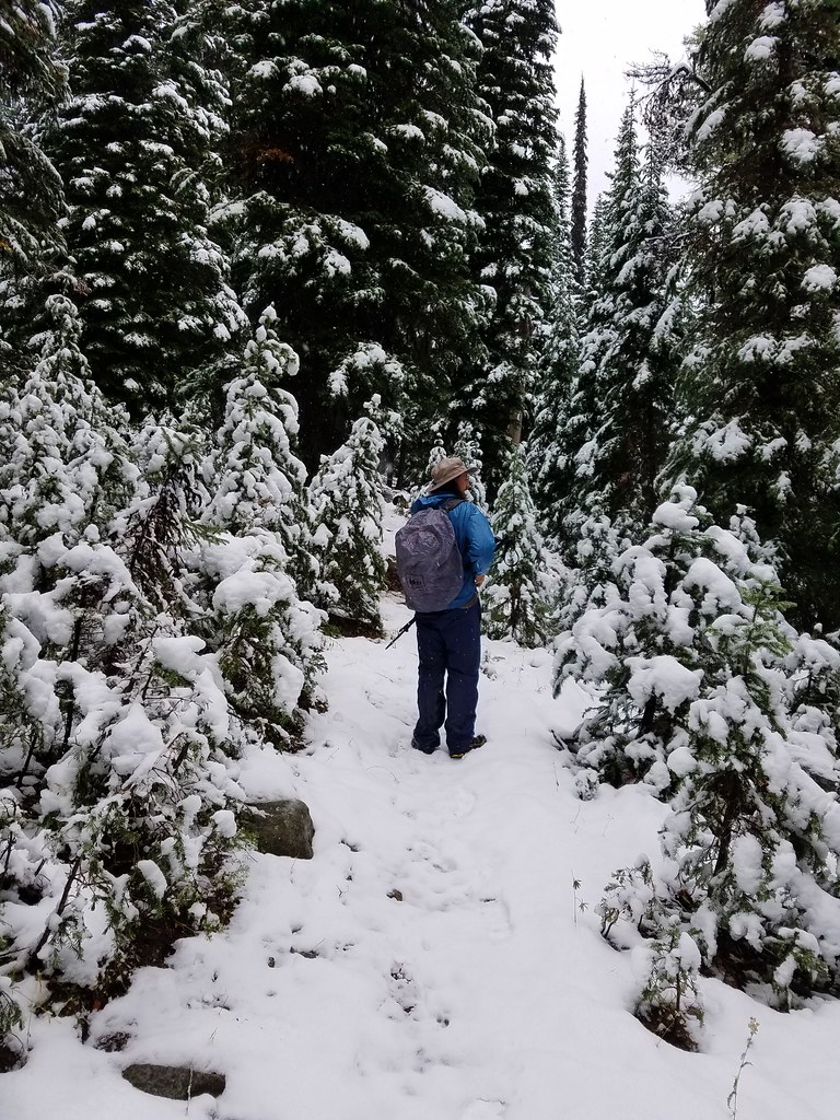
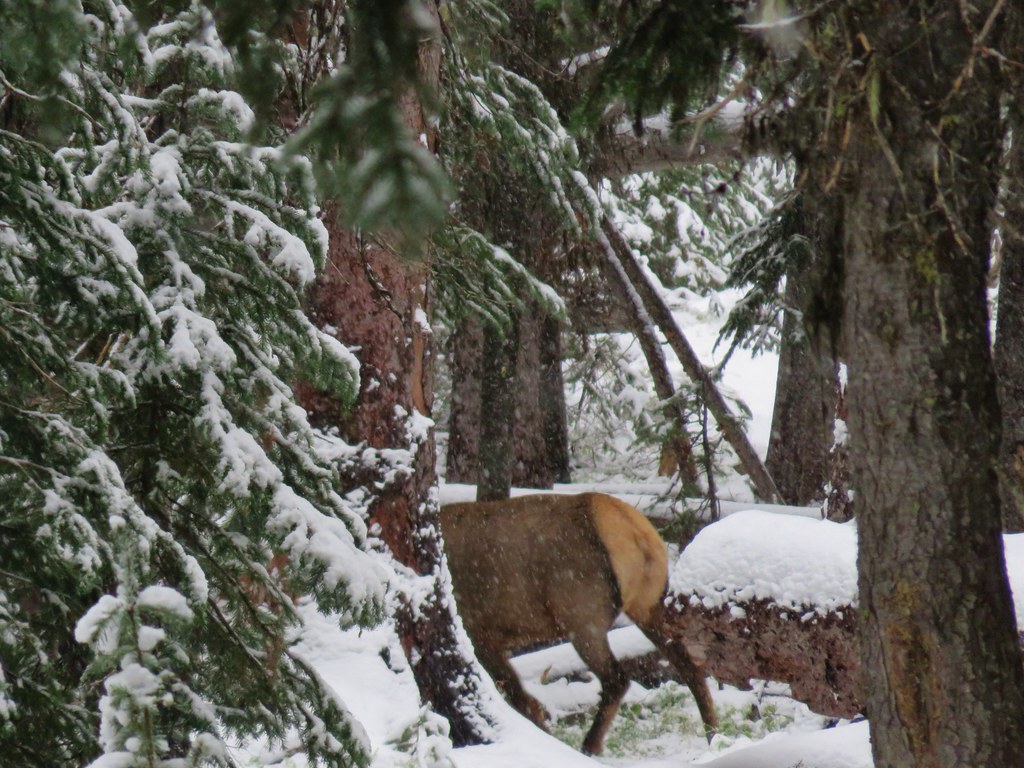
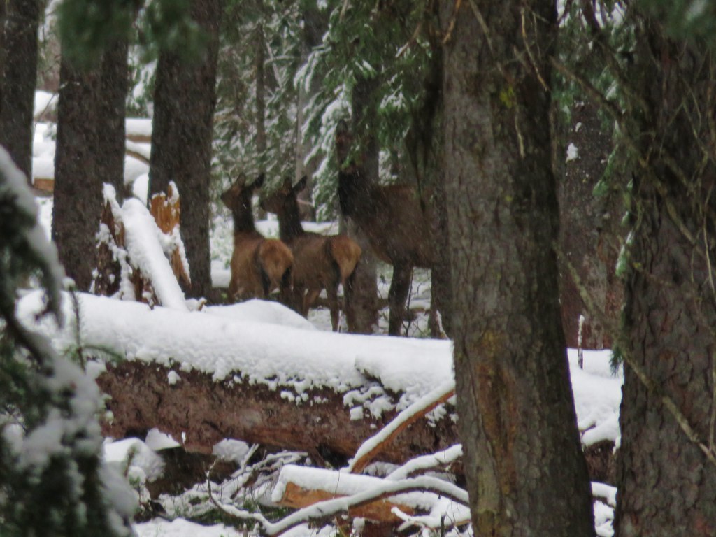
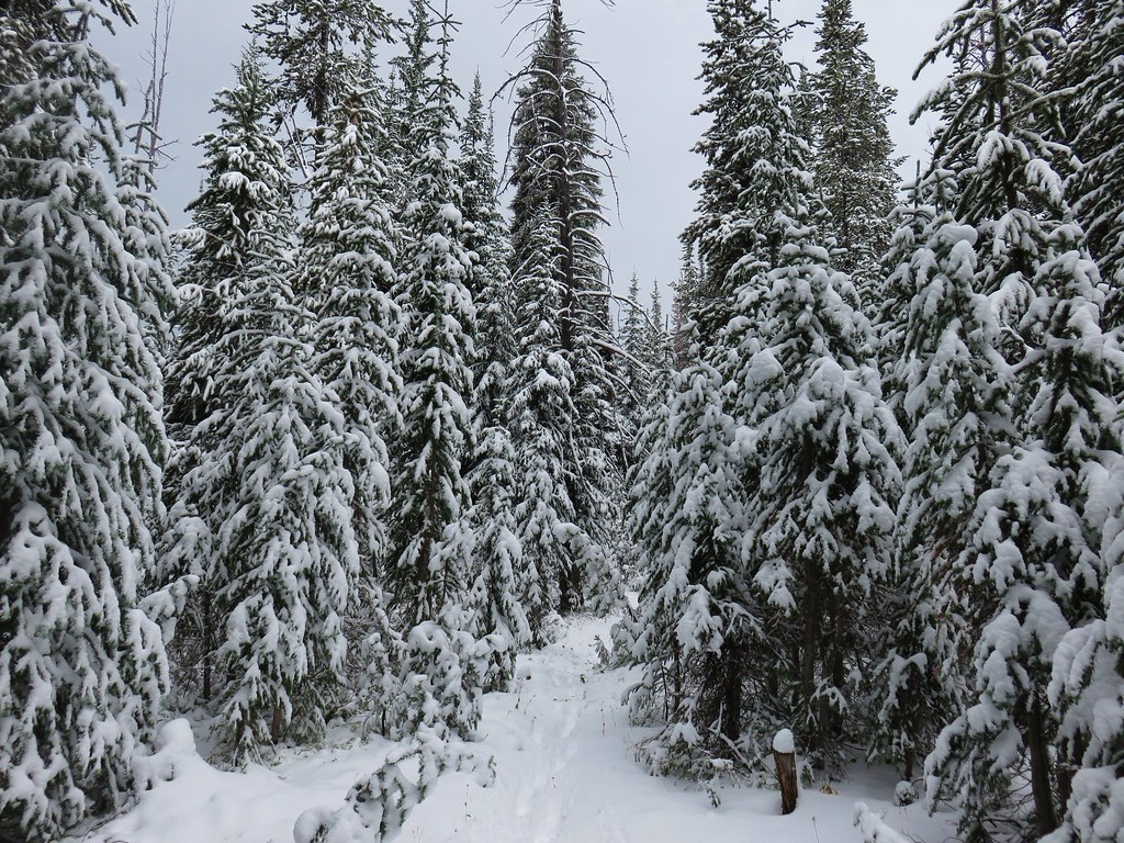
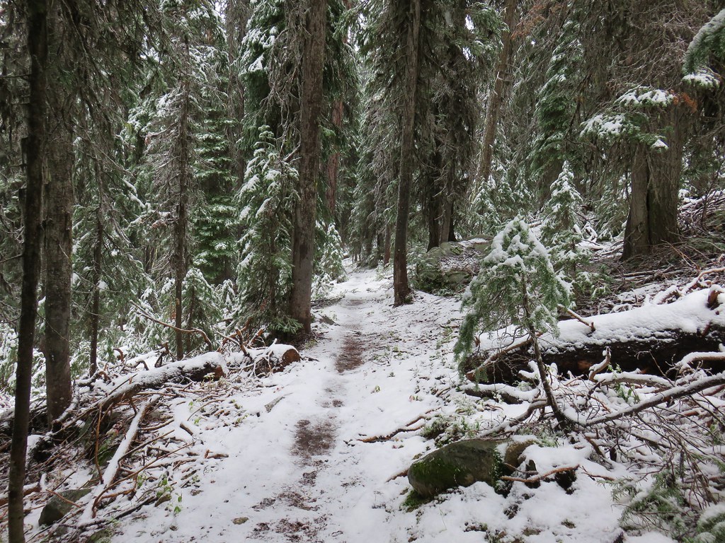
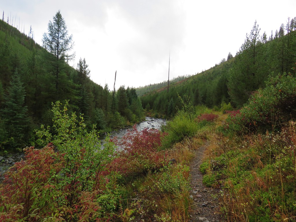
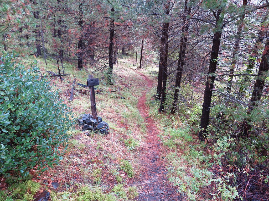
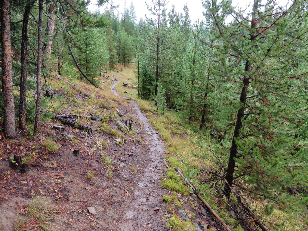
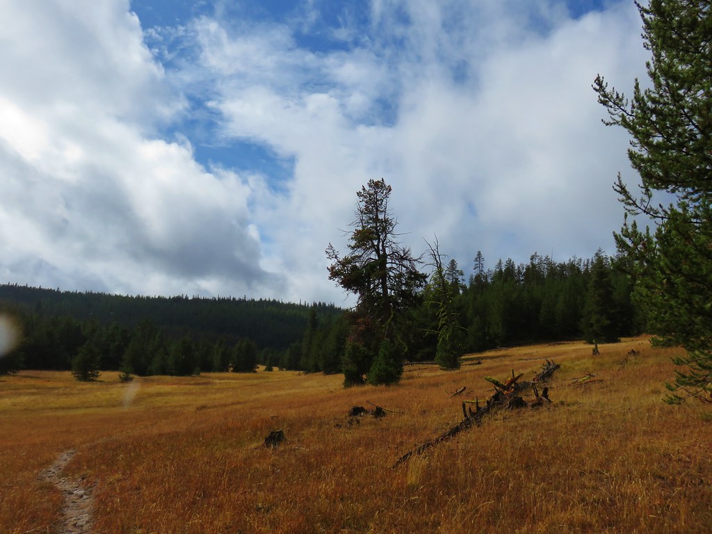
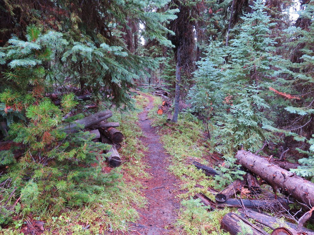
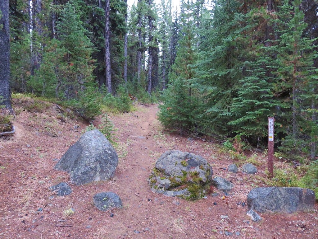
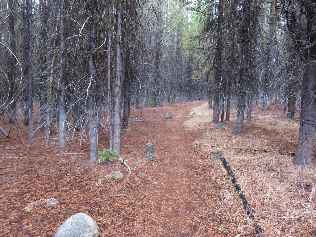
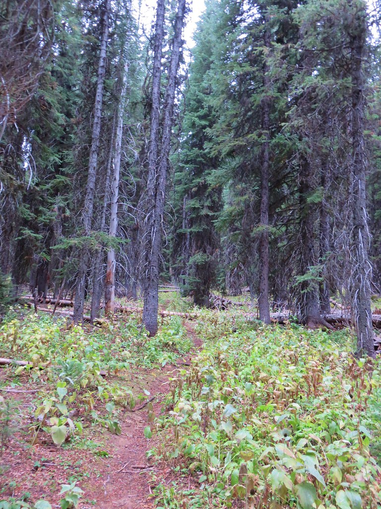
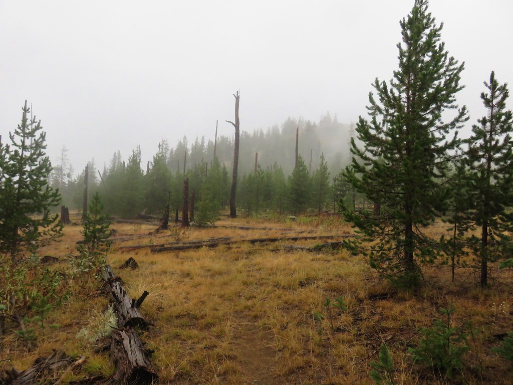
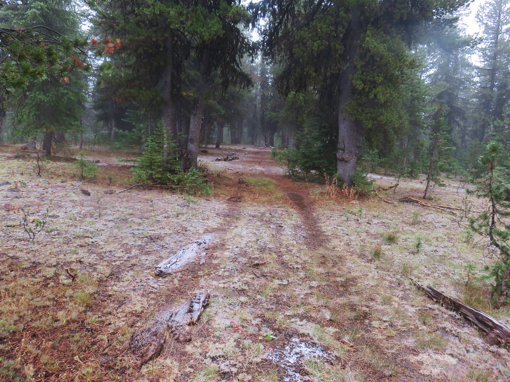
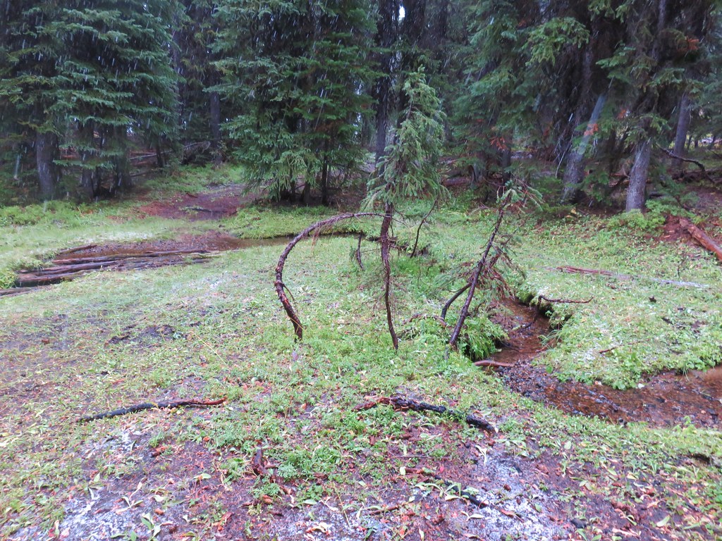
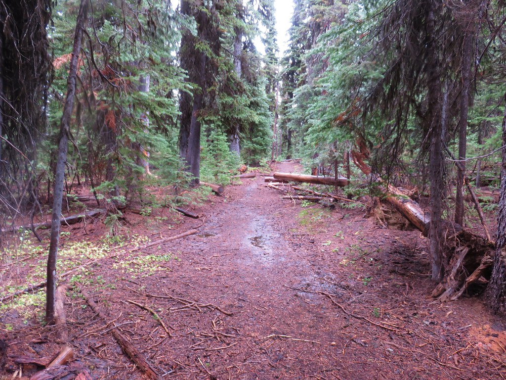
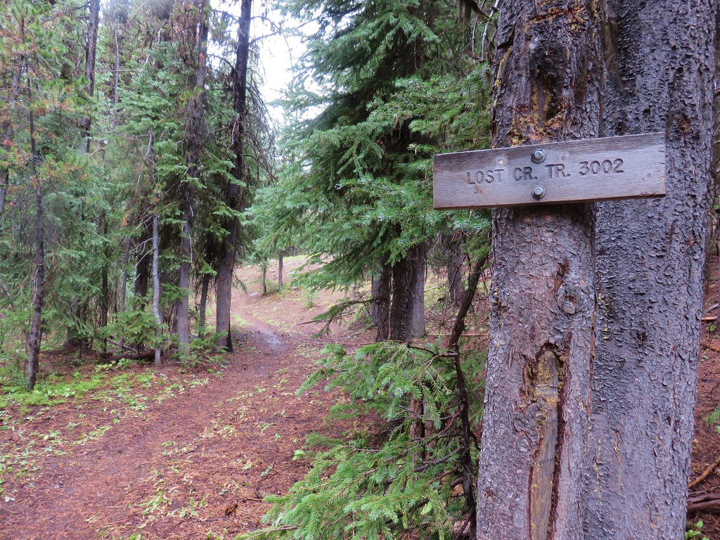
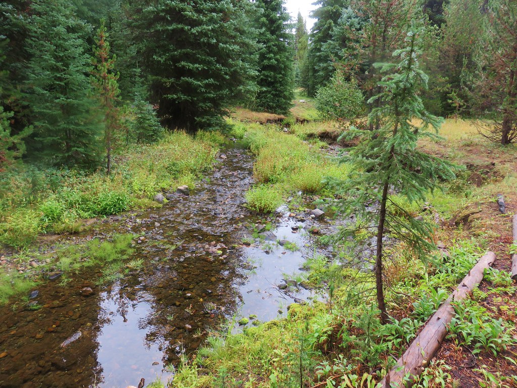
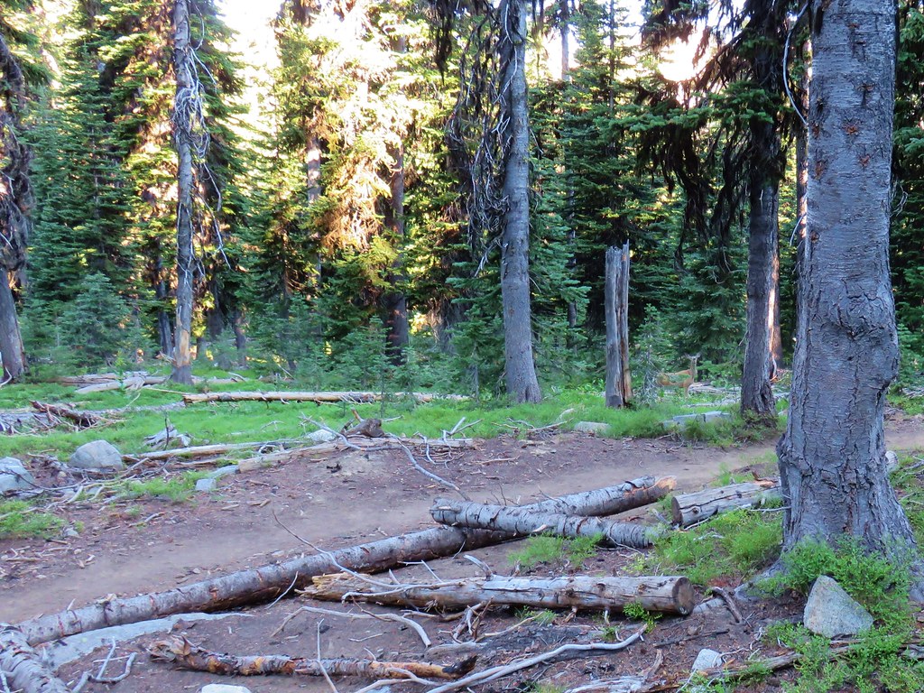
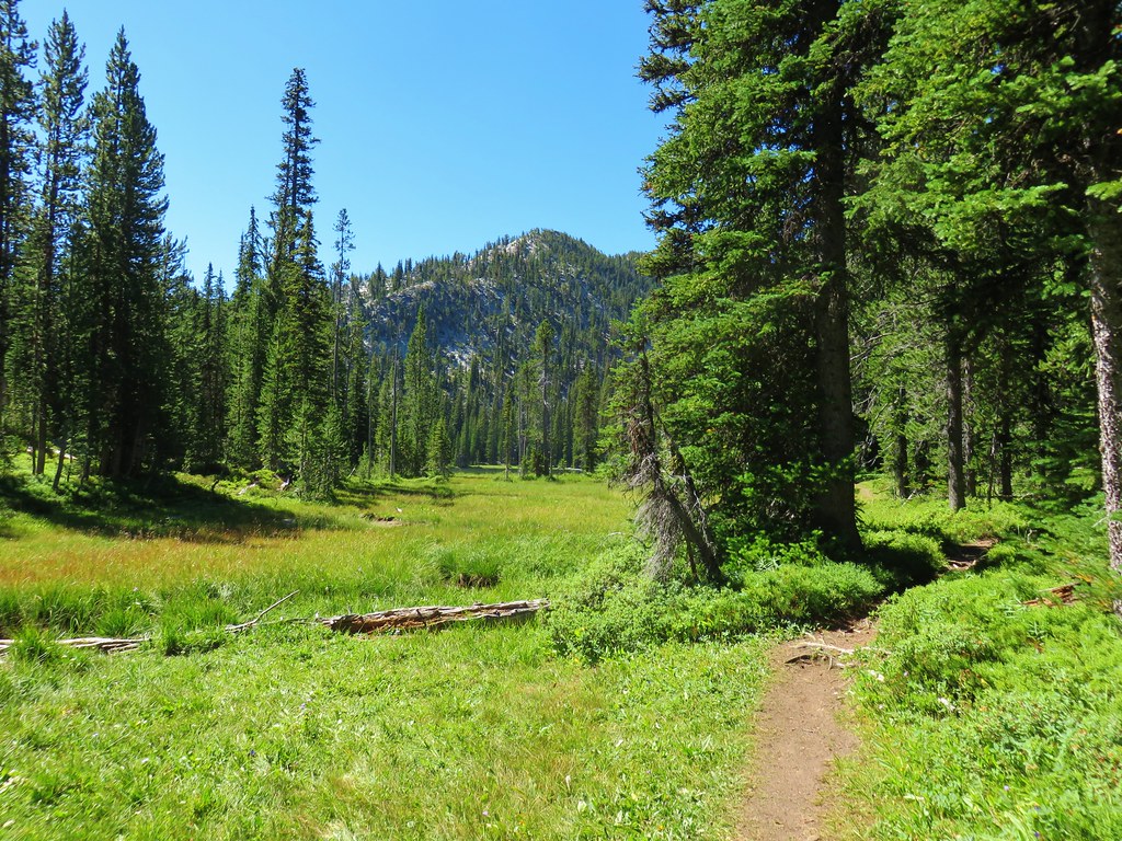
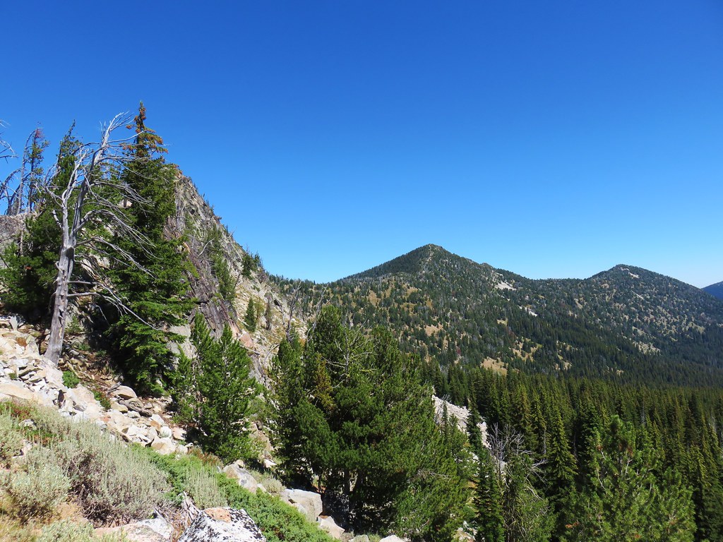
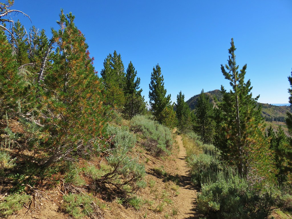
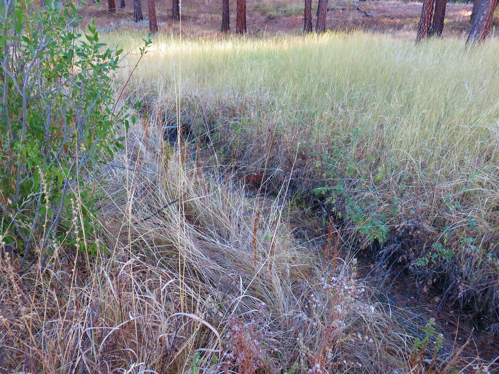
After completing the loop we began the 1.5 mile climb back to the Elkhorn Crest Trail. The trail crossed over several small streams and meadows as it passed through a forested section. We spotted two does and a fawn in the area.
 One of the does (the fawn dashed by moments later)
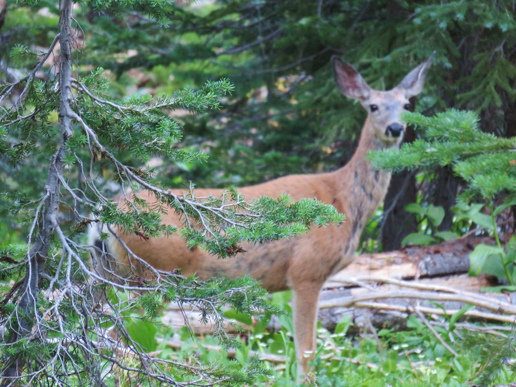 Close-up of the doe
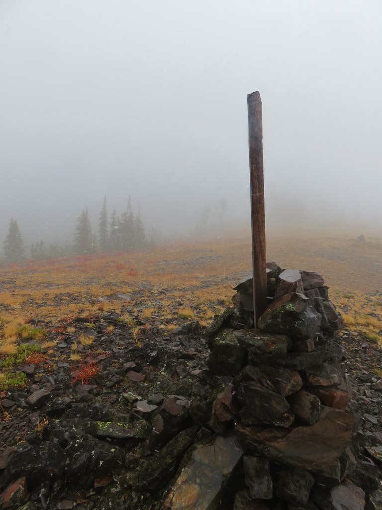
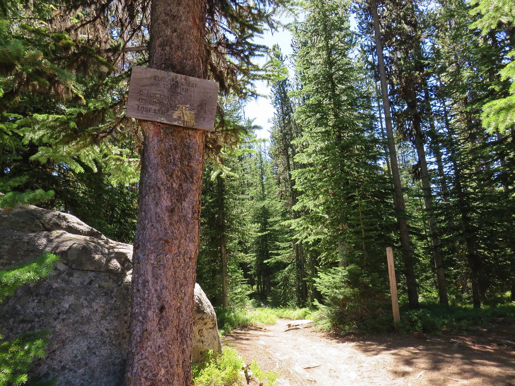
As we continued along we were hailed by the group of hikers we had passed early on the first day who had said they were aiming for Summit Lake as well. They wound up running out of gas they said so they set up camp on a rocky overlook of the valley below. After talking with them briefly we continued on to the cairn marking the junction with the Elkhorn Crest Trail where we turned left.
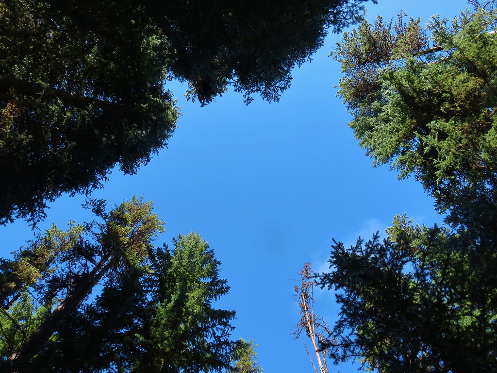
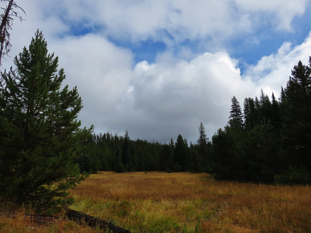
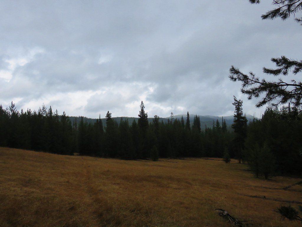
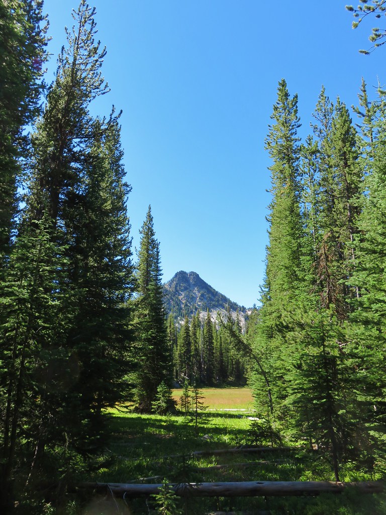
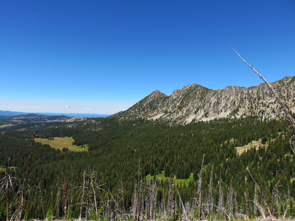
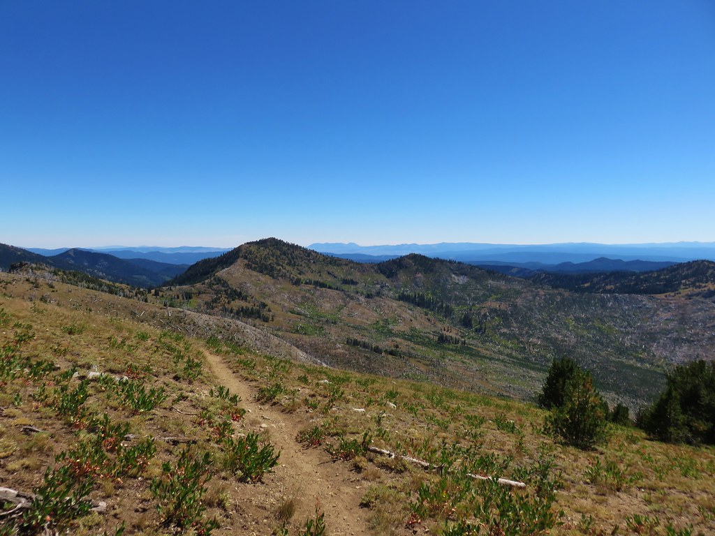
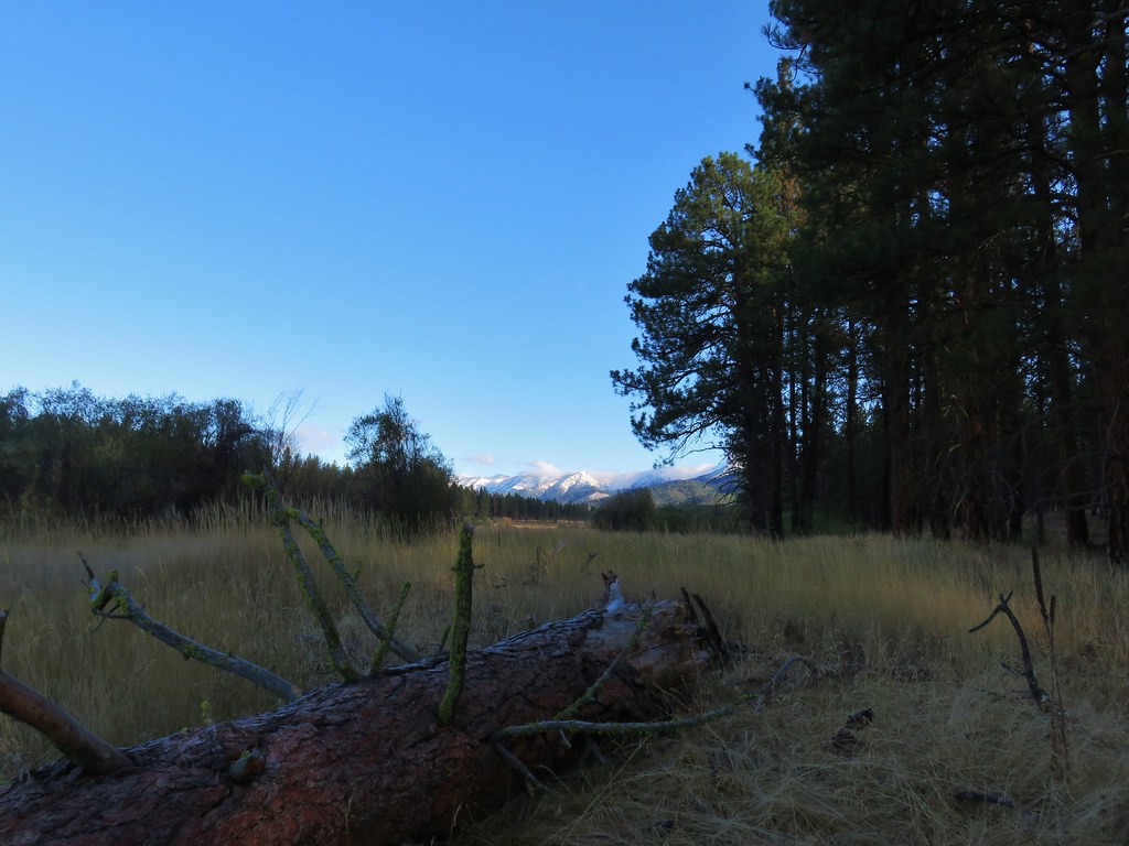
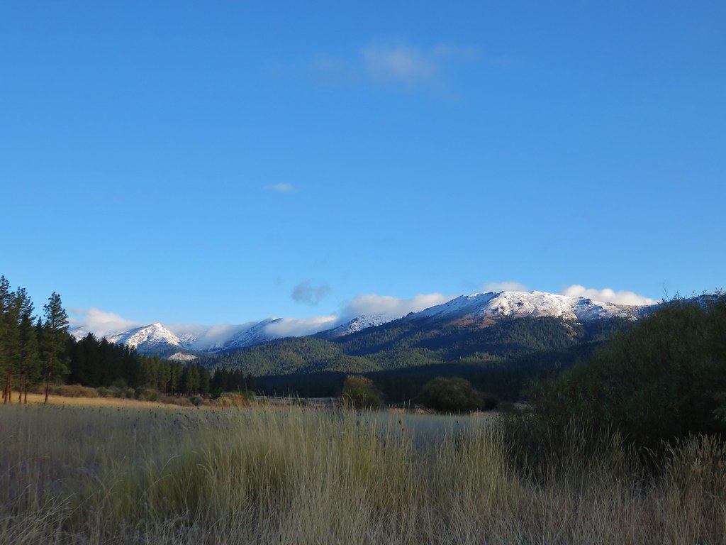
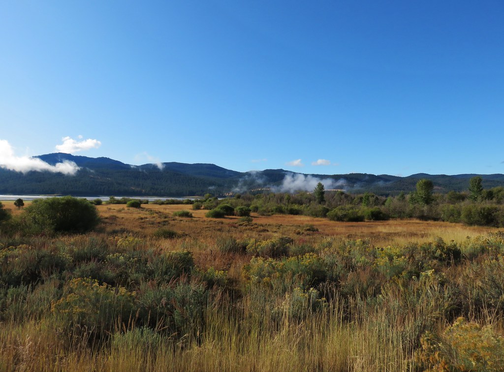
Our goal for the day was Twin Lakes but we also planned to summit Rock Creek Butte, the highest peak in the Elkhorn Range. We were leaving our options open though. The route up was 9.5 miles away and we weren’t sure if it would be better to wait and attempt it the next day when it would be earlier in the day and likely cooler or if doing it today would be better since the sky was still relatively smoke free in the immediate area. Either way we had time to decide as we followed the trail along the western side of the crest.
We were very interested in a peak on the horizon to the south. It was clearly separated from the Strawberry Mountains further west and we weren’t sure what it was. When we returned home it was one of the first things I looked up and it turned out to be Ironside Mountain.

We spotted a number of animals along the crest in the morning including the biggest caterpillar either of us had ever seen digging in the dirt.

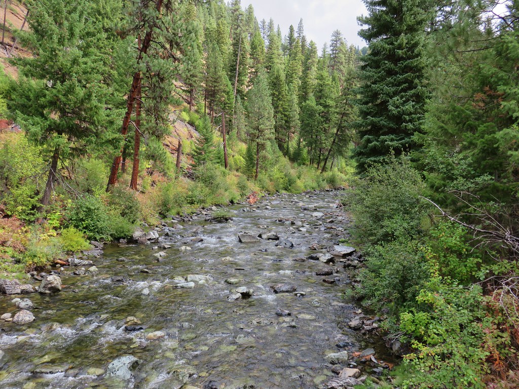
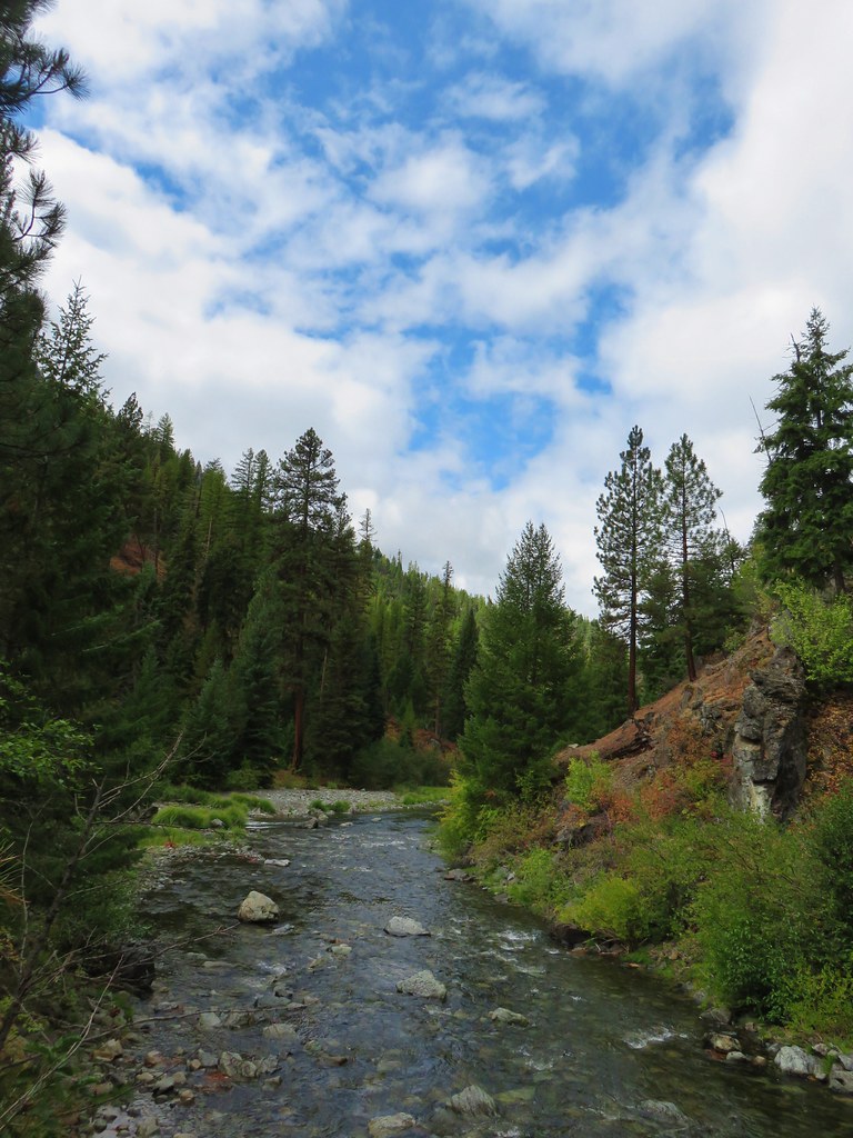
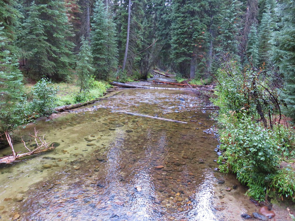
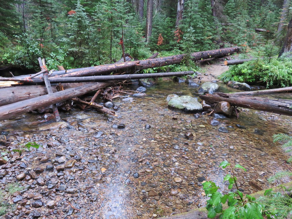
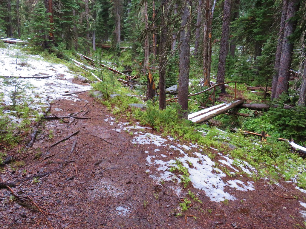
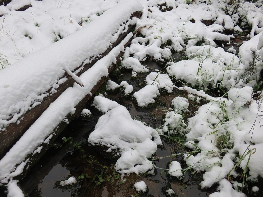
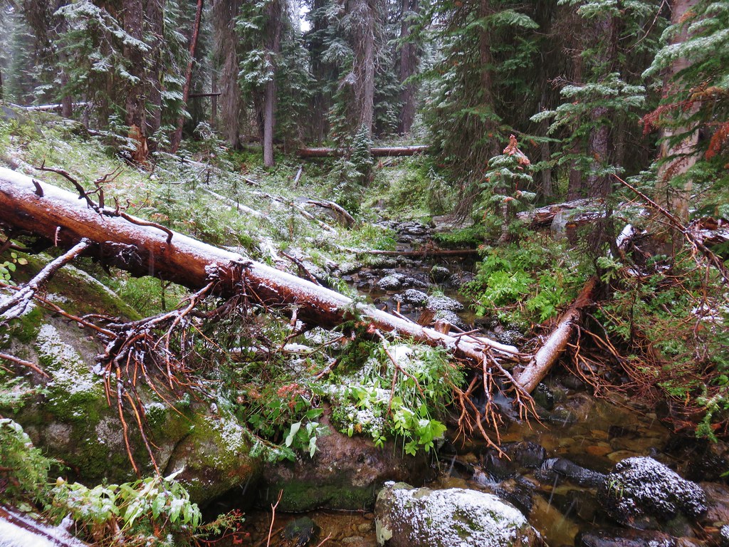
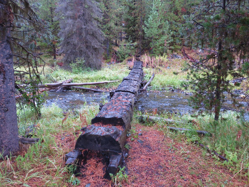
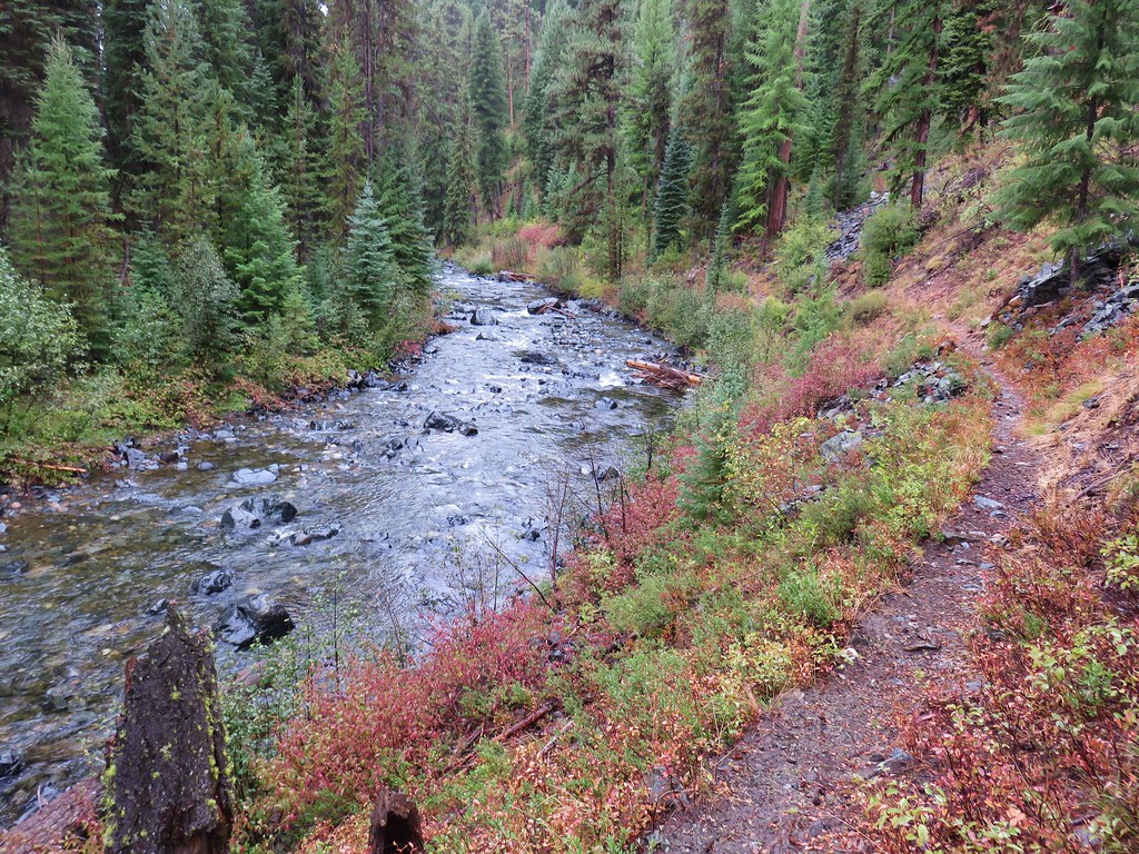
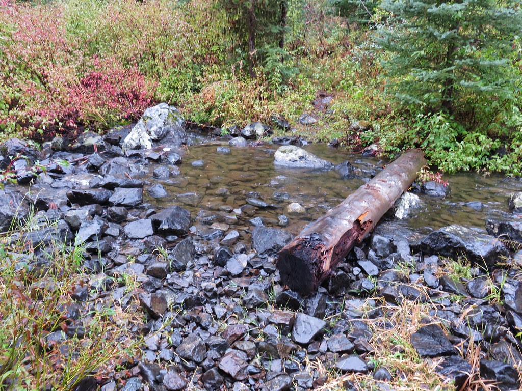
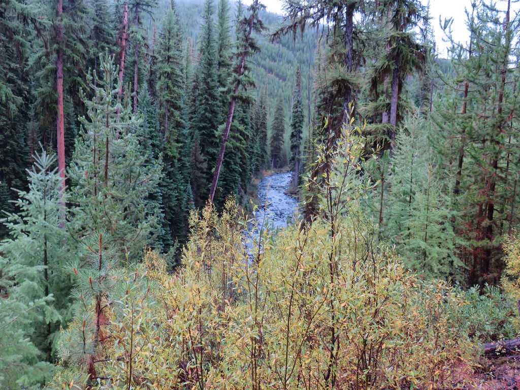
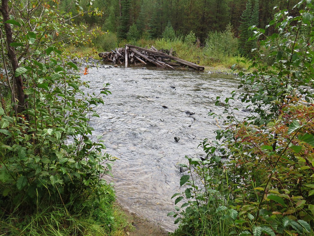
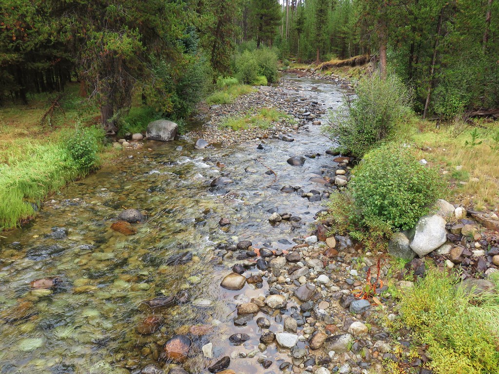
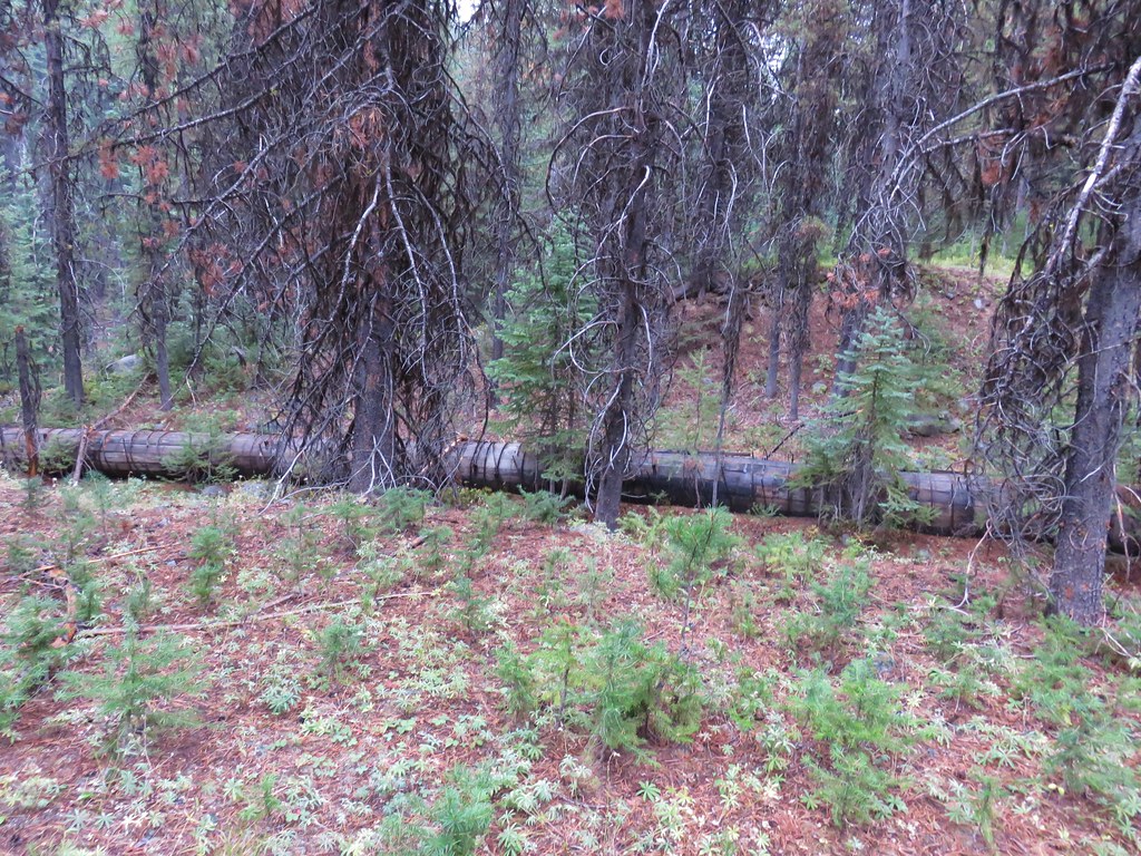
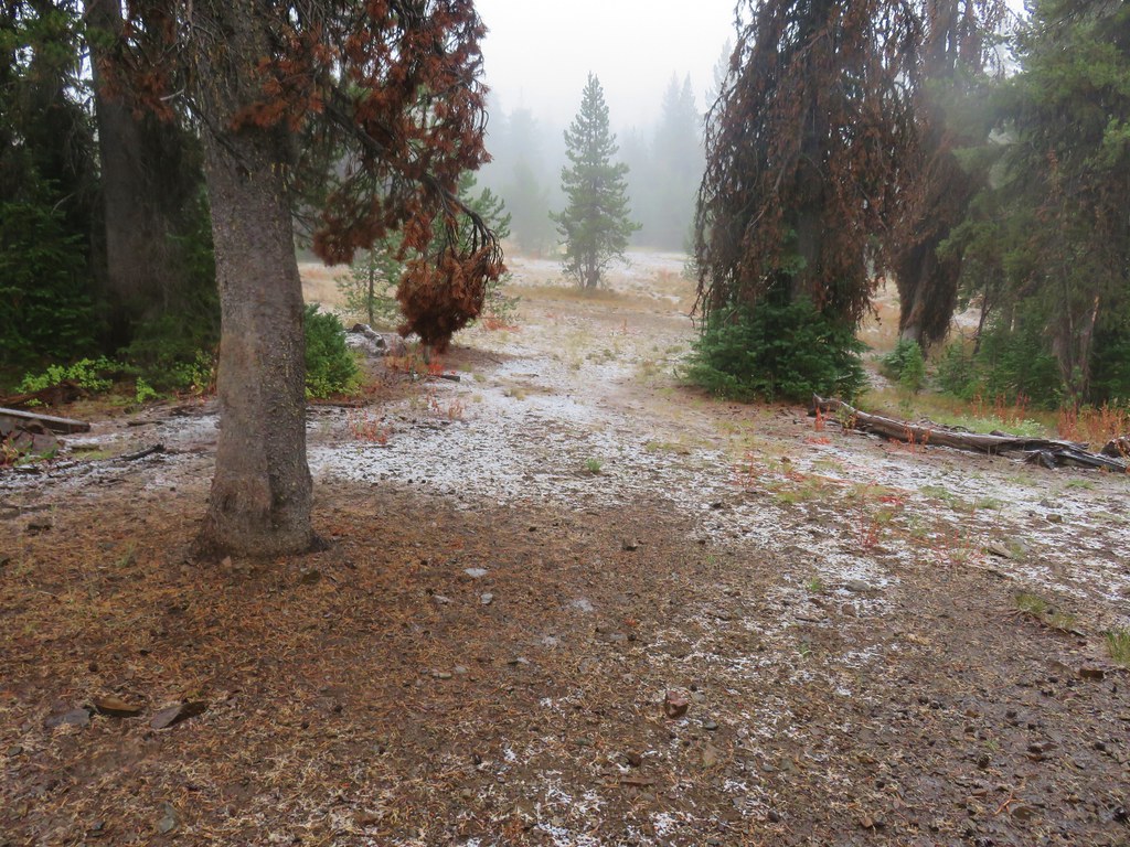
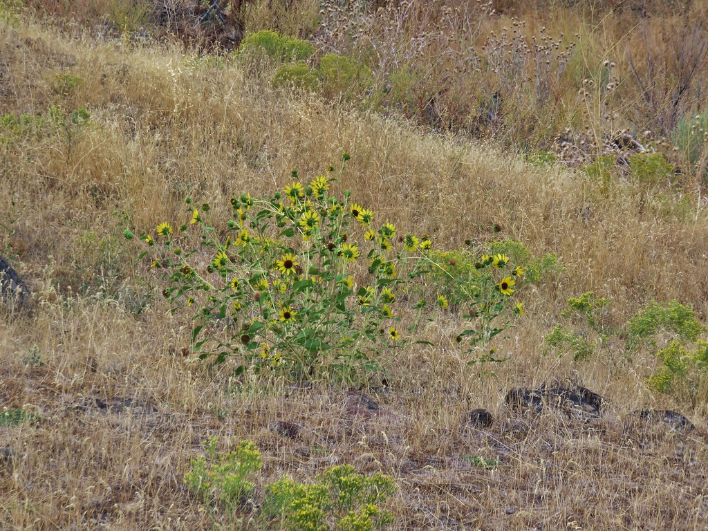
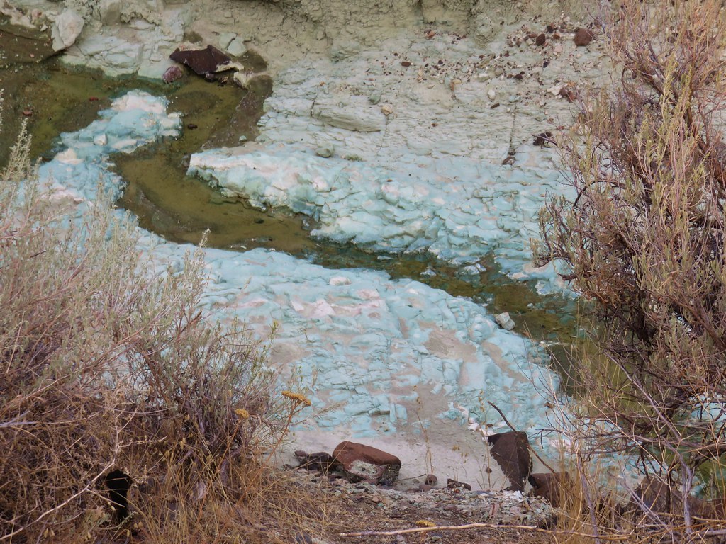
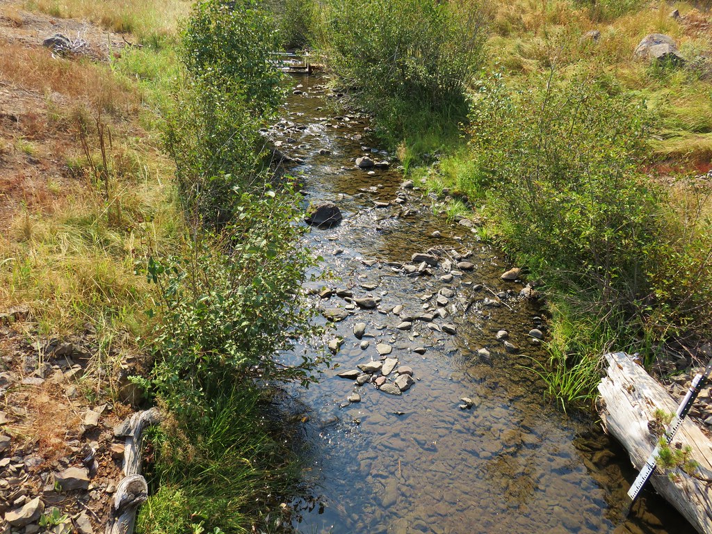
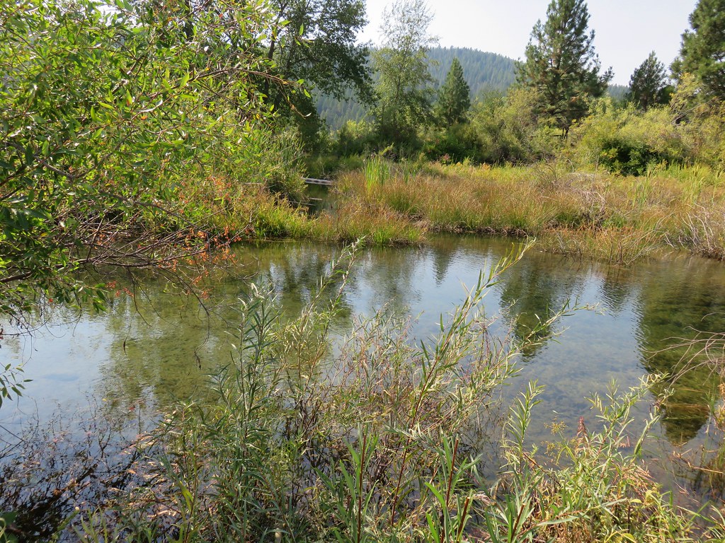
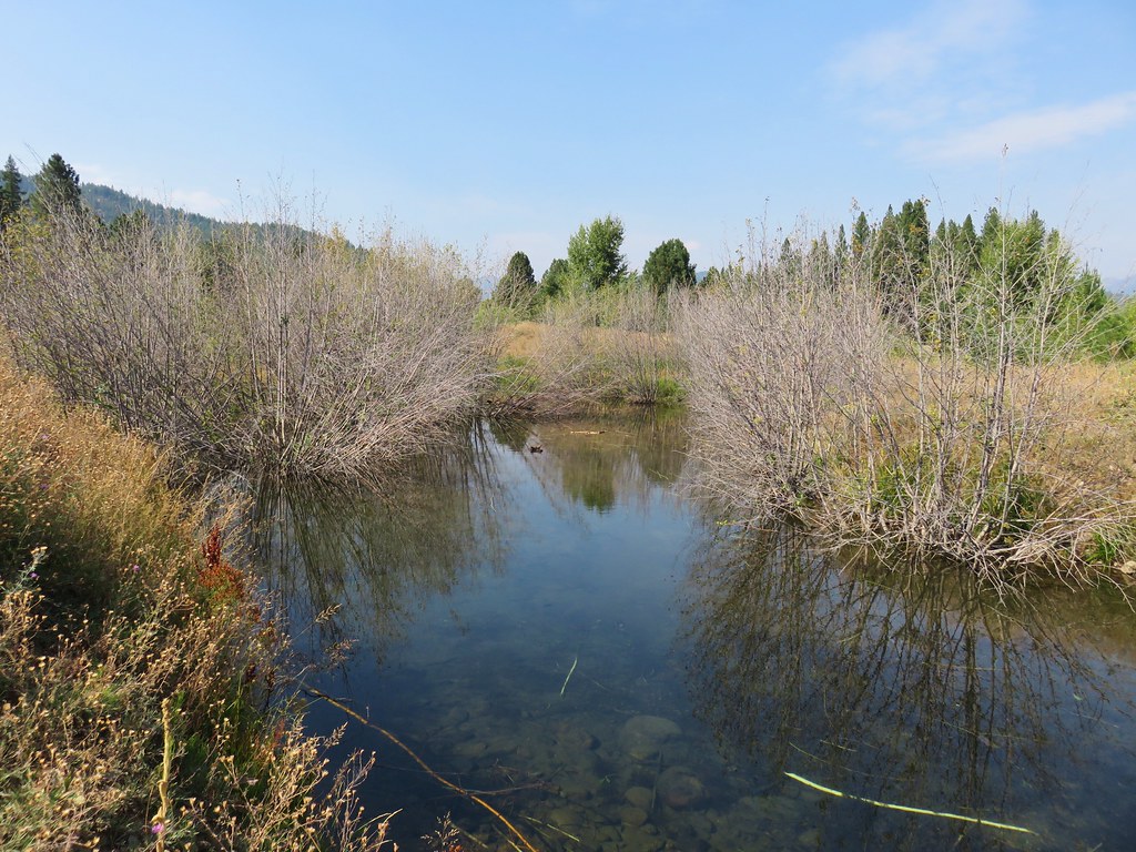
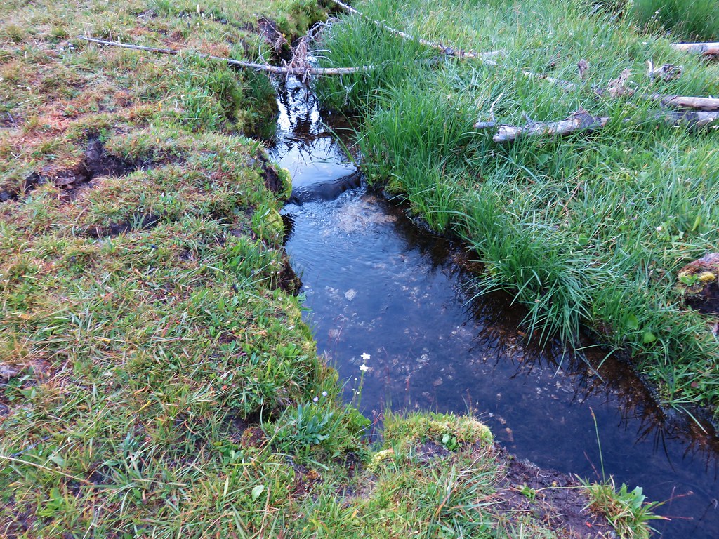
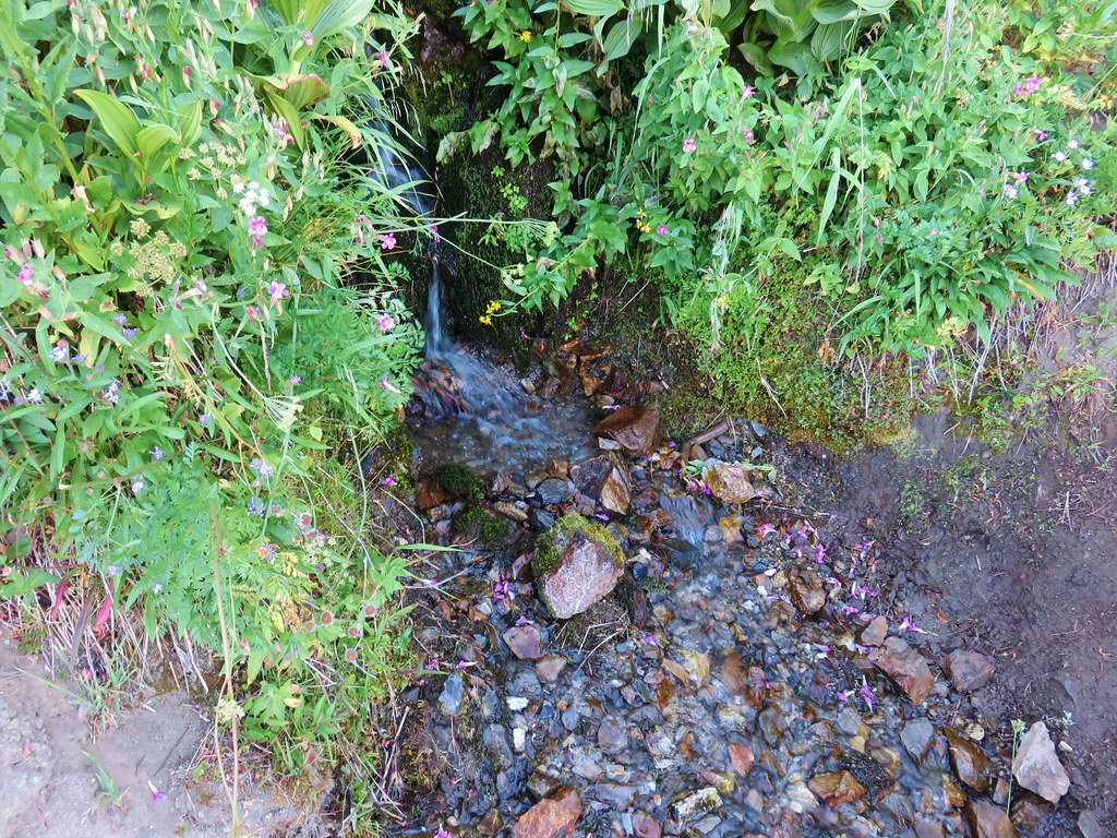
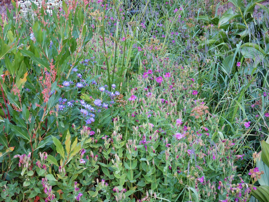
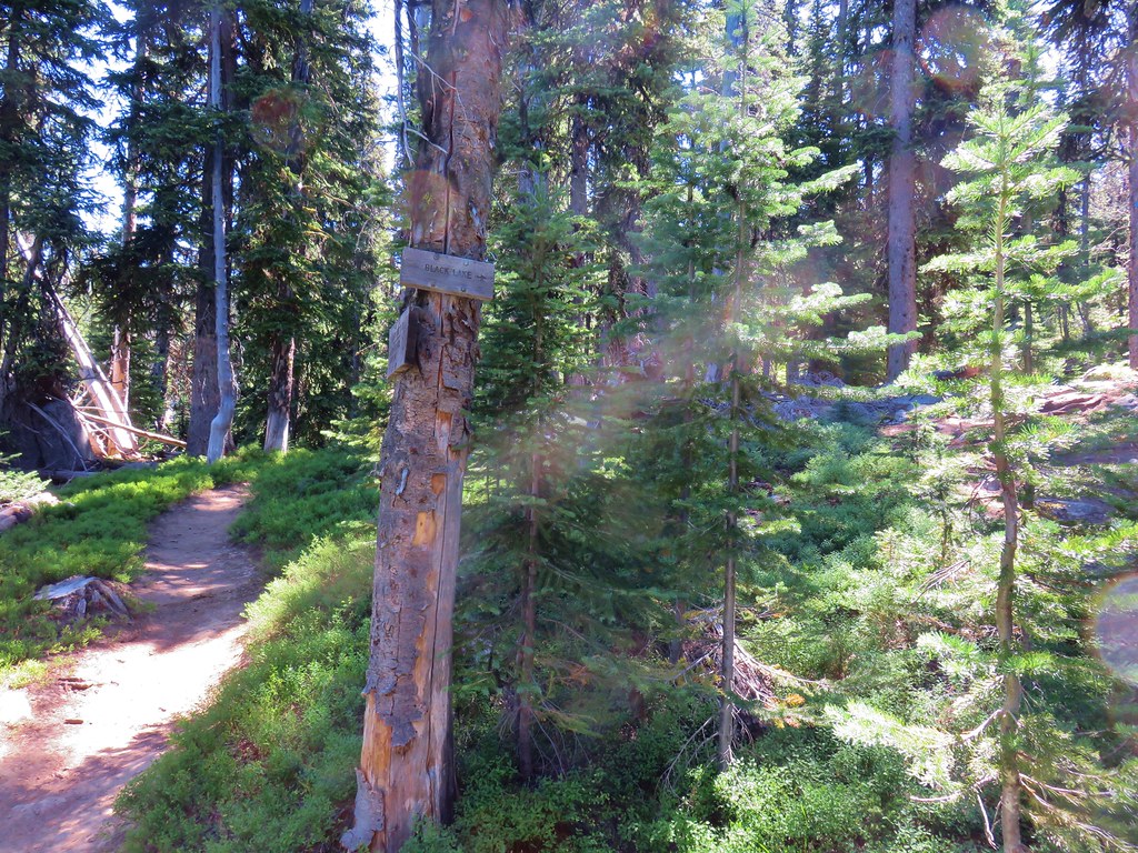
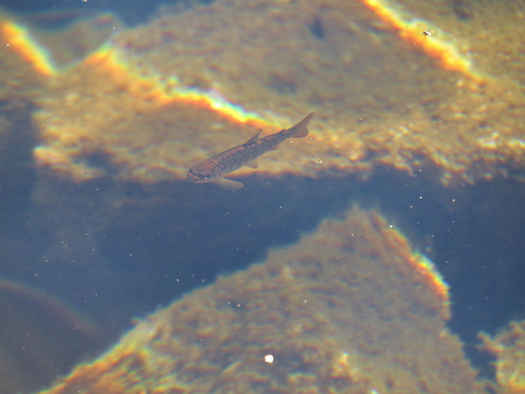
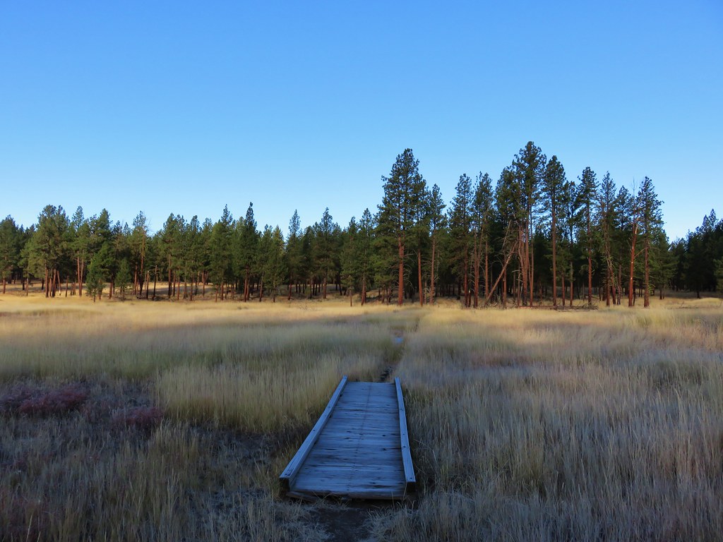
Approximately a mile and a half from the junction with the Summit Lake Trail we came across the only water we would encounter along the entire Elkhorn Crest Trail. A small flower lined stream heading down into Sardine Gulch to join Cracker Creek.
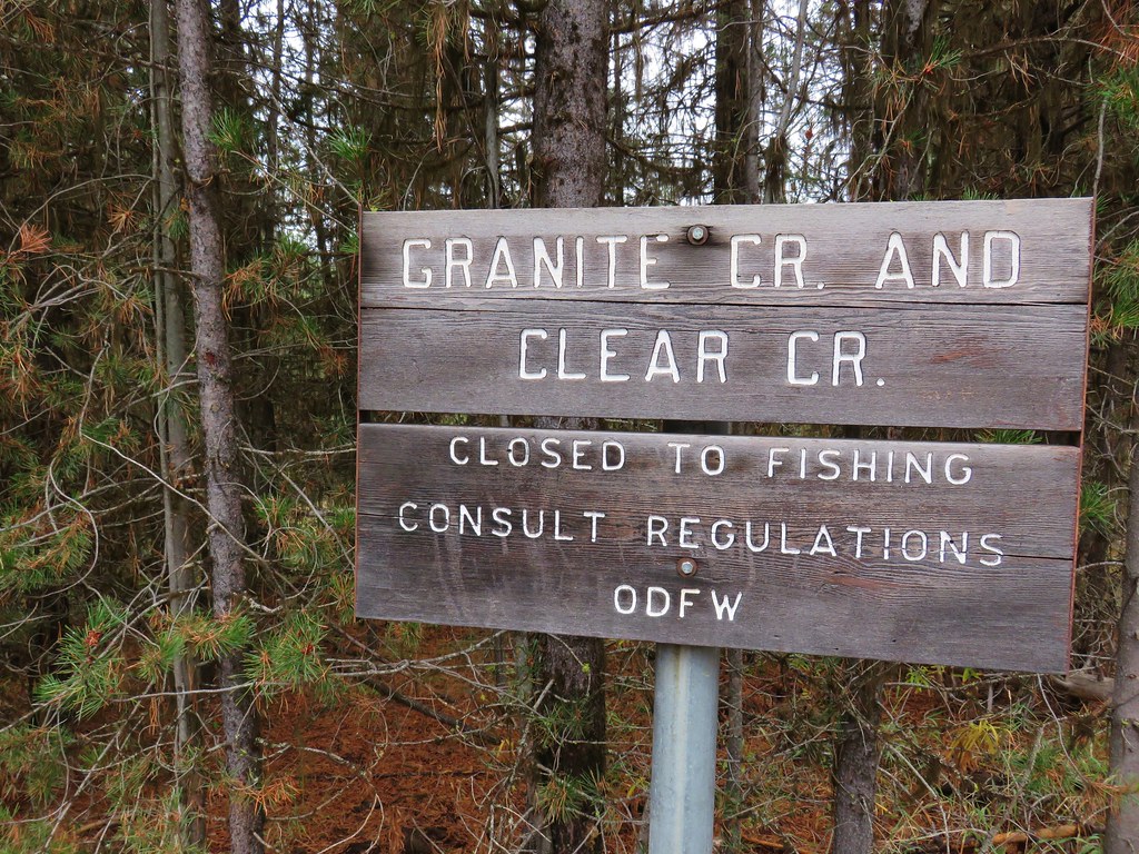
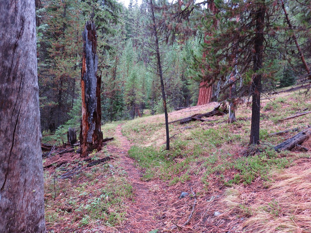
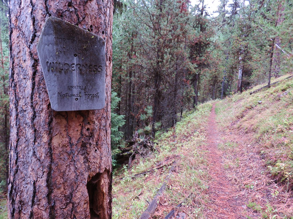
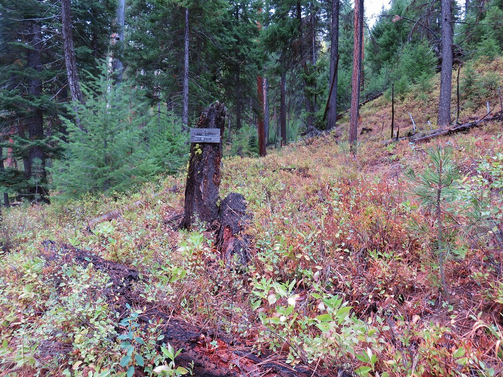
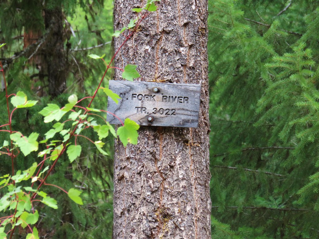
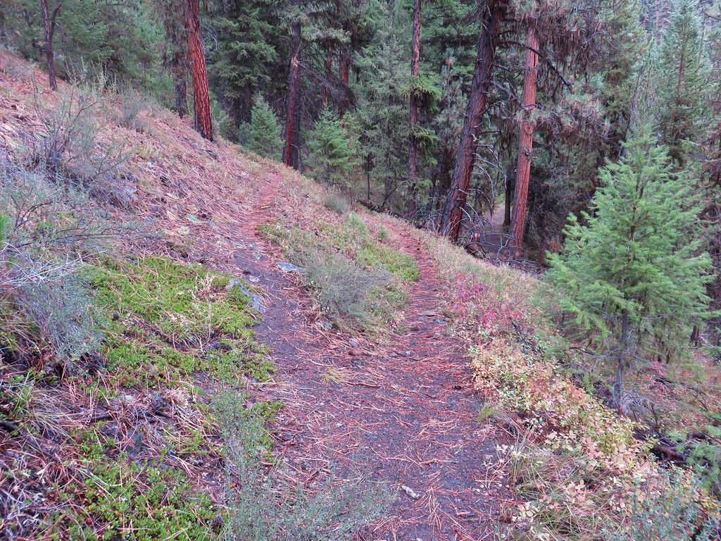
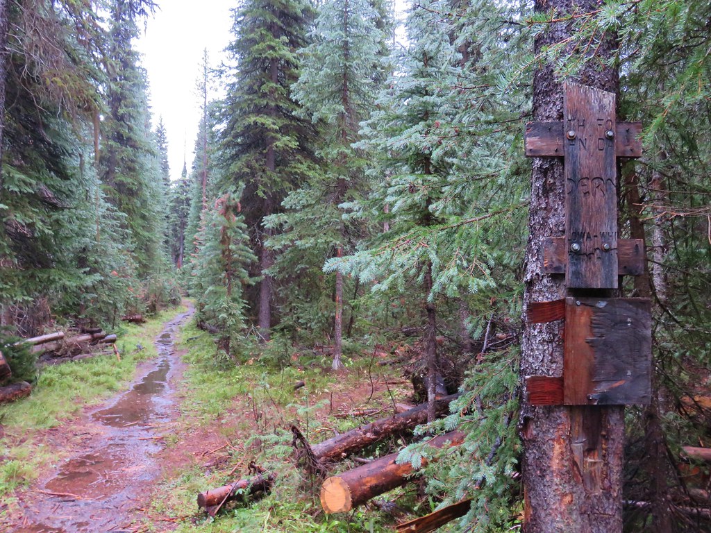
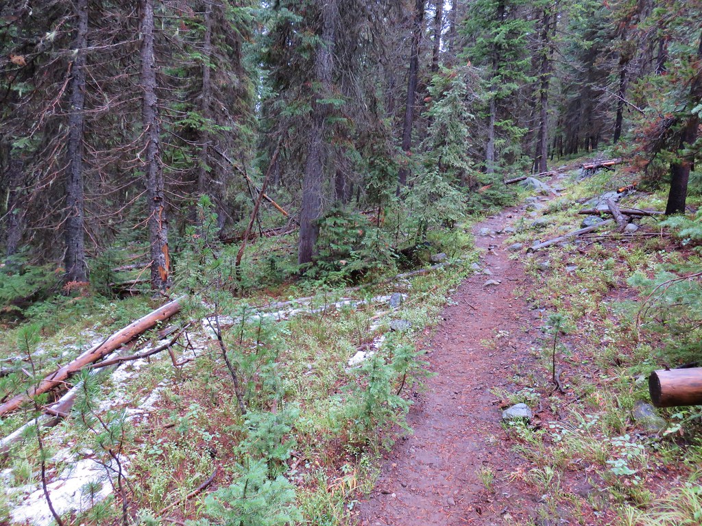
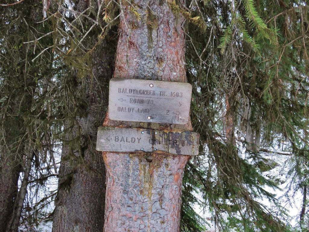
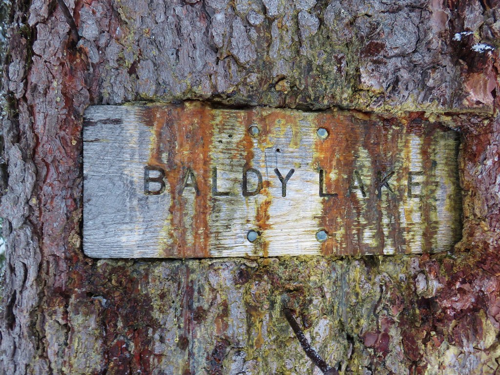
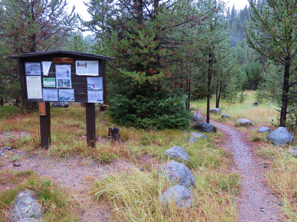
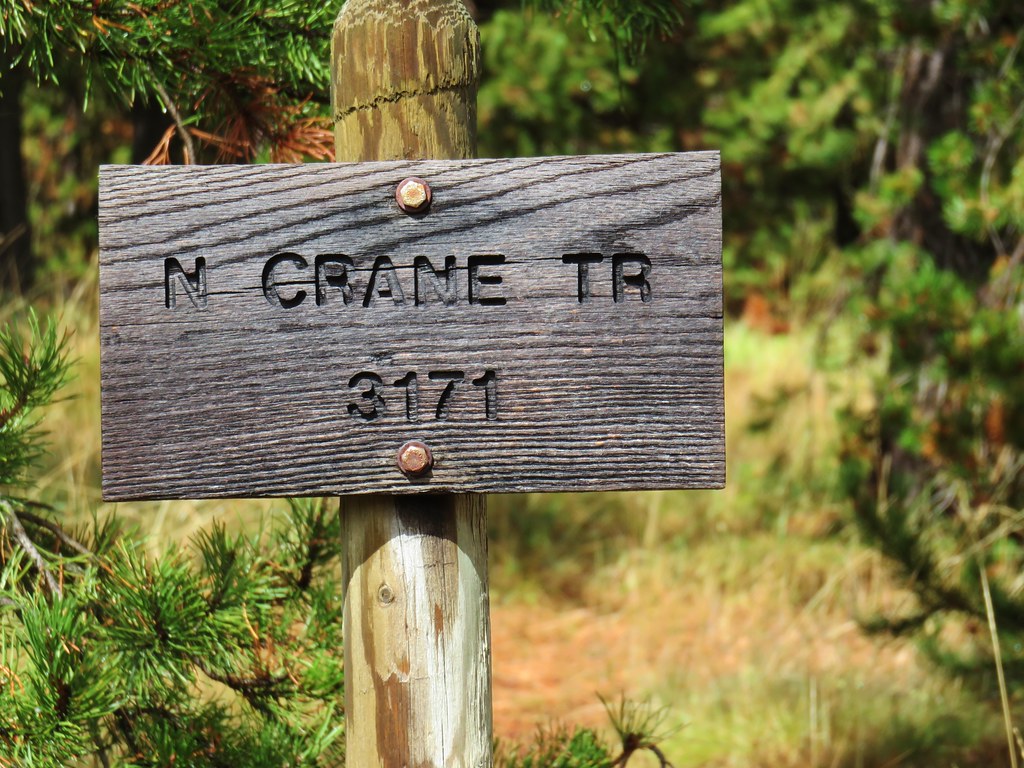
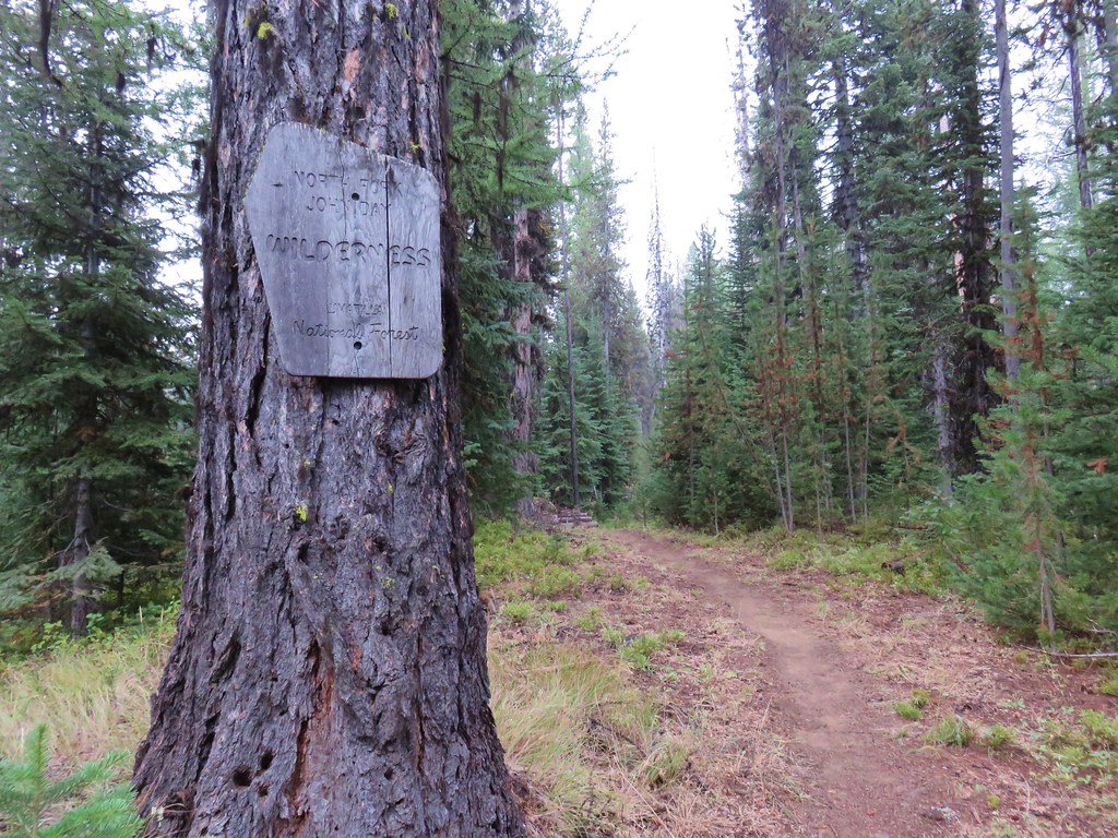
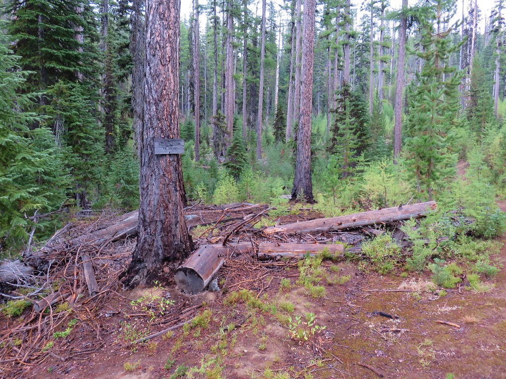
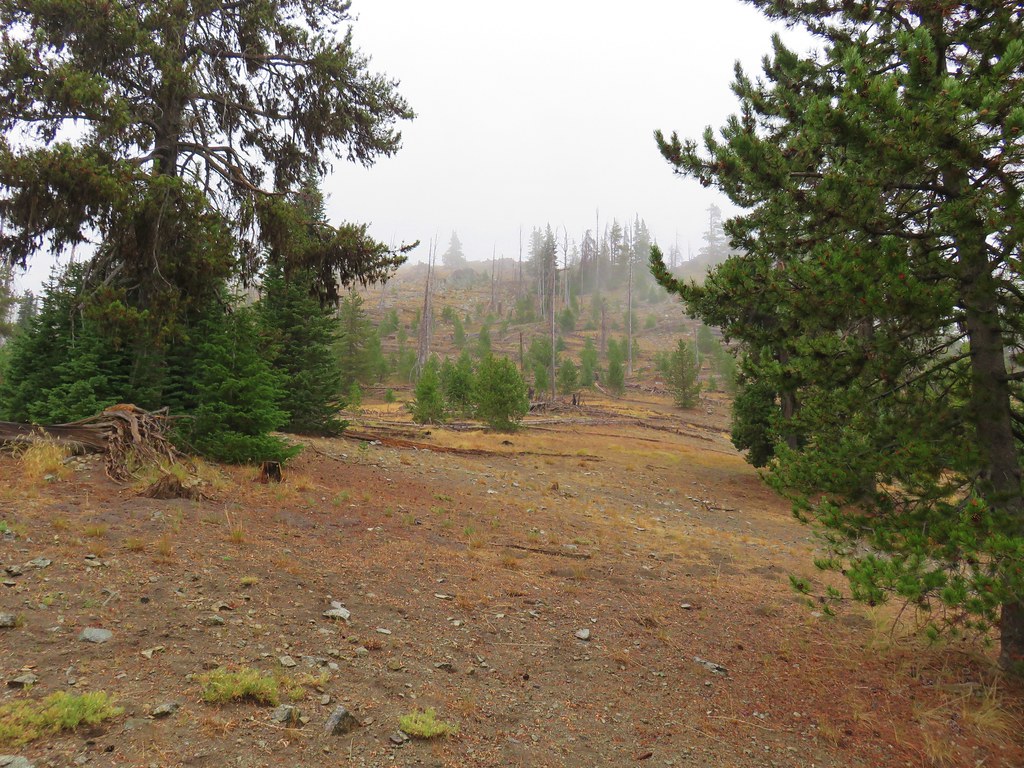
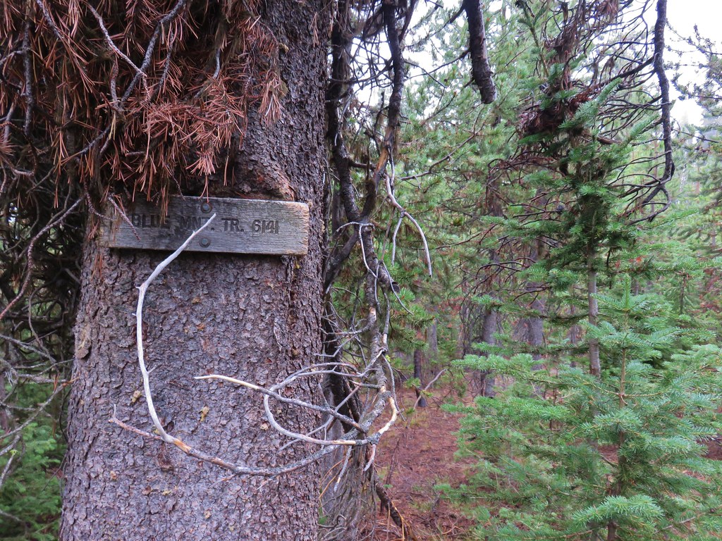
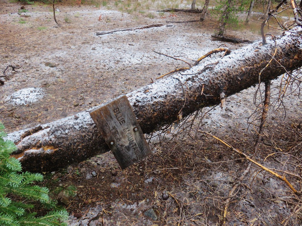
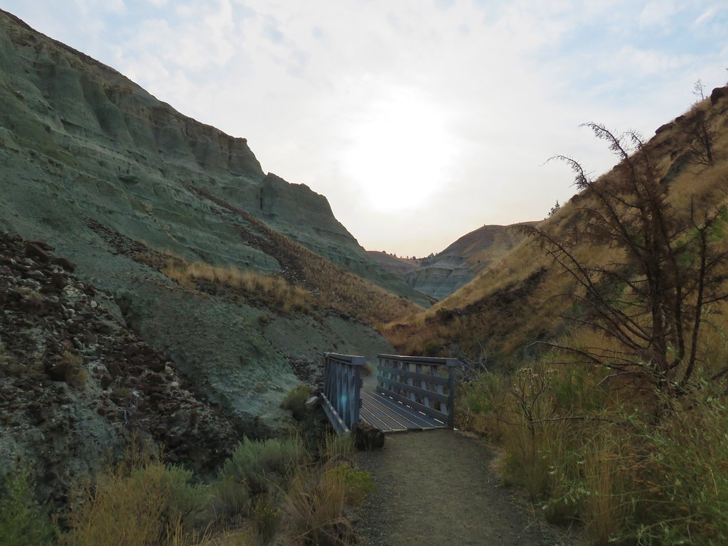
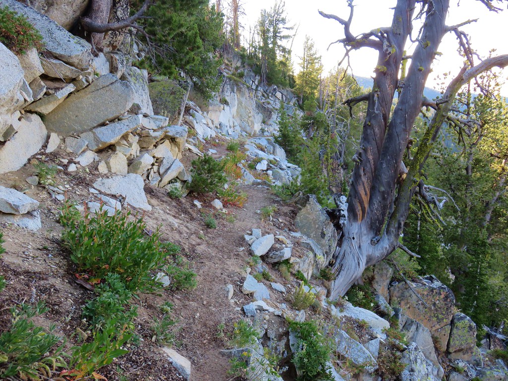
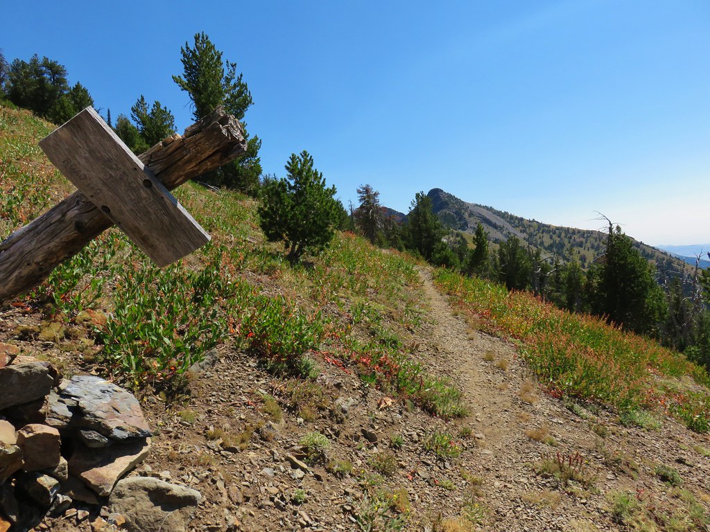
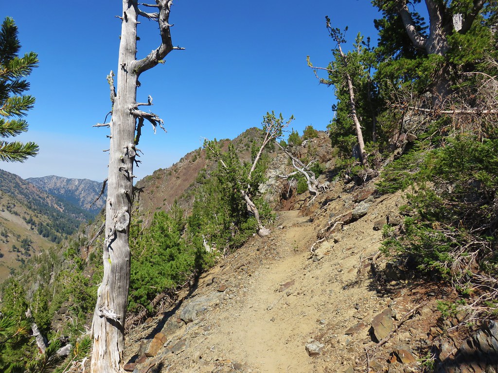
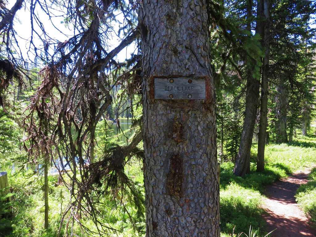
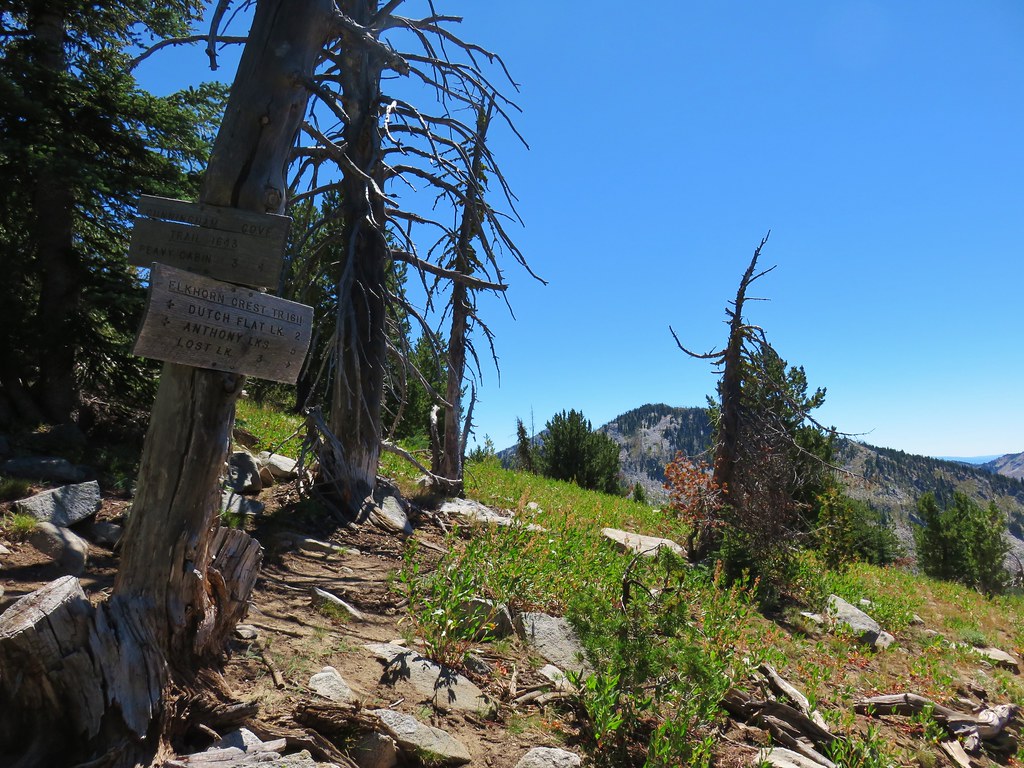
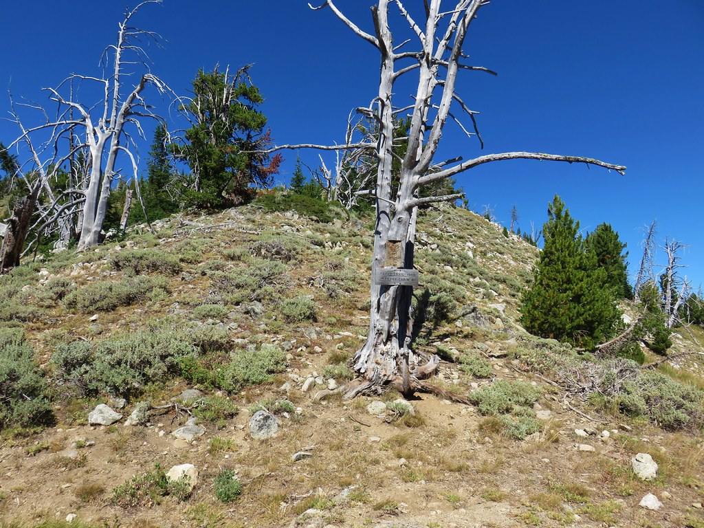
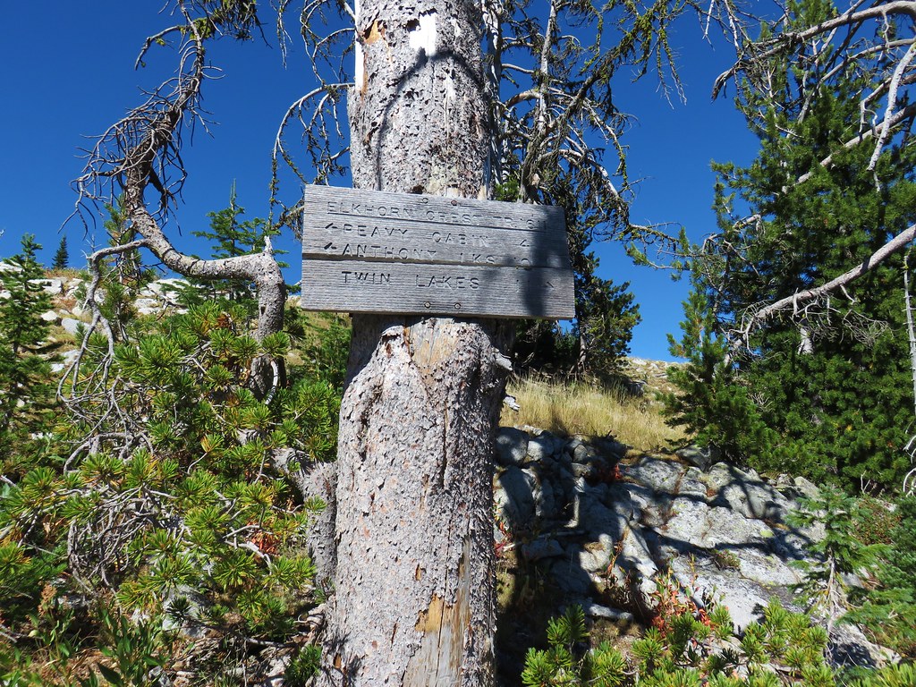
The trail had left the North Fork John Day Wilderness at Cracker Saddle and we began seeing the difference at a hairpin turn around a ridge.
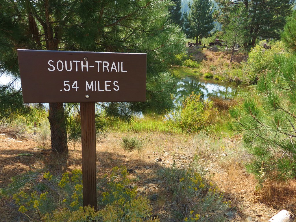
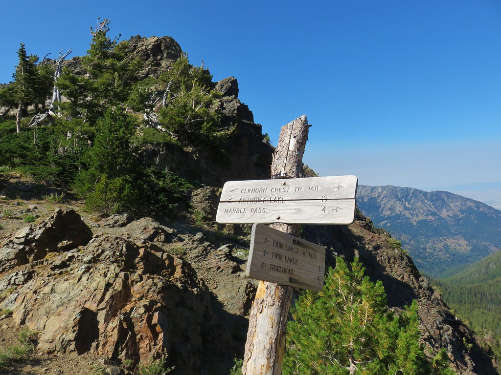
From above we couldn’t read the sign without the aid of the camera zoom.
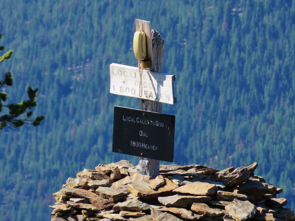
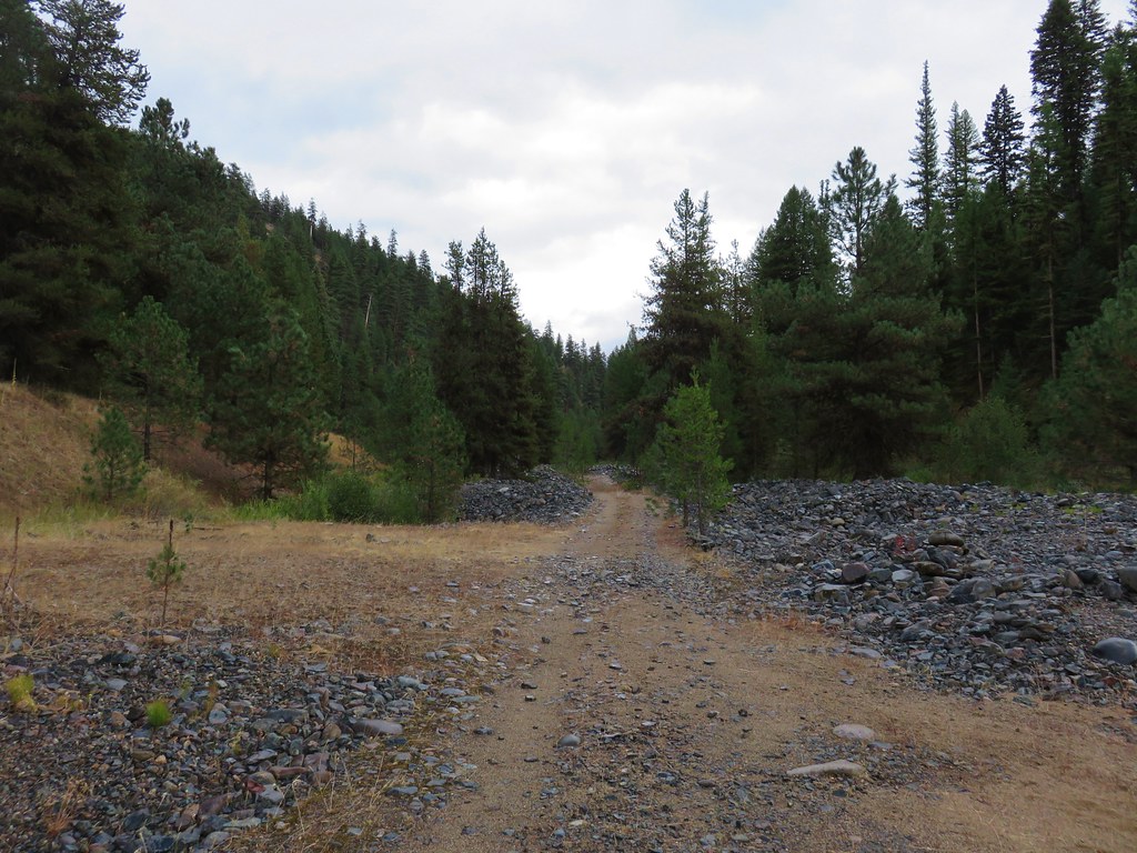
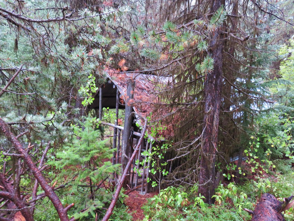
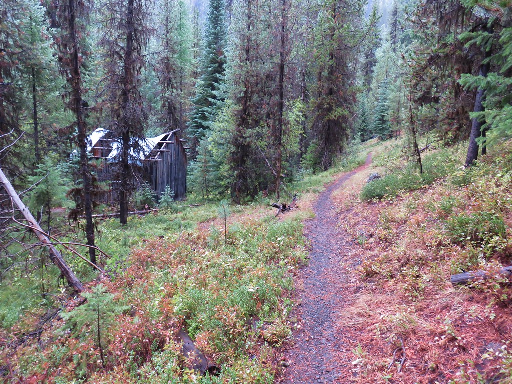
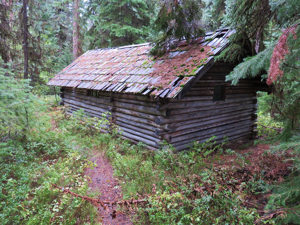
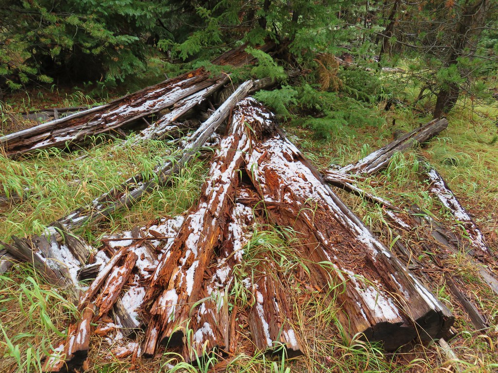
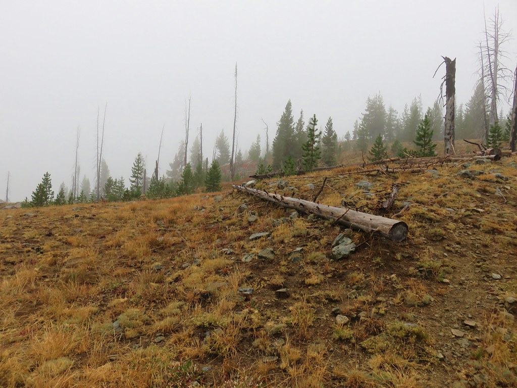
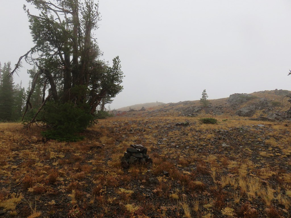
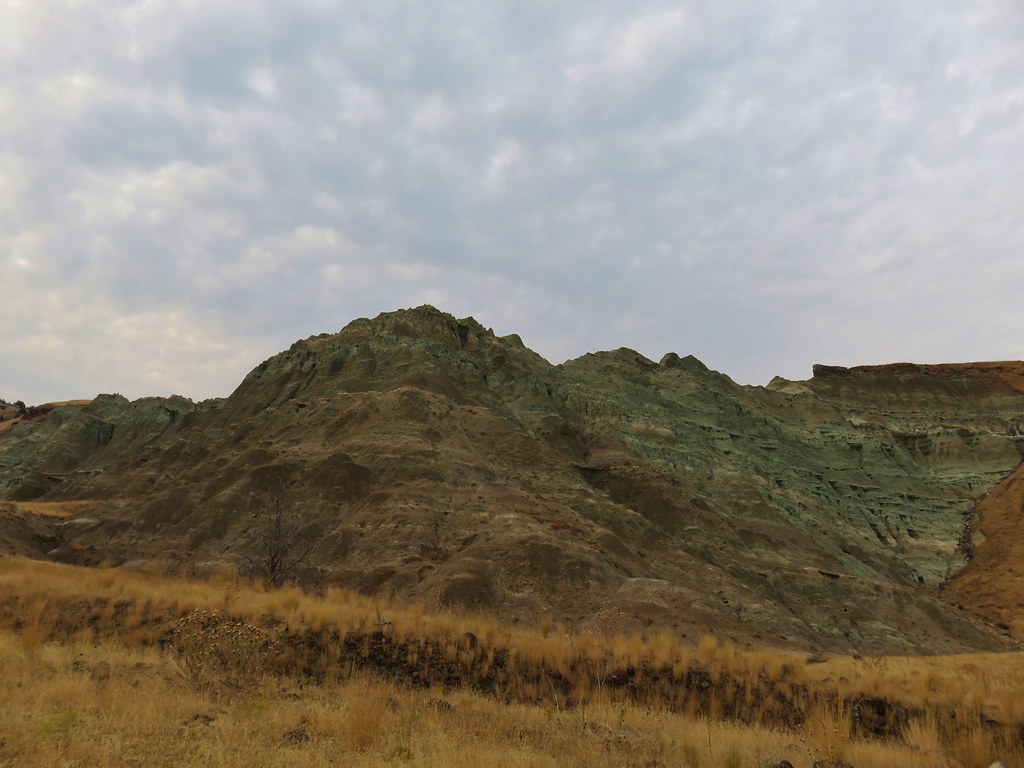
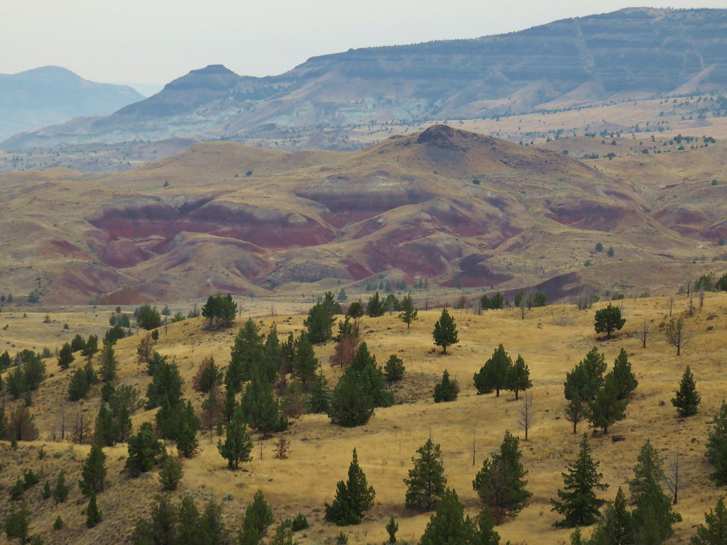
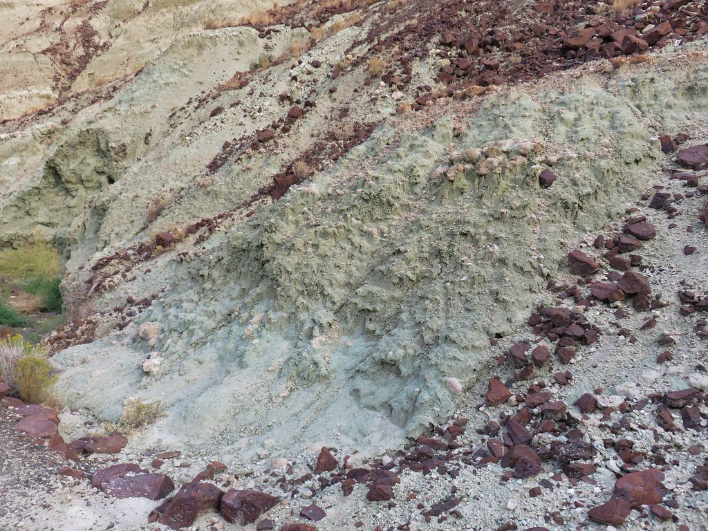
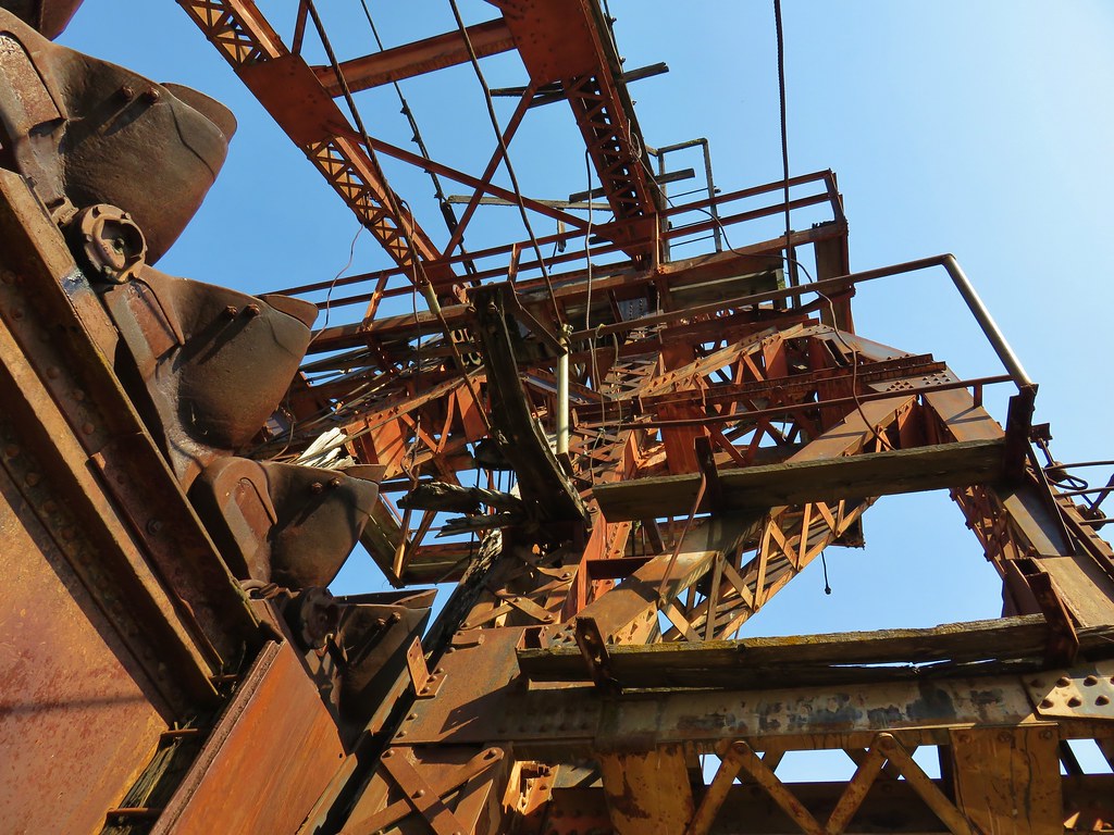
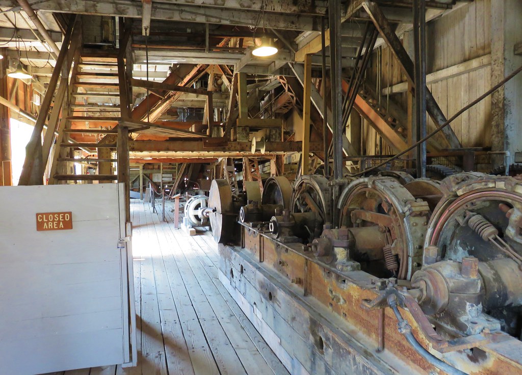
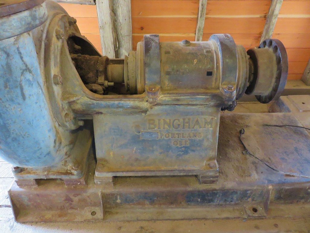
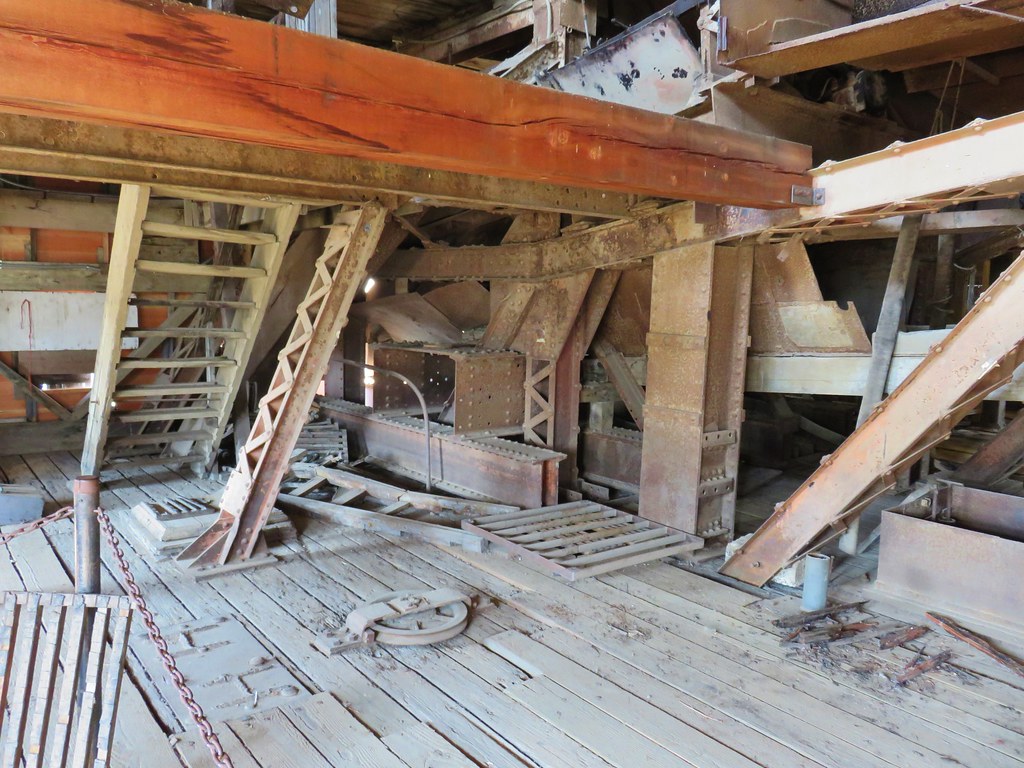
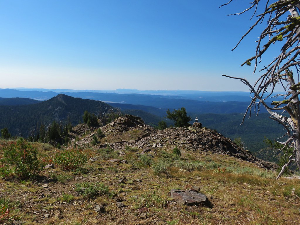
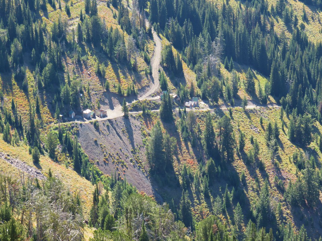
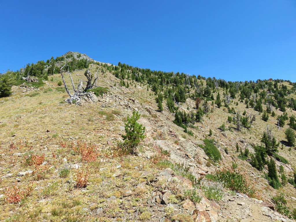
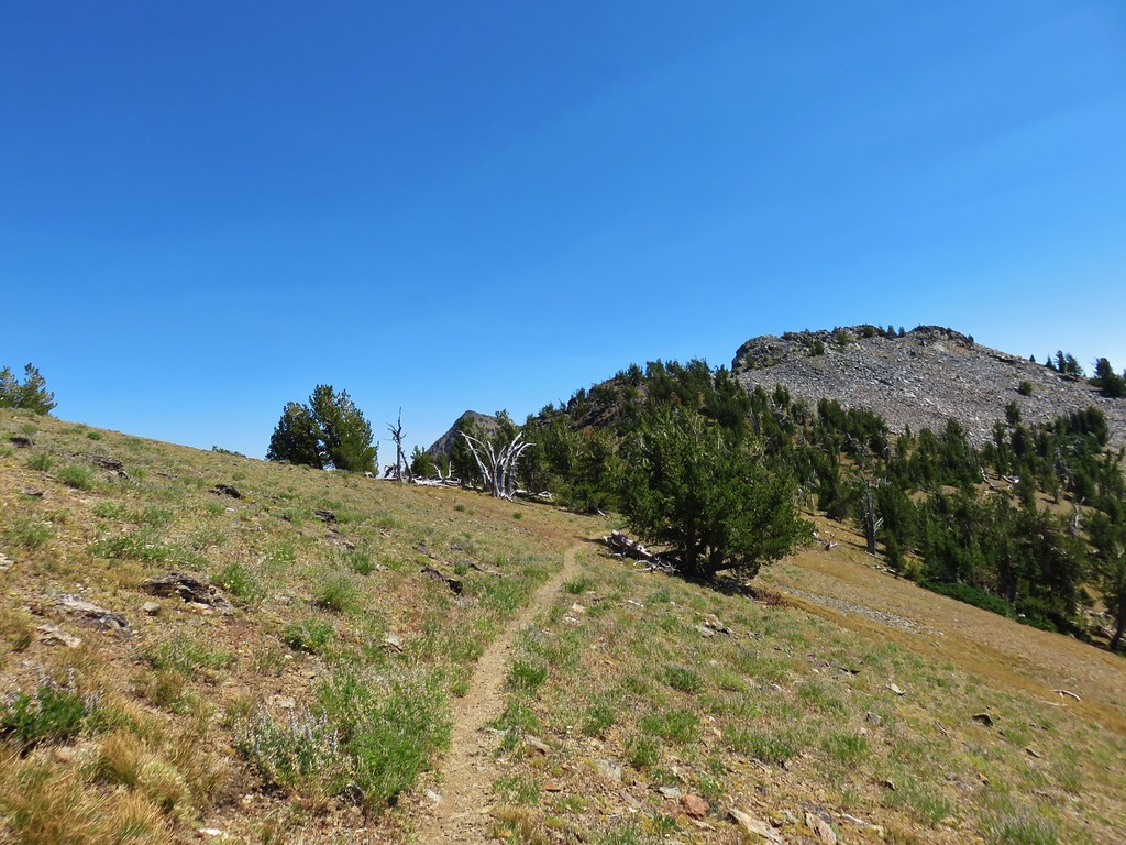
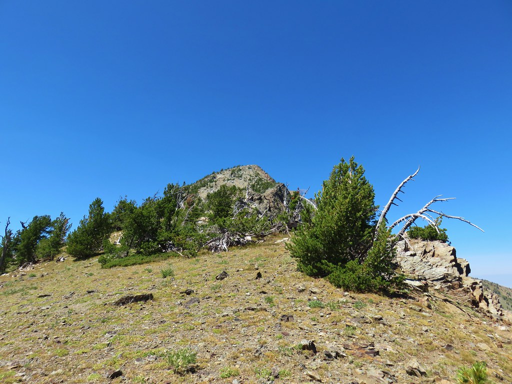
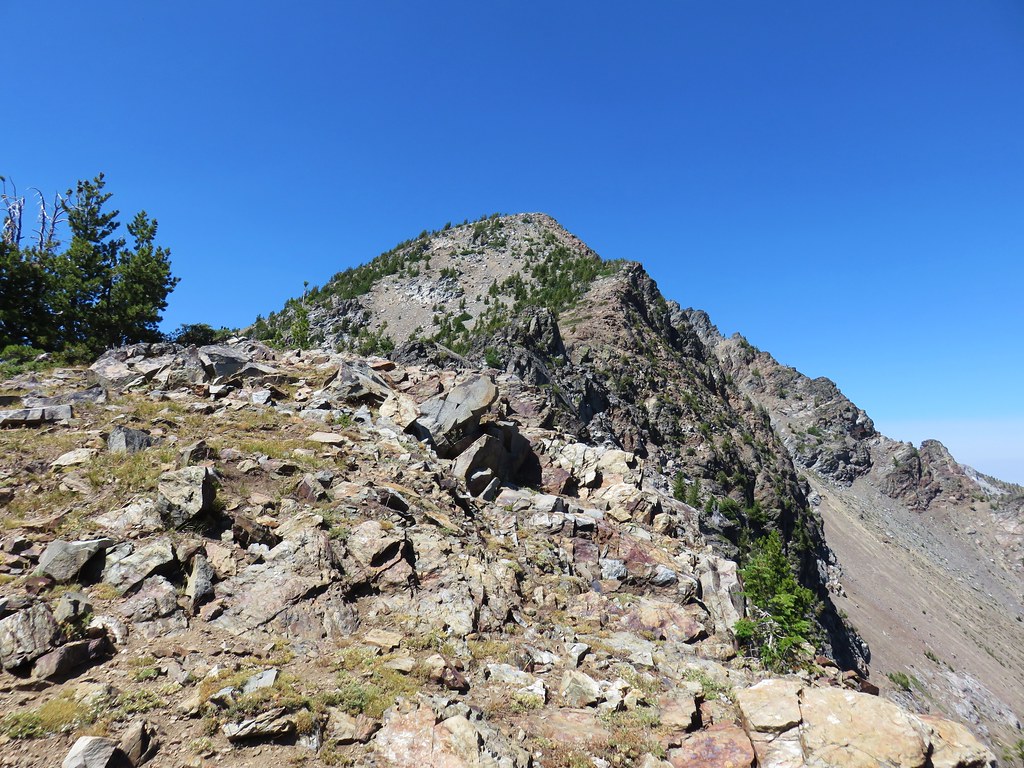
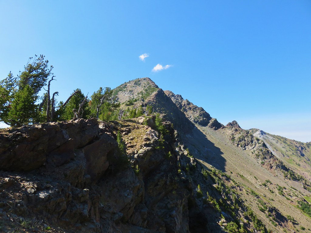
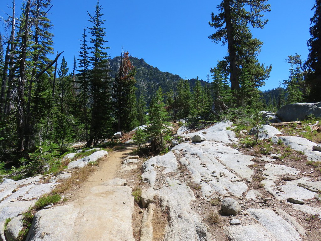
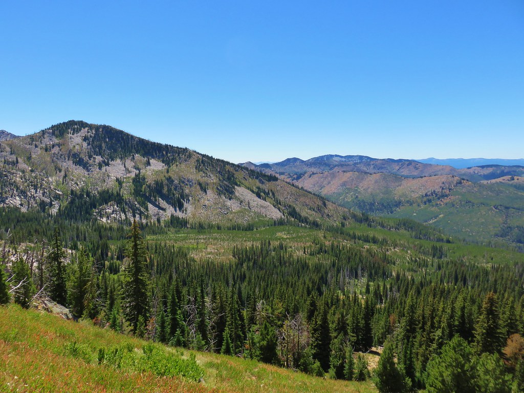
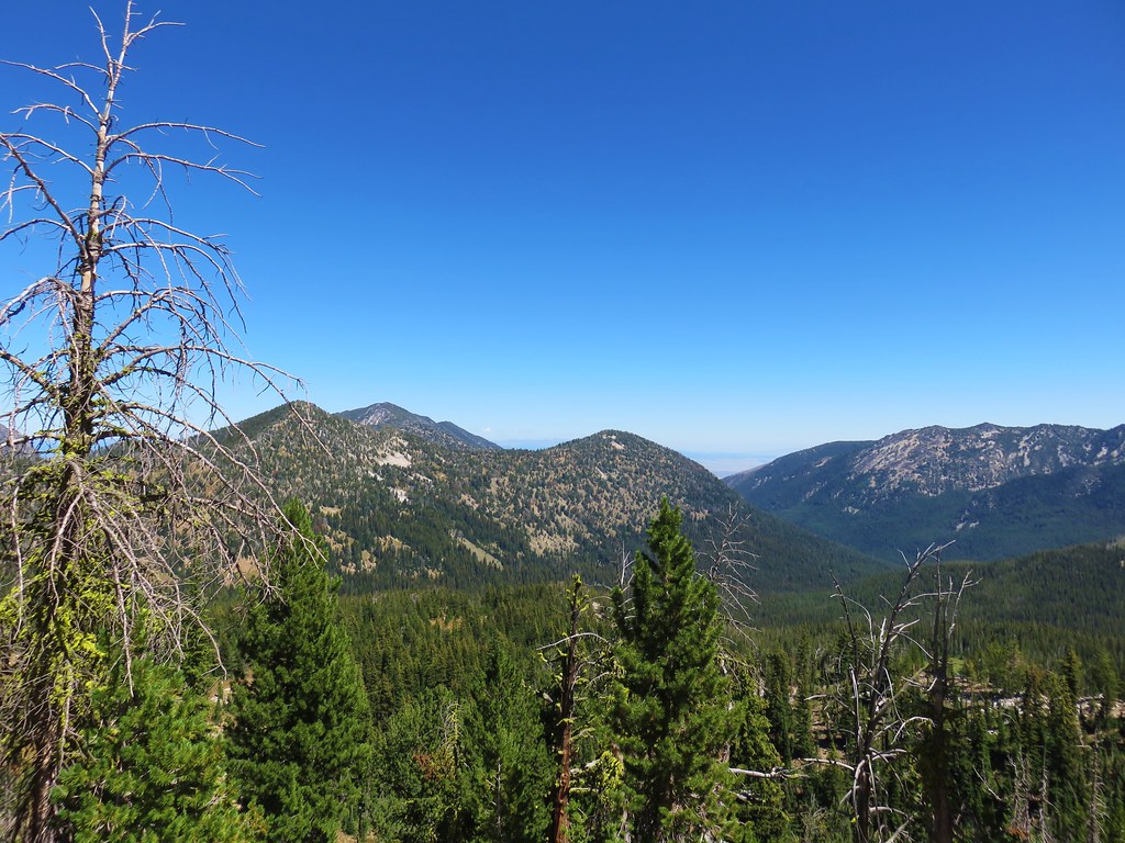
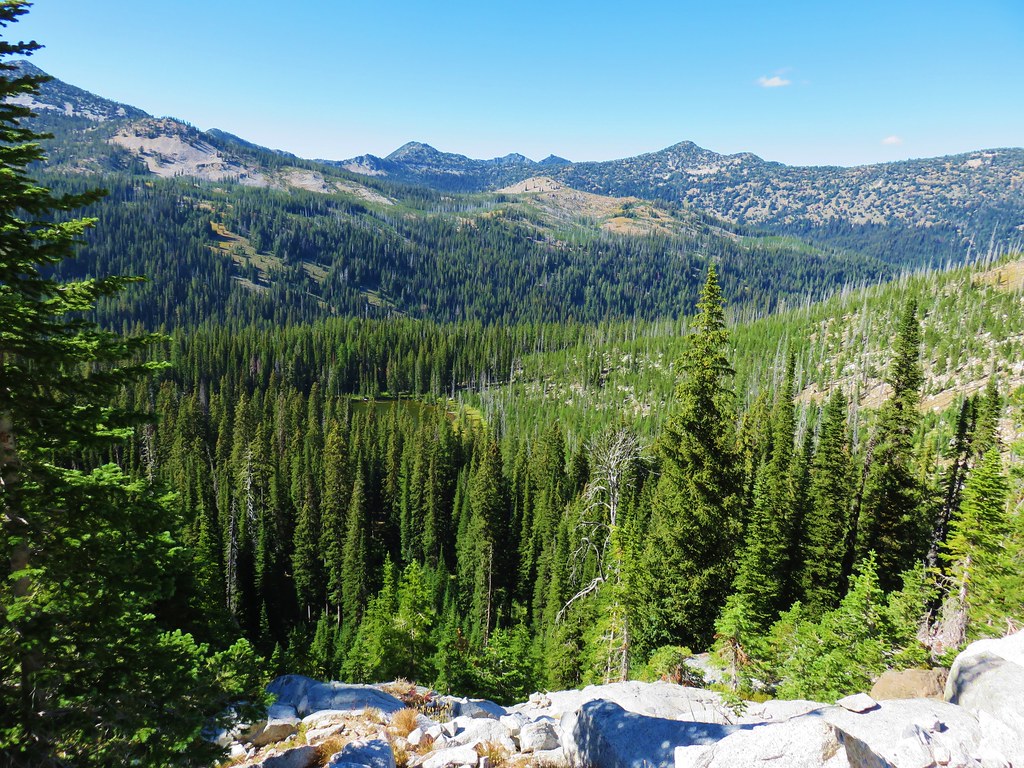
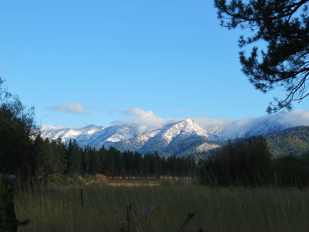
Someone clearly put some work into that. A little further along the trail we started noticing mining operations along the hillside. We could also see 9106′ Rock Creek Butte further along the ridge.
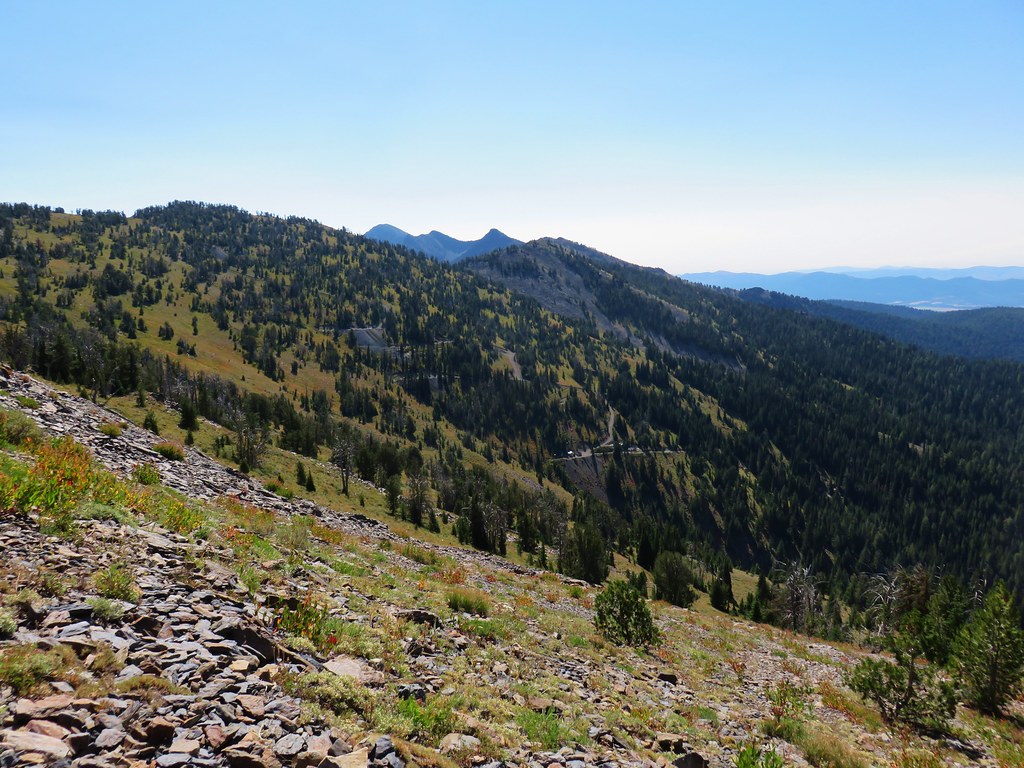
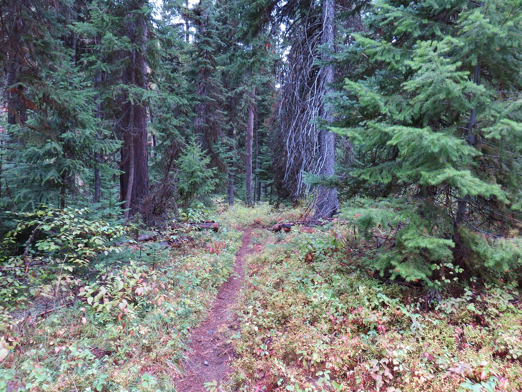
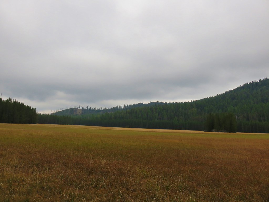
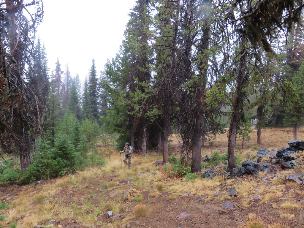
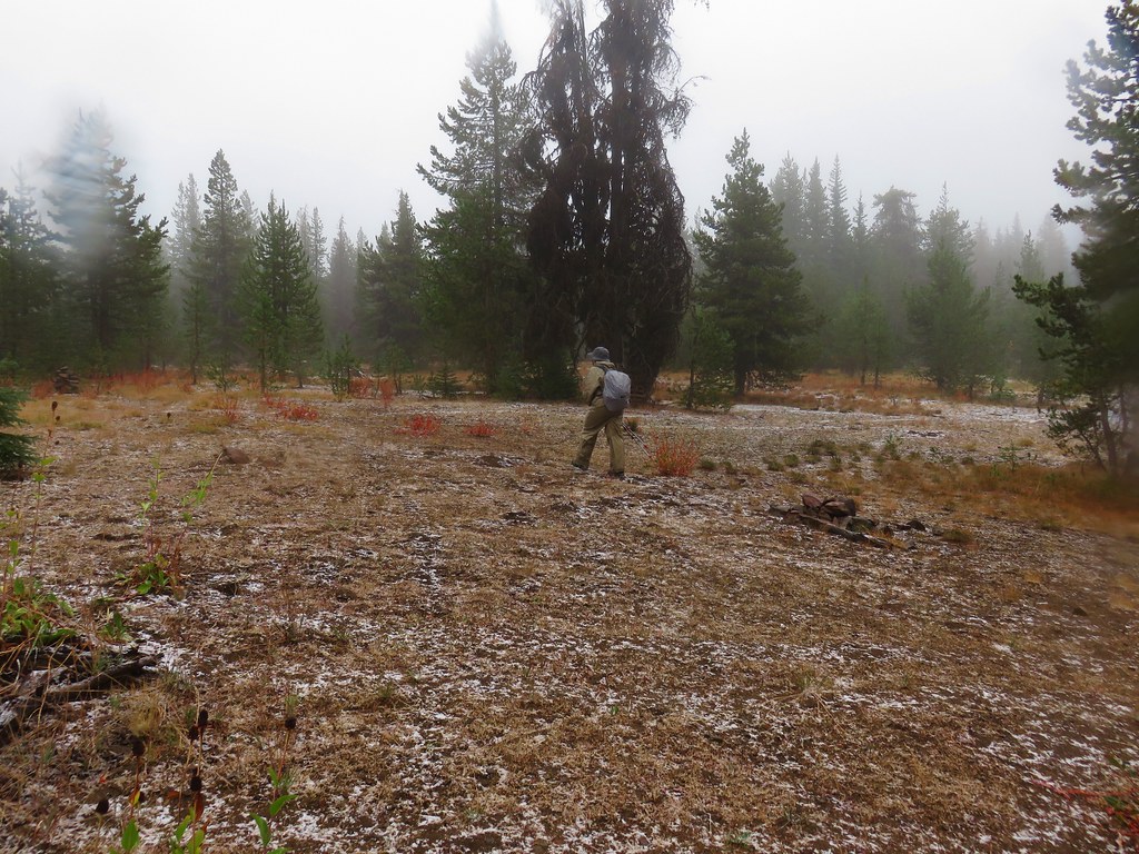
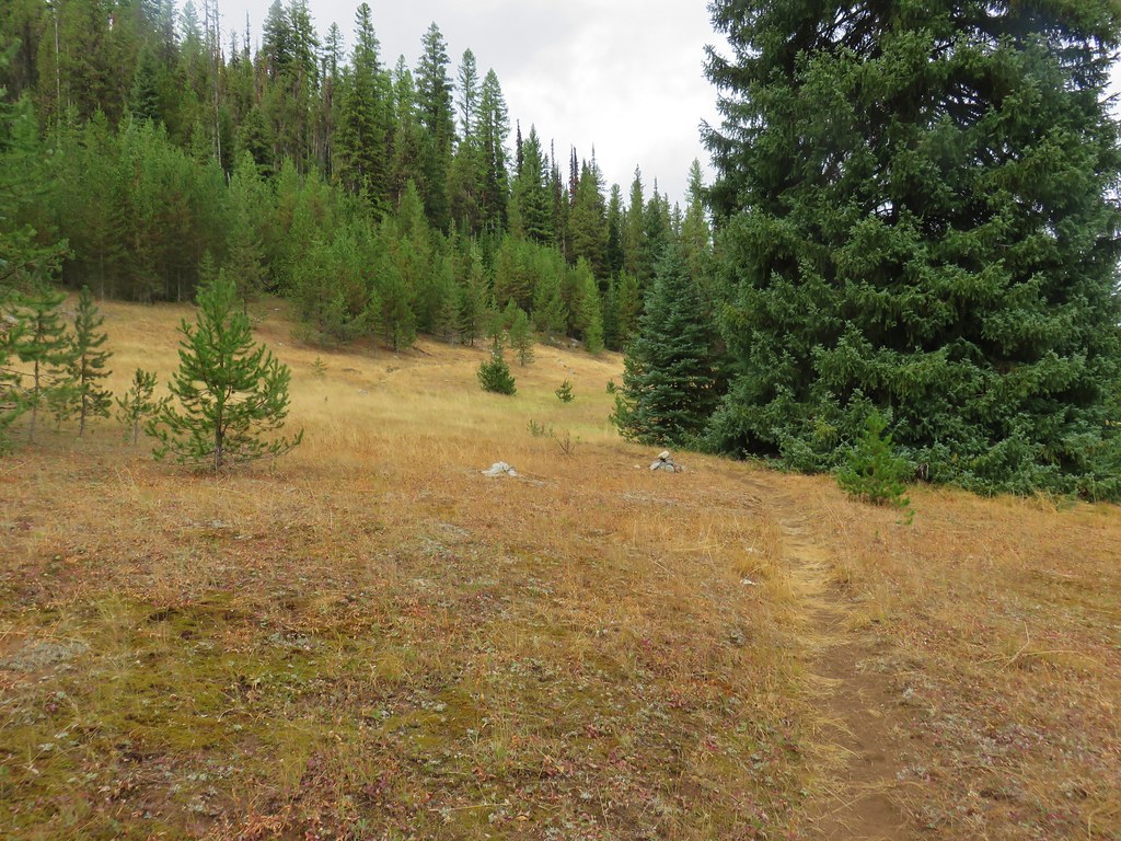
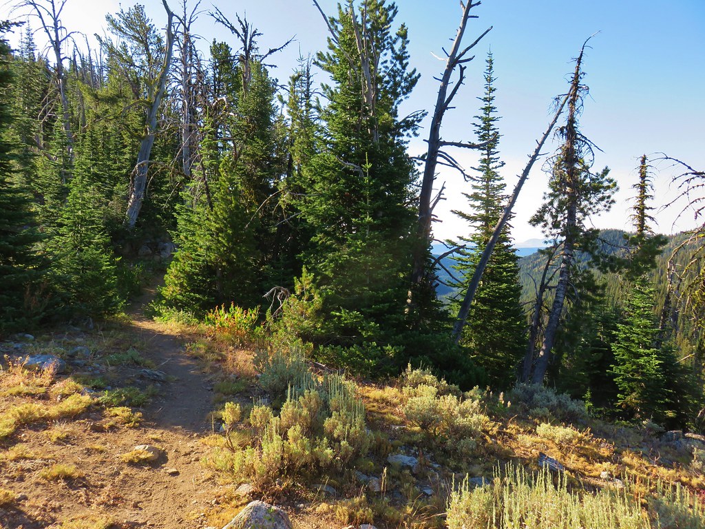
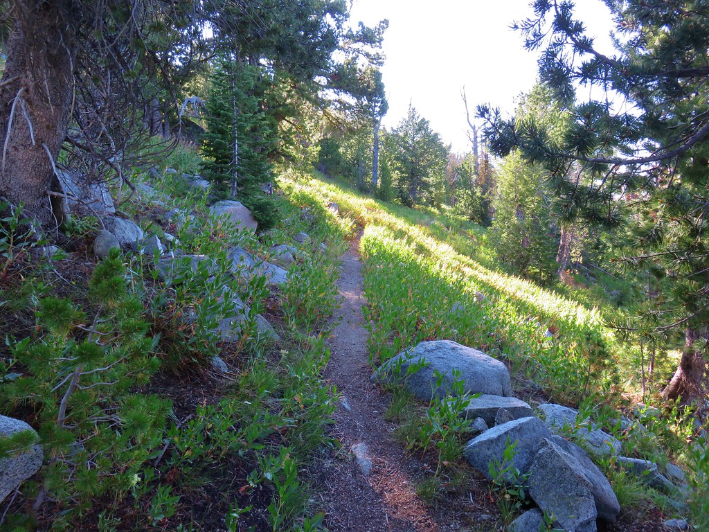
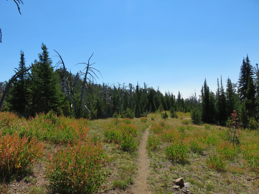
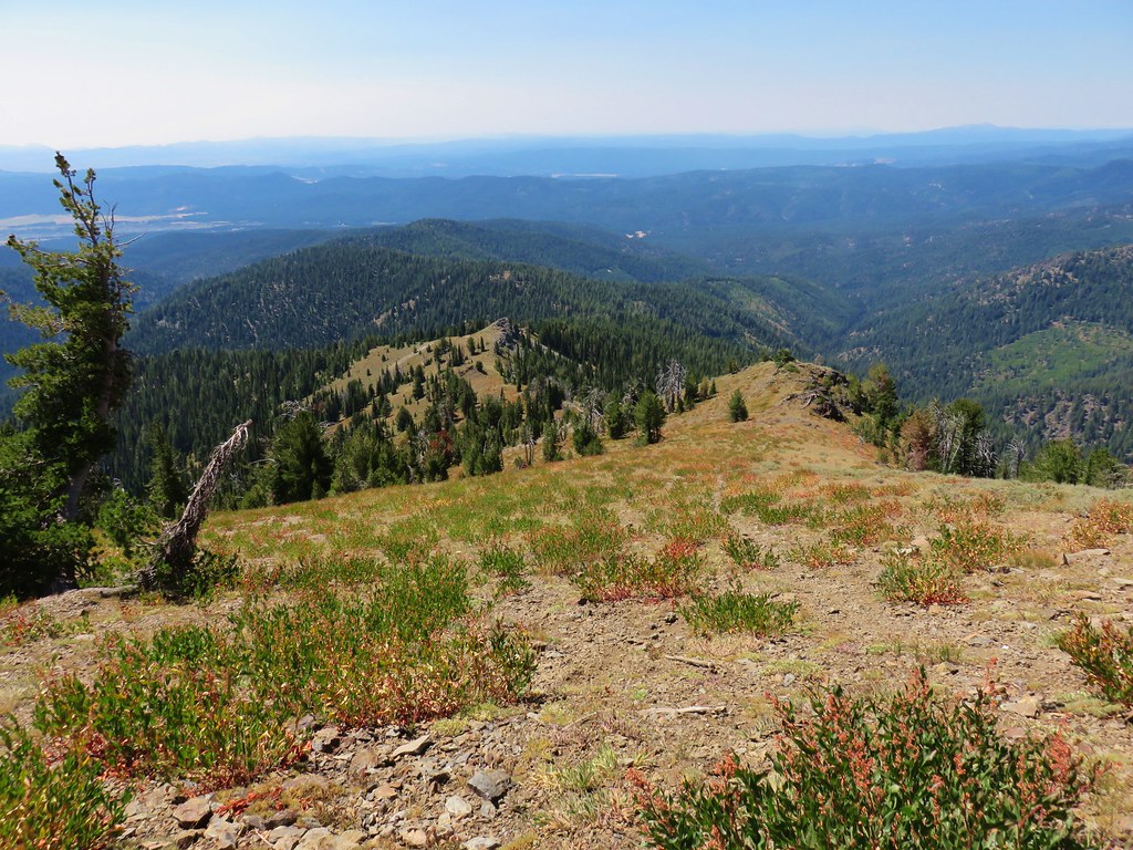
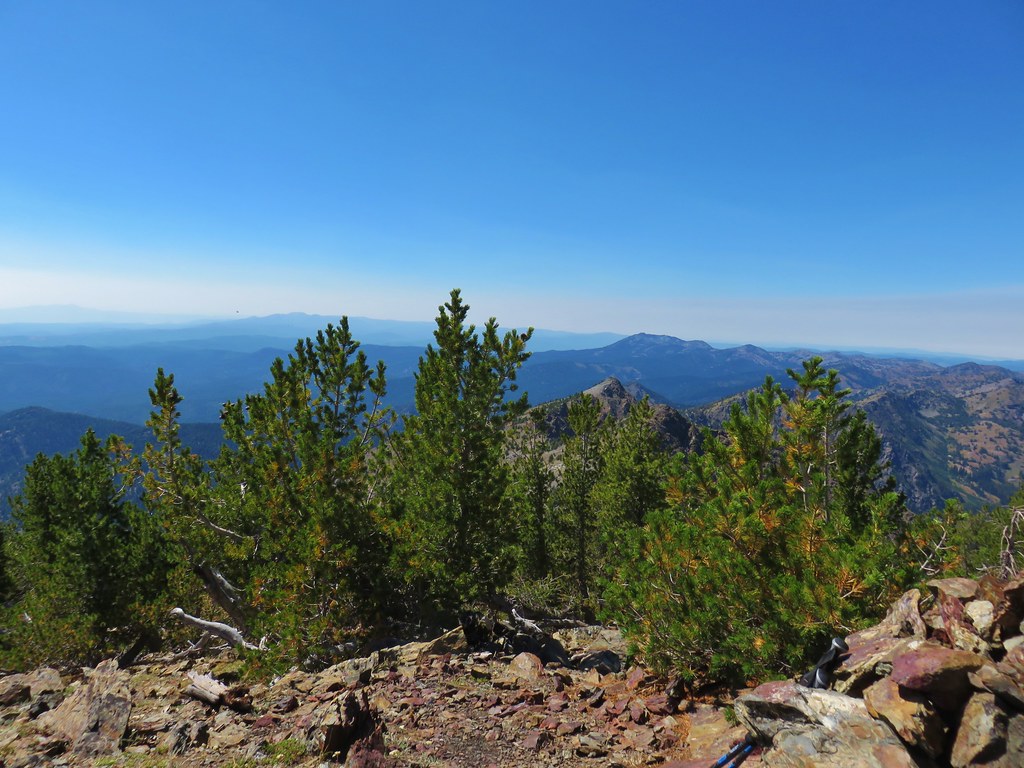
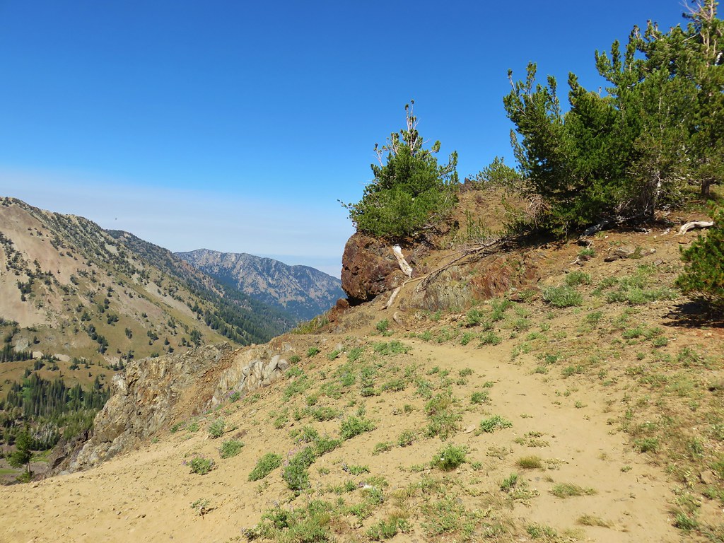
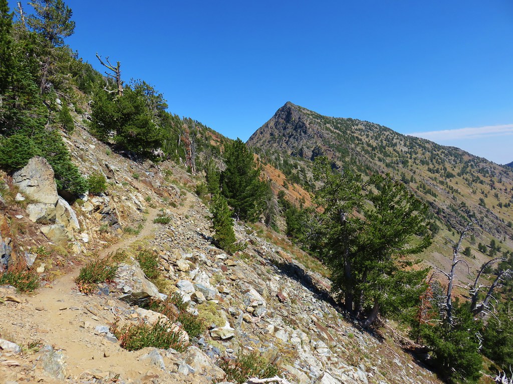
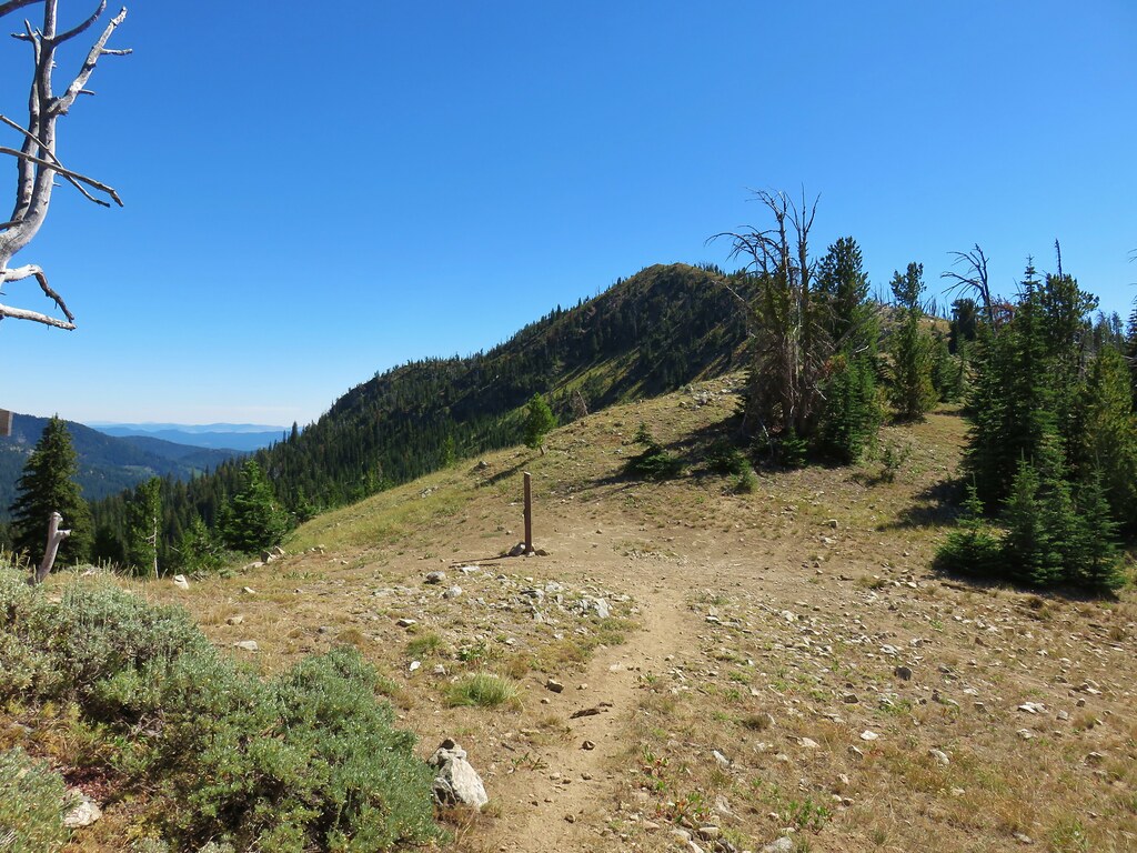
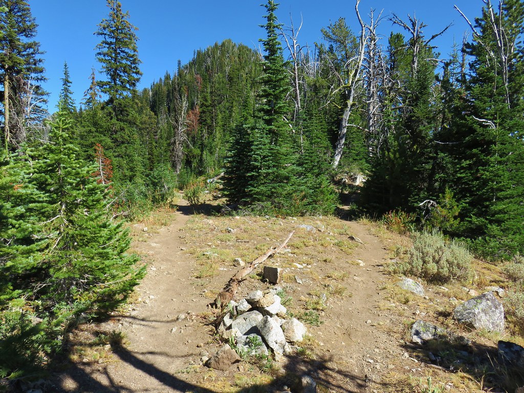
The trail spent a short while along a wide section of the ridge top before returning to the western side of the crest.

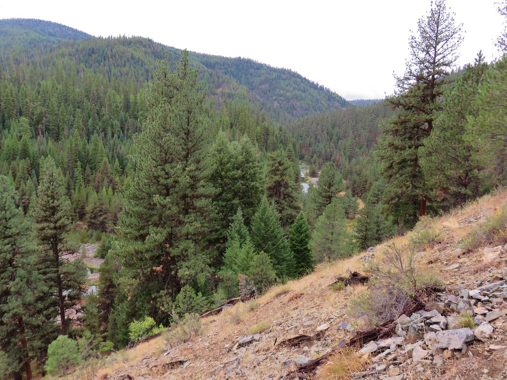
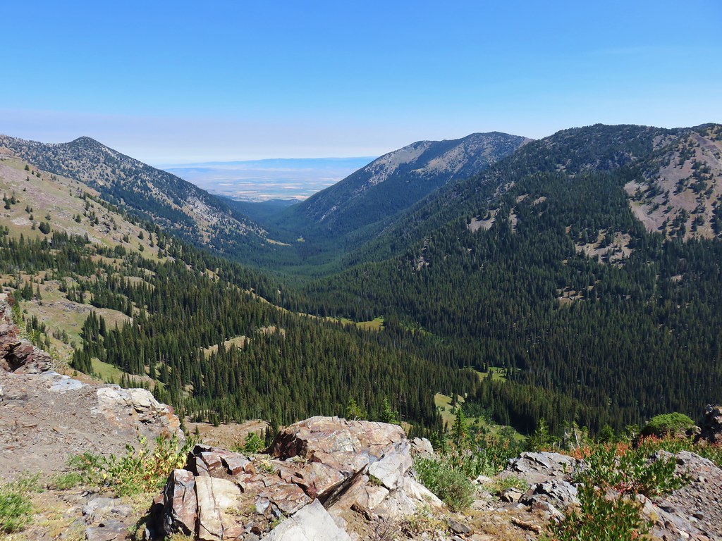
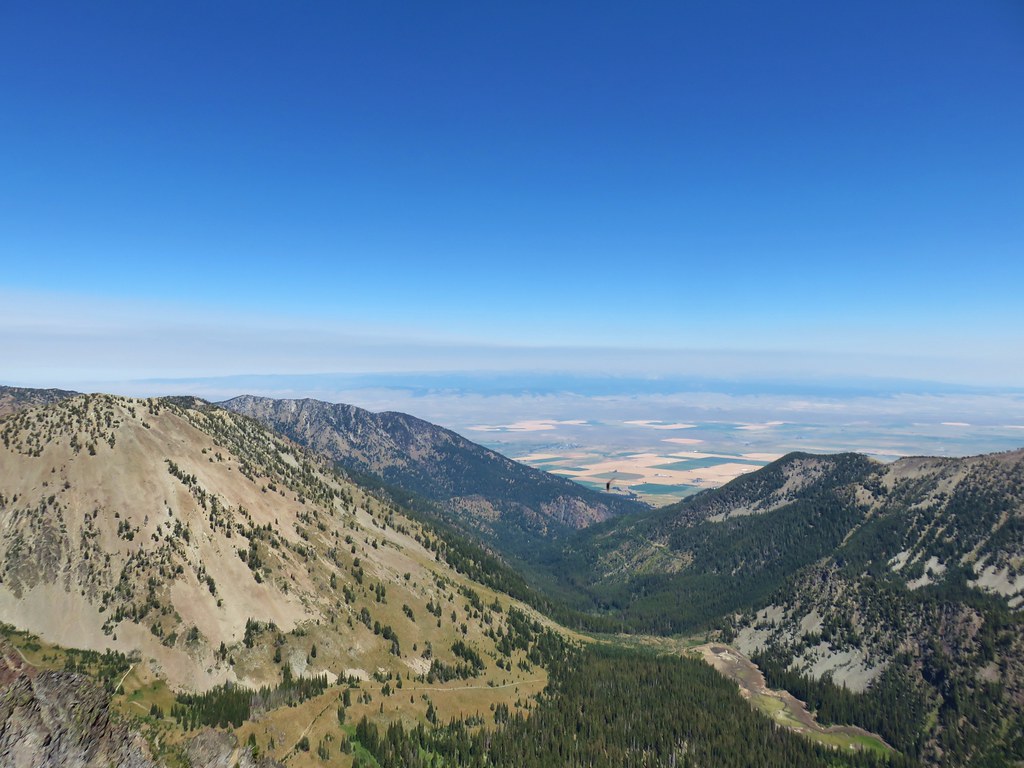
We would again gain the ridge top with a nice view down the Rock Creek Valley to the east.
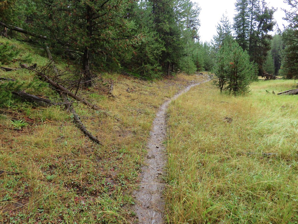
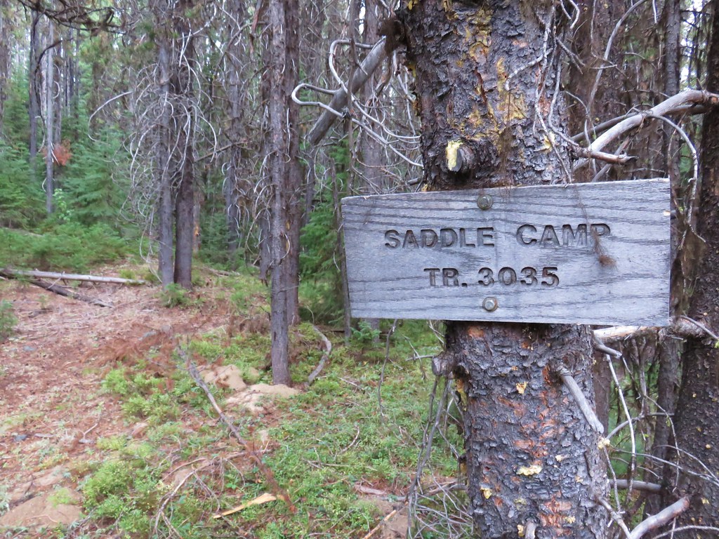
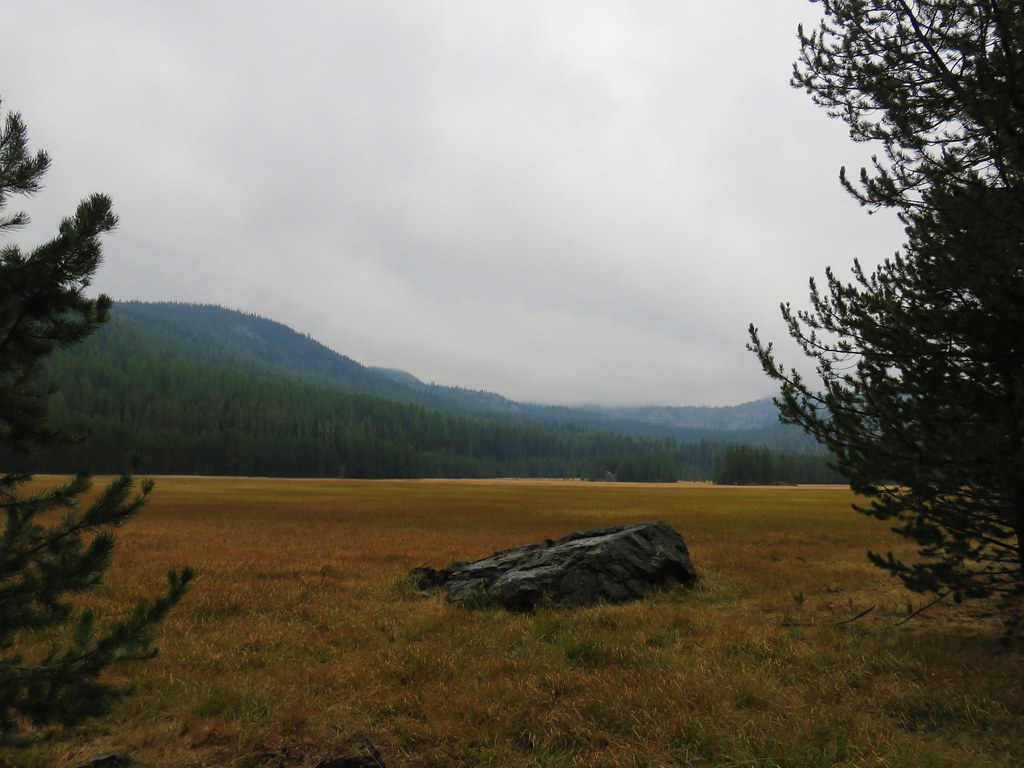
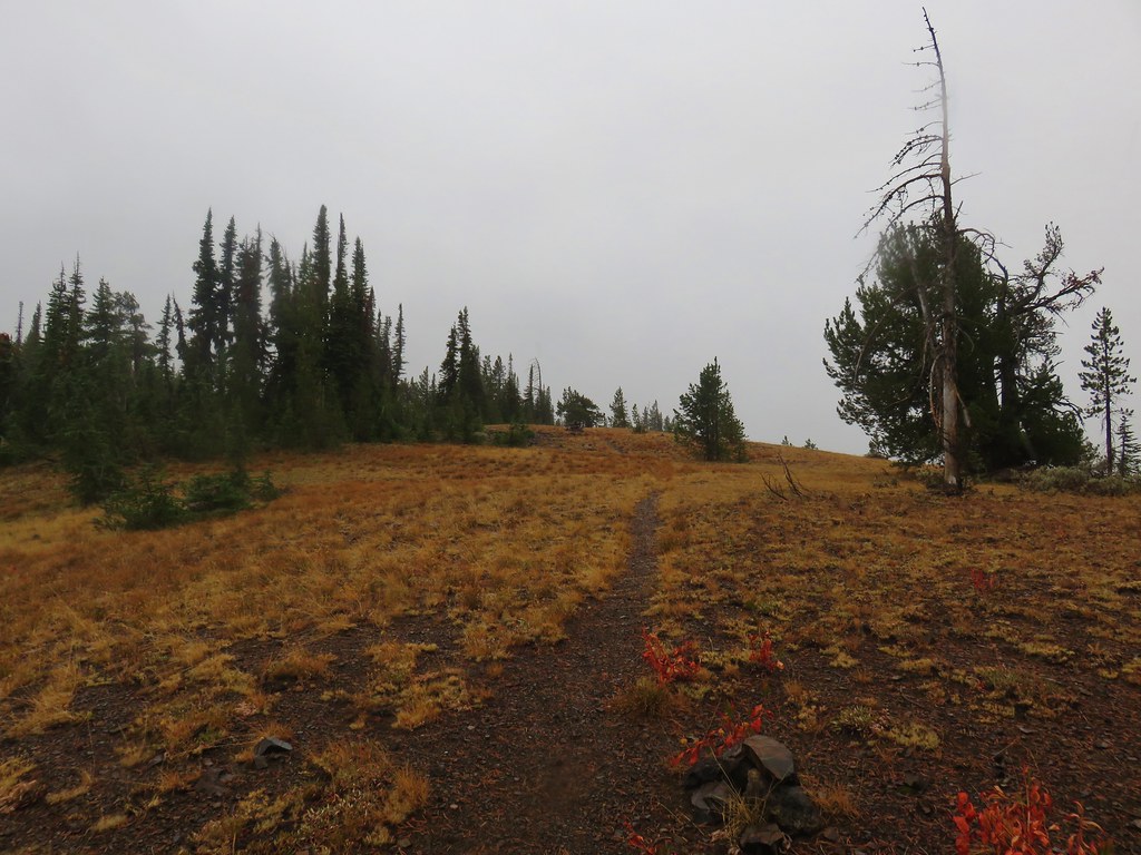
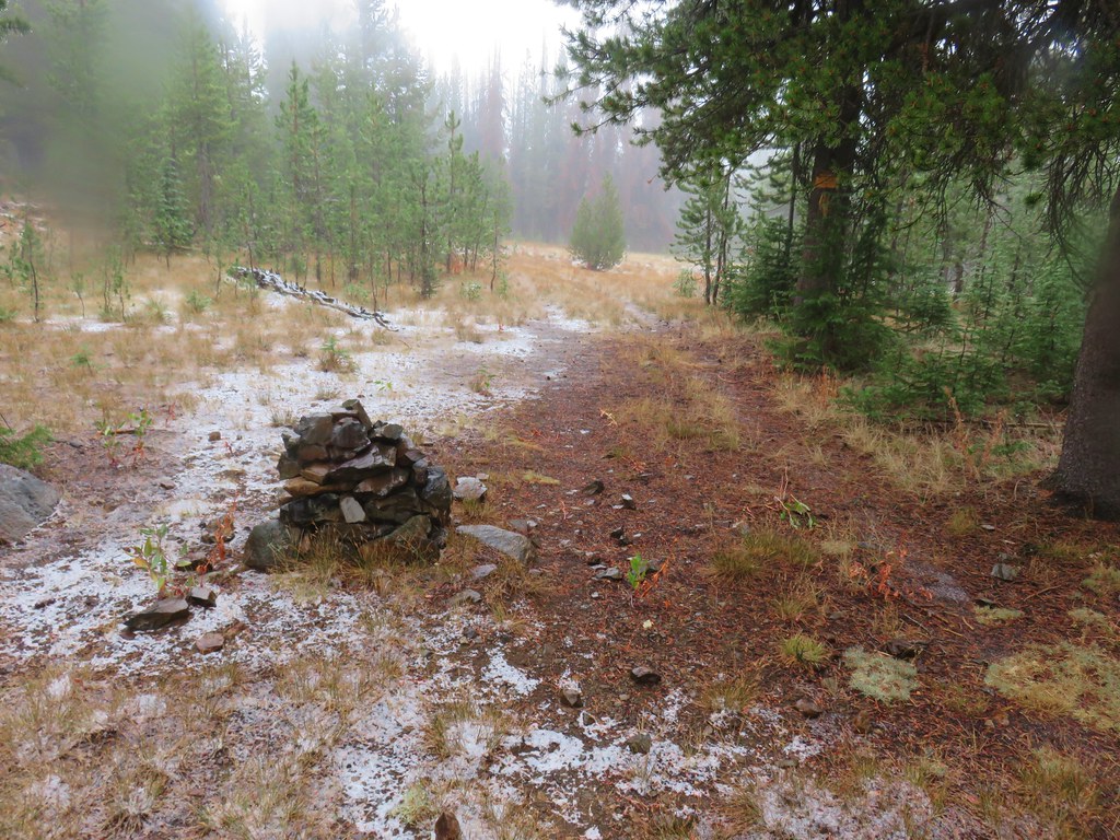
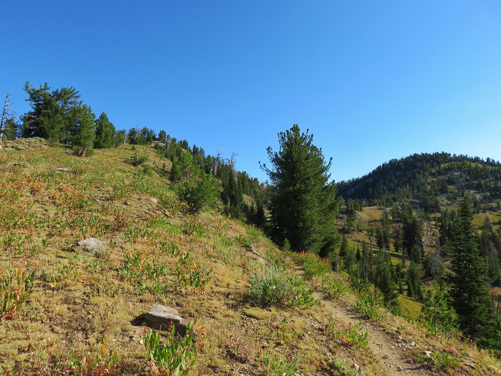
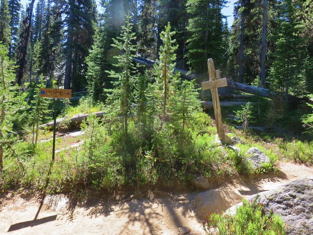
Nearly seven miles from the Summit Lake Trail junction we came to the Pole Creek Ridge Trail which headed faintly downhill along a ridge.
By the time we’d reached this junction we had decided to attempt Rock Creek Butte on the way by instead of waiting for the next day. It wasn’t too hot and more importantly it looked like smoke was creeping towards us from both sides so we thought we’d better get what views we could while the getting was good. It was still a little over two and a half miles to the SW ridge of Rock Creek Butte where we would turn up for the climb.

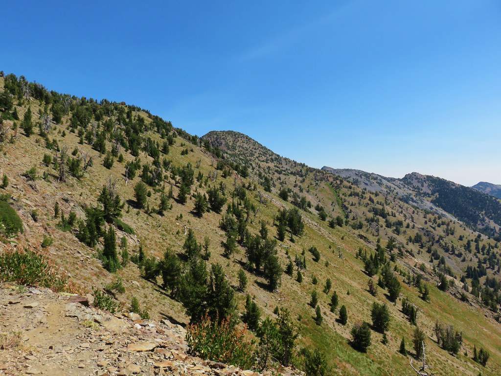
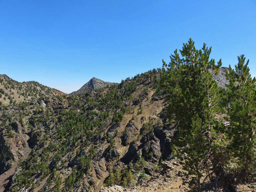
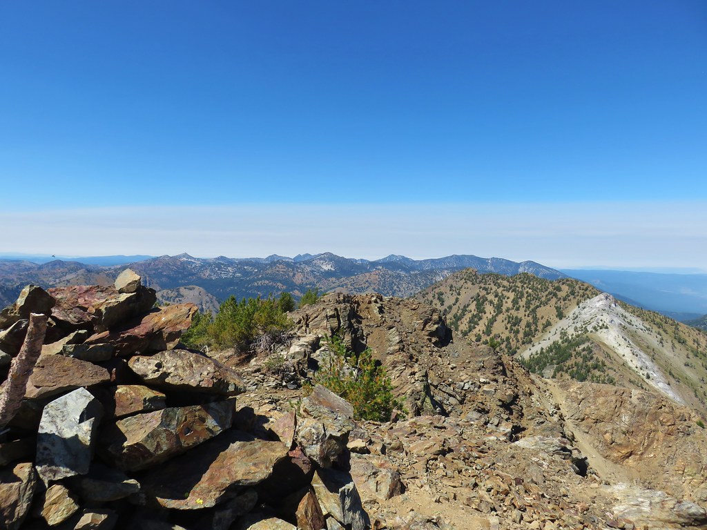
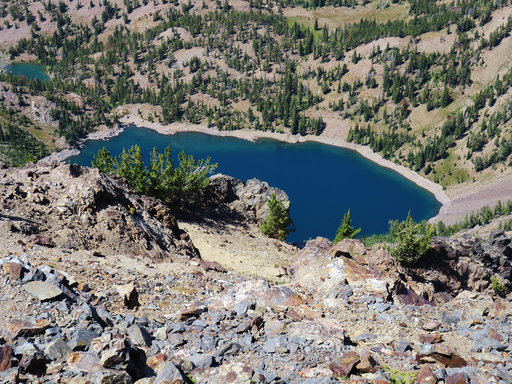
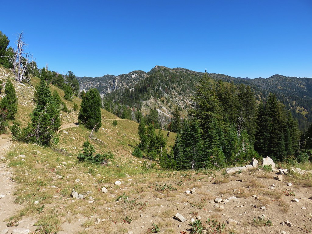
We were having a hard time coming from the direction that we were determining which peak ahead was actually Rock Creek Butte. We were hoping that the closest rounded peak was our goal and not the larger one further away. From the angle we were at they appeared to be somewhat similar in height.
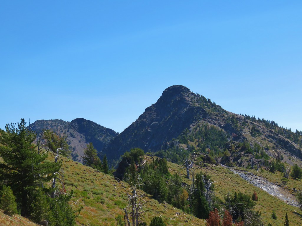
When we gained the ridge top again though we could just make out Rock Creek Lake in the basin below the further peak which told us that was our next goal.
As it turned out the peak we had hoped was Rock Creek Butte was 500′ shorter although it did seem to have a possible route up.
 Looking up “not” Rock Creek Butte
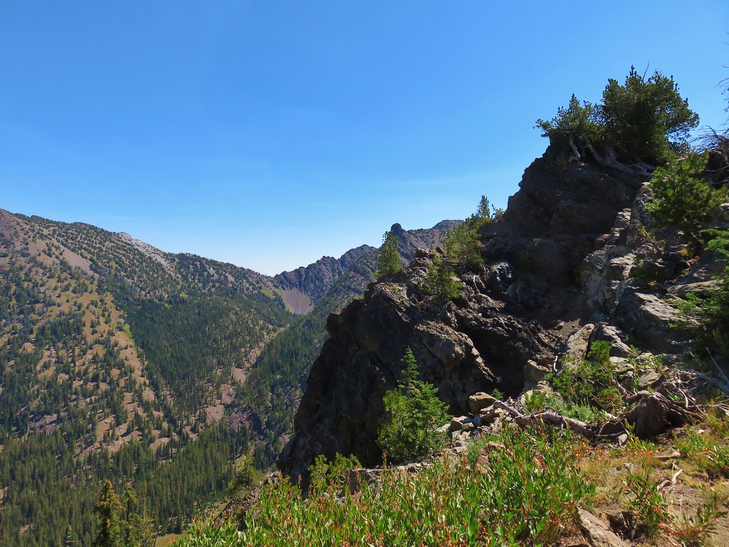
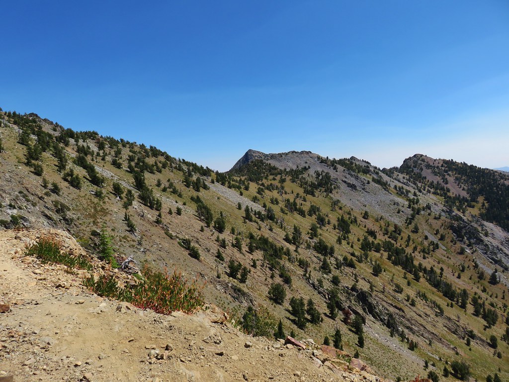
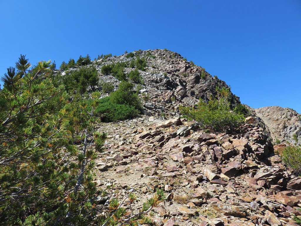
 Rock Creek Butte is still a little ways away.
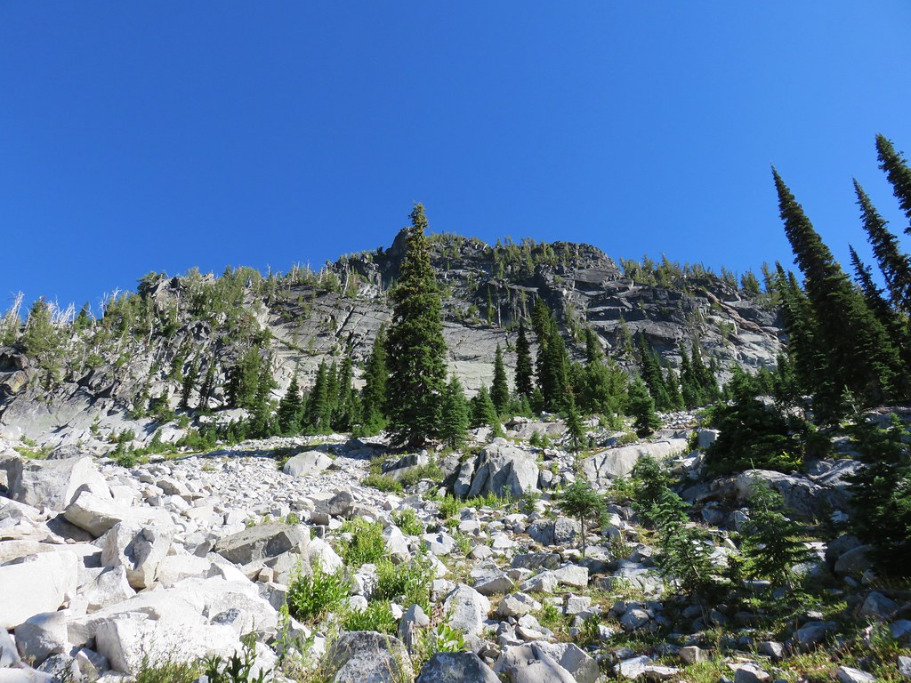
It took another mile and a half to reach the saddle where we would turn up the SW ridge of Rock Creek Butte.
 Looking ahead to the saddle.
 Nearing the saddle.
At the saddle we left the trail and ditched are backpacks in a group of trees in favor of our day packs.
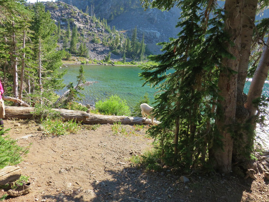
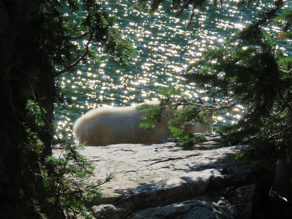
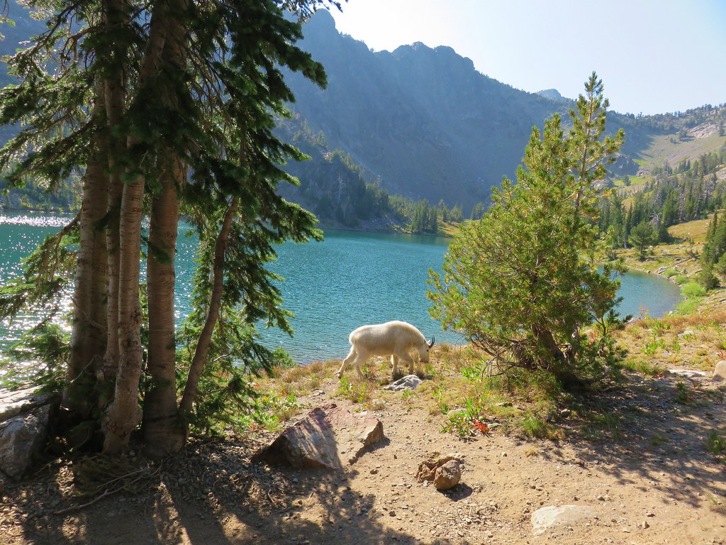
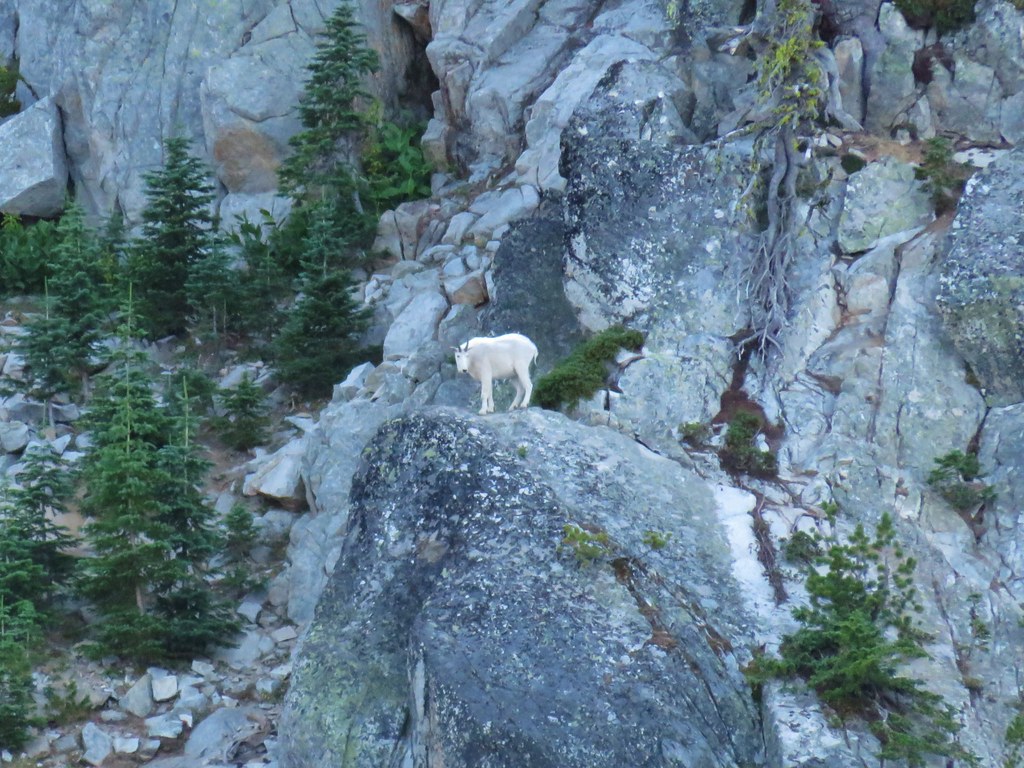
Before starting the climb we noticed that we weren’t the only ones traveling south on the Elkhorn Crest Trail. A pair of mountain goats could be seen walking along the trail.
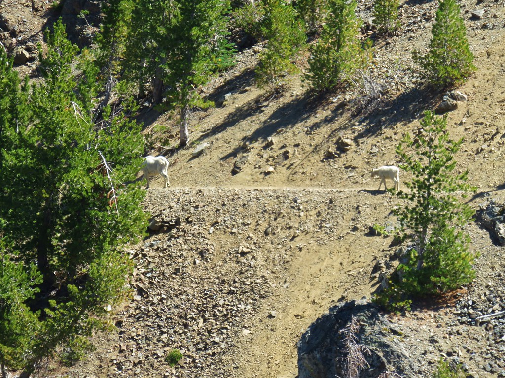
After watching the goats head over the ridge toward Twin Lakes we began our ascent.
Mountain goat sign was everywhere along the rocky ridge and there was no discernible path, although we did occasionally spot a human foot print in the dirt.
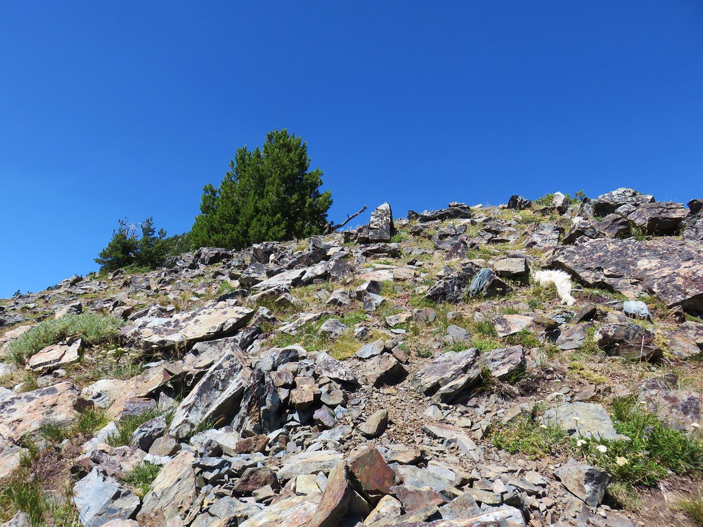

The half mile route gains roughly 600′ with the final tenth of a mile being the steepest portion.
A large cairn and register box sit atop the peak.

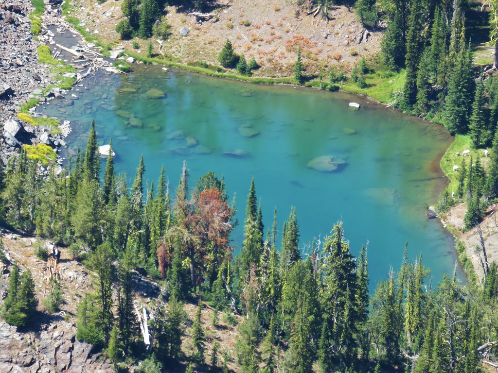
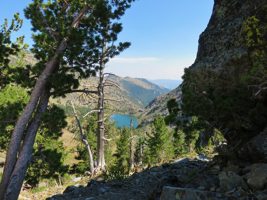
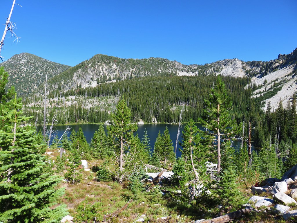
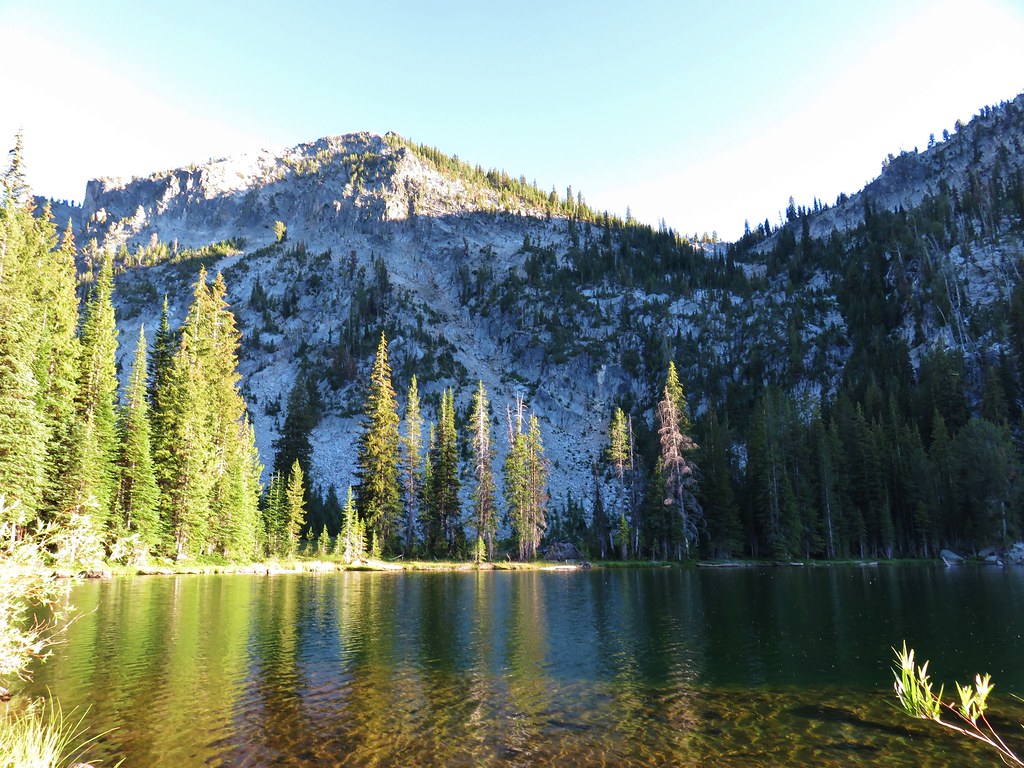
From the summit Lower Twin Lake was visible to the south.
Mt. Ireland and Vinegar Hill lay to the west.
To the NE should have been the Wallowas but smoke appeared to have overtaken them.
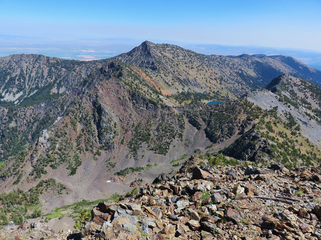
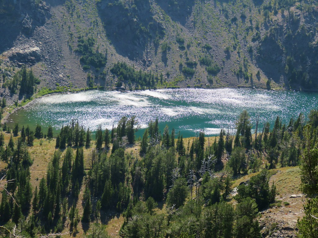
The view to the north included many of the peaks of the Elkhorn Range but there was no view of Rock Creek Lake due to the broad summit.
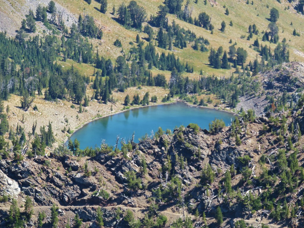
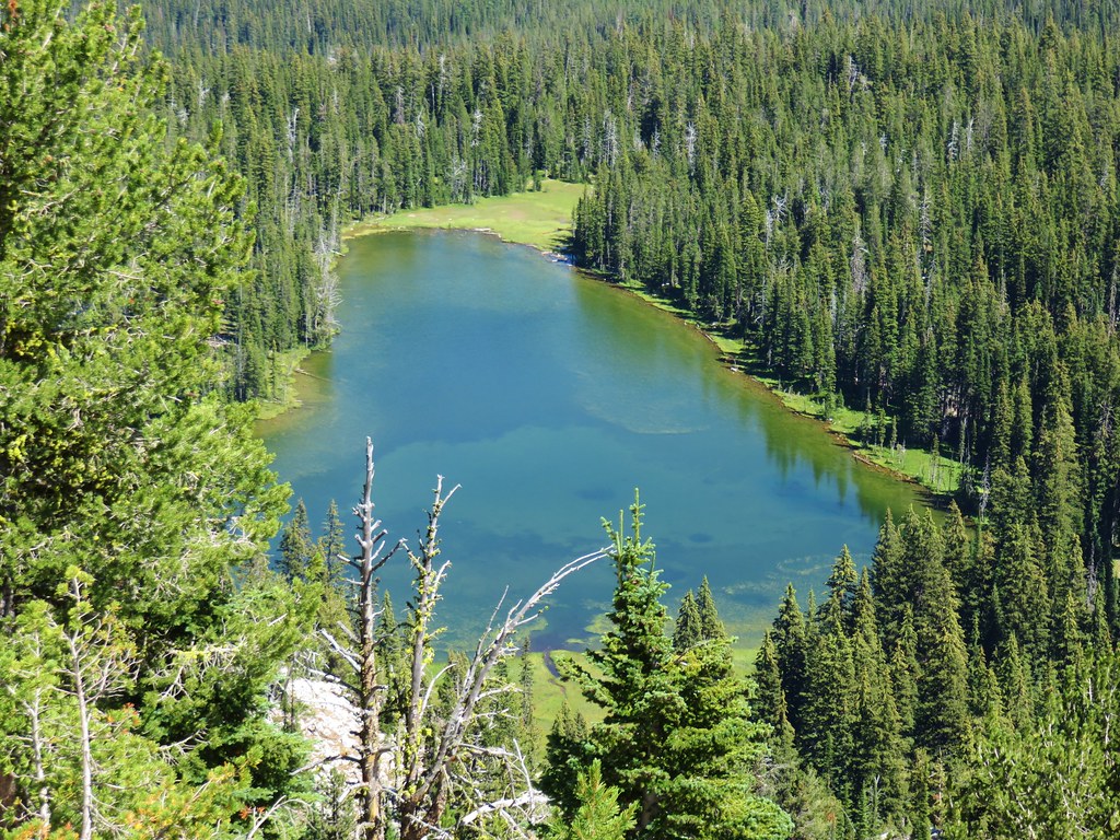
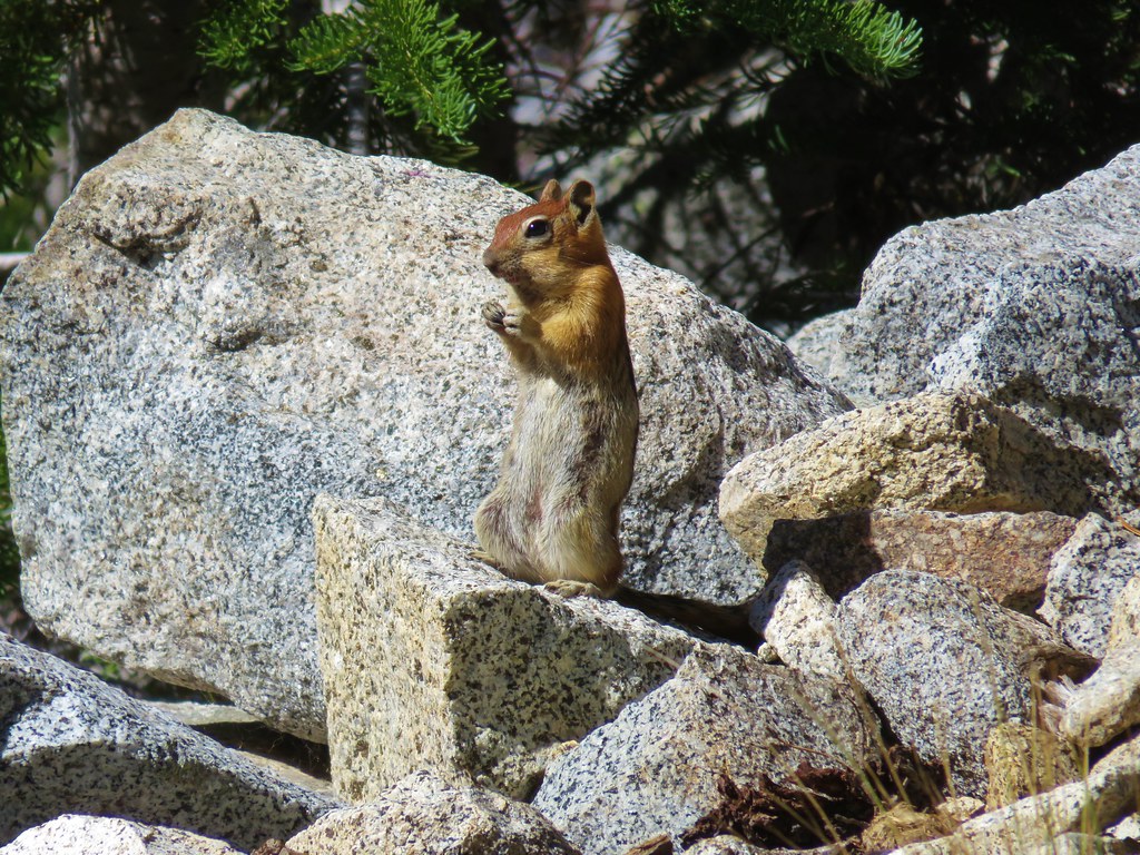
A 500′ stroll across the summit though revealed the gorgeous lake below.
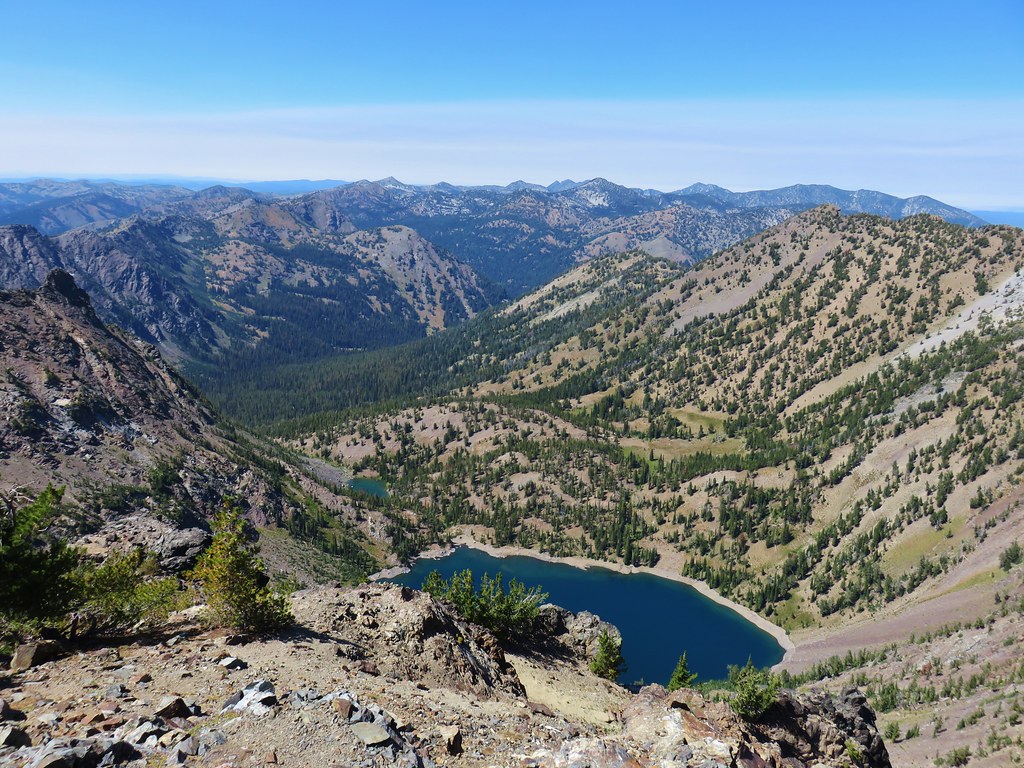
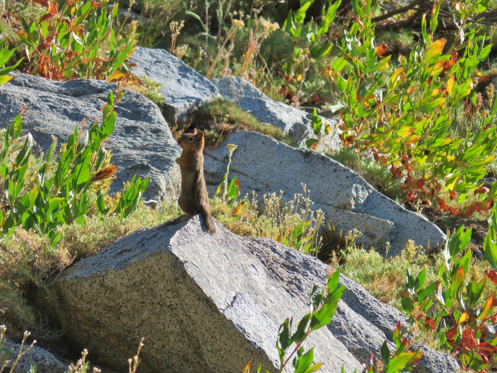
 Notice the golden-mantled ground squirrel sitting atop the large rock overlooking the lake.
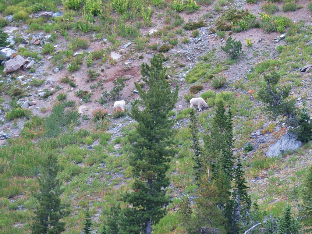
Mountain goats were grazing in some green grass by a smaller body of water near the lake.
 (Full disclosure neither of us noticed the goats until I was looking through the pictures at home.)
 Looking back at the summit cairn from the Rock Creek Lake overlook.
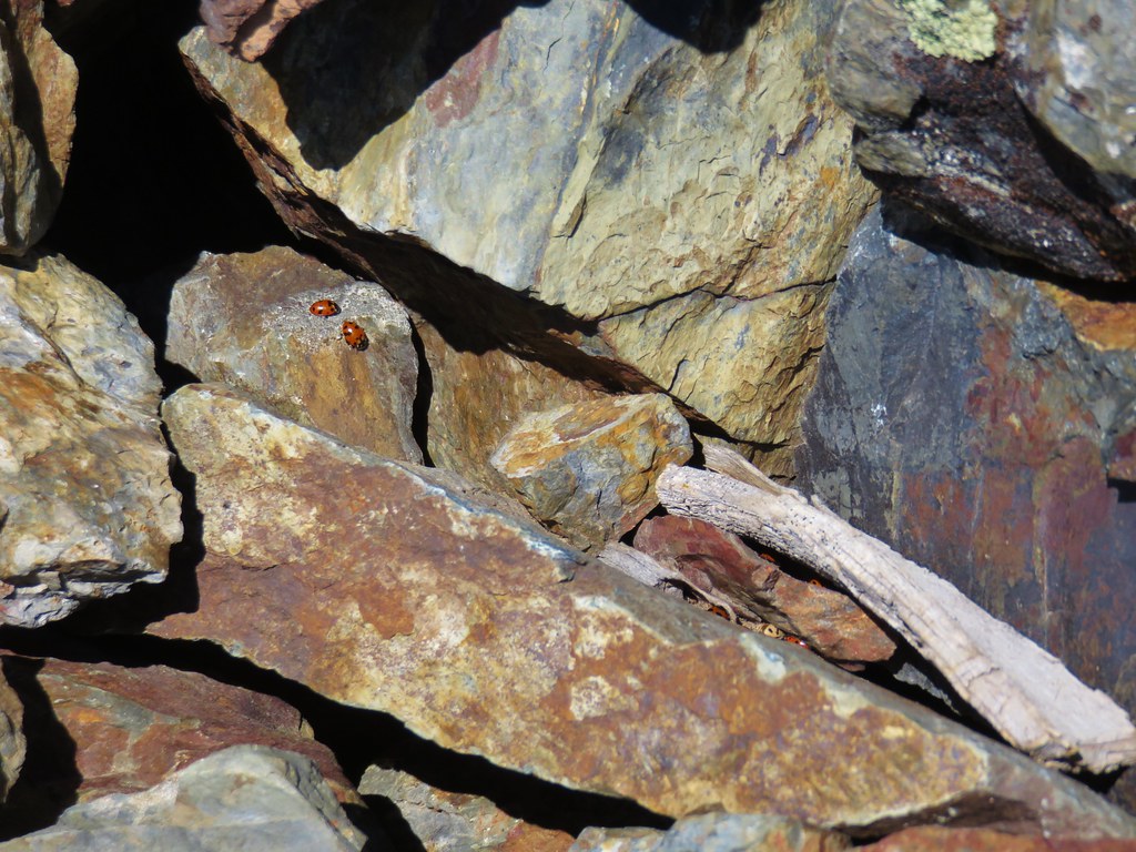
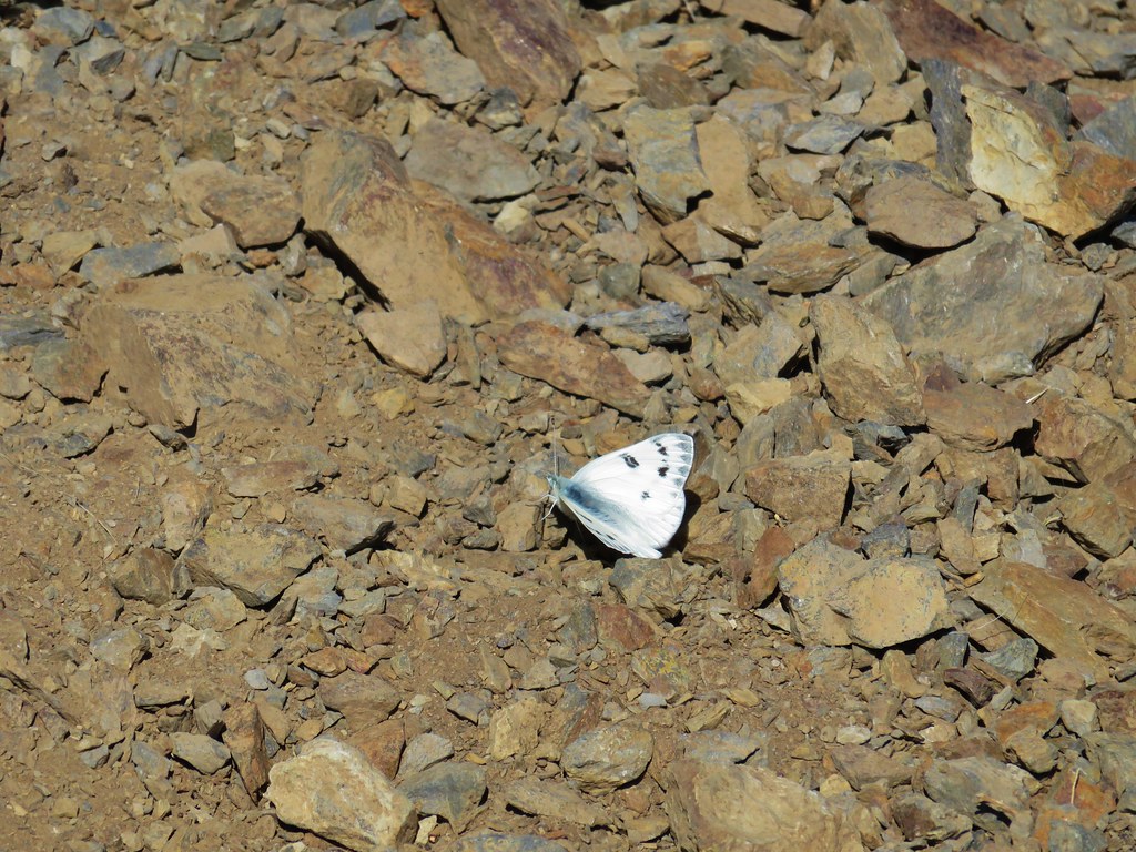
There were a lot of flying ants on the cairn as well as several lady bugs and some butterflies nearby.
After recovering from the climb up we started back down just as another hiker was closing in on the summit. It turned out that he had been the other person besides us camped at Summit Lake the night before. We left him to the summit and slowly picked our way back down to our backpacks. After retrieving them we returned to the Elkhorn Crest Trail following a section of trail that had been blasted out of the rocks.
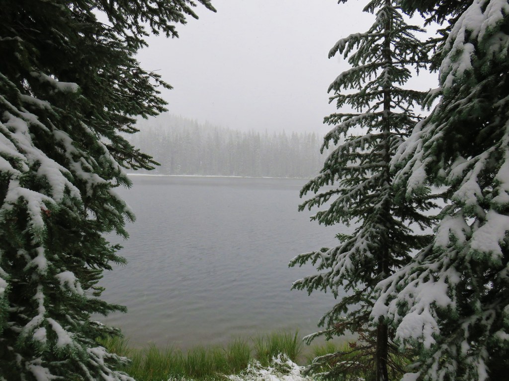
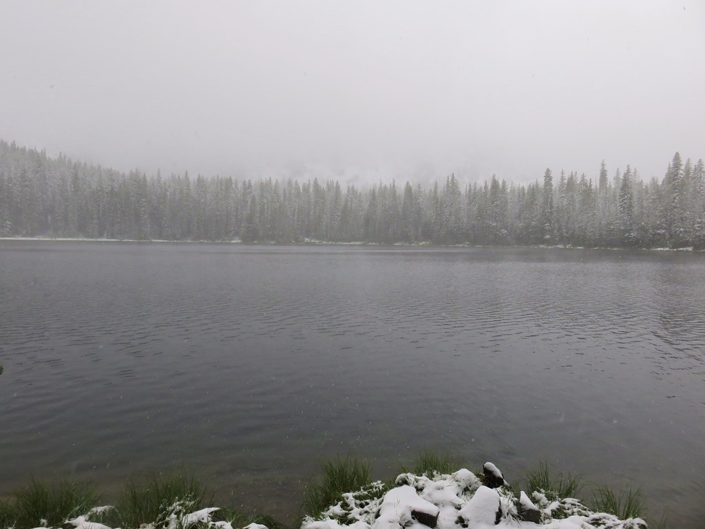
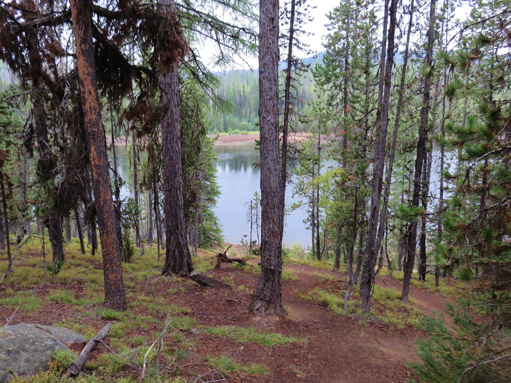
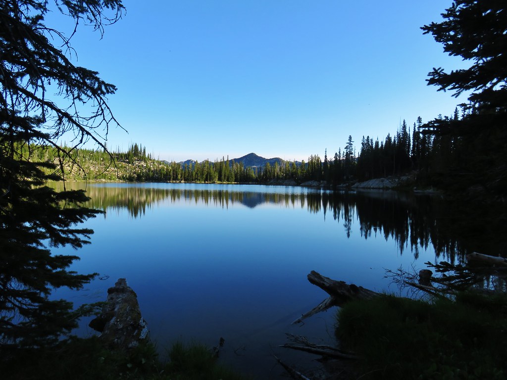
Soon Lower Twin Lake came into view followed by Upper Twin Lake.
The trail made a sweeping curve for the next three quarters of a mile above the lakes bringing around to the opposite end of them before arriving at a junction with the Twin Lakes Trail.
Although the lakes are only about 350′ below the junction the Twin Lakes Trail takes its own sweet time getting down to them via a series of long switchbacks.
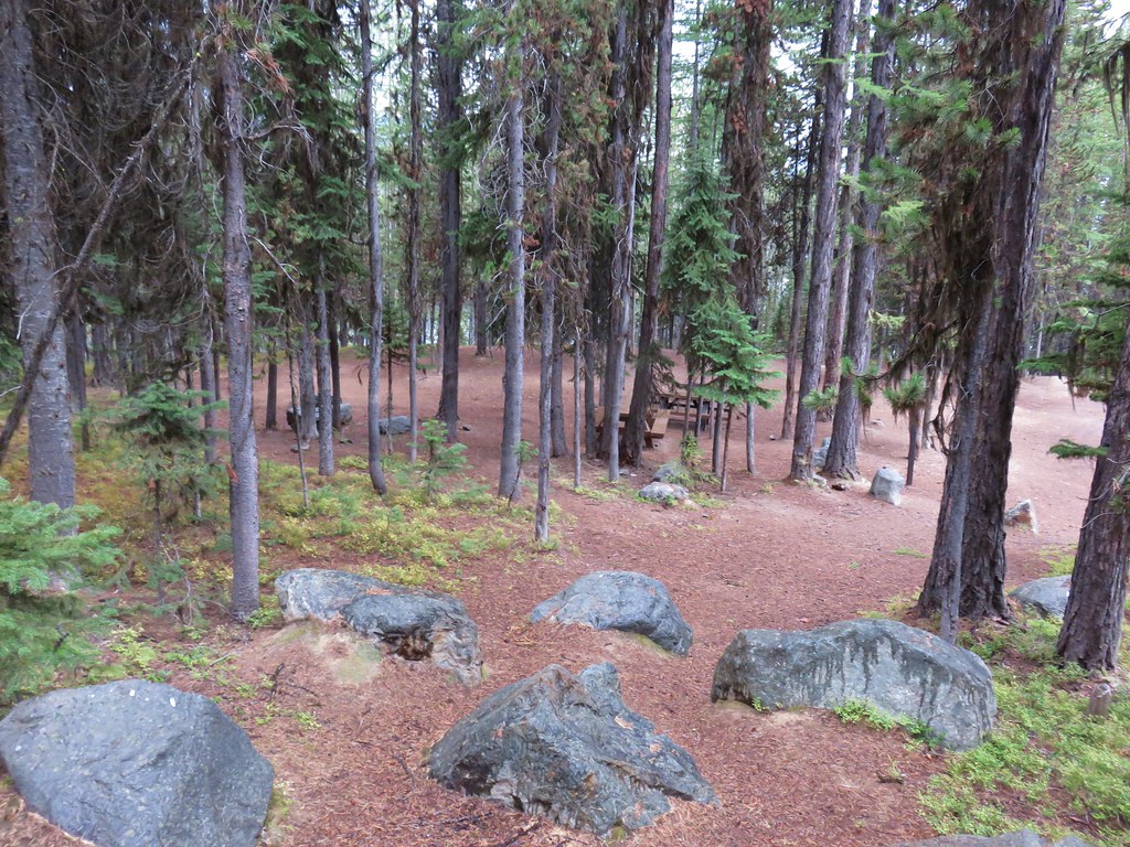
They made for a relatively easy climb out the next day but I was ready to be done for the day and became rather impatient with the slow decent. After a little over a mile we arrived at the lake and chose a camp stie.
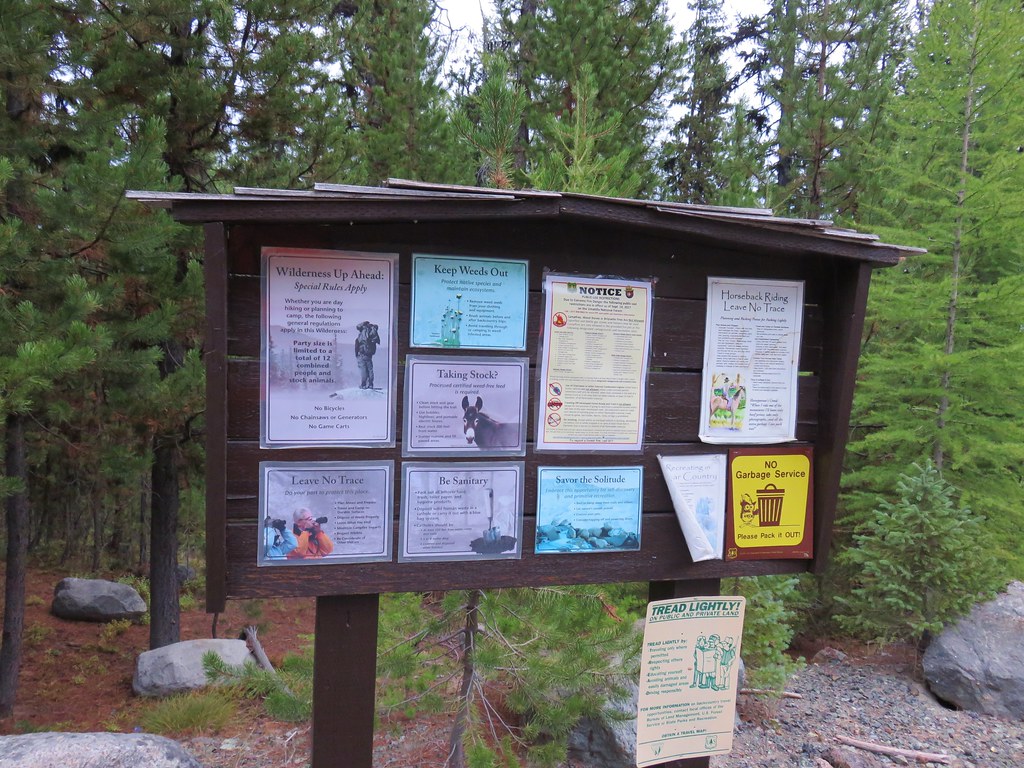
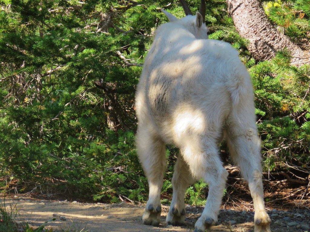
Both our guidebook and signs at the trailheads had warned about the mountain goats in the area being habituated to humans. A good reminder of why people shouldn’t feed wildlife, without the fear of humans the goats have been known to nibble on tents, clothing and backpacks in search of salt. We made sure not to leave anything lying around outside the tent but it wasn’t long before the first goat passed nearby.
 You can see Heather’s arm on the left side of the photo.
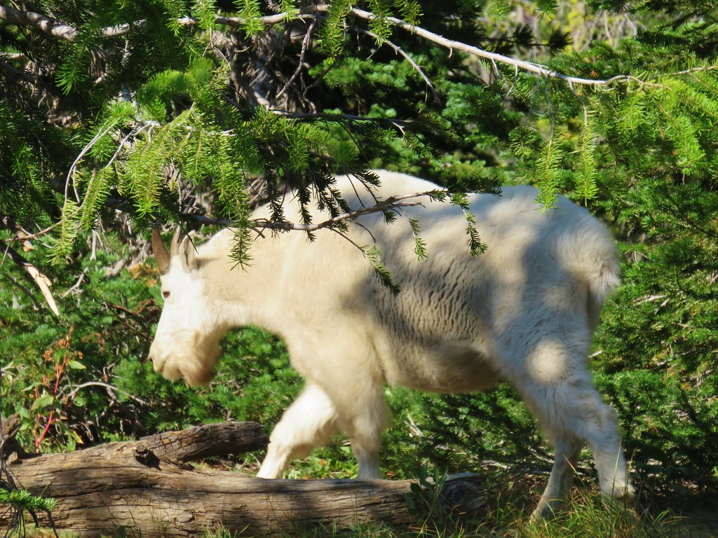
About a half hour later a second goat followed.
After dinner we watched a nanny and kid circle around the lake and graze nearby.


We did leave our tent for about 45 minutes to visit Upper Twin Lake which was just .3 miles away.

More mountain goats were grazing on the hillsides above this lake.
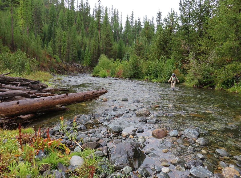
The goats left our tent alone and we turned in for the night after what would be the longest day of our trip at 15.9 miles. Our original plan had been to return to Summit Lake the next day and stay there again but we were now considering camping along the Summit Lake Trail like the other group we had met had done. The nearby streams would allow us to get water and it would shave off a little distance both the next day and the day after when we were planning on heading from Summit Lake to Dutch Flat Lake. We decided to play it by ear the next day and turned in for the night halfway expecting to wake up to a mountain goat staring at us through the mesh on our tent. Happy Trails!
Flickr: Elkhorn Crest Trail Day 2


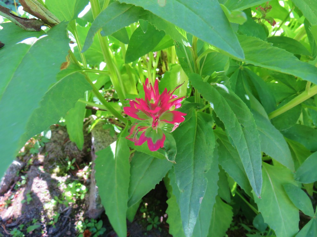
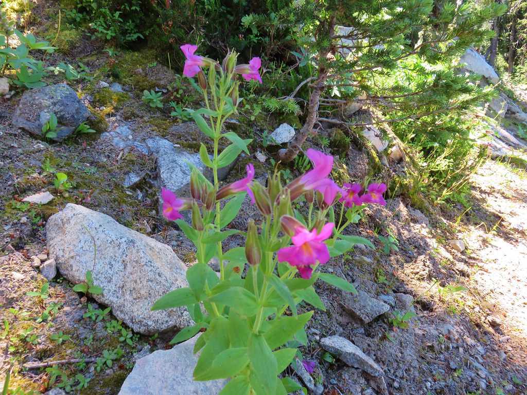
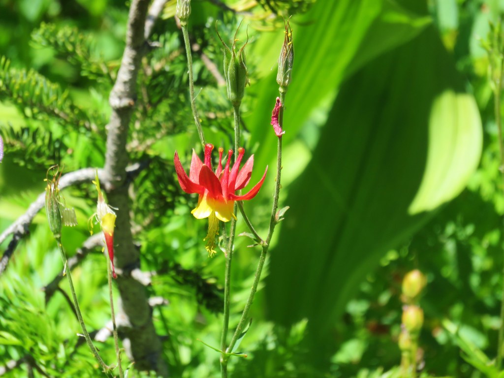 Columbine
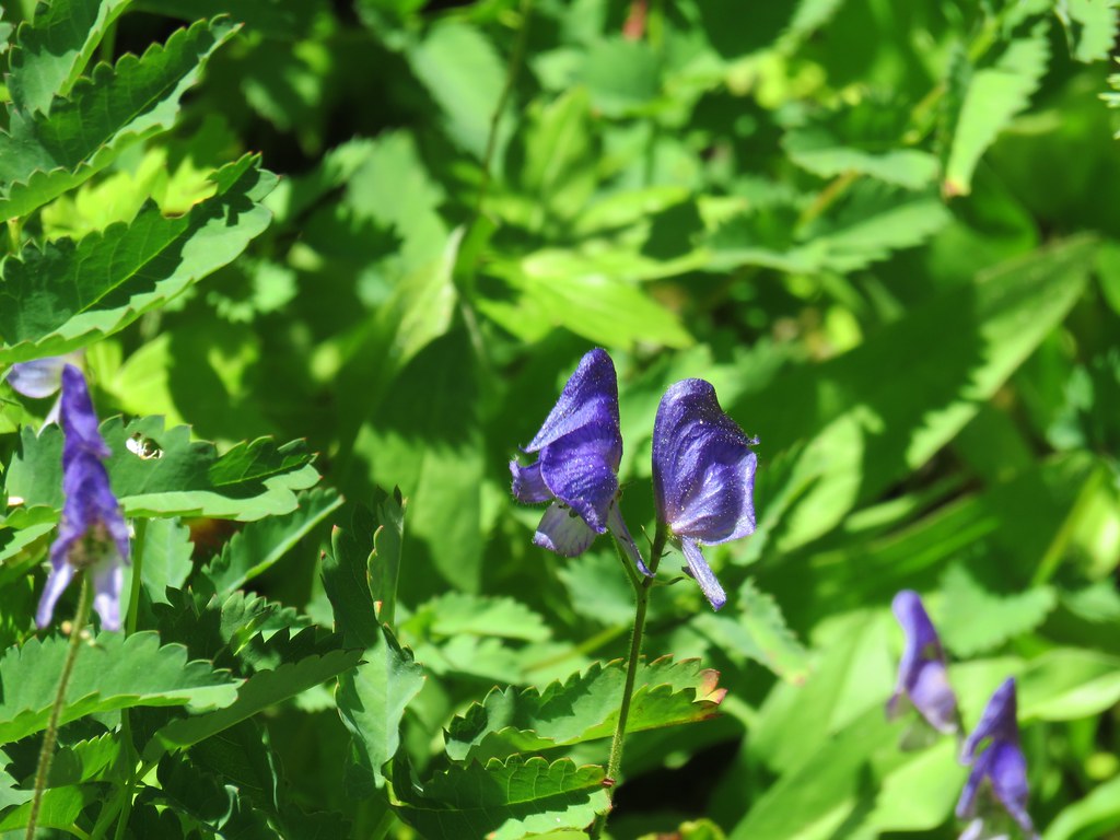 Monkshood
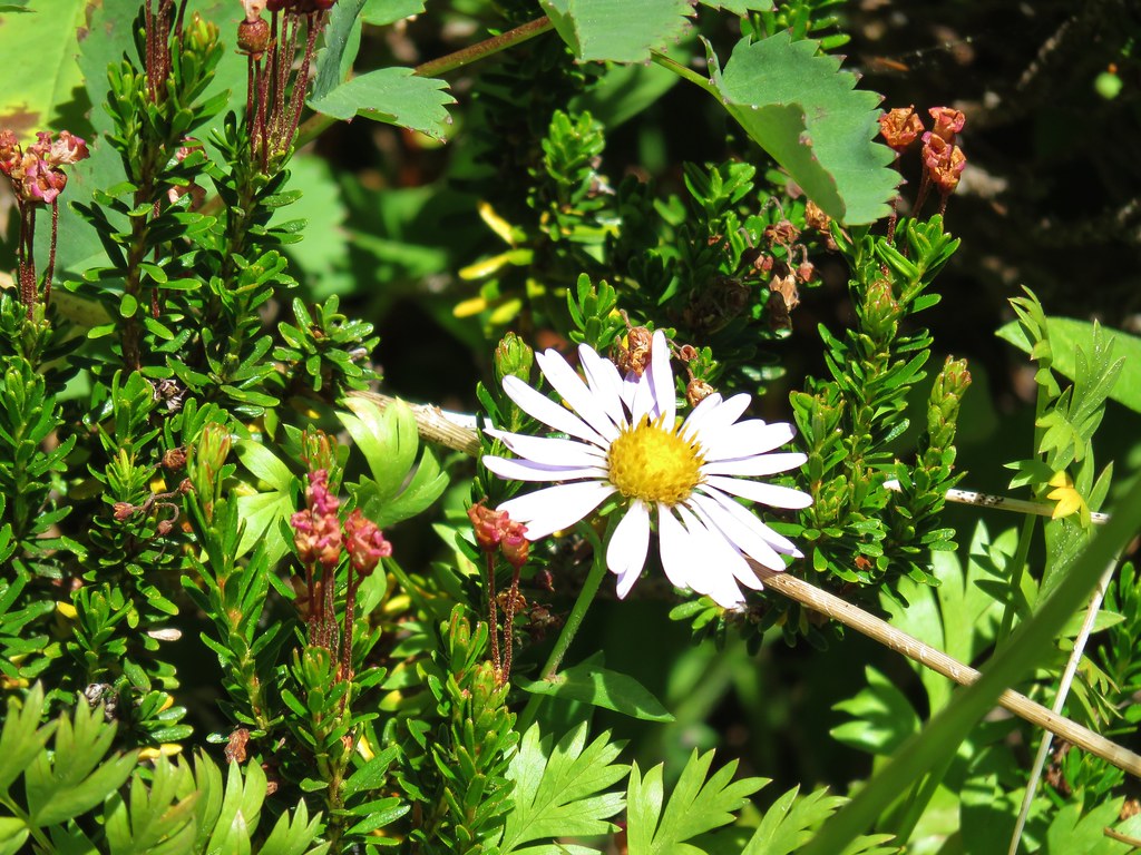 Aster
Aster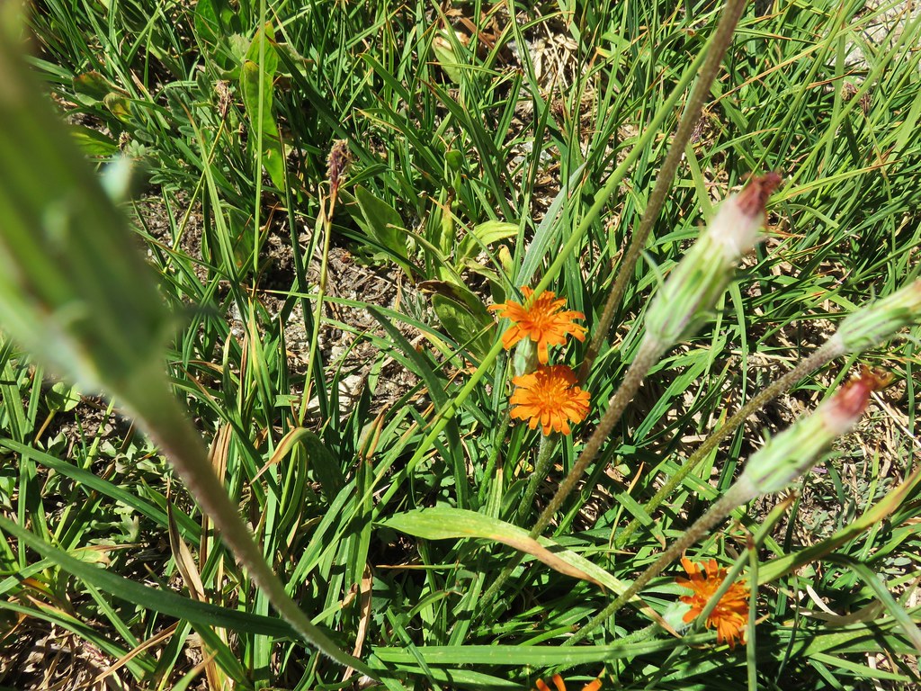 Orange Agoseris
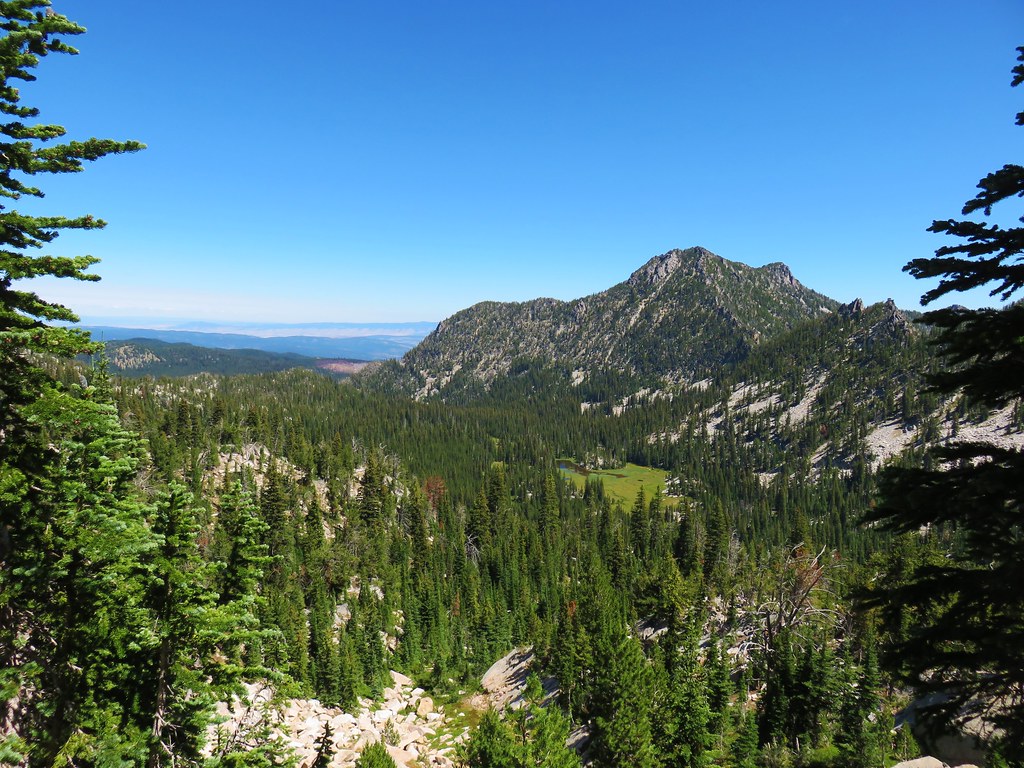 Antone Creek
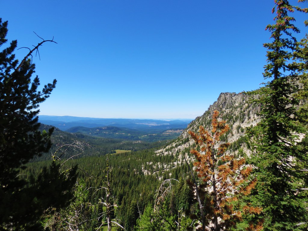 Crawfish Meadow in Crawfish Basin
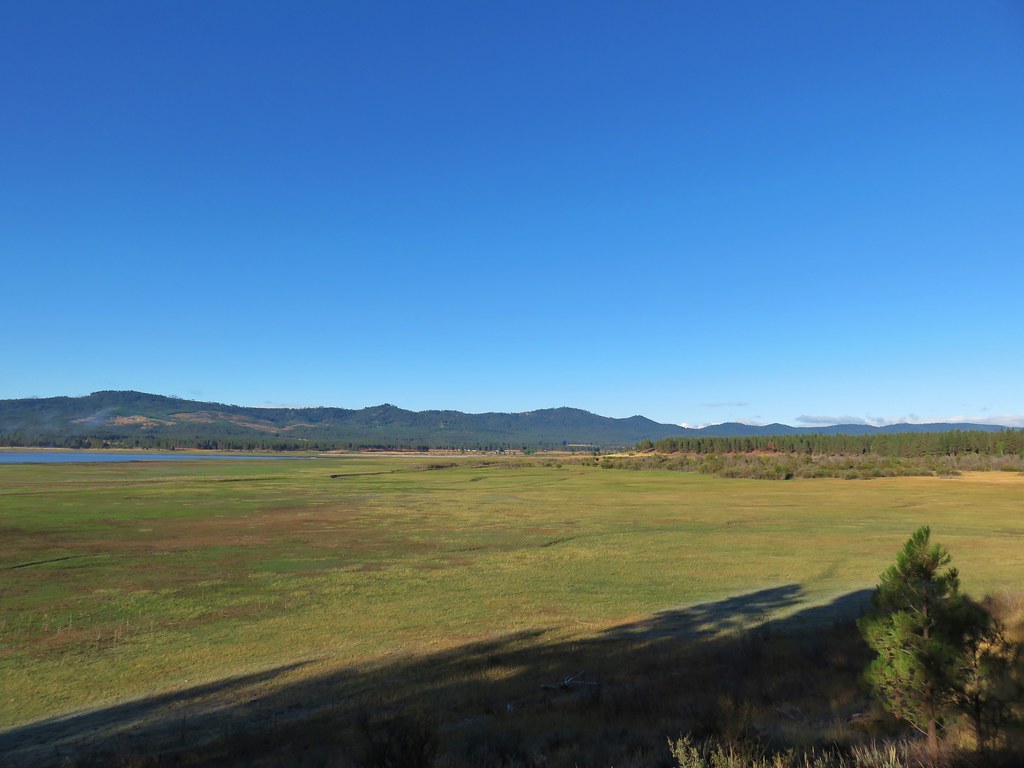
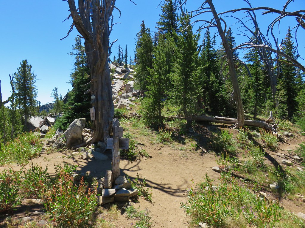


 Cunningham Cove
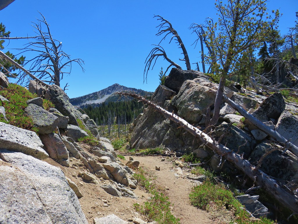
 View north from Nip & Tuck Pass
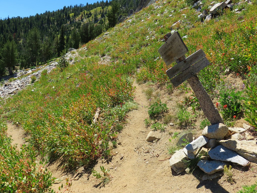
 Looking NE
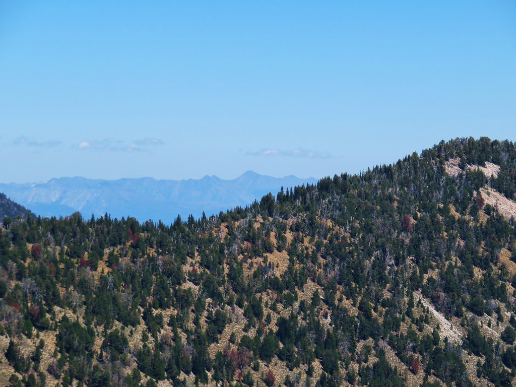 Wallowas
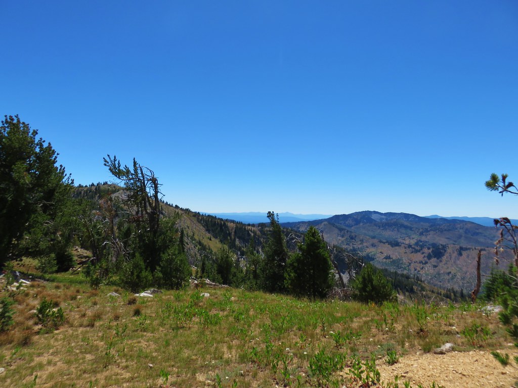 Looking SW
 Strawberry Mountains
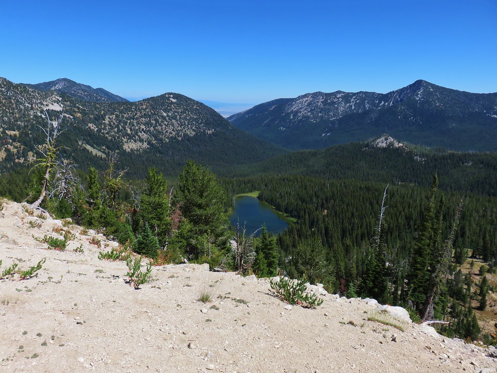


 Osprey and Great Blue Heron in flight
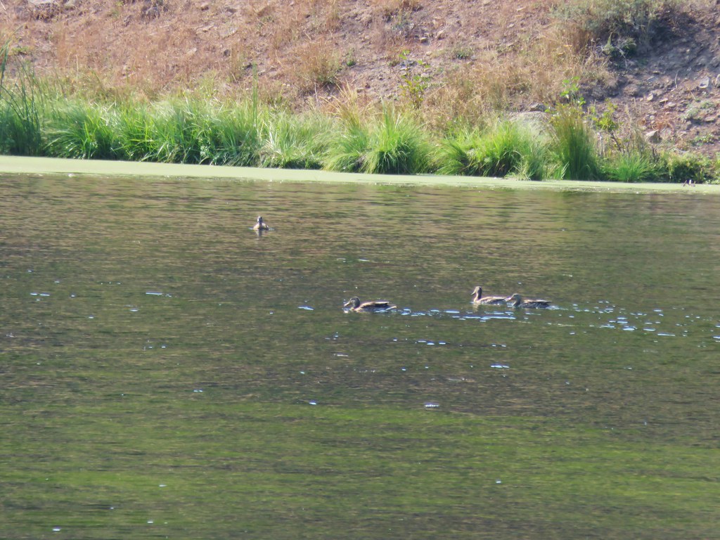
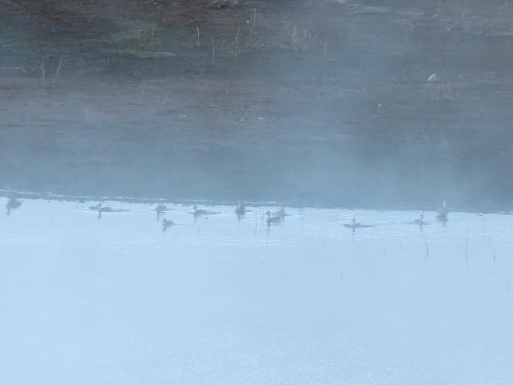 Ducks
Ducks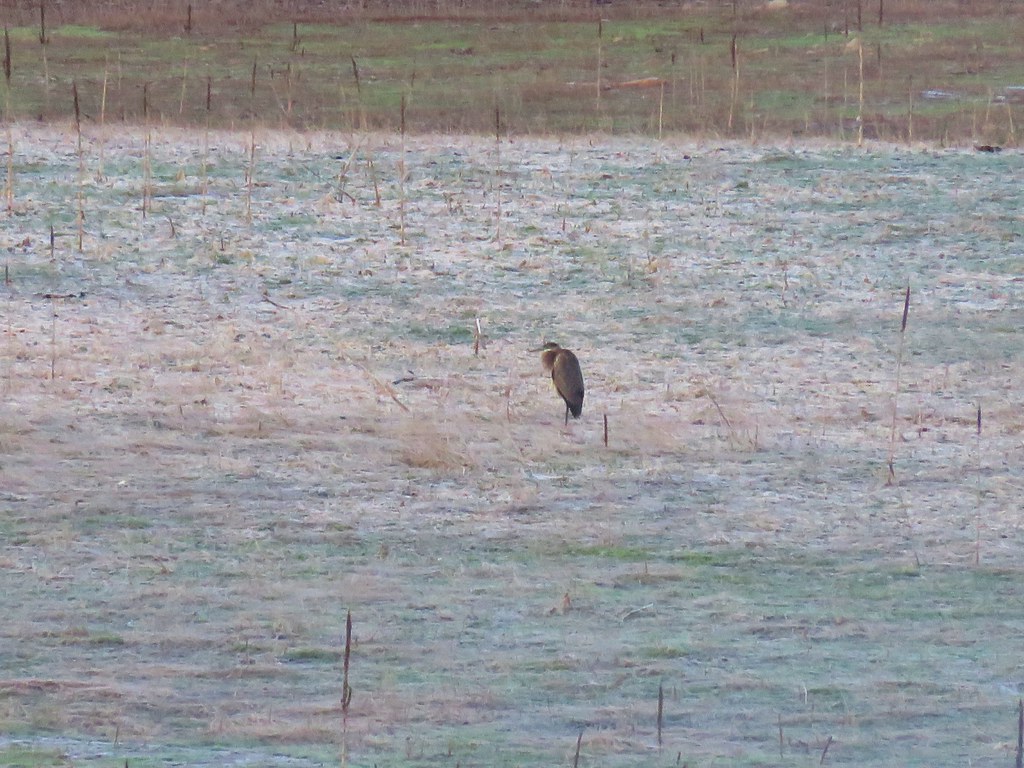 Heron
Heron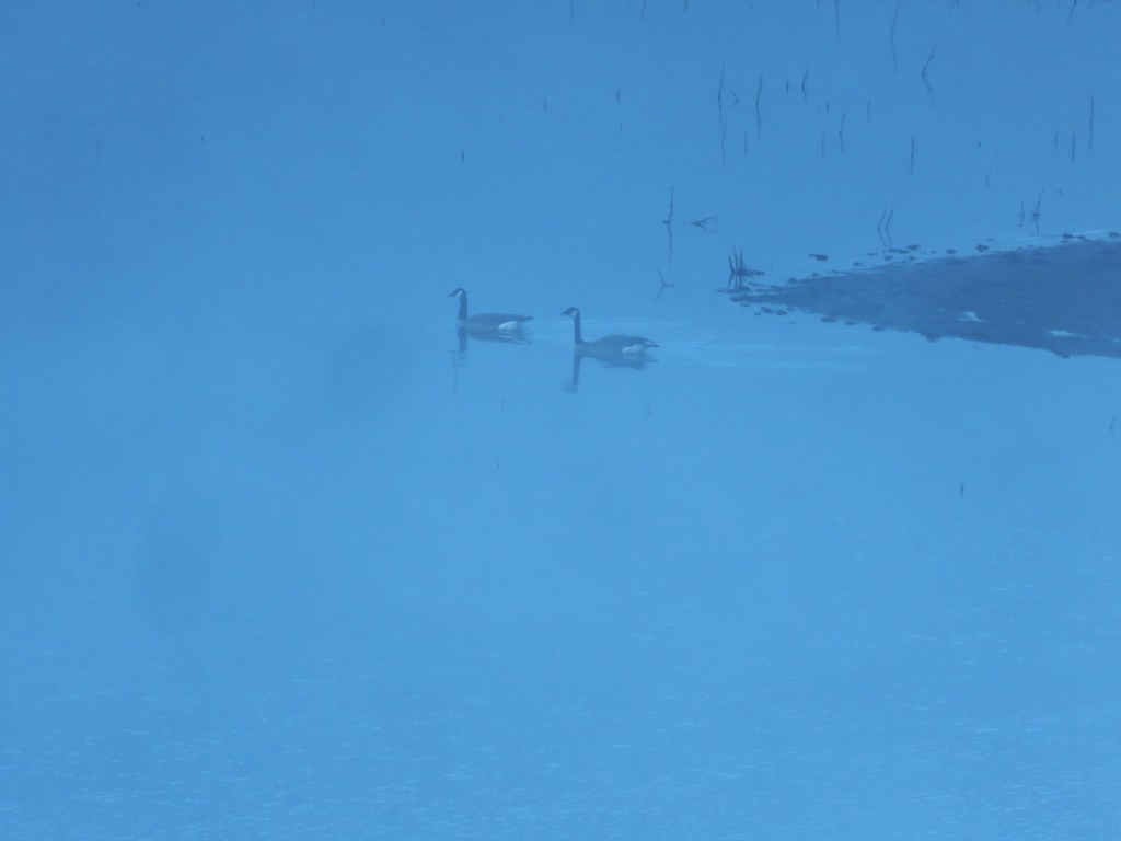 Canada Geese
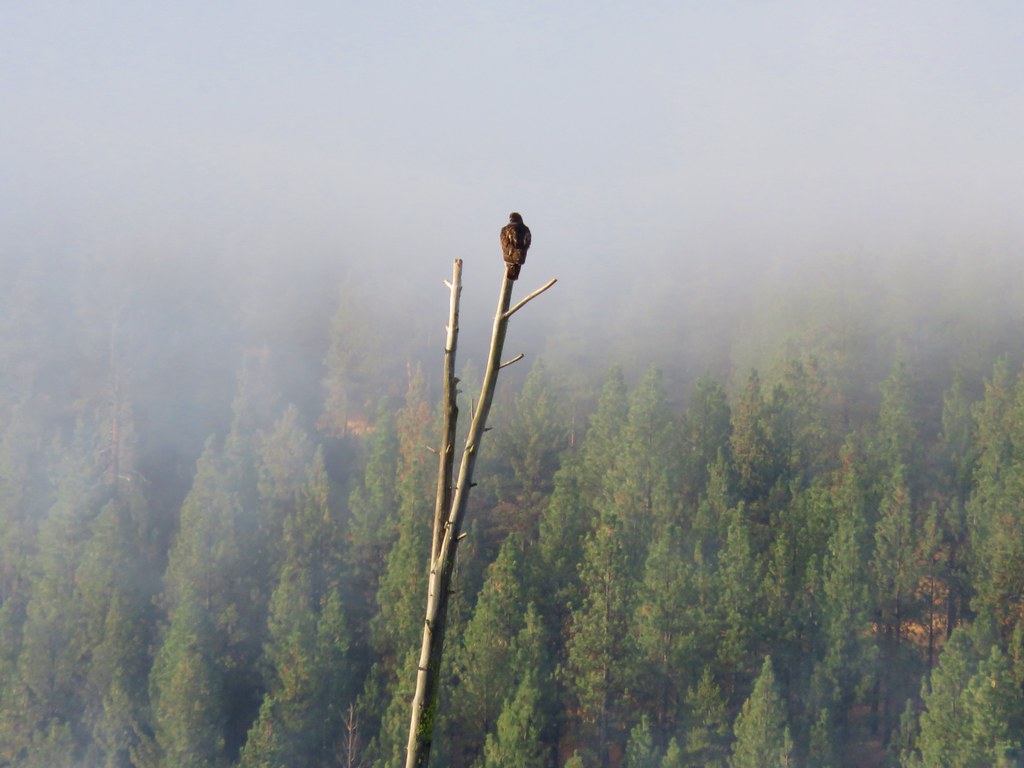 Hawk
Hawk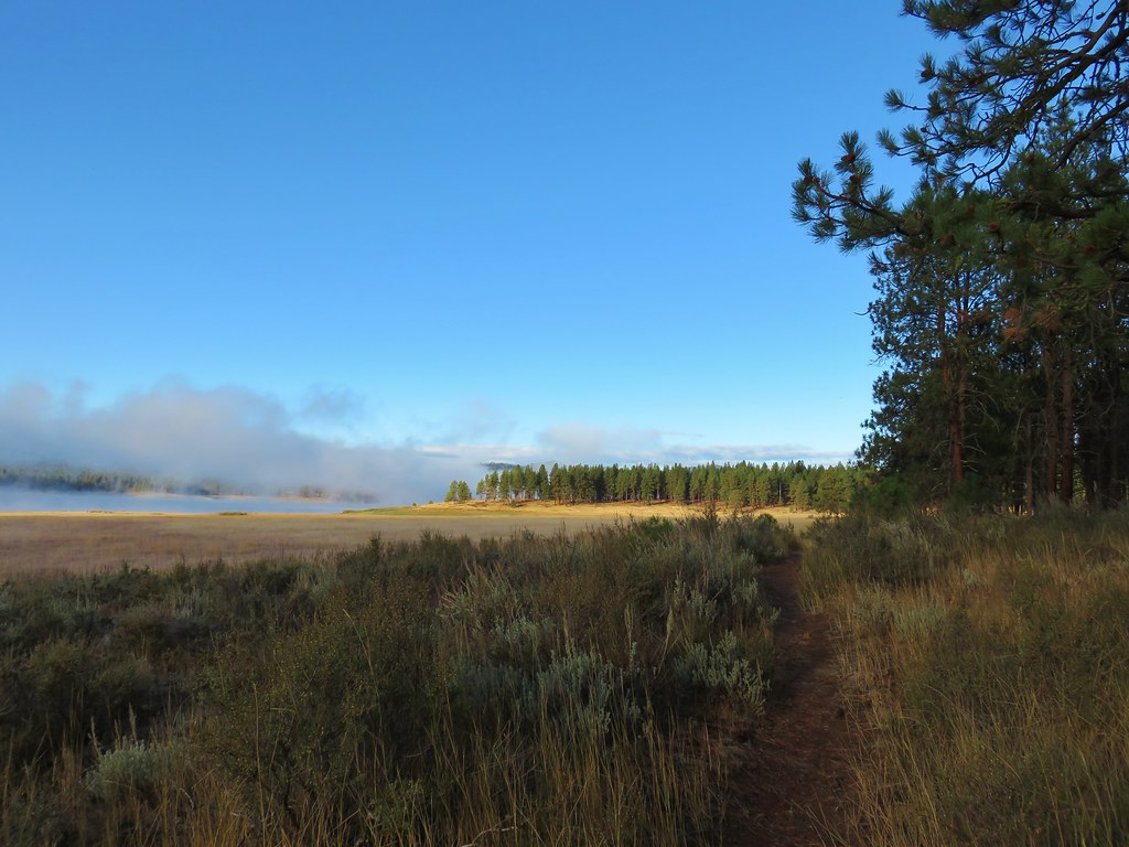

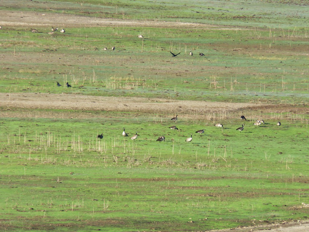
 Canada Geese
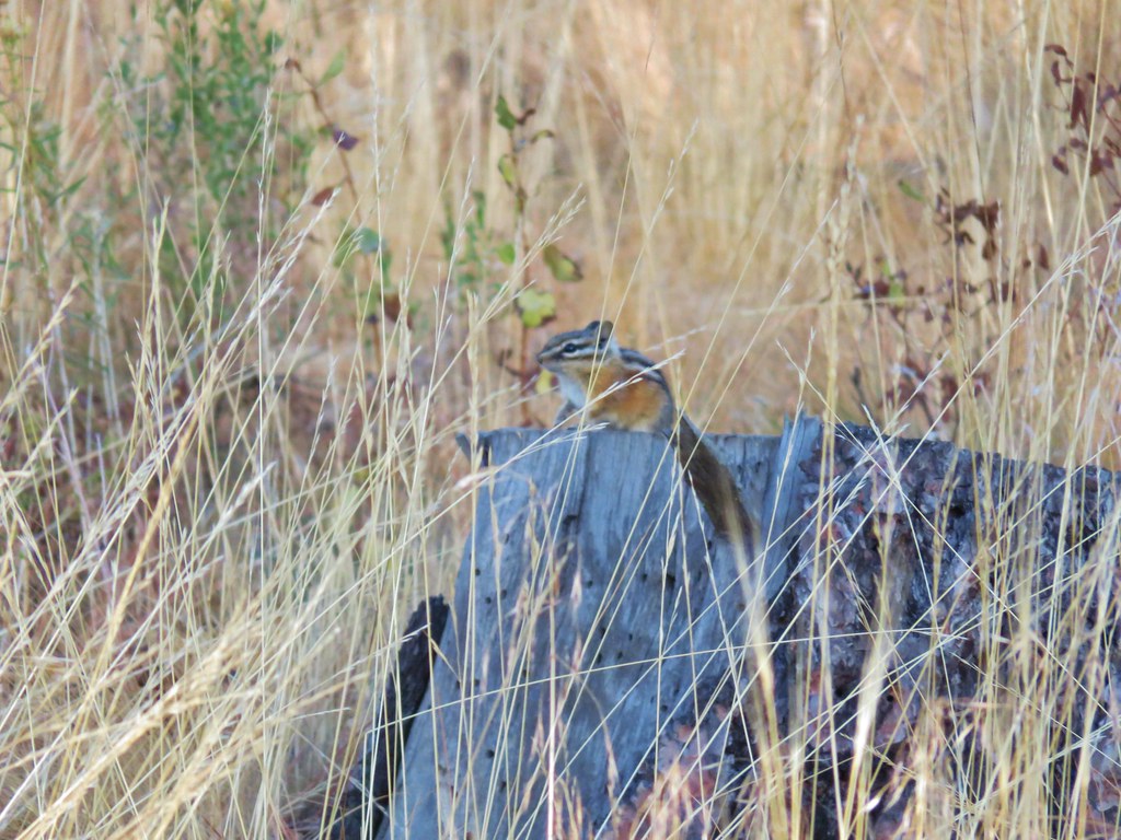 Chipmunk
 Mergansers
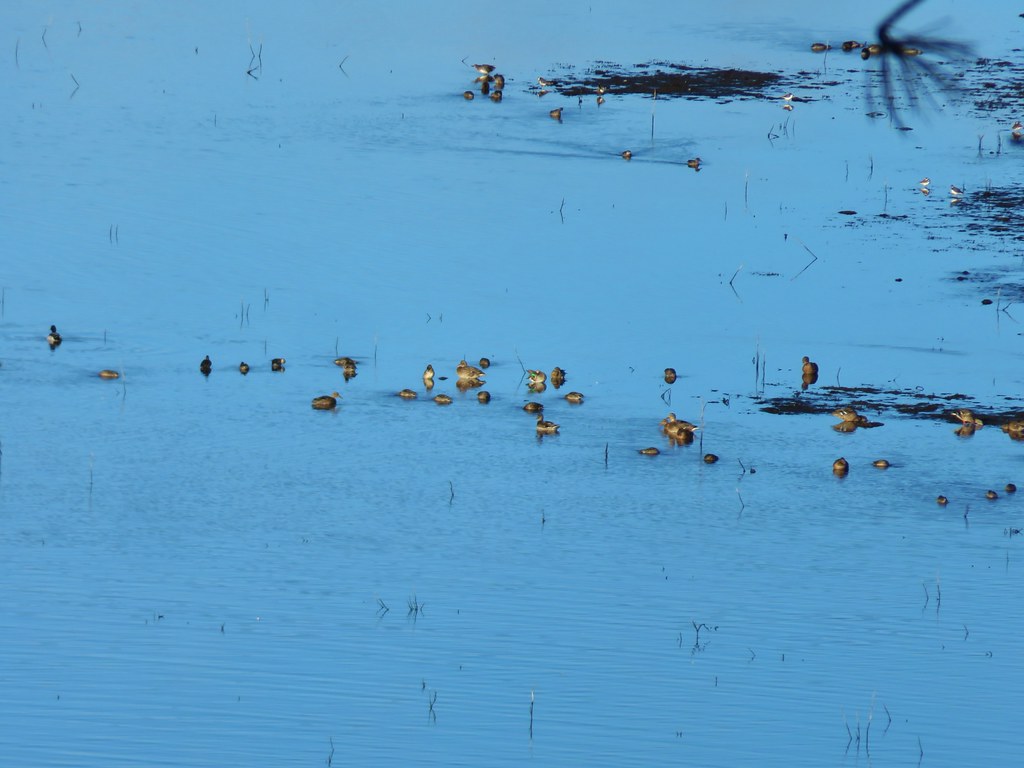 Various ducks and birds
 Woodpecker
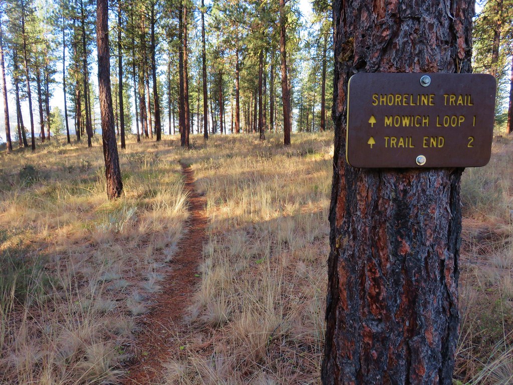

 Canada Geese
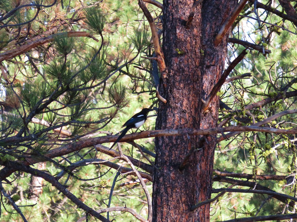
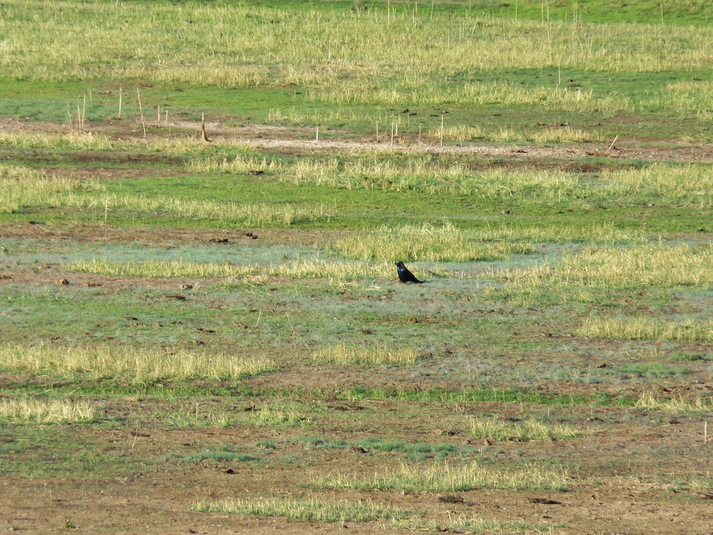 Raven
Raven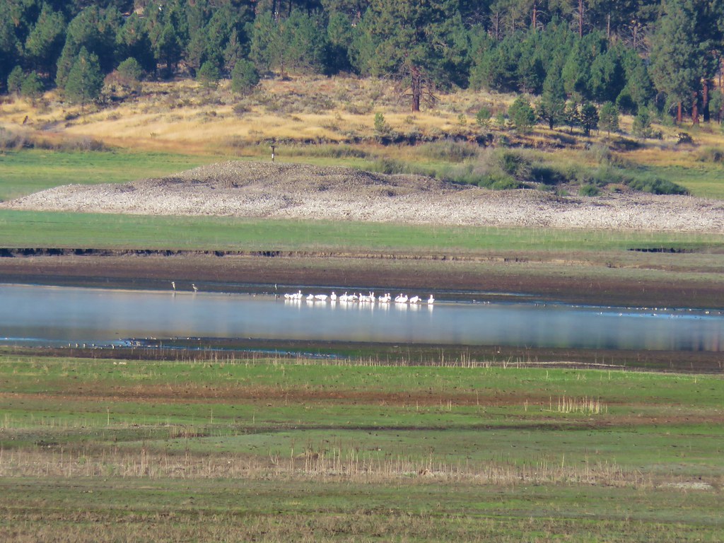 Pelicans, herons, and other assorted birds
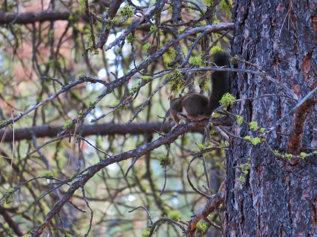 Squirrel
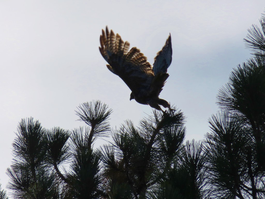 Hawk
Hawk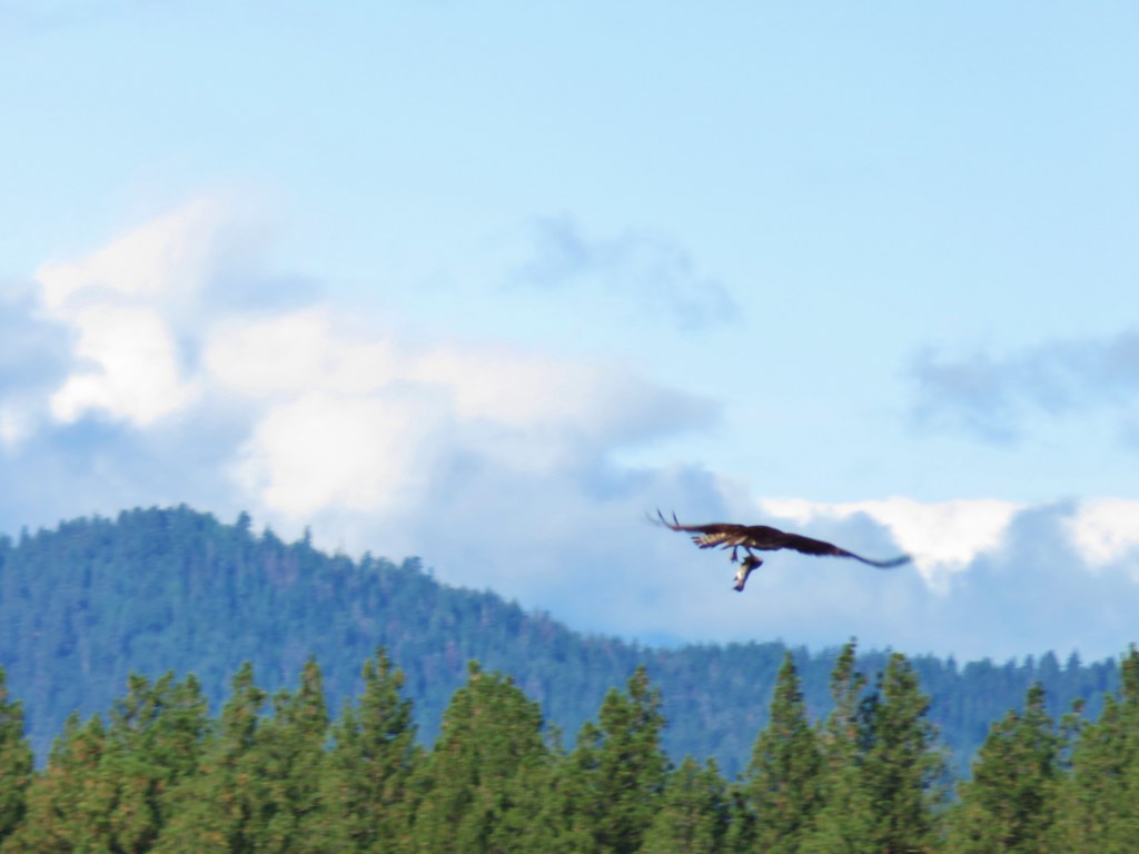 Osprey
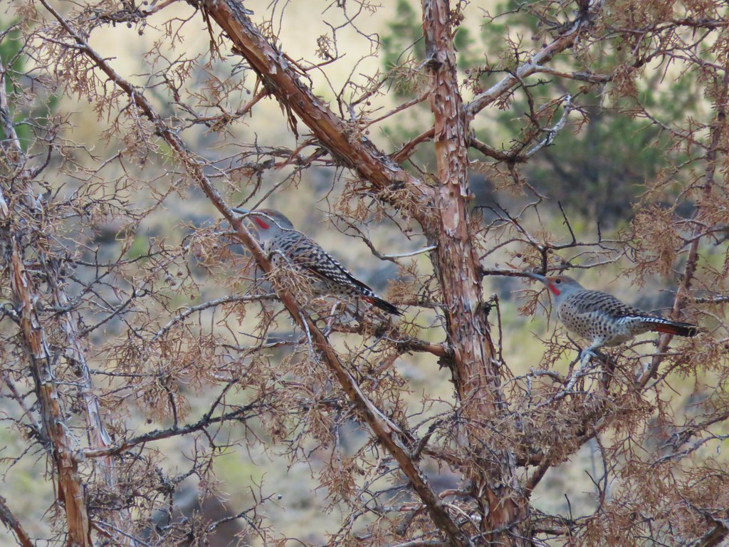
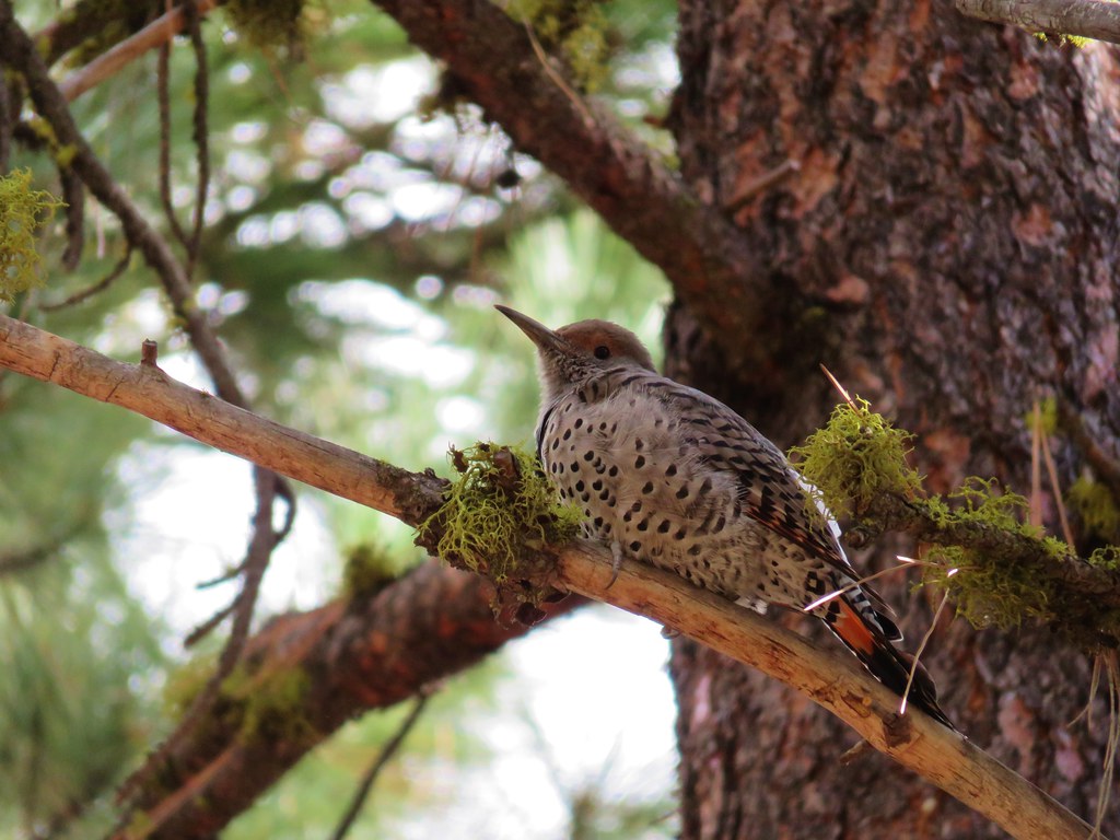 Northern flicker