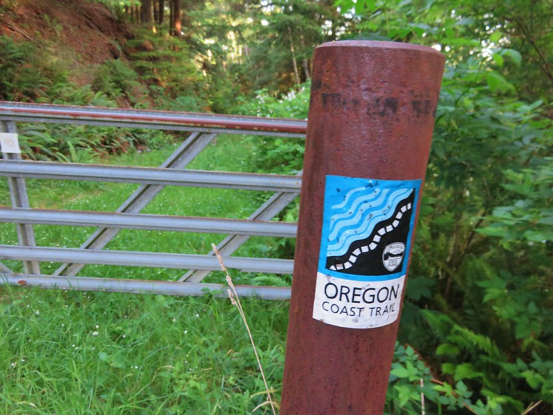
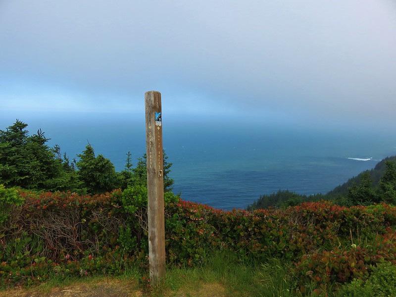
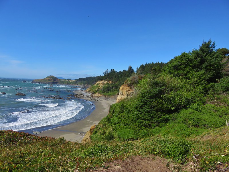
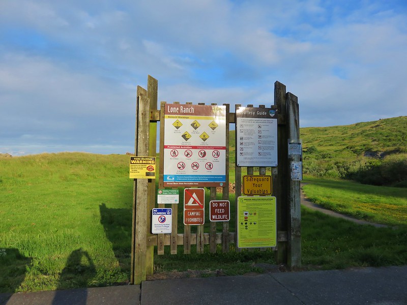
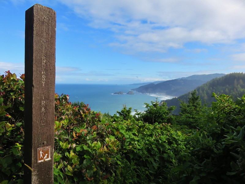
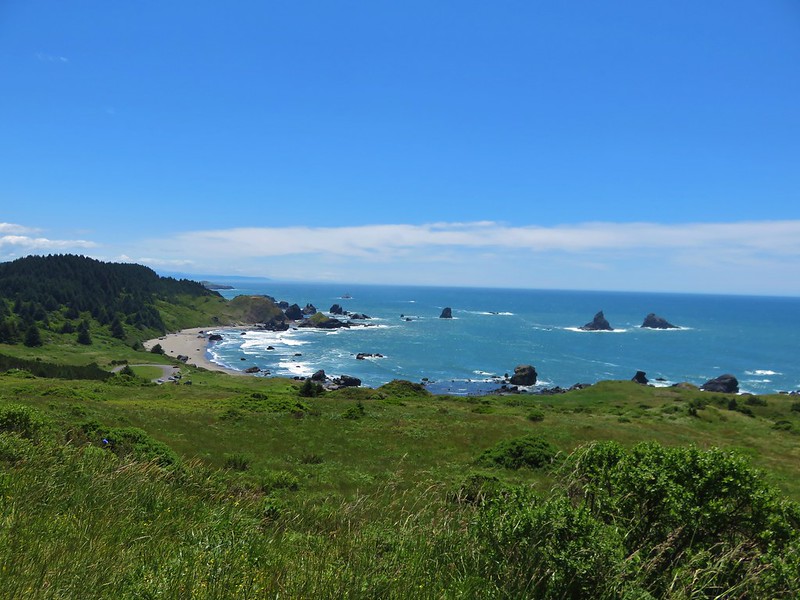
On Thursday we headed for another State Park south of Gold Beach. The Samuel H. Boardman State Scenic Corridor covers a 12 mile long stretch along the Pacific Ocean. Numerous day use areas and trails including the Oregon Coast Trail make the area very easy to explore. We planned on spending two days hiking in the park starting near the southern end at the Lone Ranch Picnic Area.
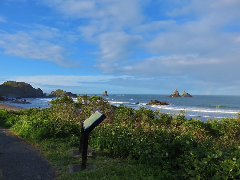
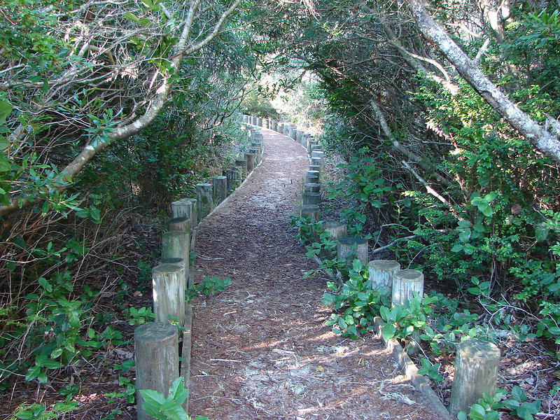
From the parking area we headed north on a paved path toward Cape Ferelo.
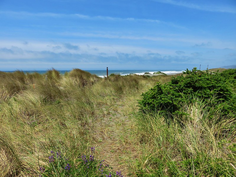
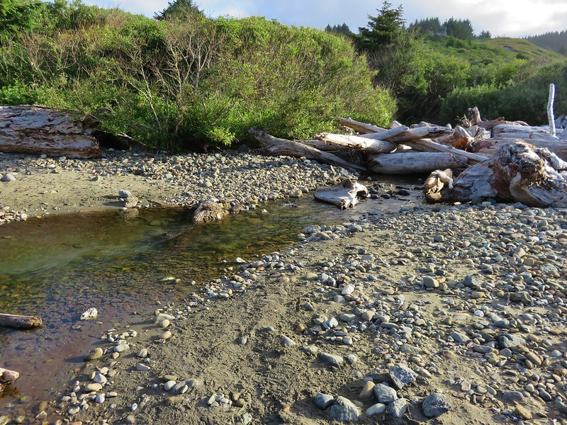
The Oregon Coast Trail crossed Lone Ranch Creek and headed up through the meadows of Cape Ferello before reaching the beach. We opted to visit the beach and take a different path up to Cape Ferrelo. We walked along the creek crossing on some drift wood nearer to the ocean.


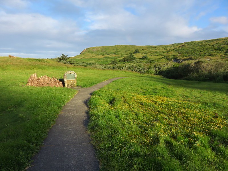
We found the path leading up and followed it along the cape’s edge.
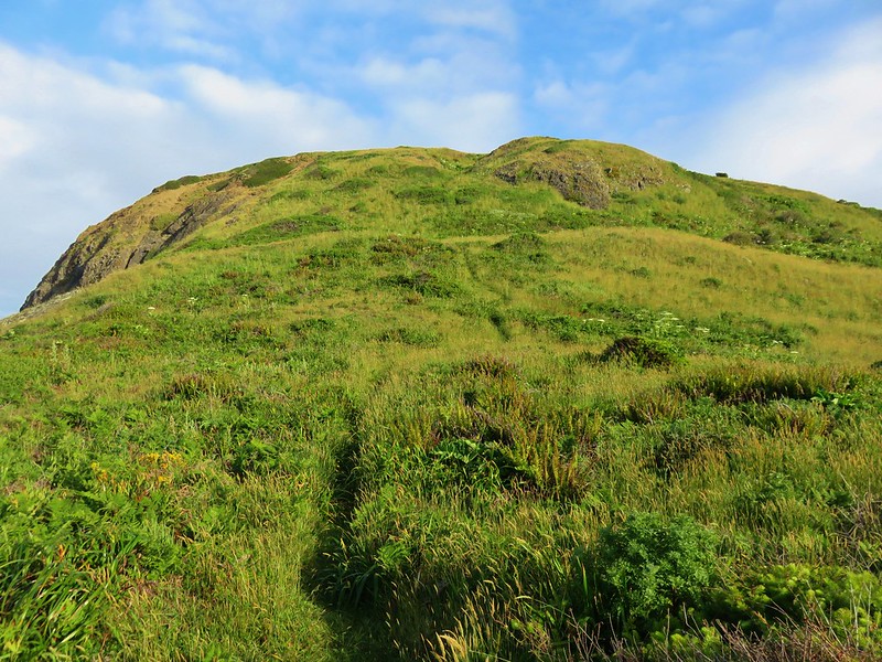
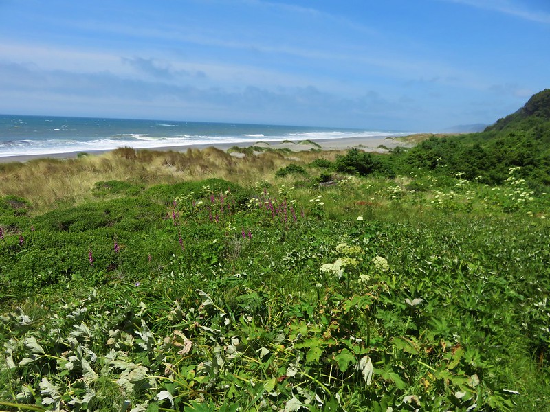
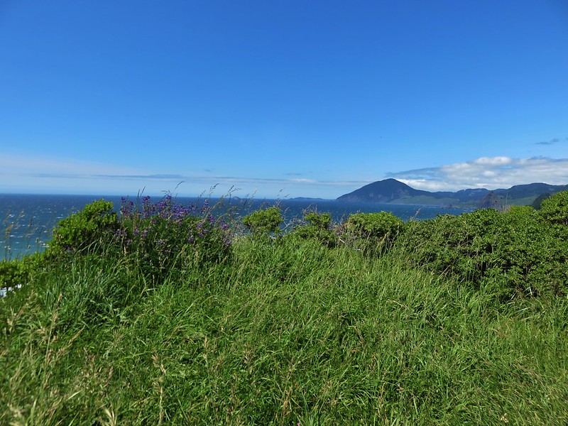
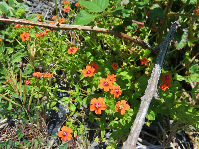
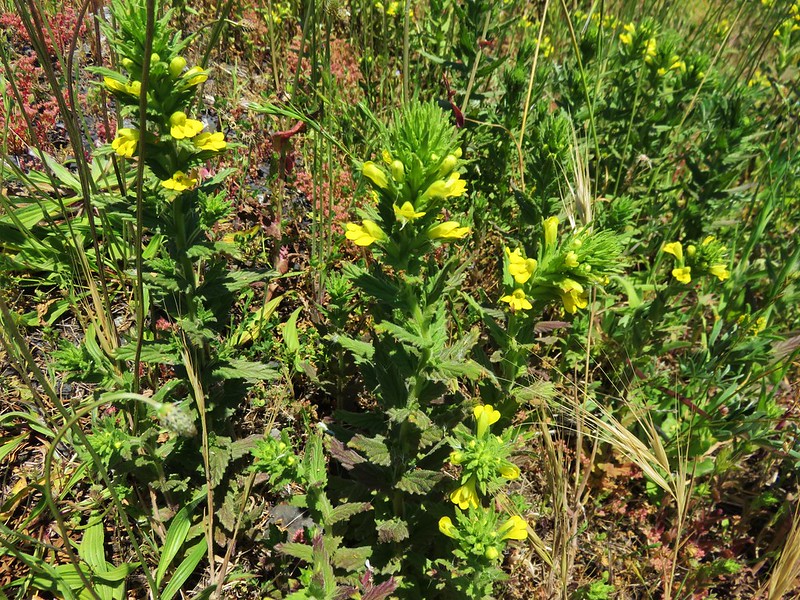
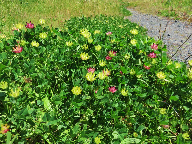
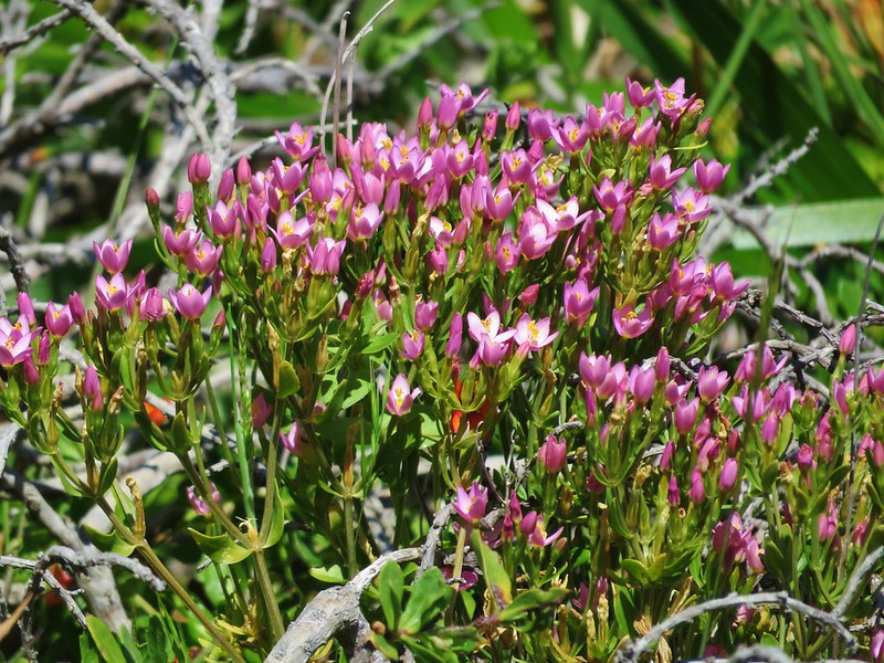
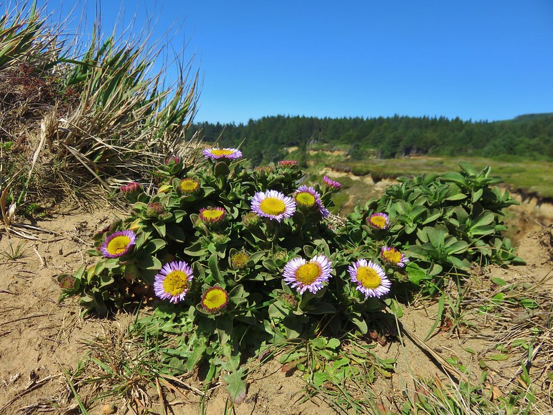
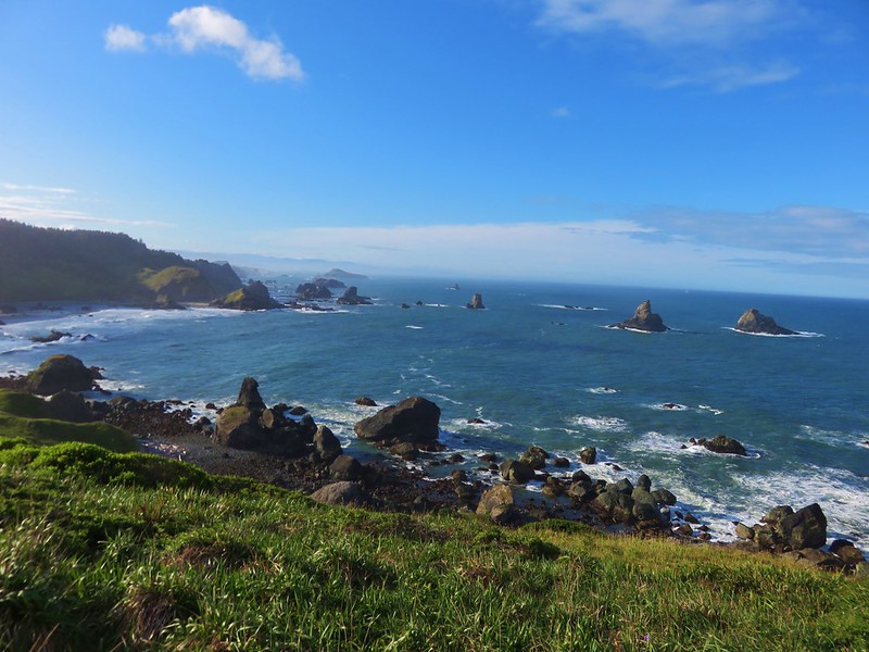
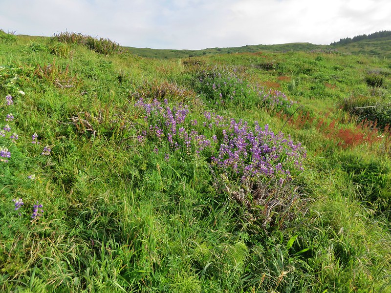
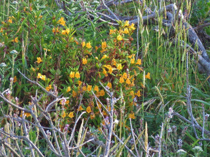
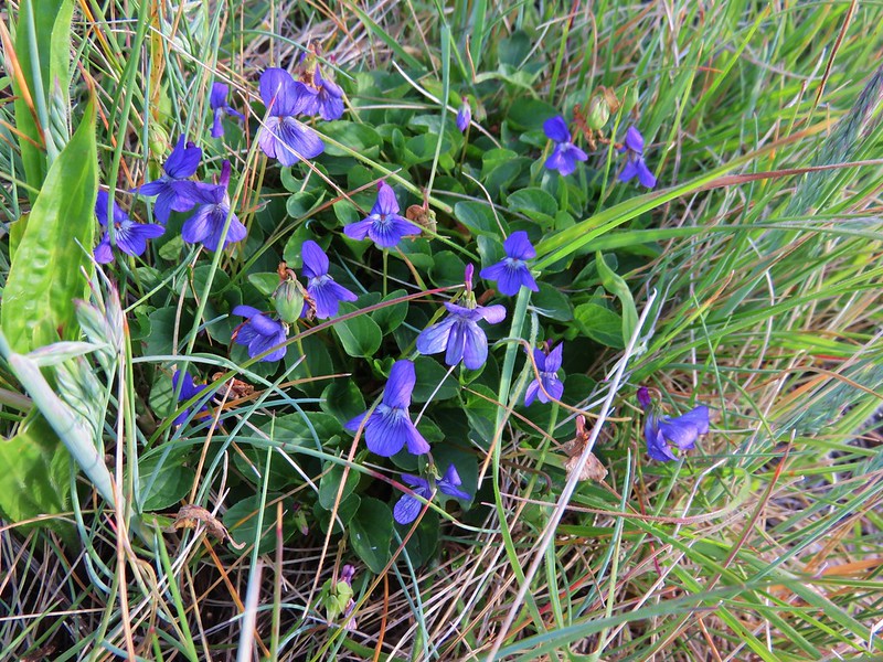
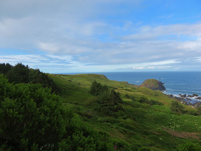
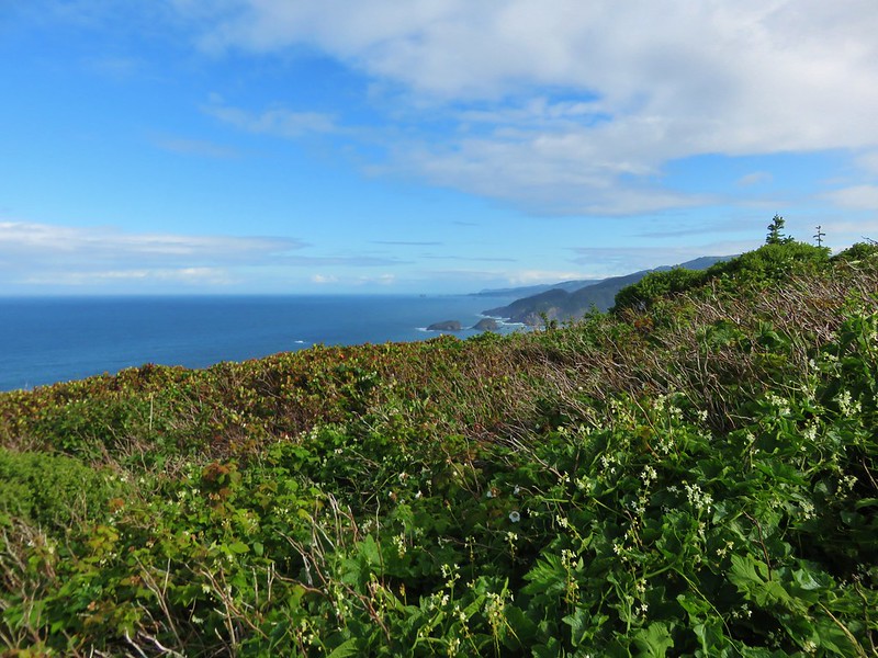
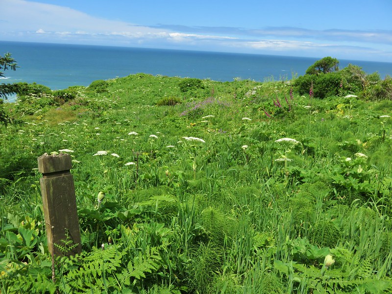
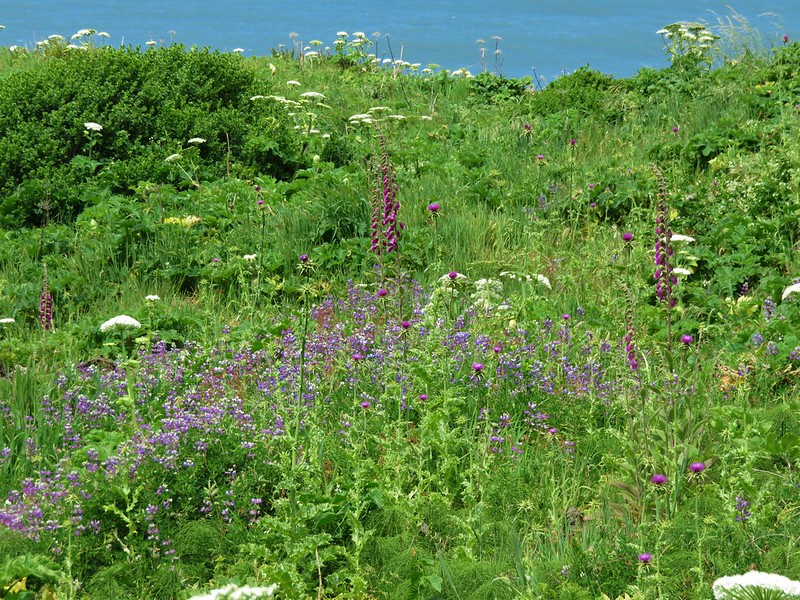
The open meadow allowed for great views to both the north and south and wildflowers dotted the grassy hillsides.

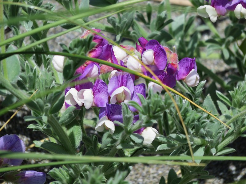
Lupine
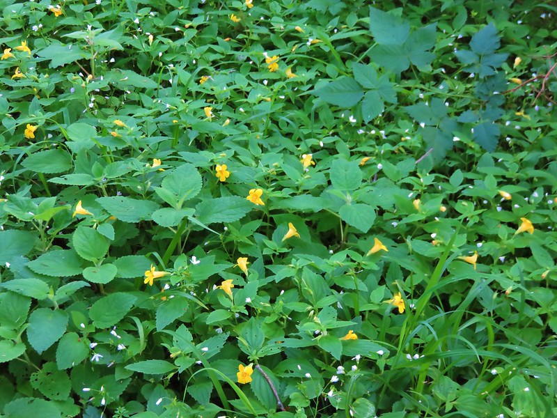
sticky monkey-flower
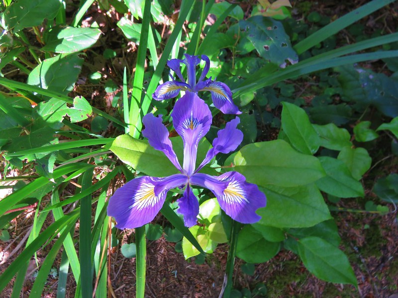
Violets
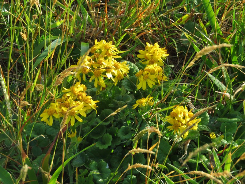
Possibly a ragwort
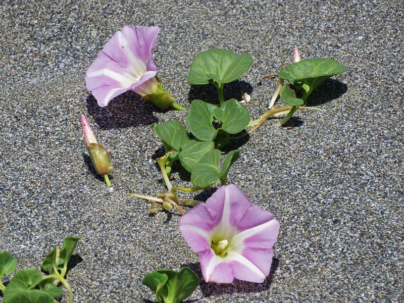
Coastal manroot

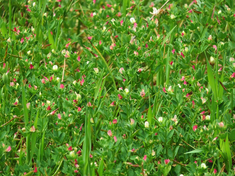
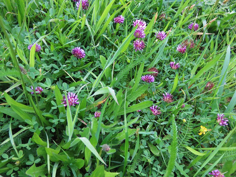
Clover
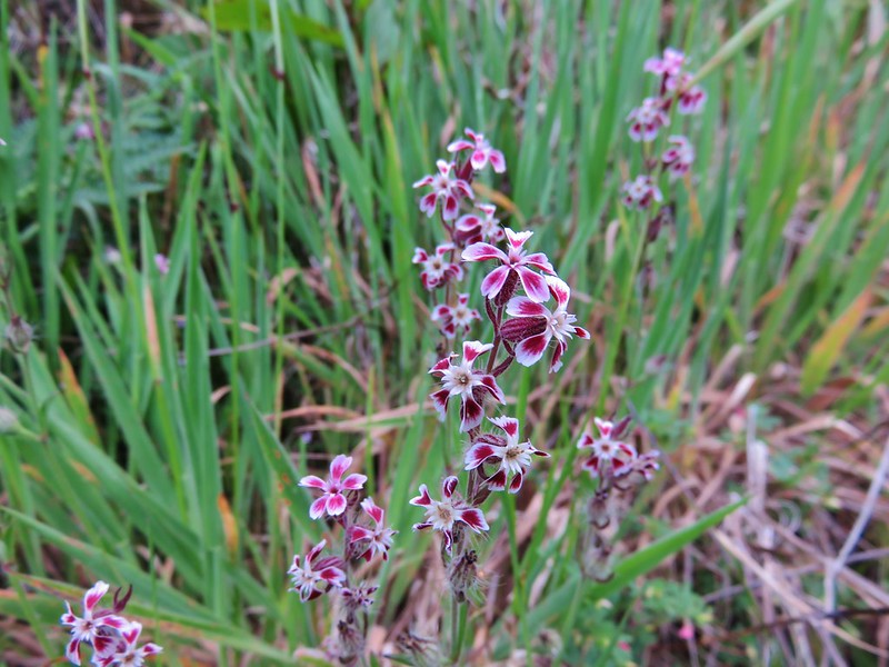
Catchfly
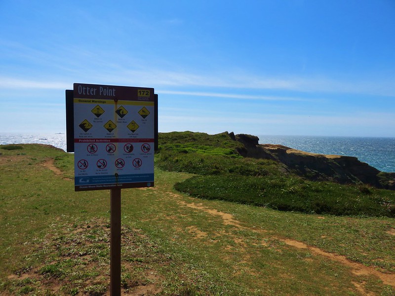
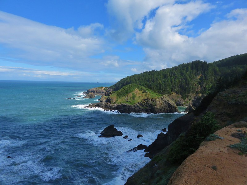
The path we were following rejoined the Oregon Coast Trail on Cape Ferrelo which then brought us to the Cape Ferrelo Viewpoint.
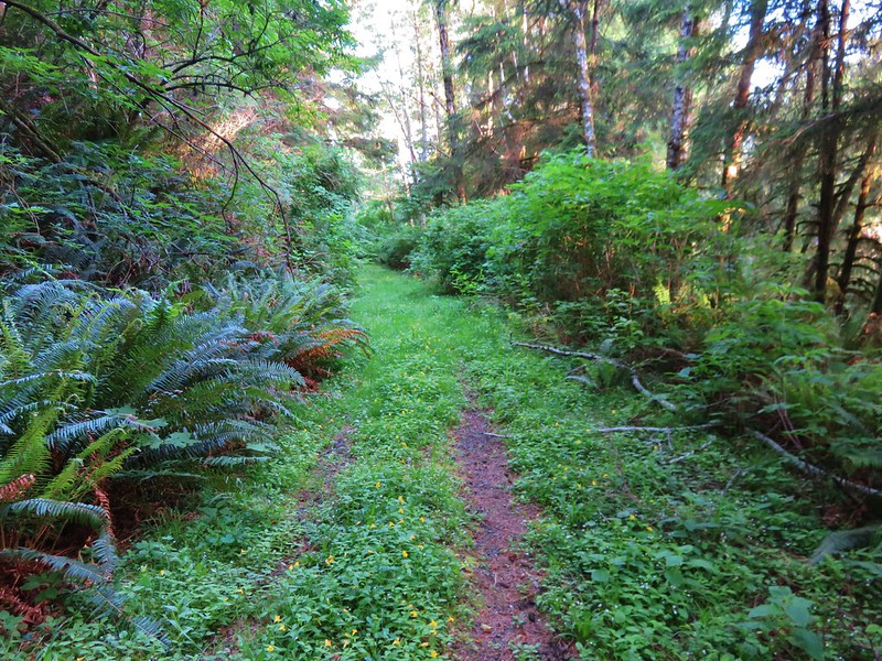
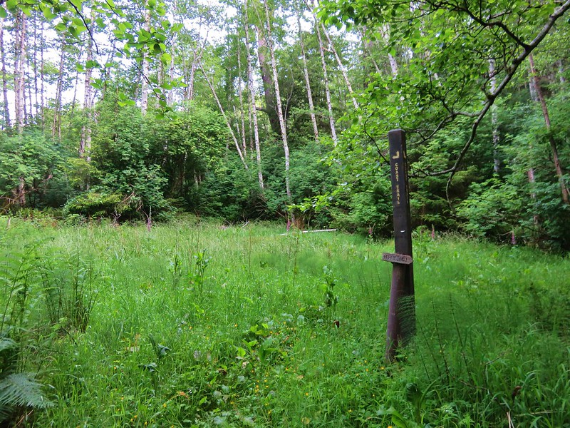
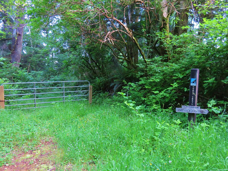
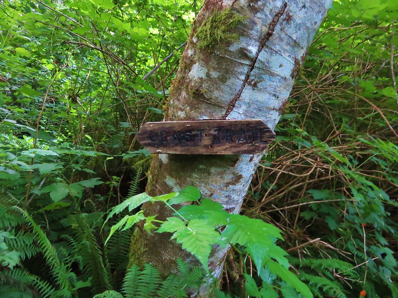
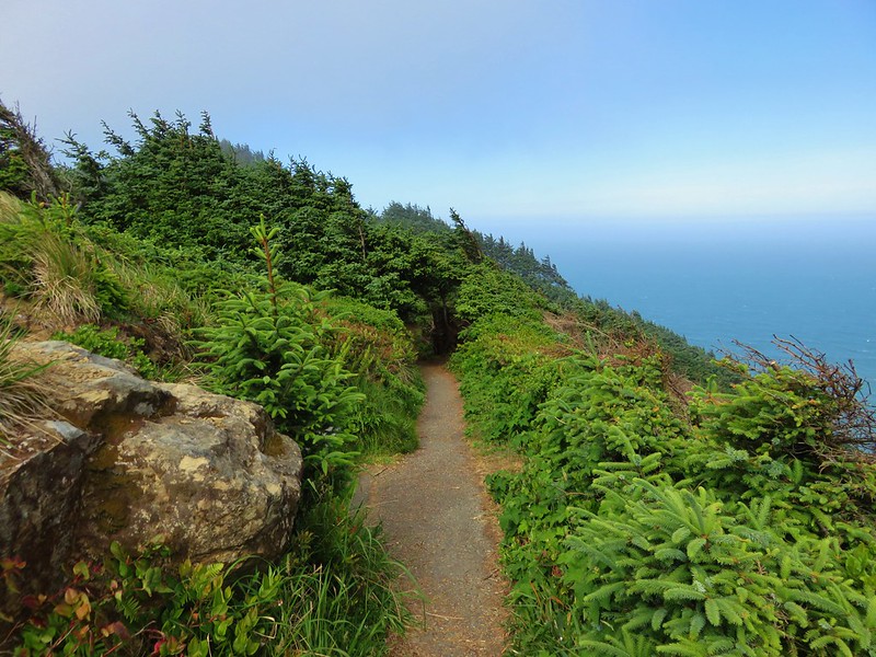
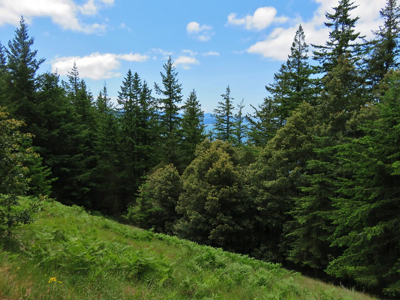
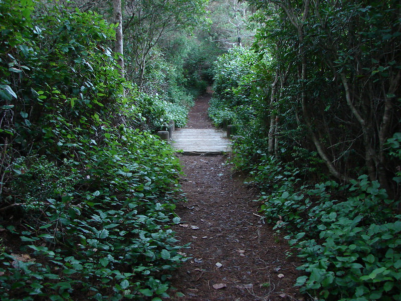
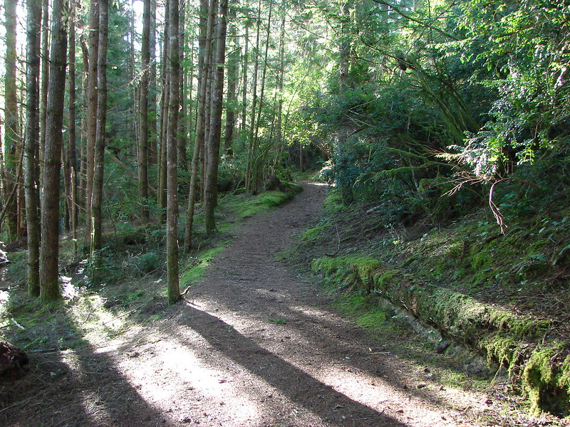
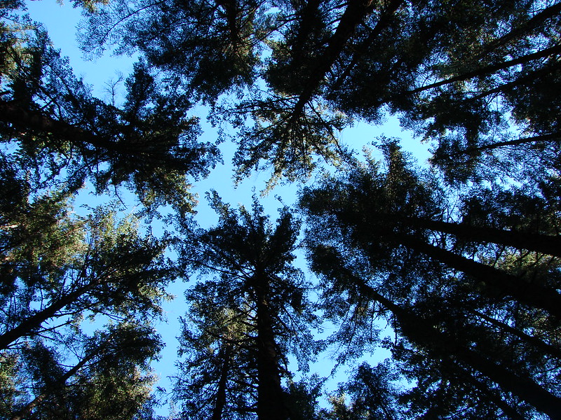
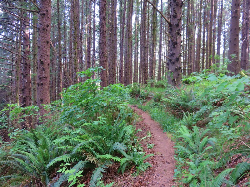
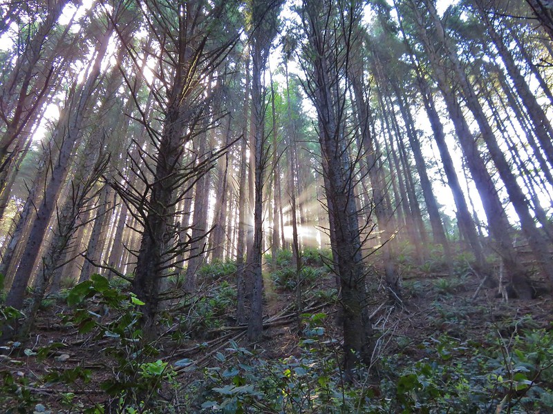
From that parking area, the Oregon Coast Trail passed through a more forested section of the park.

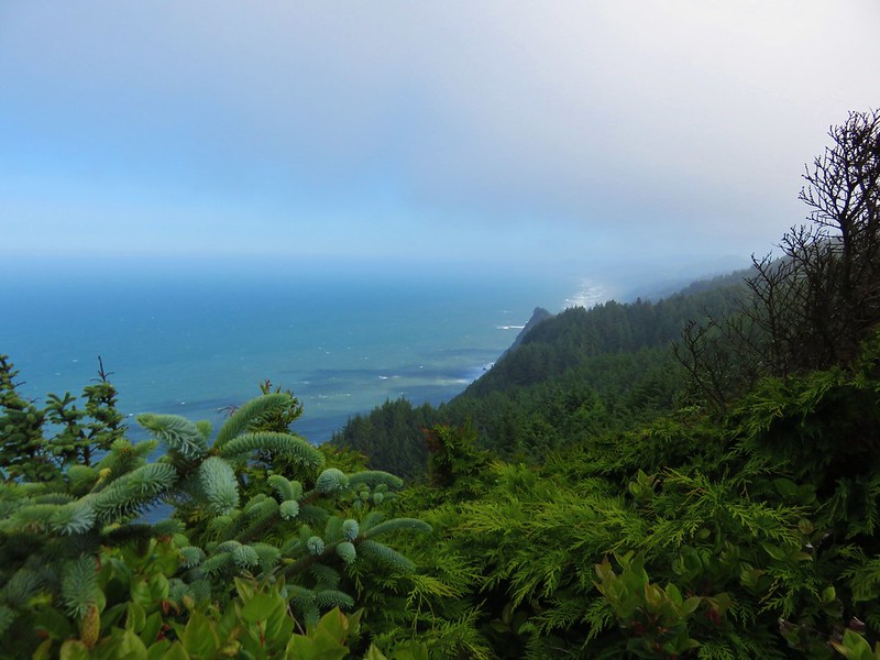
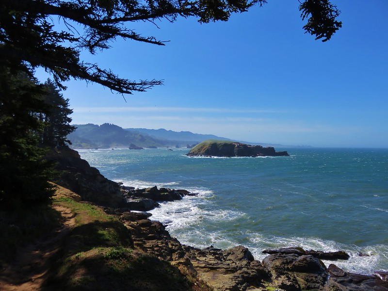
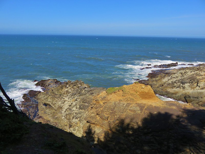
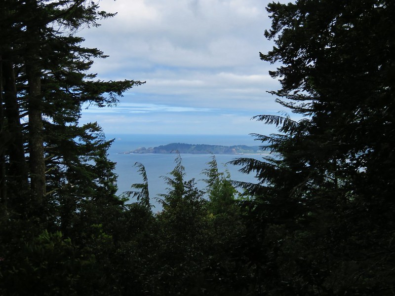
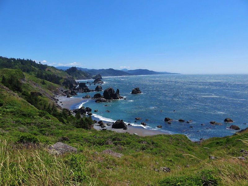
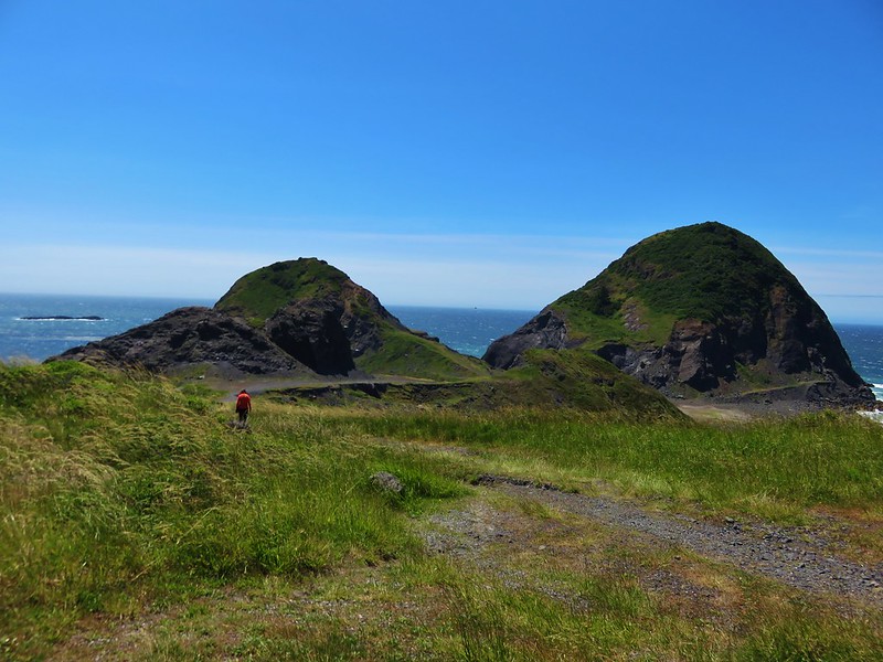
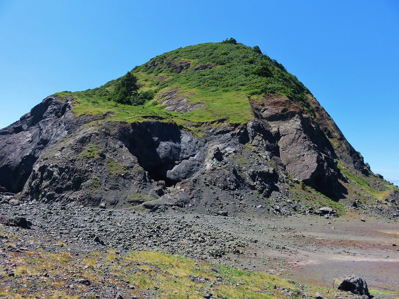
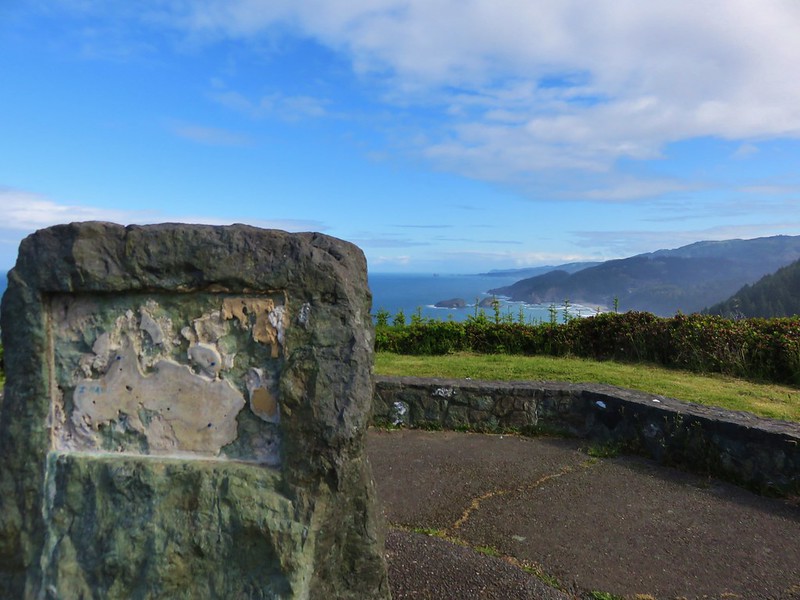
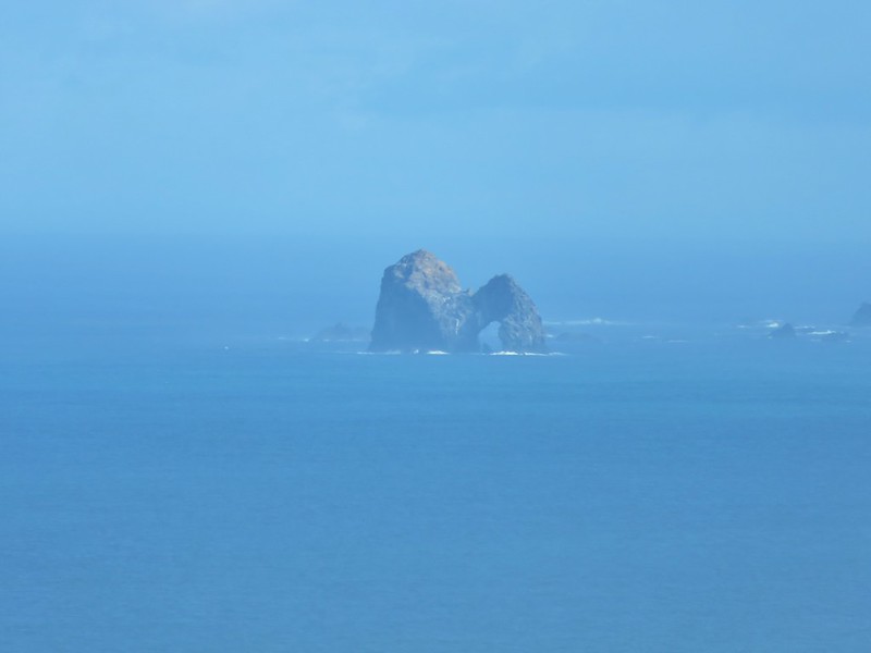
The views opened up again as we approached the House Rock Viewpoint (We never were sure which was House Rock).
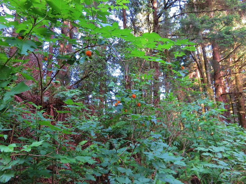
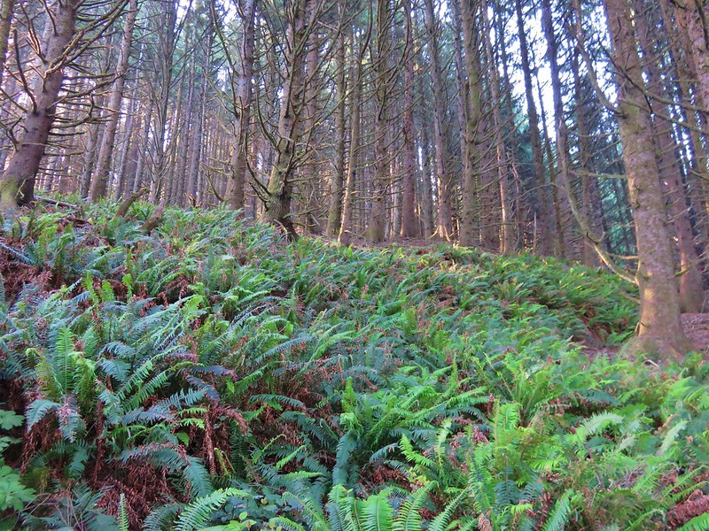
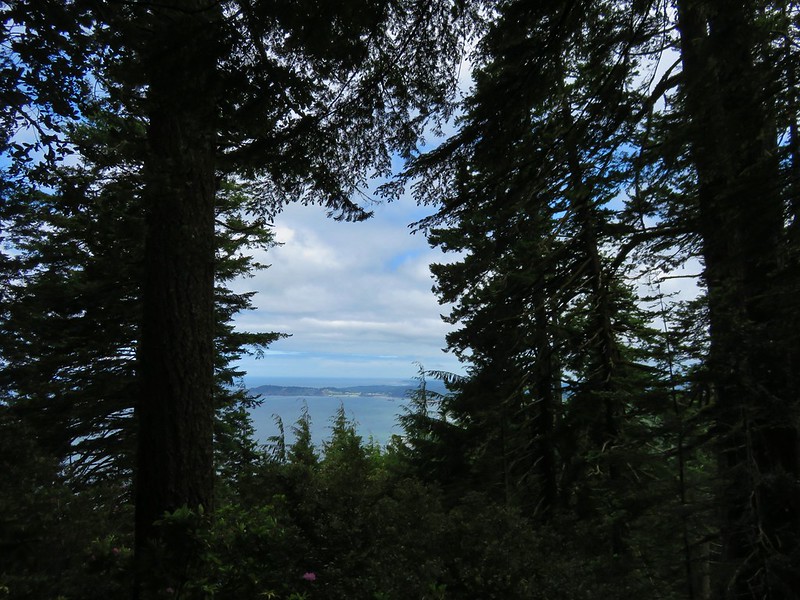
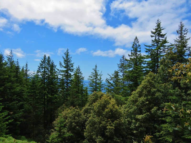
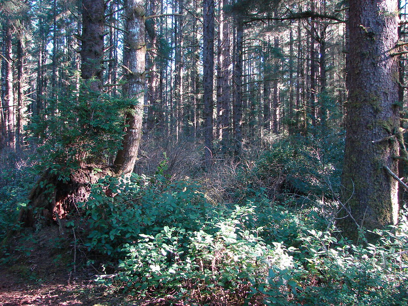
Continuing from the House Rock Viewpoint the next .9 miles of the Oregon Coast Trail passed through a surprising variety of forest scenery.


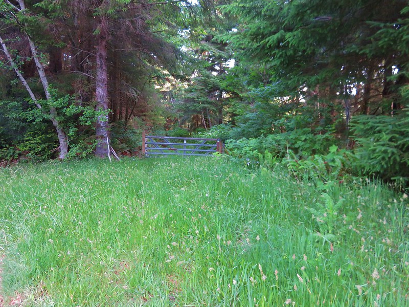
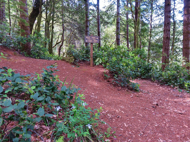
The trail then split with a sign pointing us to the right.
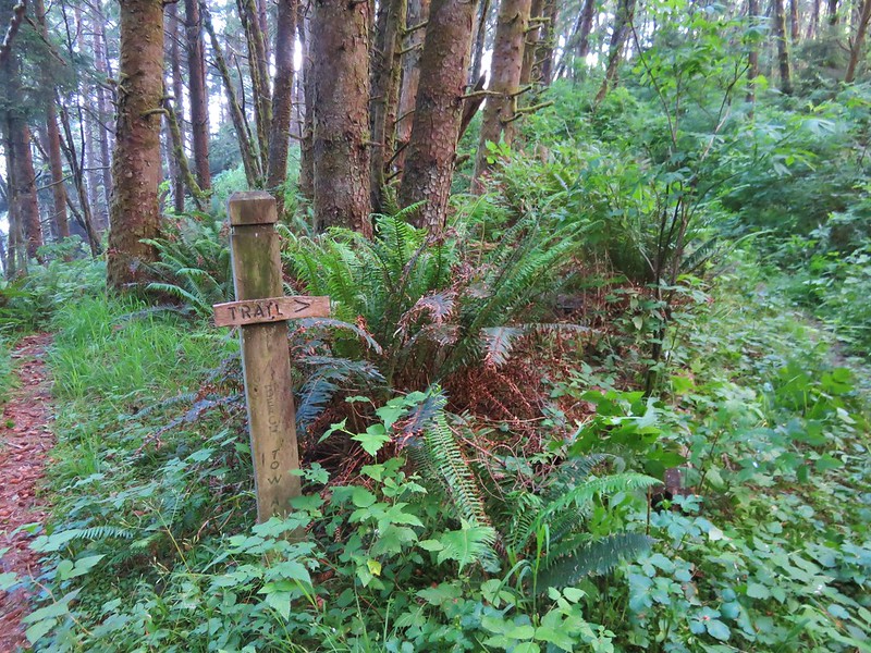
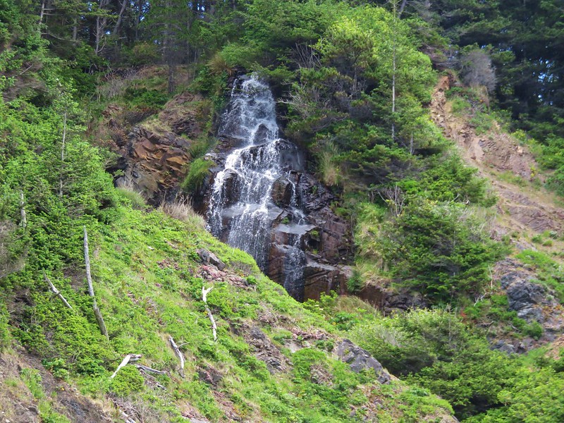
We suspected that the left fork led down to the beach which we planned on walking along on our return trip so we made a mental note to see if this was indeed the spot where we would rejoin the Oregon Coast Trail later. A little further along was a sign for a “Waterfall Loop”.
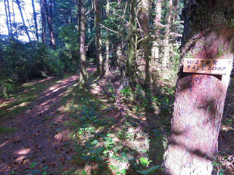
We like waterfalls so we turned onto the loop trail. The first fall we passed was a bit hard to see from the trail but we wondered if we would have a better view when we were down on the beach.
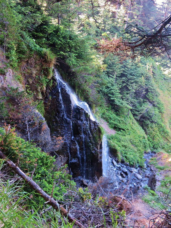
The next waterfall was actually a series of three small cascades. These were more visible from a short side trail.
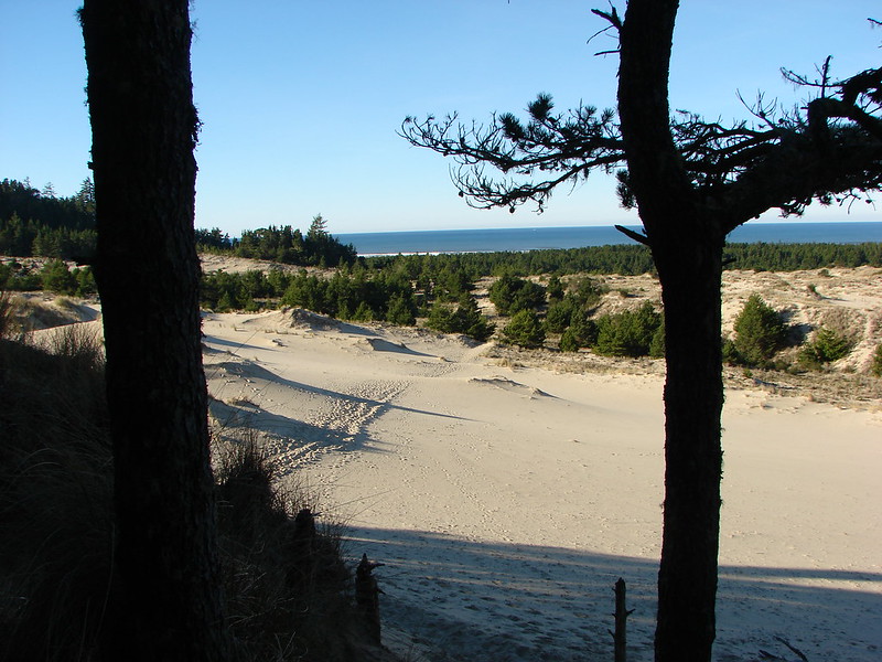
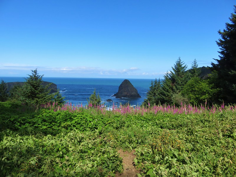
Next up was Whaleshead Viewpoint where an amazing field of foxglove was blooming.


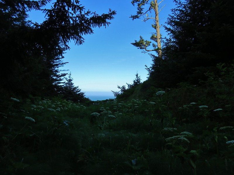
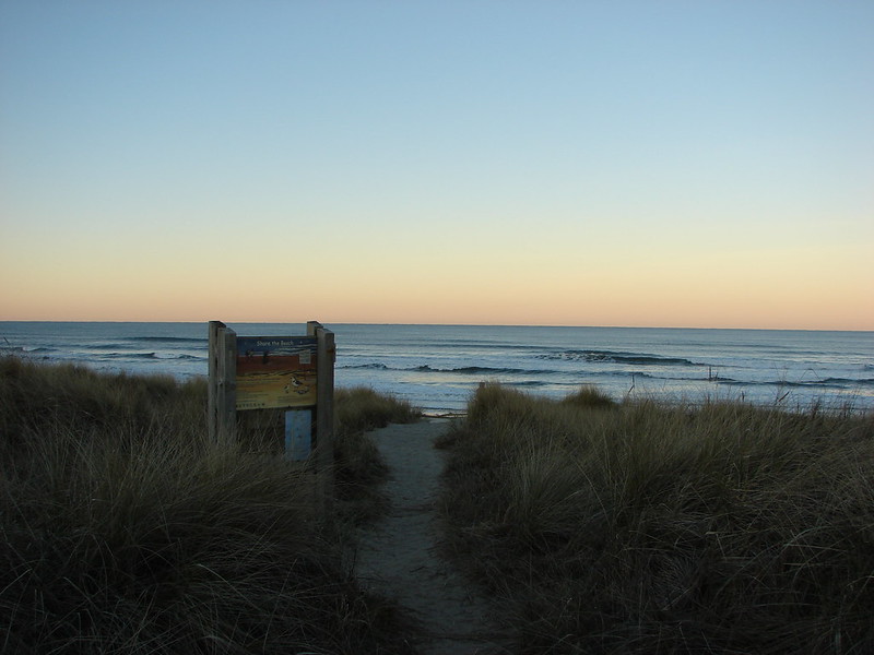
From this viewpoint the trail dropped steeply down .2 miles to Whaleshead Beach.

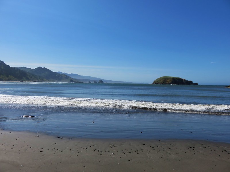
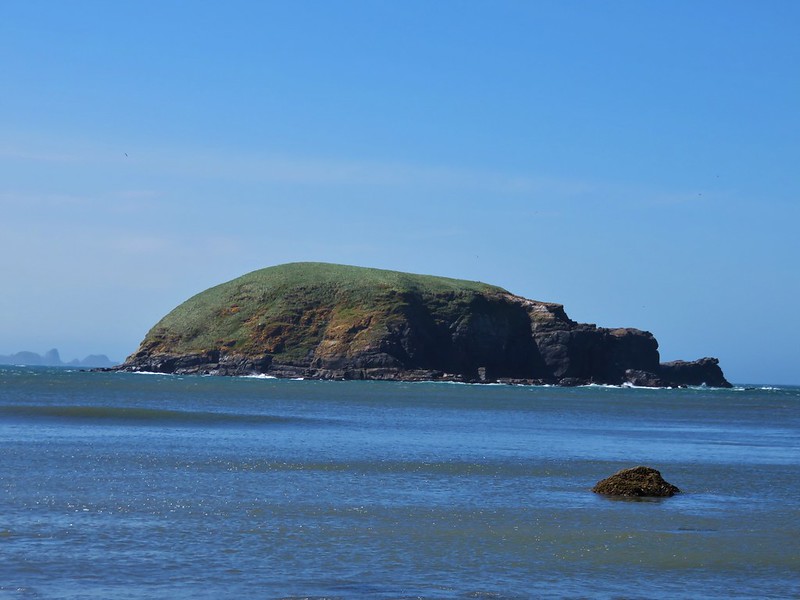
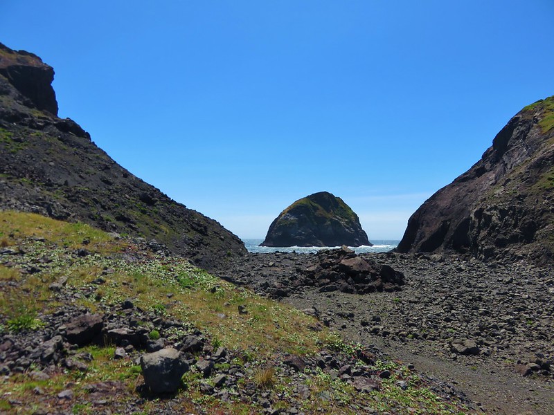
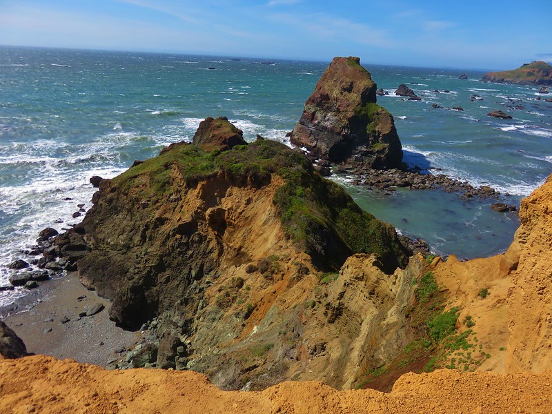
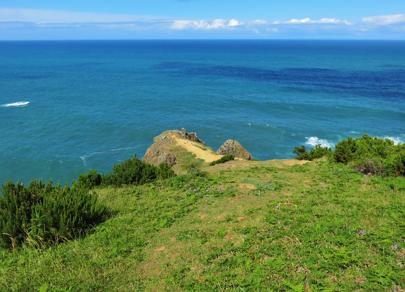
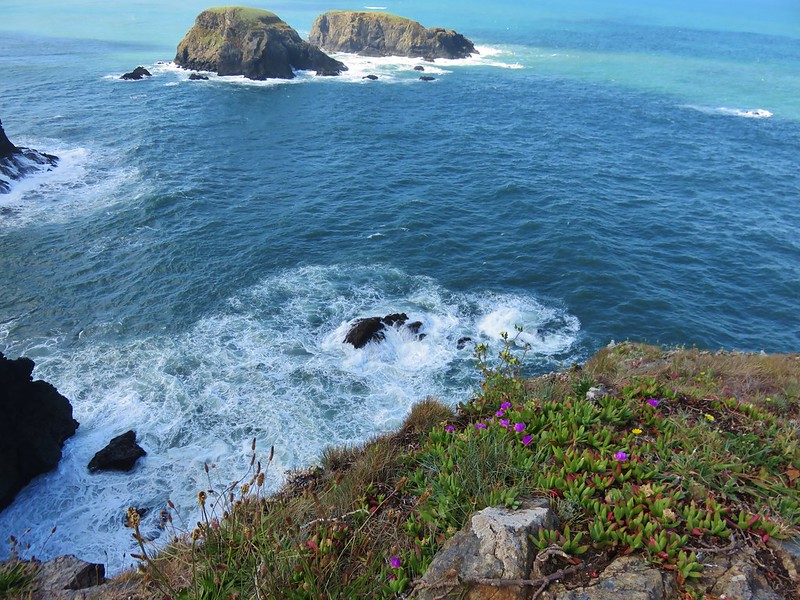
We kept heading north passing through the Whaleshead Beach Picnic Area in .3 miles, crossing the entrance road to the picnic area in another .2 miles, and finally stopping at a viewpoint overlooking Whaleshead Island.
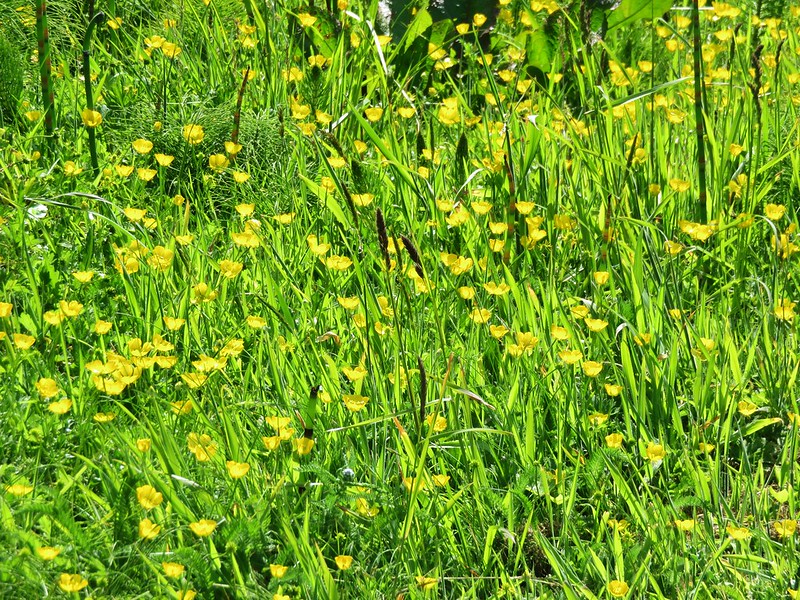
Buttercups in the picnic area.
Approaching the entrance road crossing.

The viewpoint.
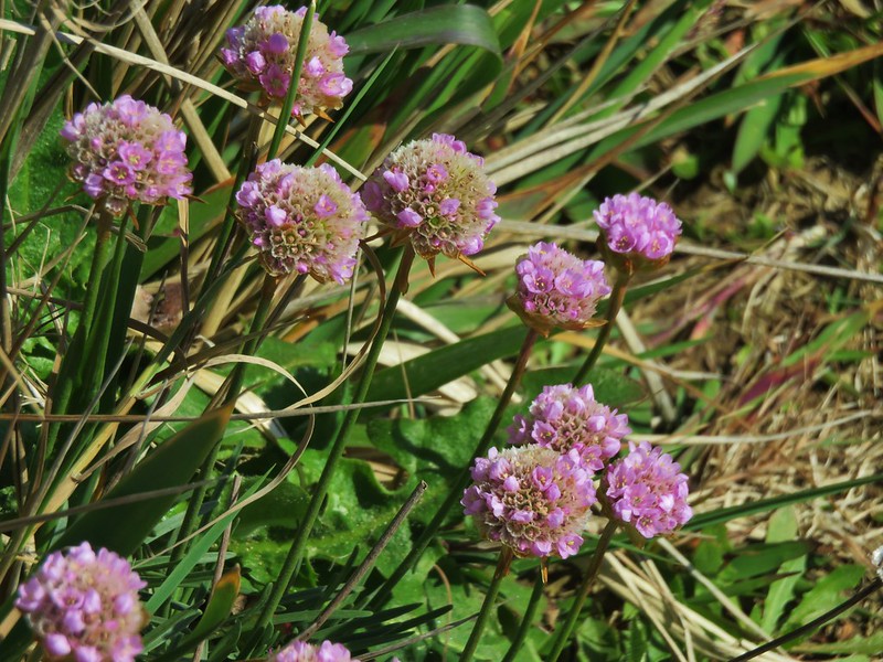
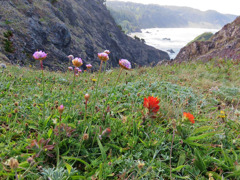
Sea thrift and paintbrush
Looking north from the viewpoint.
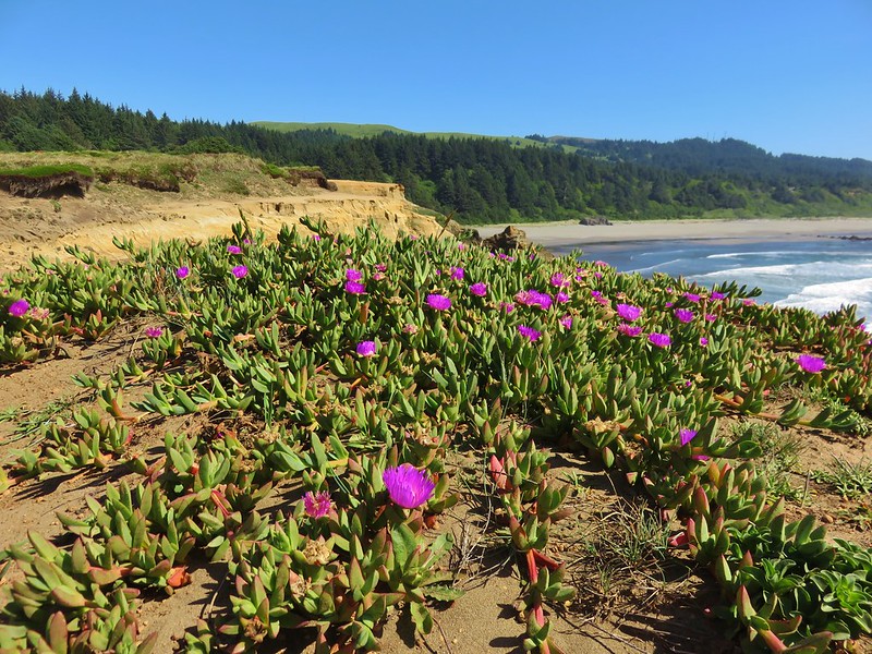
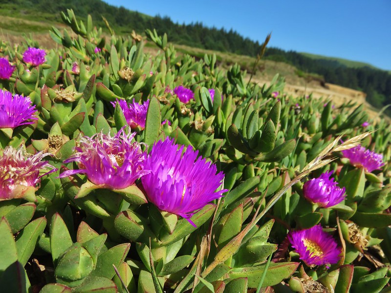
Whaleshead island and sea figs
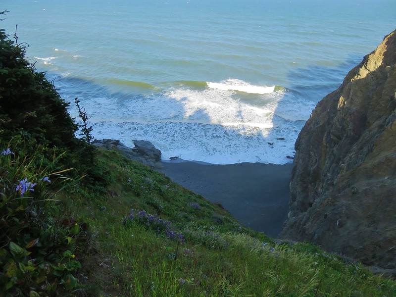
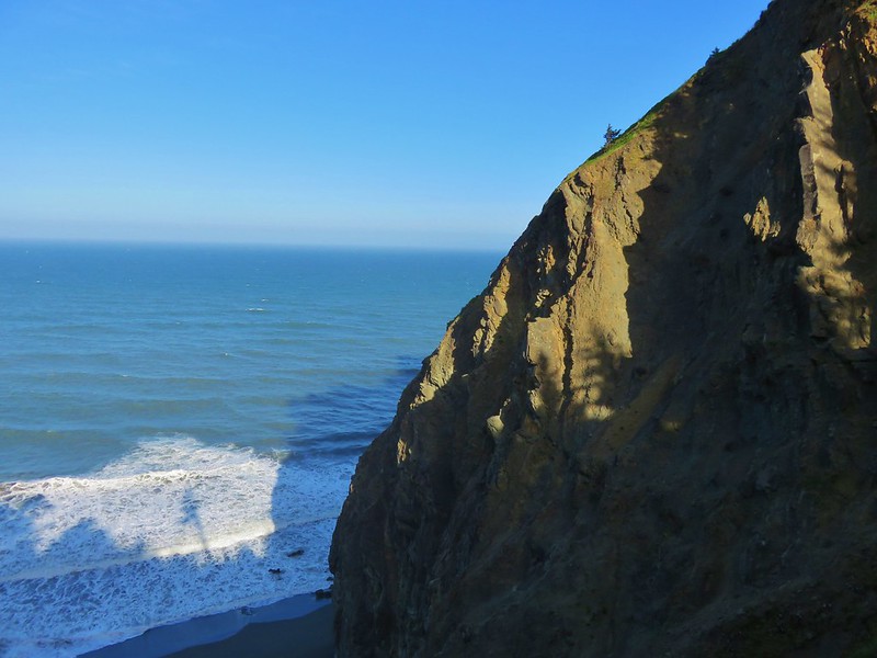
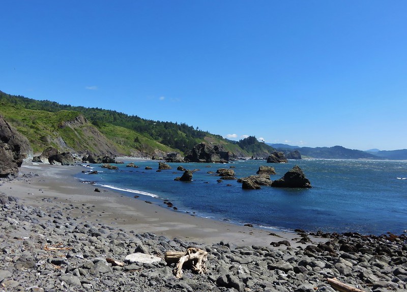
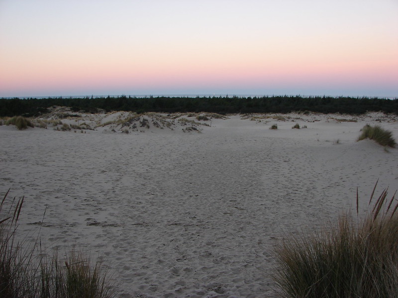
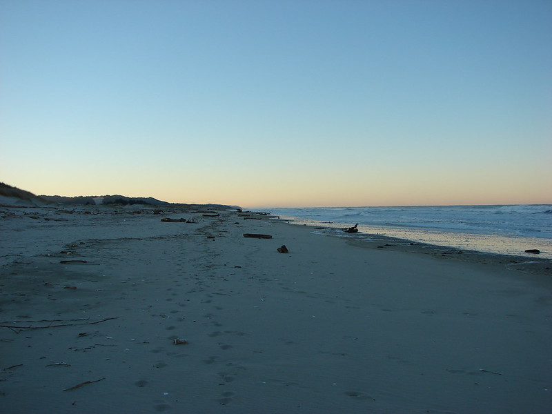
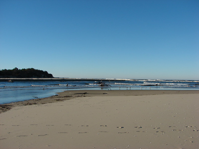
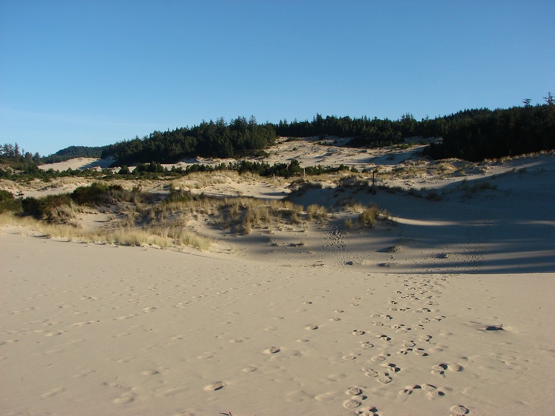
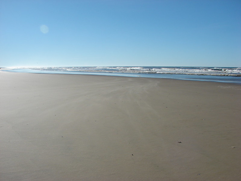
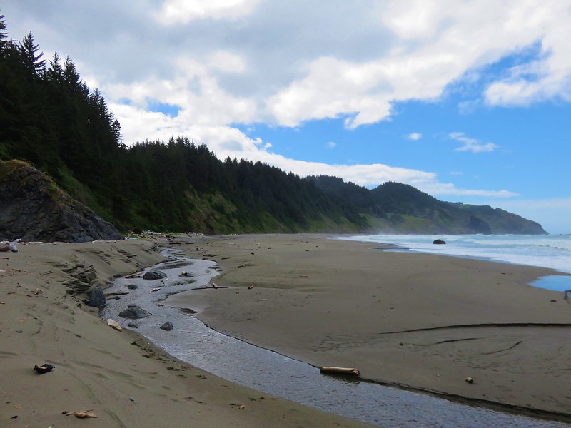
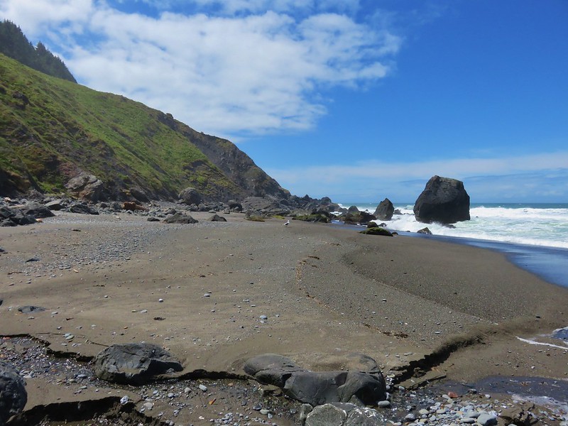
We headed back to Whaleshead Beach and headed south through the sand.

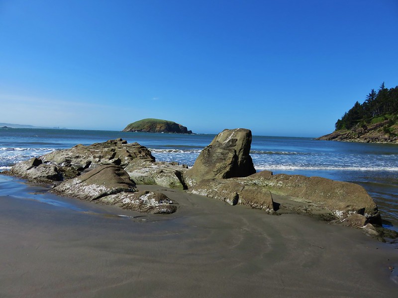
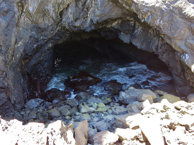
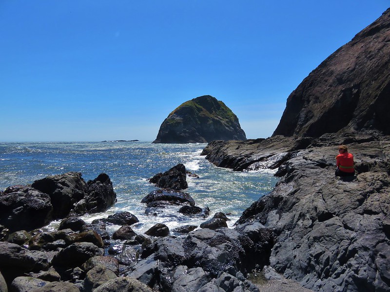
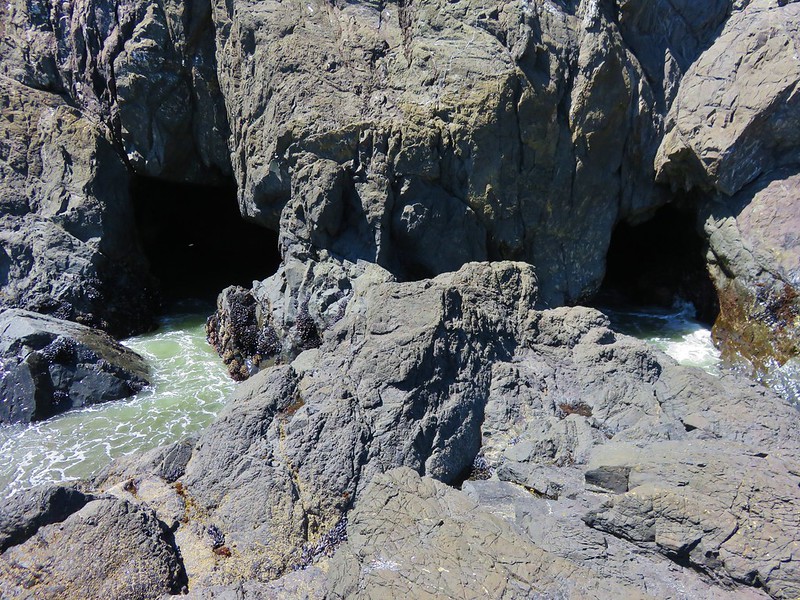
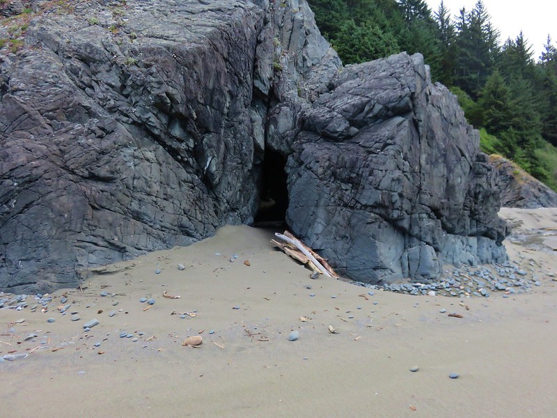
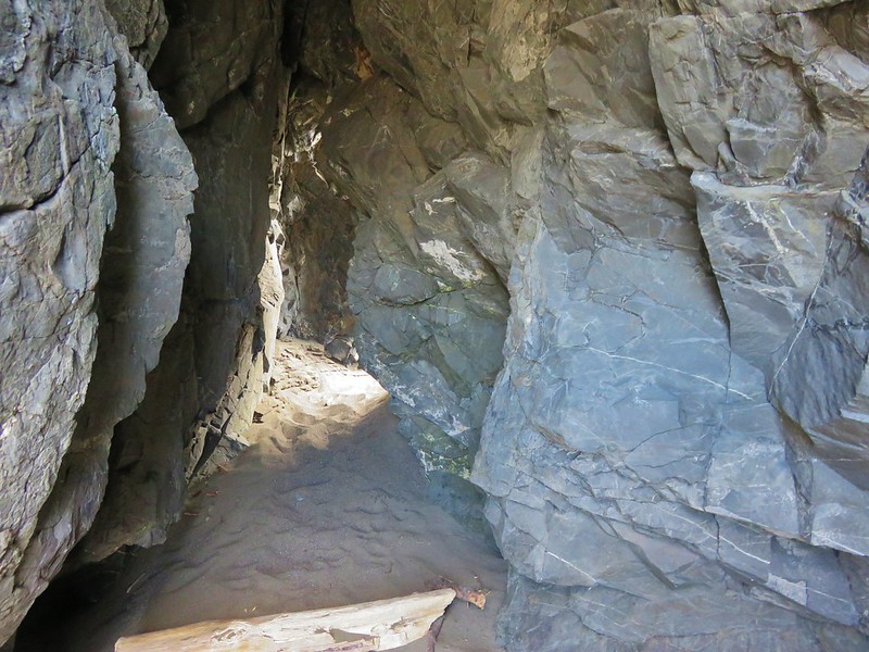
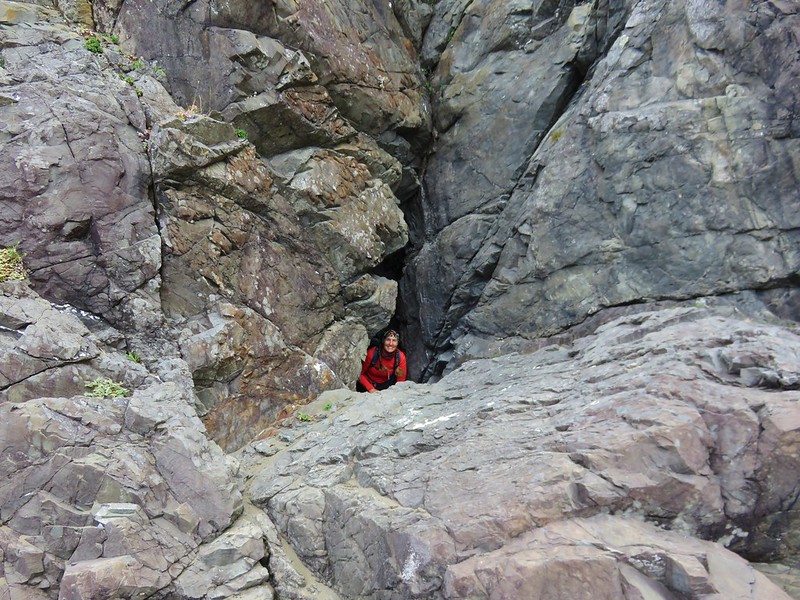
There were several highlights on the beach walk starting with a small opening passing through some rocks.
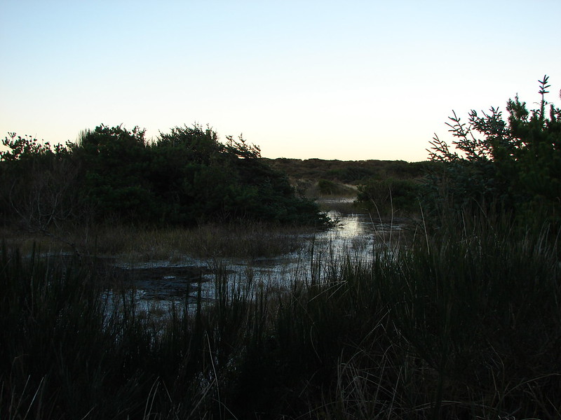
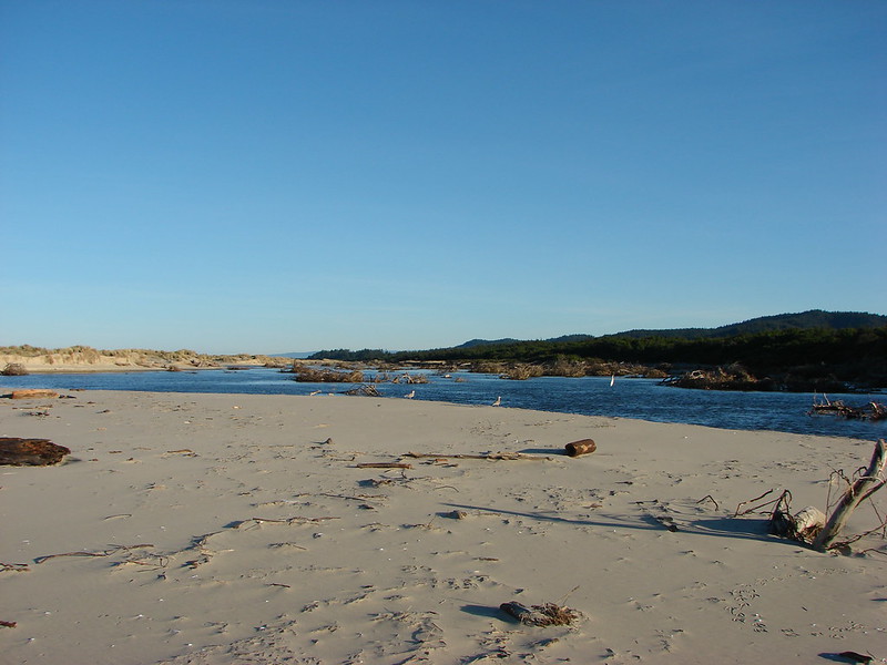
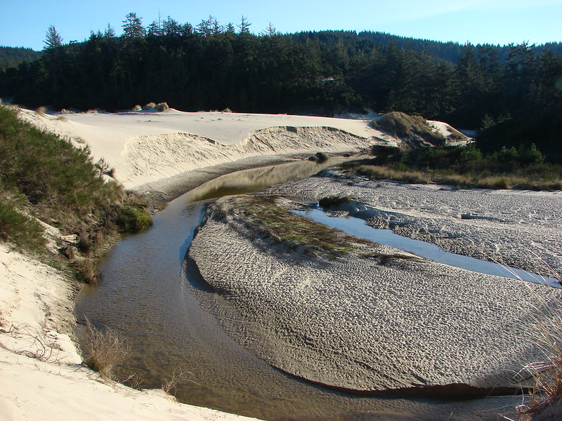
Then we followed Bowman Creek along the beach.
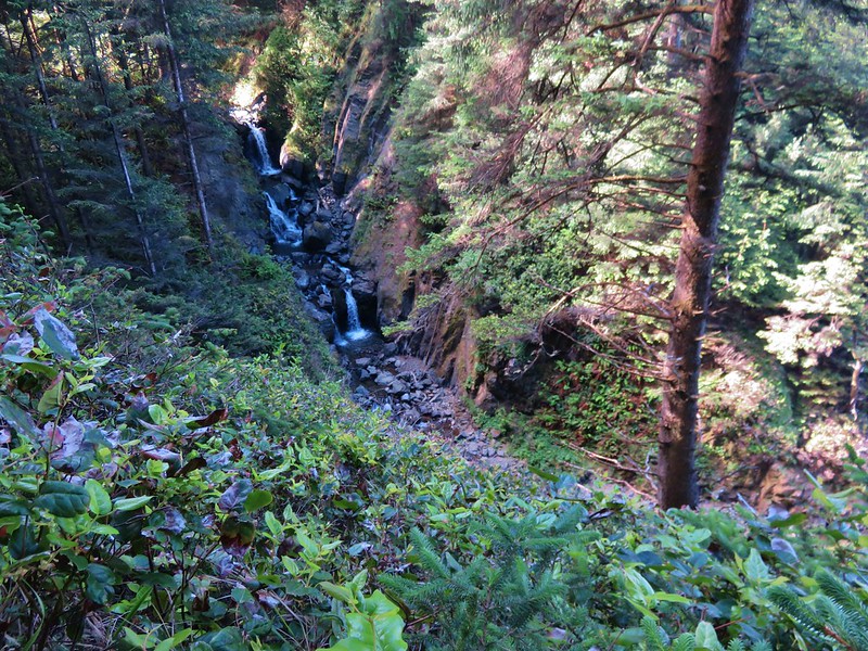
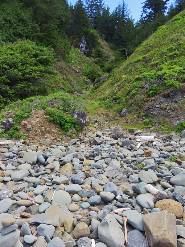
The first fork of the creek coming out of the forest was where the smaller cascades were located. We couldn’t see them from the beach but it looked like a more determined person could have hiked up the creek to a view.
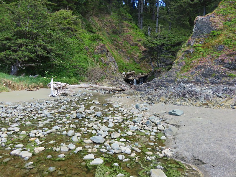
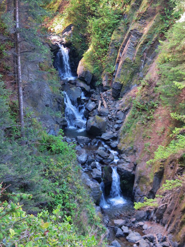
At the second fork the larger waterfall that we hadn’t had a good view of was clearly visible.
The beach ended shortly after the third creek coming down to the ocean.
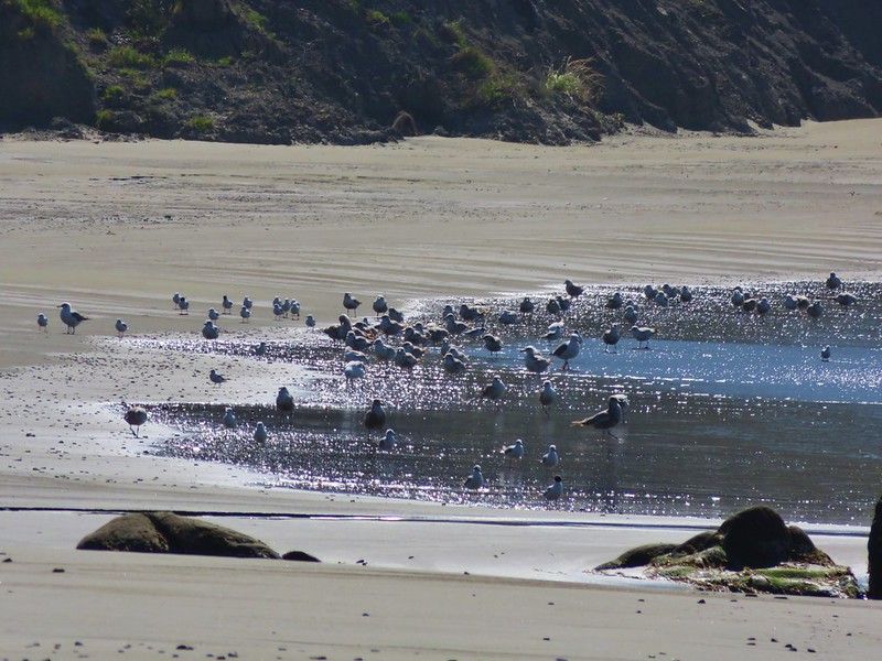
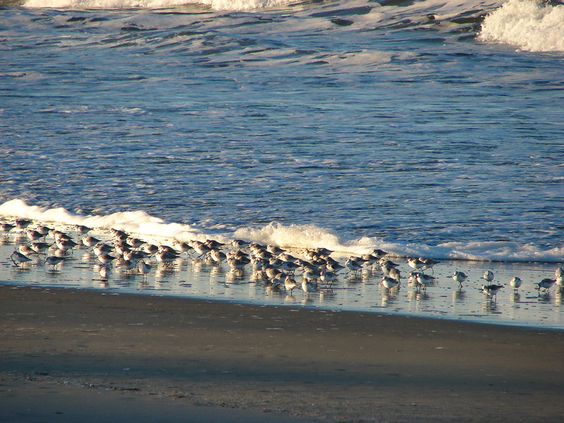
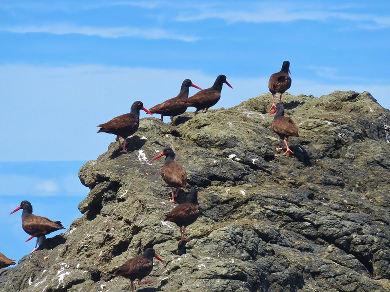
There were a bunch of oyster catchers on a rock here.
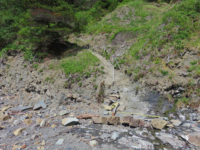
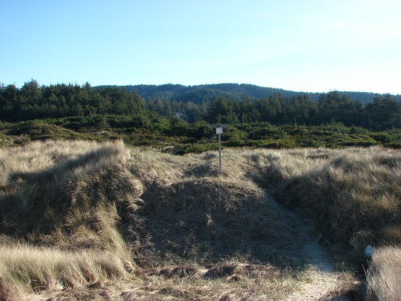
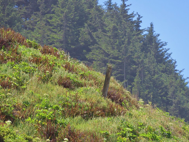
A post on the hillside on the far side of this creek marked the trail that would take us back up to the Oregon Coast Trail.
We hiked up the creek a bit to pick up the faint overgrown trail.

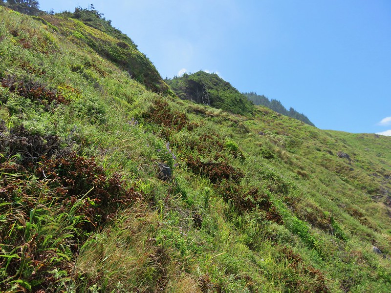
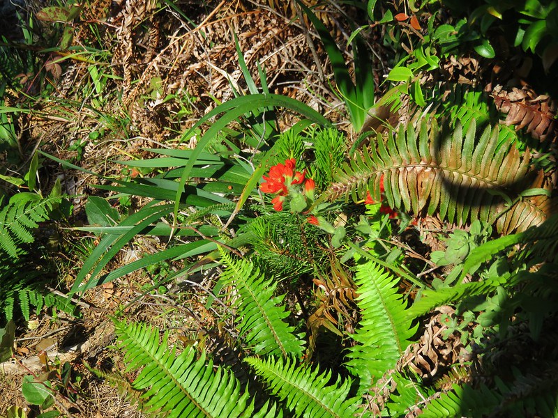
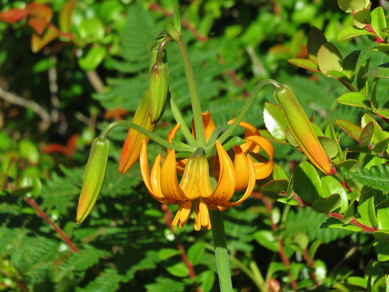
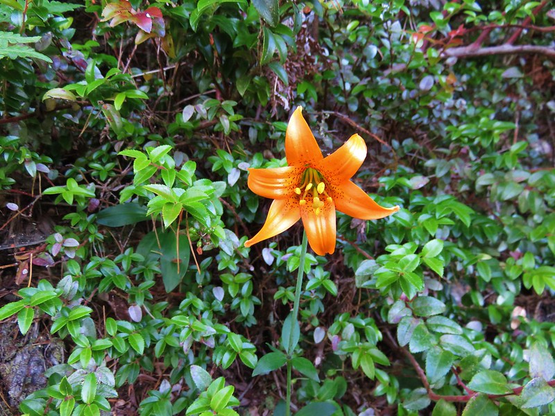
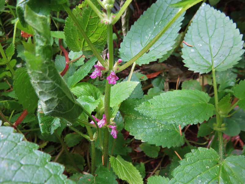
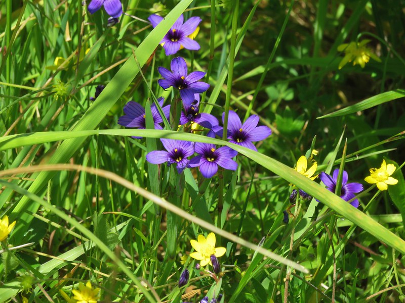
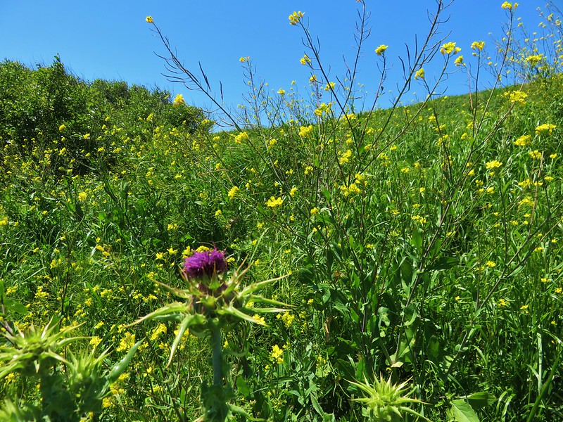
We just kept aiming for the posts as we passed some pretty wildflower displays.

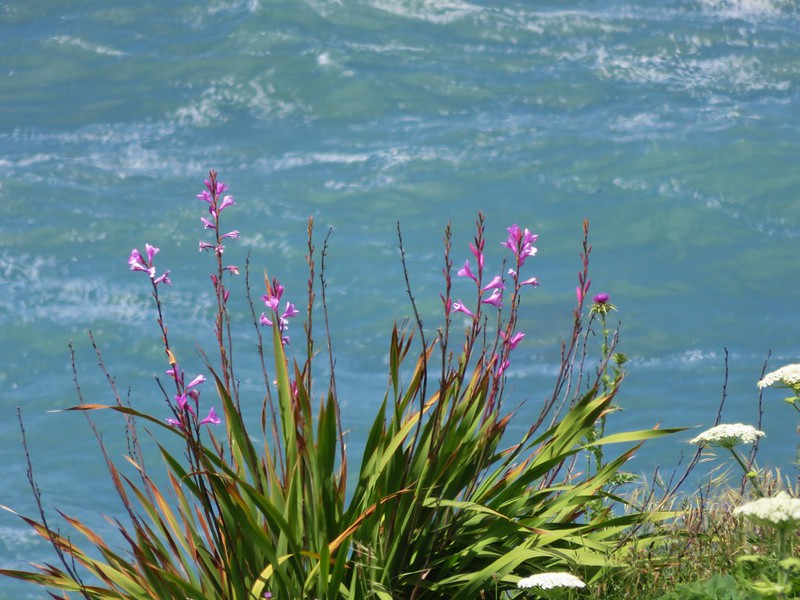

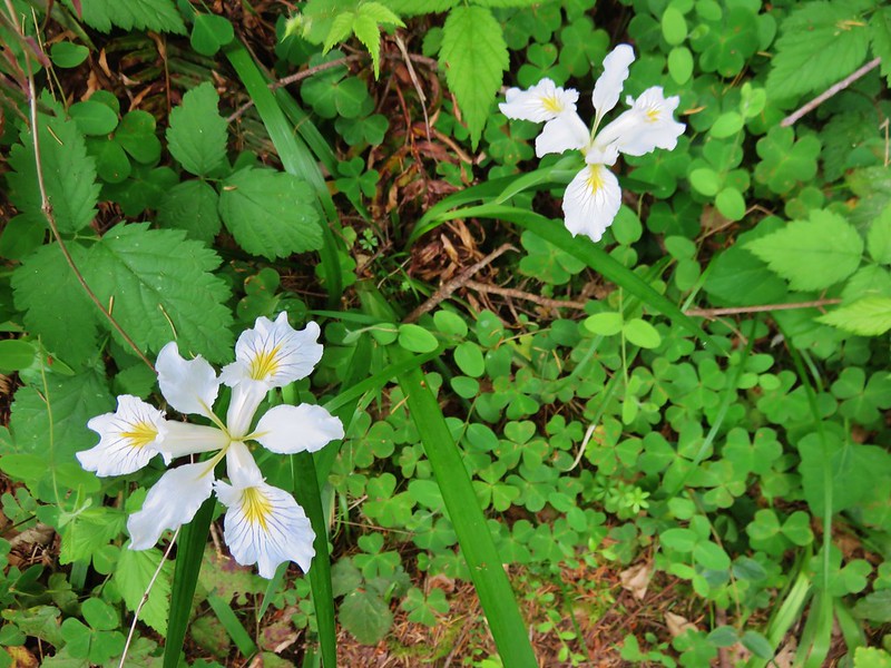
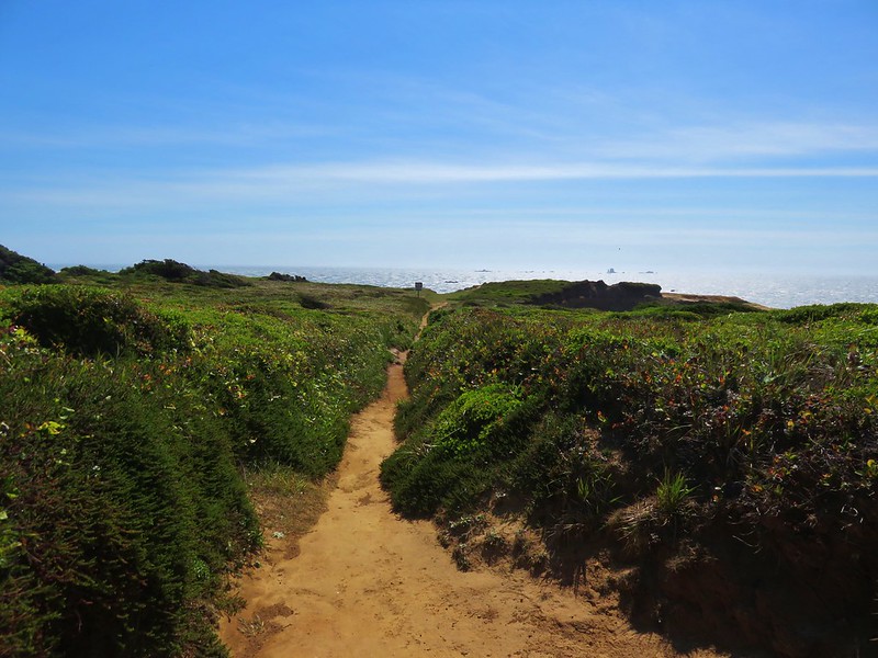
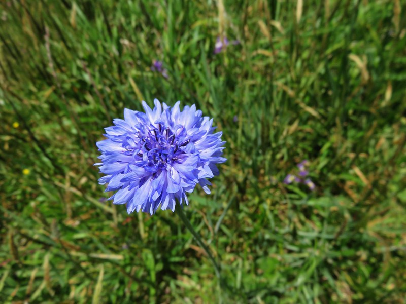
We did wind up back on the Oregon Coast Trail at the junction we had suspected earlier and headed back toward Cape Ferrelo. This time we followed the Oregon Coast Trail over the cape. This led us to another viewpoint with a bench and some flowers we hadn’t seen along the other portion of trail.
Bachelor button
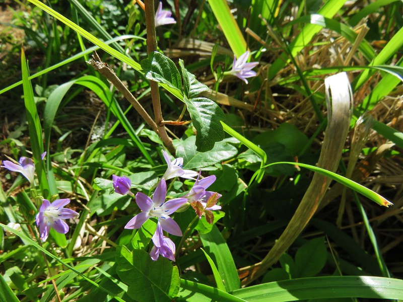
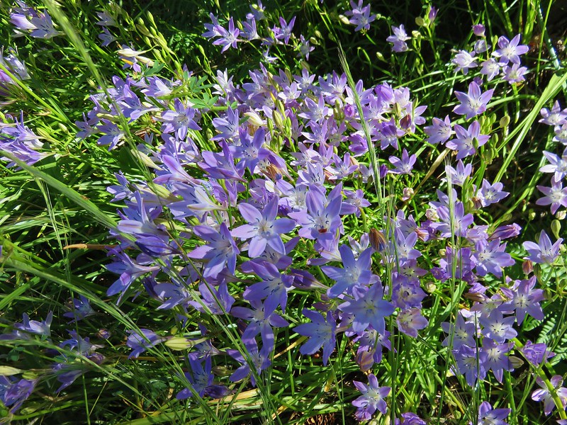
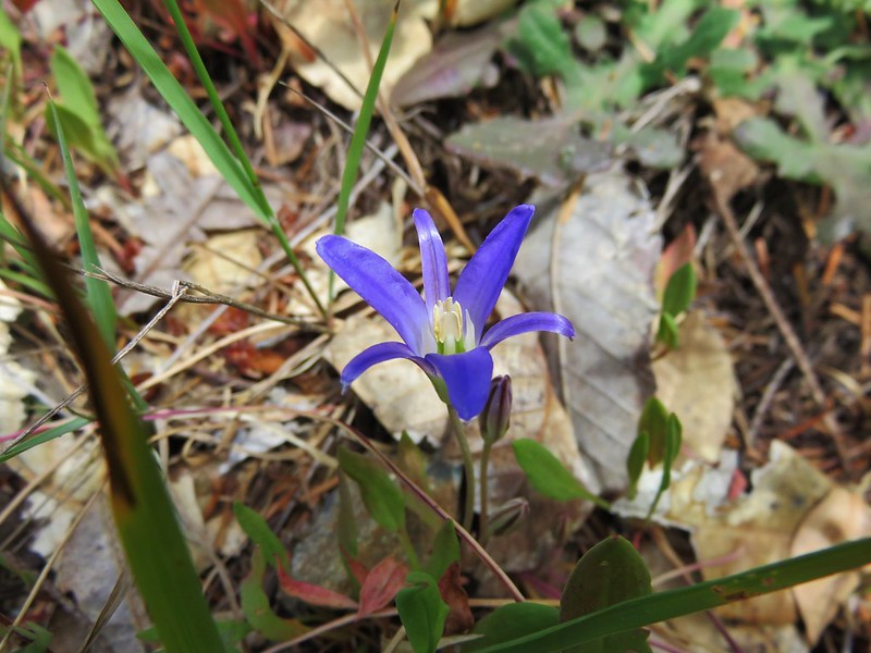
brodiaea
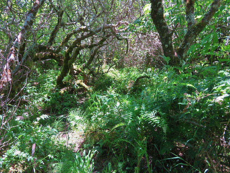
We had a little trouble finding the correct route through the vegetation near Lone Ranch Creek and wound up popping out in between the Oregon Coast Trail and the route we had taken that morning.
After returning to the car we drove into Brookings and headed for our second hike of the day at the site of a WWII bomb dropped by a Japanese pilot on Wheeler Ridge. To reach the trailhead we took South Bank Road for 5.2 miles and turned right following a pointer on Mt. Emily Road (road 1205) for 3.7 miles forking left at that point to stay on road 1205 until we reached the signed trailhead.
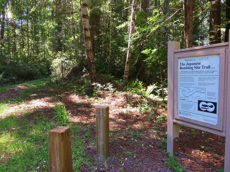
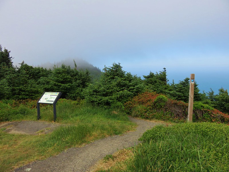
The trail is only a mile long but the interesting history behind the site makes the trip well worth it. The pilot, Nobou Fujita, took off from a Japanese submarine on September 9th, 1942 and flew inland to drop two bombs in hopes of starting a forest fire. One of the bombs did start a small fire that was spotted by the lookout,Howard Gardner, stationed on nearby Mt. Emily. He and a couple of other forest service staff located the fire and extinguished it finding the bomb crater and remnants of the ordinance.
Nobou Fujita traveled to Brookings in 1962 for the town’s Azalea Festival and presented his family’s samurai sword to the citizens as a token of peace. In 1992 he returned to plant a redwood seedling which unfortunately did not survive due to trampling by visitors. After his death a group of Japanese naval veterans planted a second tree at the site which still survives today.
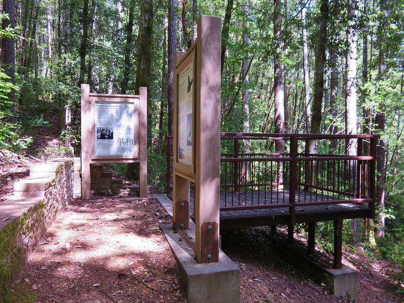
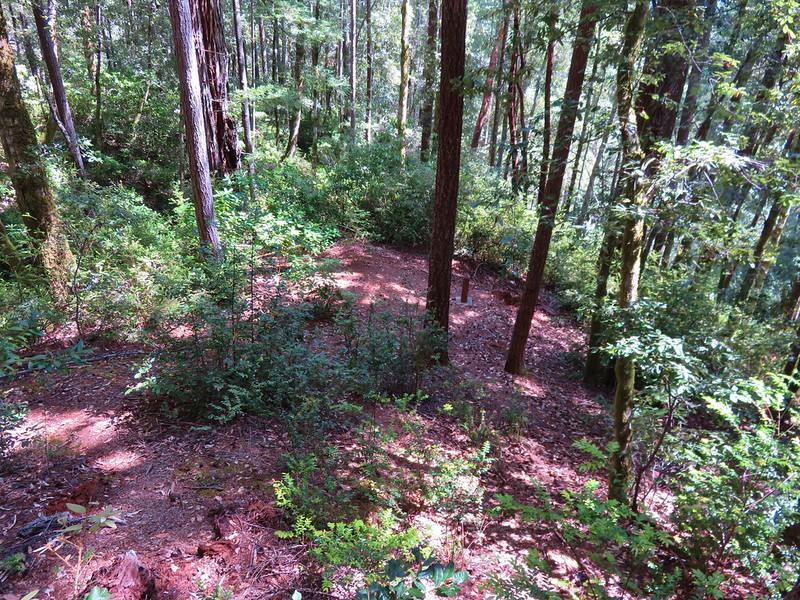
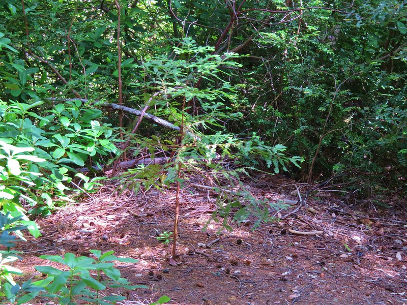
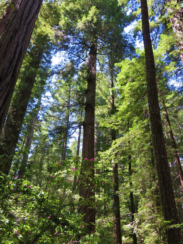
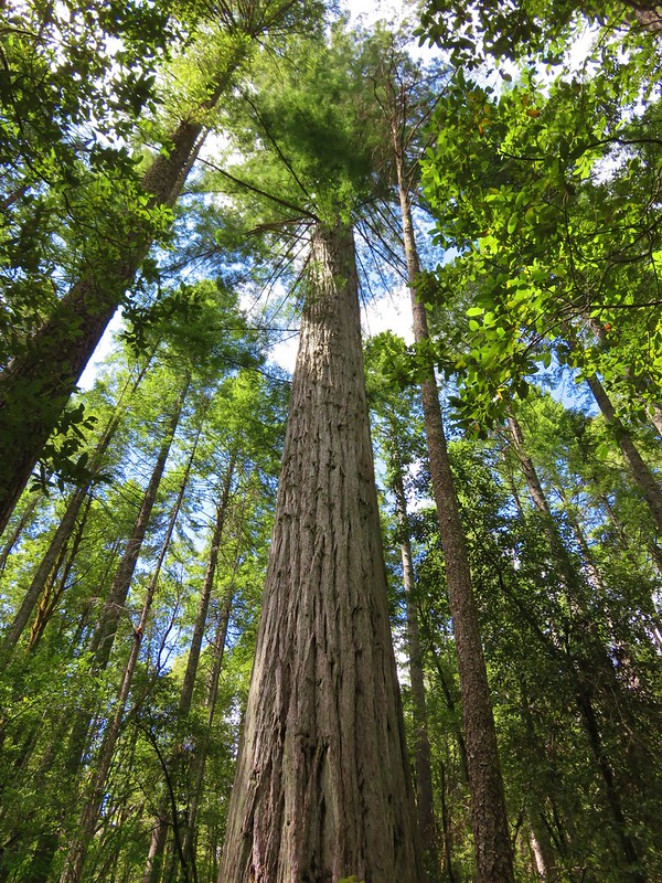
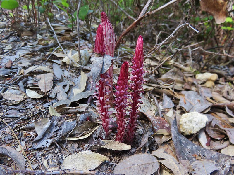
The highlight of the trail was the bomb site and interpretive signs but there were also some big redwoods and a nice set of candysticks along the trail.
When we got back to Brookings we stopped for dinner at Kuhn Thai. We really enjoyed the food here once we finally settled on some choices. Another tasty end to a day. Happy Trails!
Flickr: https://www.flickr.com/photos/9319235@N02/albums/72157666232501494