Categories
High Cascades Hiking Mt. Hood Area Oregon Trip report

Elk Cove – 07/25/2026

Heather was able to join me for the final hike of my vacation which we’d decided would be the Elk Cove Trail on Mt. Hood. Located on the north side of the mountain the Elk Cove Trailhead was the only trailhead providing access to Mt. Hood’s Timberline Trail that we had not yet been to. Most of the others we’d used as trailheads while a couple we’d hiked through as part of a loop.
Screenshot 2026-07-26 065930

Be aware that high clearance vehicles are currently recommended to access this trailhead and Laurence Lake due to the access road having been washed out by the Eliot Branch. Our Outback had no issues. We made the two-and-a-half-hour drive from Salem arriving shortly after 7am and set off on the trail.
IMG_9606

IMG_9608
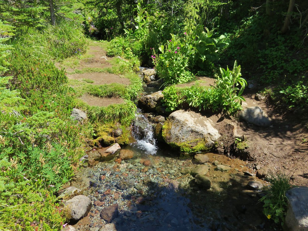
The trail begins by crossing Pinnacle Creek.

IMG_9618
Pinnacle Creek

For the first 1.25-miles the trail follows an old roadbed to the former trailhead. The trail also passes through the 2011 Dollar Lake Fire scar for its entire length.
IMG_9620

IMG_9621
Black cap raspberries

IMG_9622
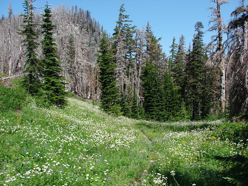
Signs of the 2011 fire.

IMG_9630
Scouler’s bluebells

IMG_9646
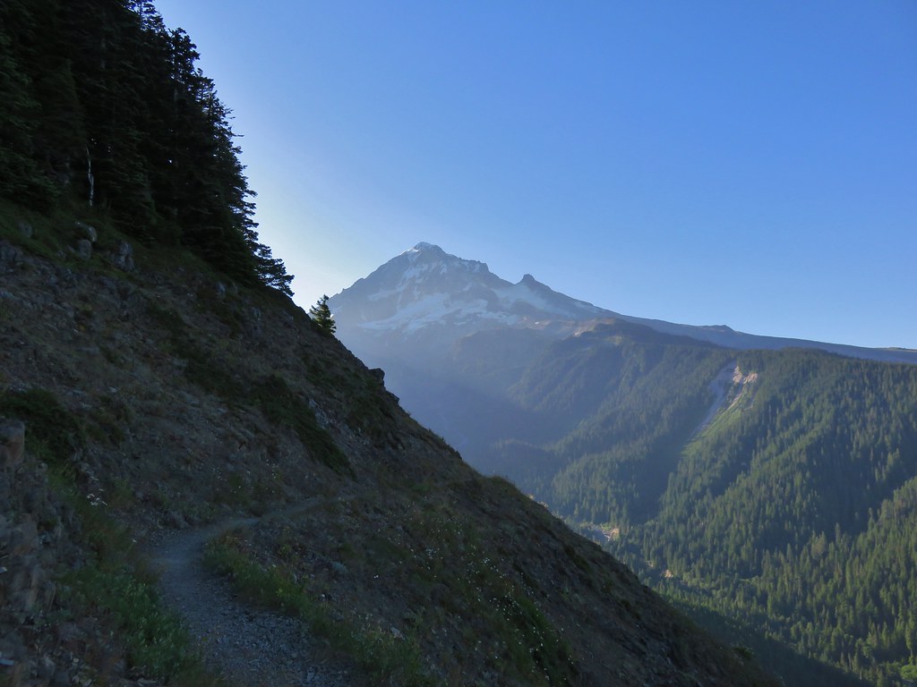
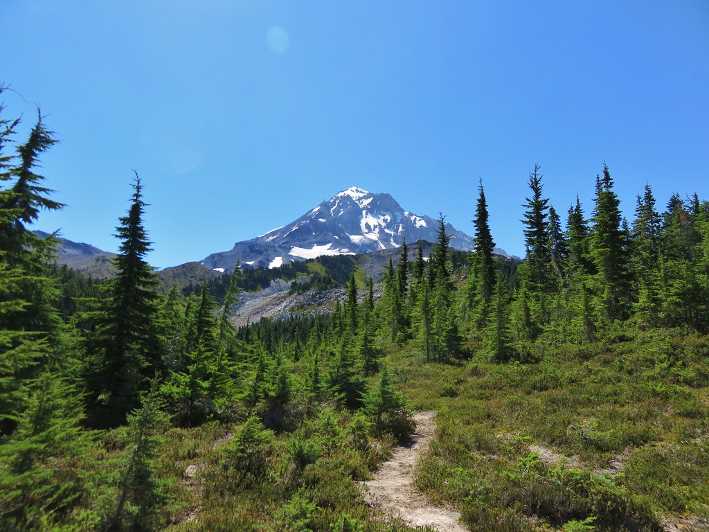
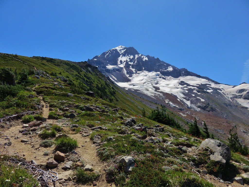
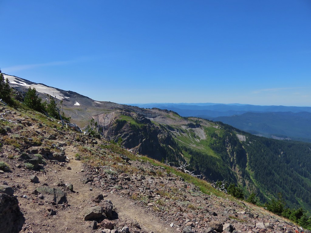
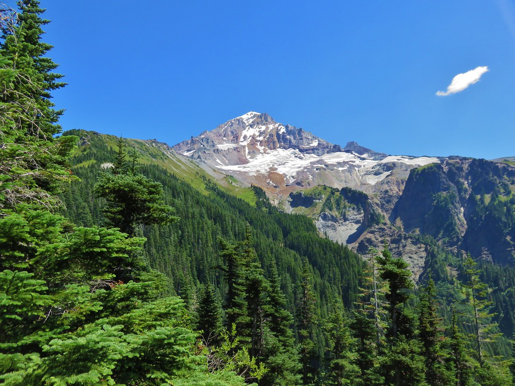
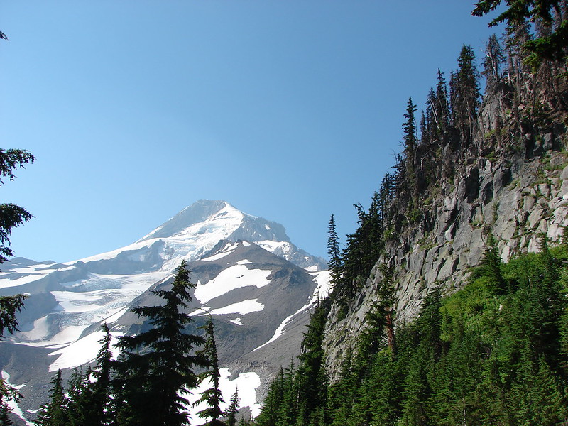
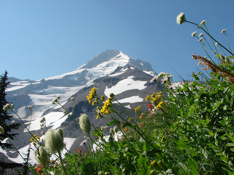
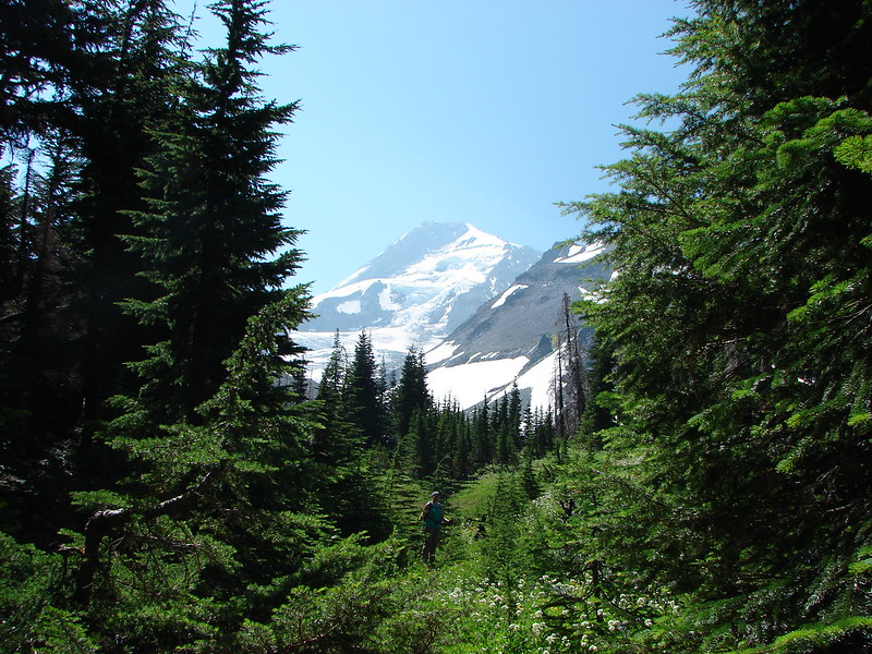
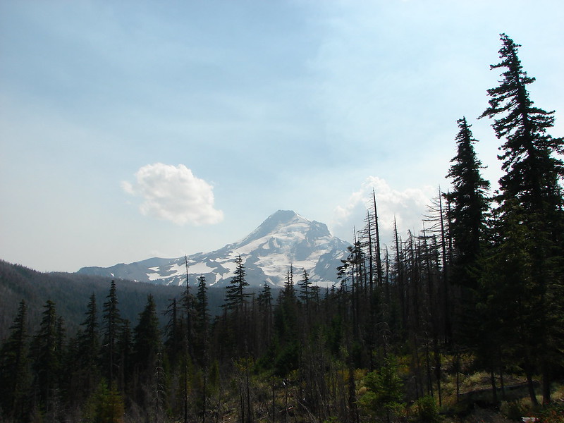
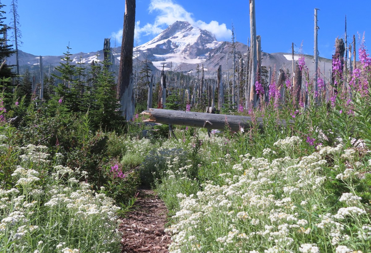
First view of Mt. Hood. One result of losing nearly all the trees in the fire is the trail now offers numerous excellent views of the mountain.

IMG_9650
Woodland beardtongue

IMG_9651
The location of the former trailhead. Here the trail leaves the old roadbed a switchbacks up to gain the ridge.

IMG_9652
Trail sign announcing Elk Cove is just 3.9-miles away.

IMG_9654
On the lower portion of the ridge some of the trees avoided crowning and survived the fire.

IMG_9655
Mt. Adams was also visible to the north.

IMG_9656
Mt. Adams

IMG_9658
Mt. Hood from the ridge.

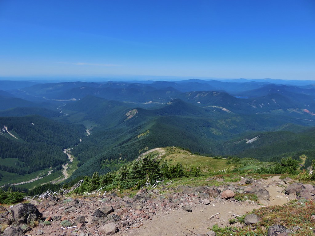
The trail followed the ridge which provides no cover from the sun, but the views are spectacular.
IMG_9675

IMG_9678
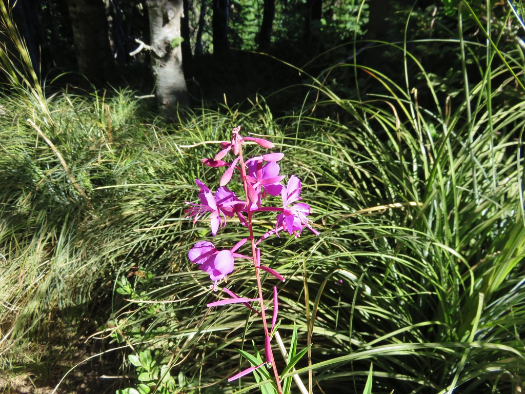
Fireweed

IMG_9689

IMG_9692

IMG_9696
Mt. Adams again.

IMG_9703
Probably Cascade aster.

IMG_9713
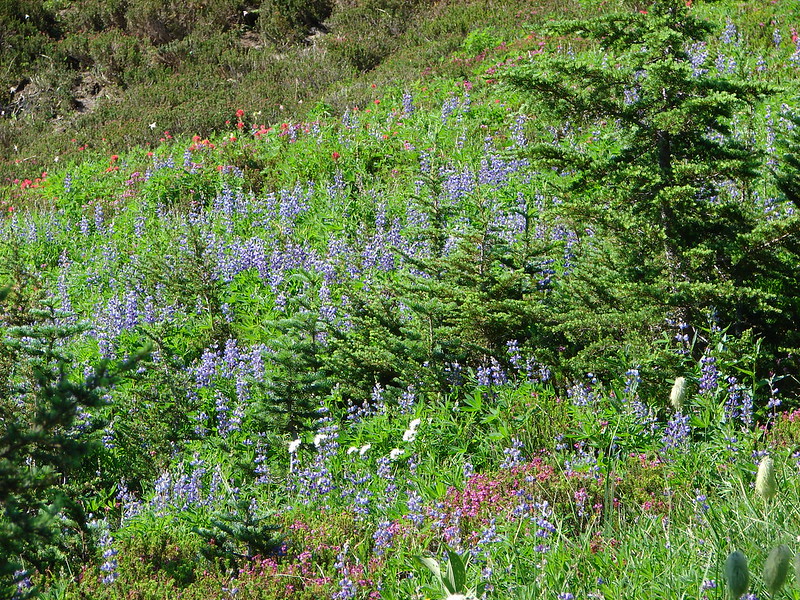
Lupine along the trail.

IMG_9720
To the right is the namesake pinnacle of Pinnacle Ridge. We hiked that ridge to Elk Cove in 2014 (post), but recent reports indicate that it is in rough shape and in need of maintenance.

IMG_9721
Owl Point (post) to the NW.

There are two saddles along the ridge which provide some downhill on the way up to Elk Cove which also means uphill on the way back down to the trailhead.
IMG_9727

IMG_9730
Yarrow

IMG_9732
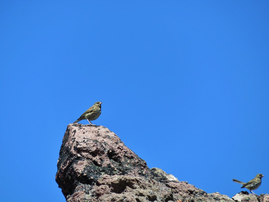
Bird on a snag with the Coe Glacier behind.

IMG_9739
The ridge to the right across the Hood River Valley is Surveyors Ridge (post) with Bald Butte (post) the hump toward the left end.

IMG_9741
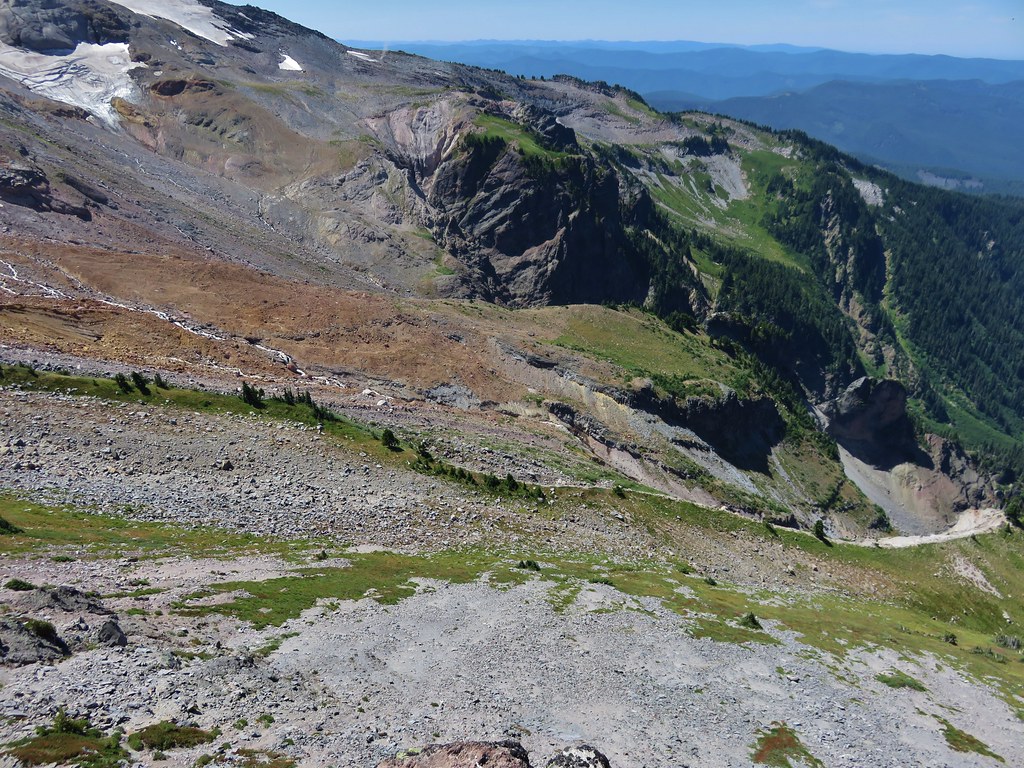
Both Compass Creek and the Coe Branch flow down the valley to the left (east) of the ridge. Straight ahead about 3/4 up this photo is Cannon Ball Falls, a.k.a. Lower Compass Creek Falls.

IMG_0035
Blurry attempt at zooming in on the falls in the afternoon.

IMG_9758
Starting down the second saddle.

IMG_9762
Mountain bluebird

IMG_9763

IMG_9765
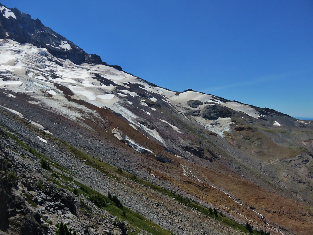
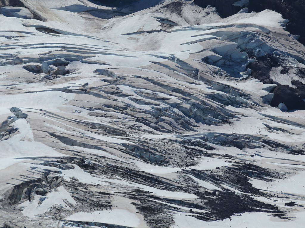
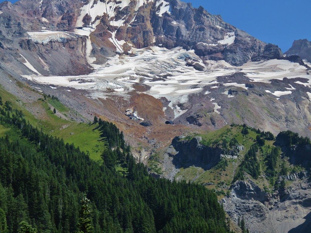
The Coe Glacier on Mt. Hood.

Once we had successfully climbed out of the second saddle we stopped for a short break where we were visited by an inquisitive hummingbird.
IMG_9784

IMG_9785

Beyond the second saddle the ridge widened and flattened considerably, and the number of blooming wildflowers also increased considerably.
IMG_9787

IMG_9788
Barrett Spur (post)

IMG_9791
There was also more blowdown on the upper portion of the trail but nothing that was too difficult to navigate.

IMG_9795
The fireweed was in full bloom higher up.

IMG_9797
More aster

IMG_9808
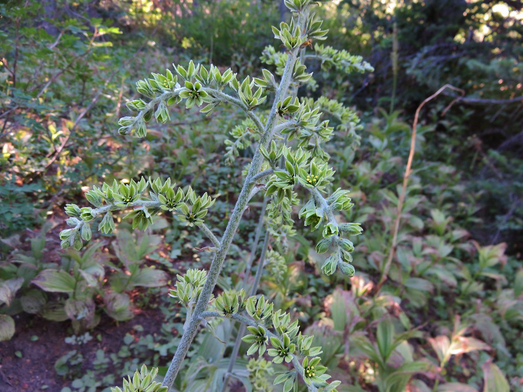
False hellebore

IMG_9802
Pearly everlasting and fireweed

IMG_9814
Goldenrod

Just over 4-miles from the trailhead the trail crosses Cove Creek, the first water source along the trail since the Pinnacle Creek crossing at the trailhead.
IMG_9818

IMG_9821
These logs provided a dry crossing.

IMG_9824
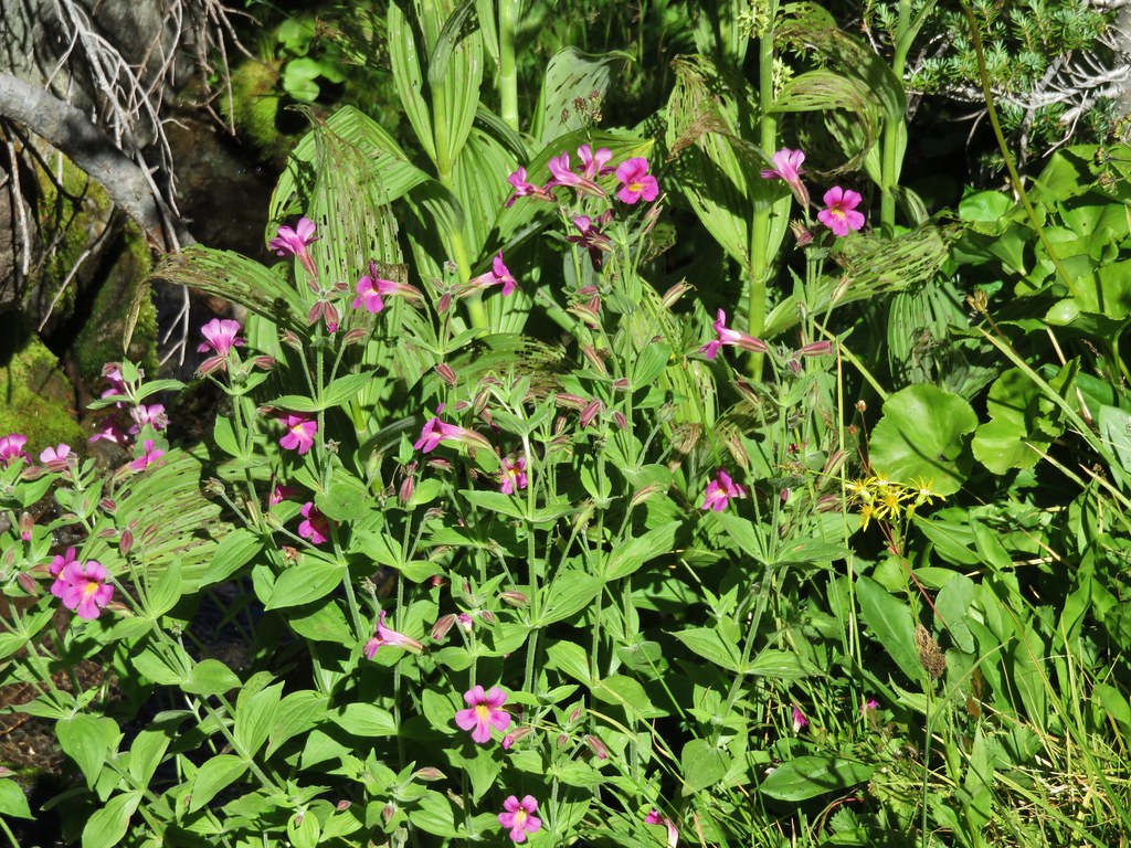
Lewis’ monkeyflower. We stopped here on the way down and Heather topped off her water.

IMG_9827
Monkeyflower

IMG_9830
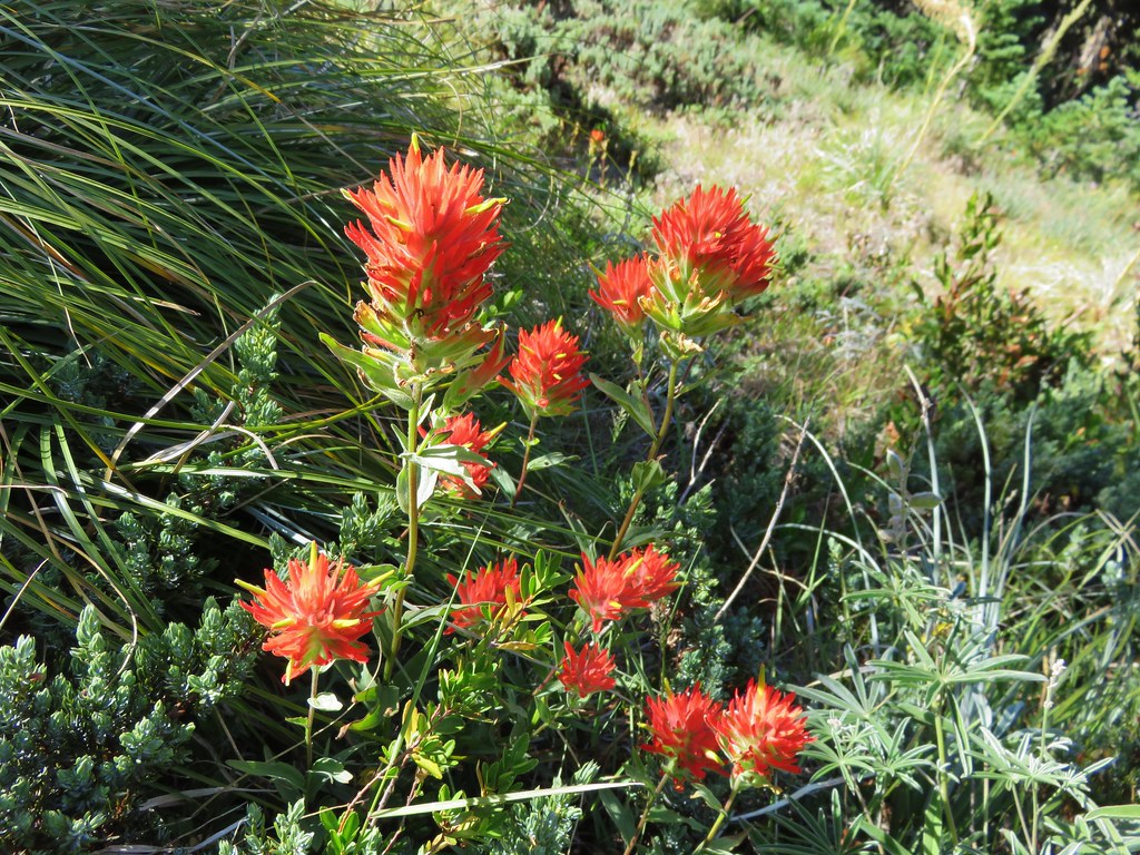
Paintbrush

After a short break at the creek we continued on.
IMG_9832
The trail up from the creek.

IMG_9836
Orange agoseris

IMG_9841
Dark-eyed junco

IMG_9848

IMG_9857
One-sided wintergreen with a dwarf bramble blossom behind.

IMG_9859
Robin

IMG_9863
Valerian

The trail soon entered a dry gully that was at one time a creek bed and followed it for a bit before climbing out and entering meadows shortly before arriving at the Timberline Trail.
IMG_9866

IMG_9867Purple sanicle

IMG_9868

IMG_9869
Campsites at the edge of the meadow.

IMG_9873
Sub-alpine fleabane

IMG_9874
Sign ahead at the junction of the Timberline and Elk Cove trails.

IMG_9879

We headed right on the Timberline Trail to Cove Creek where Heather was going to take a break. I decided to continue up the Timberline Trail from Elk Cove to visit a talus field where I hoped to spot a pika (or two). Even if I didn’t see a pika I knew from previous trips that there was yet another good view of the mountain from the trail as it descended into Elk Cove.
IMG_9878

IMG_9885
The Timberline Trail crossing at Cove Creek.

IMG_9886
Monkeyflower and a couple of lupine

IMG_9890
Mt. Hood from the crossing.

IMG_9891
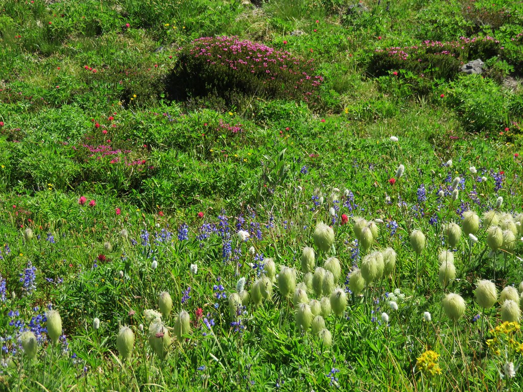
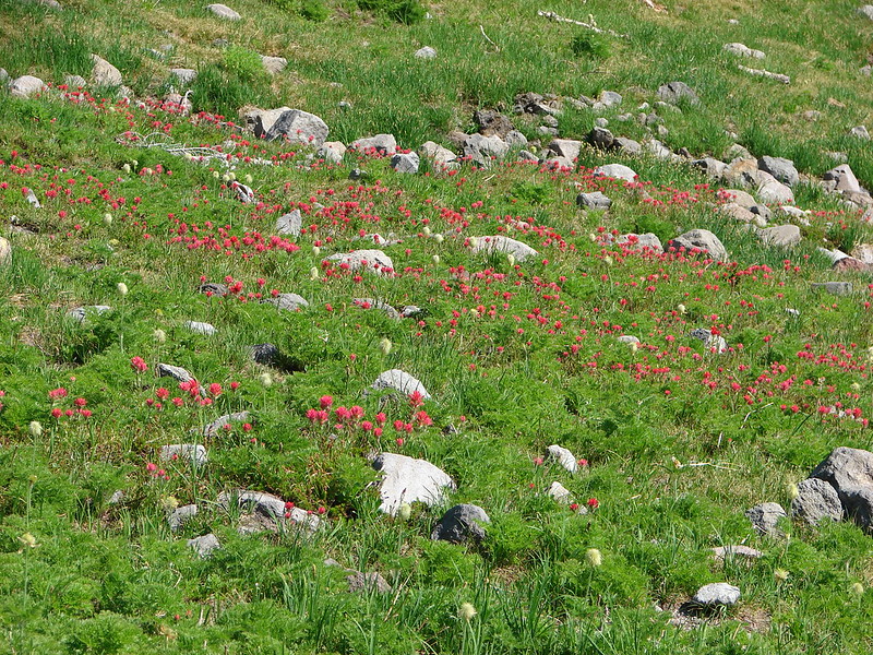
There was a lot of aster blooming in Elk Cove.

IMG_9892
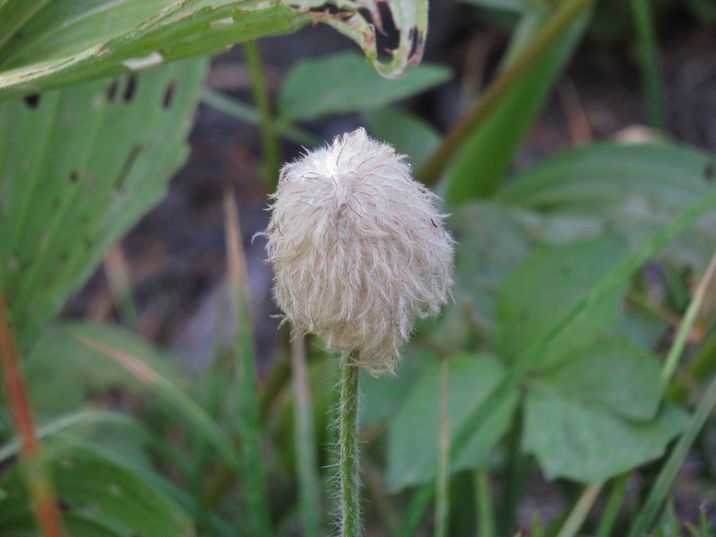
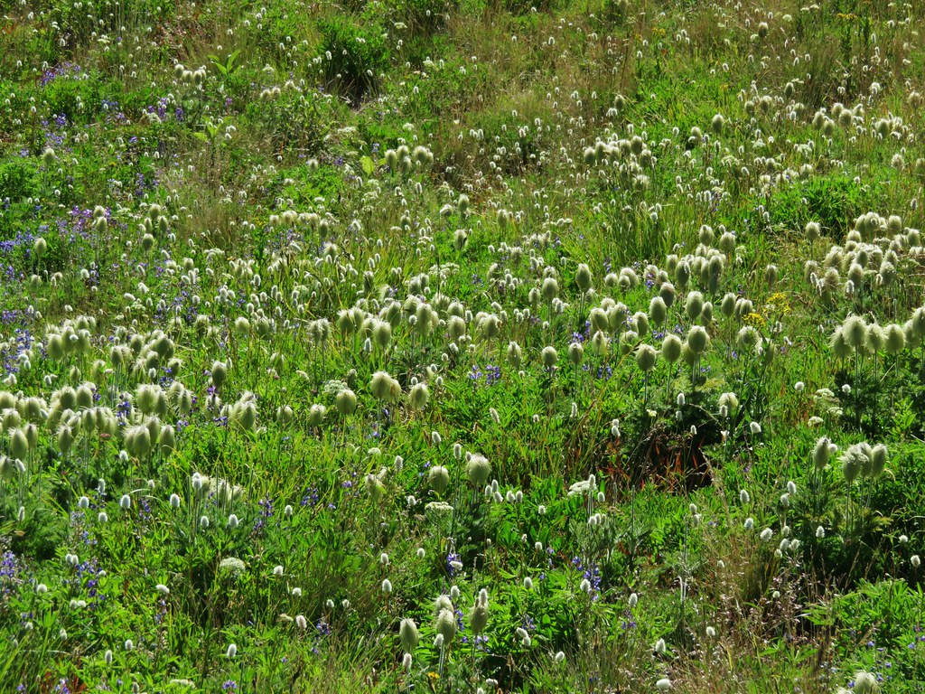
Western pasque flower seedhead.

IMG_9893
Bistort

IMG_9896

IMG_9898
Monkeyflower lining Cove Creek.

IMG_9905

IMG_9916
As I approached the talus slope I could hear multiple pikas.

IMG_9919
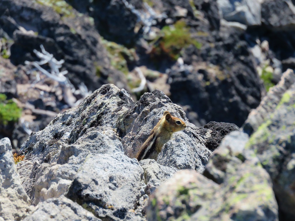
I was able to spot one of the little guys.

IMG_9920
Surveyors Ridge from the talus slope.

IMG_9921

IMG_9927
Waterfalls on the mountain.

IMG_9929
Barrett Spur in front of Mt. Hood.

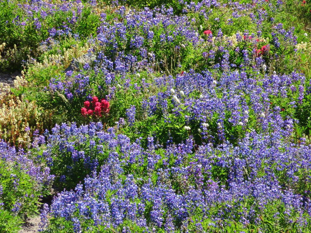
I continued a little further up the Timberline Trail to visit a wildflower filled hillside before returning to Elk Cove.
IMG_9932

IMG_9933

IMG_9939

After meeting back up with Heather and showing her to the monkeyflower lined section of Cove Creek we returned to the Elk Cove Trail junction, but continued a little further on the Timberline Trail for another view of the mountain.
IMG_9976
A spur trail next to a no camping sign leads to this view from Elk Cove.

IMG_9978
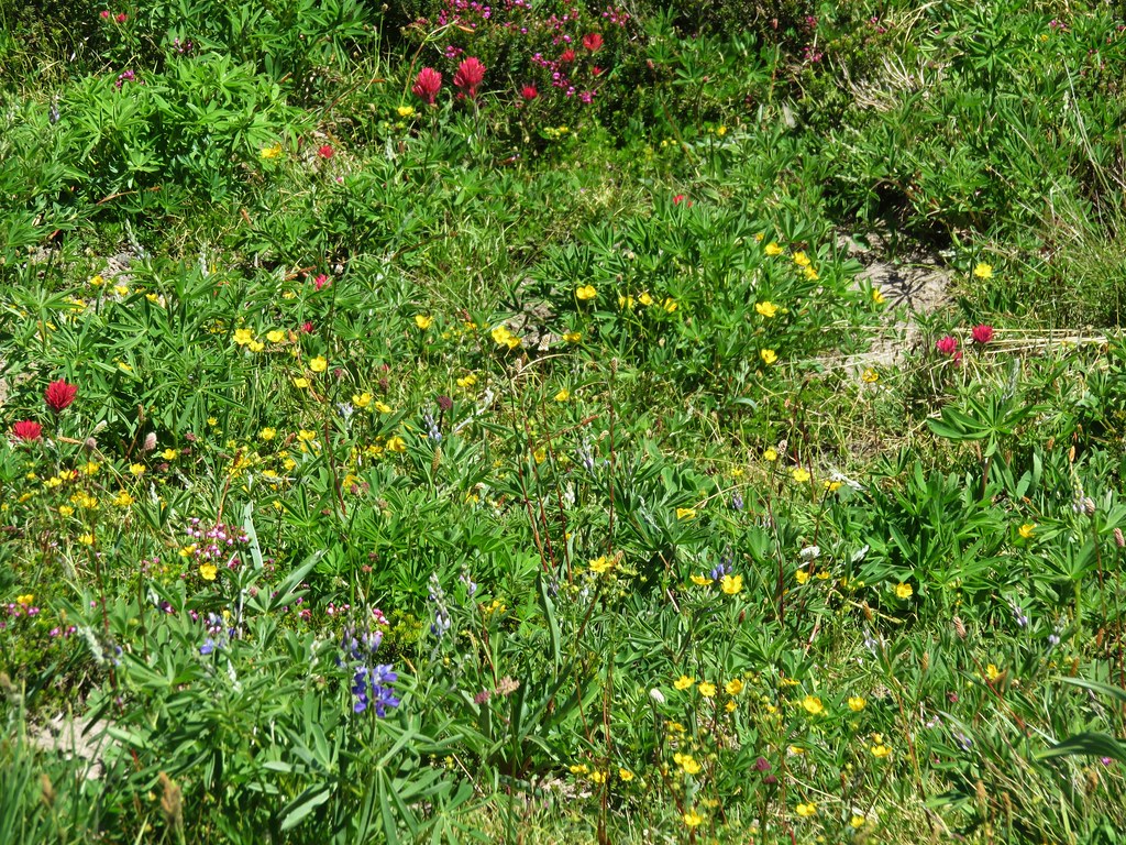
Flowers along the spur trail.

We finally decided it was time to head back so we returned to the Elk Cove Trail and started down.
IMG_9979

It was a fairly uneventful but pleasant descent. We had passed by backpacker on her way out during our climb up to Elk Cove and passed 9 or 10 hikers on their way up the trail on our way back. Those are pretty small numbers for a weekend. We did see a number of people while at Elk Cove, but the north side of the mountain is much less crowded than other areas around the mountain.
IMG_9980
Sickletop lousewort

IMG_9987

IMG_9992
Checkerspot on pearly everlasting

IMG_0004
Felt-leaved pearly everlasting

IMG_0006

IMG_0007
A cinquefoil

IMG_0010
Penstemon

IMG_0032

IMG_0046
Golden chinquapin

IMG_0048
A duskywing

IMG_0055
A sulphur

IMG_0060
Laurence Lake from the trail before descending to the old trailhead.

IMG_0061
Laurence Lake

IMG_0065
Back on the old roadbed.

IMG_0068
Ripe thimbleberries!

IMG_0072
Back at the trailhead.

My exploring brought this hike for me to 11.1-miles with approximately 2500′ of elevation gain making it the most milage I’d done since January and the most elevation gained since December 2025. While I’m not back to 100% it seems, I’m heading the right direction.
Screenshot 2026-07-25 181132

This was one of our favorite approaches to the Timberline Trail. The combination of big views and fewer people was a big plus. The lack of shade on the ridge would make it less appealing on a hot day though. Whatever route you take Elk Cove is a worthwhile goal. Happy Trails!

Flickr: Elk Cove
Categories
High Cascades Hiking Mt. Hood Area Oregon Trip report

McNeil Point

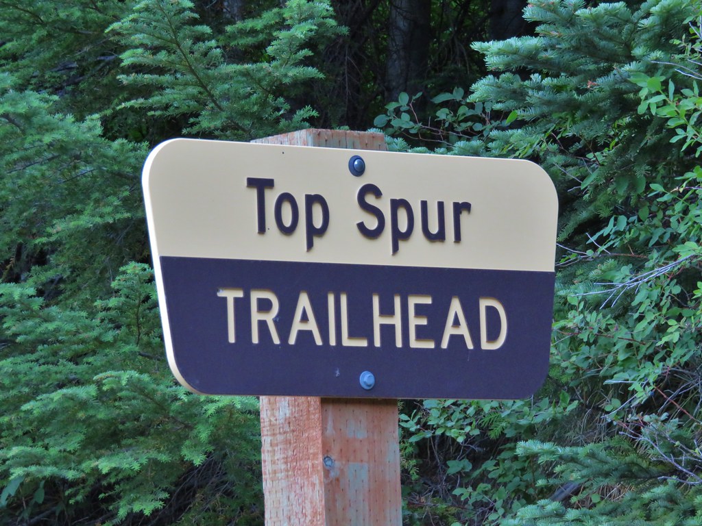
A week after visiting Mt. St. Helens we were headed to another of the Cascades volcanoes – Mt. Hood. We were meeting my parents in the morning for a hike up in the area of McNeil Point. The plan was to begin at the Top Spur Trailhead with them and hike together to an area below McNeil Point where ponds collect the melting winter snows. From the ponds Heather and I would head up to McNeil Point to visit the shelter there and continue up the ridge behind it toward Mt. Hood. We picked up my parents at McNeil Campground in the morning and were ready to set off on the Top Spur Trail just before 7AM.
IMG_5739

IMG_5740

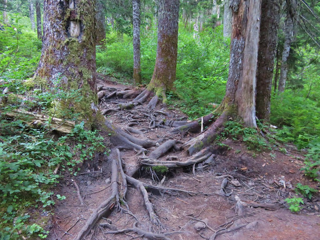
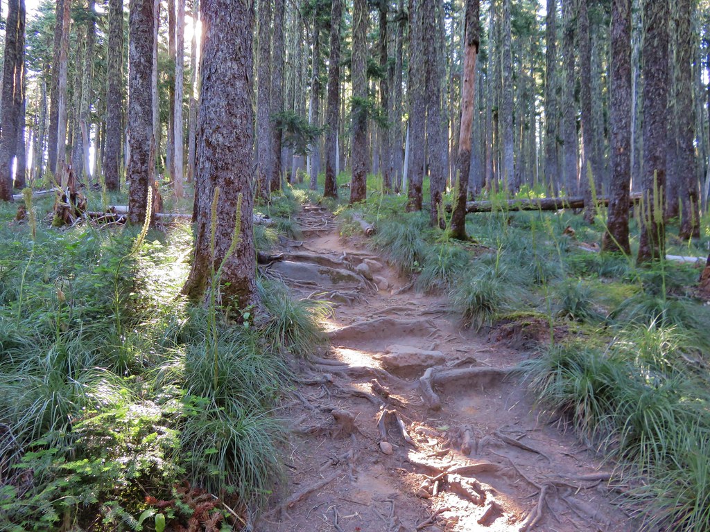
The first section of trail led through a forest filled with huckleberries and blueberries. Tree roots covered the path in many areas making for an uneven surface for walking.
IMG_5741

The Top Spur Trail joined the Pacific Crest Trail for a tenth of a mile before splitting off at a four way trail junction where the PCT and the Timberline Trail intersect.
IMG_5743

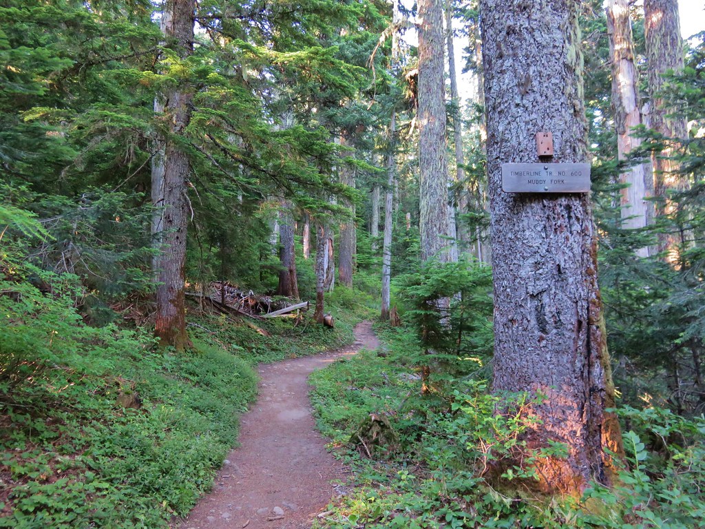
We took the middle of three forks following the Timberline Trail toward the Muddy Fork River. The PCT continued down the far right-hand fork and the left-hand fork was the continuation of the Timberline Trail on its way toward Cairn Basin.
IMG_5744

It would have been a little shorter hike if we had taken the Timberline Trail toward Cairn Basin which was the more direct way to get to the ponds below McNeil Point, but by heading toward the Muddy Fork we would pass through some open meadows on the south side of Bald Mountain where Mt. Hood would be visible. The meadows fill with flowers in early summer but were mostly passed now, however the view of Mt. Hood was still there.
IMG_5747

After passing through the second (smaller) meadow on Bald Mountain the trail reentered the forest. We were now looking for a side trail that would take us over the top of the Bald Mountain ridge to the Timberline Trail on the north side. Heather and I had taken this trail in 2012. At that time it was an unmarked use trail up and over the ridge. We spotted a worn trail to the left in the area we expected and headed toward the ridge. I managed to lead us over a small ridge and right back onto the Timberline Trail that we had already been on. We had to walk back through the small meadow and look for a different trail. Just around the corner from where we had turned off the trail the first time there was another side trail. This one had a nice new sign indicating it was the Cut Off Trail. Apparently it was now an official trail and there was a similar sign on the far side of the ridge.
IMG_6210

Now that we were back on track we headed uphill through the forest. More root covered trail awaited as we passed through some past-its-prime beargrass and headed up the ridge.
IMG_5768

IMG_5769

The trail climbed fairly gently up the ridge passing a couple of open views of the mountain.
IMG_5777

IMG_5786

In a typical year the flowers along this hike would have been at or near their peak in mid-July but this year the majority of them had already gone to seed. We did manage to spot a few late bloomers along the ridge though.
Paint
IMG_5790

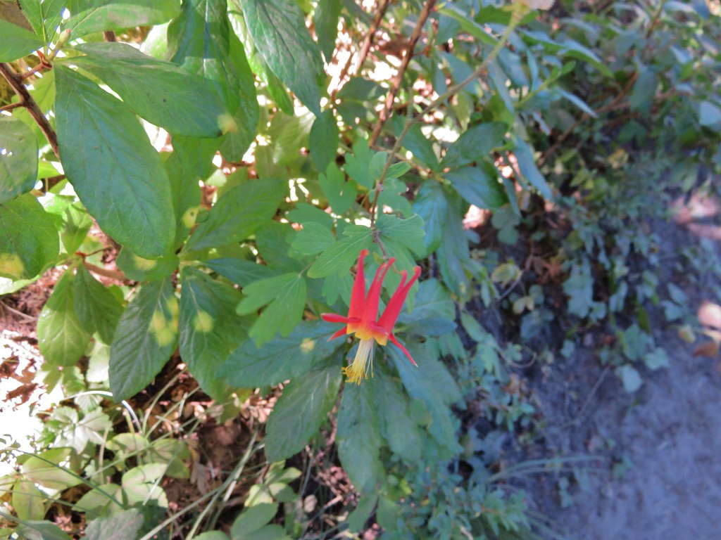
Columbine
IMG_5788

Fireweed
IMG_5791

False Hellbore
IMG_5792

Western Pasque Flower (seed-head)
IMG_5797

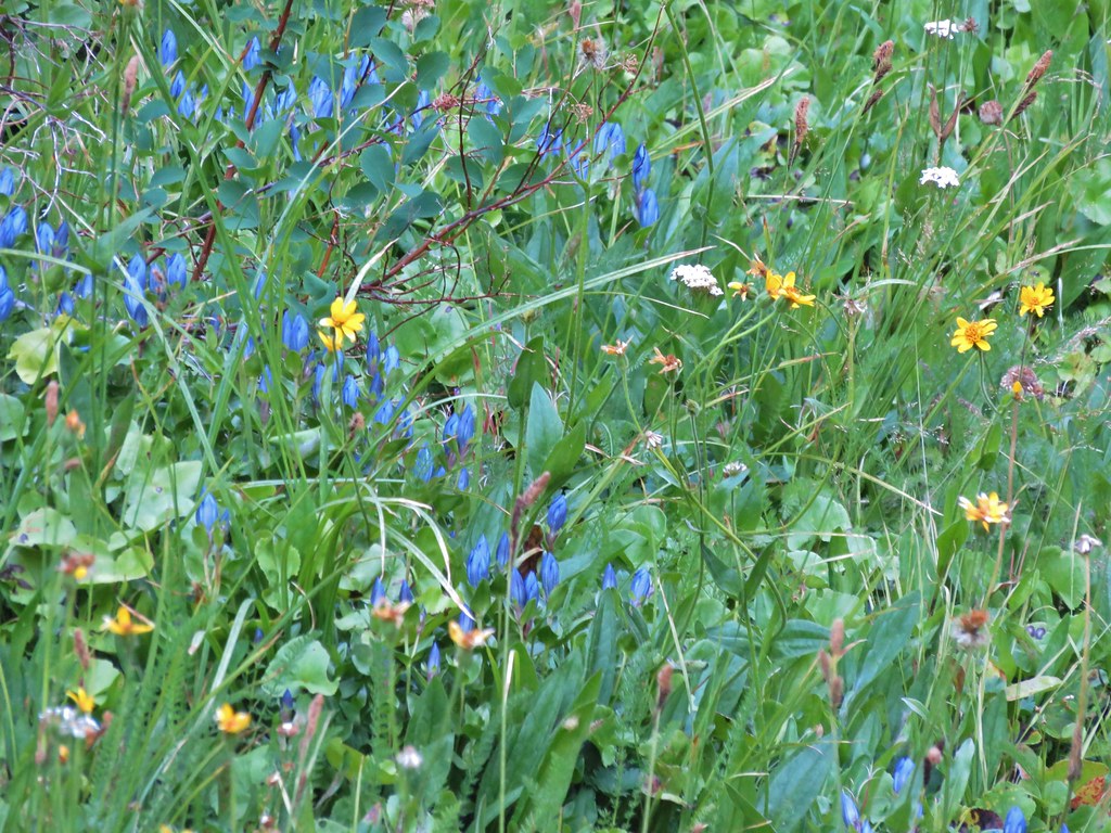
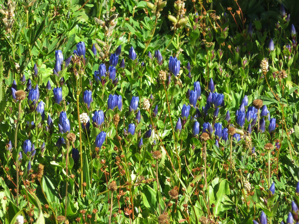
After a few switchbacks the trail final leveled out some as it traversed a hillside where several branches of McGee Creek flowed across the trail. Additional flowers began popping up along this stretch but only the late blooming gentians and monkeyflower in larger quantities.
A branch of McGee Creek
IMG_5805

Aster or fleabane
IMG_5804

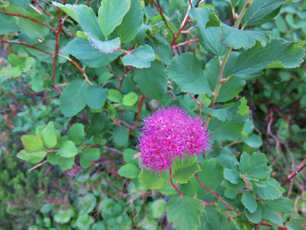
Spirea
IMG_5806

Gentians
IMG_5808

IMG_5834

Monkeyflower
IMG_5822

Another branch of McGee Creek
IMG_6188

The trail passed below a pair of rock outcroppings below McNeil Point. At the second outcropping we found the first of the ponds completely dried up.
Passing the first outcropping.
IMG_5827

Dry pond
IMG_5843

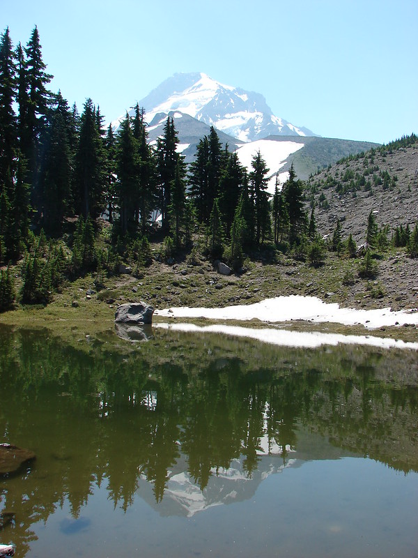
Dry pond below the rocky outcrop and Mt. Hood beyond.
IMG_5848

The second pond still had a little water and a nice view of the top of Mt. Hood.
IMG_5853

IMG_5858

We erroneously followed the trail leading away from the second pond believing it would reconnect with the Timberline Trail which had forked to the right after passing the dry pond. The trail we were on eventually petered out and we were left with a short bushwack to get back onto the correct trail. We popped back out of the trees onto the trail and turned left continuing toward the McNeil Point Trail and Cairn Basin. We passed a junction with the Mazama Trail, a trail we had hiked in 2013, and decided it was time for our party to split up.
IMG_5869

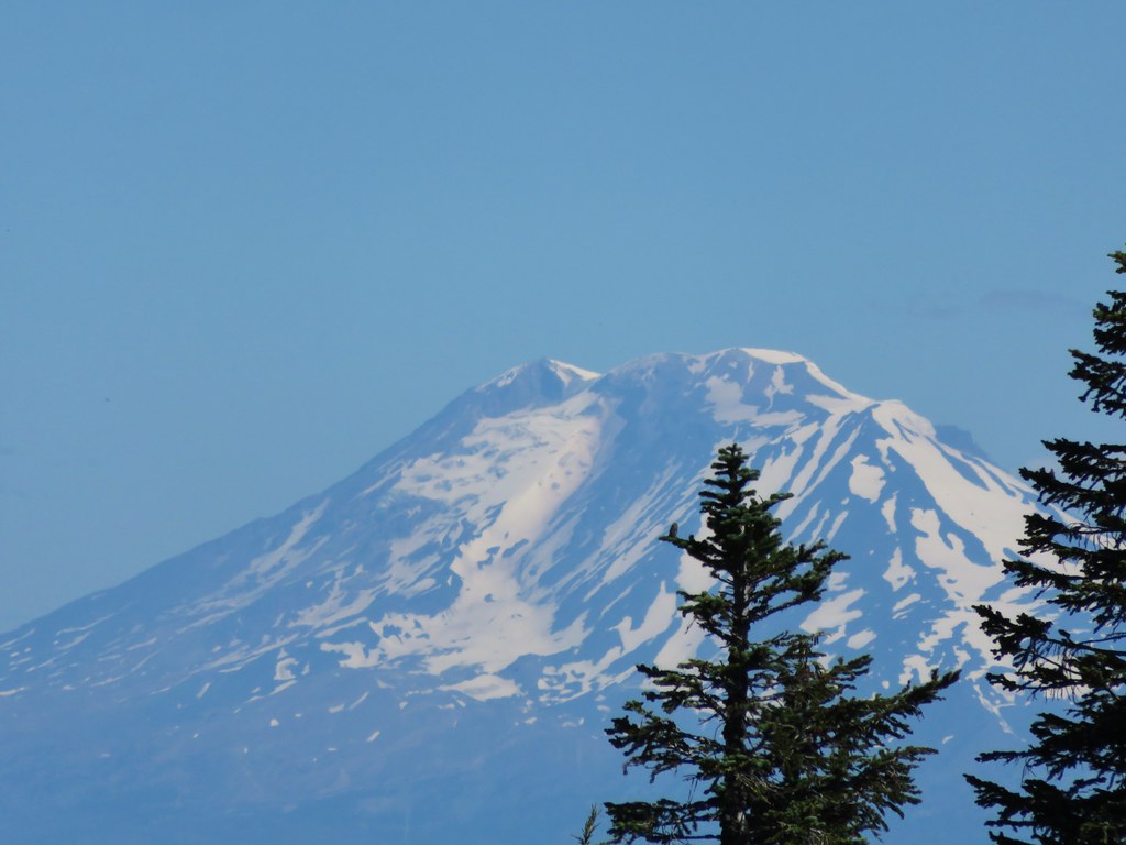
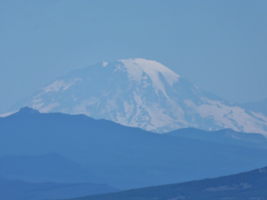
Heather and I would go ahead at our own pace and head up to McNeil Point, and my parents would continue on toward Cairn Basin. We headed off amazed at the lack of flowers along the trail. On our previous visit to McNeil Point on 8/20/12 and Barrett Spur on 8/12/13 this section had been full of flowers but here we were a full month earlier than those visits and the flowers had long since passed. It was a clear indication of just how hot and dry this year had been. The good news was it was a clear day we had still had the views. In addition to Mt. Hood we could see three Washington snow peaks to the north.
IMG_5870

IMG_5876

Mt. Adams
IMG_5878

Mt. Rainier
IMG_5877

Mt. St. Helens
IMG_5879

We left the Timberline Trail at the sign for McNeil Point.
IMG_5882

The trail up to the shelter begins on a ridge next to silty Ladd Creek.
IMG_5887

IMG_5889

Heather enjoying the day.
IMG_5896

The trail then crossed a rock field where there is normally also a snowfield. Not this year though.
IMG_5905

Once past the rock field the trail passed beneath hills that hid most the mountain. Here we began to encounter more flowers in bloom.
IMG_5916

IMG_5917

IMG_5919

IMG_5932

IMG_5937

IMG_5939

There was also a lovely little creek lined with monkeyflowers.
IMG_5925

IMG_5927

IMG_5929

We faced a choice as we neared the shelter. We could head straight for the stone building or we could veer uphill and gain the ridge behind the shelter and then head up it. On our previous visit we had simply gone to the shelter and turned back there. (We had also visited Cairn & Wy’East Basins and Eden Park that day.) We decided to head directly for the ridge and turned uphill.
IMG_5946

As we headed for the ridge Mt. Hood began to peek out from above it.
IMG_5947

Heather spotted an interesting looking ladybug along the way.
IMG_5950

We gained the ridge and could see our route laid out before us with a closer look at Mt. Hood being the reward.
IMG_5955

As we were climbing and looking around at all the scenery I noticed something brown near the top of the ridge to our left. It didn’t look like it belonged there but we couldn’t make out what it exactly was at first.
IMG_5988

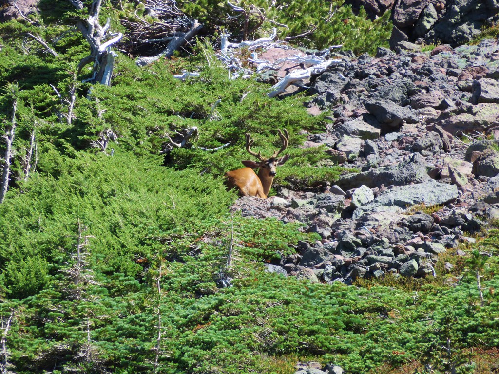
Once again the 30x zoom on our camera came in handy and we were able to see that it was a good sized buck bedded down for the day.
IMG_5998

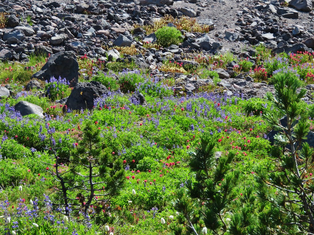
The best flower display of the day was in a little basin below the ridge where the deer was. Lupine, Mountain Heather, Paintbrush, Partridgefoot, Bistort, and Pasque flowers were all present.
IMG_5993

IMG_6008

IMG_6012

IMG_6016

The buck kept an eye on us as we continued up a very steep section of the ridge. Looking back down near we could see the trail to the shelter below and beyond McNeil Point was Bald Mountain and the ridge we and climbed from there.
IMG_6047

McNeil Point Shelter
IMG_6028

We were near what looked like the end of the climb.
IMG_6041

We were wrong and there was one more stretch of uphill ahead of us.
IMG_6043

To our left was Barrett Spur where we climbed to in August of 2013. https://wanderingyuncks.wordpress.com/2013/08/15/barrett-spur-via-the-mazama-trail/
IMG_6042

To our right was Yocum Ridge which we visited later that same year. https://wanderingyuncks.wordpress.com/2013/08/26/yocum-ridge/
IMG_6046

On our right was also the Sandy Glacier which feeds the Muddy Fork, a branch of the Sandy River. The scenery around the Sandy is just amazing.
IMG_6054

IMG_6055

IMG_6056

IMG_5966

IMG_6072

IMG_6070

We stopped on on a rocky spine just before a saddle where it would have required a sketchy looking descent to continue on any further.
IMG_6103

We took a couple of pictures then pulled out some potato chips for a snack.
IMG_6076

IMG_6080

IMG_6093

There had been two small groups ahead of us but they had since headed back down so we had the view almost to ourselves.
IMG_6088

IMG_6095

We headed back down toward the shelter, our next destination. Along the way we spotted a few flowers we’d missed on the way up.
Yellow cinquefoil
IMG_6119

Cats ear lily
IMG_6122

Blue-bells of Scotland
IMG_6131

We paid a quick visit to the shelter then continued to make our way back down.
IMG_6137

A few small clouds had formed by the time we arrived back at the ponds.
IMG_6168

IMG_6170

And the gentians had opened up some in the sunlight.
IMG_6176

It was another hot day so we stopped at a nice pool in one of the branches of McGee Creek to filter some cold mountain water into our Hydroflasks.
IMG_6179

We had some great views on the way down the ridge toward the trailhead. This had been the first day we’d been able to pick out an ice cave on the Sandy Glacier.
IMG_6196

IMG_6199

IMG_6198

We had decided to take the shorter path back opting not to go around Bald Mountain with its views again so we said goodbye to the mountain at the last viewpoint along the ridge before heading back into the trees of the Mt. Hood Wilderness.
IMG_6202

IMG_6208

We found my parents back at the car, having finished their hike about 15-20 minutes prior to us. They had made it to Ladd Creek on the Timberline Trail and turned back there. It was a great day to be on the mountain and we ended it with dinner back at my parents campsite. Happy Trails!

Flickr: https://www.flickr.com/photos/9319235@N02/sets/72157655660865389

Categories
High Cascades Hiking Mt. Hood Area Oregon Trip report

Pinnacle Ridge to Elk Cove – Mt. Hood
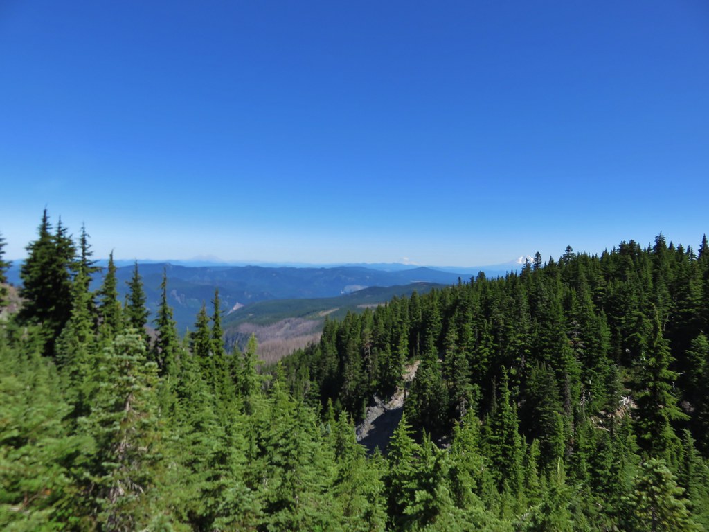
One of the trails on our backpacking to-do list is the 39.3 Timberline Trail around Mt. Hood. Until we get around to that trip though we settle for small sections at a time. We have managed to cover approximately 25 of those miles now with the most recent mile coming on our visit to Elk Cove and the Coe Branch.
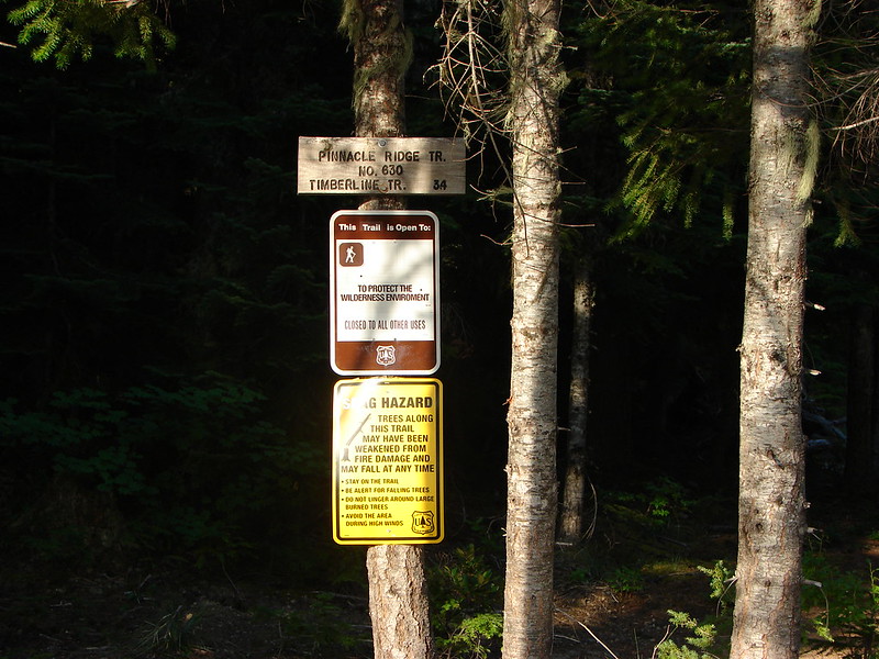
There are a number of trails that lead to the Timberline Trail and for this hike we decided to try the Pinnacle Ridge Trail. This trail climbs just over 2000′ in 3.4 miles to the Timberline Trail between Wy’East Basin and Dollar Lake. http://www.fs.usda.gov/recarea/mthood/recarea/?recid=53270

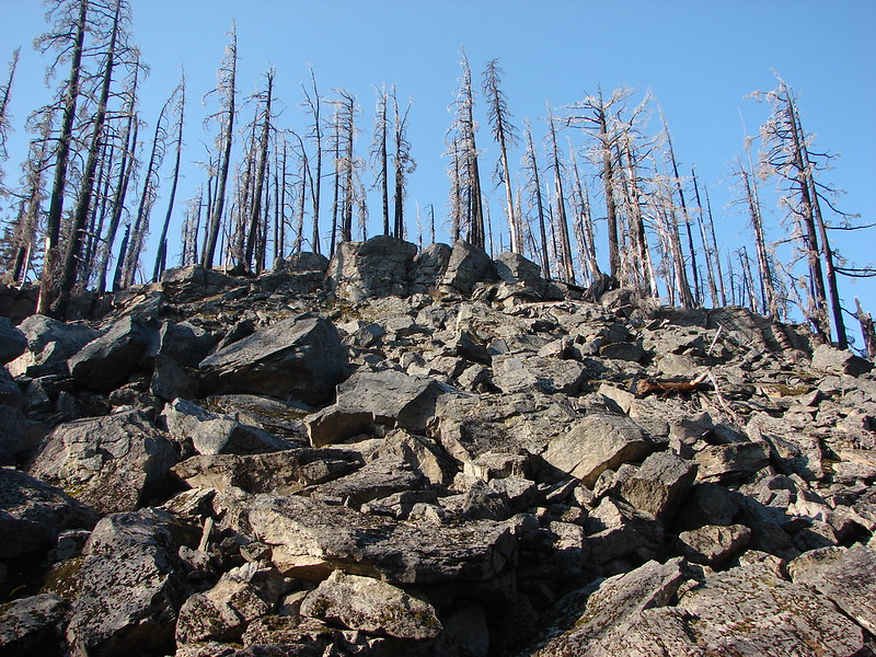
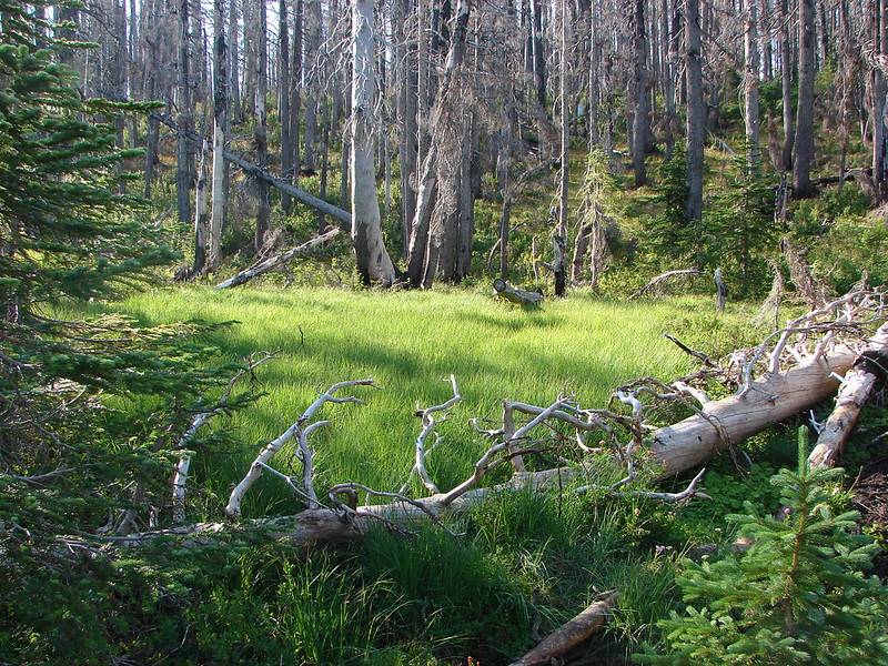
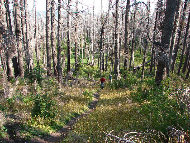
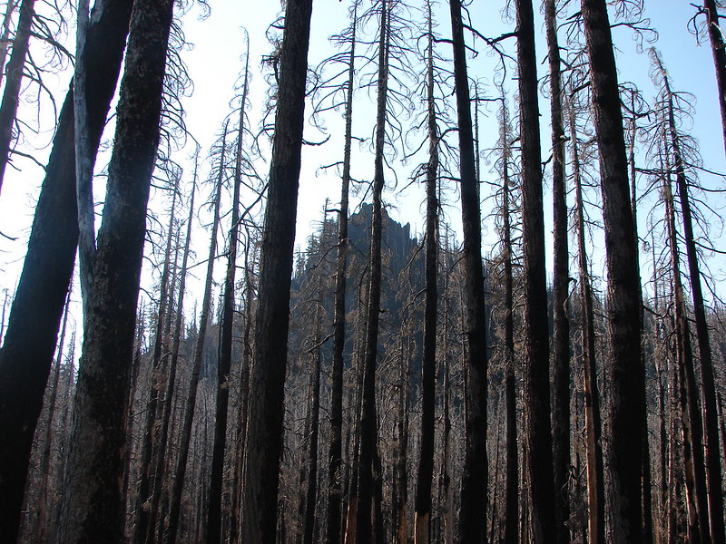
The trail passes through forest burned in the 2011 Dollar Lake Fire. Vegetation is starting to return in some areas but the first section of the trail was still pretty barren.
DSC02056
DSC02058
DSC02066
DSC02063

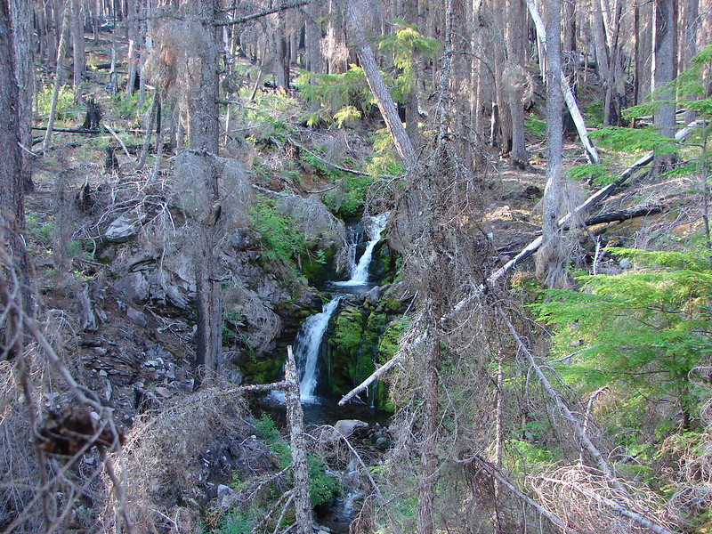
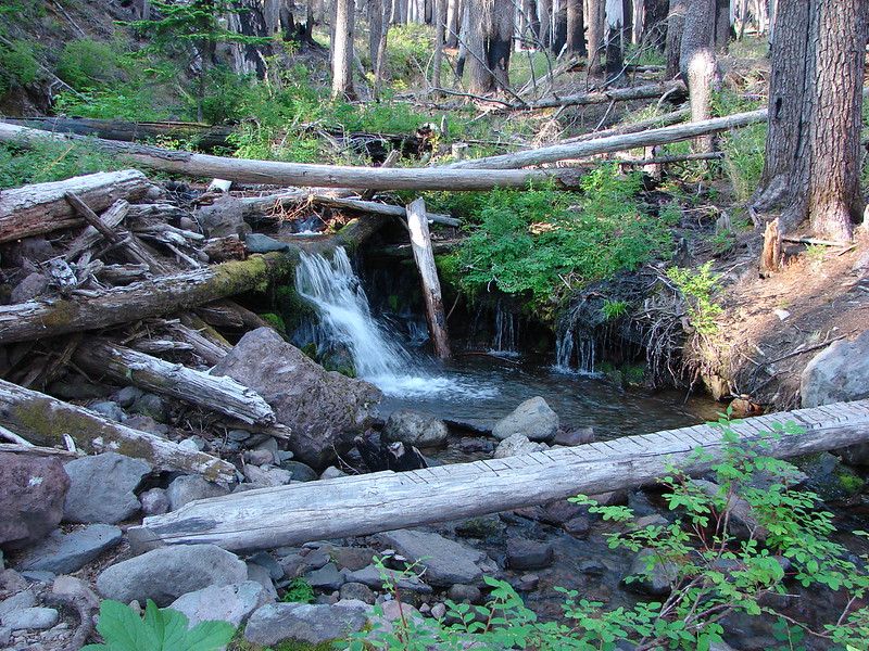
A pleasant surprise was a small stream with a picturesque crossing.
DSC02067
DSC02068

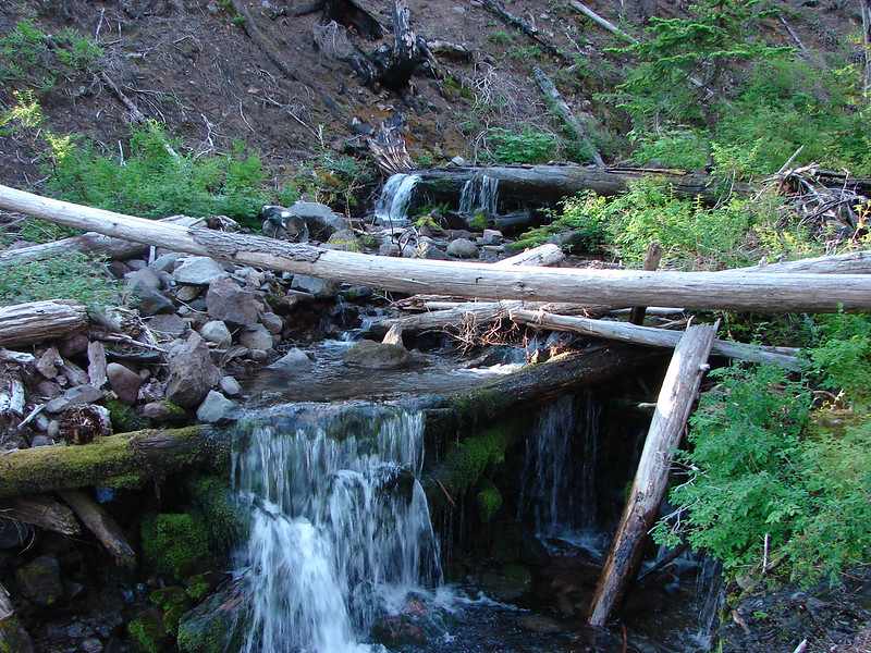
We noticed a possible little waterfall downstream and left the trail to see what we could find. It turned out to be a lovely pair of little falls.
DSC02072

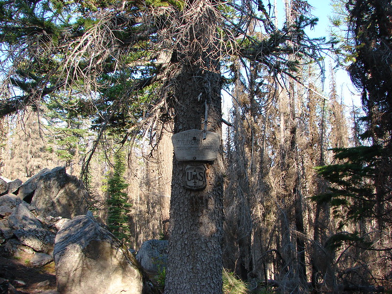
The trail enters the Mt. Hood Wilderness just after passing a small rock slide and shortly after we got our glimpse of The Pinnacle, the rock formation the trail is named after.
DSC02075
DSC02076
DSC02081

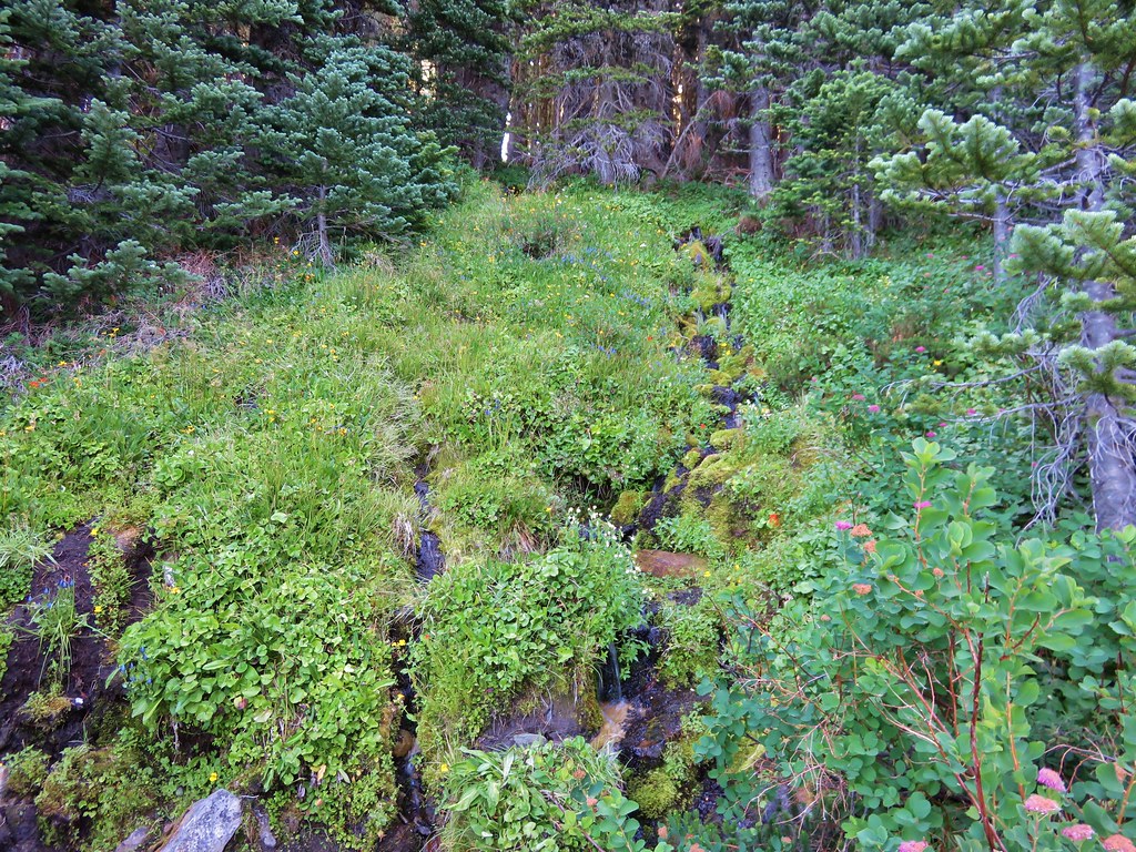
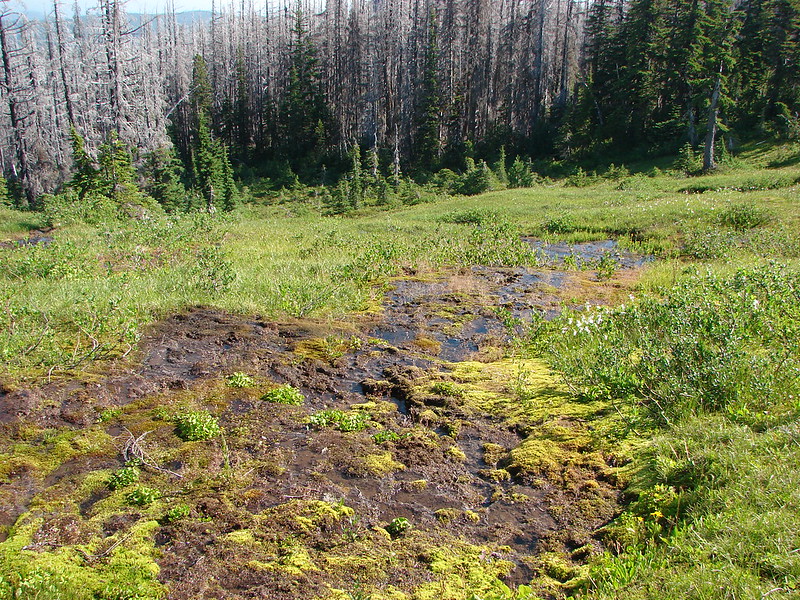
The forest began to get greener as we passed The Pinnacle. The trees had still been burned in the fire but a series of springs and bogs created a green undergrowth.
DSC02088
DSC02089
DSC02090
DSC02098

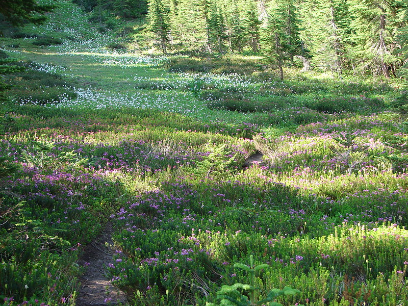
After making our way around a particularly muddy area we started encountering some unburnt forest. Mountain heather and avalanche lilies greeted us along with some hungry mosquitoes.
DSC02109

The bugs were pretty bad for a short stretch but when we met the Timberline Trail they relented. We had been on this portion of the trail on our trip to Barret Spur last year. https://wanderingyuncks.wordpress.com/2013/08/15/barrett-spur-via-the-mazama-trail/ We retraced our steps from that visit passing the side trail to Dollar Lake and continuing around a ridge end to one of the more impressive views we’ve seen from the Timberline Trail. One minute the mountain is hidden and the next you are staring straight at it.
DSC02138

The flower display along this portion of the trail was very impressive.
DSC02148
DSC02155
DSC02169
DSC02158

Melting snow feeds several streams that help keep Elk Cove full of color. The contrast of Mt. Hood looming over the green meadows is breathtaking.
DSC02175
DSC02179

We followed a small trail along the largest creek up through the wildflower filled meadows toward the mountain. The flowers along the creek were especially colorful.
DSC02190
DSC02207
DSC02211
I managed to get up to the snowfield that was feeding the stream. Where the view back down at the meadow was filled with western pasque flowers and paintbrush.
DSC02215
DSC02219
DSC02222

We returned to the Timberline Trail and began to make our way through the rest of Elk Cove. There were several meadows, each with it’s own variety of flowers and view of Mt. Hood.
DSC02243
DSC02245

DSC02249
DSC02253

Our original plan was to continue on the Timberline crossing over the Coe Branch and continuing on to Compass Creek Falls where we would turn around. On the far side of Elk Cove we reentered the trees where there was still an impressive amount of flowers.
DSC02265
DSC02276
DSC02272

As we came around a ridge end we got our first glimpse of the Coe Branch as it flowed down from the Coe Glacier.
DSC02291

Even from up above we could tell by the sound that the Coe Branch was flowing very swiftly. When we arrived at the water we discovered it was already swollen due to the rapid snow melt caused by a very hot morning. We scanned for a good crossing point and found a couple of possibilities but in the end decided to call it good and make this our turn around point.
DSC02306
DSC02307
DSC02320

Since we hadn’t made it to Compass Creek we did a little exploring down the Elk Cove Trail, another possible route to the Timberline Trail. Camping is prohibited in the meadows of Elk Cove but there were several nice campsites a short distance down this trail that had views and surroundings like this:
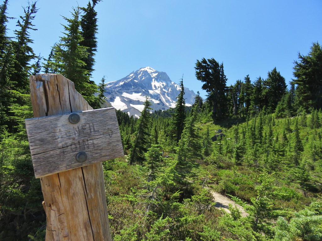
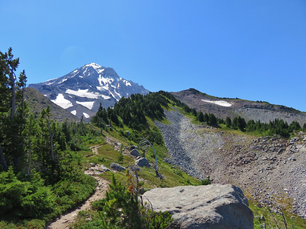
DSC02343
DSC02340

After checking out several campsites we headed back up the Timberline Trail and out of Elk Cove. We decided to take the quick .2 mile side trip to visit Dollar Lake at the last minute as we passed by the hard to spot trail.
DSC02386

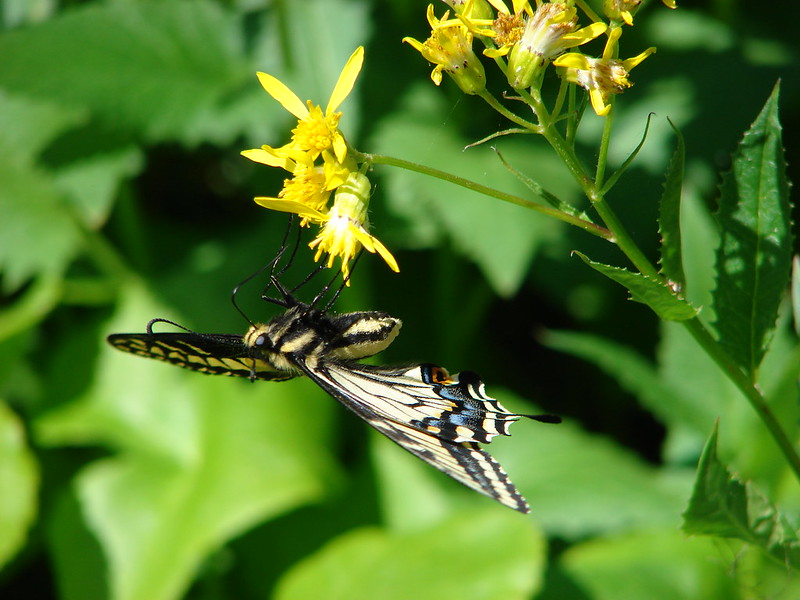
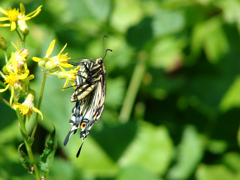
The return trip from Dollar Lake was pretty uneventful. The mosquitoes had apparently had enough of the heat and left us alone for the most part. We did spot a very focused swallowtail butterfly that didn’t seem to be the least bit concerned with it’s picture being taken.
DSC02417
DSC02424
DSC02427
DSC02431

When we arrived back at the parking area we got one last look at Mt. Hood.
DSC02448
Another day hiking on the Timberline Trail had only reenforced our desire to tackle the whole loop someday. Happy Trails!

flickr: https://www.flickr.com/photos/9319235@N02/sets/72157645744404417/
facebook: https://www.facebook.com/media/set/?set=a.10204606593031957.1073741896.1448521051&type=1

Categories
High Cascades Hiking Mt. Hood Area Oregon Trip report

Barrett Spur via the Mazama Trail

After a short break following our vacation in Central Oregon we were back on the trails exploring the north side of Mt. Hood. Our scheduled hike was the Mazama Trail which climbs to the Timberline Trail along Cathedral Ridge. From the Timberline Trail we would head clockwise around the mountain passing through Cairn and Wy’East Basins to a viewpoint overlooking Elk Cove. Then the plan was to head up to Dollar Lake then on to the 7300′ knoll on Barrett Spur and go cross-country back down to Wy’East Basin and back to our car, possibly visiting Eden Park on the way back. If that sounds like a lot it’s because it was. 🙂

The forecast called for isolated thunderstorms beginning at 1pm so we made sure we got our usual early start. There had been a nice storm that came through the previous night and clouds lingered near the mountain as we drove toward the trail head.
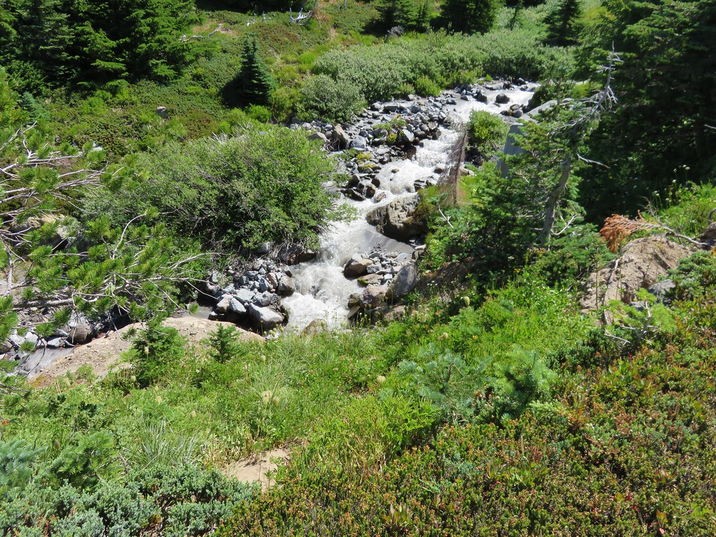
Mt. Hood from Lolo Pass Rd.

When we arrived at the parking area a group from the Mazamas was camped there. We found out they had been doing trail maintenance for 4 days. One of the group informed us that Search and Rescue had come down the trail the day before looking for a hiker that was missing from the Ramona Falls area and that we should keep on the lookout (We found out later that he was found after the S&R team had spoken with the Mazama group). From the trail head we had a great view of Mt. Hood with Barrett Spur just below and to the left and Cathedral Ridge to our right.
009

The Mazama Trail was reconstructed by the Portland Mazama Club and they also maintain the trail. The group that had been doing the recent trail work had done an excellent job and the trail was in great shape. The trail sets off in a forest of Rhododendron but quickly comes to a rock slide which it switchbacks up through. After reentering the forest a second series of switchbacks ensue. This may have been the most switchbacks we’ve encountered in such a short distance but they made the climb a bit easier than it would have been otherwise. Near the bottom of the switchbacks we met a snowshoe hare on the trail.
017
Once we had completed the switchbacks the trail climbed more gradually sometimes through burnt forest and others in the green trees. The previous days rain kept the dust and ash from being an annoyance in the burnt sections and the 4.2 miles of the trail went by surprisingly quickly.

When we reached the Timberline Trail we took a left and headed for Cairn Basin. We had been on this section of the trial the previous year when we had hiked up the Top Spur Trail to McNeil Point. It was interesting to find that even though we were visiting almost two weeks earlier in the year the flowers were already at a later stage due to the low snow pack and early Spring. Still the displays were impressive.
073

We crossed Ladd Creek, passed through Cairn Basin, crossed another branch of Ladd Creek, and made our way to Wy’East Basin.

Aster field in Wy'East Basin
Aster field in Wy’East Basin

It would have been possible to head up to Barrett Spur from here, but we were unsure of the path so we decided to go on to the Elk Cove viewpoint and then up past Dollar Lake and try and come down to this point instead so I marked it on the Garmin for later reference.
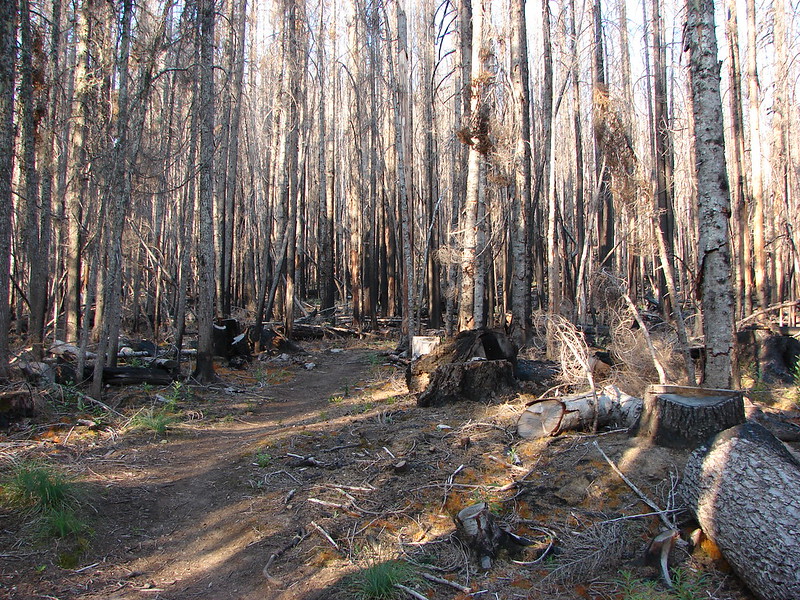
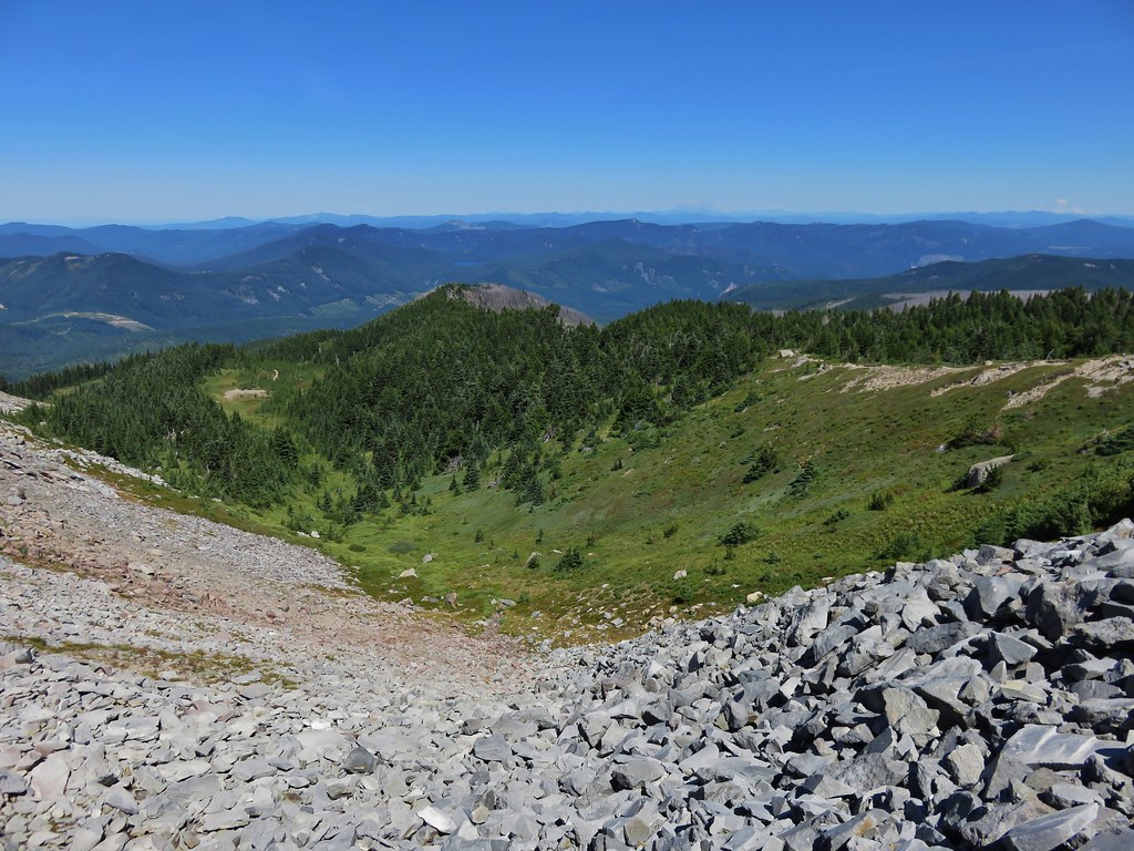
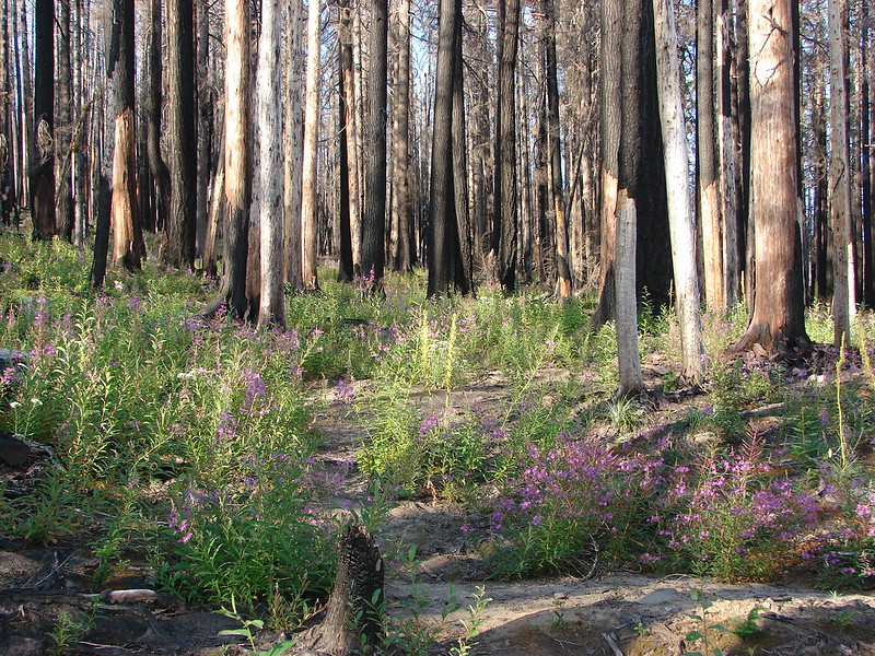
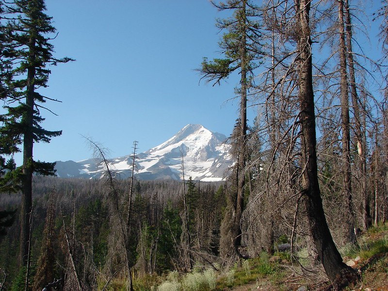
The “unofficial” trail to Dollar Lake is approximately .7mi from Wy’East Basin, but we wanted to check out the Elk Cove viewpoint which was just an additional .2mi according to William Sullivan’s description. I didn’t do a very good job of reading his description though so we walked past the viewpoint and continued down the Timberline Trail toward Elk Cove a ways before I realized we had dropped further than we had intended. We consulted our topo maps, the garmin, and Sullivan’s book and climbed back to the correct viewpoint then walked back to find the path to Dollar Lake just as it was described in the guide book. The saving grace of the extra descent and subsequent climb was a nice field of western pasque flowers and paintbrush with a mountain view.
181

We took the path up to Dollar Lake and easily spotted the trail heading up Barrett Spur on the opposite side. We took the sometimes faint path up along the edge of Elk Cove’s Canyon. Flowers dotted the ridge adding color to the climb and below in Elk Cove a vibrant display of flowers surrounded a patch of melting snow.
215
At one point we heard an odd noise that we couldn’t place at first. We paused looking back down toward Elk Cove where the sound had come from when we heard it again. This time it was clear as a bell as it rose up the canyon walls, it was a Bull Elk bugling. 🙂
As we neared the knoll, clouds began to cover Mt. Hood and by the time we had reached the wind break atop it we were in the clouds and Mt. Hood was hidden.
228
We settled in at the wind break to have lunch and hopefully have the clouds pass which they quickly began to do. As they lifted we were gifted with some spectacular views of the mountain.
268

When it was time to head back down we could see the Timberline Trail below and after once again consulting our maps we decided on the correct ridge to follow down to Wy’East Basin. On the way up we’d spotted a small cairn that seemed to mark a possible path we could follow so when we reached it we veered left. A series of cairns led us along the ridge past several snow fields. Clumps of lupine and paint managed to grow amid the rocks in the gully.
323
We followed the path down through the gully and wound up right where we had hoped in Wy’East Basin.

Back on the Timberline Trail I threw out the idea of taking a slightly longer return route by dropping down into Eden Park. We decided a different path was worth the extra .7 miles and took the Vista Ridge Trail for .3 miles and then turned right on an unmarked trail toward Eden Park. More floral displays greeted us along the way and Eden Park did not disappoint.
407

From Eden Park we climbed back up to the Timberline Trail at Cairn Basin and hung a right to get back to the Mazama Trail. This time the trail felt all of the 4.2 miles despite the fact we were going downhill. When it was all said and done we had covered 16.2 miles and climbed a cumulative 5089′. The weather had remained nice despite the forecast and we still had a good view of the mountain as we prepared to drive home.
463
Happy Trails.

Facebook photos: https://www.facebook.com/media/set/?set=a.10201808005669022.1073741849.1448521051&type=1
Flickr: http://www.flickr.com/photos/9319235@N02/sets/72157635036745114/