After a short break following our vacation in Central Oregon we were back on the trails exploring the north side of Mt. Hood. Our scheduled hike was the Mazama Trail which climbs to the Timberline Trail along Cathedral Ridge. From the Timberline Trail we would head clockwise around the mountain passing through Cairn and Wy’East Basins to a viewpoint overlooking Elk Cove. Then the plan was to head up to Dollar Lake then on to the 7300′ knoll on Barrett Spur and go cross-country back down to Wy’East Basin and back to our car, possibly visiting Eden Park on the way back. If that sounds like a lot it’s because it was. 🙂
The forecast called for isolated thunderstorms beginning at 1pm so we made sure we got our usual early start. There had been a nice storm that came through the previous night and clouds lingered near the mountain as we drove toward the trail head.

When we arrived at the parking area a group from the Mazamas was camped there. We found out they had been doing trail maintenance for 4 days. One of the group informed us that Search and Rescue had come down the trail the day before looking for a hiker that was missing from the Ramona Falls area and that we should keep on the lookout (We found out later that he was found after the S&R team had spoken with the Mazama group). From the trail head we had a great view of Mt. Hood with Barrett Spur just below and to the left and Cathedral Ridge to our right.

The Mazama Trail was reconstructed by the Portland Mazama Club and they also maintain the trail. The group that had been doing the recent trail work had done an excellent job and the trail was in great shape. The trail sets off in a forest of Rhododendron but quickly comes to a rock slide which it switchbacks up through. After reentering the forest a second series of switchbacks ensue. This may have been the most switchbacks we’ve encountered in such a short distance but they made the climb a bit easier than it would have been otherwise. Near the bottom of the switchbacks we met a snowshoe hare on the trail.

Once we had completed the switchbacks the trail climbed more gradually sometimes through burnt forest and others in the green trees. The previous days rain kept the dust and ash from being an annoyance in the burnt sections and the 4.2 miles of the trail went by surprisingly quickly.
When we reached the Timberline Trail we took a left and headed for Cairn Basin. We had been on this section of the trial the previous year when we had hiked up the Top Spur Trail to McNeil Point. It was interesting to find that even though we were visiting almost two weeks earlier in the year the flowers were already at a later stage due to the low snow pack and early Spring. Still the displays were impressive.

We crossed Ladd Creek, passed through Cairn Basin, crossed another branch of Ladd Creek, and made our way to Wy’East Basin.

It would have been possible to head up to Barrett Spur from here, but we were unsure of the path so we decided to go on to the Elk Cove viewpoint and then up past Dollar Lake and try and come down to this point instead so I marked it on the Garmin for later reference.
The “unofficial” trail to Dollar Lake is approximately .7mi from Wy’East Basin, but we wanted to check out the Elk Cove viewpoint which was just an additional .2mi according to William Sullivan’s description. I didn’t do a very good job of reading his description though so we walked past the viewpoint and continued down the Timberline Trail toward Elk Cove a ways before I realized we had dropped further than we had intended. We consulted our topo maps, the garmin, and Sullivan’s book and climbed back to the correct viewpoint then walked back to find the path to Dollar Lake just as it was described in the guide book. The saving grace of the extra descent and subsequent climb was a nice field of western pasque flowers and paintbrush with a mountain view.

We took the path up to Dollar Lake and easily spotted the trail heading up Barrett Spur on the opposite side. We took the sometimes faint path up along the edge of Elk Cove’s Canyon. Flowers dotted the ridge adding color to the climb and below in Elk Cove a vibrant display of flowers surrounded a patch of melting snow.

At one point we heard an odd noise that we couldn’t place at first. We paused looking back down toward Elk Cove where the sound had come from when we heard it again. This time it was clear as a bell as it rose up the canyon walls, it was a Bull Elk bugling. 🙂
As we neared the knoll, clouds began to cover Mt. Hood and by the time we had reached the wind break atop it we were in the clouds and Mt. Hood was hidden.
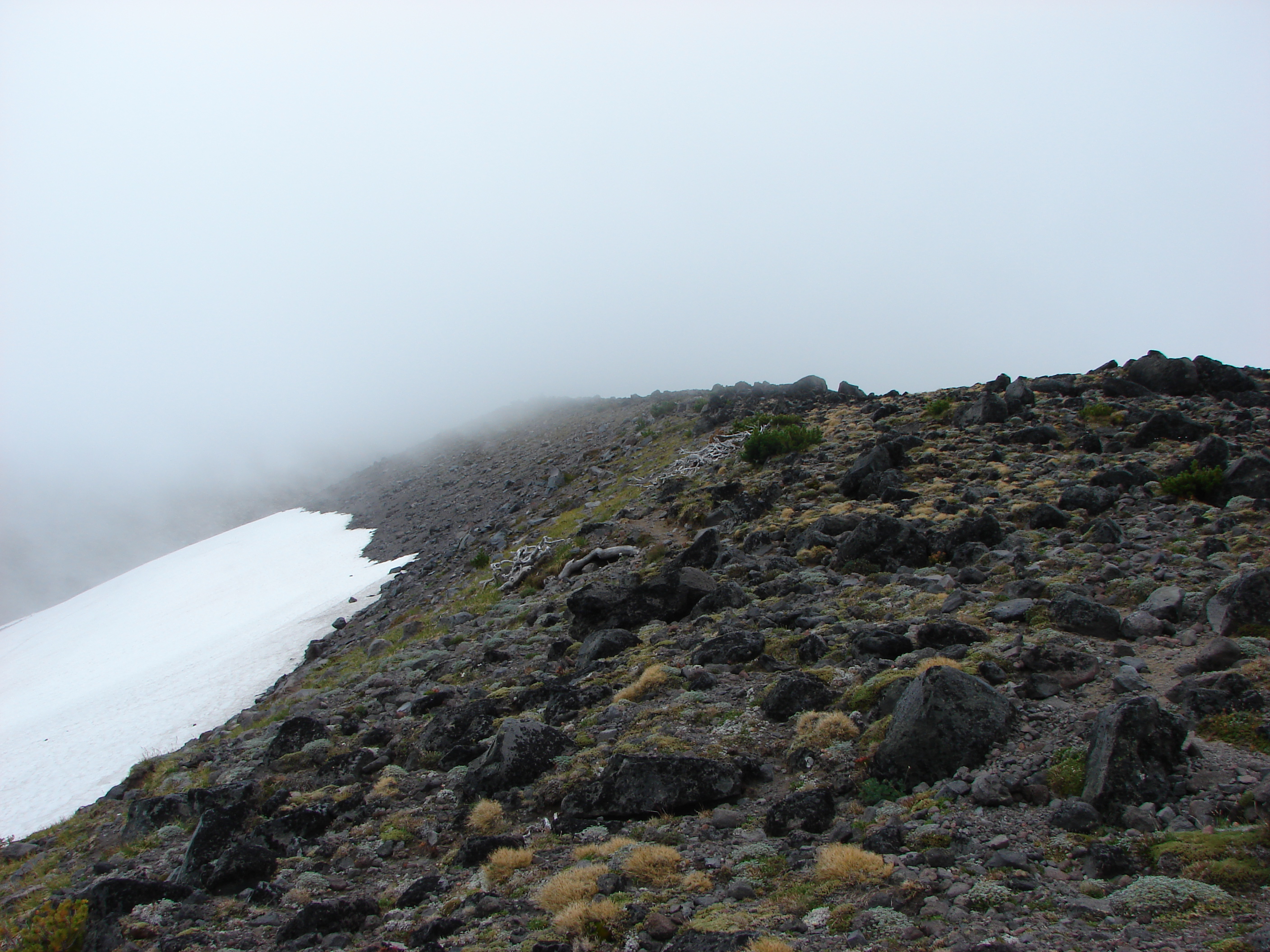
We settled in at the wind break to have lunch and hopefully have the clouds pass which they quickly began to do. As they lifted we were gifted with some spectacular views of the mountain.

When it was time to head back down we could see the Timberline Trail below and after once again consulting our maps we decided on the correct ridge to follow down to Wy’East Basin. On the way up we’d spotted a small cairn that seemed to mark a possible path we could follow so when we reached it we veered left. A series of cairns led us along the ridge past several snow fields. Clumps of lupine and paint managed to grow amid the rocks in the gully.

We followed the path down through the gully and wound up right where we had hoped in Wy’East Basin.
Back on the Timberline Trail I threw out the idea of taking a slightly longer return route by dropping down into Eden Park. We decided a different path was worth the extra .7 miles and took the Vista Ridge Trail for .3 miles and then turned right on an unmarked trail toward Eden Park. More floral displays greeted us along the way and Eden Park did not disappoint.

From Eden Park we climbed back up to the Timberline Trail at Cairn Basin and hung a right to get back to the Mazama Trail. This time the trail felt all of the 4.2 miles despite the fact we were going downhill. When it was all said and done we had covered 16.2 miles and climbed a cumulative 5089′. The weather had remained nice despite the forecast and we still had a good view of the mountain as we prepared to drive home.

Happy Trails.
Facebook photos: https://www.facebook.com/media/set/?set=a.10201808005669022.1073741849.1448521051&type=1
Flickr: http://www.flickr.com/photos/9319235@N02/sets/72157635036745114/

10 replies on “Barrett Spur via the Mazama Trail”
Wow, Mount Hood is gorgeous! You have a lot of the same wildflowers we have. And weather, it looks like.
There is quite a bit of similarity, but I think the scale is much larger up
your way.
Impressive!! (was anyone sore next day)?
Actually it was the 2nd day after that was the worst. We also had a nice variety of blisters lol
[…] Trail they relented. We had been on this portion of the trail on our trip to Barret Spur last year. https://wanderingyuncks.wordpress.com/2013/08/15/barrett-spur-via-the-mazama-trail/ We retraced our steps from that visit passing the side trail to Dollar Lake and continuing around a […]
[…] To our left was Barrett Spur where we climbed to in August of 2013. https://wanderingyuncks.wordpress.com/2013/08/15/barrett-spur-via-the-mazama-trail/ […]
[…] followed the trail into the meadow where the view of Mt. Hood and Barrett Spur (post) was as impressive as […]
[…] Cairn Basin – Hiked 8/20/2012, 8/11/2013, 8/13/2017, & 6/22/2019 (Owl […]
[…] Junction with the Mazama Trail (post). […]
[…] Barrett Spur (post) […]