Categories
Bend/Redmond Central Oregon Hiking Oregon Trip report

Oregon Badlands Wilderness

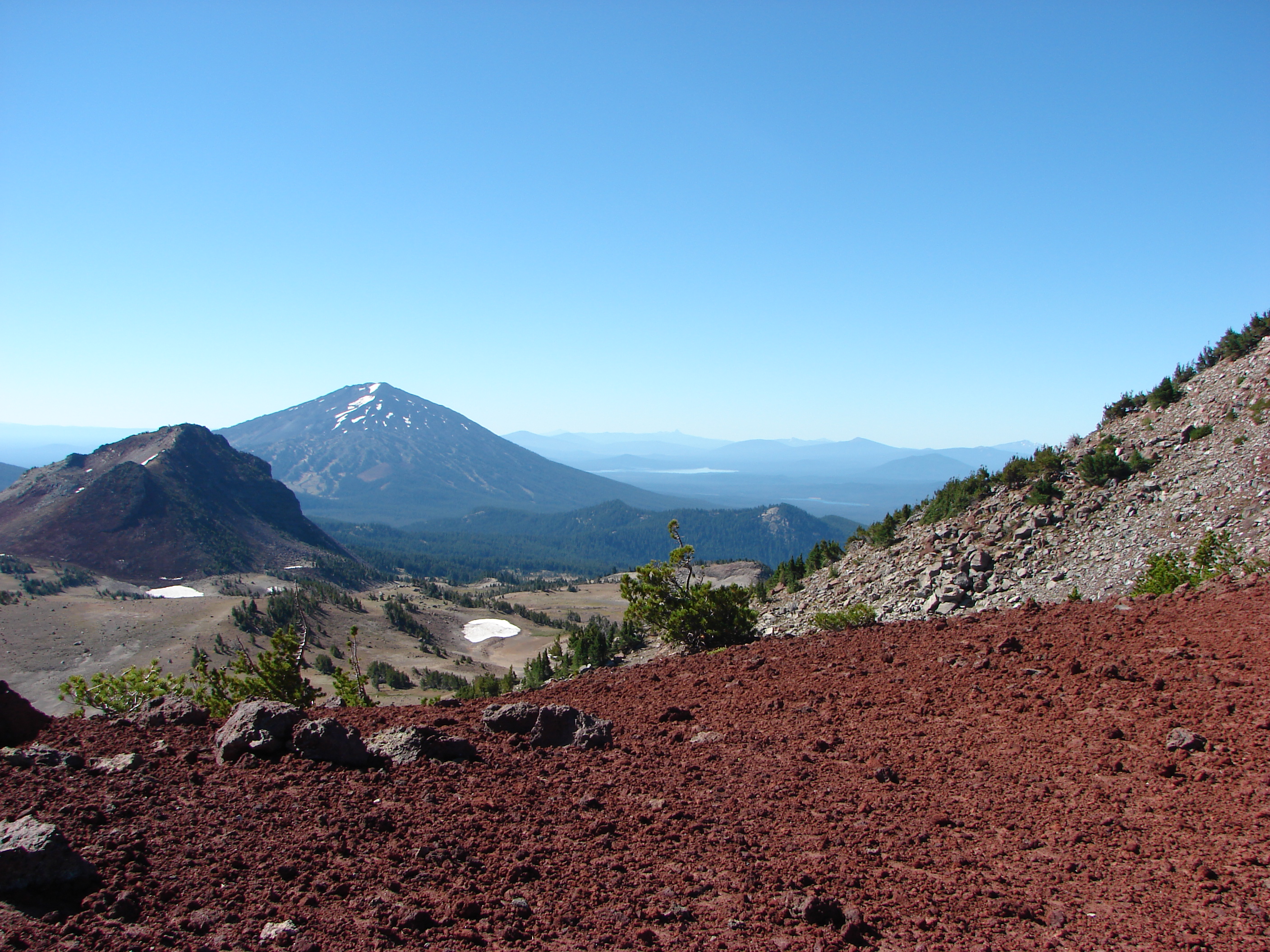
You know what they say about the best laid plans of mice and men…..they often go awry. After putting together a multi-year hiking schedule, much of it will need to be rearranged after our first vacation. We had planned on spending the week in SE Oregon hiking some of the most remote trails in the State, but the weather had other thoughts. Many of the trailheads in that area become inaccessible if it rains which is what the forecast was threatening heading into our vacation week.

Our original plan was to visit family in Bend on Saturday then hike in the Oregon Badlands Wilderness on the way to Jordan Valley on Sunday. We were hopeful that the forecast would clear up and headed to Bend for the visit but by Saturday night the chance of precipitation had increased so we decided not to risk traveling all that way and not being able reach the trails. We instead turned to Plan B which was to spend the week on the Southern Oregon Coast in Gold Beach. Since we were already in Bend though we stuck with our planned hike in the Oregon Badlands Wilderness before heading home to repack for a trip to the coast.

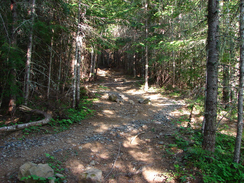
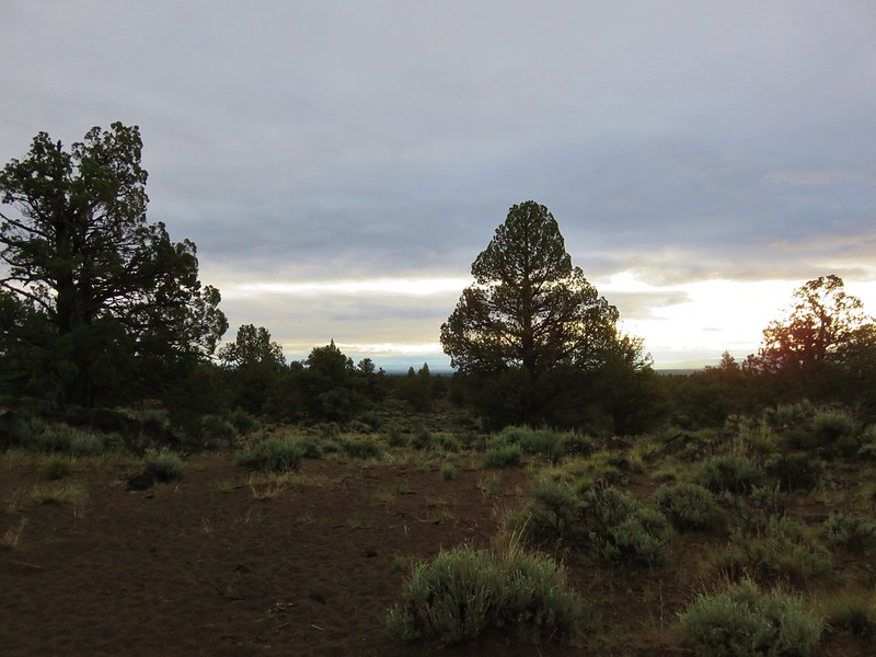
It was a drizzly morning when we arrived at the Flatiron Rock Trailhead fifteen miles east of Bend along Highway 20.
IMG_5613

IMG_5619

Our planned 13.5 mile hike was to start on the 1.9 mile Ancient Juniper Trail then take the Flatiron Rock Trail to Flatiron Rock. We’d then make a loop by taking the Castle Trail to Badlands Rock and the Badlands Rock Trail which we could follow to a junction with the Dry River and Homestead Trails. After taking a side trip on the Dry River Trail to visit the Dry River Channel we would use the Homestead Trail to get back to the Flatiron Rock Trail and return to the trailhead. Of course the best laid plans of mice and men……

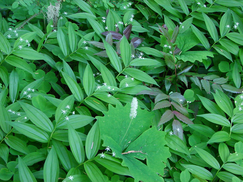
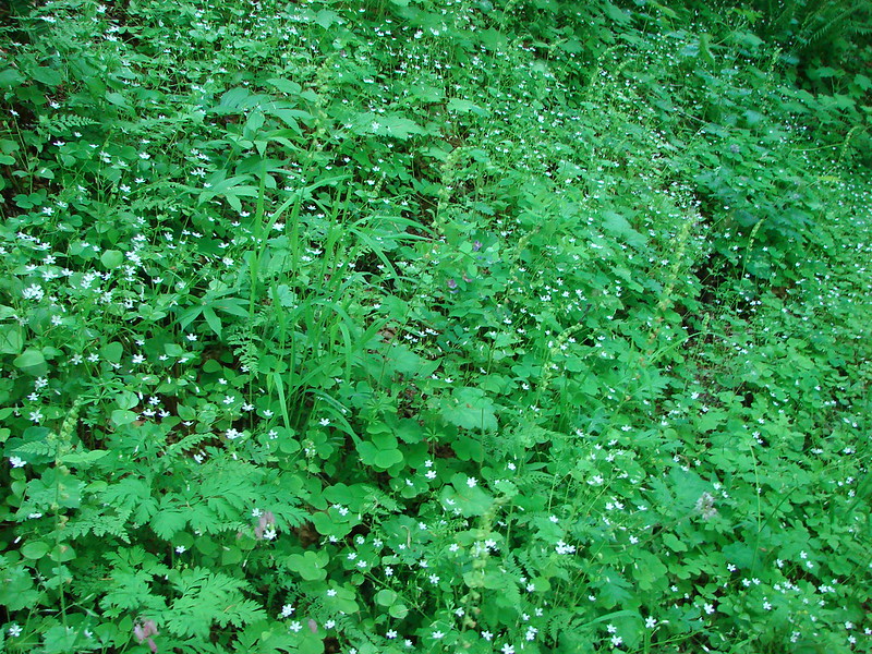
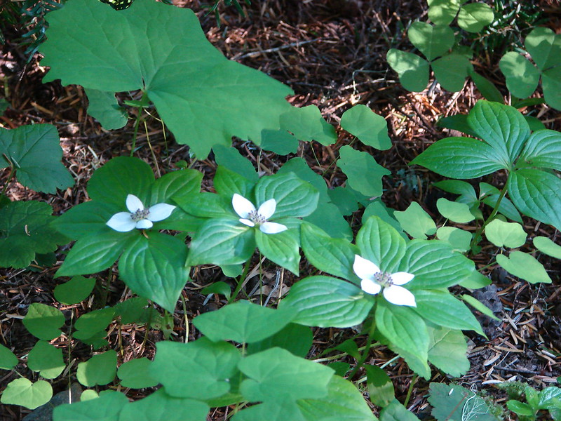
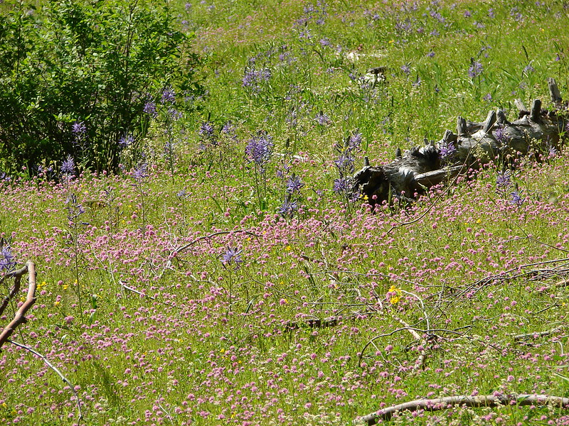
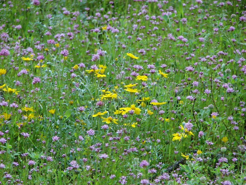
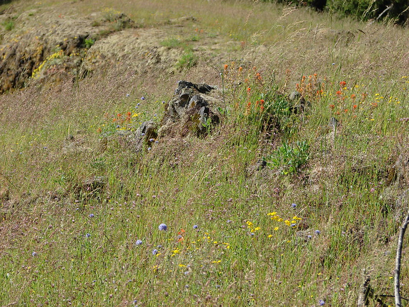
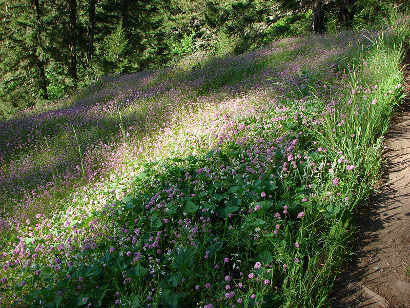
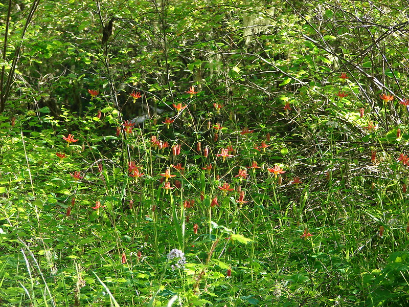
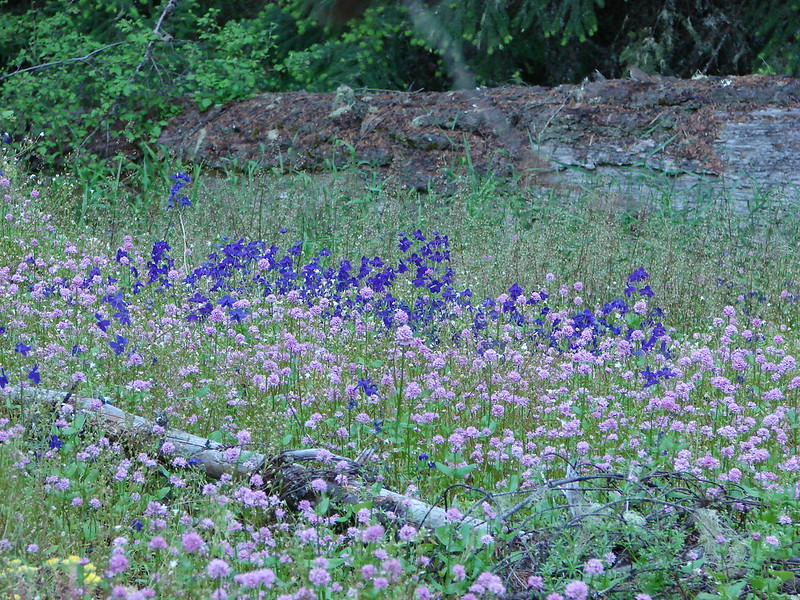
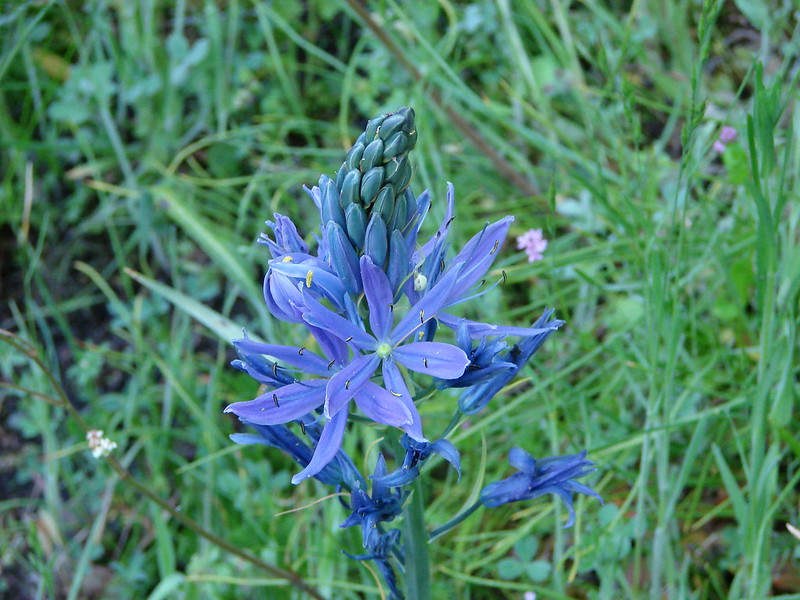
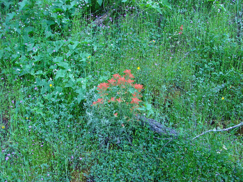
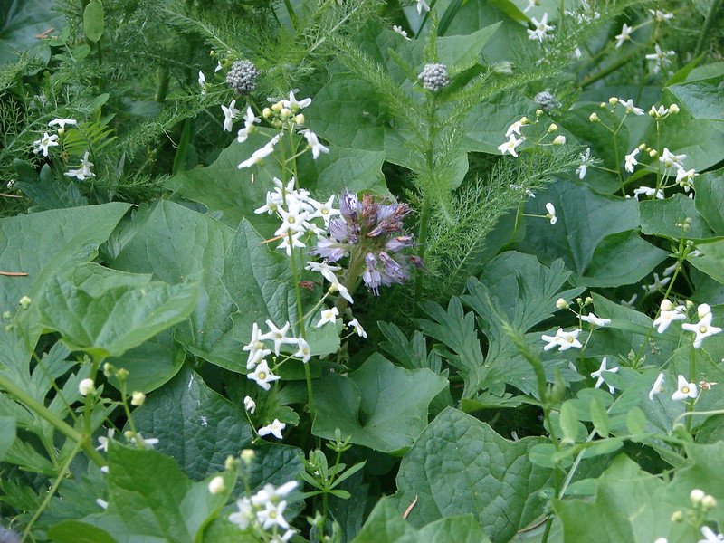
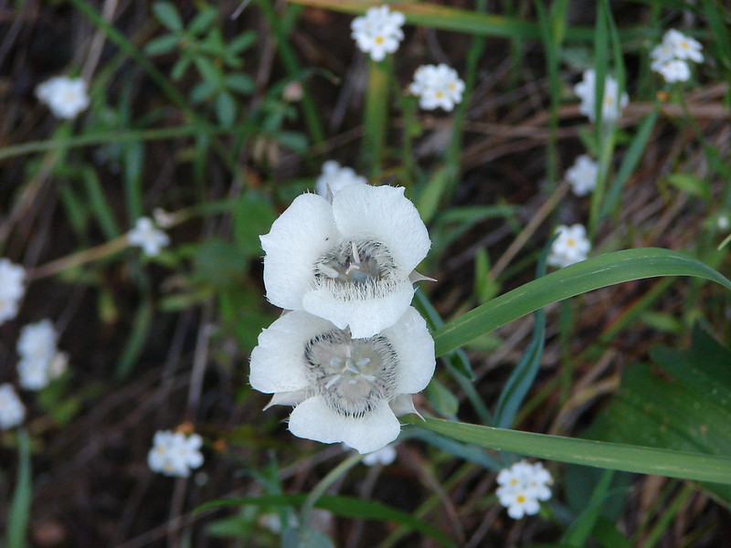
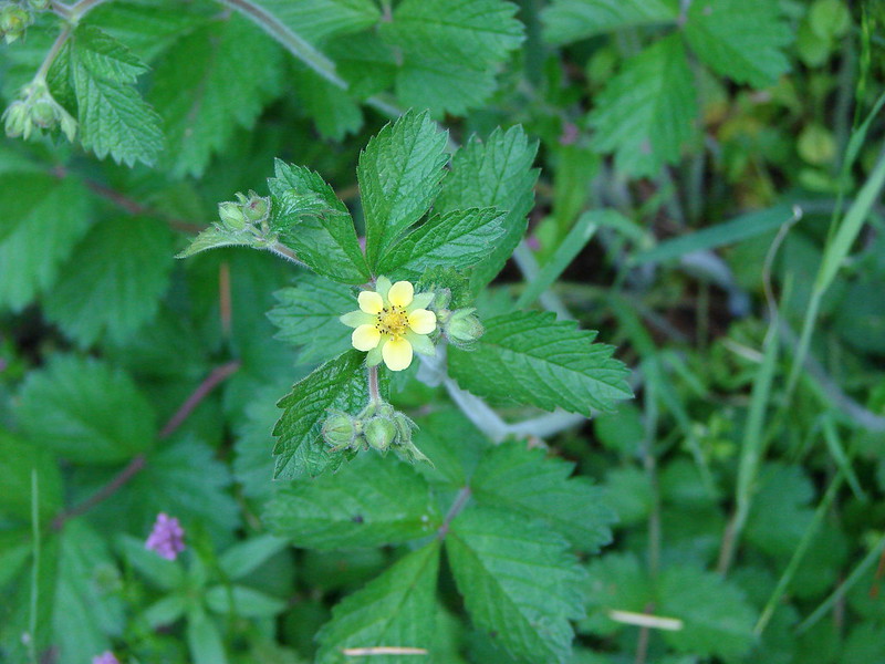
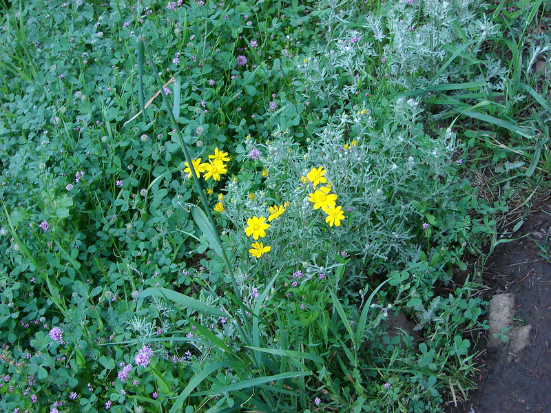
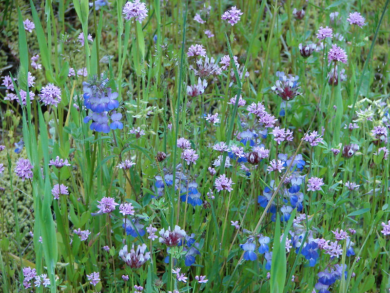
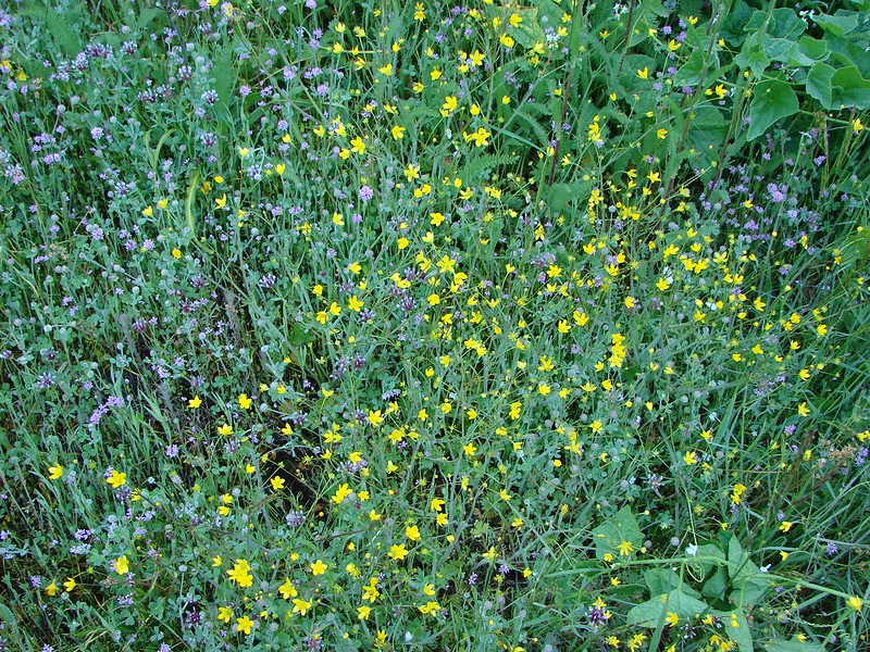
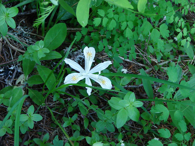
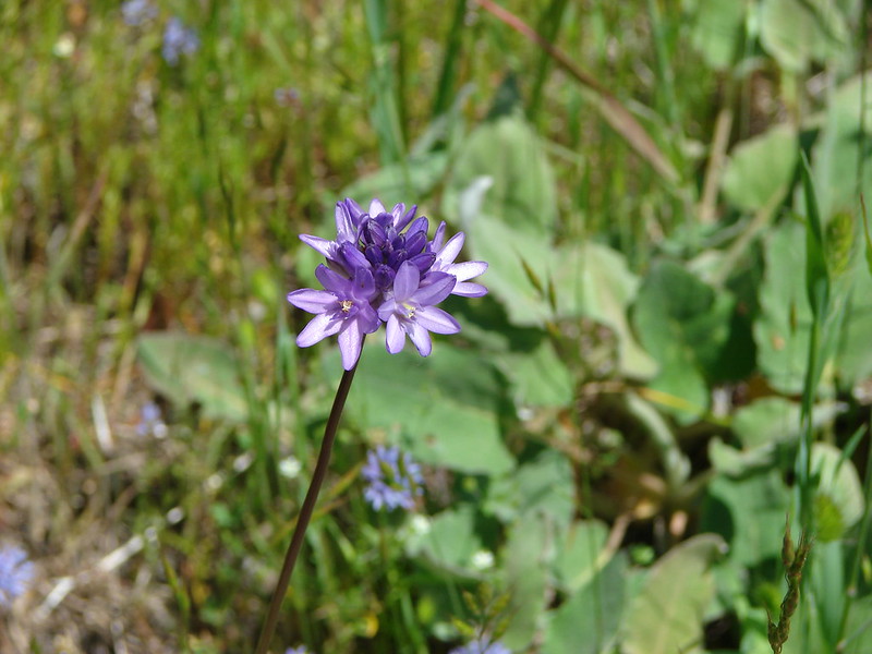
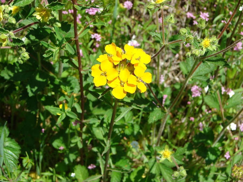
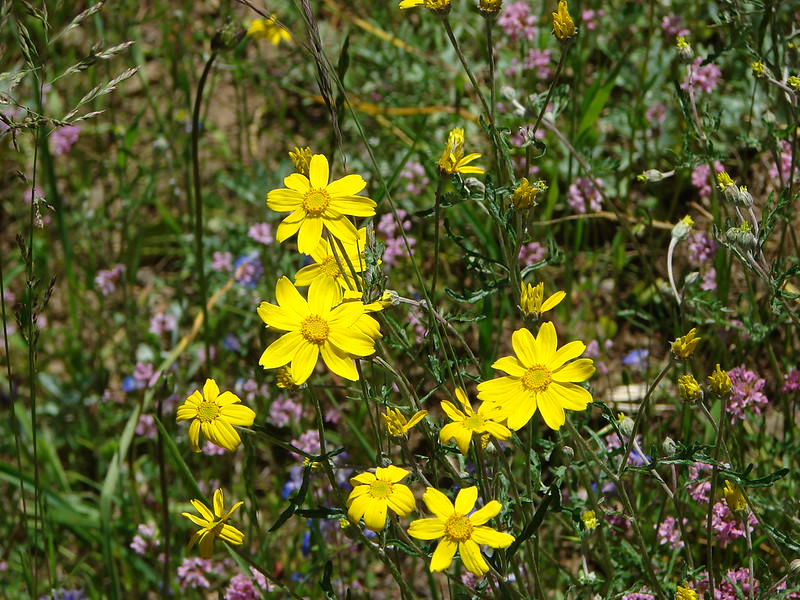
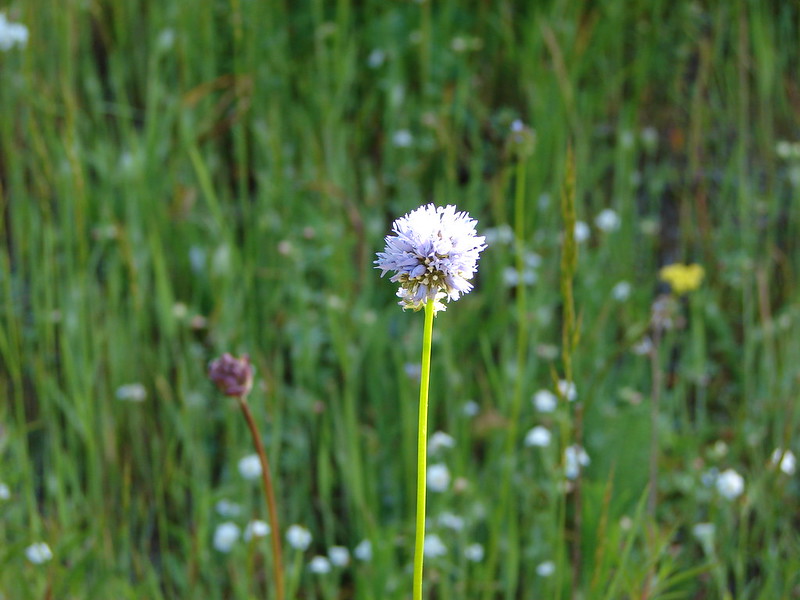
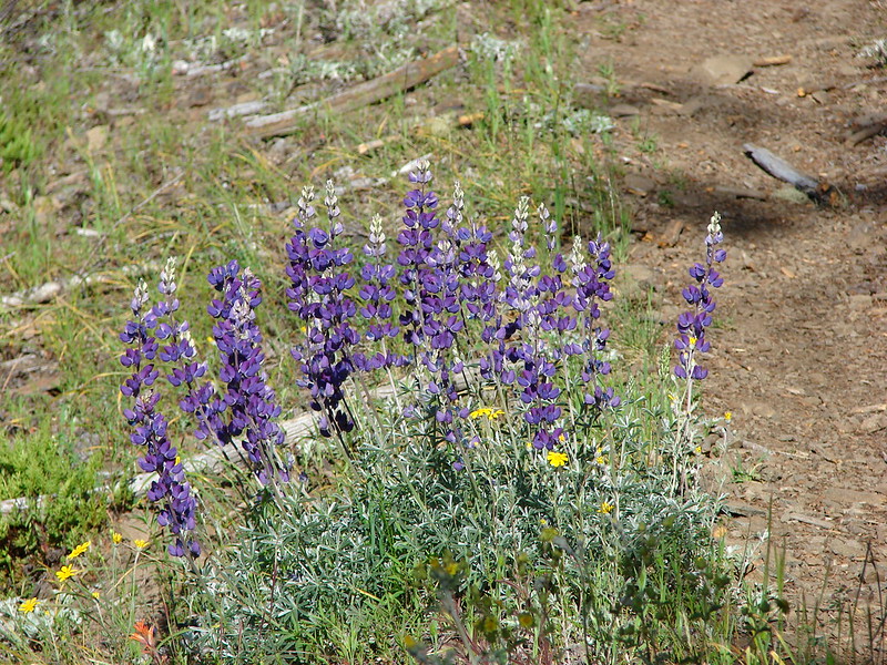
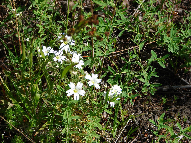
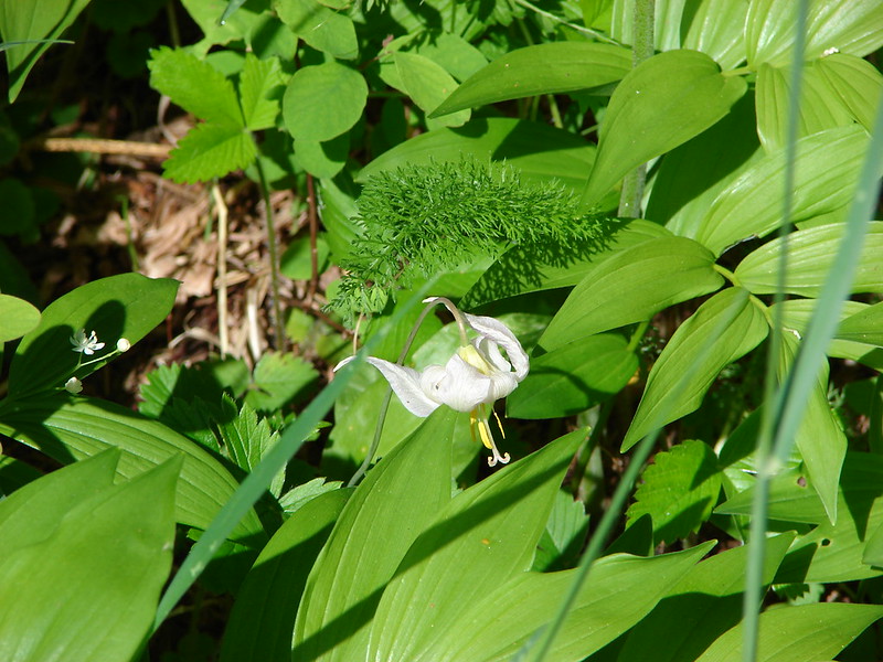
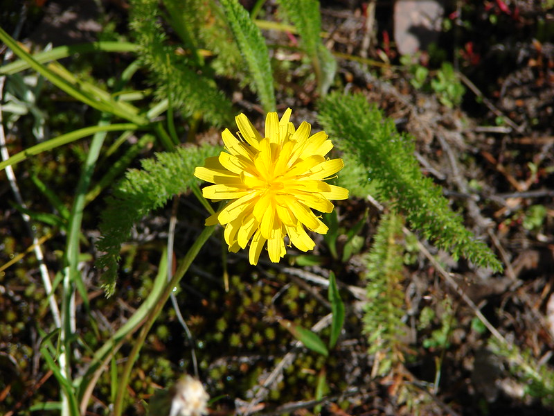
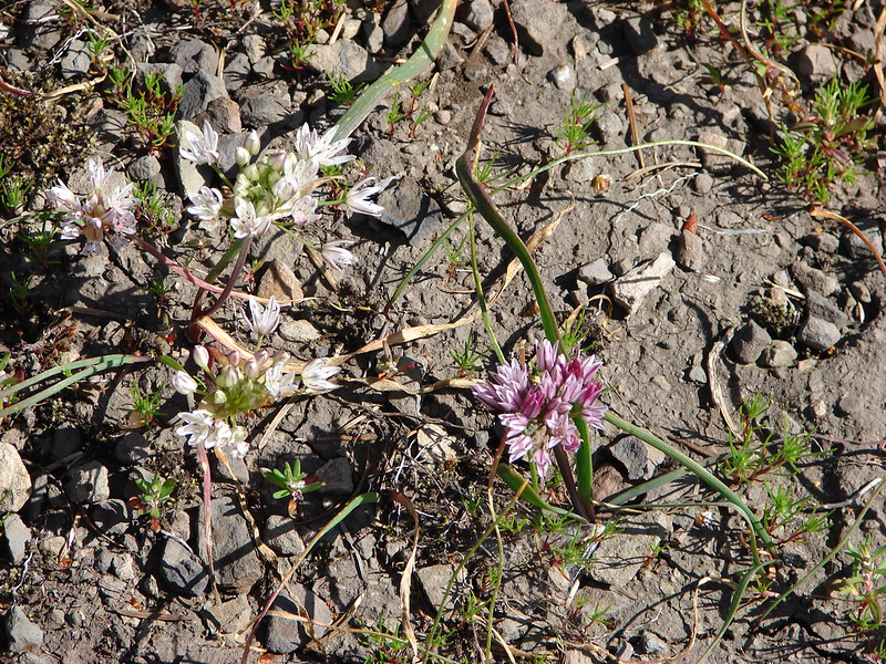
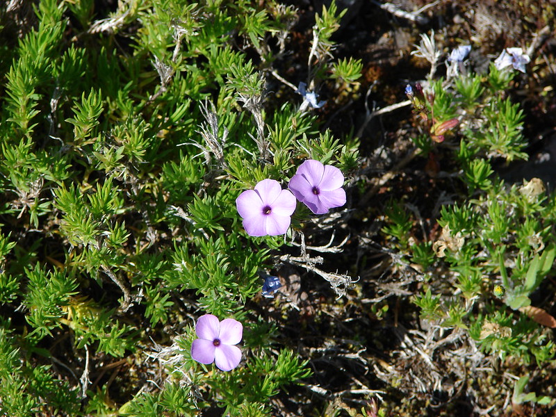
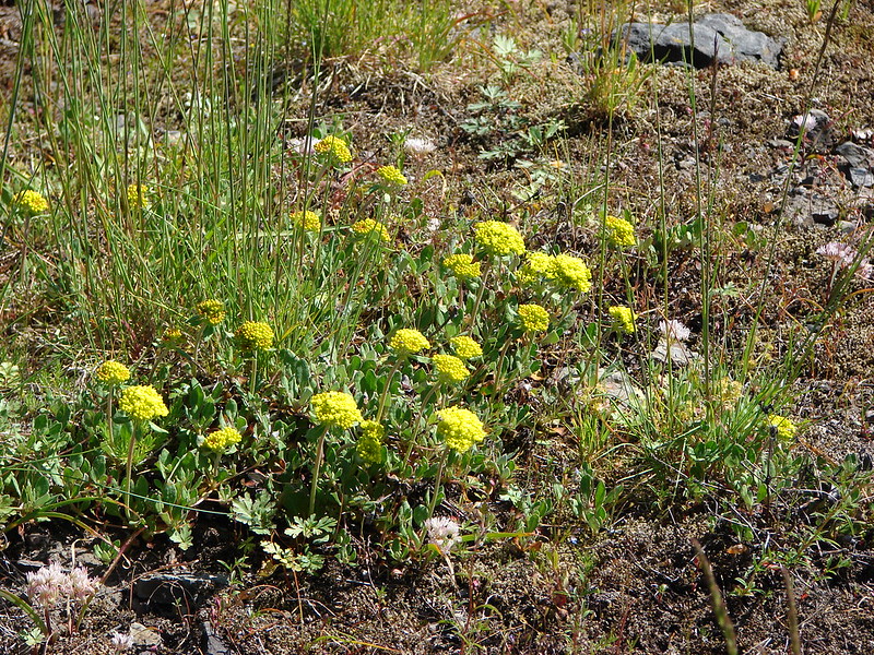
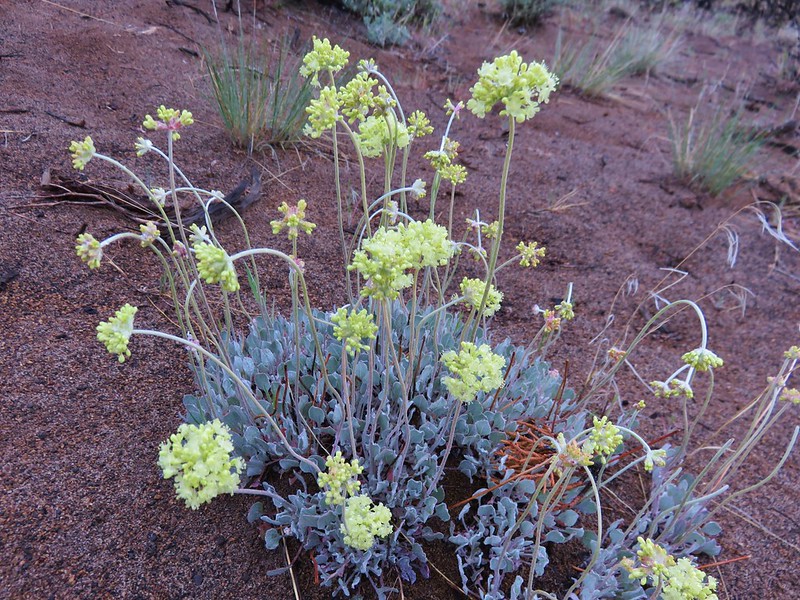
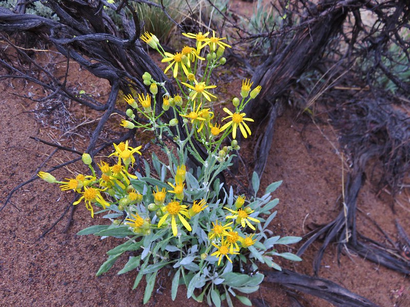
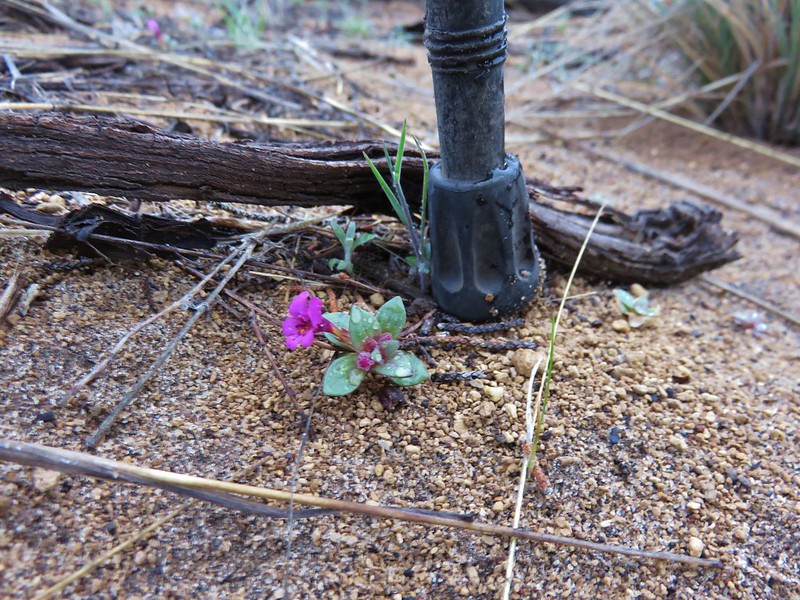
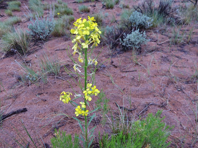
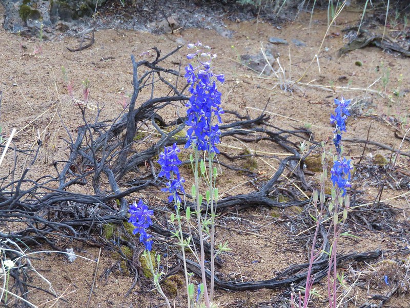
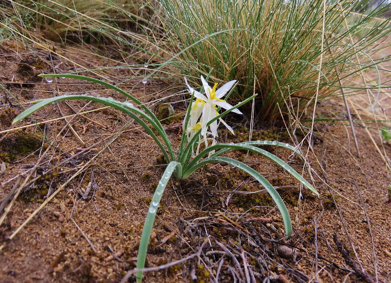
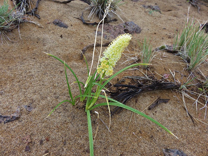
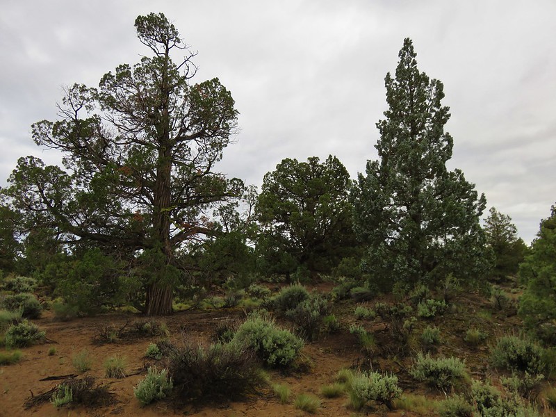
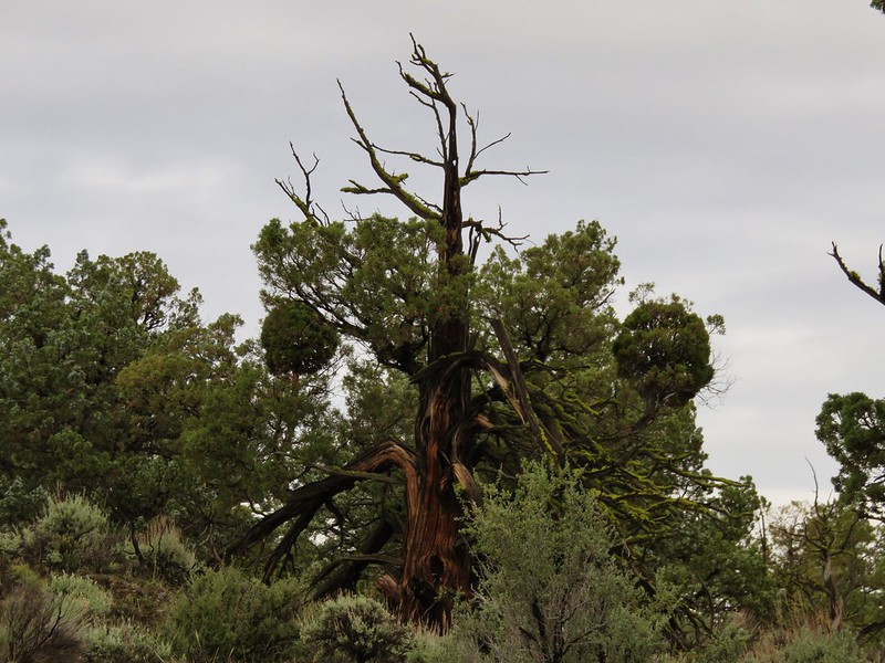
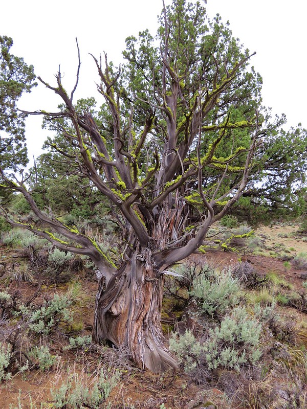
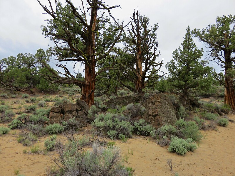
There were a fair amount of wildflowers along the Ancient Juniper Trail as well as plenty of juniper trees. We’ve always enjoyed the uniqueness of junipers and that uniqueness was on display here.
IMG_5620

IMG_5638

IMG_5632

IMG_5642

IMG_5649

IMG_5684

IMG_5690

IMG_5696

IMG_5660

IMG_5670

IMG_5678

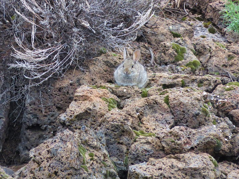
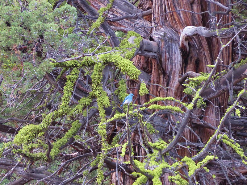
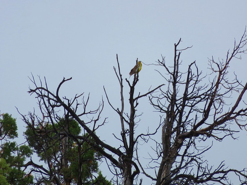
We also spotted a couple of rabbits and bluebirds along the way.
IMG_5668

IMG_5674

IMG_5705

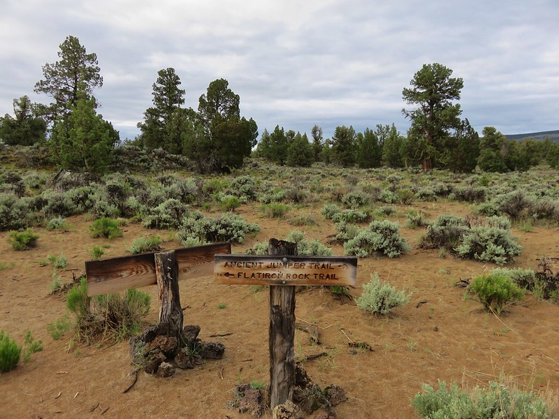
The signage was good at the first junction pointing us in the direction of Flatiron Rock.
IMG_5707

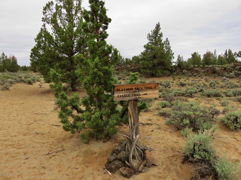
After 1.5 miles on the Flatiron Rock Trail we came to the junction with the Castle Trail.
IMG_5736

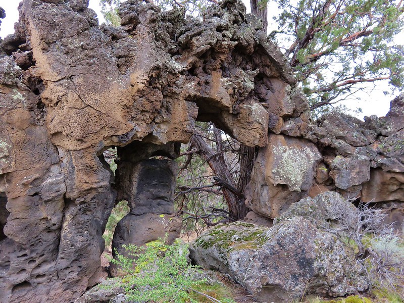
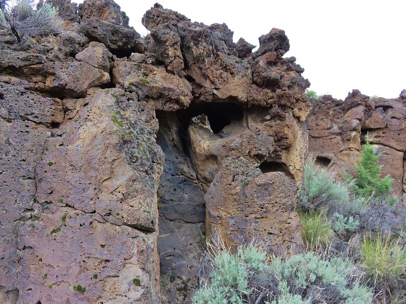
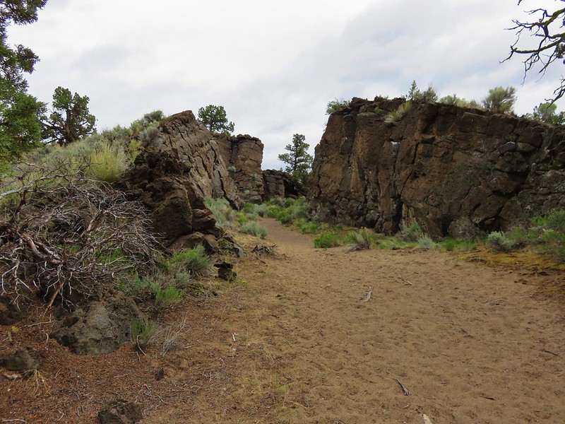
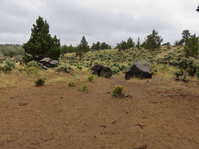
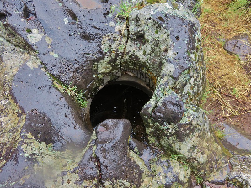
Flatiron Rock was also at this junction. One of the highlights of the Oregon Badlands Wilderness are the explore-able volcanic rock formations that dot the landscape. We followed a path between the pressure ridges and explored.
IMG_5737

IMG_5742

IMG_5747

IMG_5754

IMG_5755

IMG_5758

IMG_5773

IMG_5774

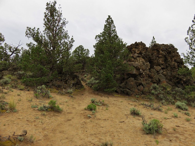
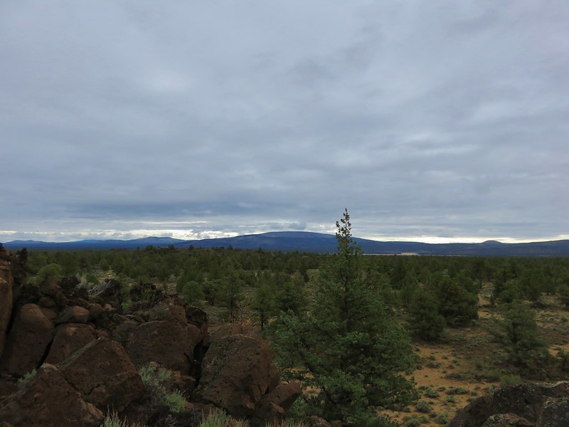
After wandering around Flatiron Rock we took the Castle Trail, which passed another explore-able rock formation, before arriving at Badlands Rock which towered above the surrounding area.
IMG_5779

IMG_5780

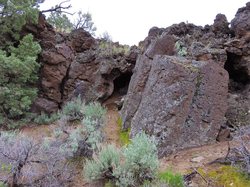
We attempted to pass through Badlands Rock from the east side but a pile of large boulders made it impossible to get through without some extra effort.
IMG_5781

We went back around to the west end and after a fairly easy scramble managed to get inside the walls of Badlands Rock.
IMG_5783

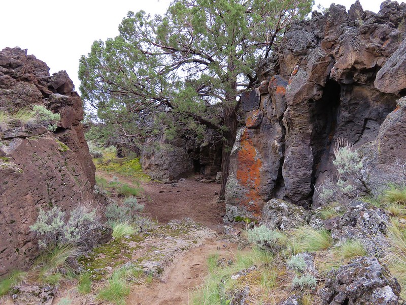
At this point our plans began to go awry. Looking at the map we were using we were expecting a trail to bend slightly to the right after passing Badlands Rock but we didn’t see a trail sign and the openness of the area and profusion of old dirt roads and game trails have left paths all over. We had briefly taken a right hand turn at the rock formation along the Castle Trail and were now thinking that maybe that had been the correct path after all. We decided to head back to that spot and inspect it more thoroughly.

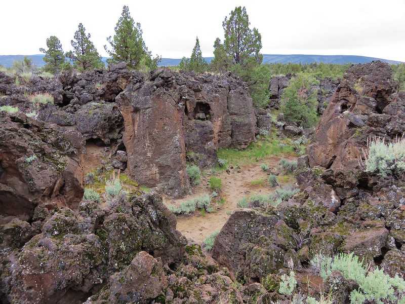
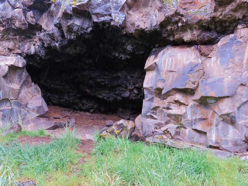
This time we explored the rock formation. It had some interesting features and a nice view of Badlands Rock.
IMG_5789

IMG_5790

IMG_5798

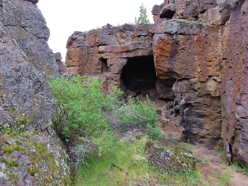
It also, apparently, had a Turkey Vulture living in it. As we were passing by, we heard a ruckus coming from the rocks and saw something moving in a crevice. A vulture popped out and stood on the rocks a short distance from us.
IMG_5797

We excused ourselves and headed back down to what we believed was the correct trail while the vulture circled overhead to make sure we left. Upon further review of the map and our GPS we decided that the trail we wanted was not here and was in fact back at Badlands Rock. We turned around and returned to Badlands Rock going a little further around it this time where we finally spotted a lone trail sign.
IMG_5804

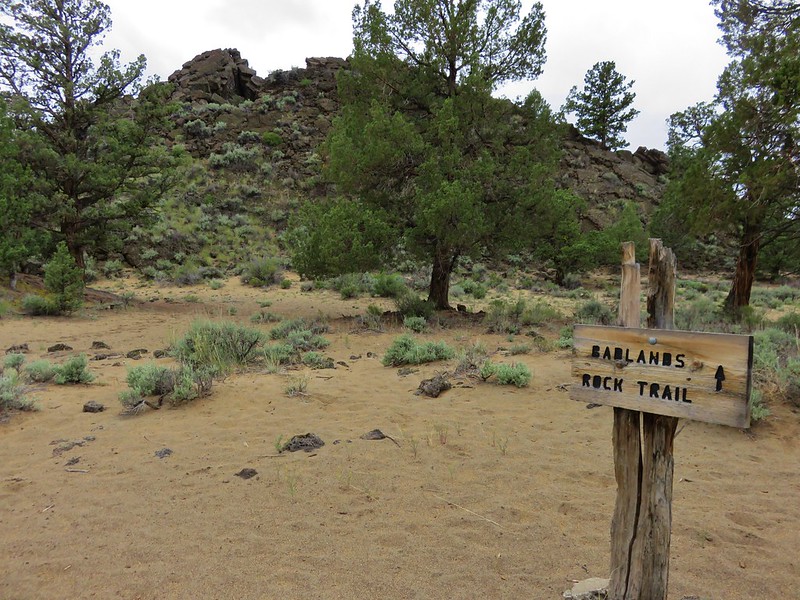
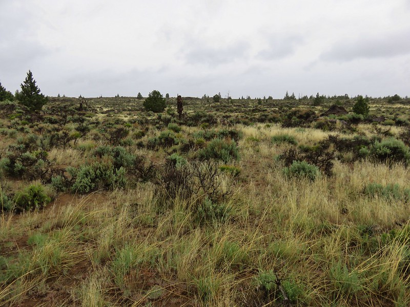
We made our next mistake here following the pointer even though it didn’t seem to agree with what our map indicated. Instead of bending right it went left/straight but the only thing to the right appeared to be an old dirt track that made a sharp turn. We thought that the trail we decided on probably bent back around to the right just a bit further on, which it did convincing us that we were on the right track. We thought we were on a 2.7 mile stretch of the Badlands Rock Trail that led to the junction with the Dry River and Homestead Trails so we settled in and enjoyed the scenery.
IMG_5805

IMG_5807

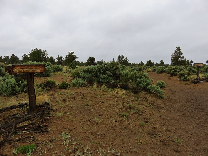
After awhile we started to feel like we should have reached that junction already. We were once again questioning our route when we did spot a sign post at a trail junction.
IMG_5810

The problem was we had no idea what the Tumulus Trail was. Our map did not show it (it didn’t extend out as far as we’d gone). We hummed and hawed for awhile looking at the map and GPS before finally deciding we had gone the wrong way at Badlands Rock. We didn’t know where the Tumulus Trail went and we weren’t sure about trying to navigate cross country, so we headed back the way we’d come, which turned out to be 3.3 miles in the wrong direction.

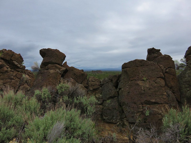
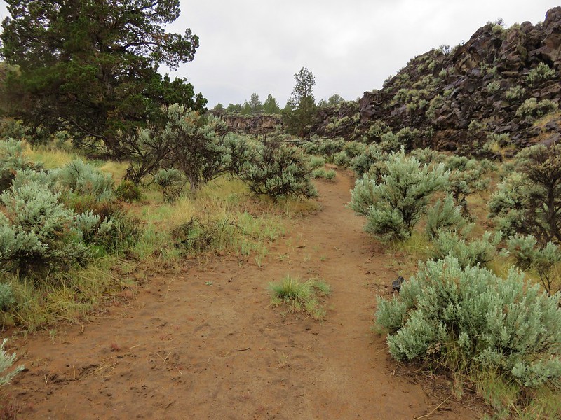
We picked up the correct path at Badlands Rock and headed south passing through a more open landscape to the correct trail junction. This area was full of birds.
IMG_5817

IMG_5821

IMG_5814

IMG_5827

IMG_5835

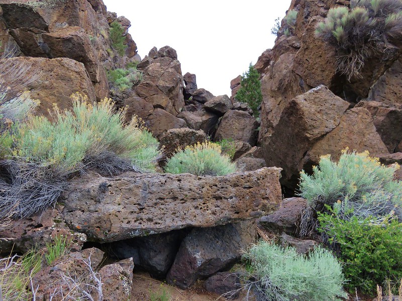
We turned up the Dry River Trail for .8 miles turning off at three boulders to find the Dry River Canyon.
IMG_5844

Once upon a time the canyon was home to a tributary of the Deschutes River. The rocks provided proof of the vanished river.
IMG_5848

IMG_5851

IMG_5852

We passed through the canyon for a ways then climbed out and cut cross country back to the Dry River Trail and returned to the junction with the Homestead Trail. It was another 2.2 miles on the Homestead Trail back to the Flatiron Rock Trail then an additional 1.2 miles to the car. When it was all said and done the GPS showed a total of 22.6 miles and it had taken us a little of 9 hours. We were leaving the trailhead about the time we had planned on being back home to repack for our trip to Gold Beach. Our plans had truly gone awry.

We ate dinner at Pilot Butte Drive In before leaving Bend then drove back to Salem to get ready for our next adventure in the morning. Happy Trails!

Flickr: https://www.flickr.com/photos/9319235@N02/albums/72157667960760550

Categories
Hiking Oakridge Area Old Cascades Oregon Trip report

Tire Mountain

**Note the 2024 Tire Mountain Fire burned over a small portion of this hike.**

June wildflowers and a “possible” waterfall were are goal for our recent trip to Tire Mountain near Oakridge, OR. Our guidebook showed a 7.6 mile hike starting from the Alpine Trailhead, linking up to the Tire Mountain trail, and turning around after reaching the summit of Tire Mountain. Looking at the forest service maps of the area I noticed that the Tire Mountain trail continued west beyond the junction with the summit trail to a trailhead on road 5824. Along that portion of the trail was a creek crossing where it appeared there might be a waterfall. Thinking that a 7.6 mile hike was a little short for a 2 1/2 hour drive I thought we could investigate the possible waterfall for a little extra exercise.

The Alpine trail started off uphill on a forested ridge where the path was lined with small rocks. The usual woodland flowers were present including vanilla leaf, solomonseal, candyflower, and bunchberry. We also spotted some wild ginger.
DSC07135
DSC07137
DSC07688
DSC07136
DSC07729

Just a bit over half a mile in the trail entered the first of the meadows. The flowers did not disappoint and as an added bonus several cascade peaks were visible from this meadow.
DSC07156
DSC07149
Diamond Peak
DSC07165
Mt. Bachelor
DSC07158
Broken Top
DSC07160

The flower show continued as we passed through more meadows on the way to the junction with the Tire Mountain trail. Along the way The Three Sisters joined the view.
DSC07191
DSC07204
DSC07179
DSC07190

At the 1.2 mile mark we found the Tire Mountain trail and turned right. We passed through several smaller meadows which were home to a variety of different flowers, some of which were unknown to us.
Columbine
DSC07233
Plectritis & Larkspur
DSC07235
Plectritis & Yellow Monkeyflower
DSC07236
Camas
DSC07249
Paintbrush
DSC07261
Coastal Manroot & ?
DSC07263
Cat’s Ear Lily
DSC07265
Another unknown
DSC07267
Possibly Oregon Sunshine
DSC07270
Giant Blue-Eyed Mary, Plectritis & unknown
DSC07306
Buttercups
DSC07296
Wild Iris
DSC07241

We were amazed at the number of flowers and we could see that there were even more higher up on the hillsides.
DSC07253
DSC07291

After the series of smaller meadows the trail entered the largest meadow of the day. Here balsamroot joined the flower bonanza.
DSC07649
Ookow
DSC07647
Wallflower
DSC07655
Unknown
DSC07613
Blue Gilia
DSC07362

When we left the meadow I remarked that we hadn’t seen any lupine at all. As soon as we hit the next small meadow that was no longer the case.
DSC07468
From this meadow we also got a good view of Tire Mountain and Diamond Peak again.
DSC07462
DSC07498

The trail then entered the forest before splitting. To the left was the 1/2mi path to the summit while the right fork headed down toward road 5824. We headed up to the summit to check out the former lookout site. The trail was nice despite there being a few downed trees to maneuver around.
DSC07504
When we reached the brushy summit we found a number of additional flower types.
DSC07509
Unknown
DSC07507
Fawn Lily
DSC07514
Unknown
DSC07518
Wild onion
DSC07519
Phlox
DSC07521
Buscuitroot
DSC07522

Despite being a former lookout site there was no view from the summit. In fact the lookout had been placed up in a tree in order to have a view of the surrounding area. We explored a bit before heading back down to the trail split and starting our search for the waterfall.

From the split, the Tire Mountain trail descended fairly quickly through a series of switchbacks. Several bridges crossed seasonal streams amid the large trees.
DSC07529
DSC07536

It was a lot further down to the creek I was looking for than I had anticipated and we were all dreading the climb back up. We finally rounded a ridge end and spotted the bridge that crossed the creek I was looking for. There was indeed a waterfall but after seeing it we knew why the guidebook doesn’t mention continuing on to it. It was a pretty sad display lol.
DSC07546

After soaking in the torrent we started our climb. We did our best to focus on the ever present bird song as we trudged along. Grey jays, varied thrushes, and at least one woodpecker flew from tree to tree. The woodpecker was the only one that stayed still long enough for me to get a picture.
DSC07549

The meadows were just as impressive on the return trip. The only real bummer for the day was seeing a layer of smoke over the Three Sisters and Mt. Bachelor. Alas the fire season started early this year with the Two Bulls Fire burning near Bend, OR. 😦
DSC07717
Hopefully it isn’t a sign of things to come. Happy (and fire free) trails!

flickr:https://www.flickr.com/photos/9319235@N02/sets/72157644669235877/
Facebook:https://www.facebook.com/media/set/?set=a.10204185599747388.1073741882.1448521051&type=3

Categories
High Cascades Hiking Oregon Three Sisters Area Trip report

Tam McArthur Rim

An extra long weekend brought us to Central Oregon for a pair of Labor Day weekend hikes. We had planned the coup de gras of our hiking season for September 1st when we were set to climb the South Sister, but first we decided to take a “warm up” hike on the 31st on our way to Bend, OR. We chose Tam McArthur Rim which is located about 16 miles south of Sisters, OR at Three Creek Lake. The trail offered an up close look at Broken Top and a view of the Three Sisters to help us get excited for the next days climb. We also had the option of making this a short hike of just 5 miles by turning around at the rim viewpoint, but of course we opted to lengthen the trip. 🙂

The trail offered views from the beginning with Tam McArthur Rim and the North & Middle Sister looming over Three Creek Lake.
402
The trail climbed for the first 3/4 of a mile up a ridge to the rim’s plateau. Along the way views opened up across the lake to the north revealing several Cascade peaks. When we reached the plateau the mountains were temporarily lost as we traveled south across a semi-barren landscape. After a half mile the trail bent right and began gradually climbing along the sloped plateau. Mountains once again were visible, this time to the south. Mt. Bachelor rose above the plateau with Tumalo Mountain to it’s left.
432

As we gained elevation along the plateau the tops of Broken Top and the South Sister began to peek over the rims edge. The plateau itself was an interesting mix of rocks and sand dotted with clumps of trees. The plants were limited to those capable of surviving windy conditions on little water. Just prior to the final climb to the viewpoint the trail approached the cliff edge where we got our first good look at Little Three Creeks Lake.
452

Upon reaching the viewpoint we found that it was a nice wide area with a 360 degree view. At an elevation of 7730′ it was high enough to see a good distance. It was a wonderful spot to take a break and have a bite to eat and would have been an acceptable place to declare victory and turn around. While we sat at the viewpoint we were joined by a Red Crossbill who apparently thought it was a good place for a break as well. Although the view here was good enough to call it a day the trail continued on so we would too.

North & Middle Sister, Mt. Washington and Three Fingered Jack from the viewpoint.

Continuing on from the viewpoint the trail stayed fairly level as it followed the edge of the rim toward Broken Top. The open landscape of the plateau meant constant views with Mt. Bachelor to the south, a string of Cascade peaks to the NW and Central Oregon to the east. Between the trail and Central Oregon the plateau was dotted with patches of snow that were still melting feeding silver creeks that flowed down toward the Deschutes River far below. The most prominent of these was the North Fork of Tumalo Creek.

North Fork of the Tum
North Fork of Tumalo Creek

The trail skirted around one of these snow fields and climbed a cinder slope where we could see the final mile of our path before us.
562

The final mile climbed a cinder ridge to the base of Broken Hand. From this ridge the views became even grander. To the south beyond Mt. Bachelor was Diamond Peak, Mt. Thielsen and eventually Mt. Scott which resides on the rim of Crater Lake.
594
To the north we could see all the way to Mt. Adams in Washington although haze made it difficult to see it well.
598

We ate lunch at the base of Broken Hand admiring the colors and shapes of the volcanic rocks of Broken Top and the Three Sisters. We spotted a fellow hiker sitting on the rim of the moraine containing Broken Top Lake, a destination we hope to see next year.
614
We spent quite awhile surveying the landscape around us, and I was especially intrigued by what appeared to be a good sized waterfall to the SE of the Middle Sister. It may have been along the outlet creek of one of the Chambers Lakes (possibly Camp Lake).
618
We also tried to spot climbers on top of the South Sister since we planned on being up there the next day but couldn’t make anyone out.

On our way back we began running into more hikers and other wildlife too. A silent group of ravens glided by apparently searching for something along the plateau.
671
We also spotted an impressive spider which had bright red legs and was just a bit larger than a quarter.
684
This was a great way to start a weekend of hiking and really got us excited about our hike up the South Sister. Happy Trails.

Facebook photos: https://www.facebook.com/deryl.yunck/media_set?set=a.10202026938382203.1073741853.1448521051&type=3
Flickr: http://www.flickr.com/photos/9319235@N02/sets/72157635322678462/