It’s time again for our annual wrap up of the various critters we encountered over the previous year. Several years ago we split our wildlife post into feathered and featherless friends and have continued with that tradition ever since.
While we really enjoy taking pictures as a way to record what we see on our hikes, we are by no means photographers. We use our phones and a point and shoot camera on the auto setting, so the pictures are far from professional, but we hope you enjoy them. We also practice Leave No Trace Principles including Principle 6: Respect Wildlife which means observing from a distance, never feeding, and respecting any area wildlife closures.
With that being said here is a collection of the various species of birds we were able to get pictures of in 2025.

American bitterns – William L. Finley National Wildlife Refuge, 04/30/2025.

American coot – Ankeny National Wildlife Refuge, 04/28/2025.

American dipper – June Lake, 09/20/2025.

American goldfinch – Fernhill Wetlands, 05/02/2025.

American kestrel – Tualatin River National Wildlife Refuge, 05/01/2025.

American pipit – Mt. Jefferson Wilderness, 09/17/2025.

American wigeons (toward the back) – Ankeny National Wildlife Refuge, 04/28/2025.

Anna’s hummingbird – Fernhill Wetlands, 05/02/2025.

Black-capped chickadee – E.E. Wilson Wildlife Refuge, 04/27/2025.

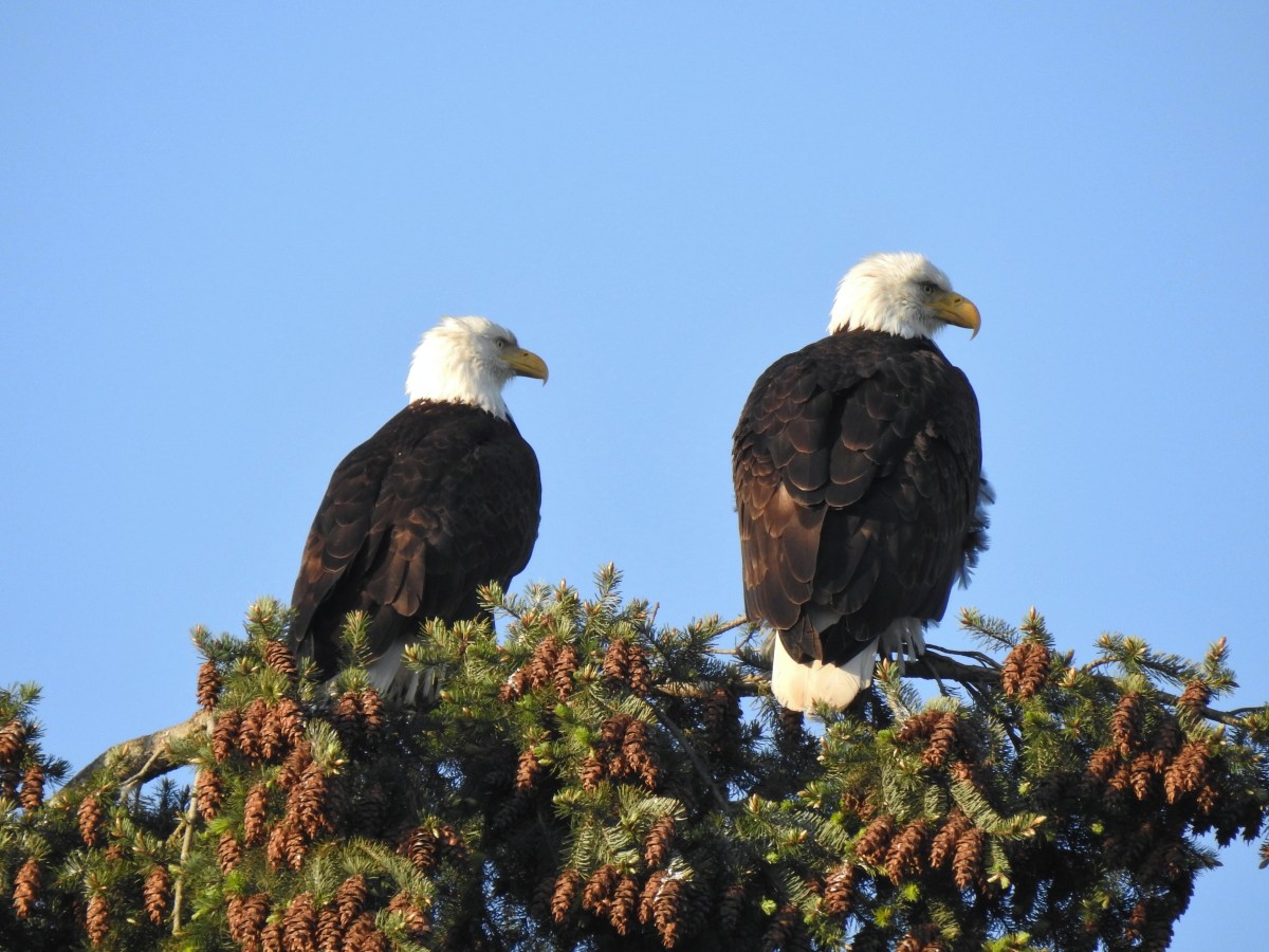
Bald eagle – Ankeny National Wildlife Refuge, 04/28/2025.

Barred owl – Willamette Mission State Park, 09/01/2025.

Barrow’s goldeneye – Elijah Bristow State Park, 04/19/2025.

Black-backed woodpecker – Mt. Jefferson Wilderness, 07/14/2025.

Blue-winged teal – Fern Ridge Wildlife Refuge, 05/03/2025.

Brown pelicans – Manhattan Beach, 10/11/2025.

Bufflehead – Elijah Bristow State Park, 04/19/2025.

Bullock’s oriole – Deschutes River Criterion Tract, 5/25/2025.

California quail – William L. Finley National Wildlife Refuge, 04/30/2025.

California scrub jay – William L. Finley National Wildlife Refuge, 04/30/2025.

Canada jay – Mt. Hood Wilderness, 08/31/2025.

Cedar waxwing – Mt. Rainier National Park, 08/08/2025.

Chestnut-backed chickadee – Mt. Rainier National Park, 08/07/2025.

Chipping sparrow? – Mt. Rainier National Park, 08/04/2025.

Cinnamon teals – William L. Finley National Wildlife Refuge, 04/30/2025.

Clark’s nutcrackers – Mt. Rainier National Park, 08/05/2025.

Cliff swallow – Criterion Tract, 05/25/2025.

Common loon – Crescent Lake, Olympic National Park, 05/13/2025.

Common mergansers – Milo McIver State Park, 02/22/2025.

Common yellow-throat – Ankeny National Wildlife Refuge, 04/28/2025.

Cormorant – Olympic National Park, 05/14/2025.

Crow – Tualatin River National Wildlife Refuge, 05/01/2025.

Mourning dove – Fanno Creek Trail, 04/26/2025.

Eurasian-collard dove – Wapato Lake National Wildlife Refuge, 05/02/2025.

Prairie flacon? – Mt. Hood Wilderness, 08/31/2025.

Green-winged teals – Ankeny National Wildlife Refuge, 04/28/2025.

House finch – Fanno Creek Trail, 04/26/2025.

House sparrow – Baskett Slough National Wildlife Refuge, 04/29/2025.

Gadwall – Jackson Bottom Wetlands, 05/01/2025.

Canada geese – Tualatin River National Wildlife Refuge, 05/01/2025.

Gold-crowned sparrow – Baskett Slough National Wildlife Refuge, 04/29/2025.

Great blue heron and great egrets – Tualatin River National Wildlife Refuge, 05/01/2025.

Greater white-fronted geese – Fern Ridge Wildlife Refuge, 05/03/2025.

Greater yellowlegs – Ankeny National Wildlife Refuge, 04/28/2025.

Grosbeak? – Rogers Peak, 06/07/2025.

Sooty grouse – William O. Douglas Wilderness, 08/08/2025.

Red-tailed hawk? – Three Sisters Wilderness, 09/13/2025.

Hooded mergansers – Fanno Creek Trail, 04/26/2025.

Rufous hummingbird – Mt. Jefferson Wilderness, 07/17/2025.

Ruffed grouse – Silver Falls State Park, 11/11/2025.

Junco – William O. Douglas Wilderness, 08/08/2025.

Killdeer – Ankeny National Wildlife Refuge, 04/28/2025.

Lark sparrow – Criterion Tract, 05/25/2025.

Lazuli bunting – Mt. Washington Wilderness, 07/19/2025.

Least sandpiper – Ankeny National Wildlife Refuge, 04/28/2025.

Lesser scaup – Baskett Slough National Wildlife Refuge, 04/29/2025.

Lewis’s woodpecker – Mt. Hood National Forest, 05/24/2025.

Lincoln’s sparrow – Dean Point, 10/11/2025.

Long billed dowitcher – Jackson Bottom Wetlands, 05/01/2025.

Mallard – Jackson Bottom Wetlands, 05/01/2025.

Marsh wren – Ankeny National Wildlife Refuge, 04/28/2025.

Mute swan – Fern Ridge Wildlife Refuge, 05/03/2025.

Northern flicker – E.E. Wilson Wildlife Refuge, 04/27/2025.

Northern harrier – William L. Finley National Wildlife Refuge, 04/30/2025.

Northern pintail – Baskett Slough National Wildlife Refuge, 04/29/2025.

Northern pygmy owl – McDonald-Dunn Forest, 07/05/2025.

Northern shovelers – Baskett Slough National Wildlife Refuge, 04/29/2025.

Red-breasted nuthatch (juvenile) – Mt. Rainier National Park, 08/04/2025.

Osprey – Wapato Lake National Wildlife Refuge, 05/02/2025.

Oyster catcher – Olympic National Park, 05/14/2025.

Pacific wren – Thurston Hills, 04/19/2025.

Pied billed grebe – E.E. Wilson Wildlife Refuge, 04/27/2025.

Pine siskin – Mt. Rainier National Park, 08/08/2025.

Purple martins – Fernhill Wetlands, 05/02/2025.

Raven – Mt. Rainier National Park, 08/04/2025.

Red-breasted sapsucker – Milo McIver State Park, 02/22/2025.

Red-winged blackbird – Wapato Lake National Wildlife Refuge, 05/02/2025.

Ring-necked ducks – Ankeny National Wildlife Refuge, 04/28/2025.

Robin – Mt. Rainier National Park, 08/08/2025.

Ruddy duck – William L. Finley National Wildlife Refuge, 04/30/2025.

Savanah sparrow – William L. Finley National Wildlife Refuge, 04/30/2025.

Solitary sandpiper – E.E. Wilson Wildlife Refuge, 04/27/2025.

Spotted sandpiper – William O. Douglas Wilderness, 08/08/2025.

Western gull – Driftwood Beach, 01/11/2025.

Semipalmated plovers – Driftwood Beach, 01/11/2025.

Short billed dowitchers – Ankeny National Wildlife Refuge, 04/28/2025.

Song sparrow – Metzler County Park, 03/08/2025.

Spotted towhee – Ankeny National Wildlife Refuge, 04/28/2025.

Starling – Champoeg State Heritage Area, 06/19/2025.

Stellar’s jay – Olympic National Park, 05/13/2025.

Violet green swallow (bottom right corner) – Olympic National Park, 05/13/2025.

Tree swallows – Jackson Bottom Wetlands, 05/01/2025.

Townsend’s solitaire – Mt. Hood National Forest, 05/26/2025.

Turkeys – William L. Finley National Wildlife Refuge, 04/30/2025.

Turkey vulture – William L. Finley National Wildlife Refuge, 04/30/2025.

Varied thrush – Mt. Jefferson Wilderness, 10/18/2025.

Western bluebird – Catherine Creek Recreation Area, 03/29/2025.

Western kingbirds – Criterion Tract, 5/25/2025.

Western meadowlark – Criterion Tract, 5/25/2025.

Western tanager – Mt. Hood National Forest, 05/24/2025.

Western wood-pewee – Mt. Hood National Forest, 05/24/2025.

Whimbrel – Olympic National Park, 05/15/2025.

White-crowned sparrow – Olympic National Park, 05/13/2025.

White pelicans – Fern Ridge Wildlife Refuge, 05/03/2025.

Wilson’s warbler – Clatsop State Forest, 05/11/2025.

Wood ducks – William L. Finley National Wildlife Refuge, 04/30/2025.

Hairy woodpecker – Olympic National Park, 05/13/2025.

Downy woodpecker – Ankeny National Wildlife Refuge, 04/28/2025.

Merlin says Hermit Thrush – Umpqua National Forest, 05/31/2025.

Merlin says Say’s Phoebe – Deschutes River Criterion Tract, 5/25/2025.

Merlin says Purple Finch – Mt. Hood Wilderness, 08/31/2025.

Merlin wouldn’t take a stab at this bird seen on Second Burroughs Mountain in Mt. Rainier National Park, 08/05/2025.
The highlight of the year was the seeing the northern pygmy owl in McDonald-Dunn Forest with its catch which was the first northern pygmy owl that we’d seen. The Say’s phoebe along the Deschutes River was another first (as far as we know), but at the time we weren’t sure what type of bird we were seeing. I believe those are the only two that were new sightings for us.
As always please let us know if we’ve misidentified anything, and happy trails!


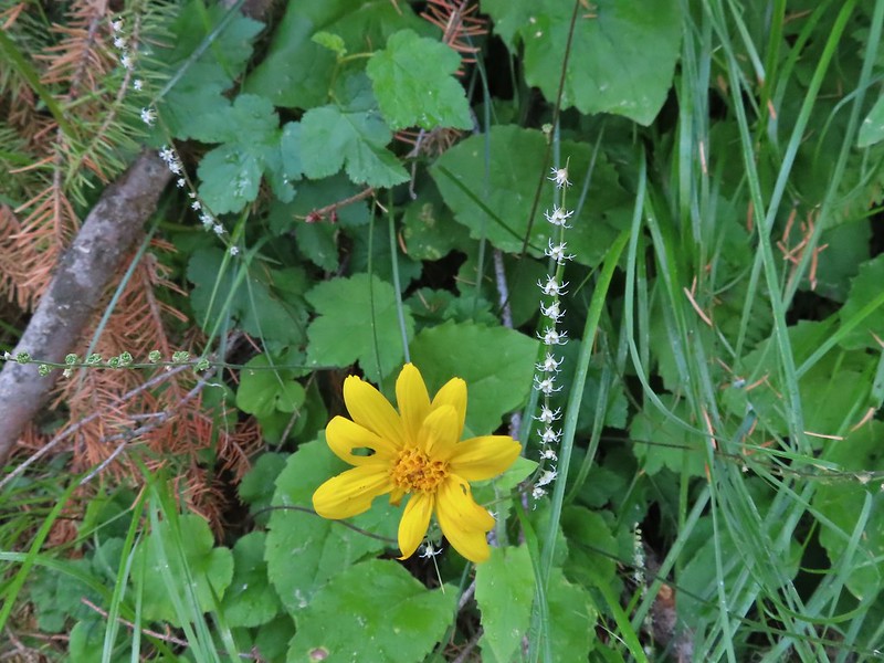
 Yarrow
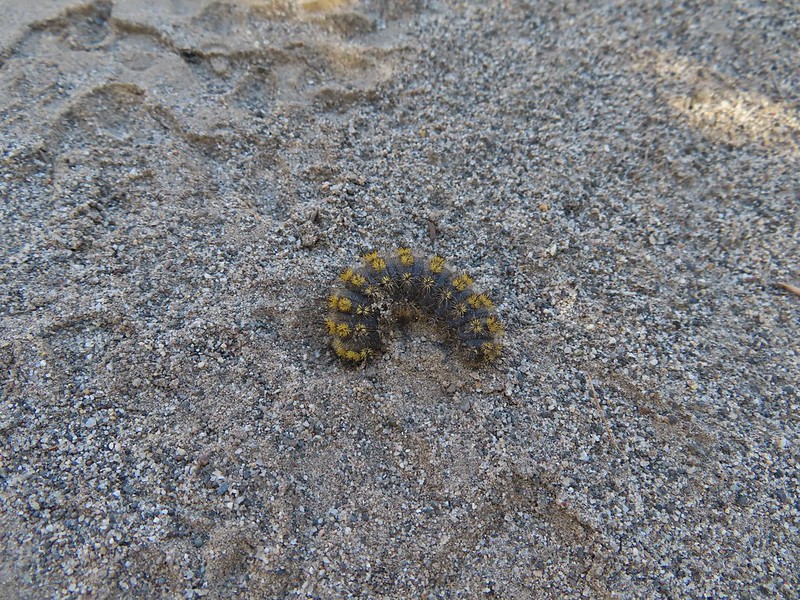 Caterpillar
 Looking right down the roadbed which would lead back to the parking area.
 Ducks in the Lower Pond
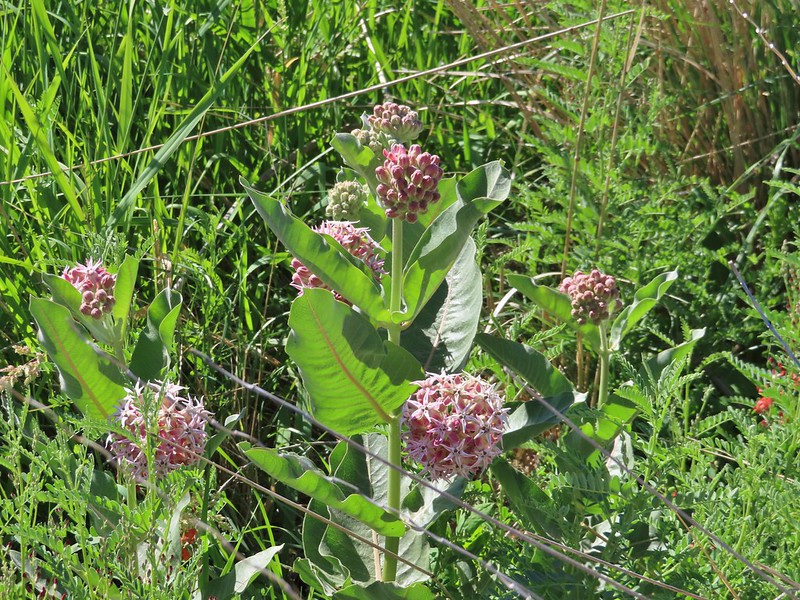 Showy milkweed
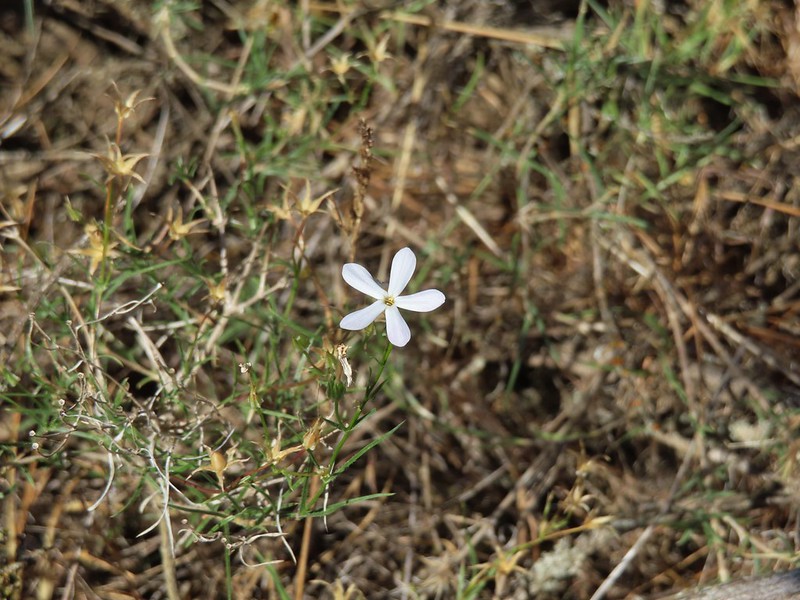 A lone phlox blossom
 Female red-winged blackbirds
 Blue-winged teal and a black-necked stilt.
 Black-necked stilt
 Red-winged blackbird
 White pelican
 Cinnamon teal

 Middle Pond
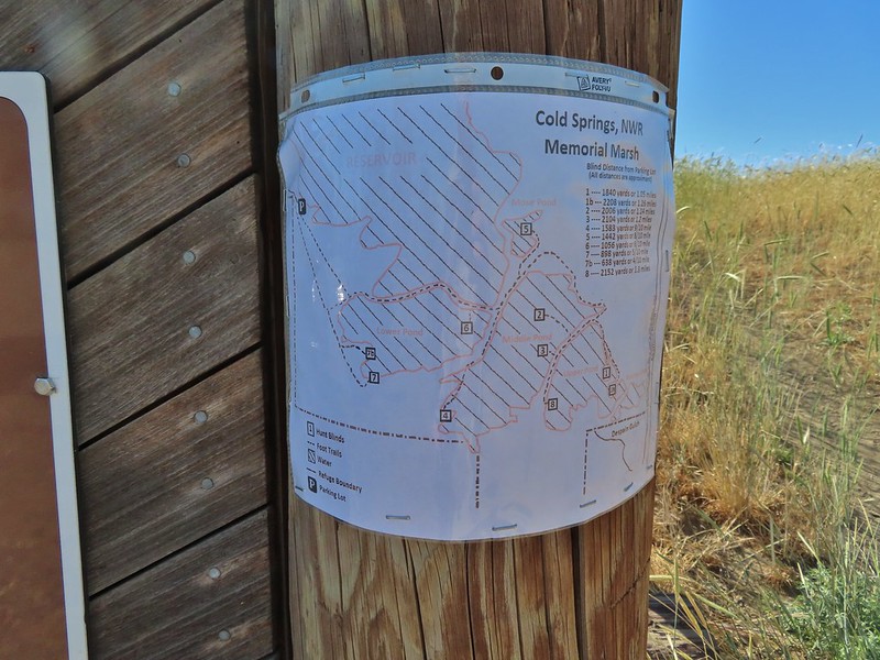
 Spur road to hunting blind 5. The blinds were well signed but not marked on the brochure map. The laminated map at the trailhead though did show the blinds which would have also been very helpful.
 Upper Pond
 Upper Pond
 Yellow headed blackbirds
 Not going to be making a loop around the Upper Pond.
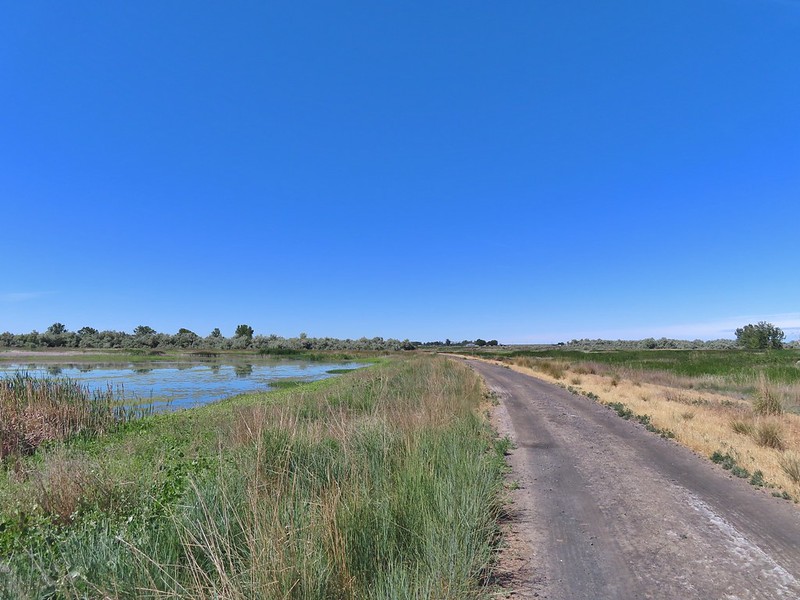
 Killdeer
 Great blue heron
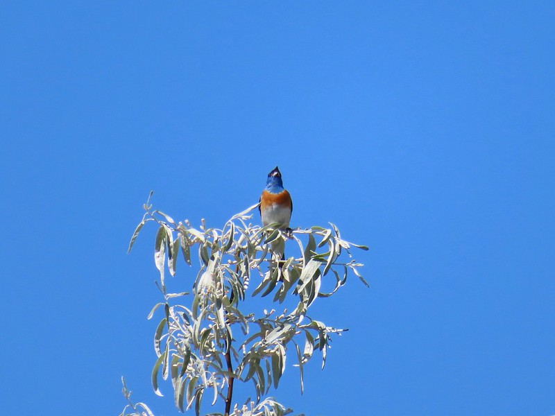 Lazuli bunting


 The road walk wasn’t all that bad as it followed the Umatilla River the whole way.
 This was a popular spot with the butterflies, particularly swallowtails.
 Swallowtails
 Swallowtails
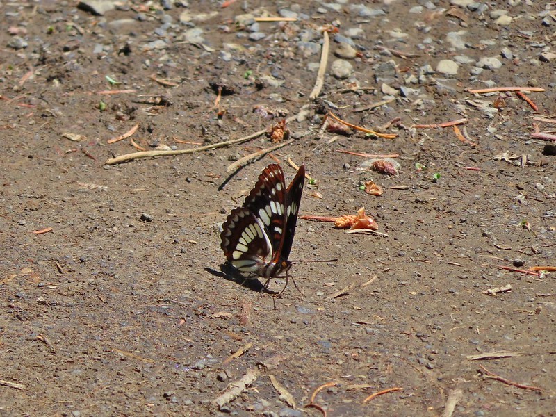 Lorquin’s admiral
 A tortoiseshell
 Dragon fly watching the butterflies
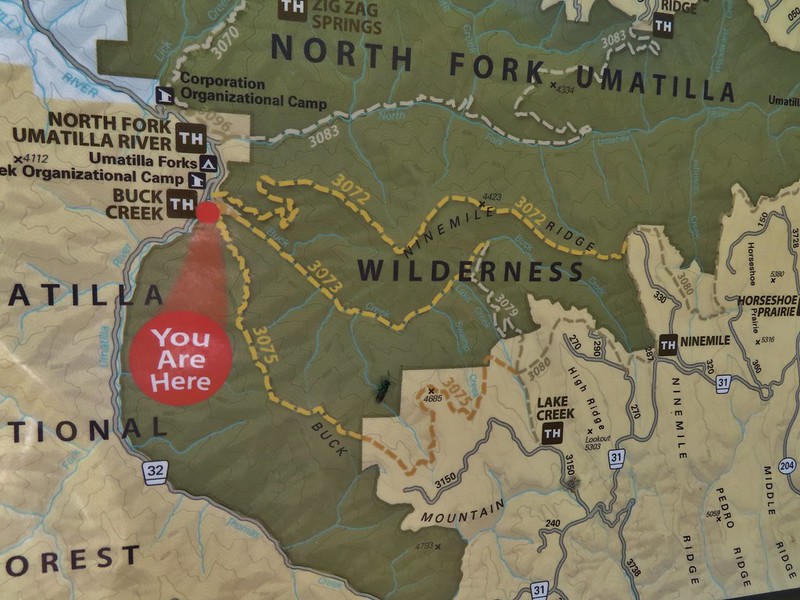
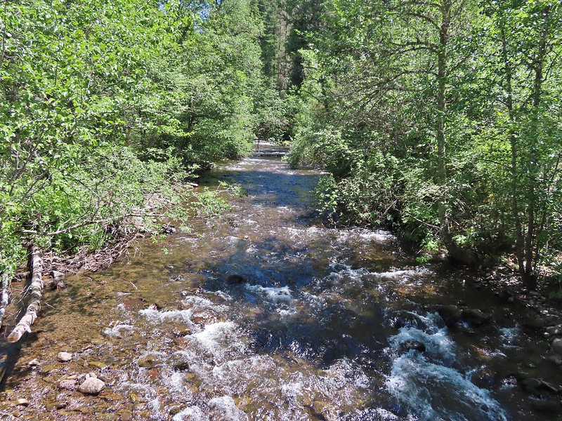 Just beyond the sign we crossed the North Fork Umatilla River.
 Ouzel
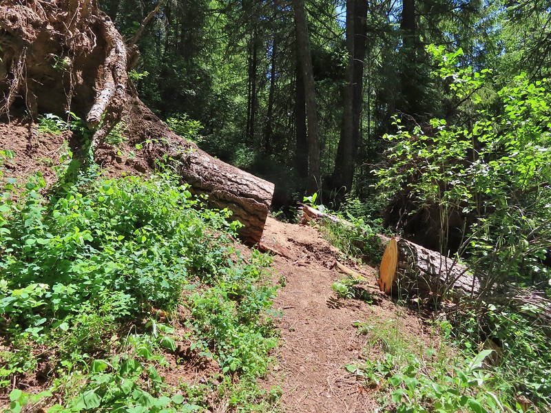
Ouzel FR 045 on the left.
 Another gathering of butterflies


 Grouse
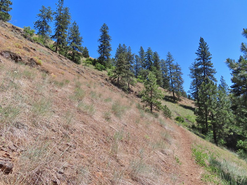
 Buckwheat
 Ragged robin (Clarkia pulchella)
 Lingering snow in the distance.
 Ragged robins
 Paintbrush
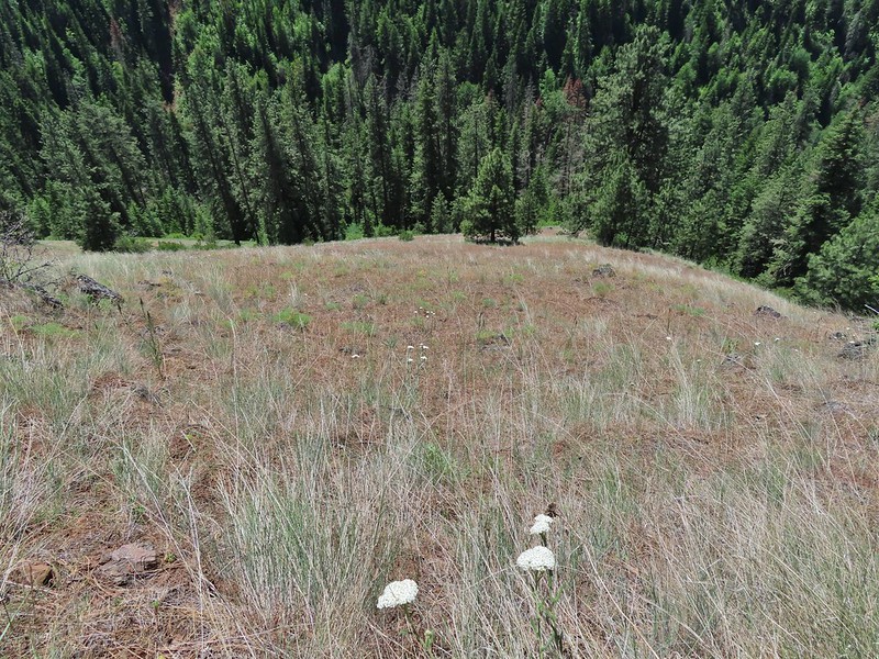 Yarrow
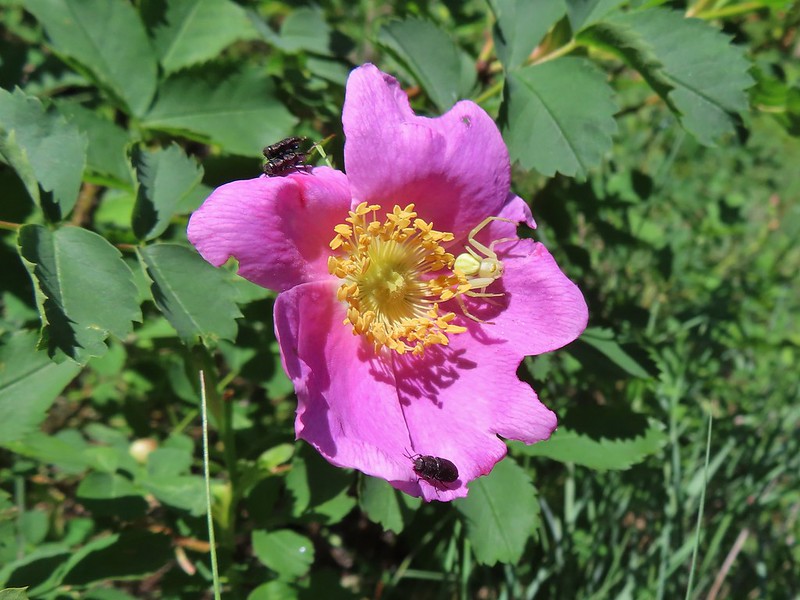 Bettles and a crab spider on rose
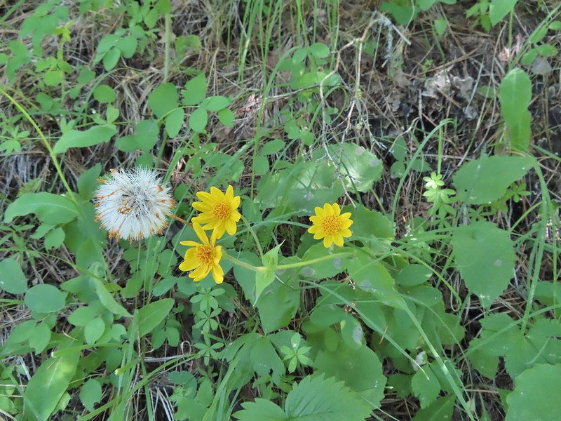 Arnica
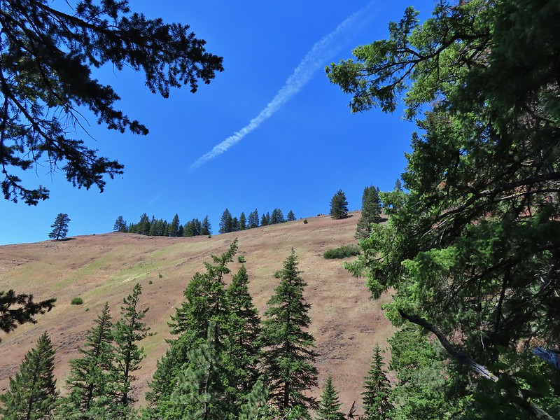 You might be able to make out the trail continuing up the far hillside.
 Now on the far hillside heading for that small tree on the ridge end.
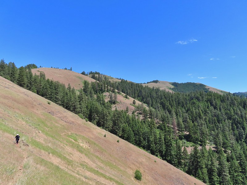 Looking back along the trail and at Ninemile Ridge.
 South Fork Umatilla River from near the ridge end.
 Heading up to the ridge top.
 Gaining the ridge and a view ahead of what’s to come.
 Balsamroot
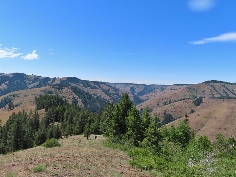
 Large-flower triteleia
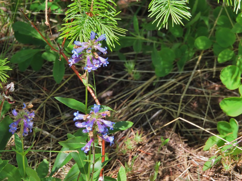 A penstemon
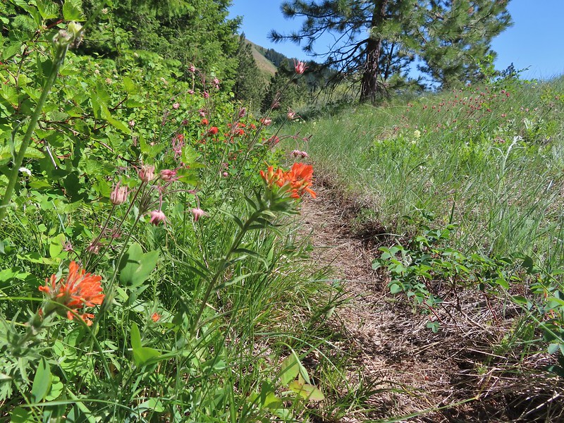 Paintbrush and prairie smoke
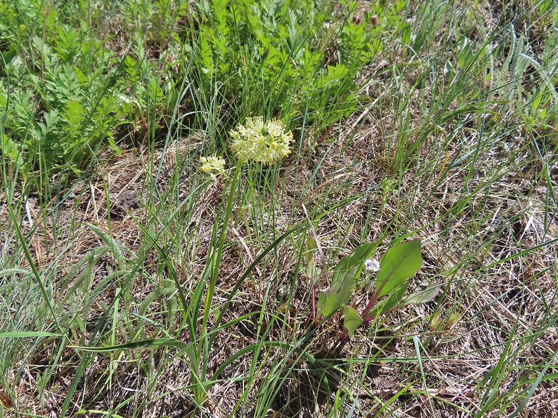 Death camas
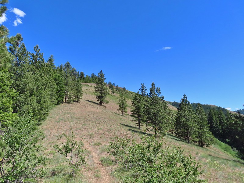
 Turkey vulture checking to see if we were dead yet.
 Ravens also interested in our carcasses.
 An allium
 There was a 20% chance of showers according to NOAA so these clouds forming weren’t a surprise.
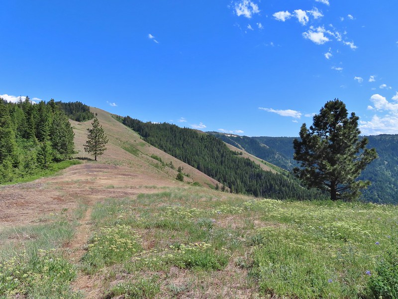 A flat stretch along the ridge before another steep climb.
 Buckwheat and Large-flower triteleia
 Bush penstemon
 The trail was actually down to the left but the ridge seemed like it would take less climbing.
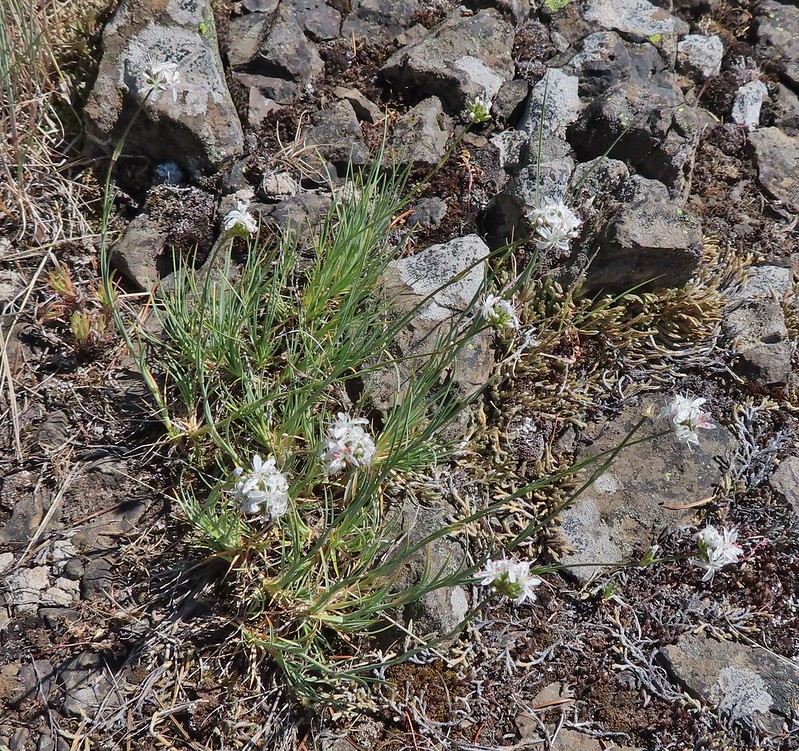 Ball head sandwort?
 Lupine
 Paintbrush along the final climb.
 A parsley and naked broomrape
 Larkspur
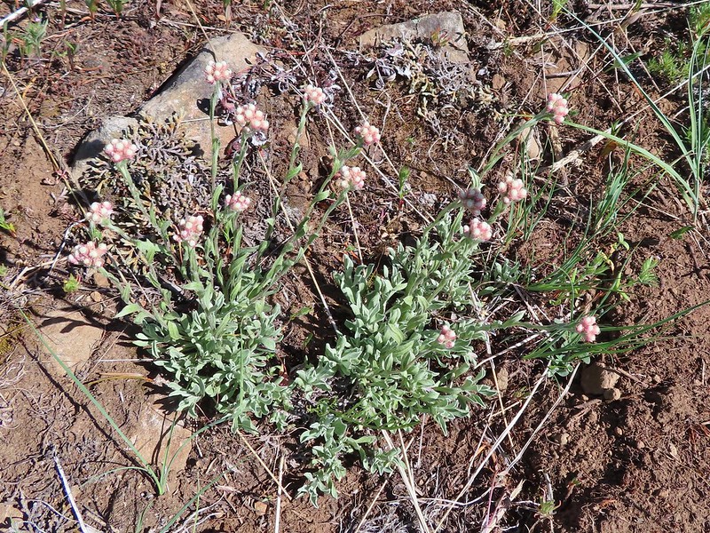 Rosy pussytoes
 Cairn on the right.
 Clouds starting to pass over.
 High Ridge Lookout to the left
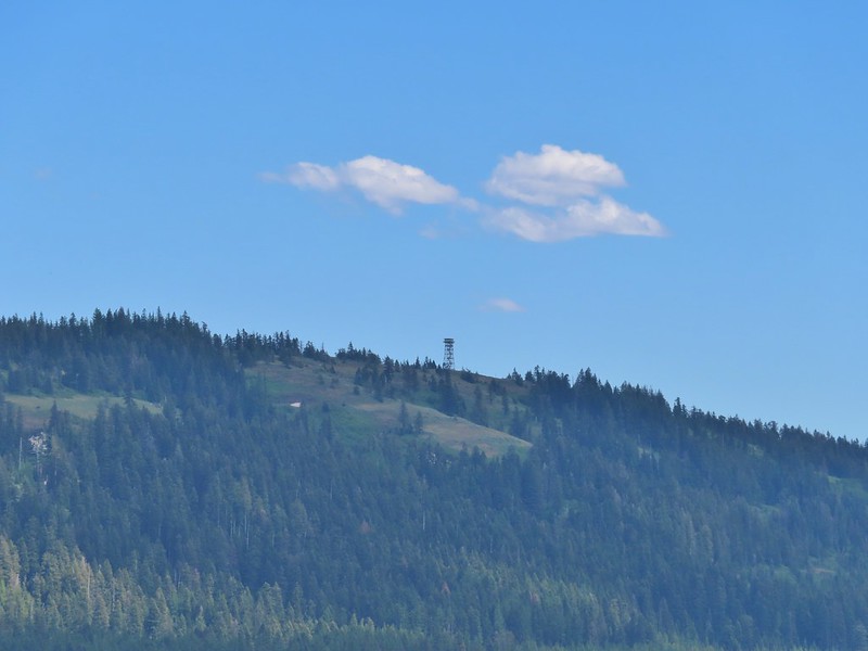 High Ridge Lookout
 Looking back down Ninemile Ridge
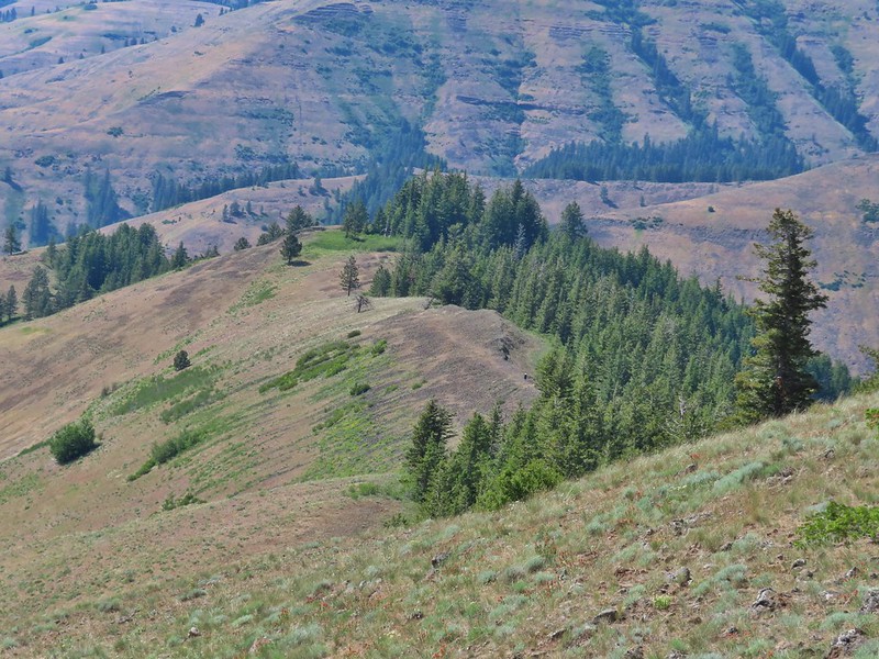 Heather making her way up.
 Blue-eyed Mary and elegant mariposa lily
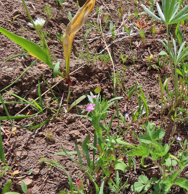 Slender phlox
 A phacelia
 Hoary balsamroot (most of it was way past)
 Phlox
Phlox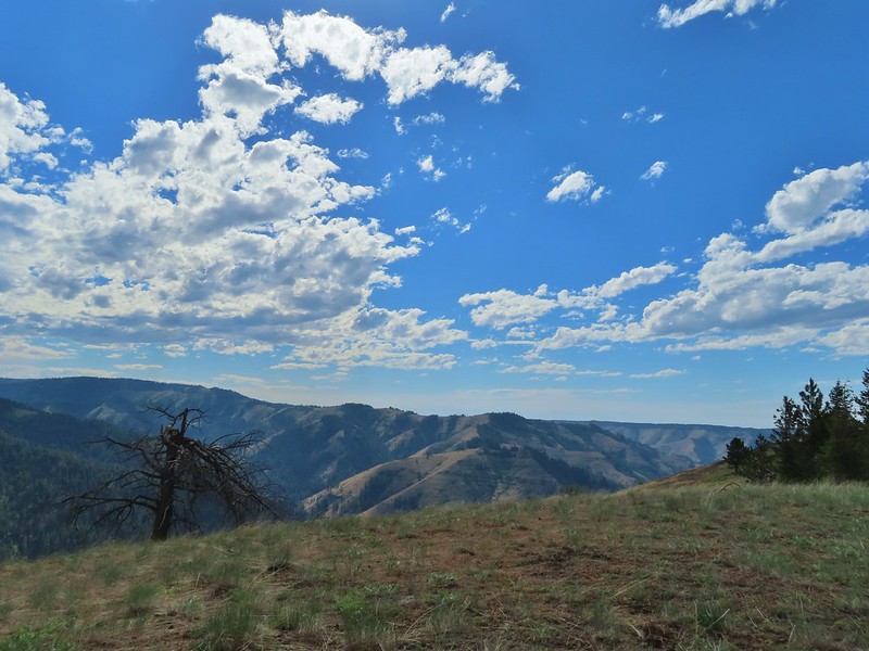

 Spotted coralroot
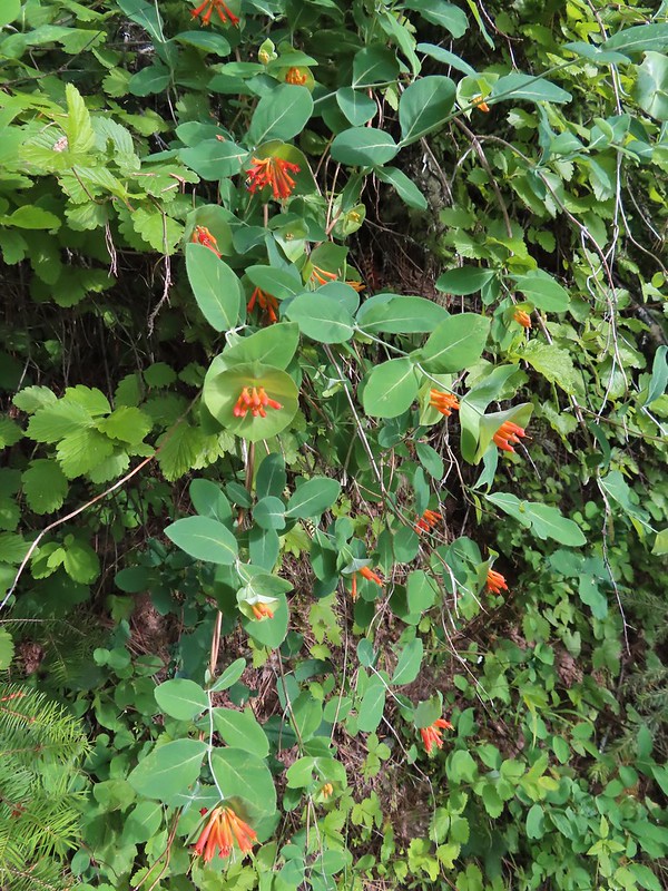 Honeysuckle
 Arnica and small flower miterwort
 Twinflower
