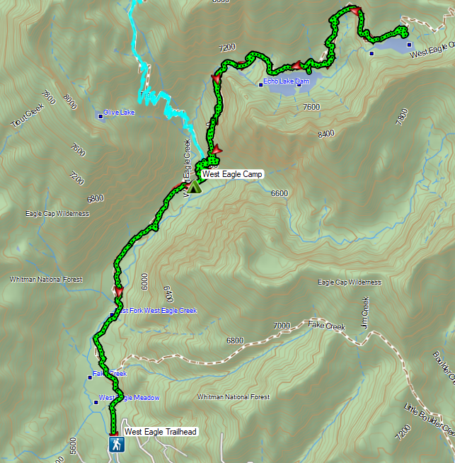
Progress Report – 500 “Featured Hikes” – January 2023 UpdateTo wrap up our backpacking trip in the Eagle Cap Wilderness we targeted the hike to Echo and Traverse Lakes along the West Eagle Trail. The heat during this trip had been an issue and Heather had skipped the challenging hike to Tombstone Lake on Wednesday and opted for this hike instead while I tackled Tombstone (post). She came back from her hike with some good information regarding the trail conditions including a tangle of downed trees between the lakes where she decided to turn around instead of attempting to scramble up and around it.


The plan for our last day was for me to visit the two lakes while Heather worked on packing up and then when I returned we would hike out and head back to Salem. After breakfast I set off hoping that it wouldn’t be too hot this morning.
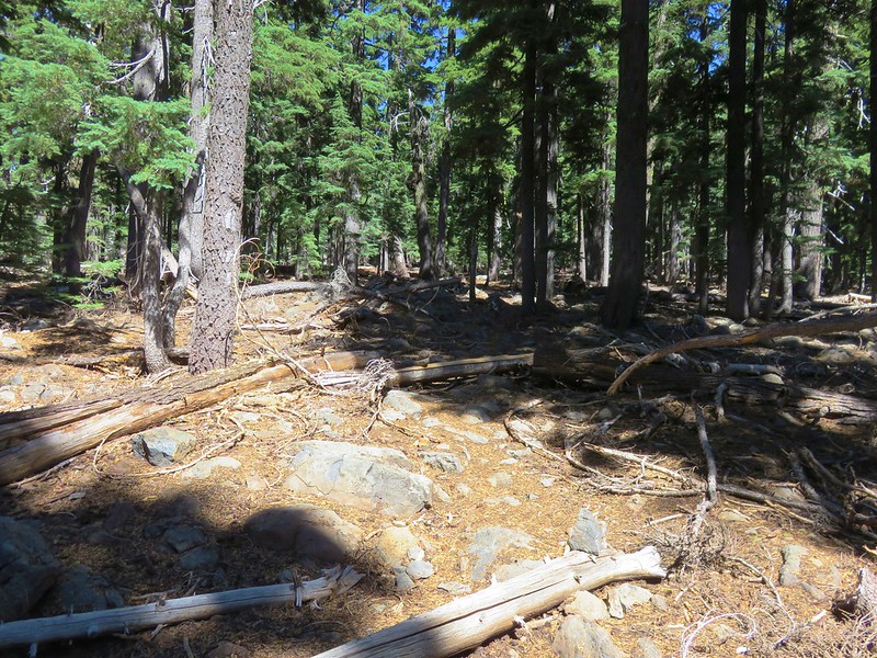
 It was a little before 6am when I started up to the lakes.
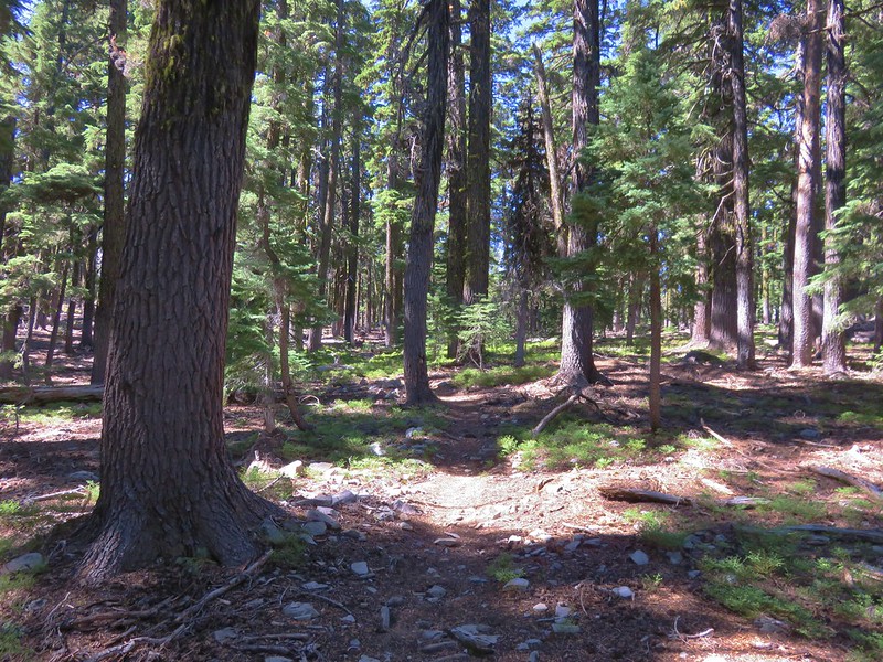
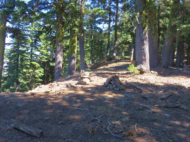
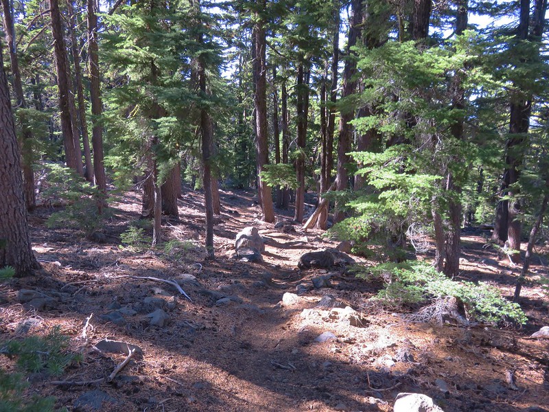
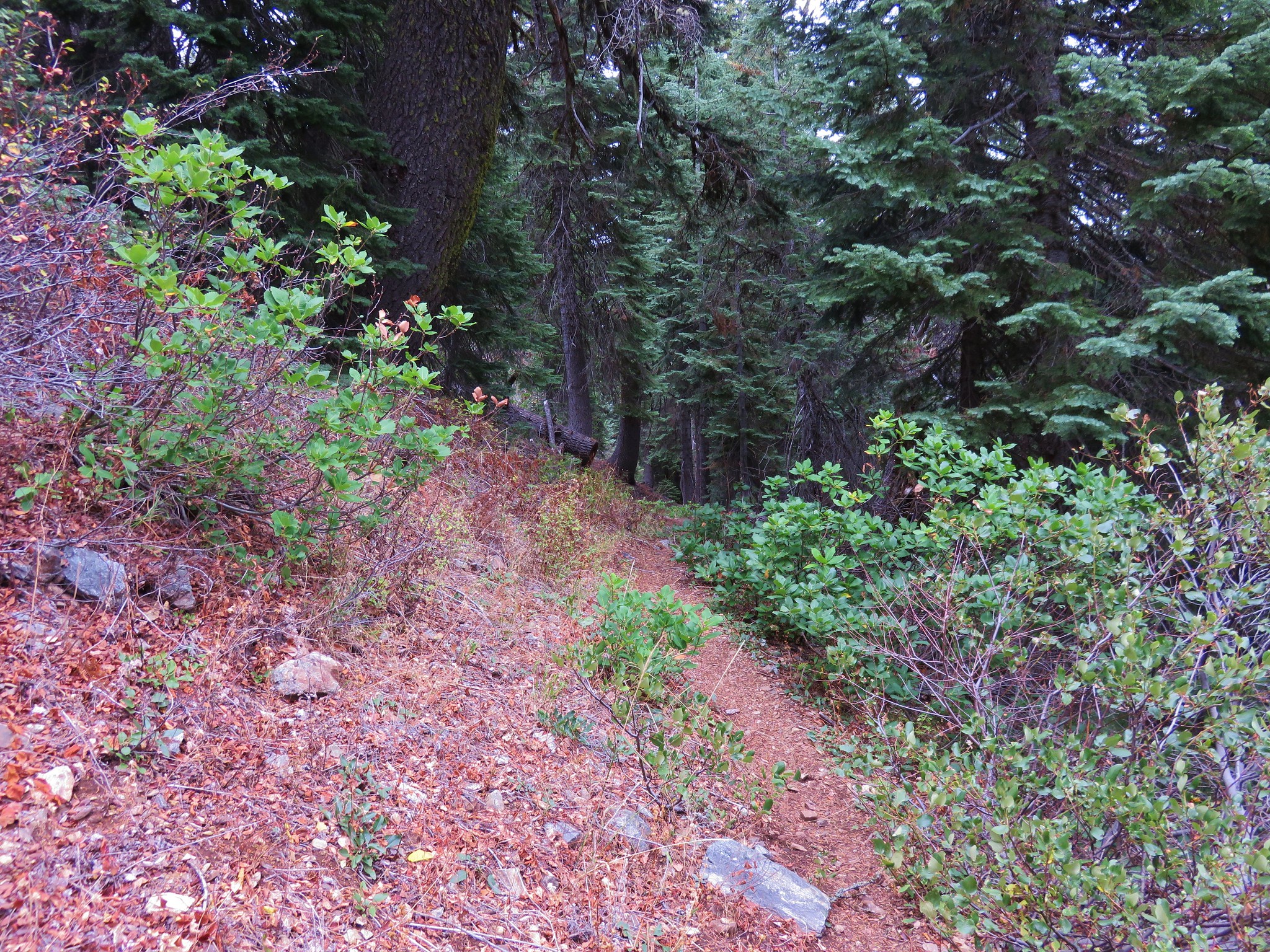
I kept a steady pace for the first half mile having hiked this section of trail to the Tombstone Lake Trail junction the day before. This time at the junction I stuck to the West Eagle Trail.

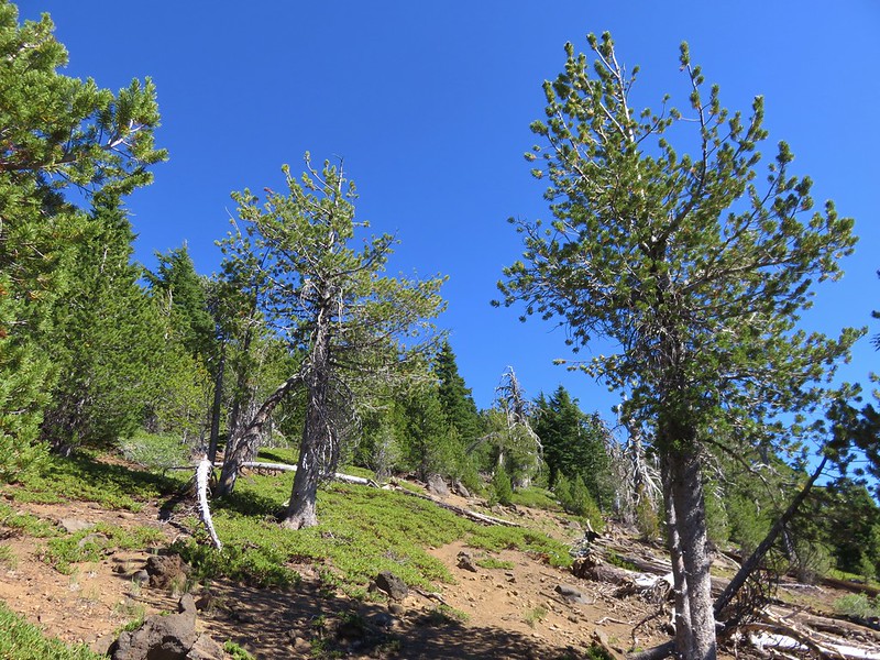
Another switchback filled climb followed as the trail made its way up to Echo Lake’s basin.
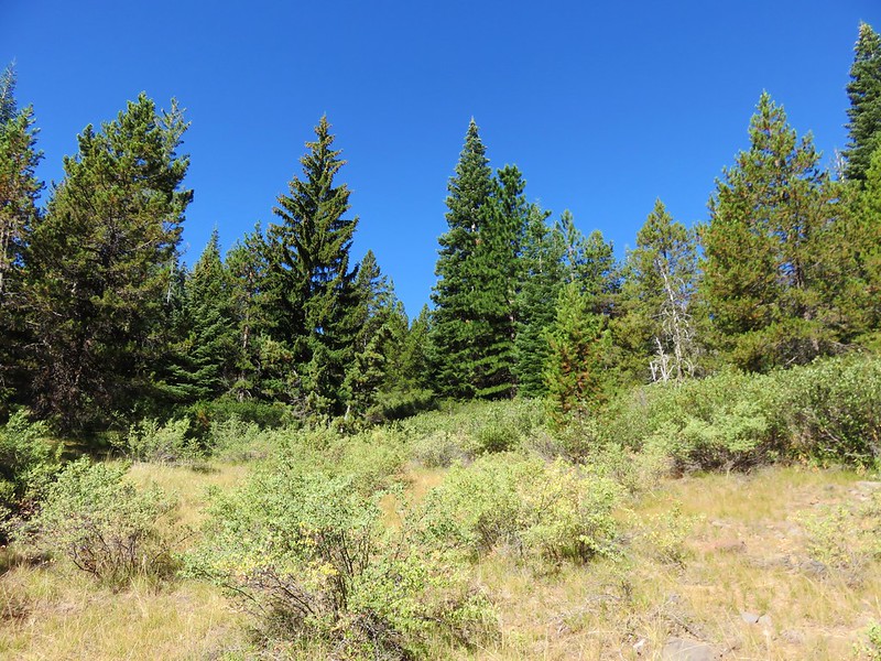
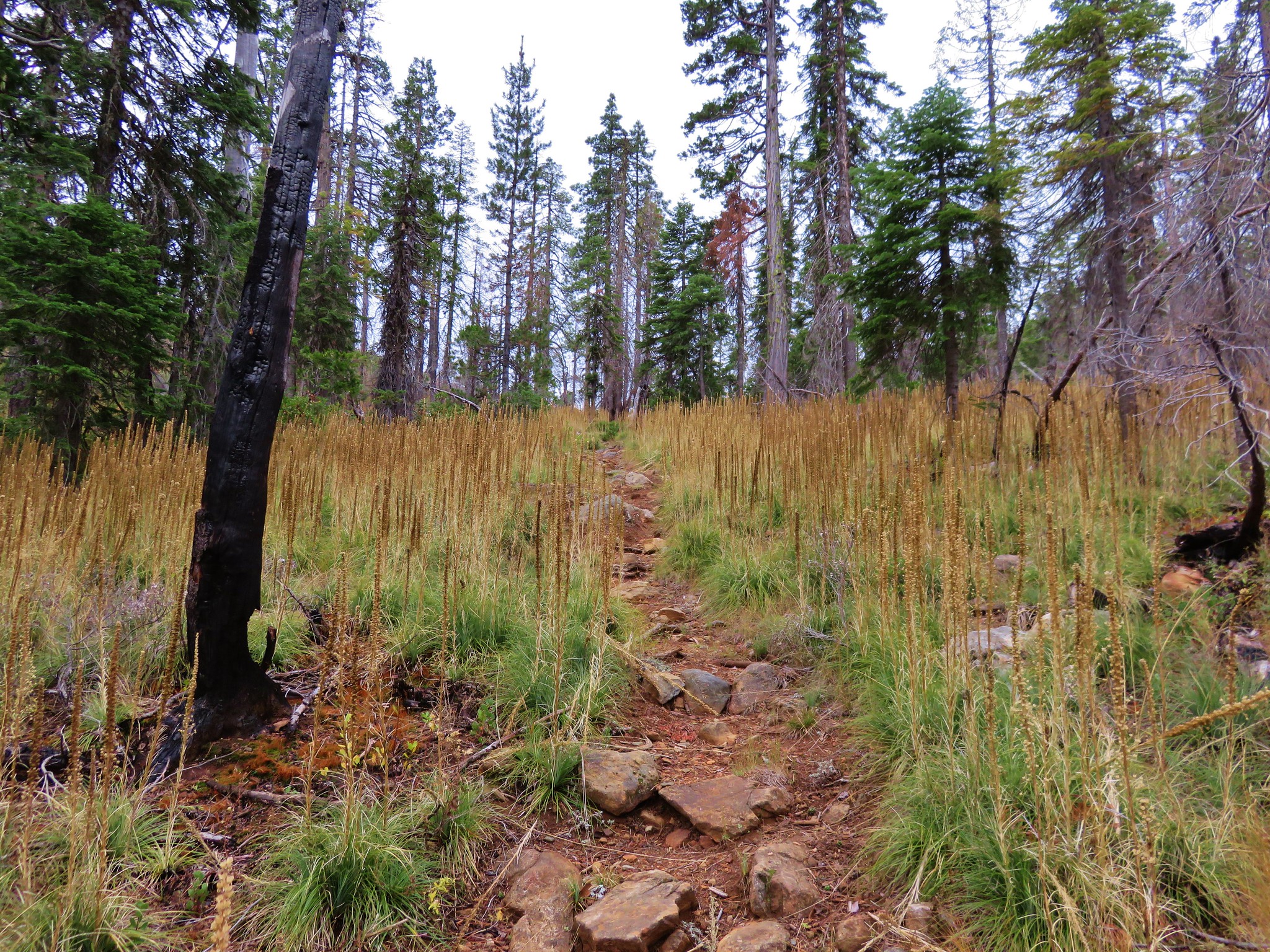
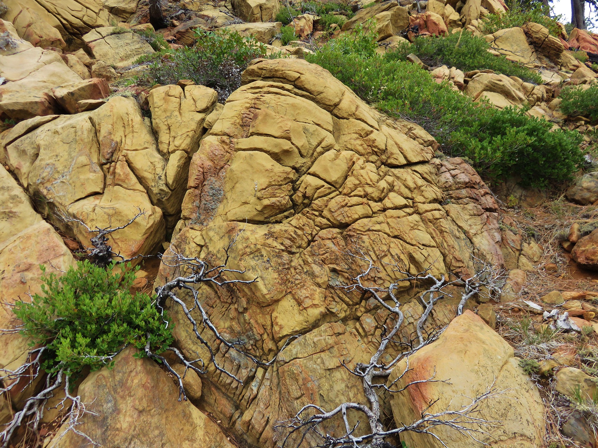
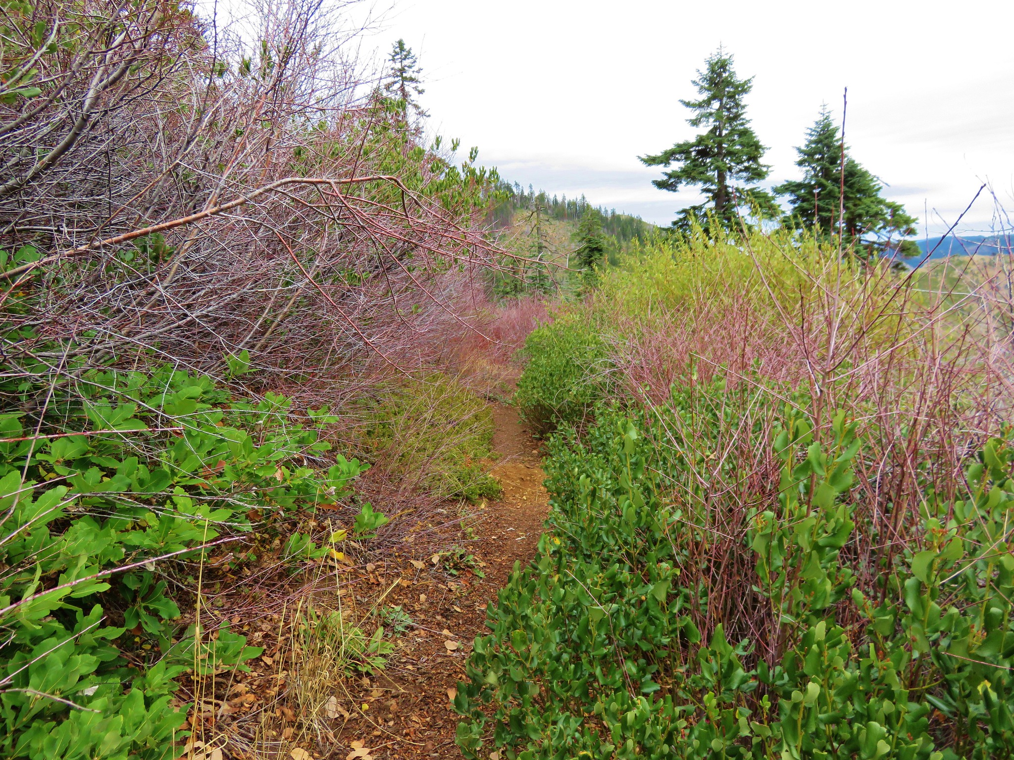
 There was an interesting amount of sagebrush along the lower portion of this hike.
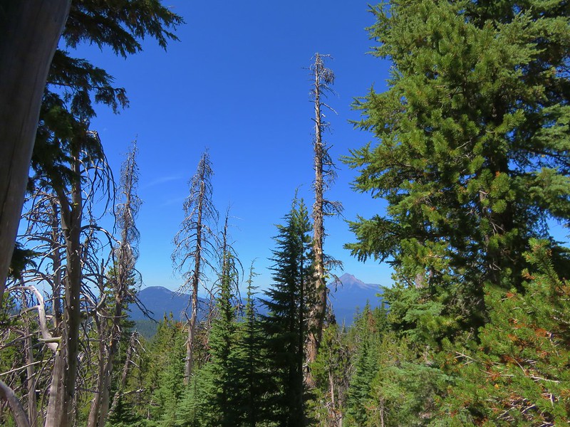
 There was still some smoke in the air, but it was quite a bit less than it had been the day before.
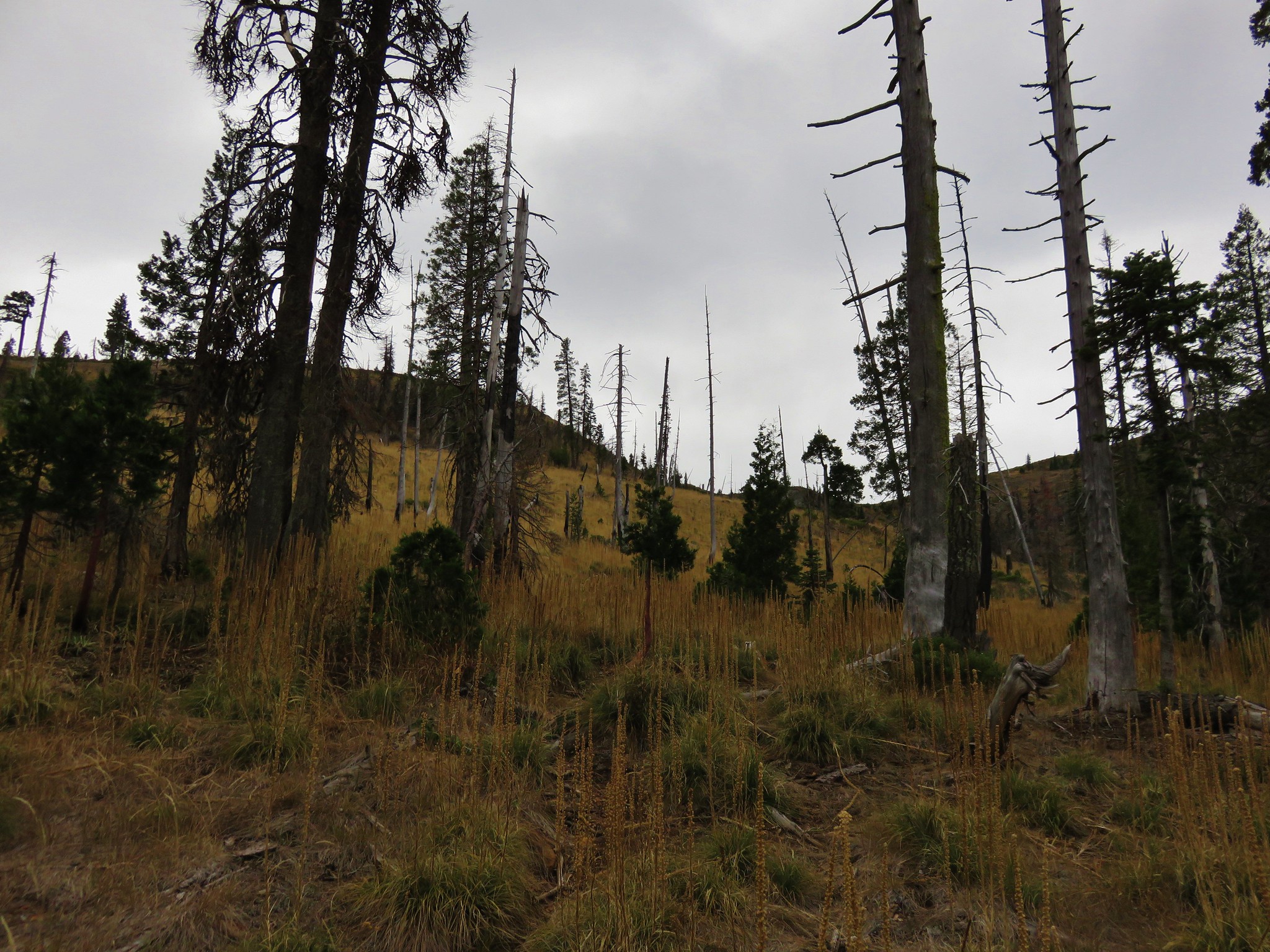
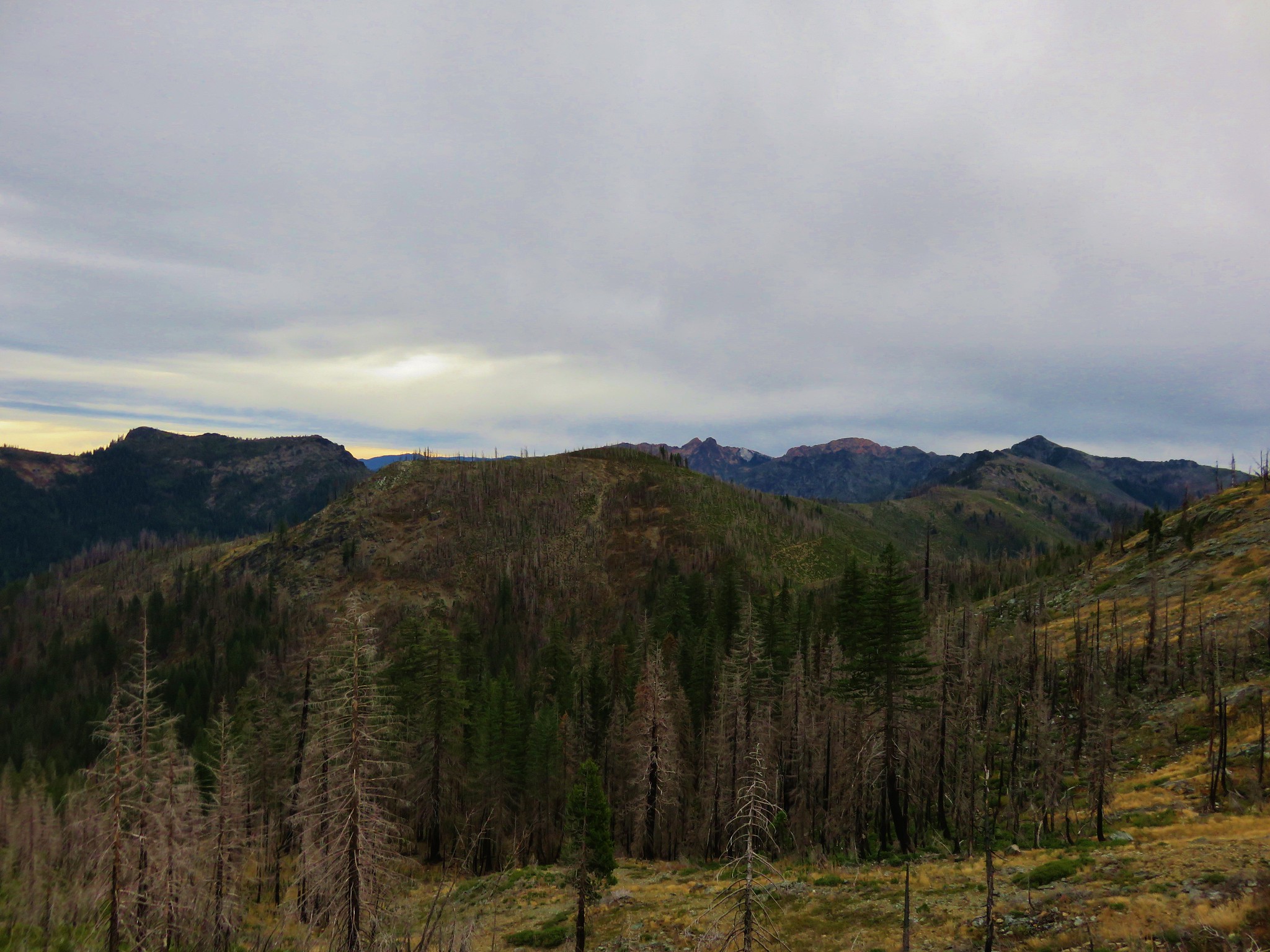
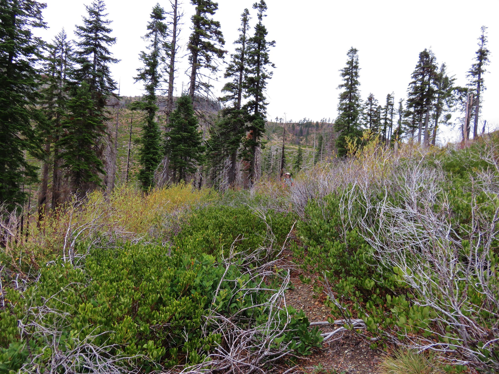
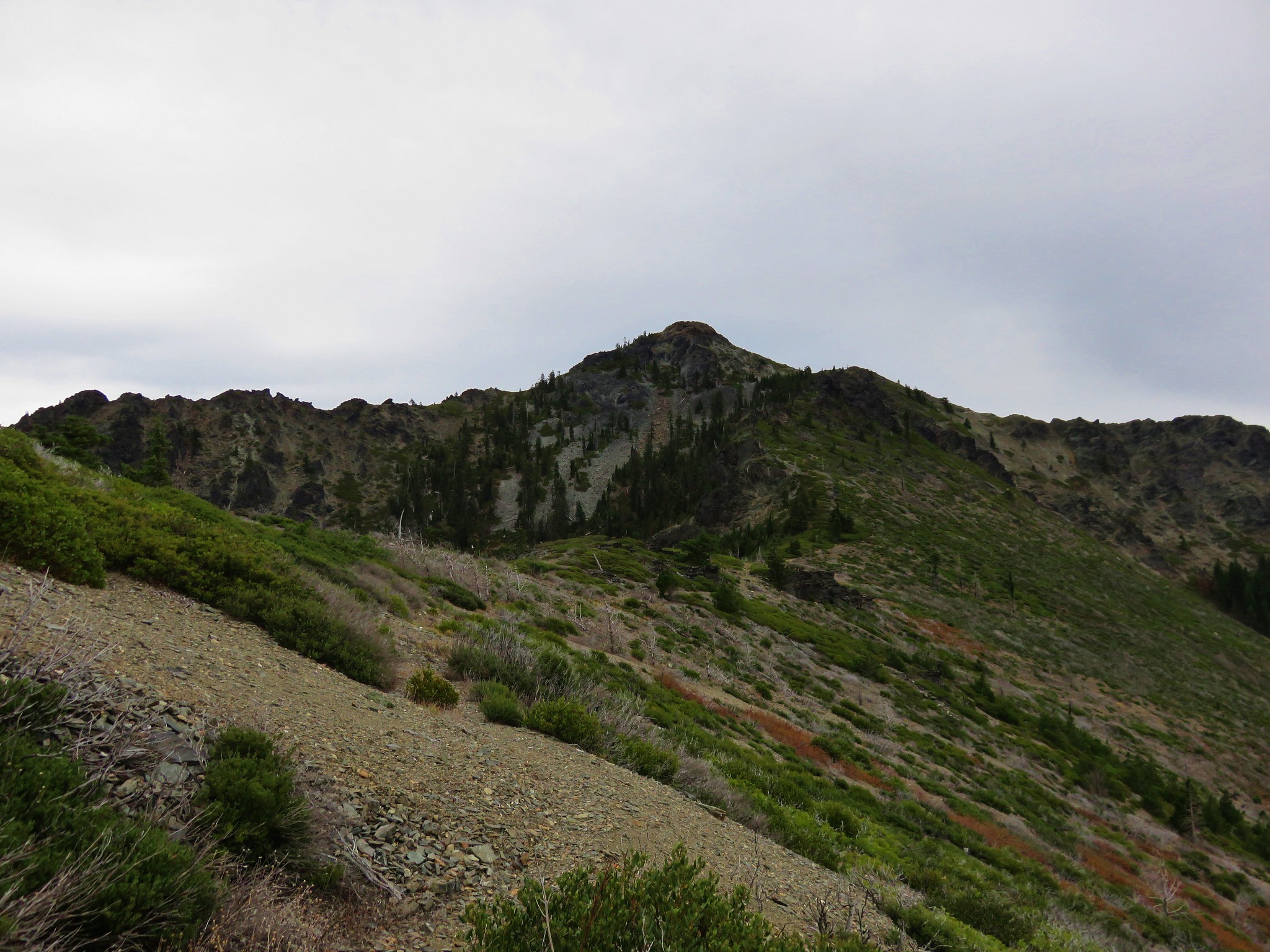
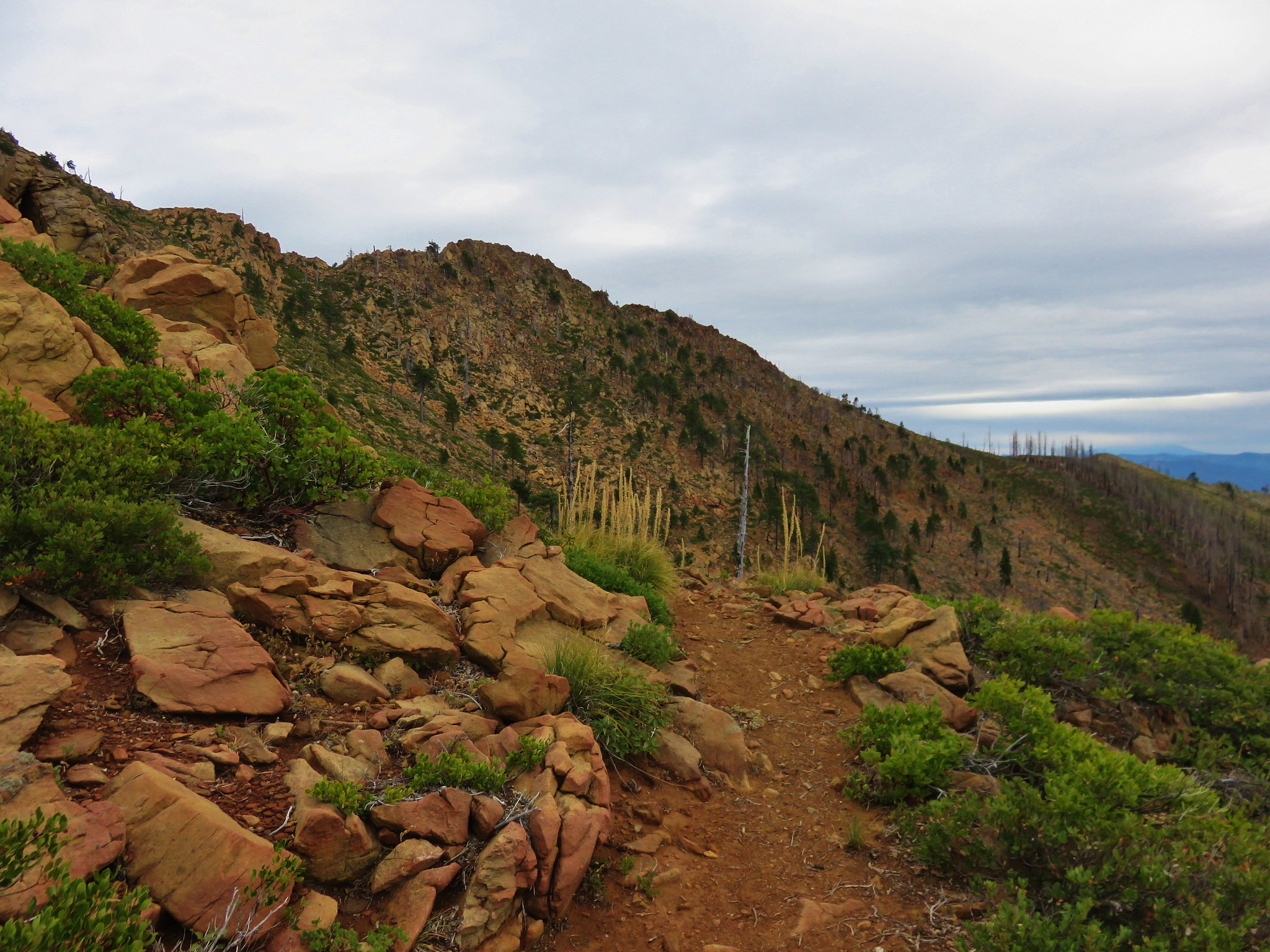
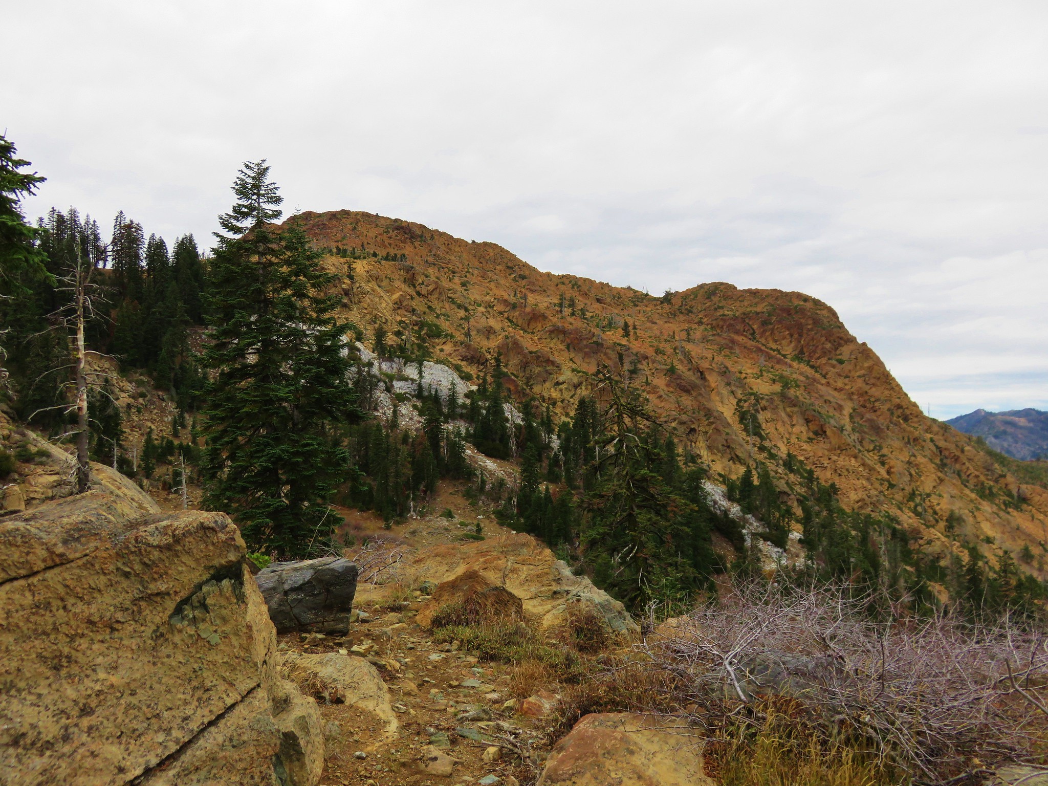
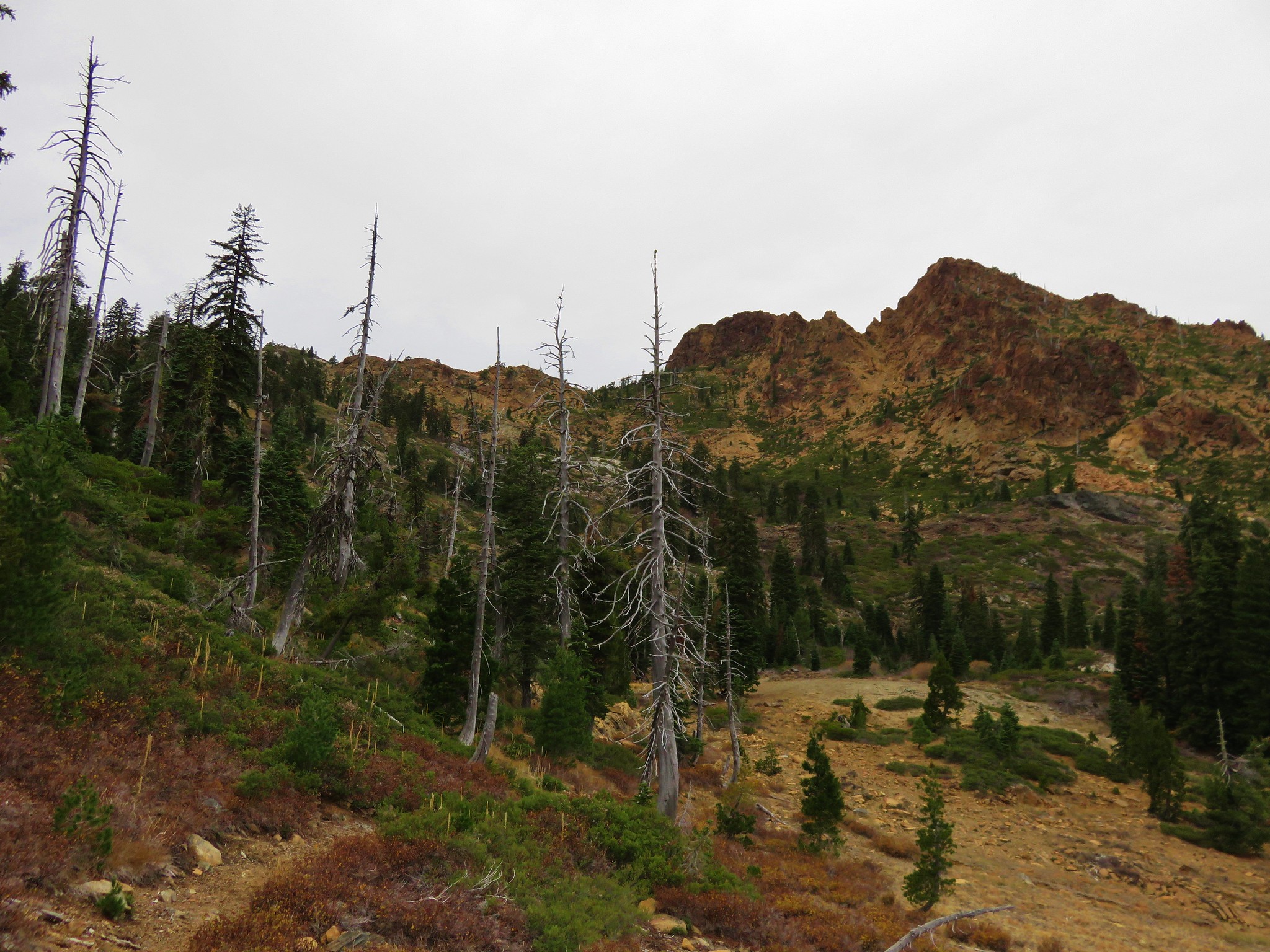
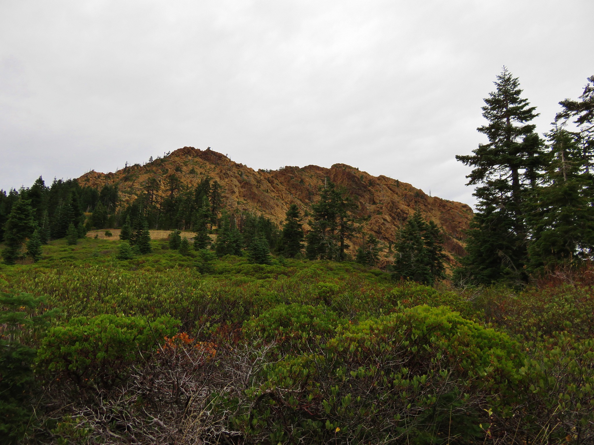
 The trail initially seemed like it is heading up this valley before it crosses over a ridge and heads for the Echo Lake basin.
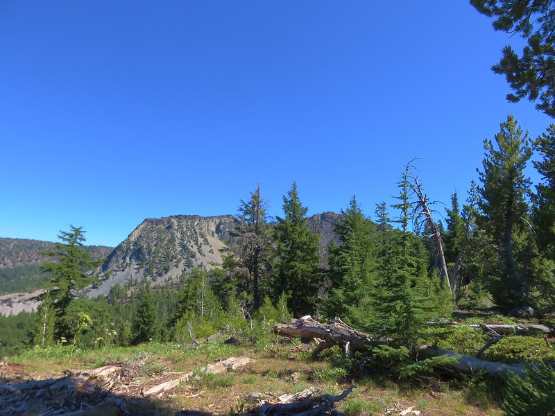
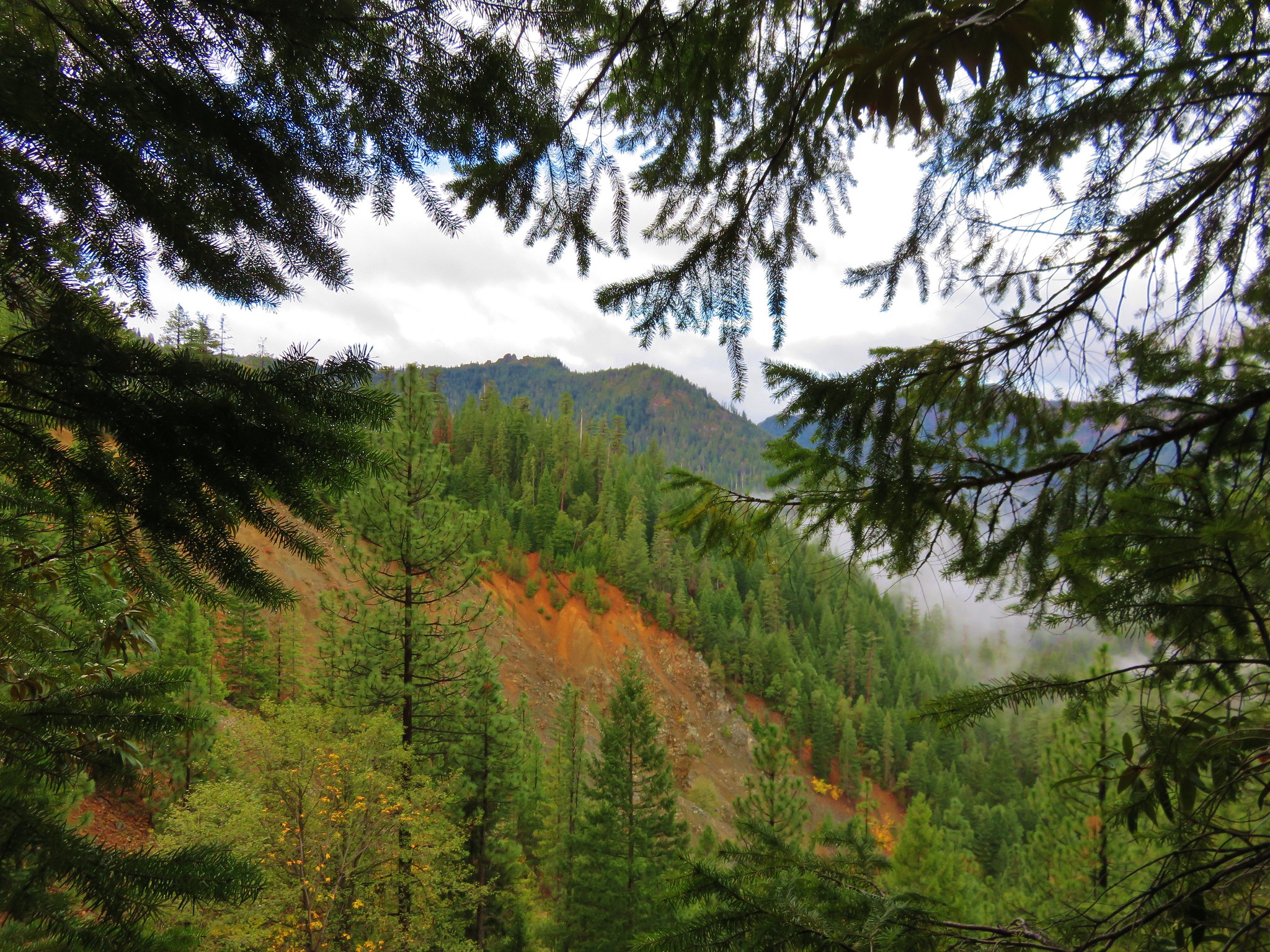
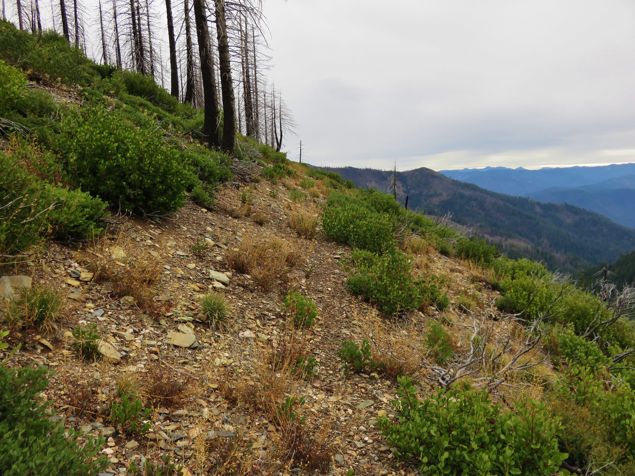
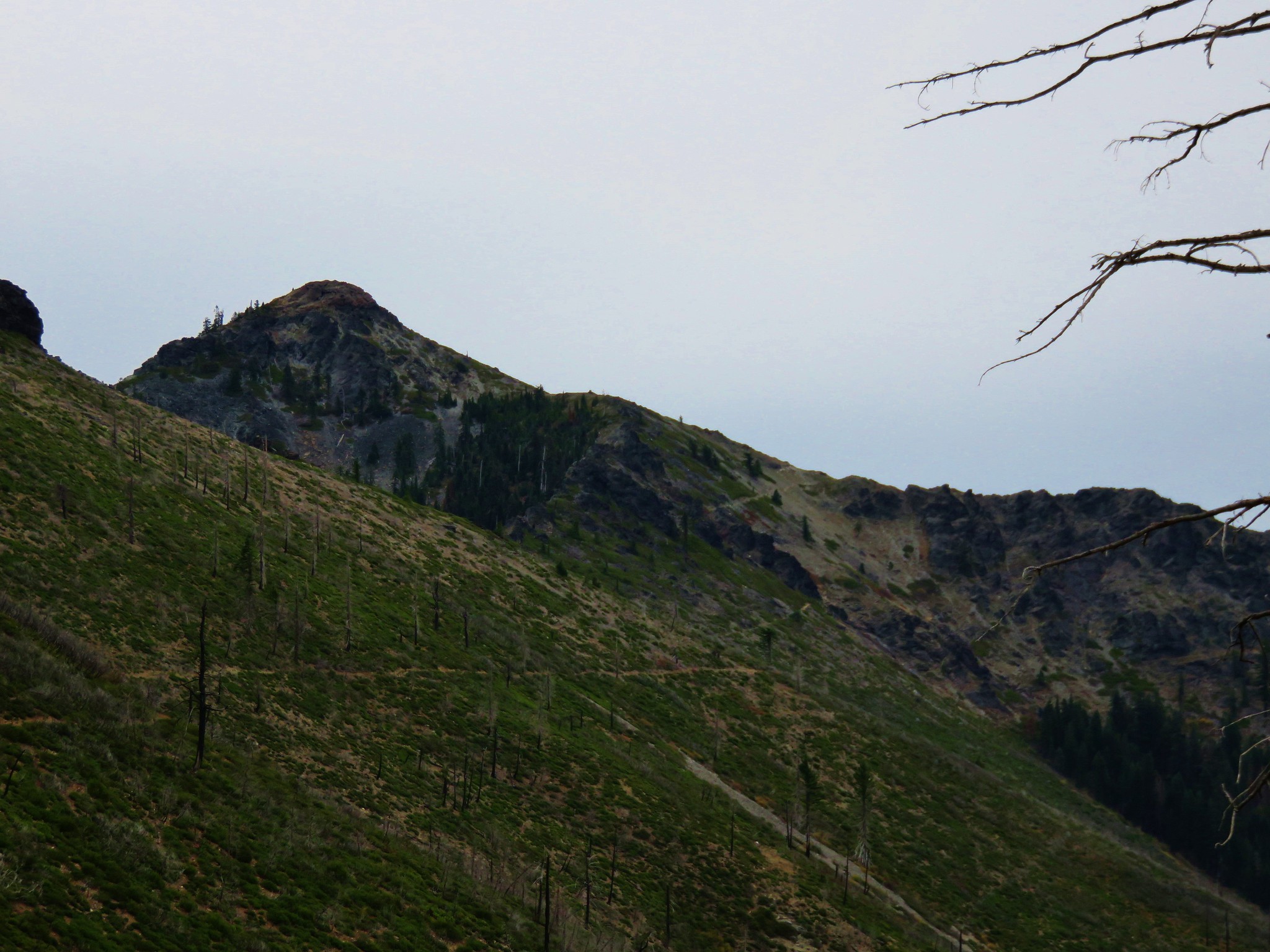
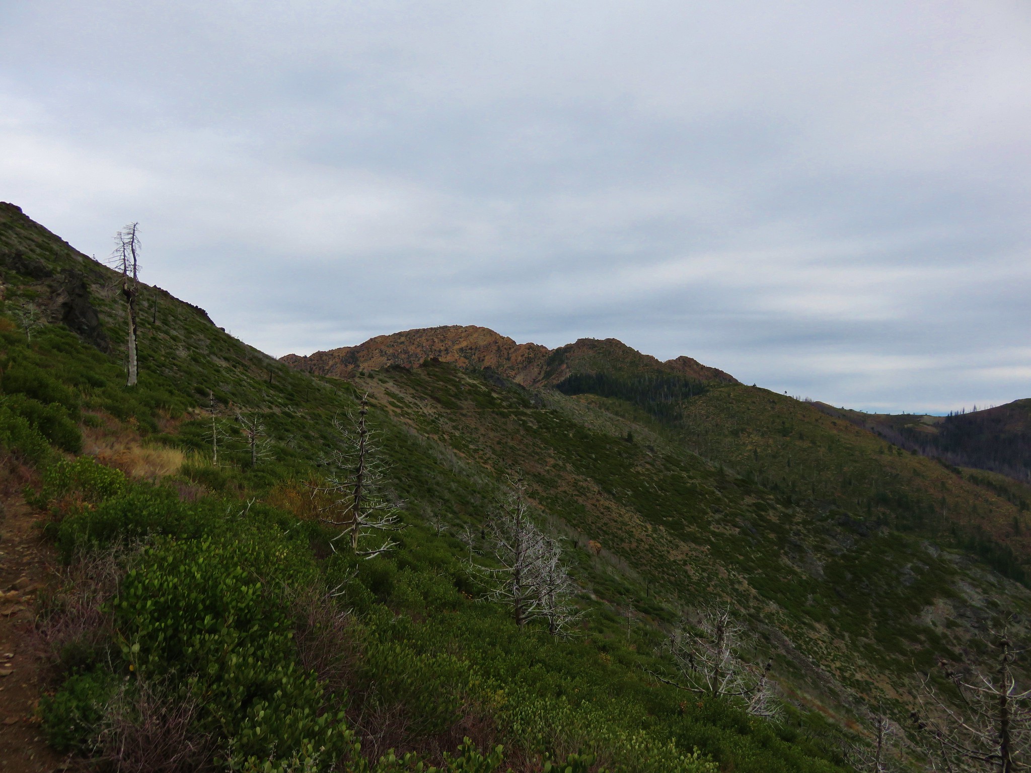
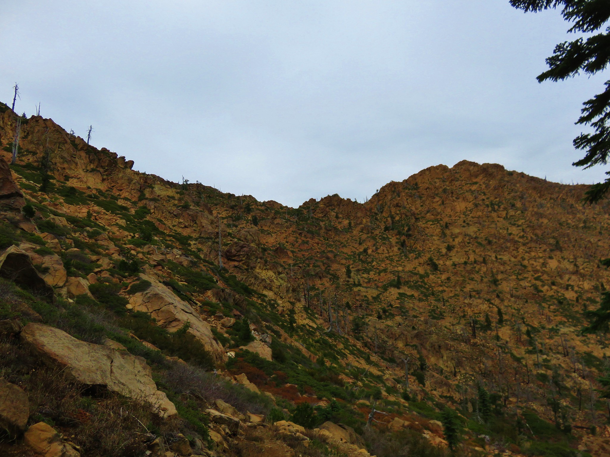
 From this trail the route of the Tombstone Lake Trail was visible.
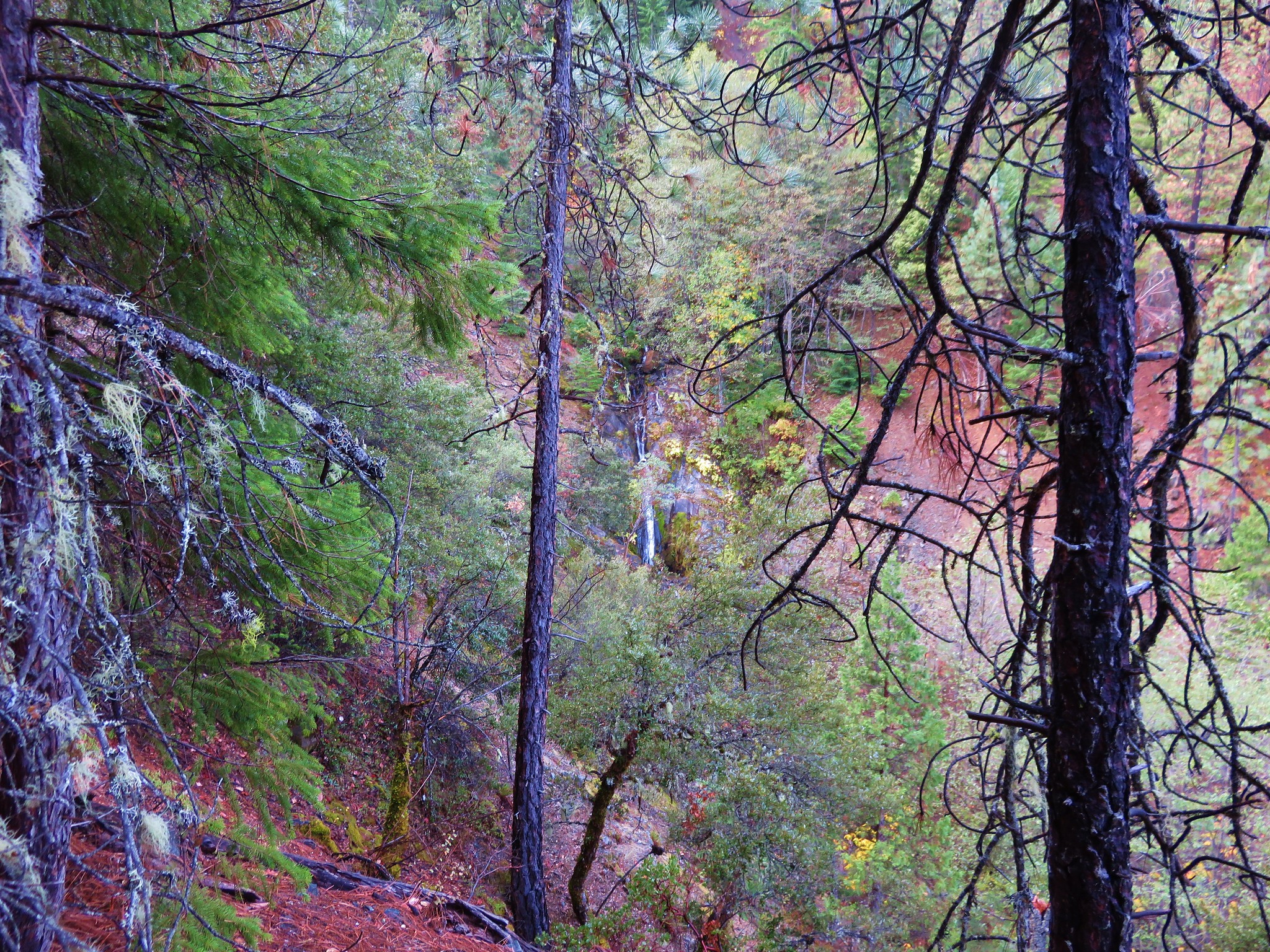
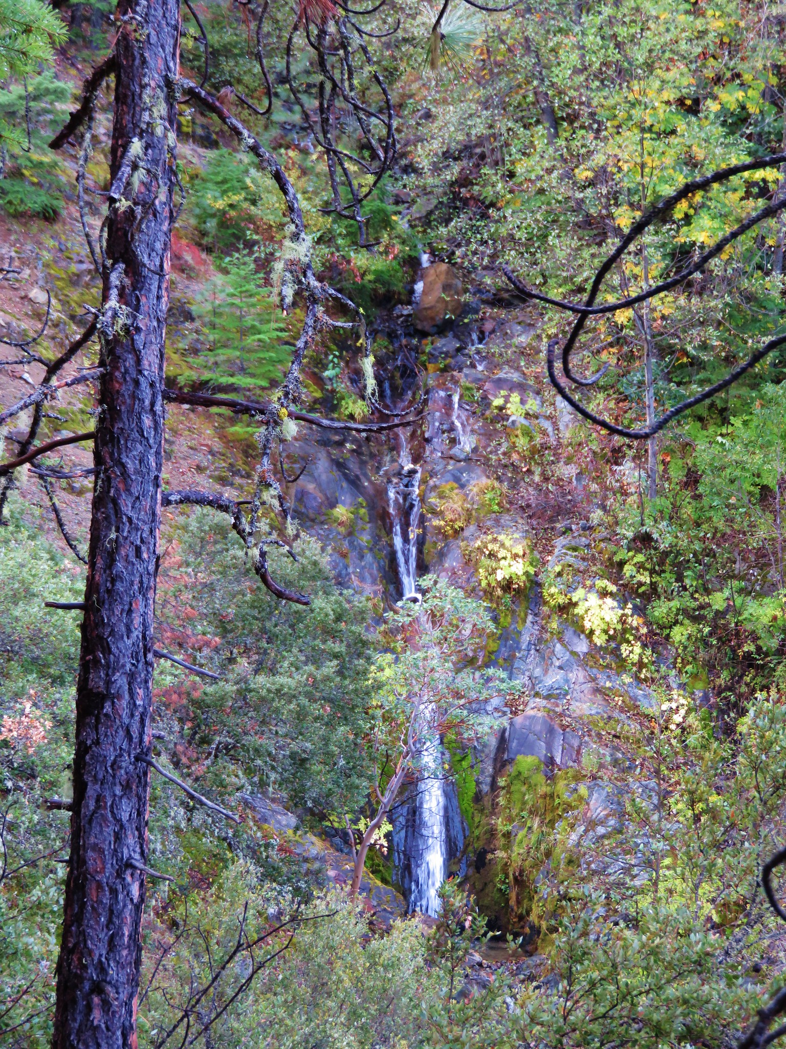
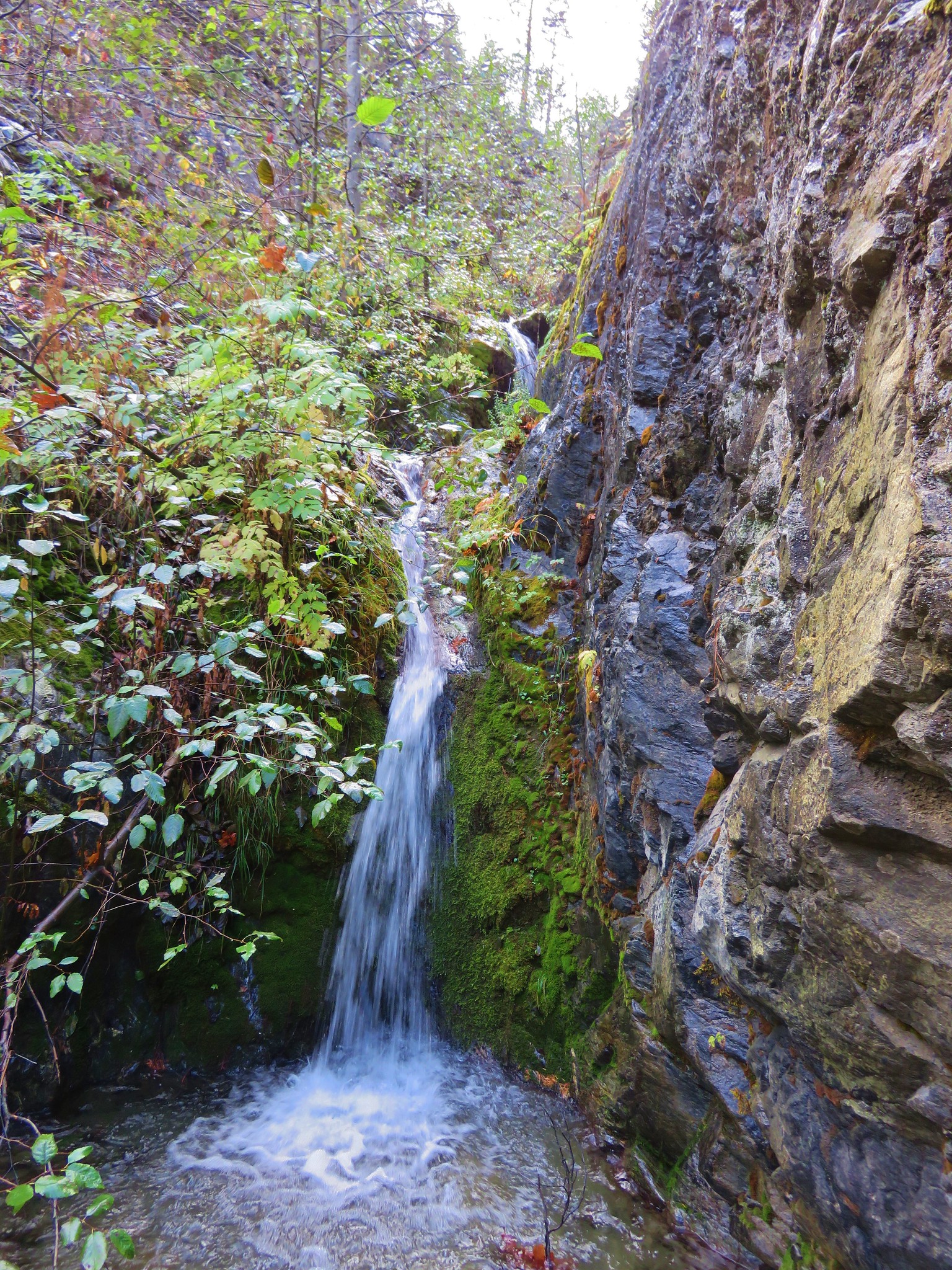
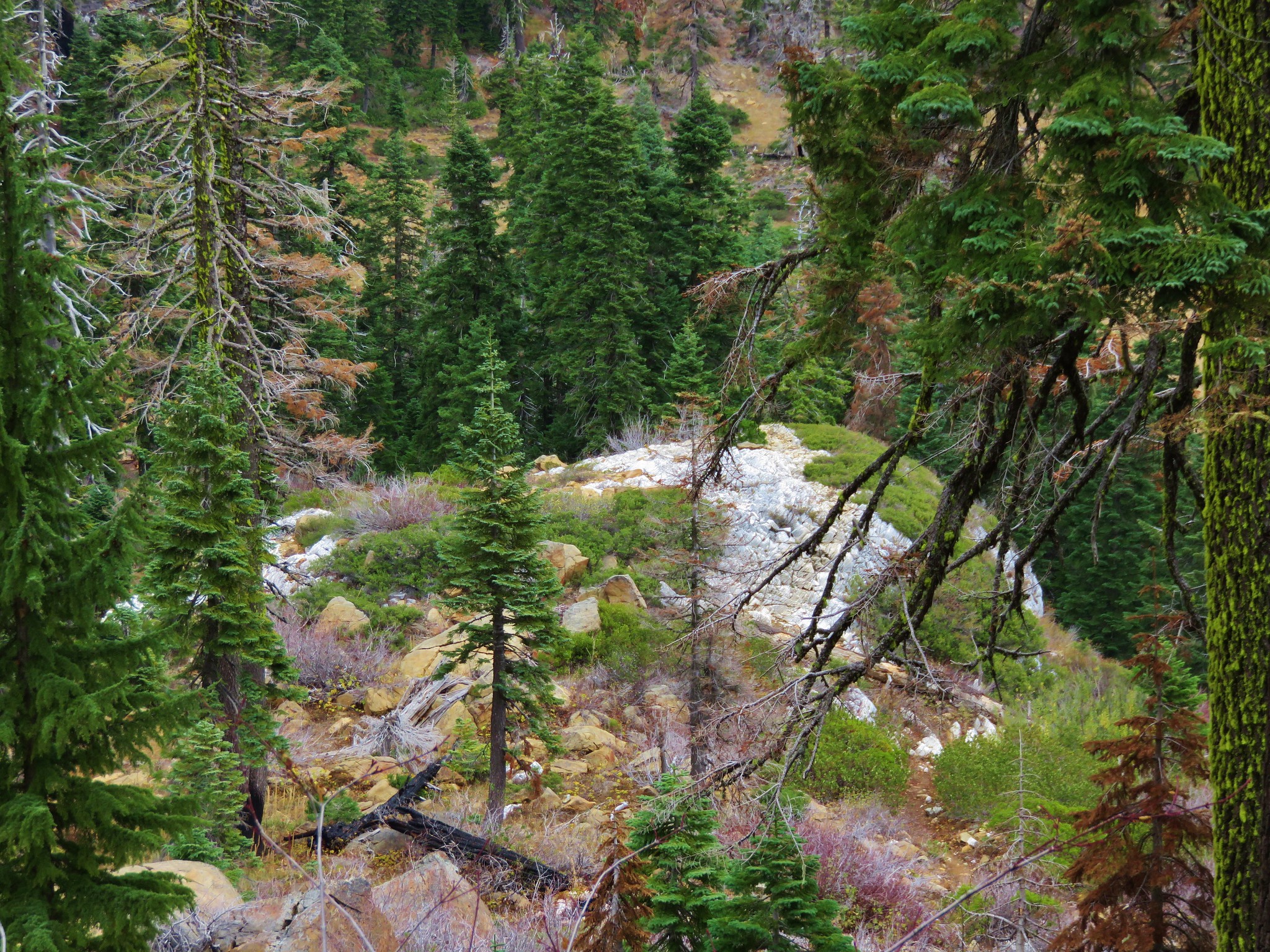
 Waterfall along Olive Lake’s outlet creek. One of the switchbacks along the Tombstone Lake Trail is just to the right.
 Tasselflower brickellbush
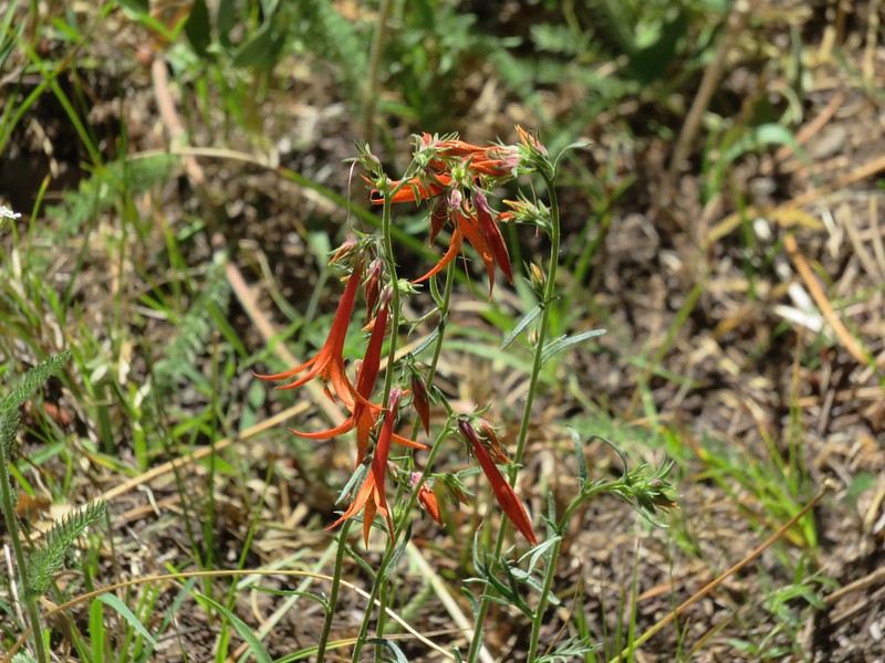
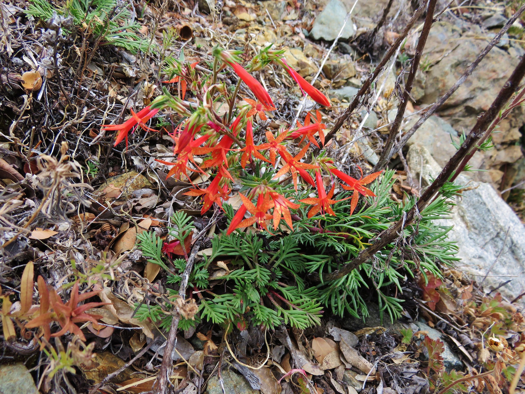
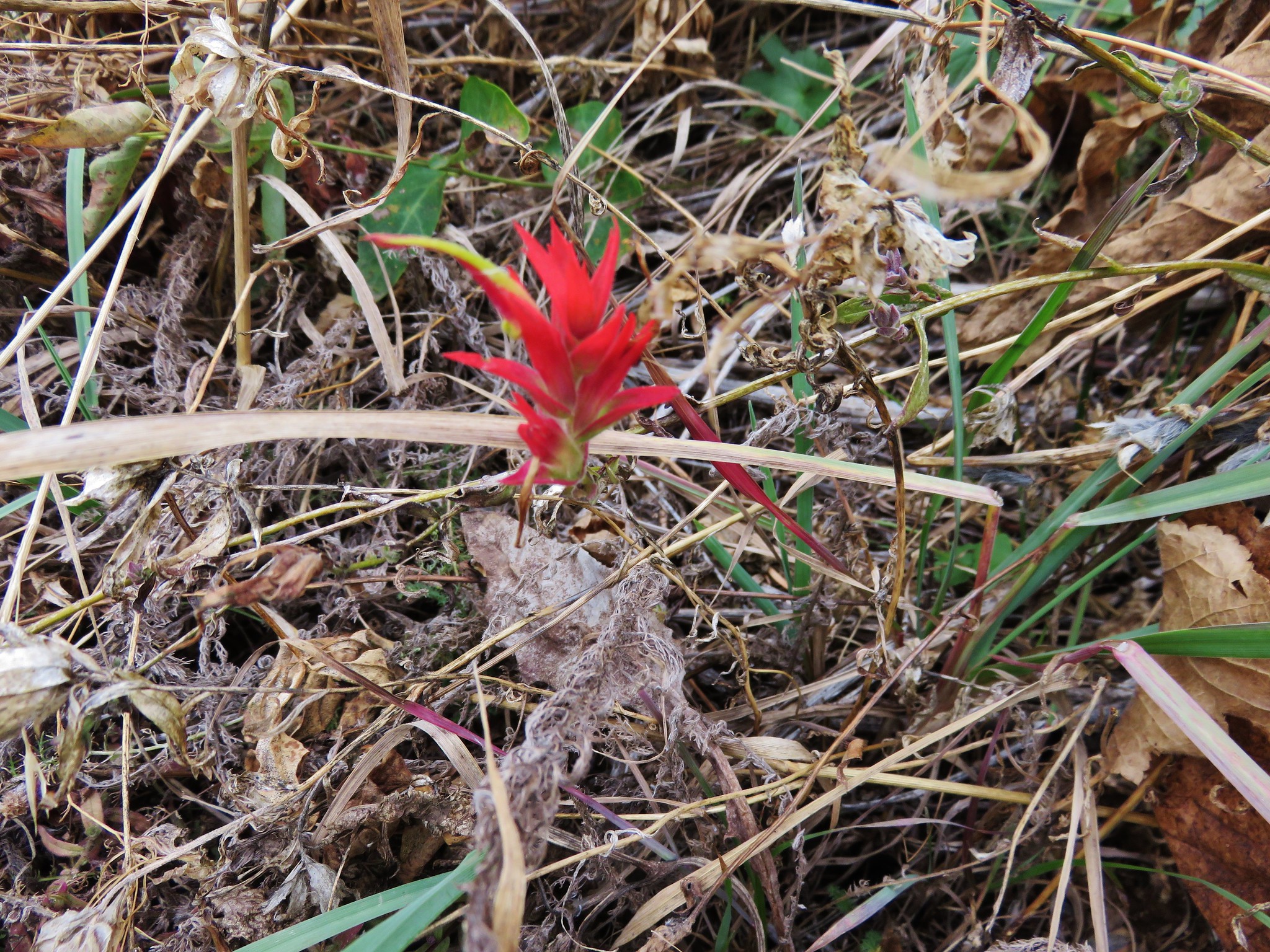
 There was a lot of paintbrush along the trail.

 Paintbrush and I believe fading false sunflowers.
 Penstemon and paintbrush
 Western snakeroot

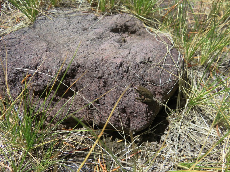
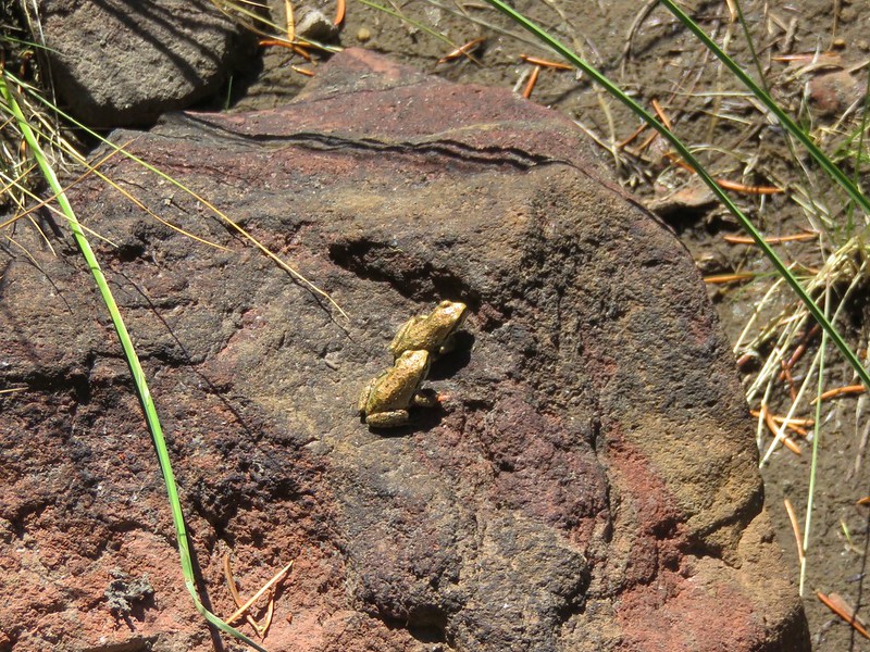
 Pika!
Pika!

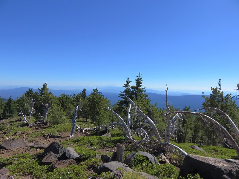
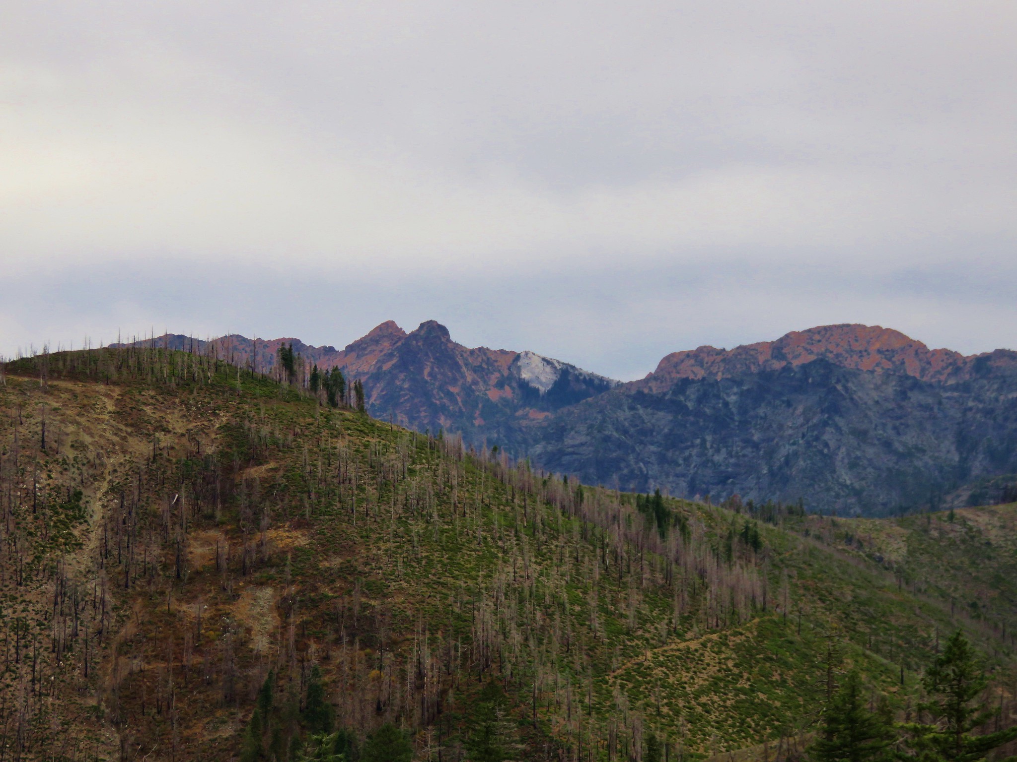
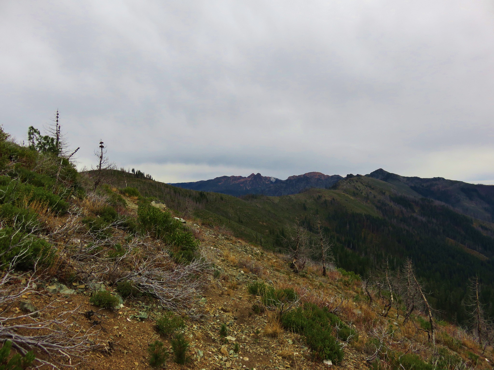
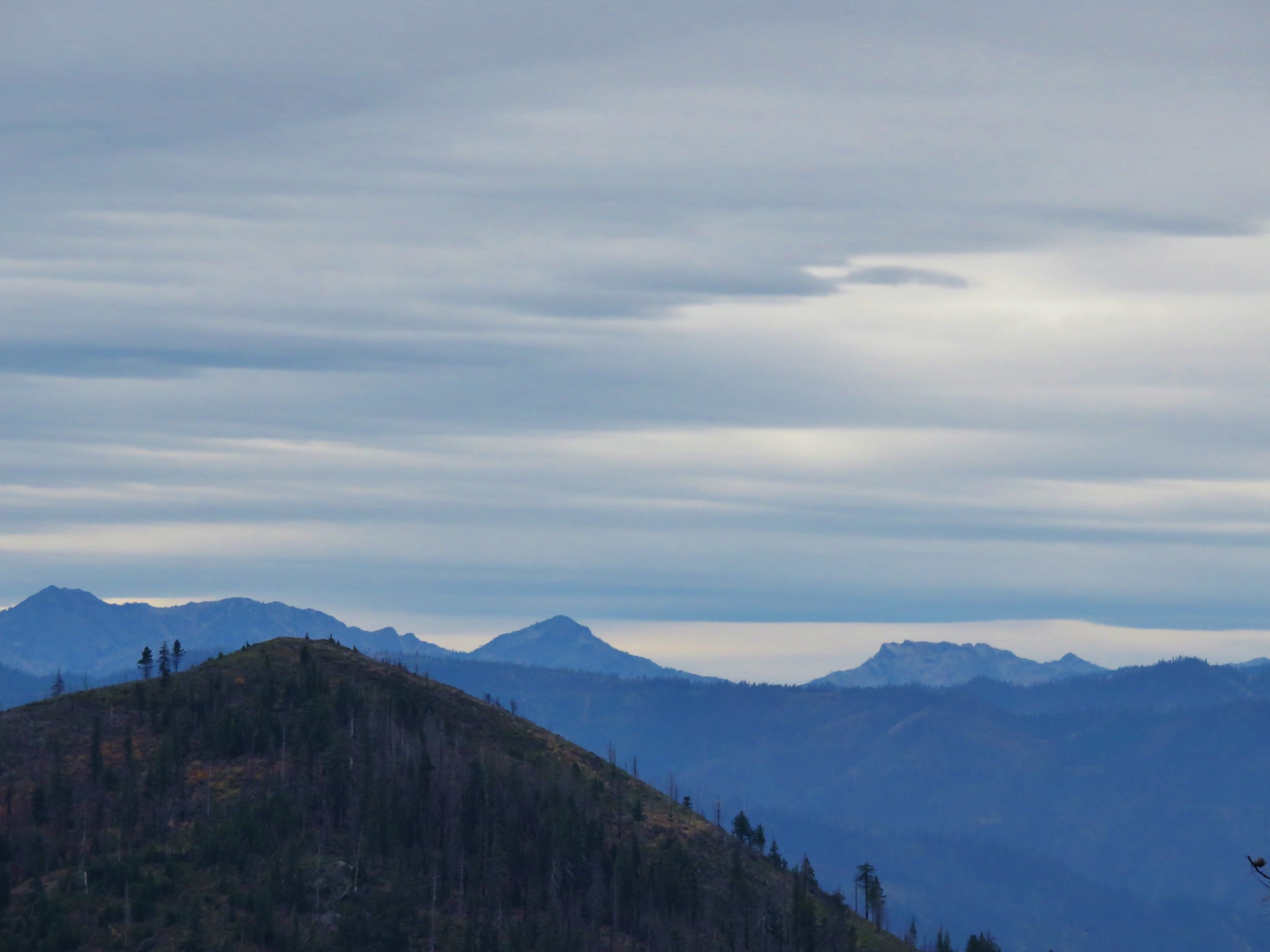
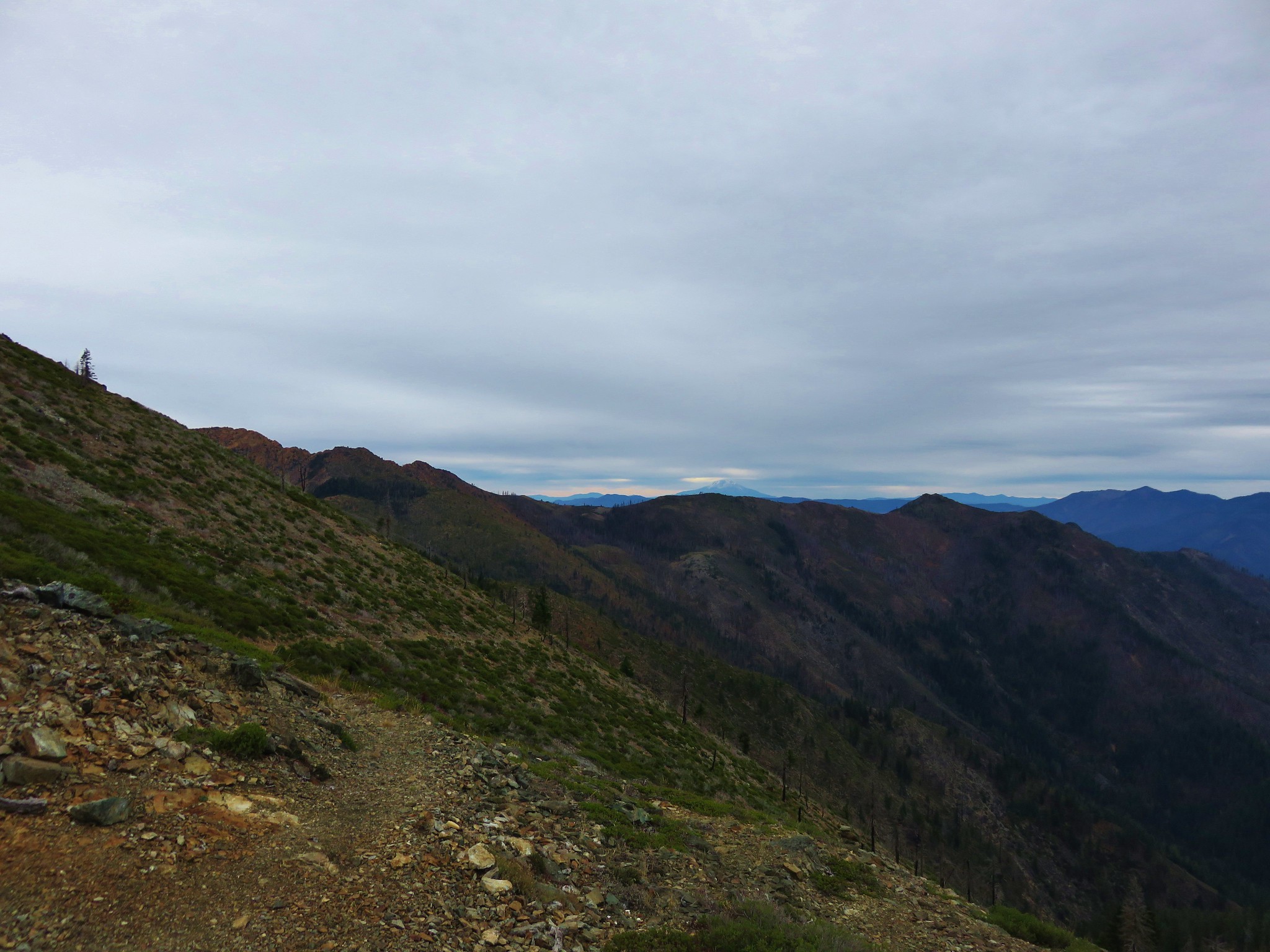
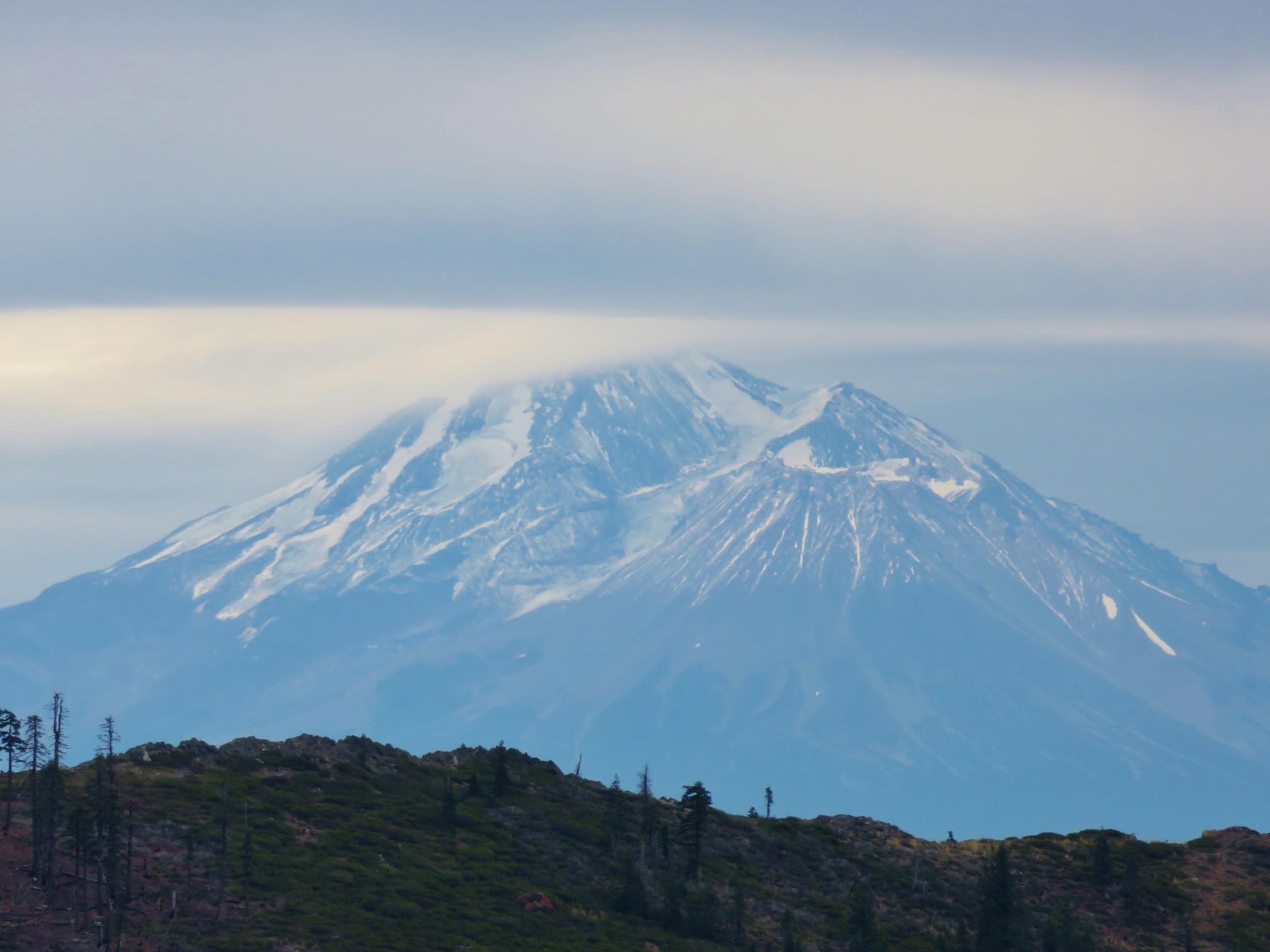
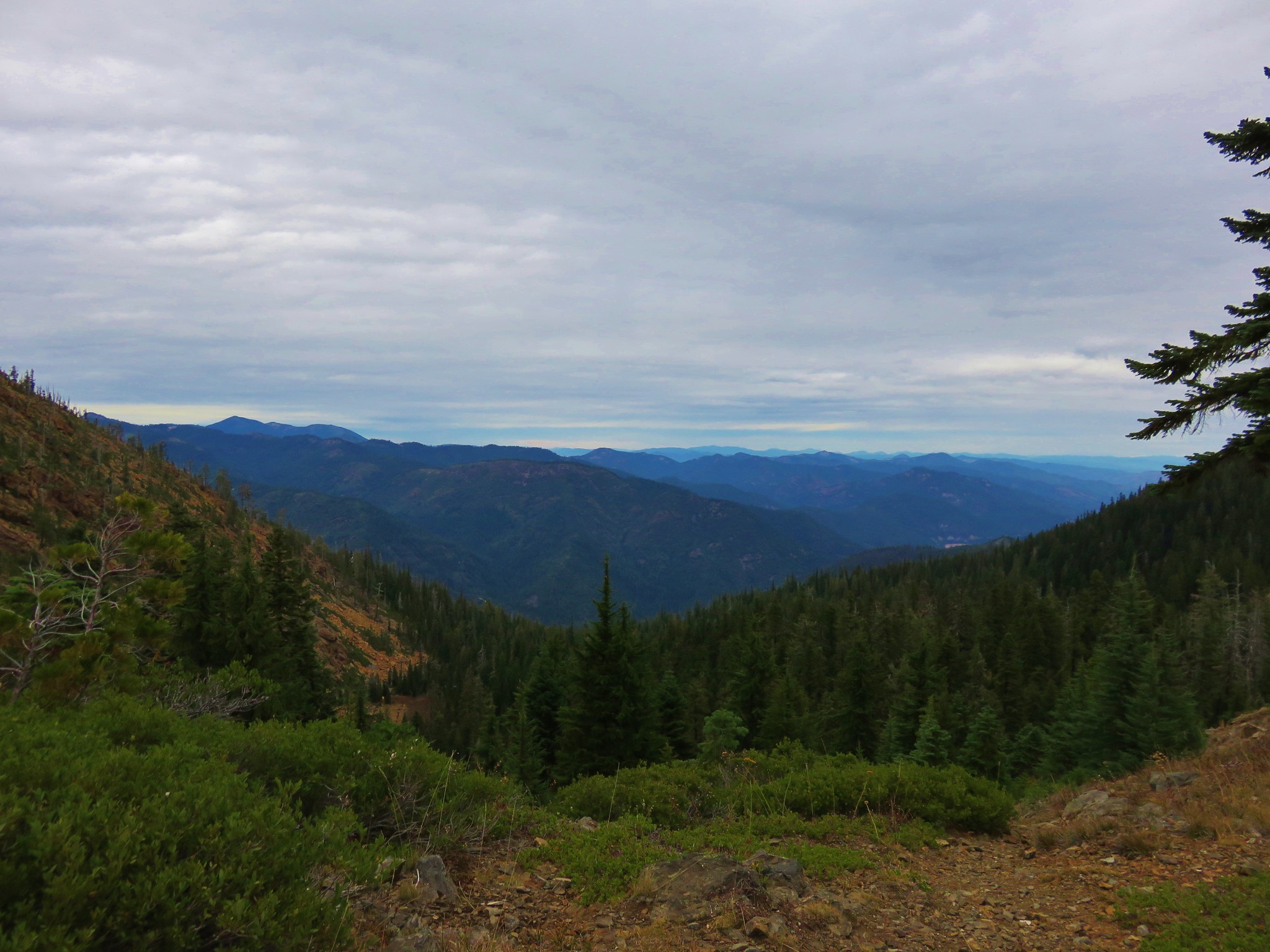
 View across the valley.
 The trail approaching the outlet of Echo Lake.
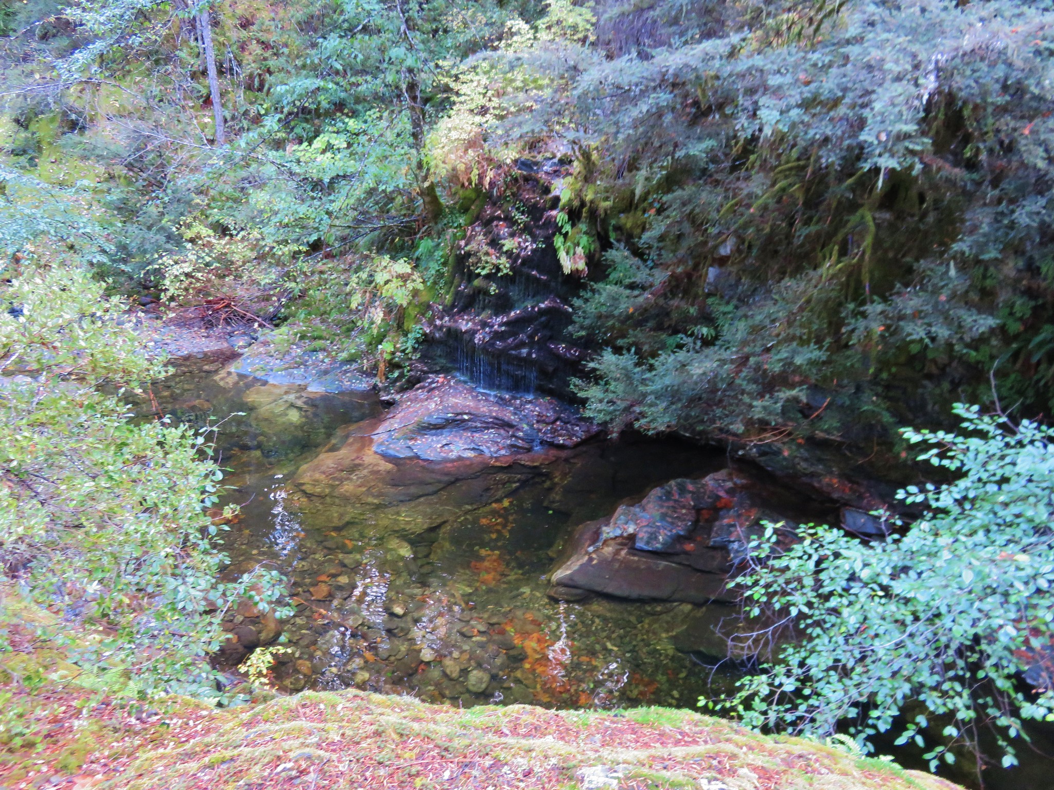
 Above Echo Lake Falls which wasn’t visible from this trail.
 Groundsel, lupine, and fireweed along the creek.
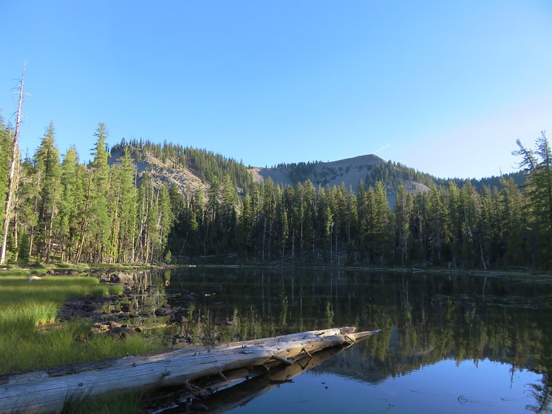
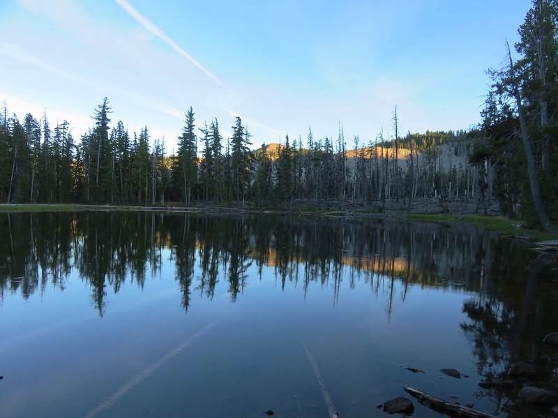
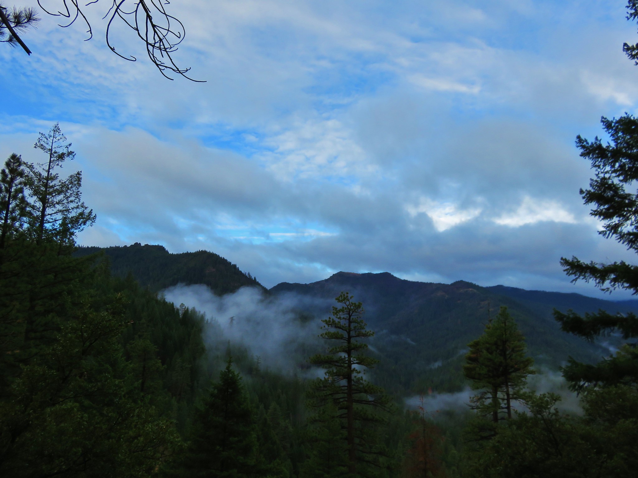
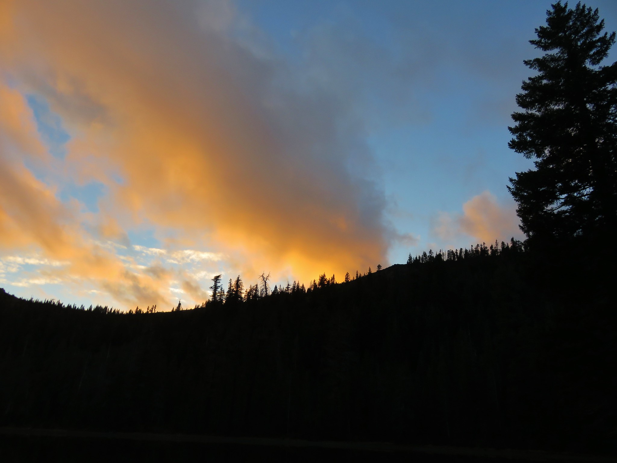
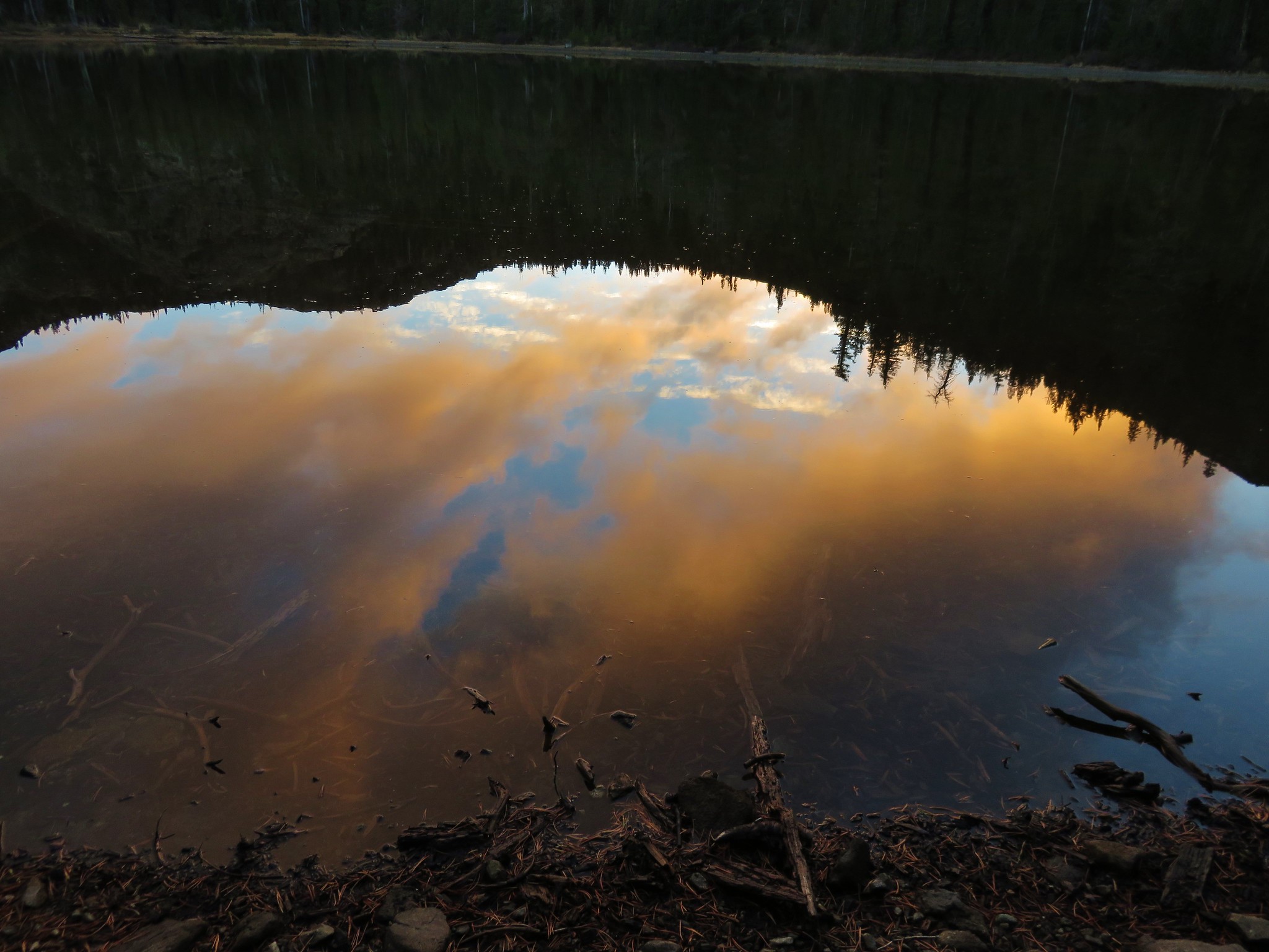
 Sunrise in the basin.
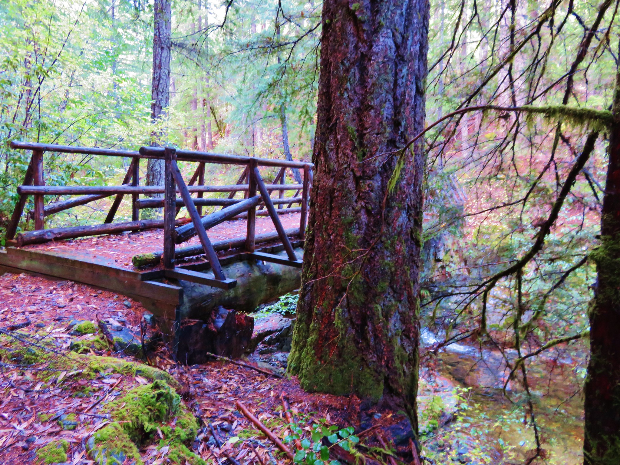
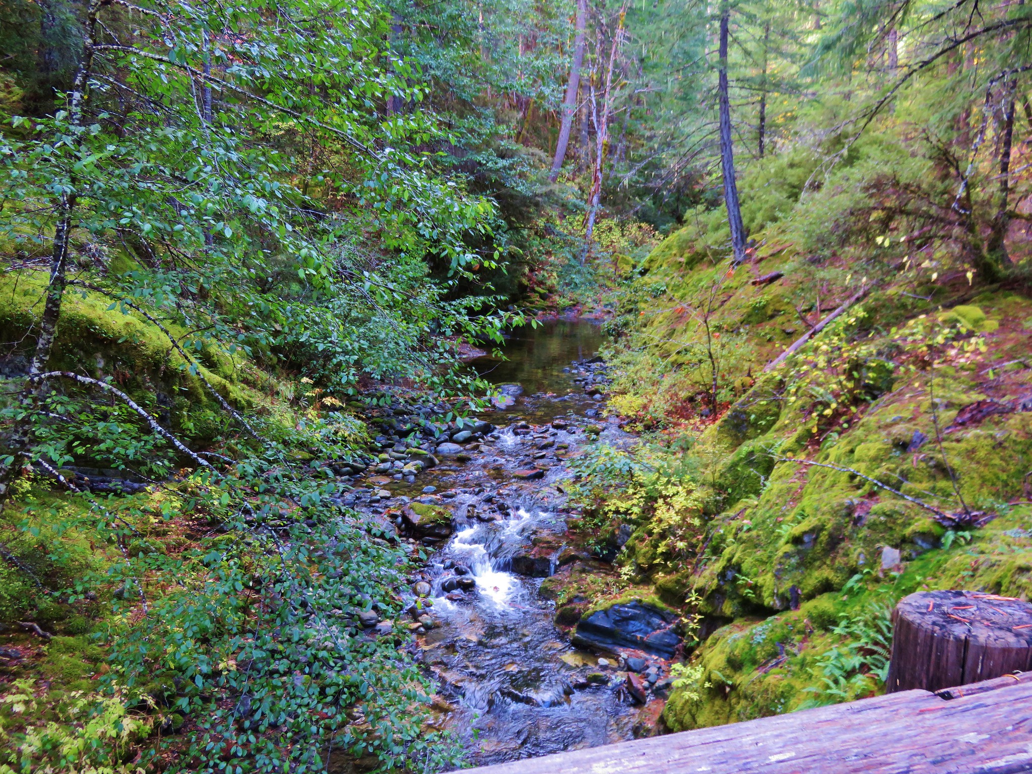
The trail arrived at a creek crossing 1.7-miles from the Tombstone Lake Trail junction.

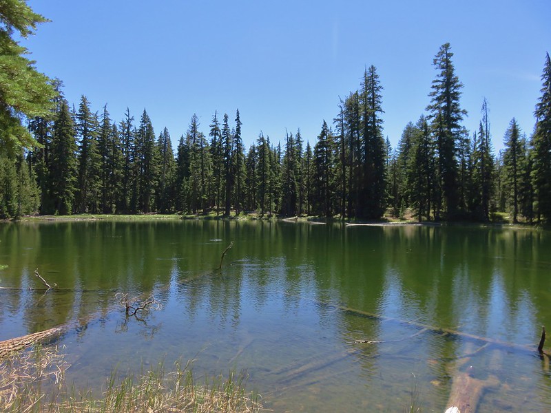
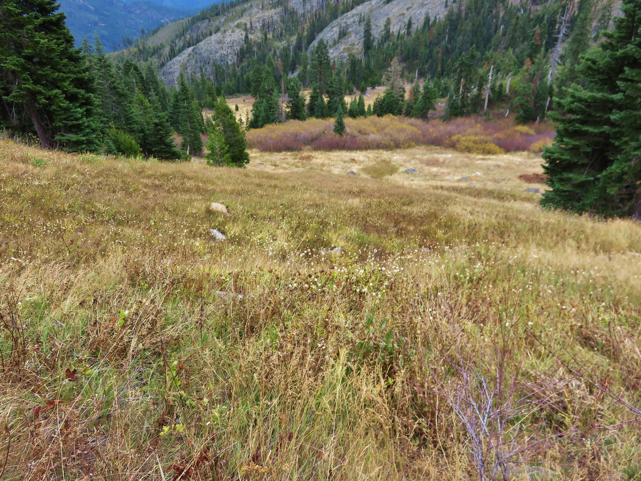
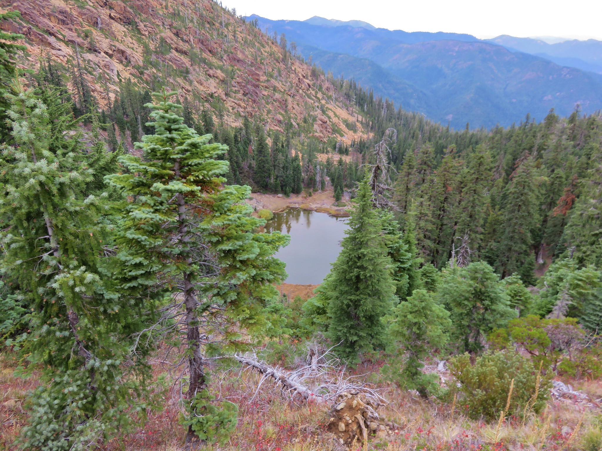
The trail leveled out after crossing the creek as it passed through a meadow above a pond.


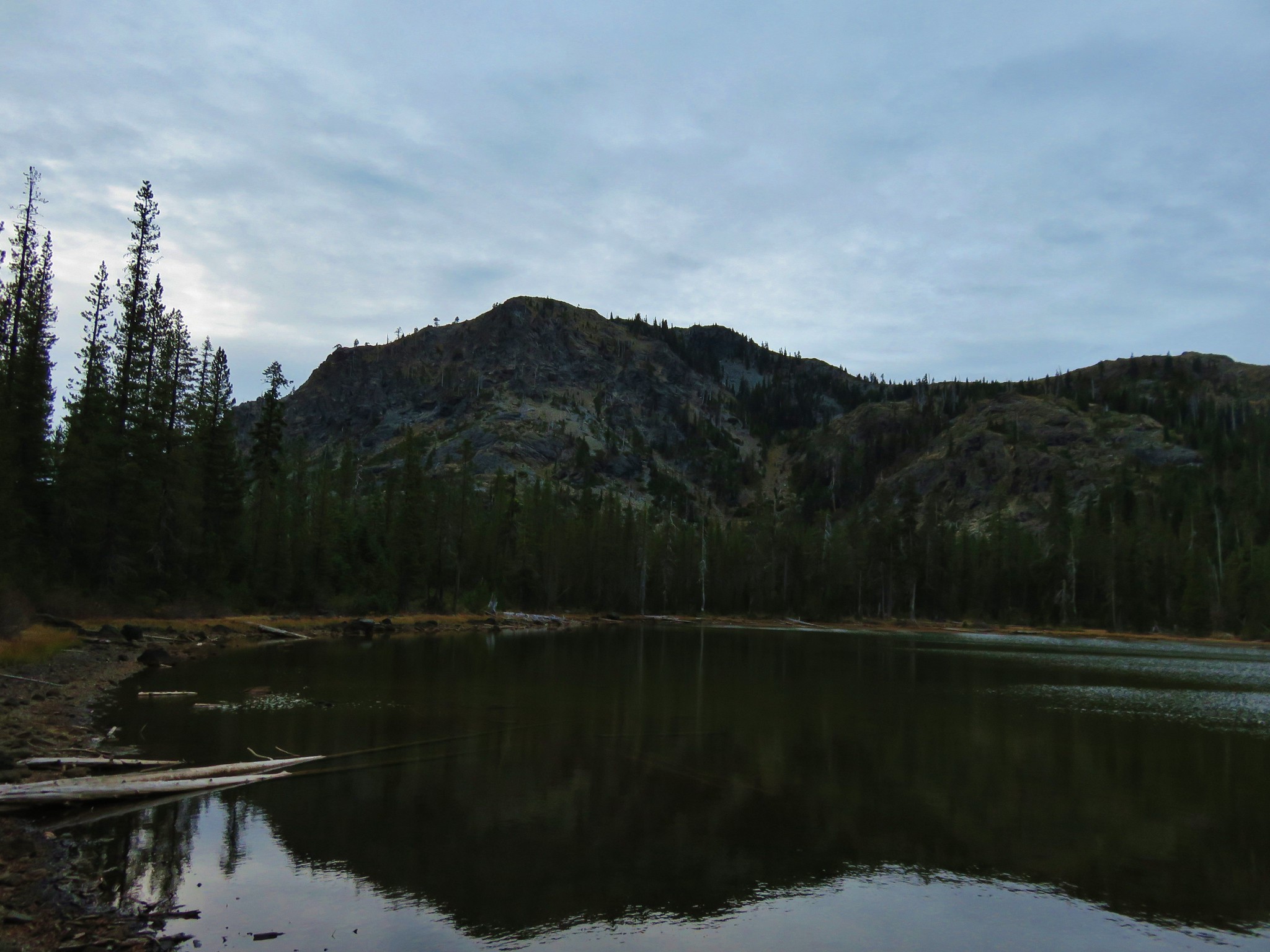
 The pond.
 Gray sagewort
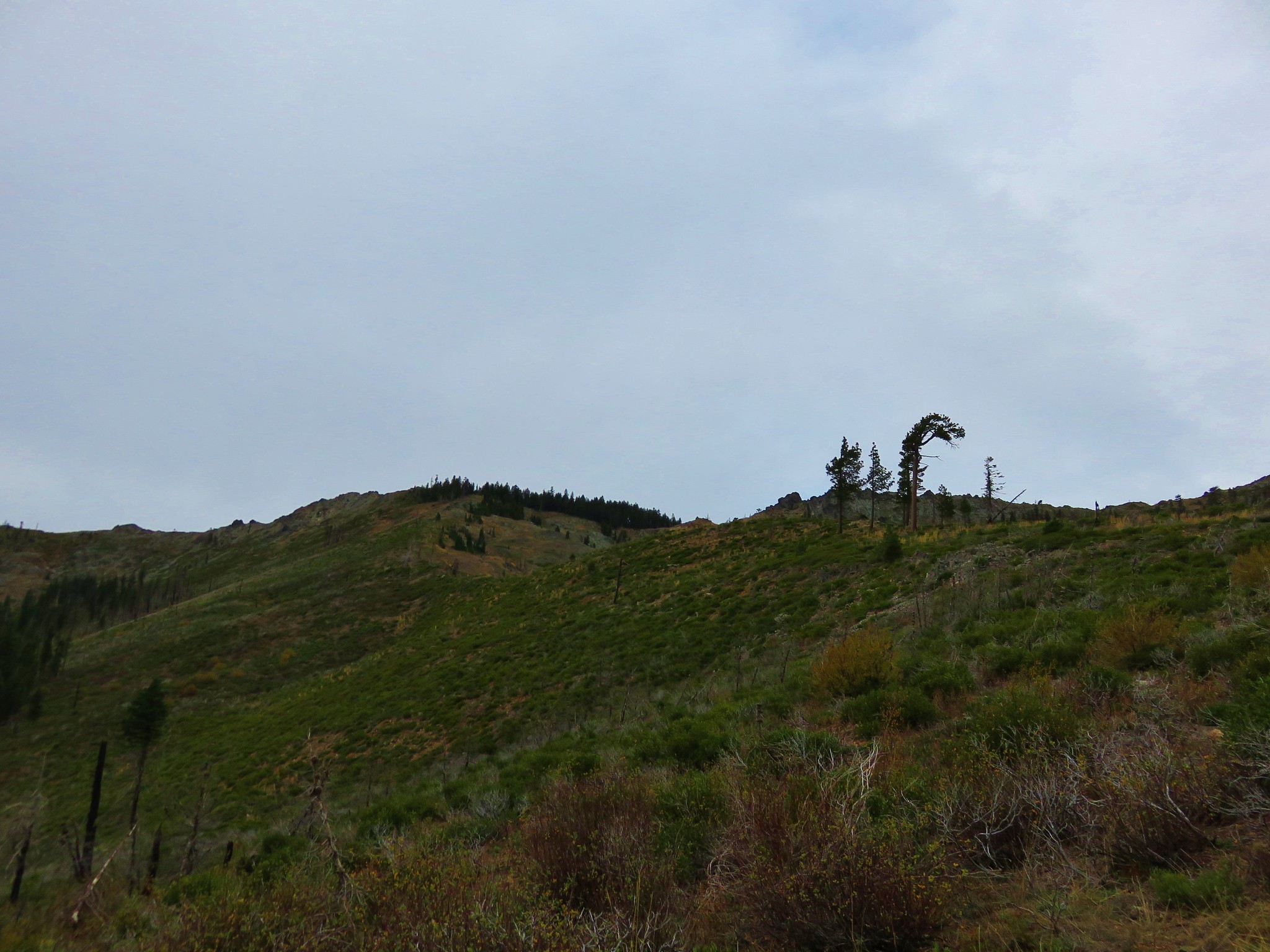
 Looking back toward the valley and pond.


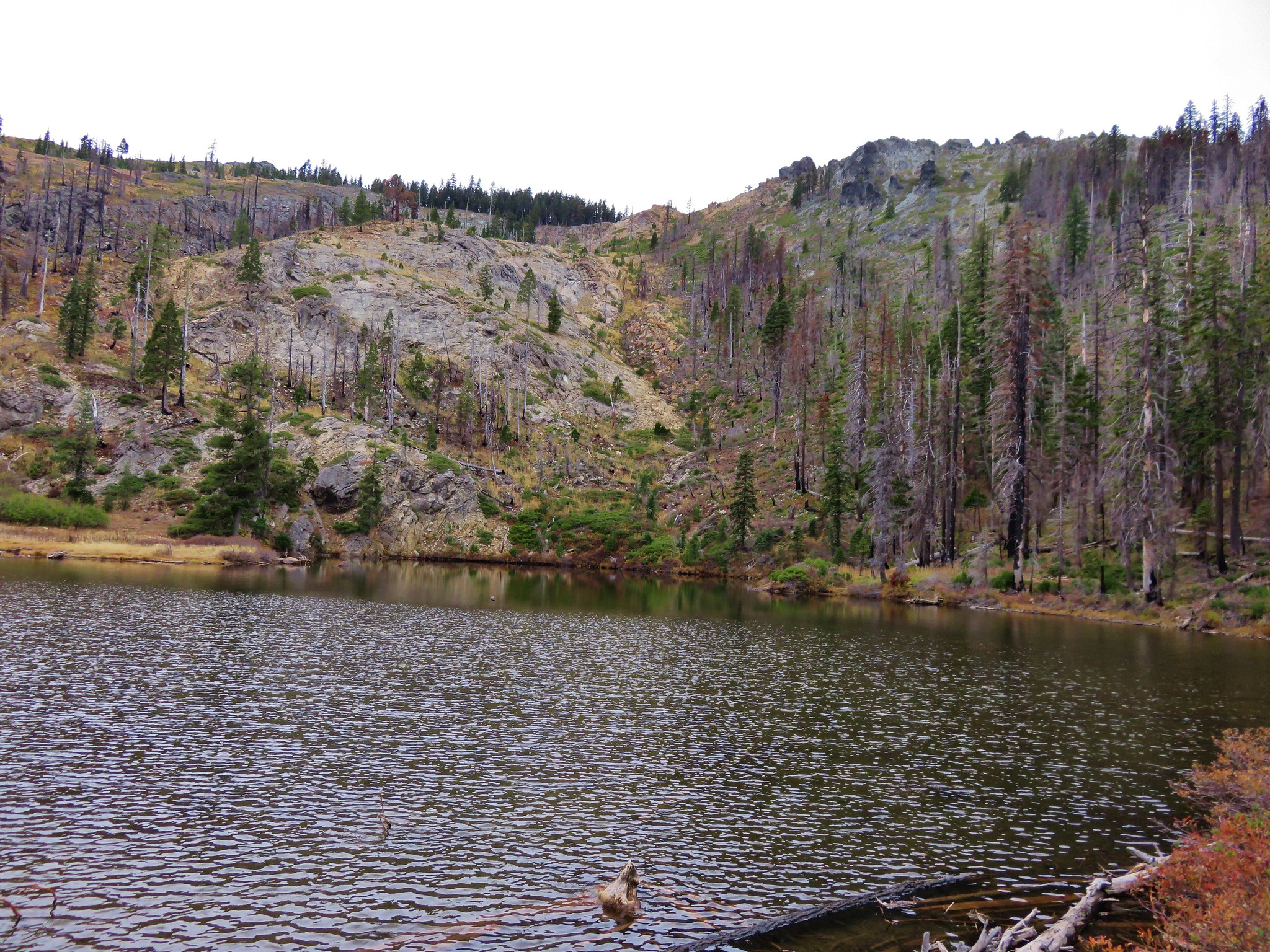
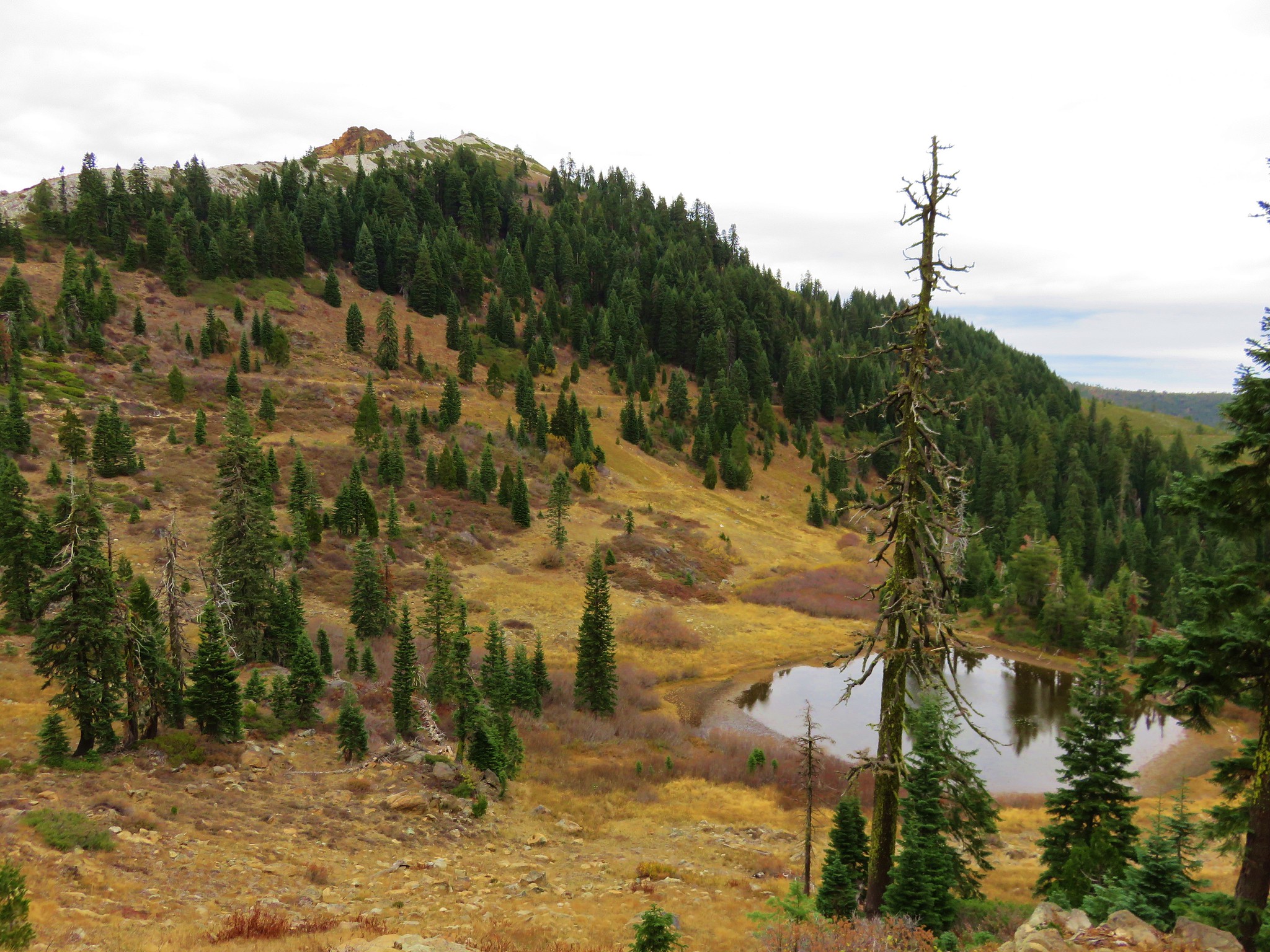
Approximately 0.7-miles from the creek crossing I began to get views of Echo Lake.


The trail stayed above the lake but near the far end I followed a spur trail down to a campsite and then the lakeshore.

 The spur trail.

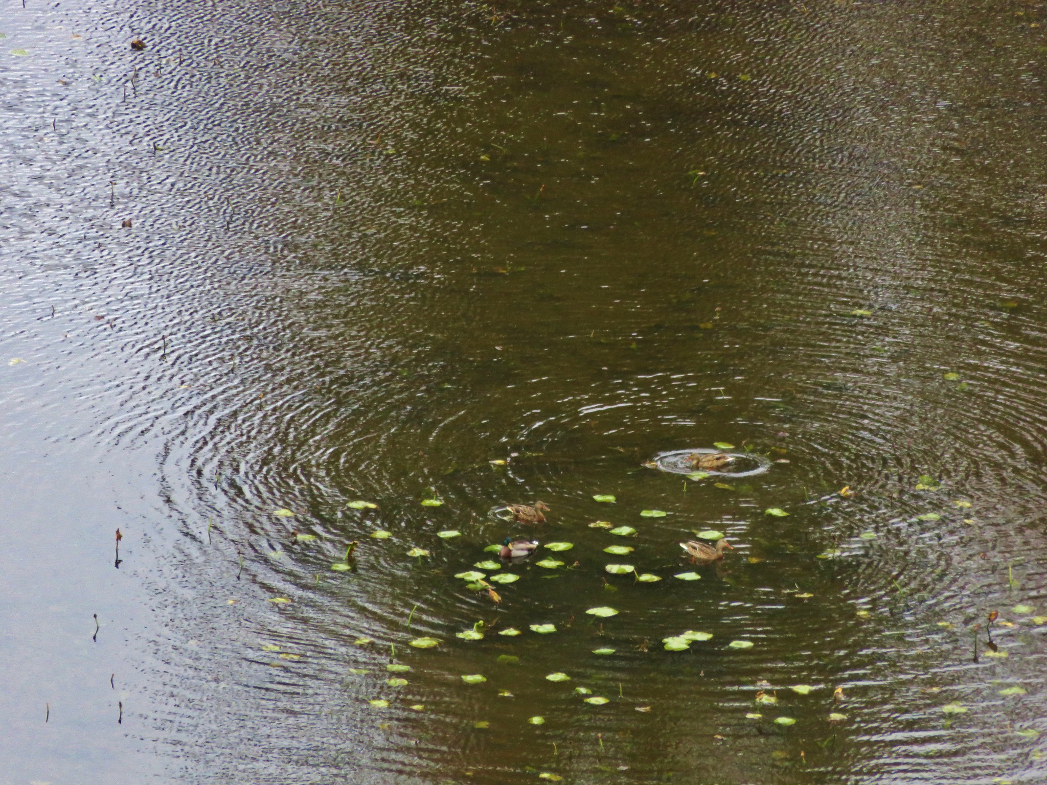
 Spotted sandpiper


I returned to the trail and continued toward Traverse Lake. The trail climbed via several switchbacks and crossed several inlet creeks with various flowers.
 Spirea
 A no fires beyond this point sign. Several of the lakes in the Eagle Cap Wilderness are in no campfire zones.
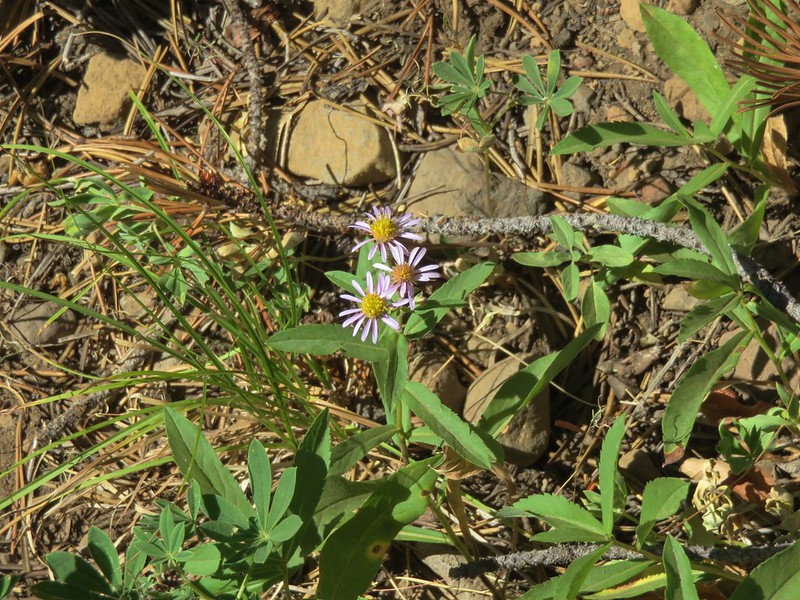
 Fleabane or aster lining the trail.
 Two types of lousewort.
 Echo Lake hidden by the trees.
 Pearly everlasting along the trail.
Just after the final switchback I arrived at the blowdown where Heather had turned around.

A short steep scramble took me over the top of the downed trees and then I side hilled back down to the trail below.
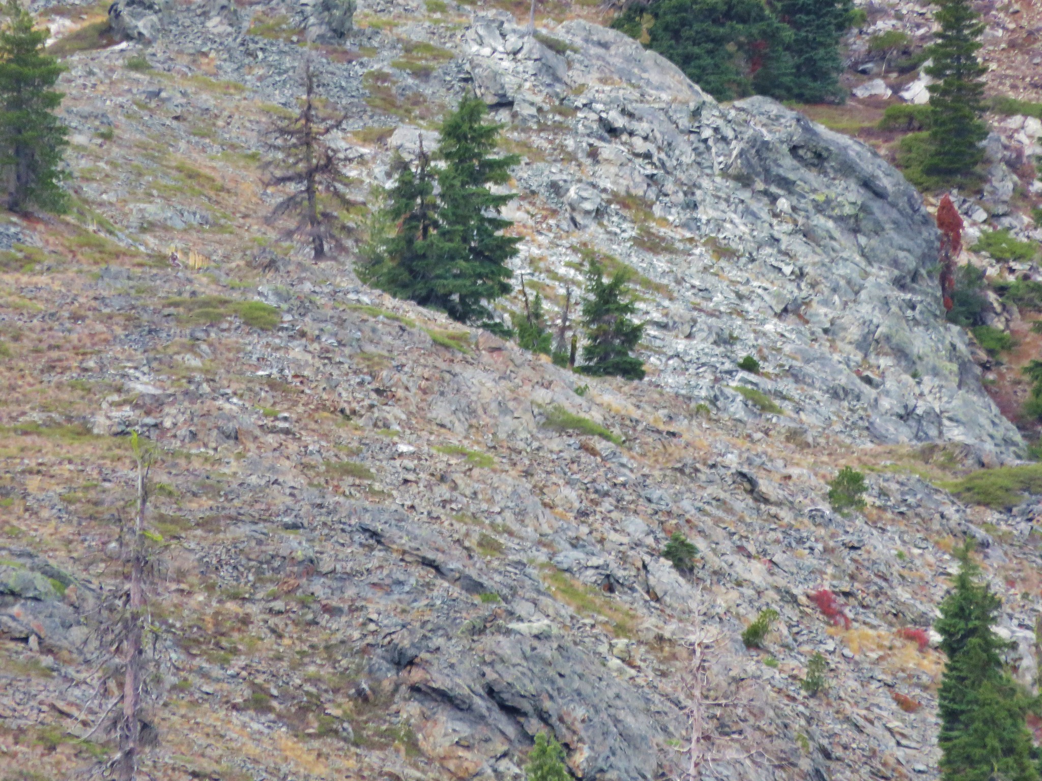
 Looking down at that trail from above the blowdown.
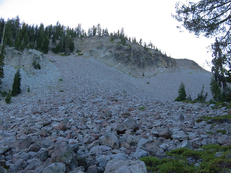
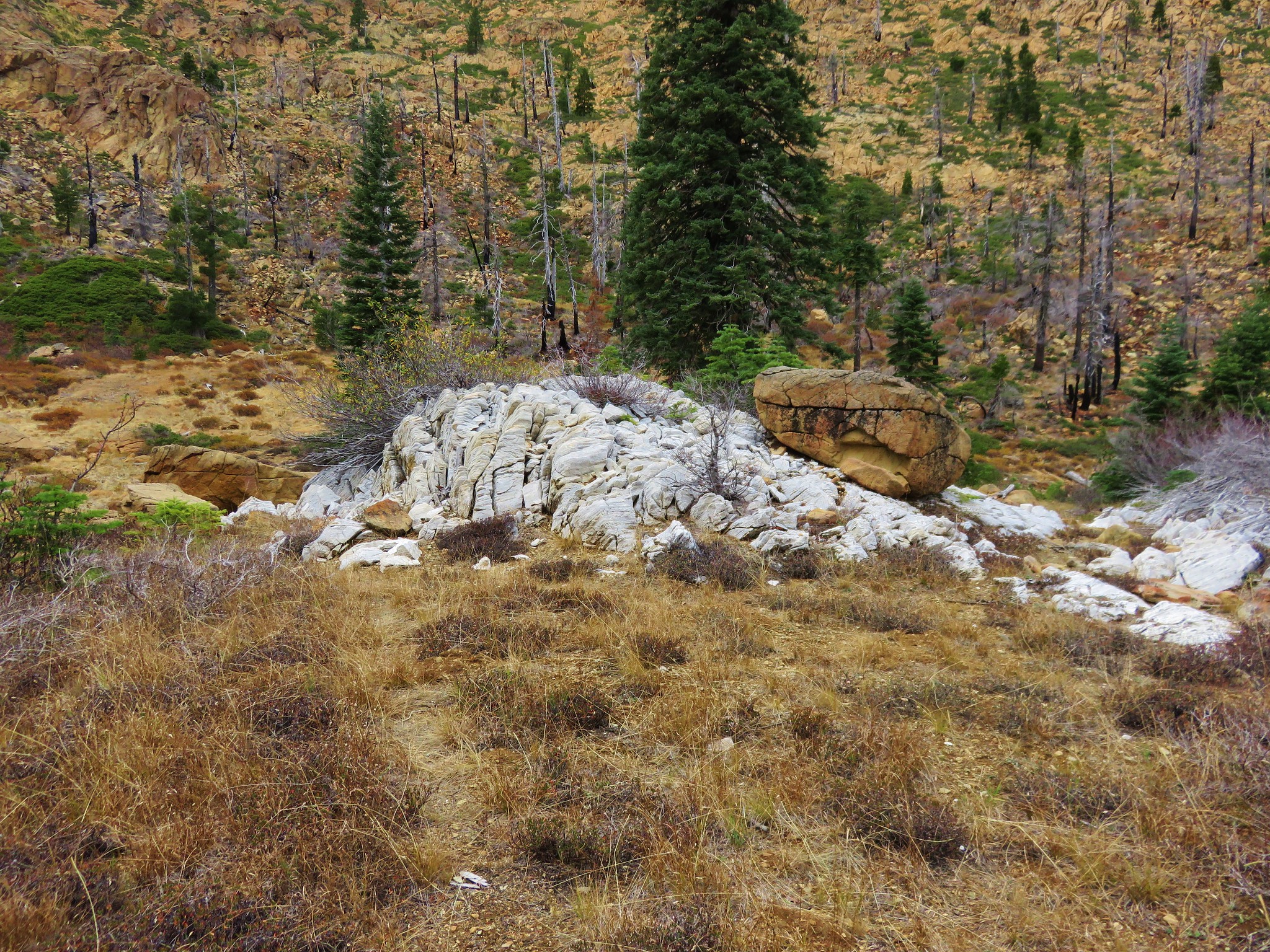
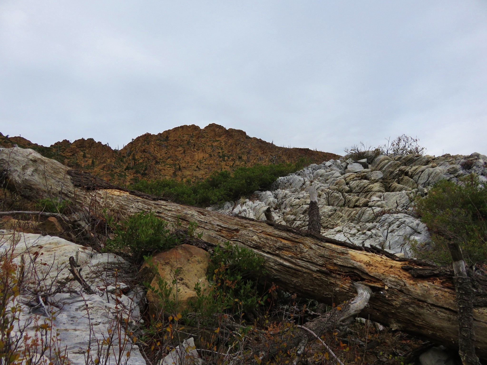
Back on the trail it passed through a granite boulder field then rounded a ridge and descended to Traverse Lake 1.3-miles from the side trail I’d taken to Echo Lake.
 Bluebells
 Echo Lake from the ridge end.
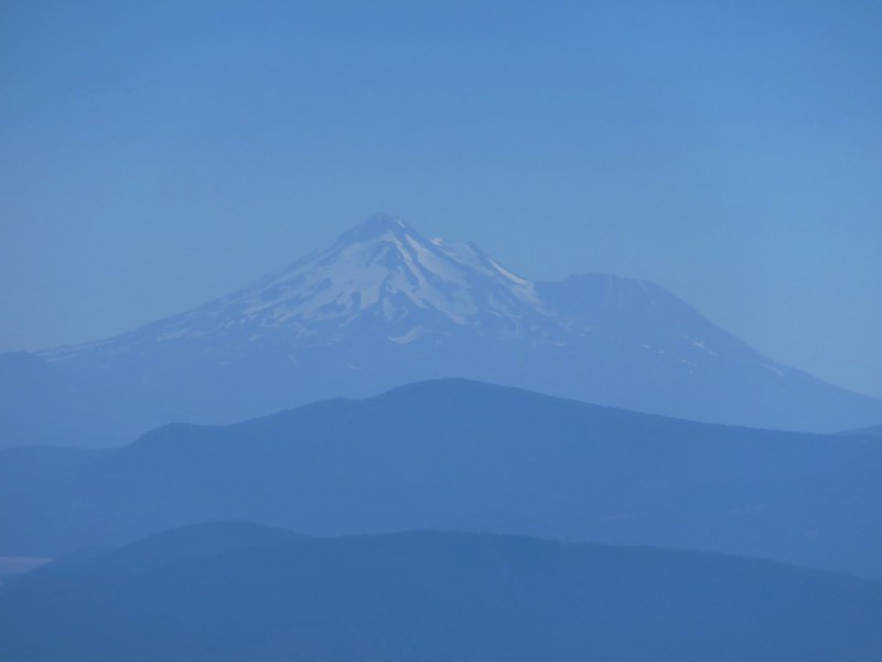
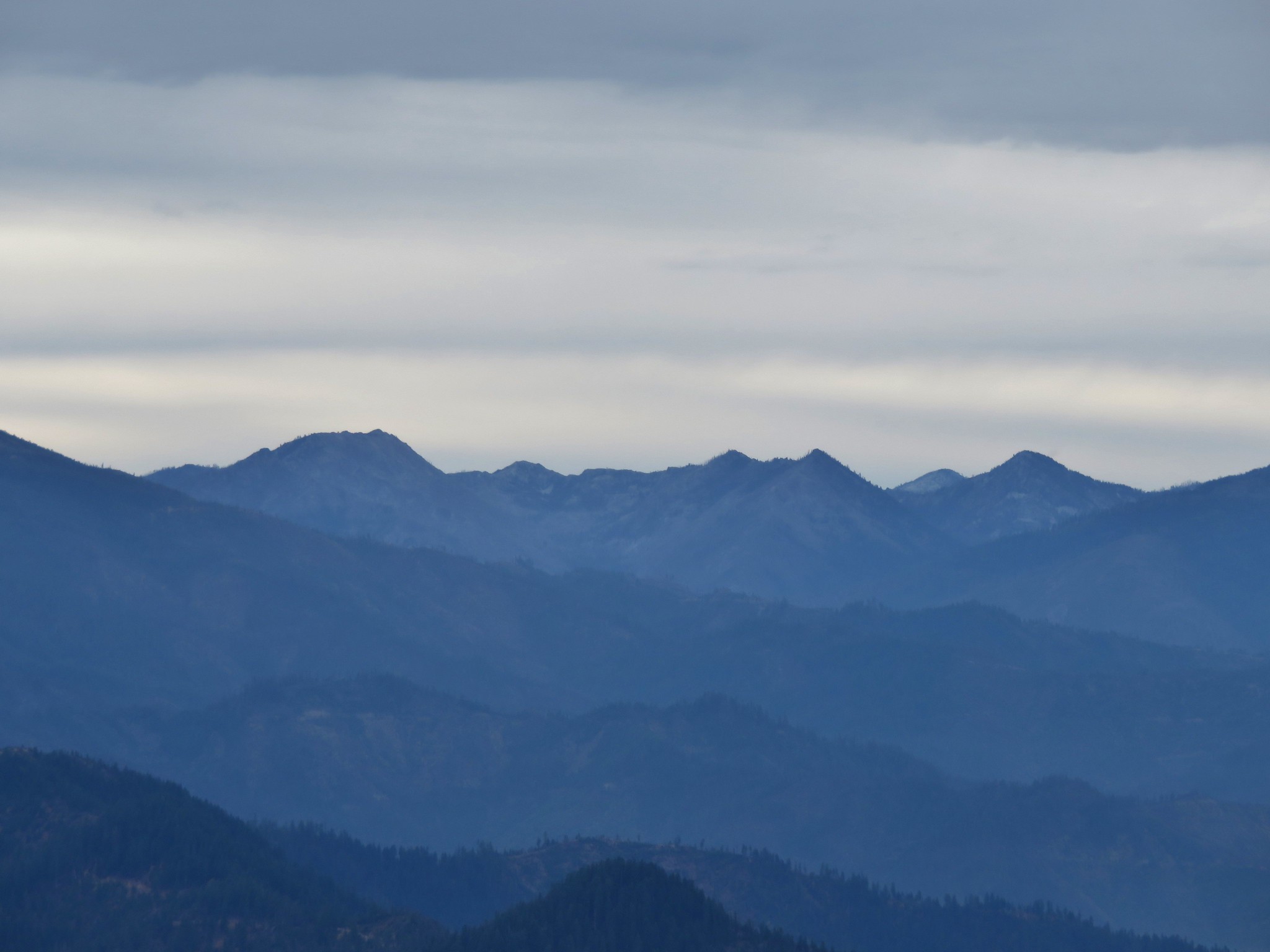
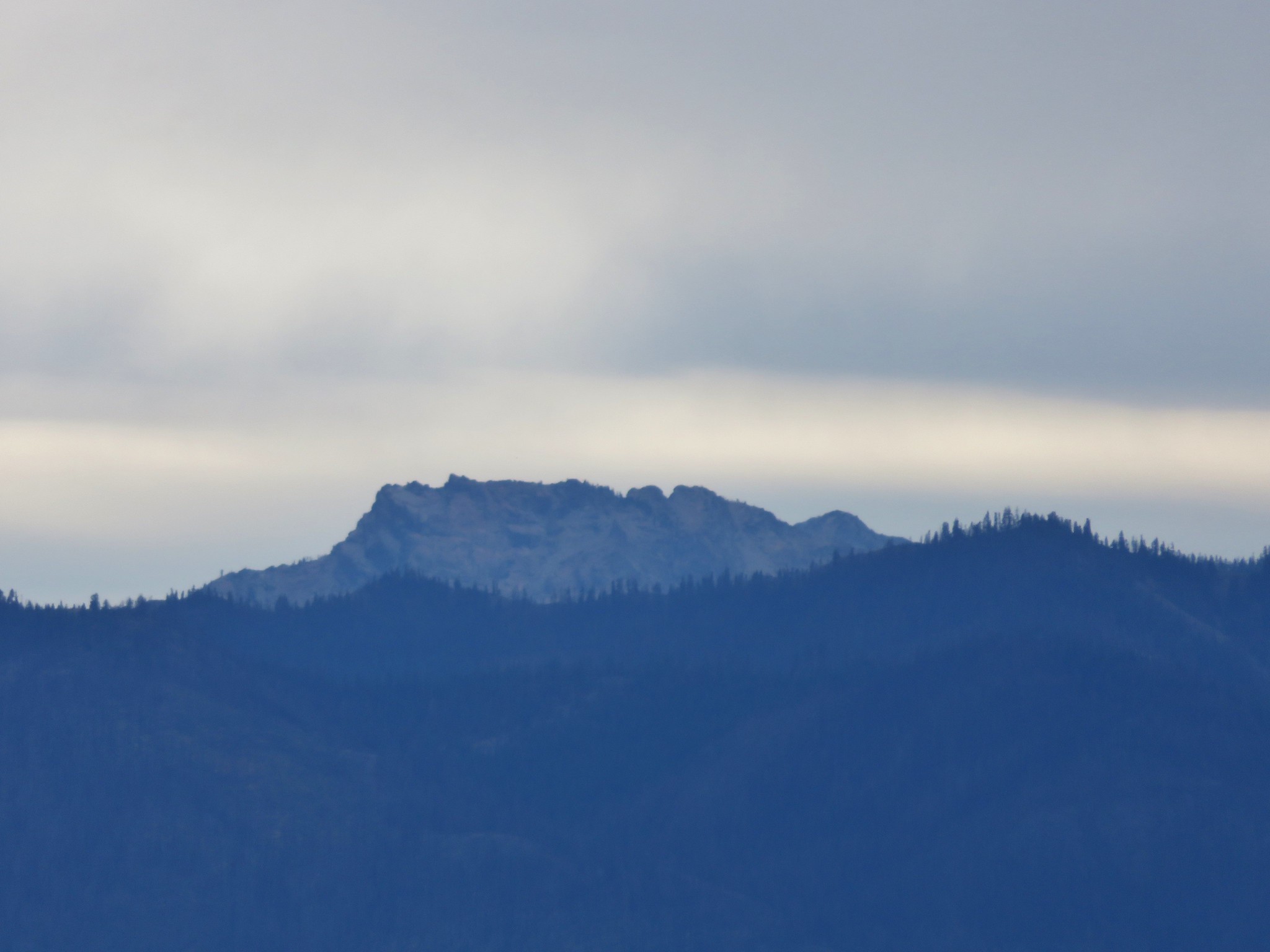
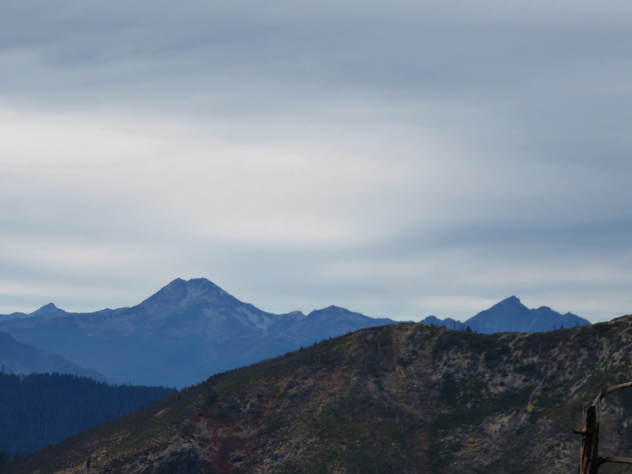
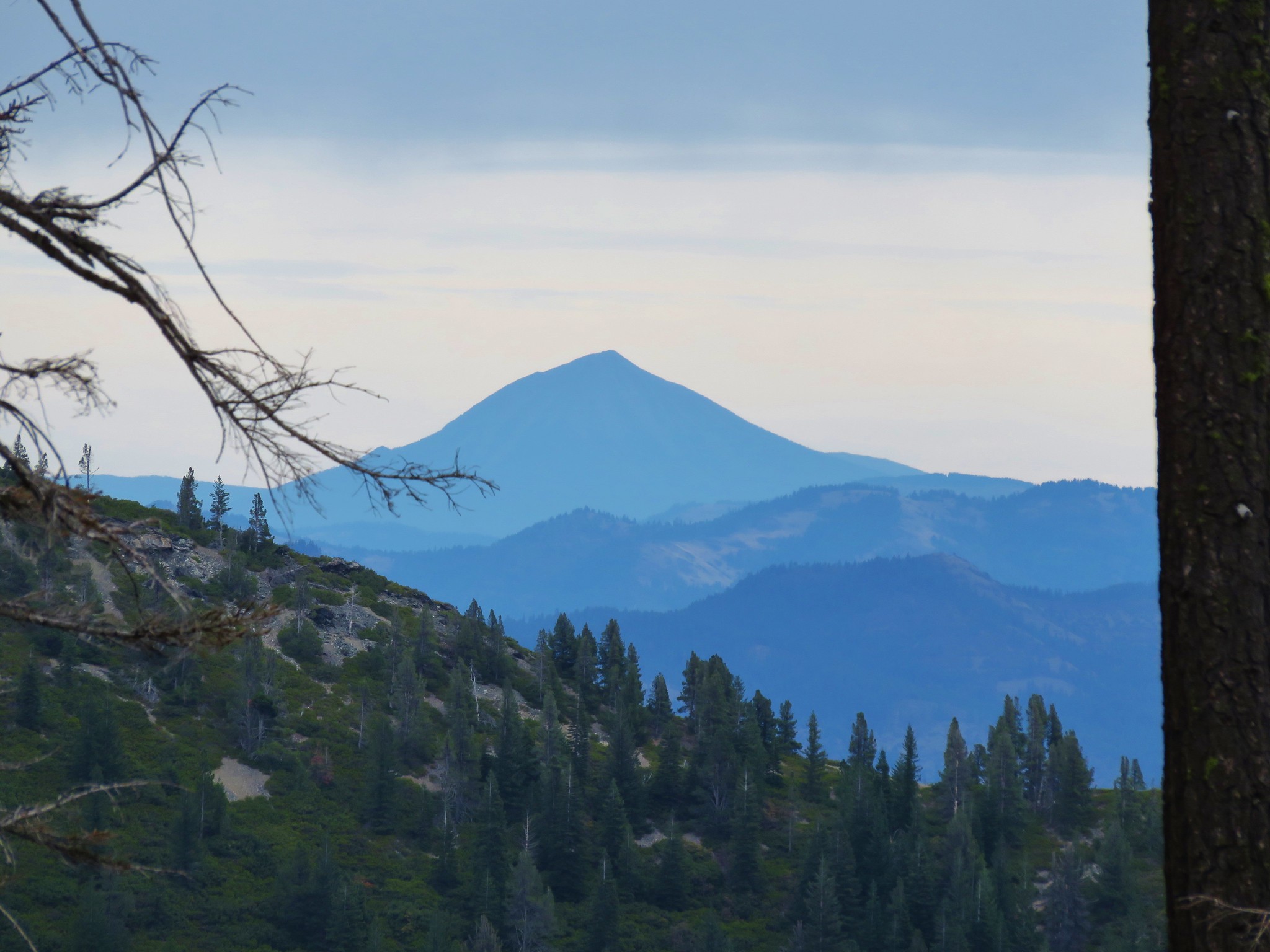
 The Elkhorn Mountains (post)
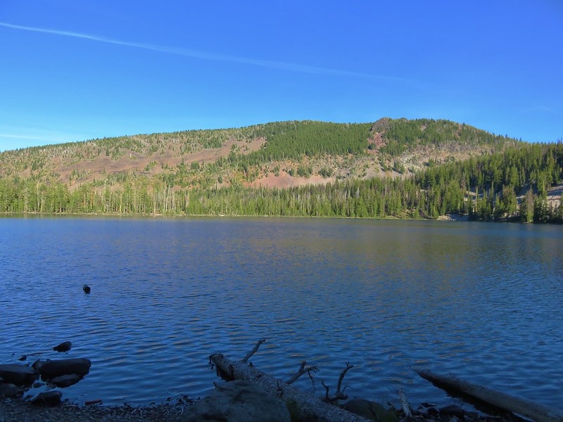
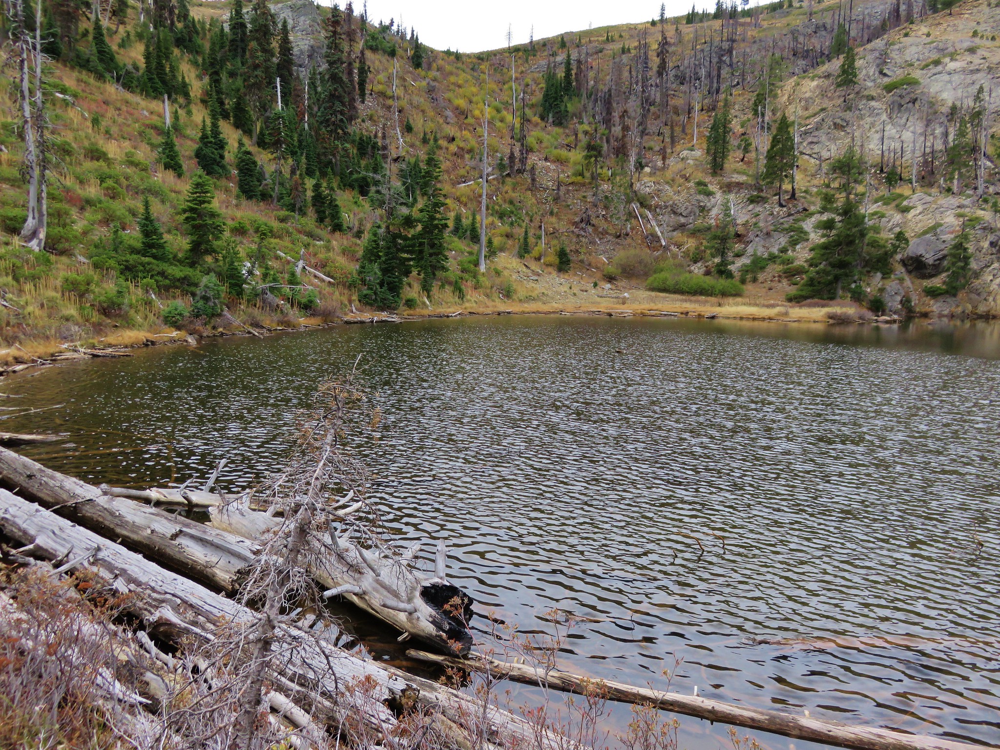
 Arriving at Traverse Lake.


 Golden-mantled ground squirrel
 Yellow Wallowa Indian paintbrush

 Columbian ground squirrel
 Cusick’s speedwell
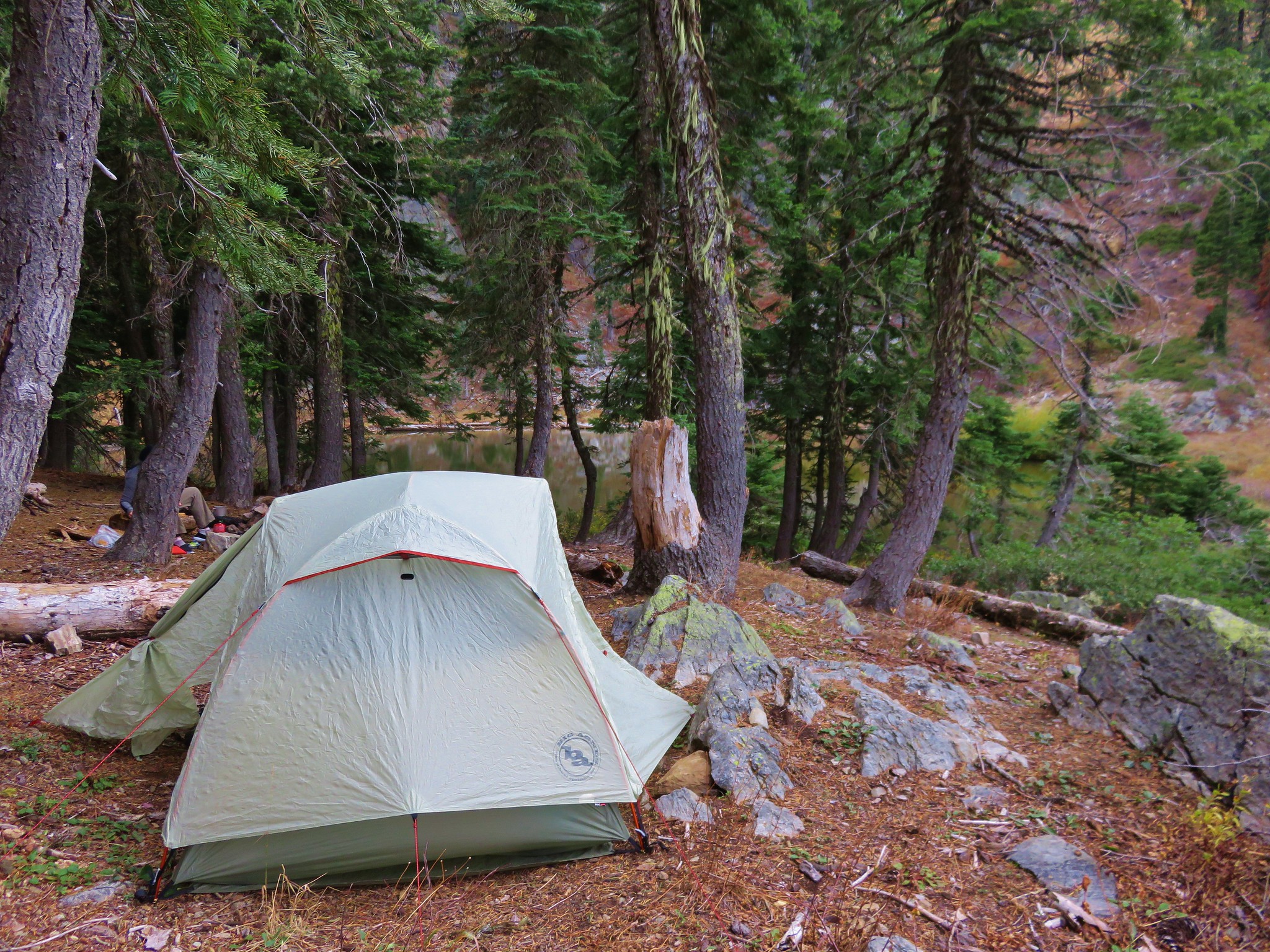
I headed for the East end of the lake hoping to minimize the effect of the Sun on the view of the lake. I took a use trail to a campsite on a granite outcrop.
 Remember that no fires sign? (Sigh)
I was able to drop down to the lakeshore where I took a short break and changed into some dry socks (sweaty climb).


After my break I headed back stopping numerous times to take in the views.

 Monkeyflower
 Globe penstemon

 Gentians along the lake.
 A lone paintbrush.
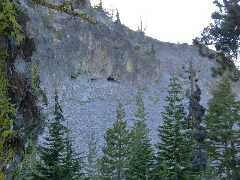
 The blowdown at the far end of the boulder field.
 White mariposa lily
 Arnica
 Swamp onions

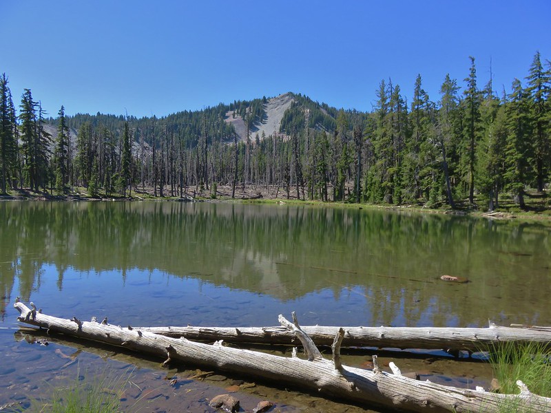
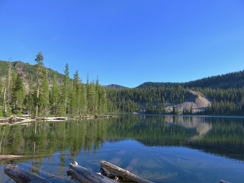
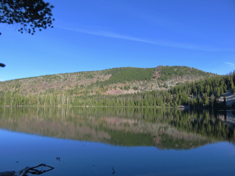
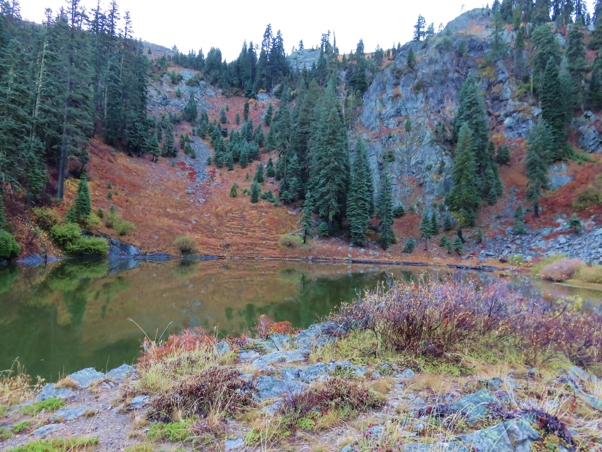
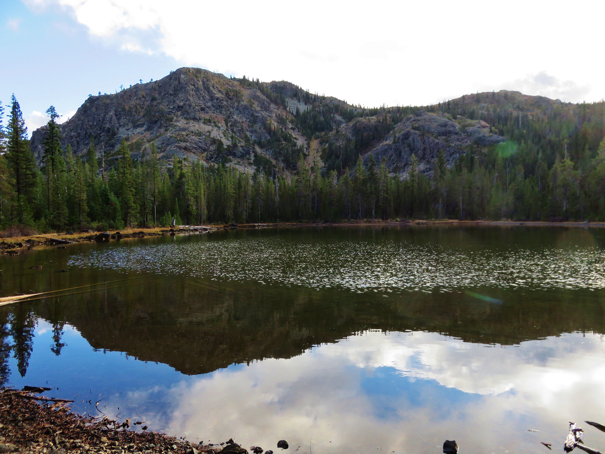
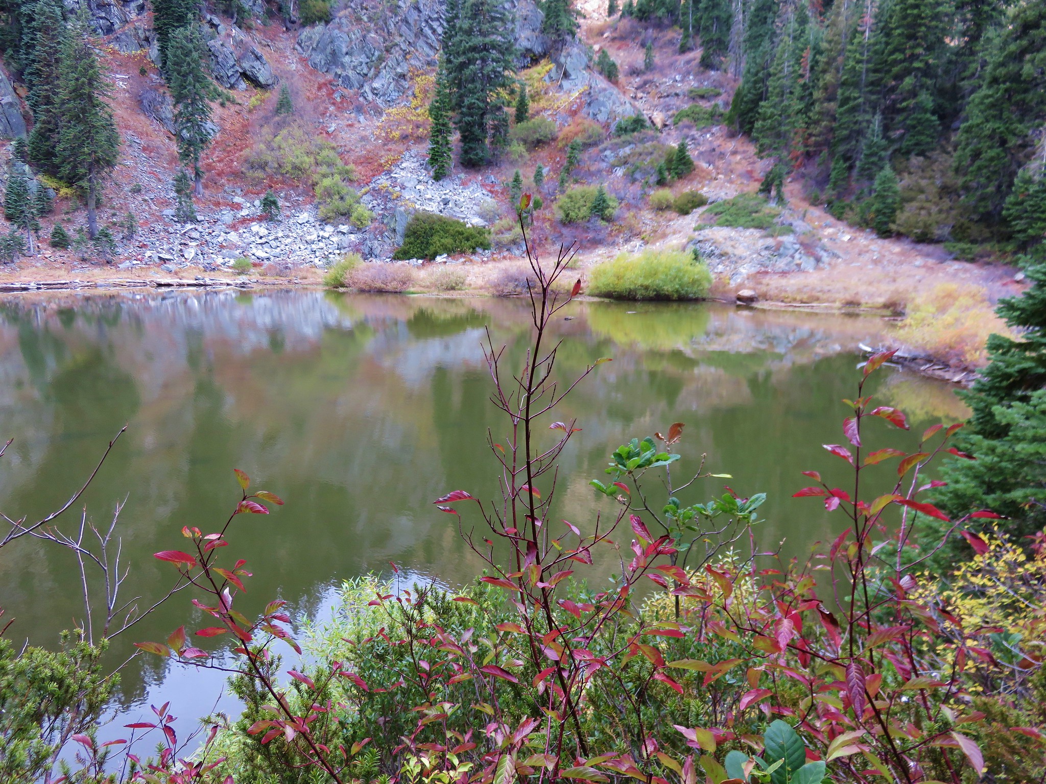
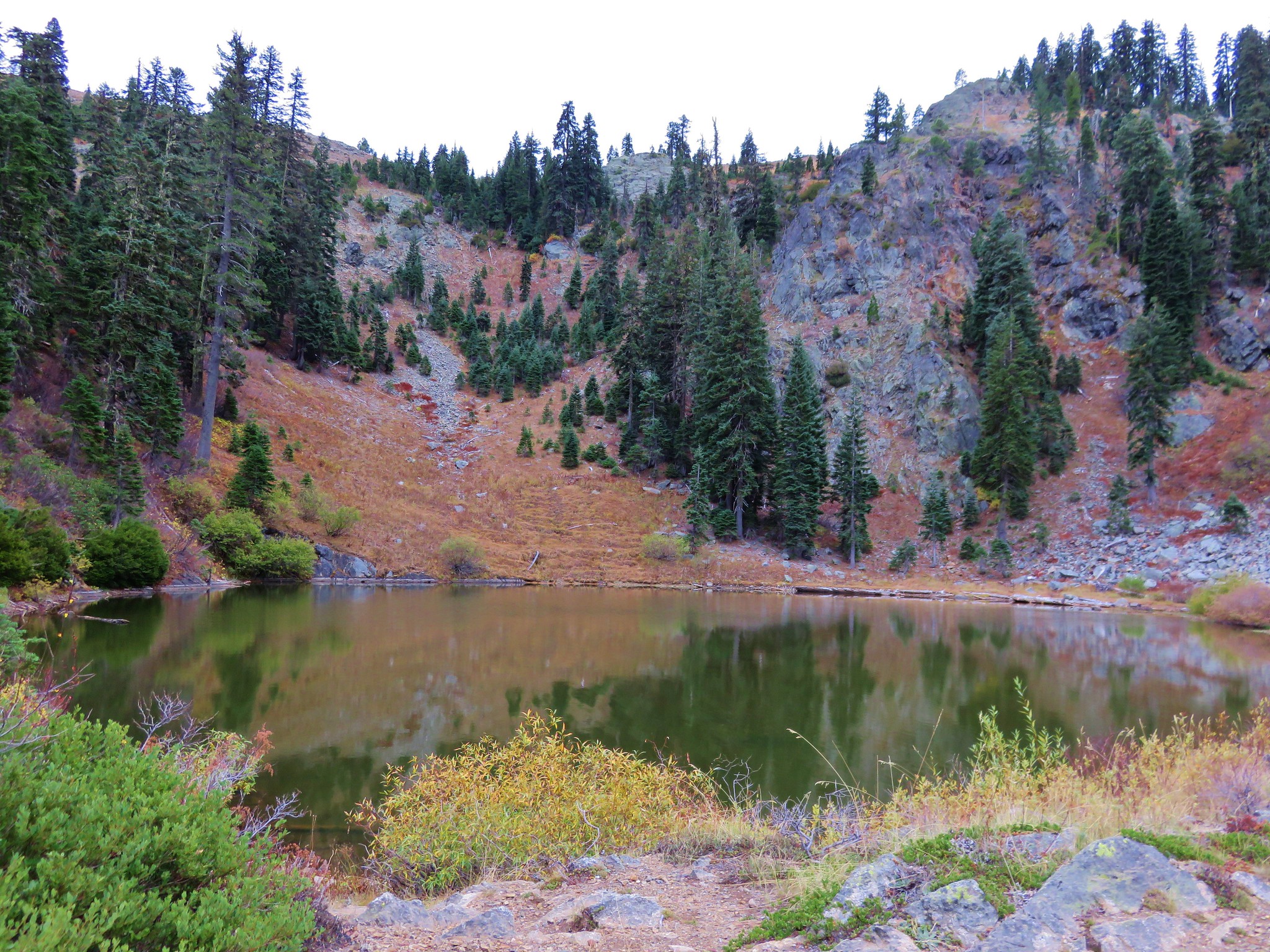
 Echo Lake
 The pond below on the left.
 Passing through the meadow.

 Paintbrush and fireweed
 Above Echo Lake Falls.
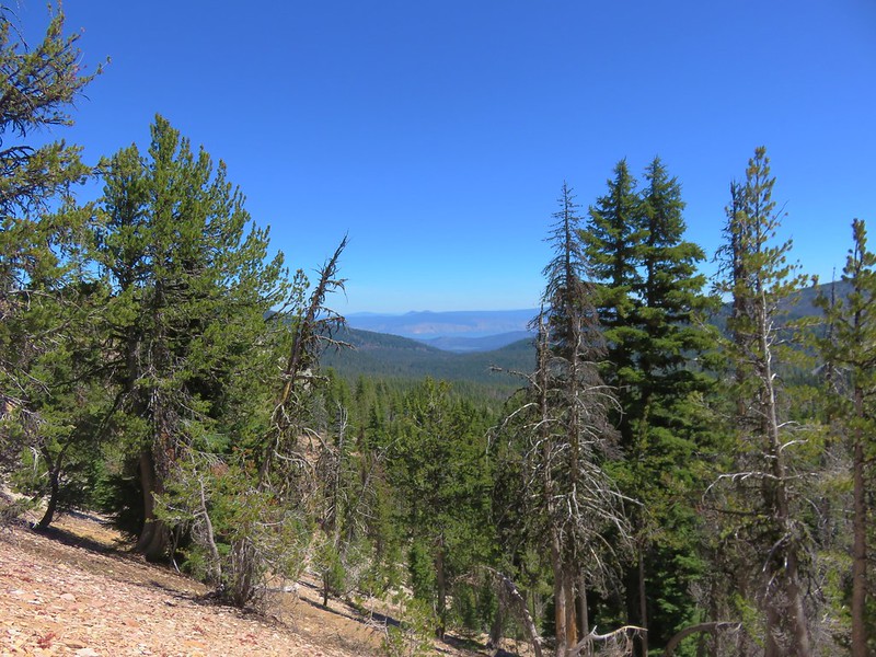
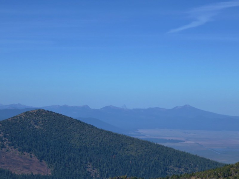
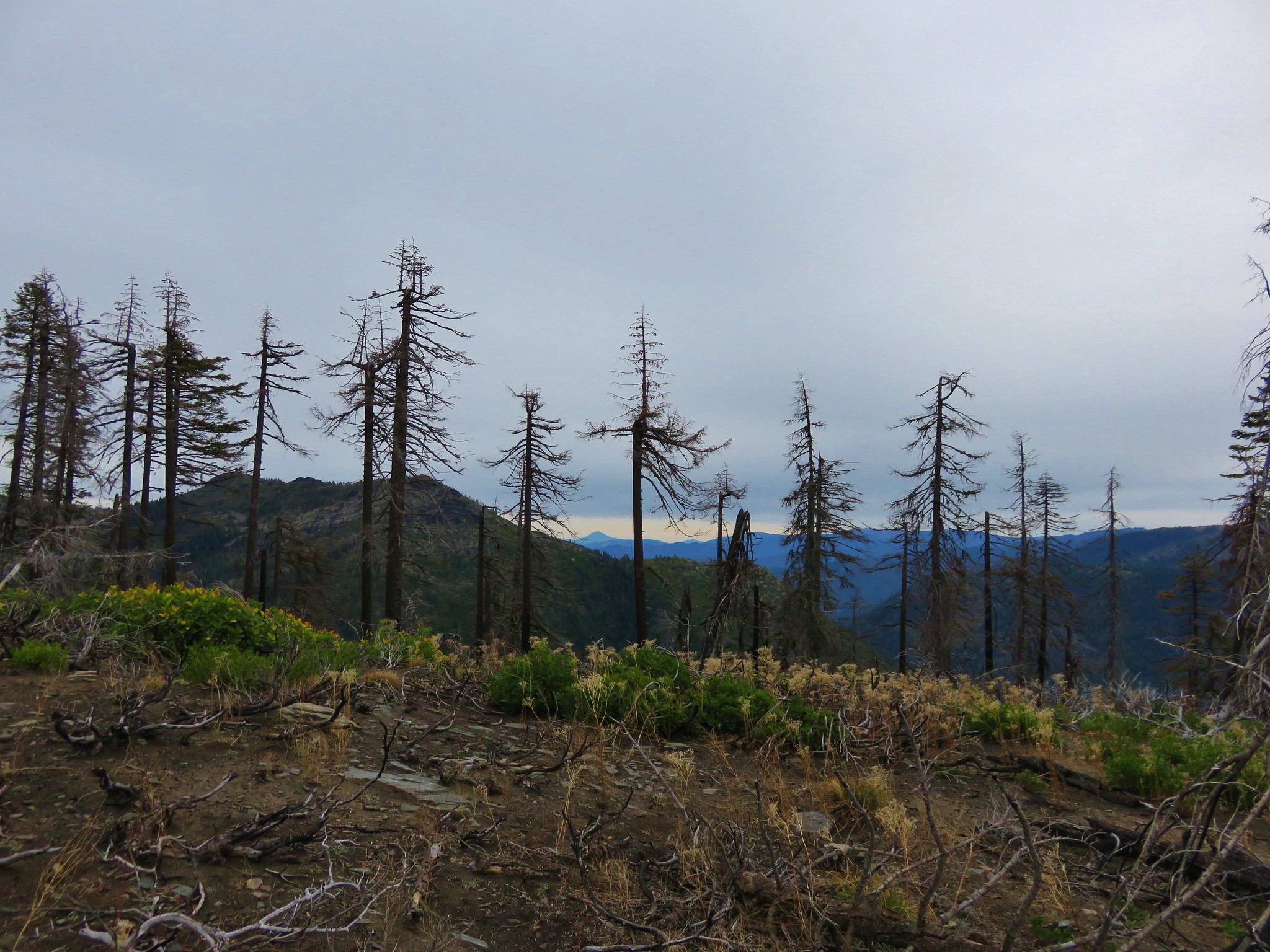
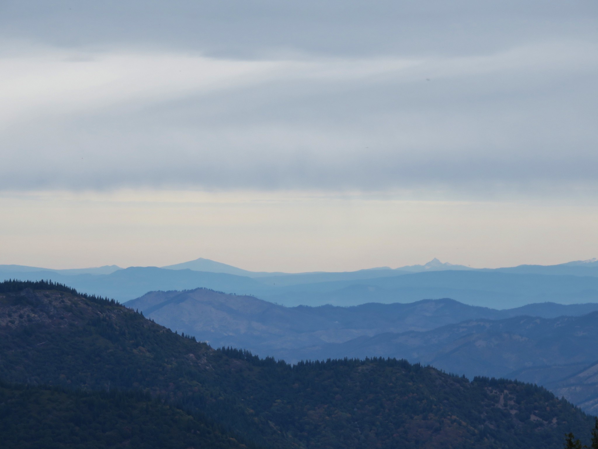
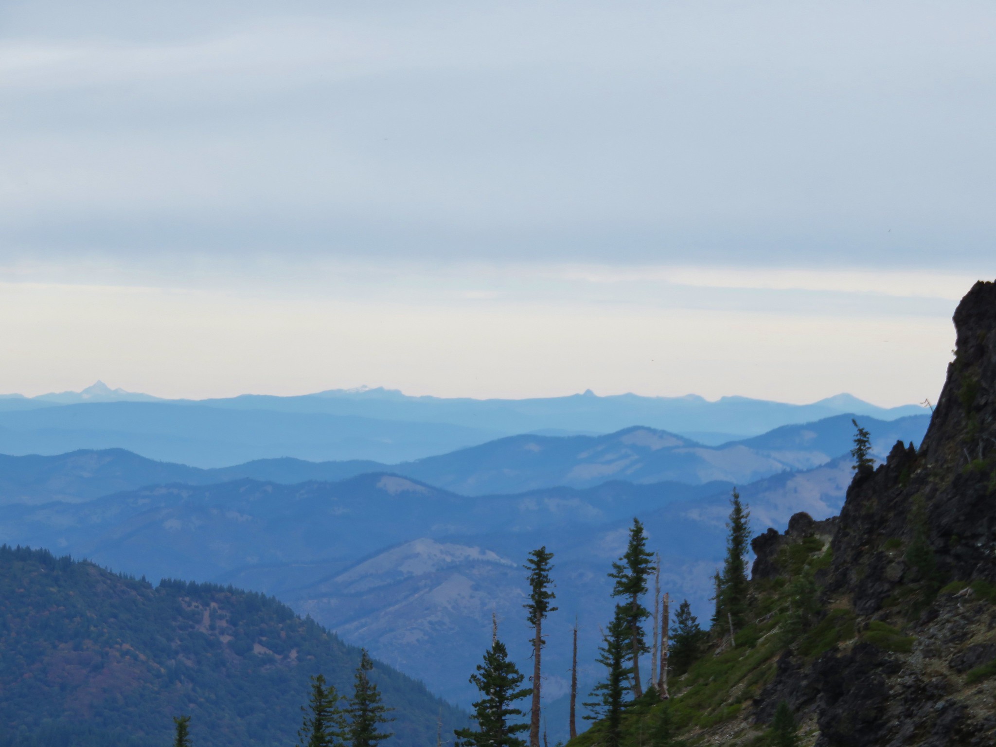
 West Eagle Meadows in the valley in the distance.
 Zoom in on West Eagle Meadows.
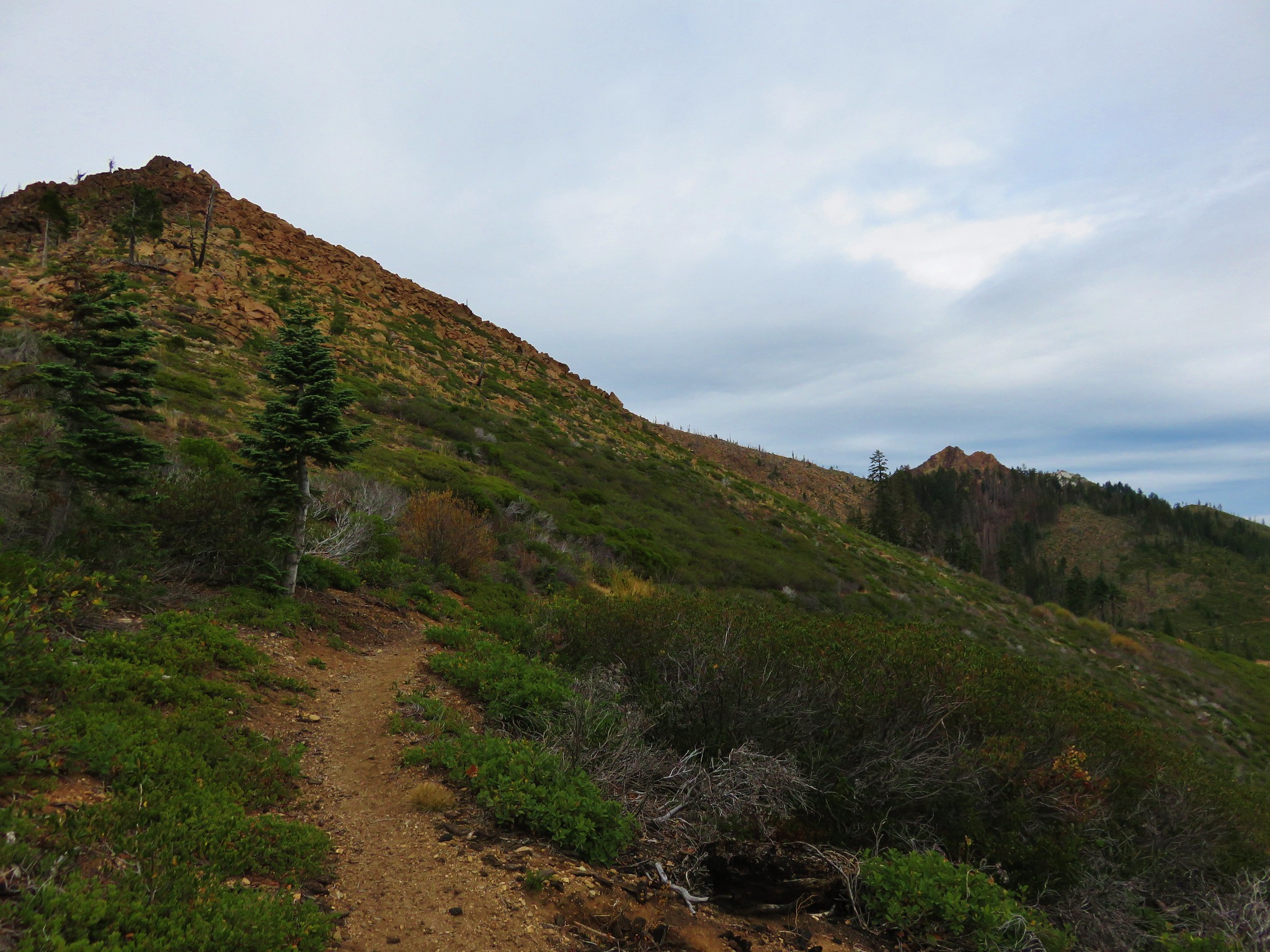
 Looking down at the switchbacks.
 Heather had also warned me about this blowdown over one of the switchbacks. There was a steep reroute that bypassed the trees.
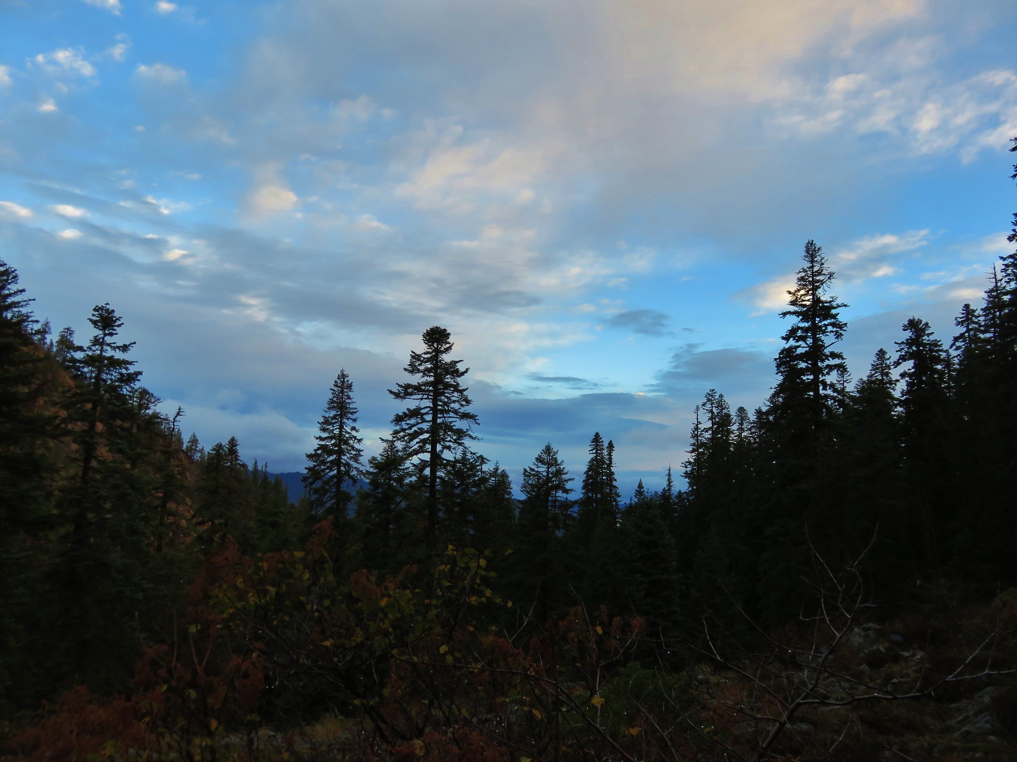
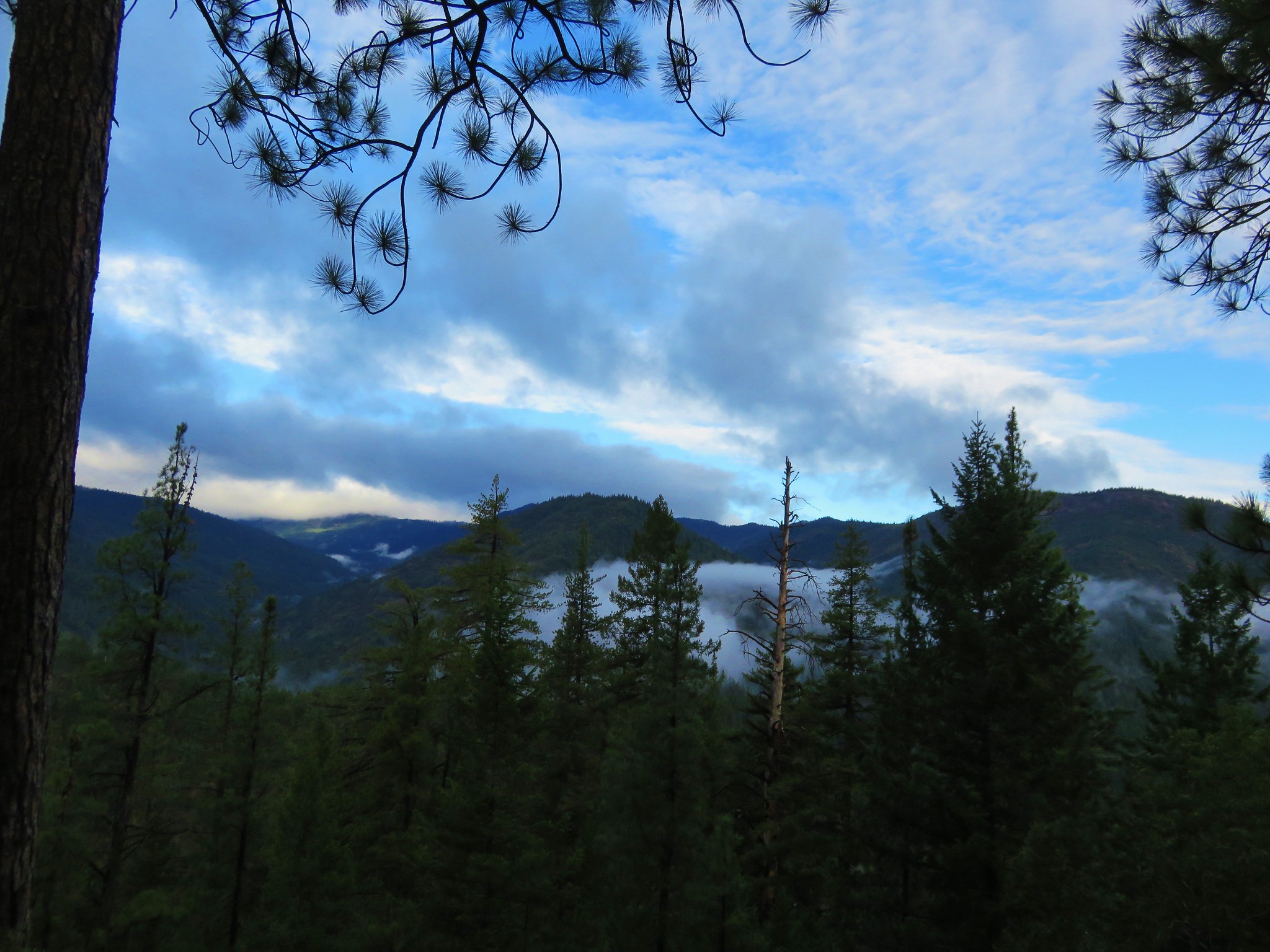
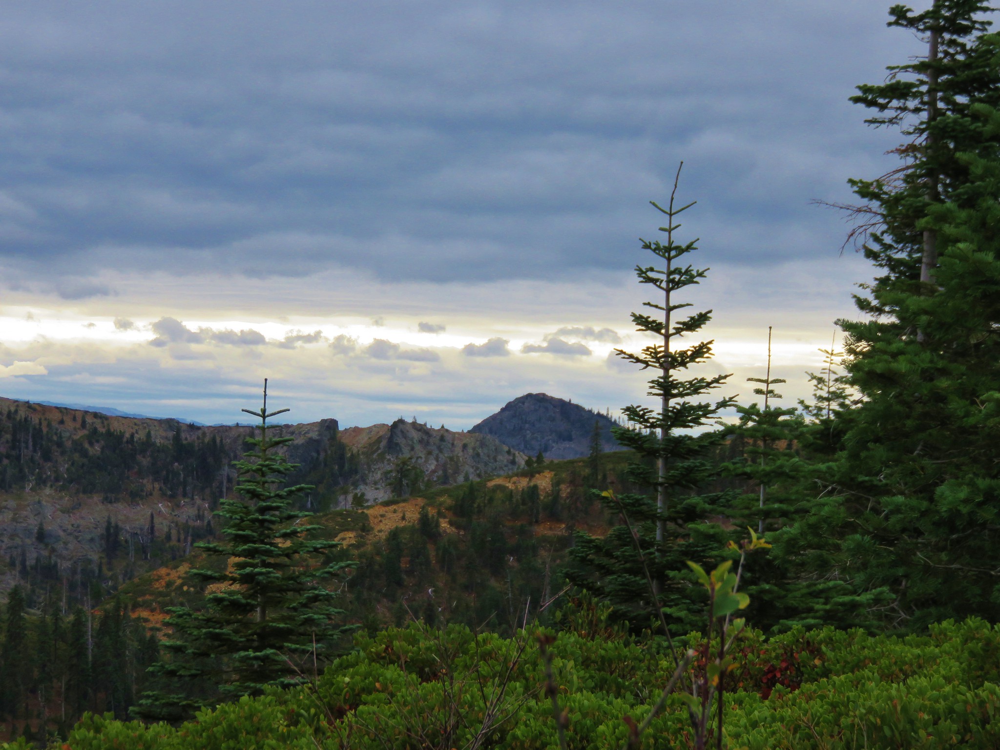
 There were some interesting cloud formations on the way back.
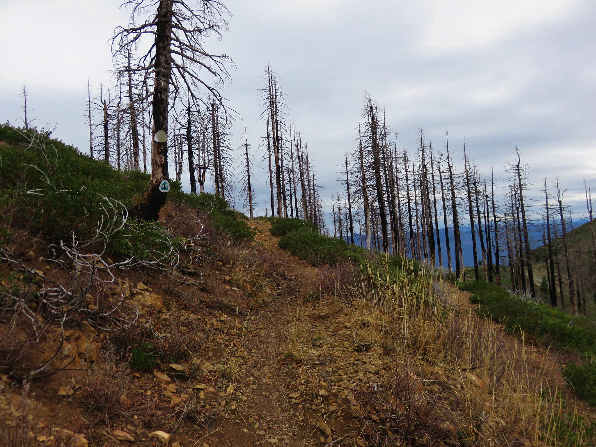
 There was also an increase in the smoke.
 Can you spot the pika?
 Pika (possible the same one from earlier given the location).
 Paintbrush and buckwheat
 Yellow columbine


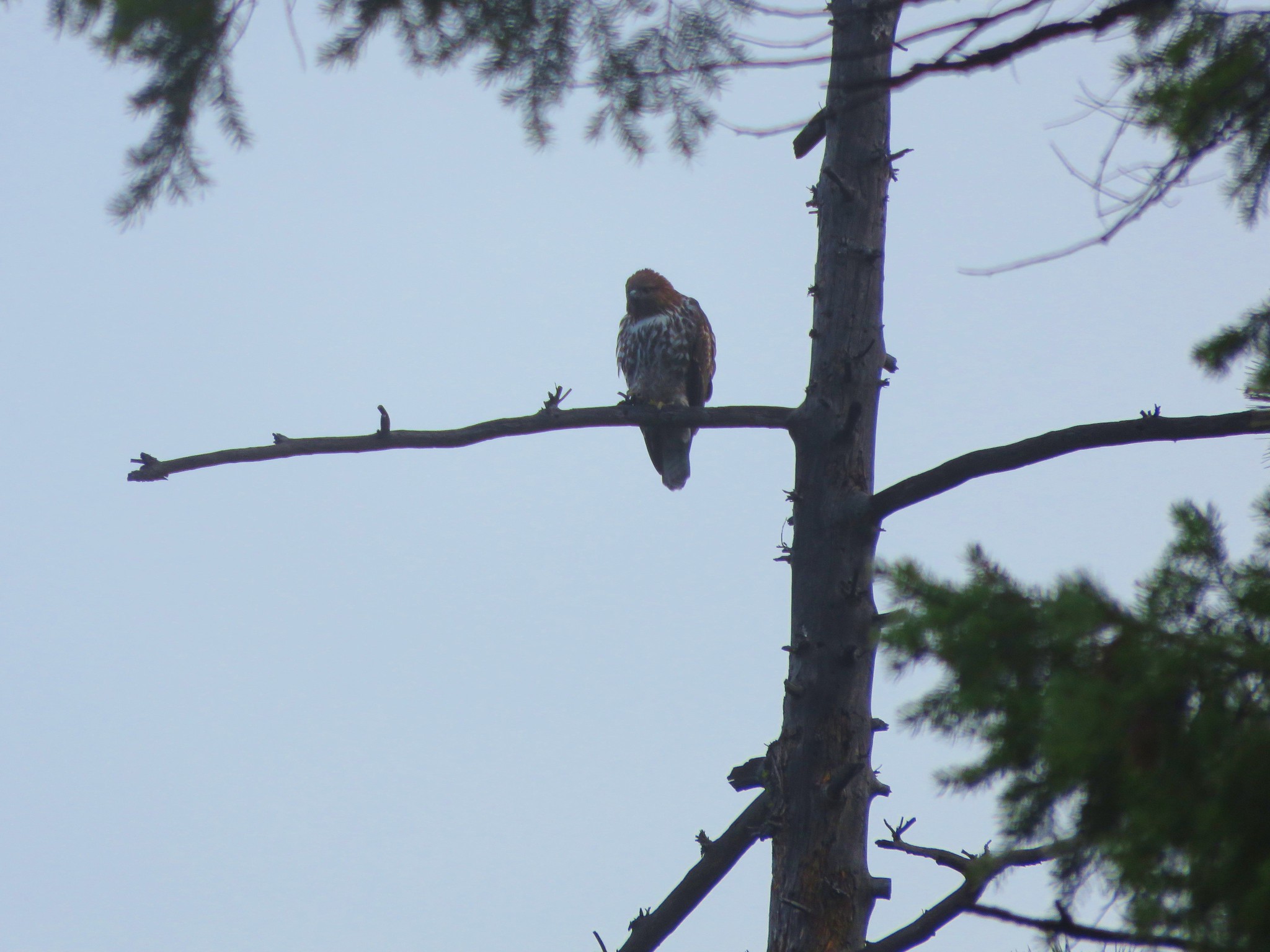
 Another pika at the end of this switchback.

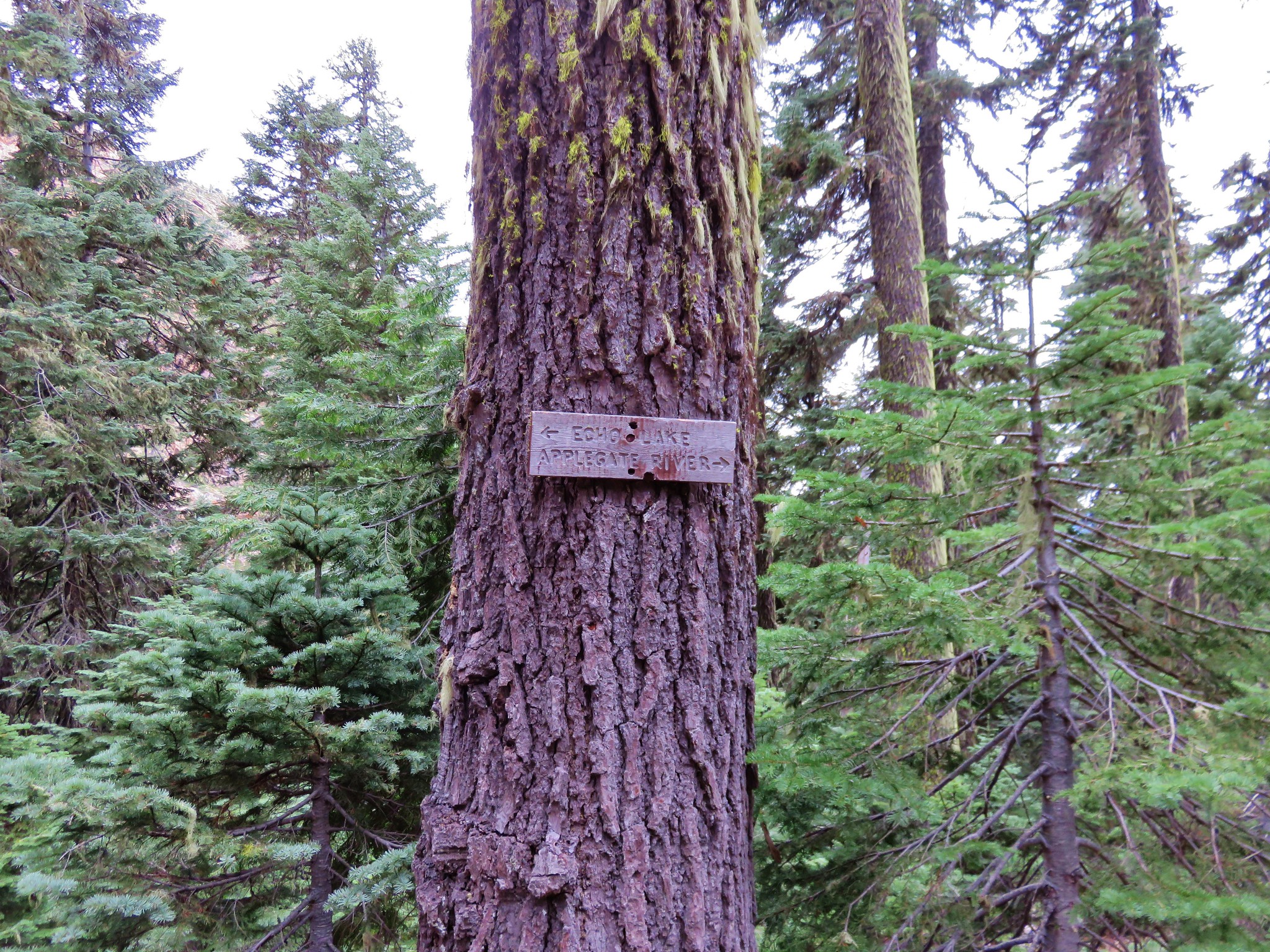
 The Tombstone Lake Trail junction ahead.
I had arrived back at the trail junction a little before 10:15am and arrived back at camp at 10:23am. Heather was just finishing packing up the last of our items. I changed socks once again and got my day pack into my backpack so we could head for the car. It was 10:35am when set off for the final 2.5 miles of our trip.


 Swallowtail photo bomb.

 West Eagle Creek Crossing.
 Sphinx moth
 Leaving the Eagle Cap Wilderness.
 Squirrel
 West Eagle Meadows
 It’s hard to see here but there is a trail post at this fork with a point to the left. This is for the horse camp and not the way back to the West Eagle Meadows Trailhead.
 The trailhead in sight.
My mileage for the day came to 12.2 with a little over 1700′ of cumulative elevation gain.
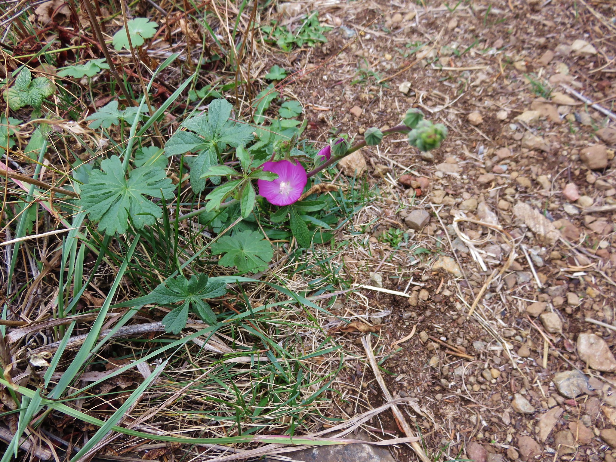
Heather spotted a couple of flowers on her hike to Echo Lake the day before that I did not notice.
 Flax
Flax
 Jacob’s ladder
This was a great hike to finish the trip. For me Traverse Lake was my favorite of the week followed by Tombstone, Echo, Culver, Bear and Eagle in that order. All of them were great though. The only downside to the trip was the excessive heat. These hikes would have been even more enjoyable in reasonable temperatures. The trip did allow us to check off three more of Sullivan’s featured hike (post) putting us at 83/100 for his “100 Hikes: Eastern Oregon” guidebook. Happy Trails!
Flickr: Echo & Traverse Lakes