Categories
Hiking Oregon Portland Trip report Willamette Valley

Forest Park via Springville Rd. – 06/28/2026

A much-needed damp weather system arrived just in time for the weekend which had us looking for a good overcast day hike. We landed on a visit to Portland’s Forest Park. We had visited the 5,200 acre park five previous times (2018, 2019, 2020, 2022, 2024).

Over those five visits we had hiked 46.4 of the more than 80-miles of trails, fire lanes and roads within the park, but our tracks weren’t all connected. Our 2018 and 2024 hikes both began at the Germantown Road Trailhead and the routes shared 0.6 miles of trail. Our 2020 and 2022 routes began at different trailheads but shared a 0.6-mile stretch of the 30.2-mile Wildwood National Recreation Trail. That left our 2019 Maple Trail hike on an island. Today’s planned hike would connect that track to the 2018 track while also including over 6.5-miles of trails we’d yet to hike.

I’d mapped out the route starting from the Springville Road Trailhead.
IMG_7238
We were the second car in the lot upon our arrival just before 6am.

The hike started at a gate on Springville Road/Firelane 7 just past an outhouse.
IMG_7239

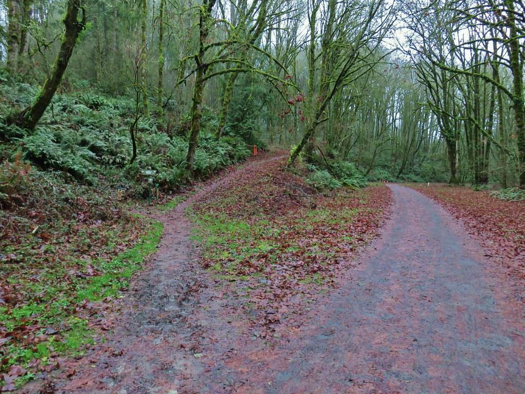
When Springville Road split from Firelane 7 we stayed right on the fire lane.
IMG_7242

Approximately 0.3-miles from the trailhead we turned right off of Firelane 7 onto the Trillium Trail.
IMG_7246
We passed the Hardesty Trail on our left.

IMG_7250
Signs at the junction with the Trillium Trail.

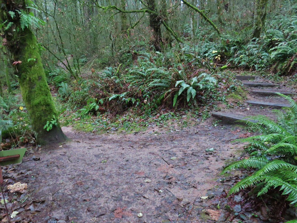
We followed the Trillium Trail downhill 0.2-miles to the Wildwood Trail where we turned right.
IMG_7252

IMG_7256
Tiger lilies

IMG_7259
Selfheal

IMG_7261

IMG_7264
The Wildwood Trail at the junction.

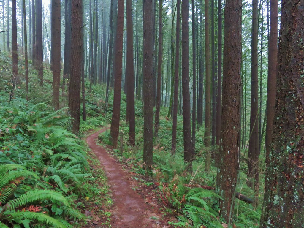
We stayed on the Wildwood Trail for 2.6 fairly level miles to a junction with Saltzman Road.
IMG_7272

IMG_7276

IMG_7283
Thimbleberry, we found a few ripe ones to taste test.

IMG_7284
Red huckleberries

IMG_7287
Yarrow and selfheal

IMG_7292
Creeping buttercup

IMG_7299
Coastal hedgenettle

IMG_7301
As always, the junctions were well signed with large maps at several of them.

IMG_7302

IMG_7306

IMG_7307

IMG_7310
Saltzman Road

We turned left onto Saltzman Road and followed it downhill for half a mile to Leif Erickson Drive where we again turned left.
IMG_7313

IMG_7315

We stayed on Leif Erickson Drive for 1.8-miles before turning steeply uphill on Firelane 7A.
IMG_7320

IMG_7318
Snail

IMG_7324
Columbine

IMG_7328
Mourning dove giving us the “side eye”.

IMG_7330

IMG_7335
More tiger lilies.

IMG_7338
Firelane 7A.

After a stiff 0.2-mile climb we turned left back onto the Wildwood Trail.
IMG_7339

IMG_7343
A tall aster or fleabane along the firelane.

IMG_7347
The junction with the Wildwood Trail.

We followed the Wildwood Trail half a mile to a junction with Firelane 7.
IMG_7350

IMG_7352

IMG_7354
Mushrooms

IMG_7355

IMG_7356
Both CalTopo and Gaia GPS label this Northwest Oil-Line Road.

We climbed up the firelane for just under a mile to the Hardesty Trail which we had passed earlier.
IMG_7359

IMG_7366
Red clover

IMG_7369
Passing the Trillium Trail on the left where we turned off Firelane 7 that morning.

IMG_7371
The Hardesty Trail. We were just a tenth of a mile from the trailhead at this point, but since we hadn’t been on this trail before we turned right.

The Hardesty Trail dropped steeply downhill to the Wildwood Trail.
IMG_7372

IMG_7376
The Wildwood Trail below to the left.

IMG_7378
The junction with the Wildwood Trail.

We turned left and hiked another 0.8-miles on the Wildwood Trail to reach a junction with Springville Road.
IMG_7379

IMG_7380
Salal

IMG_7381
Blackberries

IMG_7386
Red elderberry

IMG_7387
The junction with Springville Road.

We turned left on Springville Road and followed it uphill 0.4-miles back to Firelane 7A and the Springville Road Trailhead.
IMG_7394

IMG_7390
Oregon grape

IMG_7396
Invasive Species kiosk at the Springville Road/Fireland 7 junction.

Today’s hike came in at 8.6-miles with approximately 1100′ of elevation gain.
Screenshot 2026-06-28 112018

It was a great choice for an overcast morning. The early mornings in Forest Park are generally quiet and today was no different. It started getting busier around 10am but with so many miles of trail they never feel crowded.

This now leaves one final gap in our tracks to not only connect our Forest Park hikes but also our visit to Washington Park (post) and Marquam Park (post).
Screenshot 2026-06-29 052421

I have a feeling that as long as my back and leg, which have been feeling quite a bit better, cooperate that gap will be filled before the end of the year. Happy Trails!

Flickr: Forest Park vis Springville Road
Categories
Hiking Oregon Portland Willamette Valley

Maple Trail (Forest Park) and Tilikum Crossing – 12/14/2019

For our final outing of 2019 we combined a little hiking with a bit of Christmas Shopping by heading up to Portland for the day. Our plan was to do a pair of Sullivan’s featured hikes before visiting the Portland Saturday Market.

We started our morning at the 5,200 acre Forest Park for a 7.5 mile lollipop hike using the Maple and Wildwood Trails. Our hike started at the Lower Saltzman Road Trailhead

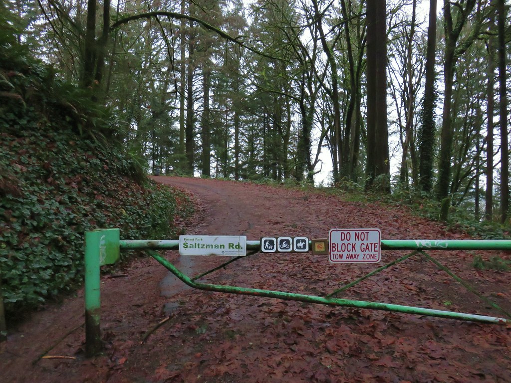
We were the second car at the small parking area where we set off past the green gate blocking further access to Saltzman Road.
IMG_1958

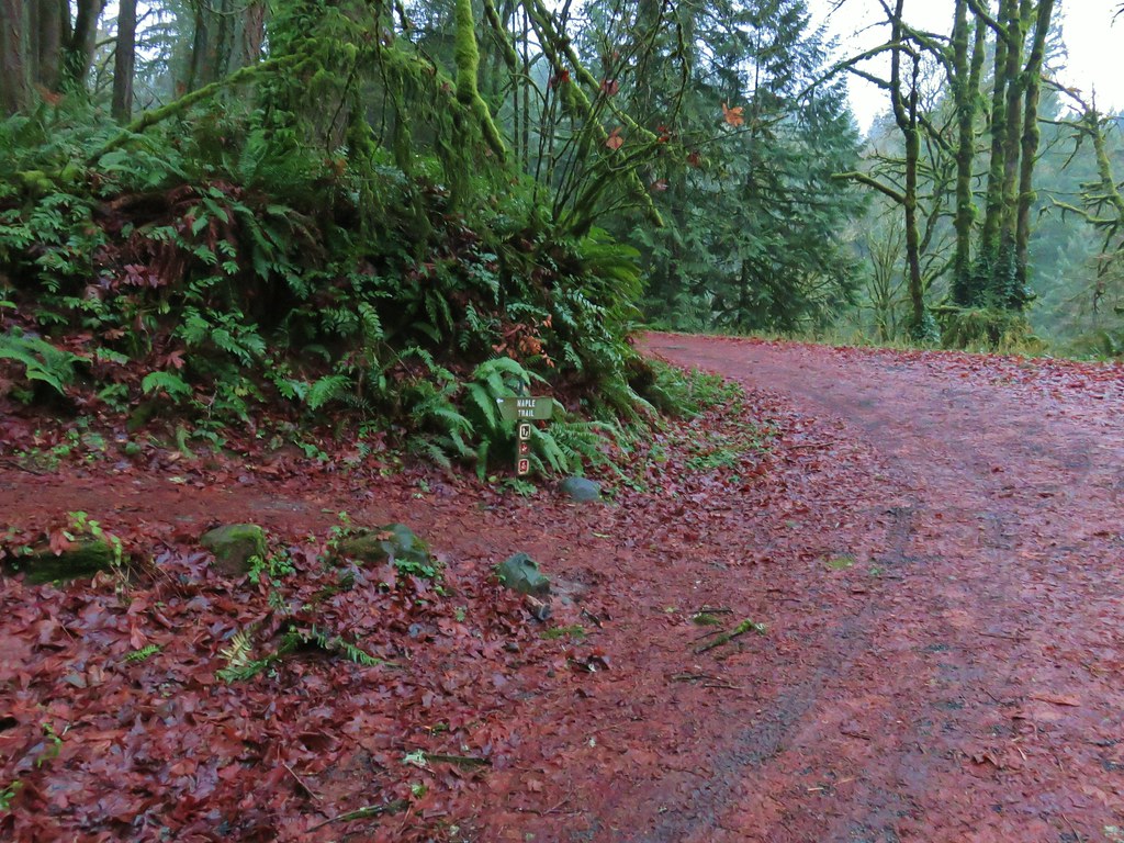
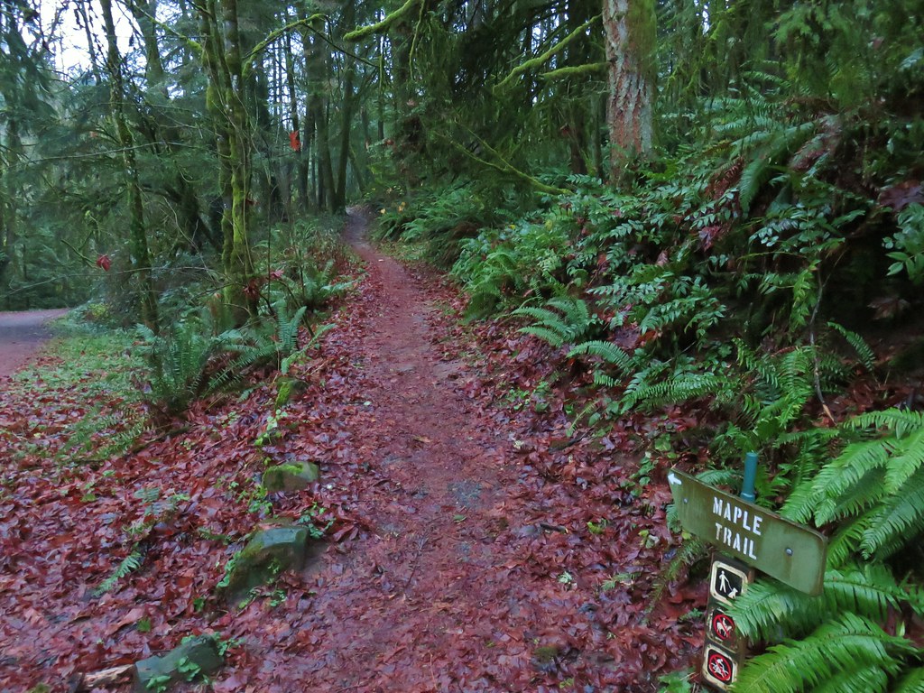
We followed the closed road for .4 miles to a junction where the Maple Trail crossed the road. Here we turned left onto that trail.
IMG_1961

IMG_1962

IMG_1965

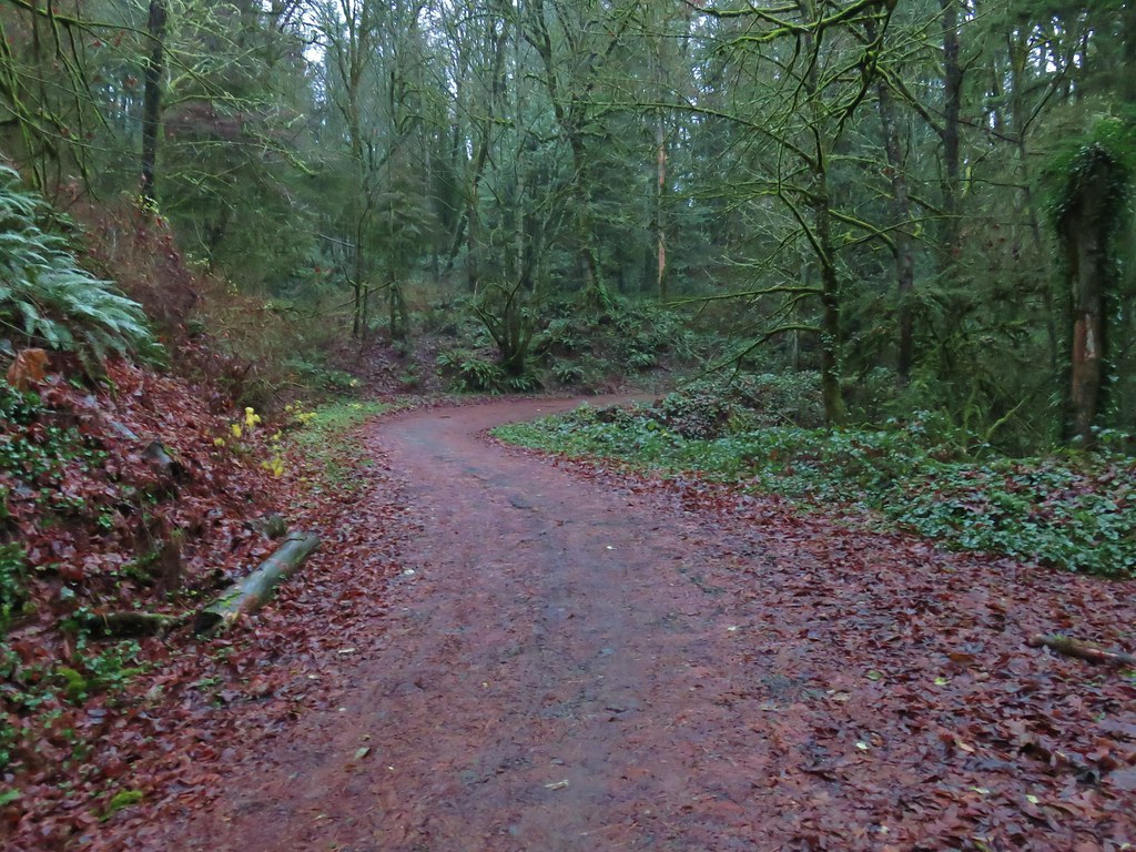
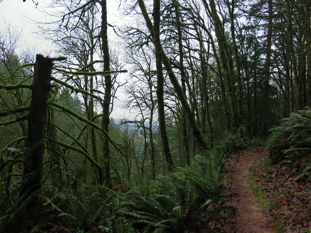
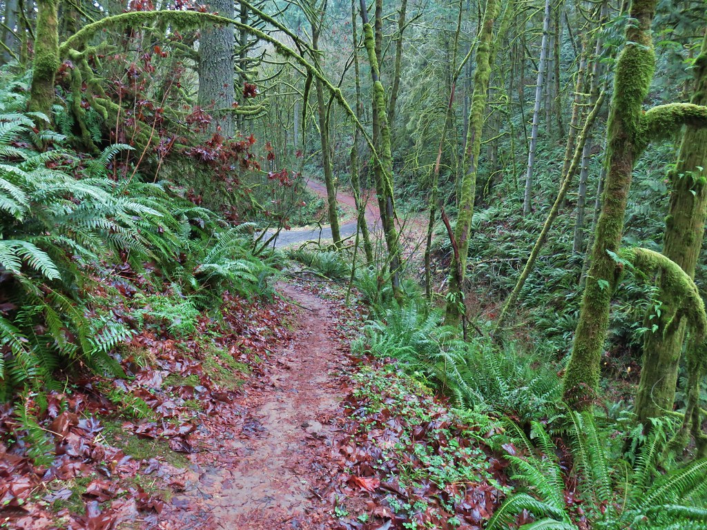
We followed this trail for a mile and a half, ignoring side trails, as we climbed gradually to Leif Erikson Drive. It was a cloudy morning and the forest was damp but it wasn’t raining which made for a pleasant walk amid the trees.
IMG_1968

IMG_1974

IMG_1975Bridge over a small stream.

IMG_1977Heading into a little bit of fog.

IMG_1981Too cloudy for any real views.

IMG_1983Leif Erikson Road.

We crossed the closed road and continued on the Maple Trail for another .4 miles to a fork where we veered right at a pointer for the Wildwood Trail.
IMG_1984

IMG_1989

A short climb brought us to the Wildwood Trail where we turned right and headed up some wooden steps.
IMG_1990

This was our third time on the 30 mile long Wildwood Trail (11/18, 5/18) and we followed it for 3.2 miles through a variety of scenery.
IMG_1992

IMG_1996

IMG_2006

IMG_2017

Along the way we crossed Saltzman Road.
IMG_2018Saltzman Road at the 2.5 mile mark of the 3.2 mile stretch.
Approximately .7 miles after crossing Saltzman Road we turned right onto signed Firelane 5.
IMG_2022

This windy track was rutted by bike tires as it made its way downhill to Leif Erikson Drive after about half a mile.
IMG_2023

IMG_2025Aproaching Leif Erikson Drive.

We turned right onto Leif Erikson for .2 miles to a curve with a grassy flat on the left with a sign for the Maple Trail.
IMG_2027

IMG_2028

We followed the Maple Trail for 1.2 miles back to Saltzman Road where we turned left and hiked the .4 miles back to the trailhead. The forest along this section of the Maple Trail was nice and on a clearer day there may have been a few views but we settled for the trees and some passing geese.
IMG_2030

IMG_2032

IMG_2034

IMG_2035

IMG_2041

The trailhead was full when we got back so we quickly changed our shoes and opened up a spot for another trail user. We headed for downtown Portland for our next stop at Tom McCall Waterfront Park. We actually parked at a lot on the corner of 4th and Harvey Milk St. and walked 3+ blocks to the park.
IMG_2044

IMG_2050

The Saturday Market was just a bit to the left but we went right heading for the Morrison Bridge and planning on hitting the market at the end of our loop.
IMG_2045

There were almost as many geese as people in this section of the park.
IMG_2052

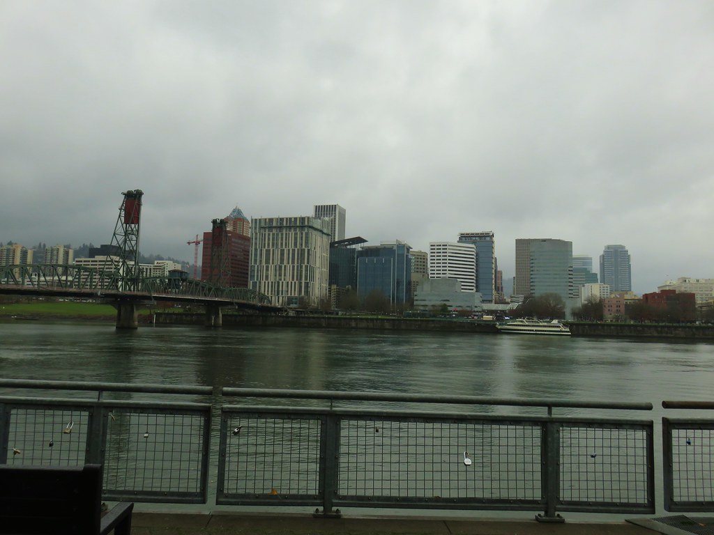
We followed the Waterfront Park Trail along the Willamette River under the Morrison Bridge and toward the Hawthorne Bridge.
IMG_2053

IMG_2056Hawthorn Bridge

IMG_2060

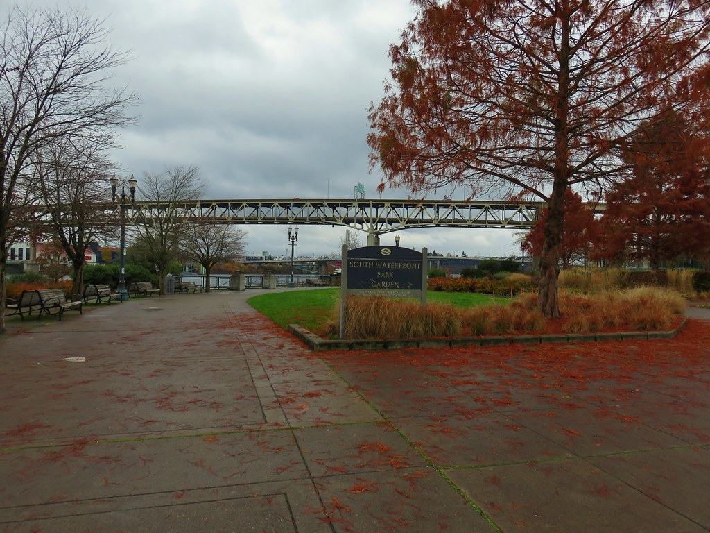
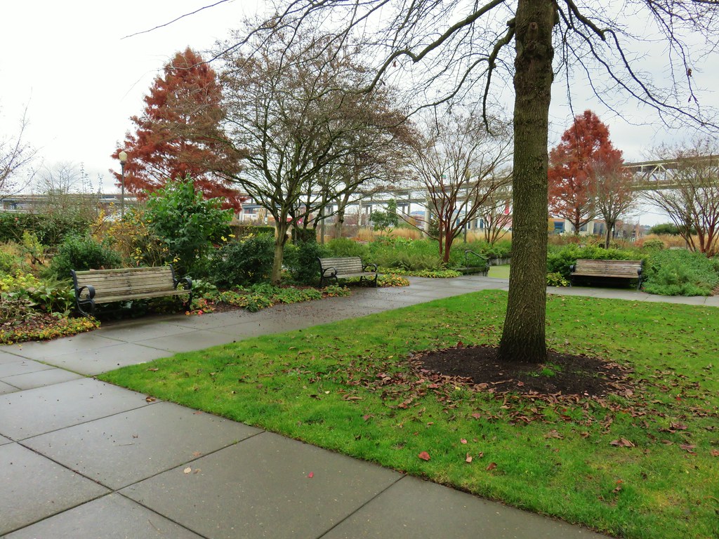
After about three quarters of a mile we passed through the South Waterfront Park Garden.
IMG_2062

IMG_2063

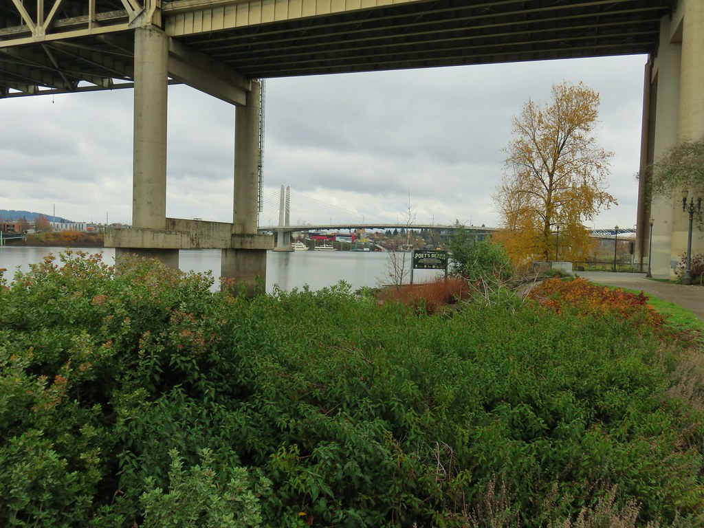
This was quickly followed by Poet’s Beach under the Marquam Bridge.
IMG_2068

IMG_2069

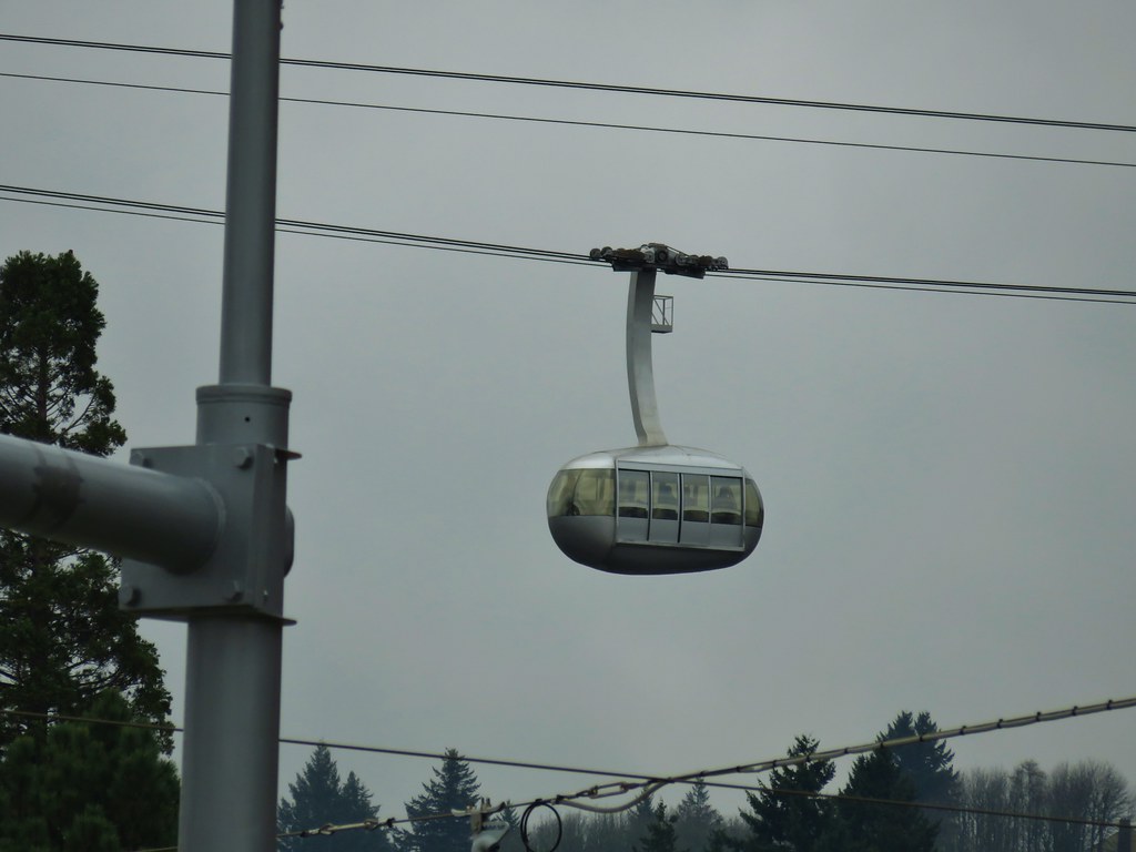
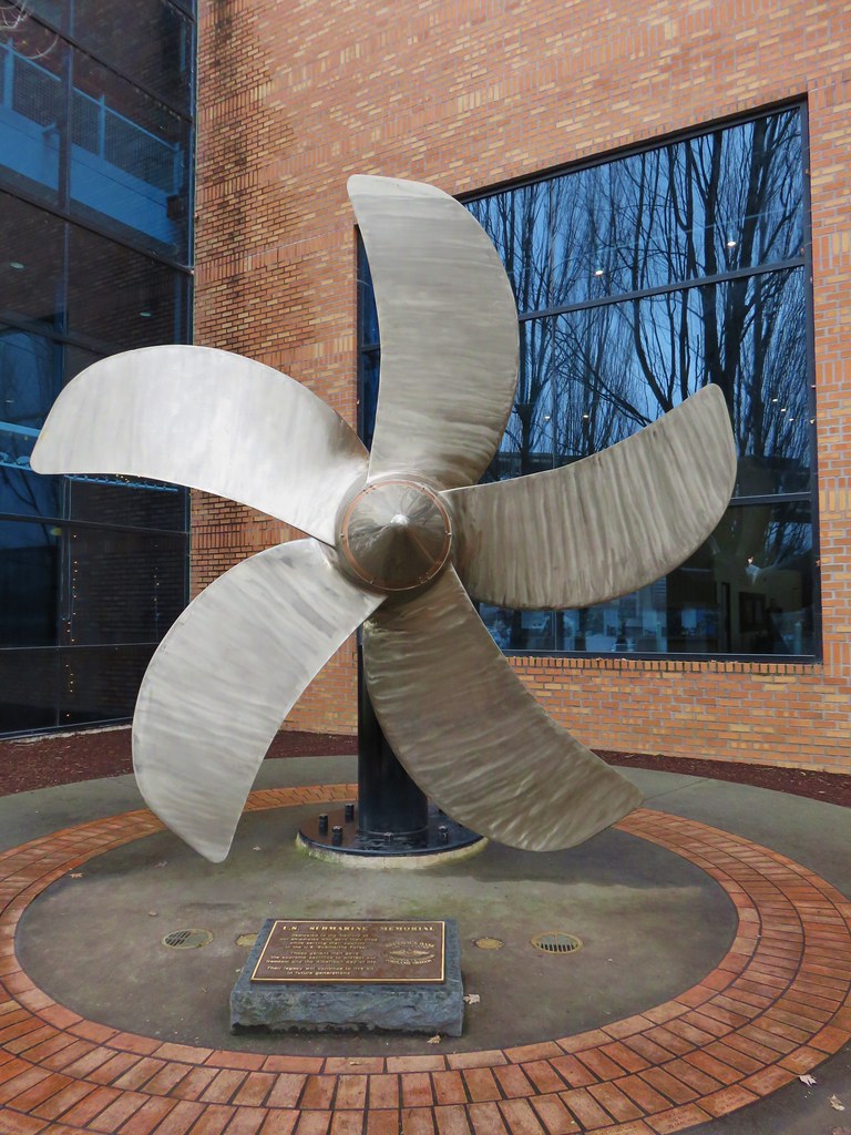
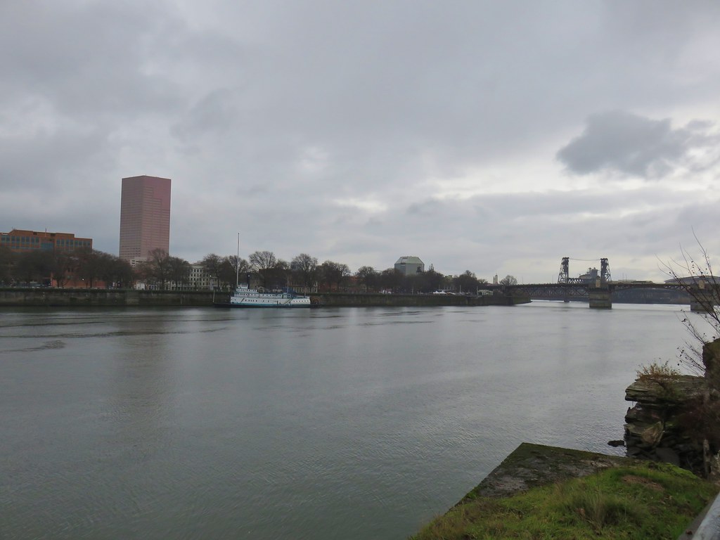
After passing under the Marquam Bridge we had a good look at OMSI and the USS Blueback Submarine on the far side of the Willamette and the OHSU Aerial Tram on our side of the river on Marquam Hill.
IMG_2073

IMG_2072

IMG_2071

IMG_2078

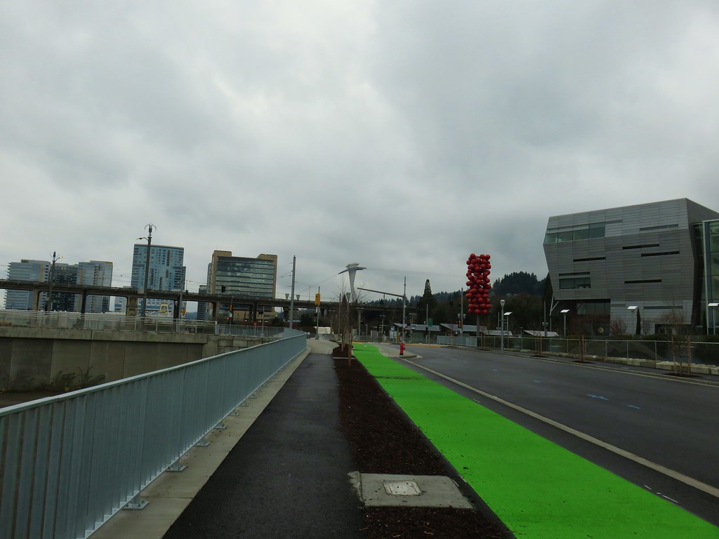
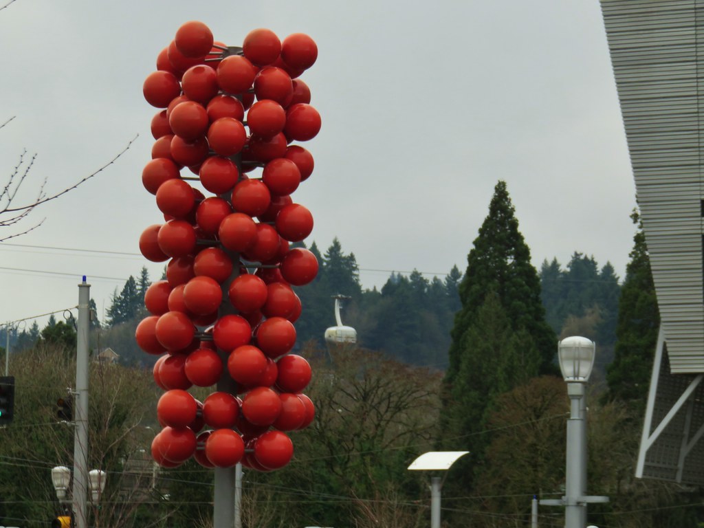
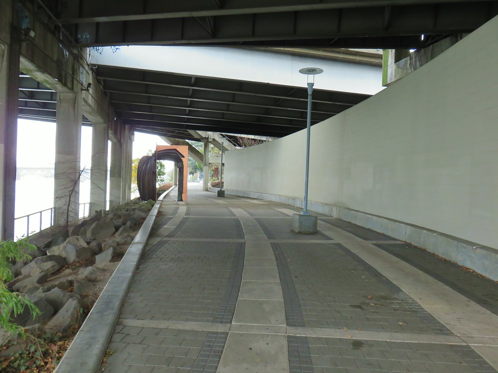
There was also an interesting piece of art near the Tilikum Crossing Bridge where we would be heading across the river.
IMG_2074

IMG_2076

The bridge was opened in September 2015 and is restricted to transit, pedestrian, and cyclist use only.
IMG_2080

IMG_2081

IMG_2083Marquam Bridge from Tilikum Crossing.

After crossing the river we turned left towards OMSI on the Eastbank Esplanade.
IMG_2085Tilikum Crossing from the esplanade.

We followed the Eastbank Esplanade for a total of 1.75 miles to the Steele Bridge. The scenery along this stretch was a bit more industrial with sections not too far from the Interstate, but there were still some interesting and pretty sights along the way.
IMG_2086Behind OMSI

IMG_2090More geese.

IMG_2091

IMG_2093

IMG_2094Cormorants

IMG_2097

IMG_2098

IMG_2103

IMG_2099

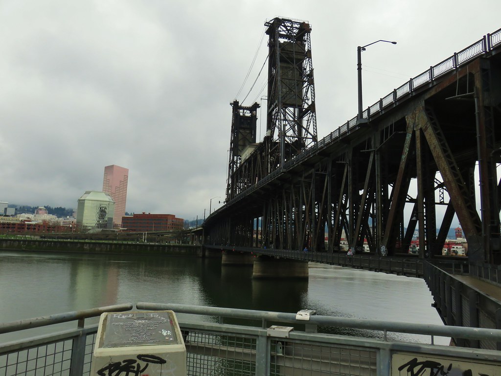
We recrossed the Willamette on the Steele Bridge arriving back at Waterfront Park near the Japanese American Historical Plaza and the Portland Saturday Market.
IMG_2106

IMG_2110

IMG_2112

IMG_2113

We wound our way through the market visiting all the booths before returning to our car and heading home. We did manage to find a couple of Christmas gifts so it had not only been a fun day hiking but it had been productive as well. We walked about 5 miles between the loop around the Willamette and the market which was just about as much as our feet could handle for the day.

That’s it for us as far as hikes go for 2019, we hope everyone has a Merry Christmas and Happy New Year! (and Happy Trails too!)

Flickr: Maple Trail and Tilikum Crossing