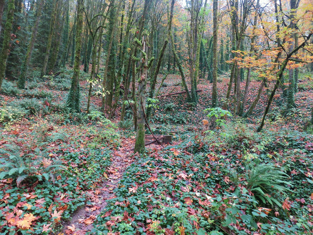
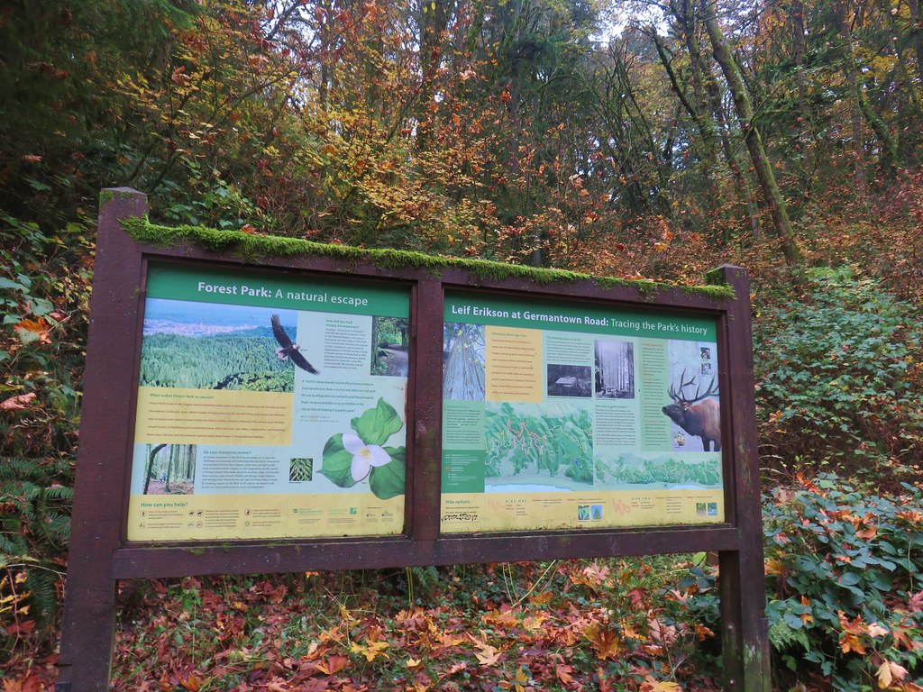
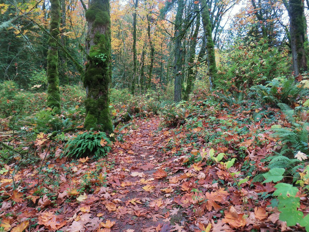
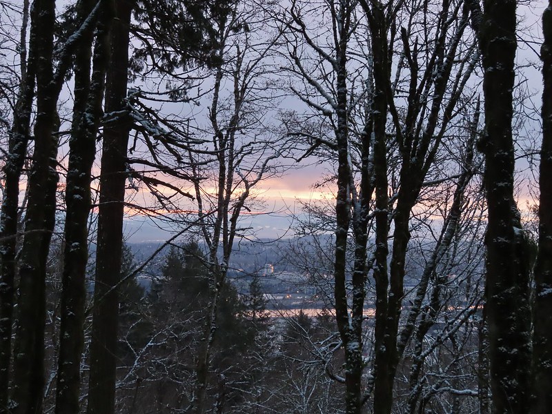
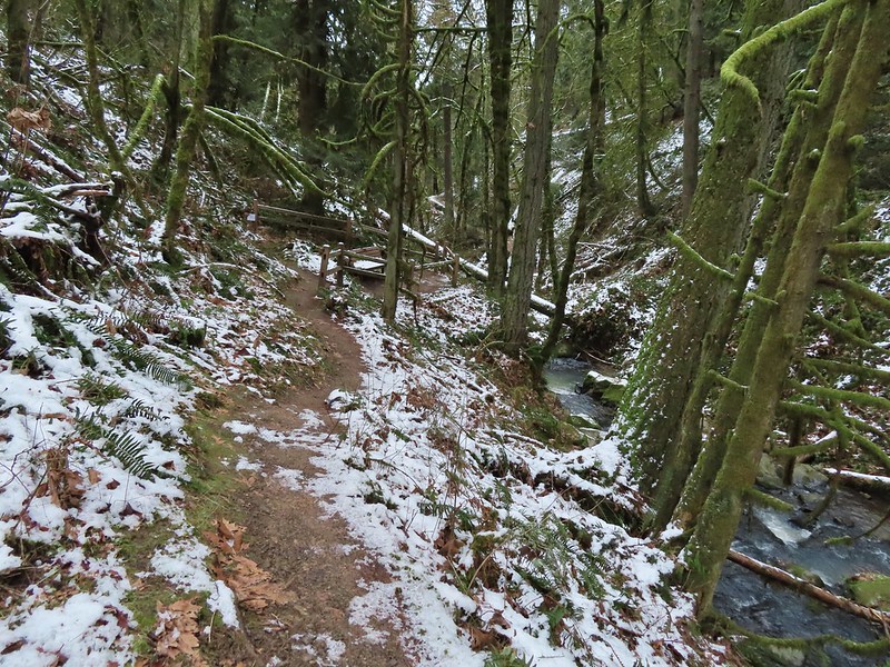
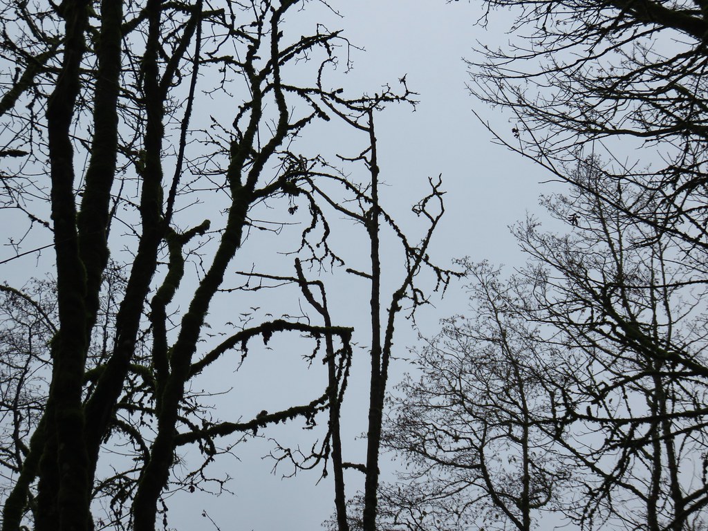
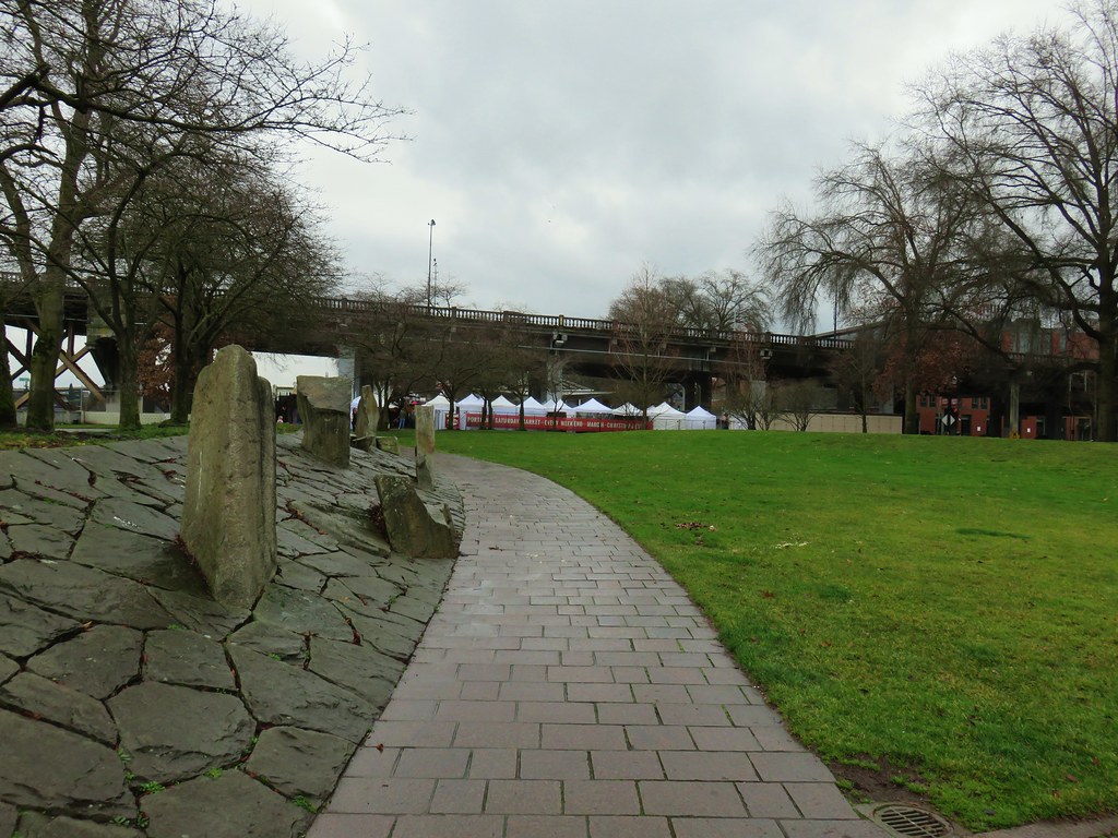
A much-needed damp weather system arrived just in time for the weekend which had us looking for a good overcast day hike. We landed on a visit to Portland’s Forest Park. We had visited the 5,200 acre park five previous times (2018, 2019, 2020, 2022, 2024).
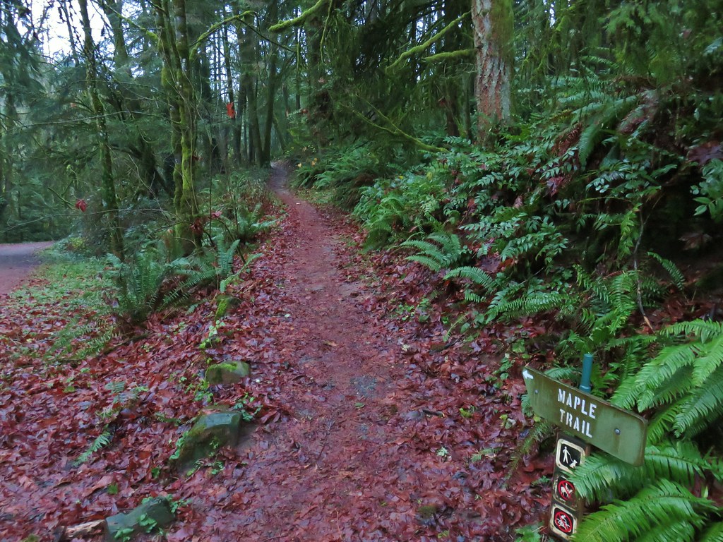
Over those five visits we had hiked 46.4 of the more than 80-miles of trails, fire lanes and roads within the park, but our tracks weren’t all connected. Our 2018 and 2024 hikes both began at the Germantown Road Trailhead and the routes shared 0.6 miles of trail. Our 2020 and 2022 routes began at different trailheads but shared a 0.6-mile stretch of the 30.2-mile Wildwood National Recreation Trail. That left our 2019 Maple Trail hike on an island. Today’s planned hike would connect that track to the 2018 track while also including over 6.5-miles of trails we’d yet to hike.
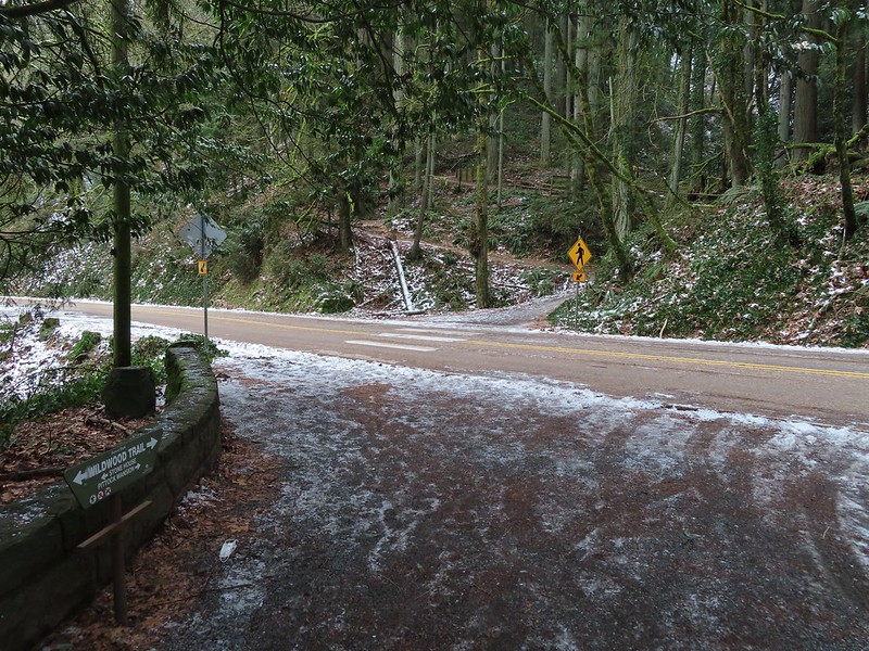
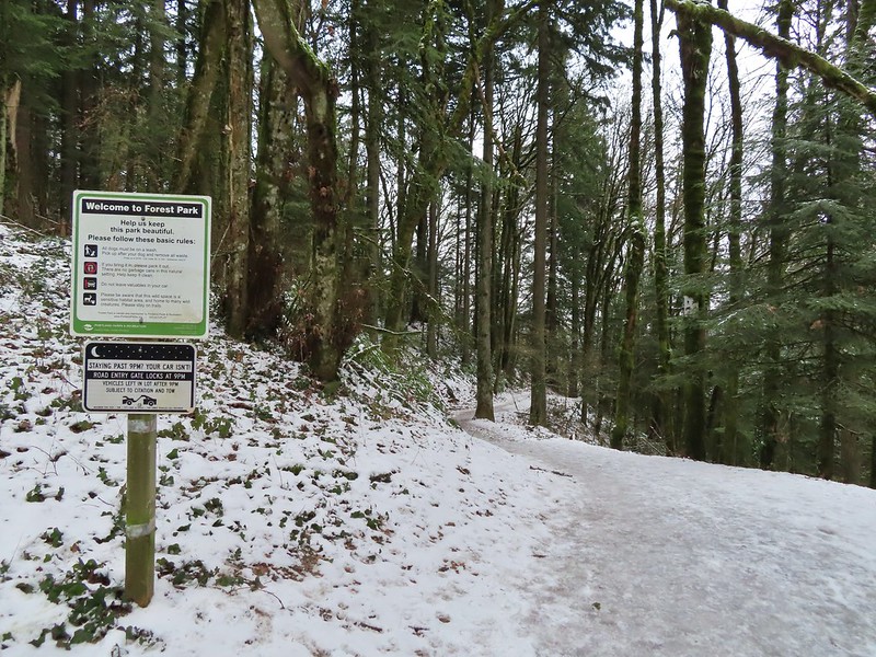
I’d mapped out the route starting from the Springville Road Trailhead.
We were the second car in the lot upon our arrival just before 6am.
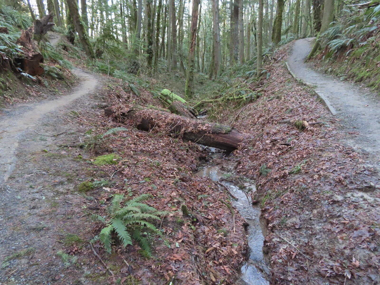
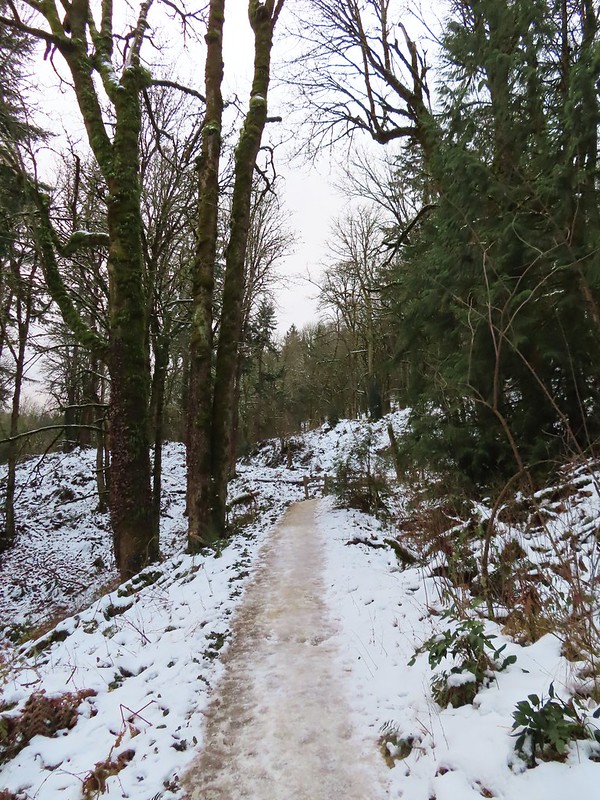
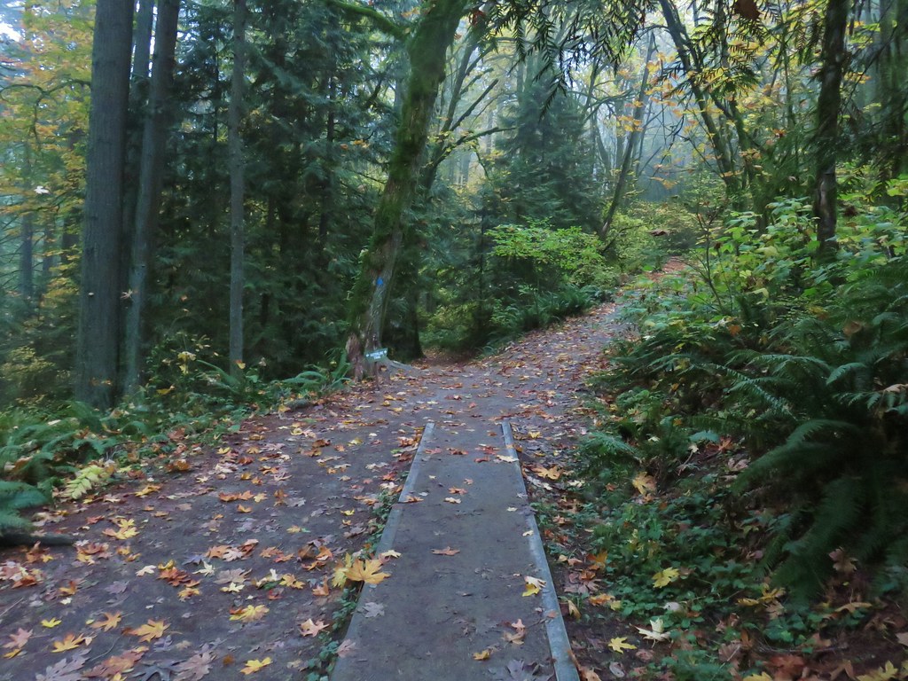
The hike started at a gate on Springville Road/Firelane 7 just past an outhouse.
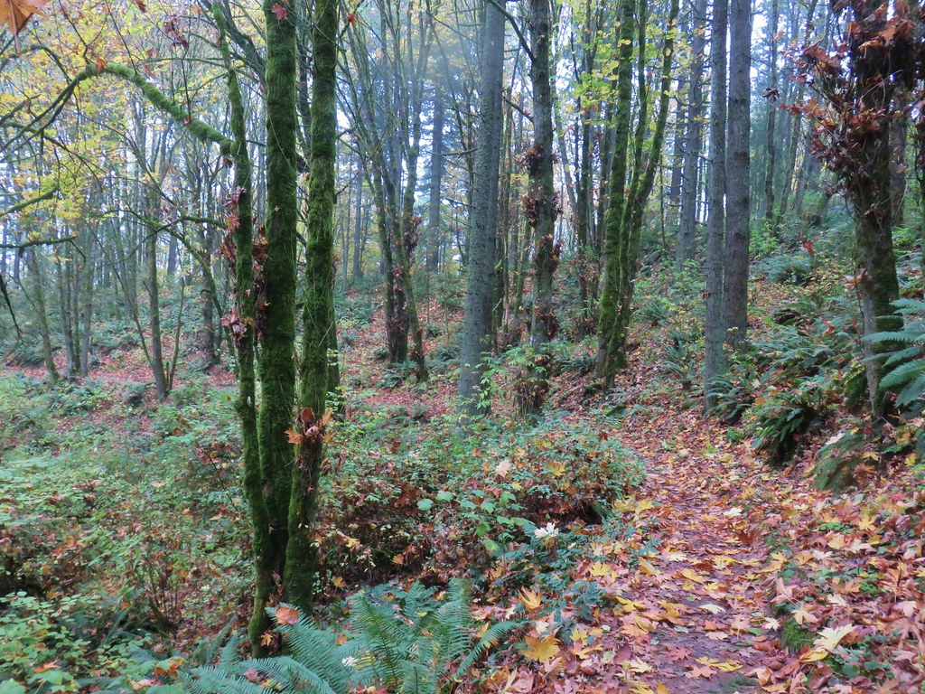
When Springville Road split from Firelane 7 we stayed right on the fire lane.
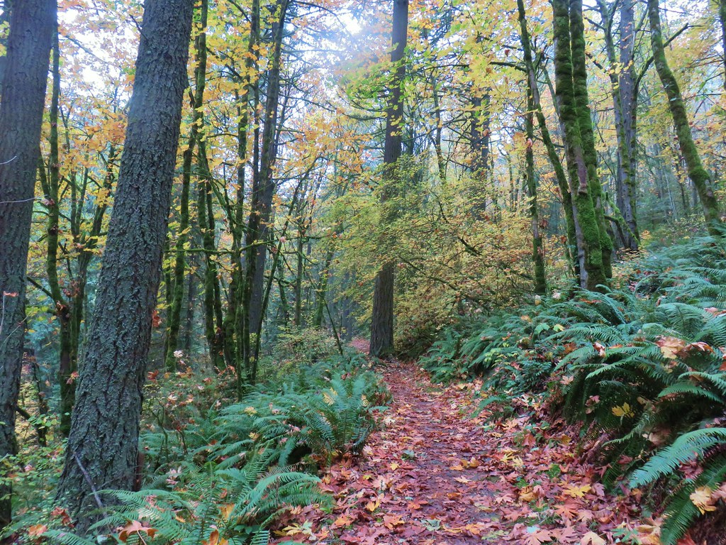
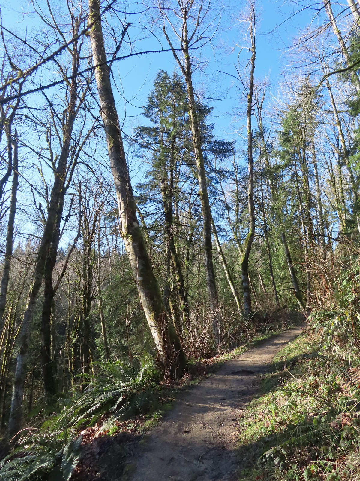
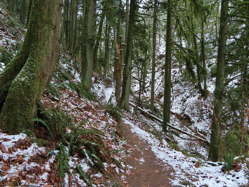
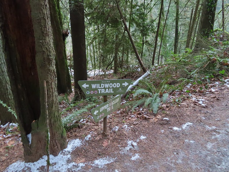
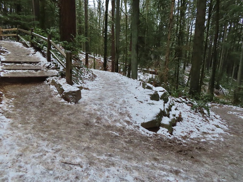
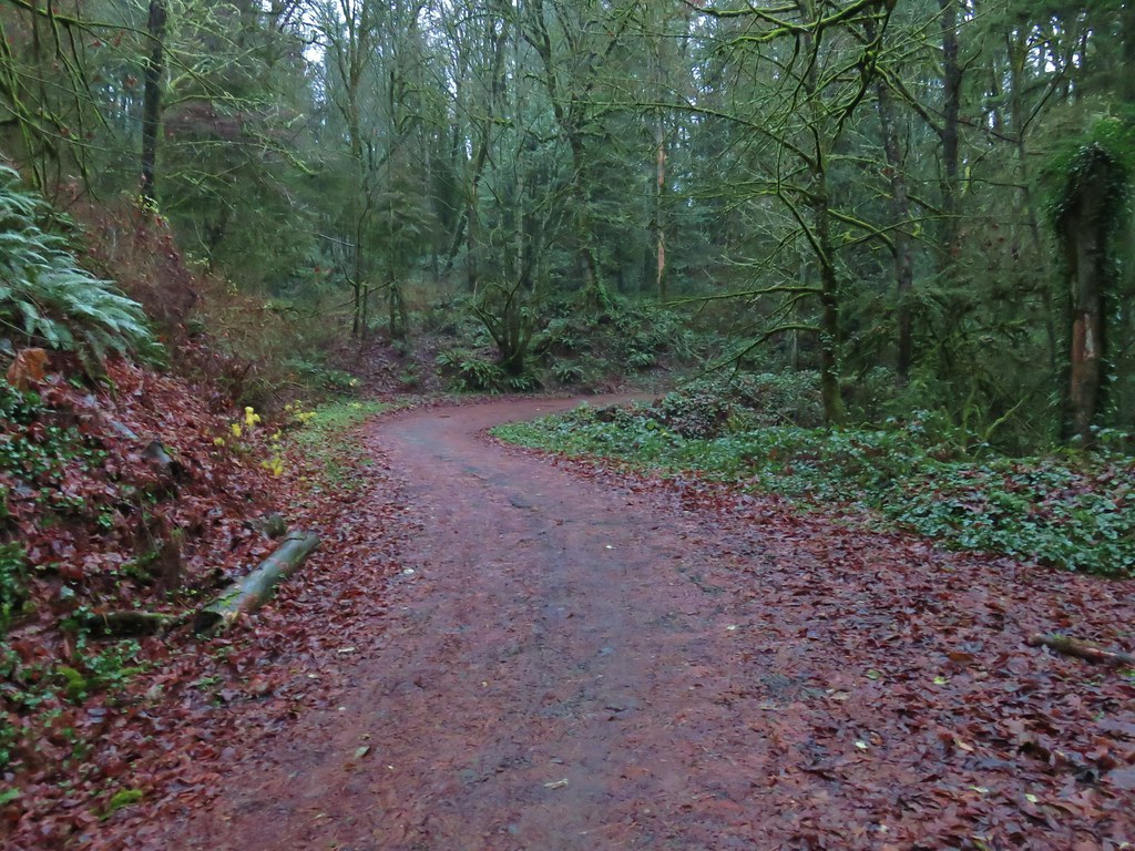
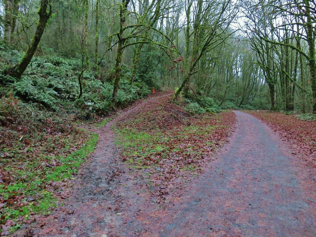
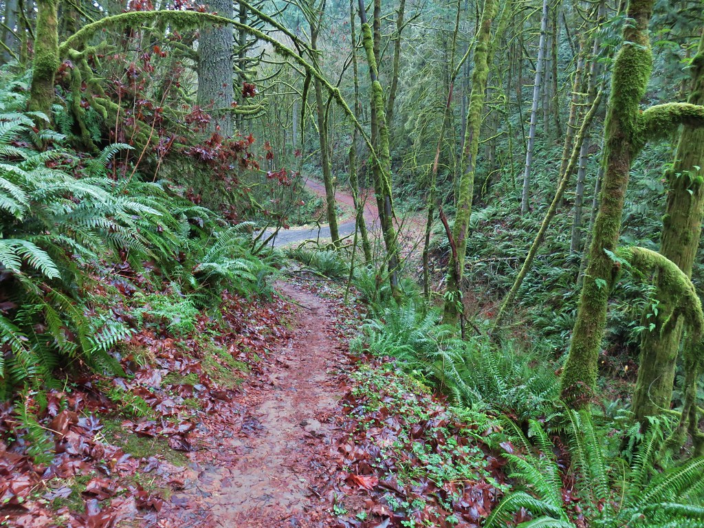
Approximately 0.3-miles from the trailhead we turned right off of Firelane 7 onto the Trillium Trail.
We passed the Hardesty Trail on our left.
Signs at the junction with the Trillium Trail.
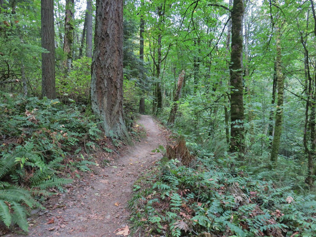
We followed the Trillium Trail downhill 0.2-miles to the Wildwood Trail where we turned right.
Tiger lilies
Selfheal
The Wildwood Trail at the junction.
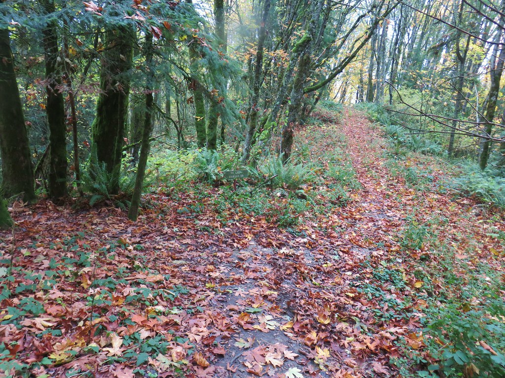
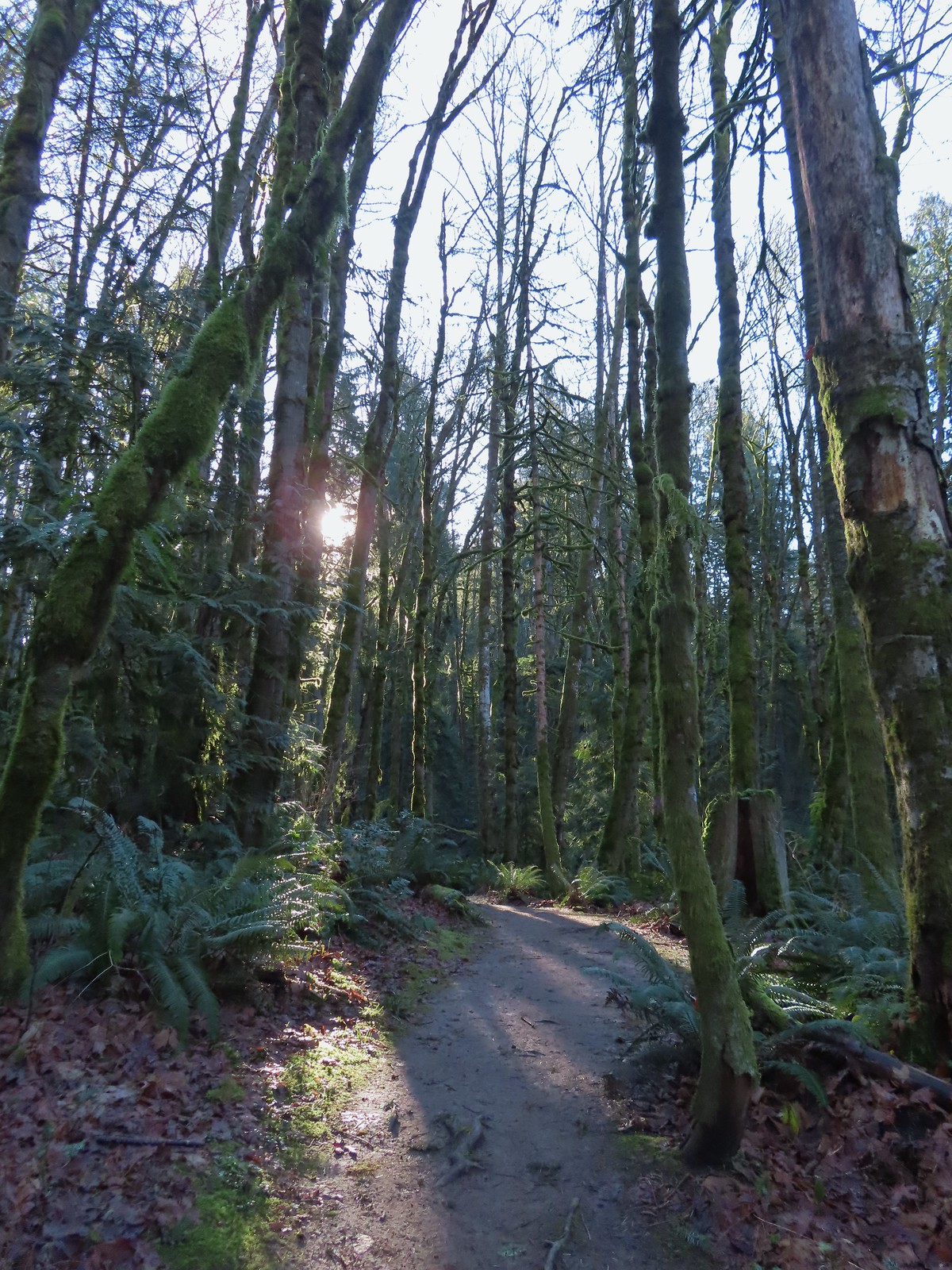
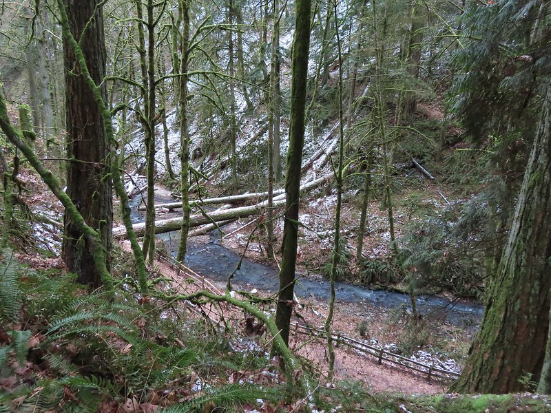
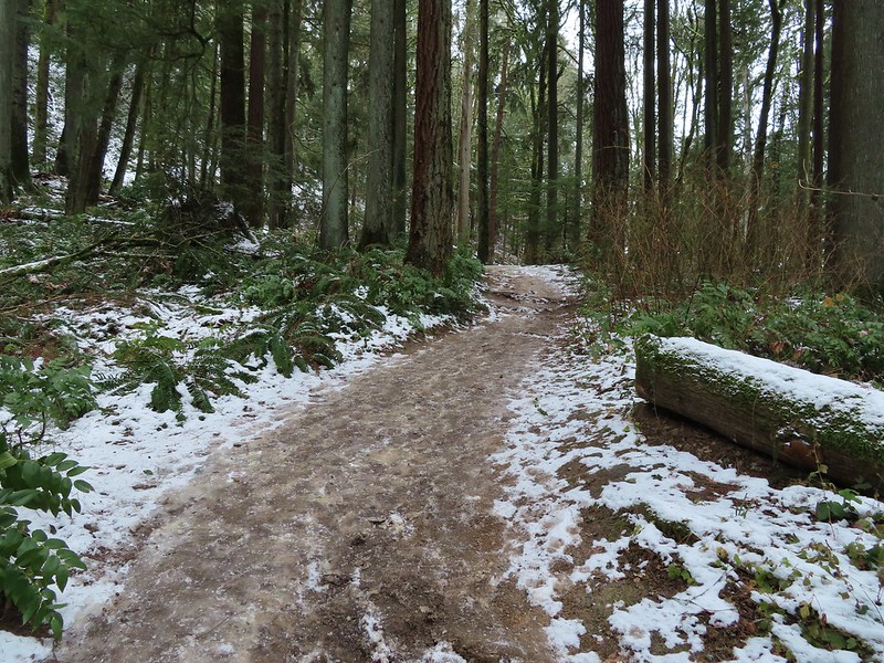
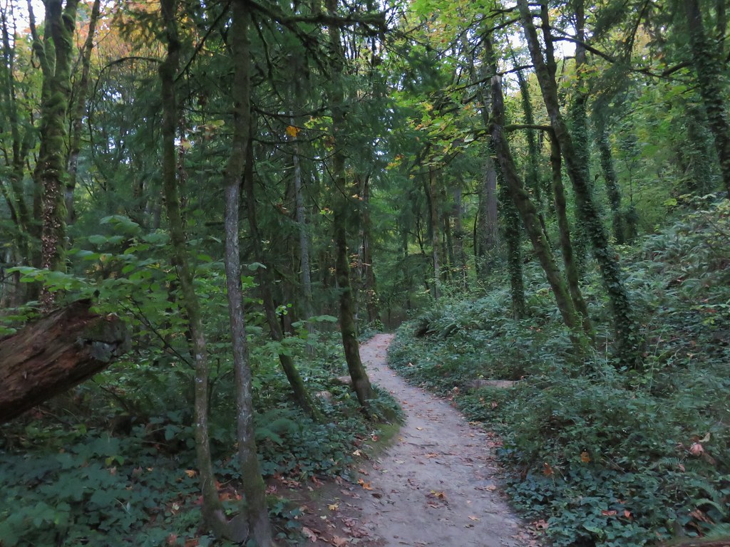
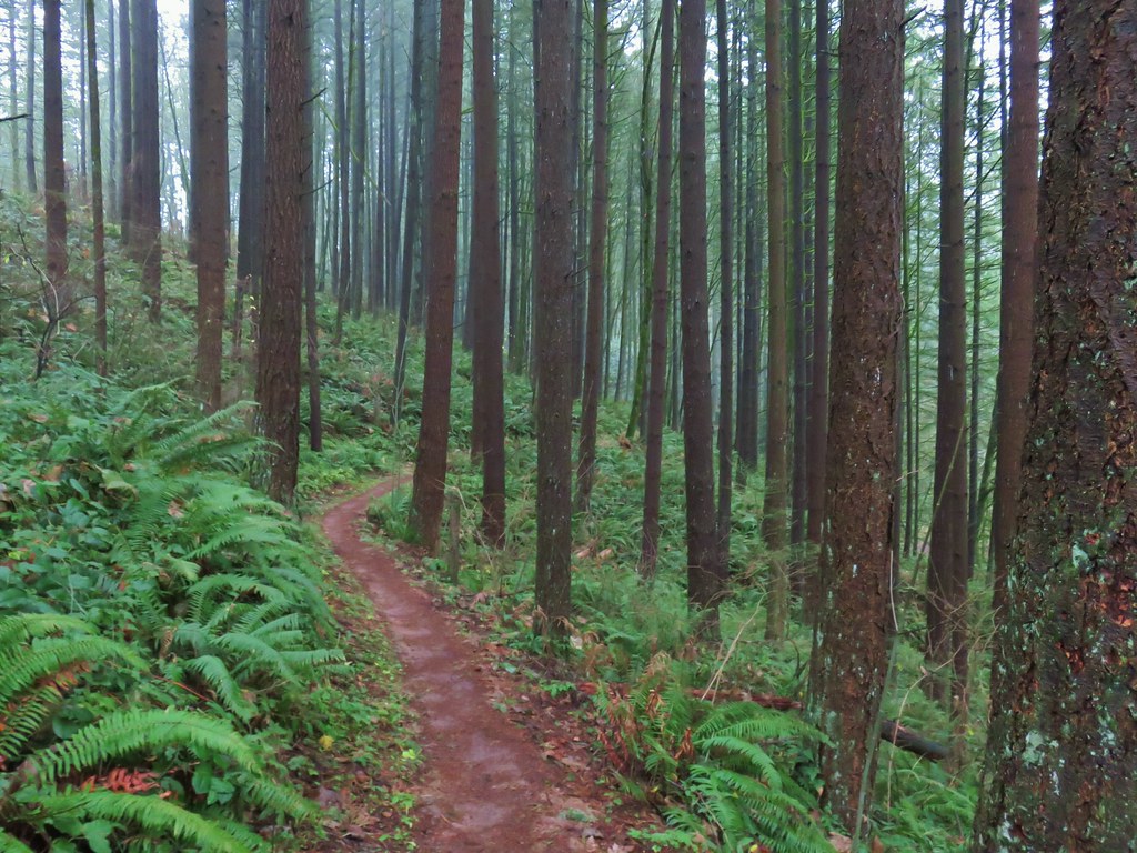
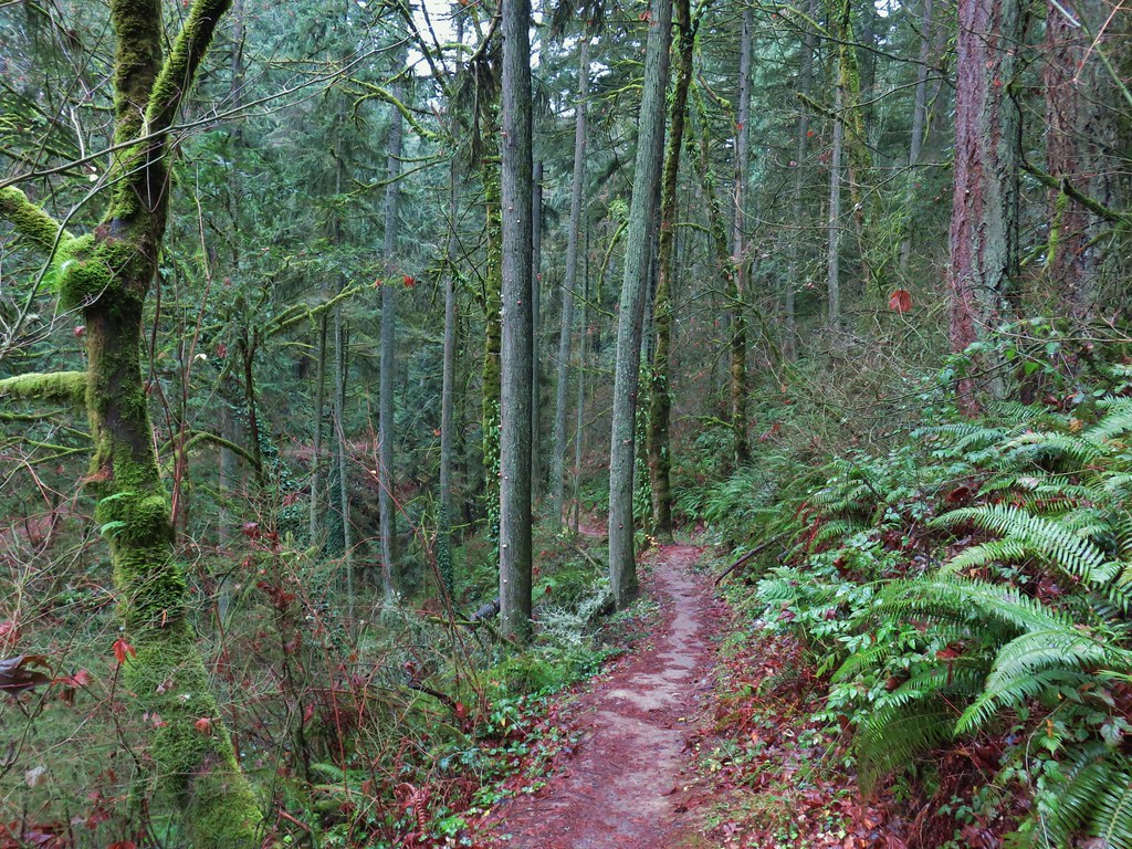
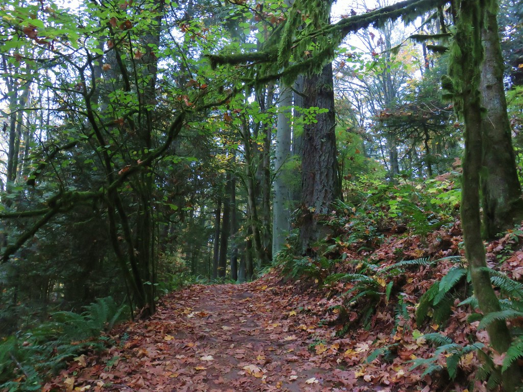
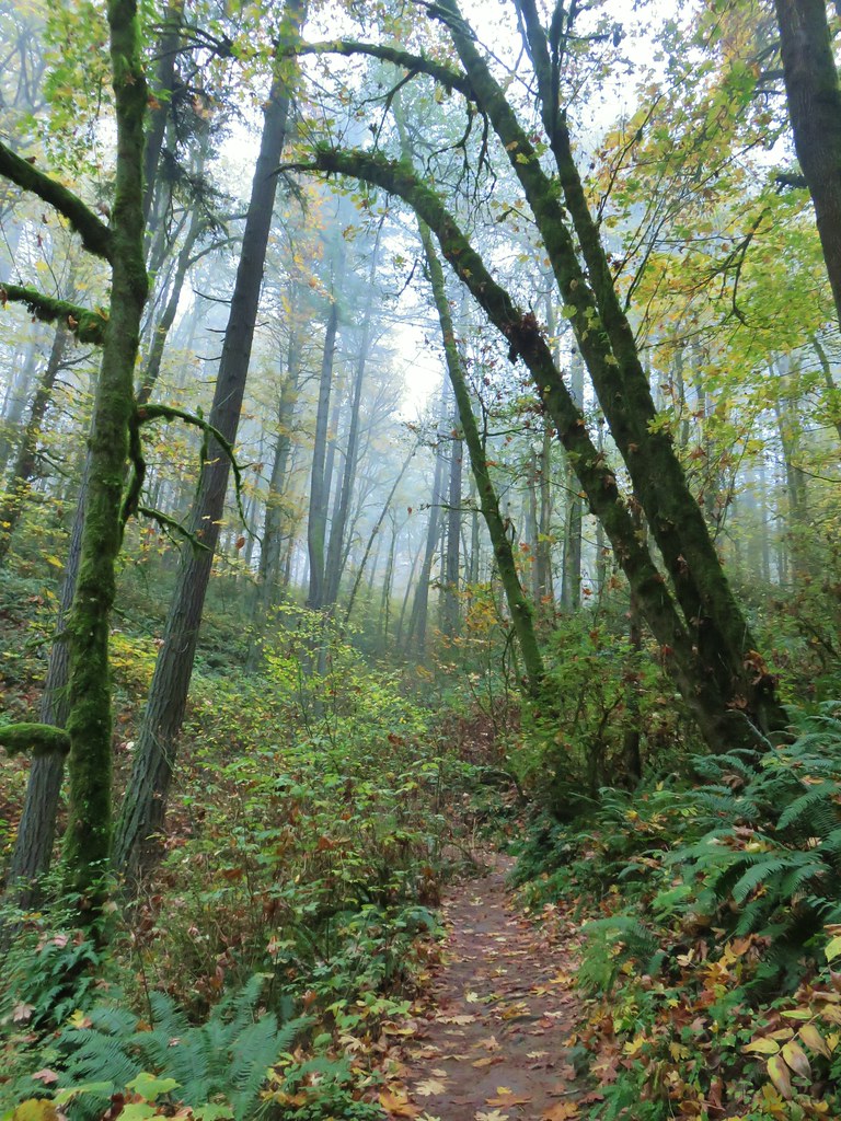
We stayed on the Wildwood Trail for 2.6 fairly level miles to a junction with Saltzman Road.
Thimbleberry, we found a few ripe ones to taste test.
Red huckleberries
Yarrow and selfheal
Creeping buttercup
Coastal hedgenettle
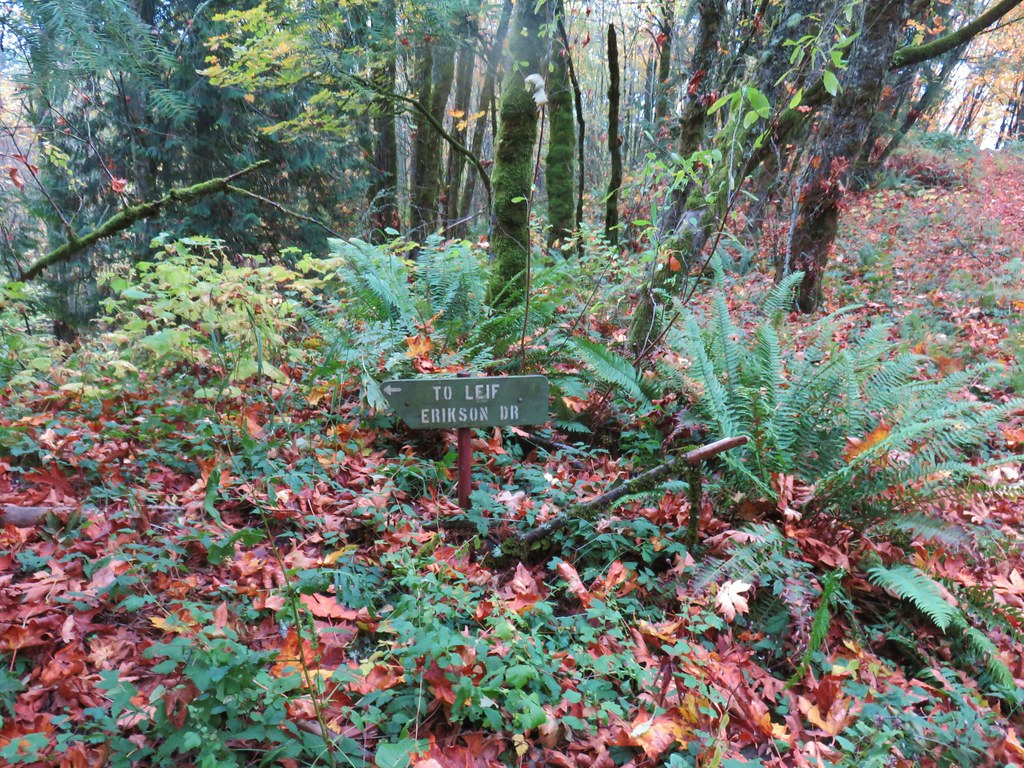
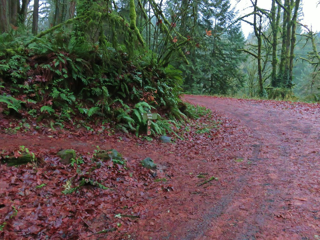
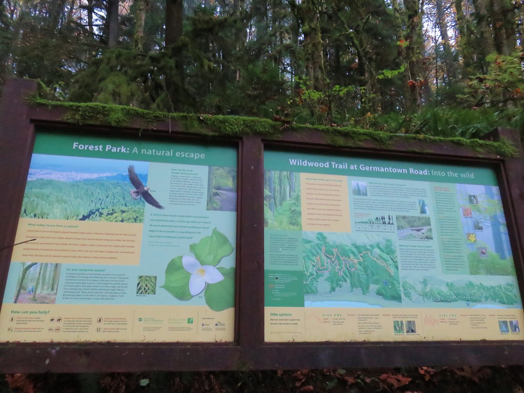
As always, the junctions were well signed with large maps at several of them.
Saltzman Road
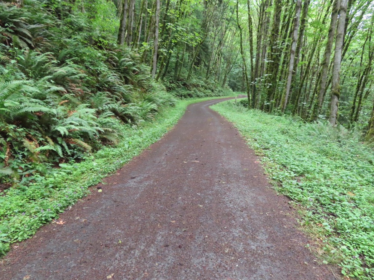
We turned left onto Saltzman Road and followed it downhill for half a mile to Leif Erickson Drive where we again turned left.
We stayed on Leif Erickson Drive for 1.8-miles before turning steeply uphill on Firelane 7A.
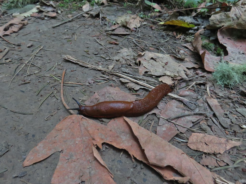
Snail
Columbine
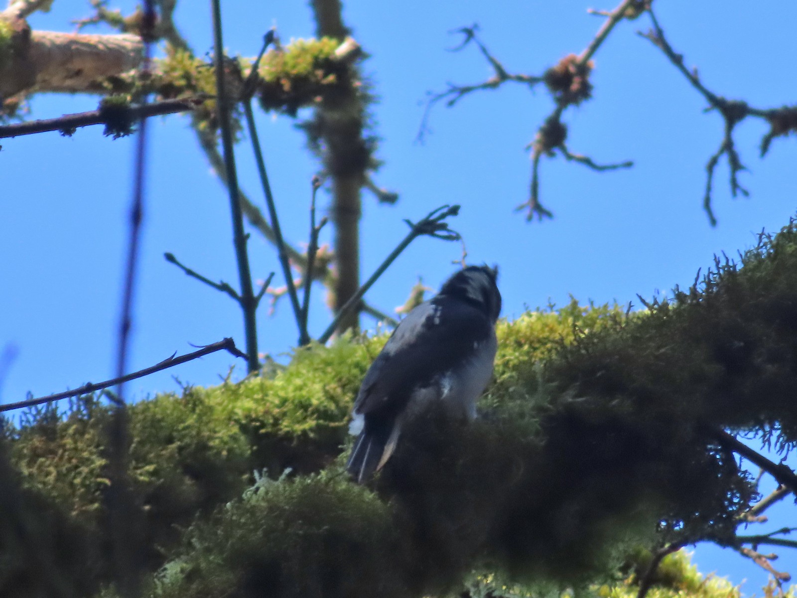
Mourning dove giving us the “side eye”.
More tiger lilies.
Firelane 7A.
After a stiff 0.2-mile climb we turned left back onto the Wildwood Trail.
A tall aster or fleabane along the firelane.
The junction with the Wildwood Trail.
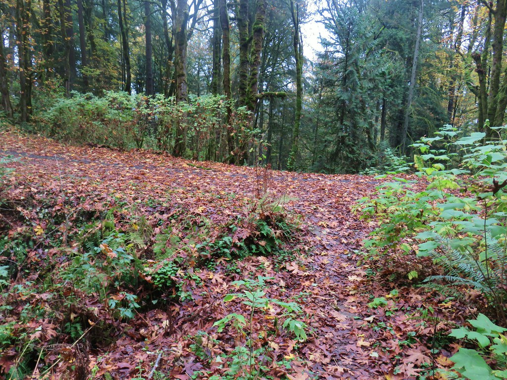
We followed the Wildwood Trail half a mile to a junction with Firelane 7.
Mushrooms
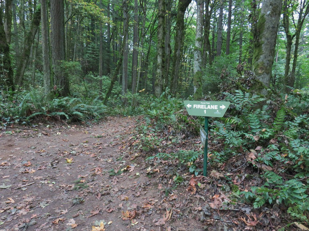
Both CalTopo and Gaia GPS label this Northwest Oil-Line Road.
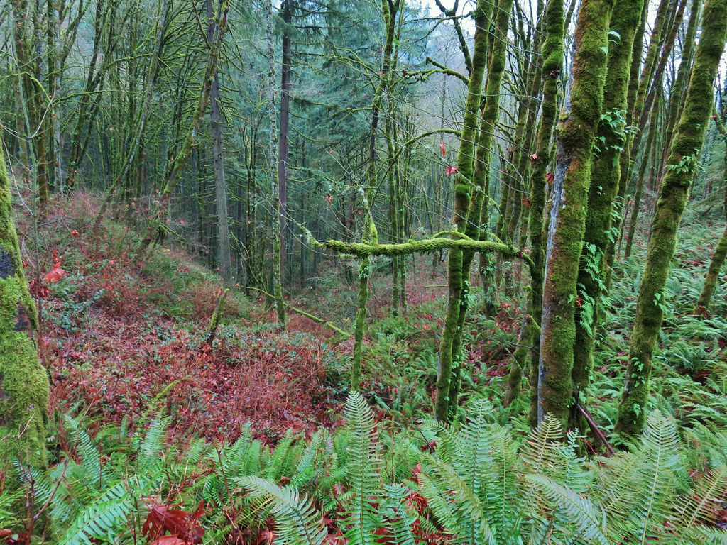
We climbed up the firelane for just under a mile to the Hardesty Trail which we had passed earlier.
Red clover
Passing the Trillium Trail on the left where we turned off Firelane 7 that morning.
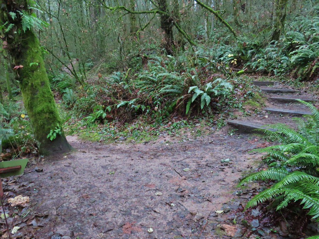
The Hardesty Trail. We were just a tenth of a mile from the trailhead at this point, but since we hadn’t been on this trail before we turned right.
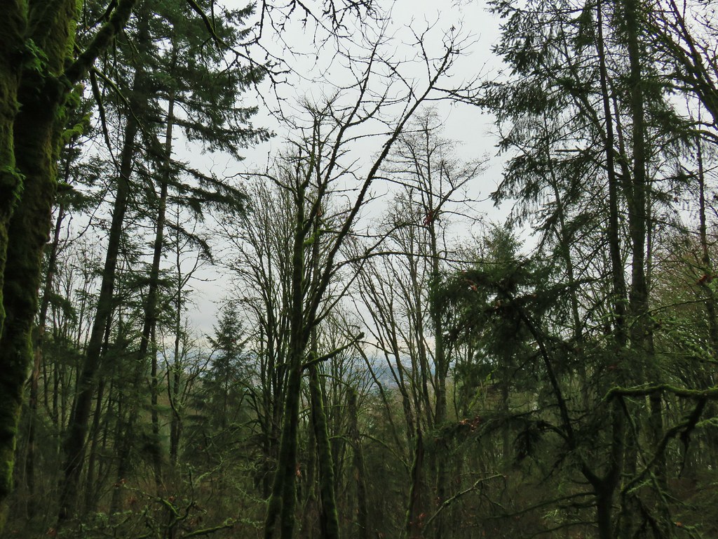
The Hardesty Trail dropped steeply downhill to the Wildwood Trail.
The Wildwood Trail below to the left.
The junction with the Wildwood Trail.
We turned left and hiked another 0.8-miles on the Wildwood Trail to reach a junction with Springville Road.
Salal
Blackberries
Red elderberry
The junction with Springville Road.
We turned left on Springville Road and followed it uphill 0.4-miles back to Firelane 7A and the Springville Road Trailhead.
Oregon grape
Invasive Species kiosk at the Springville Road/Fireland 7 junction.
Today’s hike came in at 8.6-miles with approximately 1100′ of elevation gain.
It was a great choice for an overcast morning. The early mornings in Forest Park are generally quiet and today was no different. It started getting busier around 10am but with so many miles of trail they never feel crowded.
This now leaves one final gap in our tracks to not only connect our Forest Park hikes but also our visit to Washington Park (post) and Marquam Park (post).
I have a feeling that as long as my back and leg, which have been feeling quite a bit better, cooperate that gap will be filled before the end of the year. Happy Trails!
Warm weather and possible blue sky prompted us to head out for our February hike the first day we had off. While the very recent weather had been unseasonably warm the Willamette Valley, and especially the Portland area, was still recovering from January’s Winter storm. We had changed our planned January hike due to storm damage in Portland’s Forest Park and found ourselves looking to change our planned February hike now as well.
We had originally planned on visiting some wetlands west of Portland but flooding from the ice storm and heavy rains that followed had left some of those trails flooded. A quick check of the current trail conditions at Forest Park revealed that there were no closures/detours listed for the area of the park we had planned to hike the previous week so that became our Plan B.
We had hiked in the 5200-acre Forest Park on five previous occasions with each hike including part of the approximately 30-mile Wildwood National Recreation Trail. The trail begins in Washington Park’s Hoyt Arboretum (post) and ends at Newberry Road to the NW. Our previous outings had covered all but approximately 3.3-miles of the Wildwood Trail between the arboretum and Germantown Road (post). A 2022 visit to the Pittock Mansion via the Wildwood Trail (post) connected to the hike from Hoyt Arboretum and to a 2020 loop starting on Leif Erickson Drive from Thurman Street (post). A 2019 loop from the Lower Saltzman Road Trailhead (post) didn’t connect to any of the other hikes leaving a 1.3-mile gap in the Wildwood Trail between the Maple Trail and Nature Trail junctions, and a 2-mile gap between Firelanes 5 and 7A.
We were missing all of the Wildwood Trail between Germantown Road and Newberry Road though, so that was the goal of today’s hike. We decided to start at the Germantown Road Trailhead as opposed to the Newberry Road Trailhead which was a choice we would regret later. We were the third car at the Germantown Road Trailhead at 7:15am. Some of the damage from the ice storm at the trailhead.
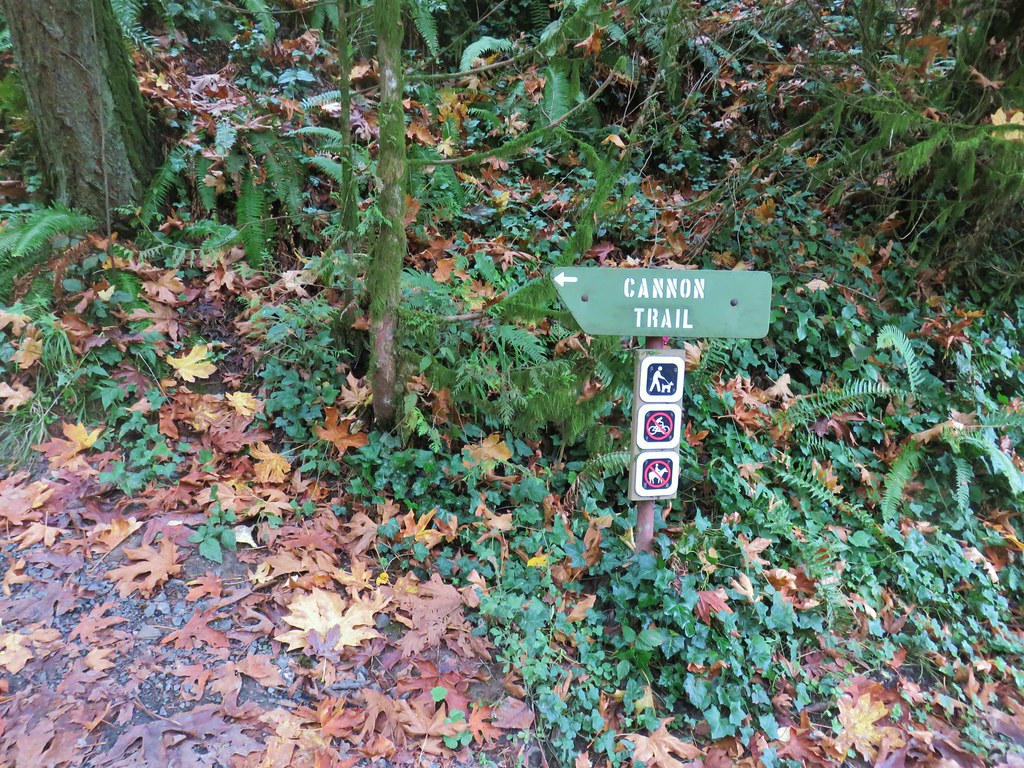
One of the nice things about Forest Park is the numerous loops that are possible off of the Wildwood Trail which allows one to avoid straight out-and-back hikes. There is a price for the loops which is paid in the currency of elevation gain. The route I’d planned for the day included three loops beginning at the trailhead where instead of taking the Wildwood Trail we took the Connector Trail to the Cannon Trail and followed it downhill to the Leif Erickson Drive North Trailhead. Sign for the Connector Trail at the trailhead.
Cannon Trail
From the Leif Erickson Trailhead we crossed Germantown Road at the gate for Firelane 9 then hiked uphill along the shoulder of Germantown Road just over 100 yards to Firelane 10. Firelane 9 across from the trailhead.
Firelane 10
We followed Firelane 10 downhill to a stream crossing then climbed to a junction with the Linnton Trail.
Unsurprisingly the recent weather had most of the stream beds flowing which we hadn’t witnessed on our other visits.
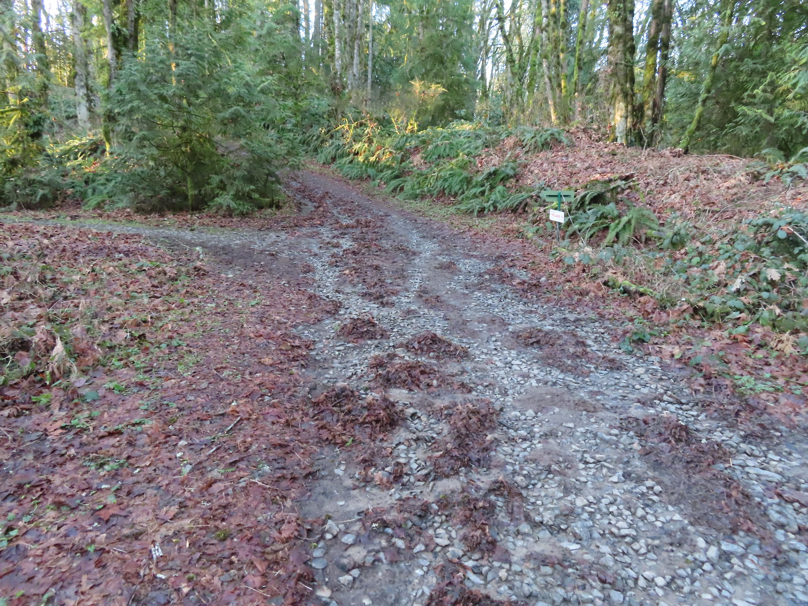
We turned left at the junction sticking to Firelane 10 which climbed back up to the Wildwood Trail. The 1.7-mile detour from the Germantown Trailhead came with an elevation loss of 375′ and gain of 550′.
We passed the Keyser Trail which rejoins Firelane 10 just a quarter mile ahead. We stuck to Firelane 10 which climbed very steeply in that quarter mile leading us to believe the Keyser Trail may have been a little more gradual as the map showed it bowing away from Firelane 10 before rejoining.
The first of only three trees that were still down over the trails we hiked. In the distance is a Wildwood Trail sign at the junction.
We turned right onto the Wildwood Trail and followed it for just over a mile to the BPA Road.
The trail repeatedly bows into the hillside to cross creek beds.
We passed three pointers for Newton Road and then crossed Newton Road along this section of the Wildwood Trail. We would be using Newton Road to make another small loop on our way back.
The Wildwood Trail crossing Newton Road.
Not all of the junctions have maps, but most of the major ones do to help keep hikers and runners on track (or to give them more ideas).
Climbing up to the BPA Road crossing.
The BPA Road heading uphill with the Wildwood Trail we’d just come up to the right.
We turned off of the Wildwood Trail here and took a right onto the BPA Road. After a brief climb the BPA Road dropped to a saddle where Firelane 12 joined from the left at the Fix-the-Hole plaque.
Firelane 12 on the left.
The middle of three plaques commemorating the 1999 acquisition of 73-acres that was in danger of being developed.
We turned left onto Firelane 12 and descended for half a mile to Firelane 15 near another unnamed creek.
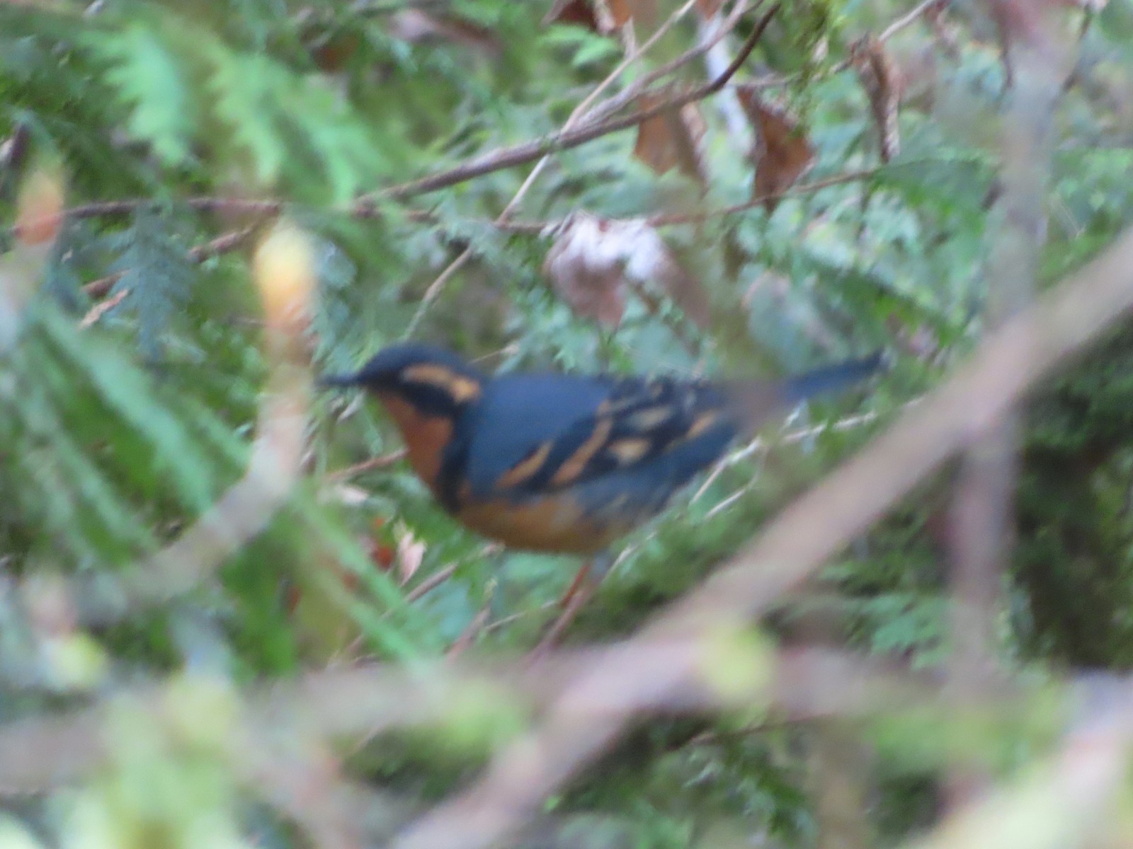
Once again varied thrush 1 – Deryl 0. If I was keeping score, it would probably be something like 179-10.
Firelane 15 on the left ahead.
We turned left onto Firelane 15 and climbed over 230′ in 0.4-miles to the Wildwood Trail. The small creek along Firelane 15.
Blue sky and powerlines above Firelane 15.
Wildwood Trail crossing Firelane 15.
We turned right onto the Wildwood Trail once again and followed it nearly 1.8-miles to its end at Newberry Road. There were no firelanes or side trails along this final stretch of the Wildwood Trail.
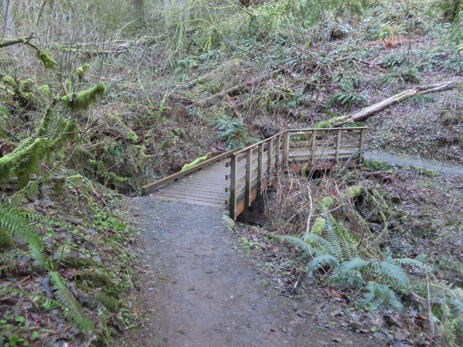
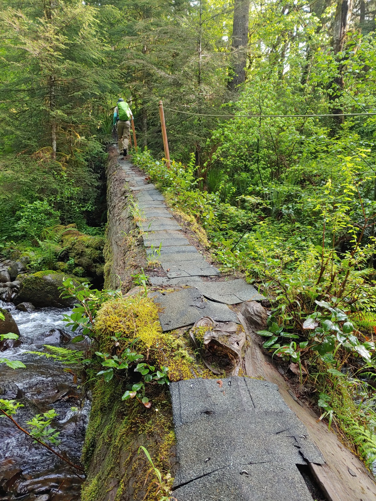
The fanciest bridge we crossed all day.
Why is the trail way down there when the road is up above on the far hillside?
Woolly bear
Climbing to Newberry Road just to say we made it to the end of the Wildwood Trail.
Newberry Road Trailhead.
After a brief break at the trailhead we headed back. We stuck to the Wildwood Trail passing both Firelane 15 and the BPA Road. Just under 4-miles from Newberry Road we arrived at Newton Road were we turned right and left the Wildwood Trail.
Another sub-par bird photo, but it took us quite a while just to spot this woodpecker who was way up in the treetops (and mostly in the shade).
Crossing Firelane 15.
Another blurry bird. This one a wren, one of many we heard but the only one we were able to spot.
Uprooted trees along the Wildwood Trail.
Newton Road to the right of the Wildwood Trail.
We turned uphill onto Newton Road and followed it just over half a mile to the Newton Road Trailhead where we paused to use the facilities. Mile marker along Newton Road.
Douglas squirrel
One of several small habitat restoration study areas along Newton Road.
The Newton Road Trailhead in the distance.
After our break at this trailhead we followed Firelane 10 at the far end of the parking area 0.2-miles to the Wildwood Trail.
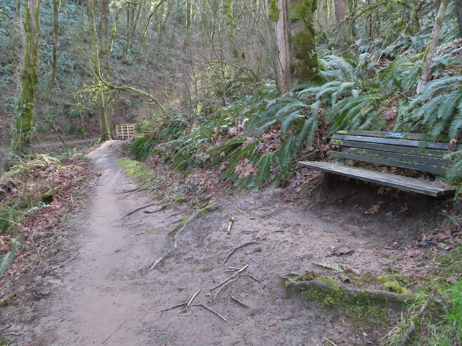
It was just over three quarters of a mile on the Wildwood Trail from Firelane 10 to the Germantown Road Trailhead. One of only two benches we saw all day.
Cars parked along Germantown Road in the distance.
According to the Garmin our hike was 12.2 miles with approximately 2200′ of elevation gain. A good challenge for us this early in the year. (Our feet were not too happy with us.)
Despite the challenge it had been a nice hike with excellent weather, and while Forest Park is much busier than many of the trails we visit it never really feels too crowded.
While our experience on the trails had been good we arrived back at our car to find that people had parked along a fence behind us in the parking lot which didn’t leave us enough room to back out from between the cars on either side of us. We hadn’t expected anyone to park there because of the lack of room, but we should have known better. We spent the next half hour or so waiting for the owners of any of the three cars parked around us to return and set us free. (Although the SUV parked on our right was most likely going to be in the same predicament we were.) Fortunately the people that had parked directly behind us returned and we were able to escape. There have been other times I worried about having the car get trapped, but until today it had just been my own paranoia. Hopefully we will choose our parking spots more carefully in the future. Happy Trails!
Our hike this week took second fiddle to our son’s birthday which we planned to celebrate by taking him out to lunch/dinner in Eugene. We still wanted to get a hike in that morning, so we looked for something in the general direction of Eugene. Our original plan had been to visit Vivian Lake near Diamond Peak, but a forecast of rain, followed by snow, then more rain had us look elsewhere. Looking at my list of future hikes a couple of hikes between Corvallis and Newport caught my eye. They were more or less on the way to Eugene and the weather forecast looked good. The two hikes had been Strom Boulder Ridge and Olalla Reservoir. Double checking the status of the hikes revealed that Georgia Pacific, who manages Olalla Reservoir, had closed access due to low water at the beginning of September so that hike was out. I then turned to the Oregon Hikers Field Guide to look for another short hike in the area and found the Big Creek-Forest Park Hike in Newport.
A trail begins near the restrooms at a footbridge over Big Creek.
Big Creek in the morning.
The trail follows Big Creek toward Highway 101 then recrosses it leading to a tunnel under the highway. A short section of the trail was paved.
At the eastern end of the parking area we came to this new kiosk that is being installed marking the start of the Agate Beach TRACK Trail. There was also a path directly to the parking lot from the kiosk which we used upon our return.
The tunnel under Highway 101. The stairs at the far end lead up to a city street while the trail makes a hard right to briefly follow the highway back across Big Creek.
A series of boardwalks crosses the marshy bottomlands of Big Creek.
While the kiosk was a new work in process there were a number of older looking interpretive signposts. This was one of only a handful that still contained an interpretive sign.
The bottomlands.
There were no signs at junctions but for the TRACK Trail stick to the level fork and ignore anything going uphill.
Further along the trail Big Creek could actually be seen flowing.
A non-boardwalk section along Big Creek.
Approximately three quarters of a mile from the kiosk the trail arrived at Big Creek Road at another new signboard.
The signboard at Big Creek Road didn’t have any information on it yet.
We turned right on Big Creek Road passing a large overflow parking lot for Big Creek Park and Reservoir, crossed Big Creek, and then turned left into Big Creek Park.
Stellar’s Jay
Northern flickers on the picnic shelter.
A signboard near the picnic shelter marked the start of the Forest Park Trail. Map on the signboard.
Don’t be fooled by the footbridge over Anderson Creek to the right of the signboard, the Forest Park Trail follows an old gravel roadbed steeply uphill to the left of the sign. Anderson Creek, the footbridge, and signboard from the roadbed.
The Forest Park Trail
While the Track Trail had gained almost no elevation the Forest Park Trail climbed over 200′ in its first half mile to a pair of water towers. A nice sitka spruce forest lined the old roadbed.
Mushrooms
Sunlight hitting the trees.
The Pacific Ocean through the trees near the water towers.
Passing the water towers.
Beyond the towers the trail dropped 160′ to wetlands along Jeffries Creek then climbed nearly another 90′ to a gate at the Fogarty Street Trailhead.
The drop to Jeffries Creek.
Jeffries Creek
Wood ducks in the wetlands.
The gate near Fogarty Street.
The Forest Park Trail from the other side of the gate.
We returned to the kiosk at the start of the TRACK Trail the way we’d come then cut to parking lot and returned to our car. The hike came to 4.0 miles with just over 550′ of elevation gain, nearly all of which was on the Forest Park Trail. The TRACK Trail seems like a good option for kids with the Forest Park Trail adding some short, steep climbs for those looking for more of a workout. The ability to visit Agate Beach from the parking lot is a huge bonus. We didn’t have time today to visit the beach but had in 2018 during our Yaquina Bay hike (post).
For our next stop at Strom Boulder Ridge we drove East on Highway 20 from Newport to Burnt Woods and turned right onto Harlan-Burnt Woods Road. We followed this road for 2 miles then turned right onto the unsigned gravel Burnt Woods Forest Road. I found this hike on Alltrails which I have somewhat reluctantly been looking at more frequently, mostly to check for recent trip reports but there are also some obscure “hikes” that don’t appear in any of our guidebooks or in the Oregon Hikers Field Guide. Strom Boulder Ridge is one such “hike” which is really just a 7.5-mile loop on drivable gravel logging roads on Oregon Department of Forestry managed lands. As such there is no official trailhead (although Google Maps seems think there is). The loop begins 0.7-miles up the forest road but we decided to park at a pullout next to a gravel pile halfway to the start of the loop.
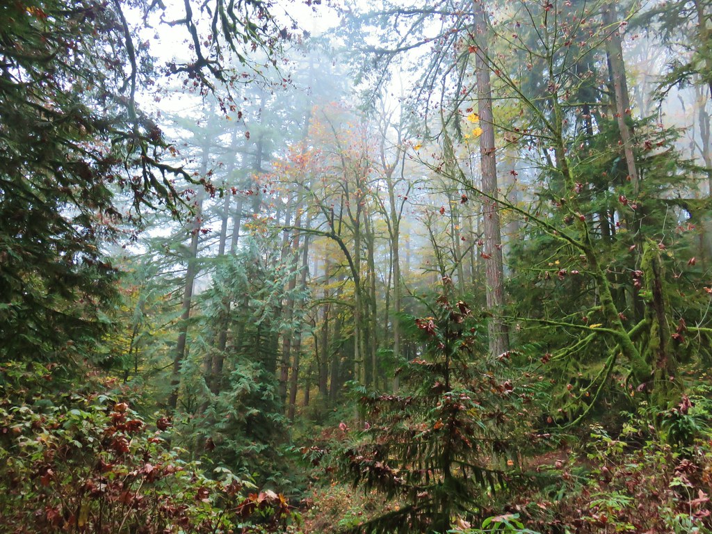
Morning fog was still burning off at 9:30am.
One thing to note is that there isn’t any signage and because the area is actively logged roads may be added or closed depending on operations. I had downloaded the Alltrails track and we had our GPS units with us. Almost immediately we passed a logging road coming downhill on the left that was not shown on either the Alltrails or Garmin maps. A car by the gravel pile to the left with the road coming down the hillside to the right. Interestingly Google Maps labels this as “Burnt Woods Ridge Road” which both Alltrails & Garmin showed as the left-hand fork where our loop would begin. (Google doesn’t show a road there at all but you can see the road in the trees by looking at the aerial view.) Numerous times throughout the hike we relied on comparing the Alltrails Track to the GPS map and our track to that point to determine where we were and which road(s) to take.
The trip reports on Alltrails had all mentioned how quite this hike was and it was (we saw no other hikers and only passed one pickup truck on the loop) other than the gunfire that we heard almost immediately and then off and on throughout the majority of the hike. We followed the road uphill to a saddle then dropped slightly to a fork marking the start of the loop.
There was some room to park here at the start of the loop (this is not where Google marks the TH) as well as many pullouts along the loop where one could choose to start.
We forked right following the suggested direction shown on the Alltrails track sticking to the Burnt Woods Forest Road. Over the next three and a half miles the road swung out and around several ridges in a series of ups and downs resulting losing a cumulative 580′ but regaining over 400′ along the way. As we descended we found ourselves back in the fog for a while before it finally burned off.
Heading down into the fog.
One positive to the fog is that it can create some dramatic Sun rays.
Vine maple
Blue sky in the upper left hand corner.
The road to the right is an example of a road that wasn’t labeled on any map we had.
Emerging from the fog.
Looking back through the fog to blue sky and the Sun.
The only other “hiker” we saw on the loop.
We couldn’t see it but just over three miles from the start of the loop the road crossed Cline Creek which was the first time we heard what sounded like a decent amount of flowing water.
A little over a tenth of a mile beyond Cline Creek we left Burnt Woods Forest Road and forked uphill to the left onto Cline Creek Road.
Cline Creek Road climbed gradually for approximately a half mile at which point it steepened and climbed for another mile to a junction with Burnt Ridge Road. Arriving at a clearcut. Much of Cline Creek Road was along different clearcuts.
Mylitta crescent
Red-tailed hawk soaring over the clearcut.
Trying to get the red-tailed hawk in flight.
Lots of Fall colors starting to pop.
The first signs we’d seen (noticed anyway) were at the Cline Creek/Burnt Woods Ridge Road junction.
We turned onto Burnt Ridge Road and climbed some more gaining just over 150′ in the next 0.3-miles to the loop’s highpoint along the ridge (1558′). From there the road followed the ridge in a series of ups and downs for another mile and a half before making a sharp left and beginning a steeper descent back to the Burnt Woods Forest Road.
Arriving at the high point which was actually the first good viewpoint being above one of the clearcuts.
Looking North at more of the Coast Range.
Theoretically we should have been able to see both Mt. Hood and Mt. Jefferson from here but between haze from the fog and clouds we couldn’t make either out.
Mt. Jefferson is out there somewhere. The fact that the Cascades have some snow again doesn’t help them stand out in the haze and clouds.
Yet another unsigned road junction. Sticking to the ridge is the key.
After crossing a saddle we gained views SE to Mary’s Peak (post)
The tower and summit meadow of Mary’s Peak.
The hard left prior to the steep descent. The road on the far hillside in the clearcut is part of the road Google Maps has labeled as Burnt Ridge Road but doesn’t show on Alltrails or the Garmin maps.
We followed the ridge downhill for a little over a mile to complete the loop then followed the Burnt Woods Forest Road back to our car.
The end of the loop at the bottom of the hill.
Due to where we parked our hike came in at 8.5-miles with a little over 1200′ of cumulative elevation gain.
While it wasn’t the most exciting hike there was enough variety for it to be pleasant and aside from the gunfire it was quiet. It’s a decent option for a moderate workout, especially after rains when the road walk would be less wet/muddy than many trails. I would probably avoid weekdays if there is active logging occurring though. One other thing of note – Alltrails entry for the hike mentions the Siuslaw National Forest requiring a recreation pass but this is not National Forest land (and there is no developed trailhead) so no passes are currently needed.
After the hike we drove to Eugene and met Dominique at Ubon Thai for a late lunch/early dinner for his birthday. Good food and as someone who enjoys spicy foods, they didn’t disappoint with their heat scale. We followed the meal up with a slice of cake we’d brought down from Gerry Frank’s Konditorei. A great way to end a nice day. Happy Trails!
What a strange year 2022 was for us from a hiking standpoint. We have come to the conclusion that there is no such thing as a “normal” year knowing that there will always be surprises and things that we haven’t experienced yet. This year was full of ups and downs, sometimes on the same day. We go into every year with an initial set of hikes planned out for the year knowing that by the end of the year changes will have been made, but this year may have seen the most changes to the initial plan in the 10 years we’ve been doing this. As is the case most years weather and wildfires caused the majority of the changes but in 2022 we were the cause several as well.
Our goal is to get out once a month from Jan through April and in both November and December while taking at least one hike a week from May through October. We had managed to hike a least once a month since February 2013 but the injury bug finally got one of us this year. Heather had to shut her hiking down at the end of September but did manage to get back out for the December hike. I kept to the schedule but instead of the planned hikes which would have been new to both of us I put some new twists on some old favorites. My end of the year numbers were 61 days hiking totaling just over 660 miles with a little more than 115,200′ of elevation gain. Heather’s numbers were 55 hikes, approximately 557 miles, and 97,450′ of elevation gain.
Once again we focused on hikes that were new to us (at least in part) so no day was an exact duplicate of one we’d done before. Union Creek Falls (post) was very close for me but I did manage to see one section of Union Creek that I hadn’t bushwhacked to on my first visit (post). Heather had not been with me that day due to an injury she’d sustained earlier in the day at Abbott Butte. While our Elk and Kings Mountain Loop (post) in May was a repeated hike we added a stop at Killin Wetlands to keep the day from being a repeat. Forty-four days were completely new trail for me while forty-five of Heather’s were new.
Another focus was our continuing quest to complete 100 featured hikes from each of the five William L. Sullivan’s “100 Hikes…” books (Feb 2022 Progress Report). We’ll go into more detail on that quest in our annual progress report next month, but we managed to make significant progress in the Southern Oregon/Northern California area and inched a little closer to our goal in Eastern Oregon. We now have an outside shot of finishing all 500 by the end of 2024.
Five days were spent hiking in Washington while twelve days were, at least in part, spent in California, our first visits since 2018. We visited four designated wilderness areas in California including our first ever visit to the Siskiyou Wilderness (post).
It’s interesting to me each year to see what hikes were the furtherst in each direction on the map. This year our most southern hike was our visit to Trail and Long Gulch Lakes (post). Long Gulch Lake. The furthest south we hiked was on the trail a short distance after leaving this lake.
To the west one of the beaches along the Pacific Ocean is typically our most western hike but this year it was just inland from the ocean at Yakona Nature Preserve (post). Technically the western most spot we hiked at was the trailhead for this hike, but the Yaquina River was a nicer picture.
Surprisingly our northernmost hike was neither our visit to Goat Marsh Lake at Mt. St. Helens (post) or Crystal Lake in the Mt. Adams Wilderness (post) but rather a hike we did just across the Columbia River from Oregon at the Julia Butler Hansen Refuge for the Columbian White-Tailed Deer (post). We hit our northernmost point during the stretch of our hike that followed Brooks Slough.
Our one trip to Eastern Oregon produced our easternmost hike which was a visit to the Wallowa Homeland (post) in Wallowa, Oregon. View of the Wallowa Mountains from our easternmost point.
While weather considerations prompted us to make a number of changes to the timing of, and sometimes destinations for, our hikes 2022 may well have been the best all-around weather conditions we’ve experienced in a year. Several hikes throughout the year had forecasts for possible rain showers yet we only experience a couple of very brief periods of precipitation. Clouds also seemed to be less of an issue this year than in years past. It seems that almost every year we have at least one “viewpoint” hike where we arrive to find ourselves in a sea of grey. This year that really didn’t happen. We did arrive at the lookouts atop Illahee Rock (post) in the clouds, but the lookouts were the goal not necessarily the view.
Furthermore, it was just the first of two stops that day and by the time we arrived at our second viewpoint of the day above Twin Lakes the views had drastically improved.
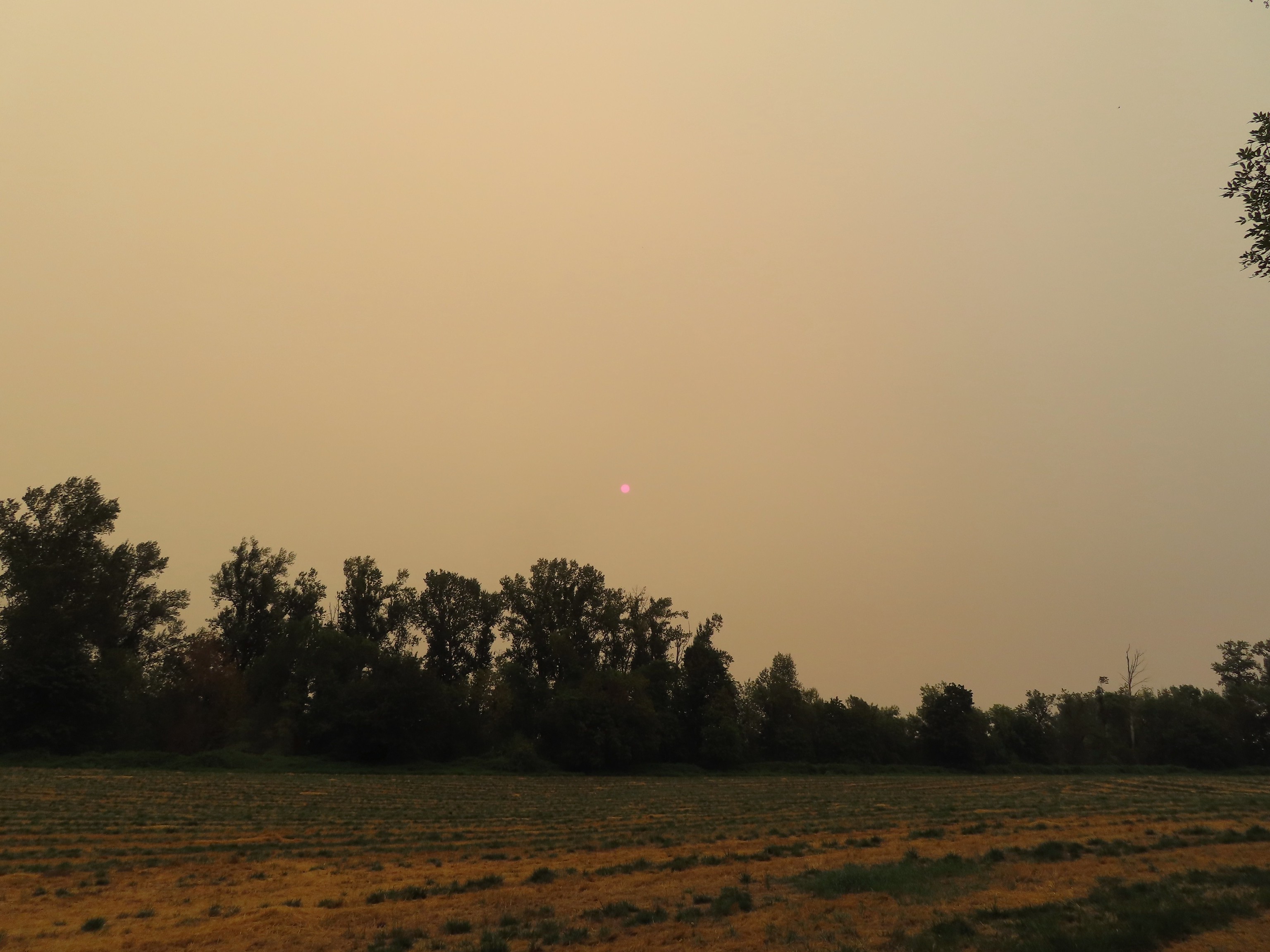
Wildfires, which there were still far too many of, also had much less of an impact on our plans than they’ve had the last couple of years. The second week of September was the only time fires forced us to get creative. Heavy smoke saw us stick close to home for a short hike at the Spring Valley Greenway (post). That’s the Sun above the trees.
I believe the destinations for our 2022 hikes were the most diverse in terms of the type of managing agency/entity. We visited trails located on private timberland (obtaining permits ahead of time when required), in city, county, state and national parks, and privately owned nature preserves (again with permits where required). We took hikes on BLM managed lands, state and federal wildlife refuges, state and national forests, wilderness areas, and a National Volcanic Monument. Our hikes also took place on a variety of trail types and surfaces. Iced over snow in Portland’s Forest Park.
The Crown-Zellerbach Trail, a converted logging road.
The Klickitat Trail, a converted railroad.
The Hood River Pipeline Trail.
Sidewalk, Rock Creek Trail.
Rope section of the Kings Mountain Trail.
Gravel Road at Denman Wildlife Area.
Paved Brooks Slough Road, Julia Hansen Butler Wildlife Refuge (it is open to cars).
Dirt road at Siskiyou Gap.
Cross-country to Observation Peak.
Crossing over granite to reach the Devil’s Punchbowl in the Siskiyou Wilderness.
Water covered trail at Catherine Creek Meadows.
Sandy dirt Mt. Shasta.
Rock field, Union Peak.
The remains of the Union Creek Trail.
Frozen tunnel on the Eagle Creek Trail.
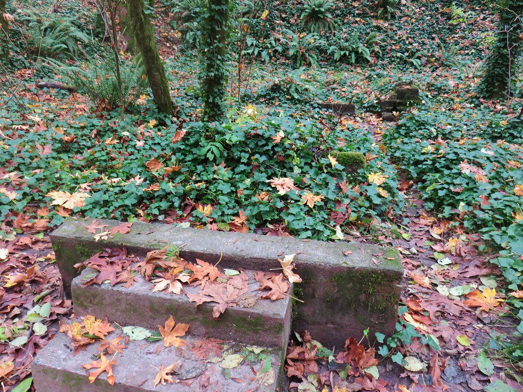
As far as our destinations go waterfalls and lakes were the top two goals for the hikes this past year, and we are always on the lookout for wildlife and flowers. There were also a few unique features, both natural and man-made, that we visited. Witch’s Castle – Forest Park, Portland, OR
Wind Telephone, Yakona Nature Preserve – Newport, OR
One of several military bunkers at Ken Denman Wildlife Area – Medford, OR
Umpqua Hot Springs – Umpqua National Forest, OR
Illahee Rock Lookout – Umpqua National Forest, OR
Twin Lakes Shelter – Umpqua National Forest, OR
Donomore Cabin – Donomore Meadows, CA
Mt. Ireland Lookout – Wallowa-Whitman National Forest, OR
Cabin at Catherine Creek Meadows – Wallowa-Whitman National Forest, OR
Reds Horse Ranch – Wallowa-Whitman National Forest, OR
Lodge ruins – Wallowa-Whitman National Forest, OR
Bear Creek Guard Station – Wallowa-Whitman National Forest, OR
Gazebo on Tick Hill – Wallowa, OR
Spring above Southgate Meadows – Mount Shasta Wilderness, CA
Panther Spring – Mount Shasta Wilderness, CA
Remnants of the OSU Dean’s house – McDonald Forest, Corvallis, OR
Talking Water Gardens – Water treatment wetlands, Albany, OR
I will save the flowers, wildlife, waterfalls, and lakes for their own 2022 galleries. We’re looking forward to 2023 and hoping that Heather makes a full recovery. We’ve done a bit of shuffling for the first part of 2023 to help ease her back into things. While 2022 was a good year we hope 2023 has a few less bumps along the way. Happy Trails!
Weather permitting we like to get our January hike in on New Years Day. A series of Winter storms had passed over the Willamette Valley starting Christmas night but while temperatures had remained cold the precipitation had ceased and the forecast for New Years Day was for another dry day with a potential for sunny skies. The only issue presented by the forecast were the temperatures which promised to be in the low 20’s for our morning start. We had our sights set on Forest Park in Portland as it didn’t require us driving over any mountain passes and allowed us to sleep in a bit since it is only an hours drive from Salem. This would be our fourth hike in the park but our first time starting from an upper trailhead in the Tualatin Mountains. One of our goals was to visit the stone ruins, sometimes referred to as the Witch’s Castle, along Balch Creek which was one of two options for Sullivan’s Balch Creek featured hike. We had chosen to do his longer option in 2020 (post) which we used to check that featured hike off our to-do list but we wanted to tie up the loose end.
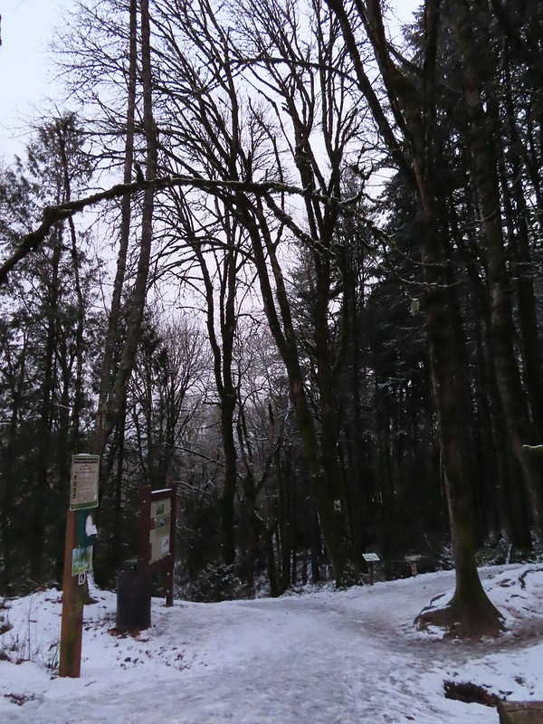
We decided to begin our hike at the NW 53rd Trailhead in order to add some distance and to check out some of the trails that we had not hiked on in 2020. While the snow had left the valley floor at 800′ some still remained and the 21 degree temperature had frozen everything.
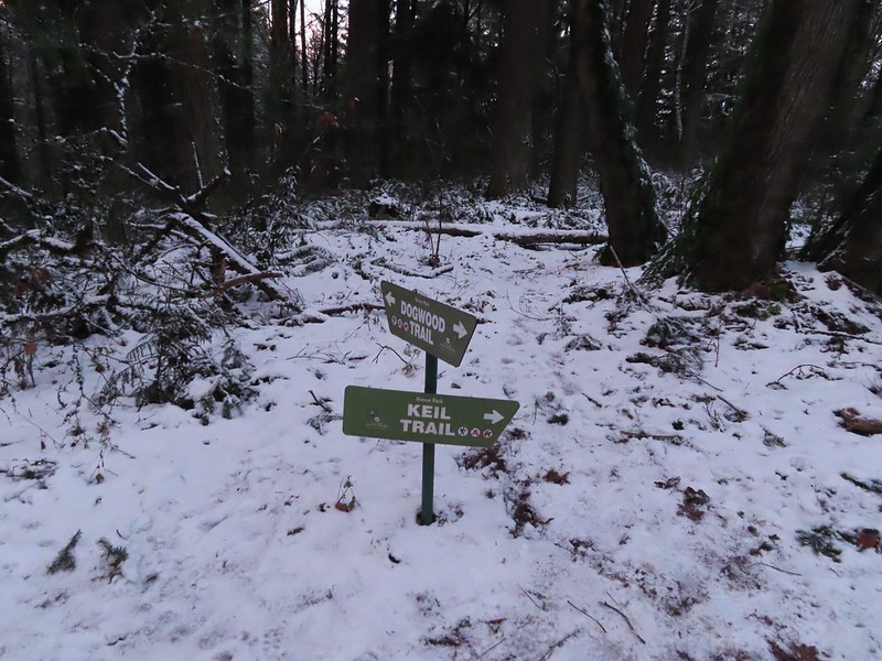
From the trailhead we immediately turned right on the Keil Trail, one of the trails we had not been on before.
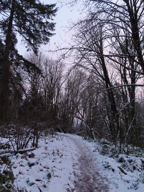
The trail ended in under a quarter mile at the Dogwood Trail where we turned left.
We followed this trail downhill for a little over half a mile to a junction with the Wildwood Trail.
A bank of clouds was sitting directly over Portland but we could see the edge in the distance. We hopped that the clouds would either burn off or move along.
We turned right on the Wildwood Trail. The next 0.6 miles to a junction with the Wild Cherry Trail was a section of trail that we had been on in 2020.
We stayed straight on the Wildwood Trail ignoring all side trails for 2.5 miles to the stone ruins along Balch Creek.
Junction with the Birch Trail.
A wren busy pecking at a log.
Junction with the Aspen Trail. As we descended we left most of the snow, and the icy conditions, behind.
Holman Lane Junction.
Balch Creek and the Lower Macleay Trail (Currently closed due to construction.)
Icicles over Balch Creek.
We continued beyond the Witch’s Castle another half a mile to the Macleay Park Trailhead crossing Balch Creek and climbing up a rather slick hill along the way.
Going uphill before it got really slick.
Wilwood Trail at Macleay Park Trailhead.
We left the Wildwood Trail at the trailhead turning right past some picnic tables and taking a path along NW Cornell Road to the Portland Audubon Wildlife Sanctuary.
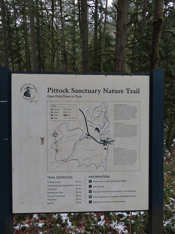
A network of trails loop around the sanctuary.
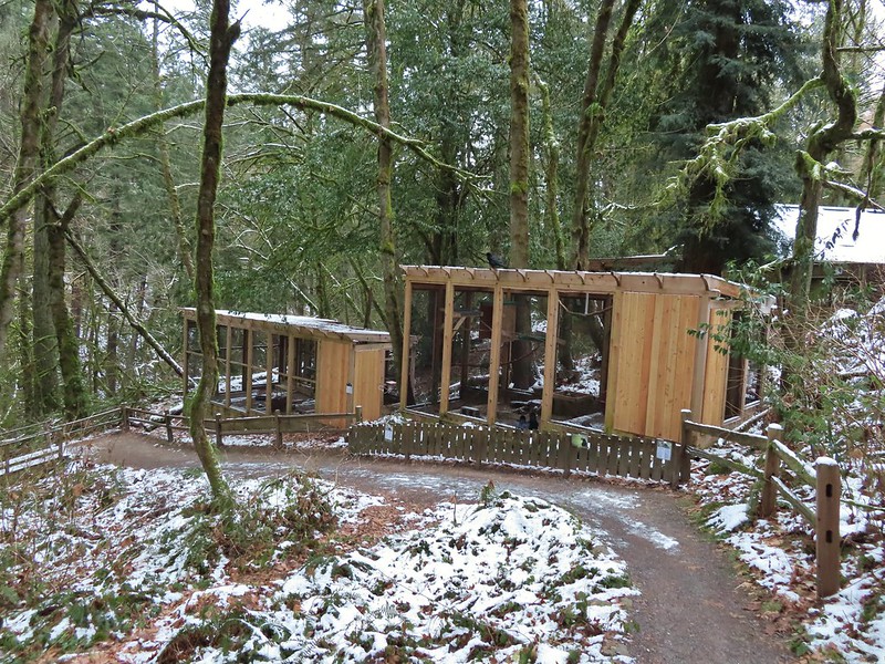
We began our tour here by walking past the Wildlife Care Center where we think we witnessed an escape attempt.
Aristophanes, a common raven and long time resident at the sanctuary, was being visited by another pair of ravens with questionable intent :).
We took this raven to be the “lookout”.
Beyond the ravens the trail descended to Balch Creek where we took the short Creek Trail to a turnaround at a bench before returning to the Jay Trail.
Bench at the end of the Creek Trail.
We left the Jay Trail by taking a right on the Woodpecker Trail keeping right at junctions to meet up with the other end of the Jay Trail which we then returned on making a 0.7 mile loop. Pond along the Jay Trail,
Junction with the Woodpecker Trail.
Big Douglas fir.
I continue to struggle to get a clear photo of a varied thrush.
Jay Trail junction with the Wren Trail.
Nearing the pond from the other side.
After completing this short loop we crossed NW Cornell Road and headed up the Al Miller Founders Trail.
The Founders Trail climbed up into increasingly snowy forest before traversing around a hillside to a junction with the North and South Collins Trails in 0.6 miles.
Stairs up to the trail junction.
The South Collins Trial offered a slightly shorter loop but we turned left on the North Collins Trail which climbed a little more before winding downhill and rejoining the South Collins Trail near NW Cornell Road.
Baseball sized jelly fungus, the largest we’ve seen.
Descending to the South Collins Trail.
More ice formations.
This was a 1.5 mile “almost loop” which required a 500′ road walk to return to the Founders Trail and the Wildlife Sanctuary.
We then made our way back to the Macleay Park Trailhead and the Wildwood Trail which we followed across NW Cornell Road.
Due to tunnel construction the road was closed just beyond the trailhead so we didn’t have to worry about traffic as we crossed. On the other side of the road we continued on the Wildwood Trail but soon found ourselves facing the slickest section of trail we’d encountered yet. Luckily we had brought our Kathoola micro spikes which we put on in order to get down the little hill. We planned on returning via the Upper Macleay Trail.
Heather descending the slick section with a trail runner behind that had attempted to get up the hill but was turning back.
The trail runner had come up the Cumberland Trail which she said had been fine but above that trail things got slick fast. Cumberland Trail junction.
The Wildwood Trail turned uphill at a junction with the Macleay Trail which is where things started to get really interesting.
Other than the one hill where we’d put on our spikes there had always been enough clear trail to find descent footing but now the trails were pretty much ice.
We held off putting the spikes back on though until the three way junction with the Upper Macleay Trail. We watched another trail runner slip and slide as they carefully made their way downhill and decided it was time to put the spikes back on. The trail runner in blue.
With the spikes on we were able to confidently walk uphill, marching past a number of folks struggling to come down. We saw a few falls but luckily we didn’t see anyone get injured which was a real possibility. Besides us we only came across 4 other hikers with some sort of traction devices for their shoes.
We had visited the mansion in 2018 (post) having come up from the other side on the Wildwood Trail and had hoped that this time we might get a view but alas the cloud cover had not moved on. Pittock Mansion
A line of blue sky beyond the cloud cover.
Portland from Pittock Mansion.
Snowy foothills in the sunlight beyond the Columbia River.
Deprived of a mountain view we headed back to the Wildwood Trail where we put our microspikes back on and headed downhill.
With the spikes on we had no issues reaching the junction with the Upper Macleay Trail where we turned left.
The spikes stayed on until we had descended to Macleay Park and Heather re-donned hers again to descend to the Witch’s Castle.
Entering the Macleay Park Trailhead.
One last look at the Witch’s Castle.
When we reached Holman Lane we turned left and headed uphill. We followed Holman Lane just over three quarters of a mile to NW 53 Dr. where we turned right walking a short distance along the road to the Birch Trailhead. Here we picked up the Birch Trail which descended a quarter mile back to the Wildwood Trail. Going back this way not only let us experience a new trail but it cut a half mile off the distance to the Wildwood/Birch Trail junction. Holman Lane started out snow and ice free.
Back to the snow and ice higher up.
NW 53rd Drive
Birch Trailhead
The microspikes went back on before descending the Birch Trail and stayed on for the remainder of the hike.
Sparrow foraging on the Birch Trail.
Back to the Wildwood Trail.
We turned left on the Wildwood Trail for 0.4 to the Wild Cherry Trail where we again turned uphill. This was another new section of trail for us and it was an additional three quarters of a mile shorter than returning via the Wildwood Trail. Wild Cherry Trail junction.
Little snowman near the junction.
Is that a bit of blue in the sky finally?
Snowy mushrooms
The Wild Cherry Trail ended at the Dogwood Trail where we turned right for a short distance before reaching its junction with the Keil Trail.
A break in the clouds provided some blue sky above the Keil/Dogwood Trail junction.
We turned left on the Keil Trail retracing our steps from the morning to the NW 53rd Trailhead.
Woodpecker that wasn’t a bit concerned about my presence.
The Subaru waiting for us at the trailhead.
According to the GPS this was a 13 mile hike with around 2500′ of elevation gain.
Portland Audubon trails in orange.
Aside from not getting the views we’d hoped for this was a wonderful way to kick off the new year. There was good scenery, historical structures and a good deal of wildlife (even if most of it wouldn’t stay still long enough for photos). We hope everyone had a great holiday season and here is to a great 2022. Happy Trails!
With Heather’s foot still a little sore from her fall at Abbott Butte we wanted to find a hike that wasn’t too strenuous for her to test it out on. An 8.8 mile loop in Portland’s Forest Park fit the bill, especially since there would be several shorter loop options available in case her foot didn’t respond well. The loop we had chosen is the longer of two options given by Sullivan for the Balch Creek hike in his “100 Hikes/Travel Guide Northwest Oregon & Southwest Washington” guidebook (hike #4 in the 4th & 5th editions). The shorter loop option involves Balch Creek itself while the longer 8.8 mile loop never comes near the creek. For this hike we parked at the end of NW Thurman St. at the gated Leif Erikson Drive.
In August 2020 Portland Parks and Recreation began a pilot program of one-way loops in an attempt to reduced visitor interaction and possibly help reduce the spread of COVID-19. Parts of our loop were included in one of the one-way pilots. .
We followed the paved Leif Erikson Drive for .3 miles to the Wild Cherry Trail (near a set of outhouses).
We turned up the dirt Wild Cherry Trail (following the one-way signs) and quickly encountered people coming down the wrong way (so much for the signs). The Wild Cherry Trail gained about 400′ as it climbed to a junction with the Wildwood Trail in .6 miles.
Switchback along the Wild Cherry Trail.
We turned right onto the Wildwood Trail at the junction and remained on it when the Wild Cherry Trail continued uphill to the left a few yards later.
This was our fourth hike involving the 30.2 mile Wildwood Trail having hiked portions of it on our Washington Park (post), Maple Trail (post), and Northern Forest Park (post) outings.
After .6 miles on the Wildwood Trail we arrived at a 4-way junction with the Dogwood Trail, part of the 2.75 mile one-way loop.
Heather’s foot was doing well so we continued on the Wildwood Trail. In another .6 miles we arrived at parking area along NW 53rd.
This was the first slug we recall seeing of this color.
Interpretive sign at the NW 53rd parking area.
In another .3 miles we ignored the Alder Trail on the right (another option to shorten the loop) continuing on the Wildwood Trail.
The next loop option came almost 2 miles from the Alder Trail when the Wildwood Trail crossed Firelane 1. There were some nice clumps of mushrooms along this stretch. There was also a damaged bridge near the middle of this section which there were several warnings posted for.
The bridge damage was not an issue.
Another bunch of musrhooms.
Approximately a half mile before reaching Firelane 1 we passed the Morak Trail on the left (a 100 yard connector to Firelane 1 that is not shown on all maps).
Firelane 1 junction.
With Heather still going strong we stuck to the Wildwood Trail arriving at the Nature Trail in another half mile.
We turned right and when the trail split a tenth of a mile later we stayed left (the right hand fork would have taken us to Firelane 1). The fork, left was downhill right up.
The Nature Trail followed Rockingchair Creek downhill to Leif Erikson Drive in just over a quarter mile where we turned right back toward our car.
It had been busy when we had started our hike with the parking already nearly full but things had picked up even more since then. Even with it being busy there were moments where no one else was present along the 3.5 miles back to NW Thurman Street.
Firelane 1
Somewhere along Leif Erikson there was supposed to be a view of Mt. St. Helens, Mt. Adams and Mt. Hood along the way but the clouds never burned off like the forecast had called for.
The Alder Trail at Leif Erikson Dr.
An orange one-way marker along Leif Erikson Drive between the Dogwood and Wild Cherry Trail junctions.
For the most part people appeared to be doing a pretty good job of covering their faces and maintaining social distancing (at least better than following the one-way trail designations). It was another enjoyable hike in Forest Park and an encouraging outing for Heather’s foot. At some point we plan on returning to see Balch Creek and explore more of the park. Happy Trails!
For our final outing of 2019 we combined a little hiking with a bit of Christmas Shopping by heading up to Portland for the day. Our plan was to do a pair of Sullivan’s featured hikes before visiting the Portland Saturday Market.
We started our morning at the 5,200 acre Forest Park for a 7.5 mile lollipop hike using the Maple and Wildwood Trails. Our hike started at the Lower Saltzman Road Trailhead
We were the second car at the small parking area where we set off past the green gate blocking further access to Saltzman Road.
We followed the closed road for .4 miles to a junction where the Maple Trail crossed the road. Here we turned left onto that trail.
We followed this trail for a mile and a half, ignoring side trails, as we climbed gradually to Leif Erikson Drive. It was a cloudy morning and the forest was damp but it wasn’t raining which made for a pleasant walk amid the trees.
Bridge over a small stream.
Heading into a little bit of fog.
Too cloudy for any real views.
Leif Erikson Road.
We crossed the closed road and continued on the Maple Trail for another .4 miles to a fork where we veered right at a pointer for the Wildwood Trail.
A short climb brought us to the Wildwood Trail where we turned right and headed up some wooden steps.
This was our third time on the 30 mile long Wildwood Trail (11/18, 5/18) and we followed it for 3.2 miles through a variety of scenery.
Along the way we crossed Saltzman Road. Saltzman Road at the 2.5 mile mark of the 3.2 mile stretch.
Approximately .7 miles after crossing Saltzman Road we turned right onto signed Firelane 5.
This windy track was rutted by bike tires as it made its way downhill to Leif Erikson Drive after about half a mile.
Aproaching Leif Erikson Drive.
We turned right onto Leif Erikson for .2 miles to a curve with a grassy flat on the left with a sign for the Maple Trail.
We followed the Maple Trail for 1.2 miles back to Saltzman Road where we turned left and hiked the .4 miles back to the trailhead. The forest along this section of the Maple Trail was nice and on a clearer day there may have been a few views but we settled for the trees and some passing geese.
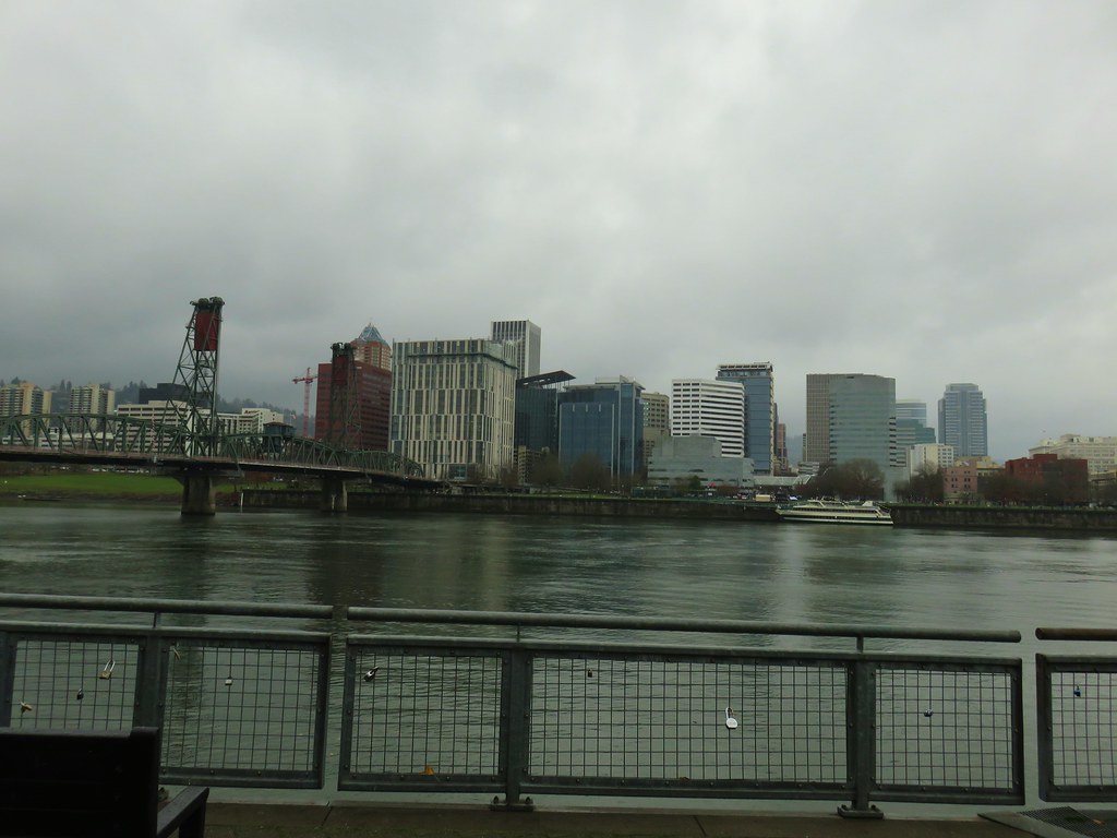
The trailhead was full when we got back so we quickly changed our shoes and opened up a spot for another trail user. We headed for downtown Portland for our next stop at Tom McCall Waterfront Park. We actually parked at a lot on the corner of 4th and Harvey Milk St. and walked 3+ blocks to the park.
The Saturday Market was just a bit to the left but we went right heading for the Morrison Bridge and planning on hitting the market at the end of our loop.
There were almost as many geese as people in this section of the park.
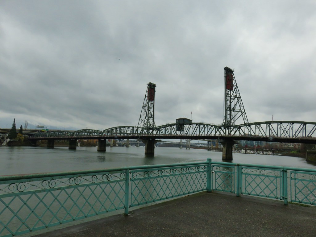
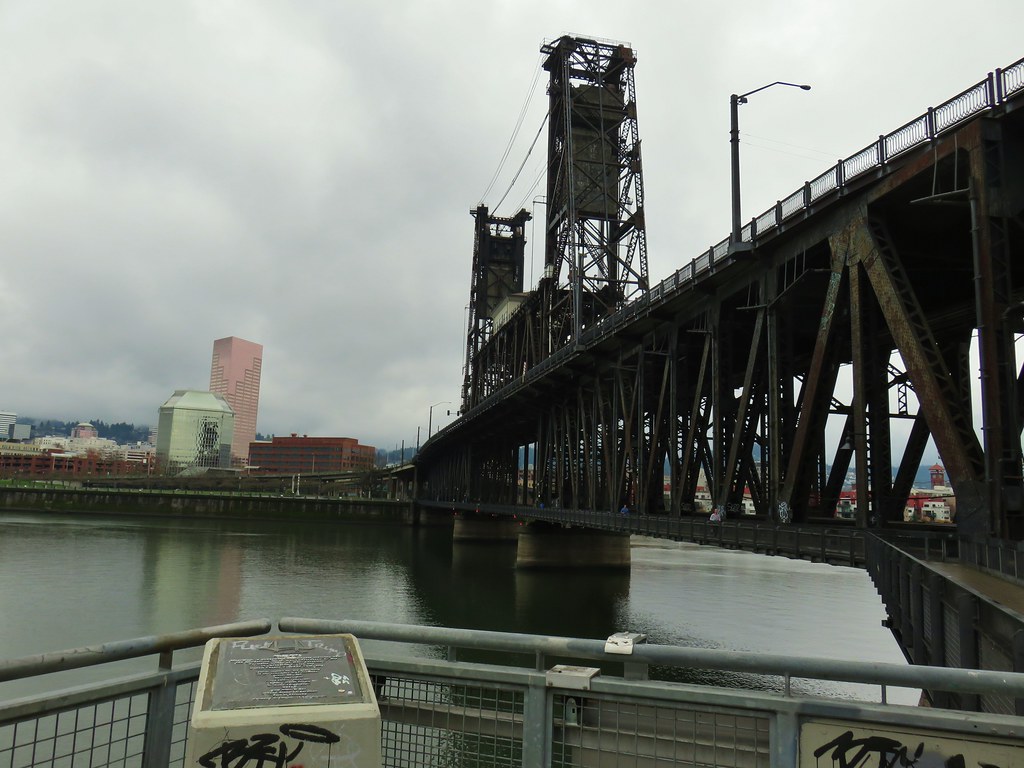
We followed the Waterfront Park Trail along the Willamette River under the Morrison Bridge and toward the Hawthorne Bridge.
Hawthorn Bridge
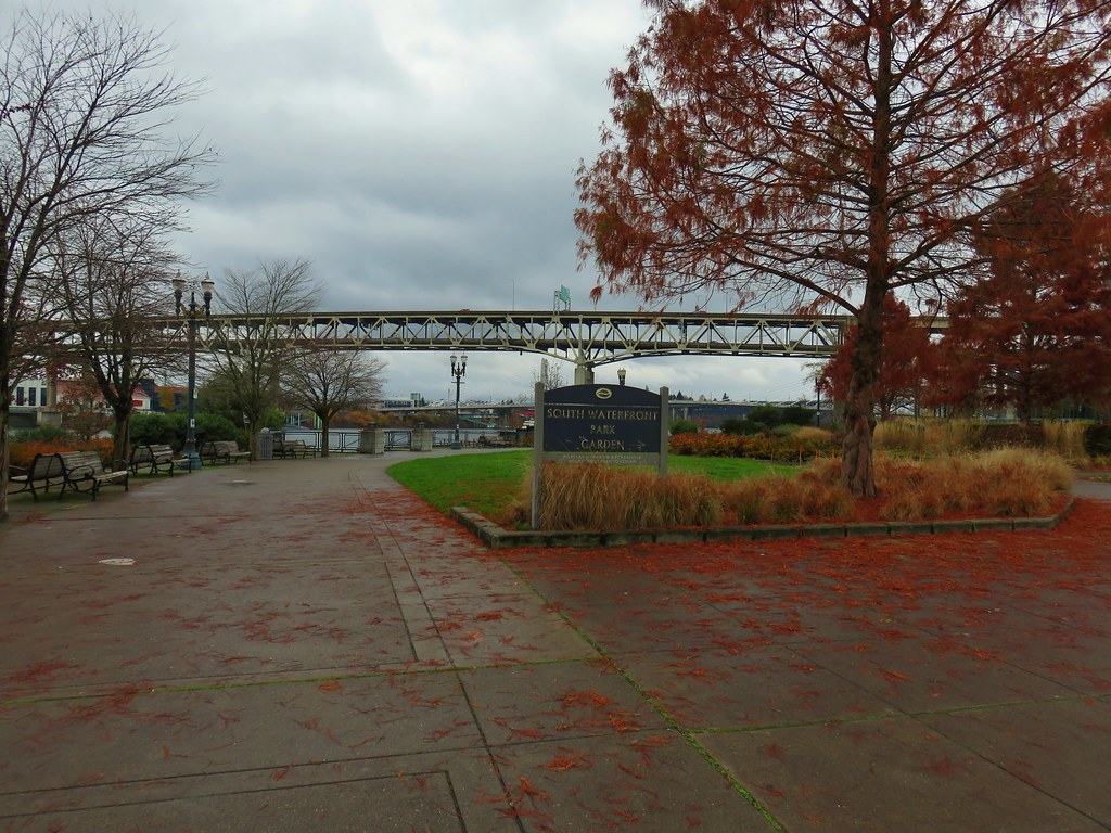
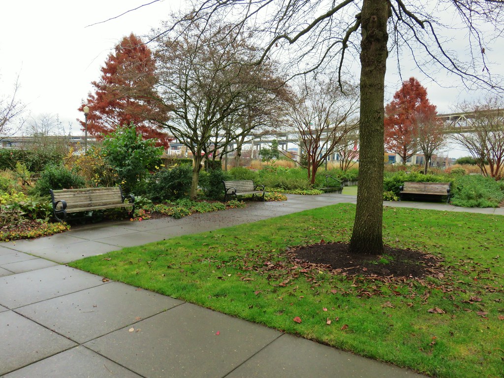
After about three quarters of a mile we passed through the South Waterfront Park Garden.
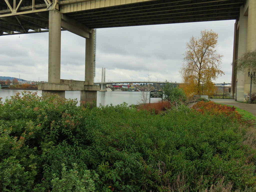
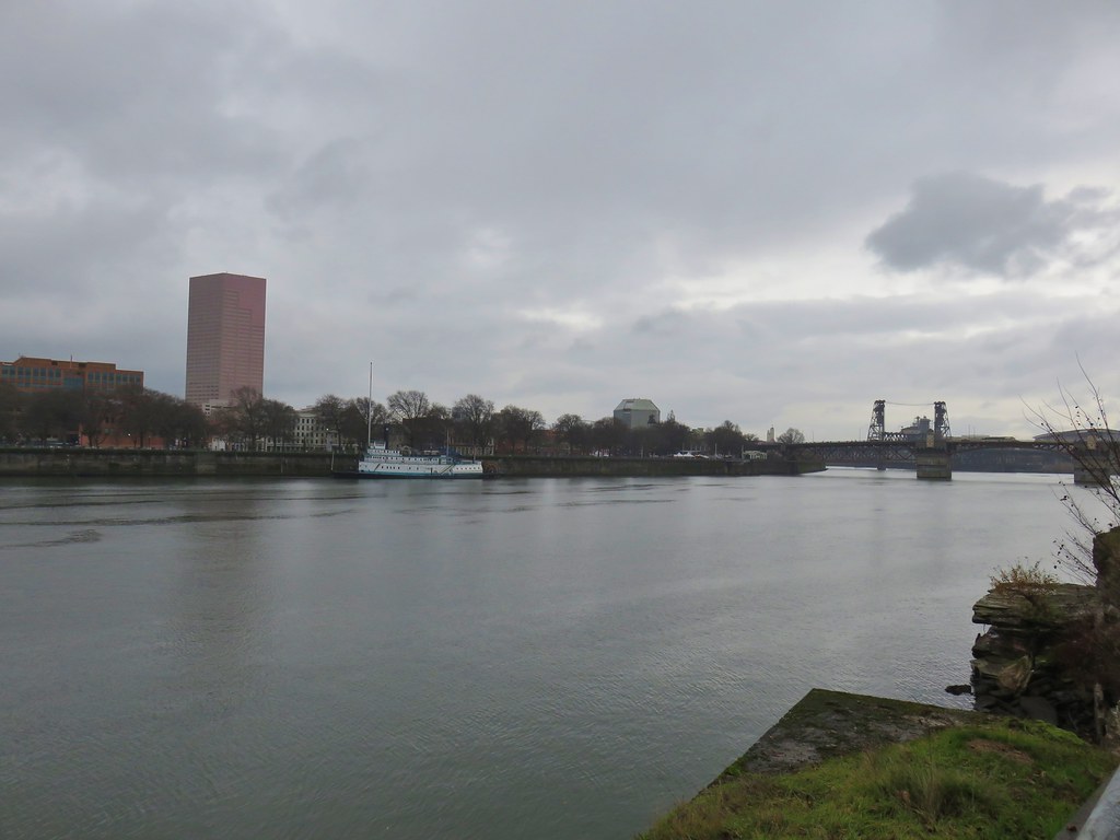
This was quickly followed by Poet’s Beach under the Marquam Bridge.
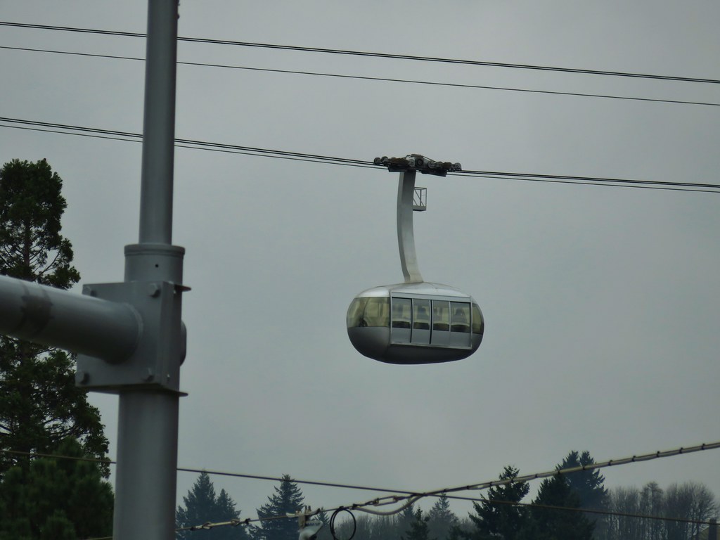
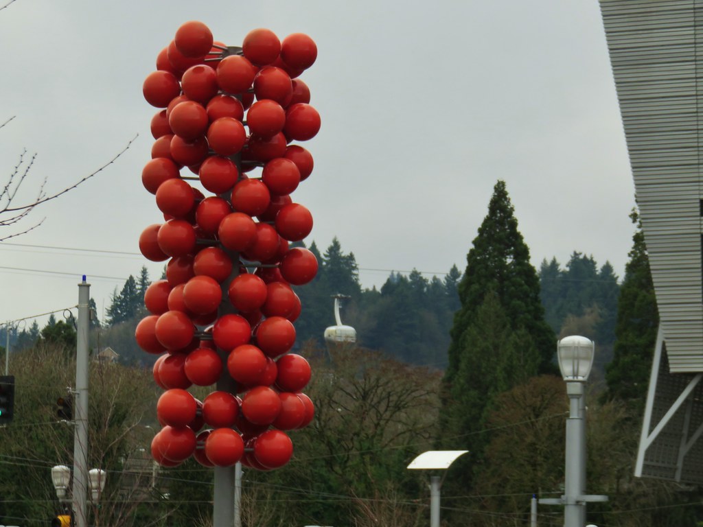
After passing under the Marquam Bridge we had a good look at OMSI and the USS Blueback Submarine on the far side of the Willamette and the OHSU Aerial Tram on our side of the river on Marquam Hill.
There was also an interesting piece of art near the Tilikum Crossing Bridge where we would be heading across the river.
The bridge was opened in September 2015 and is restricted to transit, pedestrian, and cyclist use only.
Marquam Bridge from Tilikum Crossing.
After crossing the river we turned left towards OMSI on the Eastbank Esplanade. Tilikum Crossing from the esplanade.
We followed the Eastbank Esplanade for a total of 1.75 miles to the Steele Bridge. The scenery along this stretch was a bit more industrial with sections not too far from the Interstate, but there were still some interesting and pretty sights along the way. Behind OMSI
More geese.
Cormorants
We recrossed the Willamette on the Steele Bridge arriving back at Waterfront Park near the Japanese American Historical Plaza and the Portland Saturday Market.
We wound our way through the market visiting all the booths before returning to our car and heading home. We did manage to find a couple of Christmas gifts so it had not only been a fun day hiking but it had been productive as well. We walked about 5 miles between the loop around the Willamette and the market which was just about as much as our feet could handle for the day.
That’s it for us as far as hikes go for 2019, we hope everyone has a Merry Christmas and Happy New Year! (and Happy Trails too!)
Heather and I recently celebrated our 23rd anniversary with a morning hike in Portland’s Forest Park followed by dinner at Sisters Irish Bistro in Salem.
We chose this loop due to the presence of some low clouds. This section of trail didn’t offer the mountain views that some others do so we thought it was a good day for it. From the parking area we headed south on the Wildwood Trail which briefly climbed before leveling out on a hillside.
We followed the Wildwood Trail for a little over four and a quarter miles through the foggy forest. Junctions were well marked along the way with maps located at several of them.
Waterline Trail junction
Map at the Springville Road junction.
Ridge Trail junction
We turned off of the Wildwood Trail at Fire Lane 7A which we followed downhill less than a quarter mile to a pointer for Leif Erikson Drive.
A short path led fairly steeply down to the closed road where we turned left.
After one and a quarter mile on the road we came to the remains of an old building on the left.
A little over three miles after turning onto Leif Erikson Drive we arrived at another small parking lot along Germantown Road.
From this trailhead we followed the Cannon Trail uphill for a third of a mile back to the Germantown Road Trailhead and the Wildwood Trail.
Our loop was approximately 8.4 miles long with about 500′ of total elevation gain. It had been a good day for this particular hike and although we saw quite a few other people it never felt overly crowded. Shorter (or longer) loops could be done using the numerous other trails in the area.
Dinner at Sisters Irish Bistro was a perfect way to end our anniversary celebration, the food was excellent and so was the relaxing atmosphere. Happy Trails!


 Some of the damage from the ice storm at the trailhead.
 Sign for the Connector Trail at the trailhead.
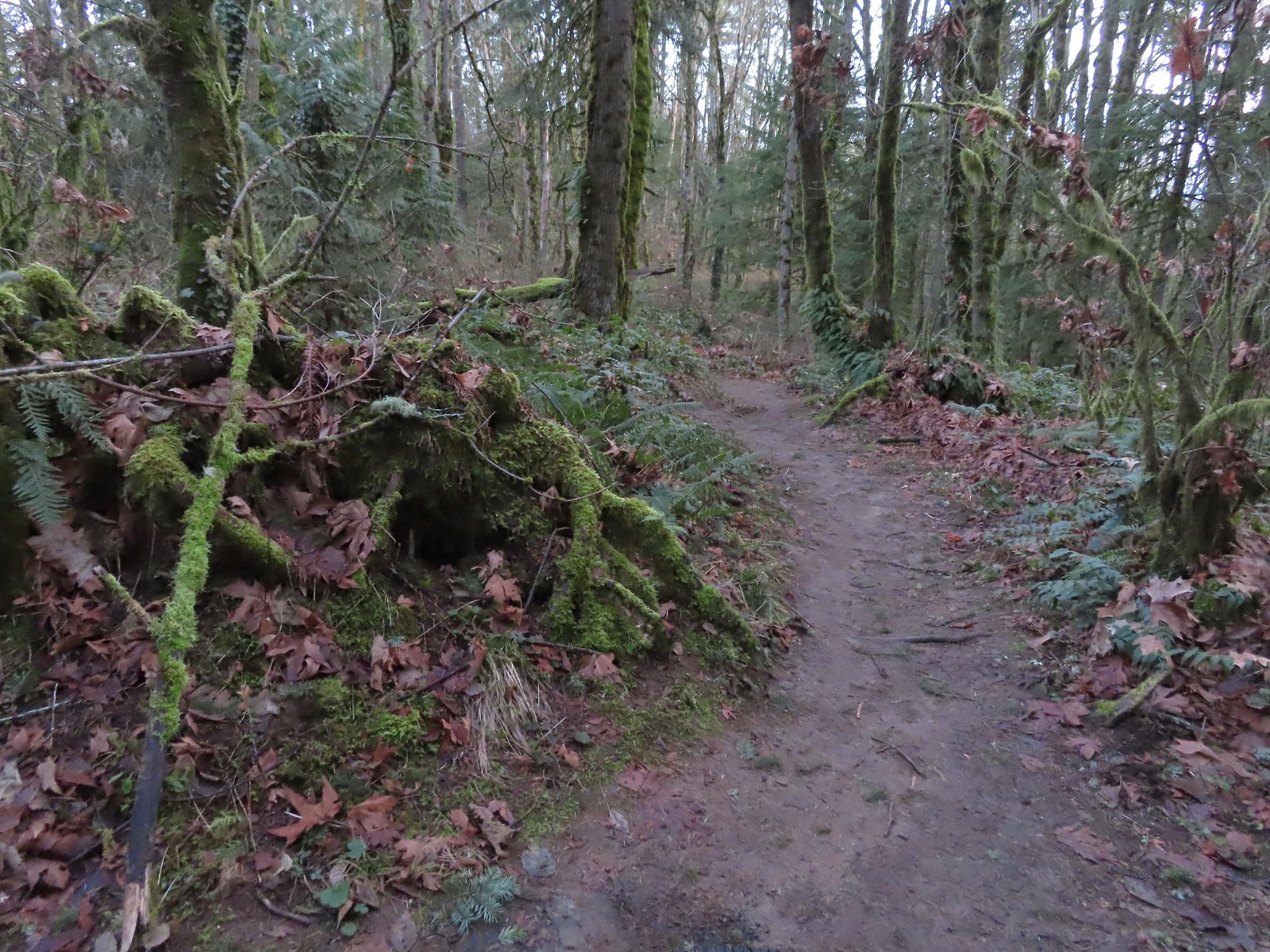 Cannon Trail
 Firelane 9 across from the trailhead.
 Firelane 10
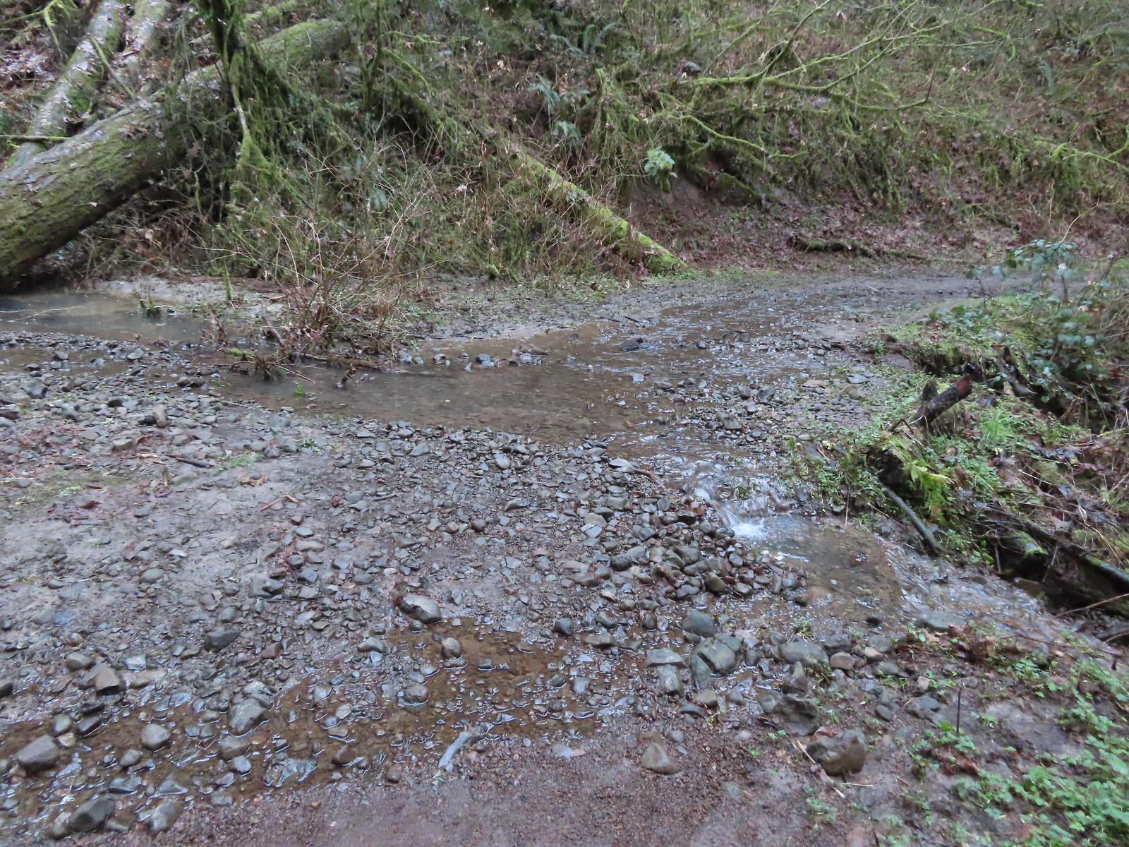 Unsurprisingly the recent weather had most of the stream beds flowing which we hadn’t witnessed on our other visits.
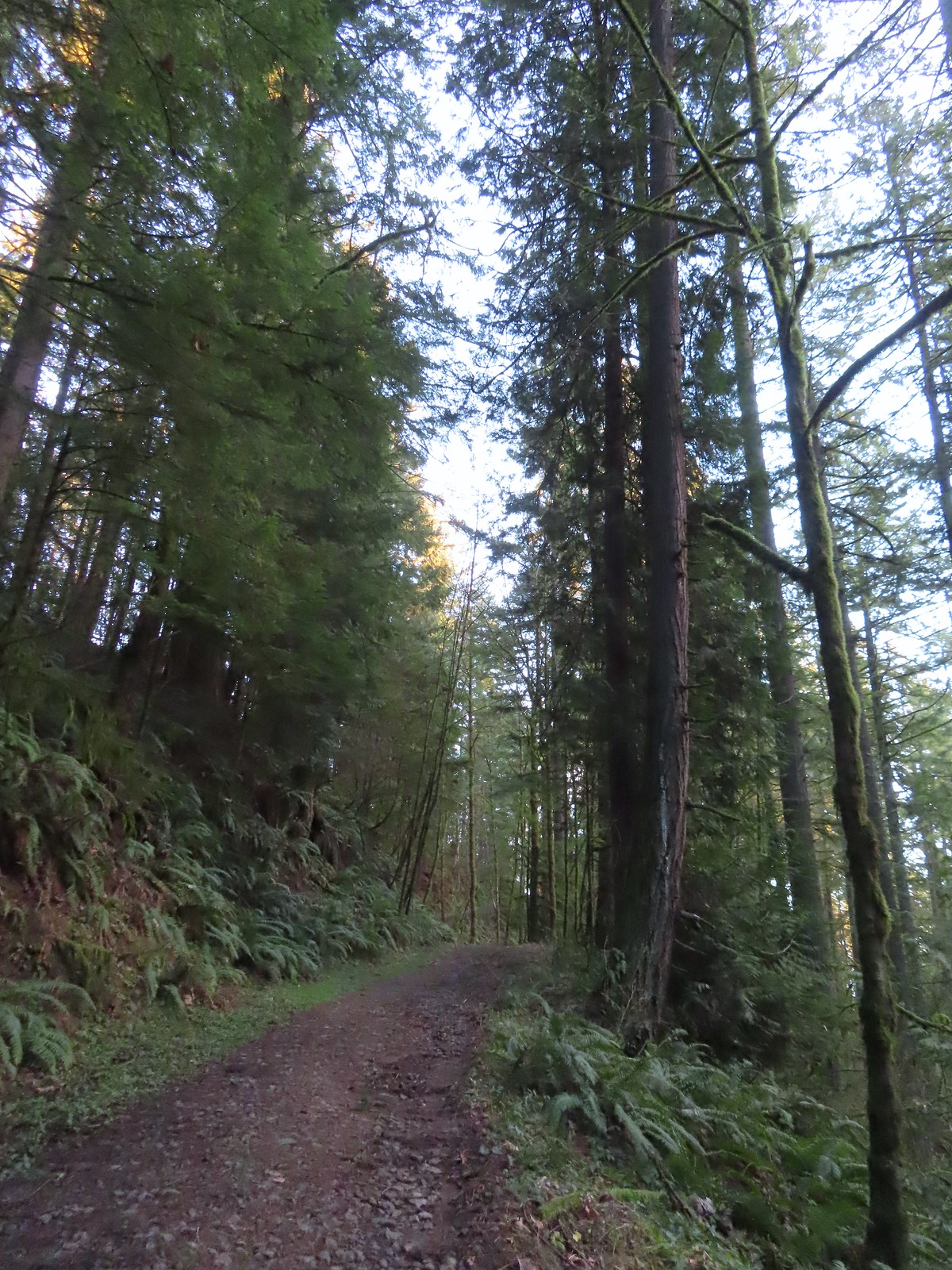 Heading up to the junction.
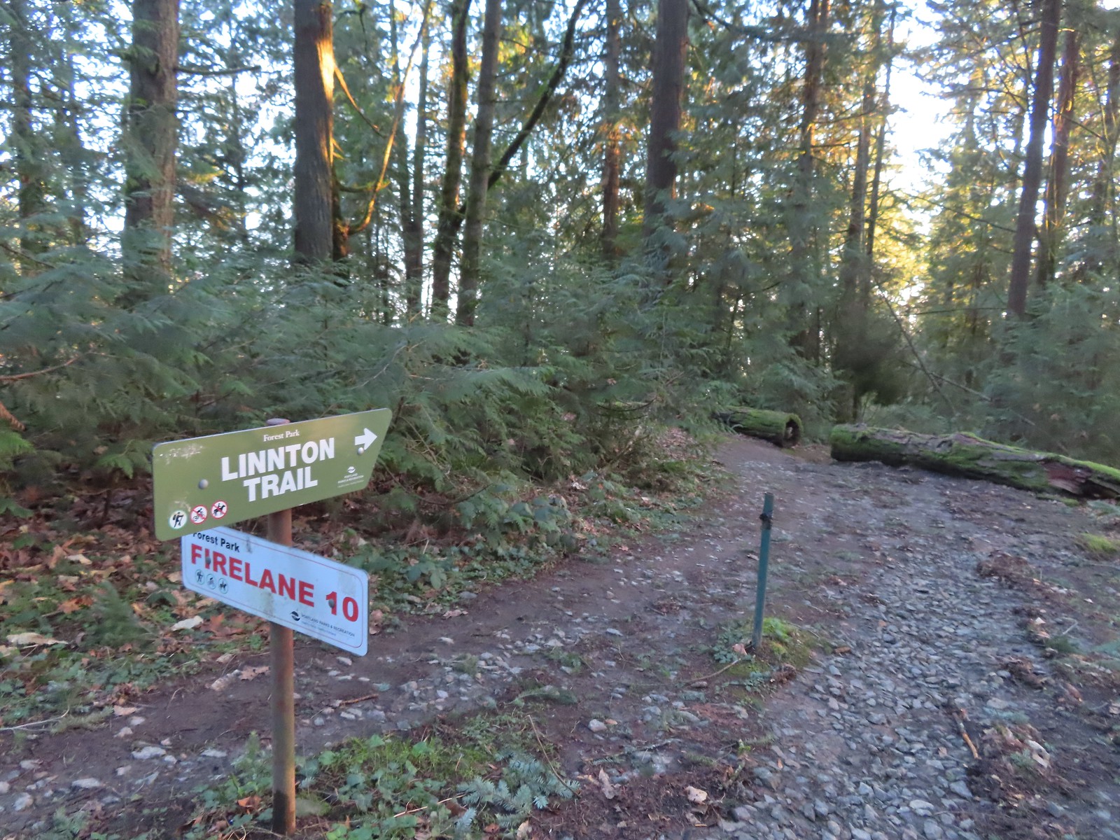 The Linnton Trail heads down a ridge to the
 We passed the Keyser Trail which rejoins Firelane 10 just a quarter mile ahead. We stuck to Firelane 10 which climbed very steeply in that quarter mile leading us to believe the Keyser Trail may have been a little more gradual as the map showed it bowing away from Firelane 10 before rejoining.
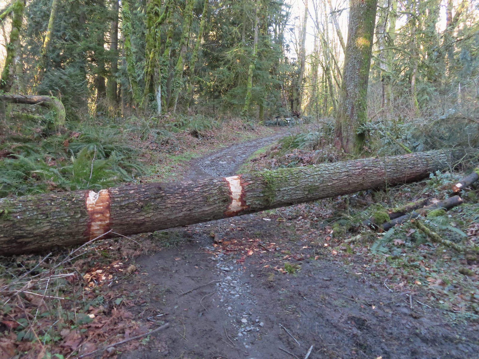 The first of only three trees that were still down over the trails we hiked. In the distance is a Wildwood Trail sign at the junction.
 The trail repeatedly bows into the hillside to cross creek beds.
 We passed three pointers for Newton Road and then crossed Newton Road along this section of the Wildwood Trail. We would be using Newton Road to make another small loop on our way back.
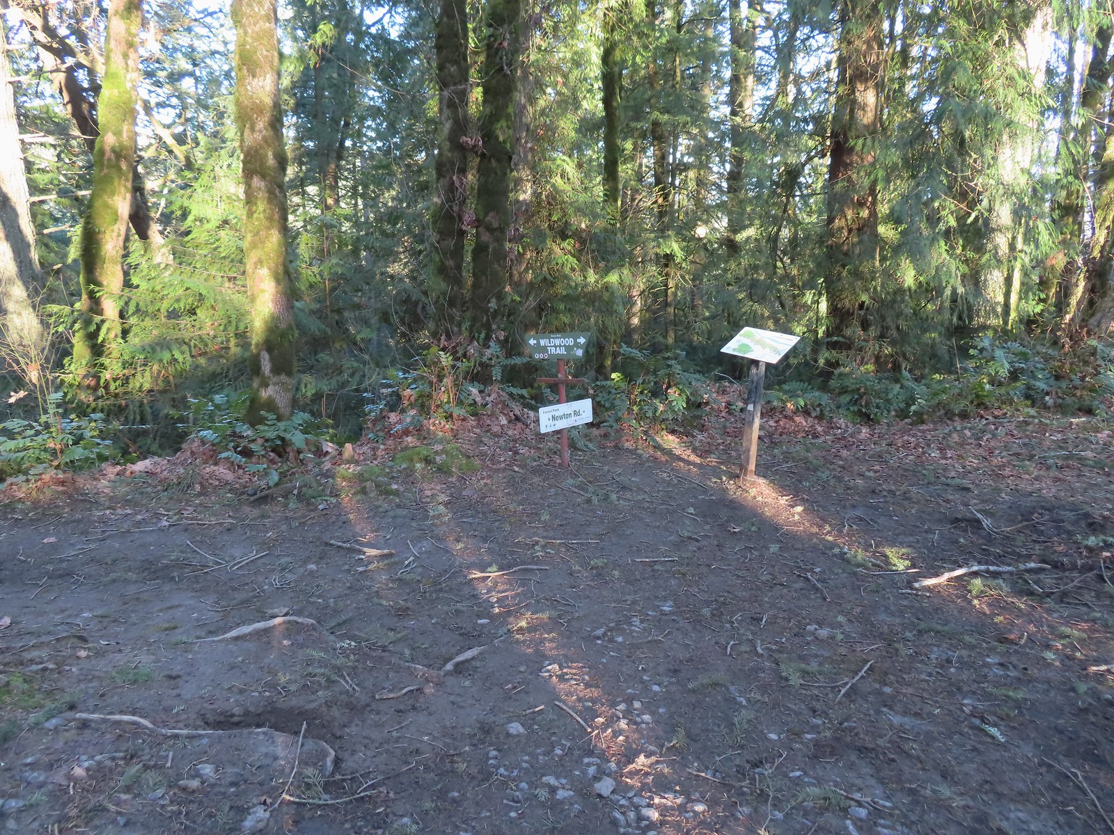 The Wildwood Trail crossing Newton Road.
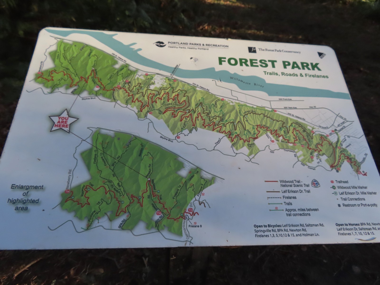 Not all of the junctions have maps, but most of the major ones do to help keep hikers and runners on track (or to give them more ideas).
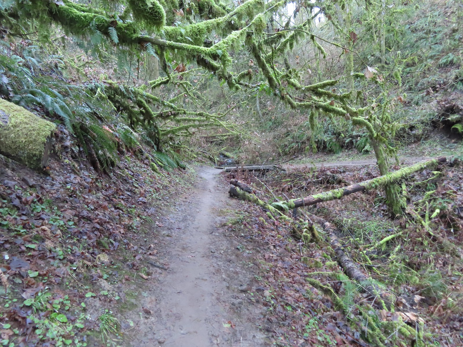
 Climbing up to the BPA Road crossing.
 The BPA Road heading uphill with the Wildwood Trail we’d just come up to the right.
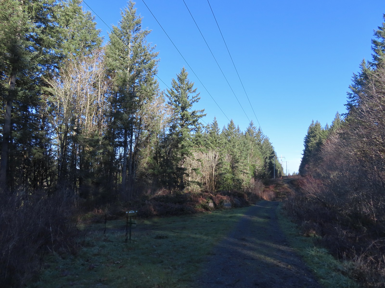 Firelane 12 on the left.
 The middle of three plaques commemorating the 1999 acquisition of 73-acres that was in danger of being developed.
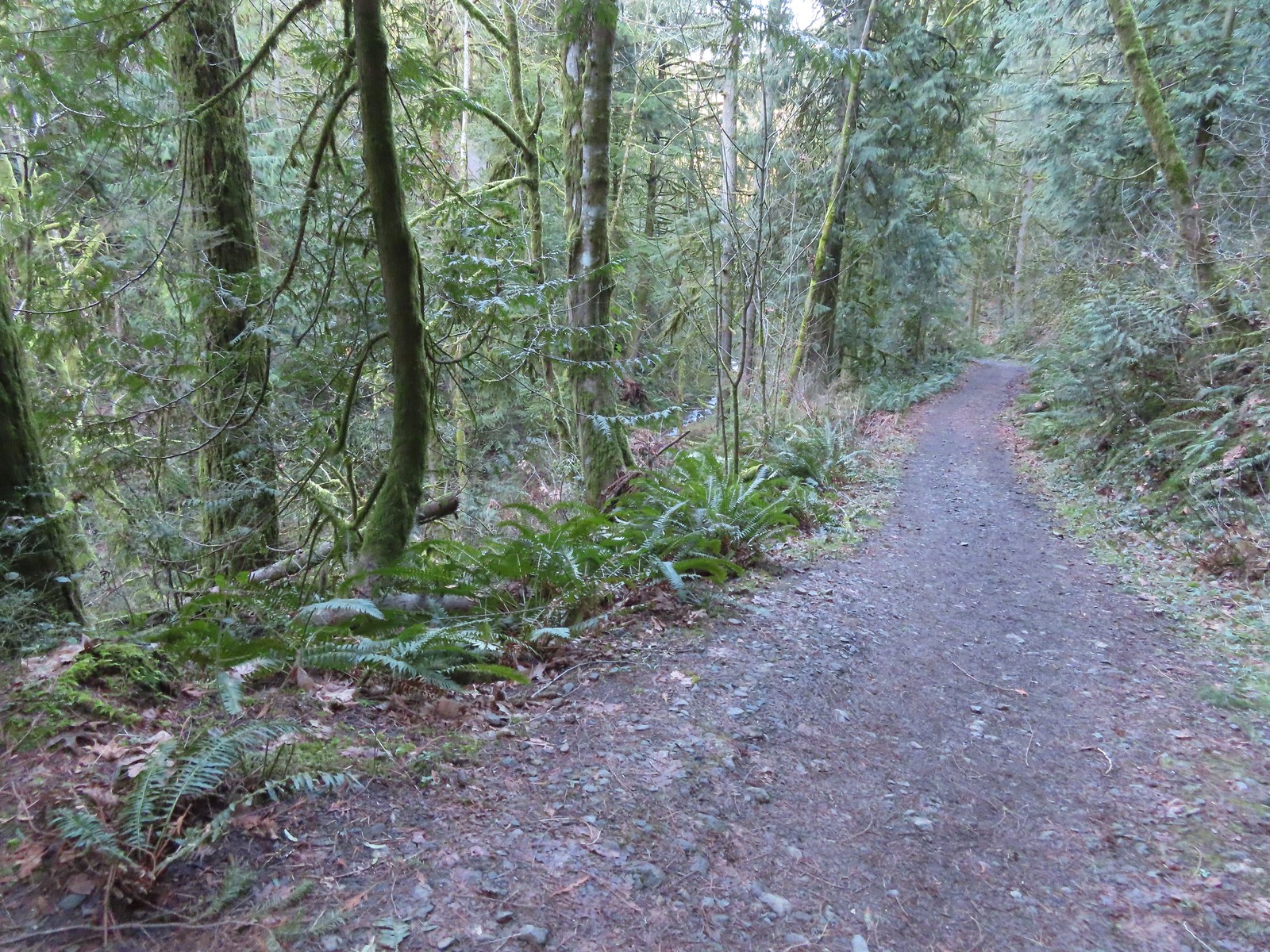
 Once again varied thrush 1 – Deryl 0. If I was keeping score, it would probably be something like 179-10.
 Firelane 15 on the left ahead.
 The small creek along Firelane 15.
 Blue sky and powerlines above Firelane 15.
 Wildwood Trail crossing Firelane 15.
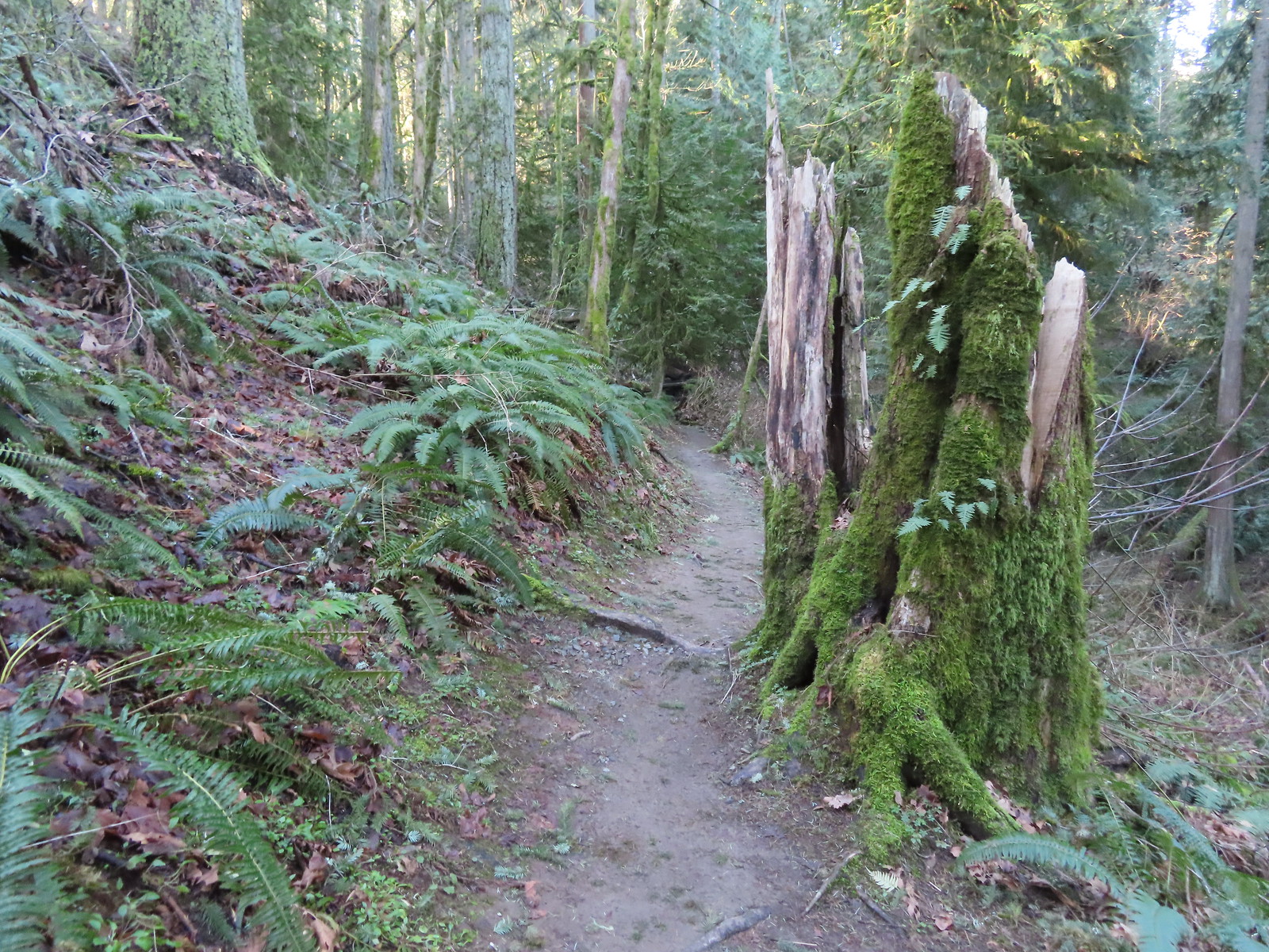
 The fanciest bridge we crossed all day.
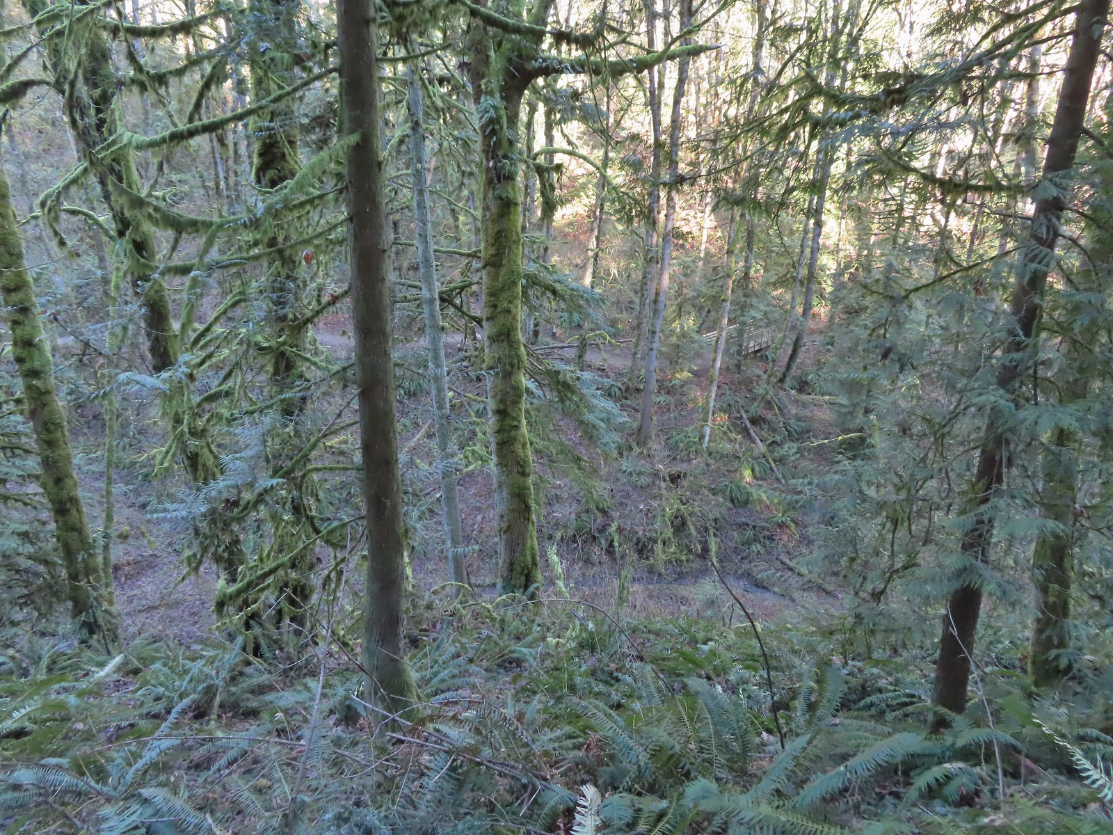 Why is the trail way down there when the road is up above on the far hillside?
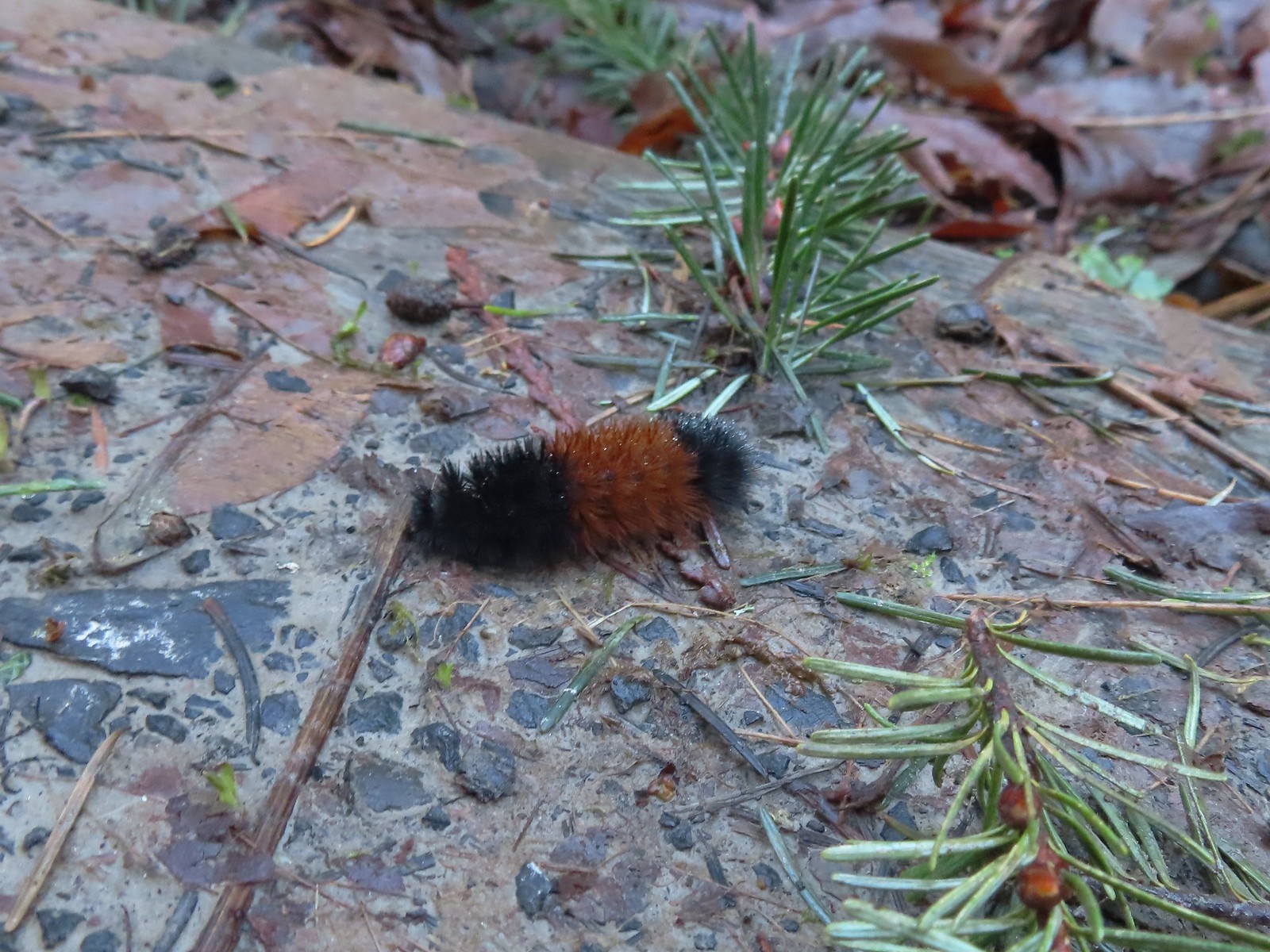 Woolly bear
 Climbing to Newberry Road just to say we made it to the end of the Wildwood Trail.
 Newberry Road Trailhead.
 Another sub-par bird photo, but it took us quite a while just to spot this woodpecker who was way up in the treetops (and mostly in the shade).
 Crossing Firelane 15.
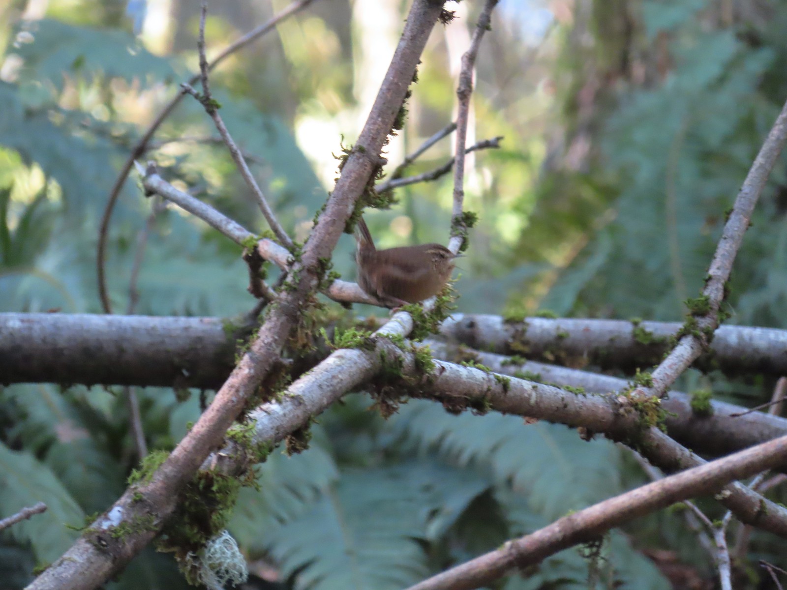 Another blurry bird. This one a wren, one of many we heard but the only one we were able to spot.
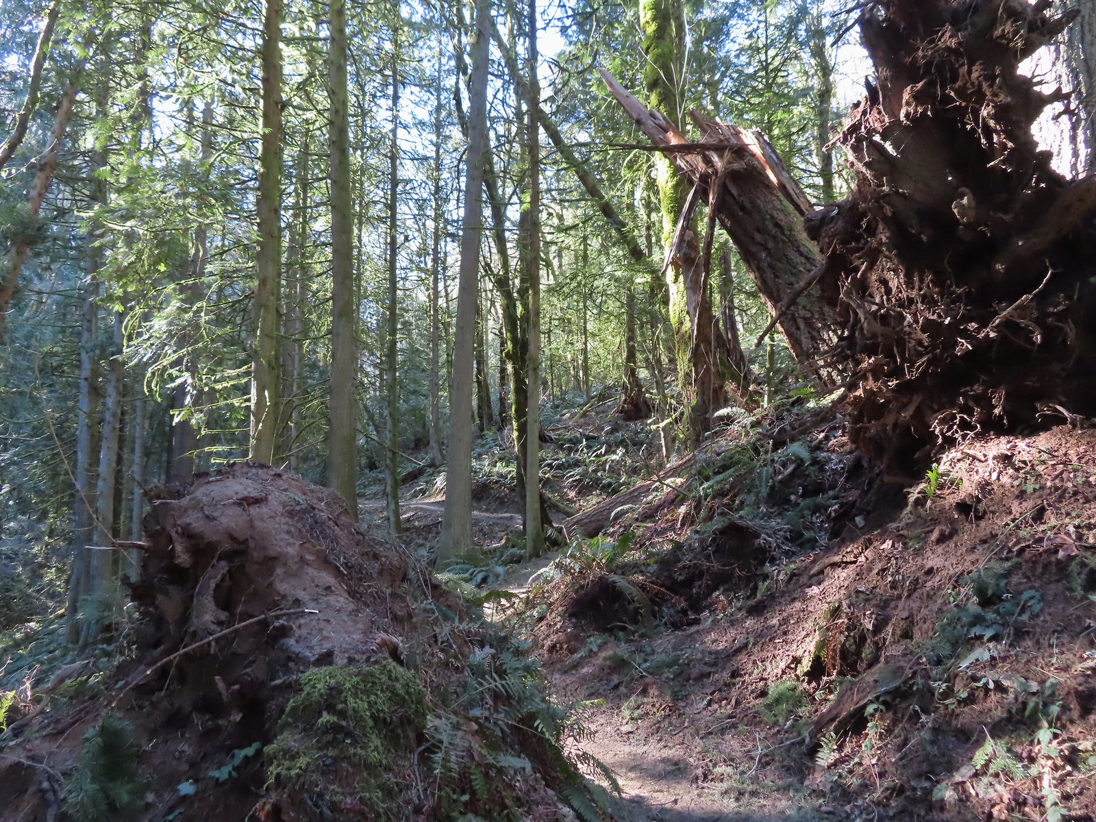 Uprooted trees along the Wildwood Trail.
 Newton Road to the right of the Wildwood Trail.
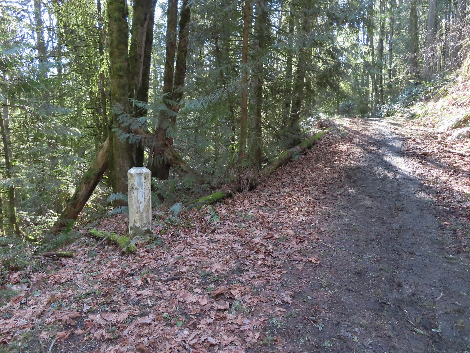 Mile marker along Newton Road.
 Douglas squirrel
 One of several small habitat restoration study areas along Newton Road.
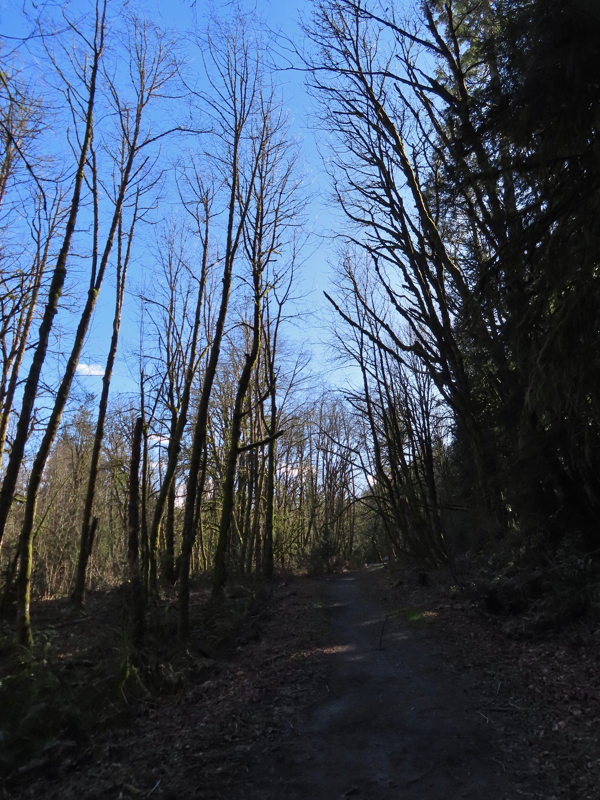 The Newton Road Trailhead in the distance.
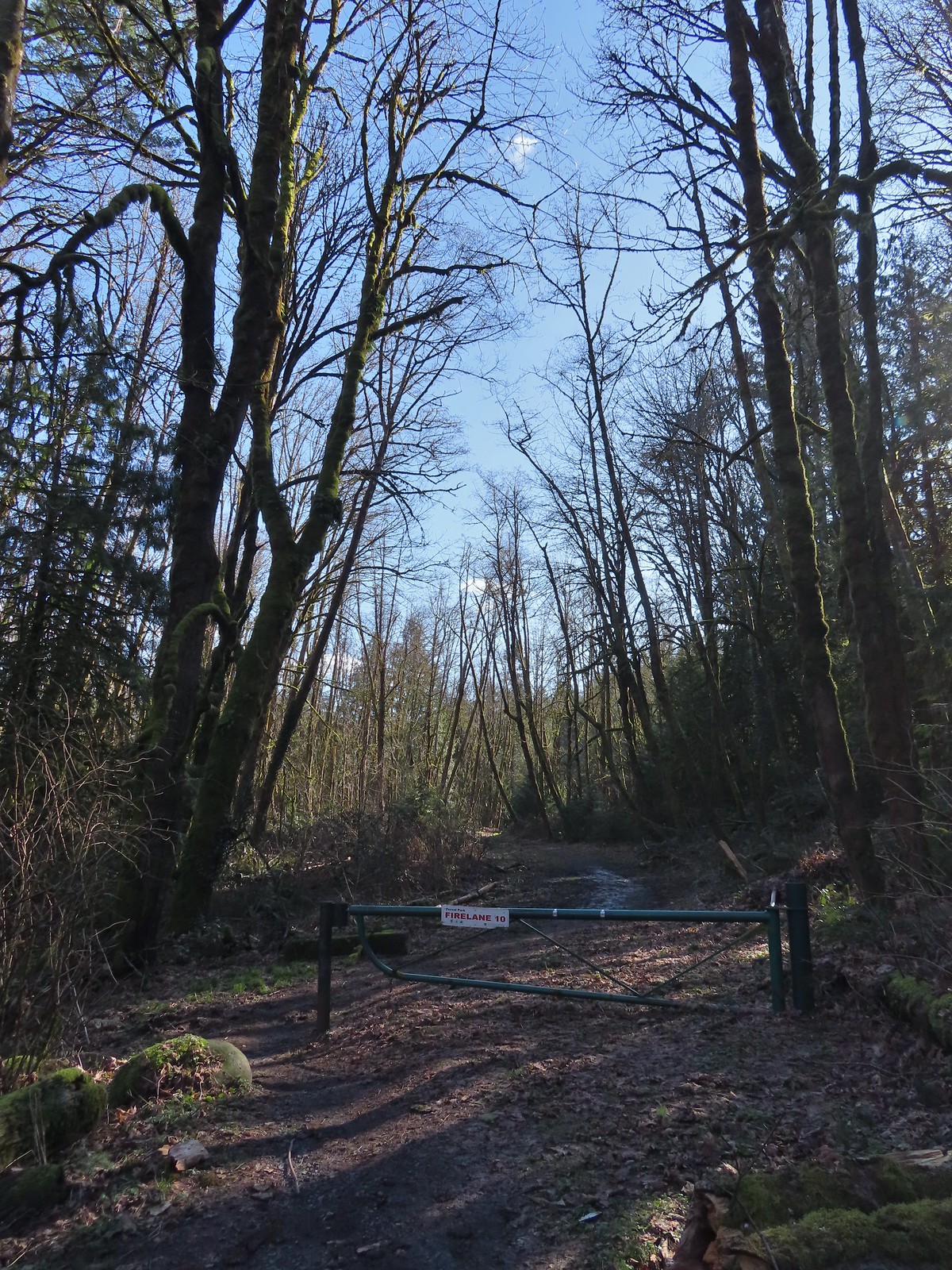

 One of only two benches we saw all day.
 Cars parked along Germantown Road in the distance.


 Big Creek in the morning.
 A short section of the trail was paved.
 At the eastern end of the parking area we came to this new kiosk that is being installed marking the start of the Agate Beach TRACK Trail. There was also a path directly to the parking lot from the kiosk which we used upon our return.
 The tunnel under Highway 101. The stairs at the far end lead up to a city street while the trail makes a hard right to briefly follow the highway back across Big Creek.
 A series of boardwalks crosses the marshy bottomlands of Big Creek.
 While the kiosk was a new work in process there were a number of older looking interpretive signposts. This was one of only a handful that still contained an interpretive sign.
 The bottomlands.

 There were no signs at junctions but for the TRACK Trail stick to the level fork and ignore anything going uphill.
 Further along the trail Big Creek could actually be seen flowing.
 A non-boardwalk section along Big Creek.
 Approximately three quarters of a mile from the kiosk the trail arrived at Big Creek Road at another new signboard.
 The signboard at Big Creek Road didn’t have any information on it yet.
 Stellar’s Jay
 Northern flickers on the picnic shelter.
 Map on the signboard.
 Anderson Creek, the footbridge, and signboard from the roadbed.
 The Forest Park Trail
 A nice sitka spruce forest lined the old roadbed.
 Mushrooms
 Sunlight hitting the trees.
 The Pacific Ocean through the trees near the water towers.
 Passing the water towers.
 The drop to Jeffries Creek.
 Jeffries Creek
 Wood ducks in the wetlands.
 The gate near Fogarty Street.
 The Forest Park Trail from the other side of the gate.

 Morning fog was still burning off at 9:30am.
 A car by the gravel pile to the left with the road coming down the hillside to the right. Interestingly Google Maps labels this as “Burnt Woods Ridge Road” which both Alltrails & Garmin showed as the left-hand fork where our loop would begin. (Google doesn’t show a road there at all but you can see the road in the trees by looking at the aerial view.) Numerous times throughout the hike we relied on comparing the Alltrails Track to the GPS map and our track to that point to determine where we were and which road(s) to take.
 There was some room to park here at the start of the loop (this is not where Google marks the TH) as well as many pullouts along the loop where one could choose to start.

 Heading down into the fog.
 One positive to the fog is that it can create some dramatic Sun rays.
 Vine maple
 Blue sky in the upper left hand corner.
 The road to the right is an example of a road that wasn’t labeled on any map we had.
 Emerging from the fog.
 Looking back through the fog to blue sky and the Sun.
 The only other “hiker” we saw on the loop.
 We couldn’t see it but just over three miles from the start of the loop the road crossed Cline Creek which was the first time we heard what sounded like a decent amount of flowing water.
 A little over a tenth of a mile beyond Cline Creek we left Burnt Woods Forest Road and forked uphill to the left onto Cline Creek Road.
 Arriving at a clearcut. Much of Cline Creek Road was along different clearcuts.
 Mylitta crescent
 Red-tailed hawk soaring over the clearcut.
 Trying to get the red-tailed hawk in flight.
 Lots of Fall colors starting to pop.
 The first signs we’d seen (noticed anyway) were at the Cline Creek/Burnt Woods Ridge Road junction.

 Arriving at the high point which was actually the first good viewpoint being above one of the clearcuts.
 Looking North at more of the Coast Range.
 Theoretically we should have been able to see both Mt. Hood and Mt. Jefferson from here but between haze from the fog and clouds we couldn’t make either out.
 Mt. Jefferson is out there somewhere. The fact that the Cascades have some snow again doesn’t help them stand out in the haze and clouds.
 Yet another unsigned road junction. Sticking to the ridge is the key.
 After crossing a saddle we gained views SE to Mary’s Peak (
 The tower and summit meadow of Mary’s Peak.
 The hard left prior to the steep descent. The road on the far hillside in the clearcut is part of the road Google Maps has labeled as Burnt Ridge Road but doesn’t show on Alltrails or the Garmin maps.
 The end of the loop at the bottom of the hill.
 Long Gulch Lake. The furthest south we hiked was on the trail a short distance after leaving this lake.
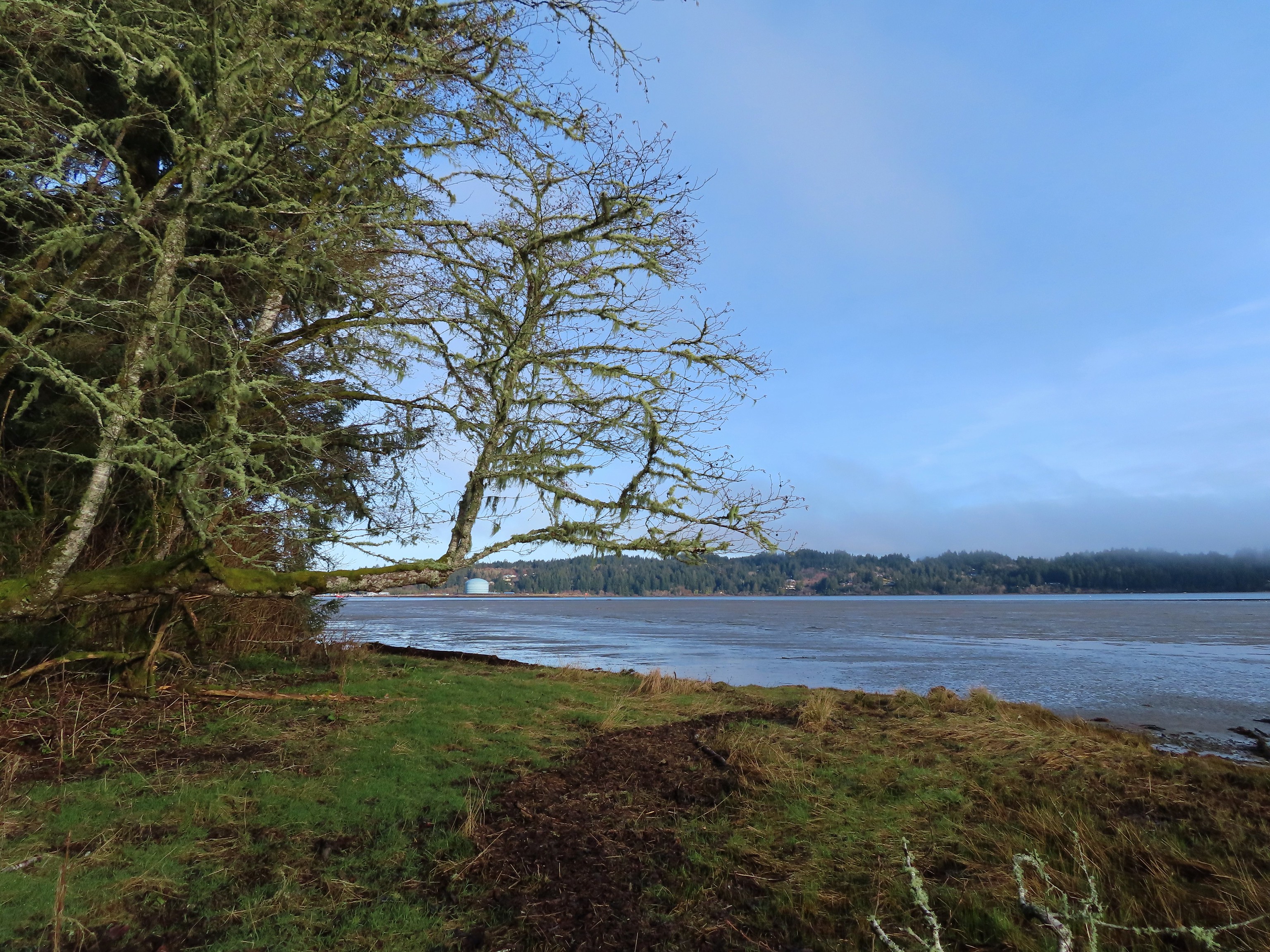 Technically the western most spot we hiked at was the trailhead for this hike, but the Yaquina River was a nicer picture.
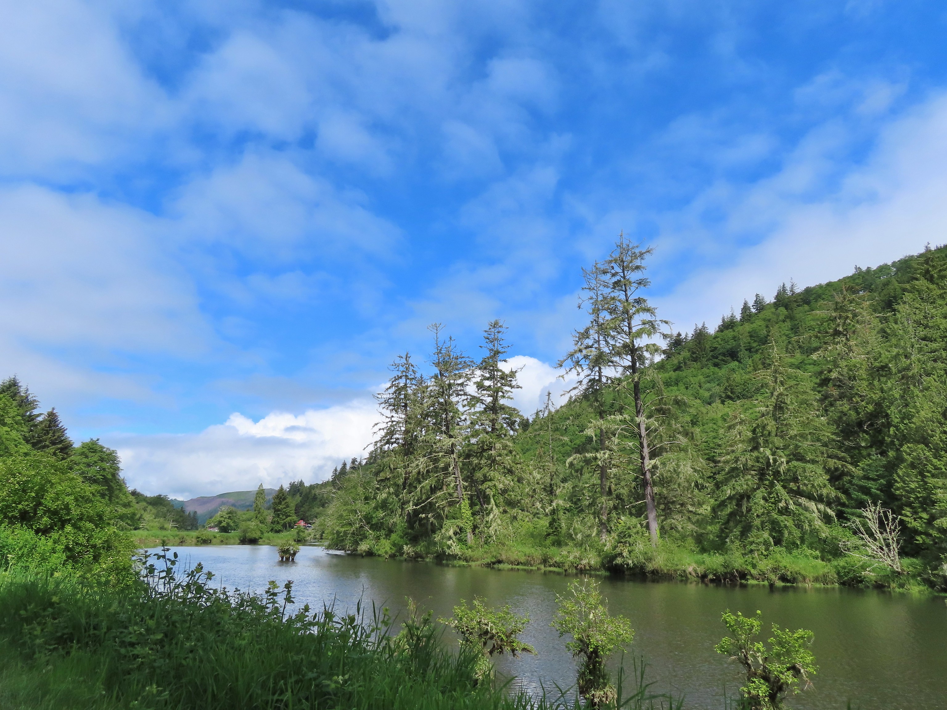 We hit our northernmost point during the stretch of our hike that followed Brooks Slough.
 View of the Wallowa Mountains from our easternmost point.

 That’s the Sun above the trees.
 Iced over snow in Portland’s Forest Park.
 The Crown-Zellerbach Trail, a converted logging road.
 The Klickitat Trail, a converted railroad.
 The Hood River Pipeline Trail.
 Sidewalk, Rock Creek Trail.
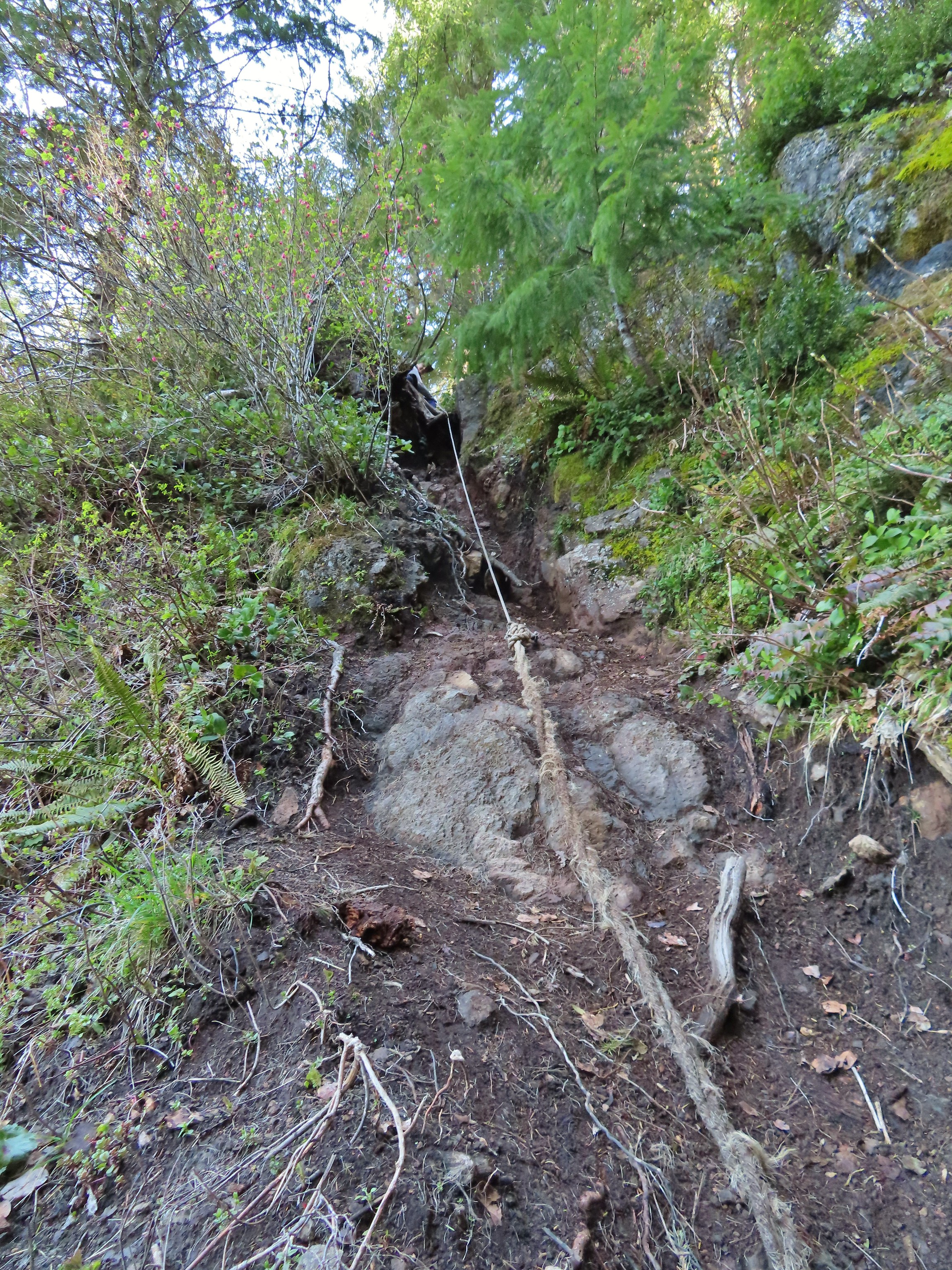 Rope section of the Kings Mountain Trail.
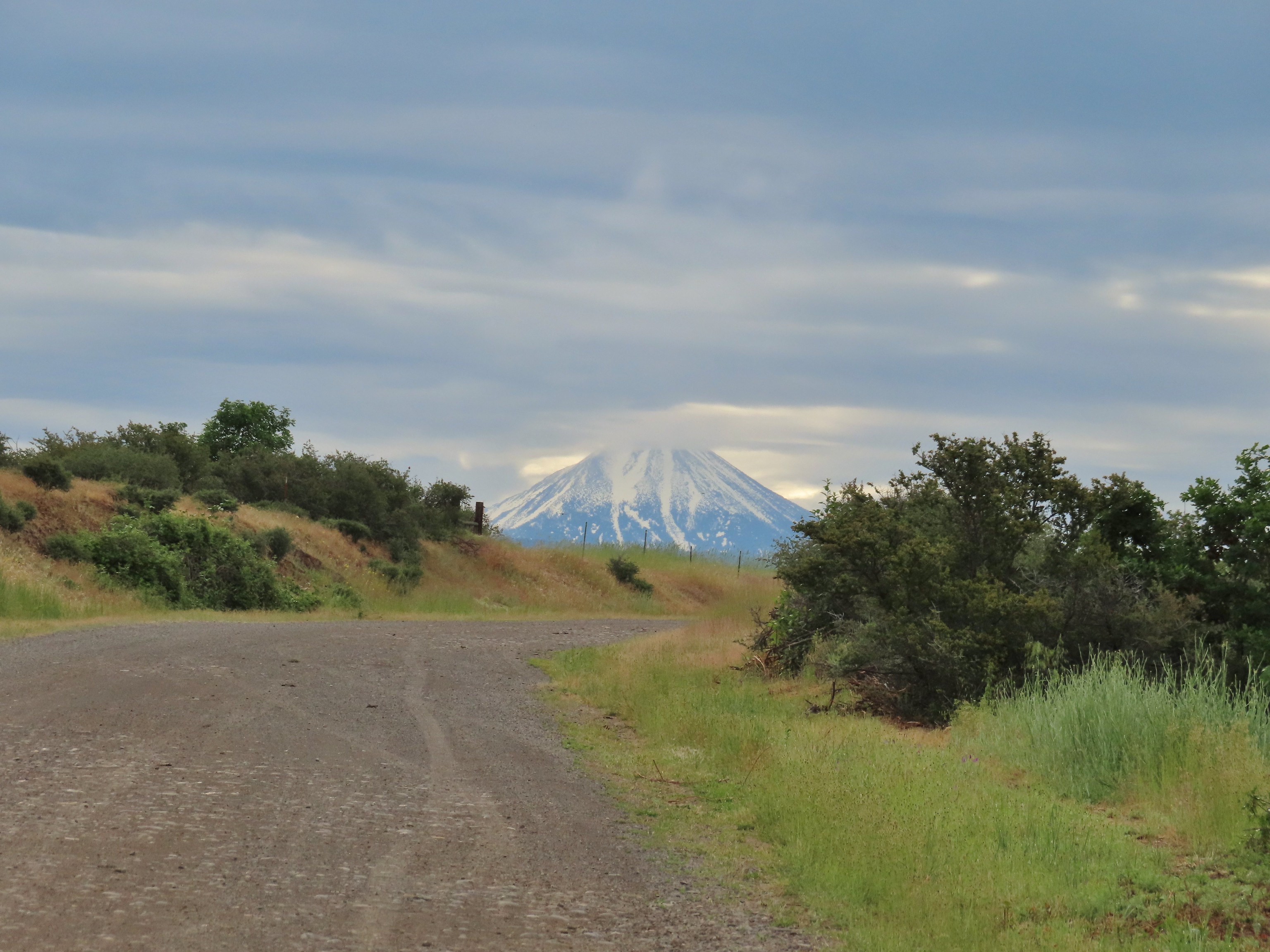 Gravel Road at Denman Wildlife Area.
 Paved Brooks Slough Road, Julia Hansen Butler Wildlife Refuge (it is open to cars).
 Dirt road at Siskiyou Gap.
 Cross-country to Observation Peak.
 Crossing over granite to reach the Devil’s Punchbowl in the Siskiyou Wilderness.
 Water covered trail at Catherine Creek Meadows.
 Sandy dirt Mt. Shasta.
 Rock field, Union Peak.
 The remains of the Union Creek Trail.
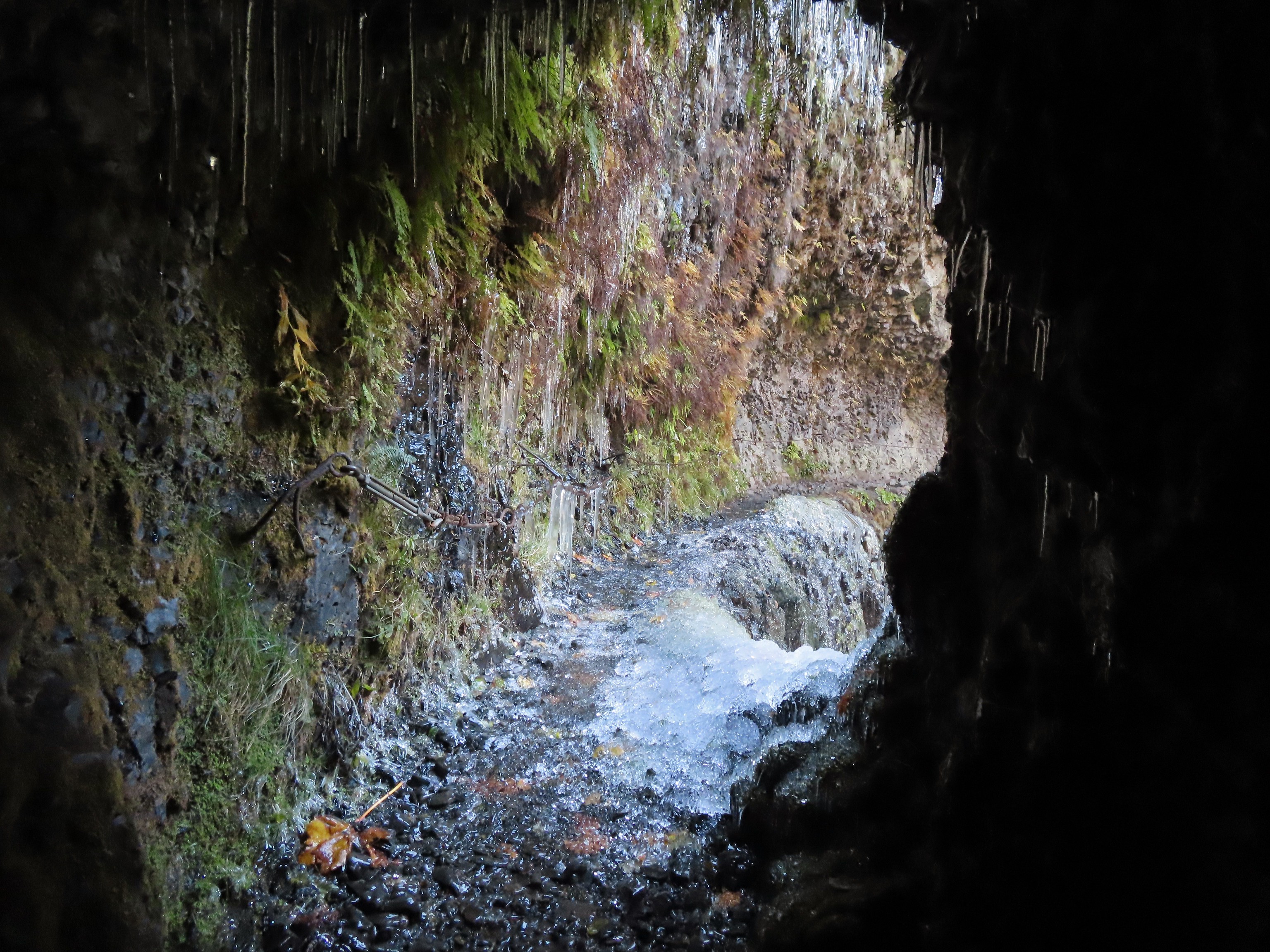 Frozen tunnel on the Eagle Creek Trail.
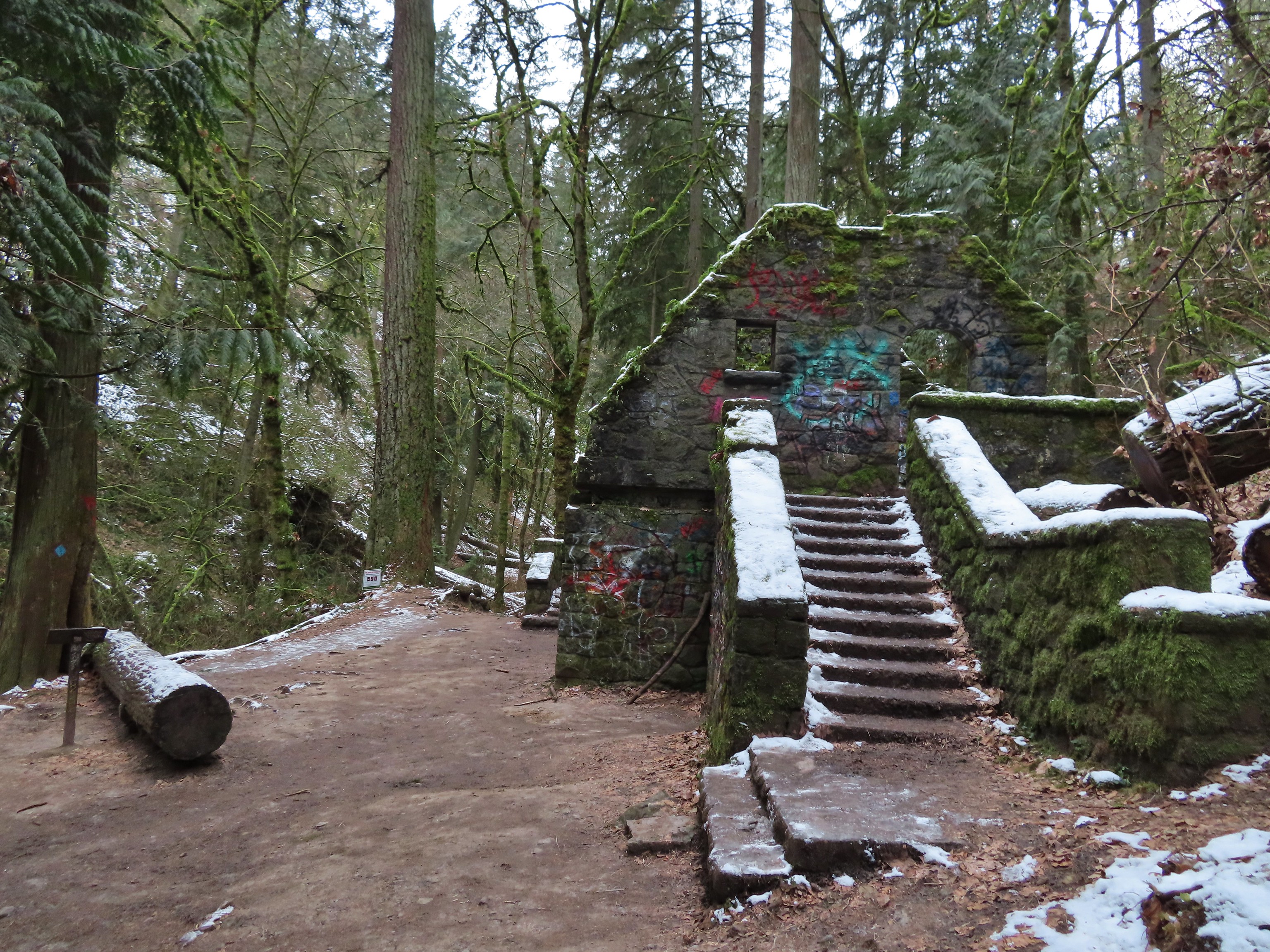 Witch’s Castle – Forest Park, Portland, OR
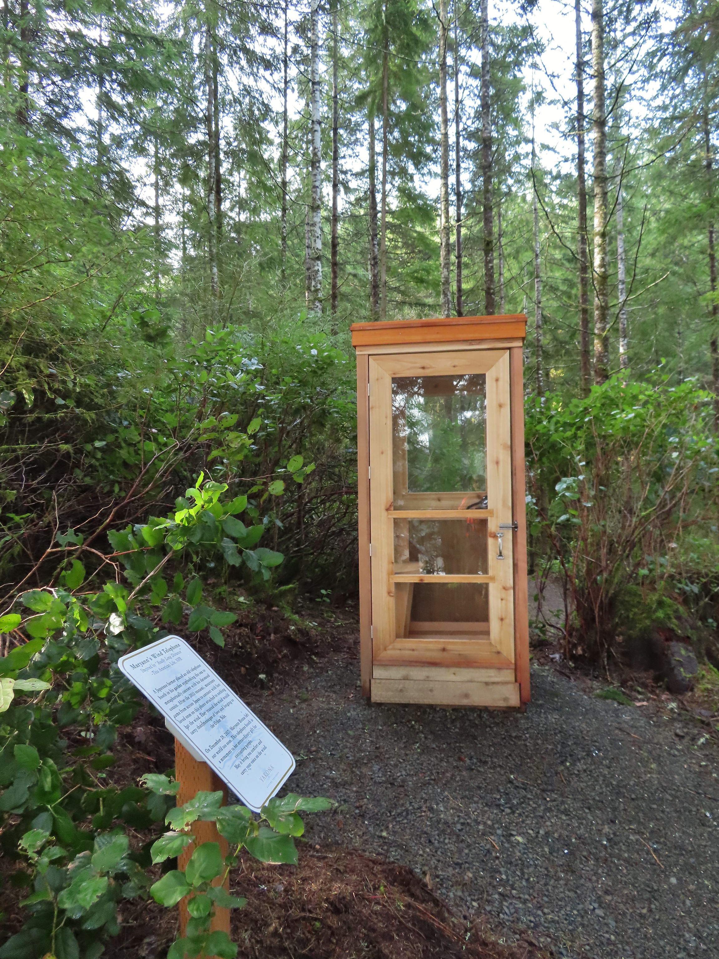 Wind Telephone, Yakona Nature Preserve – Newport, OR
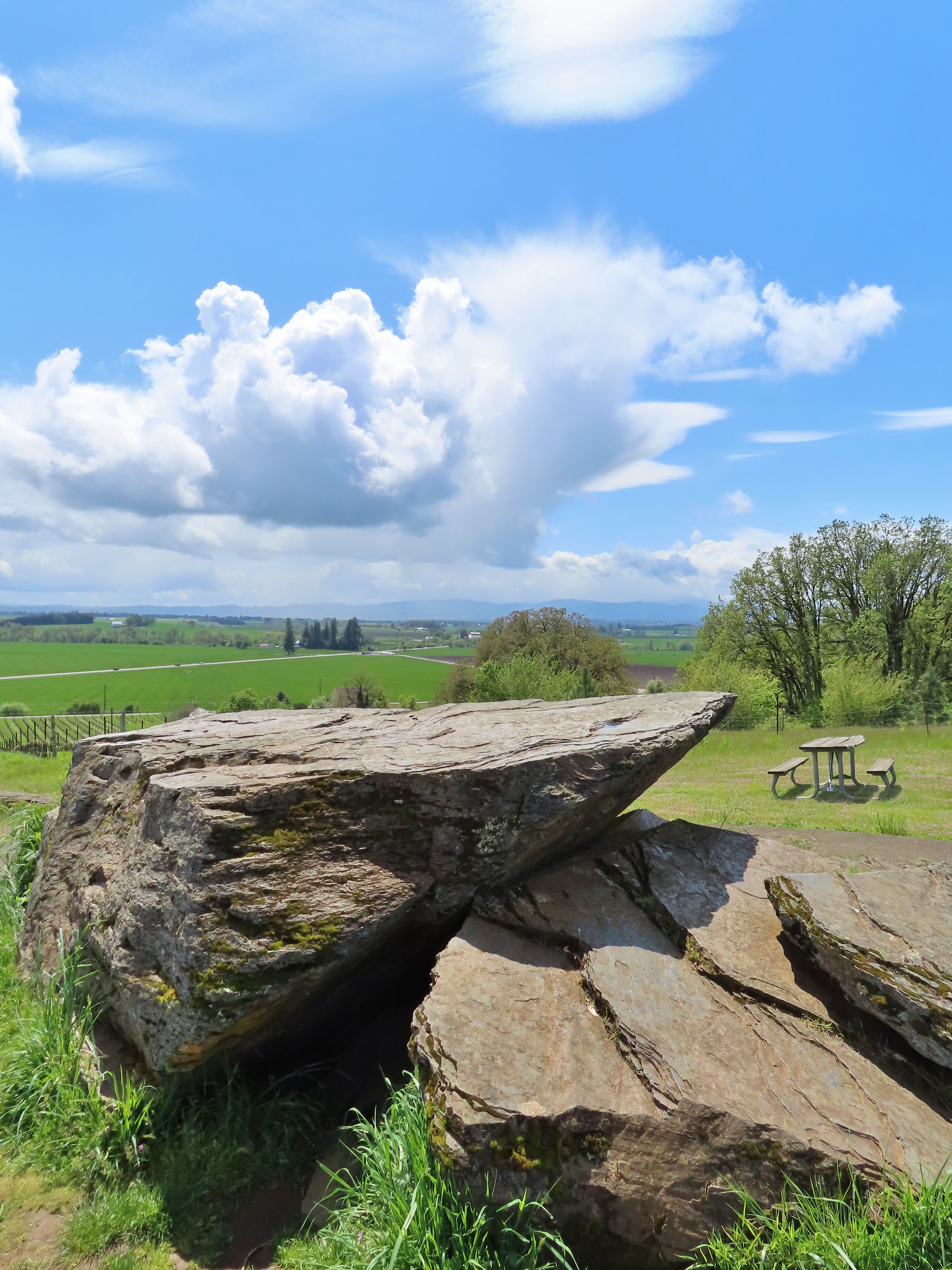 Erratic Rock (
 One of several military bunkers at Ken Denman Wildlife Area – Medford, OR
 Umpqua Hot Springs – Umpqua National Forest, OR
 Illahee Rock Lookout – Umpqua National Forest, OR
 Twin Lakes Shelter – Umpqua National Forest, OR
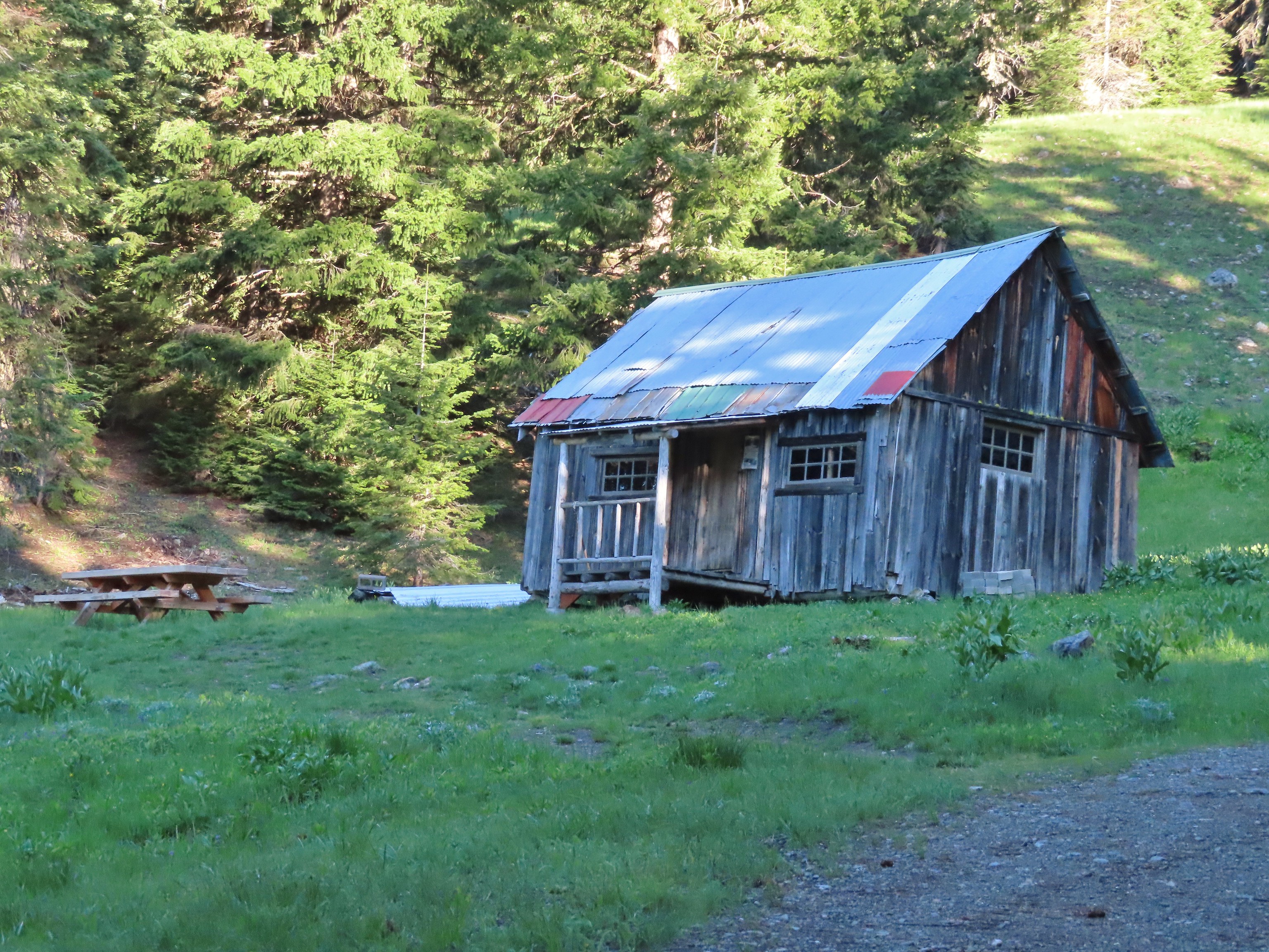 Donomore Cabin – Donomore Meadows, CA
 Mt. Ireland Lookout – Wallowa-Whitman National Forest, OR
 Cabin at Catherine Creek Meadows – Wallowa-Whitman National Forest, OR
 Reds Horse Ranch – Wallowa-Whitman National Forest, OR
 Lodge ruins – Wallowa-Whitman National Forest, OR
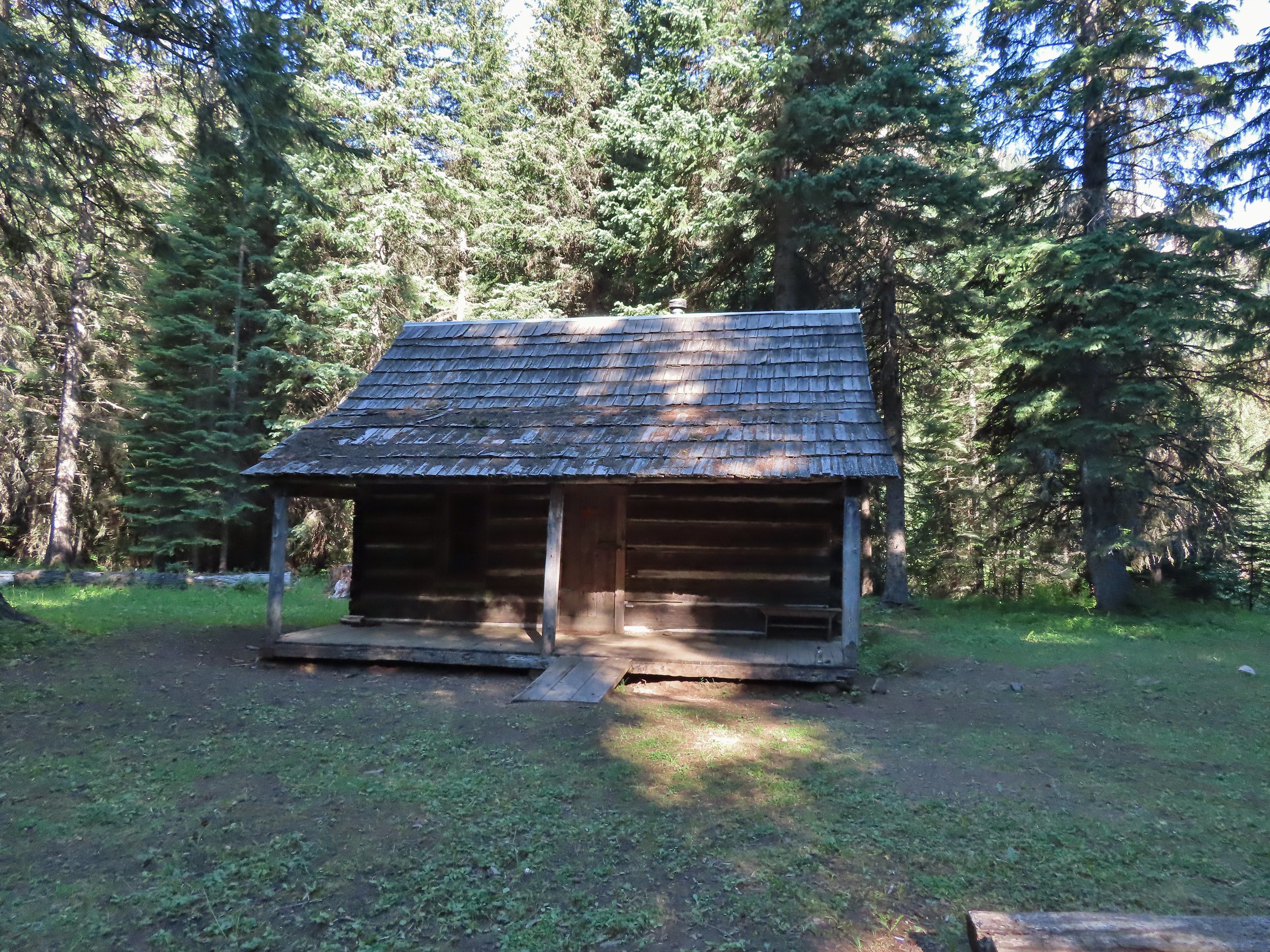 Bear Creek Guard Station – Wallowa-Whitman National Forest, OR
 Gazebo on Tick Hill – Wallowa, OR
 Spring above Southgate Meadows – Mount Shasta Wilderness, CA
 Panther Spring – Mount Shasta Wilderness, CA
 Remnants of the OSU Dean’s house – McDonald Forest, Corvallis, OR
 Talking Water Gardens – Water treatment wetlands, Albany, OR


 A bank of clouds was sitting directly over Portland but we could see the edge in the distance. We hopped that the clouds would either burn off or move along.


 Junction with the Birch Trail.
 A wren busy pecking at a log.
 Junction with the Aspen Trail. As we descended we left most of the snow, and the icy conditions, behind.
 Holman Lane Junction.
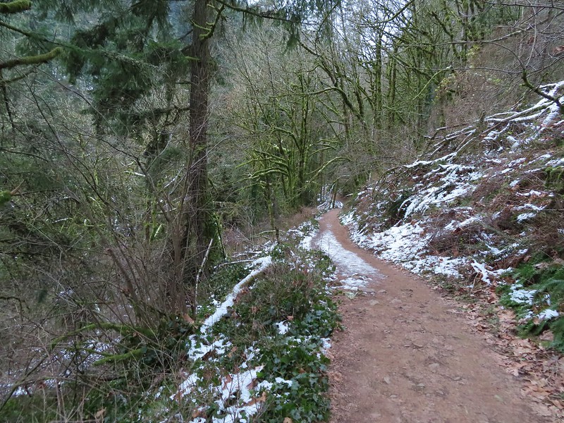
 Balch Creek and the Lower Macleay Trail (Currently closed due to construction.)
 Icicles over Balch Creek.

 Going uphill before it got really slick.
 Wilwood Trail at Macleay Park Trailhead.
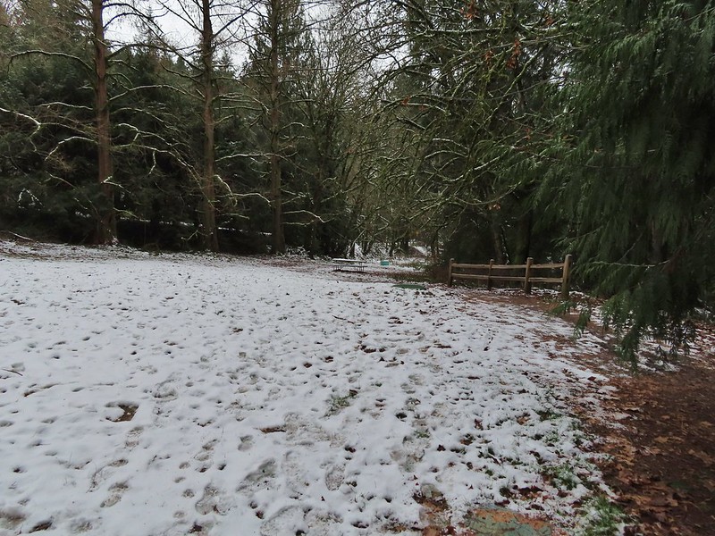


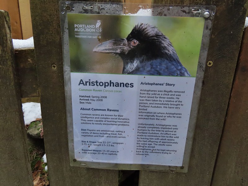
 We took this raven to be the “lookout”.


 Bench at the end of the Creek Trail.
 Pond along the Jay Trail,
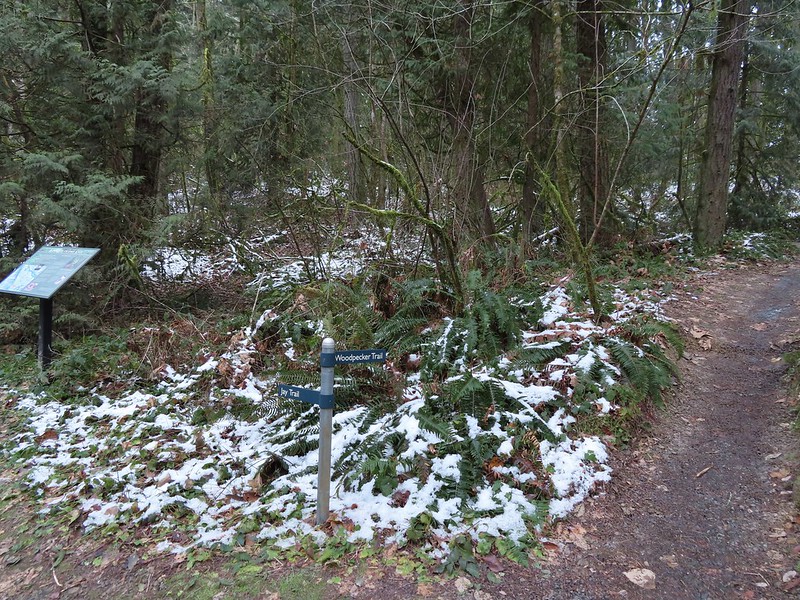 Junction with the Woodpecker Trail.
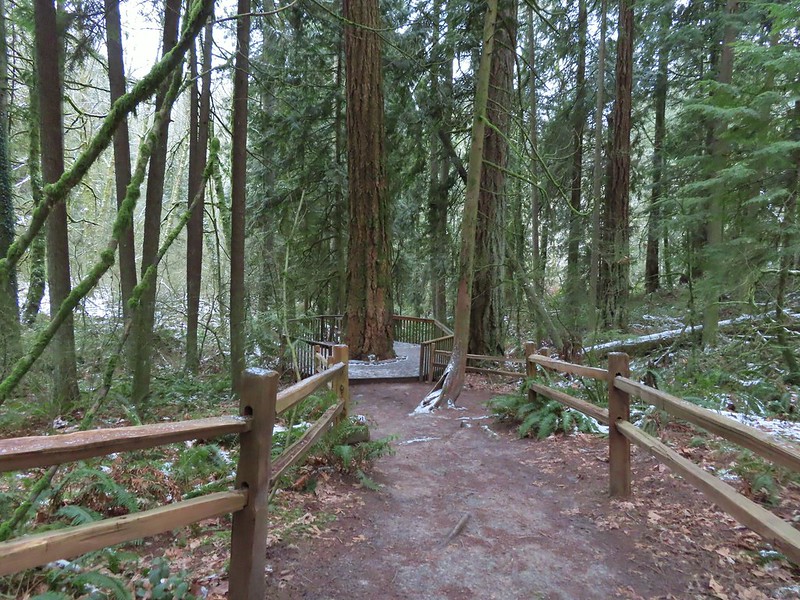 Big Douglas fir.
 I continue to struggle to get a clear photo of a varied thrush.
 Jay Trail junction with the Wren Trail.
 Nearing the pond from the other side.
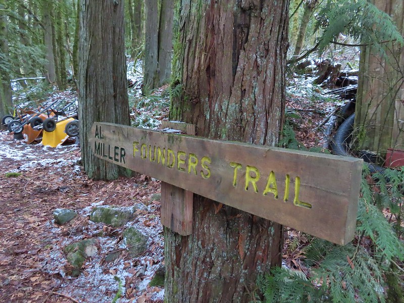


 Stairs up to the trail junction.
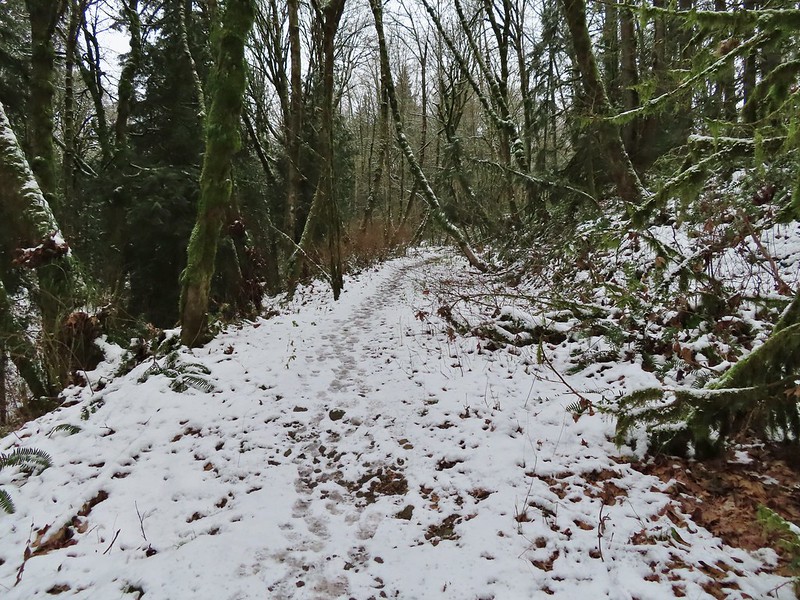

 Baseball sized jelly fungus, the largest we’ve seen.
 Descending to the South Collins Trail.
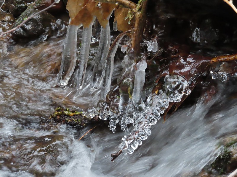 More ice formations.

 We planned on returning via the Upper Macleay Trail.
 Heather descending the slick section with a trail runner behind that had attempted to get up the hill but was turning back.
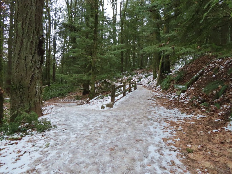 Cumberland Trail junction.

 The trail runner in blue.
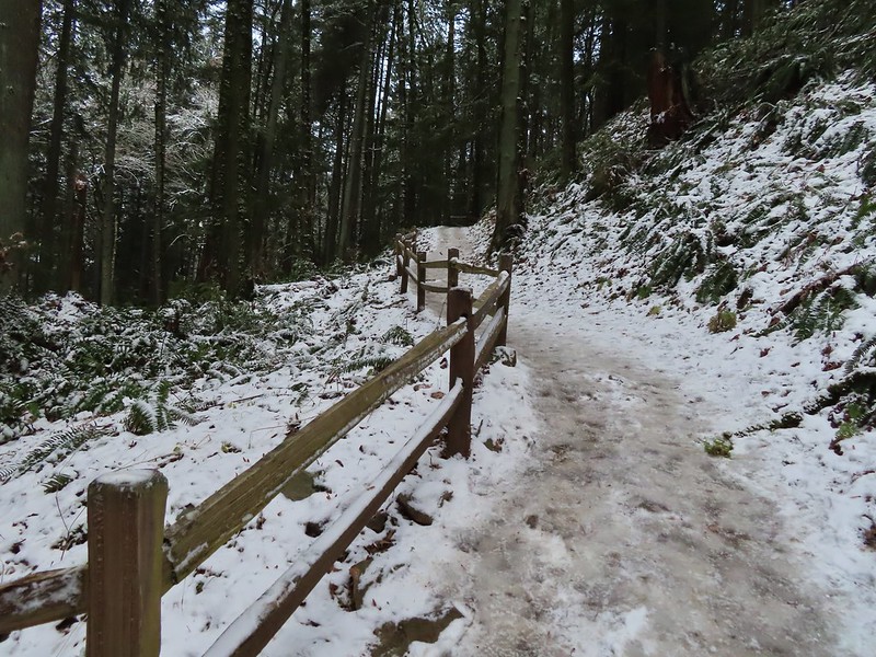
 Heather coming up behind me.
 Arriving at the
  Pittock Mansion
 A line of blue sky beyond the cloud cover.
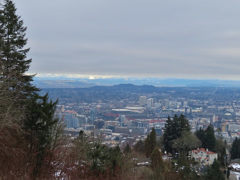 Portland from Pittock Mansion.
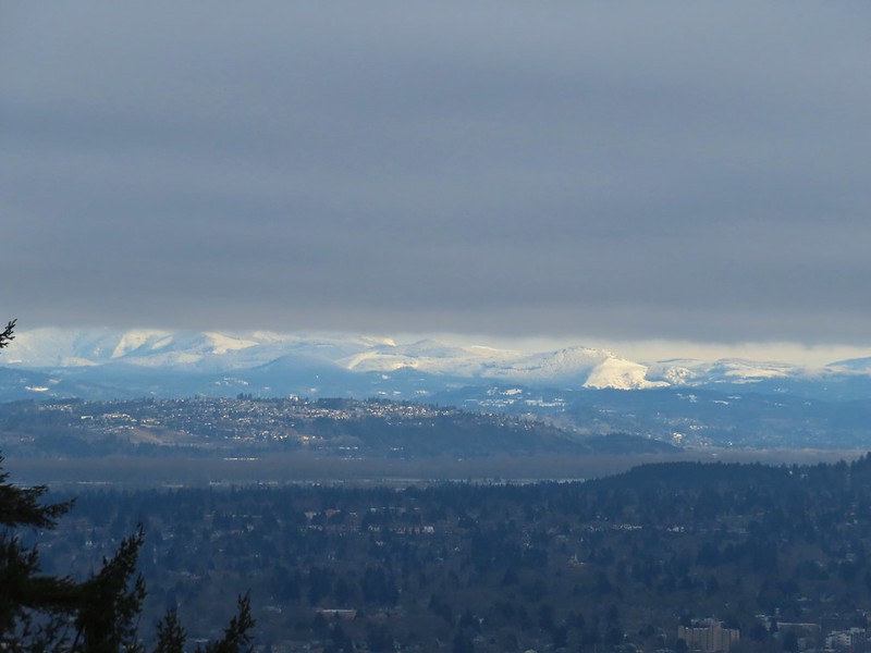 Snowy foothills in the sunlight beyond the Columbia River.

 Entering the Macleay Park Trailhead.
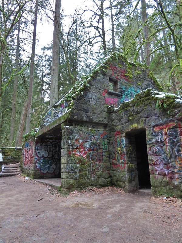 One last look at the Witch’s Castle.
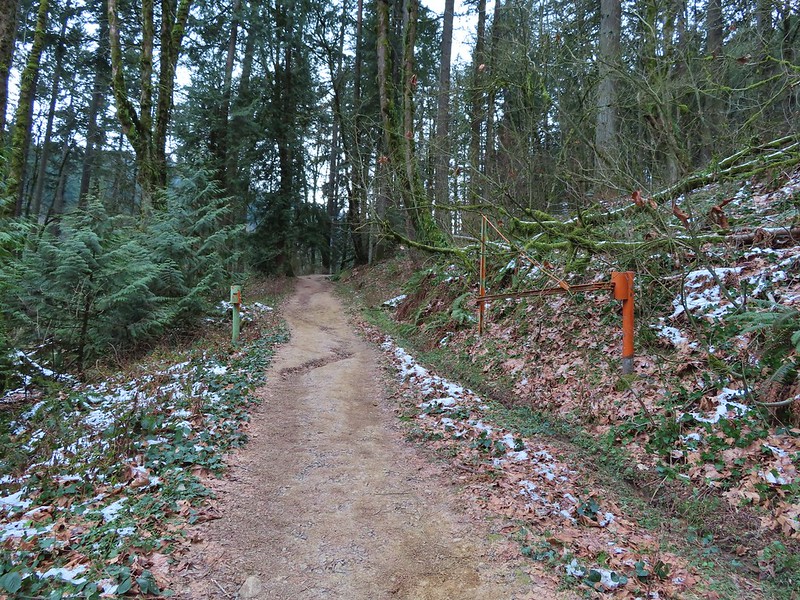 Holman Lane started out snow and ice free.
 Back to the snow and ice higher up.
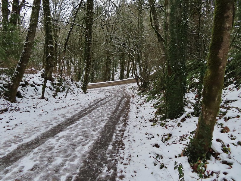 NW 53rd Drive
 Birch Trailhead
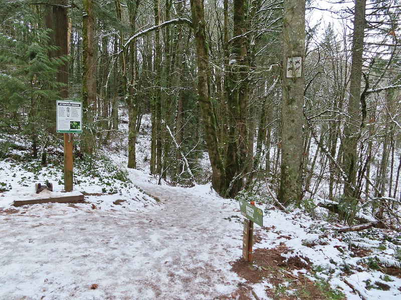 The microspikes went back on before descending the Birch Trail and stayed on for the remainder of the hike.
 Sparrow foraging on the Birch Trail.
 Back to the Wildwood Trail.
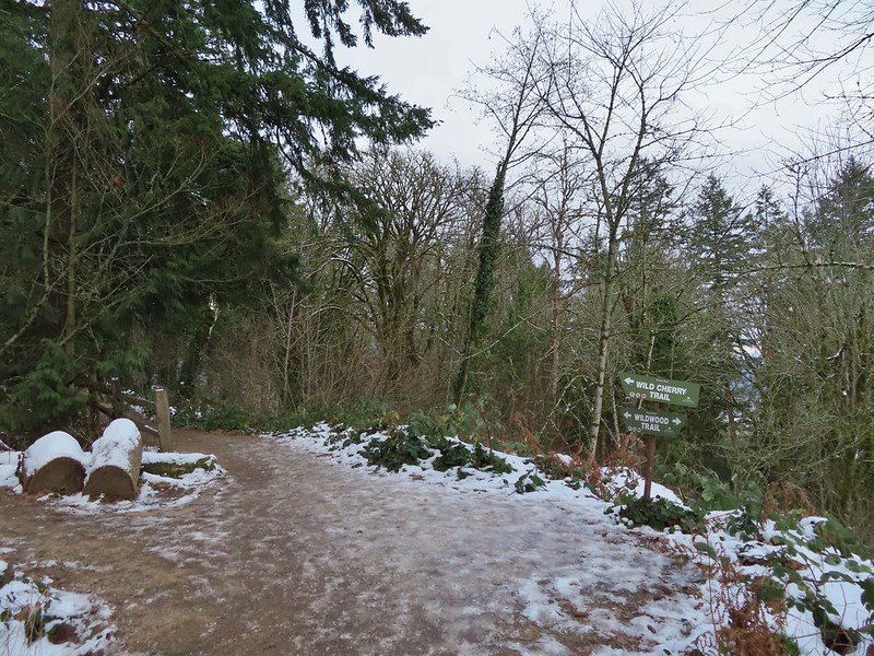 Wild Cherry Trail junction.
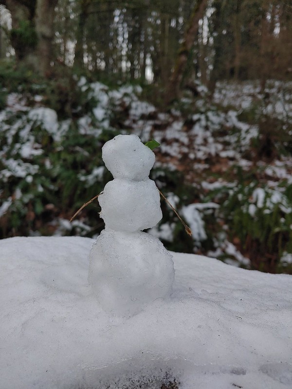 Little snowman near the junction.
 Is that a bit of blue in the sky finally?
 Snowy mushrooms
 A break in the clouds provided some blue sky above the Keil/Dogwood Trail junction.
 Woodpecker that wasn’t a bit concerned about my presence.
 The Subaru waiting for us at the trailhead.
 .
.

 Switchback along the Wild Cherry Trail.
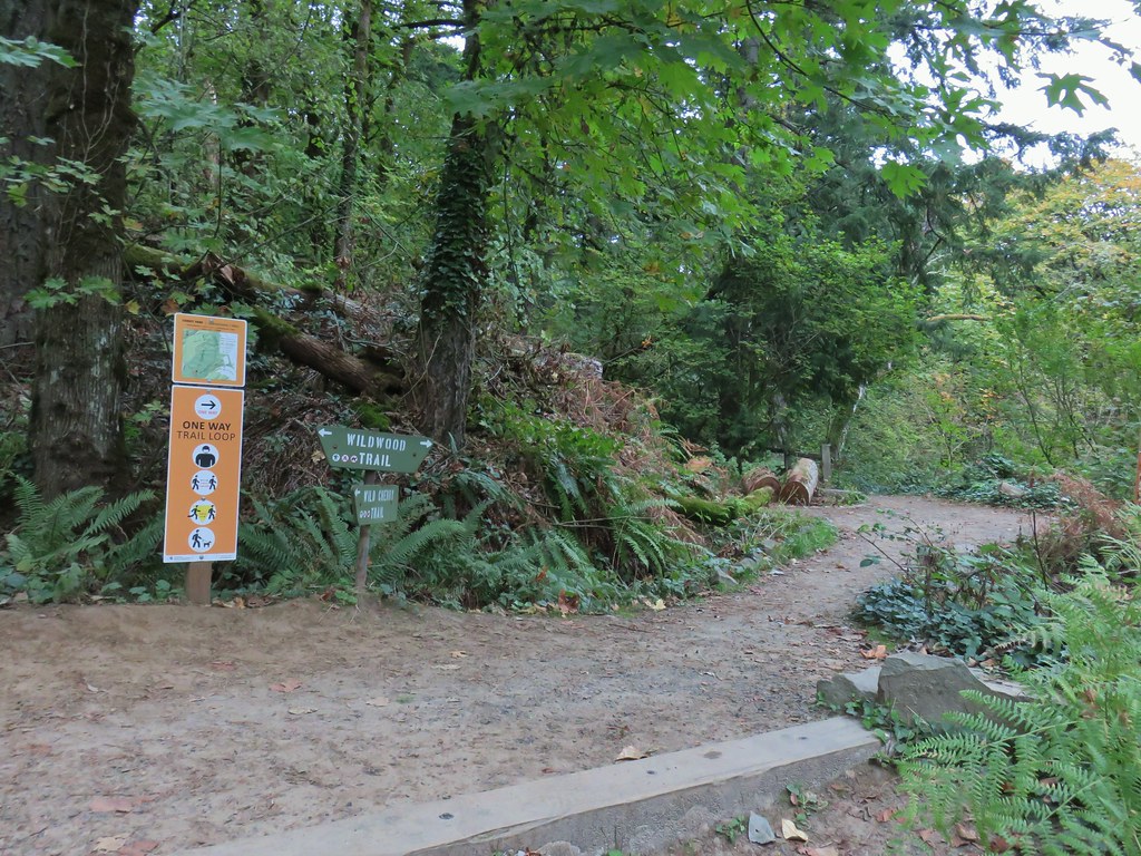


 This was the first slug we recall seeing of this color.
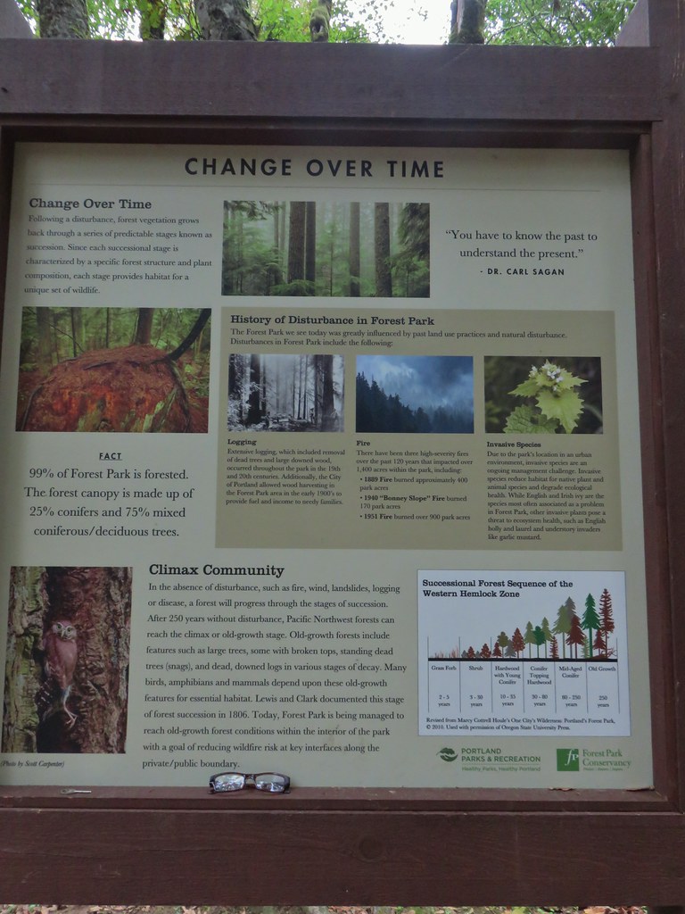 Interpretive sign at the NW 53rd parking area.
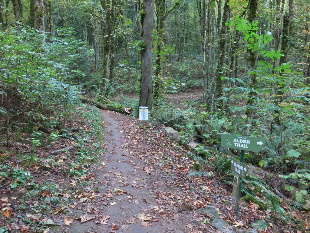


 The bridge damage was not an issue.
 Another bunch of musrhooms.

 Firelane 1 junction.

 The fork, left was downhill right up.


 Firelane 1
 Somewhere along Leif Erikson there was supposed to be a view of Mt. St. Helens, Mt. Adams and Mt. Hood along the way but the clouds never burned off like the forecast had called for.
 The Alder Trail at Leif Erikson Dr.
 An orange one-way marker along Leif Erikson Drive between the Dogwood and Wild Cherry Trail junctions.
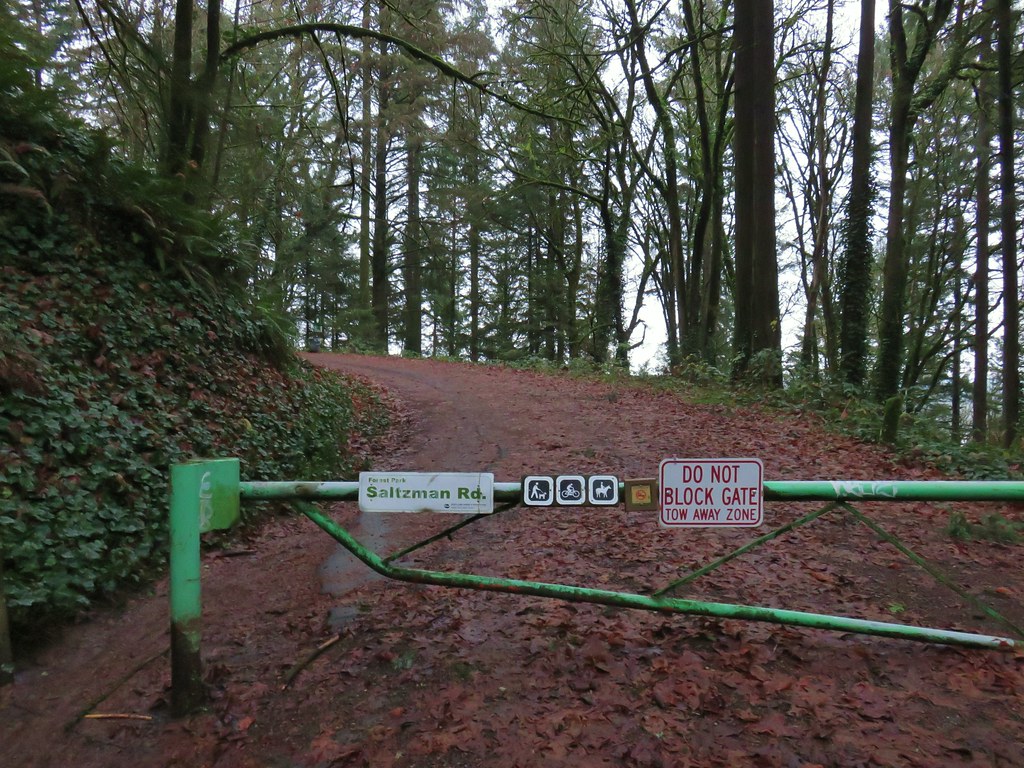


 Bridge over a small stream.
 Heading into a little bit of fog.
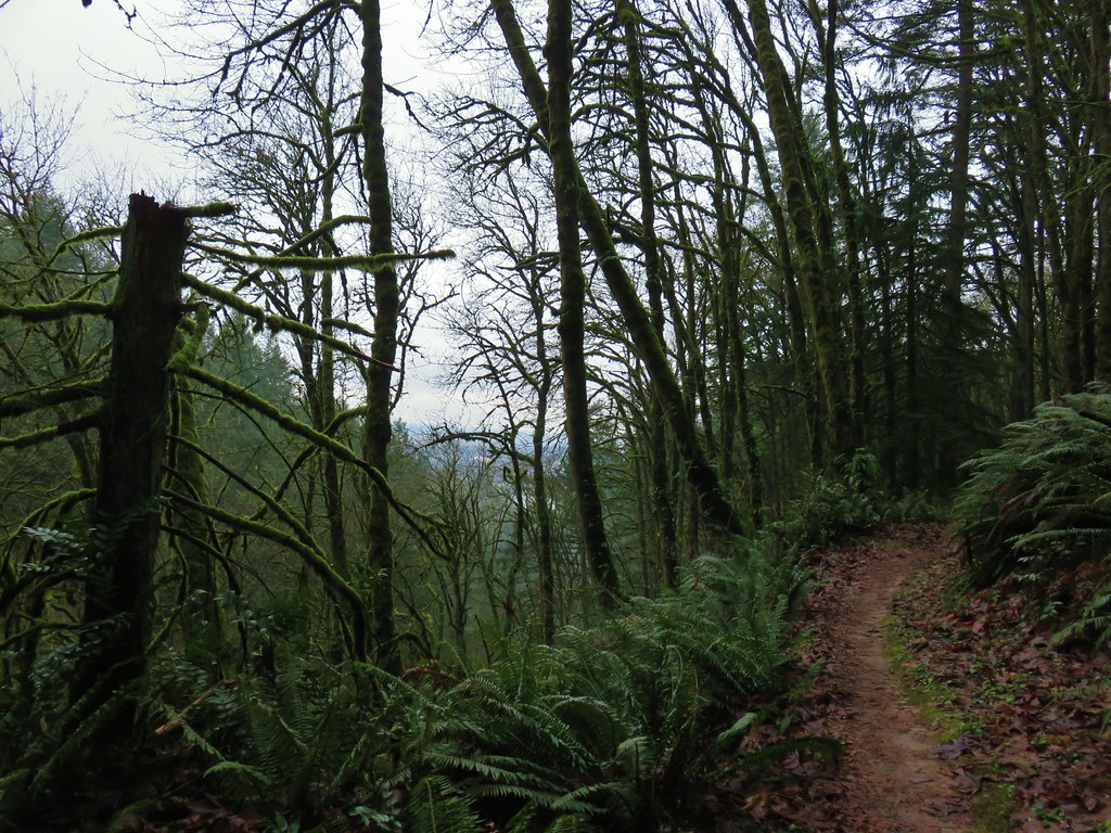 Too cloudy for any real views.


 Saltzman Road at the 2.5 mile mark of the 3.2 mile stretch.
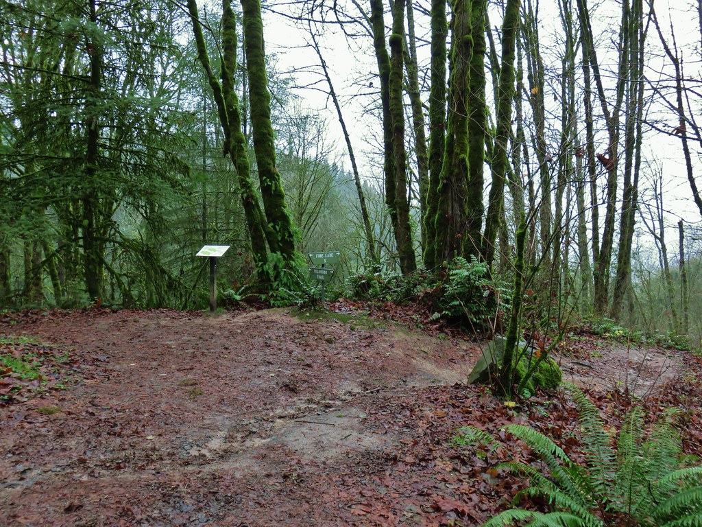

 Aproaching Leif Erikson Drive.
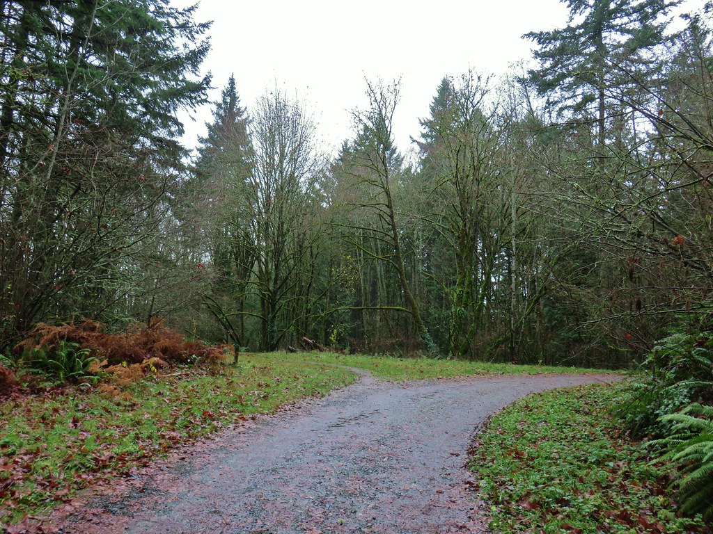


 Hawthorn Bridge


 Marquam Bridge from Tilikum Crossing.
 Tilikum Crossing from the esplanade.
 Behind OMSI
 More geese.
 Cormorants
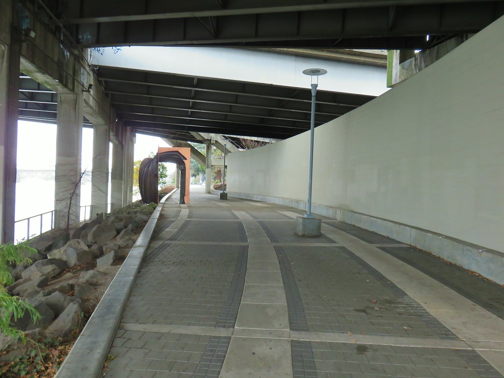


 Waterline Trail junction
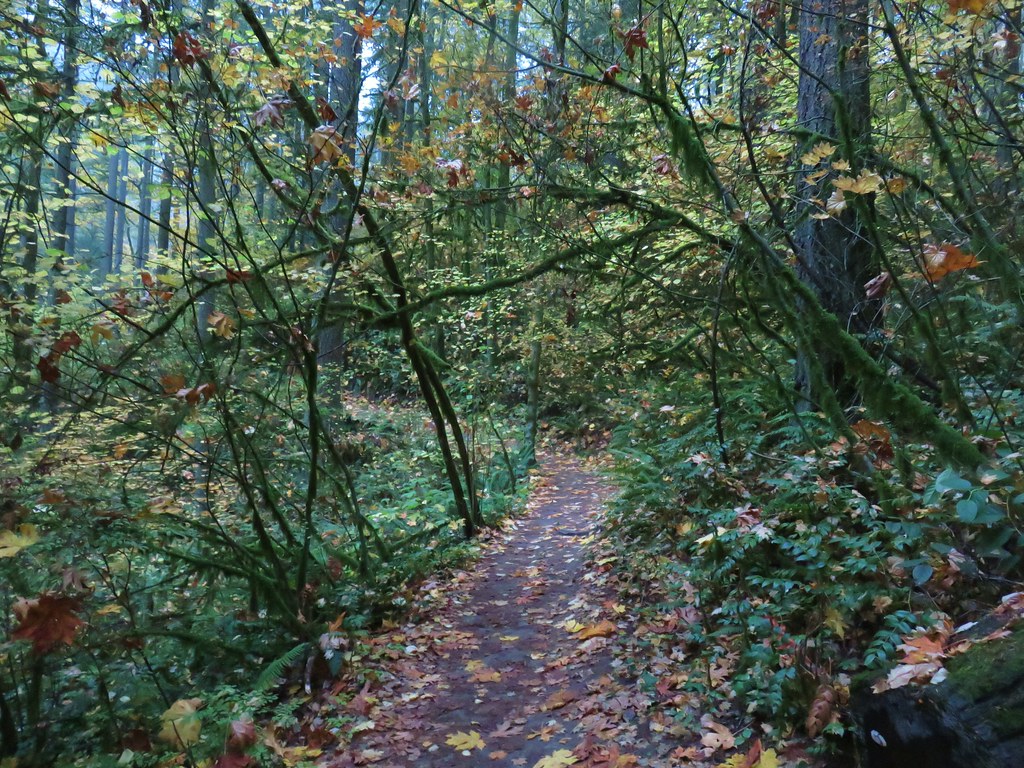
 Map at the Springville Road junction.
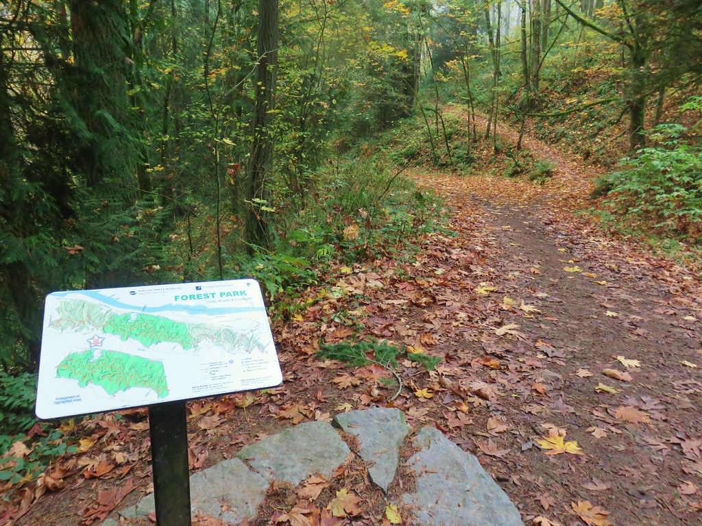
 Ridge Trail junction