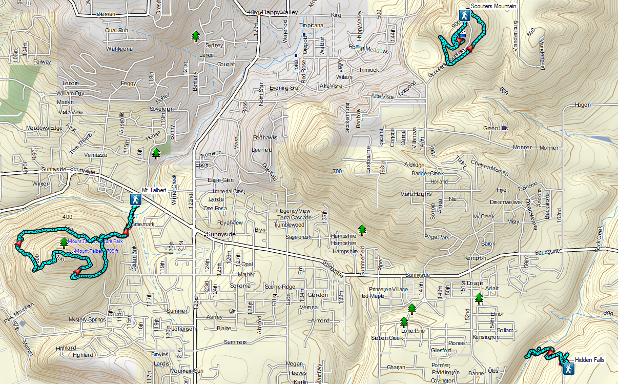
For our final outing of 2023 we headed to Portland to visit some Boring volcanoes. Not to be confused with boring, the Boring Volcanic Field which consists of more than 80 small volcanic vents and associated lava flows dispersed throughout the greater Portland-Vancouver metropolitan area. Several of the resulting cinder cones are home to parks providing hiking opportunities and we planned on visiting three of these along with a city park with a 15′ waterfall.
We began our morning at Portland’s Mt. Tabor Park. We parked in in the lot next to the Mount Tabor Visitors Center and set off toward the playground.
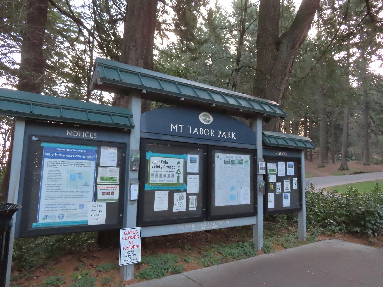 The playground behind and to the right of the signboard at the Visitors Center.
We were attempting to follow, as closely as possible, the route described by Matt Reeder in “PDX Hiking 365”. (His hike has a different starting point but loops through the parking area where we were starting.) After a little confusion near the playground we located the red trail and followed it to the Mount Tabor Stairs where we turned right.
 The red trail continuing on the far end of the playground.
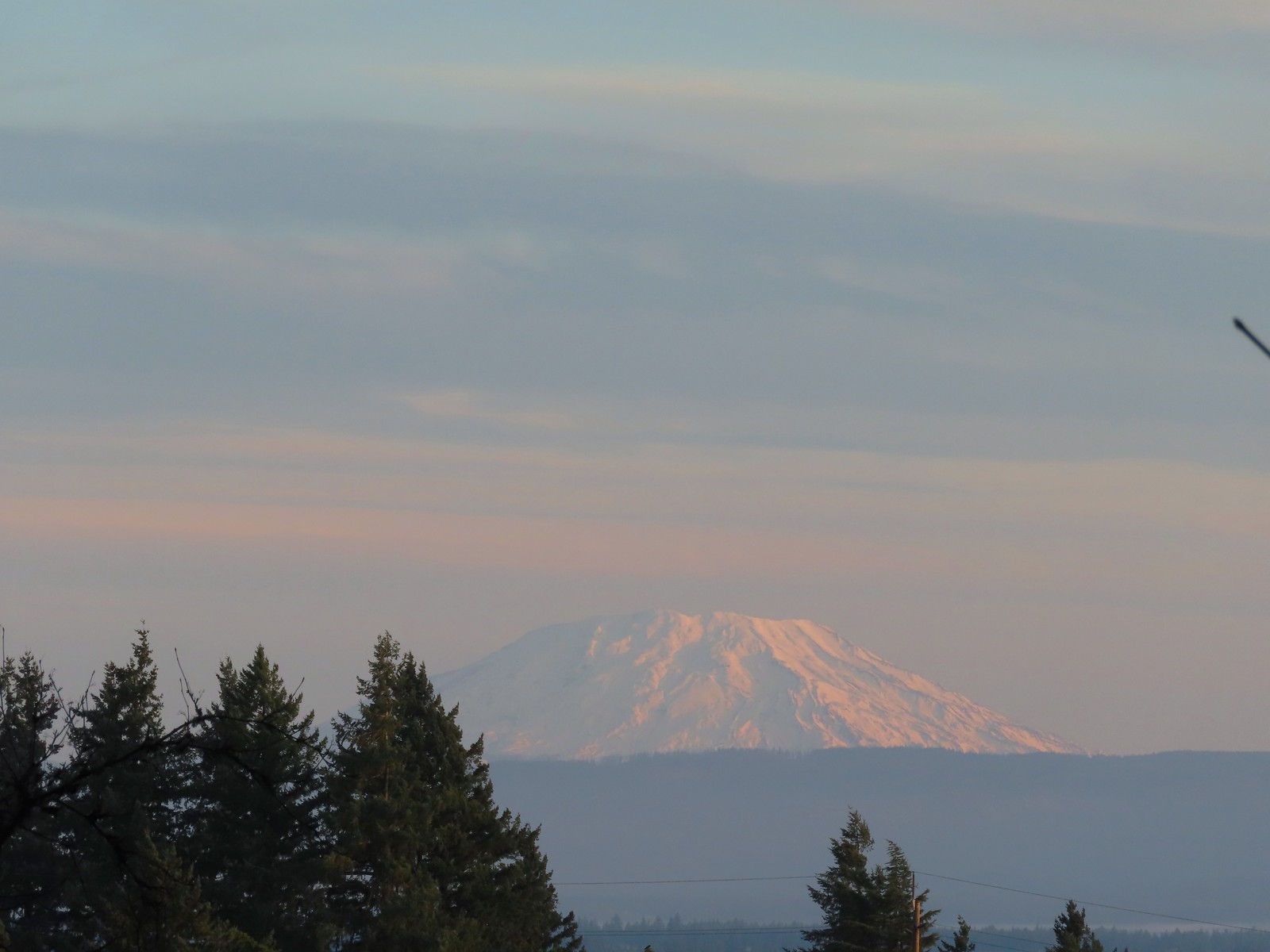 Mt. St. Helens from the playground.
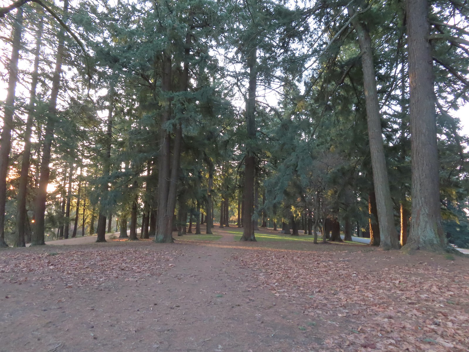
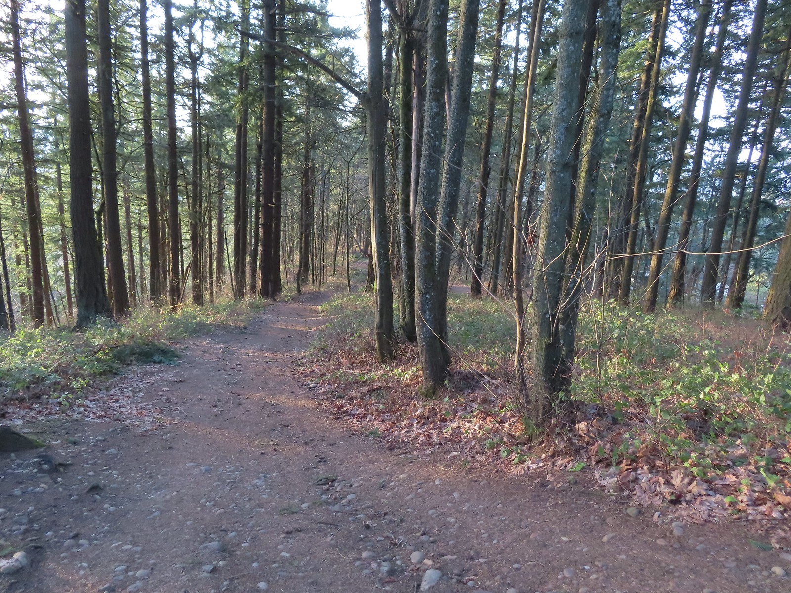
 On the red trail.
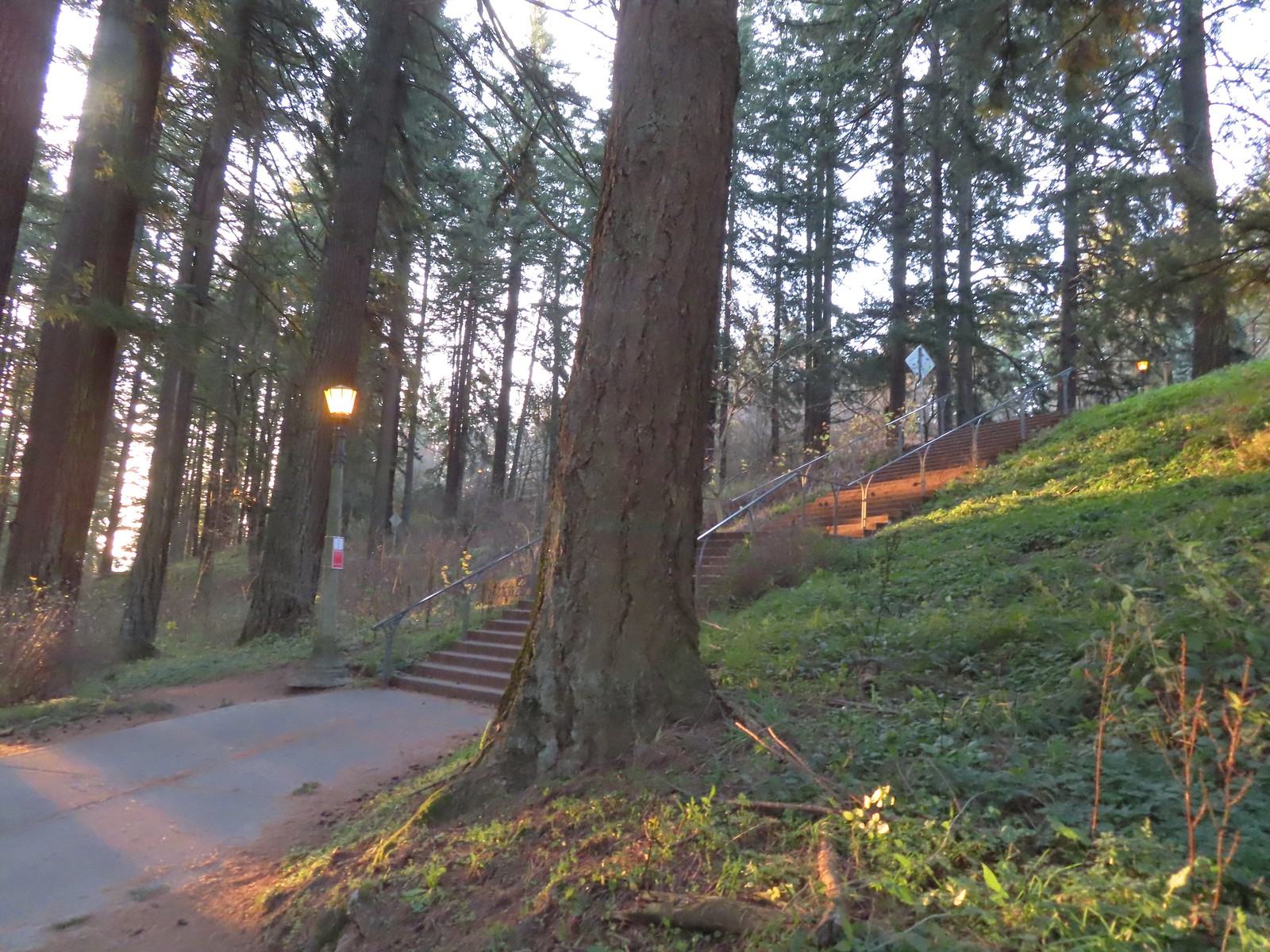 The Mount Tabor stairs extend from the park border up to the summit.
 Summit restrooms
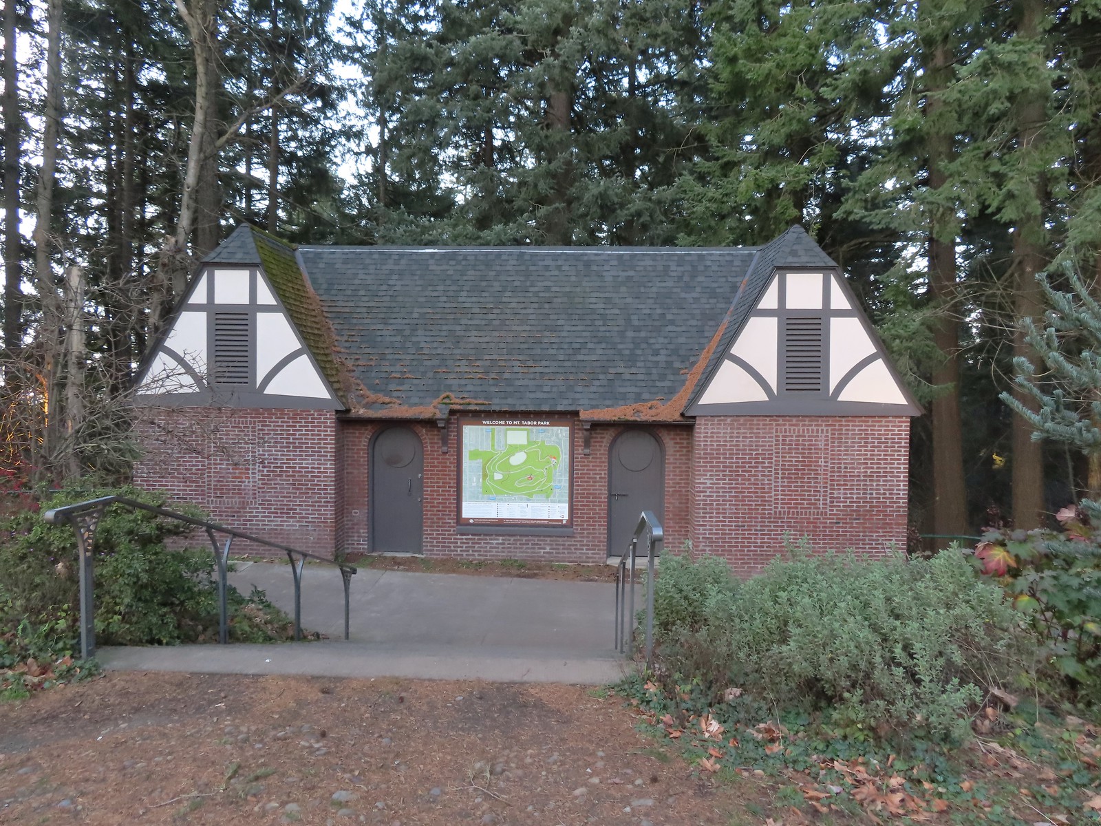 The restrooms were reopened in 2017 after being renovated.
 Mount Tabor summit
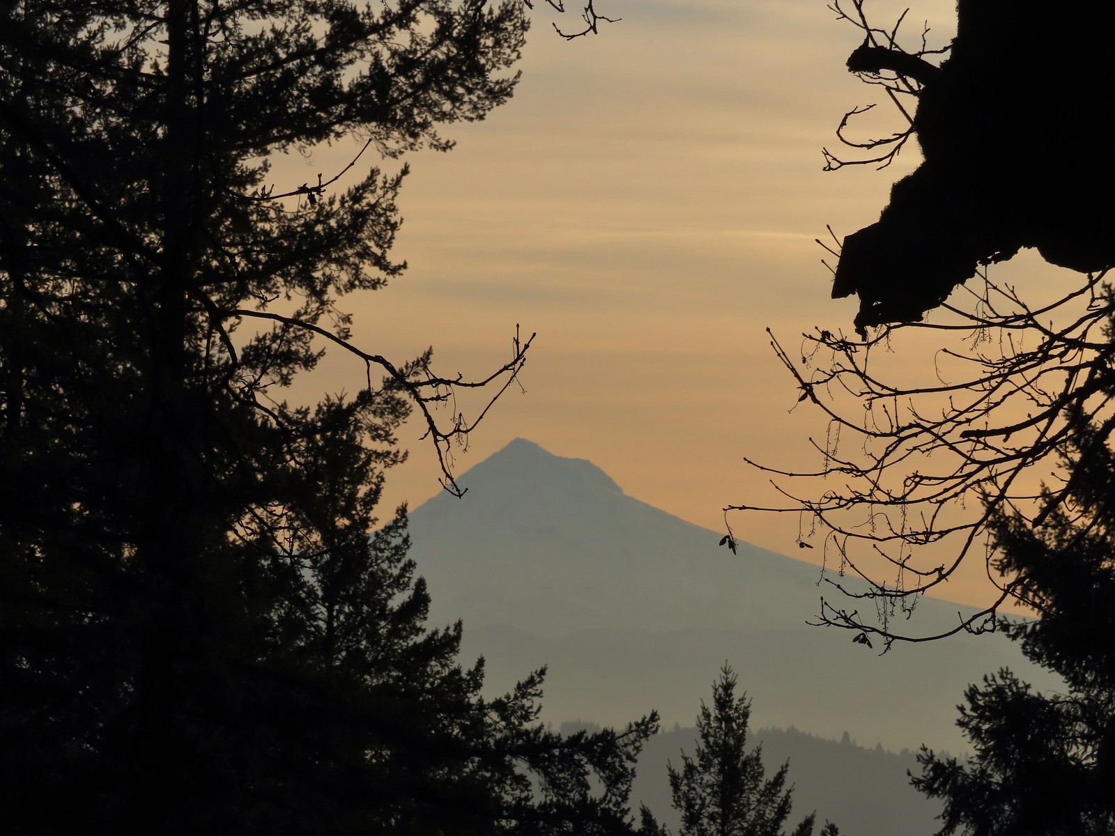 Mt. Hood from the summit.
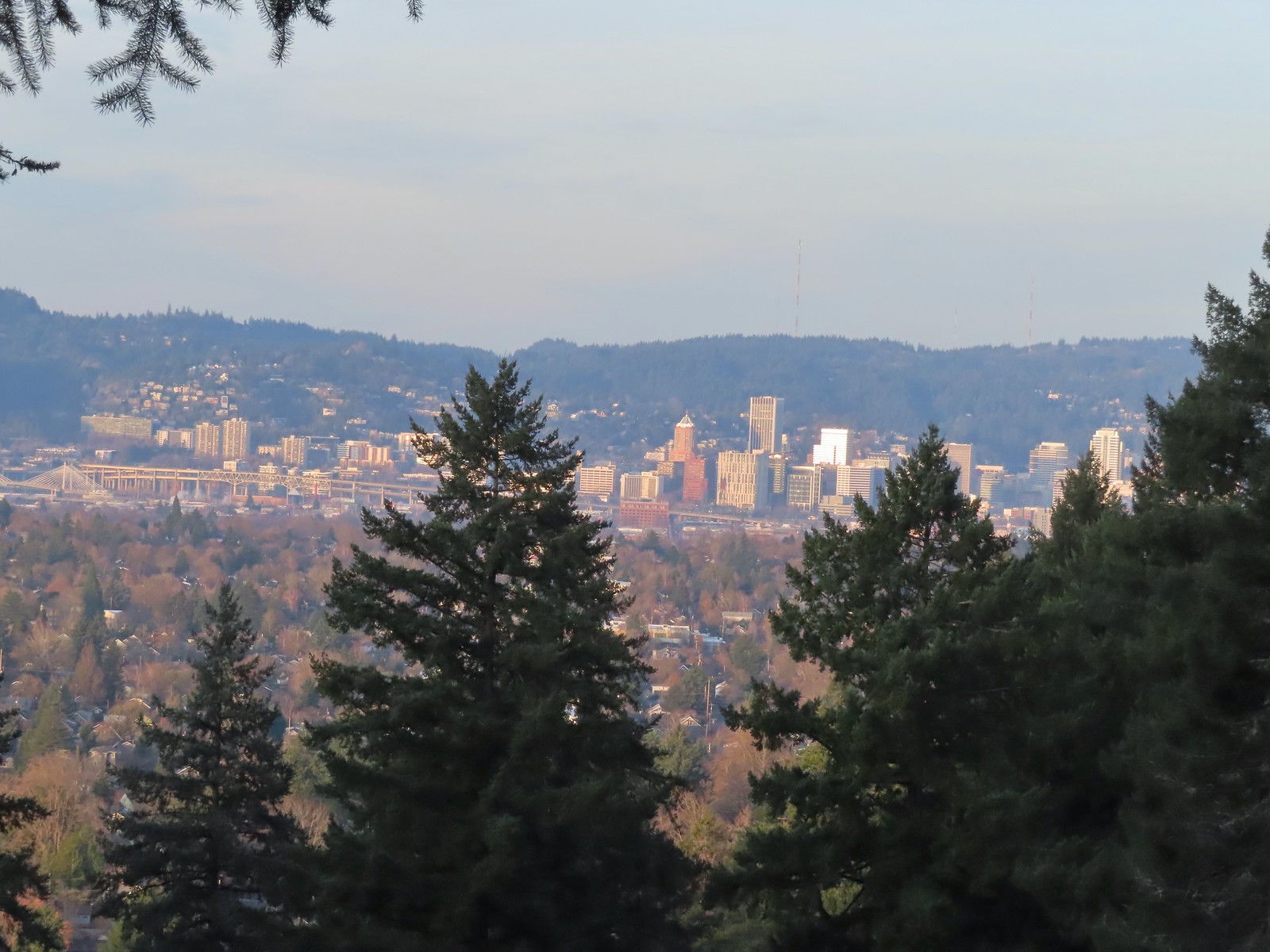 Downtown Portland
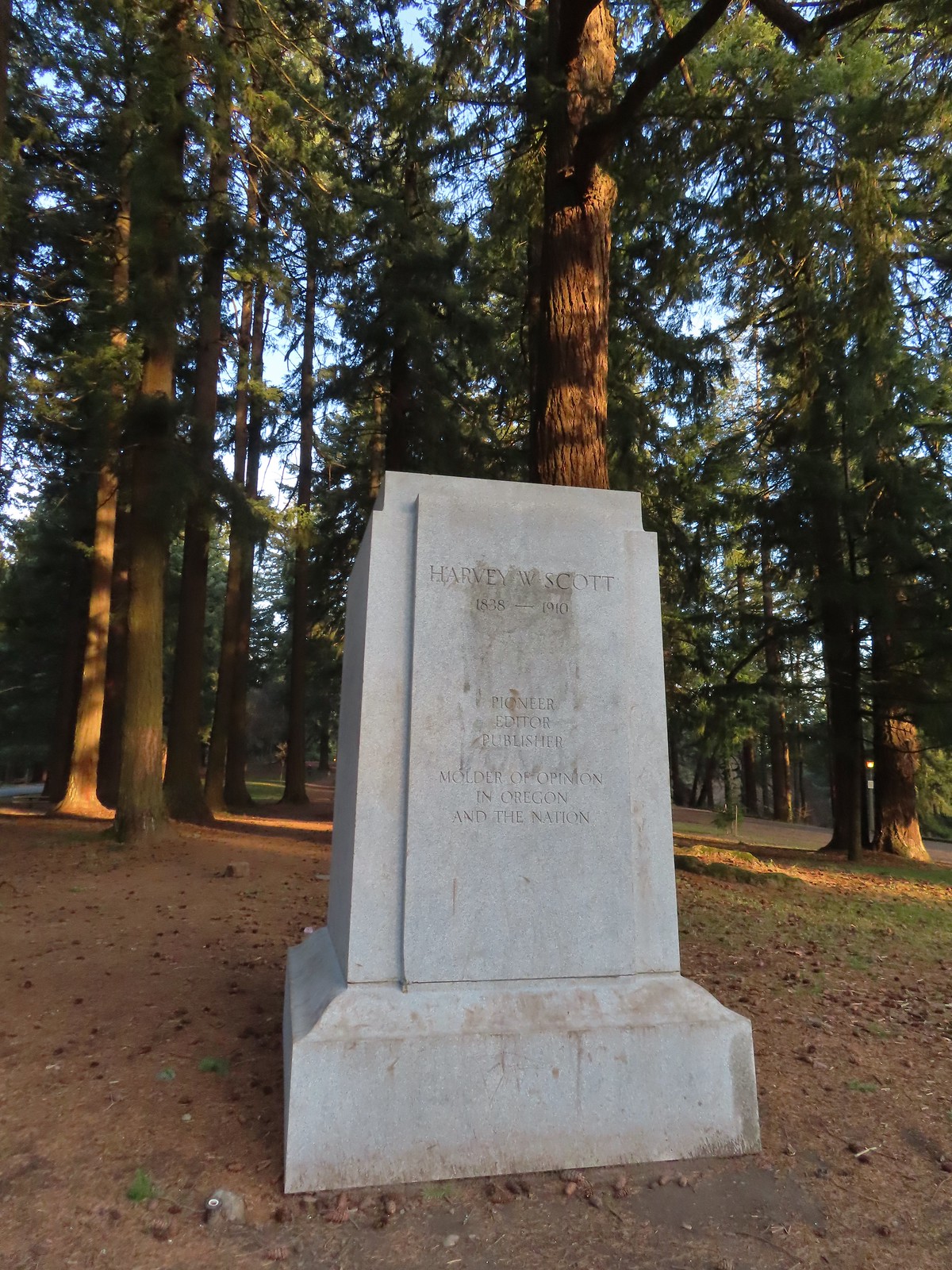
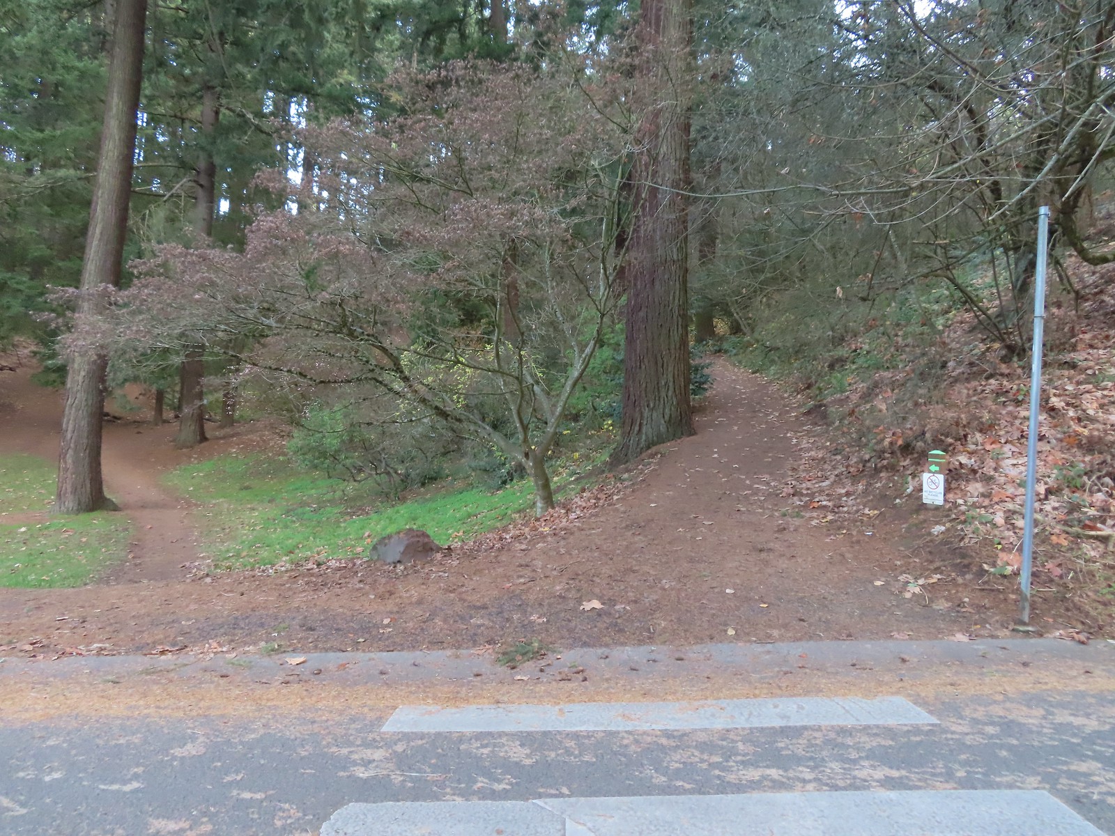
At the southern end of the summit, near the former site of a statue of Harvey W. Scott (and later a bust of York), we headed downhill on a steeper trail.
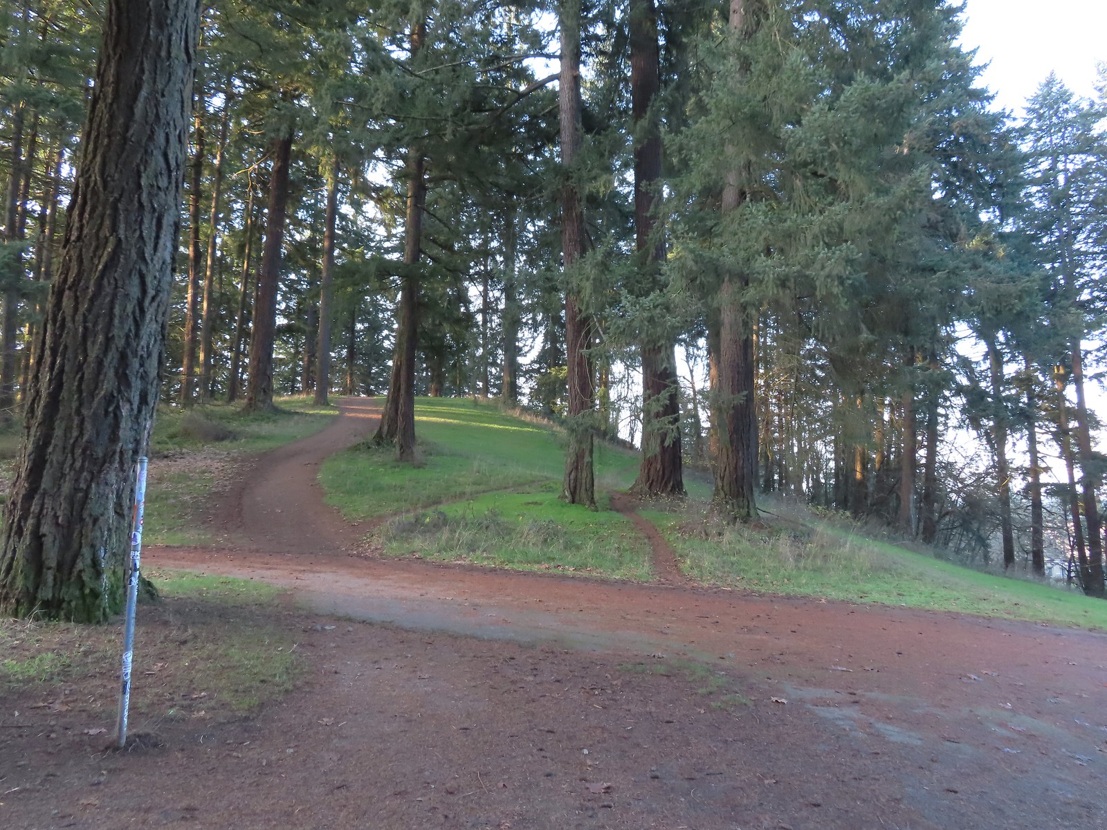
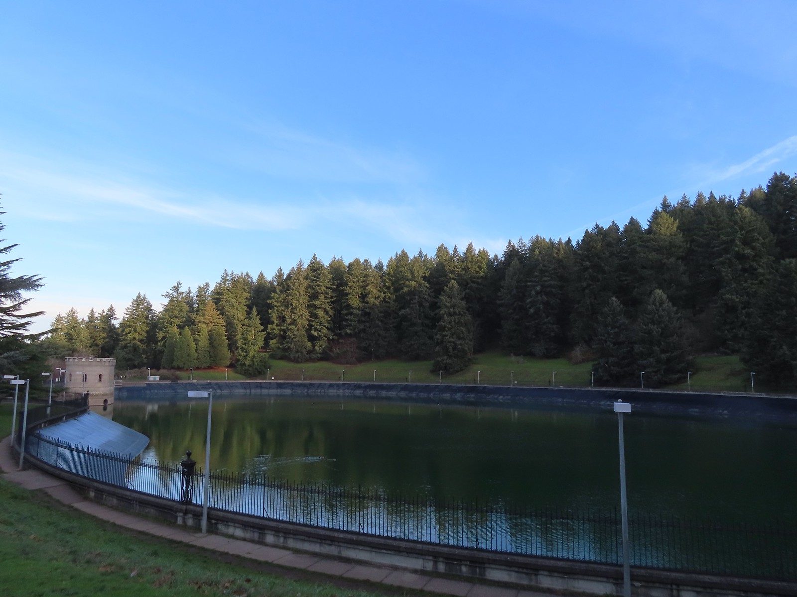
At a wide junction we turned right onto the Red Trail and passed above Reservoir No. 1.
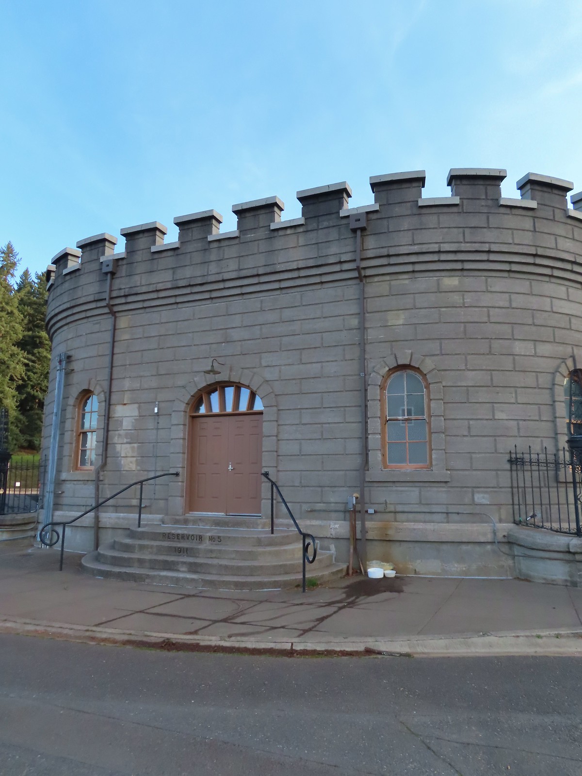
At Reservoir Loop Road we veered left staying on the Red Trail climbing up and over Poison Oak Hill. The trail then dropped back down to the loop road near Reservoir No. 5.

 Mallards
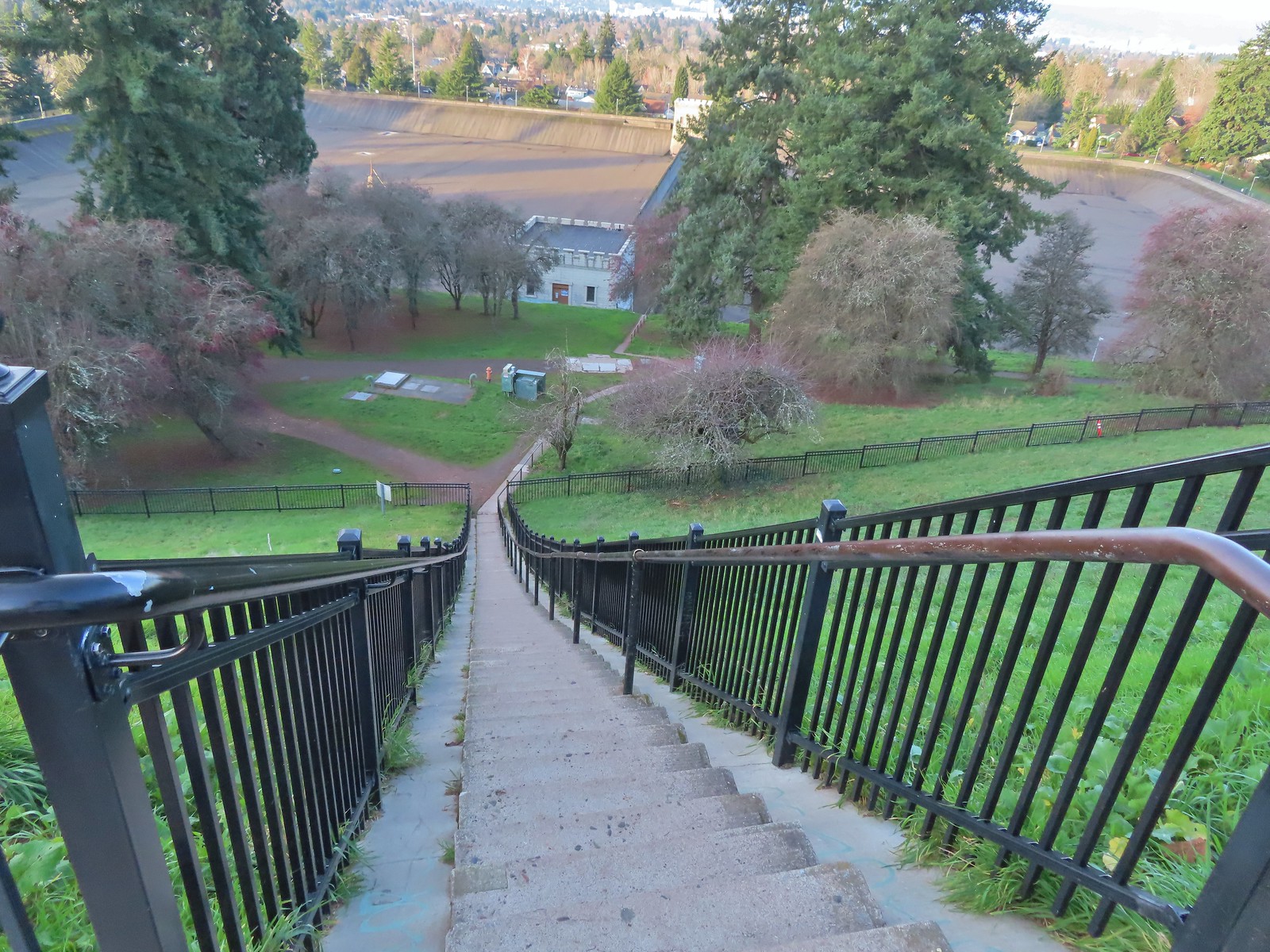
We walked along reservoir road to a small building then crossed the road and headed down a long flight of stairs.


At the bottom of the stairs we turned right on the Green Trail and followed it past some tennis courts before turning uphill. We stuck to the Green Trail as it neared the parking area and followed it back behind The Crater before arriving back at the Visitors Center.

 We forked right at this junction sticking to the green pointers.
 Arriving at The Crater.
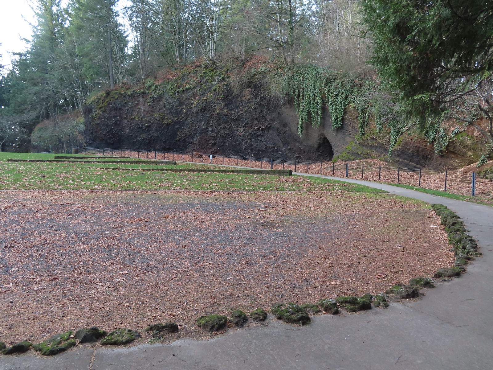 Coming around The Crater near the Visitors Center.
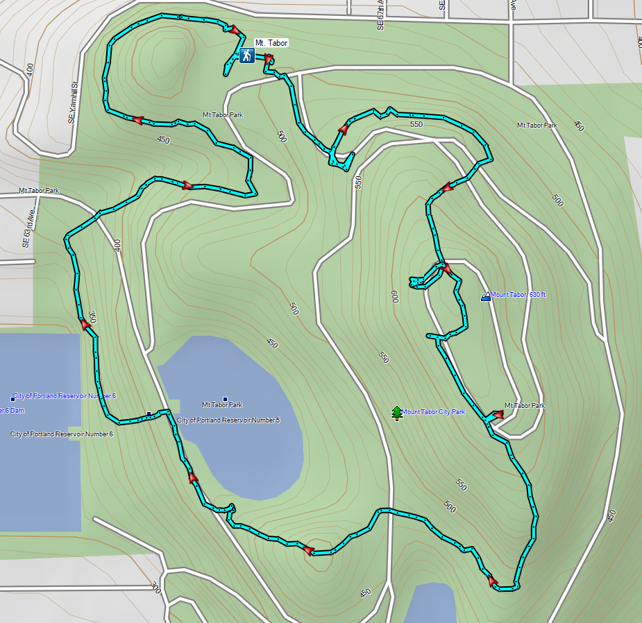
This was just over a two-mile loop with approximately 350′ of elevation gain.
From Mount Tabor we made the nine-mile drive to the Sunnyside Road Trailhead for the Mount Talbert Nature Park.

We set off on a gravel path that descended to a metal bridge over Mount Scott Creek.
 Mount Talbert from the path.

 Mount Scott Creek
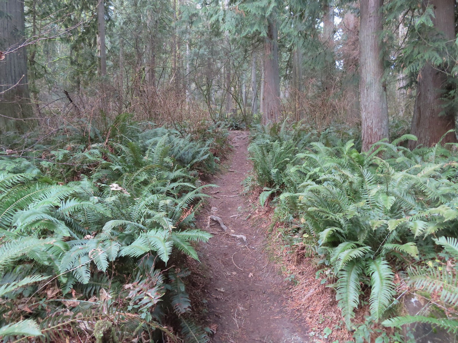
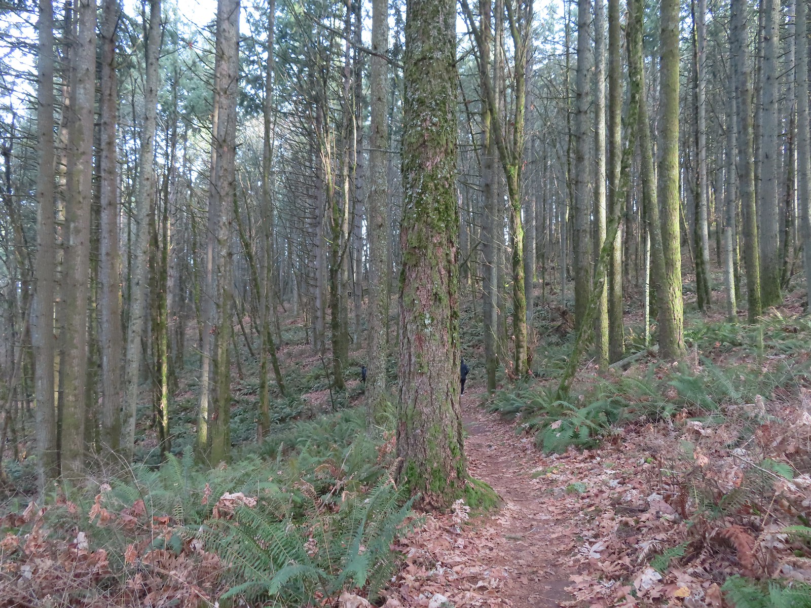
Beyond the creek the forested trail began to climb Mount Talbert. We passed a junction with the Cedar Park Trail joining from the left and after 0.4-miles arrived at a T-junction with the Park Loop Trail.

 The Park Loop Trail junction just uphill.
Mount Talbert is an Oregon Metro park which meant well marked junctions complete with small maps.
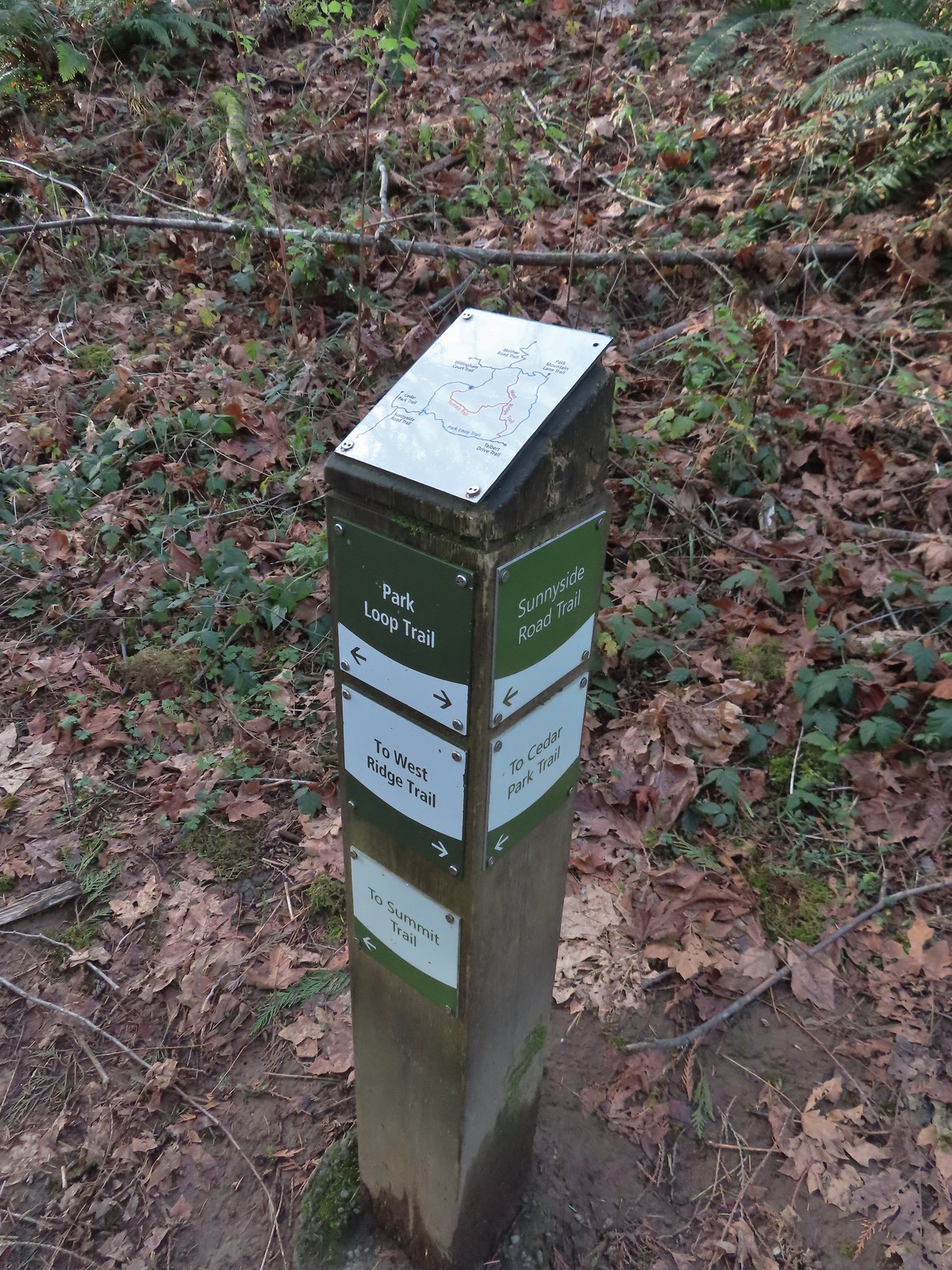 Note that the map at the Park Loop/Sunnyside Road Trail junction mis-identifies the location with the “You Are Here” star located at the Park Loop/Summit Ridge junction.
We turned left onto the Park Loop Trail and followed it further uphill to the actual Summit Ridge Trail junction.

We turned right onto the Summit Ridge Trail and followed it up and over the wooded summit to the West Ridge Trail.
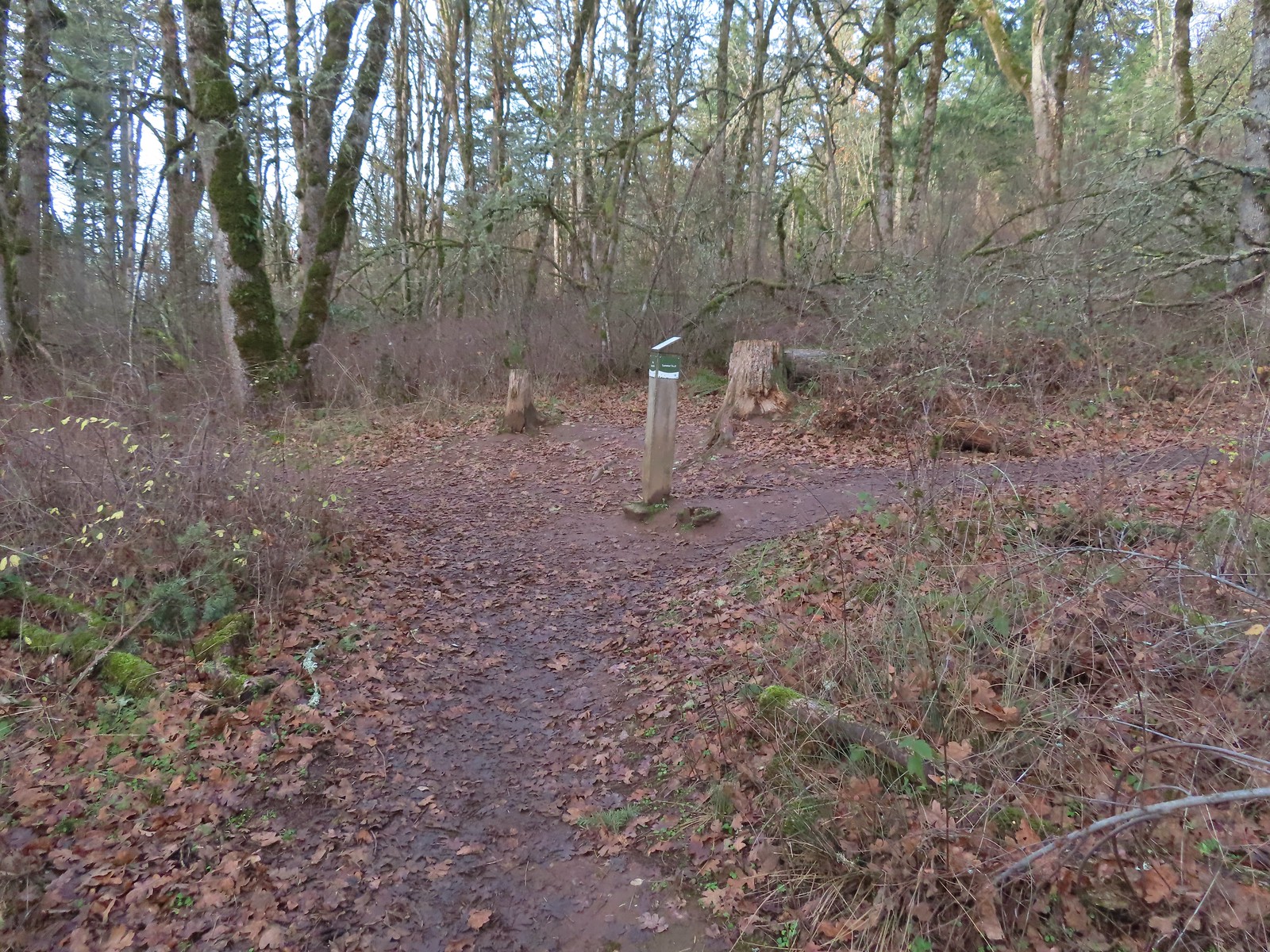
 Arriving at the West Ridge Trail junction.
We turned right again and followed the West Ridge Trail as it traversed the hillside brining us back to the Park Loop Trail.
 Rejoining the Park Loop Trail.
We completed the loop and turned down the Sunnyside Road Trail to return to our car to complete this 2.5-mile (and 700′ gain) hike.
 Mt. Adams was visible through the web of small branches.
 A snowy Mt. Adams.
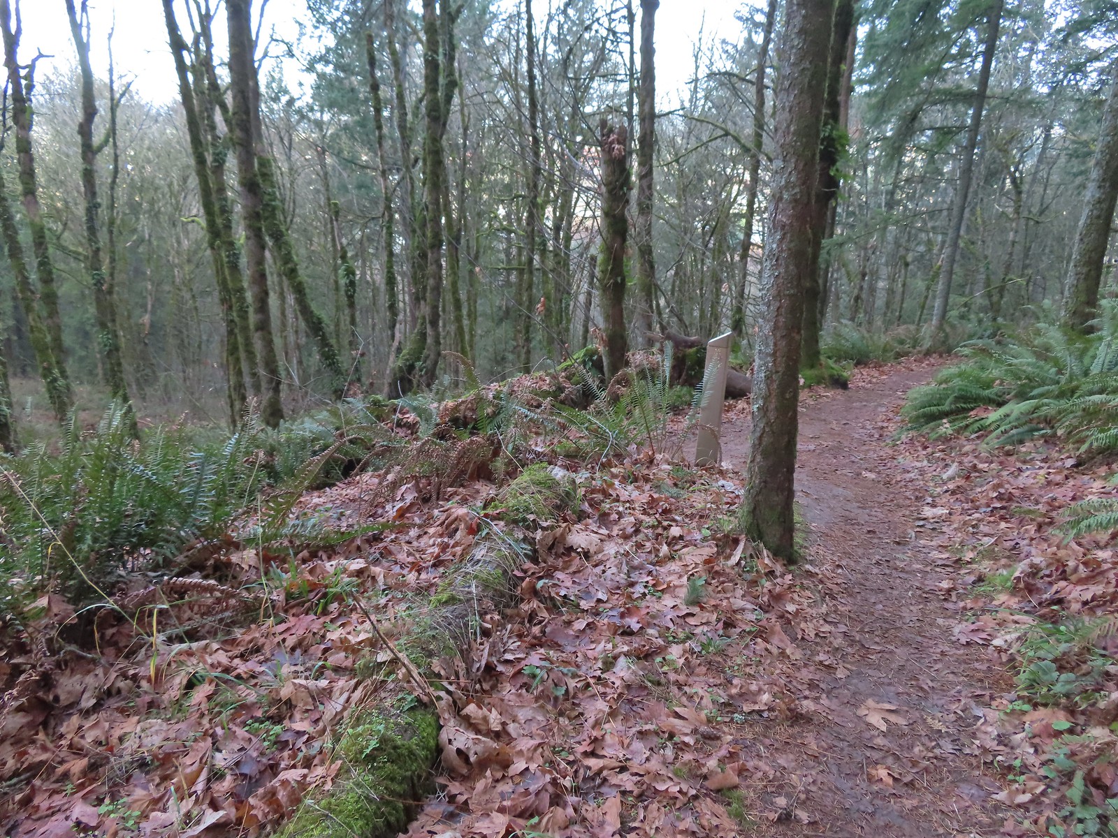
 Back at the Sunnyside Road Trail.
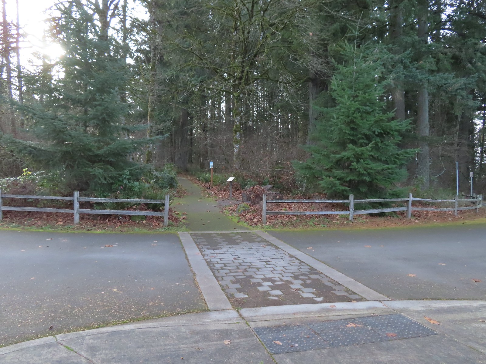
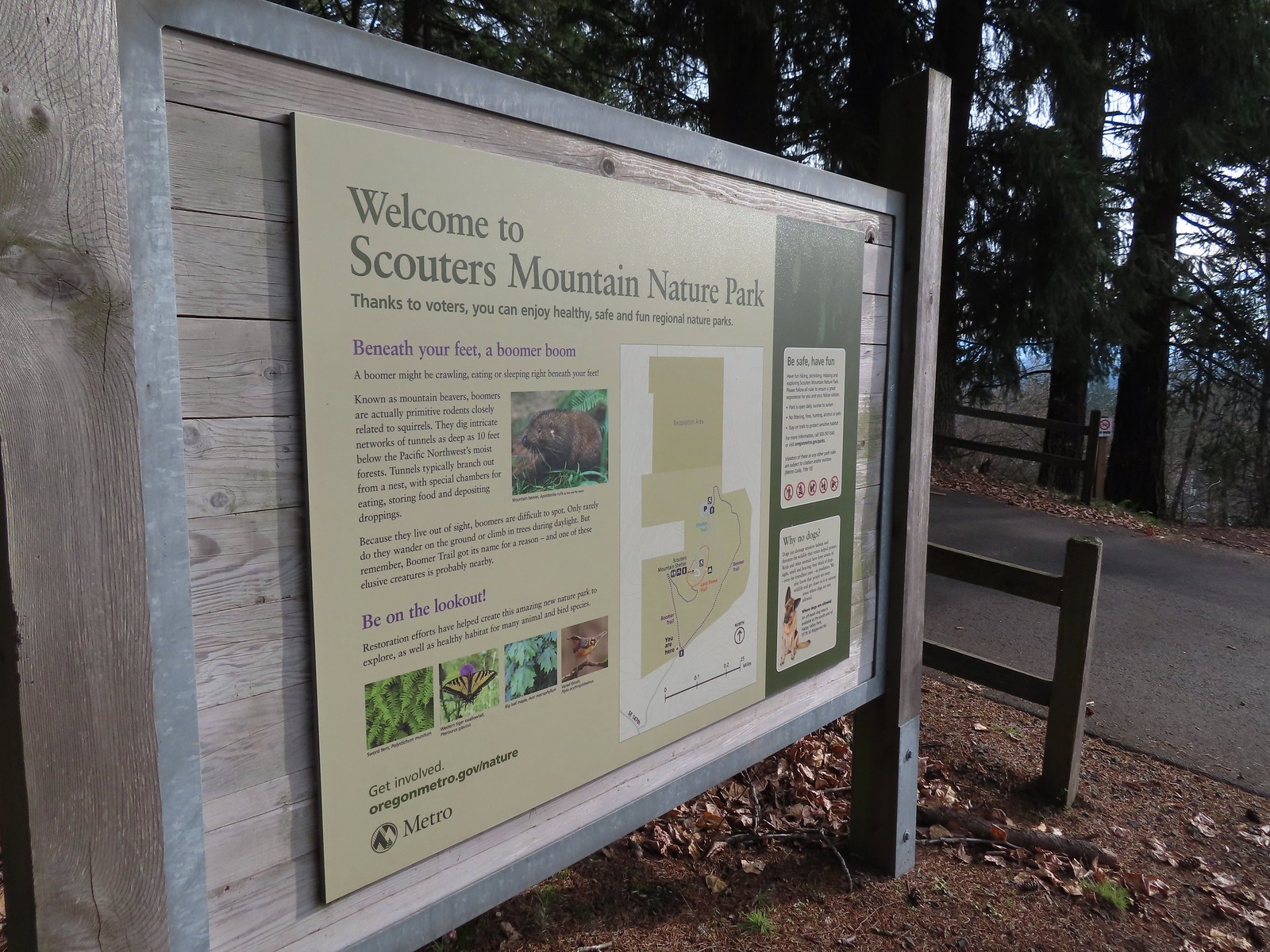
From the Sunnyside Road Trailhead it was just a 3.5-mile drive to the parking area at Scouters Mountain Nature Park.
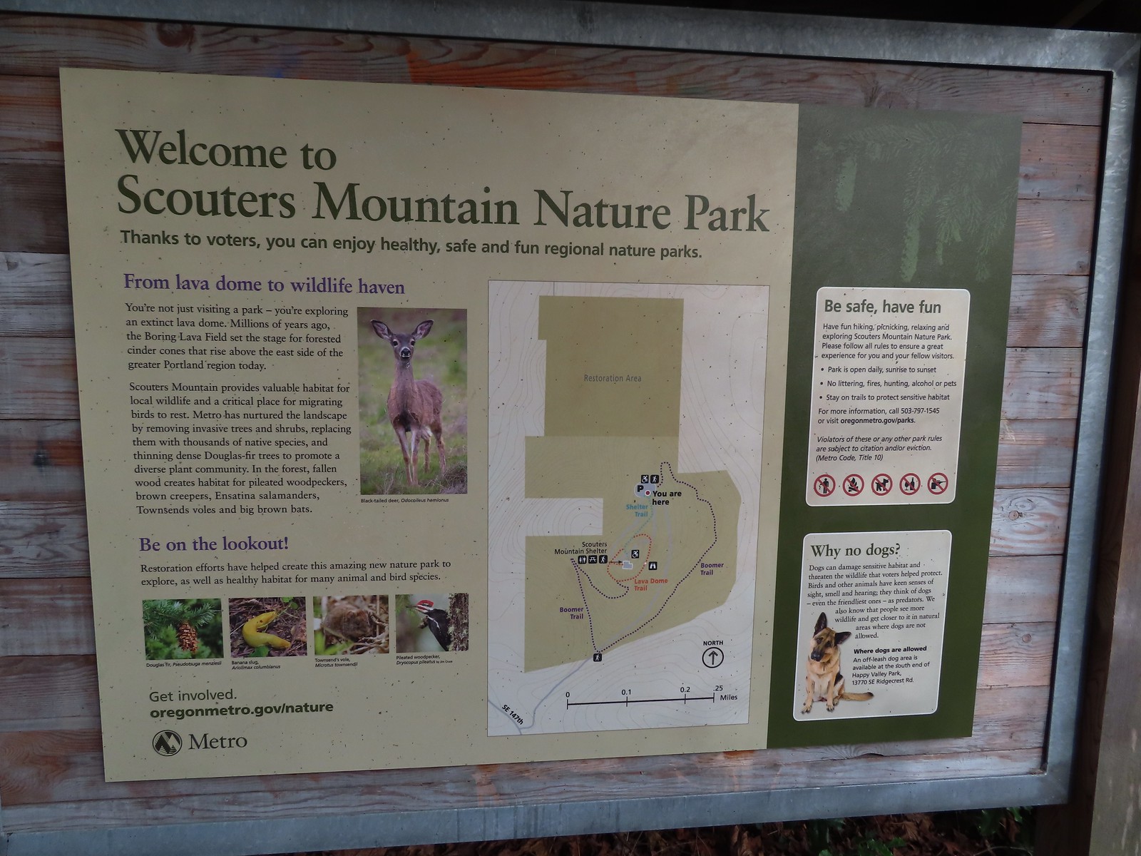
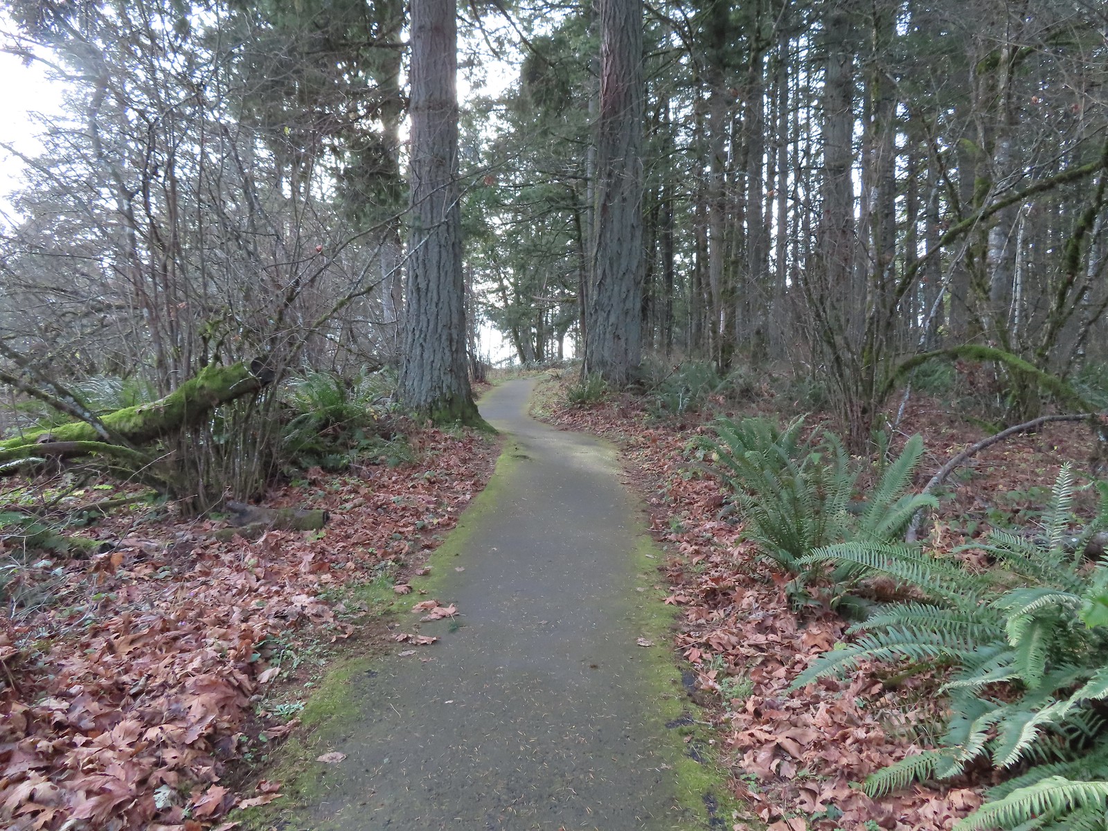
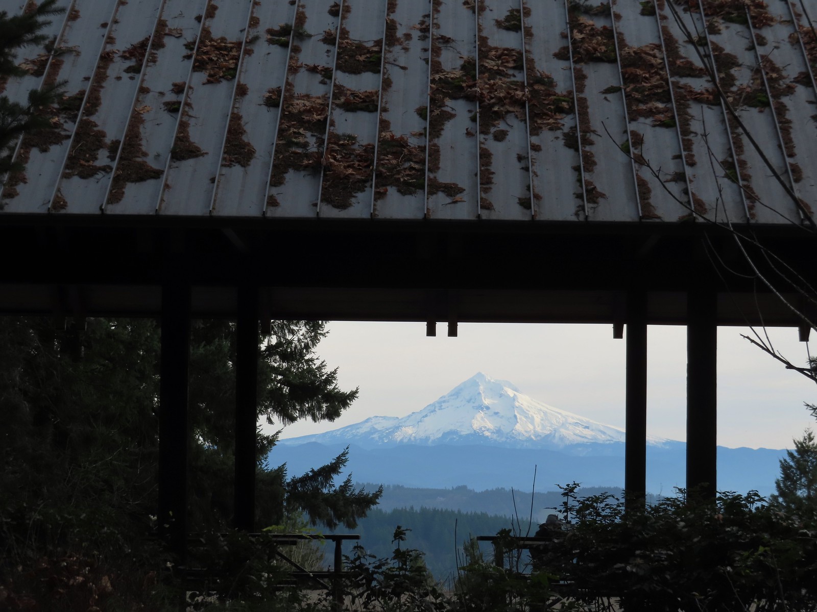
From the parking area we set off on the paved Shelter Trail toward the summit.
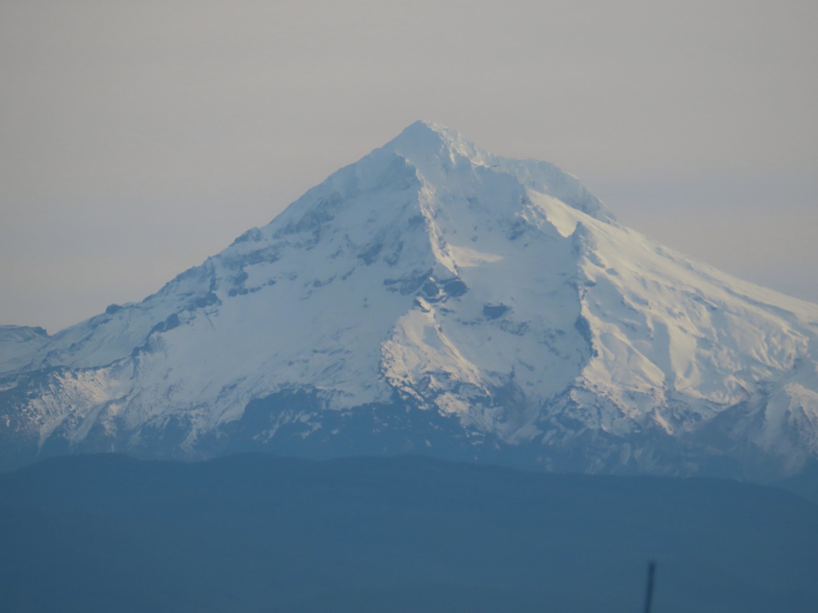
After just 0.2-miles we arrived at the shelter and a great view of Mt. Hood.
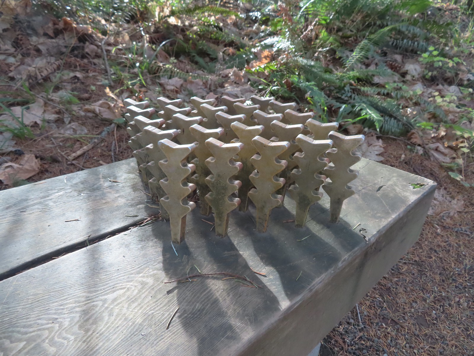 The benches throughout the park contained various nature sculptures, this one is “Moss Group”.

After admiring the mountain we made a small loop on the summit then continued on our larger loop by taking the Boomer Trail at the southern end of the summit downhill and looping around the East side of the mountain to return to the parking area.
 On the Boomer Trail.
 The Boomer Trail turned left at the bottom of these stone steps.
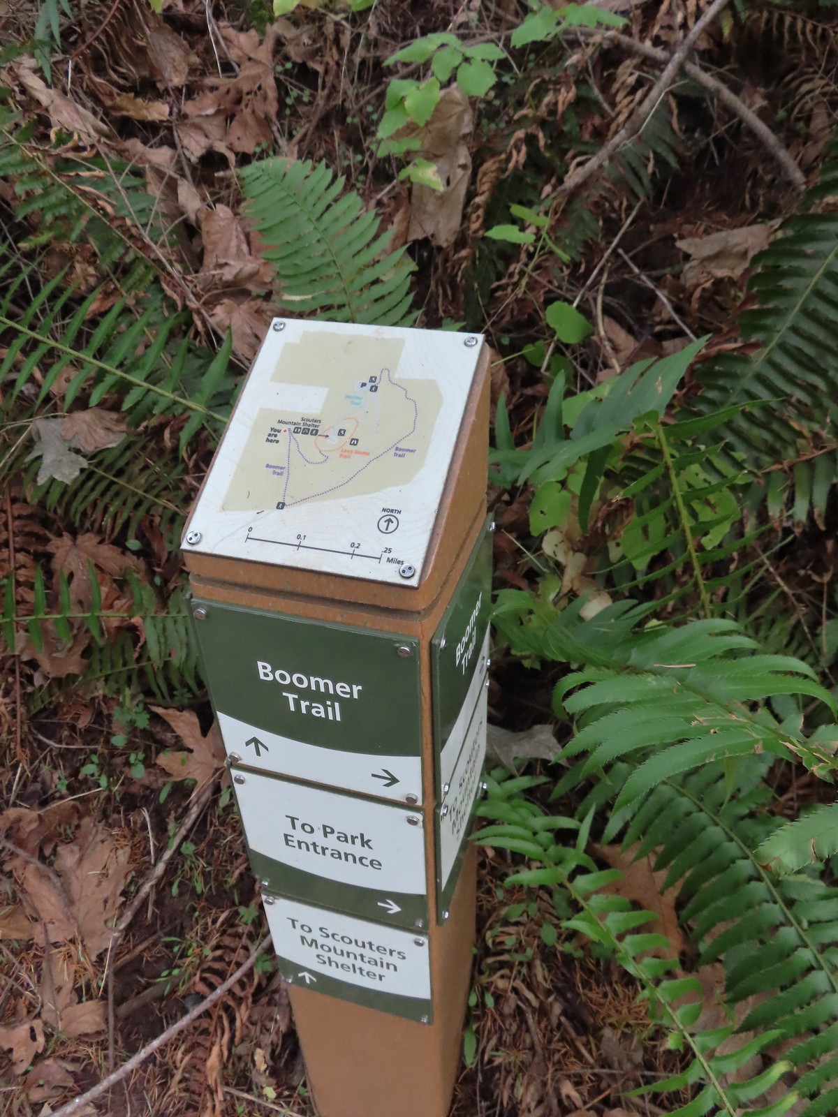 Another Metro trail map and pointers.
 The Boomer Trail, named for Mountain Beavers which are sometimes called boomers, crossed the entrance road before climbing back up to the parking area.
 This was an impressive root system.
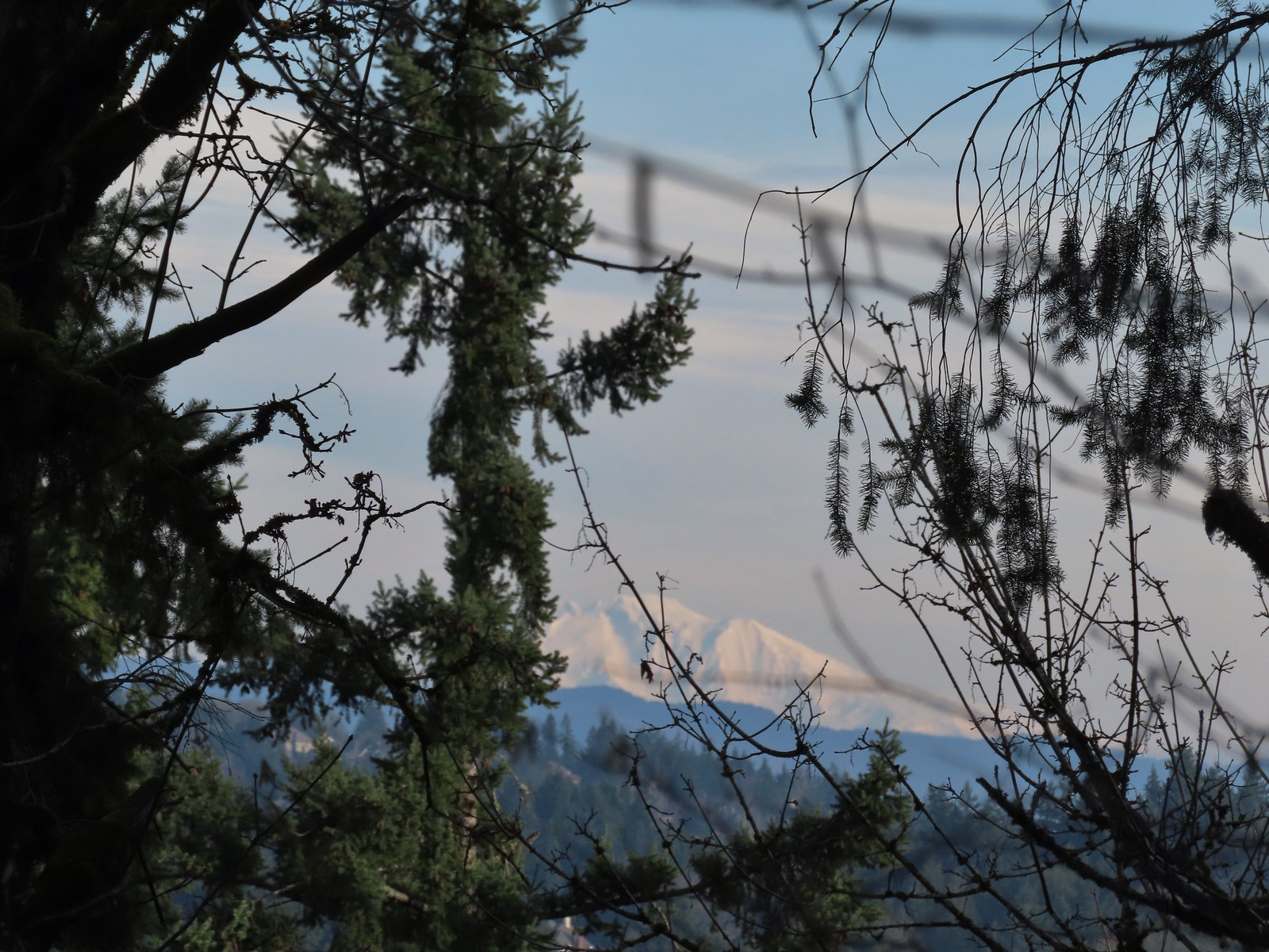
 A less obstructed view of Mt. Adams. (Mt. St. Helens was also briefly visible from this section of trail.)
 Slightly clearer shot of Mt. Adams.
 Back at the trailhead.
This was just a 1.3-mile loop with 200′ of elevation gain, and it was still early enough that we could easily fit one more stop in. From Scouters Mountain we drove another 4.5-miles to Hood View Park
At the far end of the parking area we followed a service road down to SE 162nd Ave and followed it right to its end at a sign for the Hidden Falls Nature Park.

 Mt. St. Helens from the service road. Mt. Hood was also visible to the right through some fences around the ball fields.


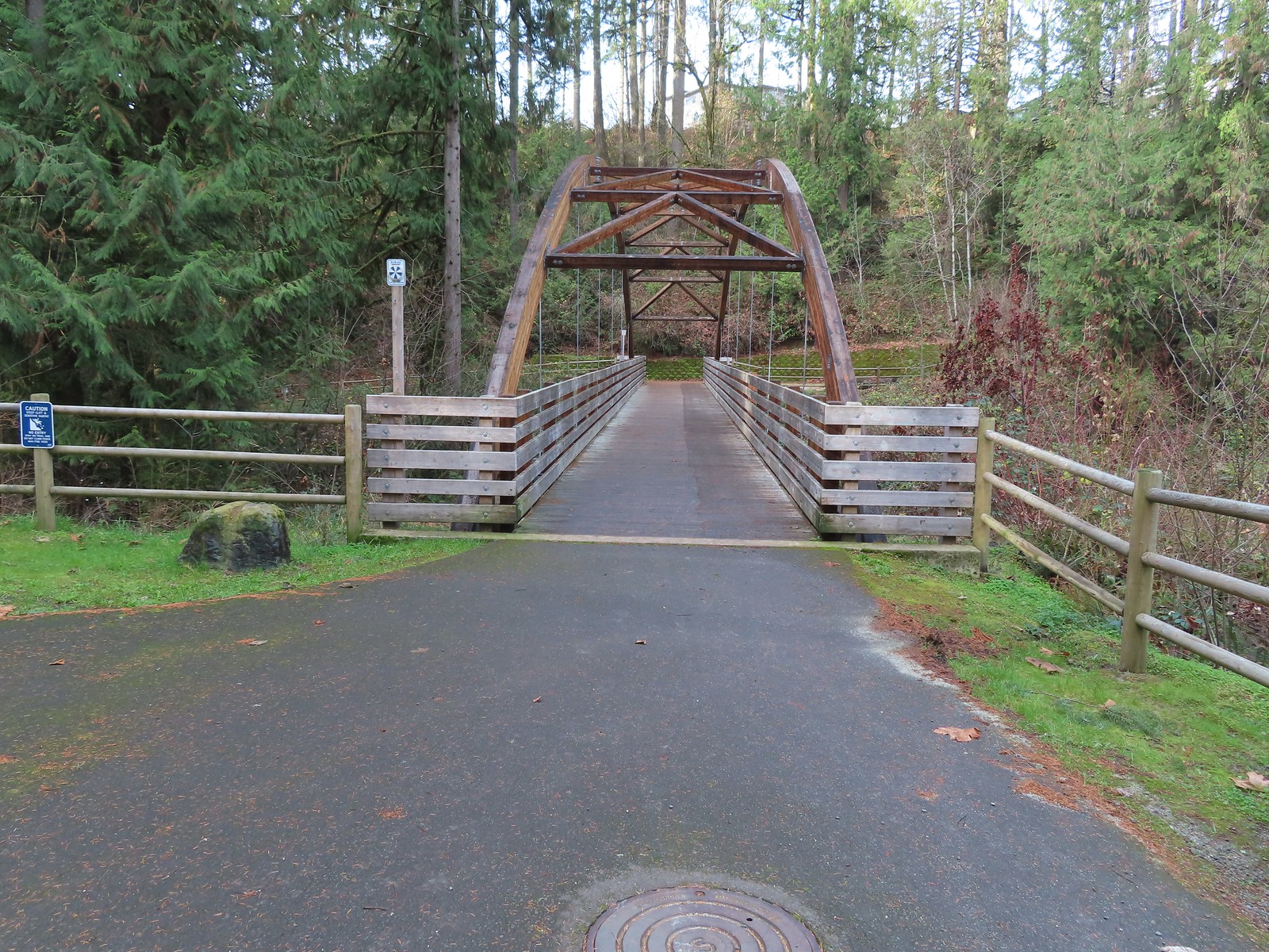
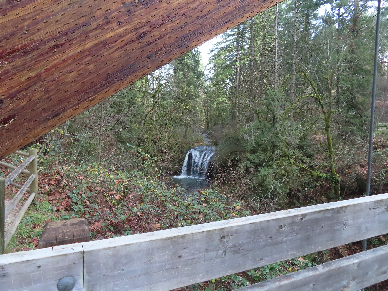
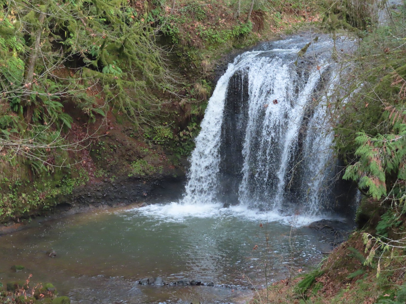
A wide path led somewhat steeply downhill a third of a mile to an impressive bridge over Rock Creek and a view of Hidden Falls.

 The large area to the right didn’t offer much of a view of the falls, but the view from the bridge was great.

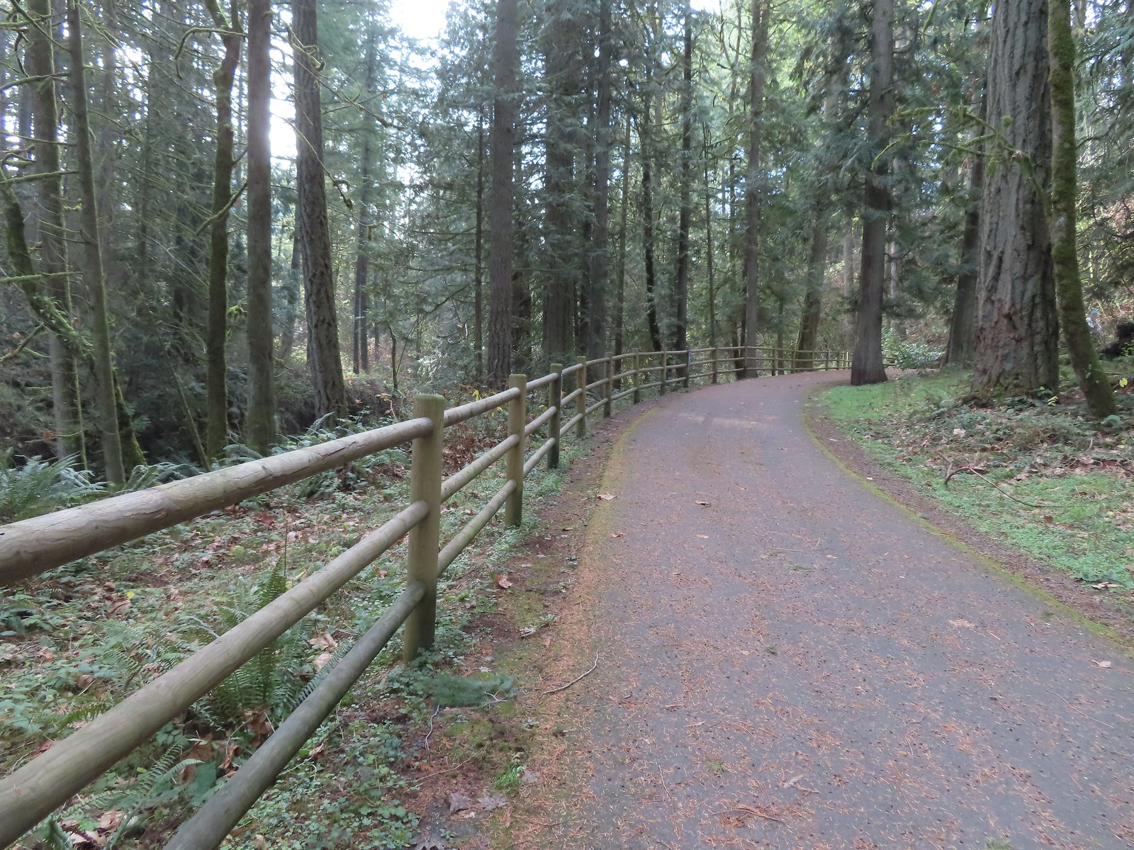
We continued past the bridge a short distance along Rock Creek before turning around when the path veered away to climb up into another neighborhood.

The Oregon Hikers Field Guide describes a 4.1-mile loop that visits some other parks while also passing through several neighborhoods. We were content with seeing the falls and headed back making this just a 1.2-mile out-and-back with a couple hundred feet of elevation gain. For the day we logged 7.2-miles and 1475′ of cumulative elevation gain. It was a nice relaxing way to end our 2023 hiking season. Happy Trails and Merry Christmas!