Categories
High Cascades Hiking Oregon Three Sisters Area Trip report

Three Sisters Wilderness Days 3 & 4

**Note the 2017 Separation Fire burned a portion of these hikes.**

I am combining the final two days of our Three Sisters Backpacking trip because the last day was simply a 7 mile hike back to the trailhead along portions of the Louise Creek and Separation Lake Trails that we had done on the first day.

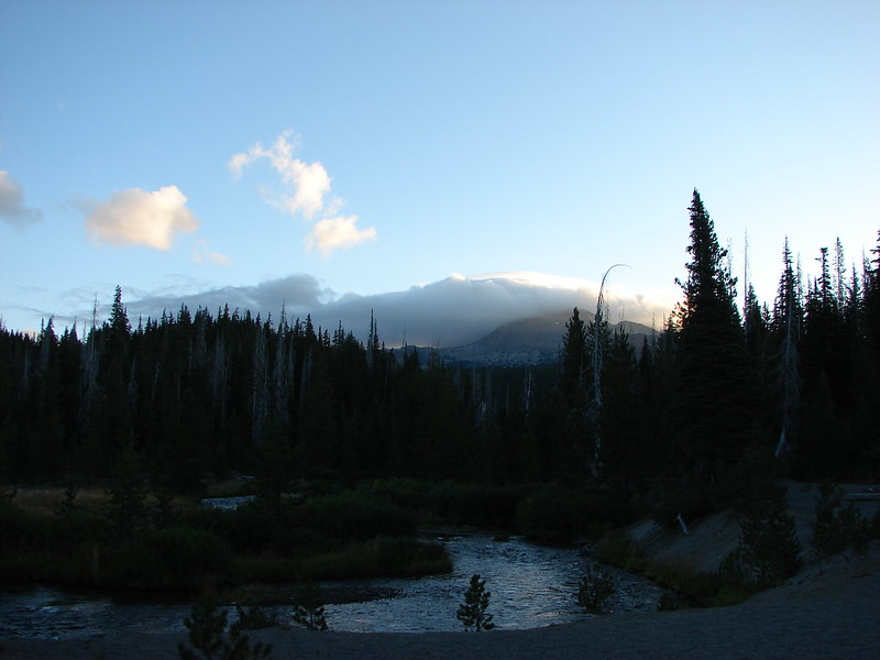
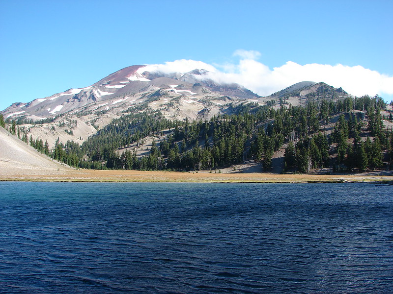
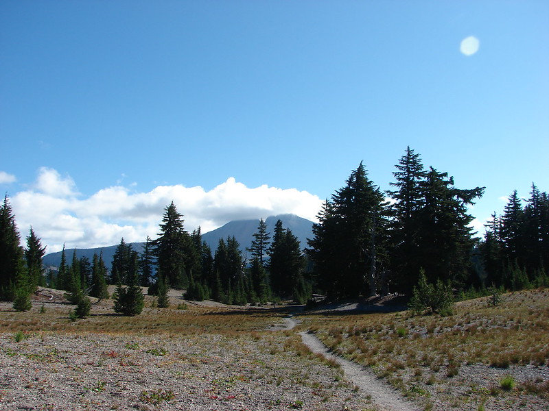
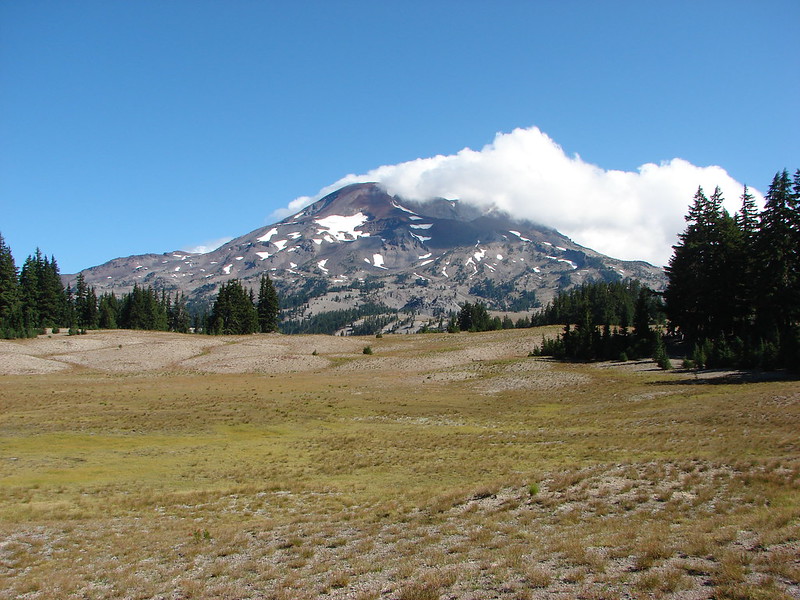
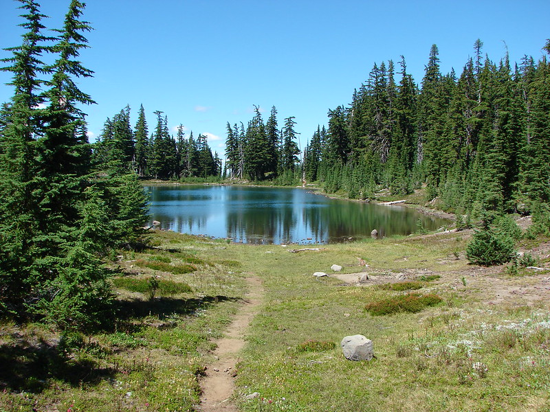
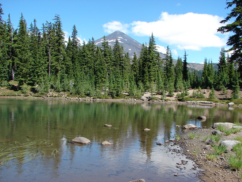
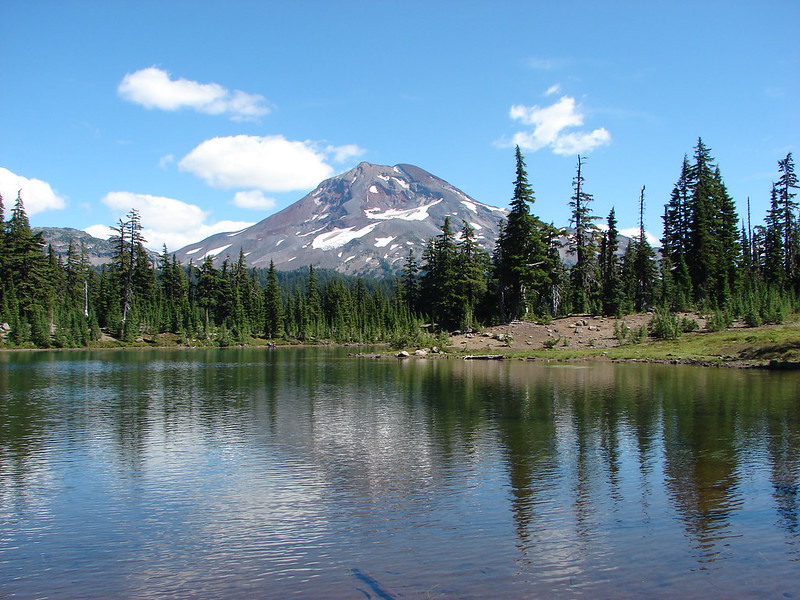
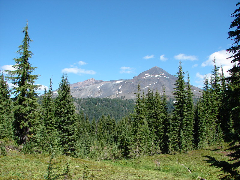
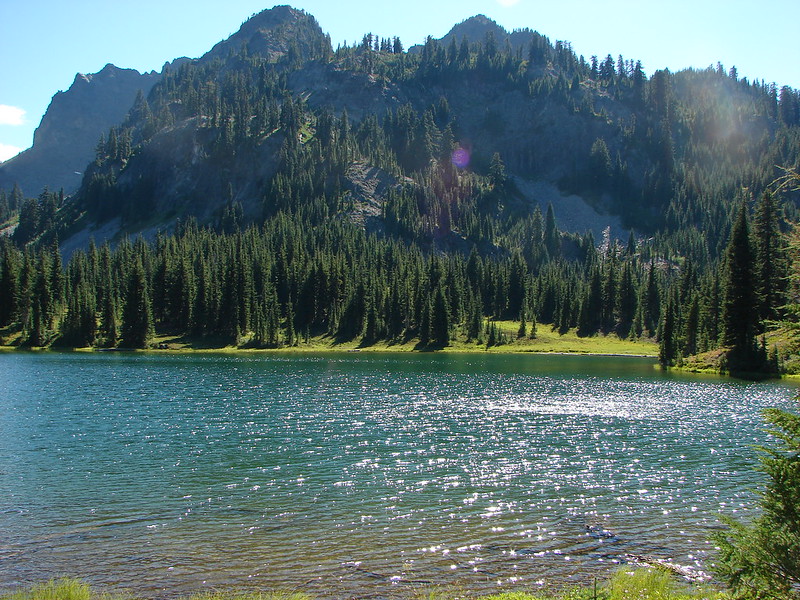
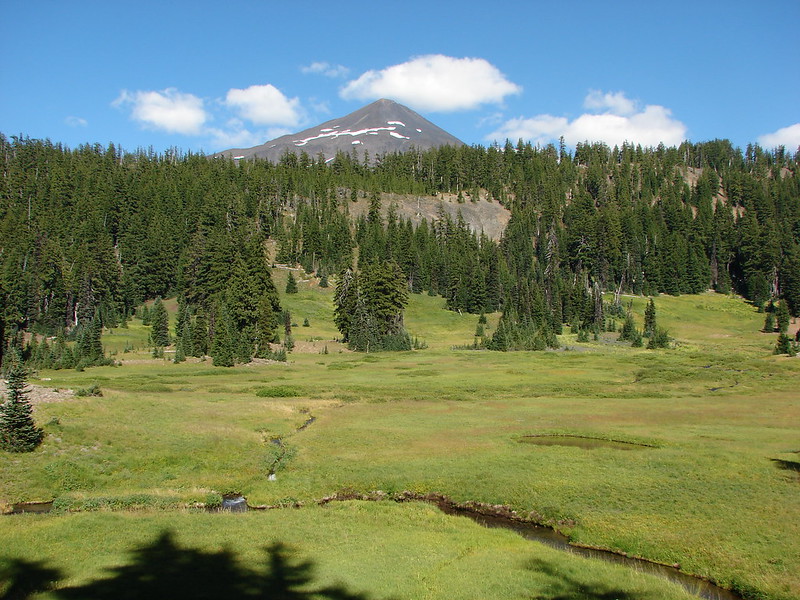
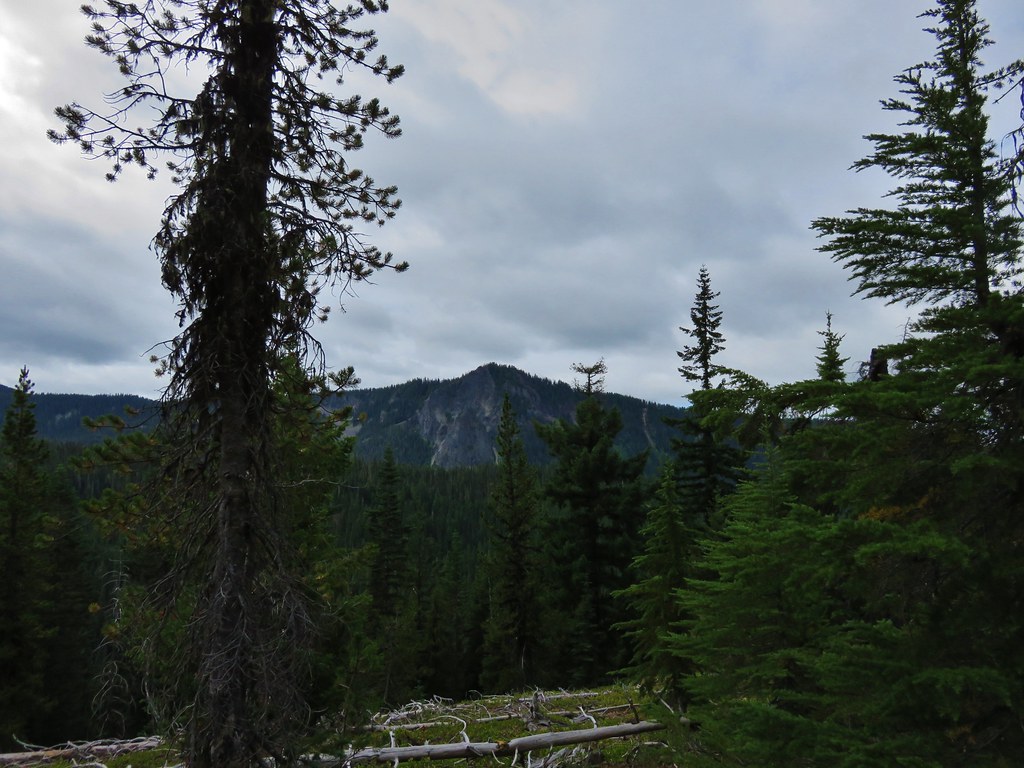
The day after our successful off-trail exploration of Linton Creek it was time to pack up camp and move on. We woke to find that the clouds had finally won out overnight and now covered the Three Sisters.
IMG_6749

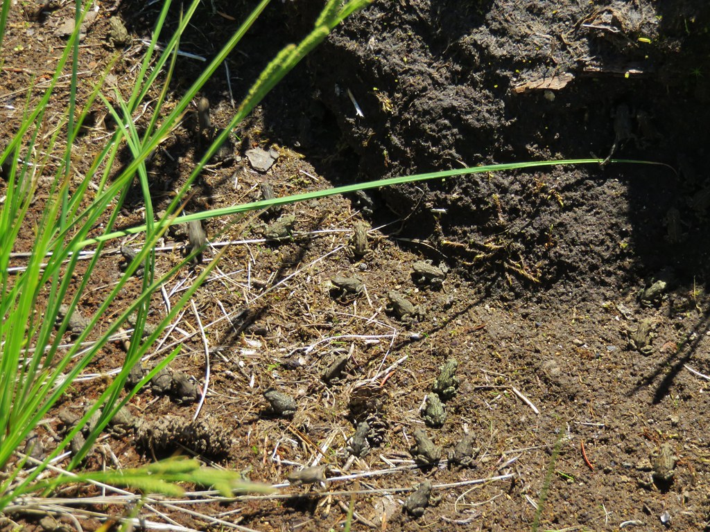
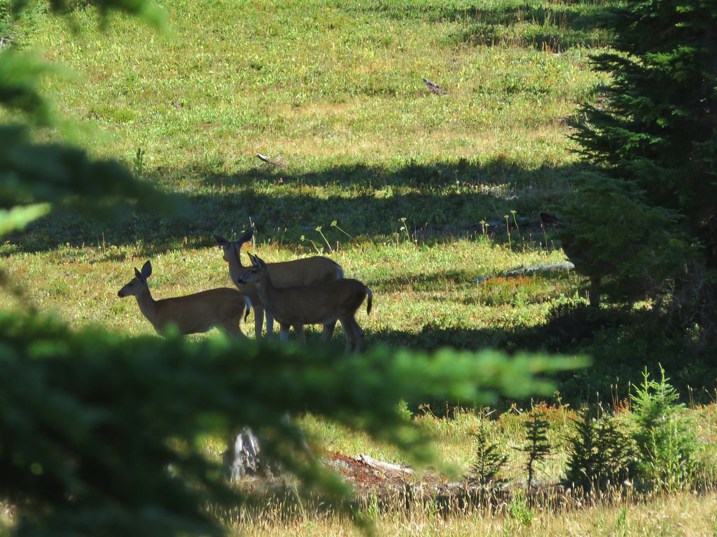
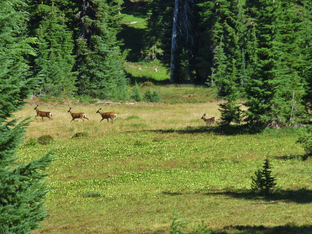
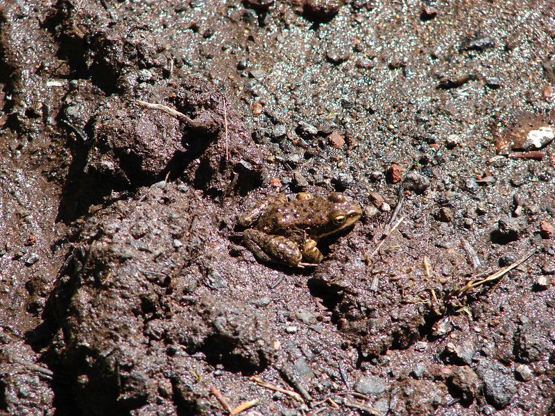
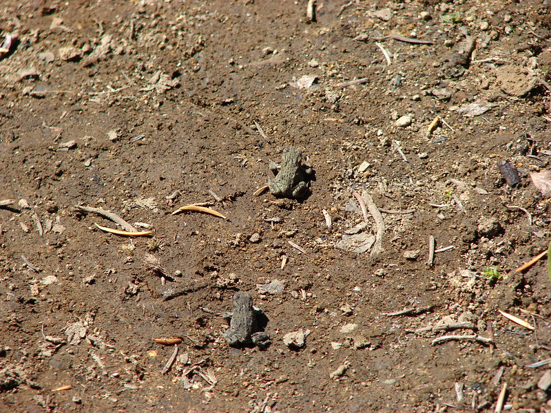
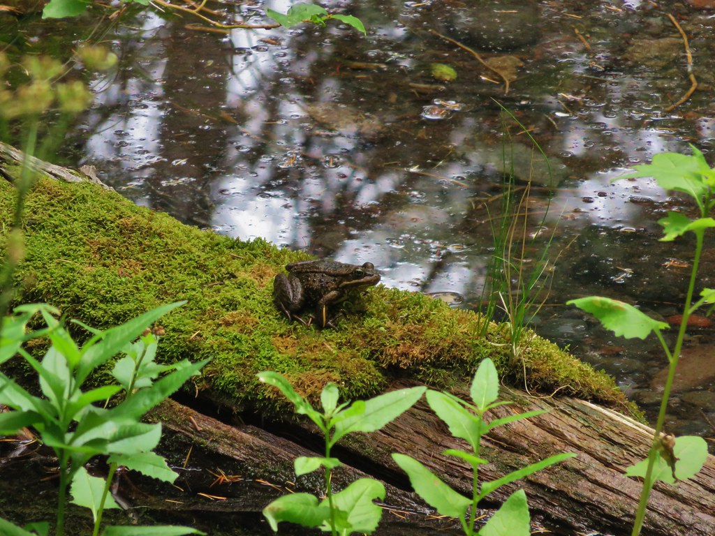
We were once again visited by the deer who stayed back in the trees this time as they made their morning rounds. We packed our things and ate some breakfast then headed back toward Husband Lake. The frog situation around Eileen Lake seemed to have worsened with the arrival of the clouds. There were even more frogs on the trail and the going was pretty slow.
IMG_6758

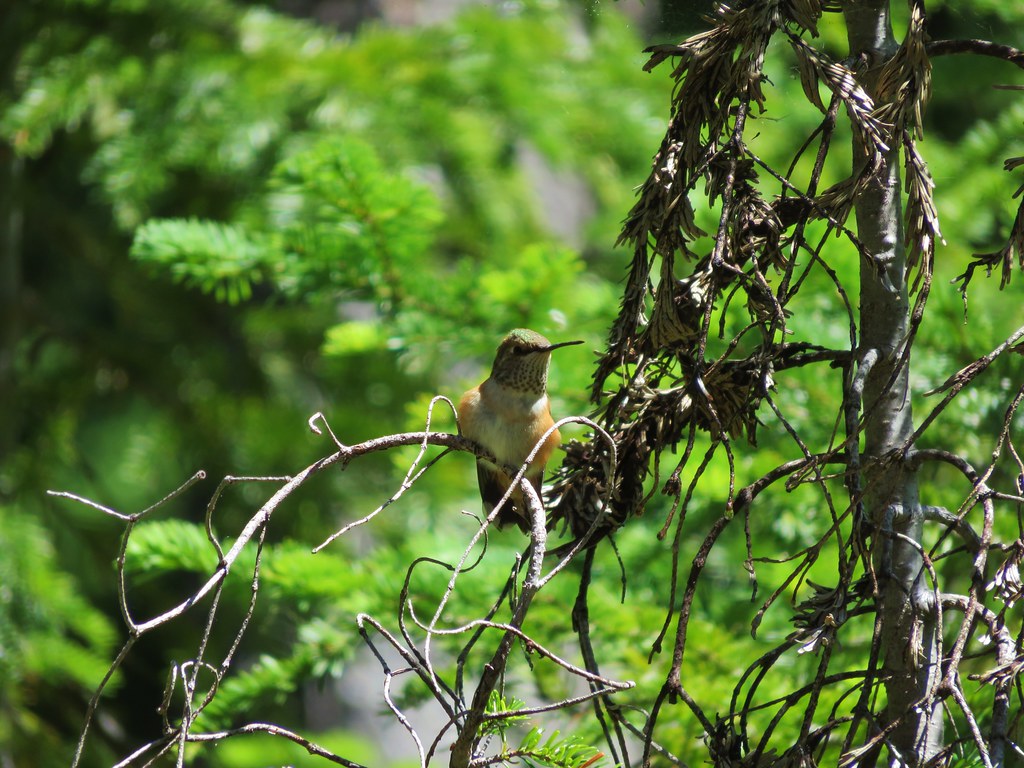
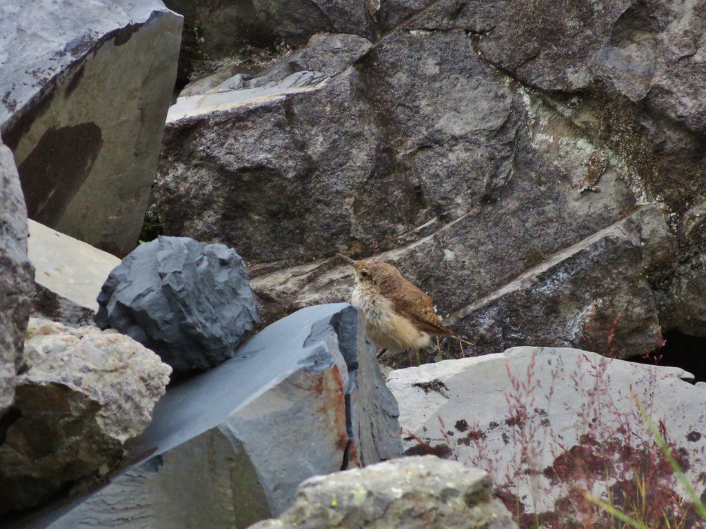
We discovered that tapping our trekking poles on the ground in front of us got the frogs to start getting out of the way sooner so we tapped our way through the frogs and past the lake. The frogs weren’t the only animals out as we had spotted several different types of birds by the time we’d gotten to Husband Lake.
IMG_6766

IMG_6769

IMG_6779

IMG_6781

IMG_6785

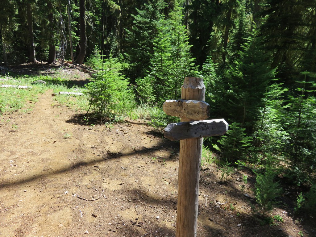
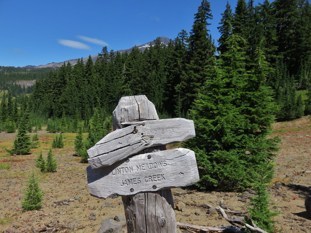
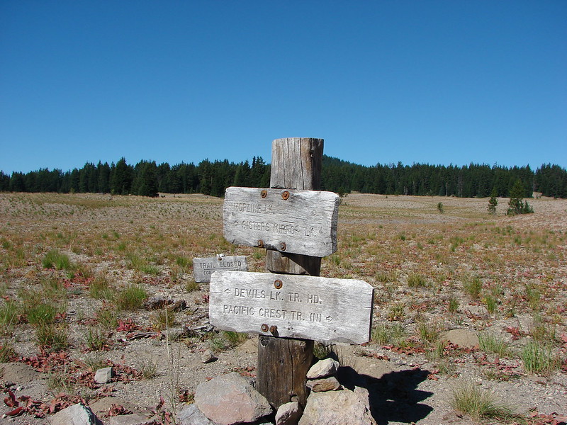
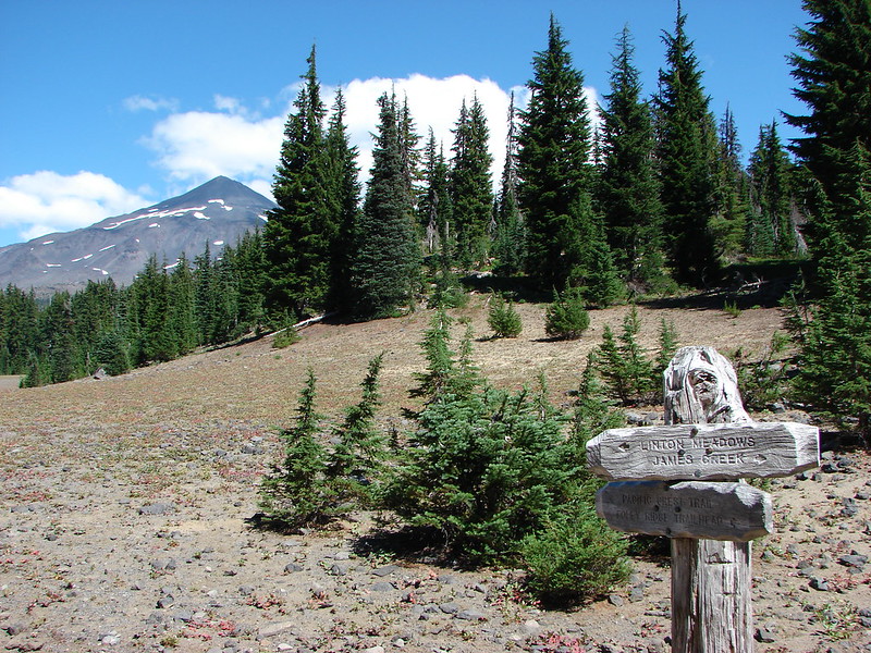
We topped off our water at Husband Lake and then headed for the big trail junction where we would be looking for the Separation Creek Meadow Trail which would take us down to Indian Hole Falls. We had not seen the trail when we were at the junction on the first day and when we got back there we still didn’t see it. Heather thought it might be just a bit up the trail toward the James Creek Shelter and went to investigate. She was right and just over a little rise there was an unsigned but clear trail heading down to the right.
IMG_6799

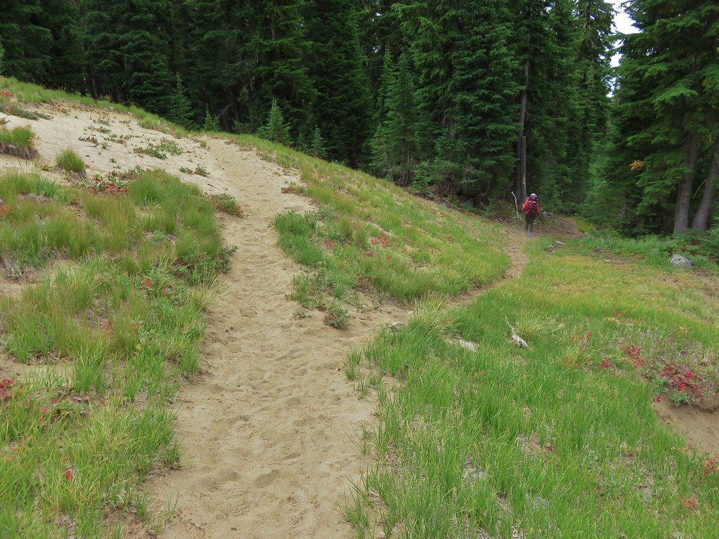
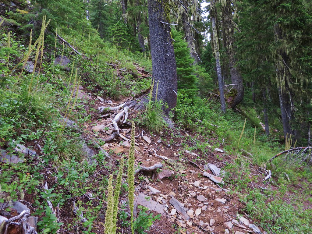
The Forest Service described this trail as “a primitive trail that may be hard to find at times.” That sounded a lot better than the impassable due to heavy blowdown description of the Separation Creek Trail. There were a few downed trees but the path was easy to see and some trees had been blazed to mark the trail.
IMG_6802

IMG_6844

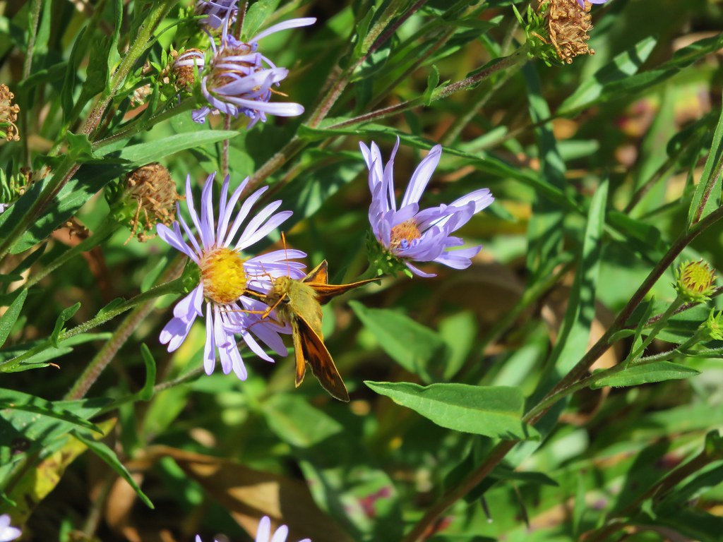
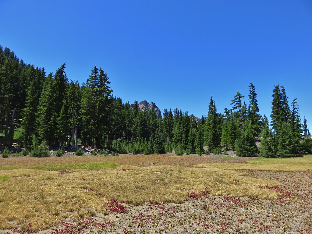
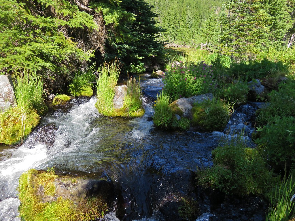
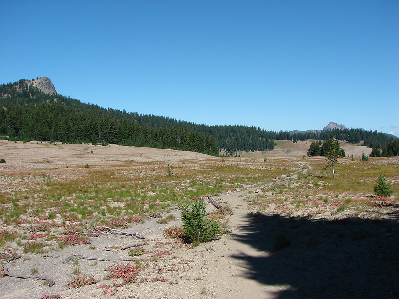
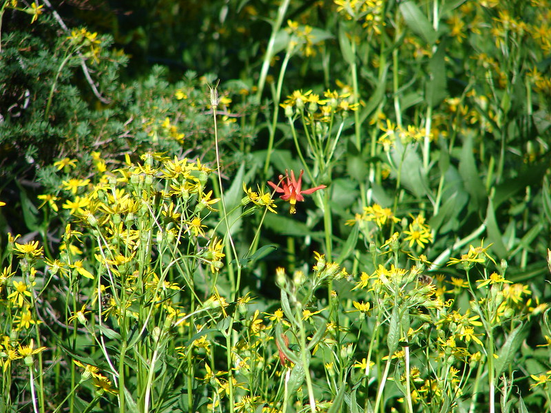
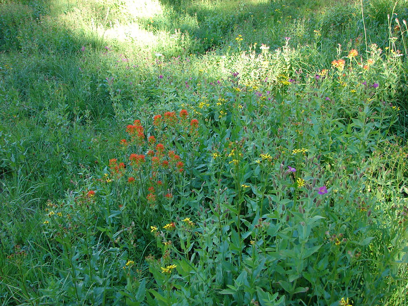
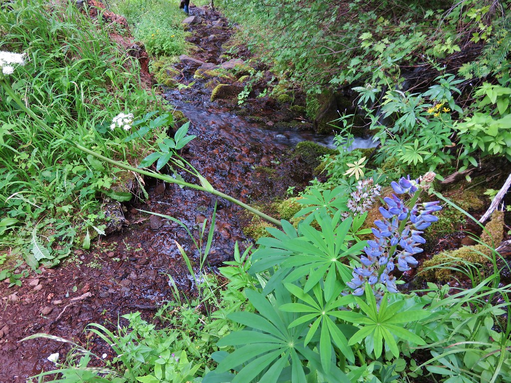
The trail met Separation Creek in what must have been a spectacular field of lupine. Now it had all gone to seed.
IMG_6809

IMG_6806

It had also been invaded by grasshoppers.
IMG_6811

IMG_6813

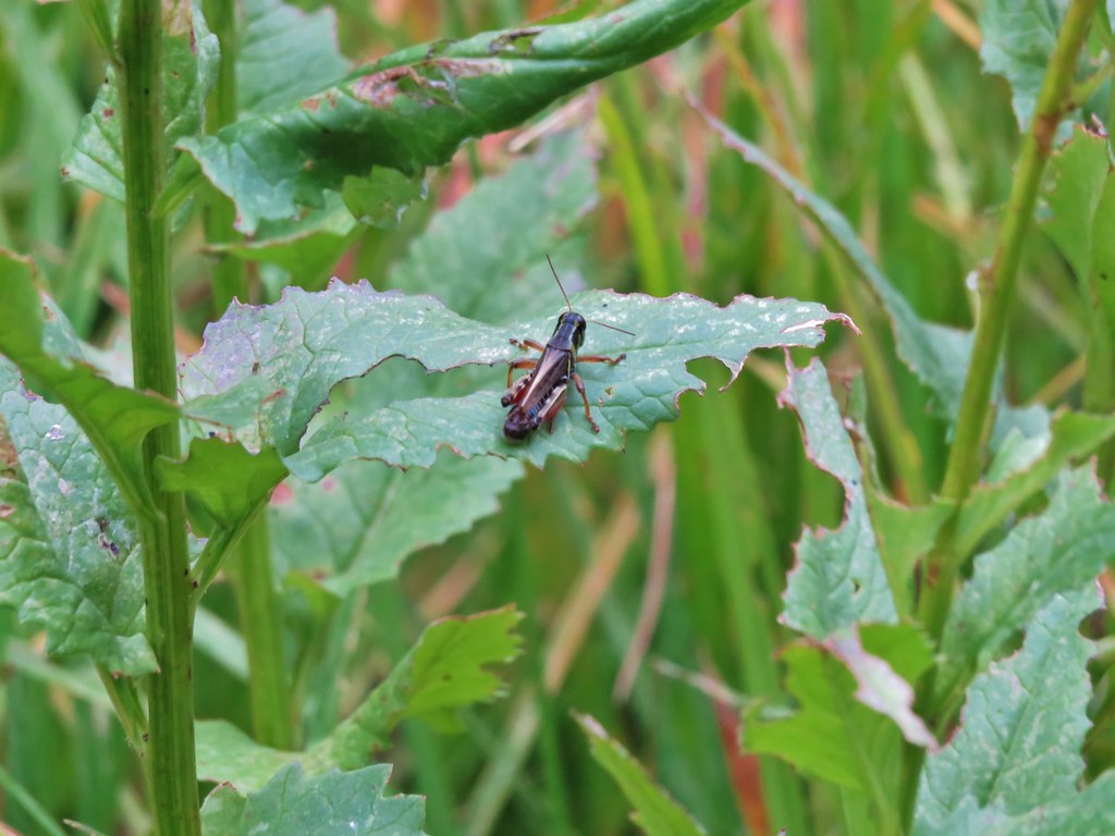
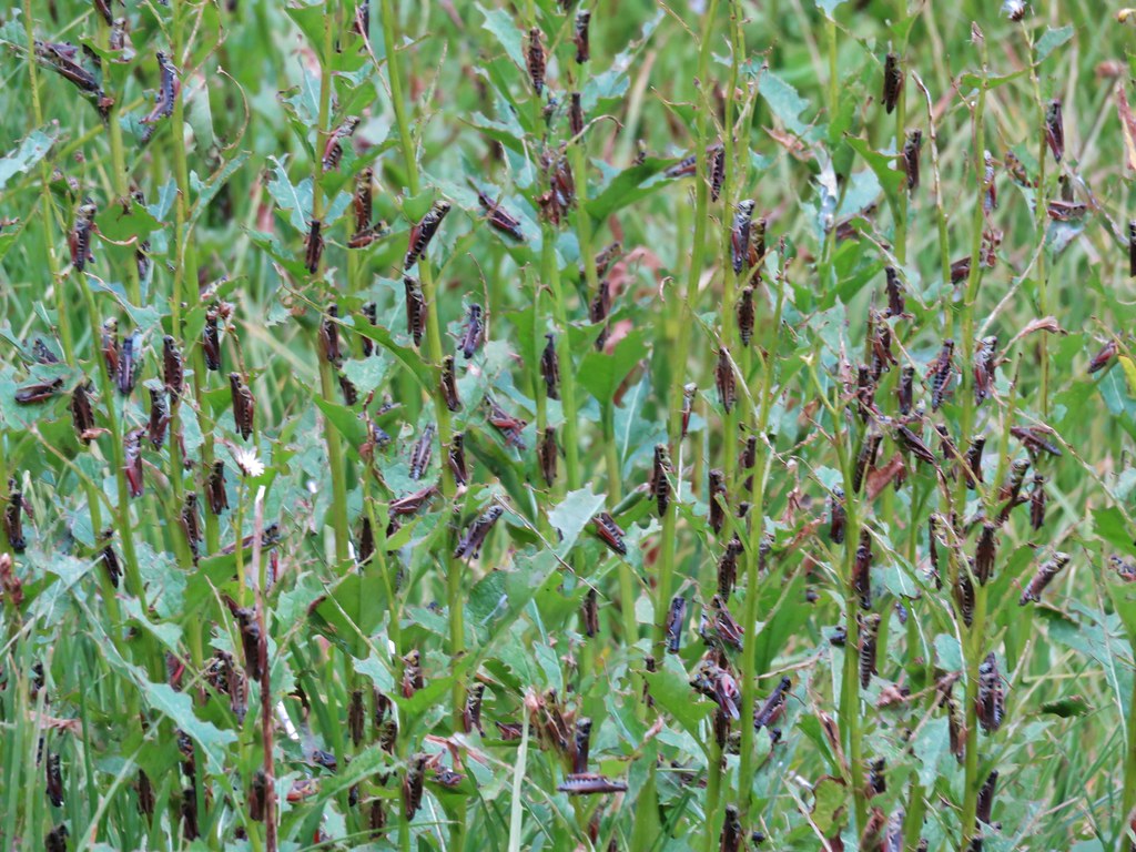
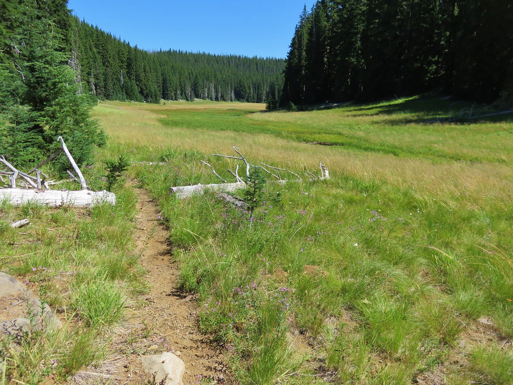
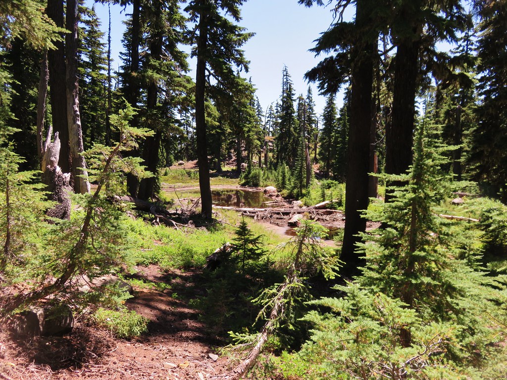
As we walked they would all jump in unison and make all kinds of noise. I would have liked to get a better look at them but there were also plenty of mosquitoes present and whenever I stopped they landed. We were just about to Separation Meadow and we hadn’t had any issues following the trail up to that point. Then the trail just disappeared. We knew it was to the right of the creek and we noticed a tent set up at the far end of the meadow so we simply aimed for the trees between those two things.
IMG_6816

IMG_6824

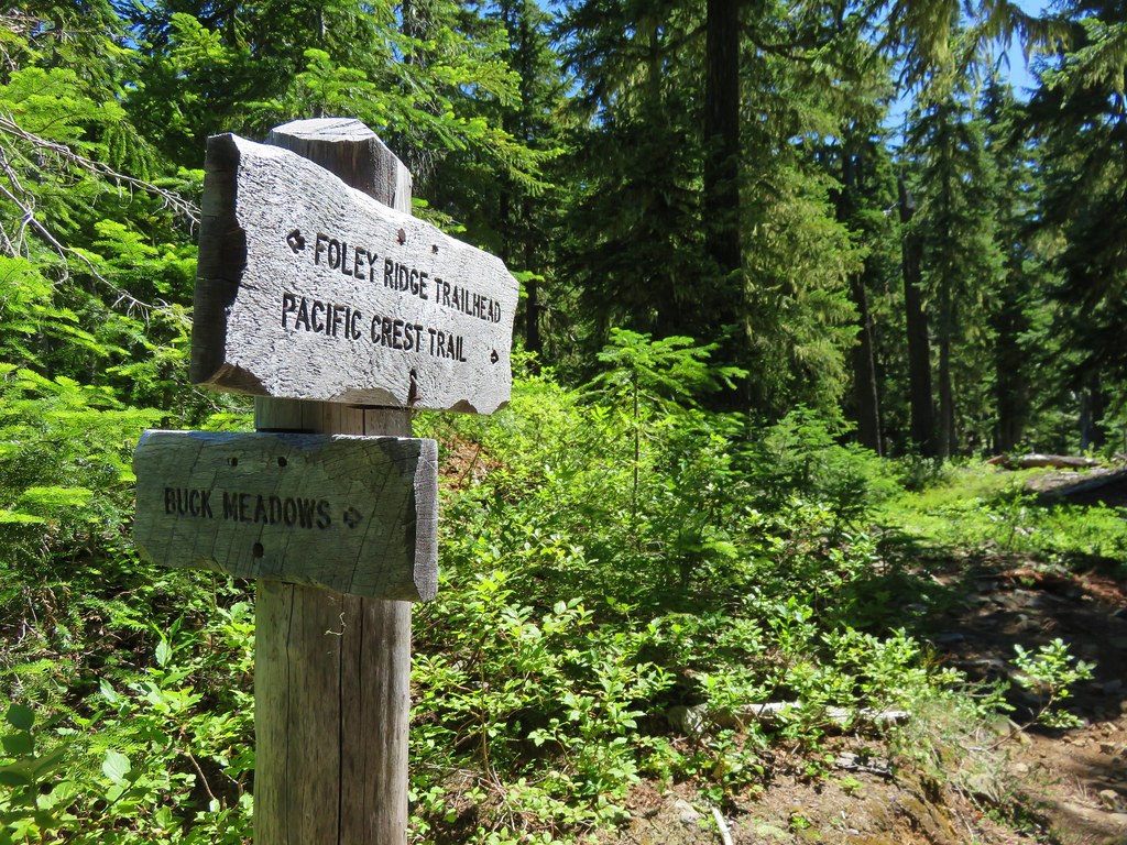
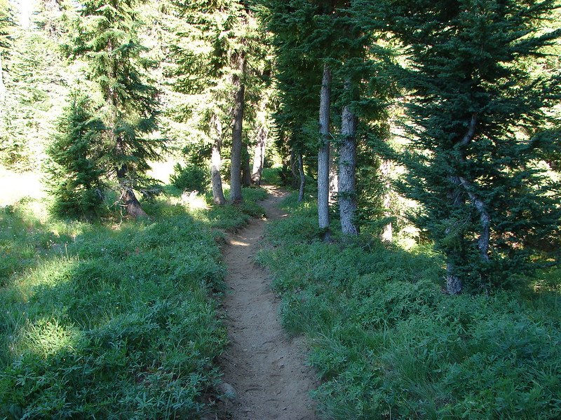
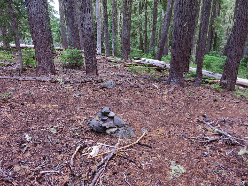
We had to hunt for a couple of minutes to find the trail again once we arrived at the trees. We managed to follow it fine after that all the way to a trail junction with the trail from Buck Meadows. This junction was also unsigned but it was marked with a rock cairn.
IMG_6849

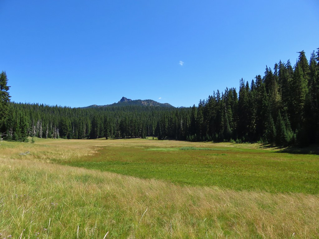
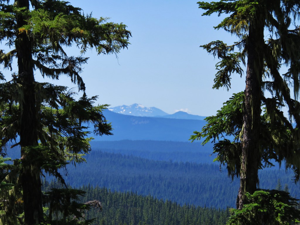
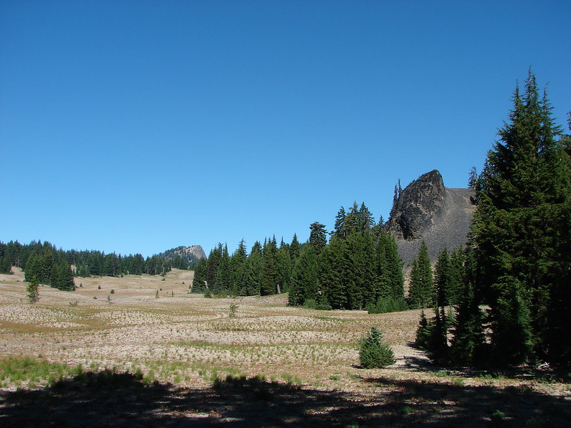
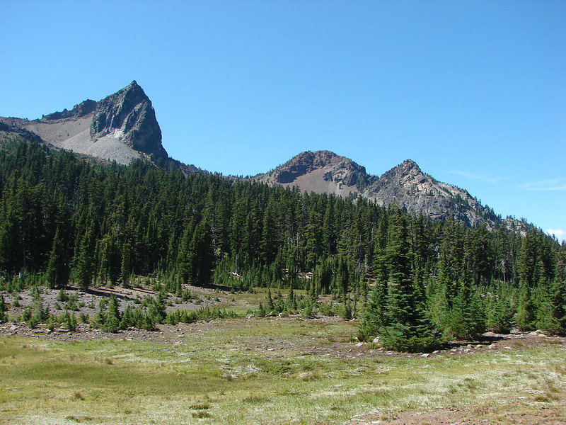
We turned left at the junction and began to descend toward Cole Chuck Meadows. Views included Sphinx Butte and The Wife.
IMG_6850

IMG_6852

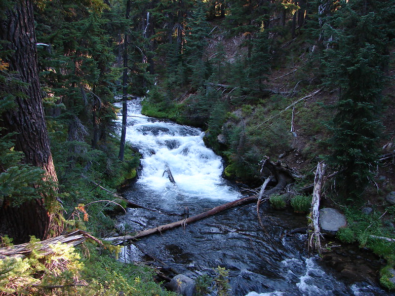
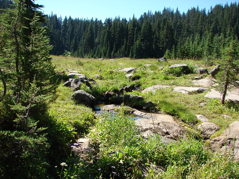
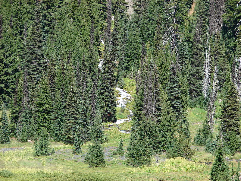
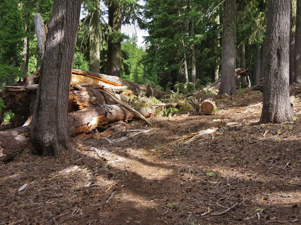
The trail went around Cole Chuck Meadows without ever entering it then headed steeply downhill. There was a large meadow below to our left and we could hear Separation Creek roaring in the distance. The trail had loose rocks and dirt and it also passed below the Indian Holes, springs that flowed across the trail and down toward Separation Creek.
IMG_6871

IMG_6861

The trail then entered the large meadow at a narrow point. The grasses were tall enough to hit us in the face as we passed through. We then entered another treed area before arriving at Separation Creek.
IMG_6878

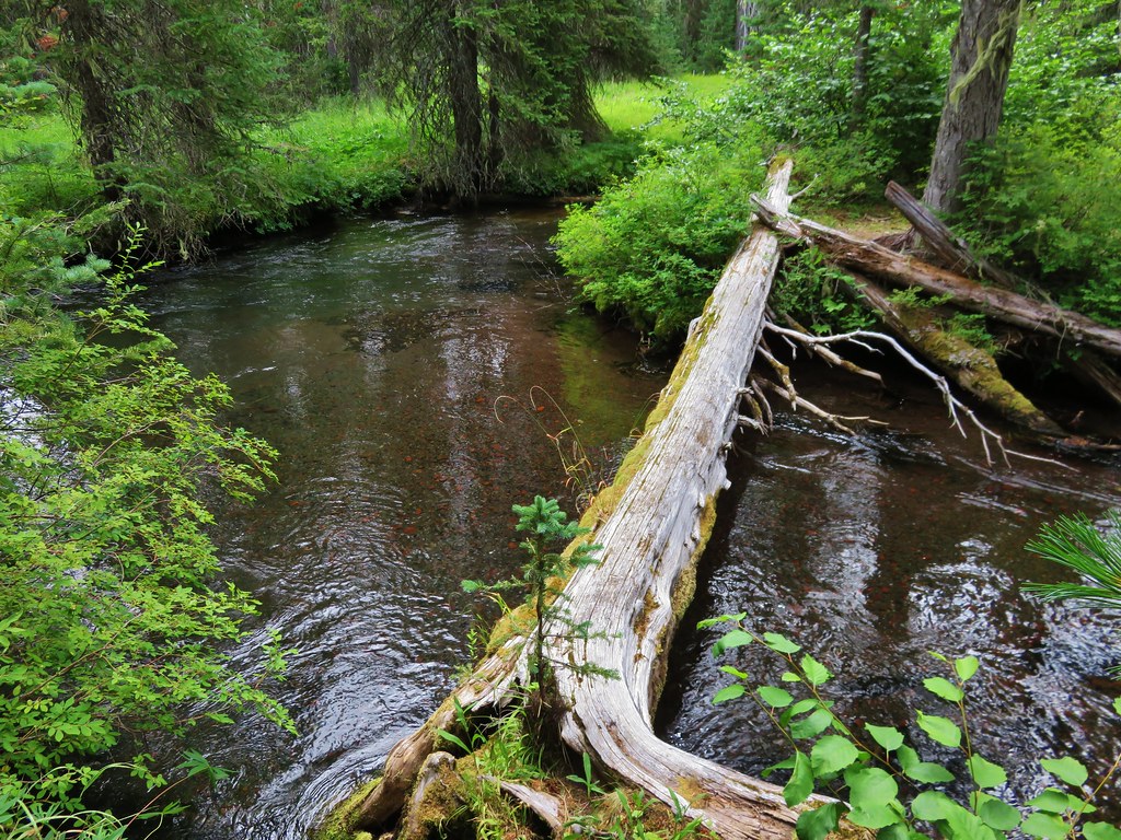
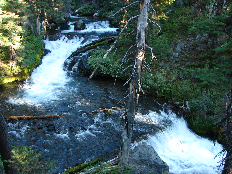
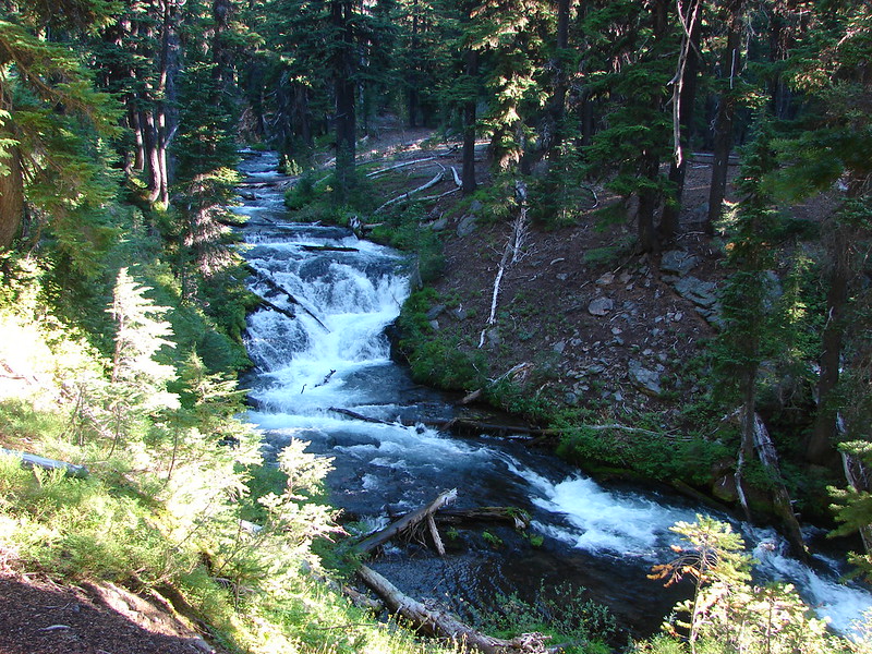
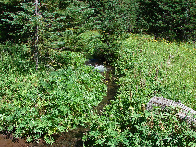
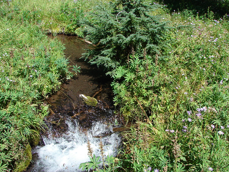
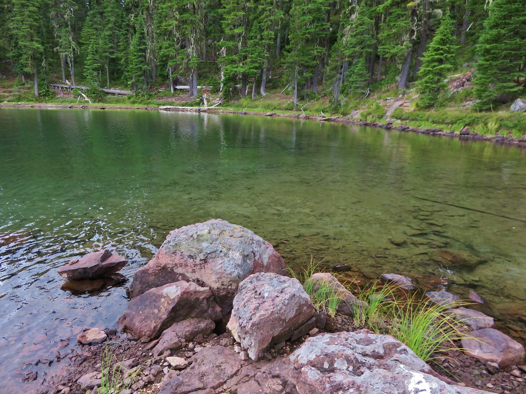
The creek was much wider and deeper than it had been in Separation Meadow. Several other creeks and springs had fed into it since then. We crossed on an old log and and quickly arrived at another unsigned trail junction with the “impassible” Separation Creek Trail.
IMG_6880

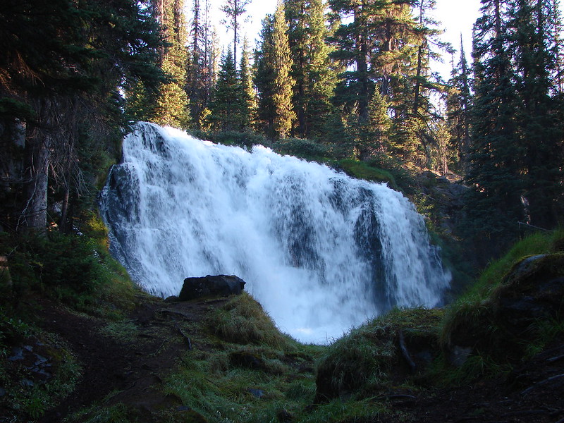
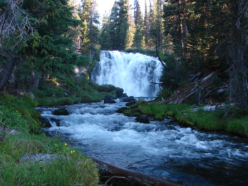
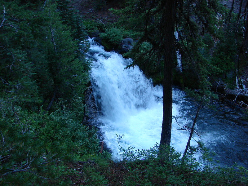
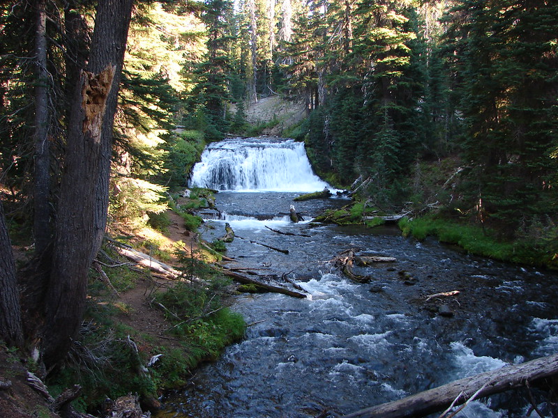
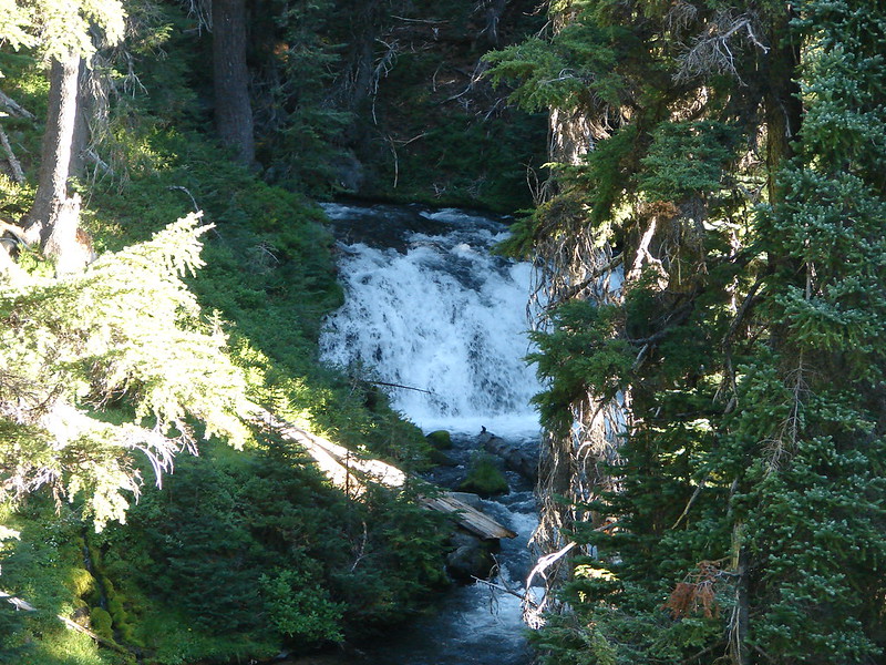
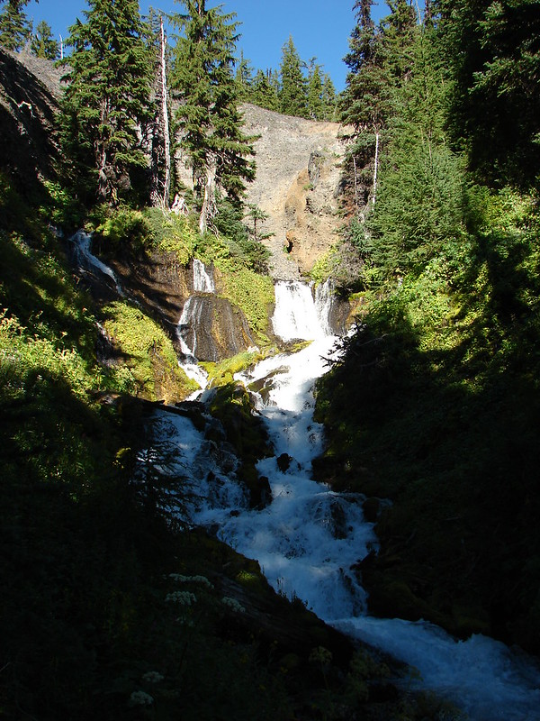
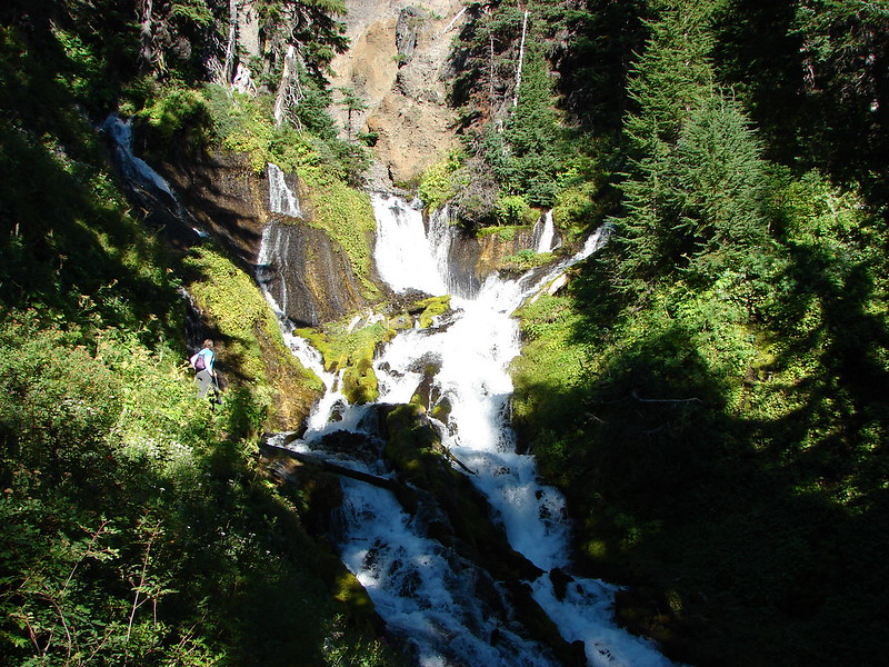
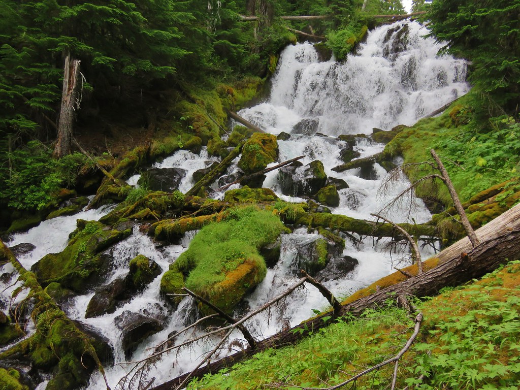
We could hear Indian Hole Falls from the junction. It was only a couple hundred yards to the top of the falls. This was another impressively massive waterfall. An upper viewpoint allowed for a close up view of the top portion of the falls while a steep scramble down along the creek led to a lower moss covered viewpoint where the entire cascade was visible.
IMG_6883

IMG_6894

IMG_6897

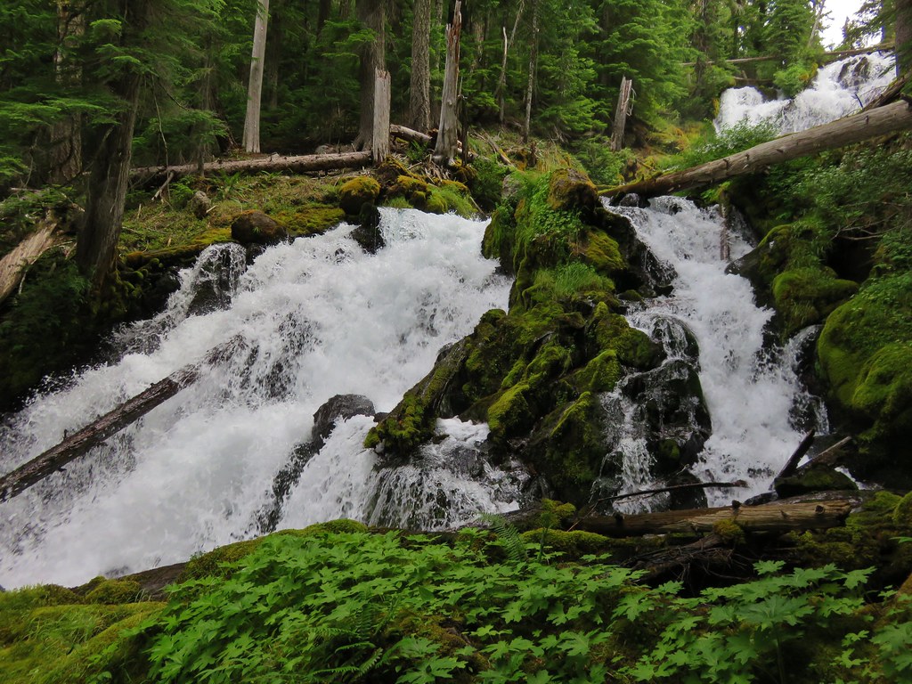
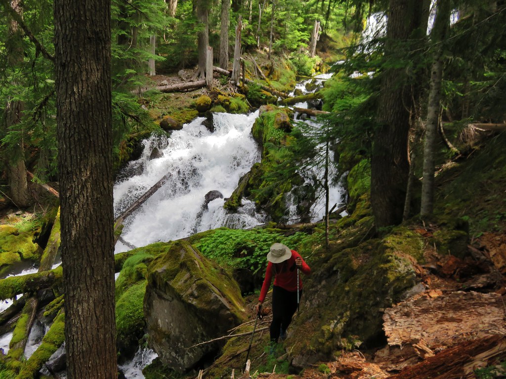
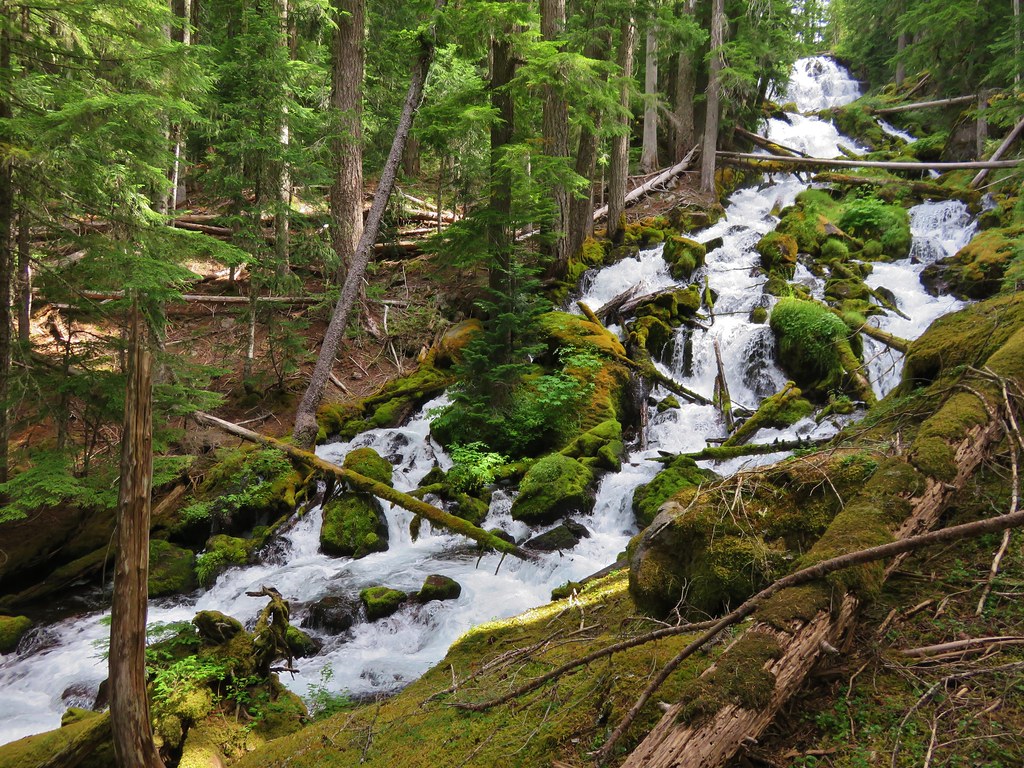
The Three Sisters Wilderness had managed to wow us again and we sat on the mossy ledge of the lower viewpoint in the cool breeze of the waterfall. We climbed back up from the lower viewpoint and decided to head out the the upper one.
IMG_6916

After checking out that view we headed back up to the trail to pick up our packs. It was my turn to get stung by an angry yellow jacket. Just as I was about to step back onto the trail I felt a sharp pain on my ankle bone. It took me a minute to figure out what was causing it but once I realized what it was I was able to knock it out of my pant leg. I took a moment to be a bit of a baby then we resumed our hike and head back toward the creek crossing.

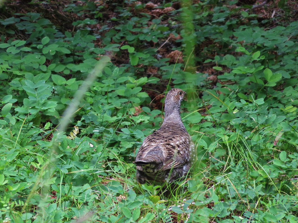
As we were passing back through the tall grasses of the meadow we heard some strange noises ahead. It was a family of grouse. The adult stood watch as the young made their way into the safety of the trees.
IMG_6938

IMG_6934

IMG_6936

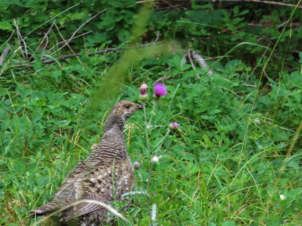
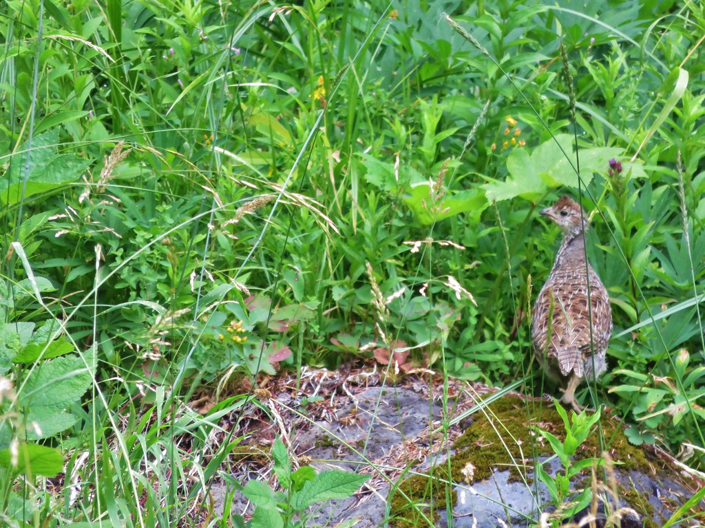
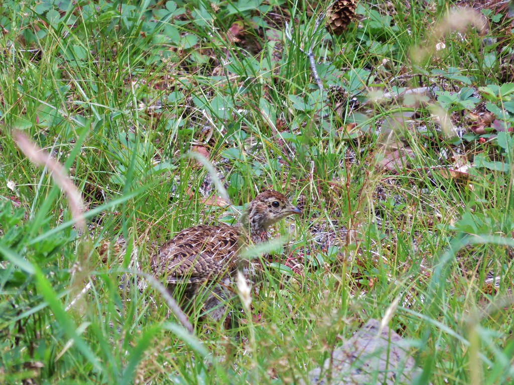
She stood guard until they were all safe then headed into the trees herself.
IMG_6942

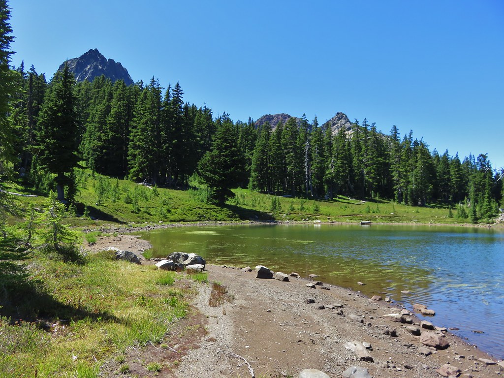
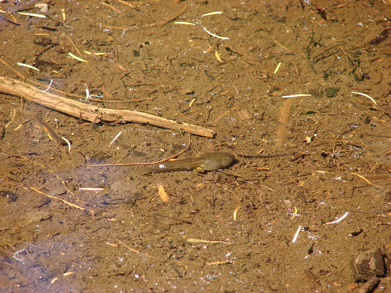
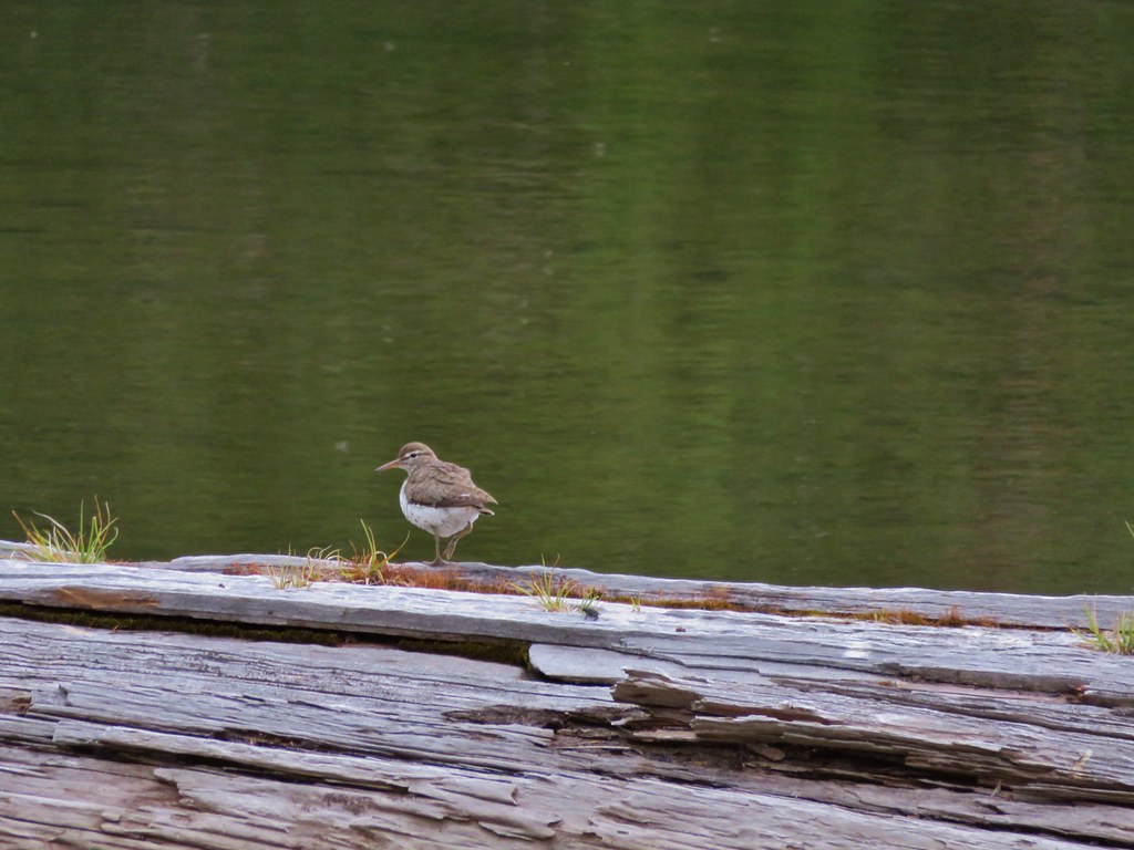
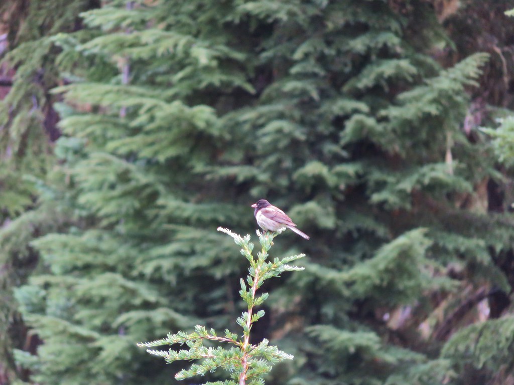
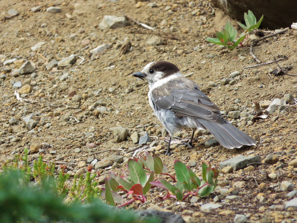
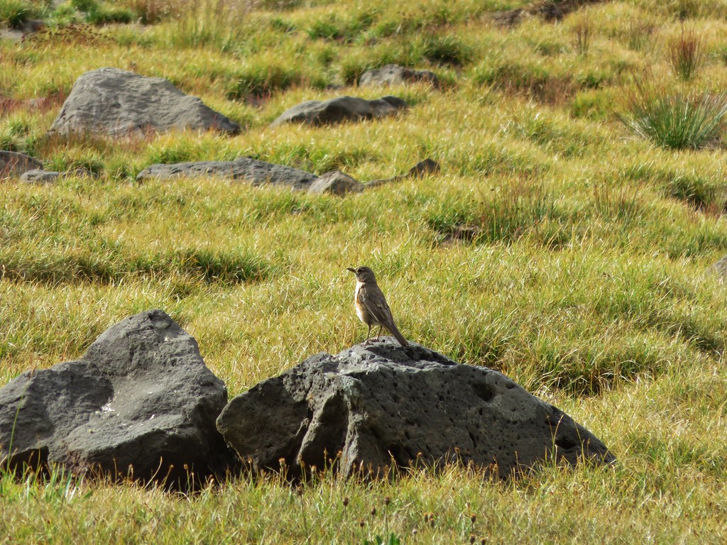
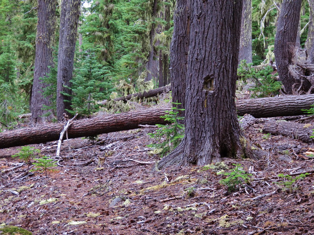
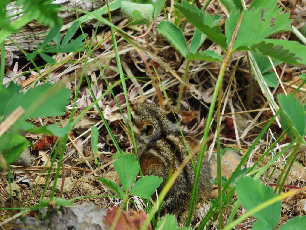
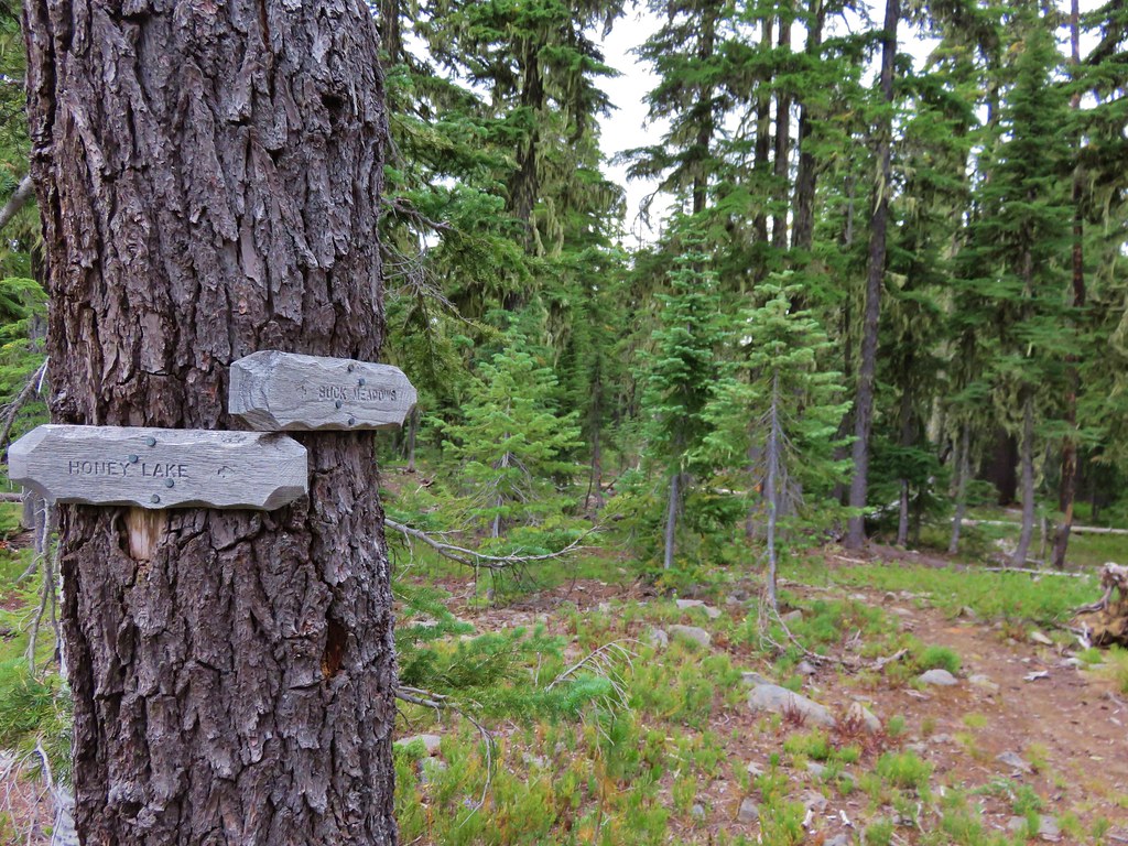
We climbed back up the steep trail past the Indian Holes and went straight past the rock cairn. Our plan was to stop at Honey Lake to fix an early dinner and fill back up on water for the final day since we knew there were no sources from Buck Meadows on. We weren’t sure what we’d find at Honey Lake because none of the maps or the Forest Service showed a trail going to the lake but we had seen the pointer for it at the junction by Buck Meadows. As we were looking for the mystery trail we spotted various wildlife along the way.
IMG_6945

IMG_6951

IMG_6956

Sure enough we came to a side trail with a pointer for Honey Lake.
IMG_6968

We momentarily had second thoughts about our plan when we saw how far below us the lake actually was.
IMG_6971

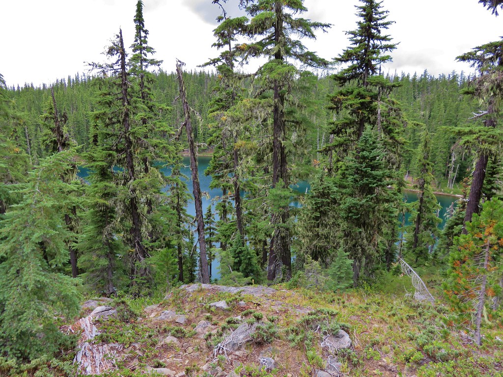
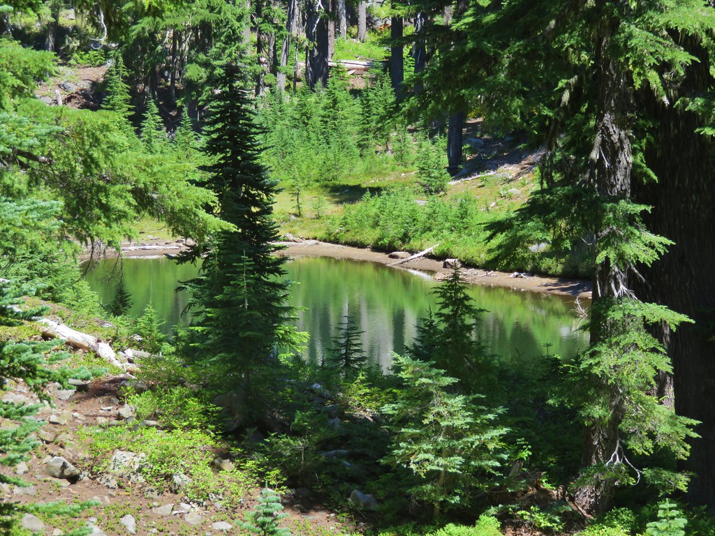
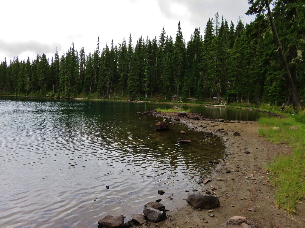
We knew we needed water though and the lake looked very pretty so we headed down the steep path to the lake shore. It really was a pretty lake and larger than we had been expecting.
IMG_6974

IMG_6976

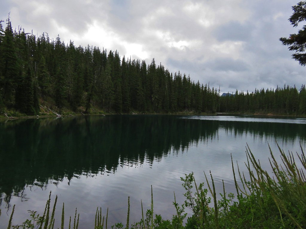
We noticed a tent back up in the forest on the far side of the lake and headed around the lake counter-clockwise looking for a good spot where we could set our things down and cook dinner. We found a pair of spots where people had obviously camped, fire rings and all, both of which are illegal within 100 feet of water in the wilderness. One of the fire rings was full of cigarette butts. Yay for people, not 😦 We took off our packs and wandered out to a little peninsula where the breeze kept the mosquitoes at bay.
IMG_6979

IMG_6981

We took a nice long break at the lake and felt recharged after having our dinner and we were ready to tackle the climb back up from the lake.
IMG_7004

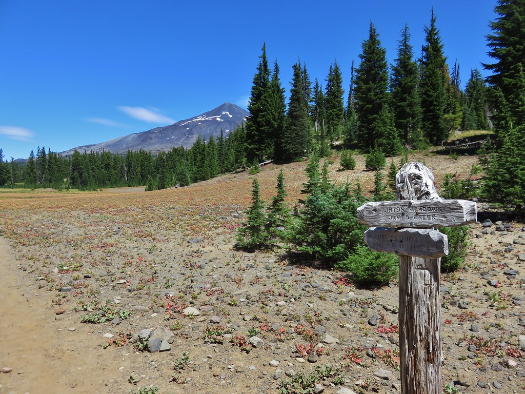
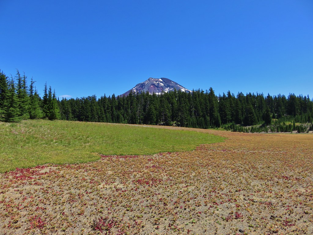
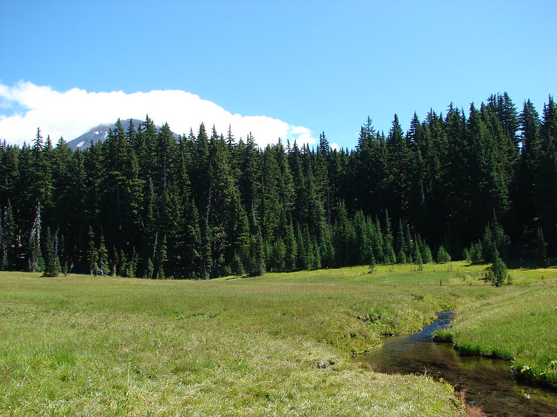
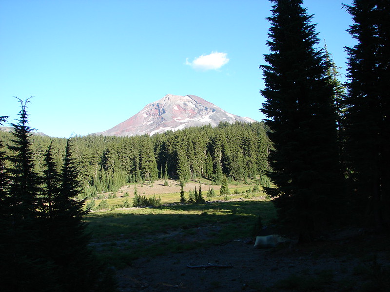
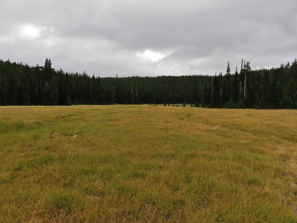
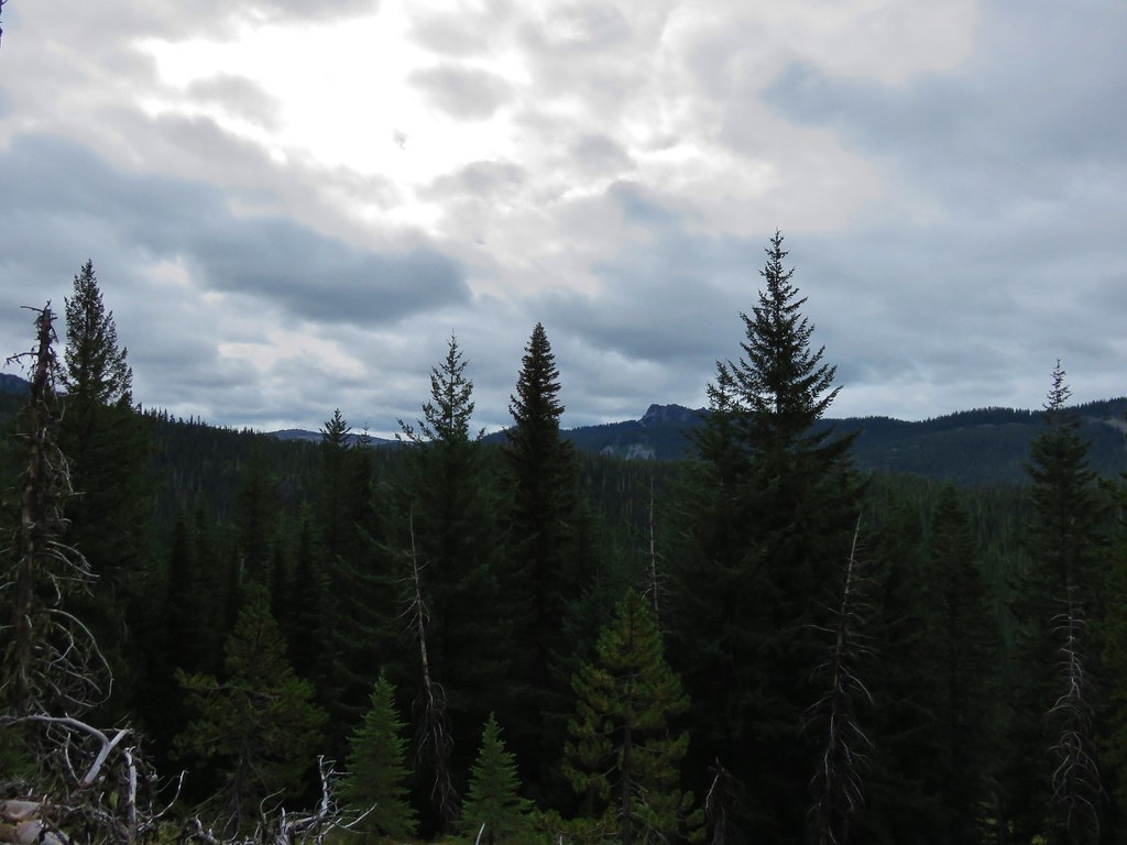
The climb back up turned out to be a lot easier than we’d expected and we were soon back on the trail to Buck Meadows. We stuck to the trail this time when we arrived at the meadows and wound up going right around the area we had considered camping in. Once we saw that we had passed it we decided to just keep going and we’d look for a spot further along the meadows. The view from the meadow was changed a bit from our first day with clouds now hiding The Husband.
IMG_7021

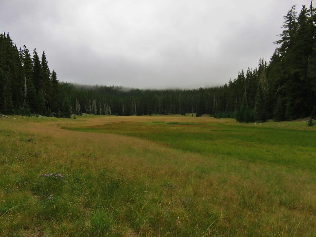
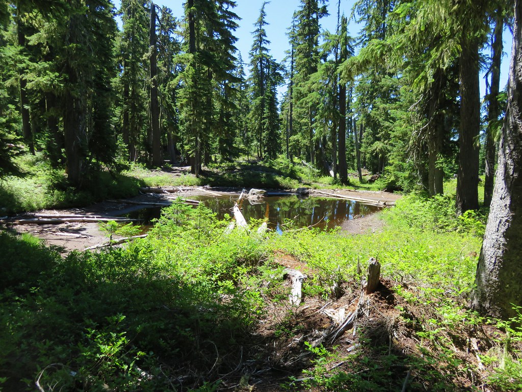
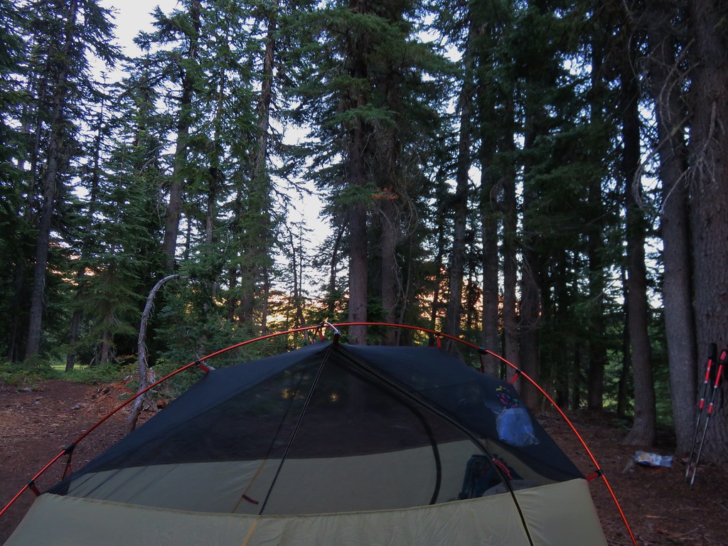
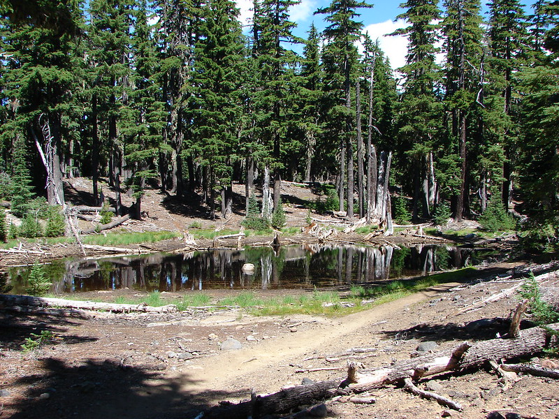
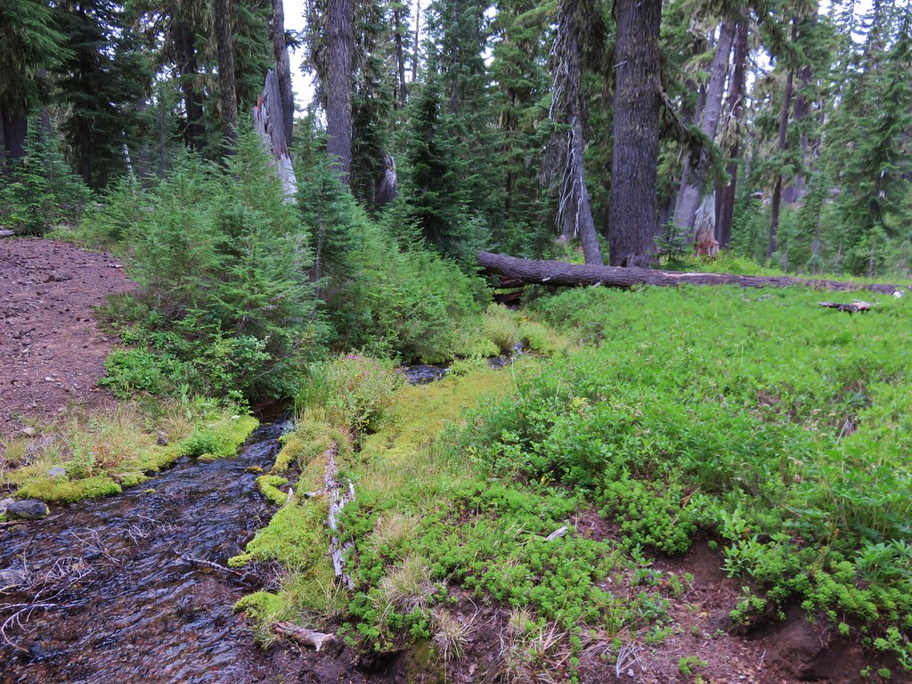
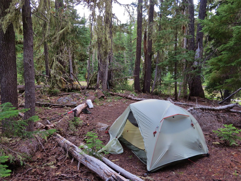
There wasn’t a viable spot to camp anywhere else along the meadows that we saw so we just kept going keeping our eyes open for an acceptable site. About 1 1/2 miles from the junction at Buck Meadows we came to a dry pond. On the opposite side of the trail was a flat area perfect for setting up camp.
IMG_7033

IMG_7032

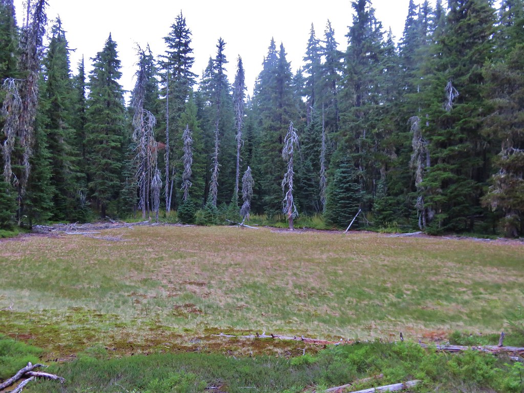
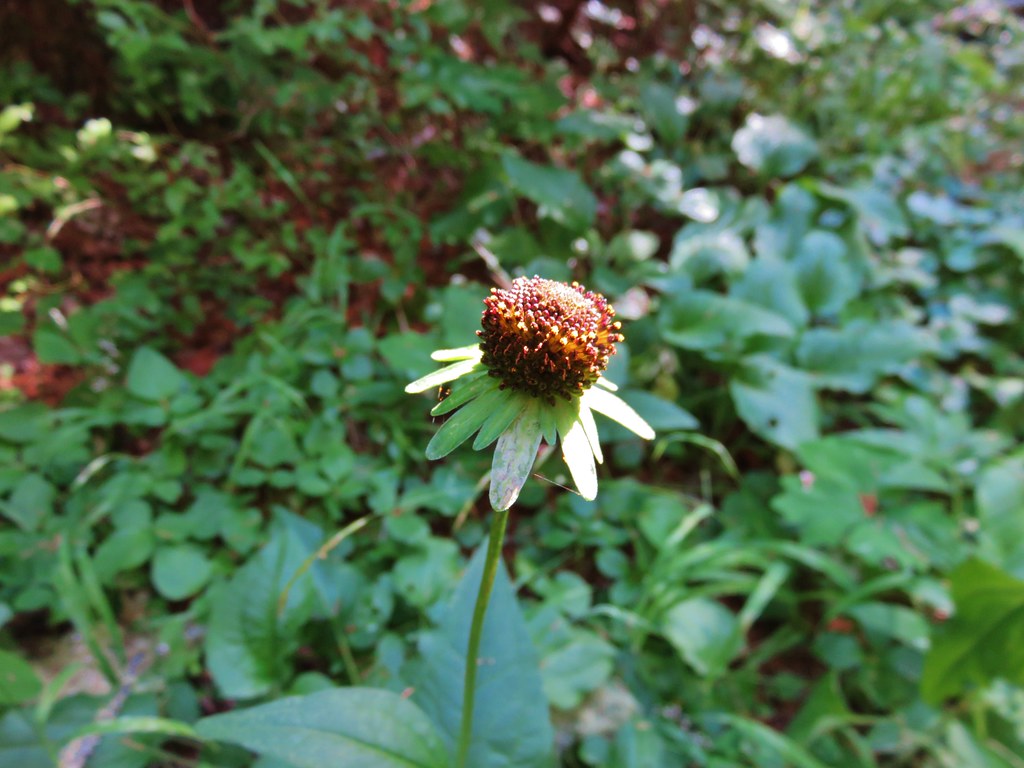
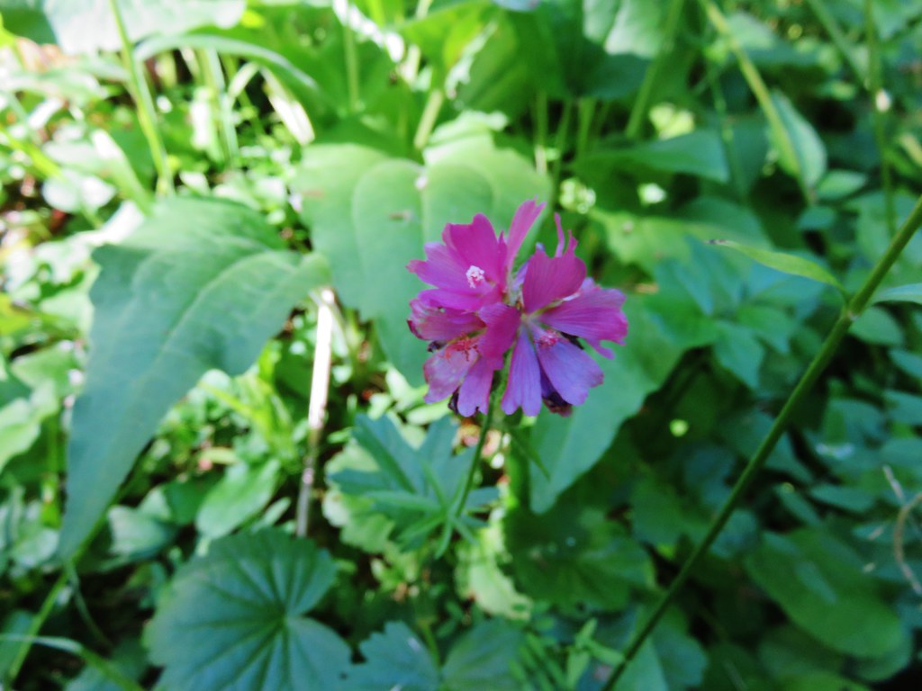
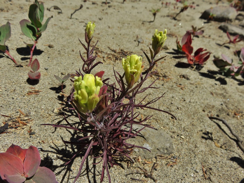
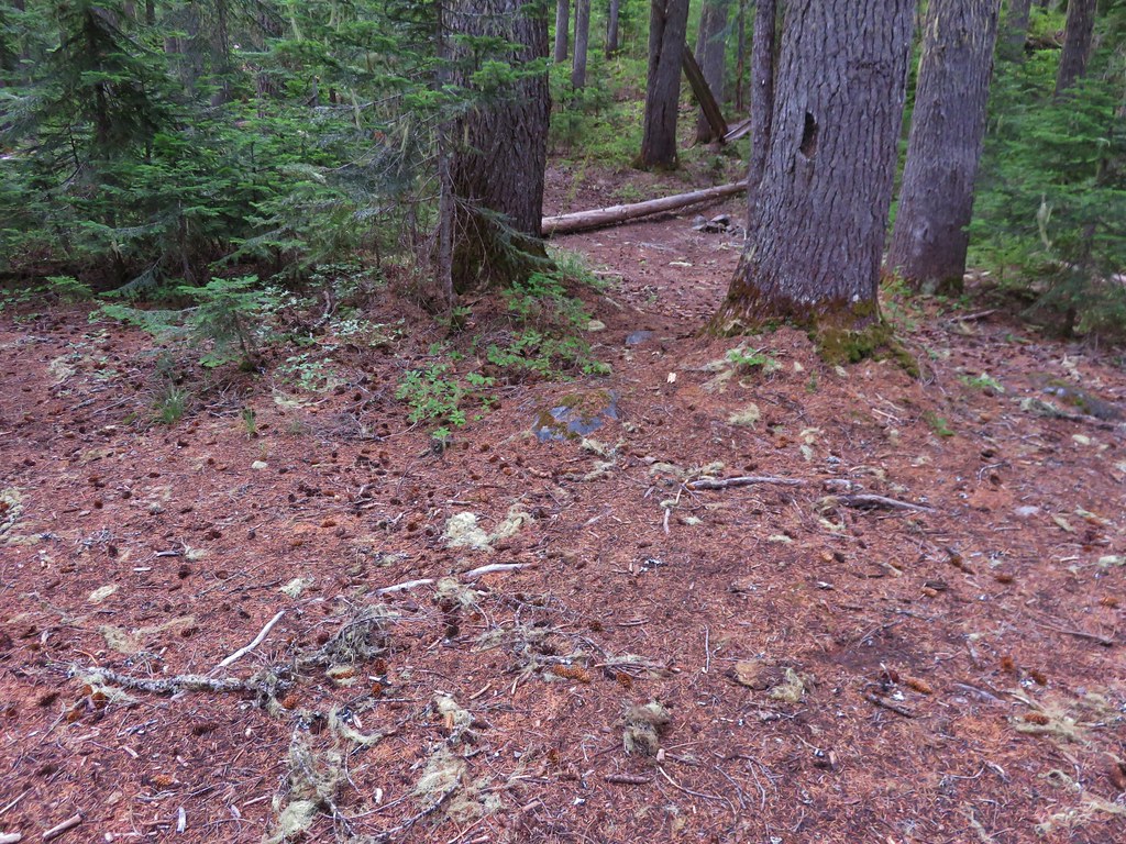
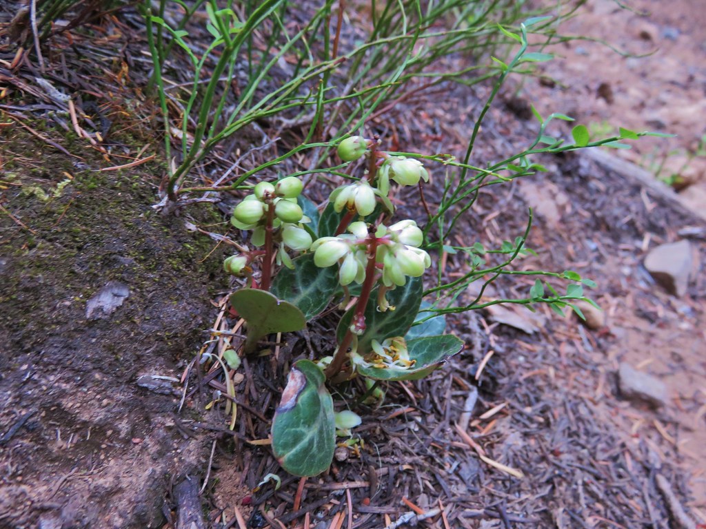
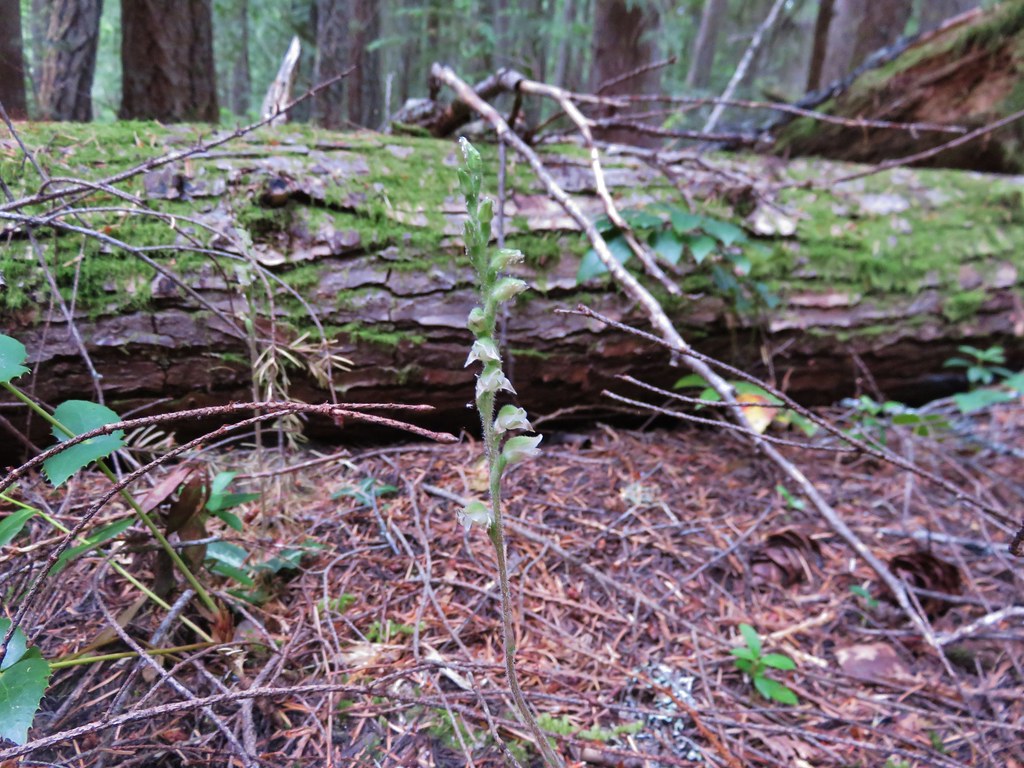
We woke up so early the next morning that we needed our headlamps as we began packing up. We ate breakfast at the edge of the dry pond and then set off down the trail. The 2 man trail crew had done a fine job clearing the trail and we were making great time since we’d just been on this trail a few days earlier and weren’t distracted by many new sights. There are always some new things to see though and we noticed a few flowers we’d missed on the first day.
IMG_7037

IMG_7045

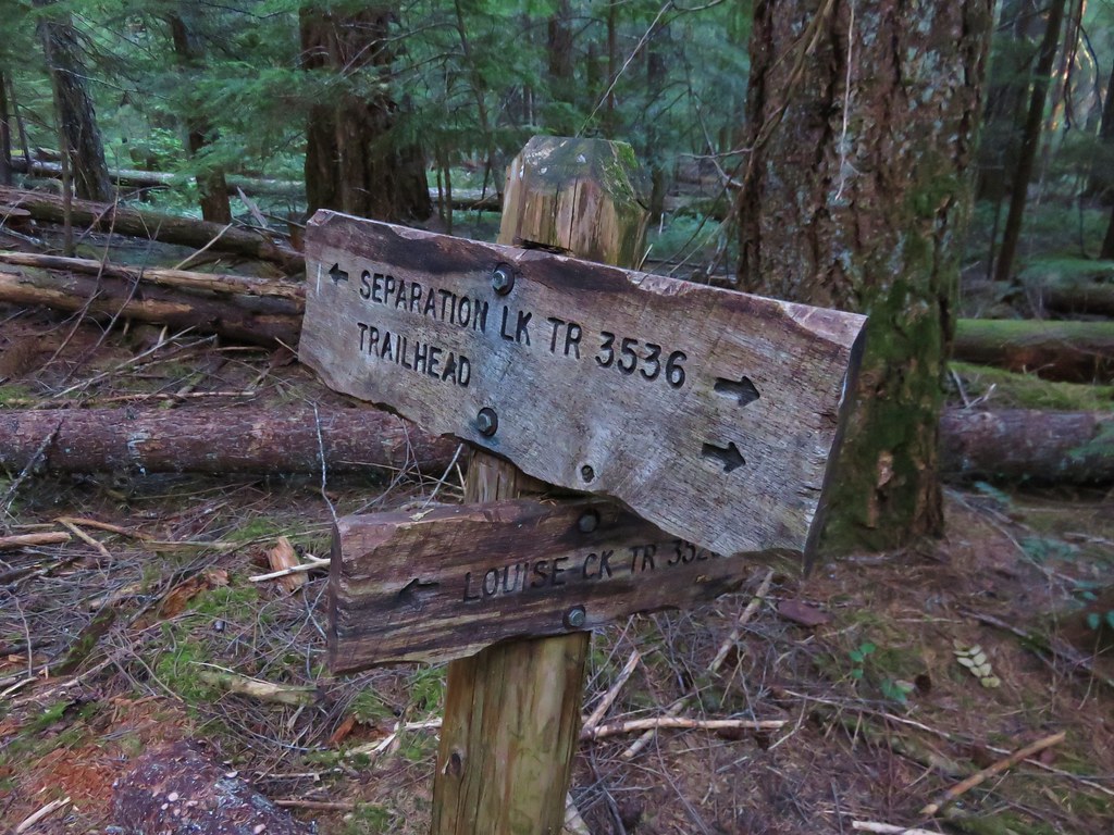
We reached the Separation Lake Trail a few minutes before 9am and according to our Green Trails map we then had 1.2 more miles to go to the trailhead.
IMG_7052

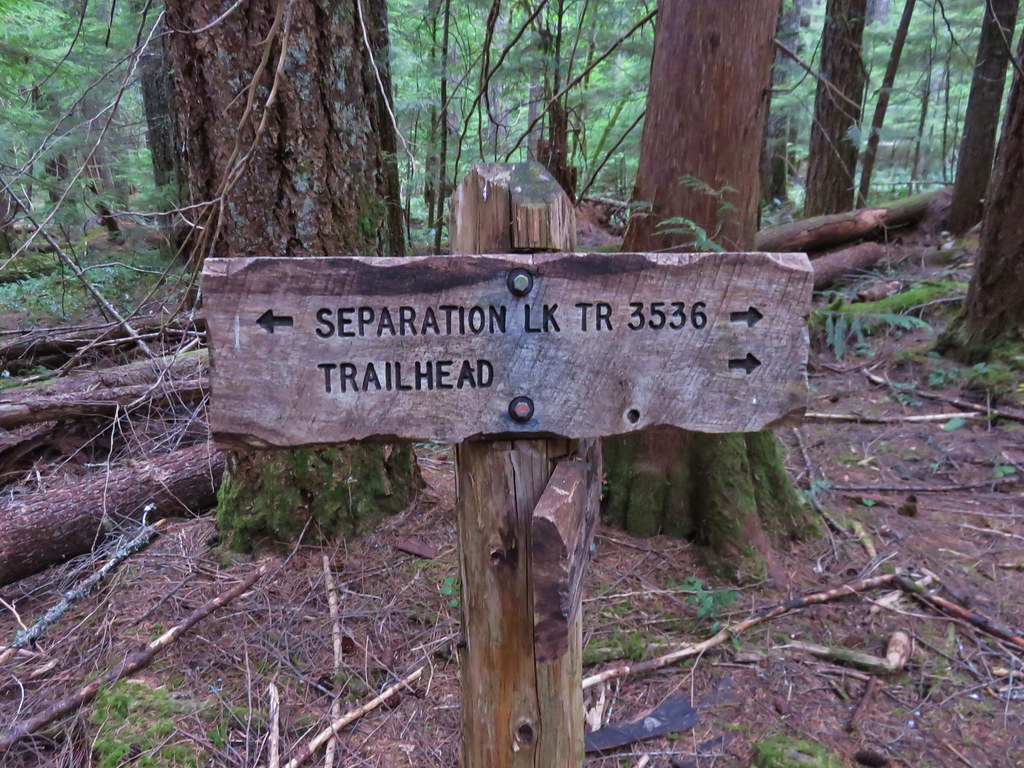
We figured we’d be back at the car around 9:45 based on our normal pace so we were surprised when we saw a familiar wooden bridge that we remembered being near the trailhead sooner than we expected.
IMG_7059

We actually wound up back at the car before 9:15. We were moving pretty fast but not that fast. Checking another map it showed the distance from the trailhead to the junction as 0.9 miles which made a little more sense. We were happy to be able to change into some clean clothes and different shoes, but we were also sad to have the trip end. We were already thinking about our next backpacking trip, wondering what new adventures awaited us. Happy Trails!

Flickr: https://www.flickr.com/photos/9319235@N02/sets/72157654071670793

Categories
High Cascades Hiking Oregon Three Sisters Area Trip report

Three Sisters Wilderness Day 1 – Separation Lake Trailhead to Eileen Lake

**Note the 2017 Separation Fire burned a portion of this hike.**

We just started backpacking last year and we really enjoyed it so we were looking forward to our first outing of the year which we recently completed. I plan on covering our trip over three entries starting with this post featuring our first day.

We had originally planned on spending a long weekend in the Opal Creek and Bull of the Woods Wilderness areas, but with the early snow melt in the mountains we changed our destination to the Three Sisters Wilderness. I had been wanting to check out the waterfalls along Linton Creek since seeing a trip report that was posted on Portlandhikers.org in 2013. There is no official trail to any of the falls along the creek and in most places there is no trail at all. The few reports I found on the area all began their hike at Linton Lake along Highway 126 and climbed up toward Linton Meadows. In the report on Portlandhikers they had hiked up the creek then over to Eileen Lake for the night then returned to Linton Lake the next day. I wasn’t too keen on the idea of carrying our full packs while bushwacking uphill so I came up with a different plan.

The solution was to start the exploration of Linton Creek from Eileen Lake where we would already have established our campsite. This would allow us to explore down stream as far as Upper Linton Falls using daypacks. I began studying our maps trying to plan the trip. The three closest trailheads to Eileen Lake are the Obsidian Trailhead, the Foley Ridge Trailhead, and the Separation Lake Trailhead. I quickly settled on the Separation Lake TH since it was the closest to us, didn’t require a limited entry permit, and offered a couple possible return loops.

We had been to the Separation Lake Trailhead in May 2014 when we hiked to Separation Lake so we were familiar with the trail when we slung our packs on and set off into the Three Sisters Wilderness.
IMG_6216

This time we took the Louise Creek Trail when we reached the junction just under a mile from the trailhead.
IMG_6217

Our plan was to follow the Louise Creek Trial for 7.2 miles to another trail junction at Buck Meadows then continue up to the Foley Ridge Trail which would take us to yet another junction. From there we would take the Linton Meadows Trail to a final junction where we would head for Husband Lake and our ultimate destination of Eileen Lake.

As we climbed up the Louise Creek Trail we met a couple that were hiking out after having camped at Sisters Mirror Lake. They had come down a portion of the Separation Creek Trail from the James Creek Shelter to Indian Hole Falls and reported that the trail did indeed have many downed trees across it. This confirmed what the information on the Forest Service website which called the trail “impassible due to heavy blowdown”. We had planned on visiting Indian Hole Falls then taking that trail down to Separation Lake where we would camp on our third night but had nixed those plans after seeing the information on the website. The other couple said the falls were beautiful and we still planned on visiting them but by using the Separation Creek Meadows Trail instead.

They also reported that there were a couple of people doing trail maintenance just up the trail and that they had not seen any water along the trail for quite some time. We had plenty of water for the day but it was good information to have for our return trip so we didn’t short ourselves hiking out.

The Louise Creek Trail was indeed dry and most of the flowers had long since passed although a few stragglers could be found here and there. There was also the remains of what must have been an impressive beargrass display lining much of the trail.
IMG_6226

IMG_6229

IMG_6242

The meadows of Buck Meadows were also dry as far as we could tell. There were some patches of green but no visible water. Purple aster dotted the dry grasses and were popular with the butterflies.
IMG_6265

IMG_6263

We got our first look at The Husband from the meadows. We knew Eileen Lake was on the far side of the rocky mountain.
IMG_6273

The final meadow was surprisingly long and we wound up losing track of the trail near the far end and just headed cross county to a small knoll with trees. We were now planning on staying somewhere in the area of the meadows on our final night and this seemed to be a viable spot. We picked up the trail again near the signed trail junction.
IMG_6279

The pointer to the left was for the Foley Ridge Trail and the right was for Honey Lake. Oddly none of our maps or the Forest Service website showed a trail going to Honey Lake, instead the trail passed by on its way to the Separation Creek Meadows Trail. It was also unclear if either or both forks were still considered the Louise Creek Trail. Our two maps indicated the right hand fork was the Louise Creek Trail but the Forest Service showed it as the left fork. Either way we needed to get to the Foley Ridge Trail so we headed left. The trail switchbacked uphill offering a brief view of Diamond Peak to the south before arriving at the Foley Ridge Trail junction.
IMG_6282

IMG_6287

It had been a tough climb up for us not being used to carrying full packs so we rested a bit at the junction where we were joined by a hummingbird.
IMG_6291

Shortly after setting off again we passed the first water we’d seen all day, a few small ponds that still held some water.
IMG_6292

IMG_6296

IMG_6305

We followed the Foley Ridge Trail for almost two and a half miles to the next trail junction.
IMG_6316

Four trails met at this junction. The Foley Ridge Trail we had come up and on its right was the trail to the James Creek Shelter. To the left were two trails one to the Pacific Crest Trail and to the immediate left the trail to Linton Meadows. We had expected to see a fifth trail at the junction, the Separation Creek Meadows Trail, which appeared to also meet here according to the maps. We thought it was odd but it was a question for another day and headed toward Linton Meadows.
IMG_6317

We had been on this portion of trail during our backpacking loop around the South Sister the previous year. The trail passes through a pumice plain which manages to support a good amount of colorful vegetation.
IMG_6321

IMG_6322

IMG_6333

Just .3 miles from the big junction the Linton Meadows Trail split again. The right fork headed down to Linton Meadows while the left fork pointed to Husband Lake. The left fork then passes Eileen Lake before rejoining the right hand fork at Linton Creek.
IMG_6324

We stopped at Husband Lake for a moment to take in the views before continuing on our way.
IMG_6338

IMG_6342

IMG_6352

We finally came upon a creek with flowing water between the lakes coming down from The Husband.
IMG_6366

On our previous visit there had been tons of frogs along the shore of Eileen Lake and we had been wondering if we would find the same thing this time. That question was answered upon arriving at the lake.
IMG_6382

IMG_6386

There were more this time than before and we slowly made our way around the lake being careful not to step on any of them. We were planning on setting up camp on the far side of the lake where we would be able to set up at least 100 feet away from the water and the trail per wilderness regulations. We found our spot on a small rise with a small meadow behind us and no frogs to have to watch out for.
IMG_6479

After setting up camp we decided to hike down to Linton Creek to have dinner in the same location we had eaten at the year before and to fill up on water from the creek. We tried going around the lake on the other side hoping the frogs would be less but it proved just as challenging and slow. On our way down to the creek we spotted 4 deer also making their way down the meadows.
IMG_6407

IMG_6419

We arrived at Linton Creek to find it flowing strongly. It is primarily fed by Linton Springs so the dry year apparently hadn’t effected it as much as the other creeks. The springs also mean the water is cold and we had forgotten just how cold until we tried to soak our feet. The water was too cold to keep them in for more than 10 or 15 seconds.
IMG_6425

After having dinner and filling up on the wonderfully cold water we returned to Eileen Lake where we explored the area behind our campsite then sat by the water watching the frogs along the shore and small fish occasionally jumping from the water disrupting the reflection of the mountains.
IMG_6471

It had been a great start to our trip and the adventure had just begun. Happy Trails!

Flickr: https://www.flickr.com/photos/9319235@N02/sets/72157656374056692

Categories
High Cascades Hiking Oregon Three Sisters Area Trip report

South Sister Loop – Day 1

**Note the 2017 Separation and Nash Fires burned a portion of this hike.**

After kicking off our vacation with a visit to Broken Tops no name lake we took a day off and got ready for what we originally planned to be a 4 day backpacking trip around the South Sister in the Three Sisters Wilderness. We wound up finishing the loop in 3 days instead of 4 hiking two 20+ mile days, our first ever over that number. Given the mileage and the amount of places we visited we are going to break this report up into three entries instead of trying to fit it all into one.

The route we were going to take would start and end at the Green Lakes/Soda Creek Trailhead. http://www.fs.usda.gov/recarea/deschutes/recreation/hiking/recarea/?recid=38870&actid=50
We decided to take a less direct route around the mountain in order to visit some of the places we had yet to see in the wilderness. Below is our GPS track from the trip (The hike to the no name lake is also on the map to the right).

South Sister Loop

We were excited for this hike for a number of reasons. We had tried to visit the Green Lakes on four previous occasions including our first attempted hike together over 20 years earlier. Snow had turned us back that day and again in 2011, in 2012 it was a forest fire, and in 2013 thunderstorms stymied our plans. The forecast was good this time around and there were no fires in the immediate area as we set off from the trailhead. The sky was blue except for above each of the mountains which were each covered in white clouds.
DSC05072
DSC05073
DSC05074

In 1994 we managed to hike up Fall Creek a little over a mile before being turned back. We both remembered being impressed with the creek and the scenery but couldn’t remember exactly what we had seen. We were quickly reminded of why Fall Creek left such an impression on us. In the first two miles Fall Creek lived up to its name with over a half dozen cascades of varying sizes.
DSC05083
DSC05088
DSC05091
DSC05097
DSC05099
DSC05101
DSC05110
DSC05116

At the two mile mark we took the Moraine Lake Trail to the left and veered away from the creek. After crossing a lava flow and climbing over a ridge we arrived at Moraine Lake. We had been at the lake the year before after climbing the South Sister. It was just as pretty this time around nestled beneath a moraine with a front row view of the South Sister.
Moraine Lake
DSC05142

After leaving Moraine Lake we headed toward the Wickiup Plains on our way to the Pacific Crest Trail. The clouds were starting to burn off of the mountains as we passed through the plains. Broken Top was behind us with the South Sister on our right and the Wife ahead.
DSC05152
DSC05160
DSC05163

The plains offered an interesting landscape with open views all around.
DSC05166
DSC05175 Stitch

As we headed North toward the PCT on the Le Conte Trail we were able to see a couple of peaks that are often overlooked due to their proximity to the larger Three Sisters, The Wife at 7054′ and The Husband at 7524′.
DSC05182

We met the PCT and turned right passing the Rock Mesa lava flow and views of the South Sister.
DSC05190

The PCT eventually left the plains and entered more forested terrain crossing several branches of Mesa Creek amid meadows and wildflowers.
DSC05201
DSC05203
DSC05217
DSC05232

We left the PCT when we reached the James Creek Trail. We had planned on camping at Linton Meadows the first night and this trail would eventually lead us there and take us past some other interesting sights. The first of these was the James Creek Shelter which sat at the edge of a meadow made green by James Creek.
DSC05247
DSC05249

Next we passed a small pond where Heather spotted a tadpole.
DSC05255
DSC05260

Flower lined Hinton Creek was next.
DSC05264

Followed by Separation Creek. We may have found some of the tadpoles relatives there.
DSC05267
DSC05270
DSC05271

At a five way trail junction we stayed straight continuing on toward Linton Meadows. The clouds had finally lifted from the mountain tops and here we got our first good look at the Middle Sister.
DSC05279
DSC05280

Another junction awaited just .3 miles later. We had originally planned on staying straight and going directly to Linton Meadows but we were enjoying the scenery so much we decided to take a longer route to the meadows and go past Husband and Eileen Lakes first. The 2.4 mile trail would lead us beneath The Husband, past the two lakes, and back to the far end of Linton Meadows. It was interesting to see The Husband up close. The shape reminded us a lot of Broken Top.
DSC05295

The first lake we reached was Husband Lake. It was a nice lake with views of both the Middle and South Sister.
DSC05297
DSC05299
DSC05311

After a nice break at Husband Lake we continued on toward Eileen Lake. The trail passed a rock slide at the base of The Husband where we were surprised to see some Columbine in bloom.
DSC05328
DSC05331

There was also the cutest little tree attempting to grow out of the side of a boulder.
DSC05336

The North Sister made its first appearance of the day as we continued North.
DSC05337

Eileen Lake was a gem with green shores and great views. There had been several people camped near Husband Lake but for some reason no one was at Eileen Lake. As we made our way around the lake we encountered a large number of tiny frogs. We had to walk very carefully so we didn’t step on any since they were all over on the trail.
DSC05345

We eventually made our way around to the best views from the lake.
Eileen Lake
DSC05358

We left the lake and the frogs behind and in another .8 miles reached the junction with the James Creek Trail at the edge of Linton Meadows.
DSC05376
DSC05377

Several branches of Linton Creek flow through the meadows creating a large swath of green with the Middle & South Sister providing the backdrop. There were not many flowers left but a couple of patches remained and the sound of the streams roaring down hillside on the far side of the meadows completed the experience.
DSC05379
DSC05381
DSC05382
DSC05388

We headed back South here and found a campsite at the edge of the meadows. We seemed to be the only ones camped in the area which suited us just fine.
DSC05435
DSC05436

After getting camp set up we had one more thing to visit – Linton Springs. There is no official trail to the springs but I had a feeling there might be a way up to them so we set off looking for any signs of a trail that might lead us to them. We managed to find some faint trails and picked our way up the main stream being careful to avoid damaging the plants. As we neared the springs we found a more established path and followed it up to an amazing view.
DSC05411

The springs were truly impressive cascading down from all around the rim of a small bowl.
DSC05417

It was a perfect way to cap off our first day. We had already visited so many diverse and beautiful places we couldn’t wait to see what day 2 had in store when we would return to the PCT and head to the Chambers Lakes between the Middle and South Sister and finally past Camp Lake to Demaris Lake for our second night.

Happy Trails!

Flickr: https://www.flickr.com/photos/9319235@N02/sets/72157646955382382/
Facebook: https://www.facebook.com/media/set/?set=a.10204860263453559.1073741903.1448521051&type=1