September is one of the trickier months for picking hikes. The transition to Fall has begun meaning most of the wildflowers are done while the Fall colors are just getting started. Rain begins returning (and sometimes snow at higher elevations), but many of the waterfalls are still running low. Finally, wildfire smoke has often been a problem in recent years.
The hike to Park Meadow and Golden Lake seemed a good option as it isn’t a big wildflower hike and there aren’t a lot of plants known for their Fall colors. We had visited the meadow and Golden Lake during a 2014 backpacking loop around the South Sister (post). That visit was enough for us to count having hiked part of Sullivan’s featured hike in his “100 Hike/Travel Guide Central Oregon Cascades” (post), but it meant we’d skipped the five miles of trail between the Park Meadow Trailhead and Park Meadow.
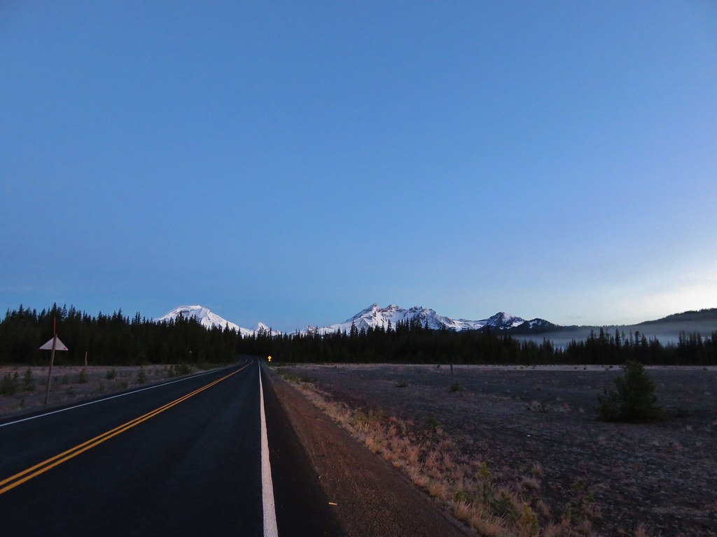
With a forecast of mostly smoke and cloud free skies we made the two-and-a-half-hour drive to the trailhead.

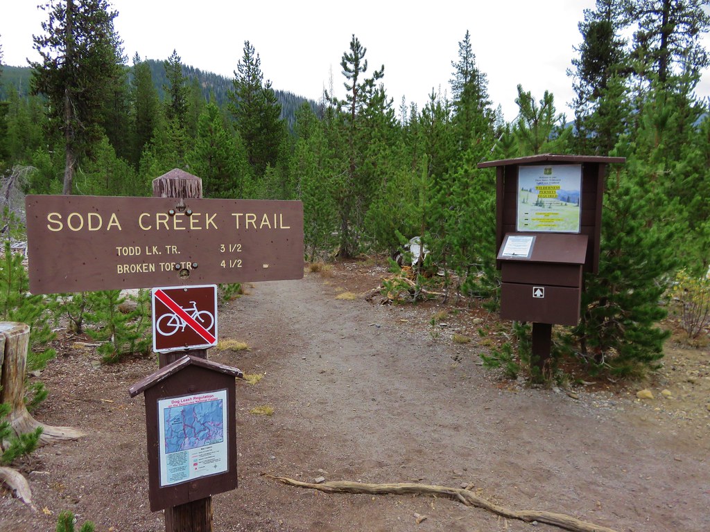
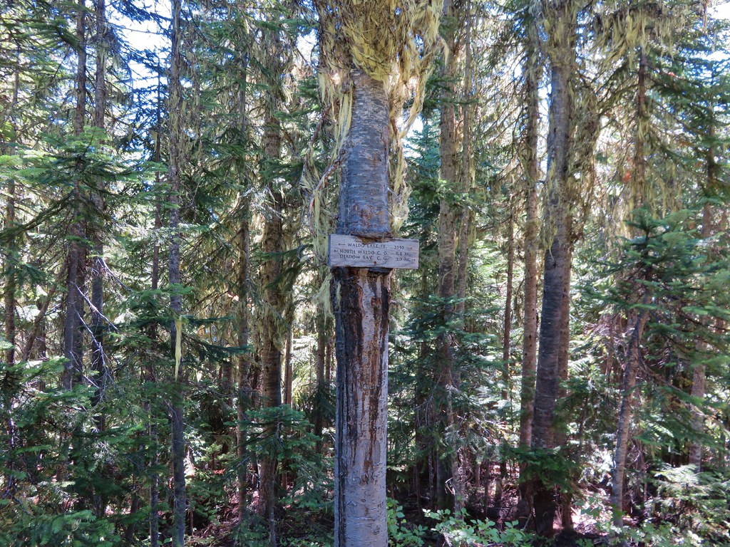
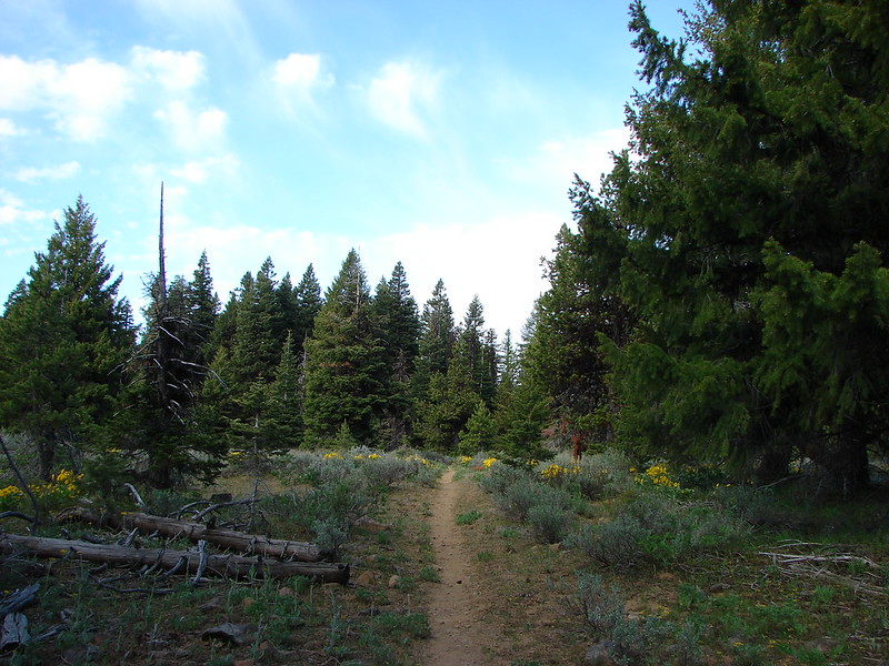
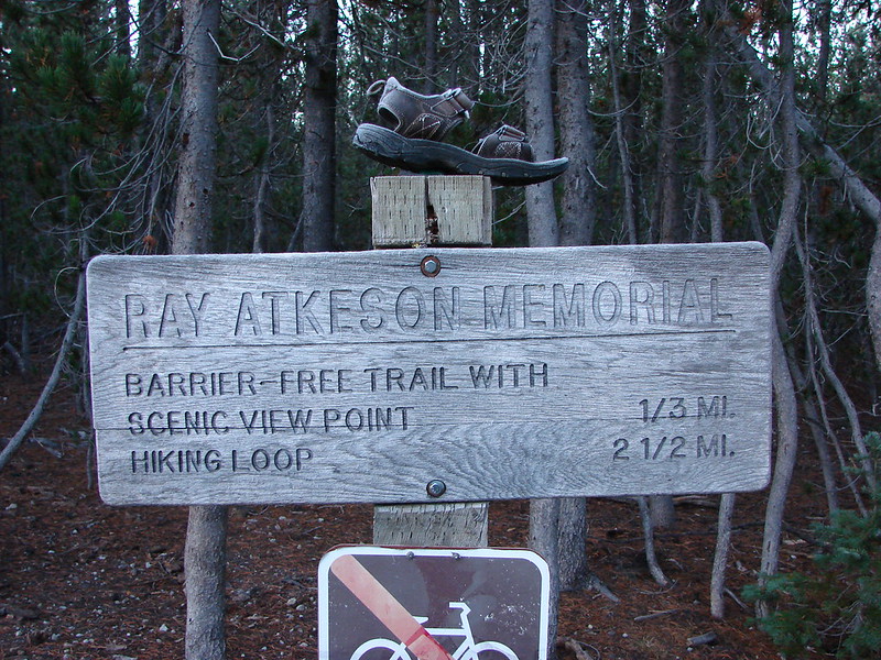
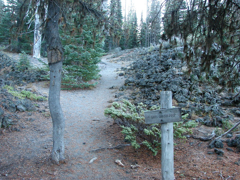
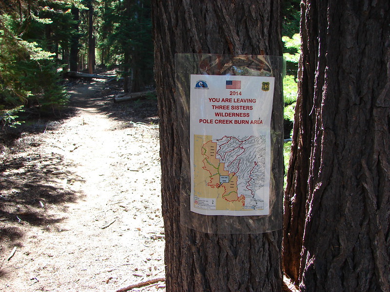
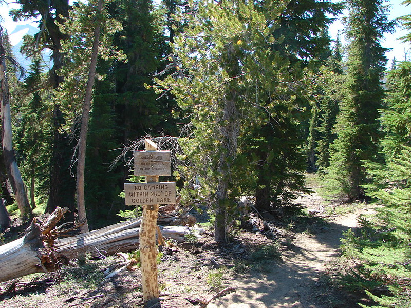
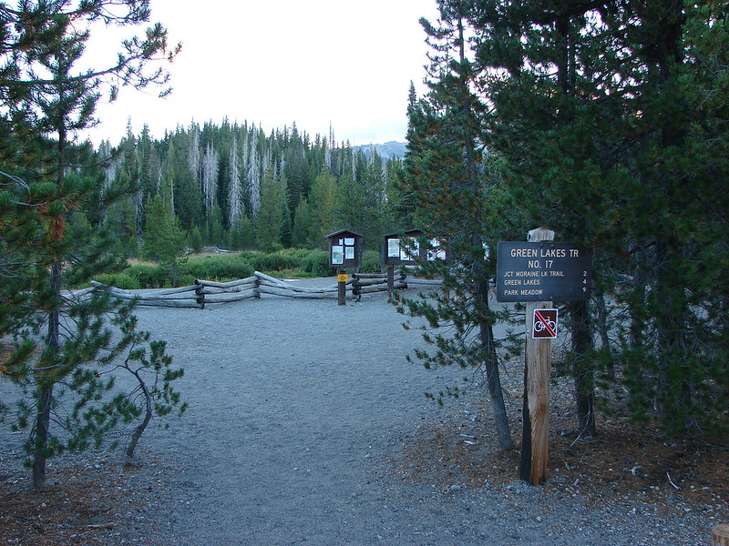
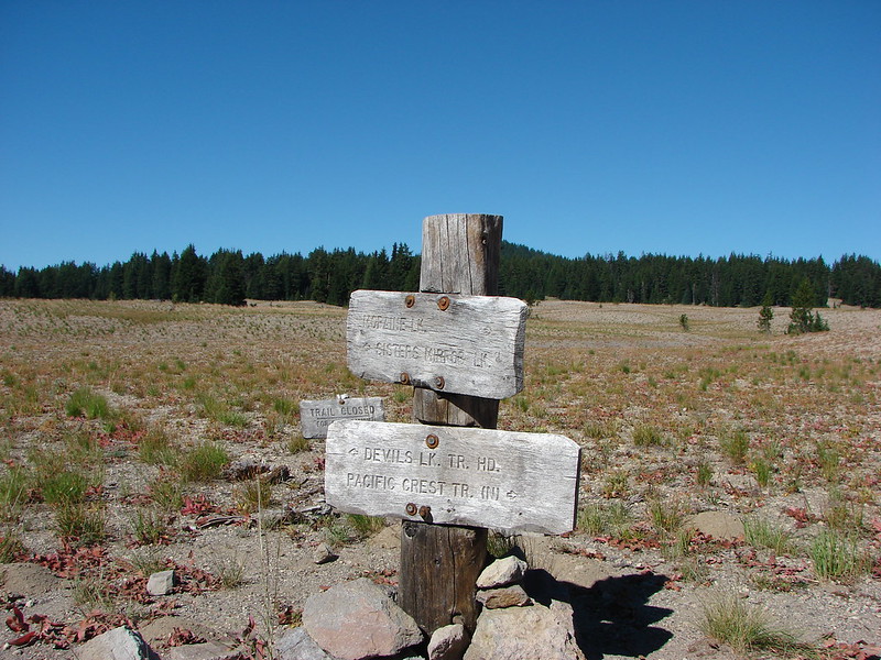
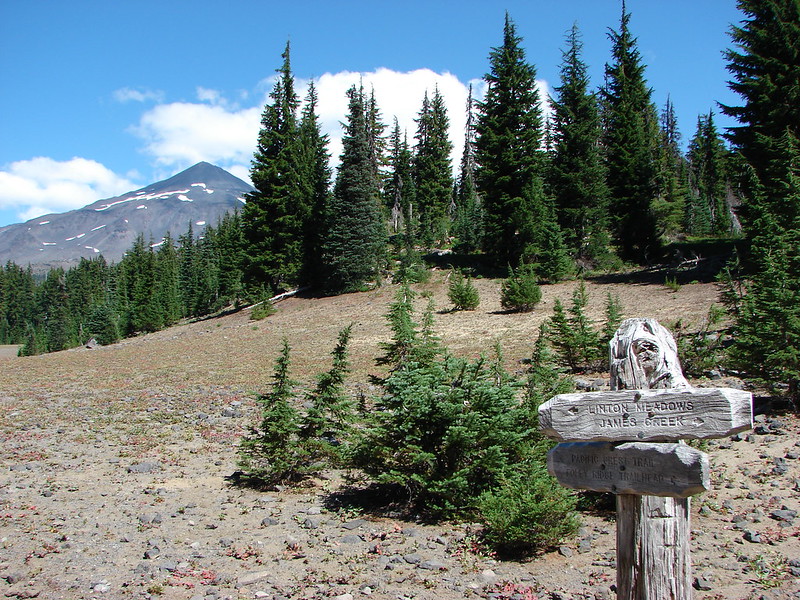
The trail begins across Forest Road 16 from the trailhead at a signboard and wilderness permit box.

Currently for day hikes the only permit currently required is the free self-issued wilderness permit that we filled out at the signboard. For overnight trips a Central Cascades Wilderness Permit is required.

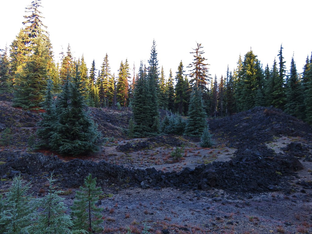
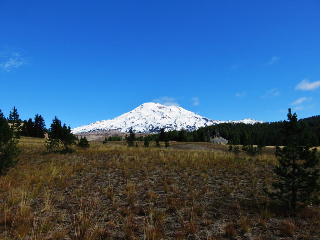
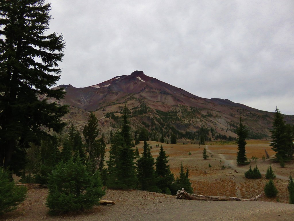
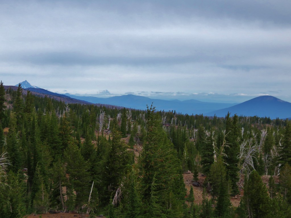
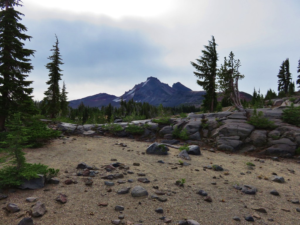
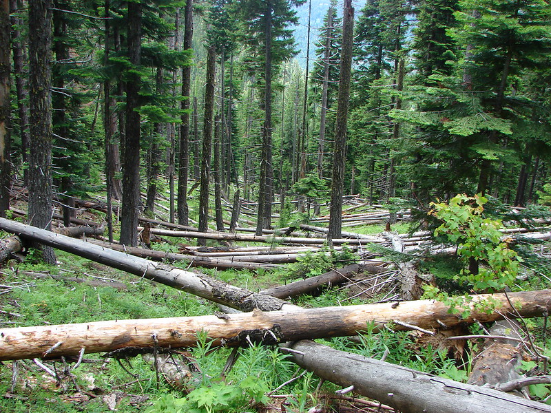
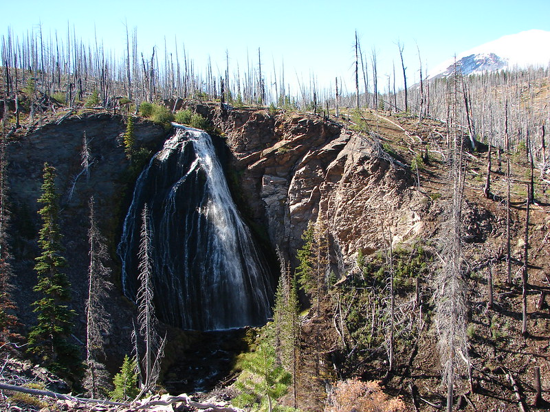
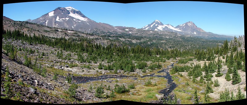
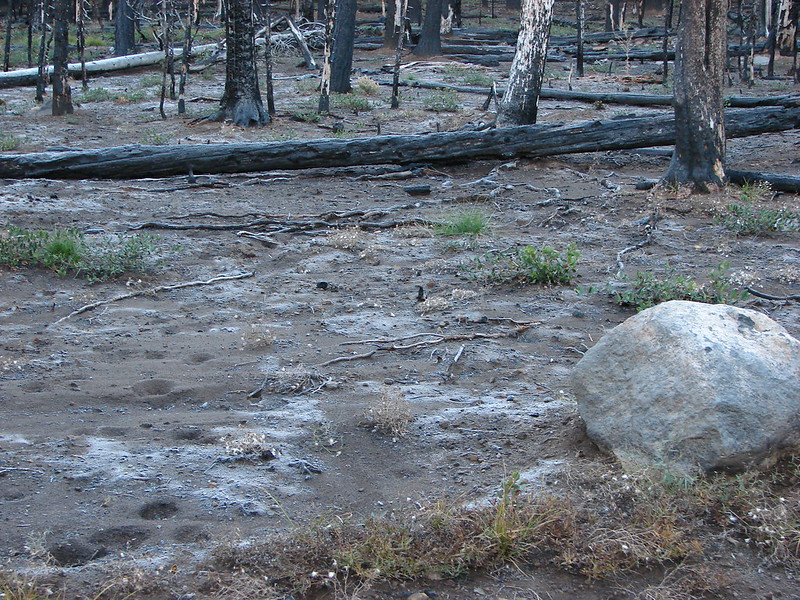
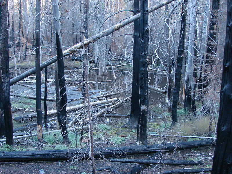
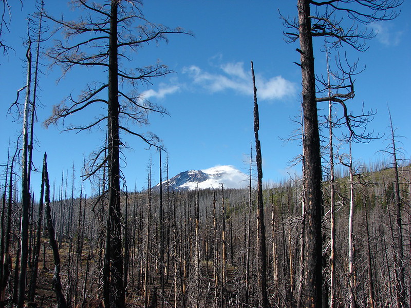
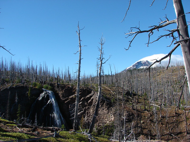
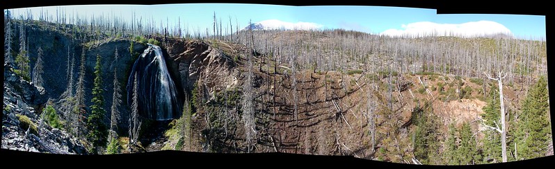
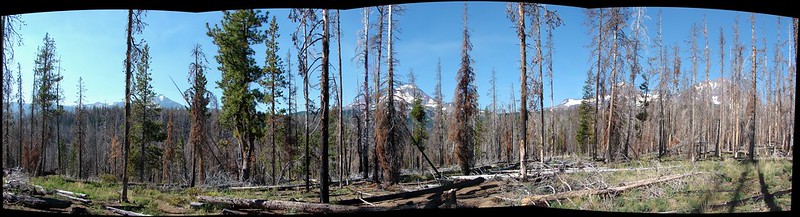
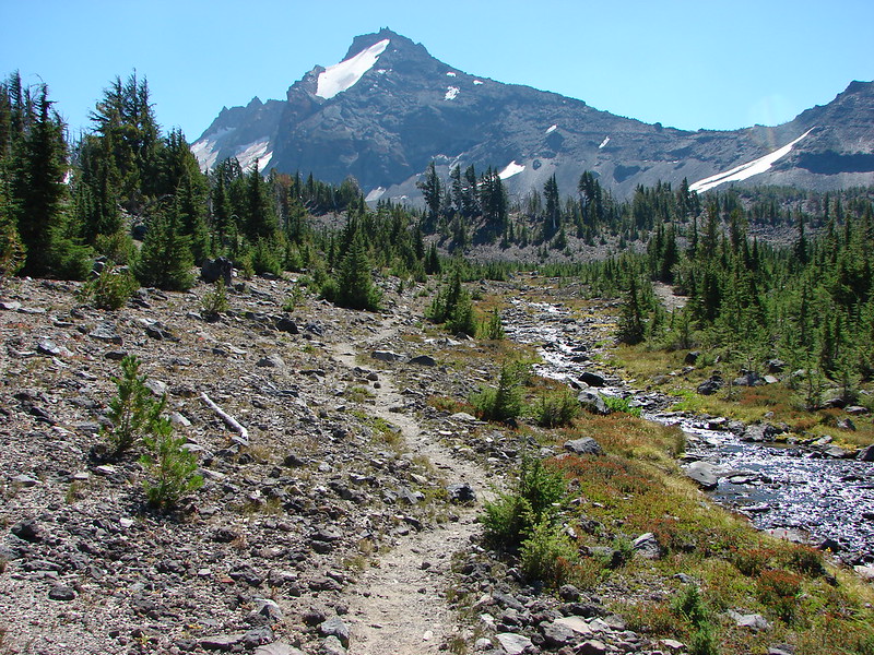
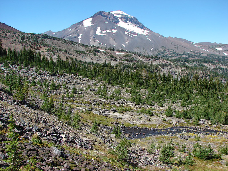
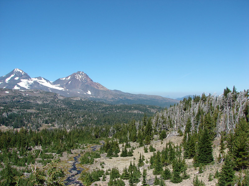
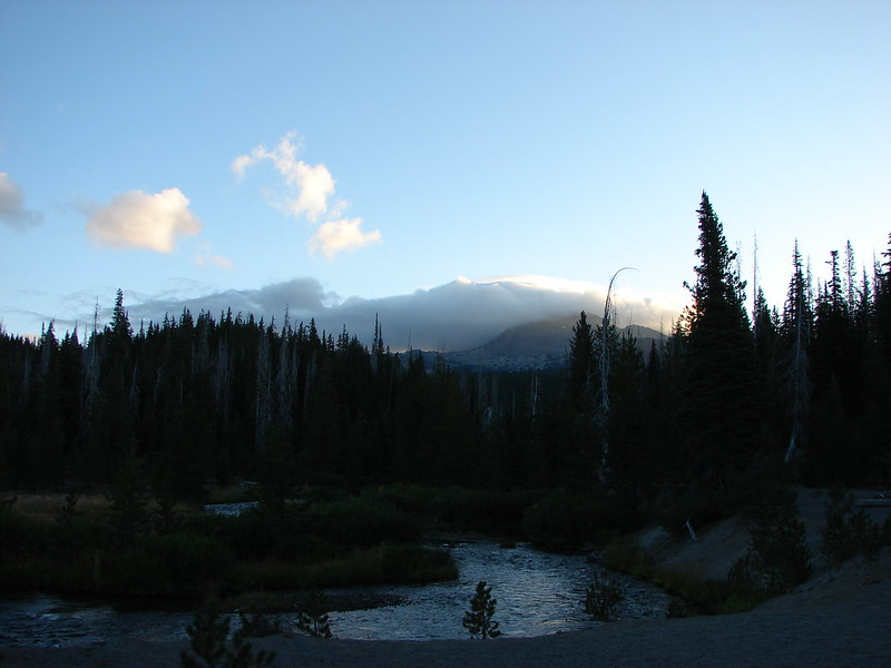
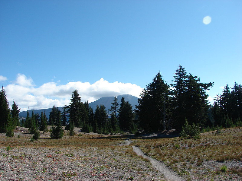
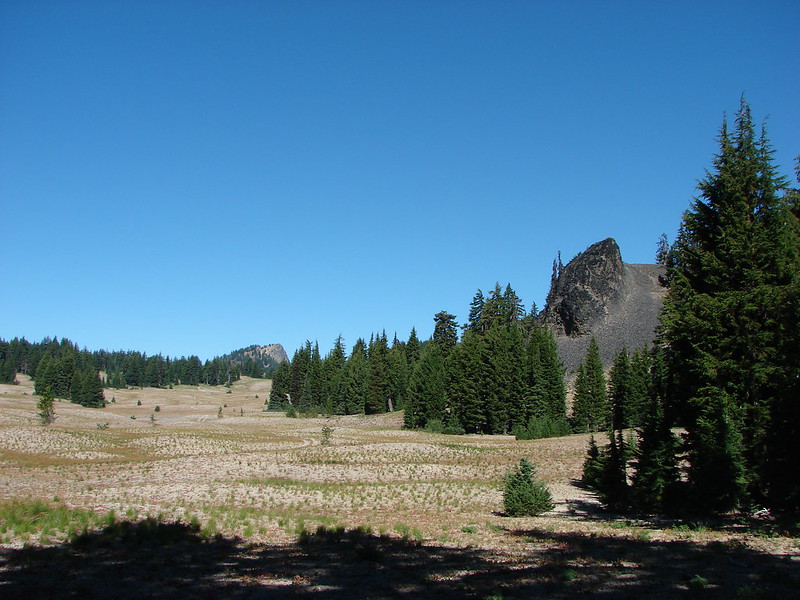
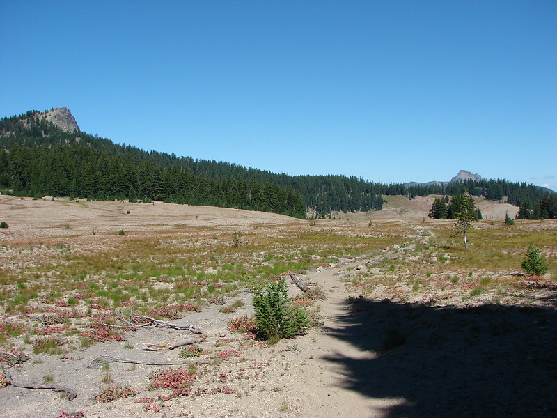
The Park Meadow Trail spends most of its time in the 2012 Pole Creek Fire scar which burned nearly all the trees leaving views of the Three Sisters and Broken Top through the snags. The trail also loses 350′ of elevation for the first 3.9-miles to Wychus Creek.


Junco

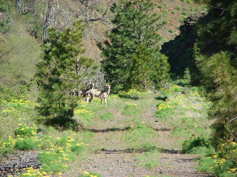
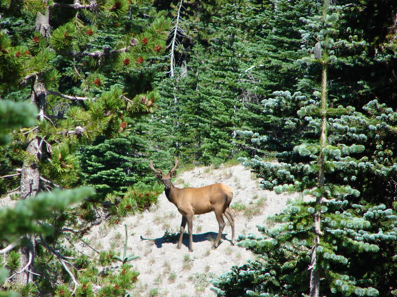
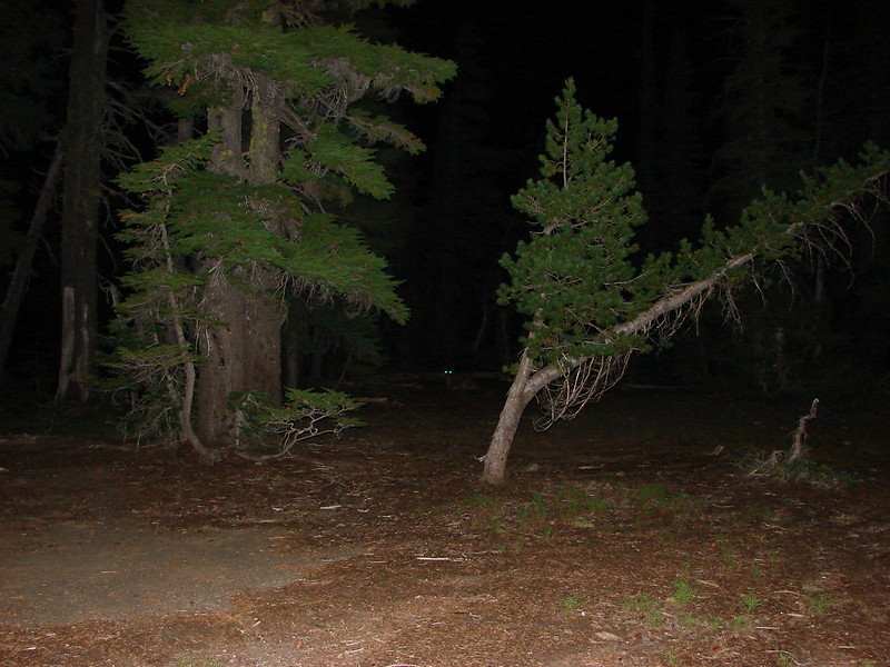
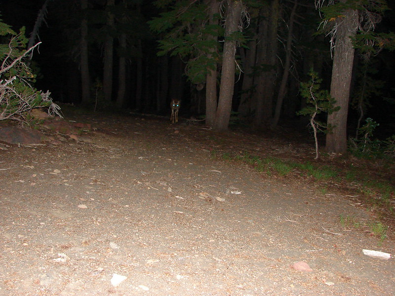
Heather spotted three deer on the rise in the distance.


Lupine

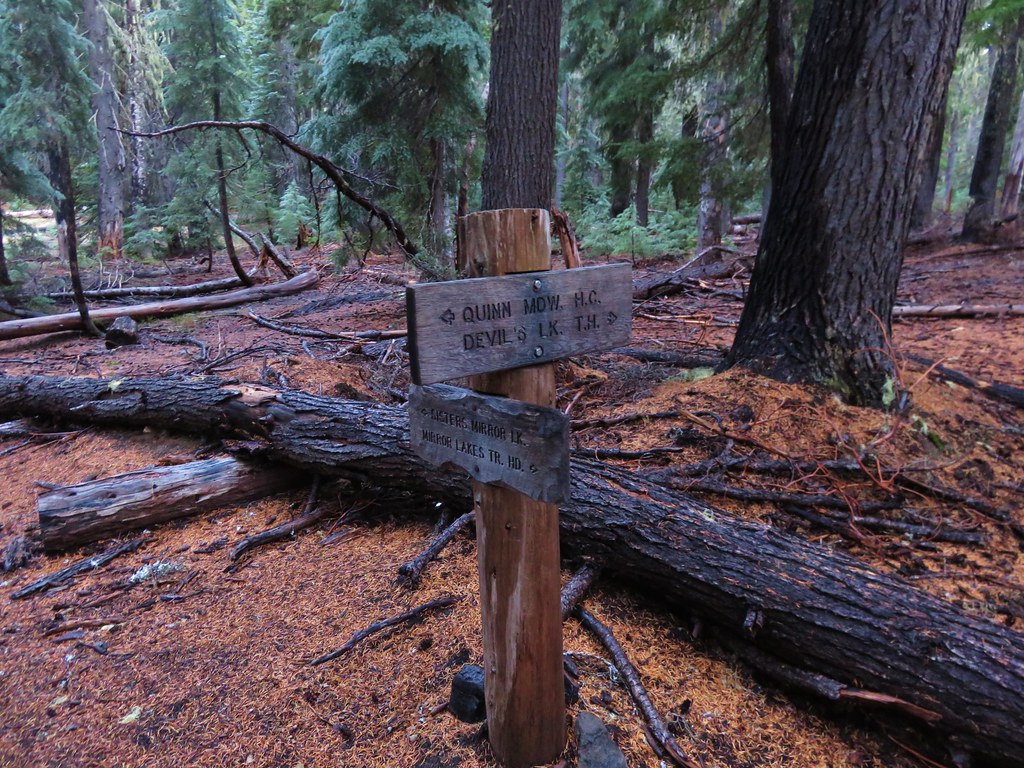
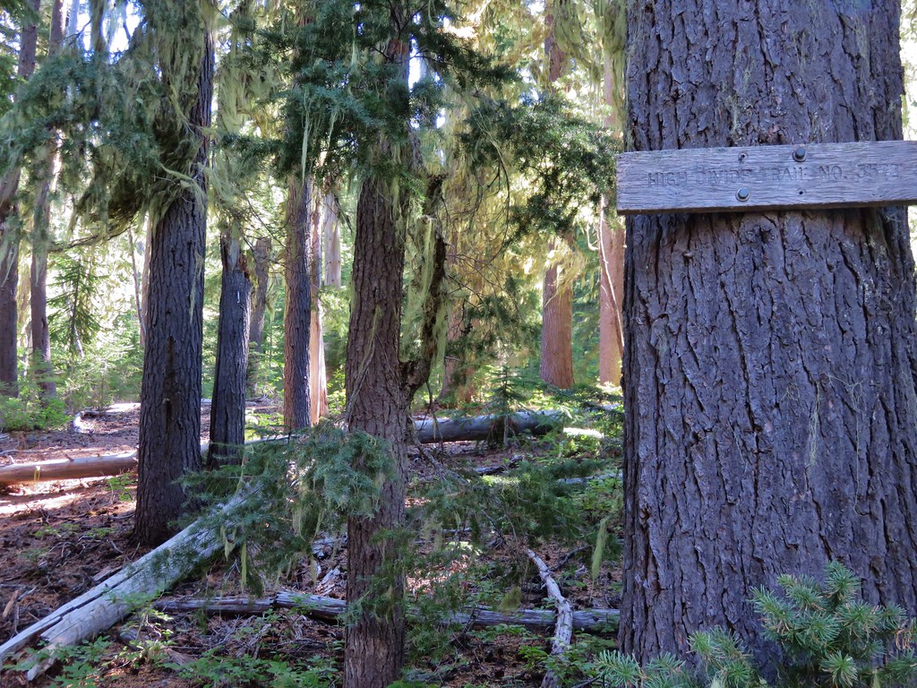
At the 0.25-mile mark the trail arrives at junction with the Metolius-Windigo Trail. We stayed straight following the pointer for “JCT. PARK MEADOW TR.”

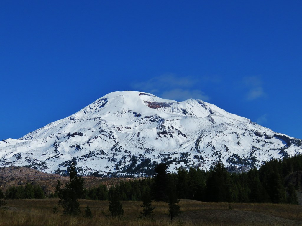
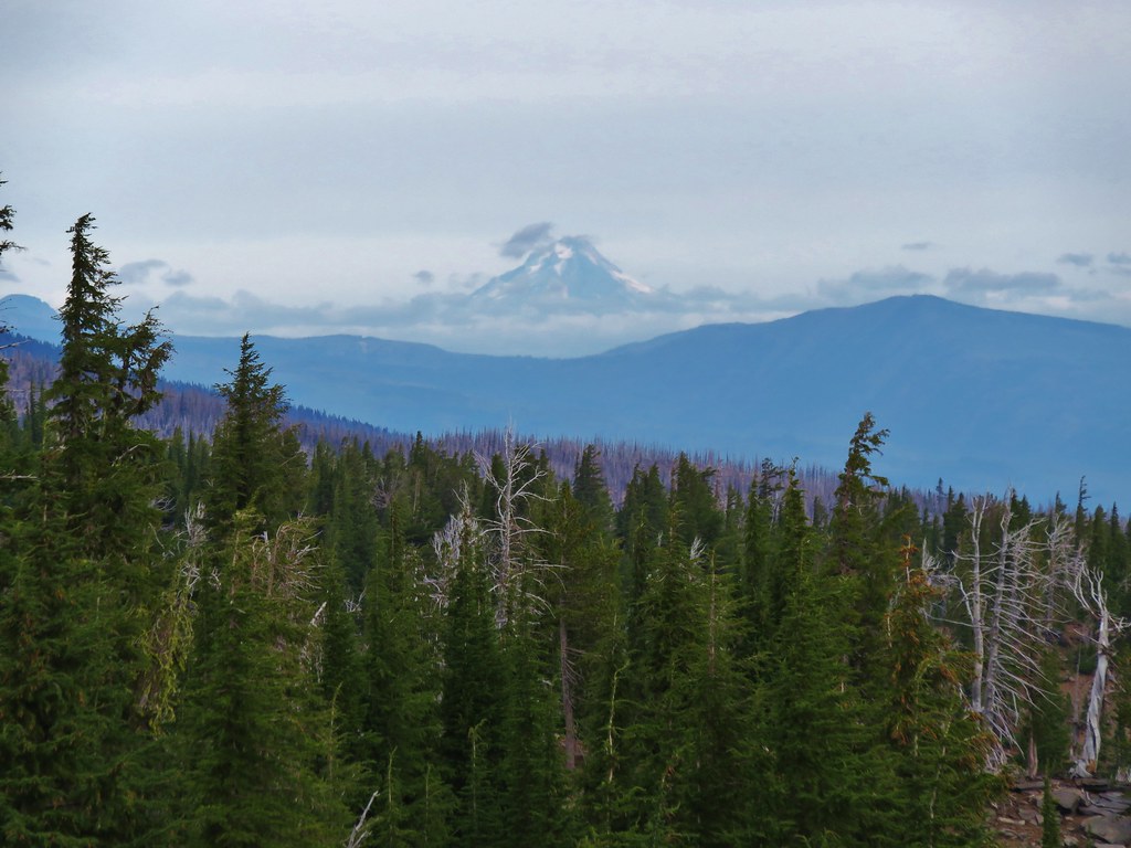
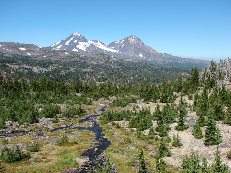
The Three Sisters on the horizon.

Sparrow

Fireweed


Northwestern rabbit-tabacco

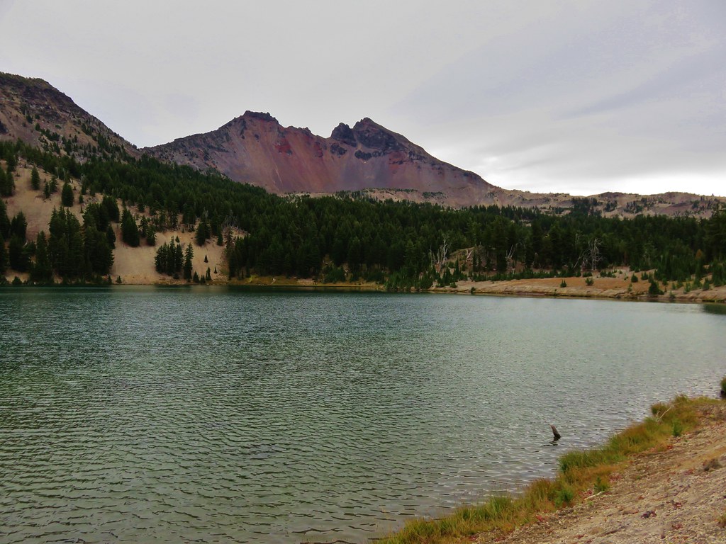
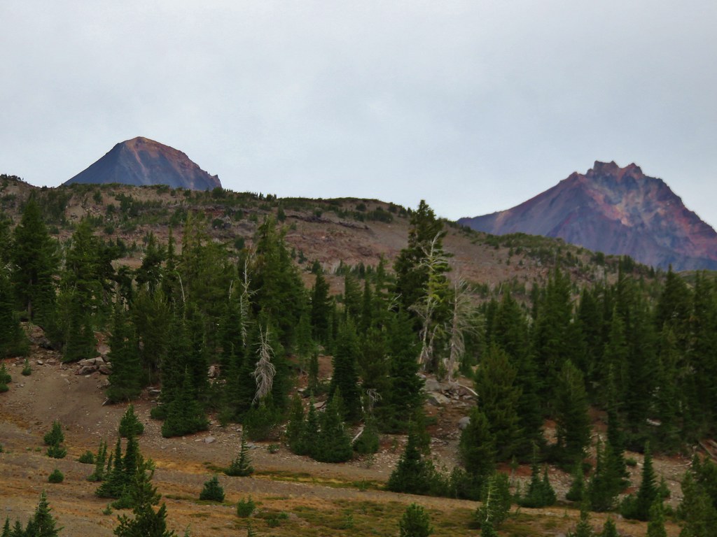
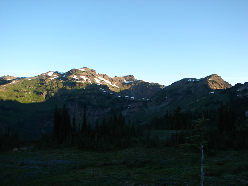
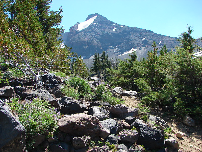
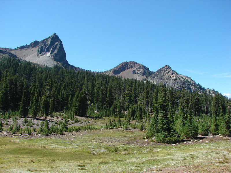
Broken Hand along Tam McArthur Rim (post) on the left with the tip of Broken Top above the hill on the right.


Pearly everlasting
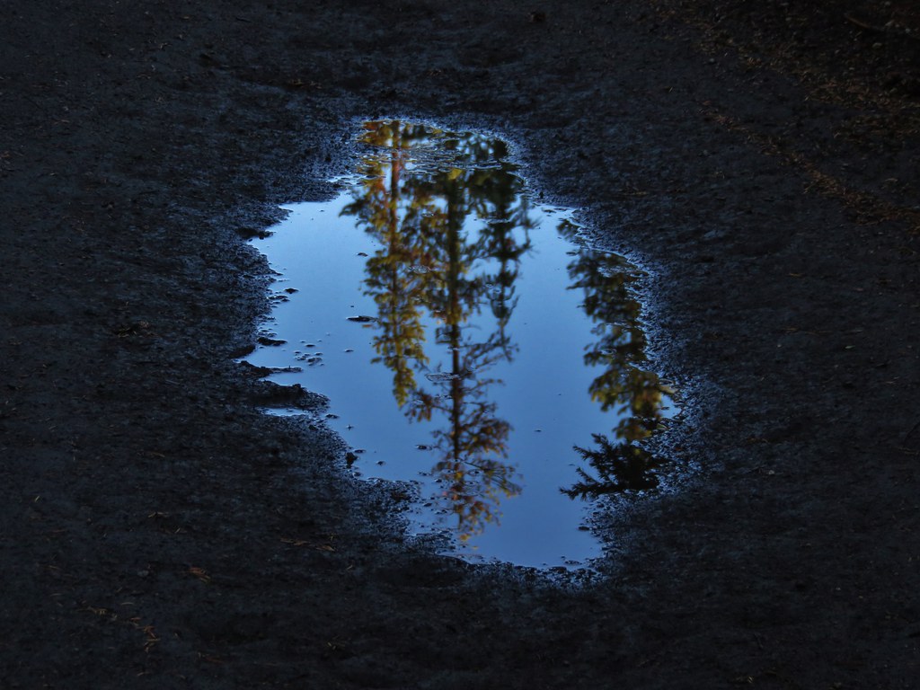
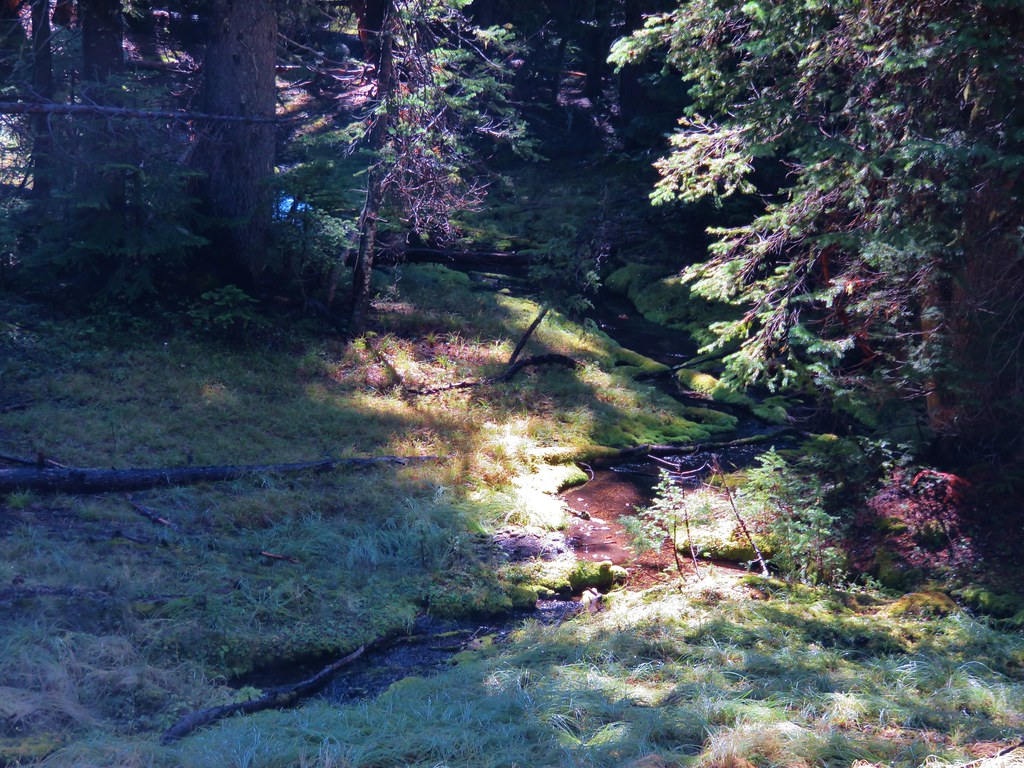
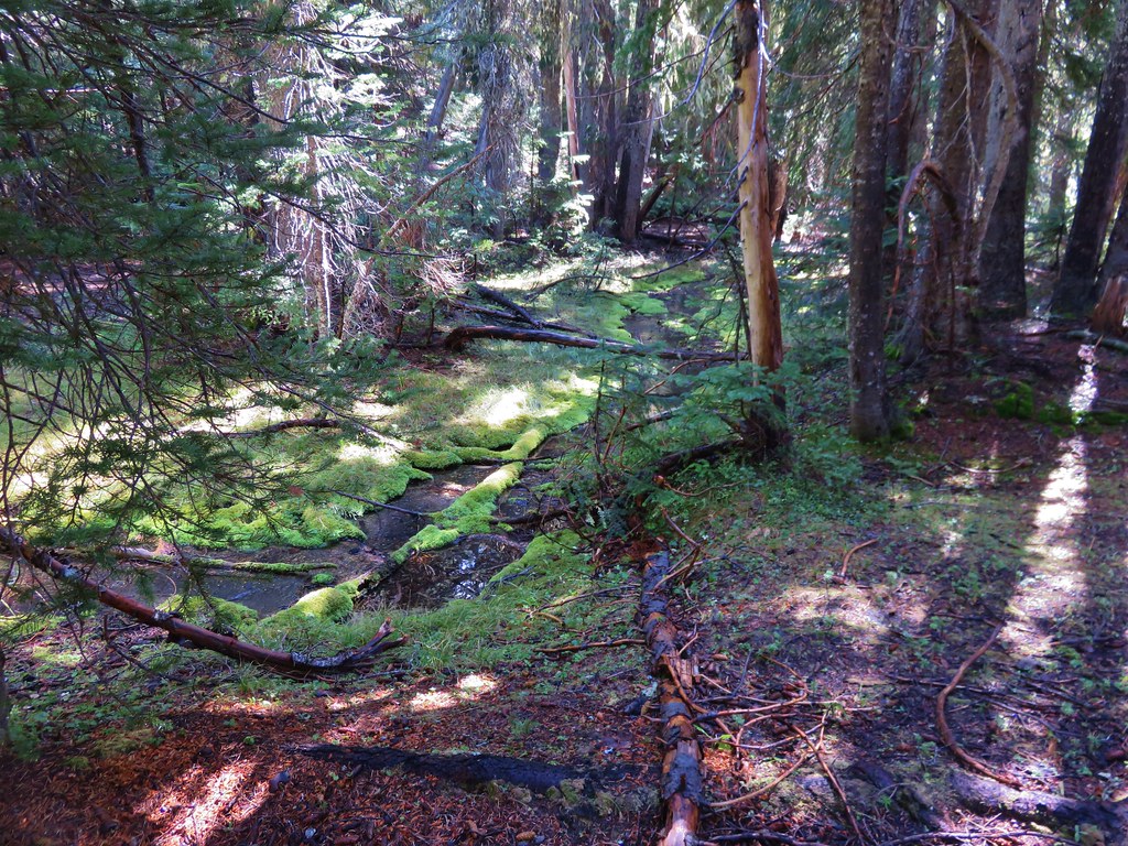
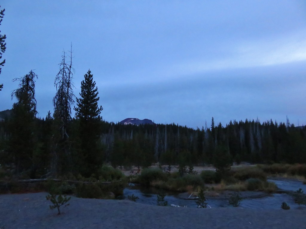
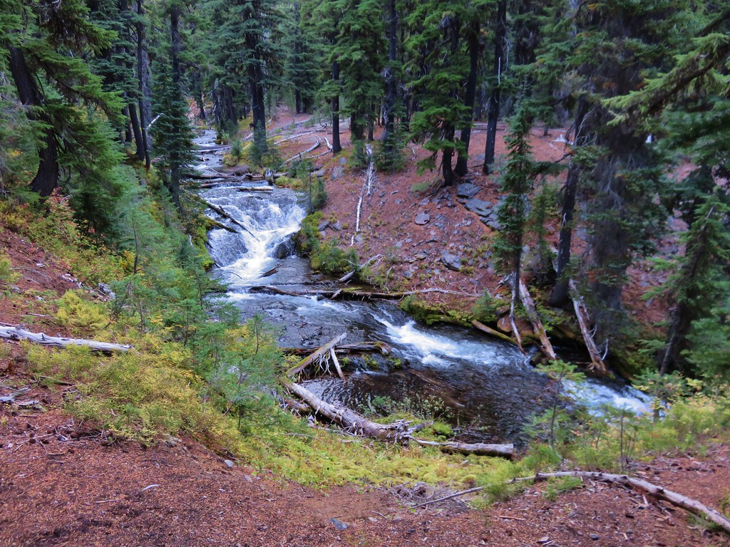
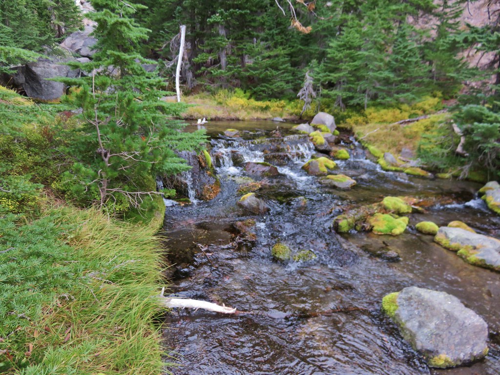
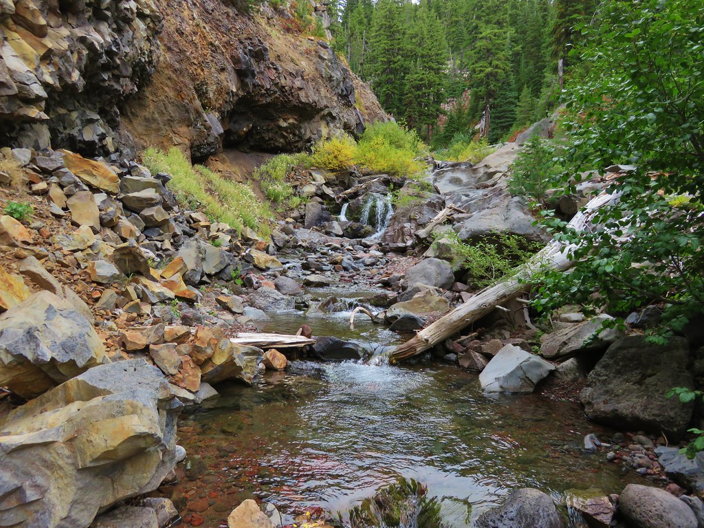
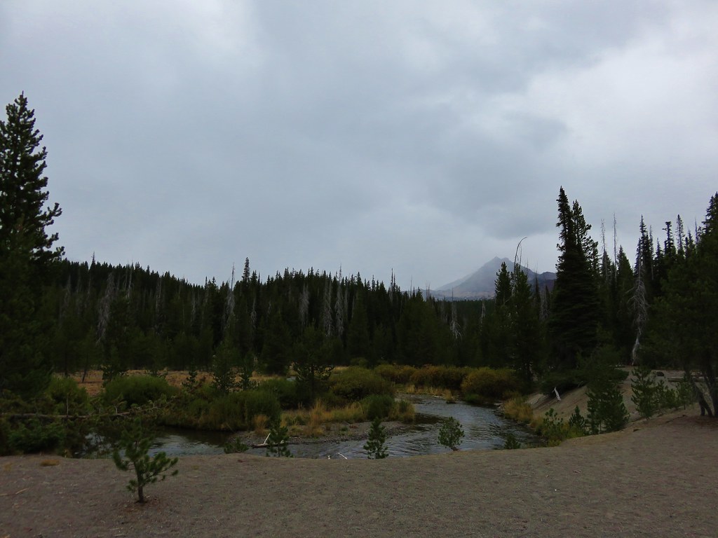
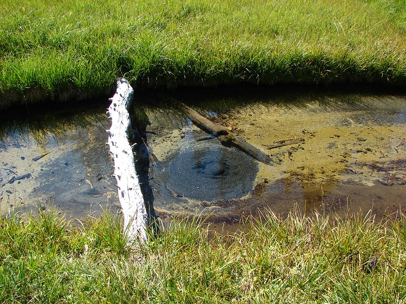
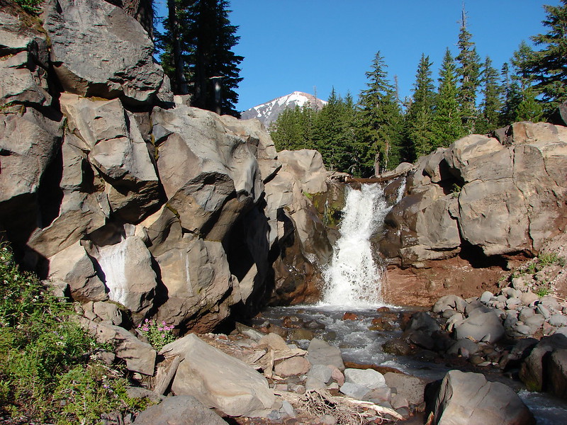
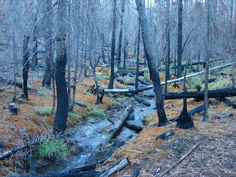
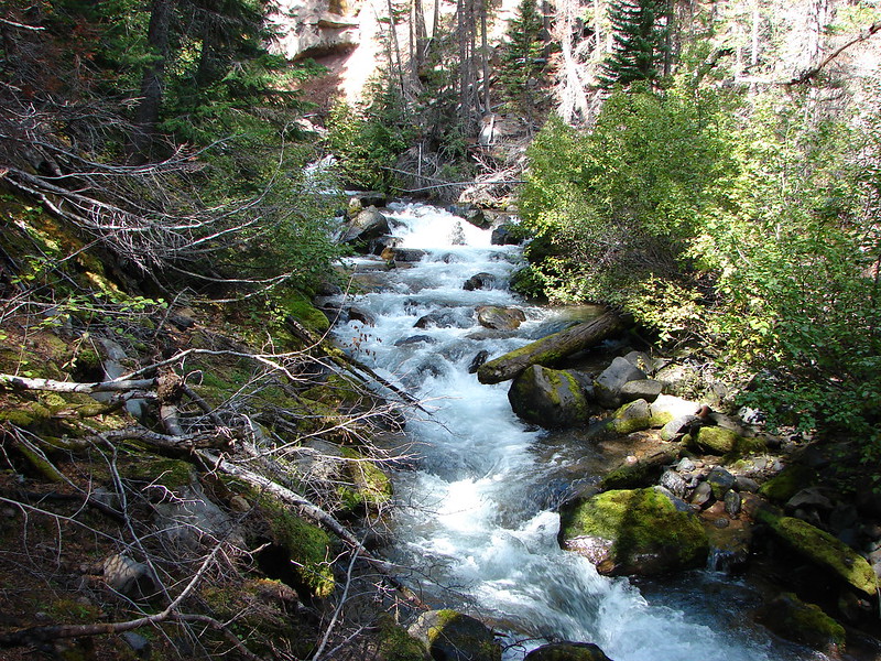
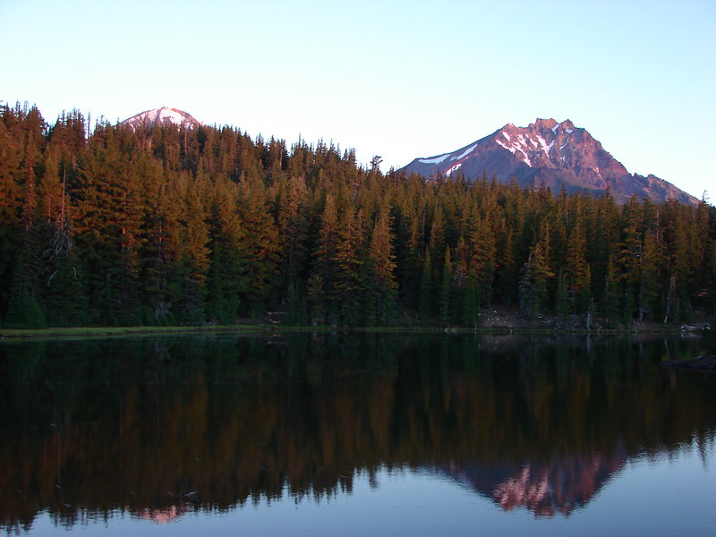
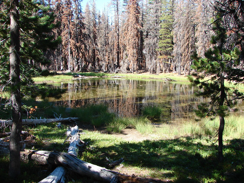
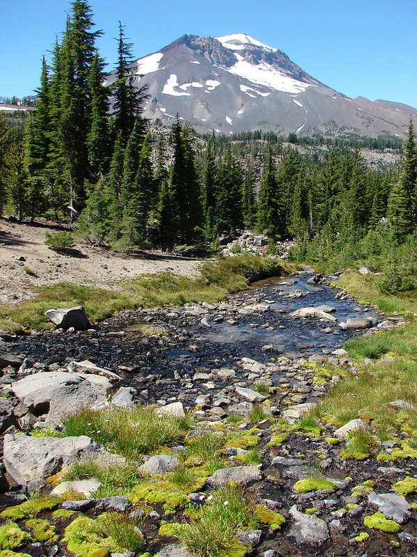
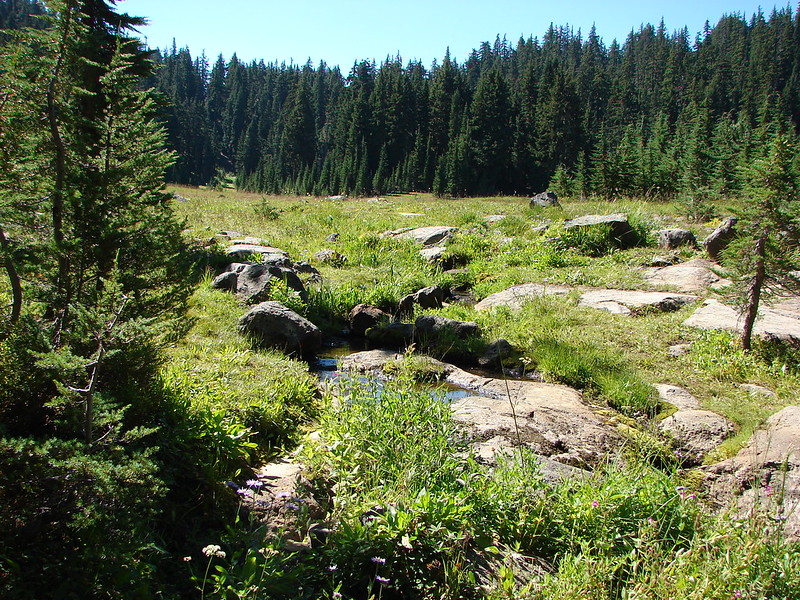
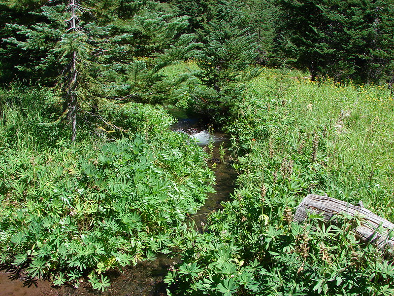
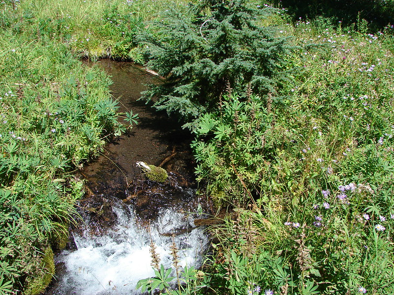
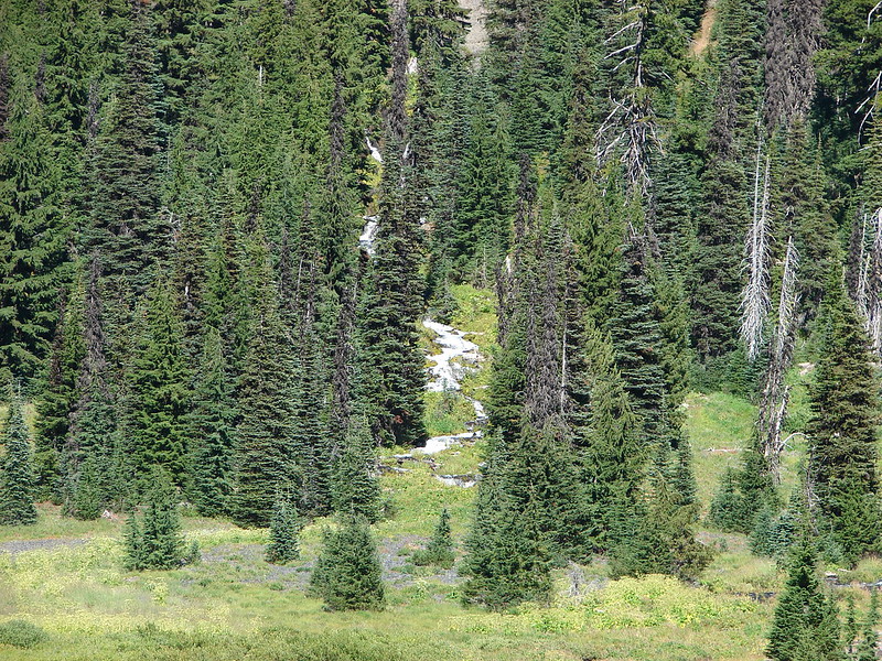
Just over two miles from the trailhead we arrived at an unnamed stream near the second junction with the Metolius-Windigo Trail.


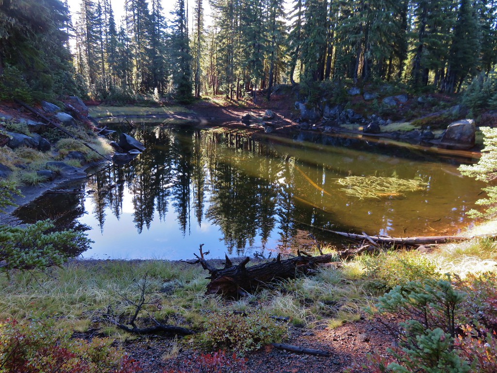
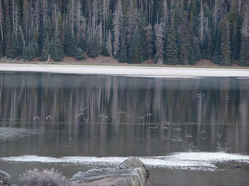
Reflection in the stream.
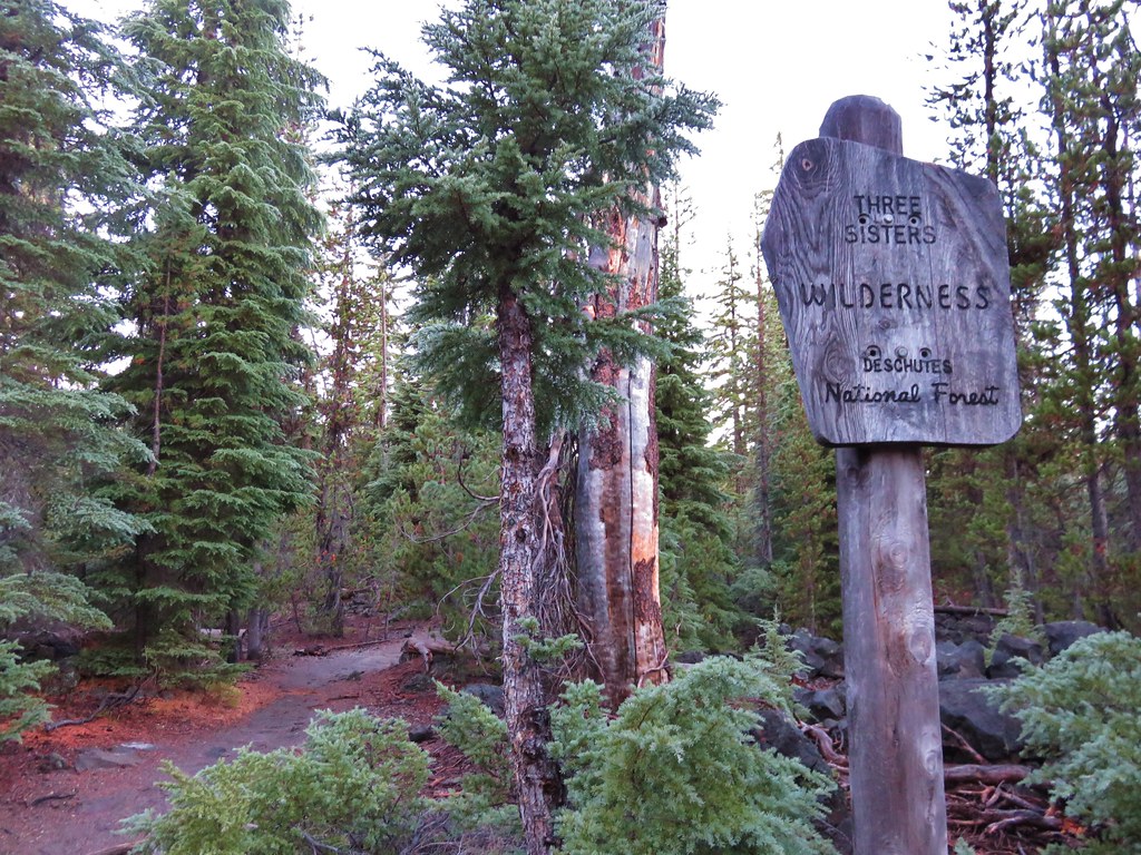
We again stayed straight continuing on the Park Meadow Trail which soon came to a crossing of Snow Creek at the border of the Three Sisters Wilderness.


Pearly everlasting along Snow Creek.

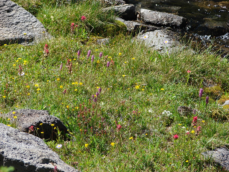
Paintbrush

Sweet bee on milk kelloggia

We spotted a pair of ravens in the snag tops ahead.

Raven

Penstemon

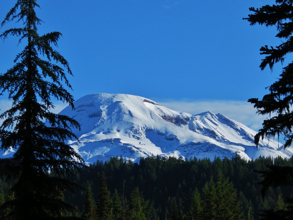
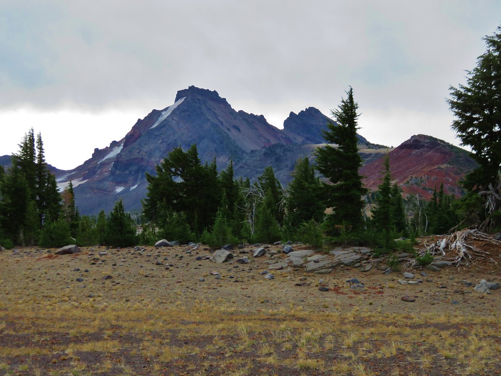
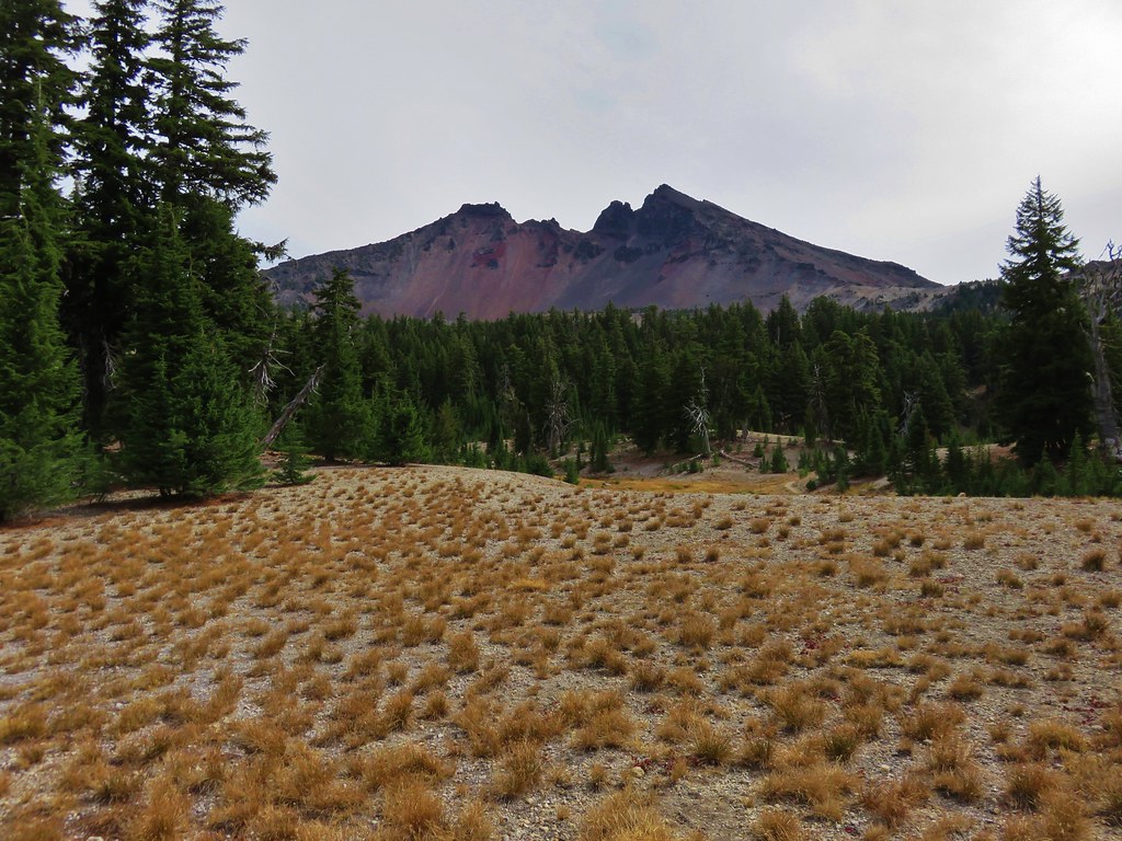
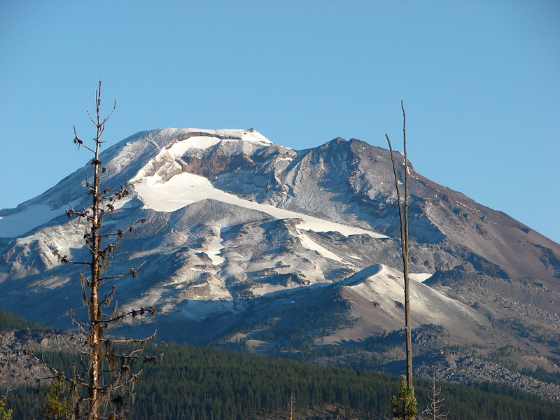
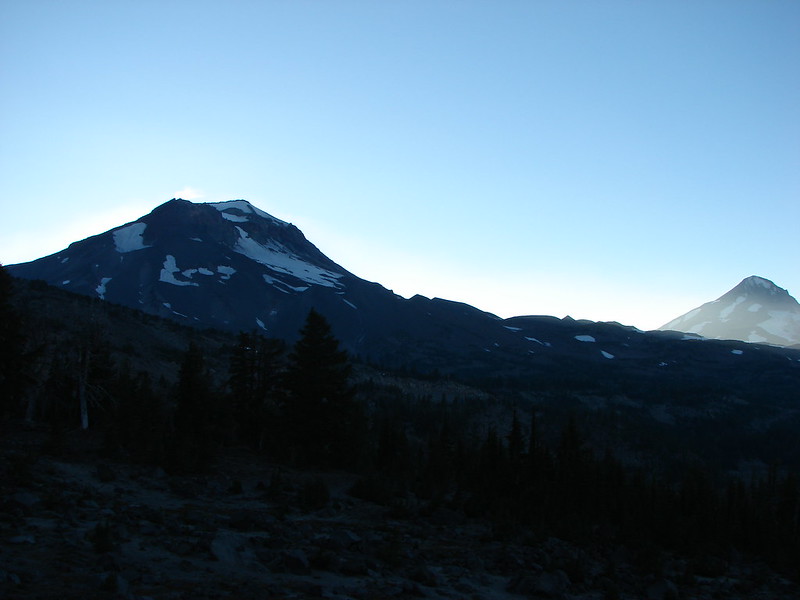
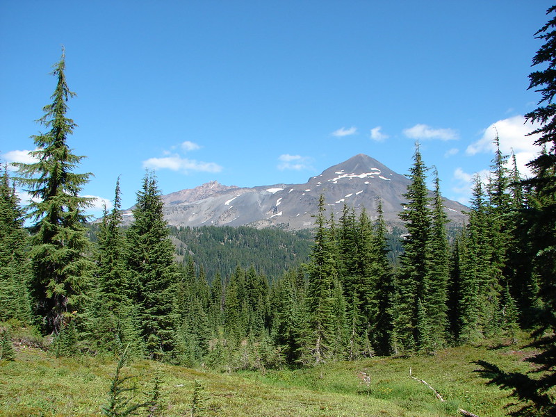
Broken Top and South Sister (post).

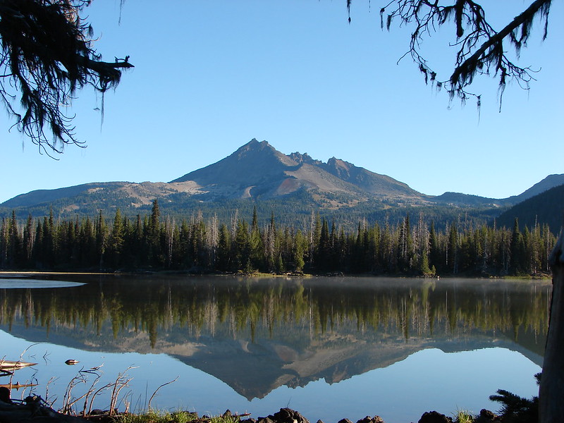
Broken Top

South Sister

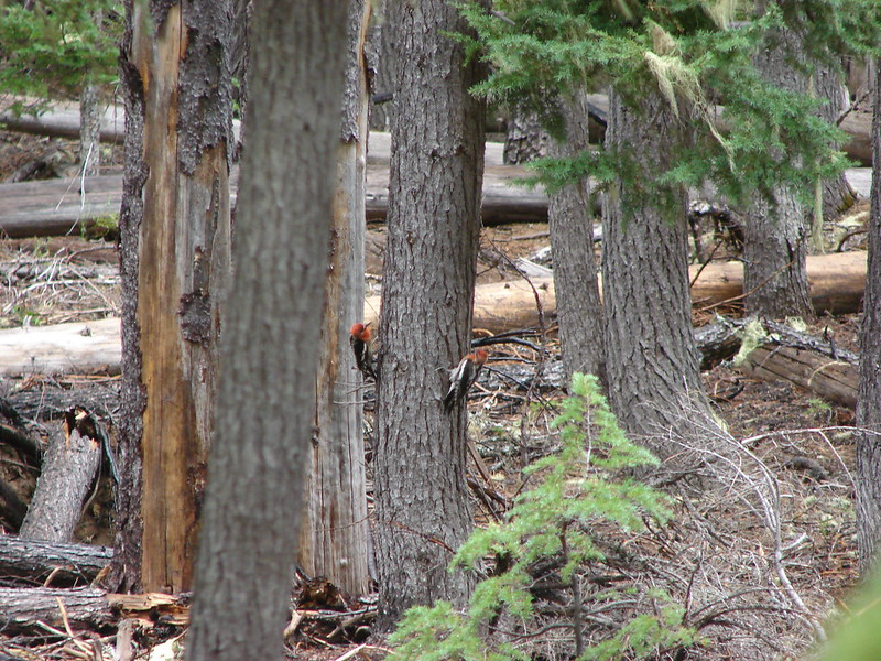
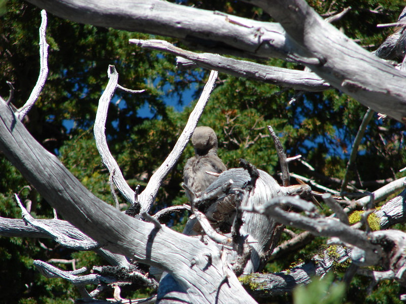
Woodpecker from below.
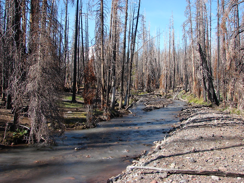
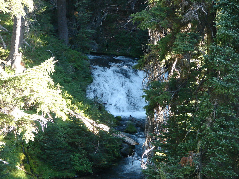
Near the 4-mile mark we arrived at Wychus Creek. At 6000′ this was the lowest elevation of the hike.

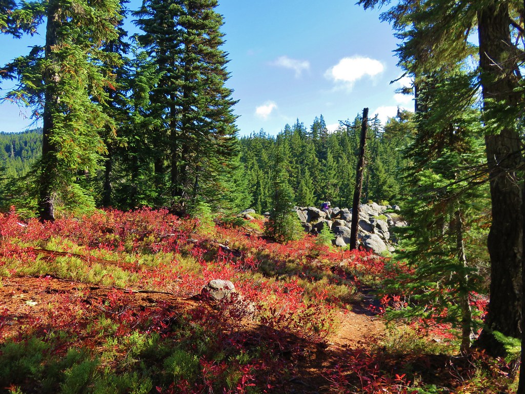
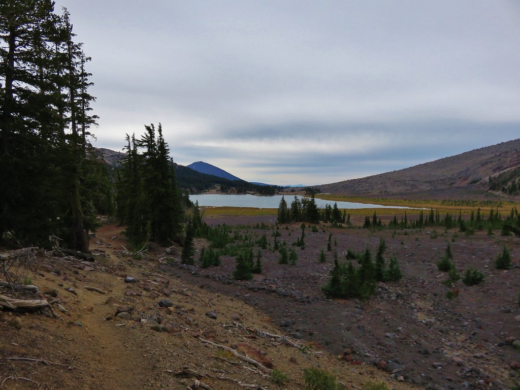
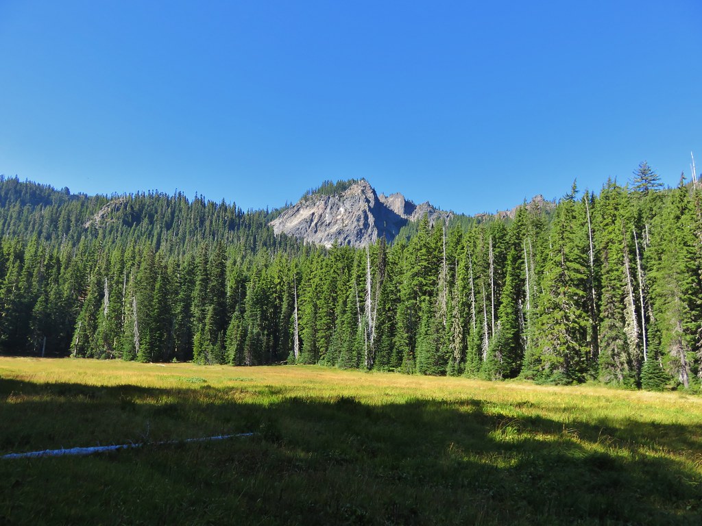
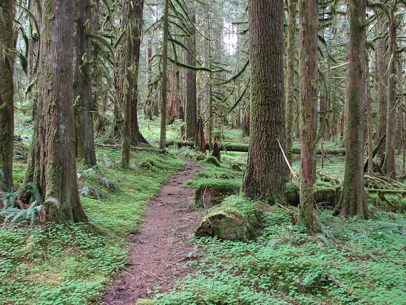
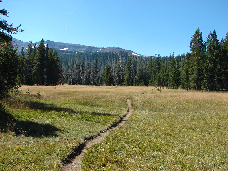
From Wychus Creek it is just over a mile to Park Meadow. Shortly before reaching the meadow the trail leaves the fire scar.

Cinquefoil

Aster


Orange sulphur

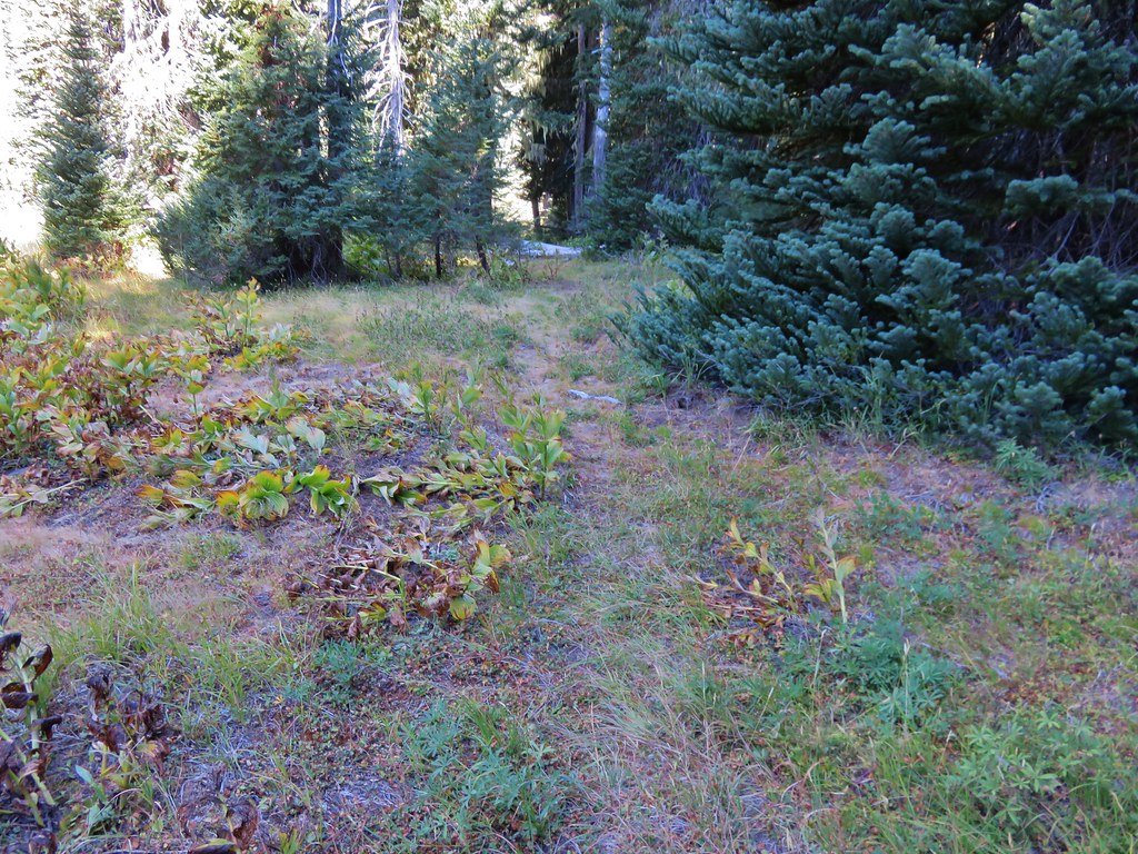
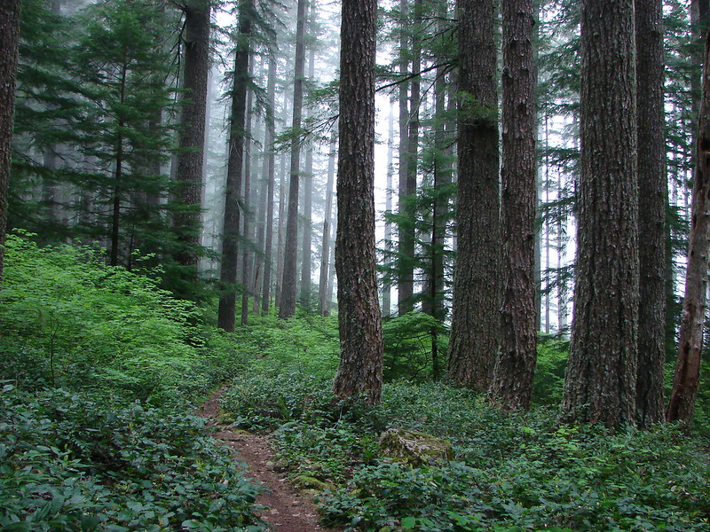
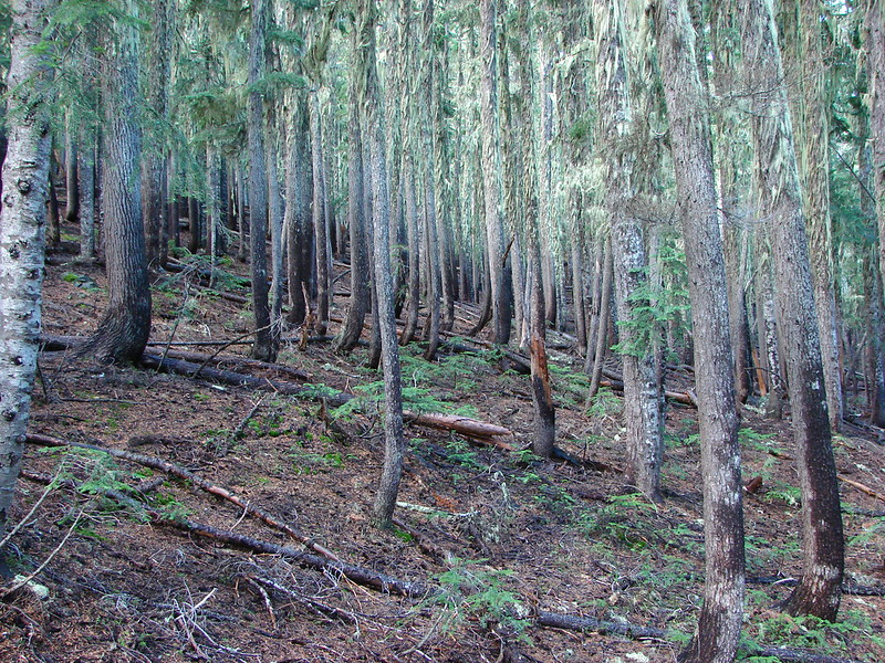
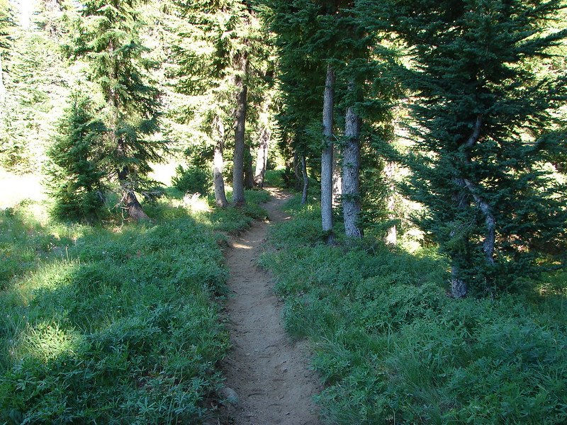
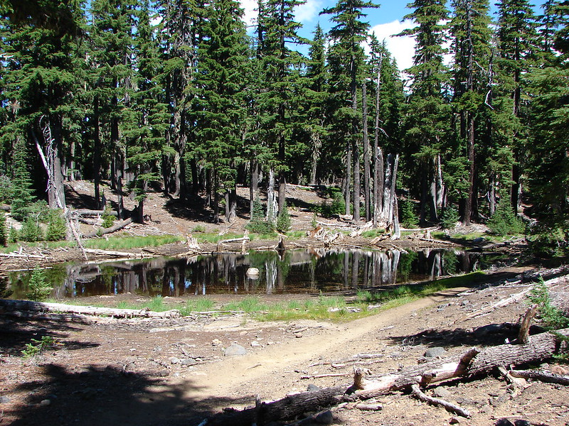
Entering unburned forest.
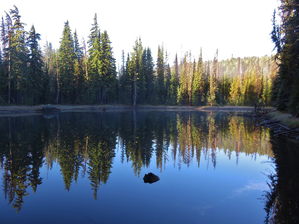
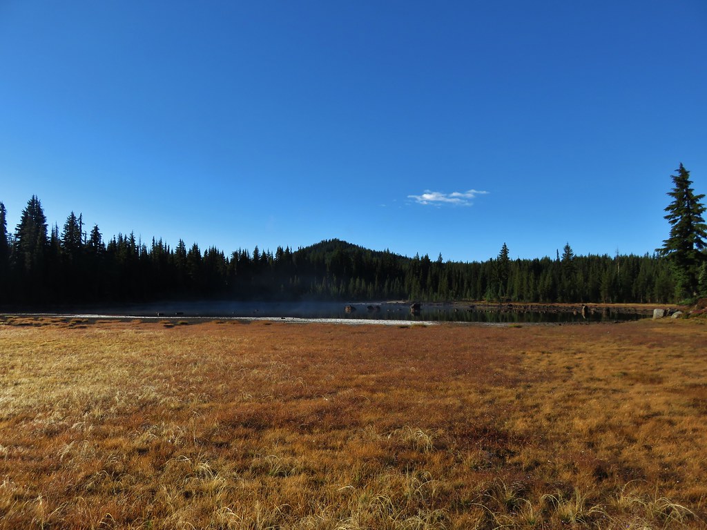
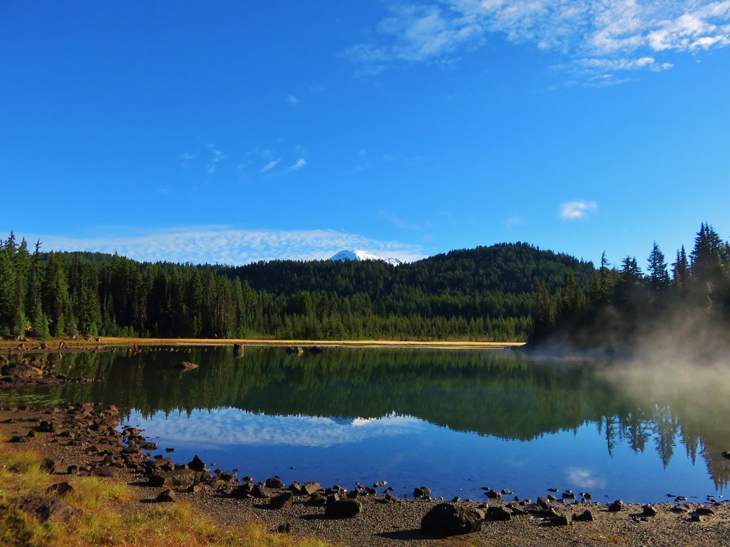
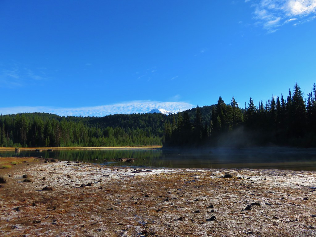
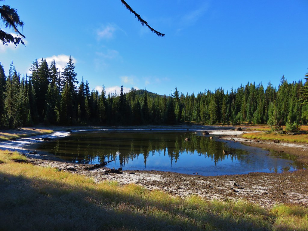
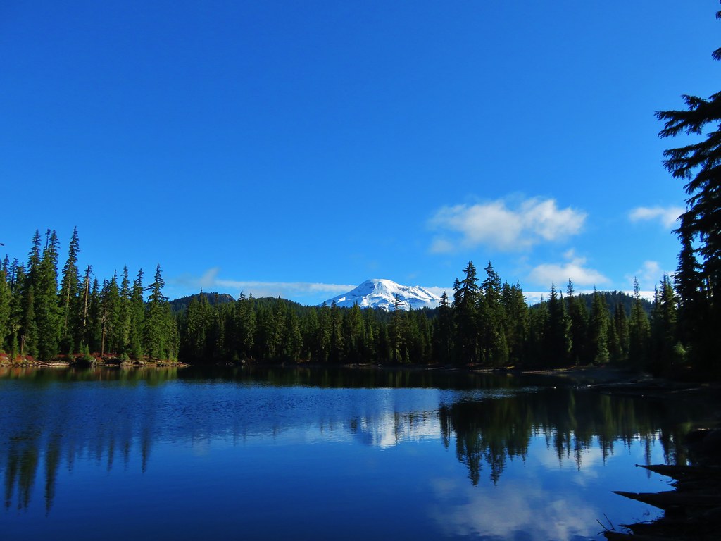
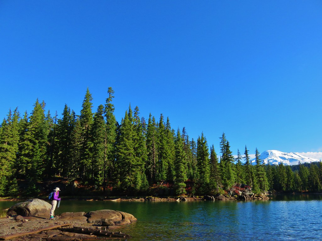
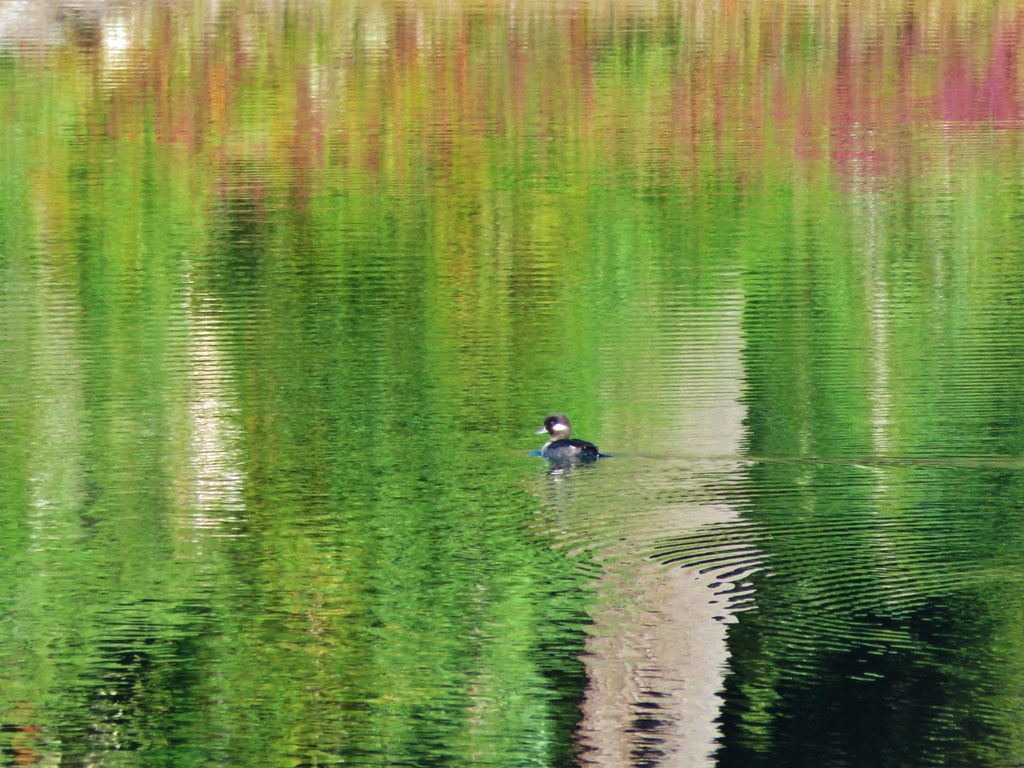
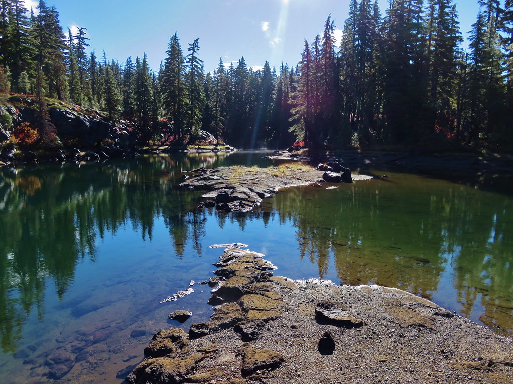
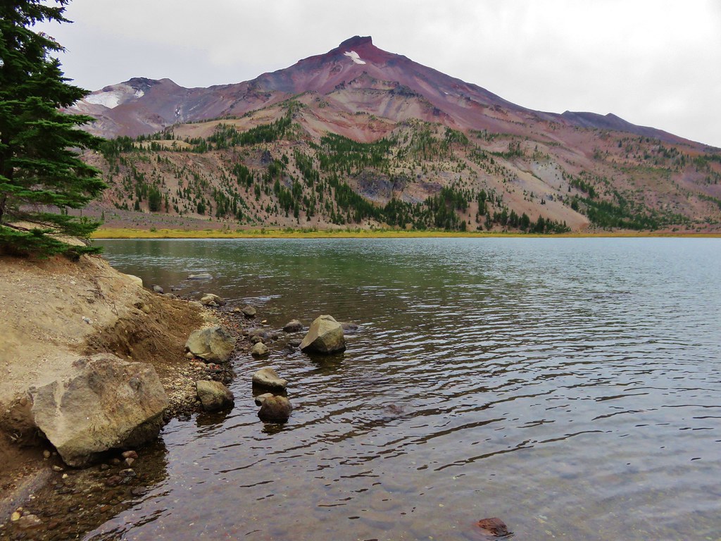
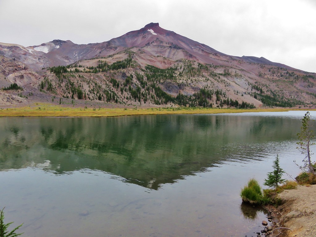
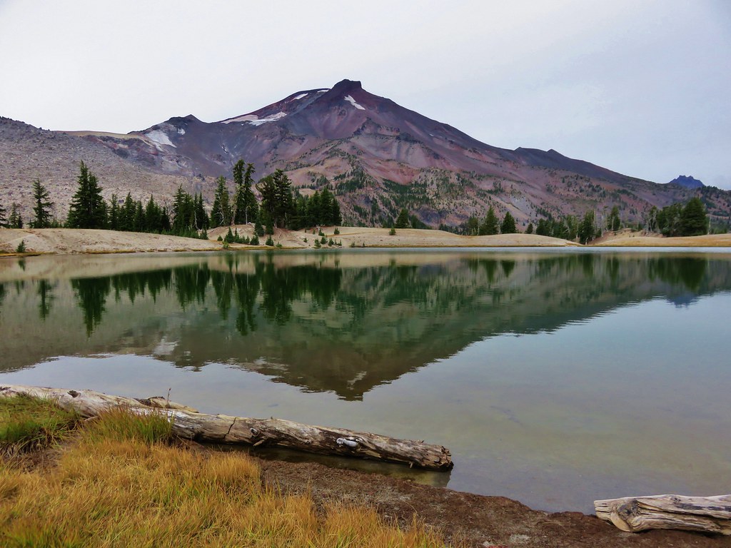
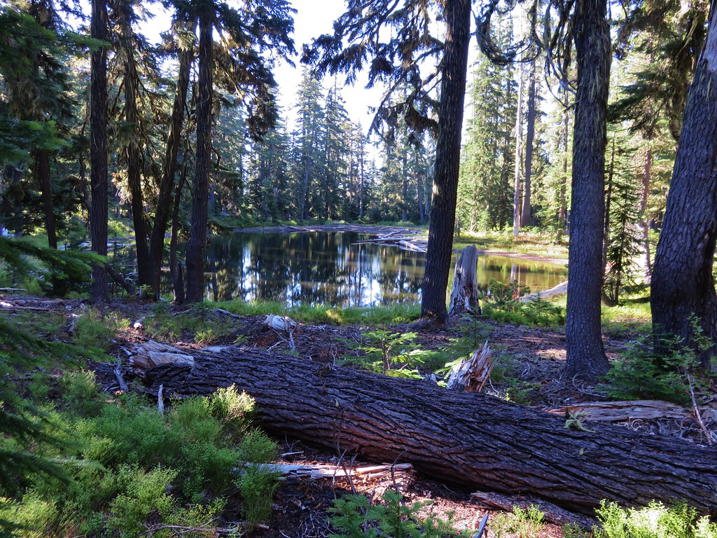
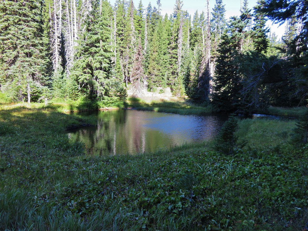
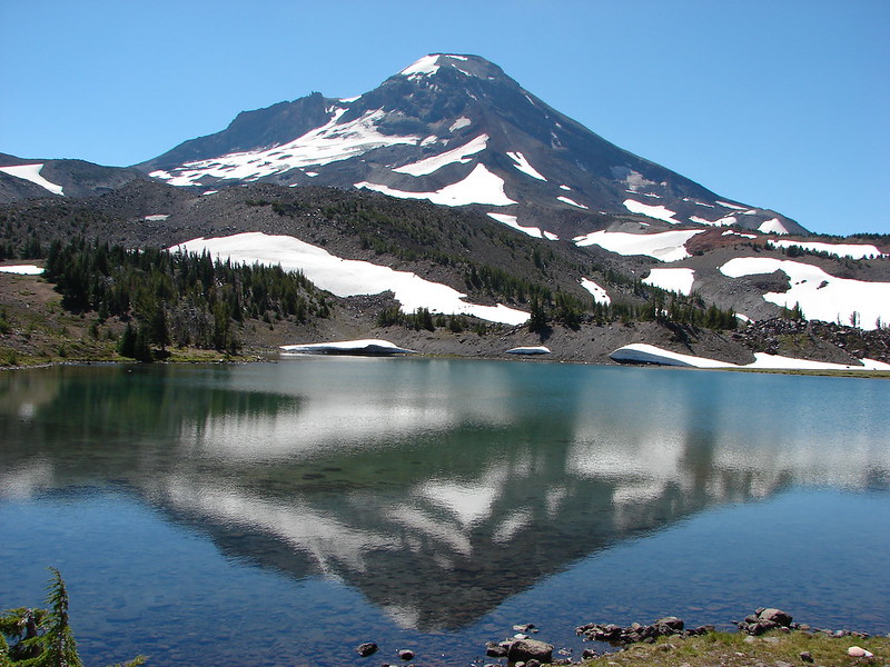
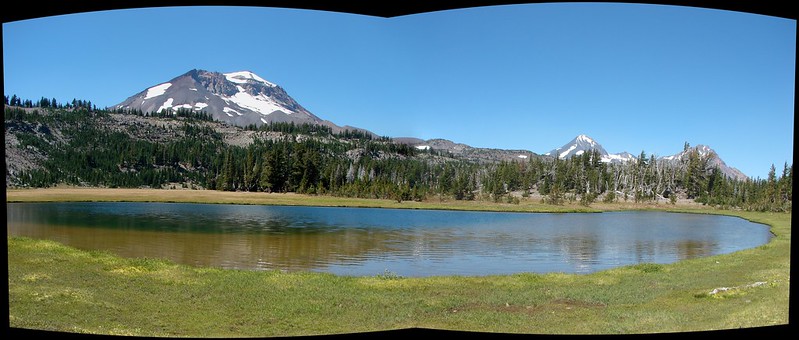
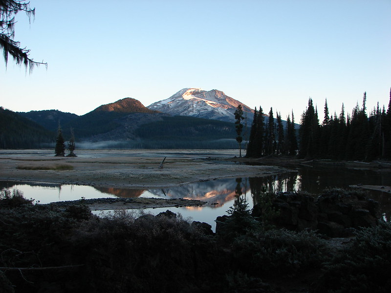
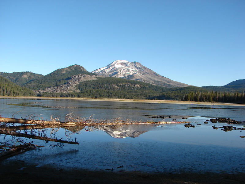
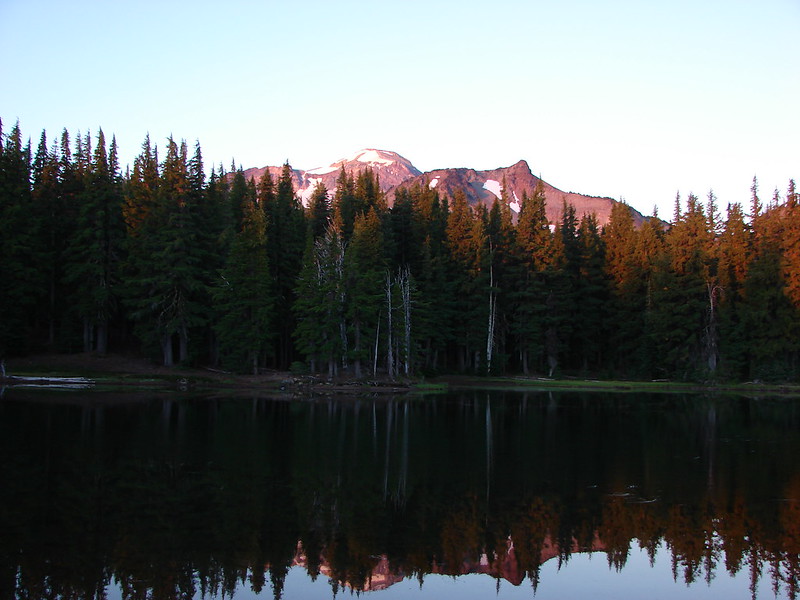
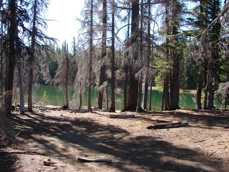
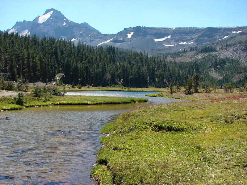
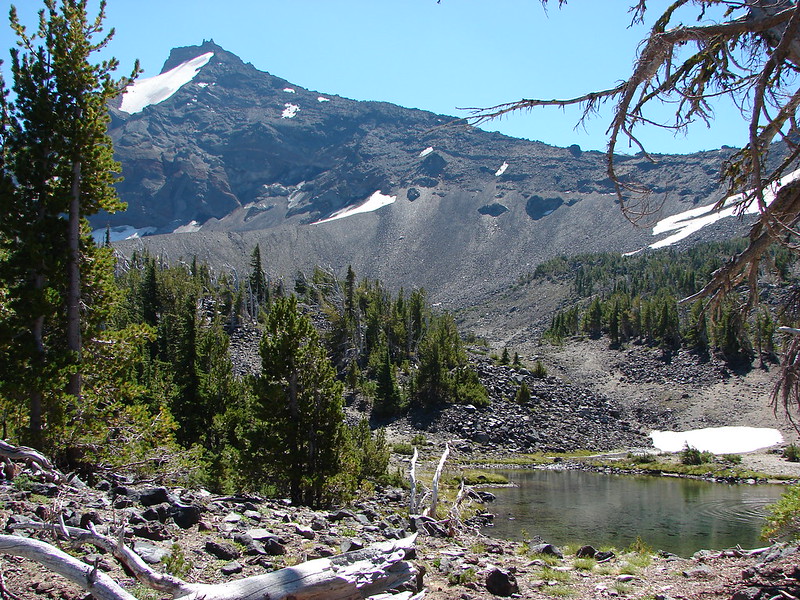
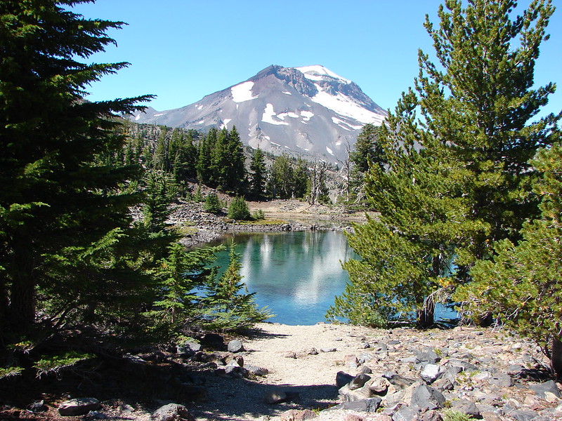
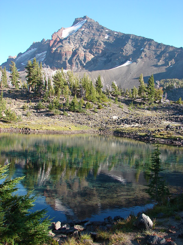
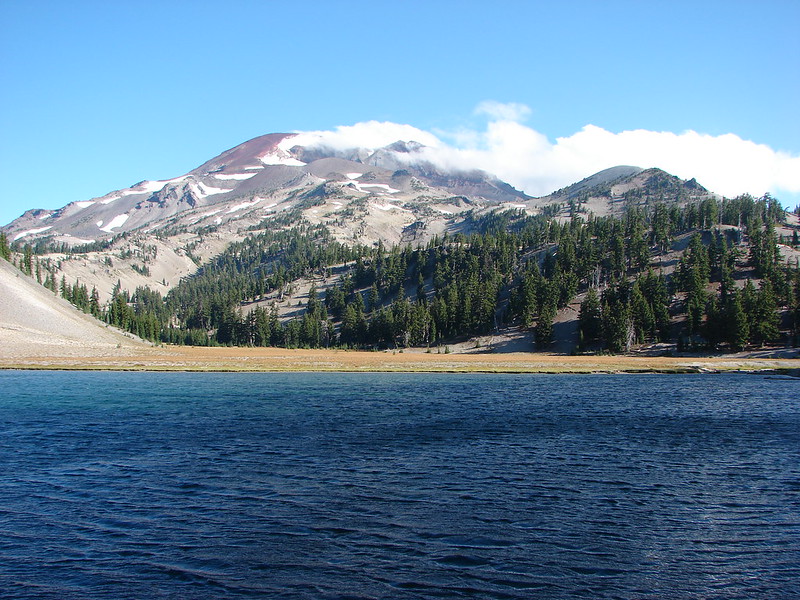
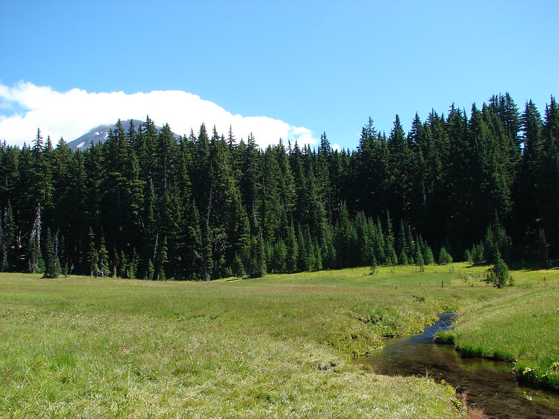
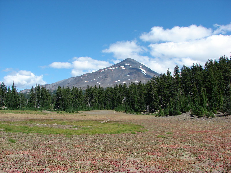
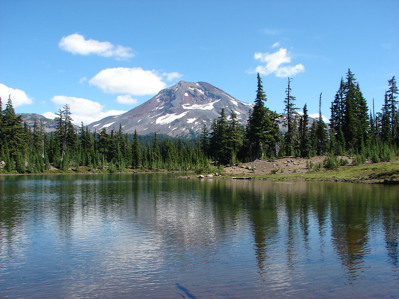
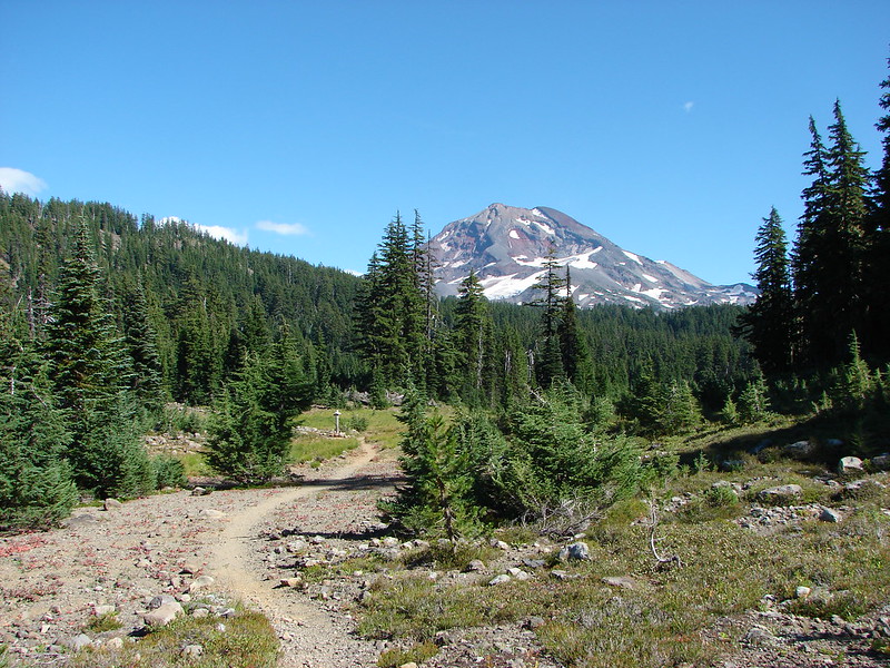
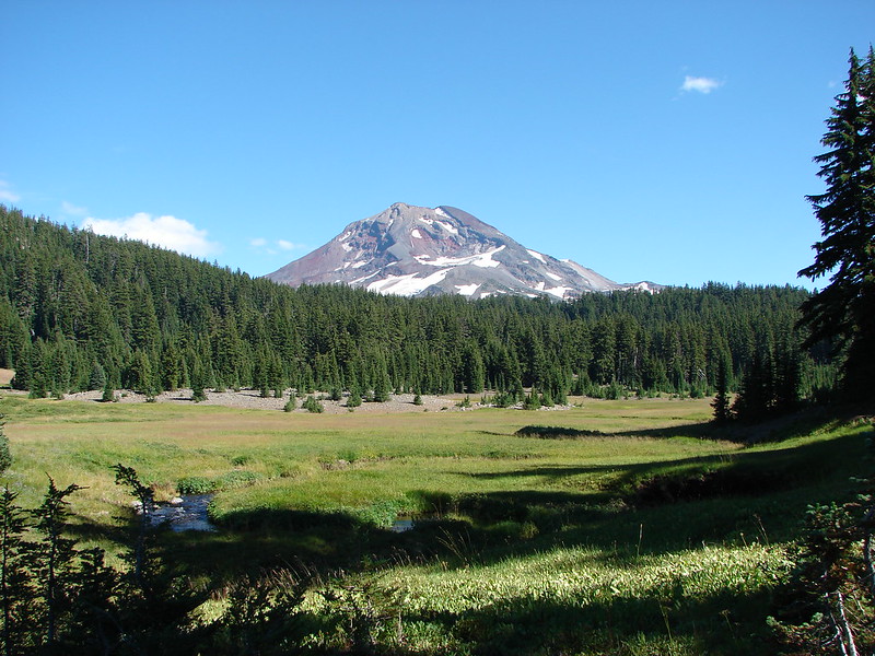
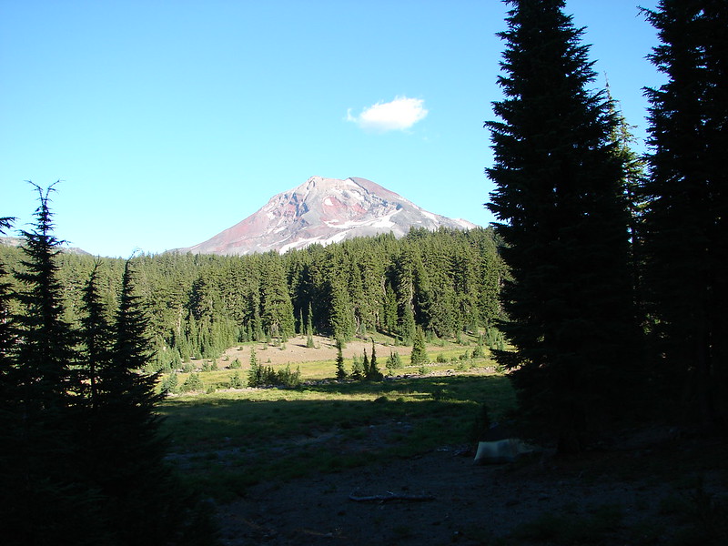
South Sister from a pond at the end of Park Meadow.


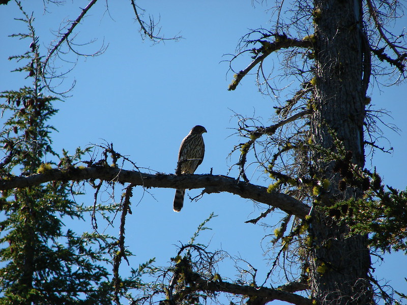
Red-tailed hawk

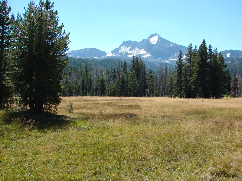
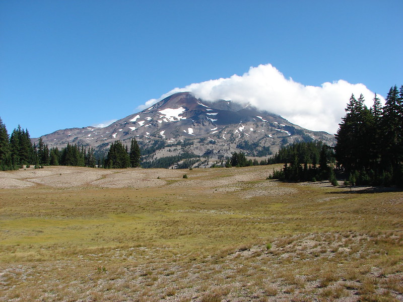
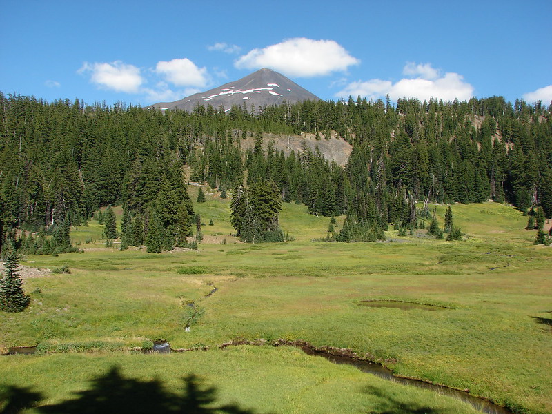
Broken Top from Park Meadow

Park Creek crossing.

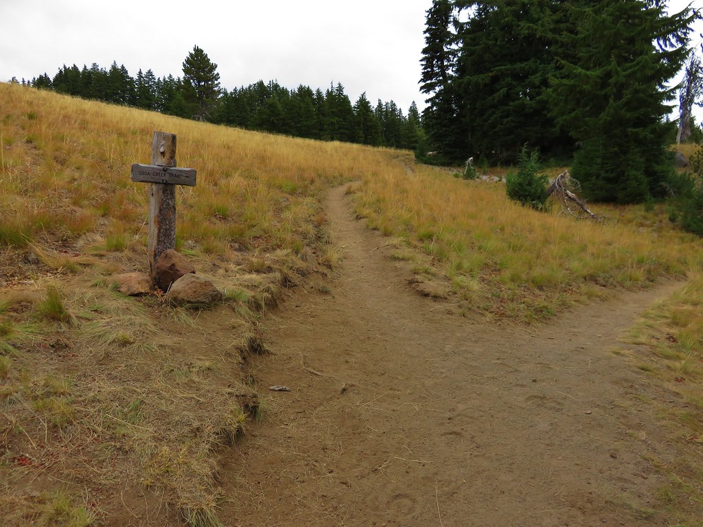
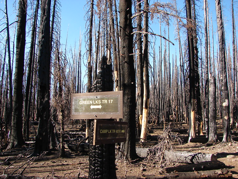
Park Meadow junction with the Green Lakes Trail.
On our backpacking loop we used the Green Lakes Trail to reach the meadow from the Camp Lake Trail making this junction the point at which we completed Sullivan’s entire featured hike. I arrived here first because Heather and I had split up back at Wychus Creek. She had decided against pushing on to Golden Lake which was another 1.7-miles and 500′ in elevation gain away.
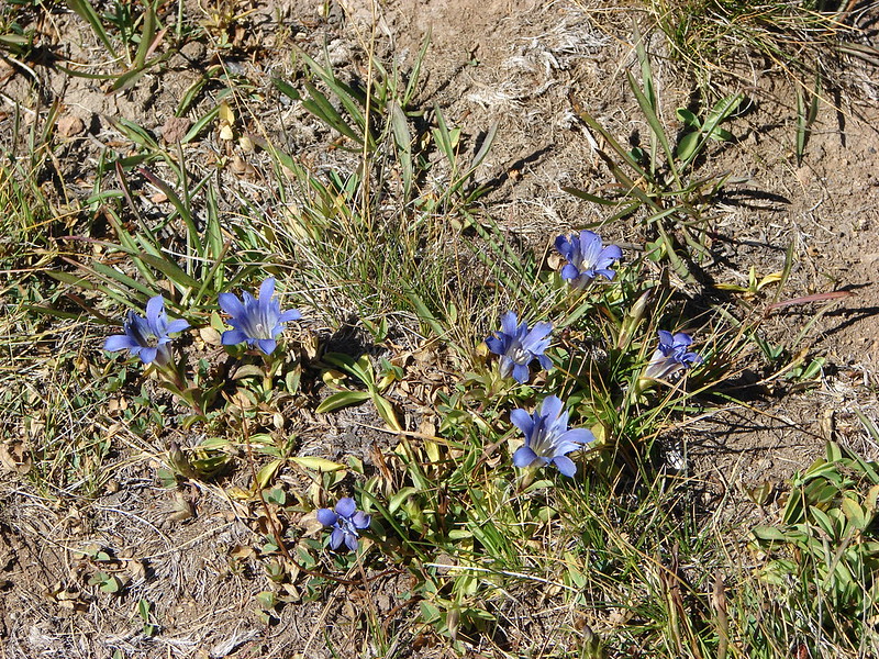
I hiked through the meadow which was filled with alpine gentians and then began to climb through the forest to the unmarked junction with the use trail to Golden Lake.


Alpine gentians


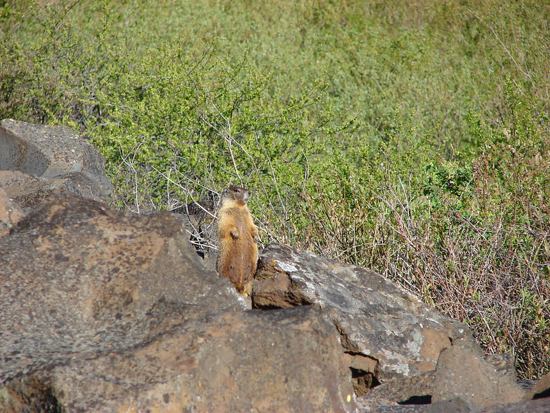
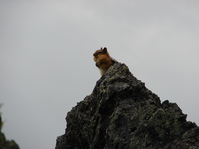
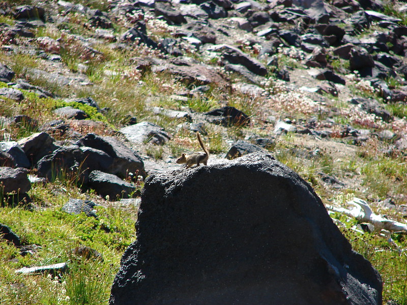
Golden-mantled ground squirrel


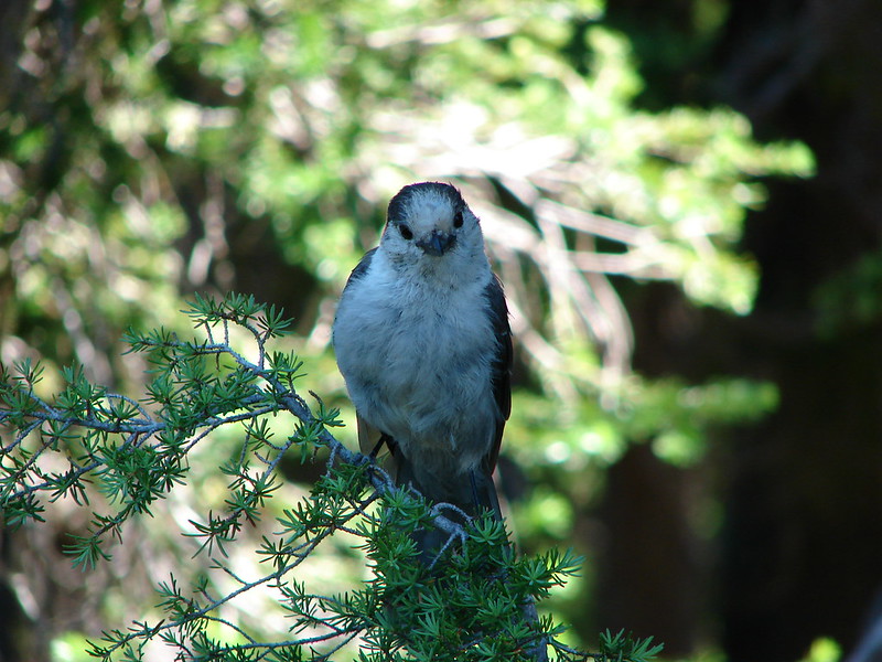
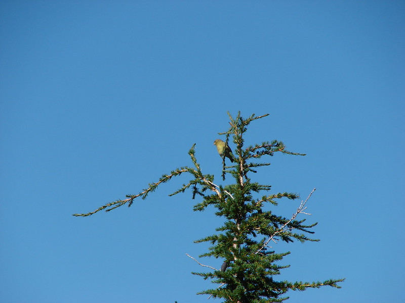
Townsend’s solitaire

Small cairn and bandana marking the use trail. This is approximately 1-mile from the junction in Park Meadow.
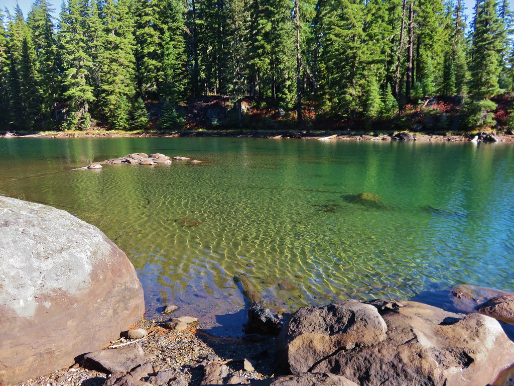
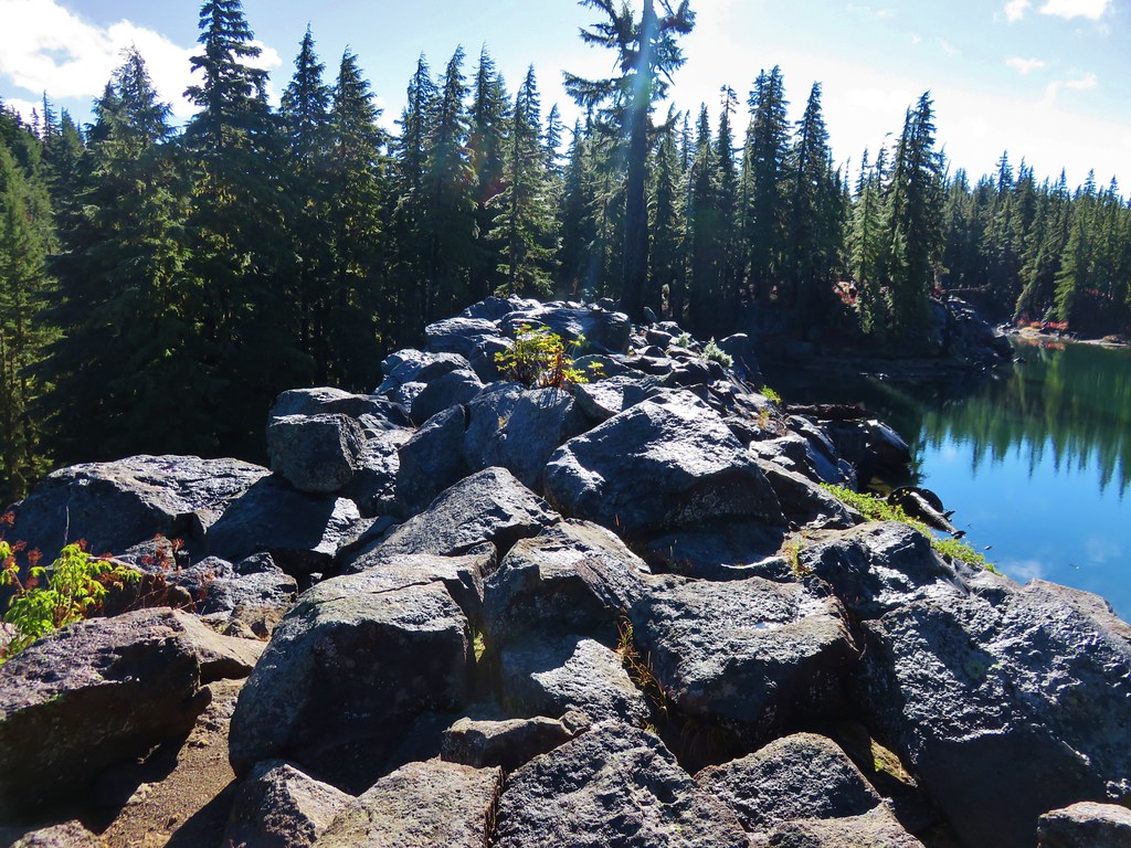
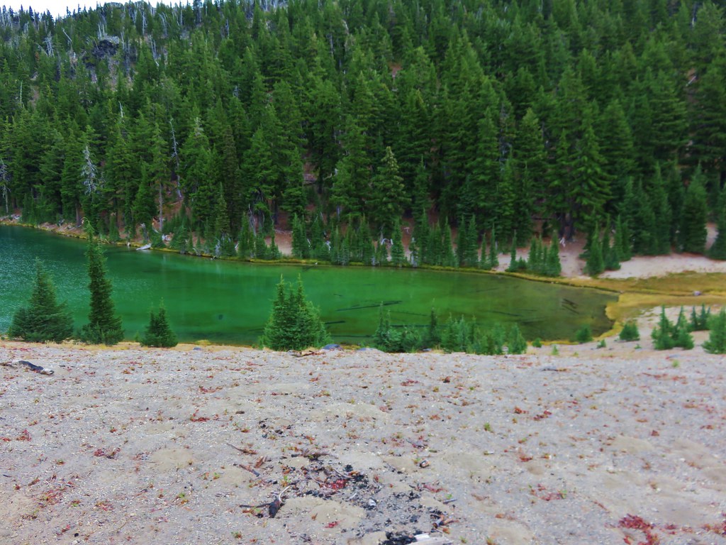
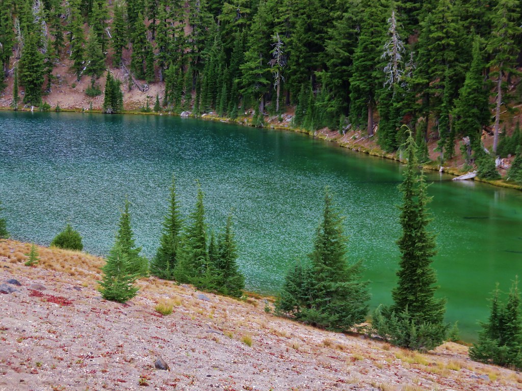
I veered left up the use trail which quickly leveled out and brought me to Golden Lake in 0.7-miles.

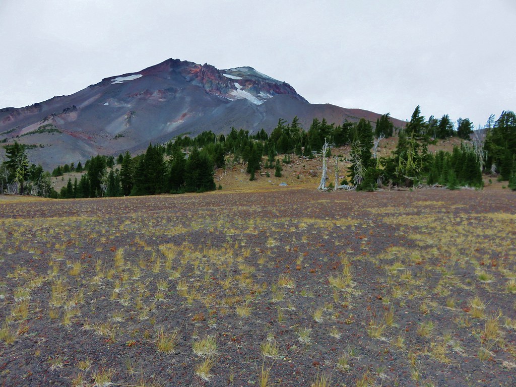
South Sister from the use trail.

Broken Top from the trail. If you look down the trail on the right between the trees, you can see a deer crossing the trail.

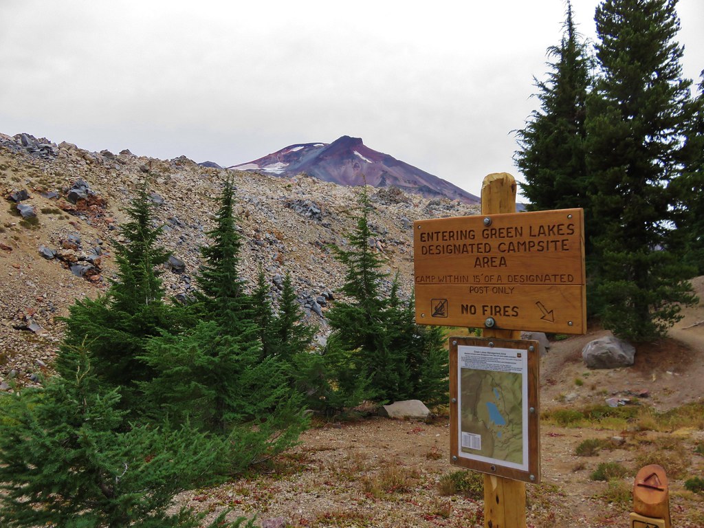
While it isn’t an official trail there is no camping allowed within 250′ of Golden Lake. In addition, throughout the Three Sisters Wilderness building, maintaining, attending, or using a fire, campfire, or stove fire above 5700′ is prohibited. Stoves must be fueled with liquid or compressed gas.

The Moon above south sister.

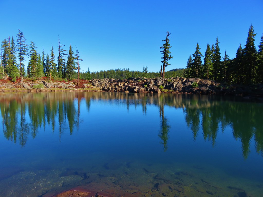
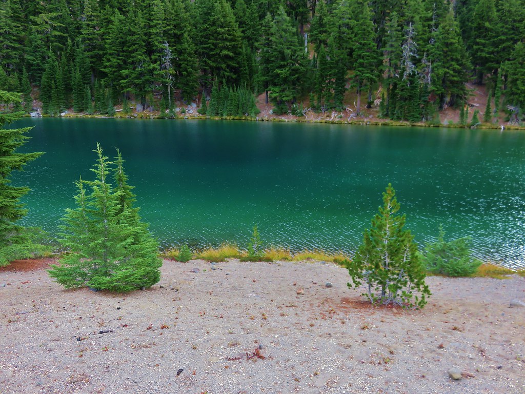
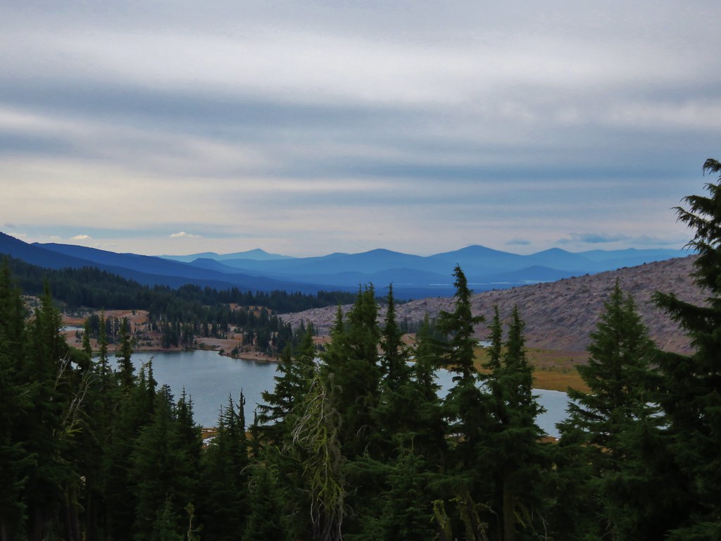
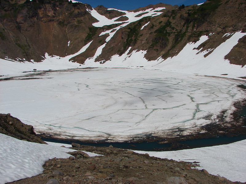
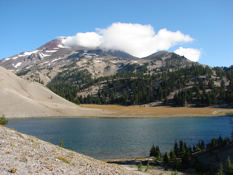
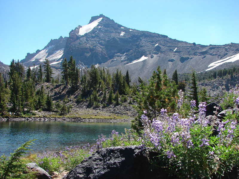
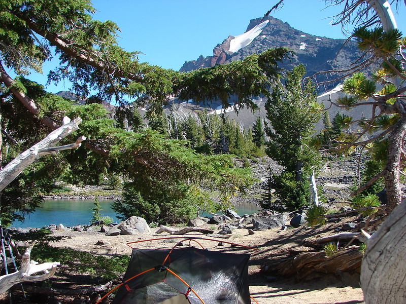
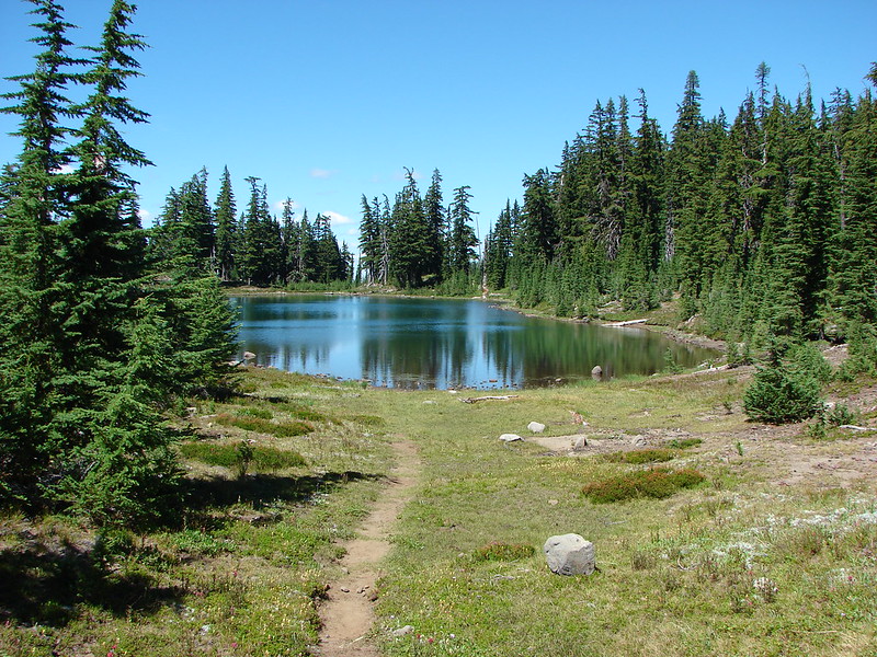
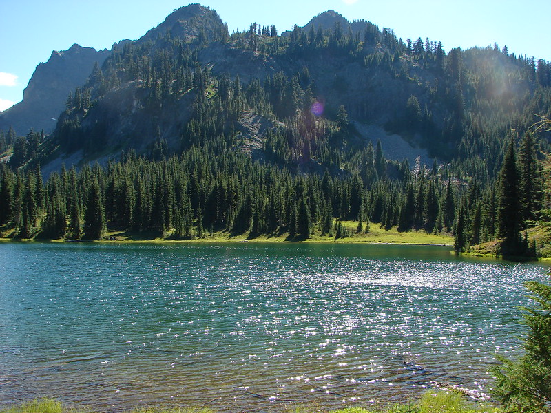
Golden Lake and Broken Top with some September haze. There is a crossing of the outlet that leads to the eastern shore.

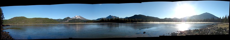
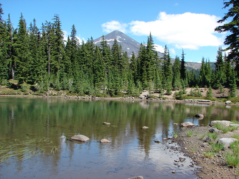
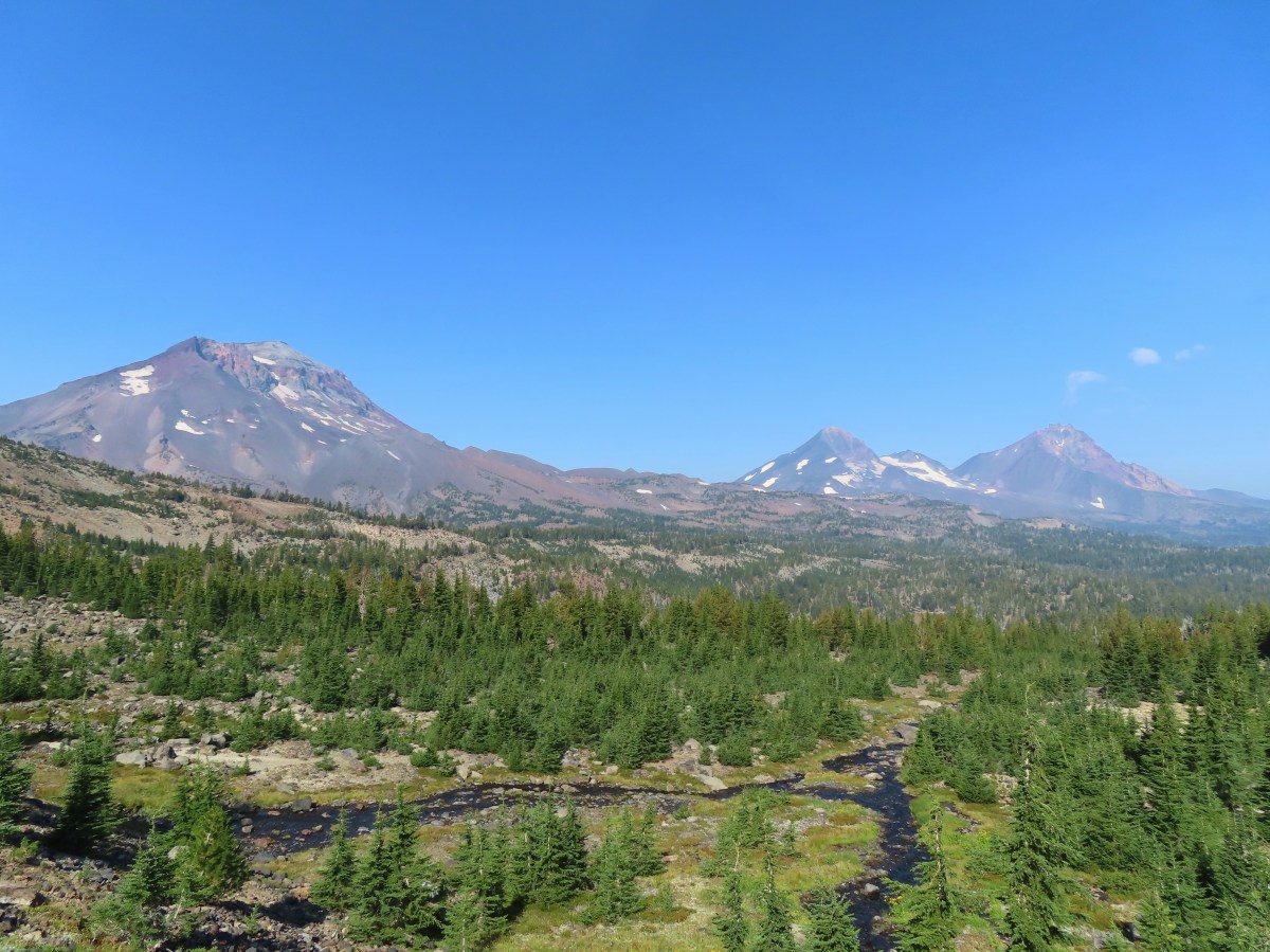
The Three Sisters from Golden Lake.
I wasn’t planning on going beyond Golden Lake, but I had left that option open depending on time and how I was feeling. On our backpacking trip we had continued up to a tarn almost a mile (and another 500′) and set up camp. We wound up not staying there though when we got spooked by the sudden arrival of smoke and a visible smoke column on the far side of South Sister. It was a rookie mistake as the fire wound up being over 40-miles away. Now that I was back 11 years later I couldn’t pass up the opportunity to visit the tarn and our almost campsite again. I followed a path along the eastern shore to the outlet creek then headed uphill.

Looking back along the path along the eastern shore.

Uphill along the inlet.

Pink monkeyflower

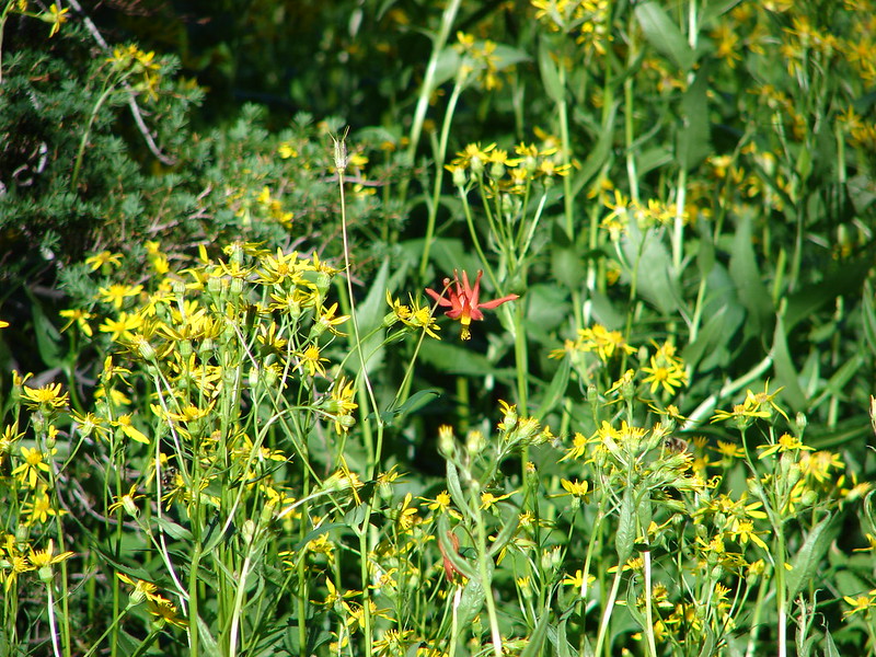
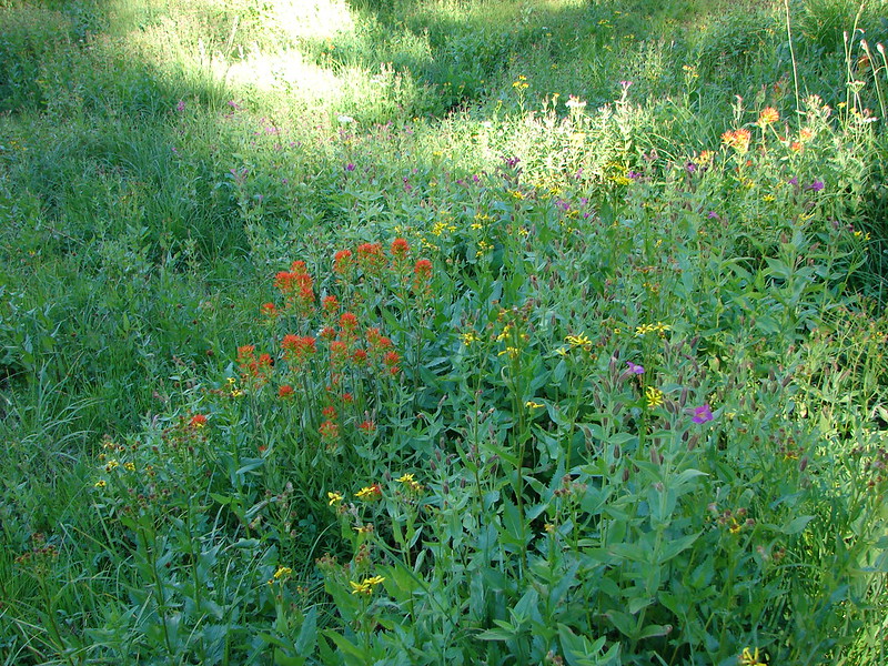
I believe the purple is an aster, red a paintbrush, and yellow Buek’s groundsel.


Aster and pink monkeyflower

Tilling’s monkeyflower

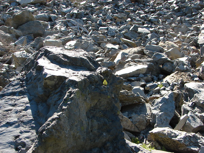
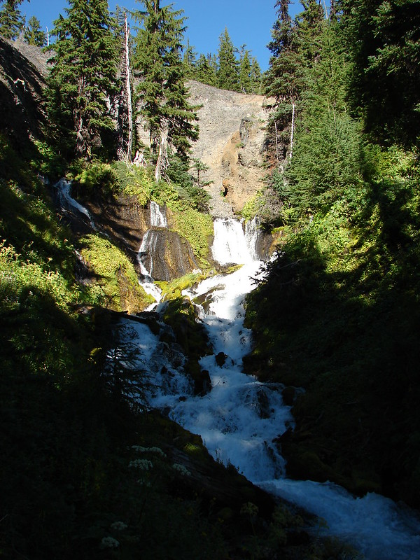
The creek emerges from springs at the base of a moraine.
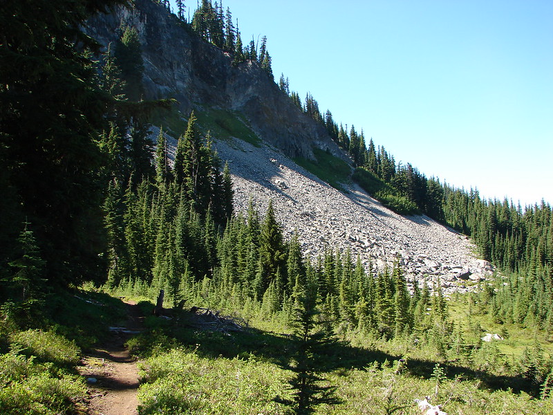
The final push to the tarn is a steep climb up a glacial moraine.

The Three Sisters and the creek from the moraine.

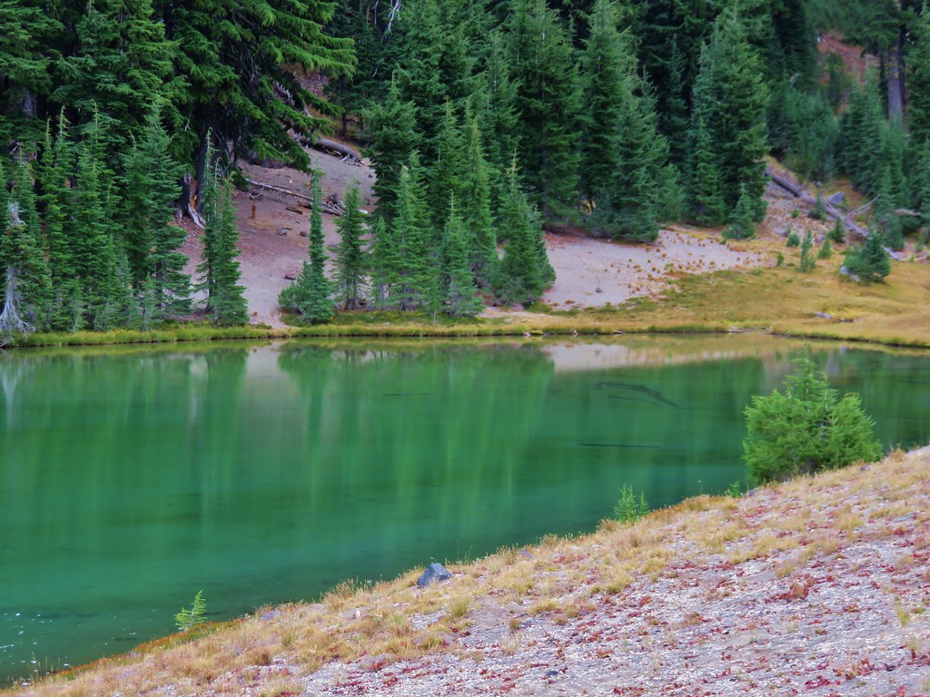
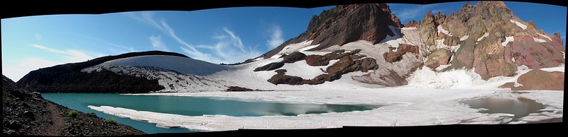
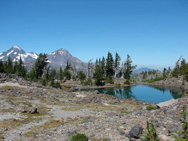
The tarn.

Due to the position of the Sun and the smoke getting a good picture of Broken Top from the tarn was impossible.

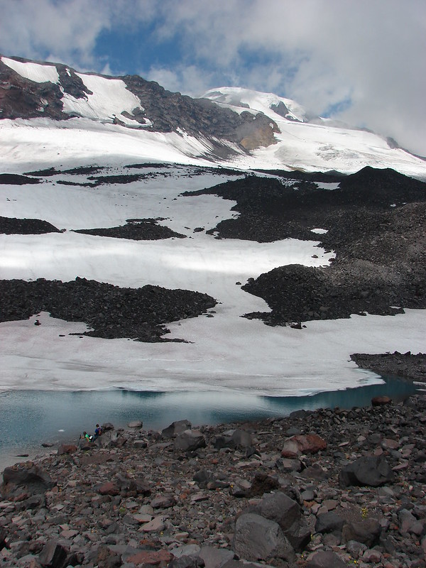
South and North Sister from the tarn. Middle Sister is behind the clump of trees which is where we had set up our tent in 2014.
I made my way around the tarn and stopped at the 2014 campsite to take a break.

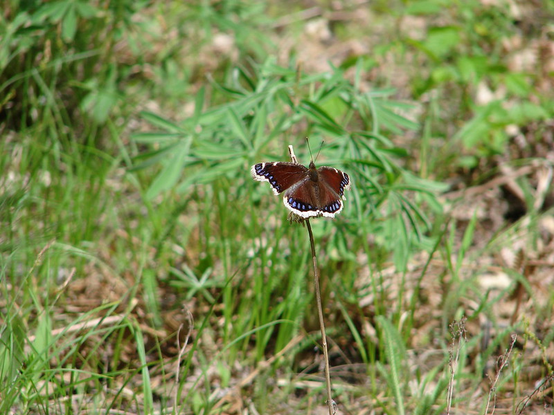
California tortoiseshell


Another attempt at Broken Top.

Fireweed along the smaller tarn.

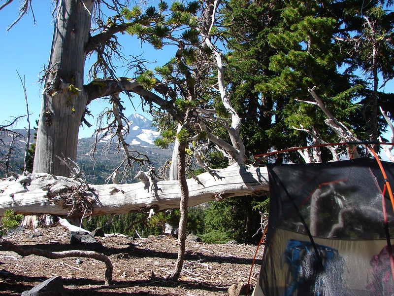
Campsite

Middle and North Sister from the campsite.
After a snack and a change of socks I headed back down. It was just before 11am when I made my way back down the moraine and then by Golden Lake again.

South Sister

Middle Sister and Prouty Point

North Sister

Arnica and paintbrush near one of the springs feeding the creek.

Alpine speedwell

Lupine


Mushroom


The inlet creek crossing ahead.
I simply retraced my steps from here back to the trailhead. There were a few more wildlife sightings along the way and a few more trail users. The elevation gains after Wychus Creek were a mean trick given it was now warmer while I was heading uphill but there was an occasional cool breeze and it wasn’t too hot of a day to begin with (low 60’s).

Northern flicker


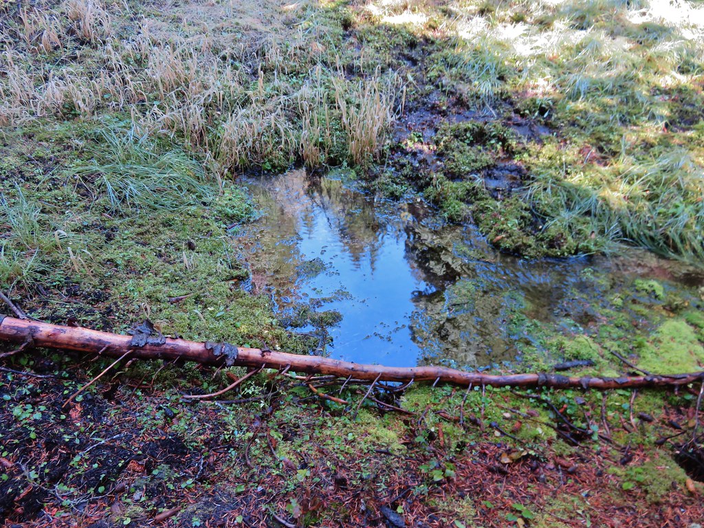
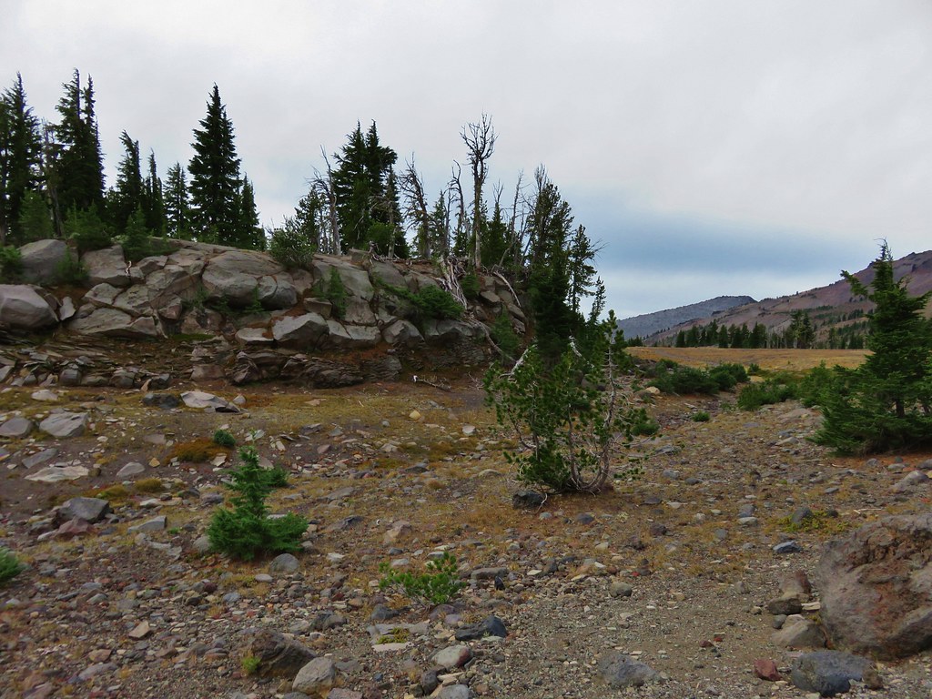
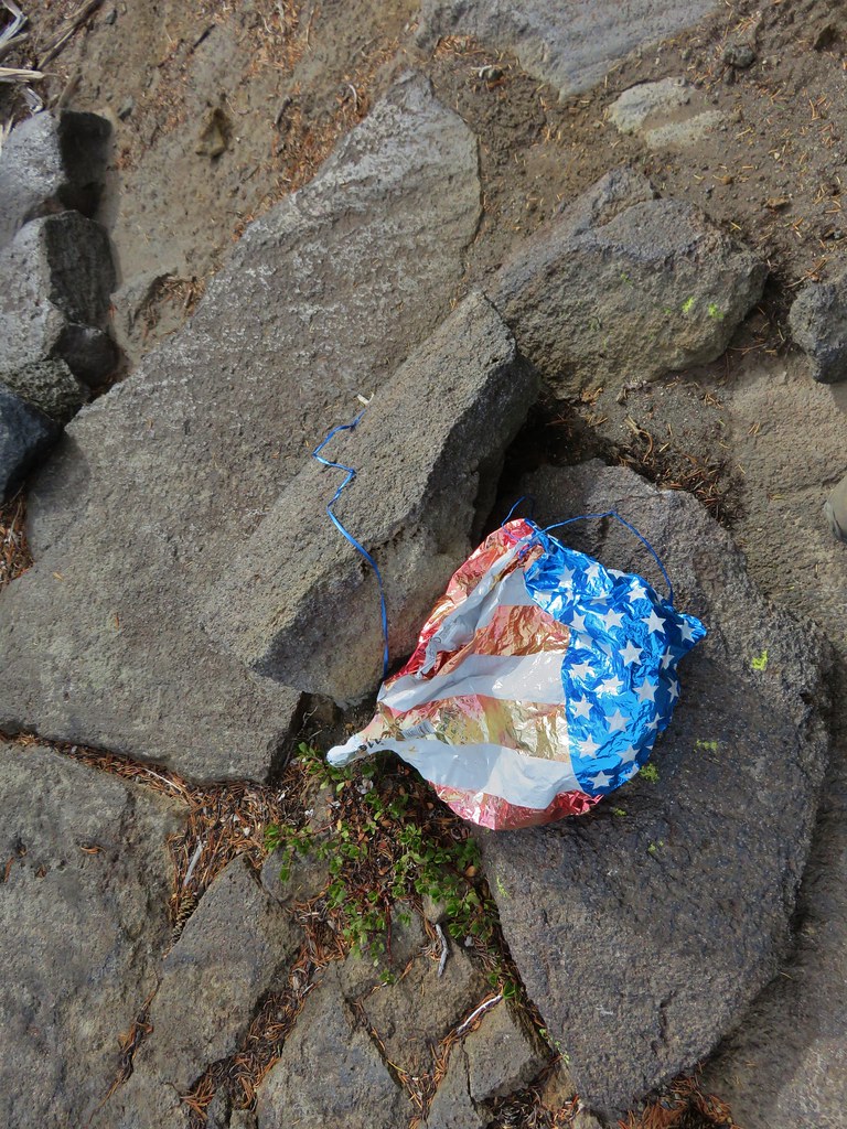
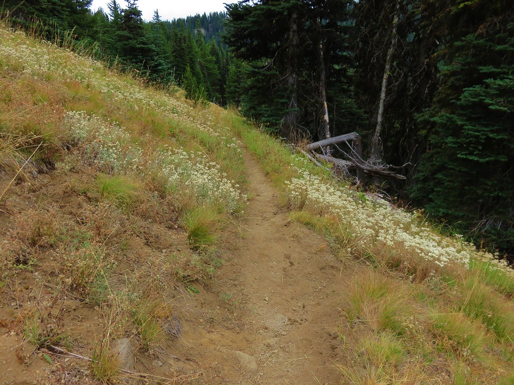
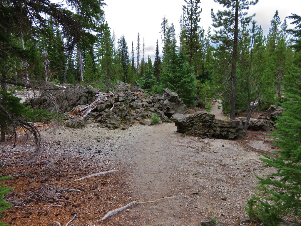
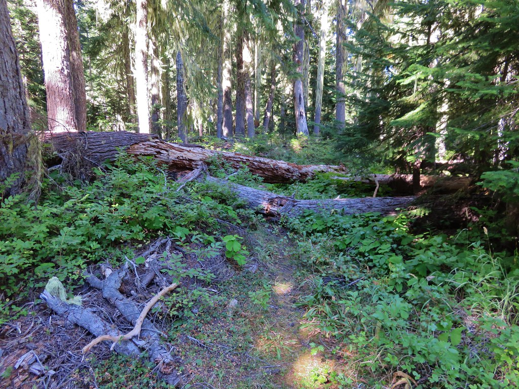
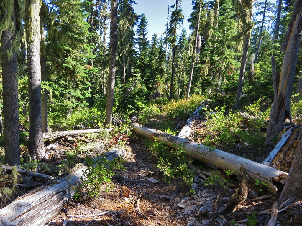
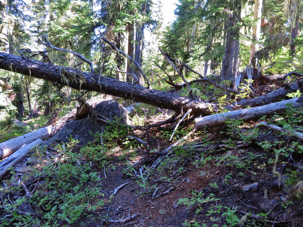
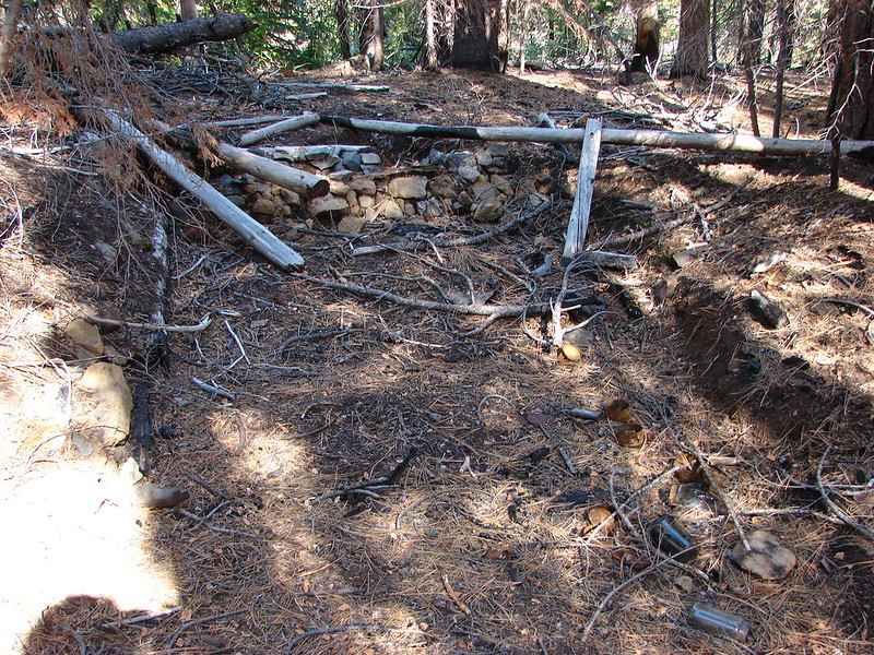
The trails were all in good shape. This was the “worst” obstacle encountered.

Mushroom

Park Creek

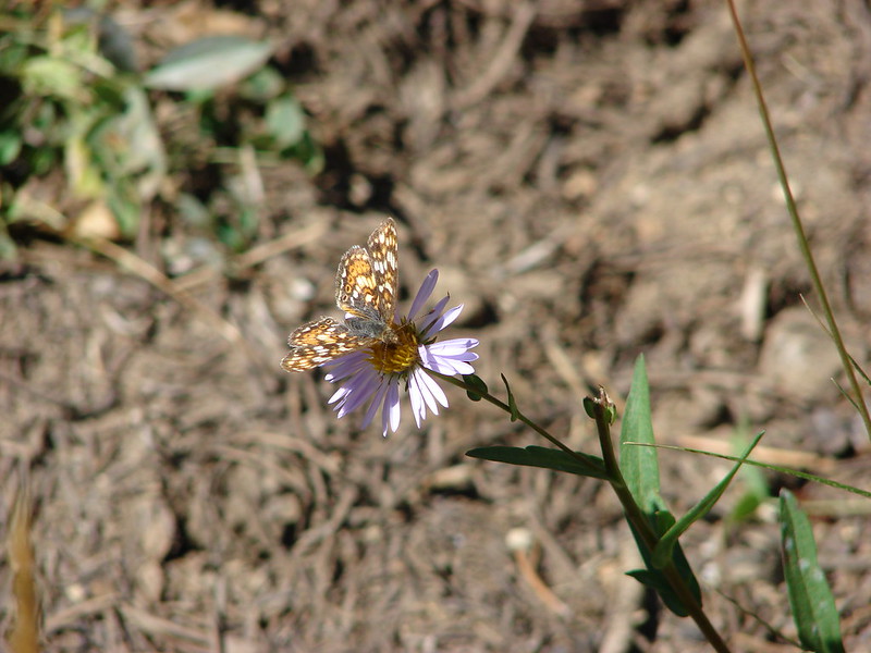
Common wood nymph in pearly everlasting.

One of the numerous small uphill sections on the way back to the trailhead.

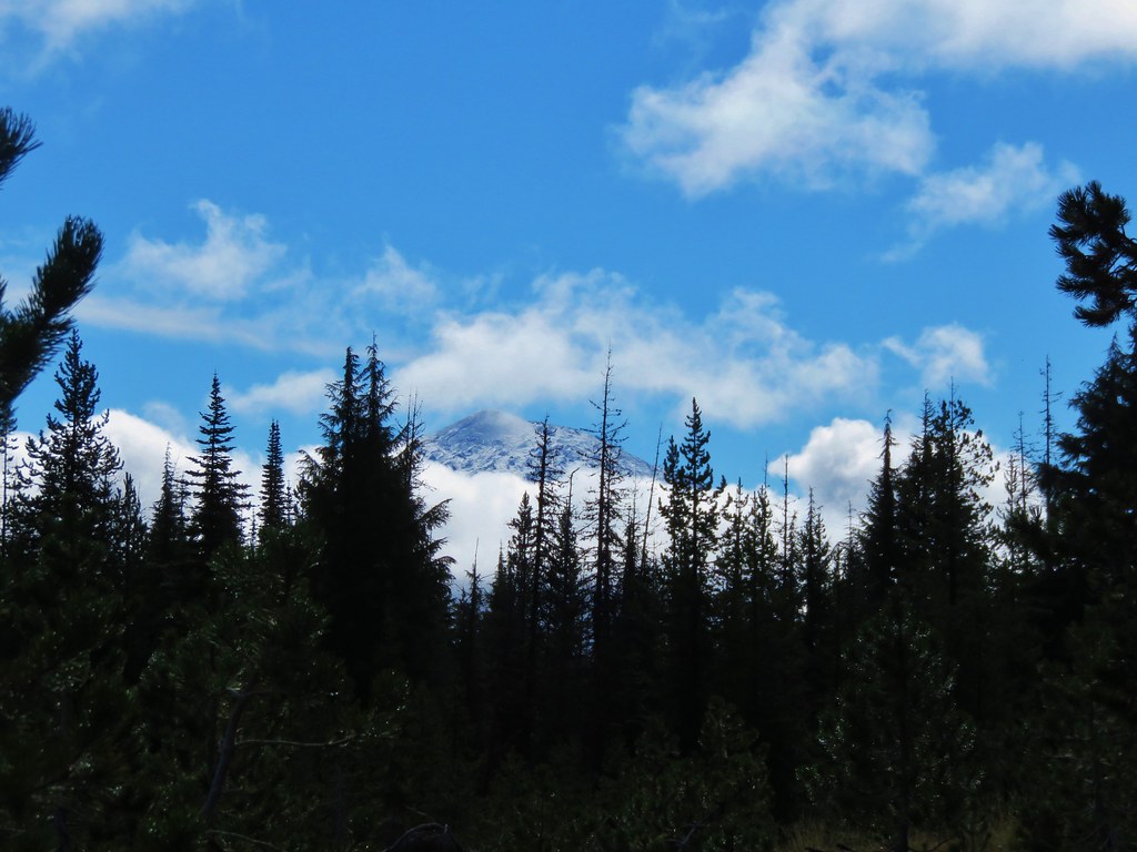
A little more haze and a couple more clouds on the way back.

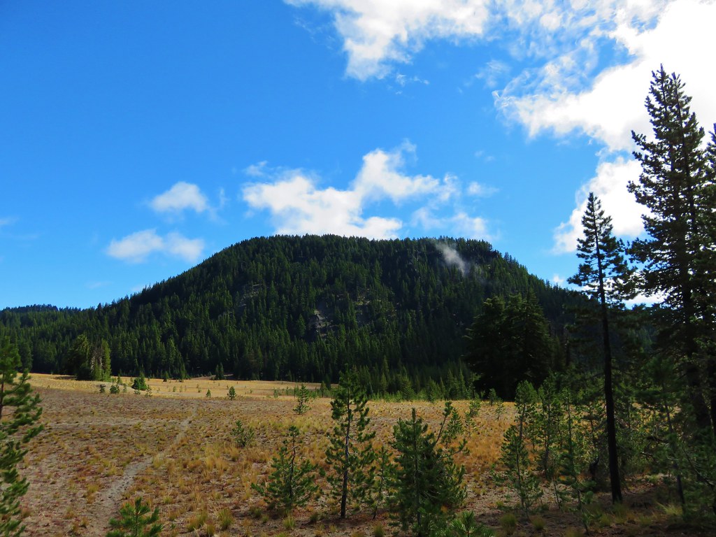
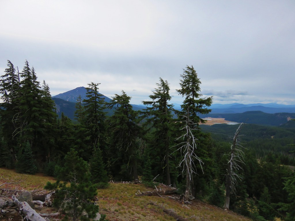
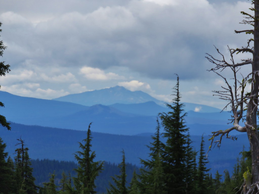
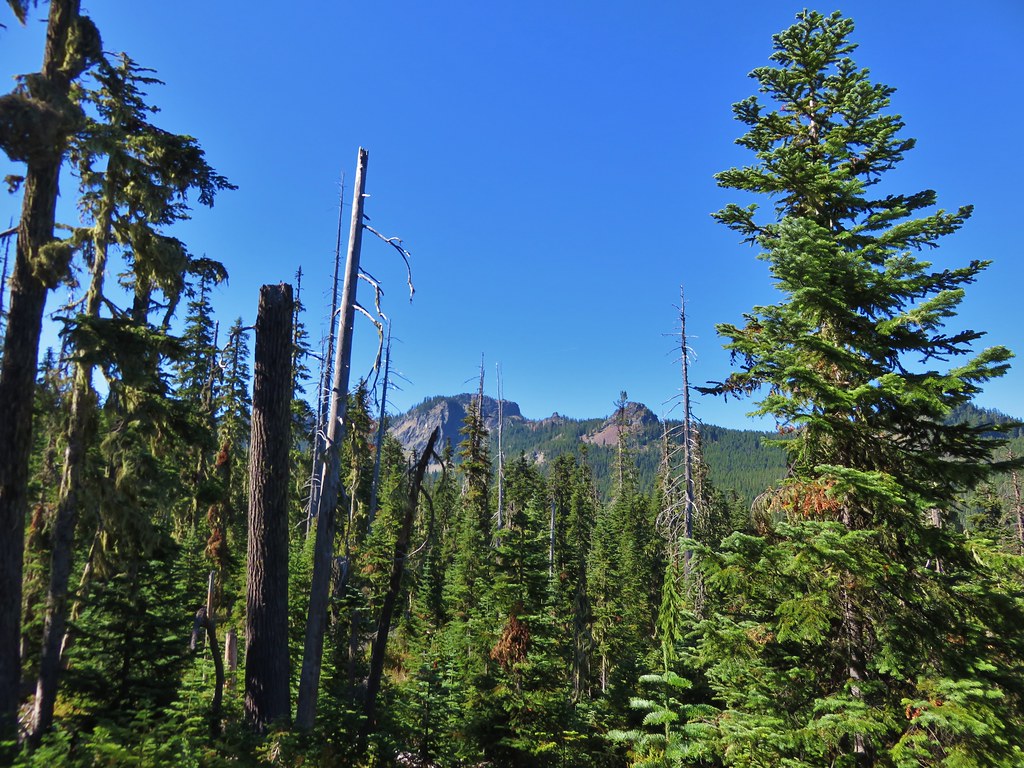
Black Crater (post)

Another uphill and more clouds forming overhead.

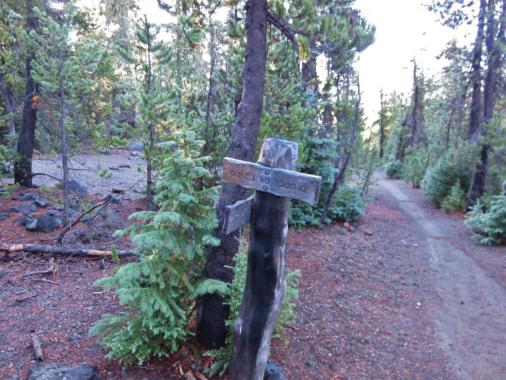
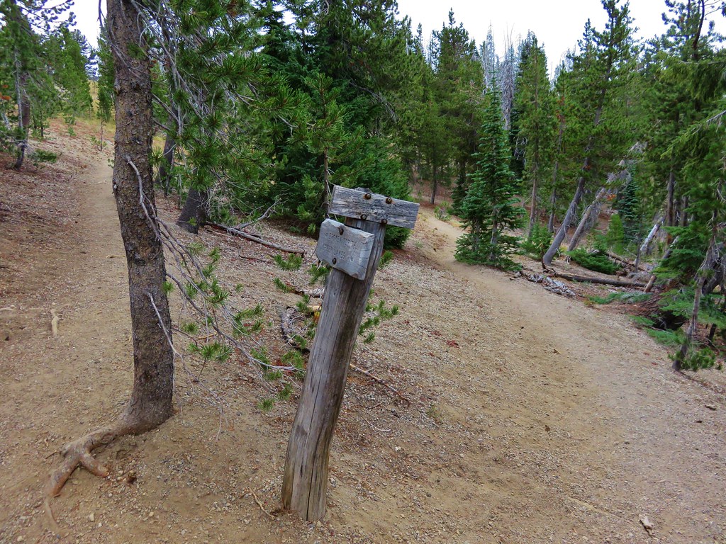
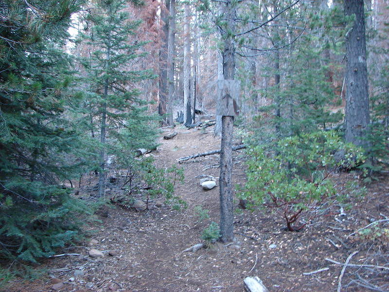
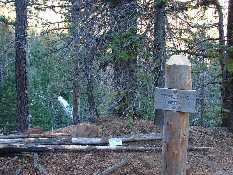
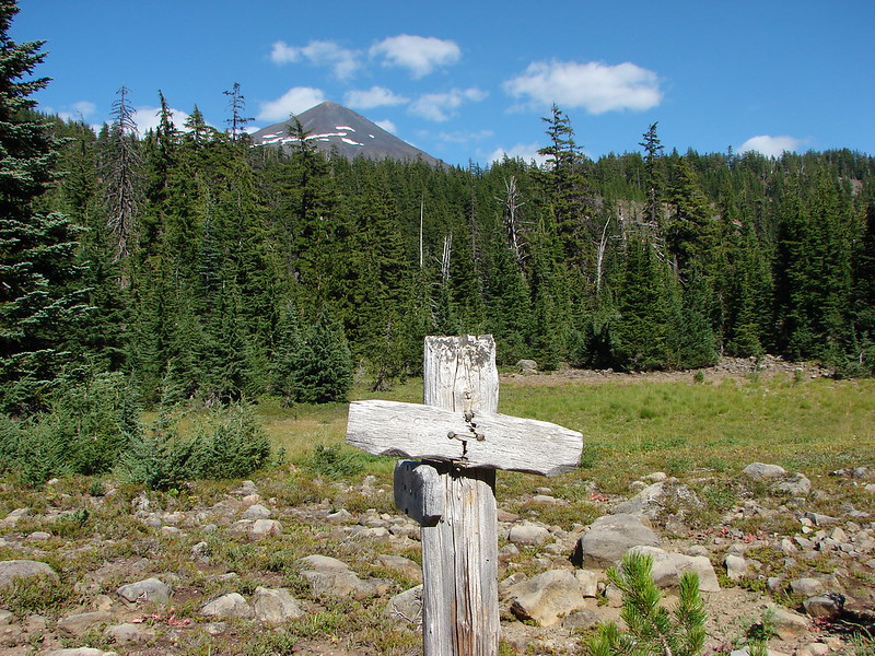
The post on the right marks the site of the former trailhead. This is approximately 1.2-miles from the current trailhead.
I arrived back at the trailhead a little after 1:30pm and found Heather waiting in her camp chair.

My hike to the tarn above Golden Lake came in at 15.2-miles with 1800′ of cumulative elevation gain. Heather’s to Park Meadow was a little over 10-miles with 800′ of elevation gain.

This was indeed a good time for this hike. There were no mosquitos or yellow jackets to speak of. The former are a problem in July and early August and the latter can get aggressive later in the Fall. While most of the wildflowers had passed there were still some blooming and it wasn’t too hot. The lack of tree cover combined with the uphill on the way back wouldn’t be a lot of fun on a hot summer day. Happy Trails!
Flicker: Park Meadow to Golden Lake


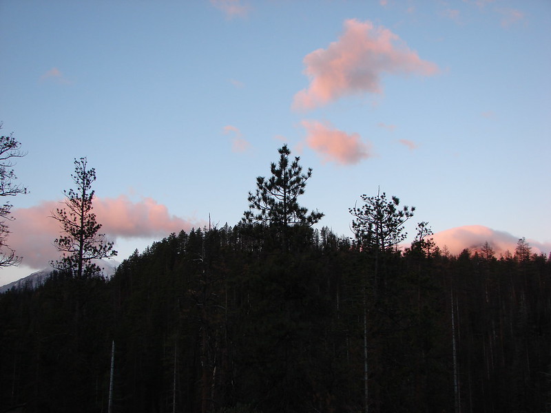
 Mt. Bachelor
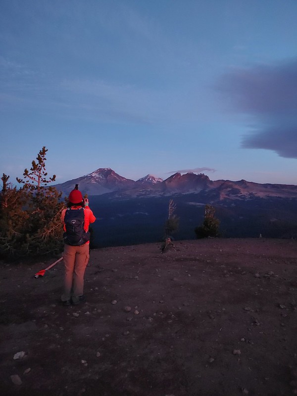 The Three Sisters and Broken Top
 Mt. Bachelor via the Nikon.
 Heather watching the show taken with the Canon.
 The Three Sisters with the Canon.
 Canon
Canon Nikon
Nikon Mt. Bachelor (
 Canon shortly before the Sun became visible.
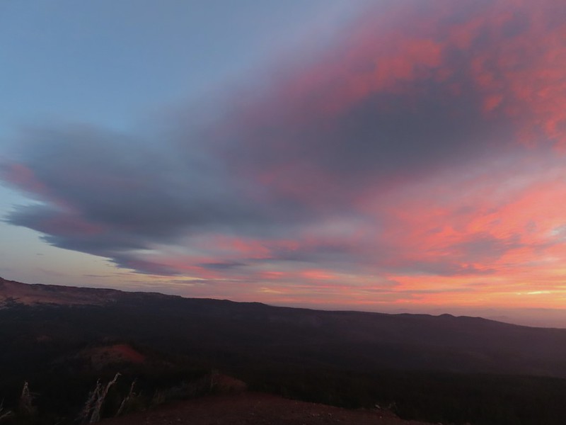 Canon shortly before the Sun became visible.
 The Three Sister just before sunrise with the Nikon.
 The Three Sister just before sunrise with Heather’s phone.
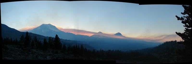
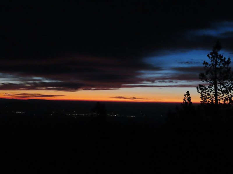
 Canon moments before sunrise. A line of wildfire smoke on the horizon gave it a red tint.
 Canon
Canon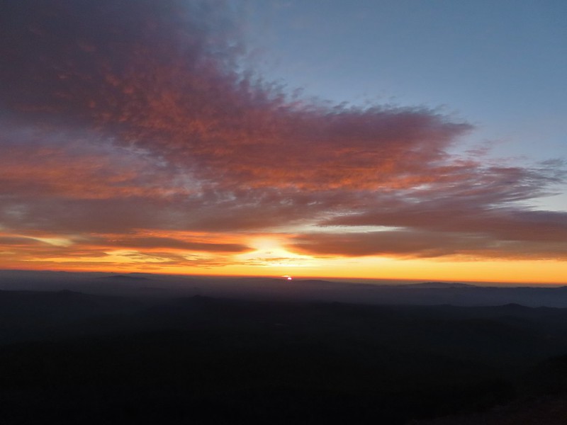 Canon catching the Sun.
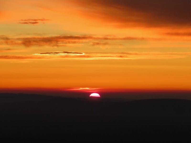 Canon
Canon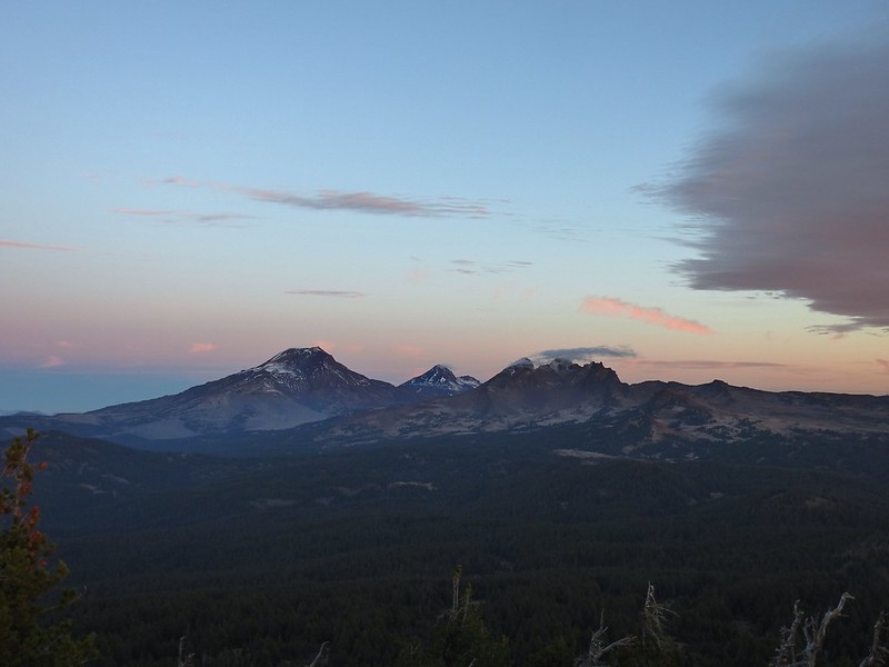 The Three Sisters and Broken Top (Nikon)
 South Sister (
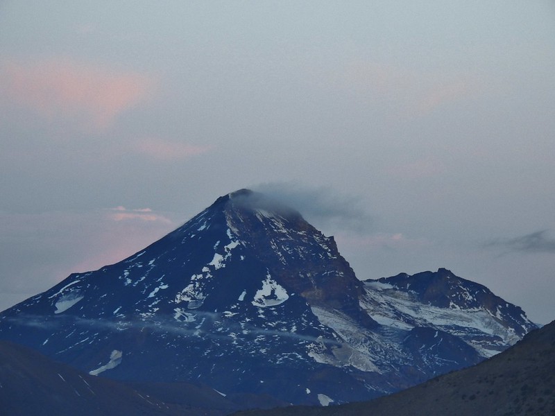 Middle and North Sister (Nikon)
 Broken Top (
 Aline glow hitting the mountains. (Canon)
 South Sister (Canon)
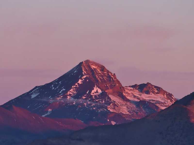 Middle and North Sister (Canon)
 Broken Top (Canon)
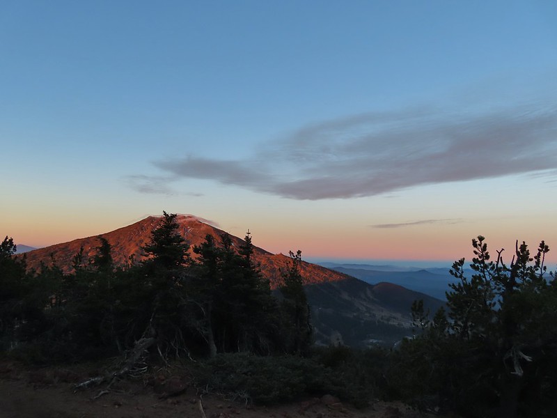 Mt. Bachelor (Canon)

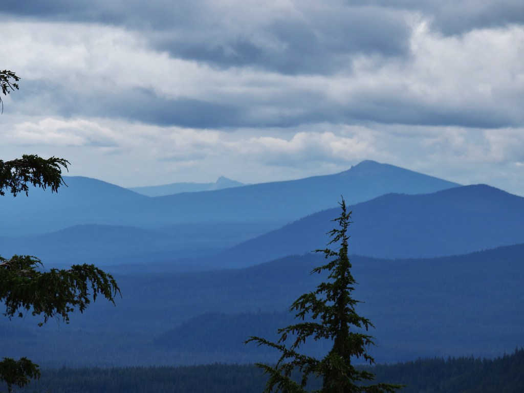
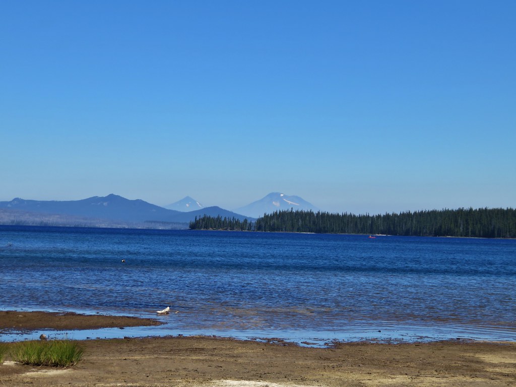
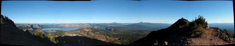
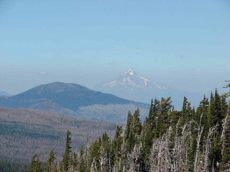
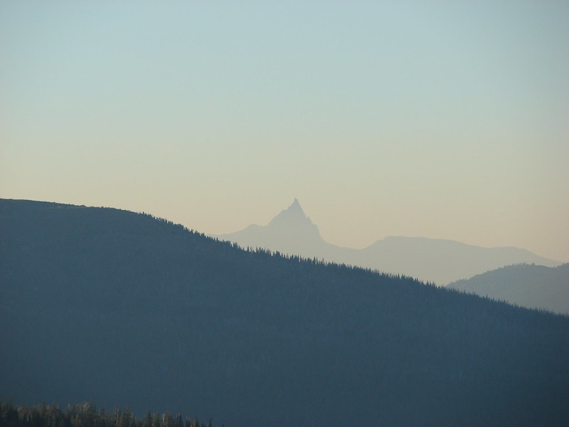
 Mt. Scott to the left and Mt. Thielsen to the right.
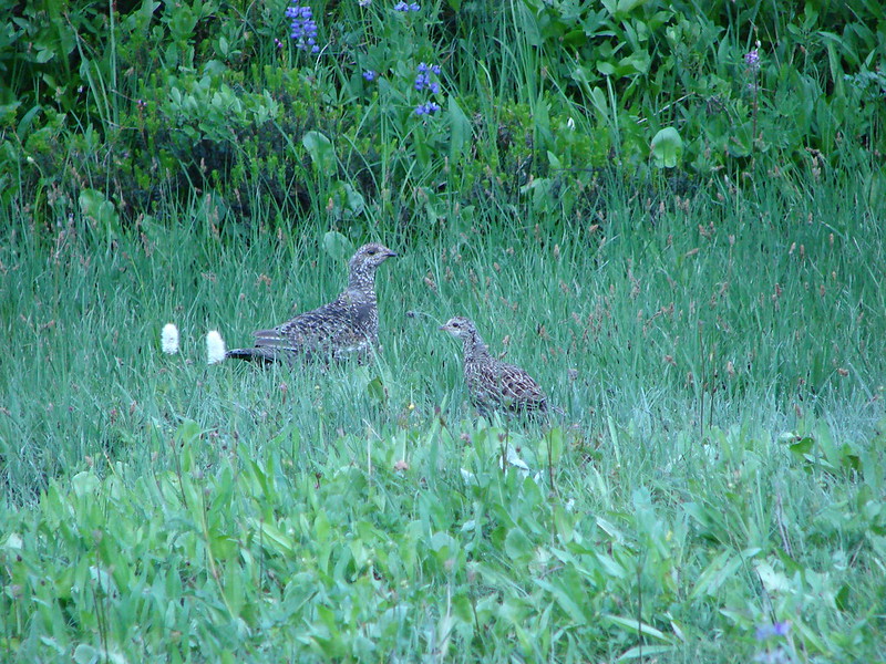
 Grouse
 Chipmunk
 Mt. Bachelor as we arrived back at the snow-park.