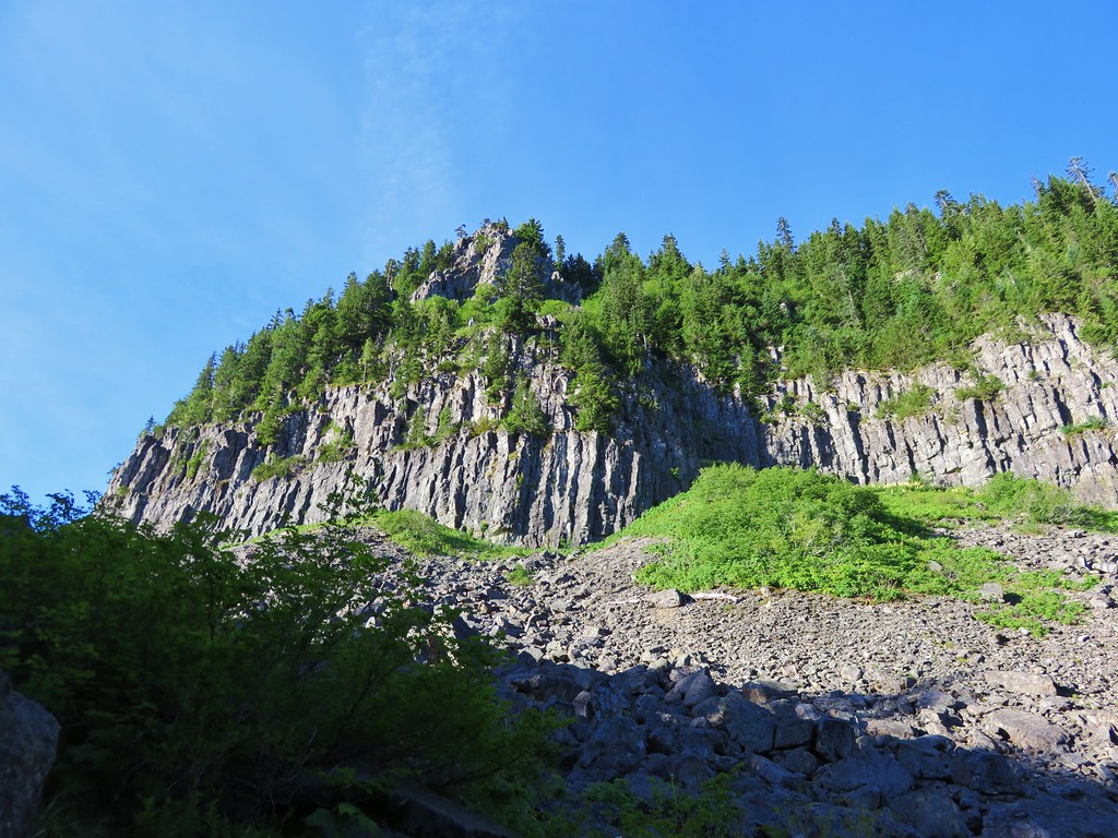
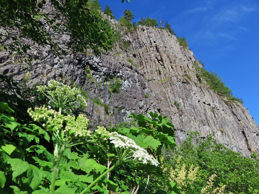
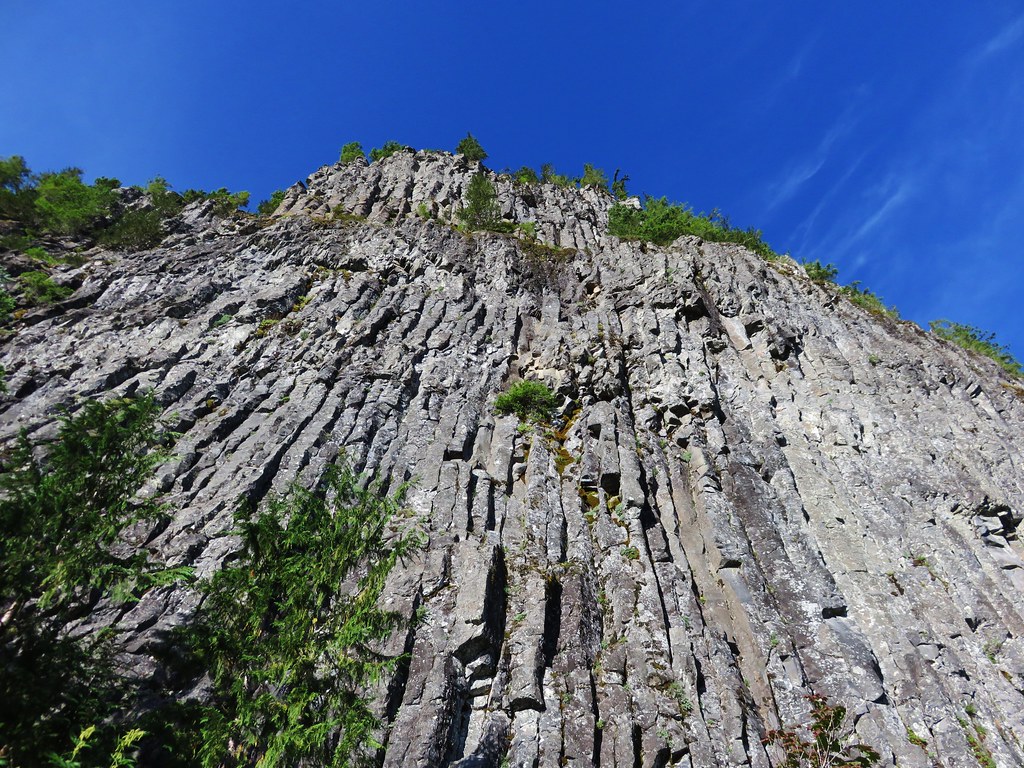
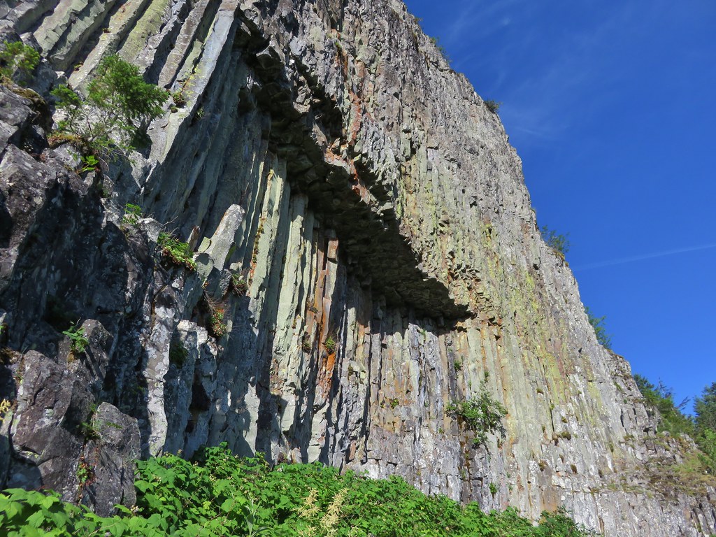
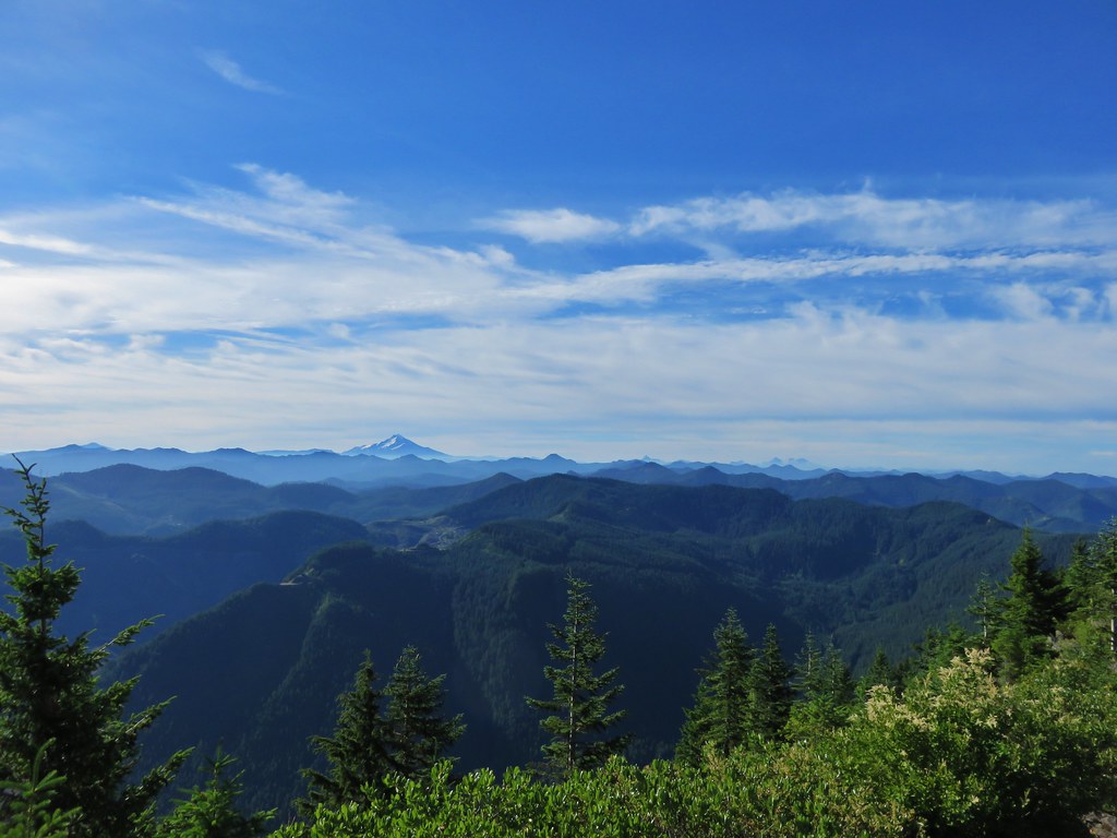
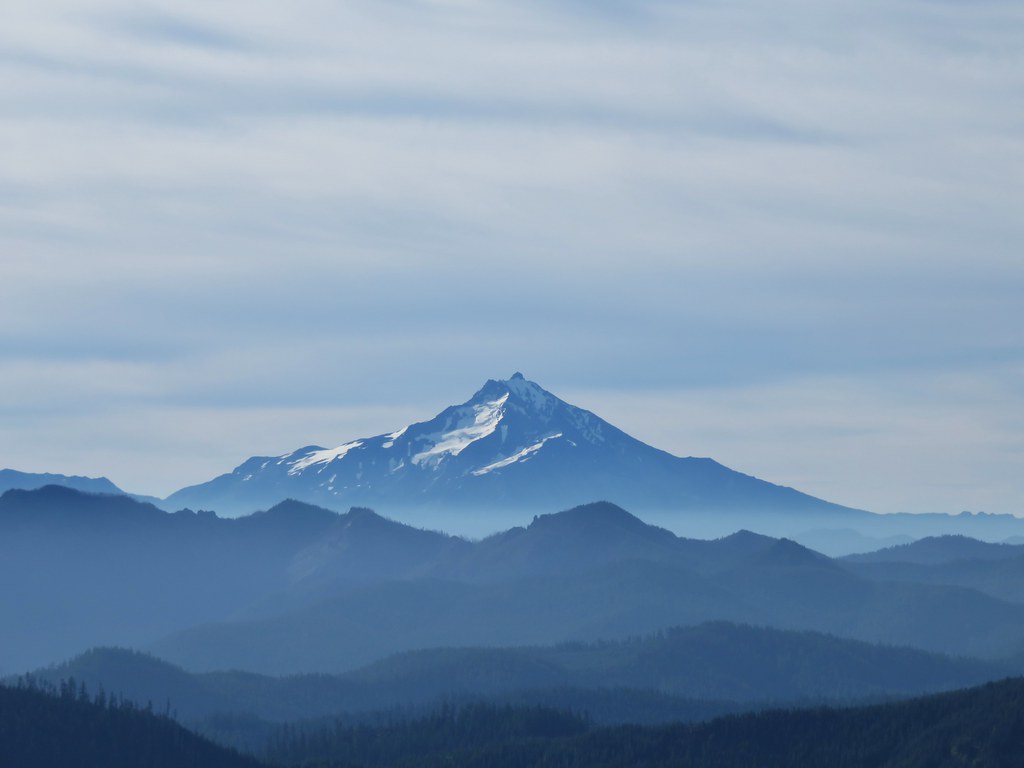
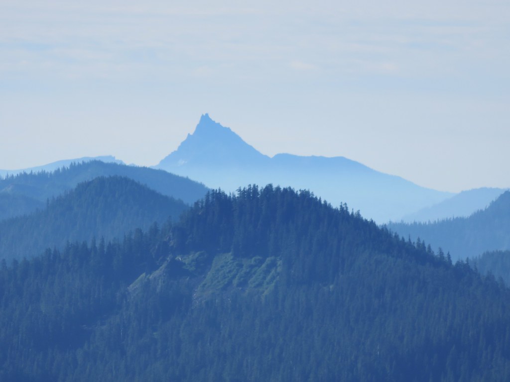
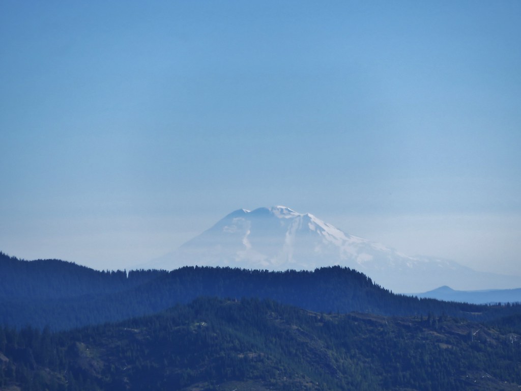
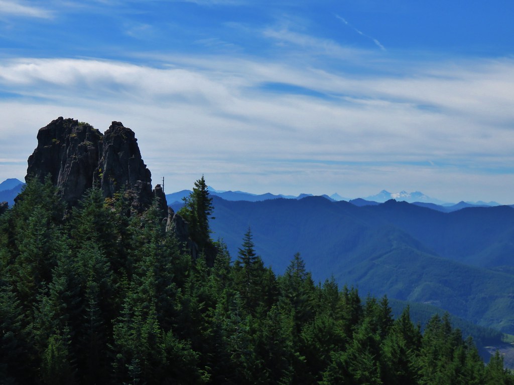
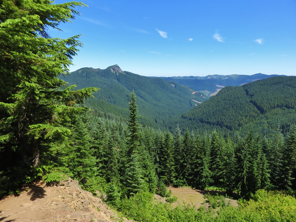
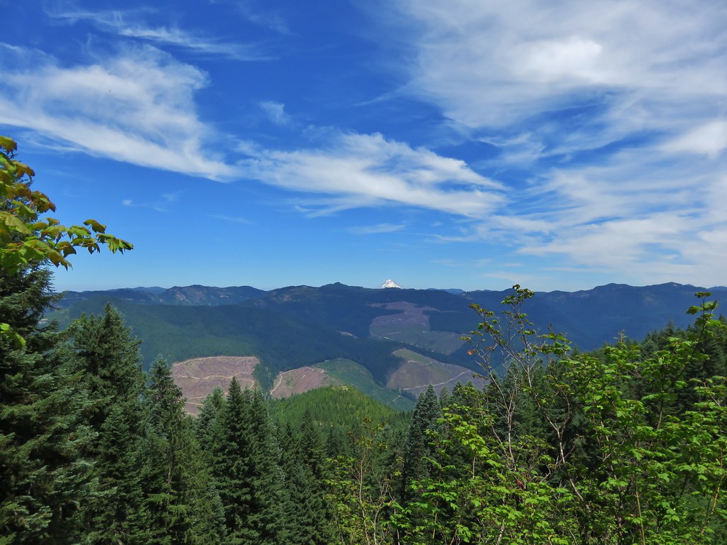
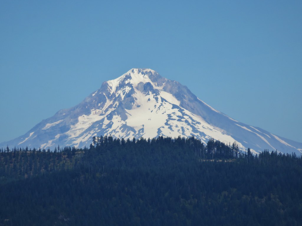
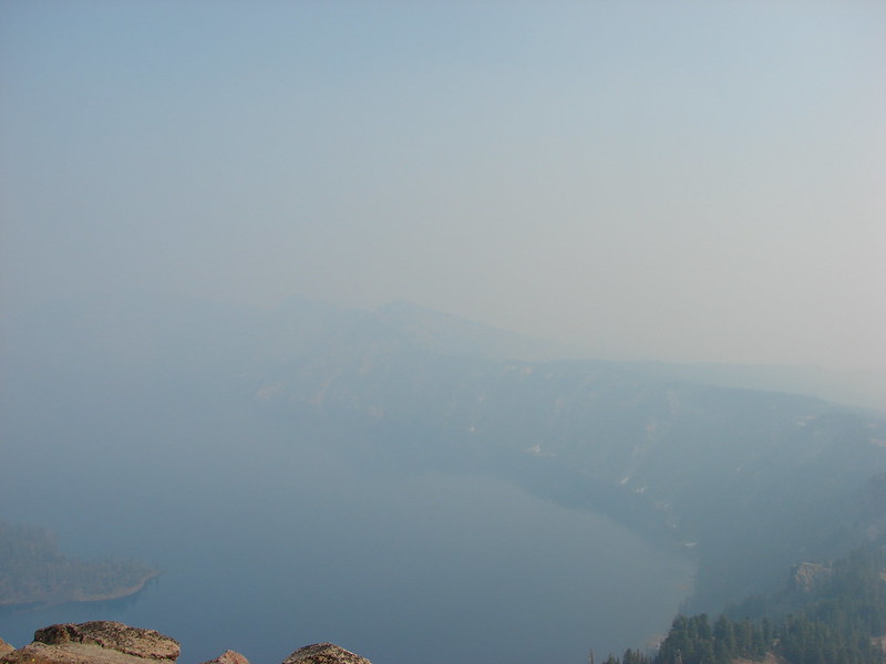
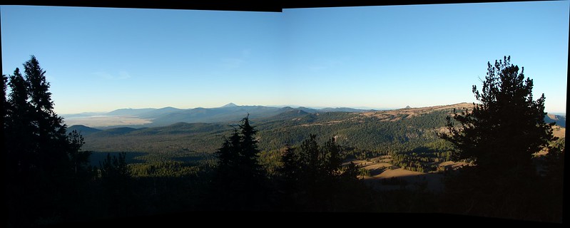
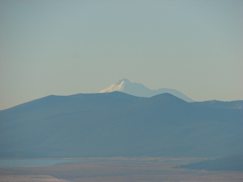
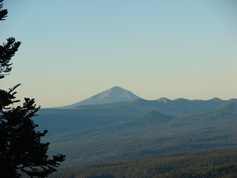
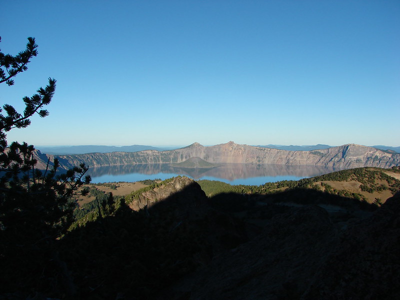
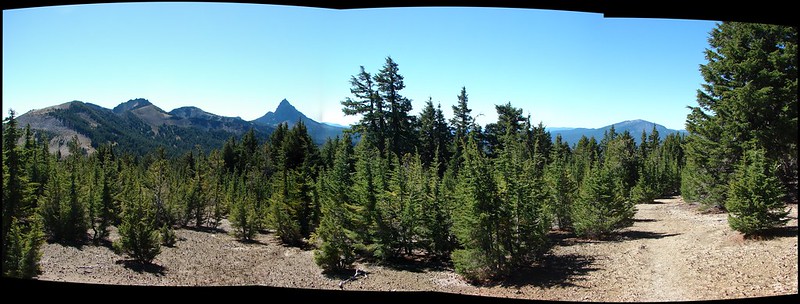
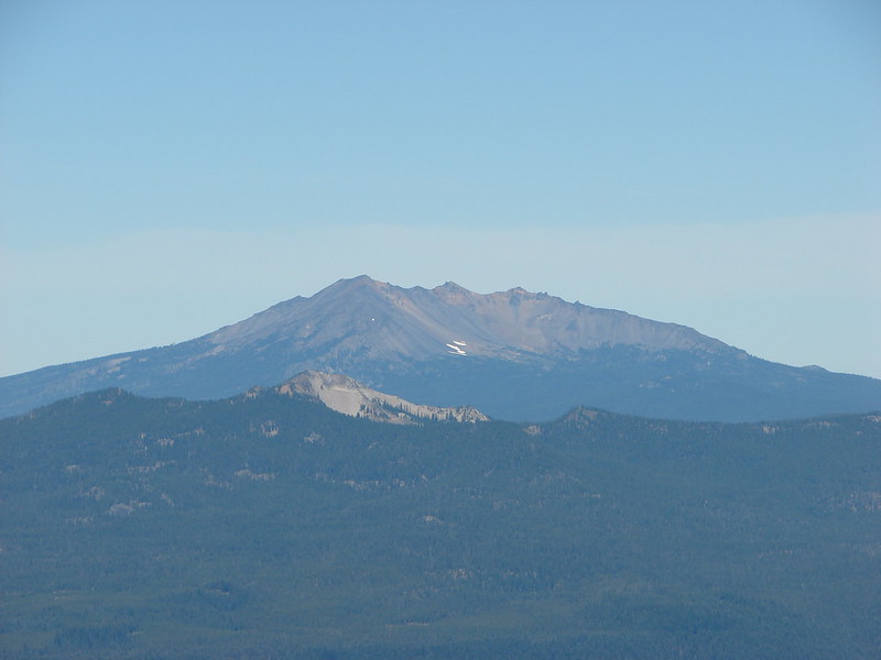
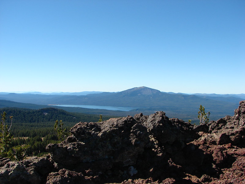
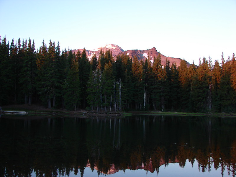
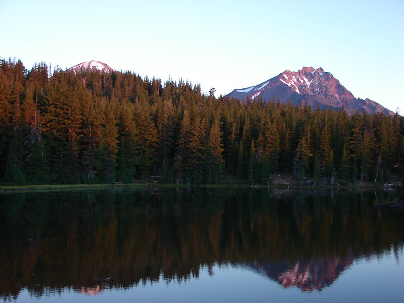
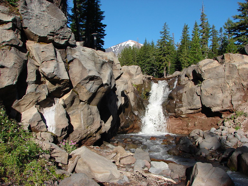
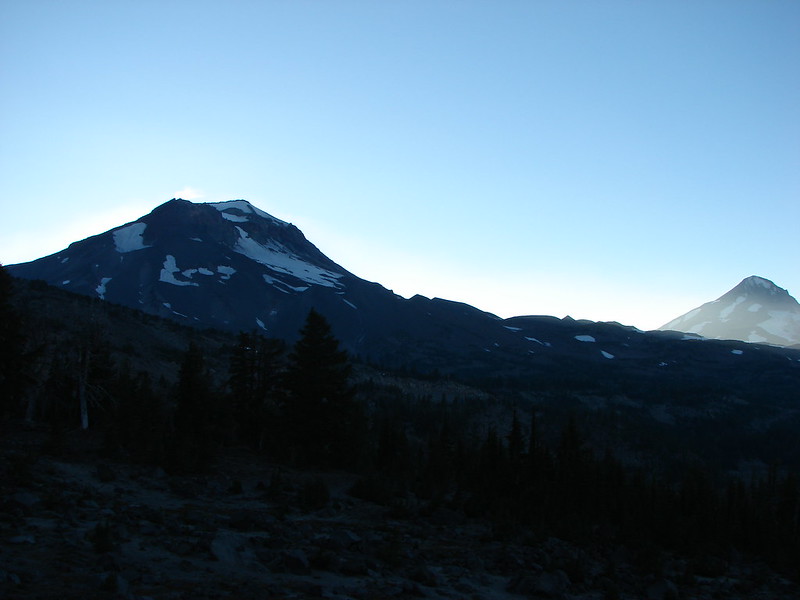
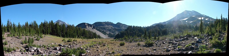
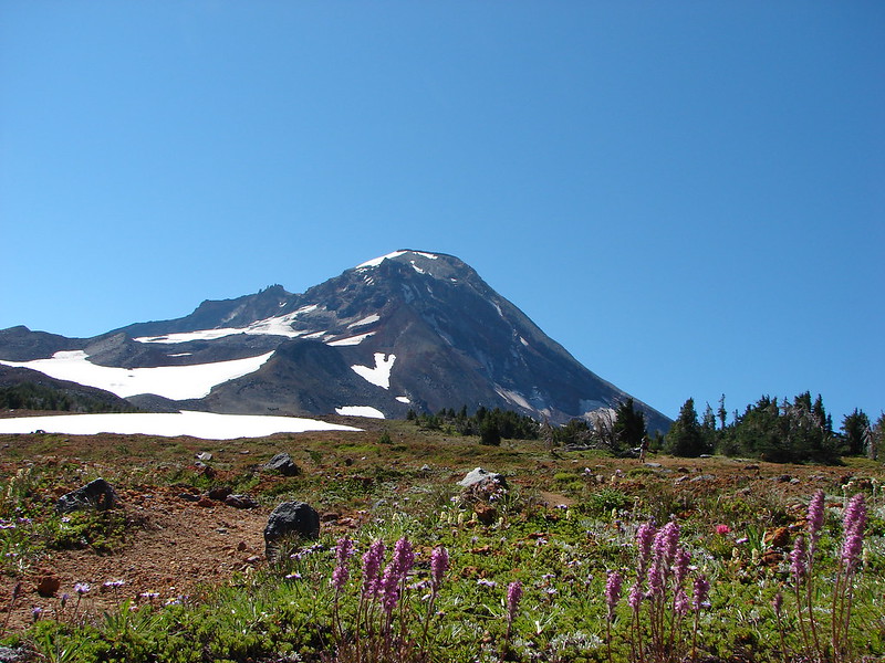
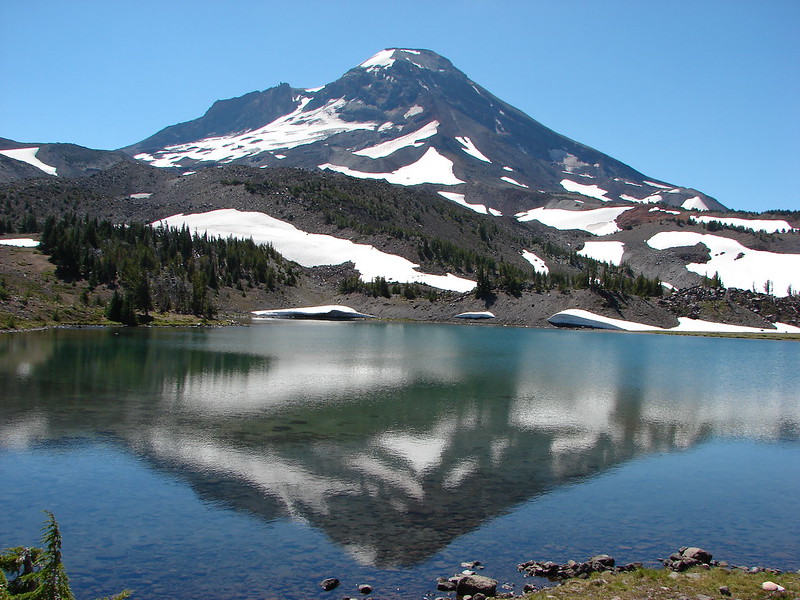
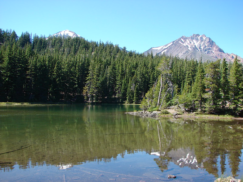
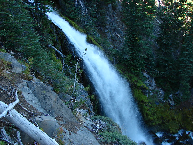
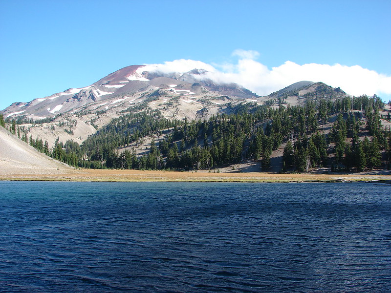
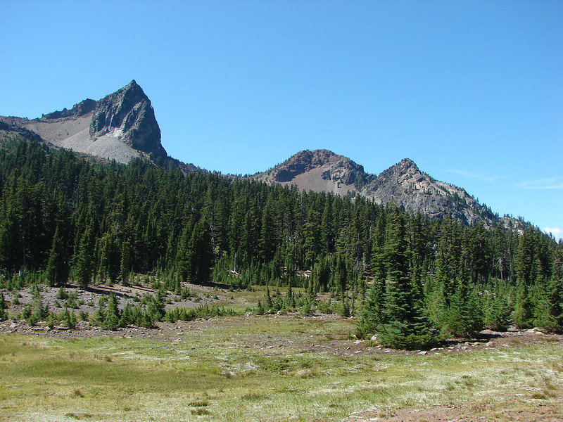
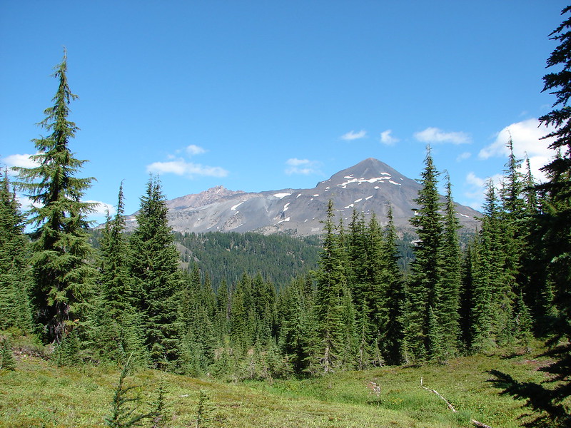
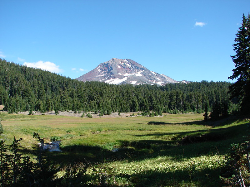
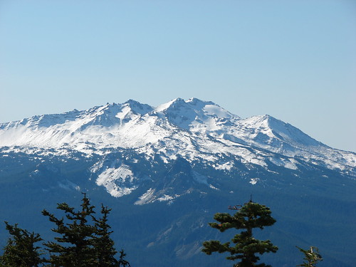
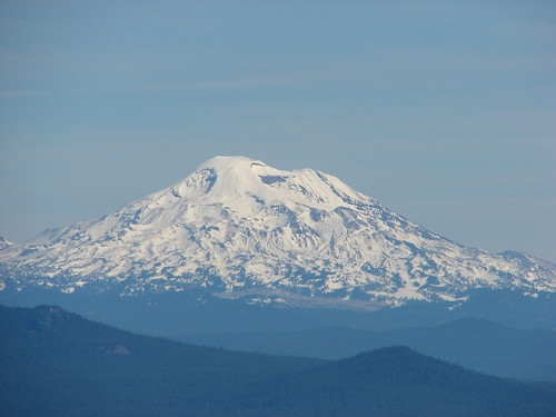
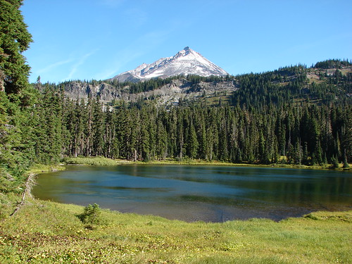
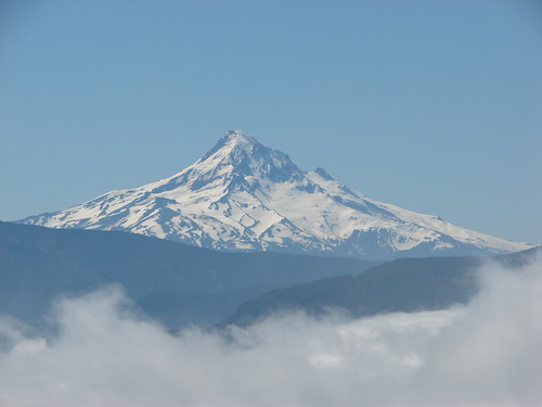
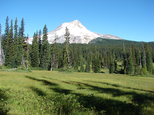
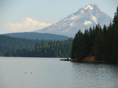
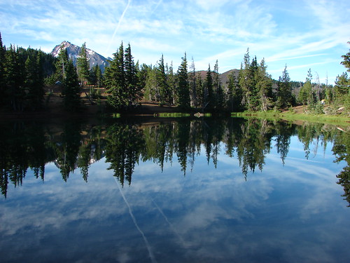
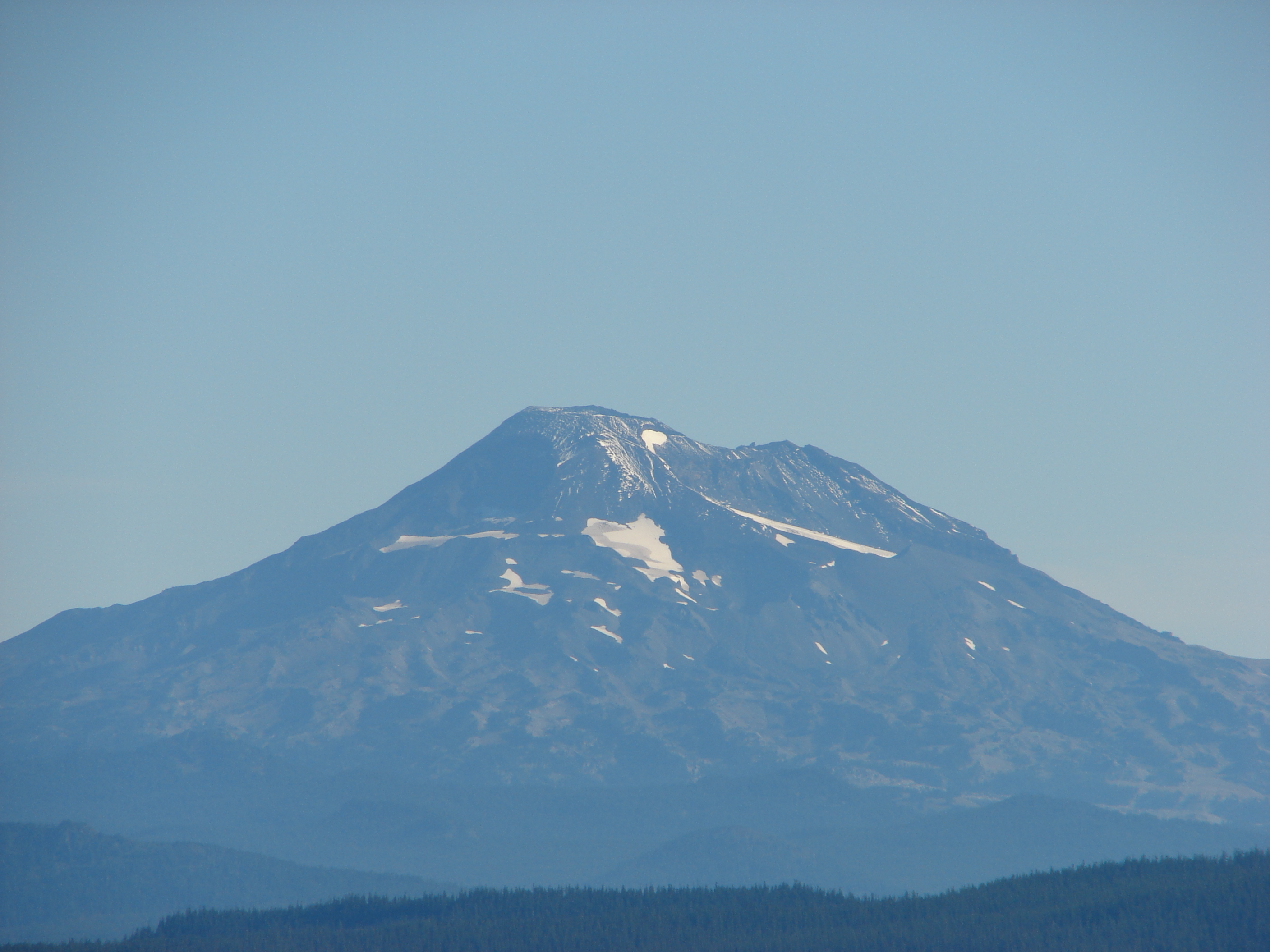
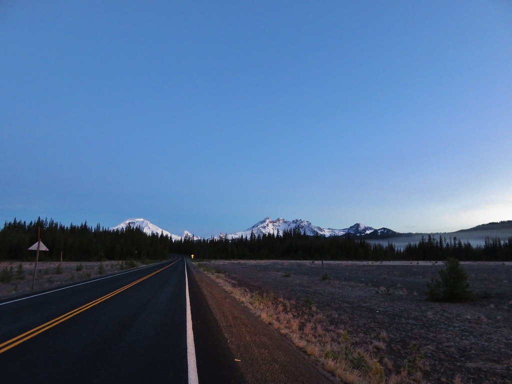
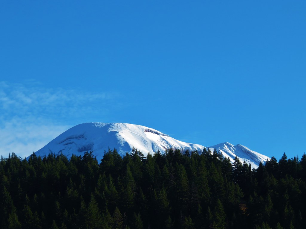
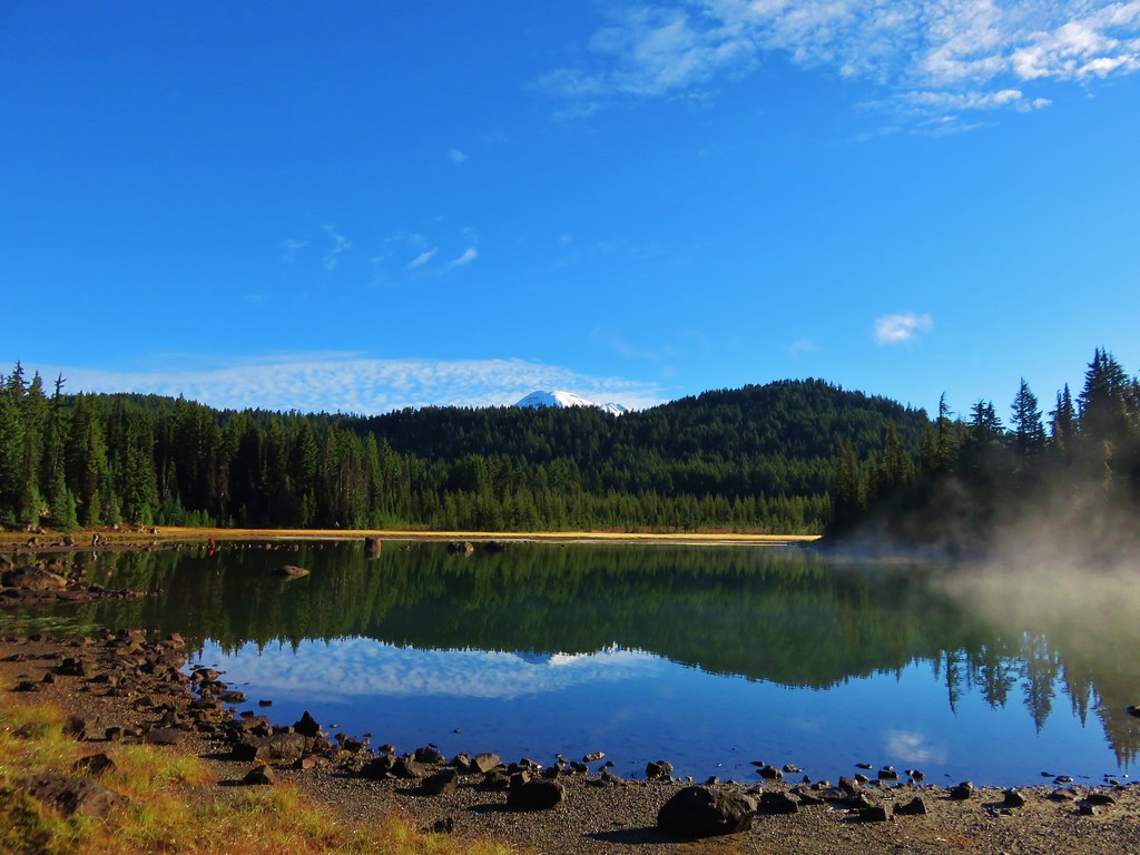
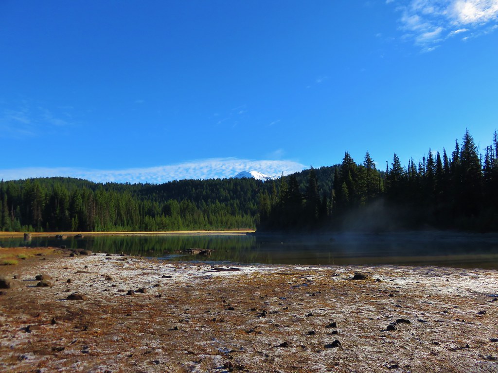
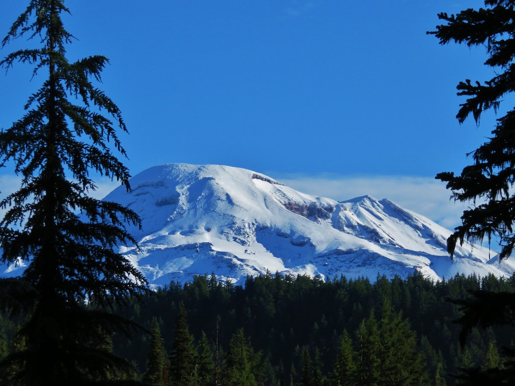
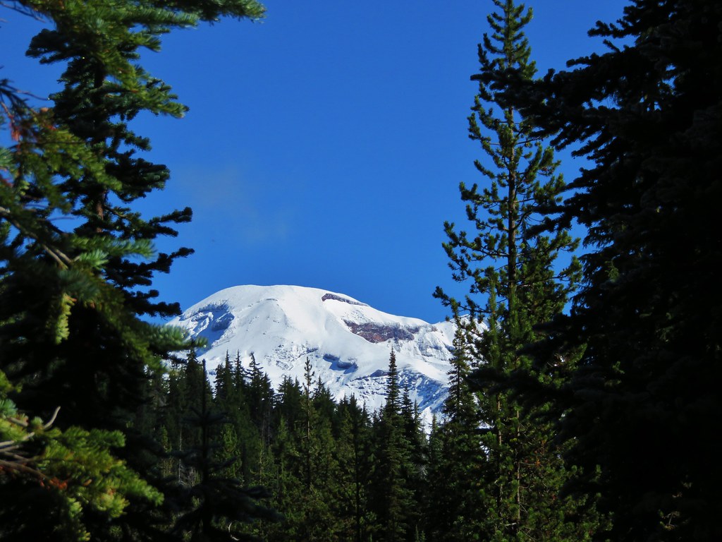
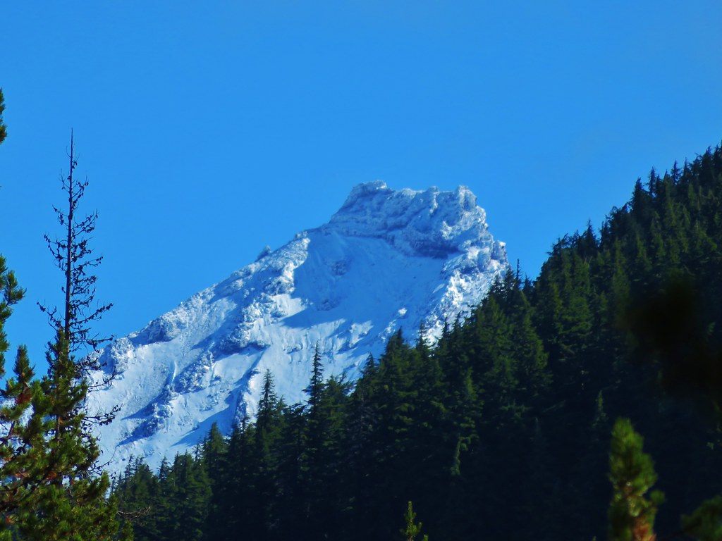
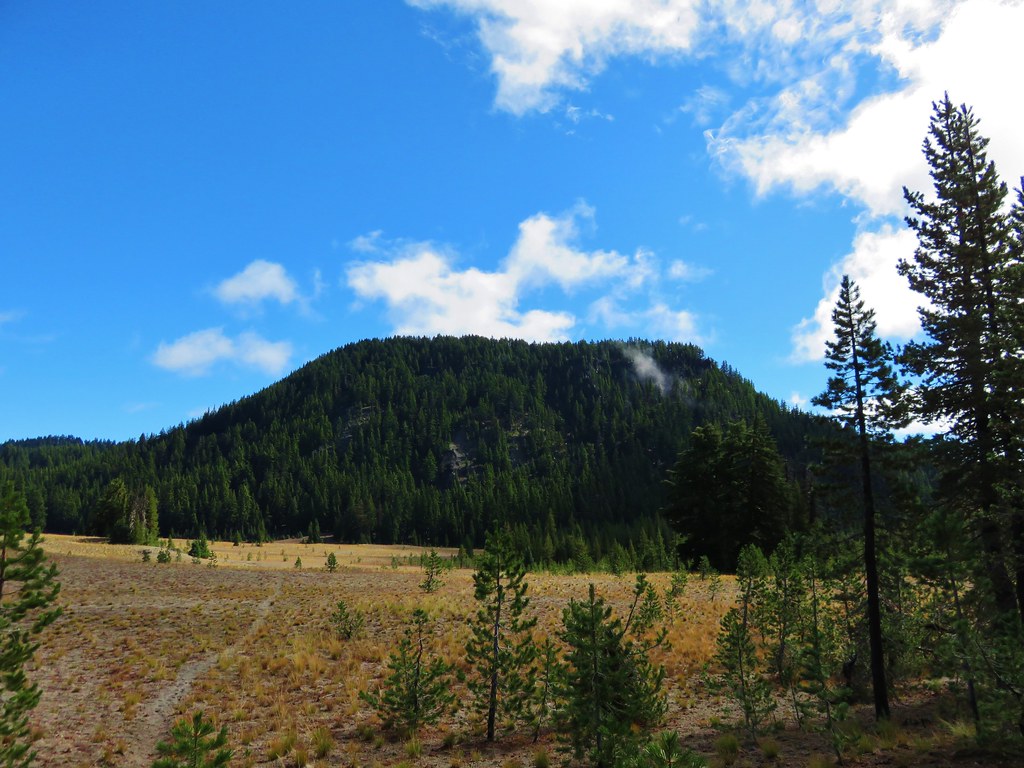
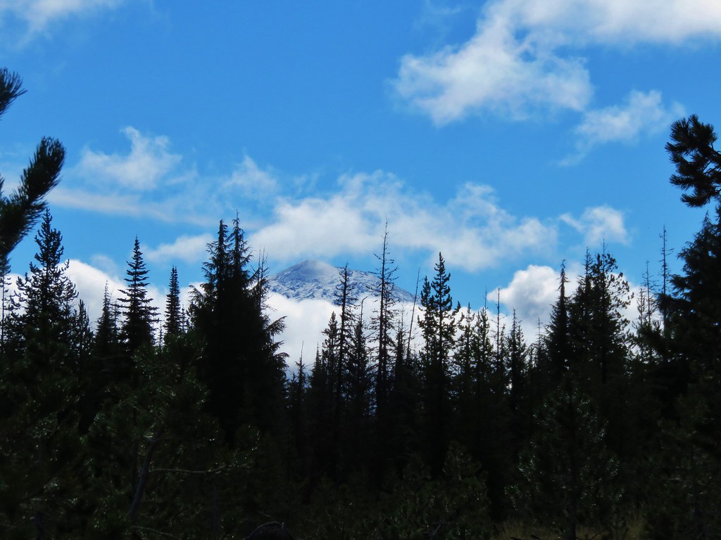
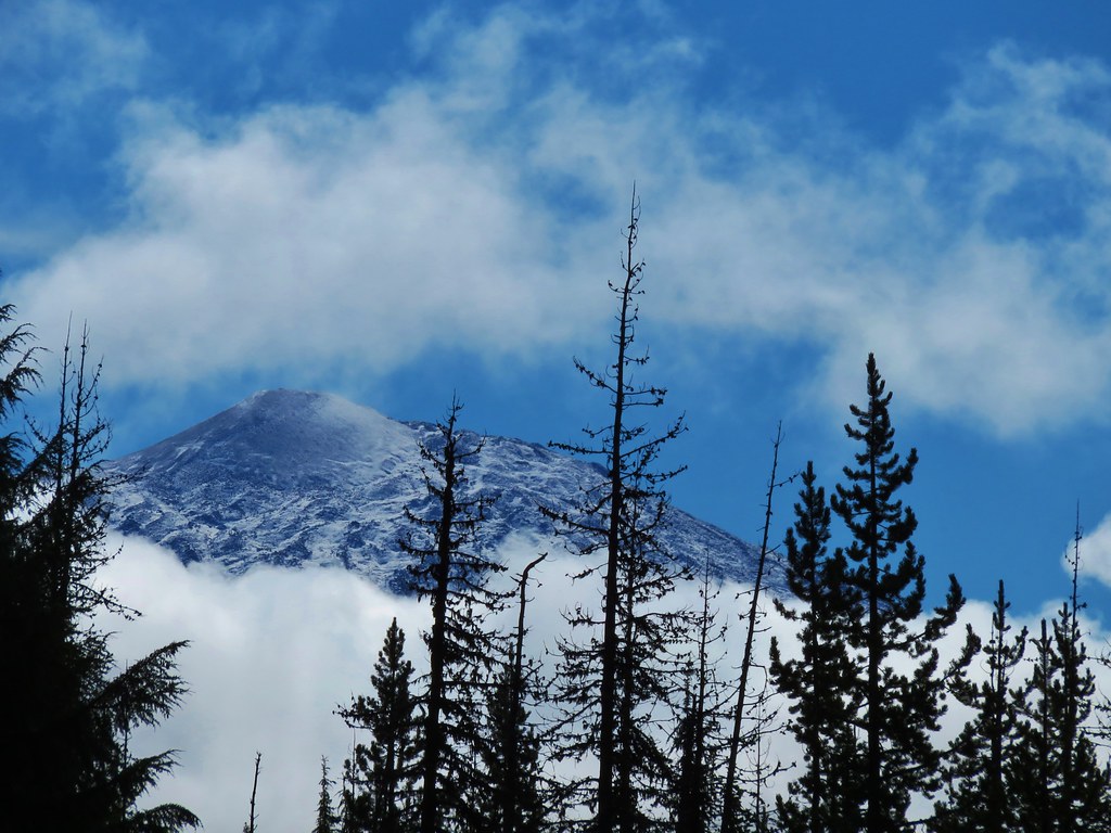
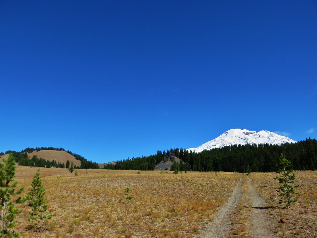
Thursday had been the wettest day of our vacation week but the clouds began clearing overnight and Friday promised to be mostly sunny. We wanted to get some views of the fresh snow on the Cascades so we headed up the Cascade Lakes Highway past Mt. Bachelor and Devils Lake to the Sisters Mirror Lake Trailhead. We stopped for quick pictures of the mountains along the way.
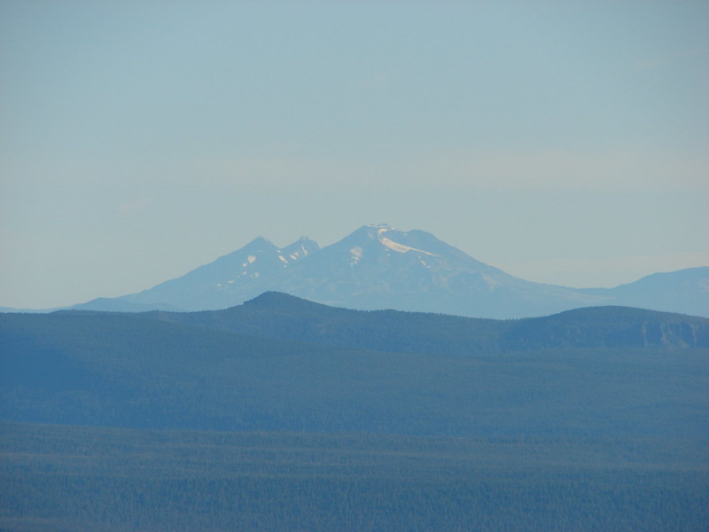
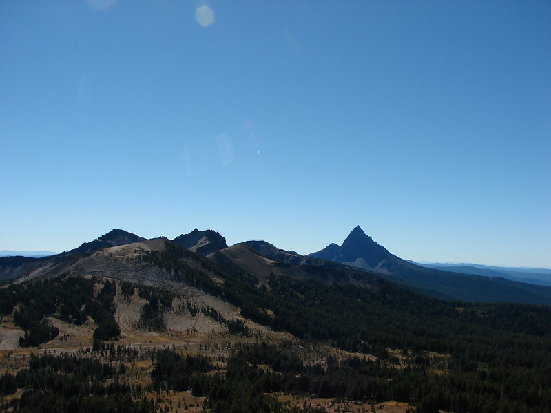
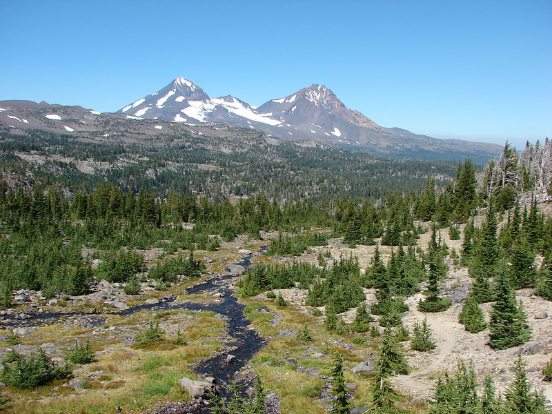
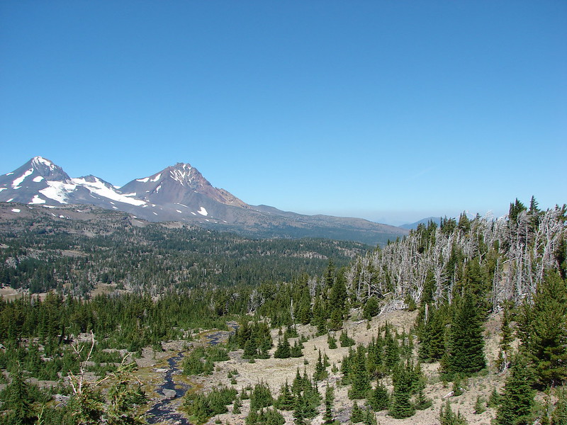
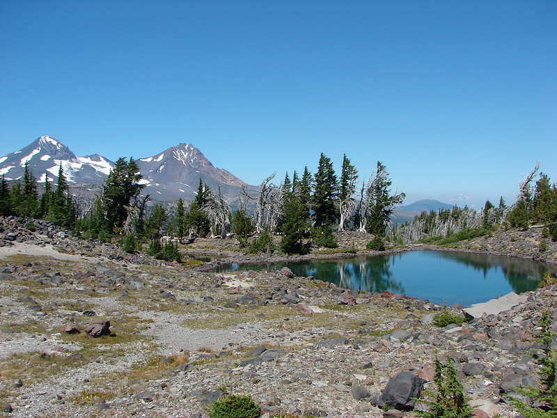
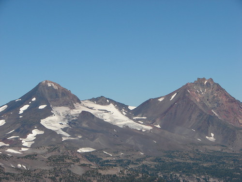
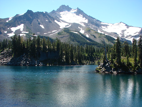
Three Sisters and Broken Top
 //embedr.flickr.com/assets/client-code.js
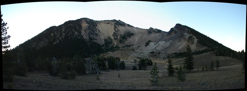
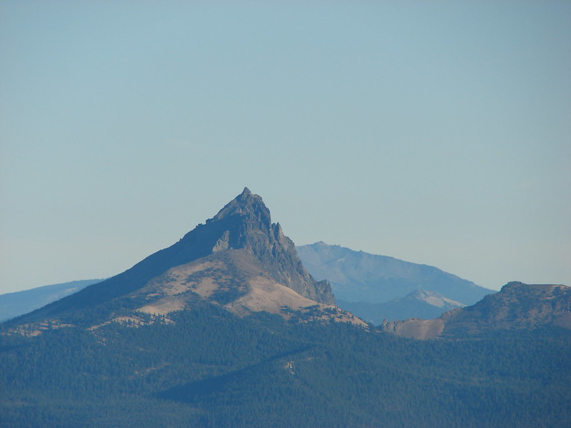
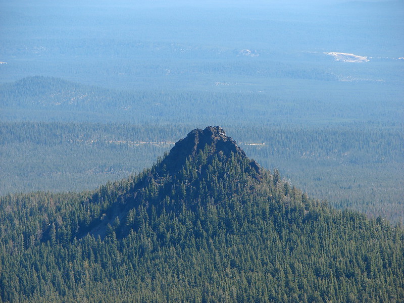
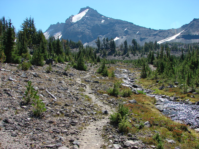
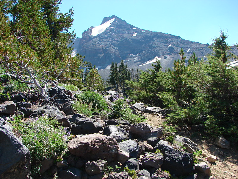
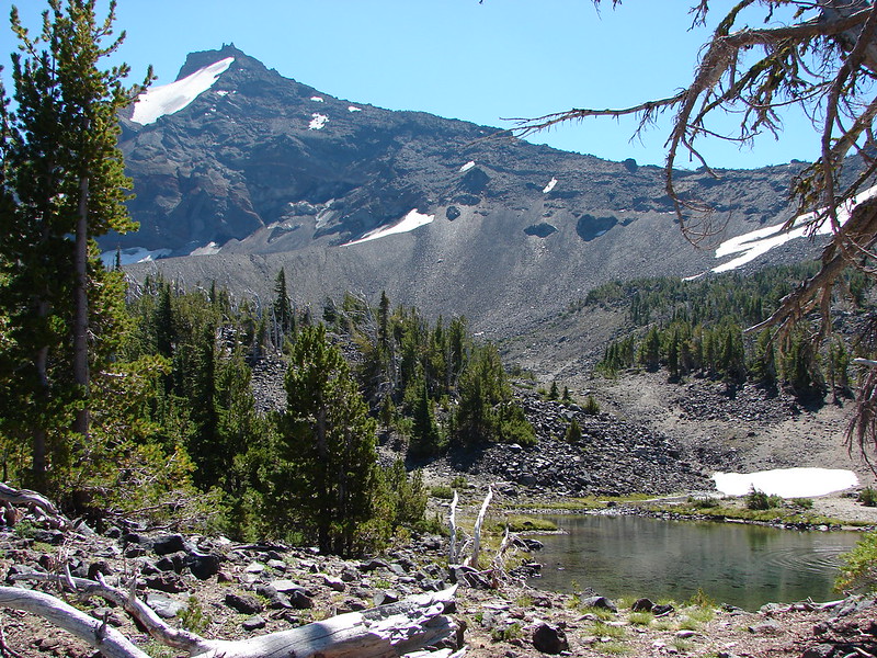
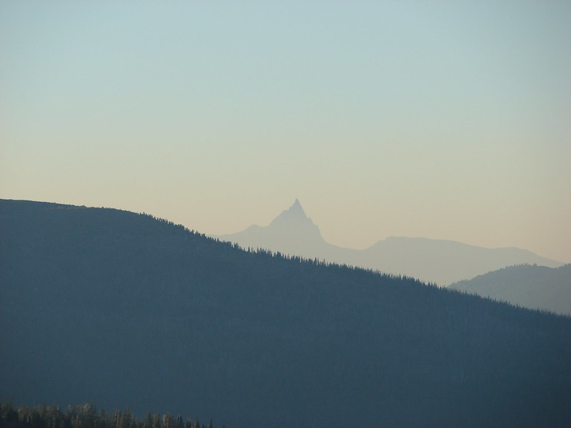
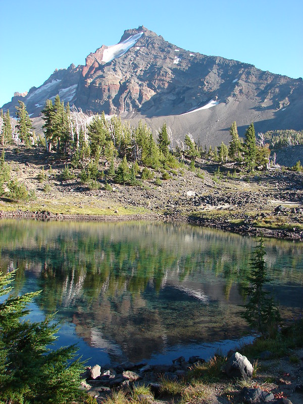
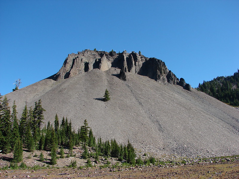
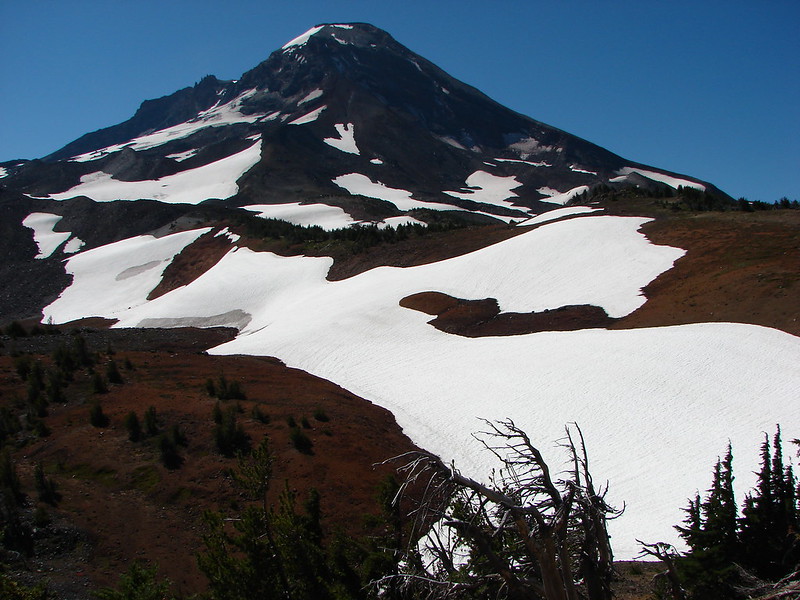
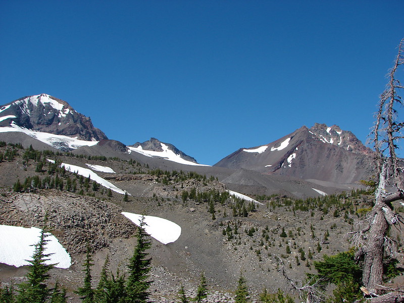
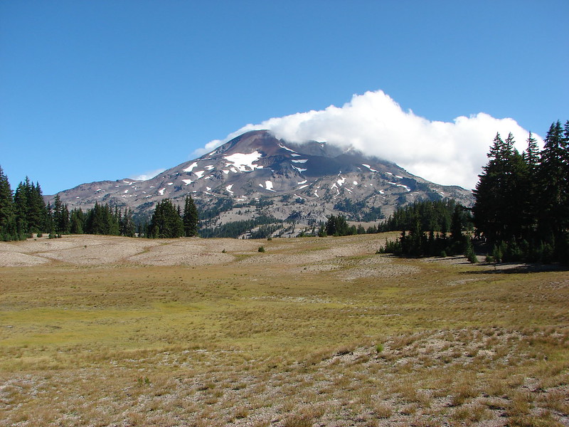
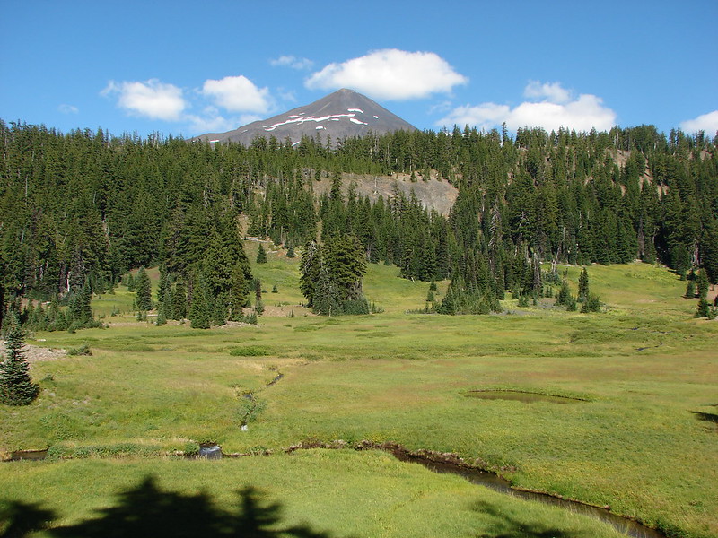
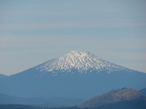
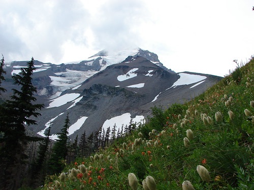
Broken Top
 //embedr.flickr.com/assets/client-code.js
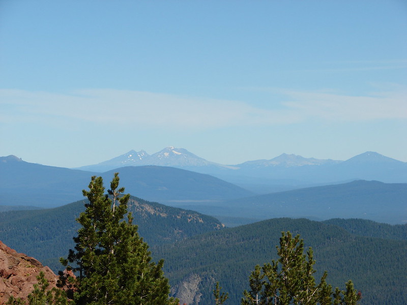
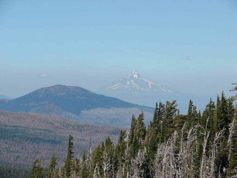
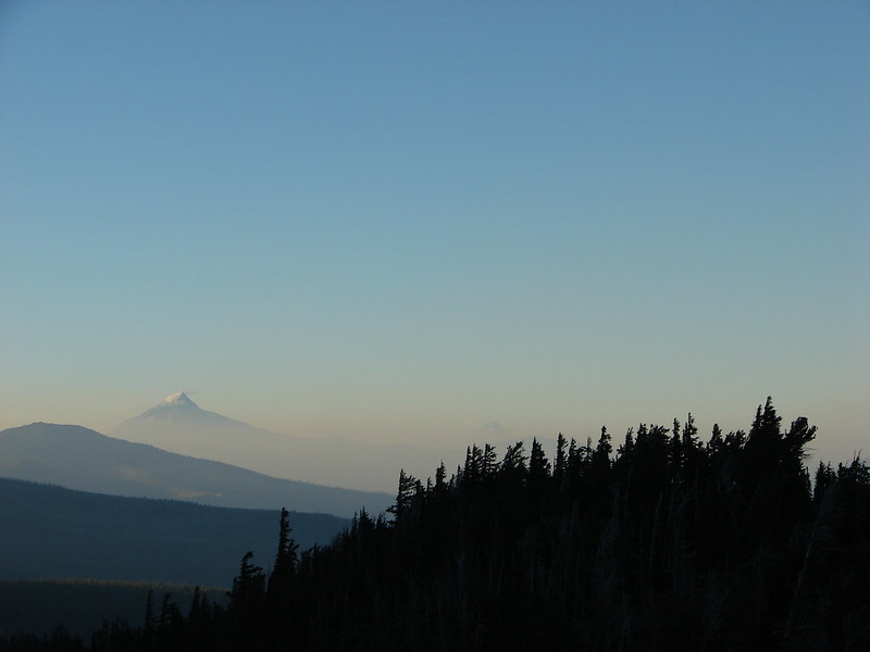
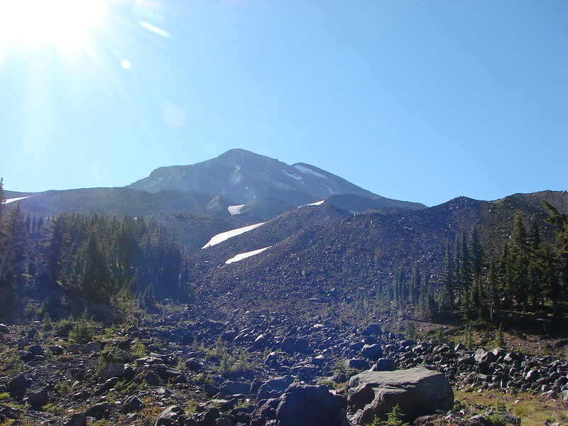
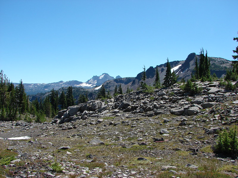
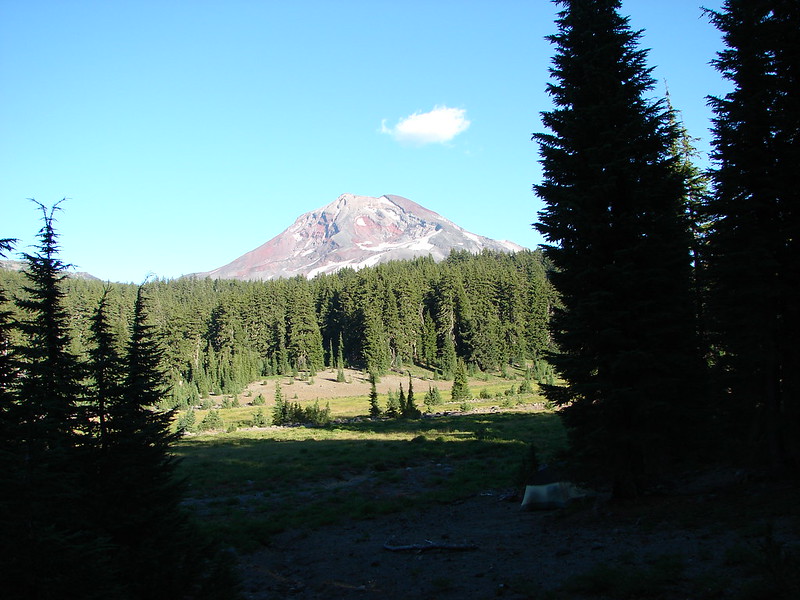
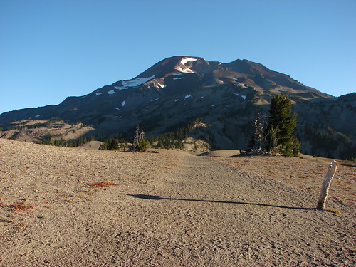
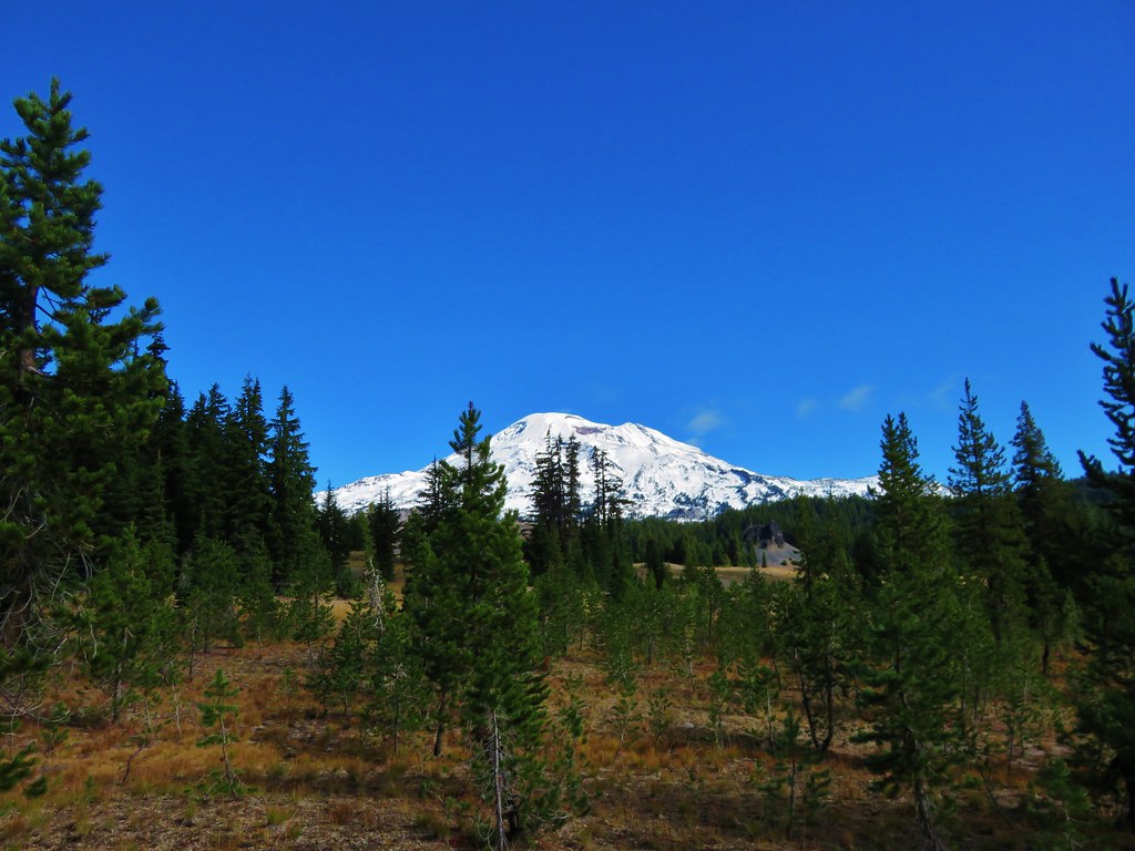
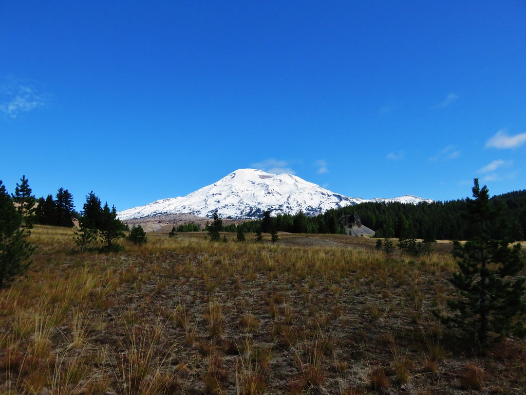
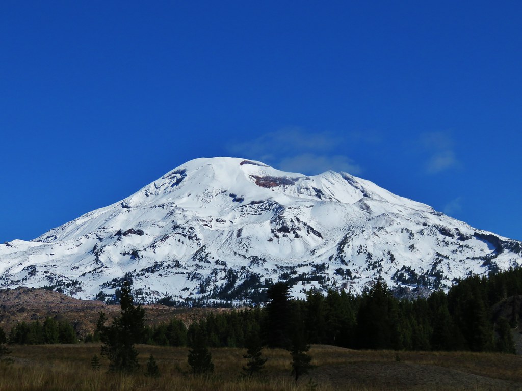
Mt. Bachelor
 //embedr.flickr.com/assets/client-code.js
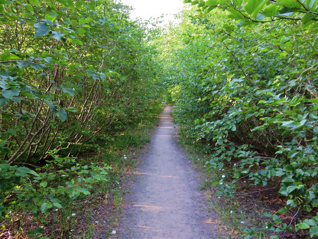
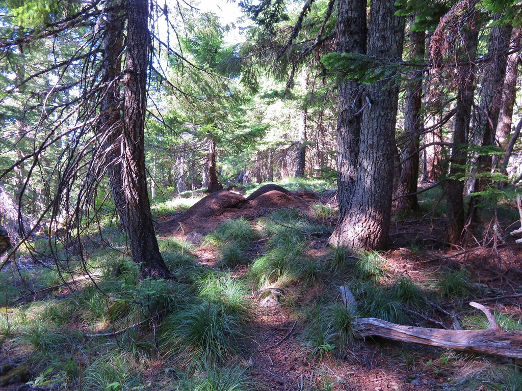
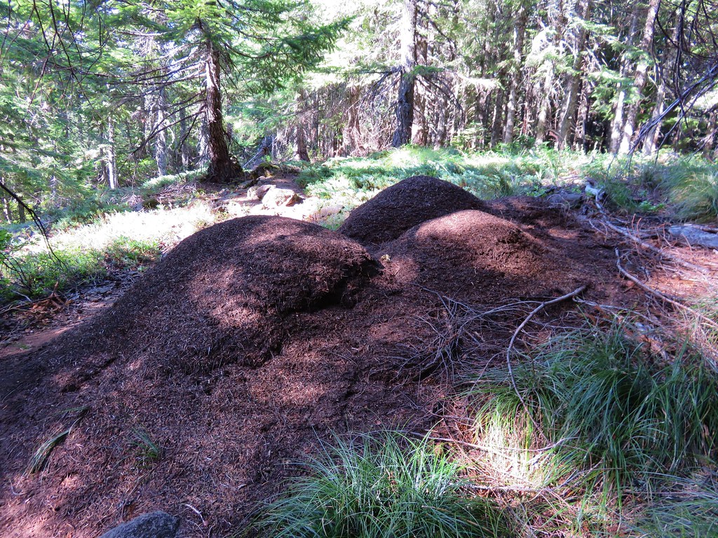
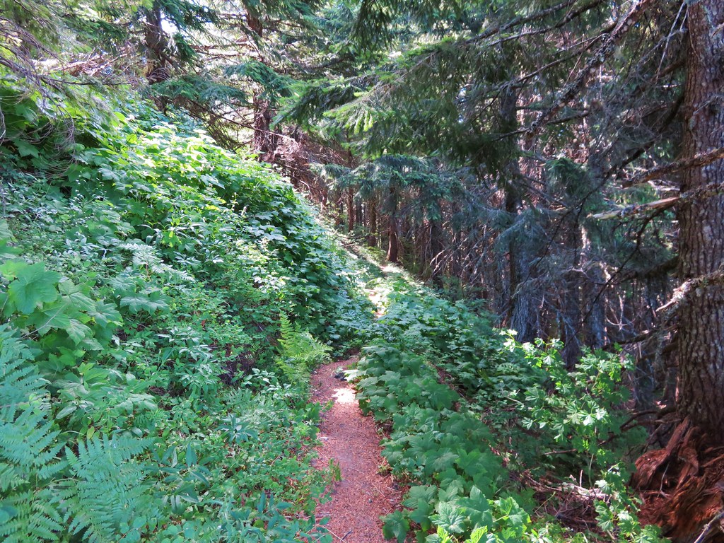
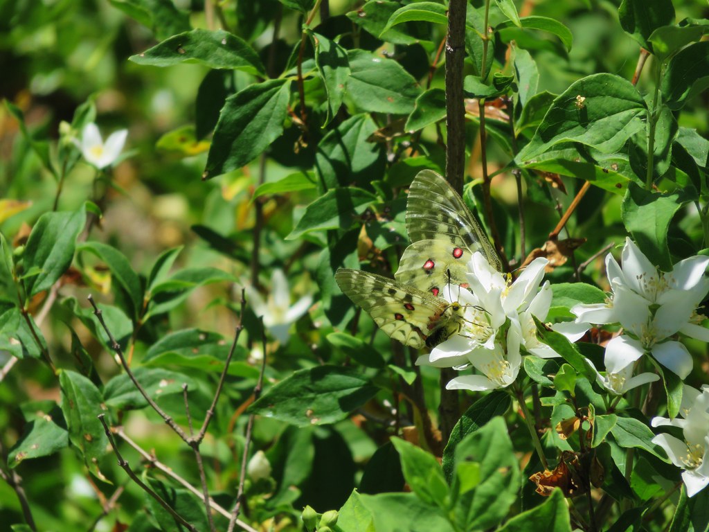
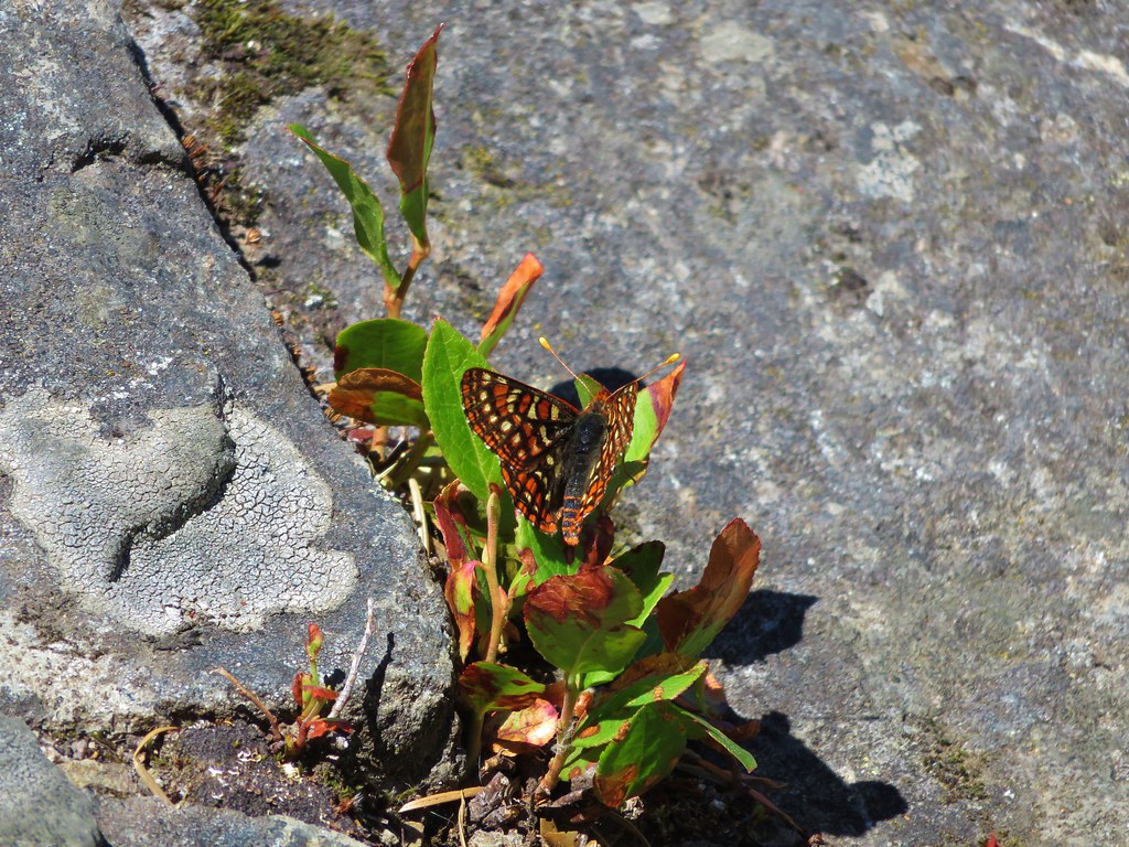
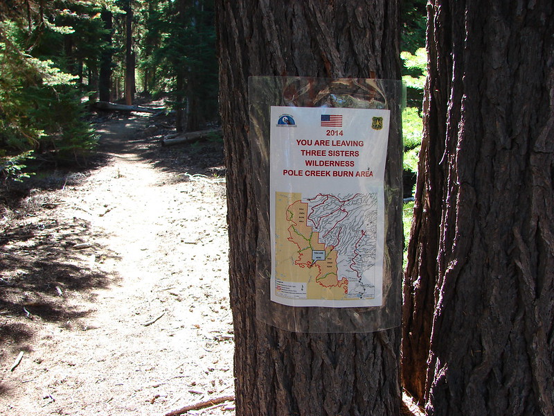
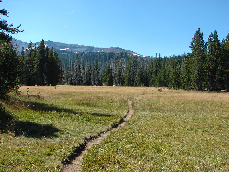
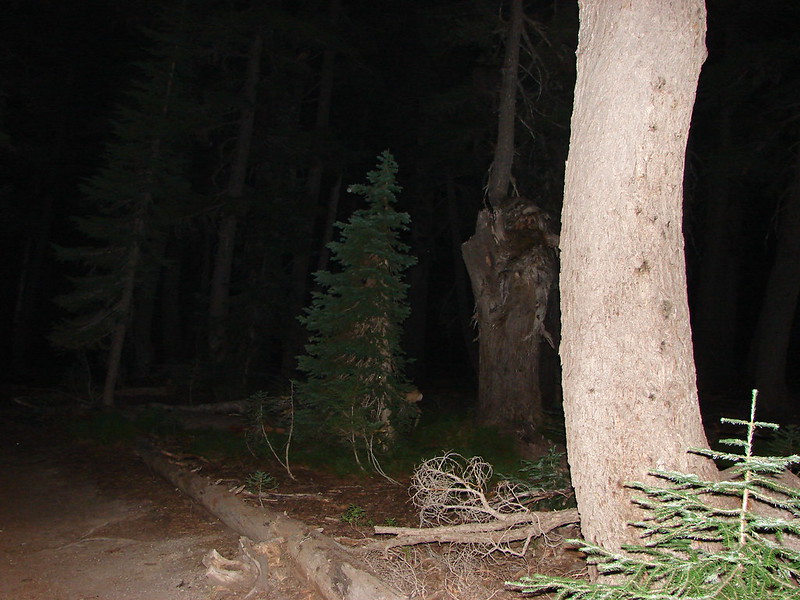
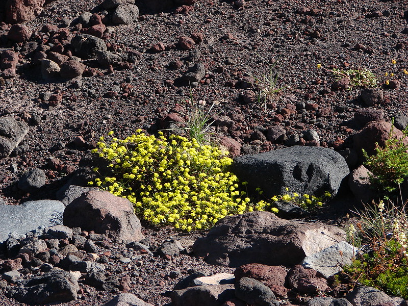
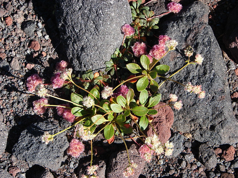
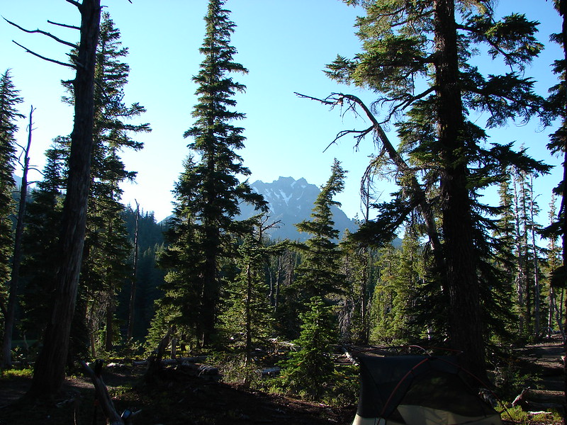
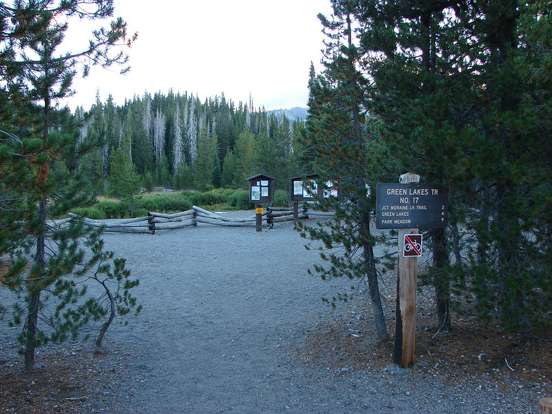
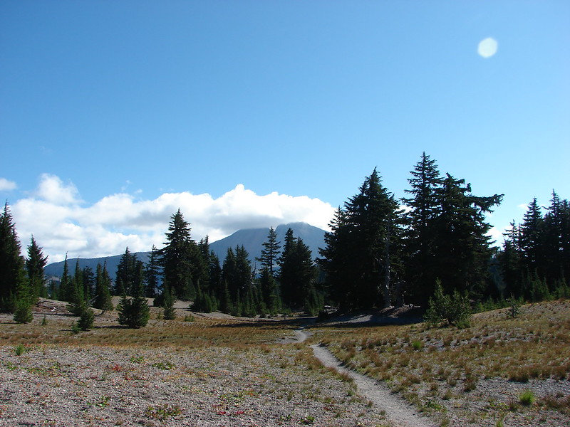
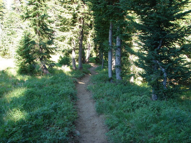
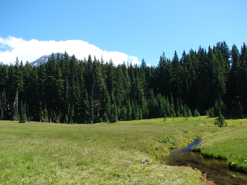
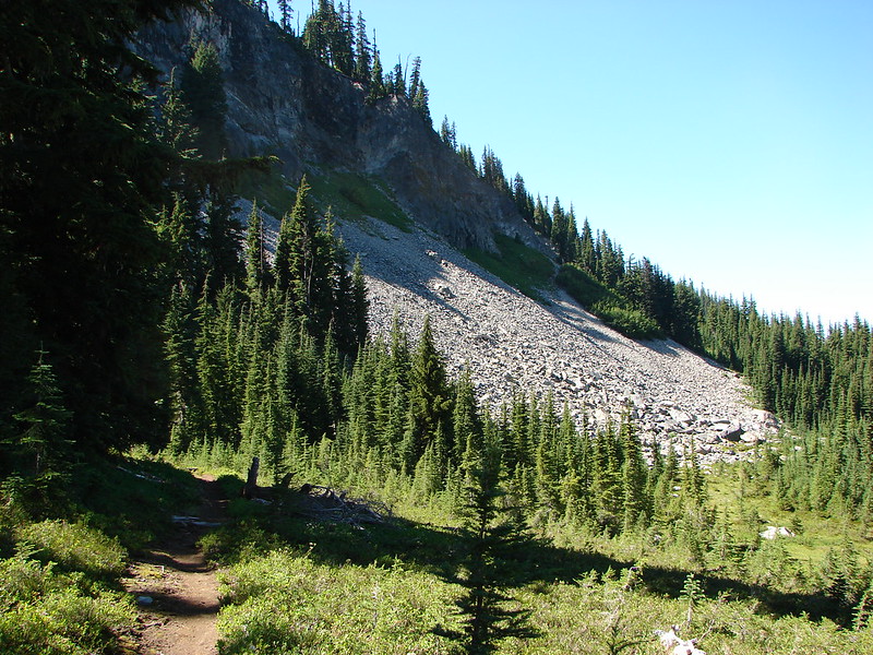
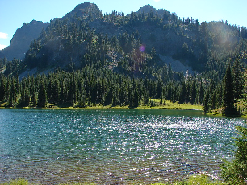
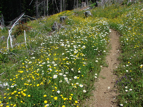
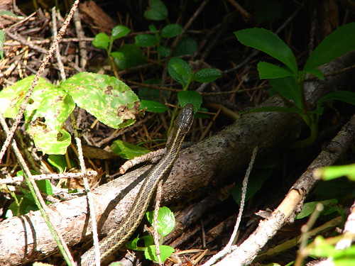
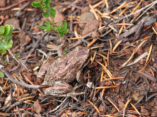
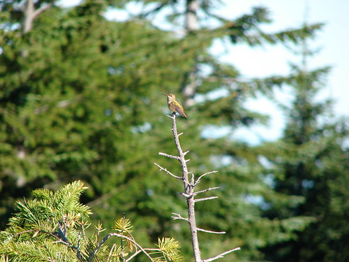
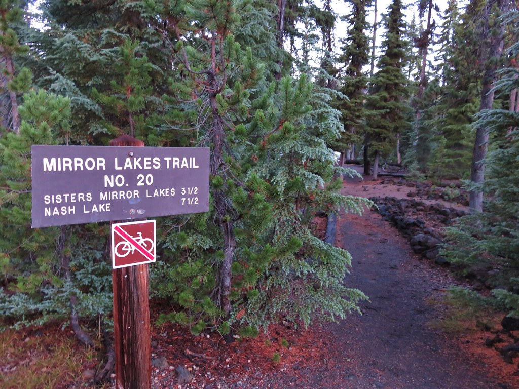
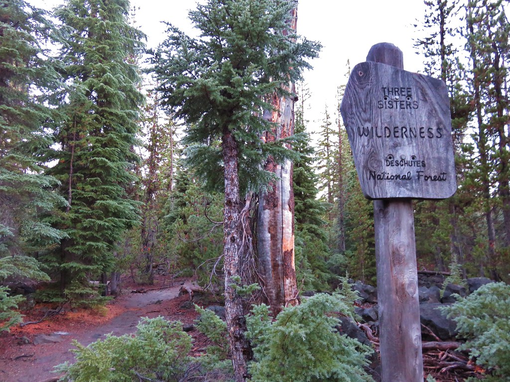
It was damp and a little chilly as we set off on the Mirror Lakes Trail and entered the Three Sisters Wilderness.
 //embedr.flickr.com/assets/client-code.js
 //embedr.flickr.com/assets/client-code.js
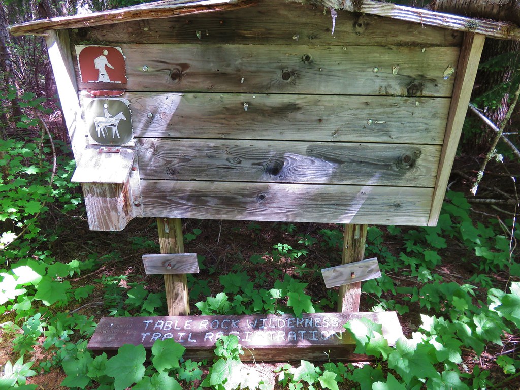
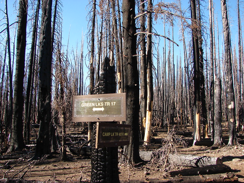
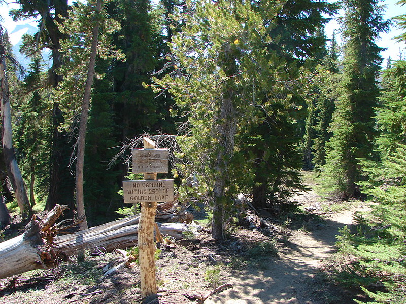
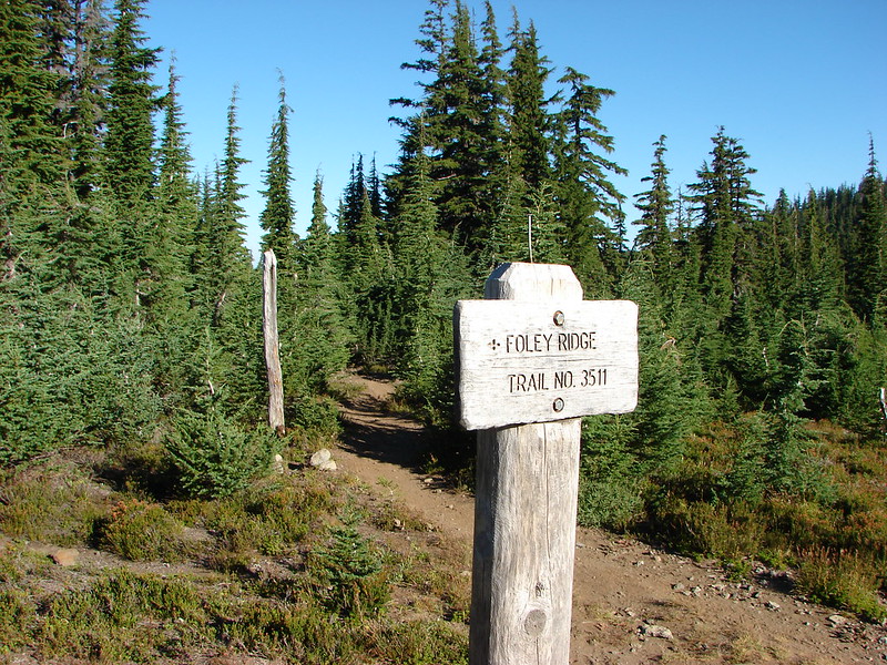
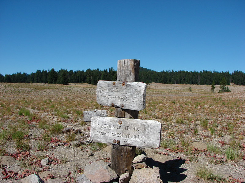
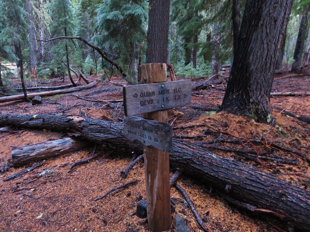
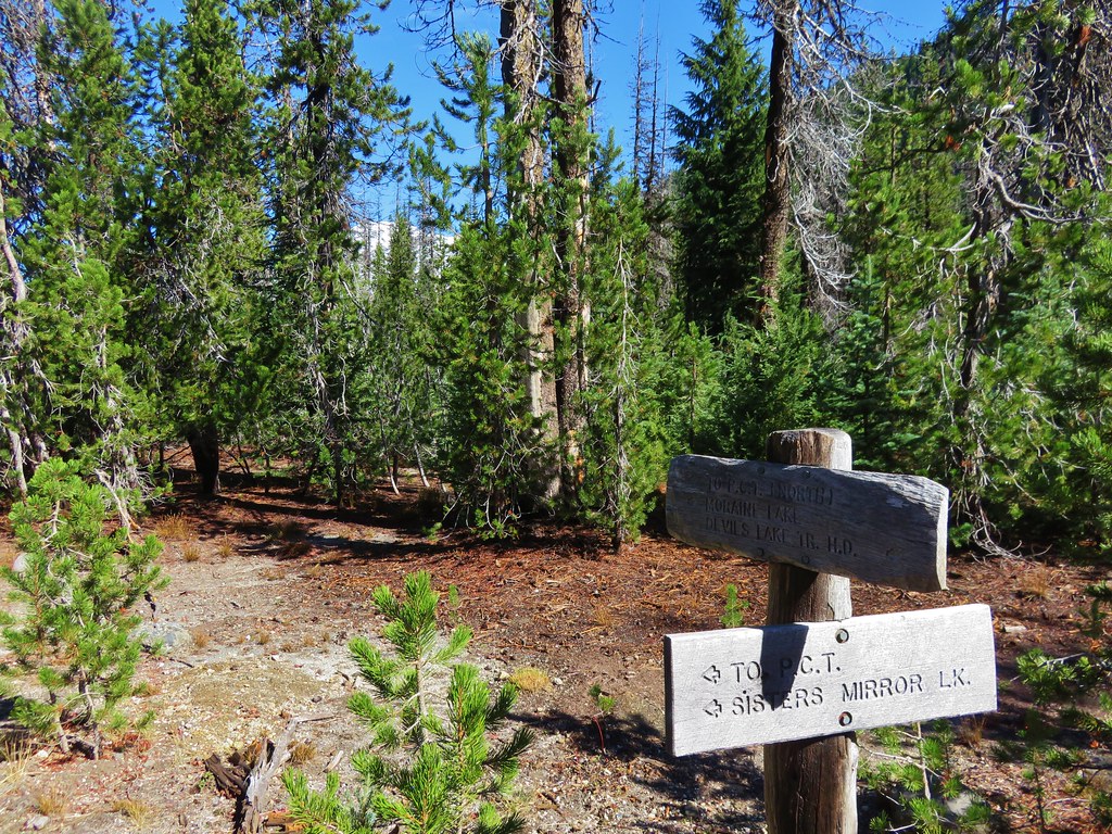
At the .4 mile mark we came to a signed trail. Our plan was to do a clockwise loop hike and return to this junction form the north.
 //embedr.flickr.com/assets/client-code.js
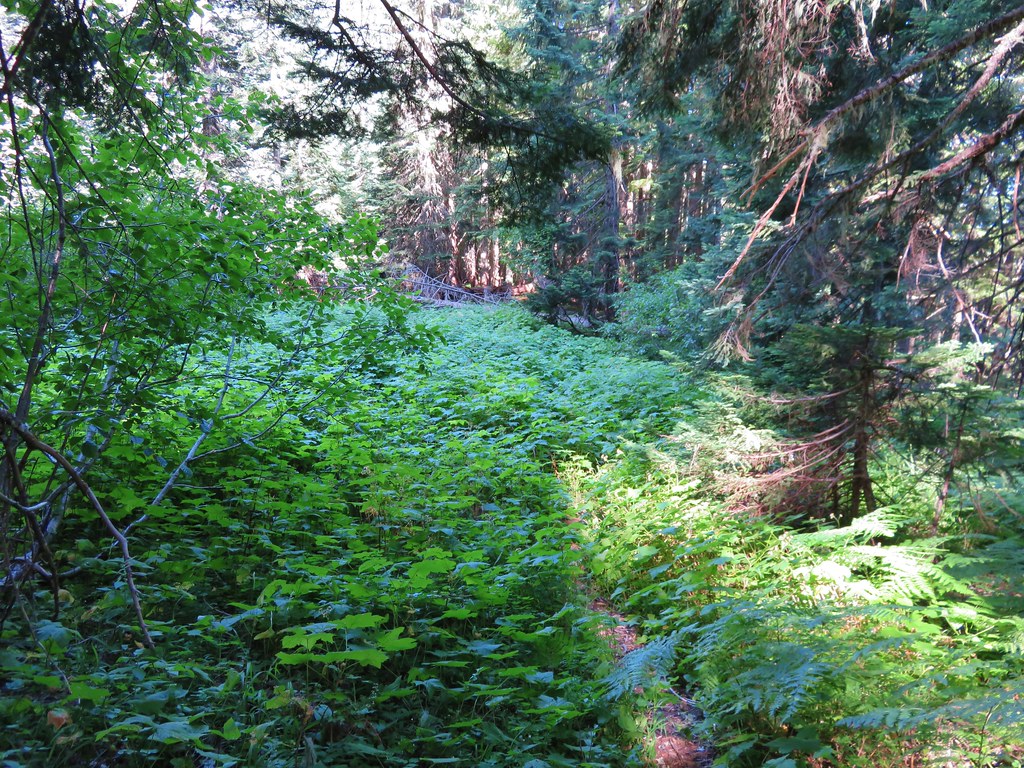
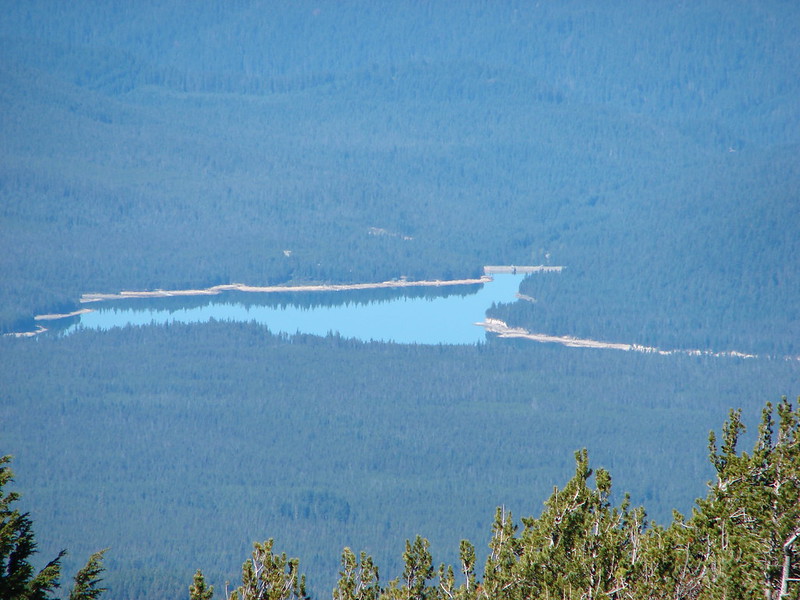
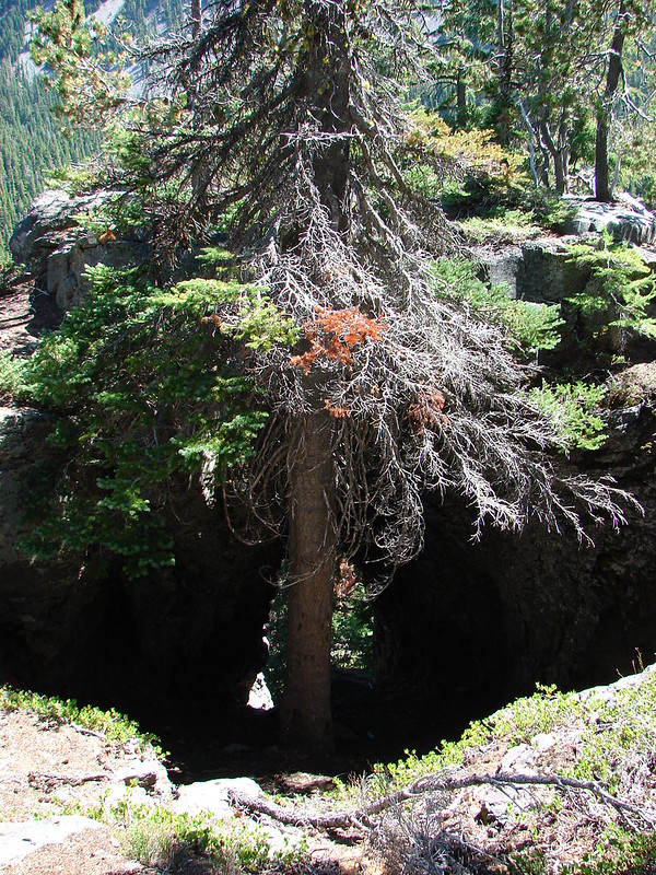
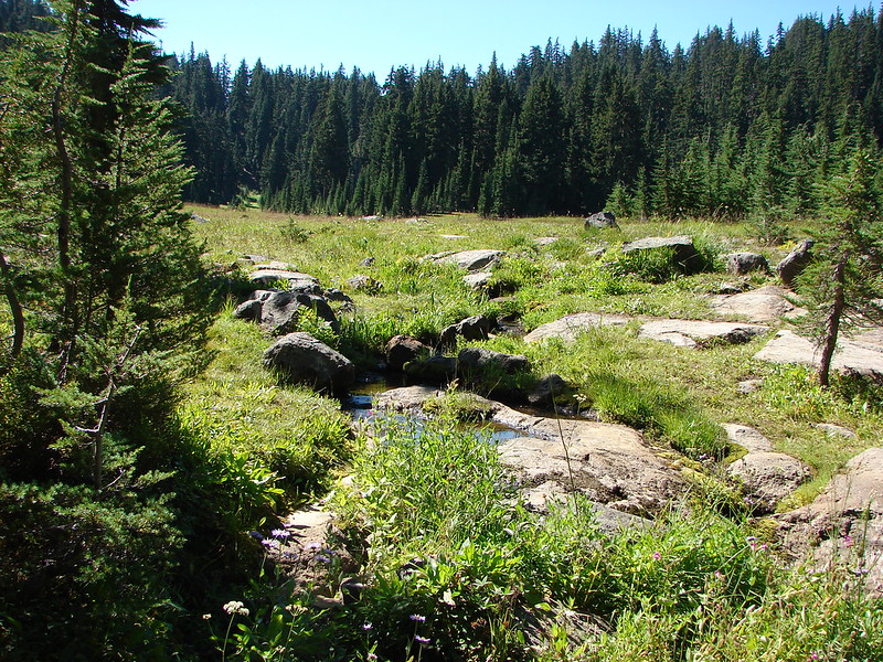
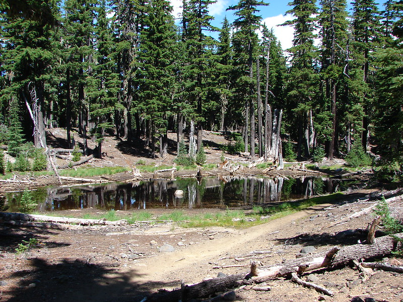
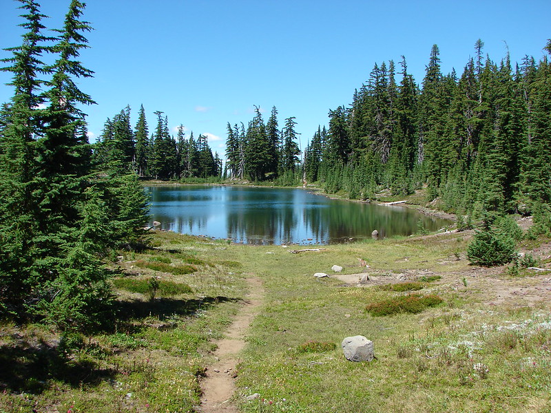
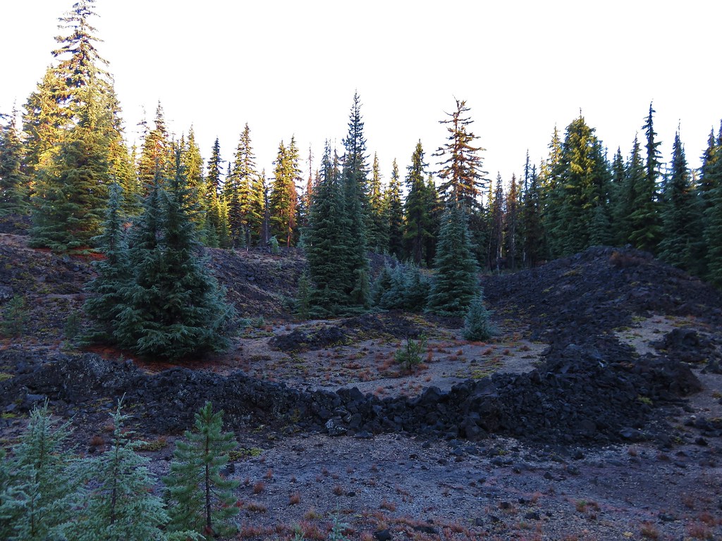
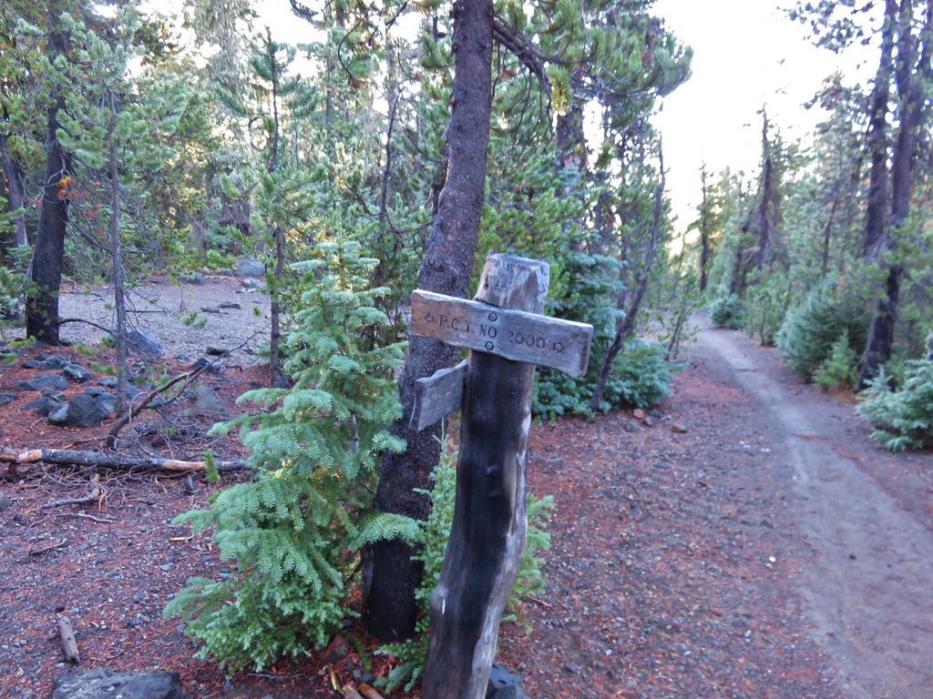
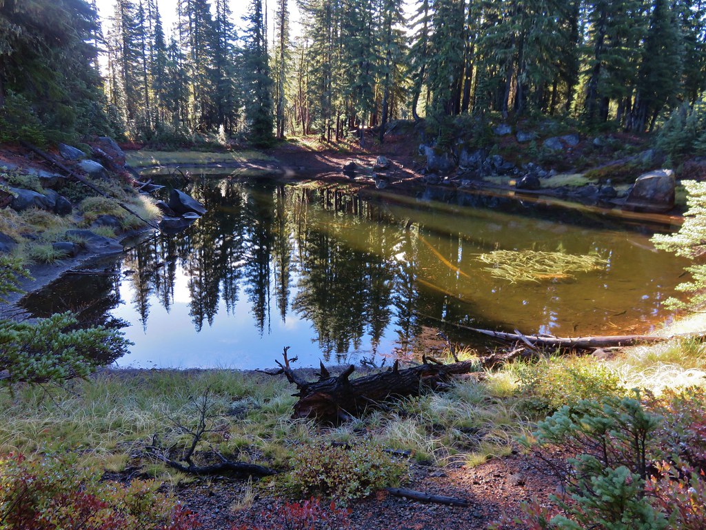
Beyond the junction the trail passed ponds, lava flows, and Junco Lake before arriving at the Pacific Crest Trail.
 //embedr.flickr.com/assets/client-code.js
 //embedr.flickr.com/assets/client-code.js
 //embedr.flickr.com/assets/client-code.js
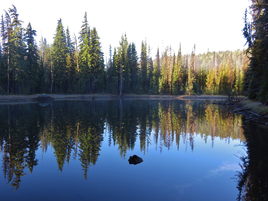
Junco Lake
 //embedr.flickr.com/assets/client-code.js
 //embedr.flickr.com/assets/client-code.js
We turned left on the PCT then right toward Sisters Mirror Lake after .2 miles.
 //embedr.flickr.com/assets/client-code.js
 //embedr.flickr.com/assets/client-code.js
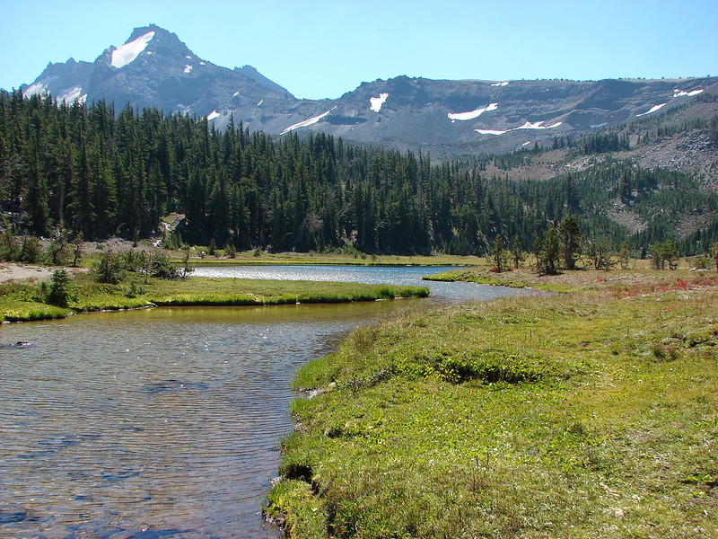
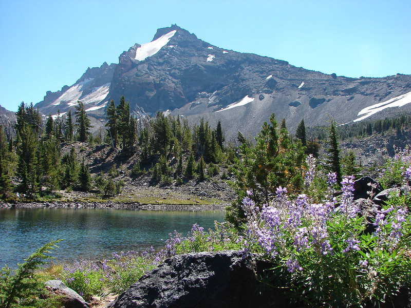
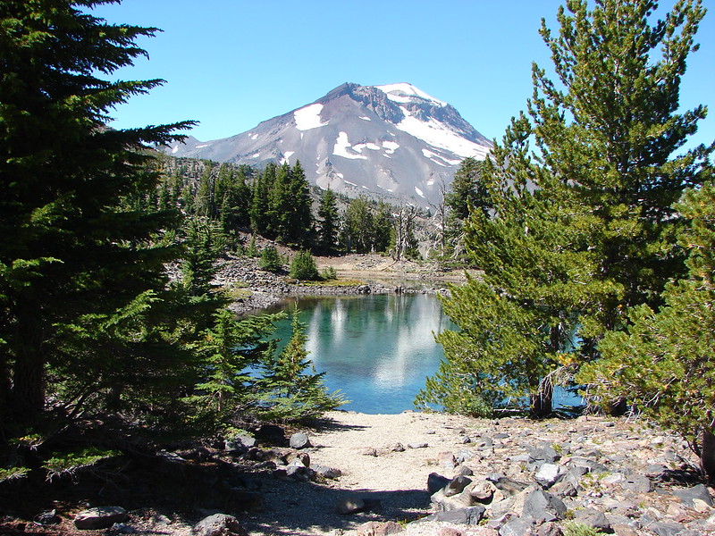
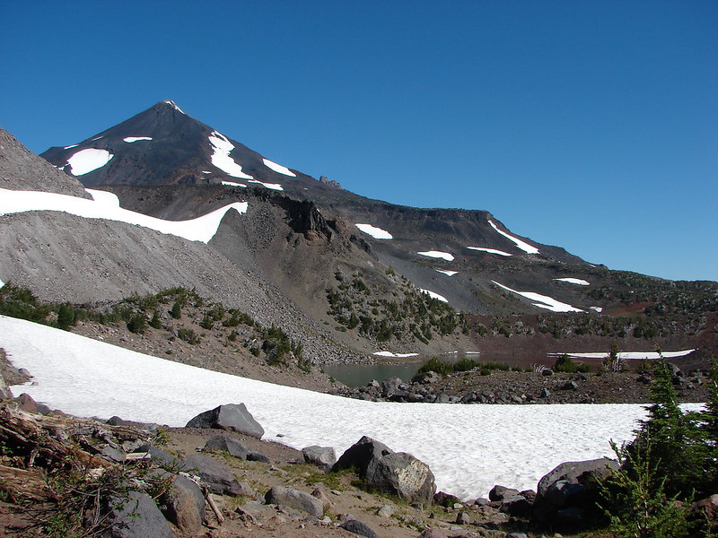
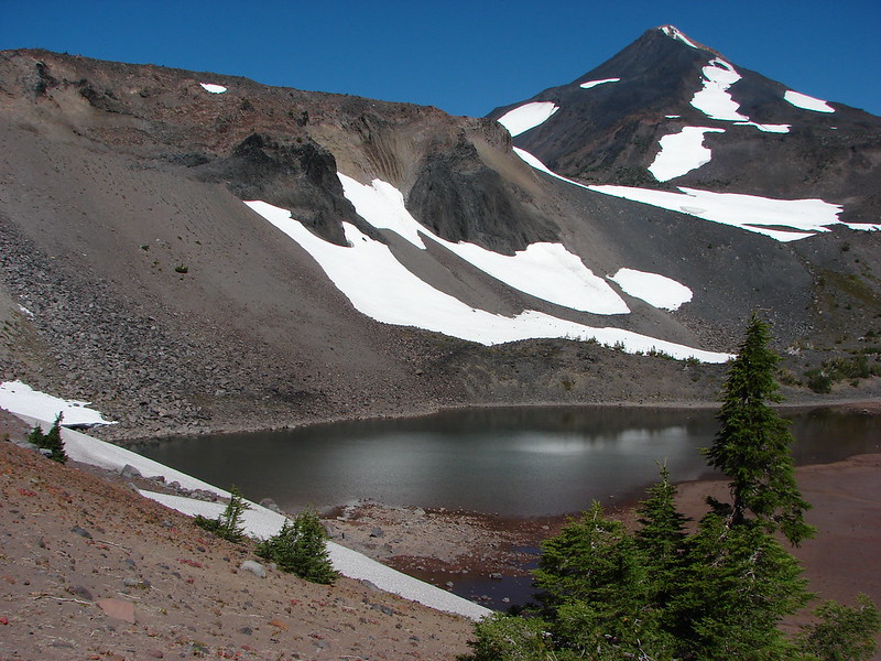
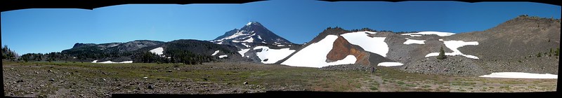
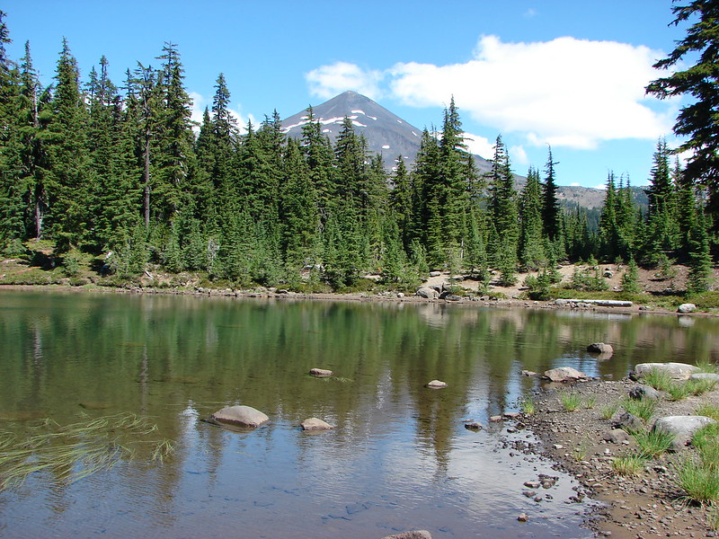
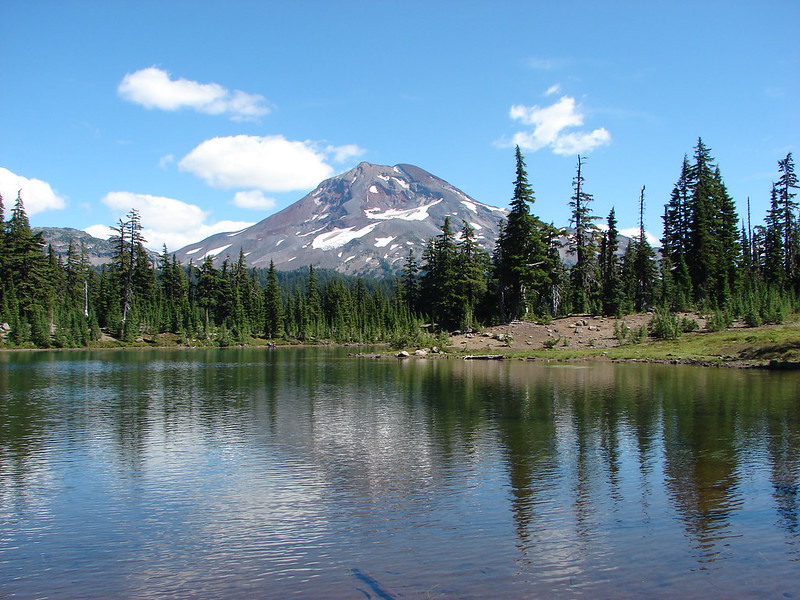
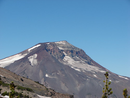
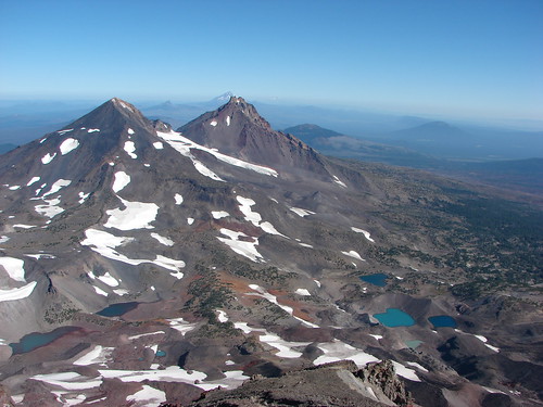
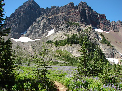
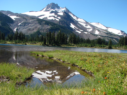
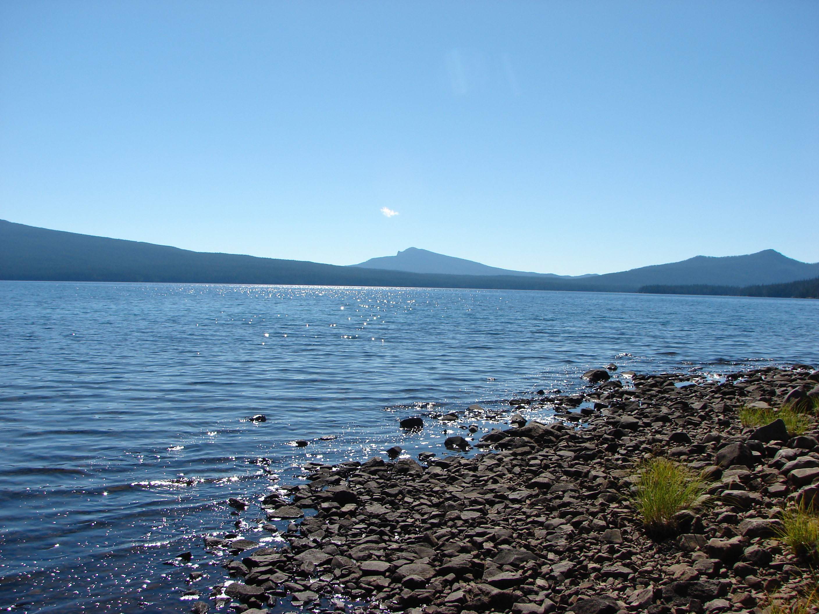
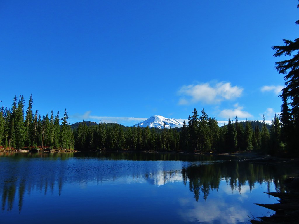
We followed trails around the lake to the SW side where the snowy white peak of South Sister was visible.
 //embedr.flickr.com/assets/client-code.js
 //embedr.flickr.com/assets/client-code.js
 //embedr.flickr.com/assets/client-code.js
 //embedr.flickr.com/assets/client-code.js
 //embedr.flickr.com/assets/client-code.js
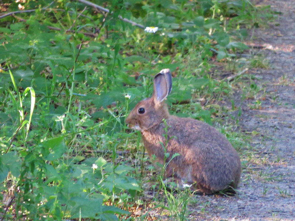
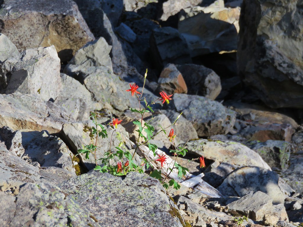
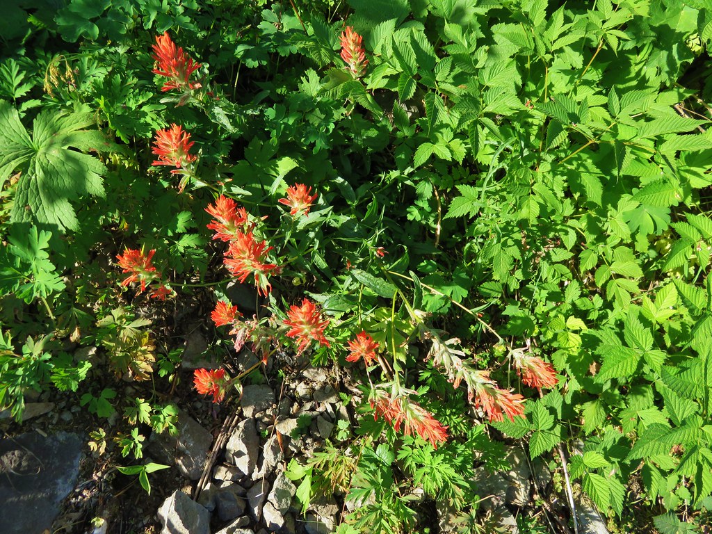
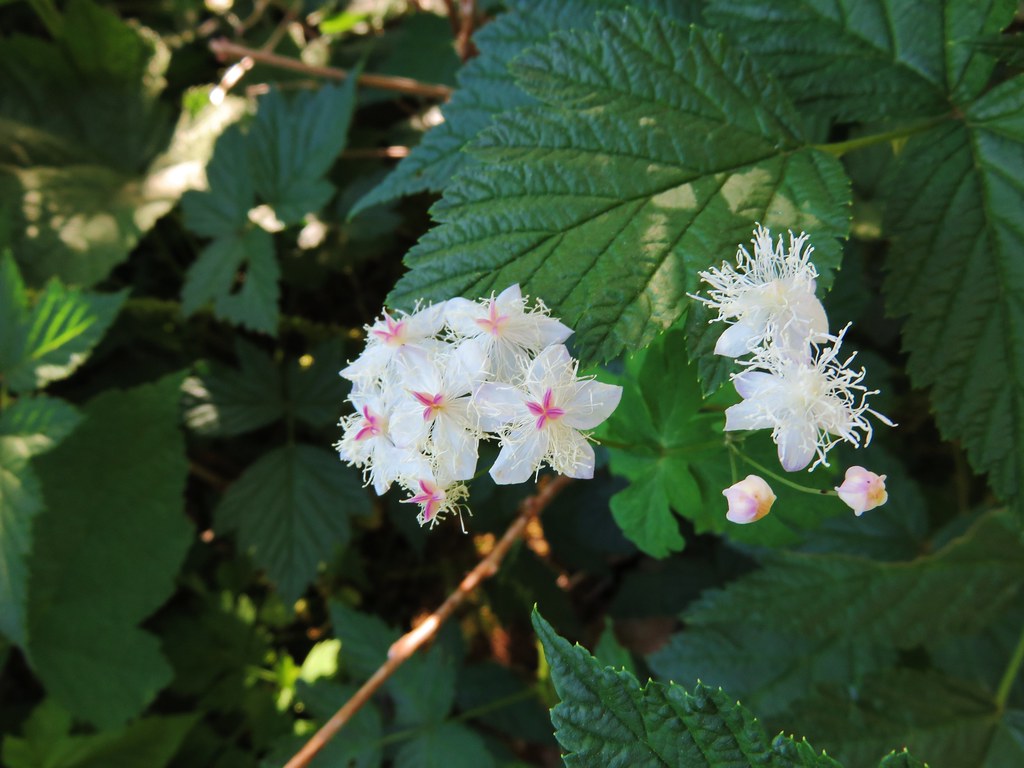
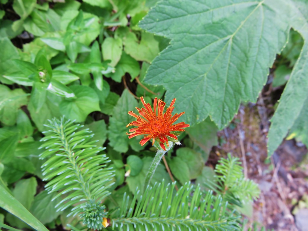
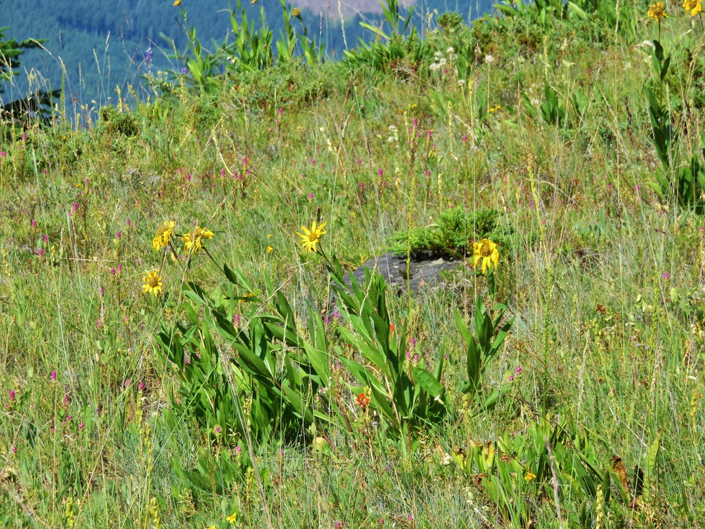
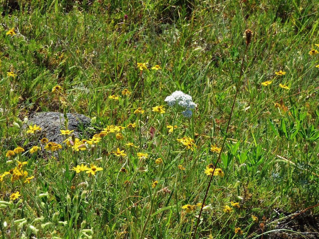
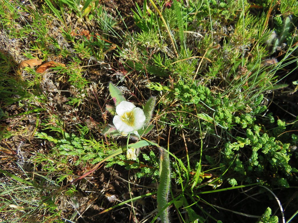
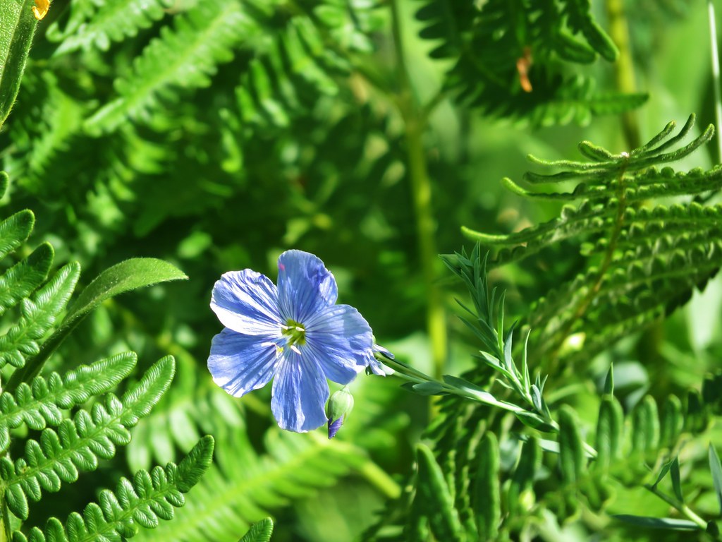
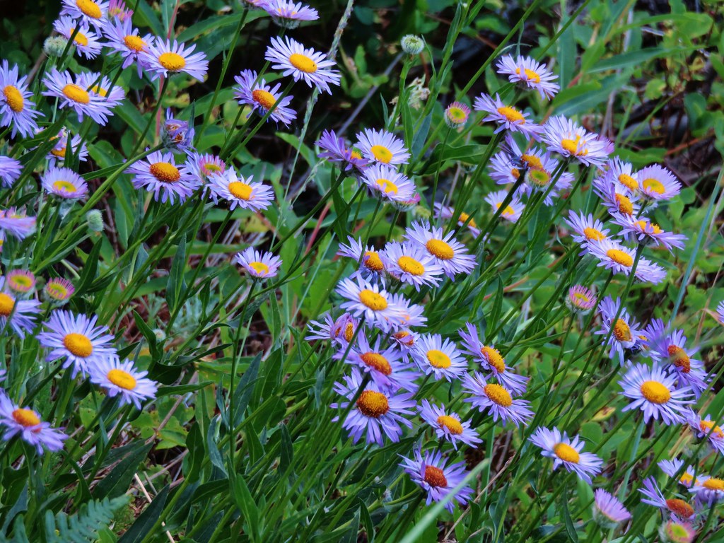
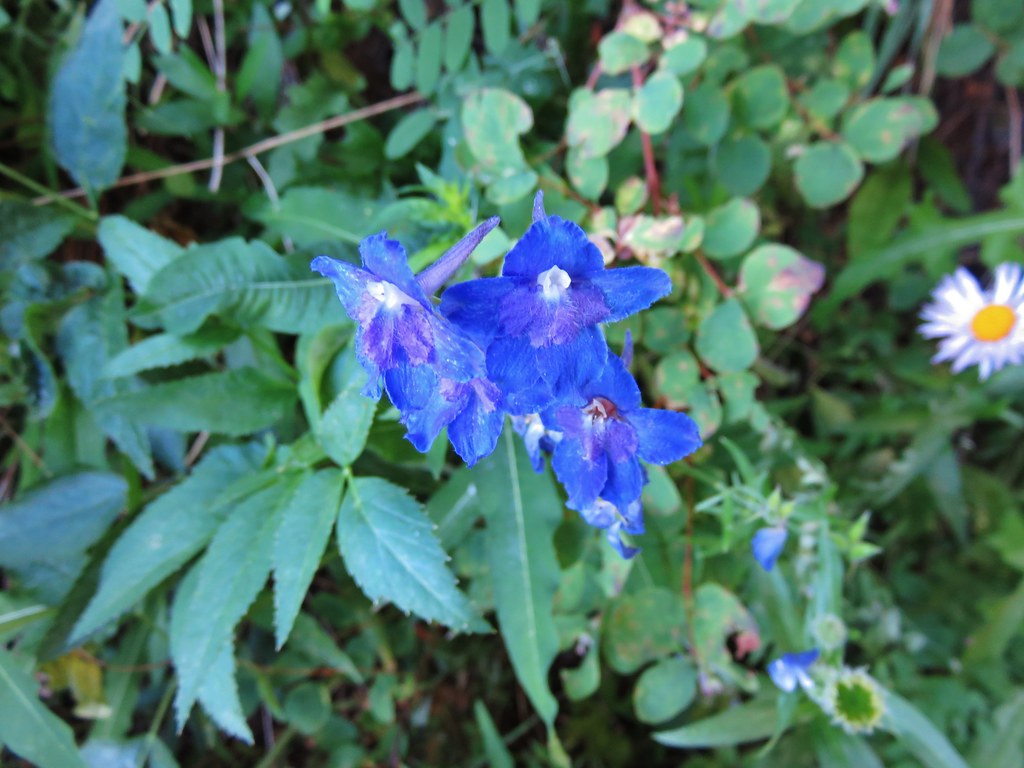
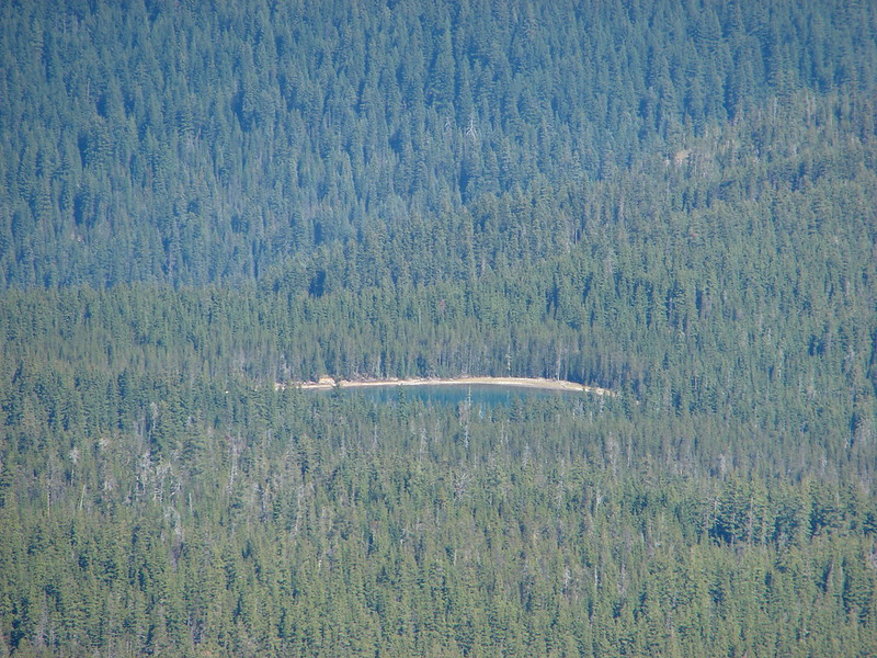
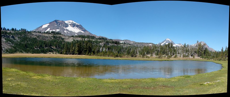
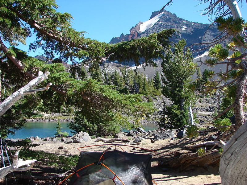
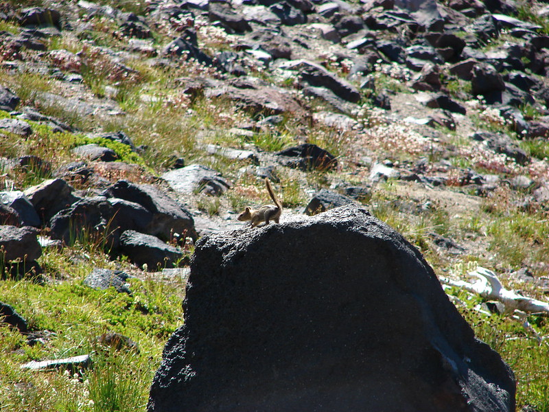
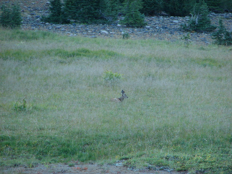
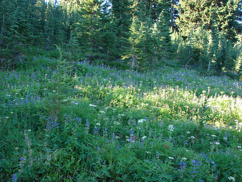
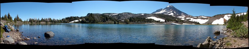
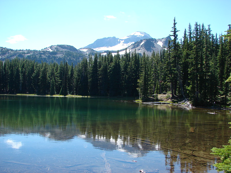
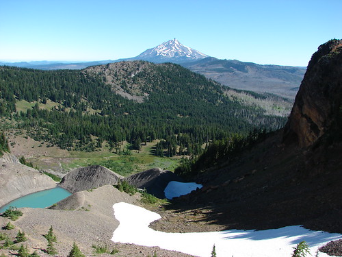
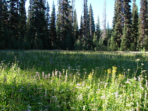
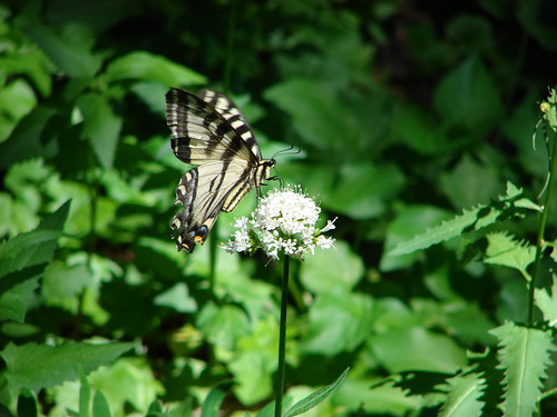
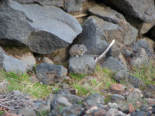
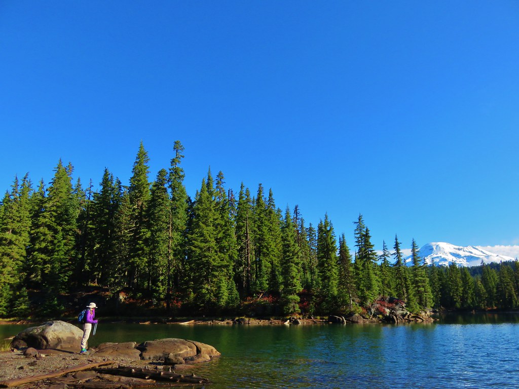
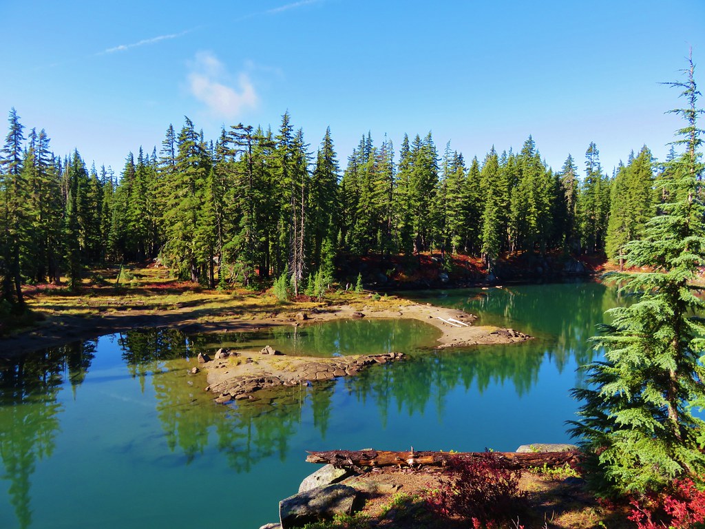
After enjoying the view at Sisters Mirror Lake we began to wander off trail visiting the numerous other lakes and ponds in the area and getting better views of South Sister.
 //embedr.flickr.com/assets/client-code.js
 //embedr.flickr.com/assets/client-code.js
 //embedr.flickr.com/assets/client-code.js
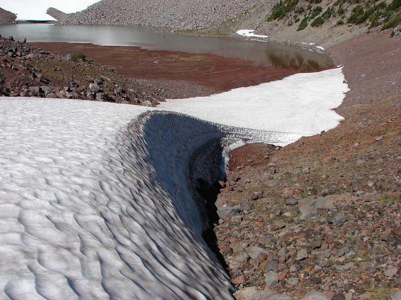
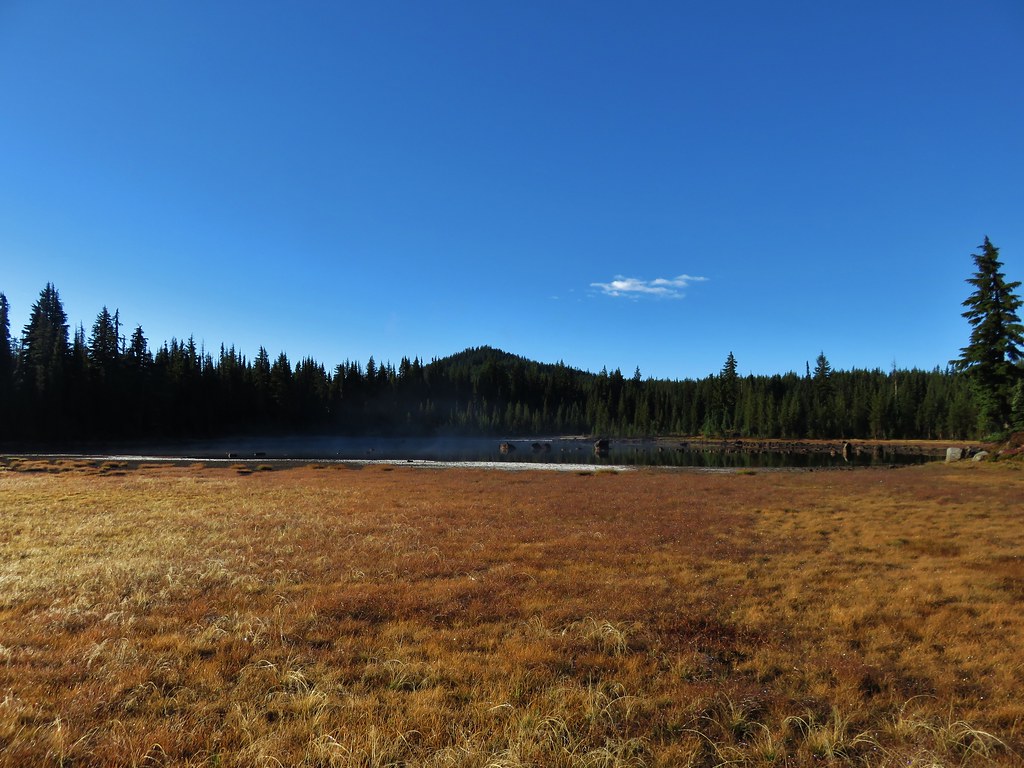
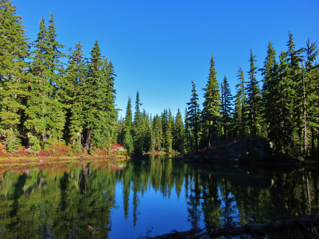
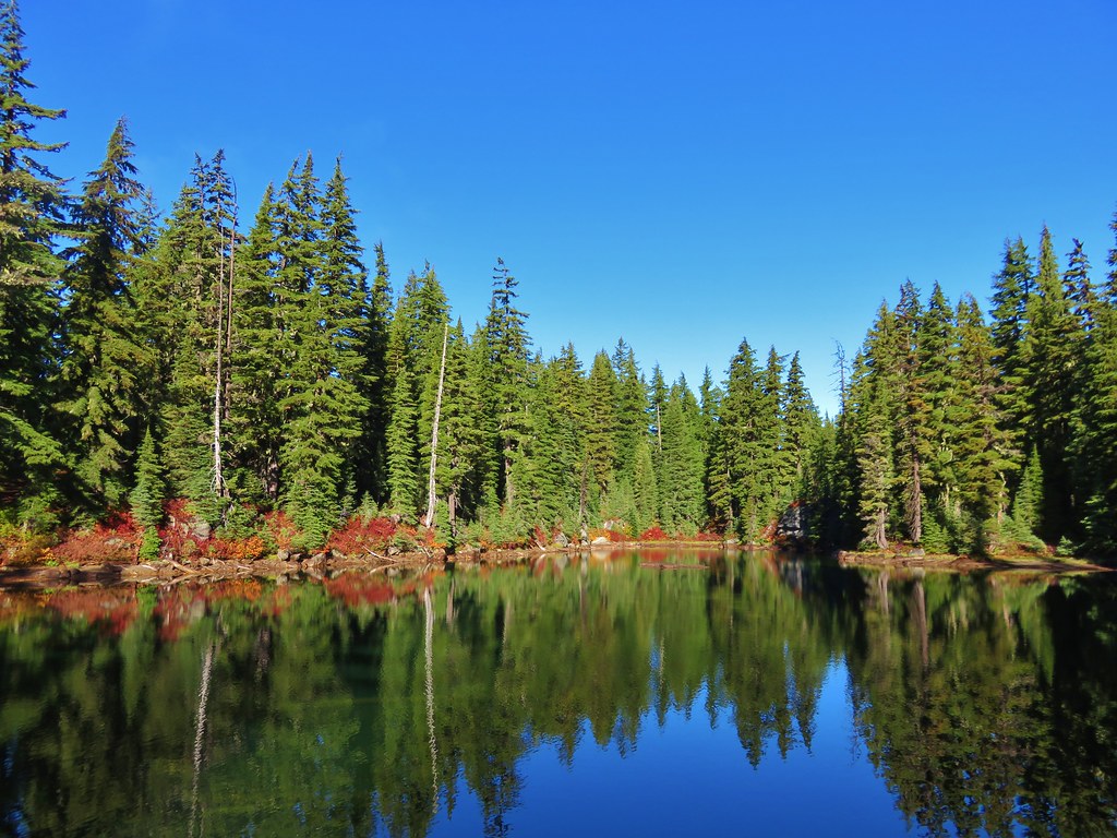
We eventually made our way to Denude Lake where we picked up a clear trail again.
 //embedr.flickr.com/assets/client-code.js
 //embedr.flickr.com/assets/client-code.js
 //embedr.flickr.com/assets/client-code.js
 //embedr.flickr.com/assets/client-code.js
 //embedr.flickr.com/assets/client-code.js
We followed the path to the next lake which was Bounty Lake.
 //embedr.flickr.com/assets/client-code.js
 //embedr.flickr.com/assets/client-code.js
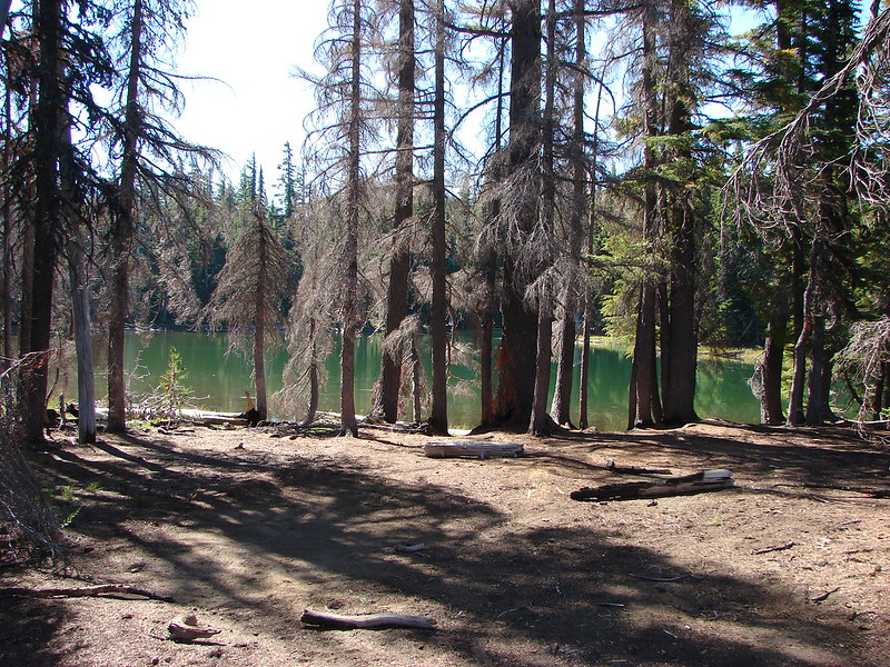
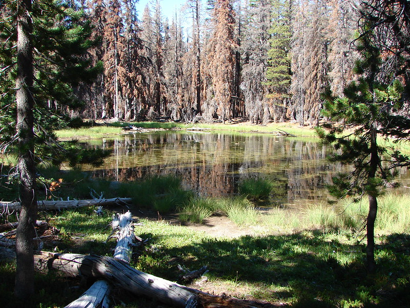
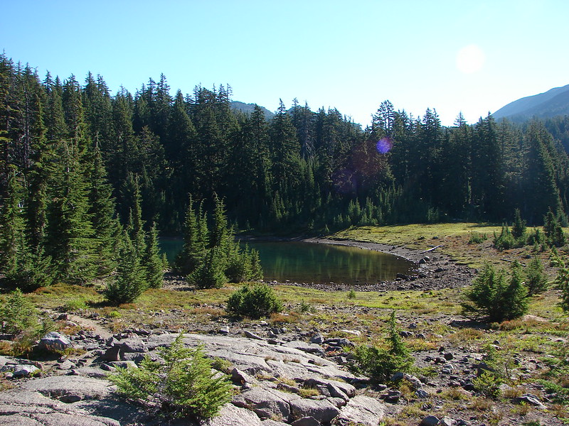
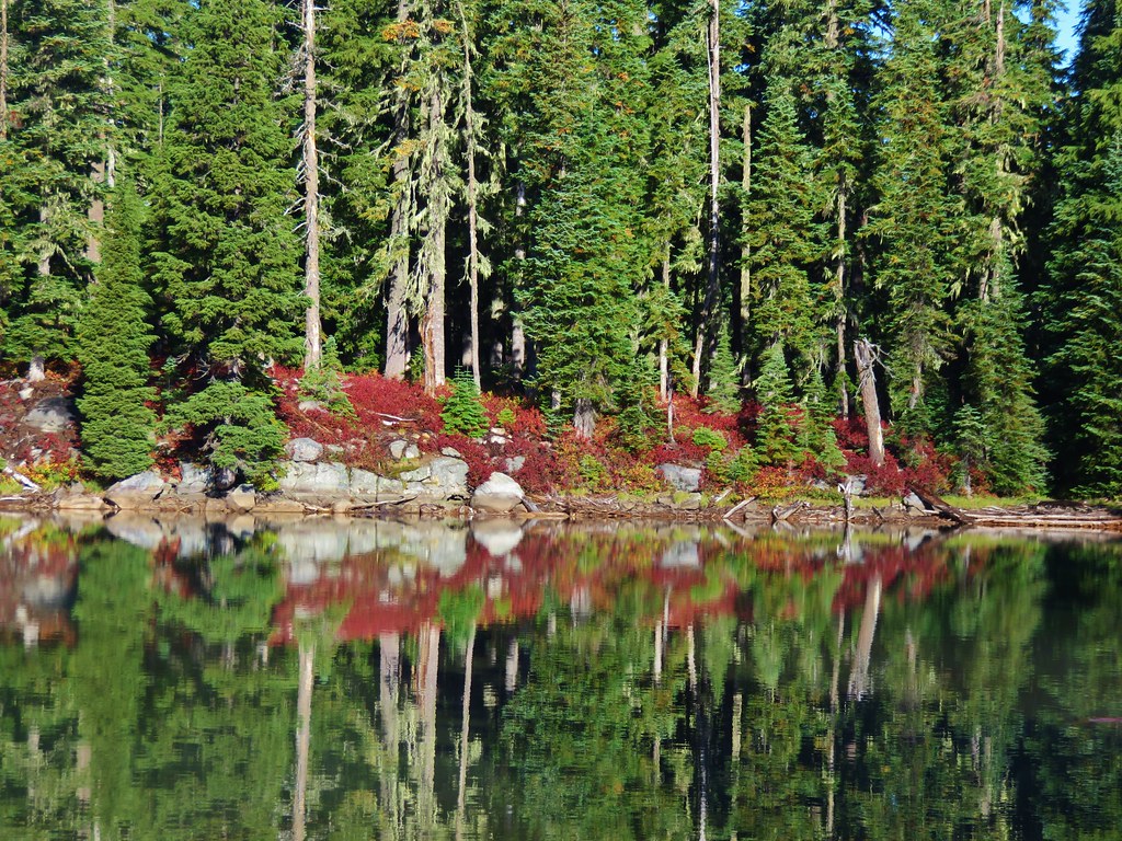
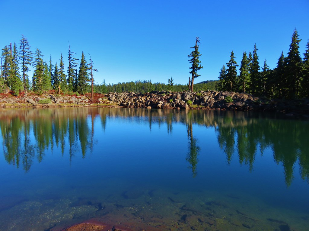
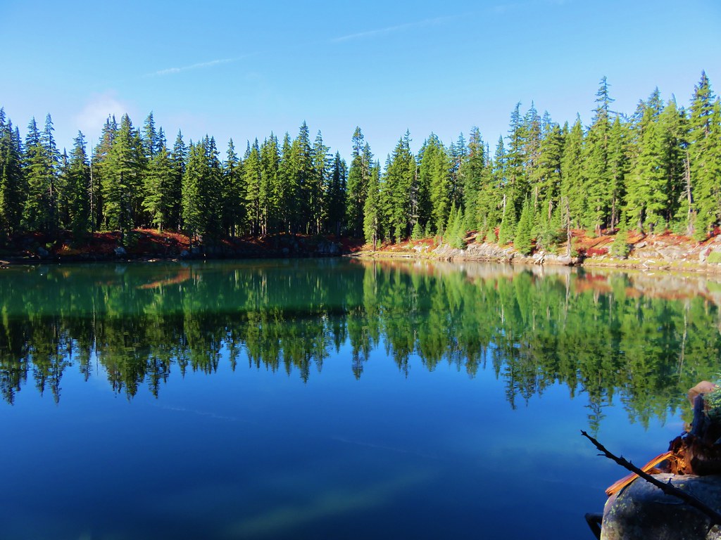
After Bounty Lake we came to Lancelot Lake.
 //embedr.flickr.com/assets/client-code.js
 //embedr.flickr.com/assets/client-code.js
 //embedr.flickr.com/assets/client-code.js
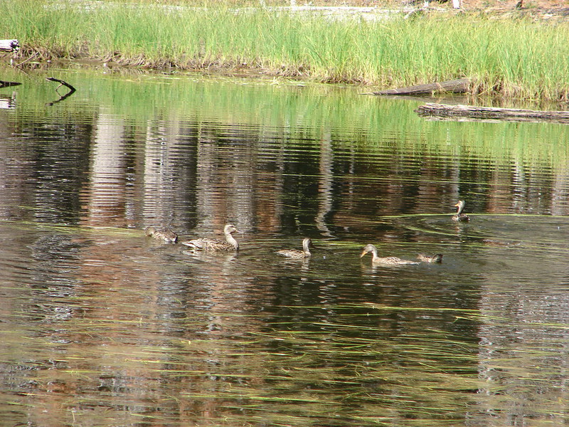
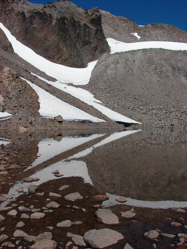
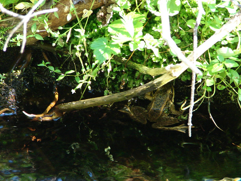
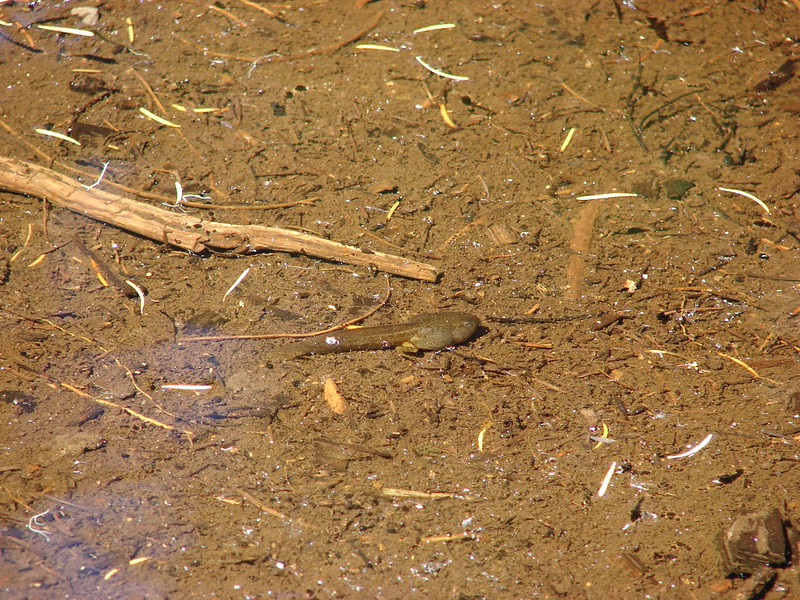
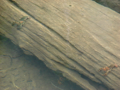
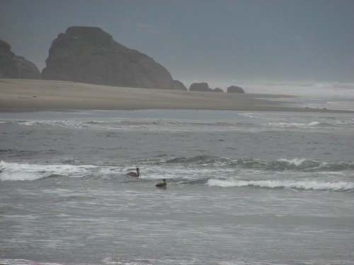
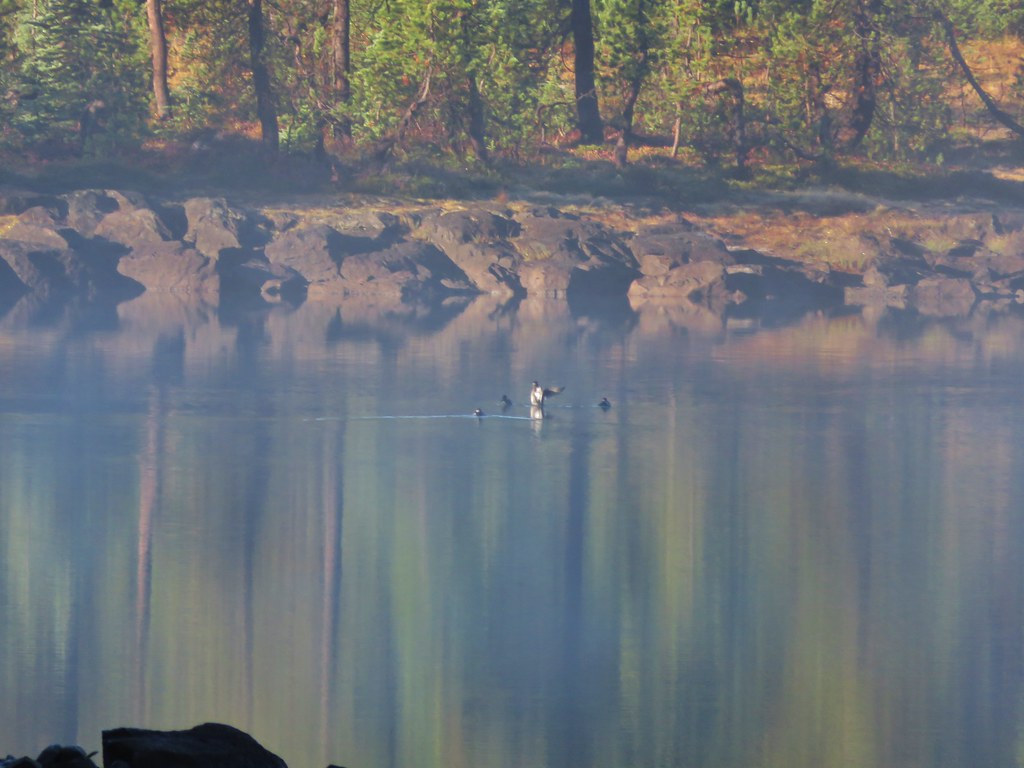
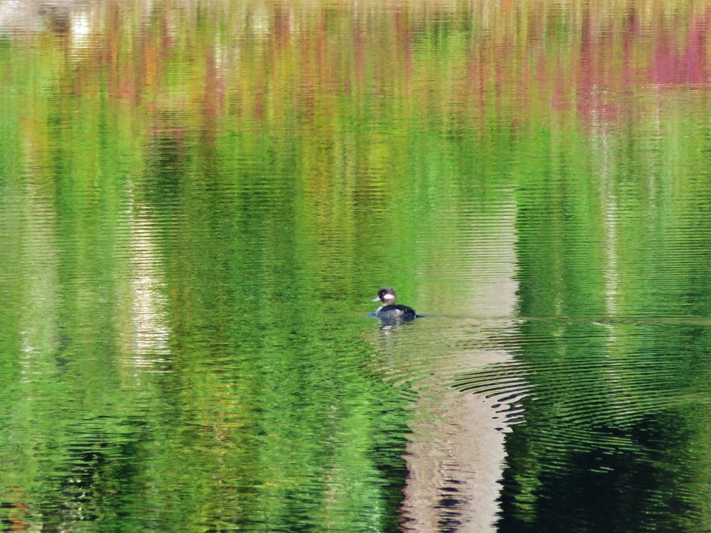
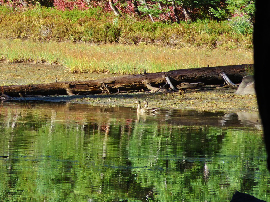
We spent some time at Lancelot Lake. First we explored the area just west of the lake where some ducks were enjoying a cold swim in a small lake/pond.
//embedr.flickr.com/assets/client-code.js
 //embedr.flickr.com/assets/client-code.js
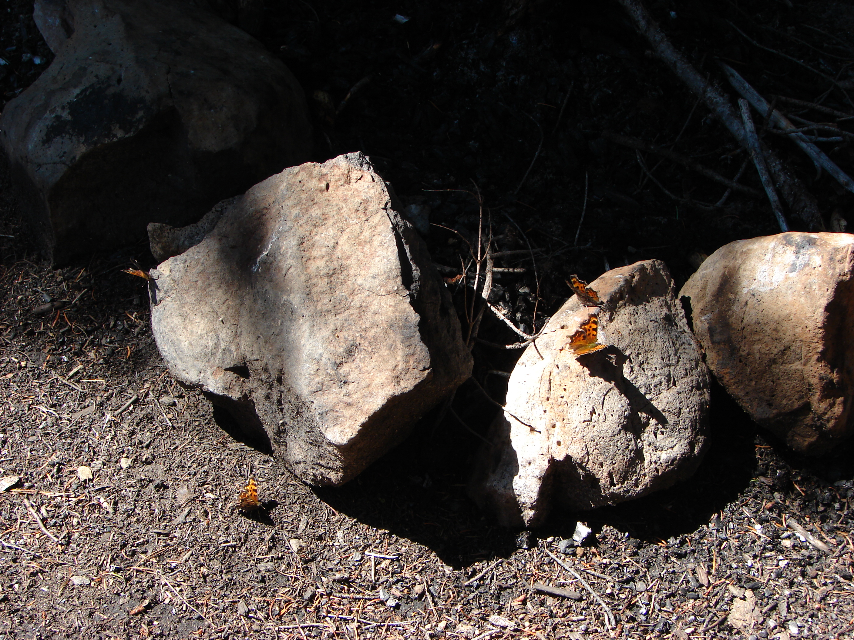
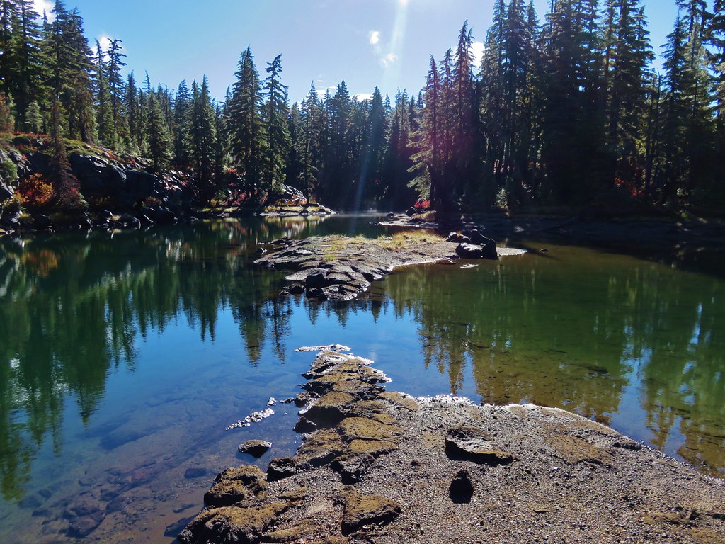
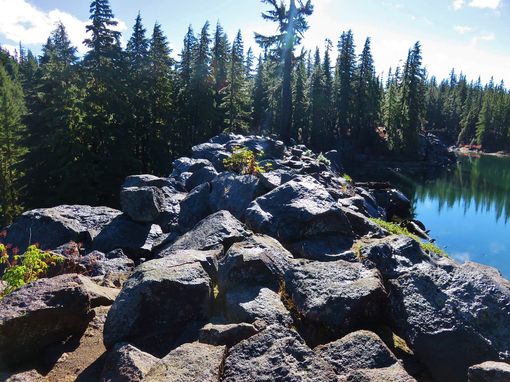
Then we wandered out to the rock wall that damned the lake and took a relaxing break in the sun.
 //embedr.flickr.com/assets/client-code.js
 //embedr.flickr.com/assets/client-code.js
 //embedr.flickr.com/assets/client-code.js
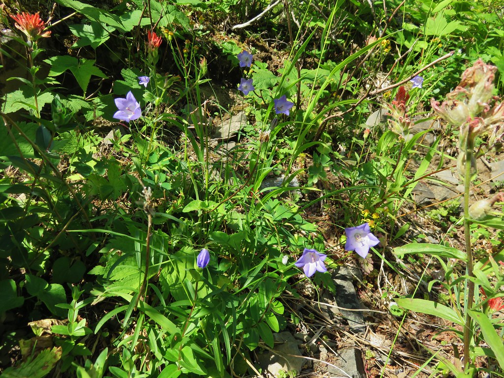
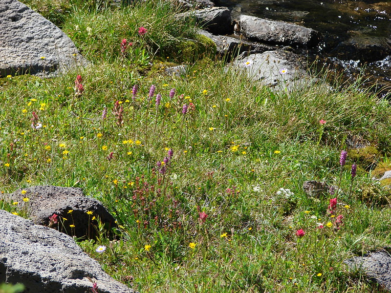
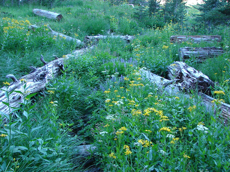
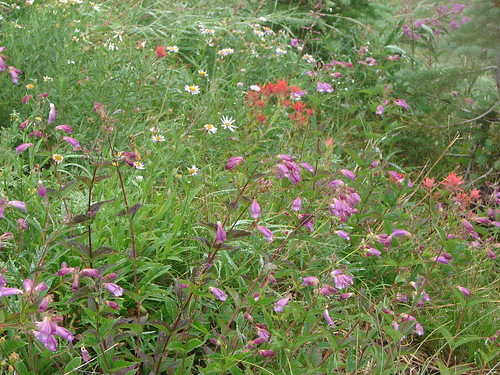
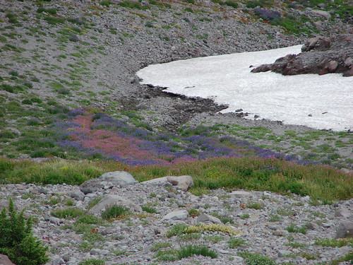
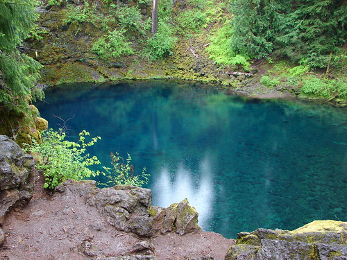
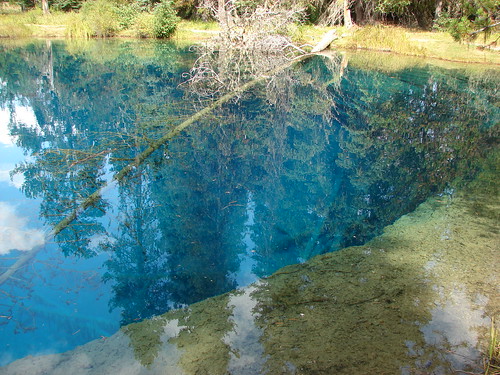
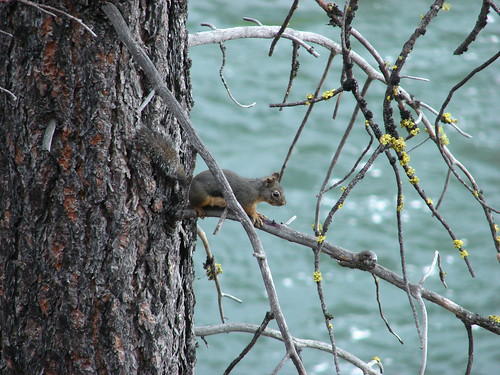
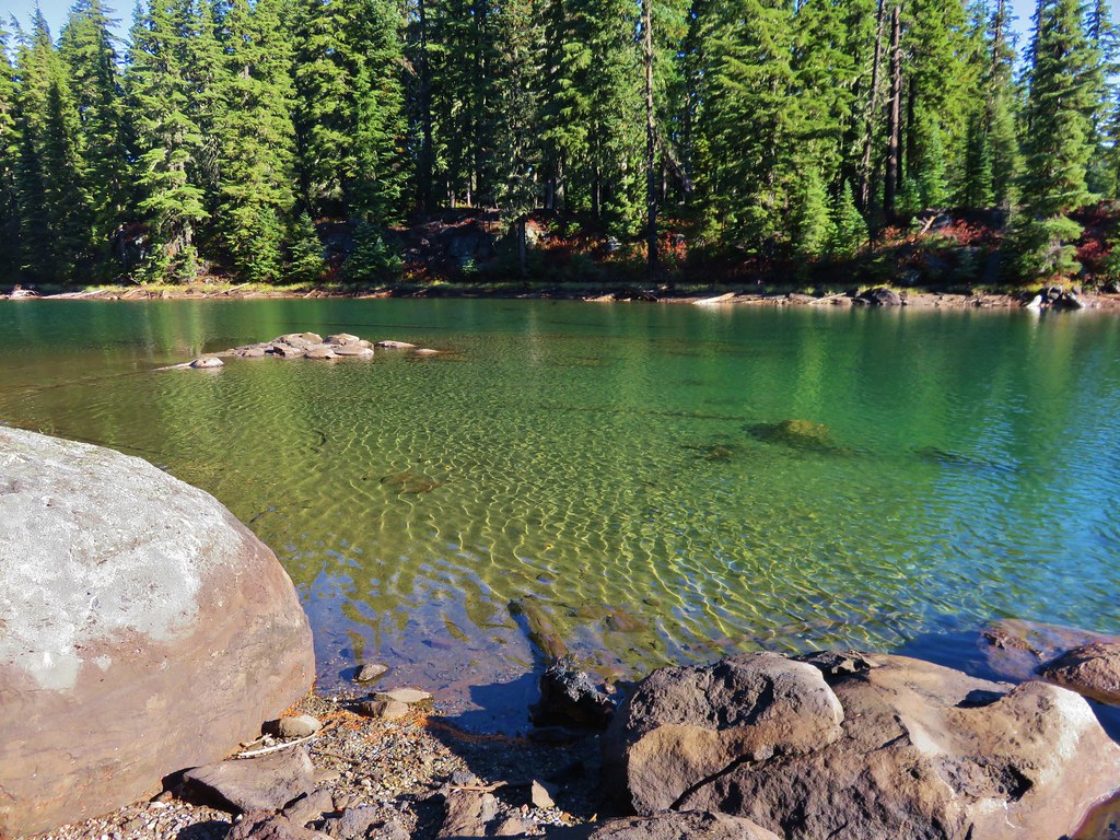
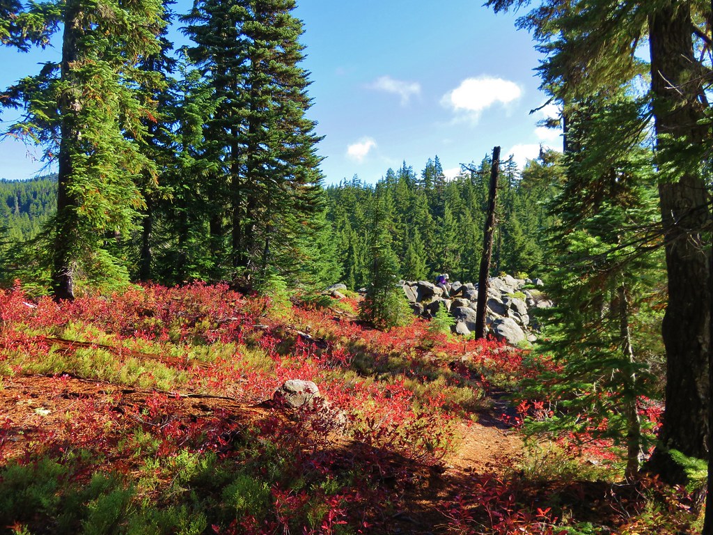
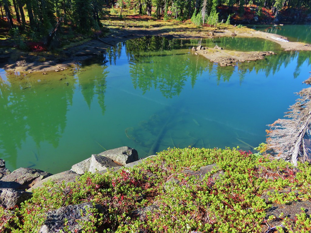
After our break we continued around the lake marveling at the clear yet colorful water of Lancelot Lake.
 //embedr.flickr.com/assets/client-code.js
 //embedr.flickr.com/assets/client-code.js
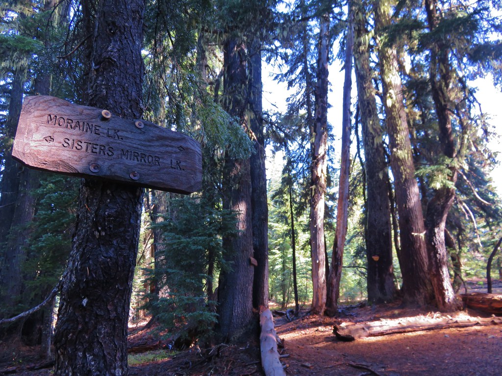
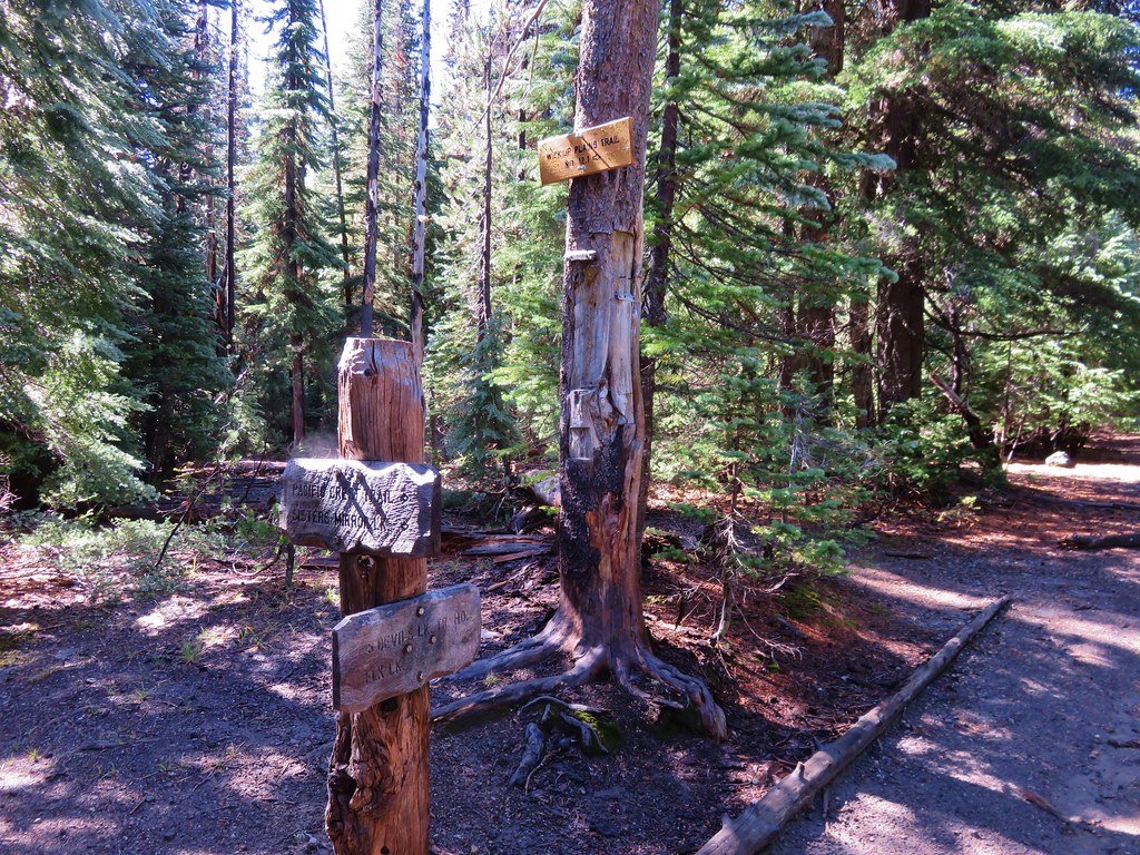
We then made our way back to Sisters Mirror Lake and back to the PCT where we turned left for .4 miles passing the trail junction we had arrived at earlier and then leaving the PCT at a sign for Moraine Lake.
 //embedr.flickr.com/assets/client-code.js
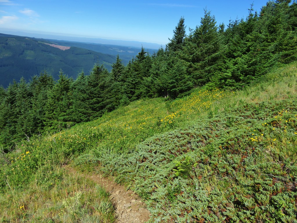
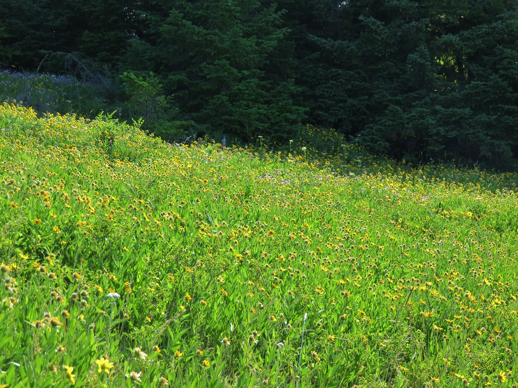
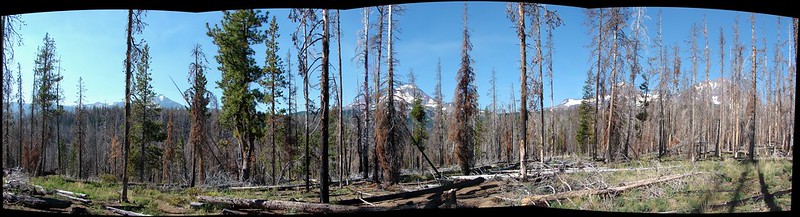
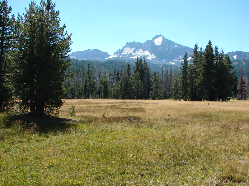
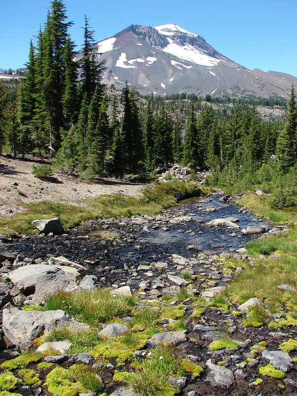
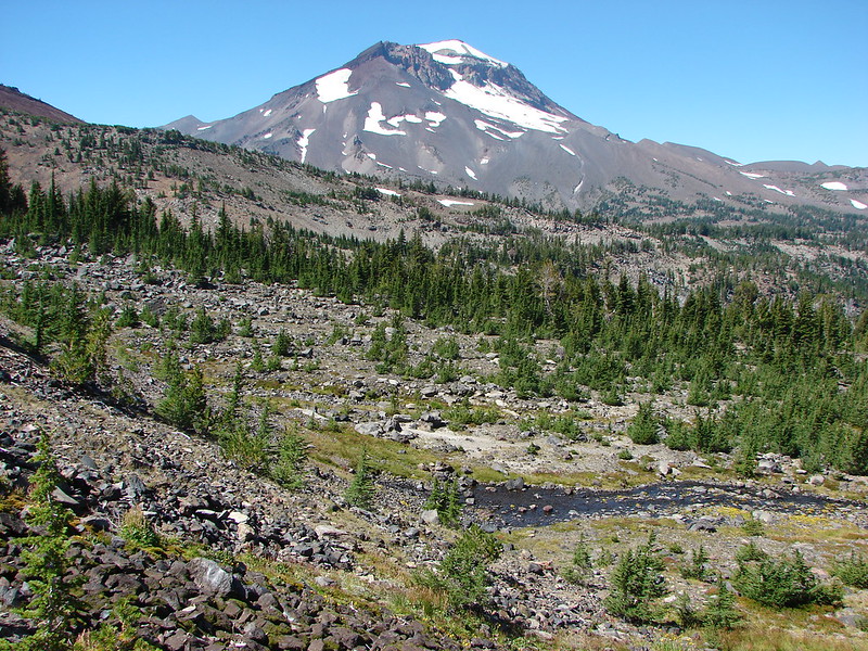
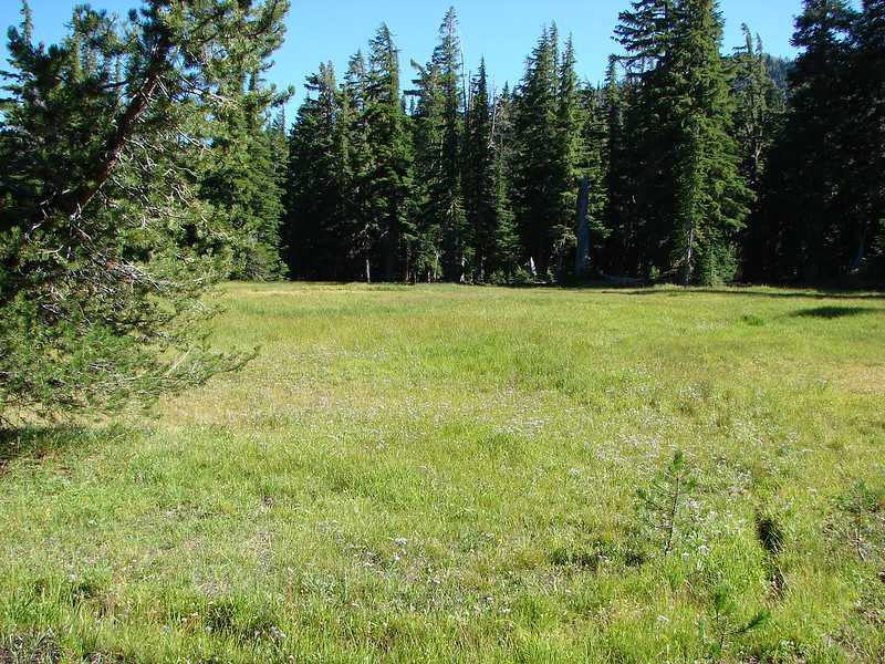
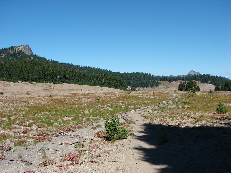
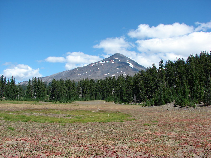
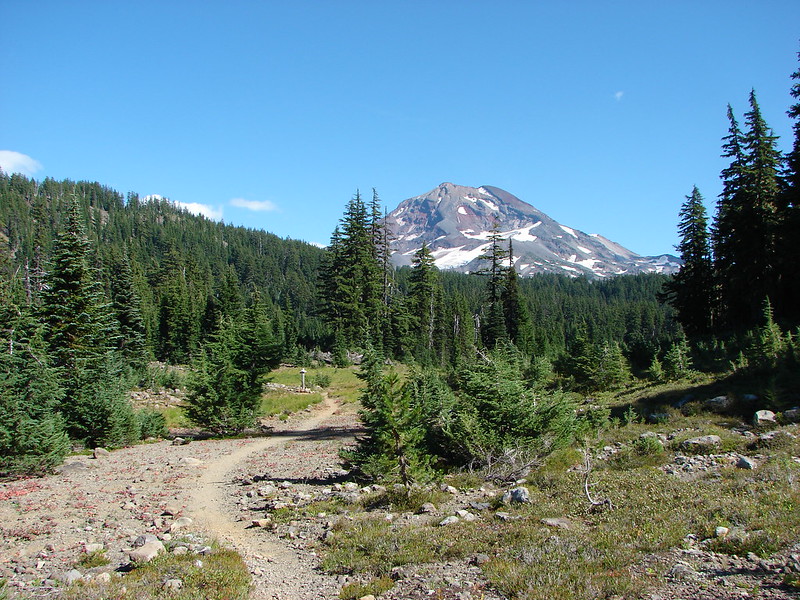
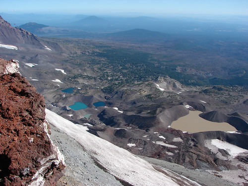
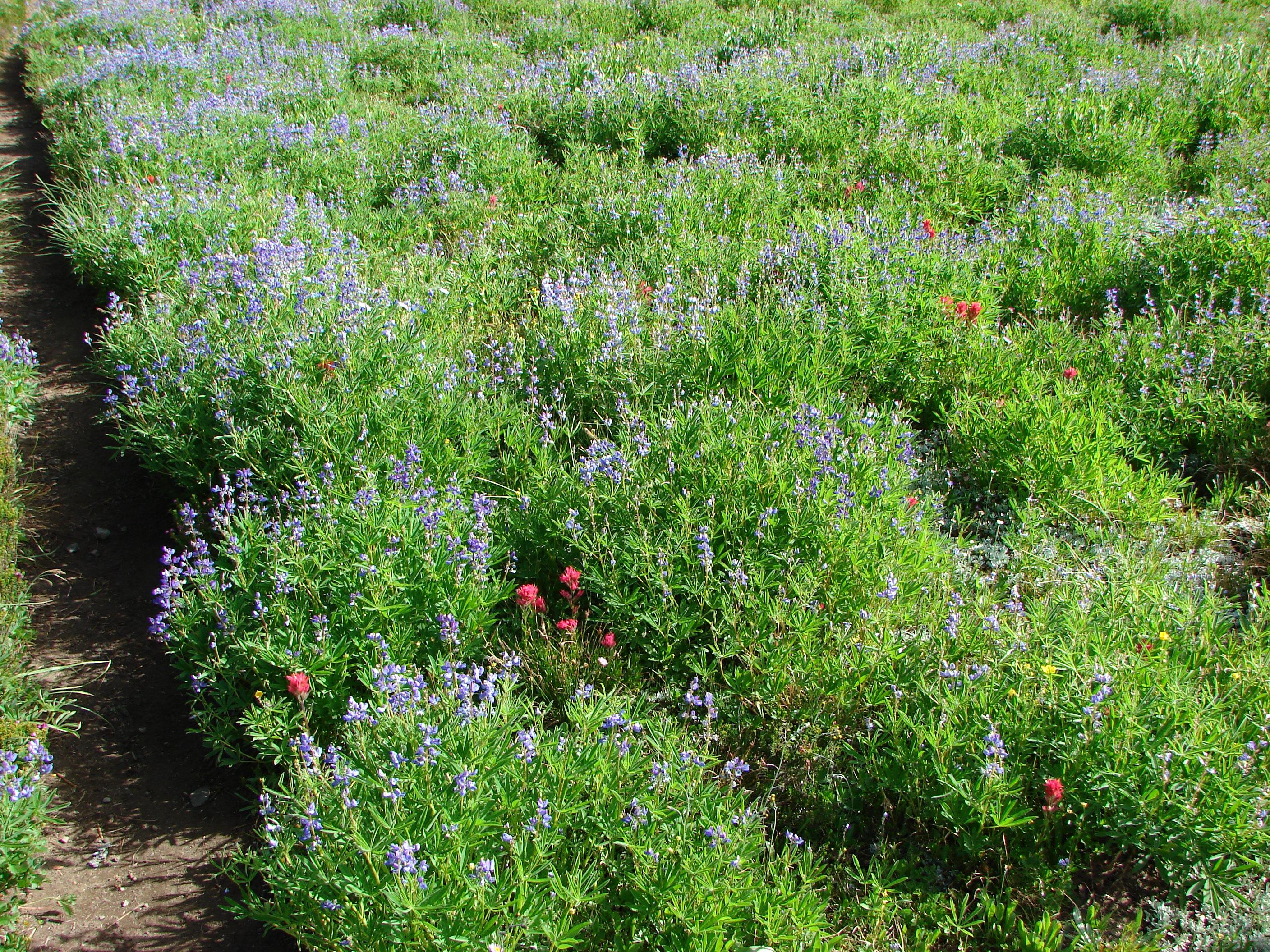
We had expected to have some nice views of the South Sister on this portion of the hike. It looked like we would be passing along the edge of the Wickiup Plain, a pumice flat that we had passed by on our South Sister Loop the year before. As we hiked it became increasingly apparent that the trail would be staying in the forest and not reaching the pumice plain offering only brief glimpses of the tops of the South Sister and Broken Top.
 //embedr.flickr.com/assets/client-code.js
 //embedr.flickr.com/assets/client-code.js
 //embedr.flickr.com/assets/client-code.js
We could tell we were close to the plain so we made the decision to head cross country through the trees in order to reach the better views of the Wickiup Plain.
 //embedr.flickr.com/assets/client-code.js
 //embedr.flickr.com/assets/client-code.js
 //embedr.flickr.com/assets/client-code.js
 //embedr.flickr.com/assets/client-code.js
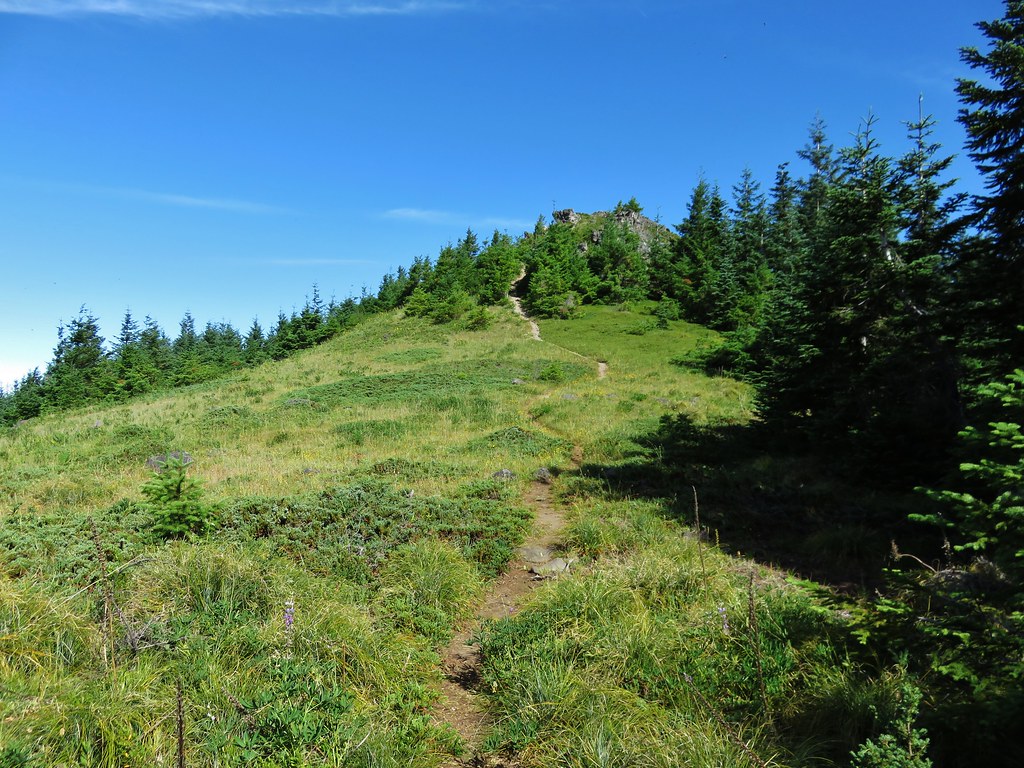
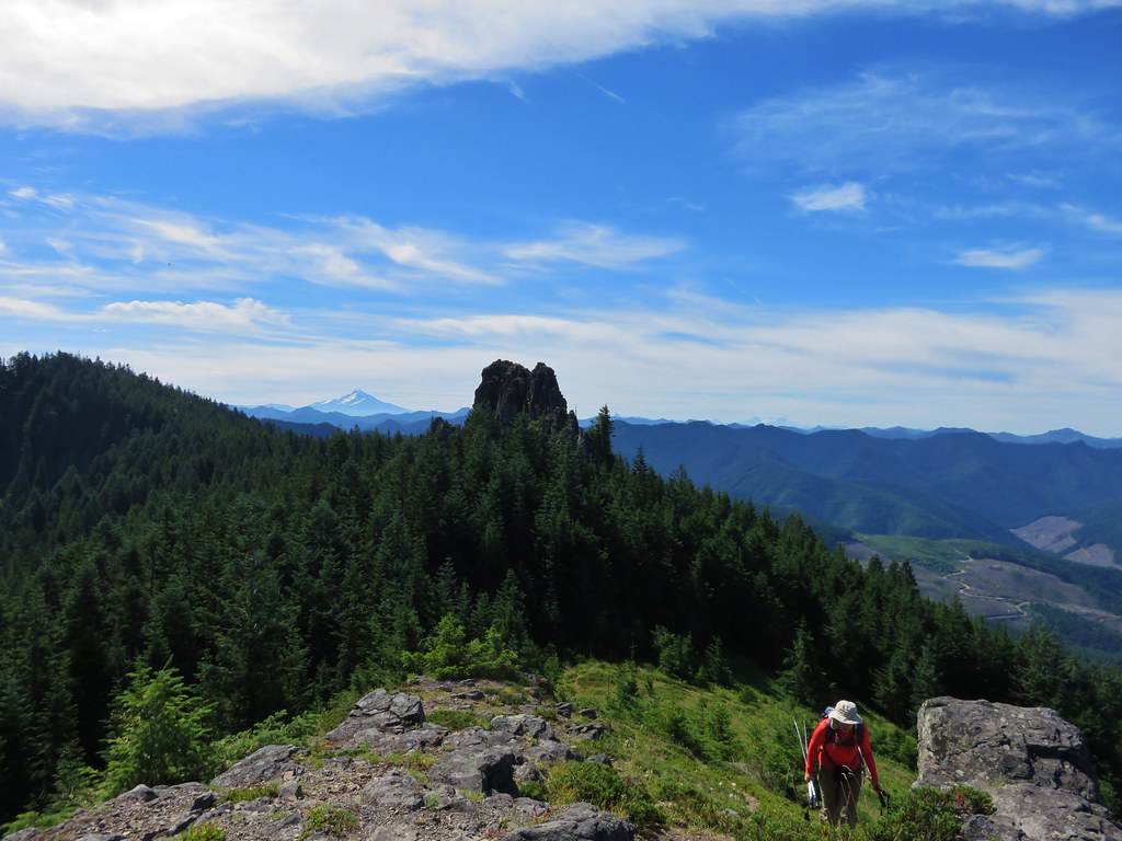
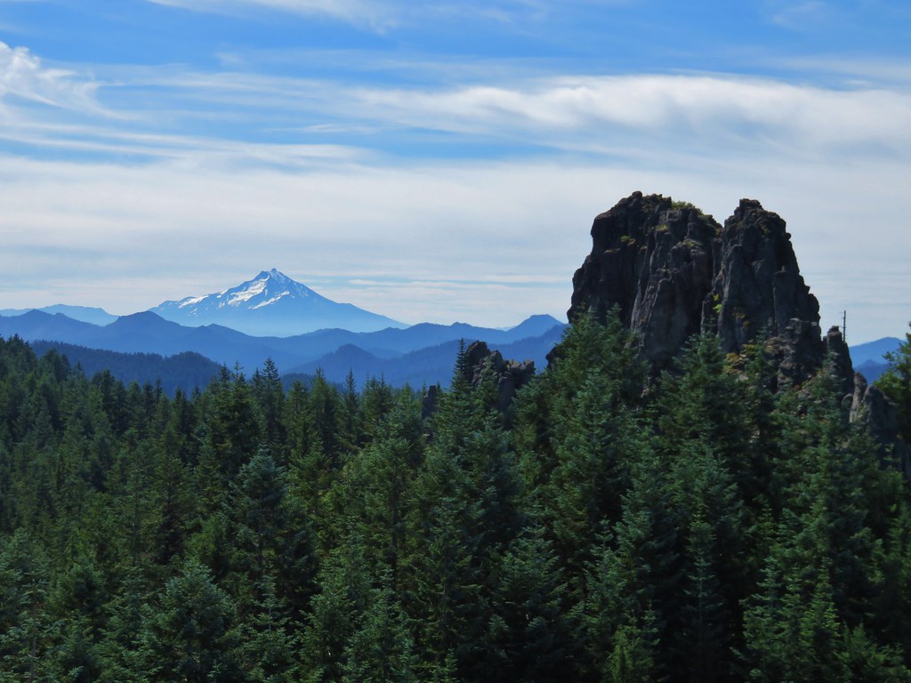
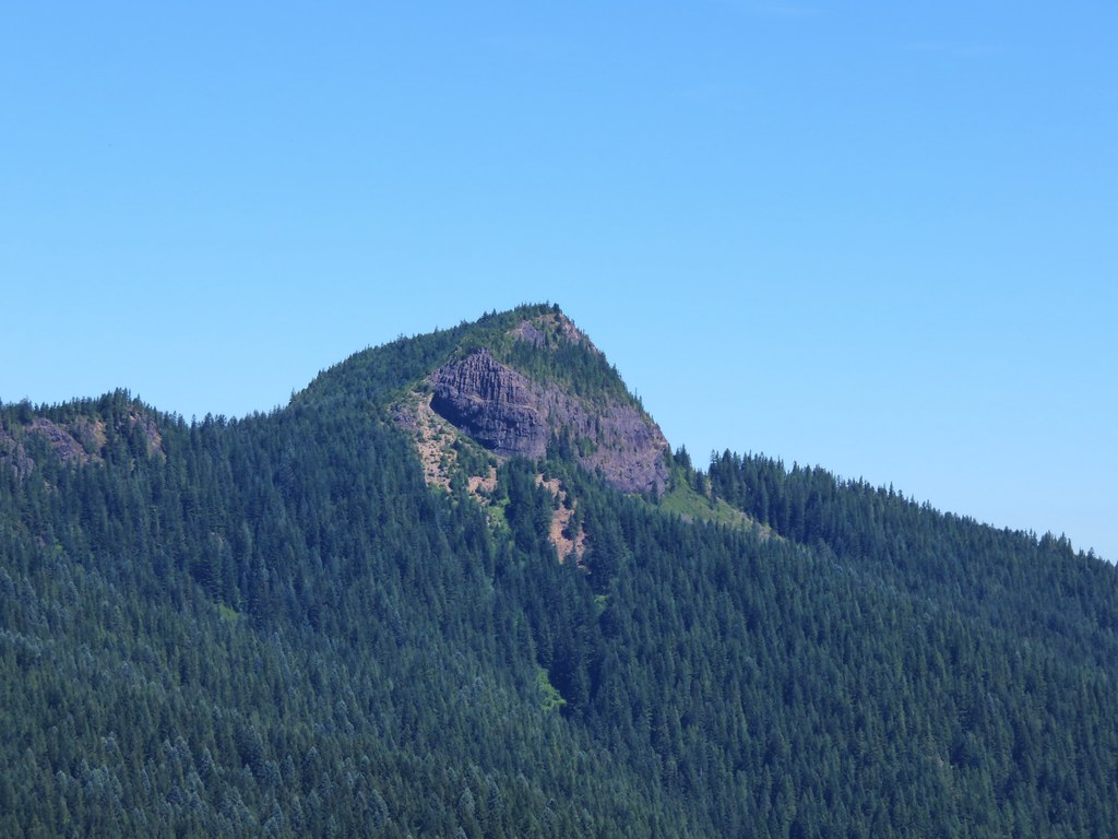
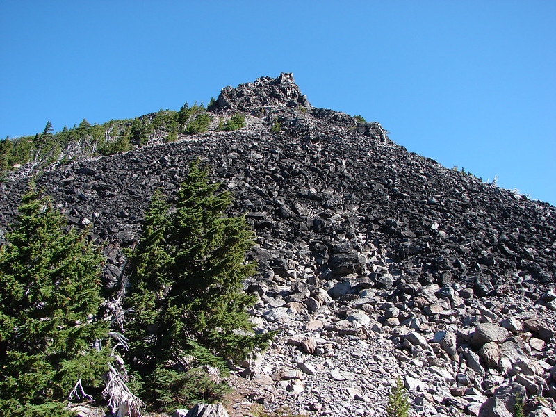
We wound up finding a path which led across the plain so we followed it toward Kaleetan Butte.
 //embedr.flickr.com/assets/client-code.js
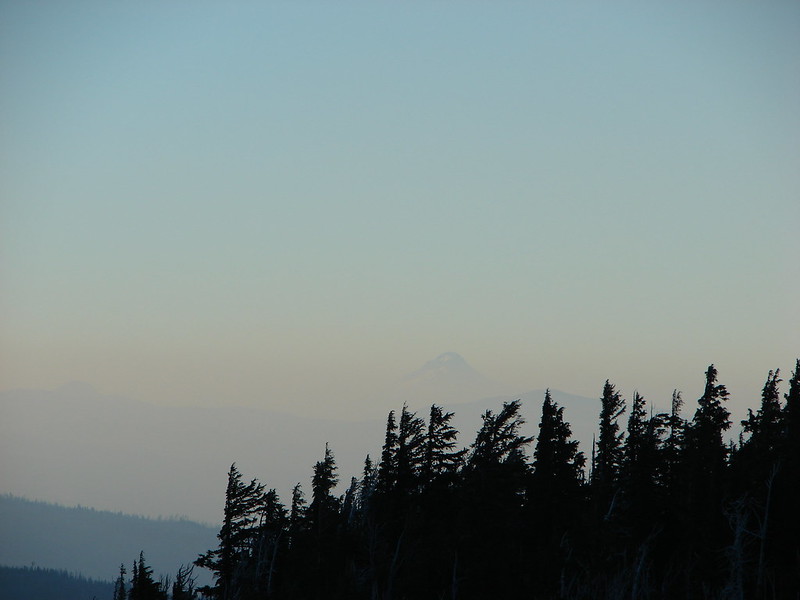
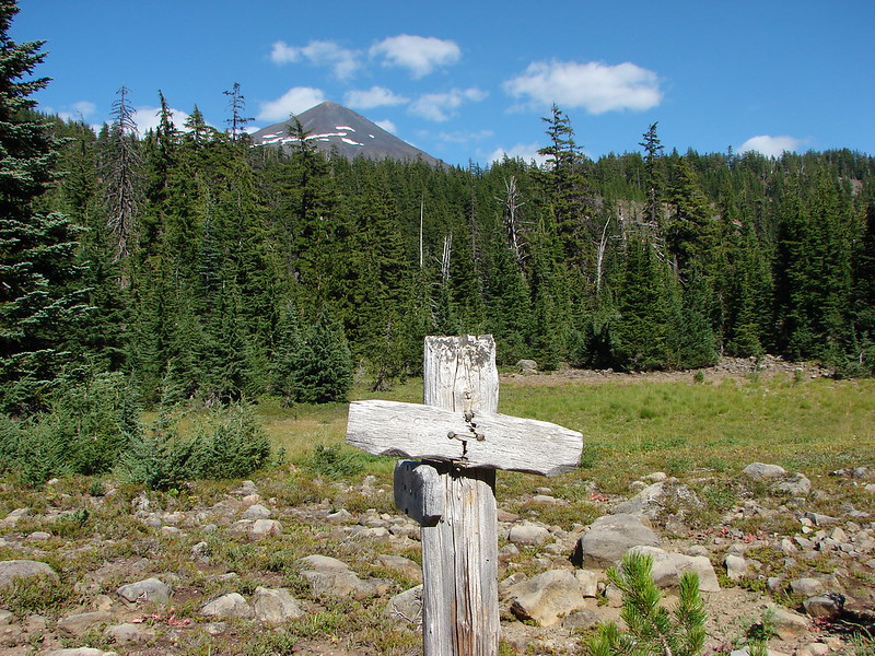
Mt. Bachelor Joined the view along the way.
 //embedr.flickr.com/assets/client-code.js
 //embedr.flickr.com/assets/client-code.js
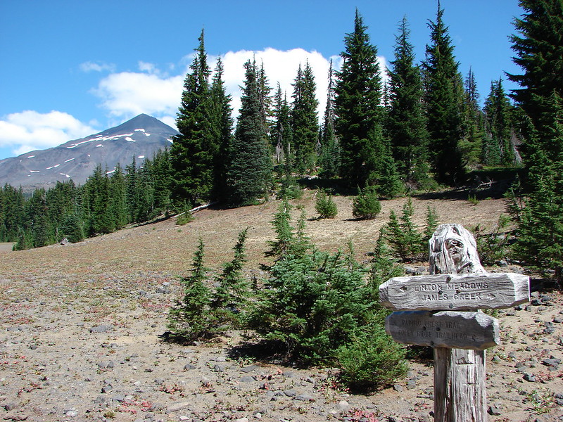
We wound up arriving at a familiar trail junction on the far end of the plain. It was the trail we had taken from Moraine Lake during our South Sister Loop. We also noticed a small sign at this end of the path we were following stating it was closed. Had we known we wouldn’t have followed it, but there were no signs at the other end. We turned right at the junction following an old road bed that predated the wilderness designation.
 //embedr.flickr.com/assets/client-code.js
After a half mile we arrived at the trail junction where we would have come out if we had stayed on the trail instead of heading for the plain.
 //embedr.flickr.com/assets/client-code.js
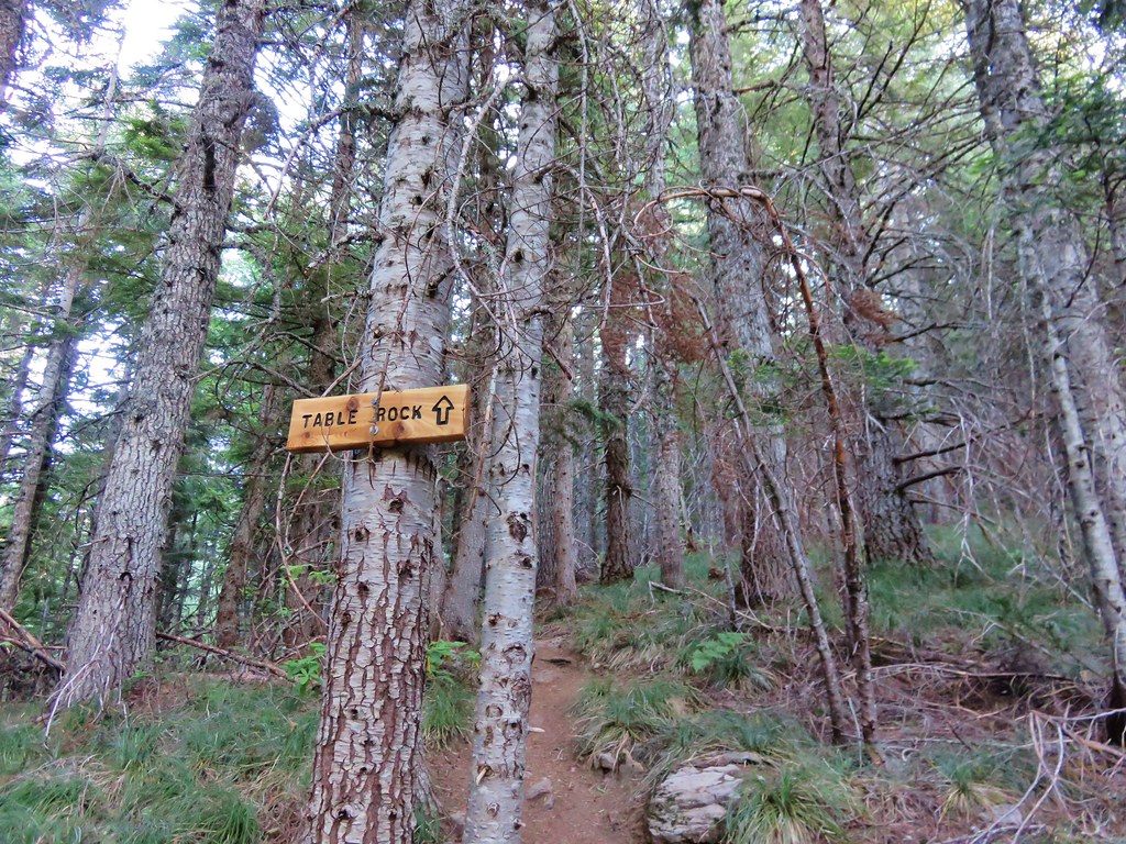
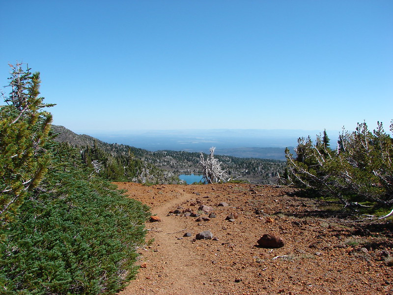
We headed toward Devils Lake descending around Kaleetan Butte for a mile where we arrived at another junction.
 //embedr.flickr.com/assets/client-code.js
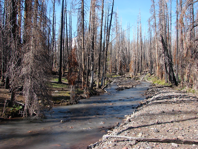
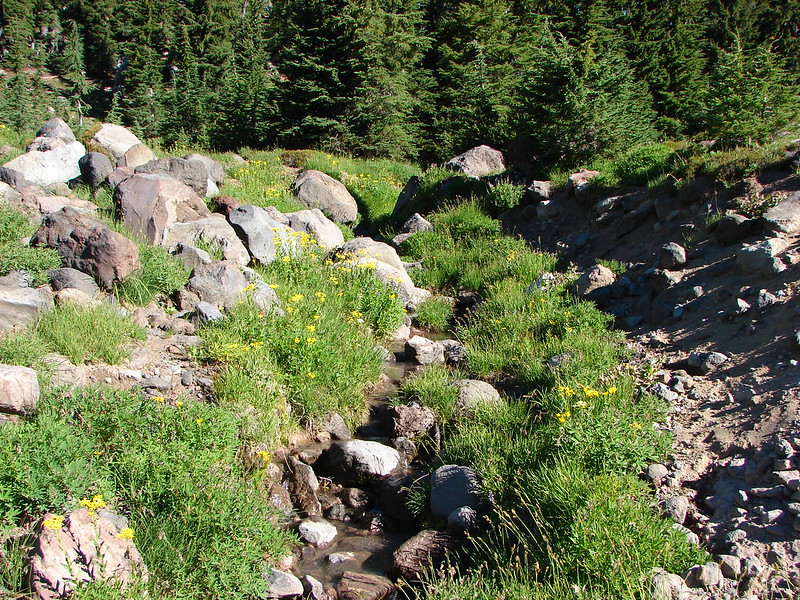
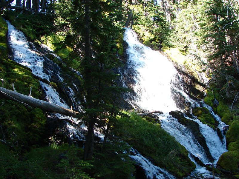
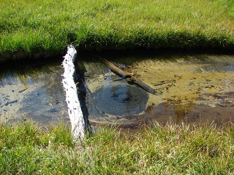
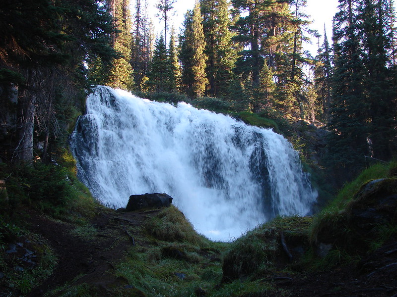
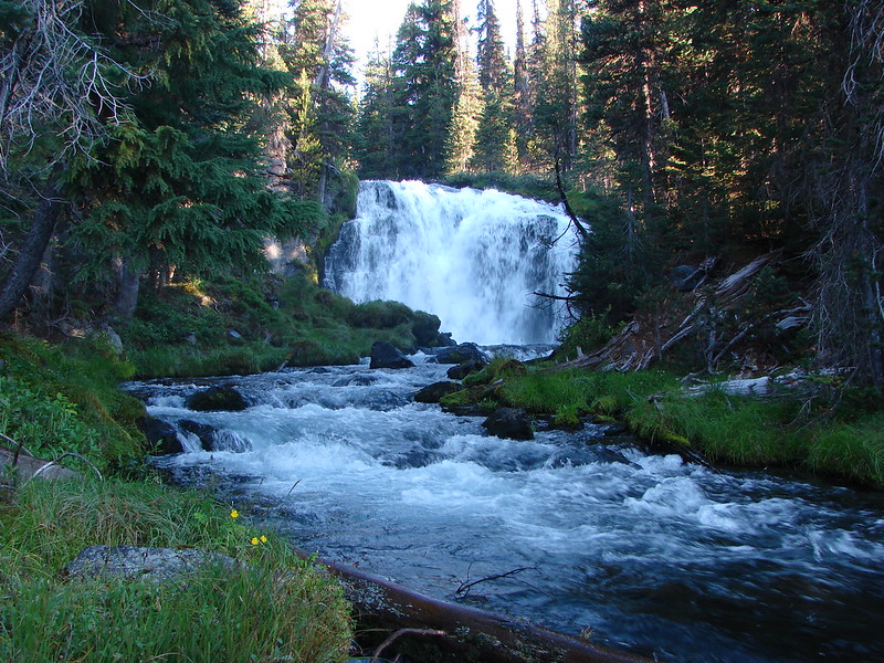
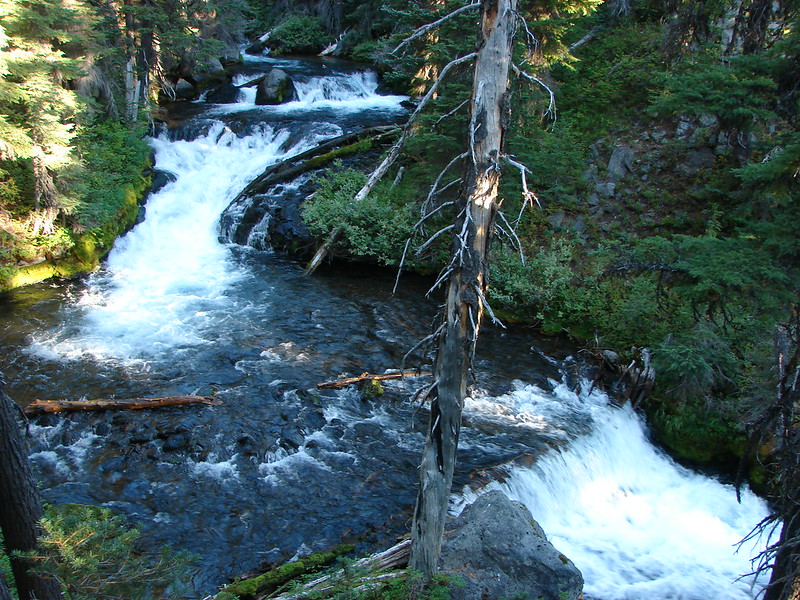
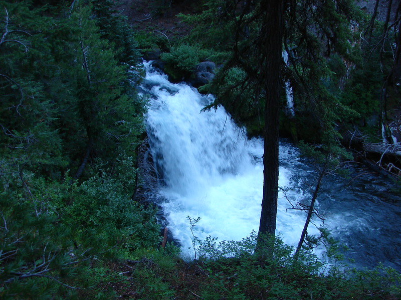
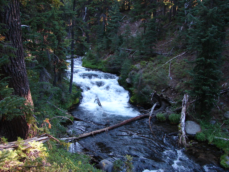
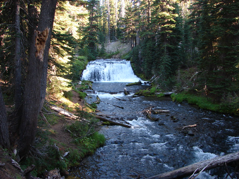
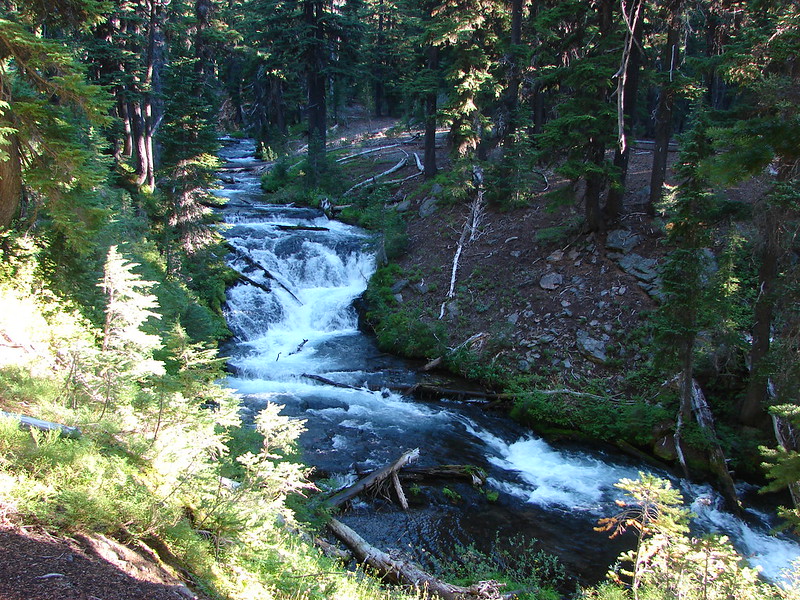
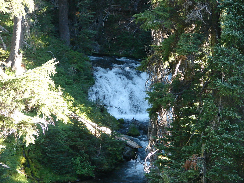
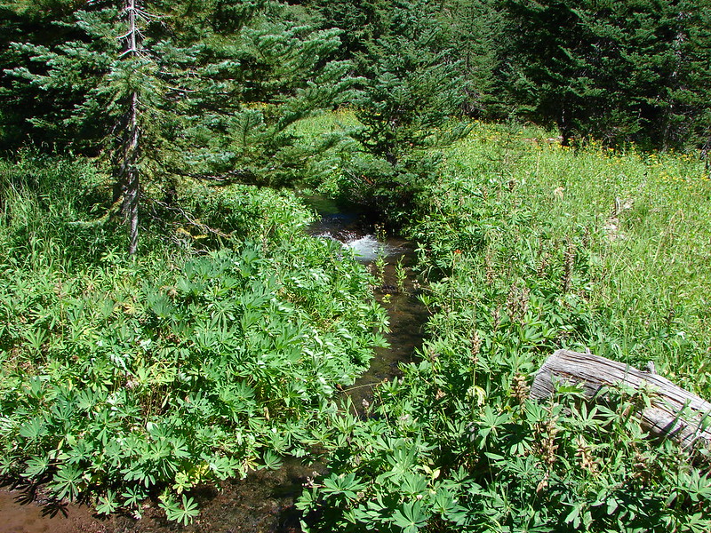
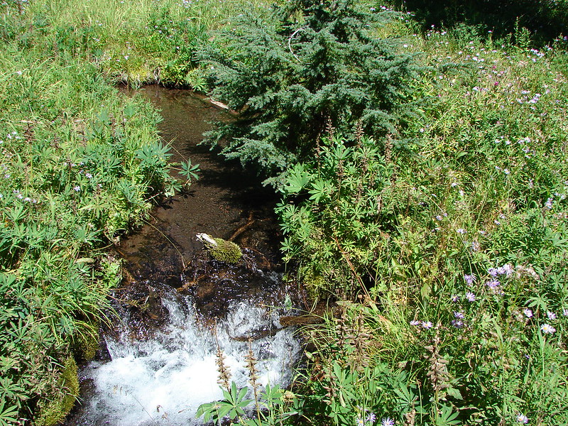
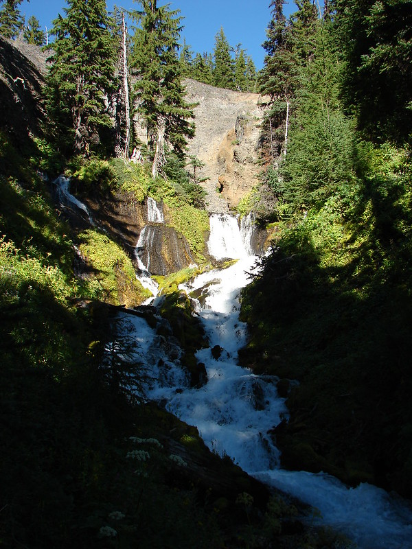
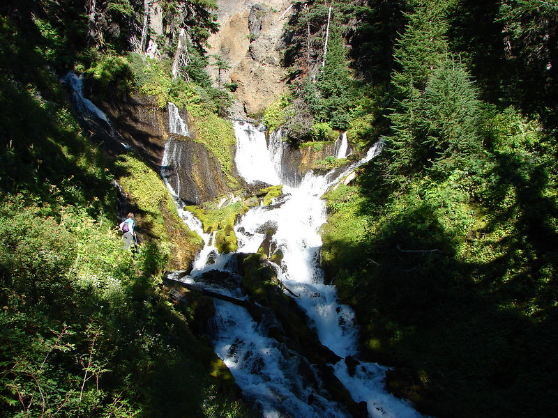
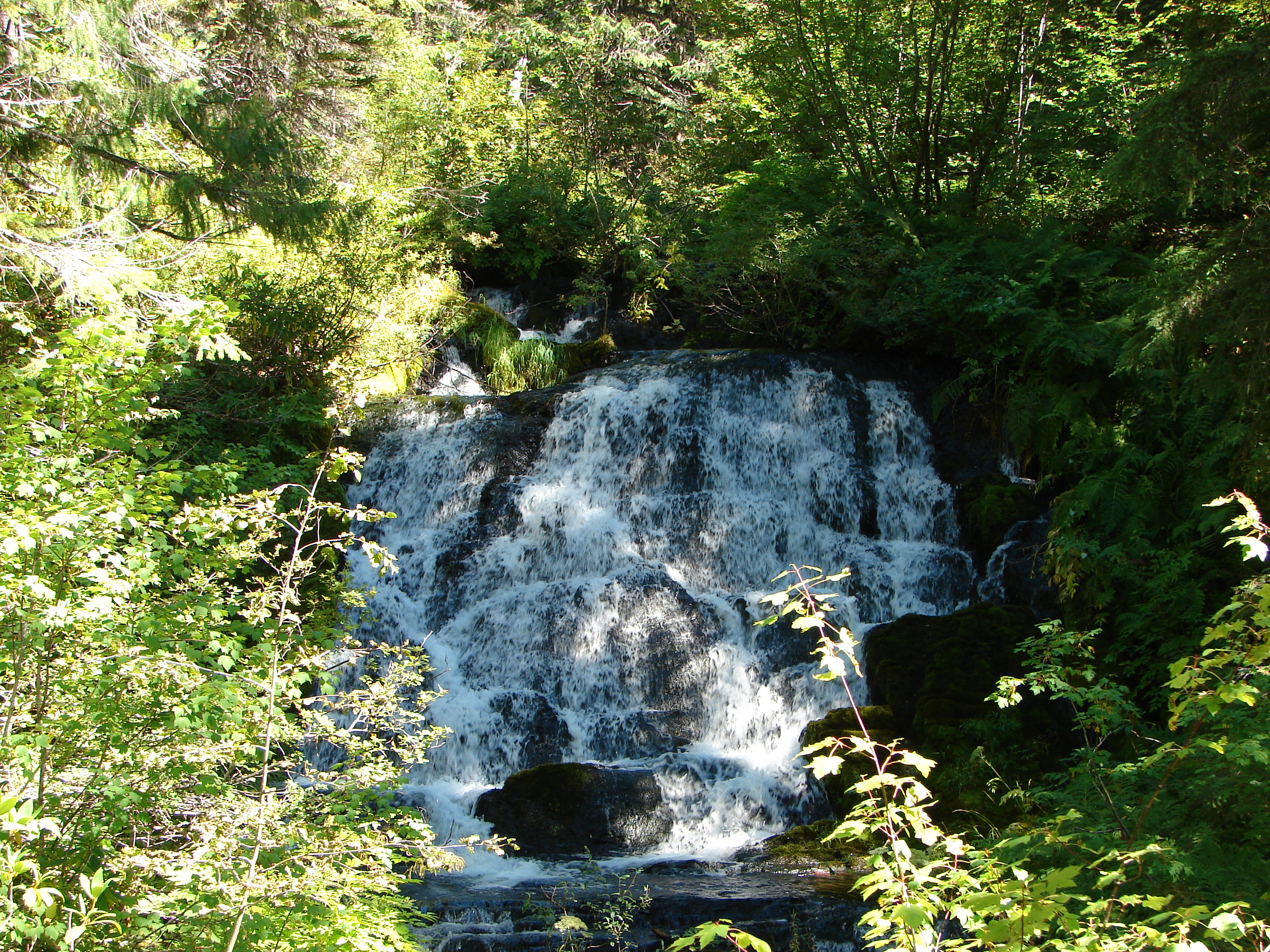
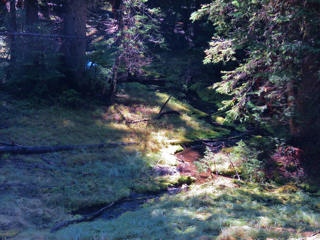
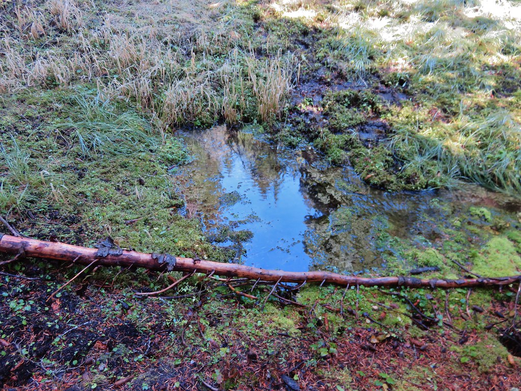
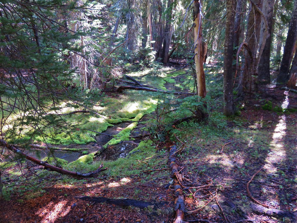
We followed the pointer for Elk Lake which would lead us back to the Mirror Lakes Trail in 1.6 miles passing Blacktail Spring and Sink Creek along the way.
 //embedr.flickr.com/assets/client-code.js
 //embedr.flickr.com/assets/client-code.js
 //embedr.flickr.com/assets/client-code.js
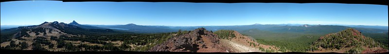
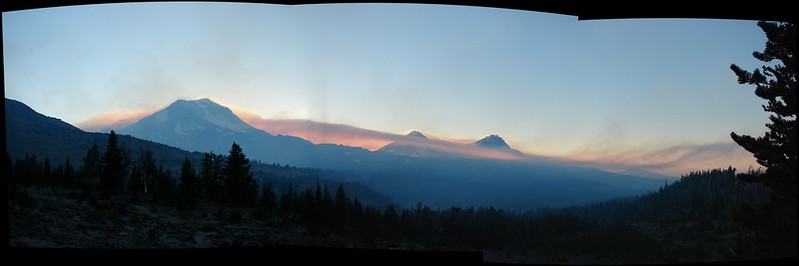
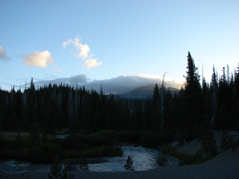
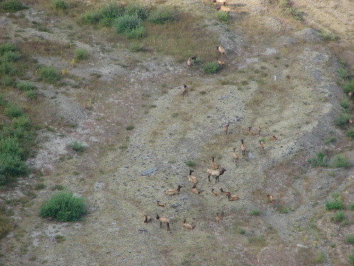
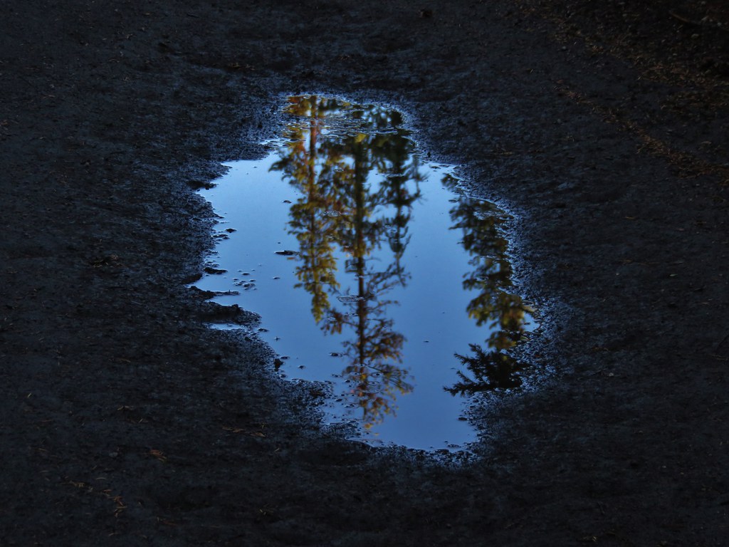
It was really nice to see the mountains with some fresh snow on them after the dry Summer we’d had. The weather that had forced us to change our vacation plans had provided some great scenery for our final hike. Happy Trails!
Flicker: https://www.flickr.com/photos/9319235@N02/albums/72157658876331925