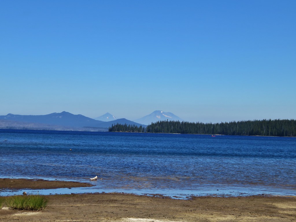
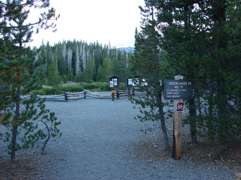
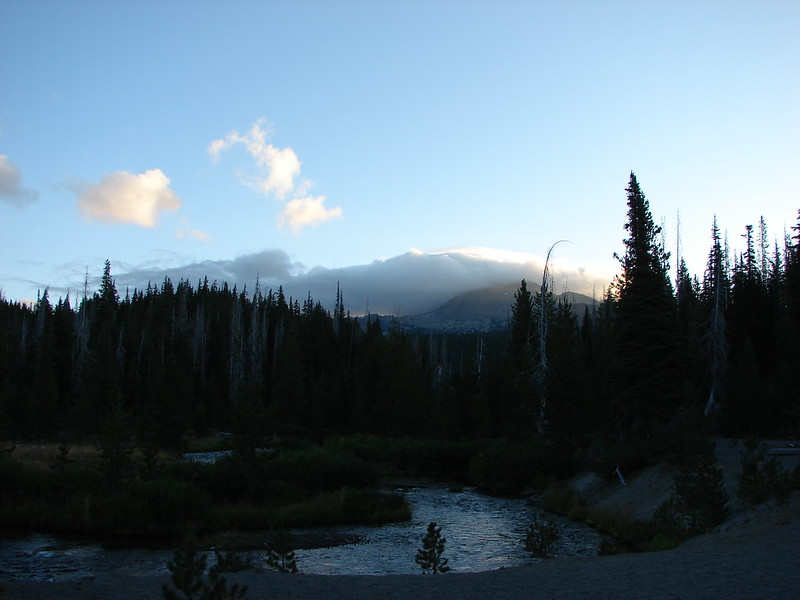
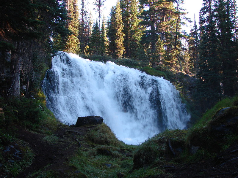
We had originally planned on backpacking around Mt. Hood on the Timberline Trail on our recent vacation but the weather had a different idea. The forecast called for rain and snow showers for most of the week so we started searching for a Plan B. Between active fires and less than encouraging weather forecasts we decided that a backpacking trip wasn’t in the cards. My parents provided a solution though and we were able to pay them a visit in Central Oregon and do some day hikes from there. We stopped on our way over to Bend to take our first hike visiting Little Belknap and Belknap Crater in the Mt. Washington Wilderness.
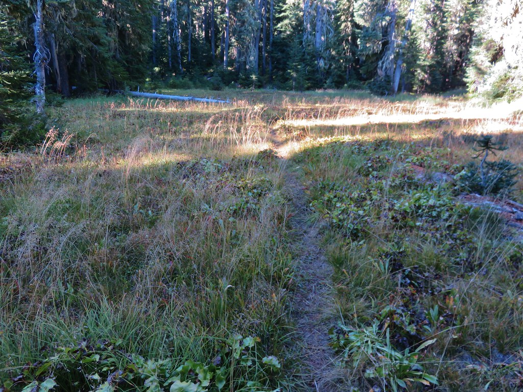
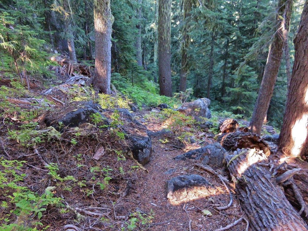
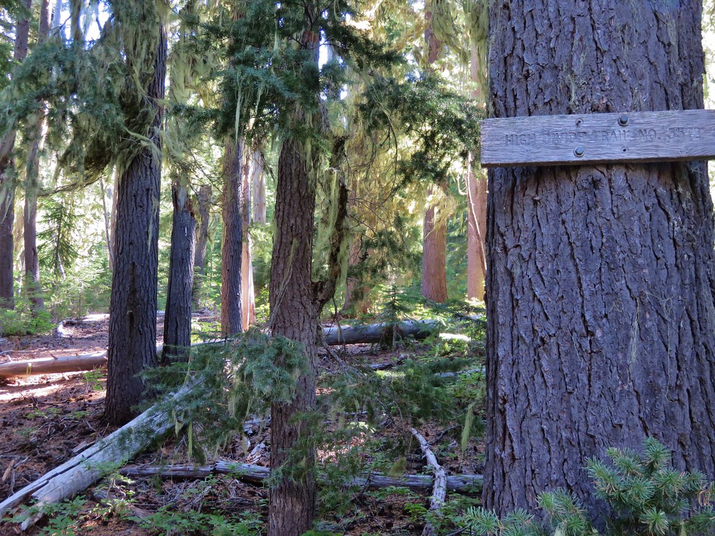
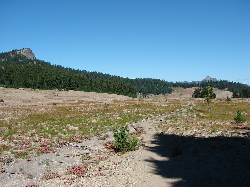
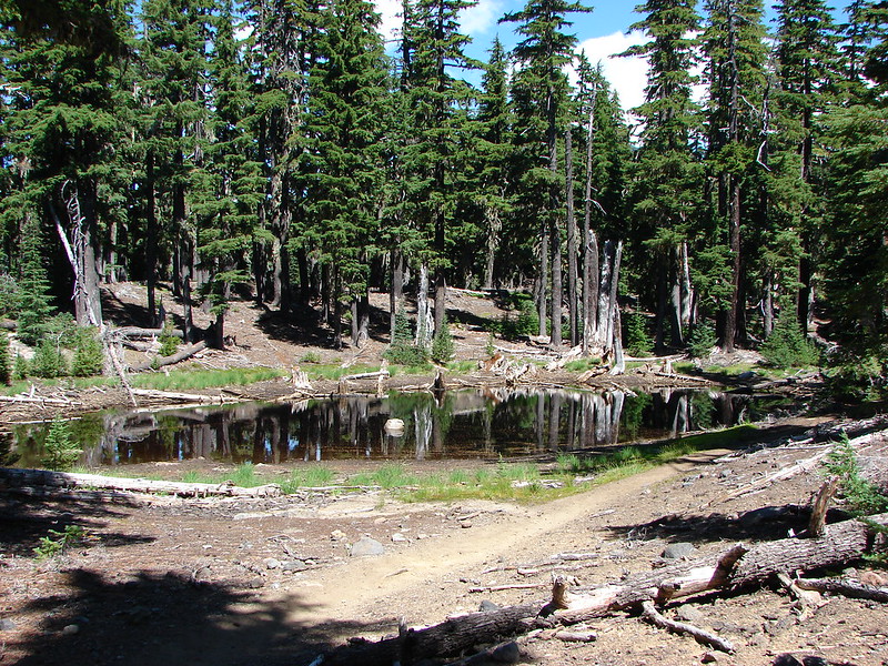
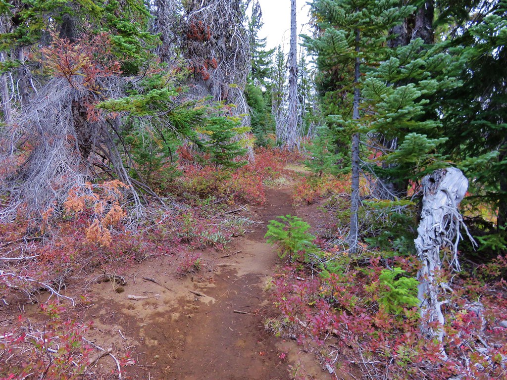
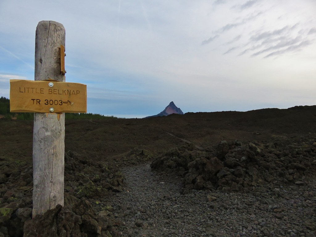
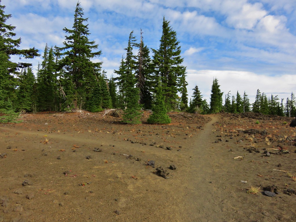
The hike started off at the Pacific Crest Trail crossing of the McKenzie Pass Highway.
 //embedr.flickr.com/assets/client-code.js
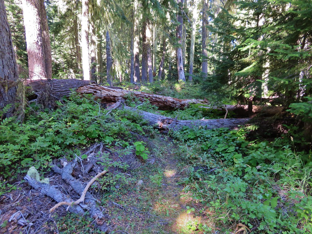
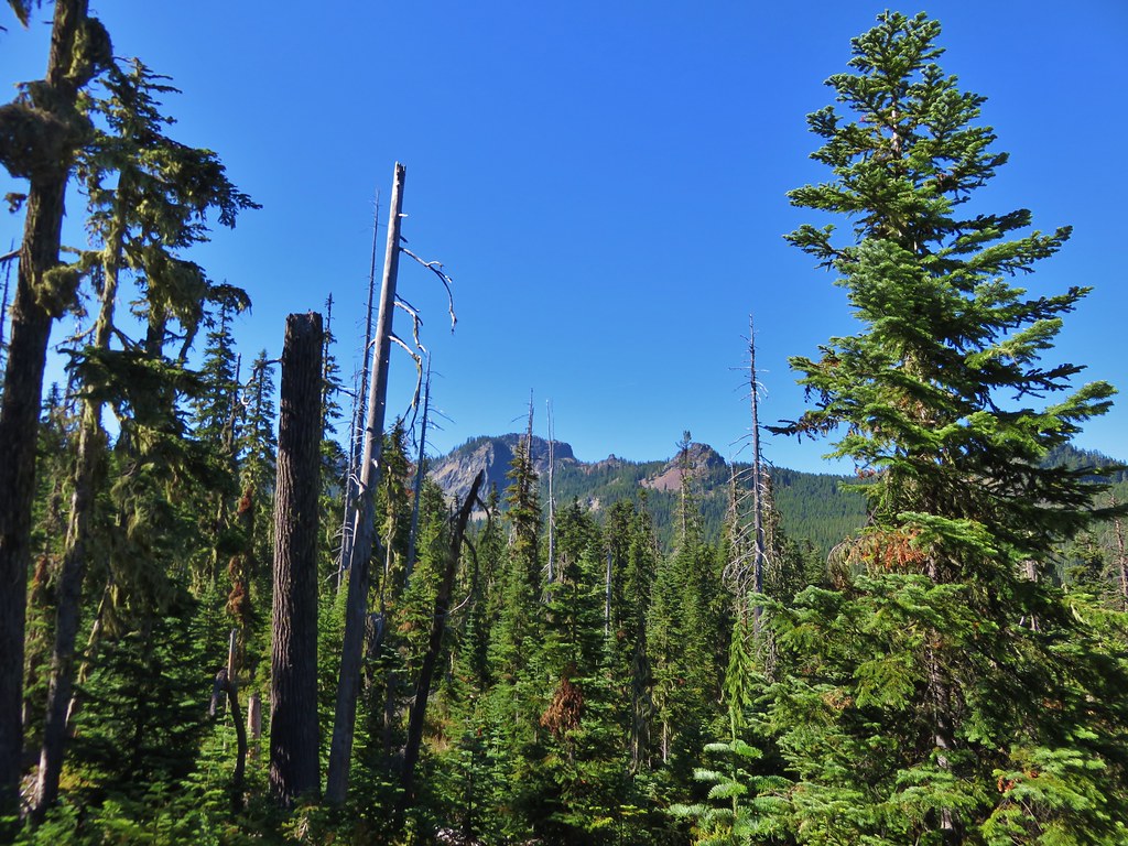
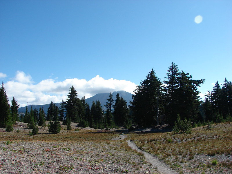
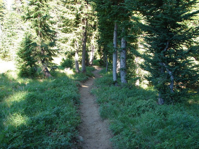
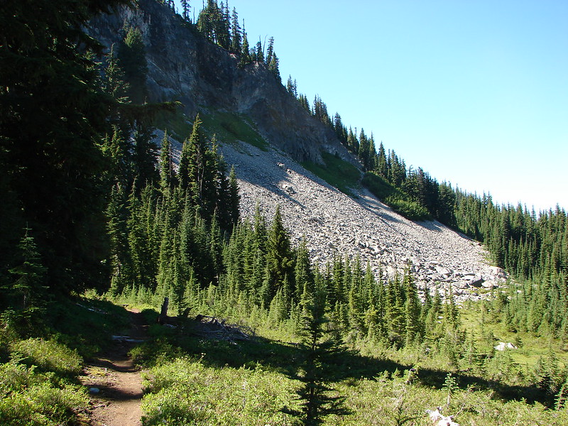
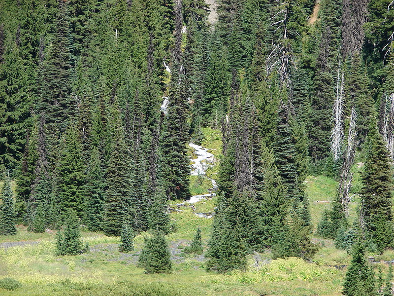
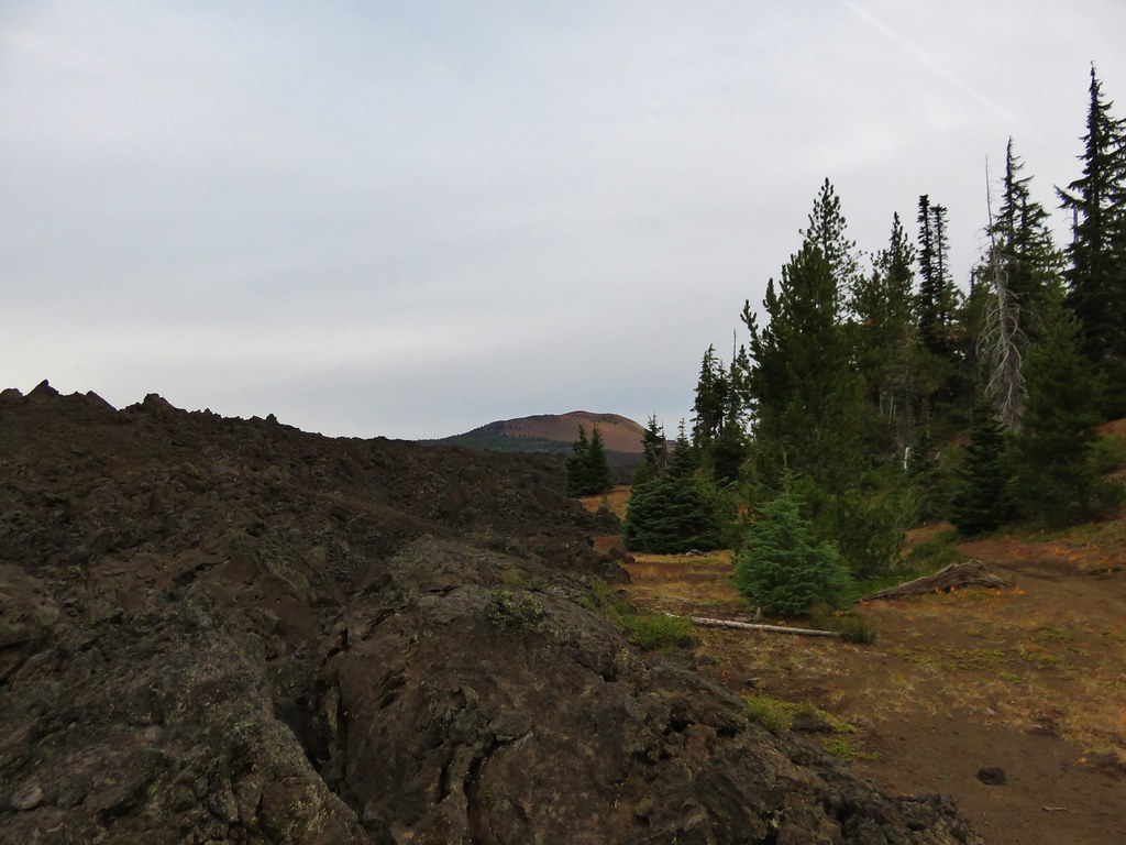
We followed the PCT through a forest on a small hill surrounded by a lava flow produced by Little Belknap.
 //embedr.flickr.com/assets/client-code.js
 //embedr.flickr.com/assets/client-code.js
 //embedr.flickr.com/assets/client-code.js
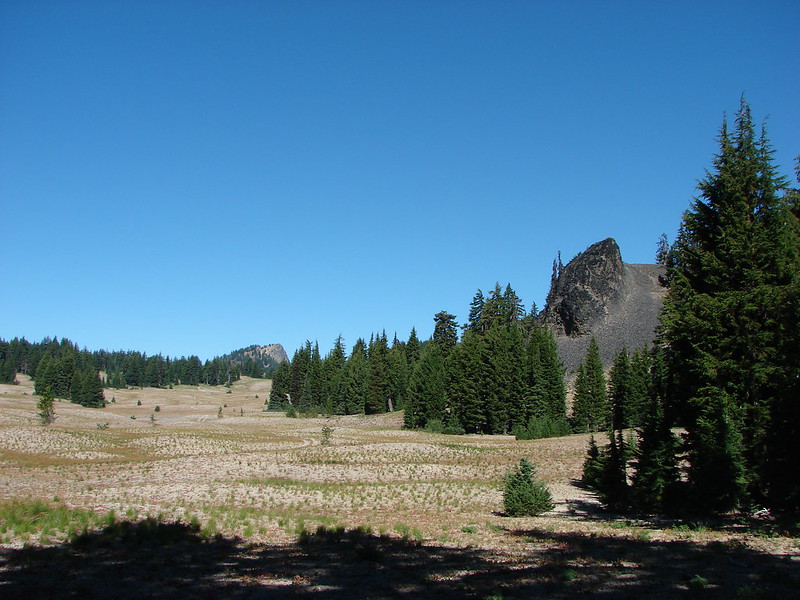
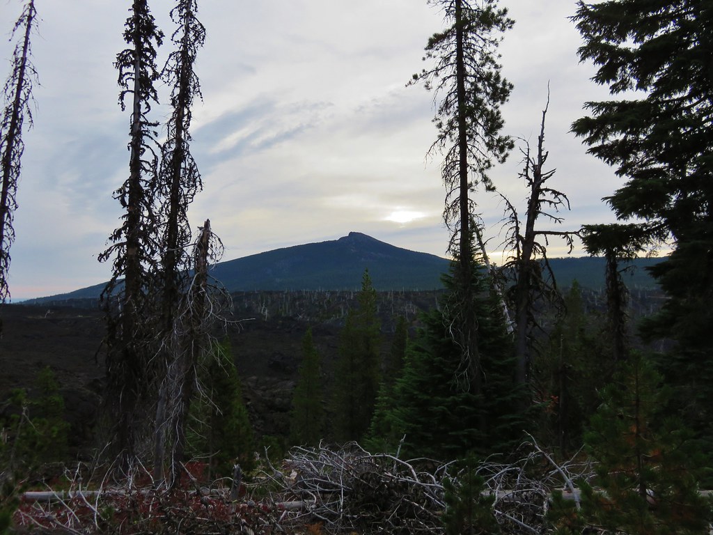
Black Crater rose above the lava flow to the NE.
 //embedr.flickr.com/assets/client-code.js
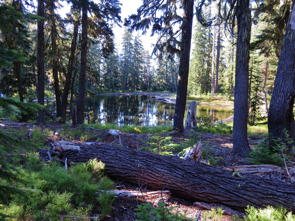
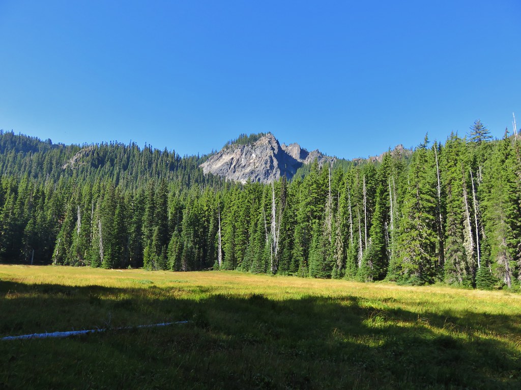
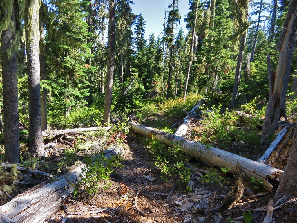
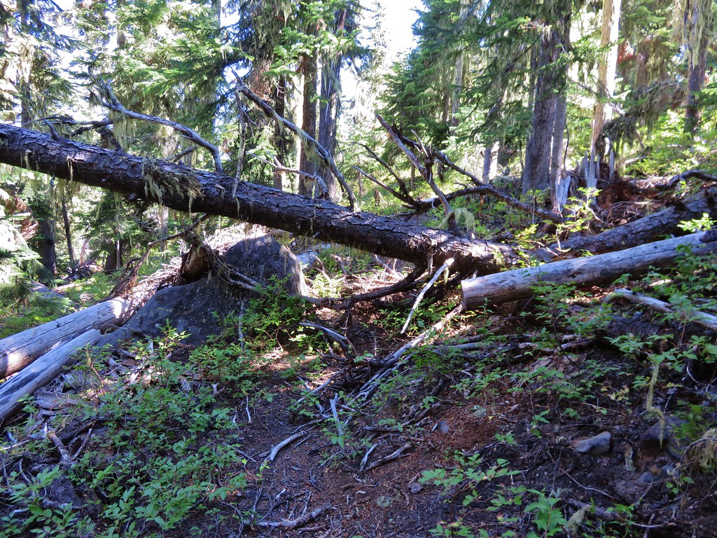
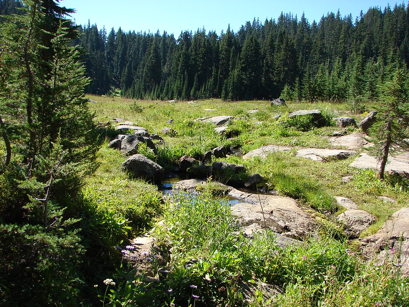
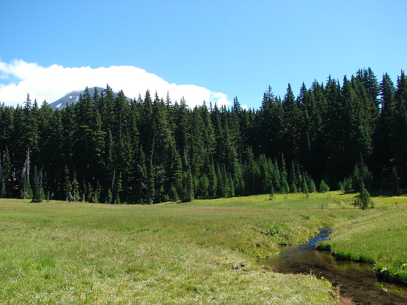
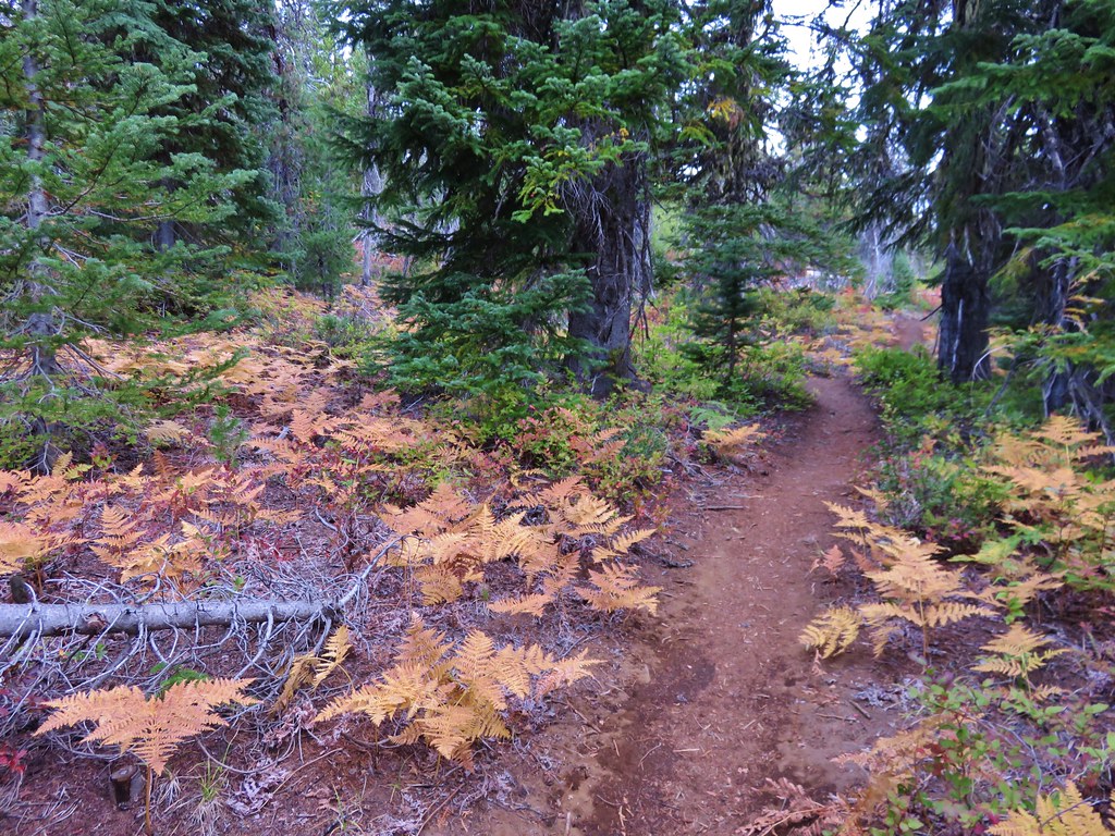
The trail left the forested hill and briefly entered the lava flow before reaching a second forested hill.
 //embedr.flickr.com/assets/client-code.js
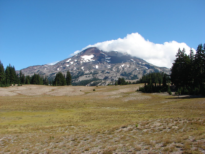
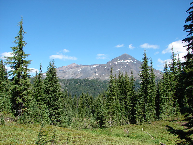
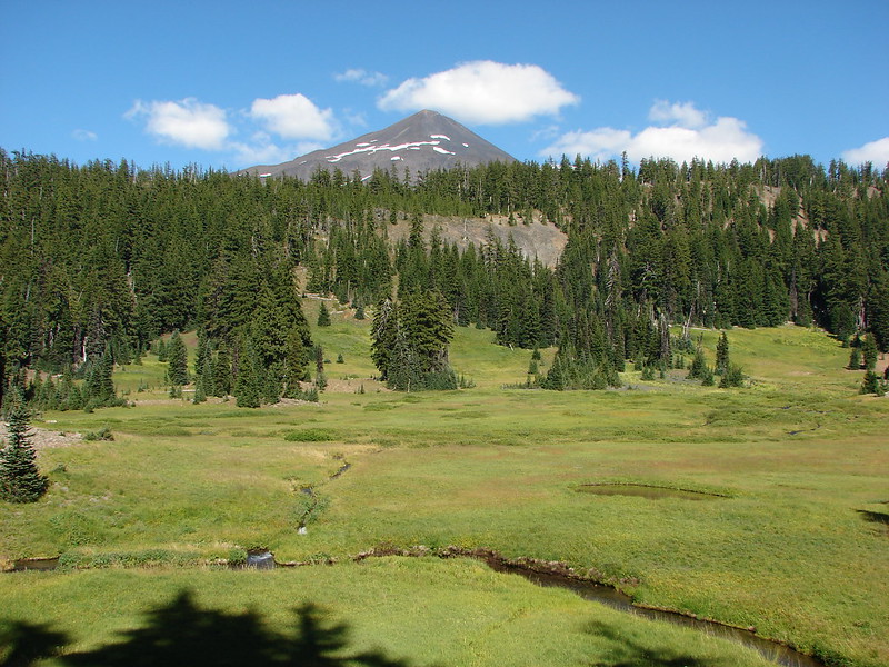
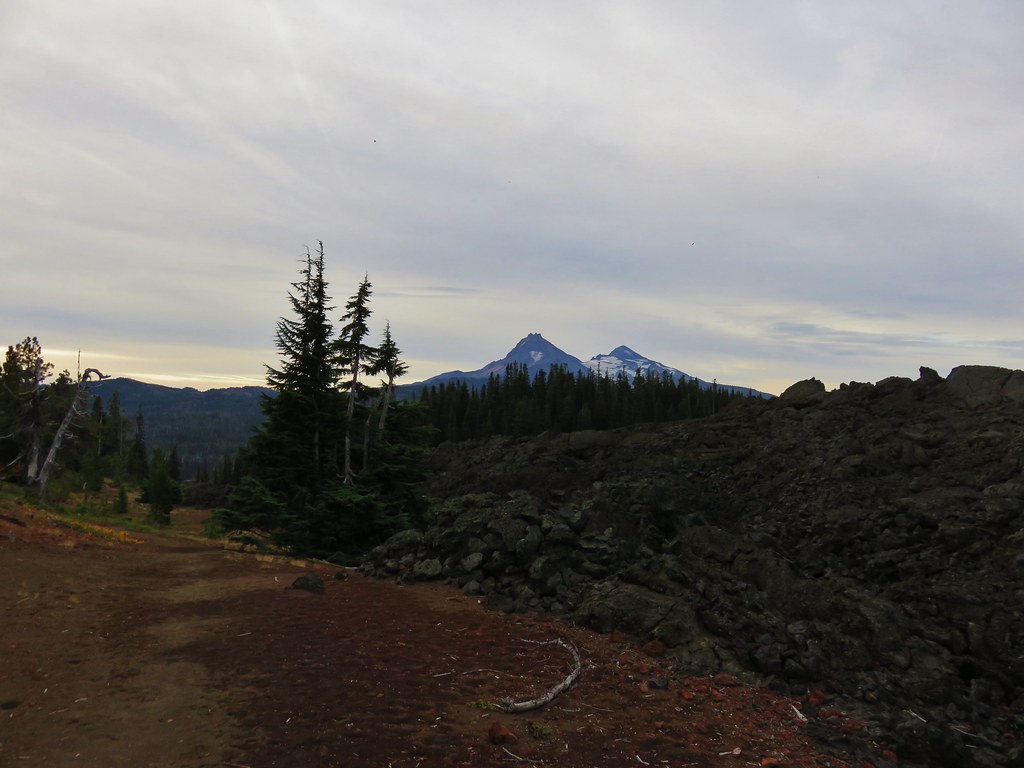
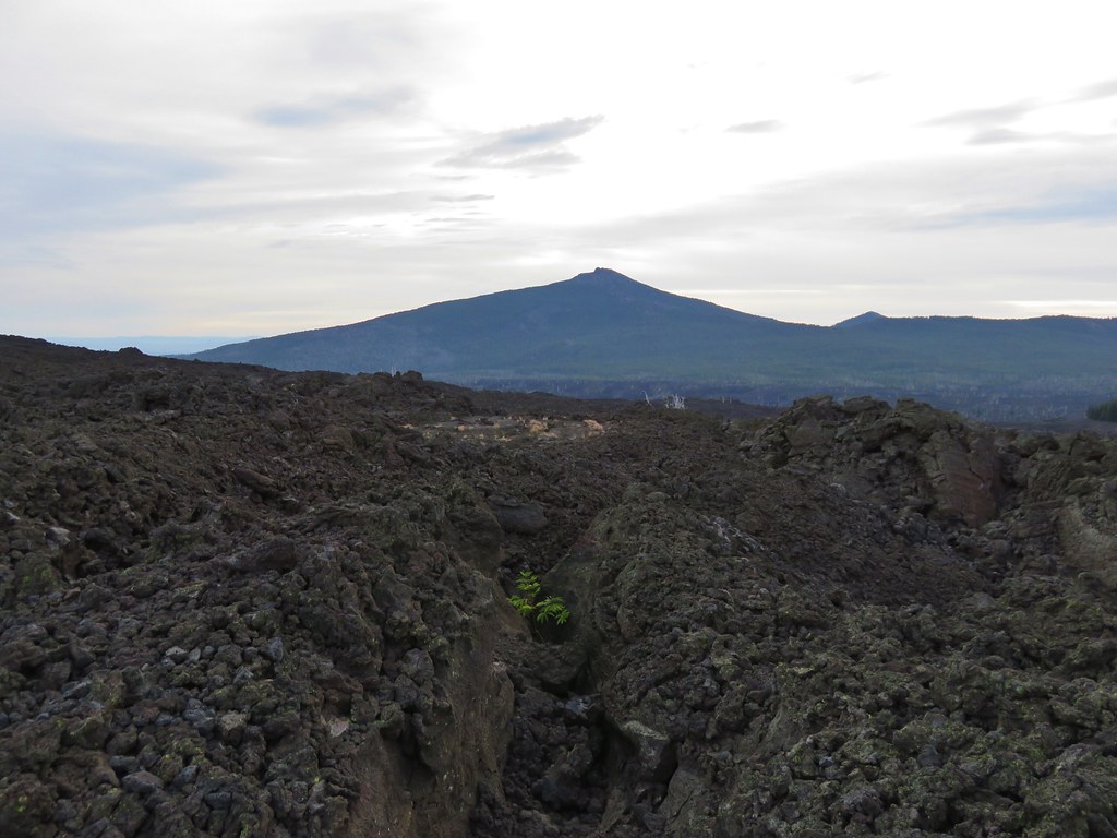
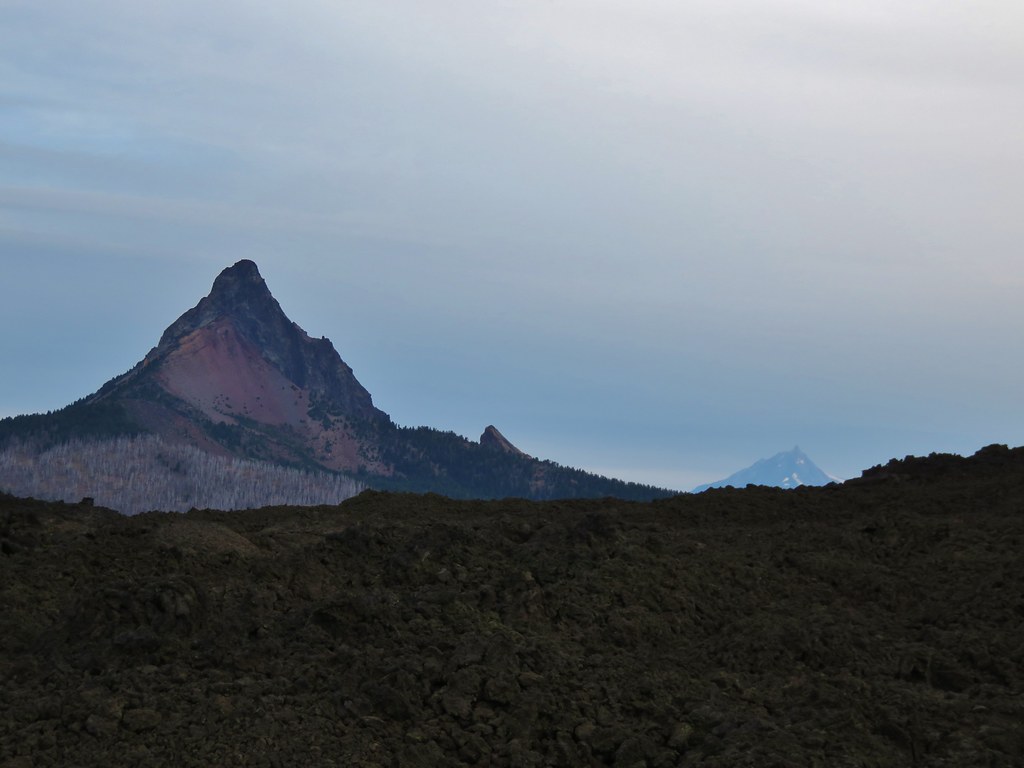
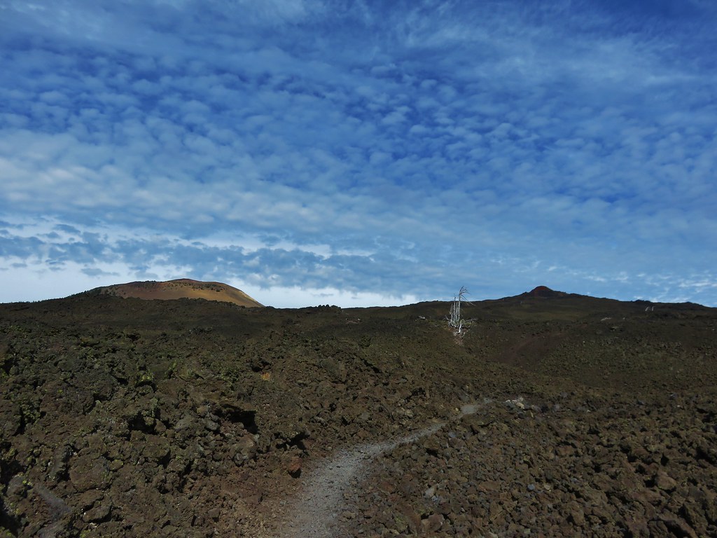
Belknap Crater and Little Belknap were visible ahead while the North and Middle Sister loomed on the horizon behind.
 //embedr.flickr.com/assets/client-code.js
 //embedr.flickr.com/assets/client-code.js
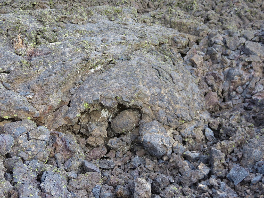
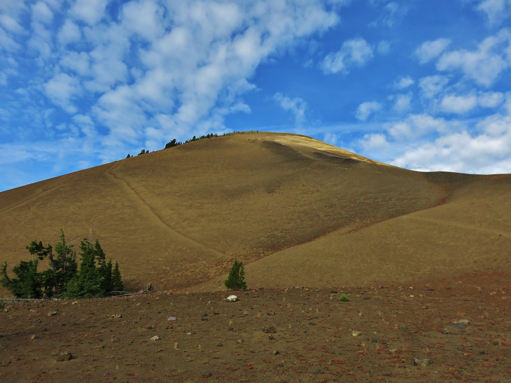
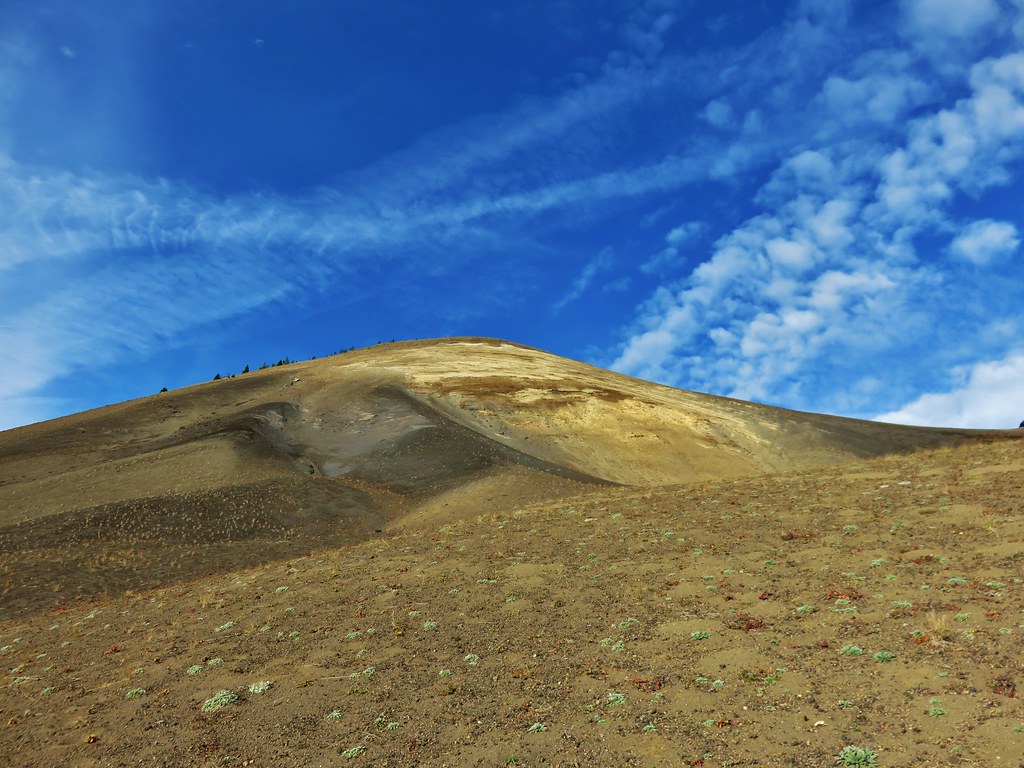
The closer we got to Little Belknap the more detail we could make out of the colors and textures of this geologic feature.
 //embedr.flickr.com/assets/client-code.js
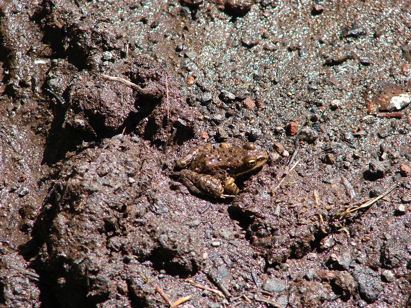
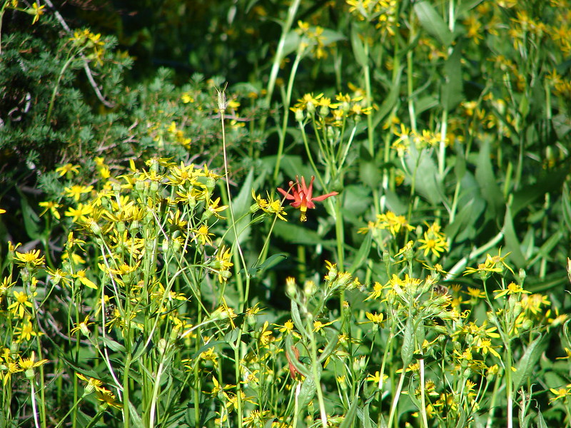
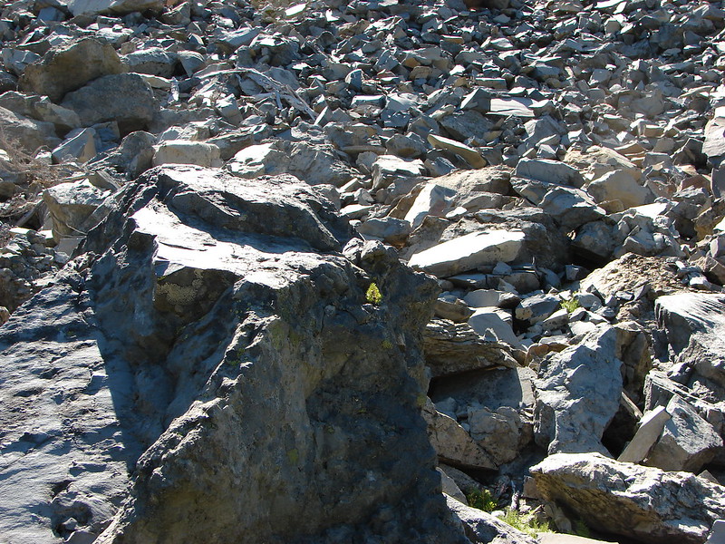
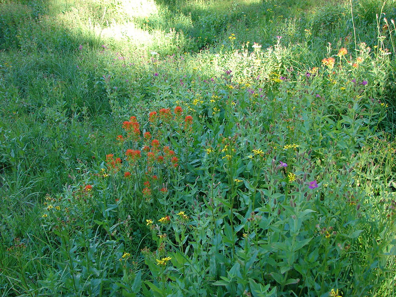
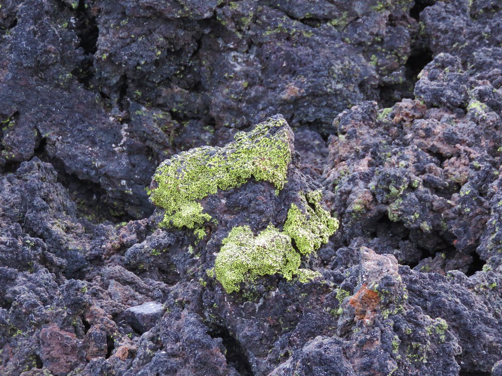
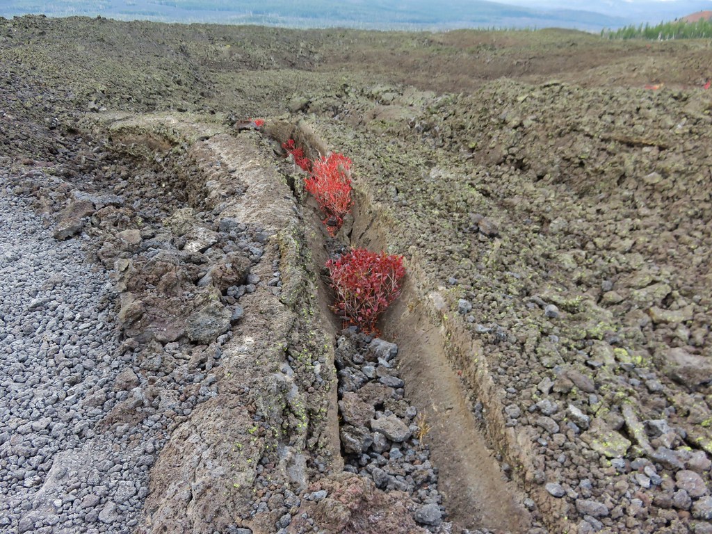
The lava flow offered many interesting features and it was interesting to see the few plants that had managed to find a foothold in the rocky landscape.
Lichen on the lava
 //embedr.flickr.com/assets/client-code.js
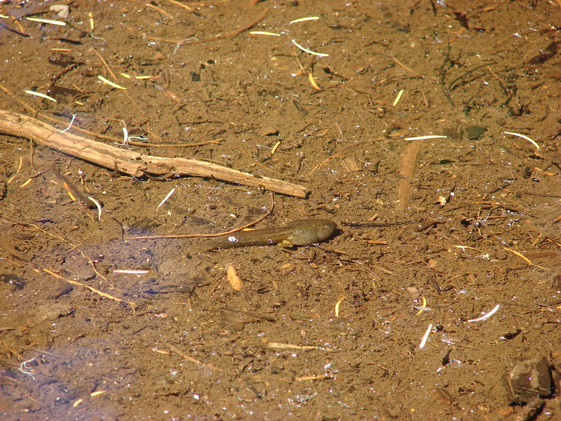
Turtle
 //embedr.flickr.com/assets/client-code.js
 //embedr.flickr.com/assets/client-code.js
Little tree
 //embedr.flickr.com/assets/client-code.js
Ewok waving
 //embedr.flickr.com/assets/client-code.js
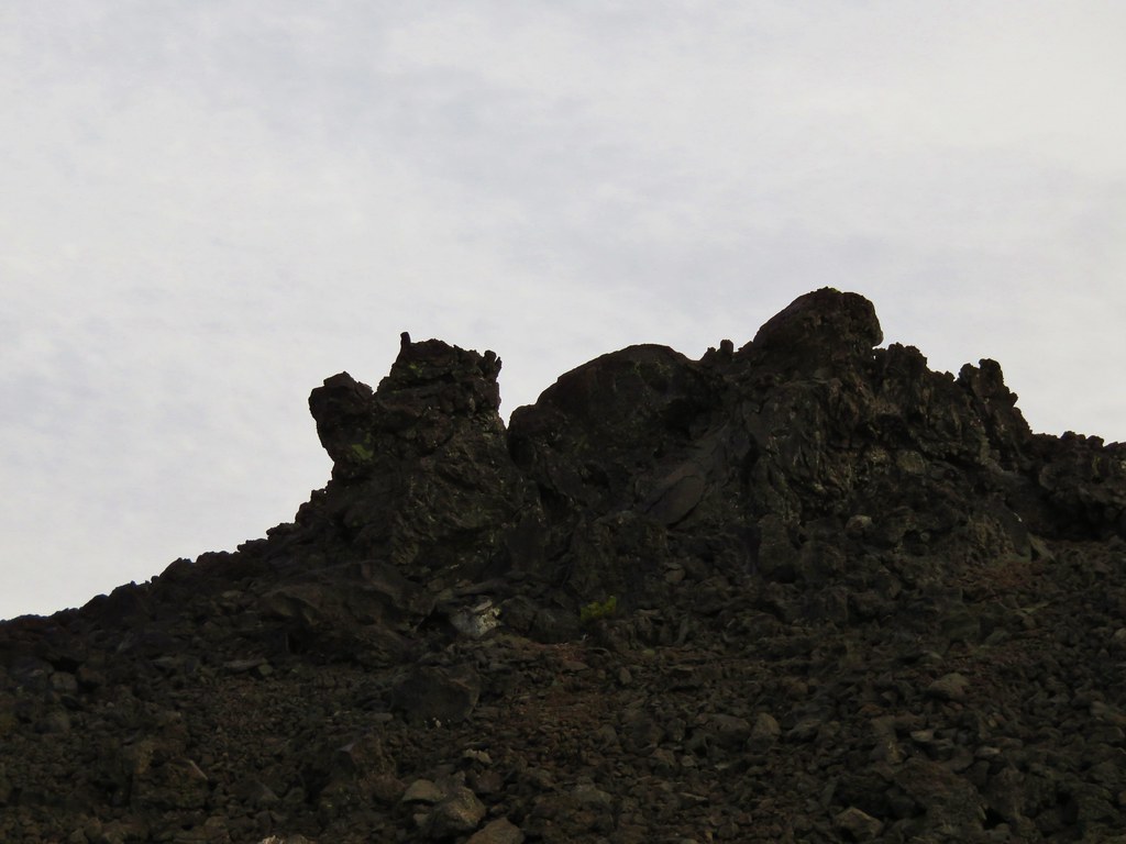
Rock hill
 //embedr.flickr.com/assets/client-code.js
 //embedr.flickr.com/assets/client-code.js
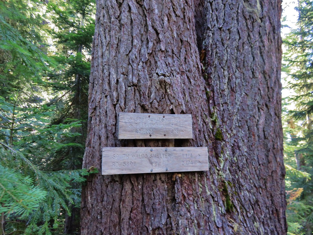
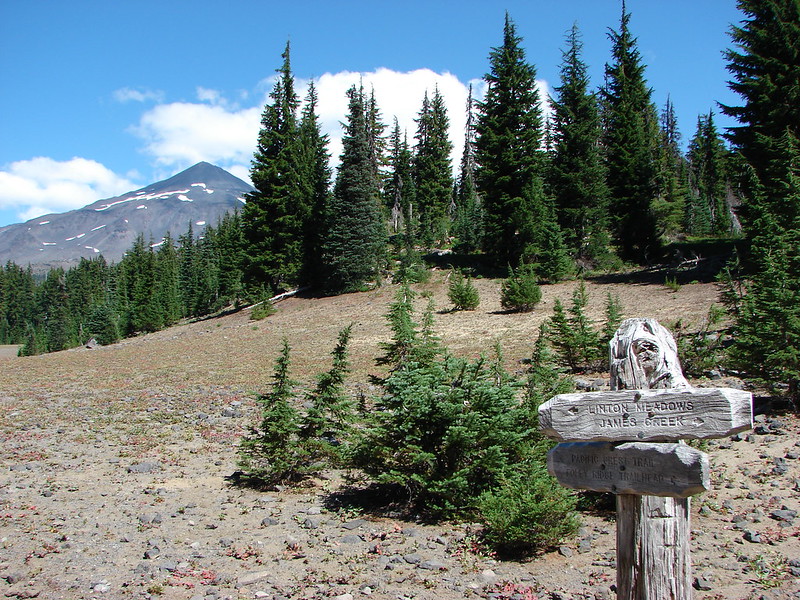
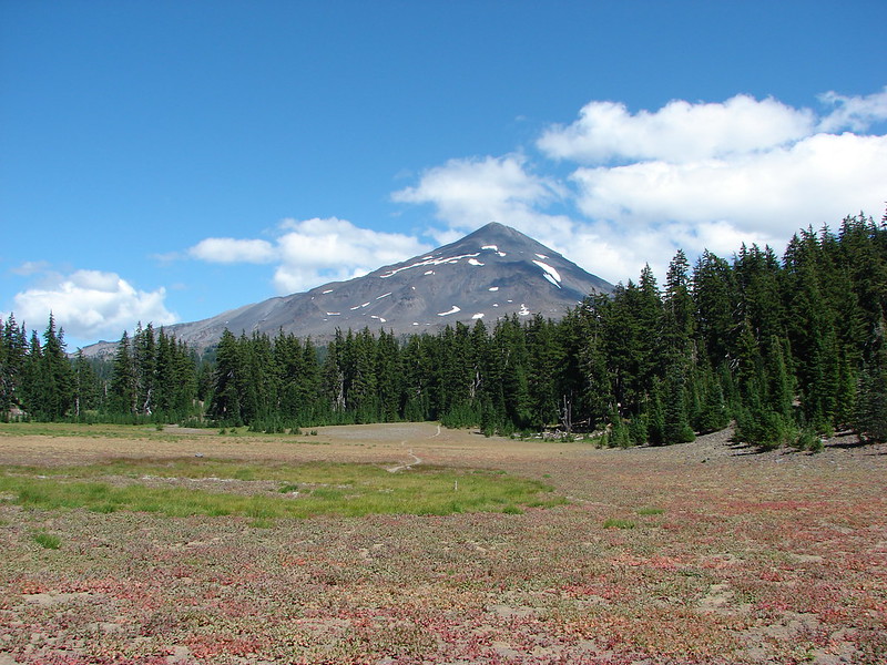
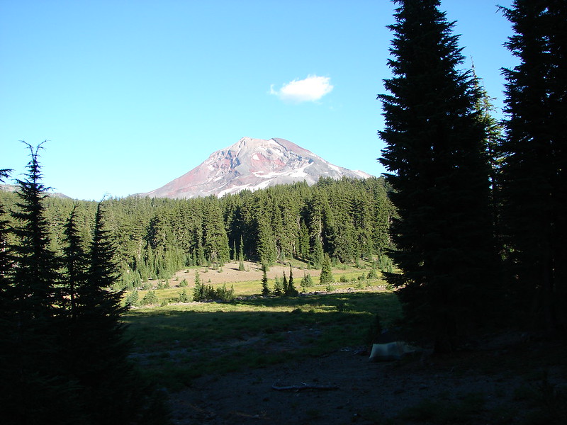
Just under 2.5 miles from the highway we reached the Little Belknap Trail with a view of Mt. Washington and distant Mt. Jefferson.
 //embedr.flickr.com/assets/client-code.js
 //embedr.flickr.com/assets/client-code.js
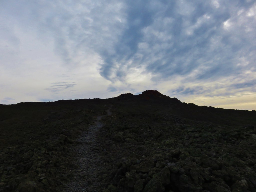
The Little Belknap Trail climbed to the summit of Little Belknap.
 //embedr.flickr.com/assets/client-code.js
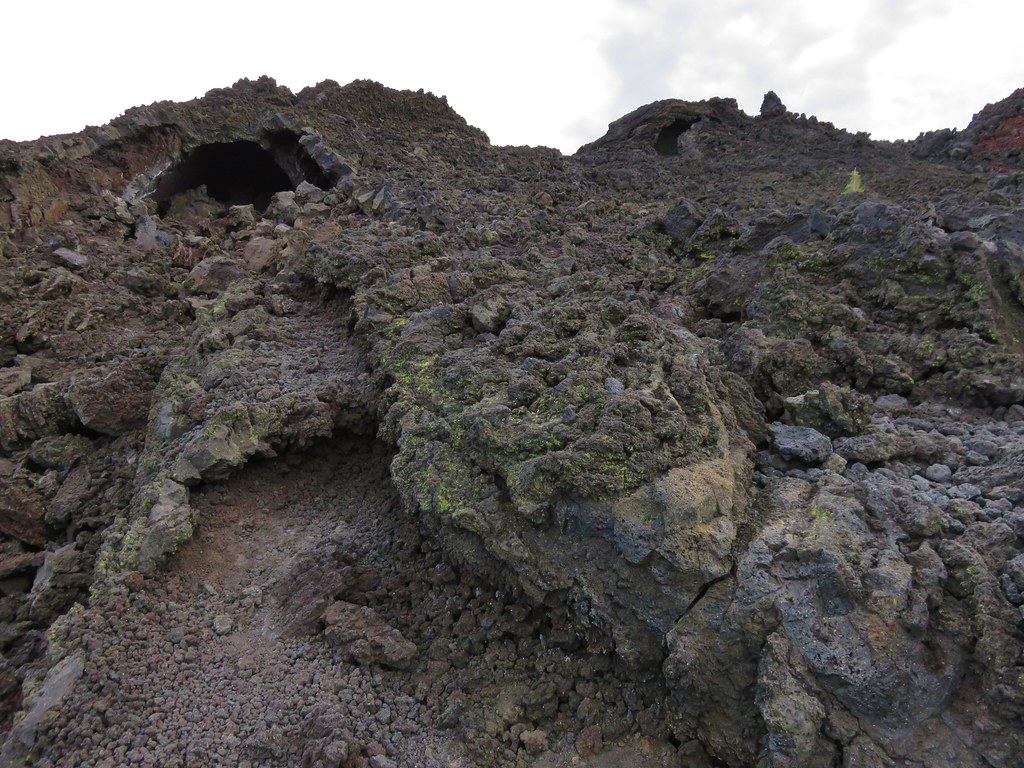
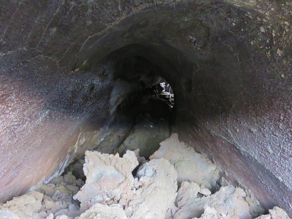
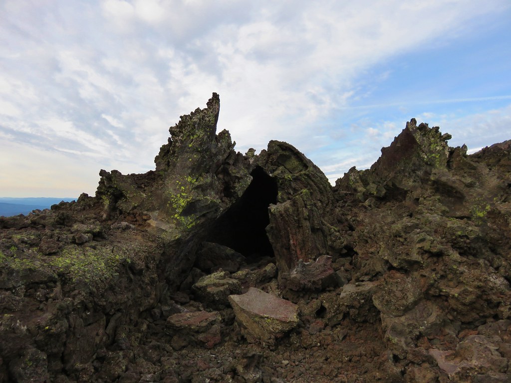
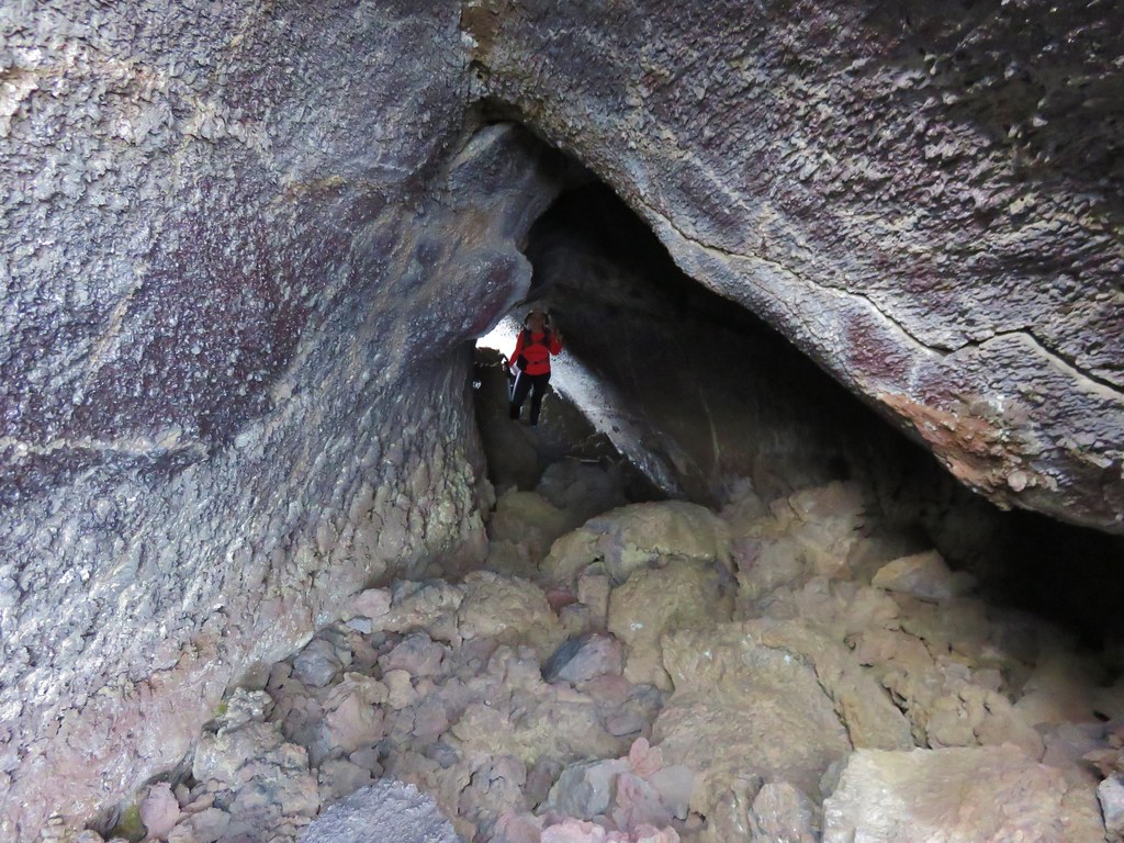
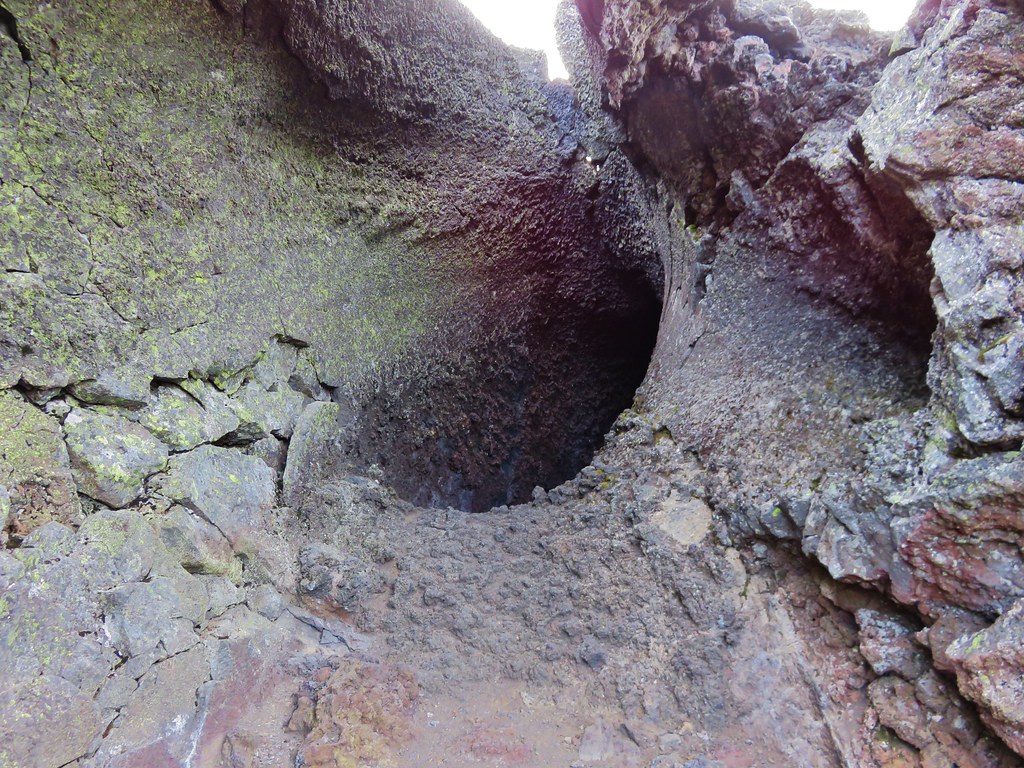
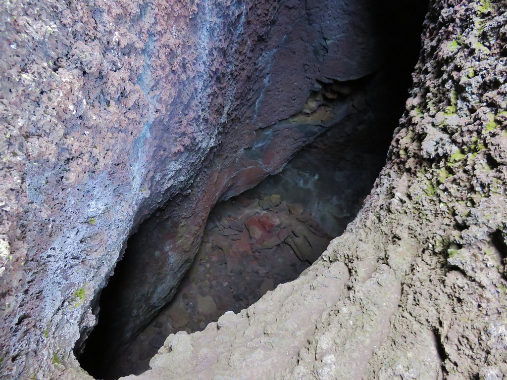
Along the way the trail passes three caves.
Lower cave
 //embedr.flickr.com/assets/client-code.js
Middle & Upper caves
 //embedr.flickr.com/assets/client-code.js
Middle cave
 //embedr.flickr.com/assets/client-code.js
 //embedr.flickr.com/assets/client-code.js
 //embedr.flickr.com/assets/client-code.js
Upper cave (beware it drops about 40′ right near the opening.
 //embedr.flickr.com/assets/client-code.js
 //embedr.flickr.com/assets/client-code.js
The final pitch to the summit is on a dark red cinder path.
 //embedr.flickr.com/assets/client-code.js
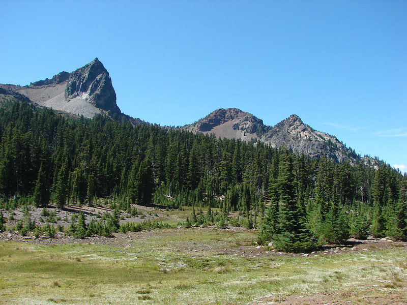
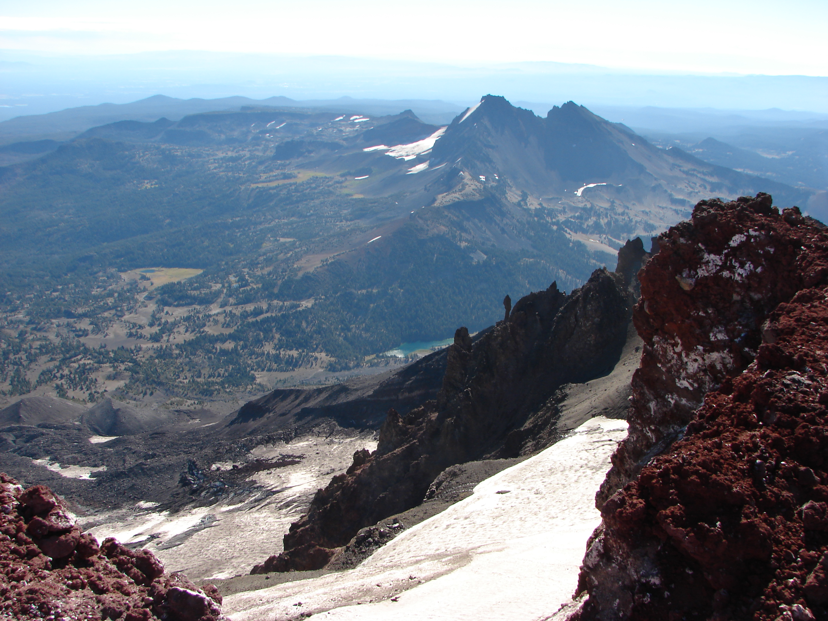
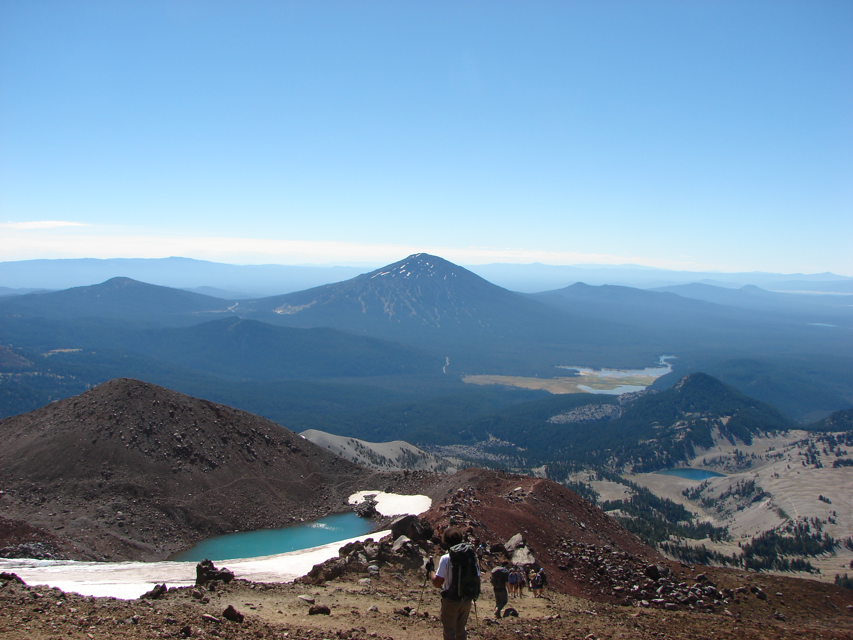
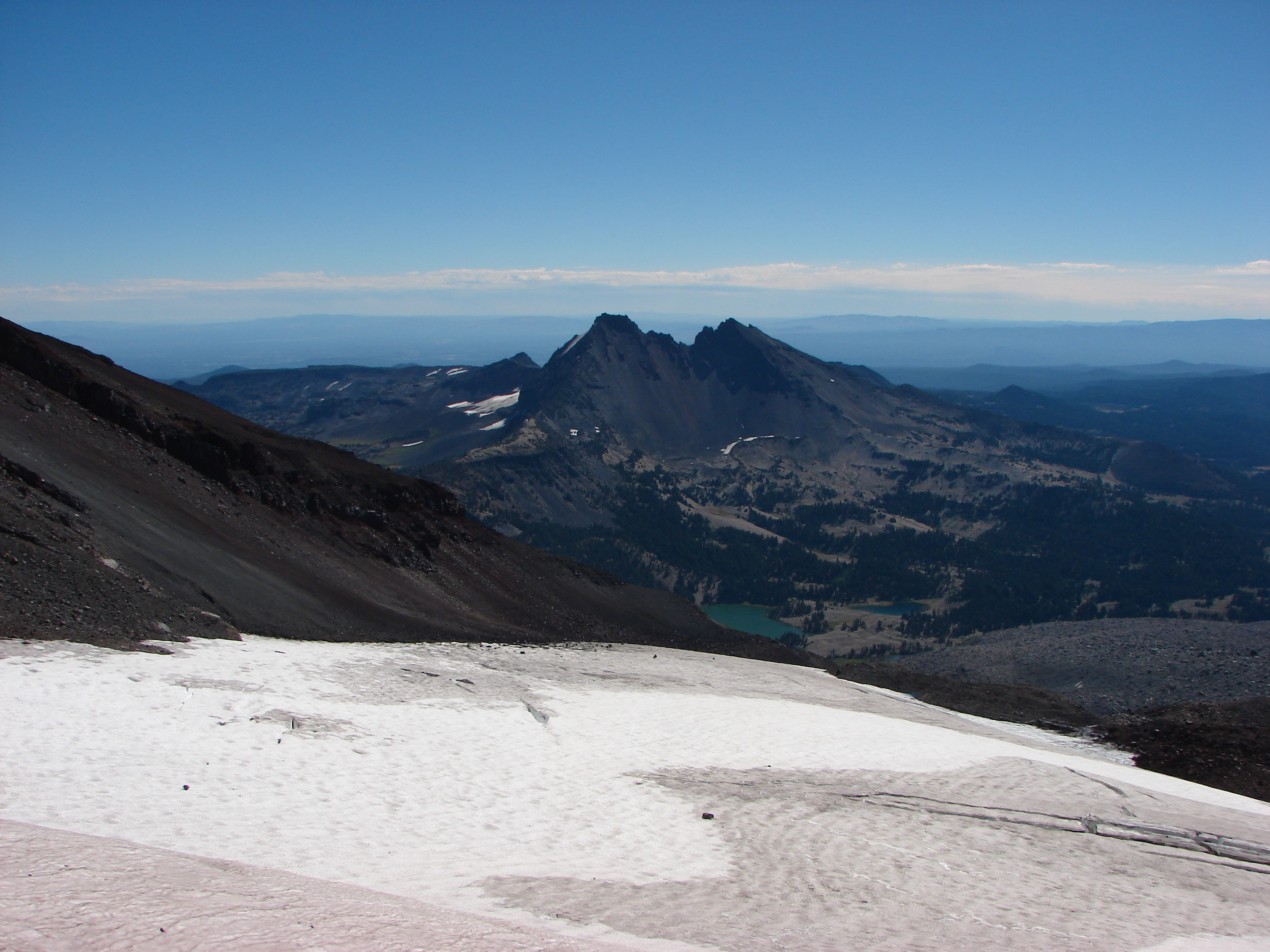
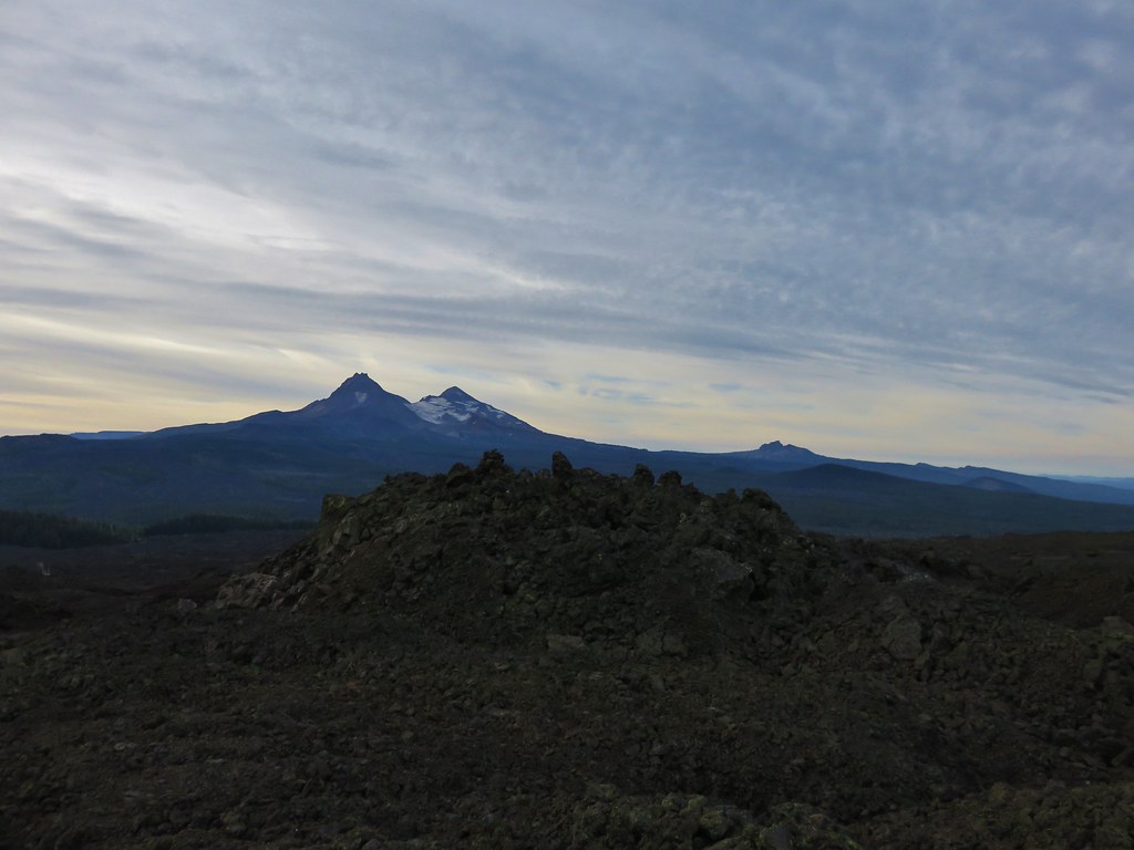
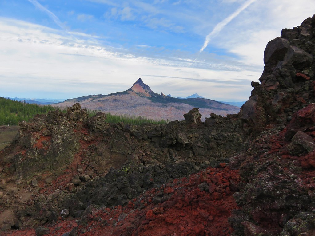
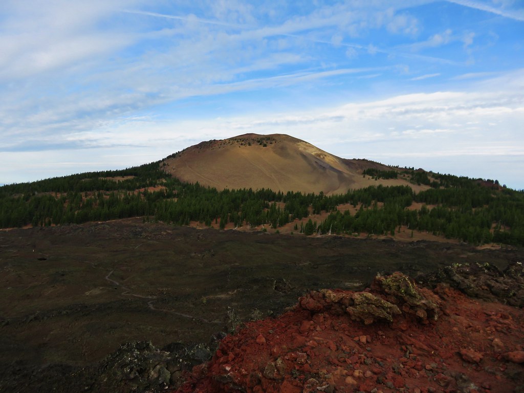
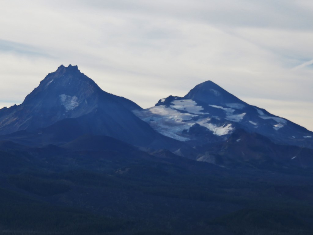
The 360 degree view includes several Cascade Mountains as well as some lower peaks.
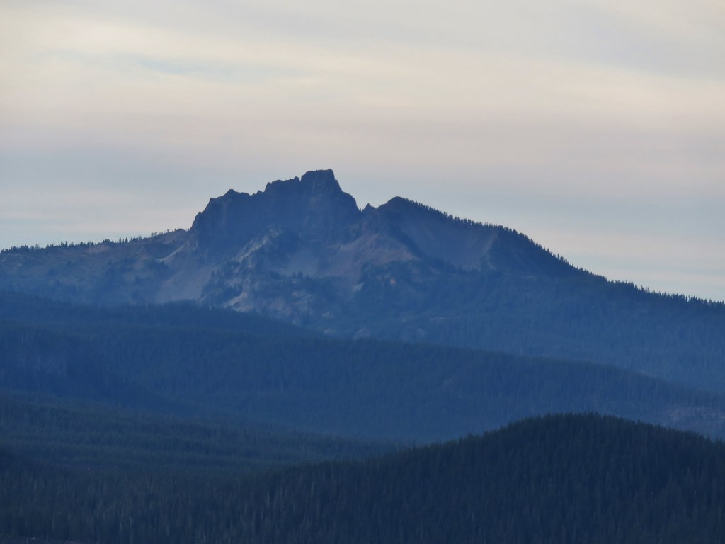
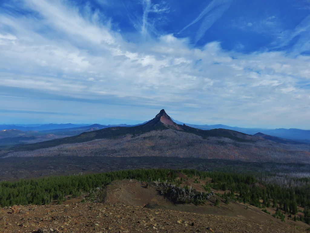
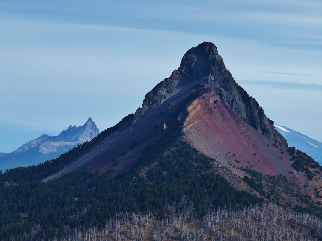
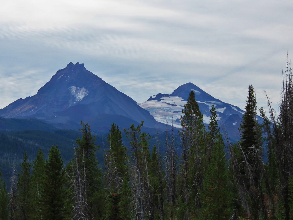
Mt. Washington, Three Fingered Jack, and Mt. Jefferson
 //embedr.flickr.com/assets/client-code.js
Belknap Crater
 //embedr.flickr.com/assets/client-code.js
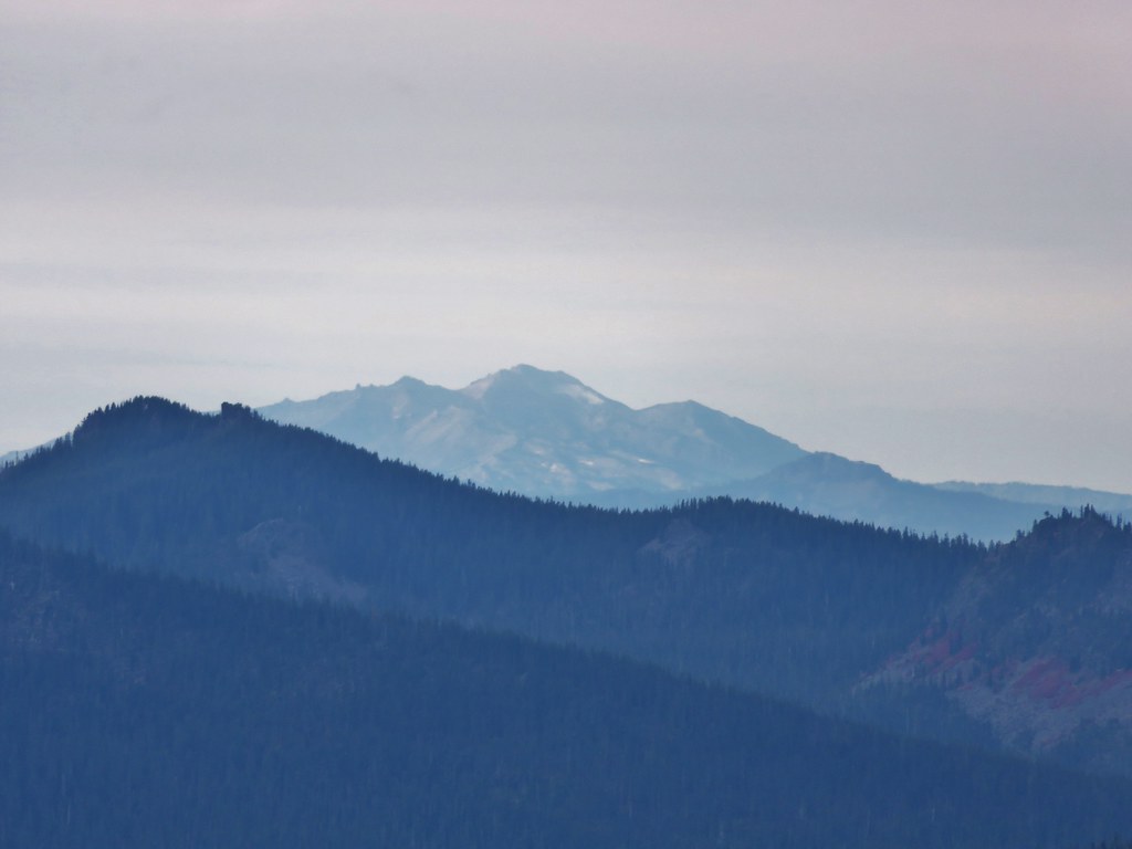
North and Middle Sister
 //embedr.flickr.com/assets/client-code.js
Broken Top
 //embedr.flickr.com/assets/client-code.js
Diamond Peak
 //embedr.flickr.com/assets/client-code.js
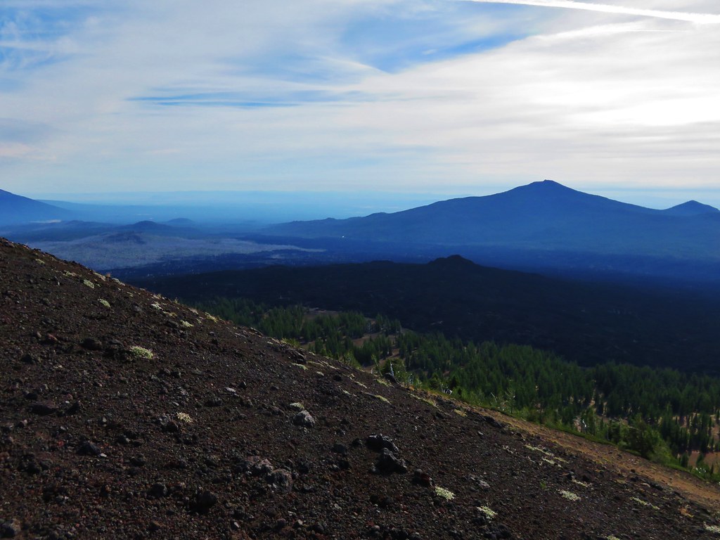
Black Butte & Black Crater
 //embedr.flickr.com/assets/client-code.js
The Husband
 //embedr.flickr.com/assets/client-code.js
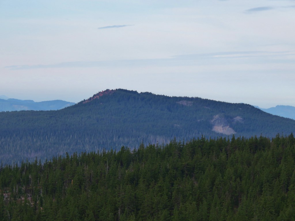
Scott Mountain
 //embedr.flickr.com/assets/client-code.js
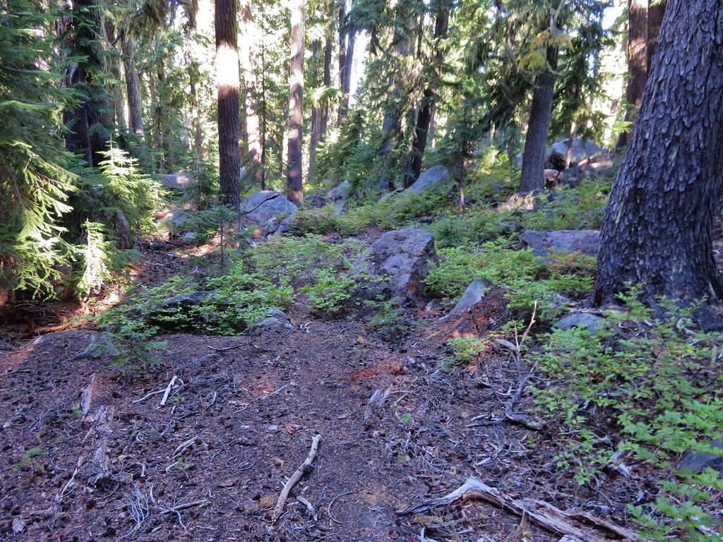
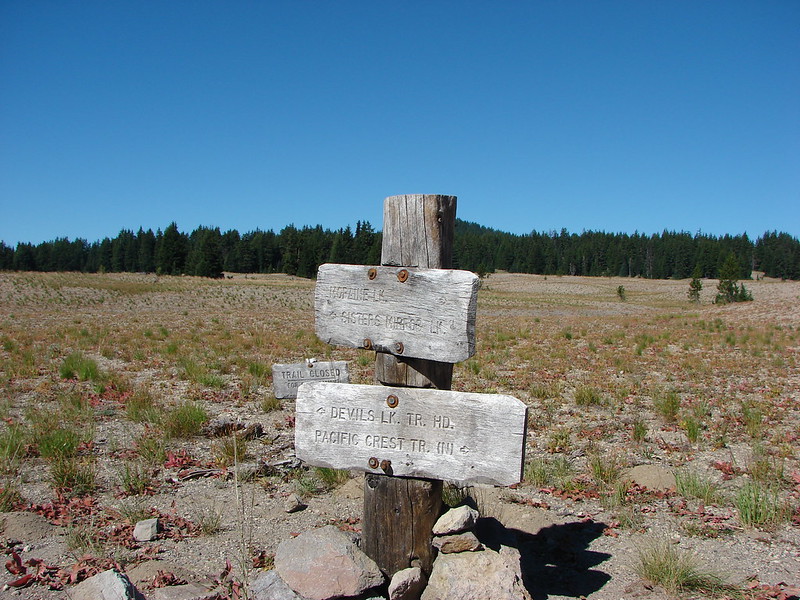
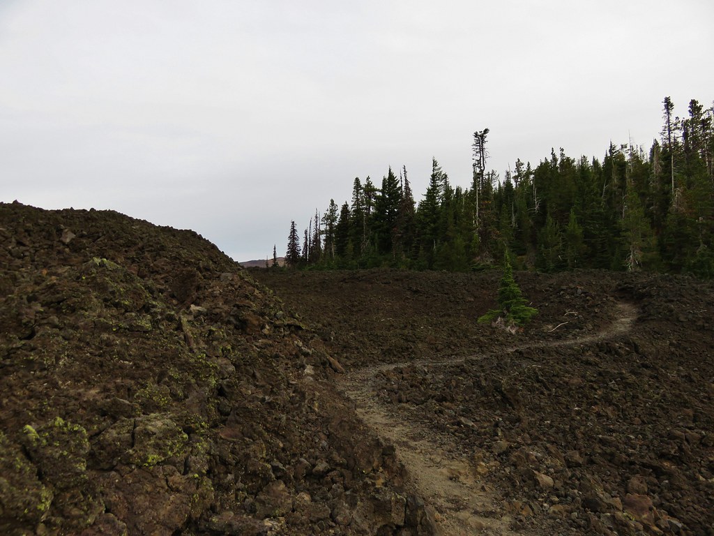
After visiting Little Belknap we continued on the PCT until it left the lava flow. Shortly thereafter the trail split at an unsigned junction.
 //embedr.flickr.com/assets/client-code.js
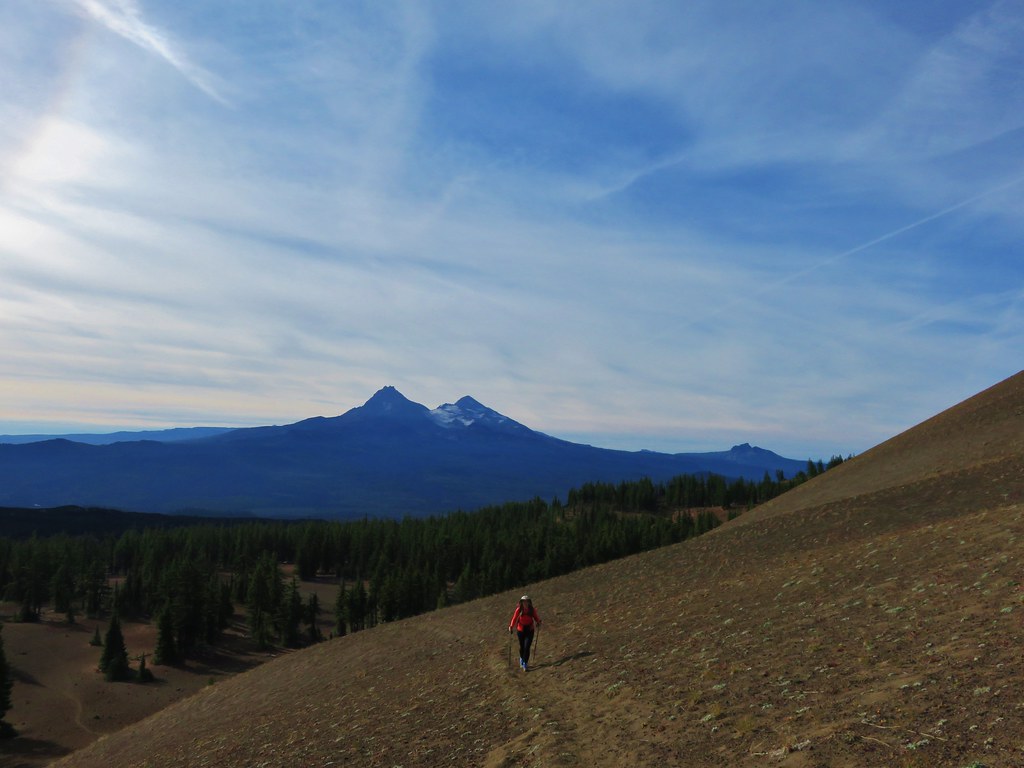
The PCT continued straight but we forked left on the unofficial trail toward Belknap Crater. The trail climbed gradually through a sparse forest to the base of the crater. The views here were great. The blue sky was dotted with white clouds high above the summit.
 //embedr.flickr.com/assets/client-code.js
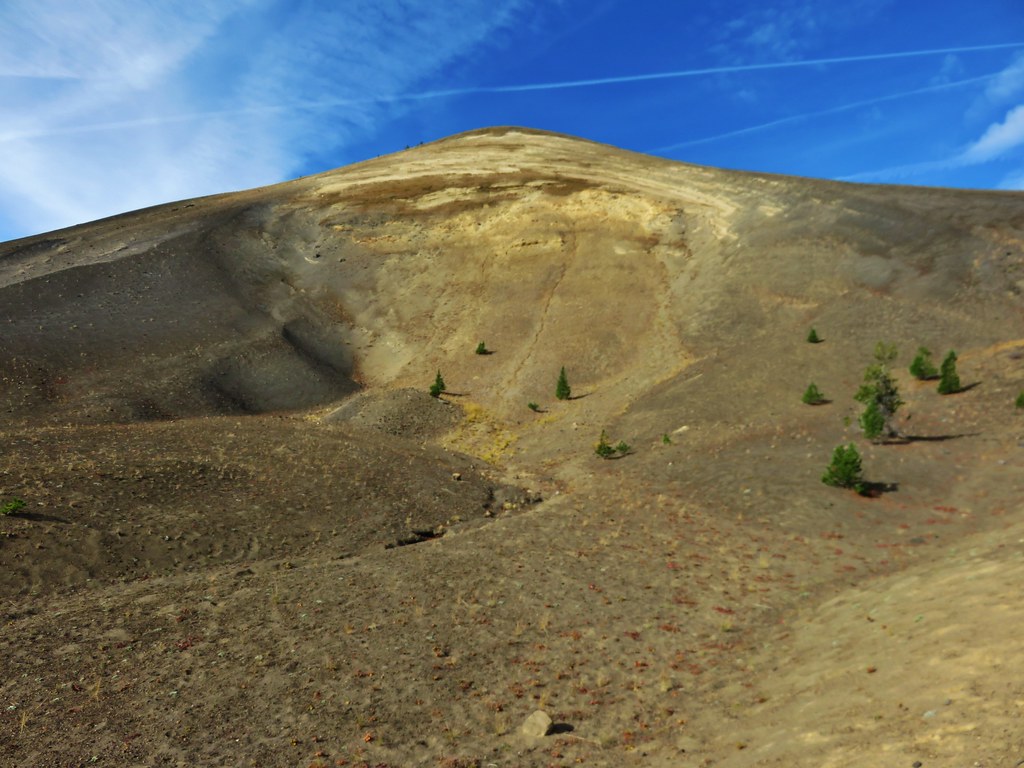
We were surprised by the various colors and different features on Belknap Crater now that we had gotten close.
 //embedr.flickr.com/assets/client-code.js
The trail skirted up around the north side of the crater before launching more steeply up toward the summit.
 //embedr.flickr.com/assets/client-code.js
 //embedr.flickr.com/assets/client-code.js
 //embedr.flickr.com/assets/client-code.js
The views were excellent from the long summit ridge, especially of Mt. Washington.
 //embedr.flickr.com/assets/client-code.js
 //embedr.flickr.com/assets/client-code.js
 //embedr.flickr.com/assets/client-code.js
 //embedr.flickr.com/assets/client-code.js
 //embedr.flickr.com/assets/client-code.js
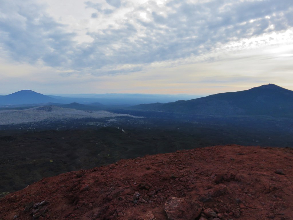
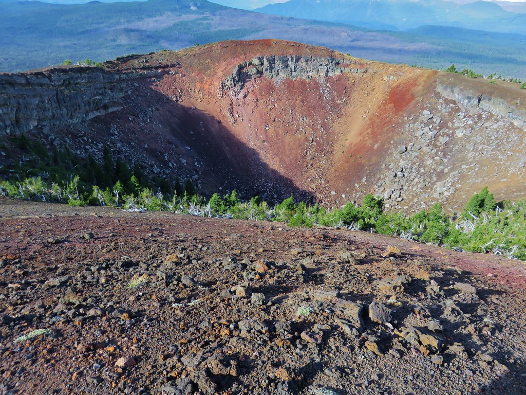
There was a large crater on the SE side of the summit which consisted of various colored rocks.
 //embedr.flickr.com/assets/client-code.js
After checking out the summit and crater we began descending down the west side of Belknap Crater toward a smaller crater on the NW flank.
 //embedr.flickr.com/assets/client-code.js
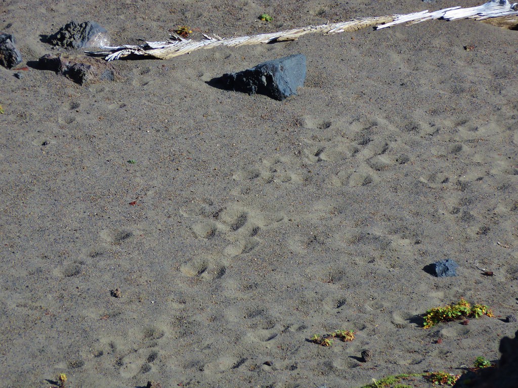
This crater wasn’t as colorful as it was made up of darker lava rocks. At the bottom we could see lots of tracks in the sand.
 //embedr.flickr.com/assets/client-code.js
 //embedr.flickr.com/assets/client-code.js
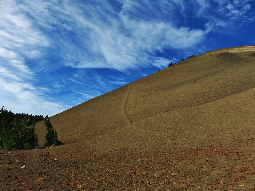
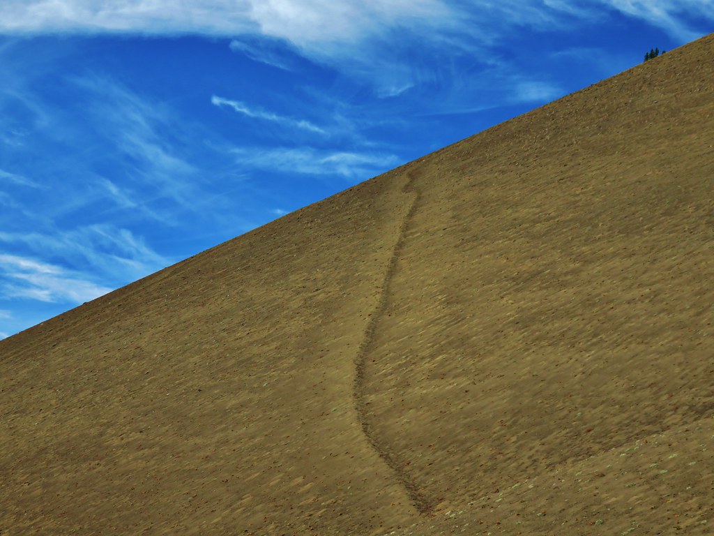
There was an interesting line going up along the east side of Belknap Crater. We couldn’t tell if it was a game trail or just some odd feature but it didn’t appear to be a trail used by people.
 //embedr.flickr.com/assets/client-code.js
 //embedr.flickr.com/assets/client-code.js
We took a final break on a downed tree near the PCT junction with a great view of Belknap Crater.
 //embedr.flickr.com/assets/client-code.js
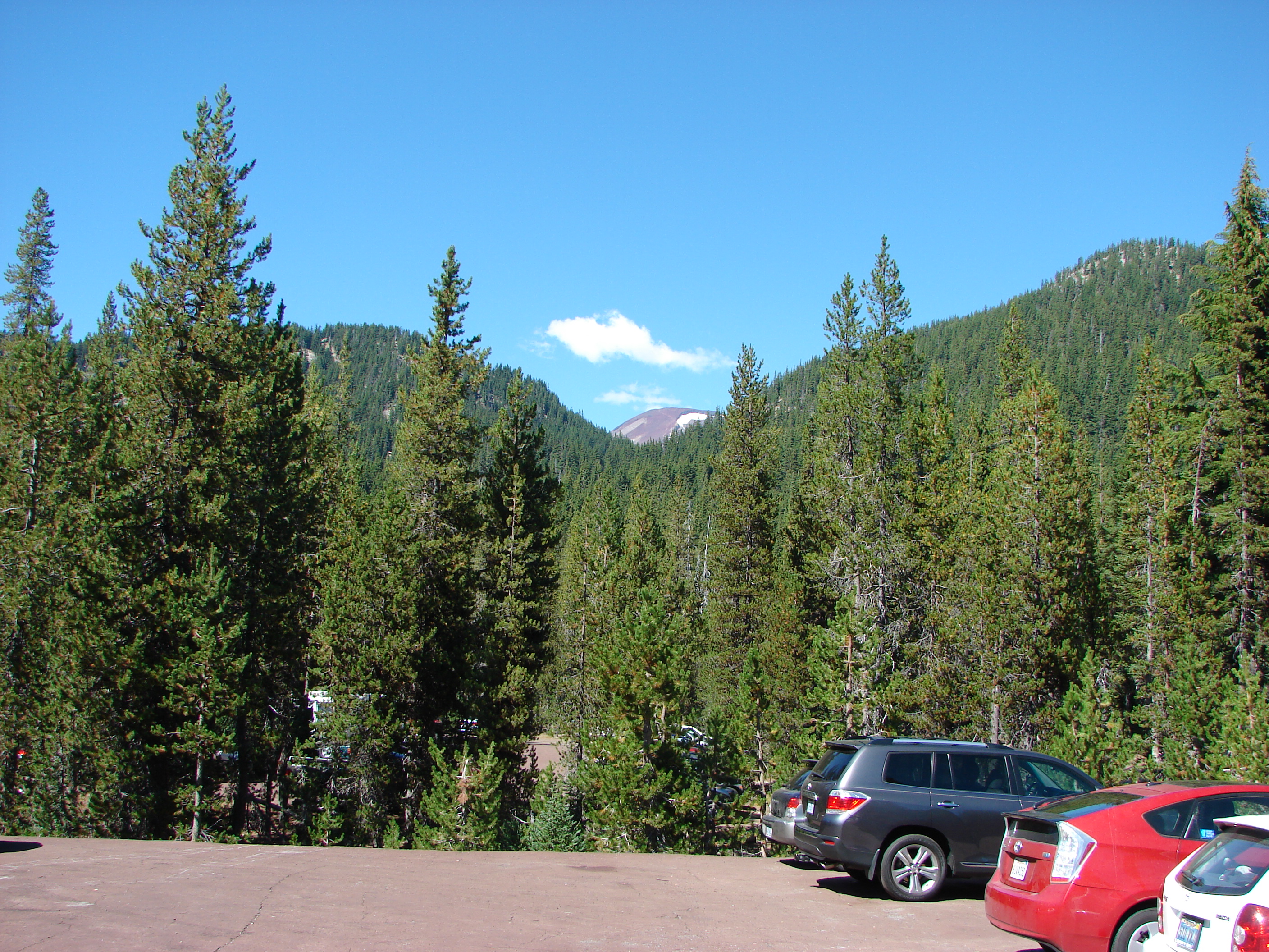
The sky was becoming increasingly cloudy as we headed back to the car. It was a sign of things to come. On this day though the weather had been nearly perfect, and we were looking forward to the rest of the weeks hikes.
 //embedr.flickr.com/assets/client-code.js
 //embedr.flickr.com/assets/client-code.js
Happy Trails!
Flickr: https://www.flickr.com/photos/9319235@N02/albums/72157658844385675