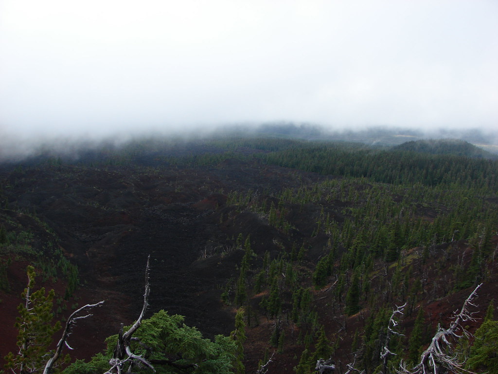
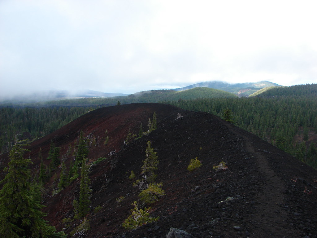
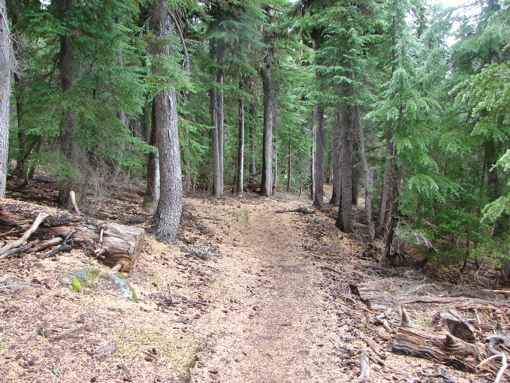
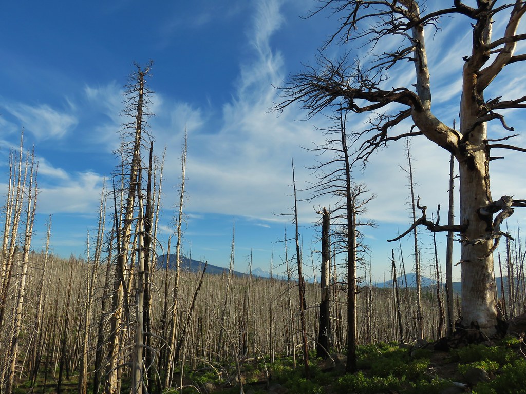
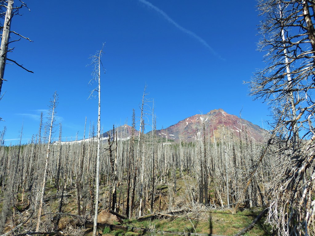
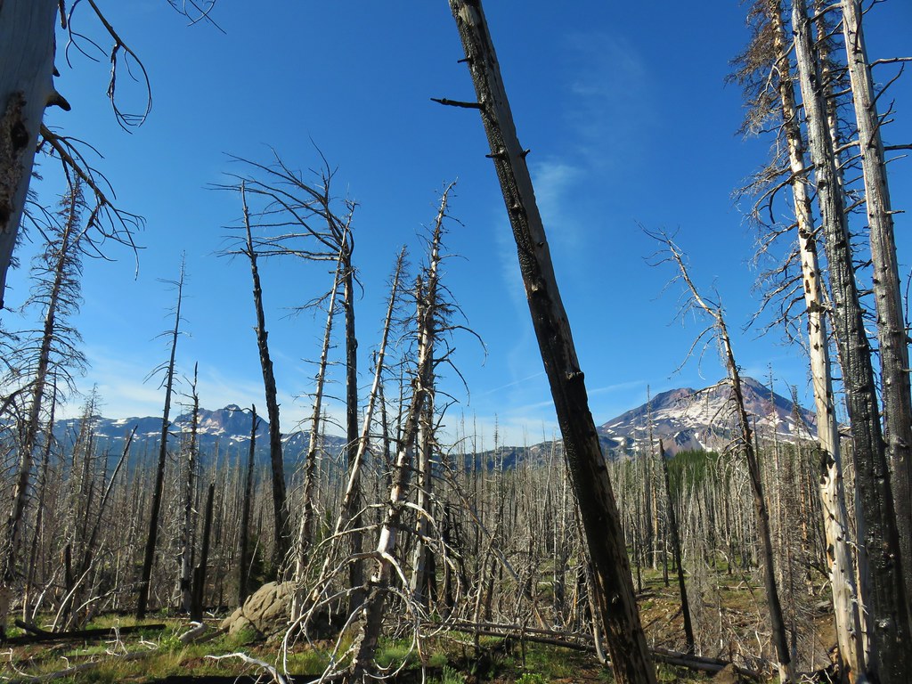
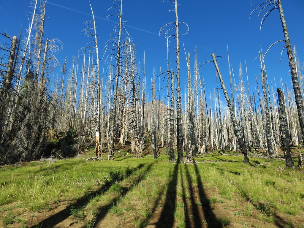
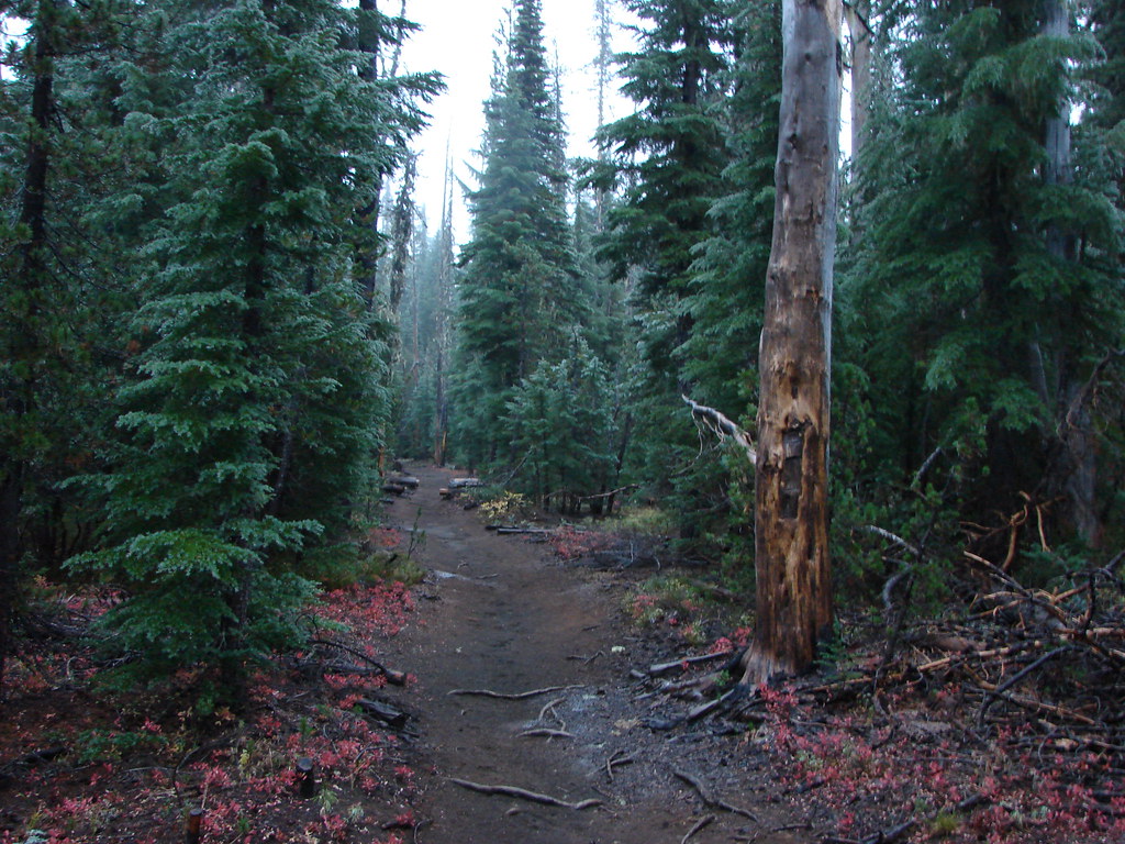
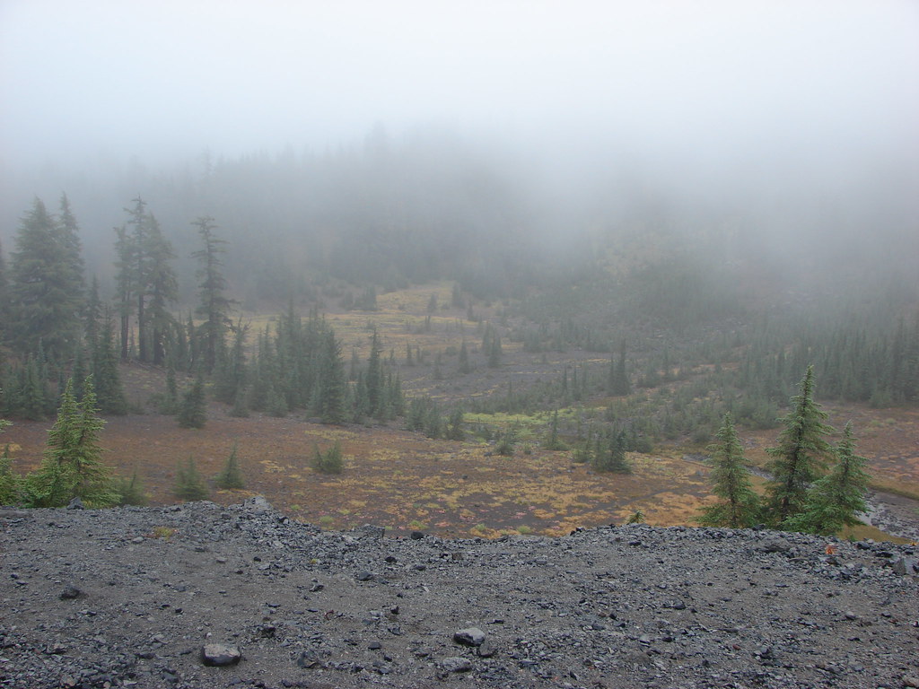
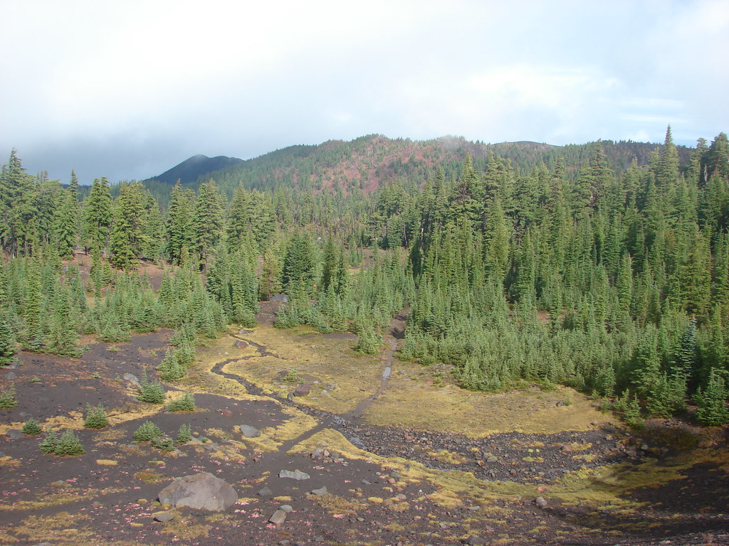
For the second hike of our vacation we chose the off-trail scramble to Thayer Glacial Lake. The hike is described in the second edition of Scott Cook’s “Bend, Overall” guidebook. The book is older (ours is updated for 2012) and predates the Pole Creek Fire which happened to take place in 2012. The main change on the hike is that there is a lot of travel through the fire scar so there aren’t a lot of green trees, but there are more views of the mountains.
We had had this hike on our to do list and a recent trip report in a Facebook group prompted us to move it up and do it sooner rather than later. We drove over Santiam Pass to Sisters and took Highway 242 for 1.3 miles to Forest Service Road 15 (Pole Creek Road) where we turned left. We followed FR 15 for 11 bumpy miles to the Pole Creek Trailhead.

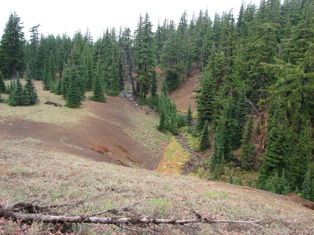
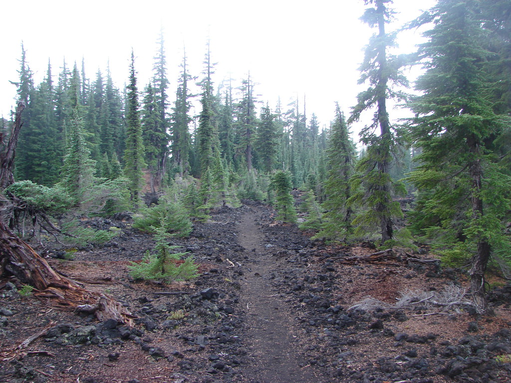
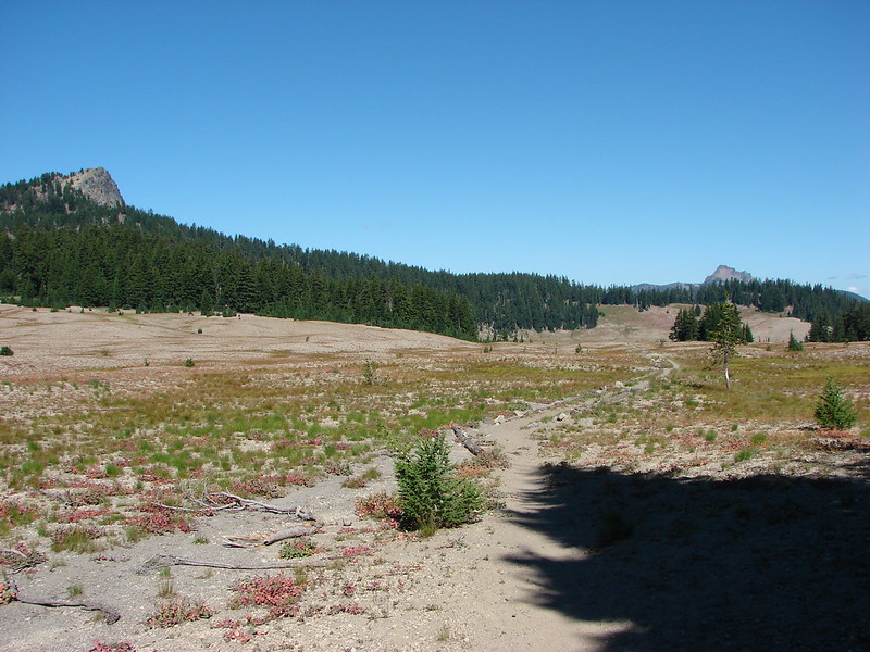
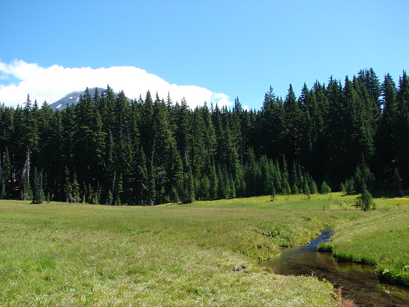
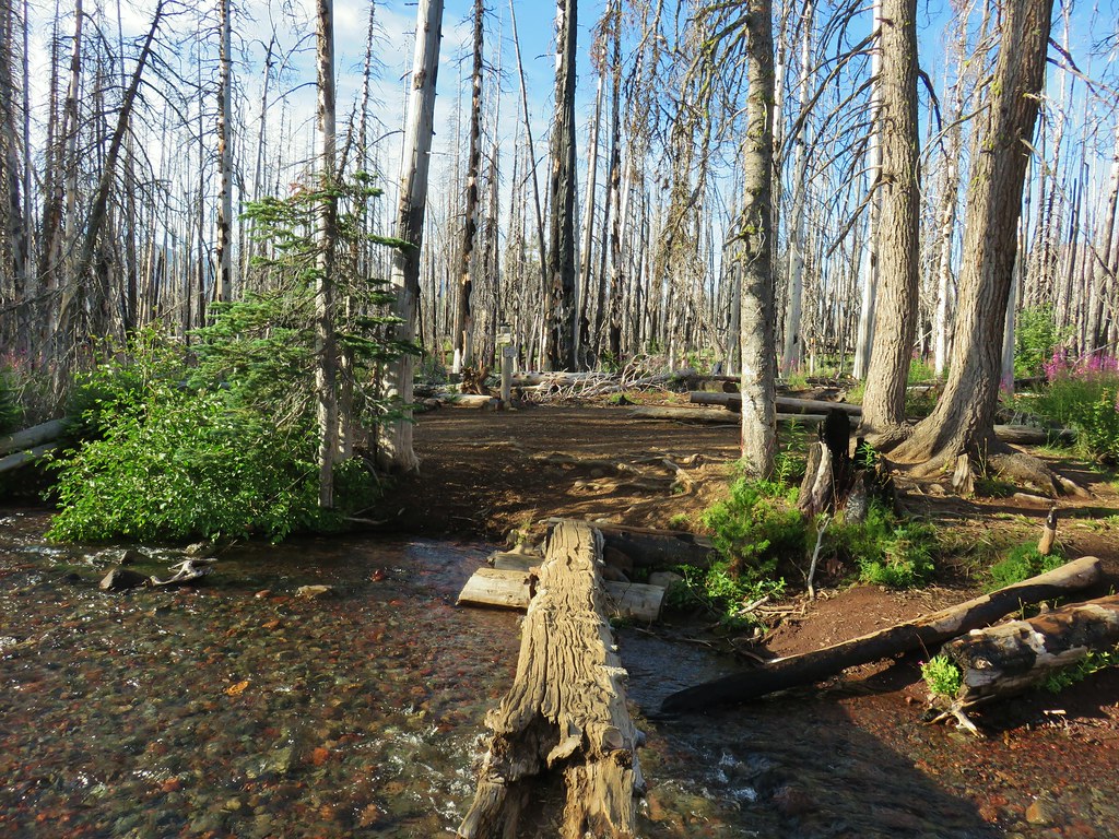
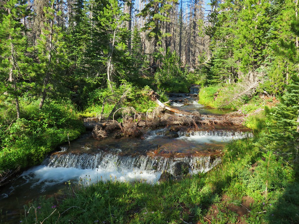
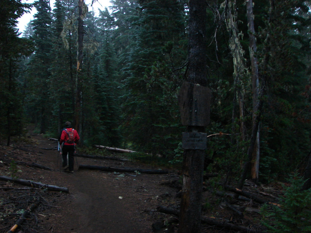
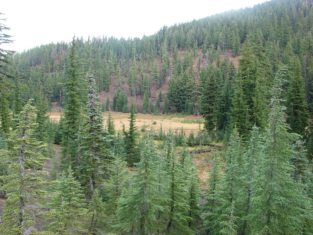
We followed the Pole Creek Trail uphill through the burned forest for 1.5 miles to a junction with the Green Lakes Trail crossing the dry bed of Pole Creek not far from the trailhead.
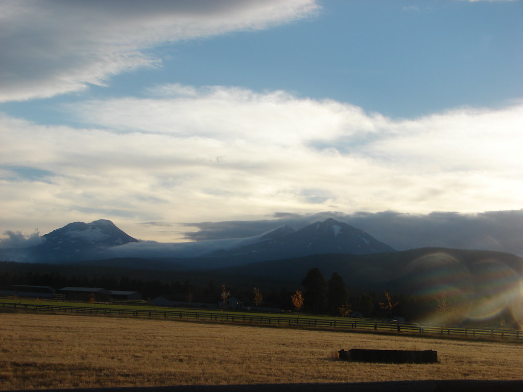
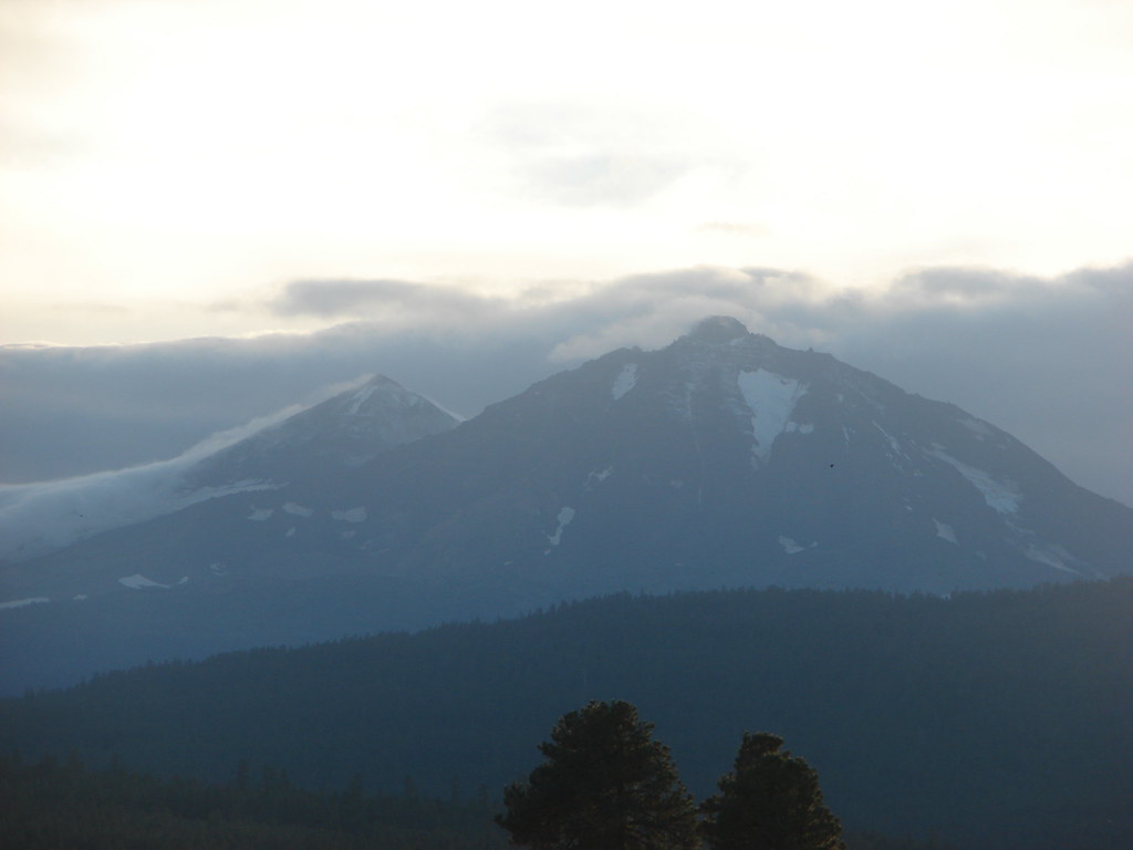
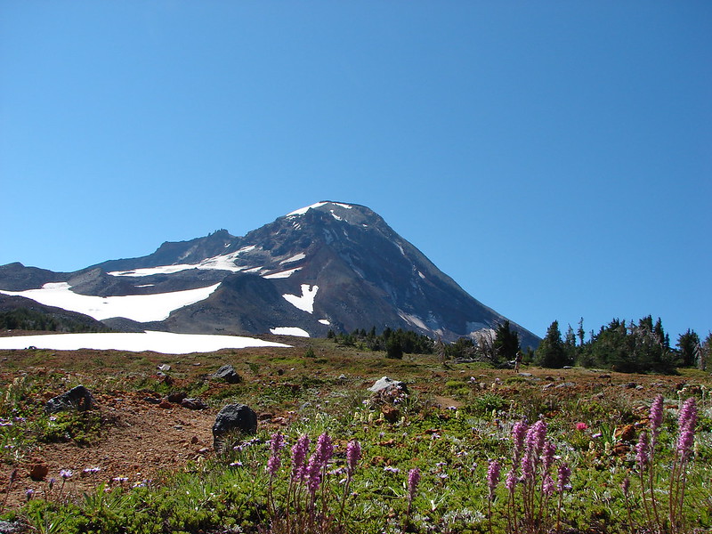
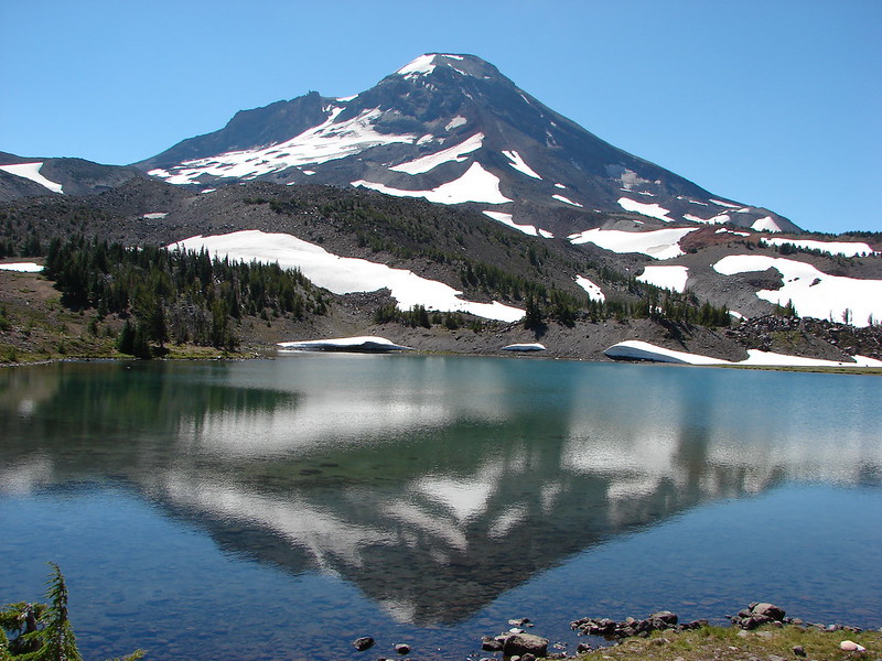
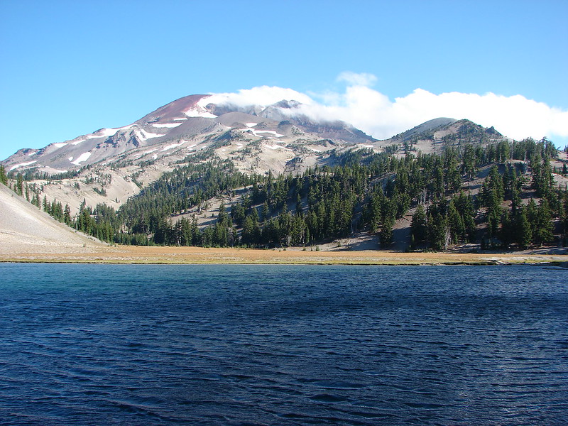
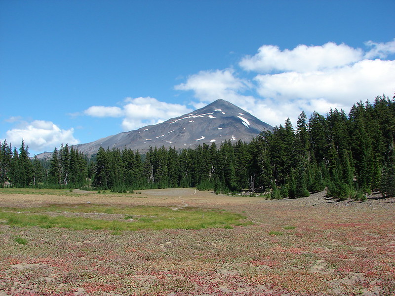
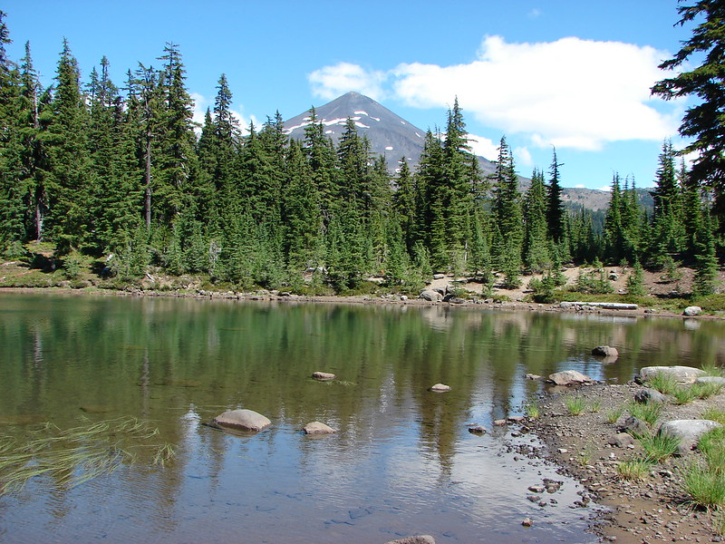
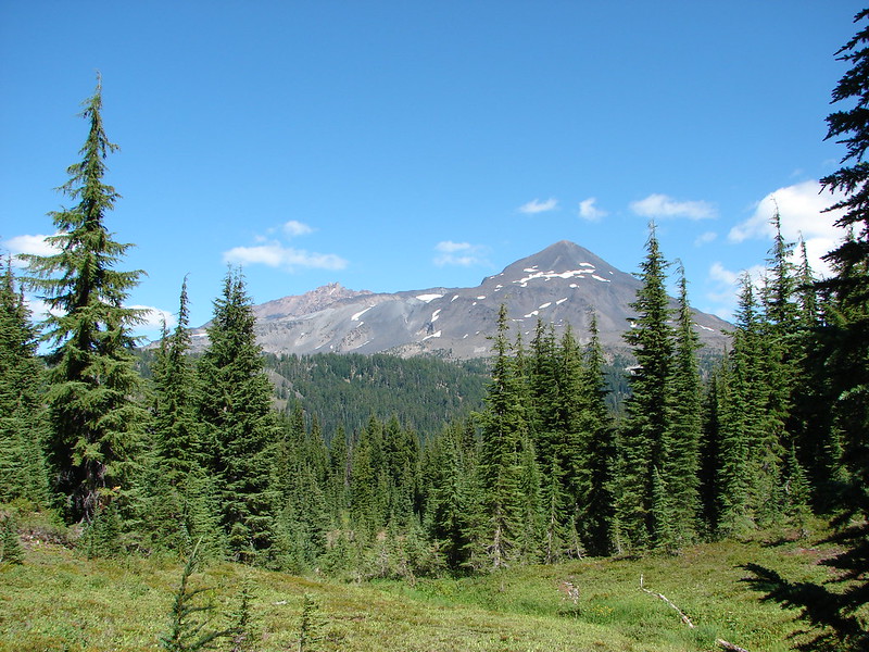
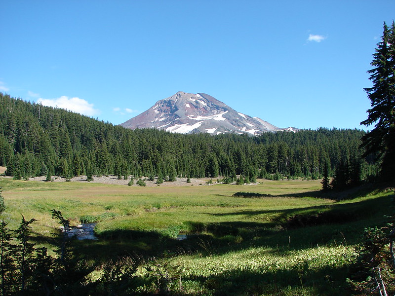
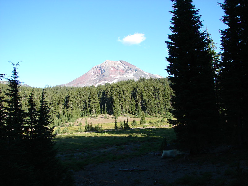
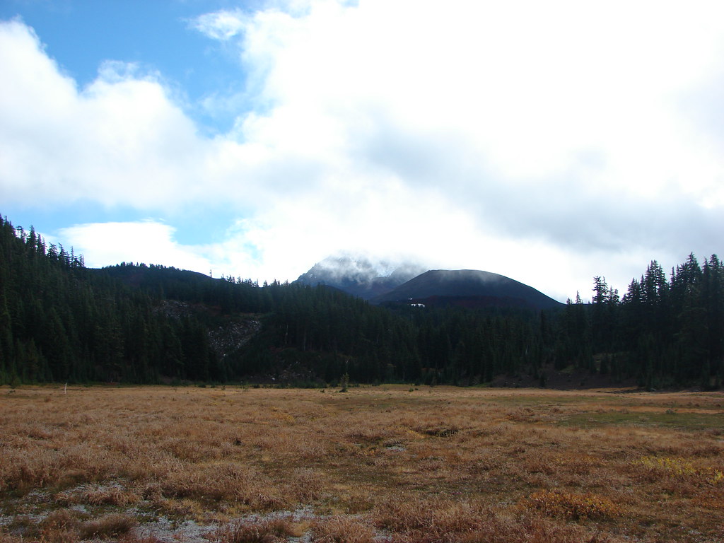
 Middle and North Sister
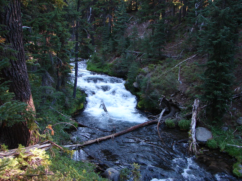
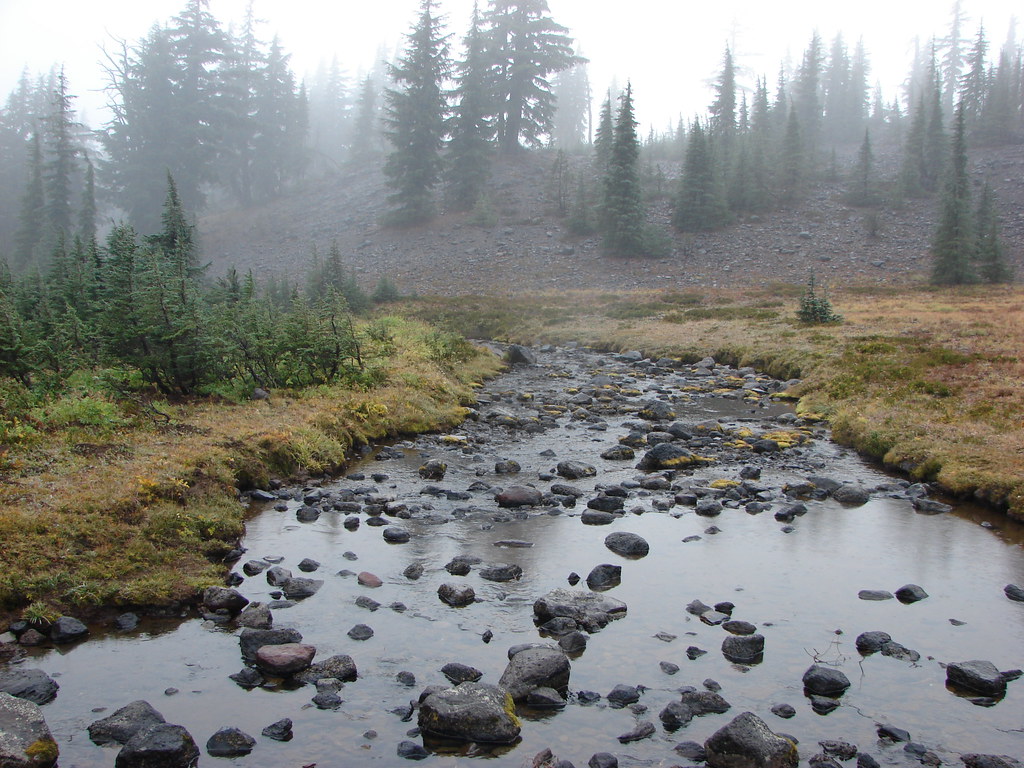
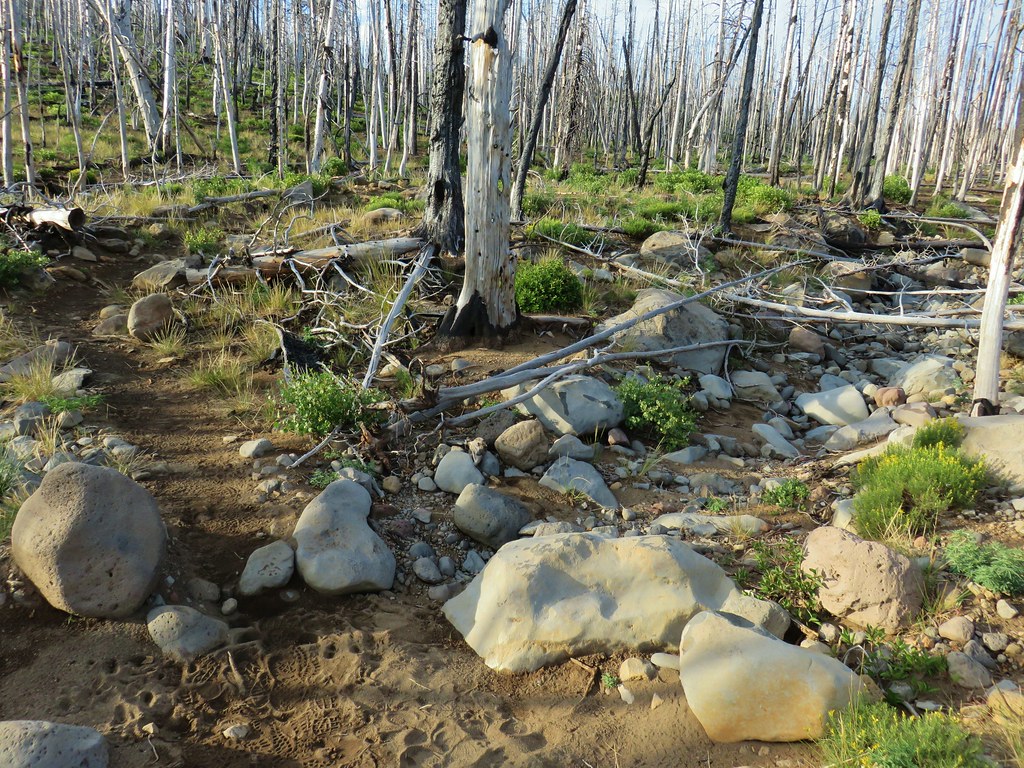 Dry bed of Pole Creek.
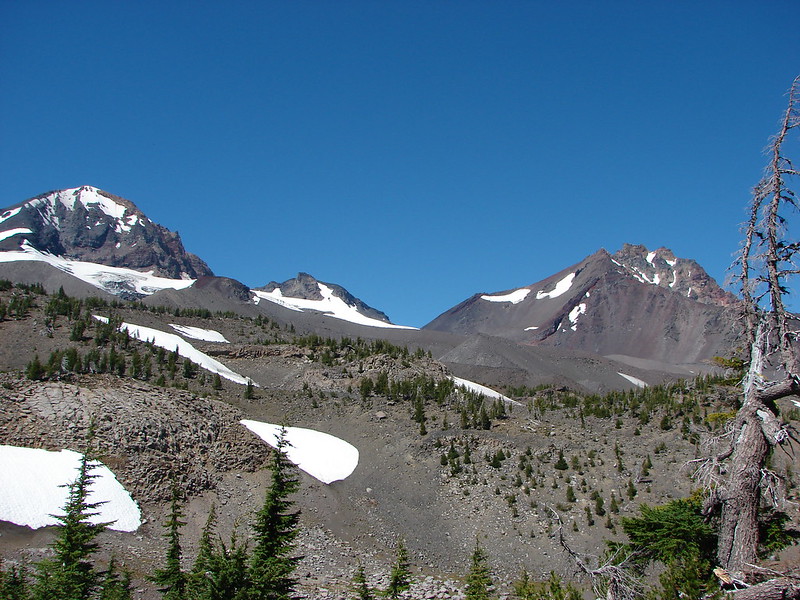
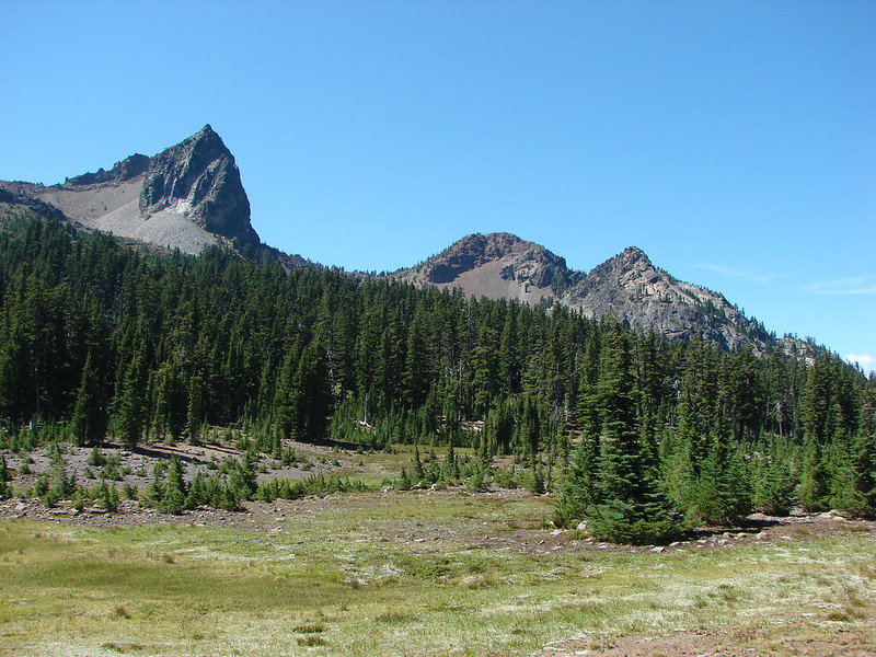
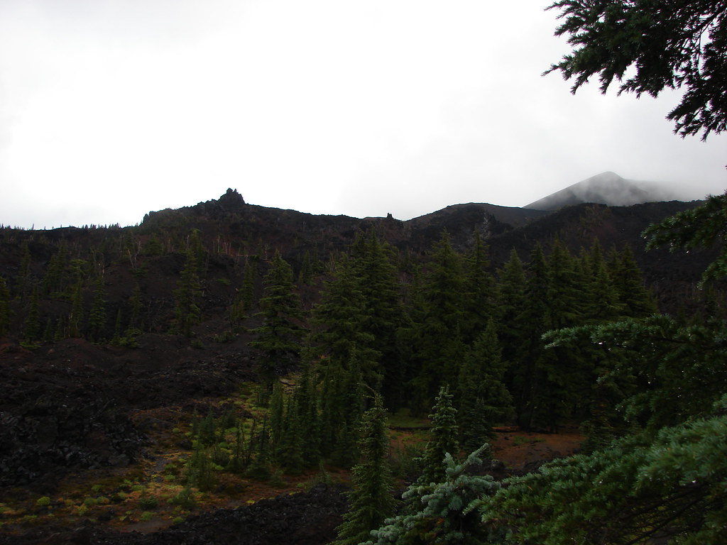
 Black Crater, Mt. Jefferson, and Black Butte to the north.
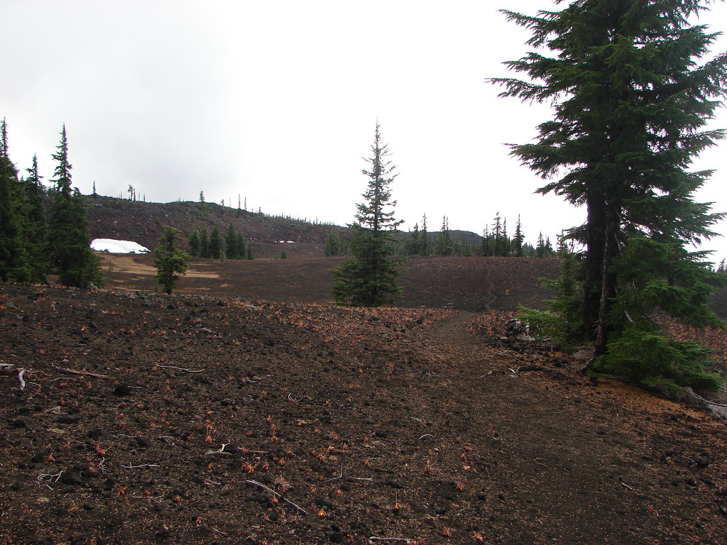
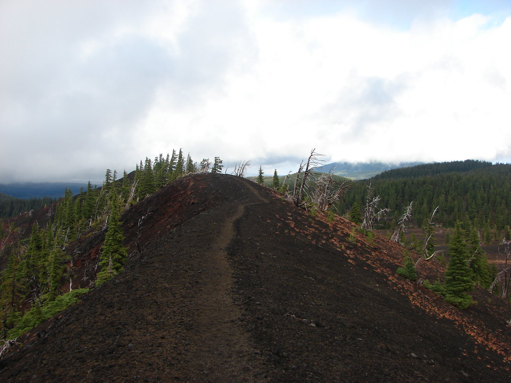
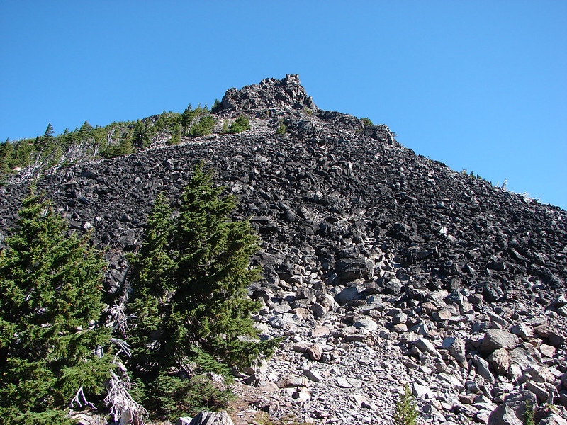
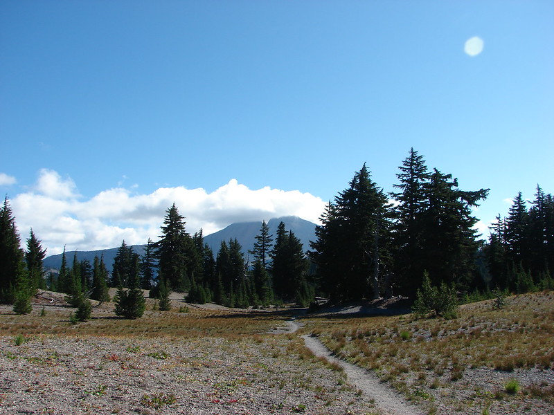
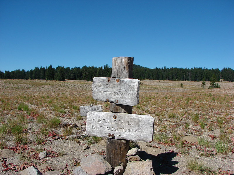
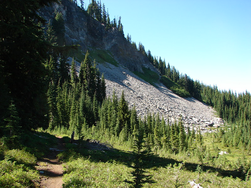
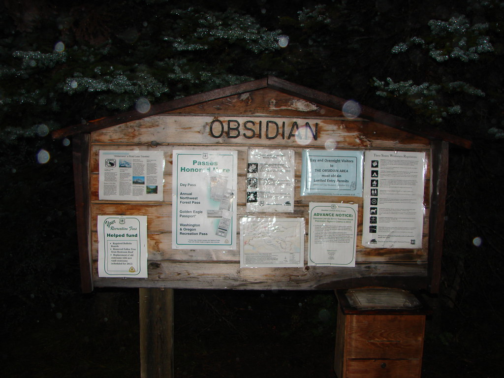
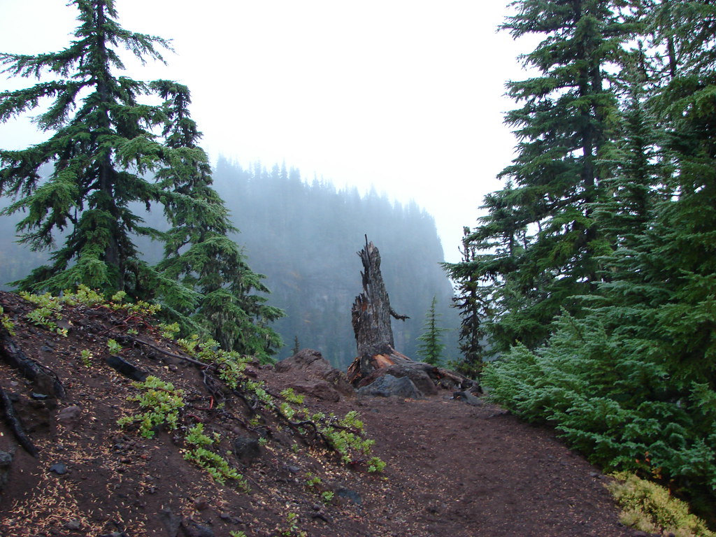
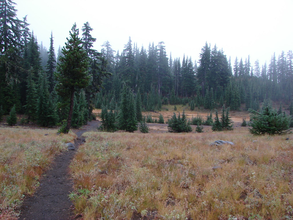
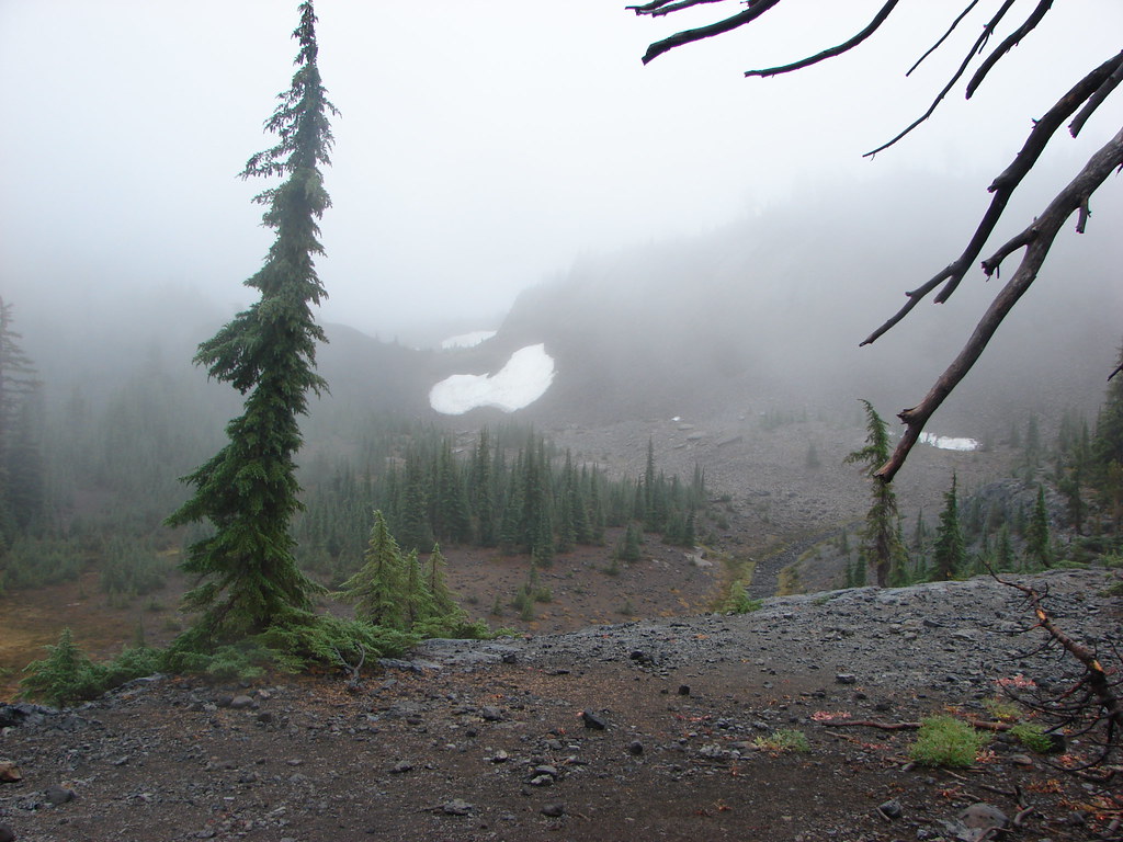
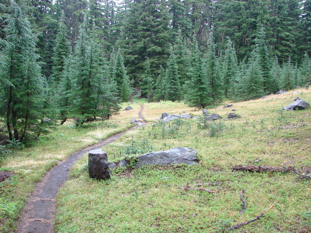
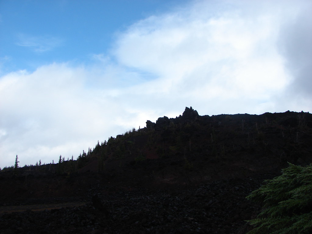
 Entering the Three Sisters Wilderness.
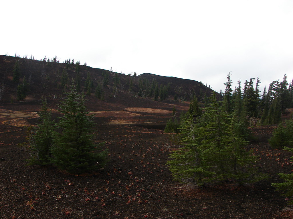
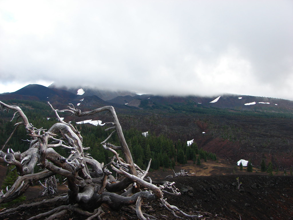
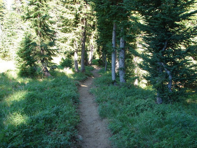
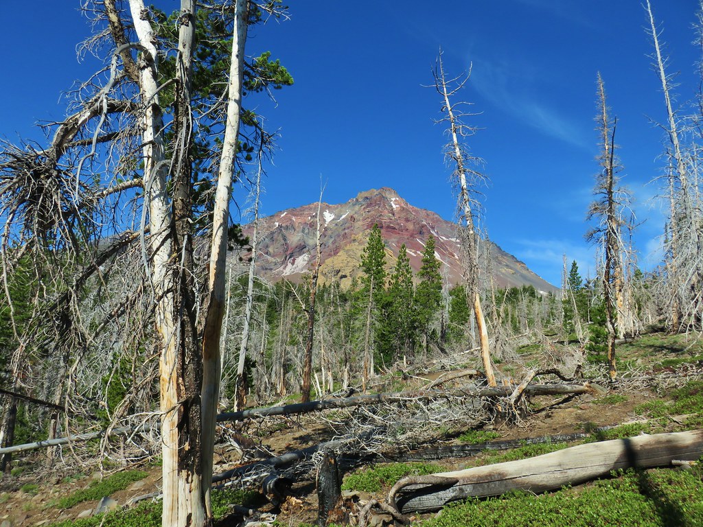
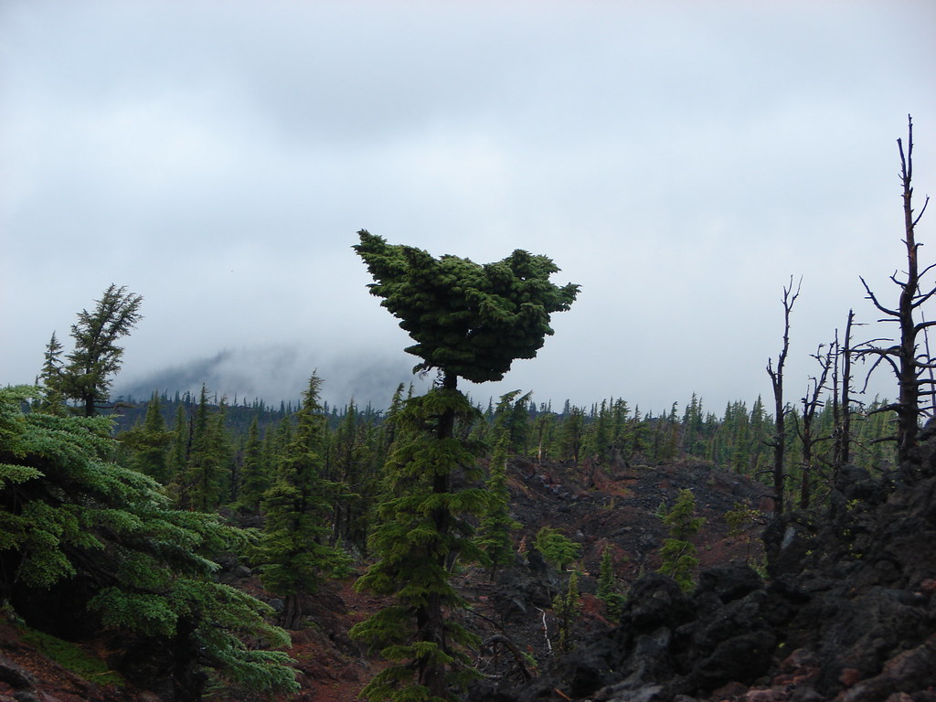
 A few survivors amid the snags.
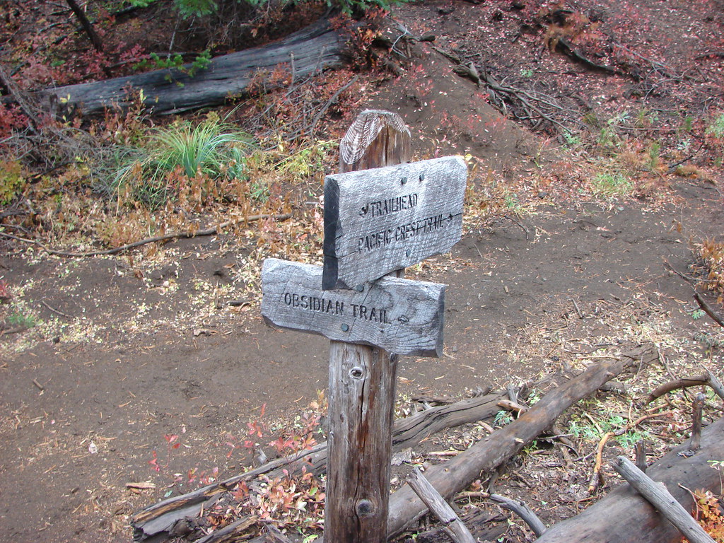
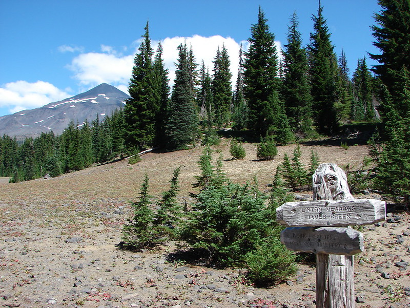
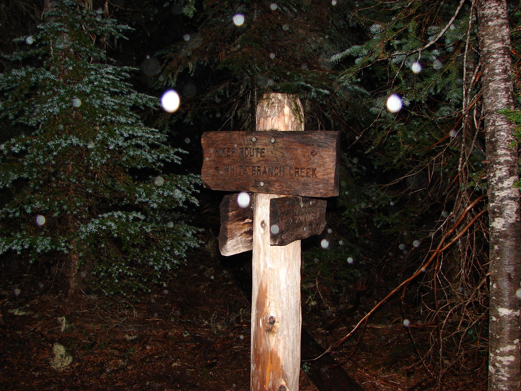
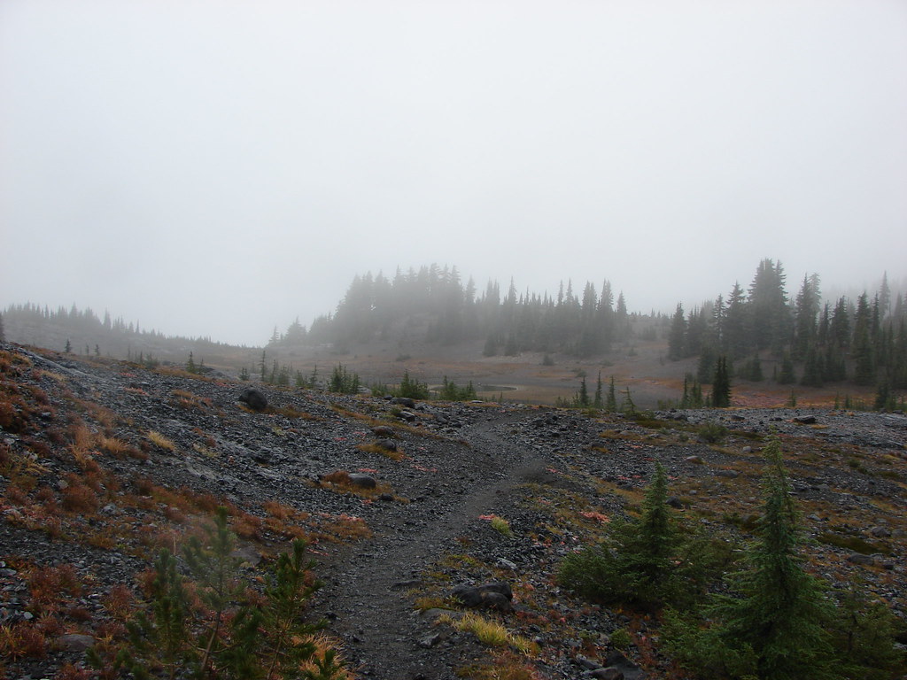
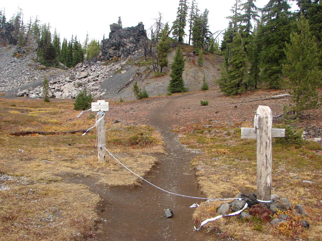
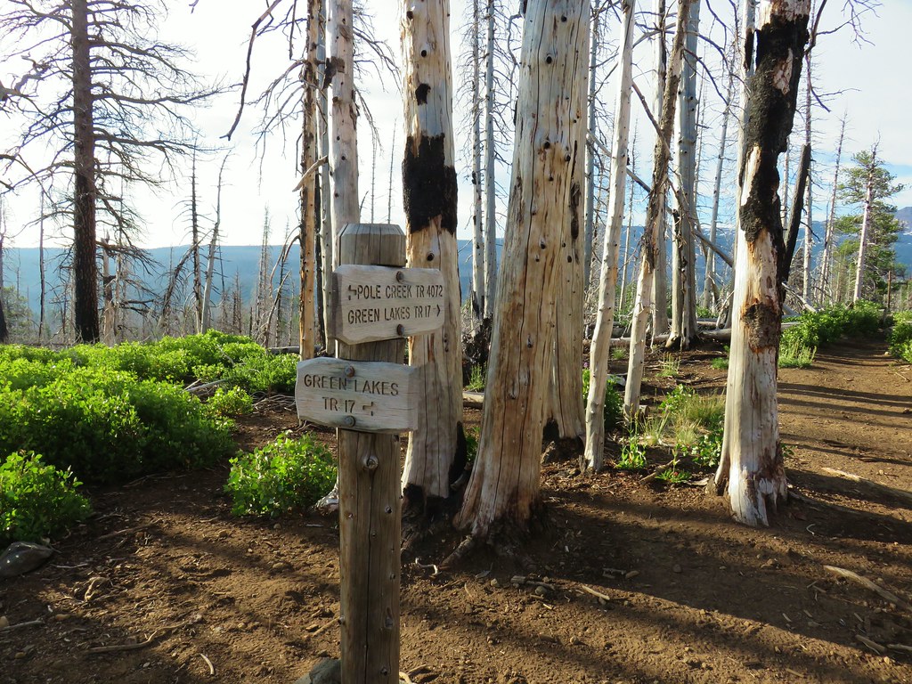 Green Lakes Trail junction.
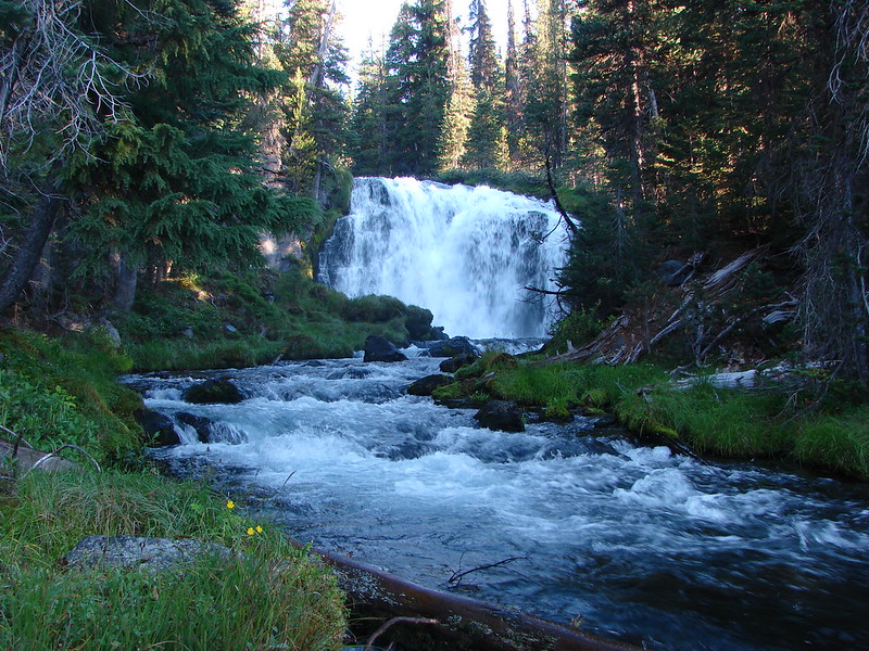
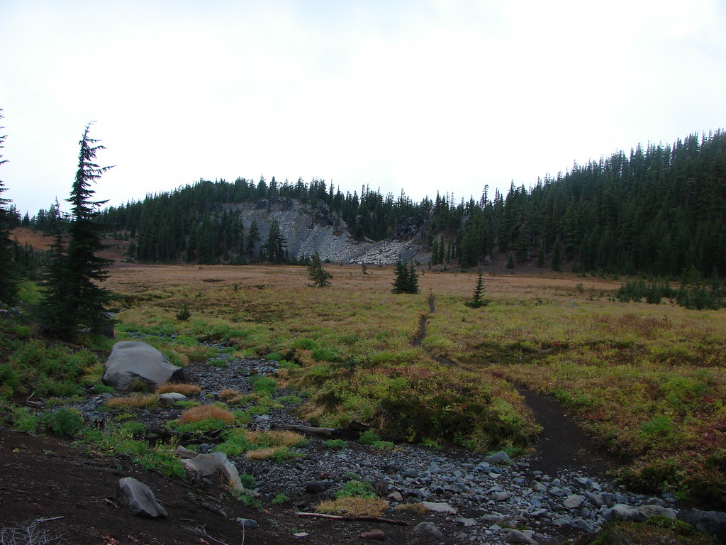
We stayed straight at the junction continuing on what was now the Green Lakes Trail. This trail descended a little before arriving at Soap Creek three quarters of a mile from the junction.

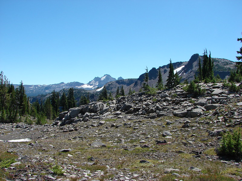
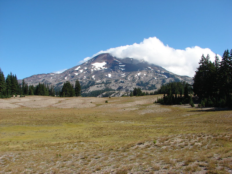
 Broken Top and the South Sister
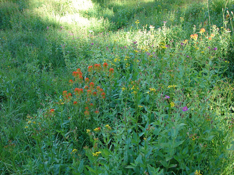
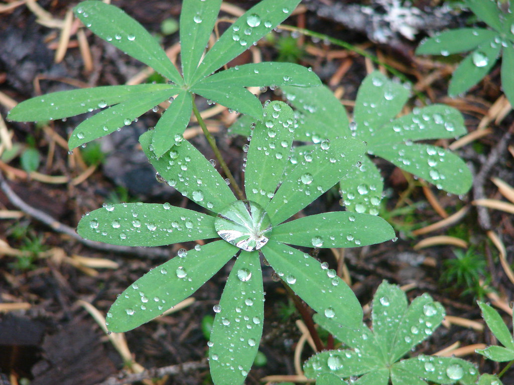
 Monkeyflower along Soap Creek
On the far side of the creek was a familiar junction, the Camp Lake and Green Lakes Trail junction where we had been on our 2014 loop around the South Sister (post).
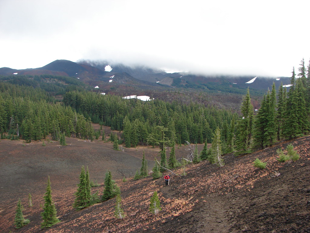
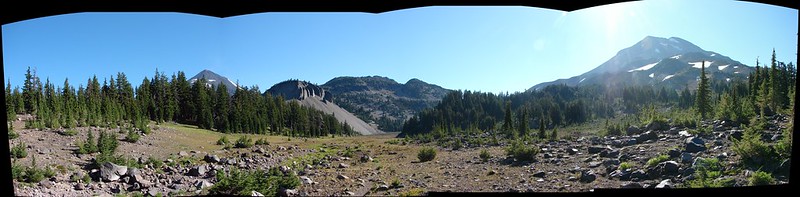
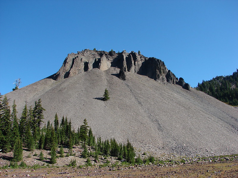
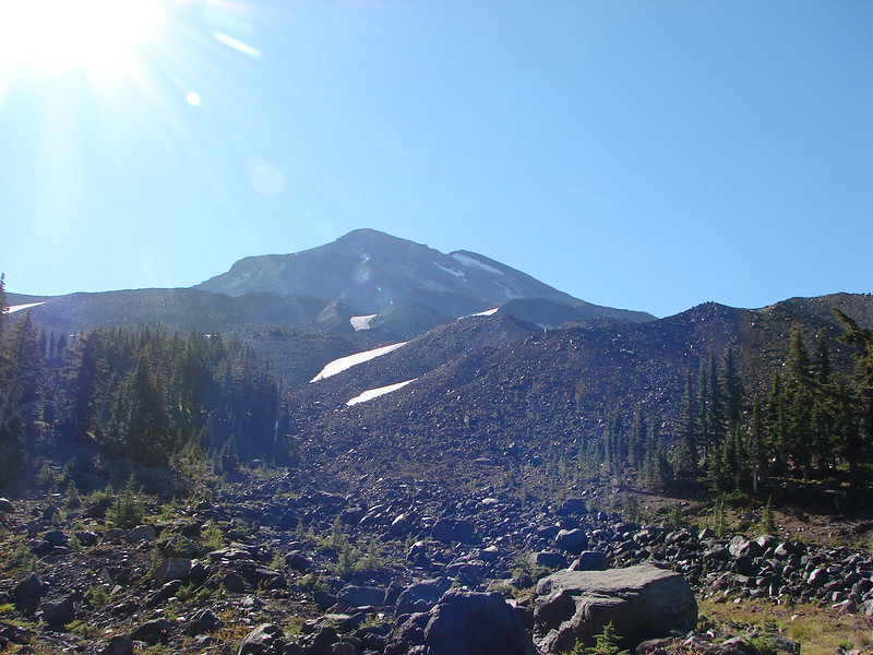
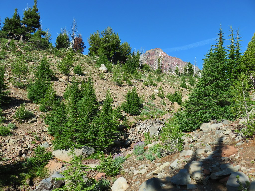
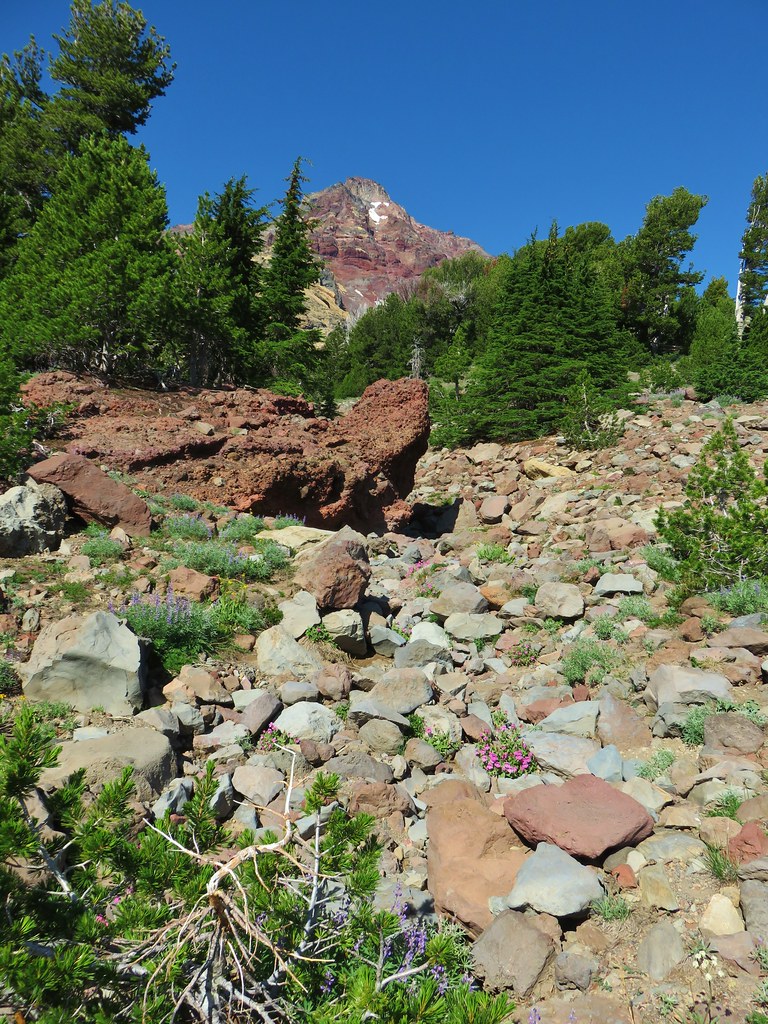
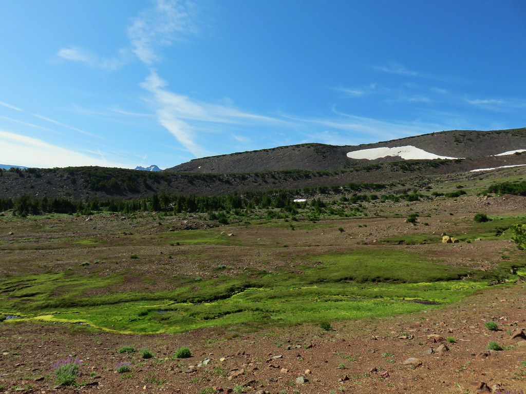
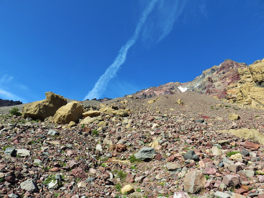
Instead of crossing the creek we left the trail here and headed west. This portion of the hike requires off-trail navigational and route finding skills. There was, at times, what appeared to be a user trail but it was faint and prone to disappearing only to reappear in an unexpected place. In general we followed the directions in the guidebook although our routes there and back were quite different (at least for a 1 mile stretch). The instructions were to follow the climbers trail for 2ish miles then head cross country toward a yellow bulge on North Sister. The lack of green trees allowed for a lot more views of North Sister which assisted in keeping us oriented. We used our topographic maps to help us stick to what appeared to be the gentlest terrain and eventually found ourselves looking at the daunting moraine to the left of the yellow bulge.
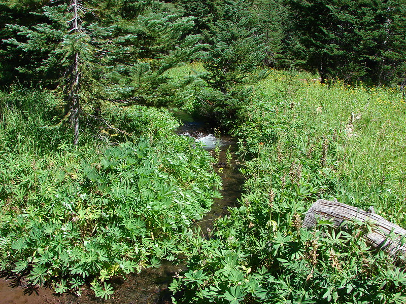
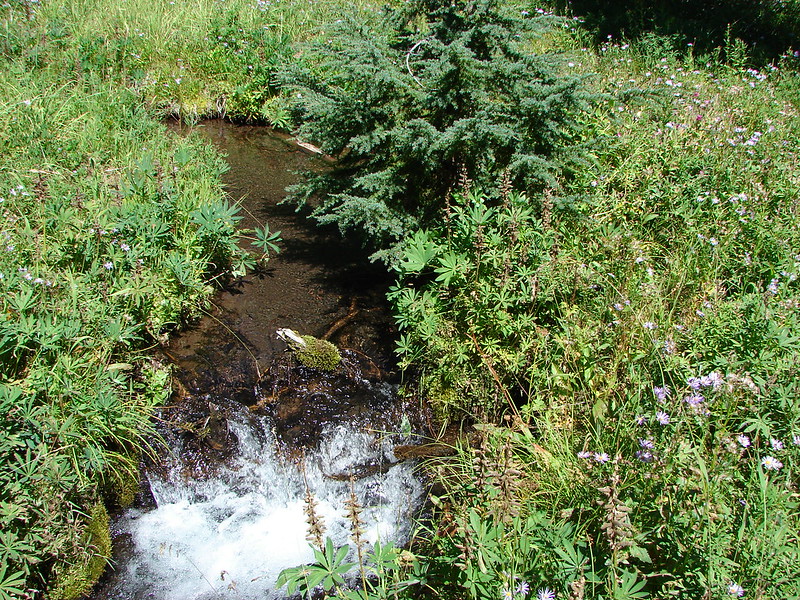
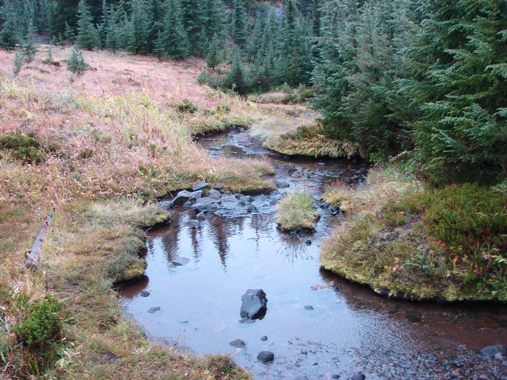
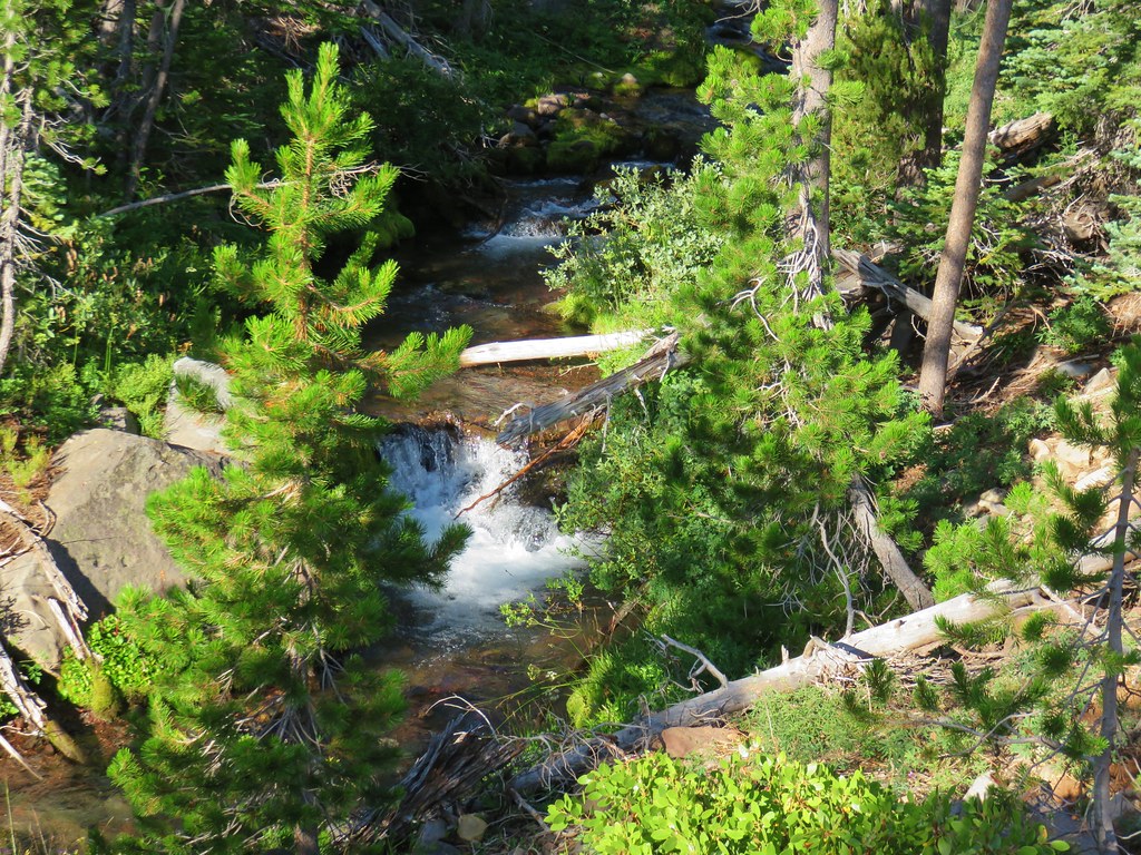 Soap Creek
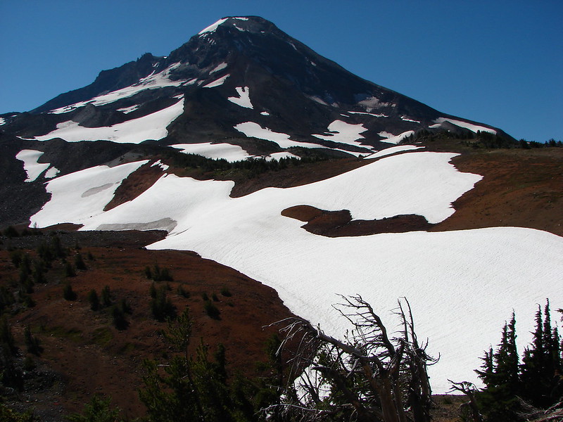
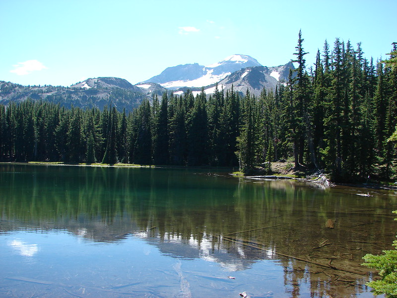
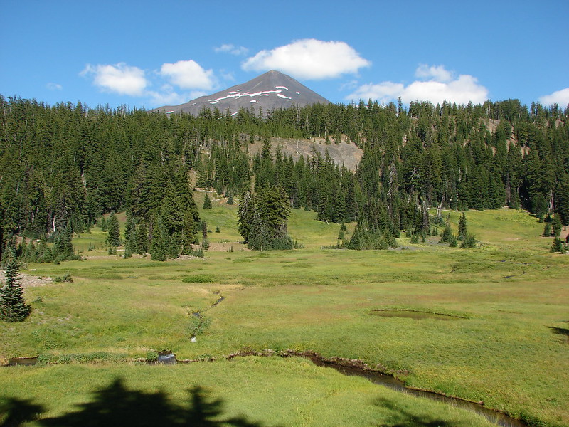
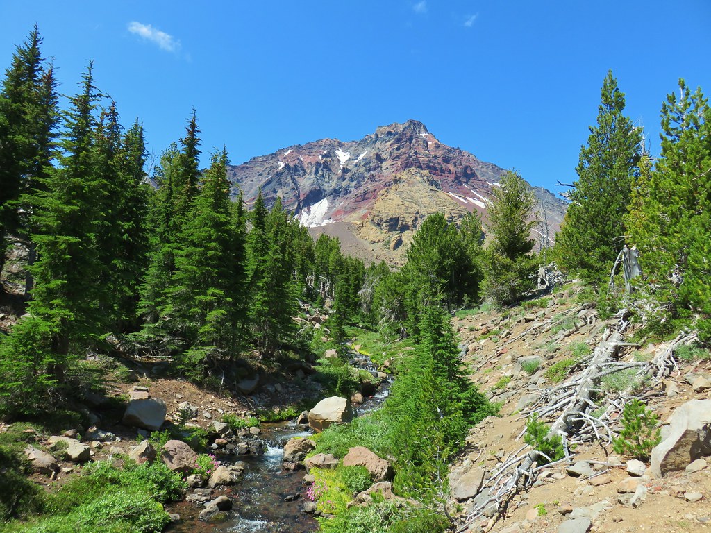
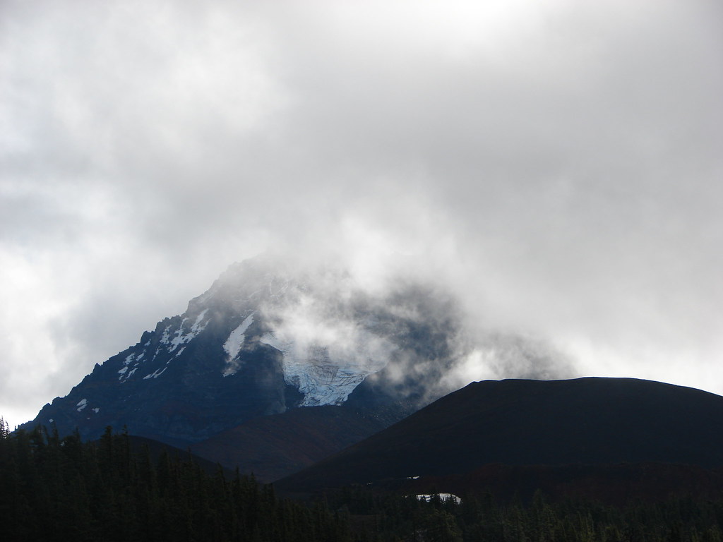
 View of the North Sister that would not have been there pre-fire.
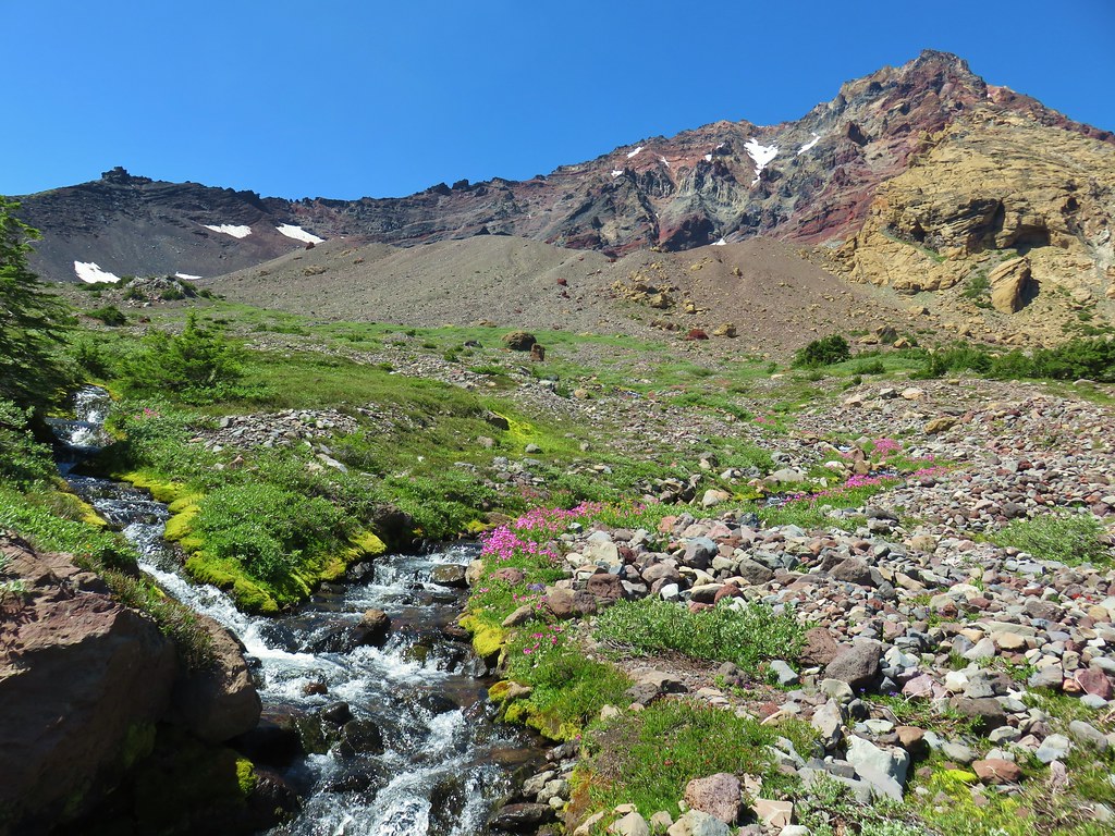
 Soap Creek and the Middle and North Sister
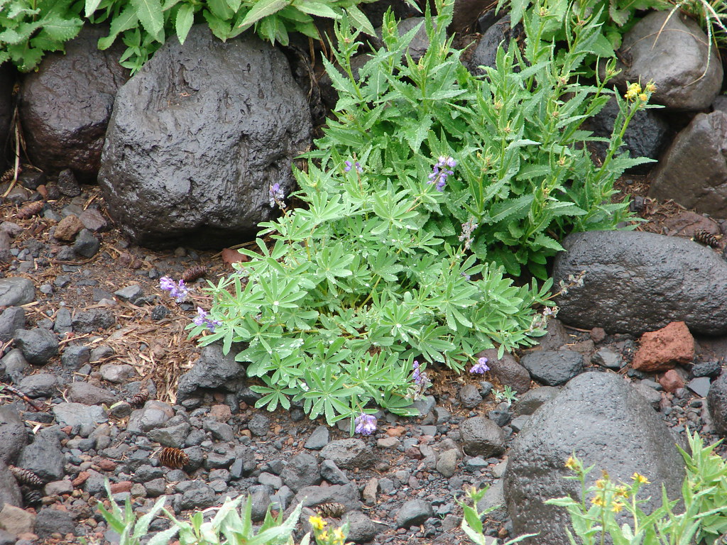
 Monkshood
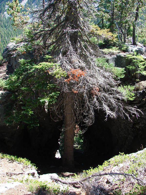
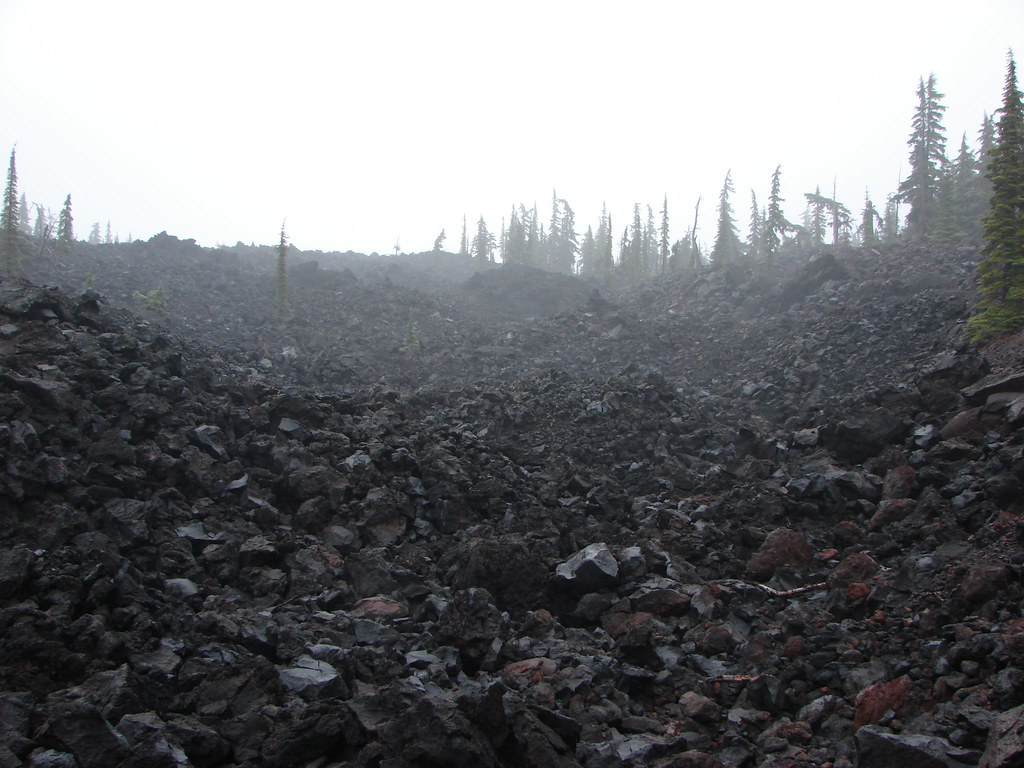
 Might be a trail in there, might not.
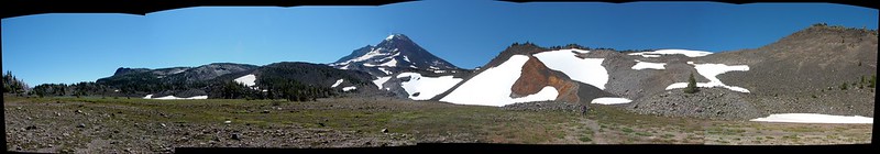
 Decent look at the yellow bulge on North Sister.
 Broken Top and South Sister
 Soap Creek
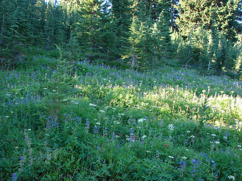
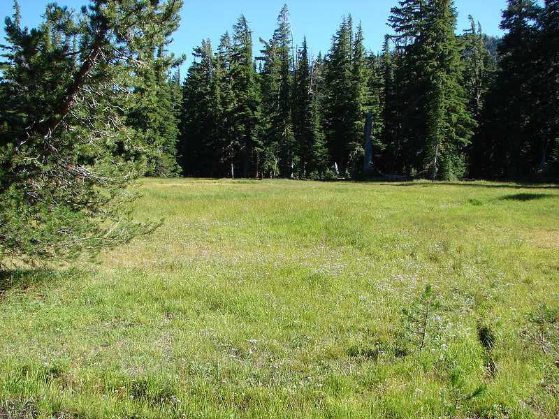
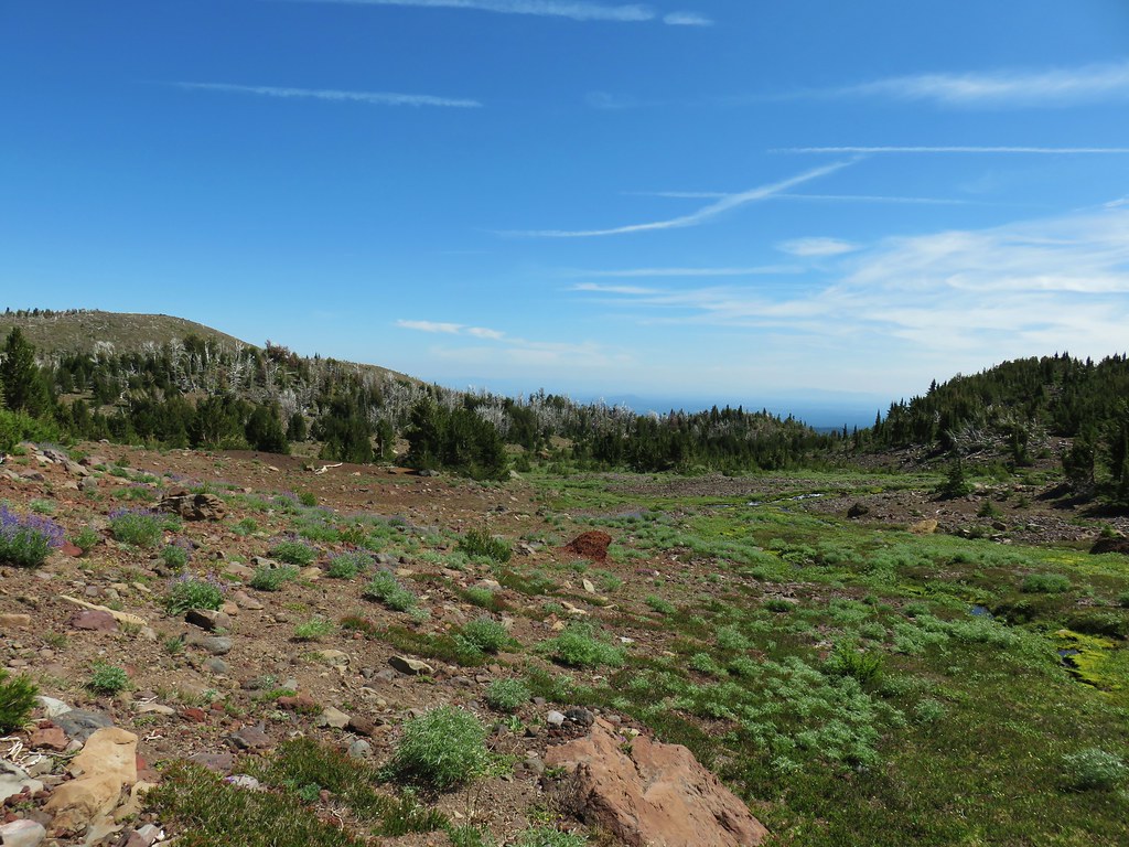
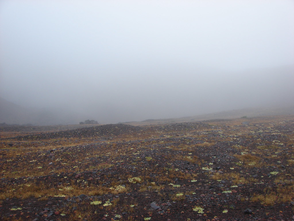
 Meadow where there was no discernible trail apparent.
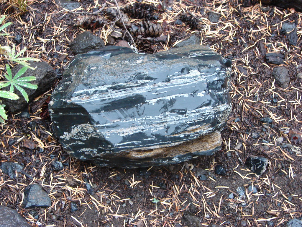
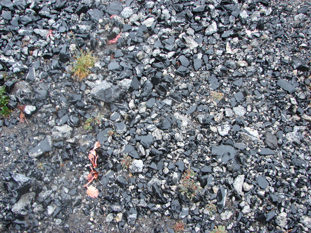
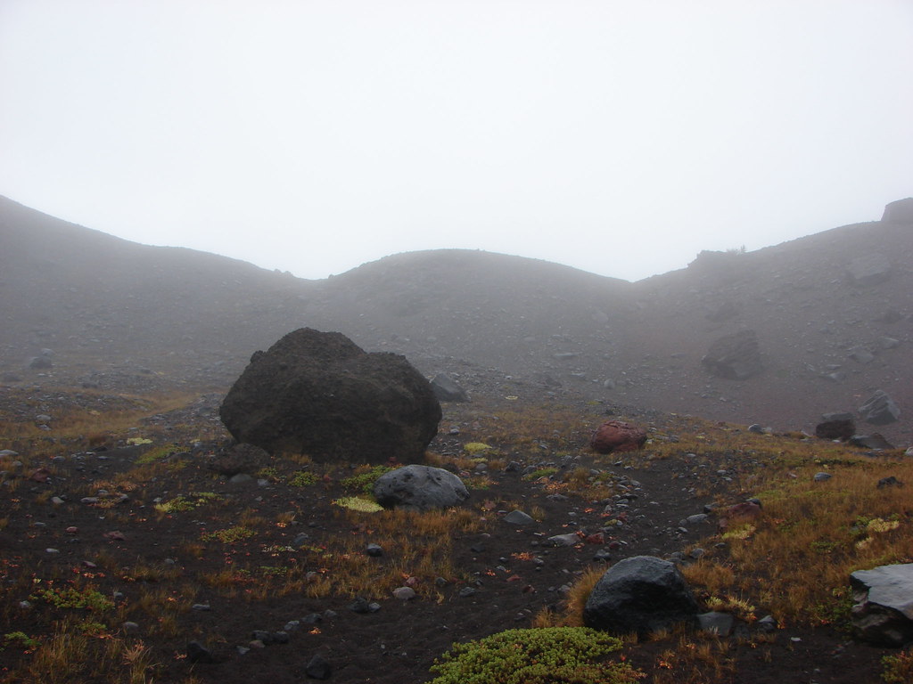
 Typical cross country obstacles.
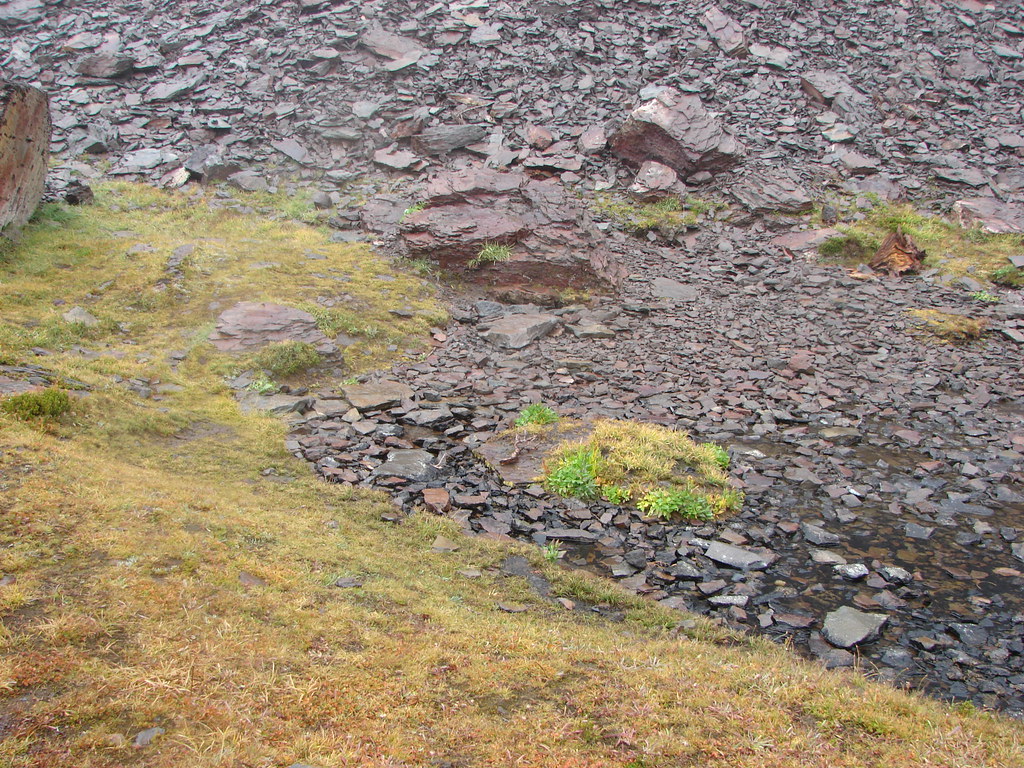
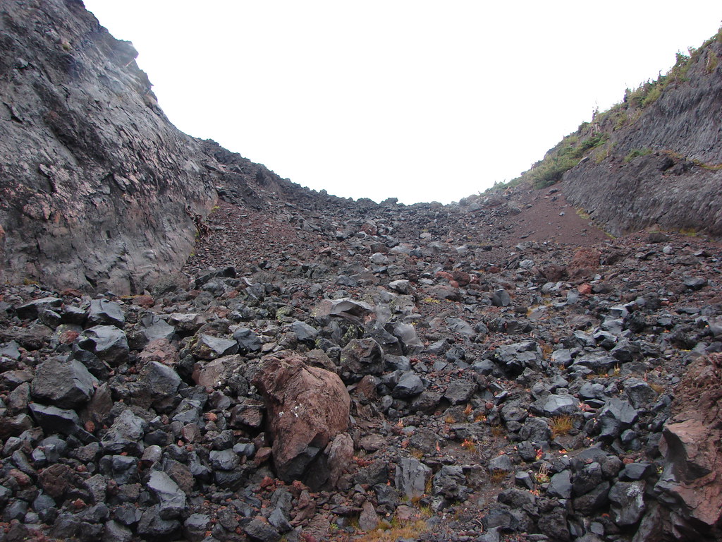
 Dry creekbed.
 Elephants head
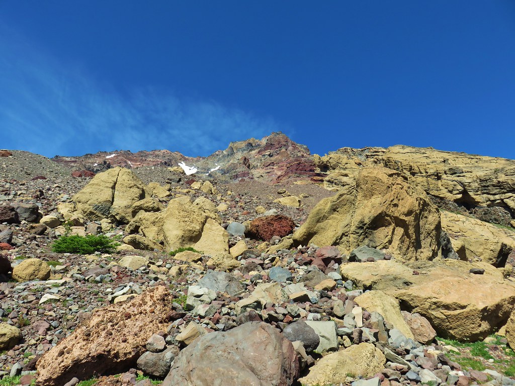
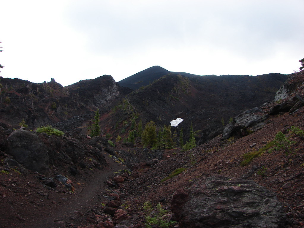
 The moraine to the left of the bulge.
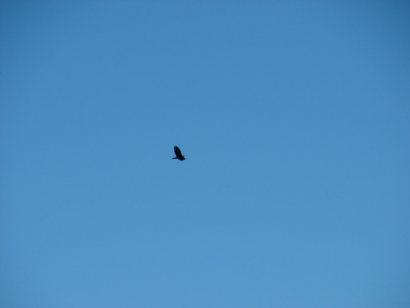
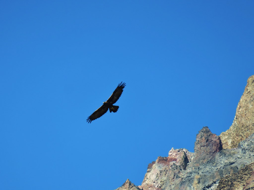
We stopped briefly to watch what appeared to be a golden eagle soaring overhead trying to evade a smaller raptor that was annoyed by the larger birds presence.

We wound up a bit further north than intended and had to veer NW to reach the meadows around the springs feeding Soap Creek.
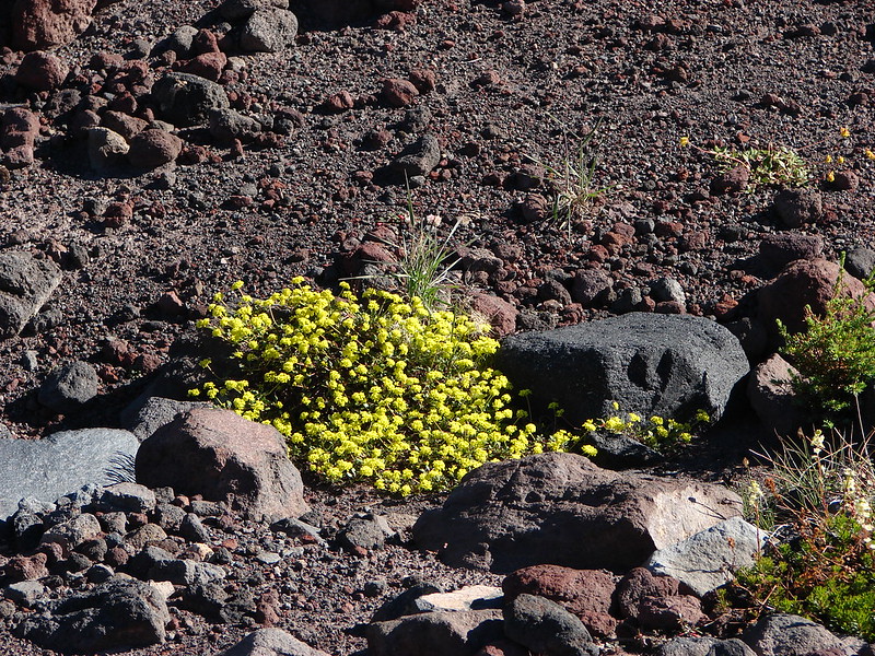
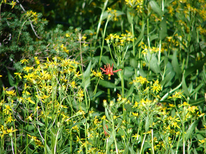
 A clump of Monkeyflower

 Penstemon

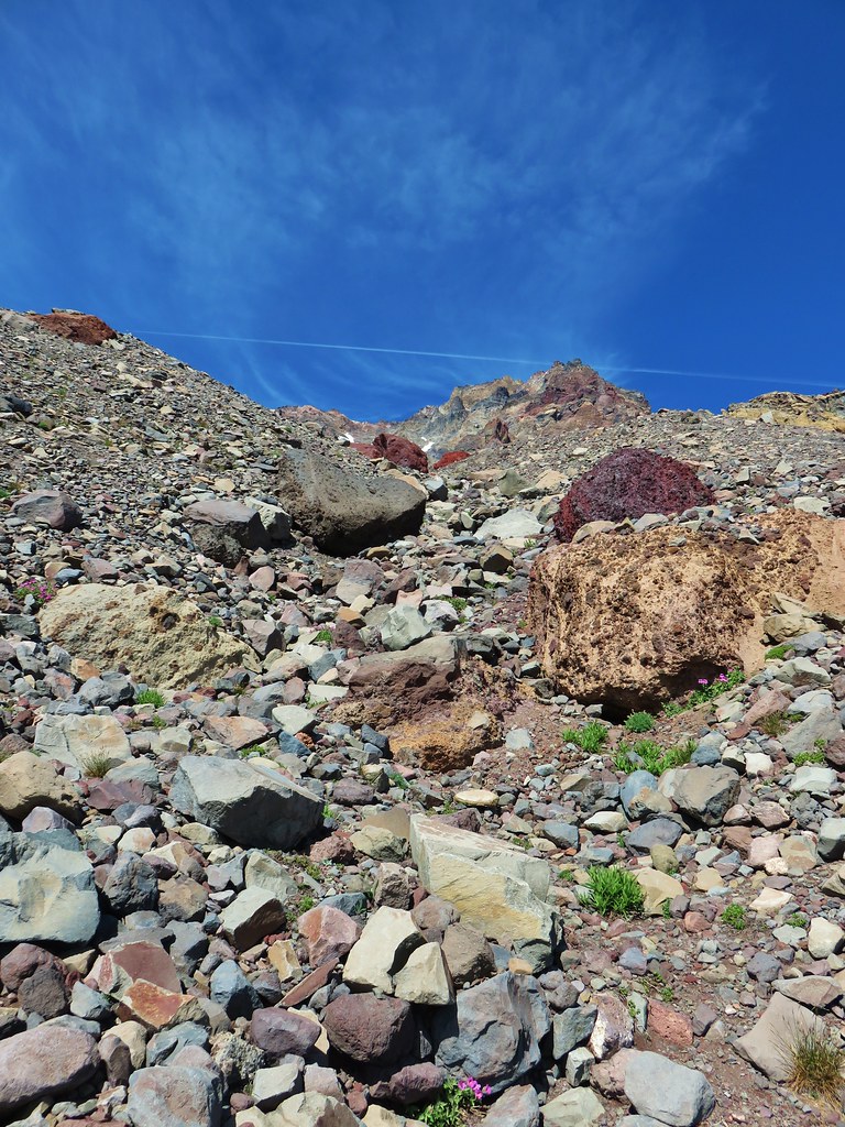
After a little over two hours and approximately three miles from where we’d left the Green Lakes Trail we found ourselves resting in the shade of a large rock near the moraine.
 Our shady spot.
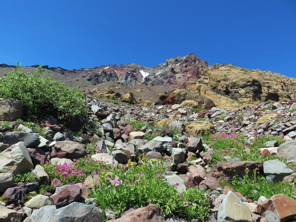
While we rested by the rock we discussed our planned route up the moraine. The steep loose rock would not be easy and we wanted to try and find the safest route to what was hopefully the lowest point along the moraine. After agreeing on a route and picking a point to aim for we set off on the final three quarters of a mile climb to the rim above Thayer Glacial Lake.
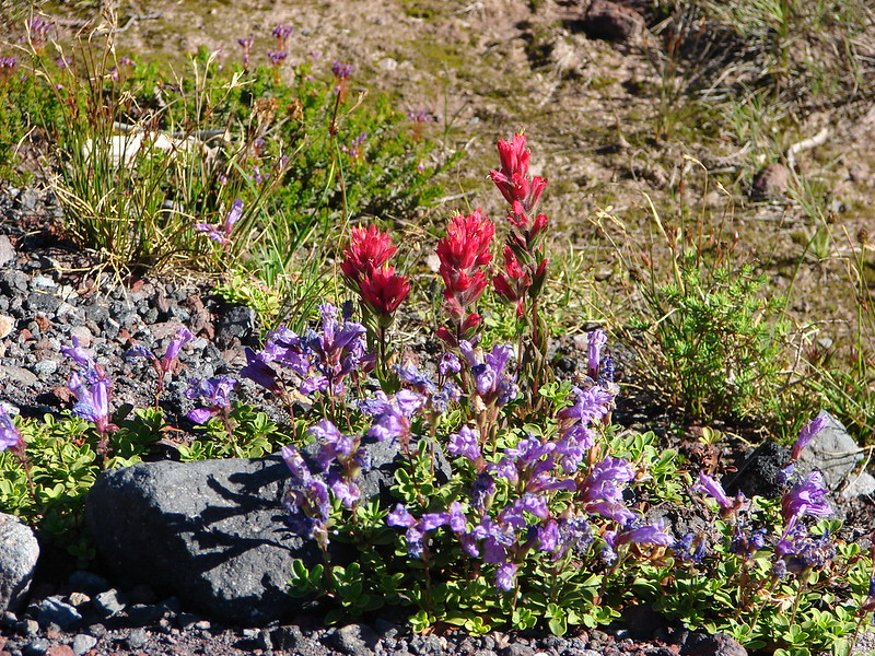
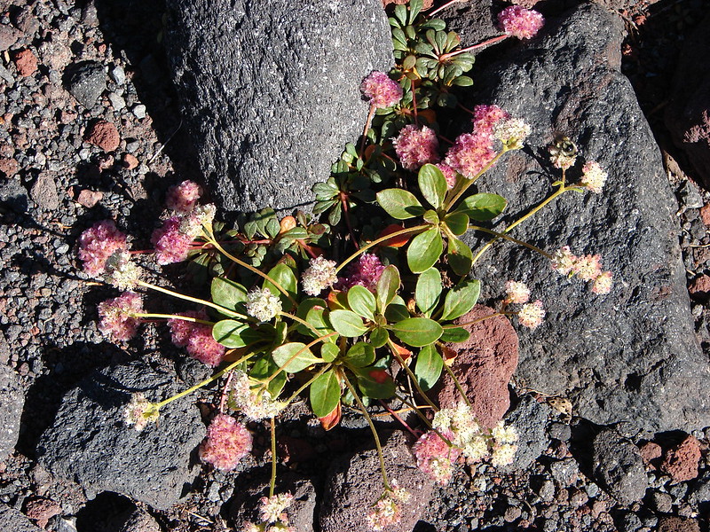
 Paintbrush growing on the moraine.
 More flowers amid the rocks.

After a couple (dozen) course corrections I passed between a pair of large cinder rocks I dubbed “Thayer Gate” and a few moments later was looking at the lake.


While Heather headed down to the lake shore I detoured up along the rim to the south to check out the views.
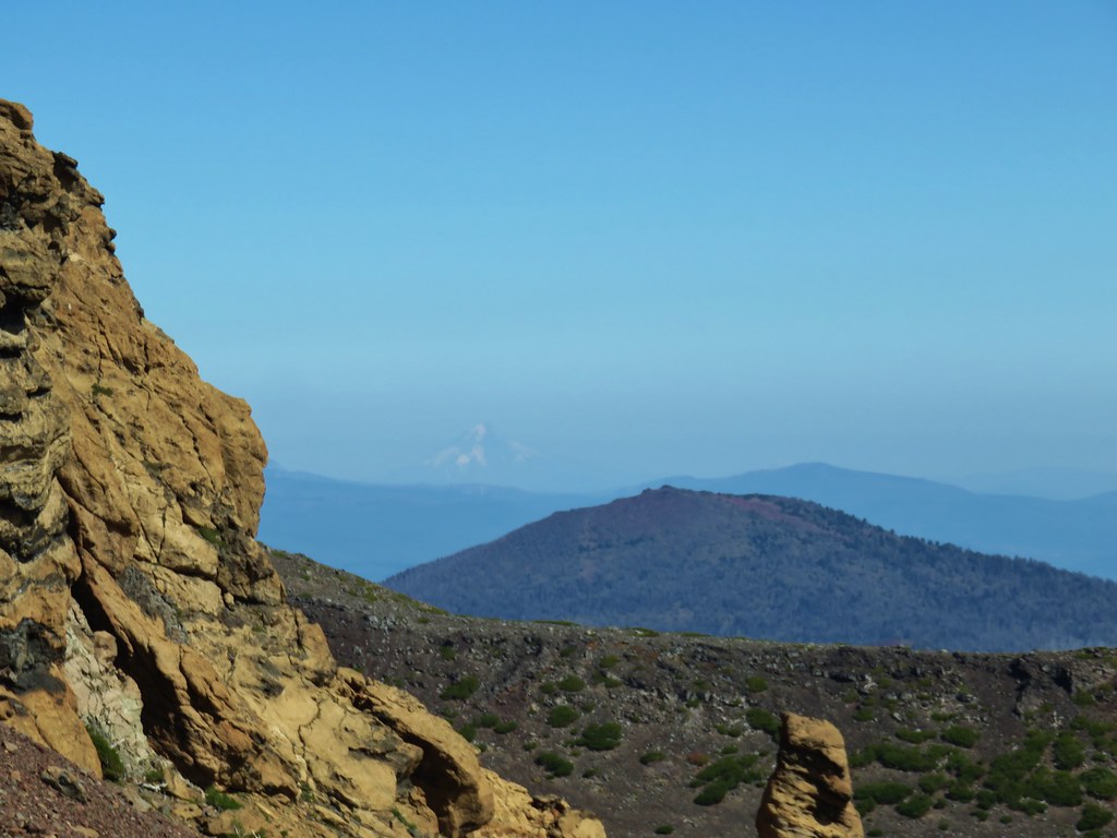
 The yellow bulge, Mt. Hood, Black Crater and Black Butte to the north.
 Mt. Hood
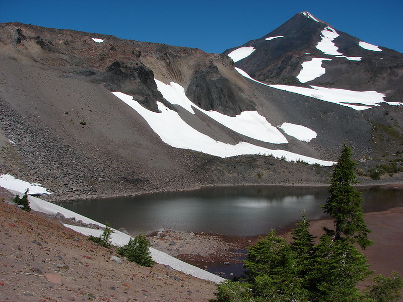
 Broken Top to the north.
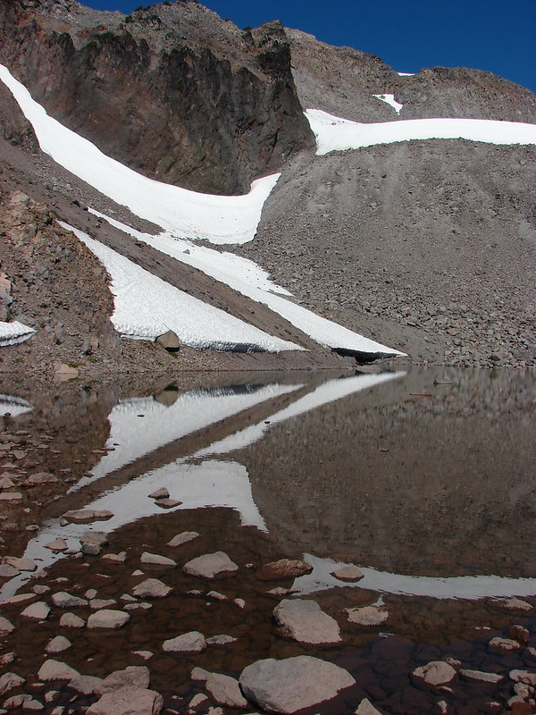
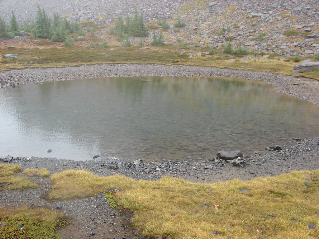
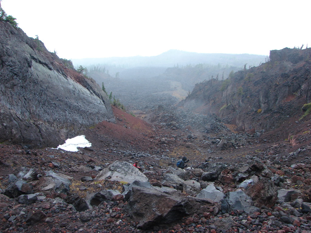
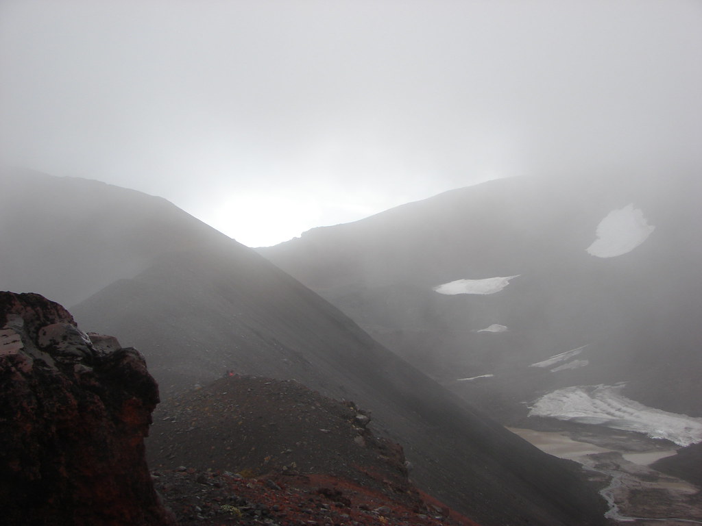
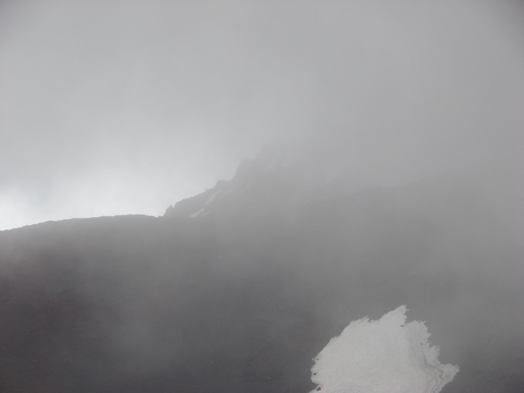
 The rim above Thayer Lake.
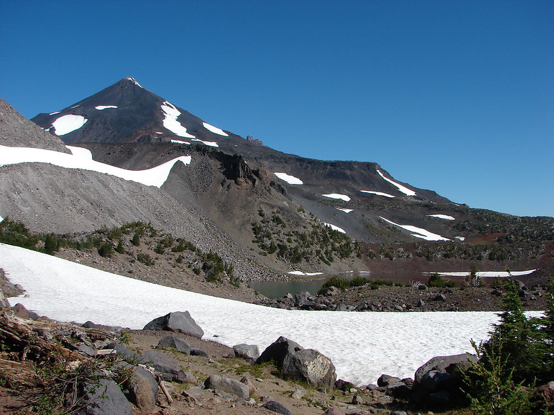
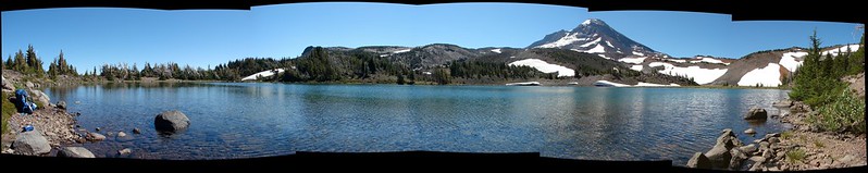
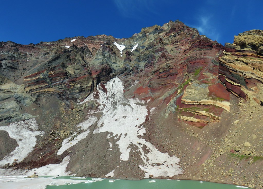 North Sister and the Thayer Glacier
 Heather near some large boulders in the lake.
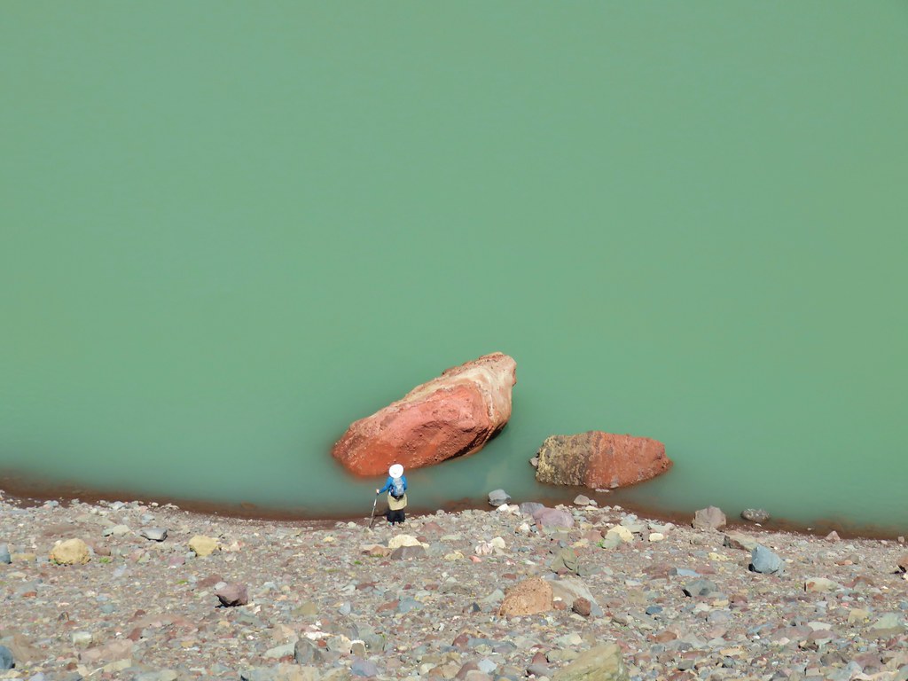
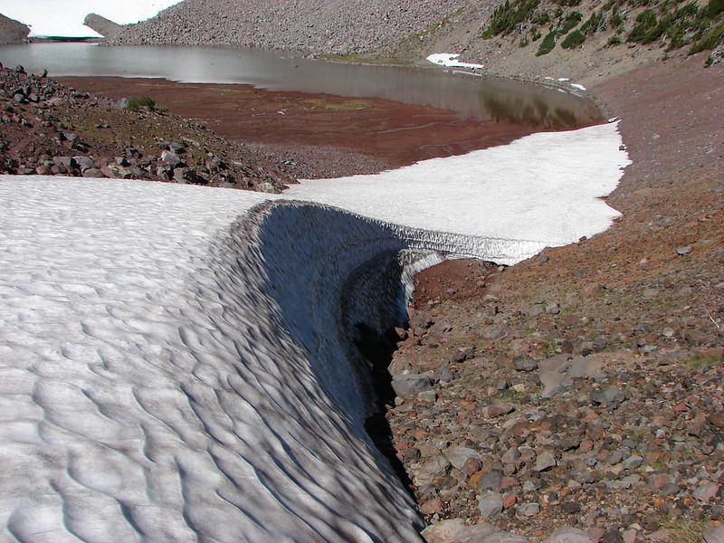
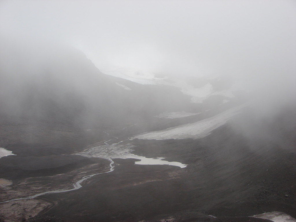
We explored along the lake looking at the remaining ice, one piece resembled a listing boat, and admiring the textures and colors of the volcano.


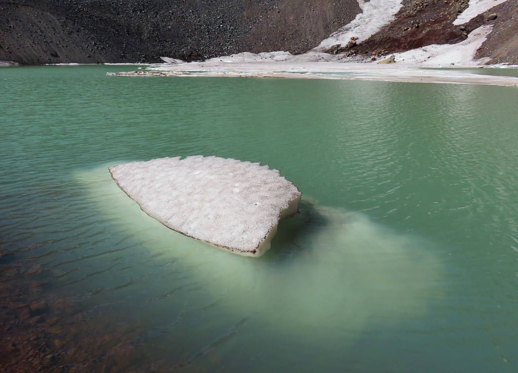


The water was frigid but the temperature by the lake was pleasantly cool and we would have liked to have stayed there for hours but we still had to get back so we eventually pulled ourselves away and headed back down the moraine.


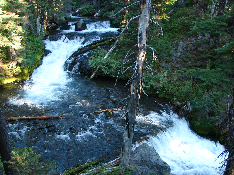
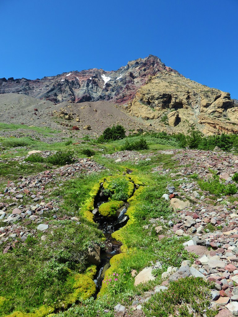
We headed toward the springs feeding Soap Creek and kept working our way north trying to stay to the left of the wildflower lined streams.


This proved to be a little trickier than expected as we kept coming upon more springs as we went.

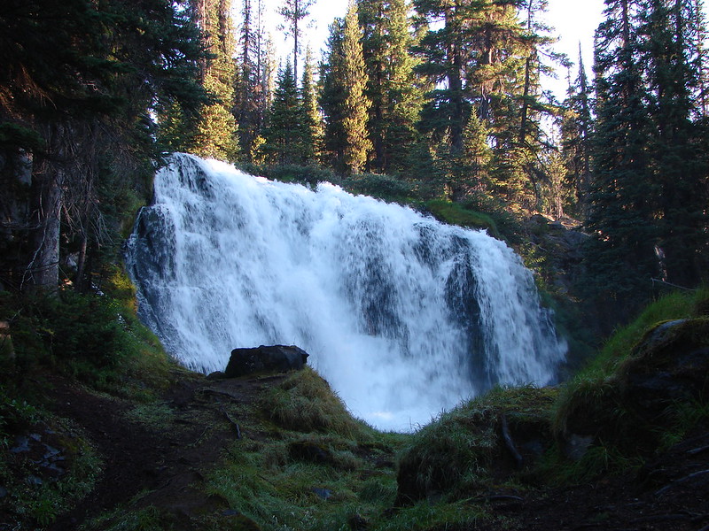
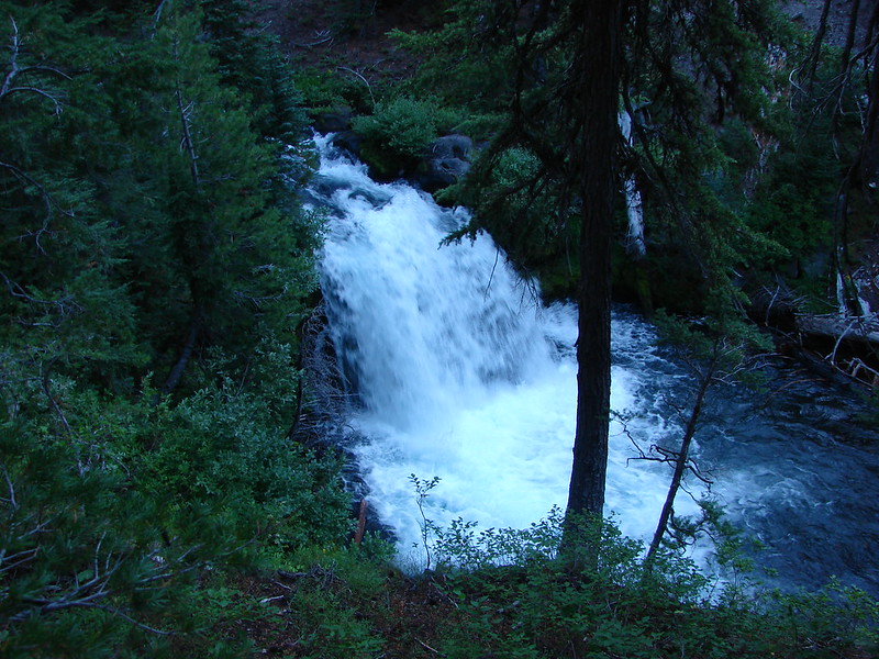
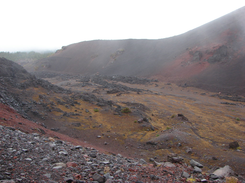
We followed Soap Creek into a narrow canyon which turned out to be a bit of a mistake and had to climb steeply over the north ridge when it became to steep and narrow.

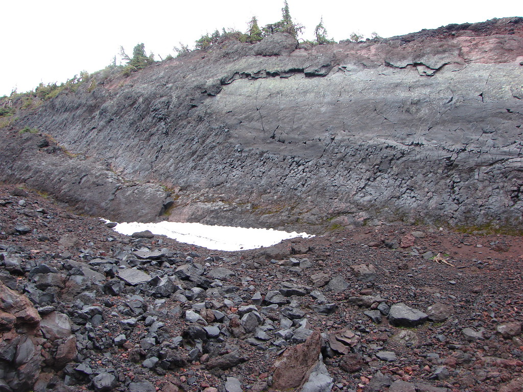
 Starting to get too narrow and the topographic map showed it getting more so further downstream.
 Climbing out of the gully.
 Broken Top and South Sister from the ridge.
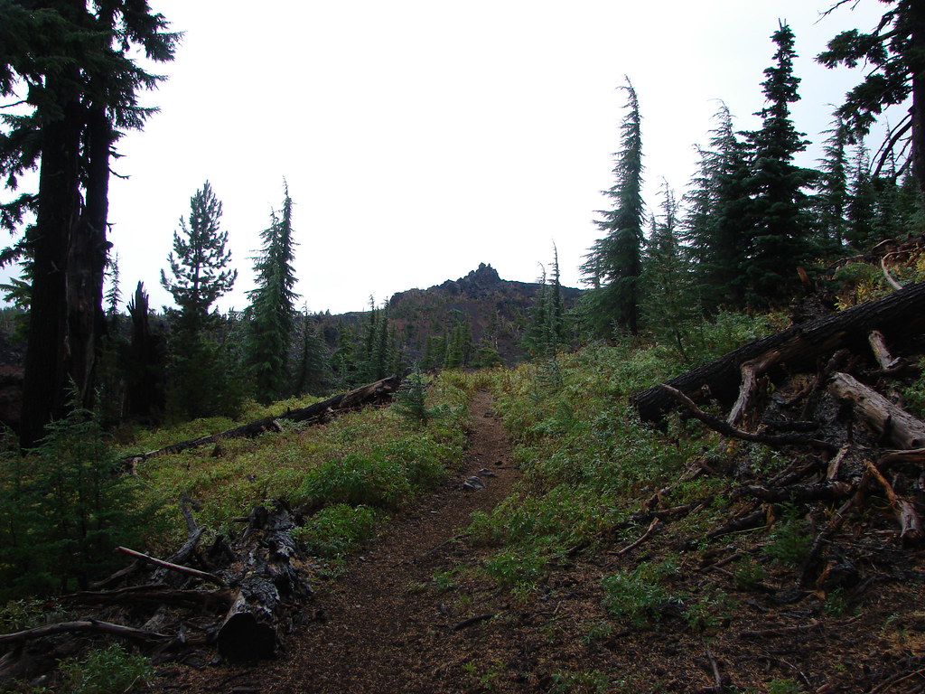
We descended the ridge heading NE using our GPS to hook up with our earlier route up. After a couple of ups and downs over smaller ridges we found ourselves in the general area through which we’d come up. We roughly followed our route back to the Green Lakes Trail without much excitement. The one thing that was different was the creeping wire lettuce blossoms which had opened up to the Sun and dotted the ground in places.

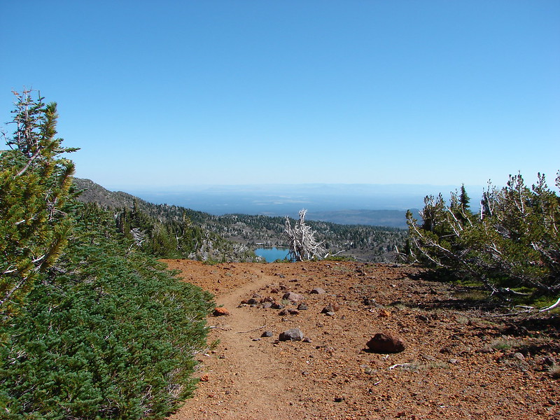
We then followed the trails back to the Pole Creek Trailhead which was full of cars. It surprised us a bit being a Tuesday, but it’s one of the stated reasons by the Forest Service for the permit requirements that go into effect in 2020 for many of the trailheads in the Three Sisters, Mt. Washington, and Mt. Jefferson Wilderness areas.
Cook lists the hike as 5 miles one way, but we wound up with 11.5 miles round trip with nearly 3000′ of cumulative elevation gain. The off-trail travel makes it an even harder hike than those state would indicate. All that being said it was worth the effort and we were glad we’d made the trip. Happy Trails!
Flickr: Thayer Glacial Lake


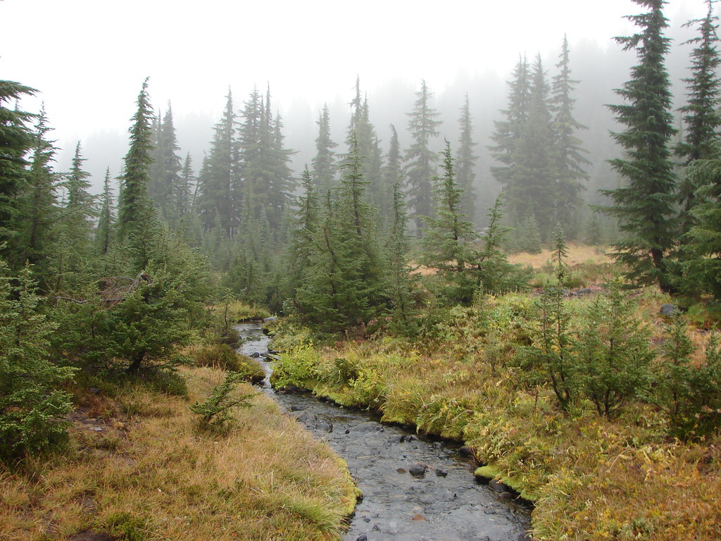
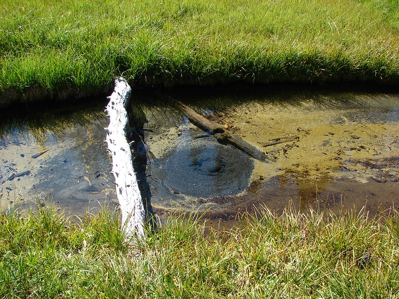
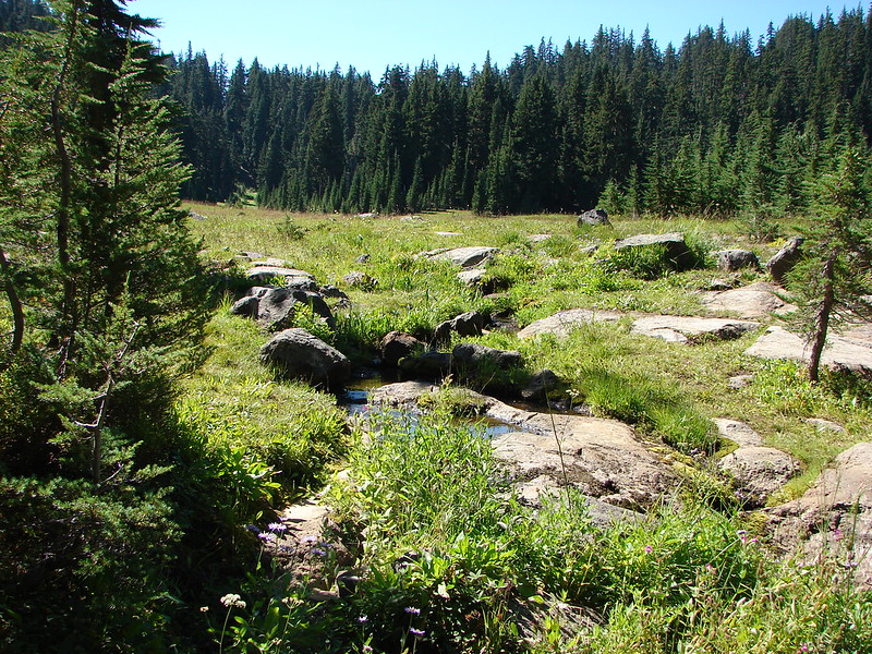
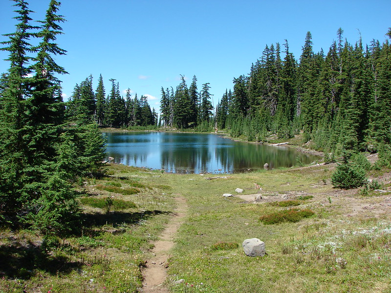
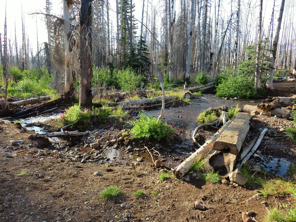
 Sister Spring
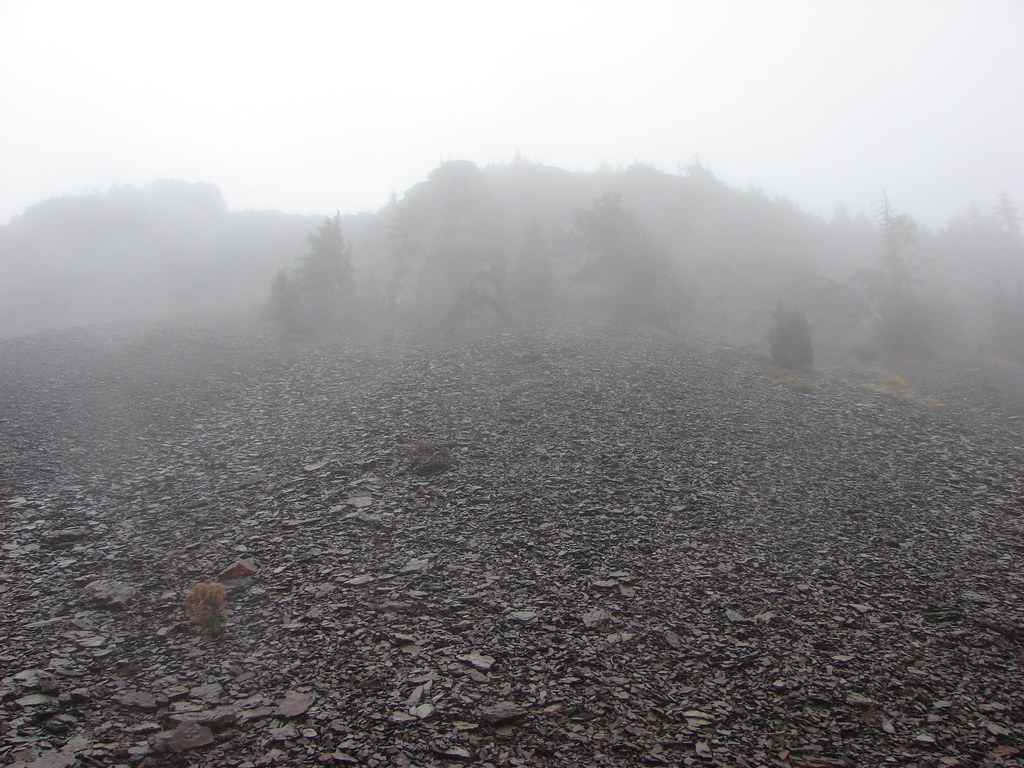
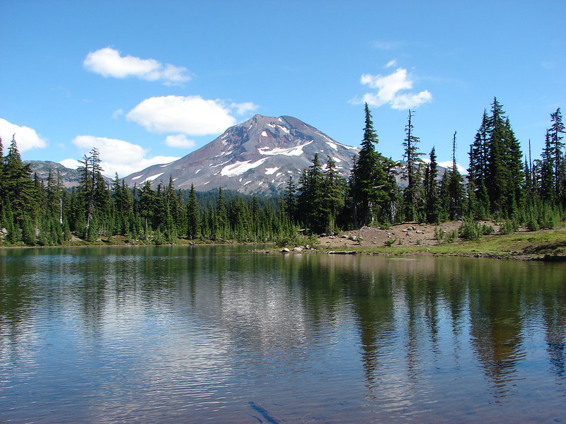
 North Sister and the Collier Cone