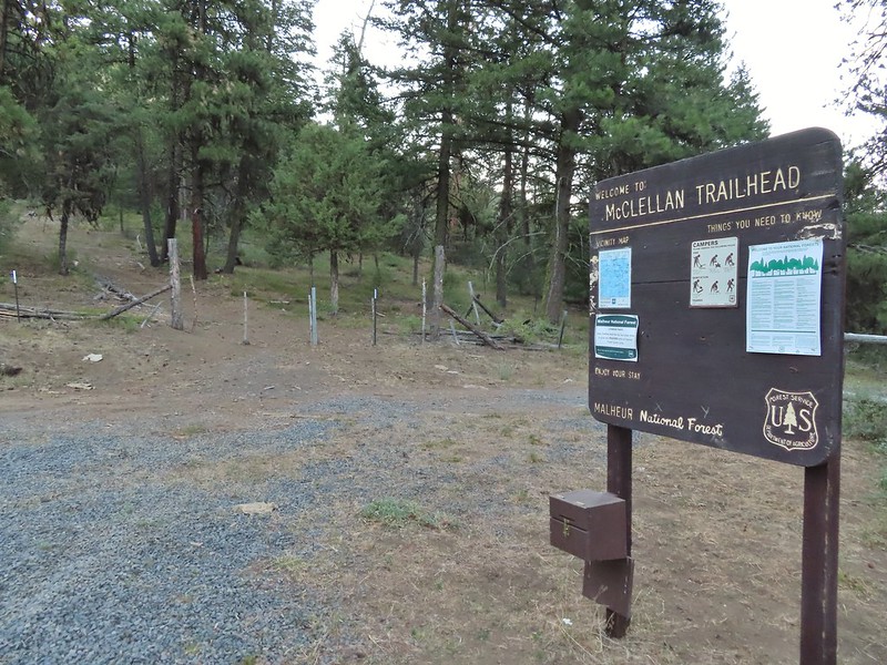
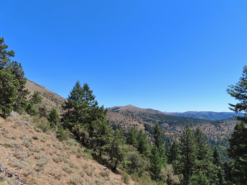
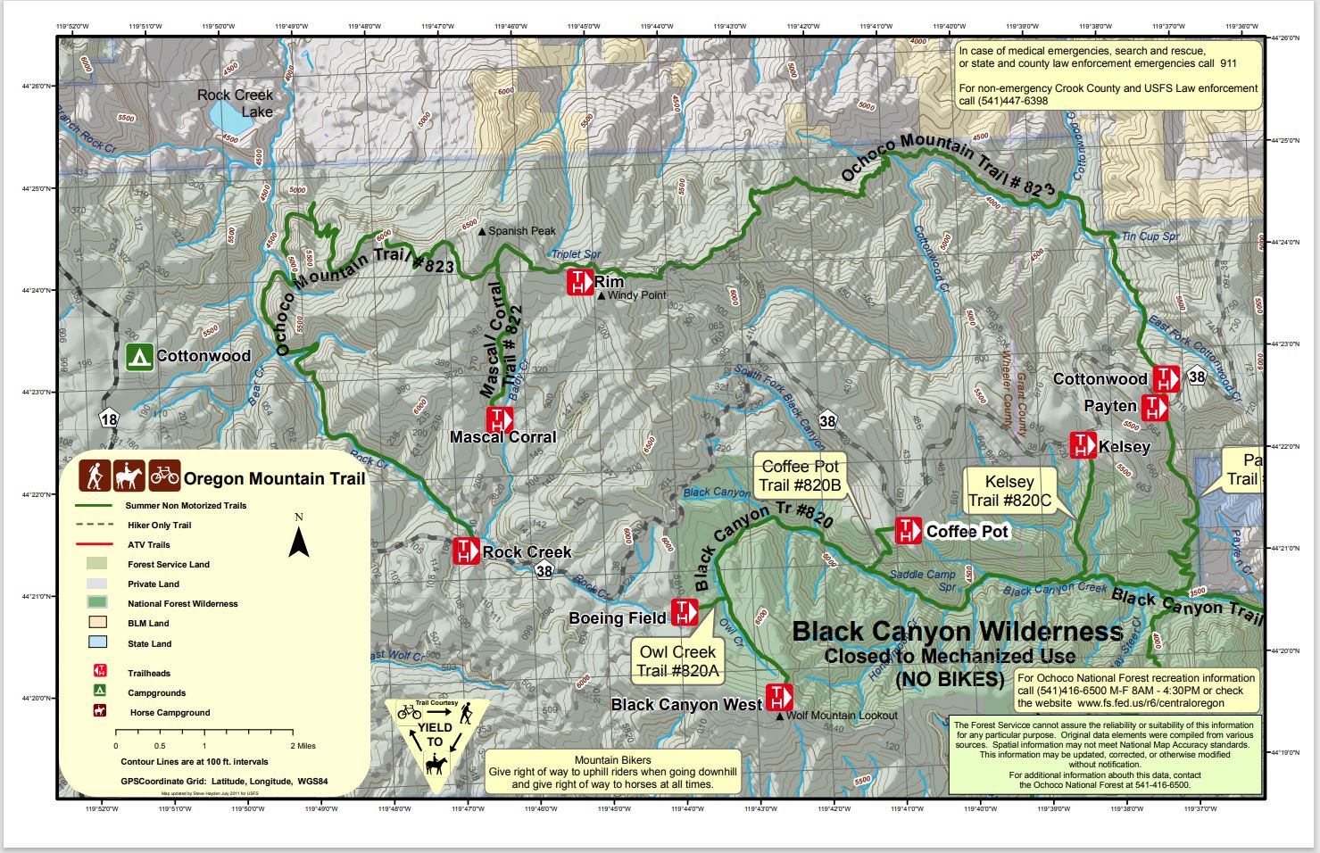
Our time in John Day had come to an end and it was time to start our journey back to Salem. We were planning on visiting Heather’s parents in Bend for the night but of course we had a hike planned on the way. The hike to Fields Peak and McClellan Mountain in the Aldrich Mountains was another hike that was previously featured in William L. Sullivan’s “100 Hikes/Travel Guide Easter Oregon” but had been moved to the back of the book in his most recent 3rd edition. We began the hike at the McClellan Mountain Trailhead after a rough final 1.2 miles of driving (high clearance vehicles recommended). The bright spot of the drive was spotting a bobcat in the road.
While the route to Fields Peak is open to OHVs the McClellan Mountain Trail, which splits off to the east after 1.5 miles is not.

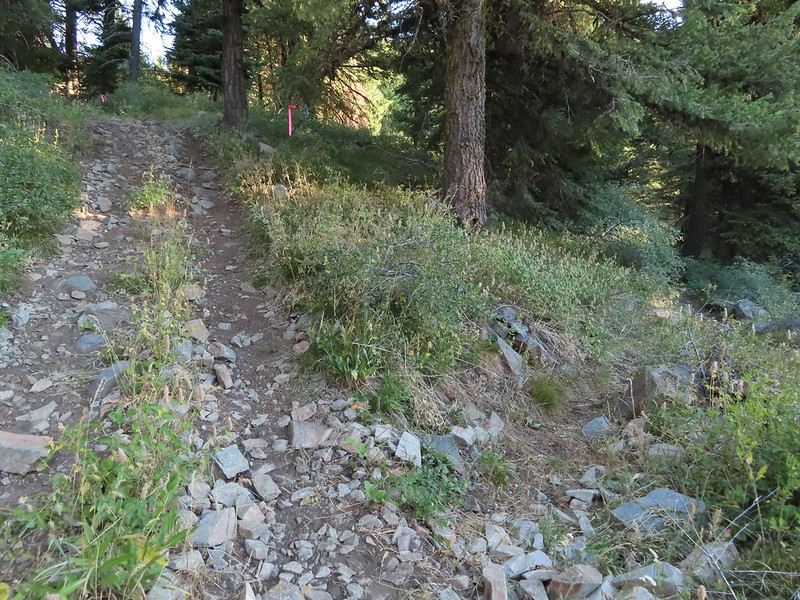
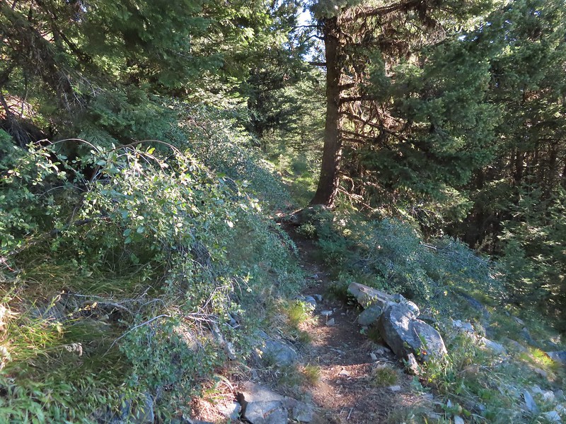
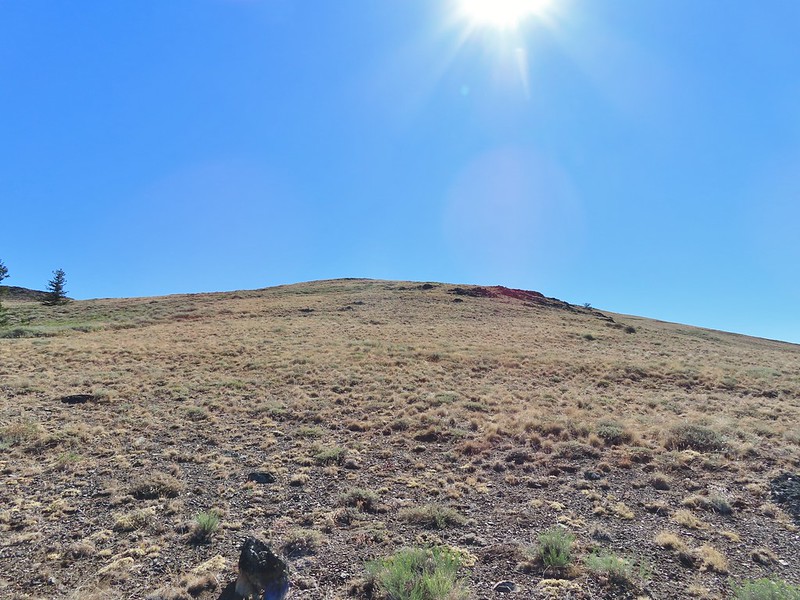
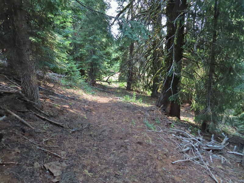
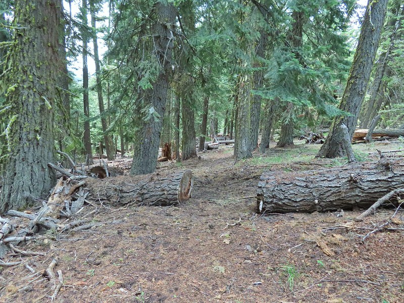
The trail/OHV track begins through a barbed wire fence and heads steeply uphill, at times, 0.7 miles to a saddle.

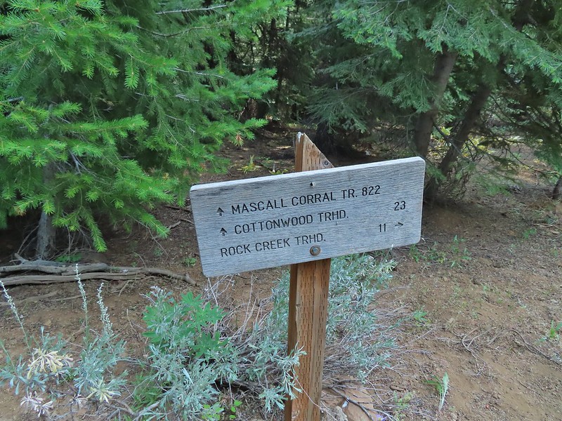
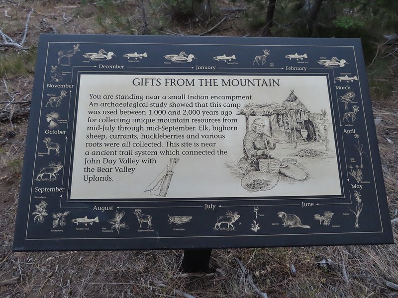 A lone interpretive sign near the beginning of the trail.

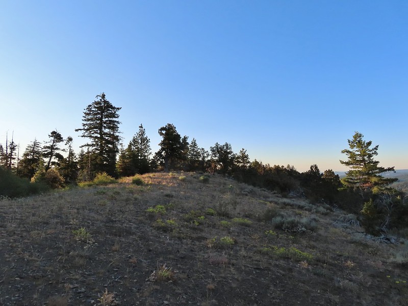
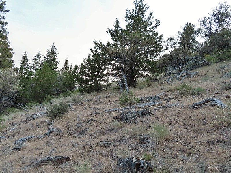
 The saddle
Sullivan mentioned that bitterroot bloomed on the ridge to the right but it was too late in the year to see any of them but I wandered out along the ridge a short distance anyway having reached the saddle ahead of Heather.
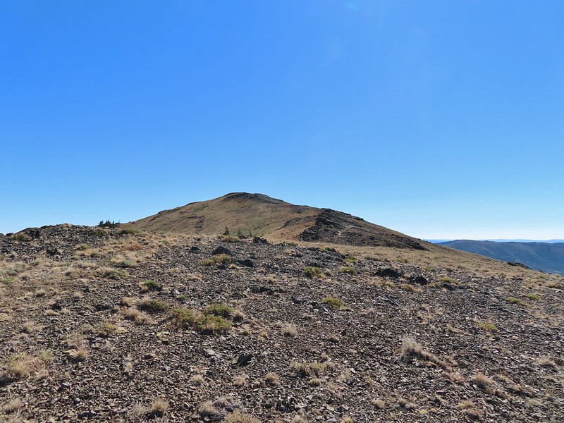
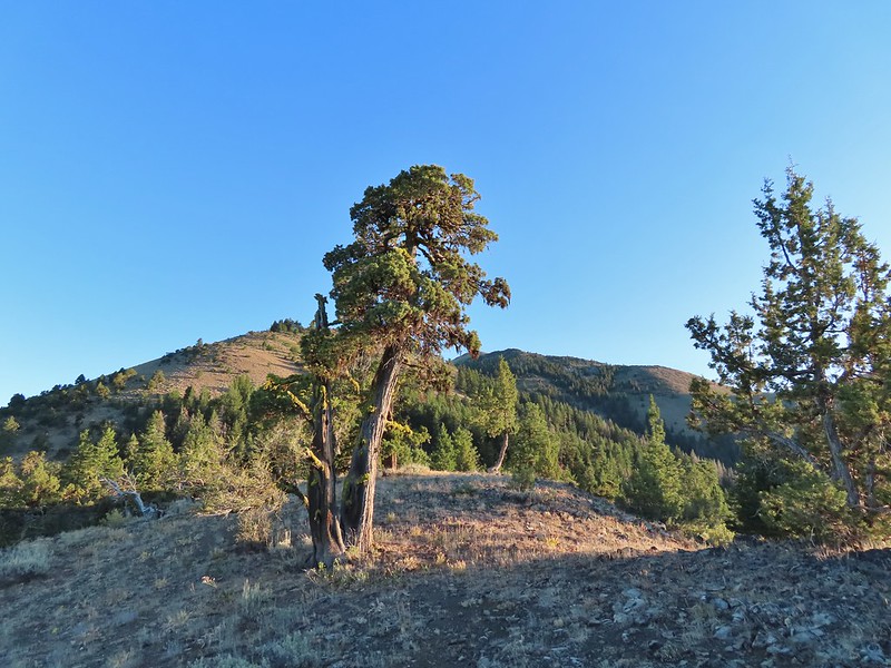 Fields Peak from the saddle.
 Heather arriving at the saddle.
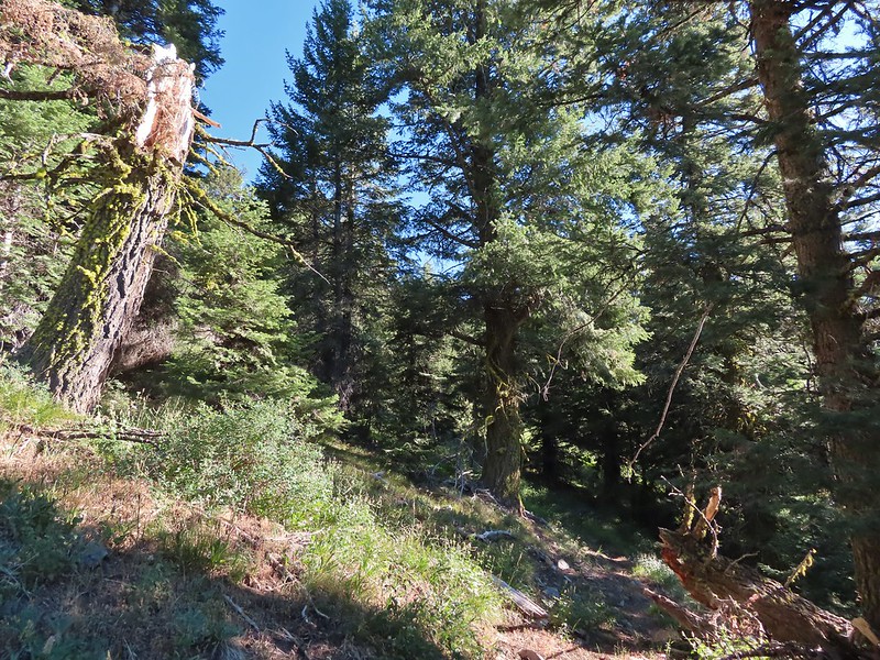
We had gained a little over 700′ in the first section and now the trail would gain nearly another 600′ in the 0.8 miles to the trail junction.
 A rare level section.

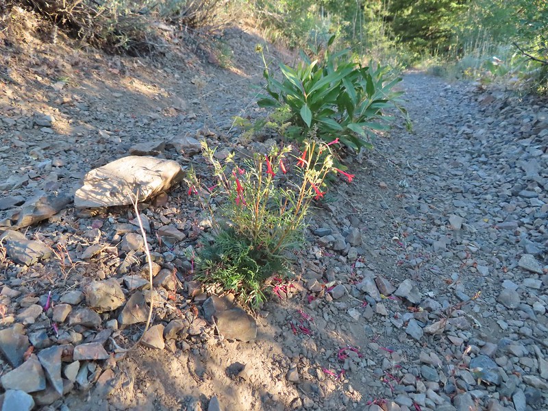 Scarlet gilia in the middle of the OHV track.
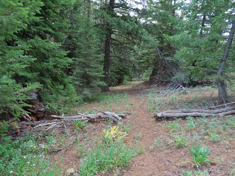
 Nearing the trail junction.
 The McClellan Mountain Trail to the right.
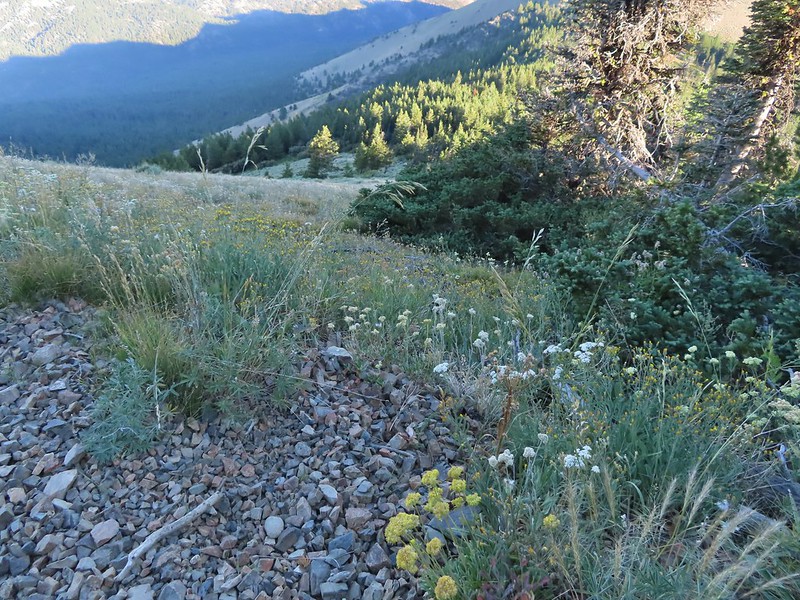
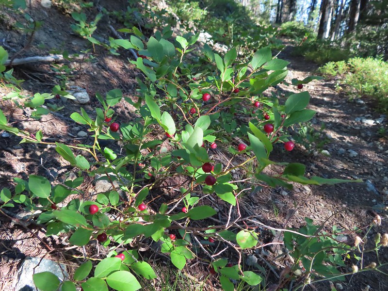
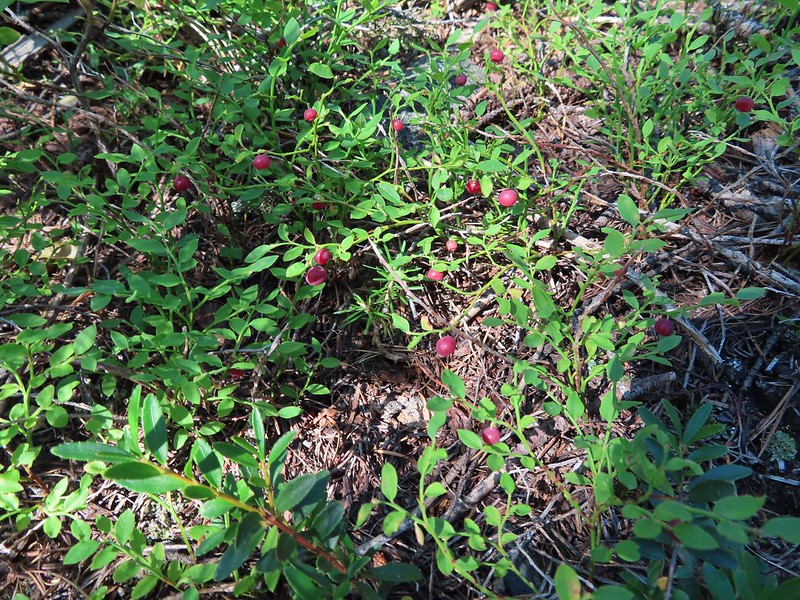
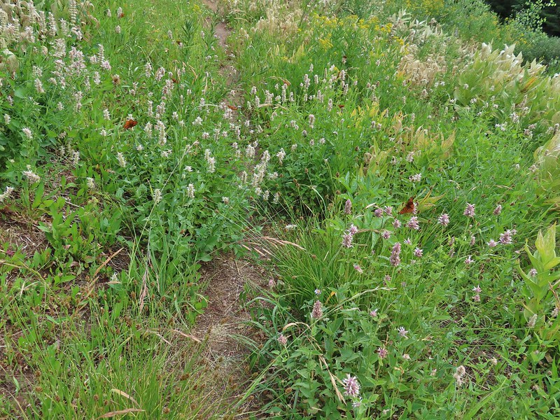
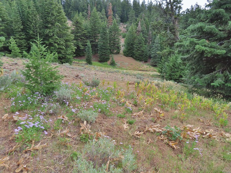
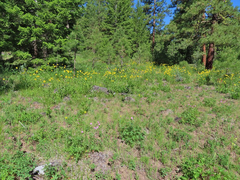
We ignored the McClellan Mountain Trail for now and climbed another 0.8 miles gaining 700 plus more feet to the 7362′ summit of Fields Peak. The meadows along the track were way past bloom but it was evident that earlier in the year there would have been quite the wildflower display.
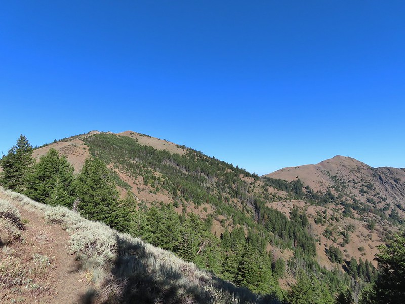
 A peak east to McClellan Mountain and the more distant Strawberry Mountain (post).

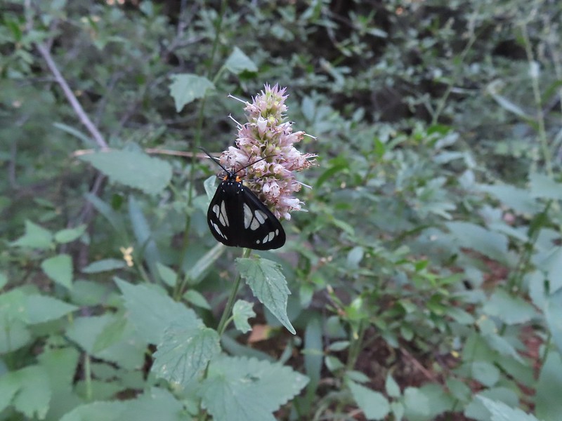 We saw a number of these moths sleeping on the hyssop.
 Hyssop and sunflowers
 Paintbrush
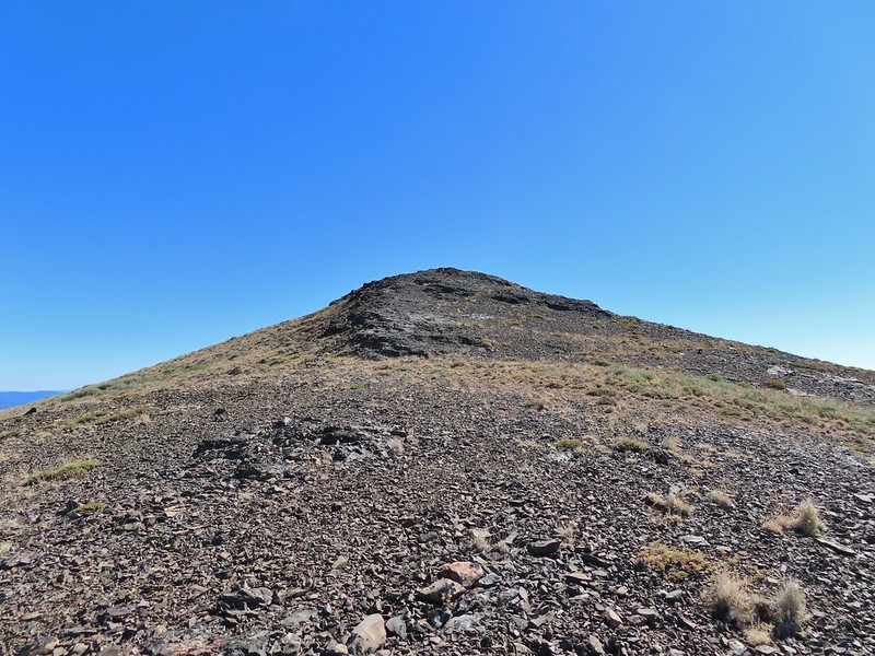
 Looking up Fields Peak.
 Mountain coyote mint
 Shadow of Fields Peak
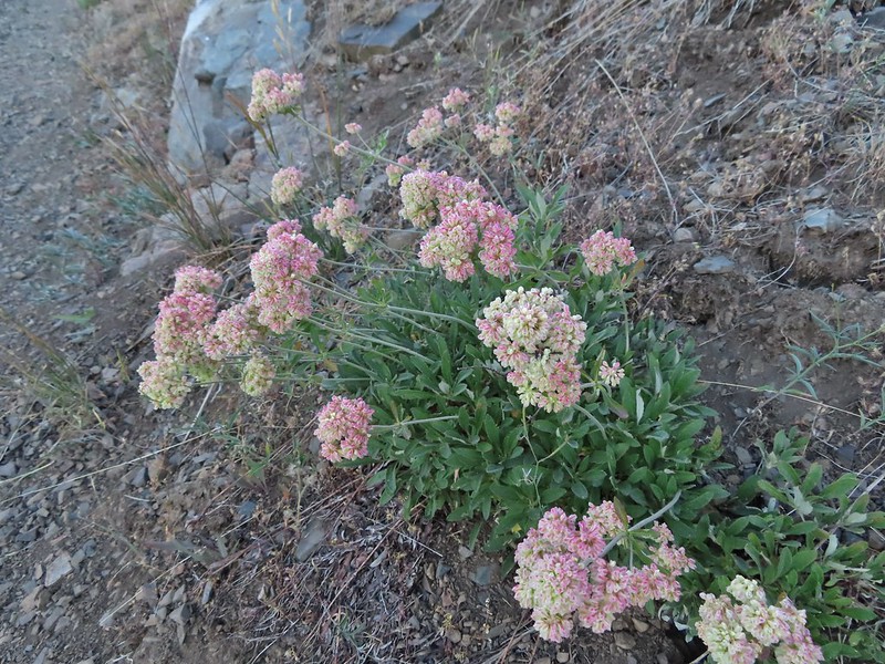 Buckwheat
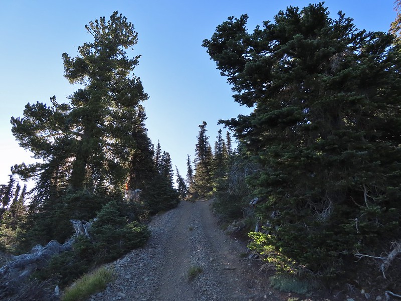 A few trees near the top.
 Final steep pitch to the summit.
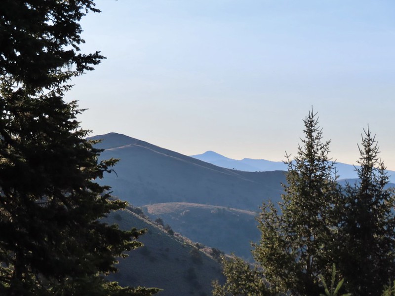
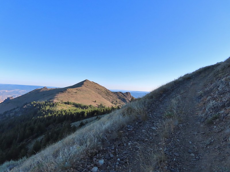
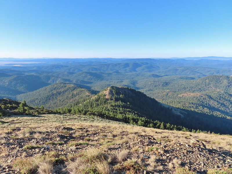
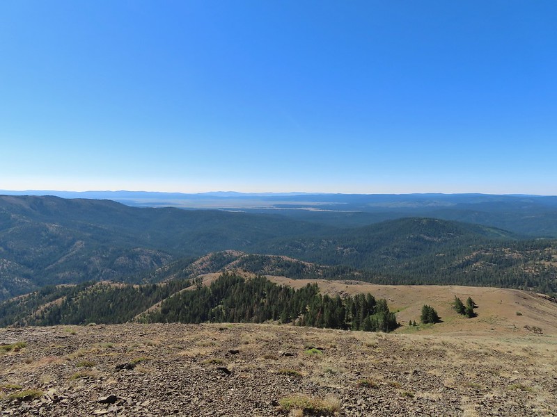
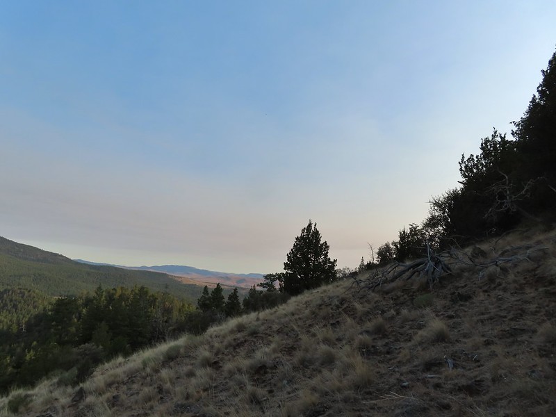
 View west, Aldrich Mountain is the high point to the near right.
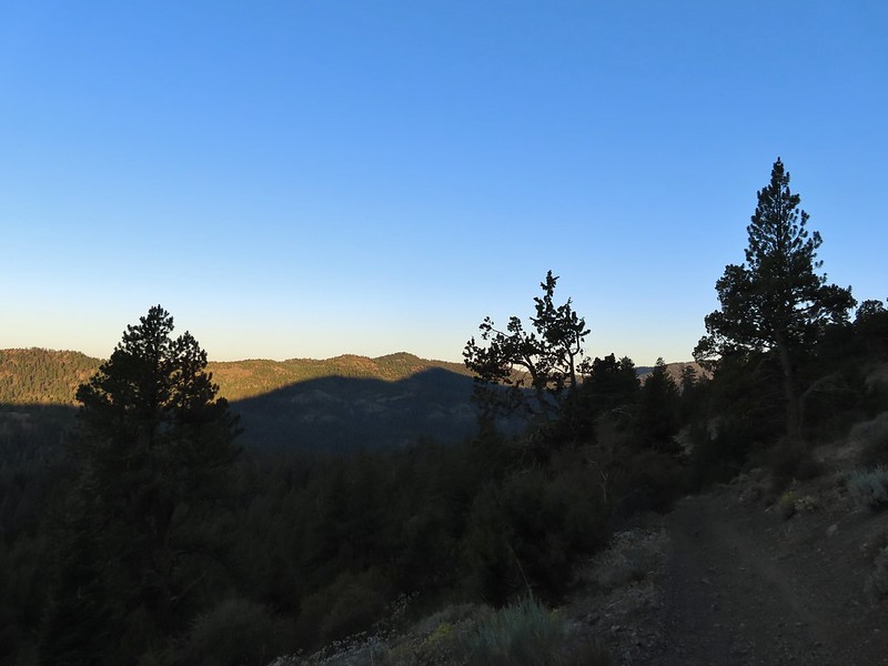
It was another nice morning with relatively clear skies given the fires that were (and still are) raging in Oregon.
 View north
 McClellan Mountain and the Strawberry Mountain Range to the east.
 Logan Valley to the SE.
 The view south.
We had a nice break and then headed back down. On the way several grouse startled us when they flew out of the trees as a group of raucous Clark’s nutcracker watched from the tree tops.


 More moths
When we reached the junction with the McClellan Mountain Trail we turned left.
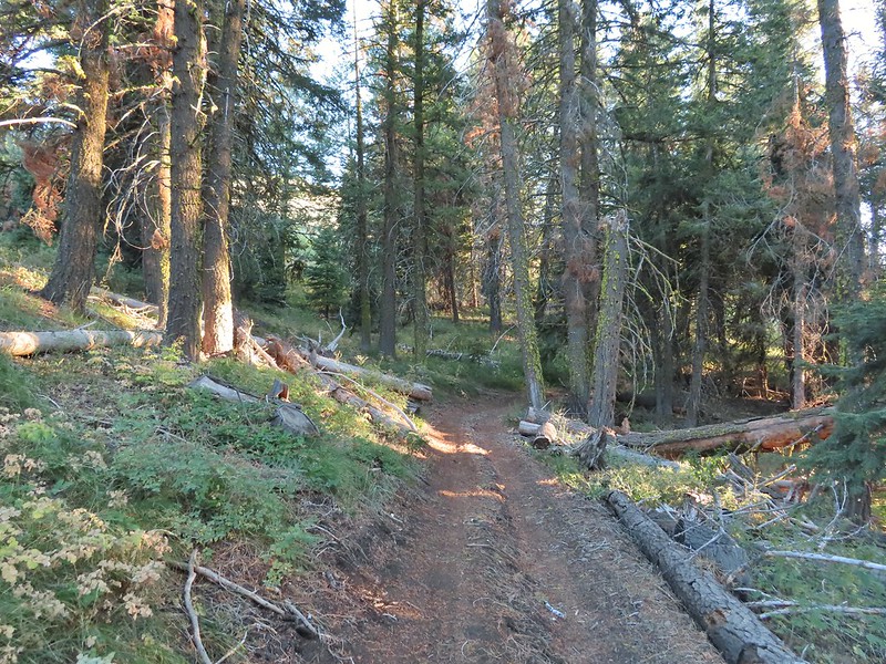
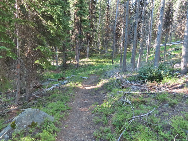
Aside from being a little crowded with brush the trail was in relatively good condition with just a couple of downed trees that were easily navigated.
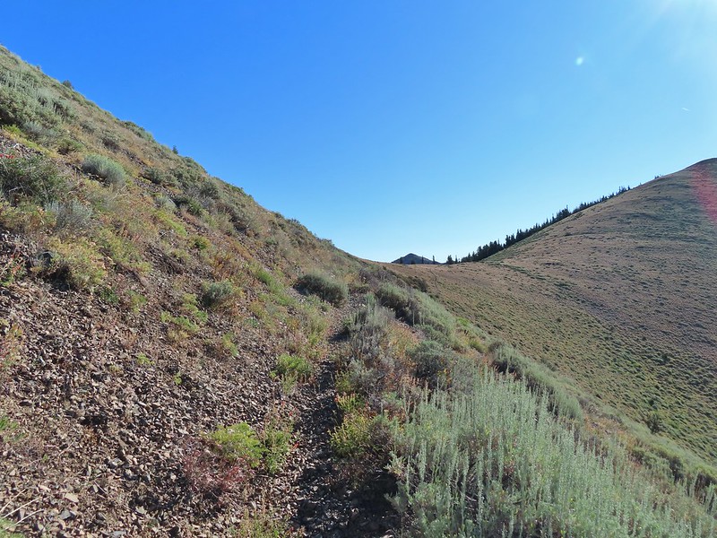
Over the next 2.2 miles the trail slowly lost elevation as it alternated between south and north facing hillsides via four saddles, the first of which we arrived at after 0.5 miles.
 Hillside above the trail.
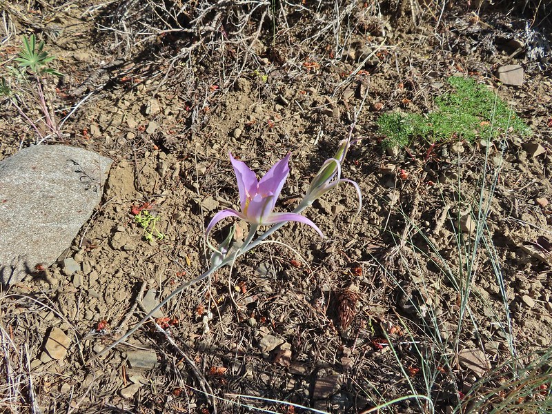 Sagebrush mariposa lily
 Approaching the saddle where we would cross the the north side of the hill ahead.
 The first saddle with Moon Mountain behind.
 Looking back along the trail.
 Looking back from the saddle.
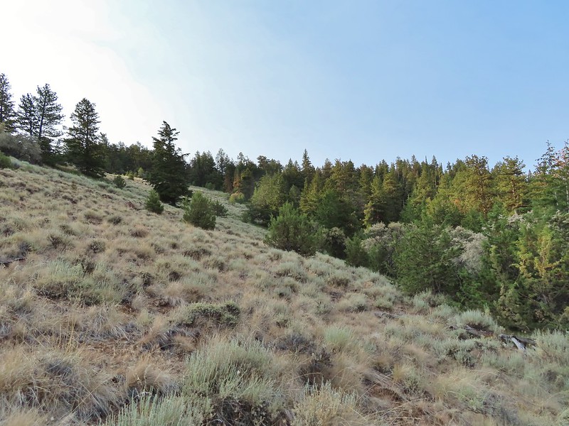
 The north side had a few more trees.
 Looking back toward Fields Peak
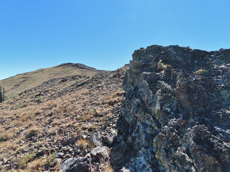
 We passed through a rocky section near the second saddle.
In another half mile we found ourselves passing through the second saddle and back on the south side of the ridge.
 McClellan Mountain from the second saddle.
Yet another half mile of trail brought us to the third saddle. Sullivan calls this phlox saddle and there was indeed a lot of phlox present it but had been a long time since it bloomed and all of the plants were now brown and dried.
 Approaching the third saddle.
The trail was again on the north facing side as it passed over a ridge leading out to Moon Mountain.
 Moon Mountain
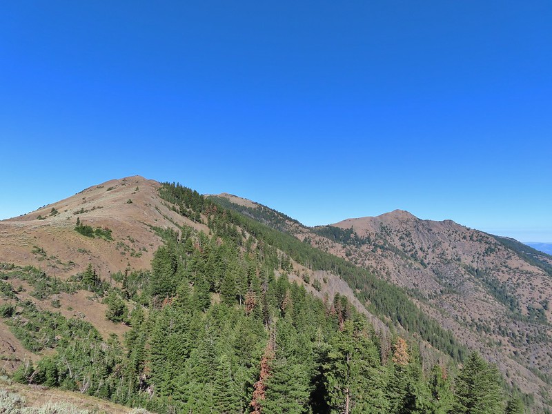 Fields Peak (center).
 McClellan Mountain as we approached the fourth saddle.
As the trail descended to the fourth saddle it disappeared in the sagebrush meadow.

The good news was this fourth saddle was where the off trail route to the top of McClellan Mountain started so we simply made our way through the sagebrush to the gentlest looking slope and started up the mountain. Sullivan showed it being 1.2 miles and just under 700′ up to the 7043′ summit.
 Looking back you can sort of make out the trail angling down the near hillside.
 Looking up McClellan Mountain.
Earlier in the hike I had mentioned to Heather that the only real disappointment of the trip had been the lack of large wildlife (aside from the dozens of deer and lone bobcat we spotted on our drives). As we crested the first hill on our way up McClellan Mountain though we spotted a line of ungulates crossing the hillside far above us. They were far enough away that I couldn’t tell for sure if they were elk or deer but once again the zoom on our camera helped solve the mystery.
 In the middle of the center hill to the left of the tree in the foreground is the line of what turned out to be 5 bull elk.
 Blurry due to the elk moving and the deep zoom.
 Four of the bulls stopped to look back at us.
 The fifth and largest bull on top of the ridge waiting for the rest.
After watching the elk disappear over the hillside we continued on. As far as off trail hikes go this was nice and straight forward, not ever too steep, and the vegetation wasn’t too tall or thick.

 An old fence line on the hill.
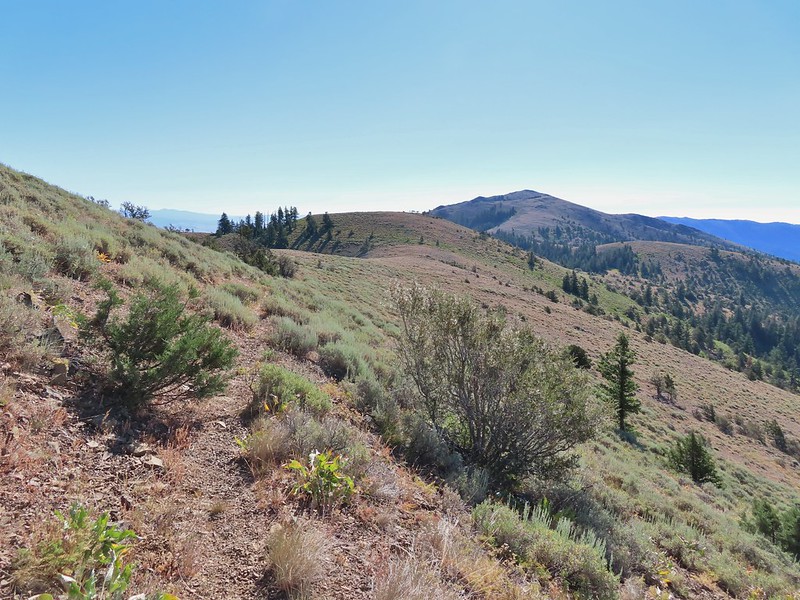
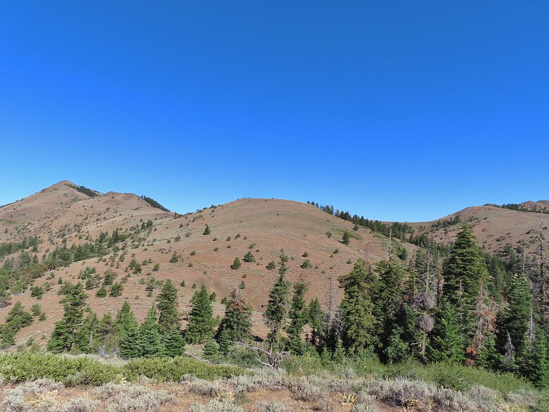
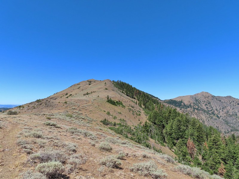
 Fields Peak on the left, an unnamed peak in the center and Moon Mountain on the right.
 False summit (there’s always at least one). After some debate we went to the left of the rock outcrop which worked out well.
 Passing the rock outcrop.
 Almost there.
 The Greenhorn Mountains, Elkhorns, Dixie Butte and the Strawberry Mountains from left to right in the distance.
 Looking back at Fields Peak
 The John Day River Valley.
 Logan Valley
 Company at the summit.
We took another nice break at the summit before heading back the way we’d come. On the return trip we had an encounter with what we believe was our first ruffed grouse.
 Passing back through Phlox Saddle.
 A better look at the rocky section of trail.
 Mountain coyote mint, one of only a couple with this coloration on the stems.
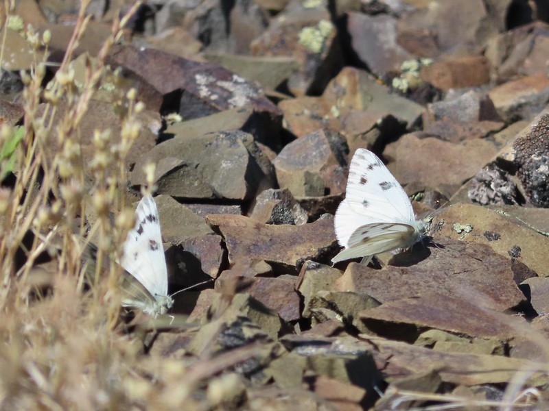
 Butterfly and a beetle.
 Sagebrush mariposa lily
 Ruffed grouse
 A final look at McClellan Mountain.
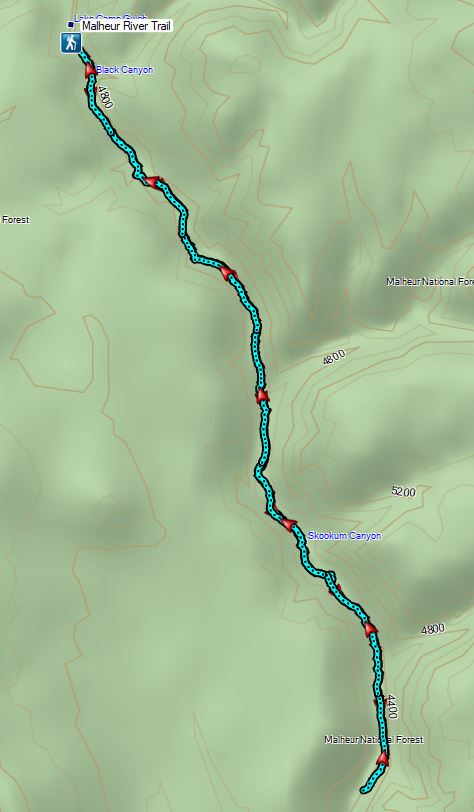
For the second day in a row our hike came in at 12.3 miles, this time with approximately 3200′ of elevation gain.

In our five days of hiking in the area we passed a single hiker (with dogs), something that is unheard of even on weekdays on the western side of the State. We were a little concerned about ticks but we only saw two, Heather had one on her hand the first night on the Rock Creek Trail and she had a second on her tights at the end of the Canyon Mountain hike but neither had bitten her. It had been an enjoyable trip but it was time to head home. We drove to Bend and had a nice visit with Heather’s parents before leaving early the next morning for one final short hike. Happy Trails!
Flickr: Fields Peak
 I had started up to the left at the saddle but it was steep with gullies and some debris so we carefully turned around and parked below.
 Little Canyon Mountain from the saddle. A wildfire burned the area in 2015 and the trail up to Dog Creek.
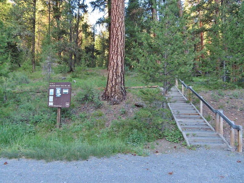
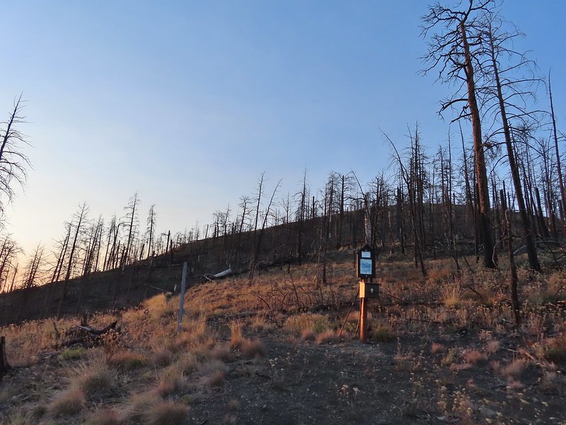 The actual trailhead.
 Little Pine Creek flowed down this valley below Canyon Mountain.
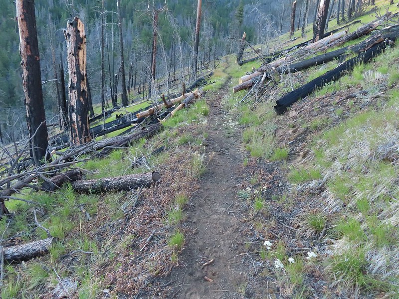 Yarrow along the trail.
 Fireweed
 Paintbrush
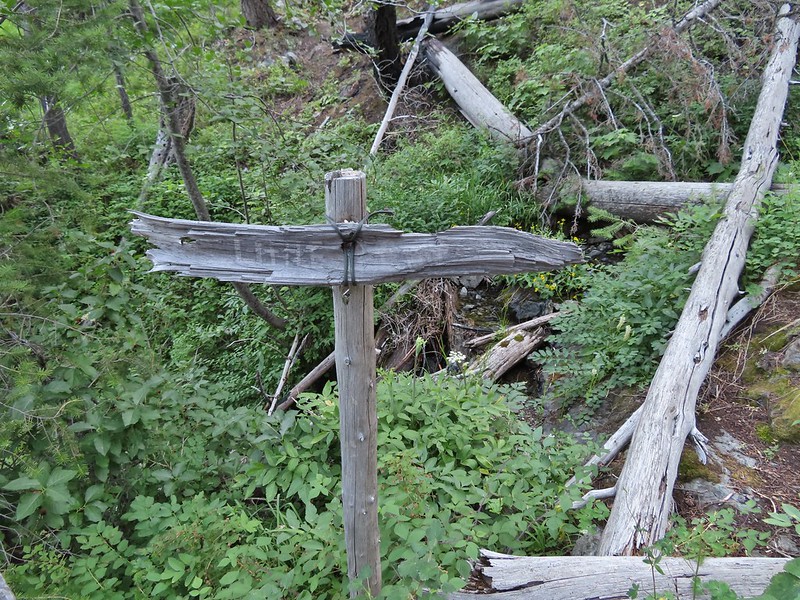
 Paintbrush and pearly everlasting
 Raspberries
 We don’t recall seeing a penstemon with leaves like this before.
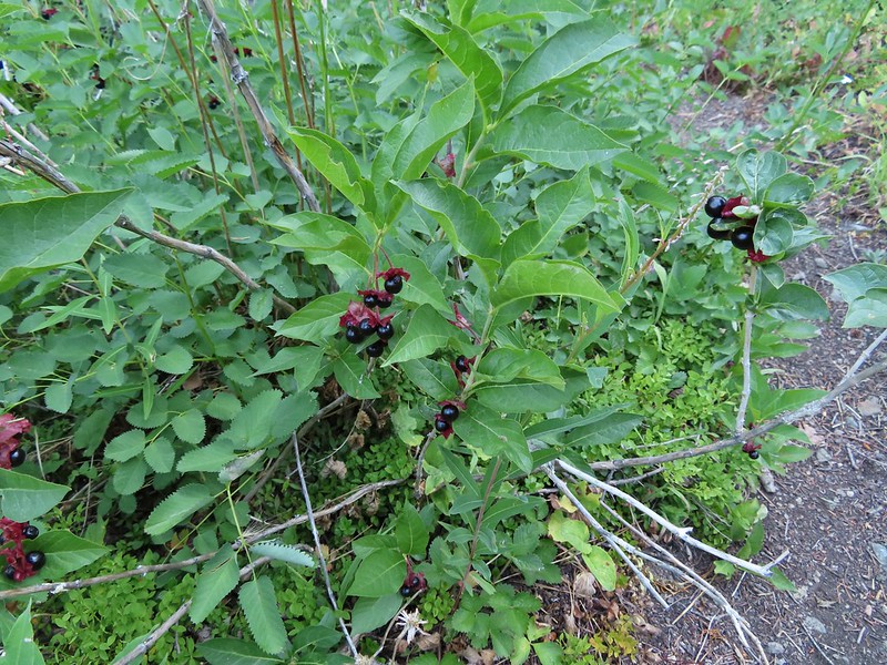 Twinberry (we did NOT sample)
 Sitka burnett (white)
 Little Pine Creek at the crossing.
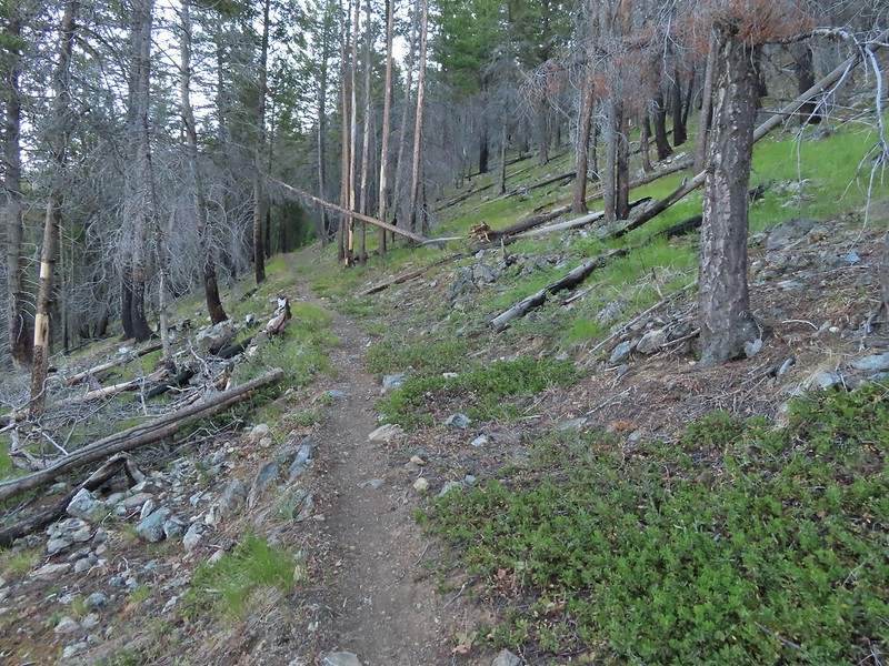
 Prince’s pine
 Mountain death camas
 Fringed grass of parnassus
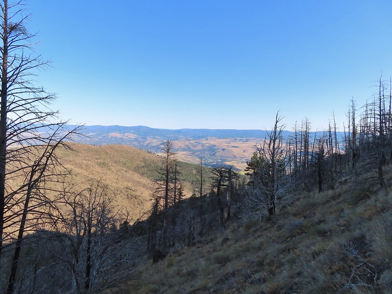
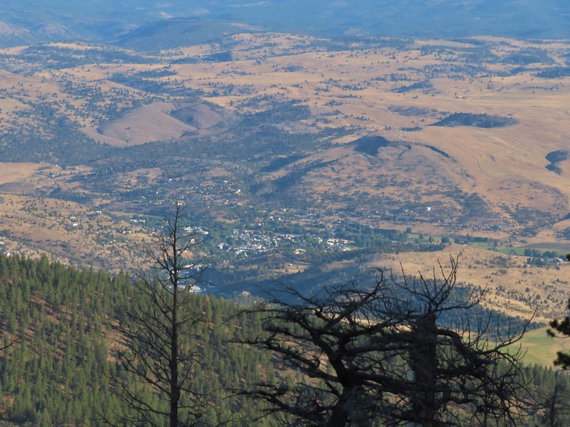 John Day below.
 Little Canyon Mountain behind the ridge we’d come around earlier.
 The Aldrich Mountains to the west, our destination for the next day’s hike.
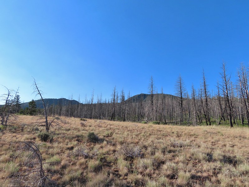 Canyon Mountain
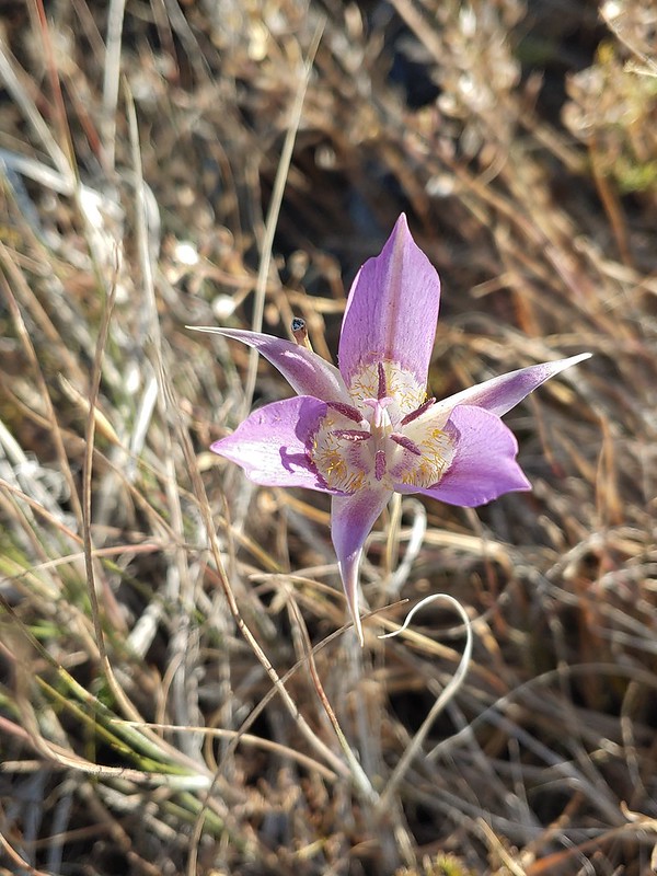 One of the sagebrush mariposa lilies.
 Dixie Butte and the Greenhorn Mountains to the NE
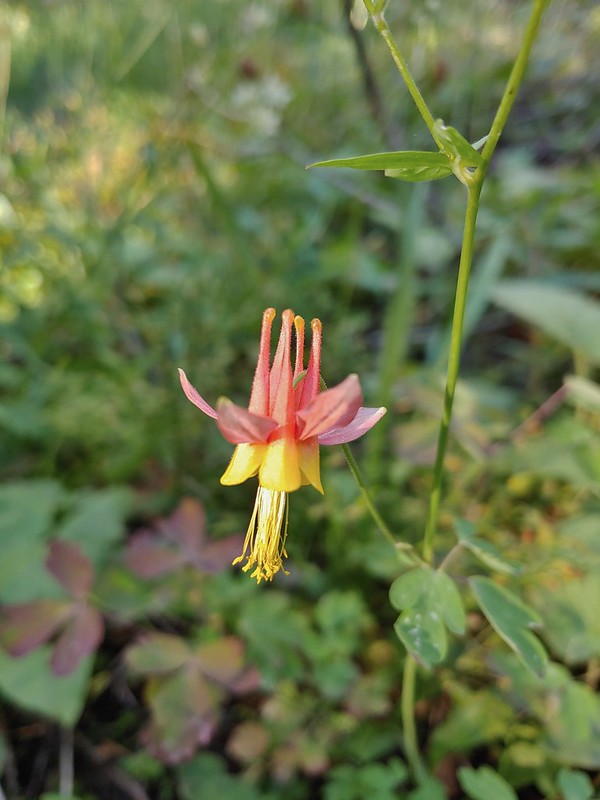 Columbine
 Swamp onion
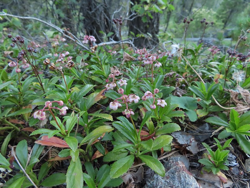
 Flowers at Dog Creek
 Twinflower
 There was a lot of elk sign along this section of the trail.
 A lot of sign.
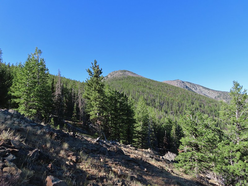 Looking back toward Canyon Mountain.
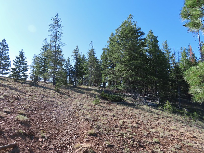 The trail crossed over the ridge in a saddle with quite a bit of mountain coyote mint.
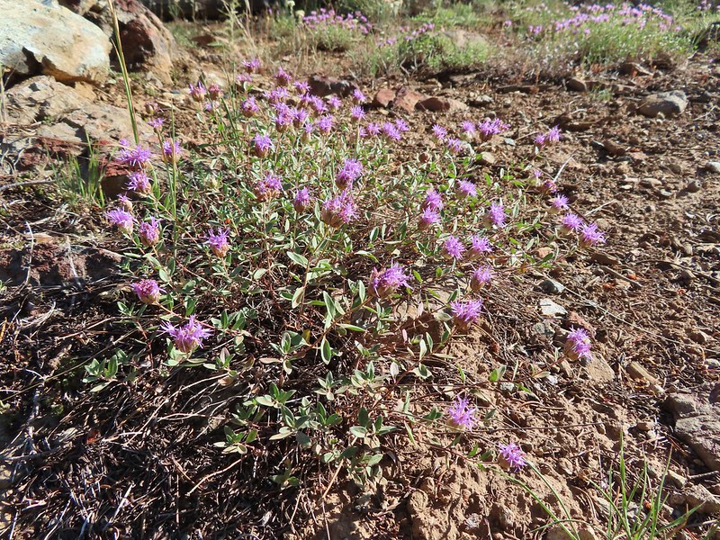 Mountain coyote mint
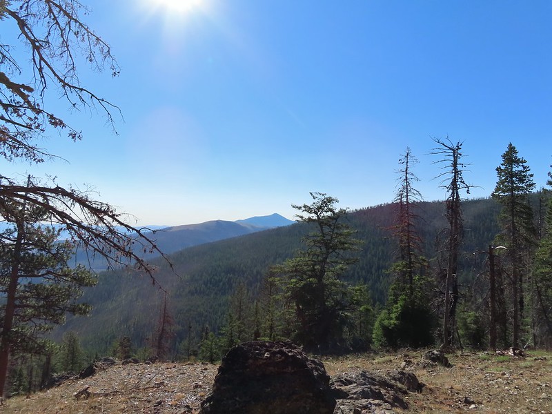 Strawberry Mountain (
 Heading toward Dean Creek now.
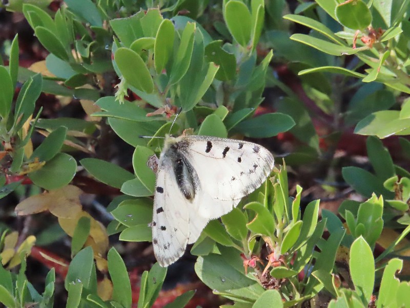
 Green Mountain on the left and Canyon Mountain on the right.
 A smaller raptor, it wouldn’t look at us so I’m not sure what type it was.
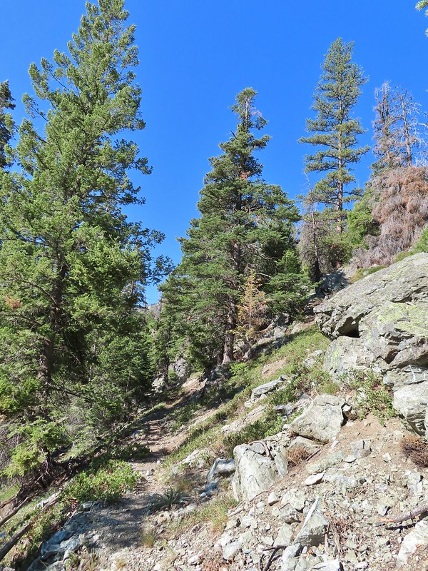
 Butterflies on western snakeroot. Side note we didn’t see a single snake or lizard all week which was really surprising to us.
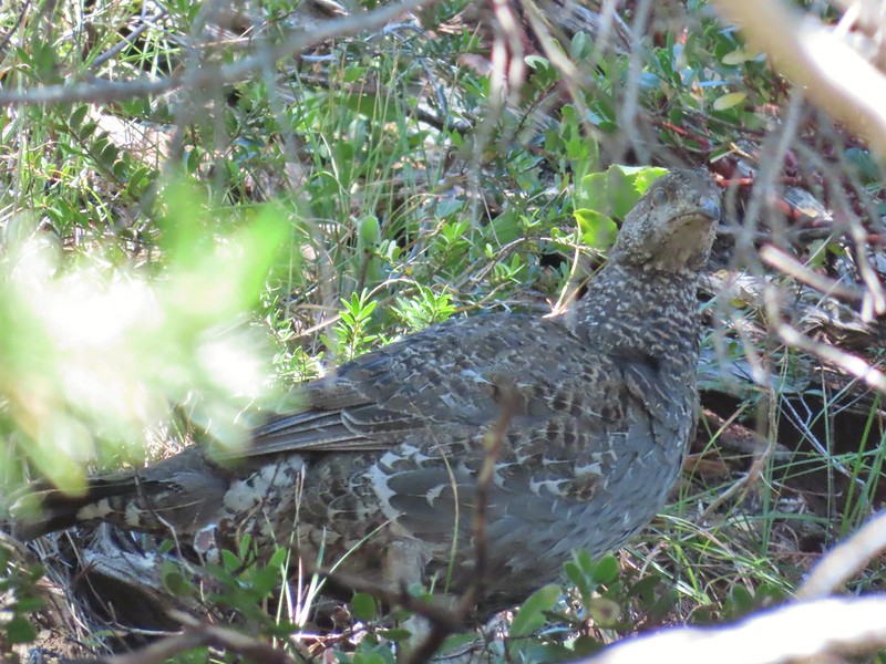 We did however see quite a few grouse.
 The trail got a little brushy nearing Dean Creek.
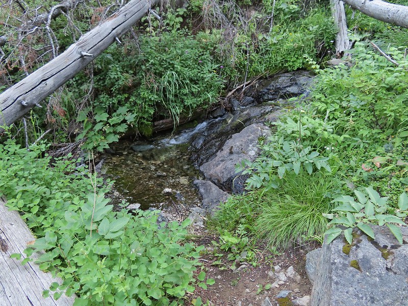
 There wasn’t much water in Dean Creek but there was enough for a small cascade.
 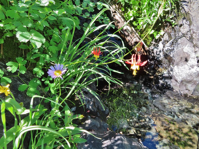 Wildflowers next to a small pool.
 Dean Creek
 Butterfly near the pool.
 Canyon Mountain
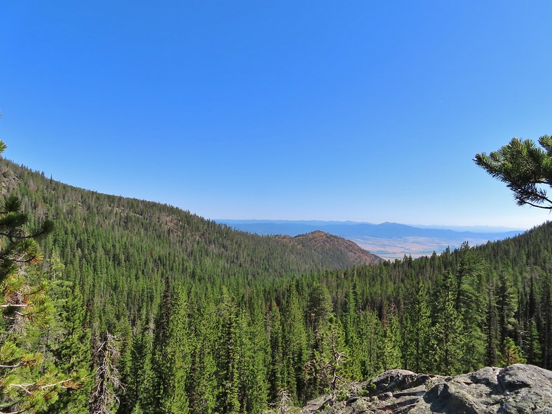 Dixie Butte with the Greenhorns on the left and the Elkhorns (
 Cones
Cones Lousewort
 Pearly everlasting, yellow flowers, and fireweed.
 An eagle?
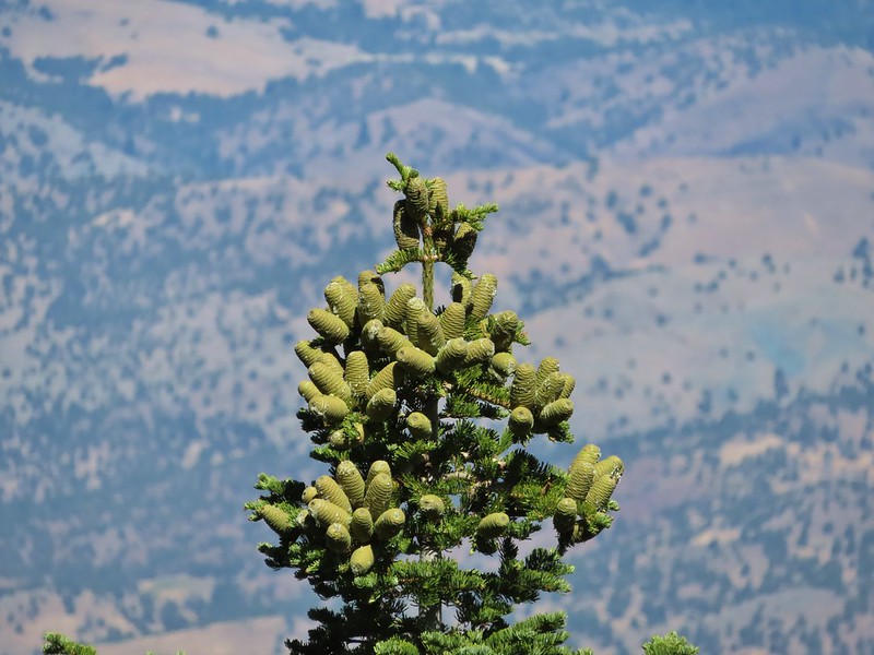 More cones
 Dragon fly
 A sulphur butterfly
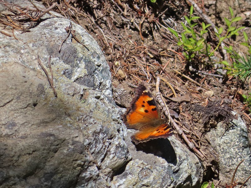 California tortoiseshell
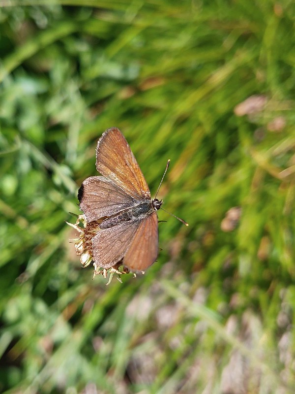
 Grouse
 Maiden fly
 Skipper
 Woodpecker
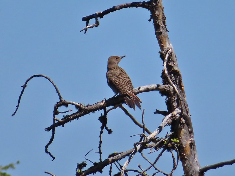 Northern flicker
 Mountain bluebird
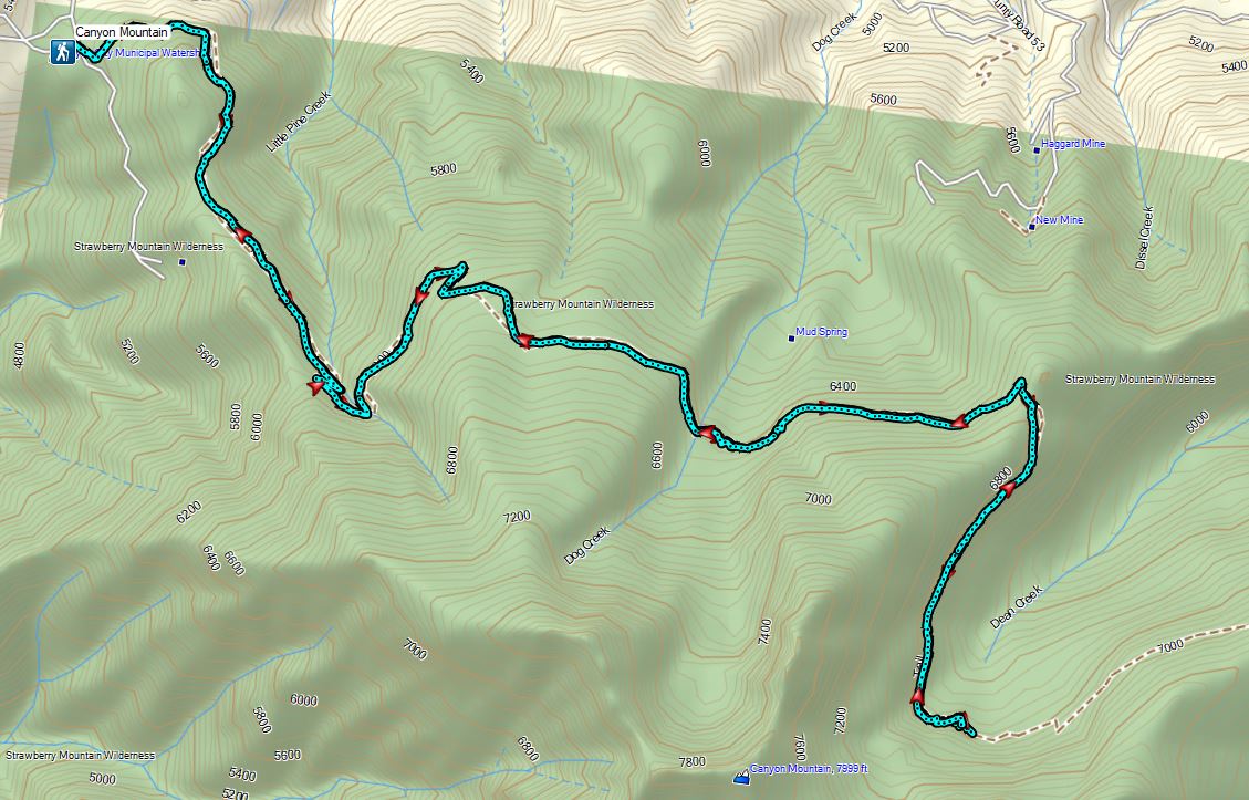
 Continuing along the Waterman Ditch.
 If this trail sign was marking a junction it wasn’t clear where the other trail was.
 Campsite at the saddle.
 The Rim Trail sign on a tree trunk.


 Rock Creek Lake
 Gaining the ridge.

 View from the rim.
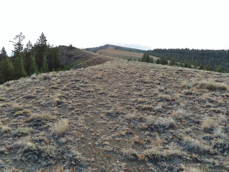 Spanish Peak
 A local
 Astter
 Some sort of delphinium I think.
 Downed trees across the trail ahead.
 Interestingly camouflaged beetle on the upper onion.
 Lupine
 A checkermallow
 Some more downed trees that we had to go around.
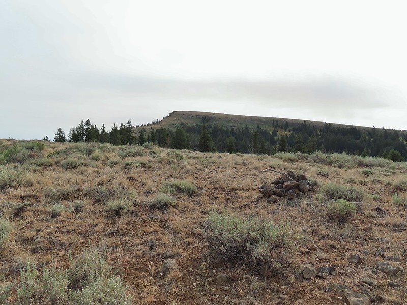


 We left the trail here, note the small cairn on the left.
 Heading uphill.
 Scarlet gilia
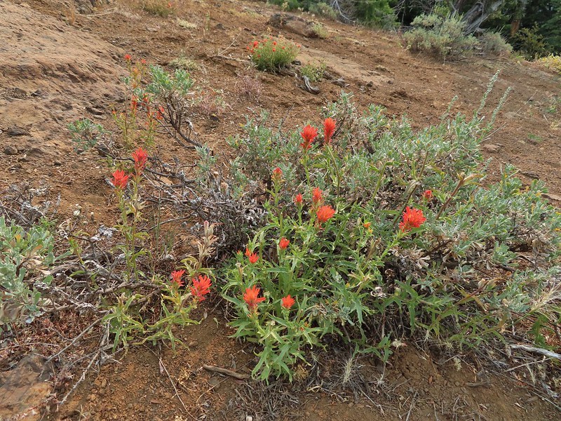 Paintbrush
 The site of the former lookout.
 Looking out toward the John Day River valley.
 SE to Windy Point.
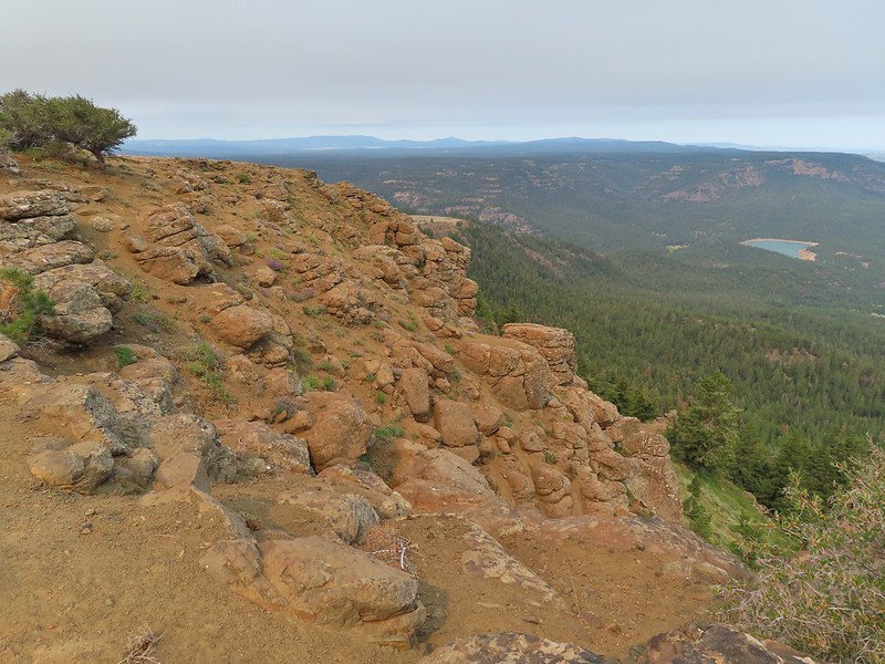 West to Rock Creek Lake and on the horizon the flat topped Lookout Mountain (
 NE to the John Day River Valley.
 Lookout and Round Mountain and the rim that we had hiked up below Spanish Peak.
 The Pisgah Lookout on the far side of the Bridge Creek Wilderness (
 A hazy Mount Hood to the NW.


 Baldy Creek was on our left.
 Red-tailed hawk
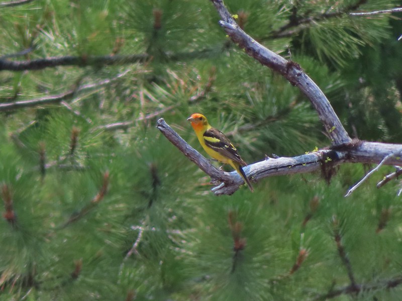 Western tanager
 Arriving at the trailhead.
 Signage at the trailhead.
 Baldy Creek below FR 3820.
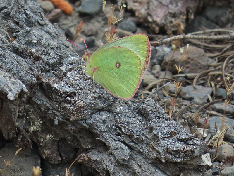 A sulphur butterfly of some sort.
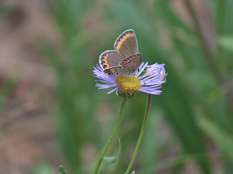
 A watermellon or June bug as we called them growing up.
 FR 3820 meeting Arvid Nelson Road.
 Spanish Peak from Arvid Nelson Road.

 Bench near the trailhead.
 Lupine along the trail.
 There was plenty of river access along the way.
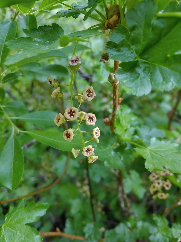 Currant
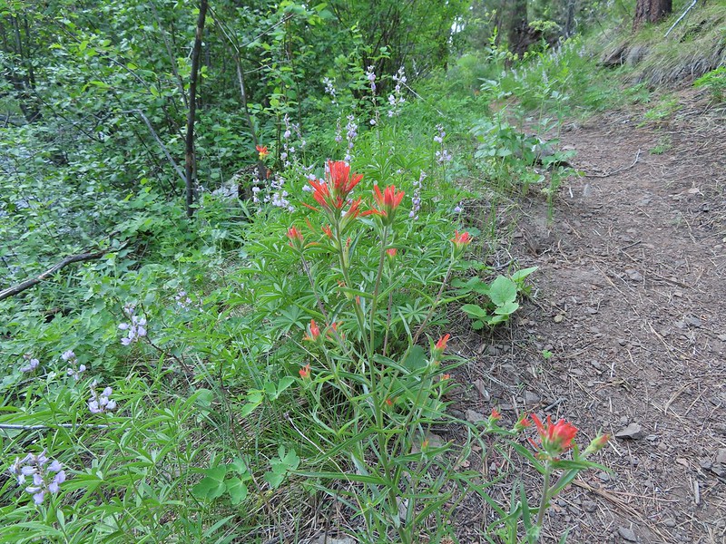 Paintbrush and lupine along the trail.
 Geraniums
 Ponderosa pines
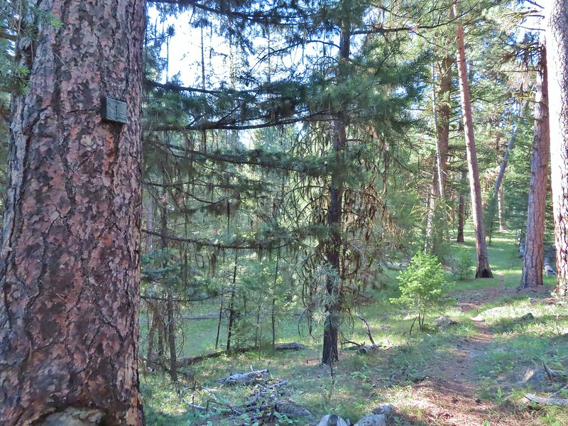 First 1
 Second 1
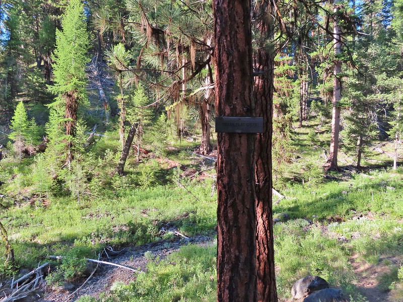
 Camas
Camas Balsamroot, columbine, geraniums and paintbrush.
 Photo from the afternoon on the way back.
 Photo from the afternoon on the way back.
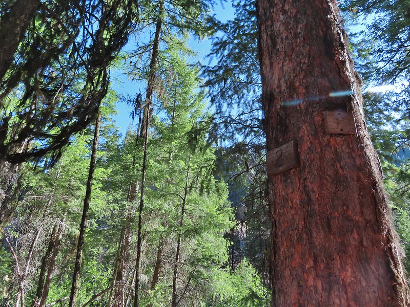 Tree marking mile 2.
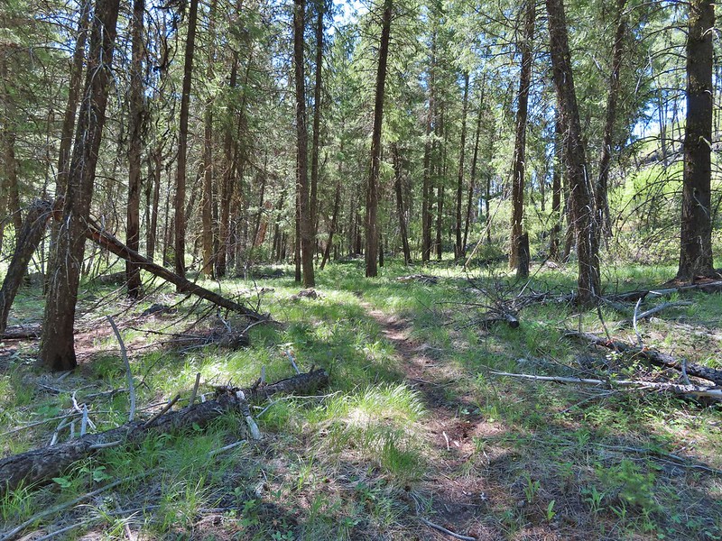
 Typical “obstacles” that were present along the trail.
 Columbine
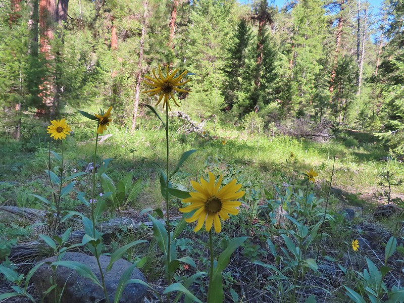 Cusick’s sunflower?
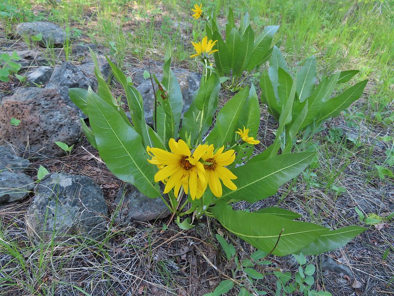 Balsamroot or mule’s ears?
 Woodland stars
 Mile 4

 Salsify and geraniums
 Sticky cinquefoil
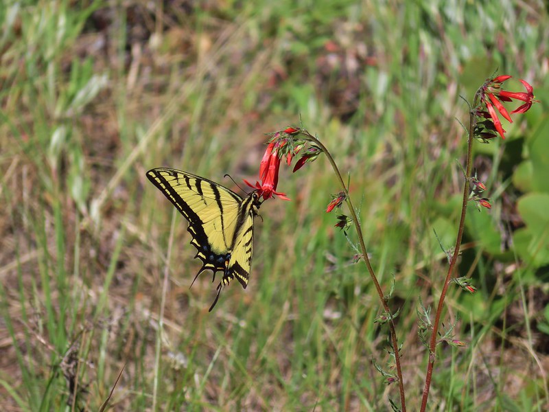 Swallowtail on scarlet gilia
 Geranium
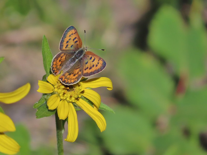 Some sort of copper butterfly
 A checkerspot
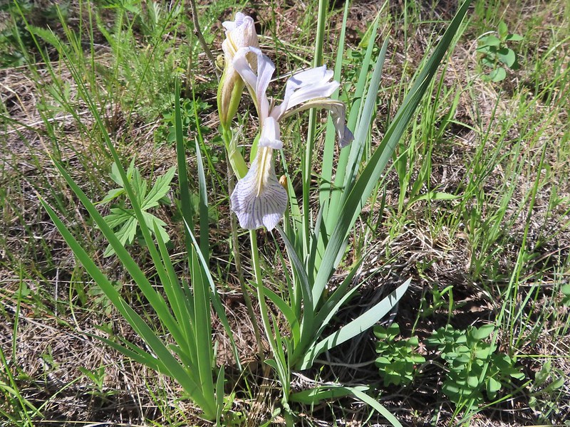 Iris
Iris Balsamroot (or mule’s ears)
 A fleabane
 A different type of fleabane.
 Larkspur
 Rosy pussytoes
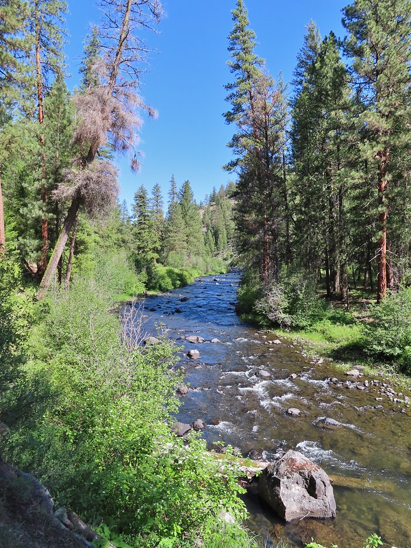
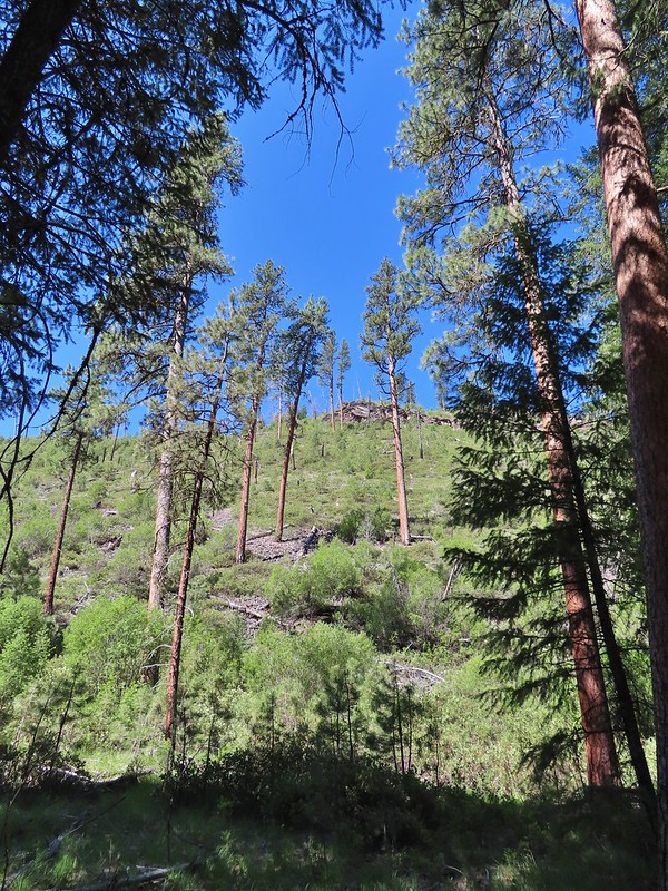 Hog Flat is up on top of the hillside.
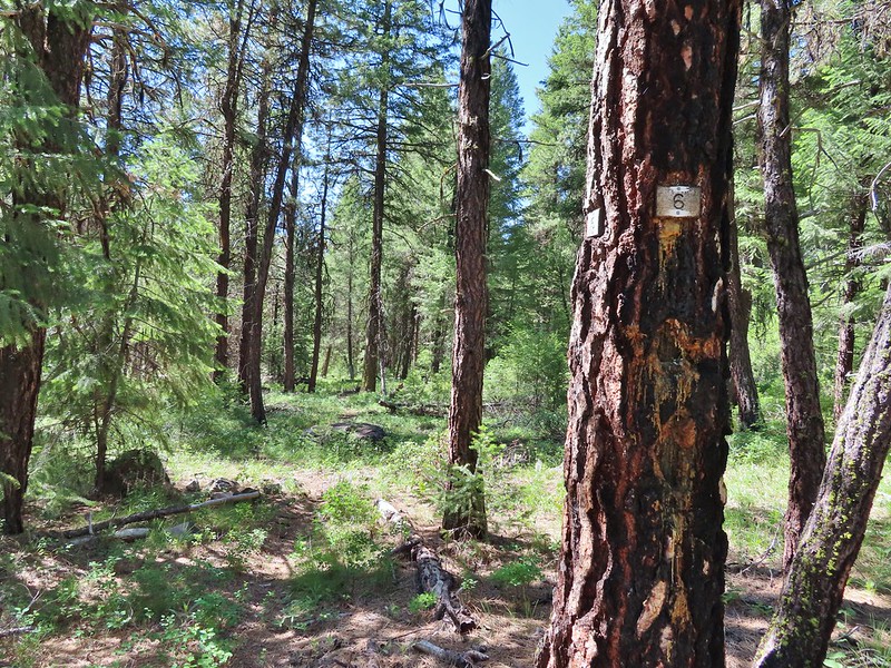 Mile 6 markers.
 Cracked egg in the trail.
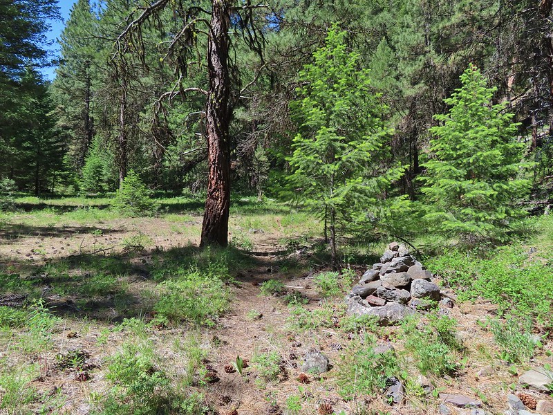 We passed this cairn around the 6.5 mile mark.
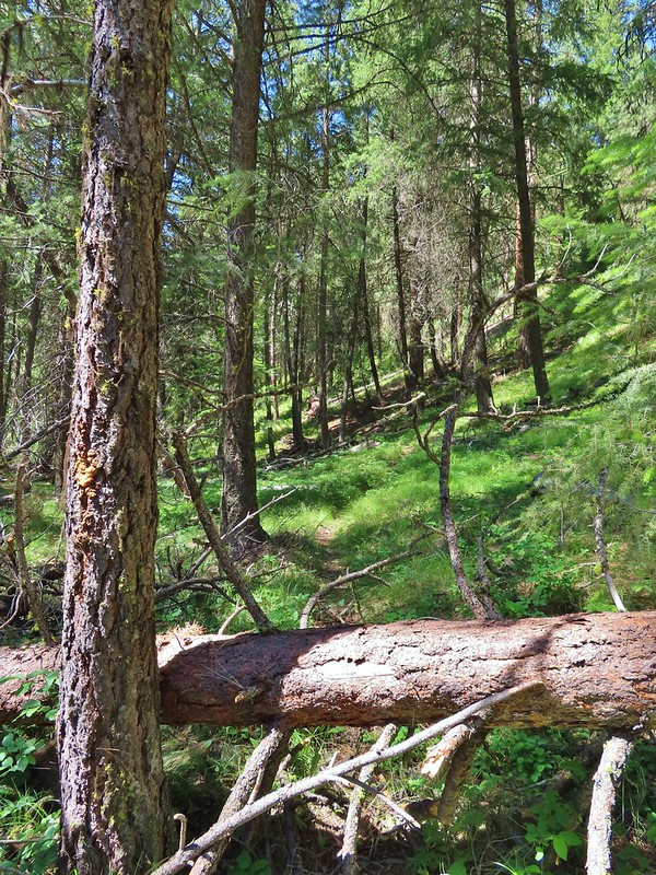 We turned around here shortly after passing the cairn. It appeared the trail was beginning it’s climb and we took the cairn and downed tree as signs that it was time to turn around. We did just that and headed back keeping our eyes open for the mile 3 and 5 markers.
 A fritillary butterfly on an iris.
 Found 5
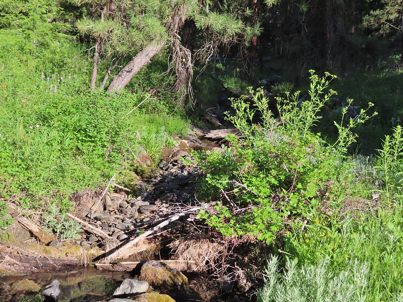
 This was a particularly tricky little muddy spot to stay dry crossing.
 And there’s “3”.
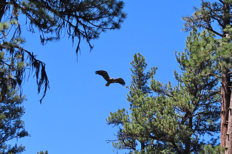 Immature bald eagle. We saw it on the way out in the same area but couldn’t get a photo. This time it flew right by me, and I think it was giving me the stink eye.
 Back at the trailhead.