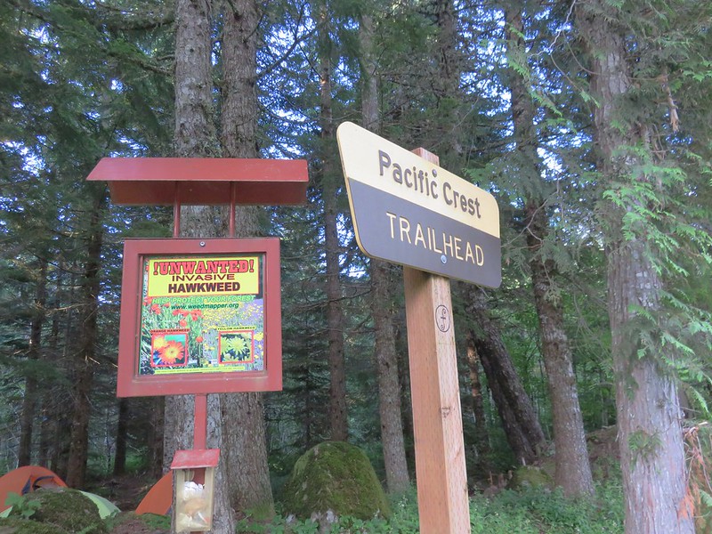
A week out from our somewhat cloudy visit to the Mount Margaret Backcountry we found ourselves heading back into the clouds on the Pacific Crest Trail. Our goal for the day was the viewpoint atop Buck Peak which is just off the PCT to the NW of Lost Lake in the Mt. Hood National Forest. We began our hike at the Pacific Crest Trailhead at Lolo Pass.
We headed north on the PCT which quickly passed under some power lines where we met our first clouds.
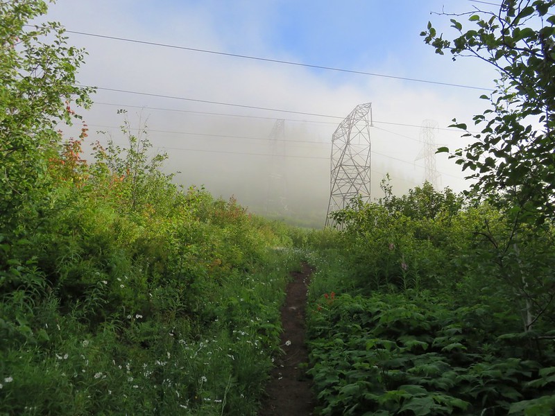
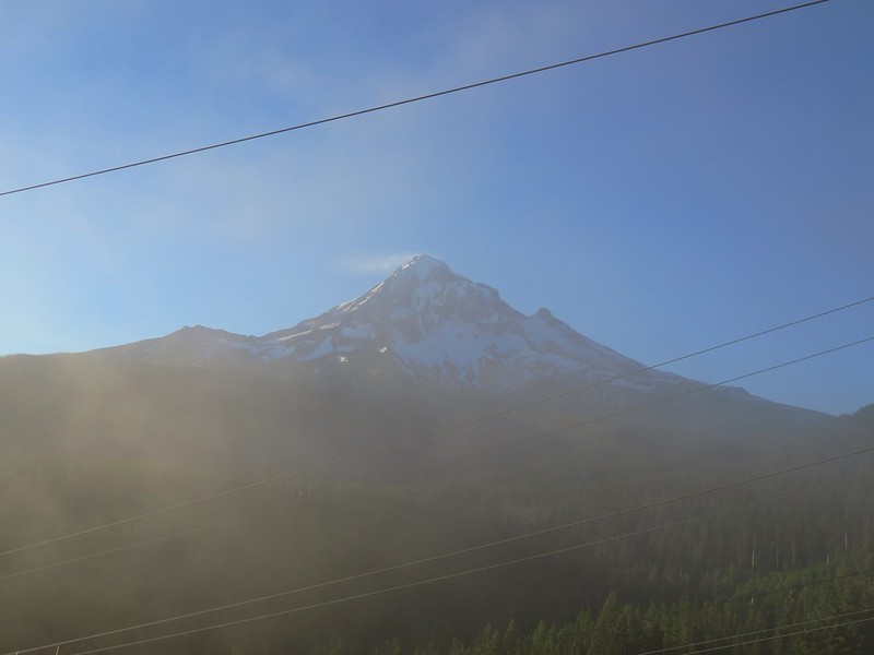
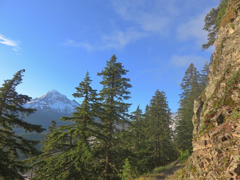
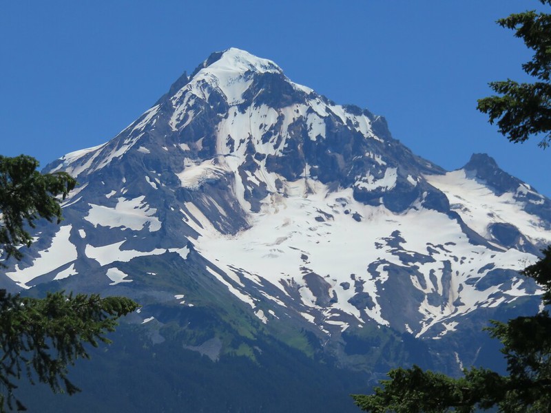
Looking back toward Mt. Hood from the power lines it looked like blue skies around the mountain.
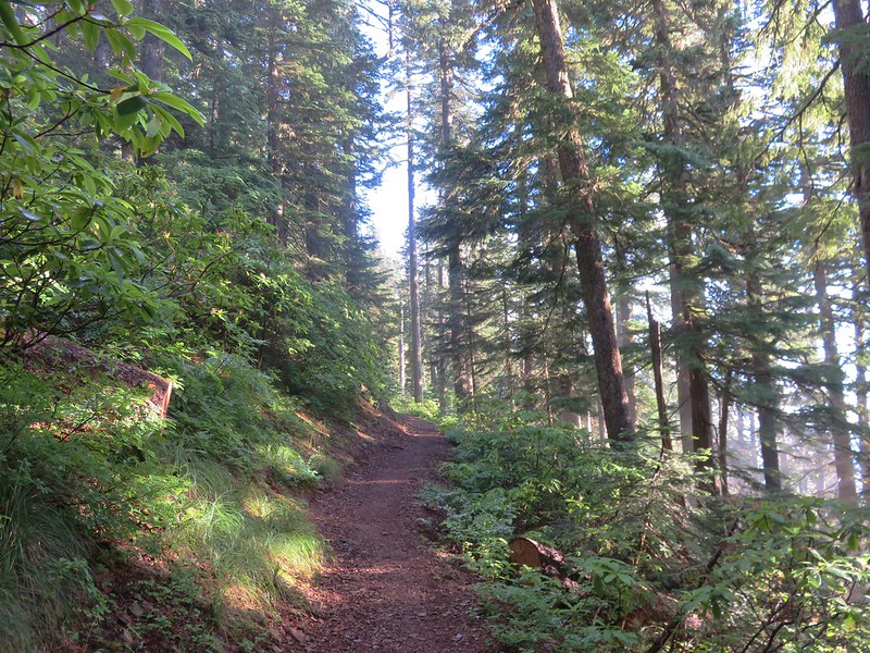
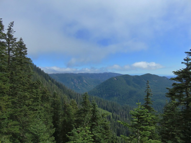
The PCT climbed gently up a ridge where we had a few views between the clouds that were passing over.


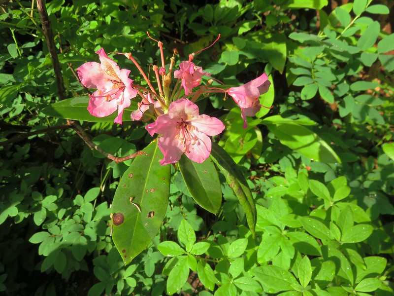
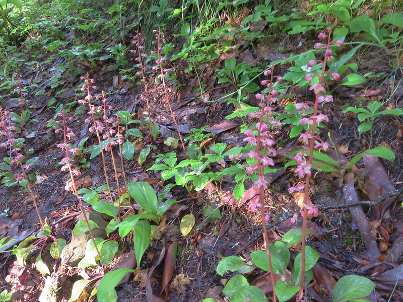
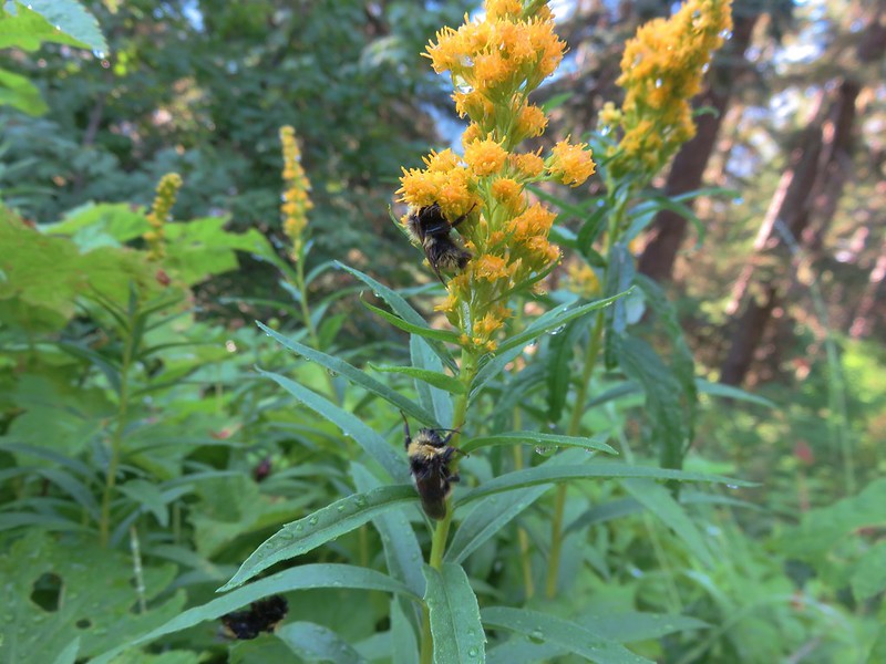
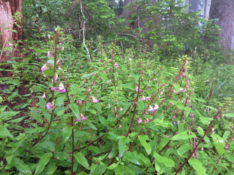
A decent variety of flowers could be found along the more open portions of the trail.
Rhododendron
Pink pyrola
Tiger lilies

Bees on goldenrod
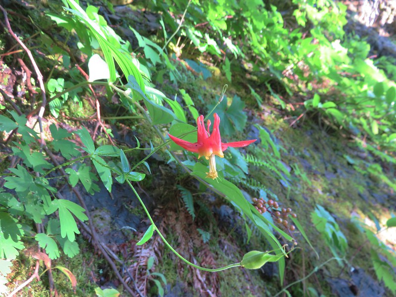
Columbine
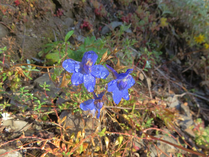
Larkspur
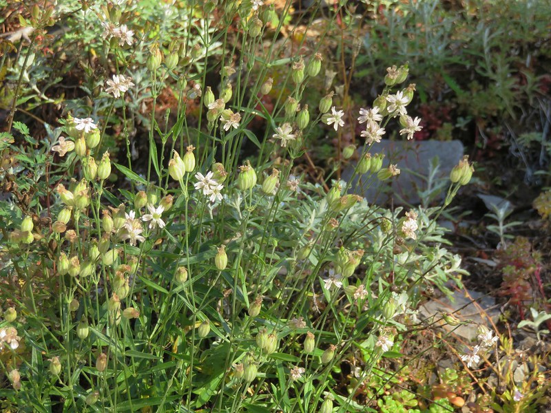
Catchfly
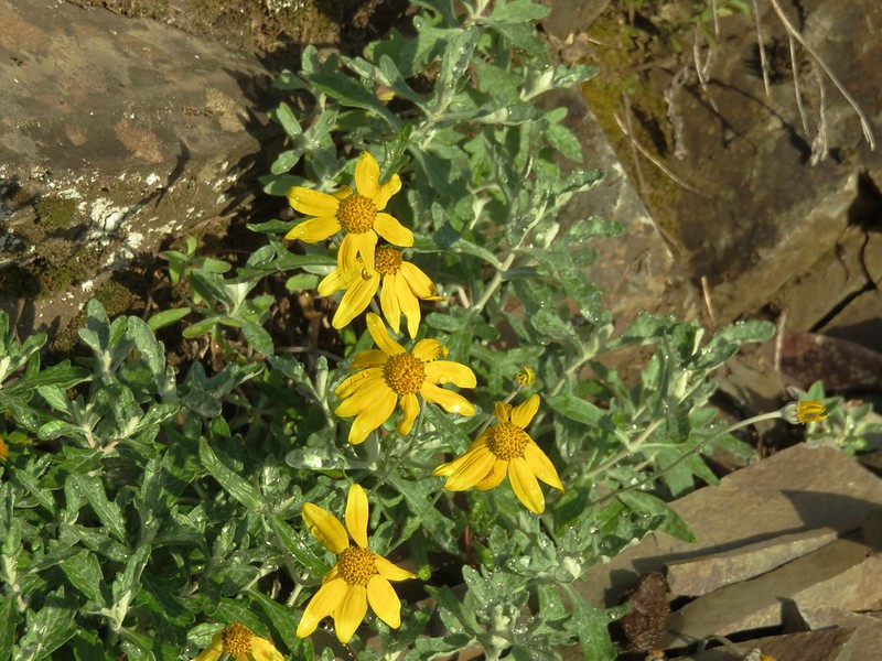
Oregon sunshine
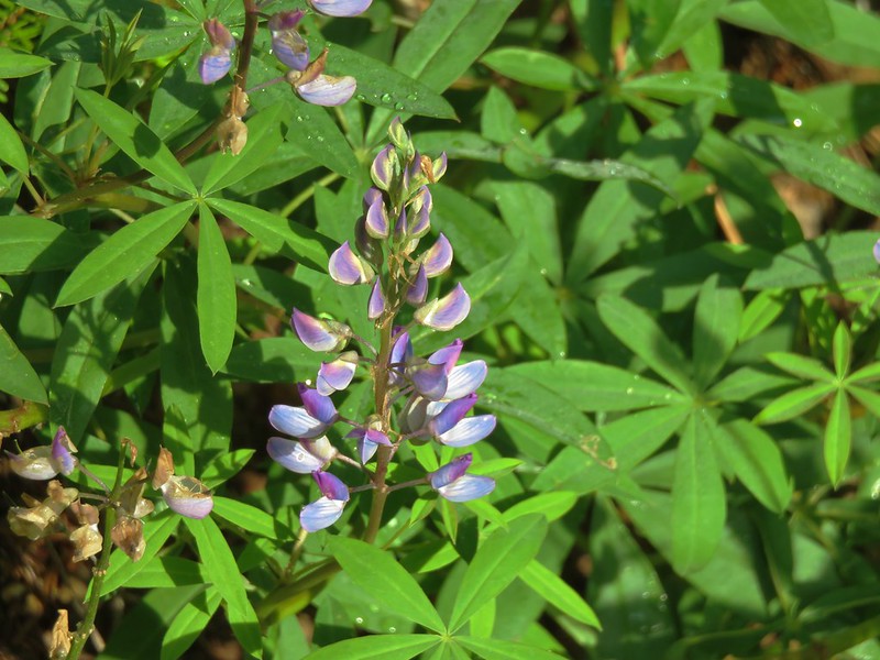
Lupine
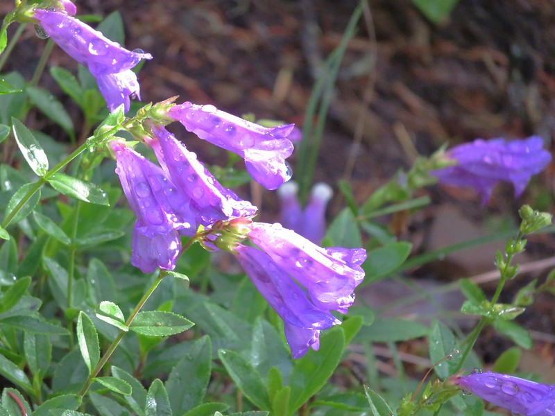
Penstemon
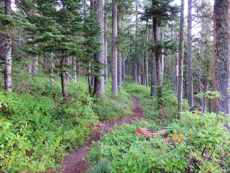
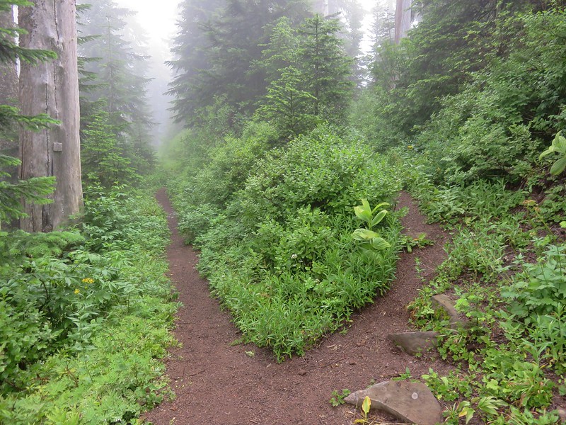
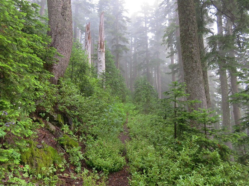
The trail soon entered the trees where it remained for the majority of remainder of the hike to Buck Peak. The forest was full of huckleberries and some salmonberries.
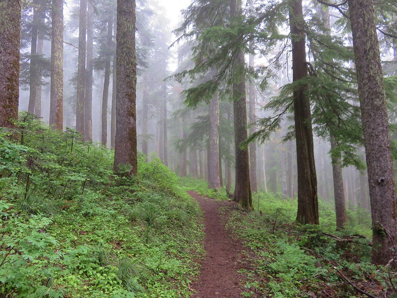
It was increasingly foggy as we gained elevation.
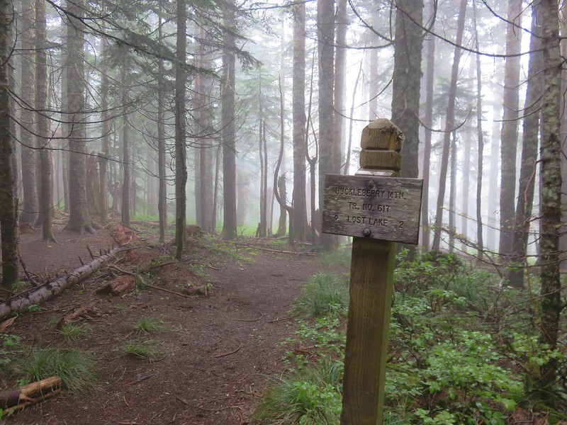
Approximately 4.5 miles from Lolo Pass we arrived at a junction with the Huckleberry Mountain Trail which led down to Lost Lake.
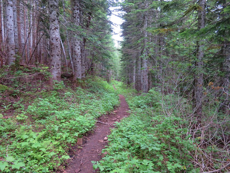
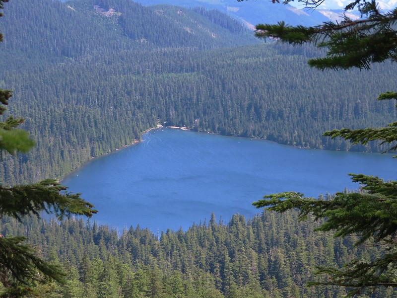
We continued on the PCT passing a spur trail to Salvation Spring and heading further into the clouds. There were a number of downed trees across the trail after the Huckleberry Mountain junction but nothing impassable. With the forest and the clouds, views were few but we did get a couple of glimpses of Lost Lake along the way. The majority of the time we were just looking at the different flowers along the way.
Beargrass
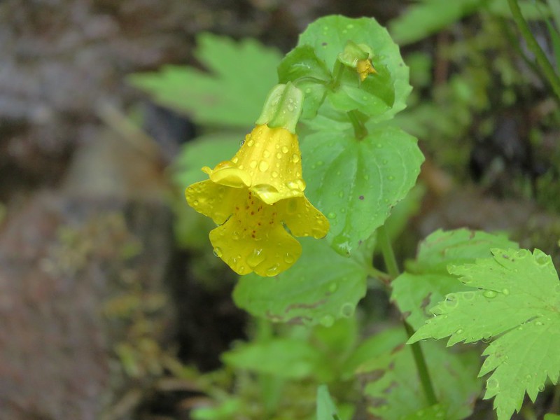
Monkeyflower
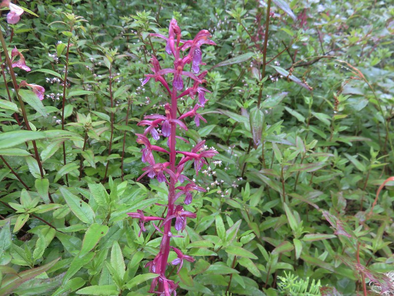
Parrot’s beak lousewort
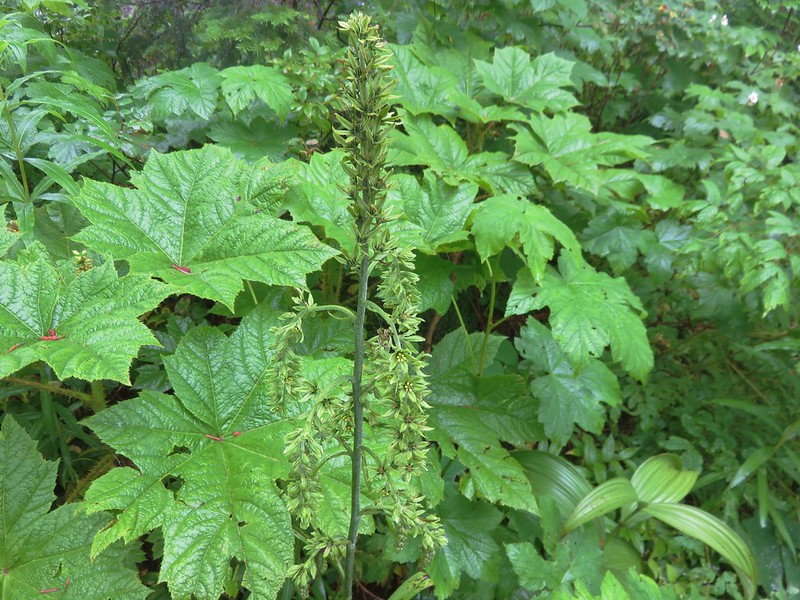
False hellbore
Coralroot
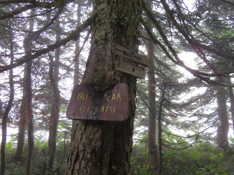
The trail to Buck Peak was unsigned but easy to spot as it split up and to the right from the PCT.
The trail was a little brushy and the clouds had left the plants rather damp which in turned soaked us pretty quickly.
After a half-mile on the Buck Peak Trail we arrived at the signed summit.
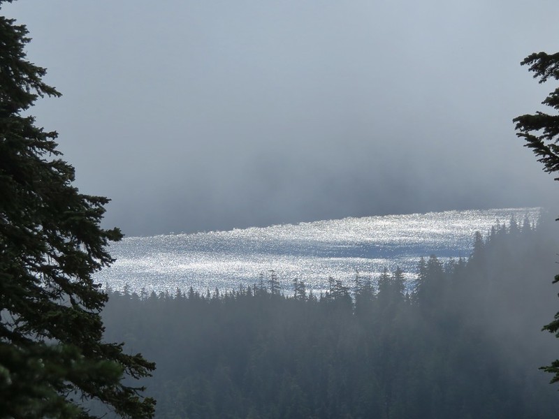
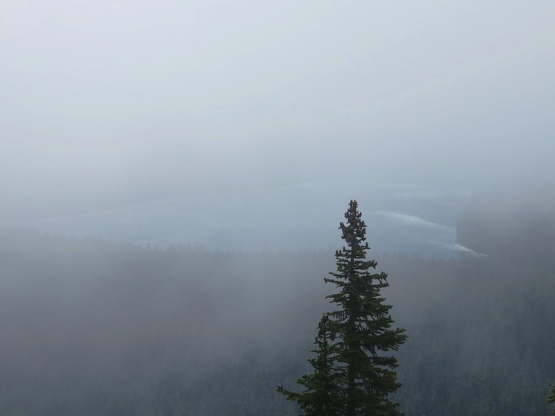
The panoramic viewpoint of several Cascade Mountains was on the fritz and we were lucky to get a couple of looks at Lost Lake below.
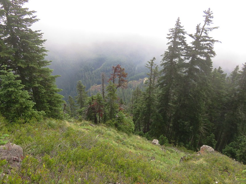
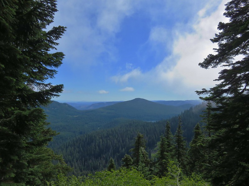
We sat on the rocky viewpoint for awhile watching the clouds pass over hoping to wait them out but finally decided it could be hours before the view cleared and headed back down. Things had already cleared up some along the PCT and the views were starting to open up as we made our return trip.
Lost Lake Butte above Lost Lake
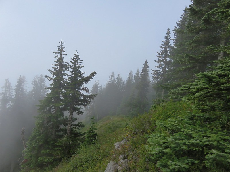
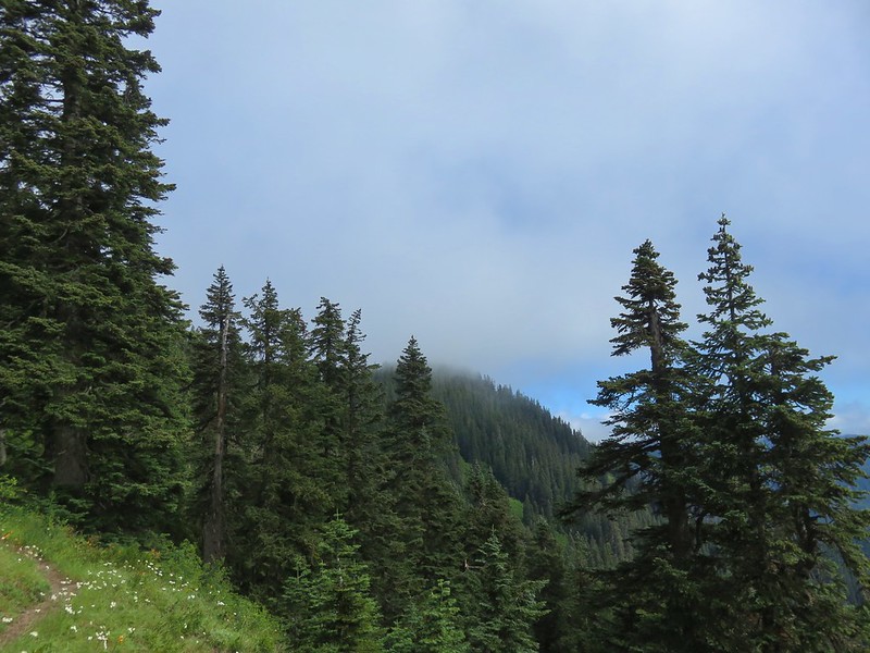
Buck Peak still in a cloud.
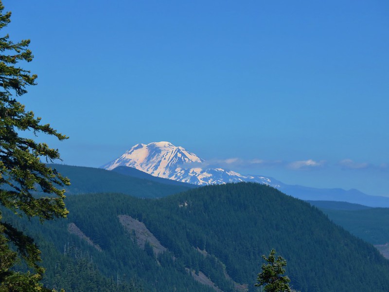
Eventually the sky had cleared enough to provide some great views of Lost Lake, Mt. Hood, and even Mt. Adams in Washington.

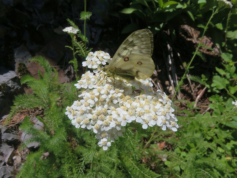
The butterflies had come out in the afternoon and as we passed the rockier section of trail they were busy pollinating the flowers.

Mt. Hood loomed large as we passed under the power lines and finished up our hike.
The hike was over 15 miles round trip but really didn’t feel that long. The approximately 1500′ of elevation gain was gradual and spread out nicely. One item to note is that this section of the PCT and the Buck Peak Trail are in the Bull Run Watershed Management Area which is the primary source of drinking water for Portland and is closed to the public. Hikers are required to remain on the trails within the area’s boundary. Happy Trails!
Flickr: https://www.flickr.com/photos/9319235@N02/albums/72157671458188065
