
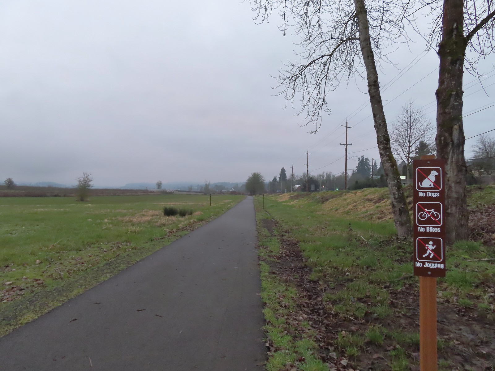
After getting a couple of extra hikes in during January, Winter finally arrived in February. We were down to our final chance to take our monthly offseason hike so regardless of the weather we planned on heading somewhere. I had a few options ready depending on the forecast which wound up being for a relatively dry morning followed by rain. We originally decided on a pair of hikes near Estacada, Eagle Fern Park and the Riverbend Loop at Milo McIver State Park.
We planned on starting our morning at Eagle Fern Park, but unfortunately the debit/credit card fee station there was out of order, and we weren’t carrying cash, making it impossible to pay the $8 day use fee charged by Clackamas County. (The county doesn’t have a way to pay online, that I could find.) After striking out at Eagle Fern Park we headed to Milo McIver where a State Park Pass is required. Day use passes went from $5 to $10 beginning in 2025 so for the first time we purchased an annual pass (online) which is only $30, or three visits to fee parks.
We parked in the McIver Memorial Viewpoint parking area and began our hike by following a paved path down to the viewpoint.


Gazebo near the parking lot.
 McIver Memorial Viewpoint
On a clearer day there would be a view of the mountains here, but we had to settle for the mountain identifier to let us know what we were missing.

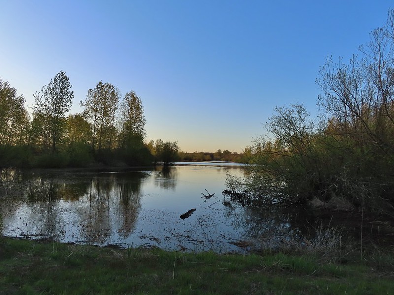
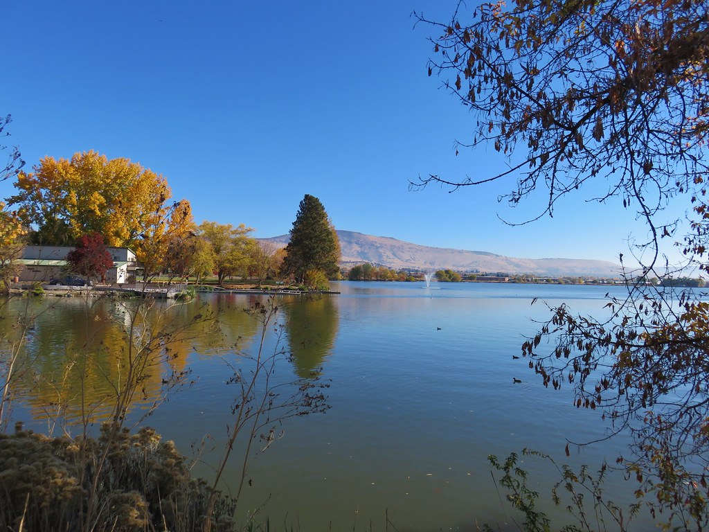
 Clackamas River from the viewpoint.
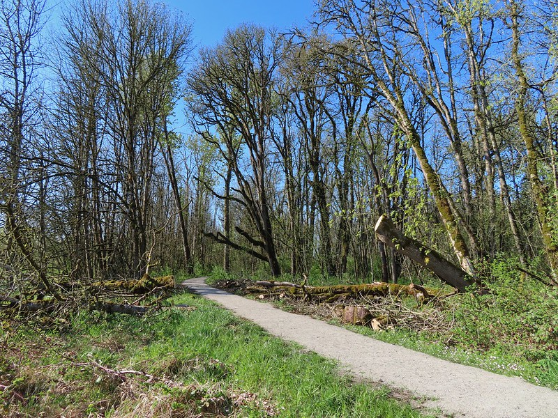
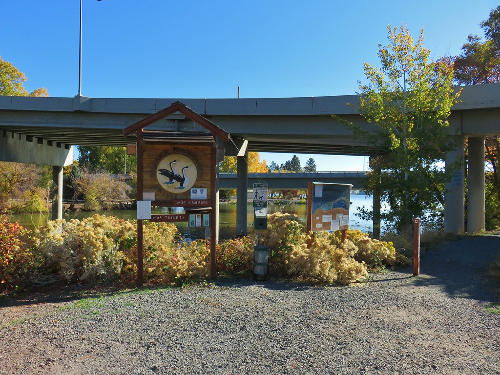
We had visited this park in June 2020 and done a 6.5-mile loop around the southern half of the park (post). For this visit the plan was a lollipop around the northern portion. From the viewpoint we walked back toward the parking area and turned right (north) on a gravel path leading to a signboard.
 The small trail sign on the left is labeled “Viewpoint Trail”.
 Map on the signboard. Oddly the Viewpoint Trail is not shown on this map even though the trail continues past the signboard.
We continued past the signboard on the Viewpoint Trail which descended the hillside above the Vortex Meadow before reaching a junction with the Vortex Loop near the edge of the meadow.

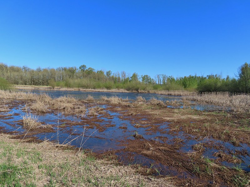
 The Vortex Meadow through the trees.

At an unsigned 4-way junction with the Vortex Loop we turned right and headed further into the meadow.


 Former model airplane landing strip in the meadow.
The lack of signage combined with some trails not being shown on the maps we had, created some issues as we neared the SE end of the meadow. We came to a group of picnic tables where a trail headed left toward them. It appears, based on our final GPS track compared to the route shown in the Oregon Hikers Field Guide and the park map, that this was the continuation of the Vortex Loop. We assumed it was simply a trail to the tables and continued straight through the meadow to a “T” junction at its edge.

We turned left on this trail, which again had no signage, and followed it staying right at junctions until we arrived at a 4-way junction with signs.

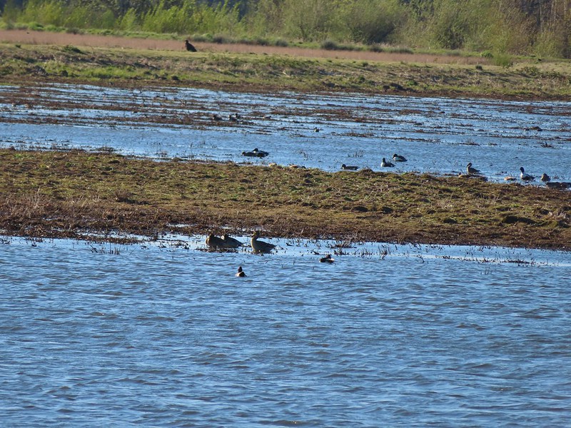
 There were some limited views of the Clackamas River from this trail.

 While we were happy to see trail signs again it was a little confusing to see the Riverbend Trail pointer here. Here again the maps that we had did not show this junction. They did show a 4-way junction between the Riverbend Trail and Vortex Loop but only after crossing a road which we had not done.
We decided to follow the pointer for the Riverbend Trail to the right since that was the trail we were eventually to be on. A short distance later we came to another signed junction, but this one made no mention of the Riverbend Trail.

This junction really threw us off. We initially turned left following the pointer for the Vortex Trail but quickly talked ourselves out of it when it appeared to be heading away from the river. In hindsight this was the correct choice to follow the Oregon Hikers Route, but I failed to catch that in the hike description. We were still a little confused as to exactly where we were on the route as well due to having come to more junctions than we’d expected already. We backtracked to the junction and headed down into the Kingfisher Group Camp and picked up the continuation of a trail on the far side of the grassy area.


 Viewpoint near the group camp.
This trail led us to a junction with the Riverbend Trail at the Riverbend disc golf course.


 Had we not backtracked through the group camp we would have connected with the Riverbend Trail after crossing a road then turned right on the Riverbend Trail, recrossed the road, and arrived at this junction on that trail which was now on our left.
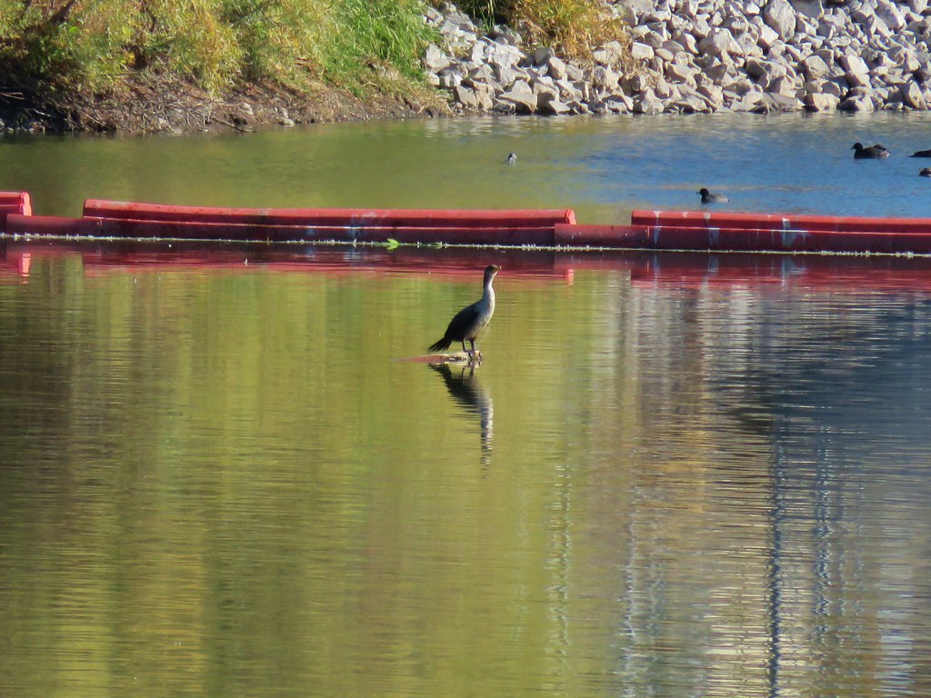
We turned right on the Riverbend Trail and were now back on track with the route we had intended to be on. The Riverbend Trail passed between the river on the right and the Riverbend Day Use Area.


 Stellar’s jay


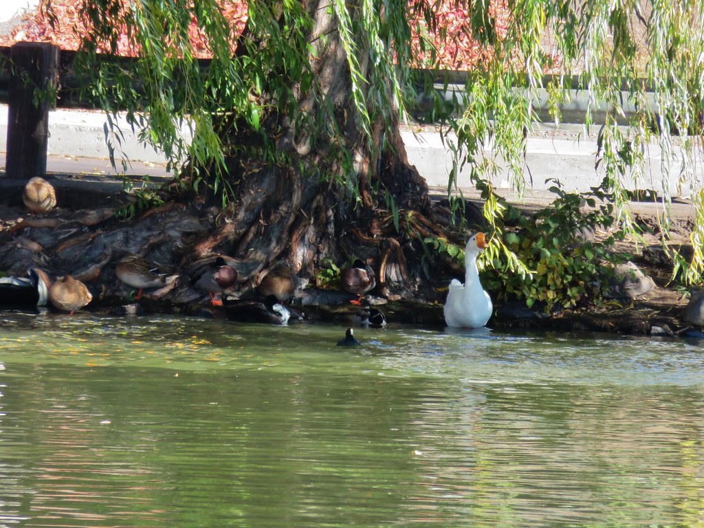
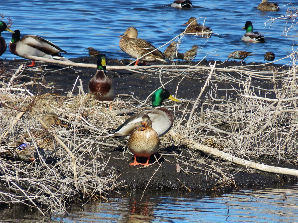
 We stumbled on a one-leg standing competition that the local geese were engaged in.
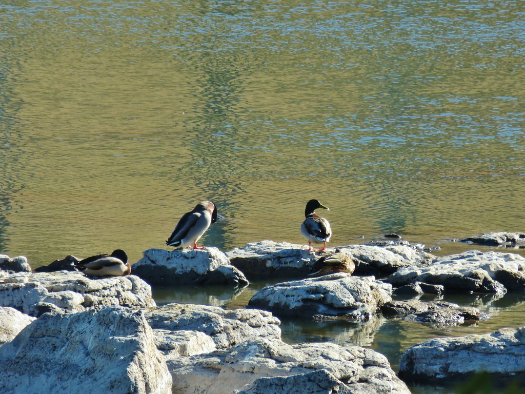
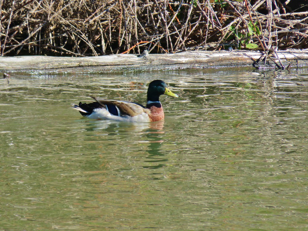
 The mallards seemed unimpressed with the geese’s balancing abilities.

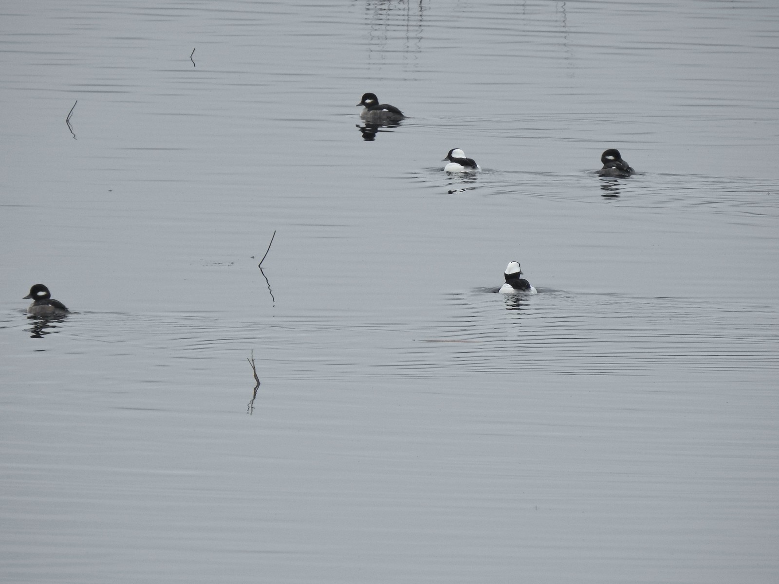
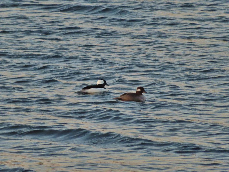
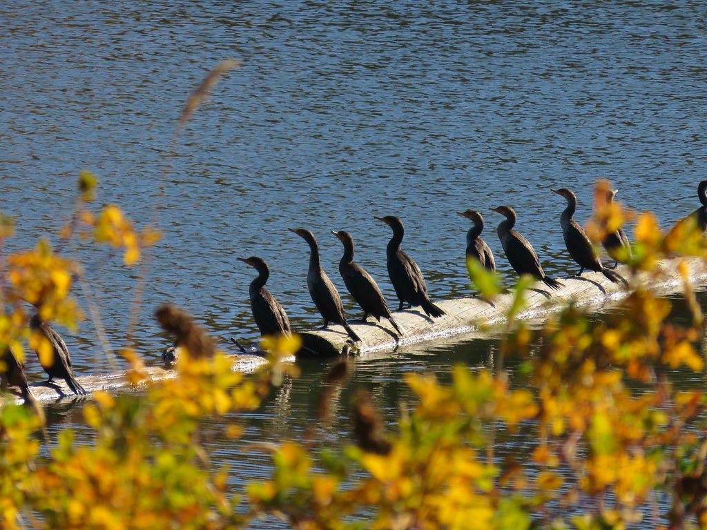
 Common mergansers
The Riverbend Trail brought us to a parking area near a boat ramp where we once again got a little confused.

We should have turned left here following the pointer but instead we continued past the boat ramp and picked up a trail on the far side of the parking area.

This trail was not the Riverbend Trail but rather was part of the disc golf course providing access to holes 5, 6, & 7, and it ended at the riverbank.

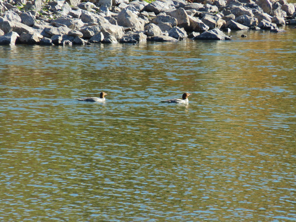
 Common merganser drake
After consulting our maps once again we realized our mistake and that we should have turned left when we’d arrived at boat ramp.
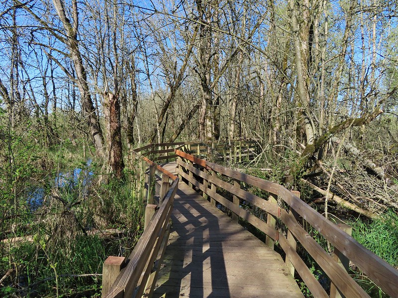
 We found this nice little bridge wandering around the disc golf course attempting to connect with the Maple Ridge Trail.

Stream below the little footbridge.
When it became clear that it wasn’t possible to reach the Maple Ridge Trail from this part of the disc golf course we made our way back to the boat ramp and walked up the paved road to a trail marker on the right.

We crossed a patch of grass to another set of trail signs where we found a pointer for the Maple Ridge Trail.

We were back on track again and followed the Maple Ridge Trail uphill half a mile to Wood Duck Pond.

 The Cedar Knoll Trail connects the upper and lower segments of the Maple Ridge Trail. We stayed right on the Maple Ridge Trail.
 Colorful fungi

 Wood ducks on Wood Duck Pond. It’s pretty rare that the animal a feature is named after is actually present.
At the pond the Maple Ridge Trail made a 180 degree turn and headed SE while continuing its gradual climb. A short distance from Wood Duck Pond was a signed spur trail to the 2008 Landslide Viewpoint.


We detoured the 150′ to the viewpoint.


While the cliffs were dramatic this short detour also resulted in us spotting a large newt/salamander and a great blue heron.
 Not sure if this is just the biggest rough-skinned newt we’ve ever seen or a different type of salamander.
 Great blue heron by a small pond. It was probably hunting the frogs that were croaking loudly here.

We returned to the Maple Ridge Trail and followed it to a junction with the Riverbend Loop Trail. This stretch of trail climbed a little more before leveling out somewhat and eventually dropping back down to the junction.
 The sign ahead is for the Cedar Knoll Trail joining from the left.

 Dropping down to the Riverbend Loop Trail junction.

 The Maple Ridge Trail makes another nearly 180 degree turn here and drops down to the parking area a short distance from its other end.

 We stayed right here again at a junction with a trail leading to the Maple Ridge Picnic Shelter.
 I believe these are sweet coltsfoot starts.
 There was a bench next to this nice little creek.
 Nearing the Riverbend Day Use Area entrance road.
When the Riverbend Trail arrived at the entrance road it turned uphill.

After a short climb we arrived at a junction where we turned right leaving the Riverbend Trail.

A very short distance later we came to a junction with the Vortex Loop where we also turned right.

Had we not gotten confused and gone through the group camp earlier we would have come to both of these junctions before. In any event we followed the Vortex Loop uphill, steeply at times, to a crossing of the paved road across from the Vortex Meadow.

 Song sparrow

At the junction in the meadow we turned right onto the unsigned Viewpoint Trail and followed it back uphill to our car.

 It’s hard to make out but there is a coyote in this photo.
 I have no idea what’s going on with this photo of the coyote as it was trotting away from us. Shortly after this it popped out from behind some brush and jumped into the air to pounce on something. That was the last we saw of it.

 Squirrel
 Left to right: Silver Star Mountain, Little Baldy, and Bluff Mountain (post).
 Mt. Hood making a partial appearance.
The weather held and we stayed dry despite having driven through several rain showers on the way to the park. Despite missing out on Eagle Fern Park it had been a good day of hiking. The trails weren’t too busy, and we got to see a fair amount of wildlife through the morning. This hike was approximately 6.4-miles with a little over 400′ of elevation gain.

We plan on trying Eagle Fern Park again in the not-too-distant future, and this time we’ll be sure to bring cash just in case. Happy Trails!
Flickr: Milo McIver Riverbend Loop


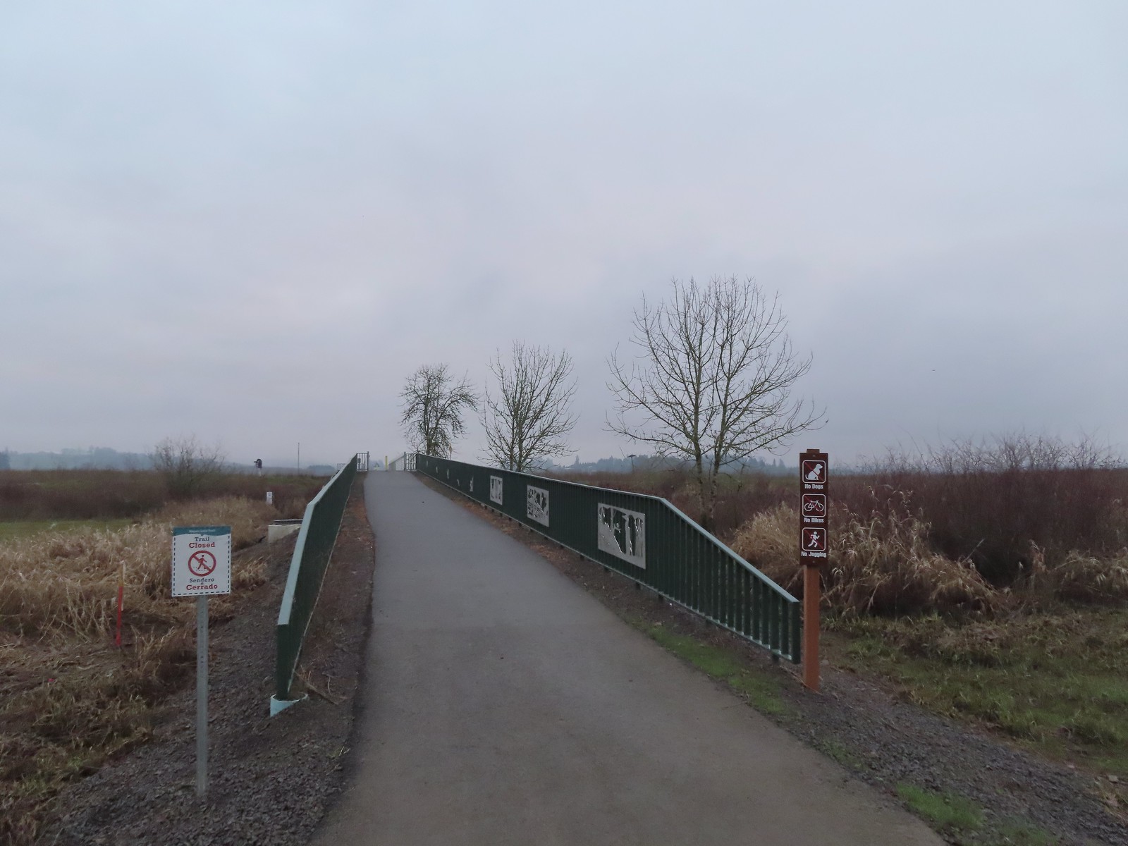 We were a little confused by the sign on the left here stating the trail was closed. The website and signboard had said nothing about a closure and the gate at the far end of the bridge was open and others were already out on the levee. We assume they just hadn’t taken the sign down after the seasonal closure period.
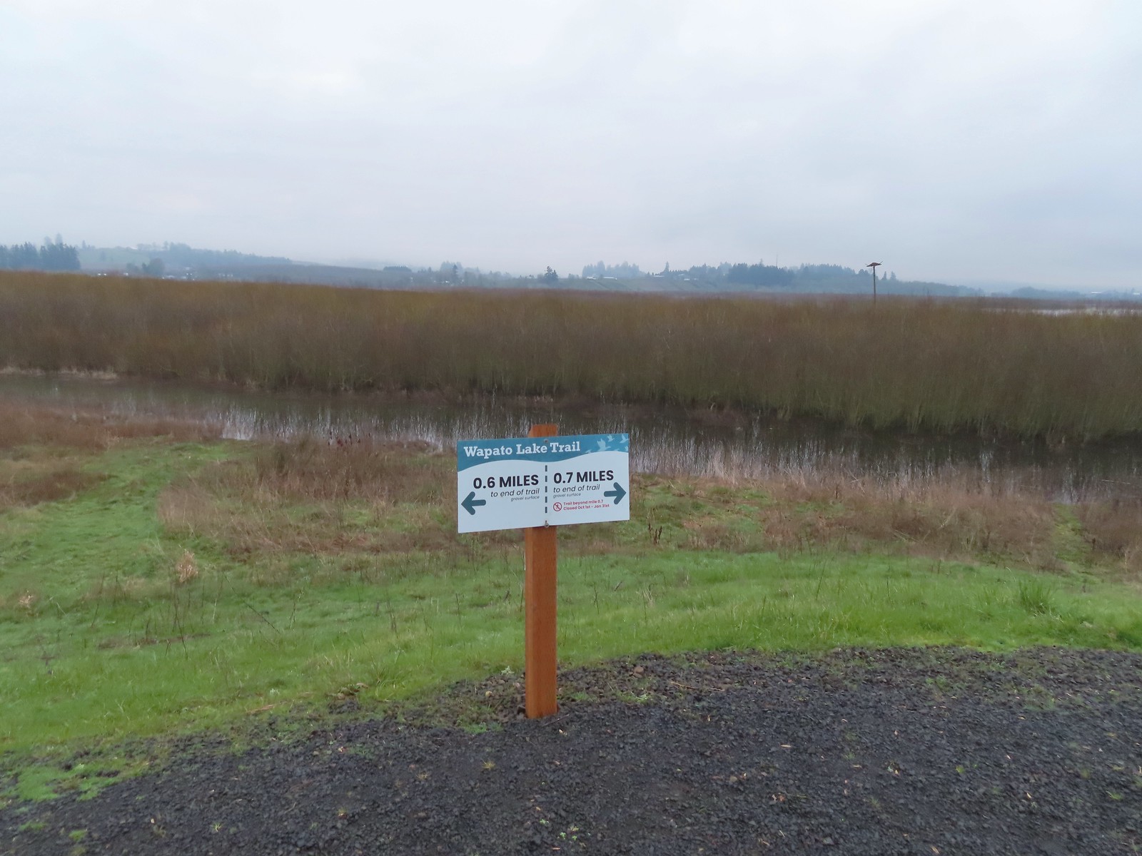 Pointers on the levee.
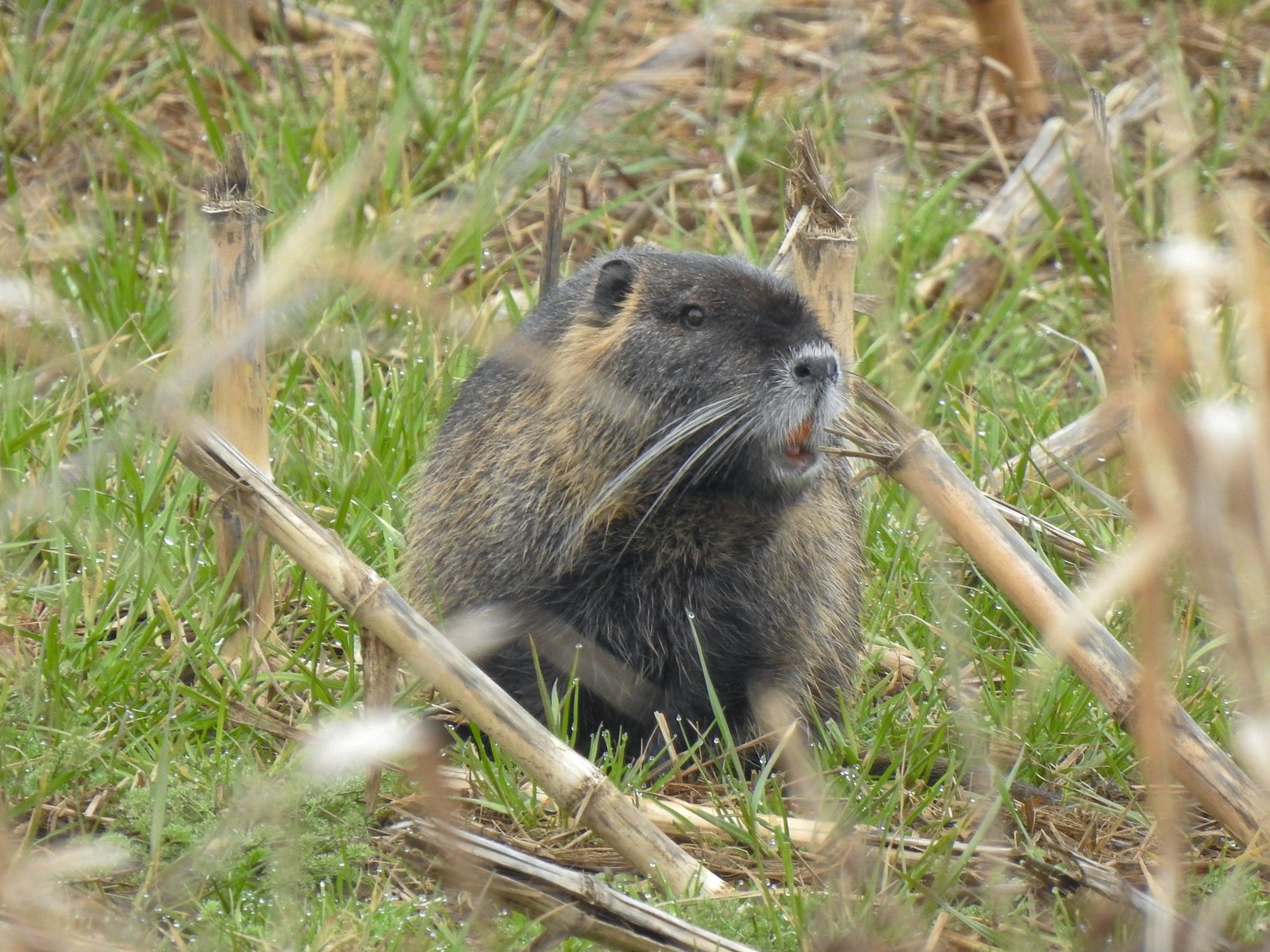
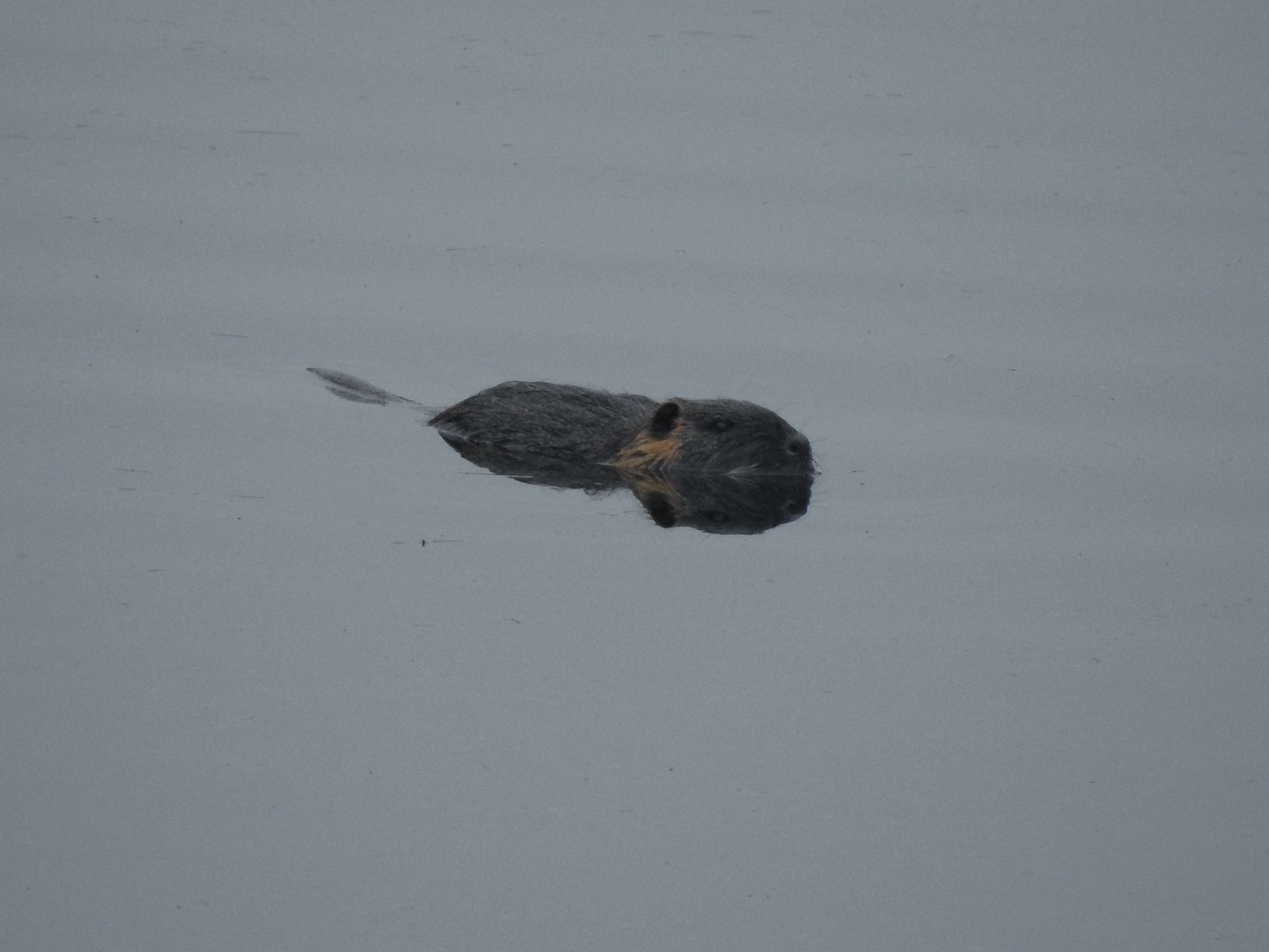 Nutria (sigh). We had hopped it was a beaver but alas the whiskers give it away.
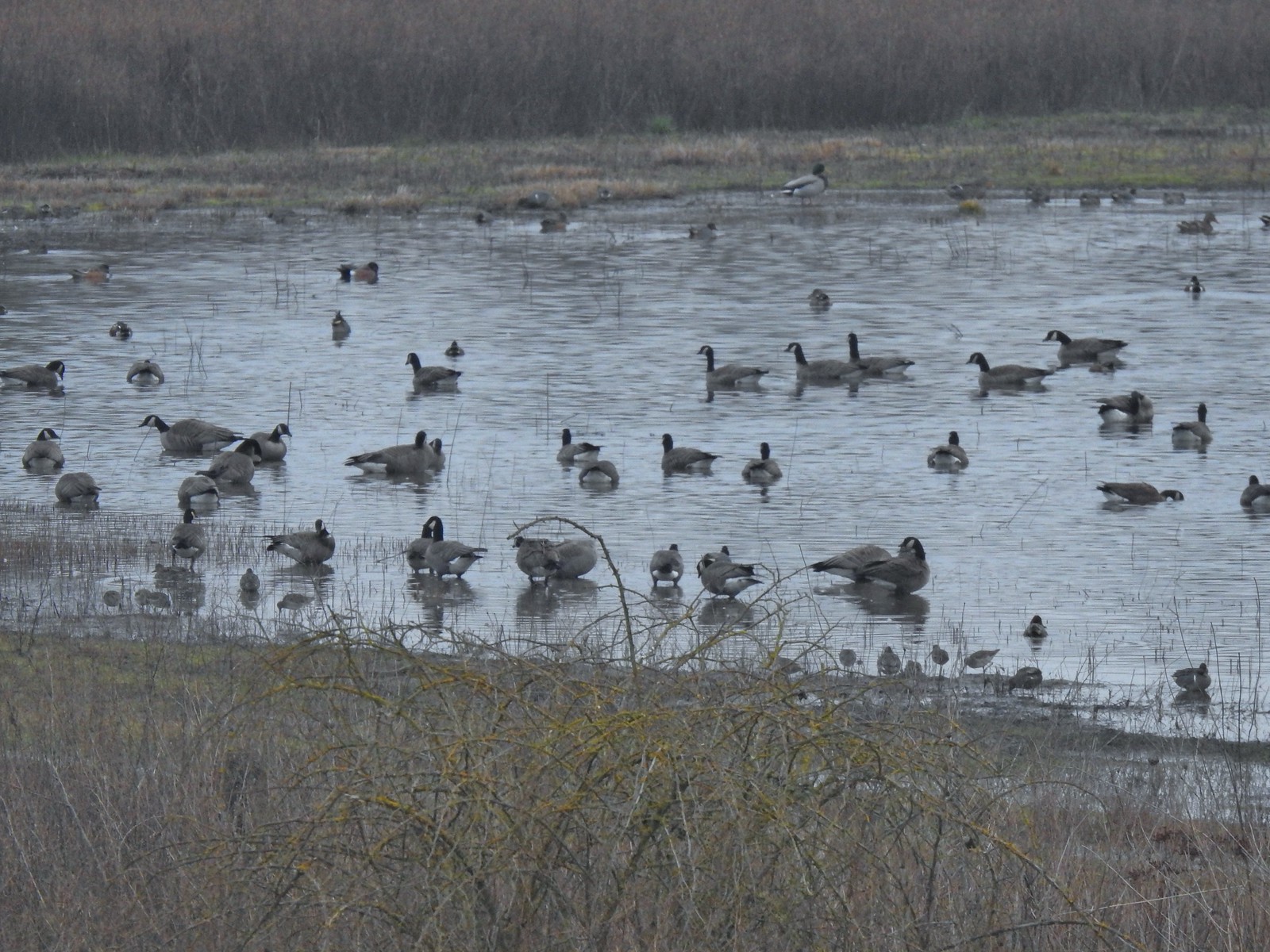 Geese, several species of ducks, and some shore birds.
 A great blue heron along Wapato Creek.
 Great blue heron
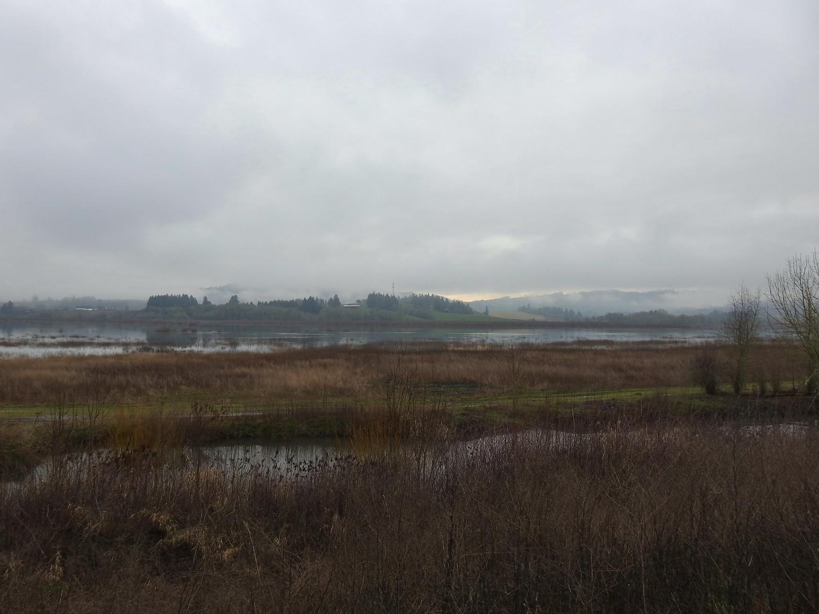
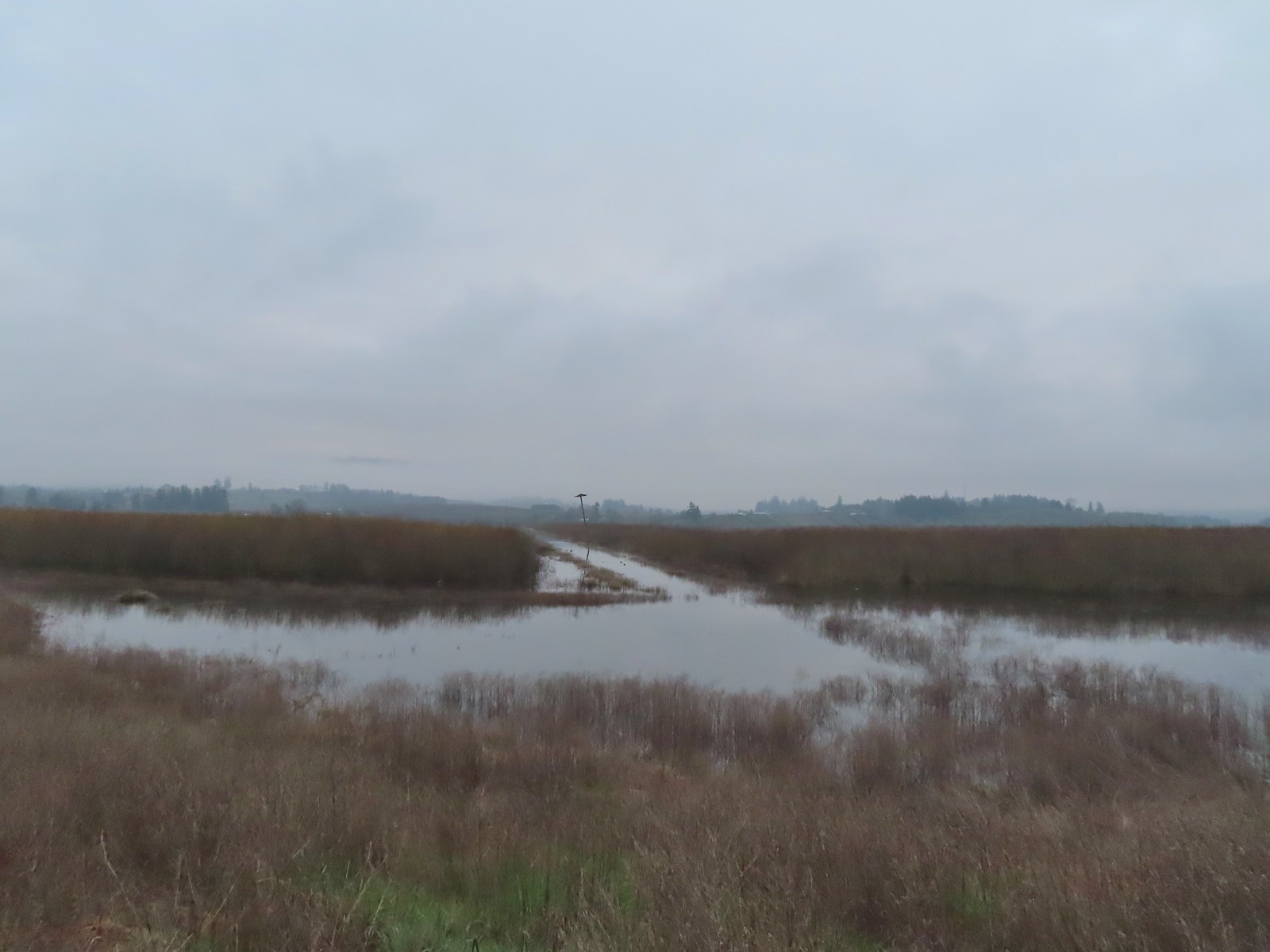 Wapato Lake
 Beaver lodge
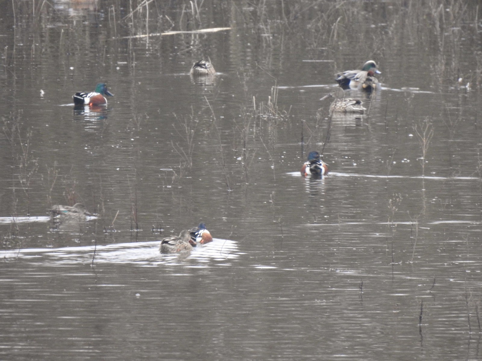 Northern shovelers and an American wigeon
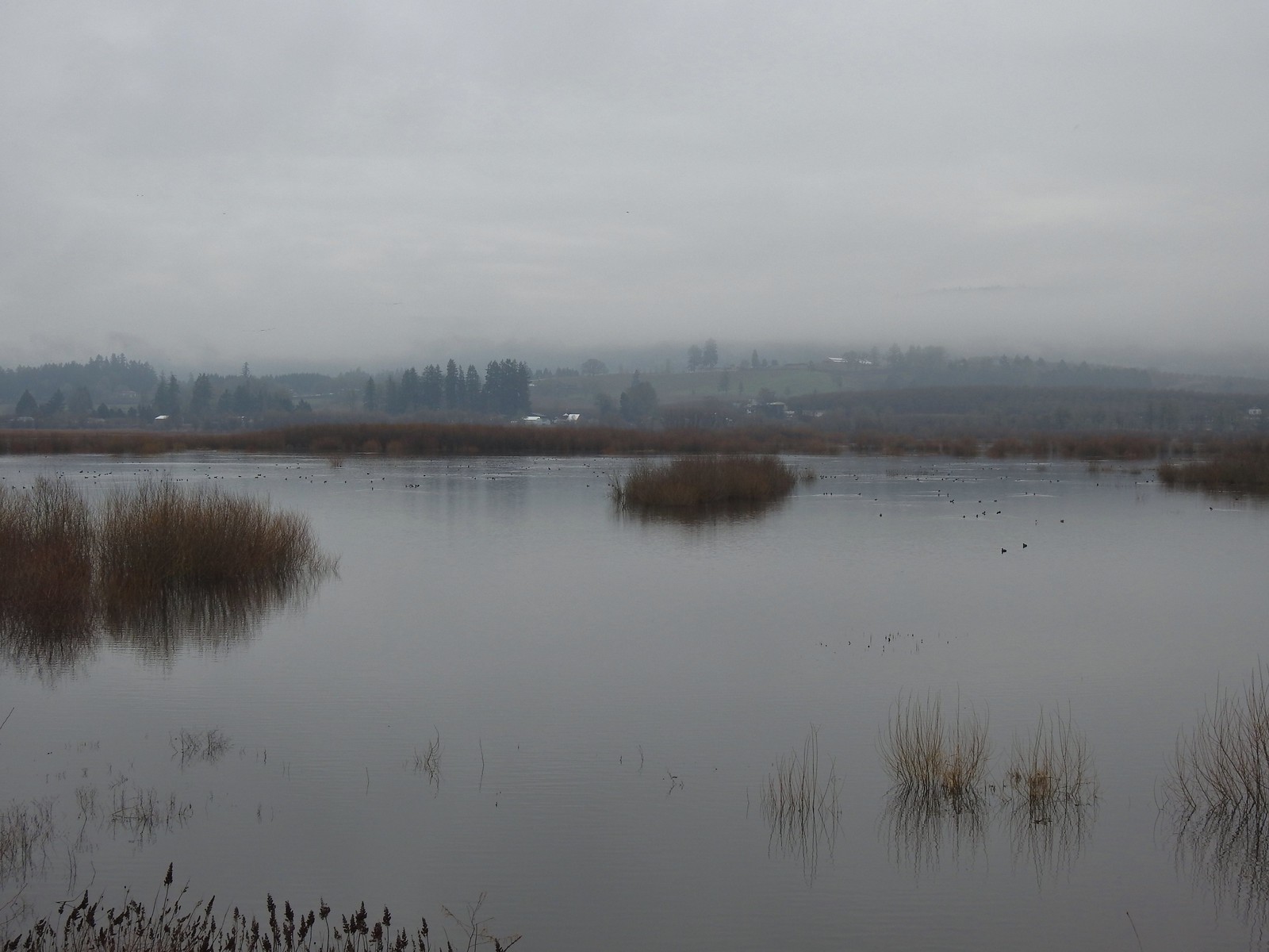 Of course we forgot to bring binoculars making it even harder to make out which types of ducks were out there.
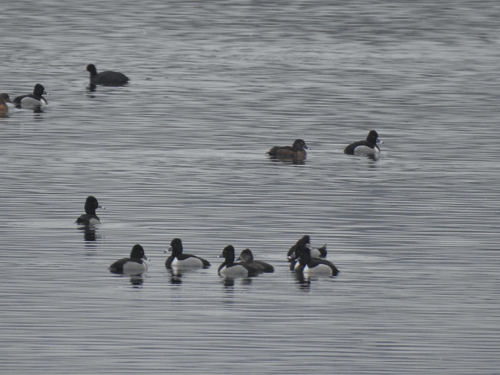 Ring-necked ducks with an American coot in the background.
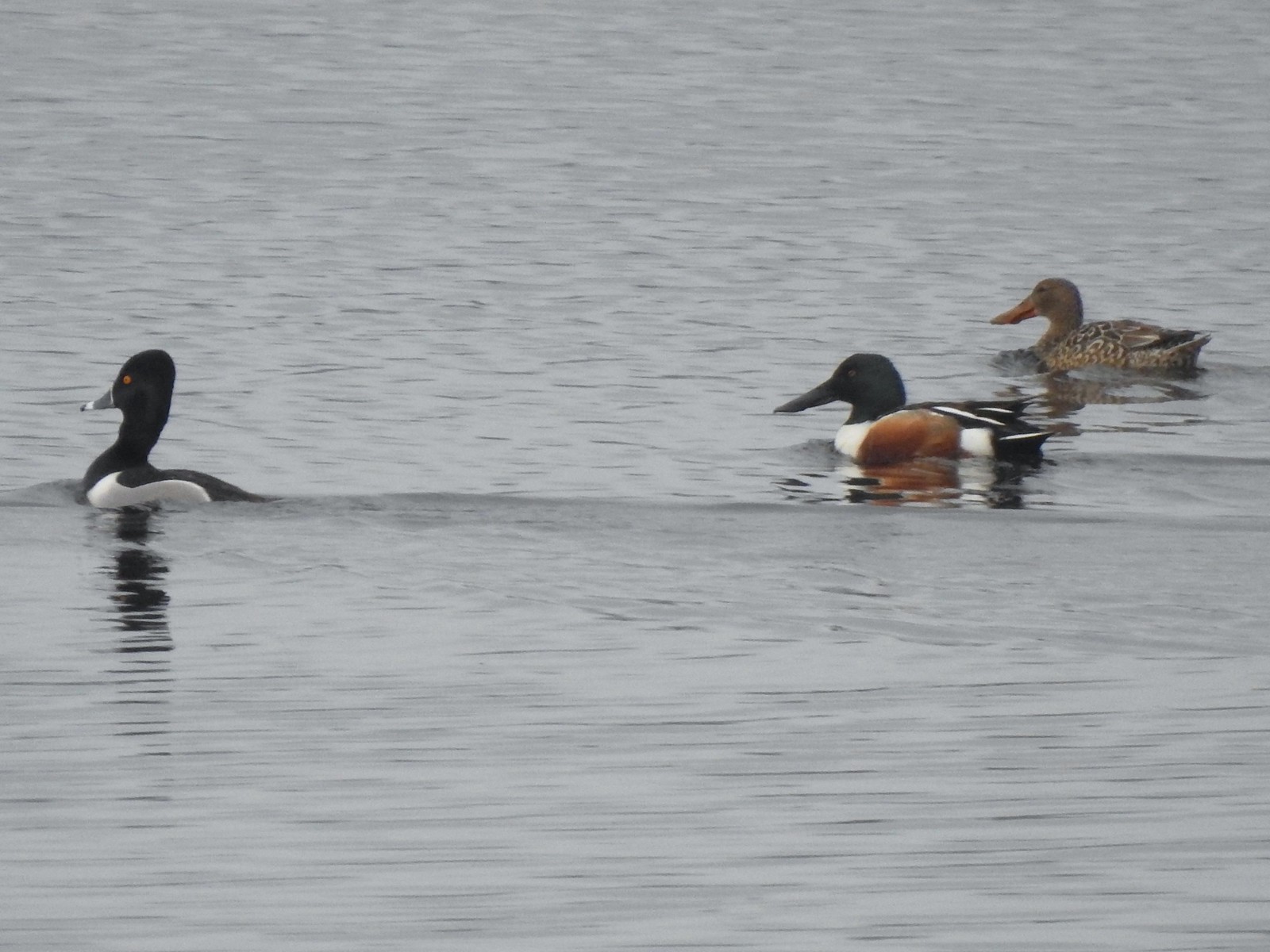 Ring-necked duck and northern shovelers
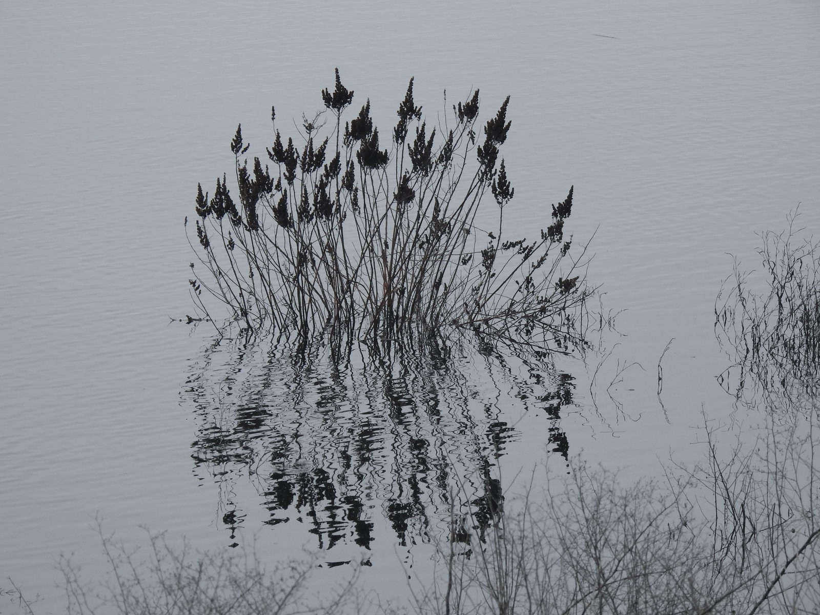 Reflections in Wapato Lake
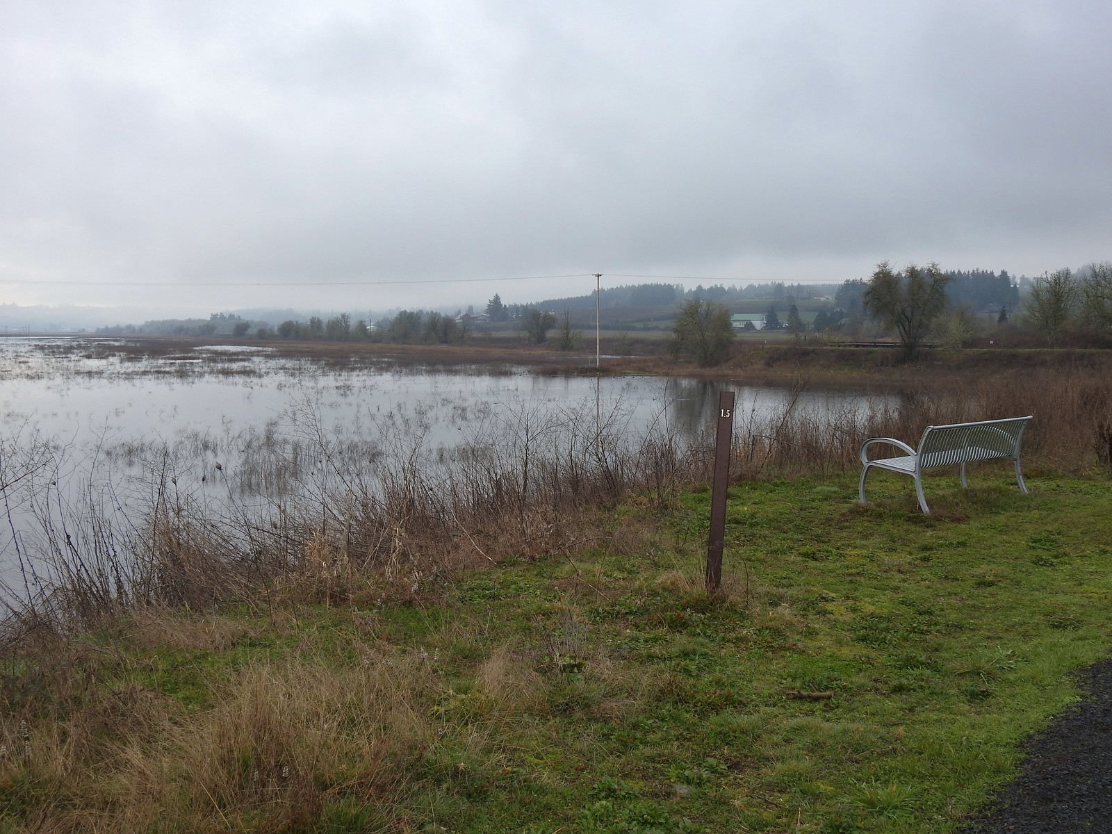 There is virtually no shade along the lake which wasn’t an issue today but could be in the heat of Summer. There are however three benches along the levee allowing for a place to sit and watch the birds.
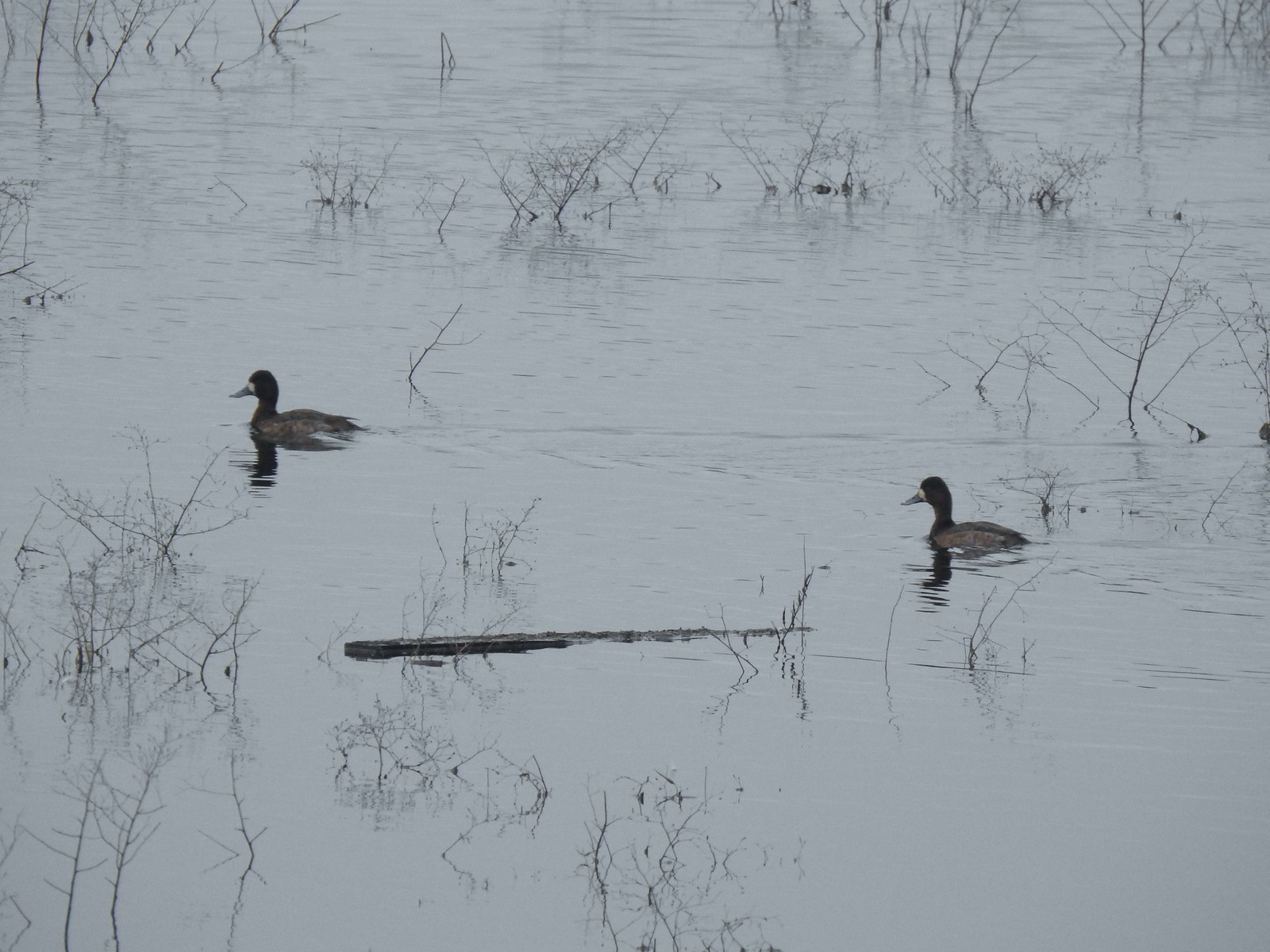 Lesser scaups
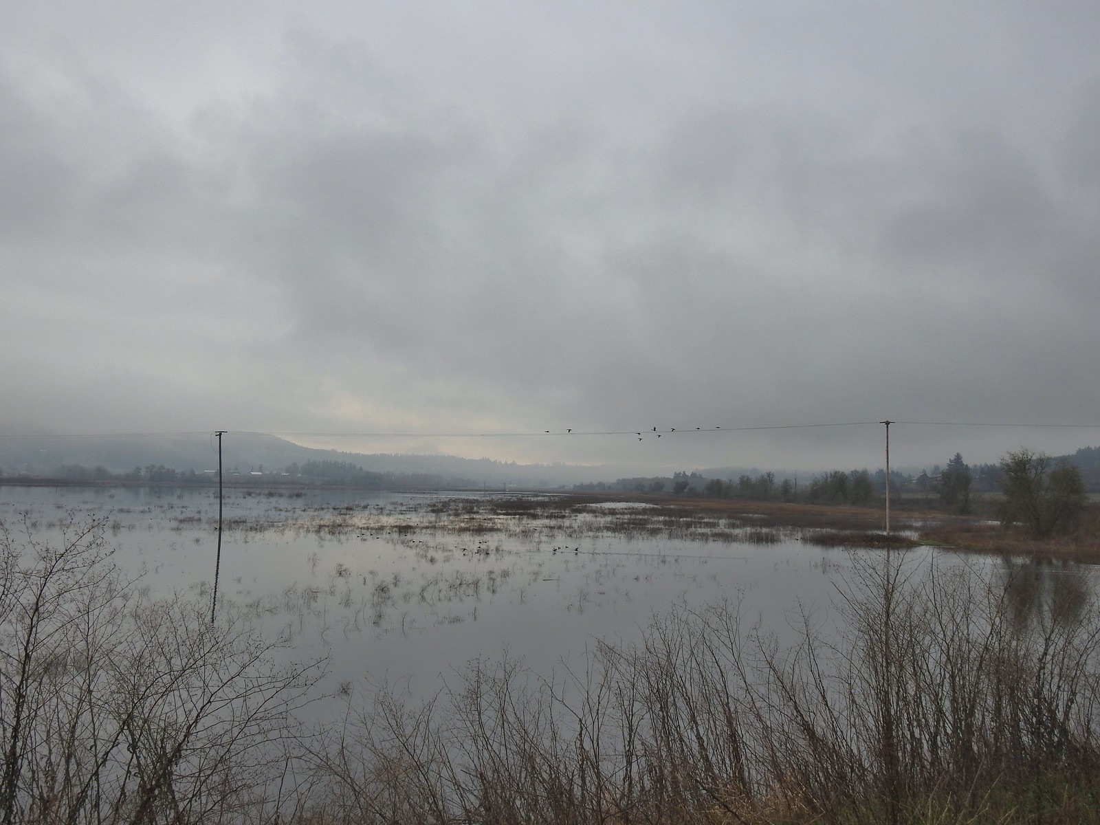 Ducks flying over the lake.
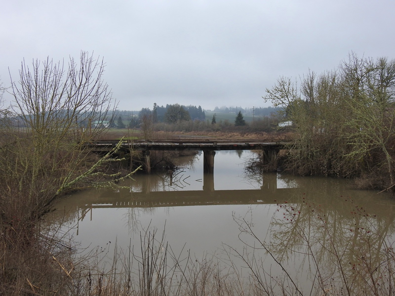 Old bridge over Wapato Creek. The gravel surface ended at this bridge.
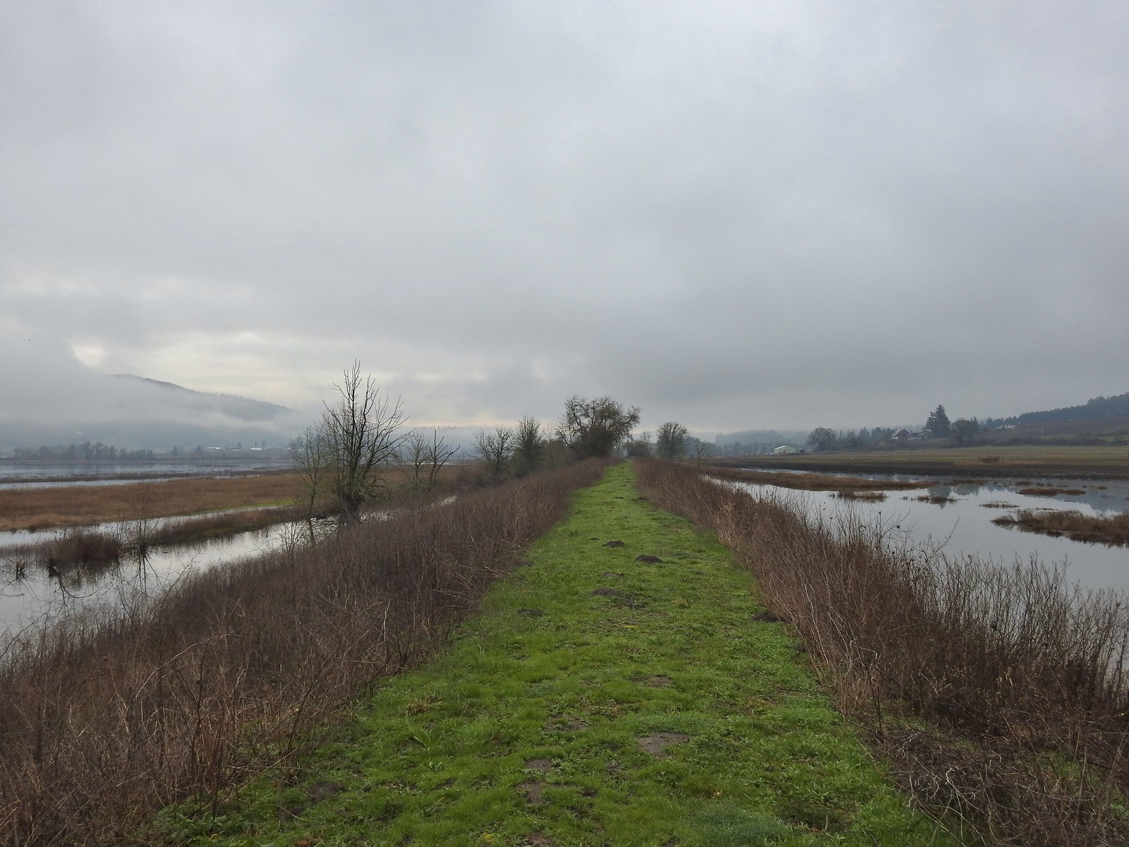
 The coyote running off through the brush.
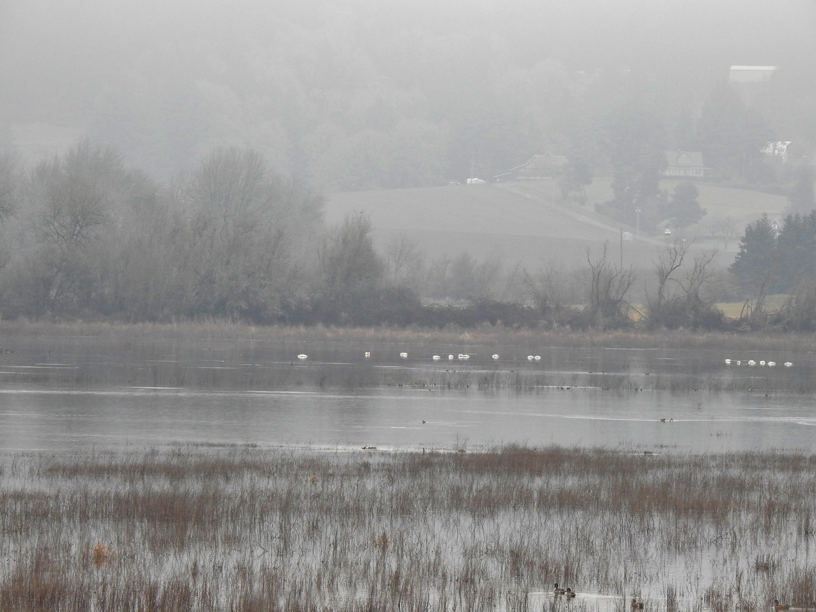 Tundra swans
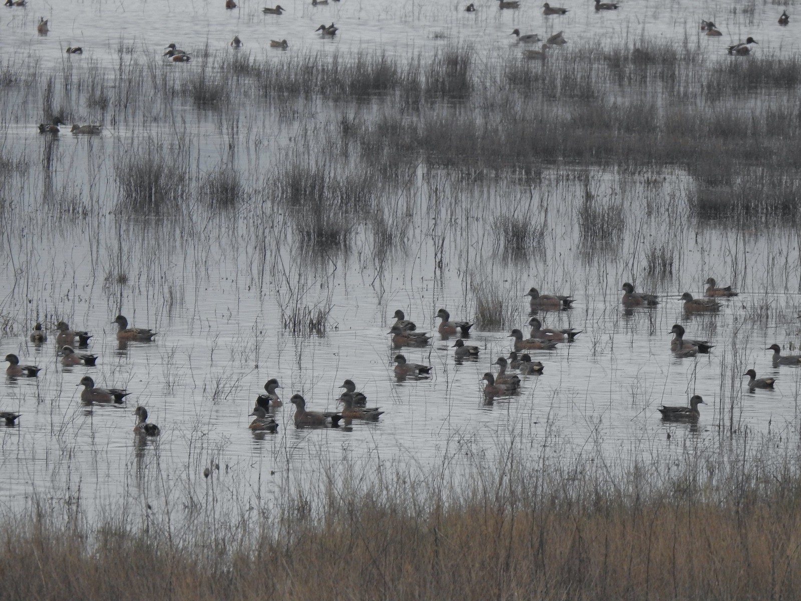
 Tundra swans
 We decided to turn around at this bridge even though the levee continued. It appeared that the water was further away from the levee going forward and we hadn’t planned on going much more than 3-miles today.
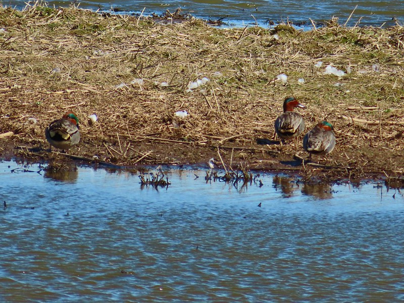
 Northern pintails and some green-winged teals.
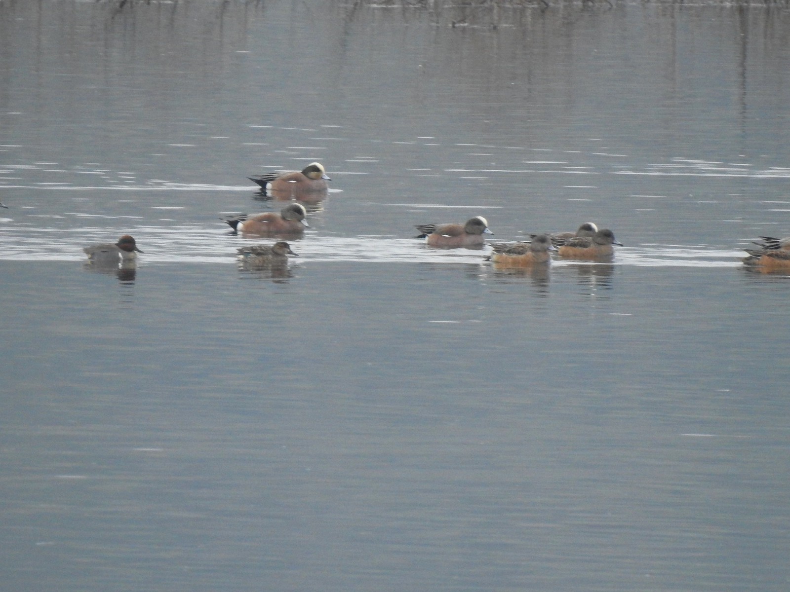 American wigeons and a pair of green-winged teals.
 There were a couple of times that blue sky seemed imminent.
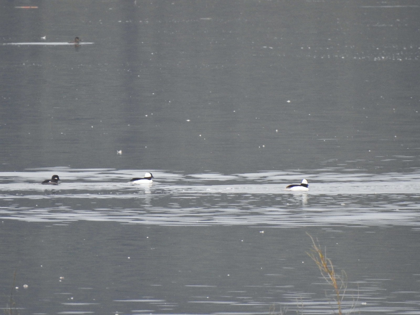 Buffleheads
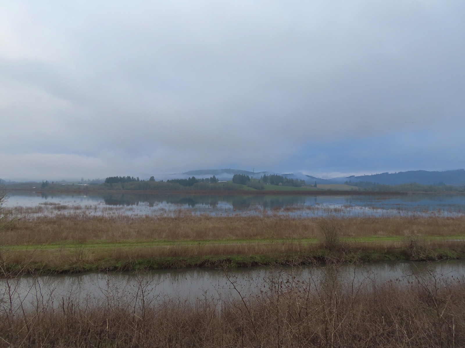 Iowa Hill (
 More buffleheads
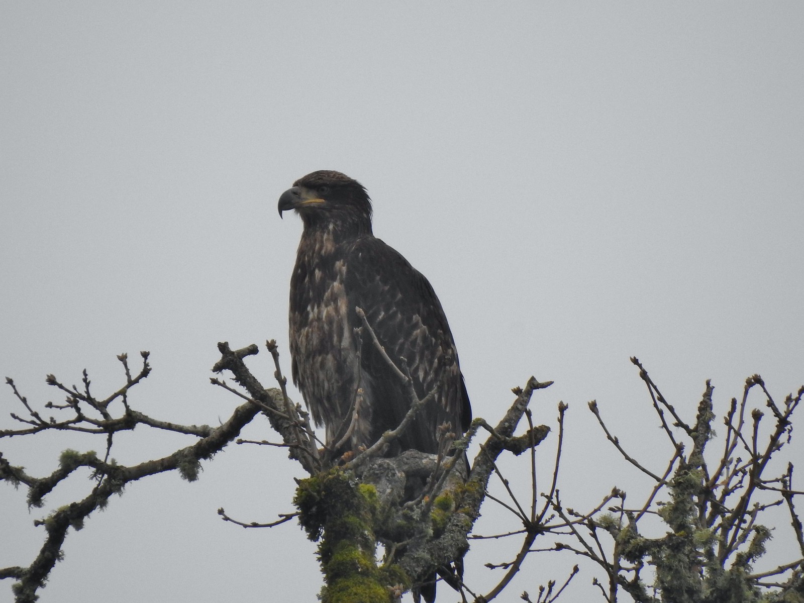 Immature bald eagle
 Sparrow
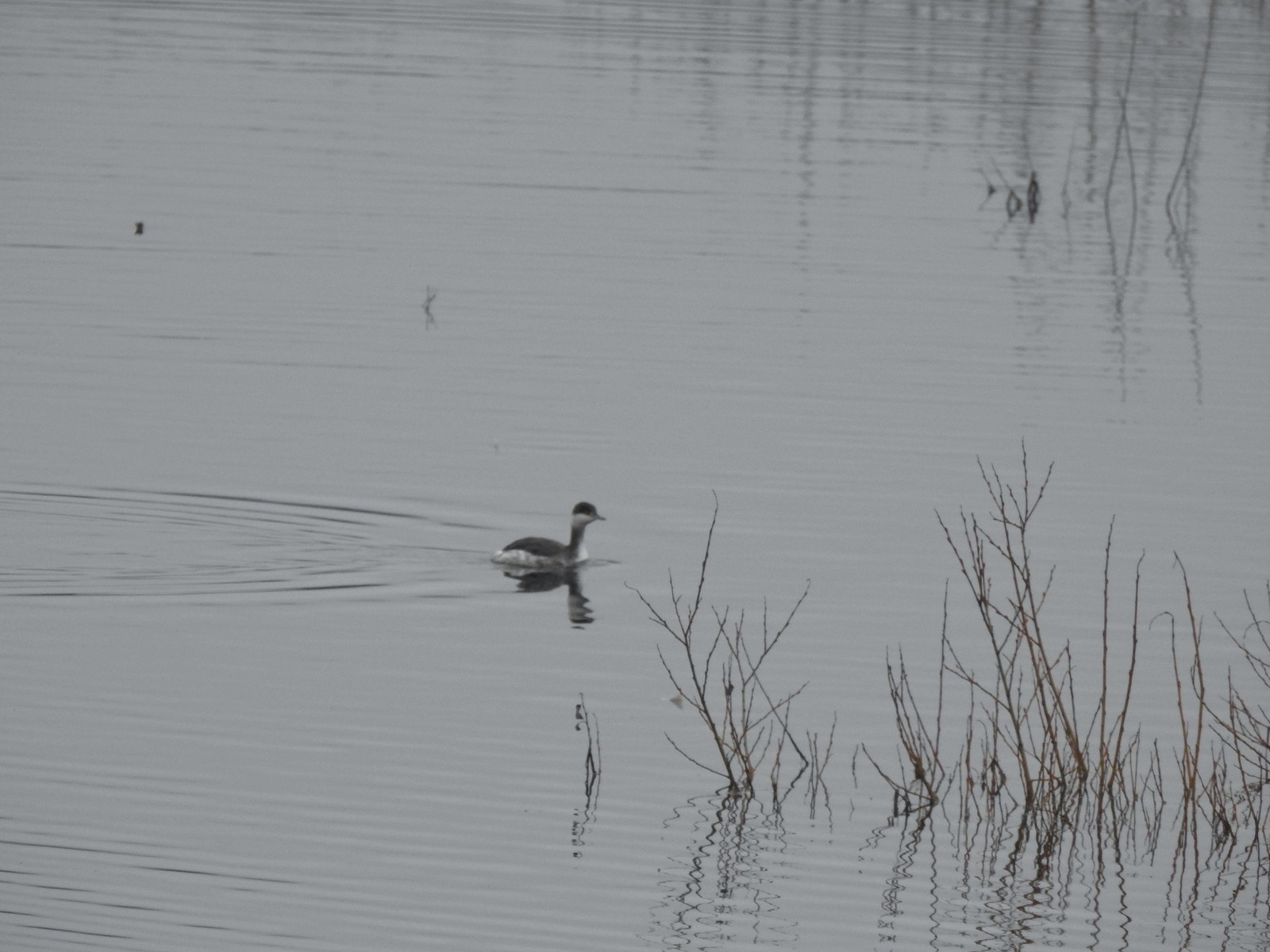 Horned grebe
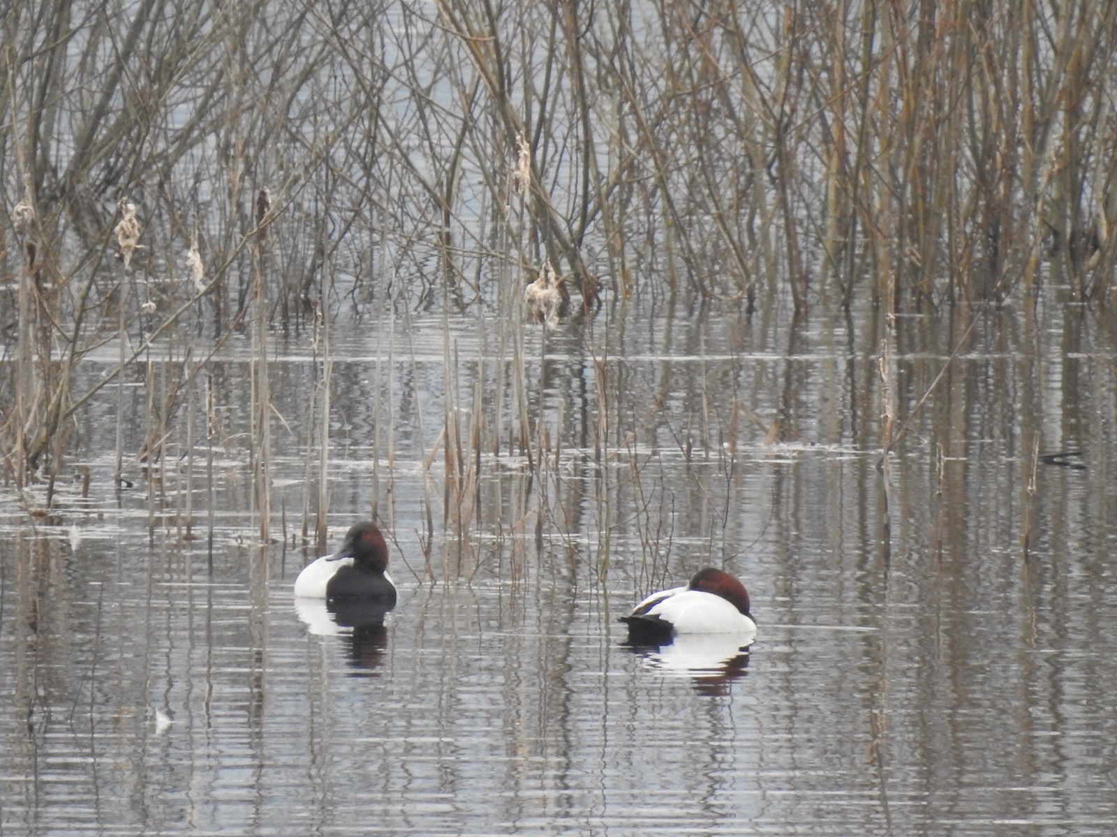 Canvasbacks, another first for us.
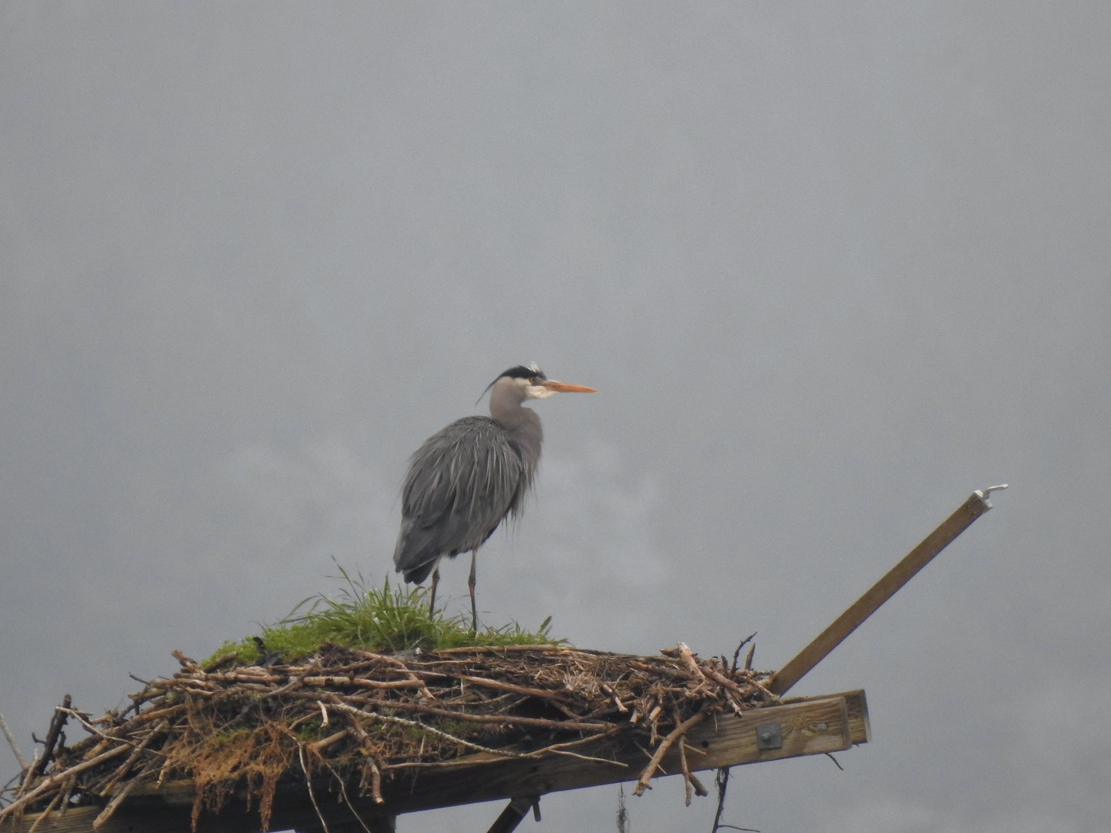 Great blue heron on the osprey nest.
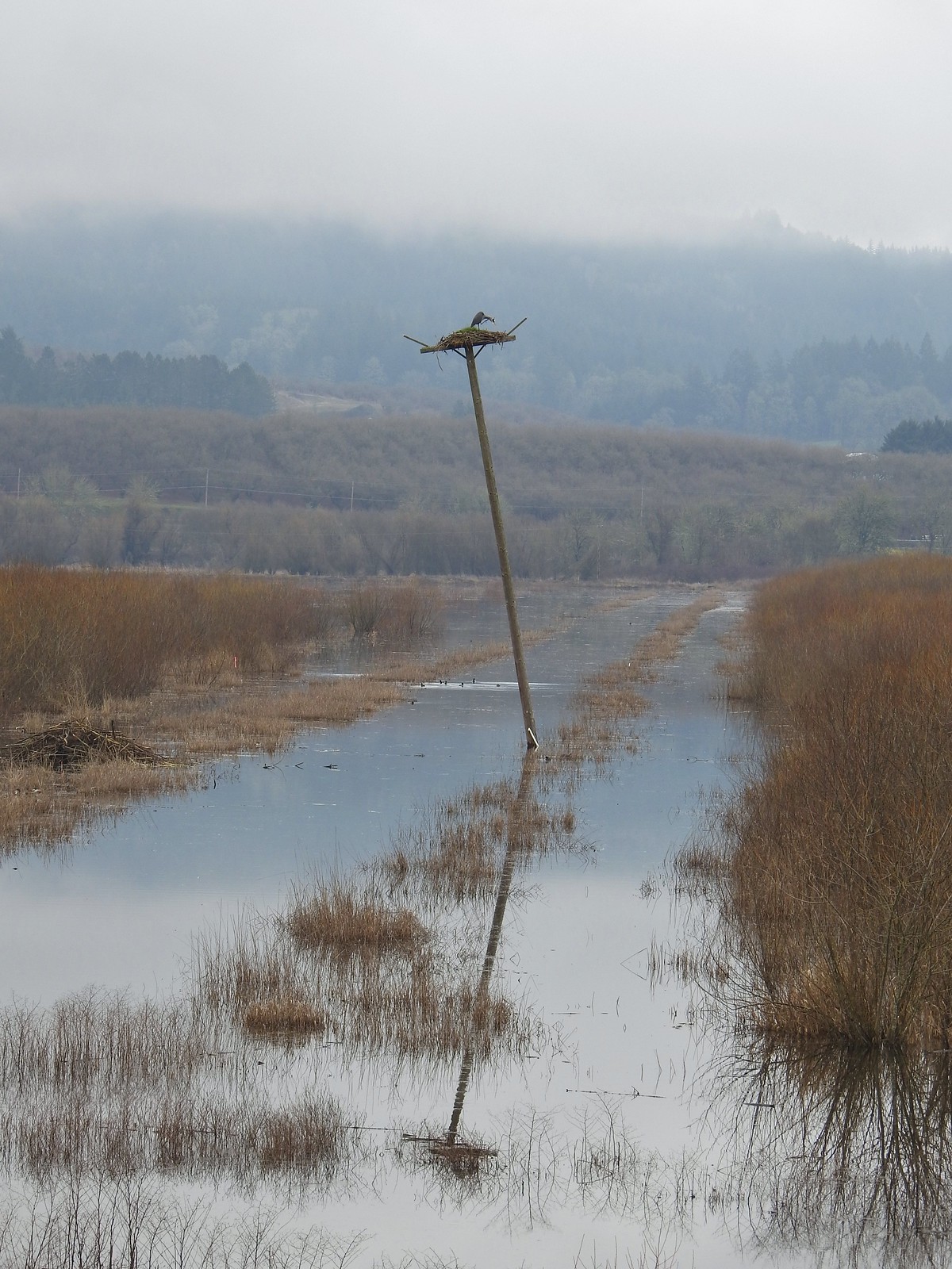 Ther heron on the nest.
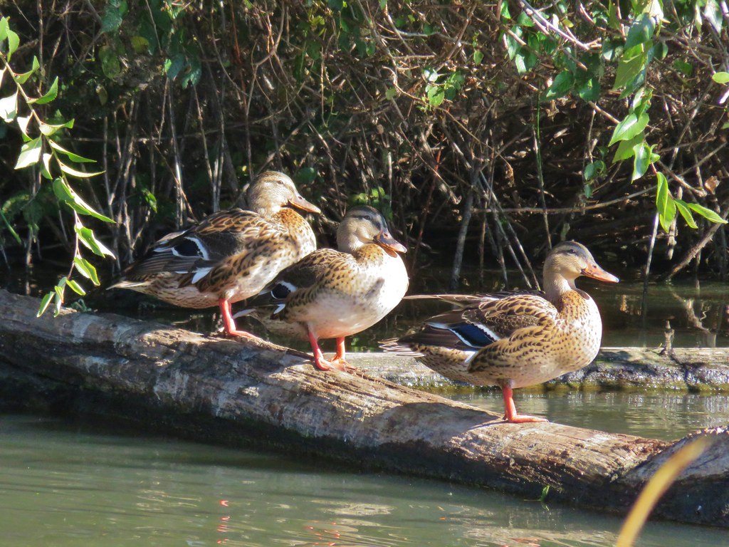
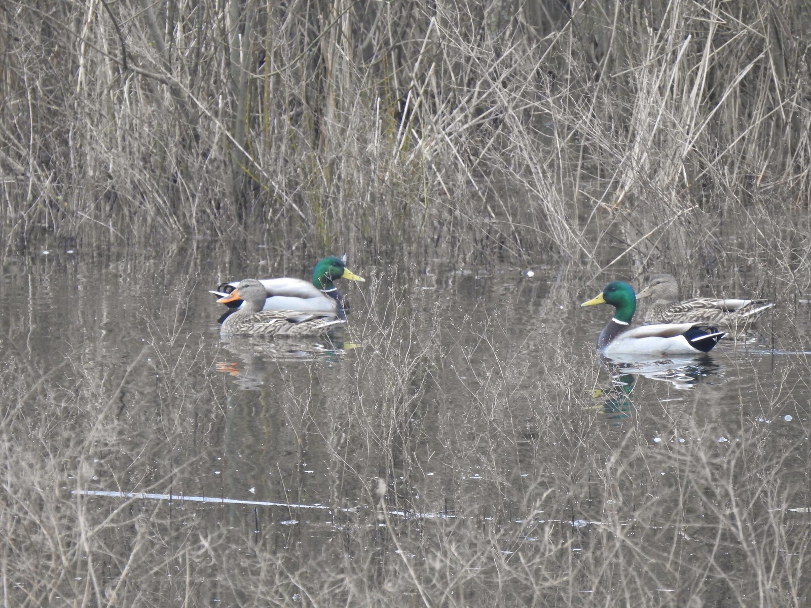 Mallards
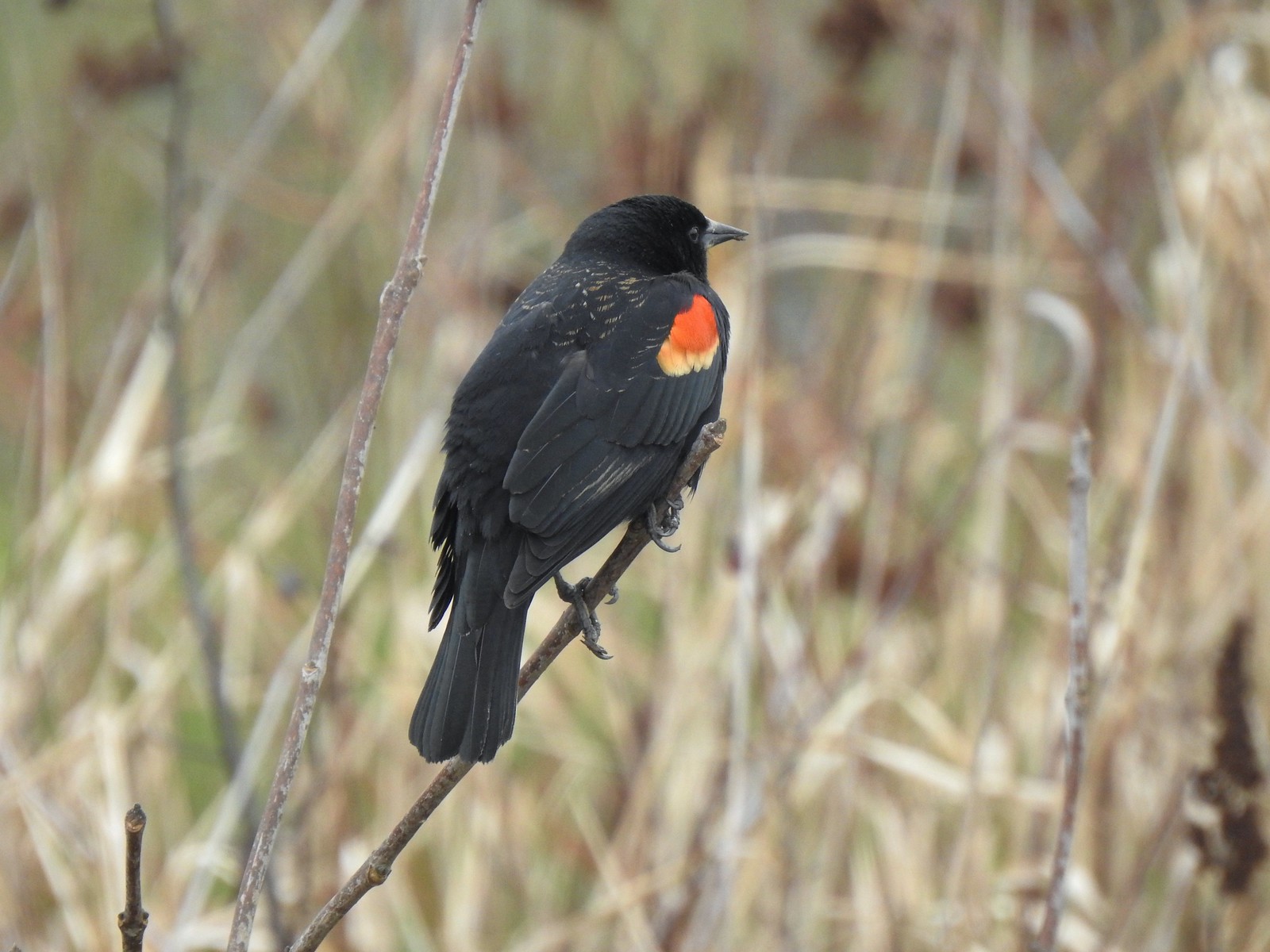 Red-winged blackbird
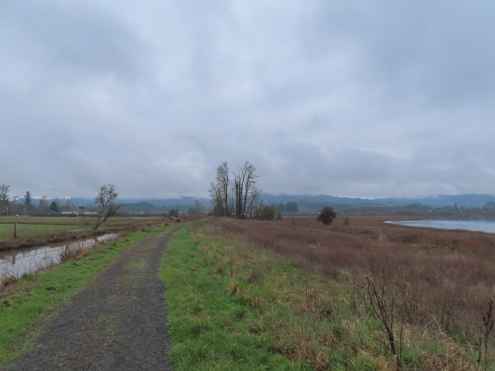
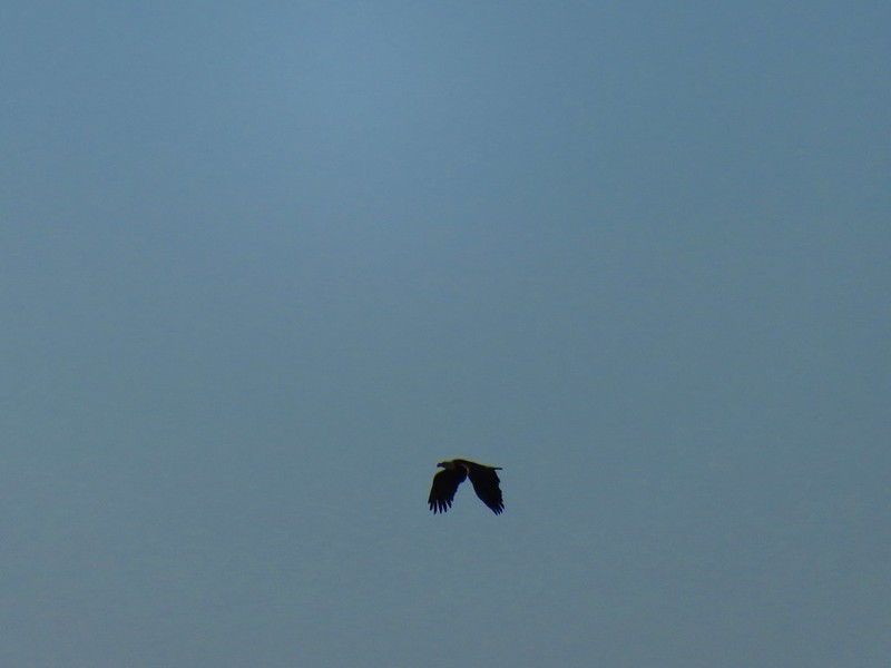
 Bald eagle
 Nutria
 Gaston from the refuge.
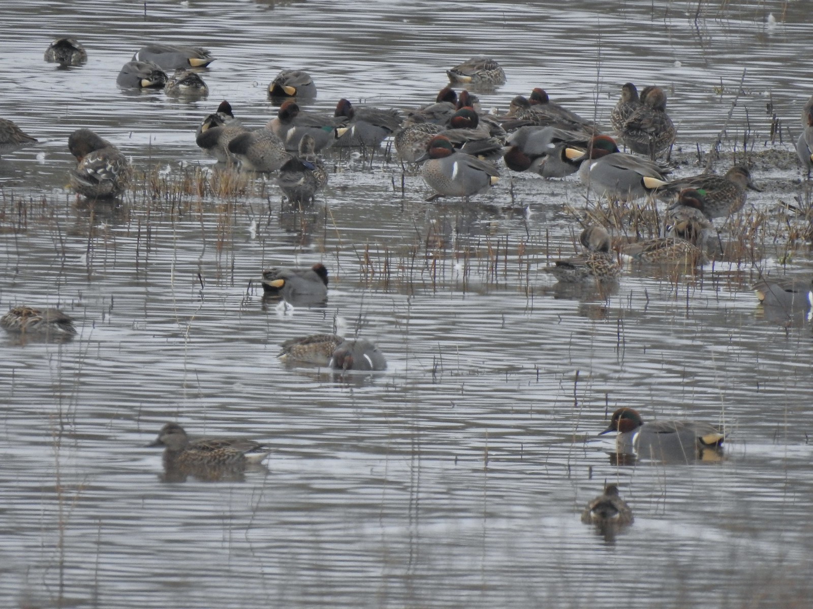 Green-winged teals
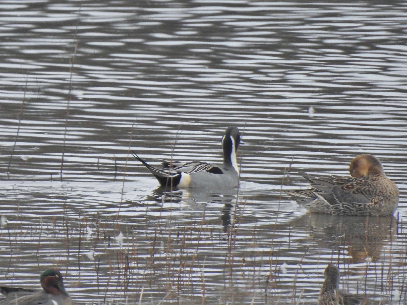 Northern pintails
 Mostly American wigeons and green-winged teals
 On the paved path back to the parking lot.


 Buffleheads
 Canada goose and mallards
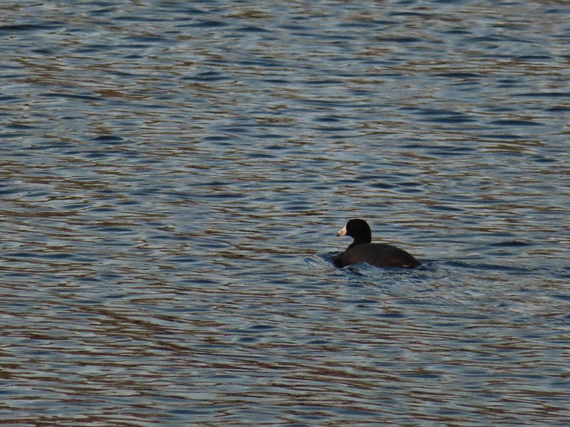 American coot
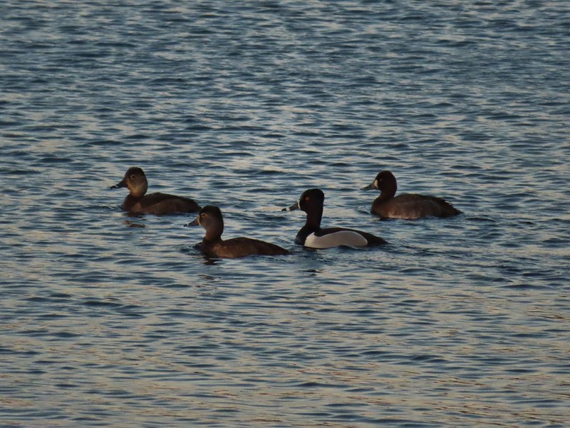 Ring-necked ducks (I’m not sure all the females are the same.)
 Geese flying over Eagle Marsh as the Sun rises.
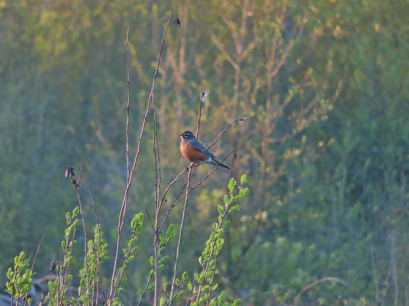

 Willow Marsh
 A bufflehead and mallards
 Mallards and ring-necked ducks
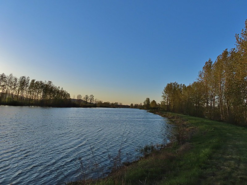 Teal Marsh to the left of the dike.
 Mallards an northern shovelers
 Buffleheads
 Spotted towhee
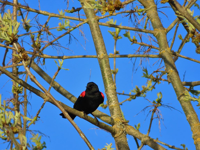 Red-winged blackbird
 Female red-winged blackbird
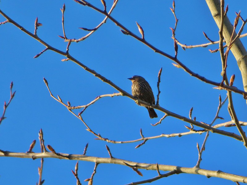 Sparrow
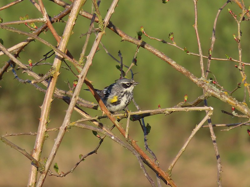 Yellow-rumped warbler
 Geese coming in for a landing on Teal Marsh
 Northern flicker
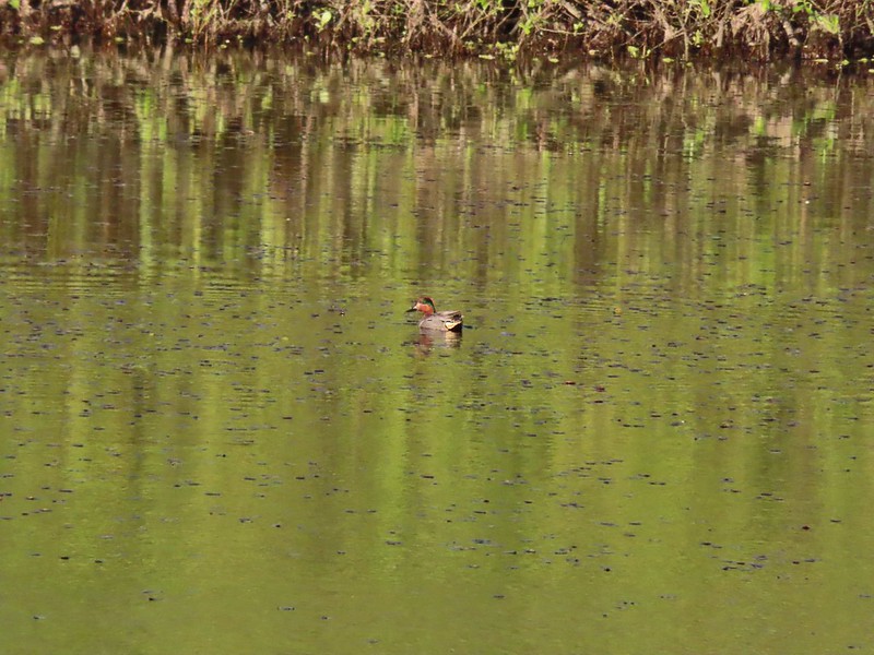 Green-winged teal
 Ring-necked ducks and a bufflehead pair
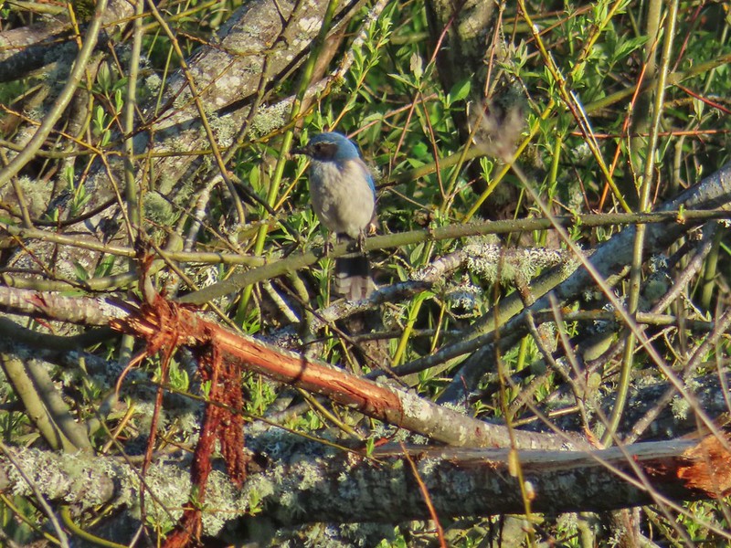 Scrub jay
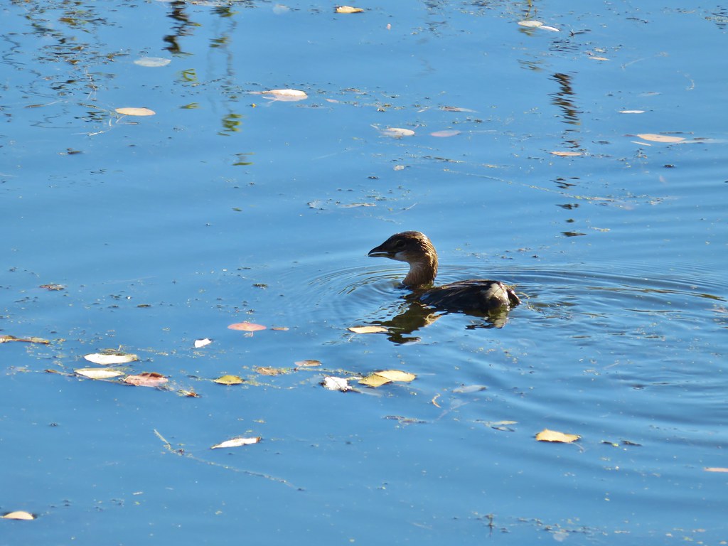
 Pie billed grebe at Eagle Marsh


 I didn’t see it when I took the picture but it appears there is an eagle on the ground in the distance here.
 One of the egrets taking off.
 Brewer’s blackbird on a tree along the railroad tracks.
 Pintail Marsh ahead on the left.
 The dike between Mohoff Pond and Pintail Marsh.
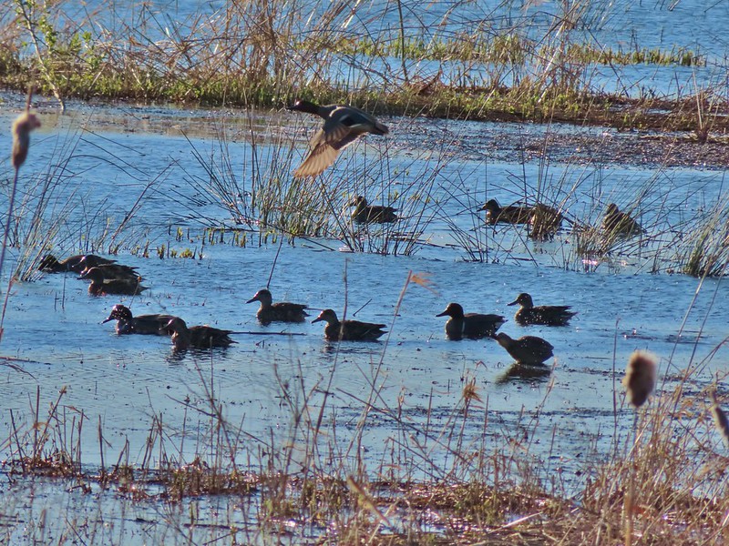 Ducks at Pintail Marsh
 Pintail Marsh
 Looking back at the gate and Wintel Road
 Yellow legs
 The boardwalk across Dunlin Pond from the dike.
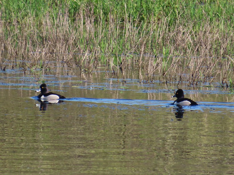 Ring-necked ducks
 Ring-necked ducks taking off.
 Sparrow
 Common yellowthroat
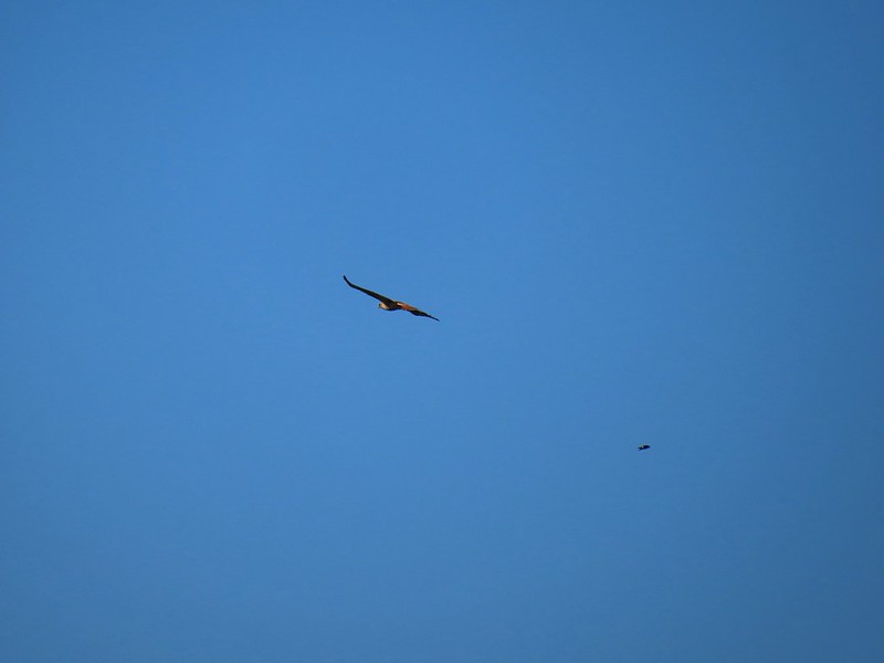 Hawk and a sparrow
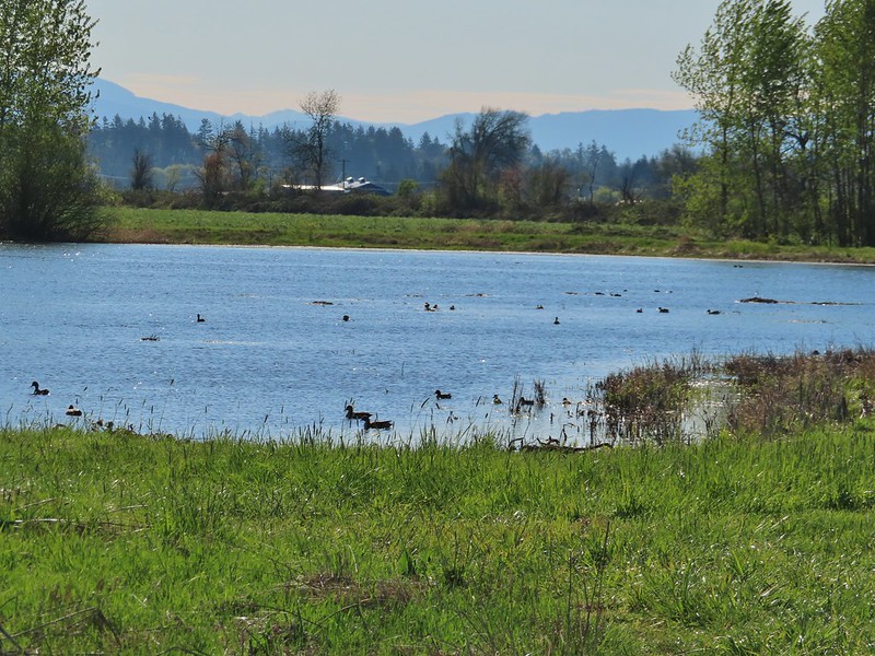 Killdeer Marsh
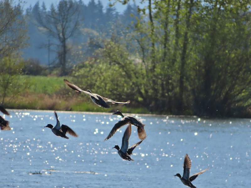
 Another yellow legs?
 Mustard along Killdeer Marsh
 A killdeer amid ducks at Killdeer Marsh
 South Pond
 Cinnamon Teal in South Pond
 Damaged trees from the ice storm earlier this year.
 Turkey vulture
 Candyflower

 American coots
 I think this is a ring-necked duck and a lesser scaup.
 The dike from the blind.
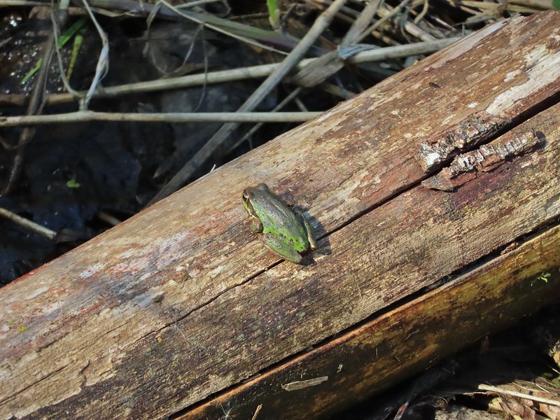


 Killdeer on the dike.
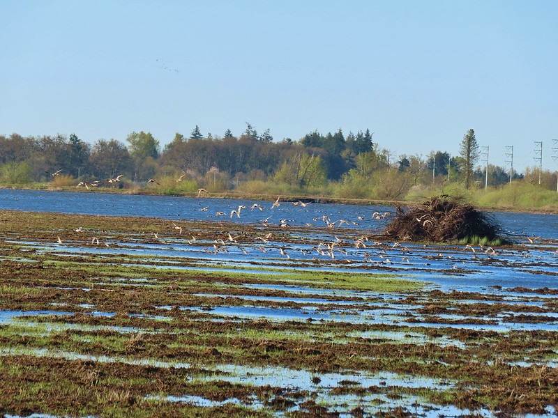
 A whole lot of geese in the air ahead.
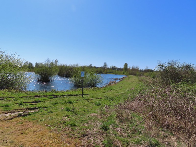

 Green-winged teals
 Northern shovelers
 Canada geese
 Another green-winged teal
 Various ducks
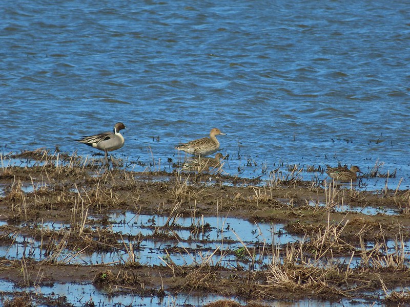 Northern pintails
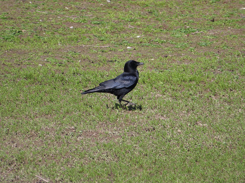 Crow
Crow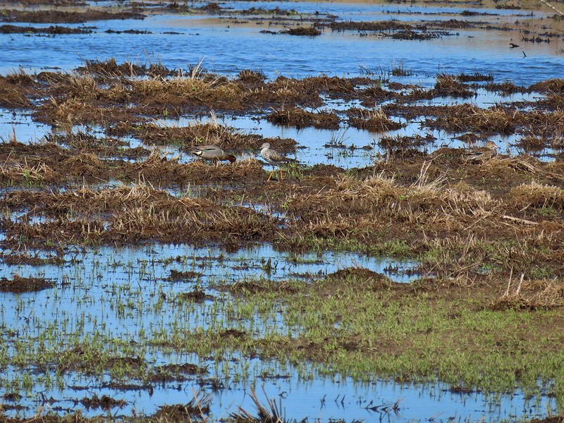 A green-winged teal and a yellow legs


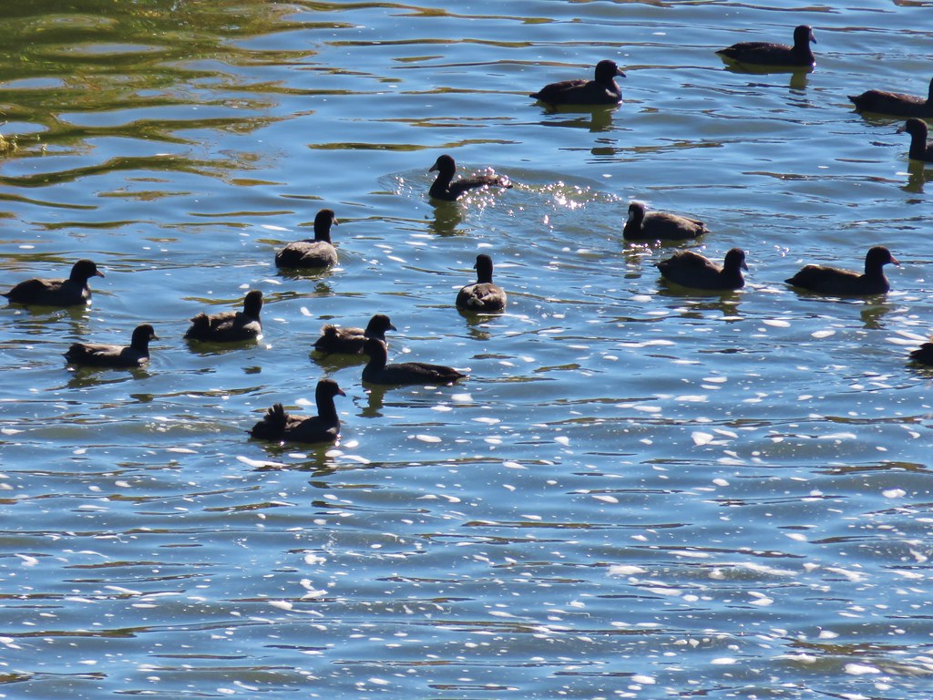 Coots
Coots Scrub jay
 White pelican, coots, and a cormorant
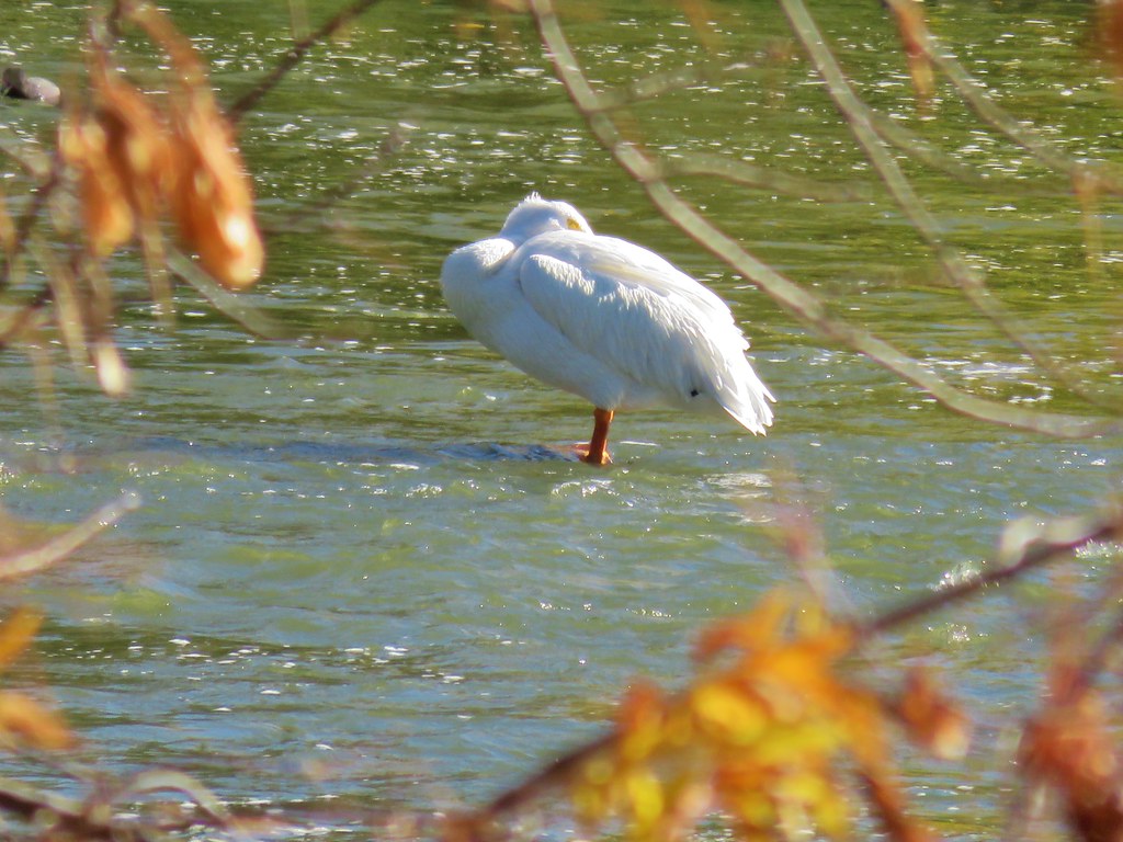 White pelican
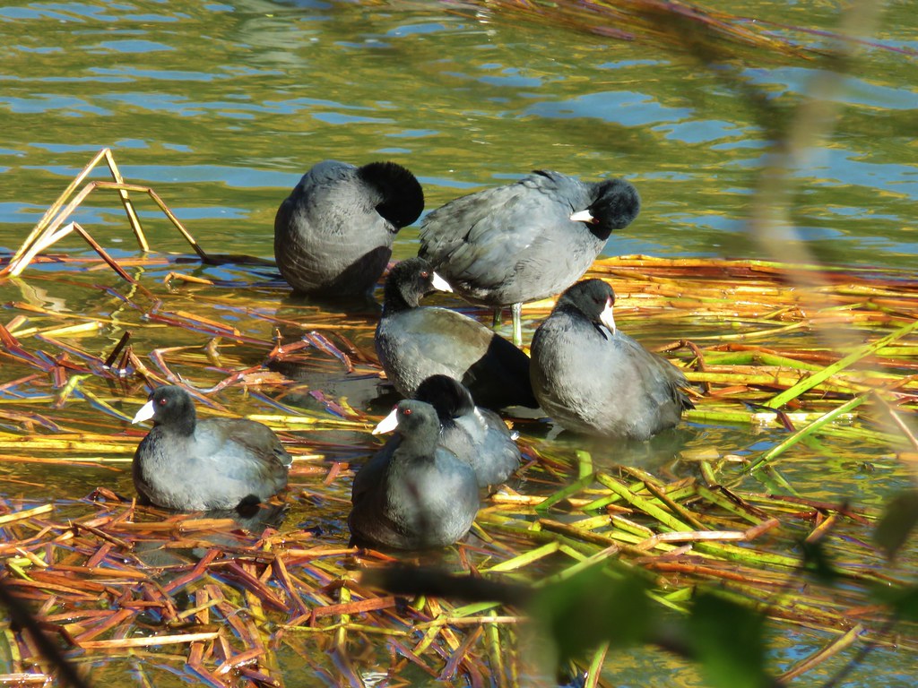 Coots
Coots


 Mallards and other birds
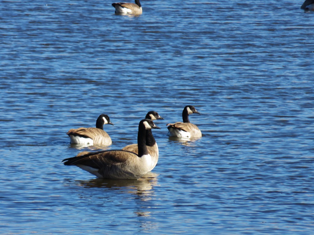 Canada geese
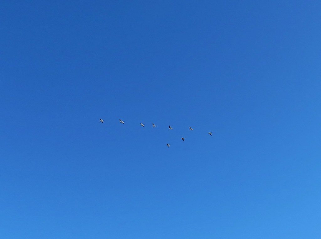 Pelicans in flight
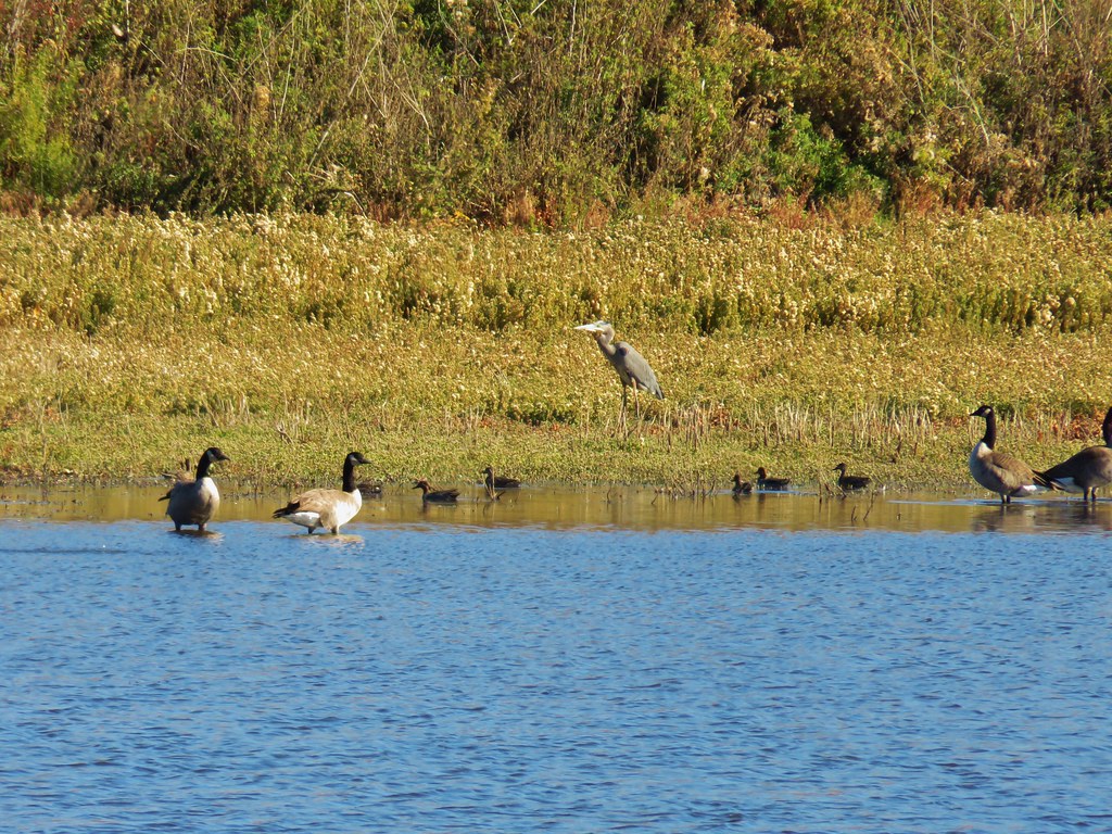 Great blue heron among others
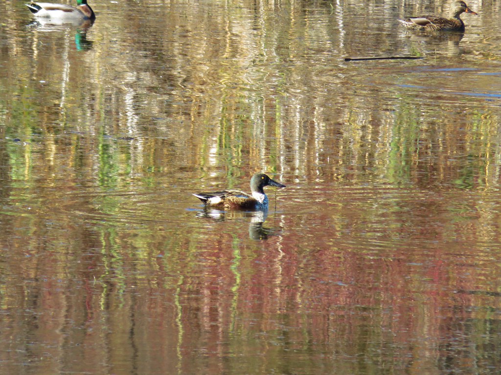 Northern shoveler
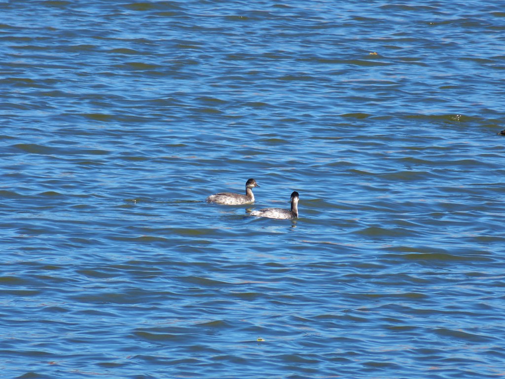 Horned grebes
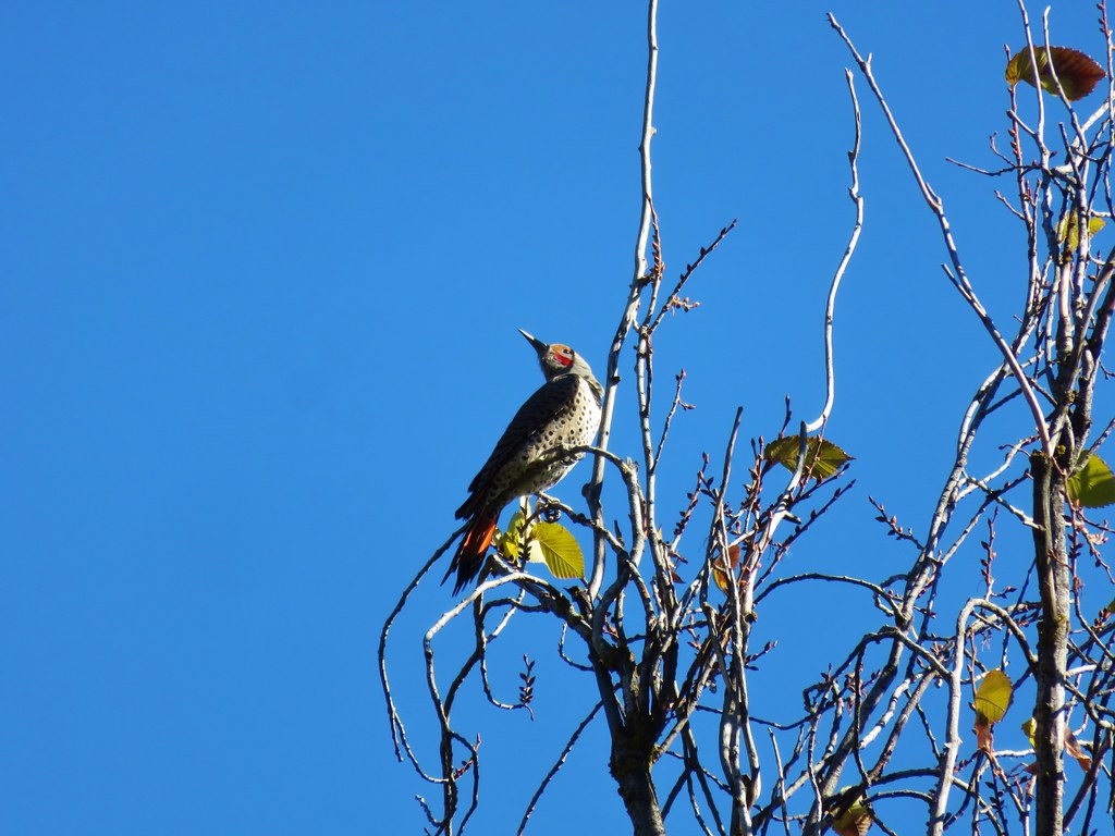 Northern flicker
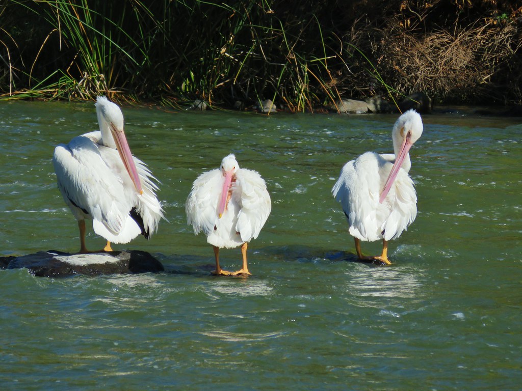 More pelicans
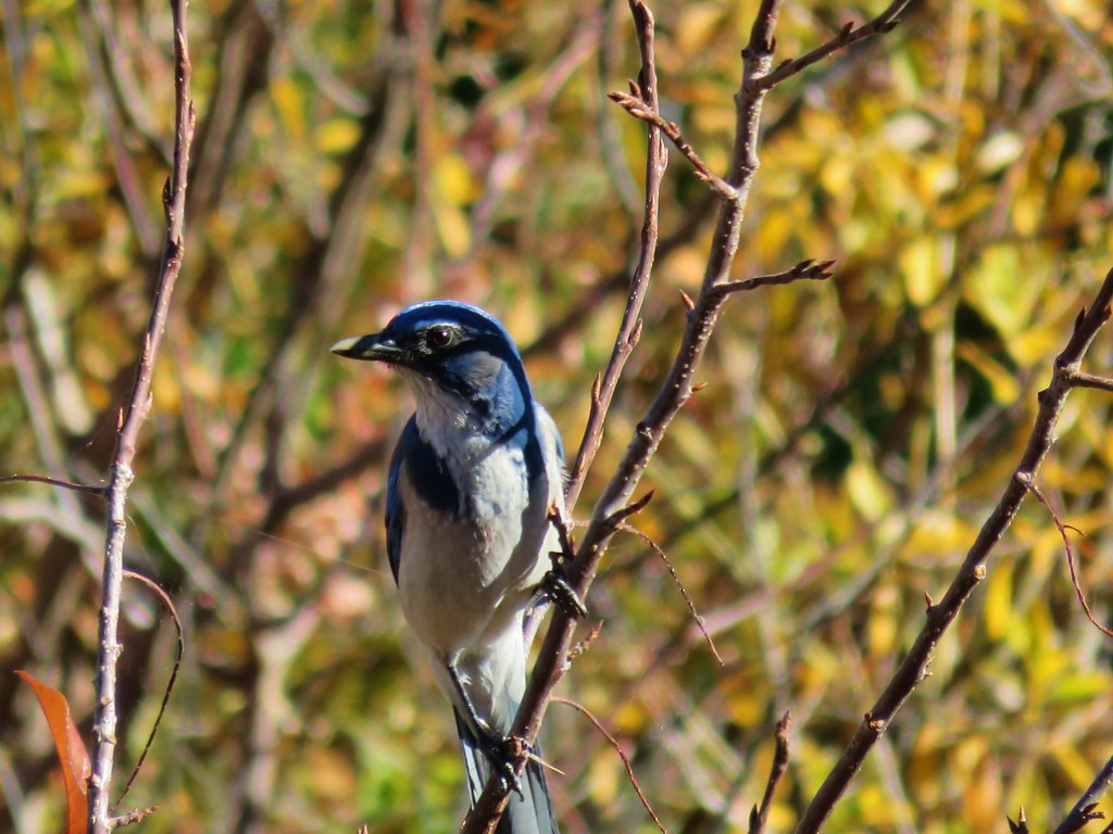 Another jay
 Great blue heron on the rocks
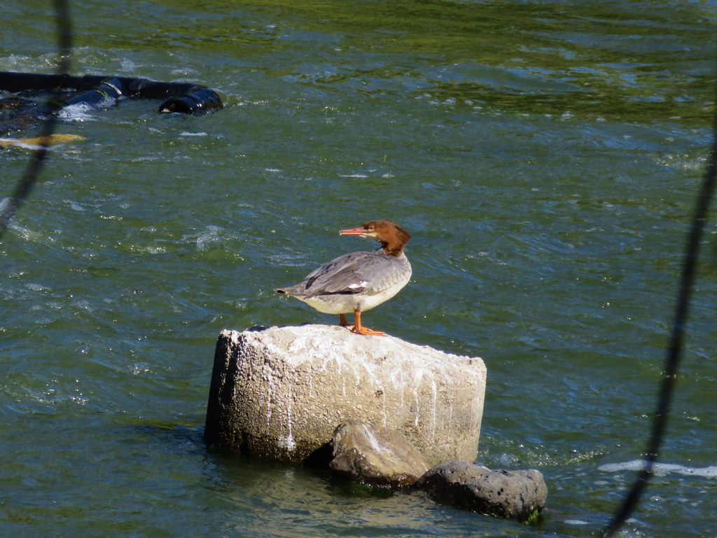 Common merganser
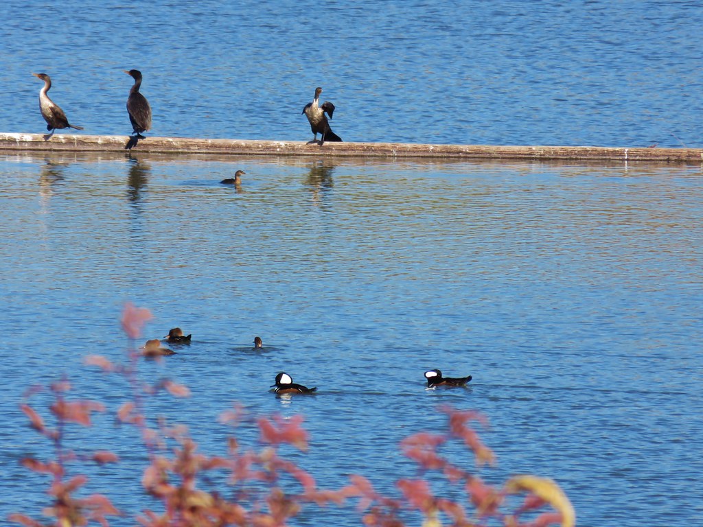 Hooded mergansers (in the foreground)
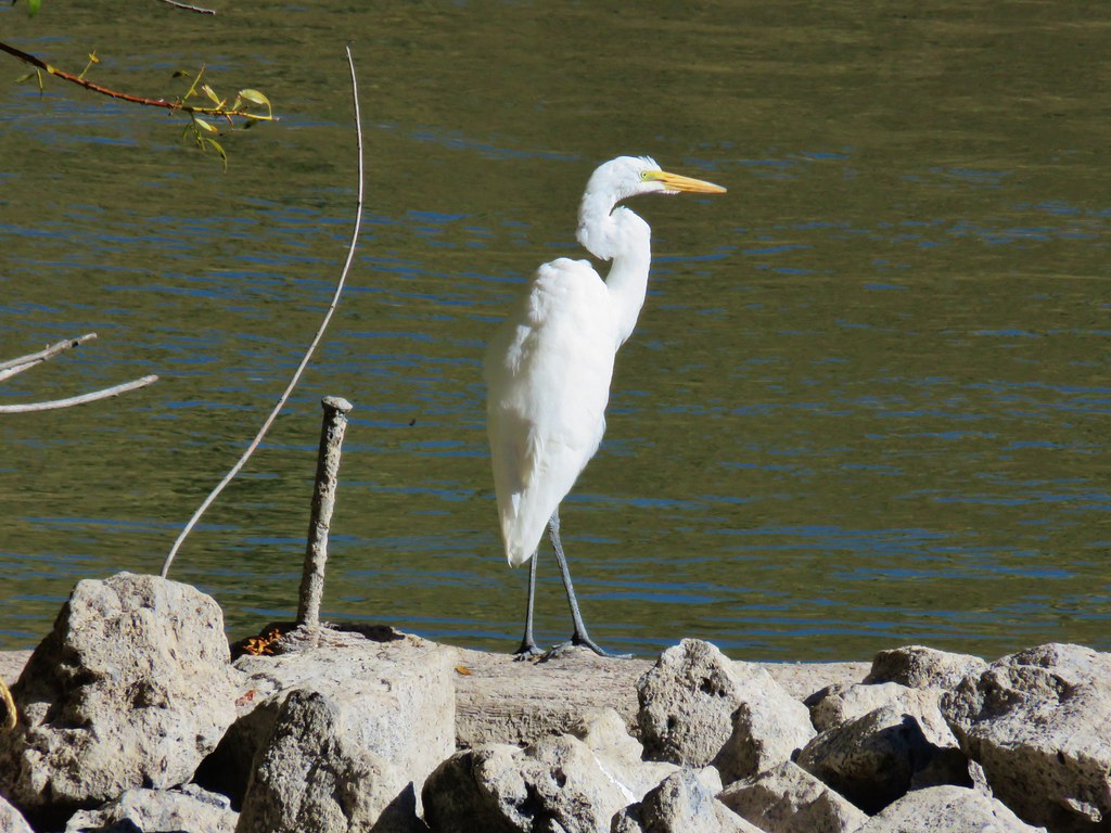 Egret
Egret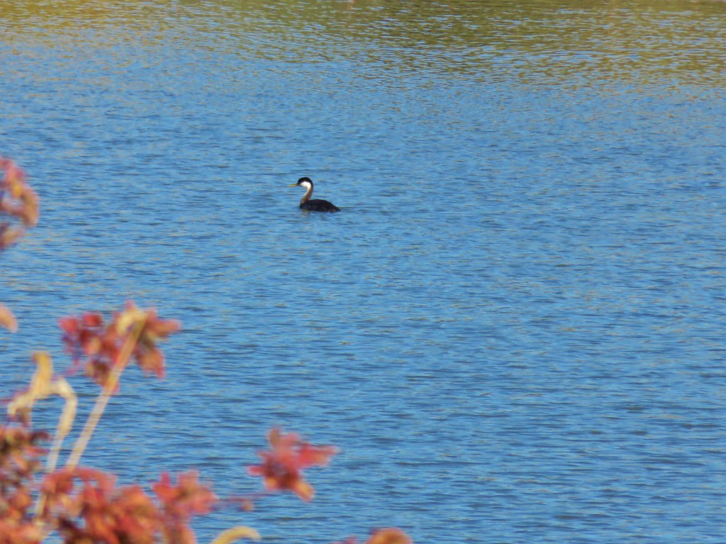 Western grebe