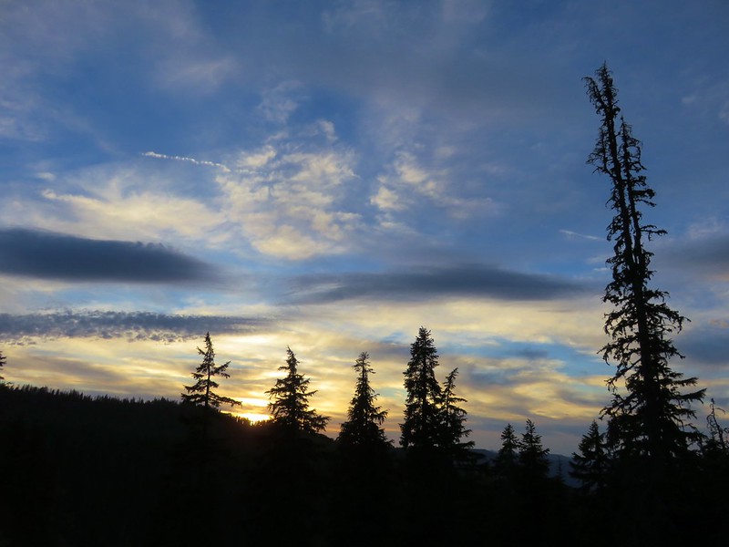
After a few solo hikes we were able to hit the trail together to wrap up my final week of vacation for 2025. The hike I’d penciled in at the beginning of the year was out due to a road closure blocking access to the trailhead and my plan B was also out due to a closure for hazard tree removal. I turned to my list of “extra” hikes that were not currently on the schedule, which runs through 2029, and the one that jumped out was June Lake in the Mt. St. Helens National Volcanic Monument. I checked the weather/smoke forecast, and it was clear skies with a high in the low 60s. That was enough to convince us.
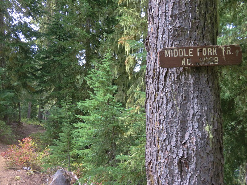
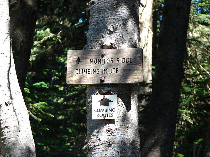
This would be our second visit to June Lake with the first having been in July of 2014 (post). The hike to June Lake is just 1.3-miles (2.6-miles round trip with 410′ of elevation gain) so during our 2015 visit we continued past the lake 0.3-miles to the Loowit Trail which circumnavigates Mt. St. Helens. We turned left (clockwise) on that trail for nearly 5-miles before turning around. Our plan for this outing was to go right (counterclockwise), possibly as far as Ape Canyon (post).
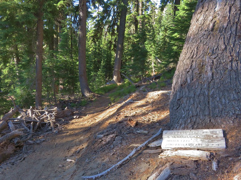
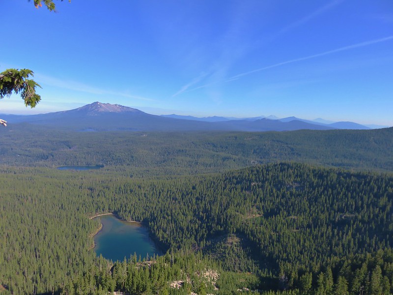
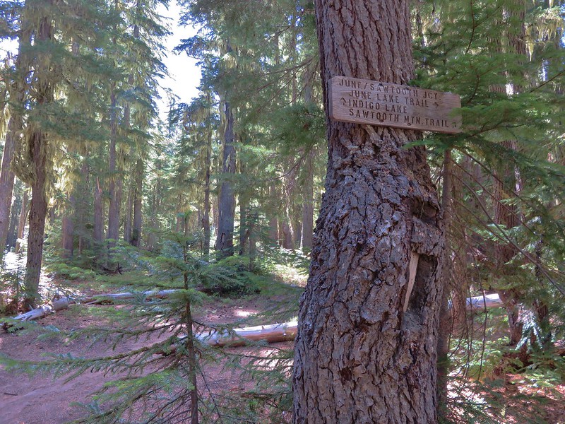
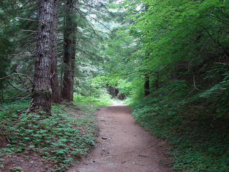
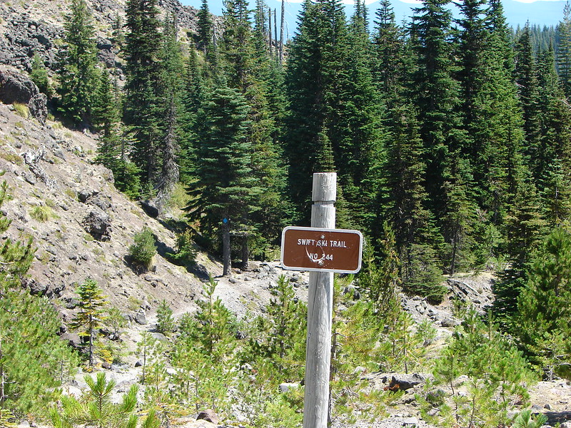
We parked at the June Lake Trailhead and set off just after 7am.

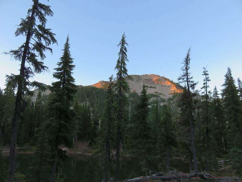
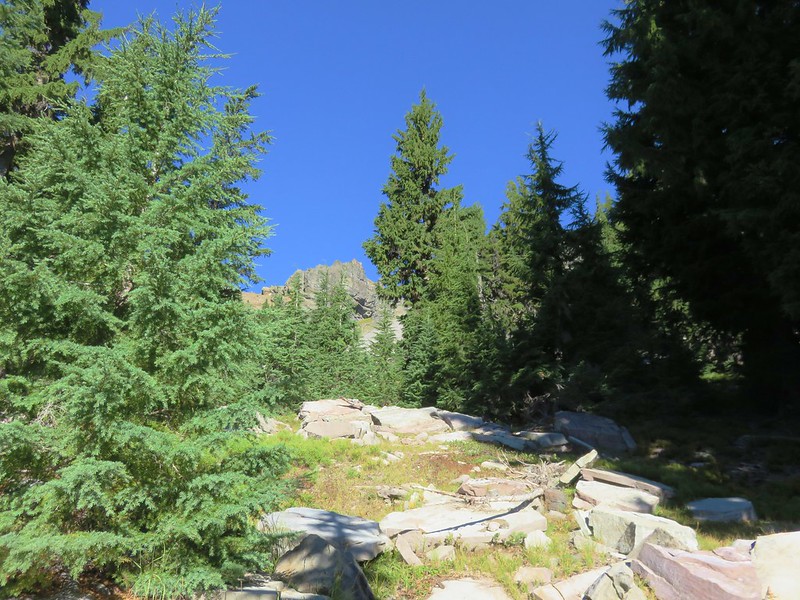
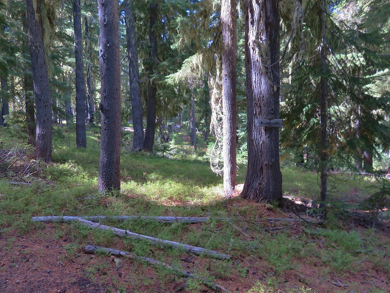
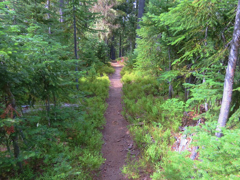
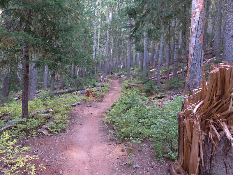
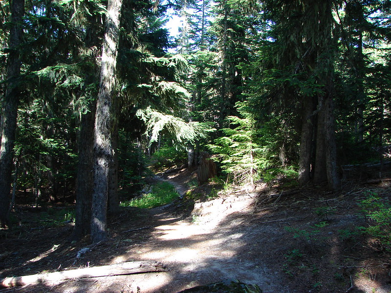
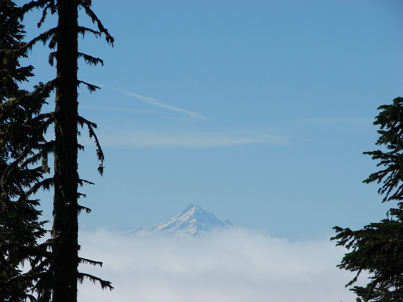
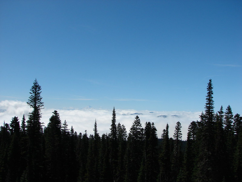
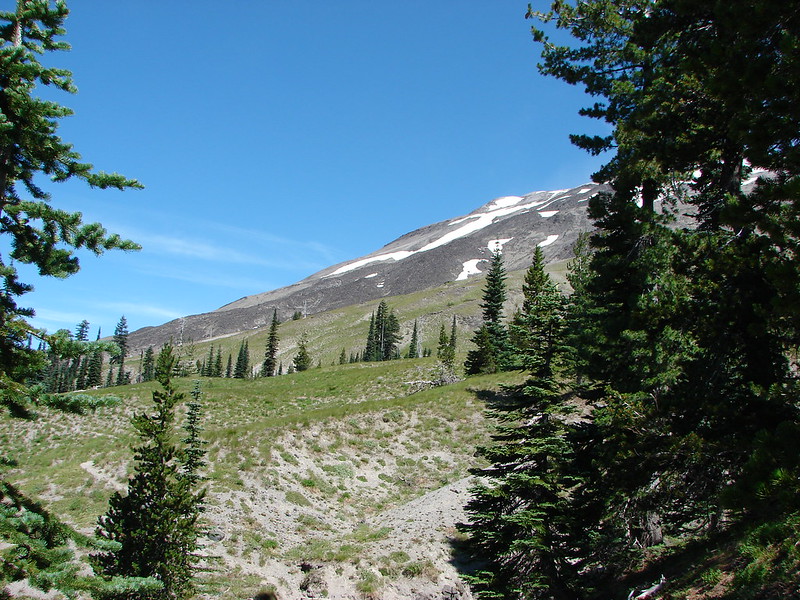
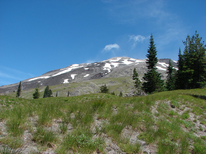
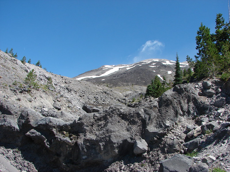
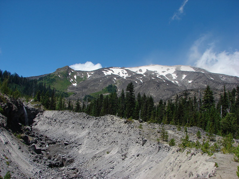
The trail briefly follows June Creek with some views of the top of Mt. St. Helens before veering away to climb through the forest.


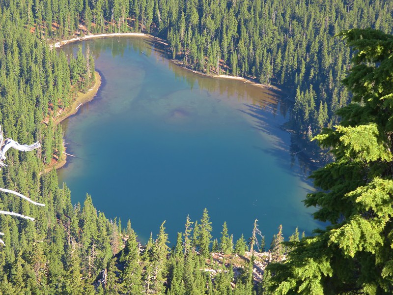
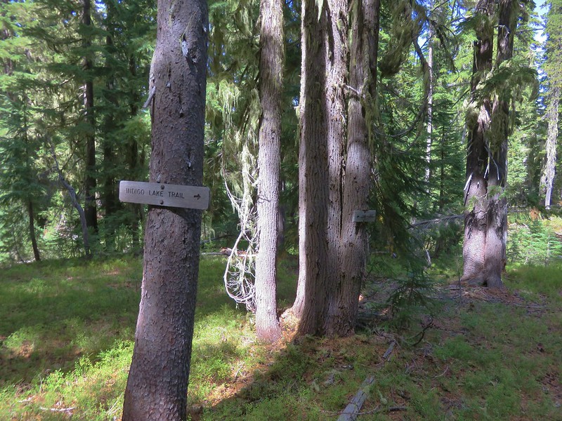
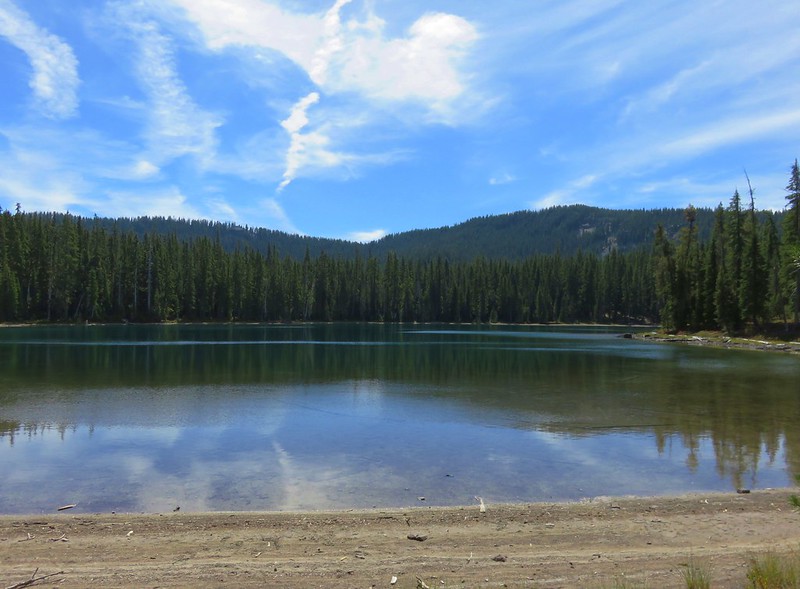
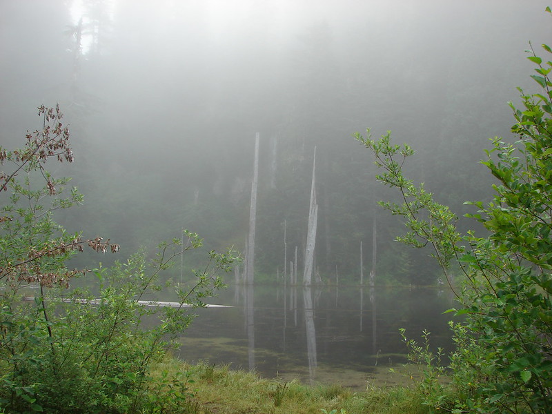
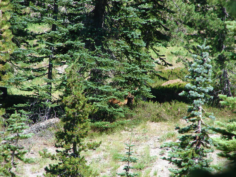
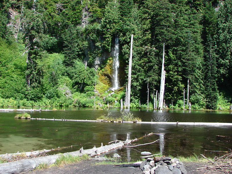
The trail nears the creek again to cross it on a footbridge then arrives in an open flat where June Lake lies hidden behind bushes on the right.

June Creek


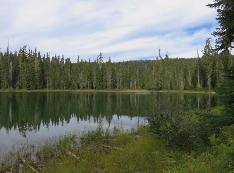
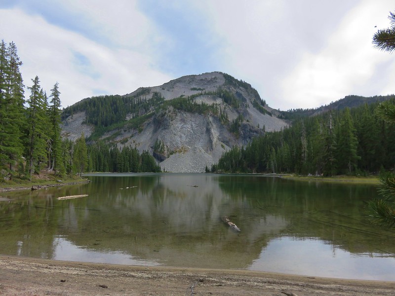
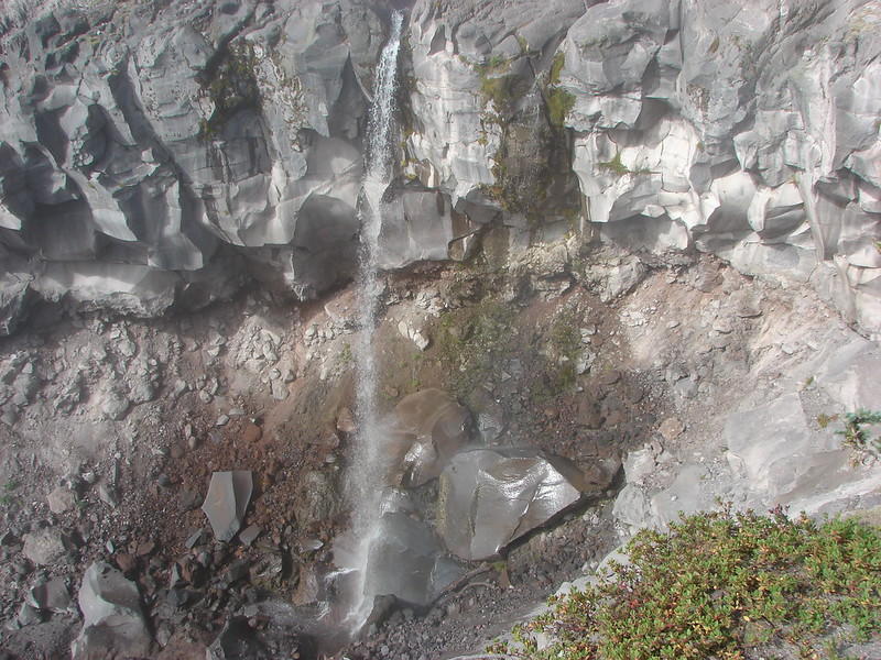
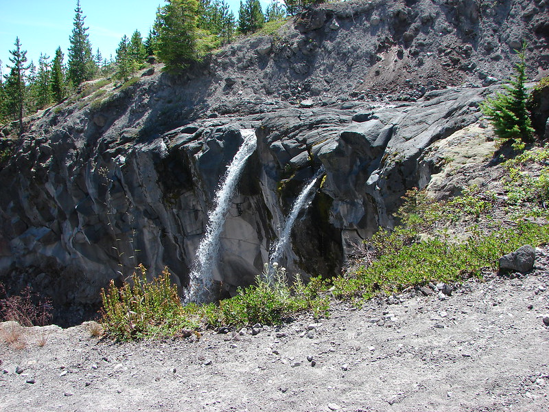
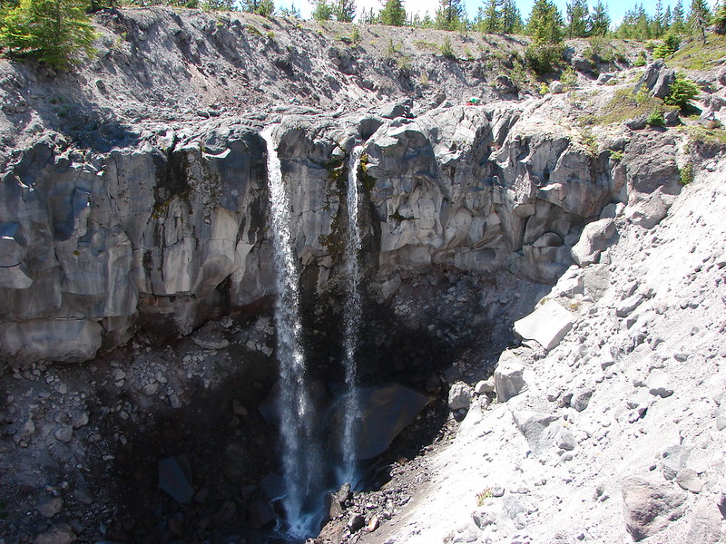
The first path we followed through the bushes led to a view of the lake but not the waterfall that flows into the lake.

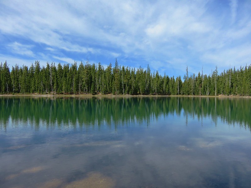
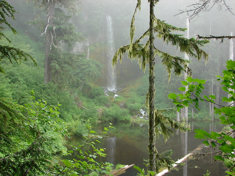
We ducked down a second path to get a view of the falls.


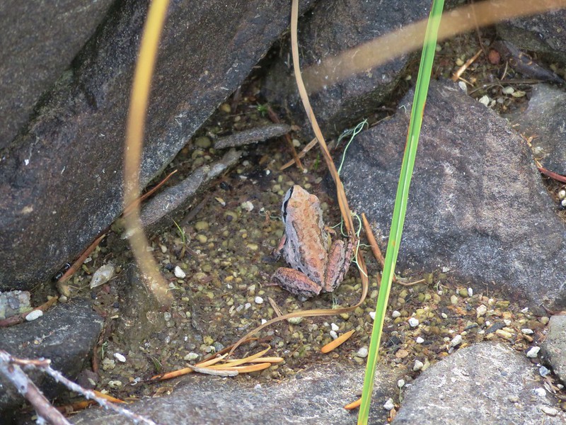
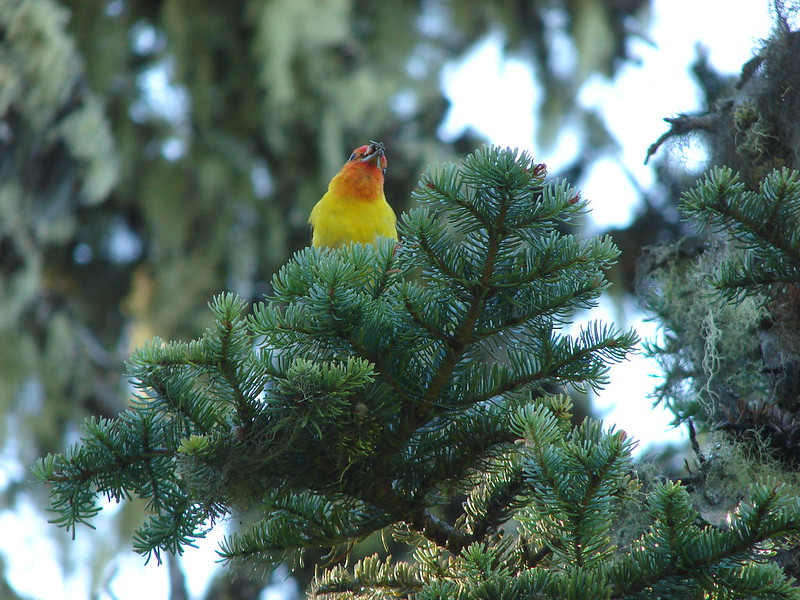
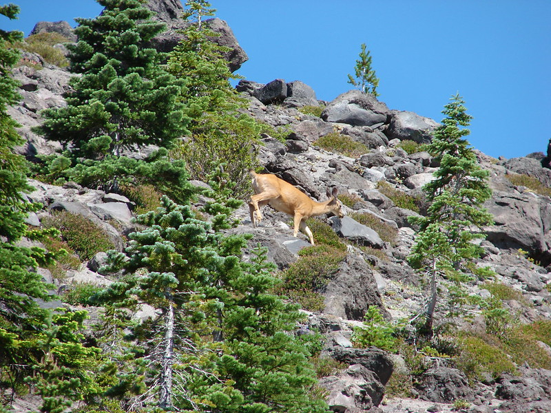
Aside from a few dragonflies and an American dipper we were alone at the lake and took a short break there to enjoy the scenery and sound of the waterfall.


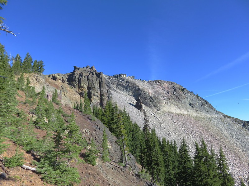
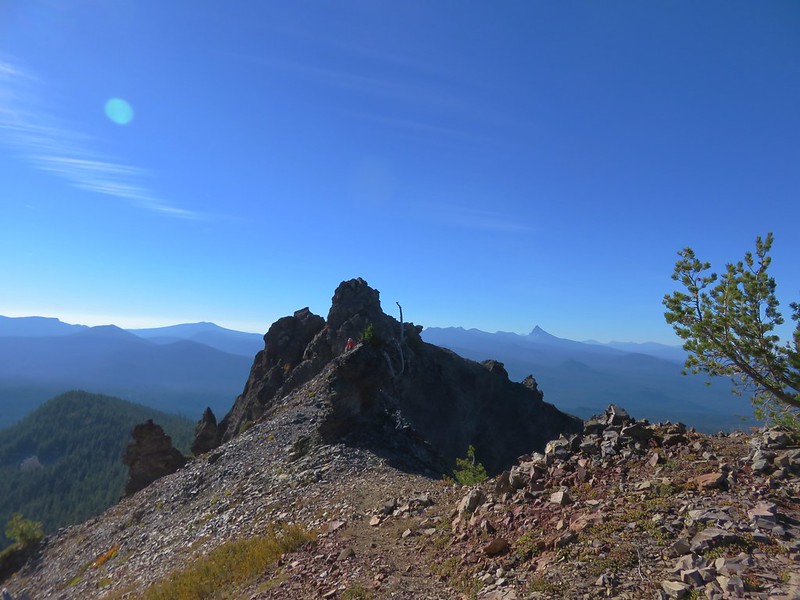
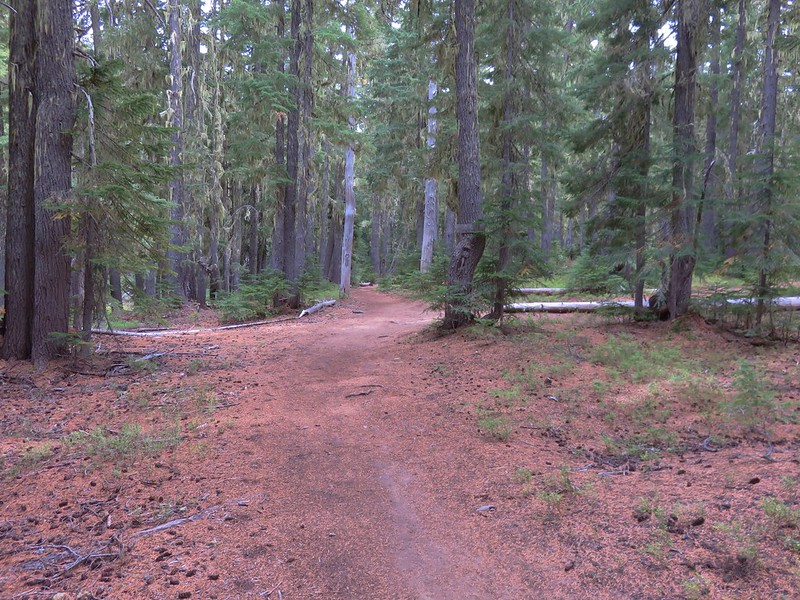
From the lake we made the stiff climb up to the Loowit Trail and headed toward Ape Canyon.

It’s hard to tell in the photo but this section was both steep and loose. We both used the trees/roots on the left as handholds going up and when we came back down.

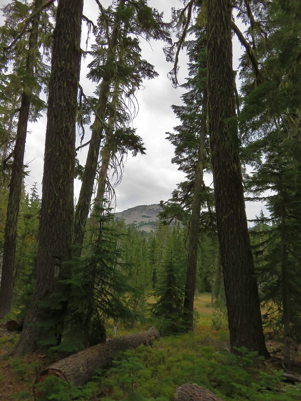
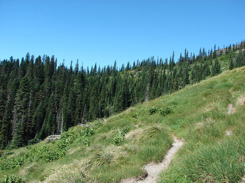
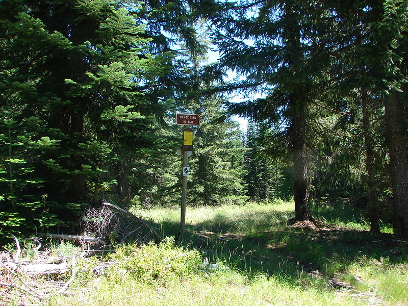
The trail leveled out some as it neared the junction.

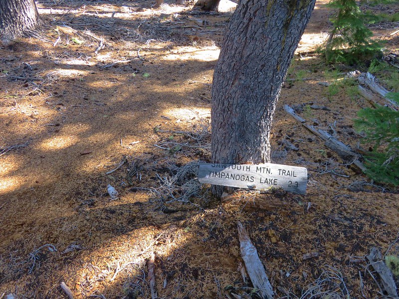
The trail sign at the Loowit Trail junction said the Ape Canyon Trail was 5-miles. From the Ape Canyon Trail the canyon itself is a little over an additional half mile.
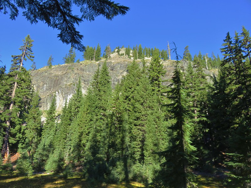
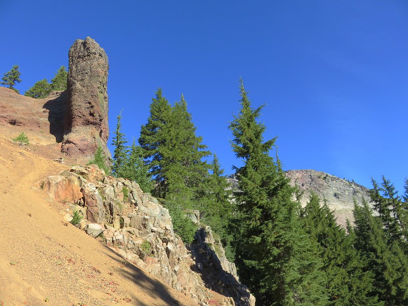
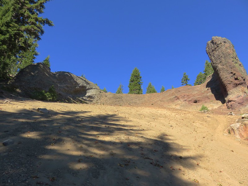
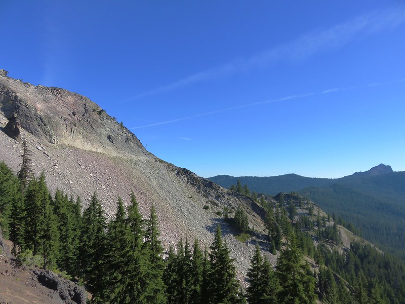
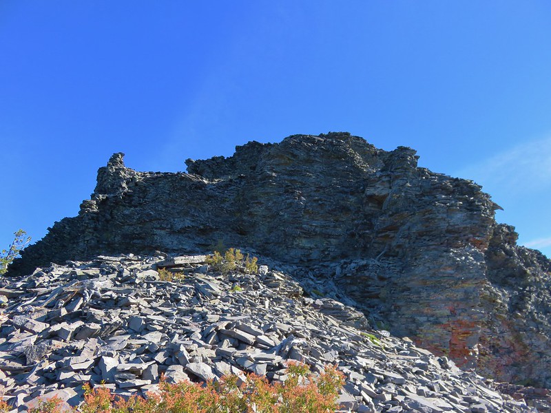
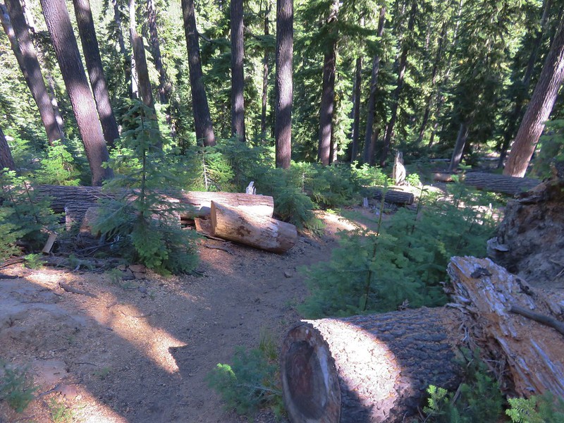
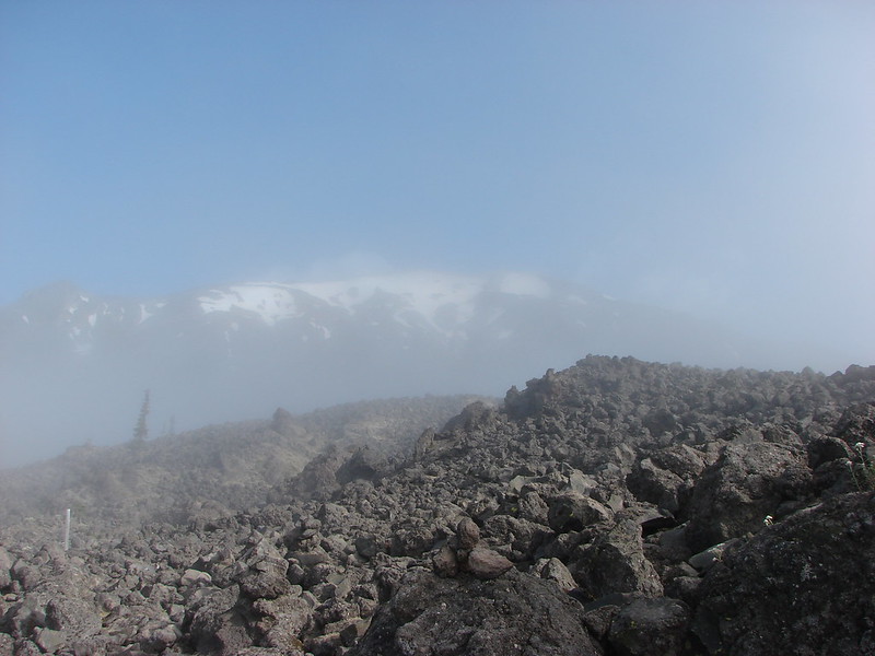
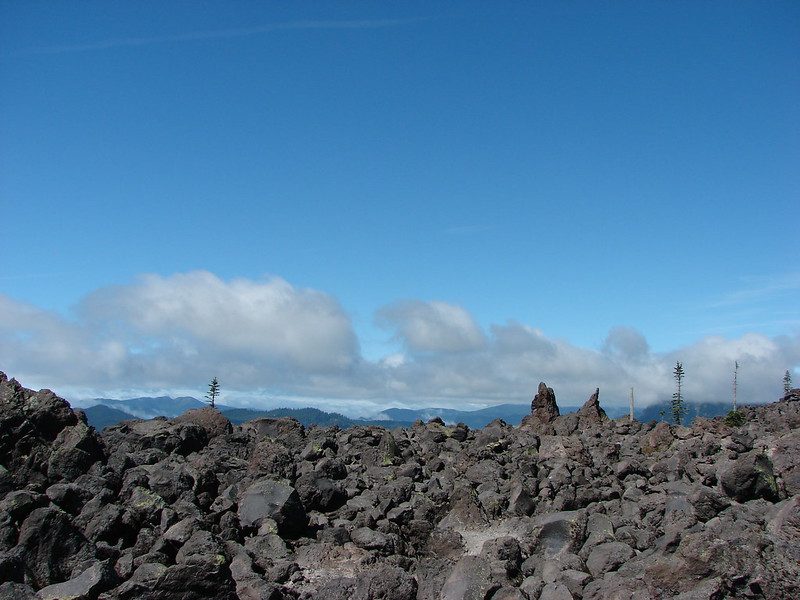
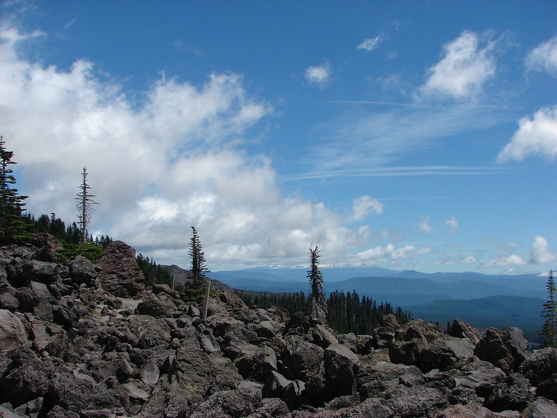
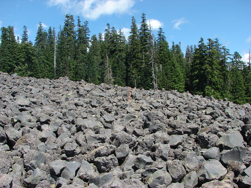
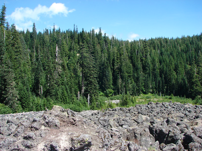
The Loowit Trail crossed a lava flow then spent a little time in the forest and along the lava flow before climbing into the rocks.

Various poles and posts mark the trails when they are passing over the lava flows.


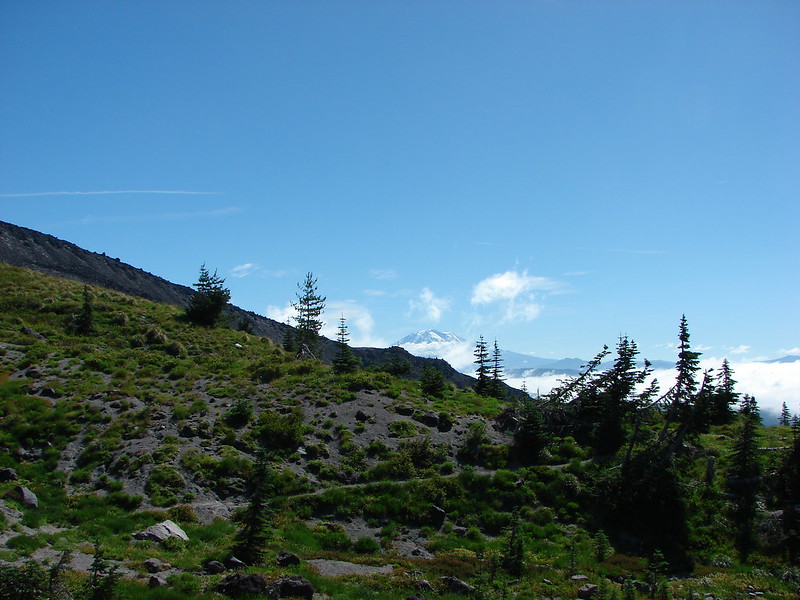
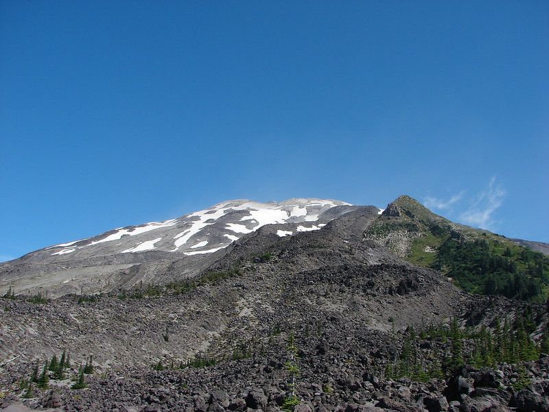
The trail made a pretty significant climb (approx. 200′) when it reentered the lava flow gaining a view of Mt. Adams to the east and Mt. Hood to the south.


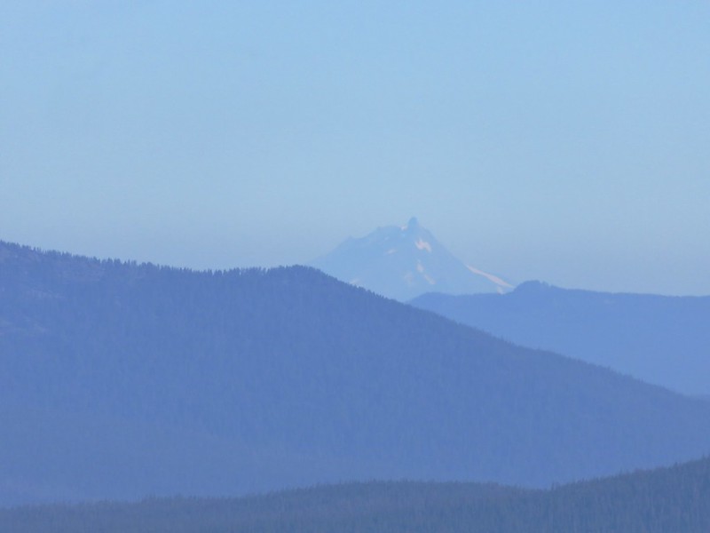
Marble Mountain is the closest peak, and Mt. Hood is behind to the left through some smokey haze.

A little better look at Mt. Hood.

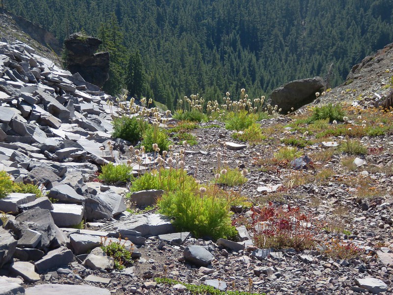
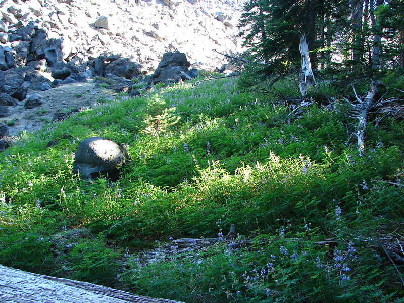
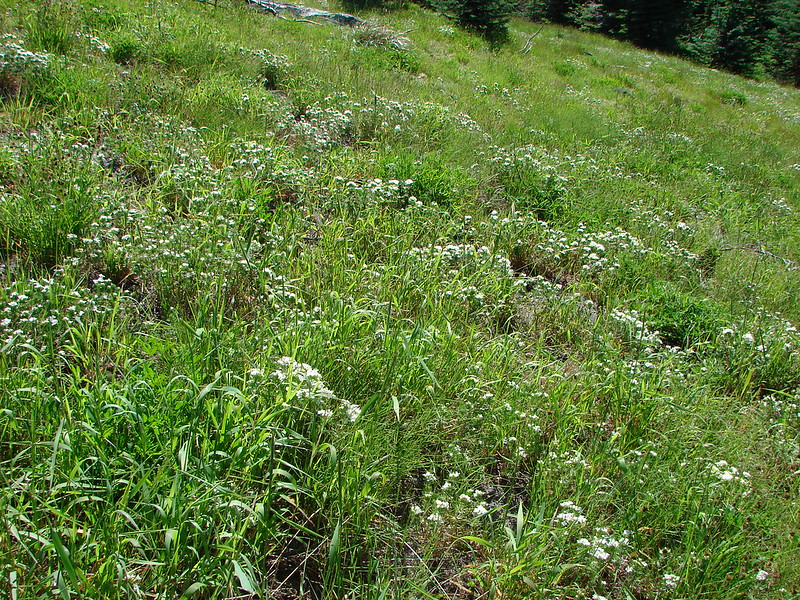
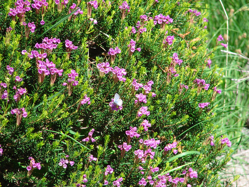
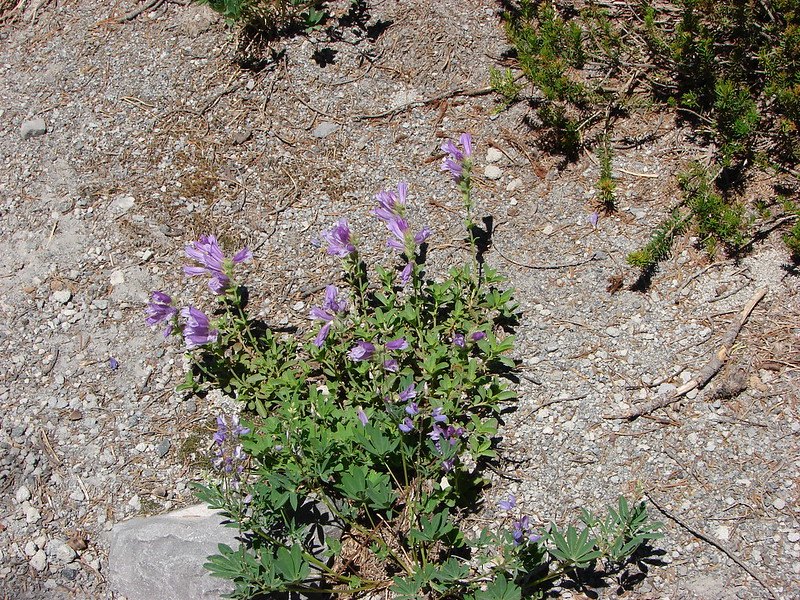
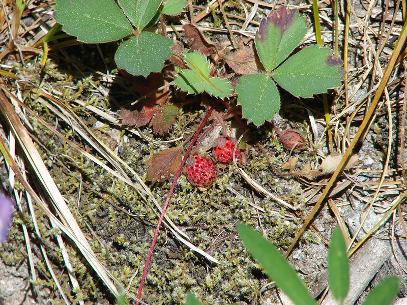
Pink mountain heather

Heading up.

The Loowit Trail to the left crossing over the large rock with Mt. Adams in the distance.

Looking back down from near the top of the climb.
We were still about 3.2-miles from the Ape Canyon Trail at this point. From this crest the Loowit Trail would make a series of ups and downs as it crossed a half dozen gullies/canyons of various depths including several forks of the Muddy River. We momentarily lost the trail at one of the first gullies when we missed a hairpin turn around a post marking the route and instead headed straight following footprints along a rocky ridge.

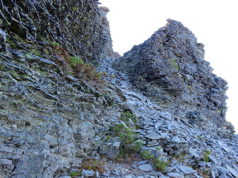
The trail passing between large rocks.
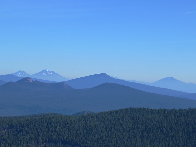
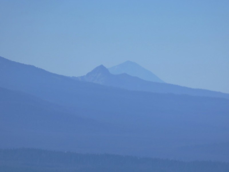
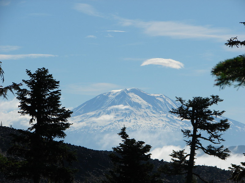
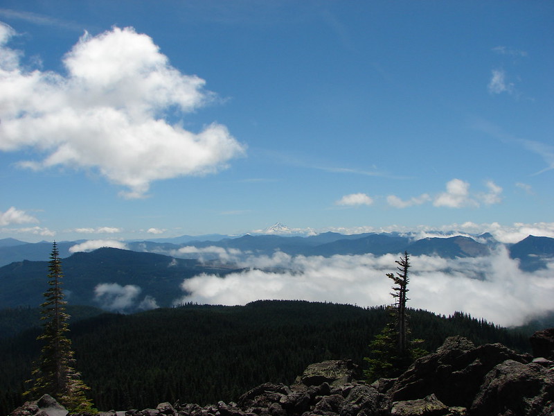
Mt. Adams was visible for much of this stretch and Mt. Rainier occasionally made an appearance to the north.


Mt. Rainier over the trees.
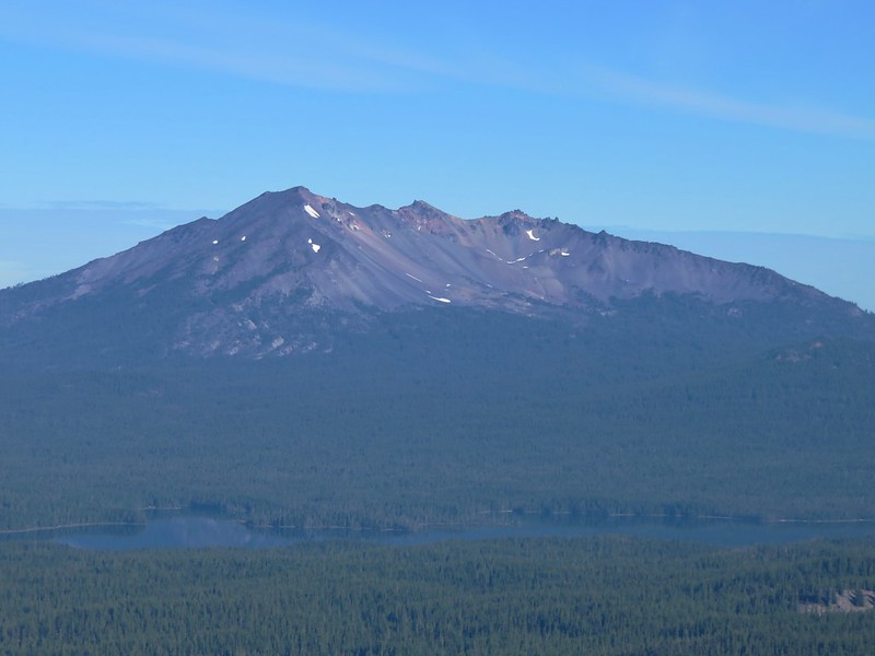
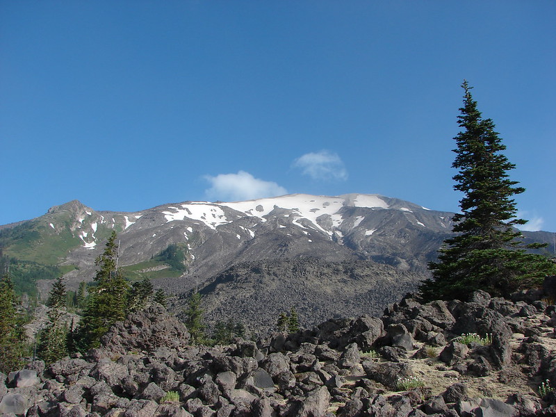
There were also plenty of great views of Mt. St. Helens.


Mt. Adams from one of the posts.


This is where we missed the turn and were following footprints along this ridge.
When we finally spotted a post and the trail way down in the gully below we checked the GPS and confirmed we were off the actual trail. A little scrambling connected us back up to the correct path.

Mt. Adams from the ridge. The post is barely visible between some trees ahead to the left, but we didn’t want to try to recross the top of the ridge as there were some large gaps that were almost too sketchy for us on the first pass.

A little downclimbing to the actual trail below.

Passing the post we had seen from above.

Dropping into another gully. At this point Heather decided she was not going to try and push for Ape Canyon and sent me ahead while she would take her time and turn around when she felt like it.
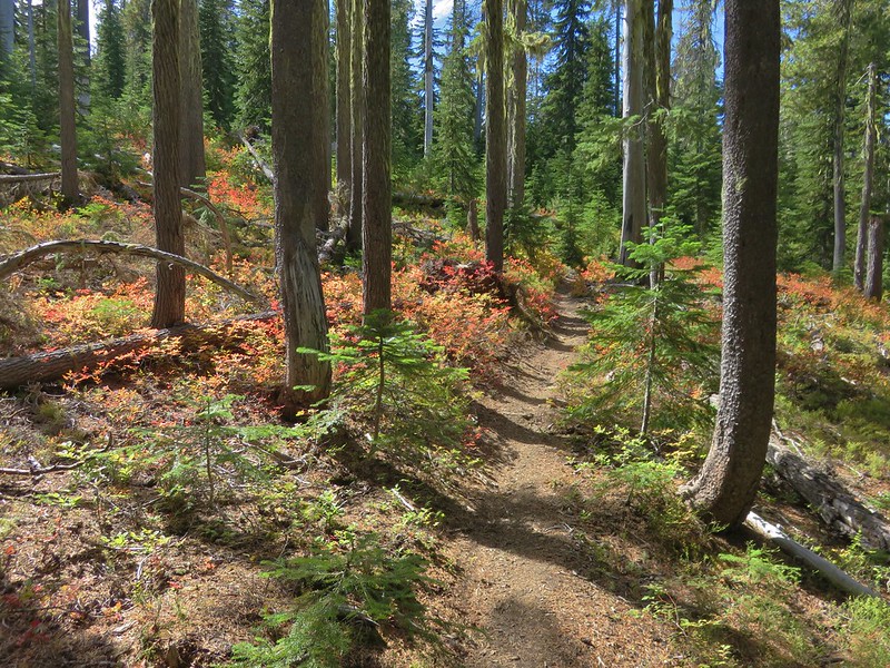
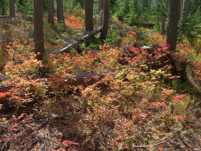
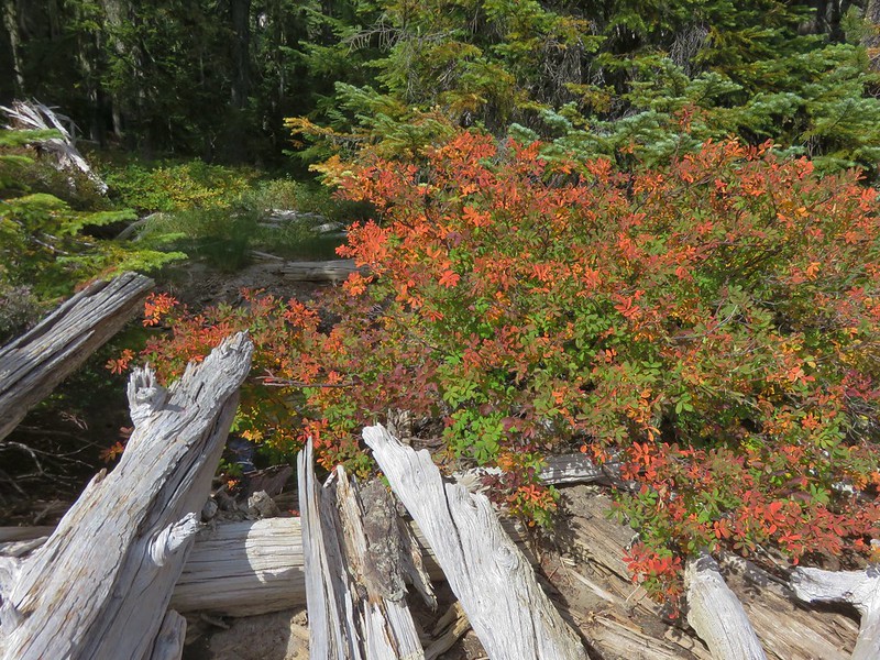
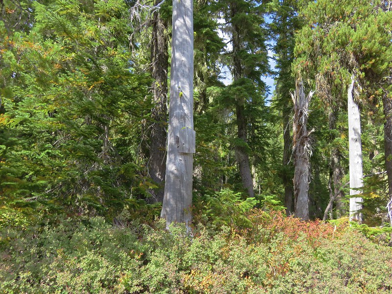
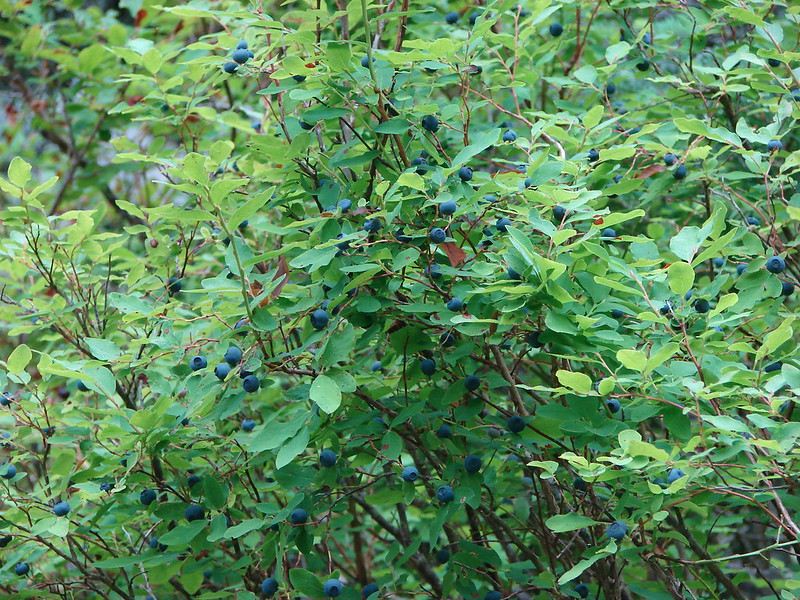
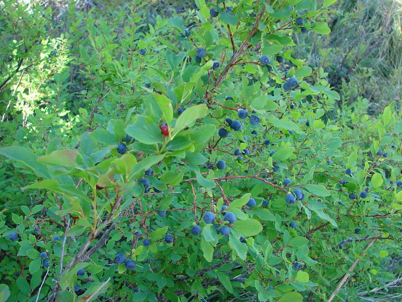
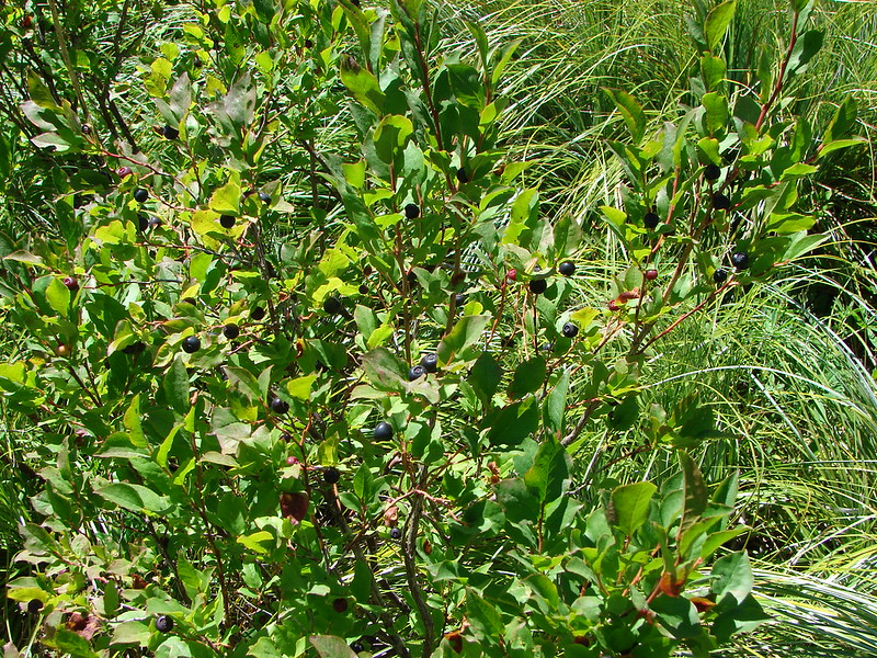
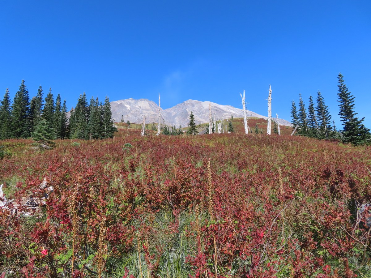
The trail briefly left the rocky landscape to traverse up and along a hillside with a few trees and a lot of huckleberry bushes that were sporting their fall colors.


Looking back at Mt. Hood and the direction we’d come.

Mt. Adams and a lot of huckleberry bushes.

Mt. Rainier in the distance.

Mt. Rainier behind Pumice Butte.


Ripe serviceberries mixed in with the huckleberries.

After traversing the huckleberry covered hillside it crossed another tributary of the Muddy River.


Closer look at Mt. St. Helens.

Heading for the next post.

Mt. Rainier became more visible as I continued north.

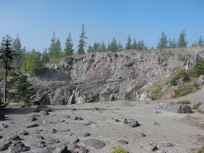
One of the larger canyons of the Muddy River. The entire route was dry this late in the year.

Dry waterfall above the trail.

Looking down the canyon toward Mt. Adams.

Mt. Hood and a layer of haze behind one of the posts.

The trail turning uphill before the next canyon.

The Loowit Trail climbing out of another canyon to a post with Mt. Rainier in the distance.

Mt. Rainier and Little Tahoma

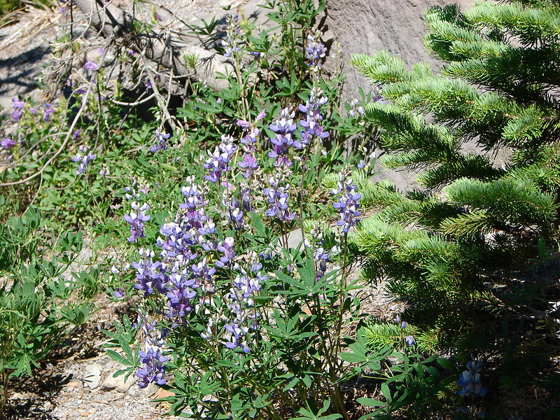
Dwarf lupine
The next ravine was the main channel of the Muddy River and it proved to be the trickiest as the trail climbing out was not obvious.

There was a post visible on the far side poking up from a patch of green but no visible path leading to it.

It almost looked like there might be a path on the shelf above the dry riverbed, but I didn’t see a clear path to it, nor did it appear to lead anywhere near the post on the ridge above.
Once I was in the riverbed I spotted two small rock cairns, one with a pink ribbon so I headed for those.

That brought me to the far side but there was still no clear tread that I could see.

The post is uphill just to my left. There were some prints leading up from here so I angled uphill toward the trees above.
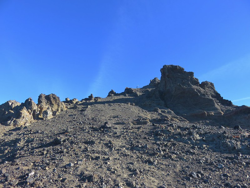
This route quickly turned into a class 3 scramble. I had to be very careful which rocks I used as hand and footholds due to how loose the hillside was. I momentarily considered turning around but I was closer to the top than the bottom and wasn’t sure I could safely downclimb, so I continued. I finally managed to climb out near the snags.

The post is hiding back behind the snags here.
After gathering myself I continued on figuring that it should be easier to follow the correct path down starting from the post on the way back. The Loowit trail now began a nearly three-quarter mile long descent.

Mt. Rainier to the left and the Loowit Trail ahead to the right.

The Ape Canyon Trail was visible climbing along the ridge below.
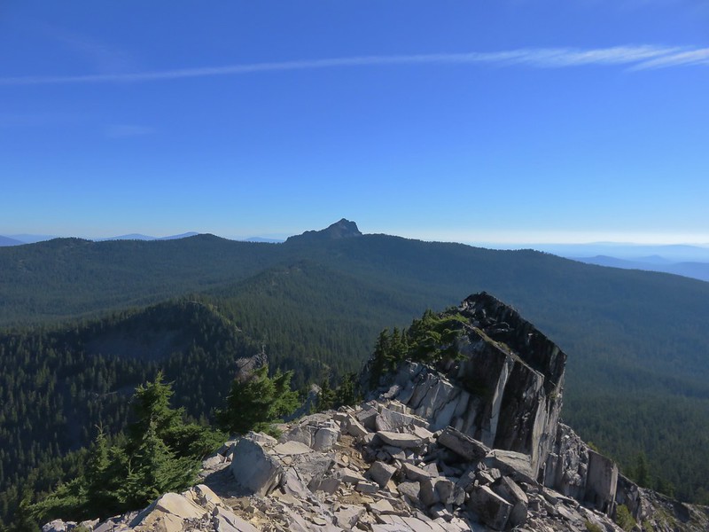
The trail leveled out shortly before arriving at the junction with the Ape Cayon Trail at a post with a great view of Pumice Butte.

I almost called it quits here. In addition to a great view of Mt. St. Helens I could see the Loowit Trail below in the distance as it bowed out and around toward Ape Canyon which was on the far side of Pumice Butte.

The Loowit Trail is visible on the right-hand side about halfway up the photo.

The trail then bent around to climb the ridge in the distance on the far side of the butte.
The deciding factor was that on our previous two visits Mt. Adams had not been visible from the viewpoint above Ape Canyon. Despite there being a little haze today I knew Mt. Adams would be visible, so I sallied forth.


Heading toward Pumice Butte now. If you look closely, on the left-hand side toward the top, there are several mountain goats. At this point I had dismissed them as fallen snags and hadn’t bothered looking closely.

Passing through yet another gully.

Paintbrush

The trail passes the top of Ape Canyon and crosses what is sometimes a small spring fed stream.


No water, just a little bit of mud. Speaking to backpackers there were few sources of water available this late in the year.

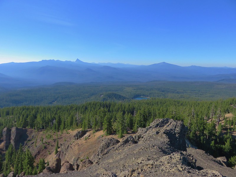
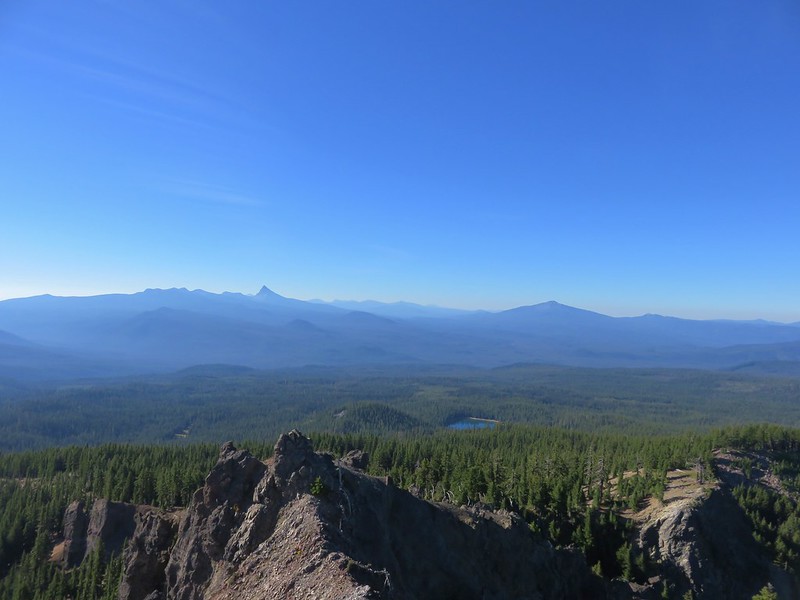
Success! Mt. Adams from Ape Canyon

This was the 2013 view.

And the 2015 view.
I took a break on a rock and had a snack and changed into dry socks before starting back.

The rock I used as a bench.
It was while I was heading back that I realized it was mountain goats on Pumice Butte and not stumps/downed trees.


Looking north toward Windy Pass where the Loowit Trail passes between the mountain and the butte ahead.

Mt. Adams, Pumice Butte, and mountain goats.

I returned the way I’d come, except for the two places that I’d lost the trail on the way to Ape Canyon. As the sun moved overhead the view of Mt. Adams improved a bit and the view of Mt. Hood became hazier.


Mt. Hood was barely visible now.
When I reached the post above the Muddy River I followed the path as it began to descend the side that I’d scrambled up.


The section of trail that I had thought I’d seen from the other side was visible below but again there was no clear route to it. I believe it is a remanent of a previous route through the canyon that has since washed out.
The route down made a switchback and basically led me back to where I had begun my scramble up. There was a pretty good drop near the bottom though. It was significant enough that I sat down and slowly lowered myself by sliding down the loose pumice. Looking back, I am sure I considered that as a possible route up but the drop, or climb going up, seemed pretty daunting and since I wasn’t positive it was indeed the current trail I veered right instead. Once I was done with the butt slide, I found myself in the riverbed at the cairns I had followed earlier. It was a little perplexing at the time, but I was through the worst section now and could enjoy the rest of the hike back.

Dust kicking up from a rockfall on the mountain.


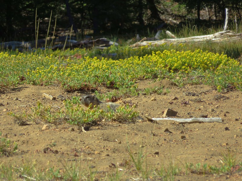
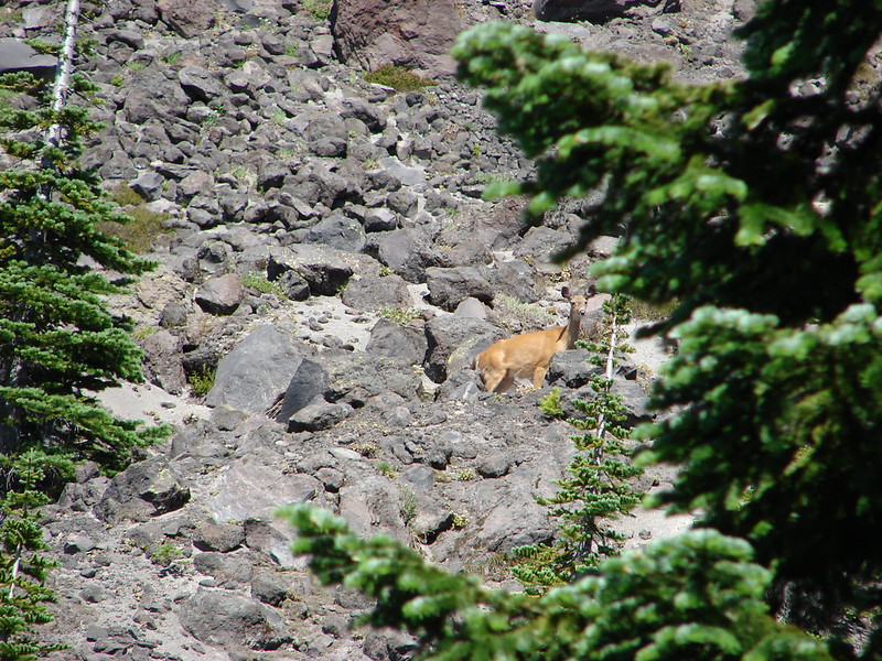
Golden-mantled grounds squirrel. I heard a few pikas along the way but never saw any, just the golden-mantles and some chipmunks.


Coming up to the post on the ridge where we’d lost the trail earlier.


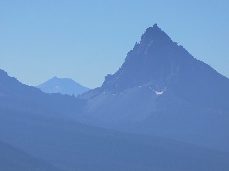
Mt. Adams near the end of the hike.

The trail below in the rocks.

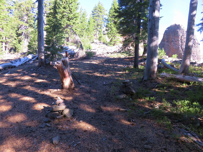
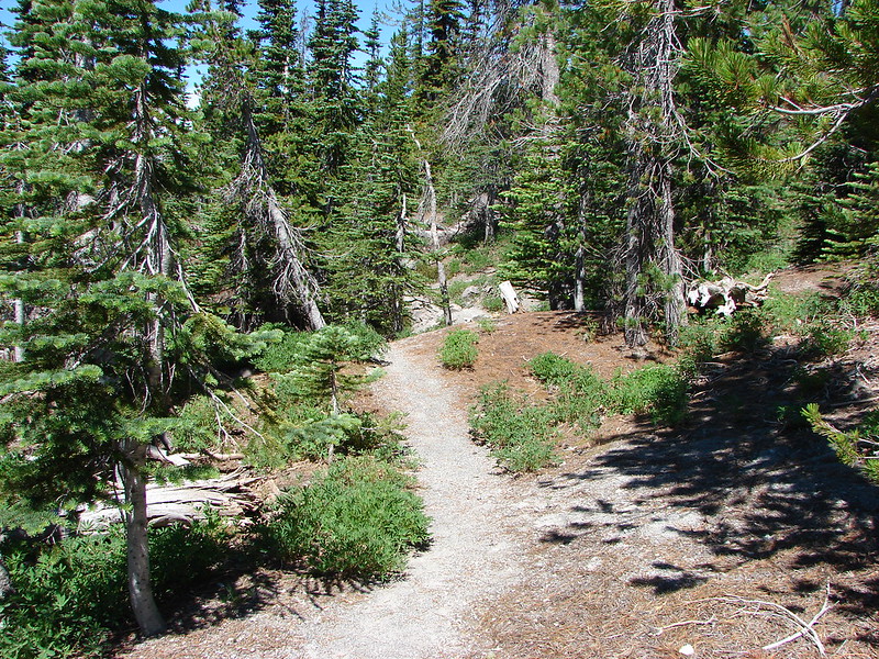
Back on the June Lake Trail.
I caught up to Heather a little before reaching June Lake. She had gone through the huckleberries and stopped at the edge of one of the big canyons and taken a nice long break before taking her time on her way back. We stopped at June Lake again for a final look at the waterfall then returned to the car.


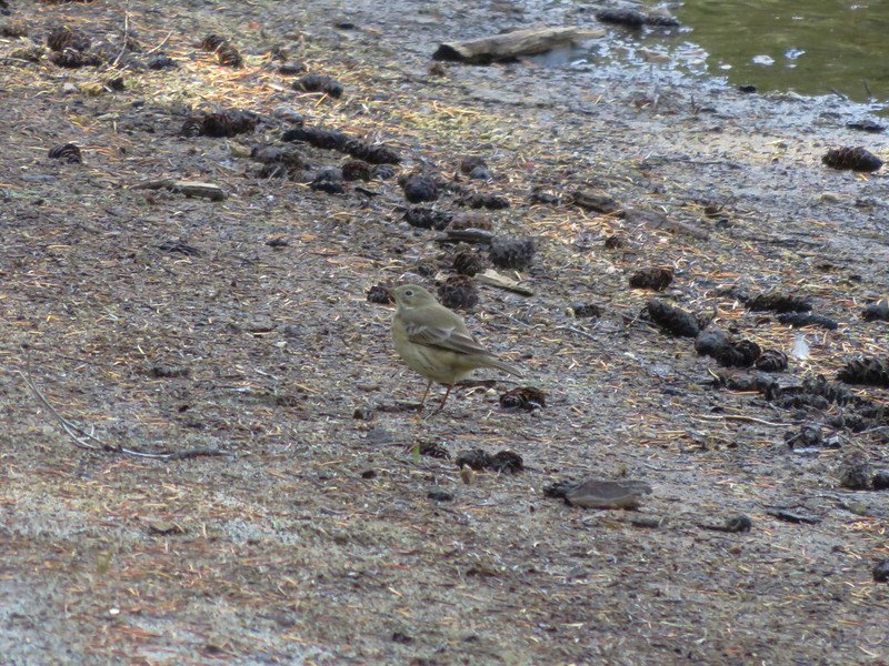
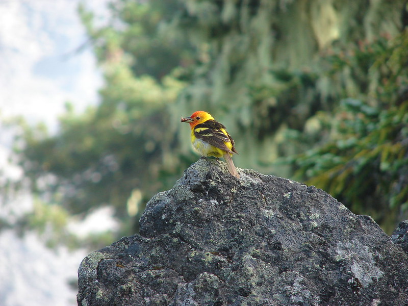
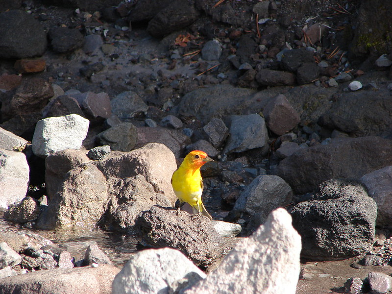
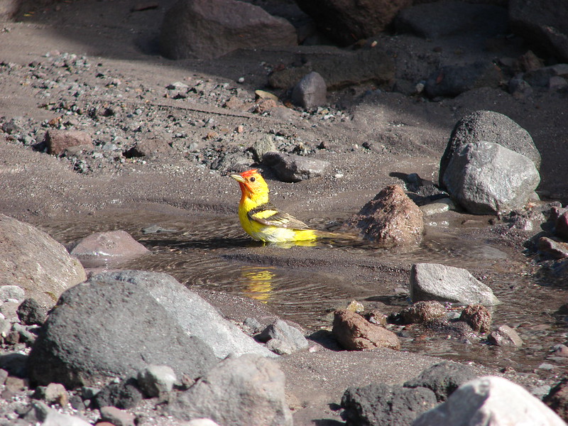
Ouzel with a snack.


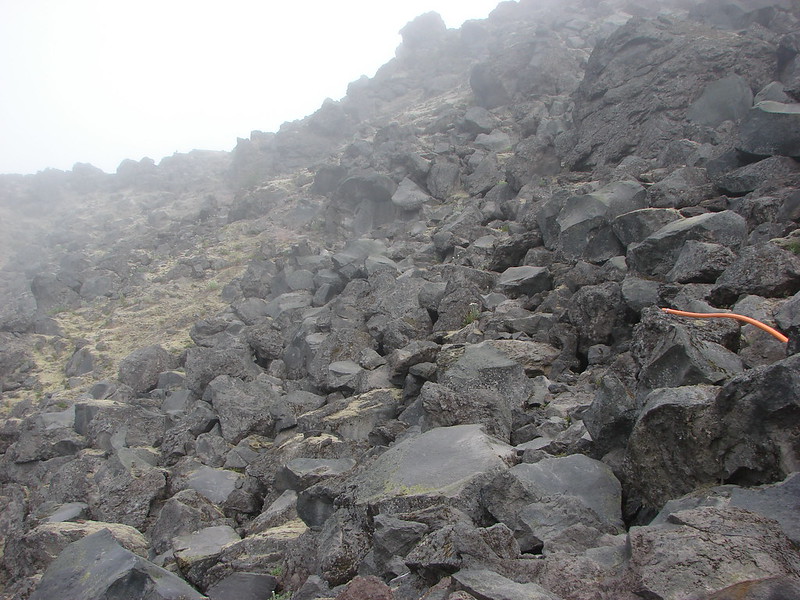
The hike to Ape Canyon came in at 14.4-miles on my GPS. I am just guessing on elevation, but I’d say it was in the 2500′ range due to all the ups and downs.


This little orange section is my scramble out of the Muddy River Canyon.
Mt. St. Helens never disappoints. This might have been my favorite hike we’ve done at the mountain to date but it’s hard to say. Happy Trails!
Flickr: June Lake to Ape Canyon