As we near our goal of finishing at least part of all 100 featured hikes in William L. Sullivans “100 Hikes/Travel Guide Southern Oregon & Northern California” edition 4.2 (post) there was one backpacking trip left. Sullivan’s Seven Lakes West and Seven Lakes East (hikes 38 & 39 in edition 4.2) start at trailheads on opposite side of the Cascade Crest but both contain a loop through the Seven Lakes Basin and a climb up Devil’s Peak in the Sky Lakes Wilderness. Aside from the different trailheads the only other difference is that he includes a visit to Lake Alta from the west trailhead.
We opted to begin from the eastern trailhead – Sevenmile Marsh. The primary reason for this was the trailhead is roughly half an hour closer to Salem but the Forest Service currently shows the status of the western trailhead (Seven Lakes) as unreachable. (This may simply be an oversight when updating their webpages, but it is a good reminder that it’s always a good idea to double check with the managing agencies before heading out.)
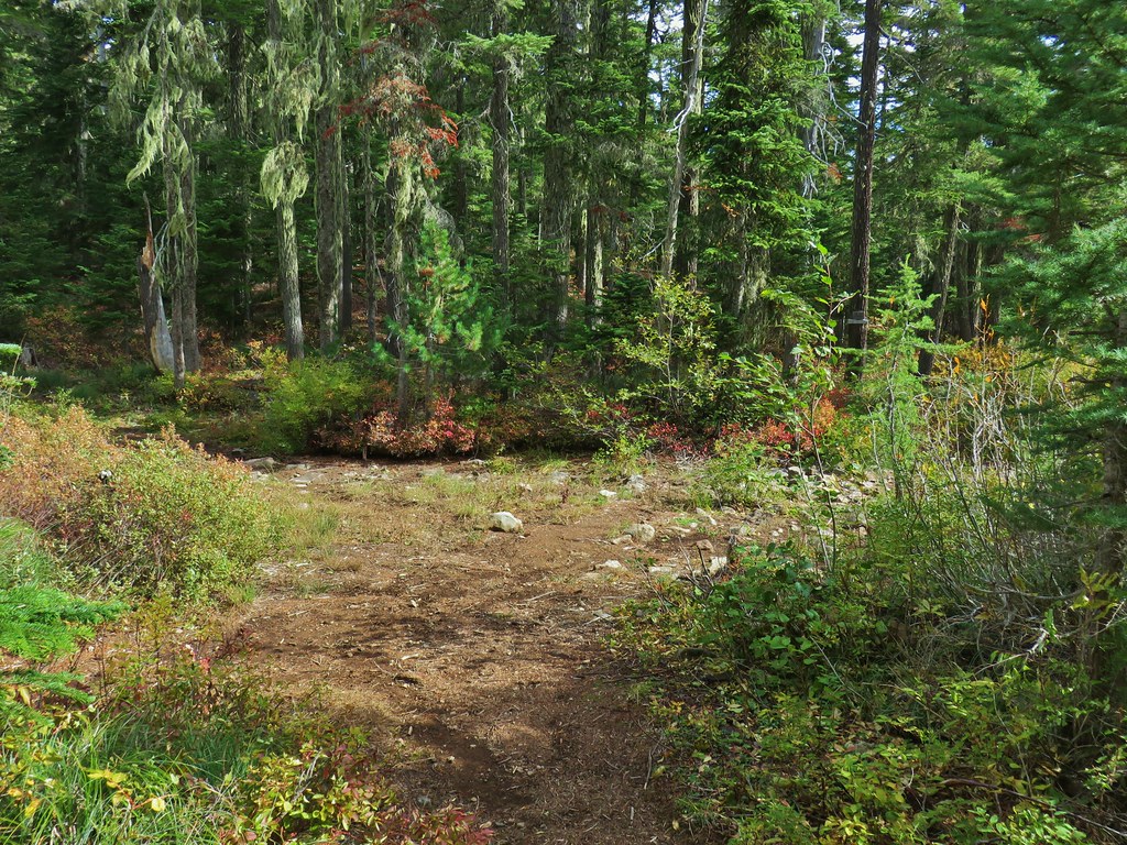
 Sevenmile Marsh Trailhead
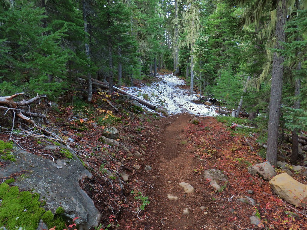
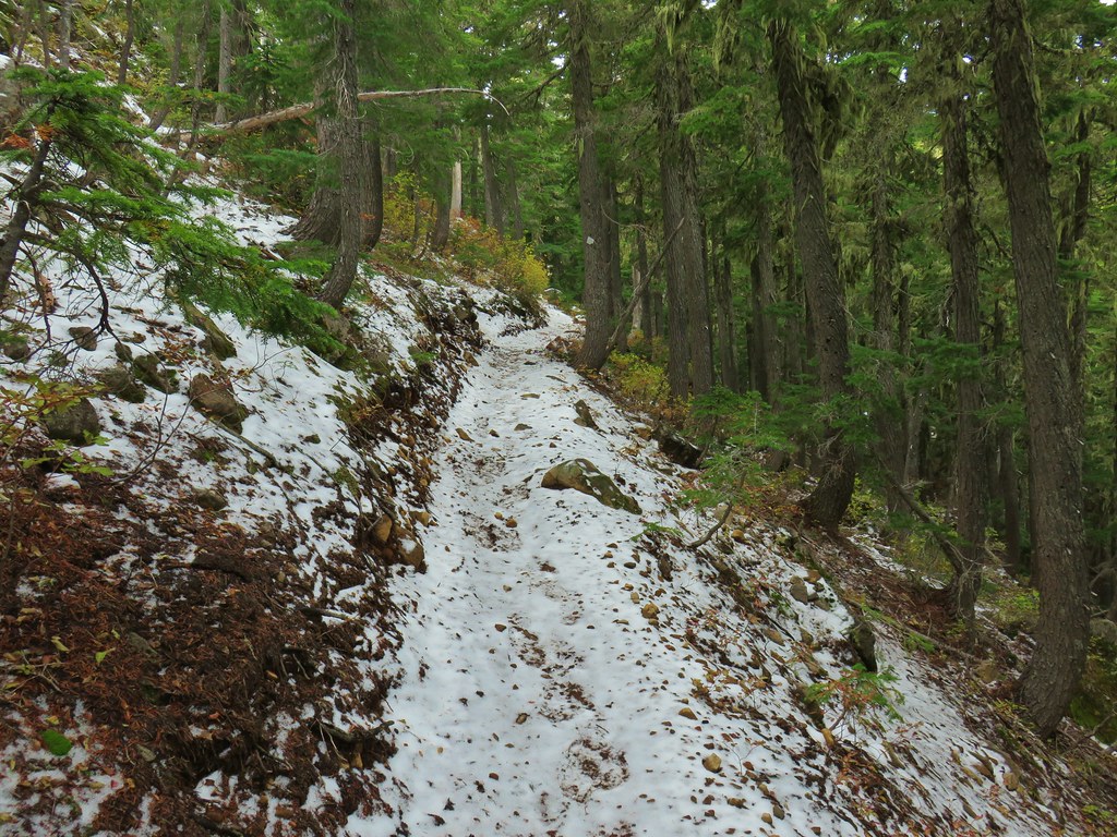
The trail descended to a crossing of Sevenmile Creek then climbed gradually along a hillside above Sevenmile Marsh, entering the Sky Lakes Wilderness along the way.

 Sevenmile Creek
 Entering the wilderness
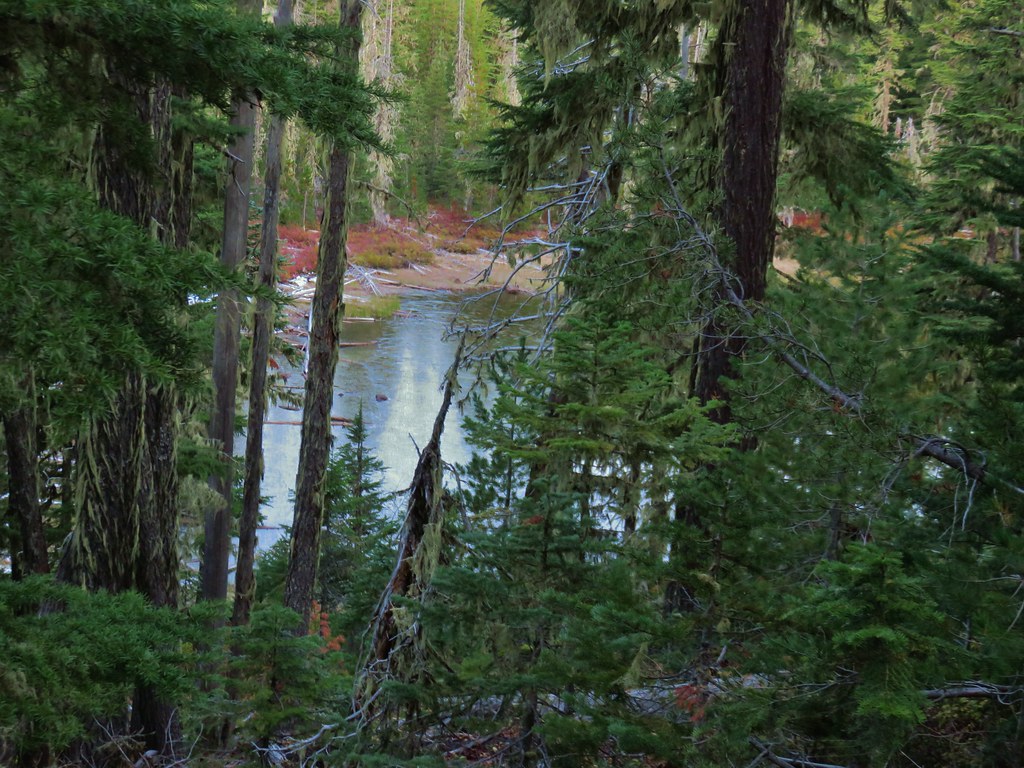
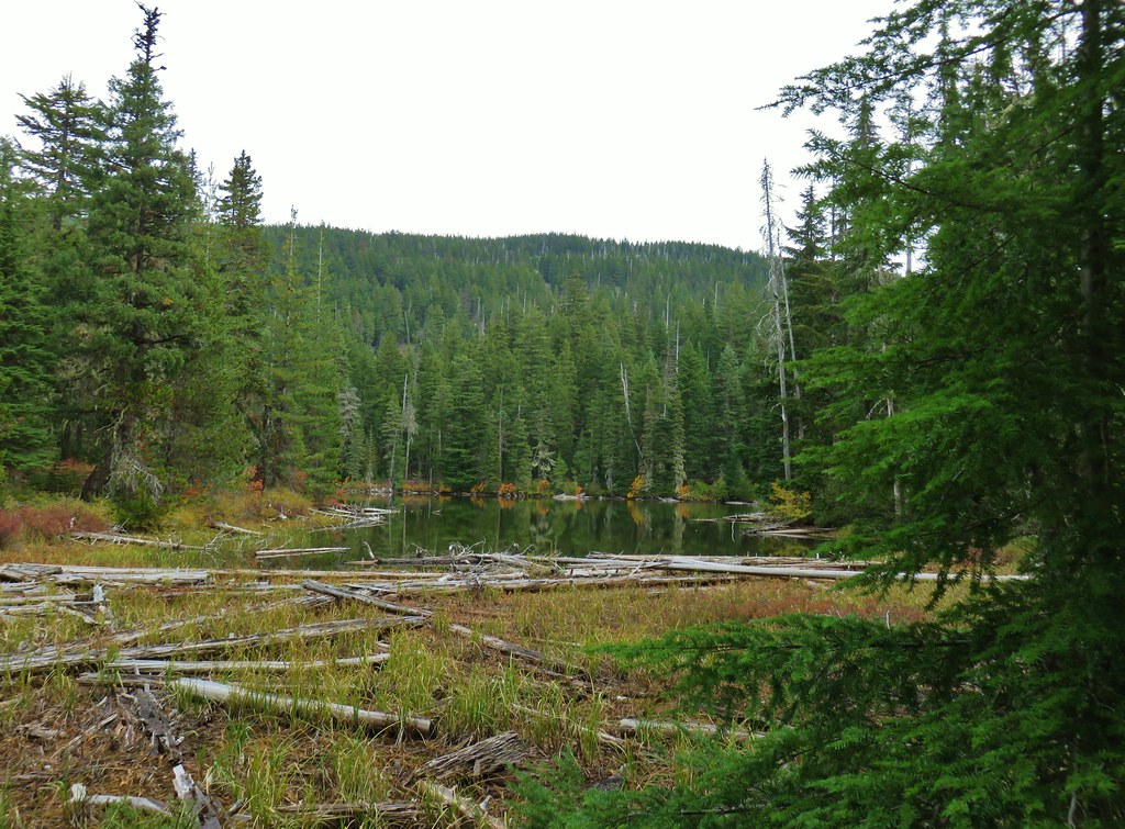
 Sevenmile Marsh
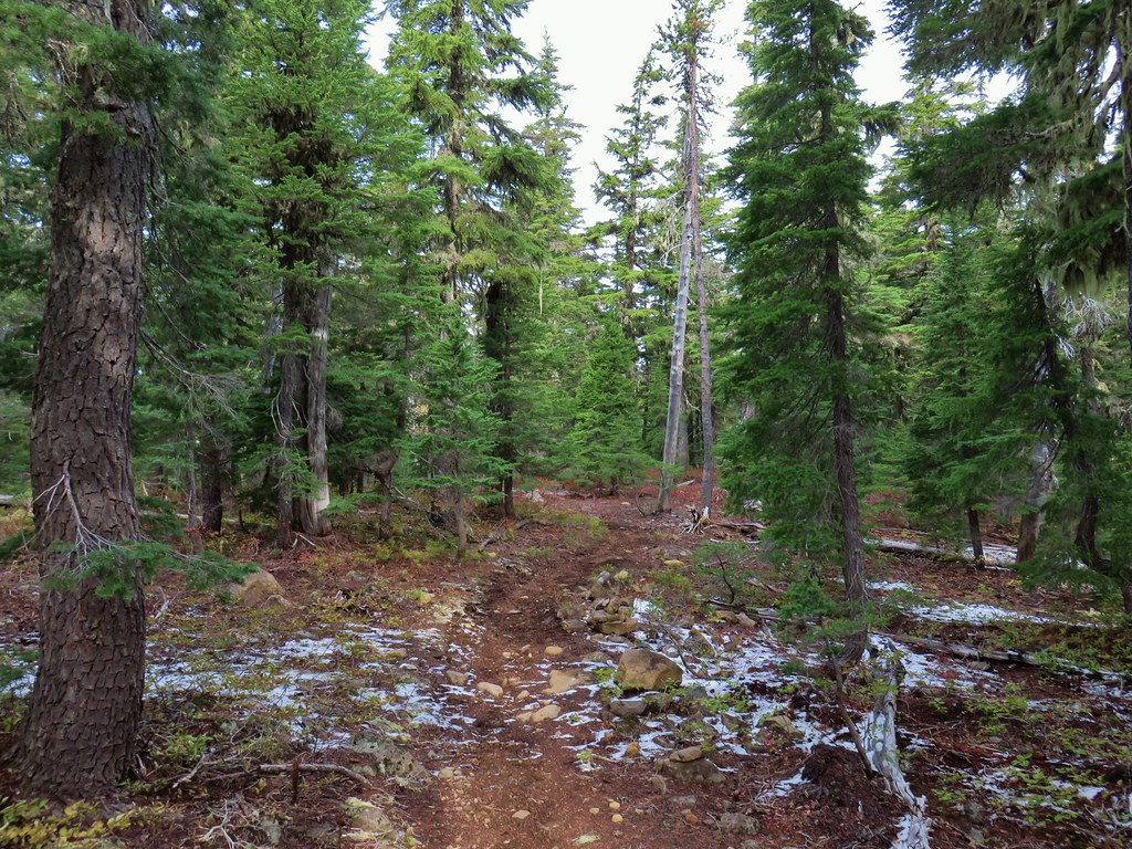
The Sevenmile Trail climbed gradually through a nice forest for nearly two miles before joining the Pacific Crest Trail.
 Lodgepole pines were the dominate trees along the first part of the trail.
 Mountain hemlock took over as the trail gained elevation.

 Junction with the PCT.
We turned left onto the PCT and found ourselves losing a bit of elevation before beginning another gradual climb.

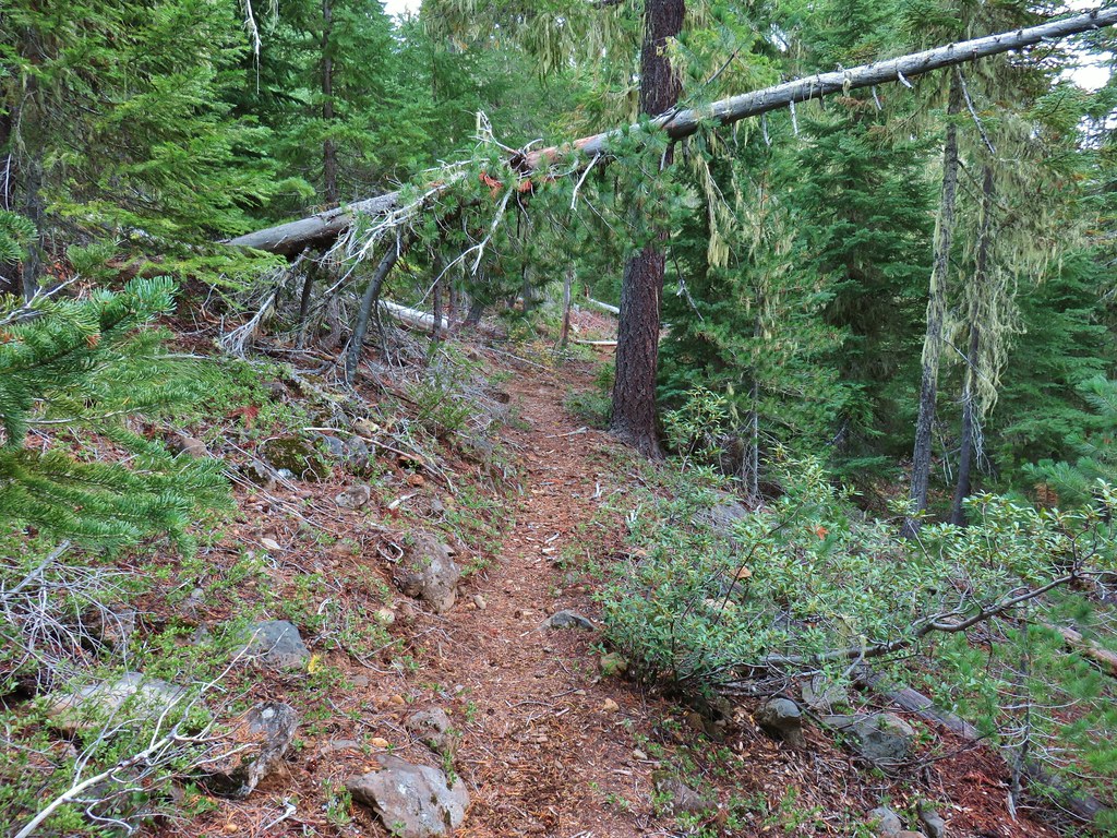
 There were a few downed trees along this section but nothing difficult to get around.
 This twisted tree caught our attention.
 Nice blue sky.
 Lewis’s woodpecker way up in a snag.
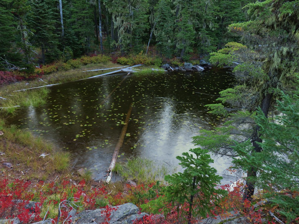
After two miles on the PCT we arrived at Honeymoon Creek which resembled a small pond. Tadpoles splashed around in the mud while larger frogs hung out around the water.

 Tadpoles
 Frog in the water.

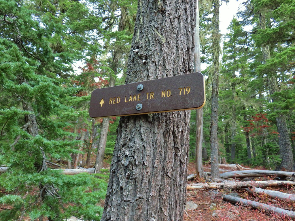
After another 0.6-miles on the PCT we arrived at a signed junction with the Seven Lakes Trail.
 Trail sign ahead on the right.
Our plan was to set up camp at Cliff Lake then do the loop and summit Devil’s Peak as described by Sullivan. We could have turned right here and followed the Seven Lakes Trail 1.3-miles past Grass and Middle Lakes to Cliff Lake, but sticking to the PCT for another 0.7-miles then turning the Cliff Lake Trail would save us nearly a quarter of a mile. We decided to save Middle and Grass Lakes for our hike out the following morning and stayed straight on the PCT.

 Unnamed creek along the PCT. We were surprised at how many of the seasonal creeks still had flowing water.
 Grass-of-parnassus
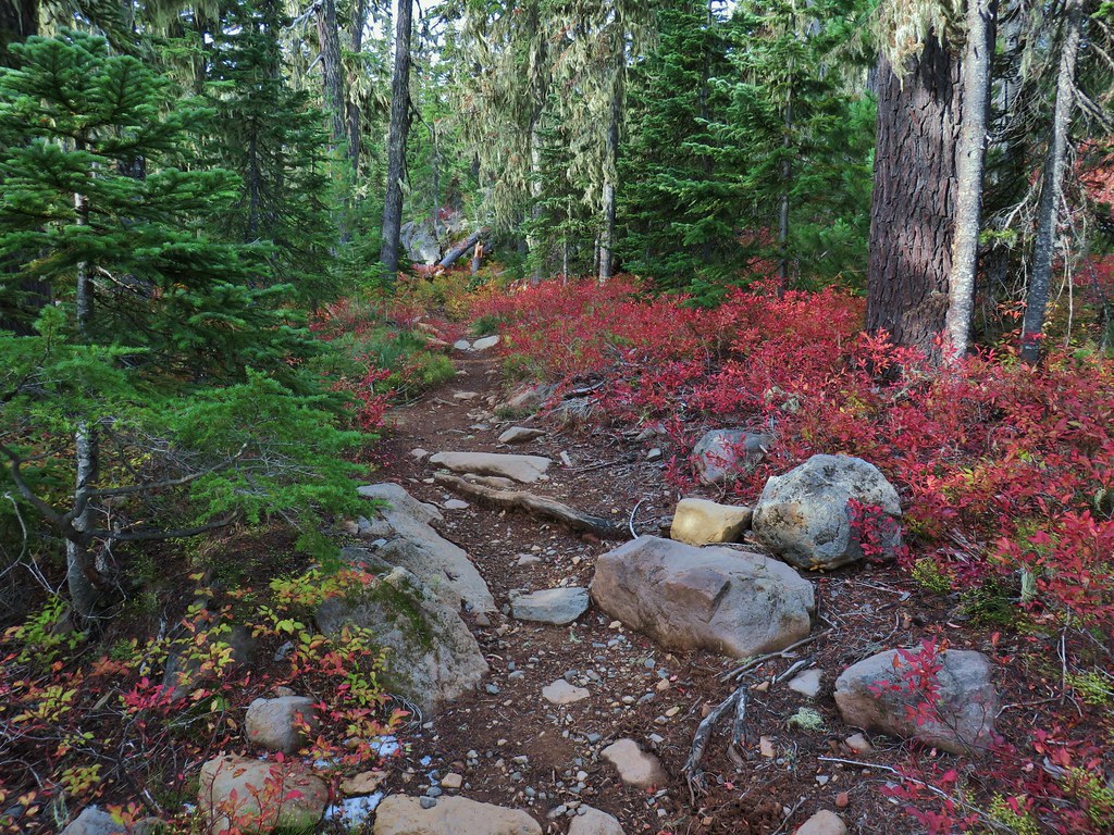
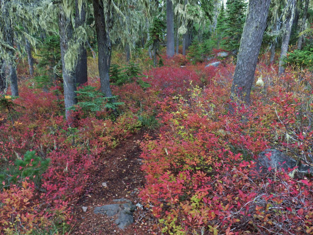
 Huckleberries, there were a lot of these around the basin which we happily sampled.
 Devil’s Peak poking up above the trees.
 The Cliff Lake Trail.
We turned right onto the Cliff Lake Trail and descended a third of a mile to rejoin the Seven Lakes Trail a tenth of a mile from Cliff Lake.

 Prince’s pine
 Another flowing seasonal creek.
 Crater Lake collomia (Collomia mazama)
 The Seven Lakes Trail arriving on the right.
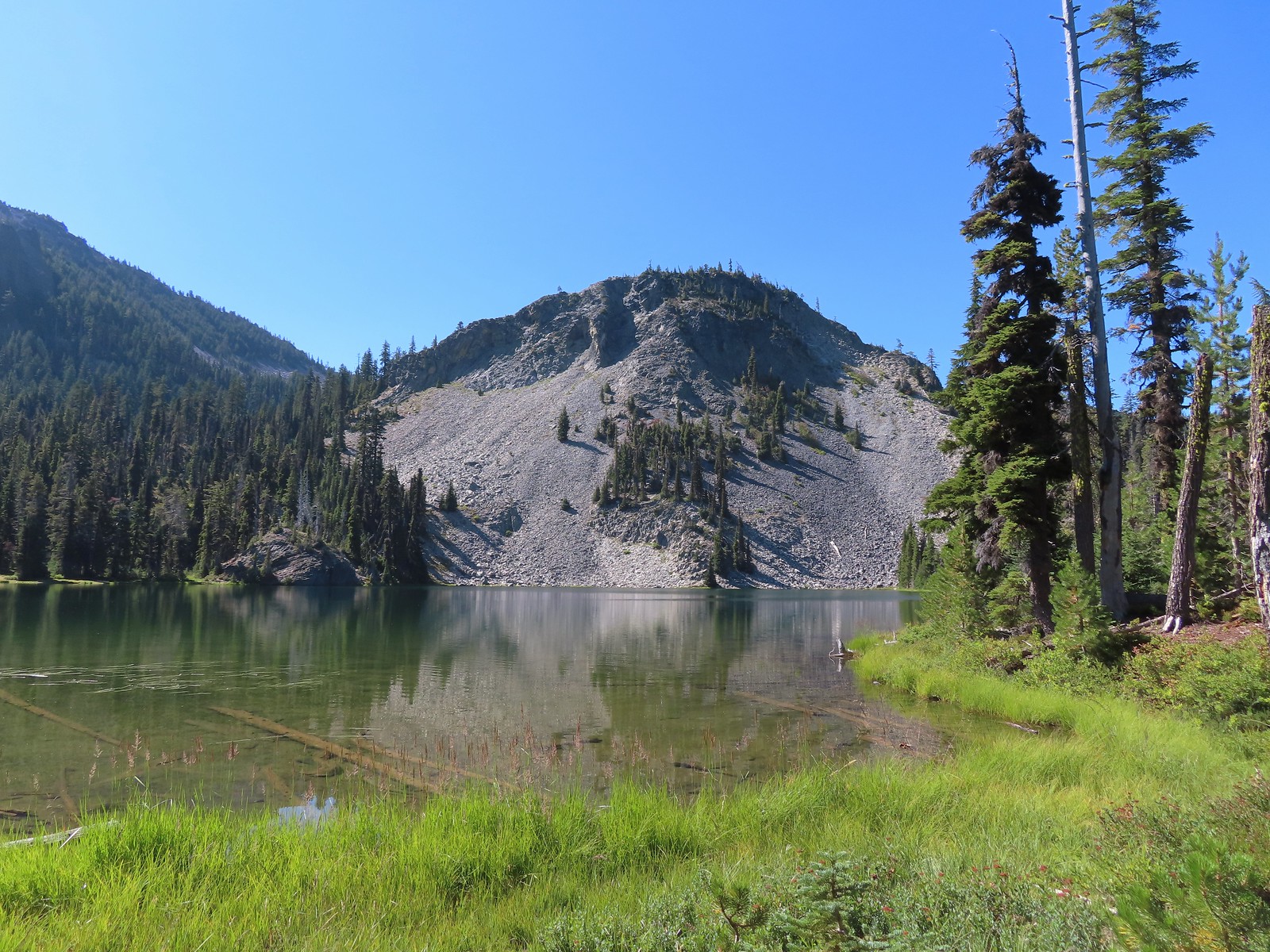 Cliff Lake
At Cliff Lake we turned onto a use trail following it around the eastern side of the lake in search of a suitable campsite. While there were numerous sites most of the sites we were seeing were large enough for multiple tents. We didn’t want to take up one of the large sites with our single tent and we also didn’t want to wind up with neighbors if we could avoid it. We wound up getting separated in the process and after walking back and forth for a bit we found each other and settled on a campsite.

 Arnica
 Aster
Aster

 Splash in Cliff Lake from one of many fish that were feeding on insects.
 Camp
Camp
After getting set up we grabbed our daypacks and headed back to the Seven Lakes Trail. We decided to hike the loop clockwise which meant backtracking along the Seven Lakes and Cliff Lake Trails to the PCT and then turning right to continue southward.
 Huckleberry bushes along the Cliff Lake Trail.
 Anywhere there was water nearby there were lots of tiny Cascade toads to watch out for.
 Back at the PCT.

 Larger frog
 Monkshood
 More grass-of-parnassus
 Not only were the toads tiny, they also were well camouflaged.
The PCT climbed steadily providing the first glimpses of the peaks around Crater Lake.
 Mount Scott (post) between the trees.
 Mount Scott
 The Watchman (post) and Hillman Peak (post)
 The Watchman and Hillman Peak
 Devil’s Peak
 Union Peak (post) in the distance.
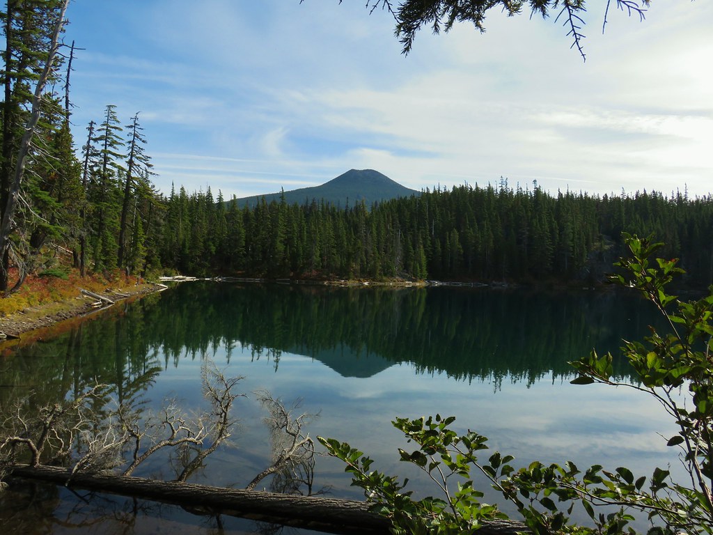
 Cliff Lake with Violet Hill beyond.
 Black backed woodpecker
 Getting closer to Devil’s Peak.
 A much bigger Cascade toad.
Near Devil’s Peak the PCT left the trees and switchbacked up a talus field resulting on great view to the north toward Crater Lake and beyond.


 Mt. Thielsen (post) in the center beyond the rim of Crater Lake.
 Union Peak with Mt. Bailey (post) behind to the right.
 Lots of neat rock formation on Devil’s Peak.
 Western pasque flower seed heads.

 Buckwheat
Two and a half miles from the Seven Lakes Trail junction the PCT arrived at a pass. The final climb was fairly steep even with switchbacks, so a brief rest was in order at the pass.

 Views to the South opened up at the pass including Klamath Lake and Pelican Butte.
 Klamath Lake
 Devil’s Peak and the PCT coming up to the pass from the North.
 Klamath Lake, Pelican Butte, Aspen Butte (post) over the right shoulder of Pelican, Brown Mountain (post) is the small cone on the right, and Mt. McLoughlin (post)
 Mt. McLoughlin
 A faint Mt. Shasta which, given the wildfires burning in NW California was a bit of a surprise to be able to see.
 The view North.
 Goose Egg and Ethel Mountain in the forefront with Llao Rock, Mt. Thielsen, and Garfield Peak (post) behind.
 Devil’s Peak
While we were resting at the pass we heard a helicopter approaching from the NW. It wound up hovering low above the lakes basin before heading back the way it came.
 We were a little concerned at first that it might be picking up water for a new fire but there wasn’t anything hanging from the helicopter so we have no idea what it was actually doing.
A path headed uphill from the pass toward Devil’s Peak while the PCT headed slightly downhill.
 The use path to Devil’s Peak on the right and the PCT on the left.
We headed up the use trail which was fairly easy to follow with just one slightly sketchy narrow spot.

 The rather ominously named Lucifer from the use trail.
 A second use trail coming up from the opposite side.
 Western pasque flowers on the hillside above the use trails.
 The summit of Devil’s Peak ahead.
The views were excellent from the summit so we took another nice break to soak them in before heading down.
 Looking North toward Crater Lake and Mt. Thielsen
 Lucifer, Jupiter, and Venus
 Lee Peak above the pass.
 Luther Mountain (post) in the foreground with Aspen Butte, Brown Mountain and Mt. McLoughlin.
 Remains of a former lookout.
 The PCT below Devil’s and Lee Peaks.

 Goose Egg, Llao Rock, and Mt. Thielsen
 Mt. Scott
 Mt. Shasta to South through a little smoke but again we felt fortunate to be able to see the mountain at all.
 Colorful grasshopper at the summit.
 American pipit
We headed down taking the other use trail which angled down along a ridge to the PCT approximately a third of a mile from where we had left it to climb Devil’s Peak.
 The Seven Lakes Basin from the use trail down.
 South, Middle, North, and Grass Lakes
 Heading down the use trail.
 Looking back up the use trail.
When we reached the PCT we turned right and headed toward Lucifer.

 Western snakeroot along the PCT.
 A comma butterfly on western snakeroot.
 Painted lady
At a ridge below Lucifer we arrived at a signed trail junction.

Here the PCT forked left toward Luther Mountain while the Devil’s Peak Trail forked right. We took the Devil’s Peak Trail and followed it 1.3-miles to the Seven Lakes Trail. Passing below Jupiter and Venus along the way.
 Venus from the Devil’s Peak Trail.
 Looking back at Devil’s Peak.
 Looking North across the Seven Lakes Basin.
 Lake Alta in a bowl below Violet Hill.

 Pond along the Devil’s Peak Trail.
 Coming up to the Seven Lakes Trail junction. A rock cairn was the only marker.
We turned right onto the Seven Lakes Trail and descended 0.2 miles to a signed junction with the Alta Lake Trail.


We turned left onto the Alta Lake Trail. We followed this trail for a fairly level half mile to the long lake.


Heather took another break at the South end of the lake while I hiked another quarter mile along the lake to get a better look at the northern end.
 I was still only about halfway along the lake after the quarter mile. There used to be a campground at the North end.
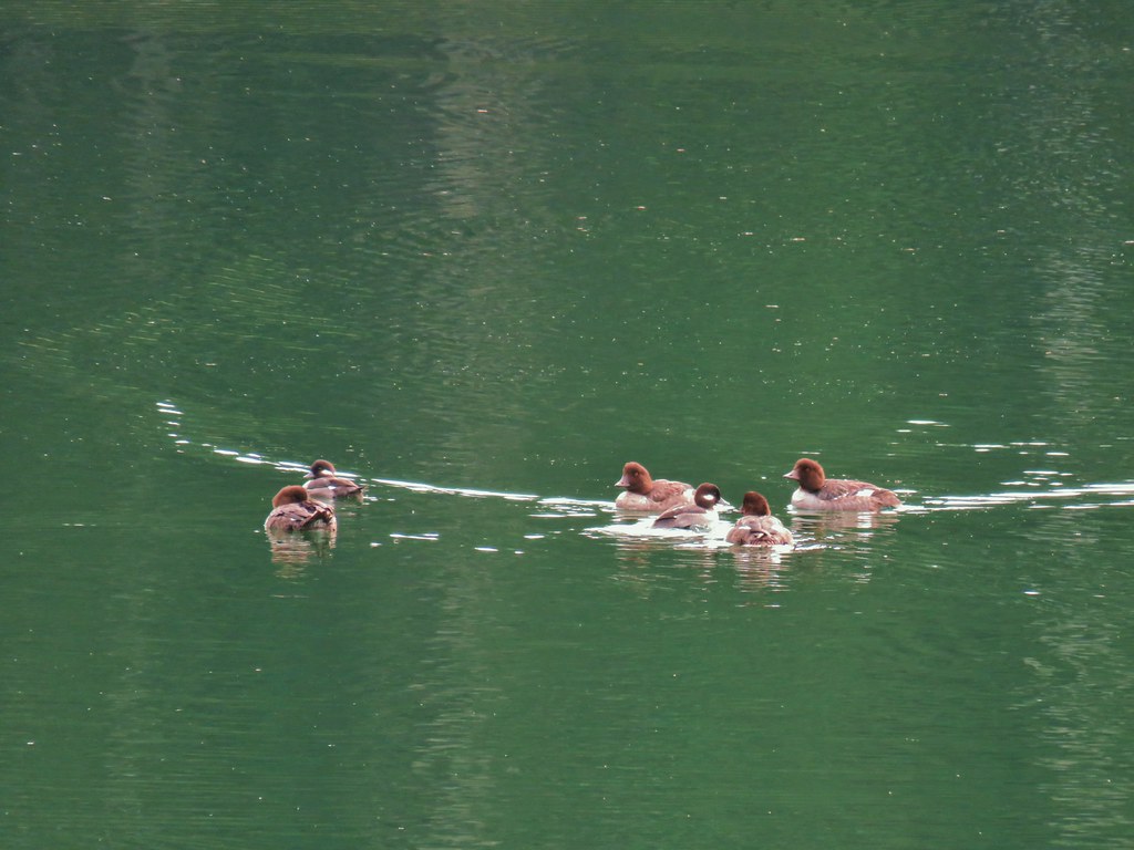
 Common merganser
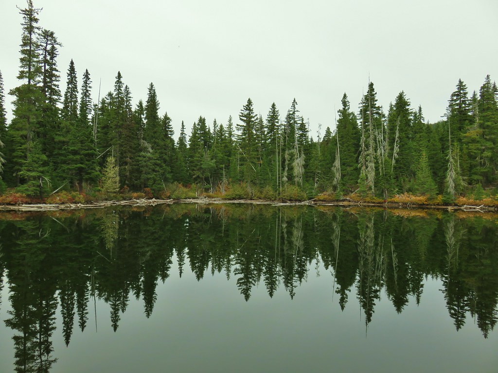
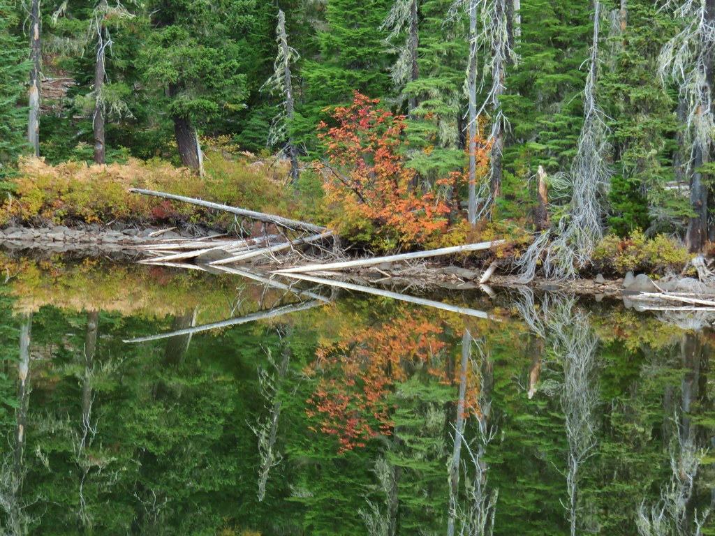
 The southern end of Lake Alta.
On the way back to Heather I detoured to take in the view from the cliffs above the basin.
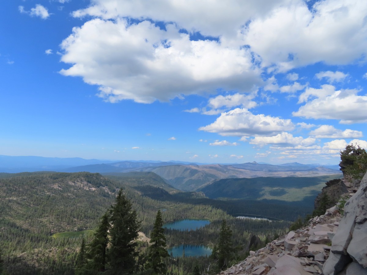
 Cliff Lake below Devil’s Peak and Middle Lake.
 Middle and Grass Lakes
 I could hear several pikas in the rocks below the cliffs but the only thing I spotted was a chipmunk.
 Chipmunk
After rejoining Heather we headed back to the Seven Lakes Trail and continued descending into the basin.
 Sulphur butterfly on aster.

 Gentian
 Fireweed
A mile from the Alta Lake Trail we arrived at South Lake.

 South Lake
Another quarter mile brought us to a view of Cliff Lake.

 Devil’s Peak from the trail. There were more pikas “meeping” from the rocks here but again we failed to spot any of them.
We followed the trail around to the North side of Cliff Lake and then turned on the use trail to return to our campsite.


Back at camp we refilled our water supply and had dinner then relaxed a bit before turning in for the night. For me this had been a 15.3-mile hike with 2000′ of elevation gain. One and a quarter of those miles was hiking from the Seven Lakes Trail to our camp, and initially wandering around looking for a site and Heather.
 Devil’s Peak in the evening.
 So many fish in the evening.
In the morning we packed up and headed back, this time sticking to the Seven Lakes Trail to visit Middle and Grass Lakes.

 Devil’s Peak in the morning.
 Seven Lakes and Cliff Lake Trail junction.
 We reached Middle Lake in 0.4-miles.

 We detoured left at the northern end of the lake following a pointer for Lake Ivern to find a view back across Middle Lake.
 Devil’s Peak from Middle Lake.
We returned to the Seven Lakes Trail and in another half mile we passed views of Grass Lake.
 Stream crossing.
 Monkshood and grass-of-parnassus
 Grass Lake
We didn’t follow any of the use trails down to Grass Lake and instead stuck to the Seven Lakes Trail as it climbed for 0.2 miles to the Pacific Crest Trail.

 Arriving at the PCT.
We turned left onto the PCT and returned to the Sevenmile Marsh Trailhead the way we’d come the day before. Of note were the ducks making use of the small pond along Honeymoon Creek.


 Golden-mantled ground squirrel
 Sevenmile Trail at the PCT to return to the Sevenmile Marsh Trailhead.
 Exiting the Sky Lakes Wilderness.
The hike out came to 6.1-miles with just 200′ of elevation gain.

This was a great trip. The temperatures were pleasant, the views great, lots of huckleberries and only a few mosquitos. We also only saw a total of eight other people all weekend. We are now down to a half dozen featured hikes from the Southern Oregon/Northern California book and if conditions cooperate we may well be finished by November. Happy Trails!
Flickr: Seven Lakes Basin


 Olallie Butte

 Mt. Jefferson
 Olallie Lake

 Mt. Jefferson


 Potato Butte ahead.
 Lodgepole Trail junction.
 One of the causes of the noisy steps.
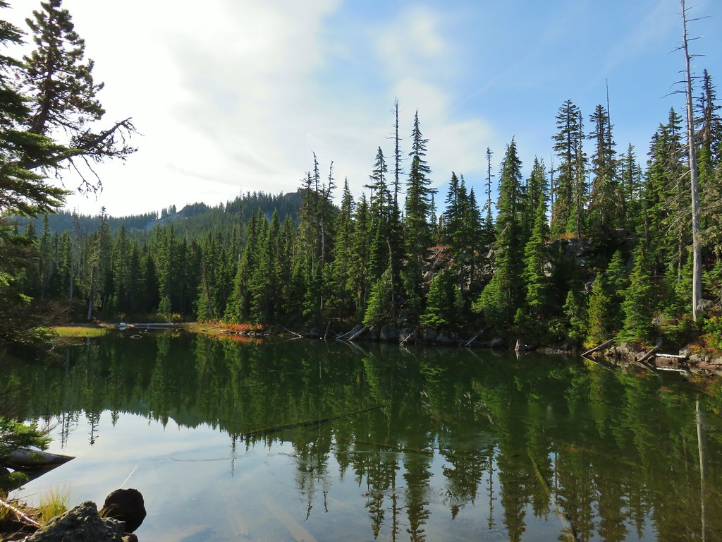 Twin Peaks on the other side of Middle Lake.
 Colors along Middle Lake.

 Olallie Butte
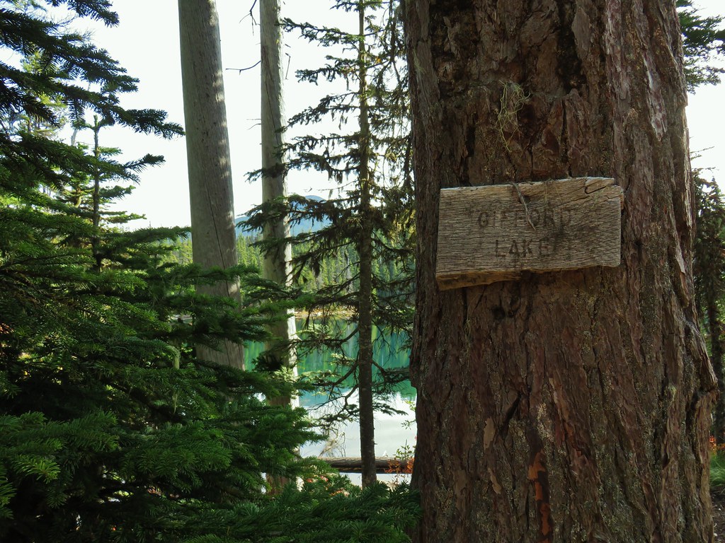
 Twin Peaks from Gifford Lake.


 Sign for the Fish Lake Trail.
 Lower Lake
 Olallie Butte
 Sign for the Lodgepole Trail.
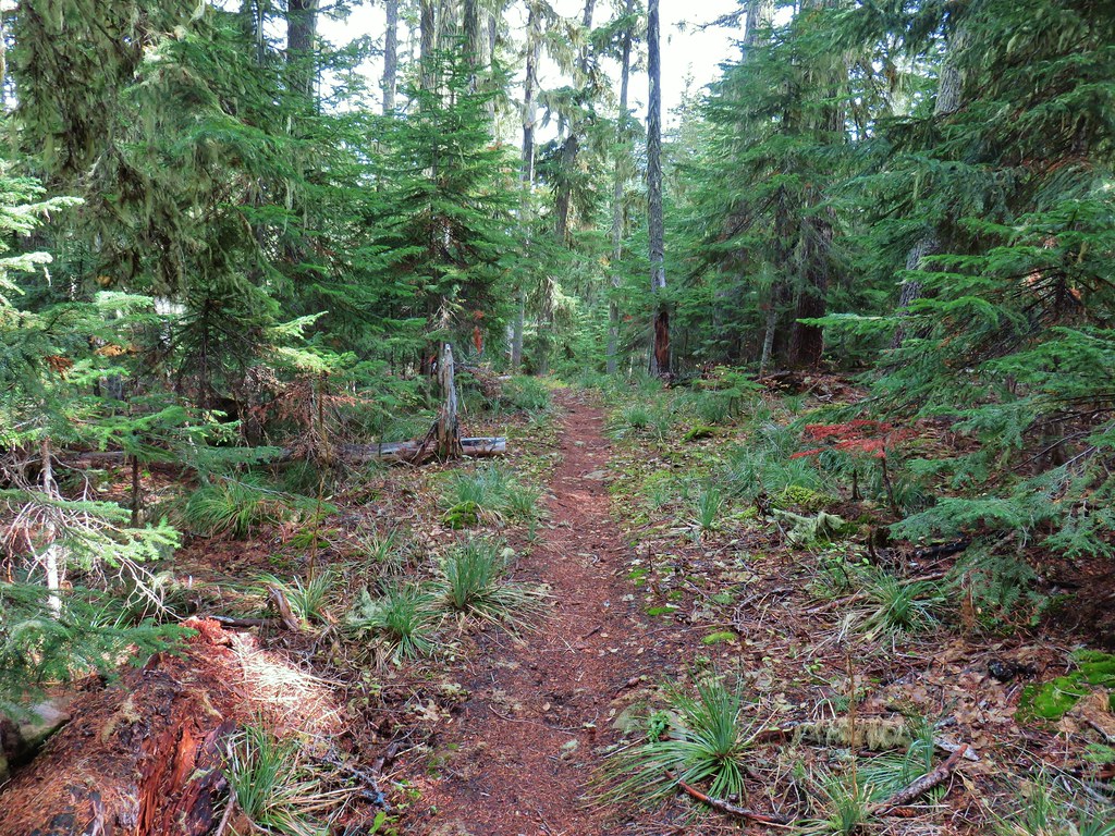
 Pinedrops
 The trail was actually the fainter track to the left leading to the bridge, but that wasn’t obvious until we reached the trees.
 A lone yarrow.
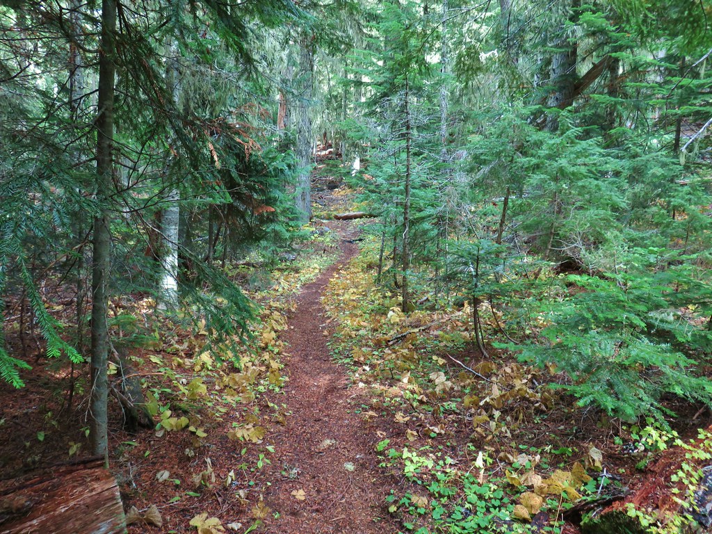


 Approaching the junction.
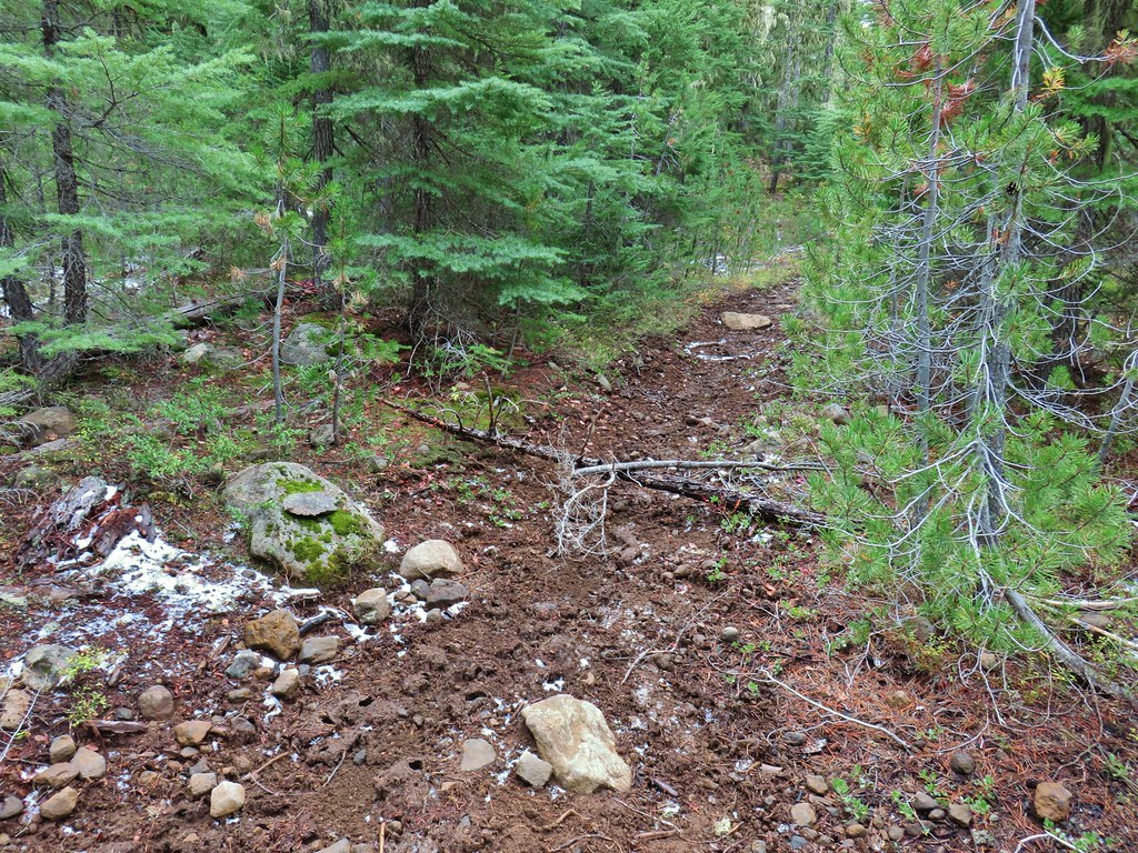 Quite the camouflage isn’t it?

 Jude Lake
 Jude Lake
 Jude Lake
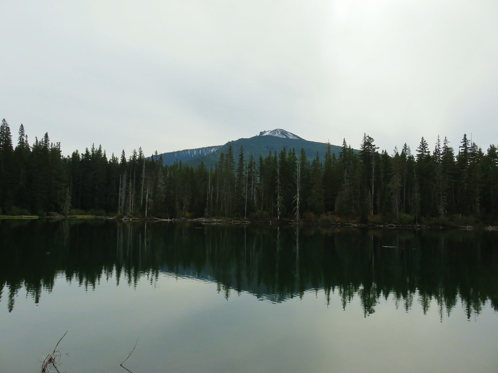 Russ Lake