
We spent the night in Roseburg after making the long drive from Salem to Marial for a day hike along the Rogue River (post) and on the way home we made a couple of stops. Our plan involved portions of two of Sullivan’s featured hikes. Because we’d done one of the options for each of the hikes we had checked them off our to-do list, but we didn’t want to pass up the chance to do the additional options.
Our first stop involved a short out-and-back to Fern Falls along the North Umpqua Trail. In his Fall Creek Falls hike Sullivan provides two options, the hike to Fall Creek Falls (post) or three stops including Fall Creek Falls, Susan Creek Falls (post), and Fern Falls.
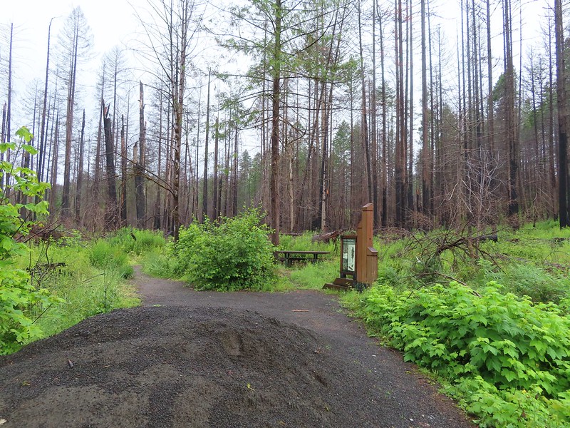
It took a bit of research online to figure out if the section of the North Umpqua Trail to Fern Falls was actually open. The area burned in the 2020 Archie Creek Fire closing the lower sections of the trail. The first few miles are managed by the BLM before the Forest Service takes over at the Umpqua National Forest boundary. The Forest Service has not lifted their closure order but it wasn’t clear whether or not the BLM had reopened their portion. Since there was no information on the BLM site stating that the trail was closed and several people had posted recent trip reports on Alltrails we decided to give it a try and drove to the Swiftwater Trailhead along the North Umpqua River.

There was no closure order posted at the trailhead and a couple of fishermen had beaten us to the parking area so we set off on the trail.

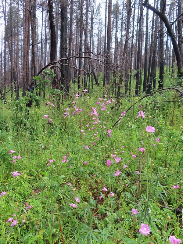
 Fireweed
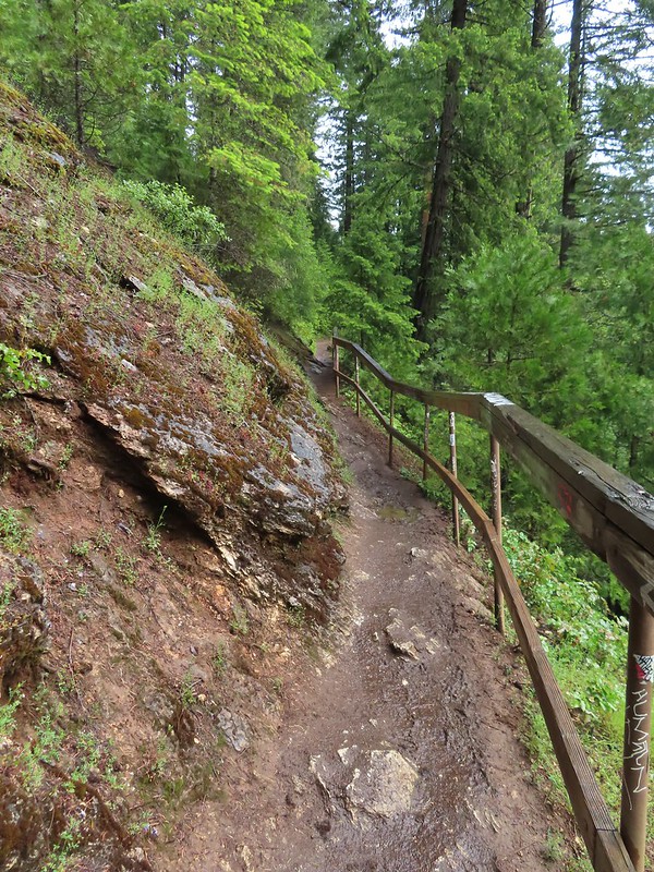
At the quarter-mile mark we forked right on a spur trail to an interpretive sign overlooking Deadline Falls.


 Deadline Falls
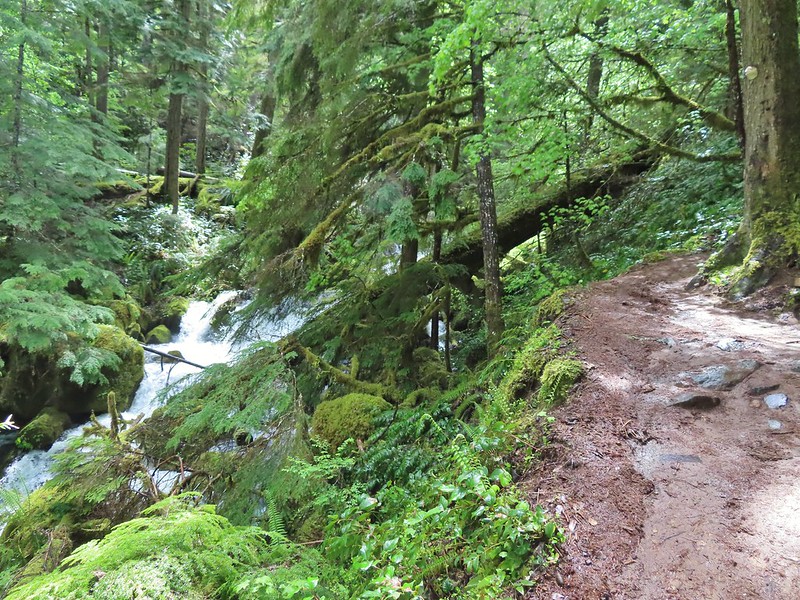
After admiring the falls we returned to the North Umpqua Trail and continued on through the fire scar.
 Signs of ongoing trail work.
 Northern phlox

 Remains of a footbridge lost to the Archie Creek Fire.
 The current creek crossing. We joked that this was a prime difference between the BLM and Forest Service. It feels like the Forest Service waits until everything has been repaired (plus a year or two) before reopening trails after a fire while the BLM reopens them once they are passable.
 Self-heal
 The trailing blackberries were ripening along the trail providing us with a nice second breakfast.
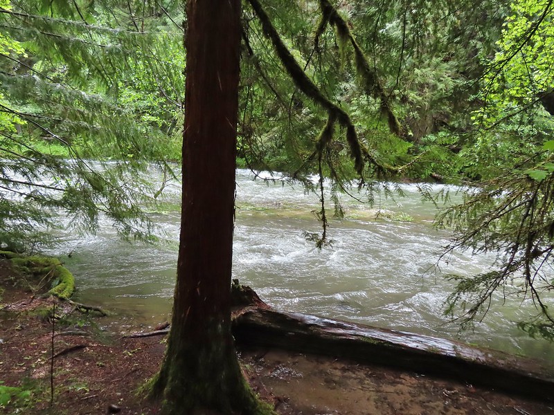
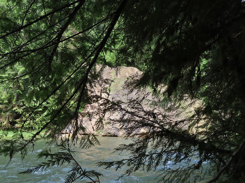
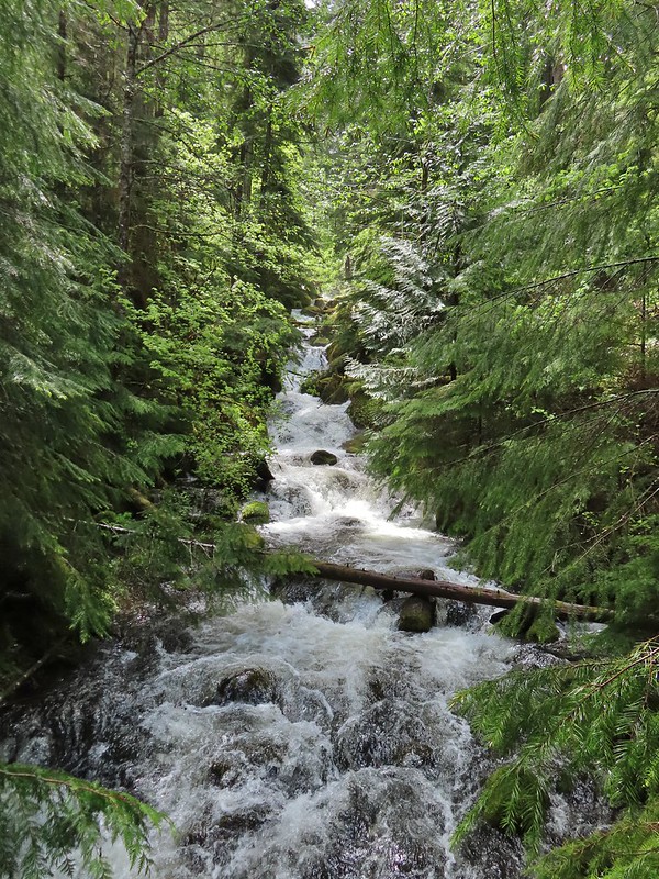
 North Umpqua River from the trail.
 We also spotted a few ripe blackcap raspberries.
 Bleeding heart
 Crab spider on a California harebell.
 Heather was really excited to find ripe thimbleberries too.
 Highway 138 on the far side of the river.
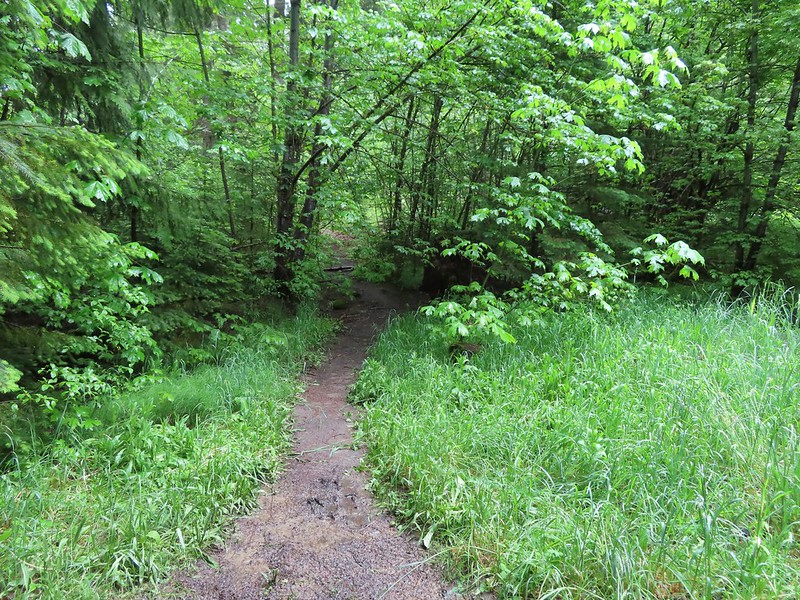
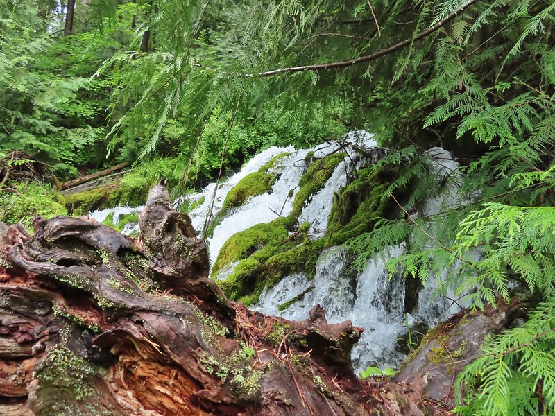
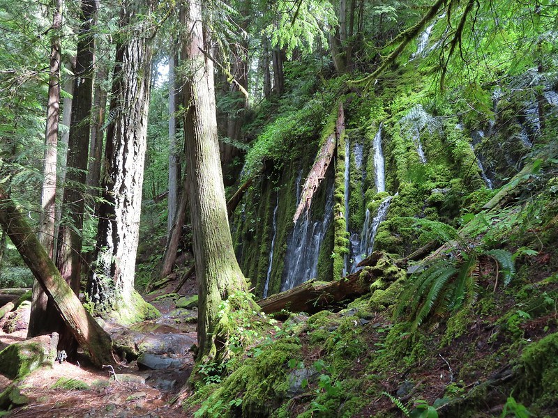
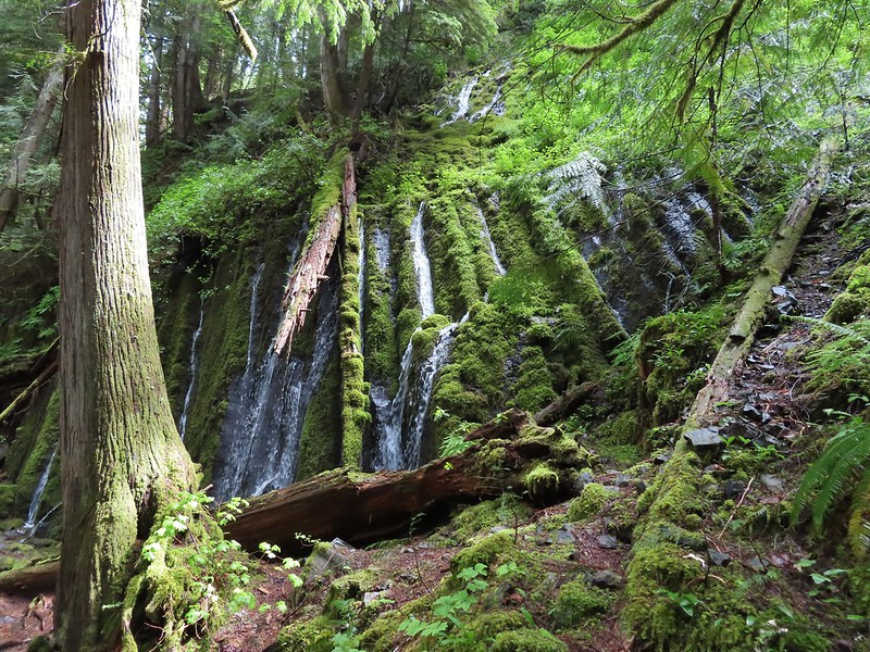
Approximately 1.7 miles from the trailhead we arrived at Fern Falls.

A fallen log dissected the view of the falls, a result of the fire but it was a nice view and a good turn around point.

 Musk monkeyflower
 I managed to pull a ripe salmonberry out of this bush below Fern Falls.
We returned the way we’d come under increasing sunlight. Birds had been singing all morning and with the increased light we were finally able to spot some of them.

 Moth
Moth
 Lazuli bunting
 Black-headed grosbeak
 Unidentified small bird.
 Wren, possibly a house wren.
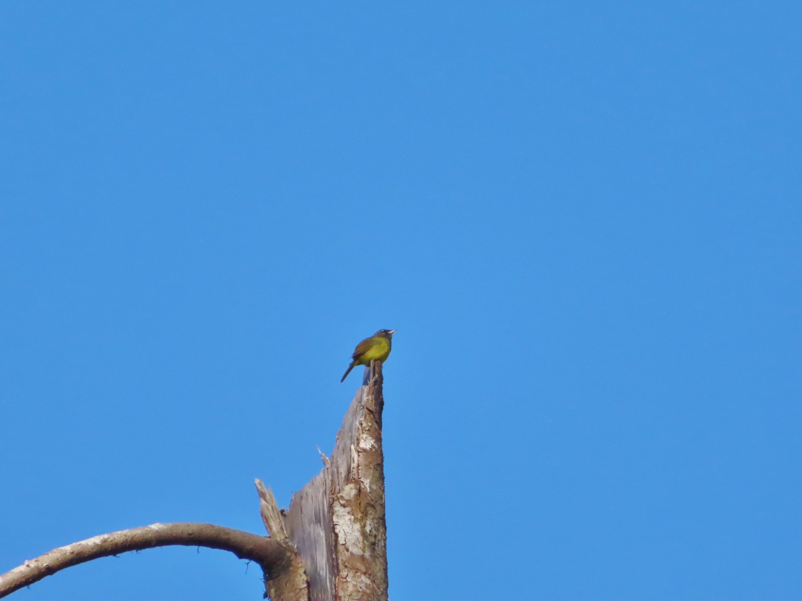 This little one was way up atop a snag. Merlin suggests it’s a Macgillivray’s warbler.
 Woodpecker
 Backside of a Stellar’s jay.
 Raven
Raven
Our hike here came to 3.4 miles with maybe 300′ of elevation gain.

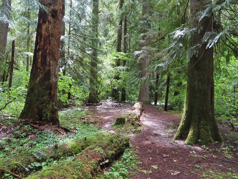
We hopped into the car and drove to our next stop at the Comstock Day Use Area for the BLM managed North Bank Habitat Management Area.

We had visited the area in 2015 starting a loop from the West Access Trailhead. We planned another loop from this trailhead which would share a 1.2-mile section of that earlier loop.

We began by passing a green gate at the NW end (left) of the trailhead parking area and following an old roadbed for 0.1-miles to a fork.


We stayed right on the signed Soggy Bottom Trail.

We followed the Soggy Bottom Trail for 0.7 miles to the Middle Barn.

 Checker-mallow
 Turkey vulture
 We spotted a deer way up on the hillside in the distance.

 Heading down to Soggy Bottom.
 Middle Barn
We stayed right past a road to the barn and continued to the next fork and turned left on the North Gate Trail.
 Soggy Bottom
 Bindweed
 The North Gate Trail ahead on the left.
 North Gate Trail
 Elegant brodiaea
 Common wood nymph
The trail climbed steadily for the first three quarters of a mile passing a grove of cedars near the end of the stretch.


 The cedar grove.

 A little past the cedar grove we passed an old structure on the opposite side of a barbed wire fence.
 On the far side of the structure was a sign for the Wrong Way Trail which looked as though it saw little to no use. The map at the trailhead showed this trail dead-ending in the forest which might explain why.
Beyond the Wrong Way Trail junction the North Gate Trail began a much steeper climb up to a junction at a saddle with the Middle Ridge Trail.

Much of this section was in full sunlight making it a bit of a trudge.
 View from the North Gate Trail.
 Steepest section of the trail but at least there was some shade here.
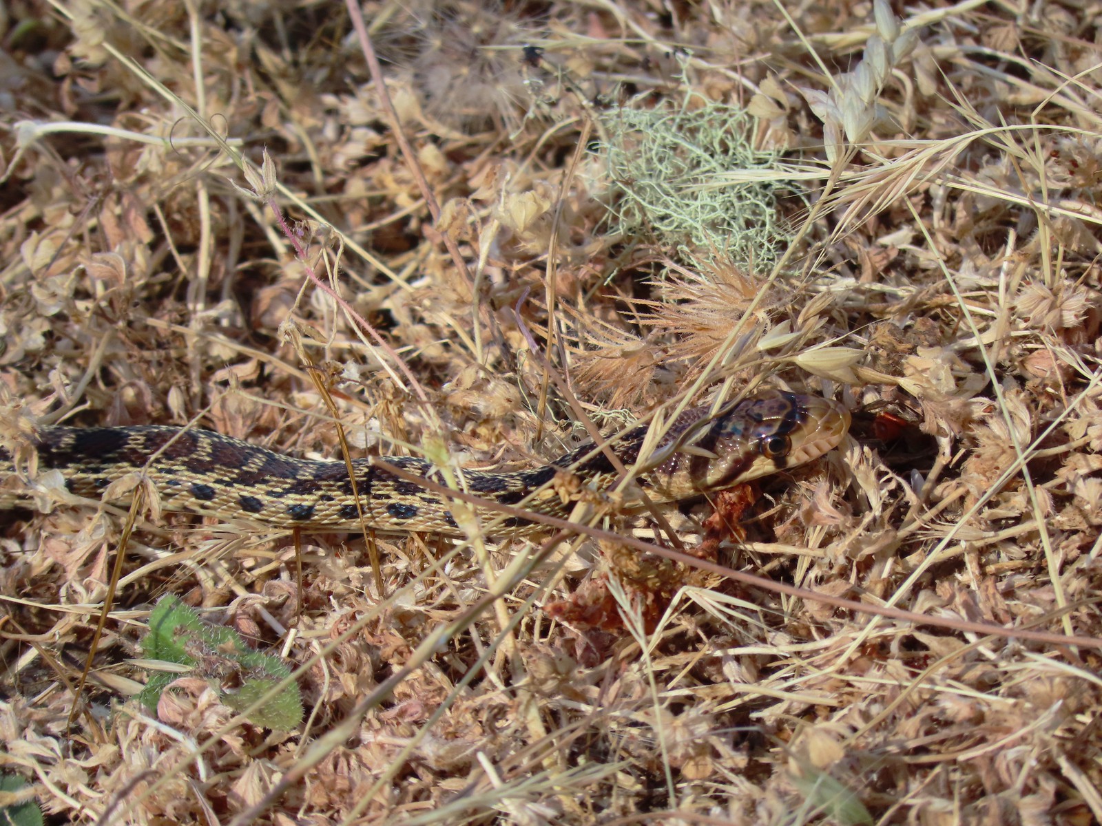
 Gopher snake
 Trail sign at the saddle.
We turned left on the Middle Ridge Trail for 1.2 semi-familiar miles.
 The Middle Ridge Trail.
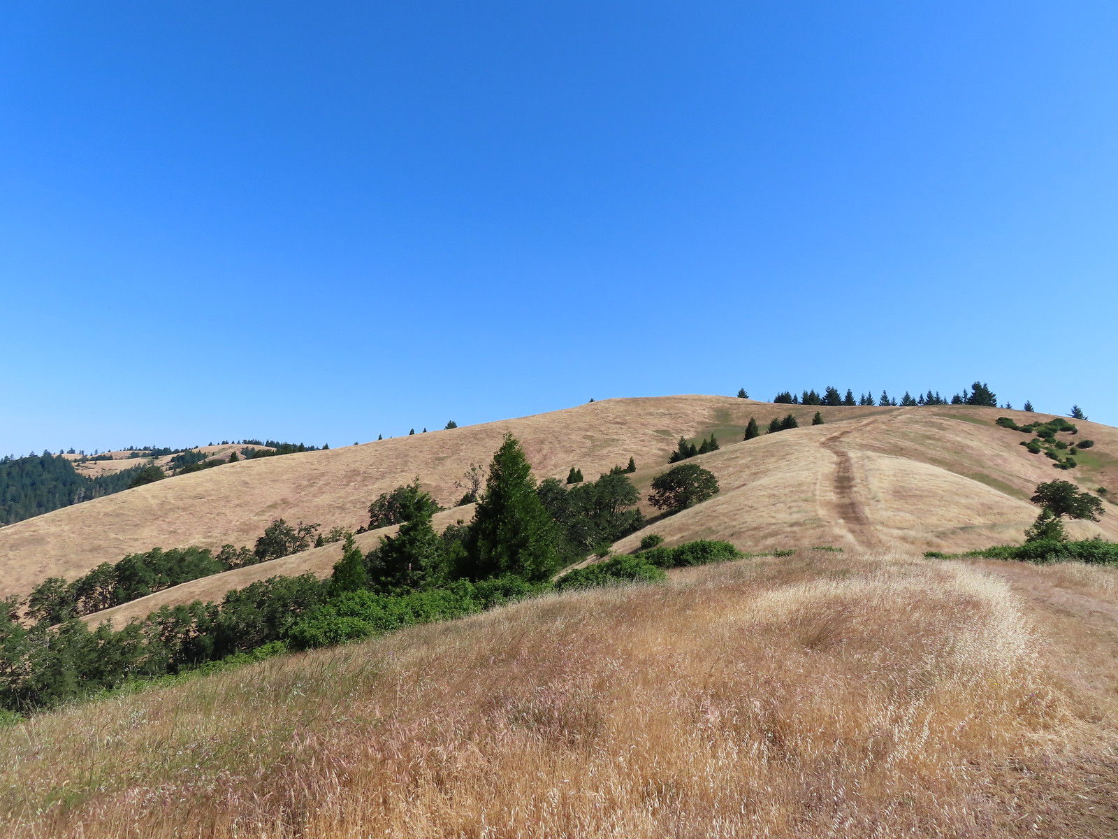
 View from the Middle Ridge Trail.
 View from the saddle.
 A dip along the ridge.
 First view of the North Umpqua River.
 Hawk on a tree.
 A different hawk in flight.
 Elegant brodiaea
 Looking back along the Middle Ridge Trail.
 We remembered this structure in the ground.


Approximately 1.2 miles from the saddle we arrived at a junction with the Thistle Ridge Trail.
 Approaching the junction.
 View back up along the trail.
 Whistlers Bend Reservoir and the North Umpqua River. Despite a bit of haze the view was far better than it had been in 2015.
 The 2015 view on a cloudy June 5th.
We turned onto the Thistle Ridge Trail which led us past a few great madrone trees.


 Ookow
Ookow
 View from the Thistle Ridge Trail. Below is the lower portion of the trail which seemed to be quite a way down.
We quickly realized why it seemed so far down when we came to what we believe may be the steepest section of trail we’ve hiked.
 When you can’t see the bottom of the hill you know it’s steep.
 The trail finally leveled out a bit through a stand of oak trees.
After just under a mile on the Thistle Ridge Trail we came to a junction with the West Barn Road.
 The junction below from the Thistle Ridge Trail.

We turned left again and followed this steepish trail down 0.2 miles to the West Barn.
 European centaury (invasive but pretty)
 West Barn
 The West Barn Road was a little muddy in spots.
We followed this road a total of 0.7 miles back to the junction with the Soggy Bottom Trail where we turned right to return to the trailhead.

 Daisies were profuse in some areas.
 We ignored the Deer Hollow Tie Trail that joined on the right.
 The Comstock Day Use Area from the West Barn Road.
Our loop here came to 5 miles with a little over 1000′ of elevation gain, some of which was impressively steep.

The trails here were lined with poison oak at times but they were always wide enough for us to easily keep away from it.
These were a couple of pleasant hikes and made for a nice outing before driving back home to Salem. Happy Trails!

 Checkermallow
 A slug and a bug on a flower.
 Pea
Pea
 Approaching the falls.
 Columbine
 Susan Creek Falls
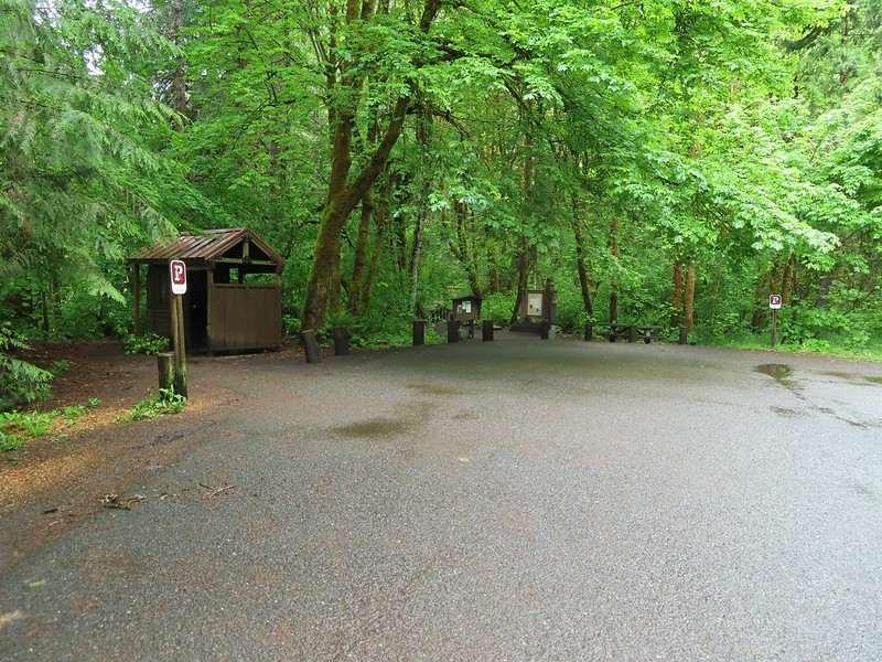
 Evidence of overnight rains on the trail.
 A very faint rainbow over the North Umpqua River.
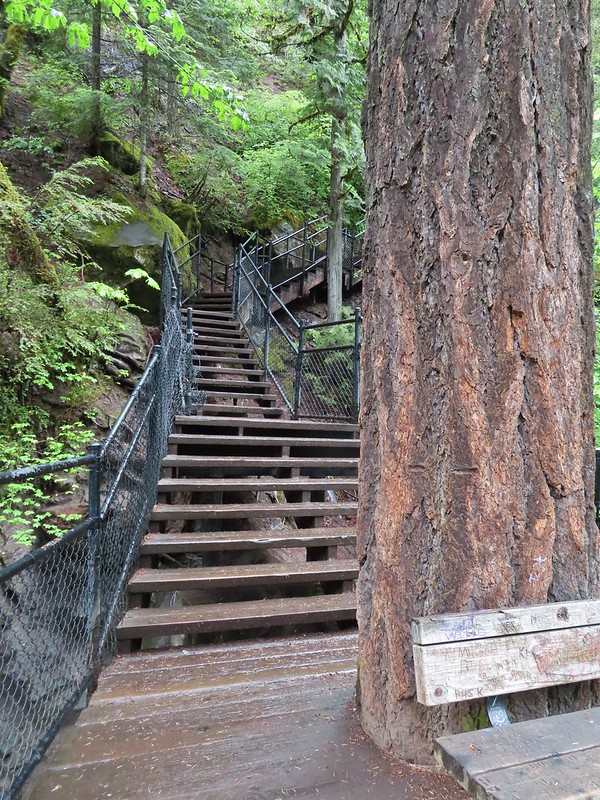 Stairs down to the viewpoint platform.
 Toketee Falls


 Candy sticks along the trail.
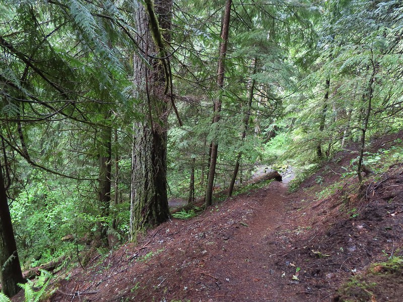
 During lower flow there is another hot spring along the river bank in the area.

 Heading up to the road.
 The North Umpqua Trail on the left leaving the FR 3401.


 The hot springs across the river from Columnar Falls.
 The top of Watson Falls from the trailhead signboard.
 Watson Falls from below.
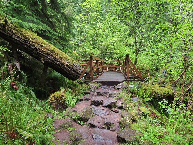 Footbridge over Watson Creek.
 Heather at the viewpoint.
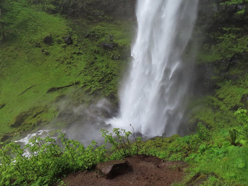 The splash pool.
 Watson Creek at FR 37.
 A little bit of blue sky and sunlight along FR 37.

 Viewing platform above the falls.
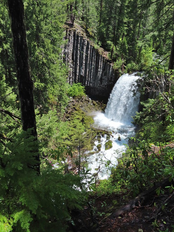 We both really liked the angled basalt cliff on the far side of these falls.
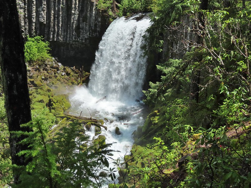
 The canal bridge is 5.6 miles from Highway 138 on FR 2610.
 Sign near the canal bridge.
 The North Umpqua Trail.
 The section between Lemolo Lake and the Umpqua Hot Springs Trailhead is called the “Dread and Terror Segment” but both sections we hiked were beautiful.
 Numerous seasonal streams and seeps flowed across the trail.
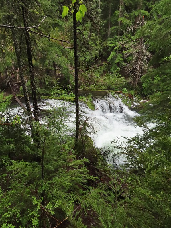
 Unnamed fall along the river.
 Trillium
 Ouzel
Ouzel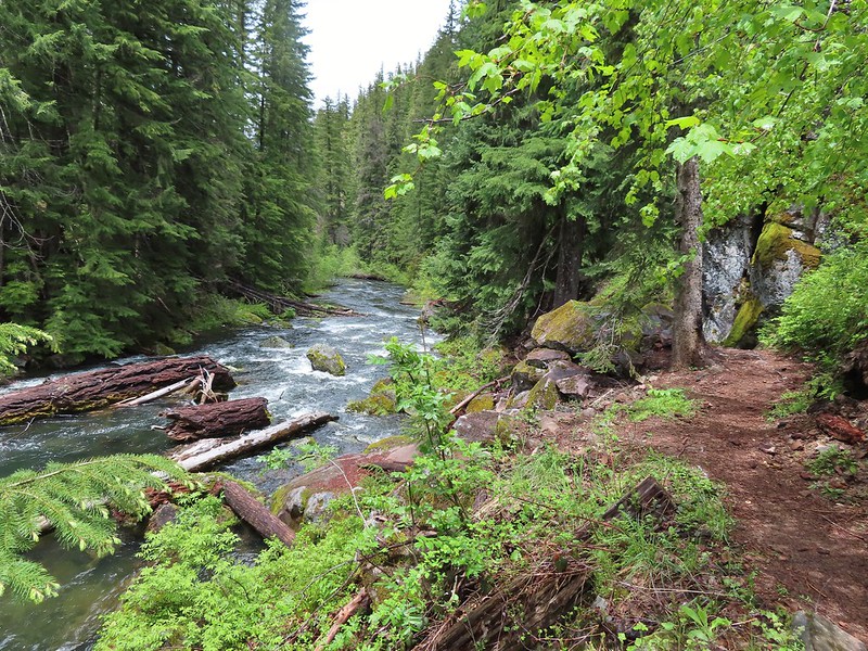
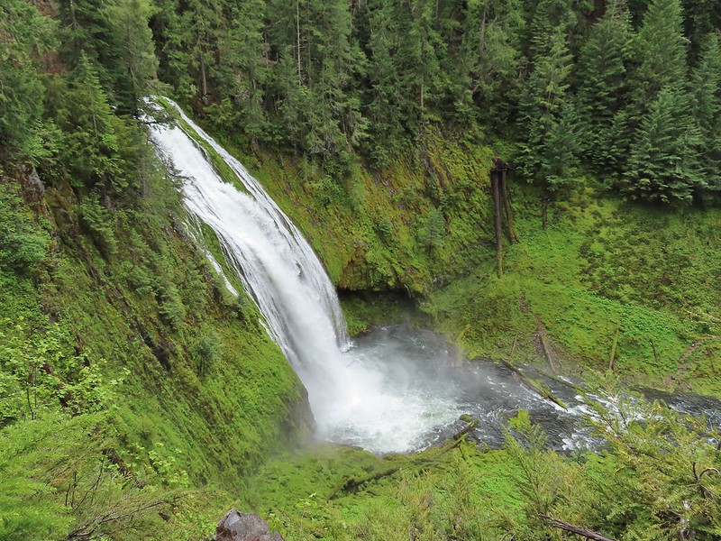 Lemolo Falls
 Red flowering currant along the trail.
 Bleeding heart.
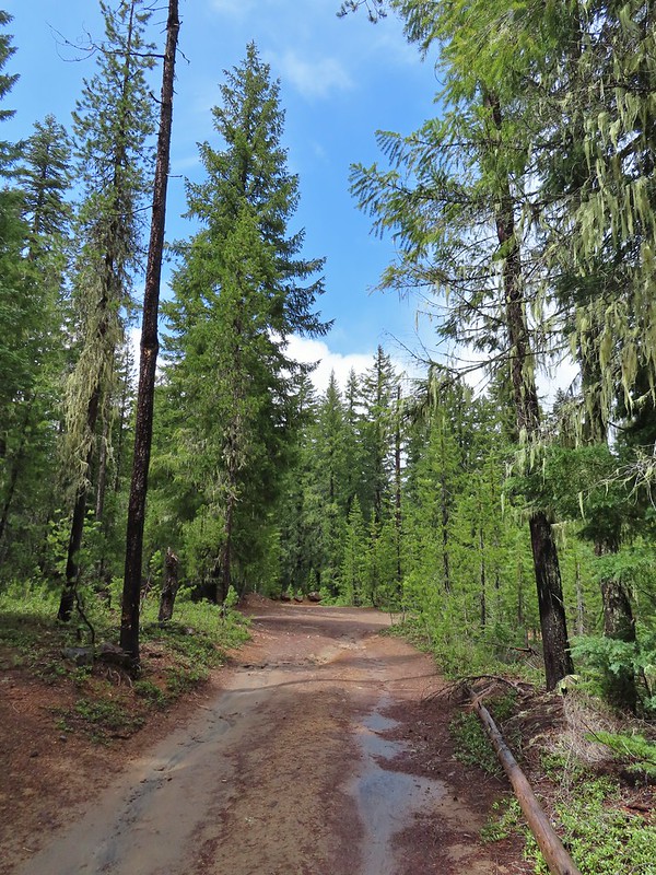 Approaching the trailhead.
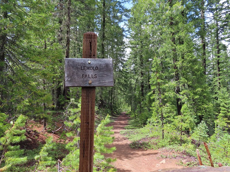

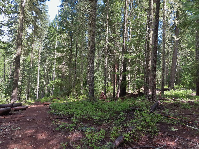 The former picnic area (Note the picnic table in the trees to the right.)
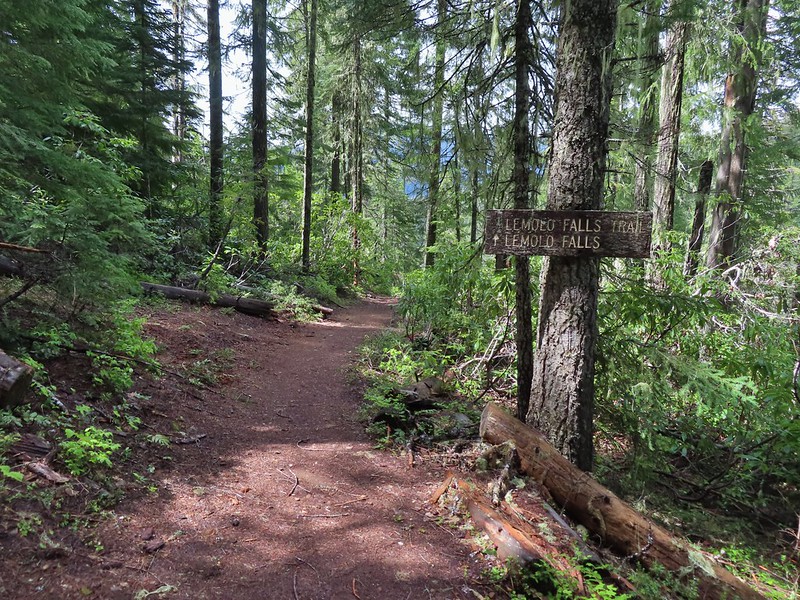
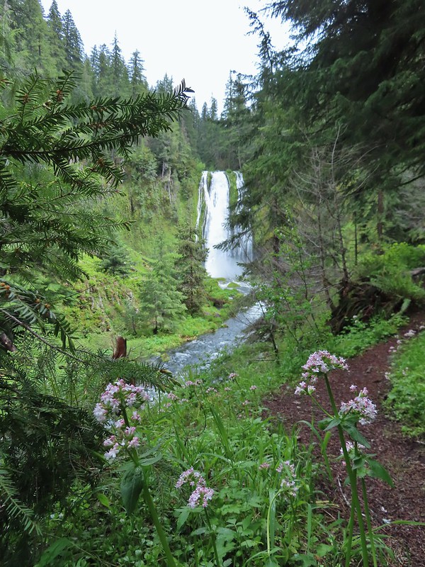 Valerian along the trail.

 One of many brief appearances of blue sky during the day.