The last two years have created a bit of urgency to our goal of completing the 100 featured hikes in all five areas covered by William L. Sullivan in his 100 hikes guidebook series (post). Between the pandemic and 2020 wildfire season it became clear that taking our time could create issues down the road so starting last year we refocused our efforts on finishing the 500 hikes as soon possible. As we started 2022 we were down to just the Eastern and Southern Oregon (and Northern CA) areas to complete (post). The majority of the remaining hikes were from the southern book where a number of planned trips had been canceled in recent years due to weather and/or the effects of wildfires. We spent a week in Medford earlier in June checking off Roxy Ann Peak (post) and the Jack-Ash Trail (post) and we headed back south a couple of weeks later to hopefully check off more.
A cool and wet Spring has left parts of Oregon, in particular the northern and central Cascade Mountains with a lot of lingering snow. Many trails and trailheads in those areas that in recent years would be open are still snowed in but Southern Oregon had been dealing with an extreme drought, so the recent weather has not had as much of an impact leaving trails accessible. While accessibility wasn’t an issue the weather forecast was a bit of one. More wet weather was forecast for the start and end of our six-day trip with the possibility of snow at higher elevations. After some substituting and rearranging of hikes we settled on a tentative plan that gave us some flexibility in case the forecast tried to pull a fast one on us. Since Monday was supposed to be mostly cloudy with a chance of showers off and on all day we decided to combine a number of stops east of Roseburg along Highway 138 to check out seven different waterfalls.
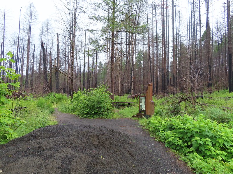
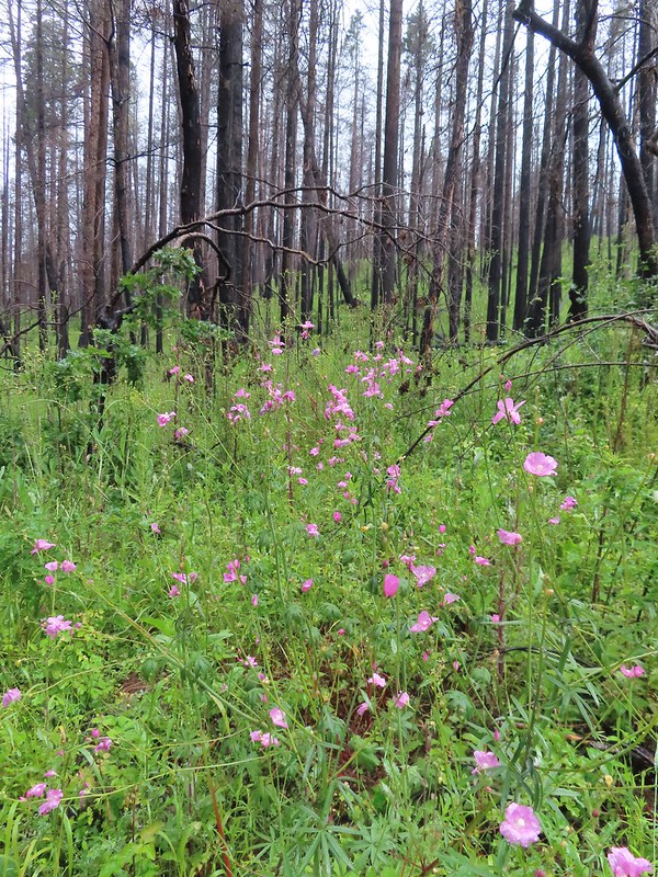
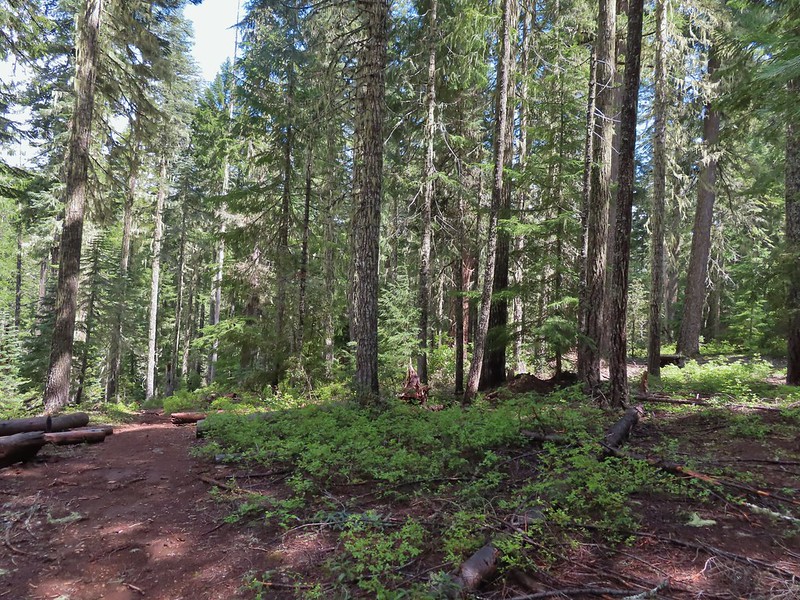
We started our morning off at Susan Creek Falls. This waterfall is one of three stops listed in featured hike #2, Fall Creek Falls (4th edition). This area was burned in the 2020 Archie Creek Fire and to date the other two stops at Fall Creek Falls and the Tioga Segment of the North Umpqua Trail remain closed. The BLM has managed to get the 0.7 mile Susan Creek Trail open although the trailhead on the north side of the highway was full of logs forcing us to park across the street at the Susan Creek Picnic Area.
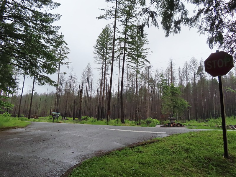
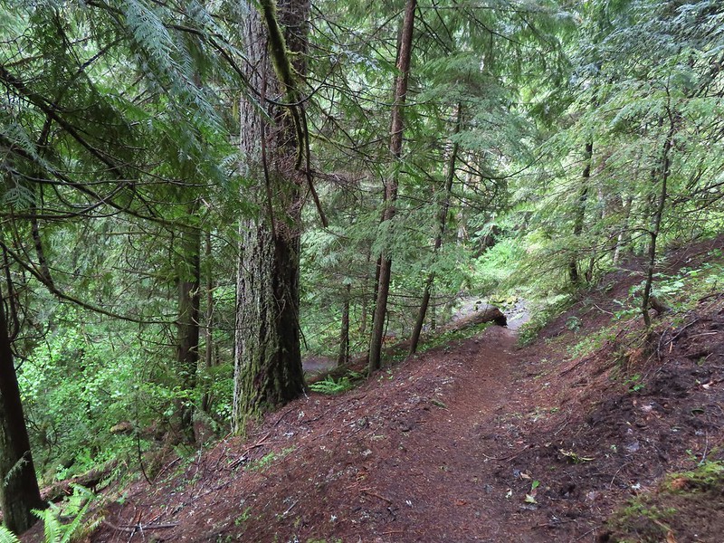
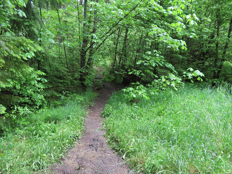
After dashing across the highway we set off on the trail through the burned forest.
 Checkermallow
 A slug and a bug on a flower.
 Pea
Pea

 Approaching the falls.

 Columbine
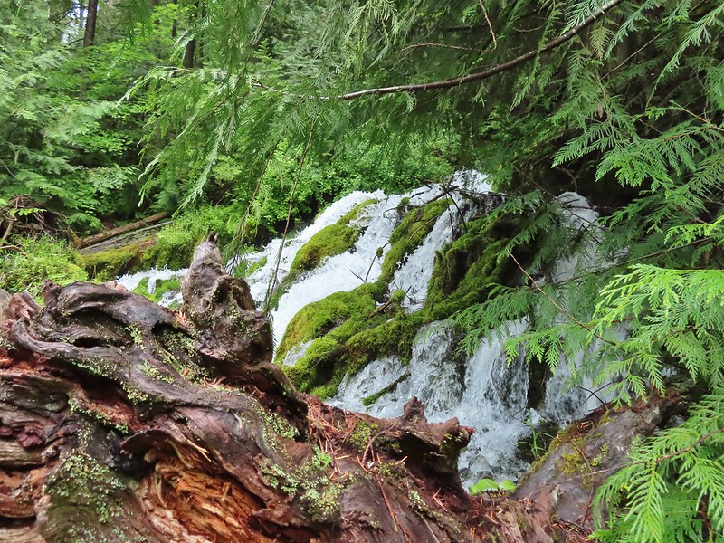
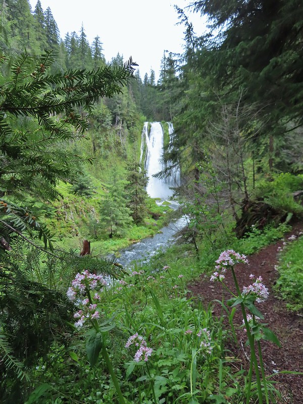
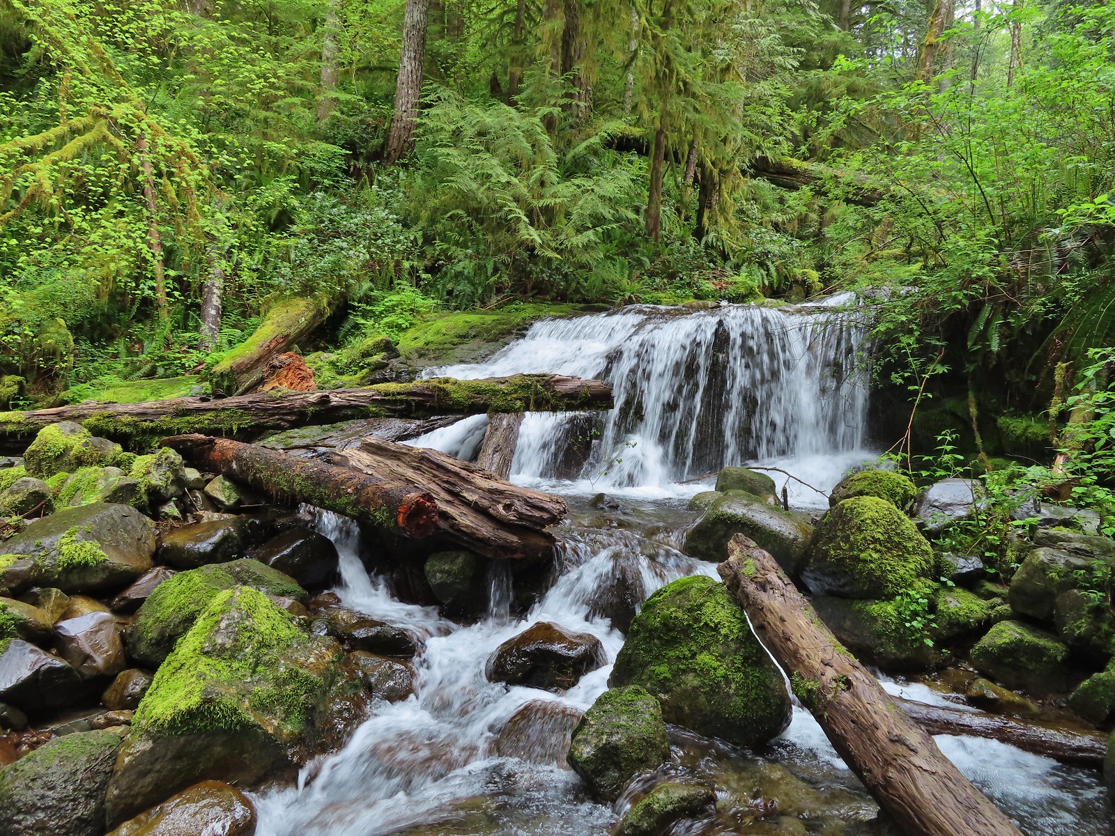
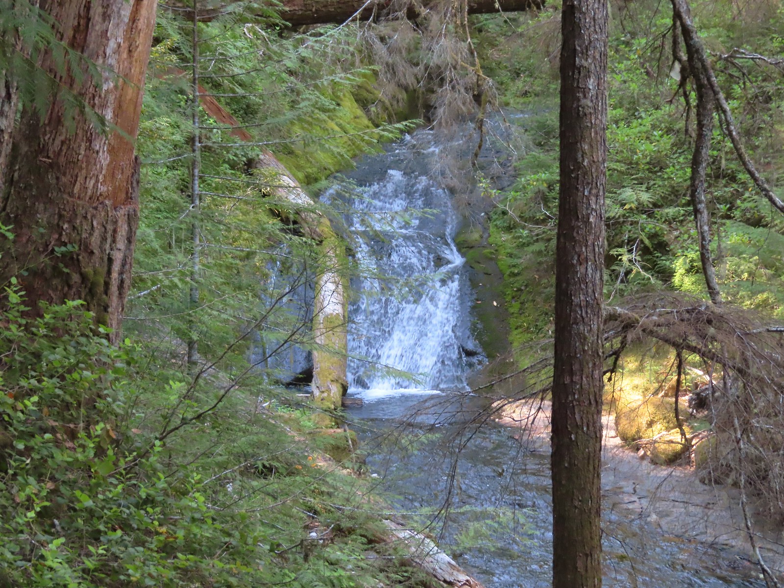
 Susan Creek Falls
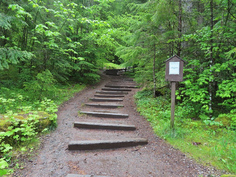
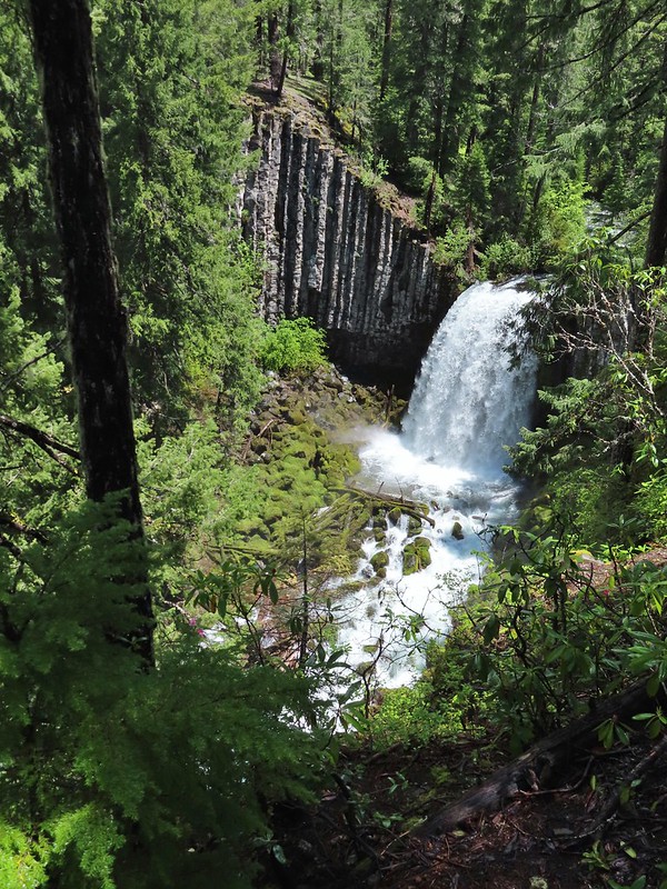
This short trail only gained about 150′ and was a nice leg stretcher after the drive down from Salem. After admiring the falls we returned to the car and continued east on 138 to milepost 59 and turned left onto Forest Road 34 to the Toketee Falls Trailhead. One of two stops that make up featured hike #9 (edition 4.2) a 0.4 mile trail leads to a platform above the falls which spill out of gap in basalt cliffs.
 Evidence of overnight rains on the trail.
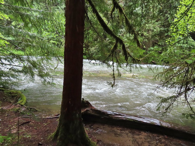
 A very faint rainbow over the North Umpqua River.
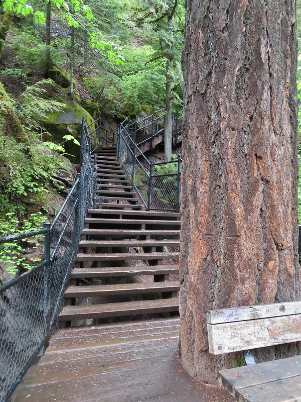 Stairs down to the viewpoint platform.
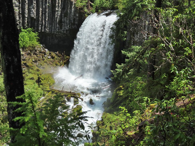
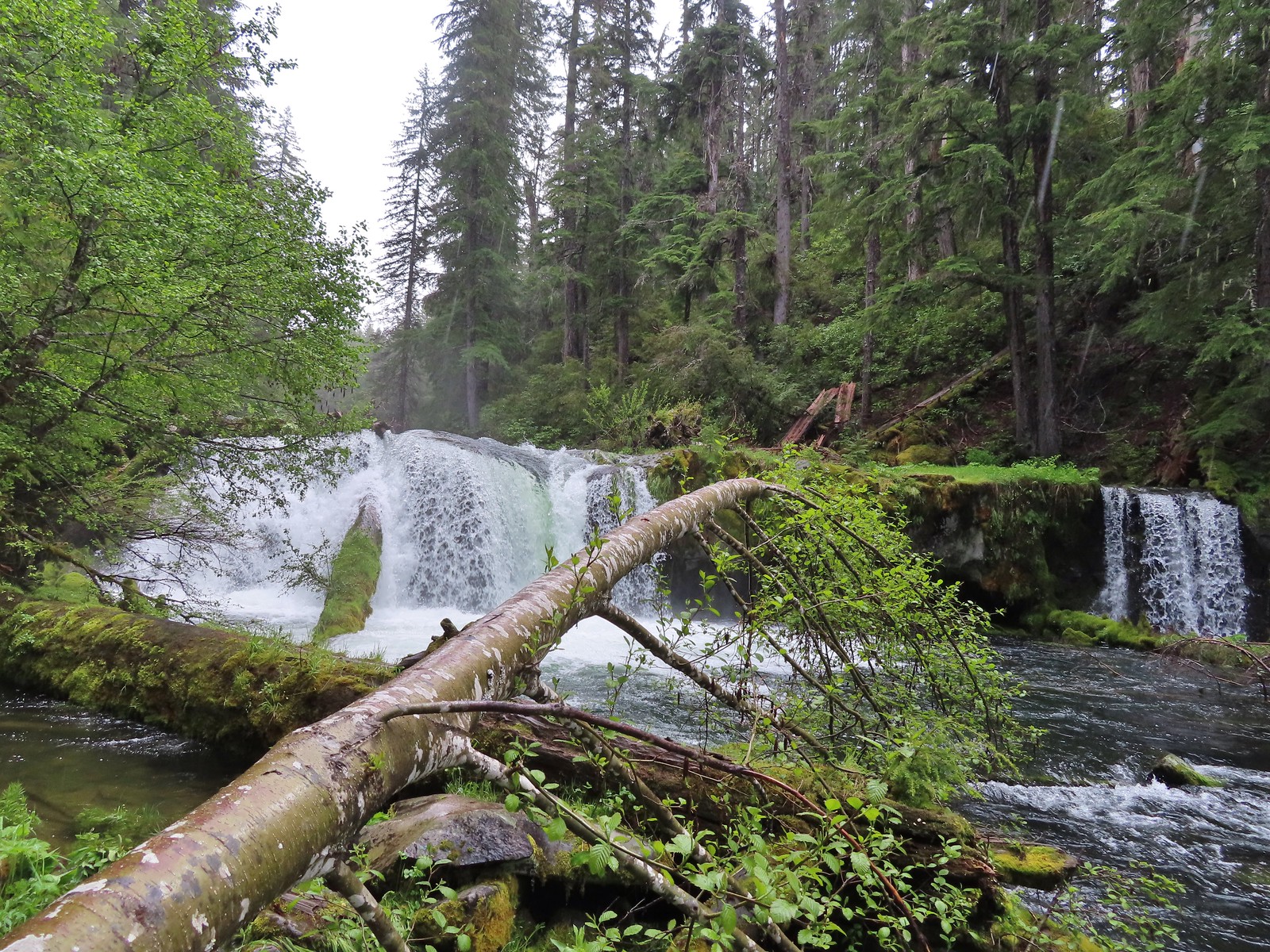
 Toketee Falls
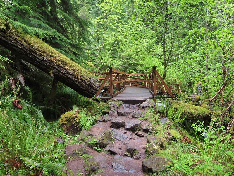
We spent some time admiring this waterfall which is one of Oregon’s more recognizable falls before returning to the car and continuing on FR 34 to FR 3401 and following it to the Umpqua Hot Springs Trailhead.

The hike starting here is not the second part of featured hike #9 but rather its own entry (featured hike #8, edition 4.2). Sullivan gives two 0.6 mile round trip options starting from this trailhead. The first is a 120′ climb to Umpqua Hot Springs overlooking the North Umpqua River. To reach the hot springs we crossed the river on a footbridge and turned right to make the climb up to the springs.


 Candy sticks along the trail.
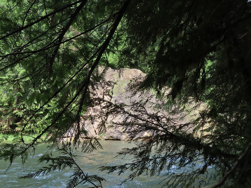
Just before the hot springs I veered downhill on a side trail to visit the river.
 During lower flow there is another hot spring along the river bank in the area.
I climbed back up to find Heather sitting near the springs. There were a number of people enjoying a soak and with clothing being optional pictures were very limited.


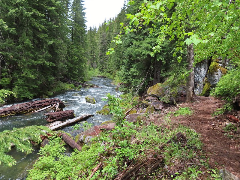
We climbed down from the hot springs and returned to the trailhead where we took a short trail up to FR 3401 and turned left following a short distance to the resumption of the North Umpqua Trail.
 Heading up to the road.
 The North Umpqua Trail on the left leaving the FR 3401.

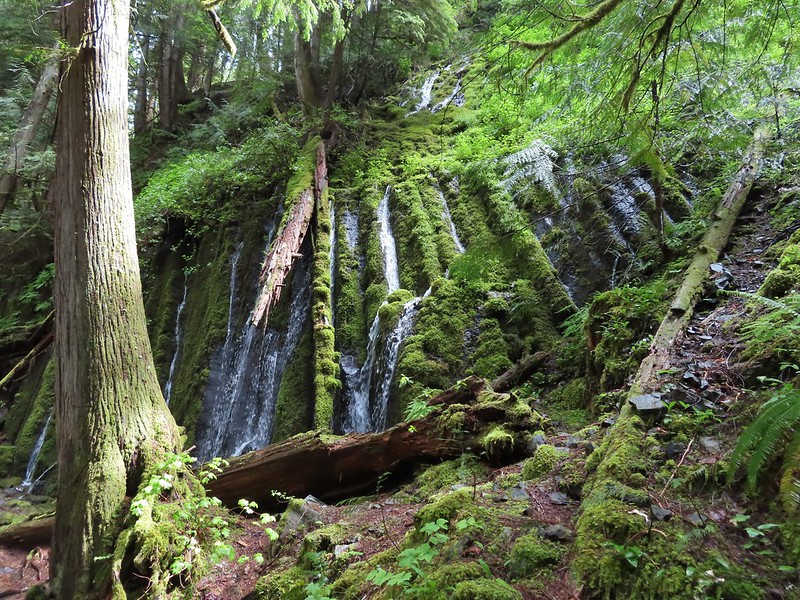
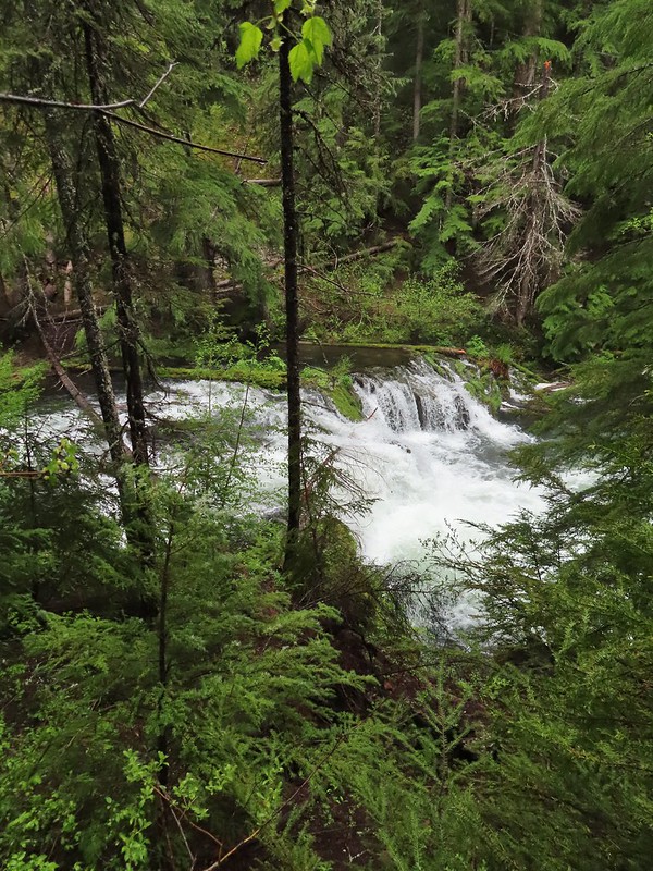
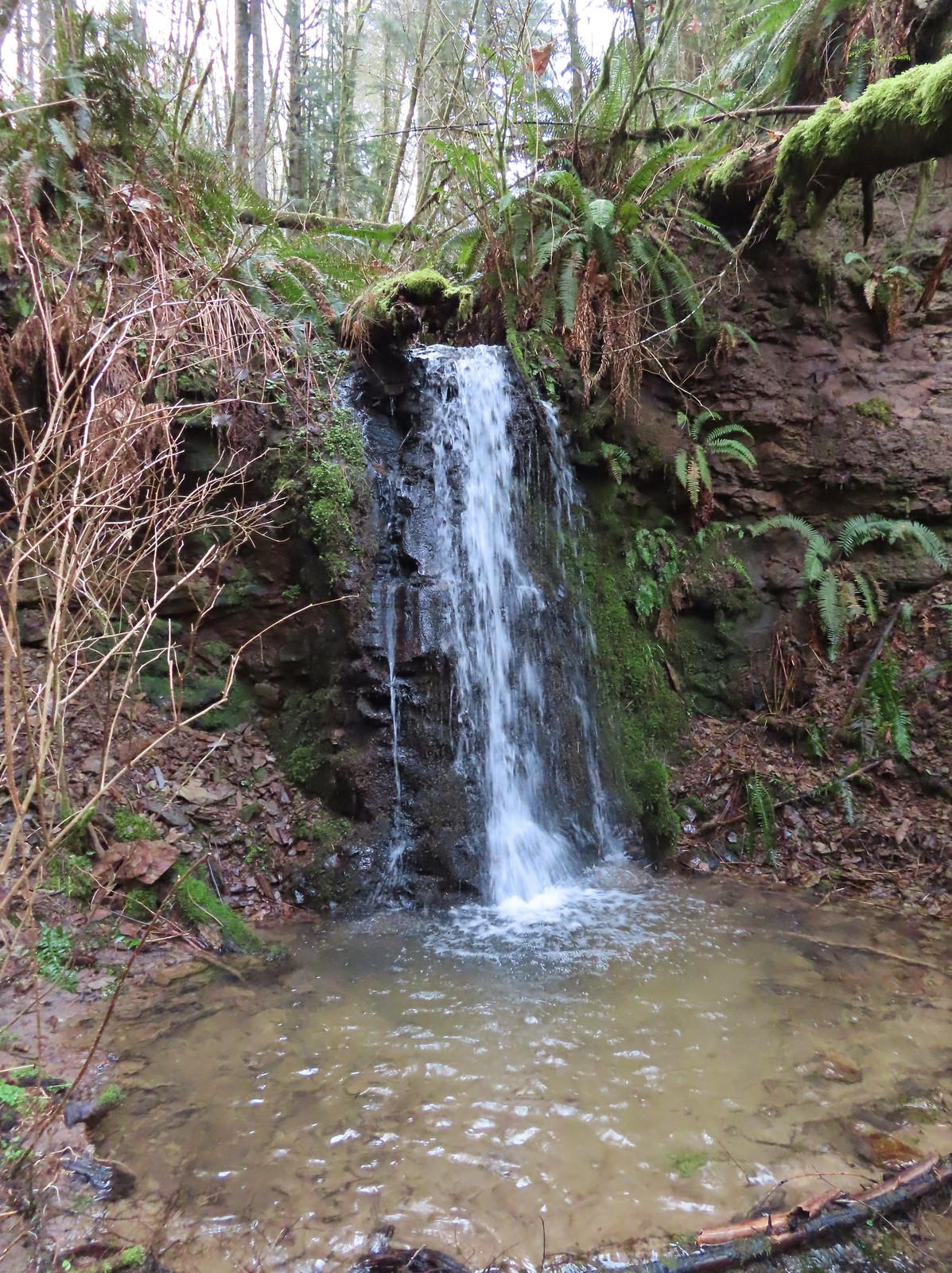
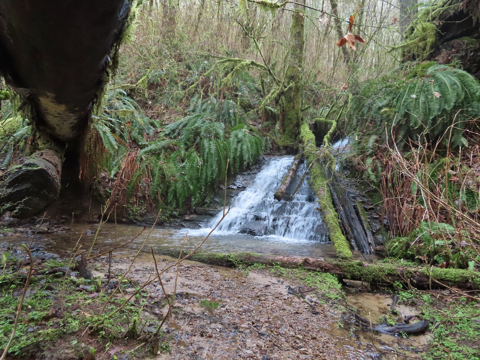
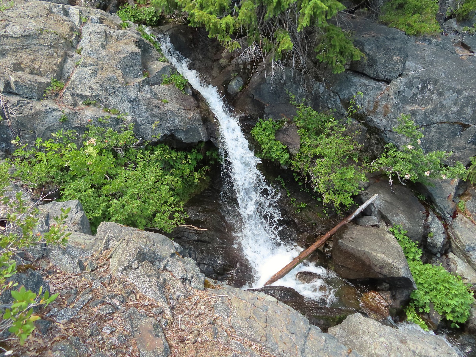
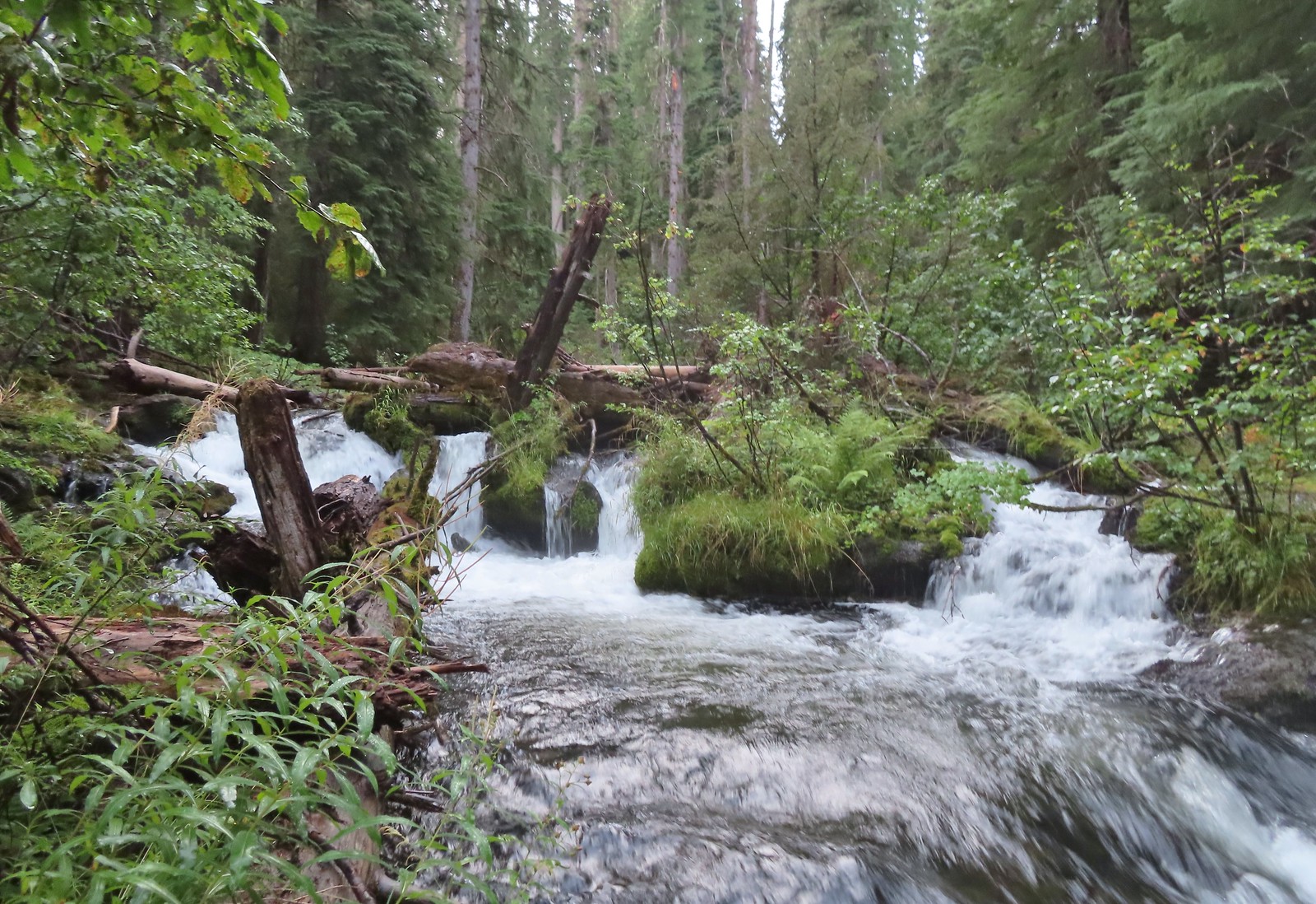
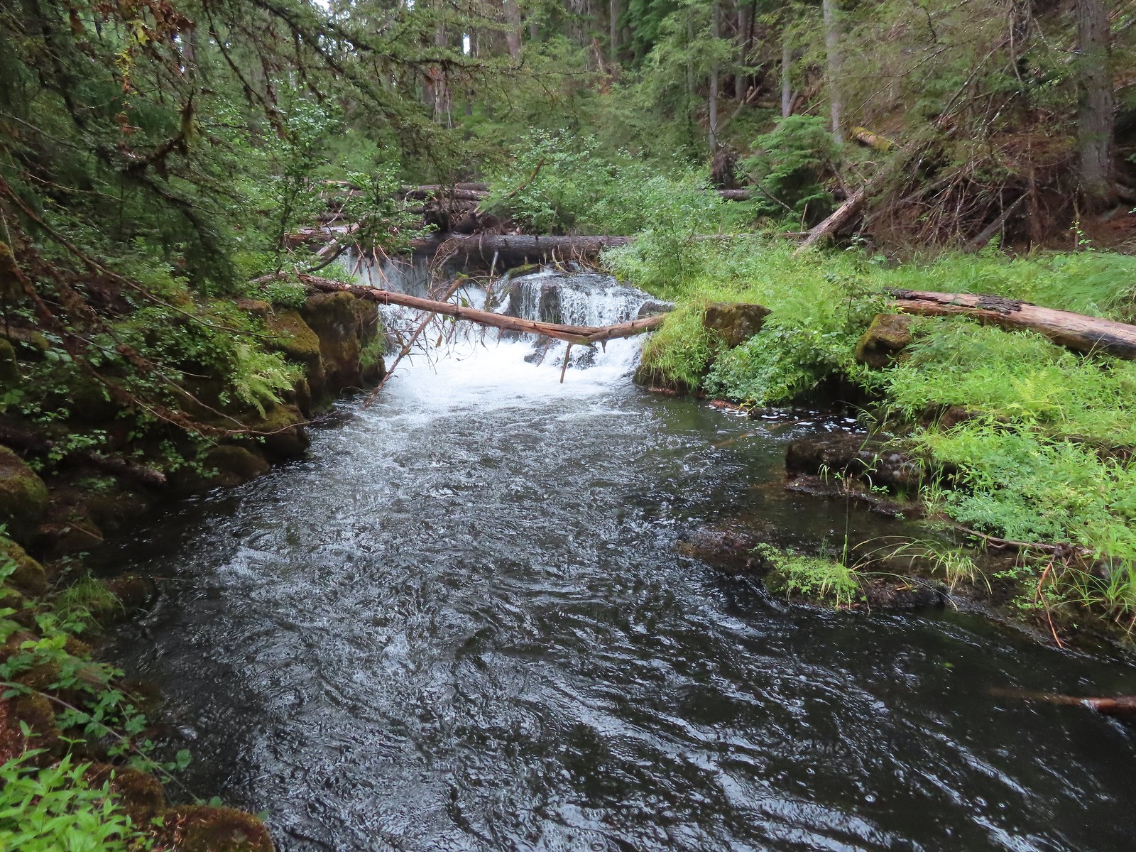
Approximately a quarter mile along this segment we arrived at Surprise Falls, a cascade created by cold springs bursting from the hillside below the trail.
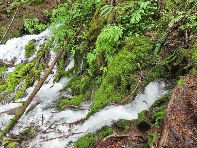

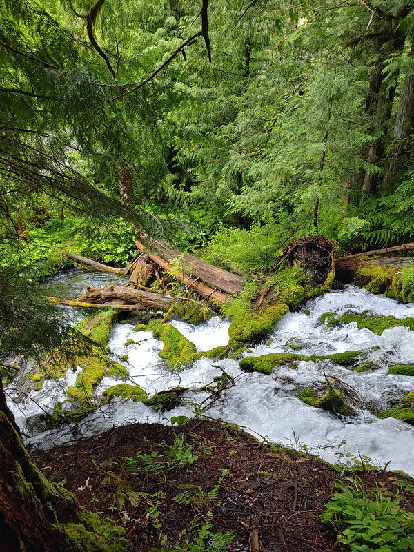
The mossy cascade was beautiful and we spent quite a while enjoying the lush green surroundings. A very short distance further we arrived at our turn around point at another spring fed waterfall, Columnar Falls.

This fall gets its name due to the columnar basalt that the water both cascades down and spouts right out of.

 The hot springs across the river from Columnar Falls.
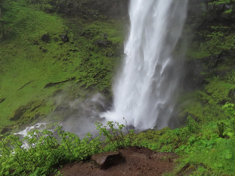
We returned the way we’d come and hoped back into our car and drove back to Highway 138 where we again turned east. Our next stop was the second waterfall in featured hike #9, Watson Falls. Another short (0.4 mile) trail leads from the Watson Falls Trailhead to Southern Oregon’s tallest waterfall.
 The top of Watson Falls from the trailhead signboard.
This trail gains 300′ as it climbs to a viewpoint part way up the 272′ waterfall.
 Watson Falls from below.
 Footbridge over Watson Creek.

 Heather at the viewpoint.
 The splash pool.
On the way back down we took the loop back trail which splits off just before the creek crossing.

This trail follows Watson Creek down to FR 37 where a right turn and short road walk completes the loop.
 Watson Creek at FR 37.
 A little bit of blue sky and sunlight along FR 37.
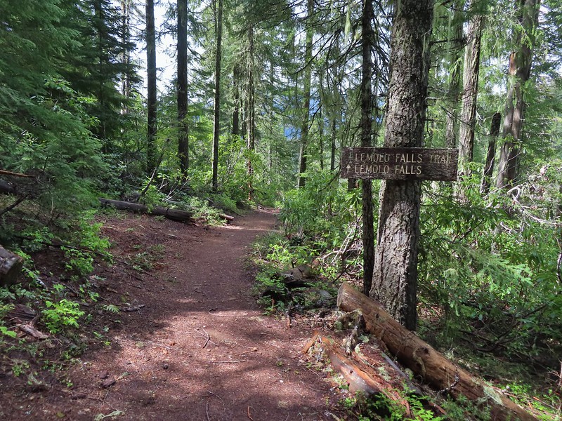
Once again we returned to Highway 138 and continued east. Our next three stops were in the Lemolo Lake Recreation Area so we turned off of the Highway onto FR 2610 at a pointer for the Recreation Area. Our first stop was at the Warm Springs Trail.

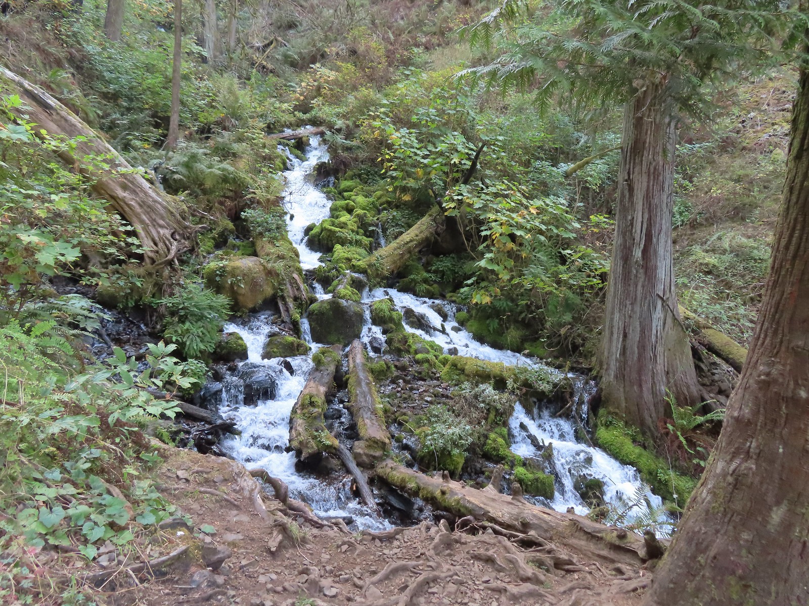
Yet another short trail (0.3 miles) that led to a scenic waterfall.

 Viewing platform above the falls.
 We both really liked the angled basalt cliff on the far side of these falls.
This waterfall surprised us a bit with how much we both liked it. We headed back to the car and drove back the way we’d come until reaching a canal bridge along FR 2610 where we turned across it to the North Umpqua Trail.
 The canal bridge is 5.6 miles from Highway 138 on FR 2610.
 Sign near the canal bridge.
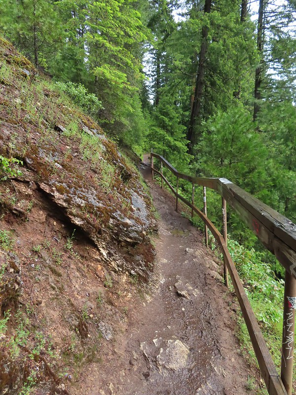
 The North Umpqua Trail.
 The section between Lemolo Lake and the Umpqua Hot Springs Trailhead is called the “Dread and Terror Segment” but both sections we hiked were beautiful.
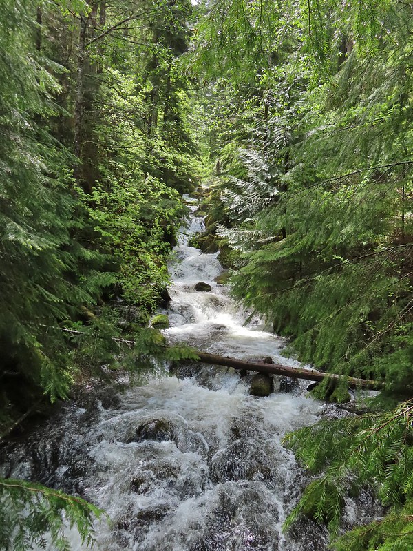
This would be our longest hike of the day at 3.5 miles round trip. The trail followed the North Umpqua River providing numerous views while losing 400′ to a viewpoint above Lemolo Falls.

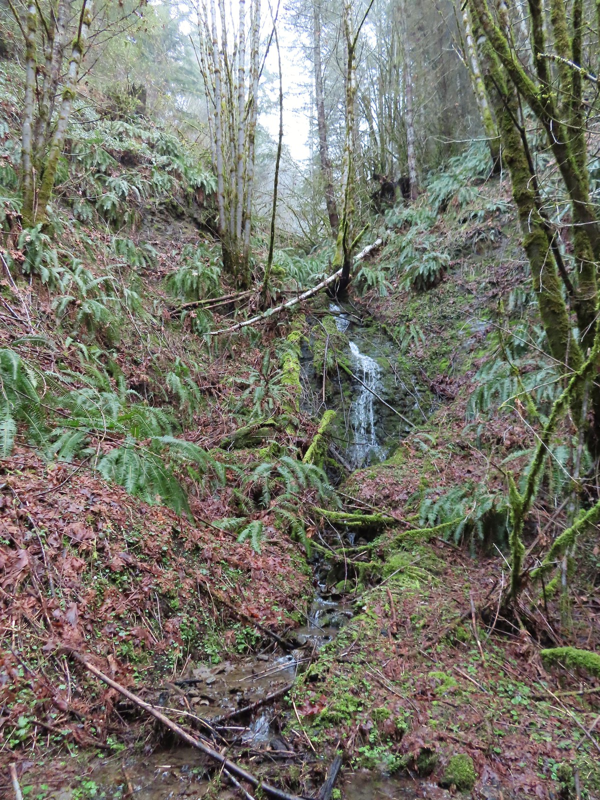
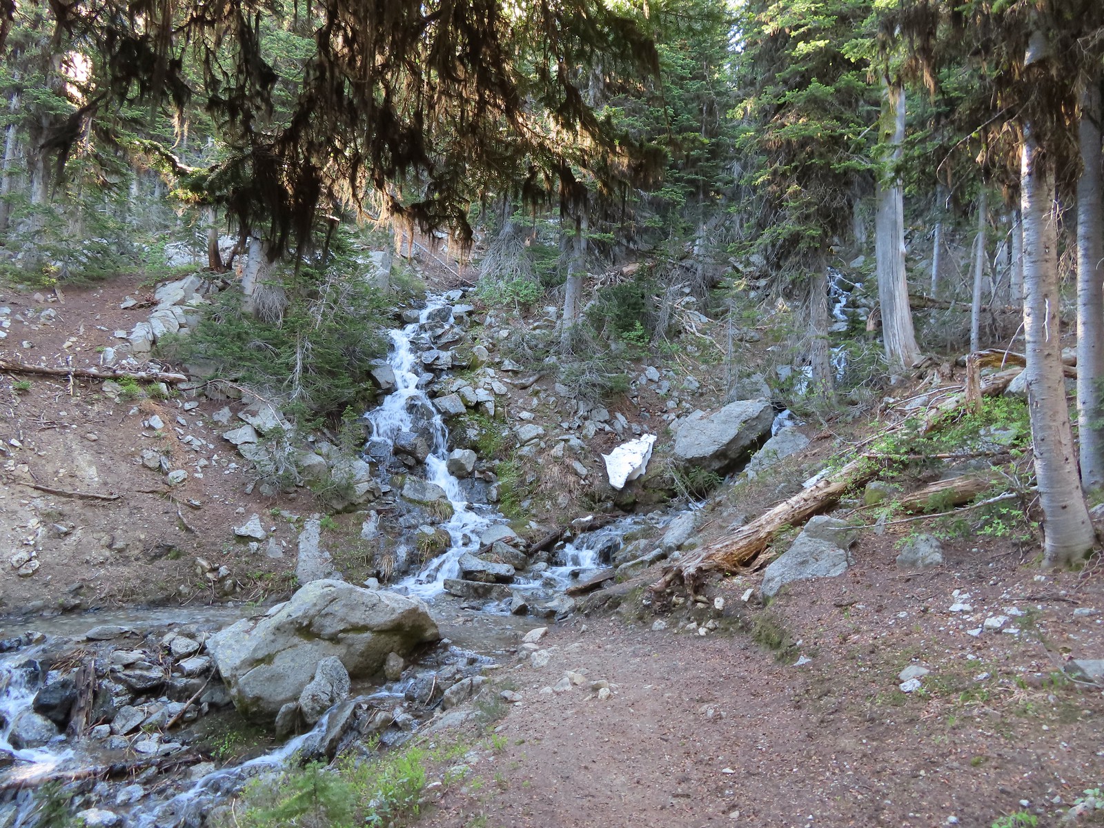
 Numerous seasonal streams and seeps flowed across the trail.
 Unnamed fall along the river.
 Trillium

 Ouzel
Ouzel
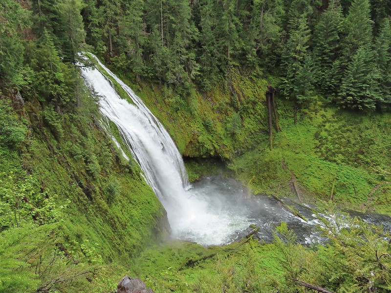 Lemolo Falls
We took a short break at the viewpoint then headed back. We had one final stop to make on the other side of the river to visit a better viewpoint below Lemolo Falls.
 Red flowering currant along the trail.
 Bleeding heart.
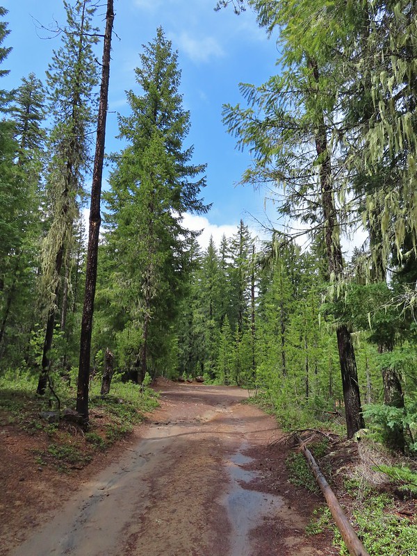
From the canal bridge we drove back toward Lemolo Lake crossing the dam then in half a mile turned right on FR 3401 for another half mile to FR 800 where we again turned right. We followed FR 800 for 1.6 miles to a spur road (FR 3401-840). The trailhead is located approximately a quarter-mile down this road but we parked as soon as we had a chance due to this road being in the worst condition we’d experienced this day.
 Approaching the trailhead.
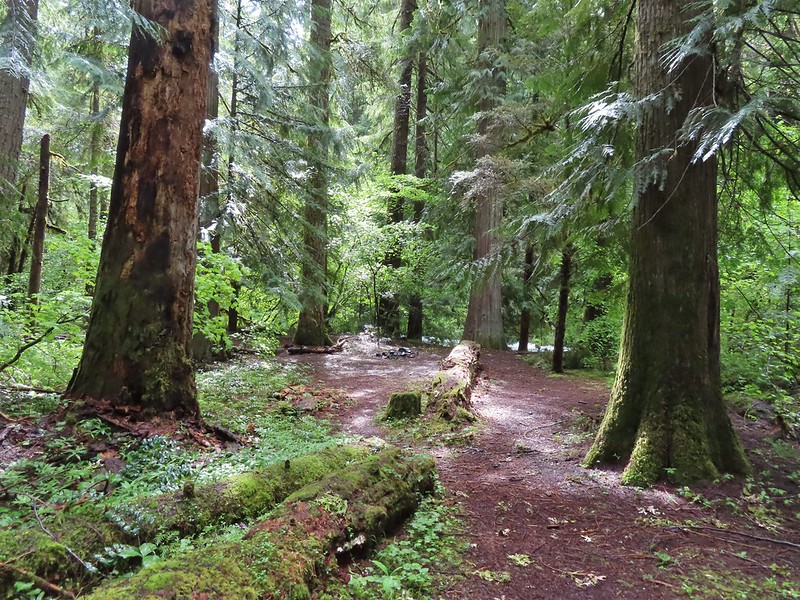
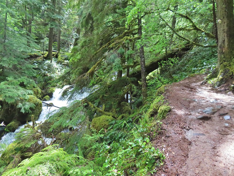
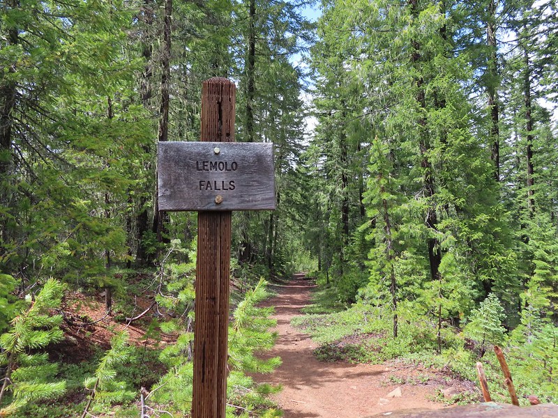
This old trail/trailhead was recently reopened and aside from the poor access road the trail was in good shape. The first 0.6 miles follows an old roadbed to a former picnic area where the Lemolo Falls Trail used to begin. Three quarters of a mile later the trail arrives at the North Umpqua River below Lemolo Falls.

 The former picnic area (Note the picnic table in the trees to the right.)
 Valerian along the trail.


 One of many brief appearances of blue sky during the day.
This was by far the superior view and a great way to end the day. We climbed back up the 500′ that we’d descended to the falls and called it a day. Our seven stops was a new personal record (previously six on a trip down the Oregon Coast). With most of the hikes being rather short our mileage for the day was just a smidge over 11 miles with a little over 1800′ of cumulative elevation gain. It was a long day made longer by a couple of delays due to road construction so it was later than we’d planned when we pulled into our motel in Roseburg but we had managed to finish three more featured hikes (and one third of a fourth) and although it had sprinkled off and on all day we’d also had a few sun breaks which made it a perfect day for chasing waterfalls. Happy Trails!
Flickr: Highway 138 Waterfalls


 Unnamed waterfall along Riley Creek in the Mt. Adams Wilderness
 Unnamed waterfall below East Boulder Lake in the Trinity Alps Wilderness.

 Cascade on Wahkeena Creek.
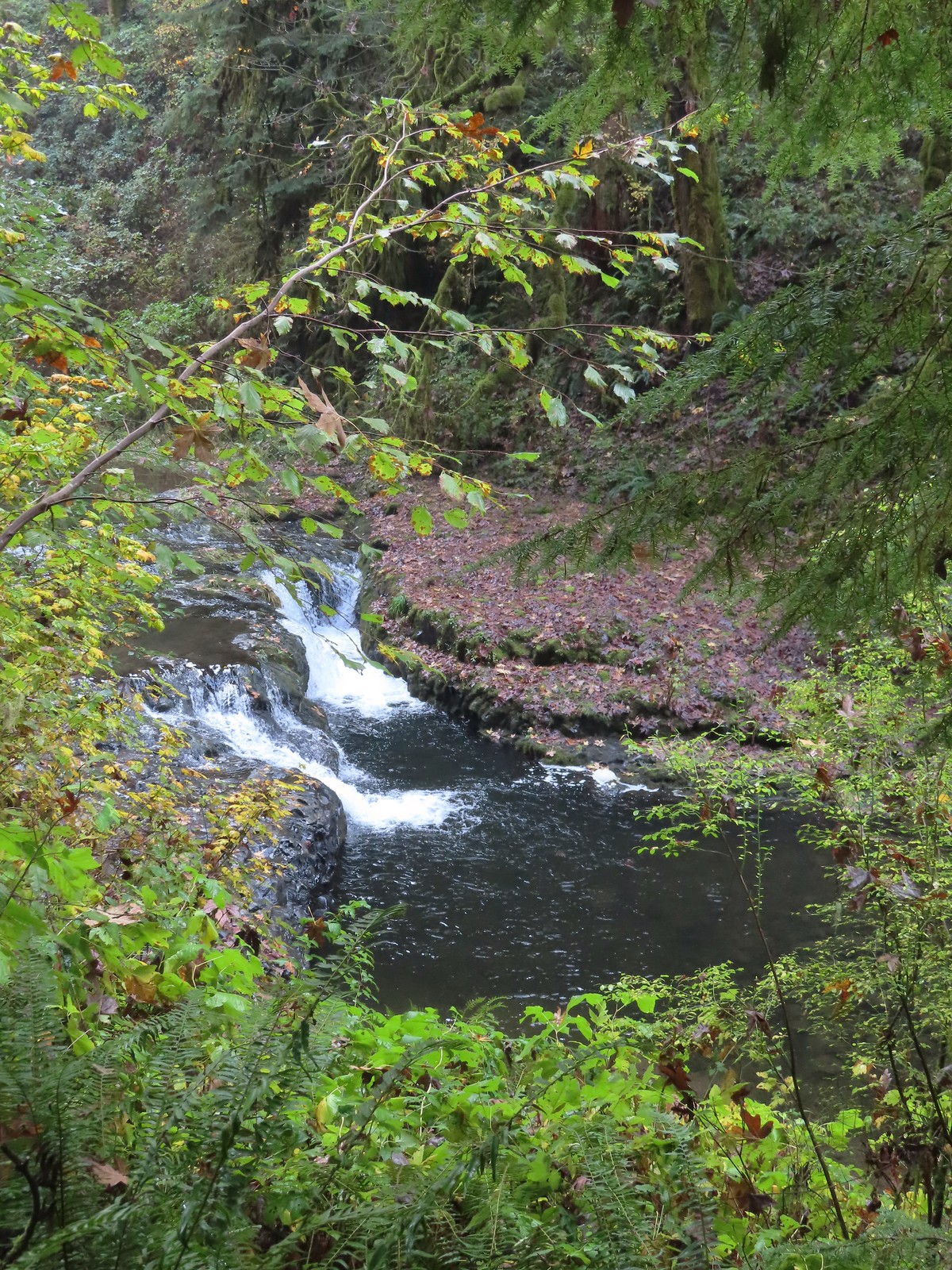 Small cascade along the North Fork Silver Creek.
 Mosier Creek Falls (post)
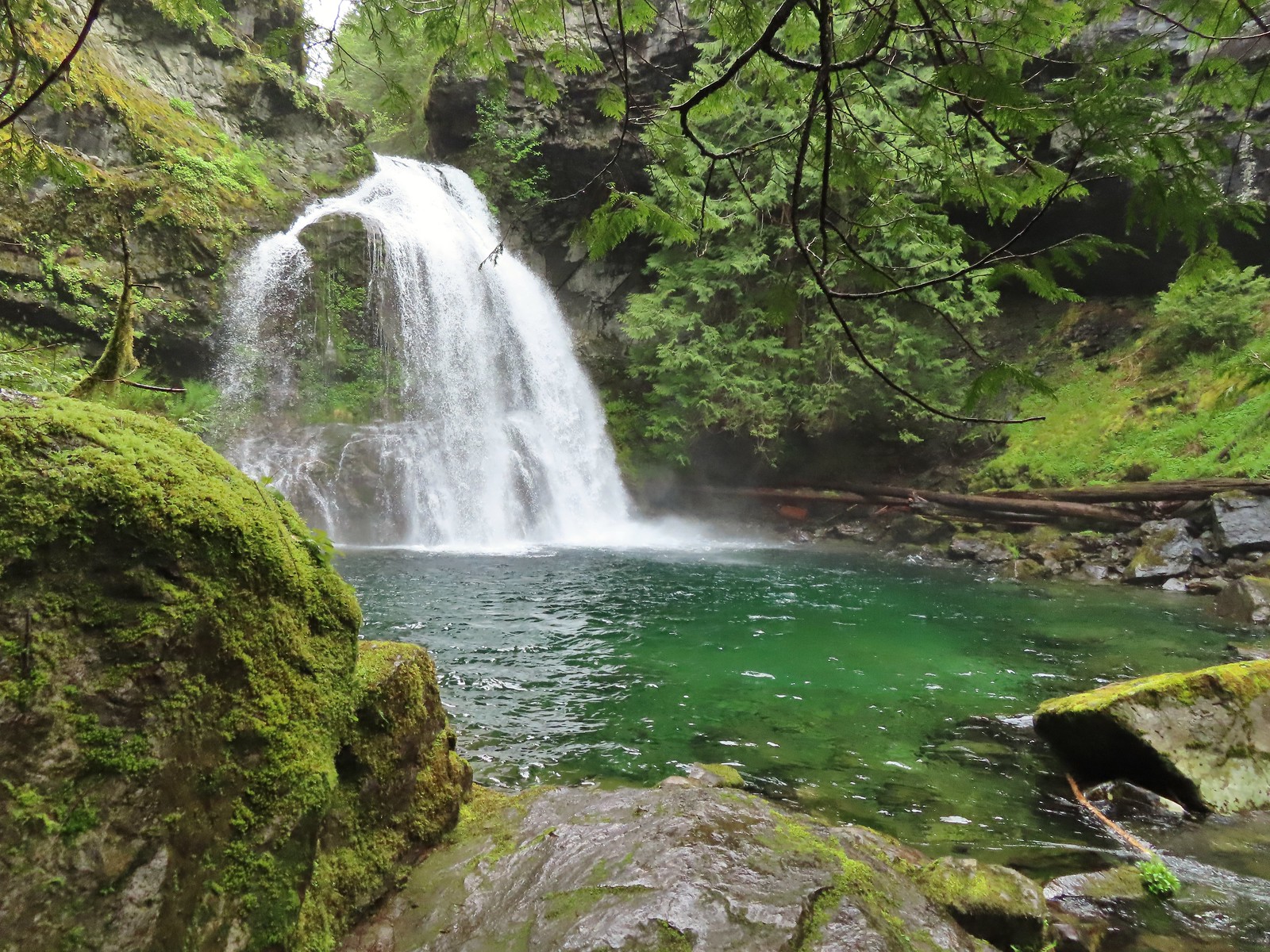 Black Hole Falls (post)
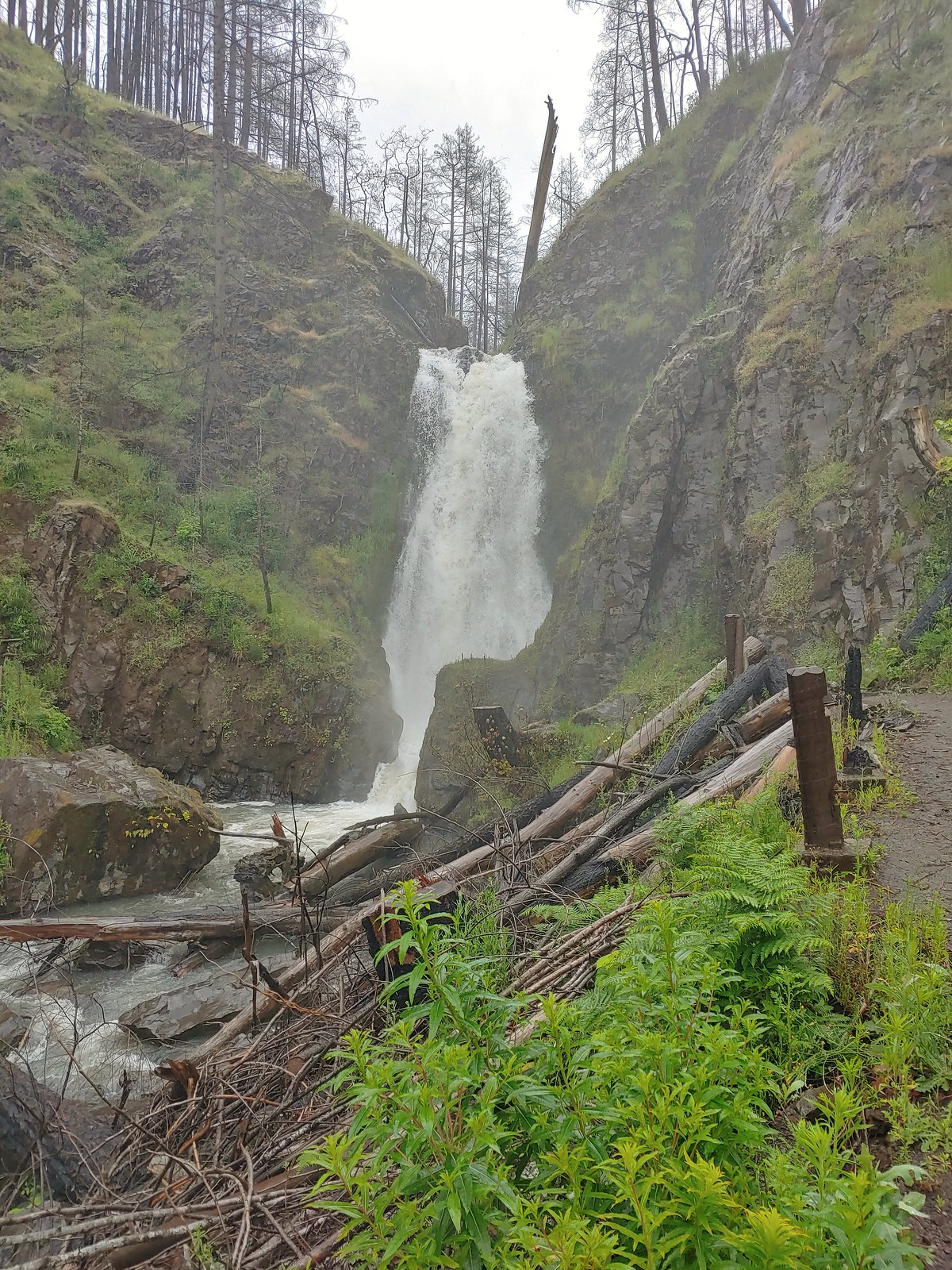 Susan Creek Falls
 Toketee Falls
 Surprise Falls
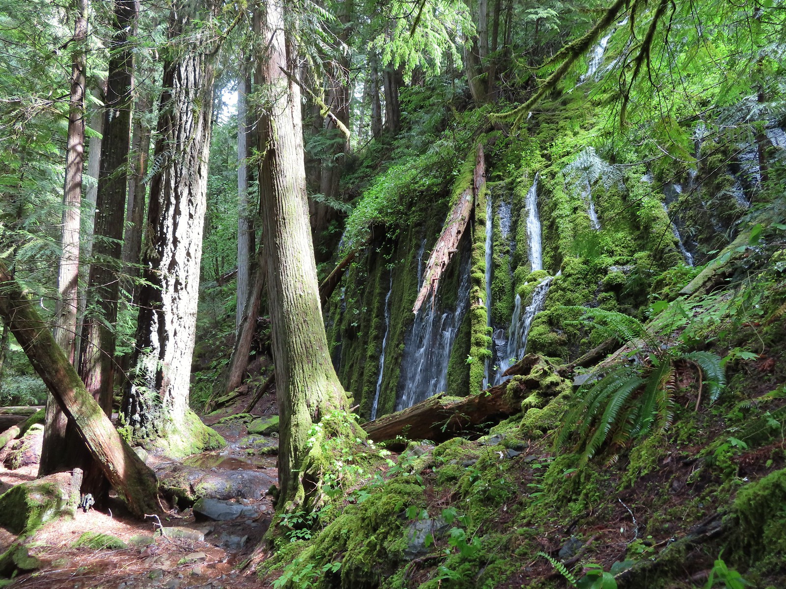 Columnar Falls
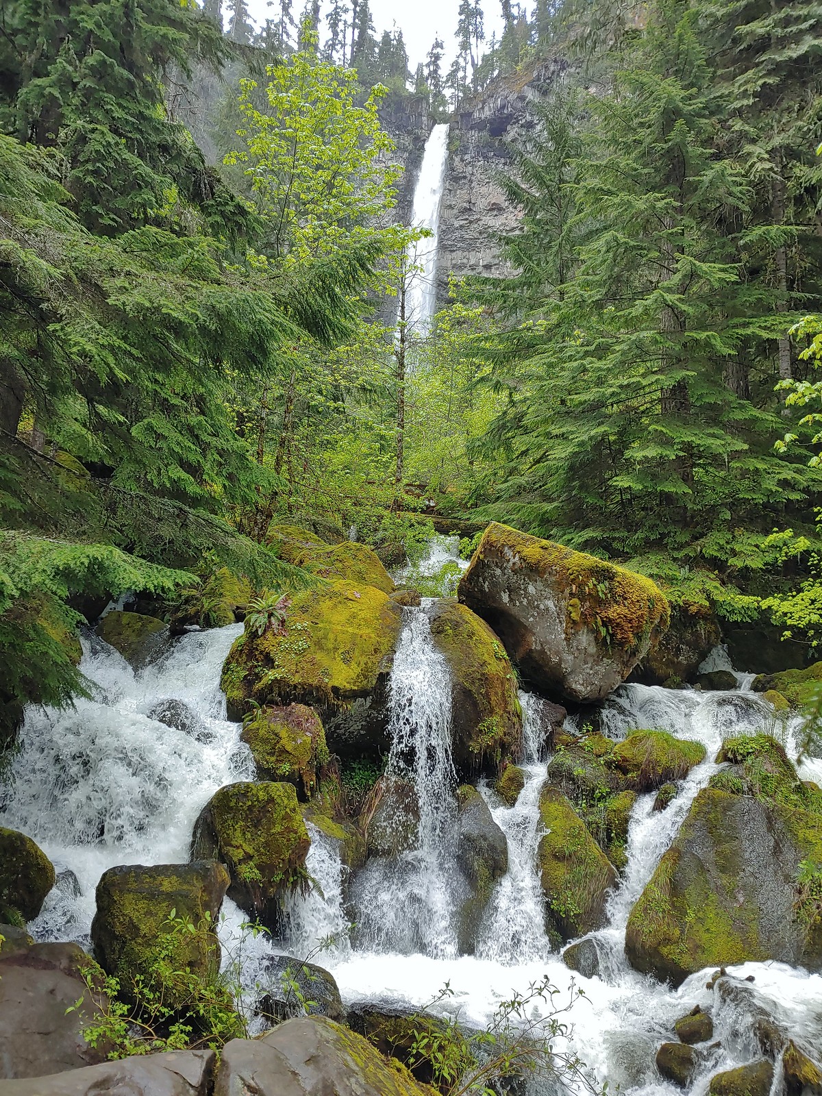 Watson Falls
 Warm Springs Falls
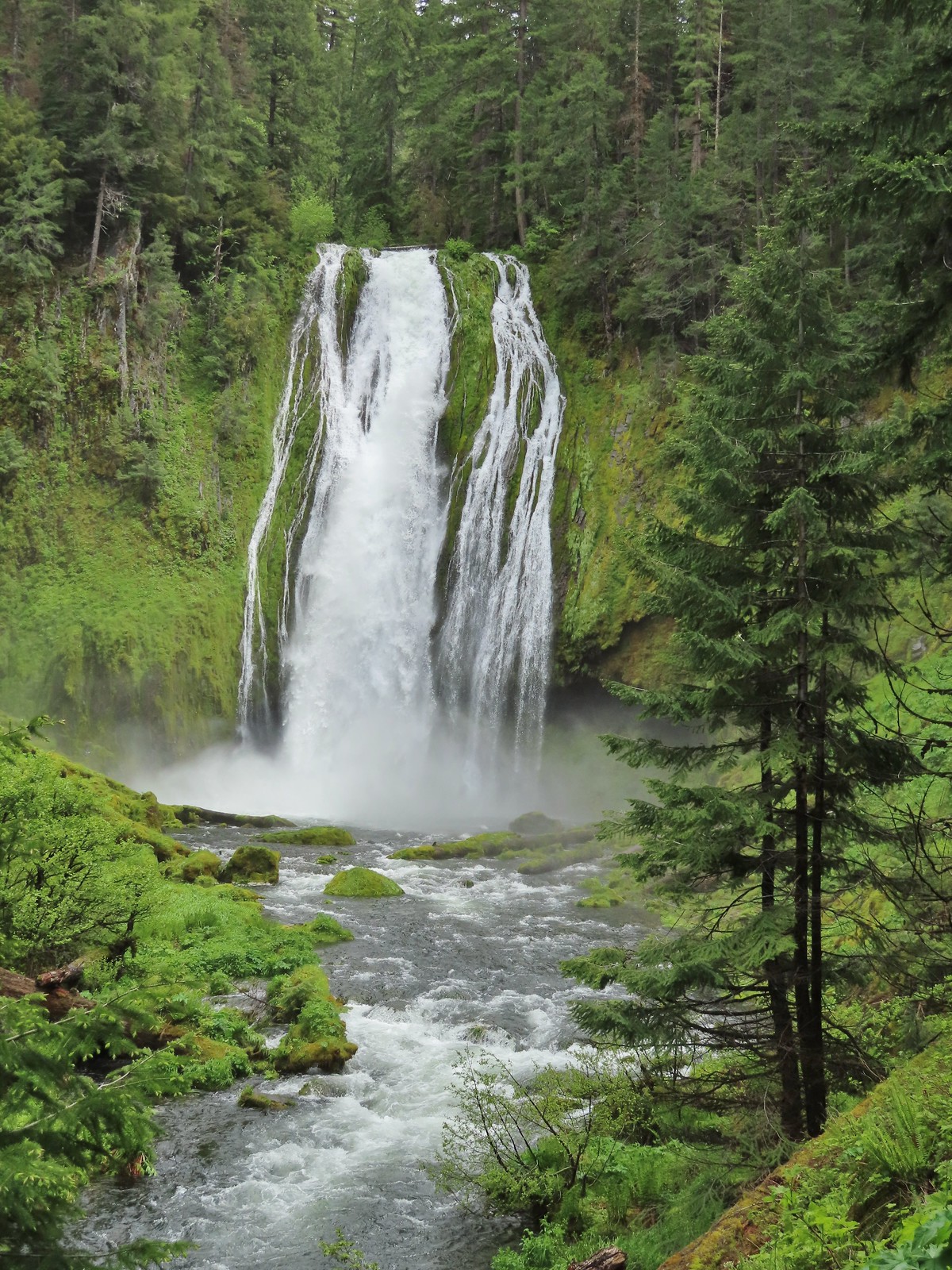 Lemolo Falls
 Alsea Falls
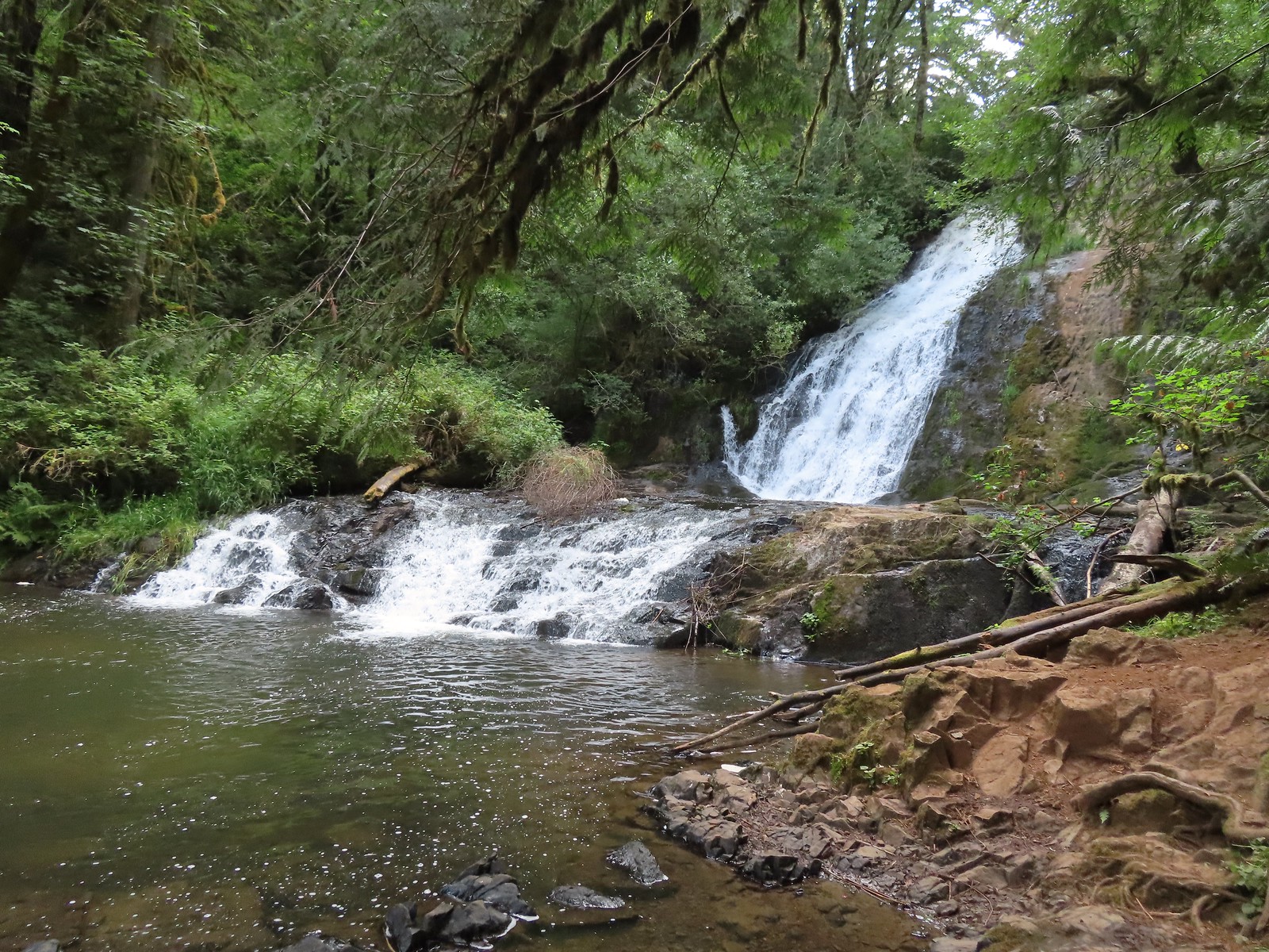 Green Peak Falls
 Yasko Falls
 Hemlock Falls
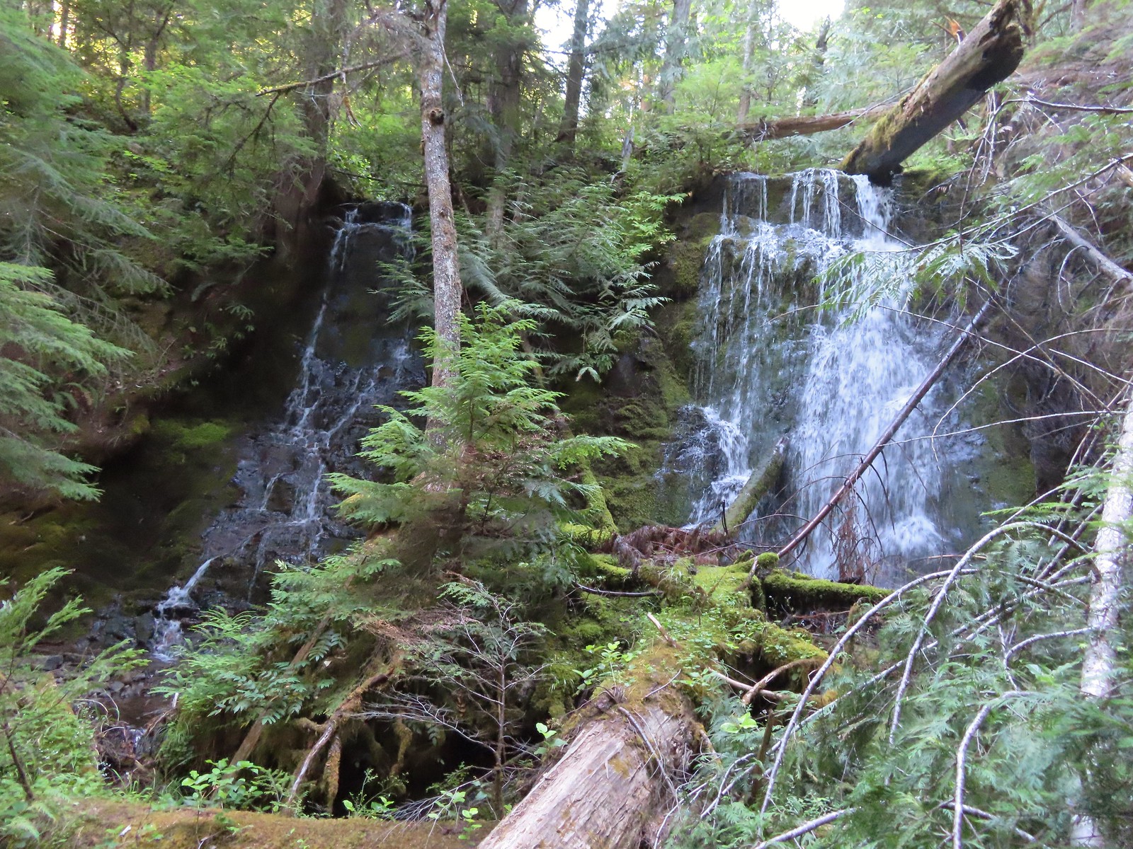 Tributary Falls
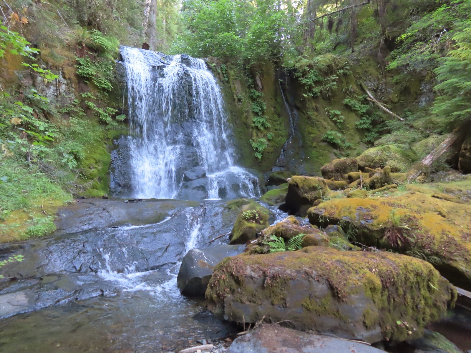 Middle Hemlock Falls
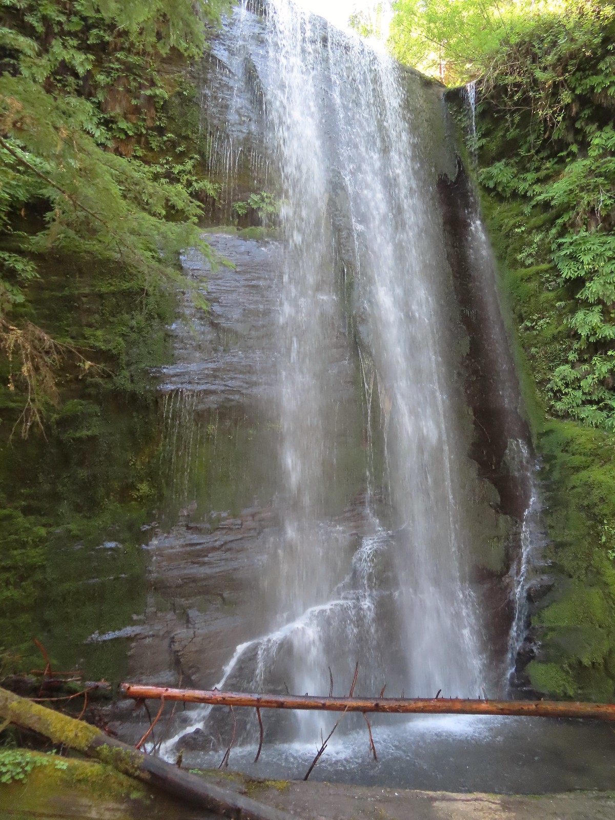 Clover Falls
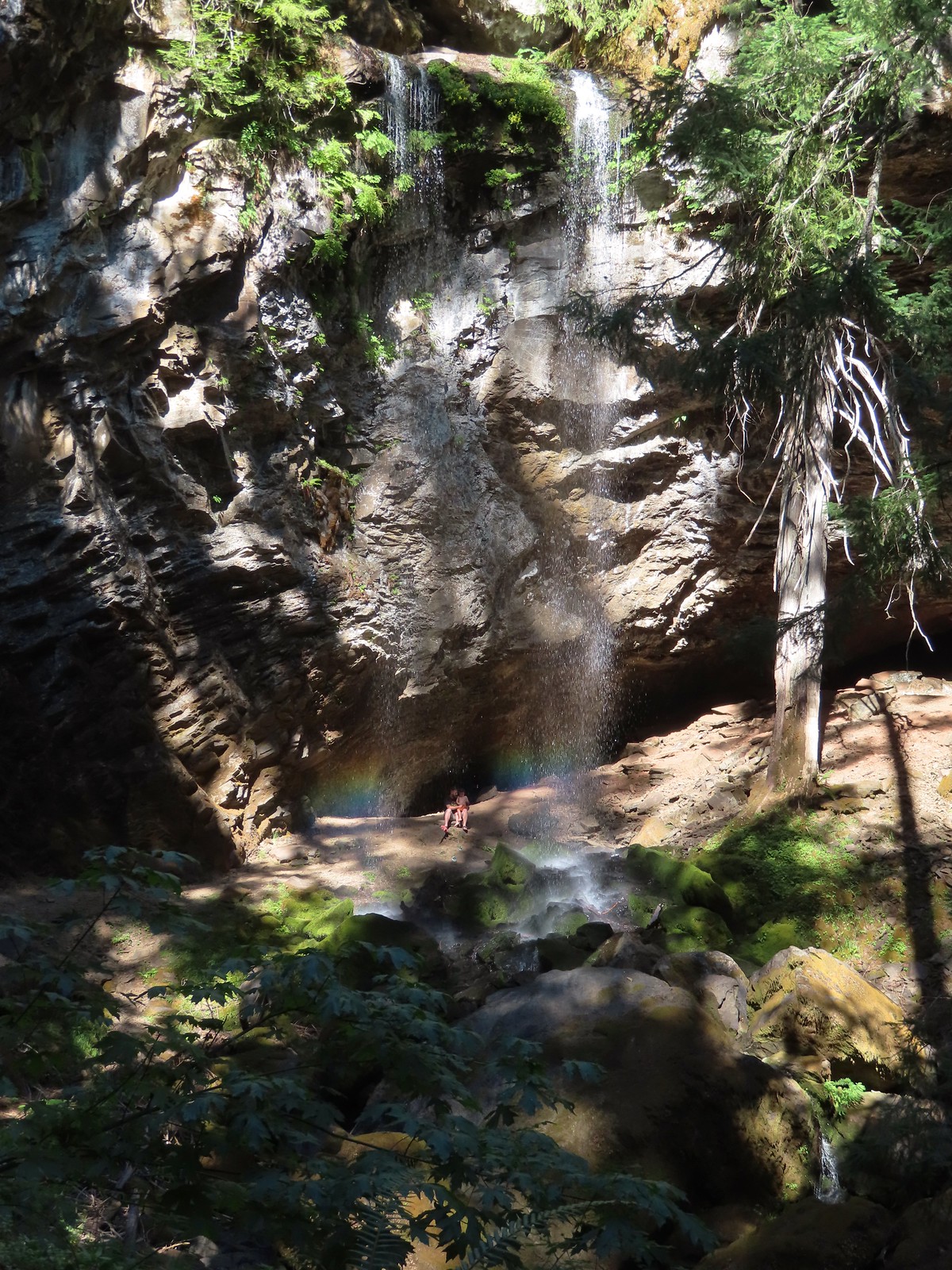 Grotto Falls
 Fall Creek Falls
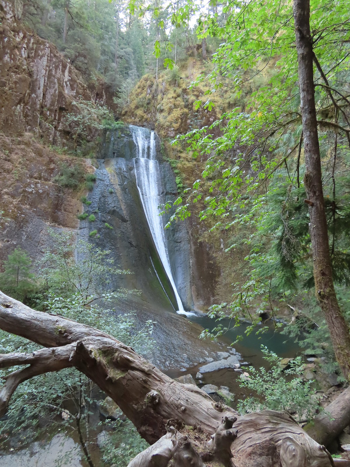 Upper tier of Wolf Creek Falls
 Lower tier of Wolf Creek Falls
 South Umpqua Falls (post)
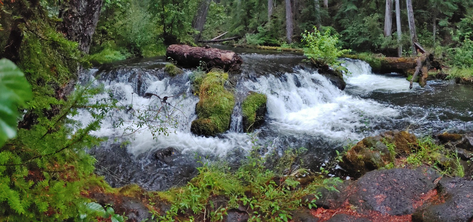 Union Creek Falls (post)
 Chitwood Creek Falls
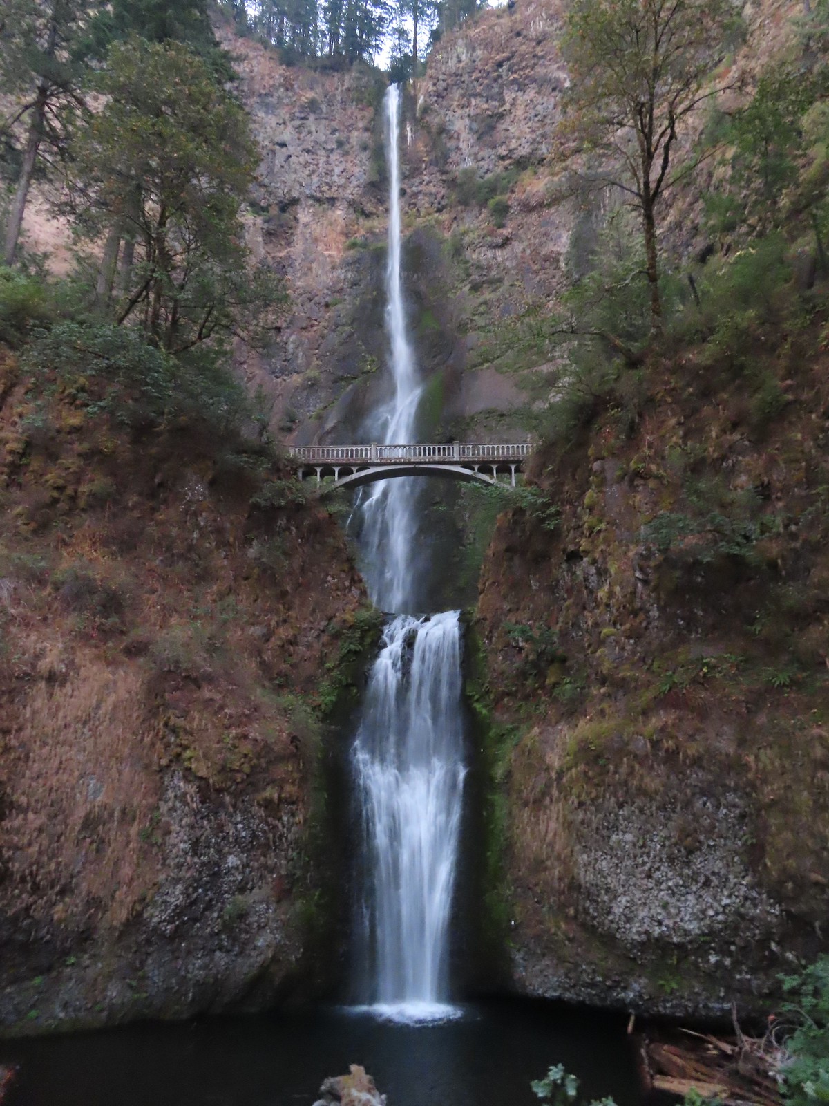 Multnomah Falls
 Lower Dutchman Falls
 Upper Dutchman Falls
 Wiesendanger Falls
 Ecola Falls
 Fairy Falls
 Wahkeena Falls
 Upper North Falls
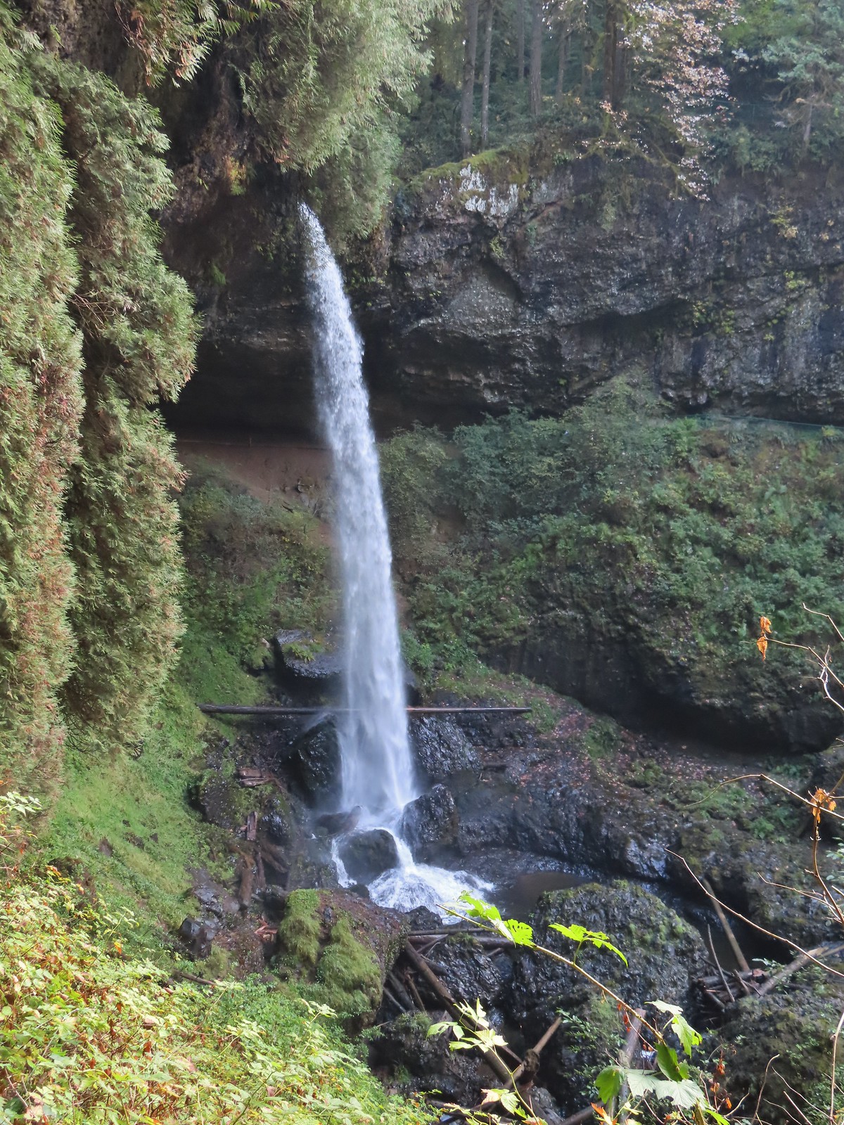 North Falls
 Twin Falls
 Winter Falls
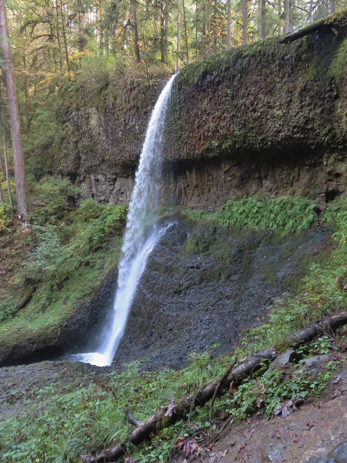 Middle North Falls
 Drake Falls
 Double Falls
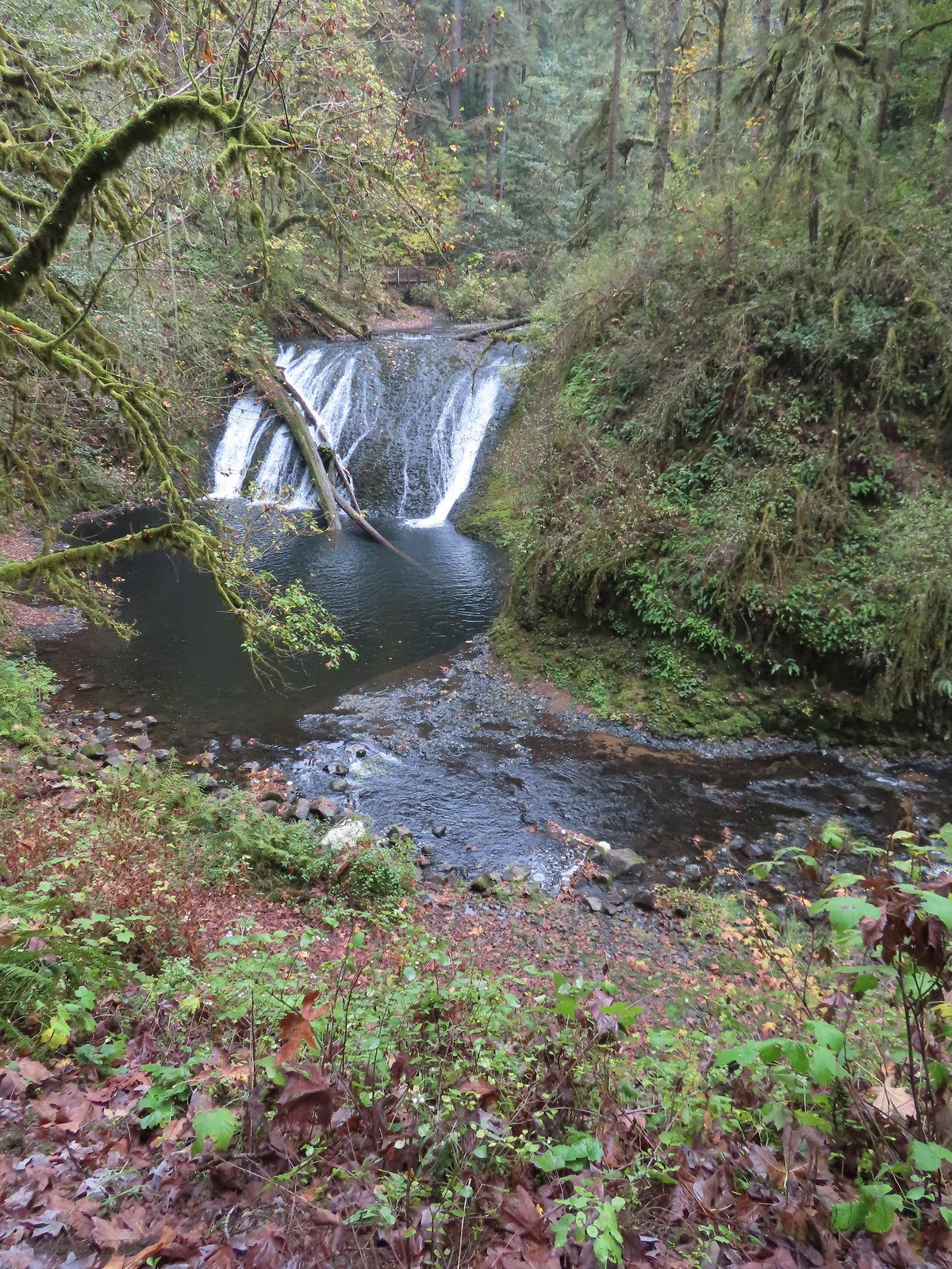 Lower North Falls
 Lower South Falls
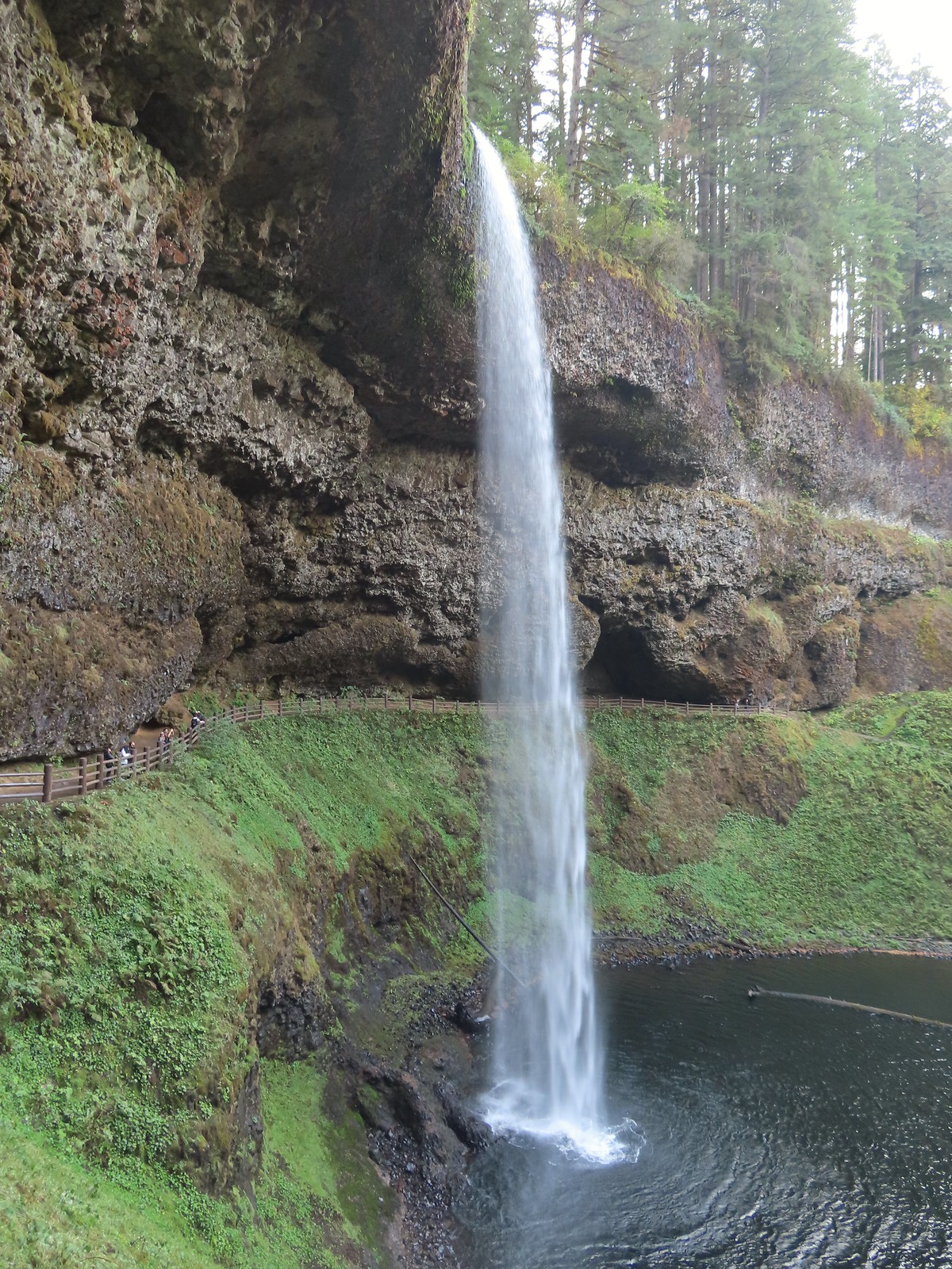 South Falls
 Sorenson Falls
 Metlako Falls
 Lower Punchbowl Falls
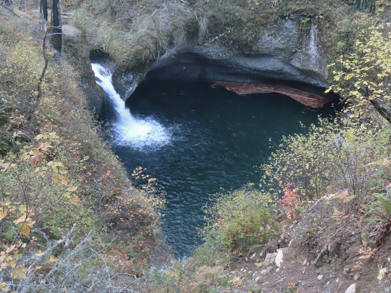 Punchbowl Falls
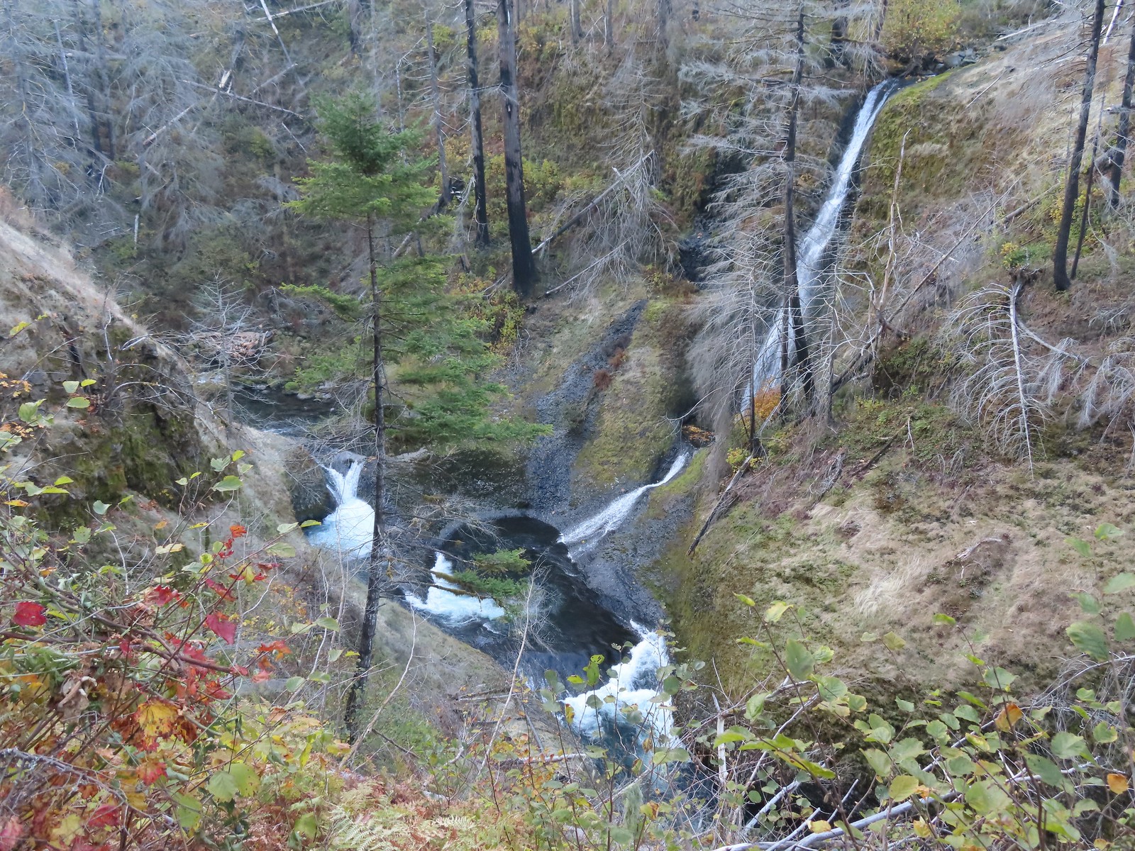 Loowit Falls
 Skoonichuck Falls
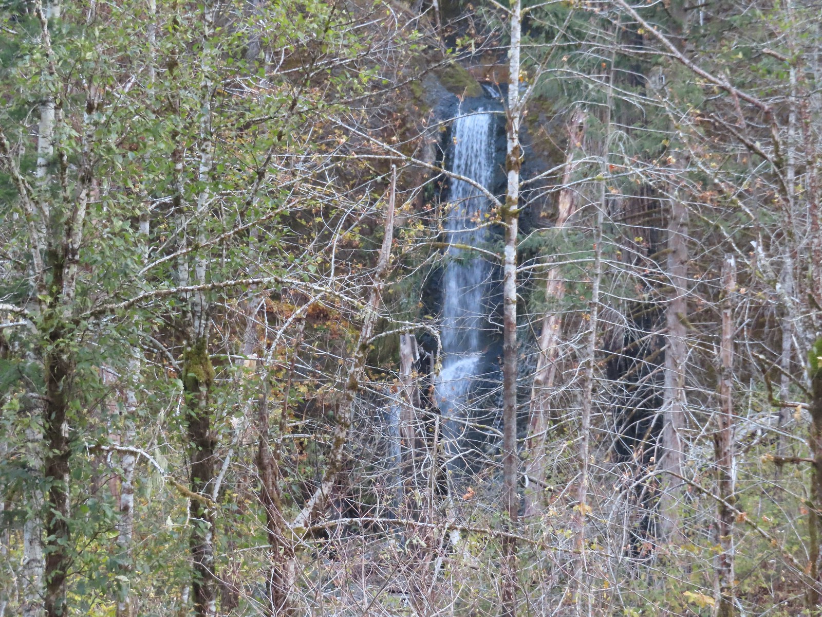 Four Mile Falls
 Tenas Falls
 Wy’East Falls
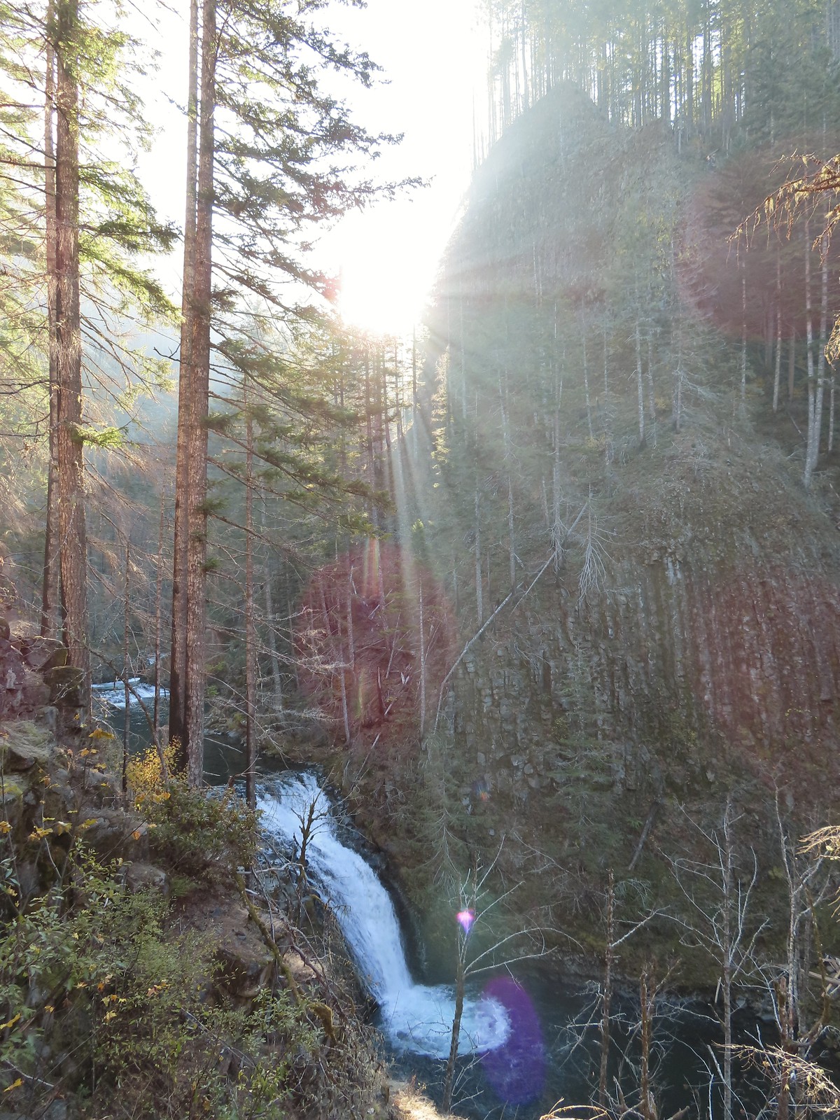 Grand Union Falls
 Tunnel Falls
 Twister Falls
 Seven Mile Falls
