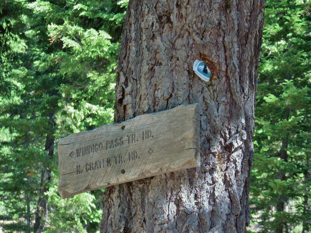
In June 2022 we spent a night in Roseburg during a week of vacation. Before checking into our room we had spent the day visiting several waterfalls along Highway 138 (post). The next day we had originally planned on hiking the Cow Creek Trail on our way to Ashland, but we wound up doing other hikes instead and saved Cow Creek for another year (post). This was the year that we put Cow Creek back on our schedule. The plan was to hike the Cow Creek Trail Saturday morning then spend the night in Roseburg and the following morning hike the 1-mile Shadow Falls Trail before returning home.
Our timing coincided with the first weekend of Summer as well as some unseasonably cold and wet weather. As the weekend neared and the forecast became clearer, Saturday called for rain showers along with temperatures in the upper 30’s to low 40’s (Fahrenheit). Sunday however was going to be rain free with partly sunny skies emerging later in the day.
Friday evening we decided to tweak our plans and visit Shadow Falls on Saturday morning and save Cow Creek for Sunday. With Shadow Falls only being a two-mile hike we would have plenty of time to add some other stops. While we had visited most of the well-known waterfalls along Highway 138 in 2022 there were a couple that we had not stopped at so we added those to the itinerary along with a stop at Cavitt Creek Falls near Shadow Falls and the Clearwater River Trail along Highway 138. This would give us a 5 stop day and close to 6.5-miles of hiking.
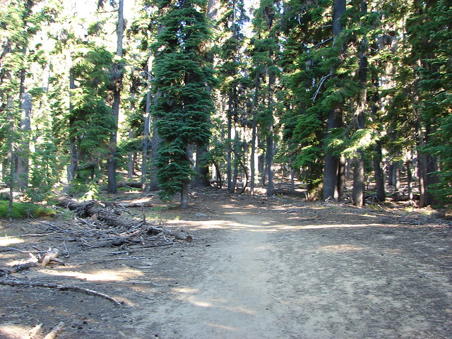
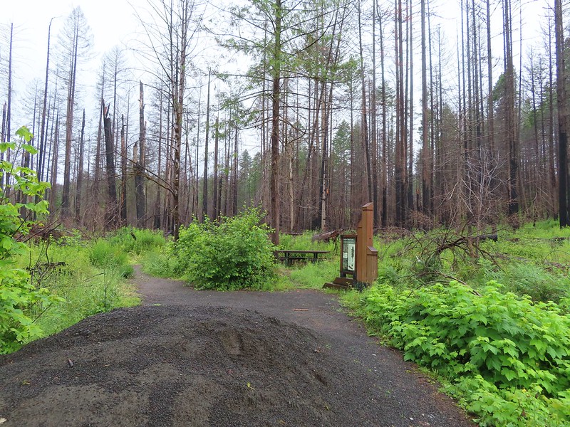
We made the approximately three-hour drive from Salem to the Shadow Falls Trailhead along Forest Road 25 in the Umpqua National Forest. The drive took us to Glide on Highway 138 where we turned off onto Little River Road which we were familiar with from our visit to Wolf Creek Falls in August 2022 (post).

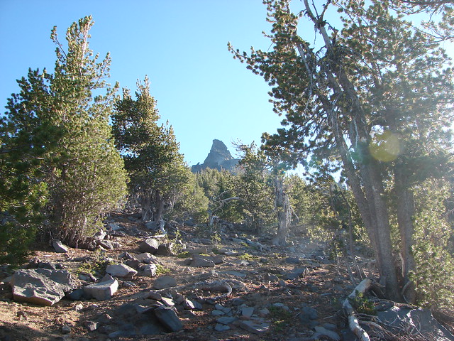
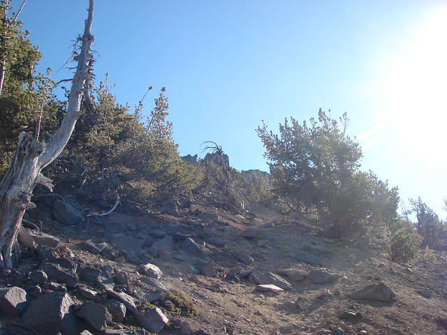
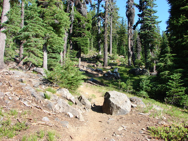
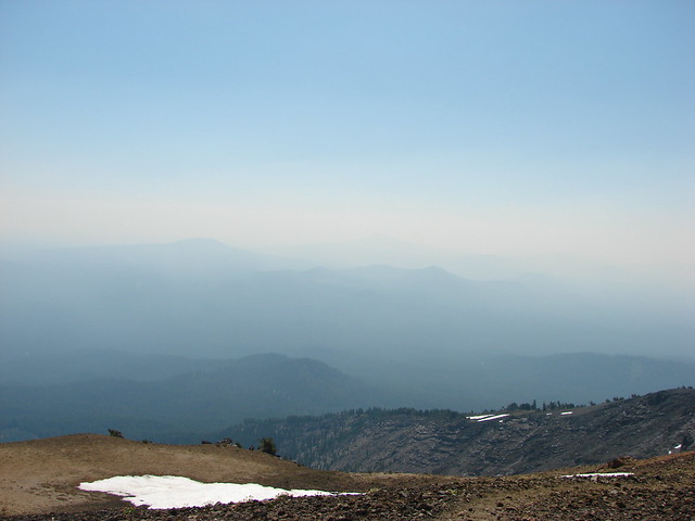
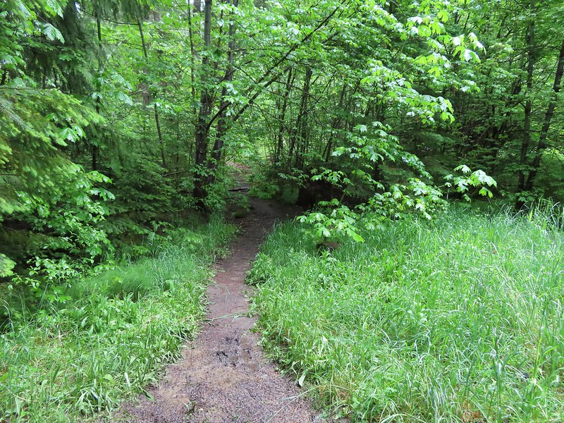
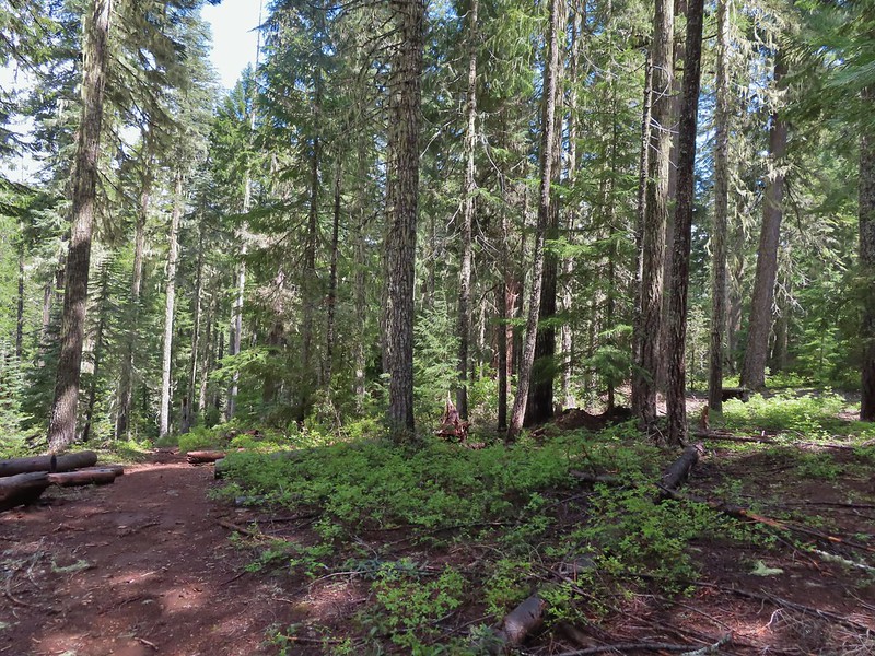
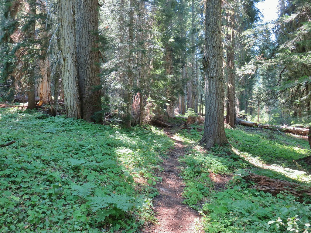
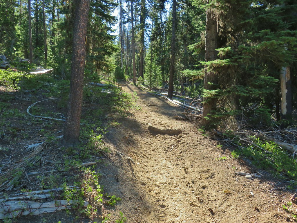
The hike here is straightforward with the trail losing a little over 300′ of elevation in a mile to a viewpoint of the waterfall.


Salal

Oregon goldthreads

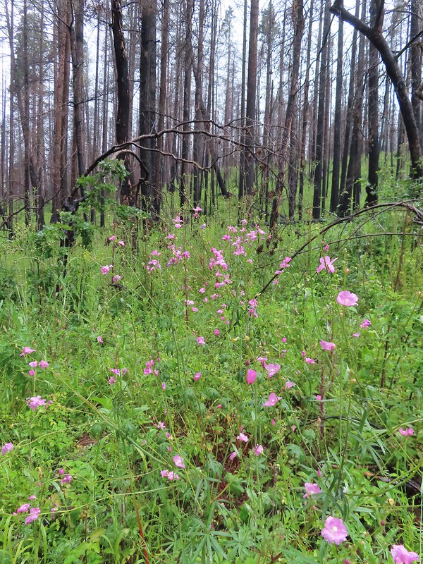
Geranium

Snail

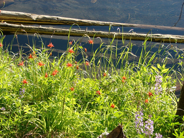
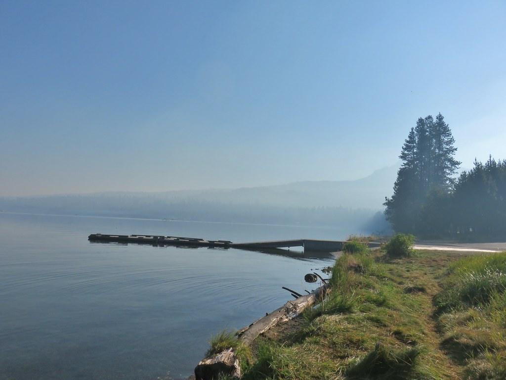
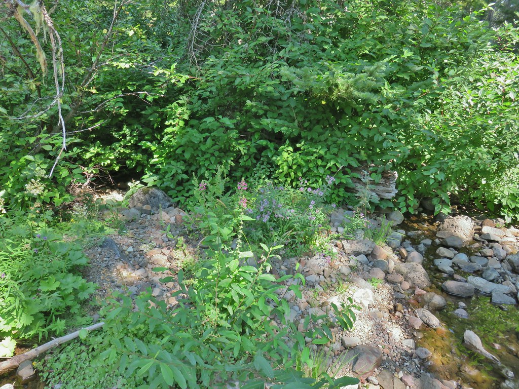
Footbridge over Cavitt Creek.

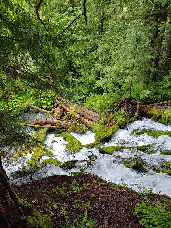
Cavitt Creek


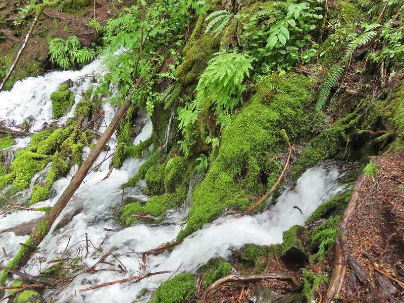
There were some nice rock formations along the creek.

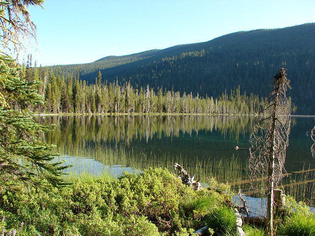
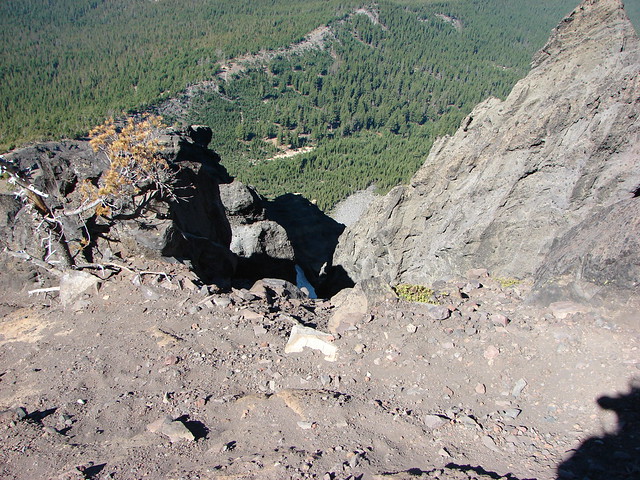
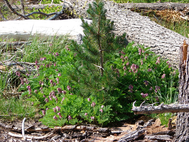
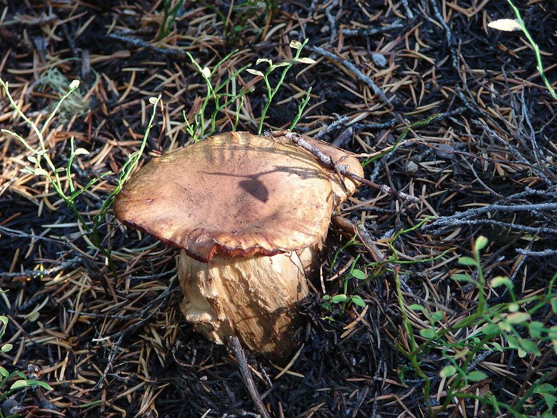
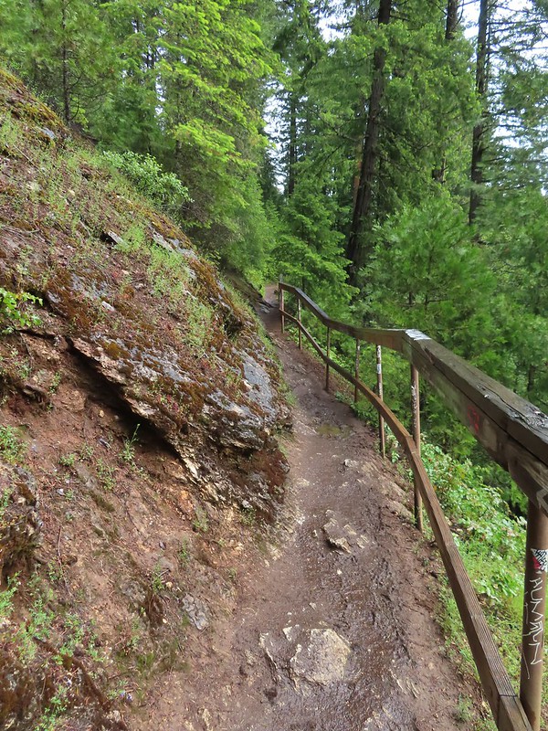
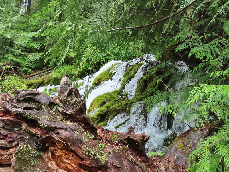
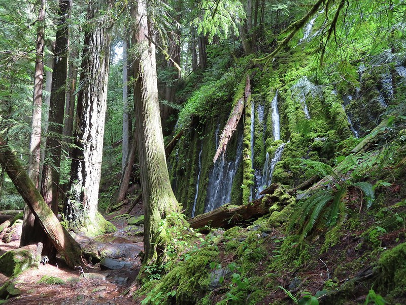
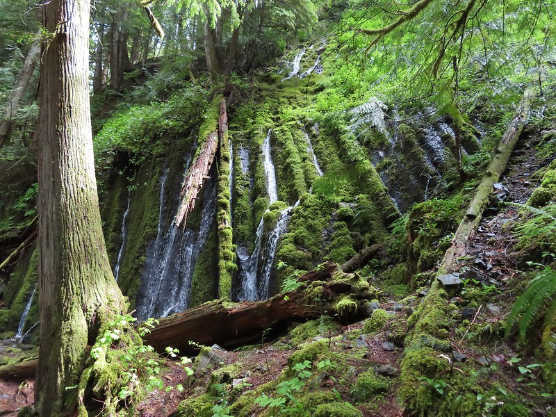
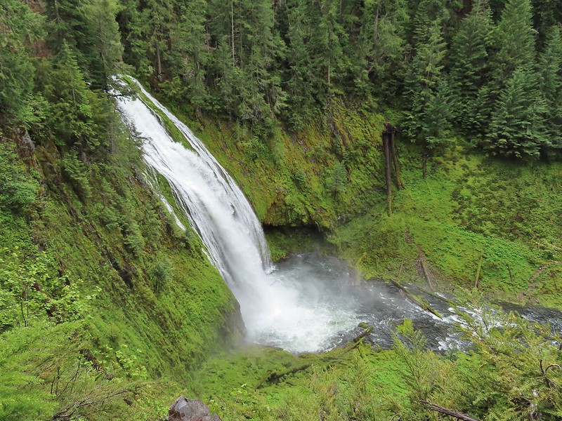
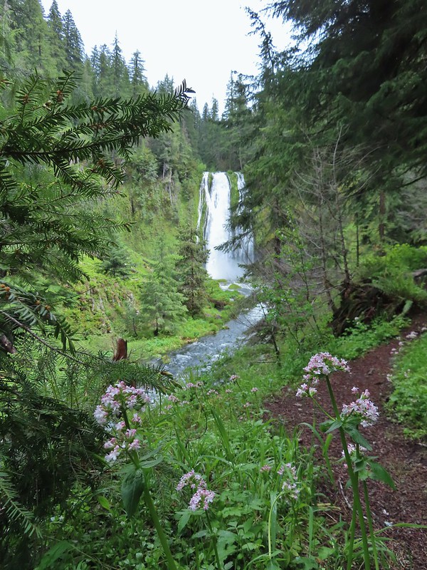
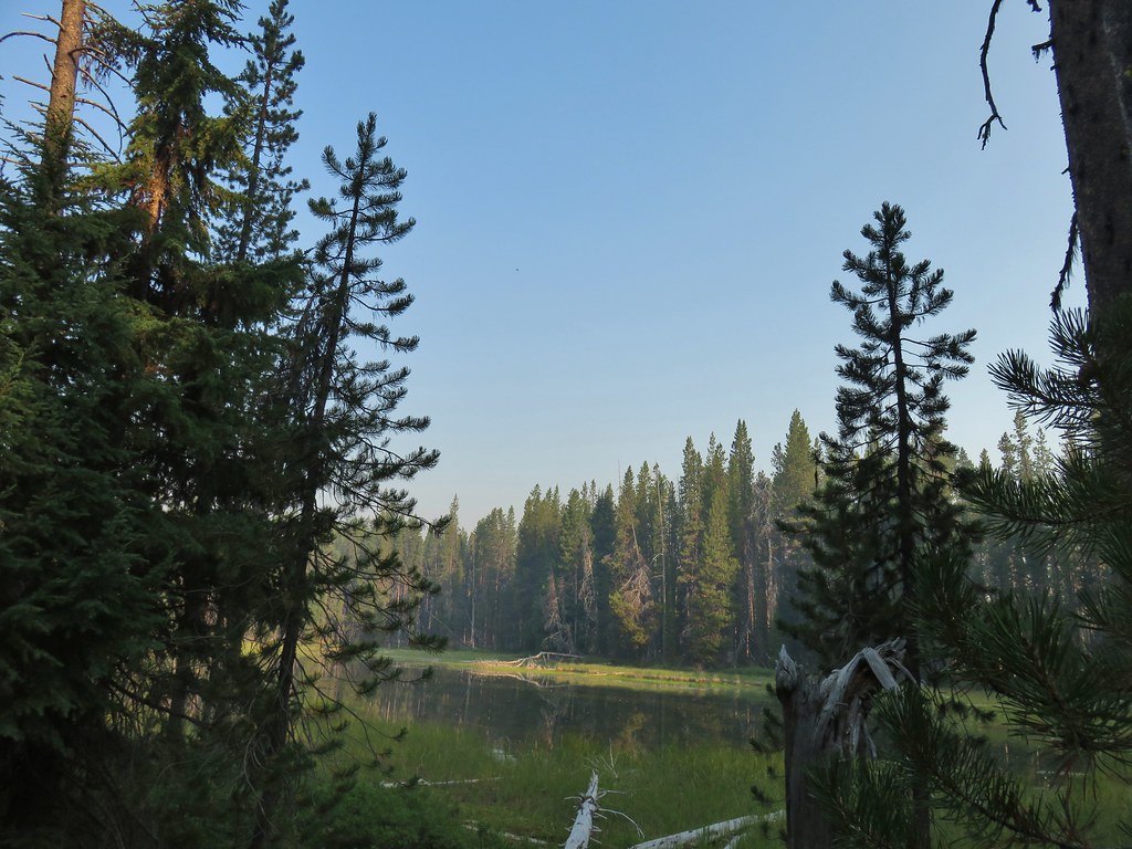
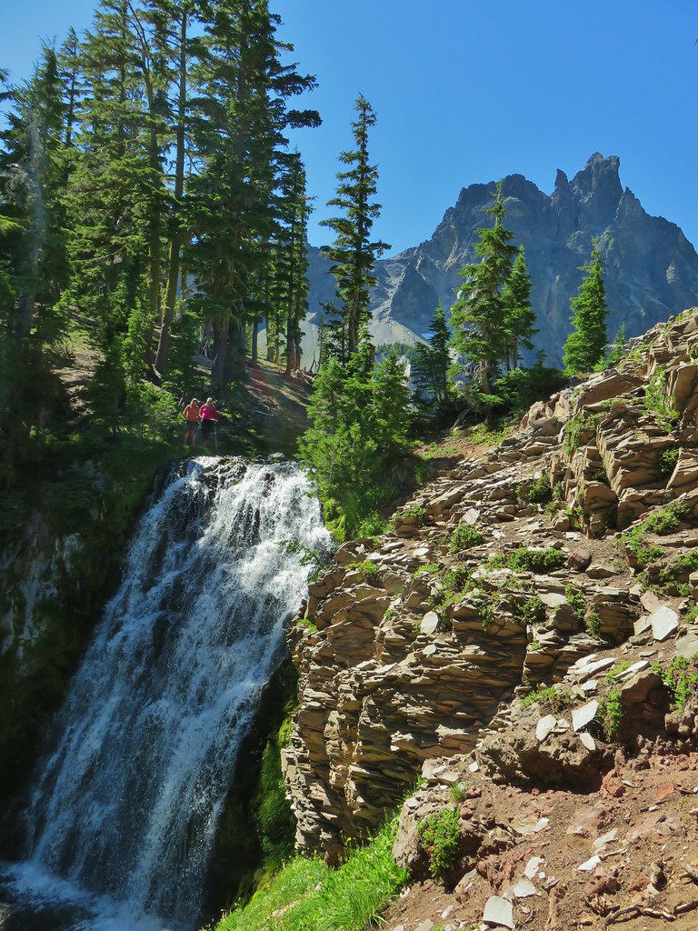
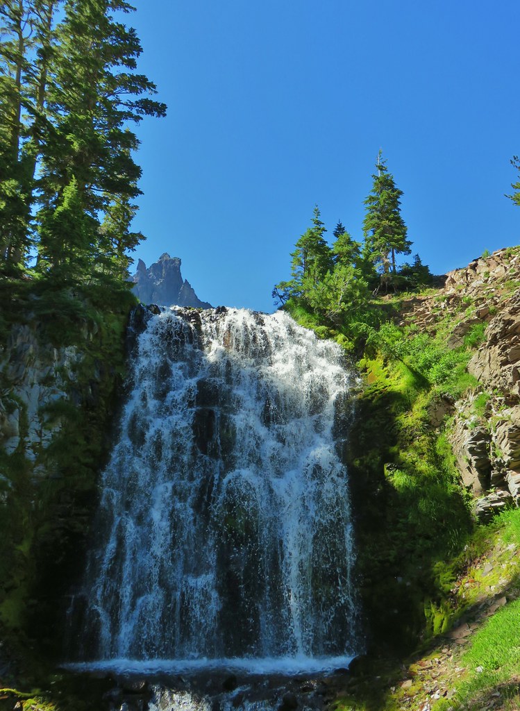
Shadow Falls

Shadow Falls
There was a rope and scramble trail next to the fence at the viewpoint, but with the wet and muddy conditions we stuck with the view from the end of the official trail. After spending a little time admiring the waterfall we headed back up to the car.

Rhododendron

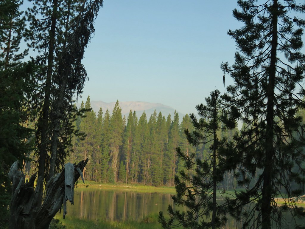
Looking down from above the falls.

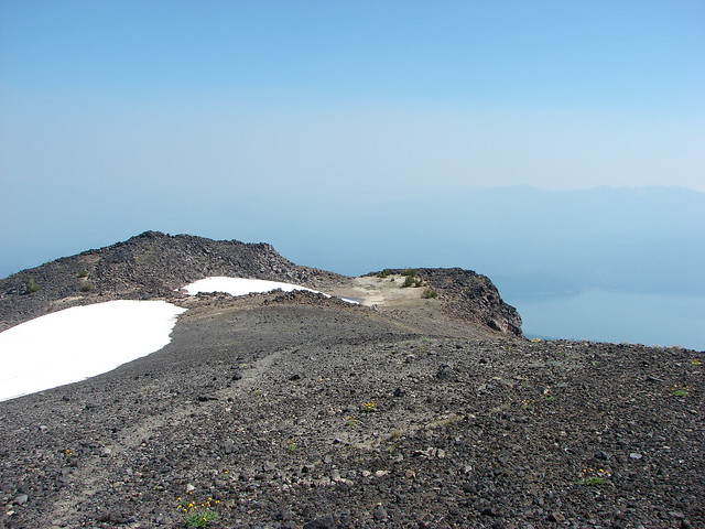
The top of Shadow Falls.

Northern phlox
From the trailhead we drove back along FR 25 8.5-miles to the BLM managed Cavitt Creek Falls Recreation Site. The site consists of 10 campsites ($10.00 fee and reservations must be made 5 days in advance) and a day-use picnic area. The main attraction is a swimming hole below Cavitt Creek Falls. The falls themselves are under 10′ in drop, but they are a scenic little cascade. An ADA accessible trail leads down to a viewpoint above the falls, and a set of stairs continues down to the swimming hole.

The campground host from the small day-use parking area.

The wheelchair accessible path.

Picnic area near the viewpoint above the falls.


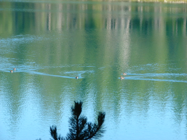
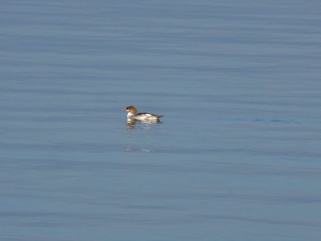
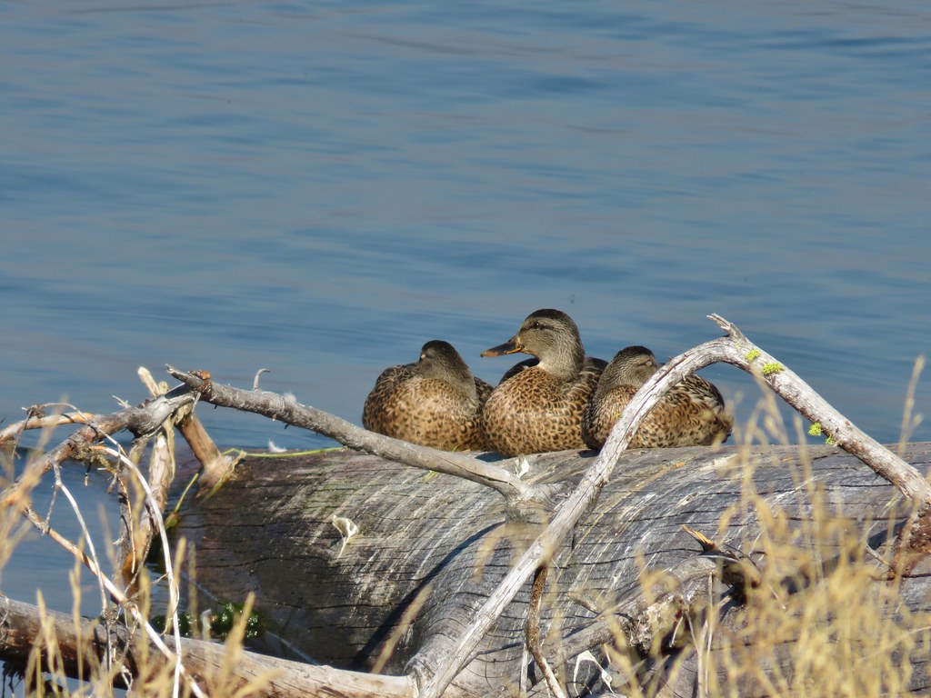
The swimming hole was empty except for this common merganser.


Cavitt Creek below the falls.
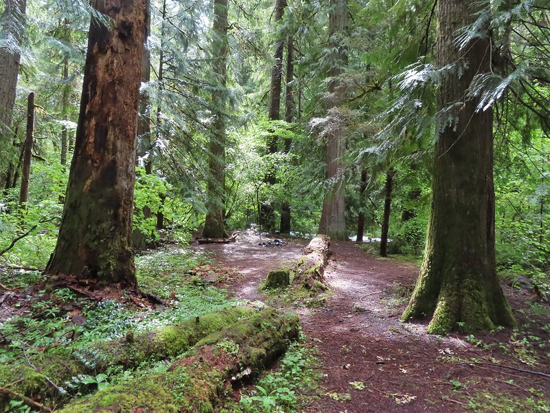
This was a nice little stop where we managed to get in almost a third of a mile of walking. Being there on a wet, chilly morning worked out great for just checking out the waterfall. We returned to our car and made our way back to Highway 138 where we turned right (east) and headed for our next stop at Clearwater Falls. It was a little over 63 miles from the Cavitt Creek Falls Recreation Site to the Clearwater Falls Campground where we parked near the picnic area and followed a short (one tenth of a mile) path to the beautiful Clearwater Falls.


Rogue-Umpqua Scenic Byway Map at the picnic area.

First time we’ve seen a wolf warning; it is usually bear or cougar.


Understandably this was the first stop where there were other people, but it wasn’t crowded, and everyone got a chance for a little solitude on the observation deck. After taking our turn we returned to the car and headed back west on the highway just 3.6-miles to Whitehorse Falls Campground.

The small parking area near the picnic grounds.

An even shorter trail here led to a viewing platform for Whitehorse Falls. We saw several of the same faces here as we’d seen at Clearwater Falls.


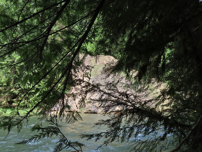
Clearwater River below Whitehorse Falls.
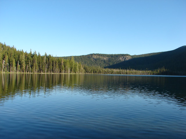
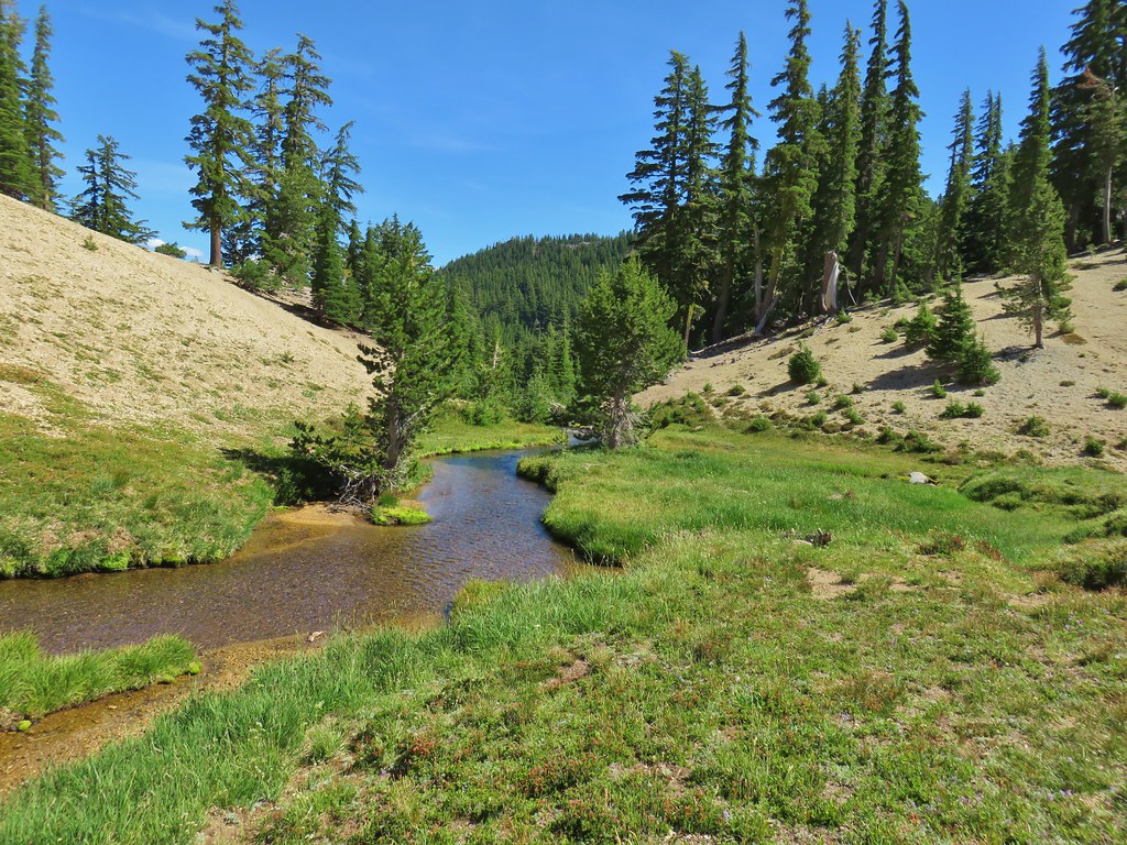
Once again we returned to the car and continued west, this time 8.8-miles to the Clearwater (East) Trailhead.

The trailhead is just a pullout along the shoulder of FR 4776.
The 1.7-mile Clearwater River Trail begins (or ends if you start at the Clearwater (West) Trailhead) on the opposite side of the road.

The pointer to the right was labeled “Unmanaged Trail” which was a term we had not encountered before. We would pass four such signs along this trail and can only assume they are use trails connecting to FR 4776 at various points.
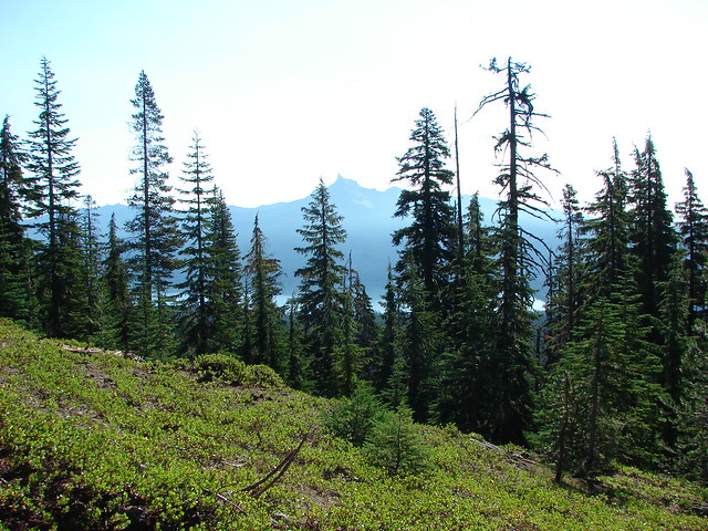
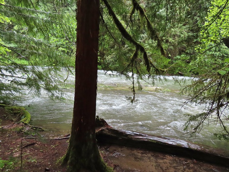
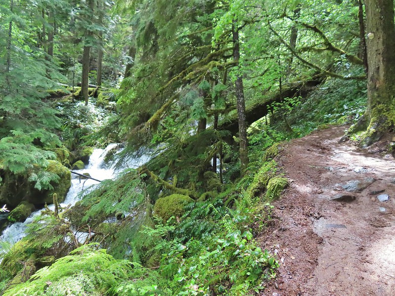
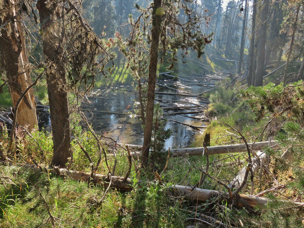
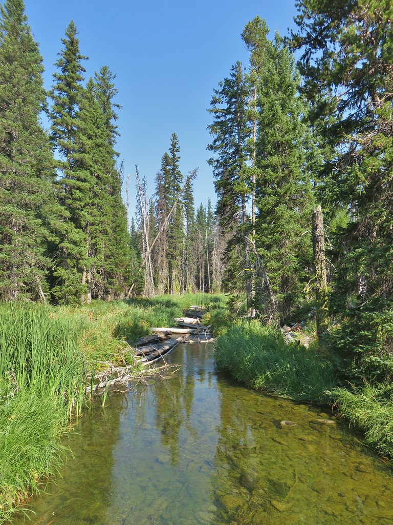
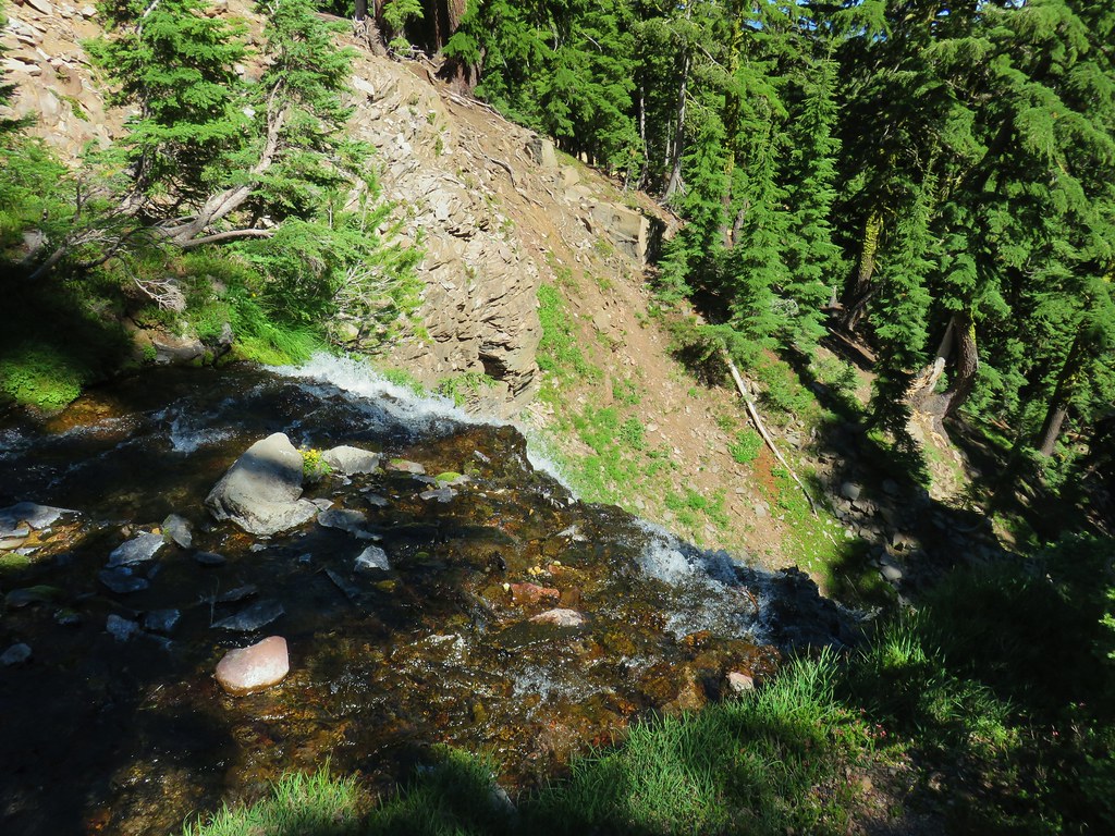
This was a lovely trail which made a couple of ups and downs as it followed the river toward Toketee Lake.


Crab spider on prince’s pine.


Twin flower

This was the biggest skunk cabbage that we’d ever seen.

Hedge nettle

Tiger lily

Northern phlox

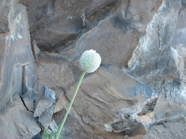
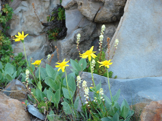
Arnica

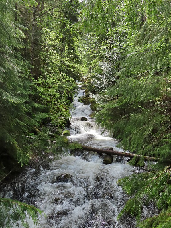
One of several small cascades along the river.

Scouler’s bluebells


Rhododendron


Another Unmanaged Trail heading off to the right.

Candysticks

Yet another Unmanaged Trail.


Arriving at the west trailhead.

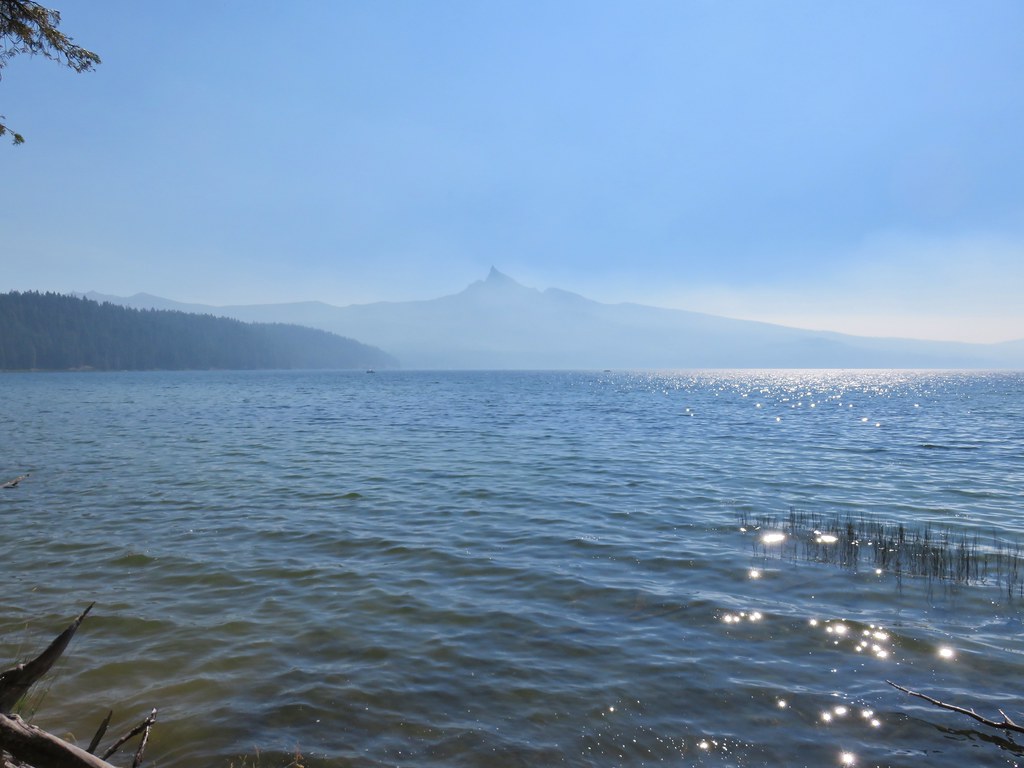
We were hoping for a view of Toketee Lake, but we would have had to road walk a bit to get one.
We returned the way we’d come without seeing another person on this trail.


Foam flower

There were a pair of ouzels flying around this cascade.

Ouzel aka American dipper.
This stop came to 3.5-miles, our longest hike of the day. There was a little noise from the highway at brief times along the trail but for the most part the river drowned out the cars. It was a good way to end the day as far as hiking went.

With all the stops being short and/or simple out-and-backs instead of the individual tracks here is a map of their relative locations.

This image includes our 2022 visits as well.
We timed things pretty well too with the rain really letting loose on our drive into Roseburg. After checking in to our room and getting changed we headed out to get some dinner at 7 Seven Thai which turned out to be a great pick, then headed to Fred Meyer for some room snacks before turning in for the evening. Happy Trails!
Flickr: Highway 138 Waterfalls Part 2


 Fall Creek Falls
 Yasko Falls


 Lower Table Rock
 View from Upper Table Rock


 Checkermallow
 A slug and a bug on a flower.
 Pea
Pea
 Approaching the falls.
 Columbine
 Susan Creek Falls
 Evidence of overnight rains on the trail.
 A very faint rainbow over the North Umpqua River.
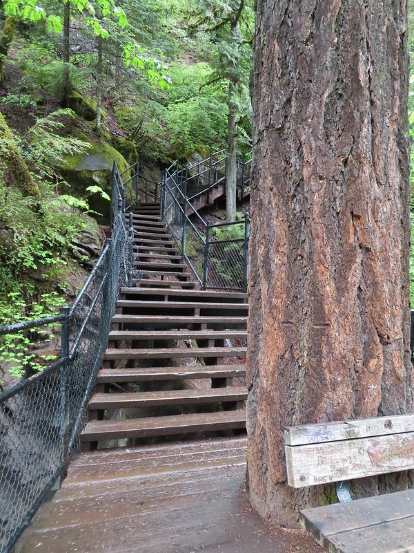 Stairs down to the viewpoint platform.
 Toketee Falls


 Candy sticks along the trail.
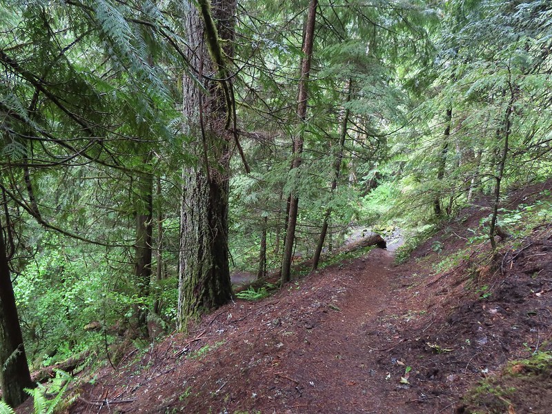
 During lower flow there is another hot spring along the river bank in the area.

 Heading up to the road.
 The North Umpqua Trail on the left leaving the FR 3401.


 The hot springs across the river from Columnar Falls.
 The top of Watson Falls from the trailhead signboard.
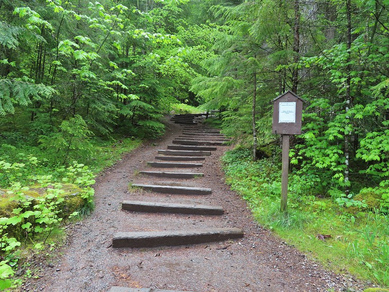
 Watson Falls from below.
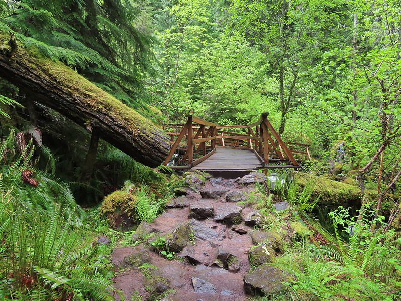 Footbridge over Watson Creek.
 Heather at the viewpoint.
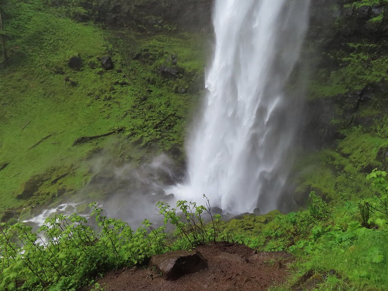 The splash pool.
 Watson Creek at FR 37.
 A little bit of blue sky and sunlight along FR 37.

 Viewing platform above the falls.
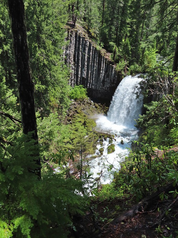 We both really liked the angled basalt cliff on the far side of these falls.
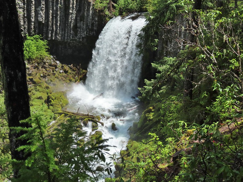
 The canal bridge is 5.6 miles from Highway 138 on FR 2610.
 Sign near the canal bridge.
 The North Umpqua Trail.
 The section between Lemolo Lake and the Umpqua Hot Springs Trailhead is called the “Dread and Terror Segment” but both sections we hiked were beautiful.
 Numerous seasonal streams and seeps flowed across the trail.
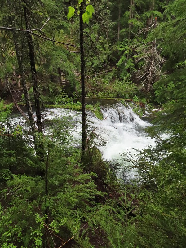
 Unnamed fall along the river.
 Trillium
 Ouzel
Ouzel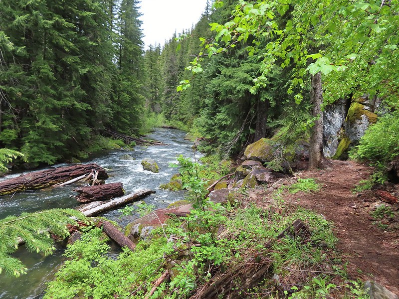
 Lemolo Falls
 Red flowering currant along the trail.
 Bleeding heart.
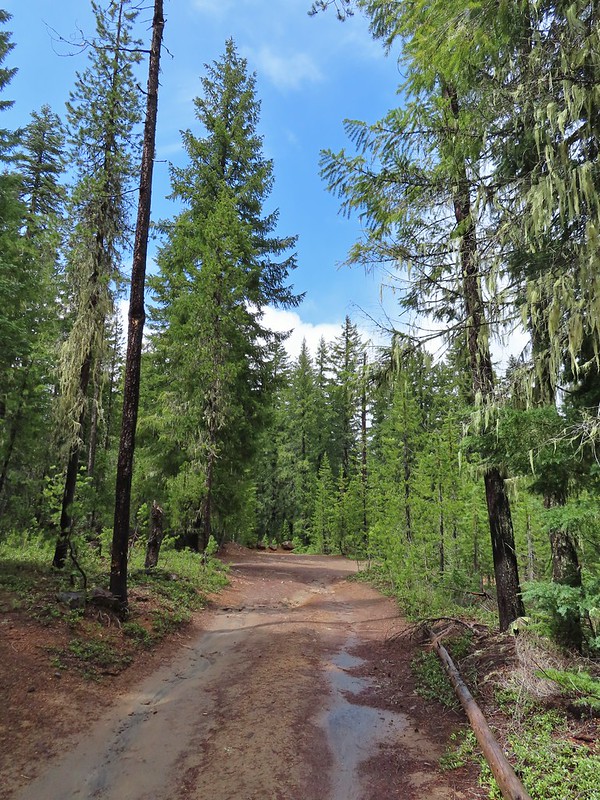 Approaching the trailhead.

 The former picnic area (Note the picnic table in the trees to the right.)
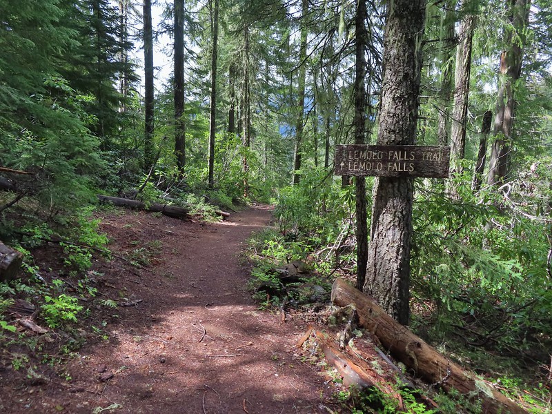
 Valerian along the trail.

 One of many brief appearances of blue sky during the day.
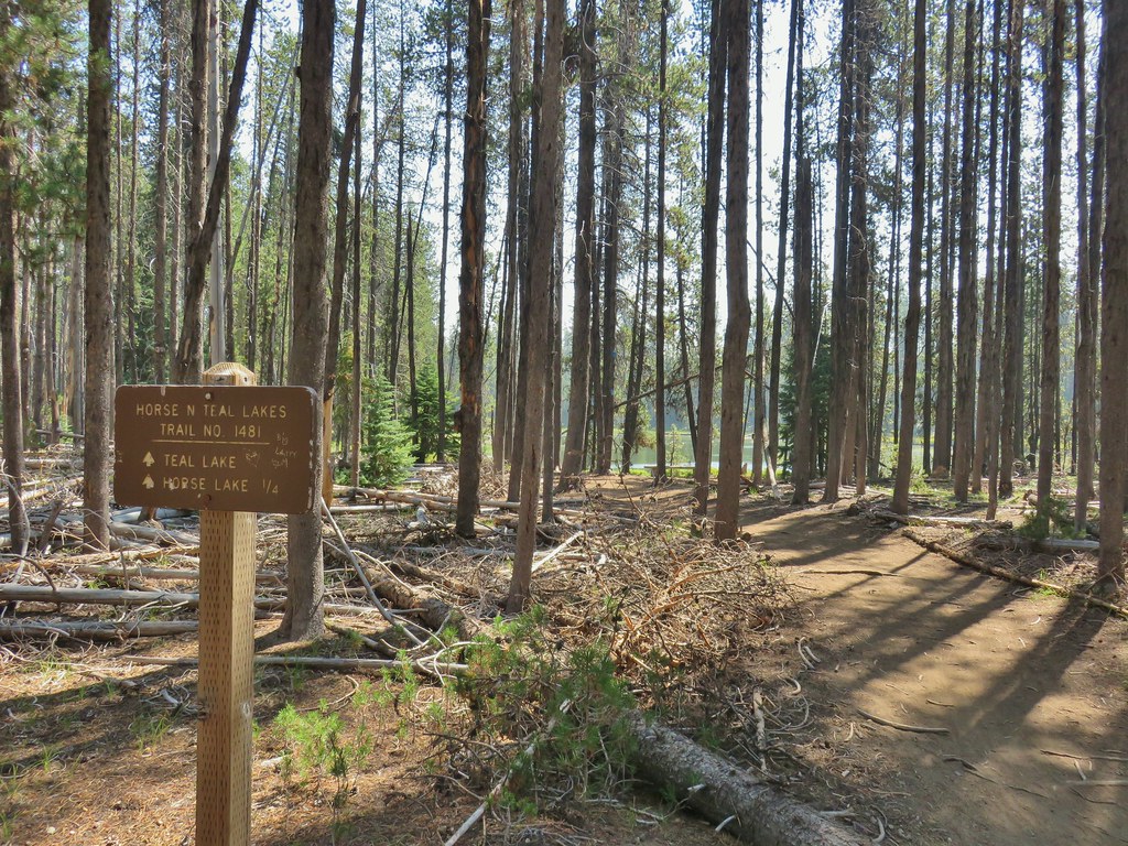
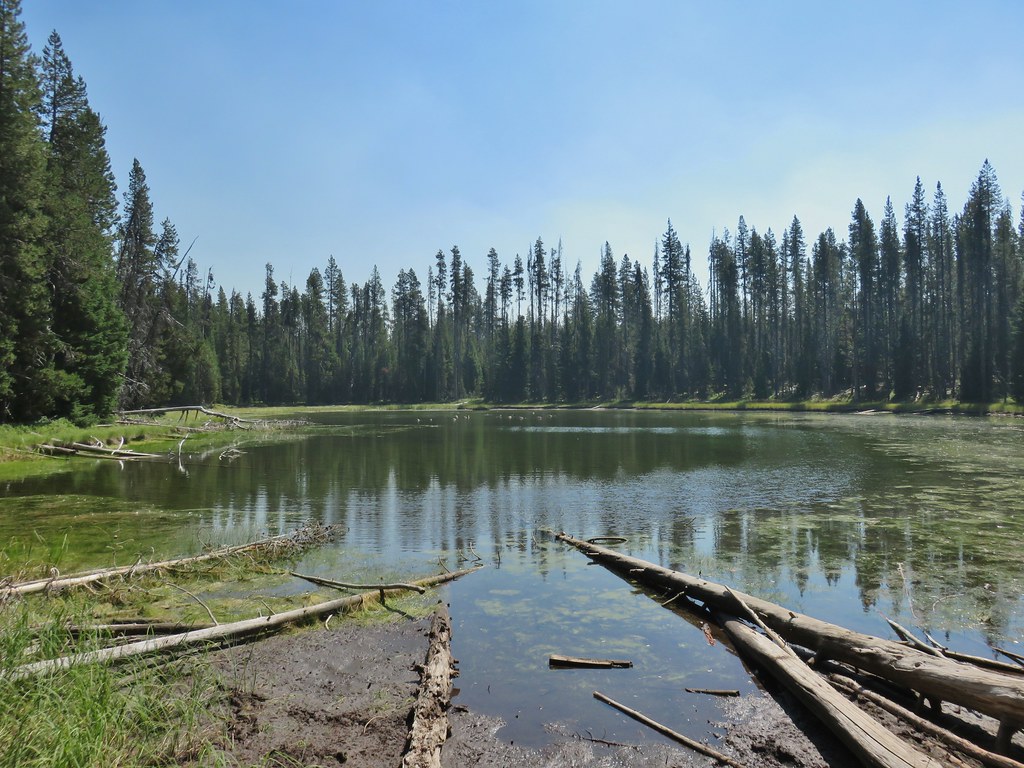
 Horse Lake
 Lesser yellowlegs


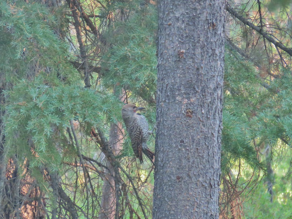 Northern flicker

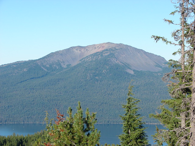
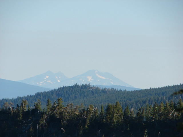
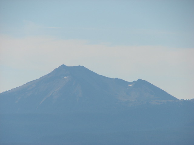
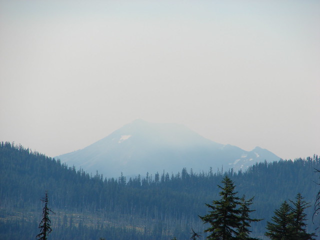
 Mt. Bailey beyond the meadow.
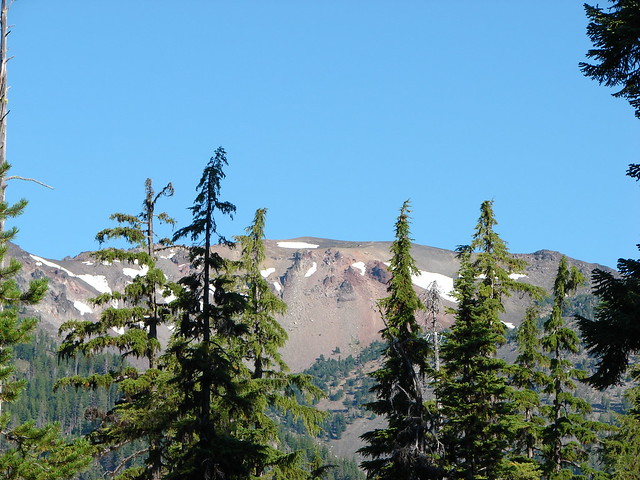
 Mt. Thielsen from the South Shore Picnic Area
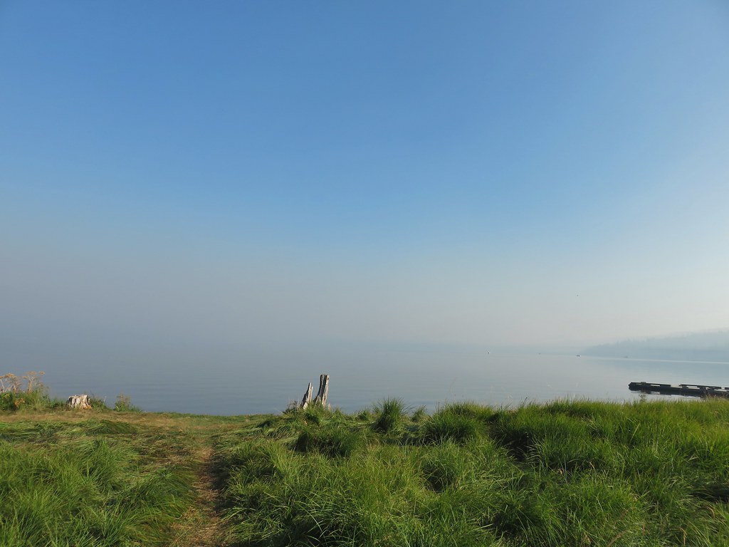 Diamond Lake underneath the smoke.
 Mt. Bailey
 Mt. Thielsen from the boat dock.
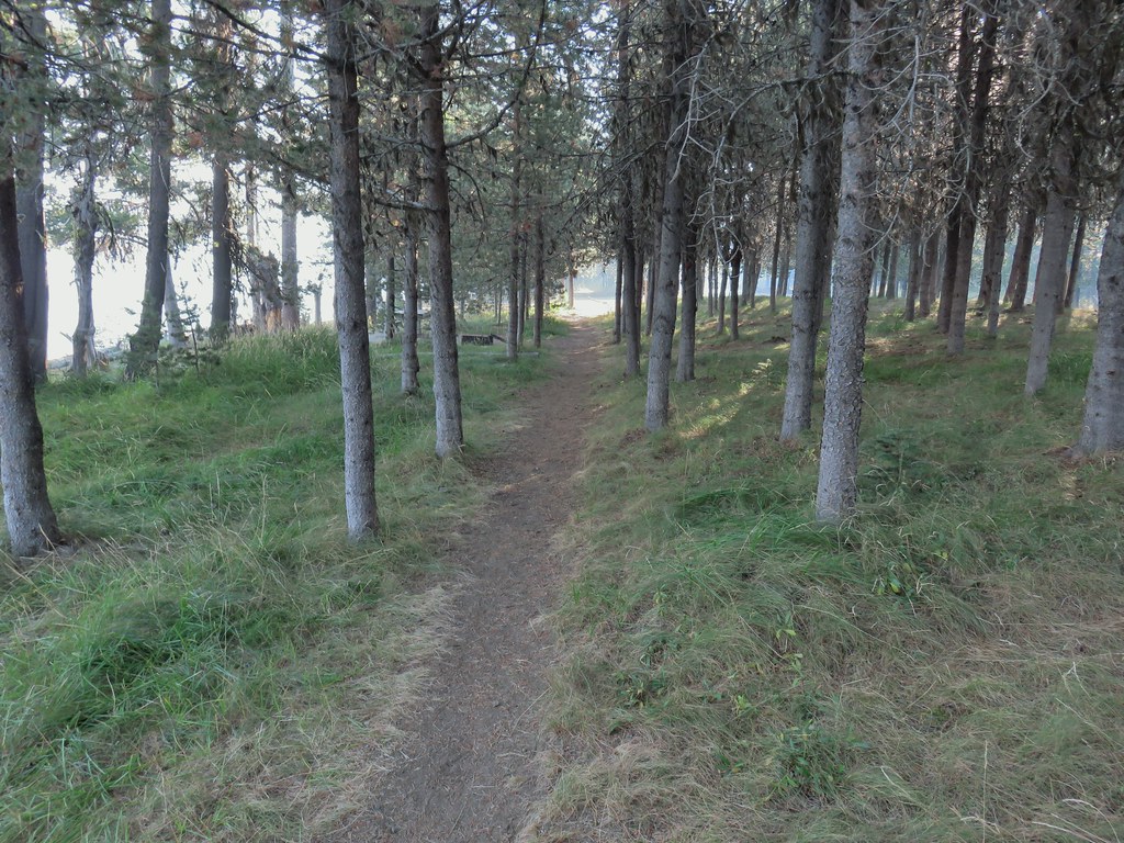 Picnic tables in the picnic area.
 Short Creek (it really is short)
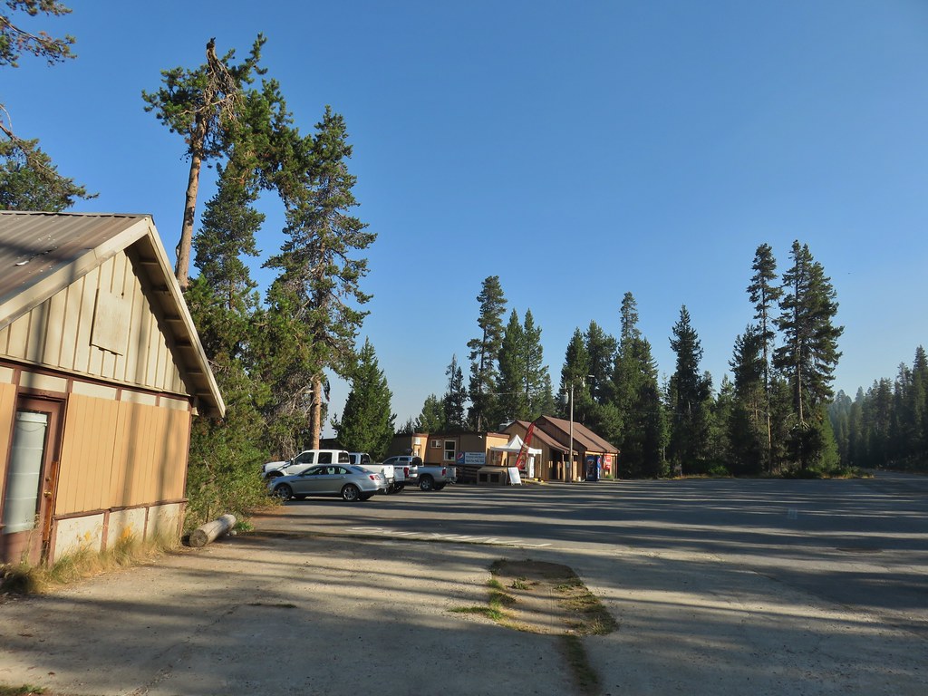 Resort buildings between the RV park and campground.
 Sign instructing users to follow painted bike symbols through the campground.
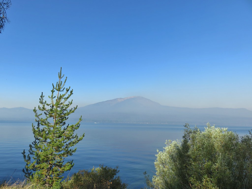
 Common merganser
 Goldeneyes
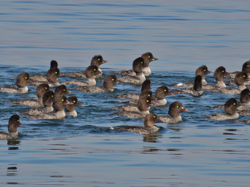

 Mt. Bailey again.
 Arriving at the lodge area.
 Seagulls


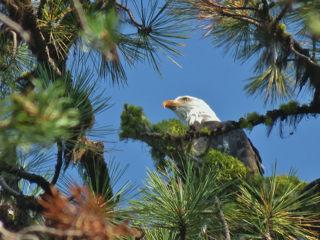 Bald eagle
 I’ve been spotted
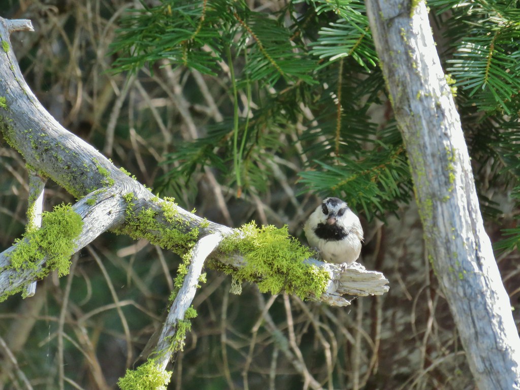 Chickadee with a seed or nut.
 Junco in some fireweed.
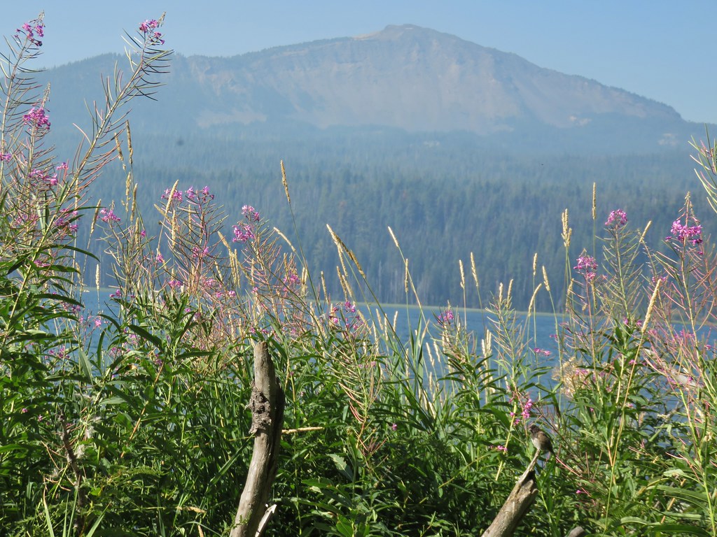 The junco with Mt. Bailey in the background.
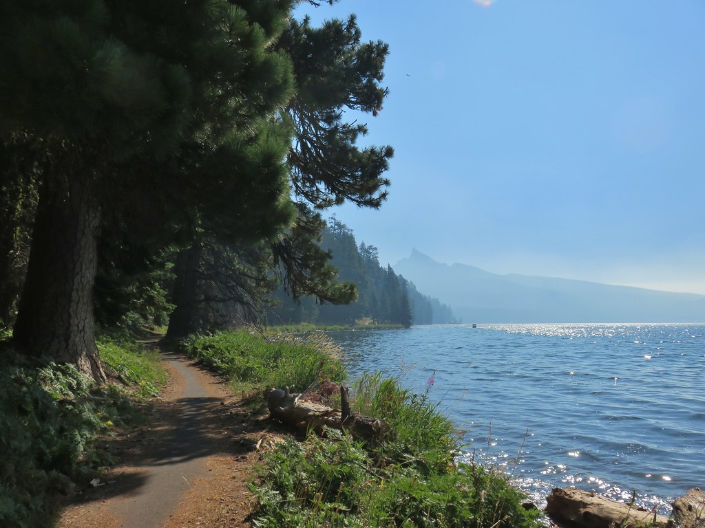 Looking back at Mt. Thielsen
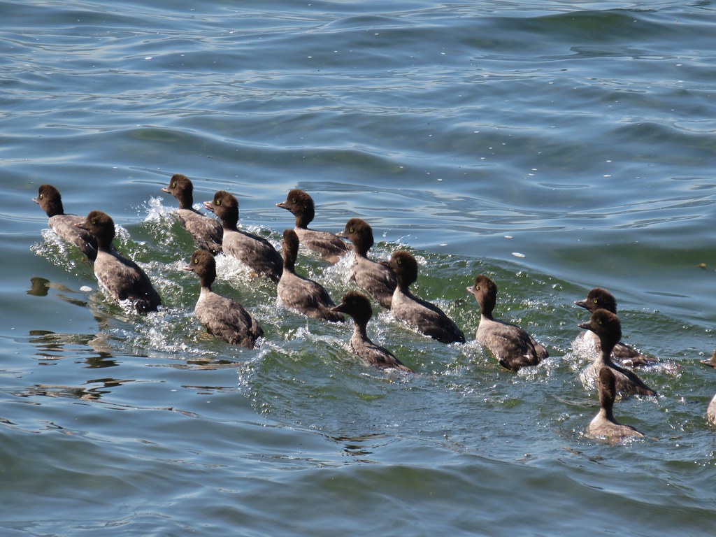 More goldeneyes
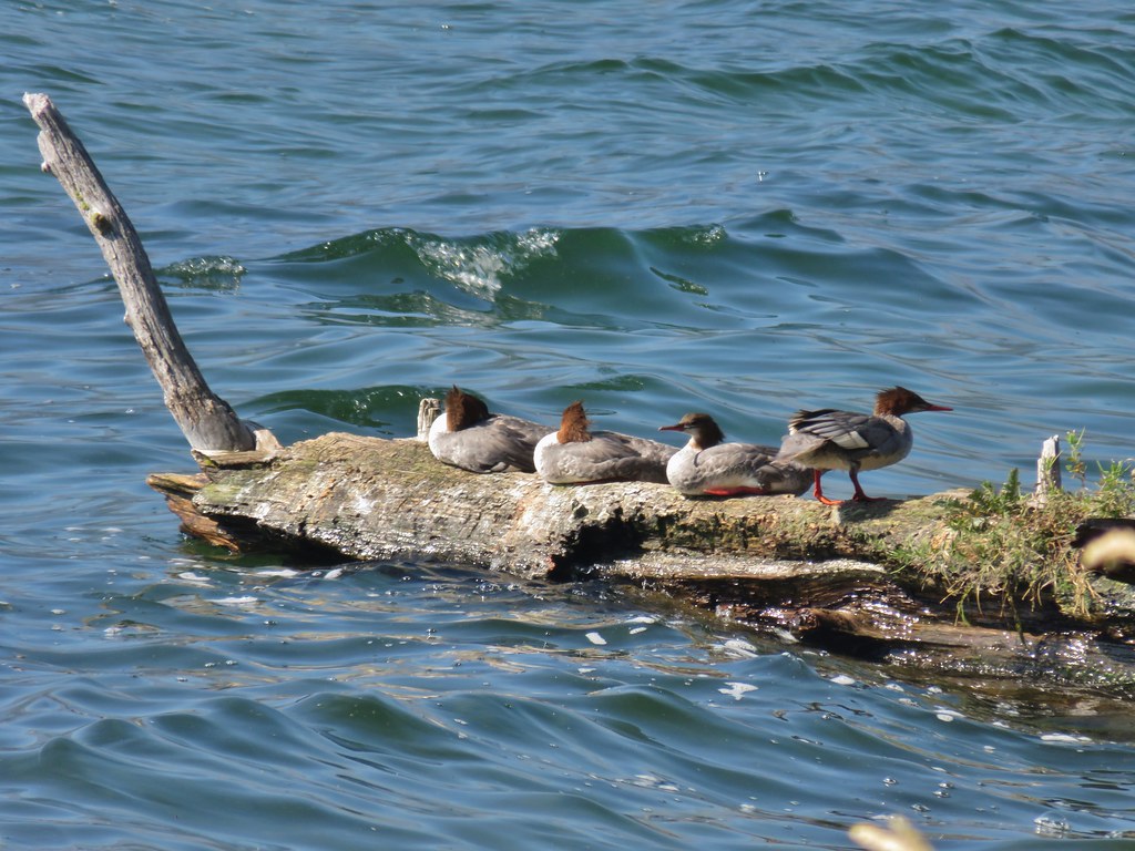 Mergansers


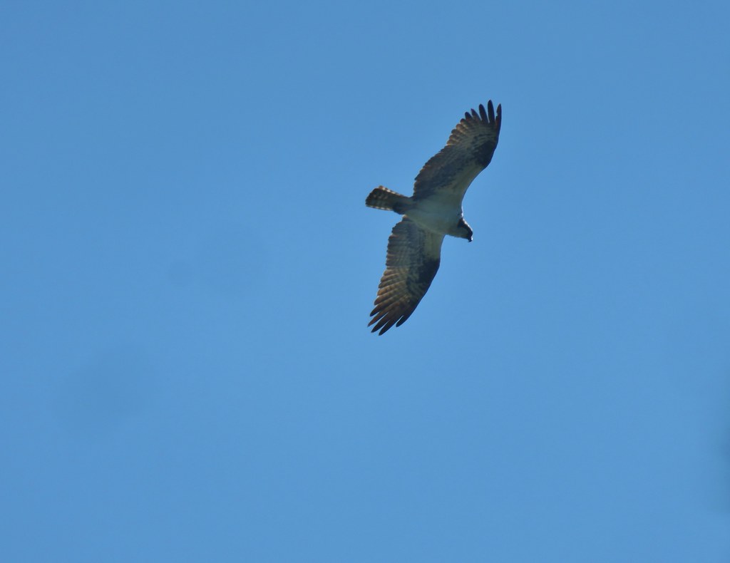 Osprey
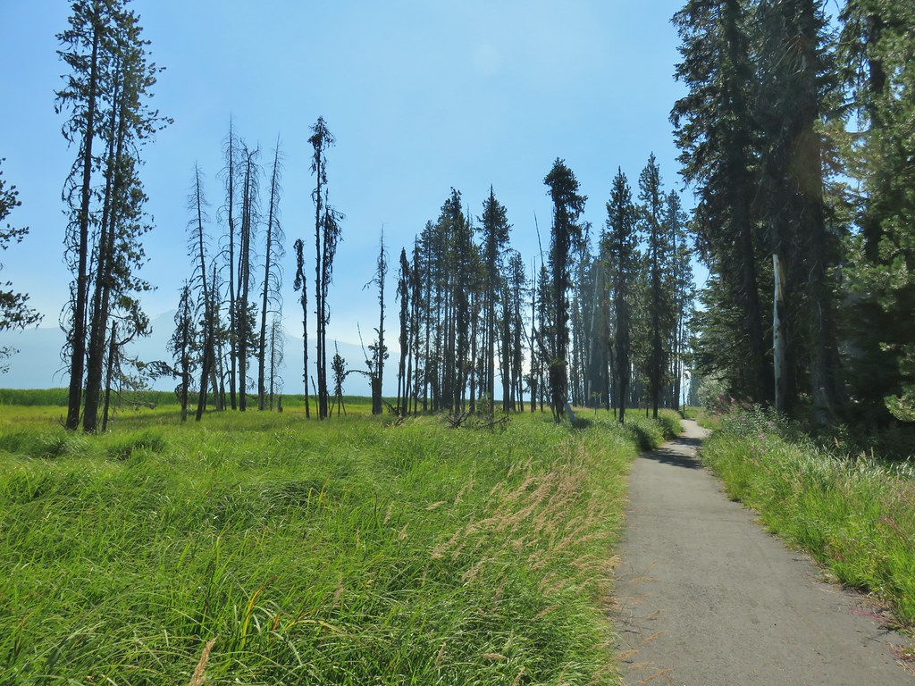

 Cormorant
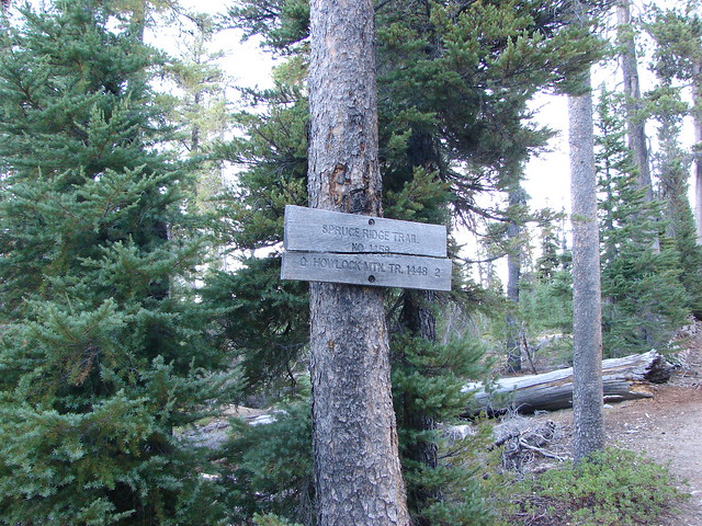
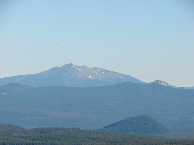
 Howlock Mountain to the left and Mt. Thielsen


 Back on the lake side of FR 4795.


 Canada geese at Teal Lake.
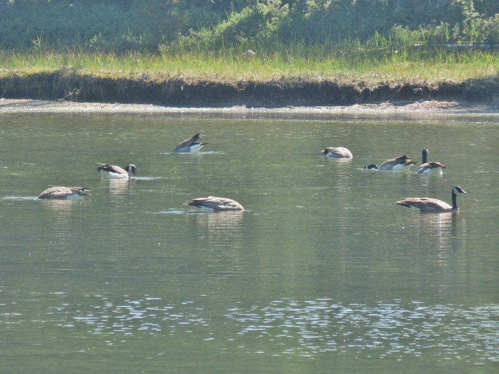


 hedgenettle and aster.
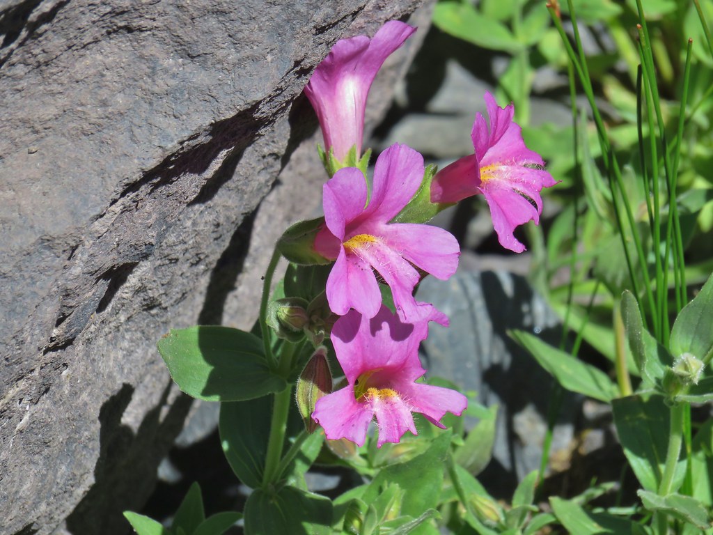
 Monkeyflower
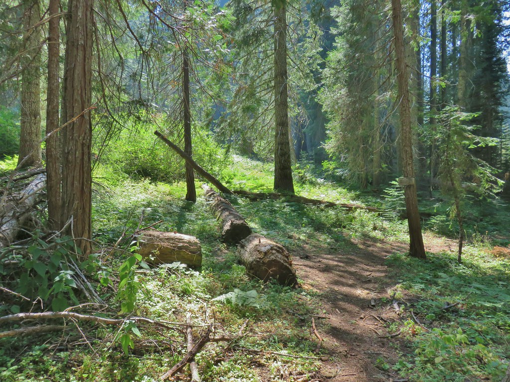


 Wiley Camp Trail on the right.
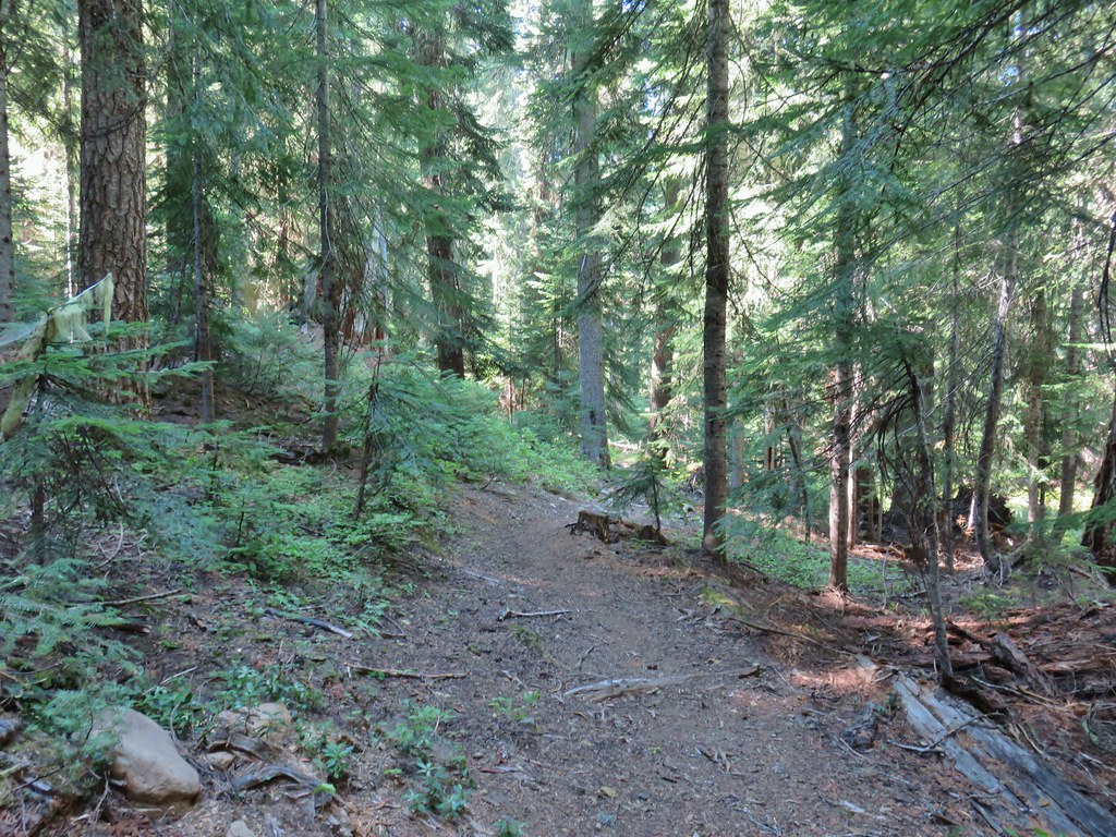

 Wiley Camp sign
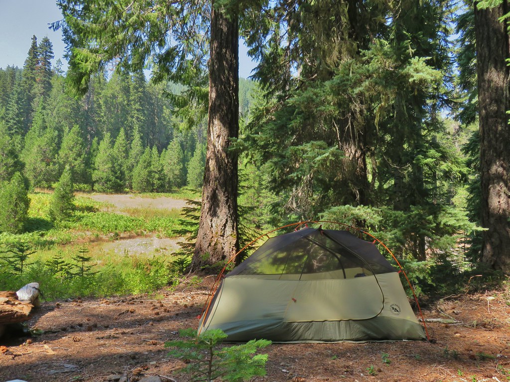

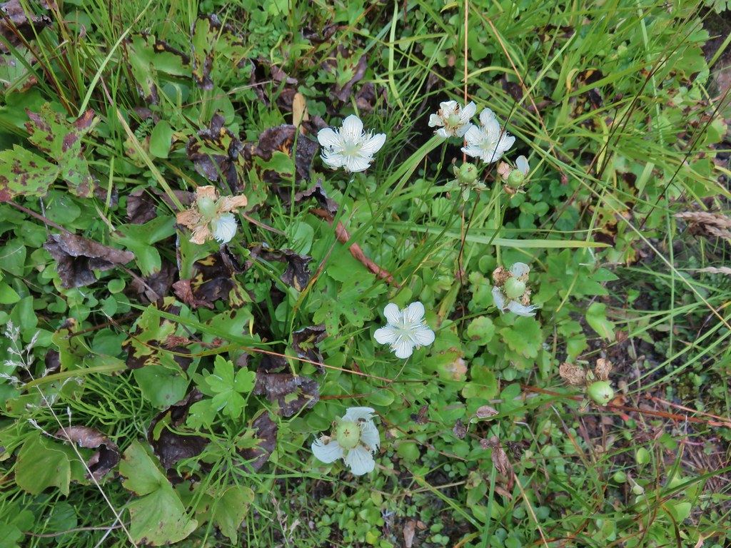 Grass of parnassus
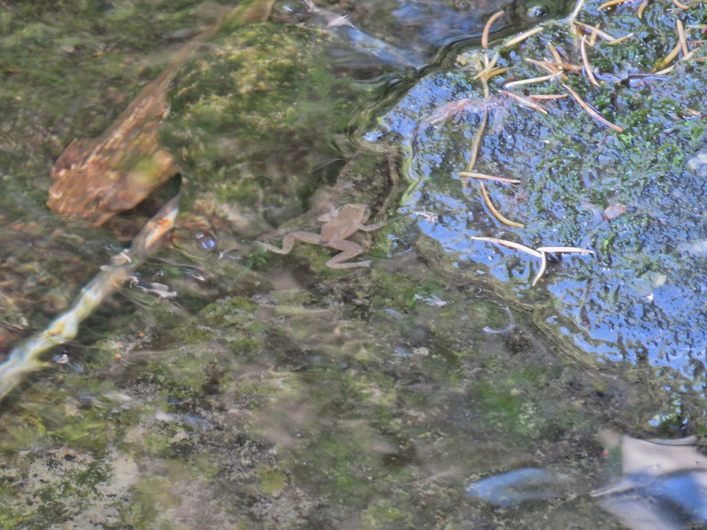 Frog
Frog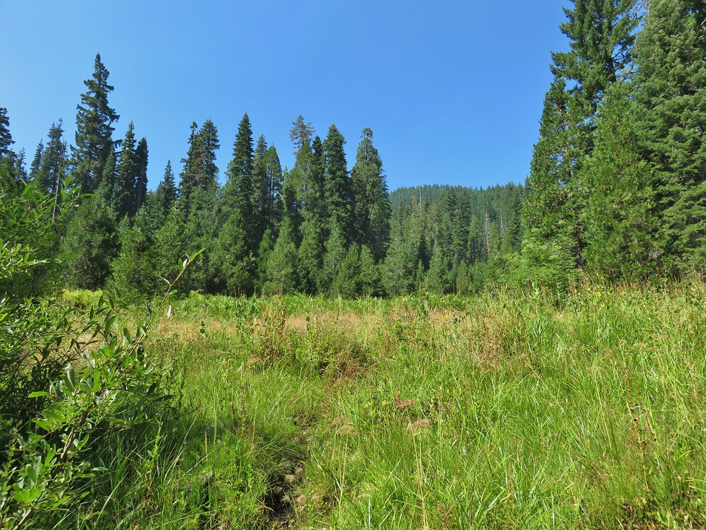 Trail leading up from the creek into the meadow.
 Big cedar at the edge of the meadow.
 Cairn and pink flagging (small tree to the right) marking the Wiley Camp Trail.
 Elder berry
 Twisted stalk


 Little bee landing on fireweed at the trailhead.
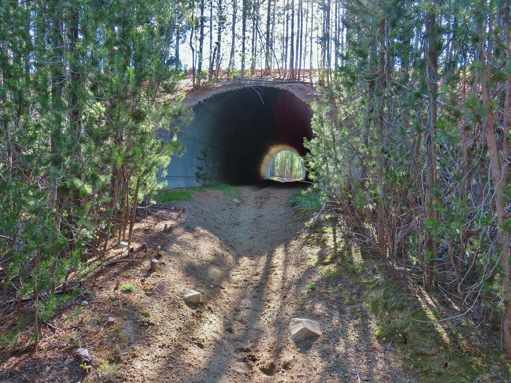


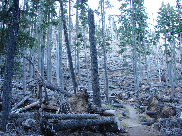
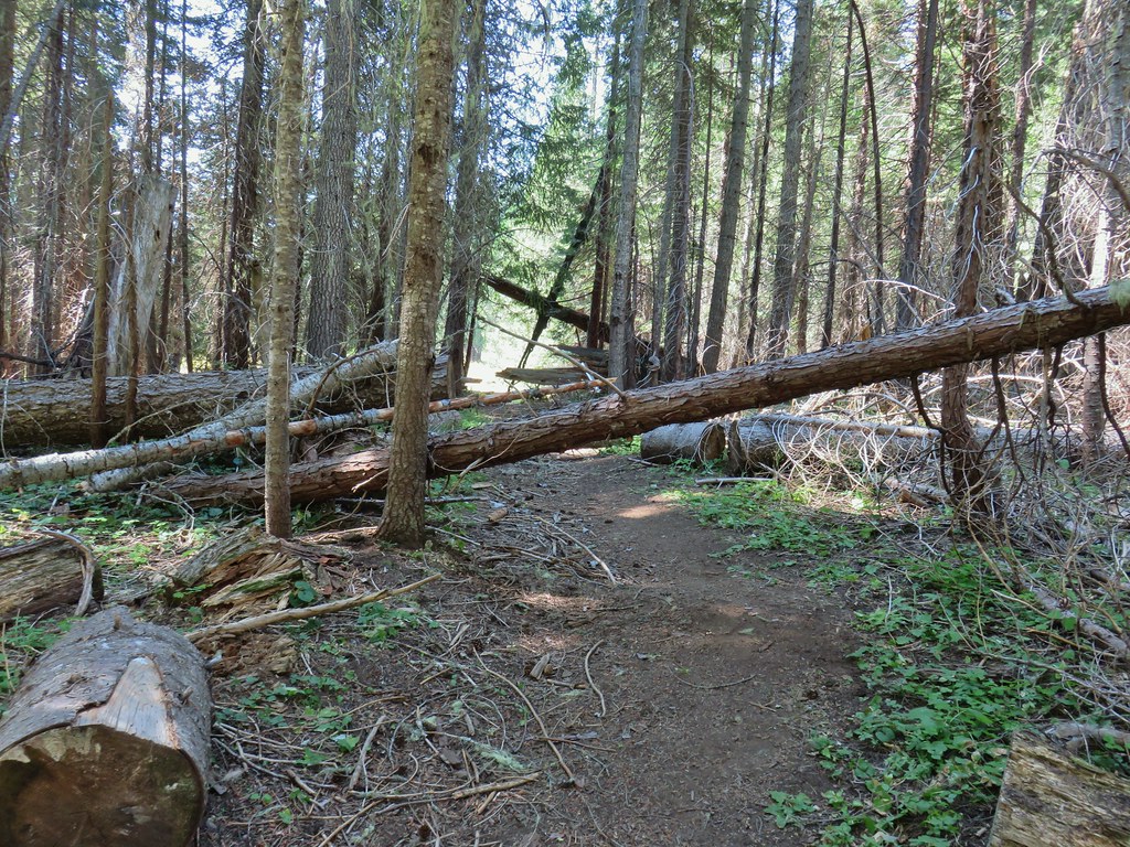
 Sample of the blowdown.
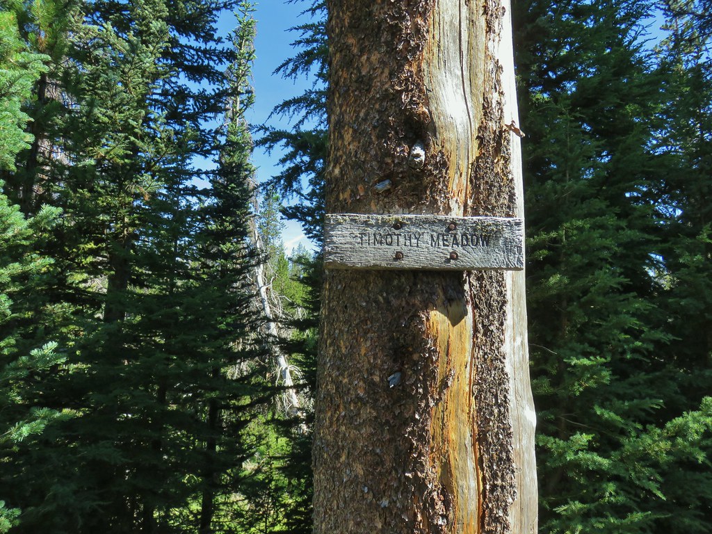

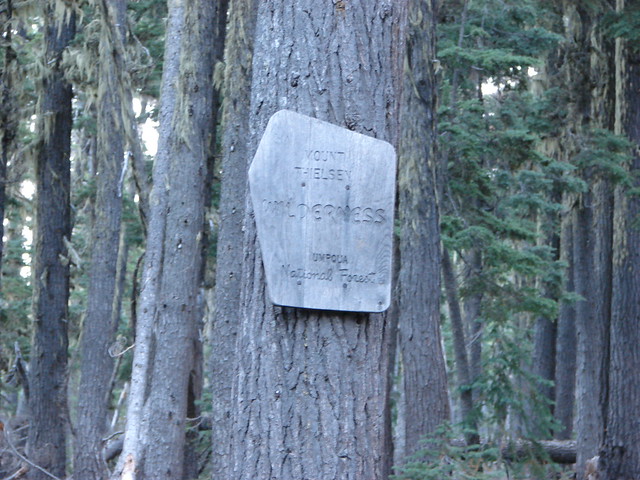
 Fittingly a downed log welcomed us to the wilderness.
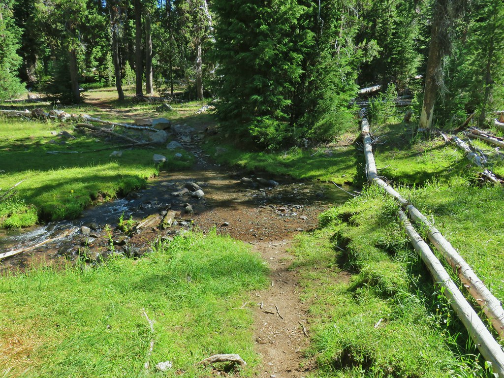 Thielsen Creek at the head of Timothy Meadows
 flower at Timothy Meadows
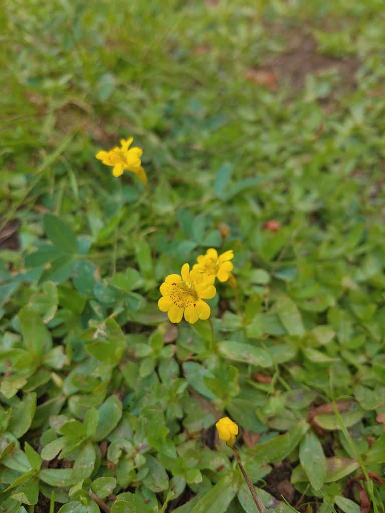 Musk monkeyflower?
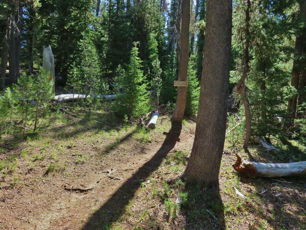 Thielsen Creek Trail
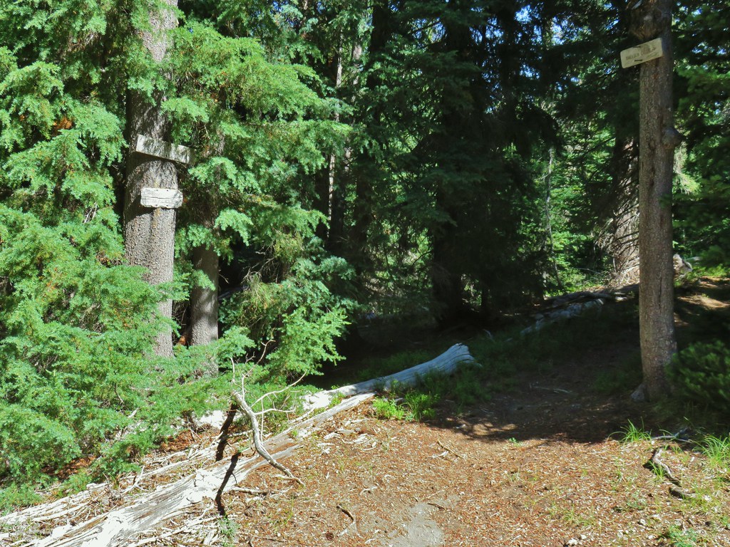 Howlock Mountain Trail
 Pinesap
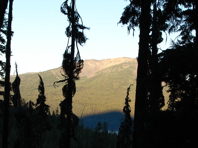
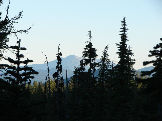
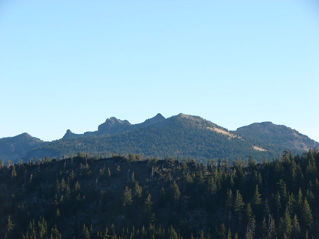
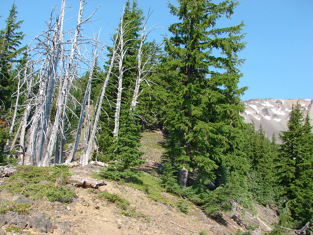
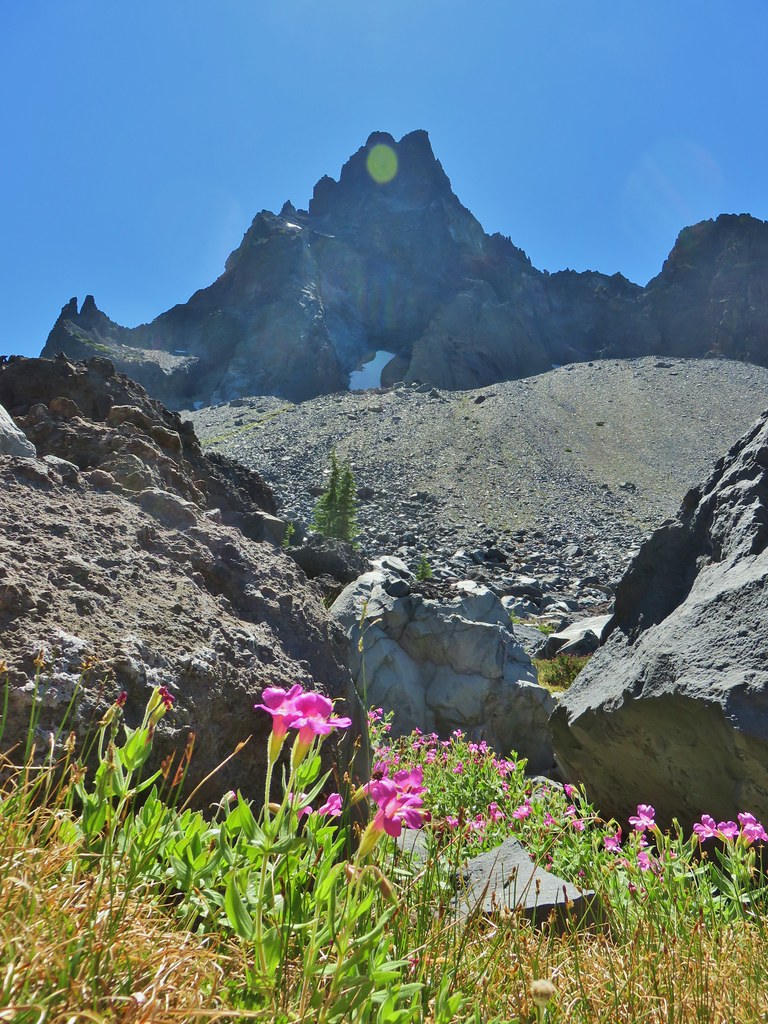
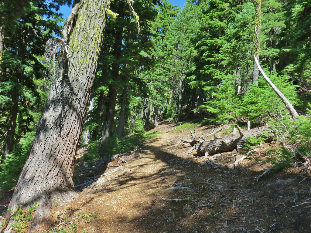 As the trail climbed around a ridge end the forest thinned enough to get some views of both Mt. Thielsen and Mt. Bailey (
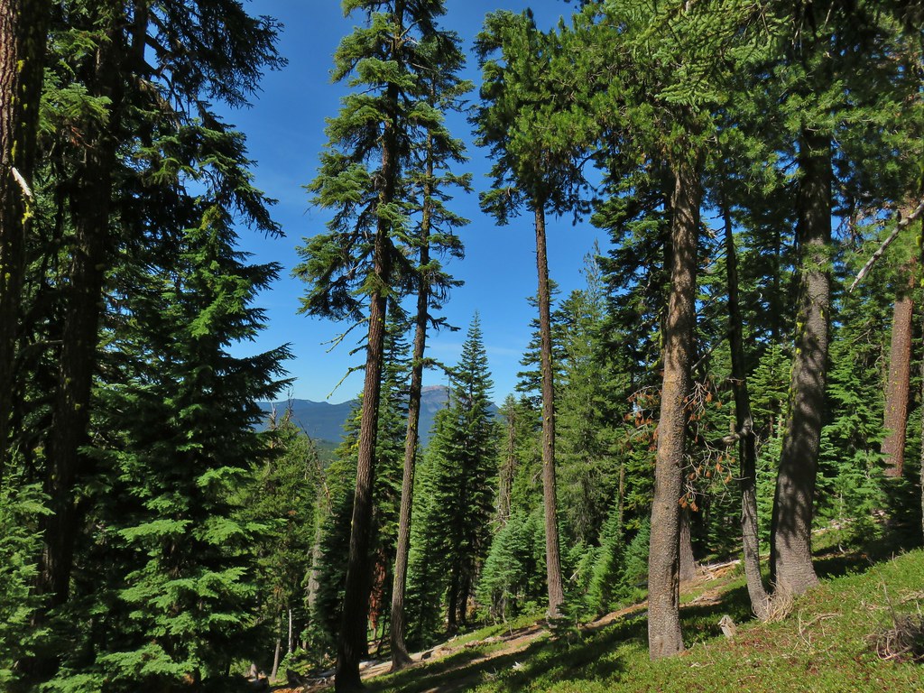 Mt. Bailey
 Mt. Thielsen
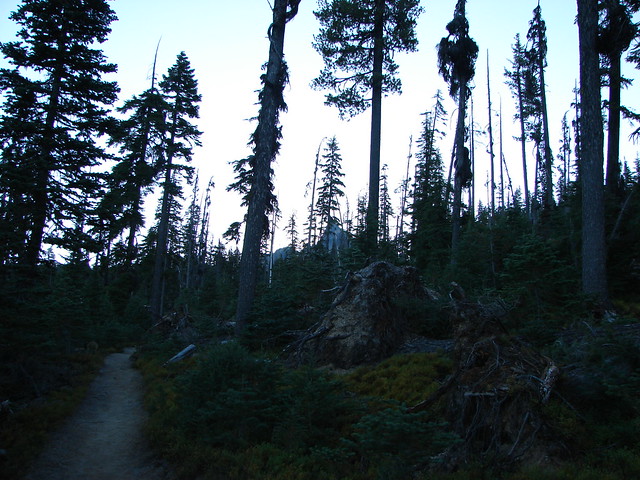
 After rounding the ridge the trail remained mostly in the trees until it neared Howlock Meadows and then Howlock Mountain started to come into view.
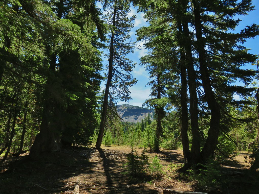
 Orange agoseris

 Butterfly on pumice
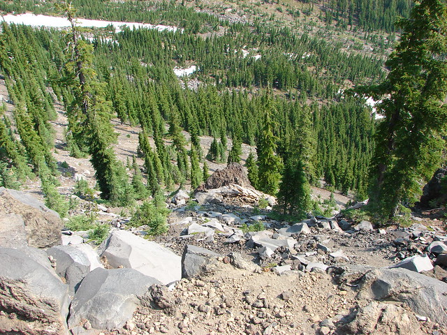
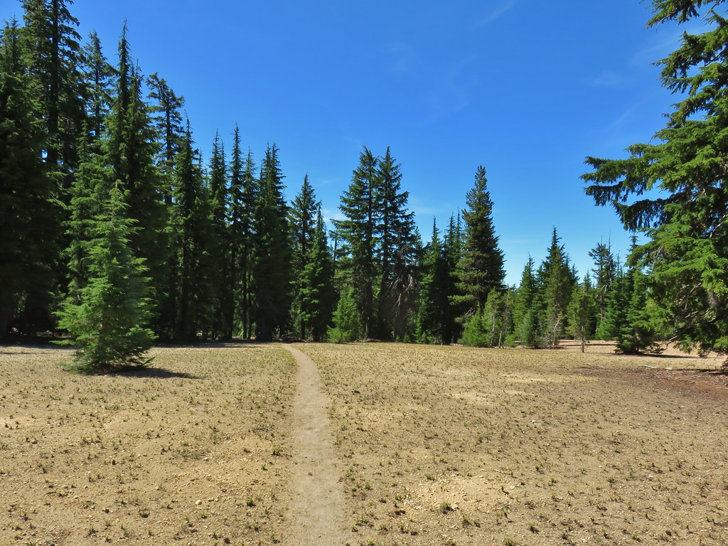 PCT leaving Howlock Meadows.
 Mt. Bailey from the PCT.
 Talus slope above the PCT.
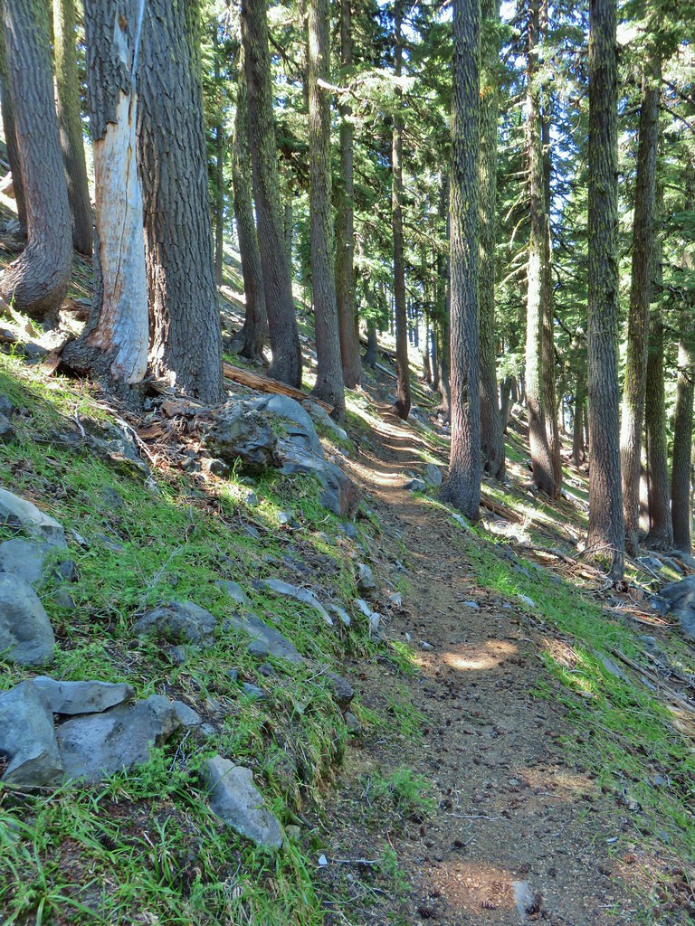 Lots of rocks along the hillside.
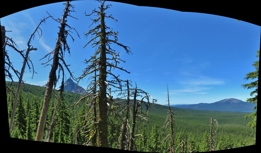

 PCT crossing Thielsen Creek
 Use trails on the left and right hand side of Thielsen Creek.
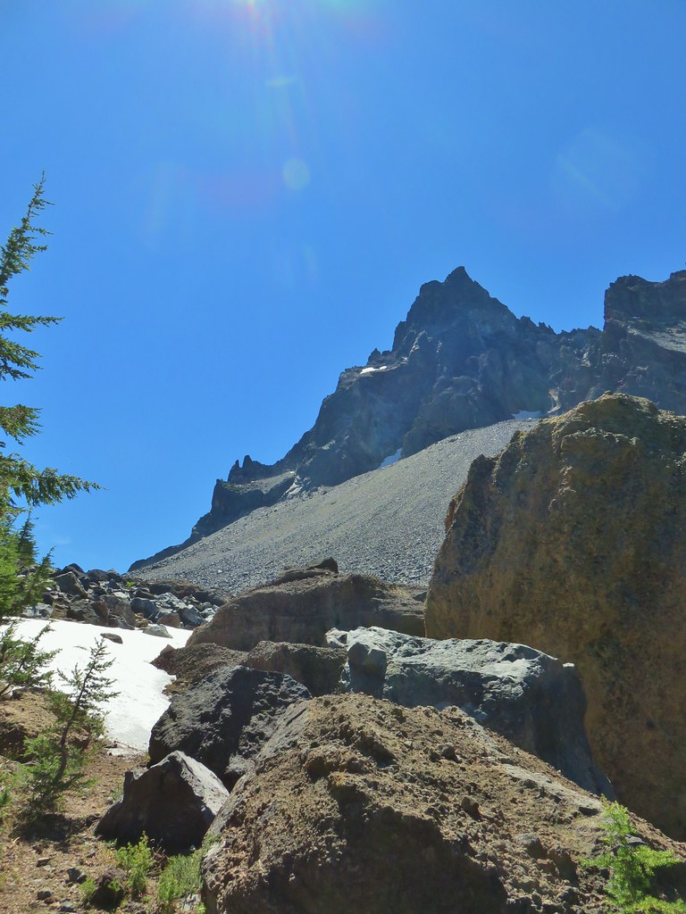
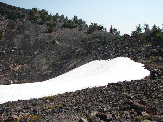
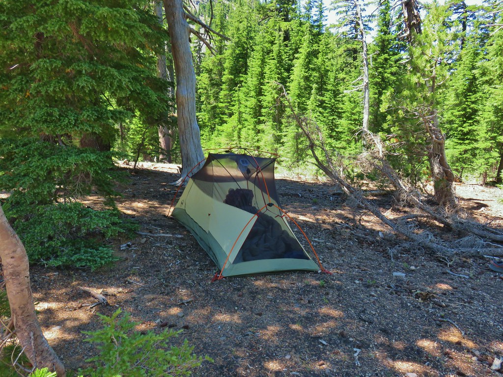 Found our tent.
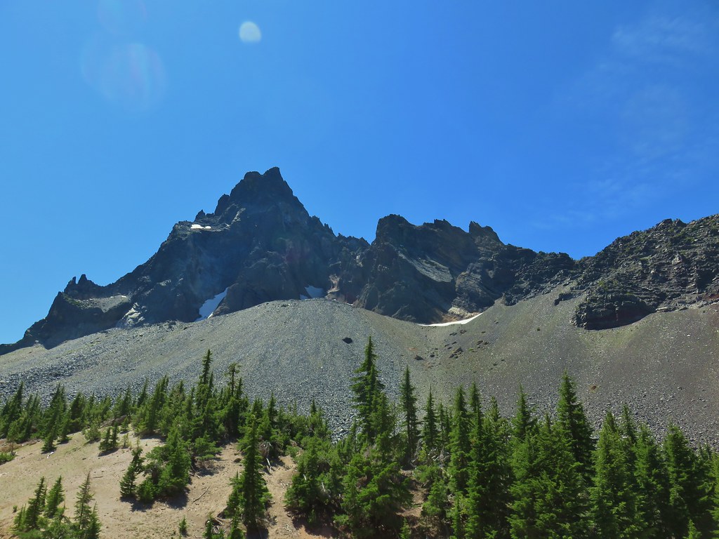
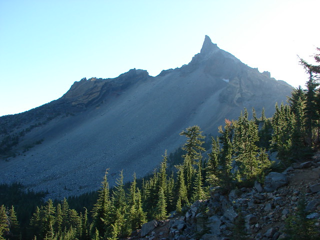
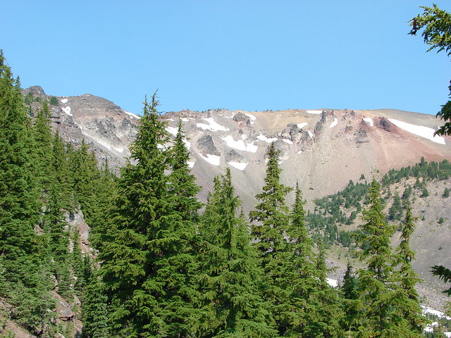
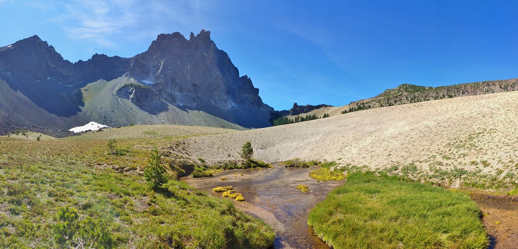
 I was also looking at the saddle between Mt. Thielsen and Sawtooth Ridge which we needed to climb over in order to reach the falls.


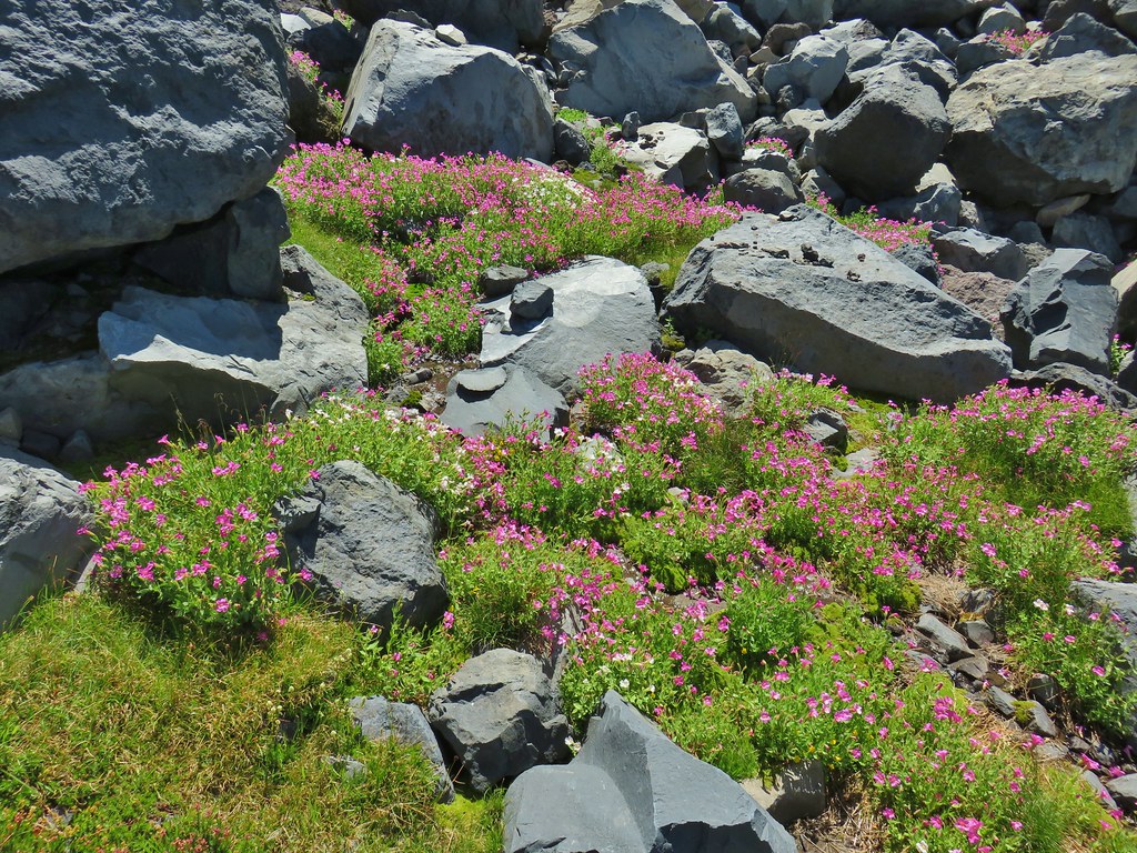
 Pink and white blossoms
 Some yellow monkeyflower too.
 Maybe “clear” use trail isn’t exactly the correct term.
 It’s clearer here.
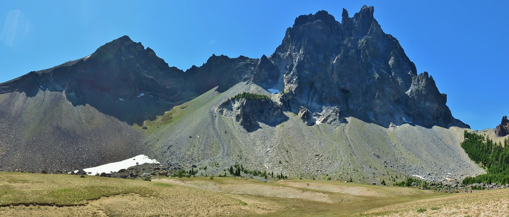
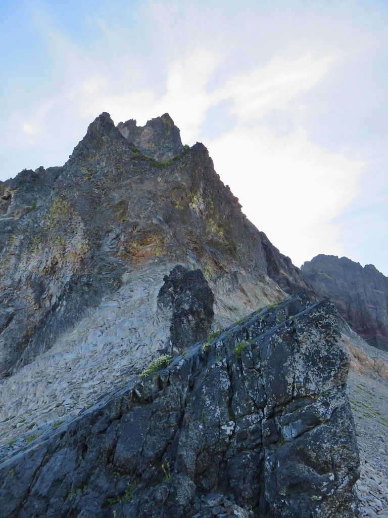
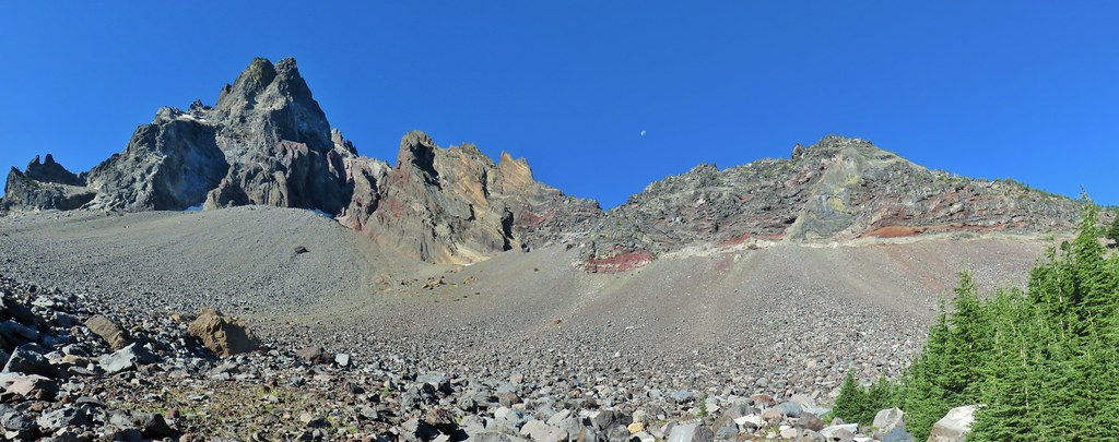
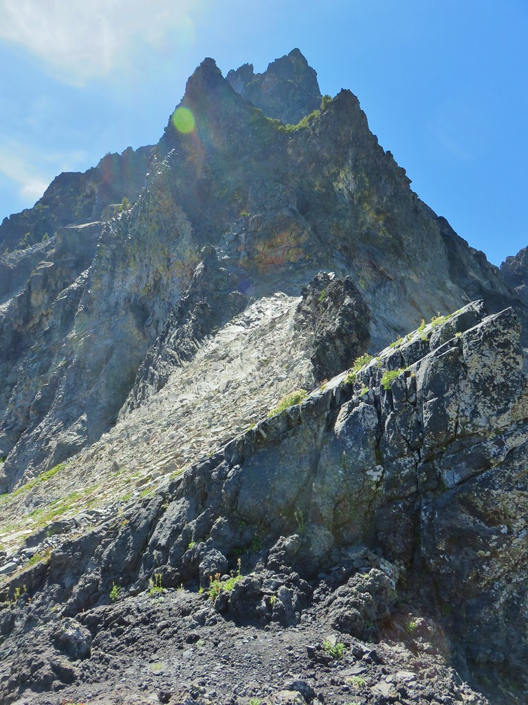 Mt. Thielsen
 Sawtooth Ridge
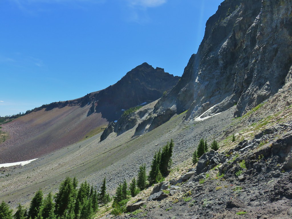 East side of Mt. Thielsen
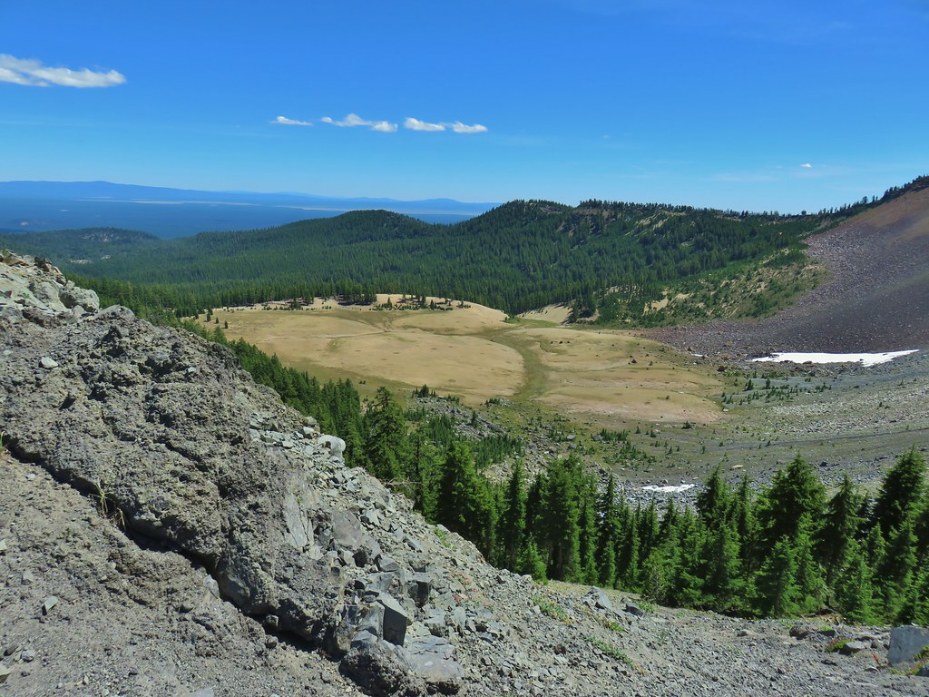 Cottonwood Falls was on the far side of the pumice plain.
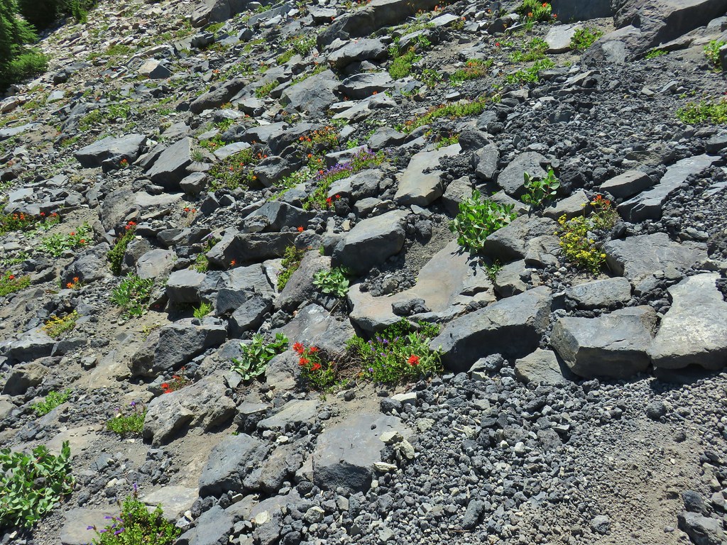 Paintbrush, penstemon, and buckwheat near the saddle.
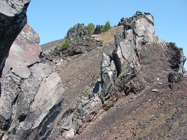
 I had to drop below this neat rock feature which I got too close to and had a difficult time finding my footing to get around.
 Looking up the hillside.
 Looking back at the rock formation.

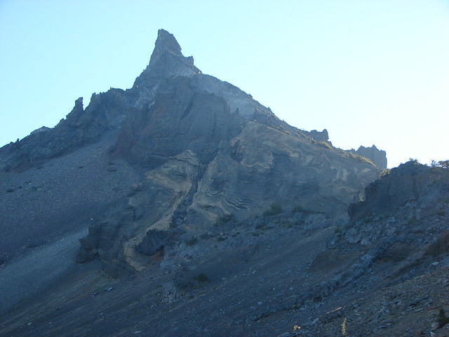
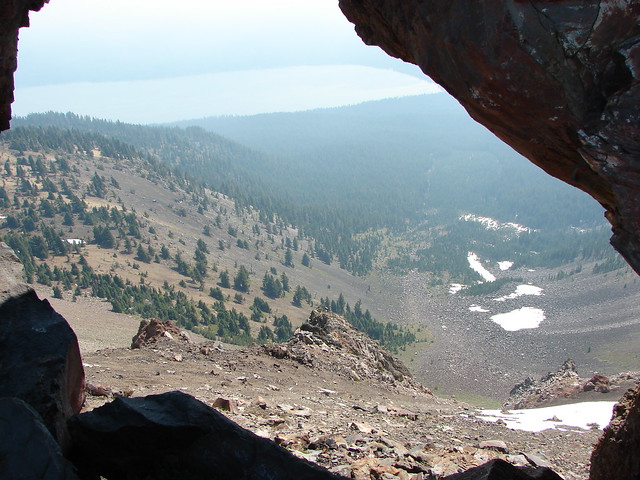
 Impressively large cave on the face of Mt. Thielsen.
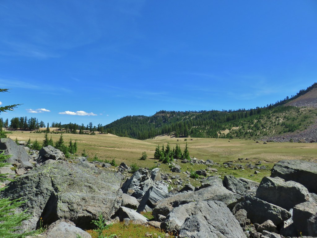
 Penstemon
 The saddle doesn’t look too bad from this angle.
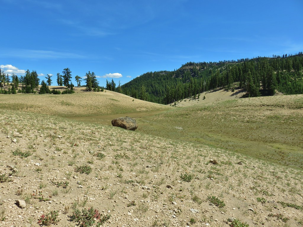


 We got onto the use/game trail as soon as we could going back up.
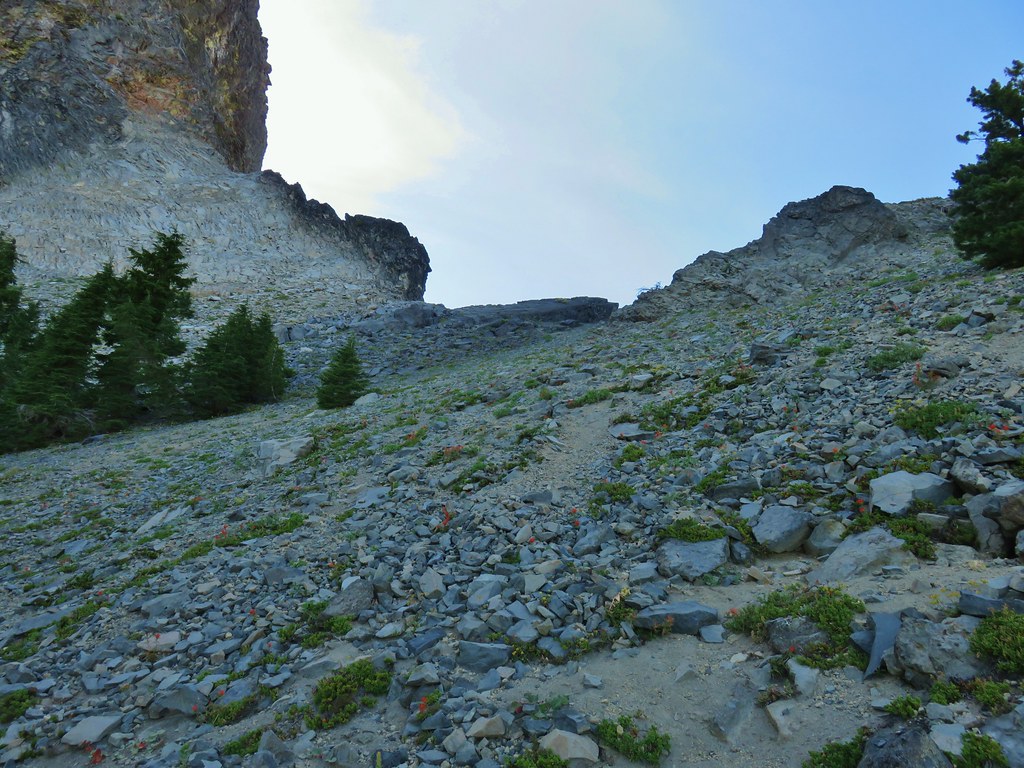 The “trail” leading up to the saddle.
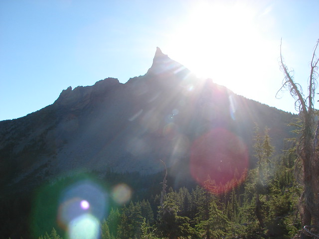
 Mt. Thielsen with the Sun behind.
 Howlock Mountain
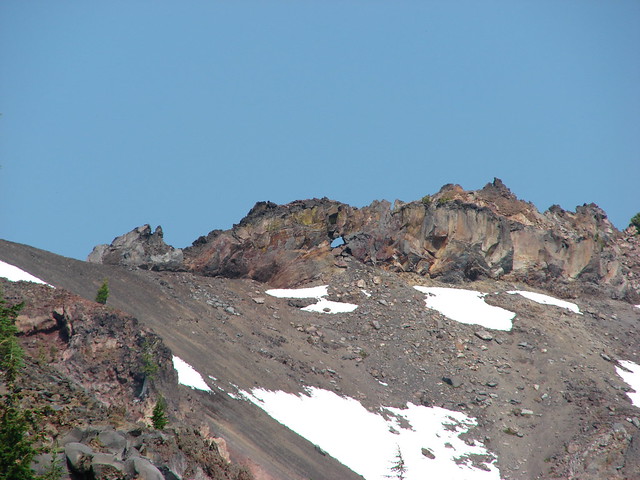
 Unfortunately the lighting wasn’t all that great due to the position of the Sun so we never really could capture all the colorful rocks on the mountain.
 Junco near camp.
 Mt. Thielsen
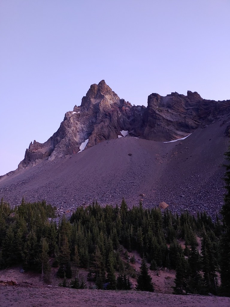
 Anyone know what the celestial body to the right of the Moon is?
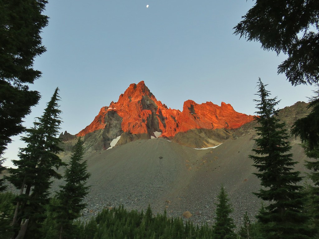


 Searching for pikas in the rocks.
 Jackpot
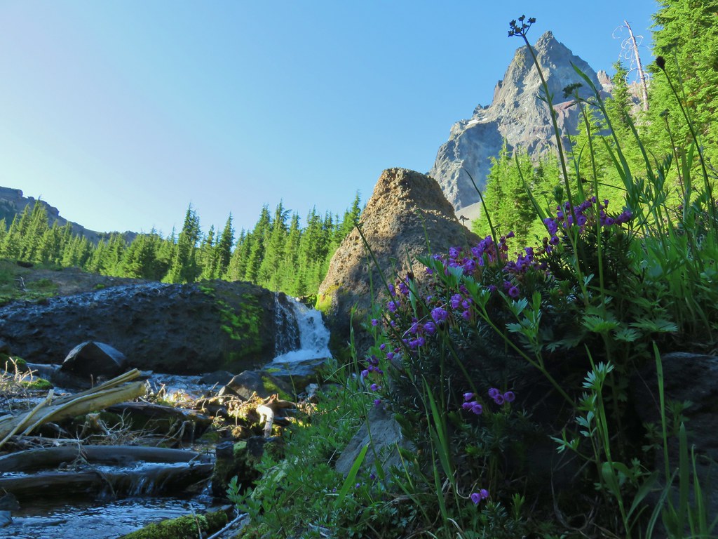 Mountain heather
 Monkeyflower
 Partridge foot
 Golden-mantled ground squirrel
 Lupine
 Merten’s rush
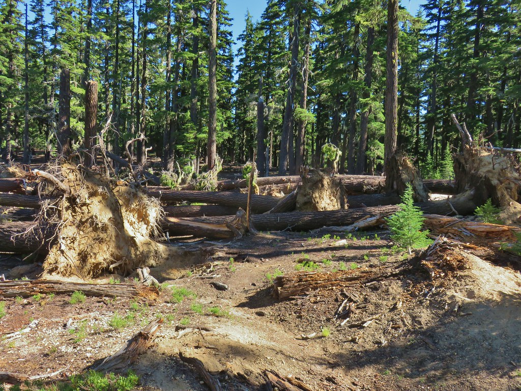
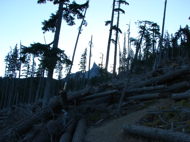
 Another angle of the tree fall.

 Just picture a good sized buck in the trees, I snapped this hoping to get lucky but I don’t see him at all.