For our final trip of 2023 we headed to Grants Pass to hopefully finish our quest to hike at least part of all 100 featured hikes in William L. Sullivan’s “100 Hikes/Travel Guide Southern Oregon & Northern California” edition 4.2 (post). We were down to six hikes which we were planning on doing over four days. The order of the hikes was a bit up in the air due to a forecasted shift in the weather in the middle of the four days from sunny and warm to rain.
Two of our planned hikes were located south of Applegate, OR off of Thompson Creek Road including the hike we had decided to begin the trip with to Grayback Mountain. The other hike, a combination of Sullivan’s Sturgis Fork and Mount Elijah hikes, we were planning on doing Monday in the rain. As we neared the turn to the O’Brien Lower Trailhead for Grayback Mountain we changed our minds and decided to swap the hikes. While both hikes involved viewpoints the hike from Sturgis Fork was longer, visited two peaks, and included a lake. So when we reached the end of pavement along Thompson Creek Road instead of taking sharp right onto Road 1005 we veered slightly right onto Road 1020 and followed it 7.5 miles to a fork with Road 600.
The Sturgis Trailhead is located 0.6-miles up Road 600 which was said to be a rough, rocky road suited more for 4wd vehicles. We opted to park at the fork and walk-up Road 600 instead of testing our luck.
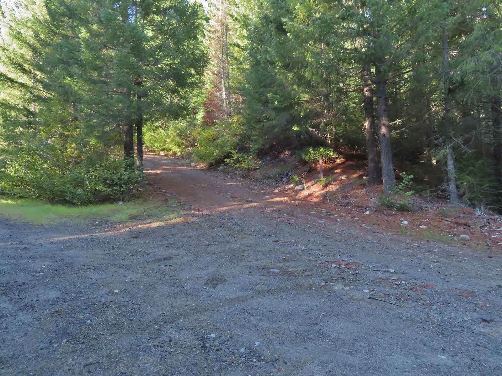 Road 600 heading uphill.
We followed Road 600 uphill to the Sturgis Trailhead on the left just before crossing Sturgis Fork.

 Crab spider on a fleabane.
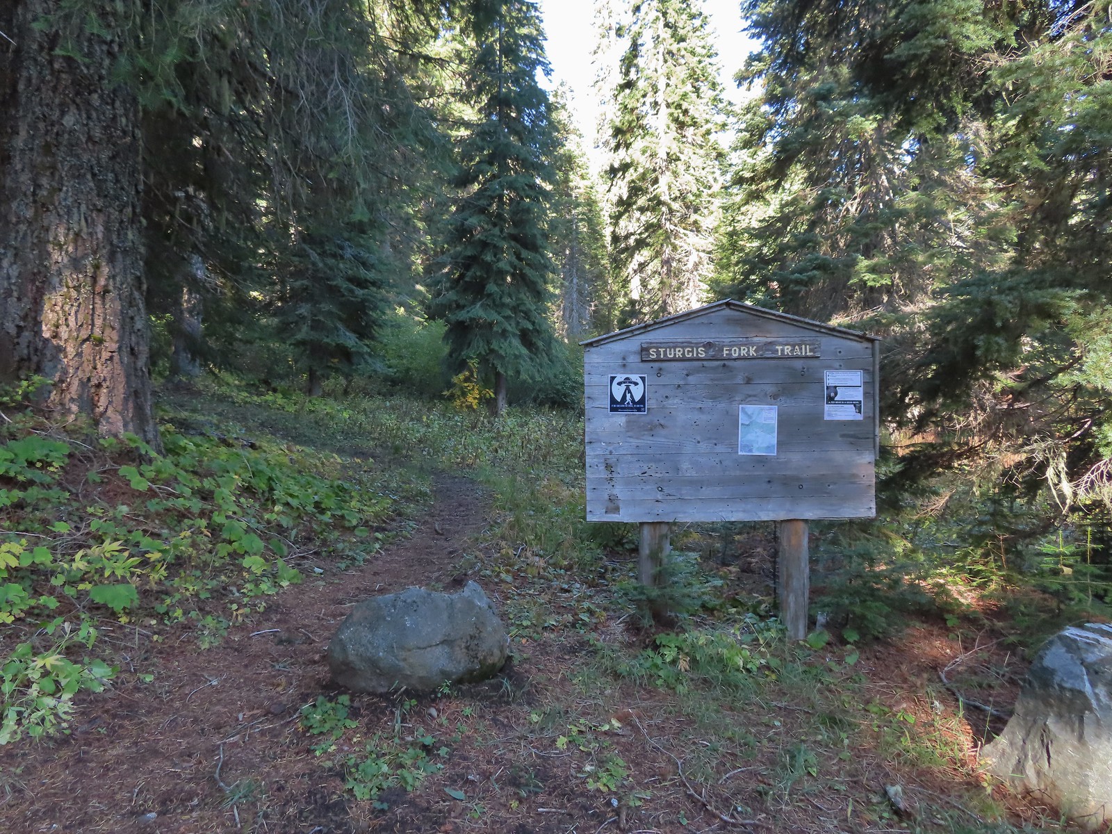
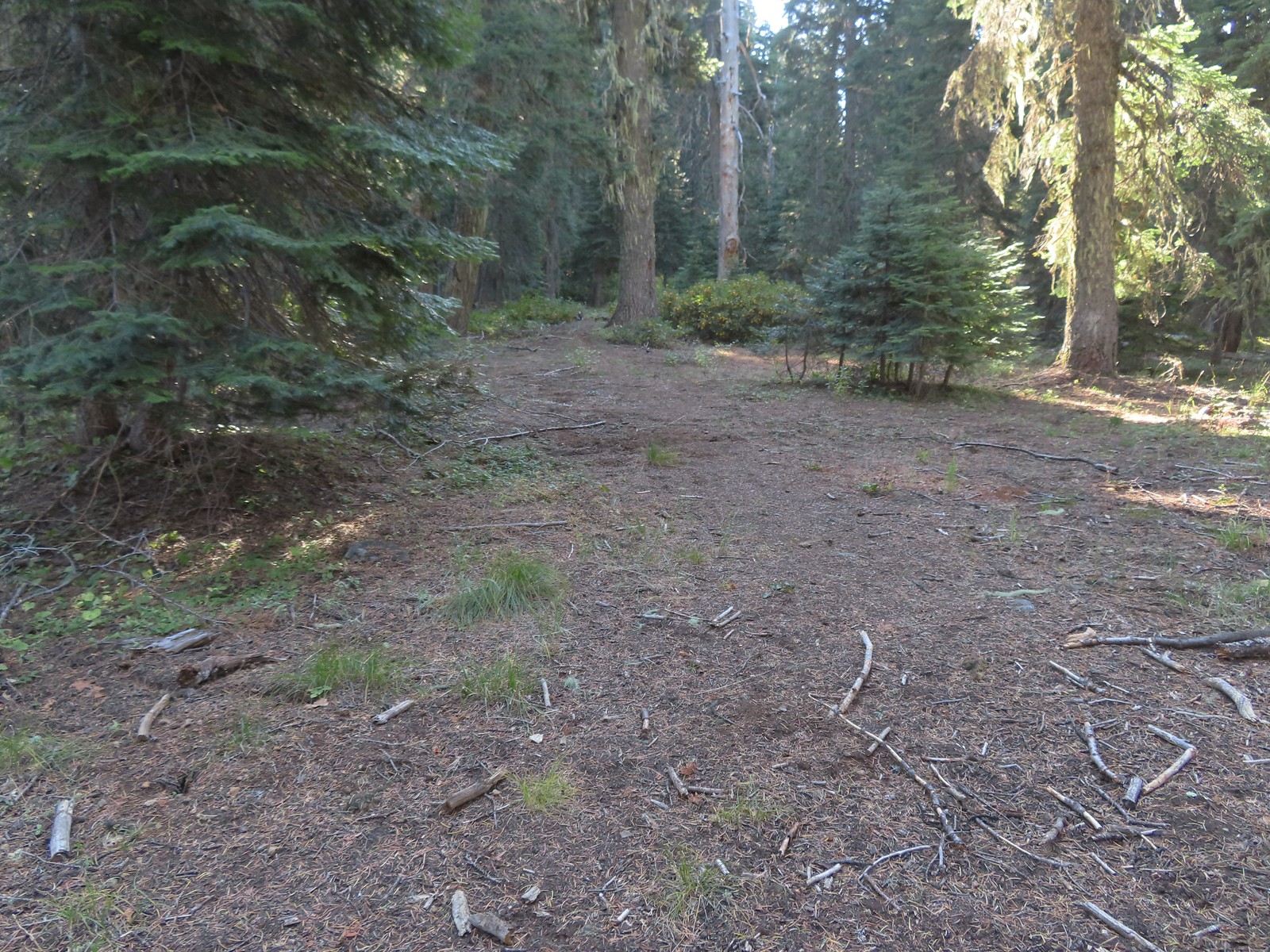
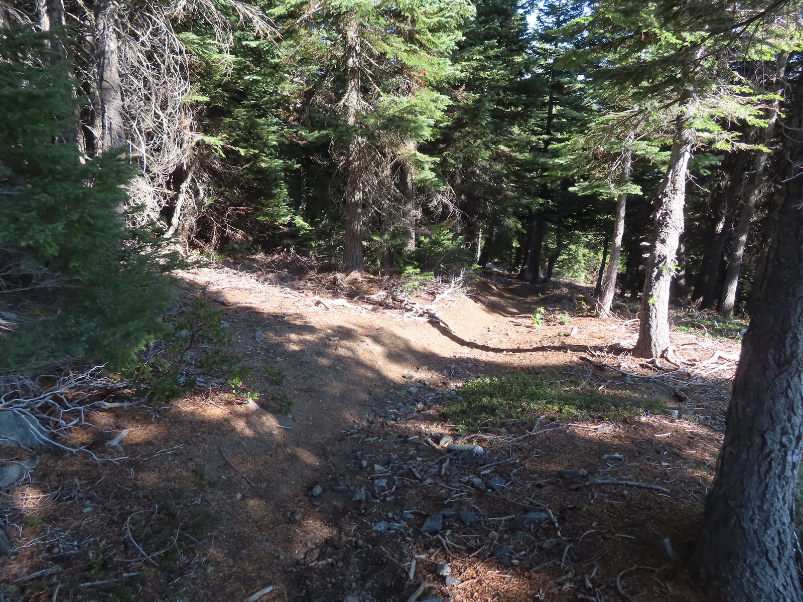
 The Sturgis Trailhead on the left.
The Sturgis Fork Trail begins at the trailhead and leads uphill 0.7-miles to the Boundary Trail #1207.
 Trail map of the area.
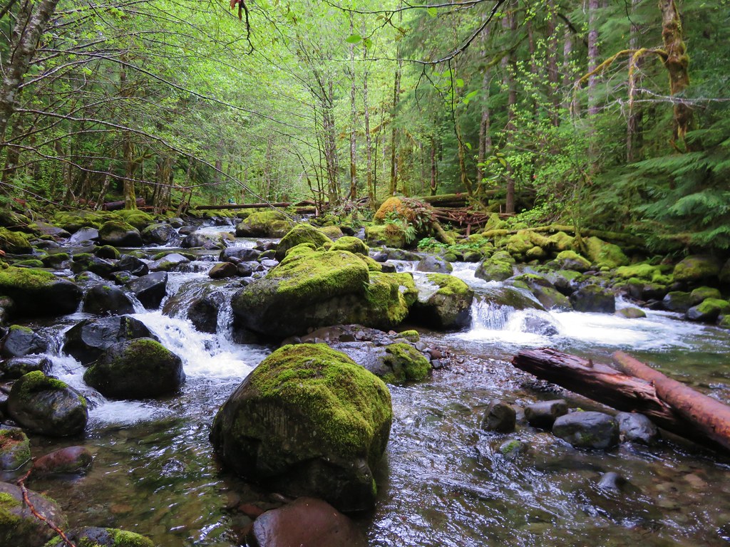
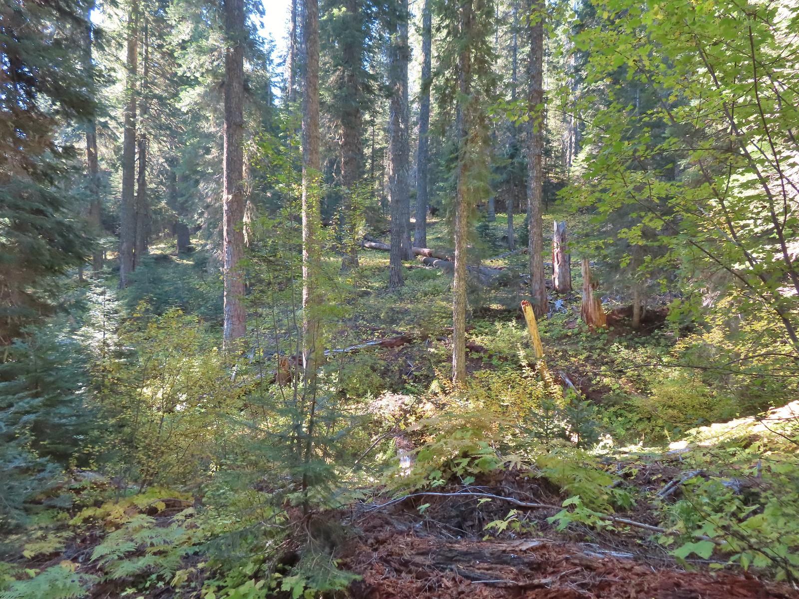
For the hike Sullivan describes for Sturgis Fork we would turn right on the Boundary Trail and follow it approximately 1.7-miles to a viewpoint for a 4.8-mile (from the trailhead) out-and-back. He also mentions the possibility of combining the hike with several of his other featured hikes including Mount Elijah which was another featured hike we had yet to do. This combination would be somewhere between 12 and 13 miles with approximately 2500′ of cumulative elevation gain. We followed the Sturgis Fork Trail uphill through the forest to the Boundary Trail.

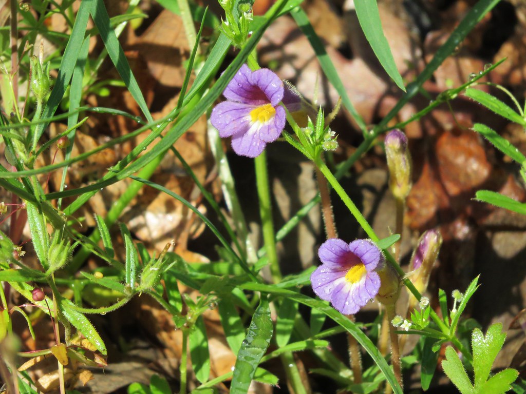
 Nettle-leaf giant hyssop
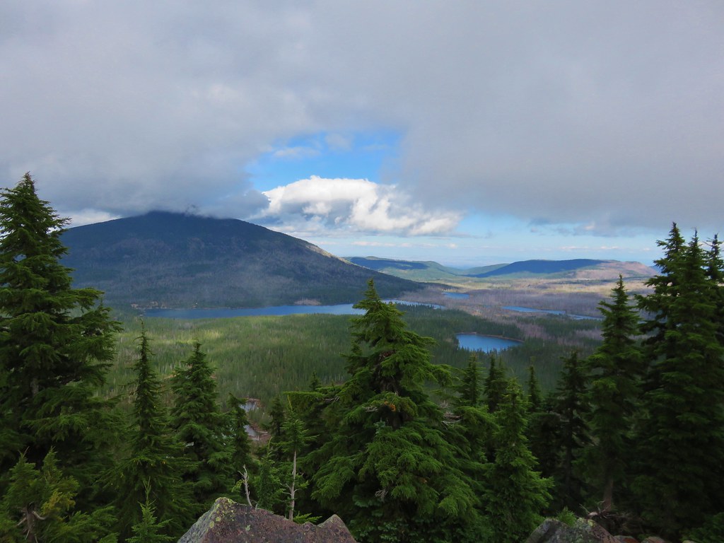
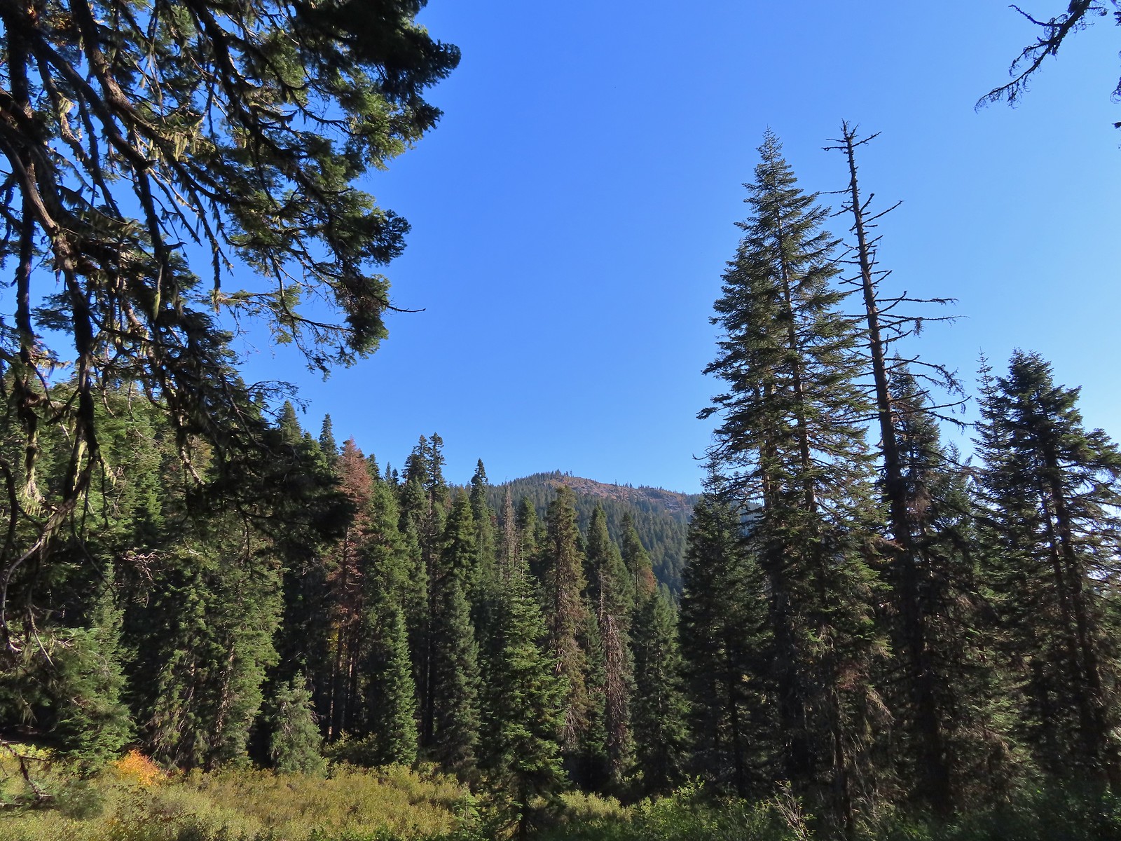 The viewpoint we were headed to.

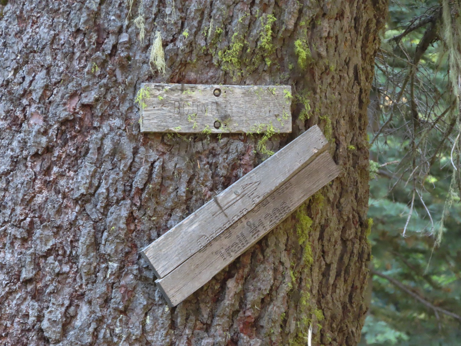
 All that was left for signage at the Boundary Trail junction.
 The Boundary Trail to the South toward Sucker Creek Gap (post).
We turned right onto the Boundary Trail which climbed gradually for 0.3-miles to another junction in a small meadow.

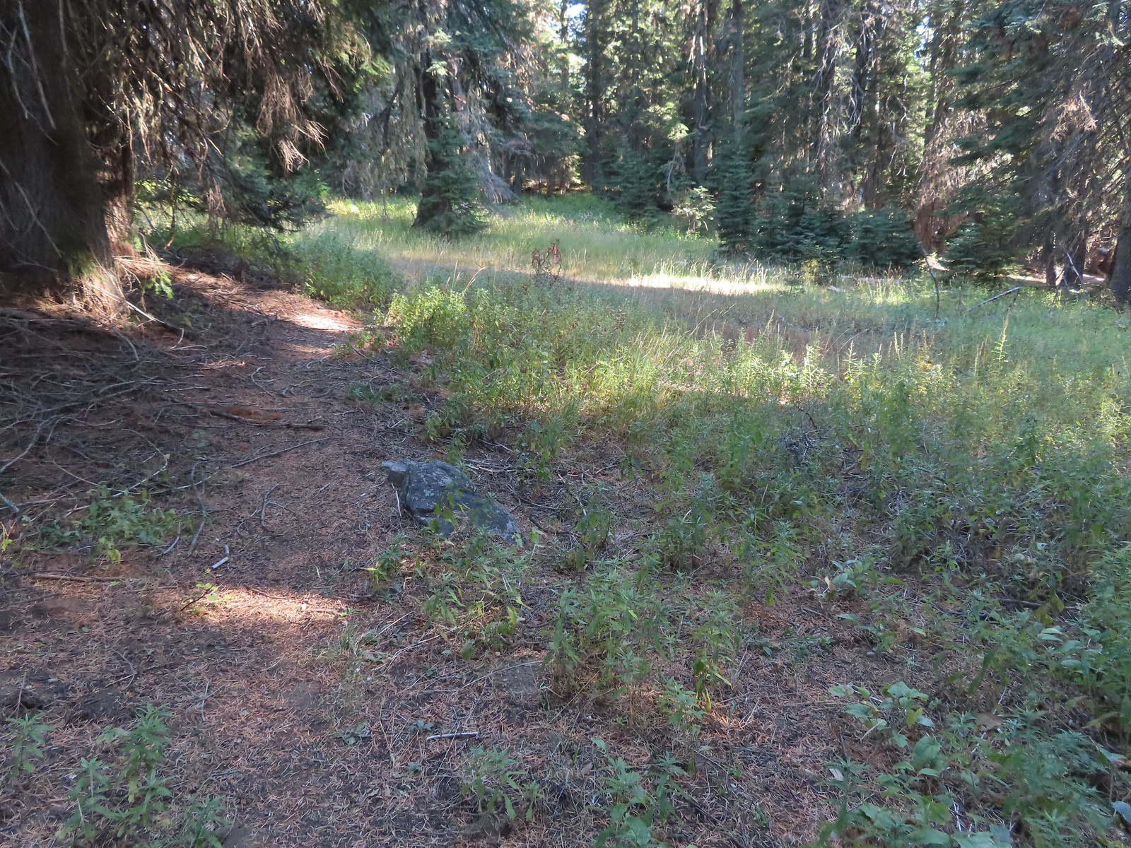
 Coming from this direction all we noticed were a couple of signs on a tree and some pink flagging.
 Trail signs for the Boundary Trail and Lake Mountain Trail #1206 to the Oregon Caves (post).
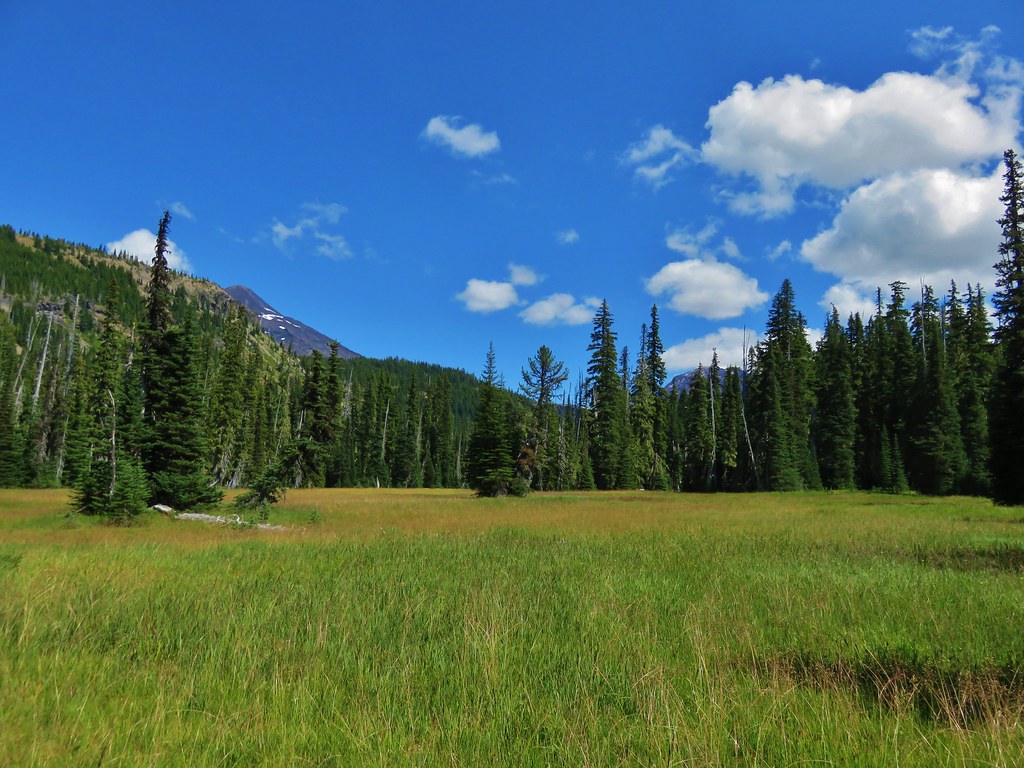
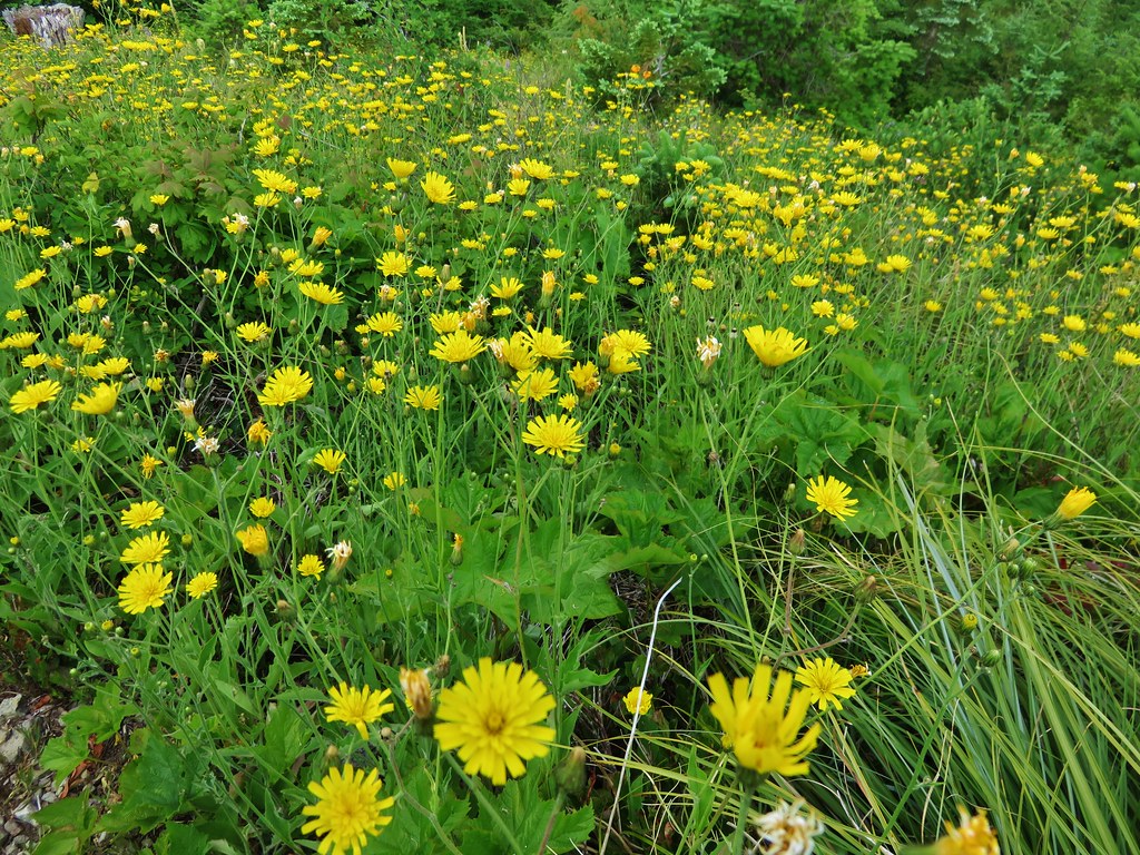
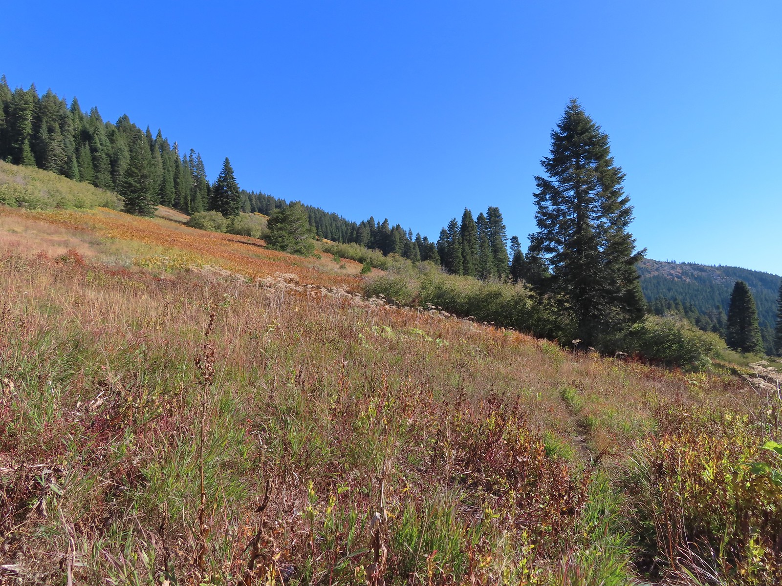
As long as the hike went as planned, we would be rejoining the Boundary Trail at this junction after having visited Mount Elijah. For now though we stuck to the Boundary Trail which soon entered a much larger meadow. 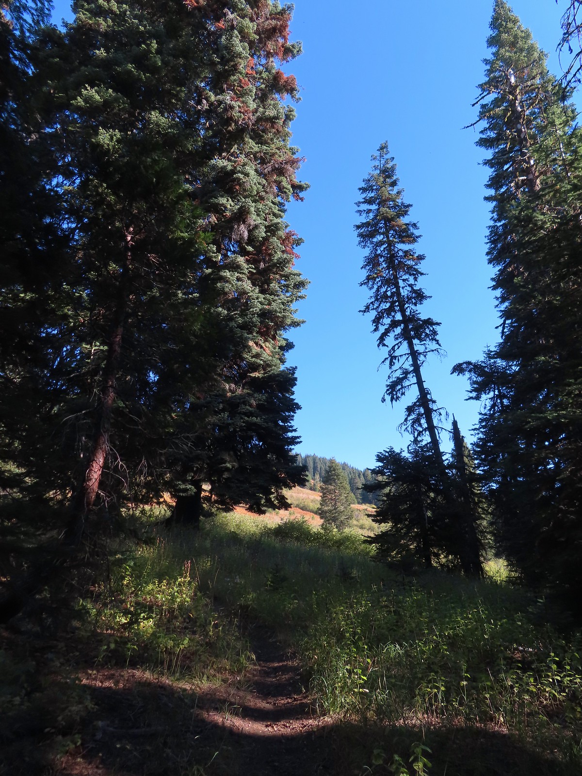
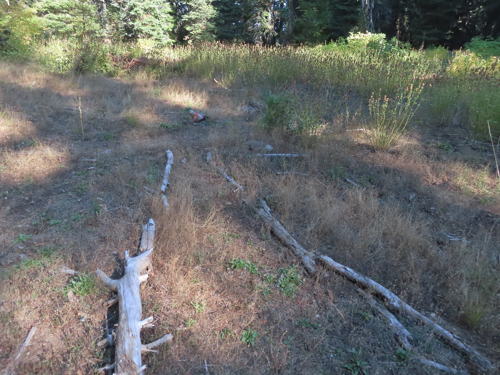
The trail became faint in the meadow, but the tread was clear enough that we were able to stick to it.
 The trail can be seen in the lower right-hand corner.
 Again the trail is in the lower right corner.
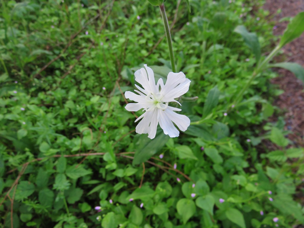
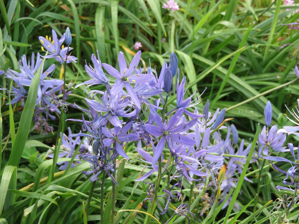
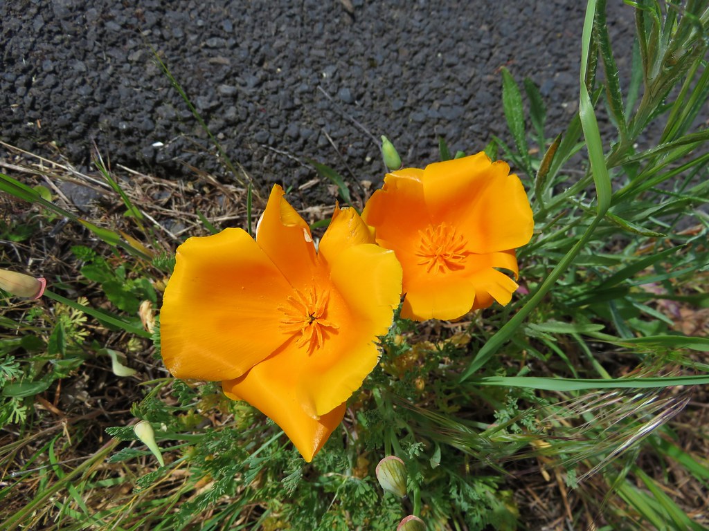
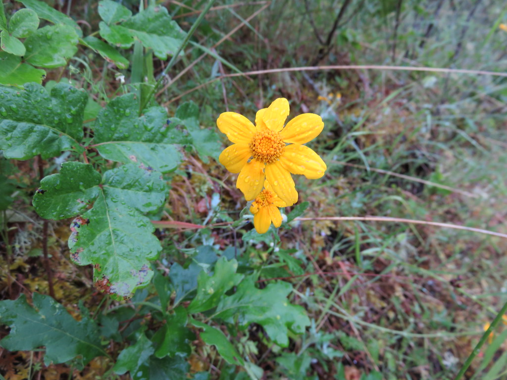
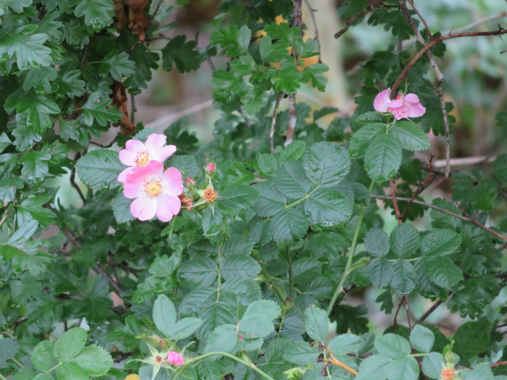
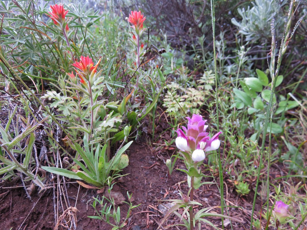
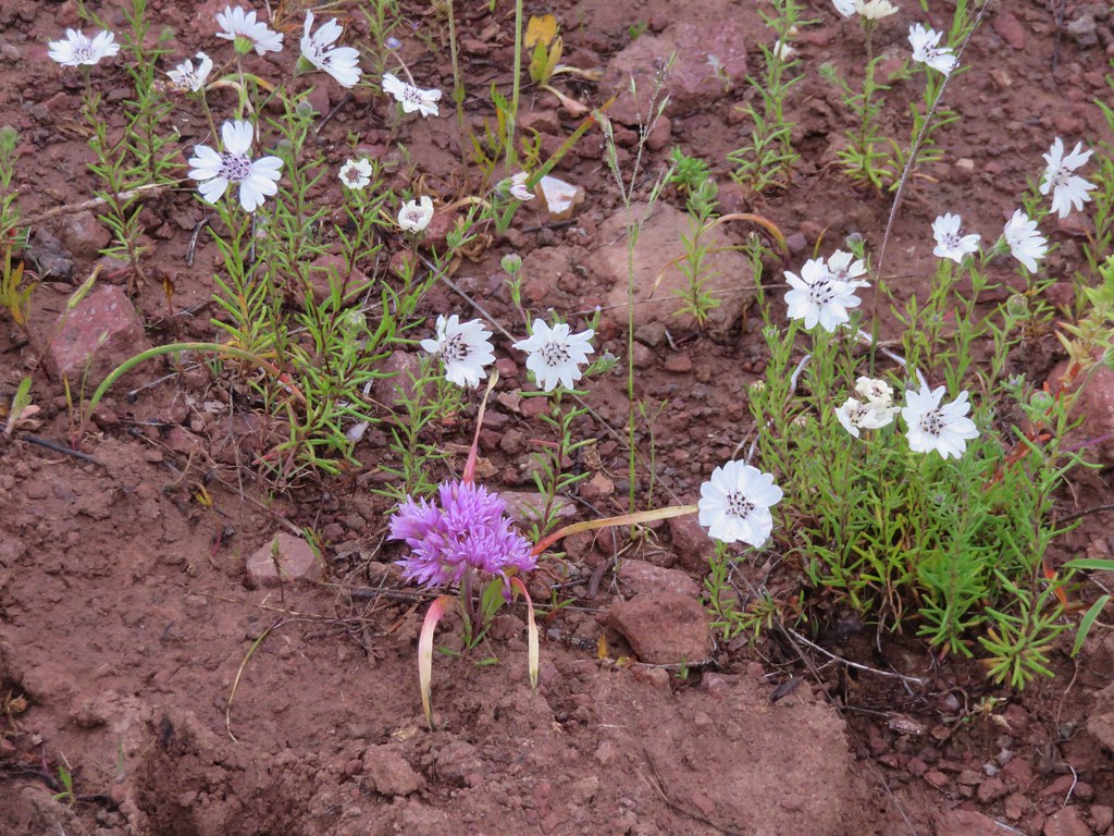
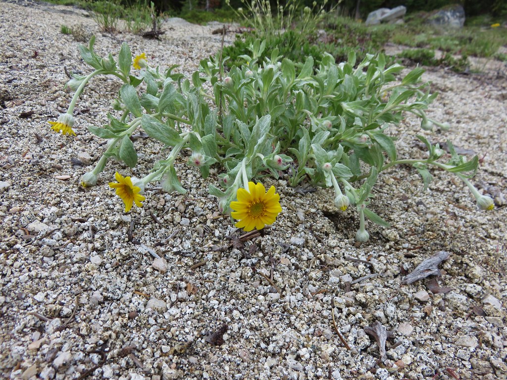
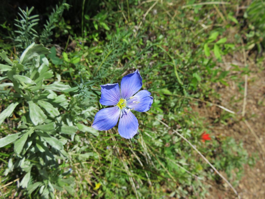
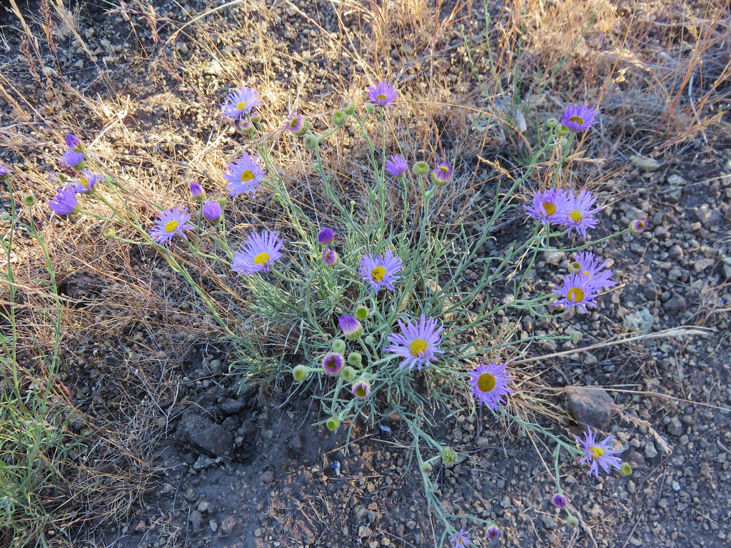
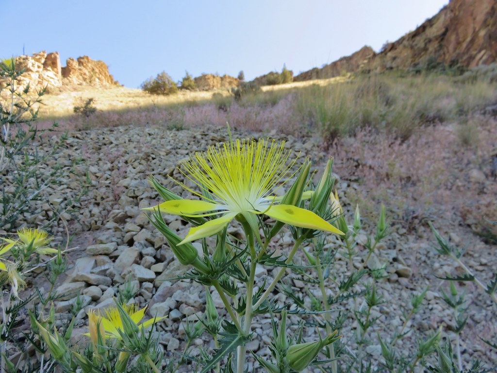
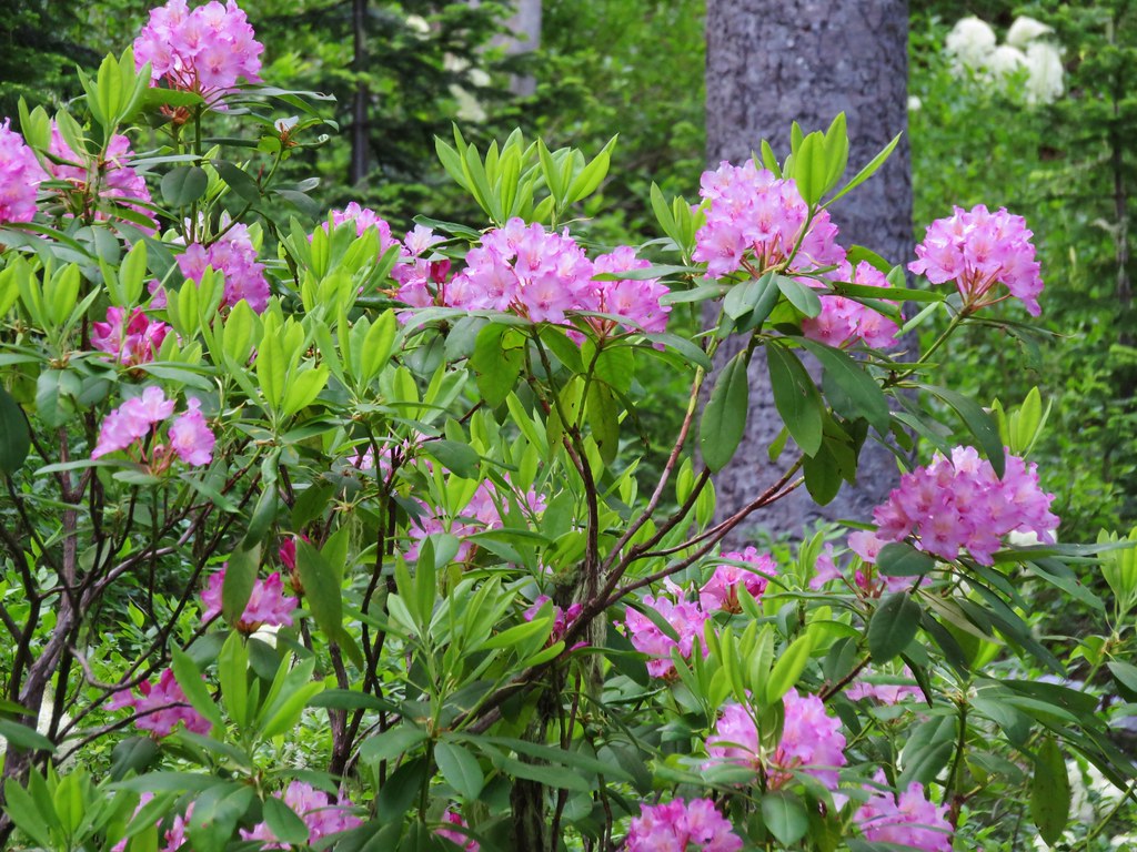
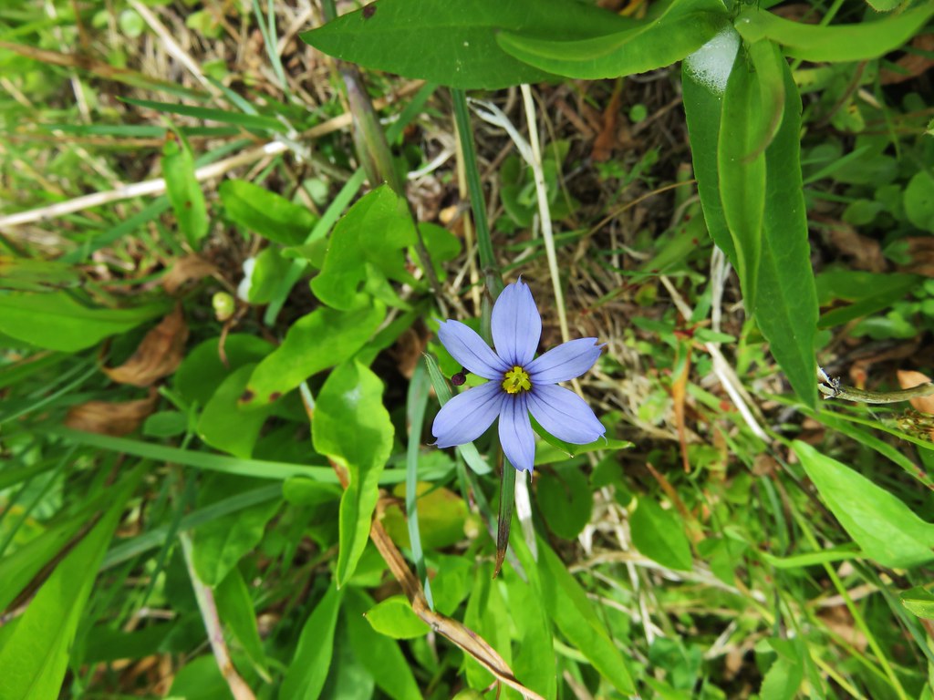
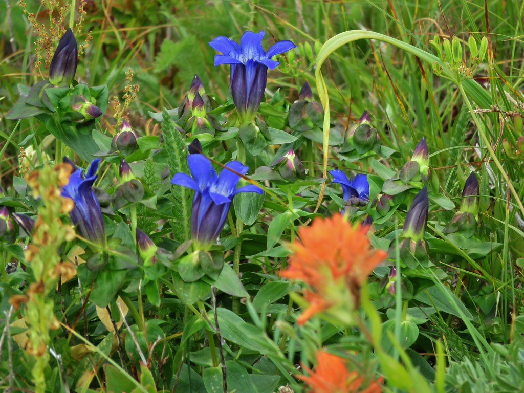
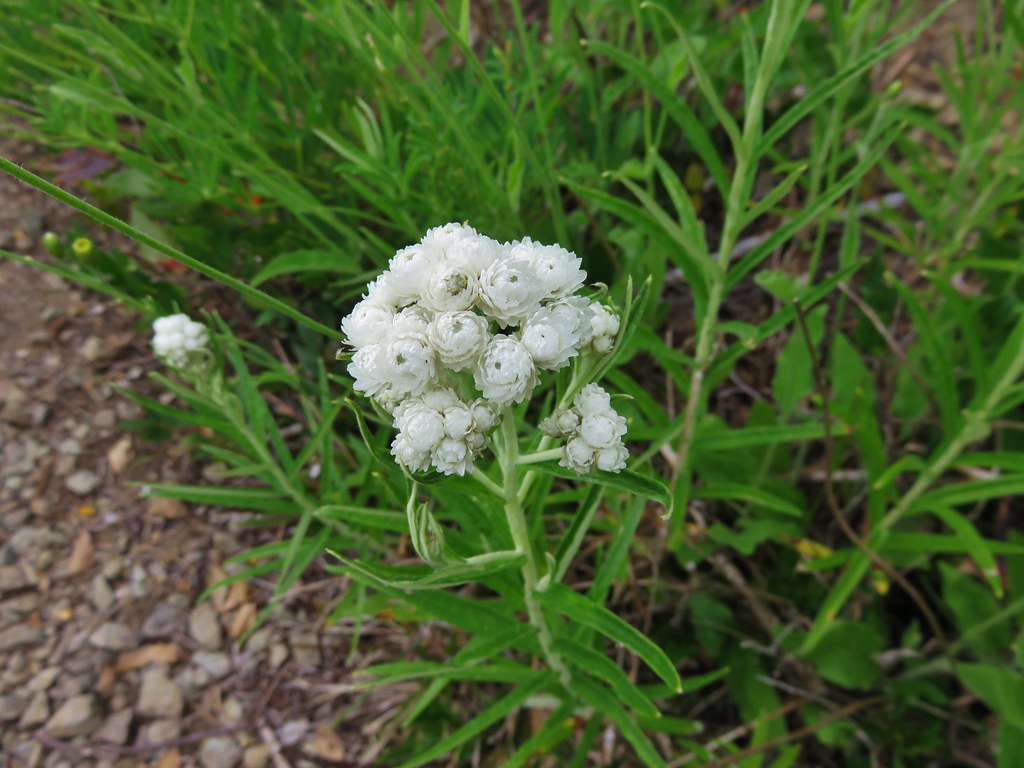
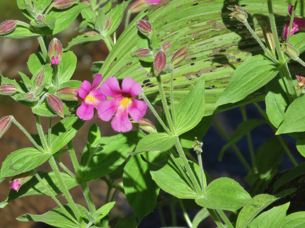
 There was still a small amount of paintbrush in the meadow.
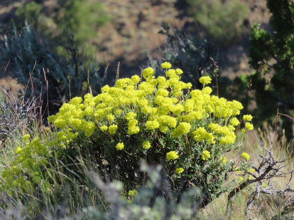
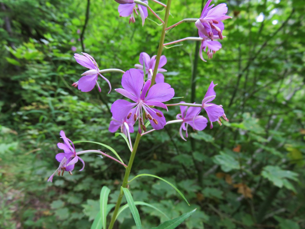
 A clump of fireweed ahead that had gone to seed.
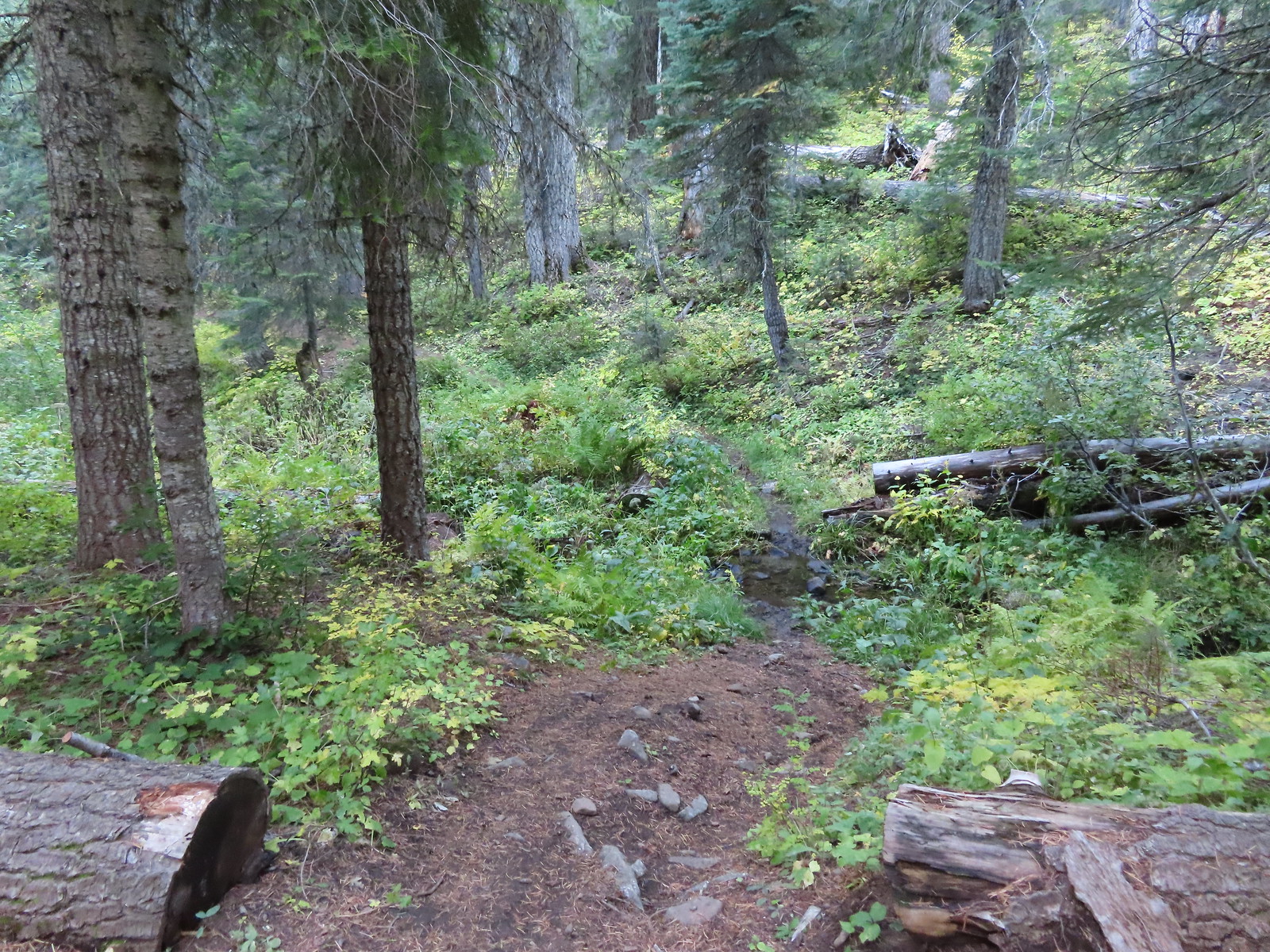
 A small section of trees was located along this gully.
 A little brushy here.
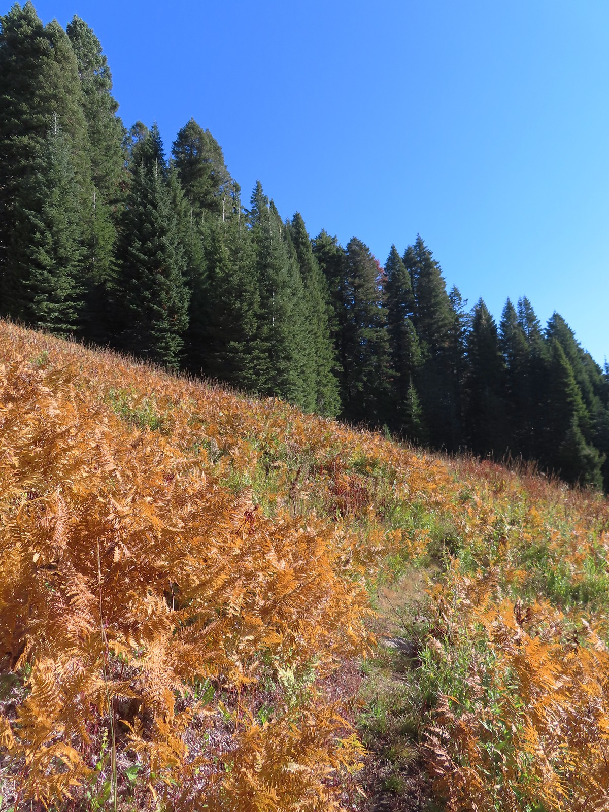 Ferns at the northern end of the meadows.
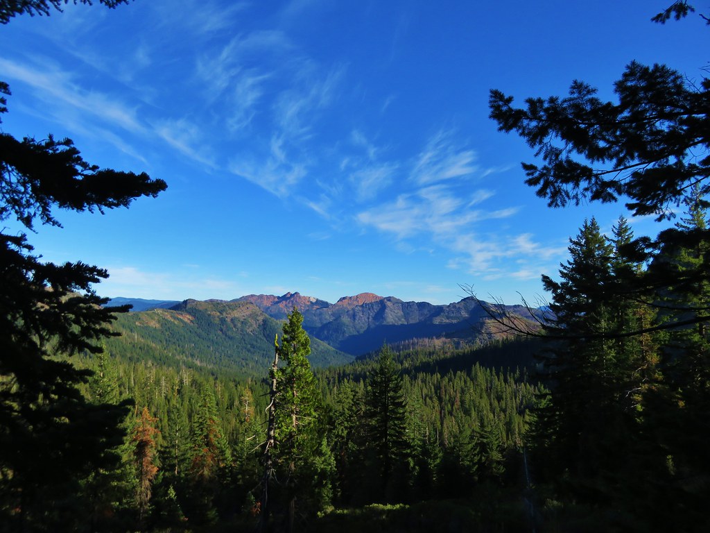
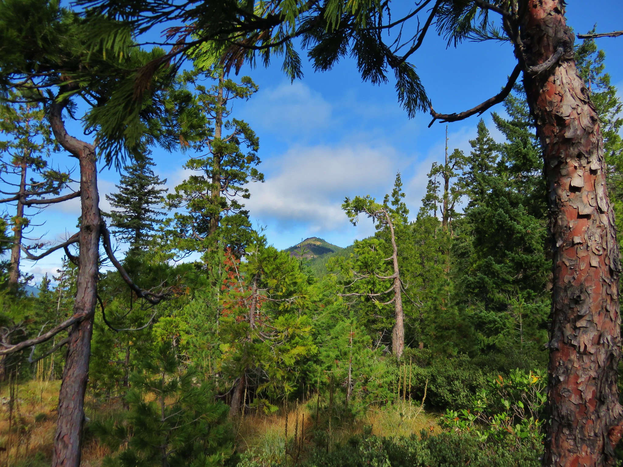
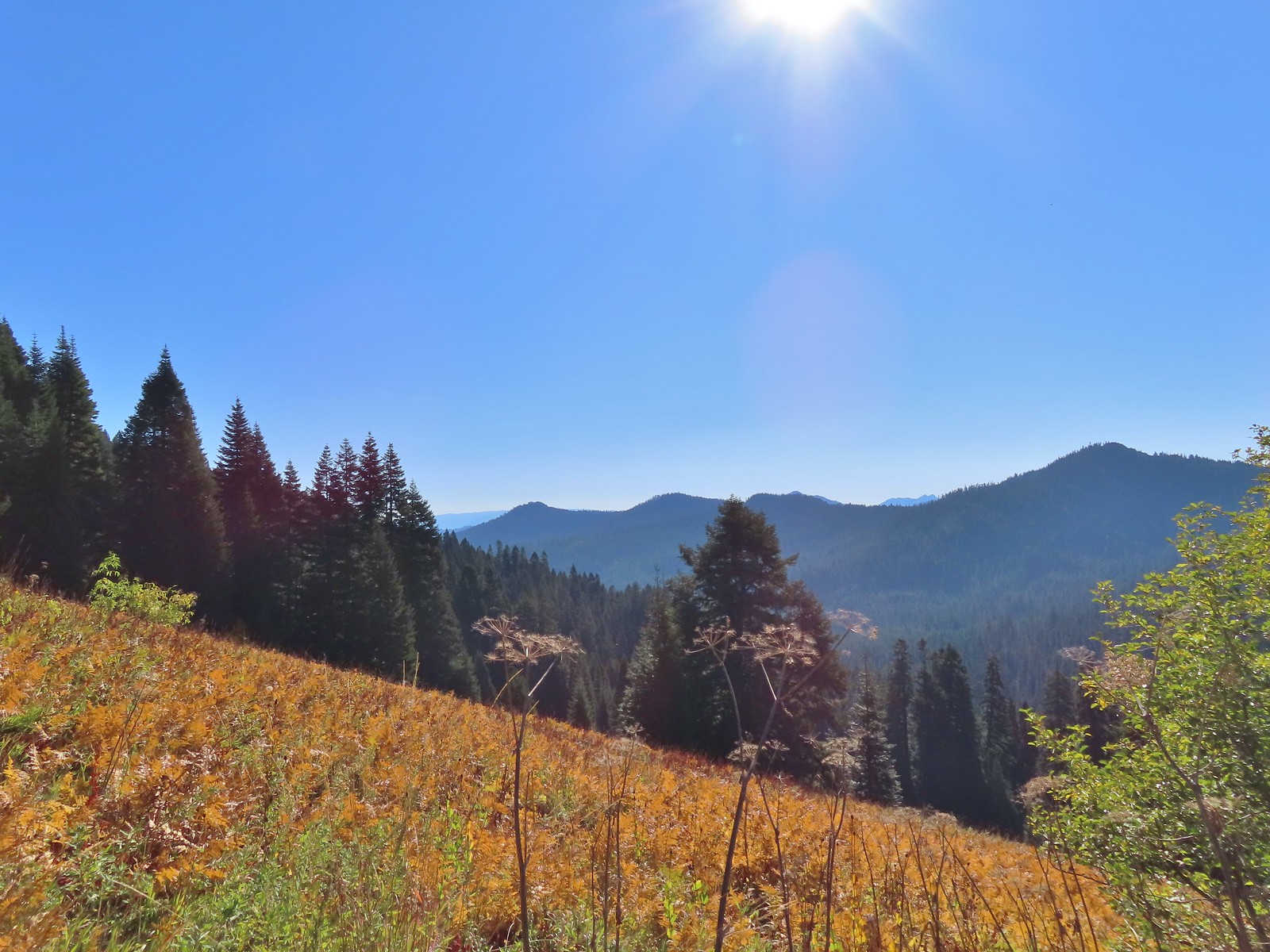 The double humps of the Red Buttes in the distance to the SE.
 Preston Peak in the Siskiyou Wilderness (post) to the SW.
A little under a mile from the junction with Lake Mountain Trail we came to another junction at a pass.
 Arriving at the pass.
 This was the only signage that was visible at the junction.
The Boundary Trail continued NE along the ridge while somewhere (it wasn’t easily visible) the Elk Creek Trail dropped down from the ridge to a forest road on the northern side of the saddle and the Sparlin Tie Trail headed East on a traverse below Lake Mountain.
 We could see tread heading East into the trees which was the Sparlin Tie Trail. The Elk Creek Trail wasn’t as obvious, but it dropped down to the right just a little way up the tread seen here.
Our plan was to take the Sparlin Tie Trail after visiting the viewpoint along the Boundary Trail so we continued climbing up the ridge.

 Lake Mountain from the Boundary Trail.

Approximately 0.6-miles from the junction a short spur trail led to the rocky viewpoint.

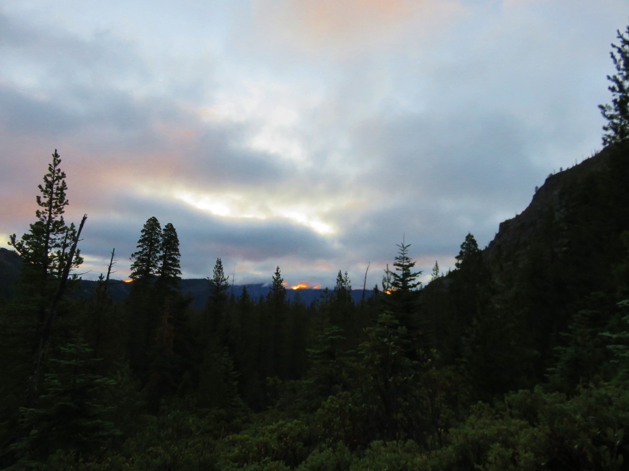
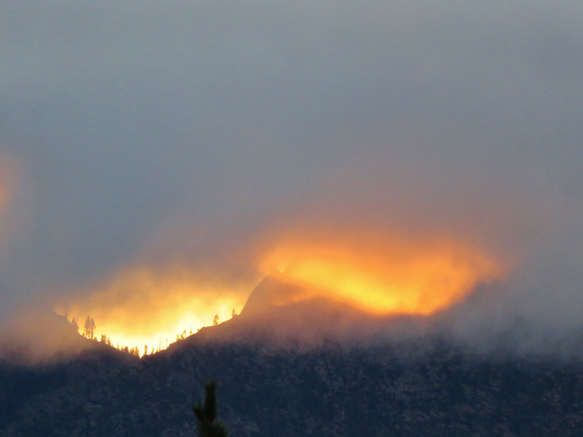
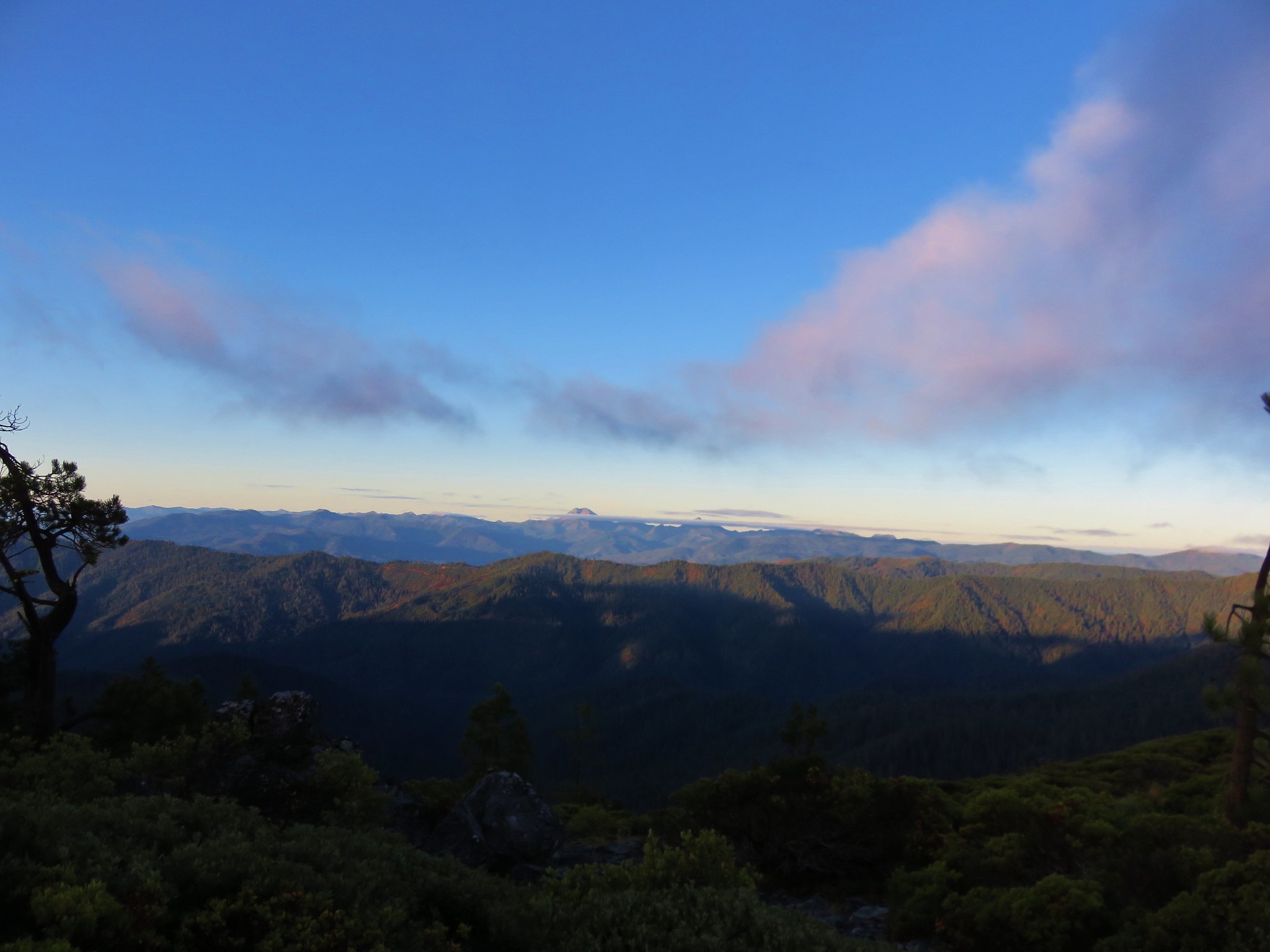
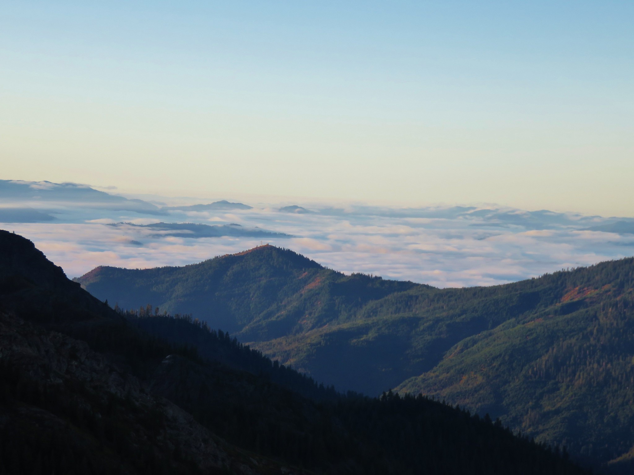
 There was a small geocache located at the viewpoint. Smoke from the still smoldering wildfires impacted the views a bit, Mt. Shasta is out there toward the right-hand side.
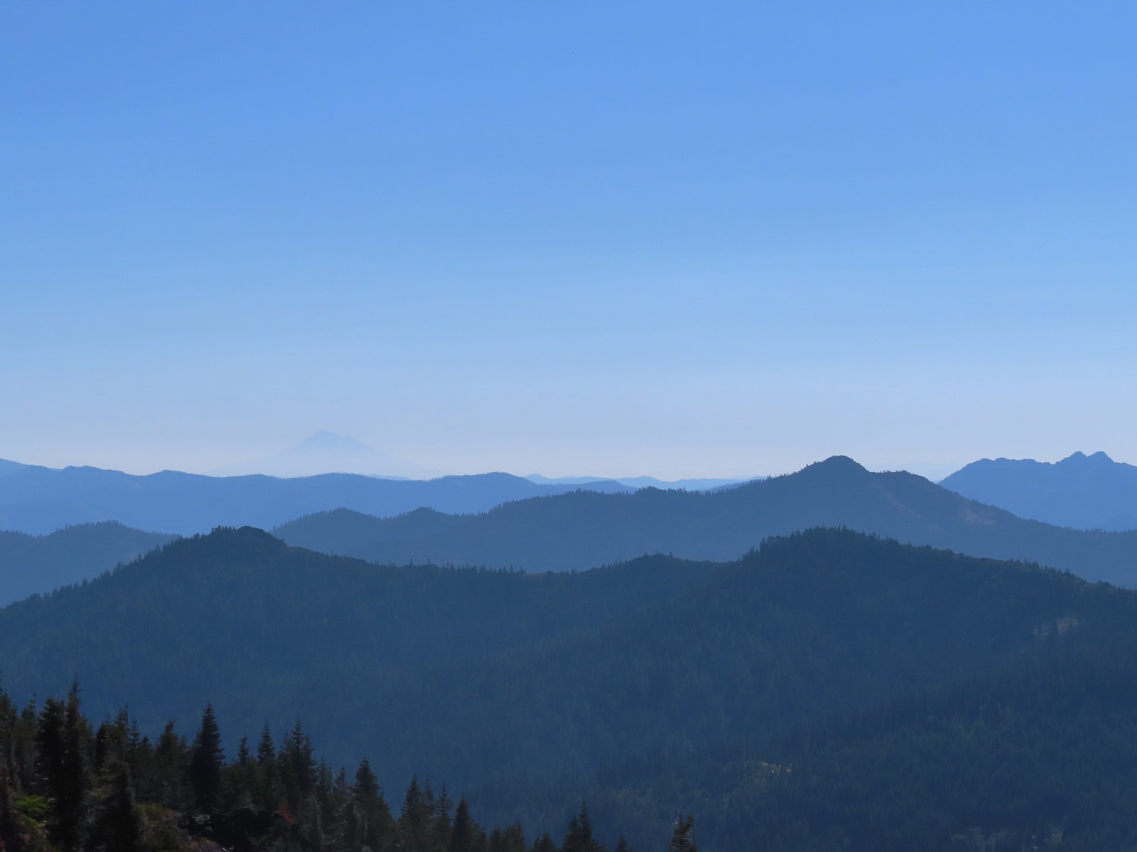 The outline of Mt. Shasta to the left of Red Buttes.
 Preston Peak and other peaks in the Siskiyou Wilderness in the distance.
 Closer look at the Siskiyou Wilderness peaks.
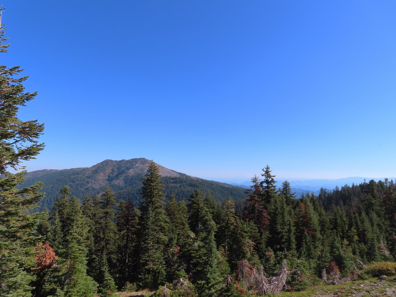 Grayback Mountain to the North. Mt. McLoughlin (post) is out there too but the haze made it really hard to see.
 Mt. McLoughlin
After taking in the view we headed back to the saddle and continued straight onto the Sparlin Tie Trail.
 The remains of a trail sign near the saddle.
 The Sparlin Tie Trail straight ahead and the Elk Creek Trail heading off to the right.
 Homemade? trail sign a short distance up the tie trail. (note Bigelow Lakes is spelled “Biglow”)
The advantage to taking the tie trail was two-fold. It both shortened the hike by 0.8-miles and it passed through the meadows above the Boundary Trail eliminating the need to make the 500′ climb that the Lake Mountain Trail would require. In Sullivan’s guidebook (edition 4.2) this trail is labeled as “unmaintained” but we found that it had indeed been maintained at some point in the not too distant past.


 The tread was faint through the meadows but not any more difficult to follow than the Boundary Trail had been.
 Cinquefoil
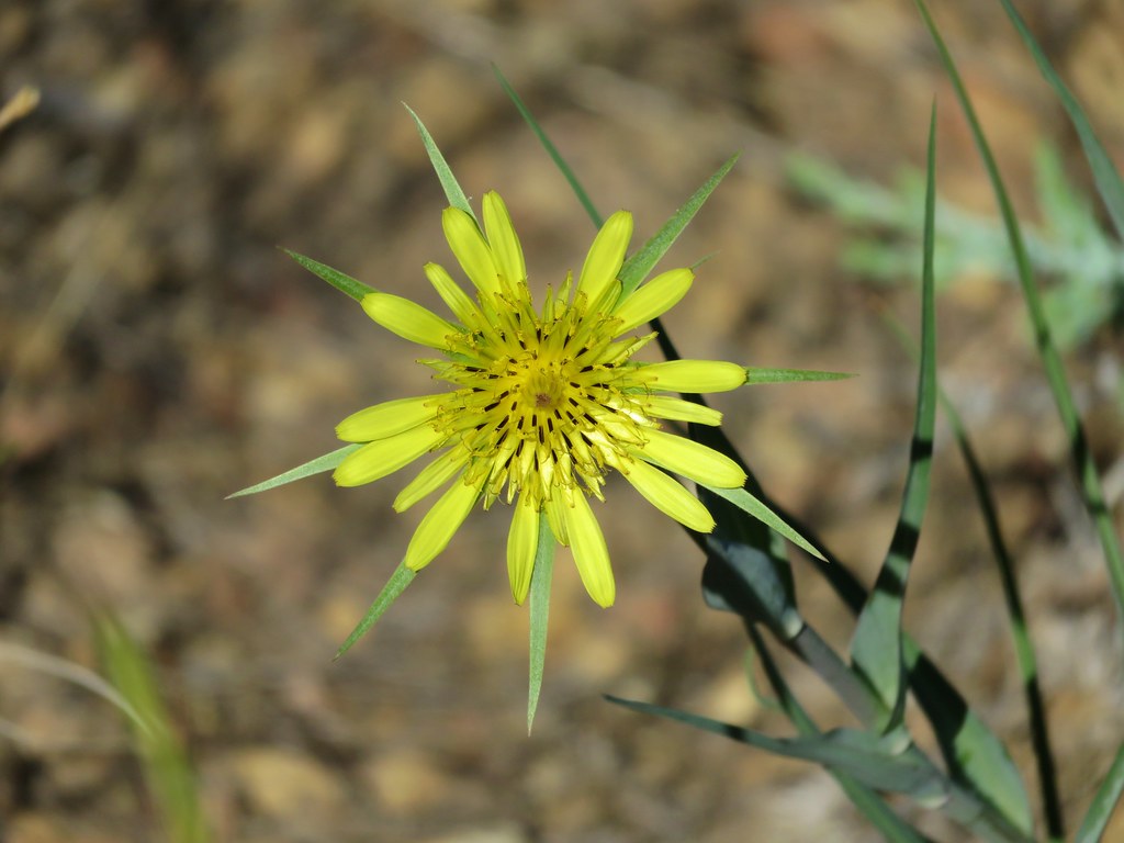
 Coneflower and fireweed
 Random sign along the trail.
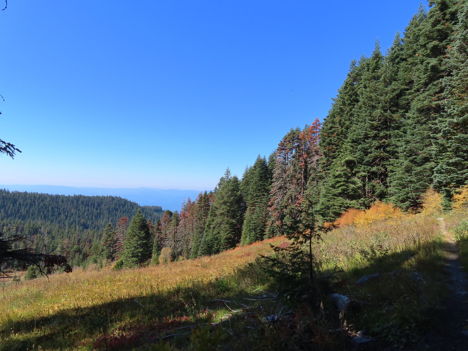
 Crossing through the final meadow.
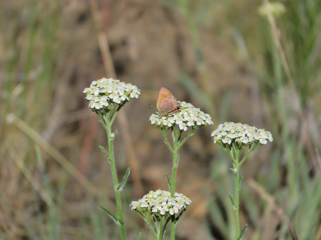
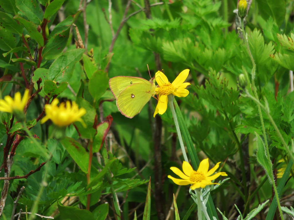
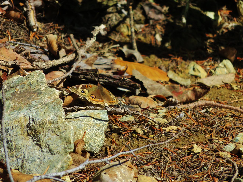
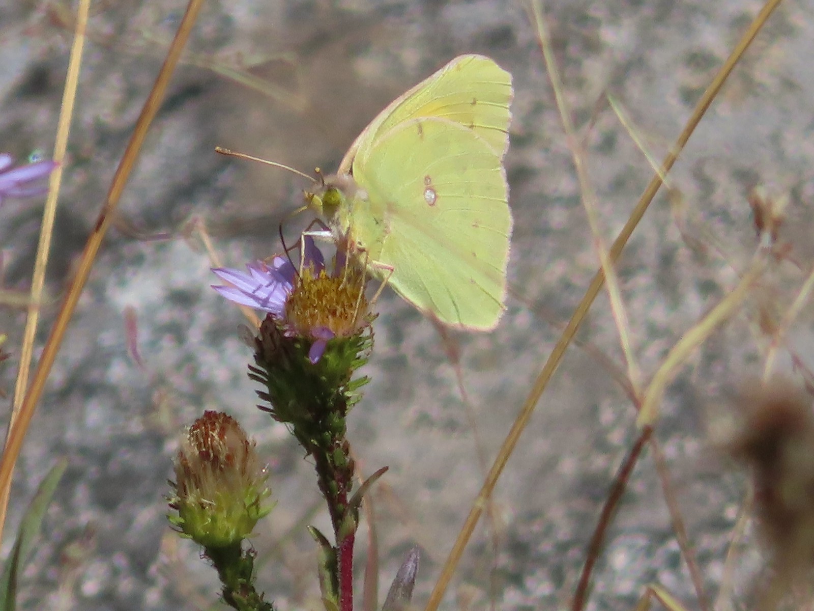 Orange Sulphur butterfly
Just under a mile from the saddle we arrived at the Lake Mountain/Bigelow Lakes Trail #1214.
 Arriving at the 1214 Trail.
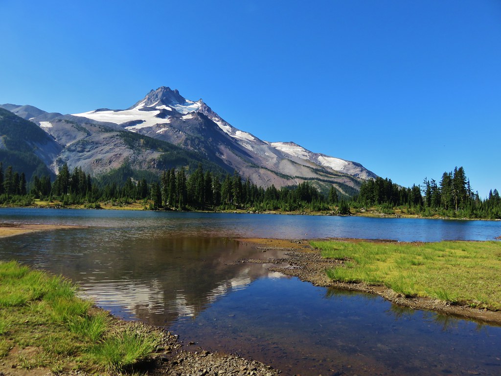
We were now in the Oregon Caves National Monument and Preserve. We turned right onto this trail which provided views down to Bigelow Lakes as it descended to the meadows around the lakes.
 There was actually more blowdown along this trail than there had been along the tie trail, but it was easily navigated.


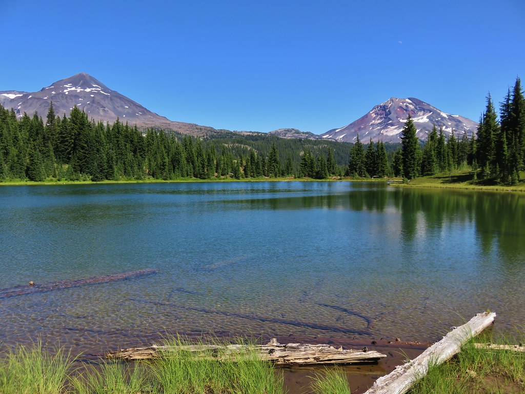
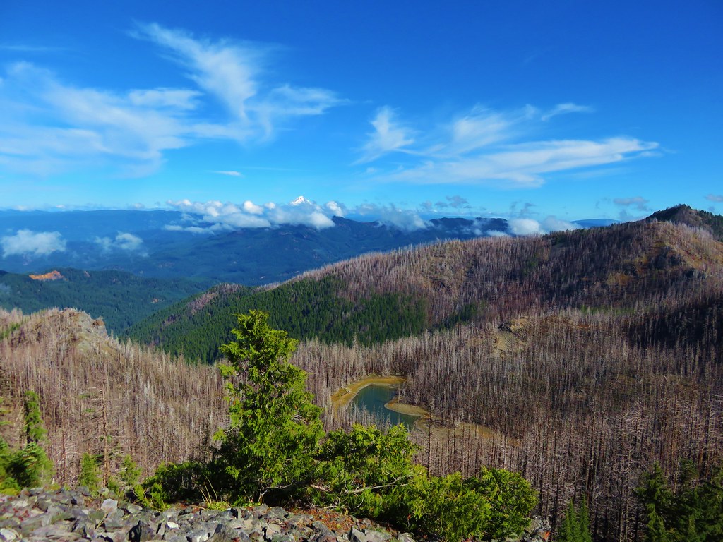
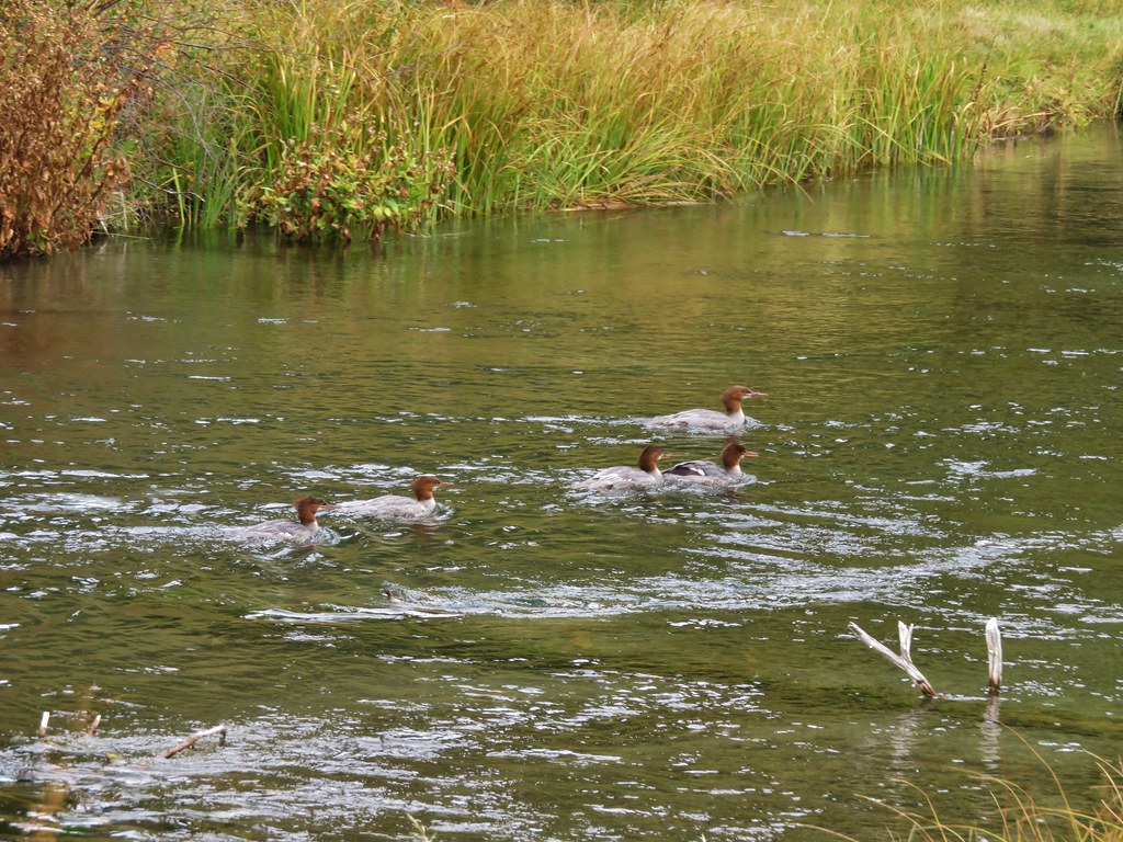
 Bigelow Lakes from the trail.

The trail eventually skirted the edge of the meadows where a use trail led 0.2-miles to the larger of the Bigelow Lakes.

 The use trail to the lake.
Heather wasn’t feeling the best, so she skipped the use trail while I visited the lake shore.


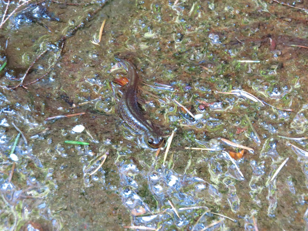
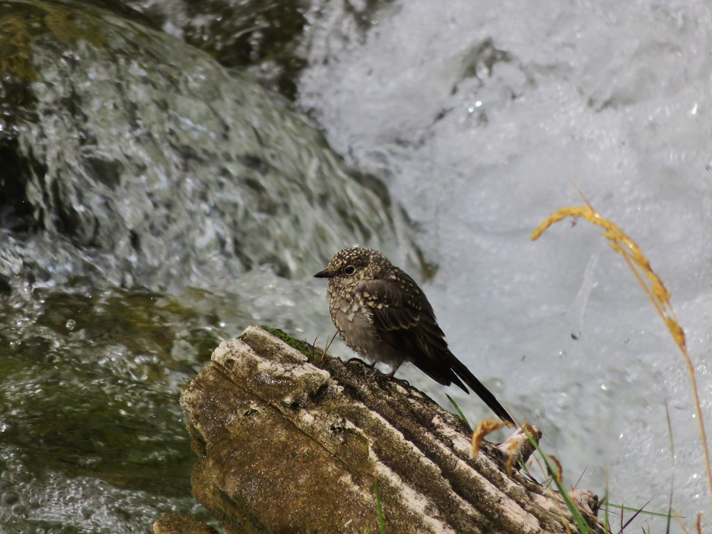
 While I was at the lake Heather was making friends with this tree frog.
After visiting the lake I returned to the 1214 Trail and continued downhill just over half a mile to a junction with an old roadbed where Heather was waiting for me. (We encountered the only other hikers we’d see all trip on the trails near the junction with the use trail.)
 The old roadbed.
 Trail sign at the roadbed.
We turned left on the roadbed and followed it nearly a mile to the Lake Mountain Trail.


 This bunch of blowdown was just before the junction.
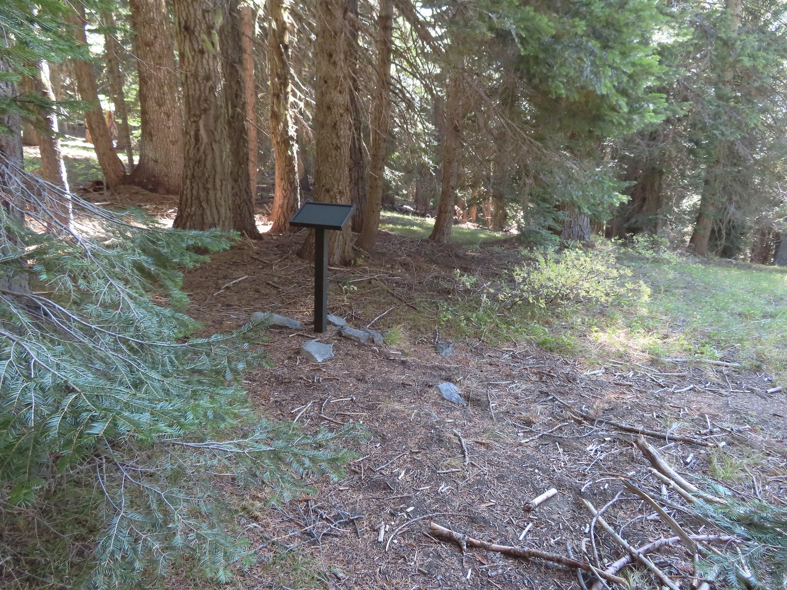 There were several of these stands along the Lake Mountain Trail, all of which were blank.
We turned left on the Lake Mountain Trail and began a 1.3-mile climb along a ridge to Mount Elijah.

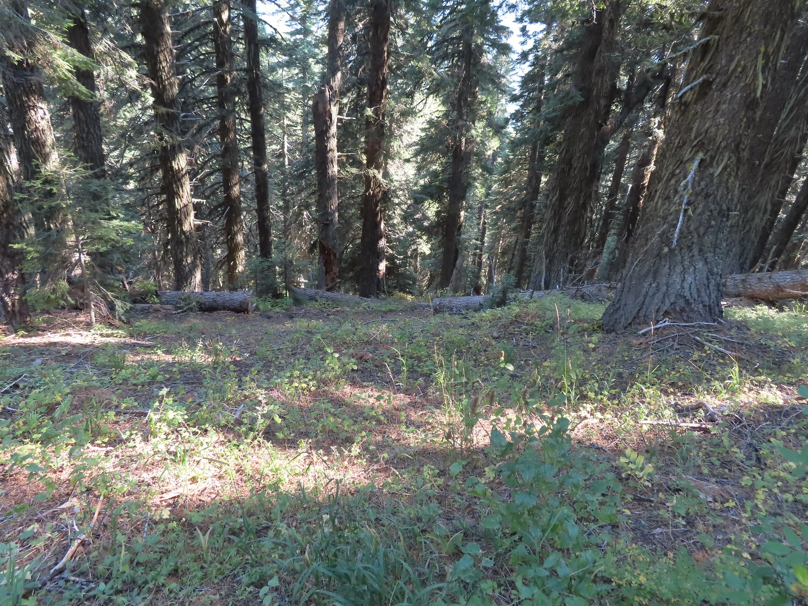
 The lower portion of the trail passed through a nice forest.
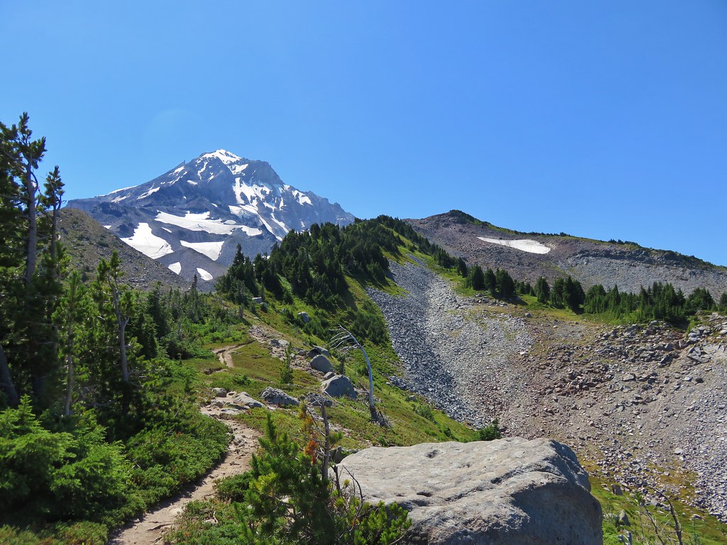
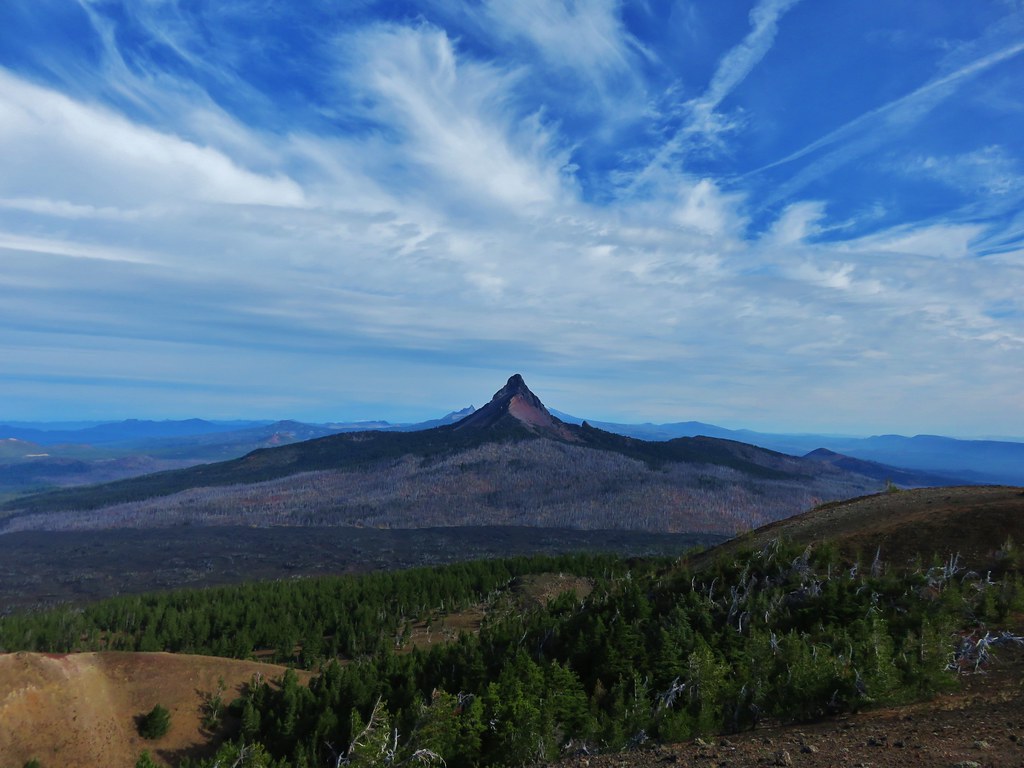
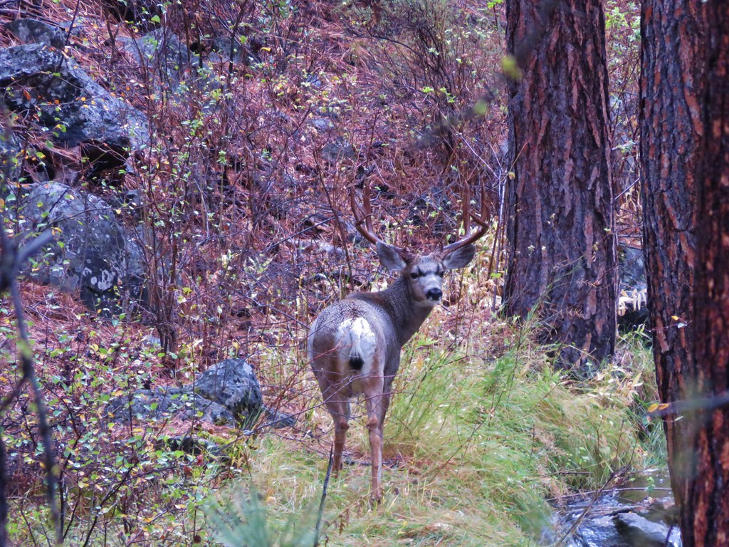
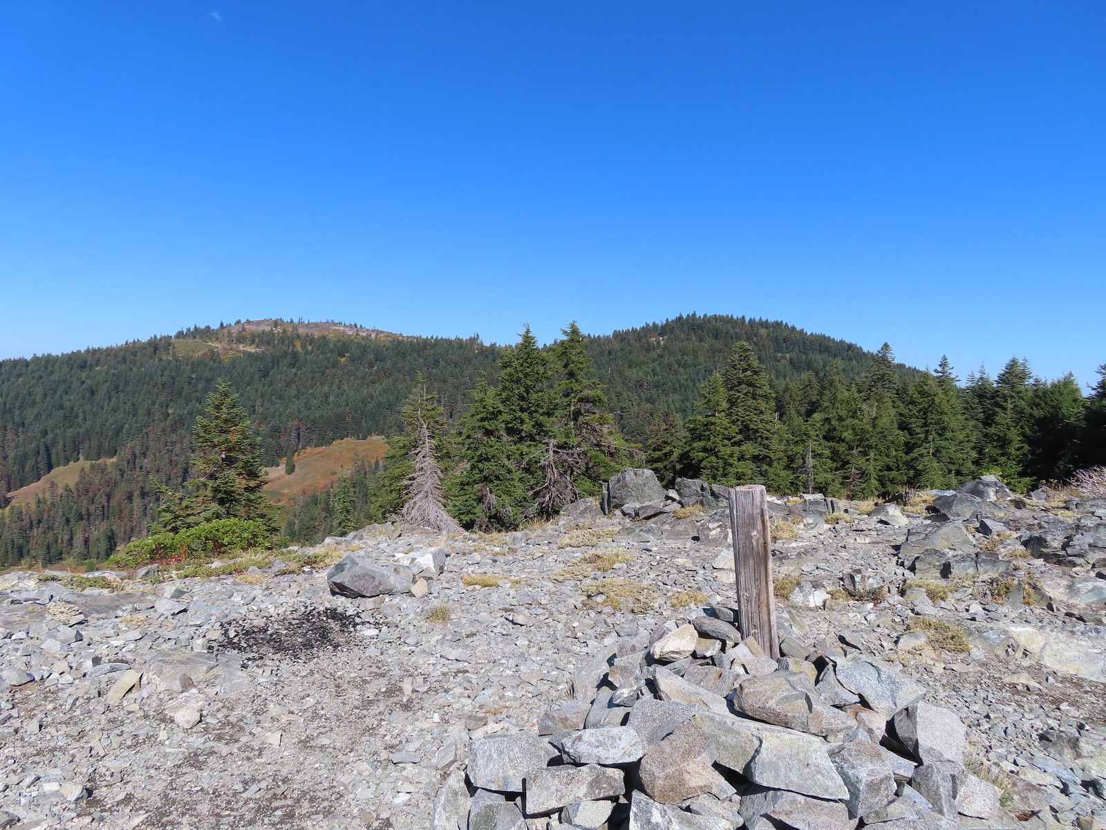
 The trail passed below the 6294′ Mount Elijah (for some reason both peaks along the ridge are named Mount Elijah on some maps) before gaining the ridge crest and climbing to the higher Mount Elijah summit at 6381′.


 The taller Mount Elijah.
 Lake Mountain from Mount Elijah.
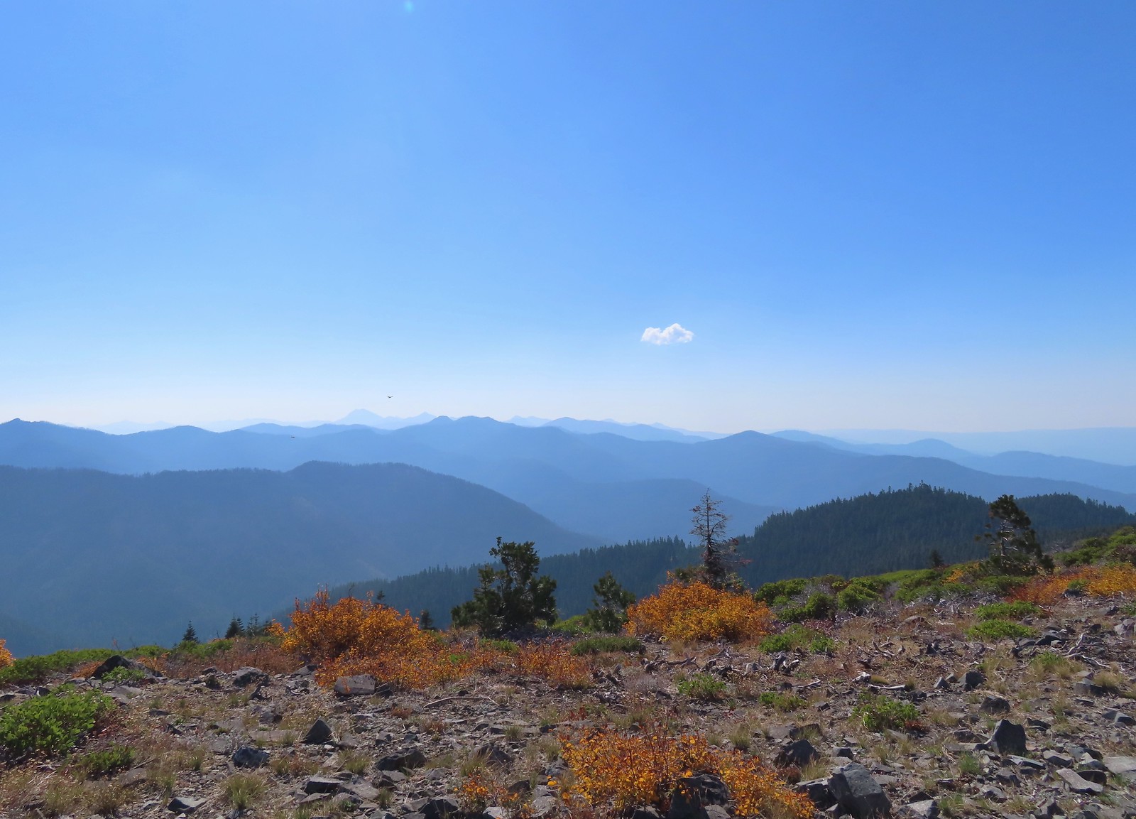 Preston Peak and a cloud from Mount Elijah. Wildfire smoke was a little more of an issue now.
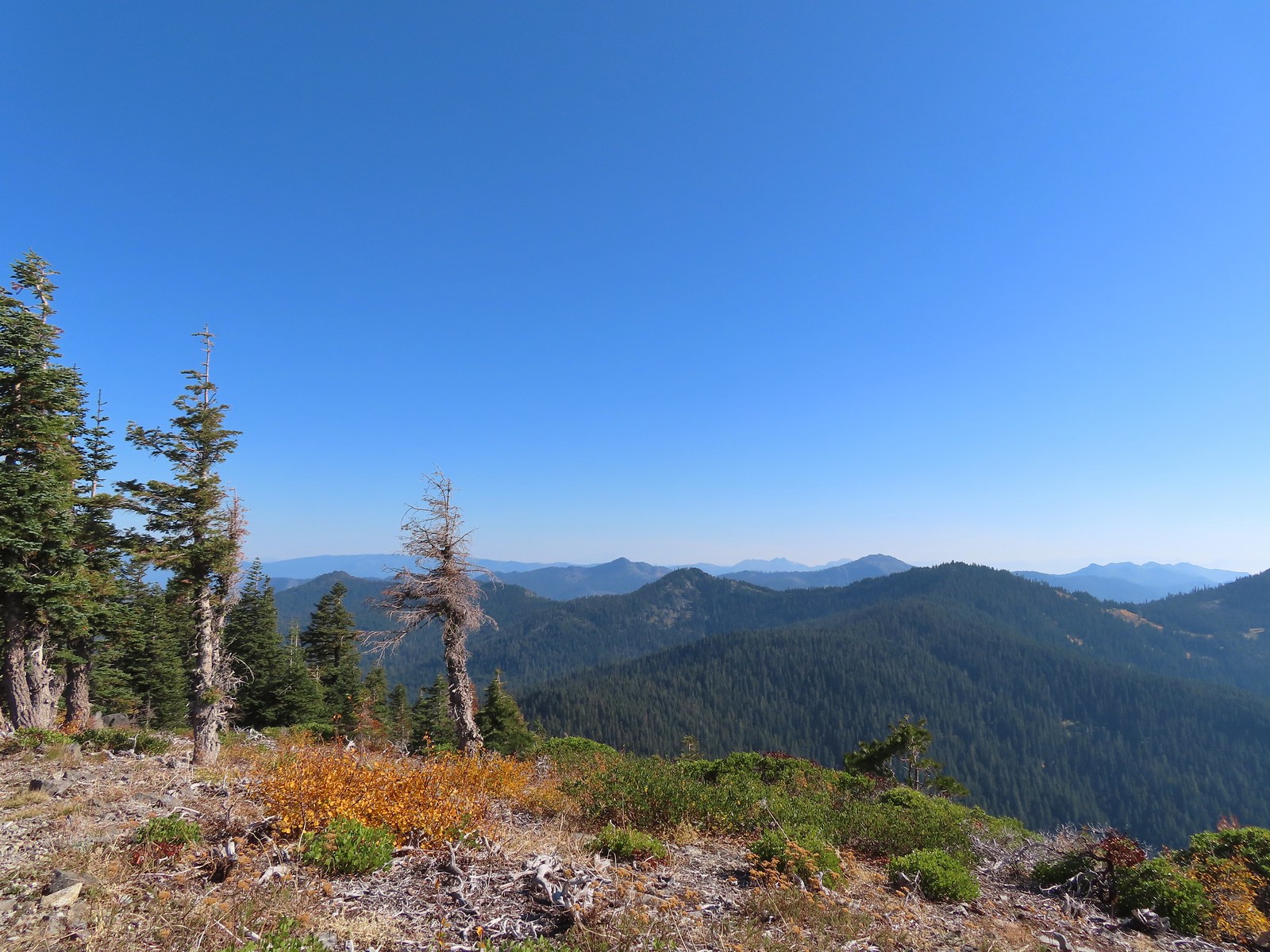 Red Buttes in the distance.
 The other Mount Elijah from Mount Elijah.
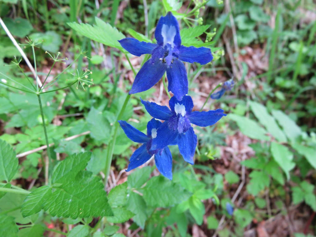
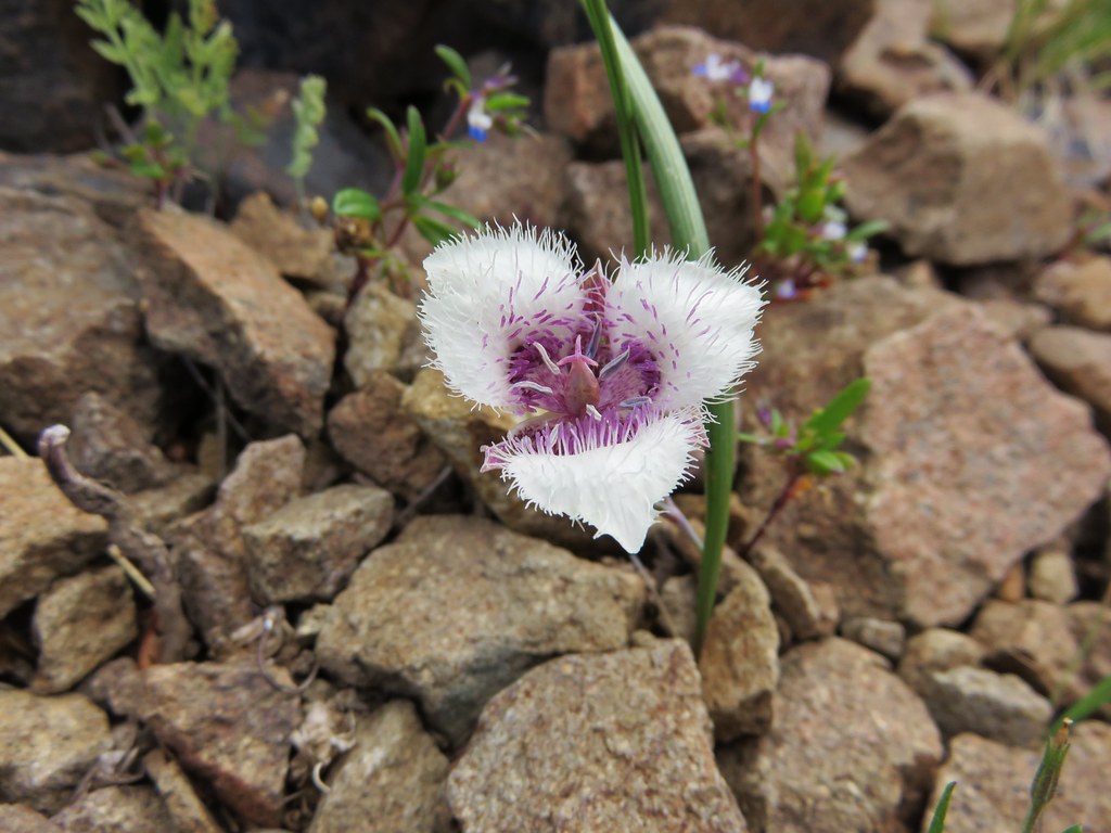
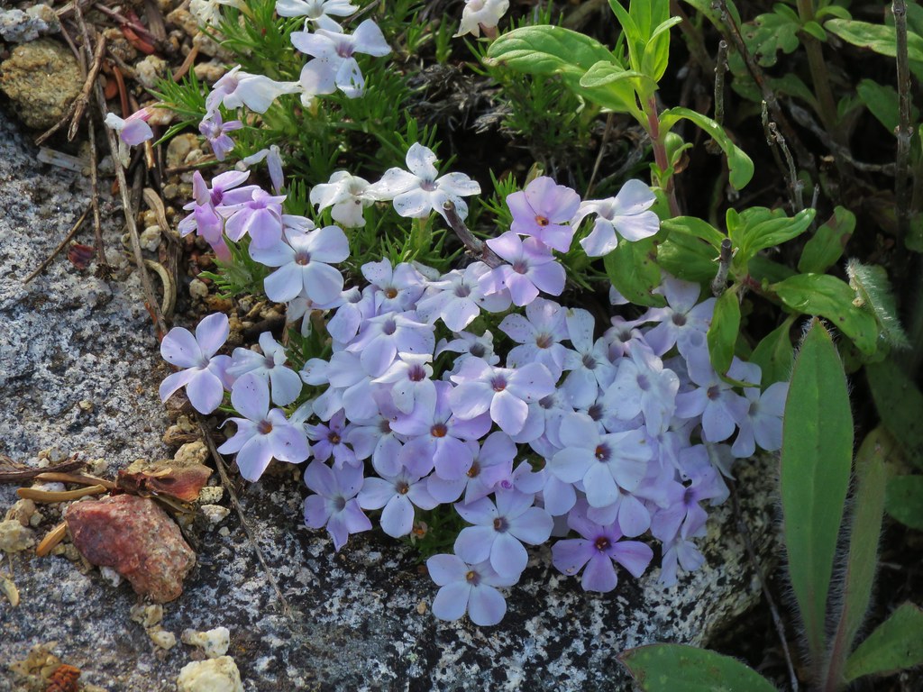
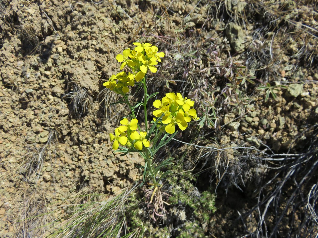
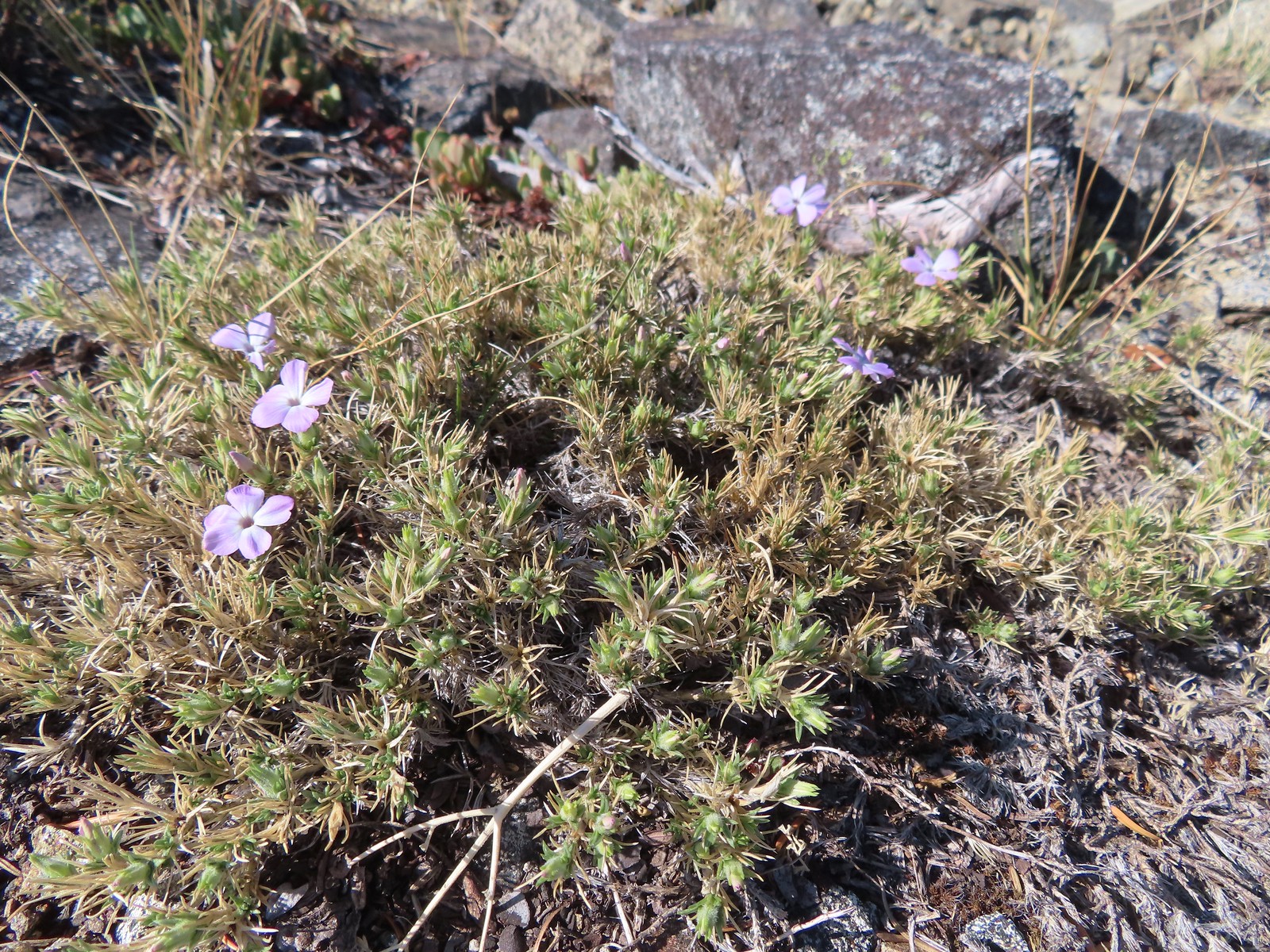 Phlox
Phlox
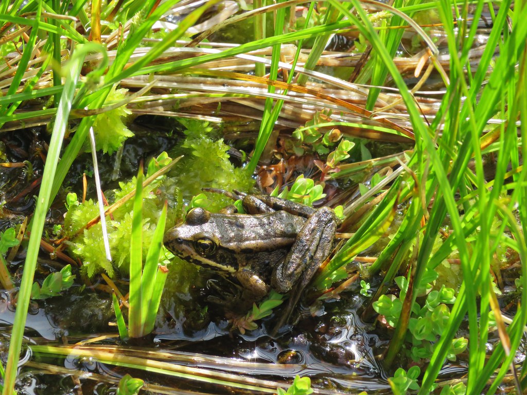
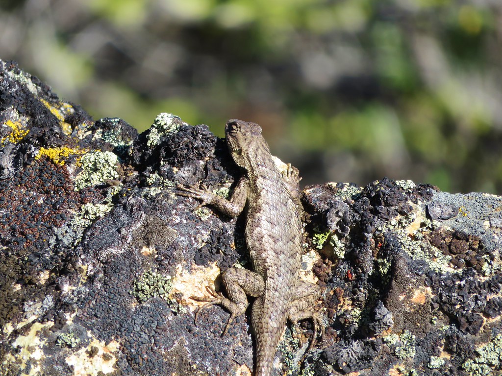
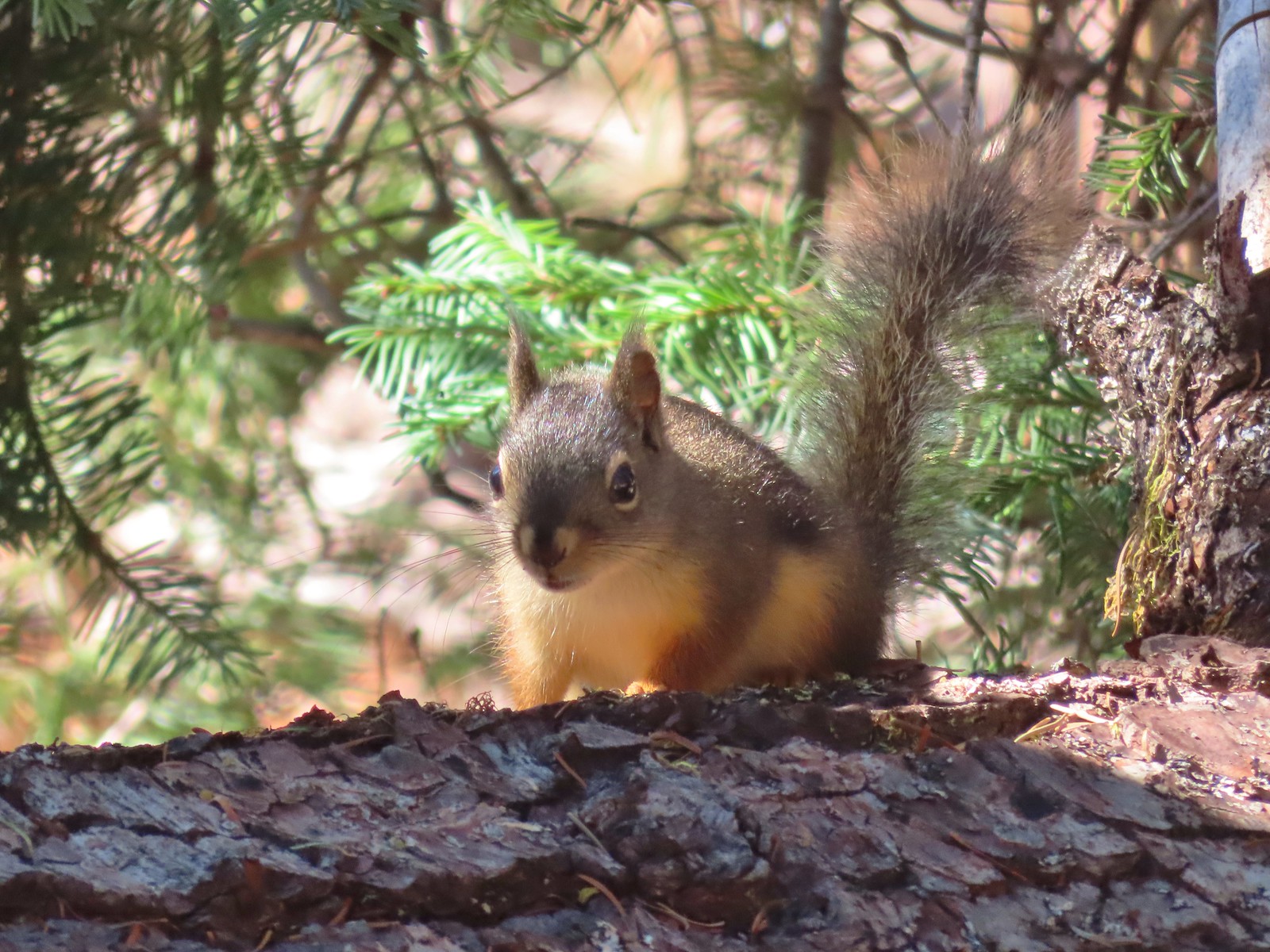
 We shared the summit with this little frog.
The trail passed directly over the summit then descended 0.3-miles to a junction with the Lake Mountain/Bigelow Lakes Trail #1214 where we turned right sticking to the Lake Mountain Trail #1206 and descending nearly a mile via switchbacks to the Boundary Trail.
 The junction with the 1214 Trail. Another with missing signage.
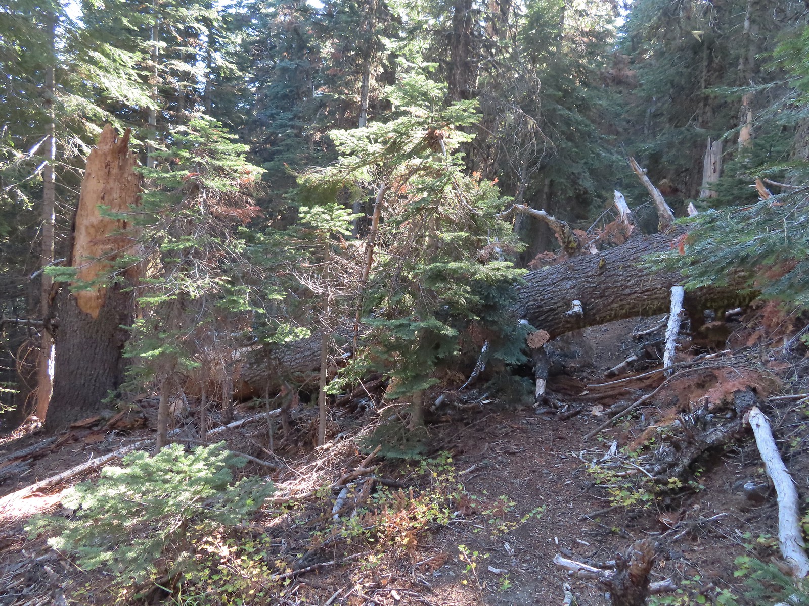 This tree required a detour downhill to get around.
 Looking down at the Lake Mountain Trail as it switchbacked downhill.
 The trail was a bit brushy in spots.
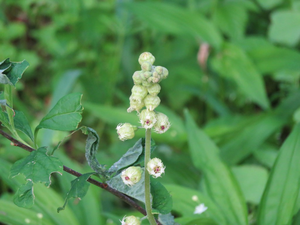
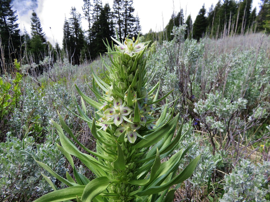
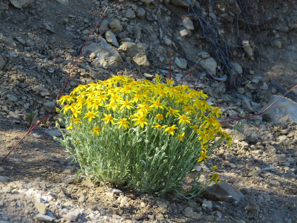
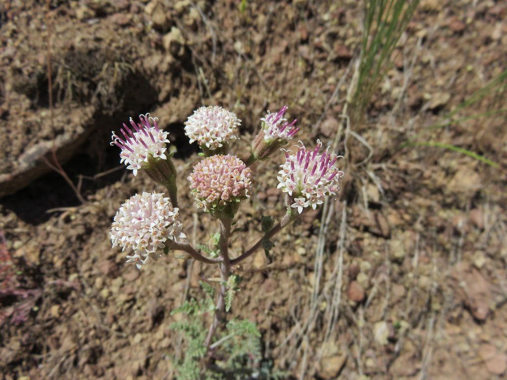
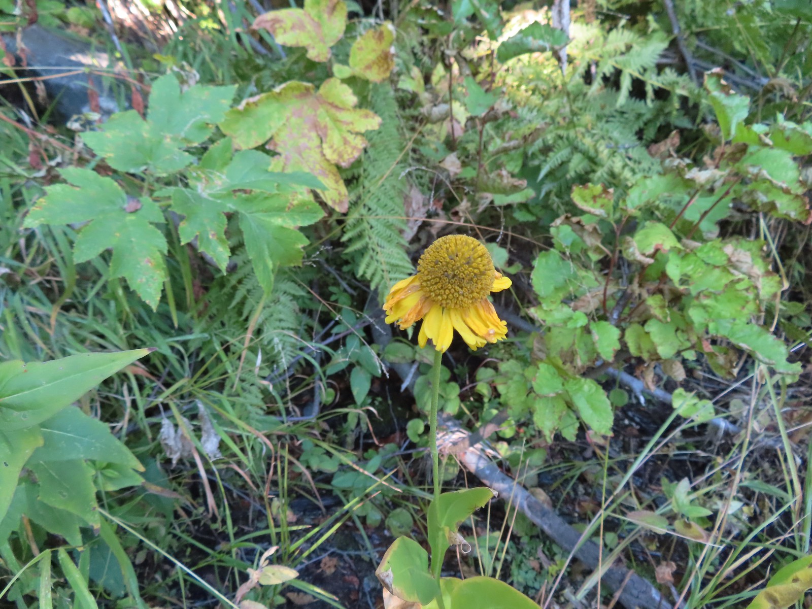 Bigelow’s sneezeweed
 Pink flagging in the little meadow where the trail met the Boundary Trail.
 The Lake Mountain Trail junction with the Boundary Trail.
We turned right onto the Boundary Trail following it back 0.3-miles to the Sturgis Fork Trail then followed it back to the trailhead and made the road walk down to our car.
 We packed out yet another mylar balloon (GRRRR).

 Junction with the Sturgis Fork Trail on the left.

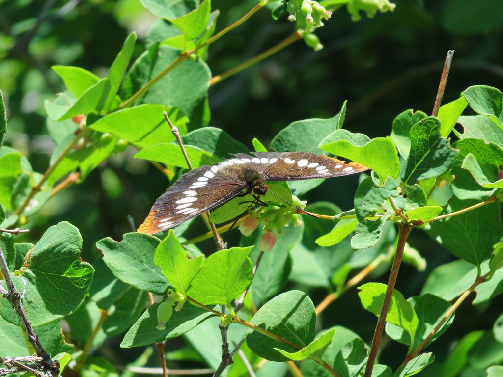
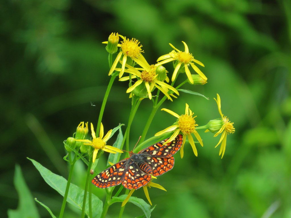
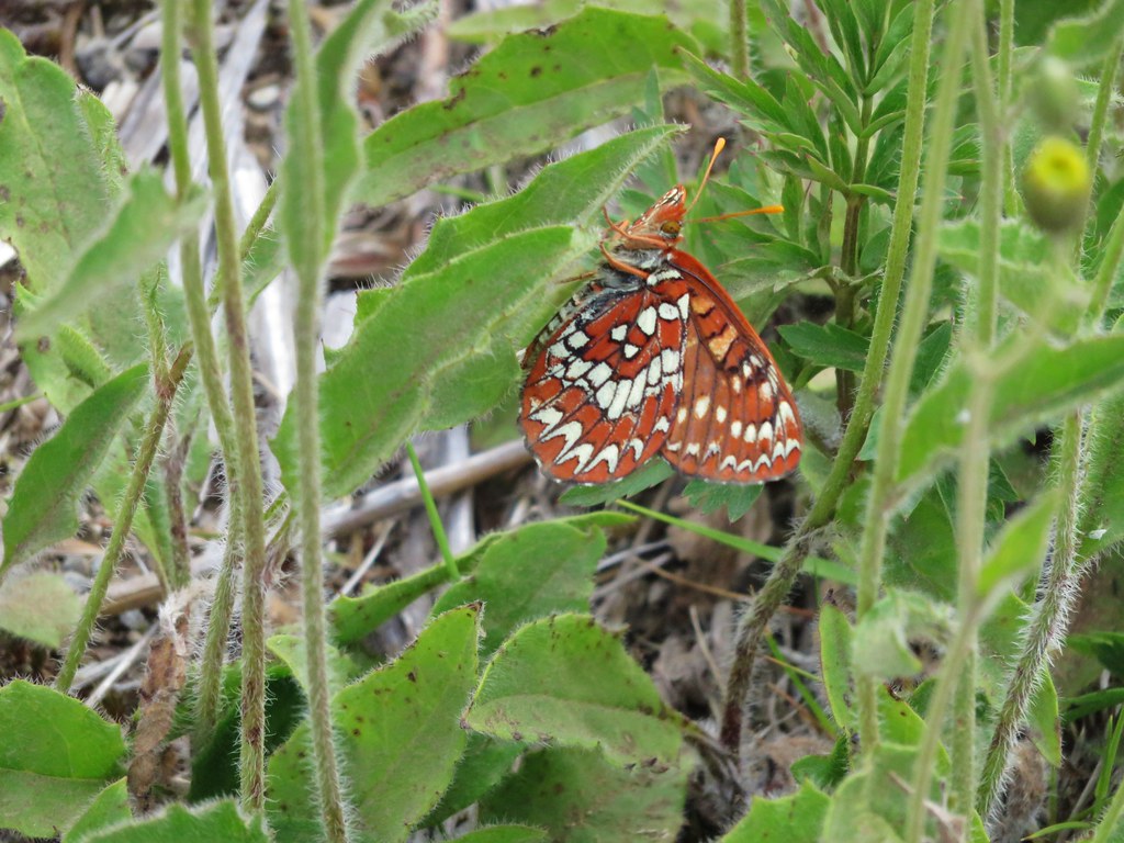
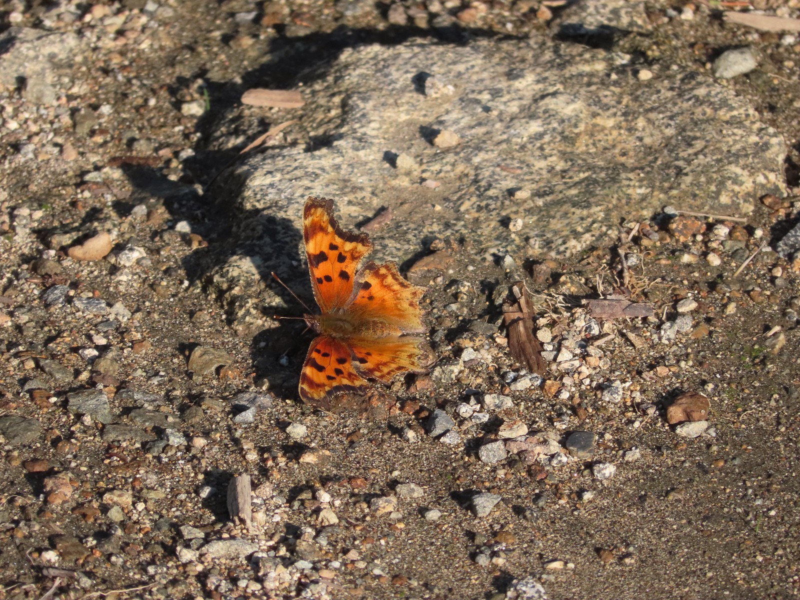 Hoary comma
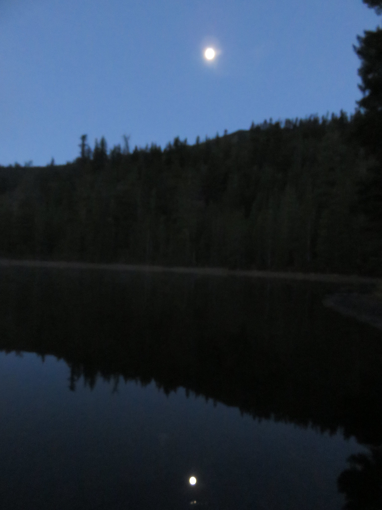
 We were parked just to the right along the road below the hill.
My GPS showed 12.5-miles with approximately 2500′ of cumulative elevation gain.

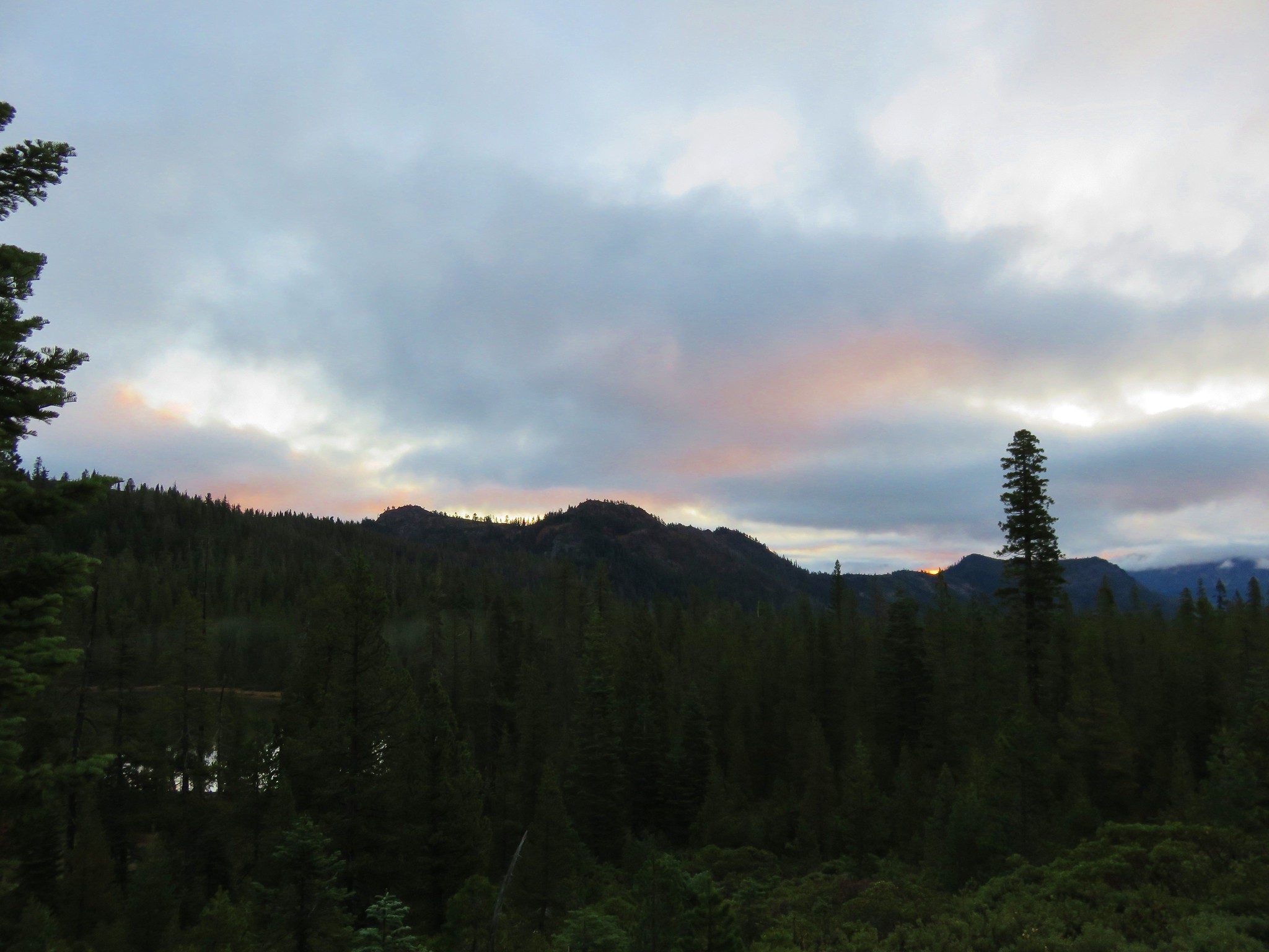
It was a beautiful day but also a tough day physically, especially with Heather not feeling well. We were glad however that we’d decided to do this hike on the clearer day. We drove back to Grants Pass and checked into our room for the next three nights. Two of the six remaining hikes were done with two more slated for the following day. We were getting real close to finishing but Heather’s health was a bit of a concern. Happy Trails!
Flickr: Sturgis Fork and Mount Elijah