Before I dive into a description of our most recent hike I wanted to mention that last night we had a chance to listen to a presentation by William L. Sullivan, the author of the hiking books we use to plan our hikes. He presented a number of new hikes that are included in his updated guide to the Central Oregon Cascades. He travels around Oregon giving presentations throughout the year and you can check his calendar of events at http://www.oregonhiking.com/ if you are interested in attending one.
Now on to our hike. We traveled to Tillamook on the Oregon Coast for a hike around Bayocean Spit which protects Tillamook Bay. I’d picked this hike due to the lack of elevation gain given both Heather and I have races in two weeks (a full marathon for her and a half for me).
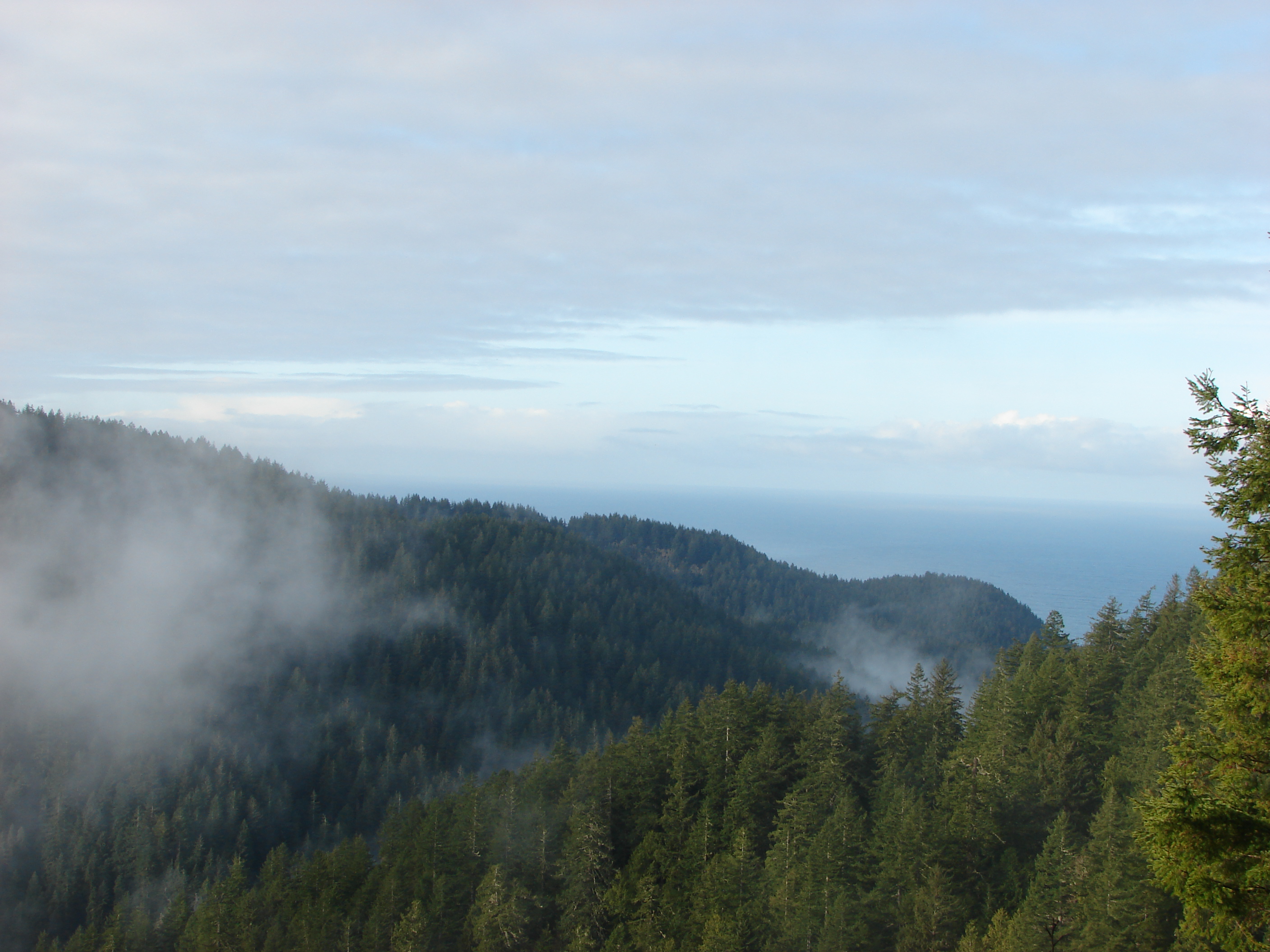
This turned out to be another interesting hike with the Pacific Ocean on one side and the bay on the other. Between the two the spit is a mix of grassy dunes and a small forest. We decided on hiking in a figure 8 pattern in order to cover both sides of the spit as well as explore the forest via a .5mile connector trail. We left the parking area and headed West across some grassy dunes toward the beach sporting some less than attractive ponchos. It was a cloudy day with intermittent rain. We must have been a sight because it wasn’t long before we noticed a doe watching us from behind a dune.

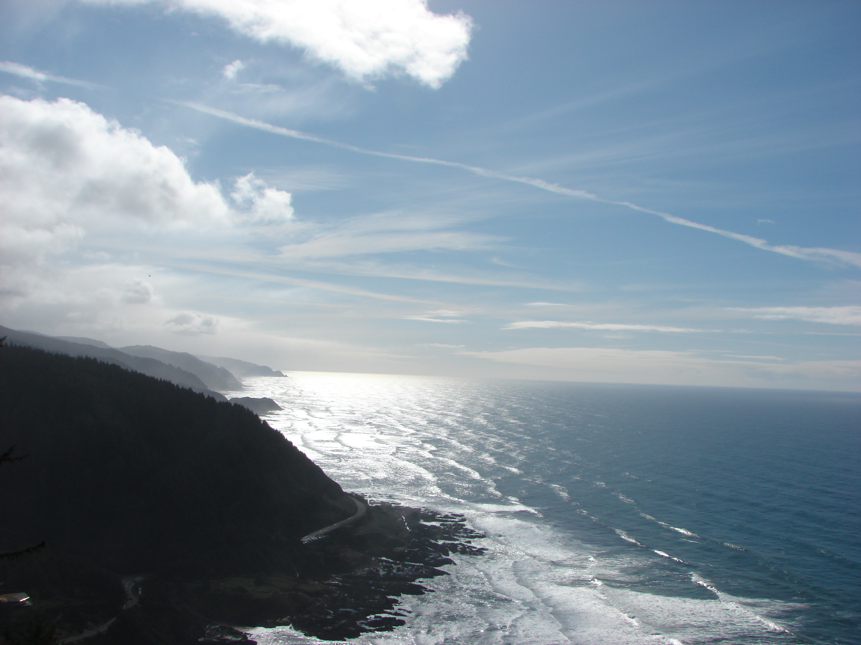
We found the beach which was empty aside from a few seagulls and turned north. There were numerous shells and sand dollars in the sand. To the south was Cape Meares along with Pillar & Pyramid rocks, and to the north was Cape Falcon. As we approached the forested section of the spit we quickly spotted several Bald Eagles perched in the tree tops. We also noticed a large gathering of seagulls on the beach. Curious about the attraction Dominique and I set off for a closer look while Heather searched for the connector trail to the bay side. As we got closer to the birds we noticed that they were huddled around the end of a log that had washed up on the beach. That end of the log appeared to be covered with some type of clam. 
After satisfying our curiosity we headed back to the now located connector trail. This sandy half mile trail led through a small but varied forest to an old dike road along Tillamook Bay. The water level was low due to it being a low tide and the number of birds was less than we had hoped, but we did spot a Great Blue Heron, several ducks, Canadian Geese, and another Bald Eagle. We continued north along the road to an abandoned campground across the bay from the city of Garibaldi. Shortly after the campground we spotted some flagging leading back across the spit toward the ocean.
The flags marked a path across another set of grassy dunes. We spotted three more deer before reaching the beach where we turned south and began our return trip. We stopped to take a closer look at what I was now calling the “seagull log”

and the took the connector trail back through the forest to the road. This time we turned right (south) and headed back toward the parking area. It wasn’t until this last leg that we saw any other people which made for a very peaceful day.
We’ll be taking a few weeks off from hiking now due to the upcoming races, but then our hiking season will kick into high gear. Hopefully the weather will continue to cooperate and most of the snow will have melted from the lower elevations by then. In the meantime thanks to the Salem Audobon Society and William Sullivan I have some new hikes to read about and trips to plan. Until next time – Happy Trails 🙂
Pictures from the hike on Facebook https://www.facebook.com/media/set/?set=a.10200995758203343.1073741827.1448521051&type=3
or Flickr http://www.flickr.com/photos/9319235@N02/sets/72157633242847785/