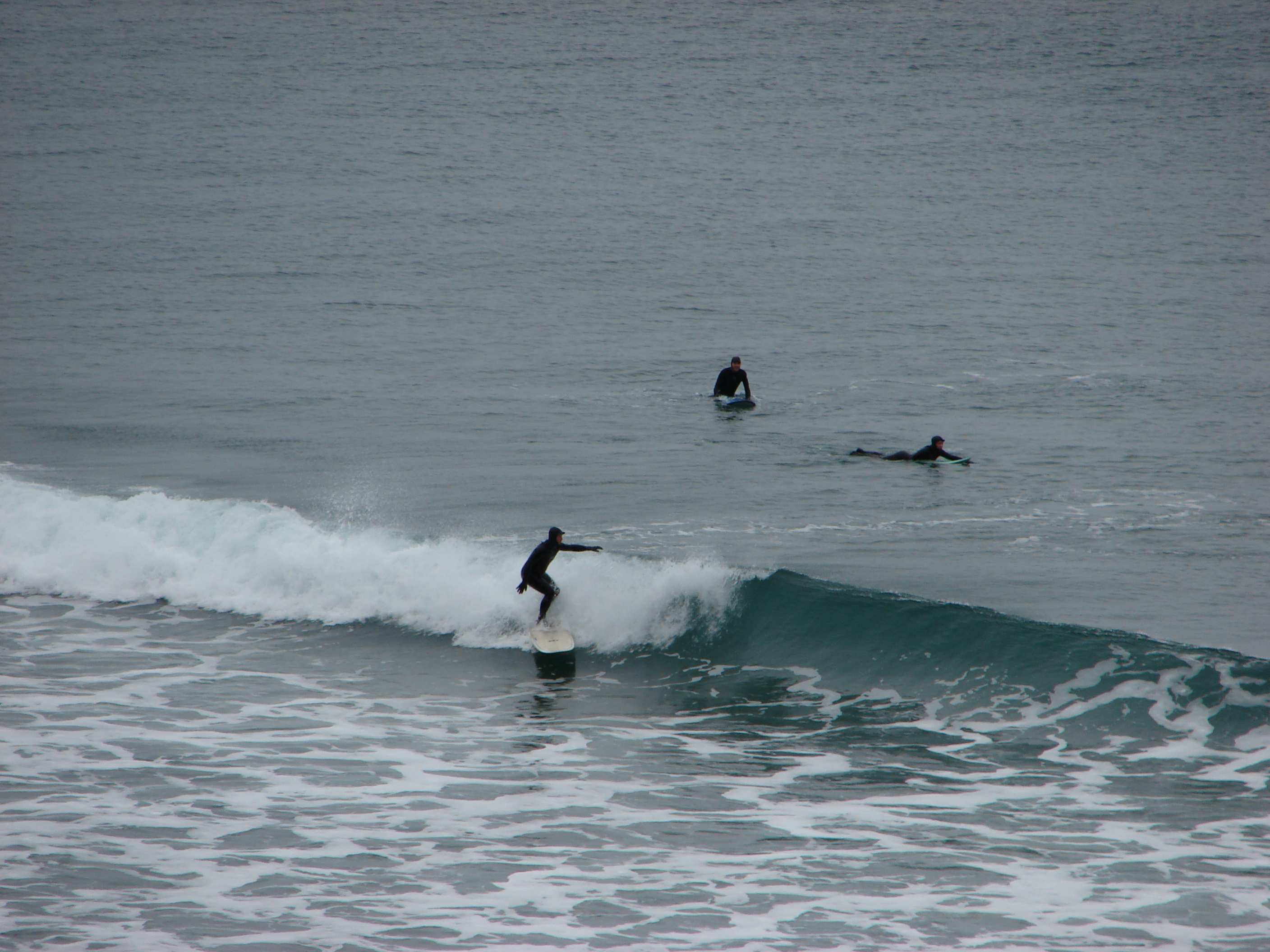
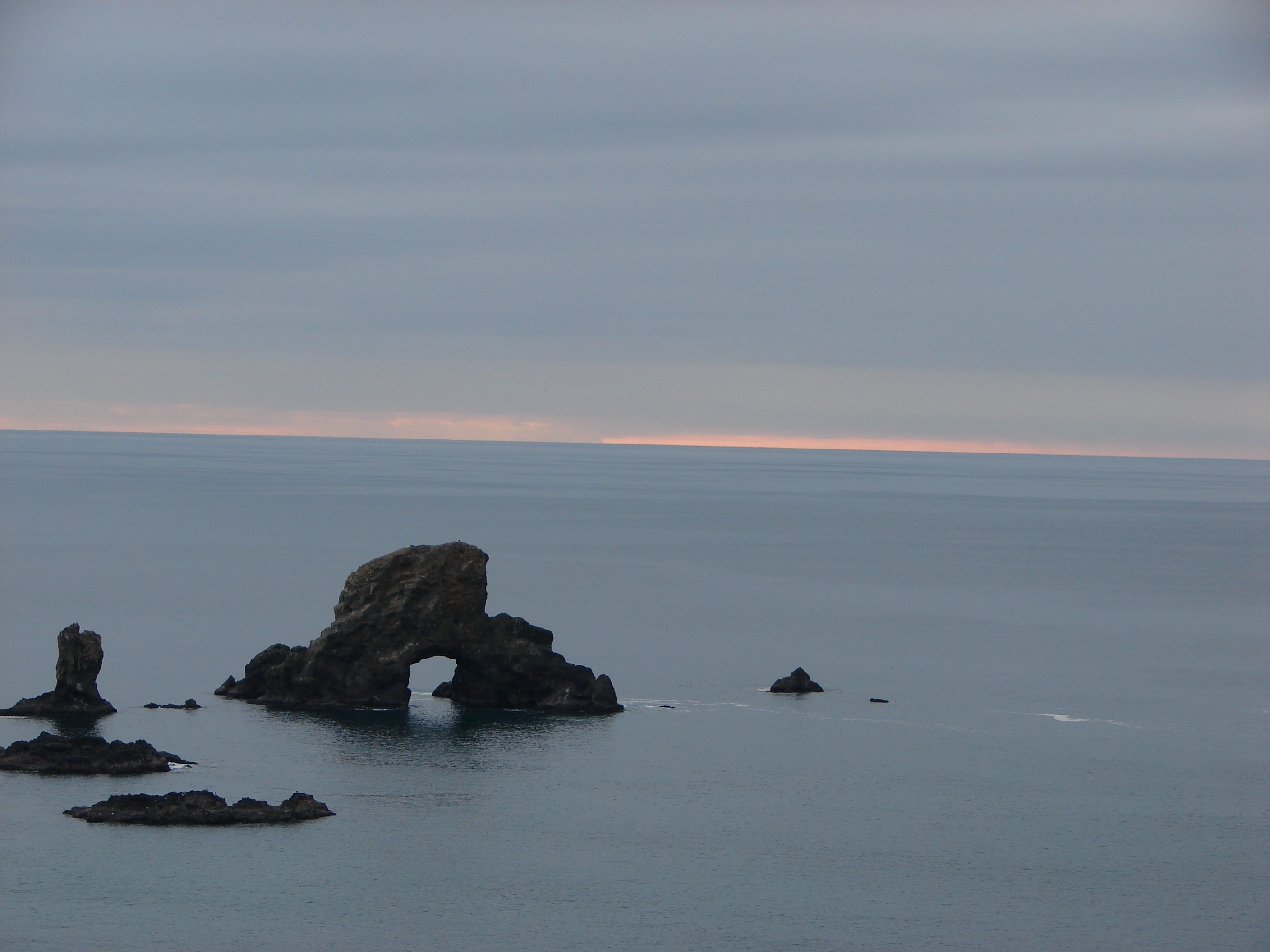
Categories
Central Coast Hiking Oregon Oregon Coast Trip report

Baker Beach and Rock Creek Wilderness

Since 2013 our first hike of the year has been somewhere along the Oregon Coast.  Often the weather at the coast during January is nicer than other parts of the State making it a great time to visit.  This was certainly the case this year as the first part of January saw near record snows and freezing temperatures over much of the State.  The coast had not escaped the weather entirely but by the time we headed out for our first hike of the year, things were much nicer there than at home in the Willamette Valley.

Our destination was Baker Beach Camp just north of Florence, OR. This was a change (already) to our plans for 2017 but the forecast for the area was just too good to pass up. Mostly sunny skies and a high of 48 degrees was what was being called for so we left 23 degree Salem early in the morning and headed down to Eugene then west to Florence on Highway 126.

Baker Beach Camp is located at the end of Baker Beach Road, 7 miles north of Florence along Highway 101.  The only signage along the highway was a small green street sign which I noticed just as we passed by it. After quickly turning around we turned onto the gravel road and followed it .5 miles to the camps parking area.
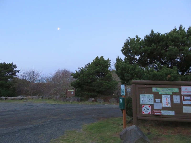
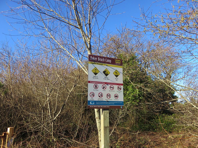
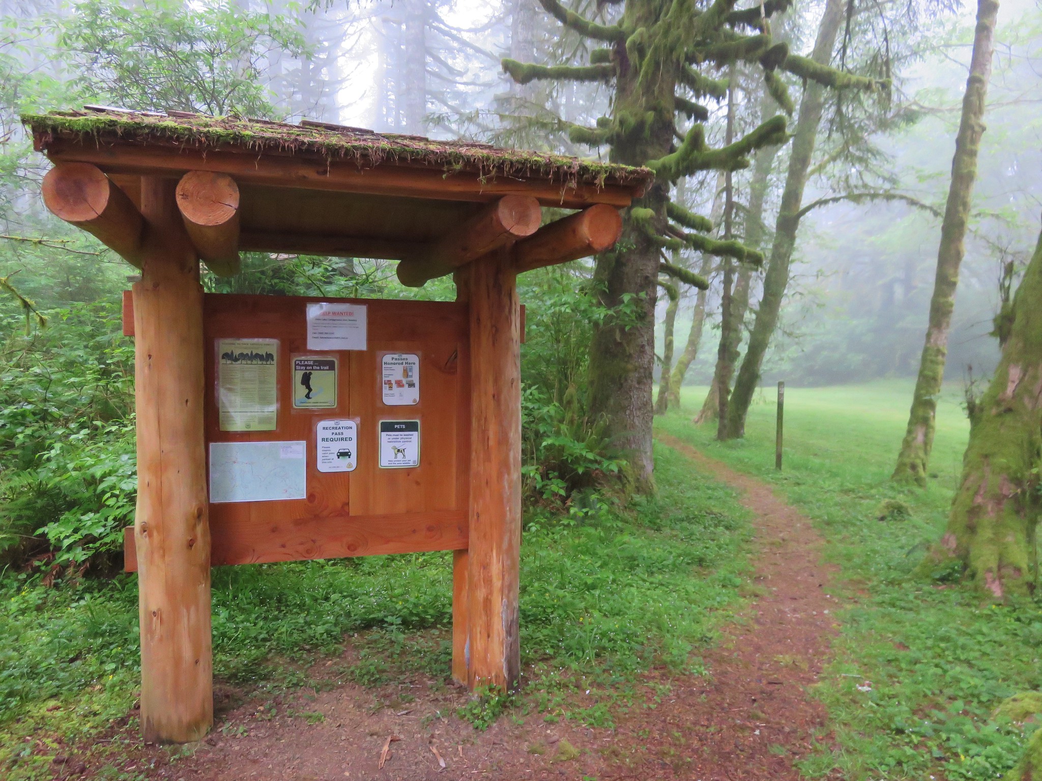
Baker Beach Camp

Baker Beach Camp sign

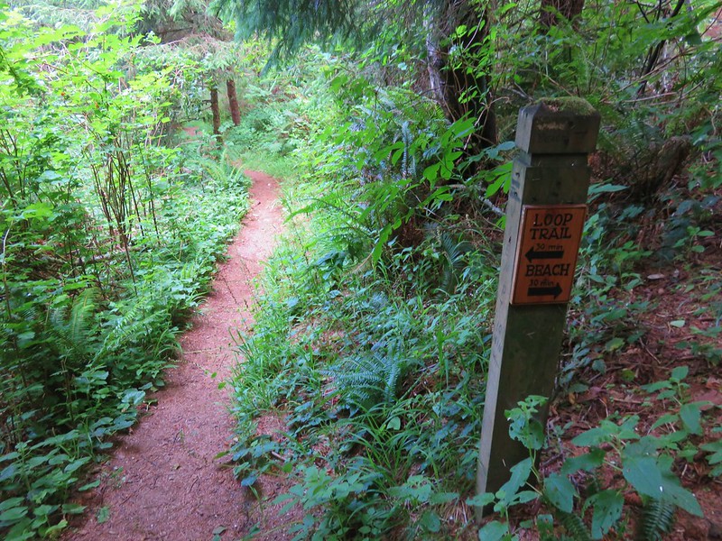
To start our hike we walked a short distance back along the road and turned left at a trail sign for the Lily Lake Loop.
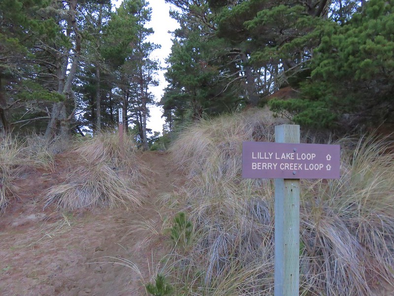
Start of the Lily Lake Loop

A short sandy climb brought us to a trail junction at the top of a sandy ridge.
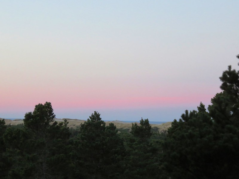
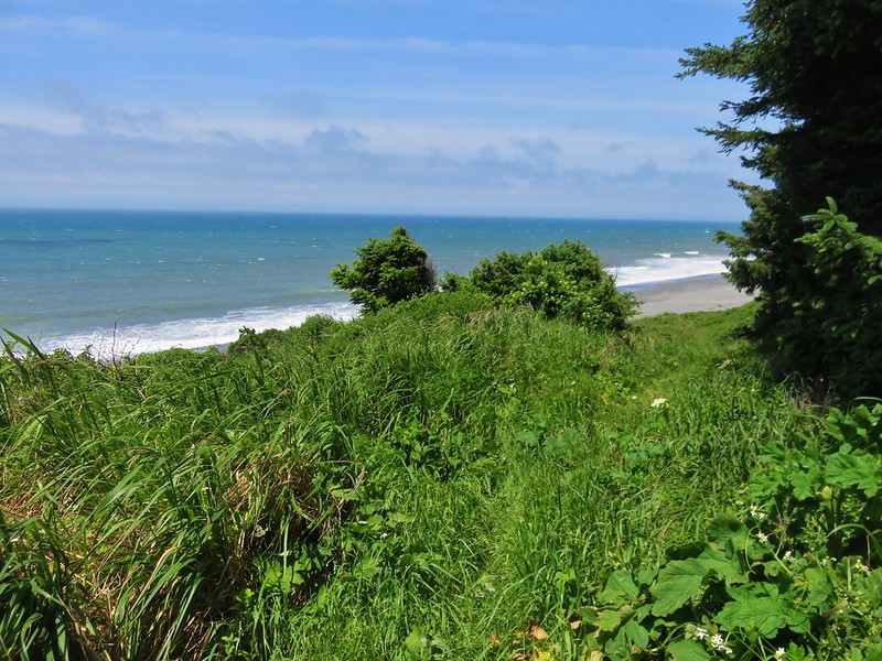
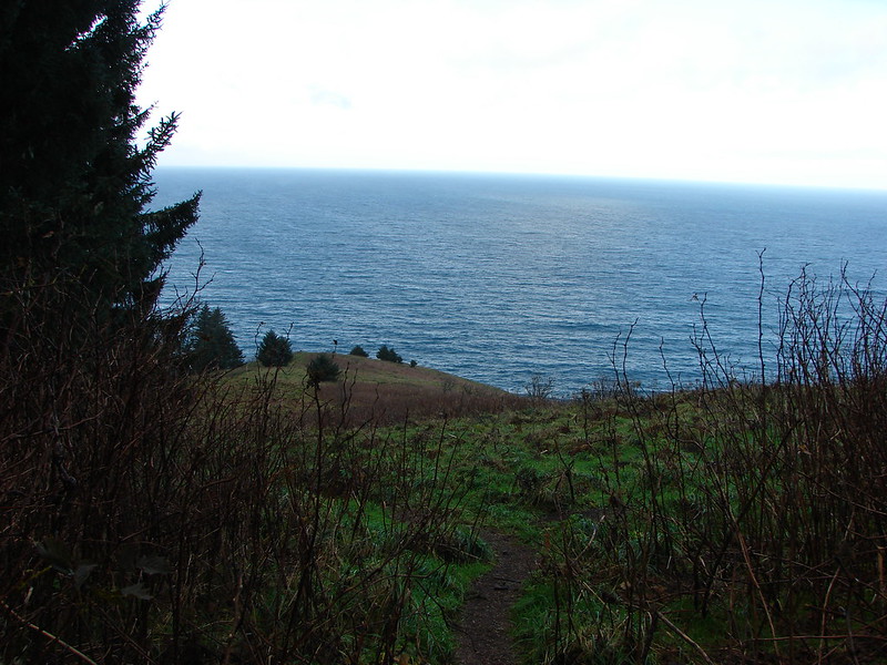
Pacific Ocean from the Lily Lake Loop Trail in the morning

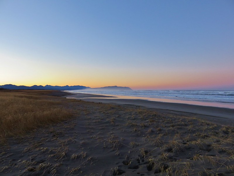
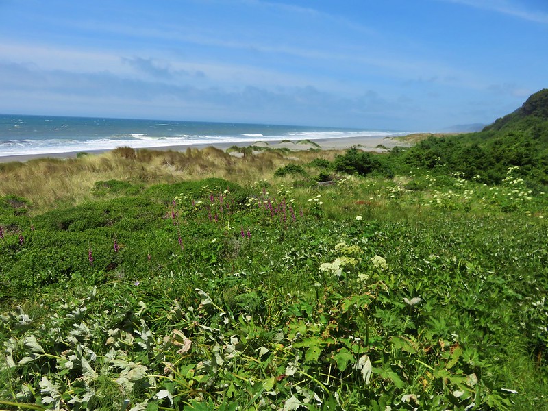
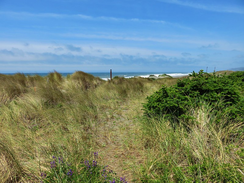
The Pacific Ocean was visible beyond Baker Beach and the sand dunes.
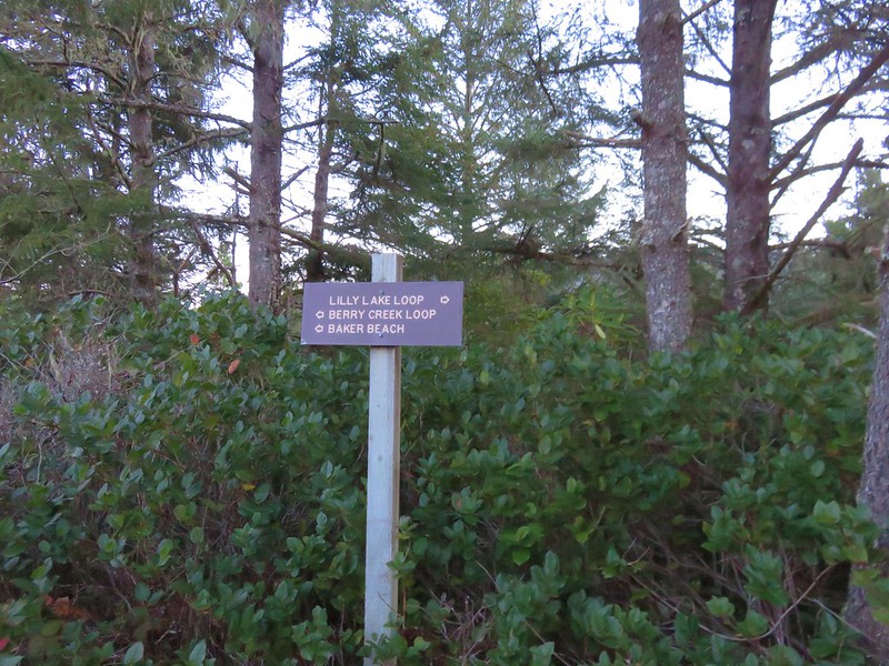
Trail signs along the Lily Lake Loop

The Berry Creek Loop would have kept us up on the sandy ridge while the Lily Lake Loop dropped down and passed near Lily Lake before climbing back up to the ridge top and rejoining the Berry Creek Loop Trail. We wanted to see the lake so we followed the Lily Lake pointer passing through a salal filled forest before things opened up along the lake.
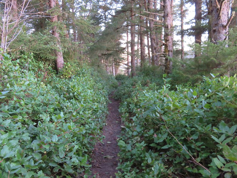
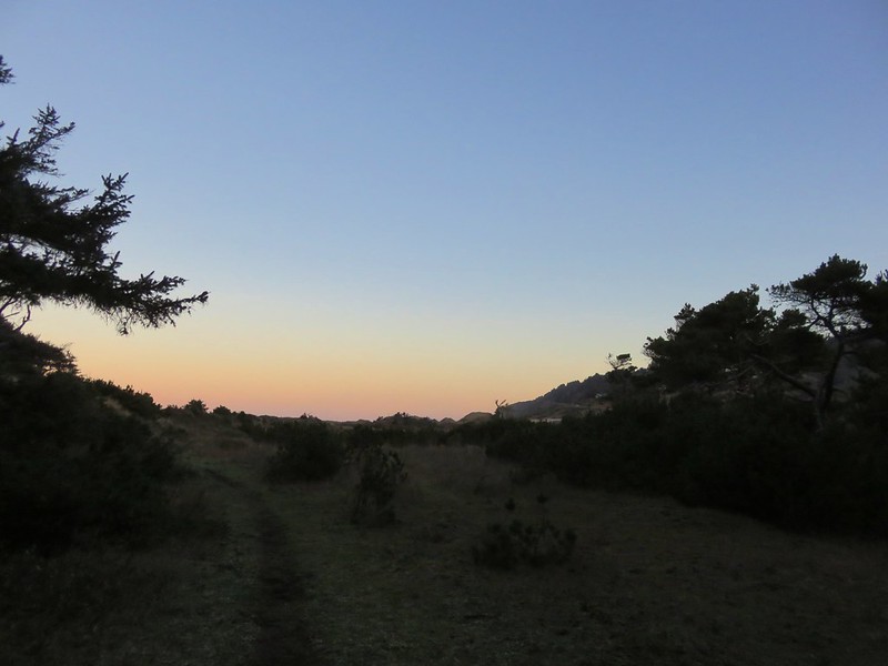
Lily Lake Loop Trail

Trail along Lily Lake

We stayed on the paths closest to the lake thinking that one would bring us right to it but instead the lake remained mostly hidden behind first a row of trees then by a reed filled marsh near it’s outlet.
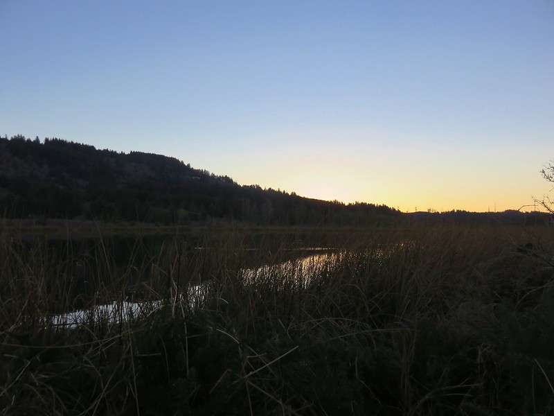
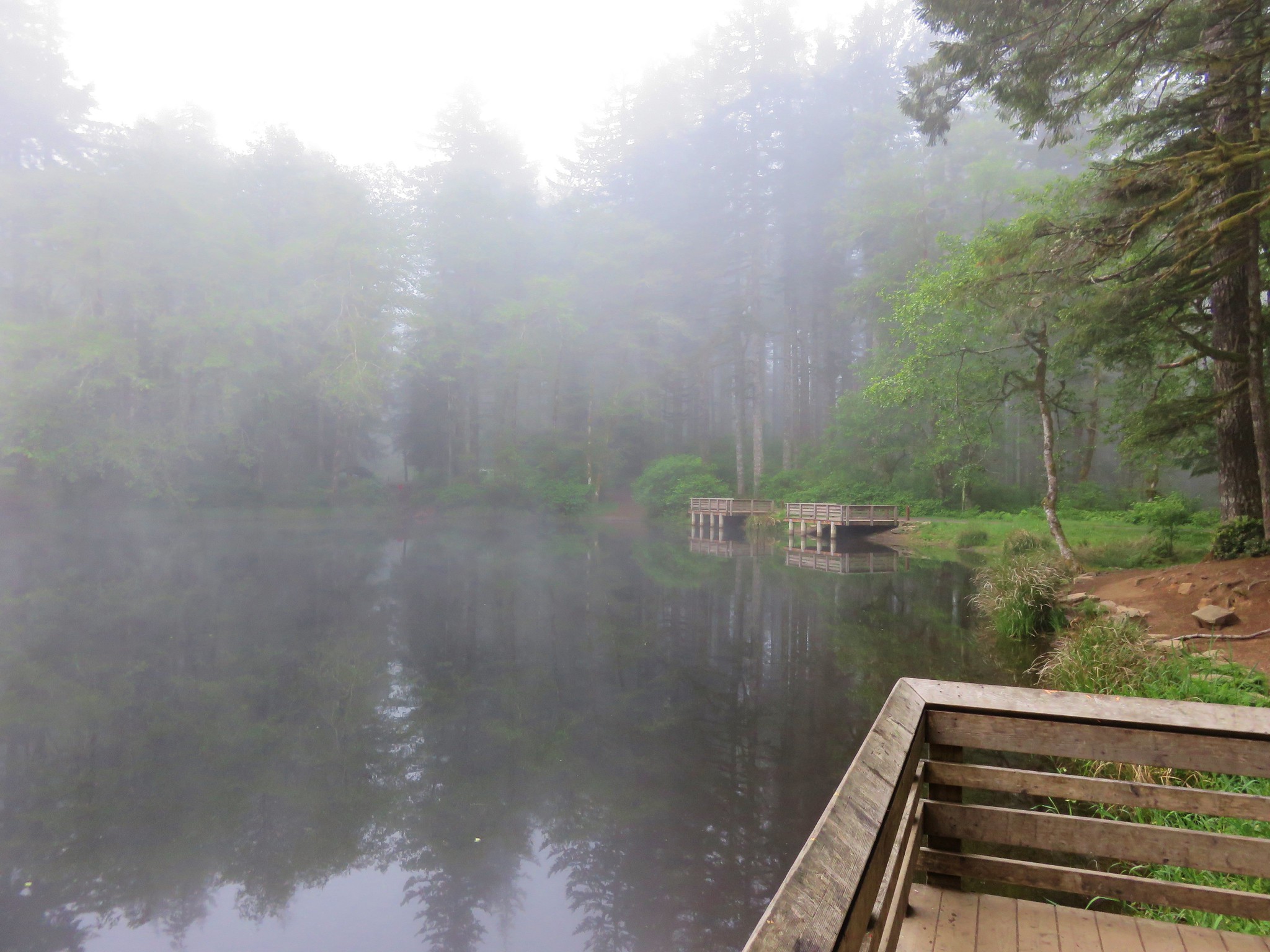
Lily Lake

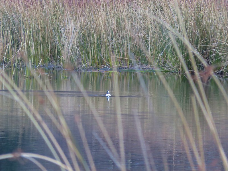
We could see that there was quite a bit of activity on the lake with several types of ducks and some Canada geese floating on the water, but it was hard to get any clear photos with the vegetation in the way.
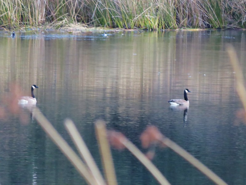
Canada geese on Lily Lake

Bufflehead

Bufflehead on Lily Lake

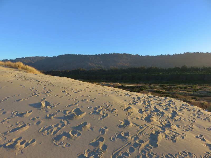
From the lake we climbed back up to the top of the Sandy Ridge which overlooked a small pond and Berry Creek flowing out toward the Pacific.
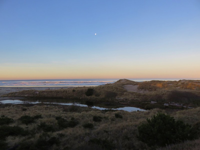
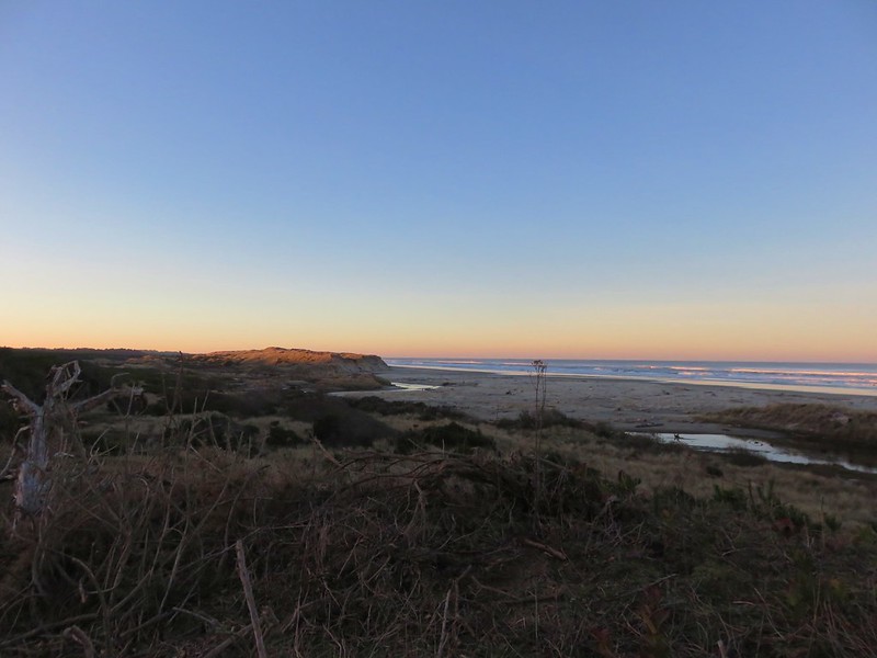
Moon over the Pacific Ocean

Berry Creek flowing toward the Pacific

There was no sign here and we could have followed the sandy ridge back to the junction we’d been at earlier, but instead we followed a path down to the base of the ridge which led us back to the start of the Baker Beach Trail at Baker Beach Camp. This little loop was just under 1.5 miles.

Baker Beach Trail

Here we turned right following the pointer for Baker Beach. (The Lily Lake/Berry Creek Loop continued from this junction creating an additional 1.7 mile loop to the north of the camp.)

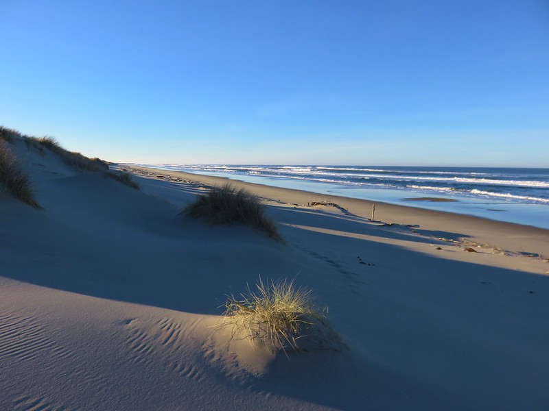
The trail passes through a deflation plain behind the beaches foredune for .4 miles.
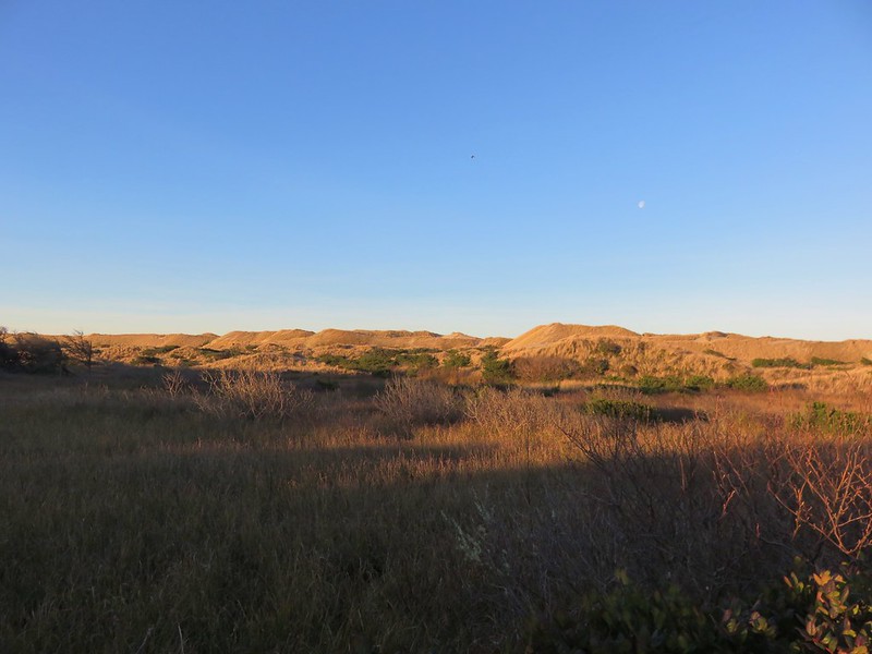
Foredune at Baker Beach

Looking north along the Baker Beach Trail

The deflation plain is the result of the dunes no longer expanding due to the loss of additional sand being blown from the beach. European bunchgrass which was introduced in the early 1900’s to help stabilize jetties but spread along the beaches and began stopping the blowing sand from leaving the beach which created the foredunes denying the dunes further inland any additional sand.
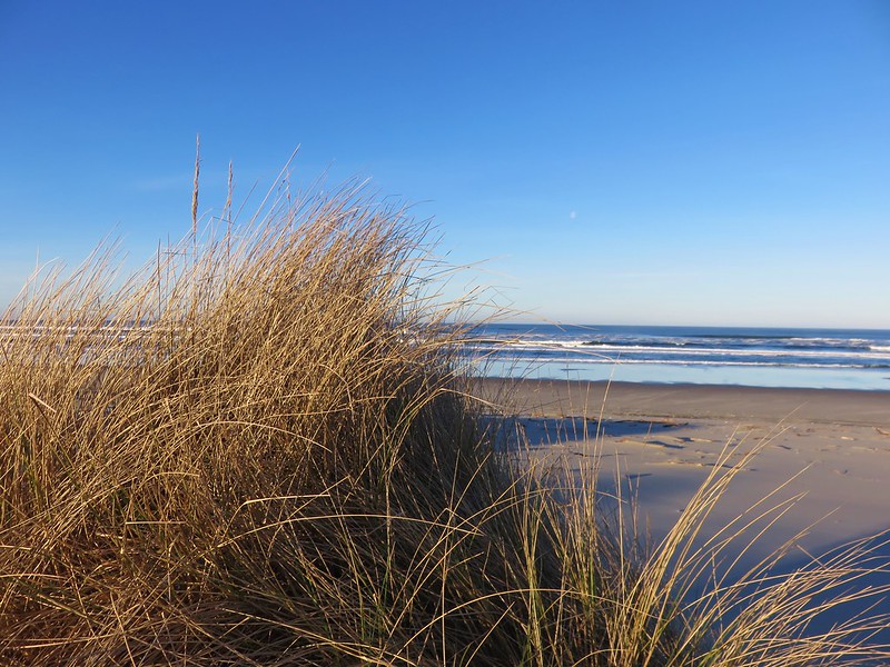
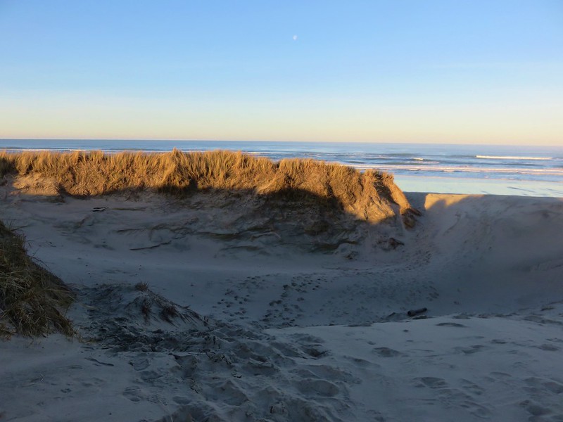
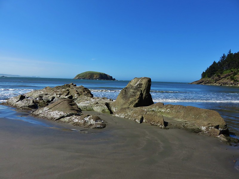
Baker Beach

Pacific Ocean from the foredune at Baker Beach

Cape Mountain from the foredune at Baker Beach

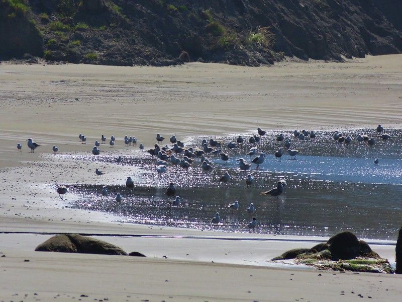
When we reached the beach we turned south heading toward Sutton Creek which was 3 miles away. Aside from a few birds we had the beach to ourselves.

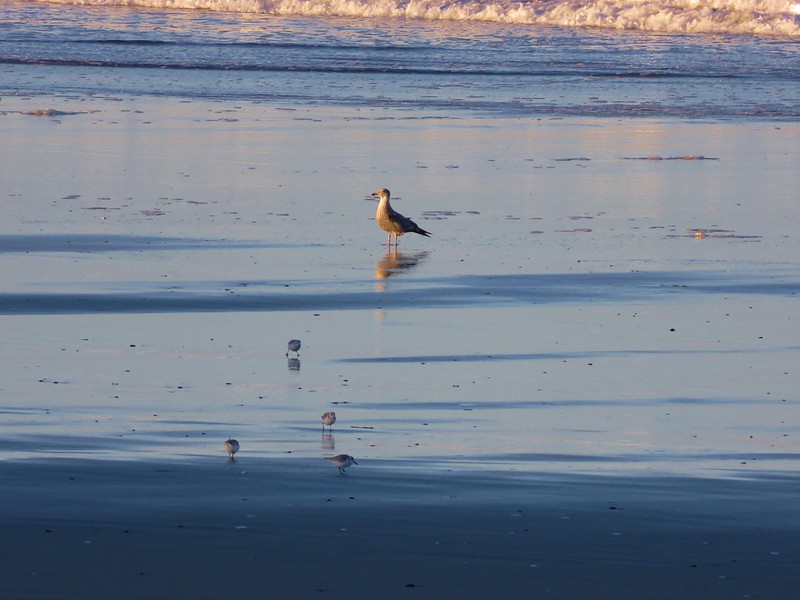
Sanderlings on Baker Beach

Seagull and sanderlings

After about 3/4 of a mile along the beach we climbed back up the foredune to get a look at Sutton Creek which we had visited the previous February.
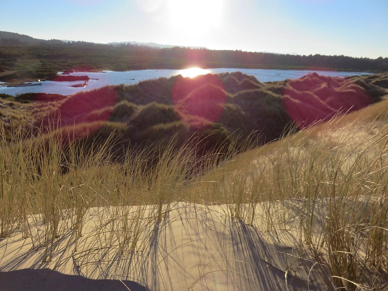
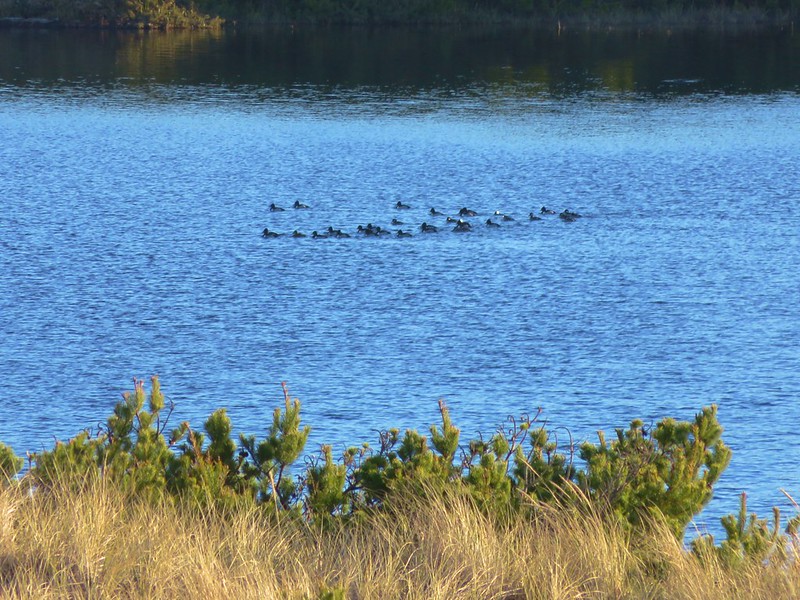
Sutton Creek behind the foredune

Ducks on Sutton Creek

We traveled along the foredune for a bit before dropping back down to the beach.
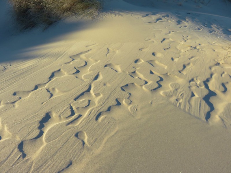
Patterns in the sand

Baker Beach

We had been considering crossing Sutton Creek and continuing south along Heceta Beach another 2.5 miles to the Siuslaw River but the creek was wide and it wasn’t that warm out.

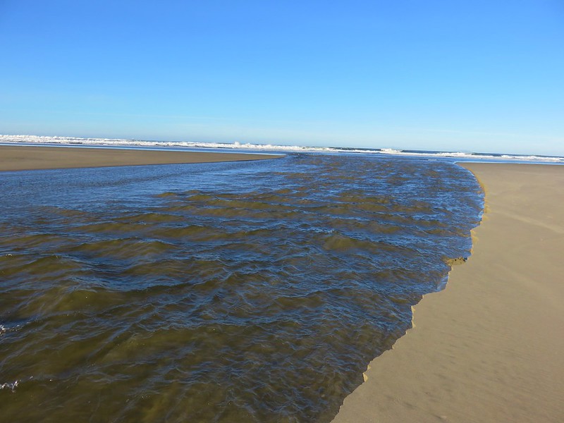
Sutton Creek

Sutton Creek

After watching several large chunks of sand fall into the creek we headed back with the Heceta Head Lighthouse blinking in the distance to the north.

Heceta Head Lighthouse from Baker Beach

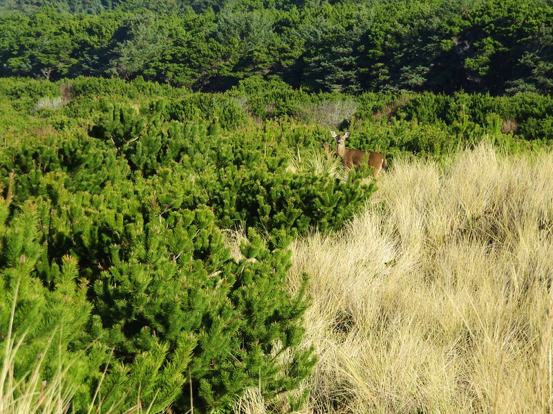
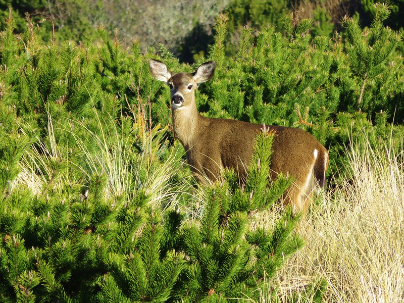
As we were recrossing the deflation plain we spotted a doe amid the grass and pines.
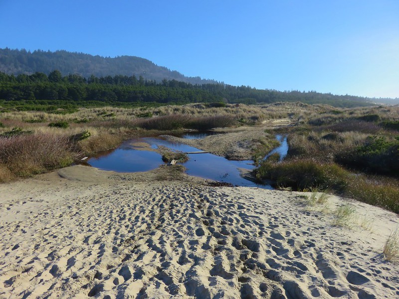
Heading back toward Baker Beach Camp

Doe

Doe

Since we’d cut our hike short (8.2 miles instead of the 13.2 planned) we had time to do another. We could have hiked Heceta Beach like we had planned by driving back to Florence and parking at the end of South Jetty Road, but we had noticed that that beach was already busy when we were at Sutton Creek earlier. We preferred something a little less crowded which led us to the Rock Creek Wilderness.

This was one of the wilderness areas that we had yet to visit and it was just another 8 miles north on Highway 101 from Baker Beach Road. We hopped in our car and drove to the gated entrance to the Rock Creek Campground.

Rock Creek Campground sign along Highway 101

The campground was closed for the season so we had to walk along the paved entrance road for approximately .4 miles.
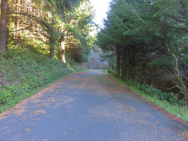
Road to Rock Creek Campground

There had been one other vehicle parked at the gate and we passed it’s owner on his way back up from the campground area. The little campground was located right along Rock Creek.

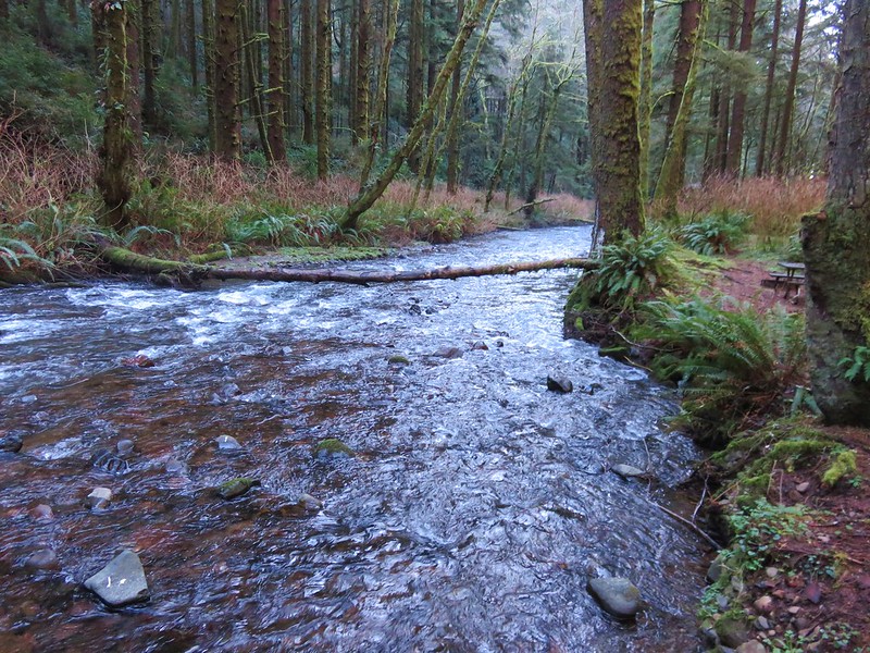
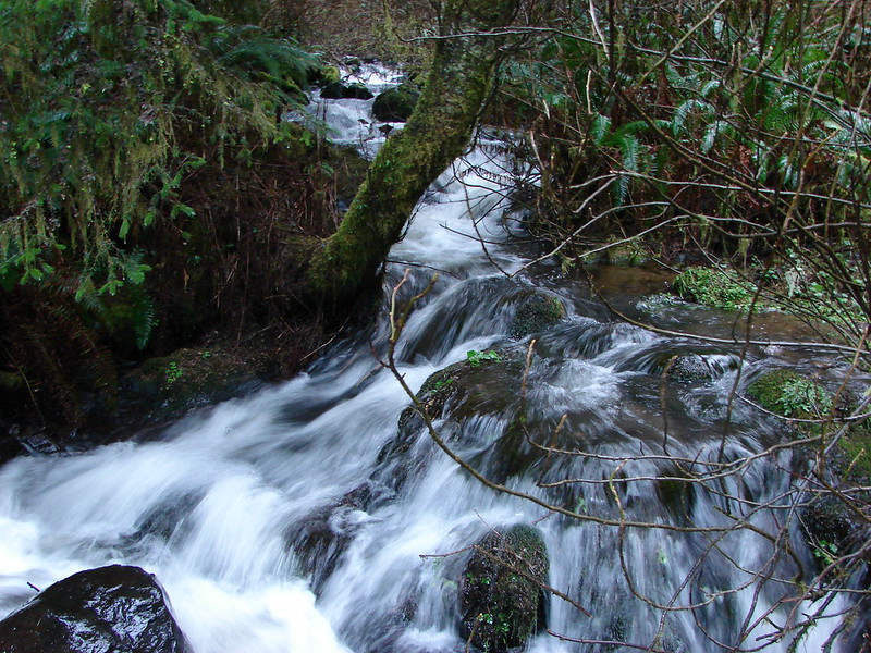
Rock Creek

Rock Creek

The 7,486 Rock Creek Wilderness was designated as such in 1984 and has no Forest Service developed or maintained trials. That being said there is a use trail leading from the end of the Rock Creek Campground that can be followed into the wilderness.
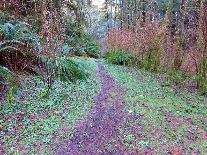
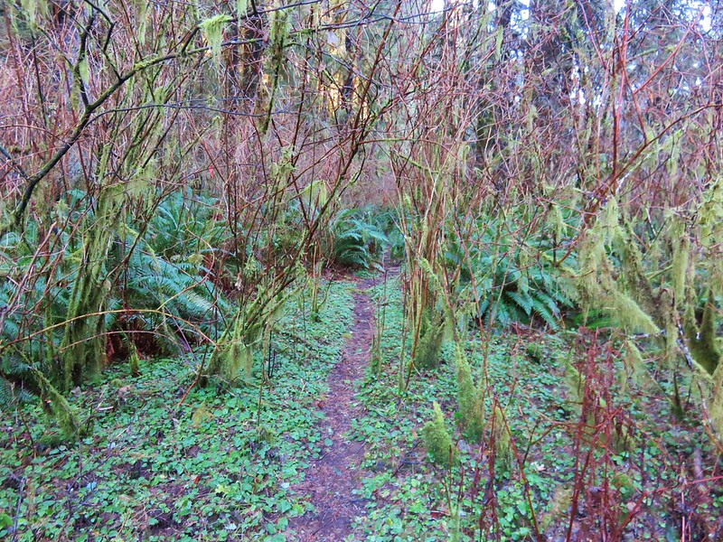
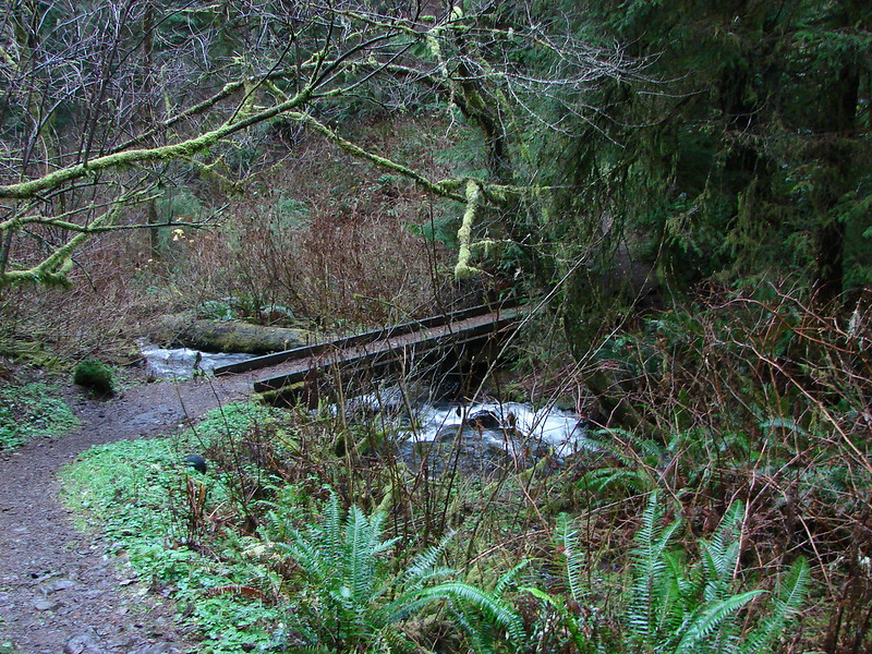
Use trail leading from the Campground into the Rock Creek Wilderness

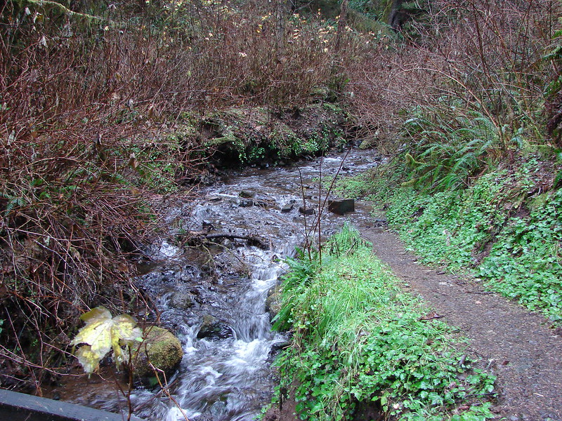
The path was brushy and narrow but passable as it followed along the creek.
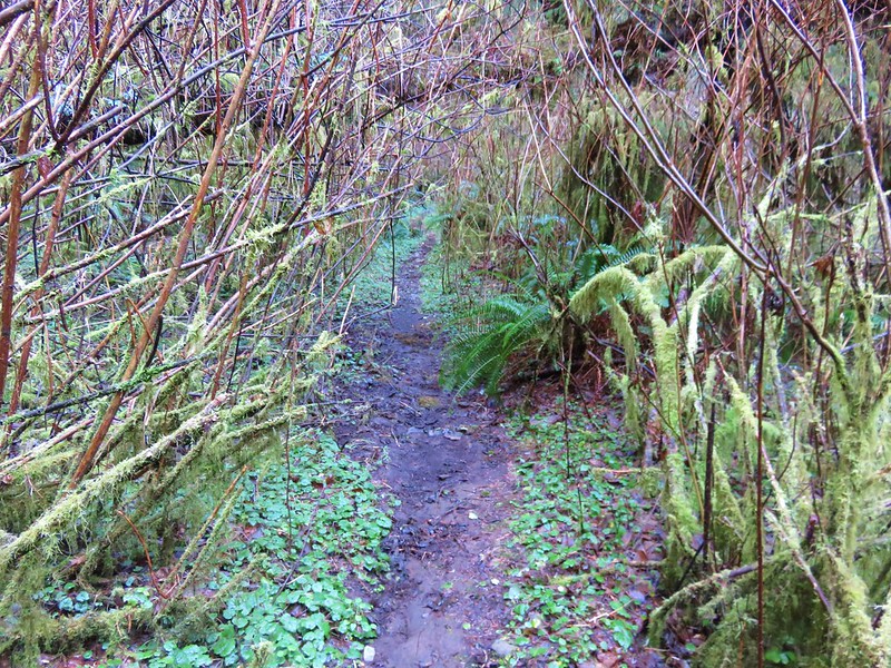
Use trail in the Rock Creek Wilderness

Rock Creek Wilderness

Rock Creek

Occasional flagging was present but really unnecessary as the brush was so thick that we had to follow the path in order to keep moving forward. The only real obstacle to speak of was a large downed tree that had fallen over the best path, but game trails led around the root ball.
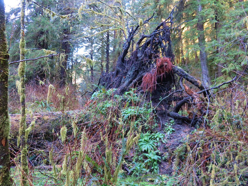
BIg tree down in the Rock Creek Wilderness

Without an official trail there were no signs to mark the beginning of the wilderness area so we just followed the path as long as we could. After awhile the path led into a frosty meadow where the canyon widened.
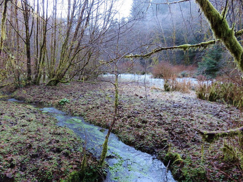
Frosty meadow in the Rock Creek Wilderness

It was a muddy in spots but enough of the ground was still frozen to make it passable. Elk and deer sign were everywhere. It was a beautiful spot with the white frost contrasted against the green of a coastal forest while rays of sunlight attempted to penetrate the canopy.

Frosty meadow in the Rock Creek Wilderness

Sunlight through the trees in the Rock Creek Wilderness

The sound of water flowing on every side only added to the ambiance. There was more flagging at the far end of the meadow and some on the far side of Rock Creek but again this wasn’t a day for fording creeks so we declared victory here and turned around.
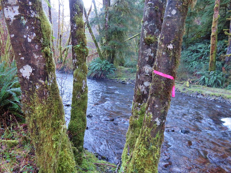
Our turn around point (too cold to ford the creek today)

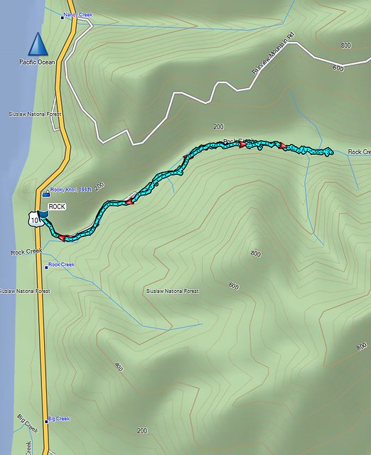
When we got home I wanted to make sure we’d actually made it into the wilderness so I pulled up the interactive map on Wilderness.net. The actual wilderness boundary bows away from the Rock Creek Campground making it further up along the creek than I had thought, but comparing our GPS track to that map showed we had managed to get about .4 miles into the Rock Creek Wilderness.

The Wilderness.net map
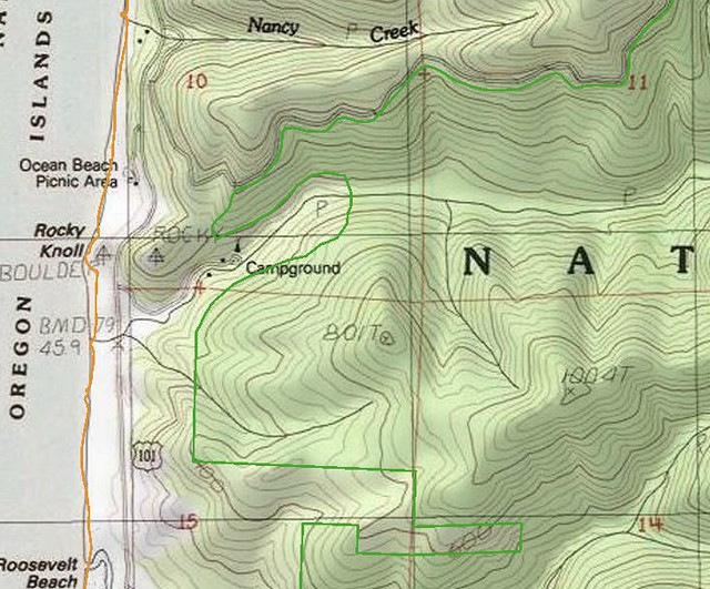
Rock Creek Wilderness

Our GPS track

Rock Creek Wilderness Track

On a warmer day when you don’t mind spending some time in the creek it’s possible to get further into the wilderness as this trip report indicates.a href=”http://www.cascadiahiking.com/2012/08/rock-creek-wilderness-no-trail-no.html” target=”_blank”>Cascadia Hiking

Our adventure was only 2.2 miles round trip including the road walk to and from the campground but the solitude and remote feeling of the Rock Creek Wilderness made it seem much more removed from civilization.

With that our 2017 hiking year is officially under way. We checked off our 27th Oregon Wilderness Area and still have 18 to go, 4 more of which are planned this year. Happy Trails!

Flickr: https://www.flickr.com/photos/9319235@N02/albums/72157679106715756
Categories
Year-end wrap up

The Hikes of 2016 – A Look Back

It’s hard to believe that it’s already time to recap our 2016 hiking year, and what a great year for hiking it turned out to be! I spent our off-season (Nov-Apr) putting together a 7 year plan (yes I have an issue) to help us achieve two of the goals we’ve set for ourselves. One is to hike each of the featured hikes in each of William L. Sullivan’s five “100 Hikes/Travel Guide” books and the second is to visit each of Oregon’s 45 designated wilderness areas. (There are 47 but the Oregon Islands and Three Arch Rocks Wilderness Areas are off-limits.) In previous years I had only put together a schedule for the upcoming year, but by looking further ahead I was able to make sure we weren’t going to miss any hikes and they were scheduled at what should be good times to visit. We also now had a handy list of options, laid out by the best times to visit, to pick from if we needed to change plans for any reason. The schedule remains a work in process but as it stands today we will finish visiting all the wilderness areas with Grassy Knob in 2022 and 460 of the 500 featured hikes in Sullivan’s books by the end of 2023. The remaining 40 hikes are too far away for day trips so they are incorporated into vacations that will need to happen further down the road.

The first draft of our 2016 hikes was completed on 12/18/15 and consisted of 57 days worth of hikes totaling 624.4 miles. History had shown that those numbers (and the hikes themselves) would change as the year played out, but it was a solid starting point. That again proved to be the case as 10 of the original hikes were swapped out for others and 4 additional hikes were added, and the total mileage rose by over 150 miles to end at 792.8. We visited 8 wilderness areas for the first time knocking 7 more off the Oregon list. They were the Oregon Badlands, Kalmiopsis, Menagerie, Eagle Cap, Mountain Lakes, Sky Lakes, and Lower White River Wildernesses in Oregon and the Marble Mountain Wilderness in California. In addition to the new areas we hiked in the Mt. Hood, Mt. Jefferson, Three Sisters, Mt. Washington, and Mark O. Hatfield Wildernesses as well as the the John Day Fossil Beds National Monument and the Mt. St. Helens Volcanic National Monument.

Our travels took us on hikes further to the west (Cape Sebastian State Park), east (West Fork Wallowa Trail – Eagle Cap Wilderness), and south (Cliff Lake – Marble Mountain Wilderness) than ever before. Our trips to the Marble Mountain and Eagle Cap Wilderness areas were our first 5 day/4 night backpacking trips which proved to be just about the limit on how long we can stay out given our current gear.

The weather was exceptional for nearly all of our hikes. Early winter storms left a more normal snow pack which helped make 2016 a pretty good wildflower year and we only ran into two weather related issues. The first was a slight chance of rain for our vacation week in May during which we’d planned on visiting the desert in SE Oregon. Any precipitation in that area would have made it impossible to reach our planned trailheads so we put that vacation off and headed to the Southern Oregon Coast instead which wound up being a great plan B. The second was a July hike on Scar Ridge in the Old Cascades which was swapped for Fifteenmile Creek on the east side of the Mt. Hood National Forest due to probable thunderstorms.

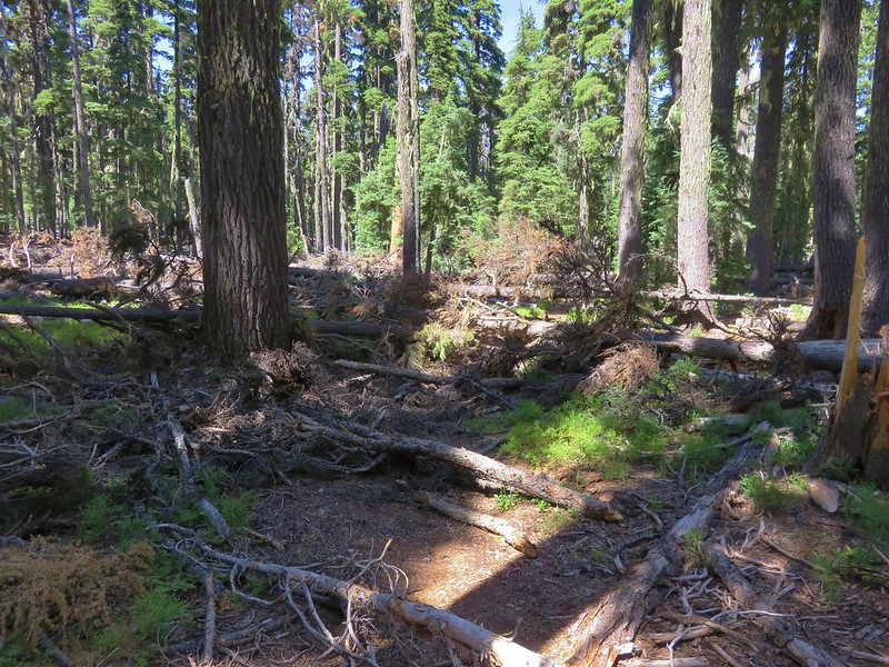
Although the weather conditions were almost always great the same couldn’t be said for the condition of a few of the trails. During our May vacation we encountered a host of ticks along the Illinois River Trail. Later in the year it was blowdown that proved to be the biggest obstacle. In the Sky Lakes Wilderness a section of the Badger Lake Trail to the Pacific Crest Trail was a mess.
Blowdown over the Badger Lake Trail

This was also the case along much of the Bowerman Lake Trail in the Mt. Jefferson Wilderness.
Bowerman Lake Trail

As well as the Hand Lake Trail in the Mt. Washington Wilderness.
More blowdown over the Hand Lake Trail

The one consistent regardless of the location, weather, or trail conditions was the beauty and diversity that makes the Pacific Northwest so special. From west to east starting with the Oregon Coast:
Tillamook Head to the South of the Fort-To-Sea Trail
Tillamook Head from the Fort-to-Sea Trail

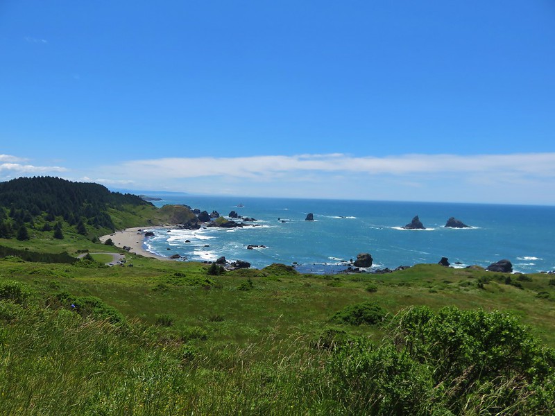
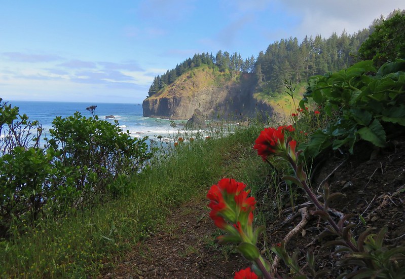
Lone Ranch Beach from Cape Ferrelo

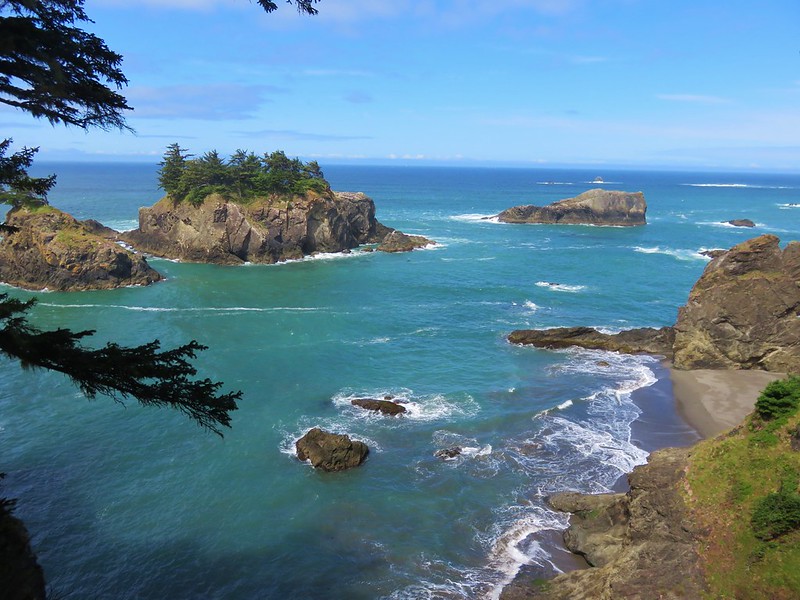
View from the Oregon Coast Trail near Secret Beach
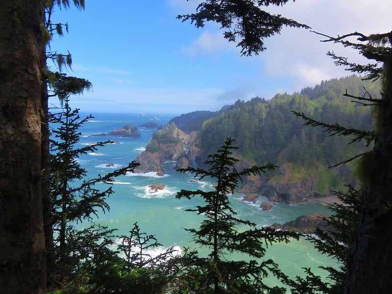
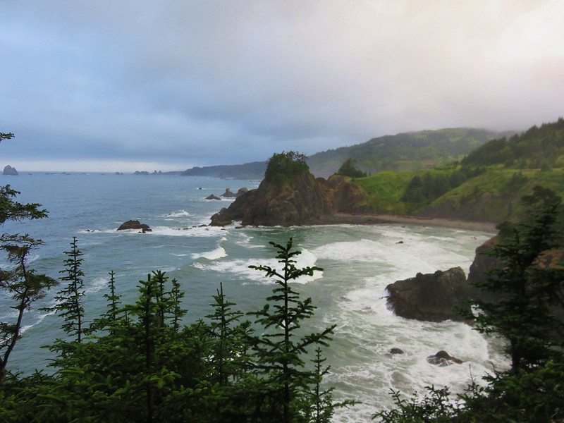
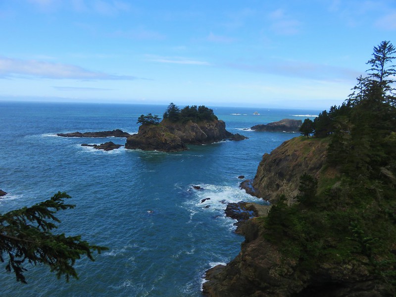
View from the Oregon Coast Trail in Samuel H. Boardman State Park

Past the Klamath Mountains in Southern Oregon and Northern California:
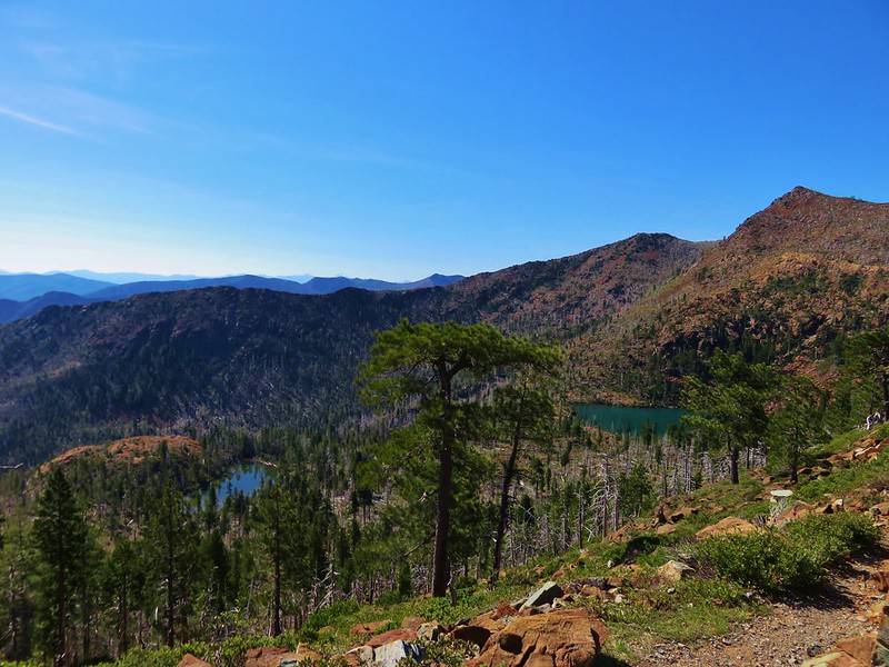
Little Vulcan and Vulcan Lake below Vulcan Peak

Kalmiopsis Wilderness

Black Marble Mountain
Marble Mountain Wilderness

and the Coast Range to the north:
Old Growth Ridge Trail
Old Growth Ridge Trail in the Siuslaw National Forest

Sweet Creek Falls
Sweet Creek Falls

across the Willamette Valley:Trail in Minto-Brown Island Park
Minto-Brown Island Park

Bald Hill
Bald Hill

into the Old Cascade Mountains:
Coffin Mountain
Coffin Mountain from Bachelor Mountain

Rooster Rock
Rooster Rock in the Menagerie Wilderness

over the Cascade Mountains:
Mt. McLoughlin
Mt. McLoughlin

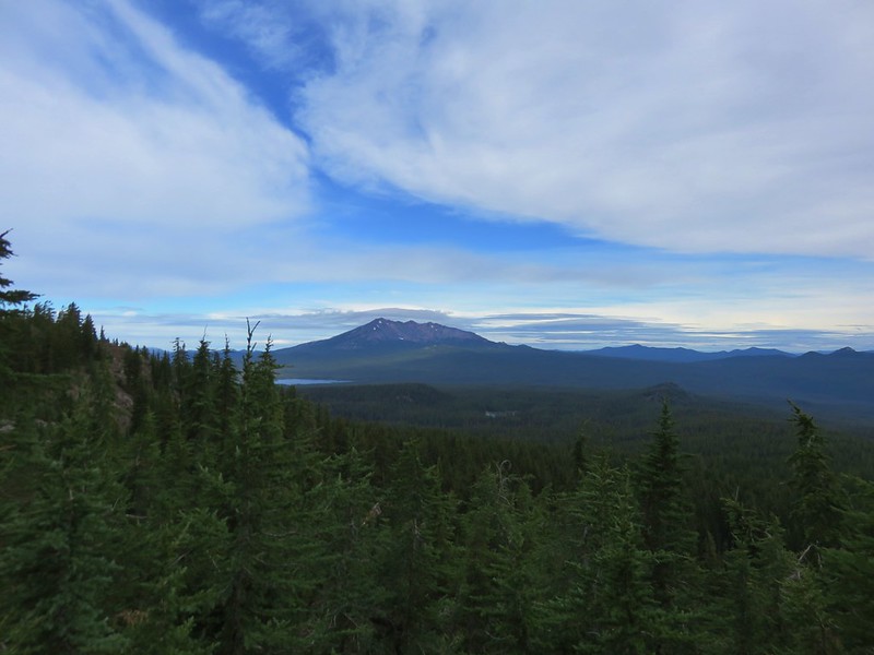
Diamond Peak from the Pacific Crest Trail
Diamond Peak

The Three Sisters from a meaow along the Rebel Rock Trail
The Three Sisters

Mt. Washington
Mt. Washington

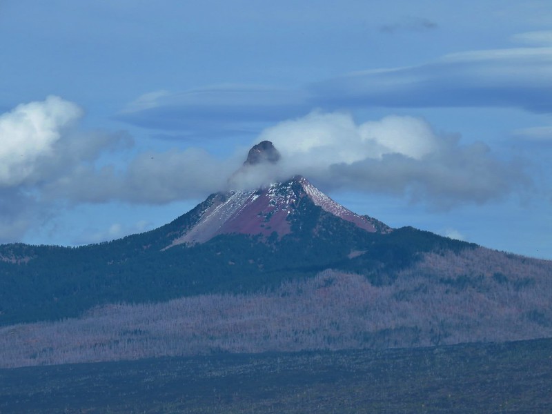
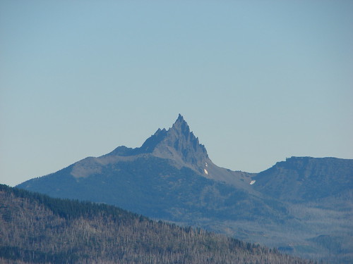
Three Fingered Jack beyond the Eight Lakes Basin
Three Fingered Jack

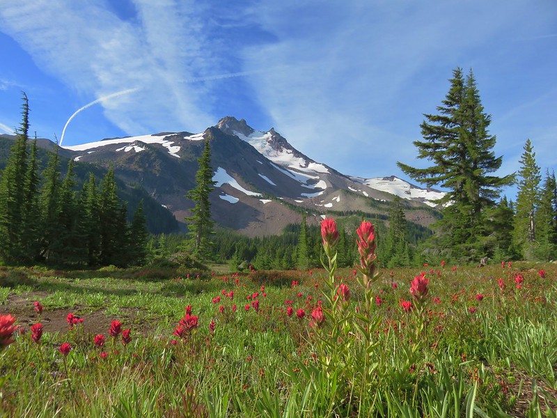
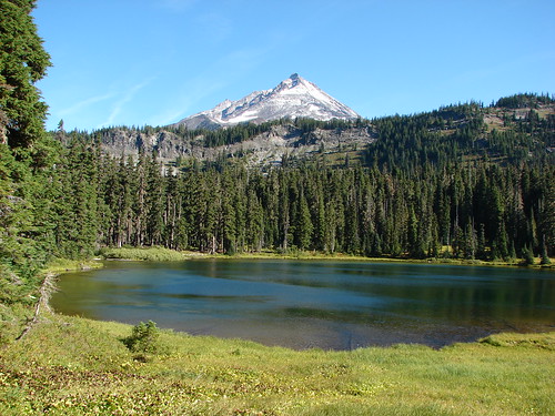
Mt. Jefferson from Jefferson Park
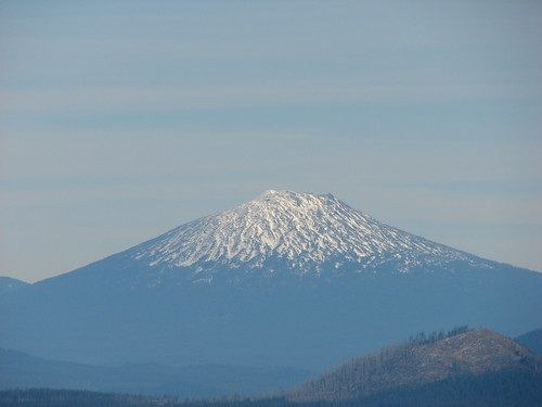
Mt. Jefferson

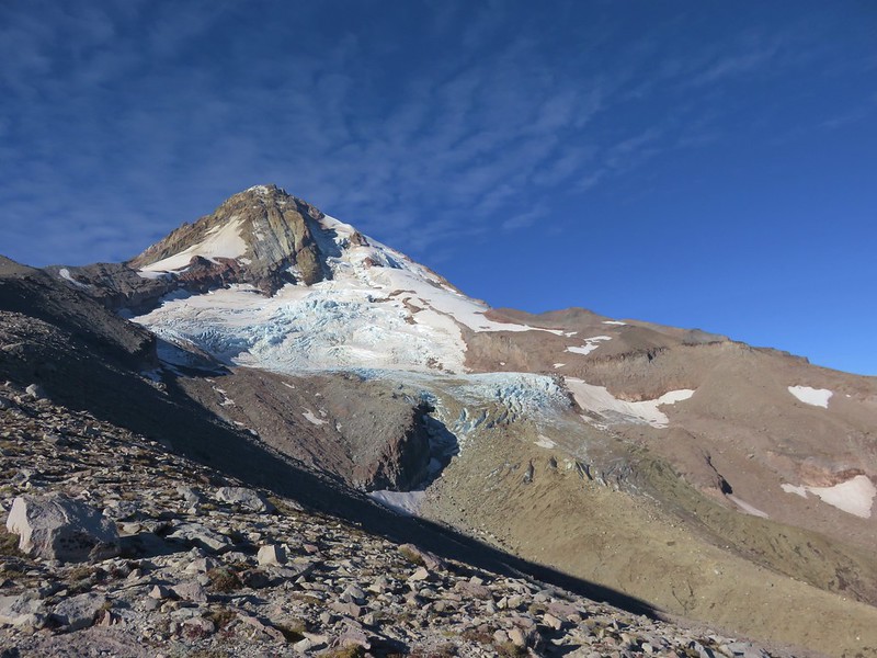
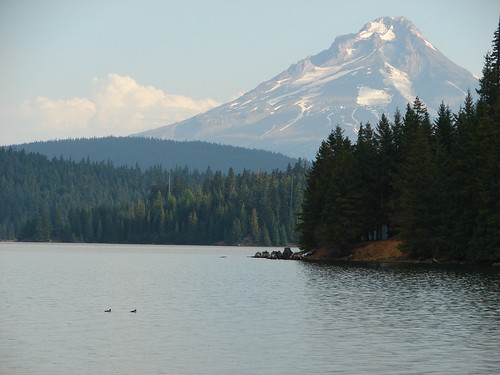
Mt. Hood and the Eliot Glacier
Mt. Hood

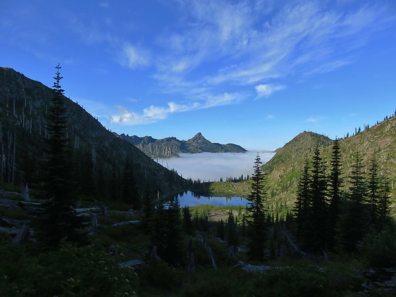
Coldwater Peak and Snow Lake
Coldwater Peak and Snow Lake – Mt. Margaret Backcountry, Mt. St. Helens Volcanic National Monument

into the High Desert of Central Oregon:
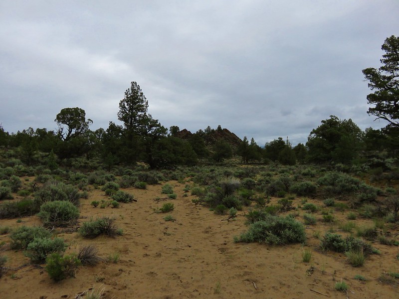
Badlands Rock
Badlands Rock – Oregon Badlands Wilderness

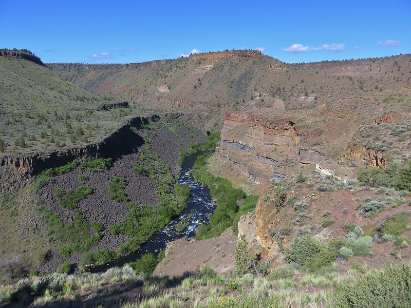
Deschutes River
Deschutes River

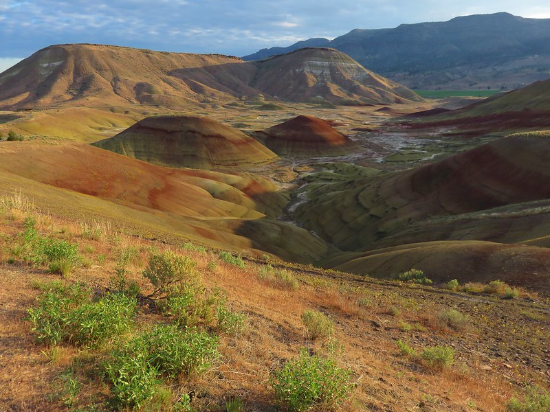
Painted HIlls
Painted Hills – John Day Fossil Beds National Monument

NE to the Wallowa Mountains:
Ice Lake
Ice Lake and the Matterhorn

Glacier Lake
Glacier Peak and Eagle Cap from Glacier Lake

Eagle Cap Wilderness

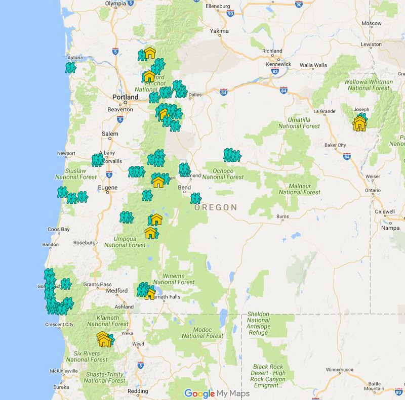
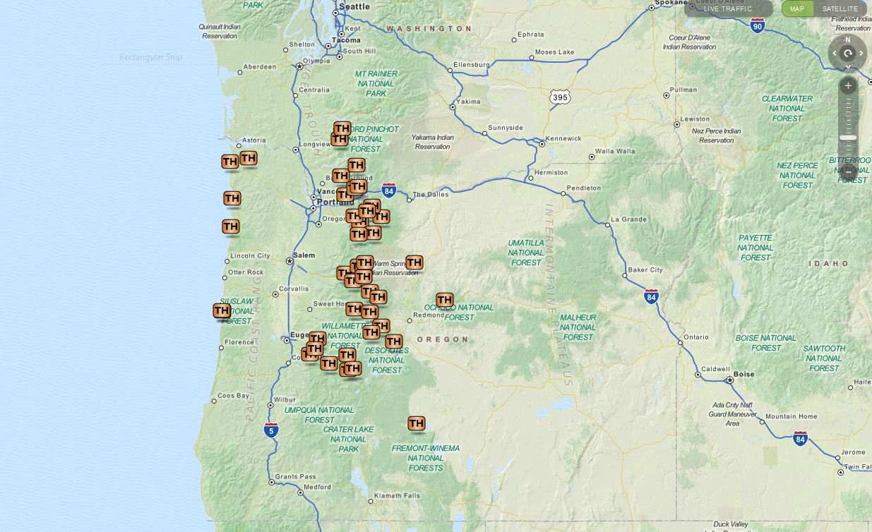
Here is a look at the locations of our hikes. The hiker symbols are the trailheads and the yellow house icon denotes the approximate location of our campsites.
2016 Hikes
An interactive version can been accessed here and includes all of our previous hikes.

In addition to the spectacular views the areas provided a wonderful variety of wildlife and vegetation.

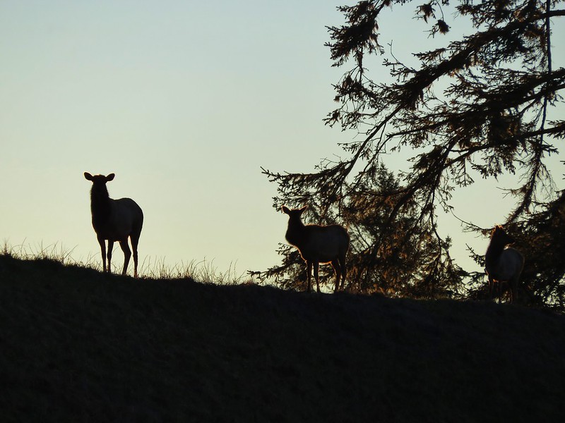
Elk
Elk

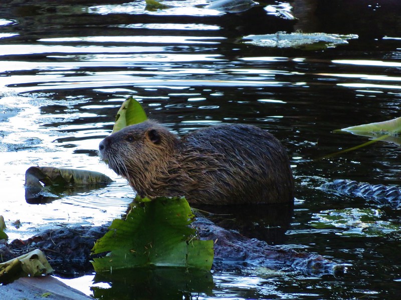
Nutria
Nutria

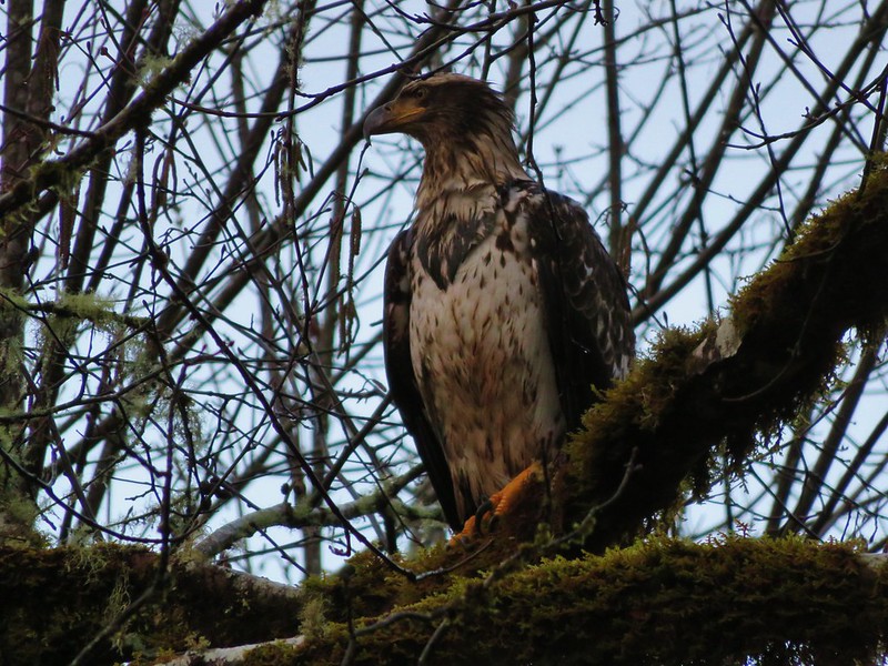
Bald eagle
Bald Eagle

Chukars
Chukar

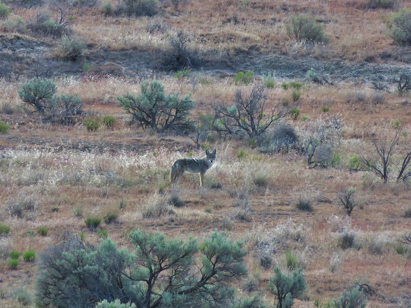
Coyote
Coyote

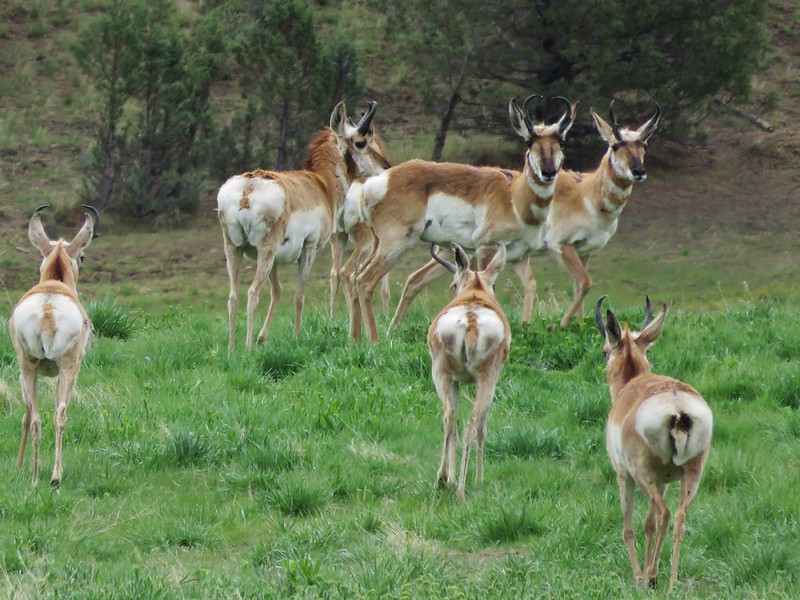
Pronghorn
Pronghorn

Deer
Deer

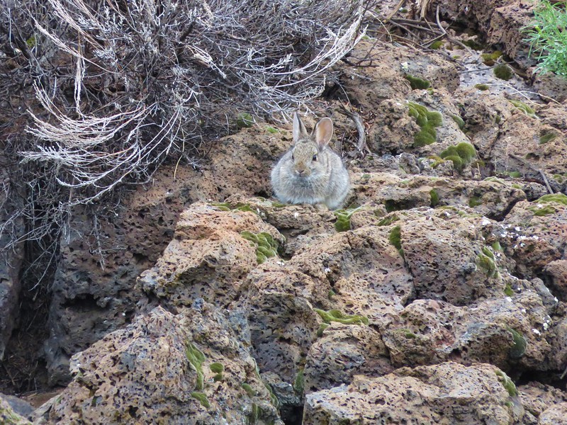
Rabbits
Rabbit

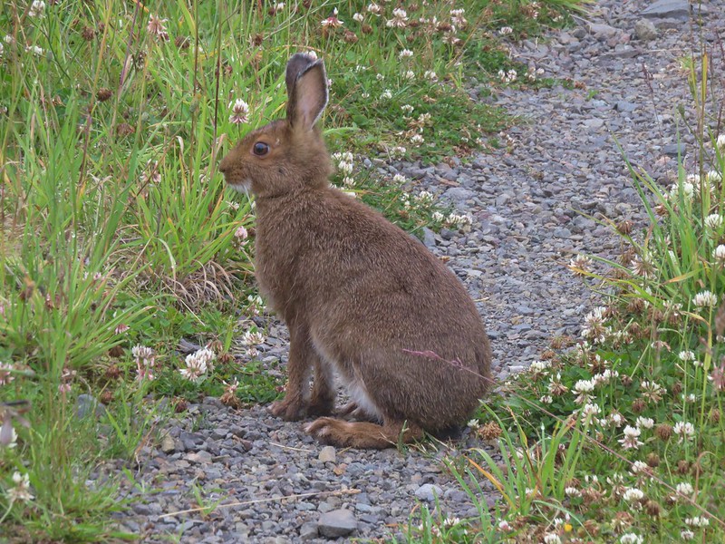
Snowshoe hare

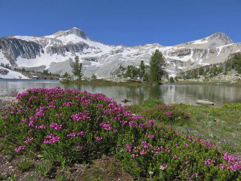
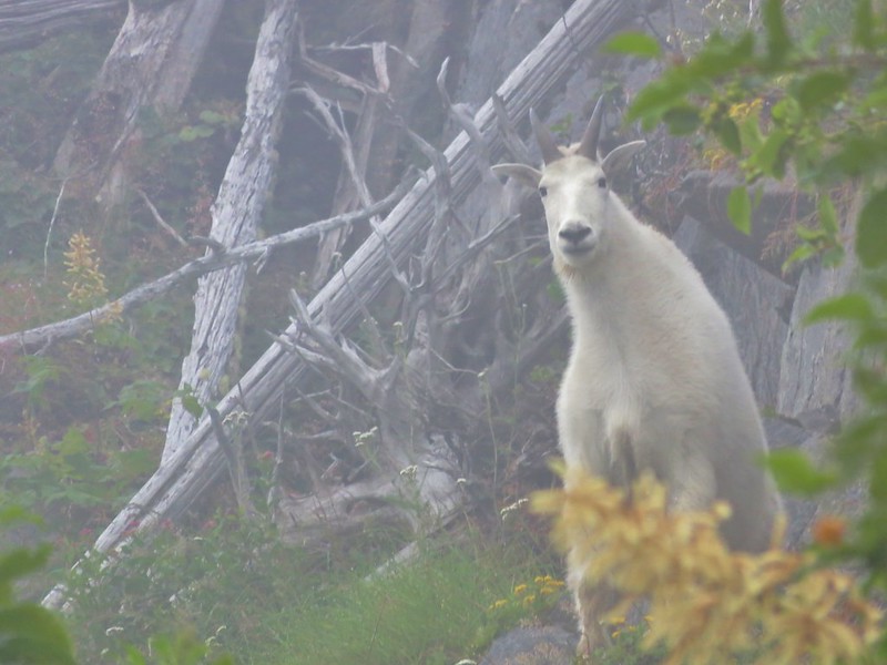
Mountain Goats
Mountain goat along the Lakes Trail

Mountain goat along the Boundary Trail

Bear
Black bear in a wildflower meadow

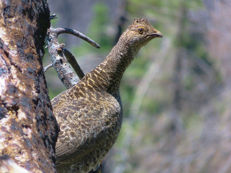
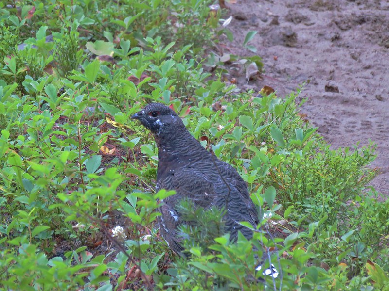
Grouse
Sooty grouse

Sooty Grouse

Grouse

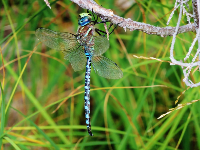
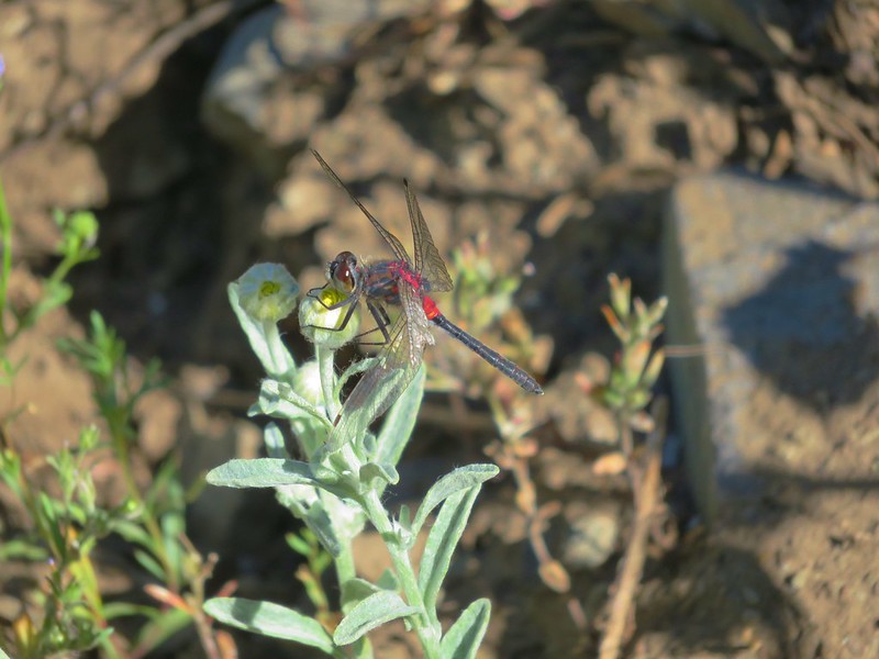
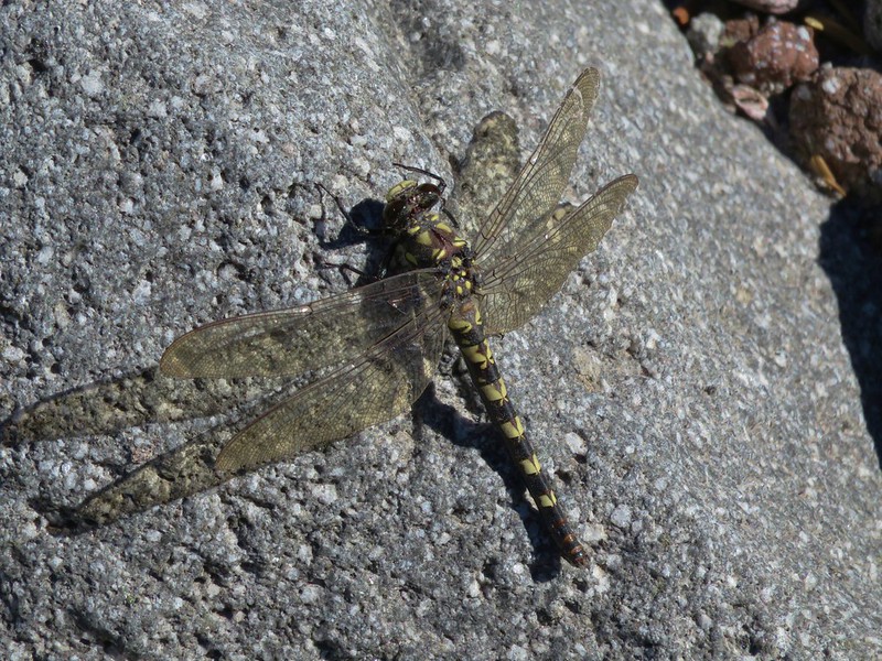
Dragonflies
Dragonfly

Dragon Fly

Dragon fly

We encountered a number of flowers for the first time this year.
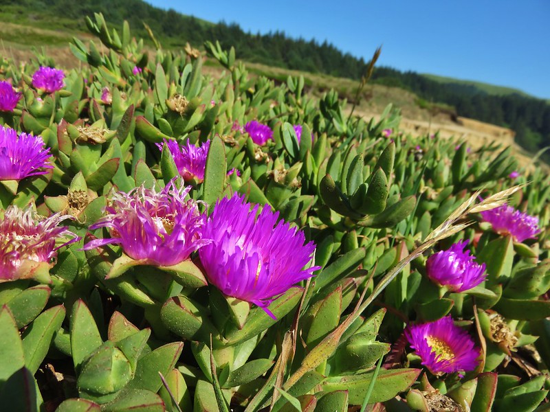
Sea fig
Sea fig

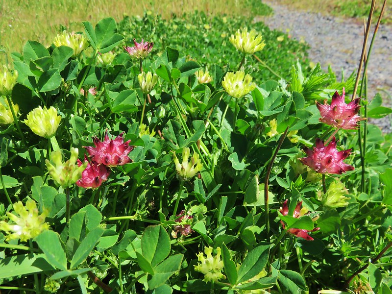
Cows clover
Cows clover

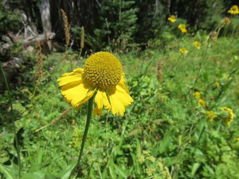
Bigelow's sneezeweed
Bigelow’s Sneezeweed

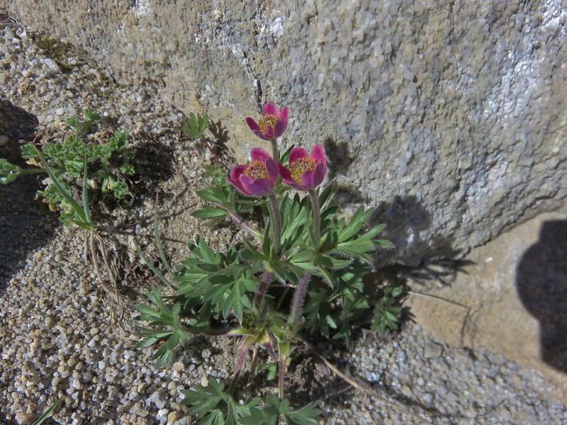
Cut-leaf anemone
Cut-leaf anemone

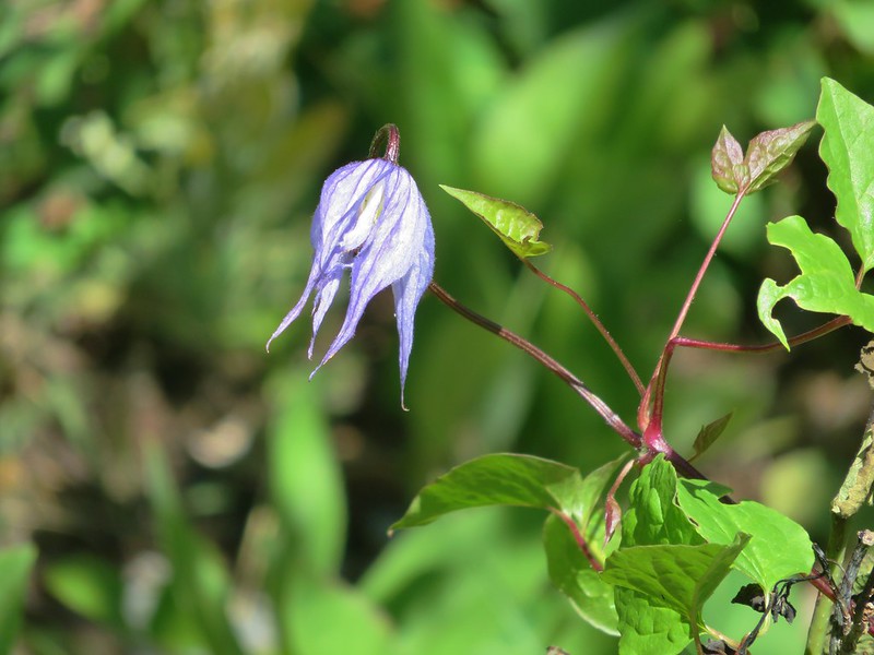
Western blue clematis

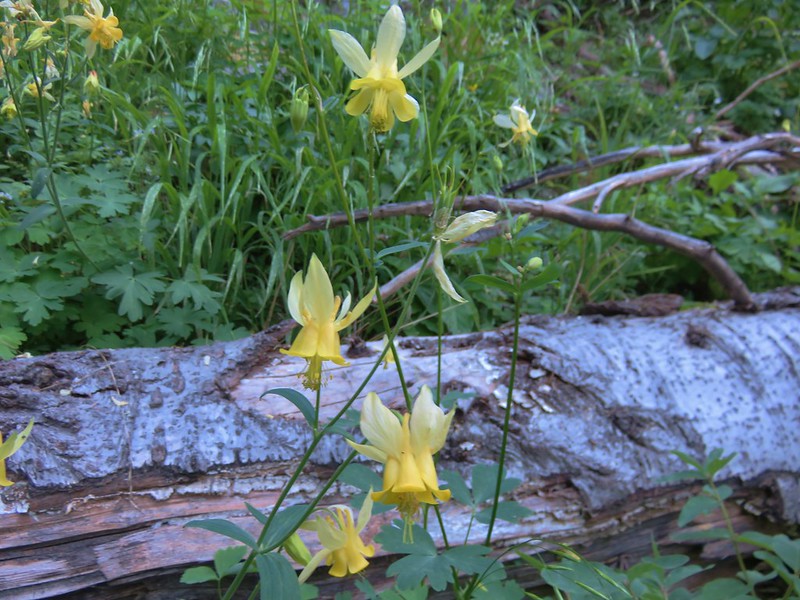
Yellow Columbine
Yellow Columbine

Pretty Face
Pretty Face

Farewell-to-Spring
Farewell-to-Spring

Mountain coyote mint

Yellow coralroot
Yellow coralroot

Sea fig
Sea fig

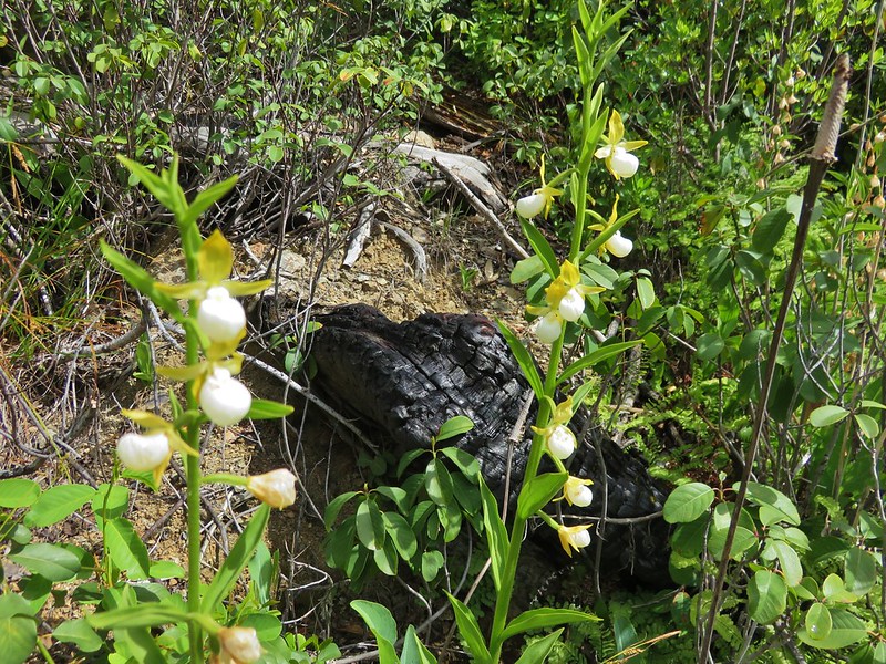
California Lady Slippers

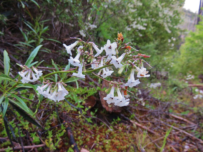
California Yerba Santa

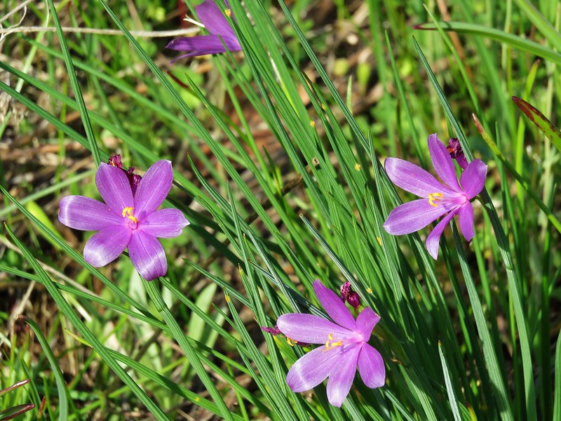
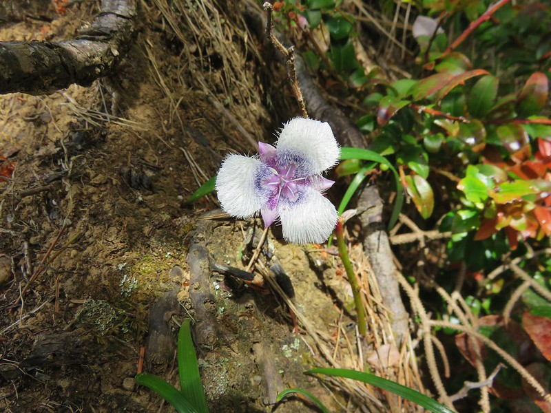
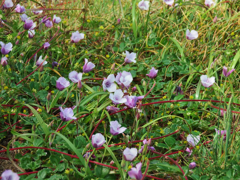
Grass widows
Grass widows

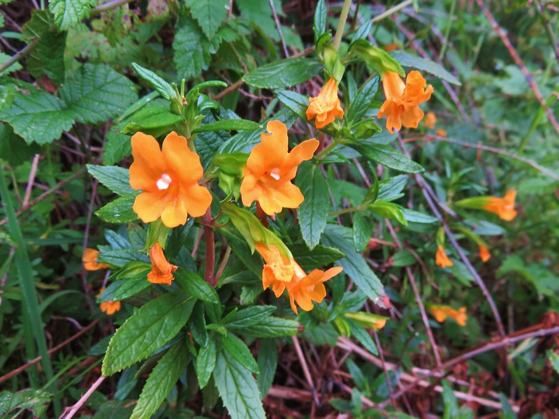
sticky monkey-flower

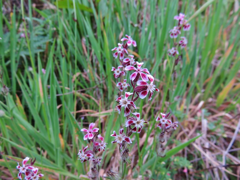
Catchfly
Some sort of catchfly

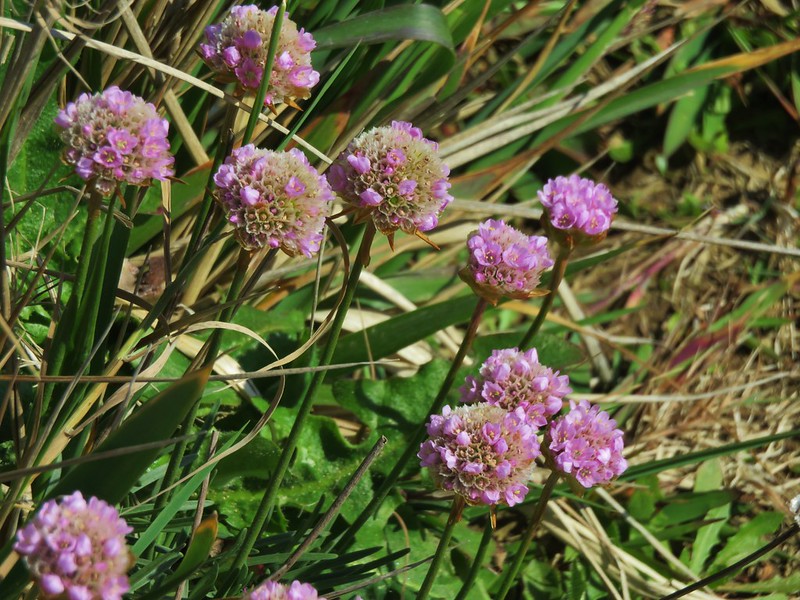
Sea thrift
Sea thrift

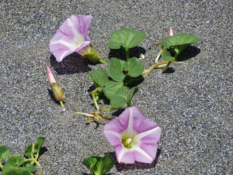
beach morning-glory
beach morning-glory

Yellow sand-verbena
Yellow sand-verbena

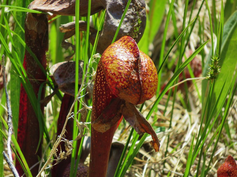
California pitcher plant (Darlingtonia californica)

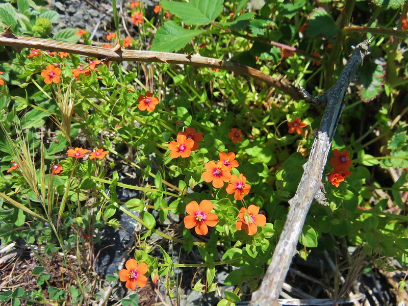
Scarlet pimpernel
Scarlet pimpernel

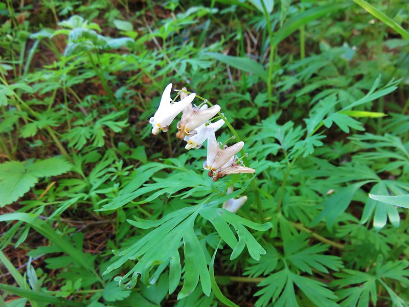
Dutchman's breech
Dutchman’s breech

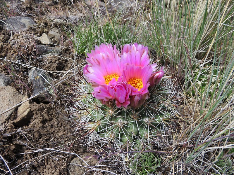
Hedgehog cactus
Hedgehog cactus

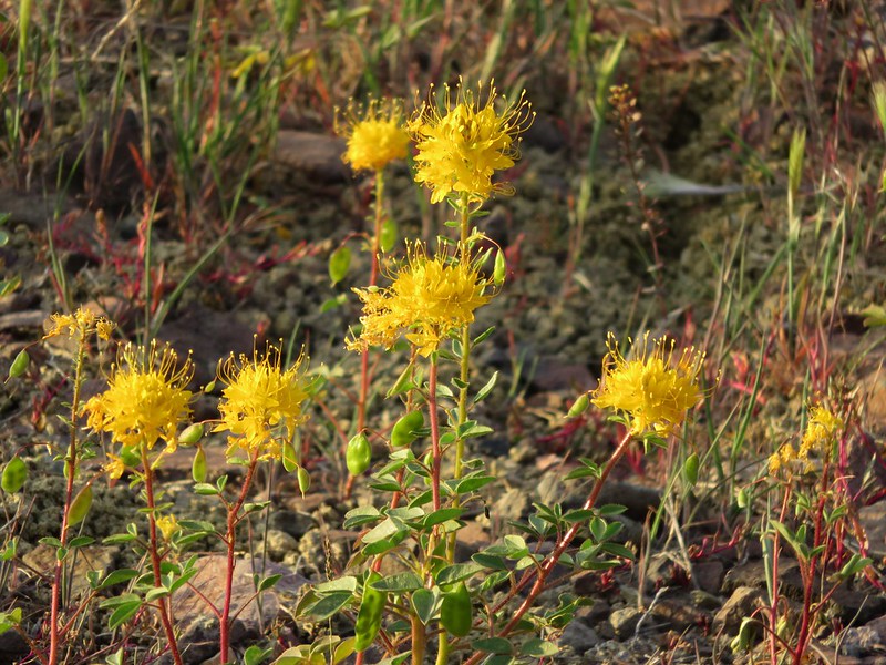
Golden Bee Plant
Golden Bee Plant

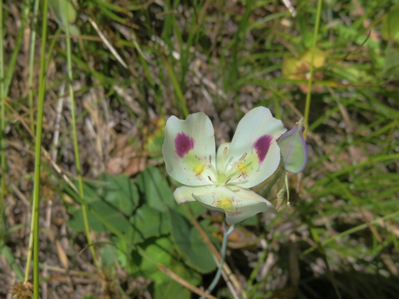
White mariposa lily
White mariposa lily

Siskiyou lewisia
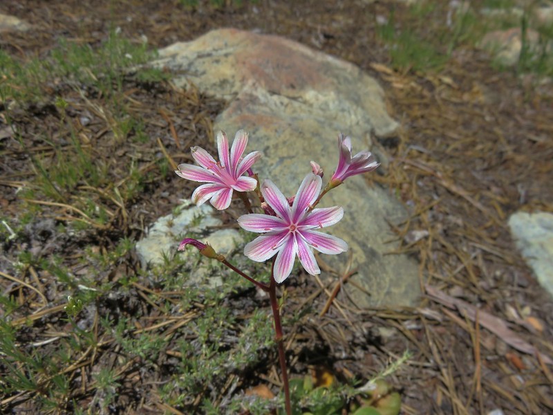
Siskiyou lewisia

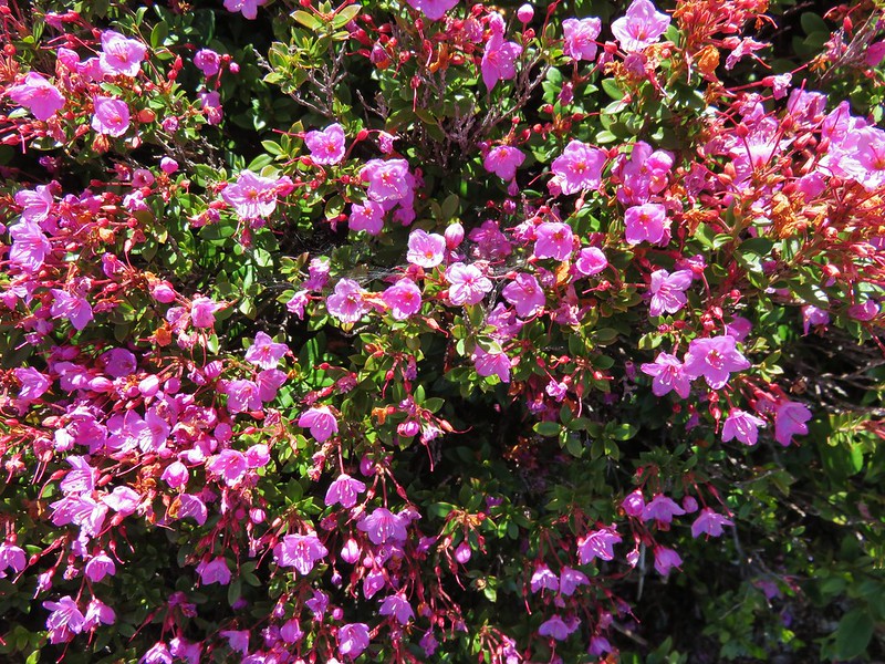
kalmiopsis leachiana

Muhlenberg's centaury
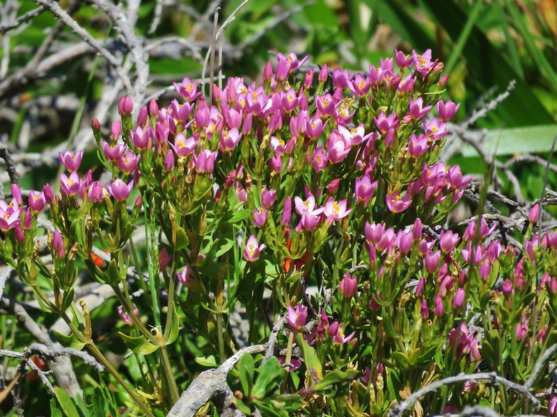
Muhlenberg’s centaury

Bridges' brodiaea
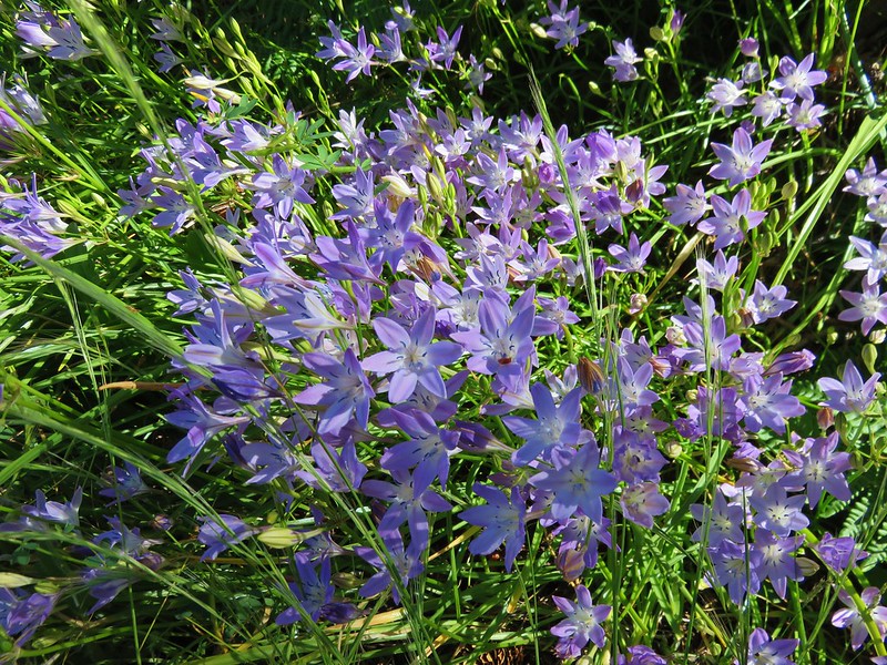
Bridge’s brodiaea

There were just too many sights to fit into a year end wrap up so to see a sample from each of our hikes this album contains a few photos from each hike which attempt to show the beauty of each trail. There are a lot of photos (793 – One for each mile hiked) but then again there is a lot of beauty in God’s creation.

Happy Trails in 2017 and beyond!

Categories
Hiking Oregon Oregon Coast Southern Coast Trip report

Samuel H. Boardman State Scenic Corridor North

Saturday we were heading home, but before we headed north we had one more hike to do. We had hiked much of the southern portion of the Samuel H. Boardman State Scenic Corridor on Thursday and now we were going to spend some time in the northern portion.

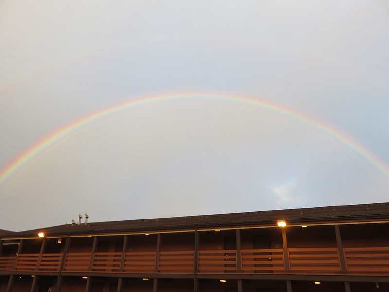
There had been chances of rain for the previous couple of days and this morning we were greeted by a rainbow as we left the hotel.
IMG_7551

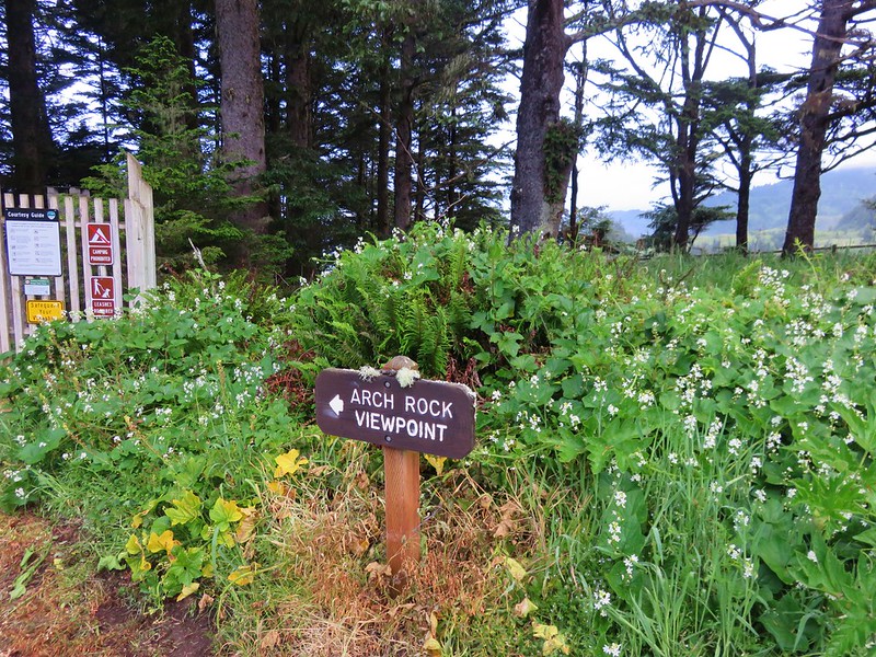
We hadn’t been rained on yet but driving down to the trailhead we were getting rained on pretty good so when we arrived at the Arch Rock Picnic Area we donned our rain gear.
IMG_7554

The rain pants helped keep the moisture that was on the plants at bay, but the jacket wound up being overkill since it never actually rained on us while we were hiking.

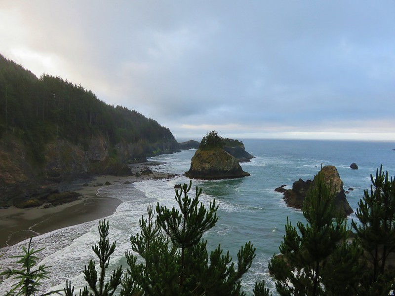
A short loop trail from the parking area led past picnic tables to a viewpoint of Arch Rock.
IMG_7555

IMG_7556

IMG_7562

IMG_7566

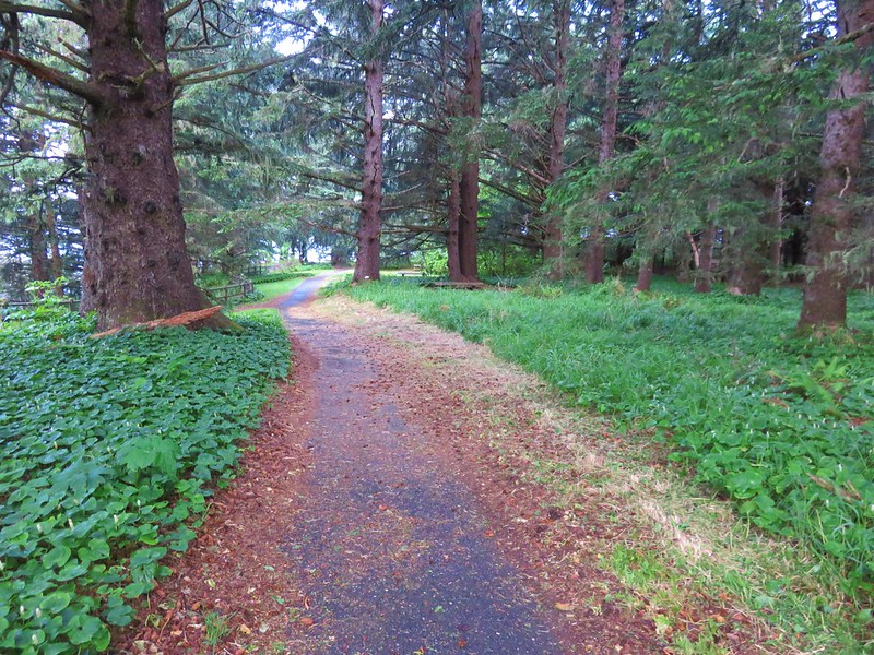
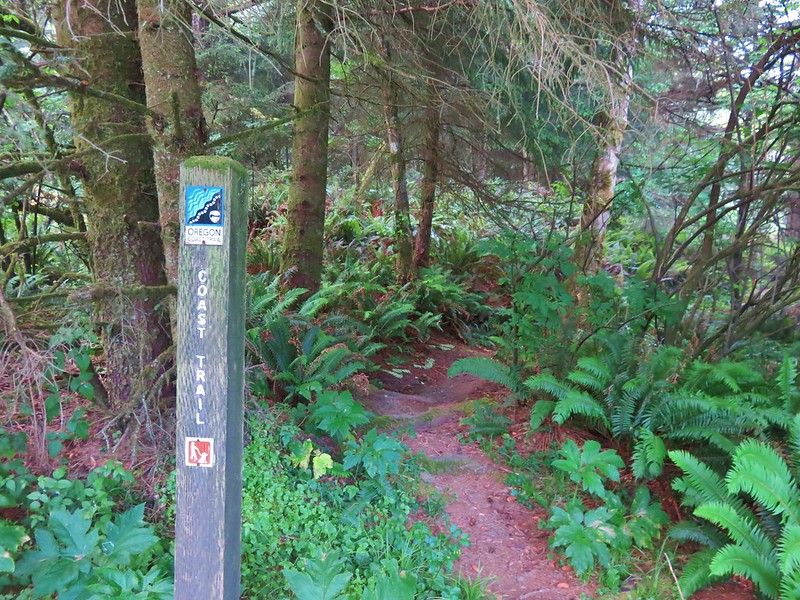
After completing the loop we headed south on the Oregon Coast Trail.
IMG_7567

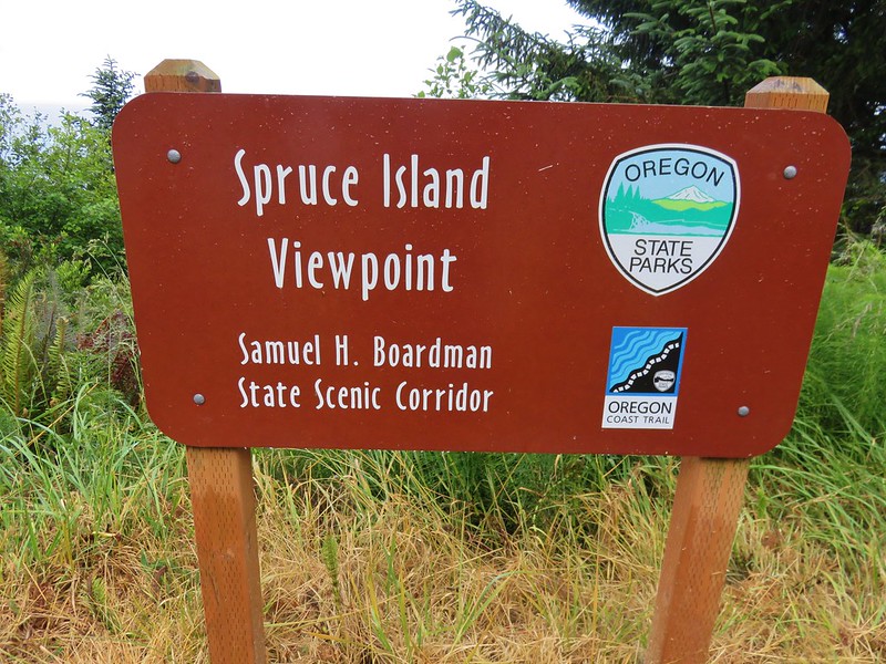
A short distance from the Arch Rock Picnic Area we came to the Spruce Island Viewpoint parking area.
IMG_7571

IMG_7575

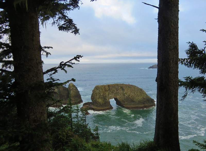
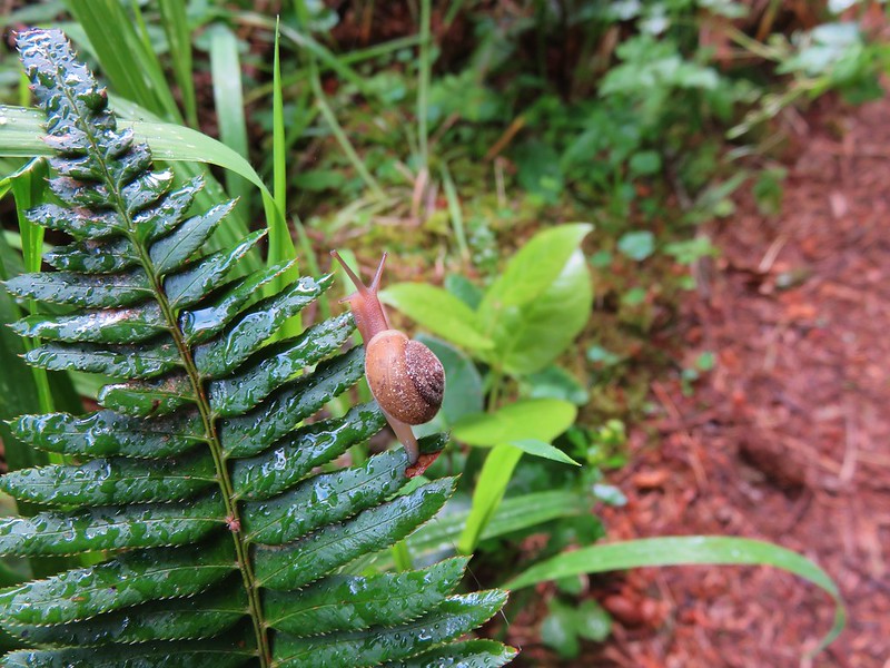
The next marker was supposed to be a pair of viewpoints before reaching Thunder Rock Cove. We arrived at a first viewpoint along with a small snail.
IMG_7589

IMG_7591

IMG_7594

We got ourselves confused here when we came to a junction with a wide path coming downhill from our left. A gentleman was doing trail maintenance on that section. We had spoken to him on Thursday during our other visit to the park and just assumed that he was working on the trail we wanted to take. We ignored the trail that appeared to be leading down to the little beach we had seen from the viewpoint thinking it was just a way down to the ocean. We followed the wide path up to an unsigned parking area.

The problem was no visible trail continued south from there. We thought that the trail might follow the road for a bit as it would do a little further along so we began walking along Highway 101 looking for some sign of the Oregon Coast Trail. It wasn’t until we reached the Thunder Rock Cove Viewpoint Parking area that we picked up the trail again.
IMG_7599

IMG_7600

We should have gone right down to the beach instead of uphill at the previous junction but we were back on the trail now and after a short climb around a hill we arrived at another parking area. This one was for the Natural Bridges Viewpoint.
IMG_7606

IMG_7610

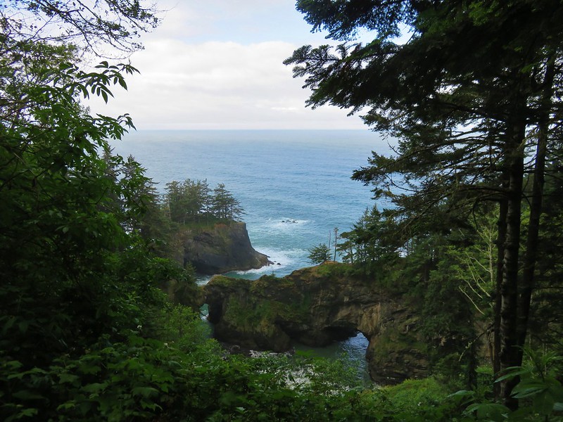
The next 1.1 mile section of trail alternated between grassy meadows along the highway and forest with an occasional viewpoint.
IMG_7613

IMG_7618

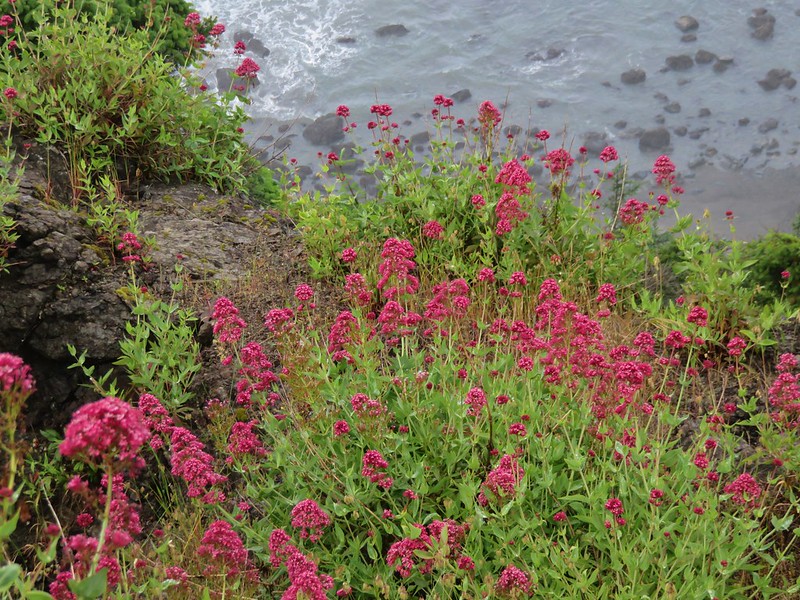
Red valerian
IMG_7623

IMG_7624

IMG_7625

After a short walk along the Highway the trail reappeared heading downhill toward China Beach.
IMG_7627

IMG_7628

We spent a little time down on this beach. There were plenty of rocks in the water including one tall pillar covered in birds. It was just far enough out that we couldn’t tell what kind of birds they were, just that there was a lot of them.
IMG_7638

IMG_7643

IMG_7649

To continue on the trail we would have needed to follow the beach south around a small headland that was already pressed by the ocean. We didn’t want to get stuck on the far side where we would be forced to walk along the highway to get back, so we stopped here and got ready to head back. On our way back we stopped at a couple of viewpoints we had passed by initially.
IMG_7665

IMG_7670

IMG_7671

IMG_7676

We also managed to stick to the section of Oregon Coast Trail we’d missed when we took the wrong turn earlier near Thunder Rock Cove.
IMG_7683

Along this section we discovered an option for a loop trail to the beach and waterfall.
IMG_7685

The loop trail passed more nice viewpoints before dropping down to a view of the waterfall.
IMG_7695

IMG_7708

IMG_7711

IMG_7714

IMG_7729

IMG_7736

IMG_7739

The trail then climbed up past another stunning viewpoint before returning to the Oregon Coast Trail.
IMG_7741

IMG_7749

We followed the trail back to the Arch Rock Picnic Area ending our vacation hikes. This hike ended up being 9.2 miles according to the GPS bringing our total for the 7 days to 95.2 miles. It had been a great vacation despite being our “Plan B” option. The weather wound up great and the views and wildflowers were spectacular. It was another good reminder of just how much our State has to offer in the way of great hiking. Happy Trails!

Flickr: https://www.flickr.com/photos/9319235@N02/albums/72157668656866396

Categories
Hiking Oregon Oregon Coast Southern Coast Trip report

Cape Sebastian

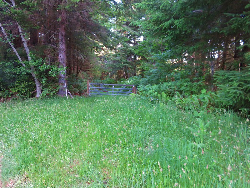
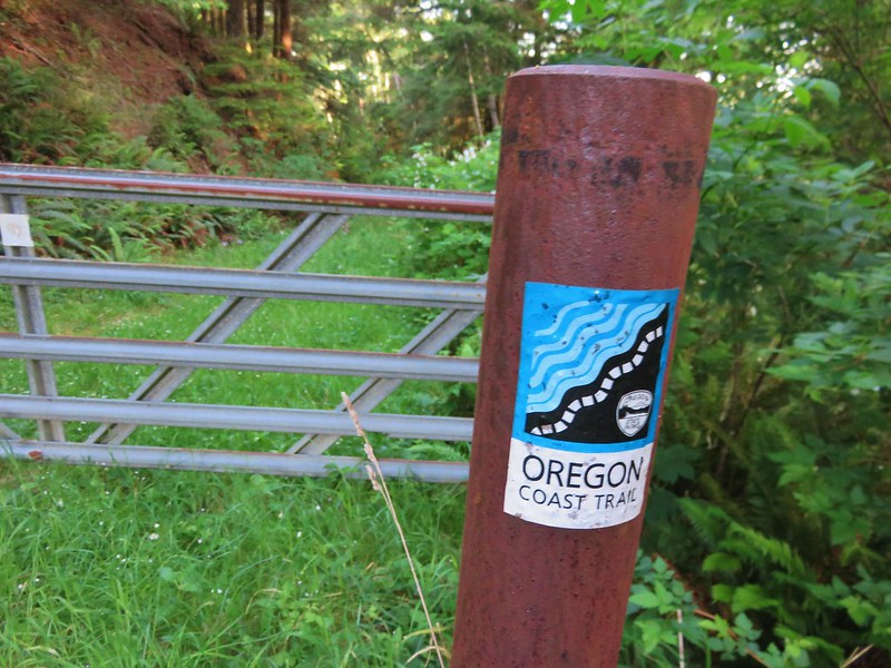
After our slow, bumpy drive to the Kalmiopsis Wilderness on Tuesday, Wednesdays hike was only about five minutes from our hotel in Gold Beach. We would be following a section of the Oregon Coast Trail through Cape Sebastian State Park. We began our hike at a gravel parking lot just off Highway 101 along Bellview Lane. A gate and sign for the Oregon Coast Trail were located just across Bellview Lane from the parking area.
IMG_6688

IMG_6690

The trail was a grass and flower covered roadbed with some of the best salmonberries ever along the sides.
IMG_6698

IMG_6697

IMG_6699

This section of the Oregon Coast Trail was well signed (we would discover later in the week this wasn’t the case for other sections).
IMG_6702

This side path led 1.1 miles to a beach that we would visit on our way back.
IMG_6703

IMG_6704

At the 2.3 mile mark a sign directed us to our first viewpoint.
IMG_6716

IMG_6718

IMG_6724

IMG_6726

Beyond the viewpoint the Oregon Coast Trail climbed for .8 miles through the trees to a parking lot in Cape Sebastian State Park.
IMG_6740

IMG_6741

IMG_6751

A 0.4 mile trail connected this parking lot with an upper parking lot with a better view, although we arrived just as a cloud was passing over. There was a small patch of poison oak marked with a stake along this stretch.
IMG_6869

IMG_6760

IMG_6761

From this second viewpoint the trail passed through a windswept meadow then into a forest following an interesting ridge that ran parallel to the Pacific Ocean.
IMG_6756
IMG_6763

There was a viewpoint along they way with lichen covered rocks.
IMG_6774

After .6 miles the trail began to descend through more open woods where a good number of flowers were blooming. Along with the flowers came a fair amount of poison oak.
Wild iris
IMG_6777

Bridges’ brodiaea and poison oak
IMG_6785

Paintbrush
IMG_6787

Blueblossom
IMG_6791

Columbian lily
IMG_6793

Another lily
IMG_6794

More Bridges’ brodiaea
IMG_6808

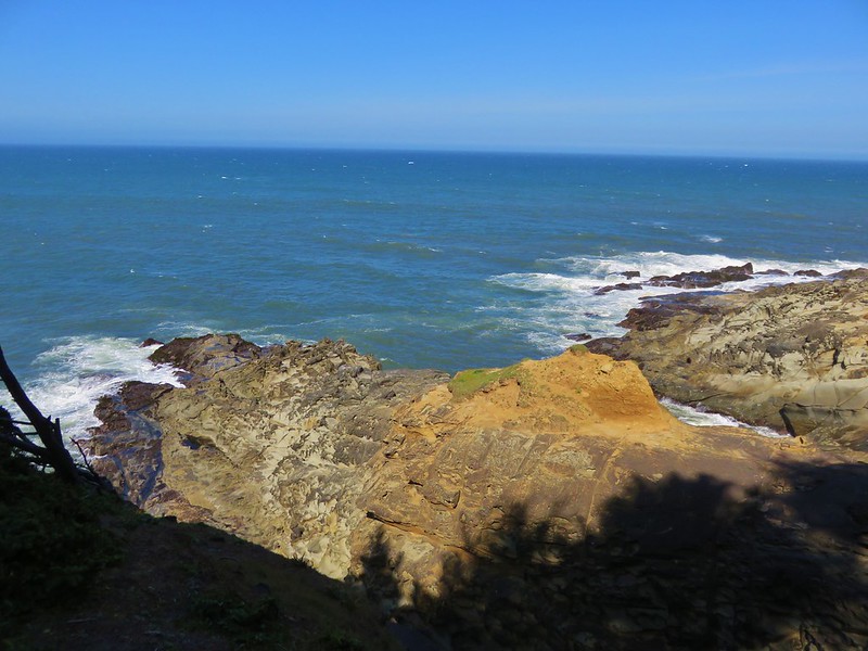
There were also some nice views along this 1.3 mile section of the trail.
IMG_6825

IMG_6815

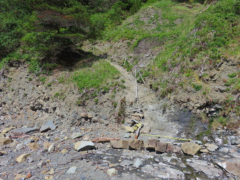
The trail eventually arrived at Hunters Beach but the final drop down to the actual beach was down a steep slope. Much of it had been worn away by the elements and a rope had been set up for assistance. To complicate the descent there was poison oak on both sides of the trail.
IMG_6834

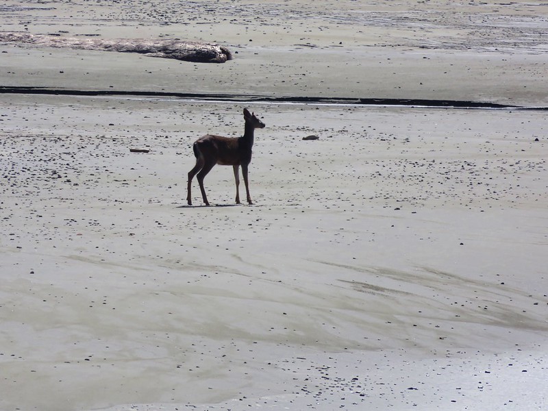
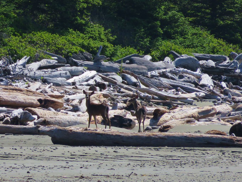
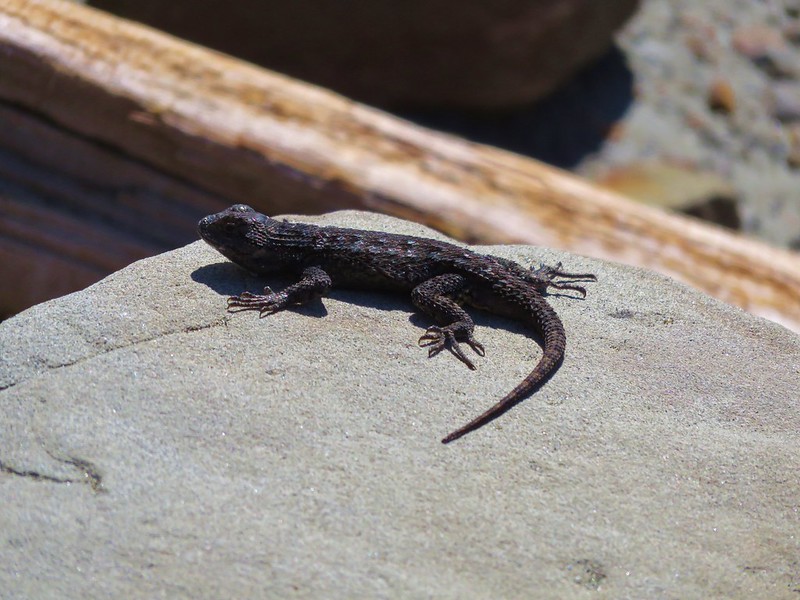
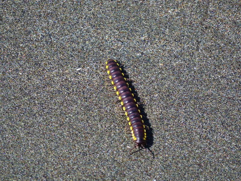
We made it down to the sandy beach where we joined a pair of deer, some birds, lizards, and a millipede.
IMG_6830

IMG_6836

IMG_6845

IMG_6859

IMG_6850

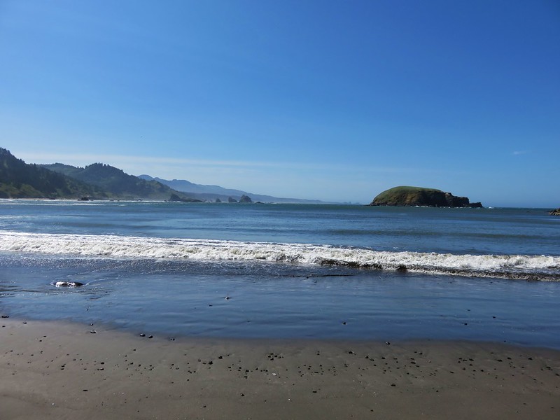
Hunters Island dominated the view from the beach.
IMG_6842

IMG_6847

IMG_6839

We returned the way we’d come being careful to avoid the poison oak retracting our steps all the way to the 1.1 mile side trail to a beach just a half mile from Bellview Lane. This path was along another old road that led down to an overgrown meadow.
IMG_6899

IMG_6876

A faint path led through the vegetation to a post on the beach.
IMG_6878

IMG_6880

On this beach we found several new types of flowers.
yellow sand-verbena
IMG_6883

silky beach pea
silky beach pea

beach morning-glory
IMG_6891

It was pretty windy and there wasn’t much cover to be found so after a brief stay we headed back up to Bellview Lane and our car. We picked this as our evening to find a local restaurant to try and picked the Barnacle Bistro in Gold Beach. The food was great and we each enjoyed a beer from Arch Rock Brewing Company.  I had the Pistol River Pale while Heather tried the State of Jefferson Porter. It was a great cap to the day. Happy Trails!

Flickr: https://www.flickr.com/photos/9319235@N02/sets/72157666235841743

Categories
Hiking Oregon Oregon Coast Southern Coast Trip report

Humbug Mountain, Sisters Rock, and Otter Point

With our vacation plans changed due to the potential for rain in SE Oregon we had returned home after hiking in the Oregon Badlands Wilderness to regroup. We swapped guide books and some or our supplies and headed for Gold Beach on the southern Oregon coast on Monday morning. We took our first set of hikes on the way down Highway 101 starting with a climb up Humbug Mountain.

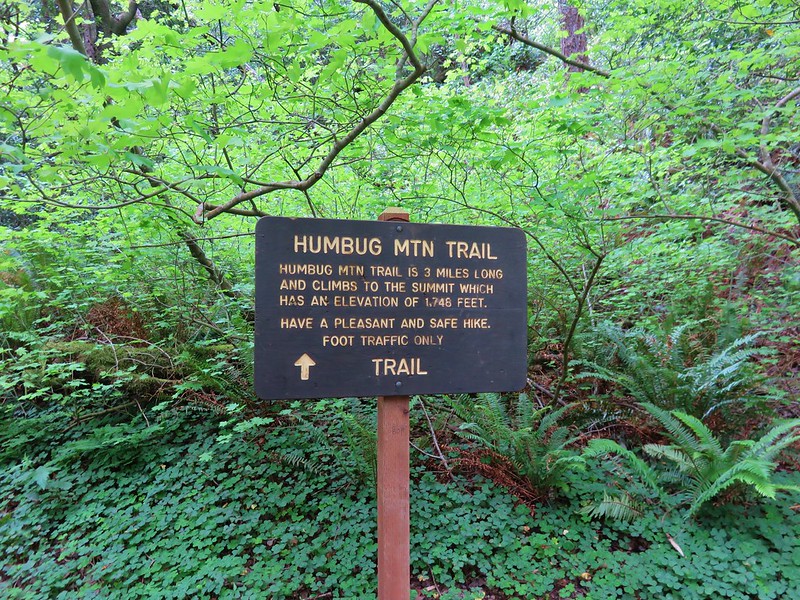
The Humbug Mountain Trail begins at the signed Humbug Mountain Trailhead across from the state park campground.
IMG_5870

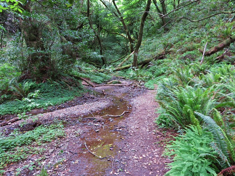
The trail promptly crosses a creek then climbs through the forest for a mile to a split in the trail.
IMG_5871

IMG_5896

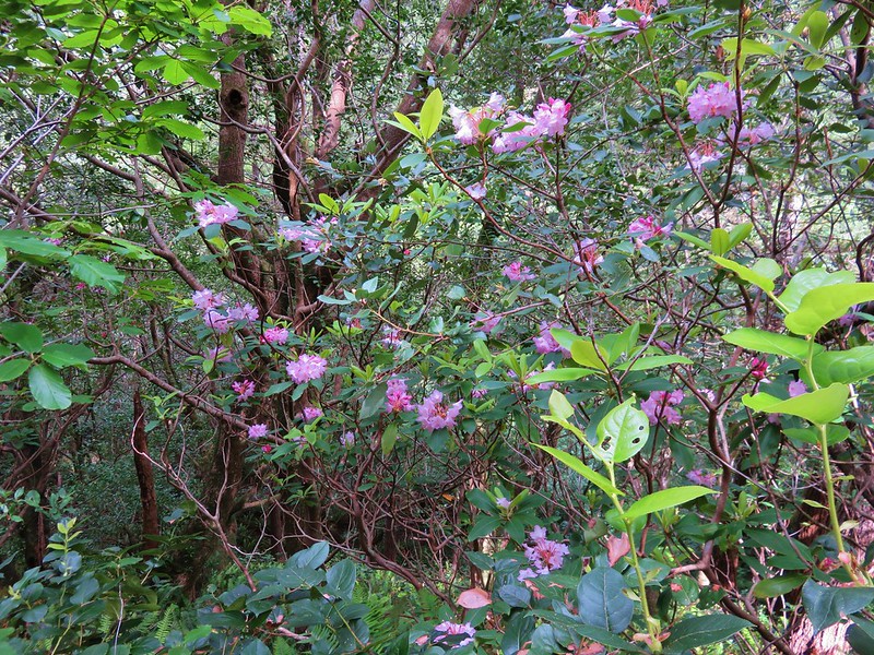
Rhododendron
IMG_5891

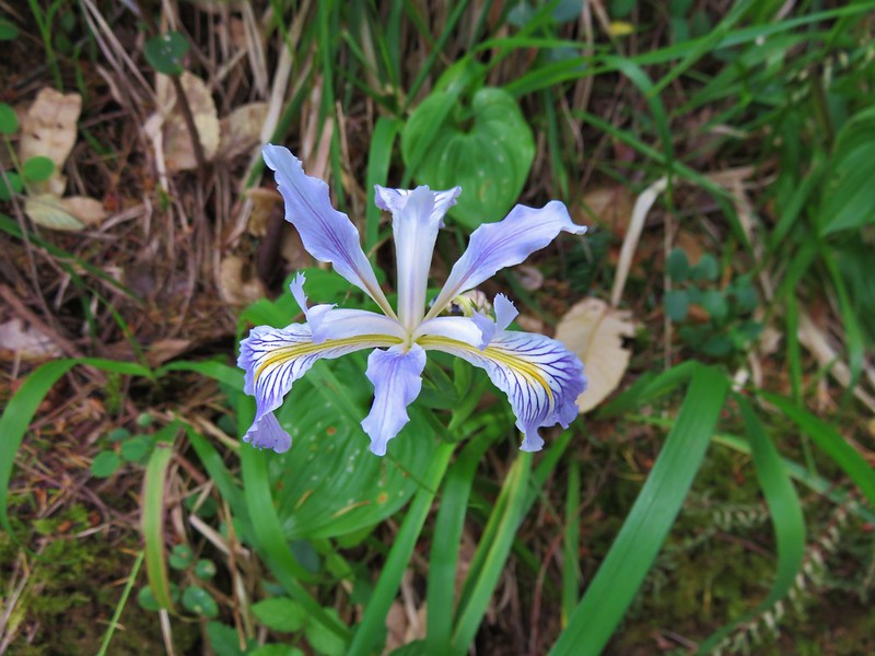
Wild iris
IMG_5903

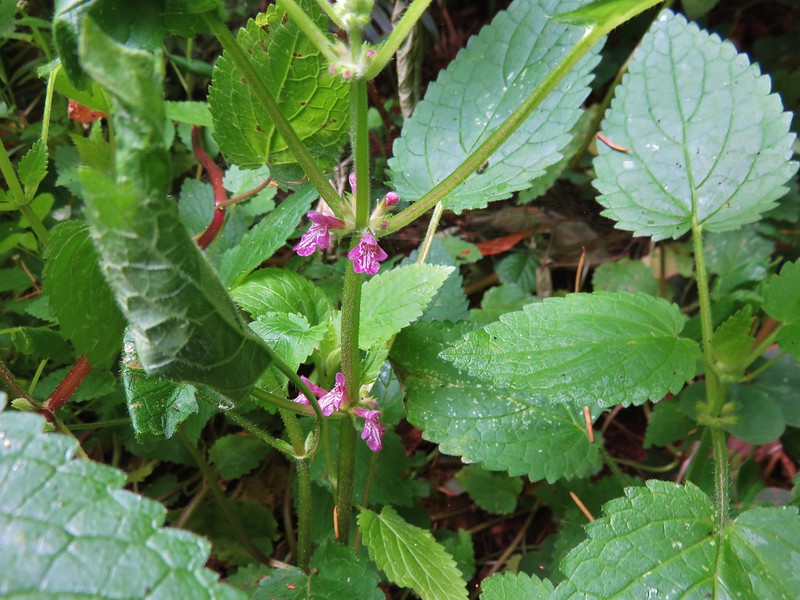
Hedge nettle
IMG_5907

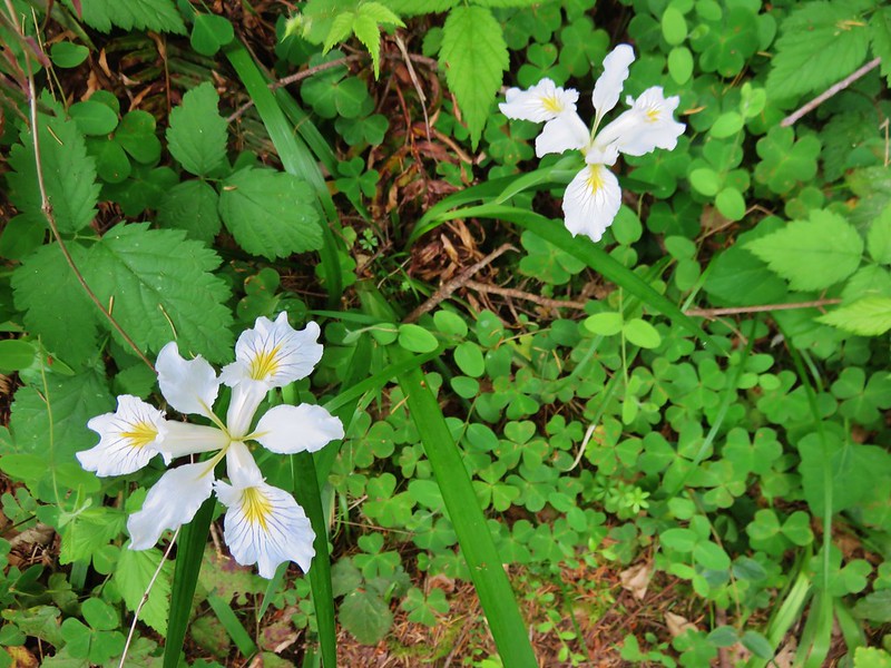
Wild iris
IMG_5908

IMG_5918

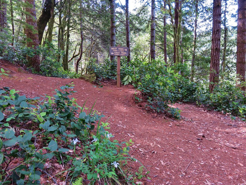
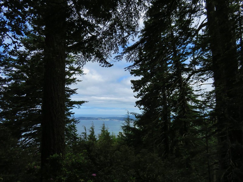
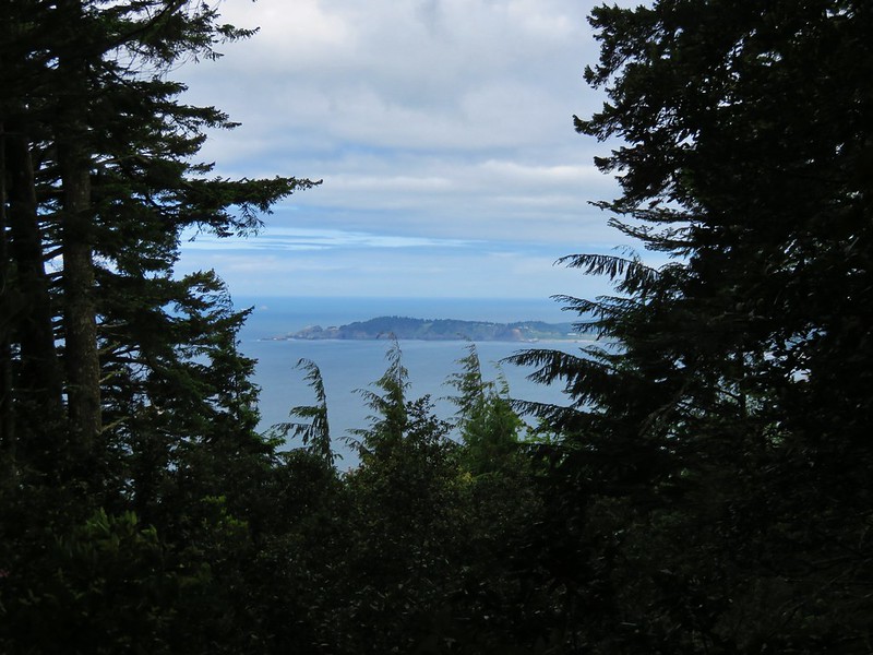
Two routes led to the summit, the 1.4 mile West Trail and the 1.9 mile East Trail, allowing for a loop. We took the shorter West Trail to the right which offered limited ocean views.
IMG_5935

IMG_5933

When the trails rejoined we took the short .1 mile trail to the right up to the small meadow at the summit of Humbug Mountain.
IMG_5960

IMG_5963

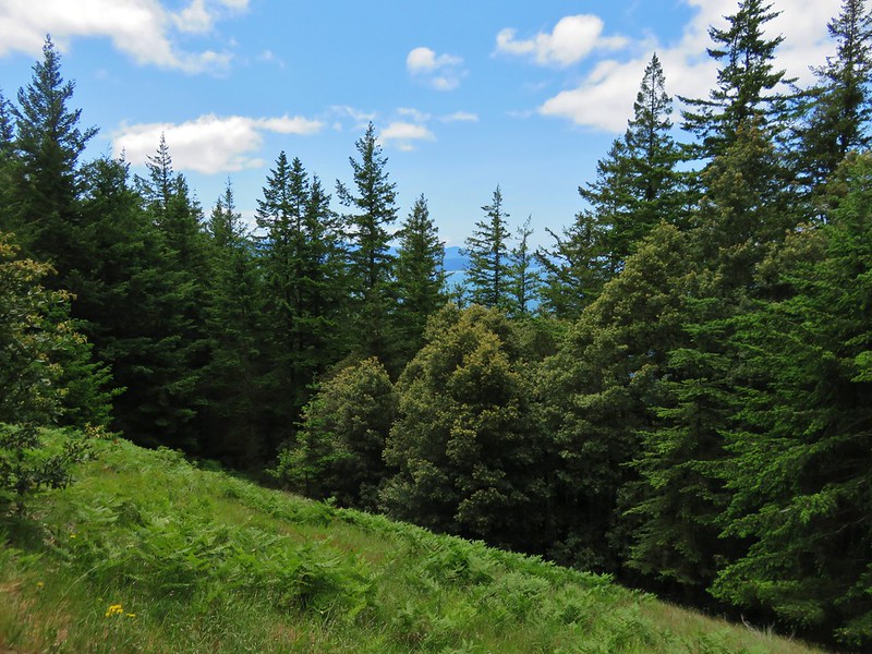
A few flowers dotted the meadow which was mostly filled with bracken ferns and trees obscured much of the view.
IMG_5977

Common catchfly
IMG_5974

IMG_5989

Elegant brodiaea
IMG_5979

IMG_5975

We took the East Trail down completing the loop and returning to the trailhead. The 5.5 mile hike was nice enough and a good climb, but the lack of views was a little disappointing albeit fitting for a mountain named Humbug.

From Humbug Mountain we continued driving south on HWY 101 to our next stop, Sisters Rock State Park. If not for our guide book describing the pullout between milepost 314 & 315 we would likely have driven right by. There was no sign for the park prior to the little pullout along the highway and the sign at the park was set back off the road making it difficult to spot while driving.
IMG_6011

The wind was really strong whenever we were exposed to the north but the half-mile path down to the Sisters Rocks was full of views and flowers. Humbug Mountain was visible to the north and to the south was scenic Franklin Beach.
IMG_6009

IMG_6020

Scarlet pimpernel
IMG_6025

IMG_6027

Cows clover
IMG_6028

IMG_6073

Lupine
IMG_6095

We headed for the largest of the rocks where a trail brought us to the mouth of a sea cave.
IMG_6017

IMG_6031

IMG_6046

We found a spot on the rocks between the largest Sisters Rocks where we were protected from the wind. Here there were more caves and some small tide pools.
IMG_6032

IMG_6058

IMG_6067

IMG_6054

IMG_6060

IMG_6063

We then made our way to Franklin Beach which we shared with a lizard.
IMG_6077

IMG_6094

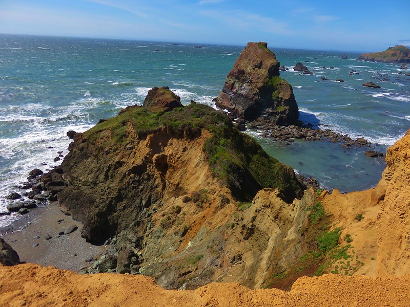
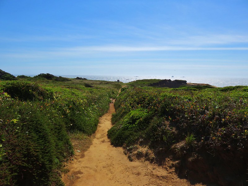
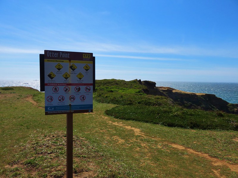
Our final stop for the day was at Otter Point State Park. This was another somewhat hidden park located along Old Coast Road 3 miles north of Gold Beach. Again signage was lacking for the park until we were at the entrance which took us some time to locate. It was worth the effort to find this little gem though. The parking area was lined with azaleas and wild roses and the trail to Otter Point had big views.
IMG_6206

IMG_6210

IMG_6131

IMG_6133

IMG_6150

IMG_6156
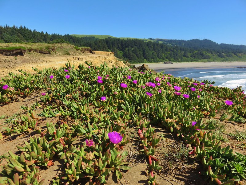
In addition to the views several types of flowers were present.
Sea Figs
IMG_6158

IMG_6161

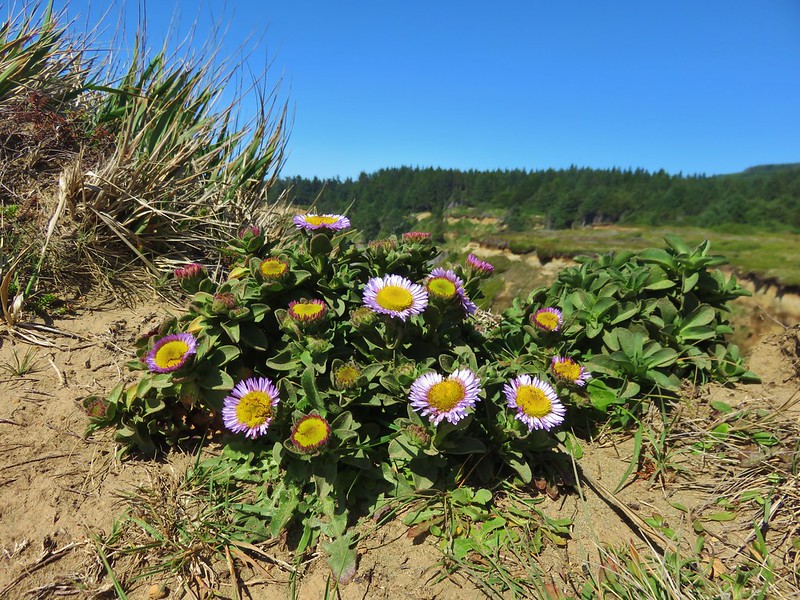
Seaside daisy
IMG_6189

Wild iris
IMG_6196
Sea thrift
IMG_6198

We were pleasantly surprised by both Sisters Rock and Otter Point and were glad we took the time to stop and check them out. These were short hikes (1.4 & 0.7 miles receptively)that really paid off. It was a nice start to the vacation and they set the bar for the rest of the weeks hikes. Happy Trails!

Flickr: https://www.flickr.com/photos/9319235@N02/albums

Categories
Coastal Range Hiking Oregon Trip report

Mt. Hebo and Munson Falls

Mt. Hebo was another hike on our list of do-overs. Our previous visit had been on May 30, 2011 which normally would be a good time for a visit to the meadows that dot the top of the mountain. 2011 was not a normal year though and our visit that day turned out to be a cold and foggy trek past patches of lingering snow to a view-less summit. We decided this was the year for the re-hike and we were even able to do it on the same day as before May 30, 2015. This time we threw in a second short stop at Munson Falls State Park to check out 266′ Munson Falls. Both of these hikes are located near Tillamook, OR.

We started the morning at Hebo Lake Camp Ground at the Pioneer Indian Trail trailhead. When we arrived we were having a bit of deja-vu as fog filled the forest much like our first visit. We knew there would be no snow this year, but would we get any views. The trail starts near the far end of the lake and heads into the forest.
IMG_2347

IMG_2348

Not too far along the trail we came to an unsigned junction that neither of us recalled from our first visit. It wasn’t marked on the map in our field guide either and we at first turned left which is incorrect. Luckily Heather spotted a “Trail ->” sign pointing back the way we’d come which caused me to double check with our GPS (which I should have done at the junction anyway) and we realized we needed to go back and take the right had fork.
Unsigned jct.
IMG_2356
As we continued along the sun began to burn through the clouds which was a welcome sight.
IMG_2357

IMG_2365

The trail passes several interpretive signs before reaching a plantation of trees which had been planted by the forest service in the early 1900s. The contrast between the two sections of forest is really interesting.
Forest before the plantation.
IMG_2369

Some of the plantation trees.
IMG_2375

The trail crosses a gravel road then at the 2.9 mile mark after a good climb crosses paved road 14. I had taken a photo at this crossing on our first visit allowing for a good comparison of just how different things were this time around.
2011
029

2015
IMG_2384

After crossing the road the trail follows an old road bed which is where we had encountered the first of the snow in 2011. This time around we encountered flowers instead.
2011
032

2015
IMG_2403

IMG_2393

IMG_2398

IMG_2401

Just over a mile from the road 14 crossing the trail enters the first meadow. Here again we found a vastly different scene than on our previous visit.
2011
035

2015
IMG_2408

There was a wide variety of flowers dotting the meadow and the view was much improved. We still could not see the ocean or any of the cascade peaks but much of the coast range was visible above the clouds.
Paintbrush
IMG_2409

Violet
IMG_2415

Columbine
IMG_2418

Wild Iris
IMG_2427

Lupine
IMG_2458

IMG_2428

IMG_2435

IMG_2442

The trail passes through the first meadow then a short section with some trees before emerging in a much larger meadow.
IMG_2448

IMG_2454

IMG_2456
We had turned around in this meadow after being blasted by a cold wet wind in 2011 but on this beautiful day we continued on recrossing road 14 and reentering the forest.
IMG_2461

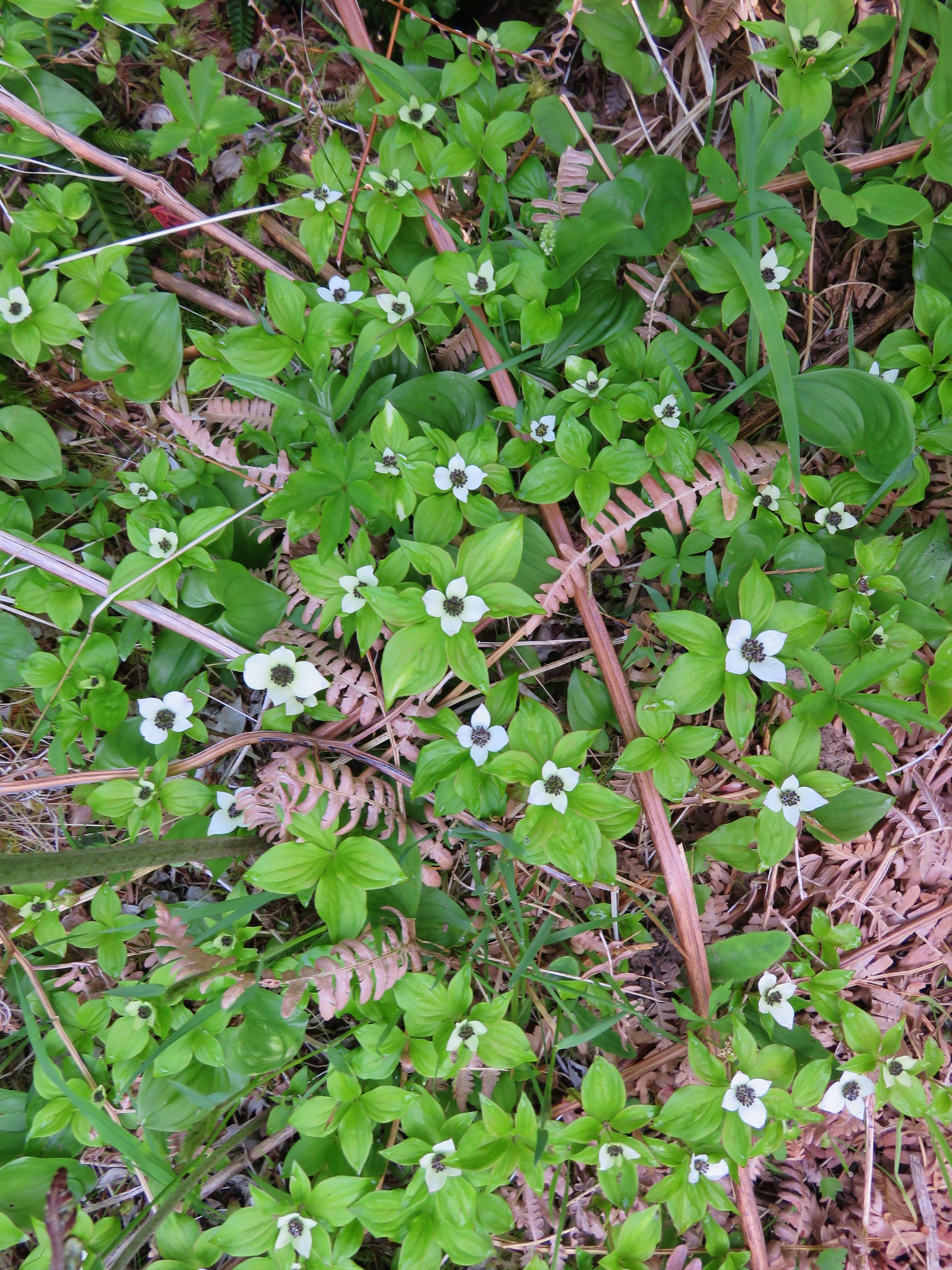
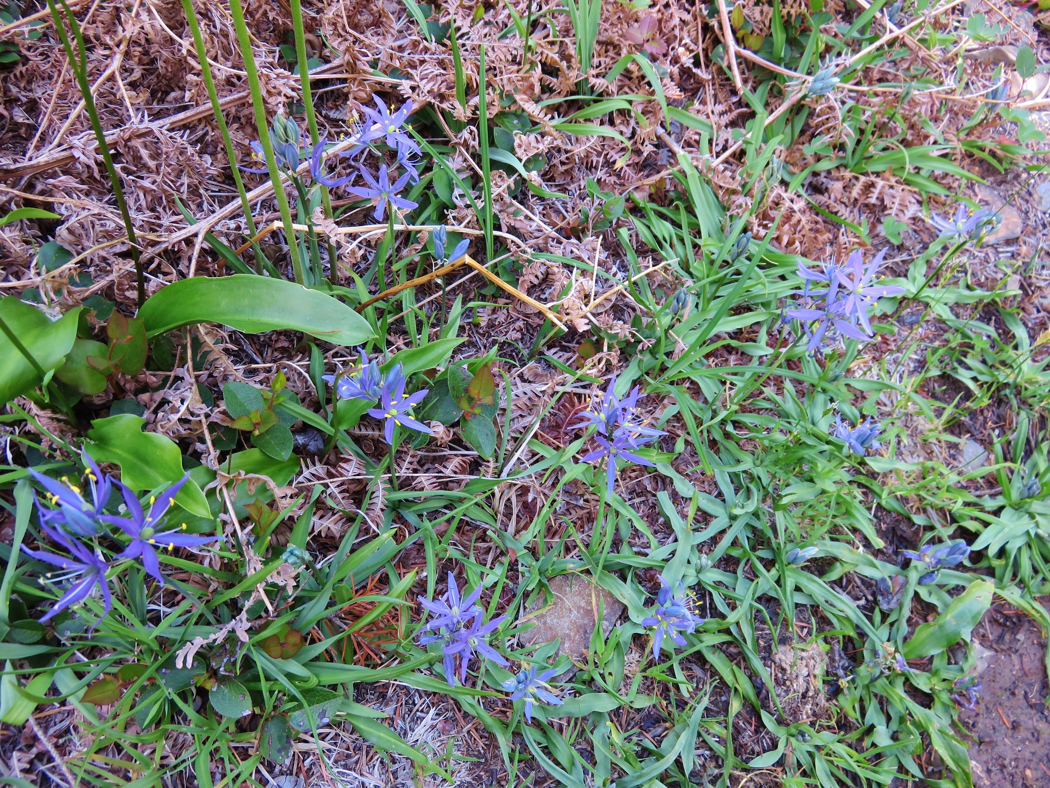
There were new flowers to discover on this section of the trail including bunchberry, anenome, and camas which we were really surprised to see.
IMG_2459

IMG_2460

IMG_2462

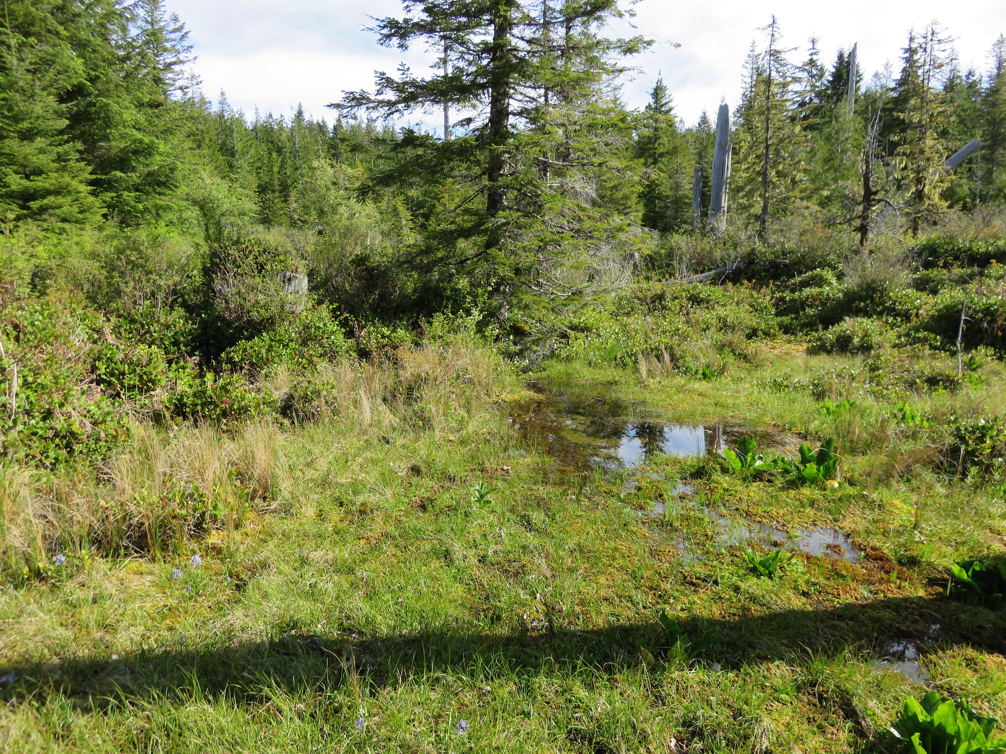
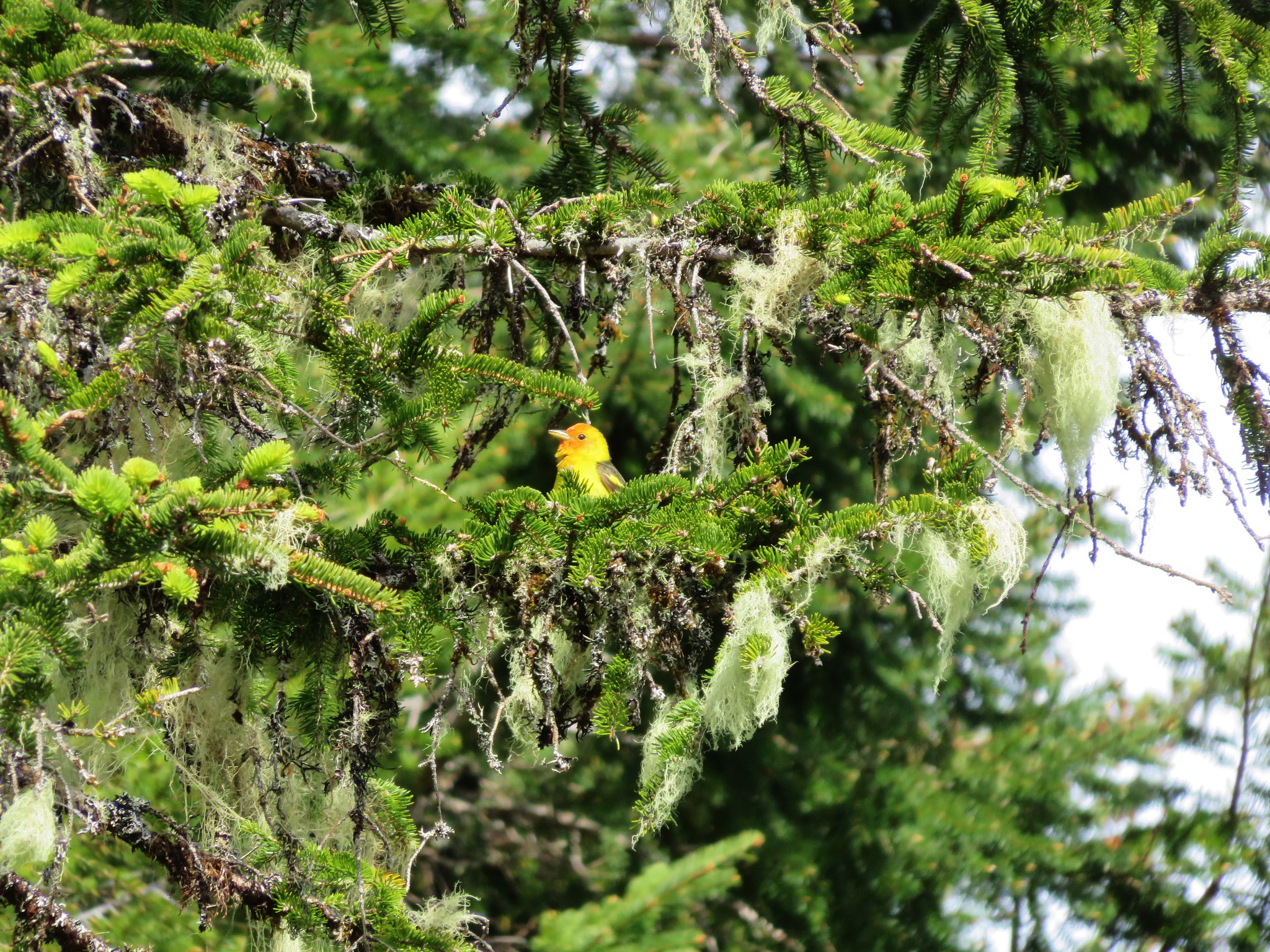
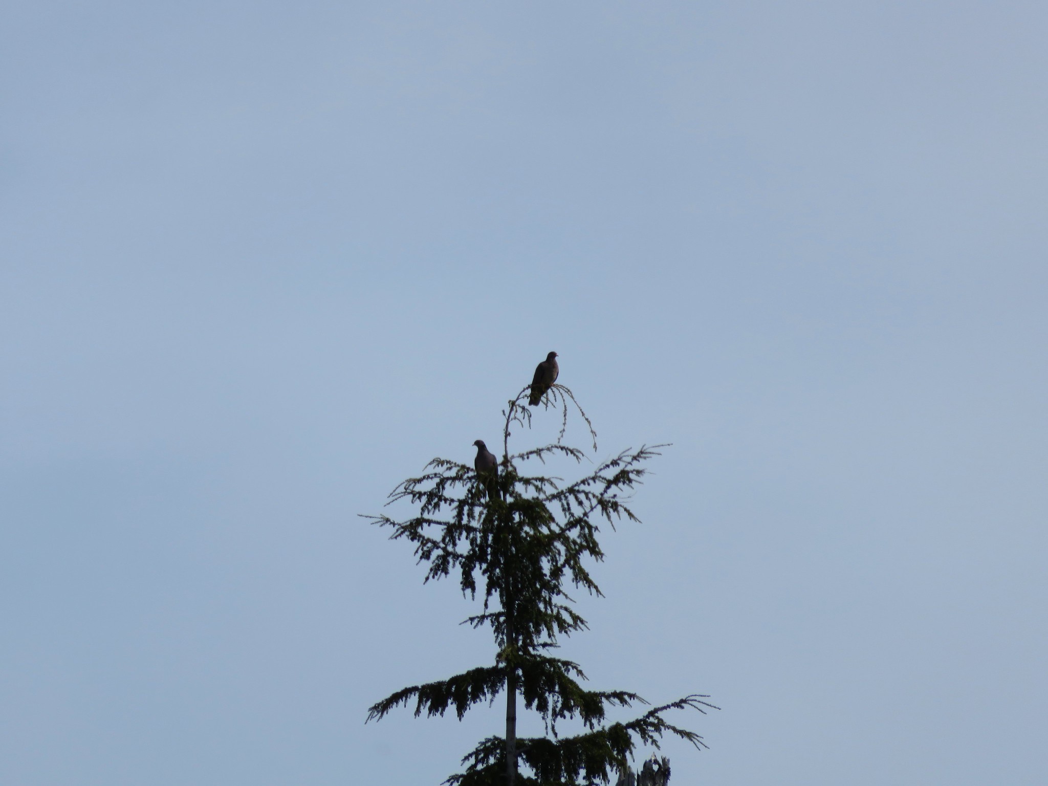
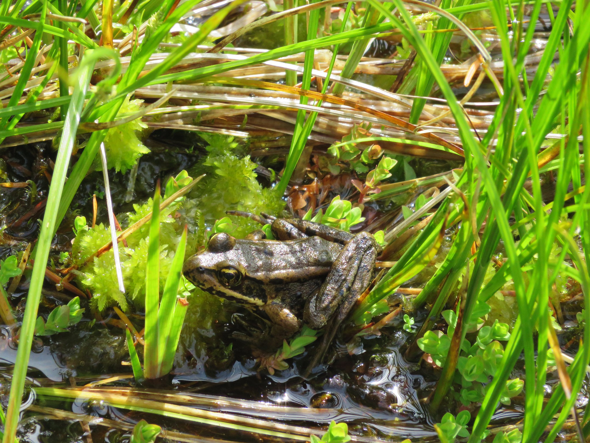
We also crossed a little stream coming from a marshy wetland area. As we took a quick look we noticed some frogs hopping into several pools and a number of birds in the area. We didn’t get any pictures of wildlife on the first pass but on our way back by we were luckier.
IMG_2468

Western Tanager
IMG_2493

Band-tailed Pigeon
IMG_2499

IMG_2517

IMG_2518

This little area would have made a good turnaround point but we continued on a bit further looking for a viewpoint that was shown in our guide book. We passed a couple of smaller meadows filled with camas and found some nice penstemon in bloom but not a particularly nice viewpoint before the trail began to descend toward North Lake.
IMG_2472

IMG_2473

IMG_2484

IMG_2485

We weren’t interested in having to climb back up from the little lake so we turned around and headed back to the meadows. The clouds to the west had really retreated when we arrived back at the meadows revealing more of the coastal foothills.
IMG_2525

IMG_2529

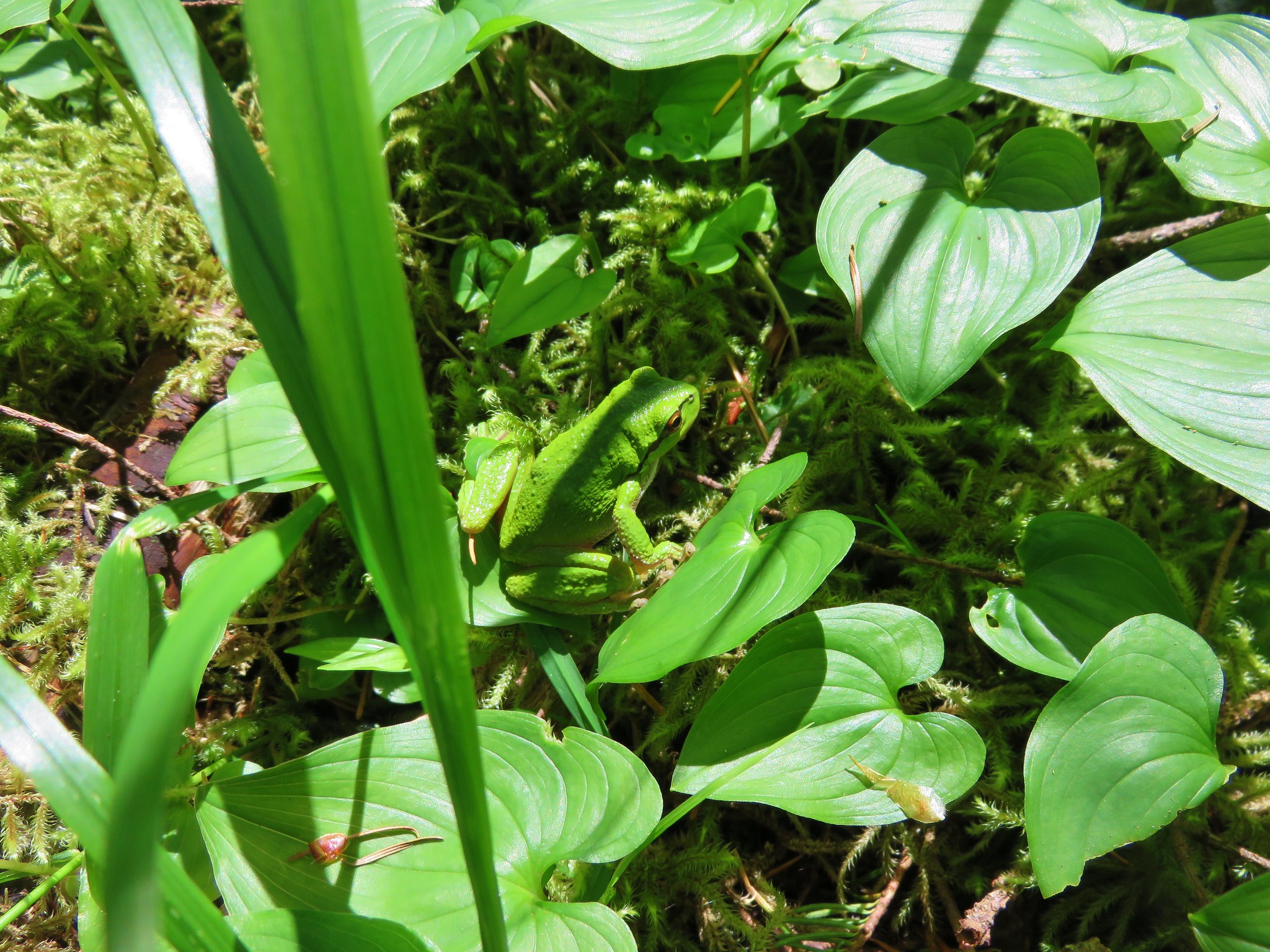
As we were passing back through the forest along the lower portion of the trail Heather spotted a really good sized Pacific-Tree Frog.
IMG_2565

IMG_2556

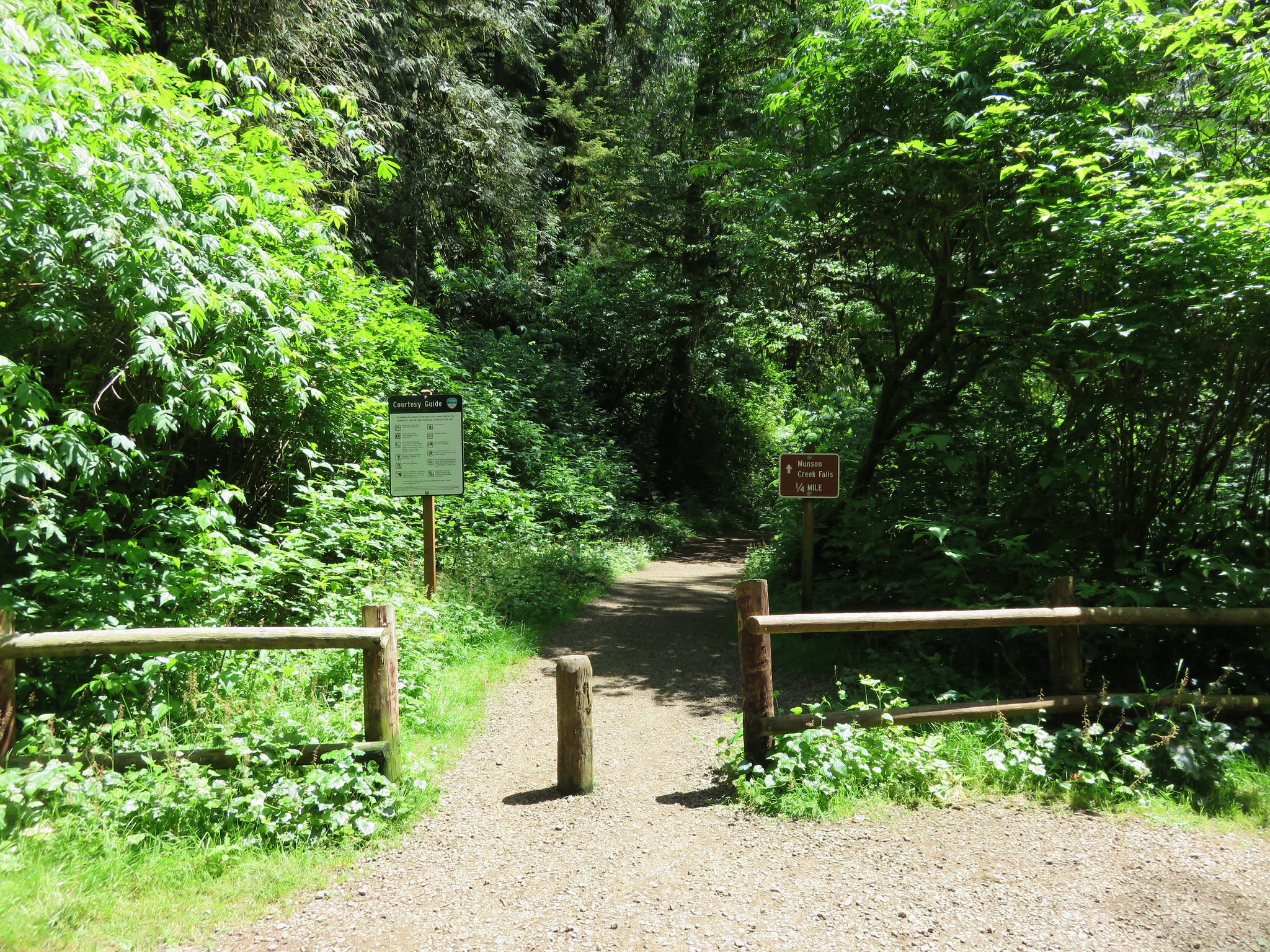
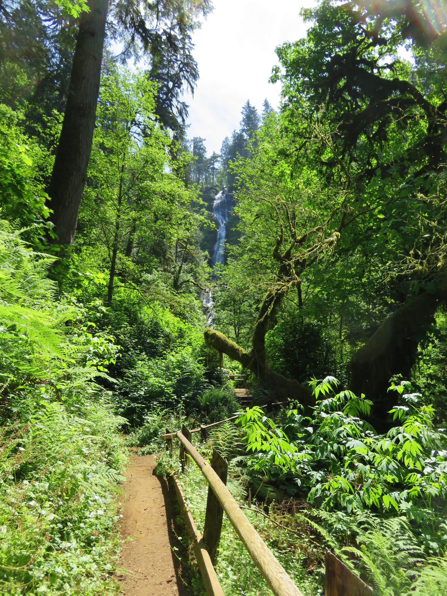
After finishing the Mt. Hebo hike we headed north on Highway 101 toward Tillamook to Munson Falls State Park. Here a quarter-mile path leads to a view of the tallest water fall in the Coast Range. Unfortunately it is virtually impossible to get a clear view of the entire 266′ cascade due to a narrow canyon full of downed logs and thick brush. Still the waterfall was one of the more impressive we’ve seen and well worth the visit.
IMG_2574

IMG_2588

IMG_2591

IMG_2597

After our brief visit to the falls we took a little detour on the way home through Pacific City in order to stop at the Pelican Pub & Brewery which has become on of our favorite post hike places to grab a meal. Happy Trails!

flickr: https://www.flickr.com/photos/9319235@N02/sets/72157653321256339
flickr 2011 visit: https://www.flickr.com/photos/9319235@N02/sets/72157632953522057

Categories
Central Coast Hiking Oregon Oregon Coast Trip report

Harts Cove & Drift Creek Falls

It has become a tradition to finish off our hiking year either on the Oregon Coast or in the coast range. This year we targeted a pair of shorter hikes to keep the tradition alive. For the first of these two hikes we traveled to Cascade Head just north of Lincoln City in order to visit Harts Cove where a waterfall spills into the Pacific Ocean. We parked at the Cascade Head Upper Trailhead along road 1861 at a sign post for the Nature Conservancy Trail. A trail here led off for a mile to Cascade Head’s upper viewpoint which we had visited before. In order to find the Harts Cove Trailhead we walked another .9miles down road 1861 where a large parking area with plenty of signs marked the start of the trail. We could have driven here but were contemplating hiking to the upper viewpoint later if the sky cleared so we decided to park at the upper trailhead.
DSC08186

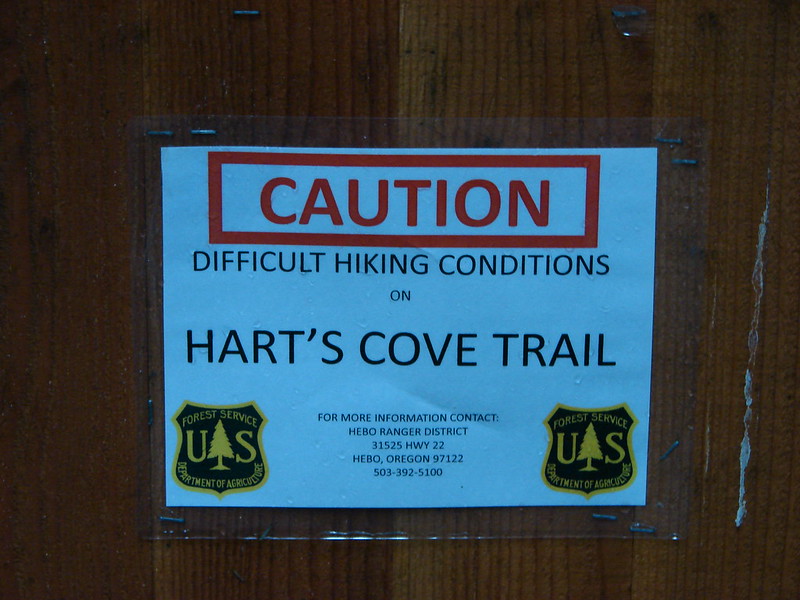
One of the signs warned of difficult hiking conditions on the trail which piqued our interest.
DSC08187

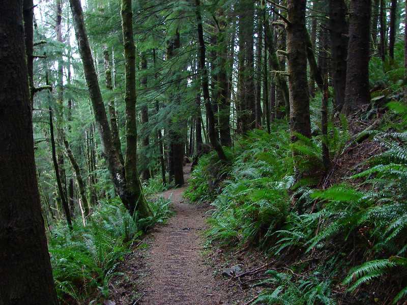
The trail started out by diving fairly steeply downhill through the forest for the first half mile then descended more gradually to a bridge across Cliff Creek.
DSC08192

DSC08193

Cliff Creek

After crossing the creek the trail turned back toward the ocean along a ridge. We could hear a number of sea lions on the rocks below but could only get small glimpses of them across the water through the trees.
DSC08200

As the trail wound around the ridge end there was a bench that offered an obstructed view across Harts Cove to a meadow which was where the trail would end. The trail then bent back leading us around the cove. We crossed Chitwood Creek which appeared to have once had a bridge but it was now in pieces further down the creek.
DSC08207

We had been in clouds and fog for most of the hike but as we came out of the forest into the meadow we could see clearer skies out over the ocean. The trail was steep here also and muddy making it a bit slick.
Looking down the trail:
DSC08210

Looking up from below:
DSC08269

North toward Cape Lookout:
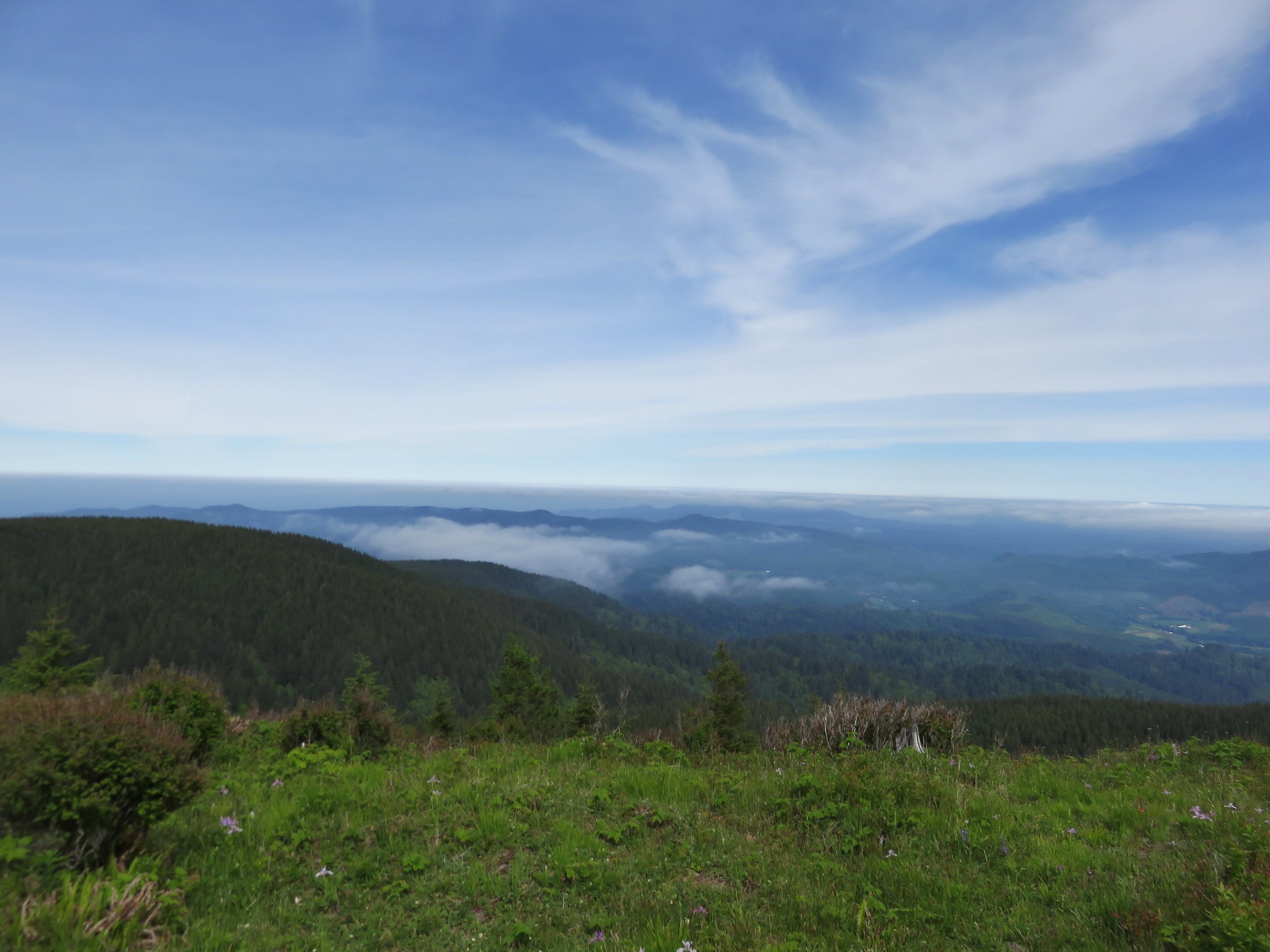
Cape Lookout from the meadow near Harts Cove

South toward Cascade Head:
Cascade Head

The sea lions could still be heard across the way below Cascade Head, and now we could see them better.
Sea Lions and Seagulls

We followed the trail down and around to the left toward Harts Cove so that we could get a view of Chitwood Creek’s waterfall. We were surprised to find a handful of flowers in bloom including a number of Salal bushes.
DSC08234

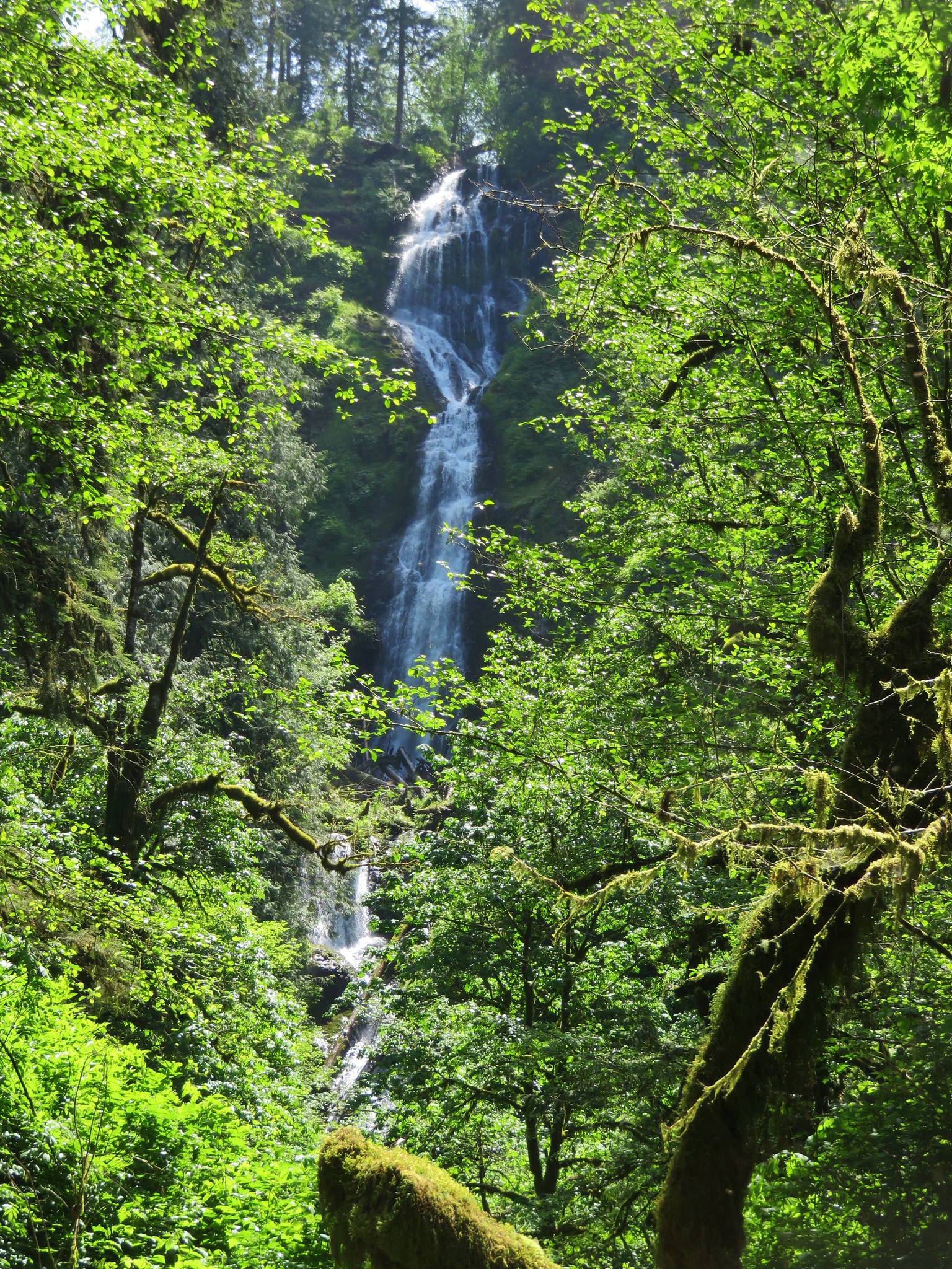
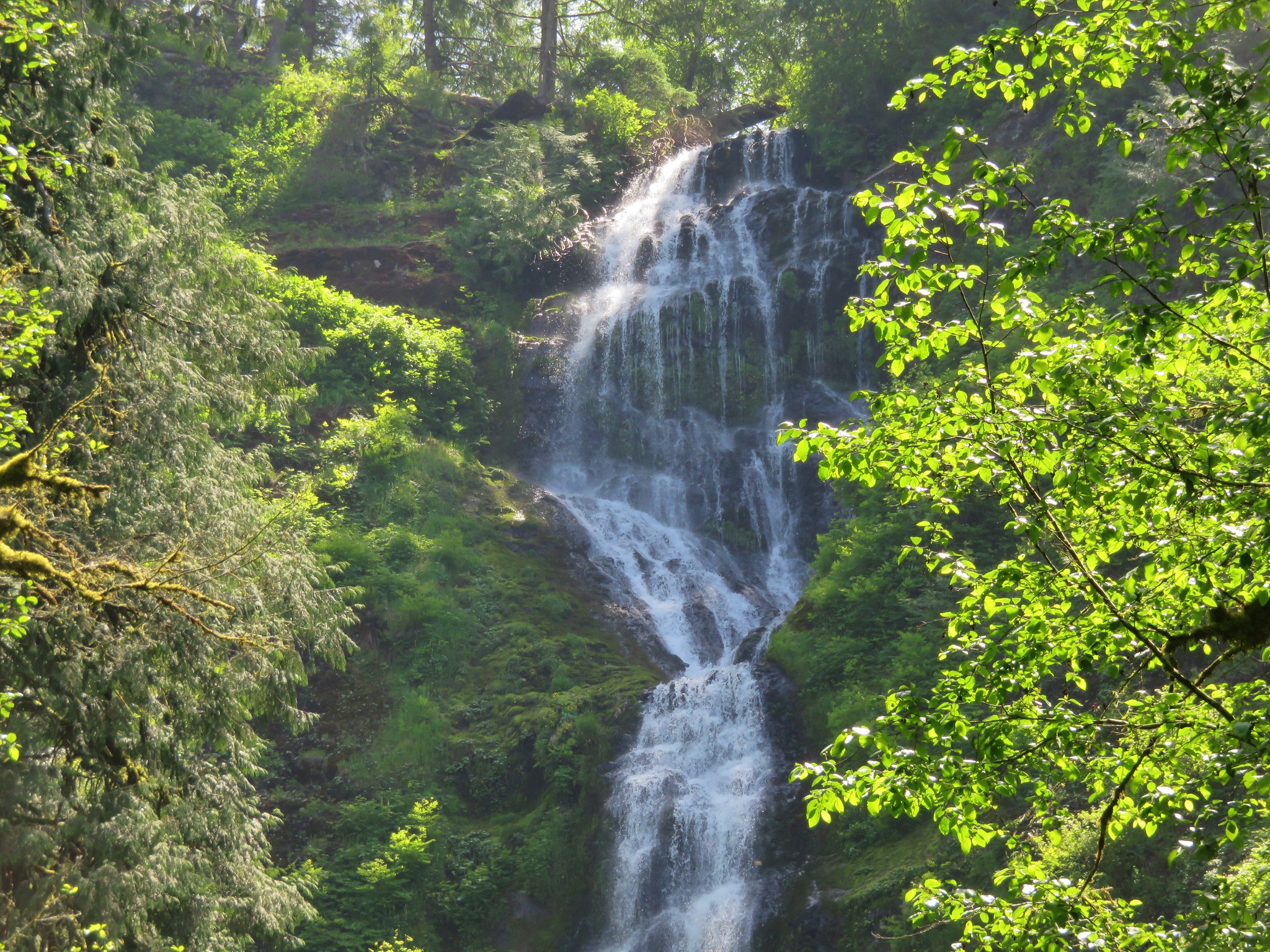
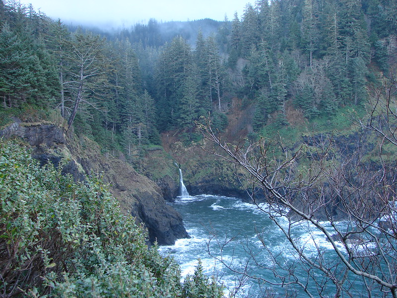
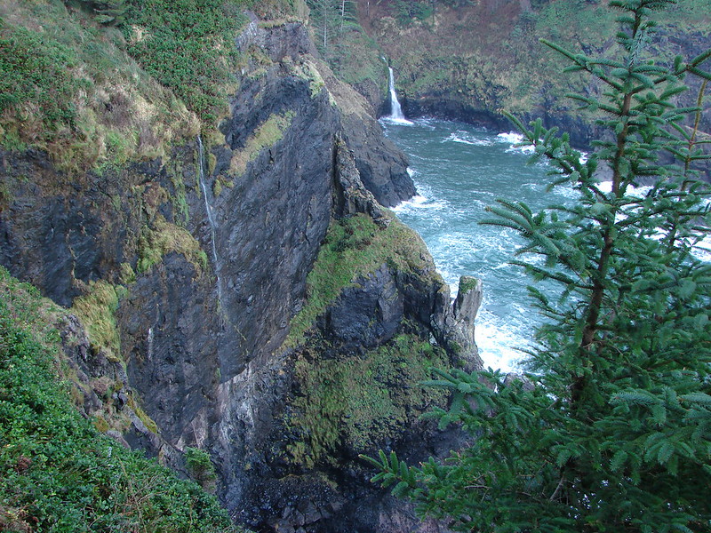
The waterfall turned out to be very picturesque as it fell down into the surging ocean.
Harts Cove and Chitwood Creeks waterfall

Chitwood Creek waterfall

DSC08268

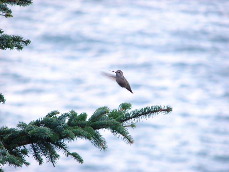
There was a nice open spot below a tree where we stopped for a snack and to remove some of the unnecessary layers of clothes we had on. While we were resting there Heather spotted a hummingbird that was interested in my orange jacket. It was zipping about, landing occasionally and then darting back into the air. I was snapping pictures frantically trying to get some sort of picture before the hummingbird disappeared. I wasn’t sure if I’d managed to get anything until we got home, but I wound up getting lucky with a single shot.
Hummingird in the meadow near Harts Cove

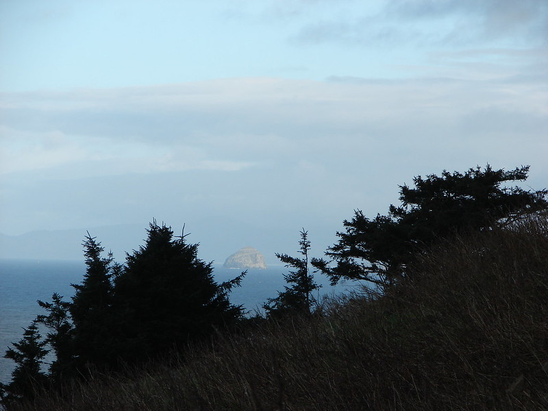
As we headed back up the steep trail we noticed that Haystack Rock near Pacific City was shinning in full sunlight.
DSC08270

We returned the way we’d come and decided to skip the upper viewpoint because it still appeared to be enveloped in the clouds. This hike had been 7.6 miles which included the unnecessary 1.8 miles due to parking at the upper trailhead.

Our next stop was Drift Creek Falls which is located in the Siuslaw National Forest between Hwy 18 & Hwy 101 along Drift Creek Camp Road (Road 17). There was a good sized parking area and restrooms at the trailhead.
Drift Creek Falls Trailhead

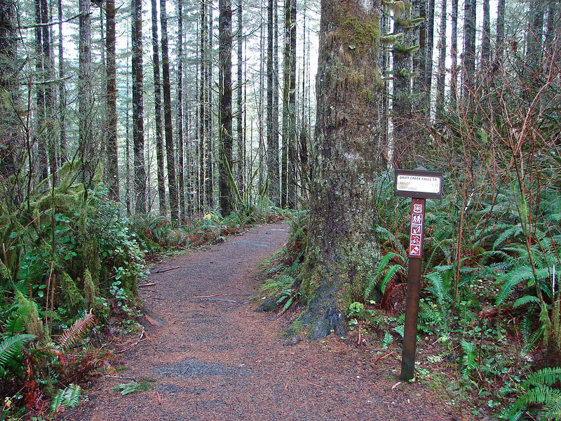
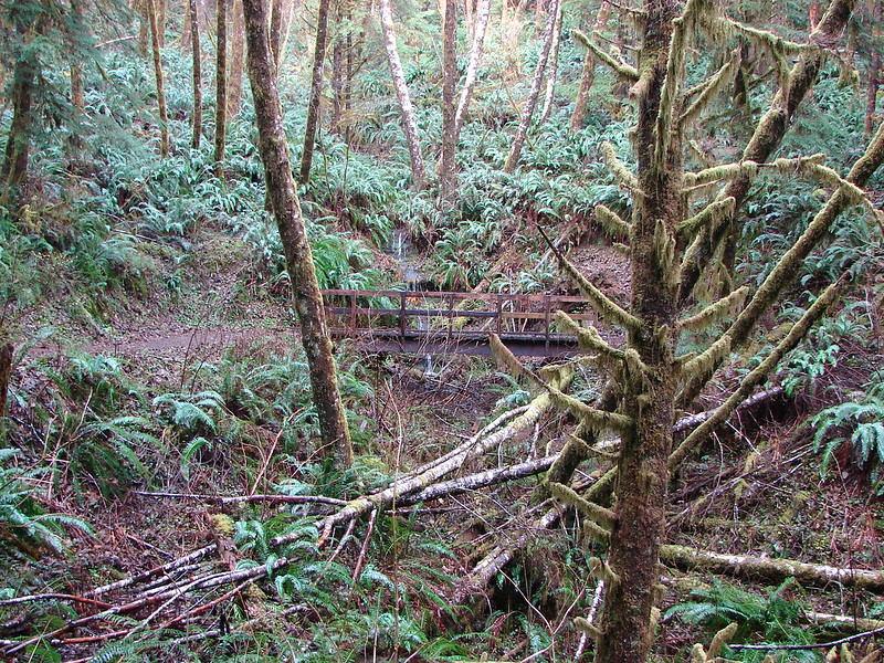
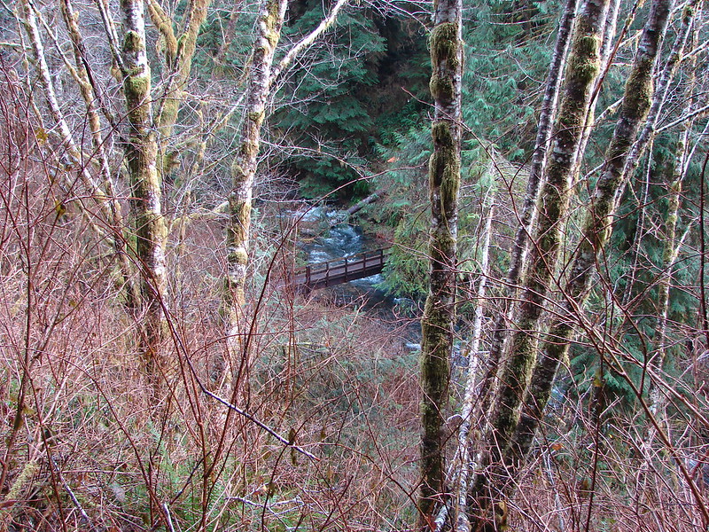
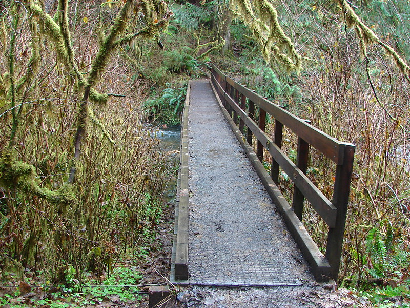
The trail leads down through the forest crossing two creeks on footbridges.
DSC08289

DSC08292

DSC08295

DSC08296

At the .7 mile mark the trail forks at a sign for the North Loop, a longer loop option which we planned to take on the way back from the falls. A third of a mile later we came to the other end of the North Loop.
DSC08322

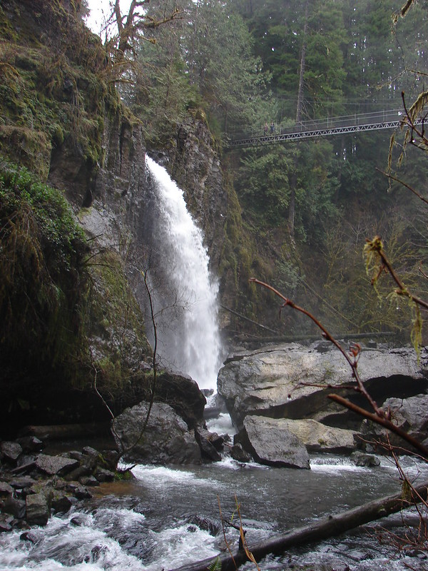
Just a short distance later we arrived at the suspension bridge over Drift Creek.
Suspension Bridge over Drift Creek

The bridge passes over the creek very close to the falls allowing for some nice views.
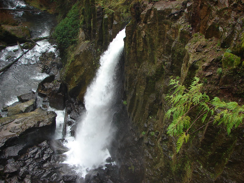
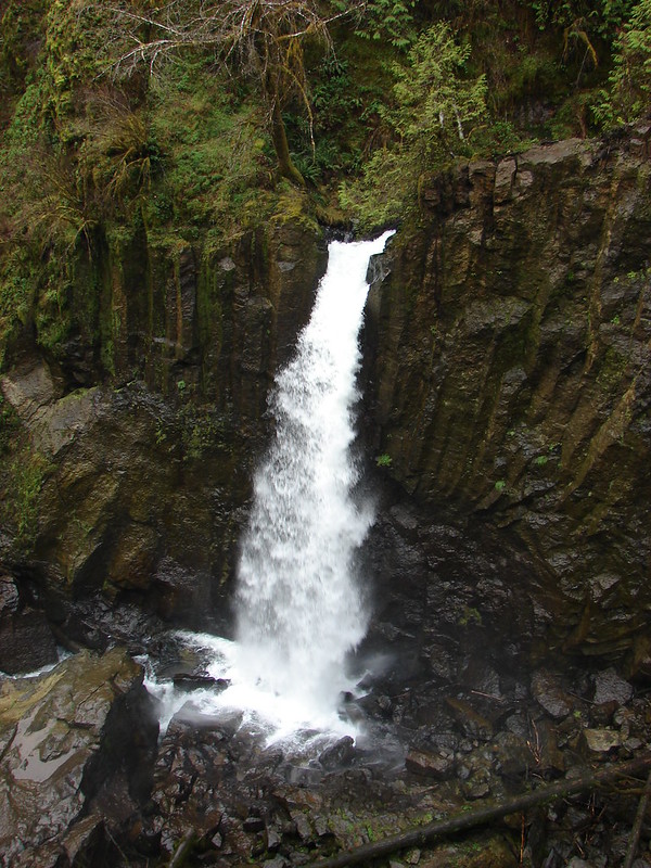
Drift Creek Falls

DSC08304

The trail continues on the far side of the bridge down to Drift Creek where we could get a different perspective.
Drift Creek Falls

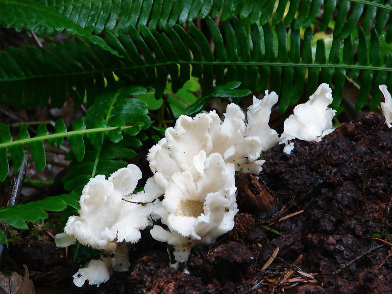
After enjoying the falls for a bit we headed back, this time taking the North Loop which would add about .7 miles to the return trip. This 1 mile section of trail climbed up and wound back through the forest. Aside from the trees and a few mushrooms there wasn’t much to see, but the trail was nice and good for a little extra exercise if wanted.
North Loop - Drift Creek Falls Trail

DSC08327

By taking the North Loop back we wound up with a total of 3.9 miles showing on the Garmin. These two trails were close enough (30 minute drive) and short enough to do in a day but they were also nice enough to stand on their own. As far as the cautions at the Harts Cove Trail we didn’t experience anything that we found too hard or scary but some of that is subjective and the trial was steep in places and the wet conditions caused a lot of mud which was slick at times. We will most likely be back to the coast sometime next month to kick off our 2015 hikes, but until then Happy Trails!

flickr:https://www.flickr.com/photos/9319235@N02/sets/72157649223220159/
facebook:https://www.facebook.com/media/set/?set=a.10205640025507123.1073741919.1448521051&type=1

Categories
Hiking Northern Coast Oregon Oregon Coast Trip report

Neahkahnie Mountain

Happy New Year! A favorable weather forecast encouraged us to kick off our 2014 hiking year a bit sooner than planned. Just as we had done last year we turned to the Oregon Coast to get things started. While most of the country was dealing with frigid temperatures we were off to Oswald West State Park where a Sun filled day and 50 degree temperatures awaited.

For Heather and I this was our second visit to the park. In June 2012 we hiked out and around Cape Falcon where wild flowers and dramatic views were plentiful. (Pictures from that hike can be seen here: http://www.flickr.com/photos/9319235@N02/sets/72157632953462404/ ) For this trip we were set to explore the southern end of the park and follow the Oregon Coast Trail (OCT) up to the summit of 1631′ Neahkahnie Mountain.
Neahkahnie Mountain from Cape Falcon in 2012
Smugglers Cove

We parked in the large beach access parking area on the east side of Highway 101 where the Short Sand Beach trail begins. This was the same trail we had started on for our previous visit, but after a couple of hundred yards we turned left onto the Old Growth trail. Two tenths of a mile on that trail brought us to a trail junction with restrooms where we forked left on the .1 mile Cedar Crossing trail. This path ended at Necarney Creek where it intersected the .3 mile Necarney Creek trail. (As you can tell there are a lot of short trails in the area.)

At the Necarney Creek trail we had an option. According to the park brochure/trail map if we turned left we would find the .4 mile Necarney Falls trail. I had read a trip report from 2012 that indicated there was some bushwhacking involved in reaching the waterfall but the trail was still shown on the online map so left we went. Soon the Necarney Creek trail bent away from the creek which was where we had expected to find the falls trail, but there were no trail signs and we quickly reached the end of the creek trail at a small parking area. After re checking the park map and verifying the location of the supposed trail we returned to the bend to see if we could find it. There was a faint unmarked path leading toward the creek into the underbrush at the bend which we decided must have been what was left of the trail. It was less than .5 miles to the falls so we decided to make an attempt at reaching them and headed into the brush.

The former trail was virtually gone save for a few short sections here and there. We kept as close to the creek as possible as we made our way under the highway and up the narrow canyon. There were several slides and plenty of downed trees to pick our way around. After crossing a small side stream the canyon narrowed even more and we were forced down to the creek bed. Luckily the water level was low enough that we were able to stay dry by rock hopping until we reached Necarney Falls. The reward was worth the efforts.
Necarney Falls

We retraced our steps (as best as we could) and returned to the maintained trails where we followed the Necarney Creek trail to a foot bridge which crossed the creek and led to the Elk Flats trail.
Suspension bridge over Necarney Creek
We took a quick trip down to Short Sand Beach before for a photo-op before setting off on the Elk Flats trail.
Smugglers Cove
We then followed the 1.3 mile Elk Flats trail through the park passing several nice ocean views before entering a meadow near the Devils Cauldron overlook.
Meadow along the Elk Flats Trail

After taking in the view from the overlook we climbed east through the meadow to yet another small parking area along Hwy 101. Across the highway was the North Neahkahnie Mountain trail. Both the Neahkahnie Mountain and Elk Flats trail are part of the OCT which extends 360 miles from the Washington border to California. Less than 100 miles of the OCT are actual trail though, with the majority of rest of the miles being on beaches and the remainder on the shoulder of Highway 101.

After crossing the highway we quickly began climbing, needing to gain 1200′ in 2 miles of trail. The first section of the trail led up through an open meadow via a series of switchbacks. We guessed the meadow would be full of flowers in Spring and early Summer, but for this hike we were content with the views which extended from Cape Falcon in the north to Cape Mears and Cape Lookout to the south.
Looking up the meadow:
Meadow along the North Neahkahnie Mountain Trail
Cape Falcon from the meadow:
Cape Falcon from the North Neahkahnie Mountain Trail

At the top of the meadow the trail entered an old growth forest where it remained until we were just below the rocky summit. The view from the summit was excellent and the clear skies and lack of a significant breeze made it a perfect spot for lunch.
Entering the forest:
North Neahkahnie Mountain Trail
Summit view:
Nehalem Bay, The Pacific Ocean, Cape Mears, and Cape Lookout
Lunch:
Lunch on Neahkahnie Mountian

After lunch we returned they way we had come (minus the side trip to Necarney Falls 🙂 ). We decided to make one final stop though before leaving the coast. Dominique had not been with us in October when we hiked at Cape Kiwanda in Pacific City, so he had not had the experience of dining at the Pelican Pub. This was as close as our hiking schedule would bring us to Pacific City this year so we took a short detour and stopped in for an early dinner. The food was a good as we’d remembered and we were fortunate enough to be there as the Sun set over the Pacific which was a perfect way to end the first hike of the new year. Happy Trails!

<img src="DSC02702” alt=”” />

The rest of the photos on flickr: http://www.flickr.com/photos/9319235@N02/sets/72157639463787314/ or Facebook: https://www.facebook.com/media/set/?set=a.10203069673009917.1073741867.1448521051&type=1

Categories
Year-end wrap up

The hikes of 2013 – A year in review.

What an amazing year of hiking it was! As we reach then end of 2013 we thought we’d make one final entry recapping the beautiful areas and unique features we were blessed enough to encounter while out on our “wanderings”. We began the year in February at the Oregon Coast, hiking at Gwynn Creek and Cape Perpetua then finished up just a couple of weeks ago, once again on the Oregon Coast at Tillamook Head, 140 miles north of where we had started. Sandwiched in between these two hikes were 40 other adventures in which we climbed mountains, crossed rivers, and scrambled cross-country to explore a small sampling of the trails of NW Oregon and SW Washington. We put together a map of the approximate location of the trailheads for each of the hikes.
2013 Trailheads
An interactive version can be viewed on mapquest using the following link.
http://mapq.st/1bQXoXo

I’ve always been interested in numbers so I have kept quite a few statistics regarding these 42 hikes. Here are some of those that I found most interesting. We visited 10 wilderness and 2 scenic areas in 8 different national forests. In addition to the national forests we hiked in 4 state parks and at a national volcanic monument. Some of the other numbers are as follows:
Total Miles (according to the Garmin) – 515.2
Cumulative Elevation Gained (approx.) – 88,000′
Minimum/Maximum Elevation – sea level/10,358′
Total Moving Time (per the Garmin) – 240hrs 36min
Total Time on the Trails (per the Garmin) – 280hrs 6min
Total Miles Driven (approx.) – 7550 miles

For the most part the weather was good. We had a warm, dry end to Winter which carried into Spring clearing many trails of snow earlier than normal. This allowed for some earlier visits to some of the higher elevation areas and also an early bloom for most of the wildflowers including the bear grass which only blooms every 2nd or 3rd year. A mild summer kept temperatures bearable and despite the dry beginning to the year the fire season wasn’t too bad. Fall brought an early snowstorm and left an early winter wonderland at mid-elevations and some unusually cold temperatures of late created some interesting ice displays.

Words can’t do justice to the beauty of God’s creation that we experienced this so year I’ll try to keep them to a minimum and attempt to let pictures show what they can.
I have to start with the Cascade Mountains. The most awe inspiring creations, these steadfast beacons that on clear days dot the horizon always seem to draw our attention.

From the rim of Crater Lake in the south to Mt. Rainier in the north they rise above the other ridges, rooted in their positions, yet ever changing in order or varying in appearance depending on what our location was. Some of the views we had were amazing.

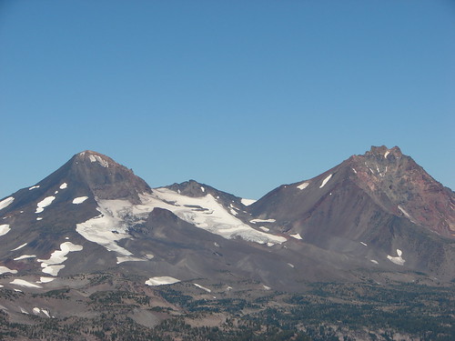
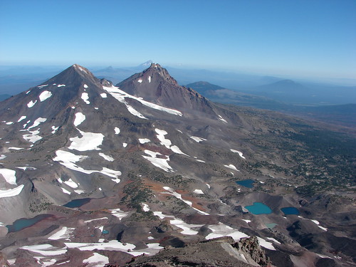
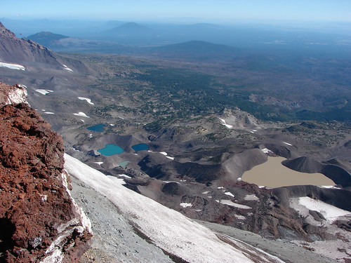
Mt. Scott, Mt. Thielsen, Mt. Baily, & Diamond Peak from the South Sister Summit
View from the South Sister
Cascade Peaks from Mt. Bachelor to Mt. Hood (minus the North Sister which was hidden behind the Middle) from Mt. Fuji
Waldo Lake
Mt. Washington to Mt. Hood from the Pacfic Crest Trail near Yapoah Crater
Belknap Crater, Mt. Washington, Three Fingered Jack, Mt. Jefferson & Mt. Hood
Mt. Washington to Mt. Bachelor from Three Fingered Jack
Broken Top, Mt. Bachelor, The Three Sisters, Mt. Washington and The Husband
Mt. Rainier, The Goat Rocks, and Mt. Adams from Wildcat Mountain
Mr. Rainier, The Goat Rocks, and Mt. Adams
Mt. St. Helens, Mt. Rainier, and Mt. Adams from Silver Star Mountain
View from Ed' Trail

Individual peaks working from the south to the north.
Mt. Thielsen:
From Fuji Mountian
Mt. Thielsen

Diamond Peak:
From Waldo Mountain
Fuji Mountain and Diamond Peak
From Fuji Mountain
Diamond Peak

Mt. Bachelor:
From Fuji Mountain
Mt. Bachelor
From Tam MacArthur Rim
Mt. Bachelor

Broken Top:
From above Moraine Lake
Broken Top and Moraine Lake
From Fuji Mountain
Broken Top and Ball Butte
From Tam MacArthur Rim
Broken Top

South Sister:
From above Moraine Lake
South Sister Climbers Trail
From Tam MacArthur Rim
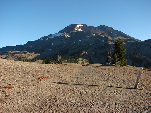
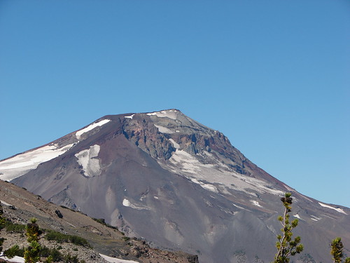
South Sister
From Fuji Mountain
South Sister

Middle & North Sister
From Tam MacArthur Rim
Middle and North Sister
From Scott Meadow
North & Middle Sister and Little Brother from Scott Meadow
From the South Sister
South Sister summit view

Mt. Washington
From the Matthieu Lakes Trail
Mt. Washington
From Fuji Mountain
Mt. Washington and Belknap Crater
From Three Fingered Jack
Mt. Washington and The Husband

Three Fingered Jack:

From the Matthieu Lakes Trail
Three Fingered Jack
From Canyon Creek Meadows
Three Fingered Jack from the upper meadow

Mt. Jefferson:
From Fuji Mountain (Dwarfing Three Fingered Jack)
Mt. Jefferson and Three Fingered Jack
From Hanks Lake
Hank's Lake
From Three Fingered Jack
Looking back down
From Bays Lake in Jefferson Park
Bays Lake in Jefferson Park

Mt. Hood:
From Barrett Spur
Mt. Hood from Barrett Spur
From Table Mountain
Mt. Hood from Table Mountain
From Elk Meadows
Mt. Hood from Elk Meadows
From Lamberson Butte
Mt. Hood
From Youcum Ridge
Mt. Hood from Yocum Ridge
From Timothy Lake
Mt. Hood from Timothy Lake

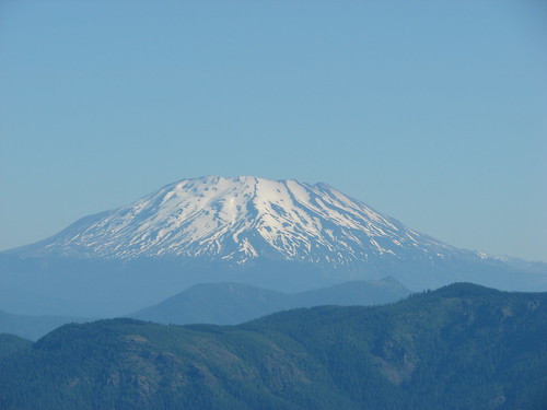
Mt. St. Helens:
Mt. St. Helens
From the Loowit Trail on Mt. St. Helens
Mt. St. Helens from the Loowit Trail
From Johnston Ridge
Mt. St. Helens

Mt. Adams:
From Silver Star Mountain
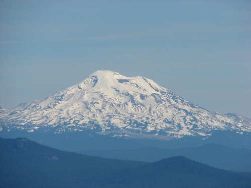
Paintbrush, penstemon and Mt. Adams

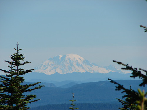
Mt. Rainier:
From Wildcat Mountain
Mt. Rainier

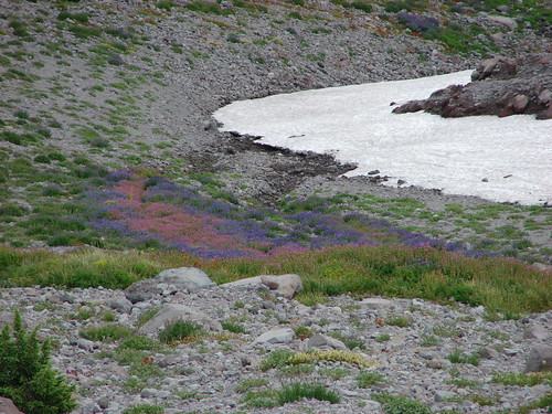
From the giant rock towers of the mountains we move on to the delicate meadows full of wildflowers that often times call the mountains home. We visited amazing wildflower displays near Mt. Hood, Mt. Jefferson, and Three Fingered Jack but the Cascades were possibly outdone by Silver Star Mountain in Washington.
Bear Grass on Mt. St. Helens
Mt. St. Helens from a beargrass meadow along the Loowit Trail
Balsam Root and Paintbrush in the Ochoco National Forest
Paintbrush and balsamroot
Clearcut on Silver Star Mountain
Tarabell Trail
Meadow on Salmon Butte
An arnica in  a meadow of plectritis, larkspur and monkeyflower
Elk Meadows
Elk Meadows
Near Heather Creek on Mt. Hood
Wildflowers along the Timberline Trail at Heather Creek
Mt. Hood Meadows
Wildflowers in Mt. Hood Meadows
Lupine in Canyon Creek Meadows
Three Fingered Jack
On Coffin Mountain
Aster, penstemon and paintbrush
Avalanche Lilies on the Timberline Trail
Avalanche lilies
Western Pasque flowers and Paintbrush near Elk Cove
Mt. Hood from the Timberline Trail near Elk Cove
Barret Spur on Mt. Hood
Lupine and monkeyflower
Gentians in Jefferson Park
Gentians
Jefferson Park
Wildflowers along the South Breitbenbush Trail
Along the South Brietenbush River in Jefferson Park
Wildflowers along the South Breitenbush River
Aster on Yocum Ridge
Aster field on Yocum Ridge
On Yocum Ridge
Wildflowers along the Yocum Ridge Trail
More from Yocum Ridge
Paintbrush and aster

There weren’t many hikes where the presence of water was not felt. We encountered it in various forms and in an array of colors. There were lakes, creeks, rivers, waterfalls, springs, and the Pacific Ocean adding sights and sounds to our hikes.
Roaring Creek
Roaring Creek
McKenzie River
Mckenzie River
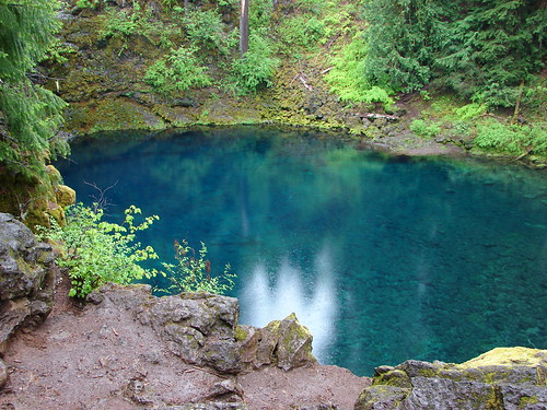
Tamolitch Pool
Tamolitch Pool
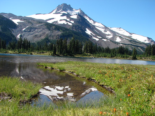
Russell Lake
Mt. Jefferson from Russell Lake
Umbrella Falls
Umbrella Falls
Diamond Creek Falls
Diamond Creek Falls
Heather Creek
Waterfall on Heather Creek
South Matthieu Lake
South Mattieu Lake
Benham Falls
Benham Falls
Carver, Camp, and the Chambers Lakes
Carver, Camp and some of the Chambers Lakes
Lewis Tarn
Lewis Tarn
Creek near Pamelia Lake
Waterfall near Pamelia Lake
Timothy Lake
Timothy Lake
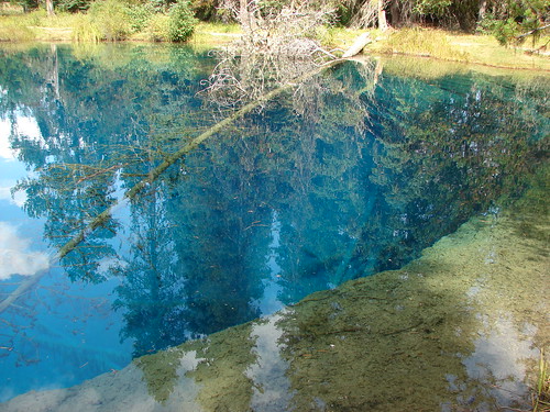
Little Crater Lake
Little Crater Lake
Frozen pond near Fuji Mountain
Half frozen pond
Birthday Lake
Birthday Lake
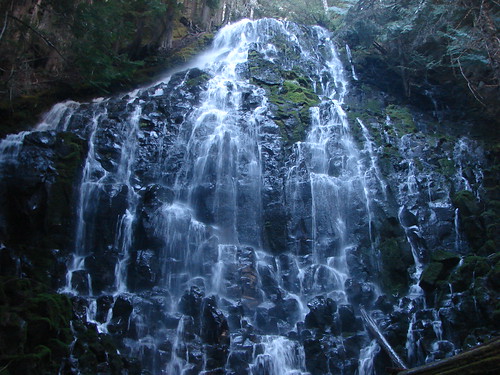
Ramona Falls
Ramona Falls
Pacific Ocean at Tillamook Head
View from Ecola State Park
Pacific Ocean from Cape Perpetua
Looking south from Cape Perpetua
Last but not least the most unpredictable of the sights out on the trails are the creatures that call these places home. From flying ants on Coldwater Peak to the black bear who left its tracks in the snow on Fuji Mountain we were the tourists traipsing through their neighborhoods. We spotted our first elk, snow shoe hare, and sooty grouse this year. We also had the mysterious case of “mouse rain” on Salmon Butte which you can read about here:https://wanderingyuncks.wordpress.com/2013/06/20/salmon-butte/
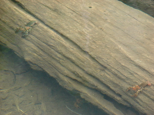
Crawdads in Middle Rock Lake
Tide pool at Cape Kiwanda
Snail
Rough skinned newt
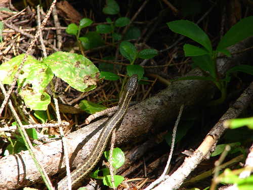
Snake
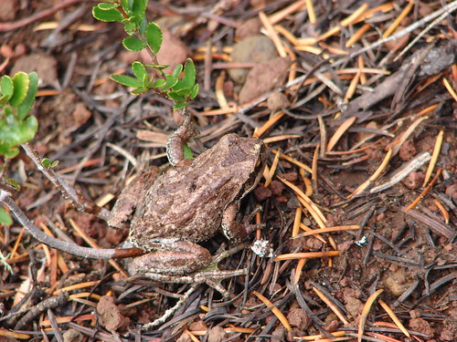
Tree frog
Spider along the Tam McArthur Rim Trail
Bug on Fuji Mountain
Frog
Butterflies
Zerene fritillary butterfly
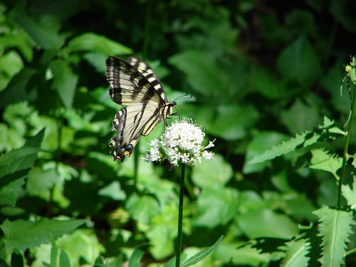
Swallowtail butterfly
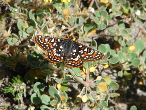
Edith's checkerspot
Milbert's Tortoiseshell Butterfly on the way up Coldwater Peak
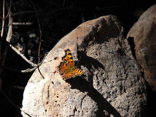
Hoary Comma
Hoary Comma
Clodius parnassian
Birds
Bald eagle
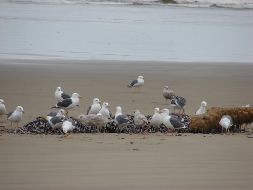
Seagull buffet
Yellow-Rumped Warbler
Owl
Gray jay taking a bath
Duck family
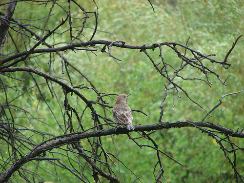
Northern Flicker
Osprey
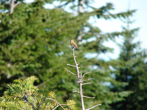
Hummingbird
Red Crossbill
Osprey flying over ducks on Timothy Lake
Hummingbird
Canada geese
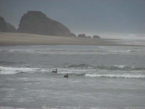
Pelicans
Common goldeneyes on Wall Lake
Great Blue Heron
Little guys
Chipmunk
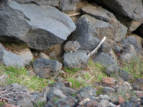
Pika
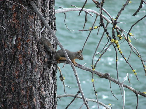
Douglas squirrel
Golden Mantled Squirrels
Snowshoe hare

Big Guys
Our first elk sighting. Near the Observation Peak Trailhead
Columbia Black Tailed Deer
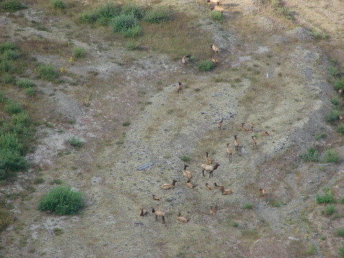
Elk herd on the far shore of the Deschutes River
Elk
Deer near the Lower Black Butte Trailhead

We’d like to leave you with what each of us found to be their favorite hike and the most difficult. For myself Elk Meadows was my favorite. https://wanderingyuncks.wordpress.com/2013/07/24/elk-meadows/ The variety and beauty we encountered on that hike put it atop my list. As for the most difficult I chose Silver Star Mountain https://wanderingyuncks.wordpress.com/2013/07/04/silver-star-mountain/ which was also in the running for my favorite. The heat on that day made it the hardest one for me.

After much deliberation Heather chose the same hike as I did her favorite, Elk Meadows; something about that day had her mesmerized as we traveled up Gnarl Ridge towards Mt. Hood. For the most difficult she picked Observation Peak due in part to having fallen shortly after we stared the hike and spraining her hand and wrist. It made for a more challenging and uncomfortable hike as she endeavored to keep her injury elevated above her heart during most of the journey. https://wanderingyuncks.wordpress.com/2013/07/09/observation-peak/

Dominique chose Fuji Mountain for his favorite. There was snow and a great view with a reasonable amount of distance. https://wanderingyuncks.wordpress.com/2013/10/09/fuji-mountain/ For the most difficult he picked Table Mountain and the climb up Heartbreak Ridge. https://wanderingyuncks.wordpress.com/2013/06/14/table-mountain/

I am already hard at work putting together a 2014 itinerary which will include some overnight backpacking trips and hopefully visits to the Goat Rocks Wilderness and Mt. Adams in Washington. If all goes as planned we will kick things off in January, take things slow until we’ve recovered from our April half or full marathons, and then be ready to crank things up in May. Until 2014 here is a link to a 2013 hikes in pictures album on Flickr http://www.flickr.com/photos/9319235@N02/sets/72157635497870439/

Merry Christmas & Happy Trails!

Categories
Hiking Northern Coast Oregon Oregon Coast Trip report

Tillamook Head

**On April 17th, 2026, the Clatsop Loop Trail, west section (south of Hikers’ Camp and north of Indian Beach) was closed due to an active landslide until further notice. **

We recently wrapped up our 2013 hikes. We started on the Oregon Coast at Cape Perpetua in February and ended 140 miles to the north at Tillamook Head. Undaunted by some recent snow and cold weather (lows in the teens) we were determined to complete our final scheduled hike. The forecast for Seaside was for clear skies and a balmy 36 degrees and highway 26 over the coast looked passable so we bundled up and set off. We were looking forward to the possibility of seeing some snow at the coast since it is a rarity here in Oregon.

We chose to begin our hike at Ecola State Park on the Cannon Beach side of Tillamook Head. This meant paying a $5 fee to park which we could have avoided by parking at the Seaside end, but better views and a less steep start to the hike were worth the expense. We were the lone car in the large picnic parking area at 8am and had the views all to ourselves.

View south from the Ecola Picnic Area

From the picnic area we headed north toward Indian Beach stopping occasionally to take in the views of Sea Lion Rock and the old lighthouse on Tillamook Rock.

Sea Lion Rock
Sea Lion Rock
Tillamook Rock
Tillamook Rock

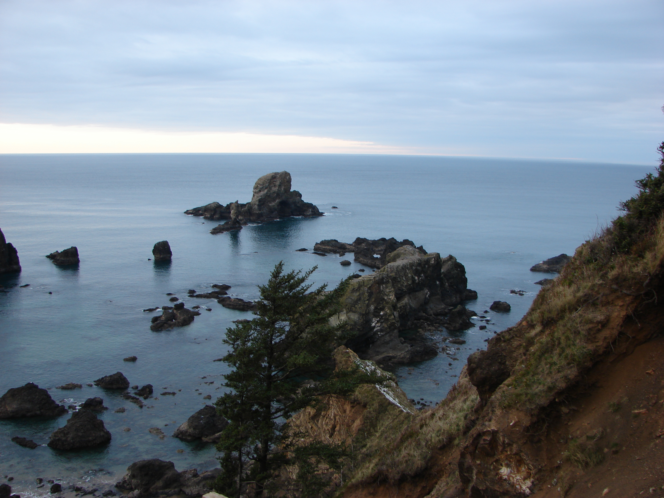
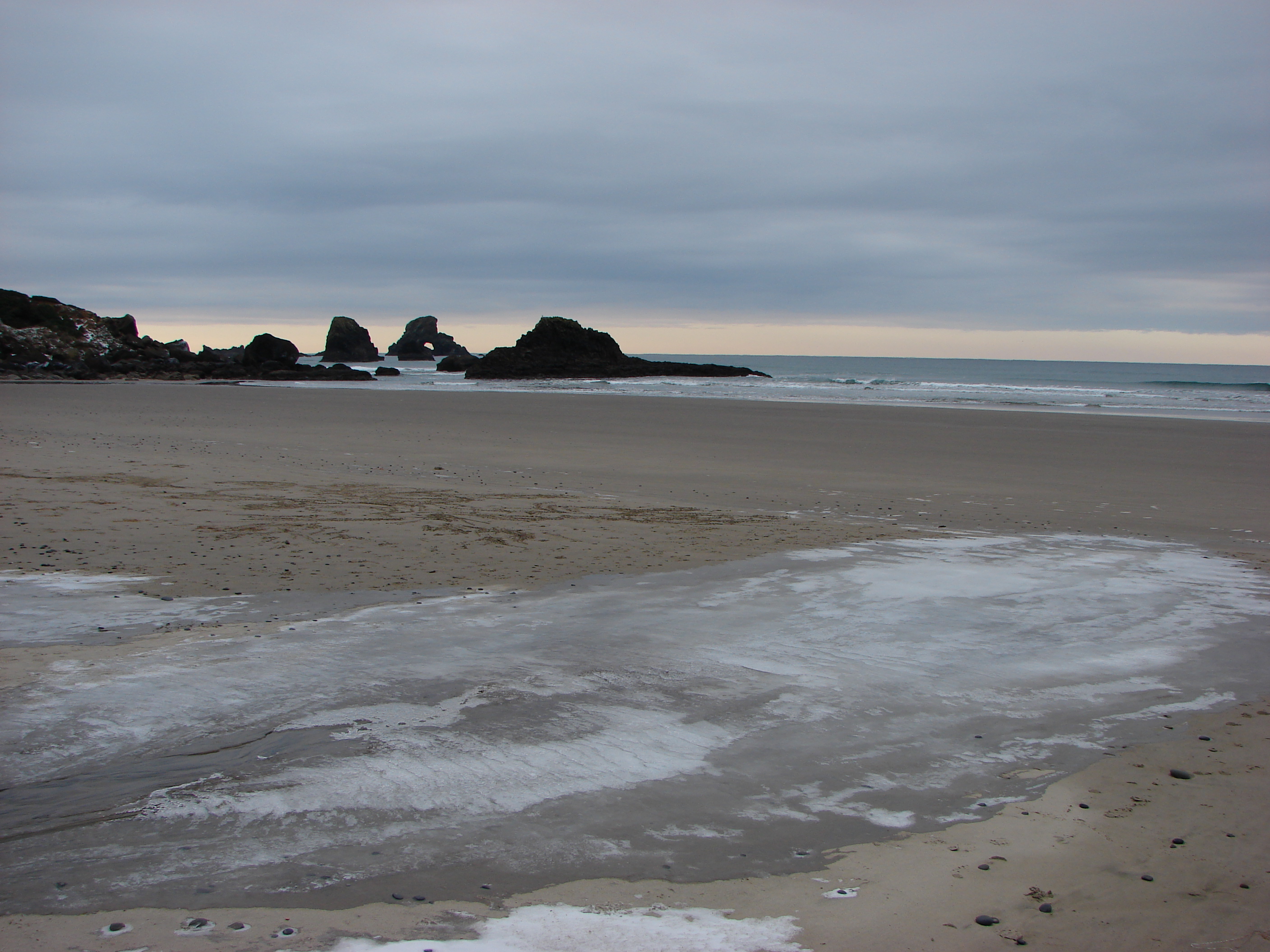
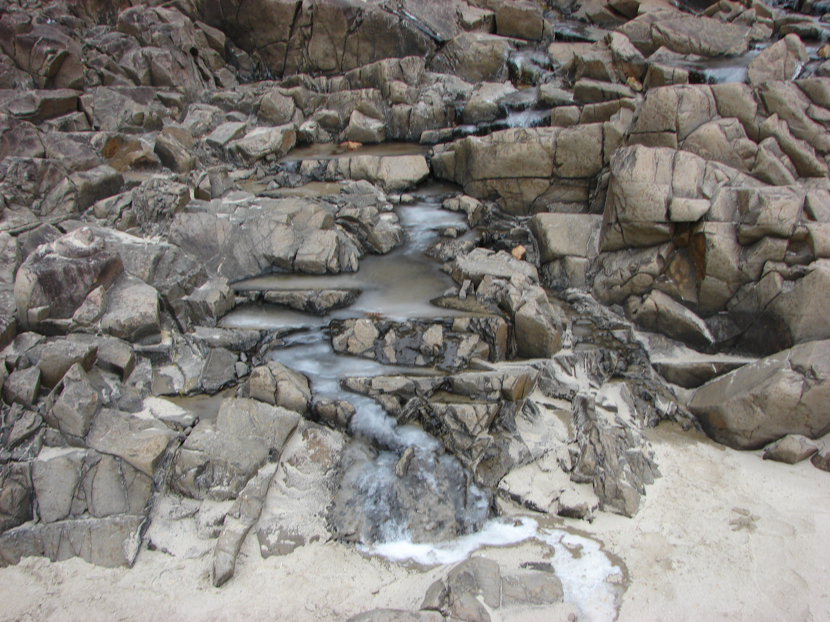
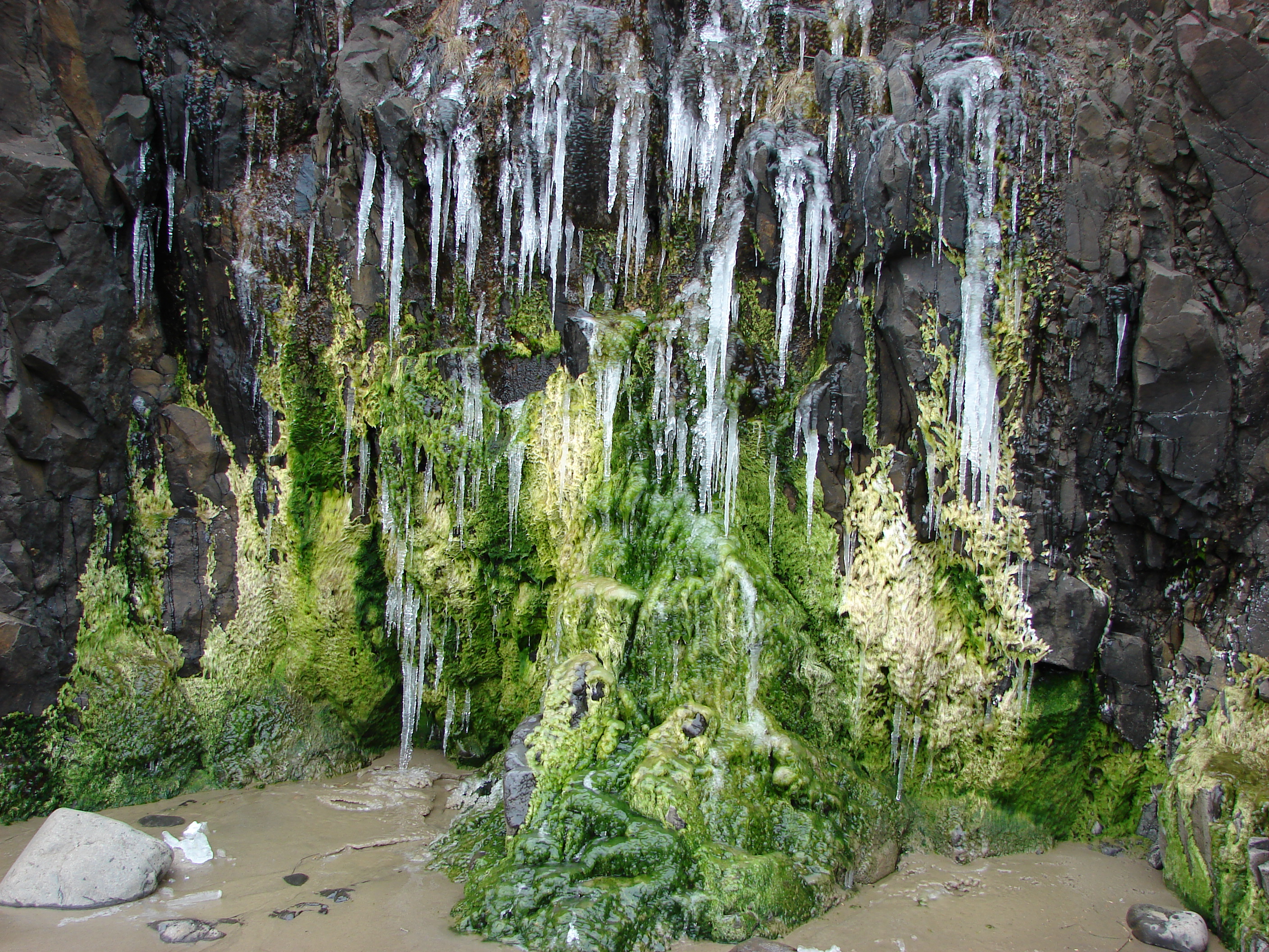
When we arrived at Indian Beach we found some very interesting ice formation in addition to the superb views.
044

053

066

068

In addition to the ice there were a couple of small tide pools to check out.
082

From Indian Beach we continued north taking the Clatsop Loop Trail, part of which William Clark traveled in 1806 with a party in search of a stranded whale. The forest here is still home to some of the same Sitka Spruce trees that he and his group passed by which was a neat thing to think about. The loop trail turns back at Hikers Camp where you can visit the nearby remains of a WWII radar installation.

Hikers Camp
Hikers Camp
WWII radar installation

We kept heading north from Hikers Camp heading toward the summit of Tillamook Head, a whopping 1130′ above sea level :). We passed over the summit and went just a bit further until the trail began to really descend toward Seaside. We decided we didn’t want to have to climb all the way back up so we called it good and head back to Hikers Camp to complete the loop trail. It had started to snow, more like small white pellets, and the clear skies promised by the weather.com had never materialized. We passed more ocean views and various types of vegetation as we headed back to Indian Beach.

114

135

We had only seen one other group of people so far and that was a family that came down to Indian Beach briefly when we were there, but upon arriving back at the beach we discovered it had been populated by some brave surfers.

142

149

It wasn’t until we had left Indian Beach and were almost back to the picnic area though before we ran into any traffic on the trail.
171

She was moving too fast for the camera but it was fun to watch her come up the hillside and then dash off into the forest.

The number of cars in the parking lot had swollen to three (including ours) when we got back to the picnic area at about 3pm. Despite the completely incorrect weather forecast it had been a great hike and a perfect way to end for 2013. Happy Trails!

173

Photos on facebook: https://www.facebook.com/deryl.yunck/media_set?set=a.10202865376982644.1073741866.1448521051&type=3
Flickr: http://www.flickr.com/photos/9319235@N02/sets/72157638495394186/