It’s been a bit since our last post which is unfortunately due to a new (old) issue that I am now dealing with. While my PT has been seemingly progressing on my back, hip and left leg, my left heel suddenly decided to start giving me issues near the end of our hike to Bobby Lake (post) in August. The peroneal tendon, which I had an issue with back in 2017 (post). My heel stiffened up after that hike then improved through the week only to repeat the cycle over the next two weeks.
Following my outing to Minto-Brown Island Park on Labor Day (post) it flared up enough that I could not walk without a limp so I took some time off and worked on some exercises I was given at PT the day after that hike. While I took a couple of weeks off Heather was on her own and she made the most of it by heading out to Silver Falls State Park on 9/12 and to Duffy Lake on 9/19. I haven’t been able to convince her to write up her trips, and she takes about 1/100 of the photos I do but here are a few notable items from those trips.
Silver Falls 9/12 – She followed our 2025 route from the South Falls Parking Area (post) which was similar to a shorter loop she’d done without me back in March when my left leg issue kept me sidelined. In March she’d had to cut the loop short due to winter storm damage along the Rim Trail and returned via the Winter Falls Trail. This time around the Rim Trail was open but the Winter Falls Trail was closed due to a slide hazard.


South Falls in Sept.

South Falls in March.

Lower South Falls in Sept.

Lower South Falls in March.

Lower North Falls in Sept.

Lower North Falls in March.

Middle North Falls in Sept.

Middle North Falls in March.

North Falls (inaccessible in March)

Upper North Falls (inaccessible in March)
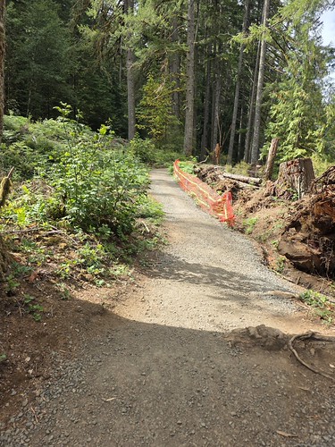
Repairs along the Rim Trail.

Storm damage

Looking down toward the Winter Falls Trail and the landslide.
Duffy Lake 9/19: Heather visited Duffy Lake then headed to Santiam Lake for a 10.8-mile out-and-back.

This was a shortened version of a hike we did in 2010 (post).


Vine maple in the colors of Autumn.

Duffy Butte from Duffy Lake

Three Fingered Jack from Santiam Lake.

California tortoiseshell joining her for a break at Santiam Lake.

Santiam Lake
It took until Thursday 9/18 before I wasn’t limping and a couple more days before I wasn’t feeling any discomfort on the outside of that heel. After a couple of days free from discomfort, I decided to try a short walk between an oil change and a PT appointment I’d scheduled on the first day of a staycation. After the oil change, I headed back to Minto-Brown hoping once again to find the otters that others have been sharing photos of. I parked in Lot 3 which is at the end of the park entrance road and headed left on the paved trail along Oxbow Slough then crossed the slough on a footbridge following pointers for the Blue Heron Trail. I forked right onto a dirt path when the Blue Heron Trail split.


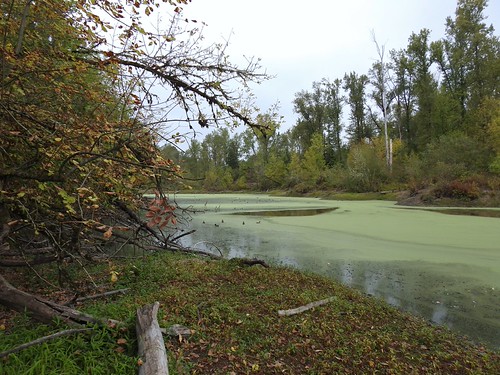
Recent photos online had confirmed that otters had been spotted in the algae filled slough that some maps label the “Green Heron Slough” and this portion of the Blue Heron Trail offers a number of views of that slough. Before reaching those viewpoints though I turned left on a well-established but unsigned trail that appeared to lead into a meadow.

The path ended after a little less than 100 yards at Oxbow Slough.

There wasn’t a lot happening here outside of a log lined with wood ducks.


I headed back to the Blue Heron Trail and started checking out the various viewpoints in search of the otters. The first viewpoint produced nothing while the second provided various ducks, a belted kingfisher, a great blue heron, and a lone turtle.



American wigeons and mallards.

Turtle on a log amid the ducks.
I continued on and after a couple more viewpoints and crossing a dry creek bed spotted another blue heron, a greater yellowlegs, and a turkey vulture from yet another viewpoint.

Turkey vulture

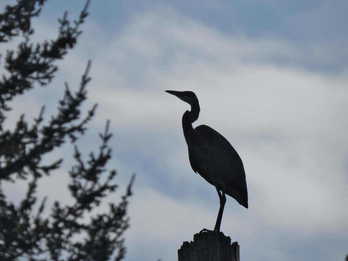
Great blue heron

Geater yellowlegs

American wigeon

Another angle of the turtle.

More wood ducks.
Still no otters and I was running out of slough. I continued on hoping to get a little better view of the wood ducks at the next viewpiont.

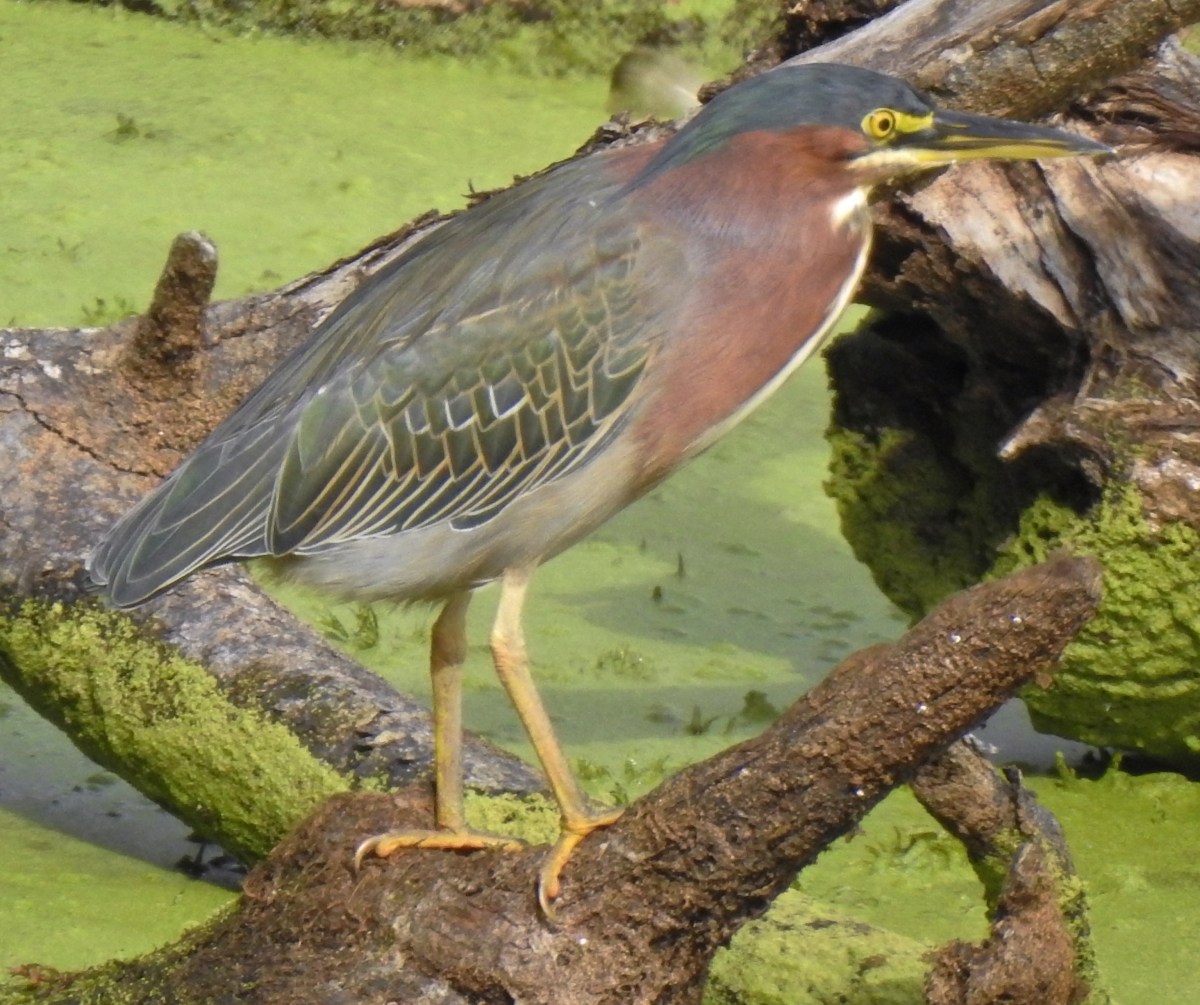
Moments after taking this picture something took off from the log that was just out of frame at the bottom of the photo. I instantly recognized it as a green heron, a bird that we had yet to see in person.

The green heron flying away.
I thought I’d missed my chance, but it landed in a snag not far back up the slough. I tried getting a photo, but I was looking toward the sun so the lighting was no good.

I slowly made my way back up the trail hoping not to scare the heron off before I was able to put the sun at my back. I wasn’t entirely successful but in a fortunate turn of events it flew back the way it had come and landed on another snag that actually provided me a better view.

The green heron is on the snag in the slough on the left.

I was able to take a good number of photos of the bird and while doing so a great blue heron landing in the middle of the slough.


No otters but seeing my first green heron was probably more exciting as we have seen otters before. After watching the heron for a good while I continued on leaving the slough behind but not the wildlife.

Downy woodpecker

Northern flicker

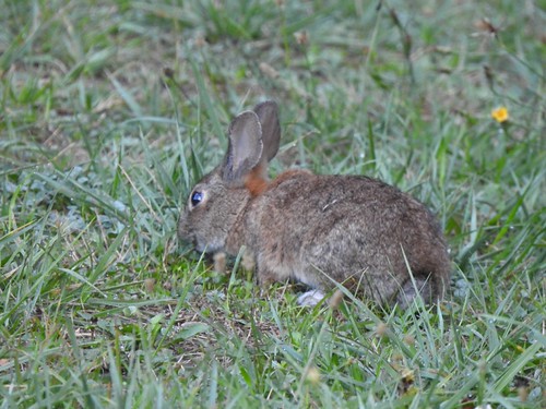
Rabbit
I turned right when I reached a paved path sticking briefly to the Blue Heron Trail. I stayed on pavement when the Blue Heron Trail turned left. While seeing the green heron was exciting what wasn’t exciting was that I was starting to feel a little pain on the outside of my left heel again. I took a look at the park map looking for the shortest path back to the parking lot. I wound up taking a left back onto the Blue Heron Trail when the paved trail curved right then made my way to the Brown Island Landfill where I had been on my previous visit. This time I turned right instead of left on the gravel roadbed then took a right when I reached the signed Orange Turtle Loop.

There weren’t as many small birds near the landfill as there had been on the weekend. I suspect the noise from the nearby heavy machinery had something to do with that.

Juncos

Scrub jay

Spotted towhee

Sparrow

Orange Turtle Loop
I followed Orange Turtle Loop and Shelter Parking Lot #3 pointers back to the parking area.

Trail signs and map near the Willamette River.

Willamette River

Willamette River
The hike wound up being 3.3-miles due to the combination of side trips to viewpoints and backtracking to get photos of the green heron.

The “Green Heron” slough is the water north of my track near the bottom with Oxbow Slough to the south.
I went home showered, had lunch, and changed for my PT appointment where I got another set of exercises to try and help with the heel. As I am typing this up the next day it’s a little sore but hasn’t stiffened up. It’s clear though that I’ll need to be patient with it so the trip reports may be sparse for a while. I do have a couple of ideas for non-trip report posts and maybe a forced hiatus from the trail will bring one or two of those to fruition. Happy Trails!
Flickr: Minto-Brown
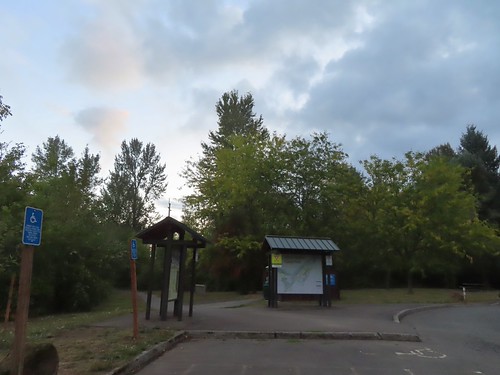




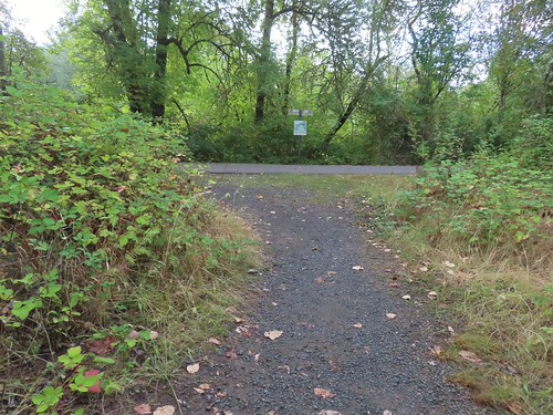

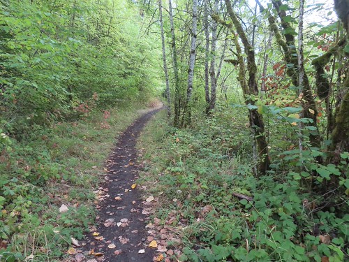


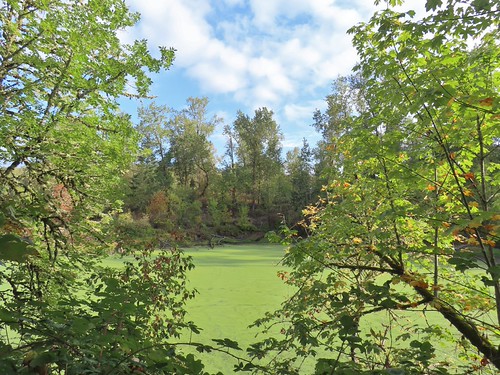


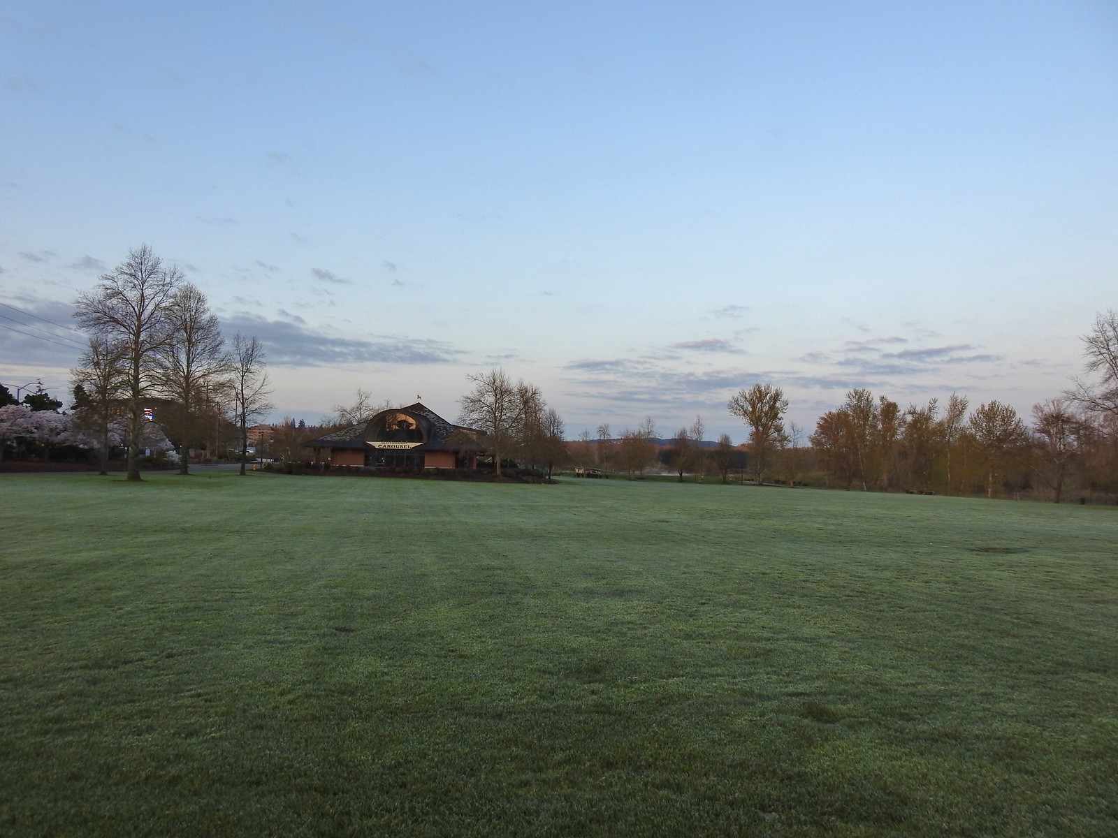
 The amphitheater and bridge on 3/19 23.
 The amphitheater and bridge on 4/14/23.
 Wetland near the bridge on 4/8.
 The wetland on 4/14.
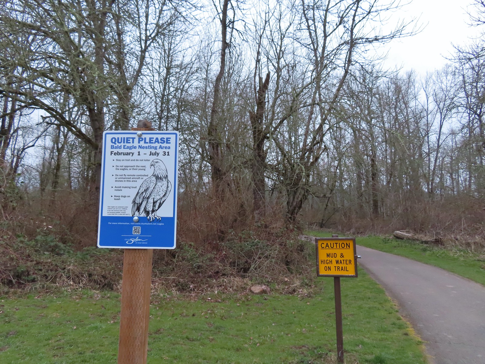 Signs at the 2nd junction – 3/19.
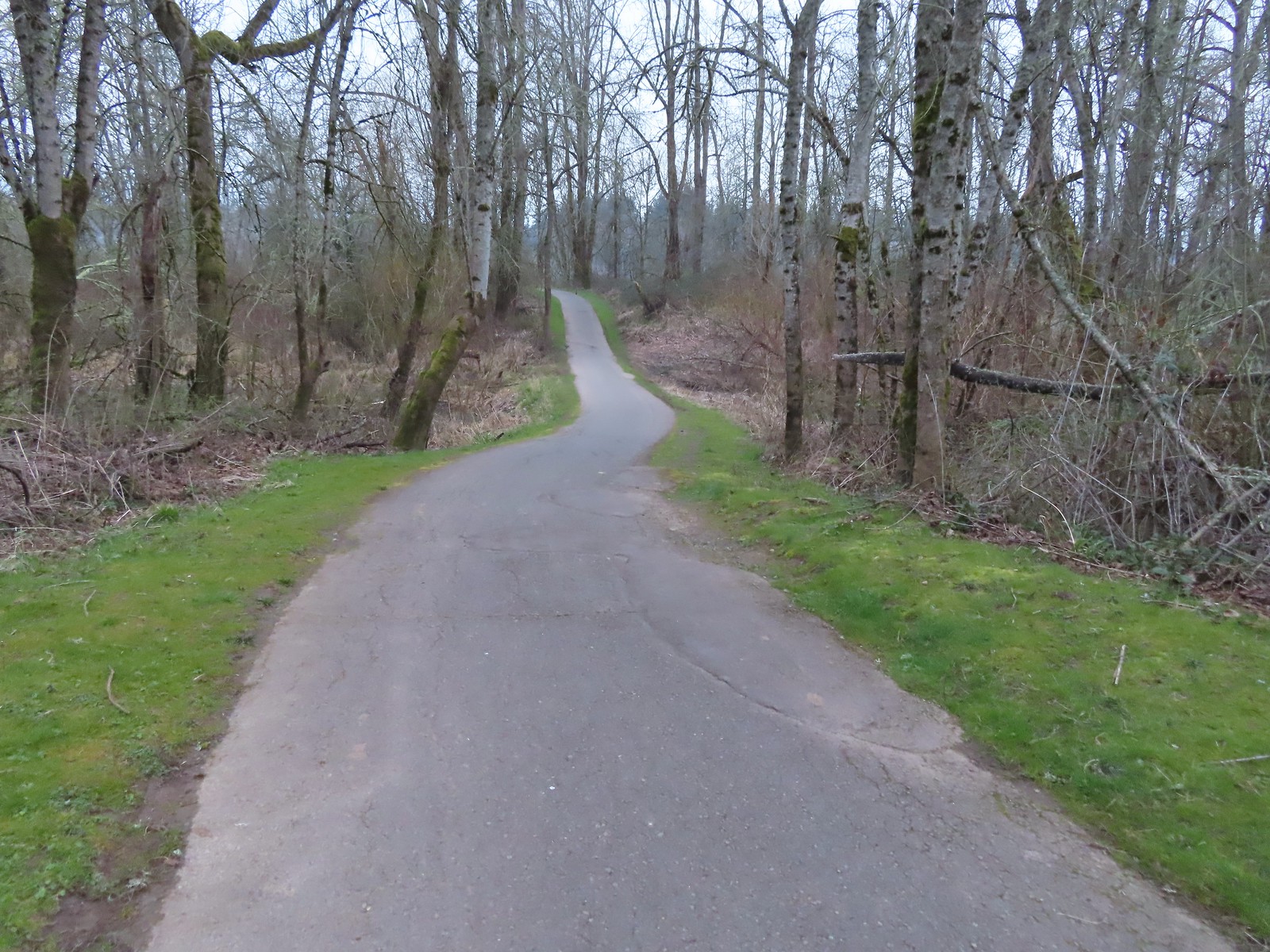 The path to the Willamette River on 3/19.
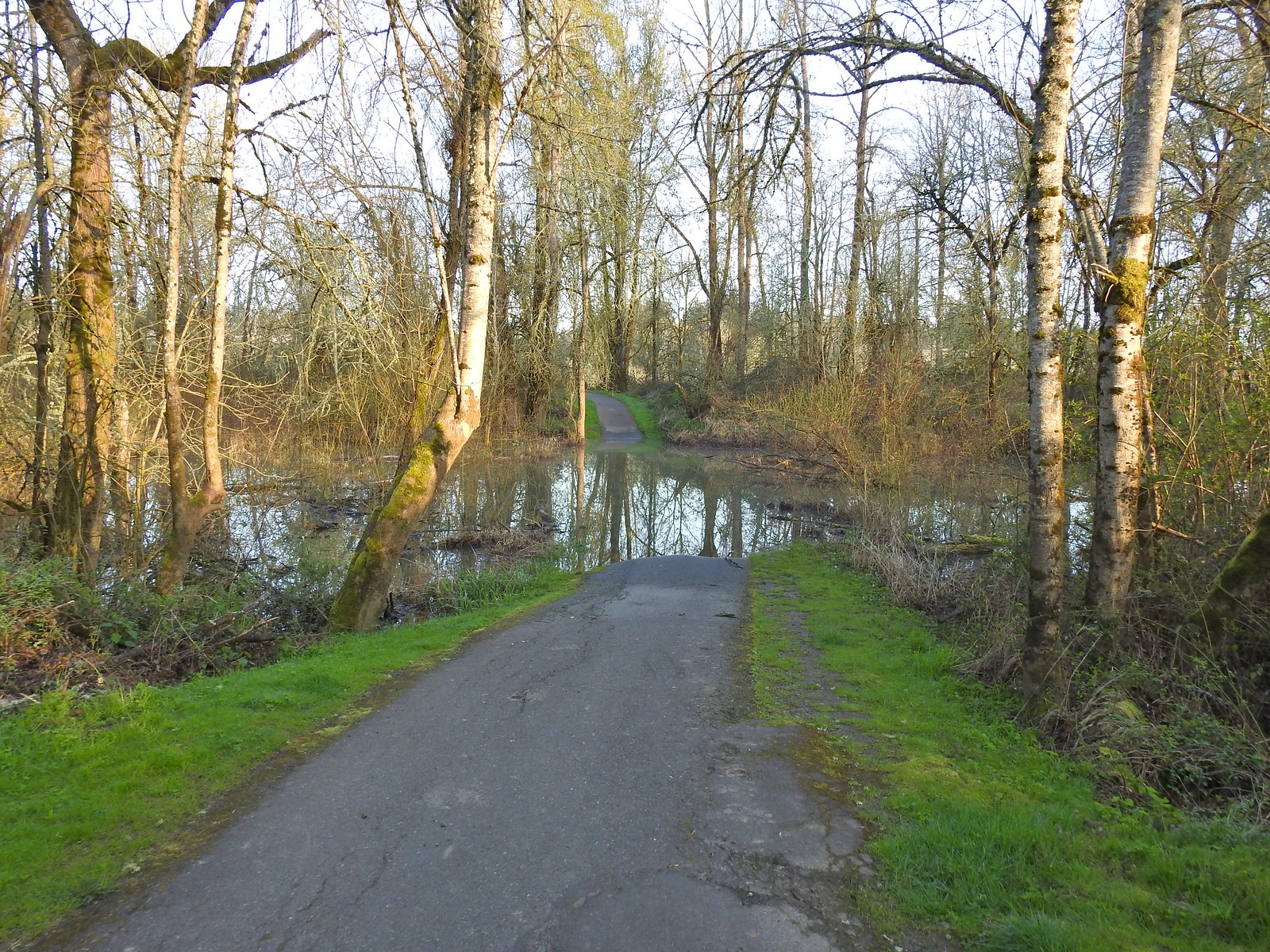 The path on 4/14.
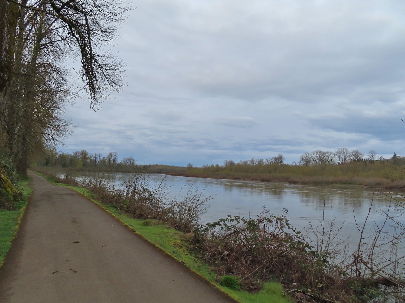 April 8th along the Willamette.
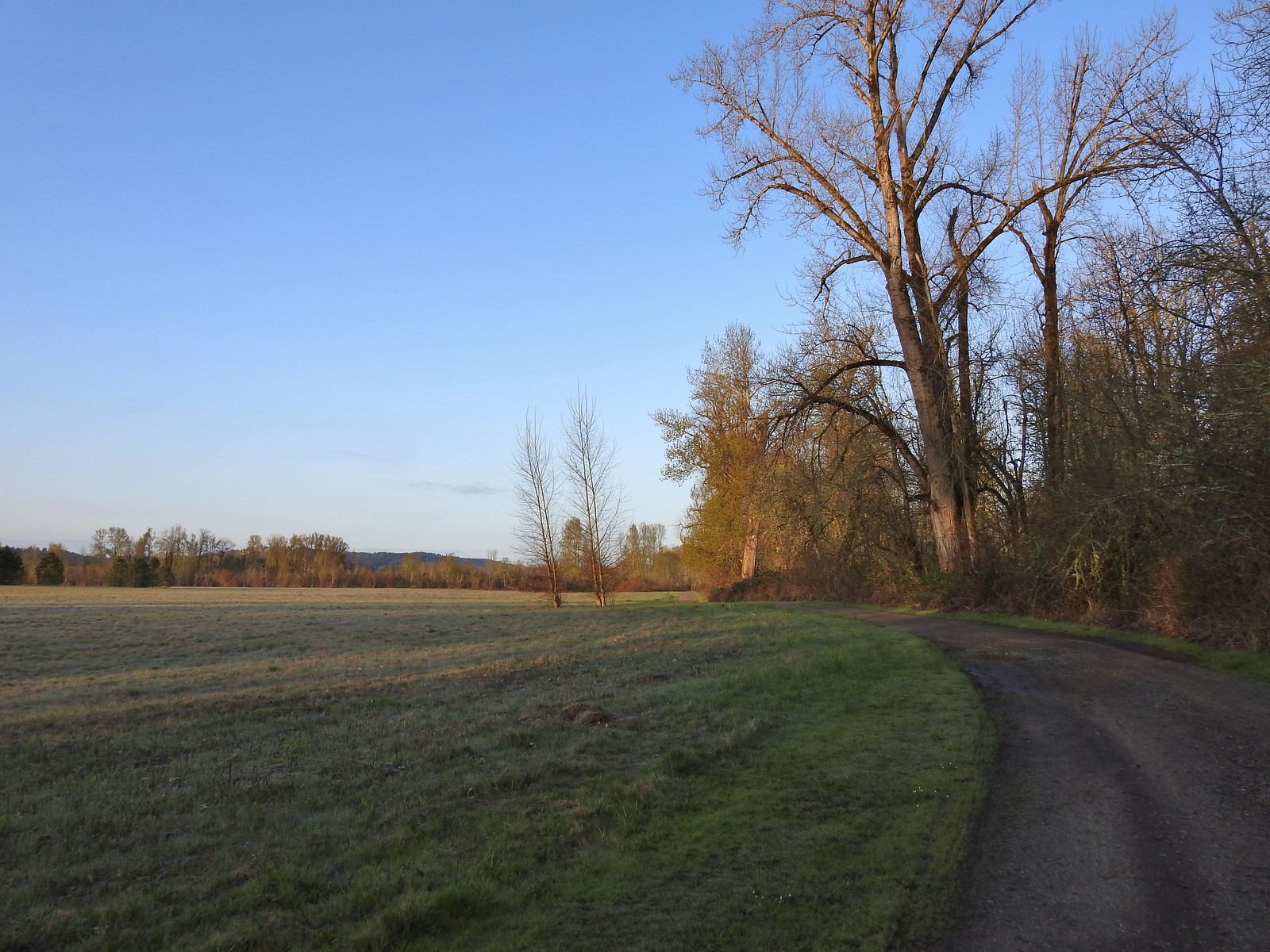 April 14th on the inland gravel path.
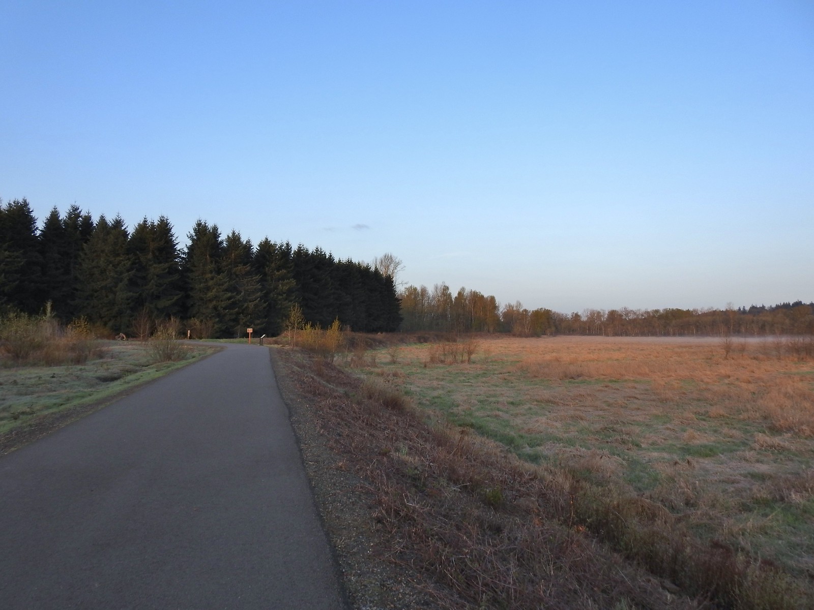 The Minto-Island Conservation Trail (Used during all four hikes.)
 Oxbow slough 3/19.
 April 14th
 Just South of Lot 3 the paved path is shared by the 10k, Purple Rabbit, Blue Heron, Green Deer, Yellow Duck and Brown Squirrel Loops.
 The footbridge over Oxbow Slough is part of the 10k, Blue Heron, and Purple Rabbit Loops.
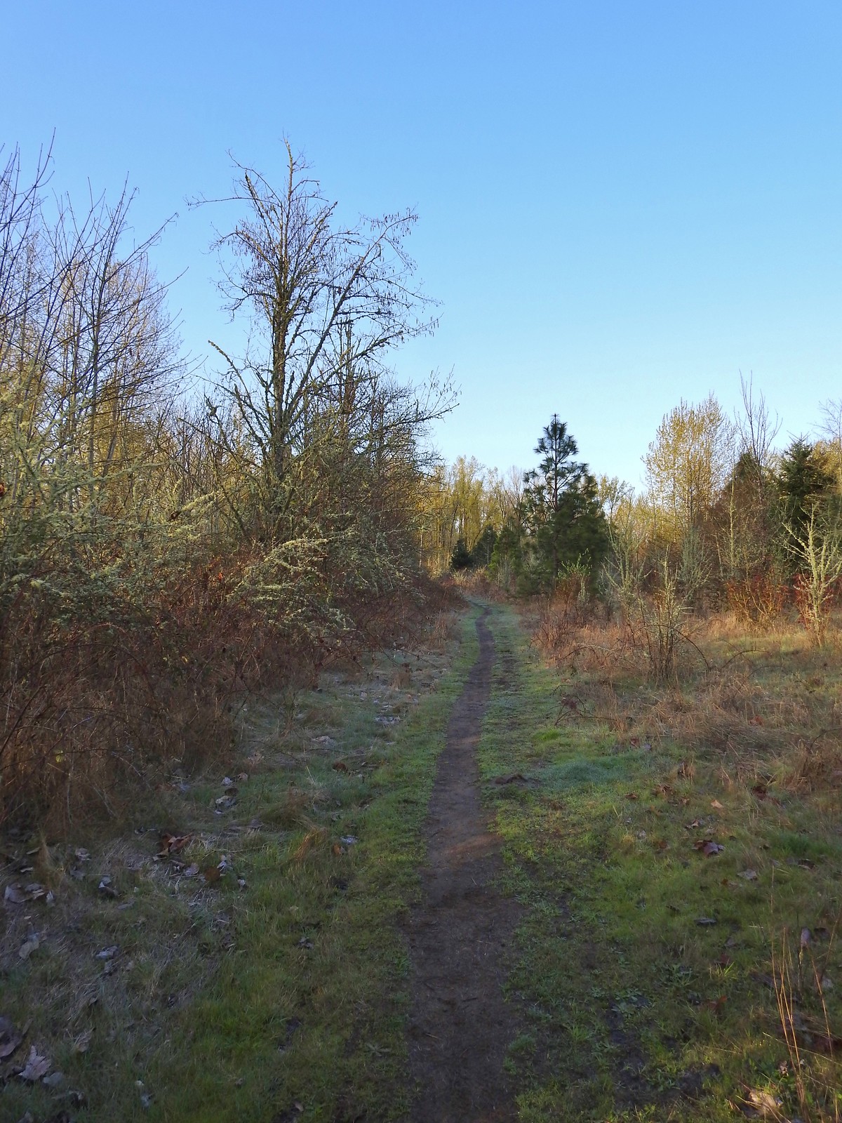 Blue Heron Loop running parallel to the 10k/Purple Rabbit Loops.
 Field along the Blue Heron Loop
 The “T” junction where the 10k/Purple Rabbit Loops turn left from the Blue Heron Loop.
 Most of the junctions are well signed with maps which helped keep me on track.
 Willamette River from the Orange Turtle Loop.
 Orange Turtle Loop
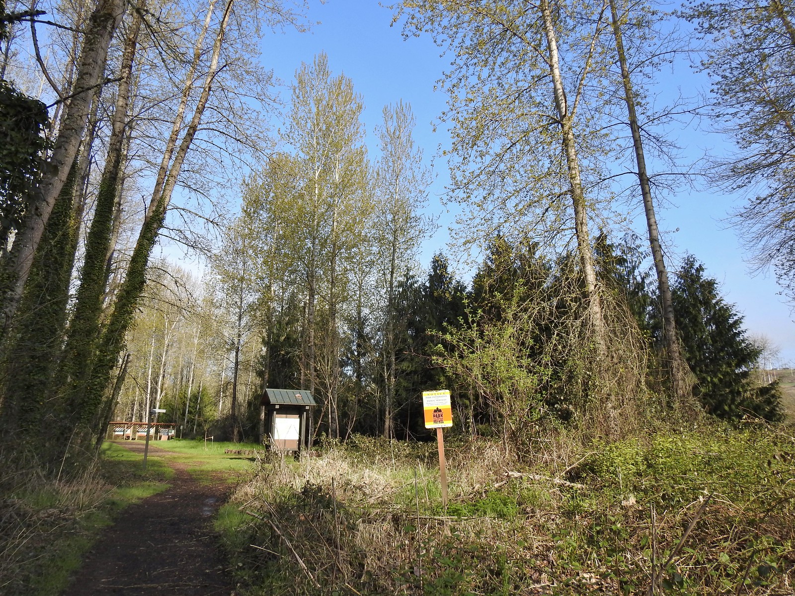 The boarder between Minto-Brown Island Park and Eola Bend County Park.
 A bit of the history of Eola Bend County Park.
 Nice map of the Willamette River watershed.
 Eola Bend County Park
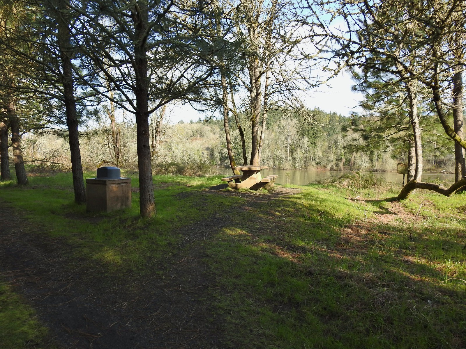 I took advantage of this picnic table to take a short break.
 The landfill behind the map.
 Arriving at the road.
 The 10k/Purple Rabbit Loop on the left.
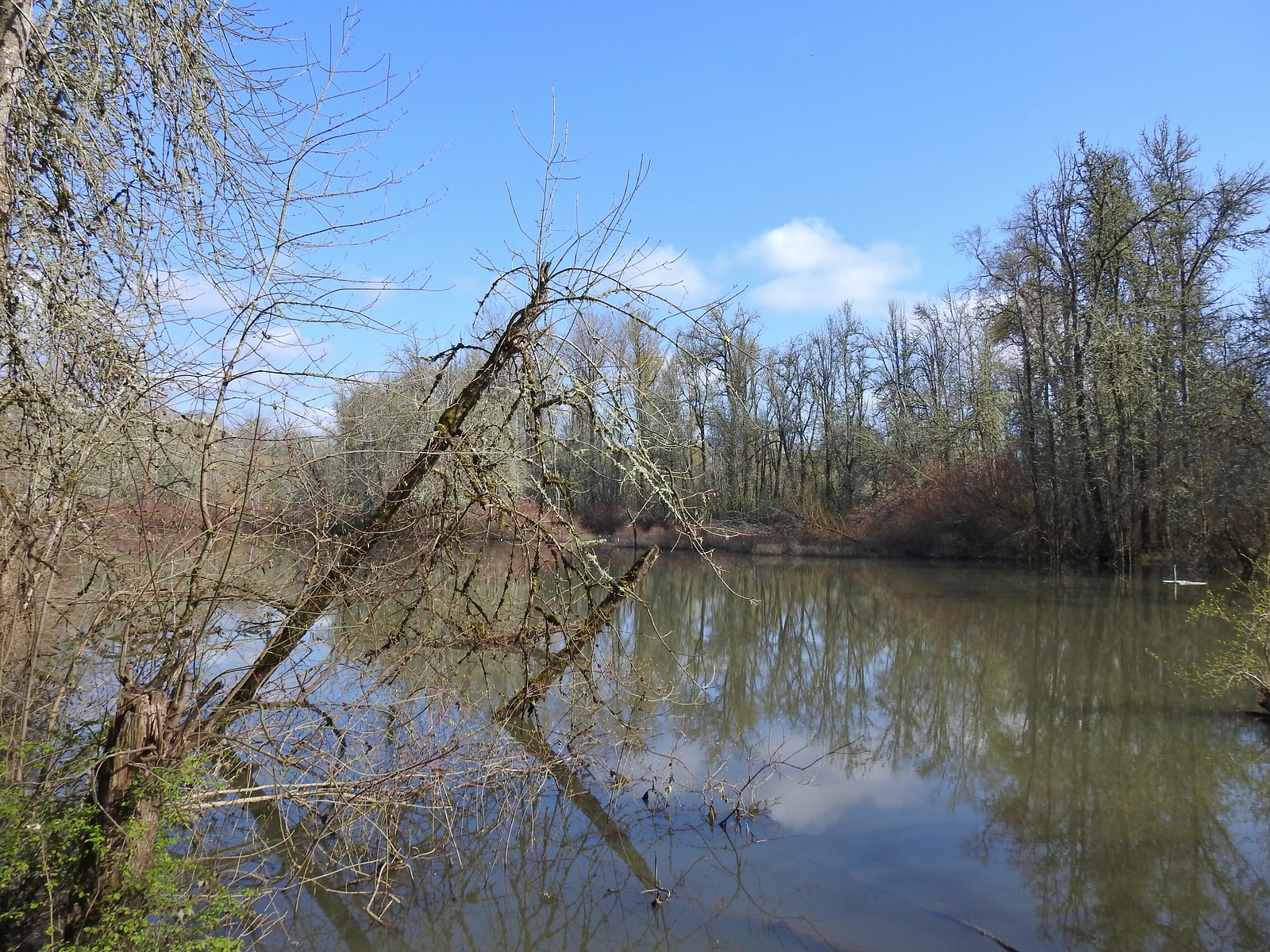
 The Green Deer Loop junction.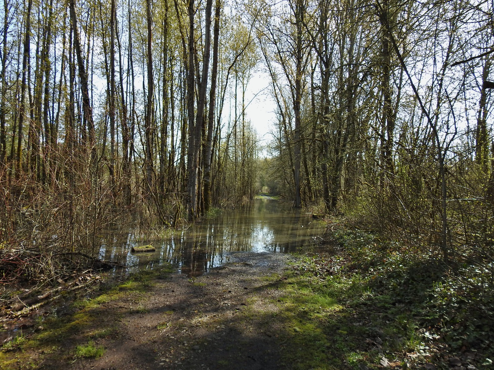
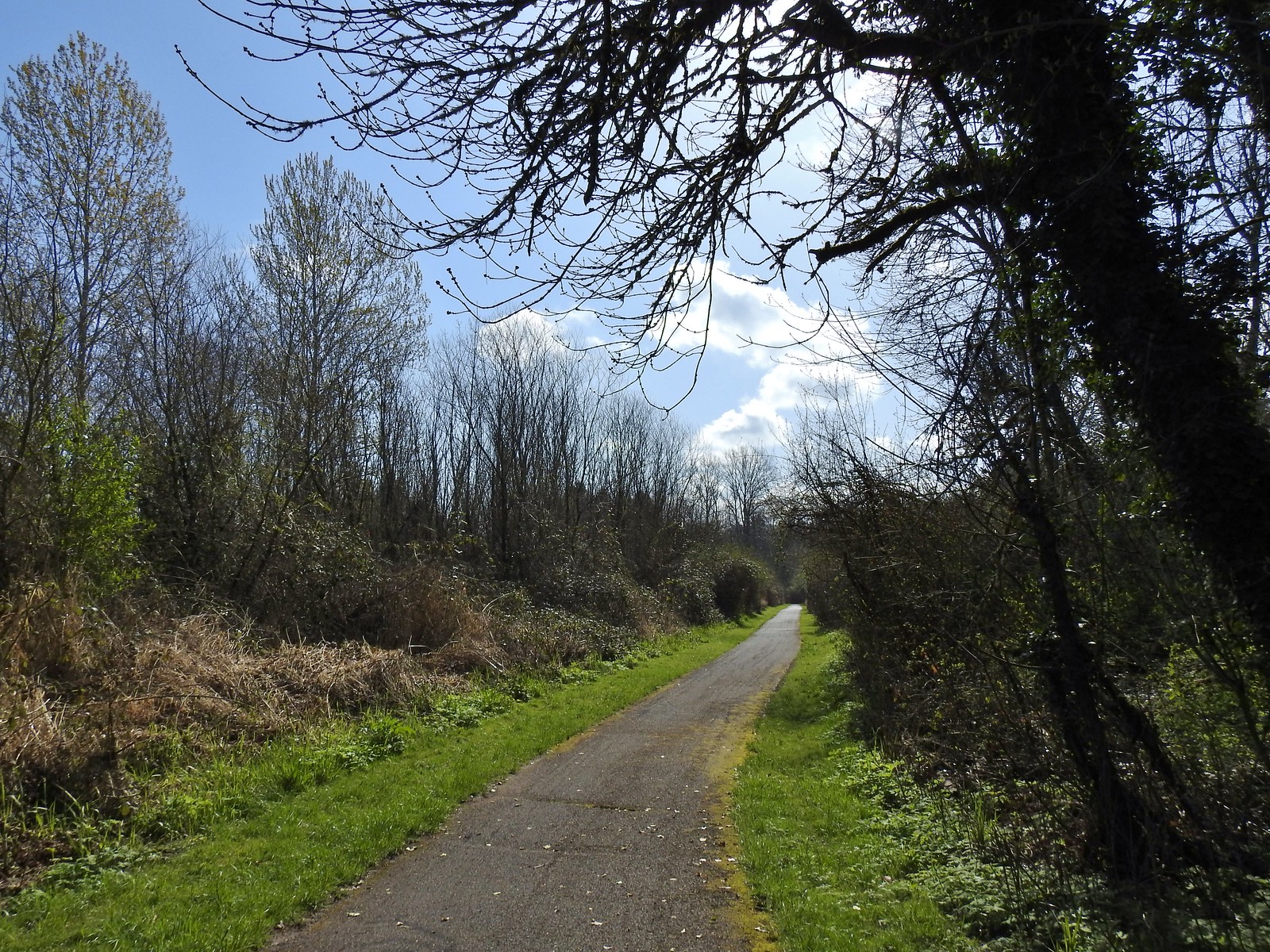 The paved 10k/Yellow Duck/Brown Squirrel Loop.
 The rougher dirt path.
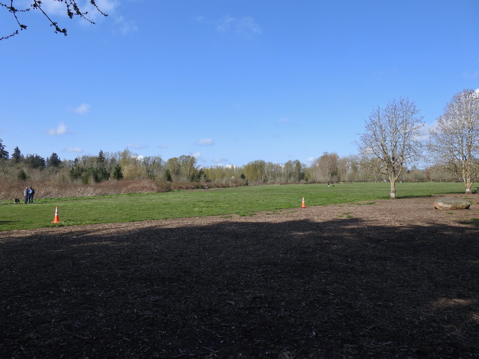 The dog park (possibly the happiest place in Salem, at least for dogs).
 The 10k Loop on the opposite side of the entrance road from Lot 2.
 From our 3/19 hike on the 10k Loop. The path running from left to right is the Red Osprey Loop. On this last trip I took the path on the left down to the sign below at the junction and continued straight.
 At the sign heading toward the old cherry orchard.
 The old cherry orchard.
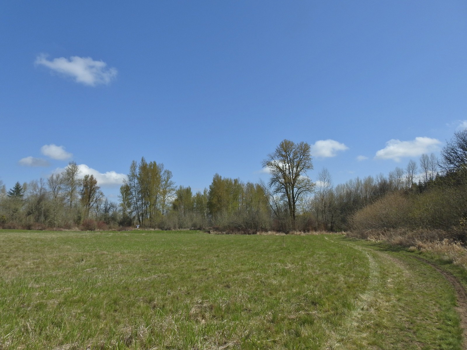 Sign in the distance along the paved path where I turned right.
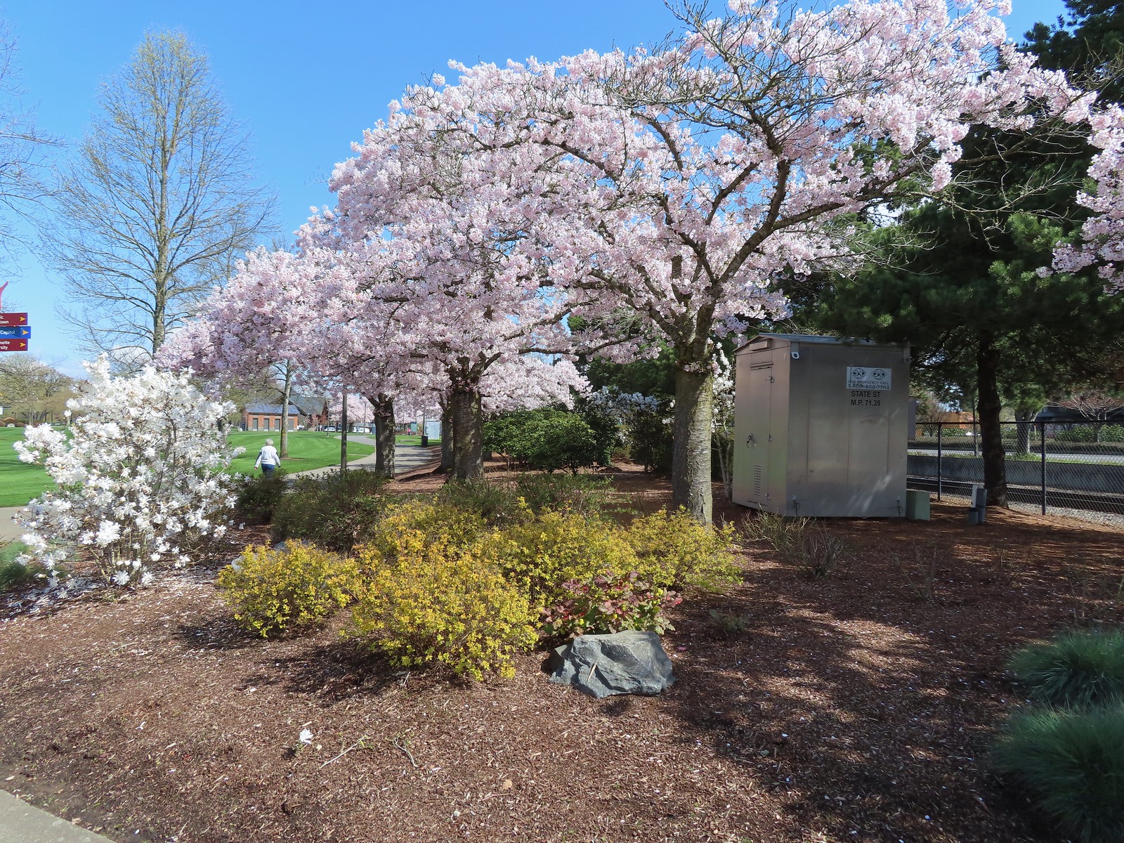 Cherry blossoms.
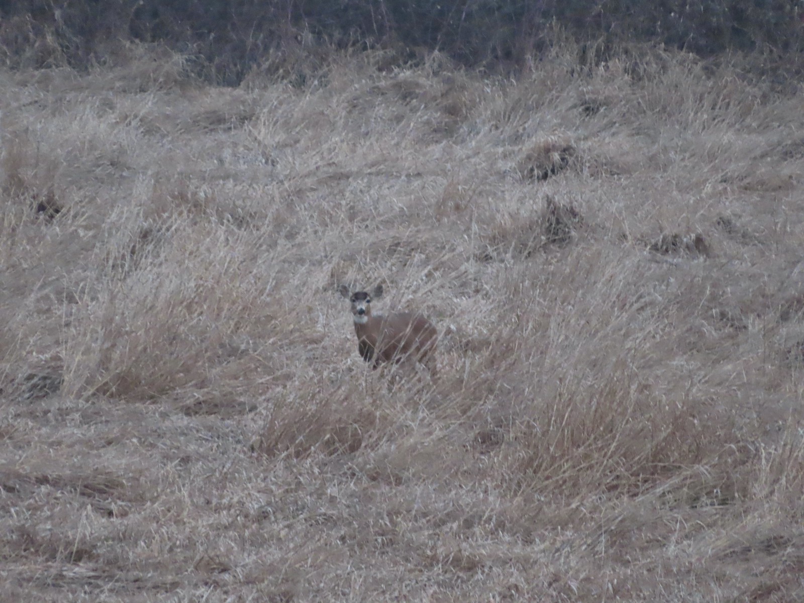 Deer – 3/19
 Bald eagle – 3/19
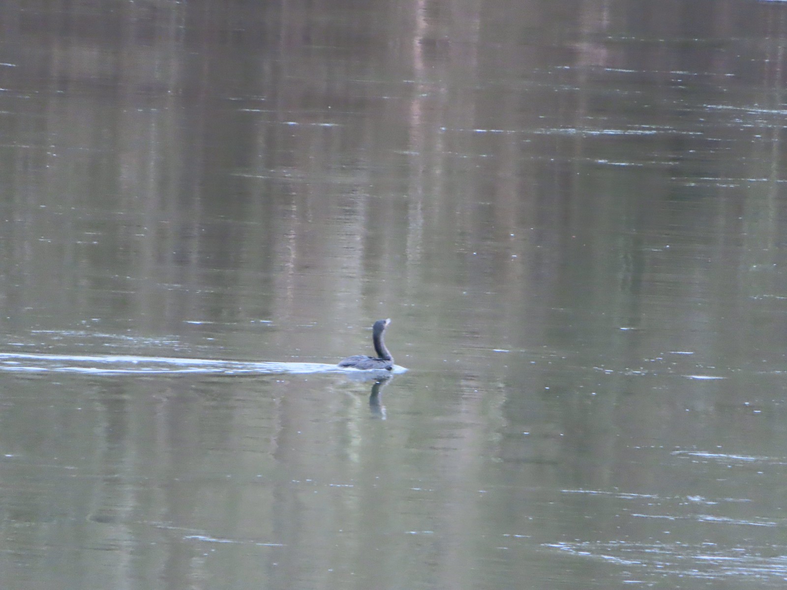 Cormorant on the Willamette – 3/25
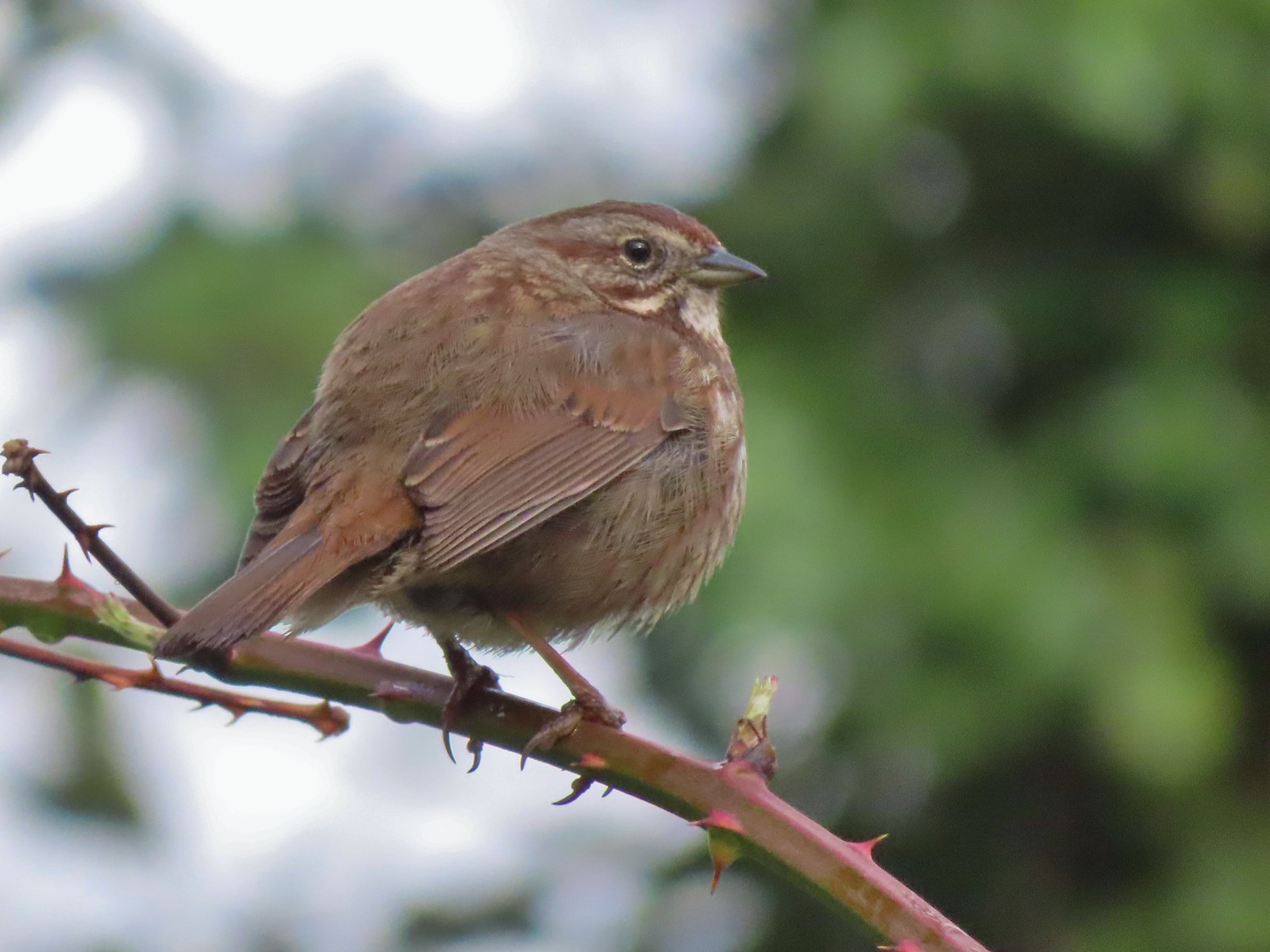 Sparrow – 3/25
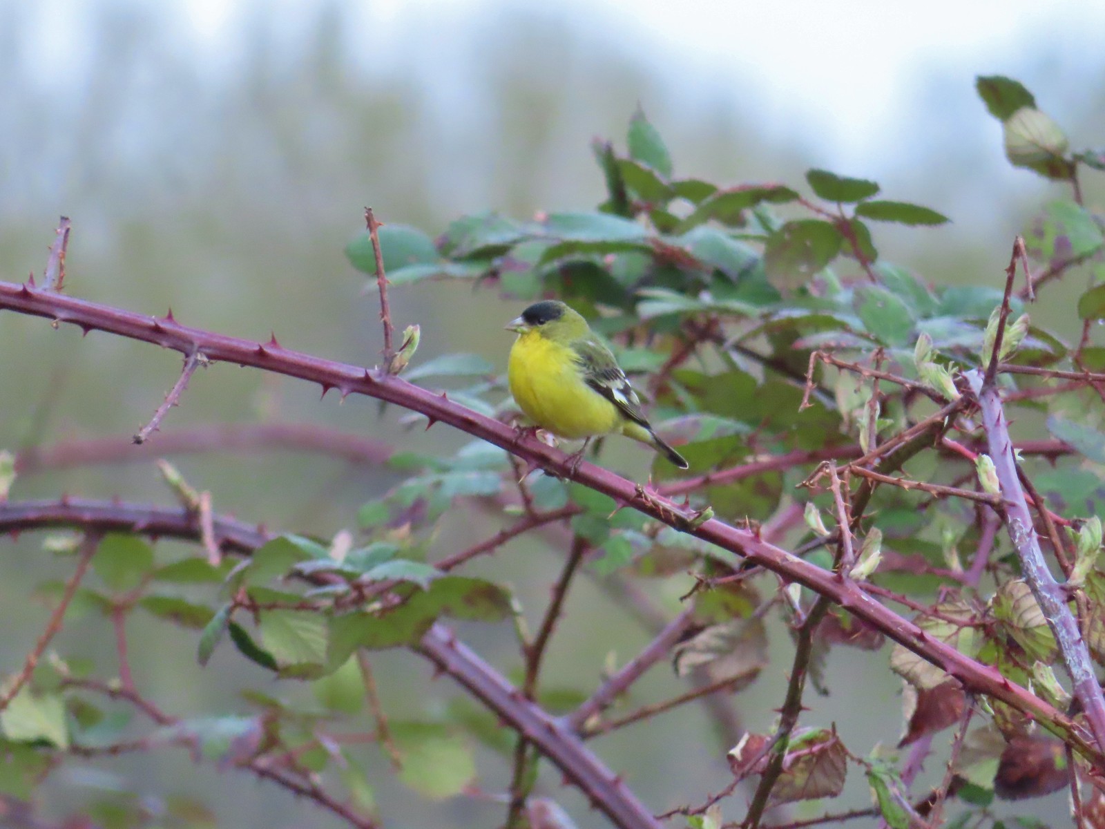 Lesser goldfinch – 4/8
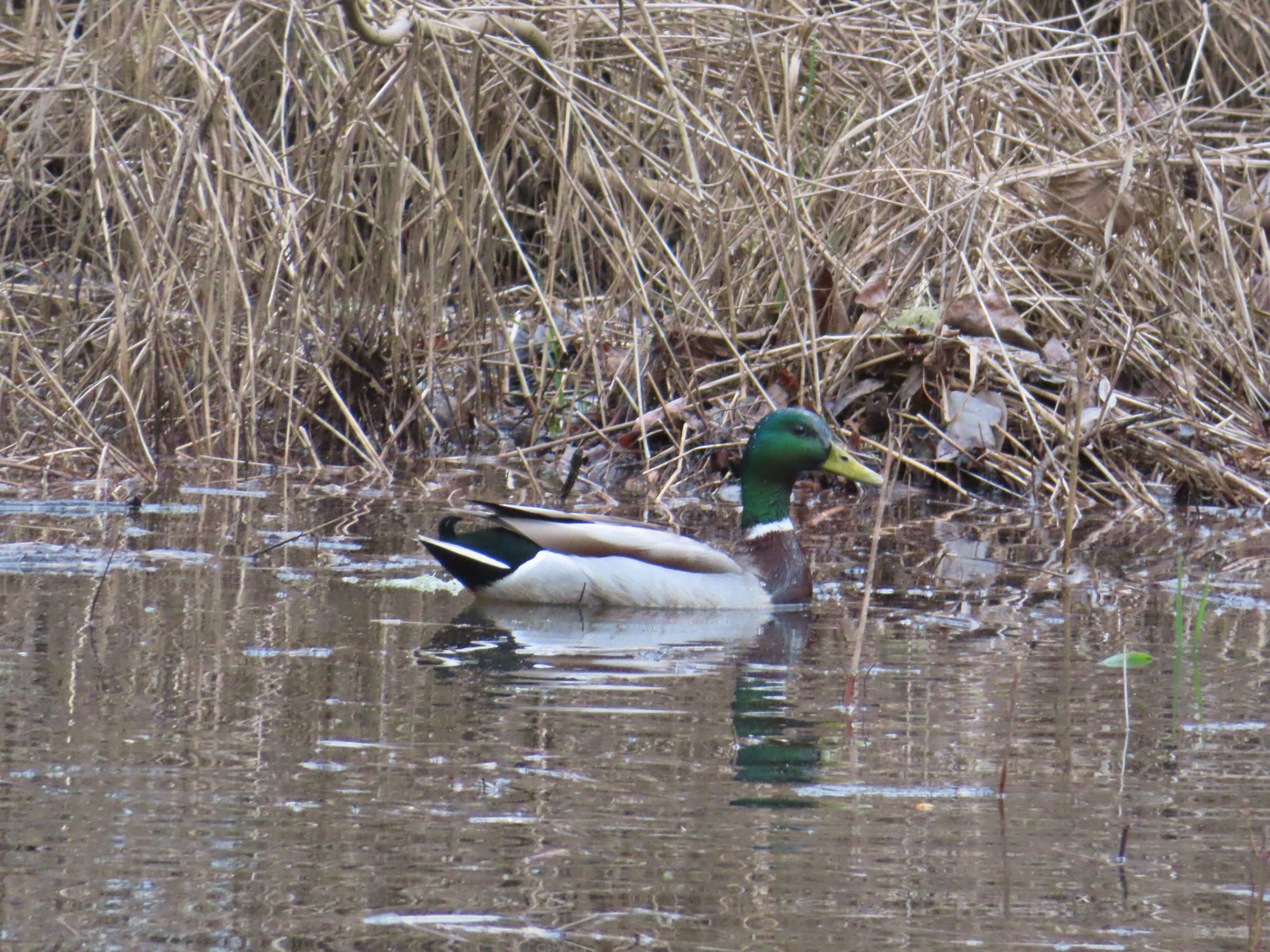 Mallard – 4/8
 Wood ducks up in a tree – 4/8
 Osprey – 4/8
 Green-winged teal – 4/14
 Mallard – 4/14
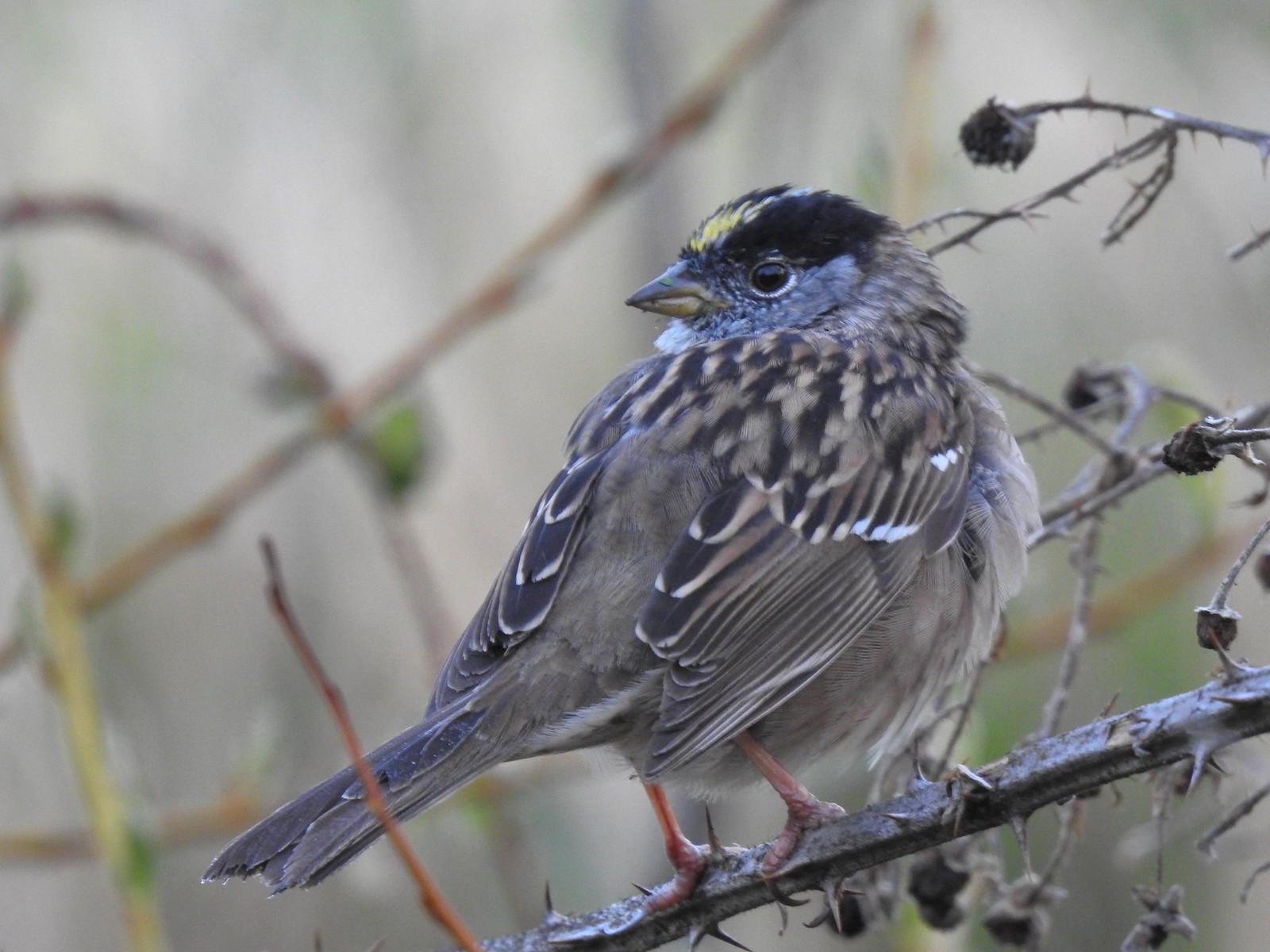 Golden-crowned sparrow – 4/14
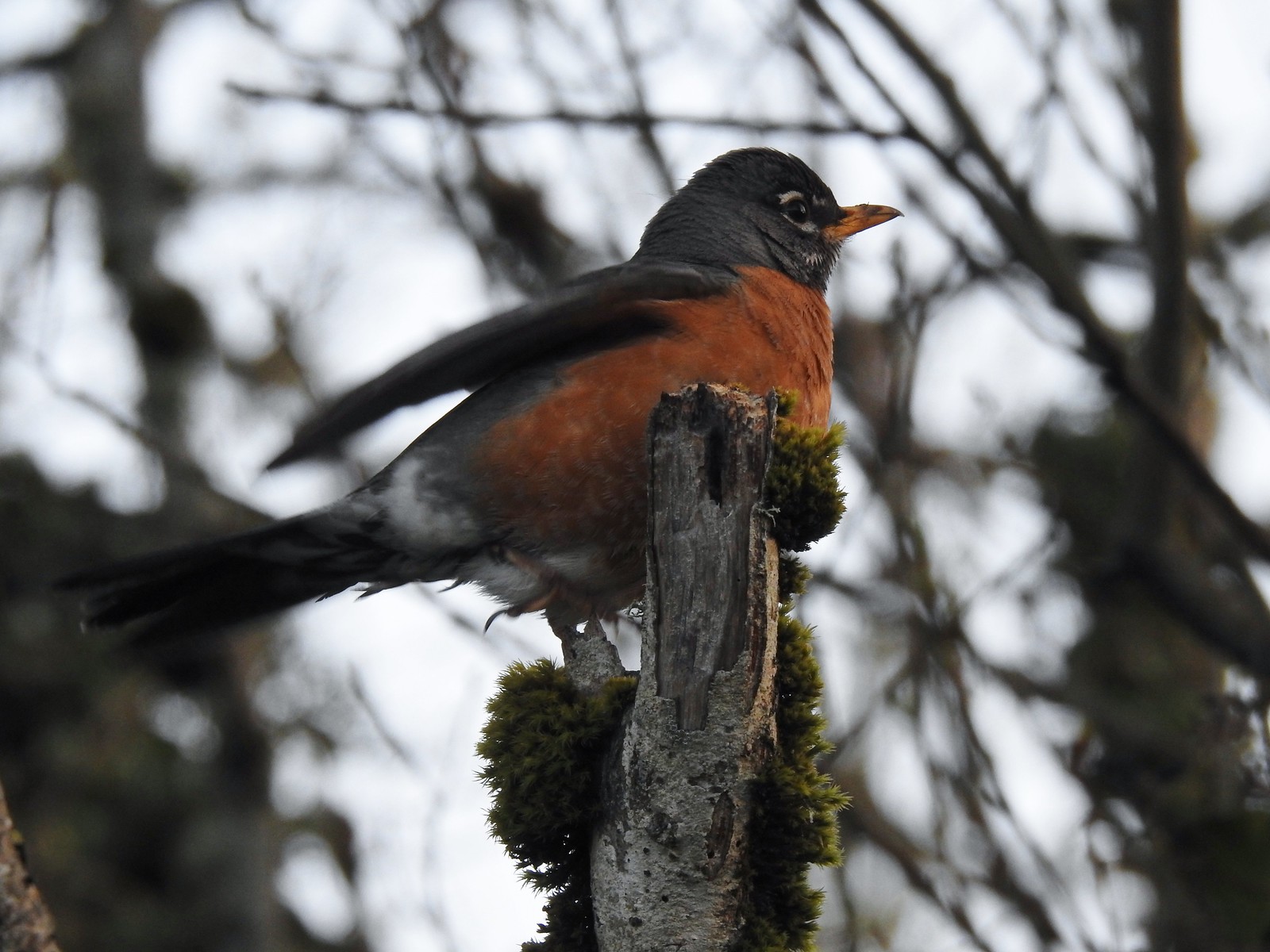 Robin – 4/14
 White-crowned sparrow – 4/14
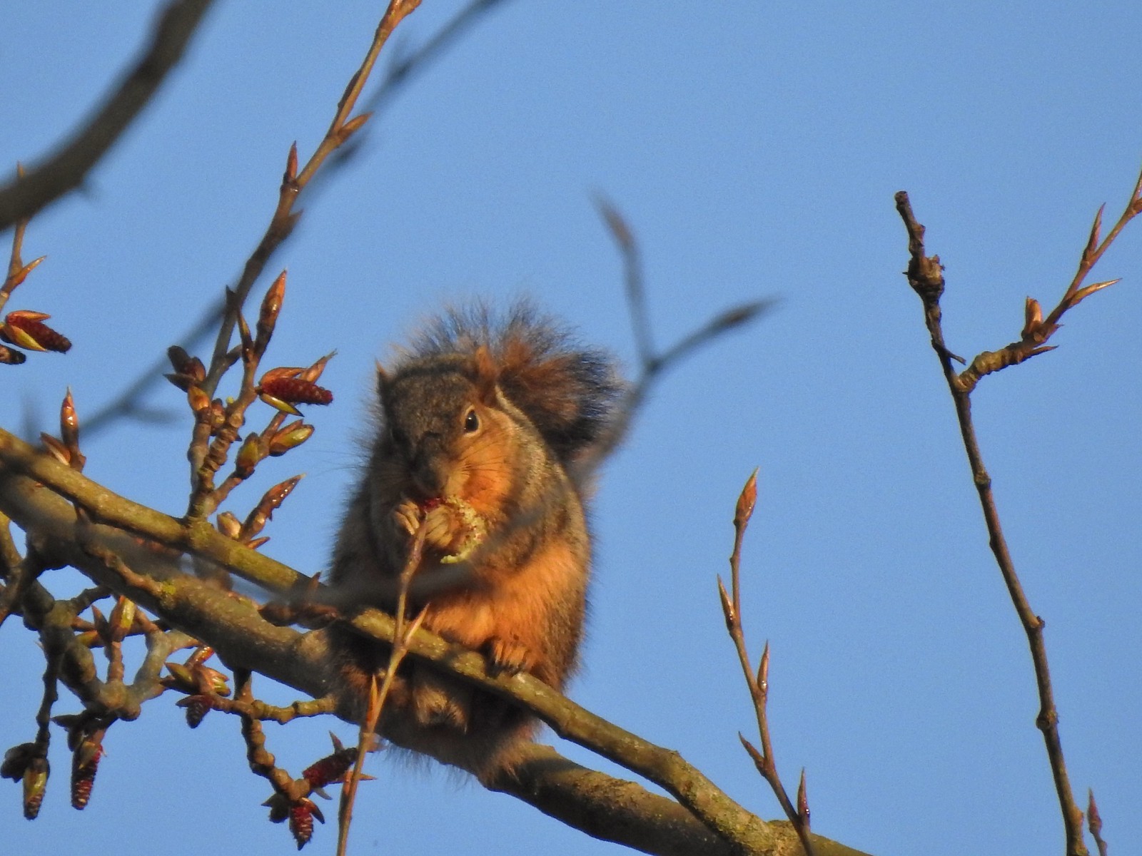 Squirrel – 4/14
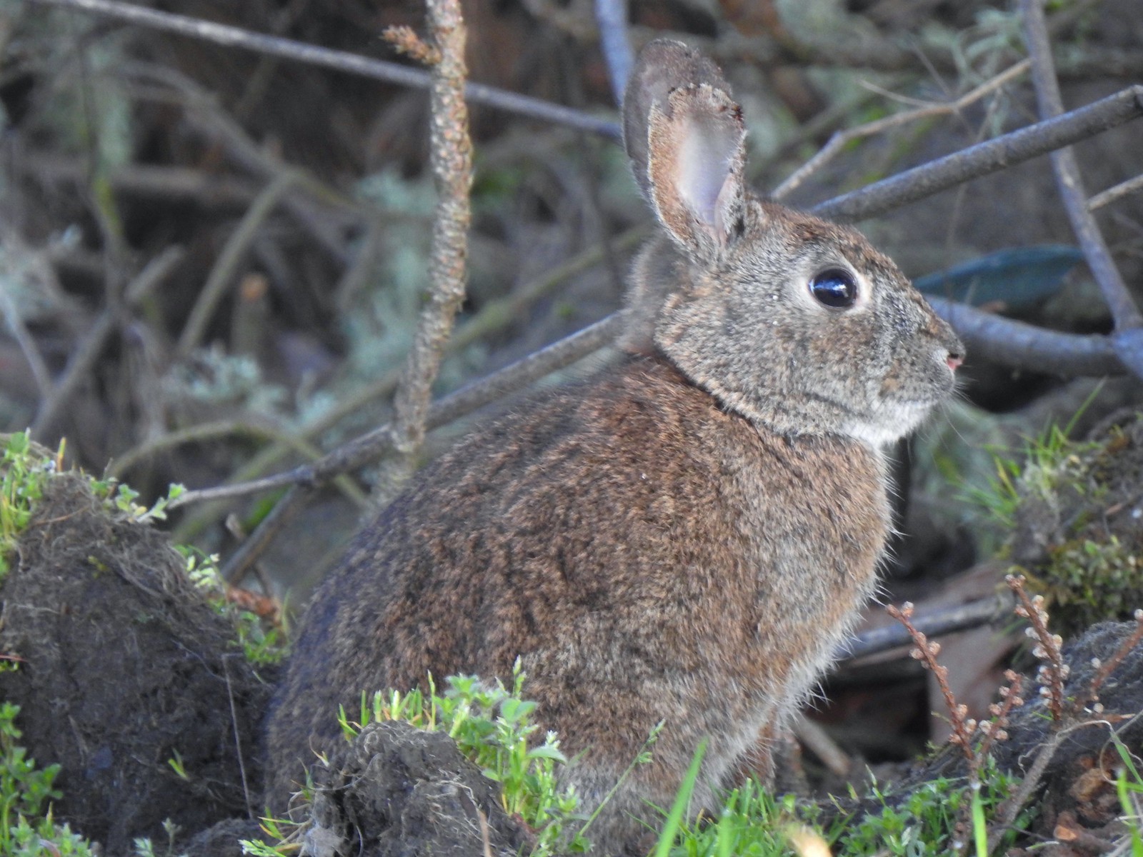 Rabbit – 4/14 (This was one of several dozen bunnies that I encountered on this day.)
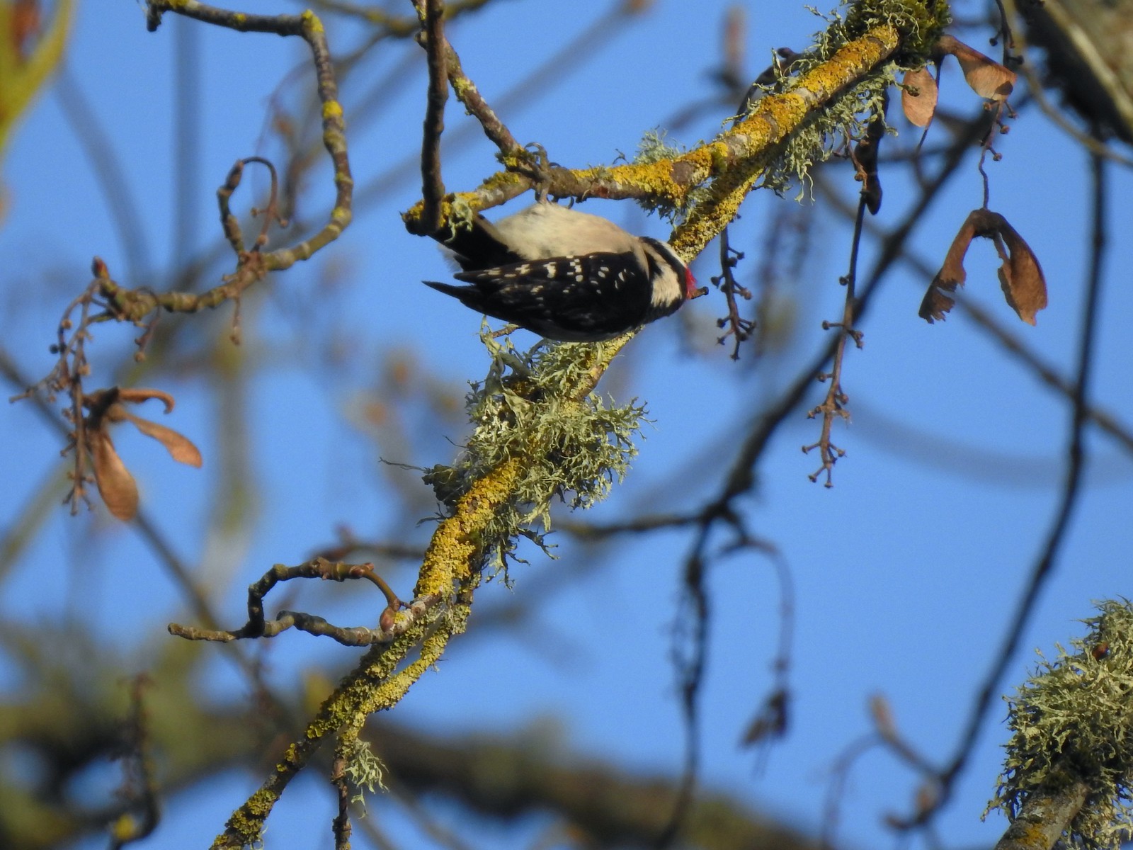 Woodpecker – 4/14
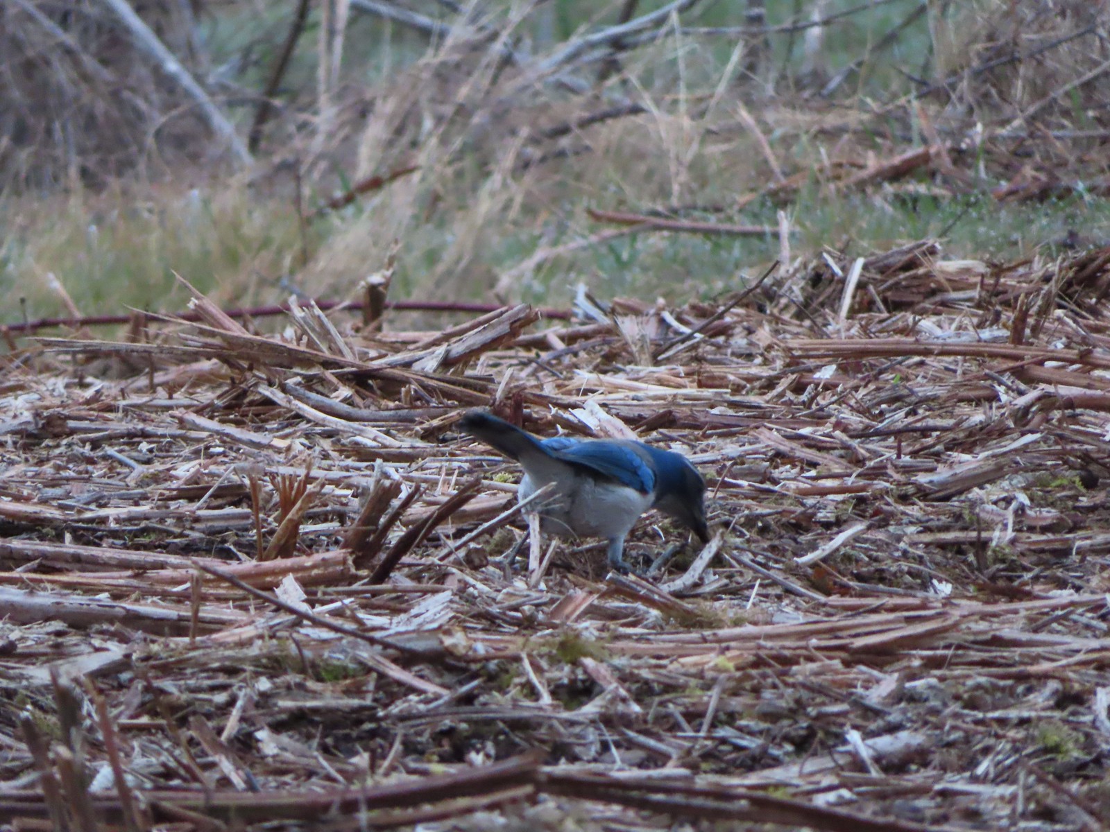 Scrub jay – 3/19
 Dove – 4/8
 Killdeer – 4/14
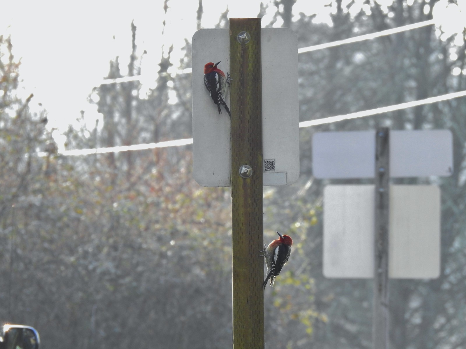 Red breasted sapsuckers – 4/14 (Males peck the sign to make noise to either attract mates or establish territory.)
 Pied billed grebe in Oxbow Slough – 3/19
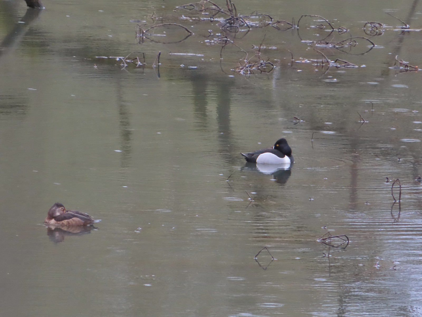 Ring-necked ducks from the bridge over Oxbow Slough – 3/25
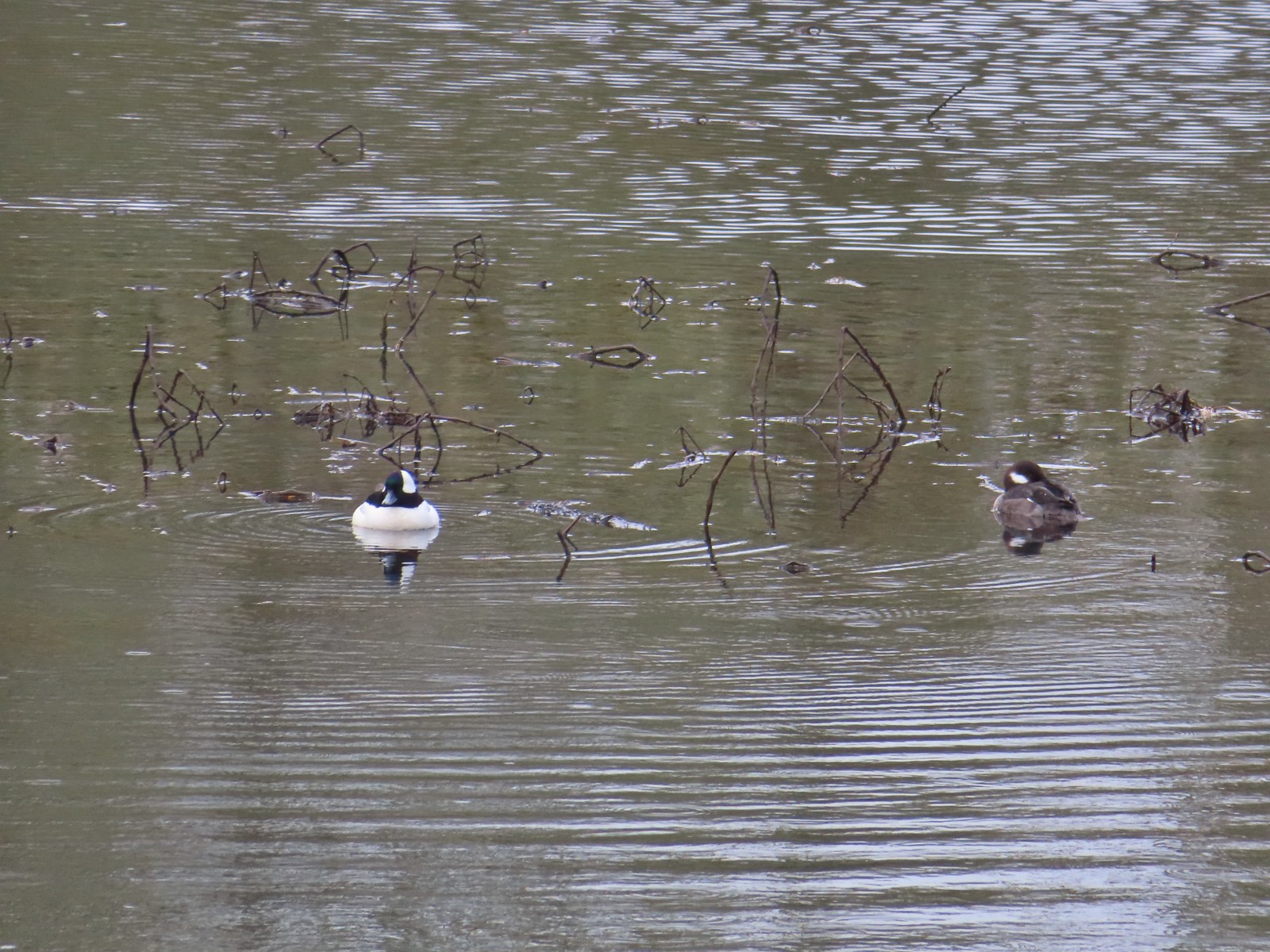 Buffleheads from the bridge over Oxbow Slough – 3/25
 Geese from the bridge over Oxbow Slough – 3/25
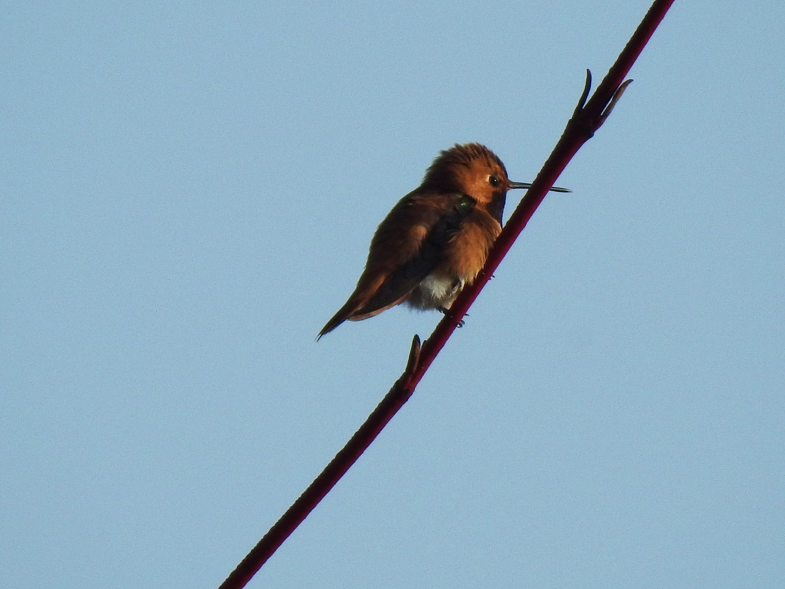 Hummingbird along the Blue Heron Trail – 4/14
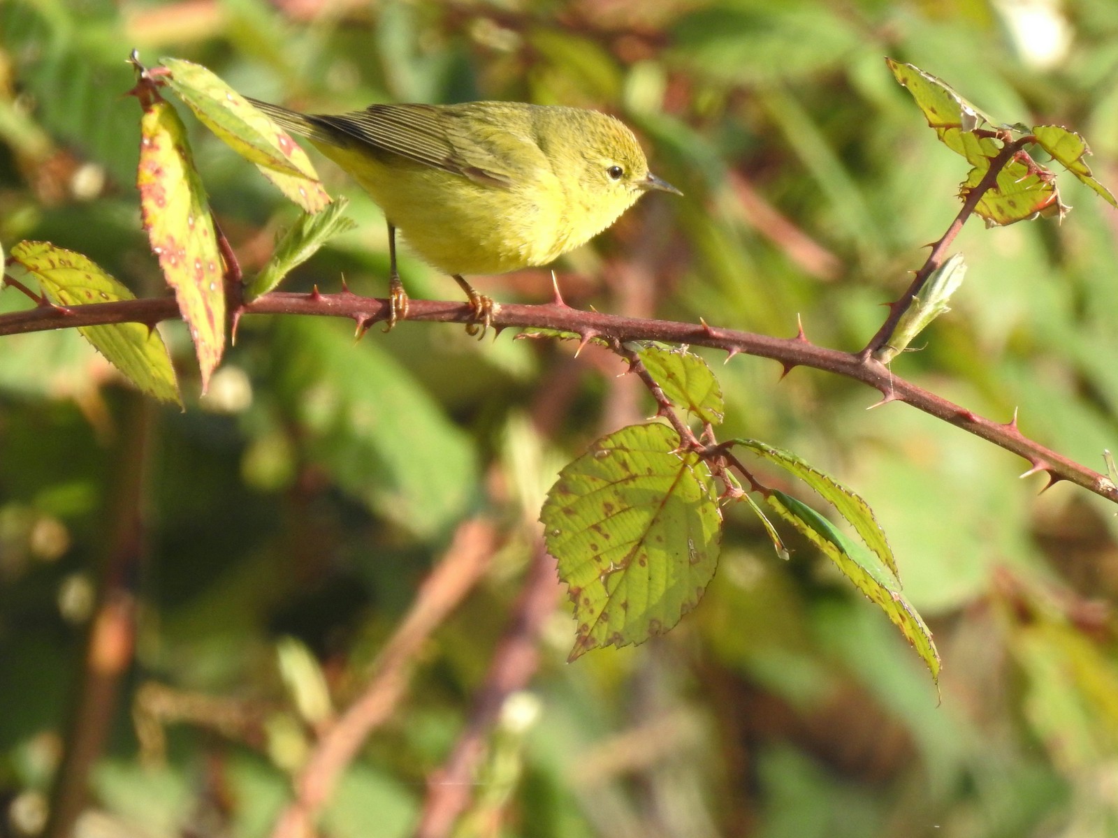 Orange-crowned warbler along the Blue Heron Trail – 4/14
 Dark-eyed junco at Eola Bend County Park – 4/14
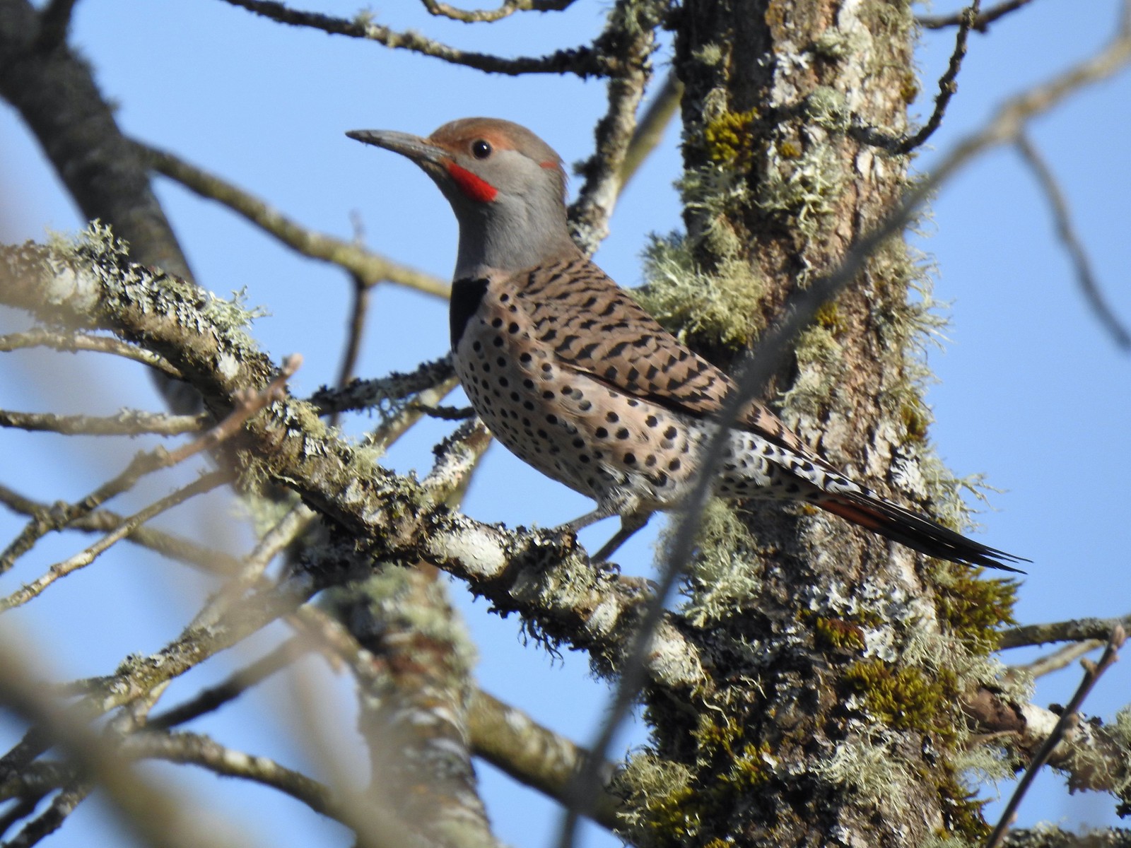 Northern flicker at Eola Bend County Park – 4/14
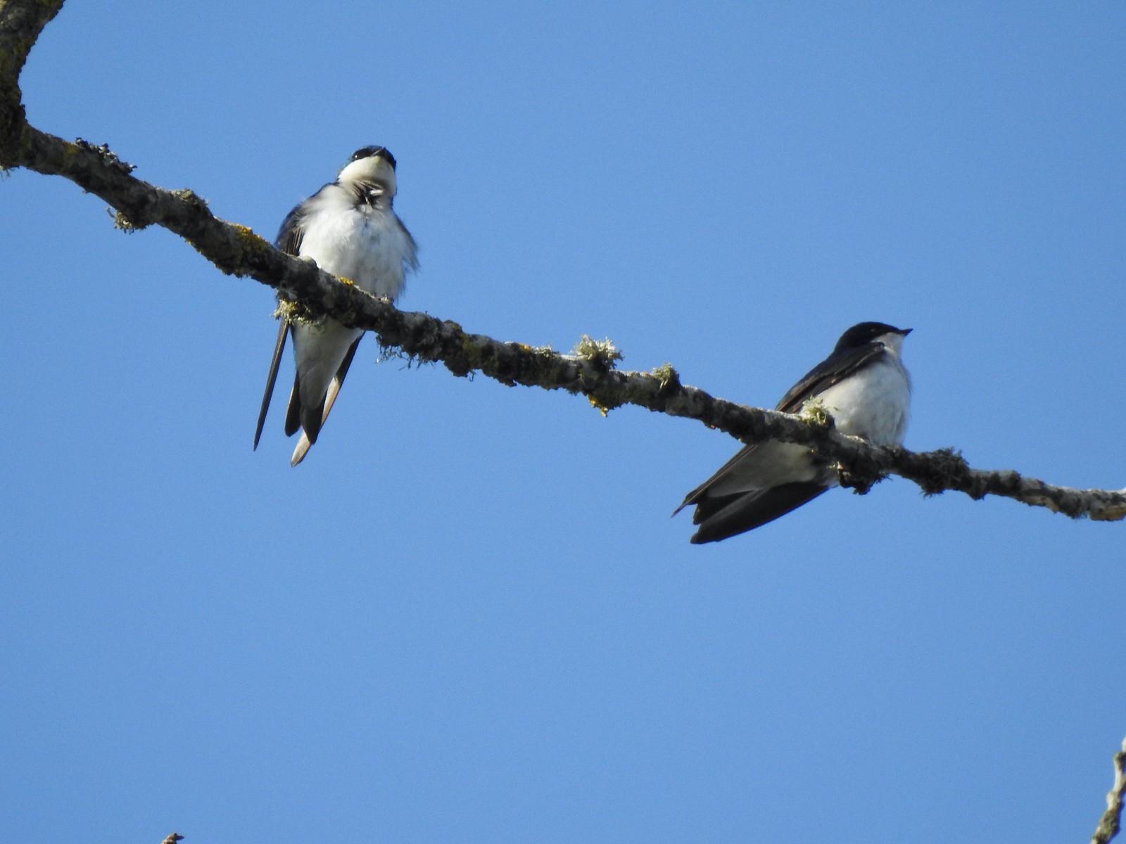 Swallows at Eola Bend County Park – 4/14
 Red-tailed hawk near the landfill – 4/14
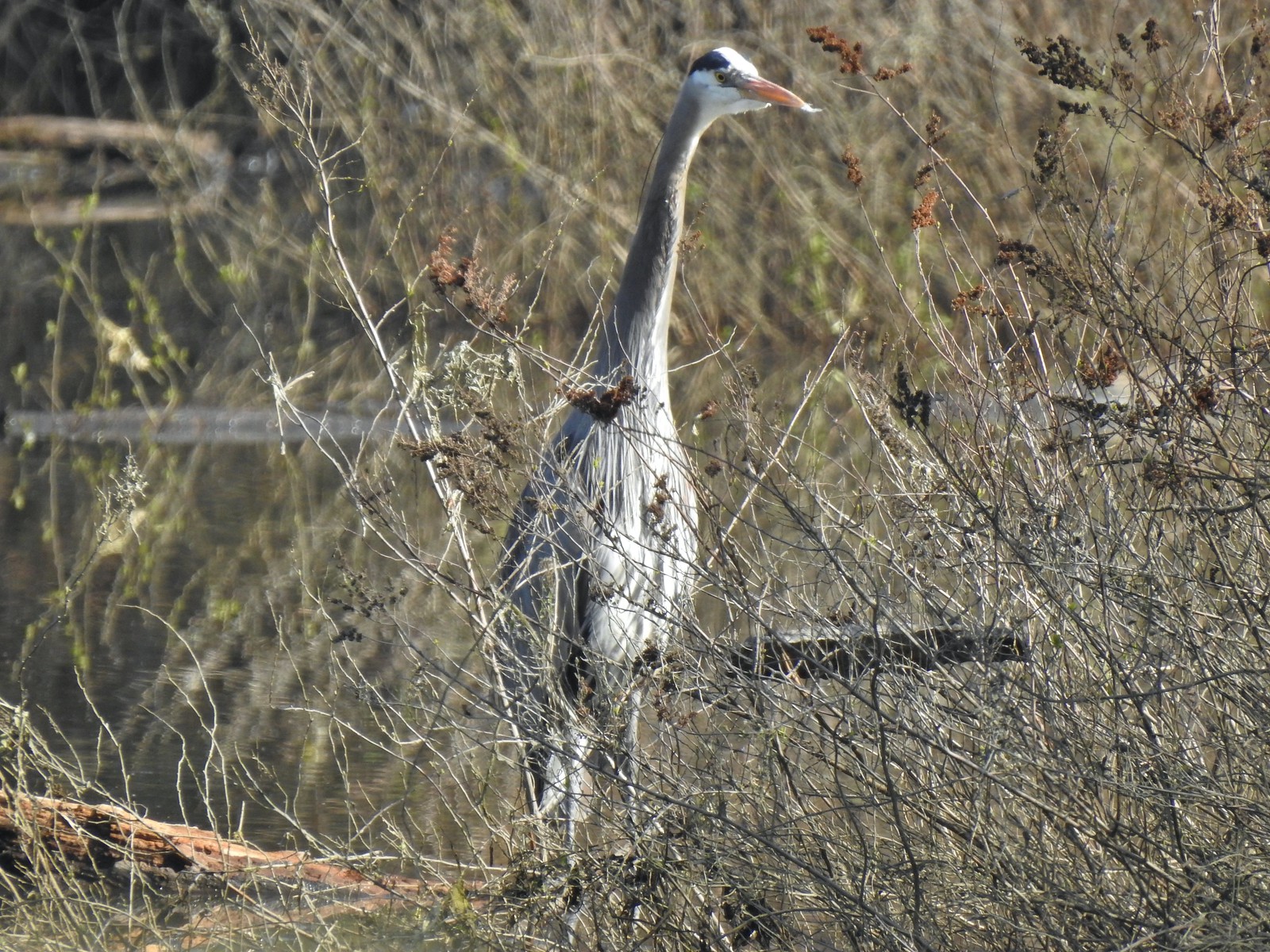 Great blue heron at Oxbow Slough across from the bench viewpoint near Lot 4 (Homestead Road) – 4/14
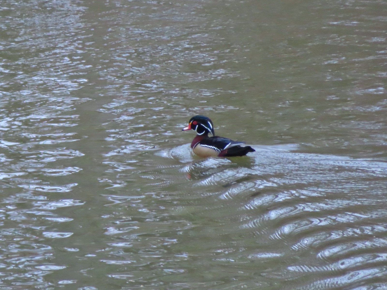 Wood duck drake in Oxbow Slough – 4/8
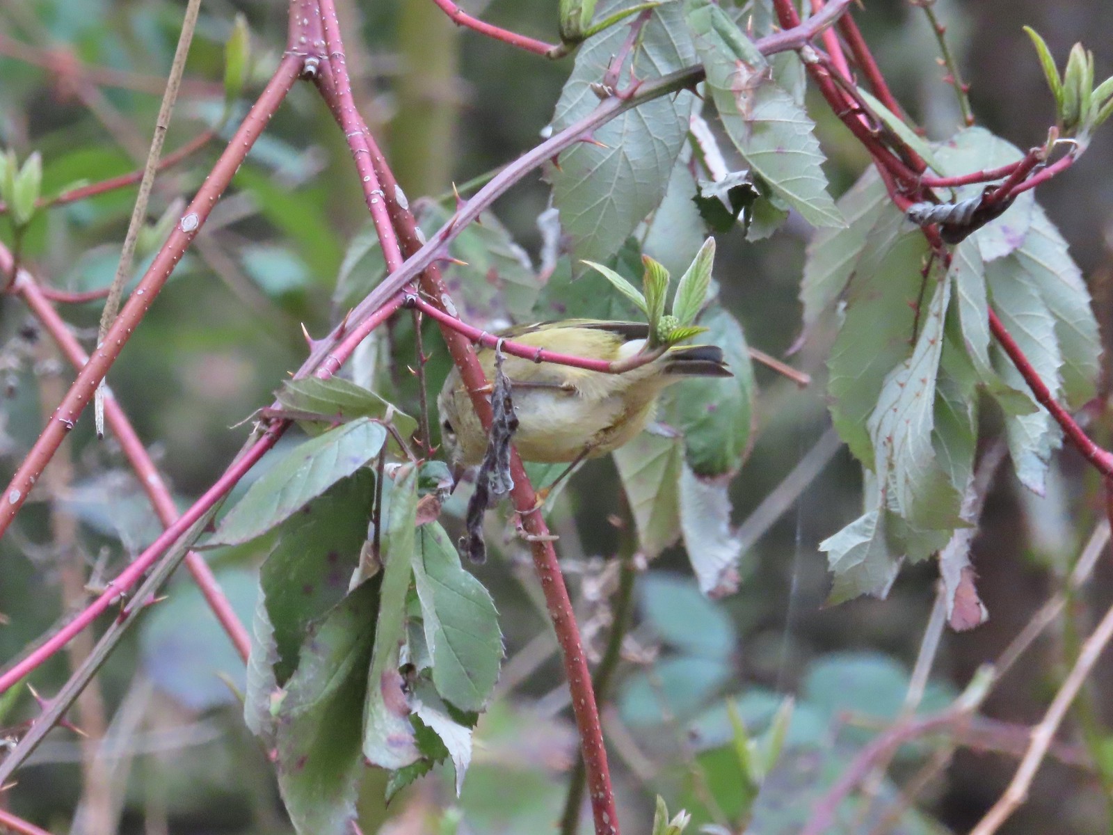 Ruby-crowned kinglet – 4/8
 Rabbit – 4/8
 Egret between the Red Osprey and 10k Loops – 4/8
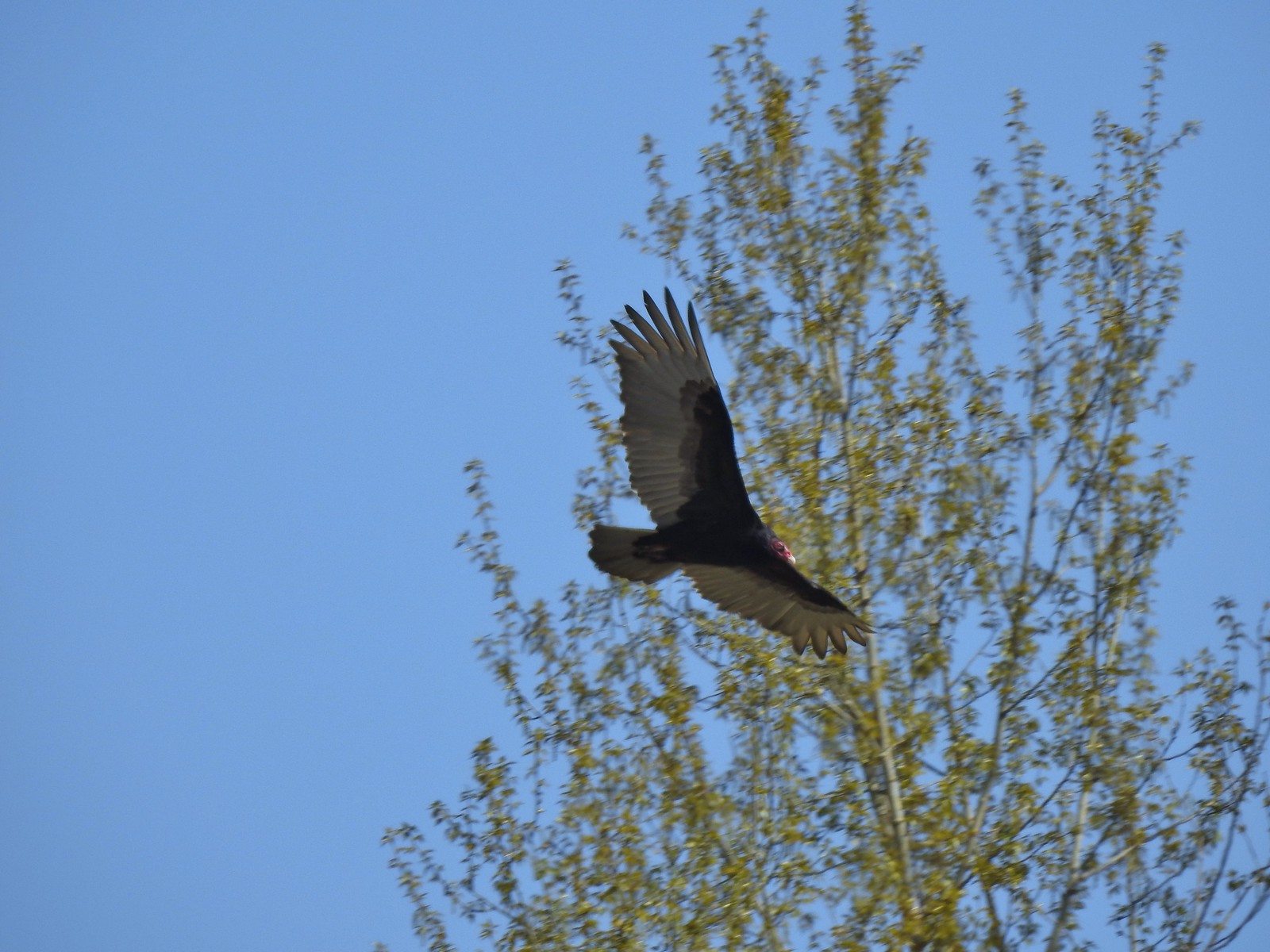 Turkey vulture near the old cherry orchard – 4/14

