A day after taking my brother and his family to Opal Creek (post) we were back on the trails with a visit to Temple Lake and Marion Mountain. This is another hike take from Matt Reeder’s “101 Hikes in the Majestic Mount Jefferson Region”. The hike starts from the Pine Ridge Trailhead
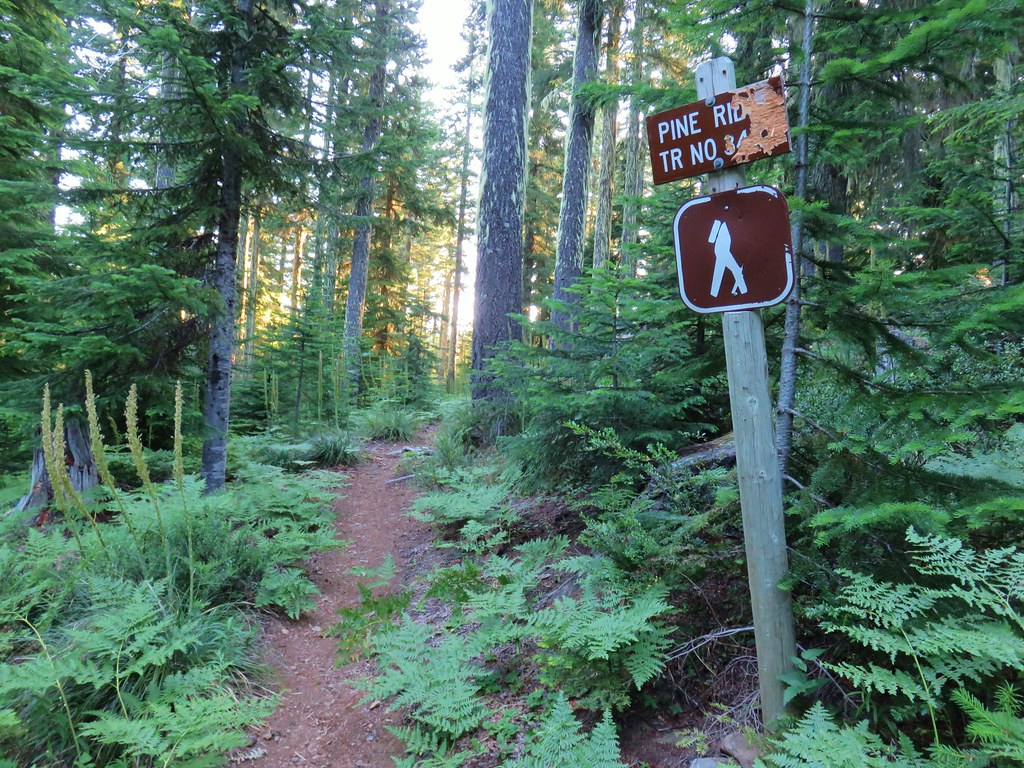
There were a few mosquitoes waiting for us a the trailhead so we applied a bit of deet and set off through the forest for .2 miles to a 4-way junction.

From the junction the Pine Ridge Trail continued straight while the Turpentine Trail departed on the right and to the left was a trail to the Boy Scout owned Camp Pioneer (the camp is private so do not take this trail or any others heading left between the trailhead and the junction).

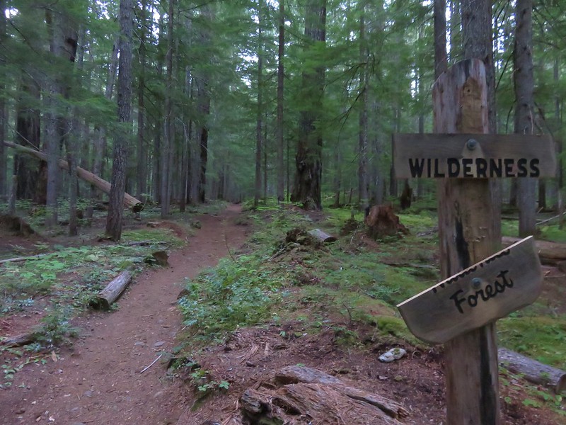
We continued on the Pine Ridge Trail past a unique Mt. Jefferson Wilderness sign.

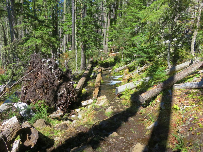
The trail dropped from the junction to cross a dry creek bed before climbing around a ridge and dropping again.

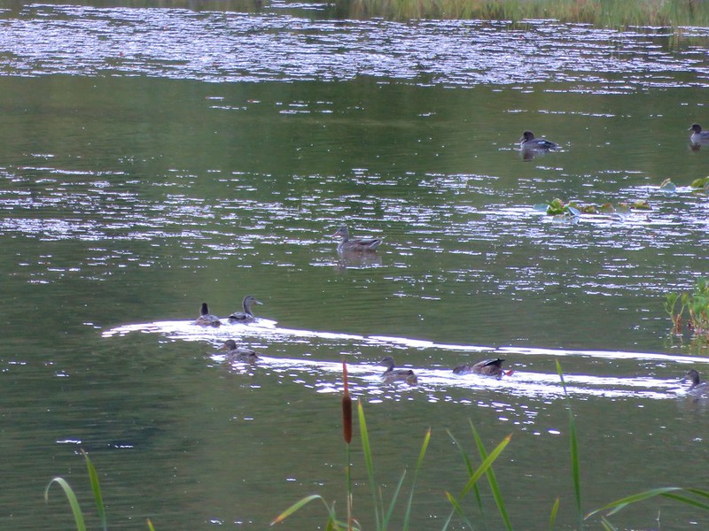
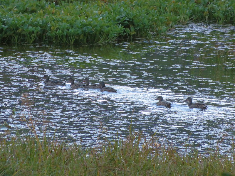
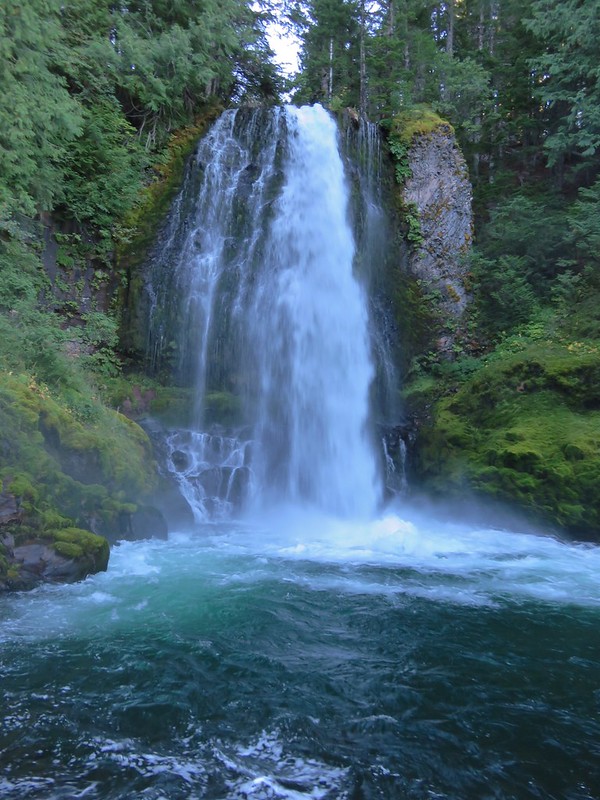
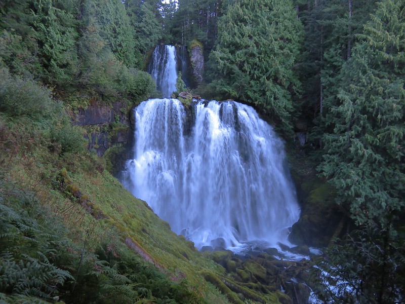
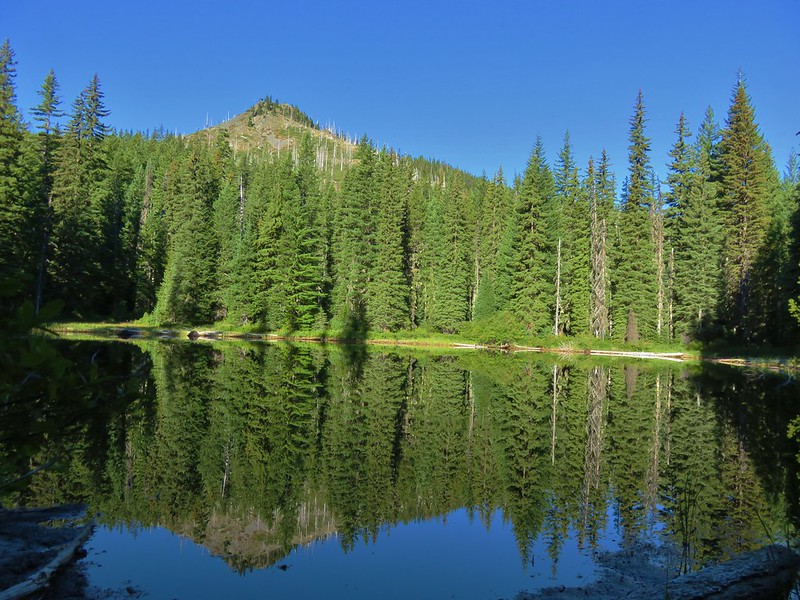
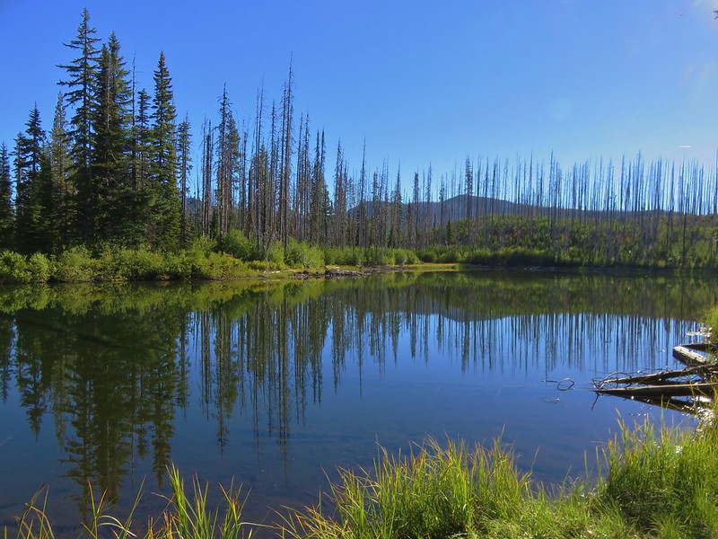
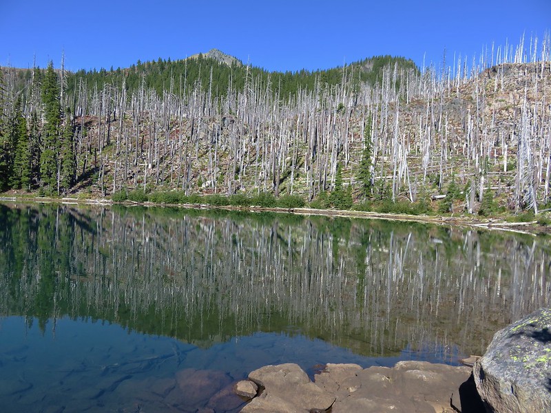
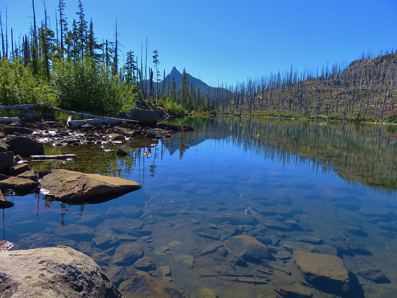
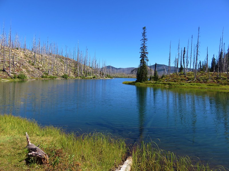
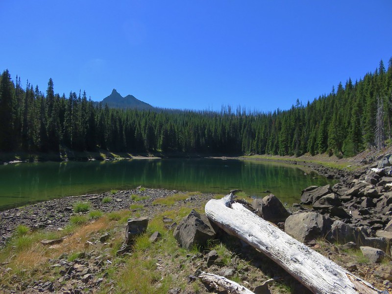
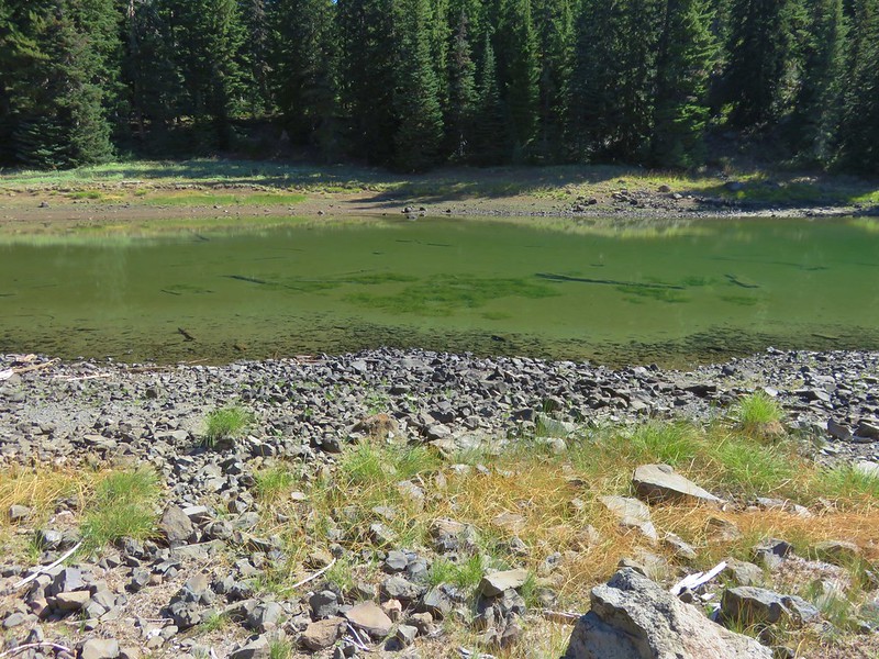
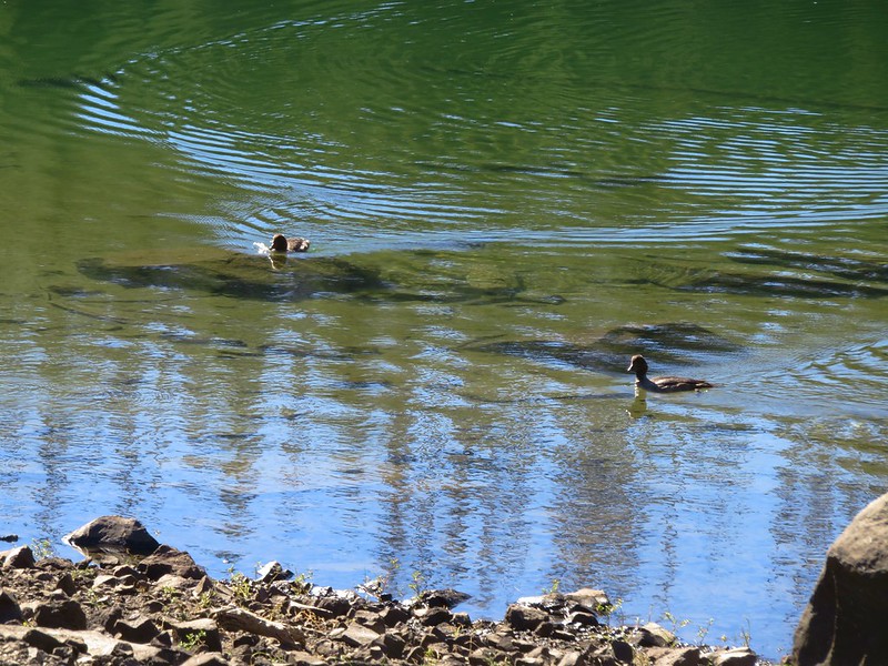
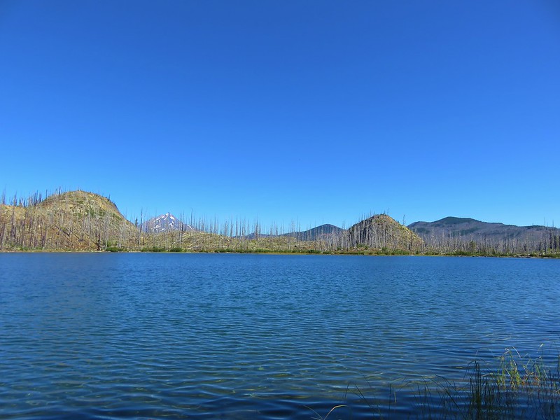
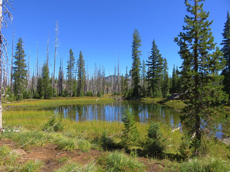
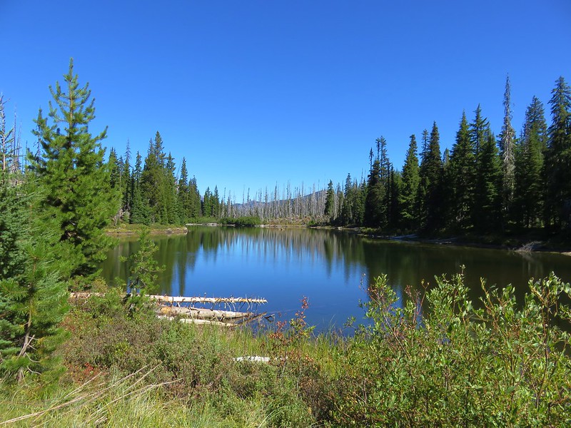
We took a brief off-trail detour to visit one of several lakes in the area.

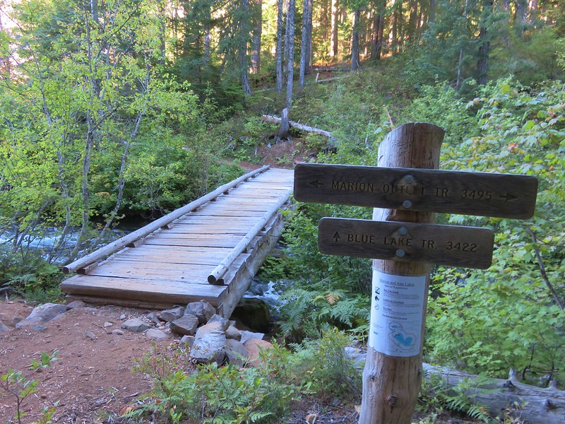
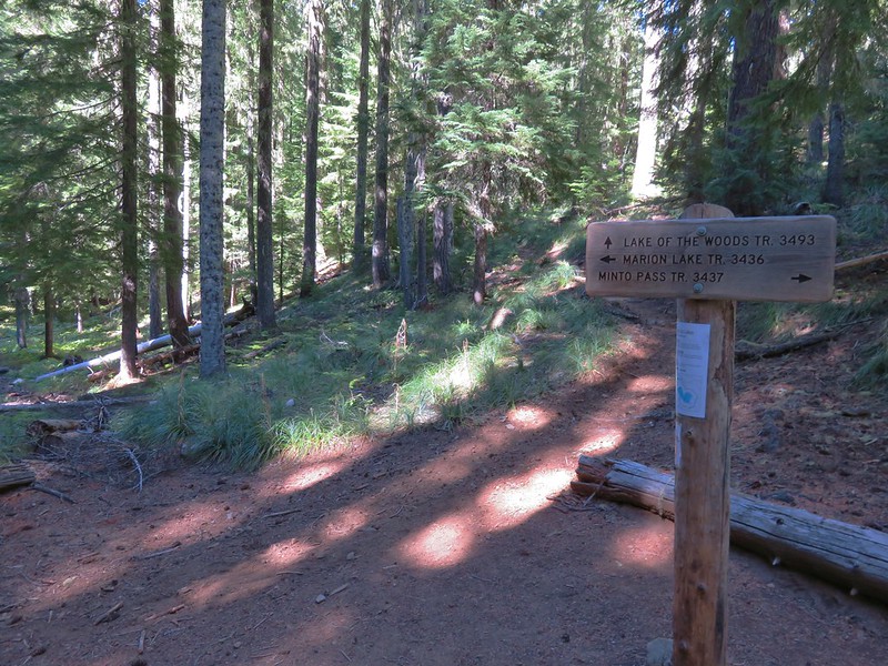
We returned to the trail and continued on to the junction with the Temple Lake Trail which was approximately 2 miles from the trailhead.

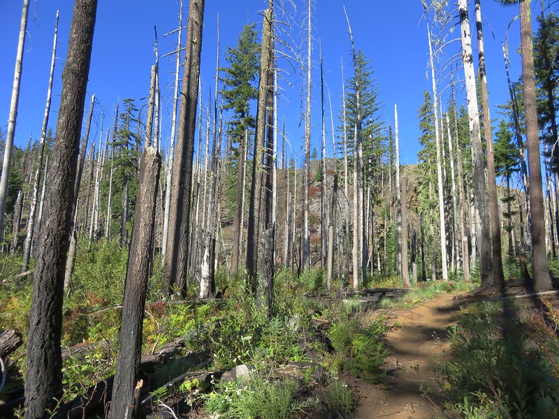
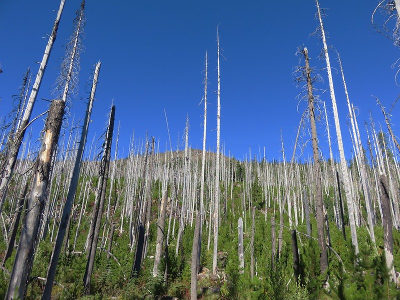
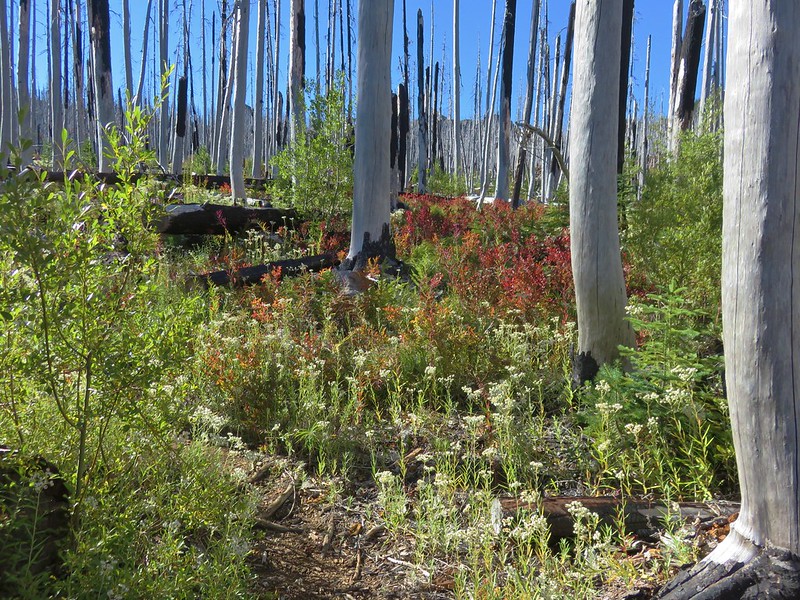
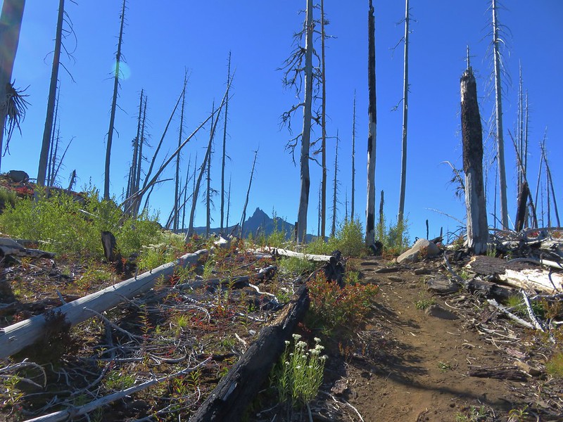
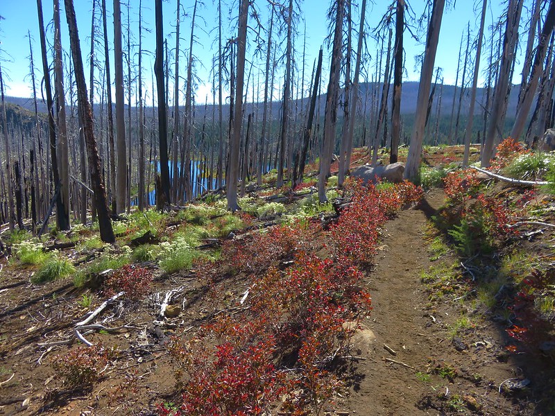
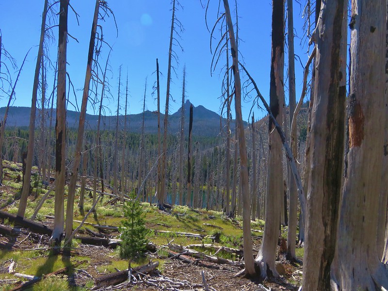
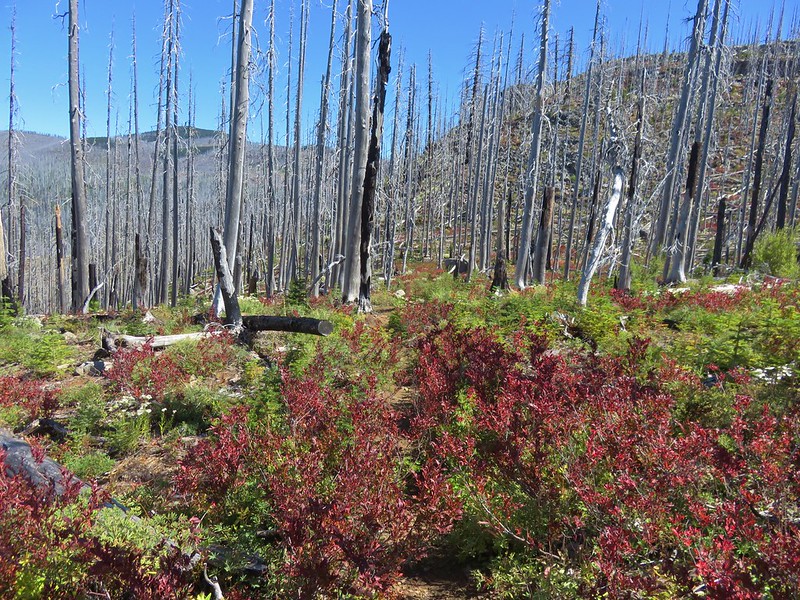
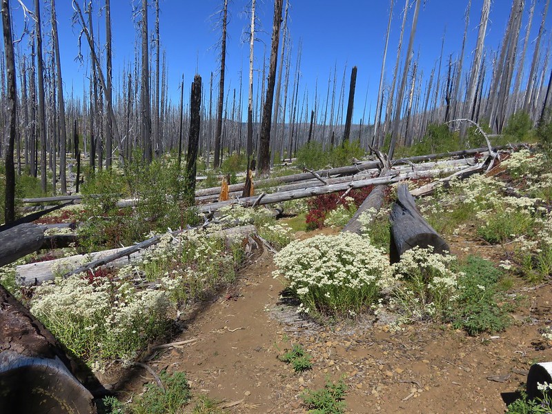
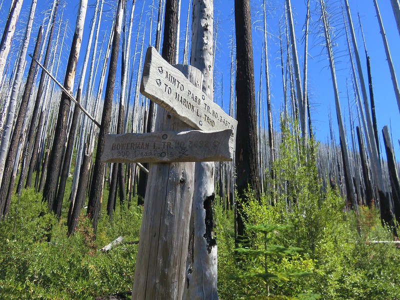
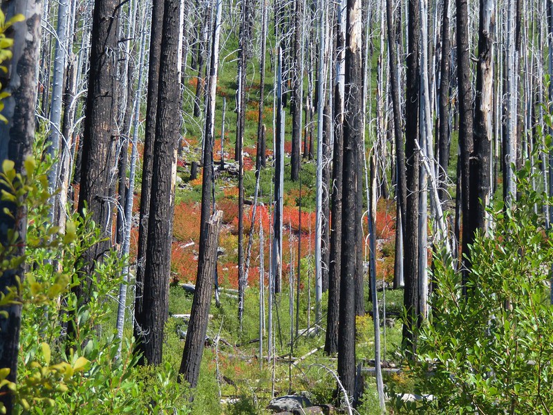
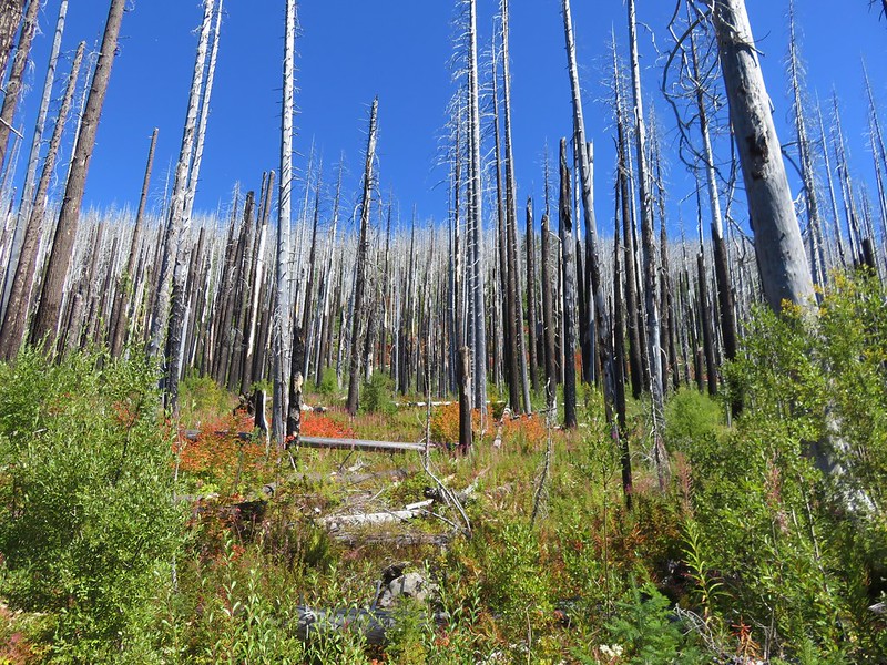
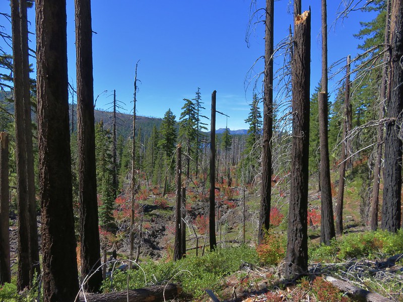
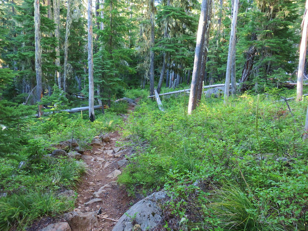
We decided to save the lake for later in the day in hopes that the mosquitoes would be less active. Continuing on the Pine Ridge Trail we passed through some sections of forest burned in the massive 2003 B&B Complex.
 Turpentine Peak
 Washington lily
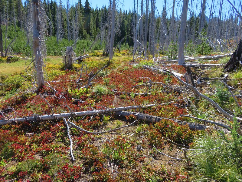
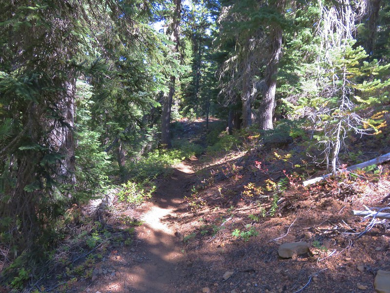
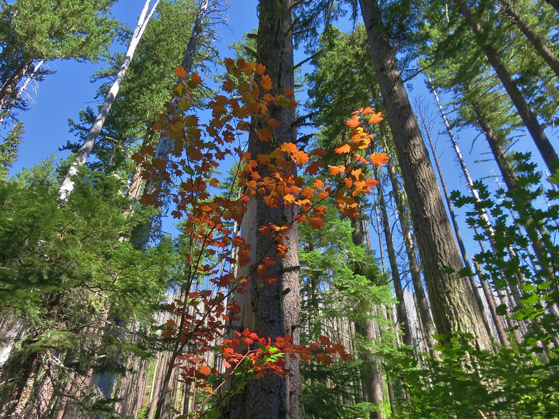
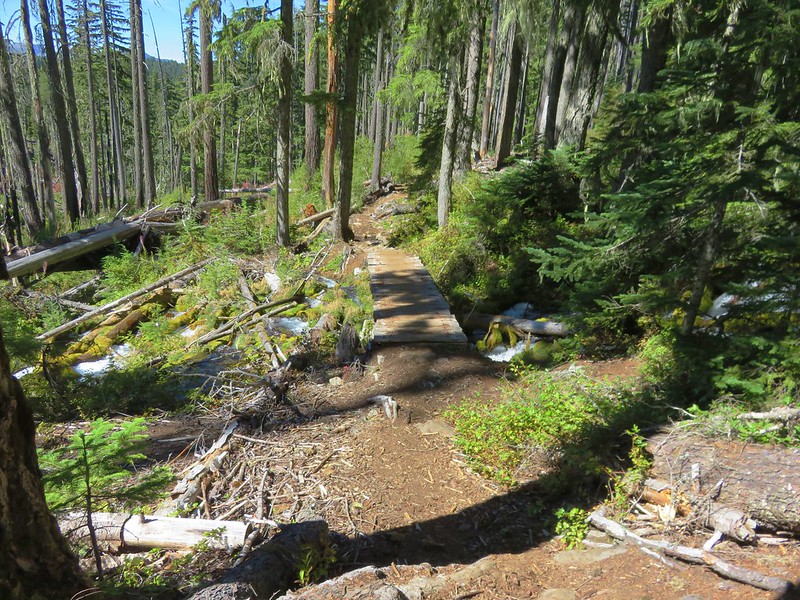
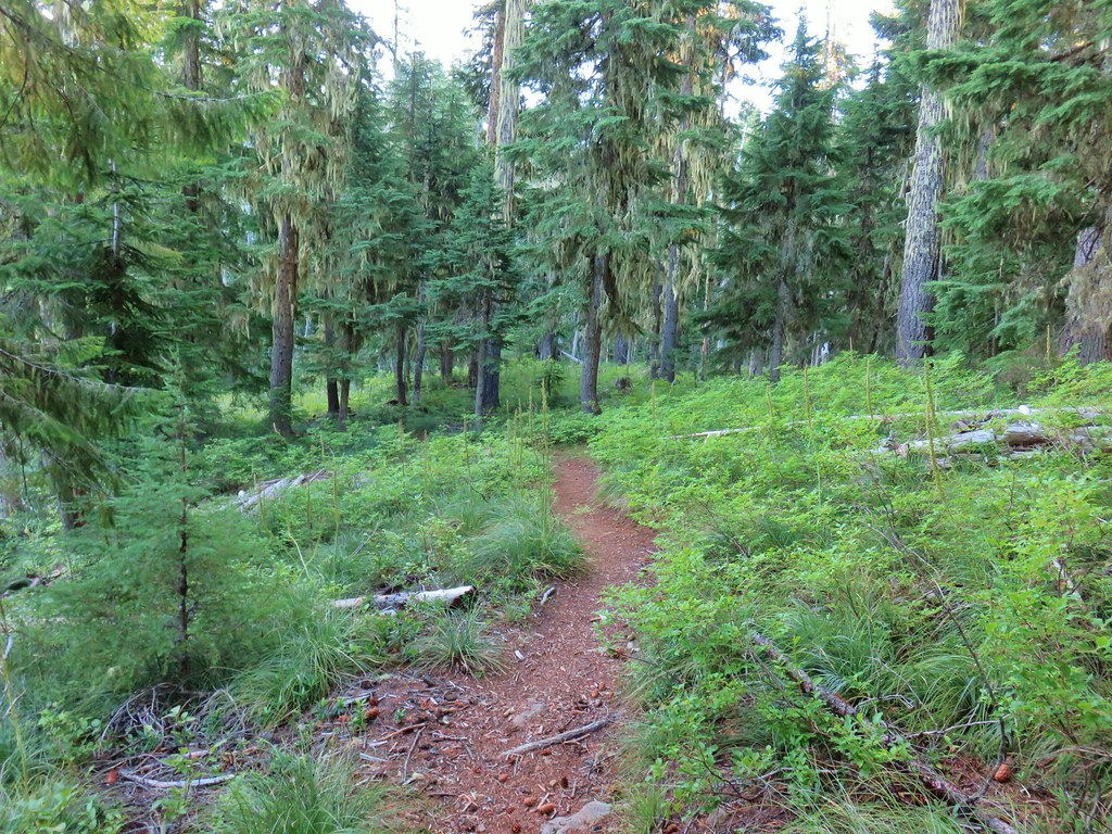
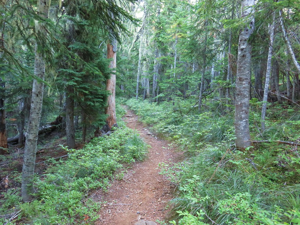
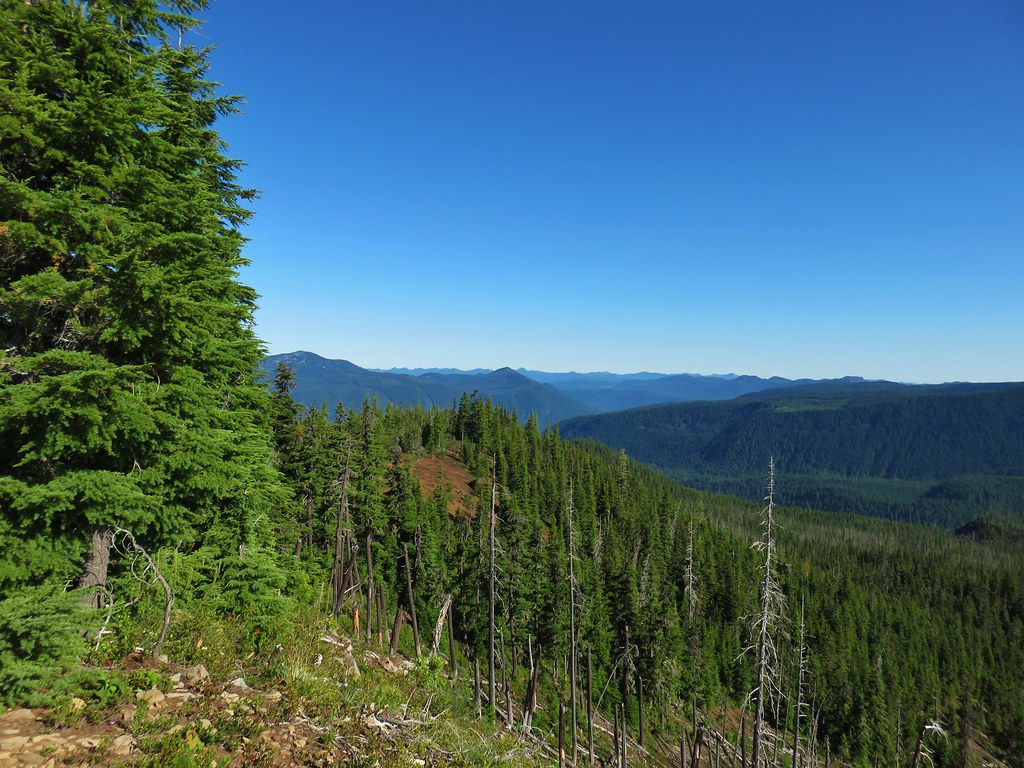
 Unburned forest
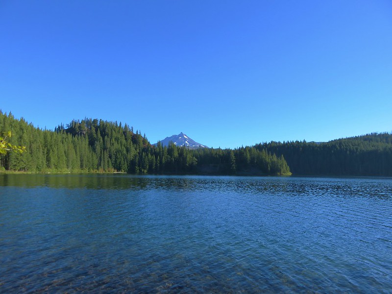
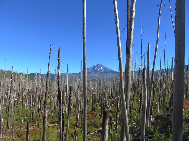
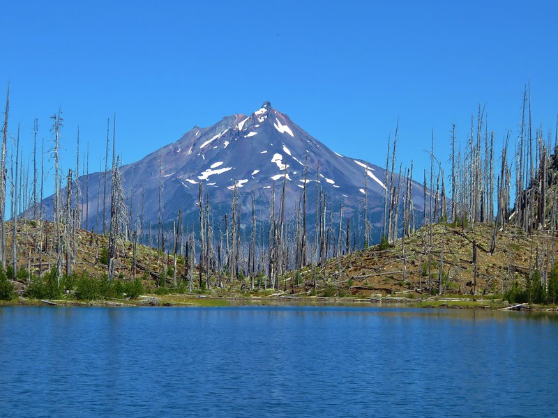
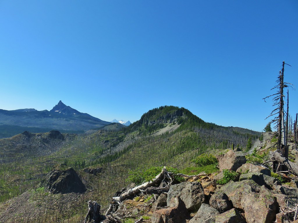
 Mt. Jefferson from the Pine Ridge Trail.
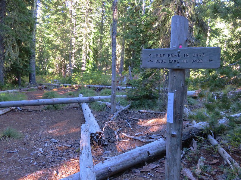
At the four mile mark we arrived at the signed Marion Mountain Trail.
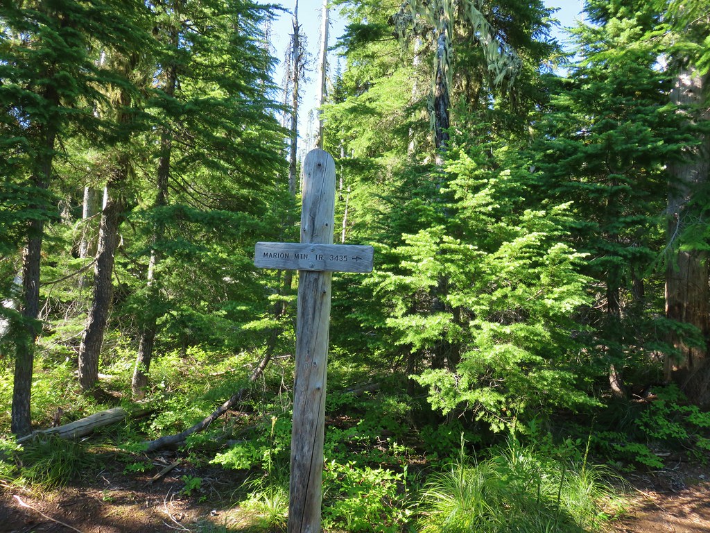
We turned right here and began to climb up a ridge to Marion Mountain. A little less than three quarters of a mile up we came to a cinder viewpoint.
 Mt. Jefferson and Marion Lake (post)
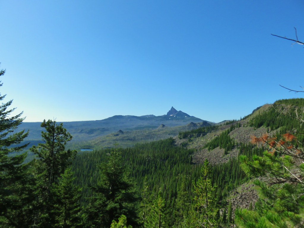 Three Fingered Jack
The view here was good but just a tenth of a mile further the trail led out to the former site of the Marion Mountain Lookout where the view was even better.
 The cinder viewpoint from Marion Mountain.
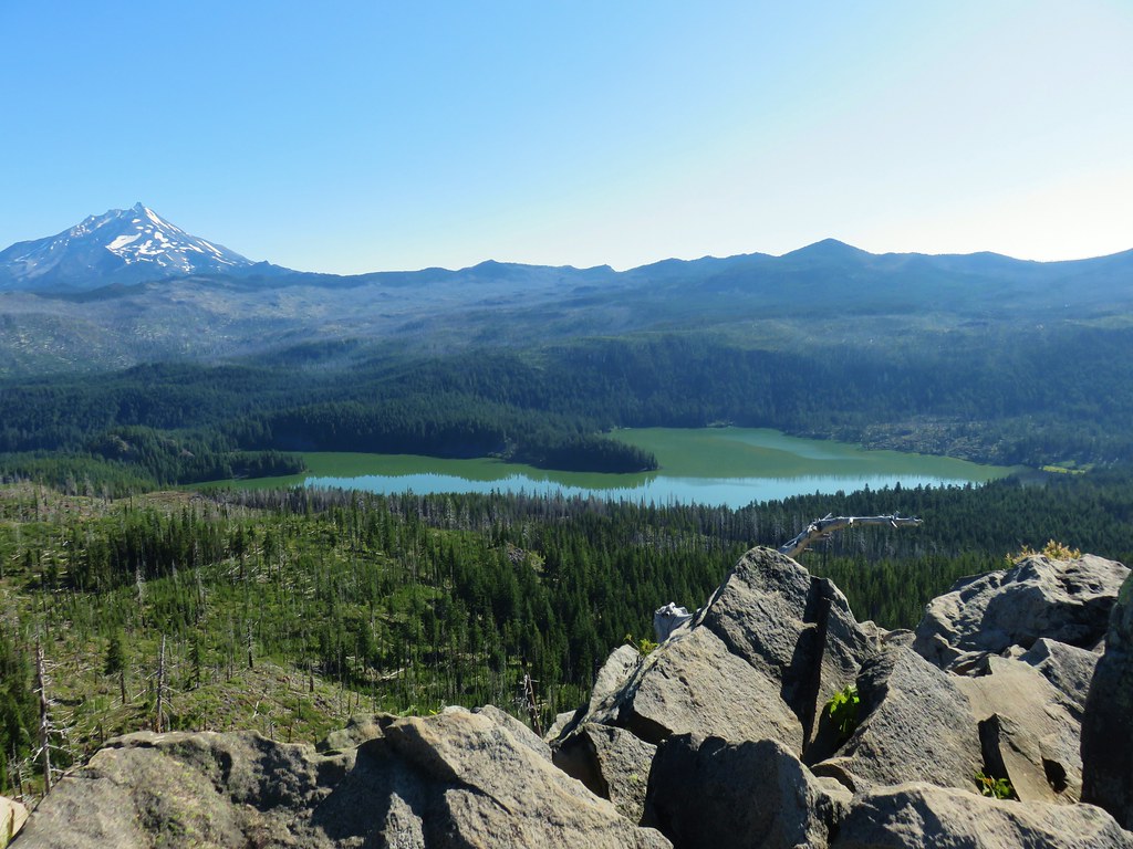
 Mt. Hood in the distance with Mt. Jefferson, and Marion Lake.
 Mt. Hood and Dynah-Mo Peak
 Three Fingered Jack
 Tops of the Three Sisters.
 Coffin Mountain (post)
We had a nice view of the crest between Mt. Jefferson and Three Fingered Jack where we could make out North and South Pyramid Peaks (post).
 South Cinder Peak is the high point along the ridge.
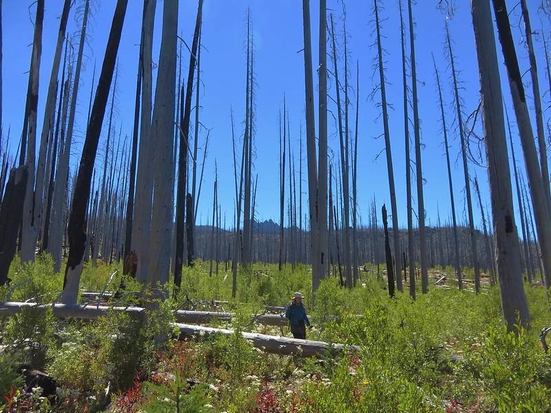
We sat on the rocks enjoying the breeze which was keeping us cool and mosquito free. When we finally did leave we decided to follow a faint path the continued out along the ridge to the south of Marion Mountain. The open forest made cross country travel fairly easy.

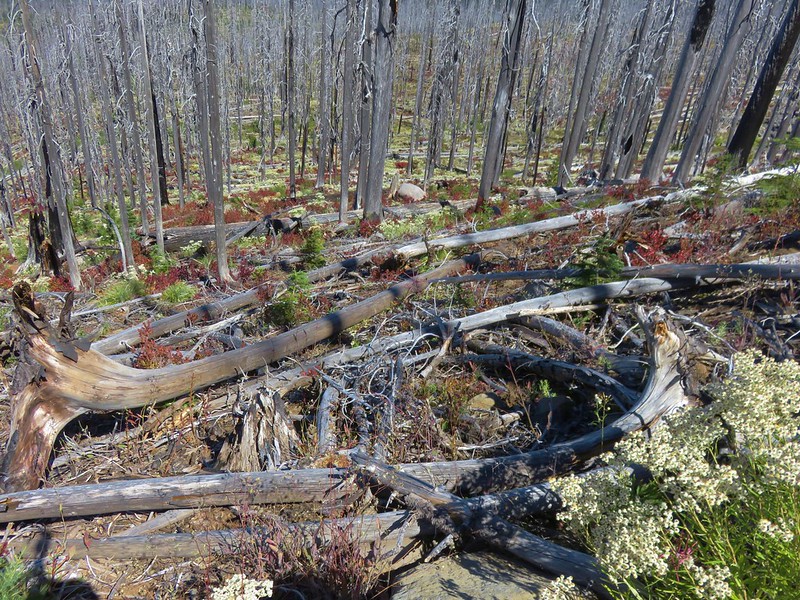
We continued along the ridge entering the B&B scar again where there were more obstacles.

We wound up going a little under a mile along the narrowing ridge until it dipped to a saddle under forested Marion Peak. We didn’t see any reason to lose any elevation and have to gain it back so we declared victory. The view here was better yet with more of the Three Sisters and Mt. Washington visible.
 The saddle that we didn’t want to drop down to.
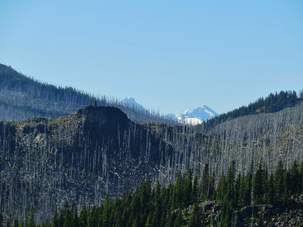
 Three Fingered Jack with the Three Sisters and Mt. Washington in the gap.
 The Three Sisters and Mt. Washington beyond Red Butte (post)
 Jenny and Melis Lake
 Marion Mountain at the end of the ridge.
 Bear Point (post) and Dynah-Mo Peak with Mt. Hood in the background.
 Turpentine Peak along the ridge.
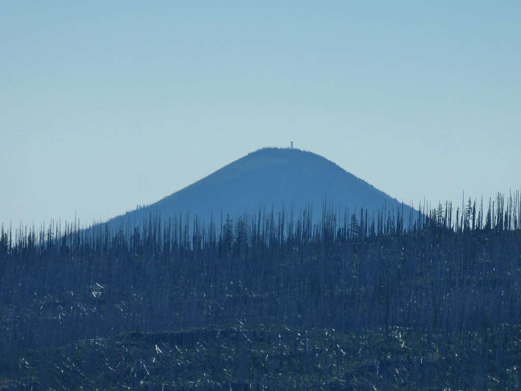 Black Butte (post) on the far opposite side of the crest.
In addition to the views there were a few flowers along the ridge and Heather spotted a Northern Alligator Lizard but it ran off before we could get a photo.
 Stonecrop
 Prince’s Pine
 Penstemon
 Washington lily
We headed back down the ridge to Marion Mountain and then returned to the Pine Ridge Trail where we turned left. When we got back to the Temple Lake Trail we turned right and headed downhill.

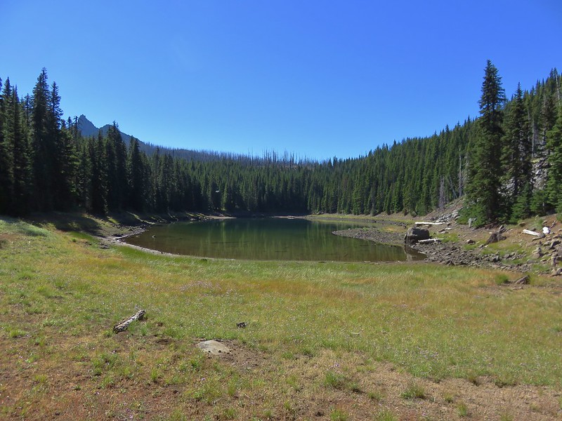
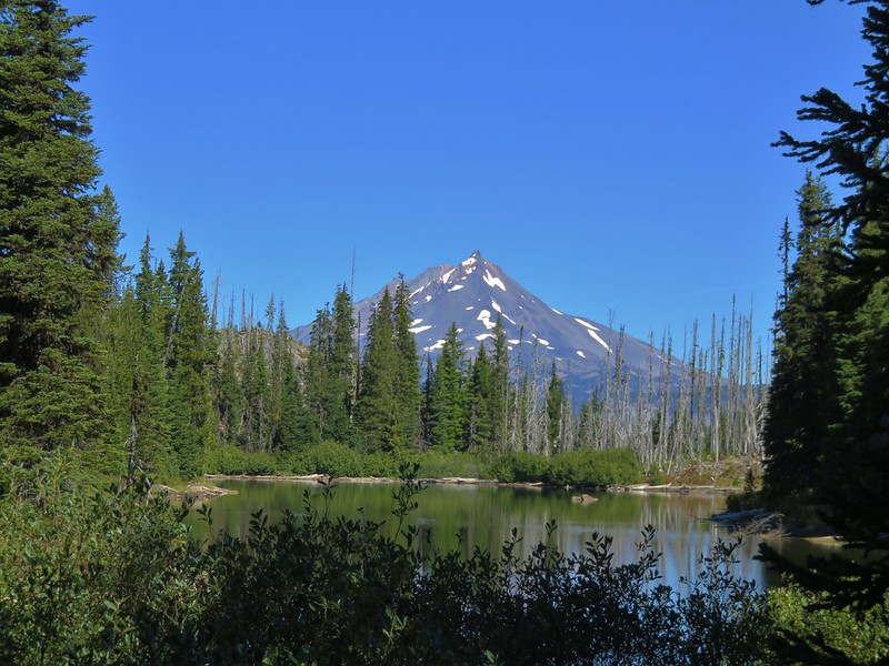
The half mile trail crossed a dry creek before reaching the lake.

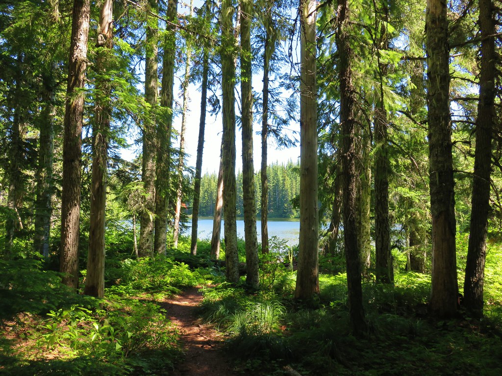
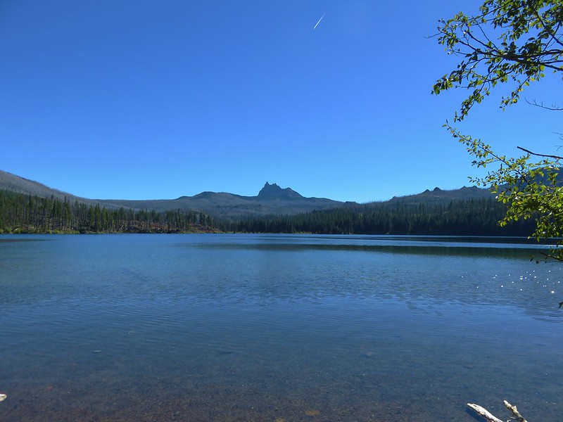
It wasn’t overly buggy which allowed us to admire the view of Mt. Jefferson from the lake and check out the campsites.

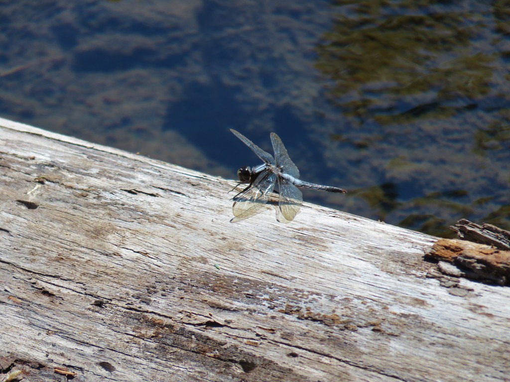 Dragon fly
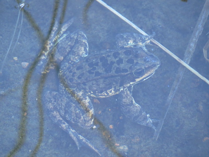
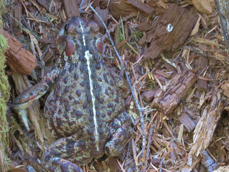
While Heather was looking at one of the sites a western toad popped its head out of a hole.


I’m not sure who was watching who as the toad wound up coming all the way out while we stood there.
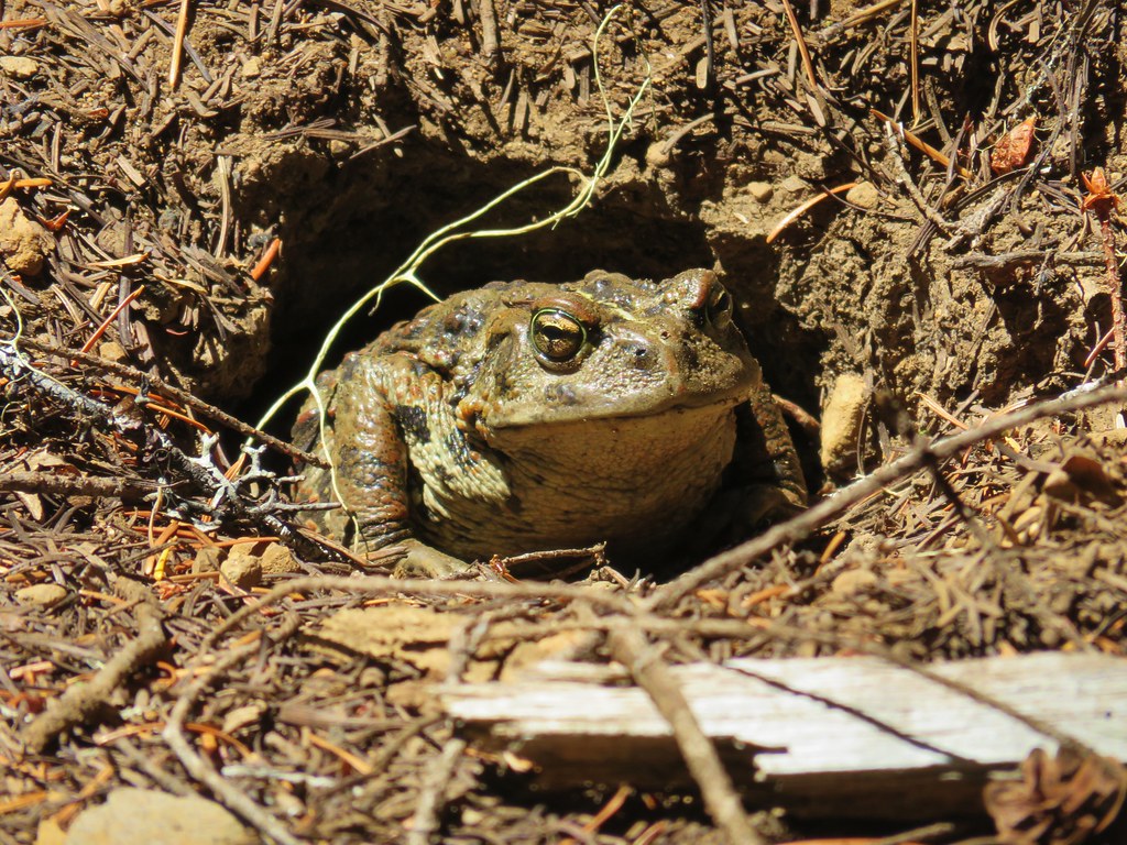

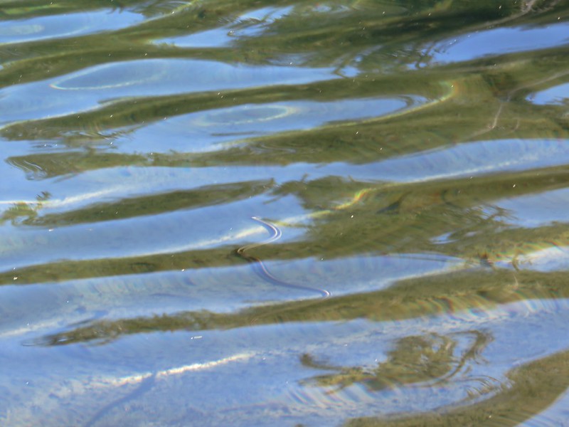
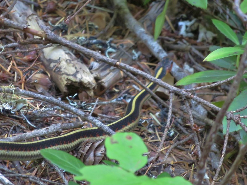
We kept our distance (thanks 30x zoom) and headed back up to the Pine Ridge Trail. Aside from a garter snake sighting there was no excitement on the return trip, just a nice forest walk.

With our off-trail exploring the hike came in at 11.6 miles and a little under 2000′ of elevation gain. The off-trail was just the right balance of challenging but not frustratingly difficult. It was a lot easier than what we had done the day we visited Bear Point earlier in the week for sure. Happy Trails!
Flickr: Temple Lake and Marion Mountain