After getting replacement tires and hiking some of the trails in the Paradise Area on Monday (post) we headed for Mount Rainier’s Sunrise Area early Tuesday morning. Timed entry reservations are required to enter the Sunrise Corridor from 7am thru 5pm in 2025, so we made sure we were plenty early to avoid needing one.
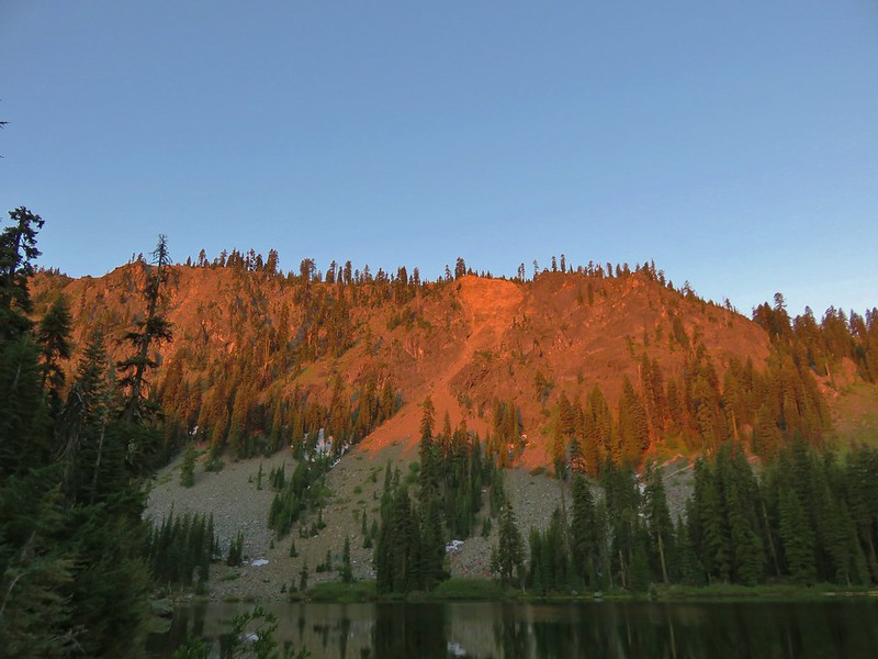
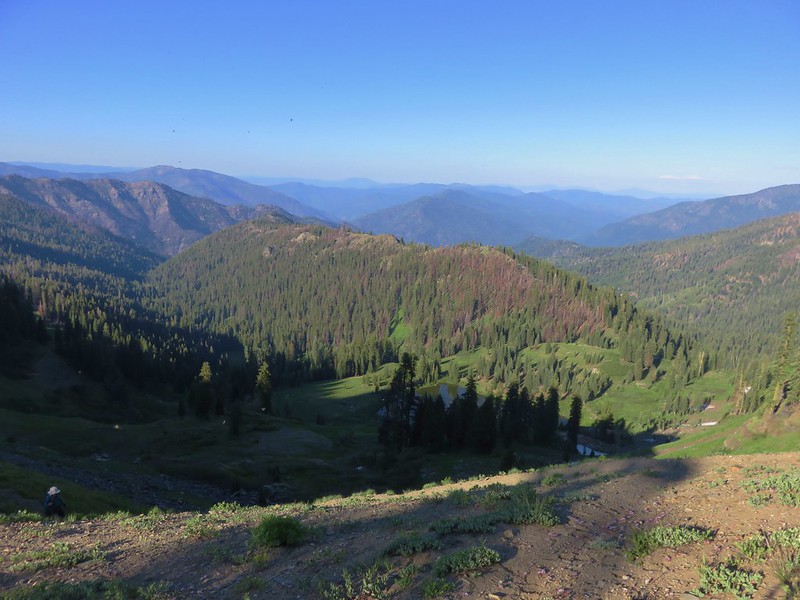
We left Packwood, WA a little before 5am and stopped at Sunrise Point just before 5:45am to catch the tail end of the actual sunrise.

Alpenglow on Mt. Rainier.


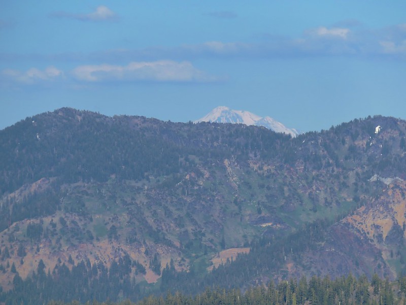
Mt. Adams behind Barrier Peak

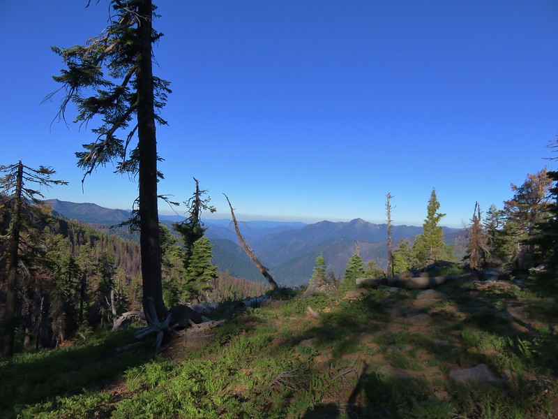
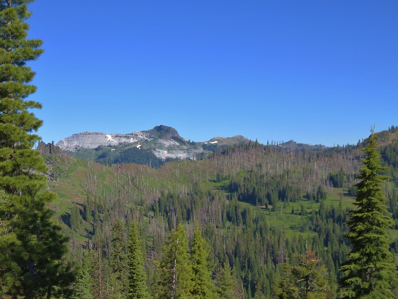
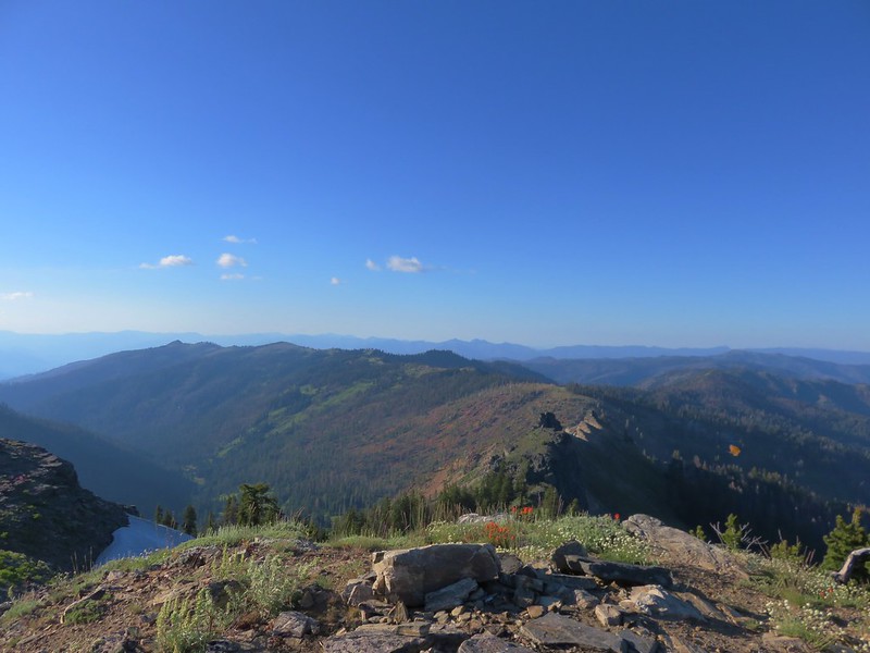
The view NE.
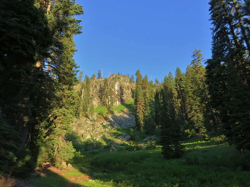
After the spectacular sunrise we continued up Sunrise Road and parked near the Sunrise Visitor Center.

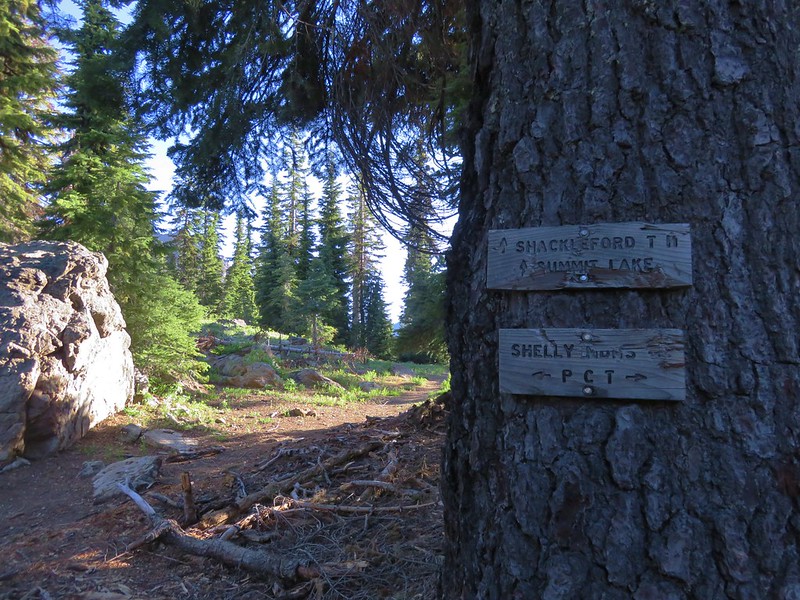
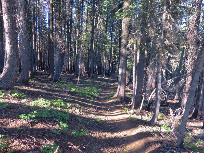
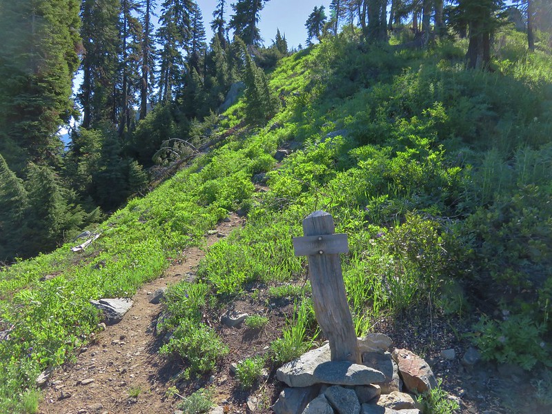
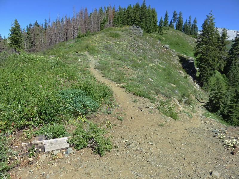
Our first visit to Mount Rainier had been a 4-day backpacking trip (post) on the Northern Loop which began from Sunrise. Our first 1.6-miles followed our route from that trip following a “Trail Access” pointer to a wide trail next to a signboard.


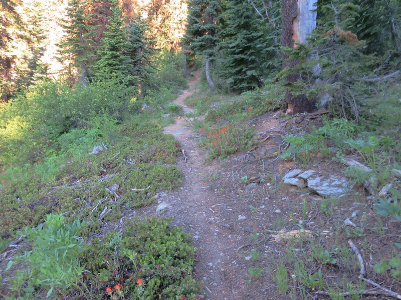
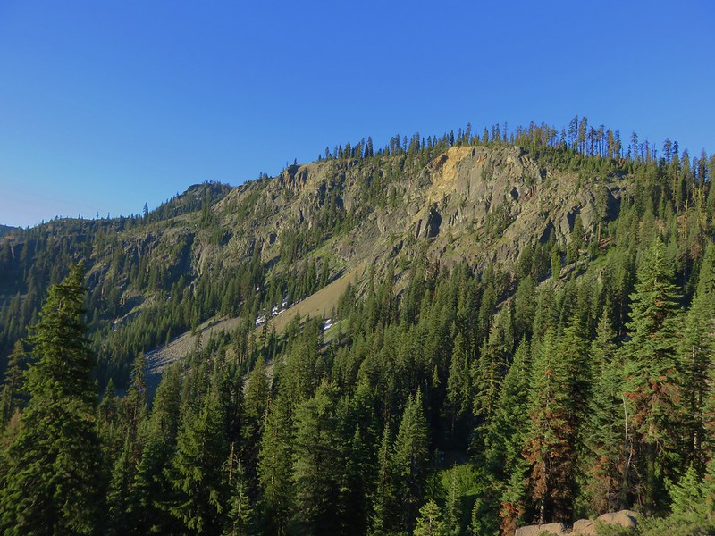
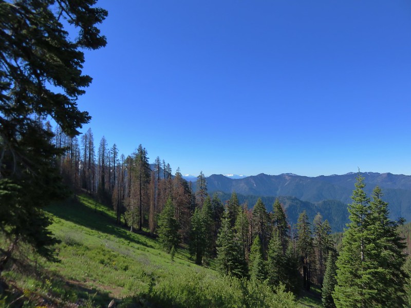
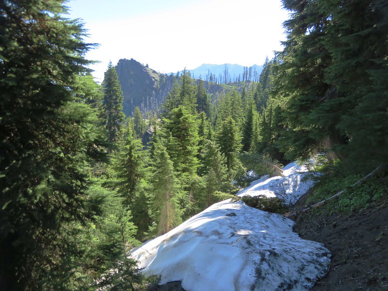
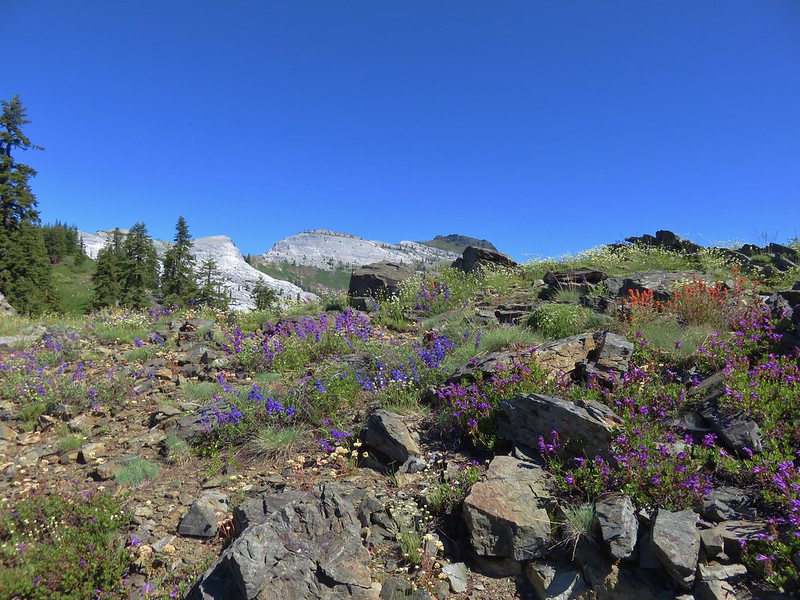
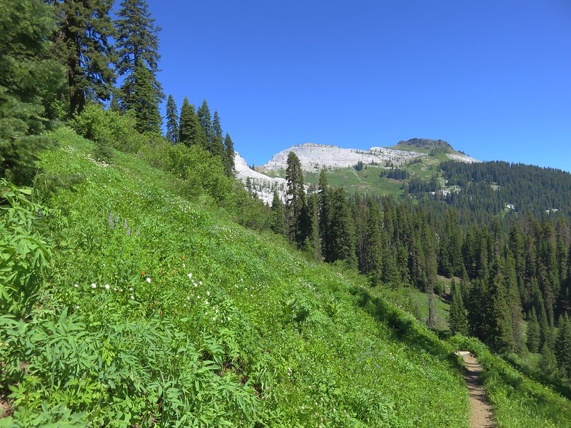
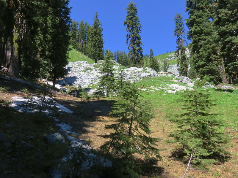
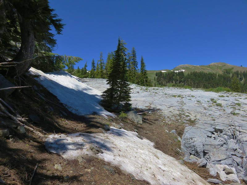
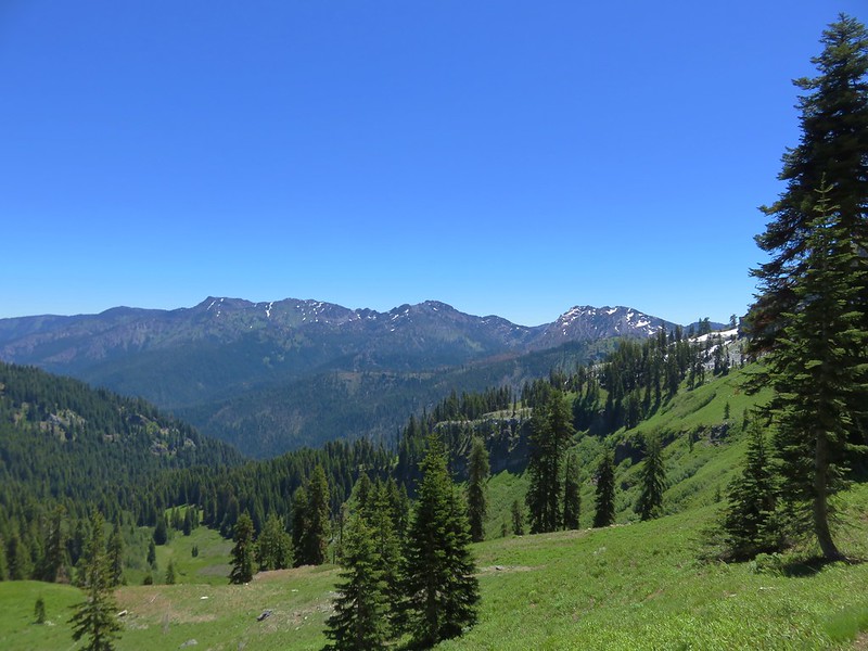
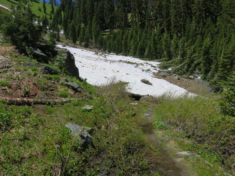
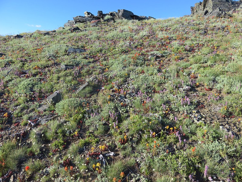
There was no fog as there had been the day before, so we had good views as we climbed through open meadows toward Frozen Lake.

Looking back at the Sunrise Day Lodge.

Western pasque flowers and Mt. Rainier.

There is good signage throughout the park.


Parry’s arnica

Pine siskin
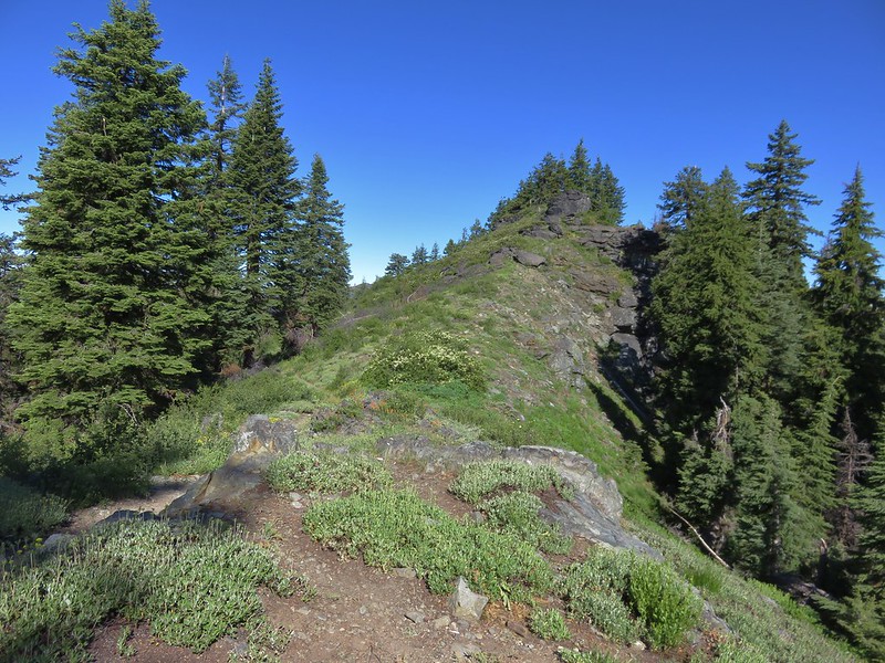
We went left when we reached the top of Sourdough Ridge.

A short distance along the ridge we were alerted to a herd of elk below in Huckleberry Basin.


There are at least seven elk visible in this photo.

A cow and three calves.
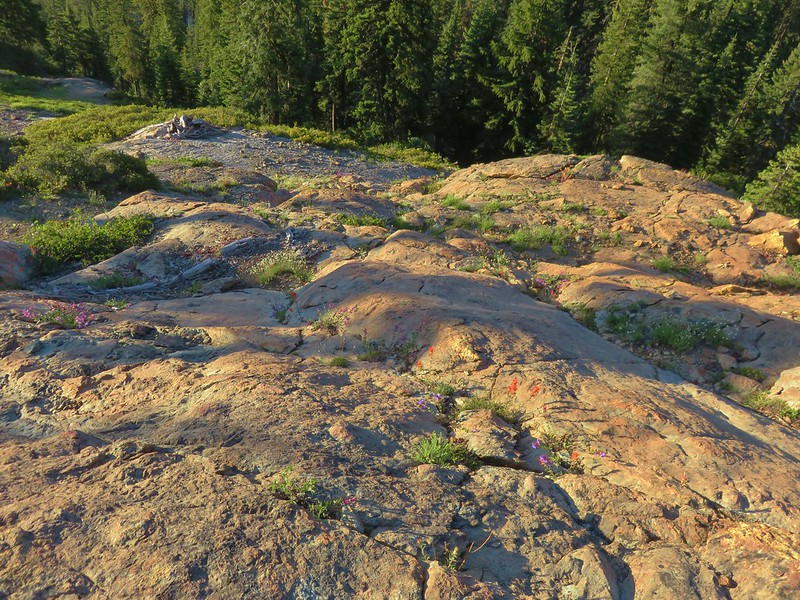
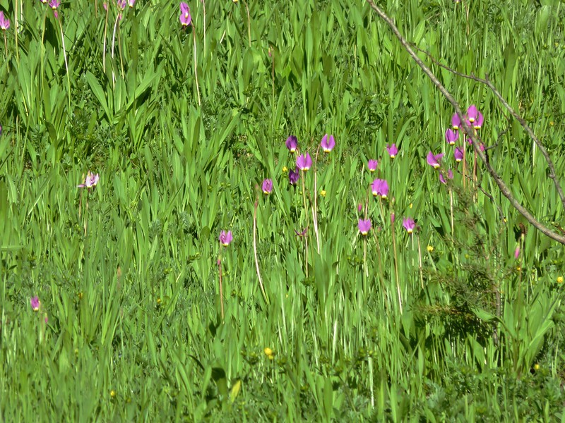
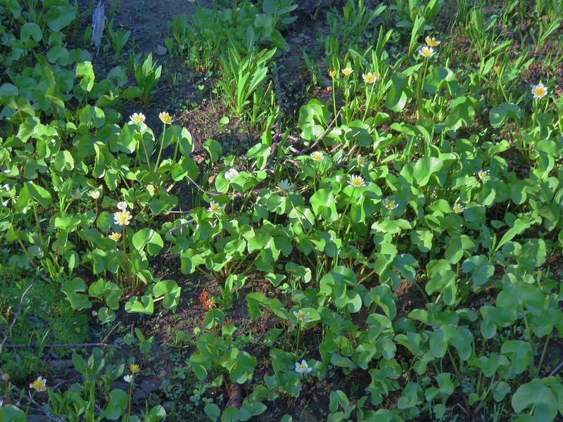
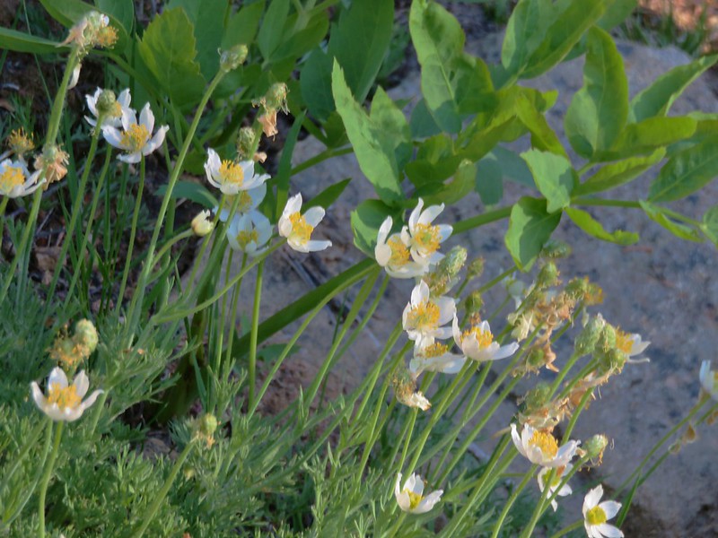
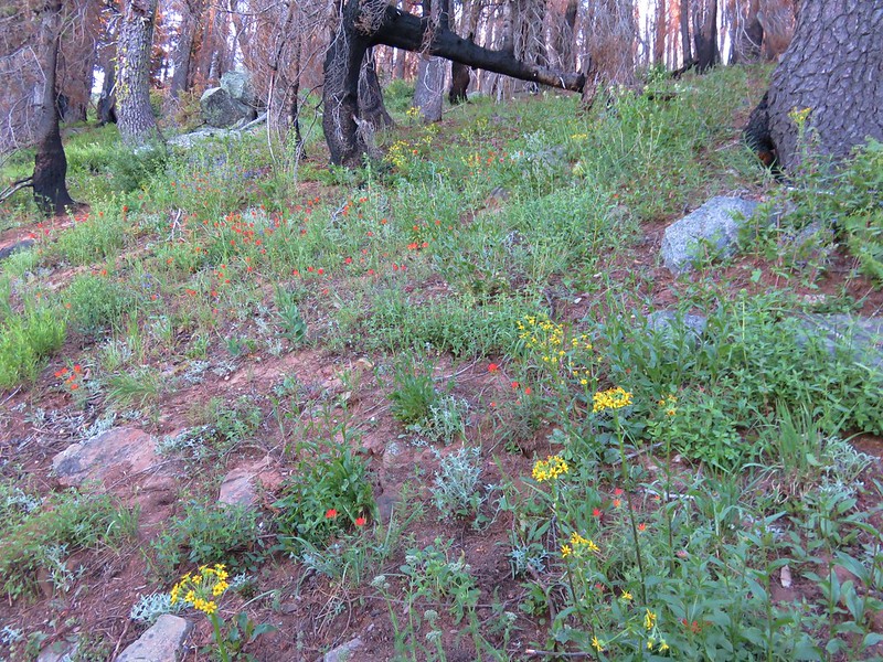
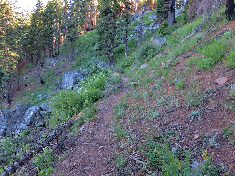
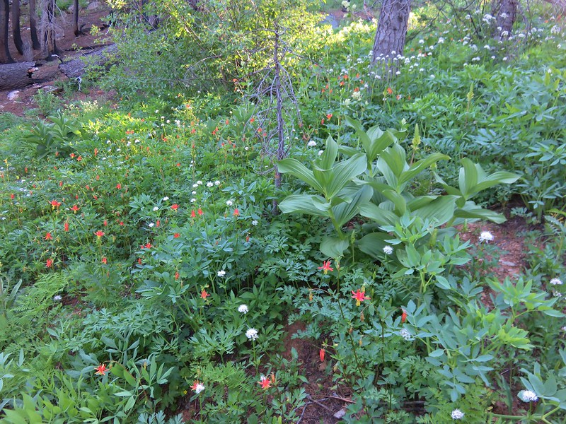
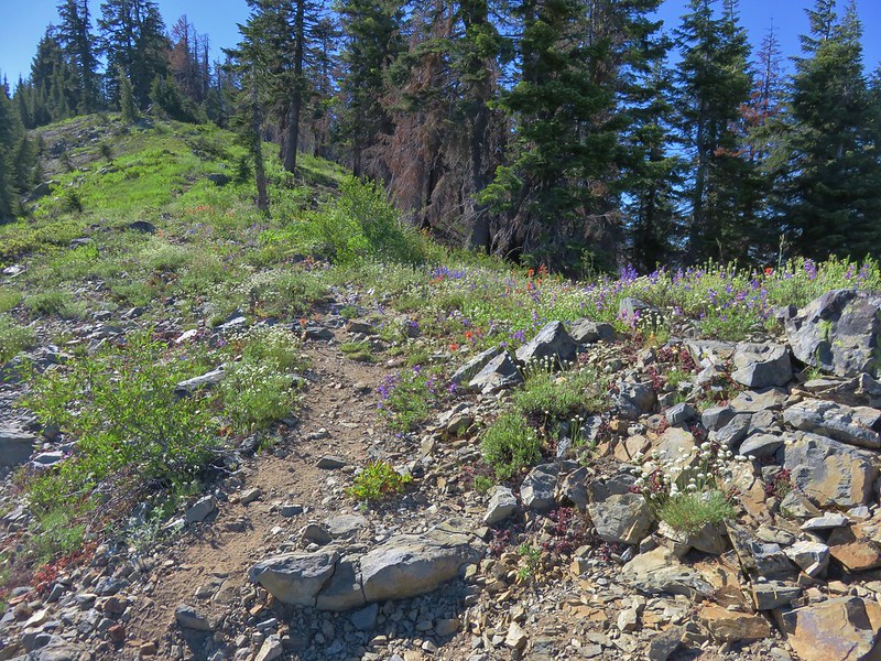
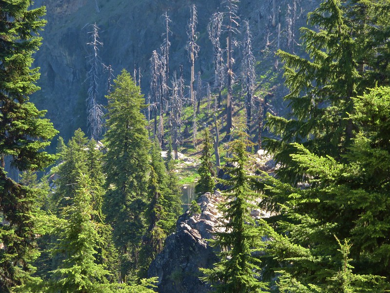
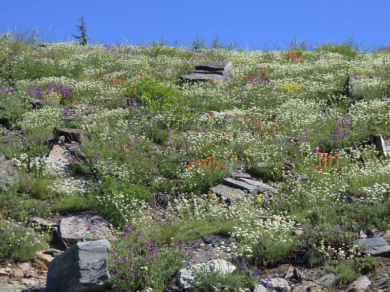
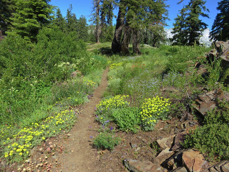
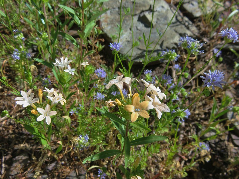
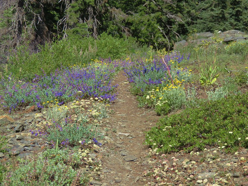
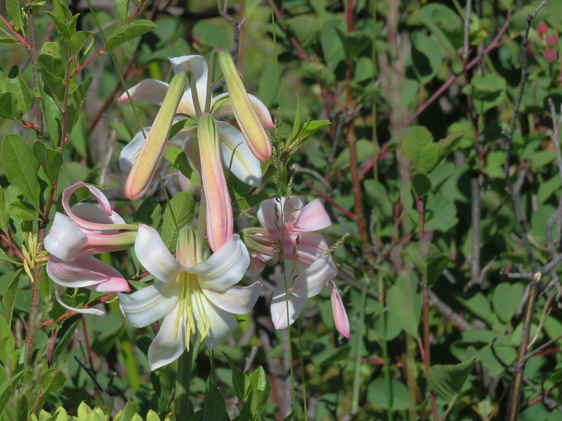
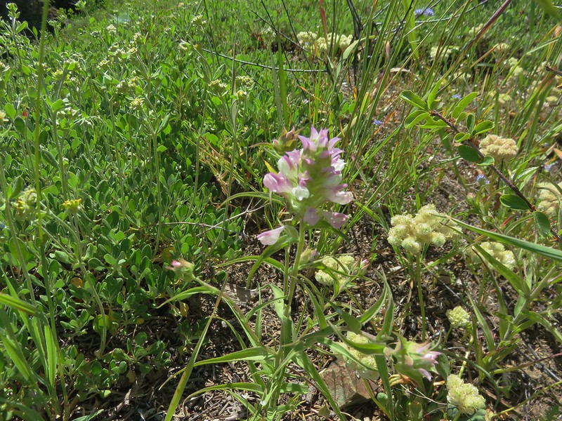
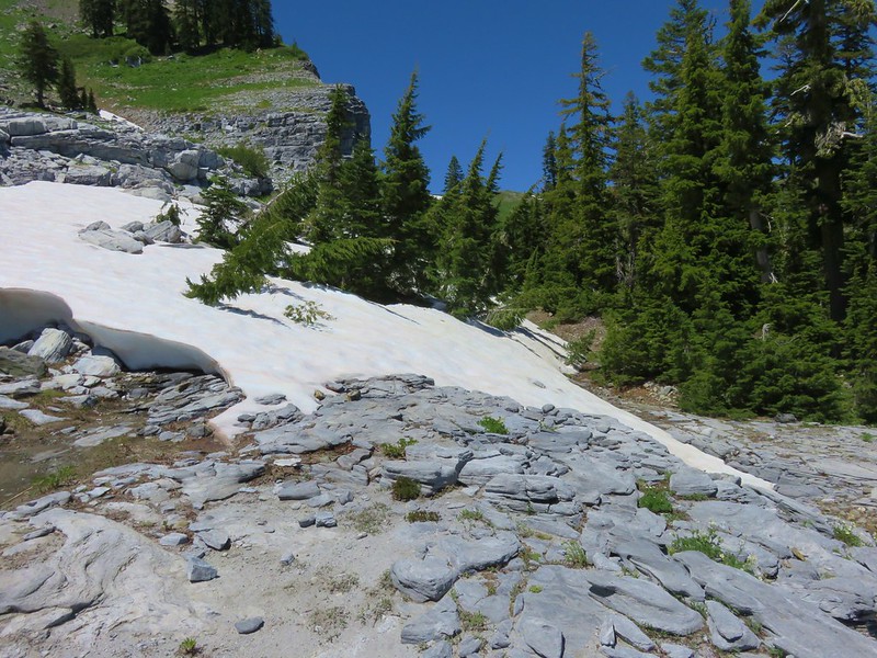
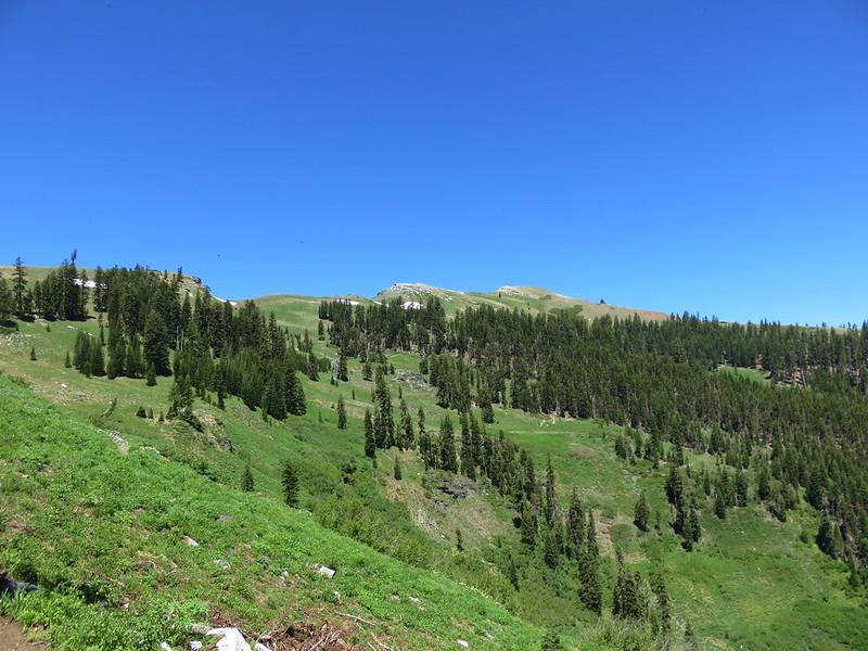
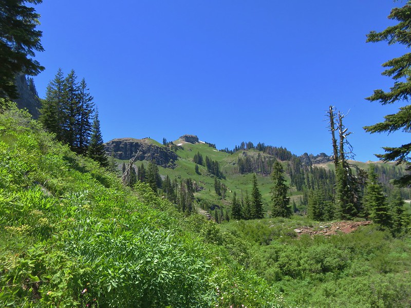
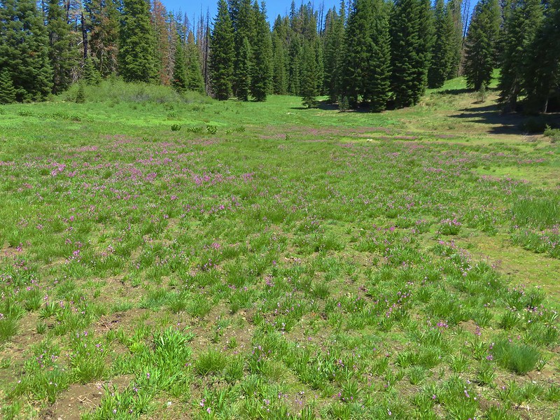
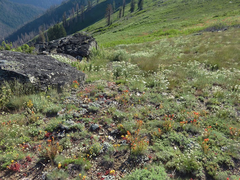
The trail climbed up along Sourdough Ridge and past Frozen Lake to a 5-way junction. The wildflowers on this side of the mountain are not as profuse as they are in the Paradise Area but there was still a nice variety of flowers in bloom.

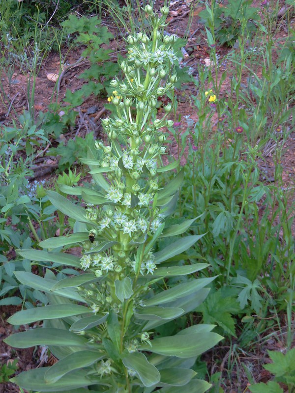
False hellebore

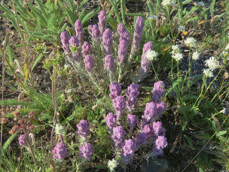
A few remaining phlox flowers.

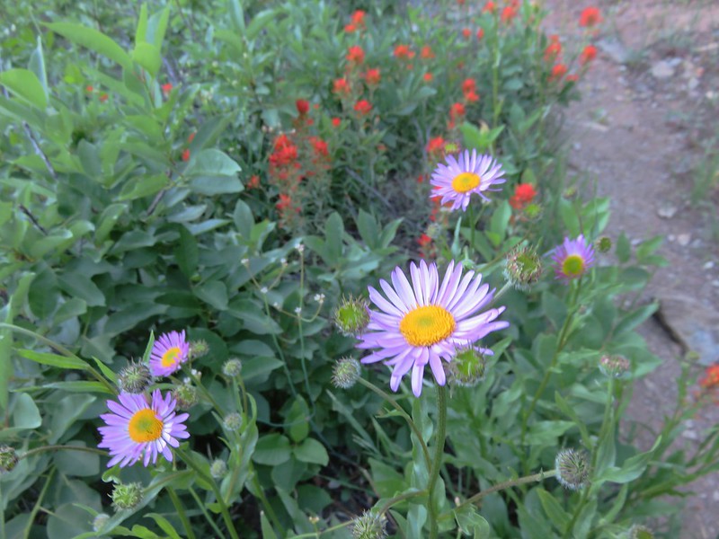
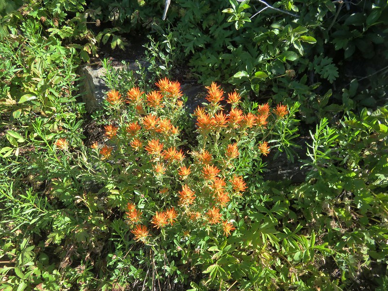
Paintbrush and aster


Rainiera


Pearly everlasting with a few paintbrush intermixed.

Harebells


Alumroot

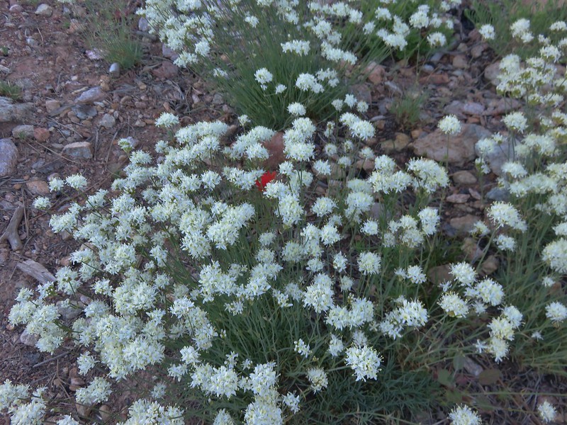
Goldenrod

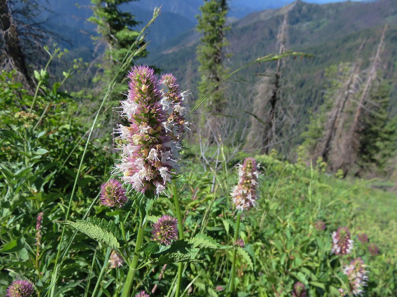
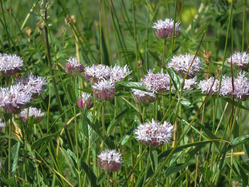
Lousewort and partridgefoot

First pika of the day.

Golden fleabane

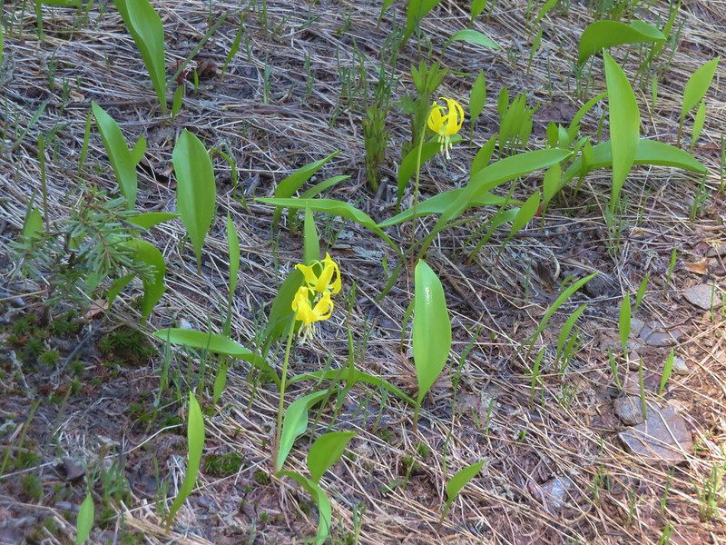
Dwarf lupine

Penstemon and alpine false dandelions.

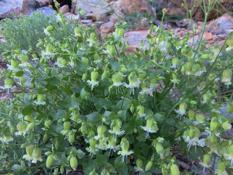
Catchfly

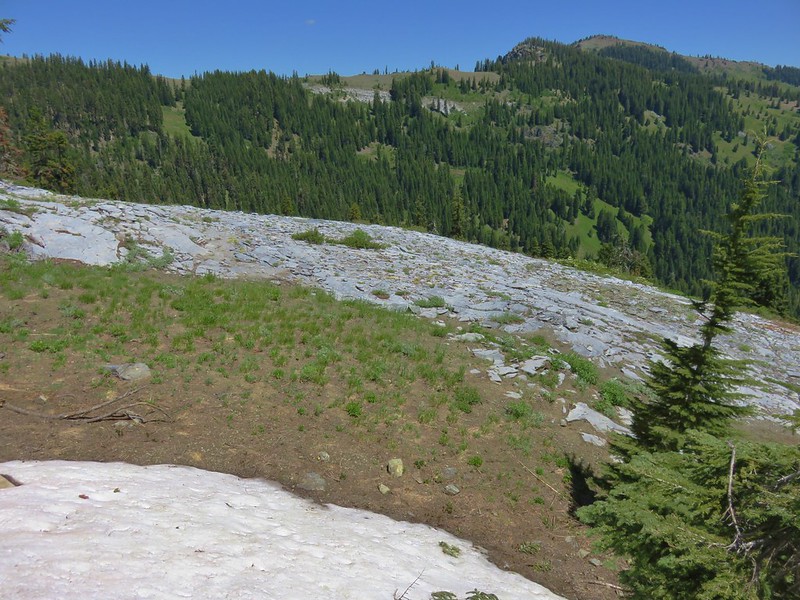
Frozen Lake which supplies water to the Sunrise area and is off-limits to visitors.

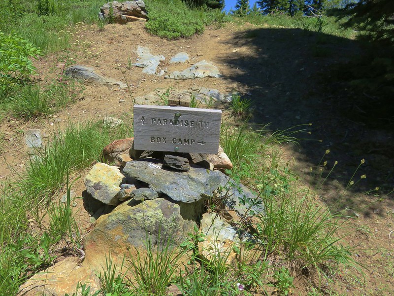
The 5-way junction. The Wonderland Trail is the first to the left and continues straight ahead. The Burroughs Mountain Trail is the second to the left heading uphill toward Mt. Rainier. To the right is the Mount Fremont Trail.
When we hiked the Northern Loop we had gone straight on the Wonderland Trail from this junction. Today’s plan was to head right to the Fremont Lookout then return to this junction and head out the Burroughs Mountain Trail returning to Sunrise via Shadow Lake.
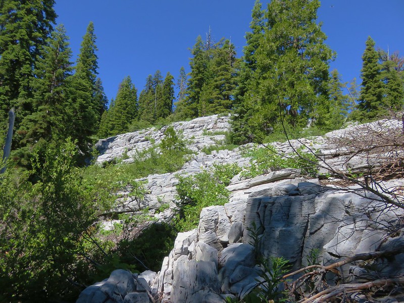
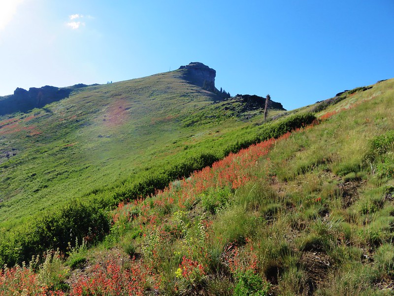
We headed for the Fremont Lookout which was 1.3-miles away. After a brief initial steep climb the trail eased up and gradually climbed along the open hillside.

We took the righthand fork.

Passing above Frozen Lake.

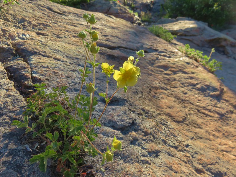
Shrubby cinquefoil

The Burroughs Mountain Trail on the far hillside.

Heading up.

Frozen Lake behind.

The Fremont Lookout at the end of the ridge ahead.
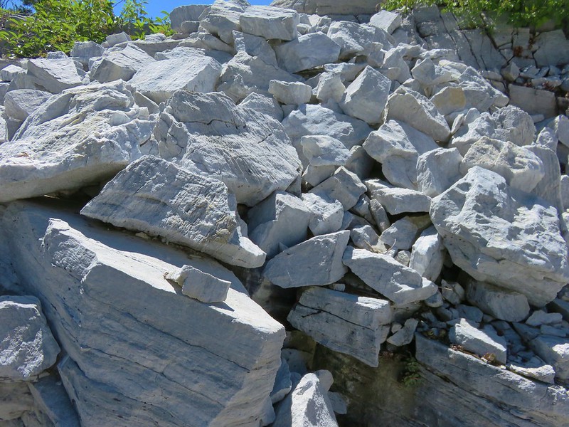
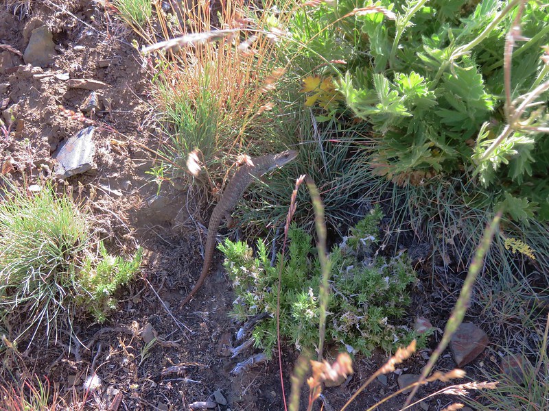
The views from this trail were impressive as was the number of pikas living along the rocky hillside.

Looking back at Mt. Rainier.

Skyscraper Mountain directly ahead.

Pika

The rock fin in the foreground was pretty cool.

Yellow-bellied marmot

Penstemon
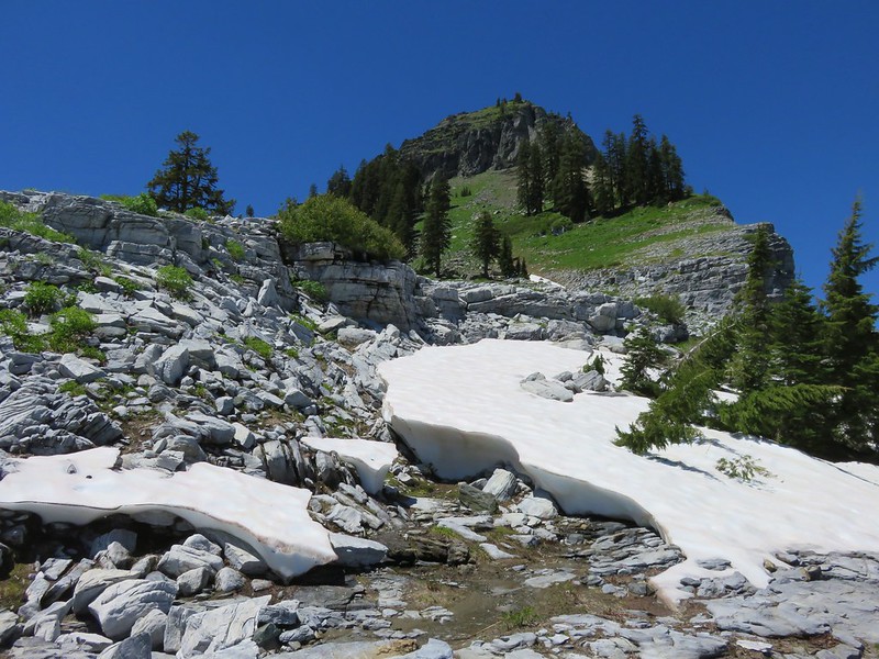
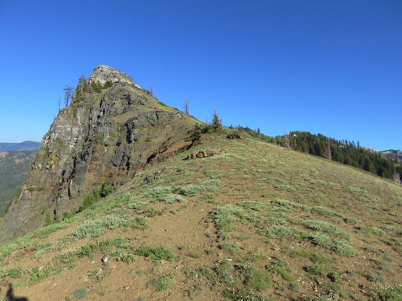
The trail eventually came to the top of the ridge as it neared the lookout.

The lookout is on the other side of the knoll ahead.
From the ridge we could see a ridge to the east where a herd of mountain goats was hanging out.


Heather pointed out this group in the rocks.

We took a break at the lookout taking in the views. It was chilly enough that we were eventually prompted to continue on.


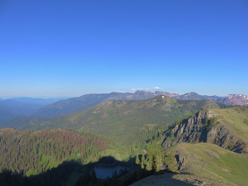
Mount Rainier from the Fremont Lookout. Berkley Park is the green area below where the Northern Loop Trail climbs up to meet the Wonderland Trail.

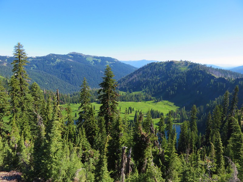
The West Fork White River (post) below to the left. The plateau to the right is Grand Park (post).

The Mount Fremont Trail along the hillside with Little Tahoma to the right.

Chipmunk. Always begging but we will not be swayed. Please do not feed the animals no matter how cute they are.

Golden-mantled ground squrriel

Rocky Mountain goldenrod and alpine sandwort.

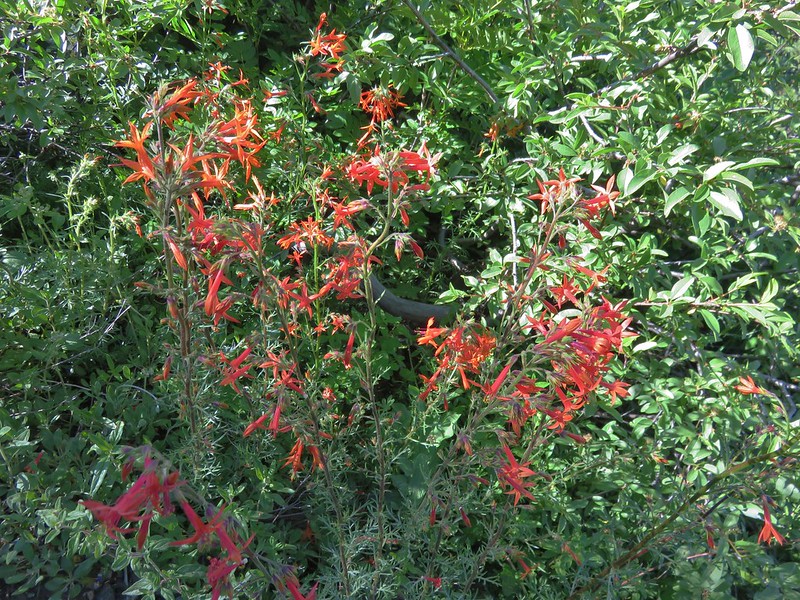
Paintbrush

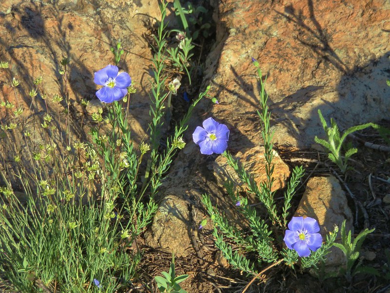
Talus collomia
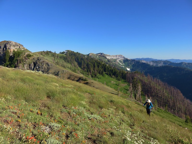
We made our way back down to the Burroughs Mountain Trail and began another 1.3-mile climb to Second Burroughs Mountain.


Bird’s beak lousewort

Cusick’s speedwell and white mountain heather.

Mt. Rainier beginning to come into view.

Looking across at the Mount Fremont Trail. The lookout is visible on the left shoulder of the middle peak.


Mount Rainier and Second Burroughs Mountain from First Burroughs Mountain.
I had gotten ahead of Heather and missed a mountain goat that peered over the hillside above her on the trail.

Our return trail, the Sunrise Rim Trail, met the Burroughs Mountain Trail on First Burroughs Mountain.


Berkeley Park from First Burroughs.
The Burroughs Mountain Trail dropped to a saddle between First and Second Burroughs Mountains then made a relatively steep climb to the top of Second Burroughs Mt.

Looking back at the saddle.

Heading up Second Burroughs.

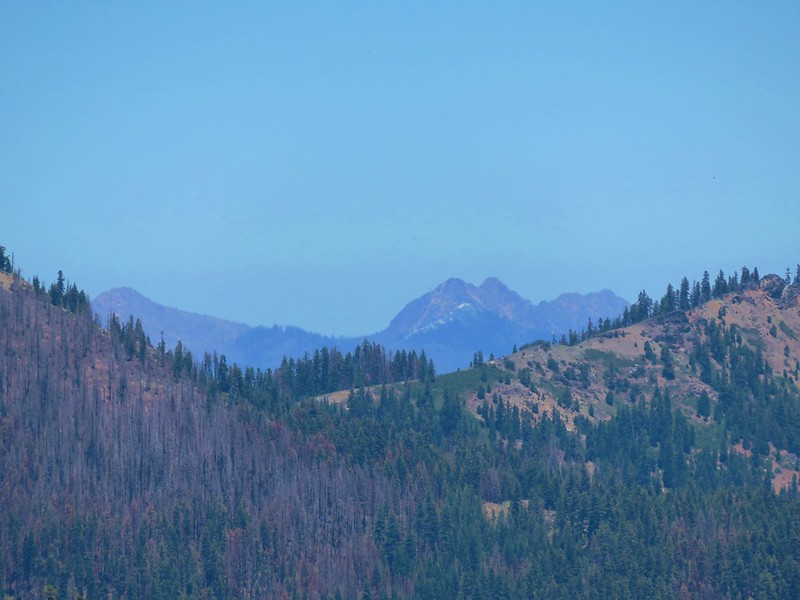
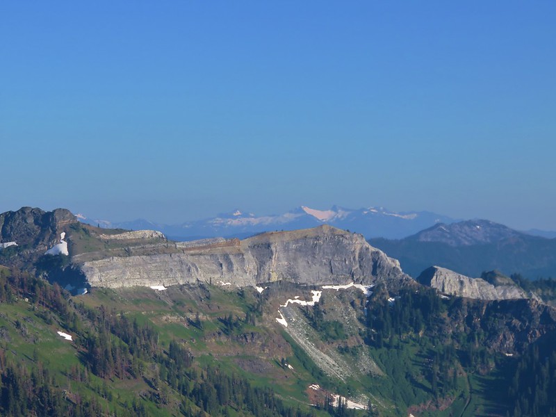
The Goat Rocks (post) to the south.

Gilbert Peak, Goat Citadel, Littel Horn, Chimney Rock and Old Snowy Mountain in the Goat Rocks Wilderness.

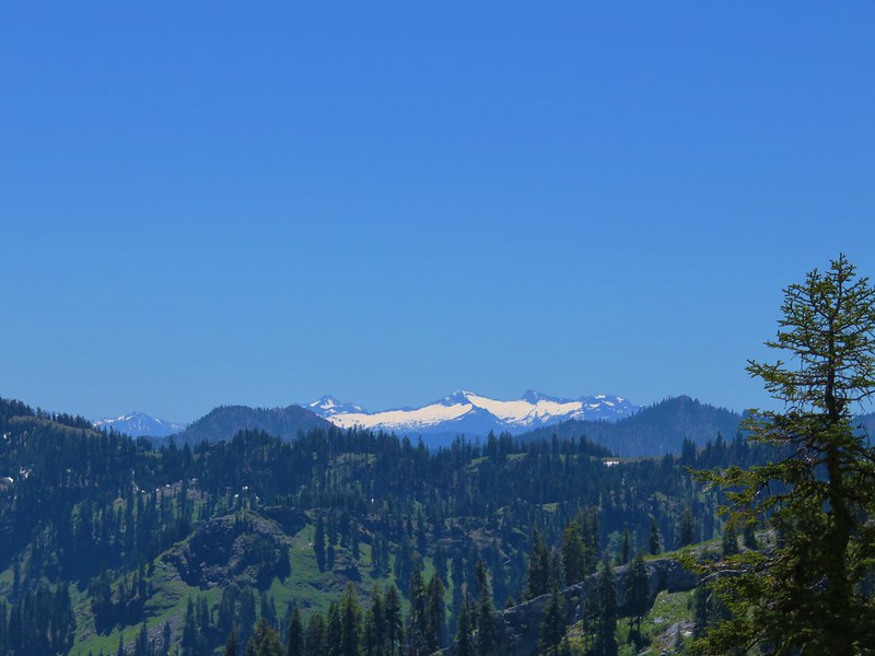
Glacier Peak to the north beyond the Fremont Lookout.

All of my maps showed the Burroughs Mountain Trail dropping down from Second Burroughs and steeply descending to the Inter Fork River below Glacier Basin, however a trail does extend to Third Burroughs Mountain. That would have added three miles and over 1150′ of cumulative elevation gain to the day. That would have been tempting had we not already hiked up to the lookout, but since we had and we had another three days of hiking ahead of us we declared victory at Second Burroughs.

First Burroughs and the Inter Fork.

Emmons Glacier

Old Desolate Mountain to the left and Sluiskin Mountain to the right.

Bench on Second Burroughs.

Not sure if this is a thrush or something else (Merlin thought it was a horned lark but that doesn’t look right at all.)
After a nice break on Second Burroughs we headed back to First Burroughs and the Sunrise Rim Trail.


Pink mountain heather

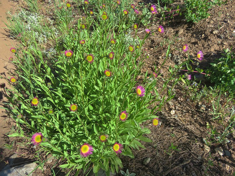
Tundra aster

Lenticular cloud forming over Mt. Rainier.

The Sunrise Rim Trail junction.
We turned right on the Sunrise Rim Trail. This trail descended for 1.4-miles to the Wonderland Trail near Sunrise Camp and Shadow Lake.


A buckwheat

The lenticular cloud was growing.

Lupine and lousewort covered the hillside in spots.

Goldenrod and yarrow


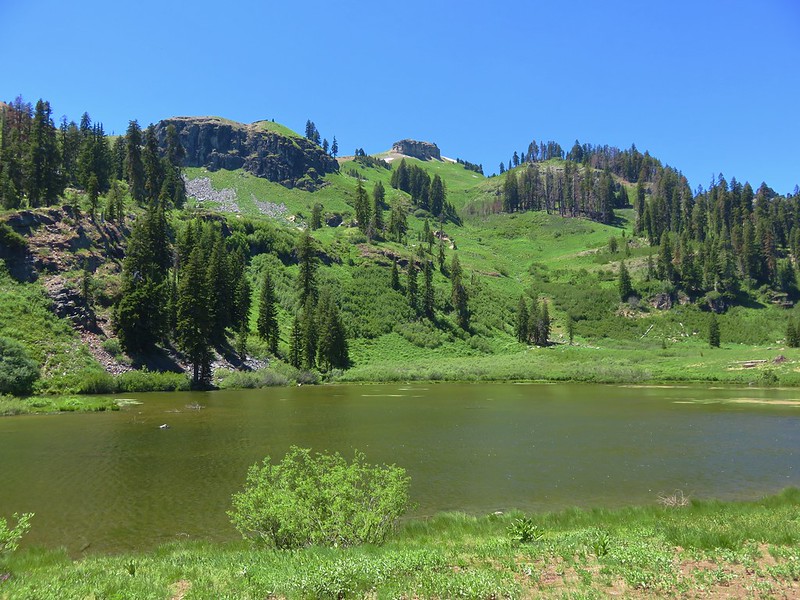
As far as I can tell this unnamed lake isn’t shown on any maps.

Silverback luina


Dwarf mountain ragwort

Narrow sepal phacelia

Sourdough Ridge ahead.

Aster

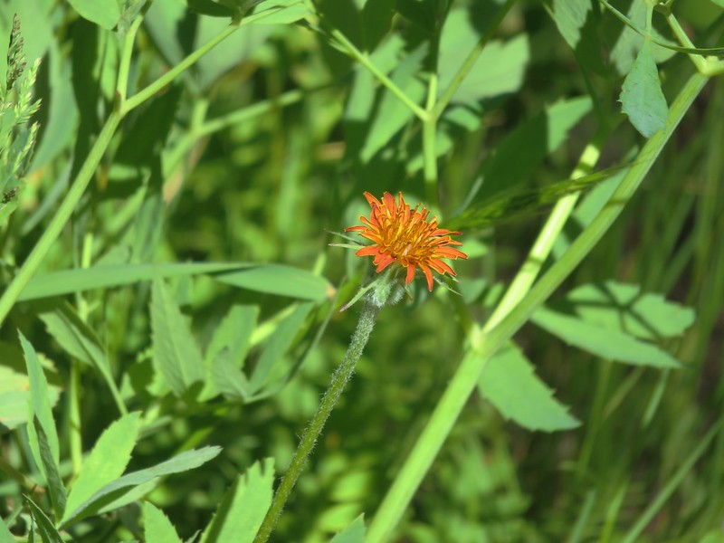
Orange agoseris


Checkerspot
As we neared the Wonderland Trail we reentered the tree line where the wildflower display really picked up.


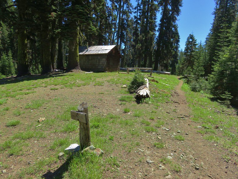
Sunrise Camp below along with the Wonderland Trail.

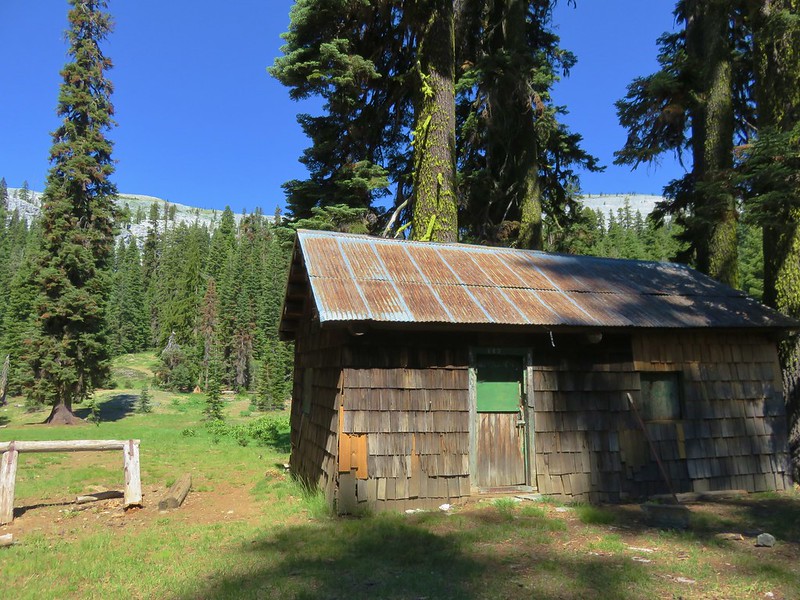
Old cabin near Sunrise Camp.

The Wonderland Trail heading toward Frozen Lake.
A short distance beyond Sunrise Camp we arrived at Shadow Lake.


Bistort and other flowers at Shadow Lake.

Lupine and elephants head

Shadow Lake
We stayed on the Wonderland Trail for another 0.7-miles beyond Shadow Lake then forked left for 0.6-miles to return to the Sunrise parking area.


Cinquefoil


More clouds forming. As nice as it was today Wednesday’s forecast called for showers all day with a chance of thunderstorms in the afternoon.

Clark’s nutcrackers

We forked left a second time at a junction with the Silver Forest Trail.

Sunrise Visitor Center
After dropping off our packs we took a moment to explore the Visitor Center before heading back to Packwood.


This was interesting although neither of us had it in us to actually attempt to jump.
This hike clocked in at 9.3-miles with a little over 2000′ of elevation gain.

This was another amazing hike with huge views, plenty of wildflowers, and a lot of wildlife. It was also less crowded than the Paradise Area had been. I don’t know if that is a result of the timed entry reservation system or simply our choice of trails but there were plenty of moments of solitude during this hike. We had an early dinner at Cruiser’s Pizza back in Packwood (they have a full menu in addition to pizza) and worked on finalizing our plan for Wednesday’s hikes. With rain showers in the forecast for the entire day we did some shuffling of our planned hikes and made Wednesday a waterfall Wednesday. We were happy with our new schedule for the remainder of the week and were looking forward to the rest of the hikes. Happy Trails!