It has become a tradition to spend the first half of our 4th of July hiking. This year we revisited the rocky viewpoint on Browder Ridge which we had previously hiked to via the Gate Creek Trail on 9/18/2012 (post). This time around we decided to start at the Browder Ridge Trailhead based on Matt Reeder’s hike description in his 101 Hikes in the Majestic Mount Jefferson Region guidebook.
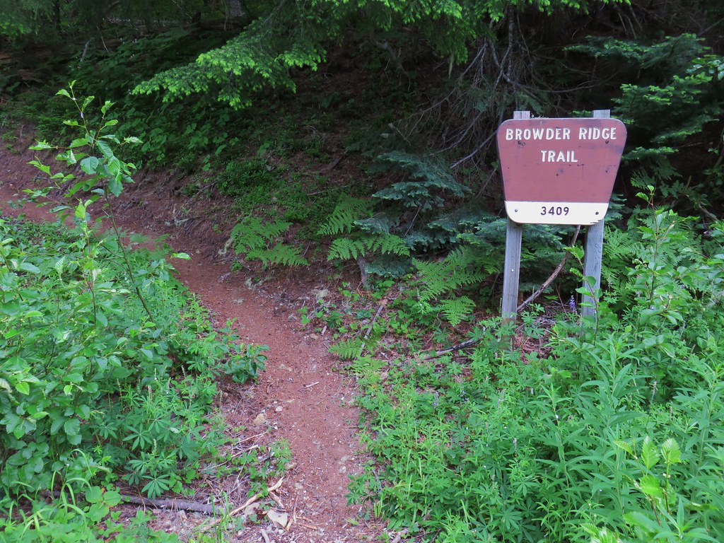
The Browder Ridge Trail set off from paved Forest Road 15 near a small parking area.
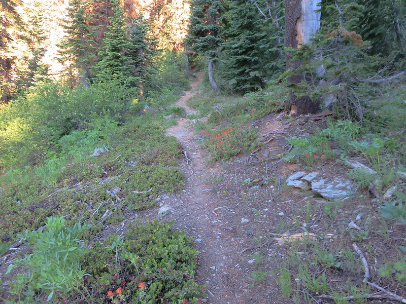
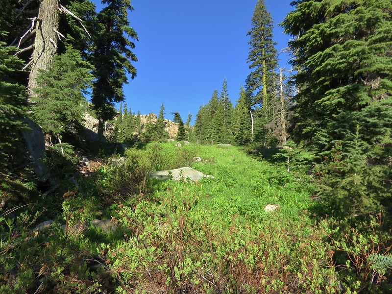
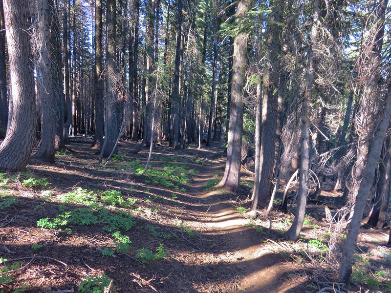
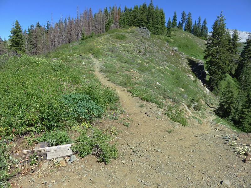
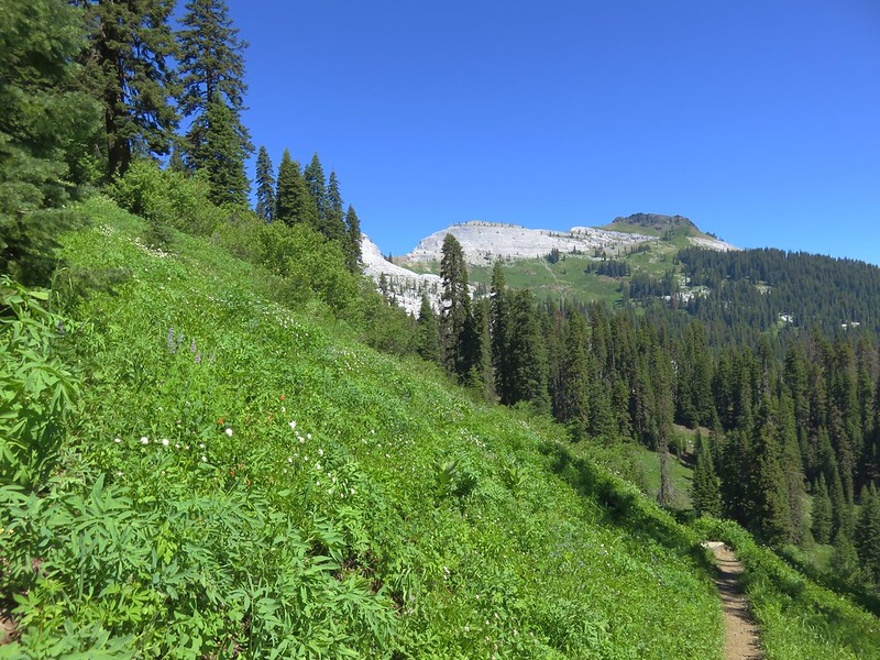
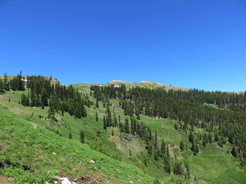
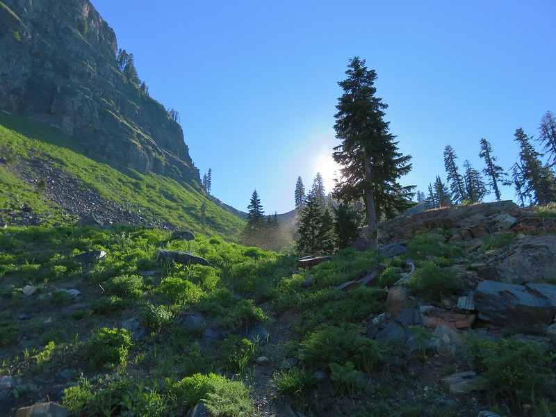
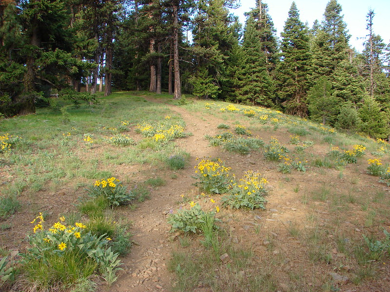
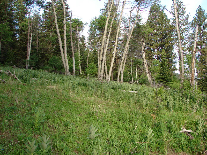
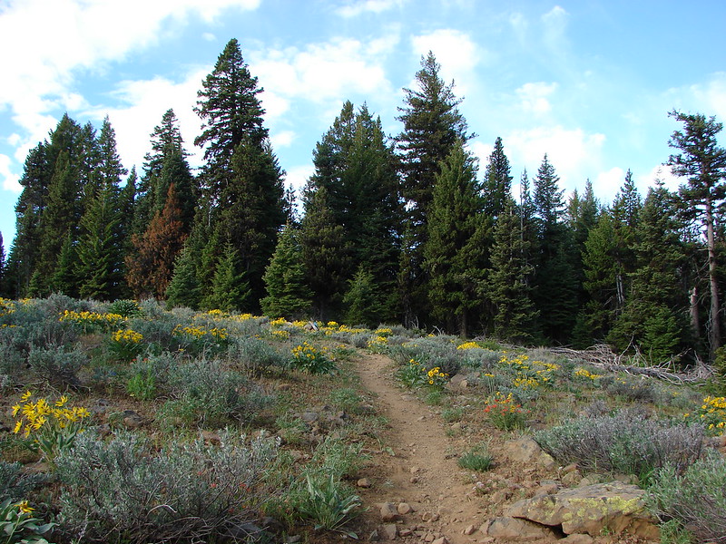
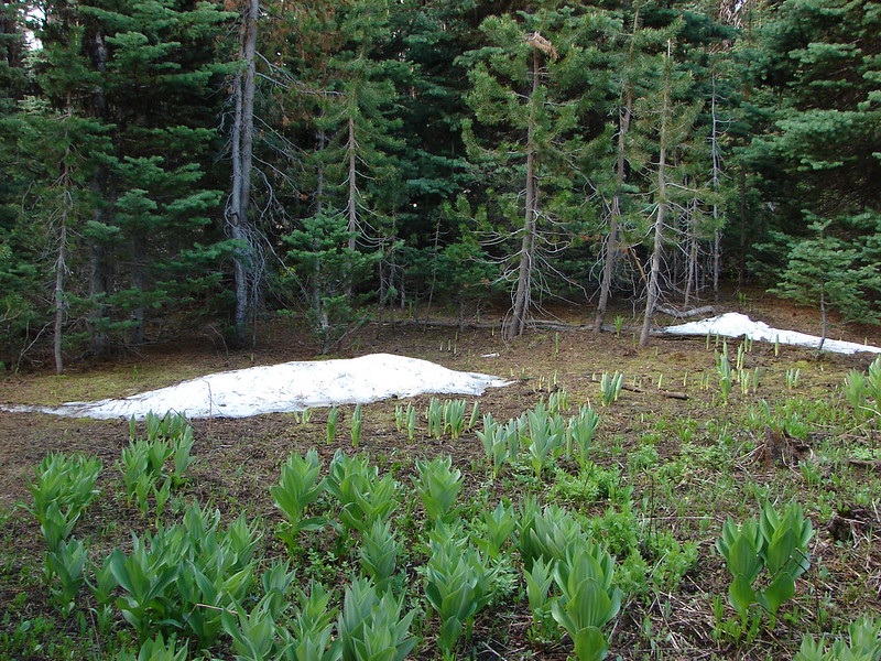
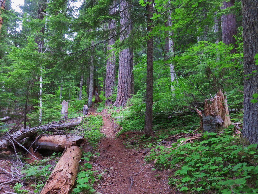
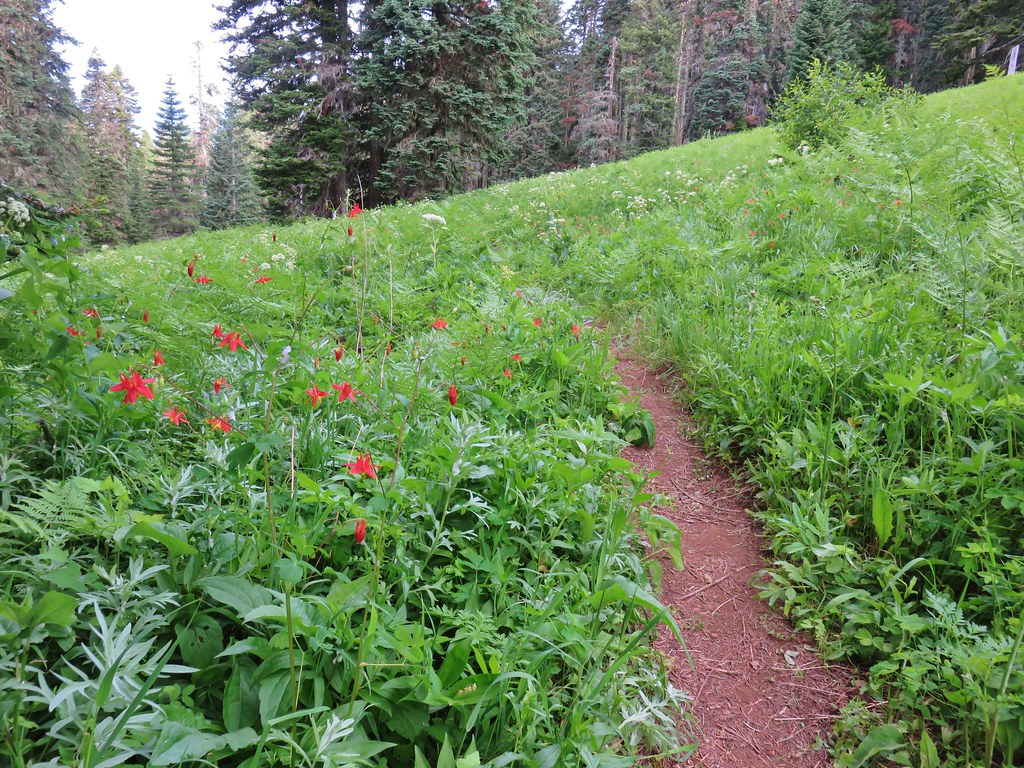
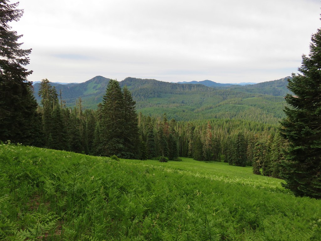
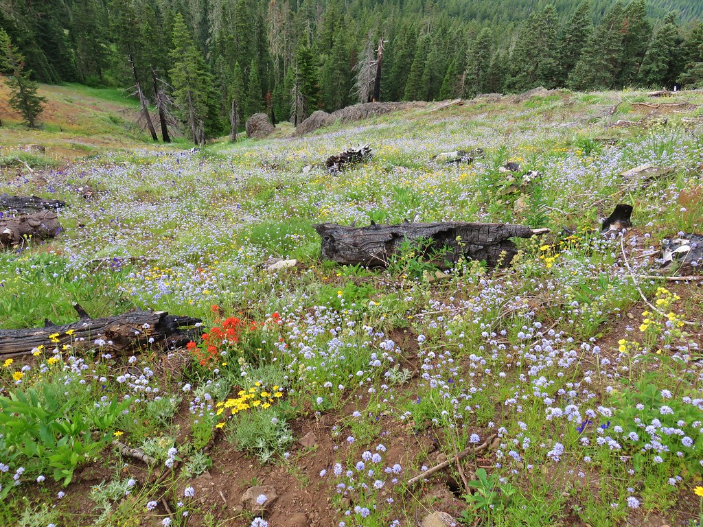
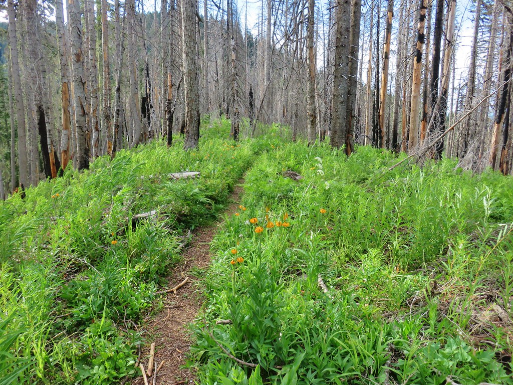
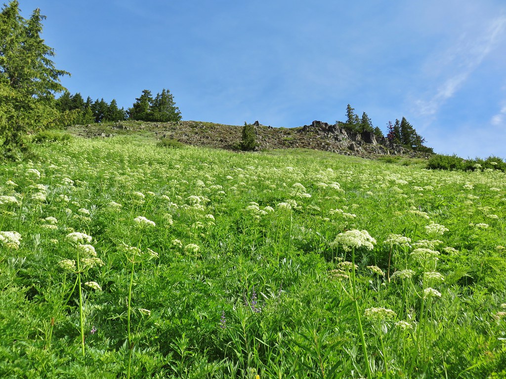
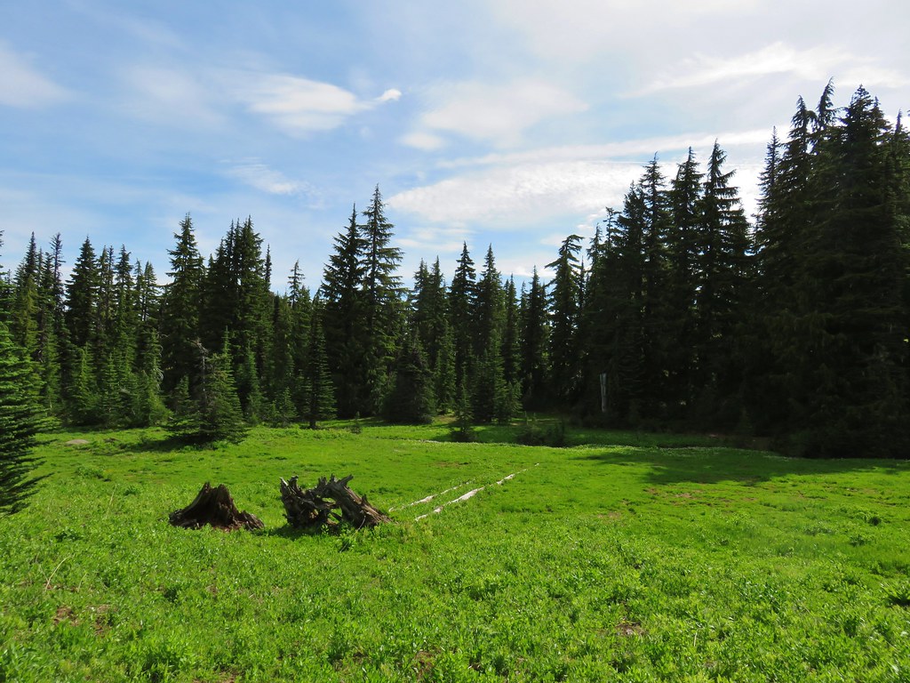
The trail climbed gently through a forest for the first half mile before steepening as it entered a series of large meadows.

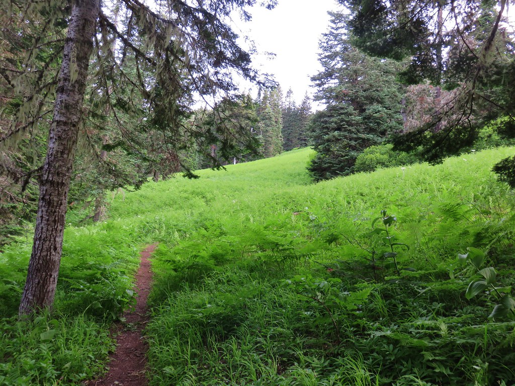
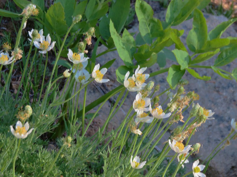
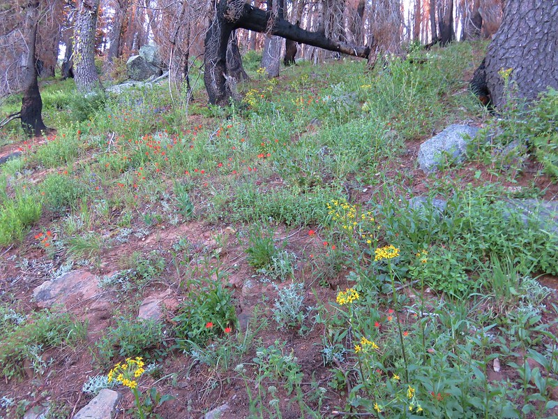
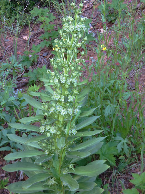
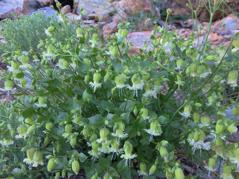
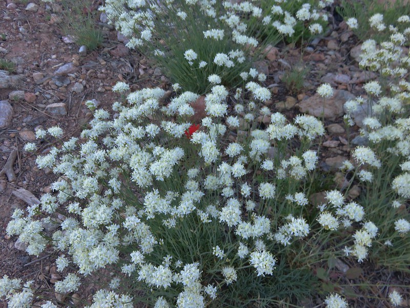
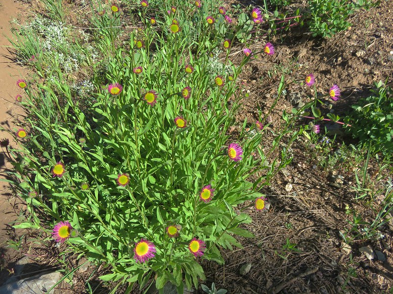
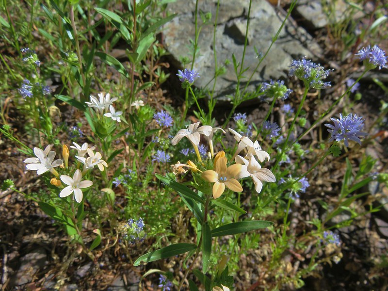
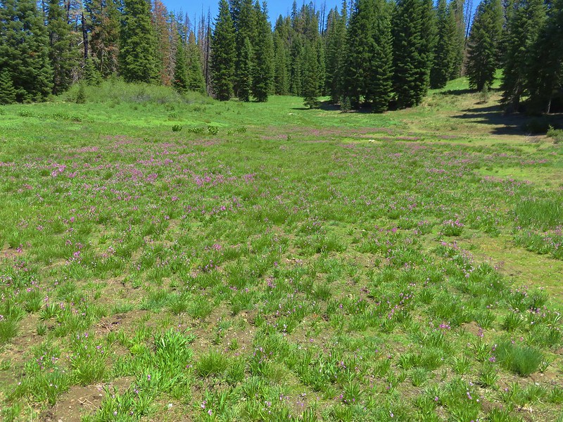
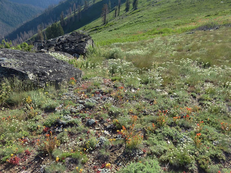
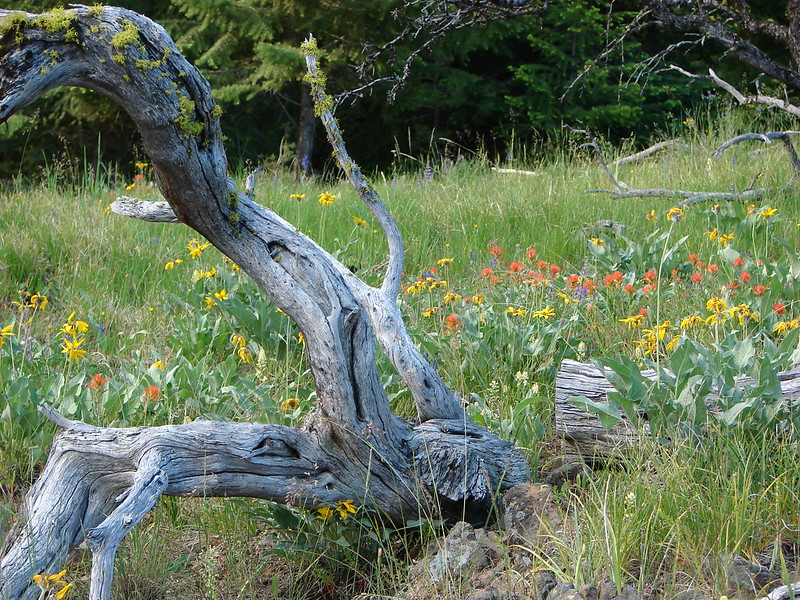
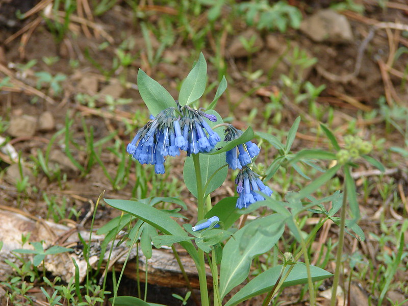
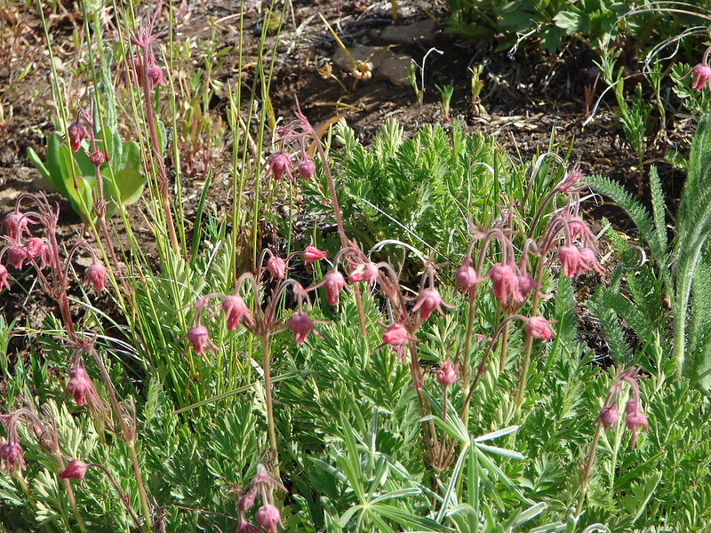
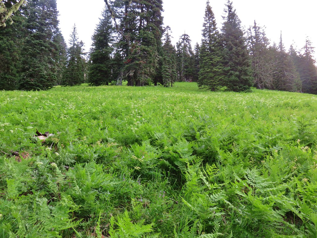
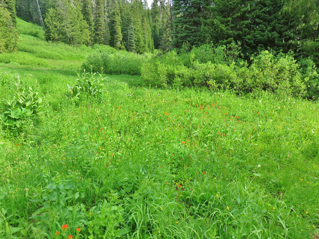
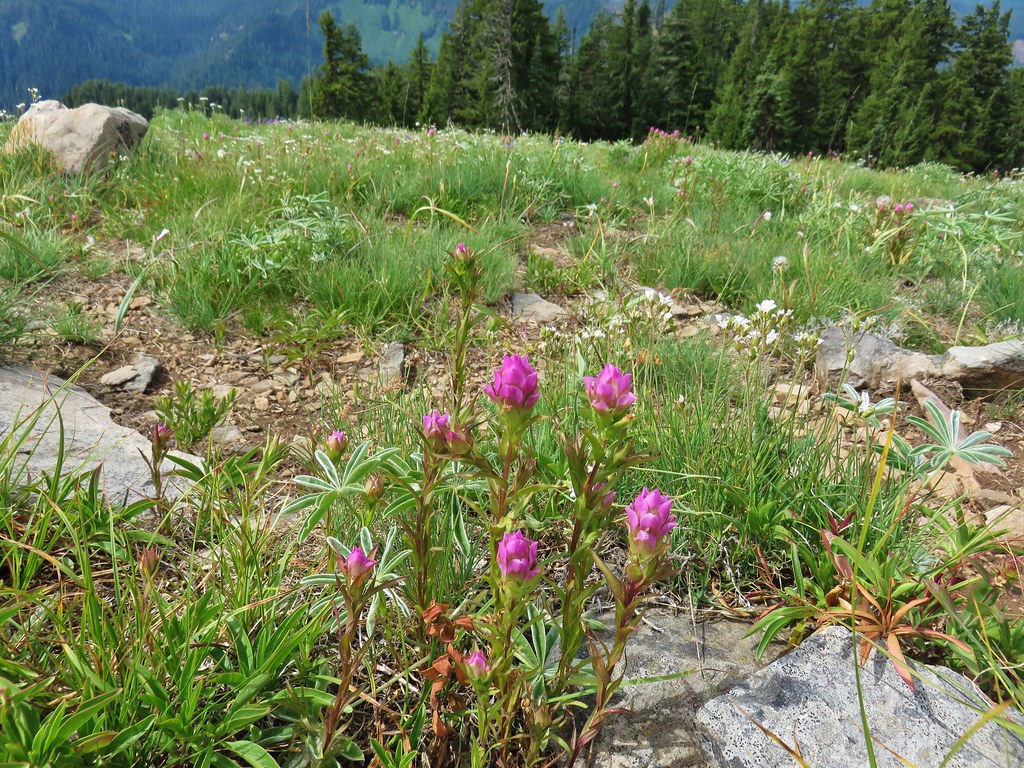
These lower meadows were filled with ferns and a smattering of wildflowers.
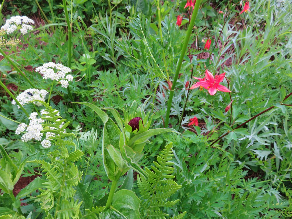 Cone flower and columbine
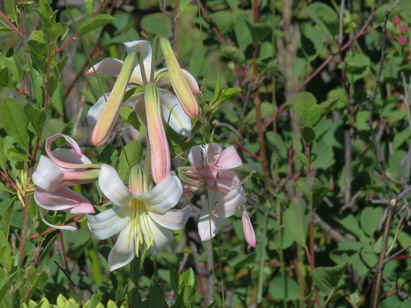
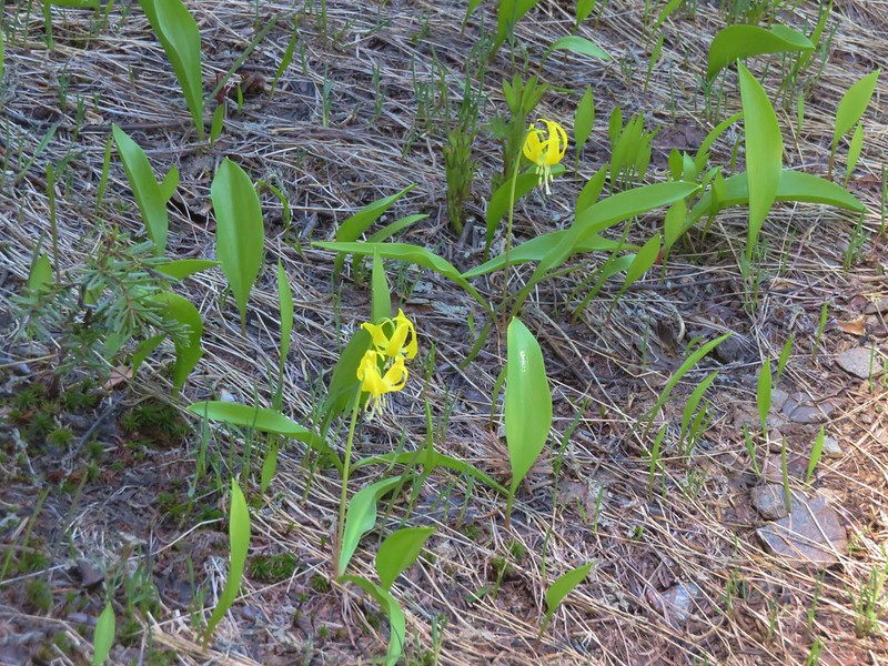
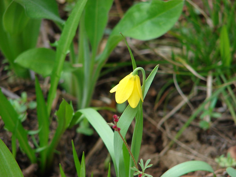
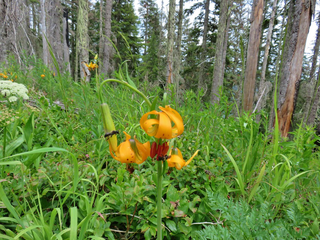
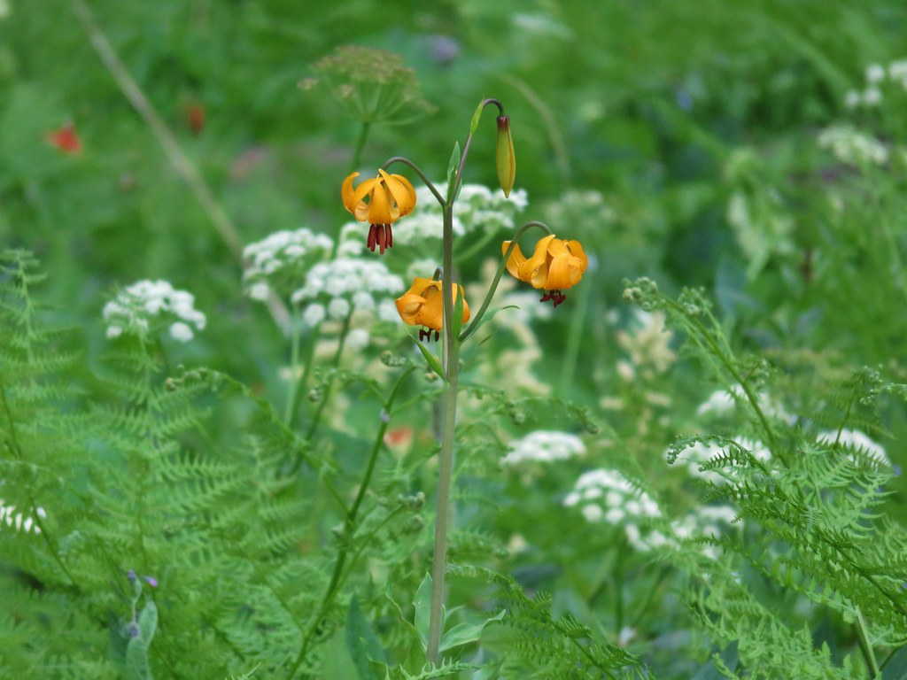 Tiger lily
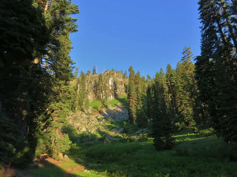
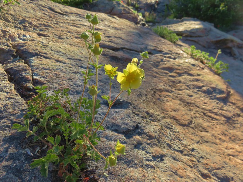
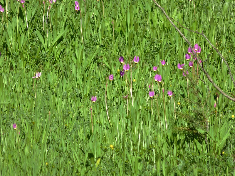
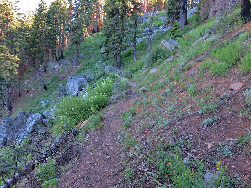
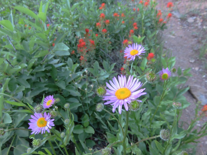
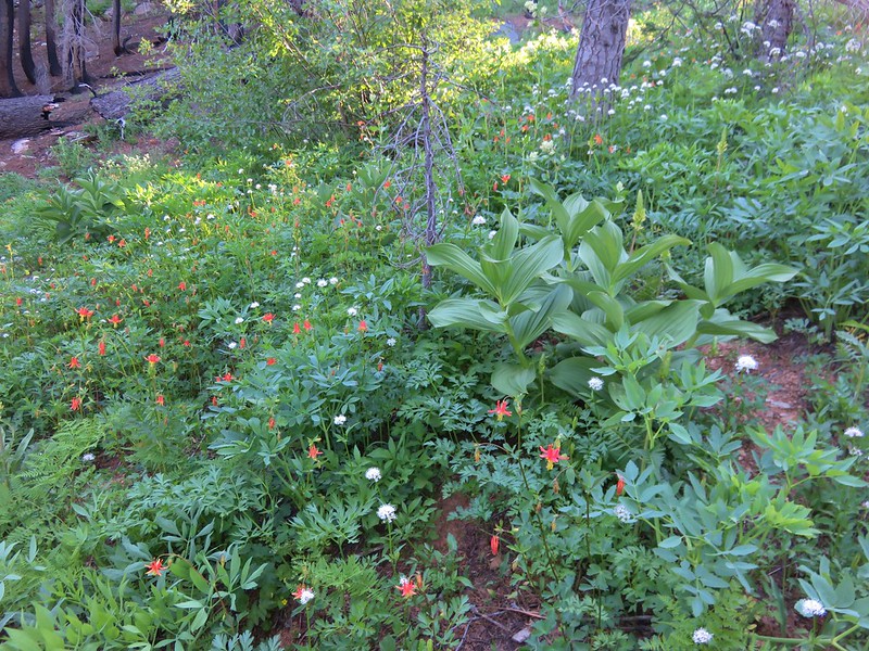
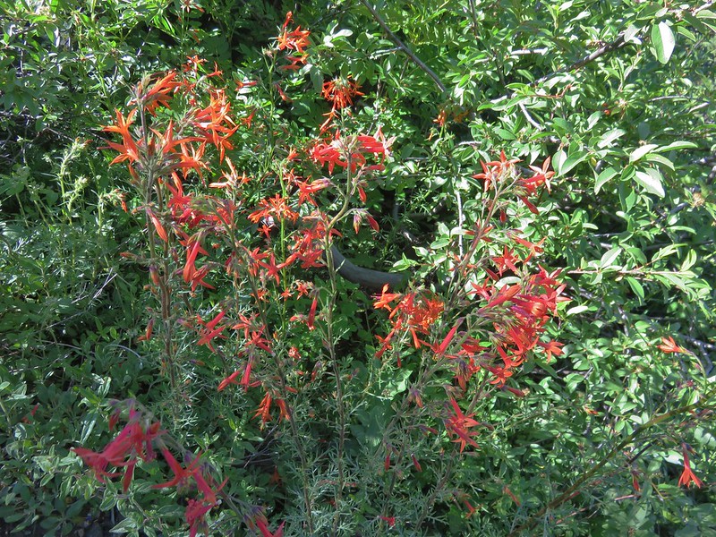
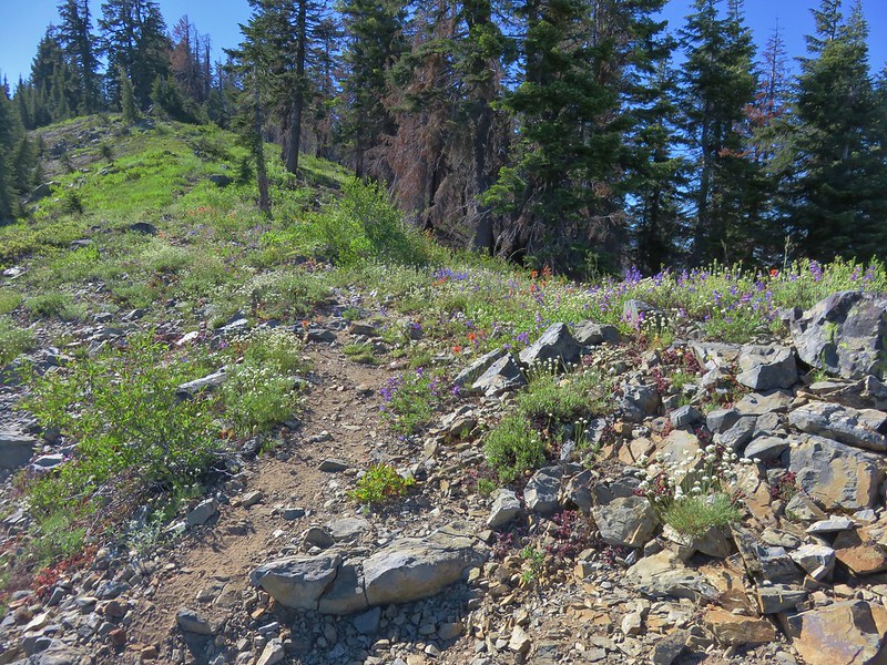
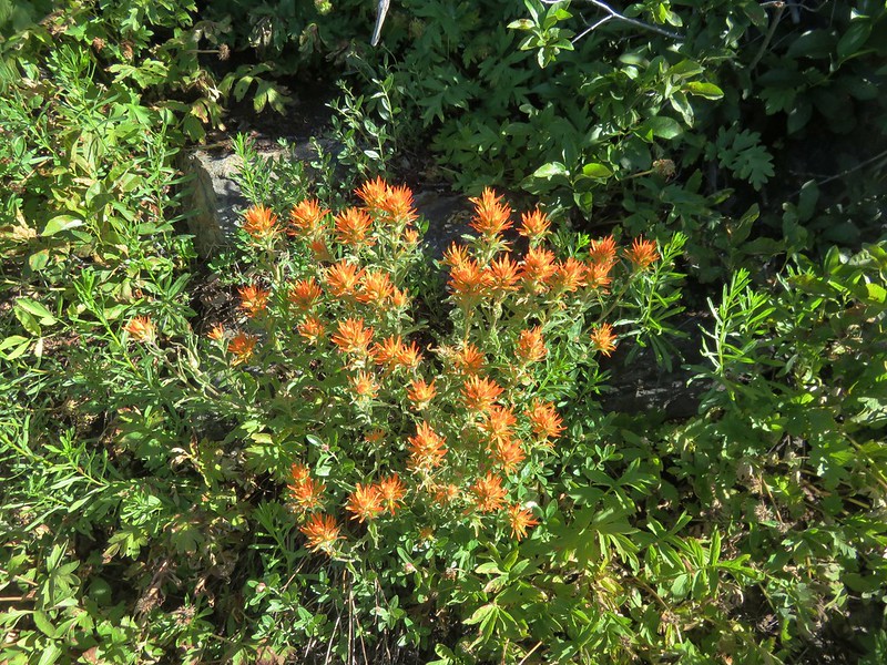
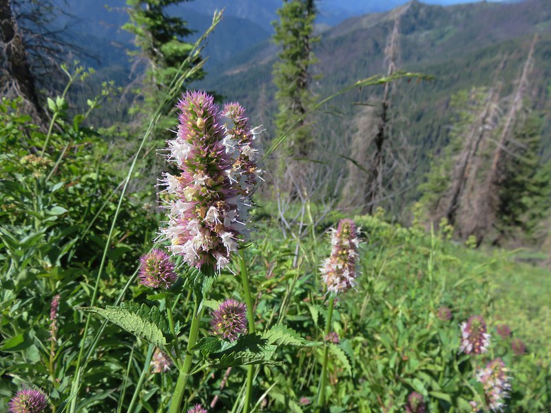
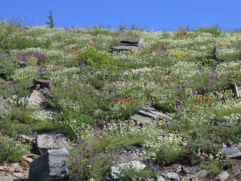
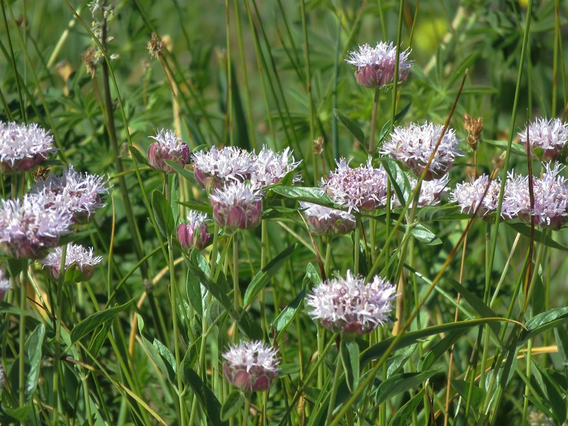
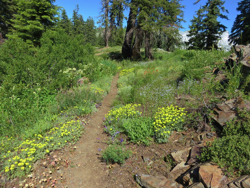
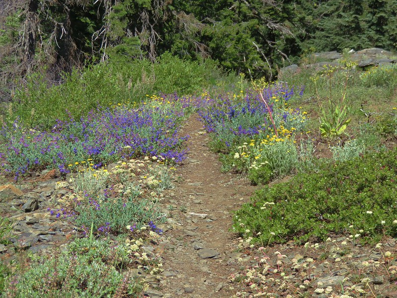
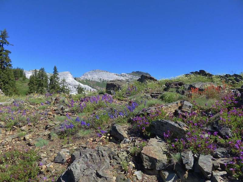
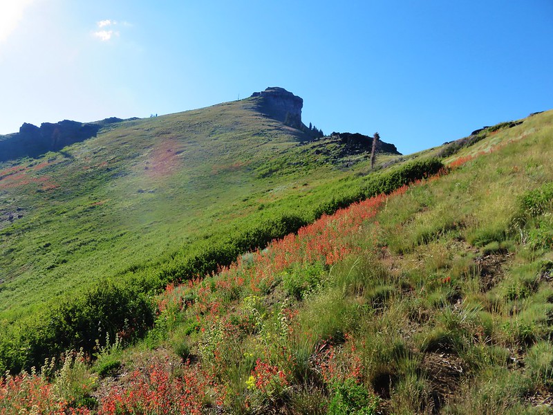
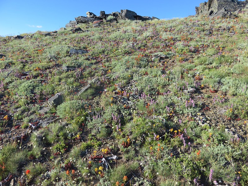
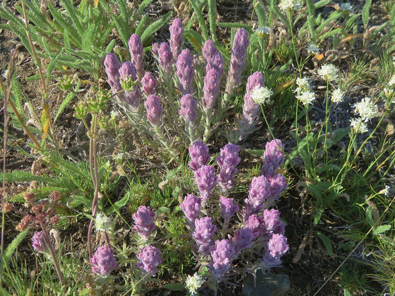
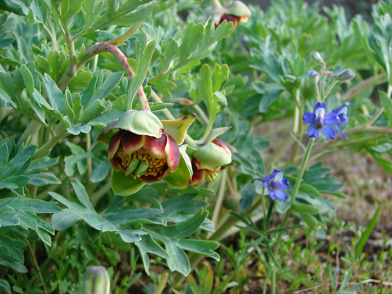
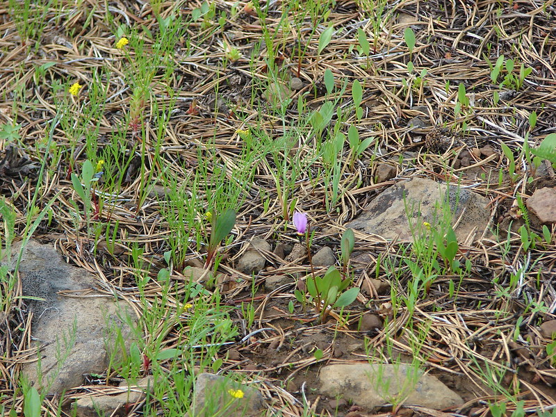
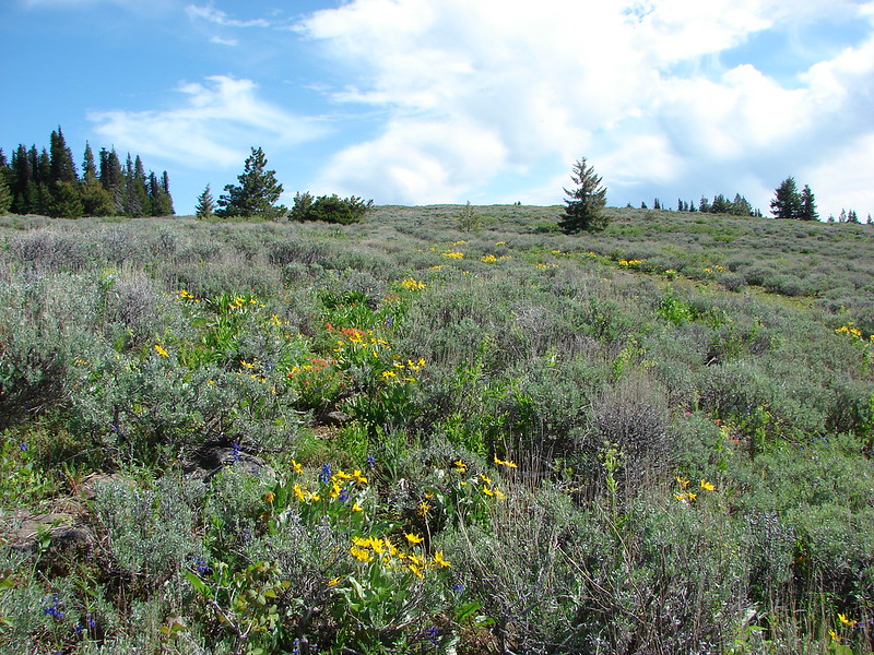
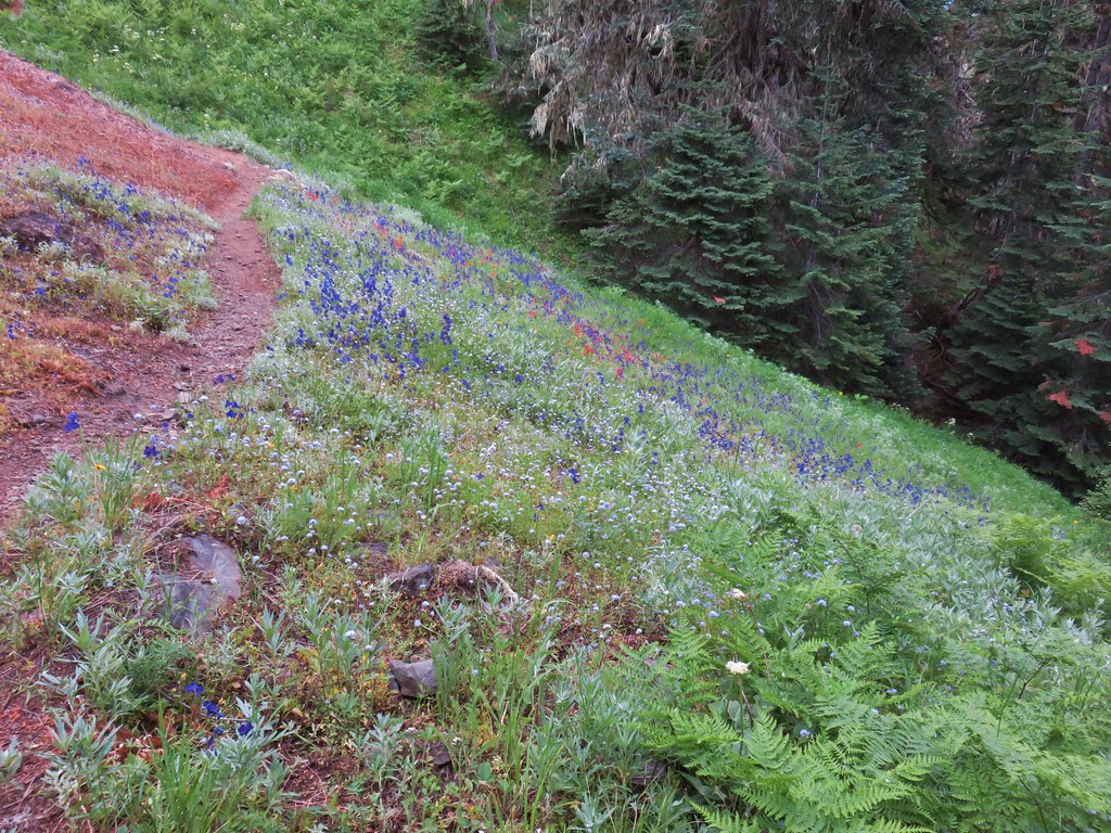
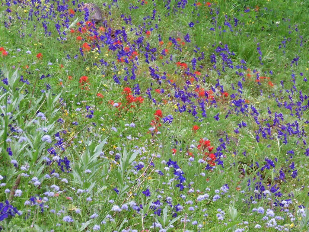
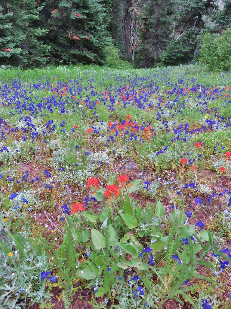
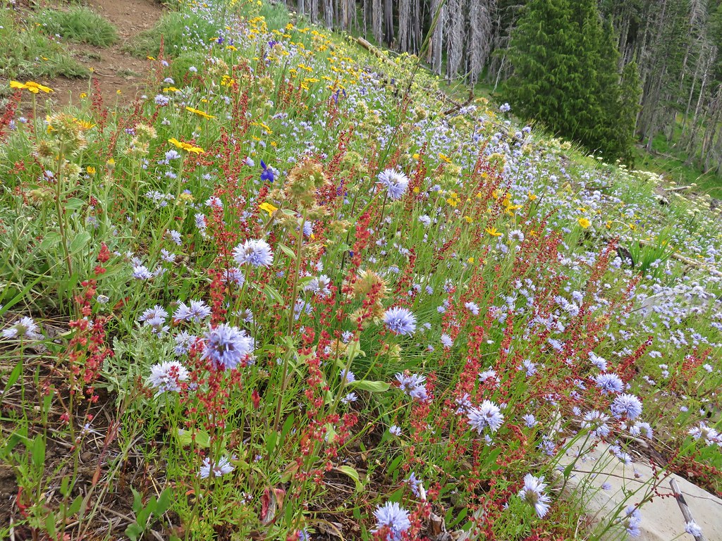
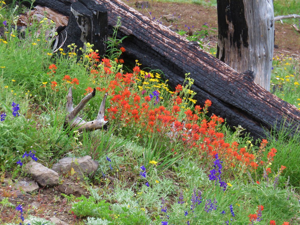
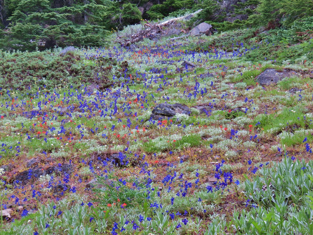
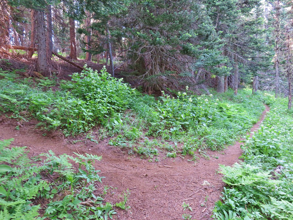
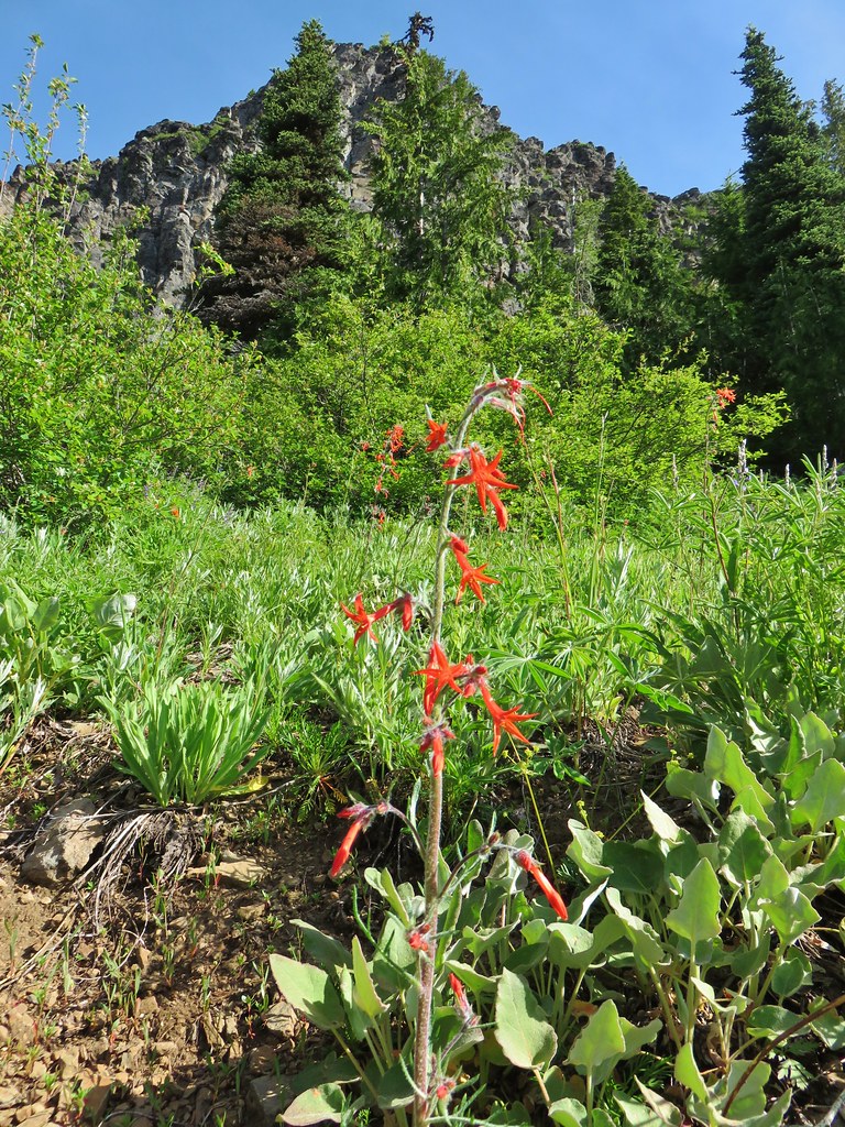
After two sets of switchbacks the trail began to traverse SE along the hillside below the ridge top. The wildflower display really picked up along this traverse. Purple larkspur, red paintbrush, blue gilia, and white cat’s ear lilies joined several varieties of yellow wildflowers to paint the hillside with color.

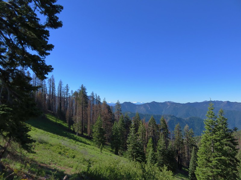
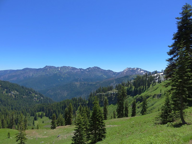
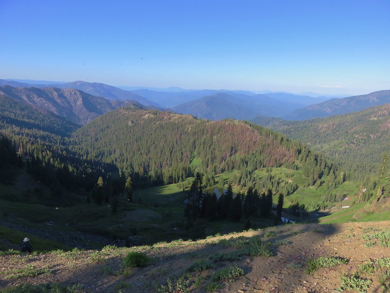
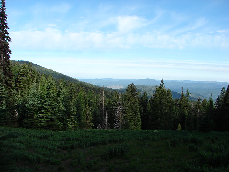
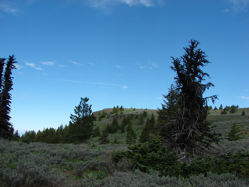
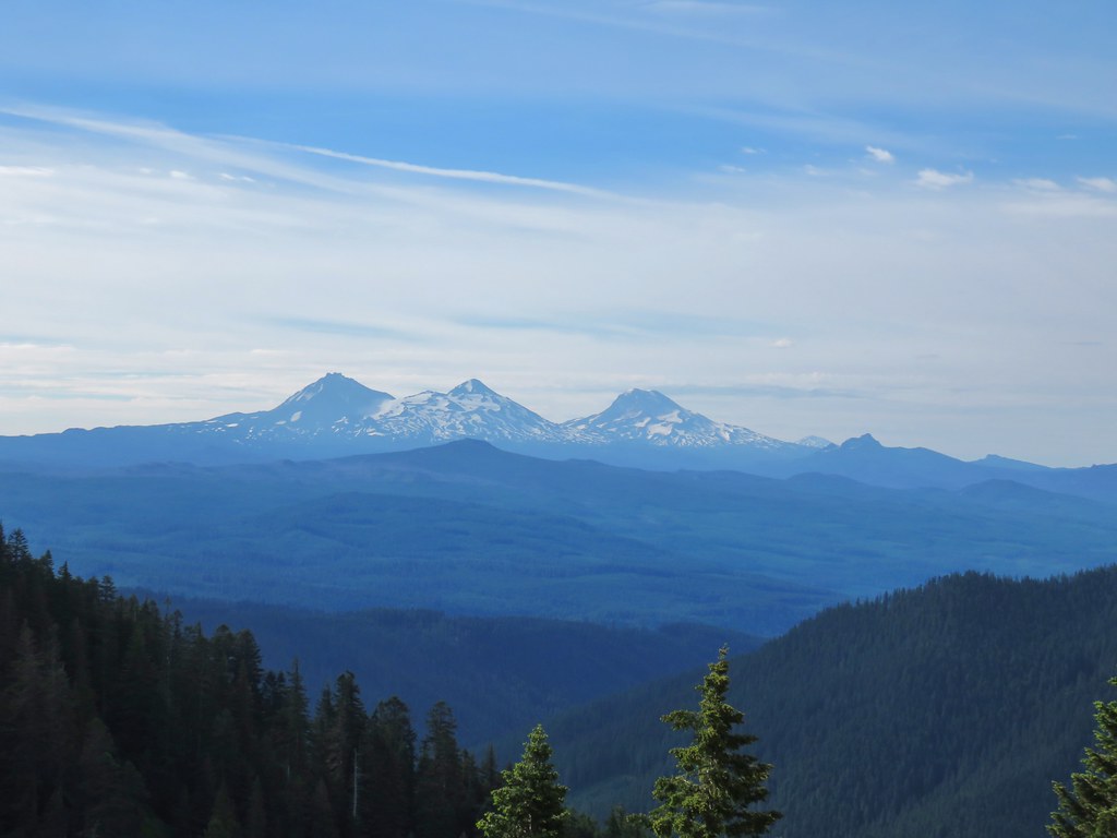
The Three Sisters could be seen at times as the trail alternated between forest and meadows.

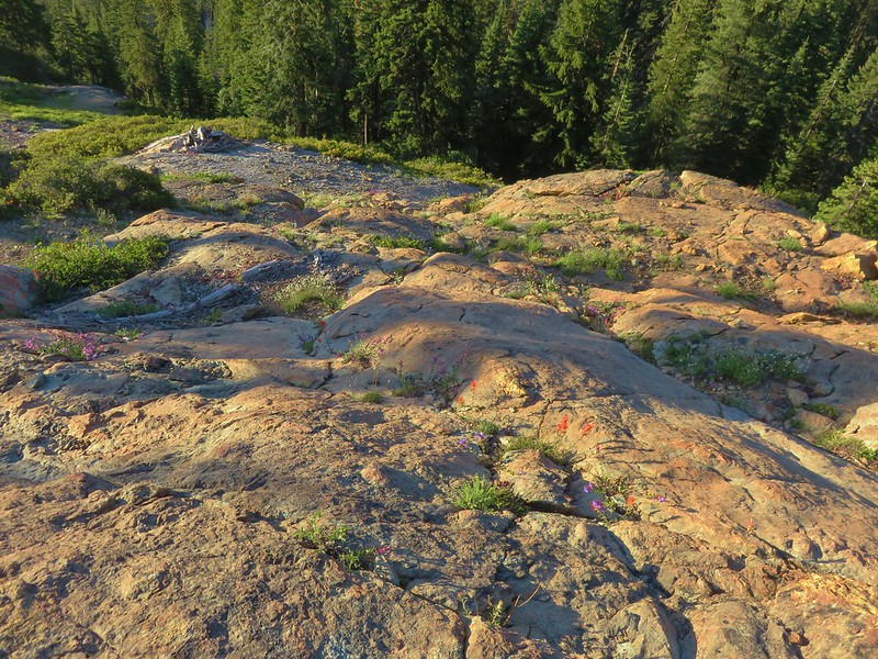
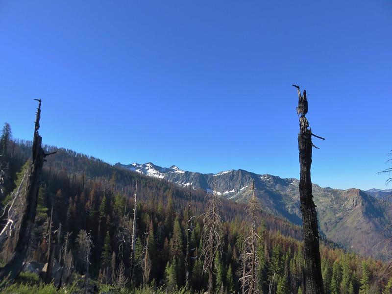
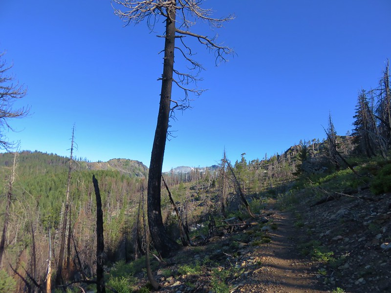
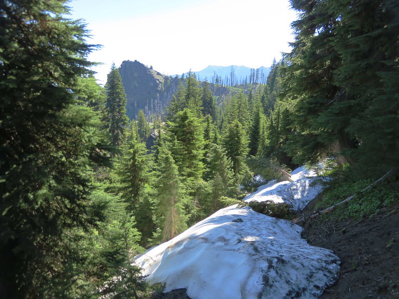
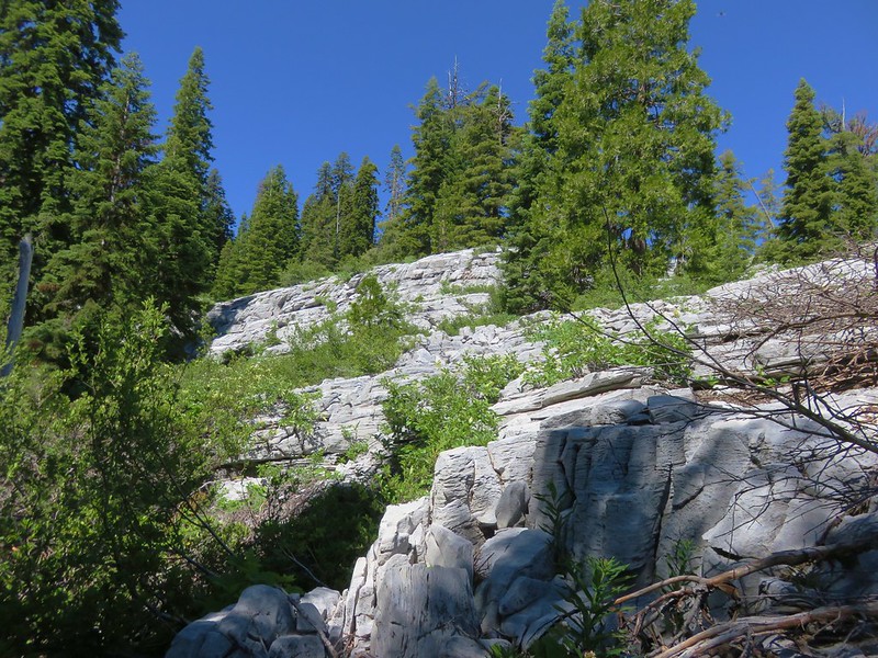
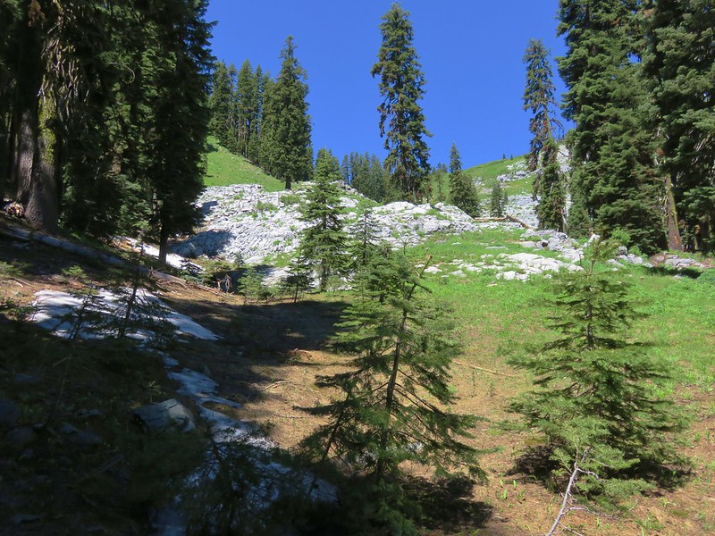
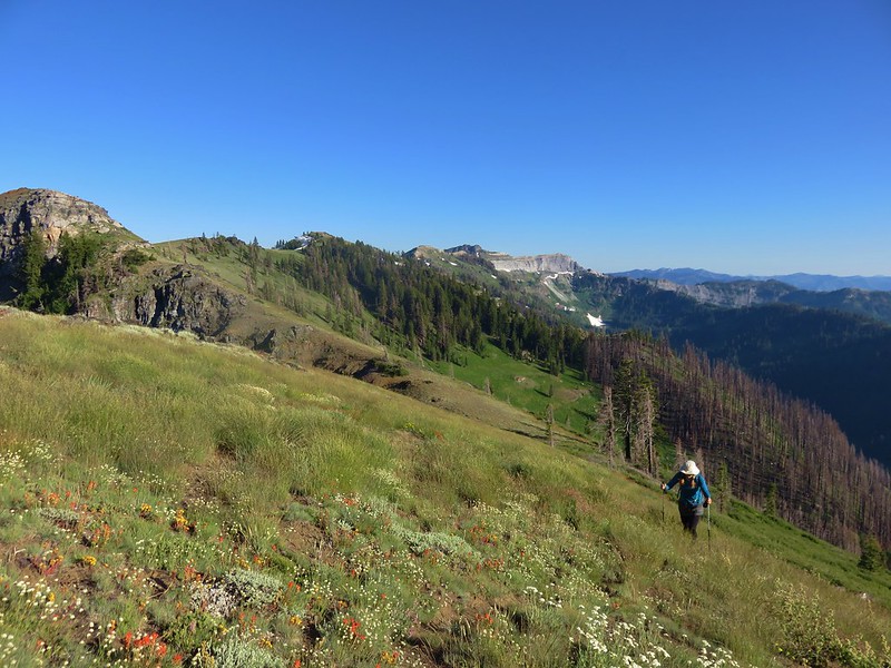
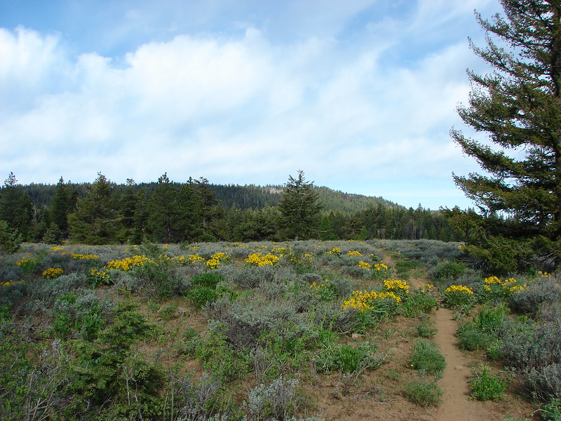
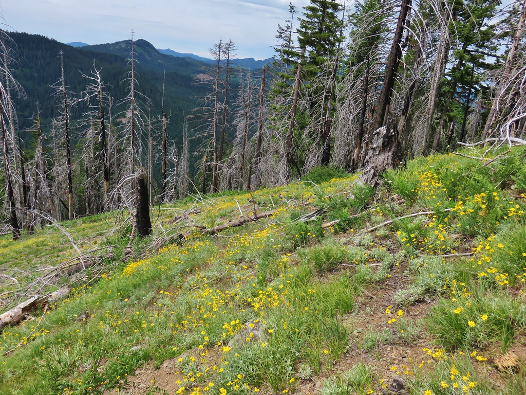
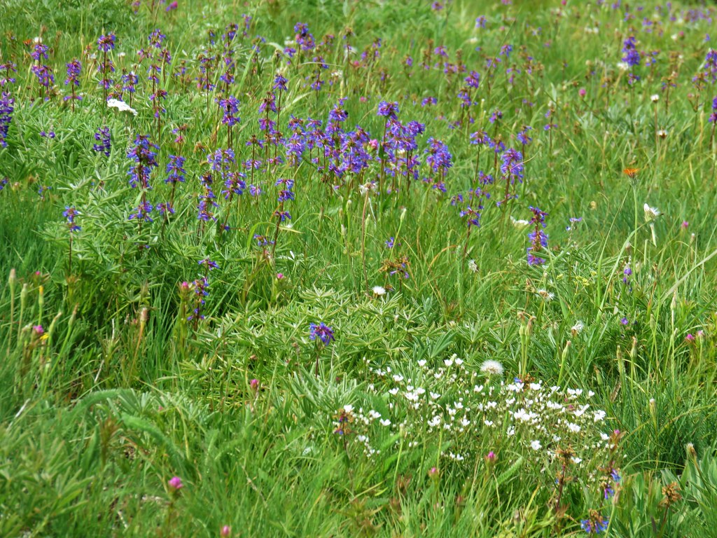
The flower combinations always seemed to be a little different in each of the meadows. At the 3 mile mark the trail entered a short stretch of burned forest along the ridge top.
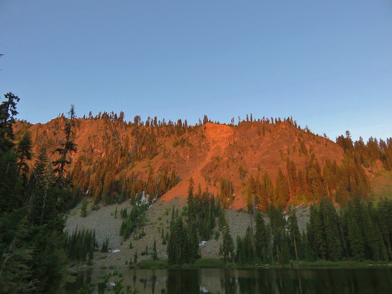
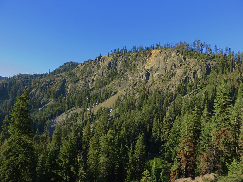
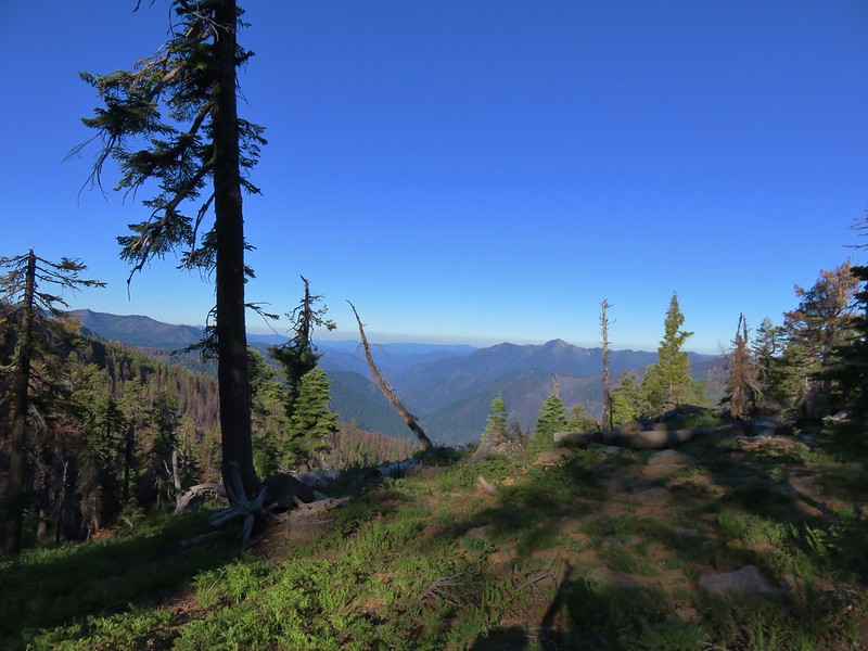
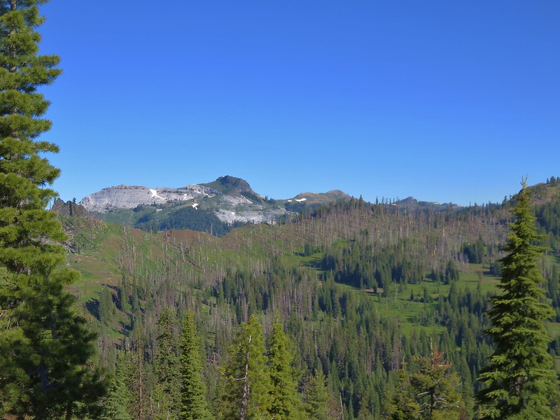
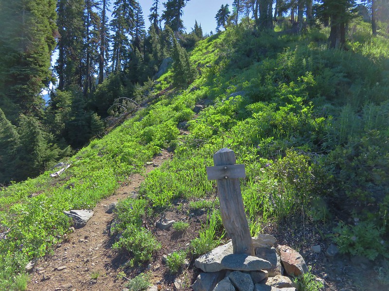
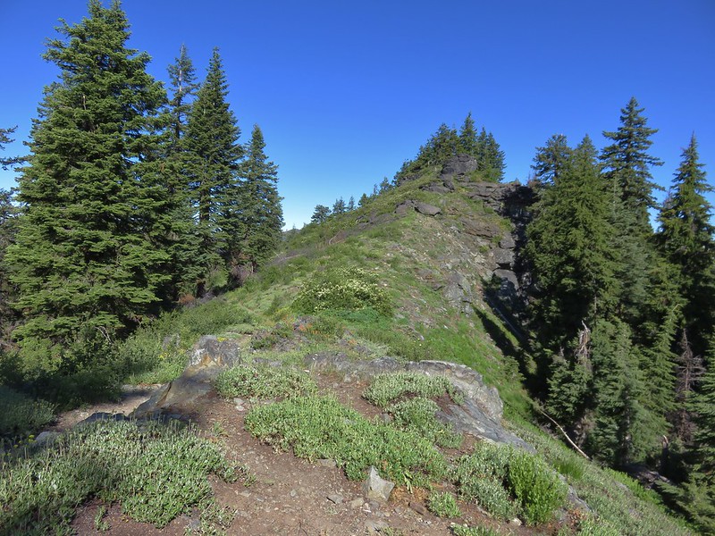
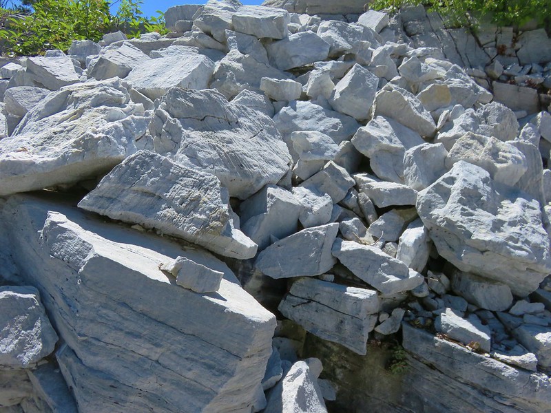
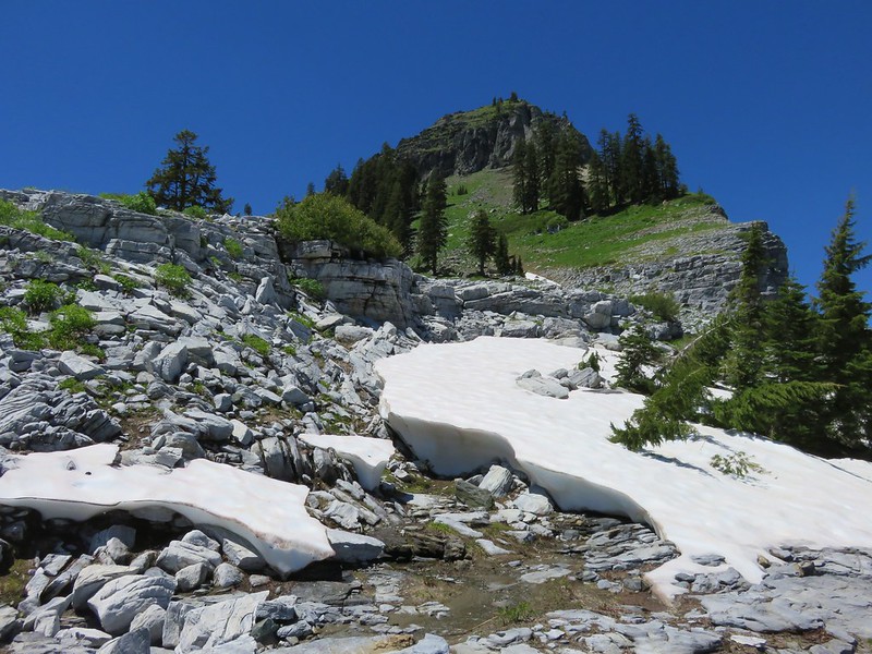
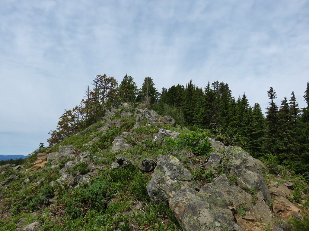
Just beyond the four mile mark there was a short side trail to a rocky viewpoint.

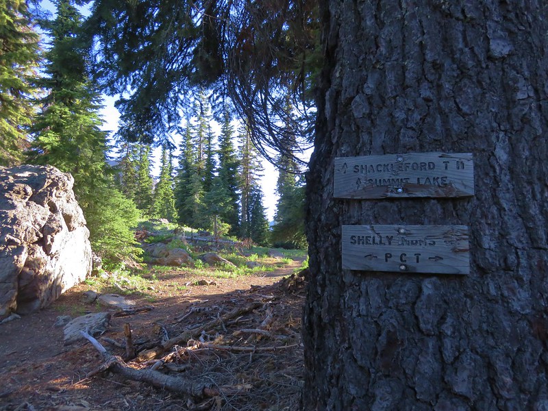
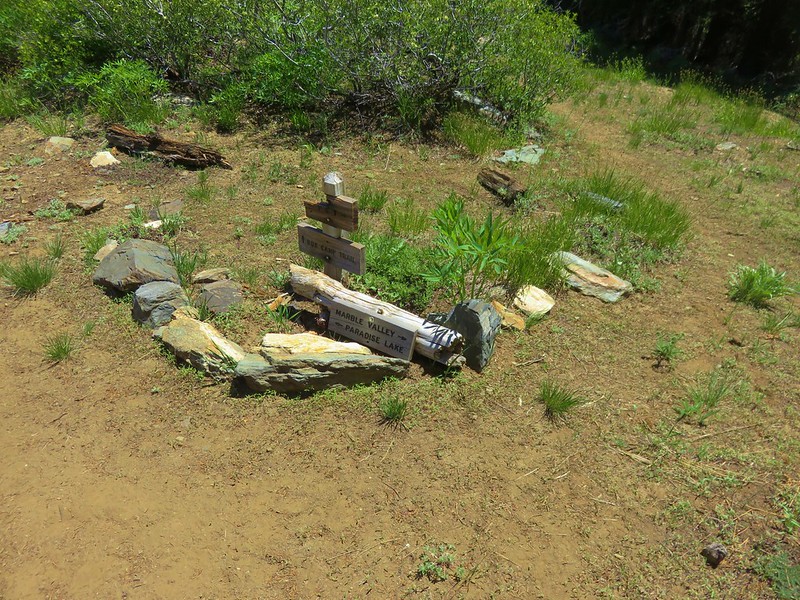
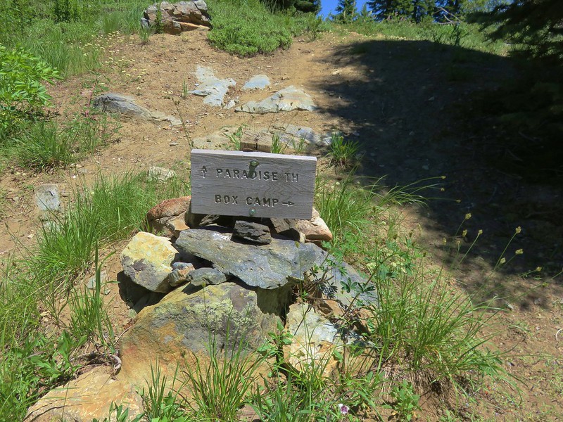
Beyond the viewpoint the trail climbed gradually for three tenths of a mile to its end at an unsigned junction with the Gate Creek and Heart Lake Trails.
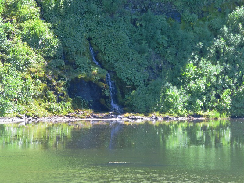
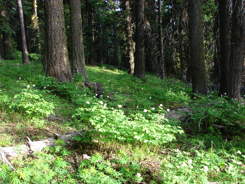
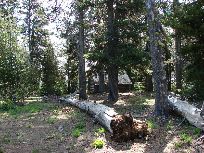
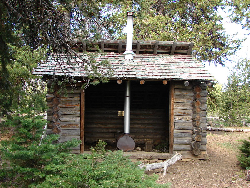
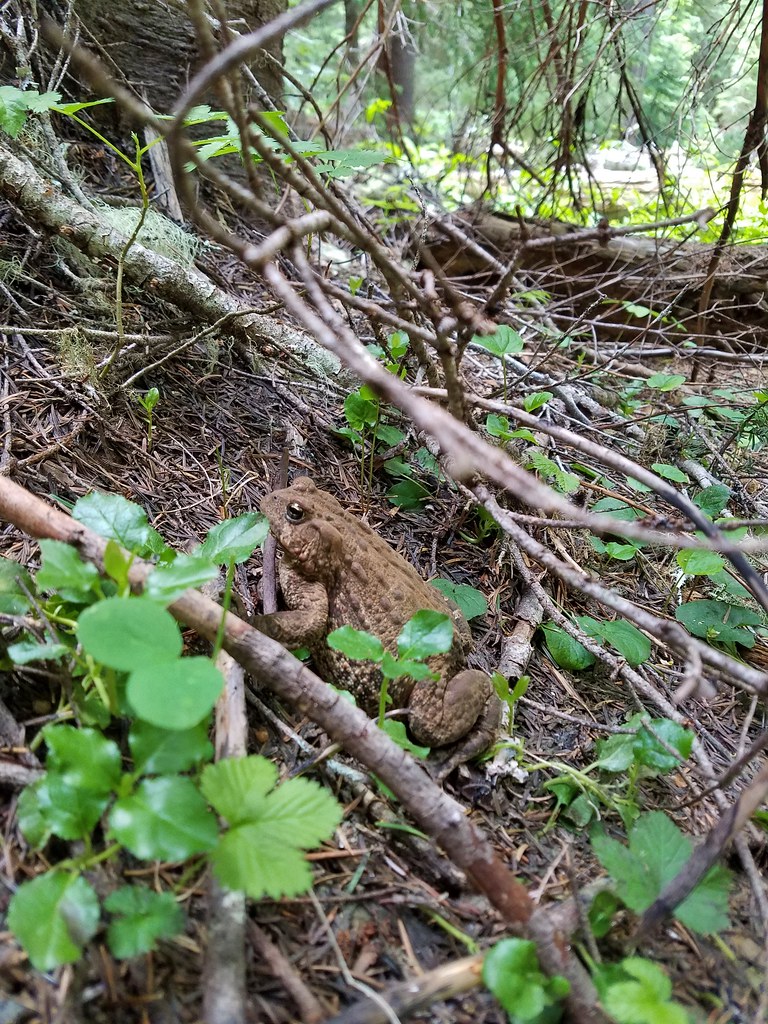
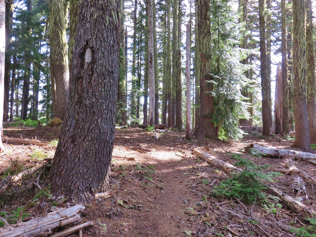
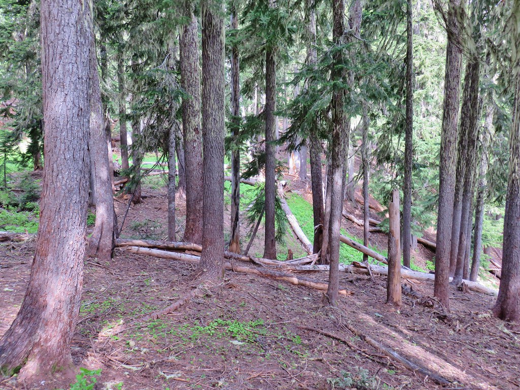
Here we turned left regaining the ridge crest in the forest where we encountered the first downed trees of the hike and a huge cascade toad.

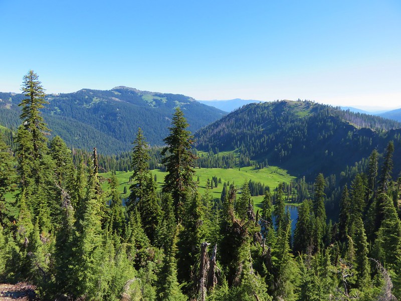
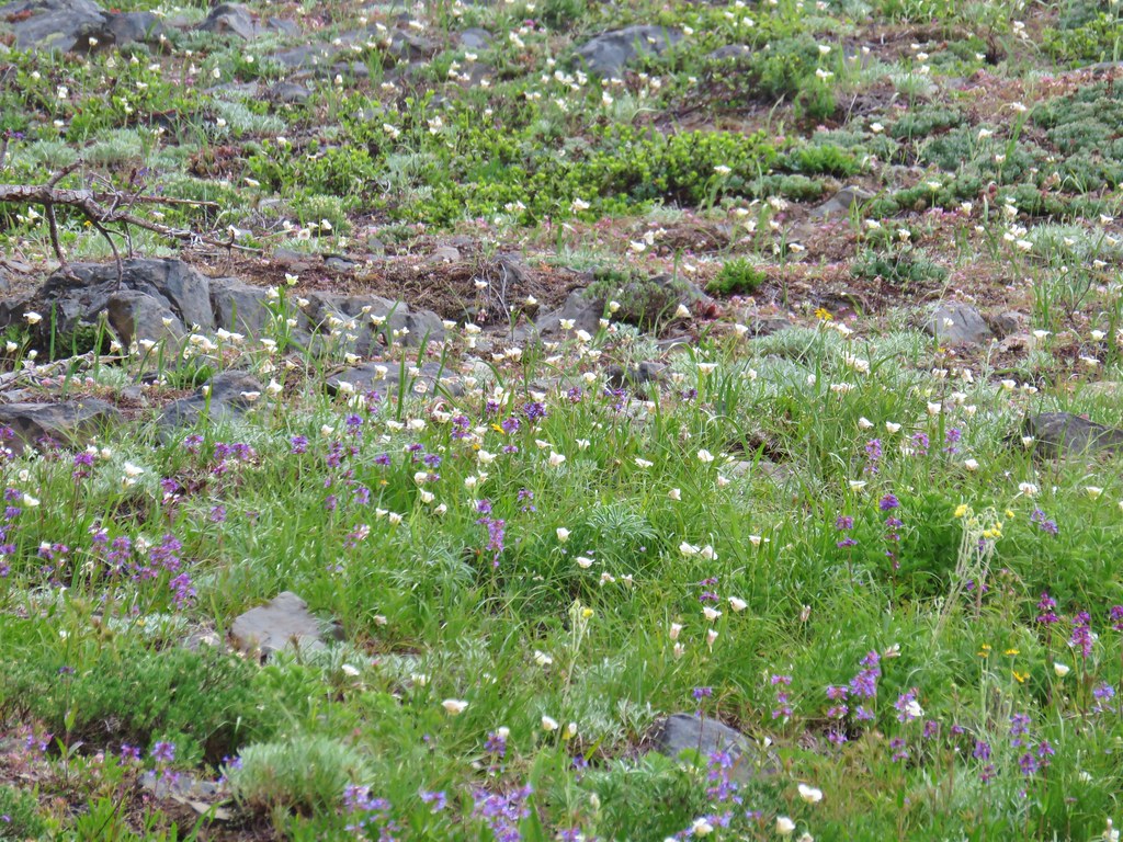
The Heart Lake Trail then dropped over the ridge to the NE passing beneath some basalt cliffs through another wildflower meadow.

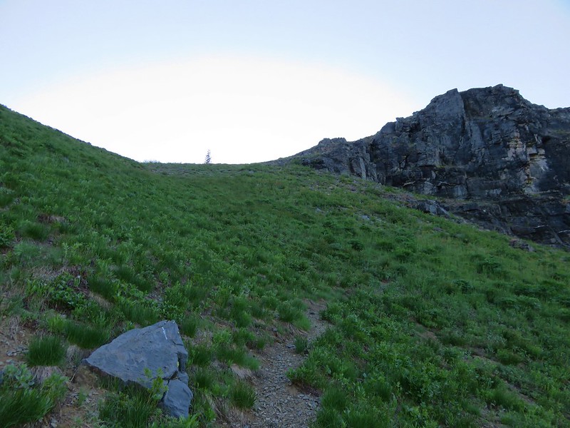
The trail climbed through the meadow to a forested saddle a mile from the trail junction.
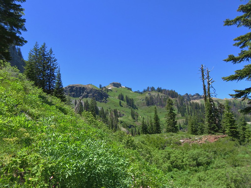
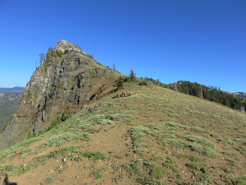
The saddle is the official end of the Heart Lake Trail. Here we faced a choice, we could turn left on the unofficial continuation of the Heart Lake Trail and climb up the rocky ridge crest to a summit viewpoint or we could attempt to visit Heart Lake. Heart Lake was a little under three quarter miles to the north and 750′ below the saddle. In the guidebook Reeder used the terms “not for the faint of heart” and “hell on the knees” to describe the trip down to the lake on the abandoned portion of trail. Heather had been dealing with a calf strain and it had been acting up on the hike so she decided against the side trip but I was feeling adventurous. She would head up to the summit and wait for me there so we set a time that she should expect me to meet up with her. I gave myself an hour and a half figuring that we typically hike at a 2 – 2.5 mile per hour pace and the round trip to Heart Lake should have only been about 1.5 miles.
I set off downhill from the saddle on a well defined trail.

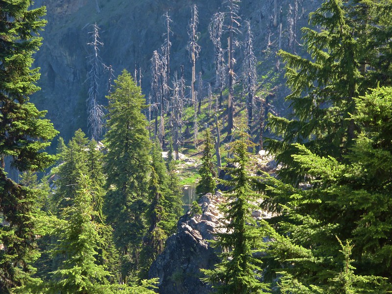
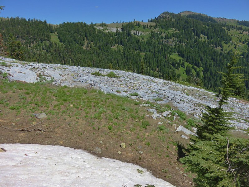
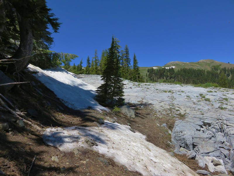
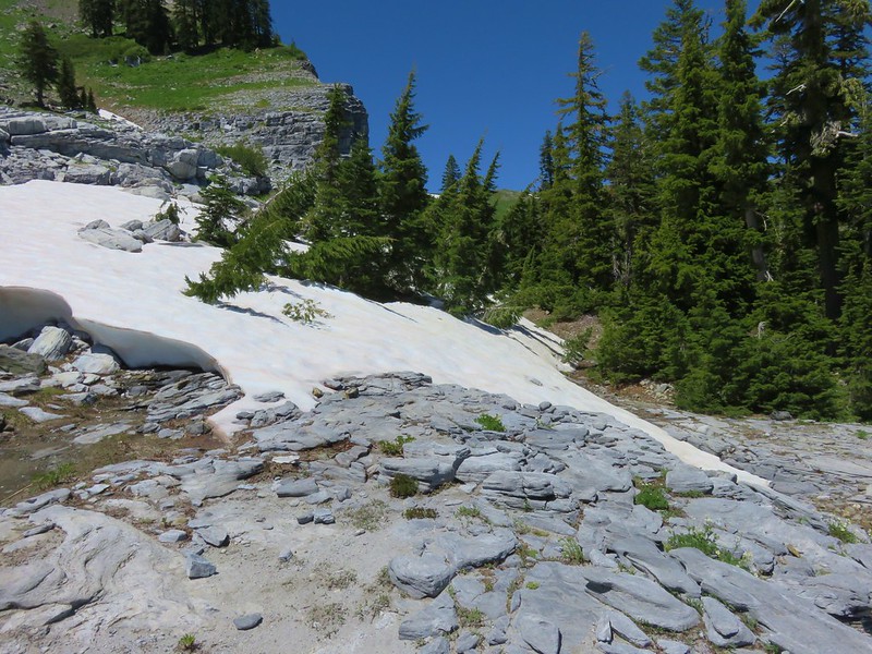
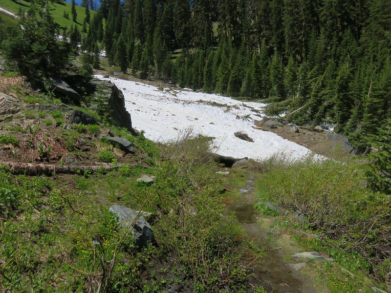
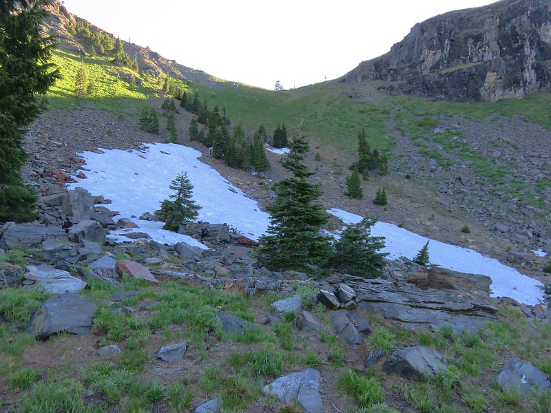
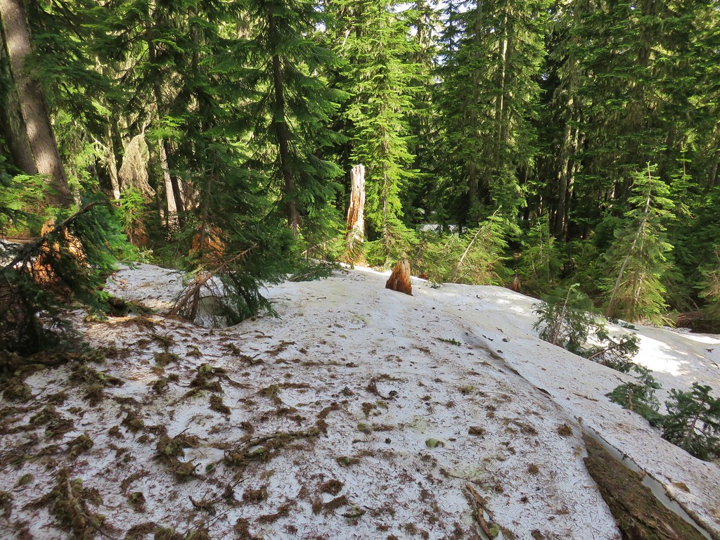
In the first quarter of a mile the trail dropped into a basin losing 150′ at a not too steep grade. Being on the north facing side of the ridge at an elevation of 5400′ meant that there was still a decent amount of snow in this area though.
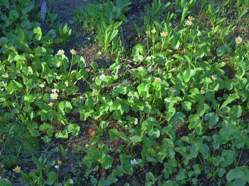
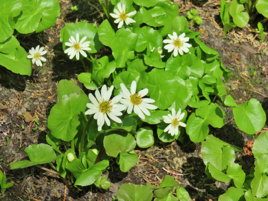
I quickly lost the tread so I turned to the Forest Service Map loaded on the GPS unit in an attempt to re-find the trail. Unfortunately this was one of those instances where the location of the trail on the map is inaccurate. Reeder had included a GPS track on the topographic map in the guidebook but I’d left that with Heather so I didn’t immediately realize that the Forest Service map was wrong. The Forest Service map showed the trail passing through a meadow (where I found some marsh marigolds and shooting stars).

At the far end of the meadow I spotted a couple of old fire rings amid the trees which made me think that maybe I was on the right track but less than 20 yards from the meadow I came to a line of impassable cliffs. Using the GPS I wandered to the right then back to the left several times looking for where the trail might possibly be. According to the GPS I had crossed and recrossed the trail multiple times but there was no way anyone was getting down that cliff. I was just about to give up when I suddenly remembered to use my brain. I thought I remembered that the track in the guidebook spent most of the time to the left of a creek and when I zoomed out a bit on the GPS I could see a creek to my left. I decided to bushwack over toward the head of the creek to see if I might be able to find something there. I could also see that the trail on the Forest Service map crossed the creek further downstream so if nothing else I might be able to follow the creek down to that point. As I neared the creek the forest opened up and I was able to spot what appeared to be a blaze on a tree on the opposite side.
I crossed the creek on a log and sidehilled my way down past the blaze where I once again spotted trail.

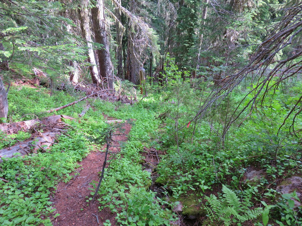
Once I had re-found the trail it was easy enough to follow. The tread was faint but visible with little blowdown and there were some remains of pink flagging to assist me.
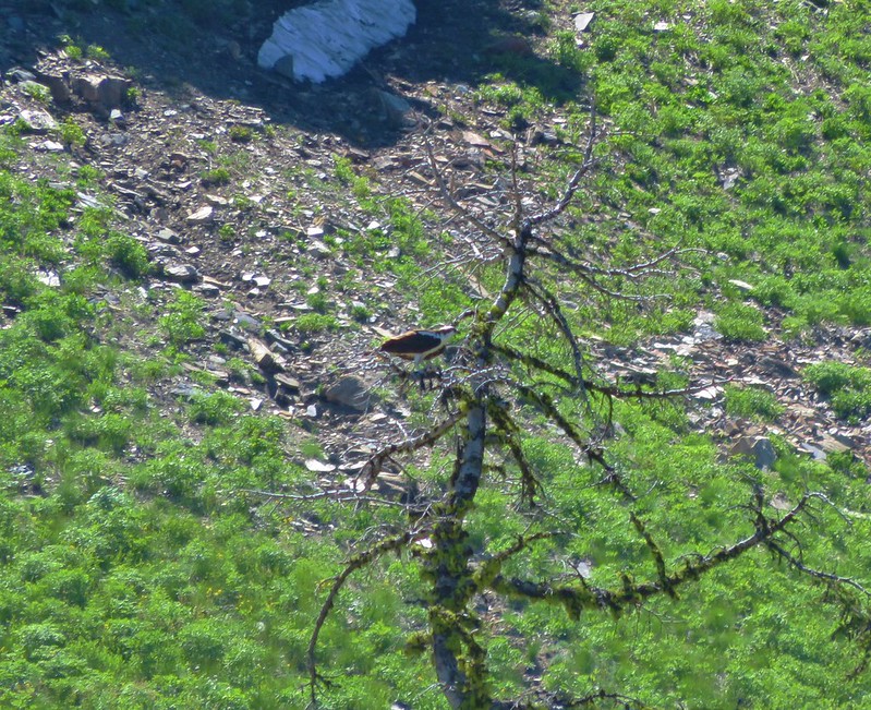
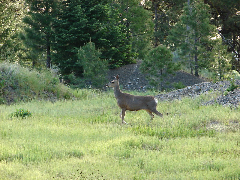
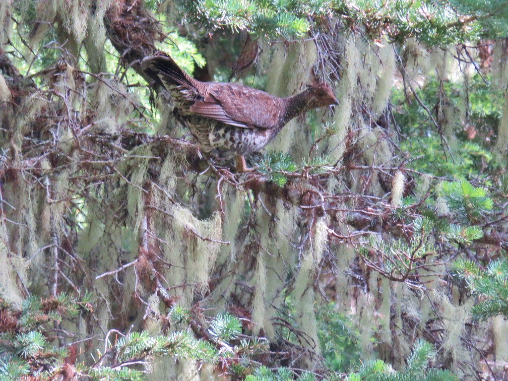
I disturbed a family of grouse as I descended.
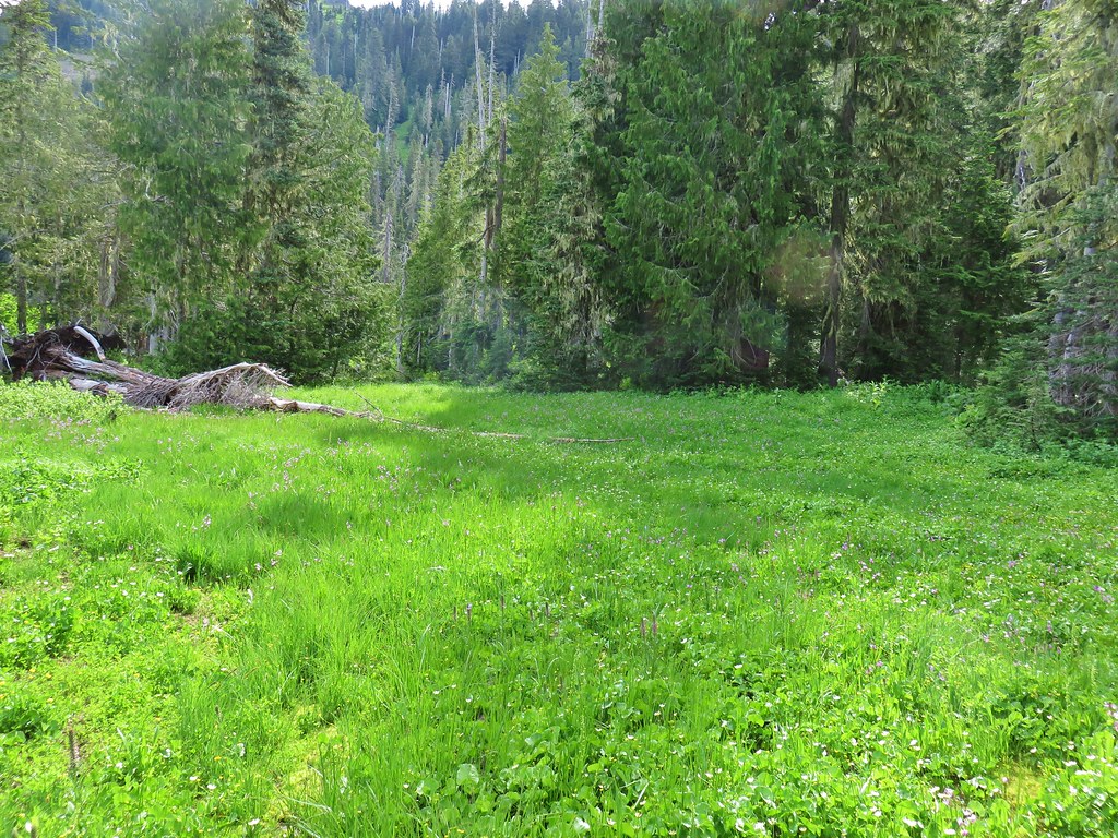
It was quite a descent too! This was one steep trail which mostly just headed straight down a ridge-line for about a quarter mile before beginning to level out as it neared a large meadow to the south of Heart Lake.
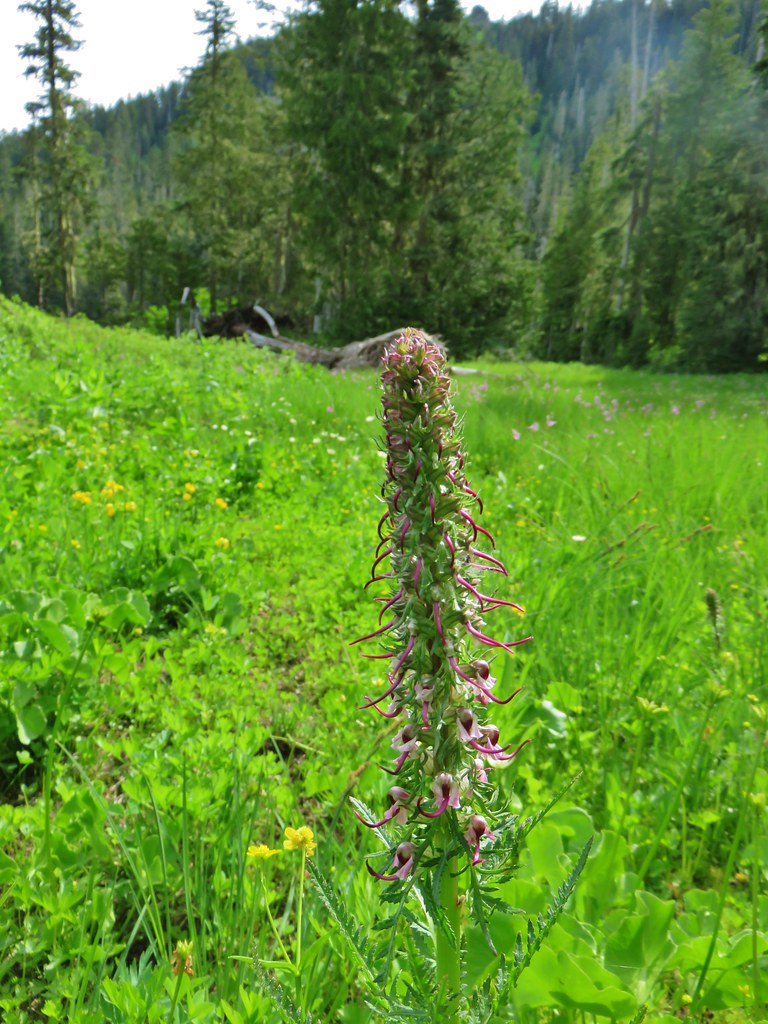
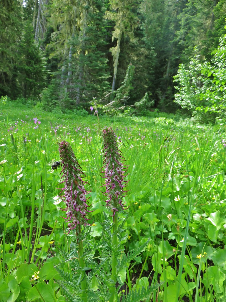
Elephant head flowers bloomed in the marshy meadow along with some other wildflowers.
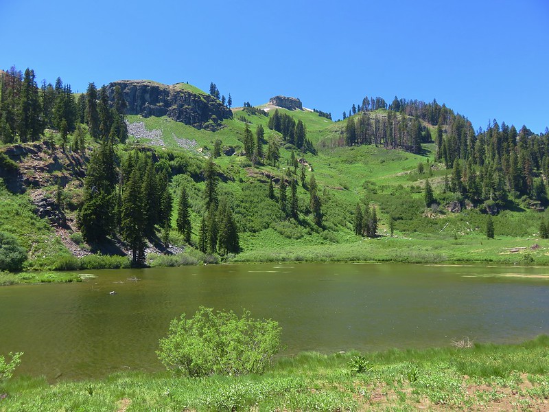
The area was damp but I was able to find enough dry spots to make my way down to Heart Lake.

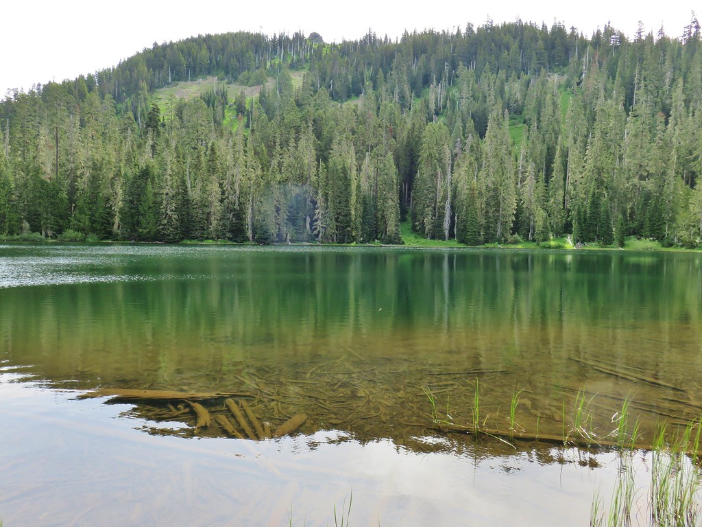
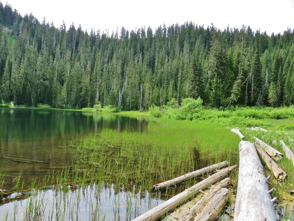
The old trail shown on the map had passed around the lake on its west side to a campsite on the northern end. I found a brushy path that I was able to follow through more marshy meadows and a tangle of trees to that campsite.

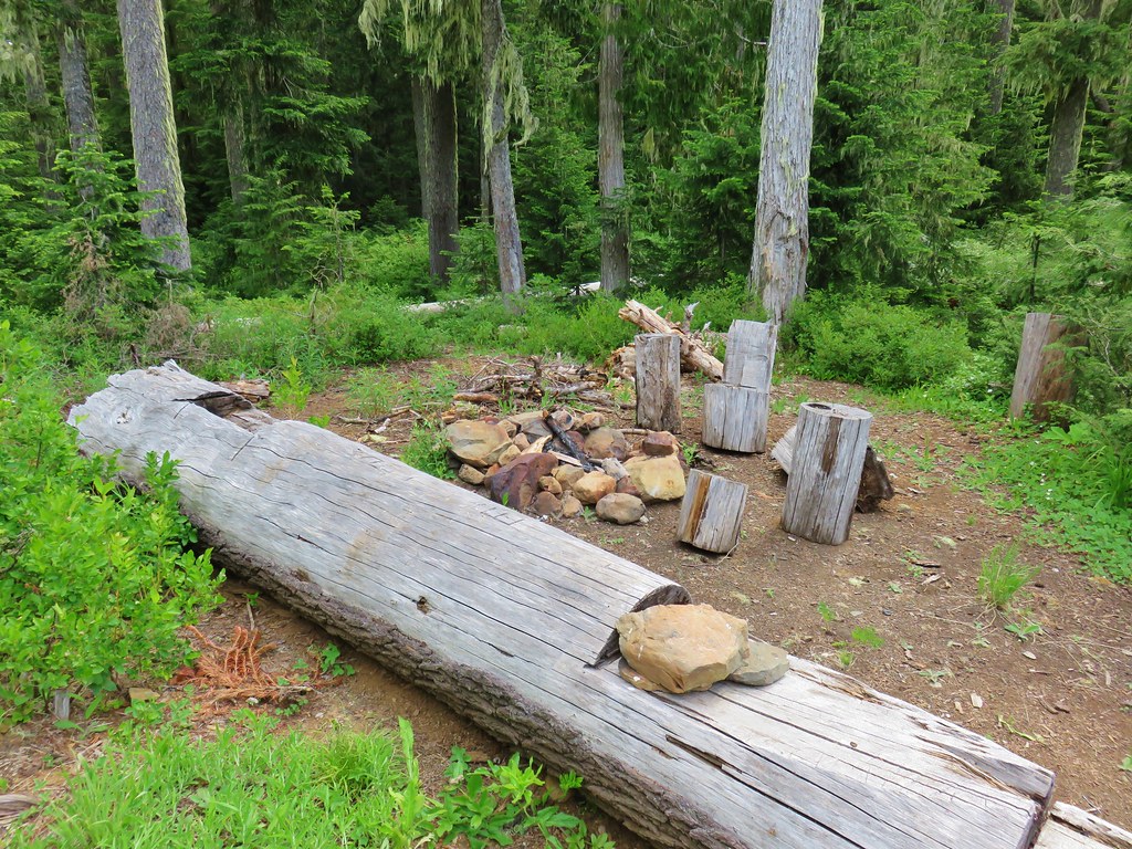
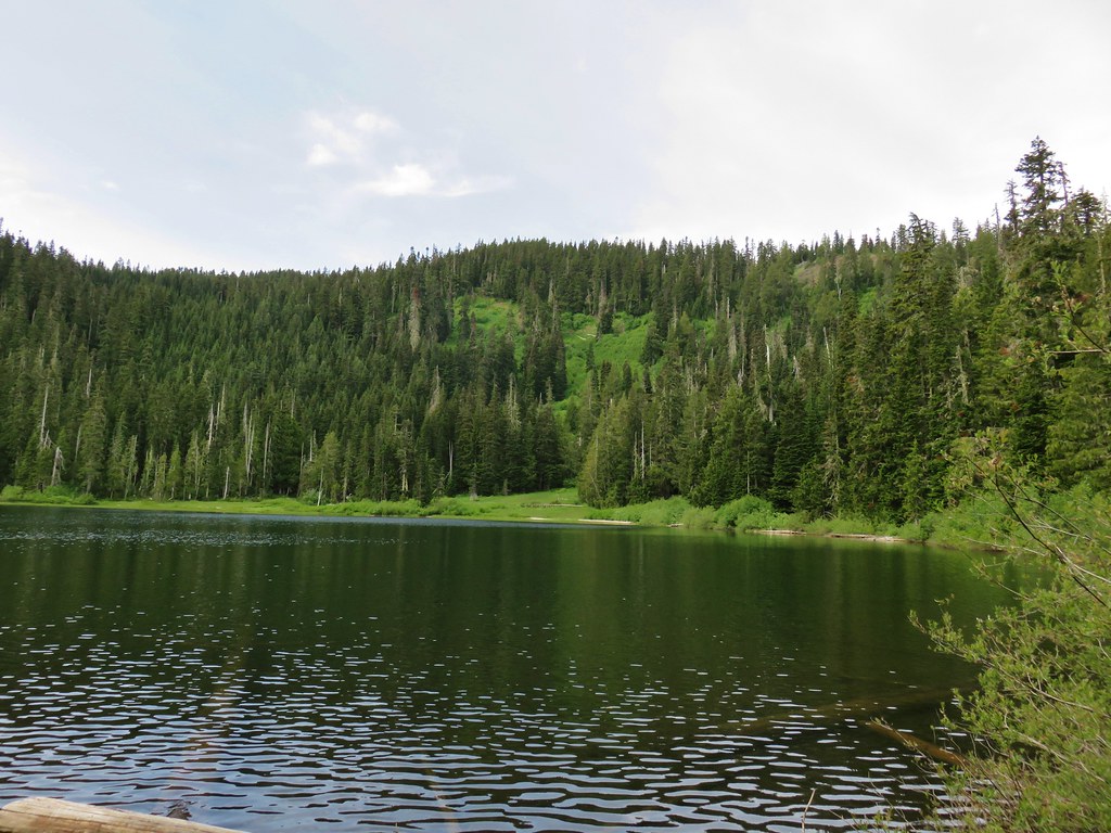
Due to all the wandering around I had done in the basin looking for the trail it had taken me nearly 40 minutes to reach the campsite which was 1.2 miles from the saddle. I wasn’t sure how long it was going to take me to climb back up so I didn’t stay at the campsite long before heading back. The climb back up was brutal but it only took me a half an our to reach the saddle but I still had a .3 mile climb up the ridge before I reached Heather.
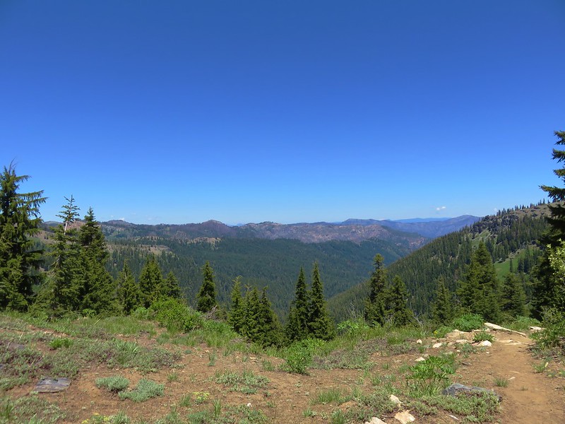
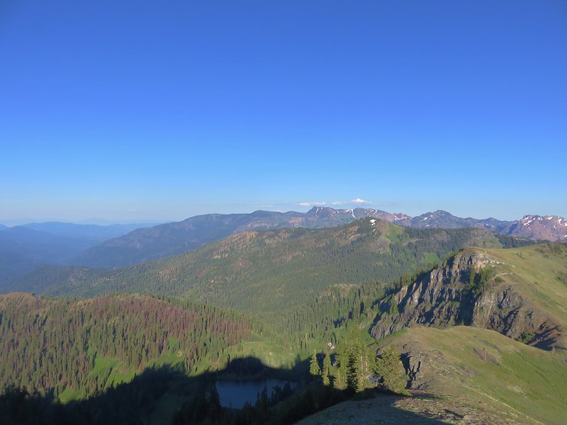
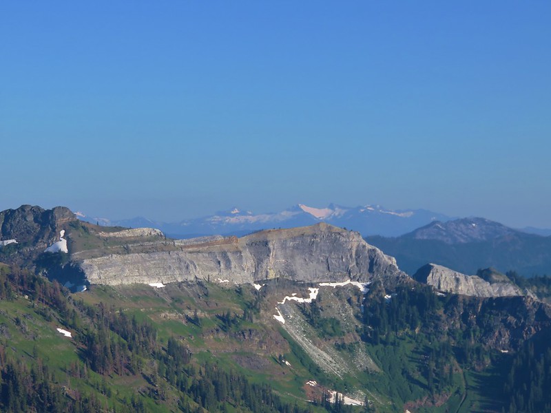
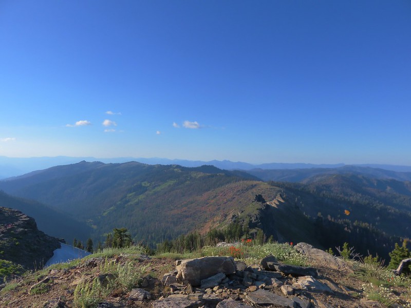
I managed to make it with a little under 15 minutes to spare. The meadow at the summit didn’t have quite the impressive flower display as the lower meadows had had but the view was nice even though it was a bit hazy.
 Mt. Hood, Mt. Jefferson and Three Fingered Jack
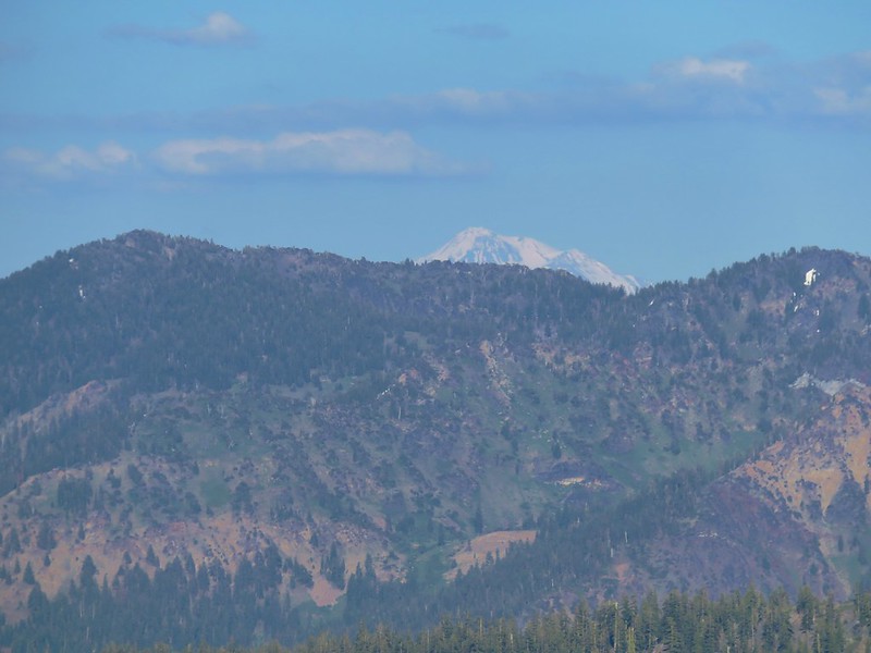
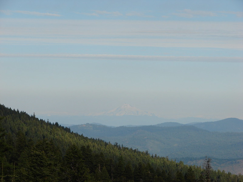
 Mt. Jefferson
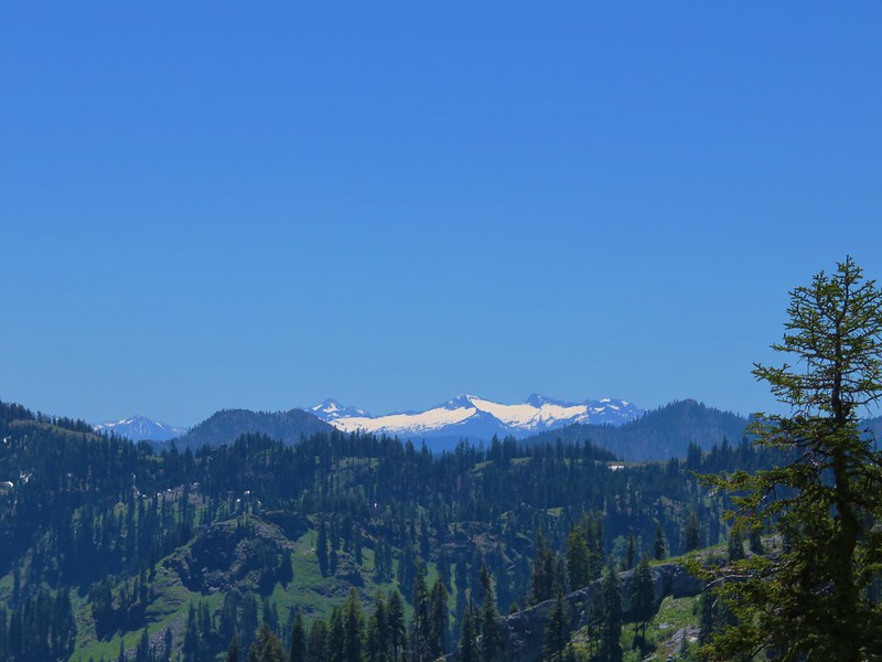
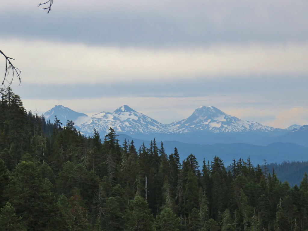
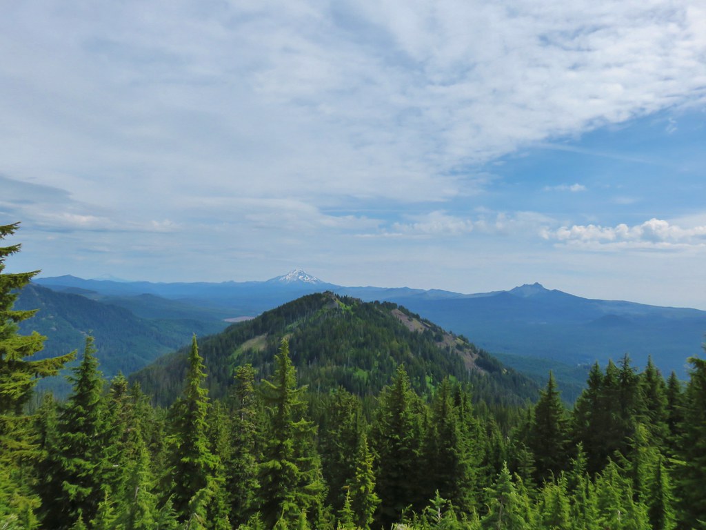
 Mt. Washington, the Three Sisters, and Mt. Bachelor
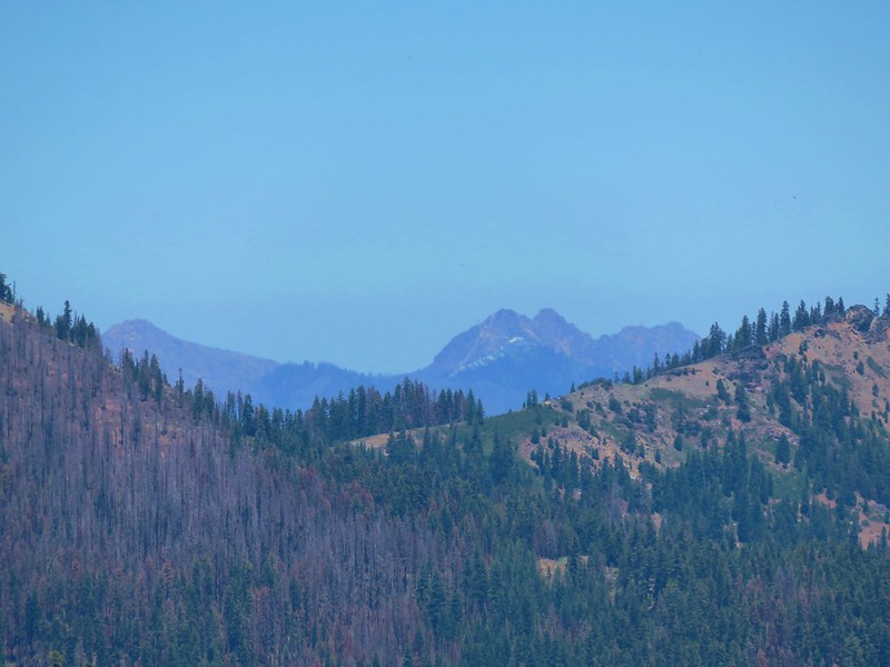
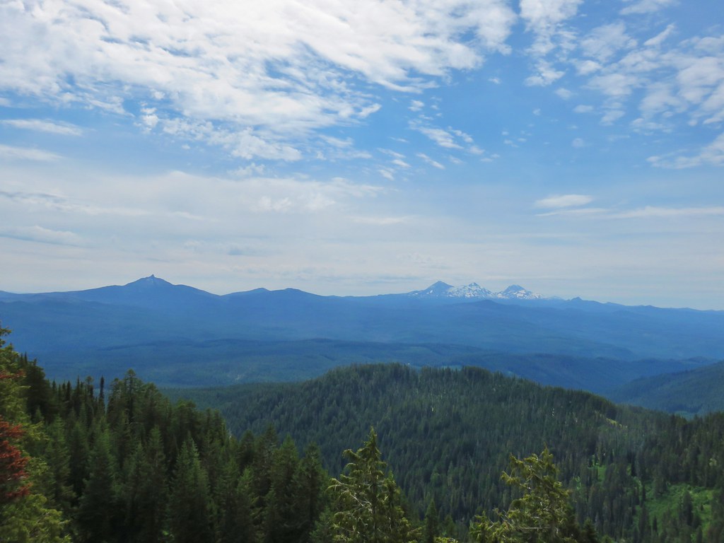
 Diamond Peak to the south
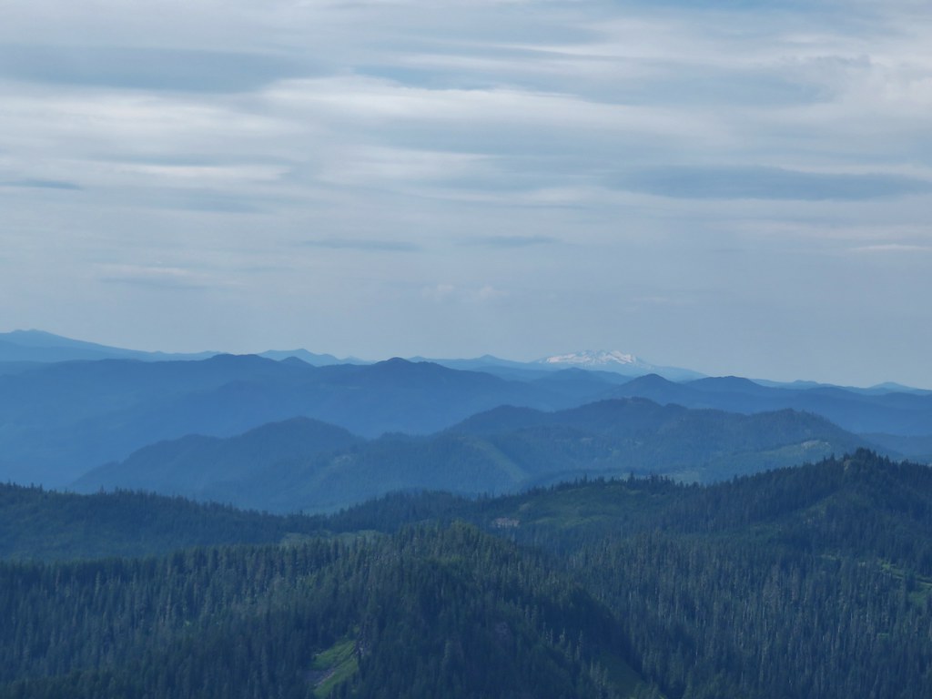 Diamond Peak
 Owls clover
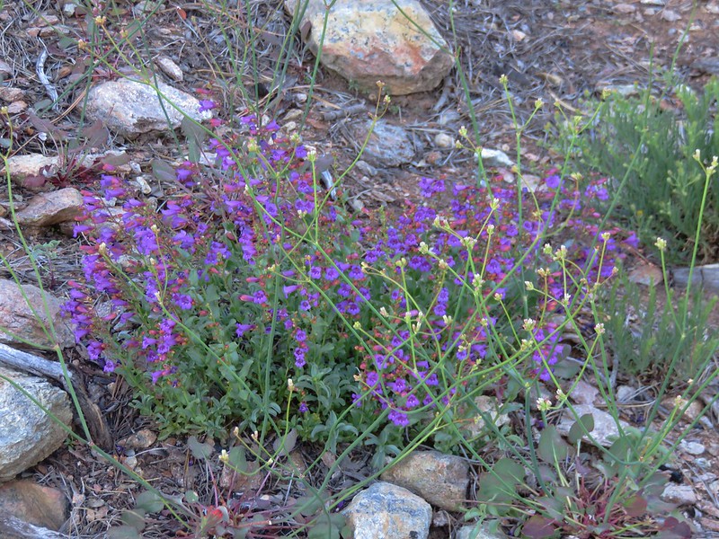
 Penstemon
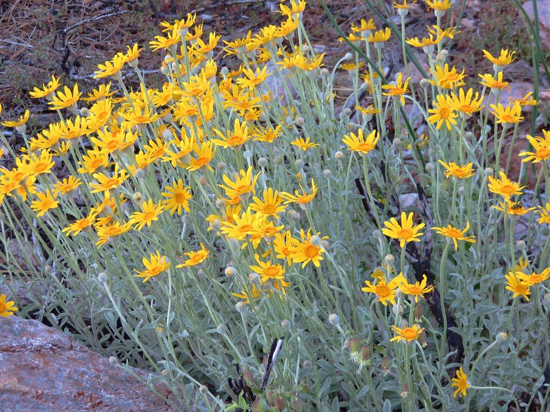
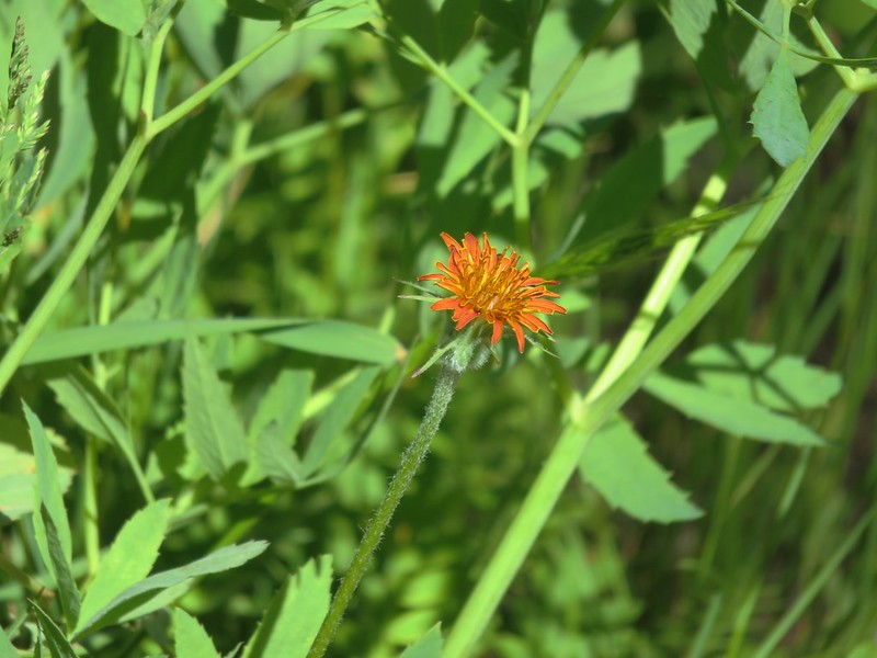
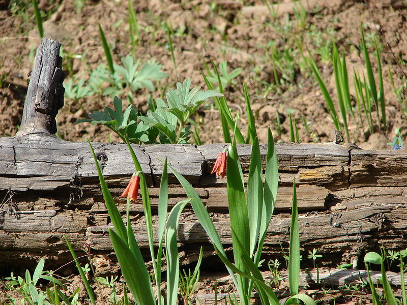
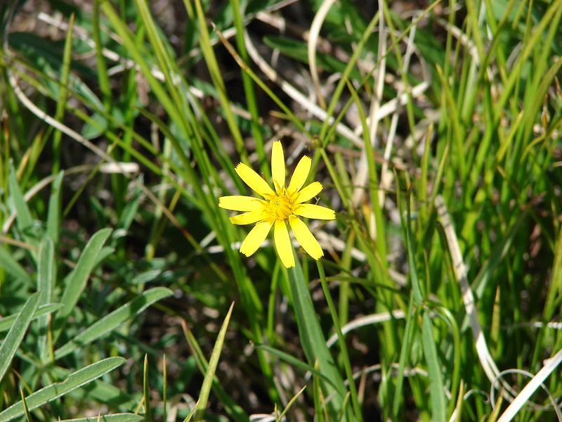
 Orange agoseris
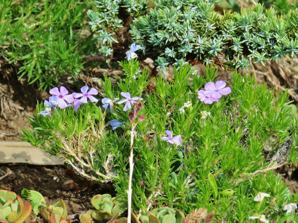 Phlox
Phlox
After catching my breath we headed back returning the way we’d come. On the way back several flowers were now open making the view a little different.
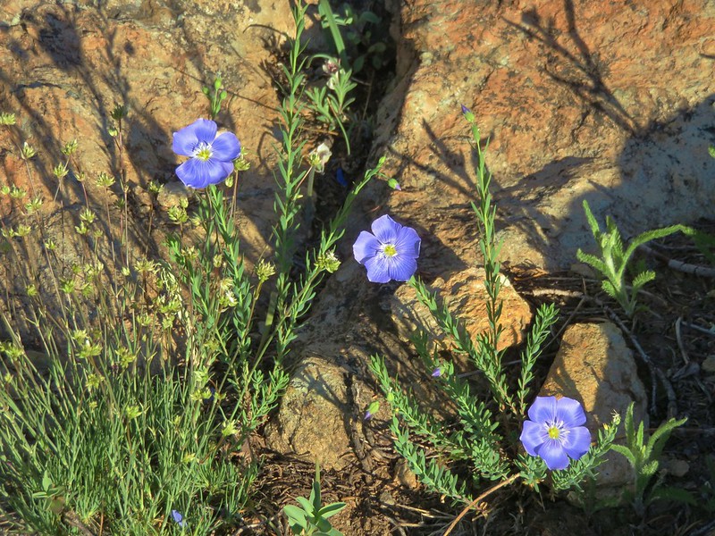
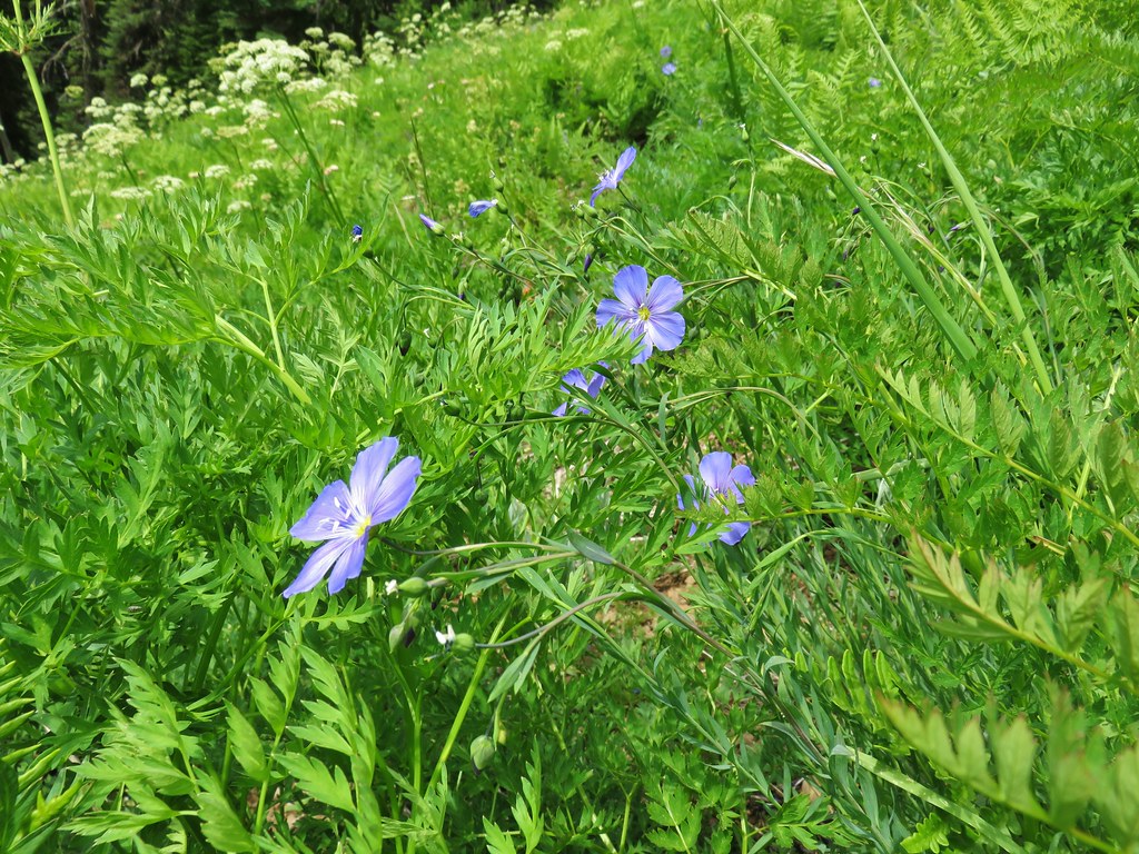 Lewis flax
 Jacob’s ladder
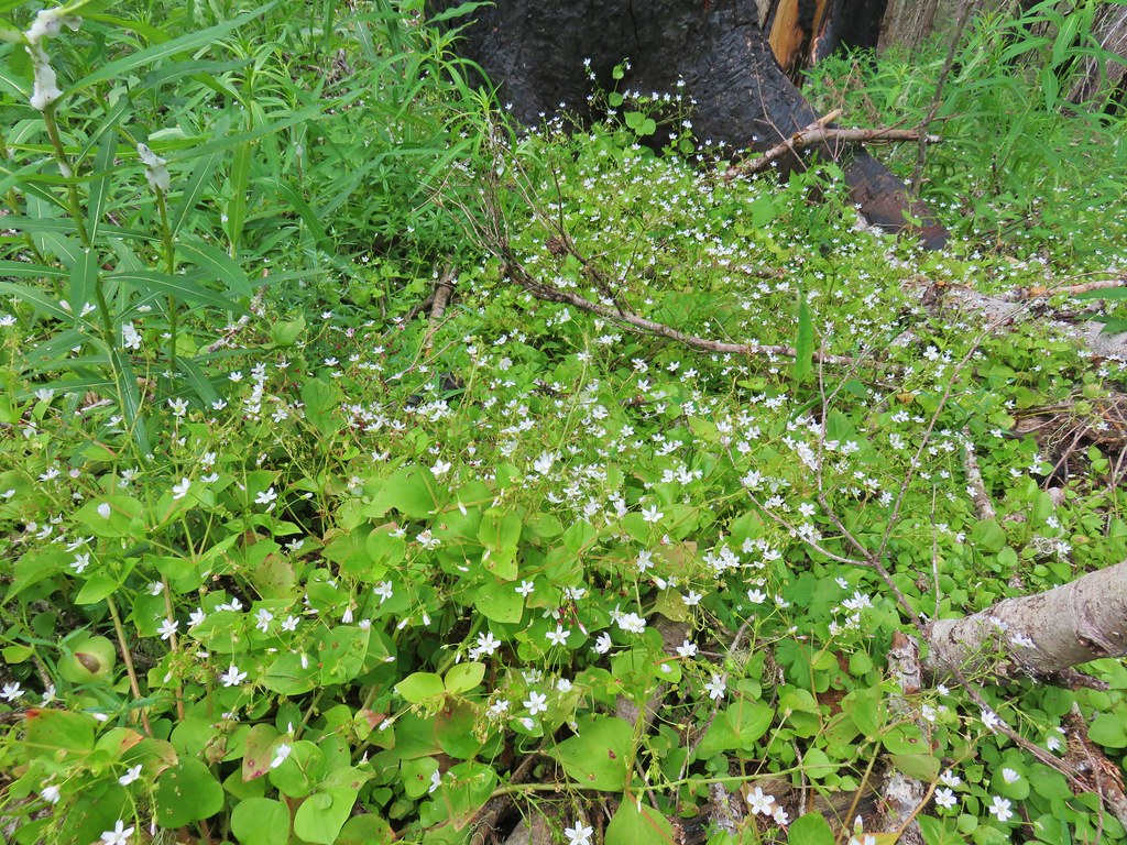 Candyflower
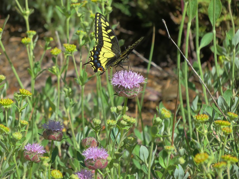
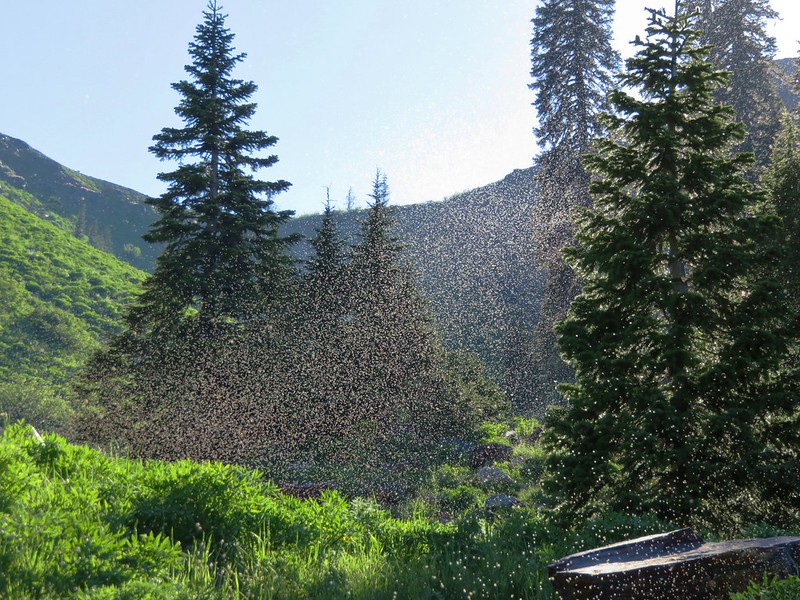
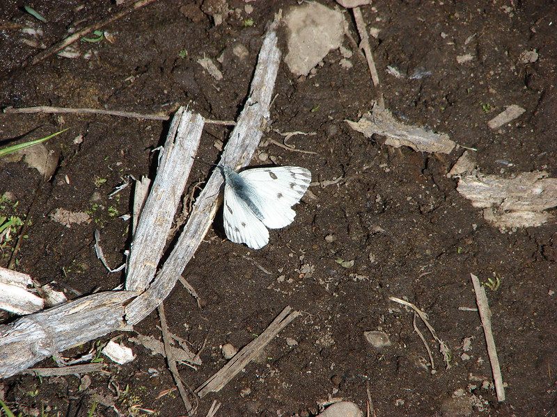
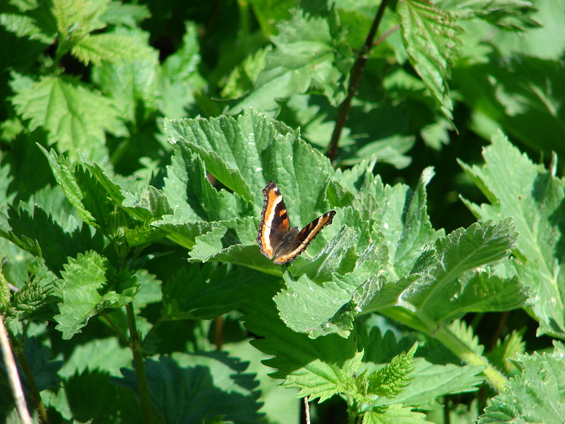
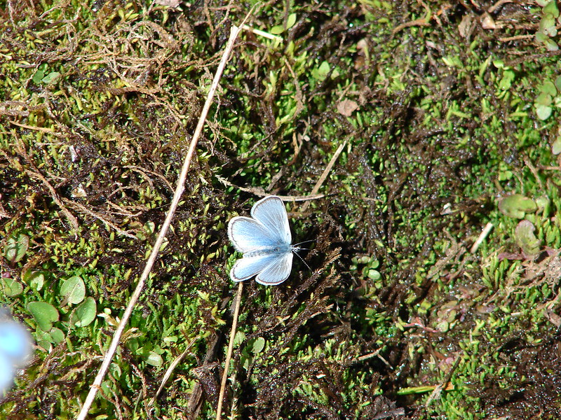
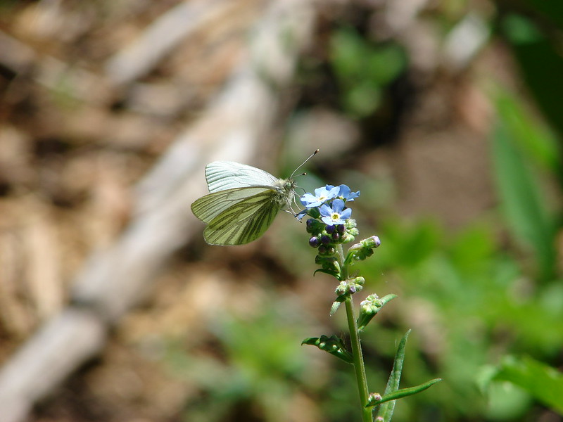
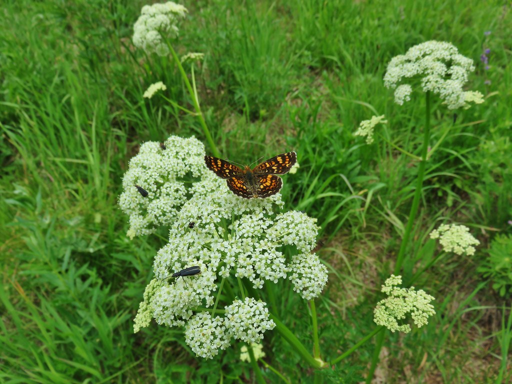
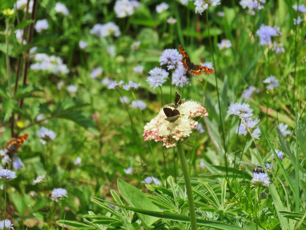
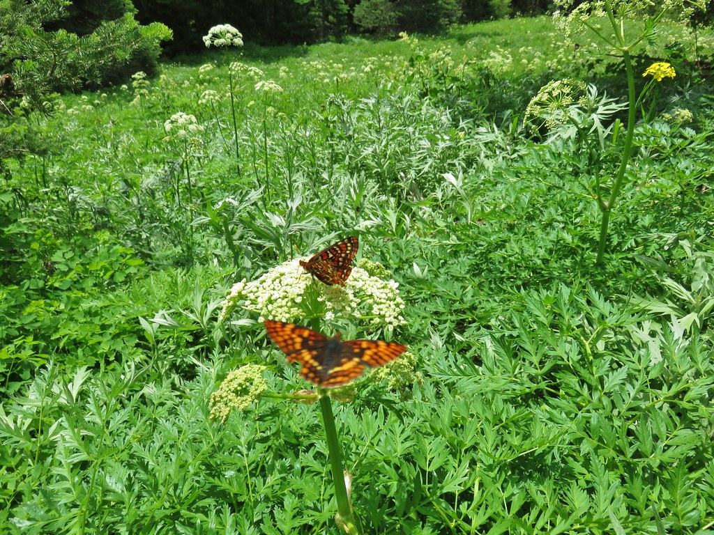
The pollinators were also now busy doing their things.
We only encountered 8 other people, all on our way back to the car, which was surprising to us given how great the wildflowers were. We both preferred this approach to the shorter Gate Creek Trail, but to be fair it was a different time of year. Either way the views at the top are great and for those wanting some extra adventure there’s the option to visit Heart Lake. All in all another great hike in the Pacific Northwest. Happy Trails!