After a wet Wednesday the forecast for Thursday looked a lot drier with only a slight chance of a shower in the morning and partly sunny skies by the afternoon. Our plan was to continue the waterfall theme from the day before (post) by visiting Comet Falls then check out a pair of lakes, Bench and Snow, before returning to Packwood for one final night.
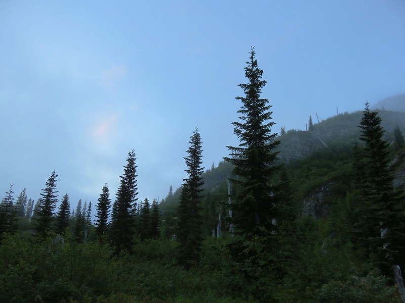
It was dry but overcast when we arrived at the Comet Falls Trailhead.

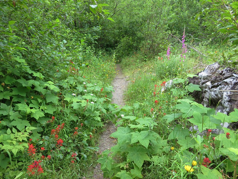
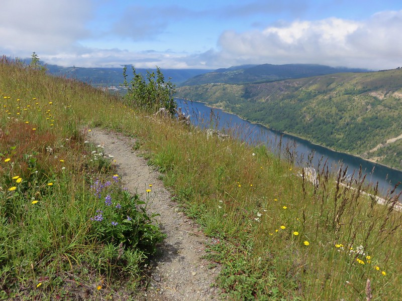
The Van Trump Trail climbs relatively steeply for almost two miles to the base of Comet Falls. Total elevation gain is approximately 1250′ making this a fairly strenuous hike.


This footbridge is over Chrstine Falls which we got a view of the day before.

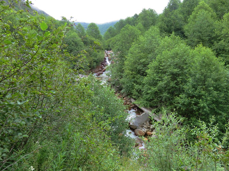
Van Trump Creek


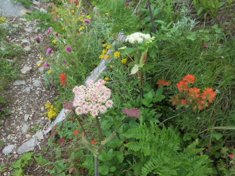
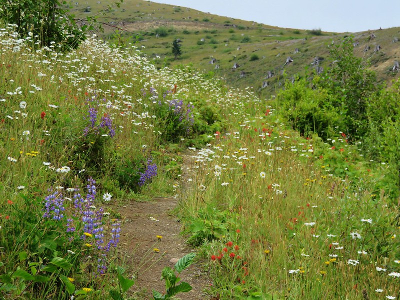
Paintbrush


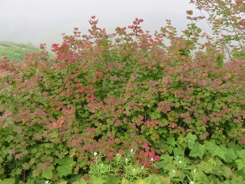
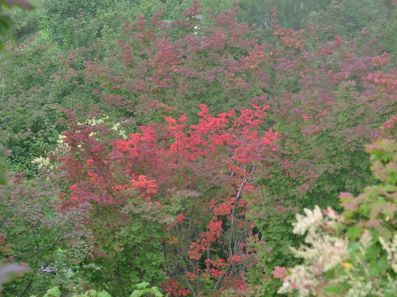
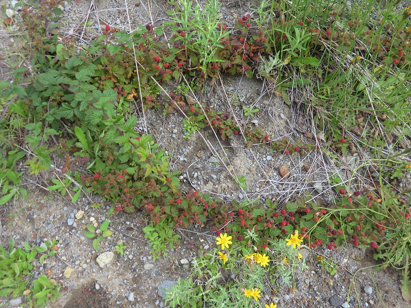
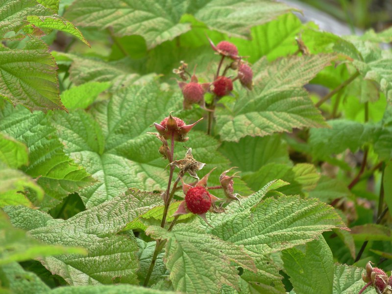
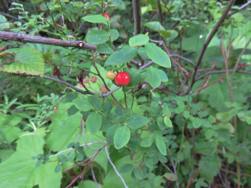
Several salmonberries were consumed during this hike.

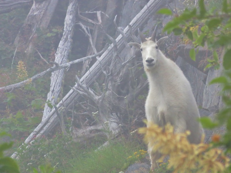
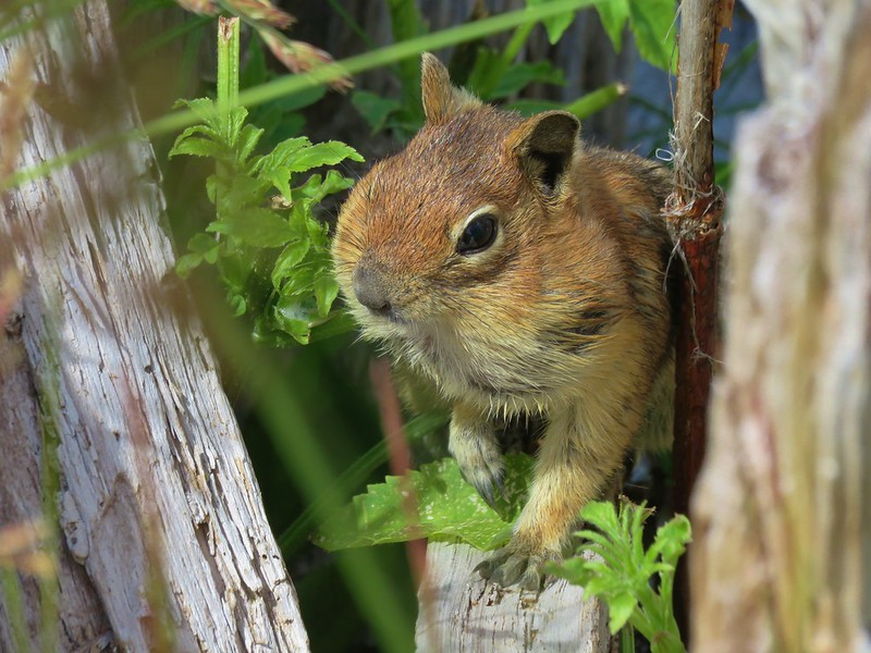
Pika!

Fireweed

The steep set of stairs ahead were a workout.

Pearly everlasting

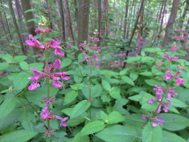
Beardtongue

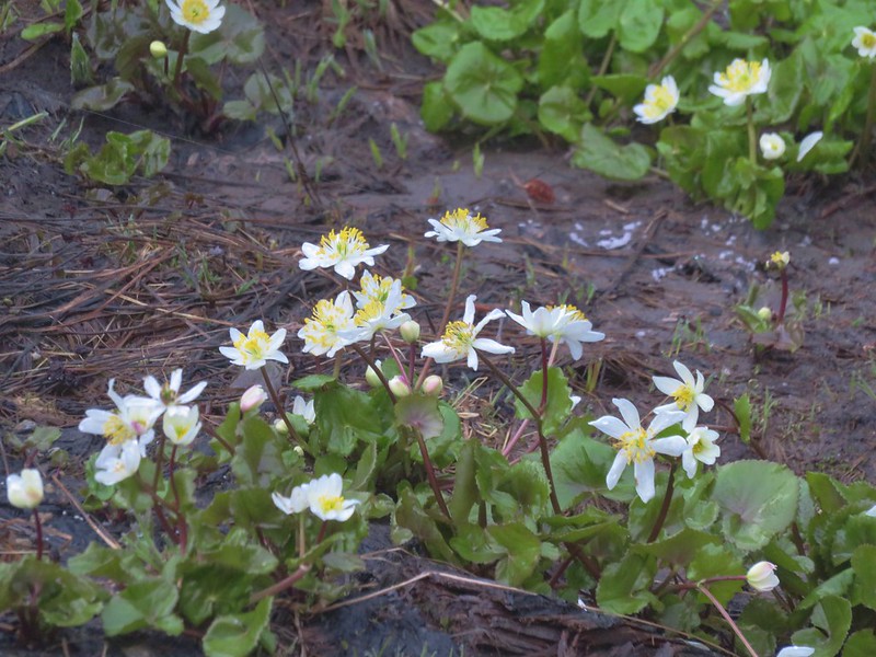
Monkeyflower and yellow willow-herb

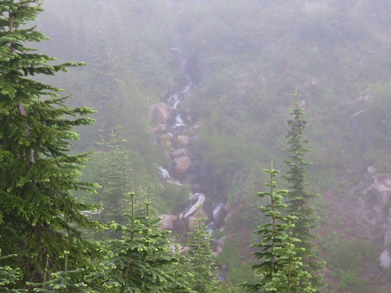
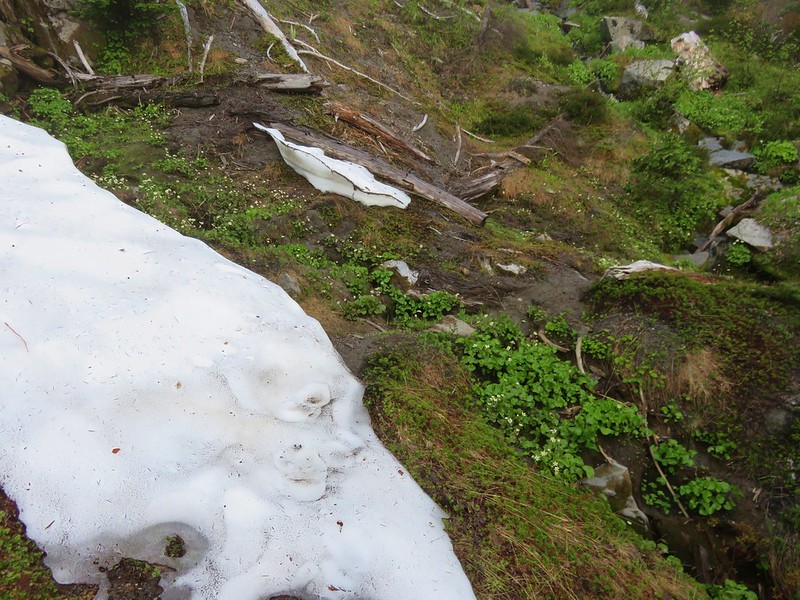
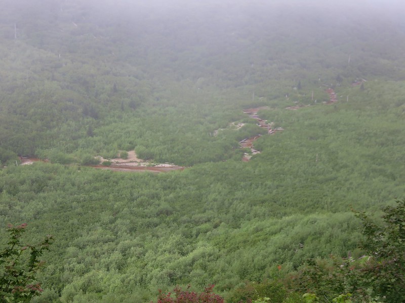
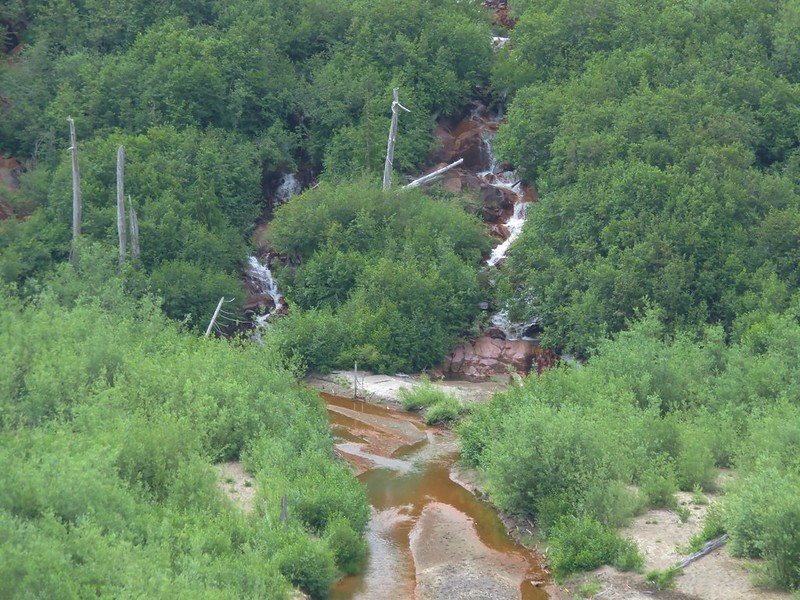
Unnamed fall on Van Trump Creek.

Rocky stretch of trail where the pikas were seemingly everywhere.

One pika!

Pika number 2, with snack.

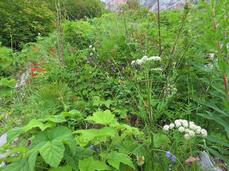
Tall mountain bluebells


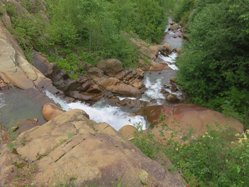
Confluence of the West and East Forks of Van Trump Creek.

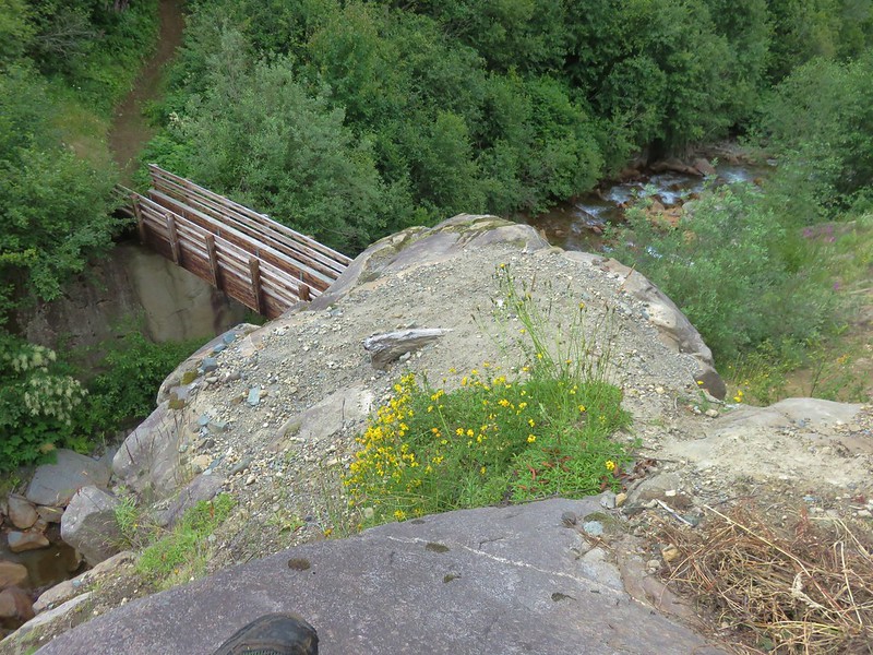
Footbridge over the East Fork Van Trump Creek.

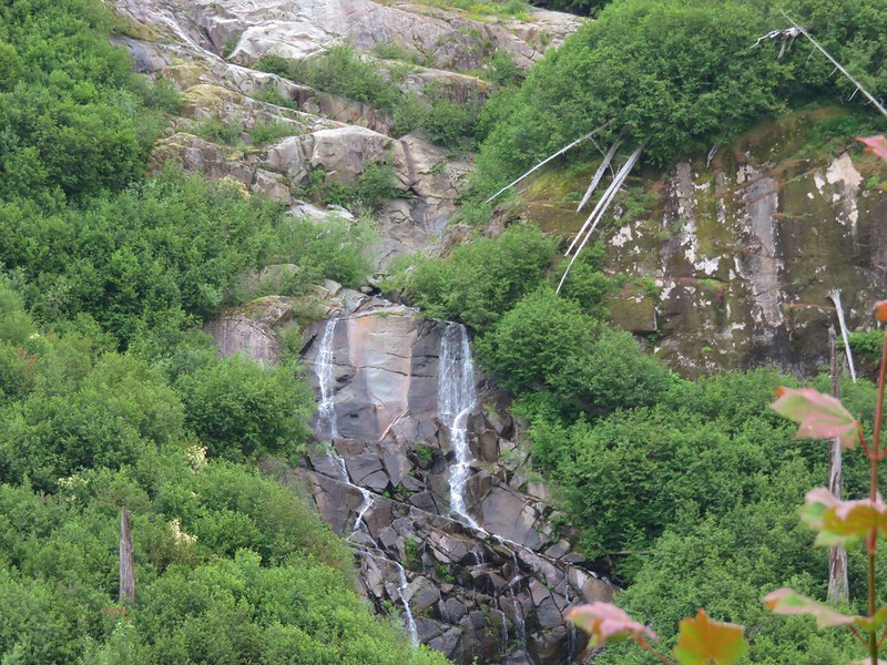
Bloucher Falls

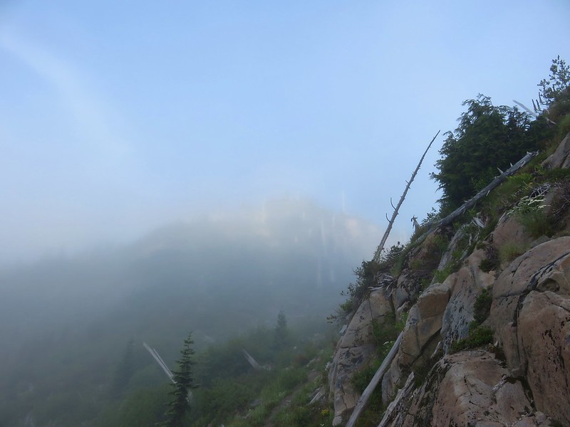
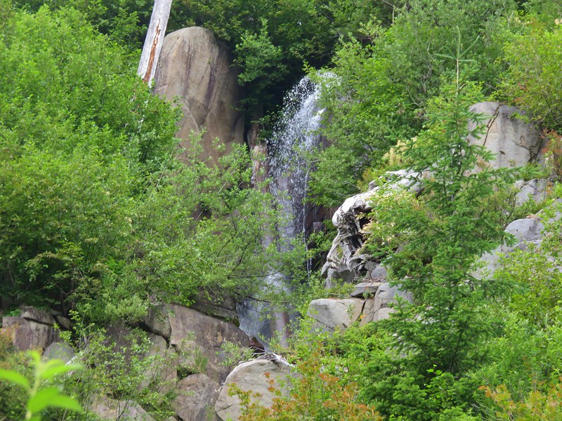
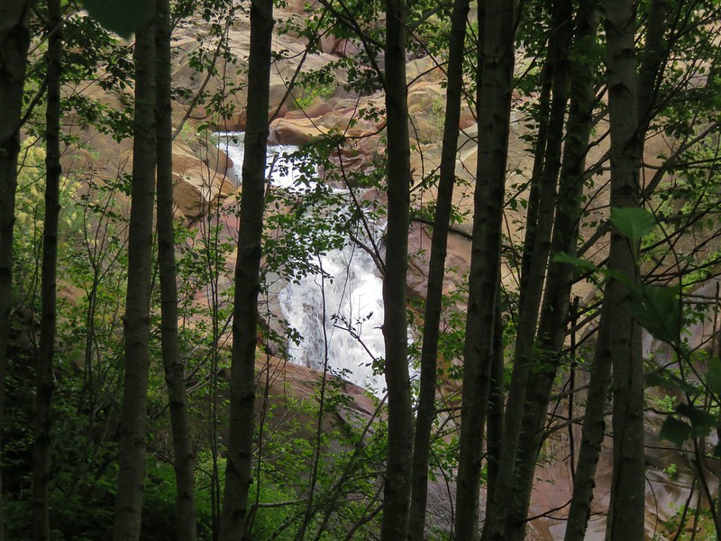
It was just 200′ from Bloucher Falls to a viewpoint of Comet Falls. Unfortunately fog was hiding most of the view from the viewpoint, but continuing on the Van Trump Trail produced clearer views.


Comet Falls is over 300′ tall.

The best view of the morning before more fog rolled in.
The Van Trump Trail continues steeply uphill to Van Trump Park and can be connected to the Rampart Ridge Trail (post). Originally, we had planned on visiting the wildflowers and views at Van Trump Park, but after rearraigning our plans due to Sunday’s flat tire (post) and Wednesday’s rain we decided to turn around at Comet Falls.
Right about the time we headed back more fog moved in really obstructing the view of the falls.


Fog was now affecting the view of Bloucher Falls as well.
We kept our eyes out for pikas on the way down and were not disappointed.


Beardtongue

Pika with a mouthful of vegatation.

Stonecrop

Harebells


Penstemon

A pika and a thrush.


Blueberries

Twinflower

Chestnut-backed chickadee

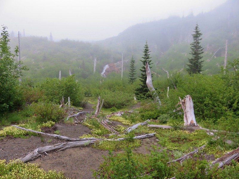
Final drop to the trailhead.

Our 3.8-mile, 1250′ track.
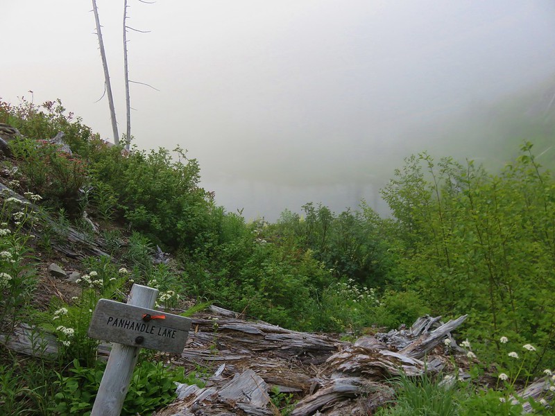
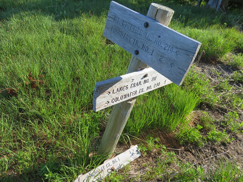
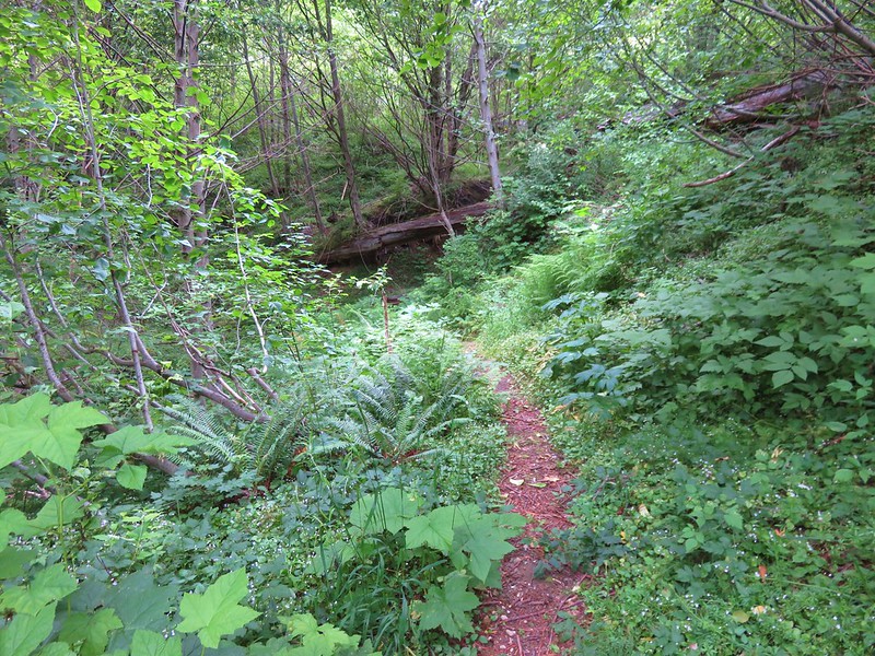
From the trailhead we headed back toward Packwood for eight miles to the Snow Lake Trailhead. The trailhead itself was closed for repaving/striping, but we’d hoped to find a spot along one of the nearby pullouts. The two closest pullouts were full so we wound up driving 0.4-miles back up Stevens Canyon Road to the next available pullout.

The closed trailhead.

The pullout we parked at.

We had a 0.4-mile road walk to reach the trail.

The full pullouts on either side of the road.

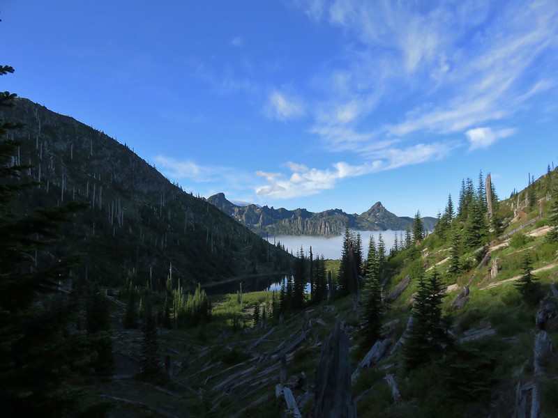
While the trail is only about 1.2-miles long it gains over 600′ in a series of steep ups and downs.


False hellebore

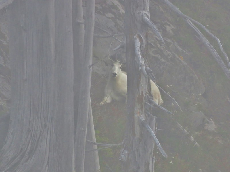
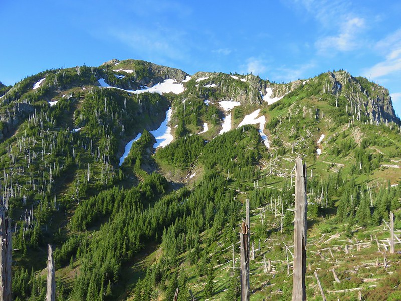
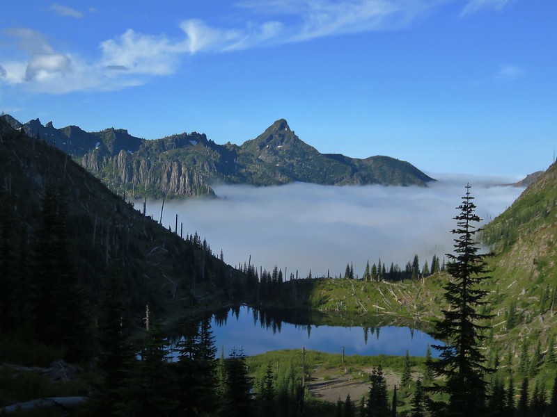
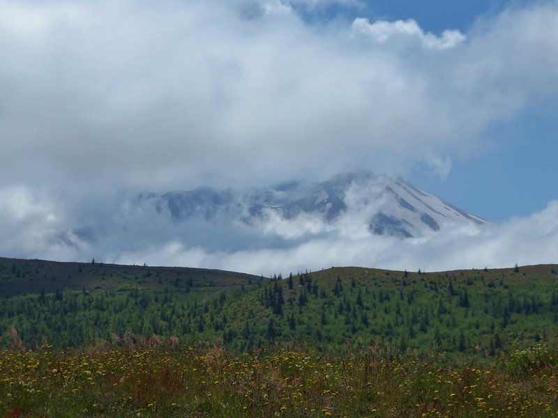
Unicorn Peak in the clouds.

Gentian


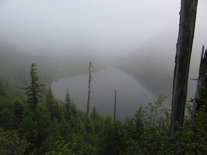
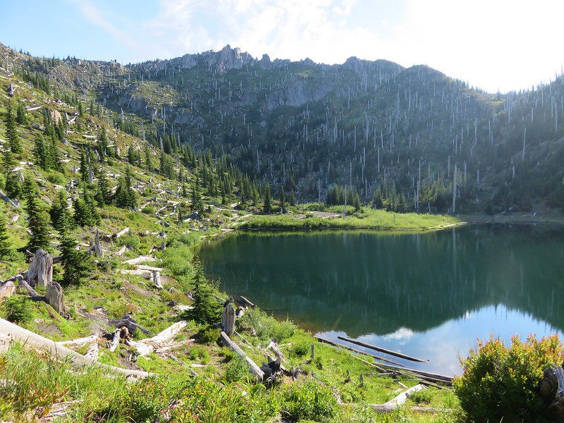
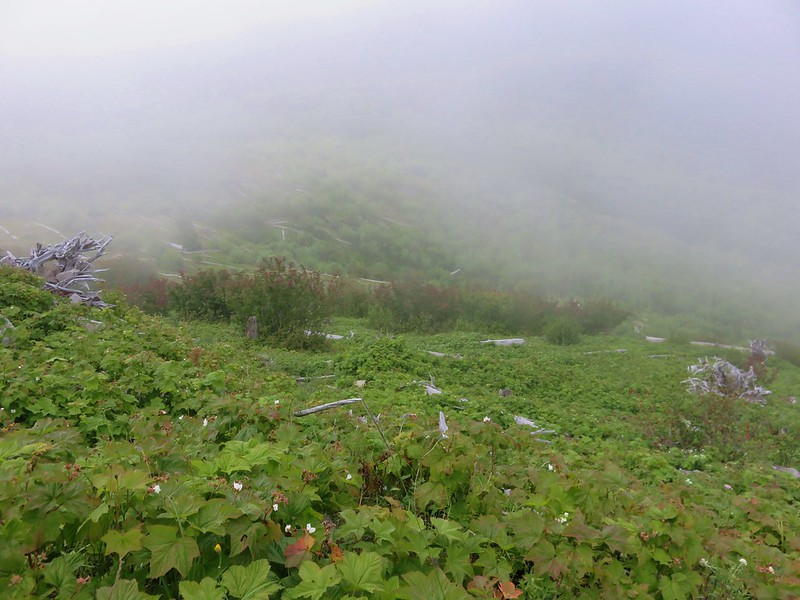
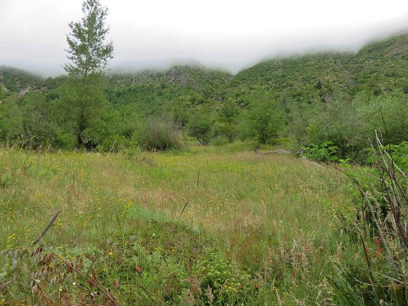
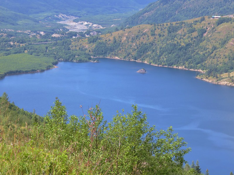
The northern end of Bench Lake. There is reportedly a view of Mt. Rainier to the north from this rocky overlook however the clouds eliminated any chance of that today.

Spur trail to the left down to Bench Lake.

The spur trail was steep and very eroded. Heather took one look and said “no thanks” and continued on to Snow Lake.

On a clear day there would be a view of Mt. Rainier from the southern end of this lake.

Blurry great blue heron on the far side of Bench Lake.
After checking out Bench Lake I followed Heather toward Snow Lake.


Paintbrush

Footbridge over Unicorn Creek.

Arnica

Spur to Snow Lake Camp and the privy to the left.

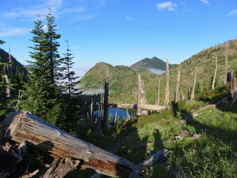
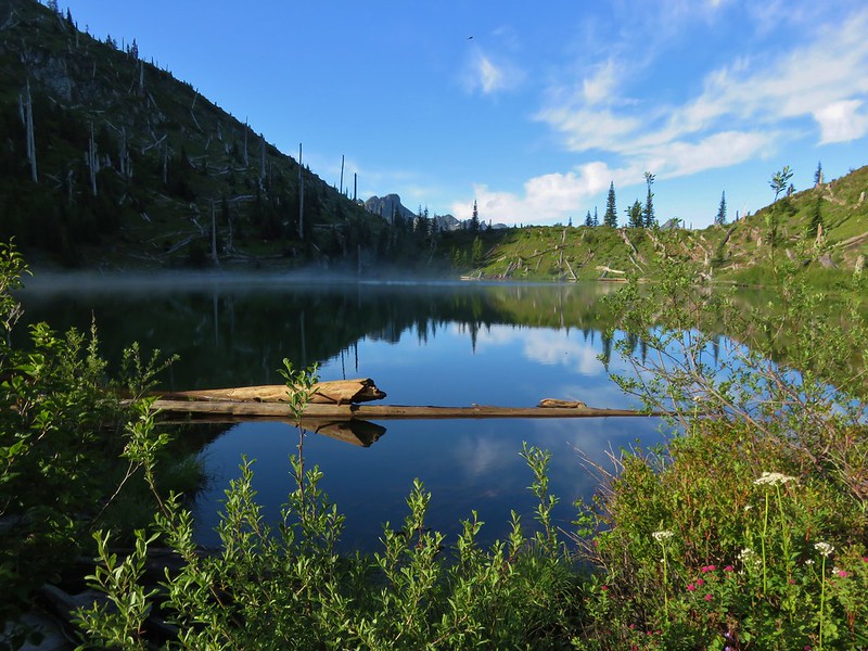
Snow Lake

Sickle-top lousewort

Snow Lake from the outlet.
 \
\
Snow Lake Trail passing above Snow Lake.

Unicorn Peak

The end of the maintained trail.

Unicorn Creek near its source.

Tents at Snow Lake Camp across the water.
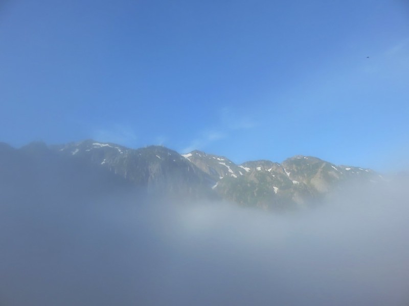
We headed back after visiting Snow Lake and while the clouds began to break up the sky didn’t clear up enough for us to ever see Mount Rainier.

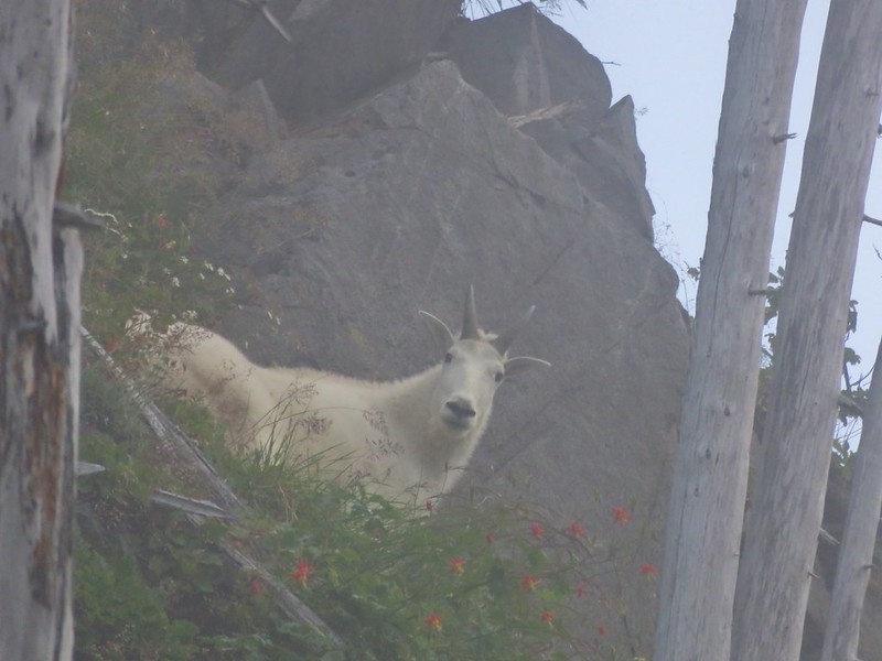
Unicorn Peak with a little blue sky.


Nuthatch

We stopped at the overlook of Bench Lake again to watch some deer in the brush below.


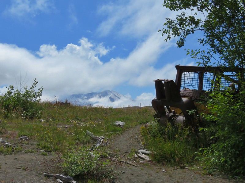
No view of the mountain today.
Due to where we parked this stop came in at 3.7-miles with a little over 700′ of elevation gain giving us a total of 7.3-miles and 1950′ on the day.

We returned to Packwood for our final night. We had burgers from Cliff Droppers for dinner then watched the elk graze in the grass behind our room.

Group A

Group B
Another great day at Mount Rainier was in the books with one more hike remaining. The next morning we would be heading for the Naches Peak Loop where we hoped to see some great wildflowers and epic views of Mount Rainier. Happy Trails!