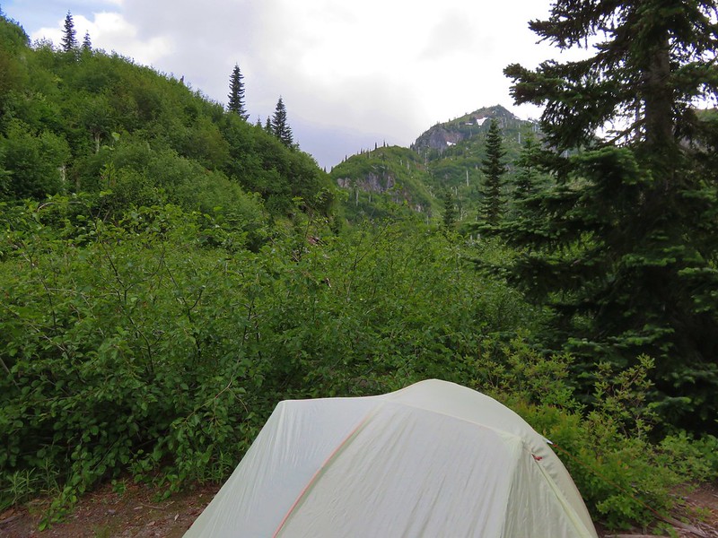
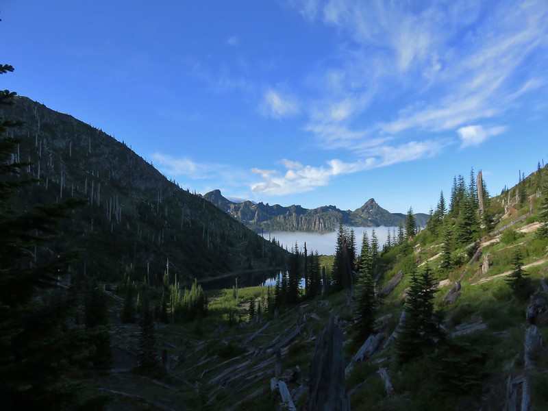
Waking up to a third tent at Obscurity Camp wasn’t our only surprise in the morning. I awoke at 4:30am to find nearly clear skies above the lake save for one small finger of cloud creeping over the ridge behind Obscurity Lake. We were getting an extra early start due to the forecast of possible Thunderstorms after 11am. The clear sky was encouraging, but it wasn’t long before clouds began creeping into the basin from all sides.
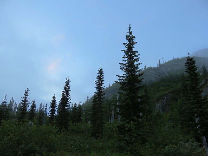
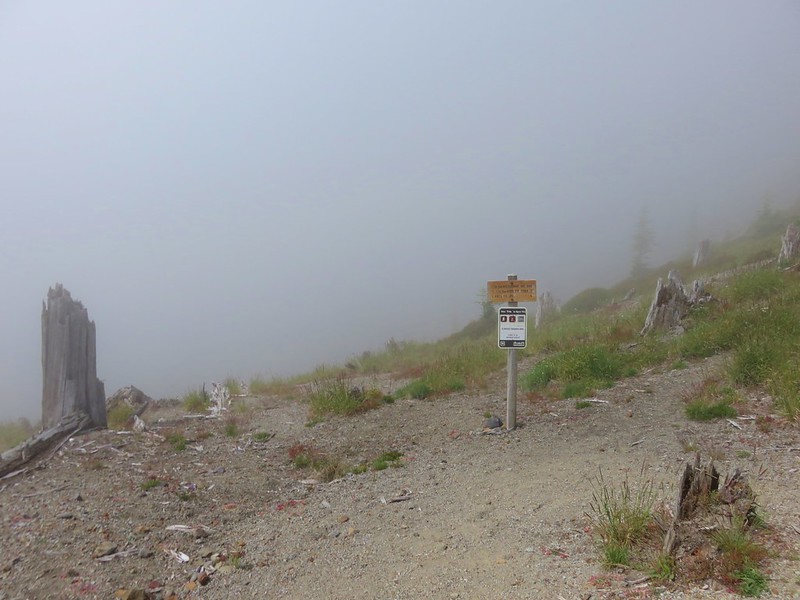
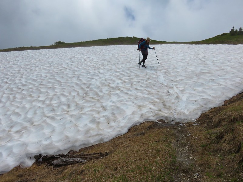
By the time we were on our way we were hiking through fog.
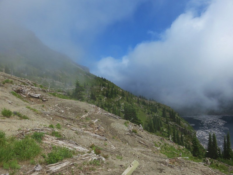
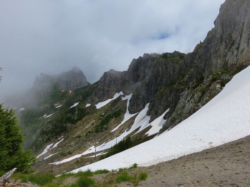
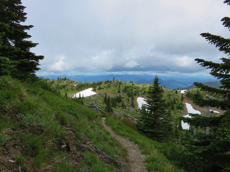
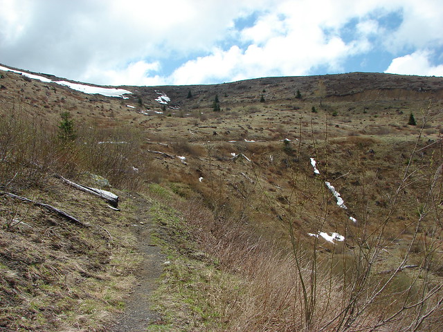
It was a fairly steep climb out of the Obscurity Lake Basin but as we neared the saddle between Obscurity and Panhandle Lakes beautiful blue skies appeared through the fog giving us some hope for views.
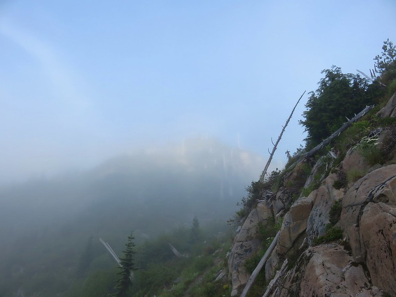

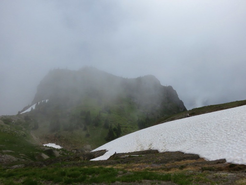
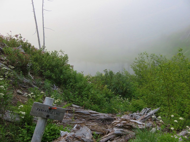
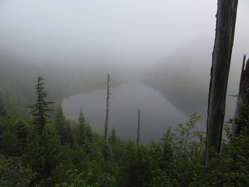
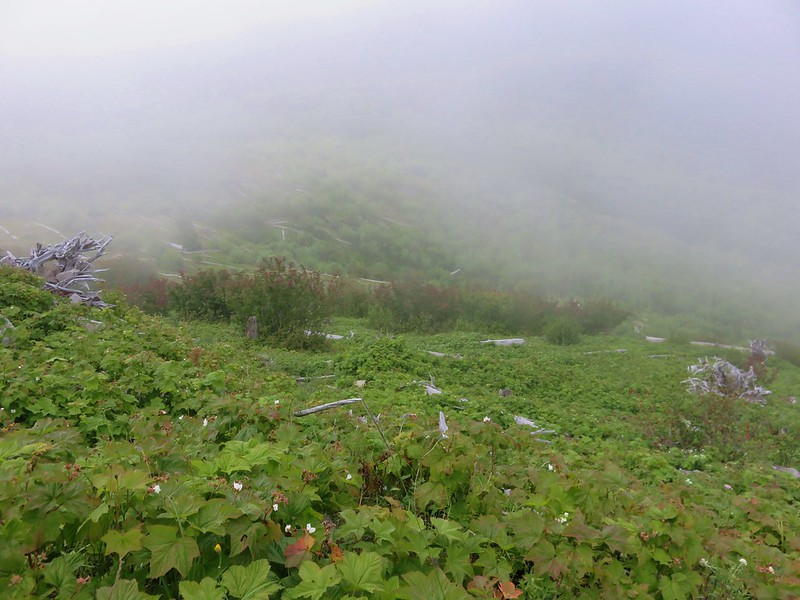
There were some views if we looked up but when we crested the saddle it was evident that the view of Panhandle Lake would not be clear.


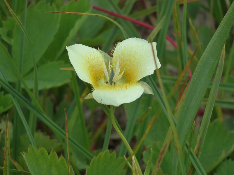
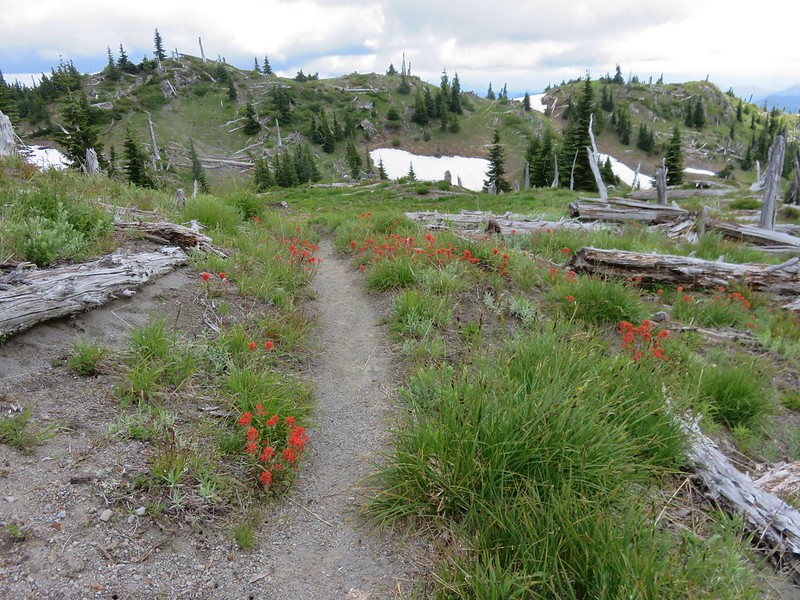
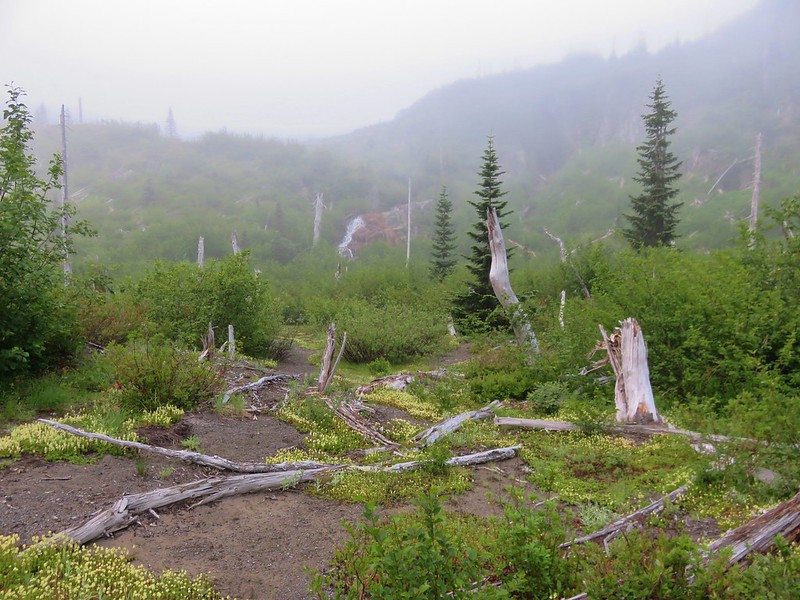
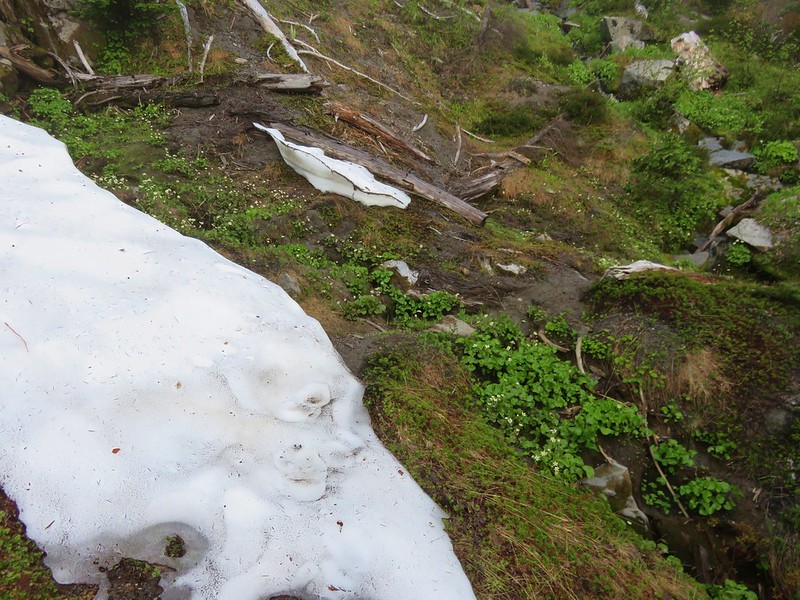
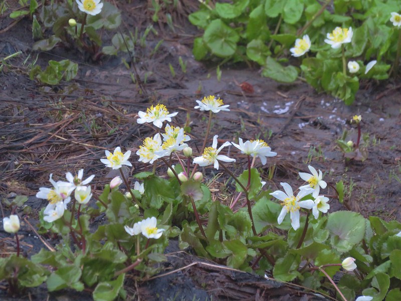
Down we went back into even thicker fog. The trail crossed a couple of nice streams with marsh marigolds as it wound around the lake.

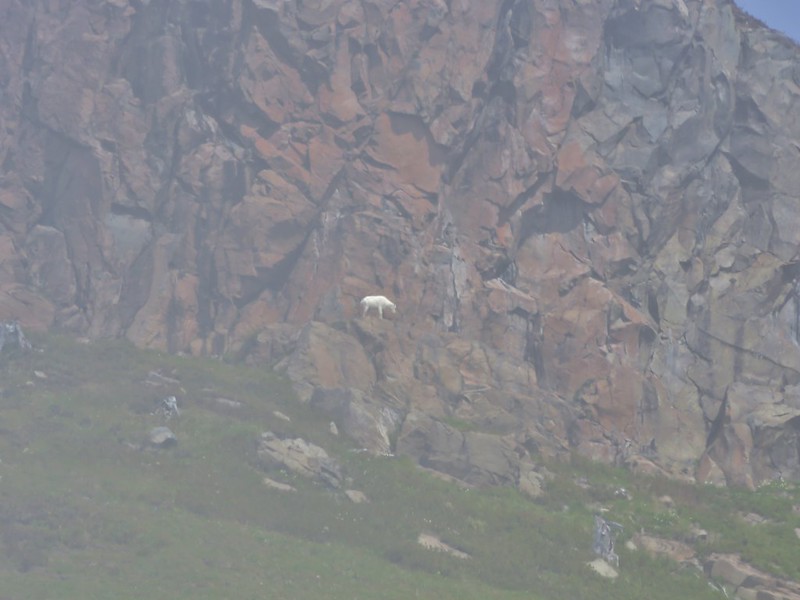
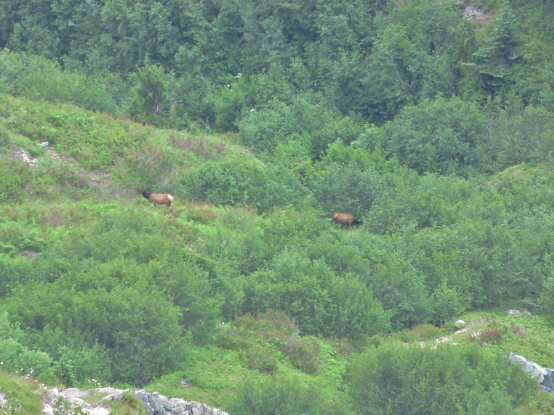
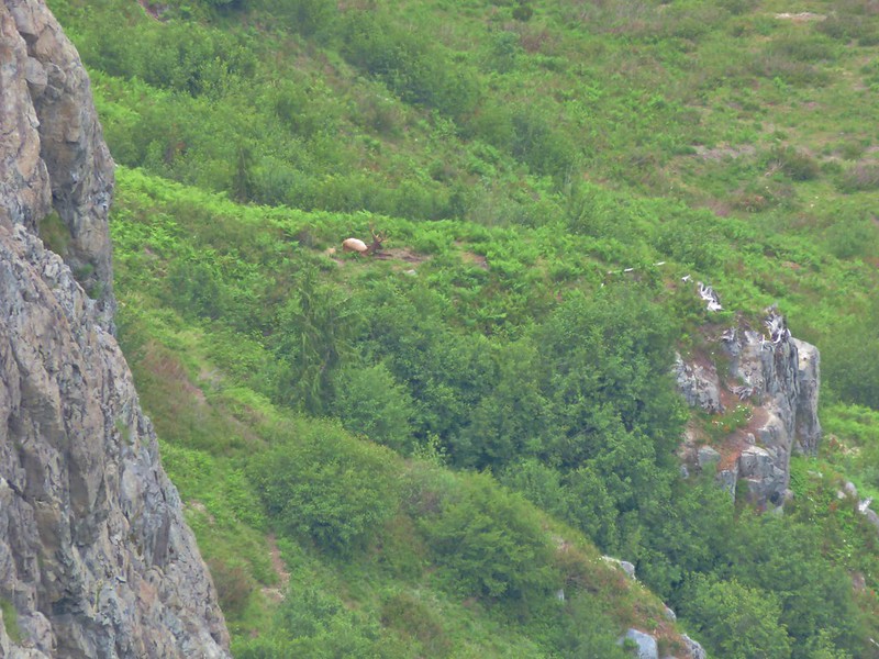
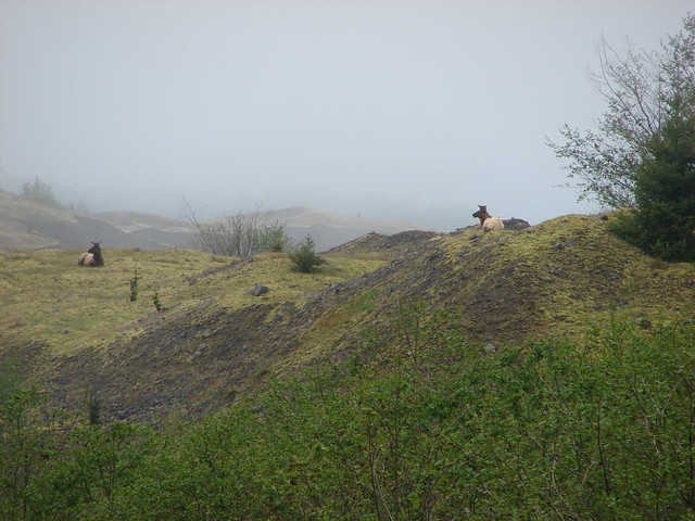
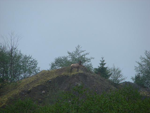
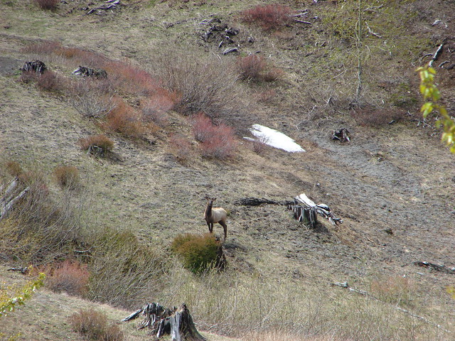
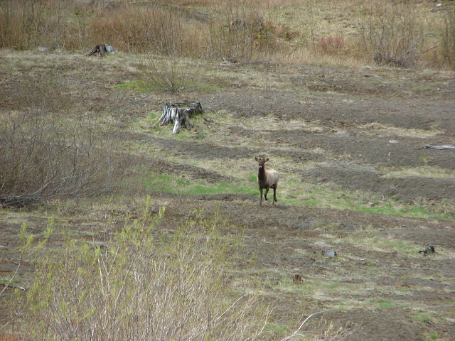
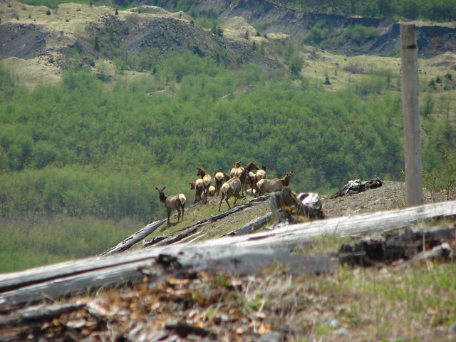
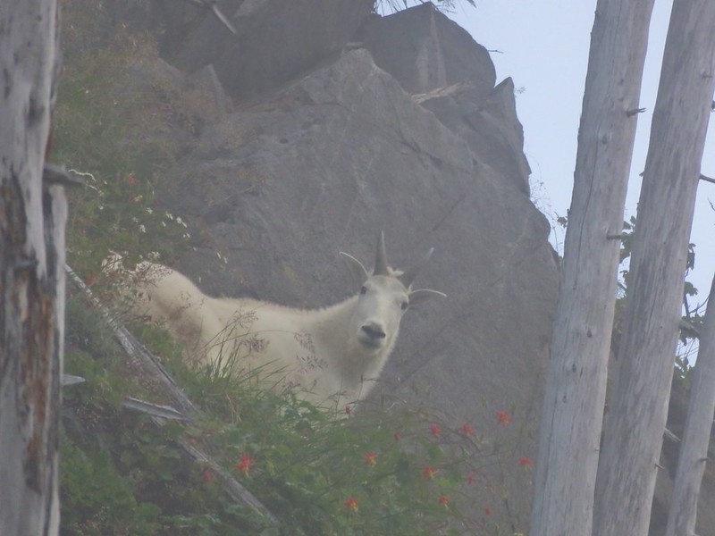
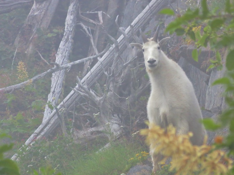
As we neared the lake we spotted a mountain goat lounging just above the trail.
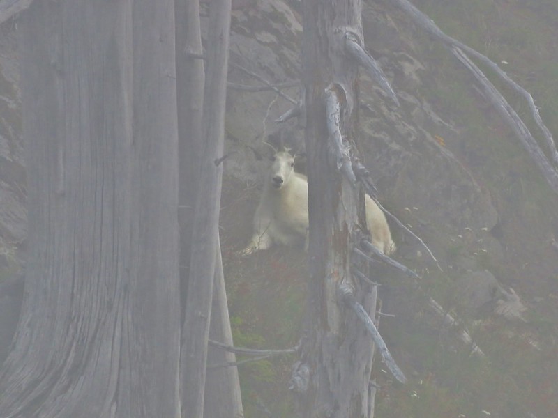
It sized us up and kept a close eye on us as we passed by.
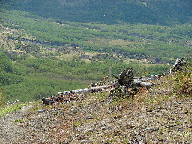
We decided not to go down to the lake figuring the view couldn’t be much better than what we had along the trail.
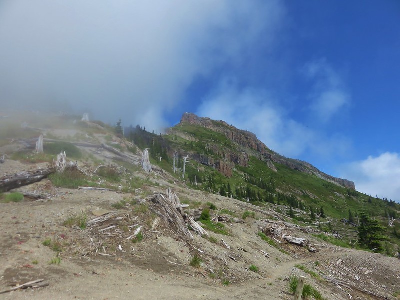
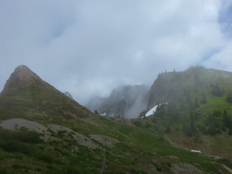
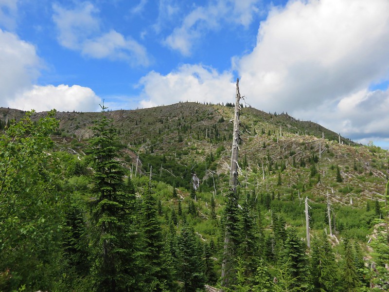
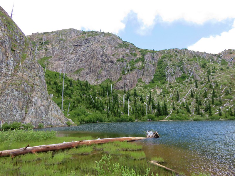
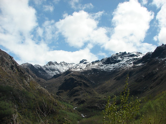
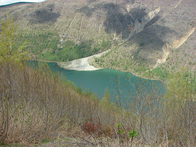
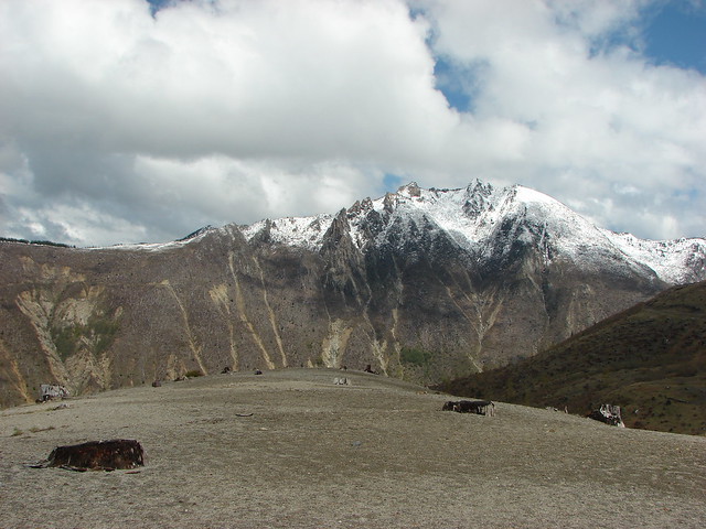
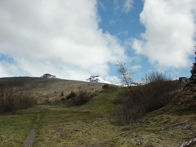
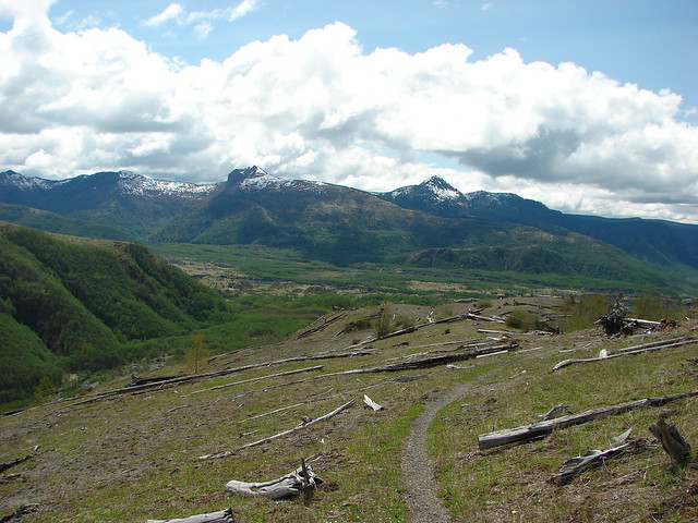
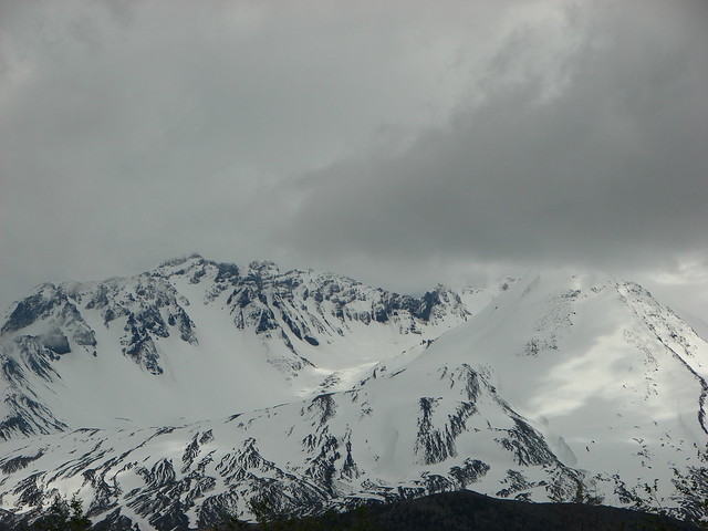
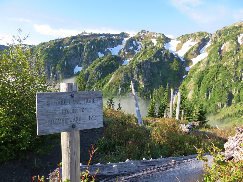
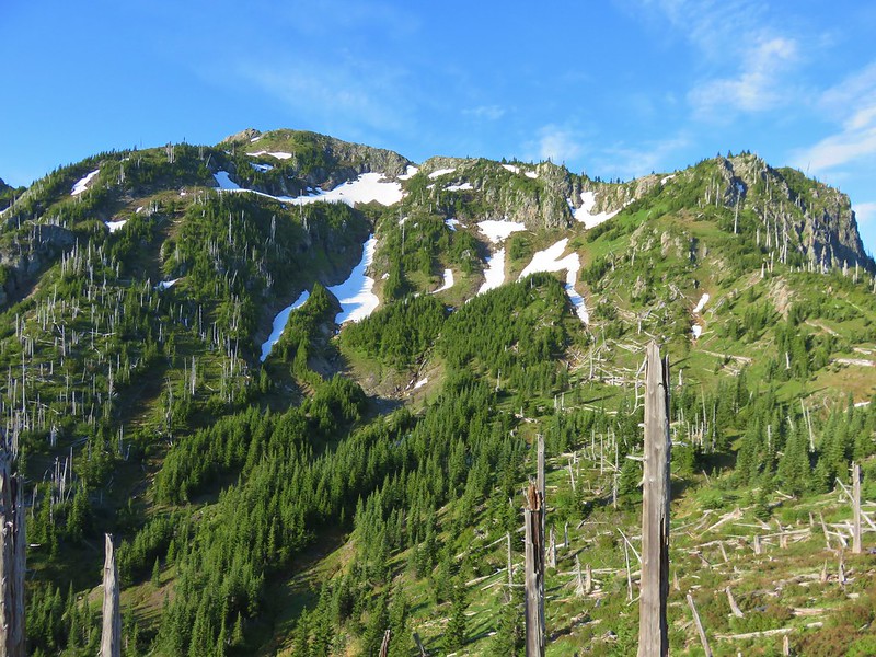
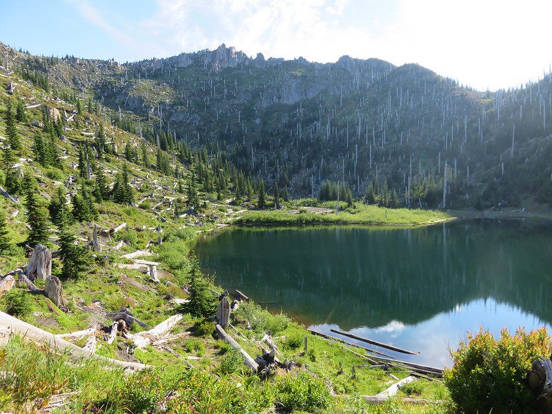
We continued on toward Shovel Lake. Once again the trail climbed out of a basin but instead of dropping back down toward Shovel Lake the trail passed above it along a ridge. On the far side of the lake was Mt. Whittier making this one of the most dramatic lakes in the backcountry but we never saw it.
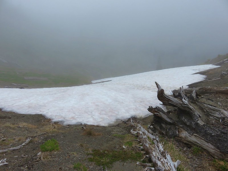
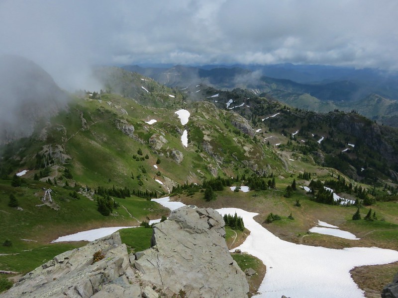
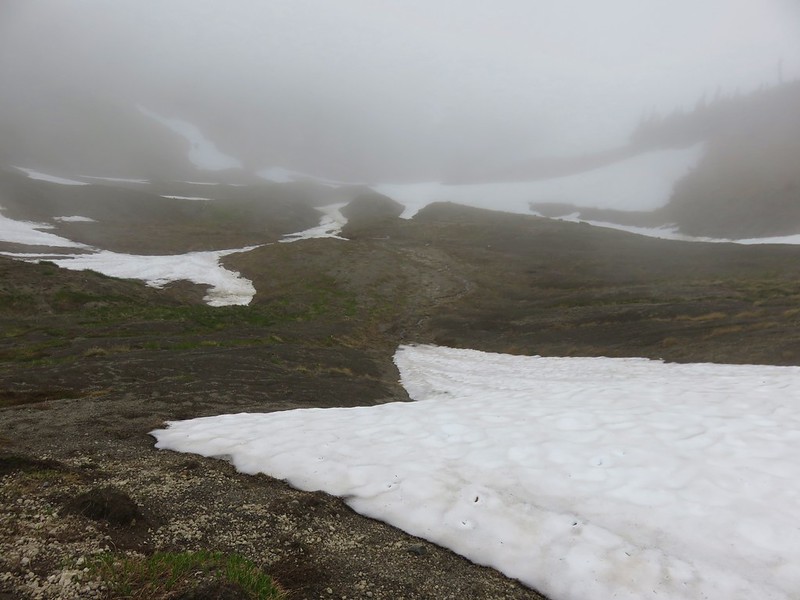
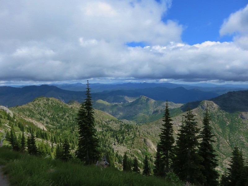
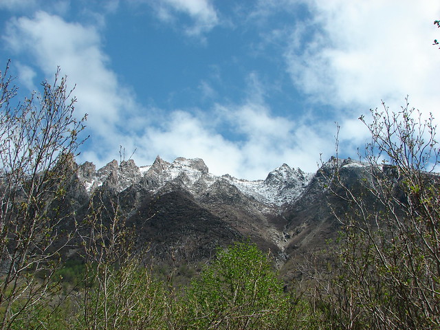
The thickest layer of clouds lay right over Shovel Lake, but as we climbed the ridge we eventually rose above the clouds.

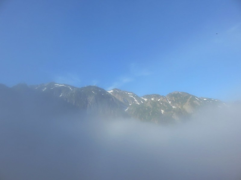

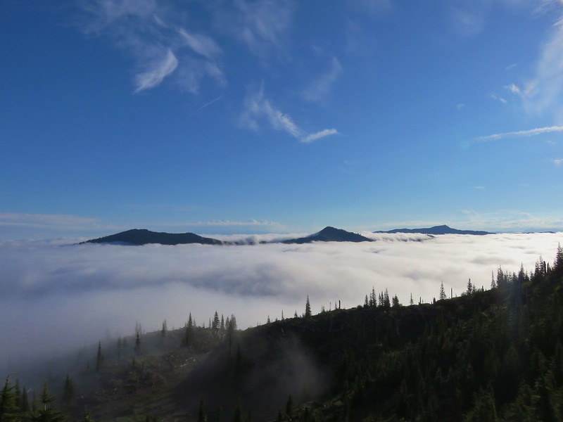
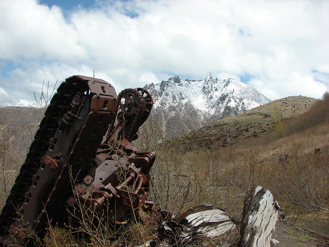
We were pretty excited when we realized we could see the top of Mt. Rainier in the distance.
The trail to Shovel Lake was near the top of the ridge which meant we would have had to descend a half mile back into the clouds to visit this lake. Once again we passed figuring it left us one more thing to come back for.
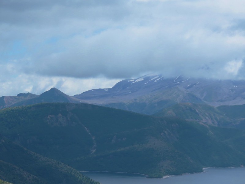
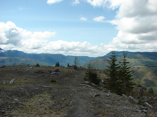
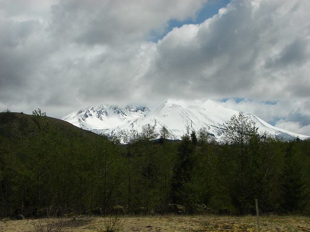
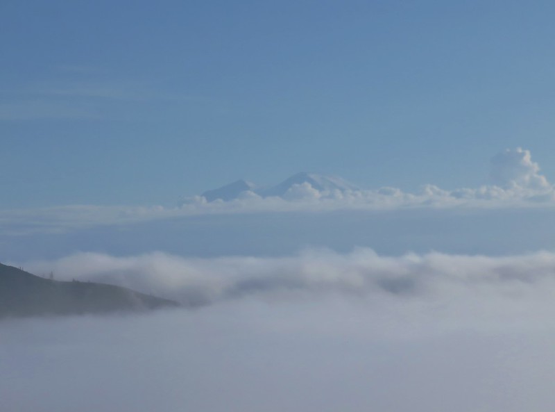
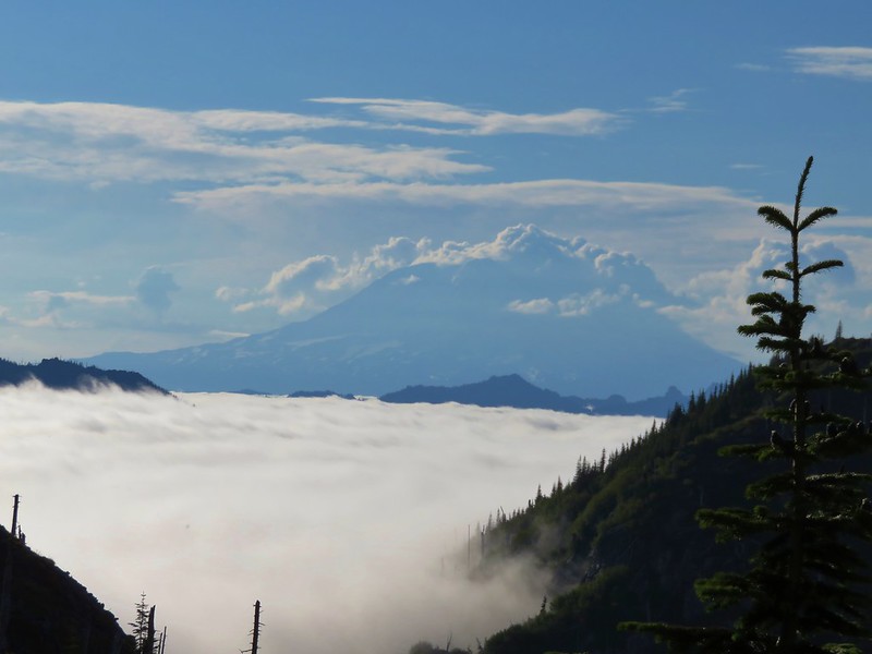
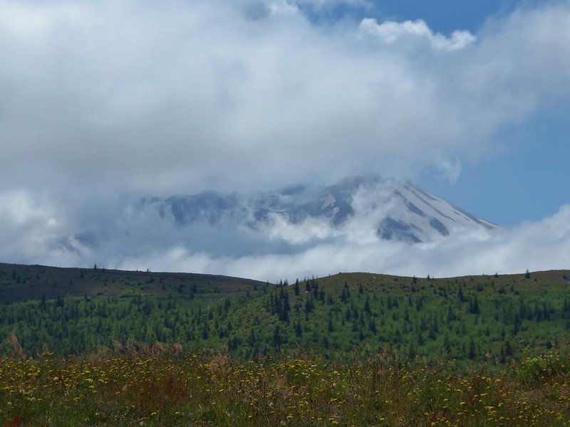
From the Shovel Lake Trail junction though we had a great view of Mt. Adams, which appeared to be wrestling with the clouds.

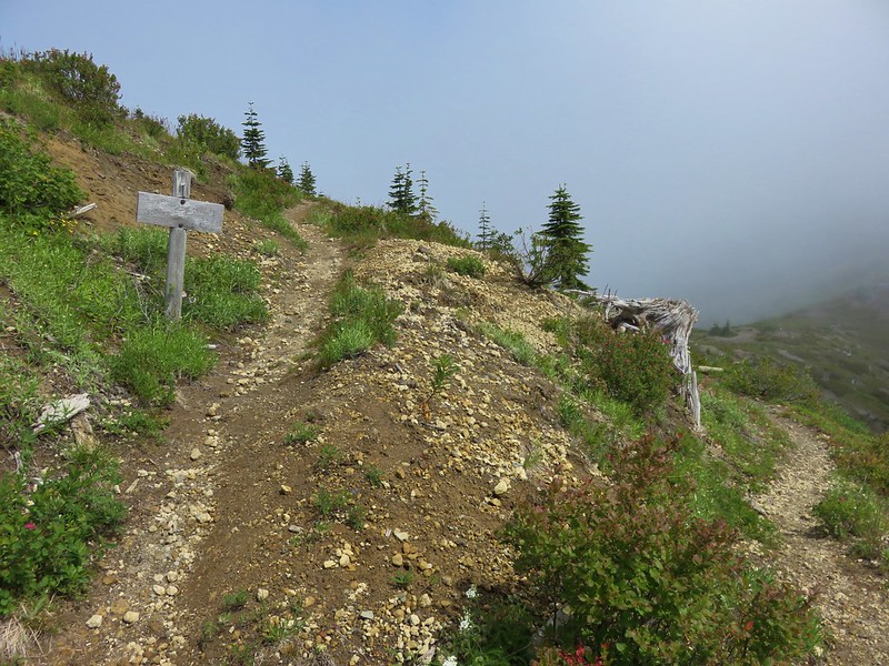
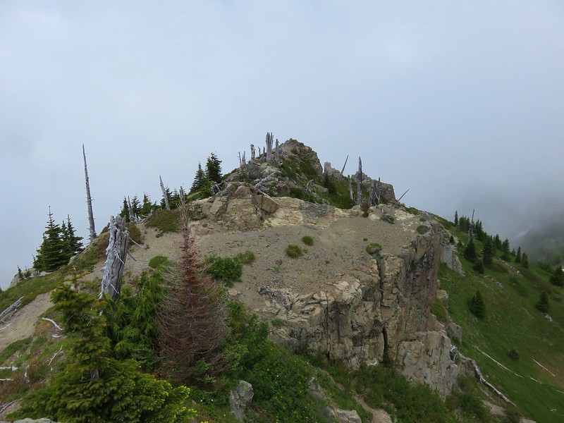
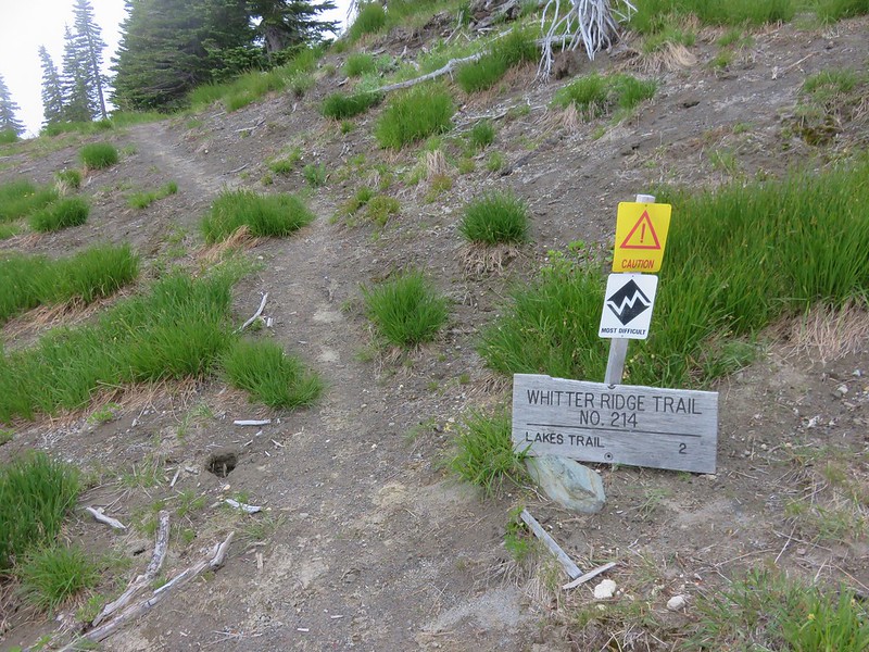
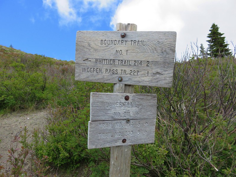
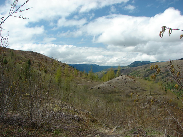
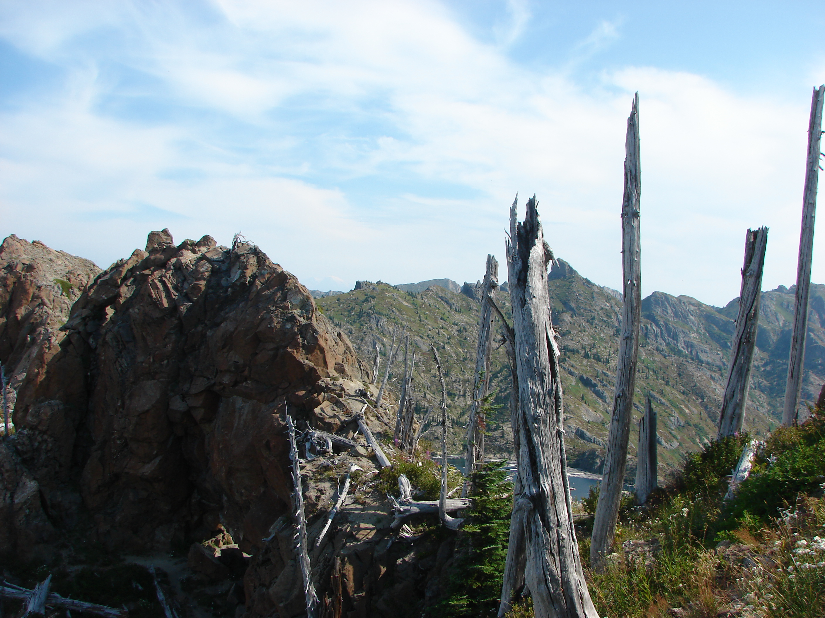
The trail continued up the ridge to a saddle where it was joined by the Whittier Ridge Trail.
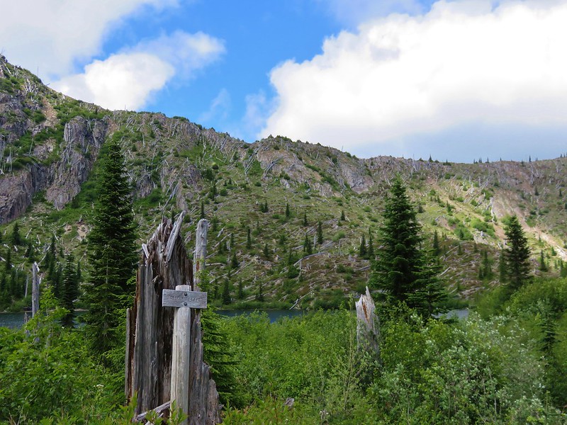
From this saddle we then began our descent toward Coldwater Lake. First up was Snow Lake.
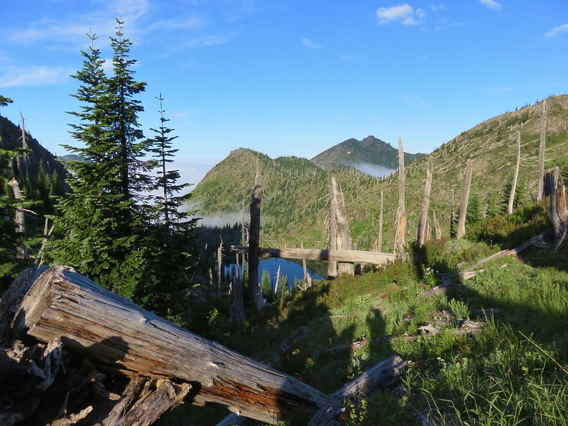
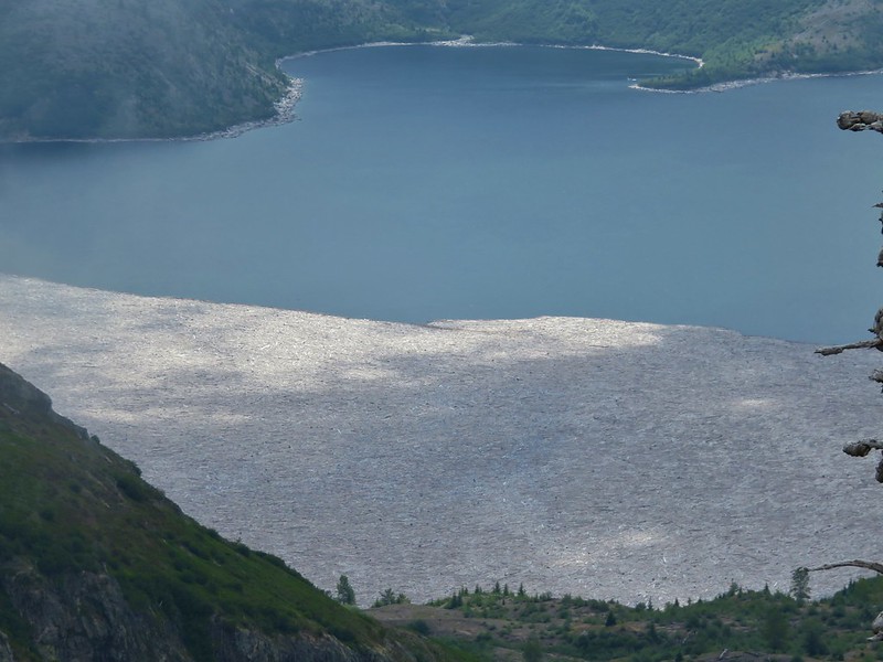
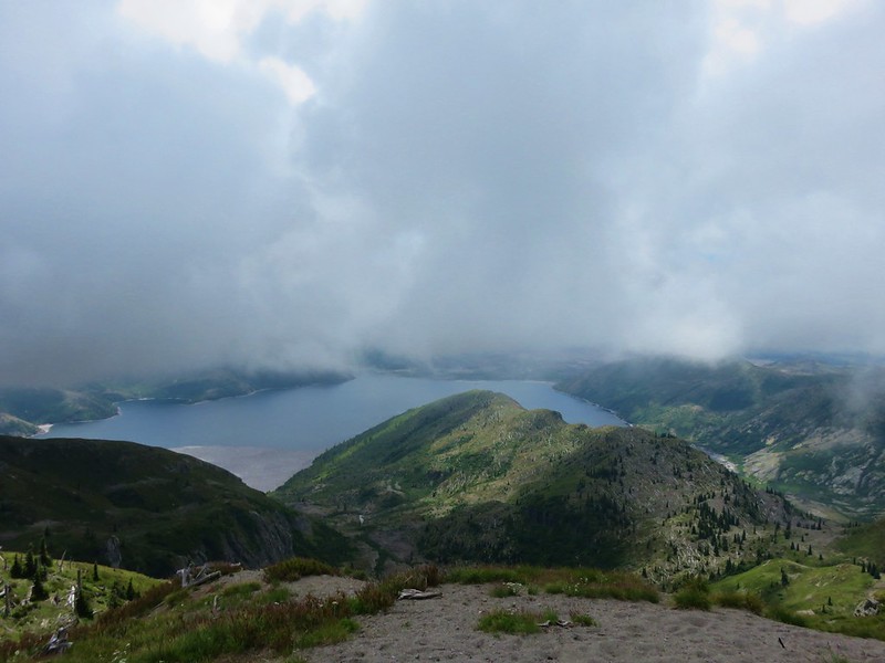
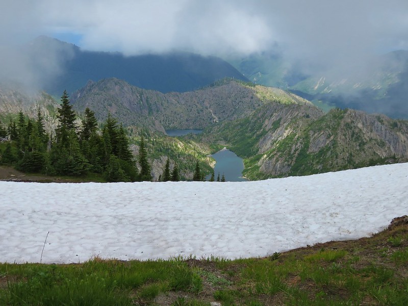
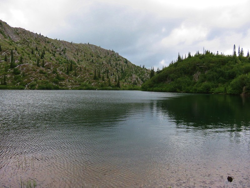
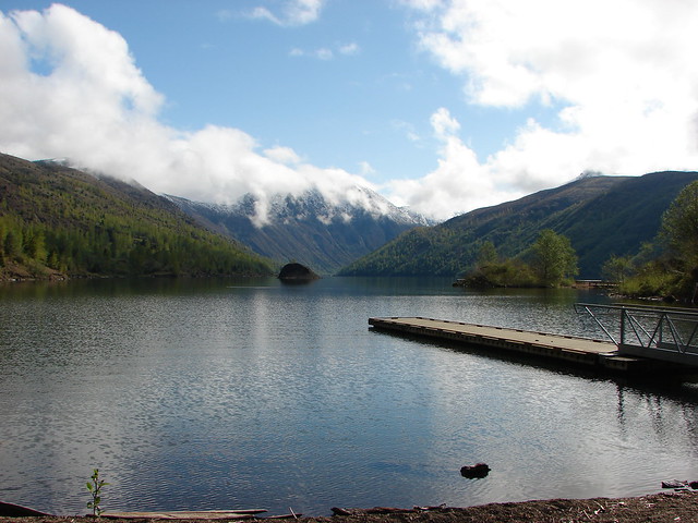
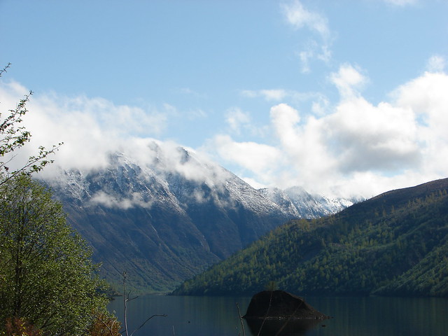
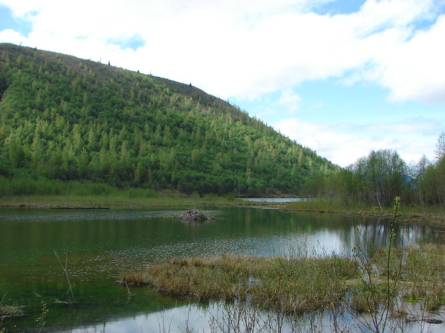
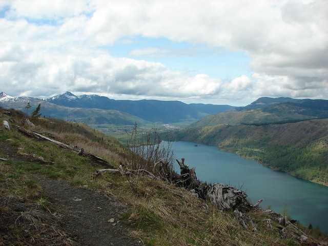
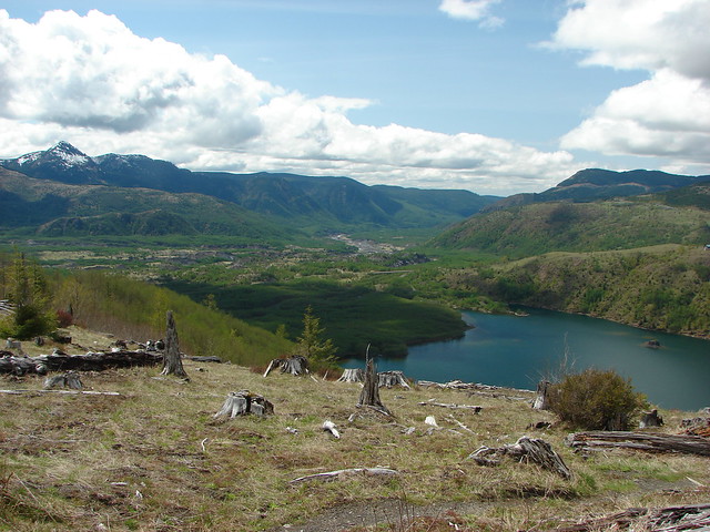
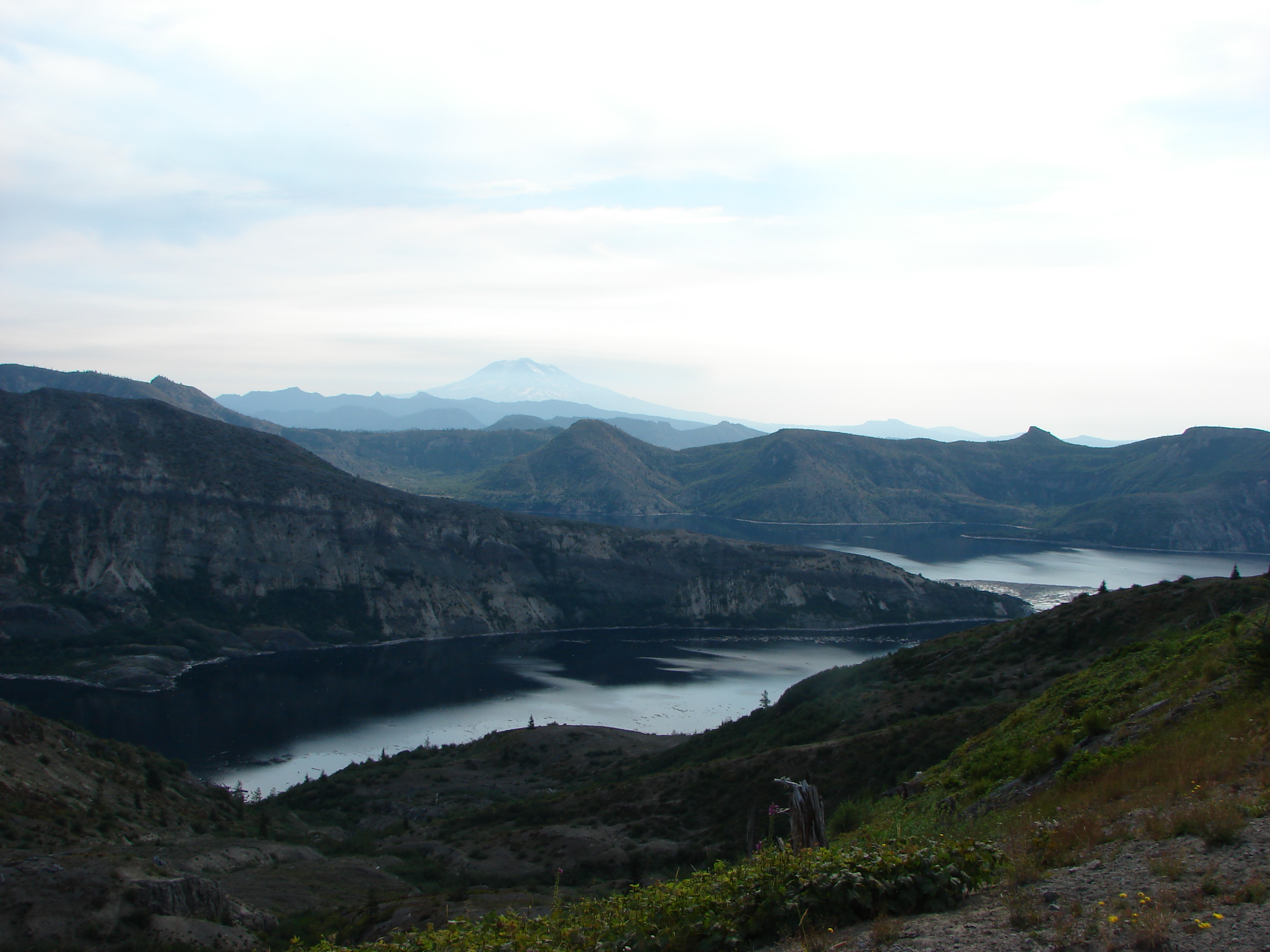
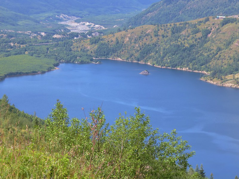
We had finally found a lake without clouds and as an added bonus we had a great view beyond to Coldwater Peak.
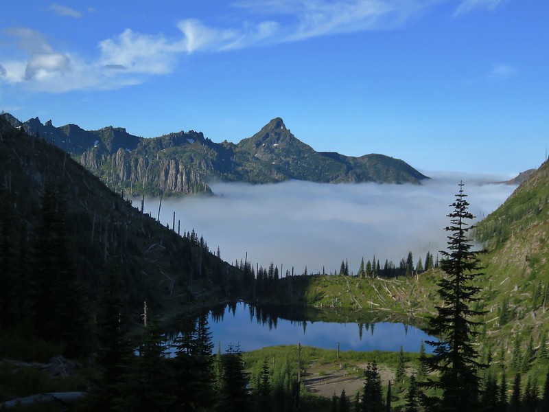
The trail swung out around the lake and as it did so we gained a little glimpse of Mt. St. Helens as well.

This time the trail went right by Snow Lake giving us an up close look.
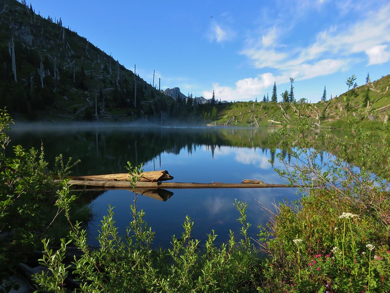
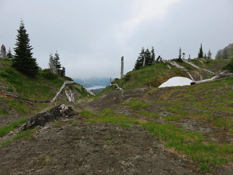
The other nice thing about Snow Lake was the climb out of the basin was short and not steep. We quickly crested the saddle above the lake and began to drop into another mass of clouds.
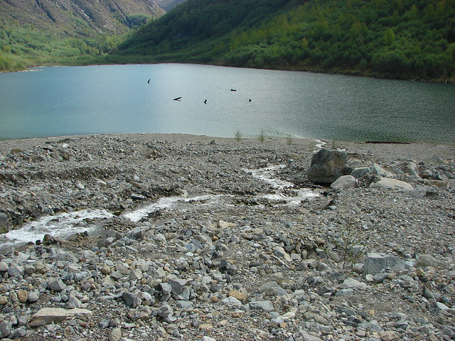
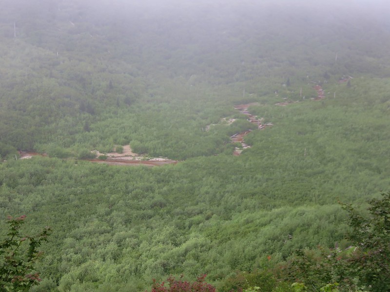
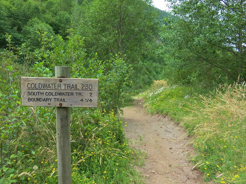
From Snow Lake it was 3.4 miles to the Coldwater Trail and a footbridge over Coldwater Creek. We were passing through the cloud layer for the first part of this section so we couldn’t see much. The trail itself was brushy with thimbleberry bushes and vine maples.

The tread was also narrow and washed out in spots but passable.

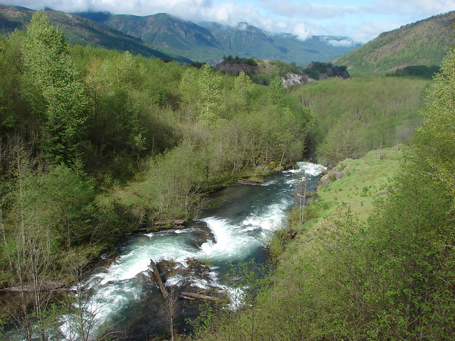
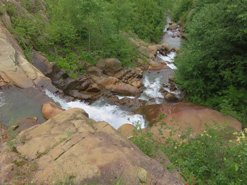
We eventually got under the clouds and could see Coldwater Creek below us.
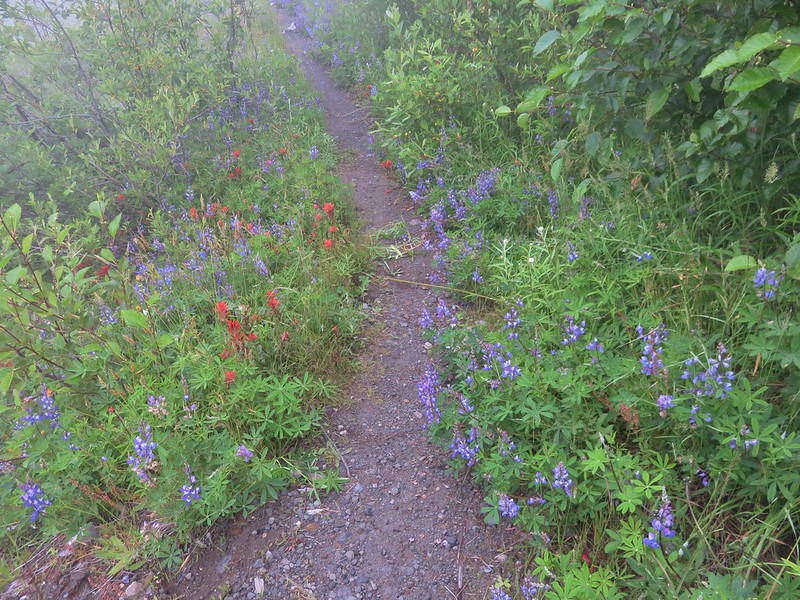
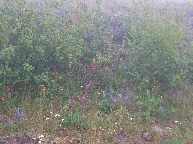
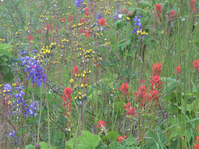
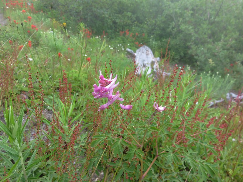
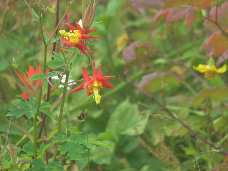
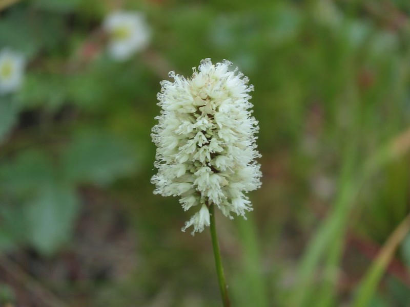
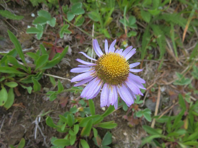
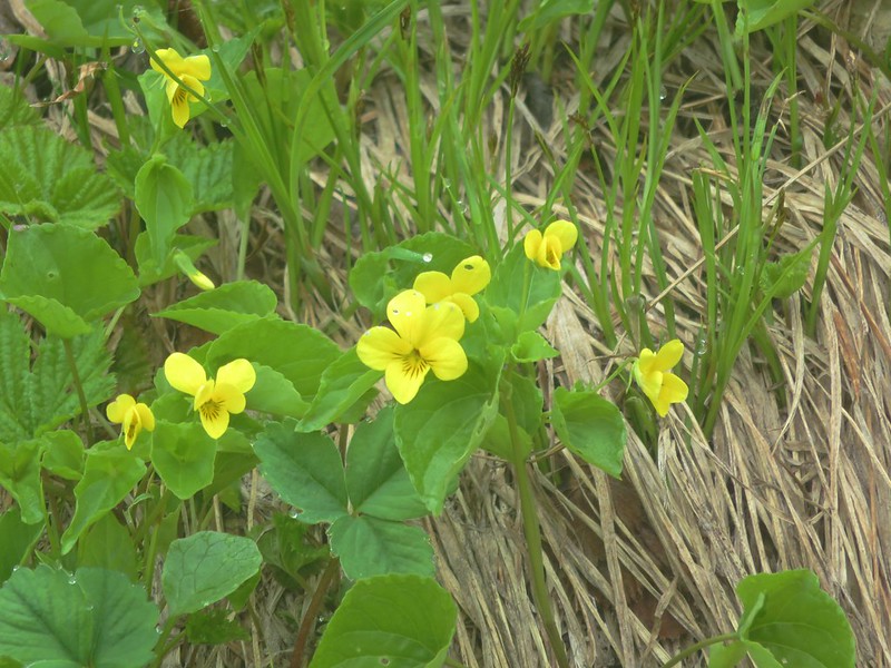
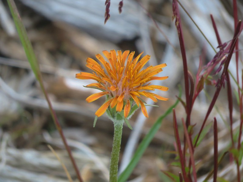
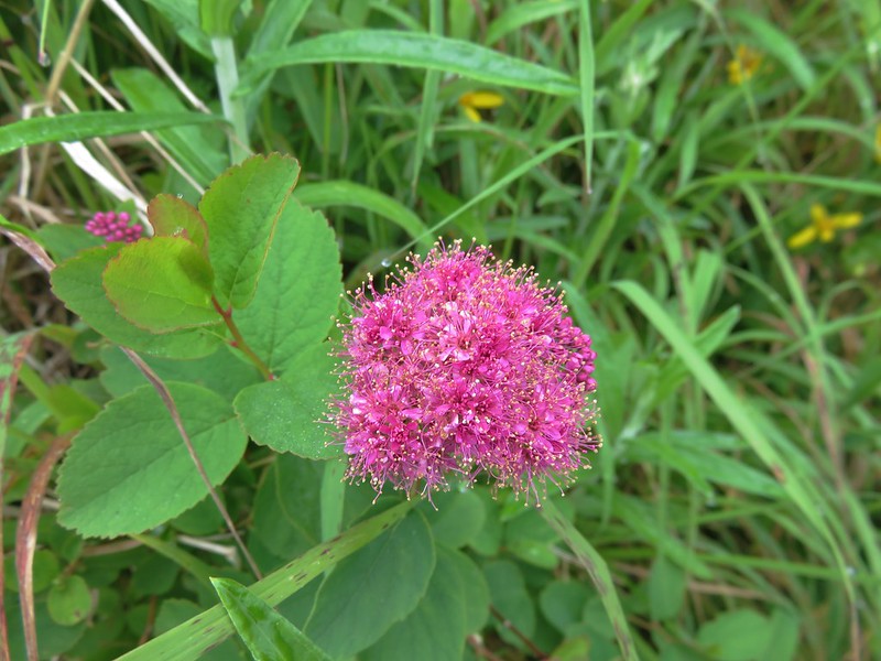
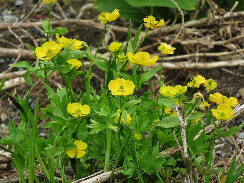
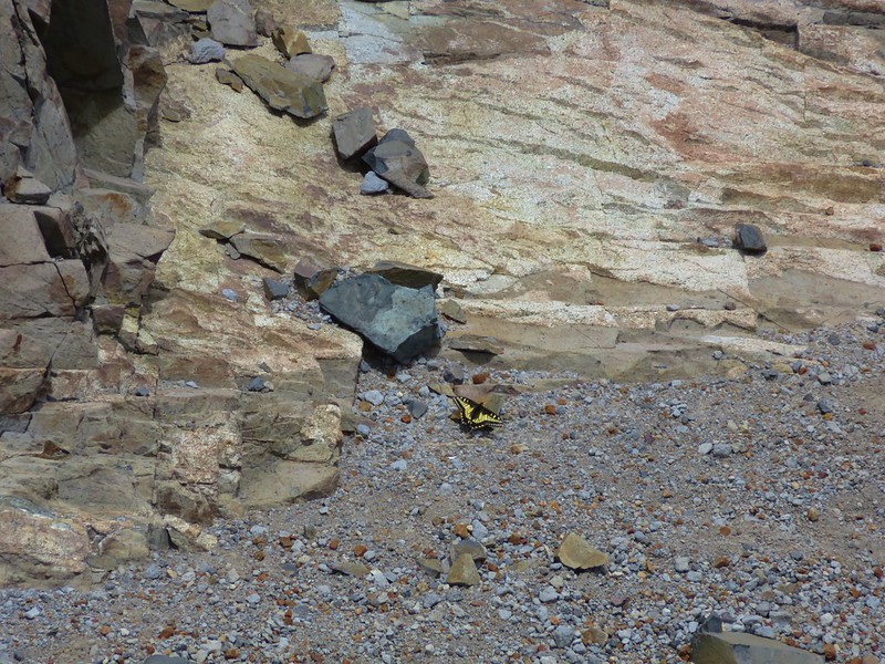
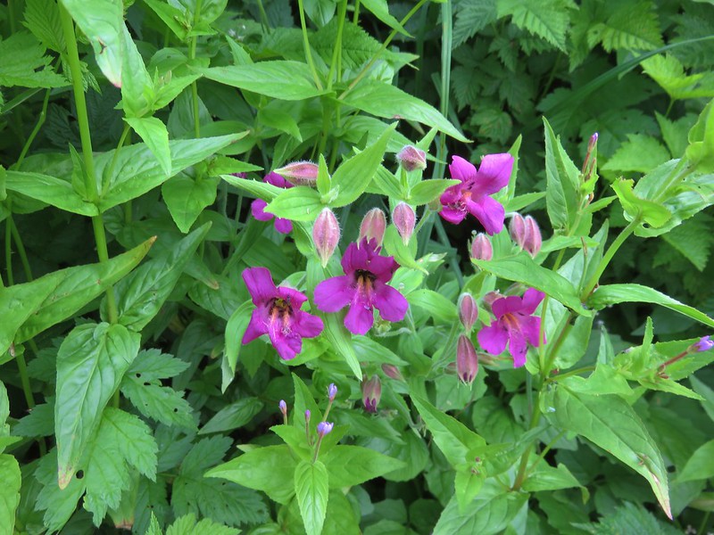
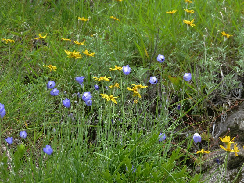
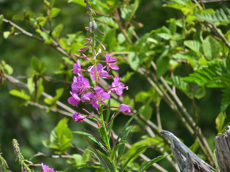
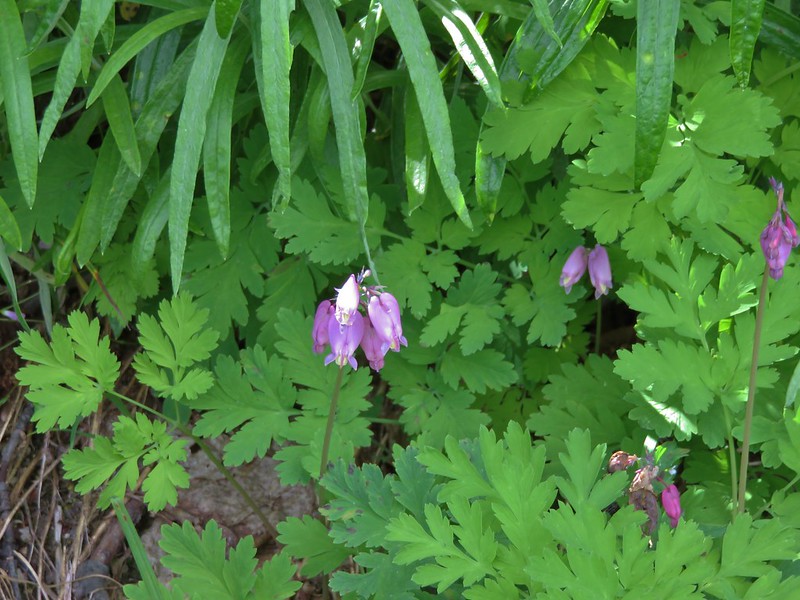
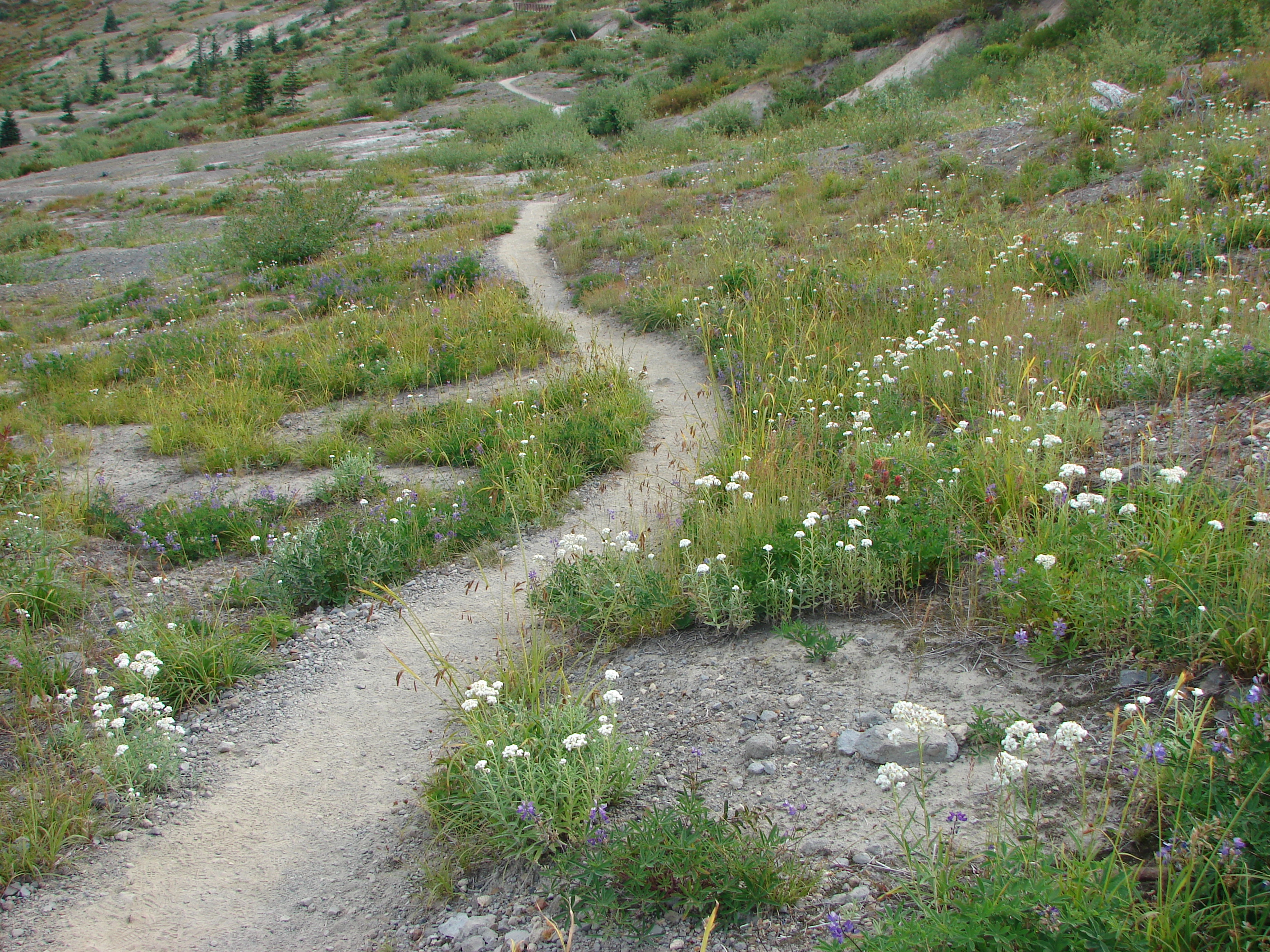
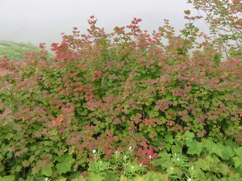
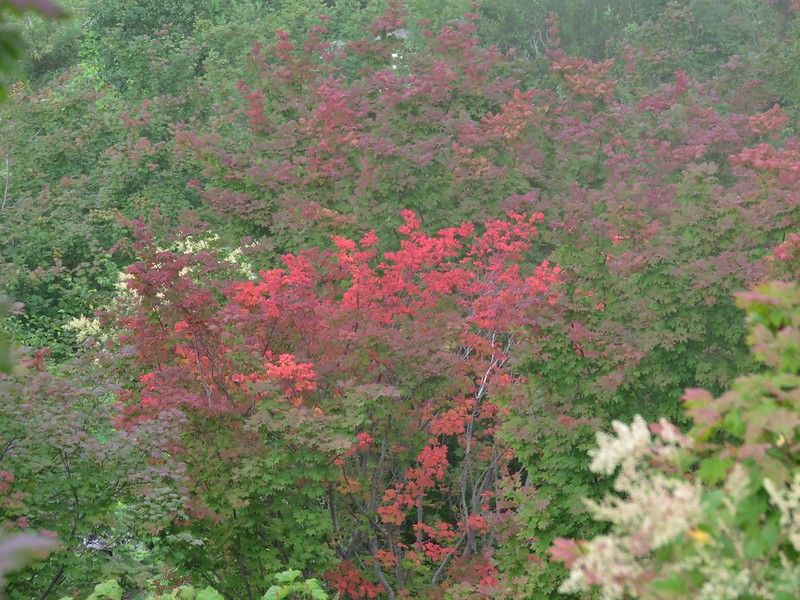
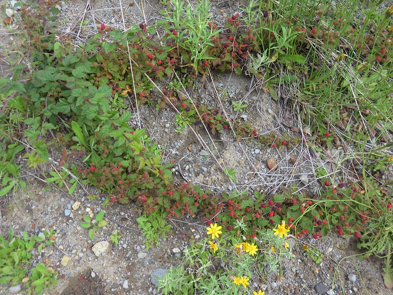
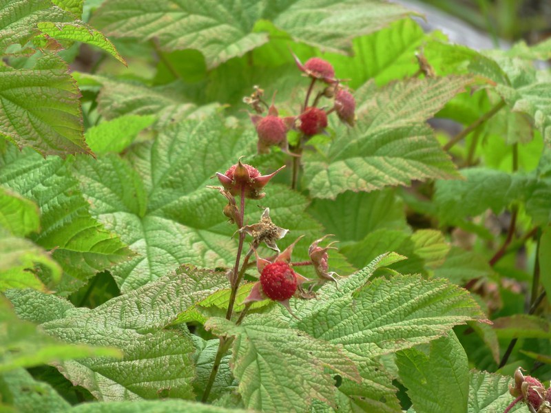
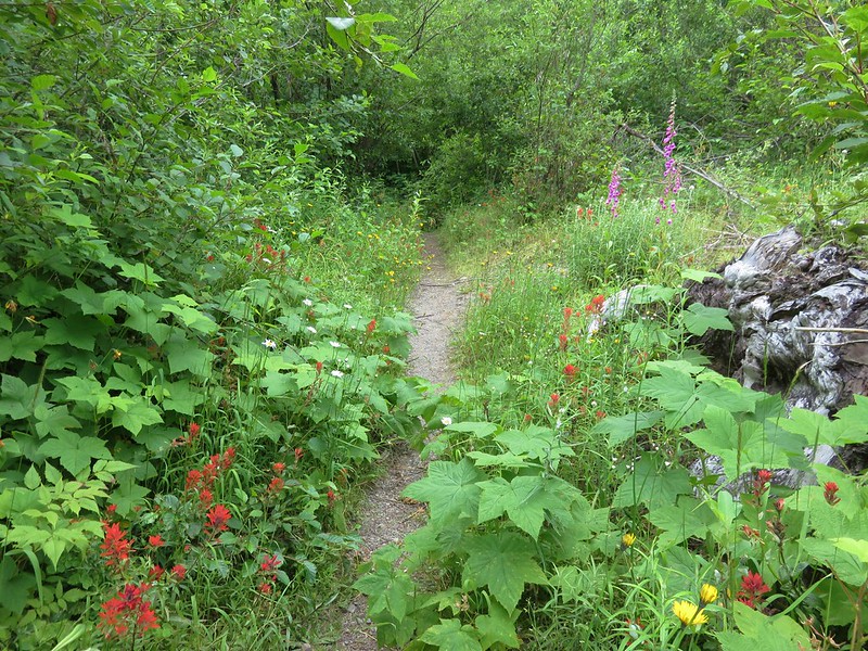
We were also seeing more wildflowers again and finding ripe berries, including our first thimbleberries of the year.
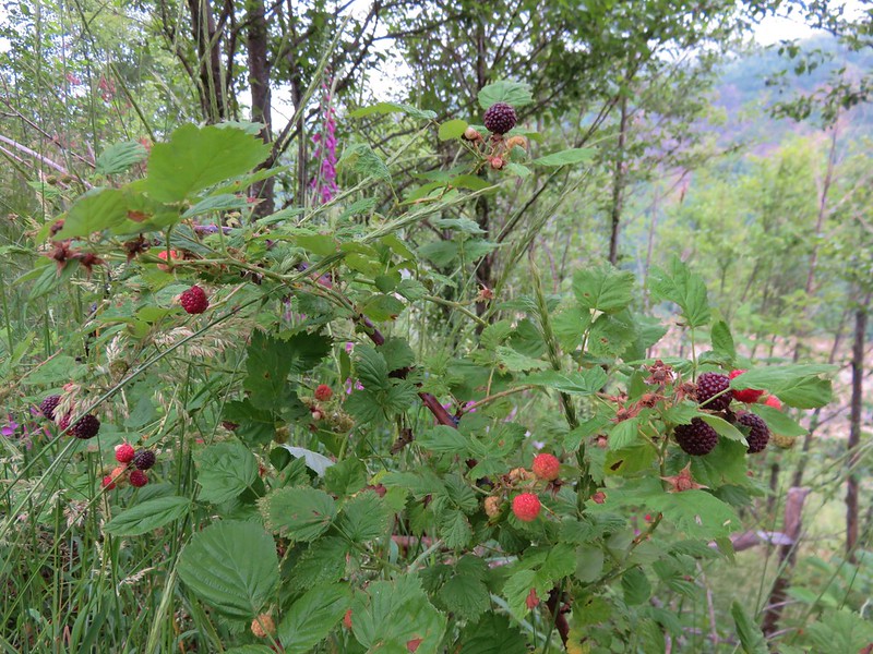
Trailing blackberry
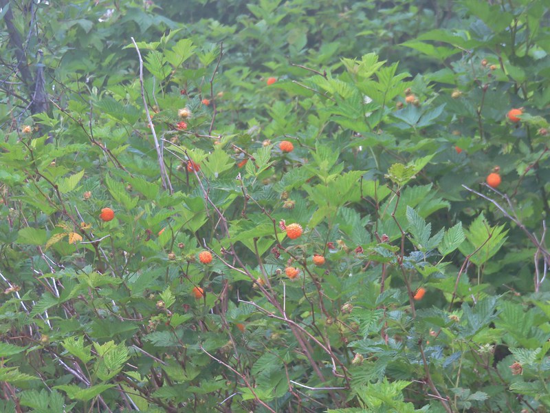
Thimbleberry
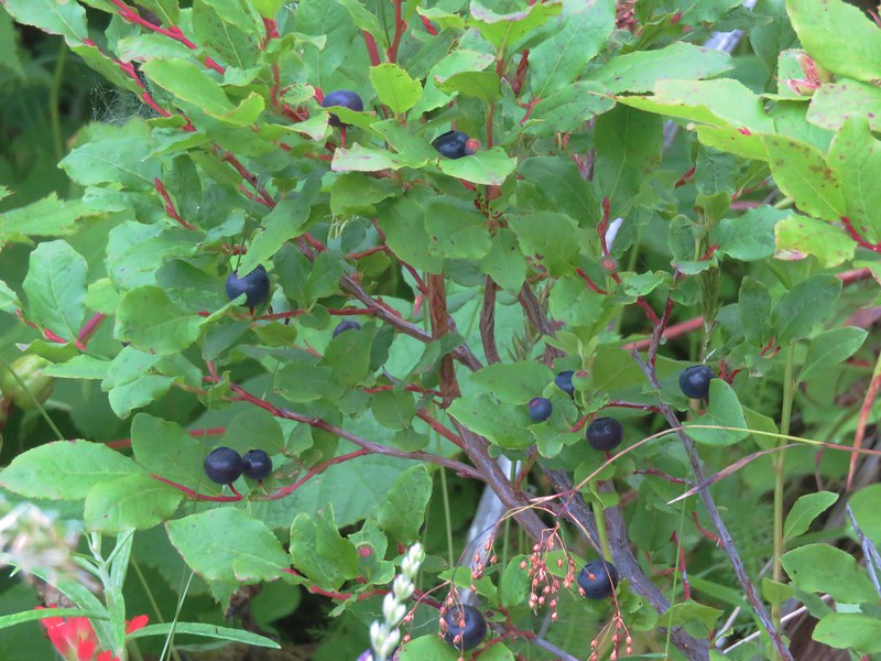
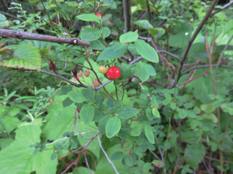
Red huckleberry
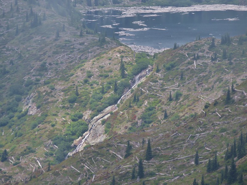
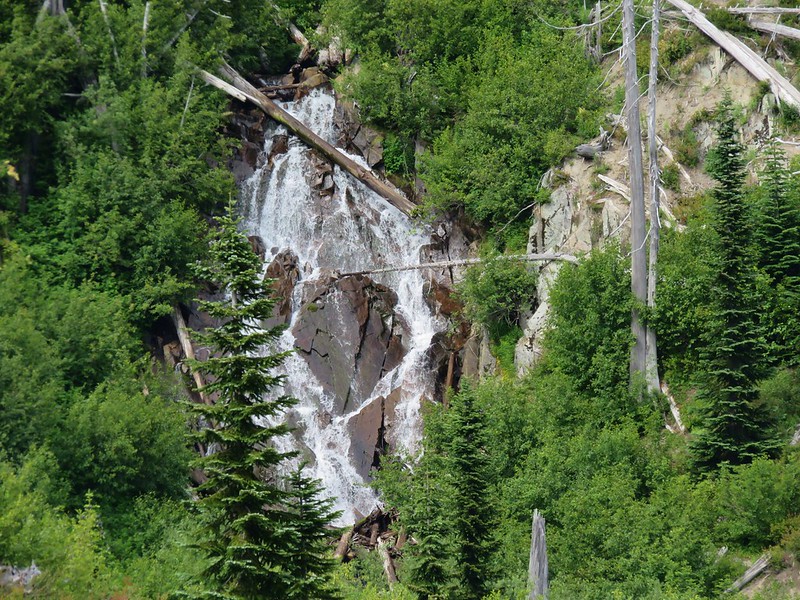
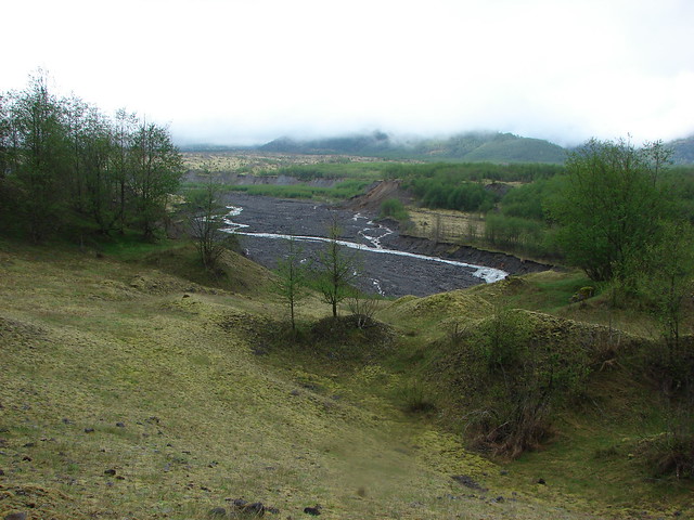
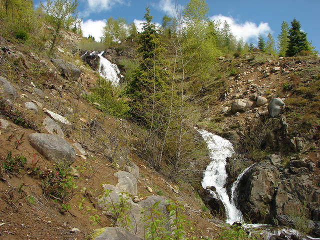
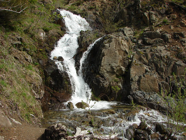
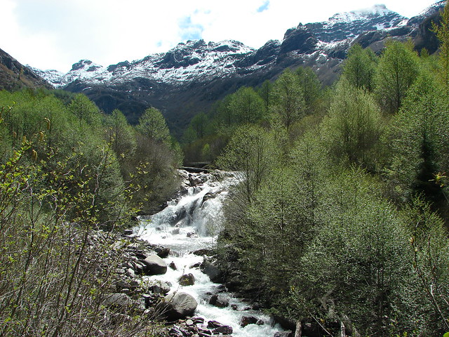
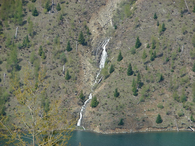
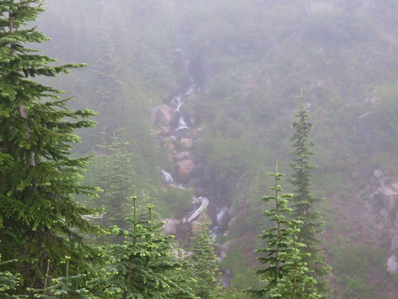
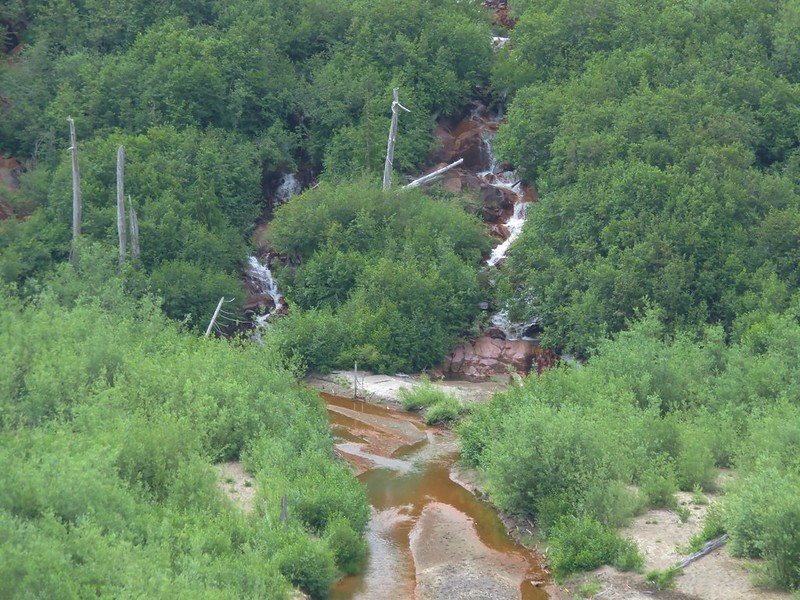
We passed a couple of small waterfalls along side streams, one on either side of the valley.
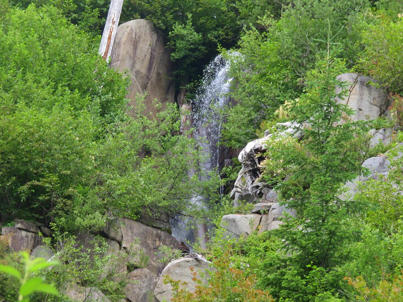
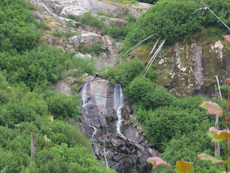
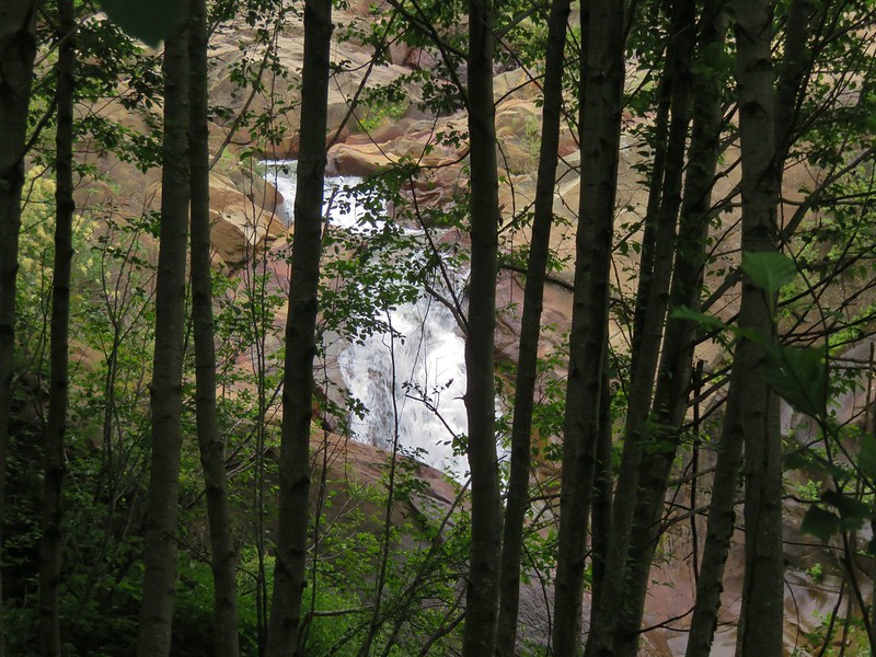
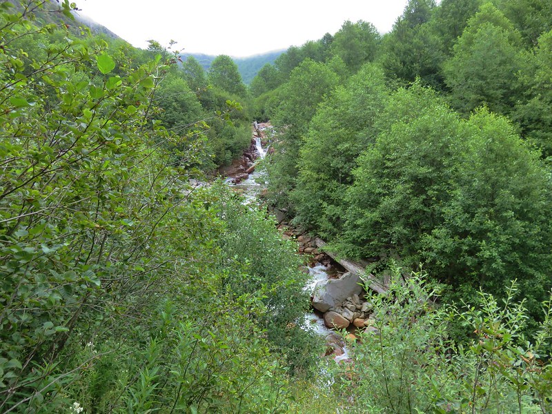
The trail then passed above what appeared to be a nice fall along Coldwater Creek but didn’t provide much of a view.

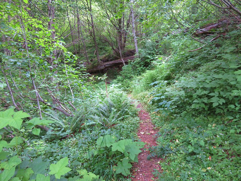
Just after passing the waterfall the trail entered a forested area.
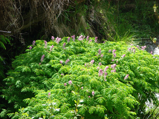
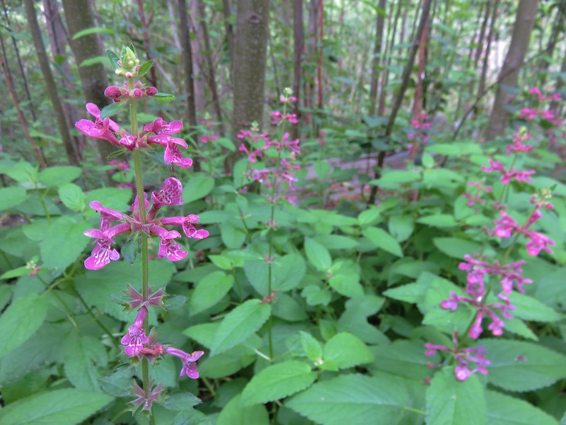
Hedgenettle
From there to the Coldwater Trail junction the trial alternated between small meadows and woods with occasional views back to Coldwater Creek.
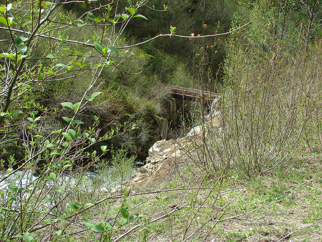
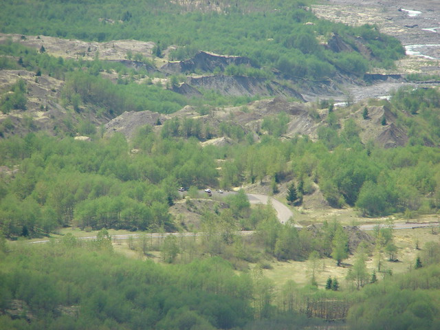
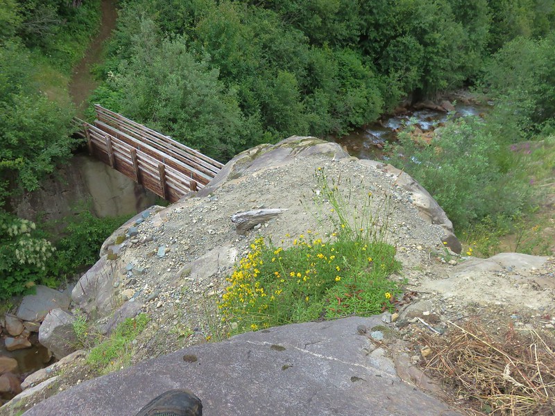
Another trail crew from the Washington Trails Association was working on the Coldwater Trail on the far side of the footbridge when we arrived there. We stopped on some rocks above the bridge for a snack break and watched them as they worked.
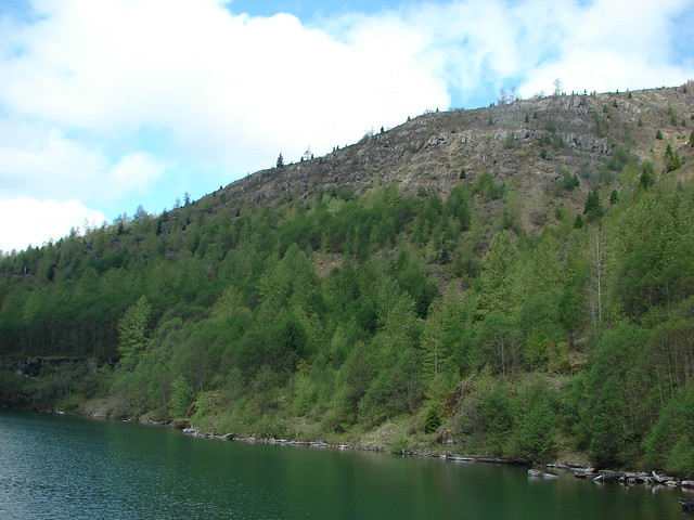
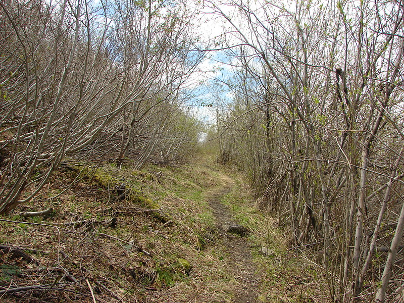
We were now on familiar trail, at least in theory. When we had hiked the loop around Coldwater Lake in May 2014 much of the vegetation was only beginning to produce leaves.
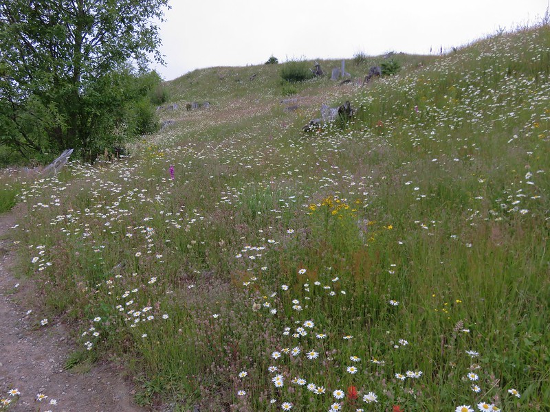
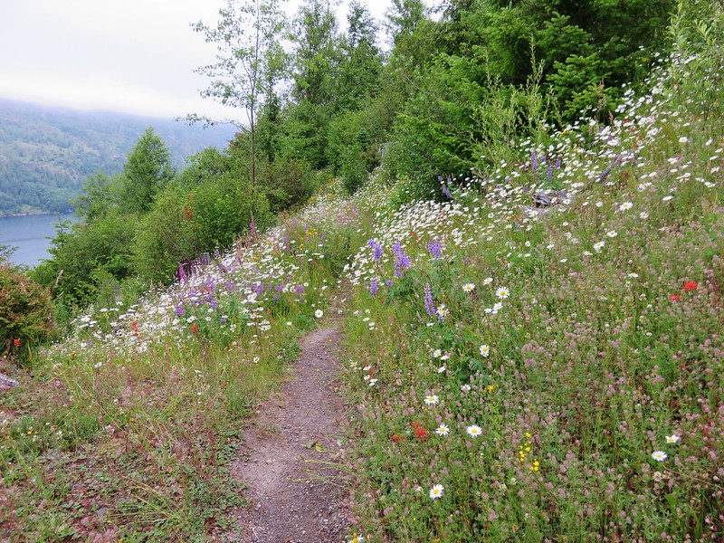
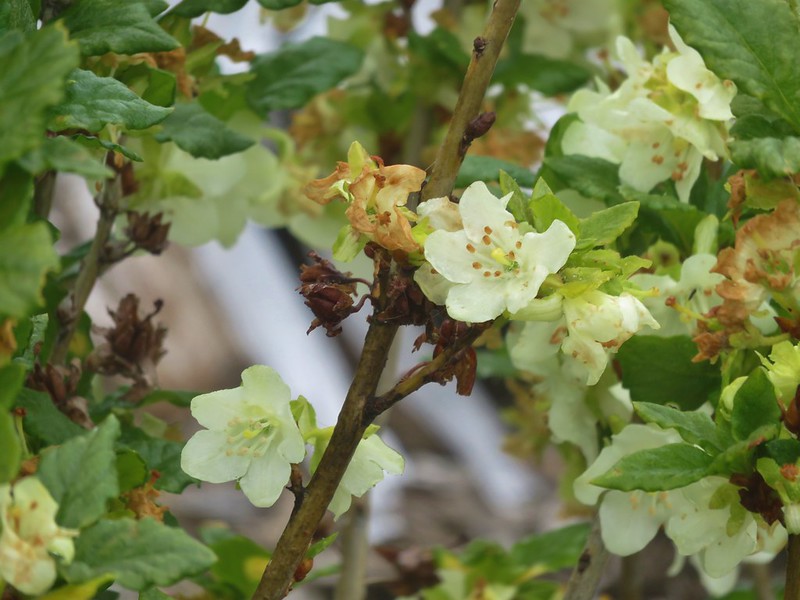
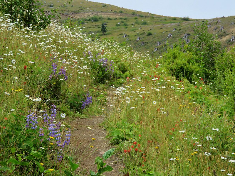
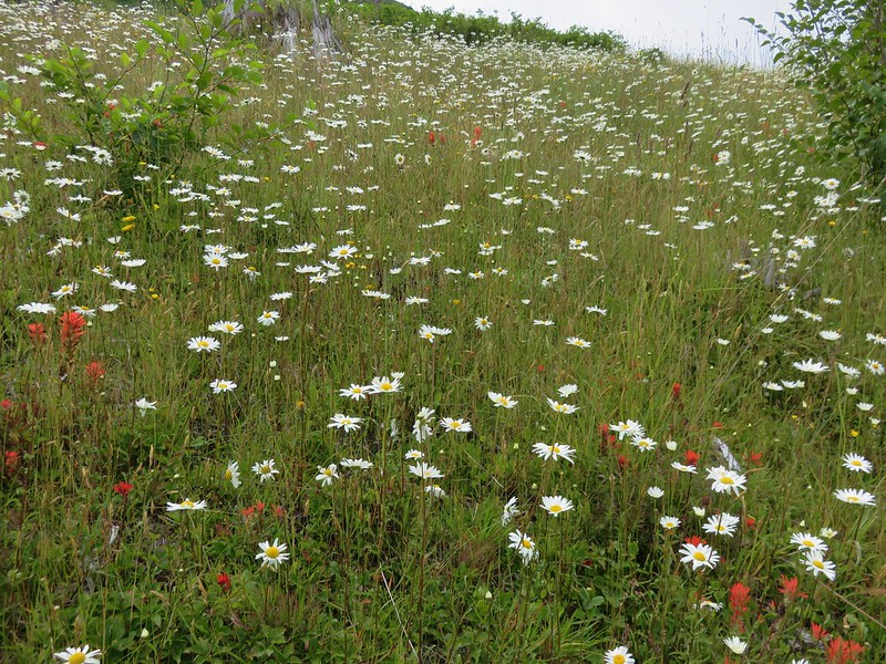
This time the trail was crowded with plants.
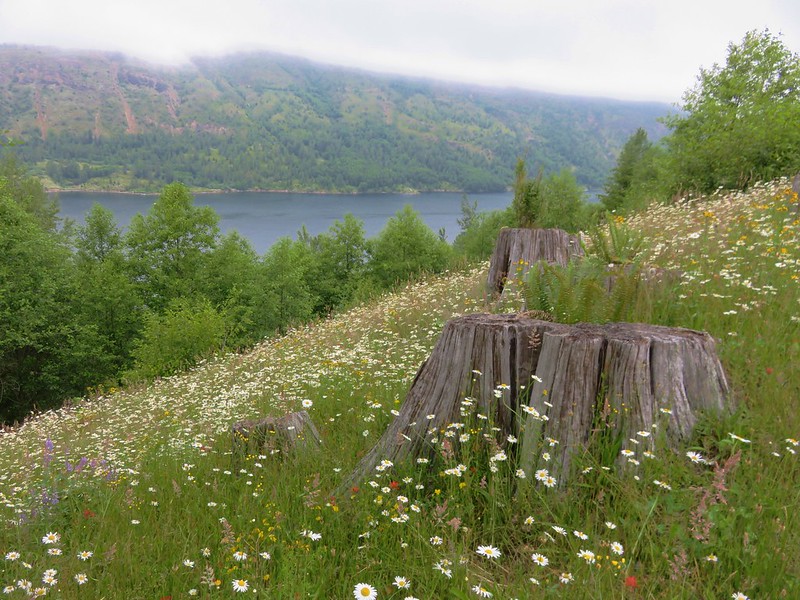
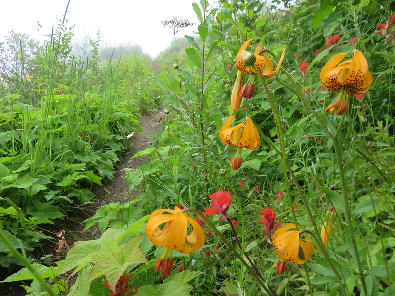
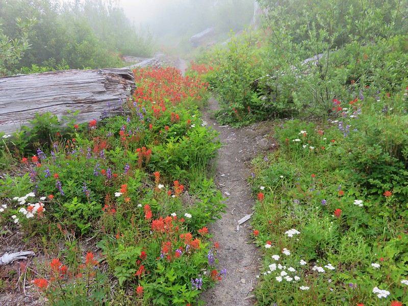
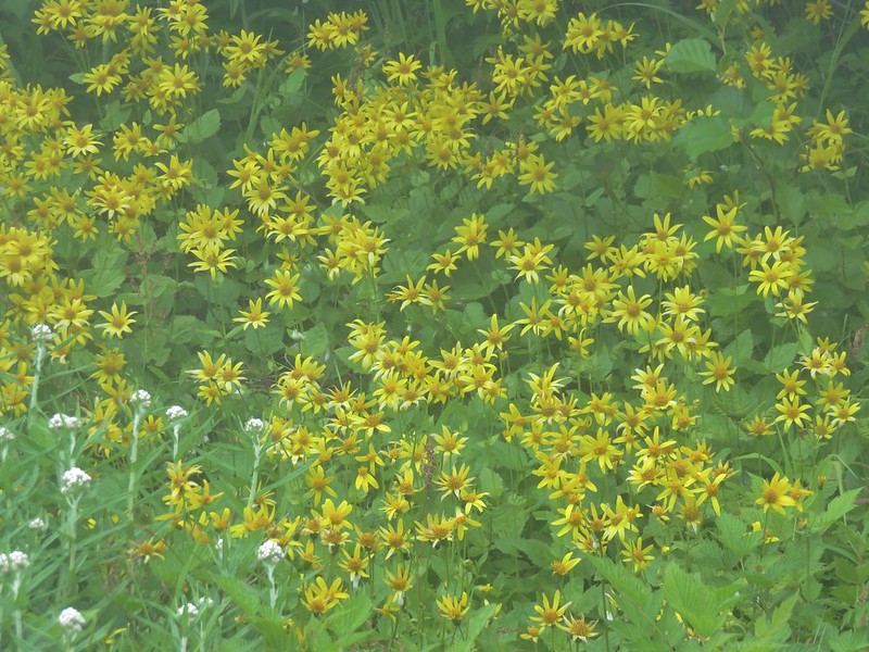
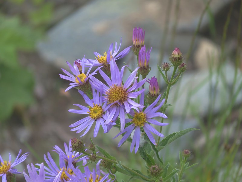
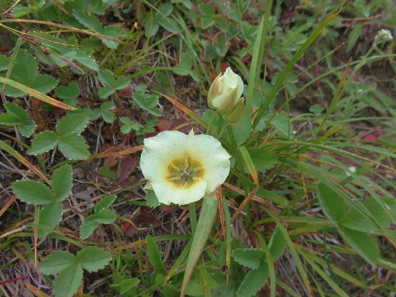
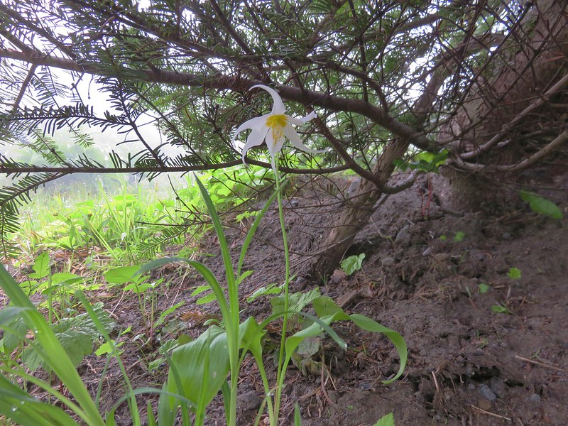
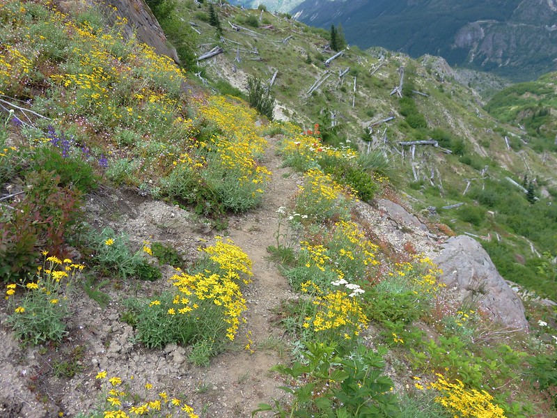
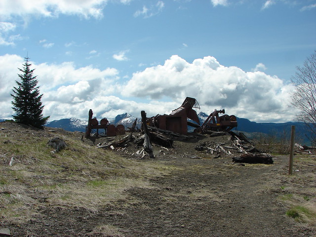
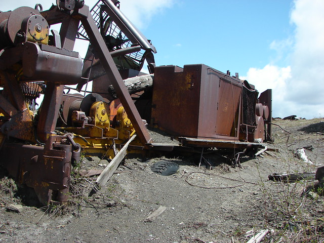
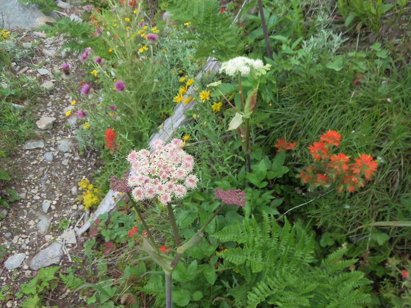
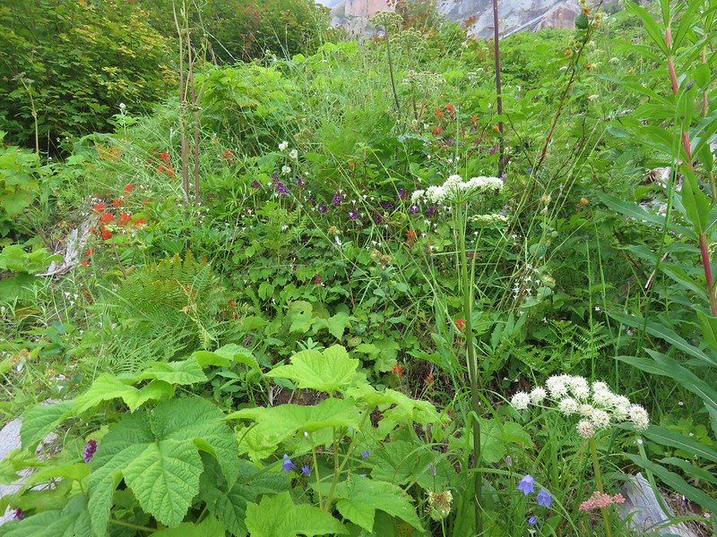
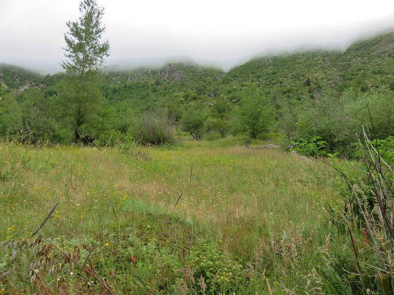
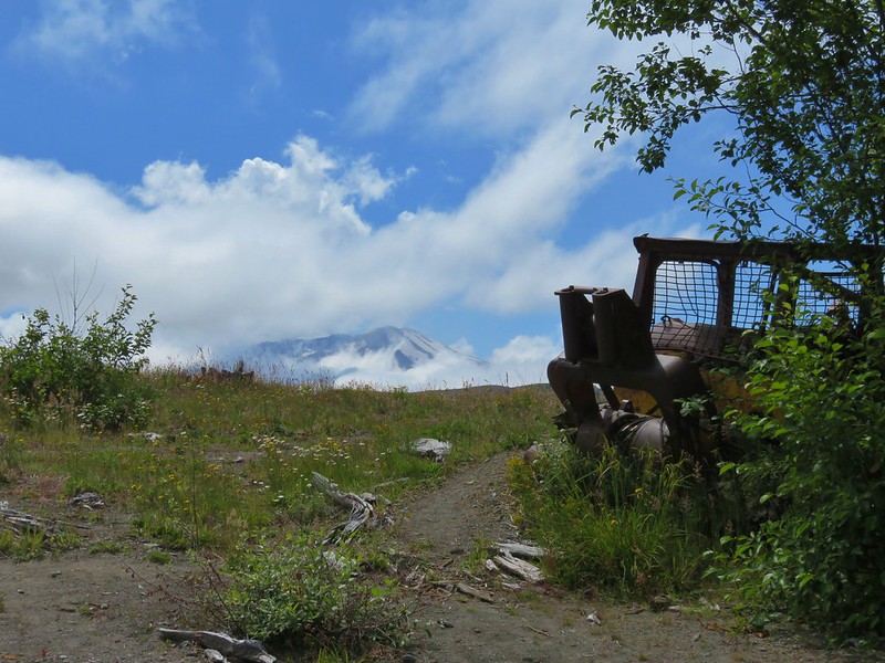
The wildflowers were out in force as we drew nearer to Tractor Junction.

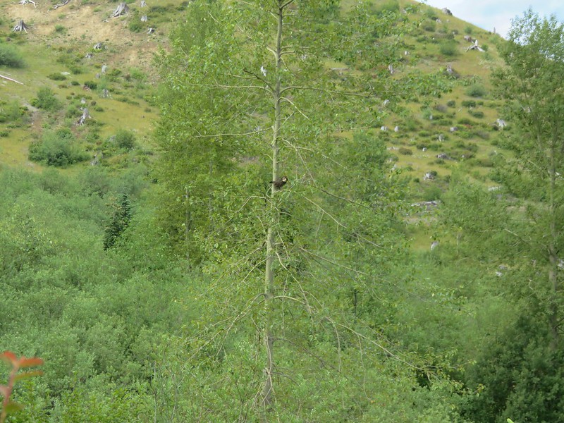
A male grouse flew out of one of the meadows and landed in a nearby tree. It was the first one we’d seen in full display and was quite colorful.

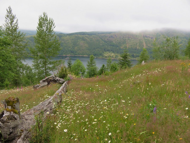
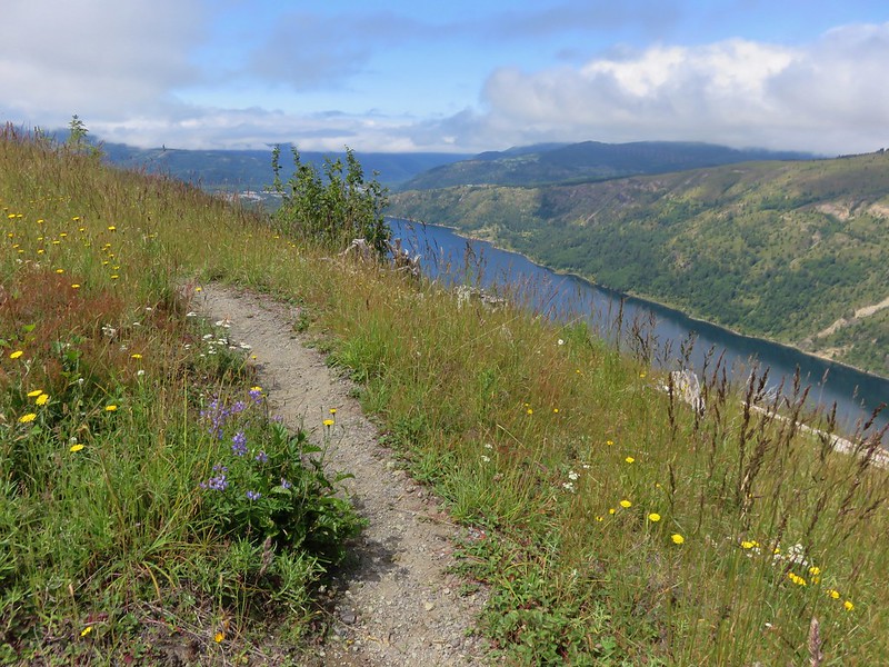
The views were much better than they had been the day before at Tractor Junction and along the 3.2 miles from there back to the trailhead. Coldwater Lake was clearly visible and Mt. St. Helens even made an appearance.
For the second day in a row we’d escaped without dealing with any rain showers and the thunderstorms had not materialized before we’d made it back to the car. Despite the sometimes cloudy conditions it had turned out to be a really nice trip. The views we did miss out on can now be our excuse for return trip sometime in the future. Happy Trails!
Flickr: https://www.flickr.com/photos/9319235@N02/albums/72157670492933452