Our first visit to Jefferson Park was way back in 2011 and it made such an impact on us that we revisited yearly up to 2017 when the lightning sparked Whitewater Fire forced us to skip a year. We returned in 2018 (post) and then decided to take a break from our yearly visits. Then in 2020 the Lionshead Fire, driven by strong easterly winds, raced through the area before combining with the Beachie Fire on 9/7/20. There are still closures in effect due to that fire, but the Woodpecker Trailhead has since been reopened and we thought it was time to revisit an old friend.
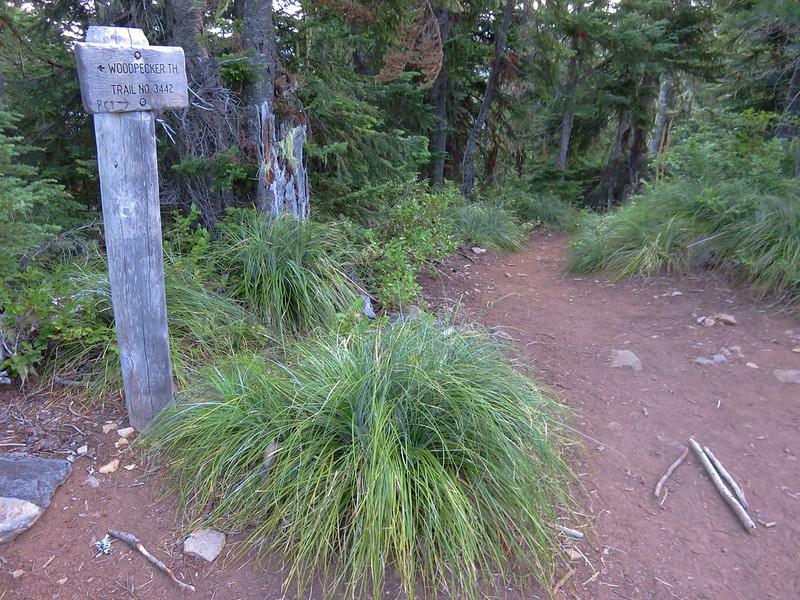
We had used the Woodpecker Trailhead for our 2016 visit (post) prior to either of the fires impacting the area. This was also before the Central Cascade Wilderness Permits were enacted. Currently the Woodpecker Trailhead only requires a free self-issued permit for day-use which can be obtained at the trailhead. Overnight permits are required for the Mt. Jefferson Wilderness regardless of which trailhead is used from 6/15 to 10/15.

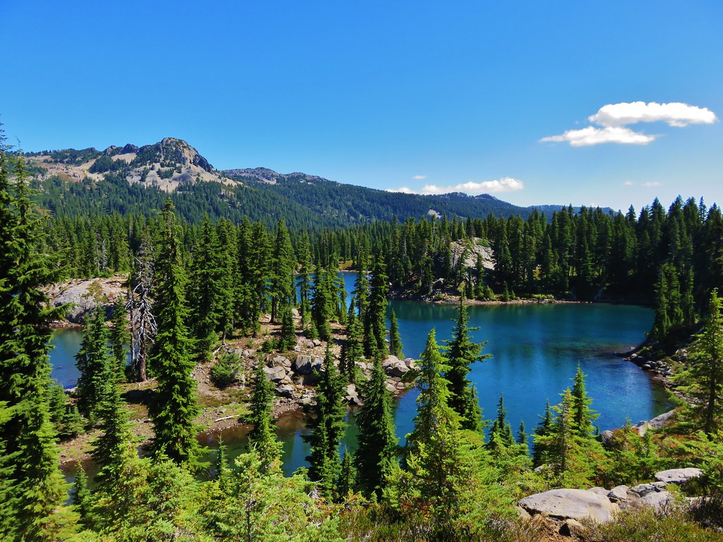
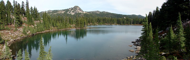
Heather and I had set different goals for the day. I had my sights set on finally visiting Sprague Lake which is located just below Park Ridge (post) and requires off-trail navigation. Heather had set a more sensible goal of stopping at Scout Lake which is the first lake that you reach when entering Jefferson Park from the SW. Given our different goals we established a meeting spot on the west side of Scout Lake and set off at our own paces.
 Another reminder that overnight permits are required in the wilderness.
Due to the two recent fires having burned over the entire route of our planned hikes the vast majority of the trails up to Jefferson Park are devoid of any tree cover. Luckily for us it was in the upper 30’s when we set off and the highs were set to be in the upper 50’s in Jefferson Park and low 70’s at the trailhead. It was also forecast to be mostly clear skies as recently cooler temperatures combined with rain and even some snow at higher elevations had helped to suppress the numerous fires currently burning in other parts of the Cascades and eastern Oregon.
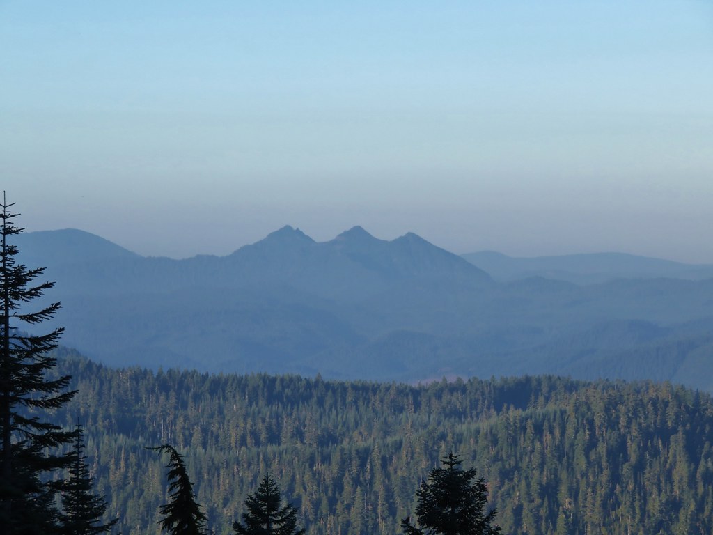
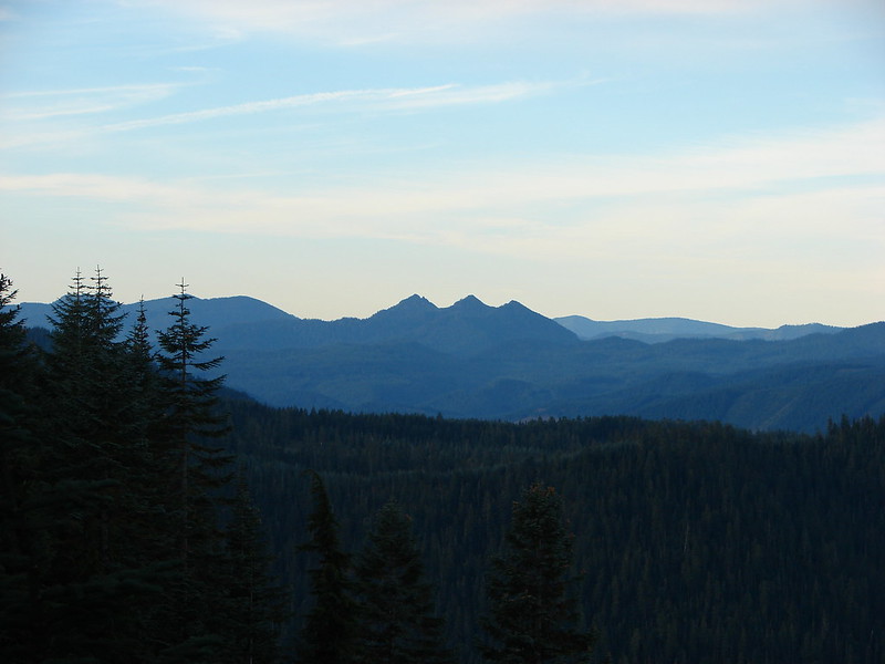
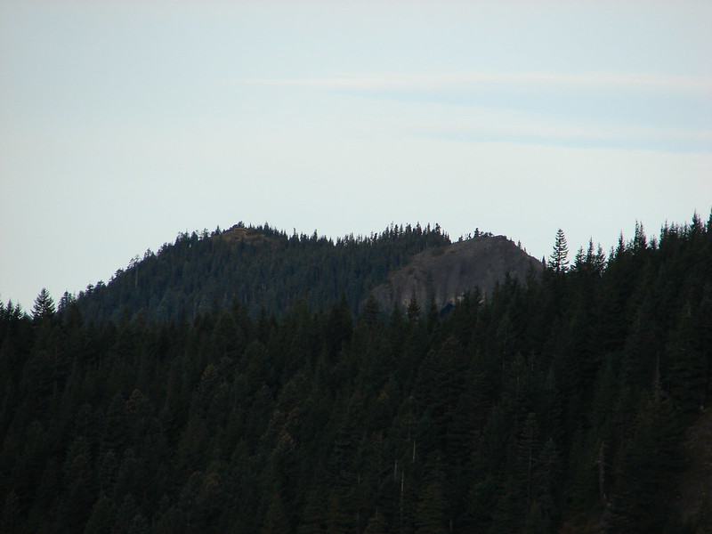
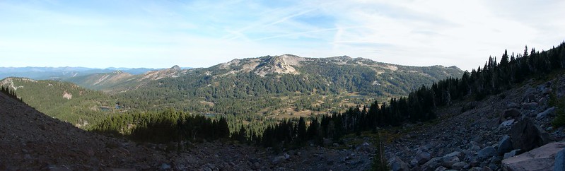
 Low clouds in the valley.
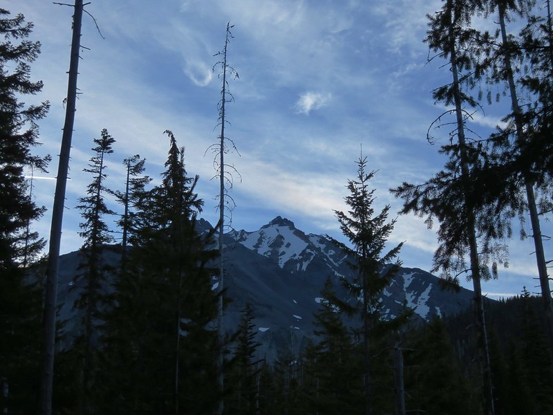
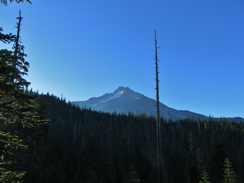
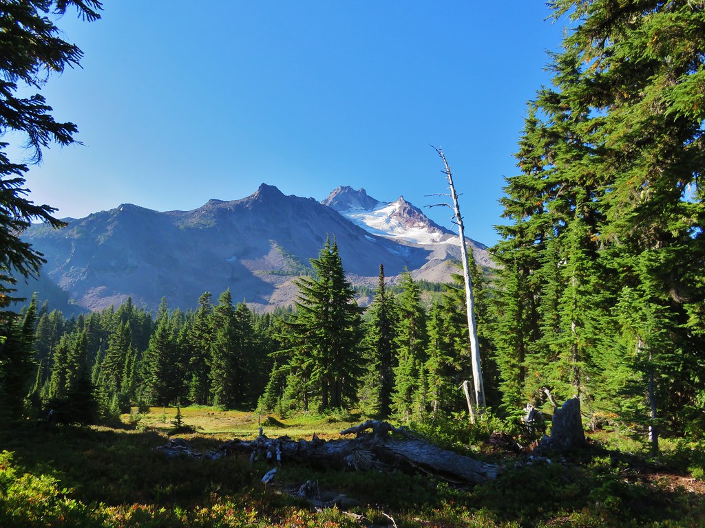
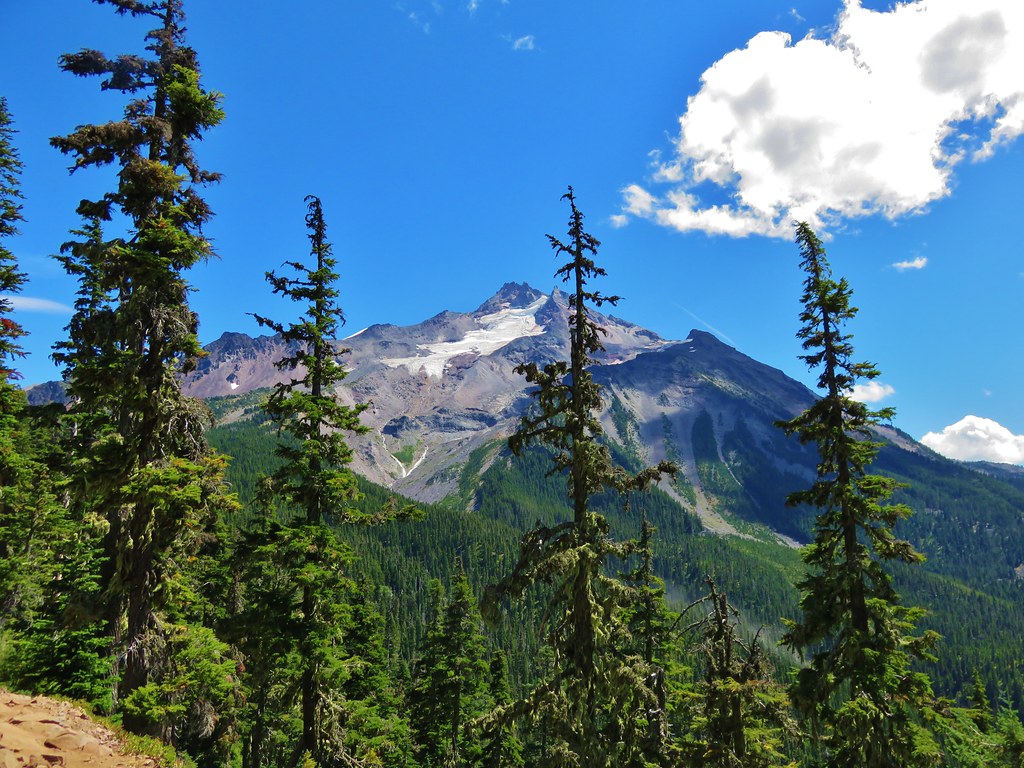
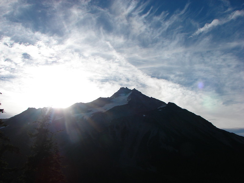
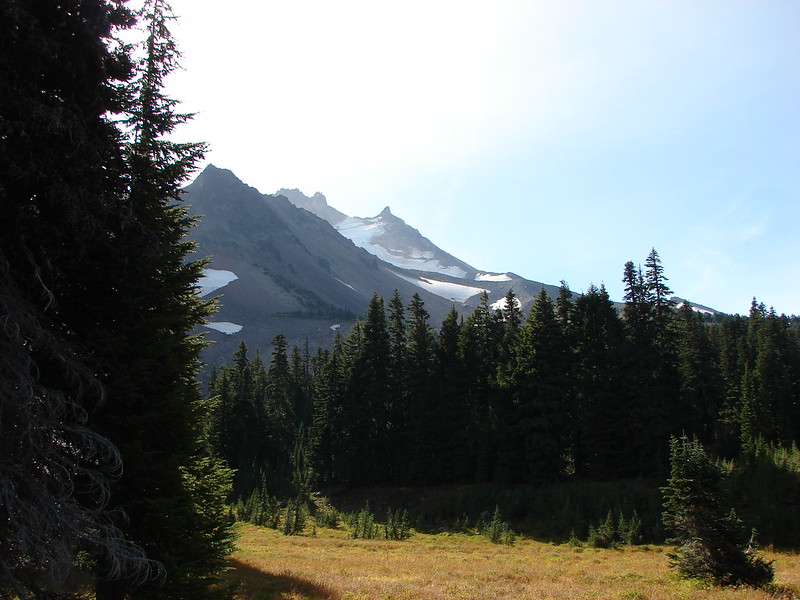
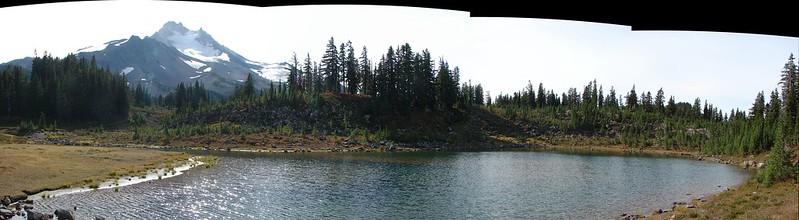
 Mt. Jefferson through some of the snags with a few surviving trees on the right.
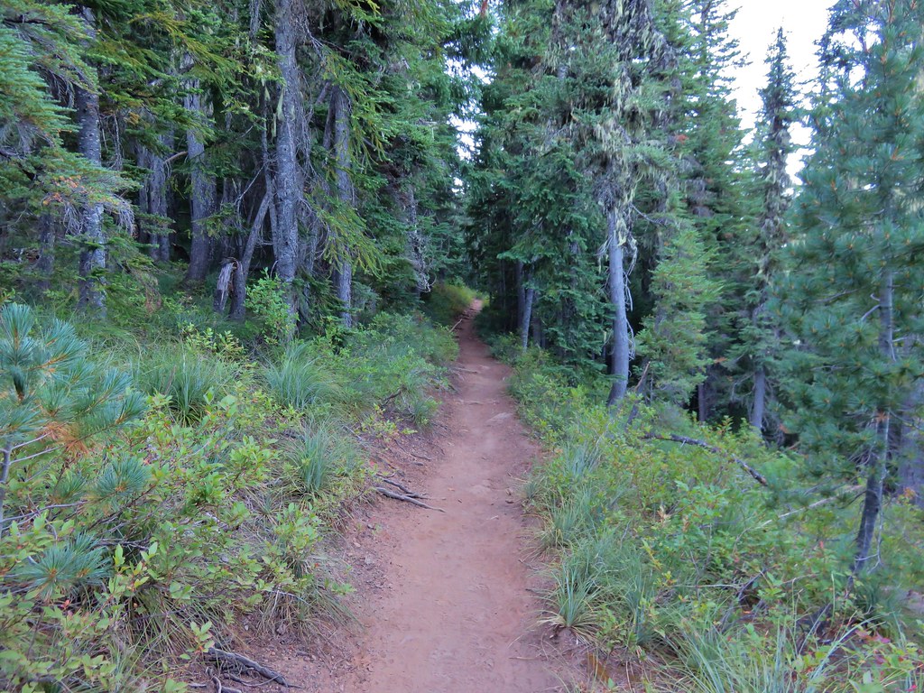
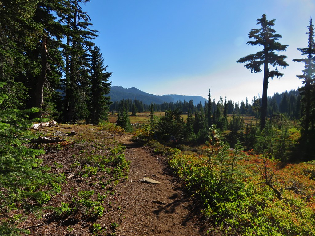
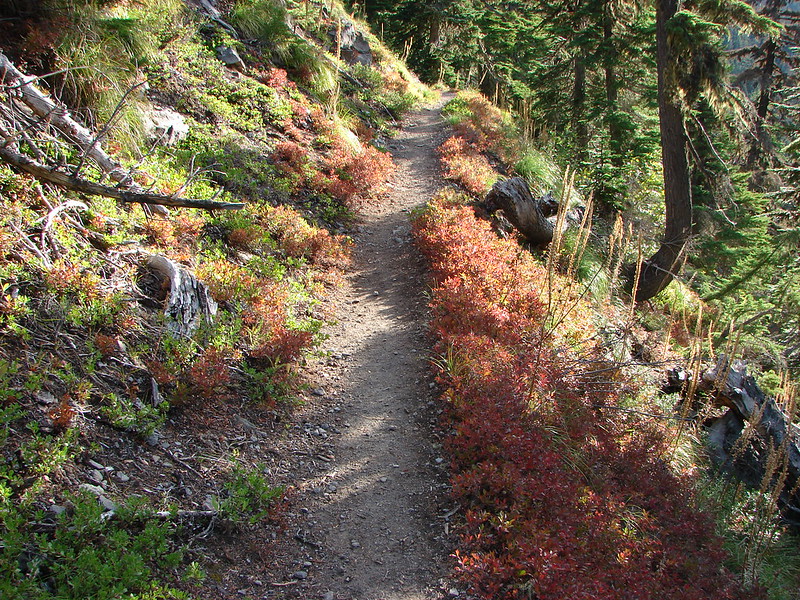
After an initial steep climb the trail levels out then descends slightly into a patch of trees that survived the fires. At the 1.2-mile mark it enters the Mount Jefferson Wilderness.

Just under a half mile later the trail climbed to an unsigned junction with the Pacific Crest Trail (PCT).
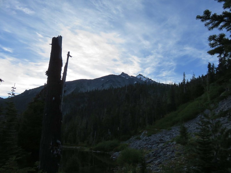
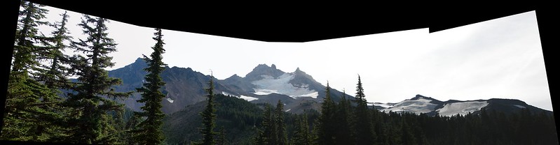
 Mt. Jefferson from the junction, note the rock cairn on the left marking the PCT.
 The cairn at the junction.
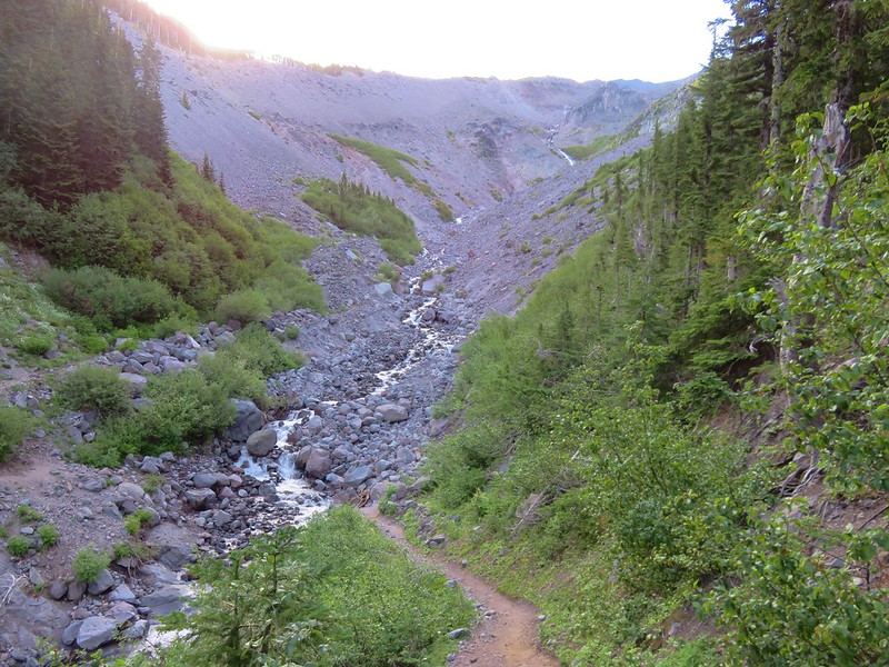
We turned left on the PCT and followed it through the fire scars for 2.6-miles to a crossing of Russell Creek.
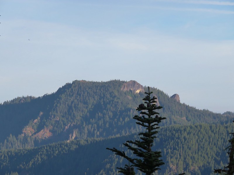
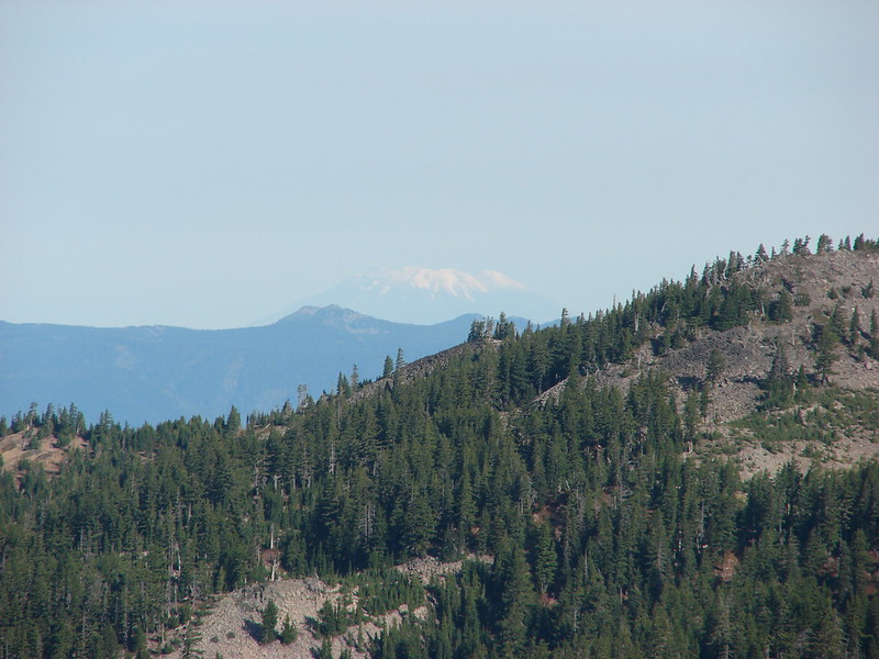
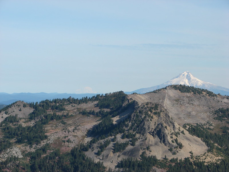
 Triangulation Peak (post) getting hit with sunlight with Whitewater Lake (lower right) in Mt. Jefferson’s shadow.
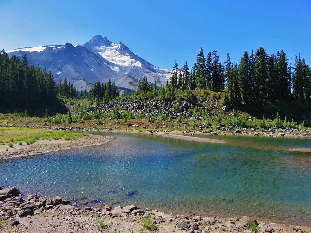
 Whitewater Lake
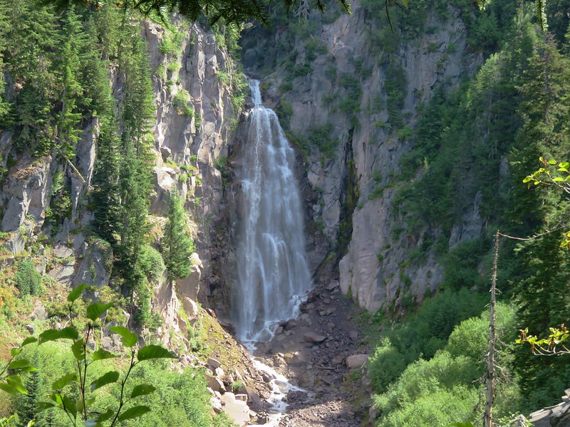
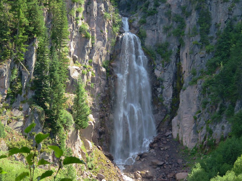
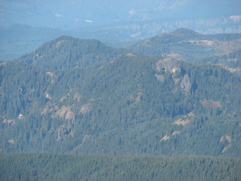
 Triangulation Point and Bocca Cave (Trailheads still closed.)
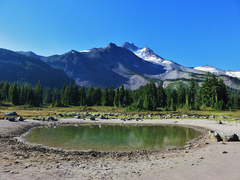
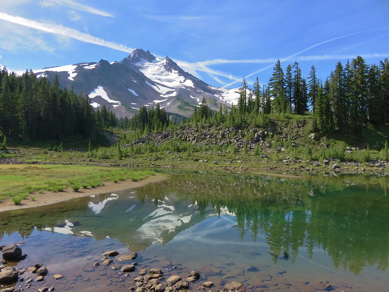
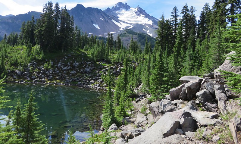
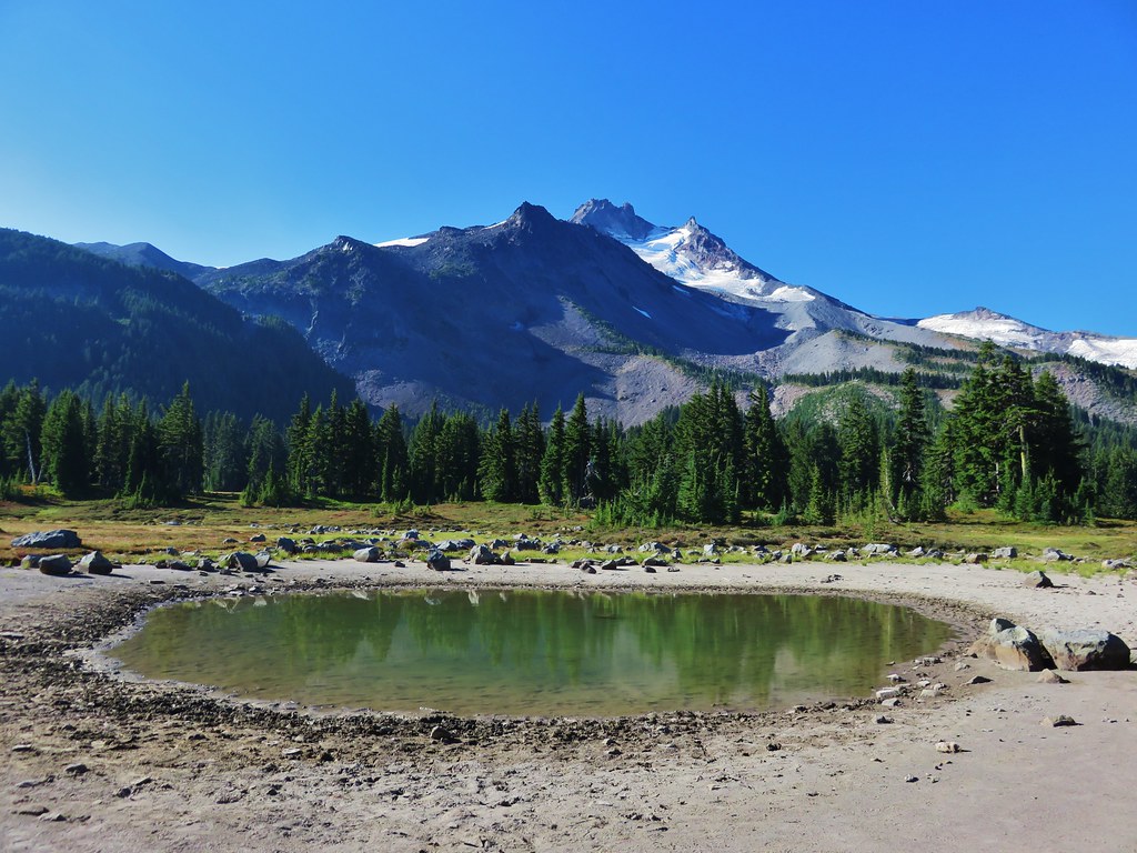
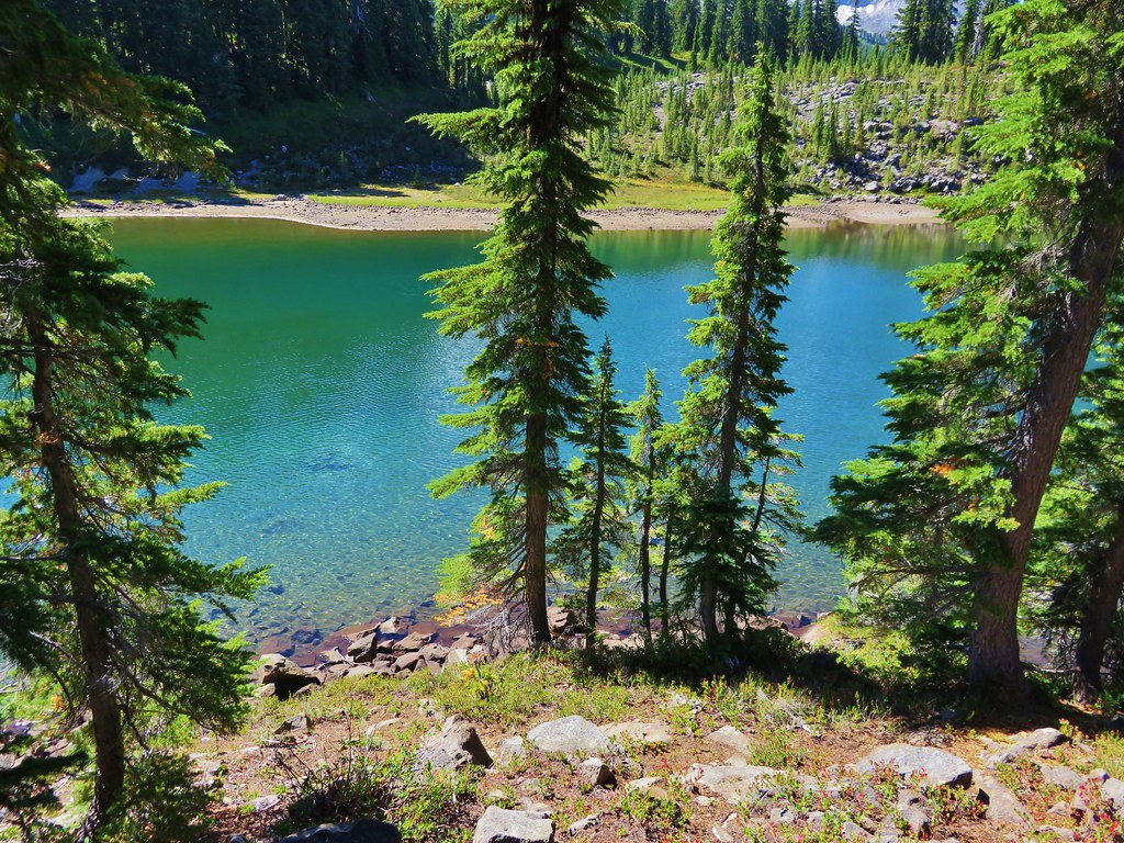
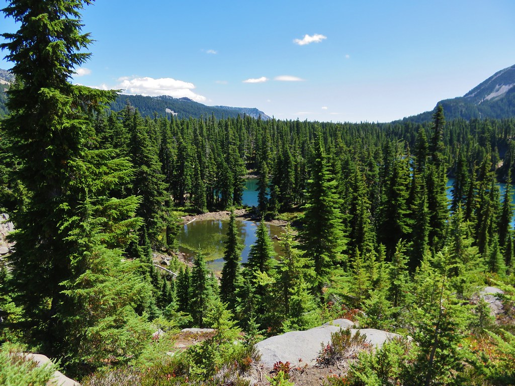
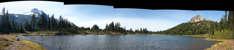
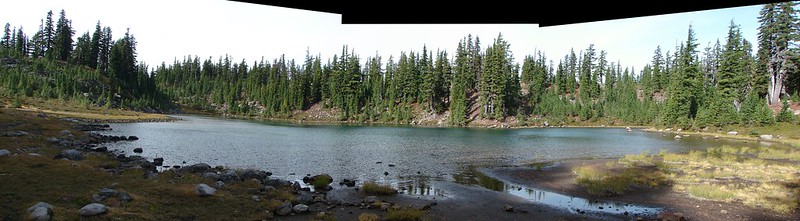
 Tarn 0.3-miles from the junction.
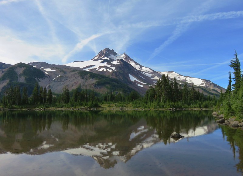
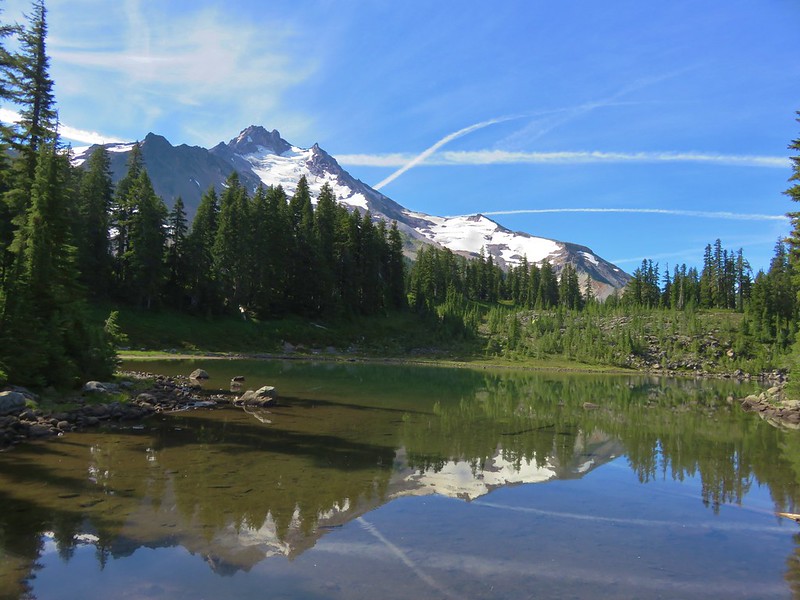
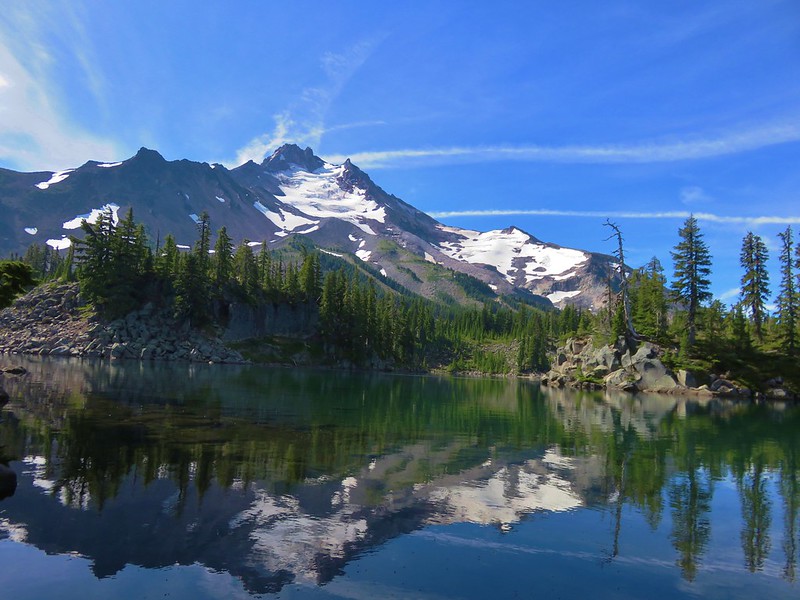
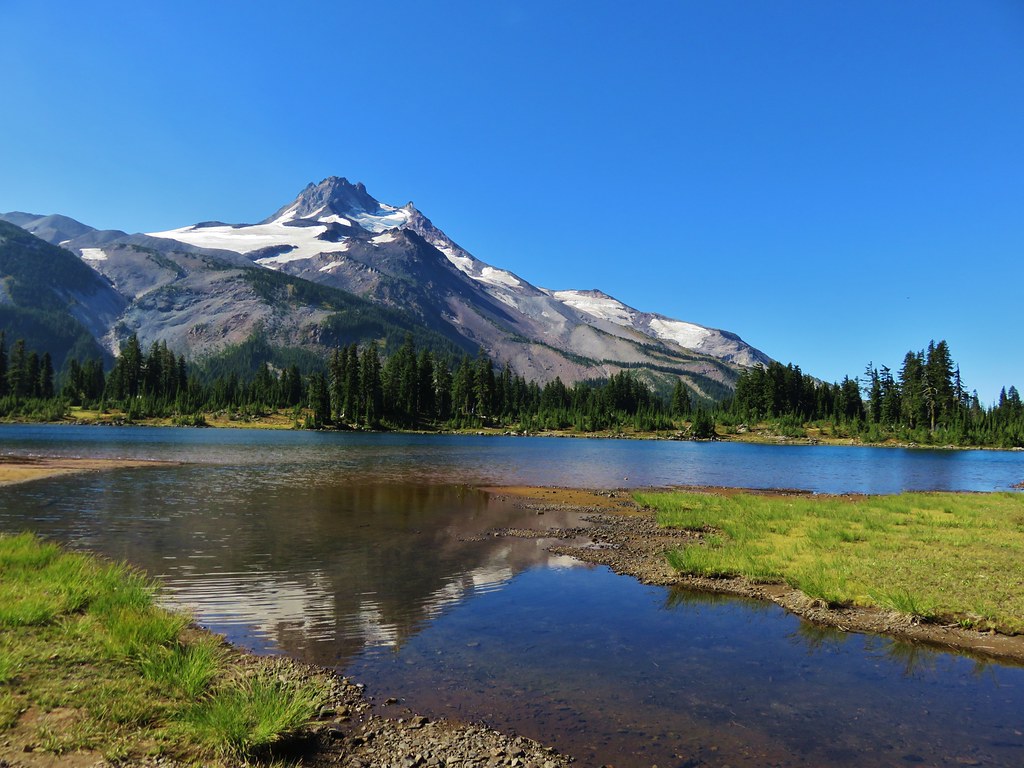
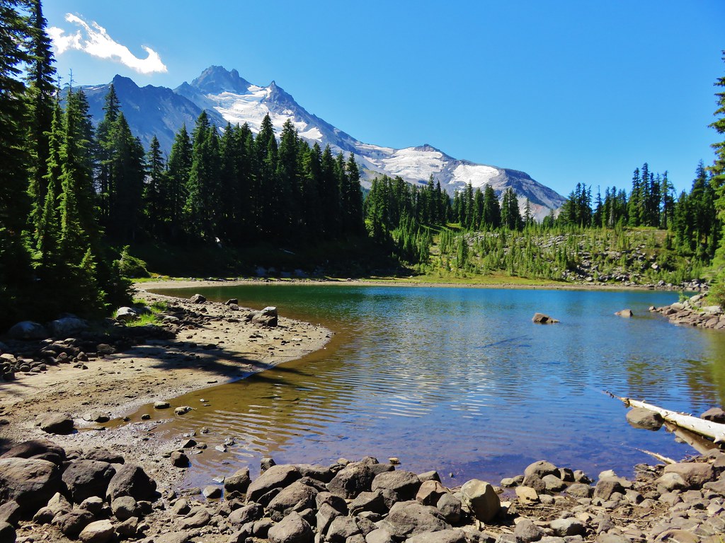
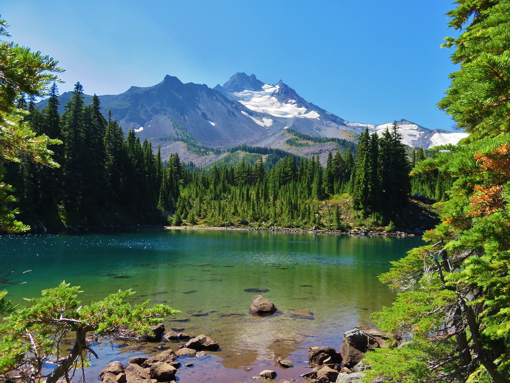
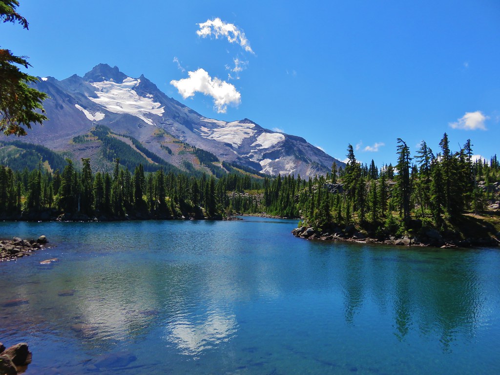
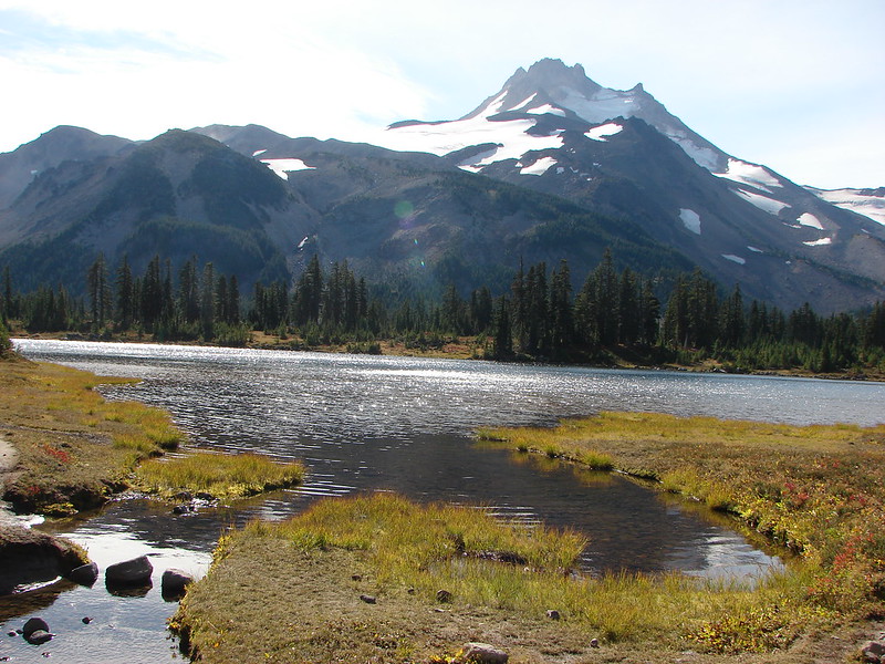
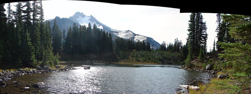
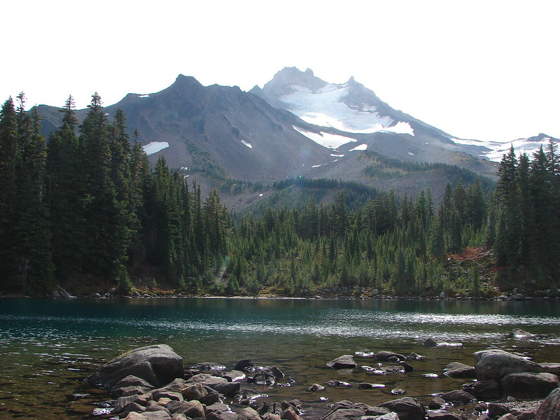
 Mt. Jefferson reflecting in the tarn.
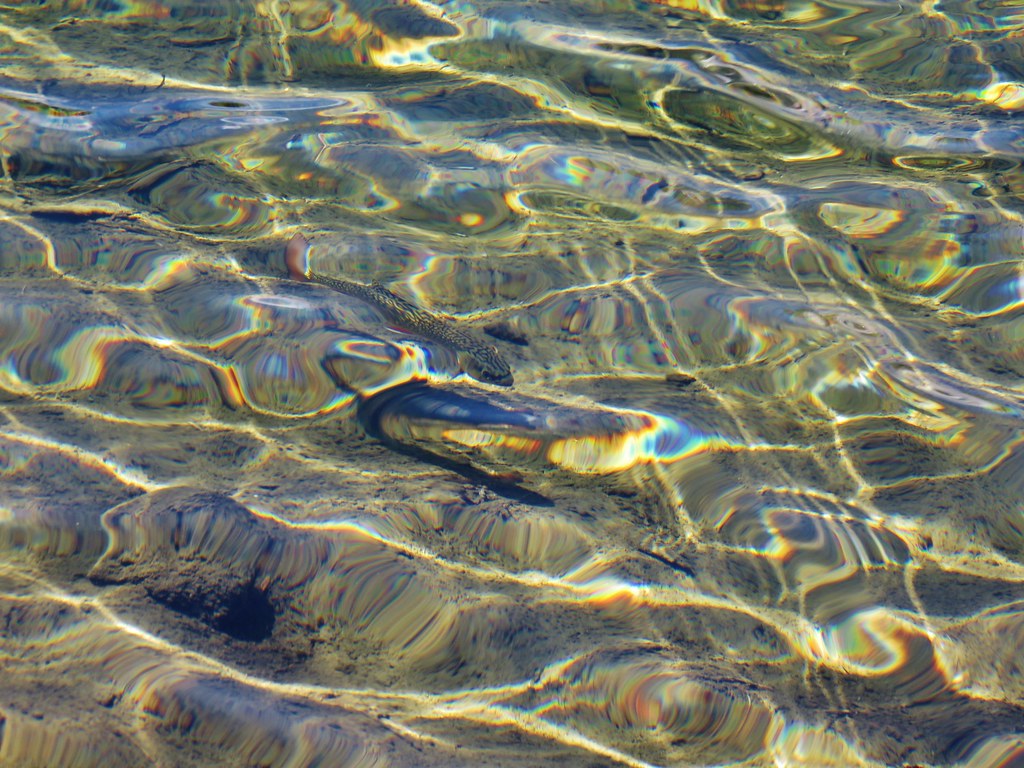
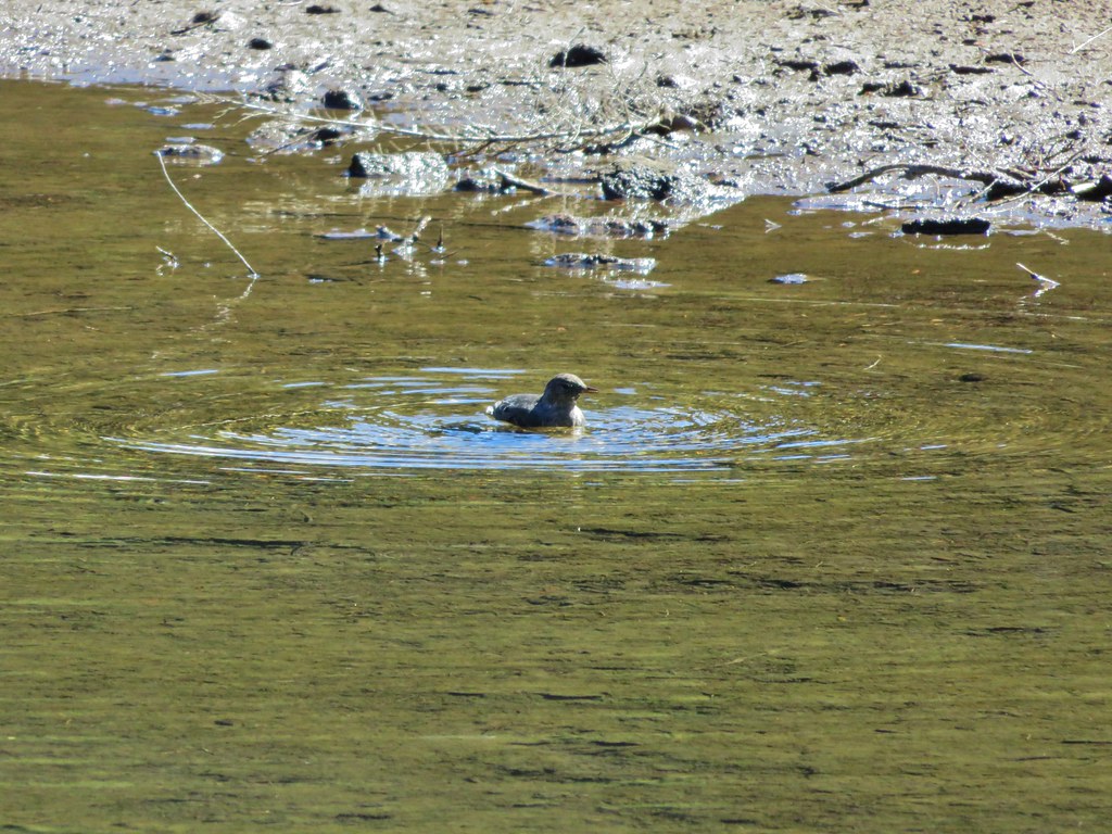
 Ducks on the tarn.
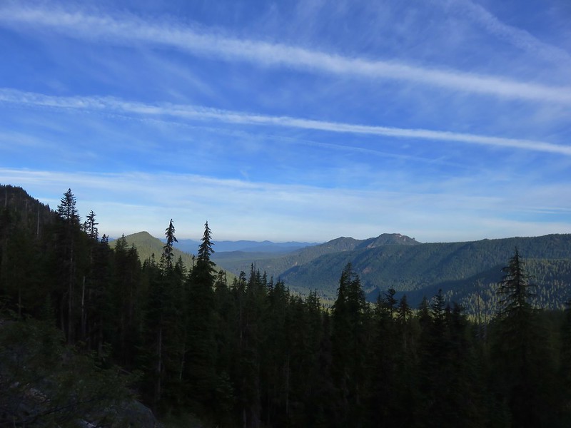
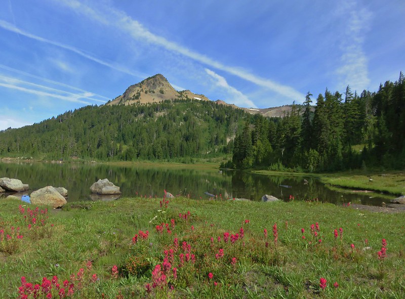
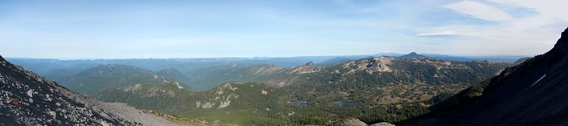
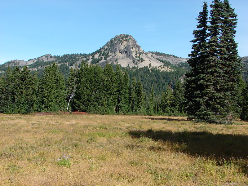
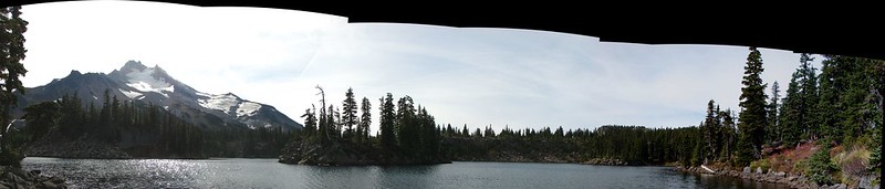
 The Sentinel Hills with Park Butte behind to the right. The Whitewater Trail (post) traverses the hillside below the Sentinel Hills, but that trailhead is also still closed.
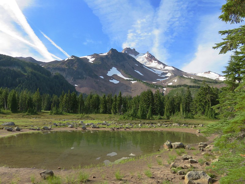
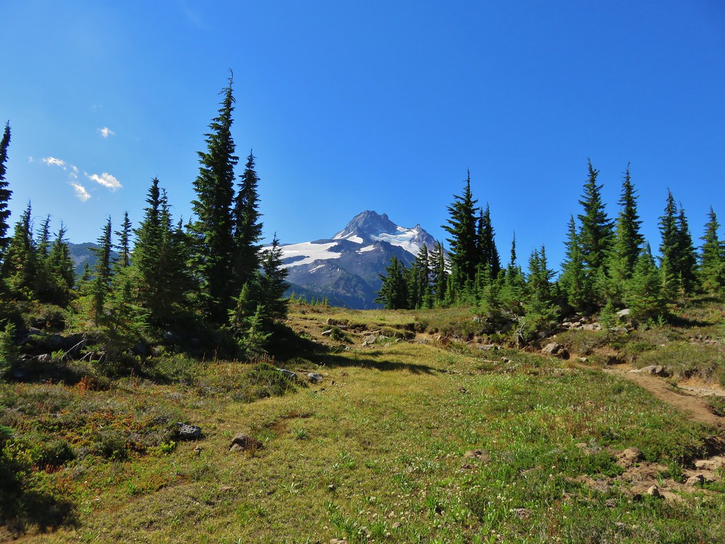
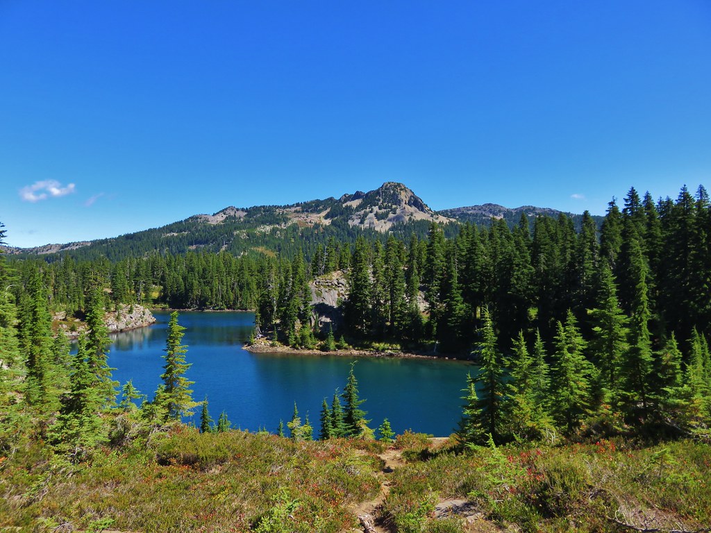
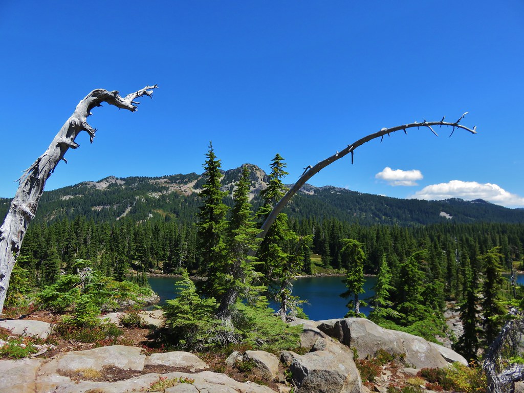
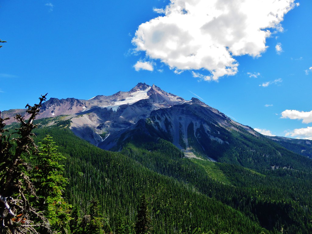
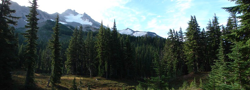
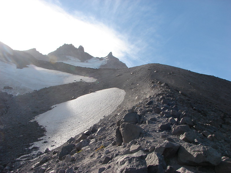
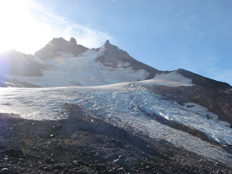
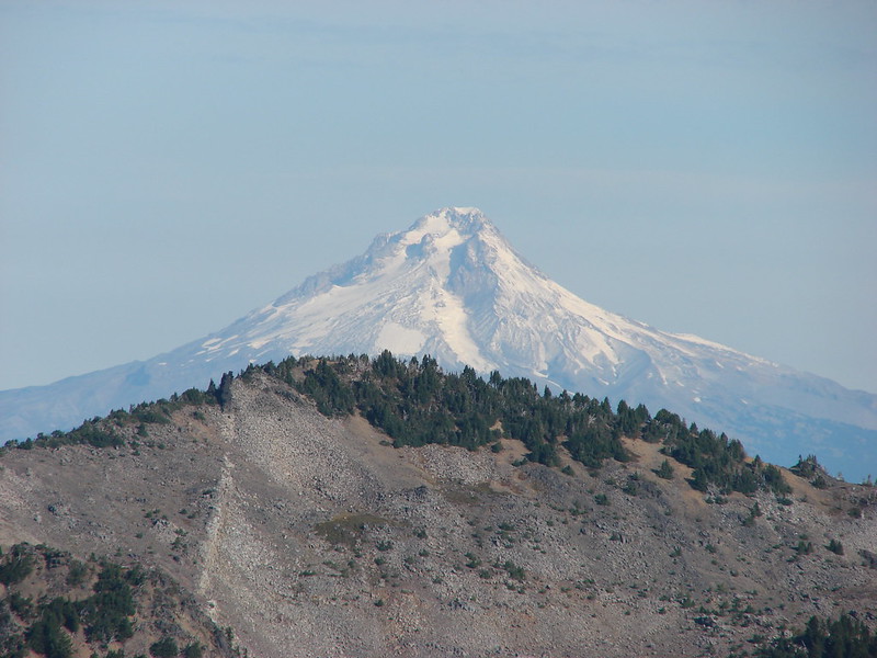
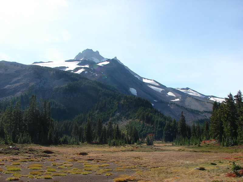
 The fires did open up fairly consistent views of the mountain.
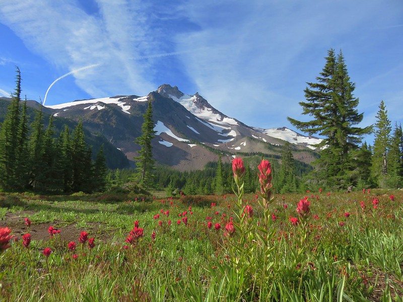
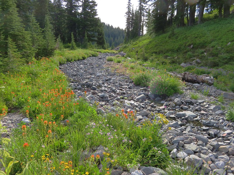
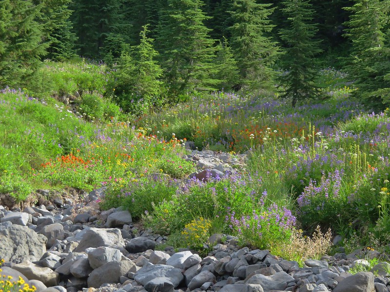
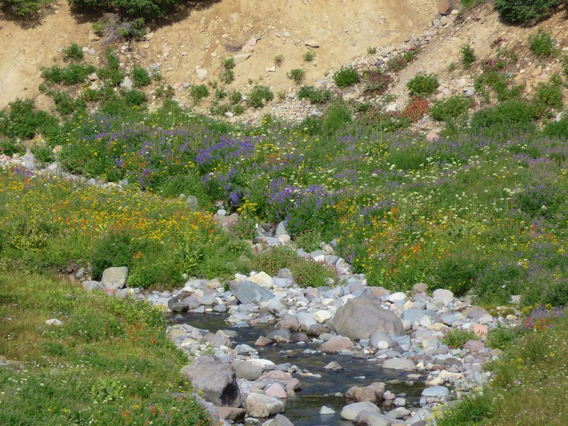
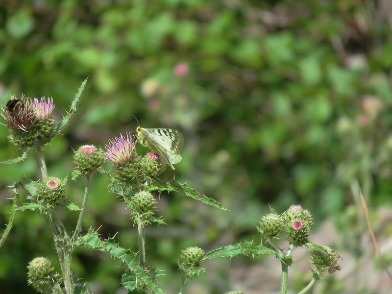
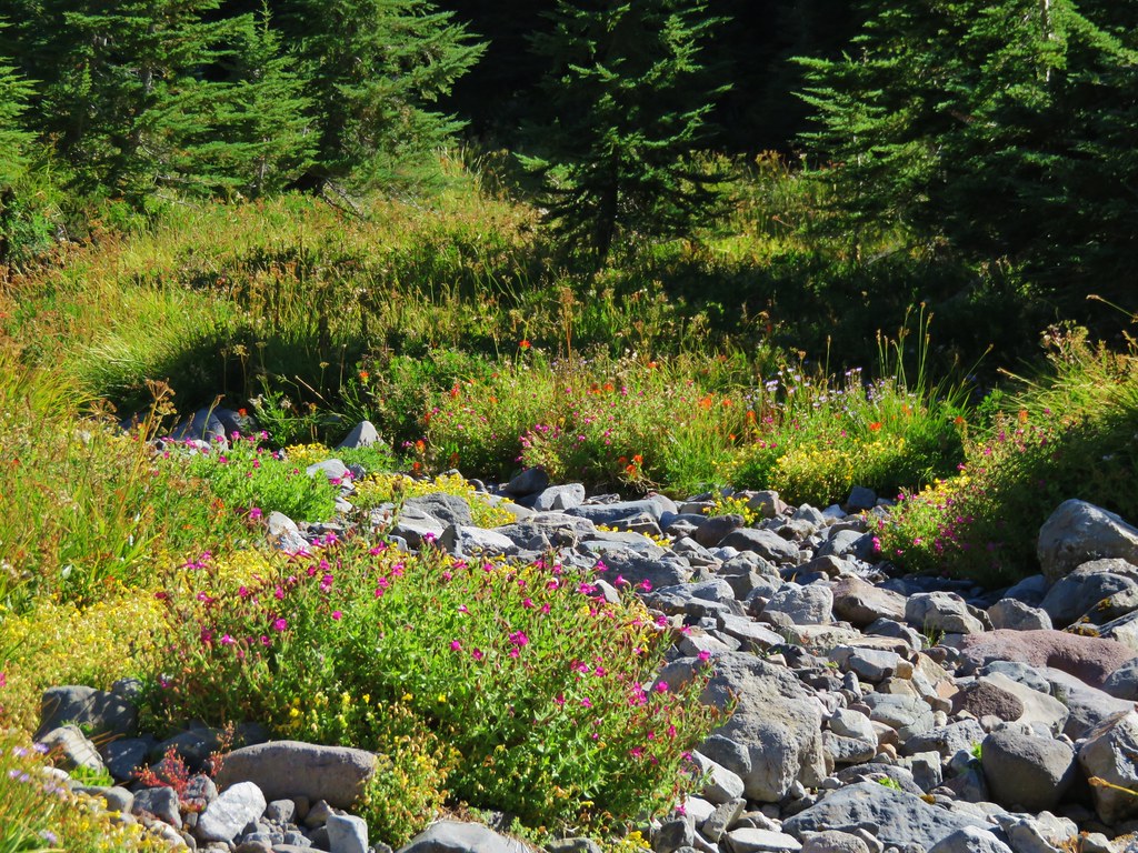
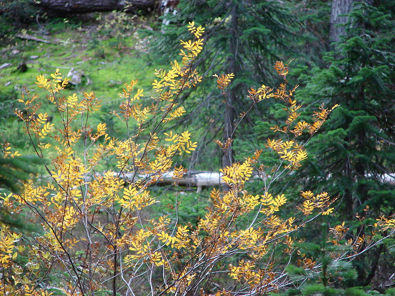
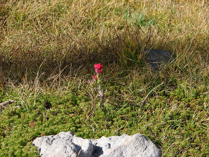
 A few remaining penstemon blossoms.
 Heading down to the Russell Creek crossing.
 This can be a tricky crossing at times, but there was a makeshift bridge which made it fairly easy this time.
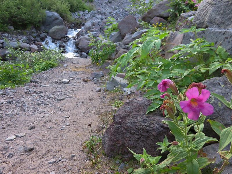
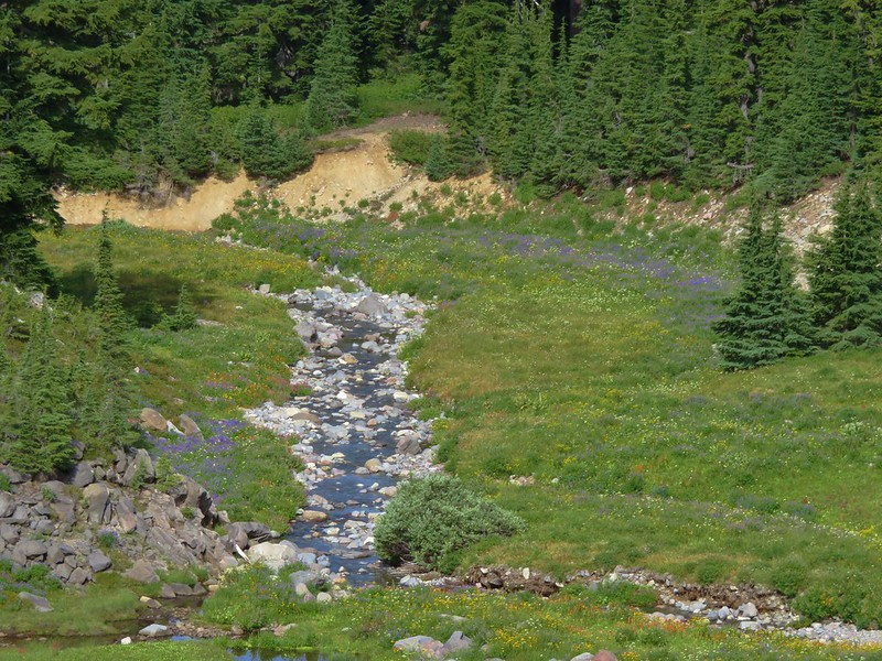
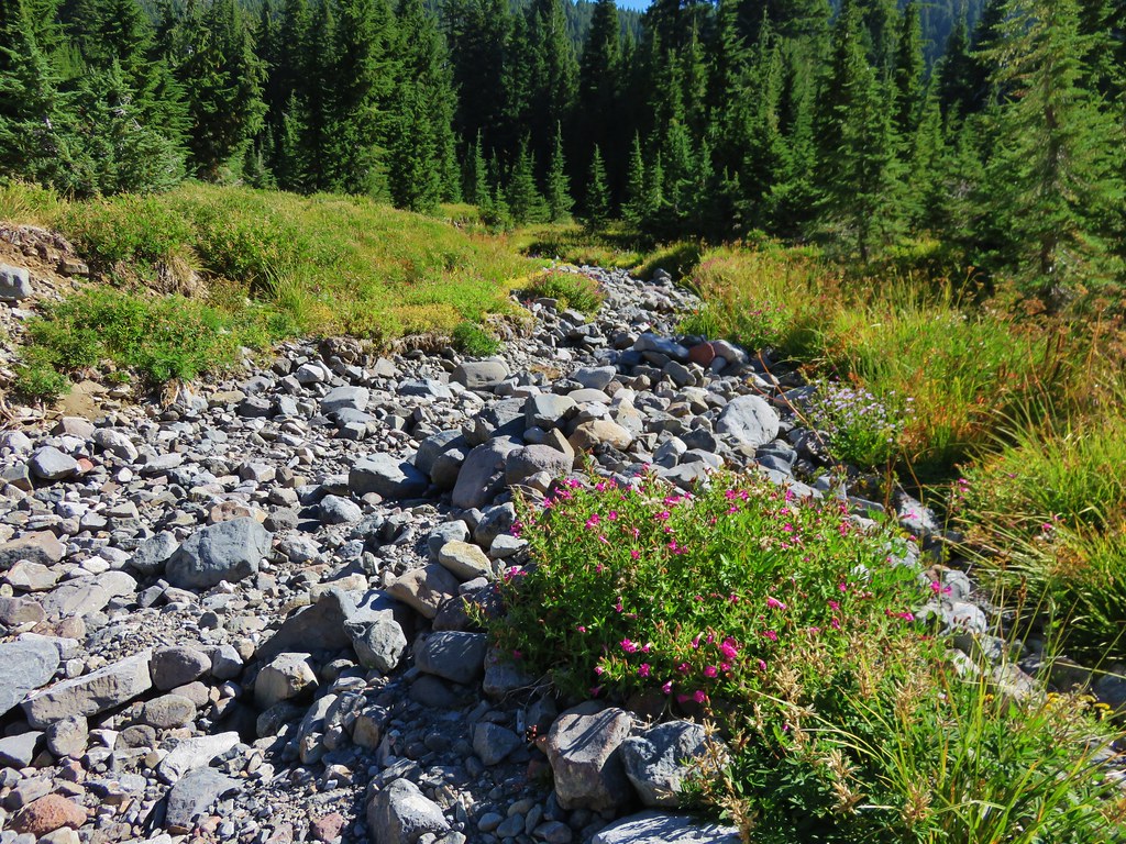
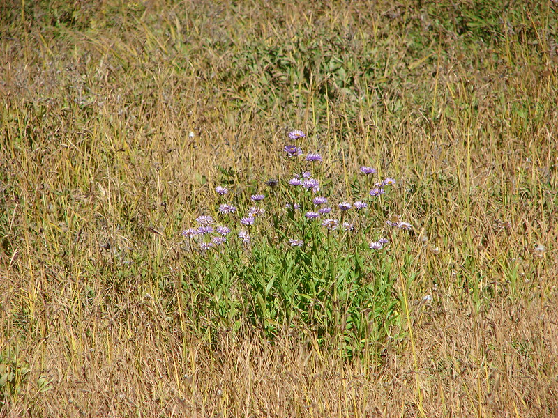
 Aster and pearly everlasting near the creek.
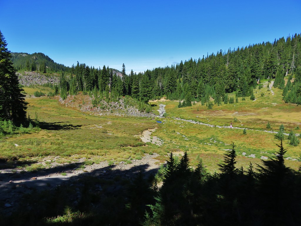
Beyond Russell Creek the PCT climbed for half a mile to a junction with the Whitewater Trail where we turned right sticking to the PCT.

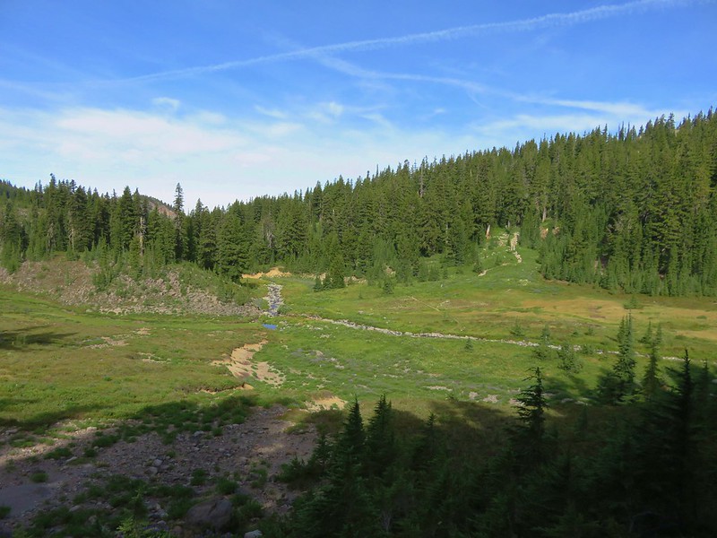
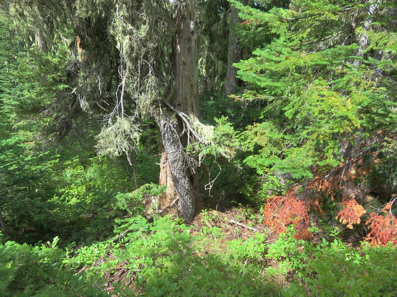
 We started seeing more trees that had survived the fire as we got closer to Jefferson Park.
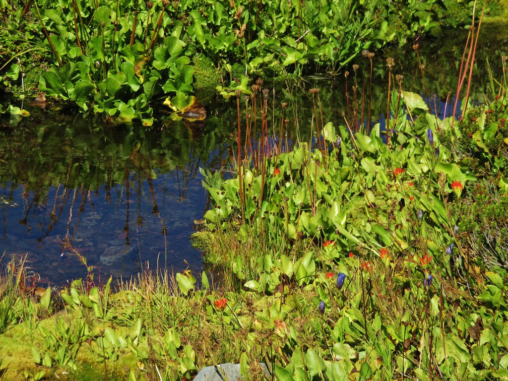
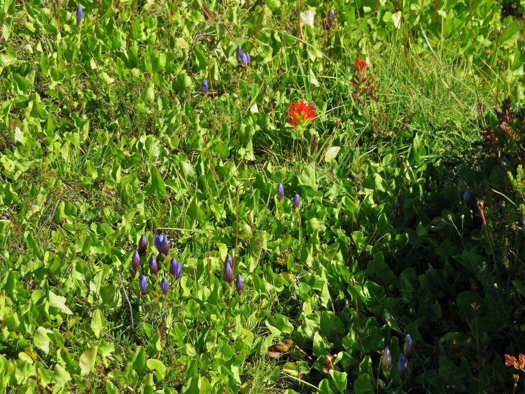
 Gentians and aster
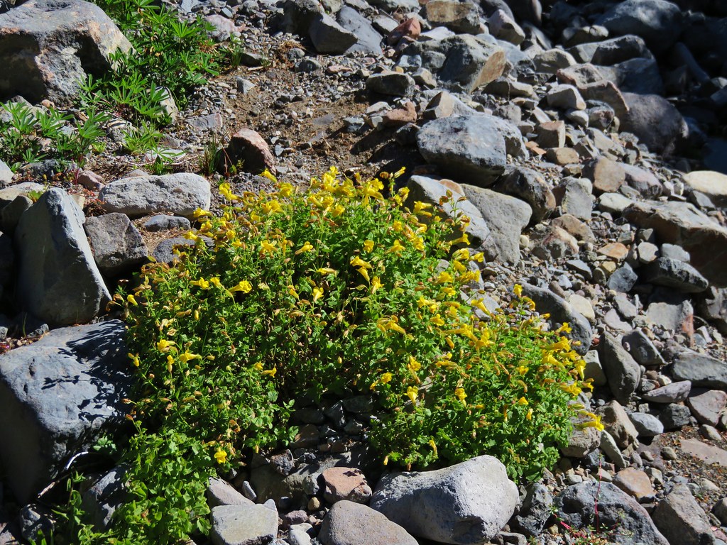
 Grass-of-parnassus

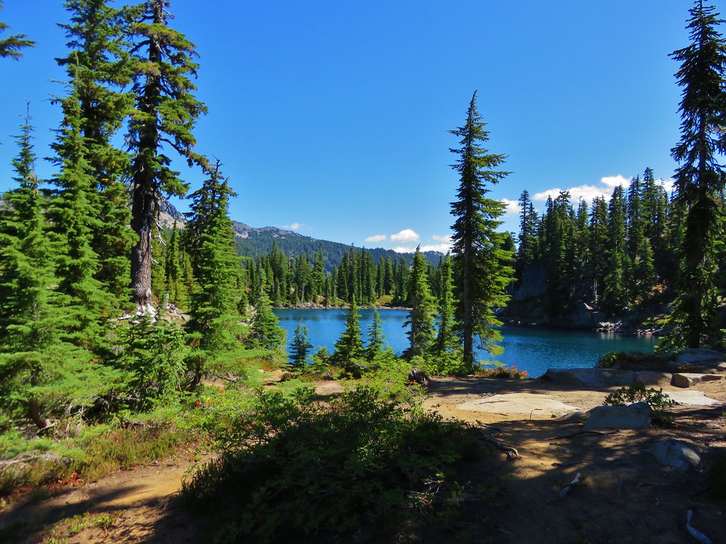
From this junction it was just under a mile to the first of several signed trails leading to Scout Lake off the PCT.
 There were patches of burned forest along this stretch.
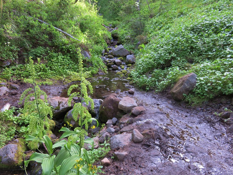
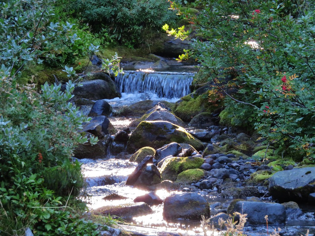
 Approximately 0.4-miles from the junction the trail crosses Whitewater Creek.
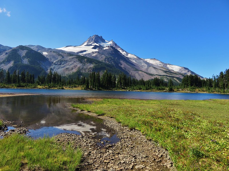
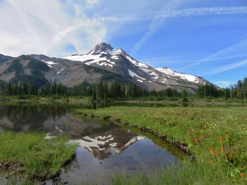
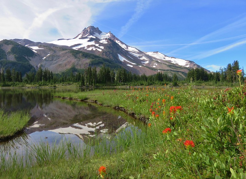
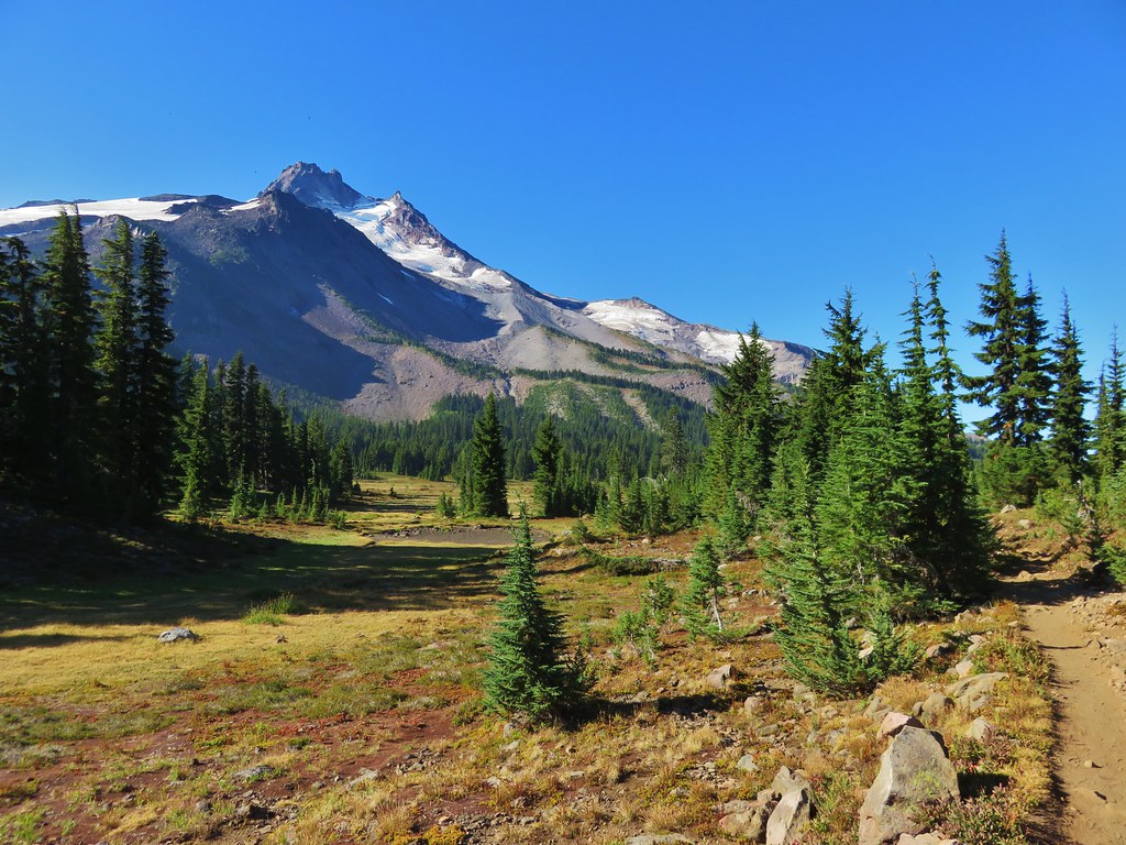
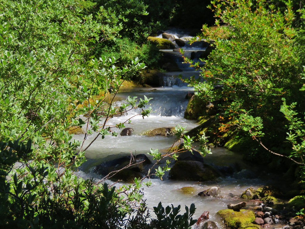
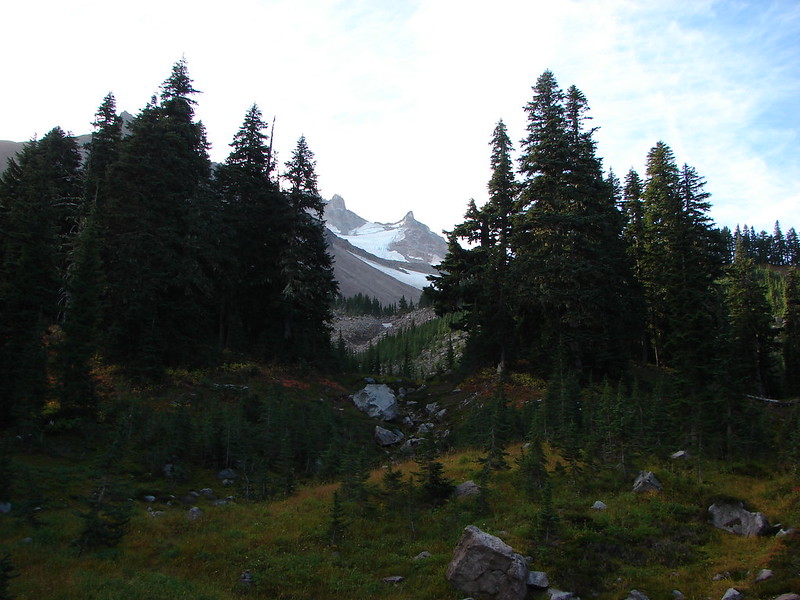
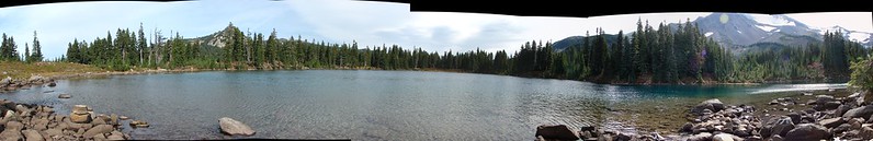
 From the other side of Whitewater Creek the views of Mt. Jefferson are amazing.
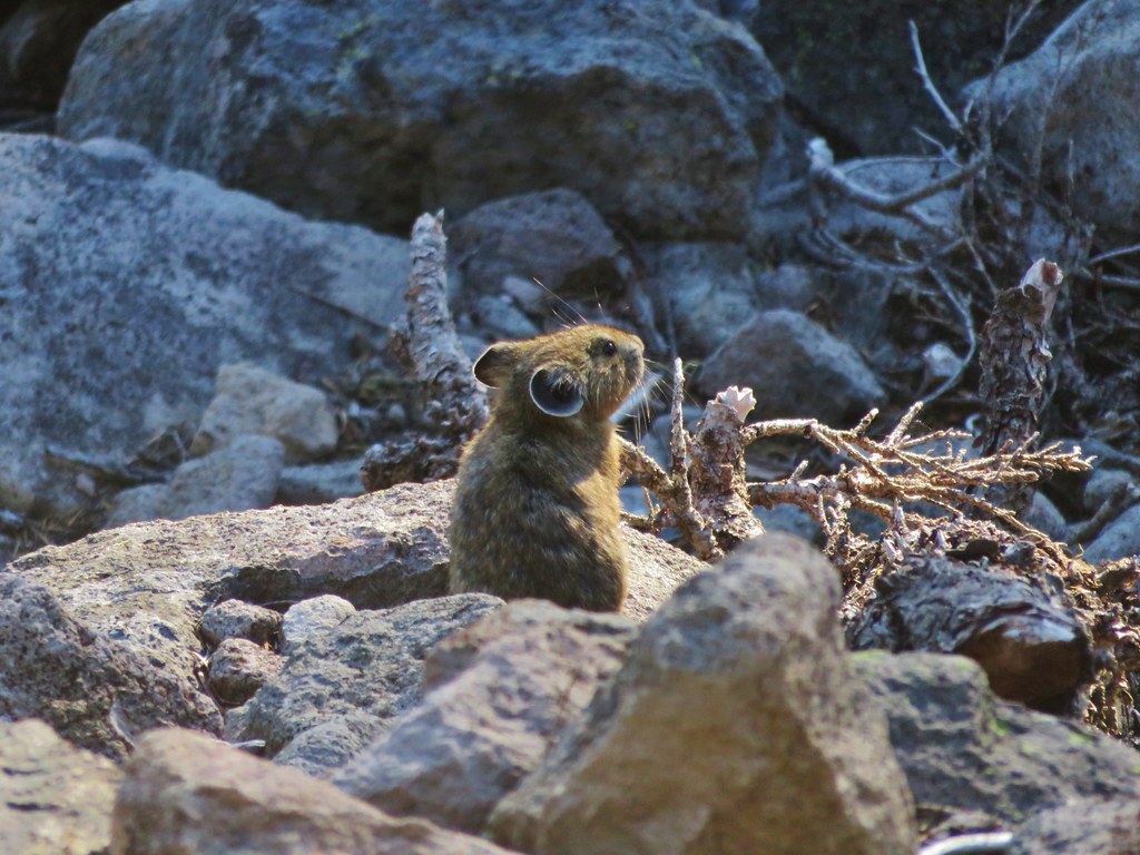
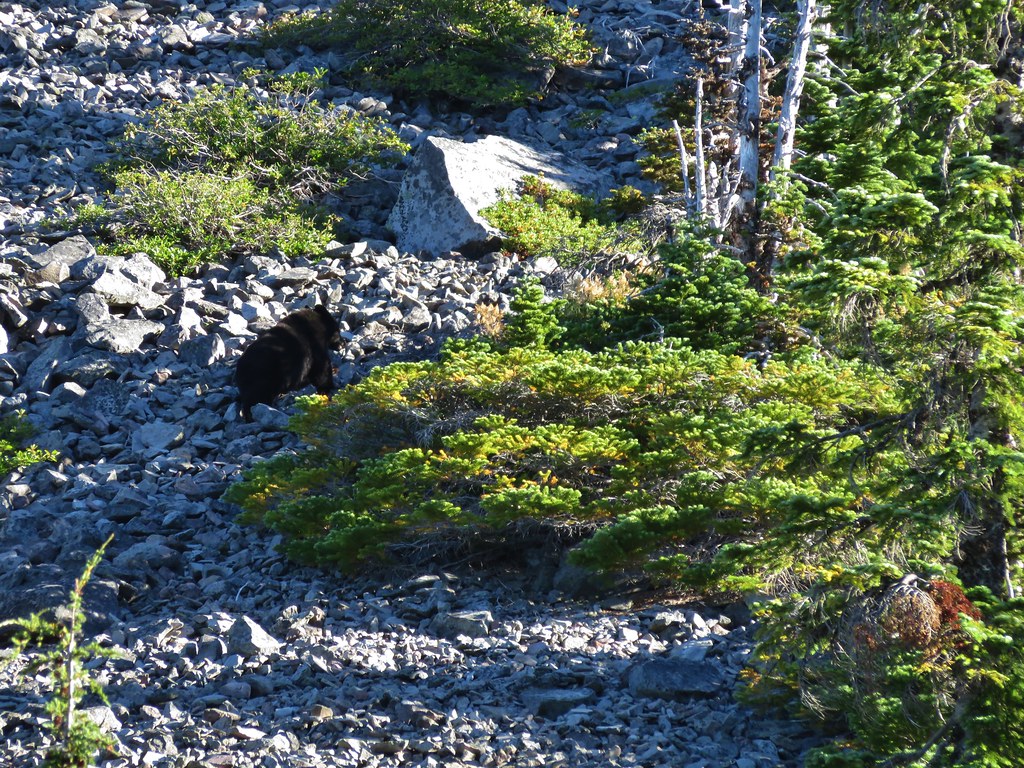
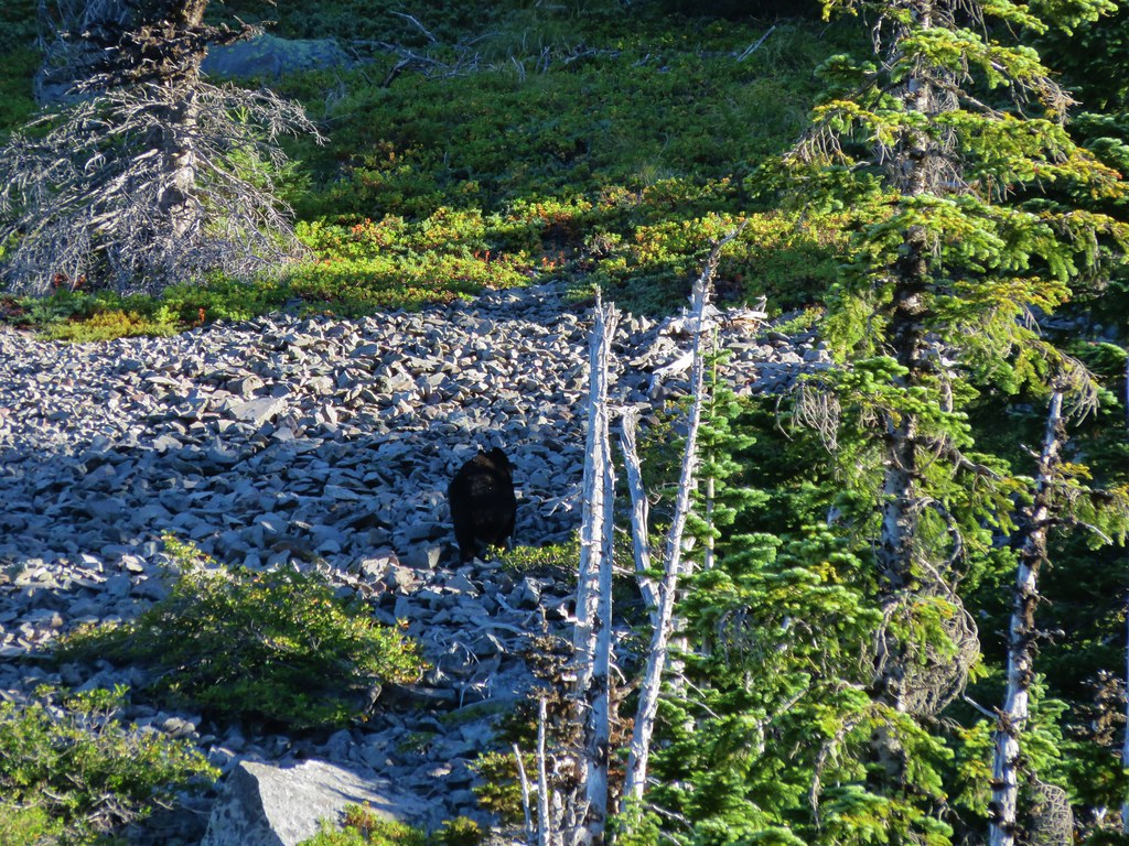
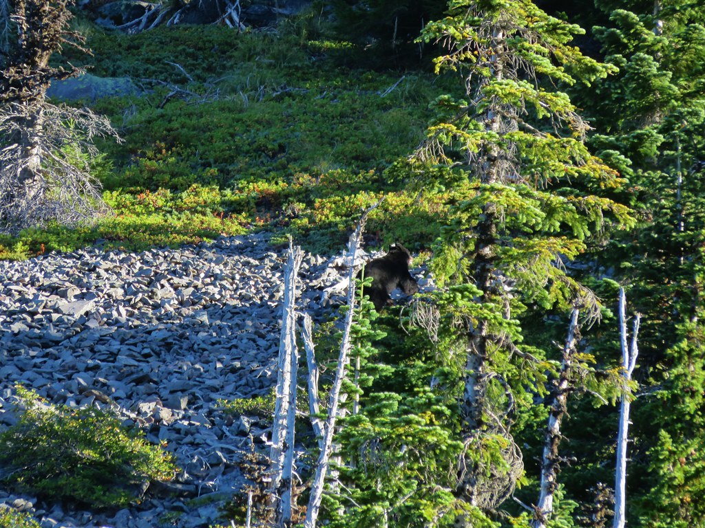
 Based on the barred sides I believe this is a black-backed woodpecker.
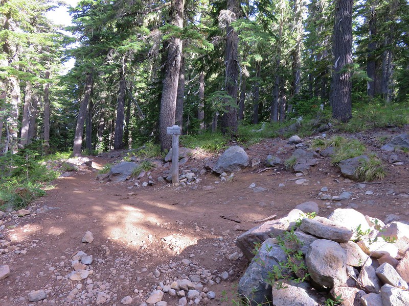
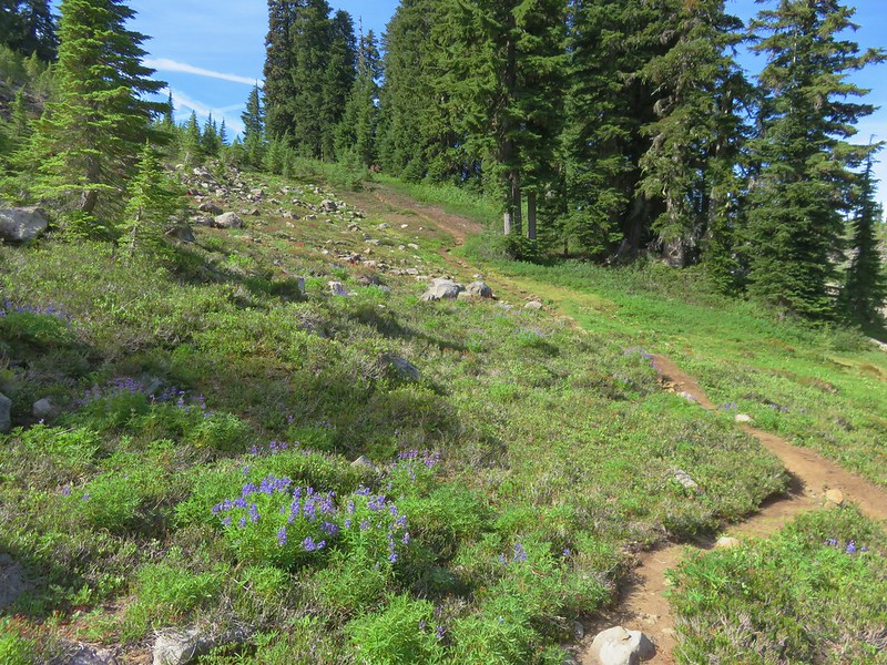
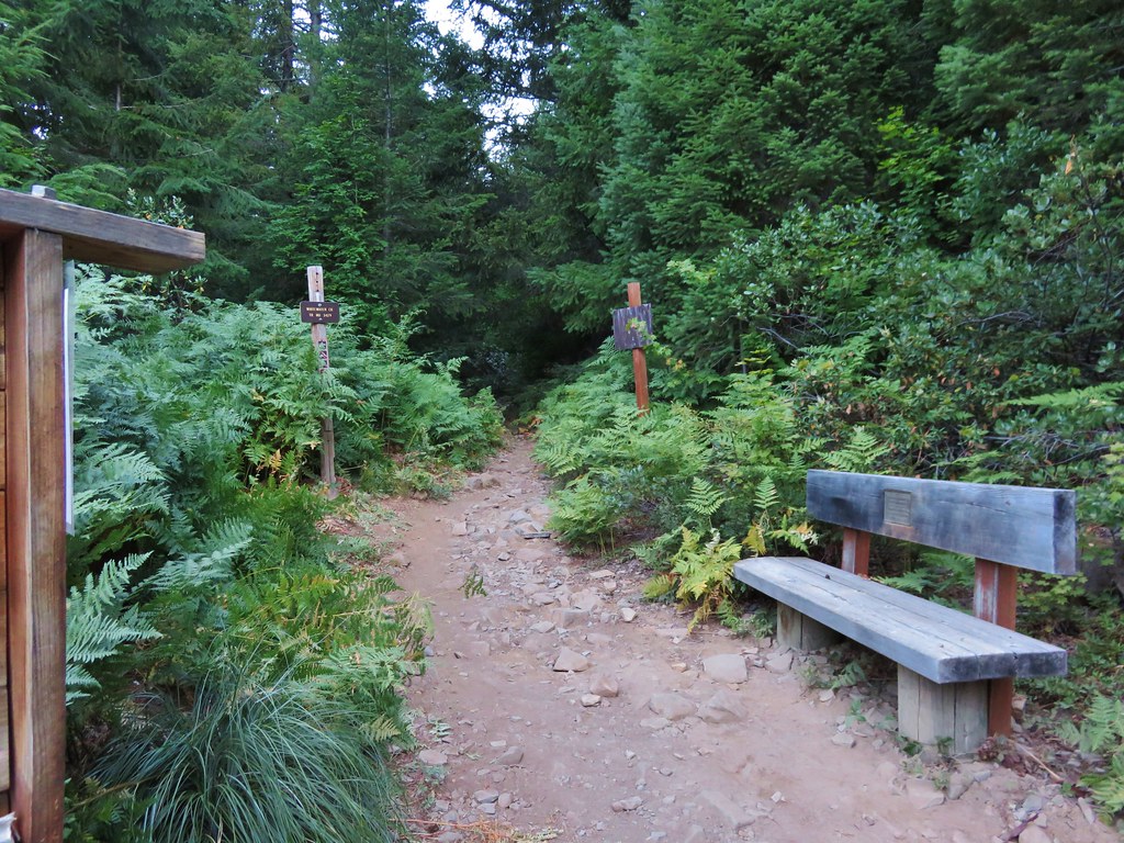
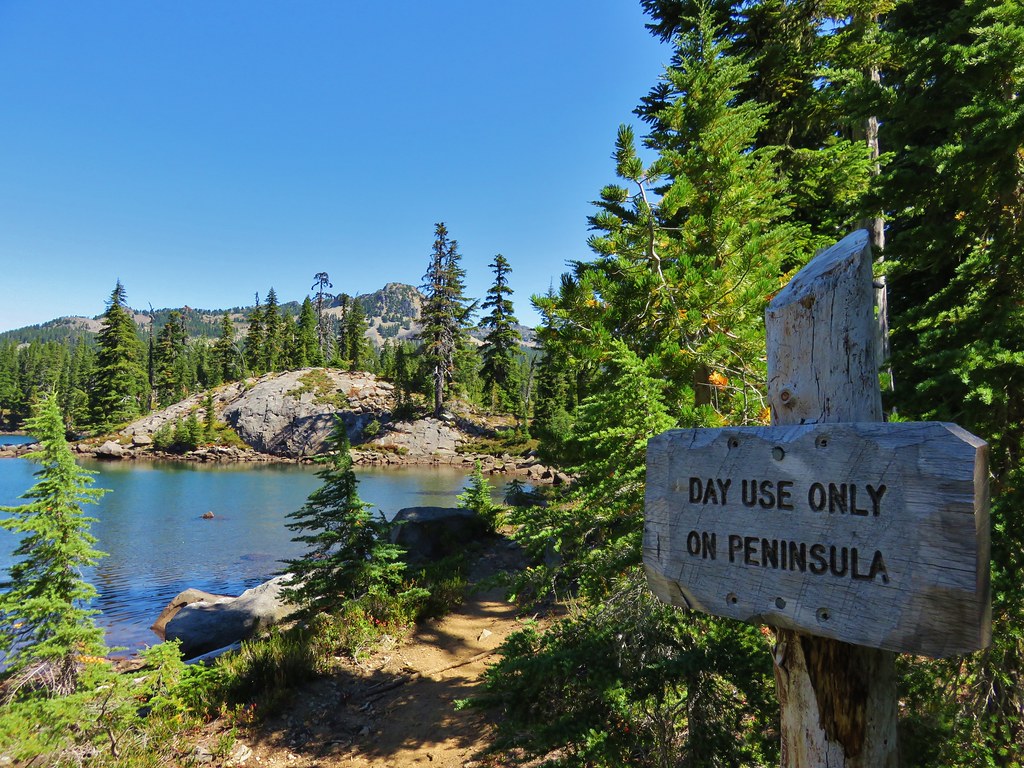
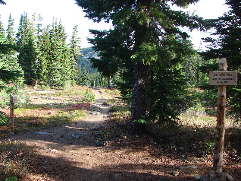
 Unofficial use trails are an issue in Jefferson Park which has prompted the Forest Service to install a number of “Closed for Rehabilitation” sign such as the one on the left side of the trail.
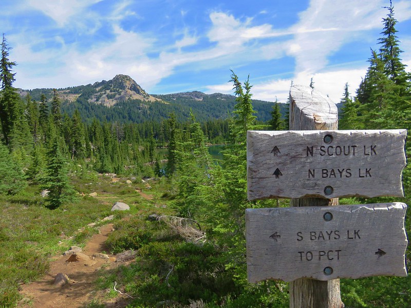
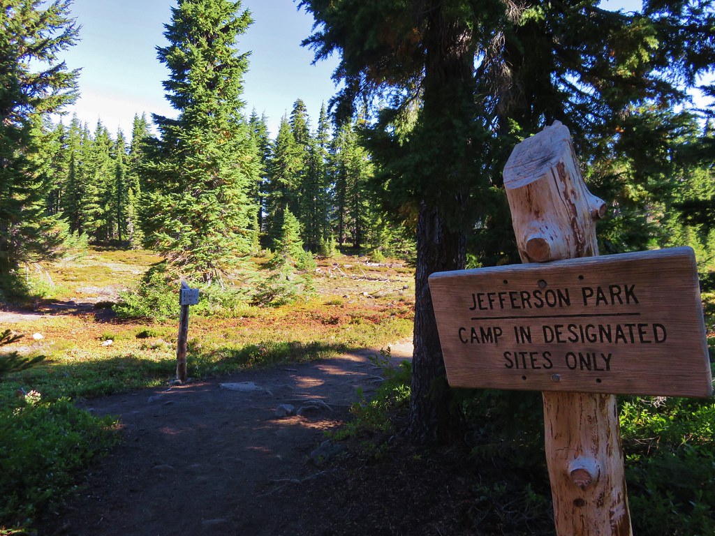
 They’ve also added quite a few signs to indicated sanctioned trails. Typically in wilderness areas the Forest Service tries to keep signage to a minimum, but overuse has led them to add additional signs.
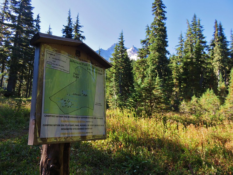
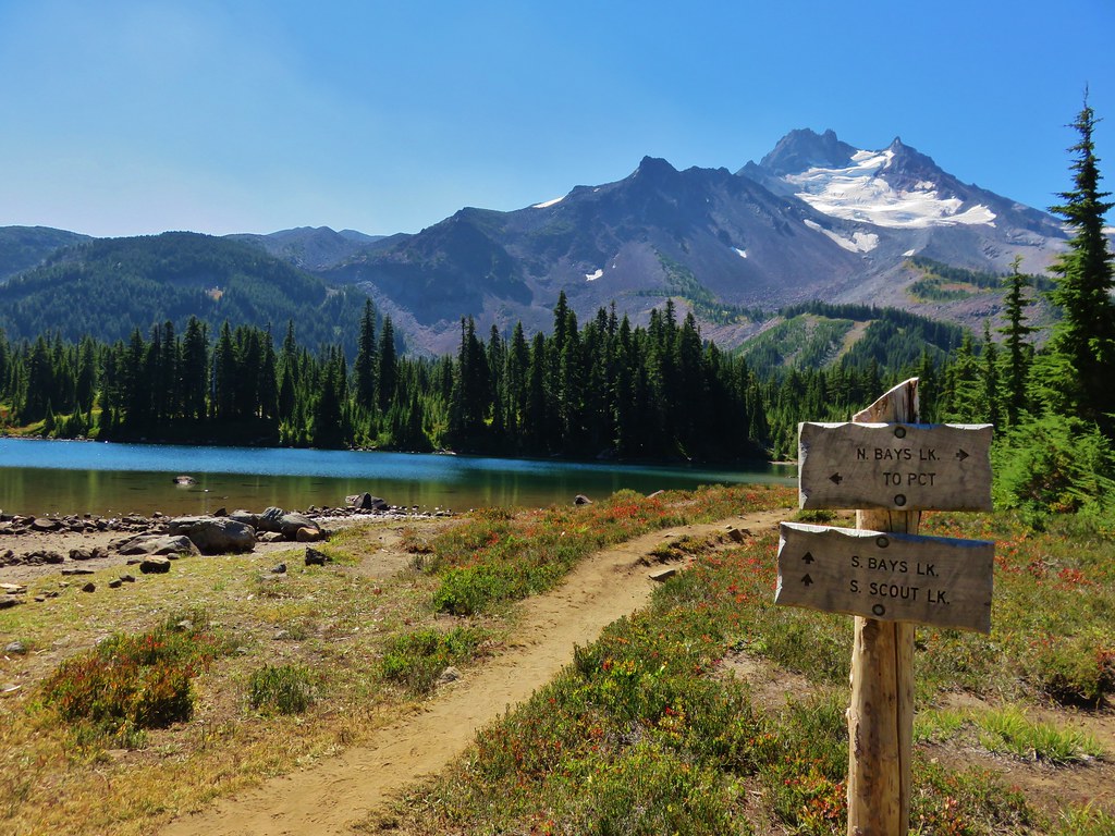
 Another sign with Park Butte in background.
Since I was headed for Park Ridge I ignored the trails to Scout Lake for now and continued on the PCT for three quarters of a mile beyond the first sign for Scout Lake to a sign for Russell Lake on the right side of the trail.

 The last of the pointers for Scout Lake.
 PCT heading for Park Butte and Park Ridge.
 Russell Lake pointer.