Spring came early to the Pacific Northwest and many of the flowers are running a week or two ahead of schedule so I’d been keeping my eye on the wildflower situation in the Columbia Gorge. Recent trip reports from the east end of the gorge showing the flowers out in force, a promising forecast, and a free day at Washington State Parks made for a combination that I just couldn’t pass up. Due to Heather training for the upcoming Corvallis half-marathon she was unable to accompany me this time, but my parents were able to join me for three short hikes in Columbia Hills State Park.
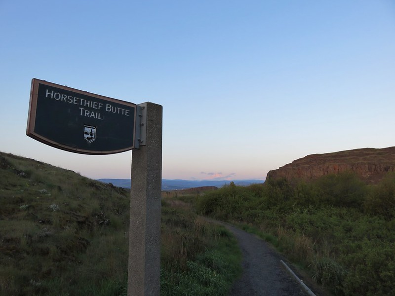
The park is located in Washington just across the Columbia River from The Dalles, OR and encompasses 3,338 acres offering rock climbing, fishing, sailboarding, and many other activities in addition to the hiking trails. We started our day off at Horsethief Butte, a rocky outcrop left over from an ancient basalt flow popular with rock climbers.
Basalt cliffs on the opposite side of Highway 14 from the trailhead.

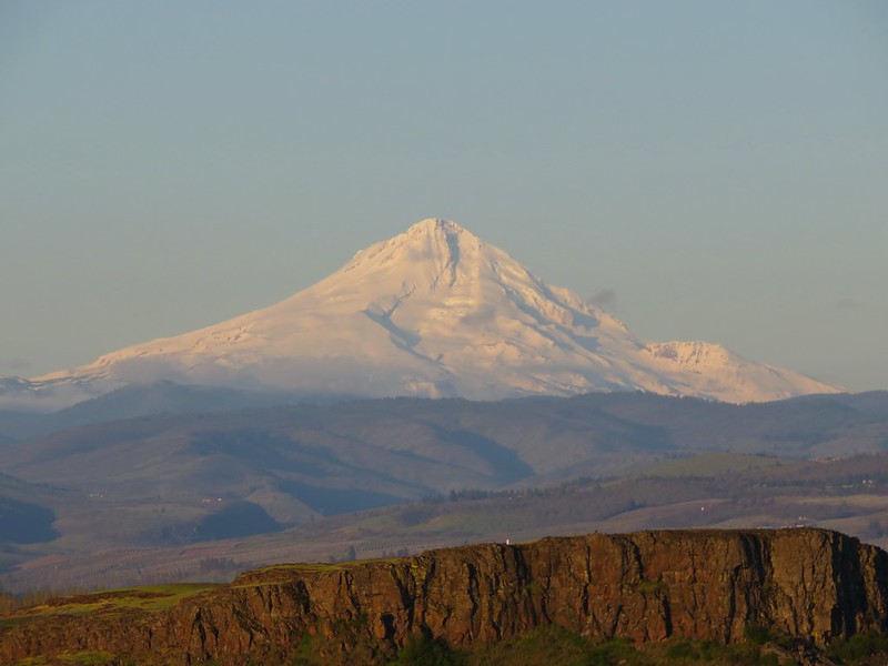
The trail starts off with a nice view of Mt. Hood over The Dalles.
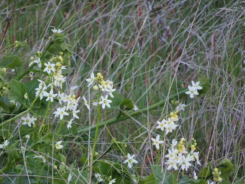
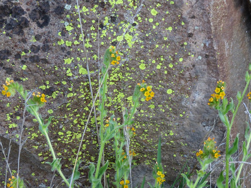
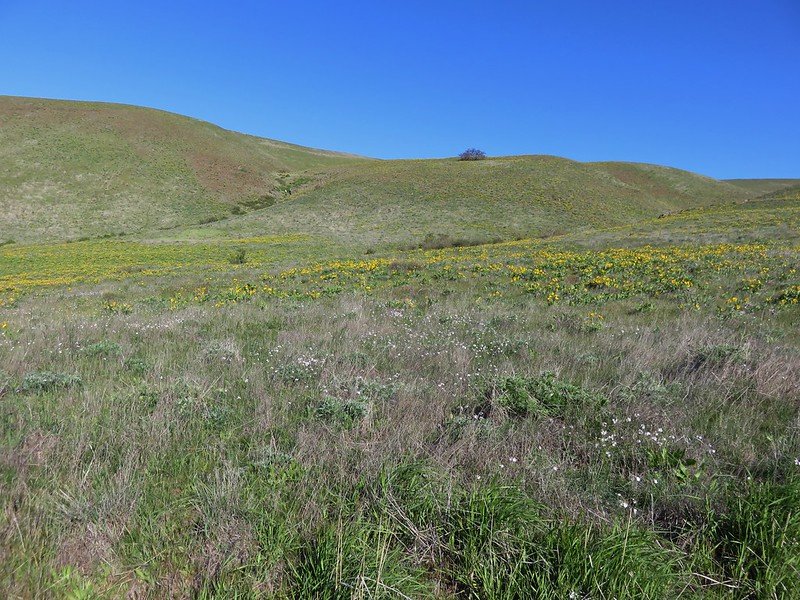
The trail crosses a short section of flat grassland before splitting with the left fork heading up into a canyon of Horsethief Butte and the right fork leading around the mesa to rejoin the left fork on the far end of the canyon. There were a variety of flowers to be seen along this portion of the trail.
Manroot
Bugloss fiddleneck
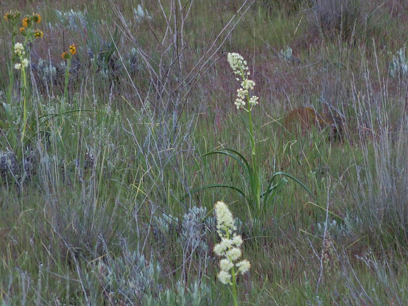
Death camas
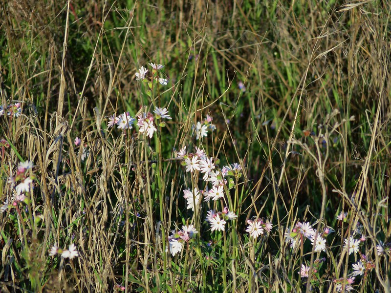
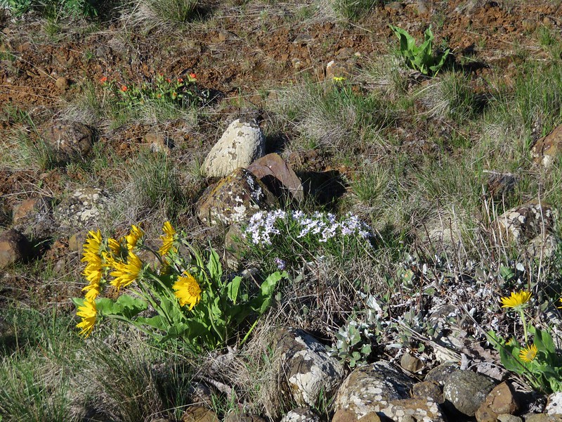
Prarie star
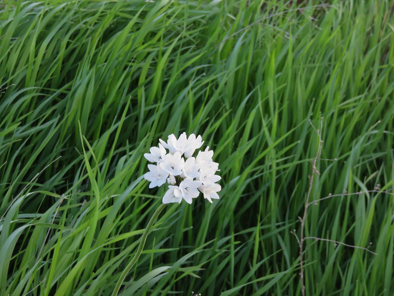
Large-flower triteleia
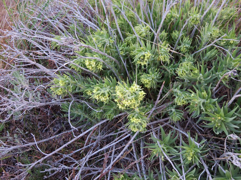
Western stoneseed
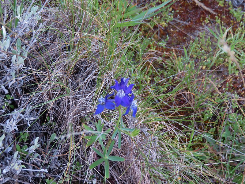
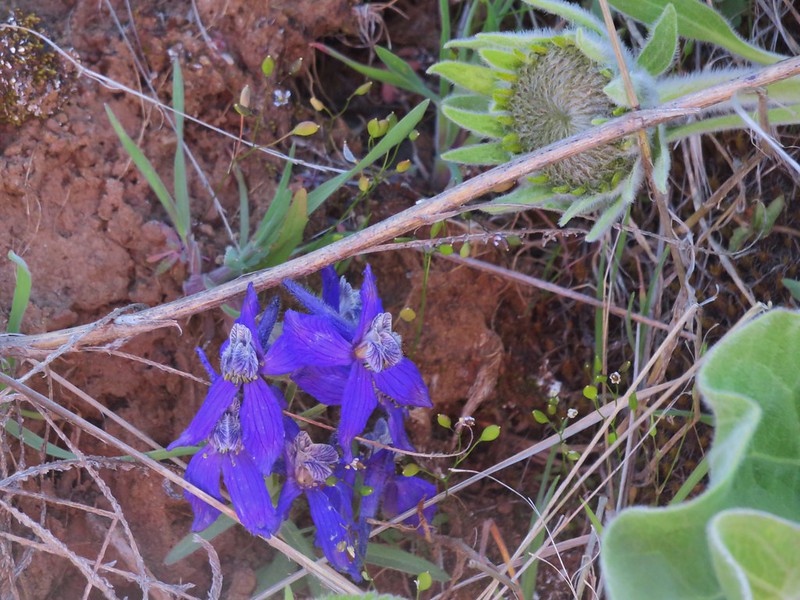
Larkspur
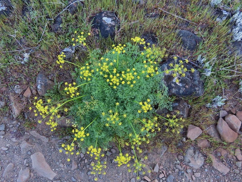
Desert parsley
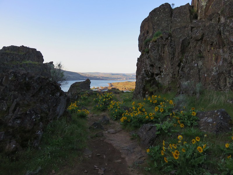
When the trail split we took the left hand fork and headed for the canyon. At Horsethief Butte the dirt trail gave way to a short rock scramble up to the canyon entrance. At the top of the scramble the canyon opened up to reveal a good sized slot dotted with yellow balsamroot flowers.


Members of the Mazamas, an outdoor group based out of Portland, were busy setting up and climbing among the rocks.

At the far end of the canyon the view opened to the Columbia River and Mt. Hood.
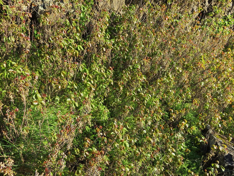
Here the trail dropped out of the canyon (without a rock scramble) to rejoin the right-hand fork. Before heading back we turned left and continued another quarter mile behind the butte to a viewpoint where poison oak patches were growing.
Poison Oak
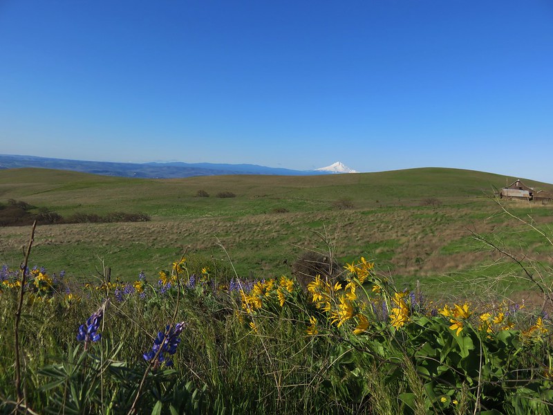
We headed back and completed the loop with Mt. Hood looming to our left.

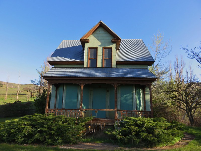
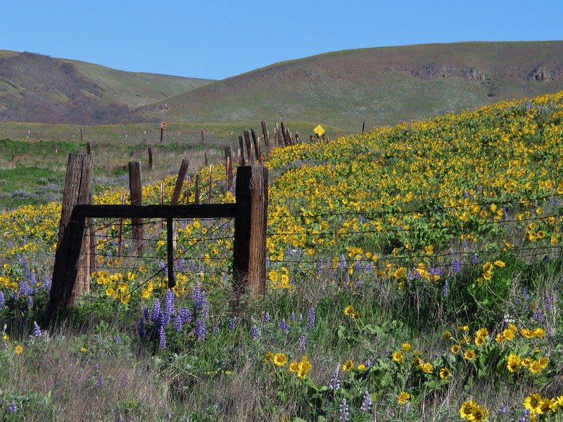
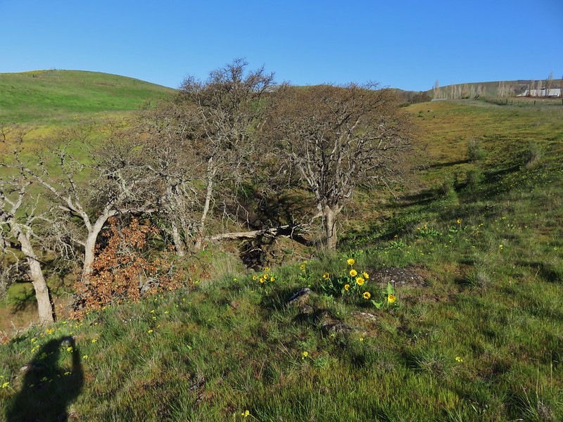
Next we headed to the Dalles Mountain Ranch, a short 4.5 mile drive away. To get there we drove 1.8 miles west on Hwy 14 and turned right on Dalles Mountain Road for another 2.5 miles to a fork. The trailhead for the ranch was to the right about .2 miles. Here an abandoned farmhouse and other buildings sat amid fields of balsamroot and lupine.
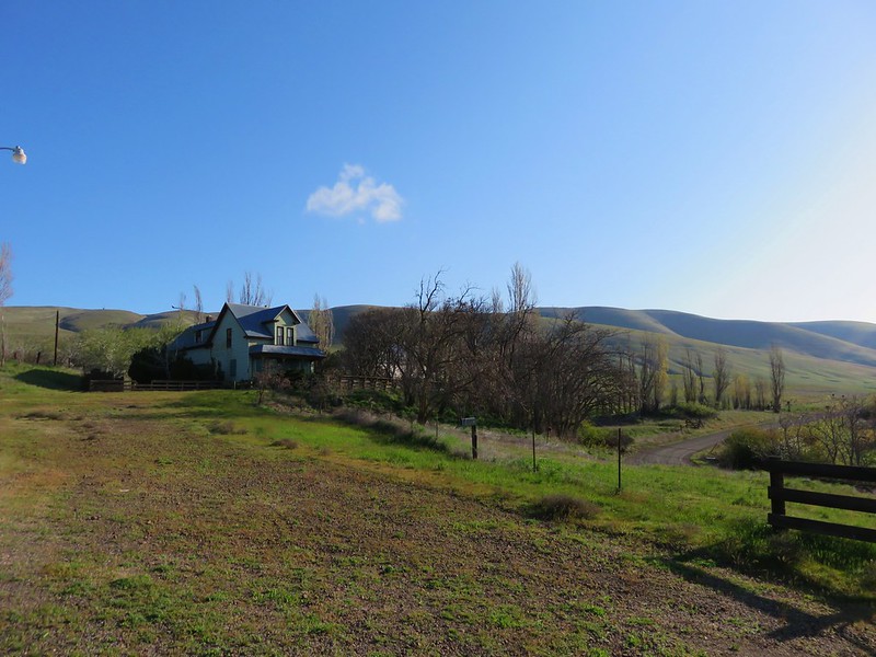
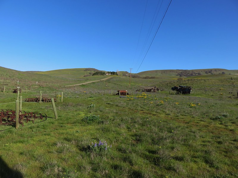
We explored the area around the farmhouse first where several pieces of old equipment were on display along with the flowers and views of Mt. Hood and distant Mt. Jefferson.

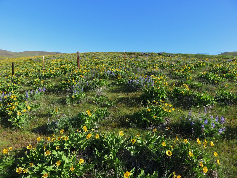
There were also a couple of trail options. I wandered down to Eight Mile Creek through a spectacular field of balsamroot and lupine.

Our final stop was another short 1.4 mile drive up Dalles Mountain Road where a gate marked the end of the drive and the start of the Columbia Natural Area Preserve.

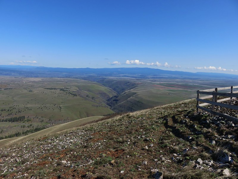
We set off on the 2.5 mile hike up the closed road that would led us to the summit of Stacker Butte. Entire hillsides were covered in yellow from the balsamroot with a smattering of other flowers thrown in.


The total climb was a little over 1100′ but it was never too steep and the sweeping views drew attention away from the climb.

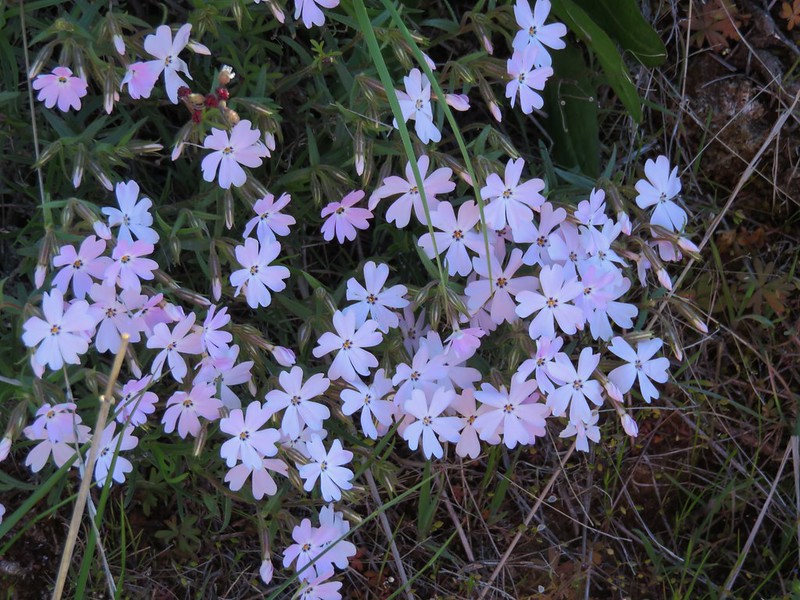
It was interesting to note the change in the mix of flowers as we climbed. Along the lower portion balsamroot and lupine dominated with a few prairie stars mixed in. A little higher up we ran into paintbrush and phlox.
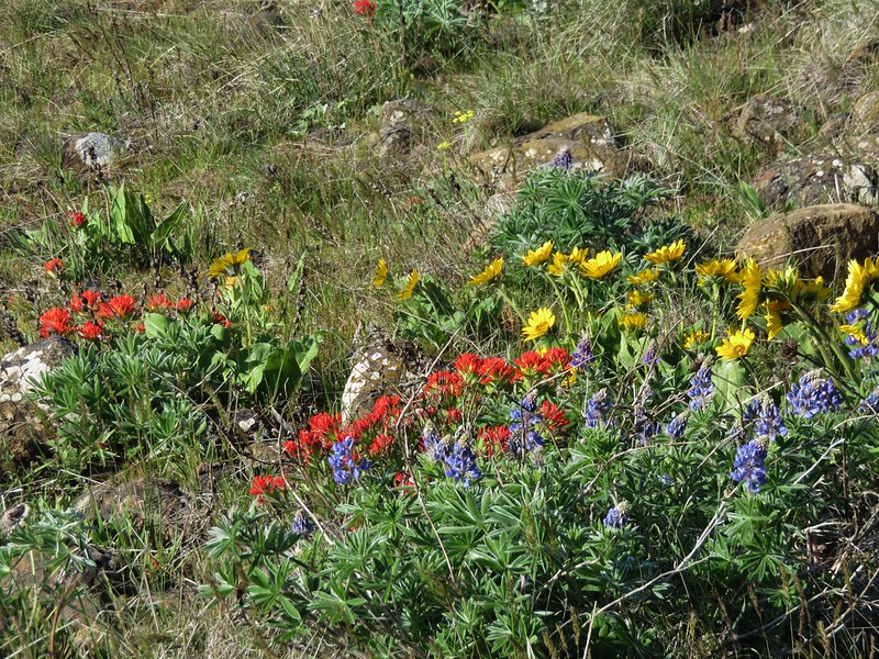
Next came larkspur and big-head clover.

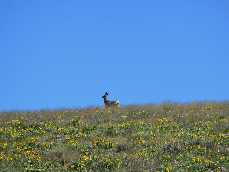
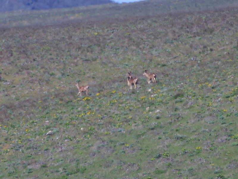
Flowers weren’t the only things we spotted. There were numerous birds and a few deer in the area.

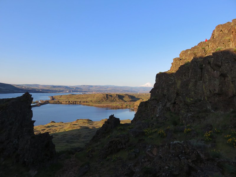
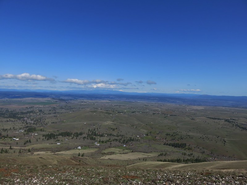
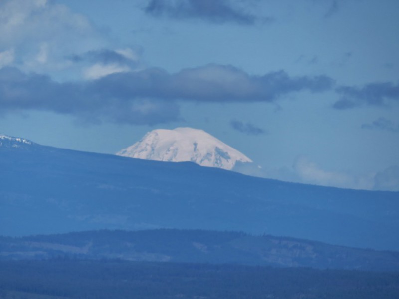
We had lost our views of Mt. Jefferson and Mt. Hood to the clouds, but when we reached the summit of Stacker Butte new views opened up. To the NW Mt. Adams was mostly obscured by a line of clouds, but Mt. Rainier and Goat Rocks were virtually cloud free.

Almost directly below us lay Stacker Canyon where the Klickitat Rail Trail follows Swale Creek toward the Klickitat River, a hike we had done last April. https://wanderingyuncks.wordpress.com/2014/04/27/klickitat-rail-trail-swale-canyon-from-harms-rd/

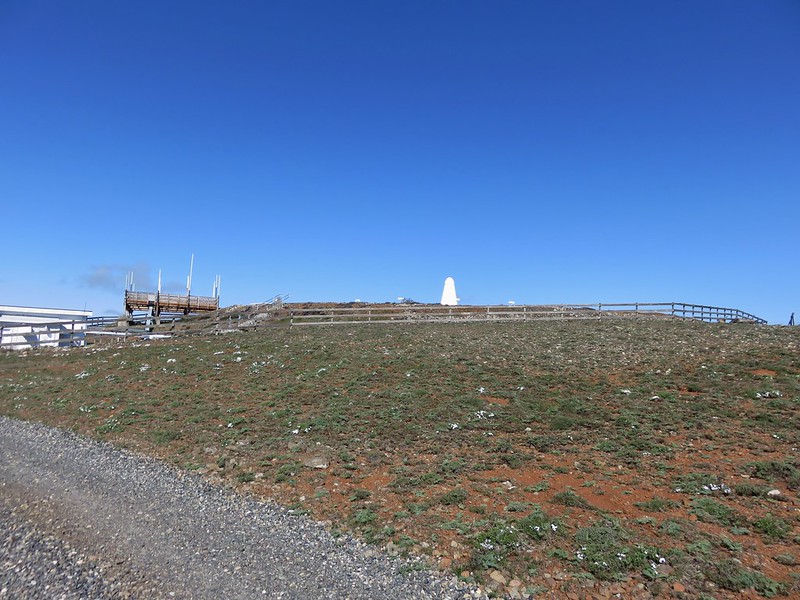
It was a little too windy (and chilly) to spend much time at the summit so after a quick snack break near an air control wigwam we headed back down the road.
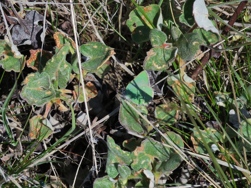
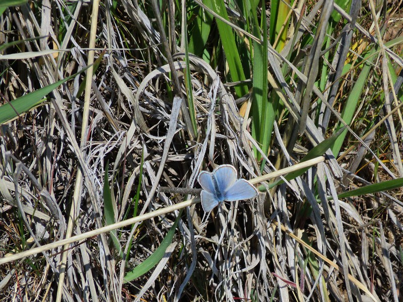
On our way down I got my first butterfly pictures of the year.
Sheridan’s Hairstreak
Blue Copper
With all of the options Columbia Hills State Park has to offer it makes a great place to spend a day outdoors, especially during the spring flower bloom. There are ticks and rattlesnakes in the area in addition to the poison oak so you’ll want to pay attention if you visit, but don’t let that stop you from checking this park out. Happy Trails!
flickr: https://www.flickr.com/photos/9319235@N02/sets/72157649434751593/

3 replies on “Columbia Hills State Park”
[…] Creek (along with Coyote Wall), the Tom McCall Preserve (post), Columbia Hills State Park (post), Memaloose Hills (post) and Swale Canyon (post) so for this outing we decided to check out the […]
[…] in the 3rd edition) and one that Heather had missed out on in 2015 when I was joined by my parents (post). Knowing that word was out on social media that the bloom was on, we left even a little earlier […]
[…] Columbia Hills – Hiked 4/4/2015 & […]