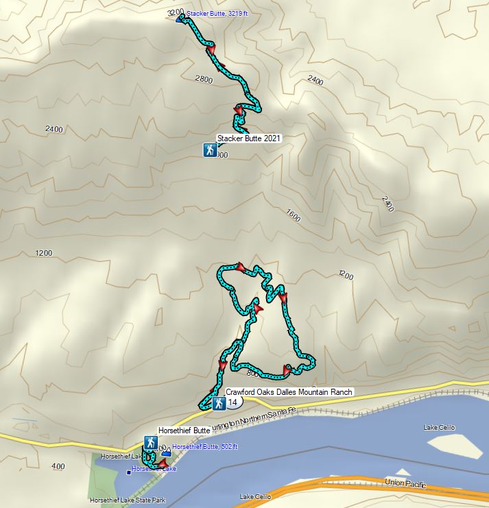
We joined the masses of people heading to the eastern end of the Columbia River Gorge to catch the wildflower display which may be brief this year due to a combination of a lack of moisture and higher than normal (what is normal anymore?) temperatures. While we try to avoid crowds the hikes in Columbia Hills State Park are a featured hike in William L. Sullivan’s “100 Hikes/Travel Guide Eastern Oregon” (Hike #2 in the 3rd edition) and one that Heather had missed out on in 2015 when I was joined by my parents (post). Knowing that word was out on social media that the bloom was on, we left even a little earlier than typical in hopes of minimizing the number of encounters with others. We followed the same order that I had done the hikes in during my first visit stopping first at the Horsethief Butte Trailhead.
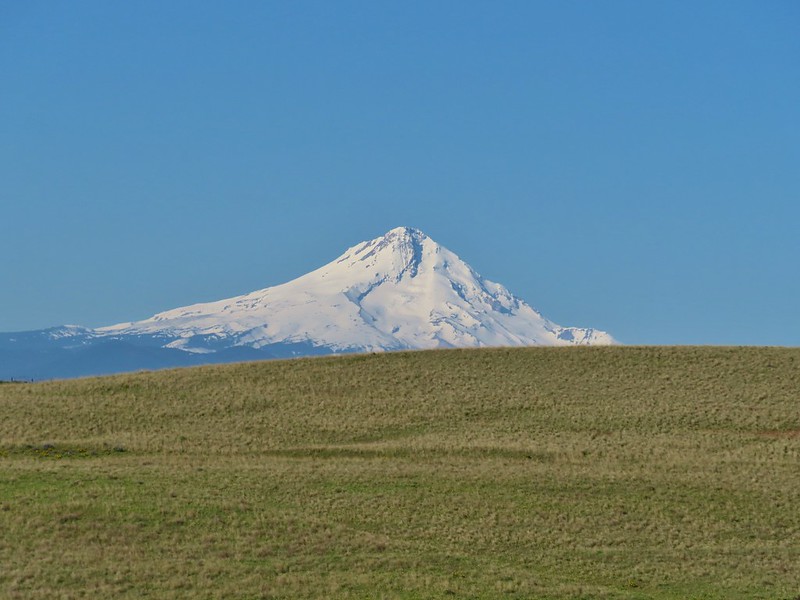
 Mt. Hood from the trailhead.
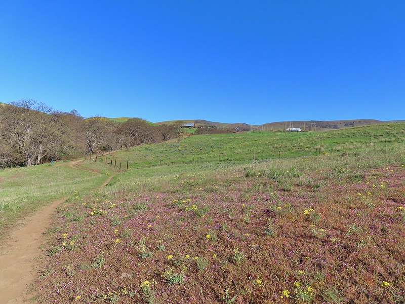
We followed the trail .3 miles to a junction where, unlike the first visit, we went right first following the trail around to the south side of Horsethief Butte where a fence announced the area beyond was closed.
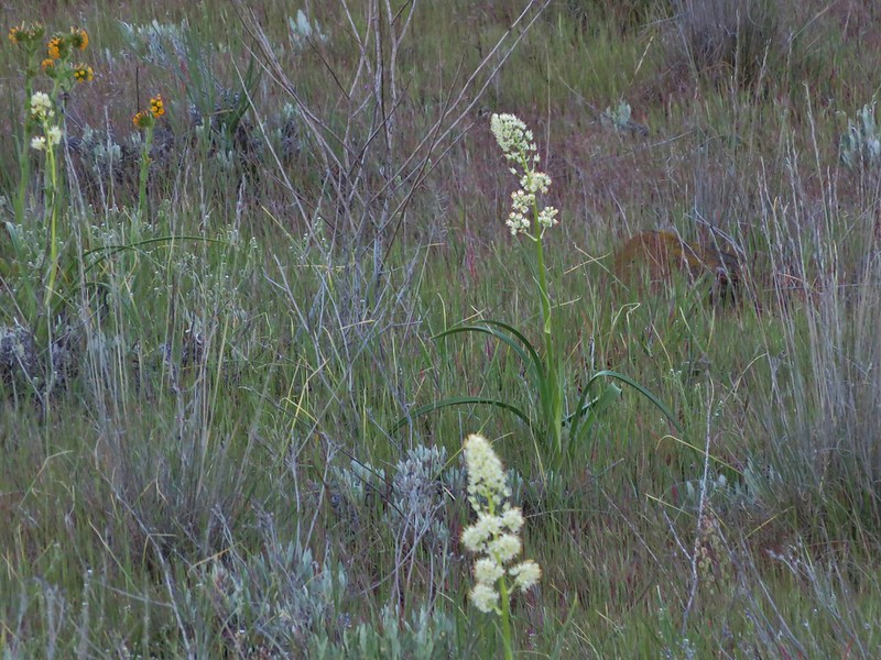
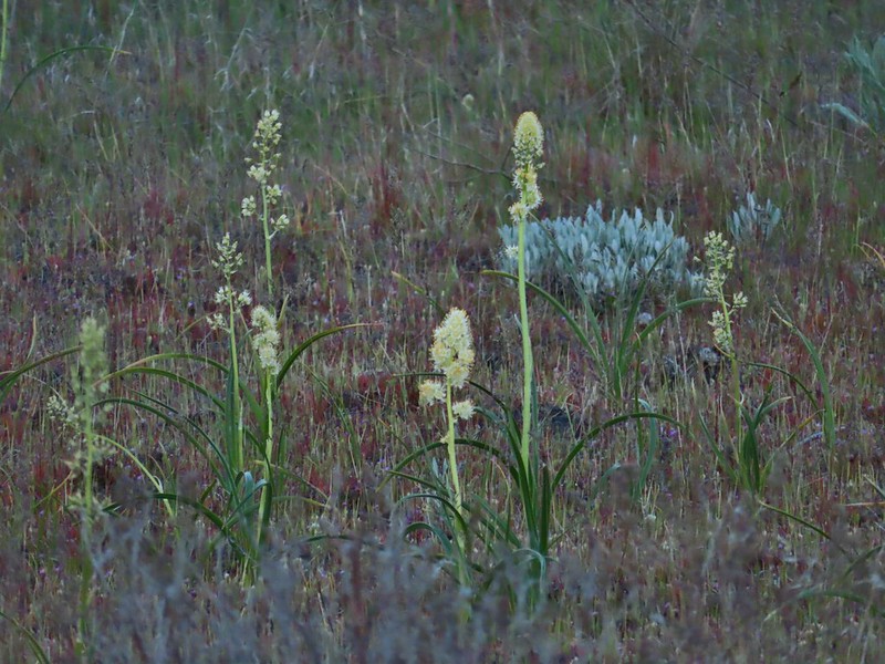 Death camas
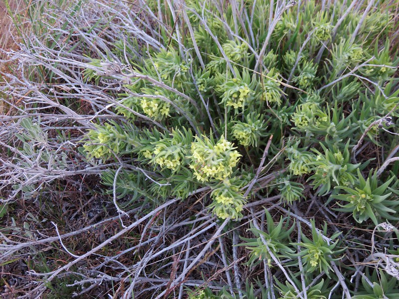
 Western stoneseed
 Fiddleneck
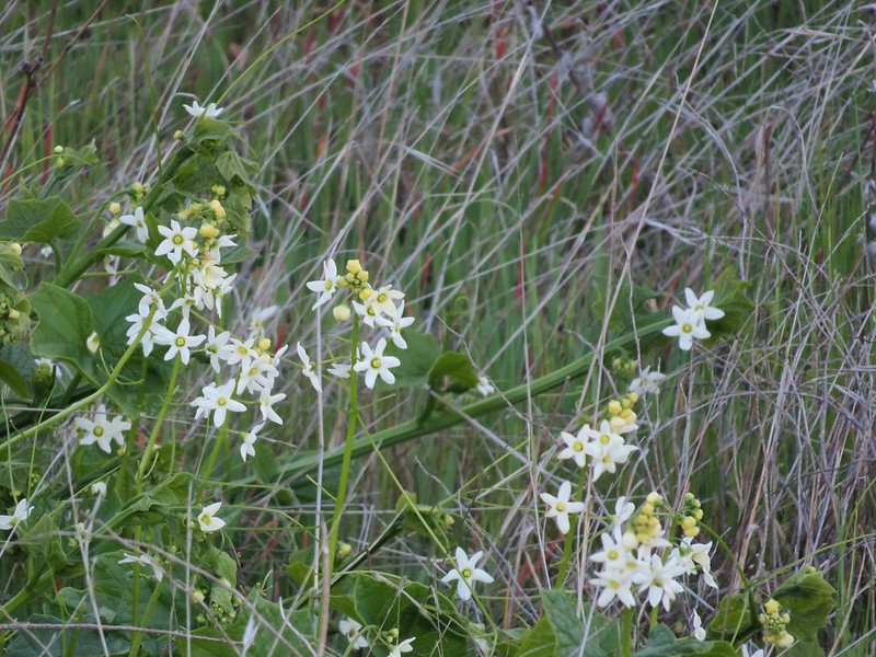
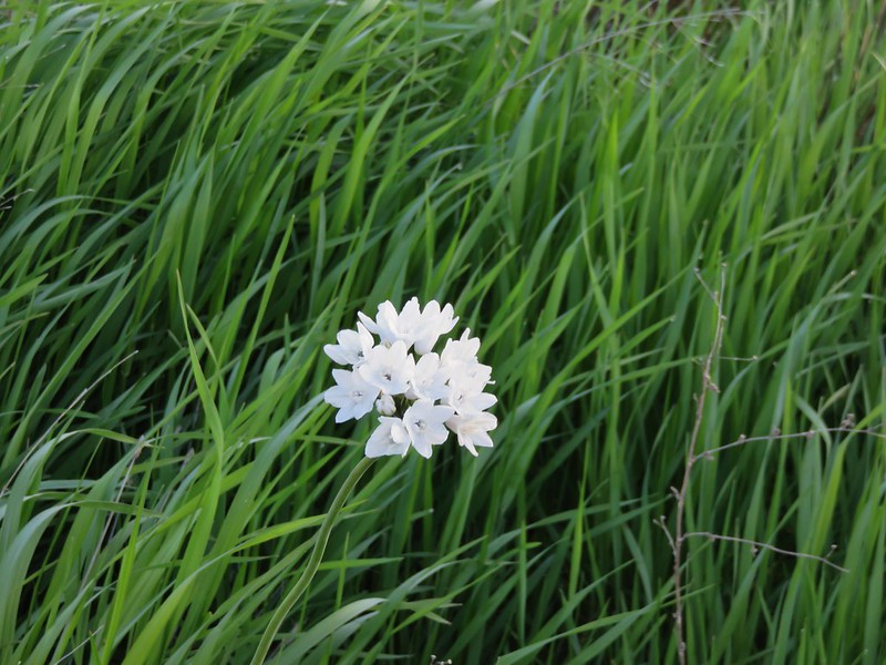
 Large-flower tritelia
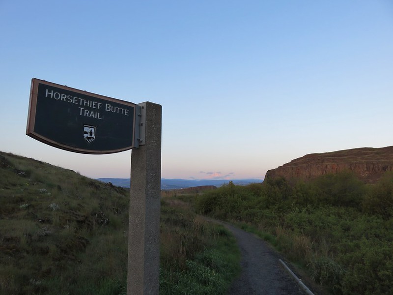
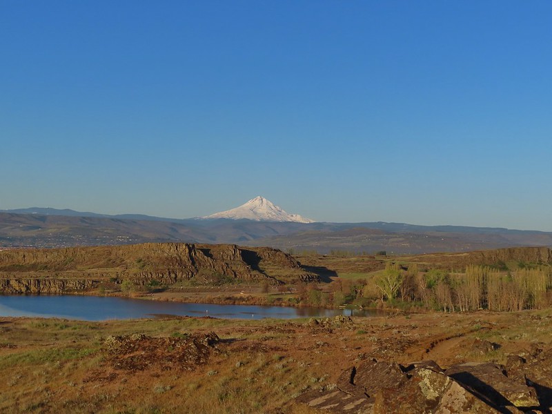 Mt. Hood beyond Horsethief Lake
 Standing at the fence looking east.
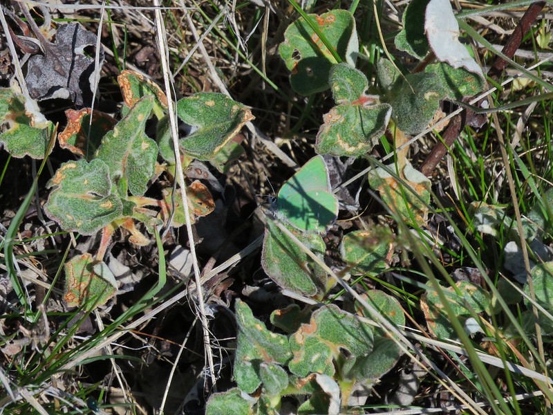
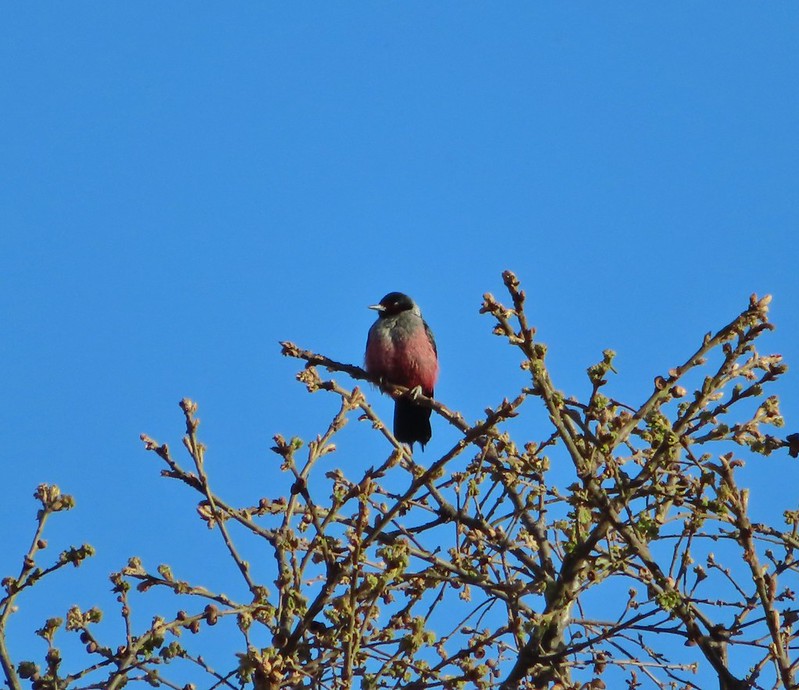
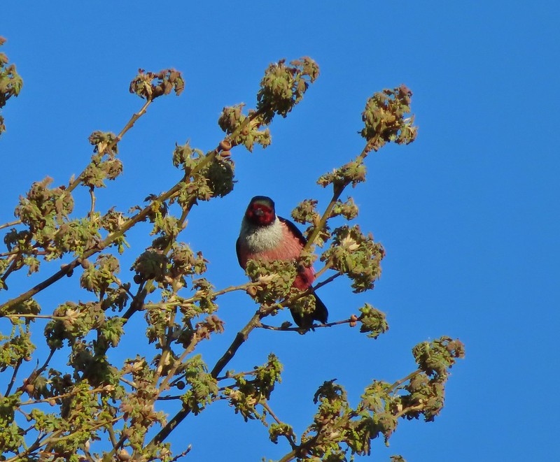
 Wren
Wren
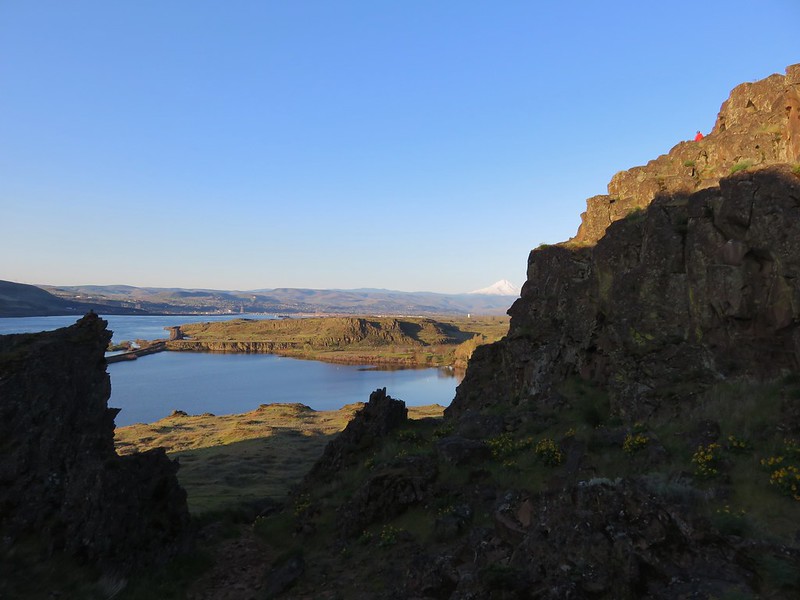
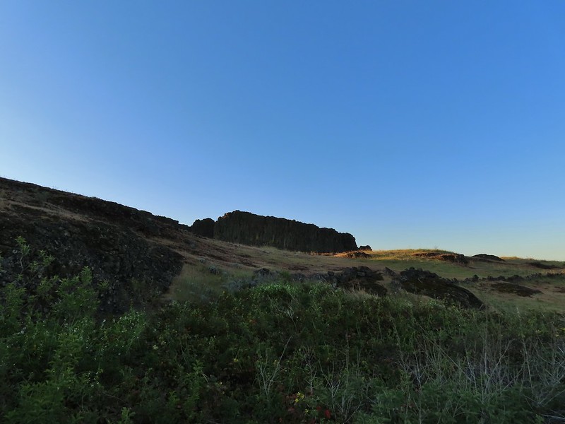
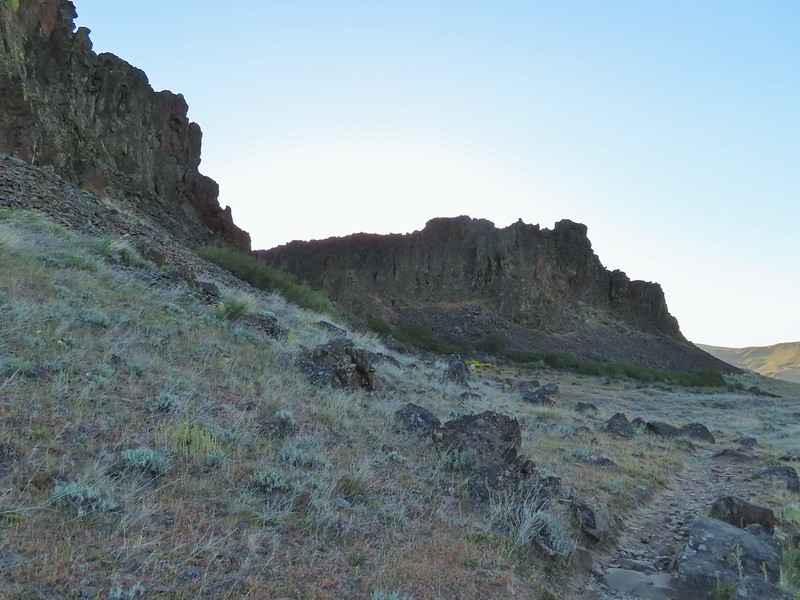
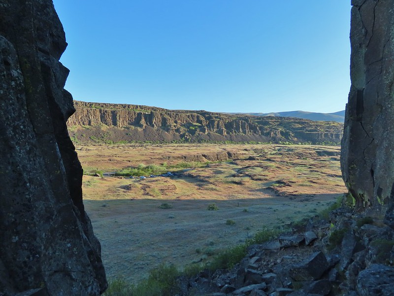
 Horsethief Butte
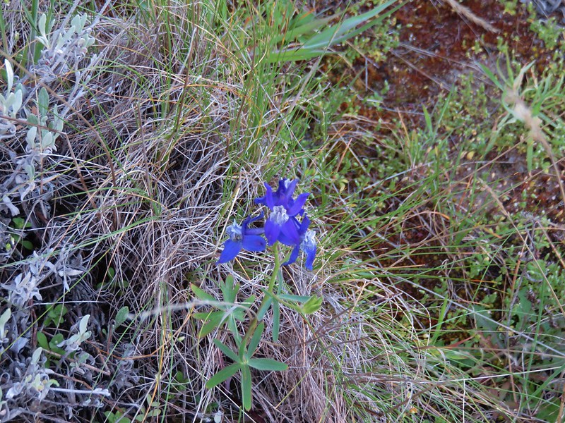
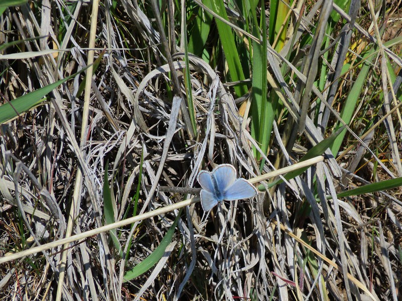
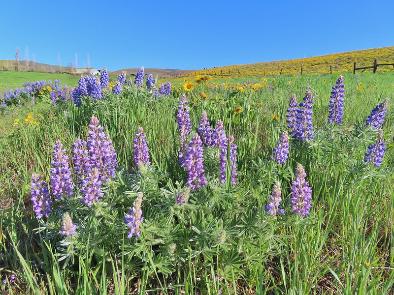
 Lupine
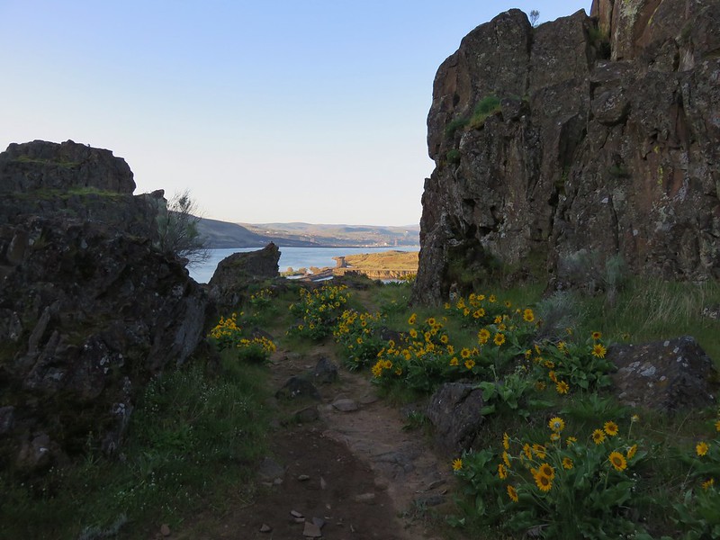
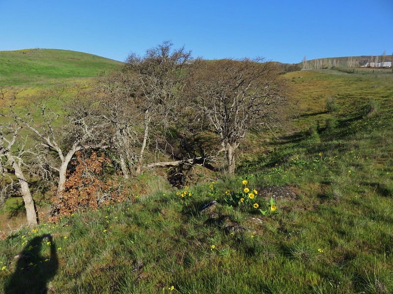
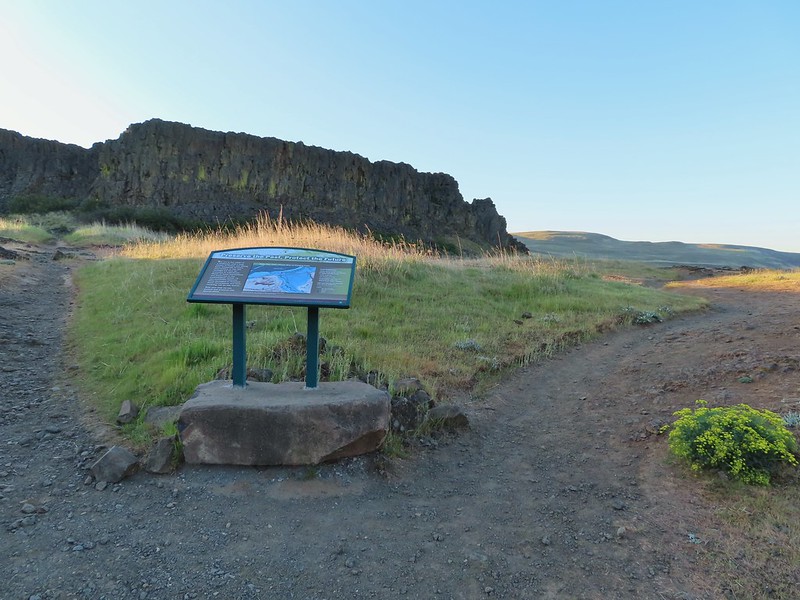
We then walked back about a quarter of a mile to a sign at an opening in the rock formation.

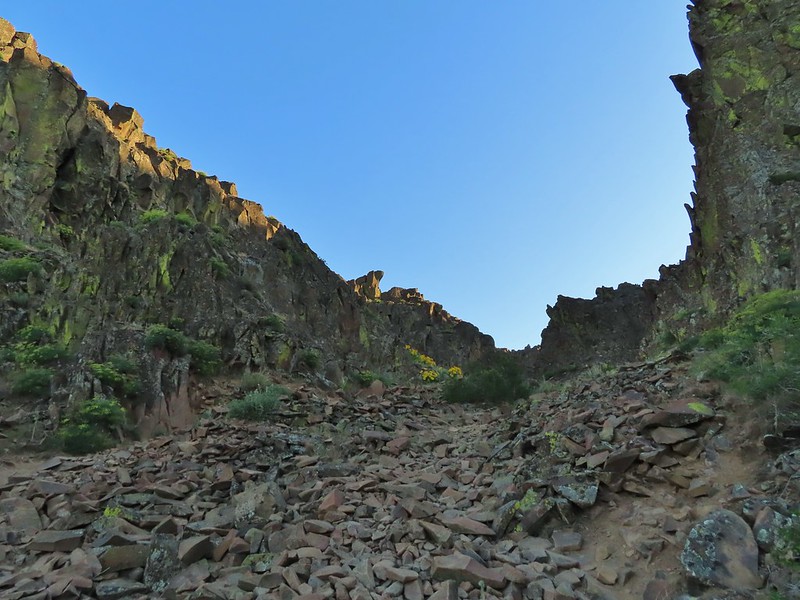
Here we turned and headed up into the rocks.


There is an optional side trail to a viewpoint inside the formation but we wanted to save the time and get to our second stop sooner rather than later. We had been the only car at the trailhead but half an hour later there were another half dozen cars (mostly rock climbers) with more arriving.
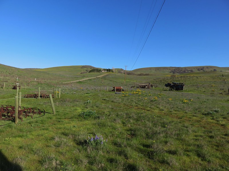
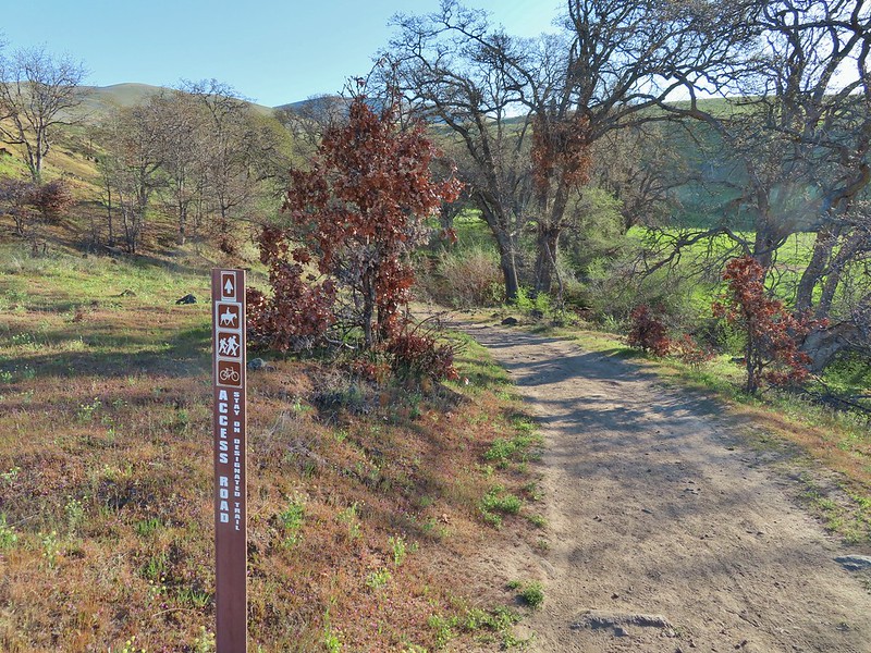
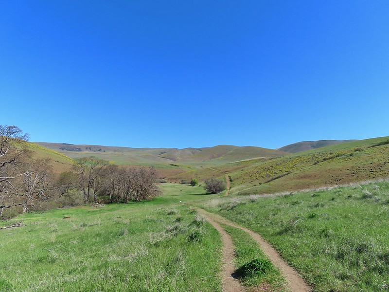
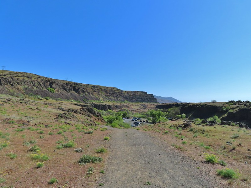
We descended from Horsethief Butte and after a short detour due to a wrong turn at a junction we arrived back at our and drove east on SR 14 for 0.7 miles to the Crawford Oaks Trailhead. While the trailhead opened in May of 2014 my parents I had not parked here opting instead to park at the Dalles Mountain Ranch making this a primarily new hike for me too.

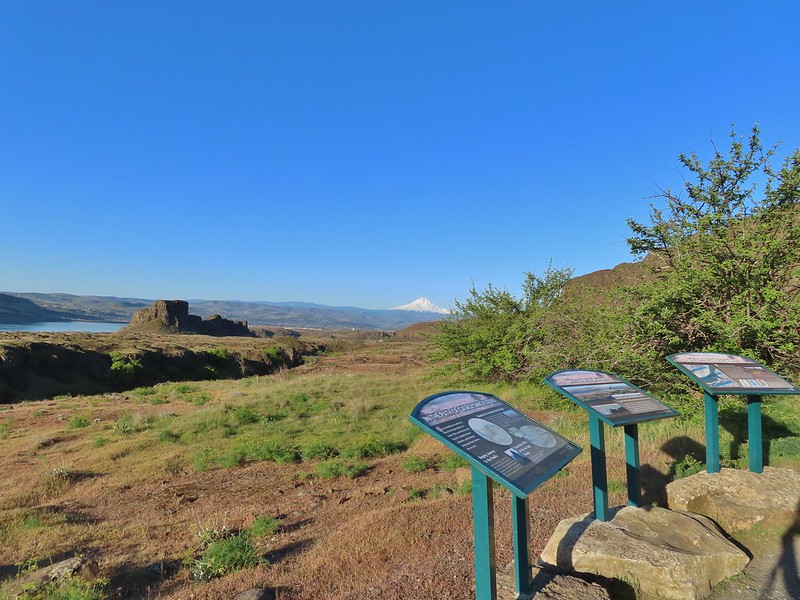
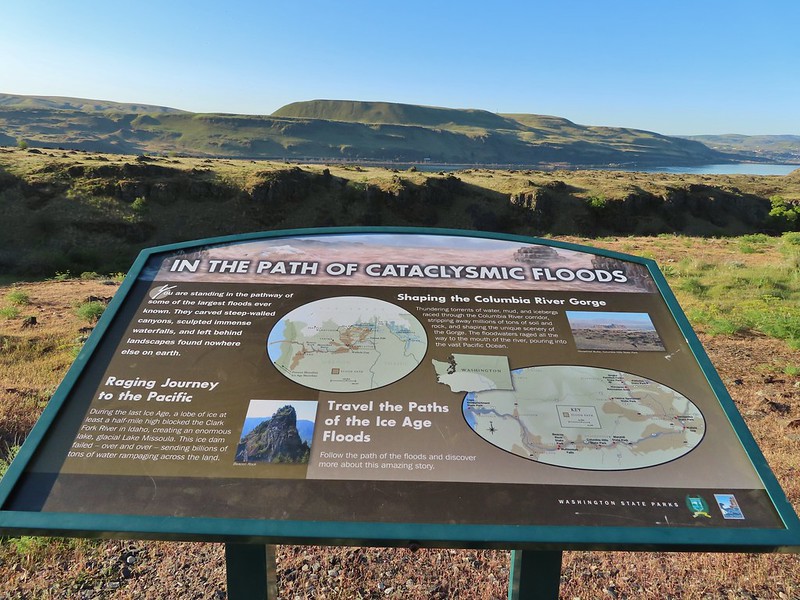
There was a small handful of cars here but not bad (it was a different story later). We followed the Entry (Access) Road Trail uphill form the parking lot past the Ice Aged Floods Viewpoint.
 Horsethief Butte and Mt. Hood from the viewpoint.
After a 180 degree turn the Entry Road approached Eightmile Creek near Eightmile Creek Falls.

 Purple cushion fleabane
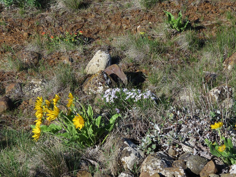
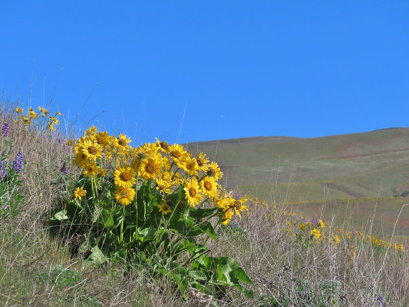
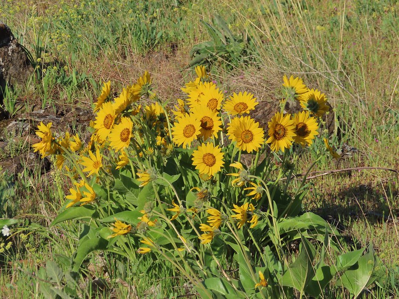 Balsamroot
The road turned uphill along the creek where several Lewis’s woodpeckers were flying from oak to oak.


 Western bluebird
We followed the road down and across Eightmile Creek to an interpretive sign at a junction.
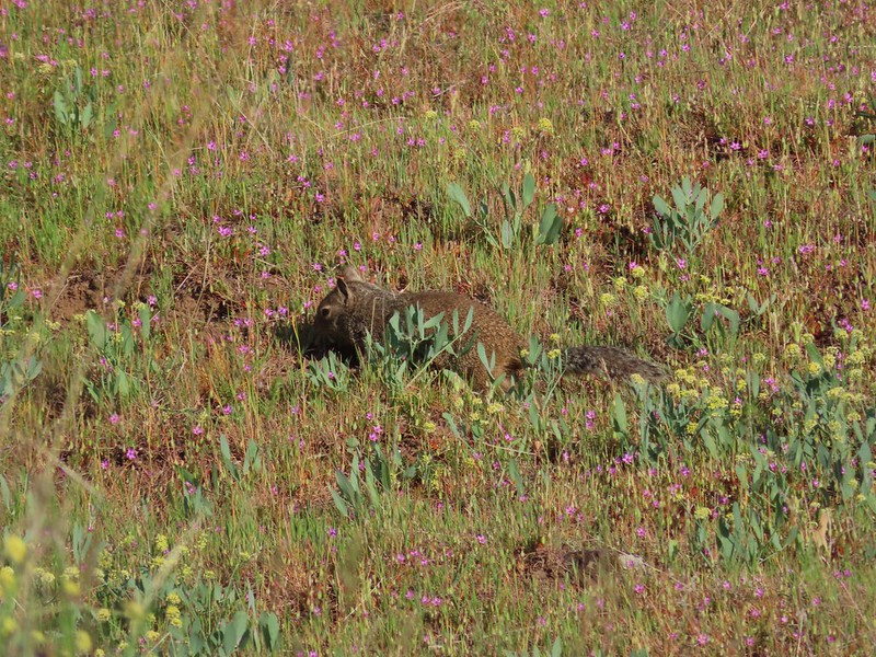 Ground squirrel

This was the start of a couple different loop options. We chose to take the left fork which was the Military Road Trail. Going this direction is the shortest route to the Crawford Ranch Complex plus it would mean that we would be heading toward Mt. Hood as we looped around on the Vista Loop Trail (the right hand fork here). The Military Road Trail climbed away from the creek reaching another junction after .3 miles. Here we forked left again leaving the Military Road for the Eightmile Trail. (Sticking to the Military Road would have led us to the Vista Loop Trail in .4 miles.)


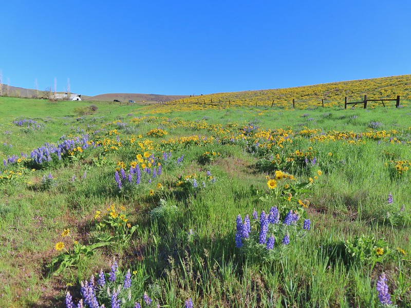
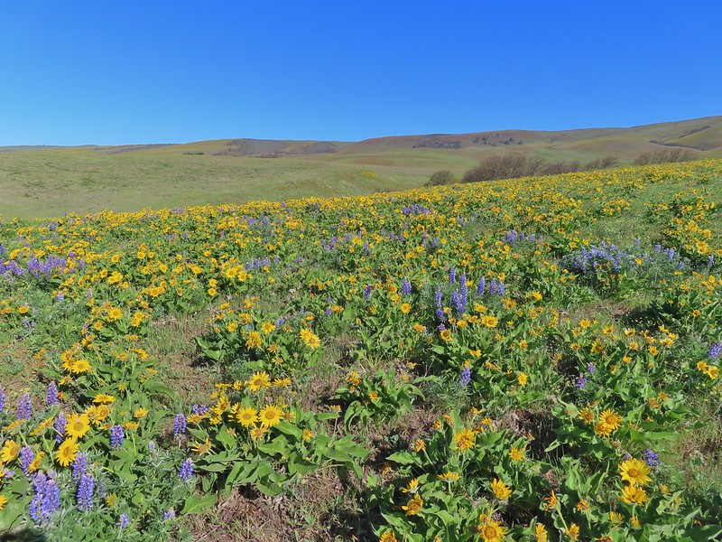
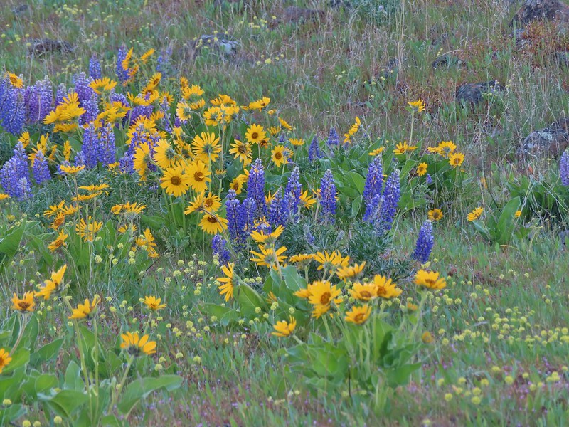 Lupine, balsamroot and parsley
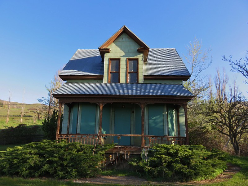
 The Crawford Ranch Complex ahead to the left.
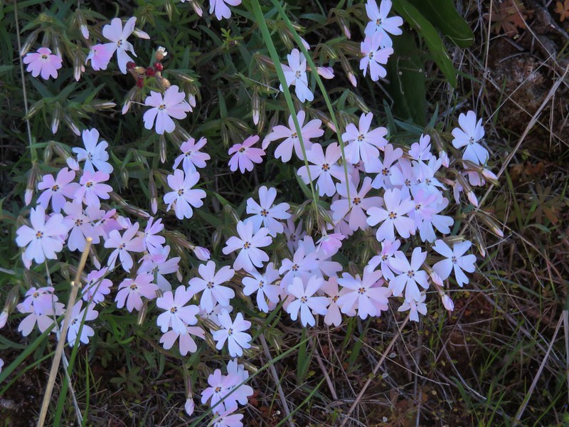
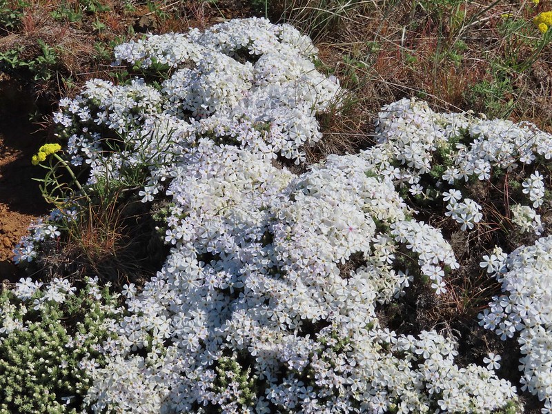
 Phlox
Phlox

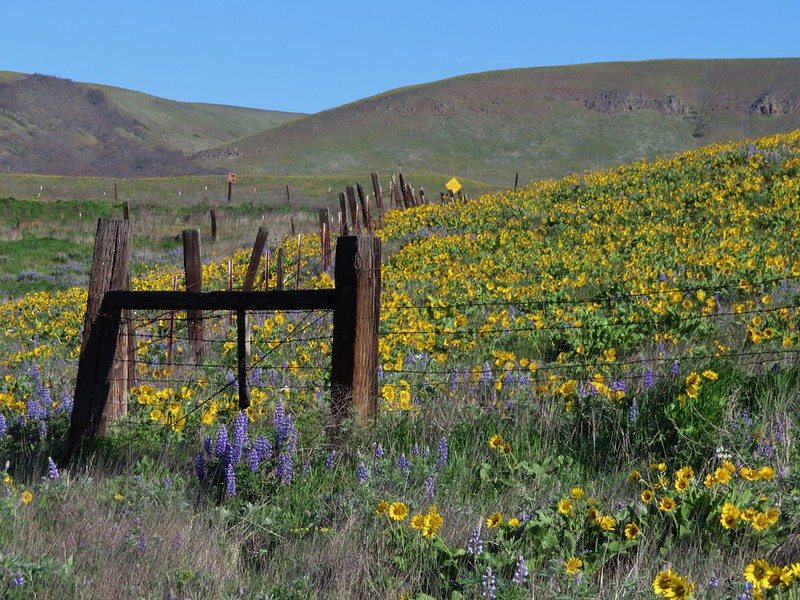
The Eightmile trail dropped to cross a smaller stream before finally returning to Eightmile Creek near a fence line.


 Approaching the fence line.
While there was a bit of a break in the flowers at this fence line there was no shortage of birds.

 Yellow-rumped warbler
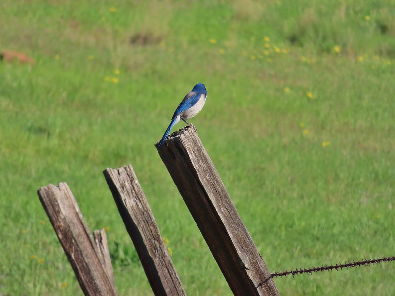 Back of a scrub jay

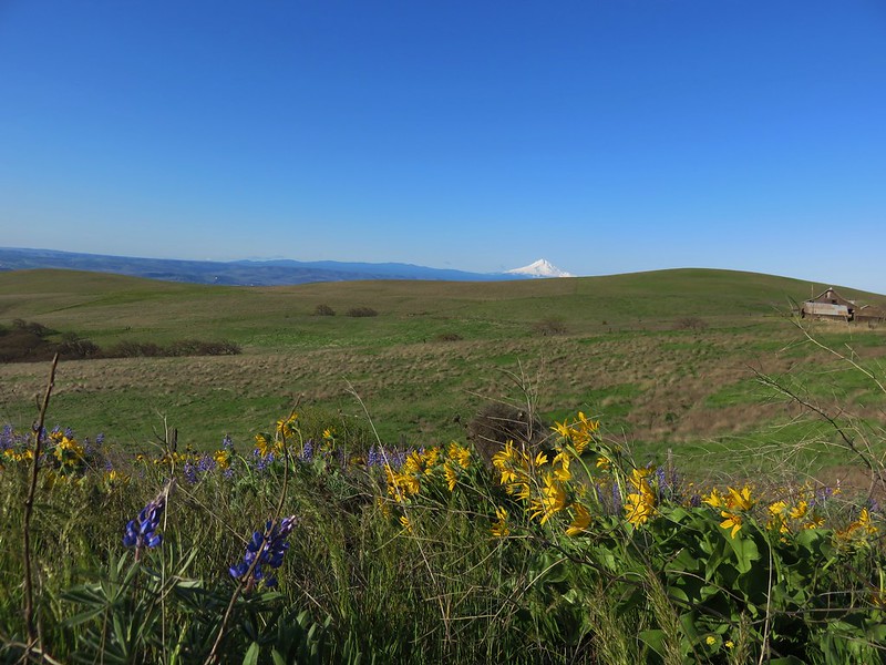
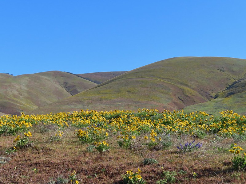
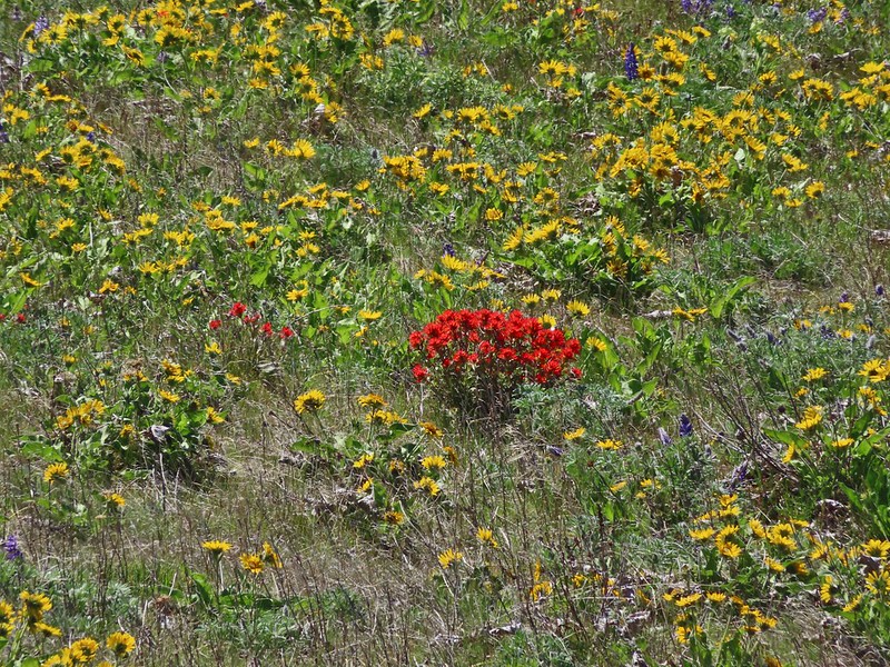
The trail then veered away from the creek and came to another junction after passing through a fence. The flowers here were spectacular and both Mt. Hood and Mt. Jefferson were visible.


 Mt. Hood
 Mt. Jefferson
At the junction we went right on the Ranch Route Trail eschewing a visit to what looked like a very busy Crawford Ranch Complex. The Ranch Route meandered for 1.4 miles through the flowered covered hillsides before arriving at a junction with the Vista Loop and Military Road Trails.


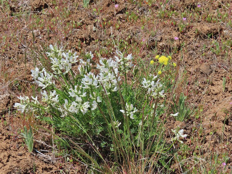
 Yakima milk-vetch


We turned left on the Vista Loop Trail following it a total of 1.8 miles back to the the junction near Eightmile Creek.
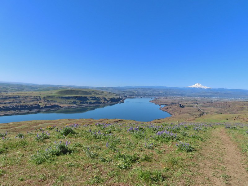 The Columbia River, Horsethief Butte, and Mt. Hood
 Death camas
 Large head clover
 Approaching the junction.
We followed the Entry/Access Road back down to the now packed trailhead.
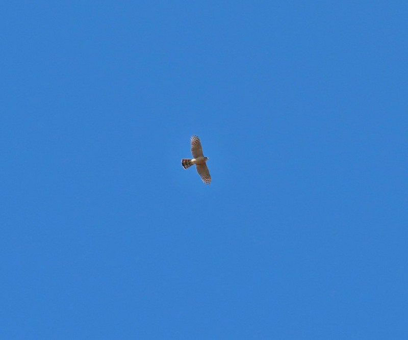
 Hawk watching all the hikers.
 A different hawk? watching the goings on.
 Western fence lizard watching everything.
 Poppy, manroot, and red-stemmed storksbill
 The crowded trailhead
This stop clocked in at 6.9 miles and 900′ of elevation gain.
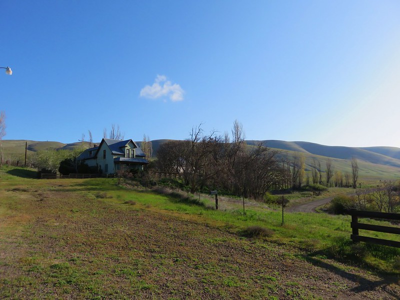
We opened up a spot here and drove west on SR-14 to Dalles Mountain Road where we turned north (right) and drove 3.5 miles to a fork near the Crawford Ranch Complex. Here we turned left heading uphill for another 1.4 miles (passing a number of hikers walking up along the road) to the Stacker Butte Trailhead. There were a fair number of cars but a few spots were open.

 While both were part of the Crawford Ranch, Stacker Butte is not part of the Columbia Hills State Park but is part of the Columbia Hills Natural Area Preserve.
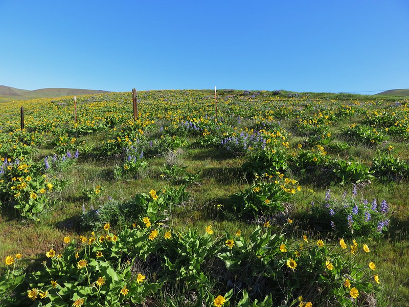
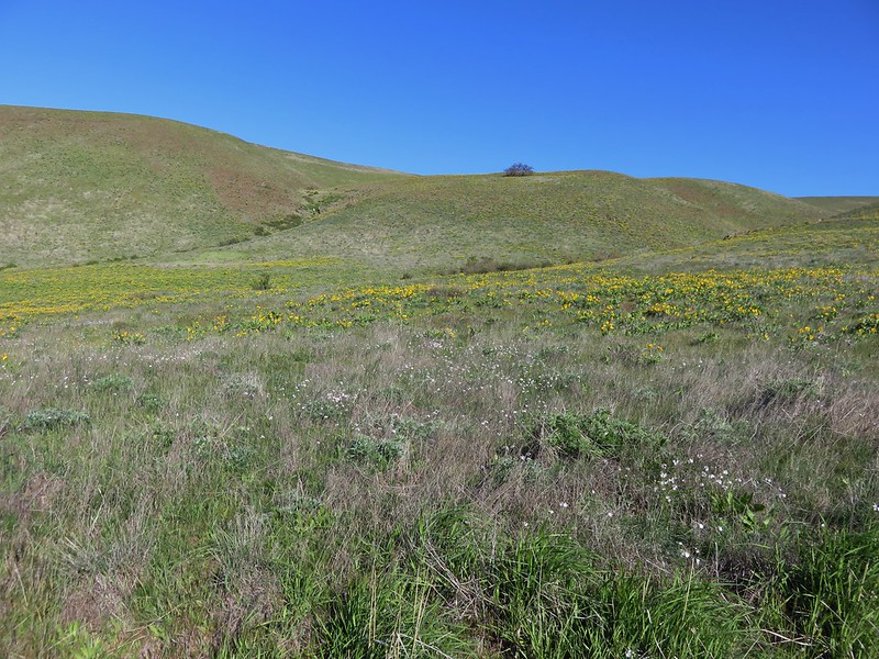
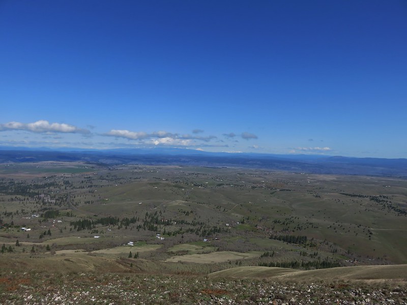
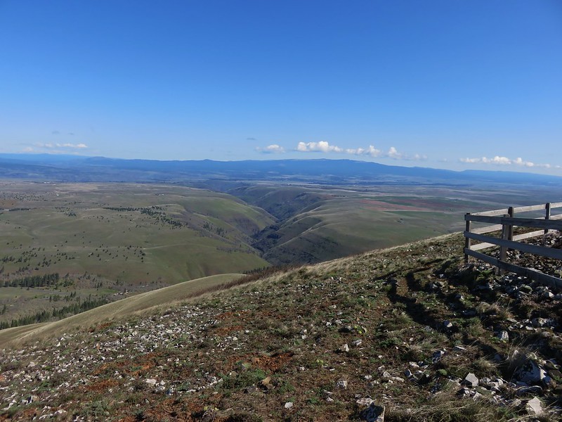
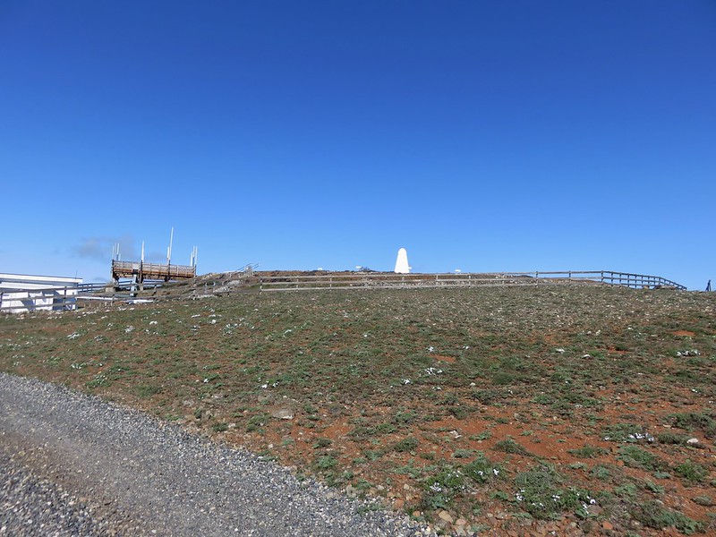
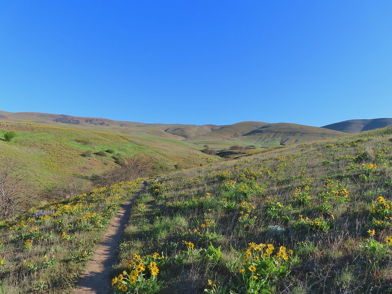
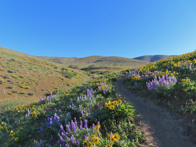
The hike here is pretty straight forward following the gravel road approximately 2.6 miles to some towers on the 3220′ summit of the butte. The flowers were thickest along the lower section of the hike with some that we had not seen down lower including paintbrush, daggerpod and some sicklepod rockcress.

 Yakima milk-vetch
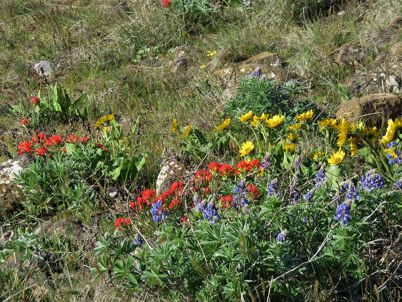
 Paintbrush amid the balsamroot.

 Phlox
Phlox

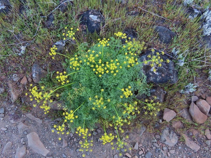
 Big-seed biscuitroot
 Sicklepod rockcress

 Sagebrush false dandelions
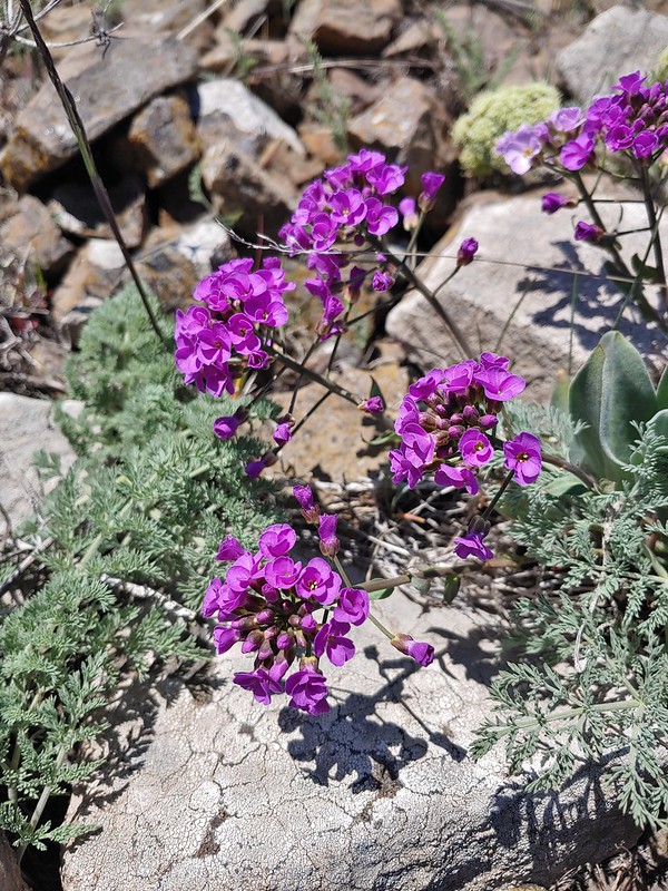 Daggerpod
 Daggerpod
 Slender toothwort?
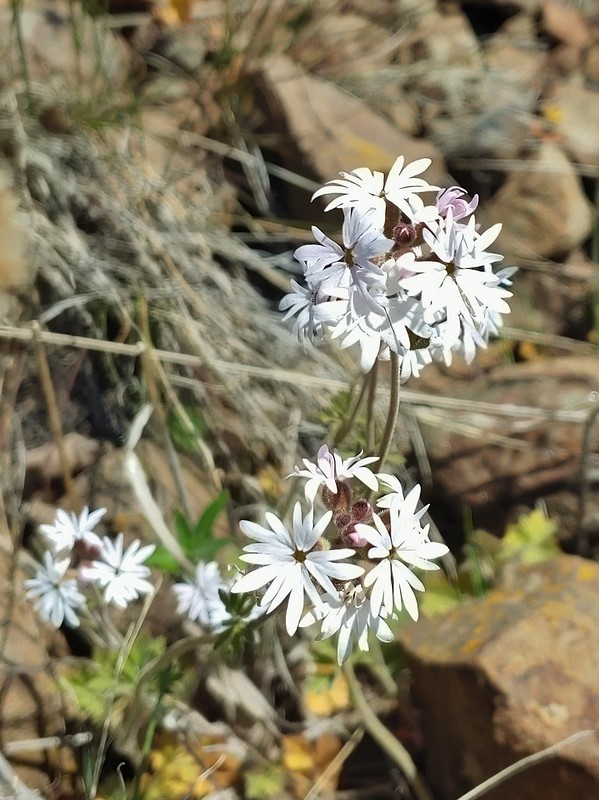
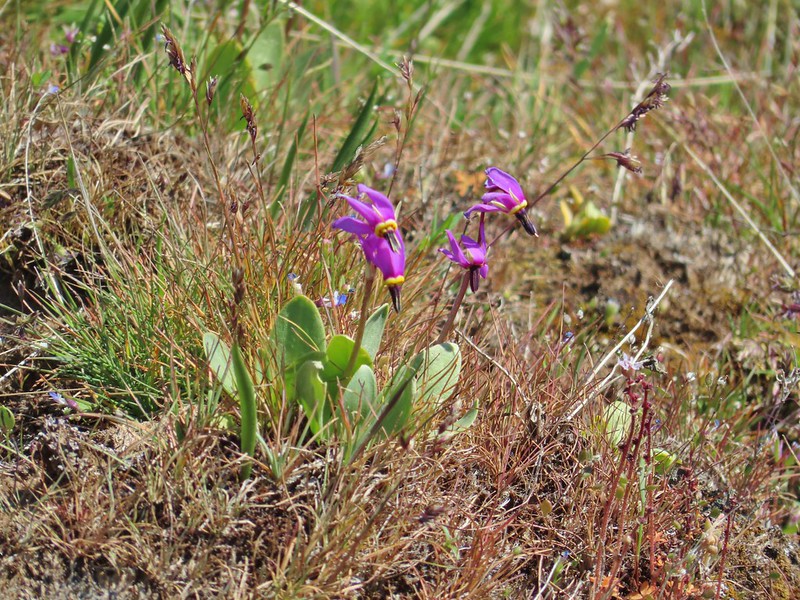 Shooting stars in front of a little blue-eyed Mary
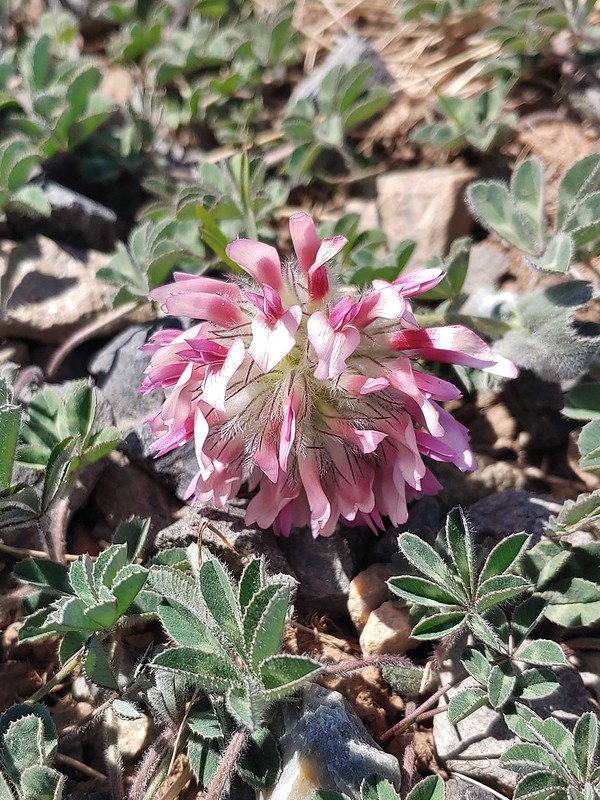 Large head clover
 Popcorn flower
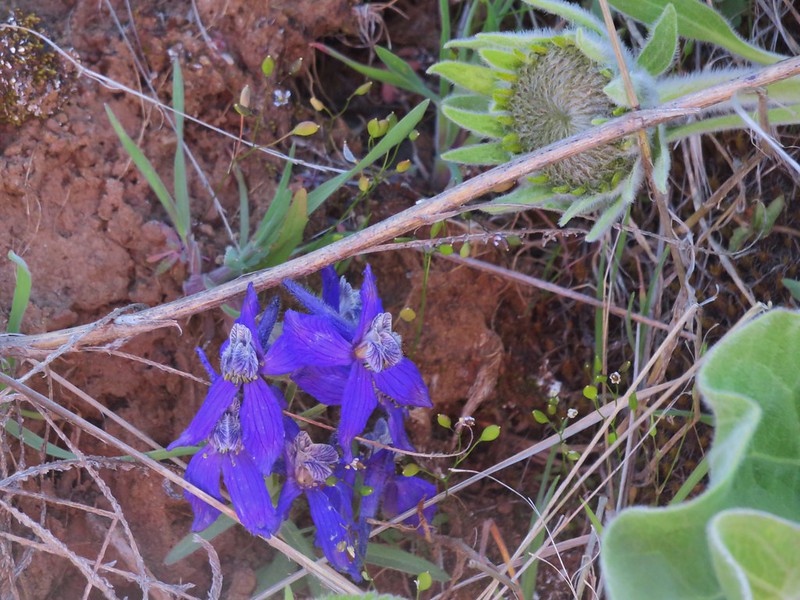
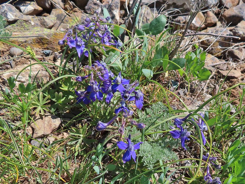 Larkspur
 Woodland stars
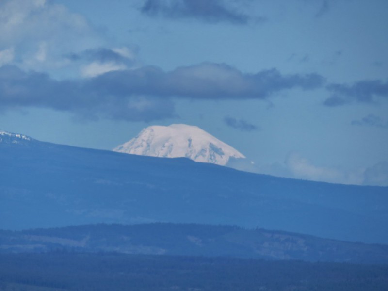
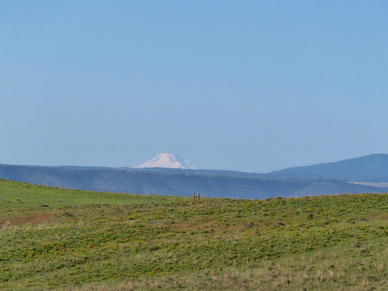
At the summit we were treated to a clear view of Mt. Adams, Mt. Rainier, and Goat Rocks to the north.
 Mt. Adams
 Mt. Rainier
 Goat Rocks
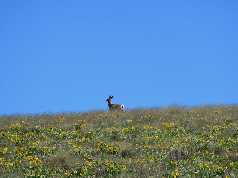
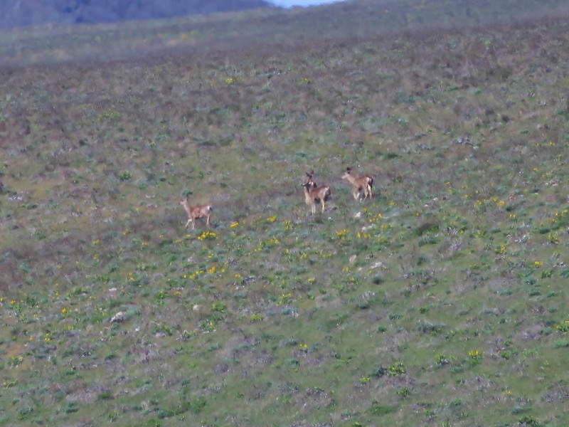
After a little rest on top we headed down admiring the flowers along the way and watching for wildlife too.
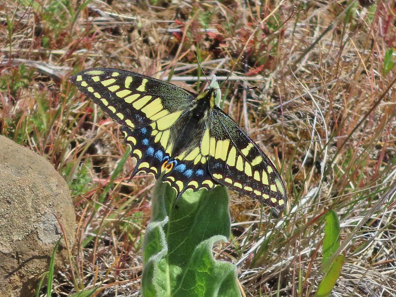 Swallowtail
 Western fence lizards
 White crowned sparrow
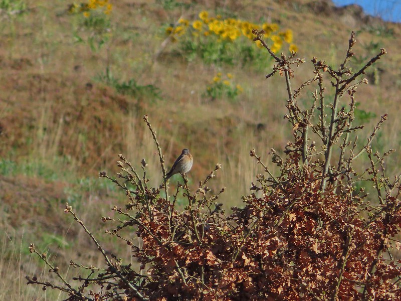
 Another sparrow
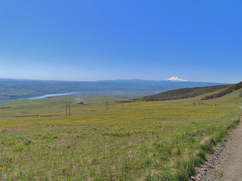 Mt. Jefferson and Mt. Hood as we neared the trailhead.
The three hikes came to a combined 13.2 miles and 2240′ of elevation gain which is why we didn’t just hike up the road from the ranch complex. It’s a little too early in the season for a 16 mile, 3000′ hiking day. Maybe in a couple more months. Happy Trails!