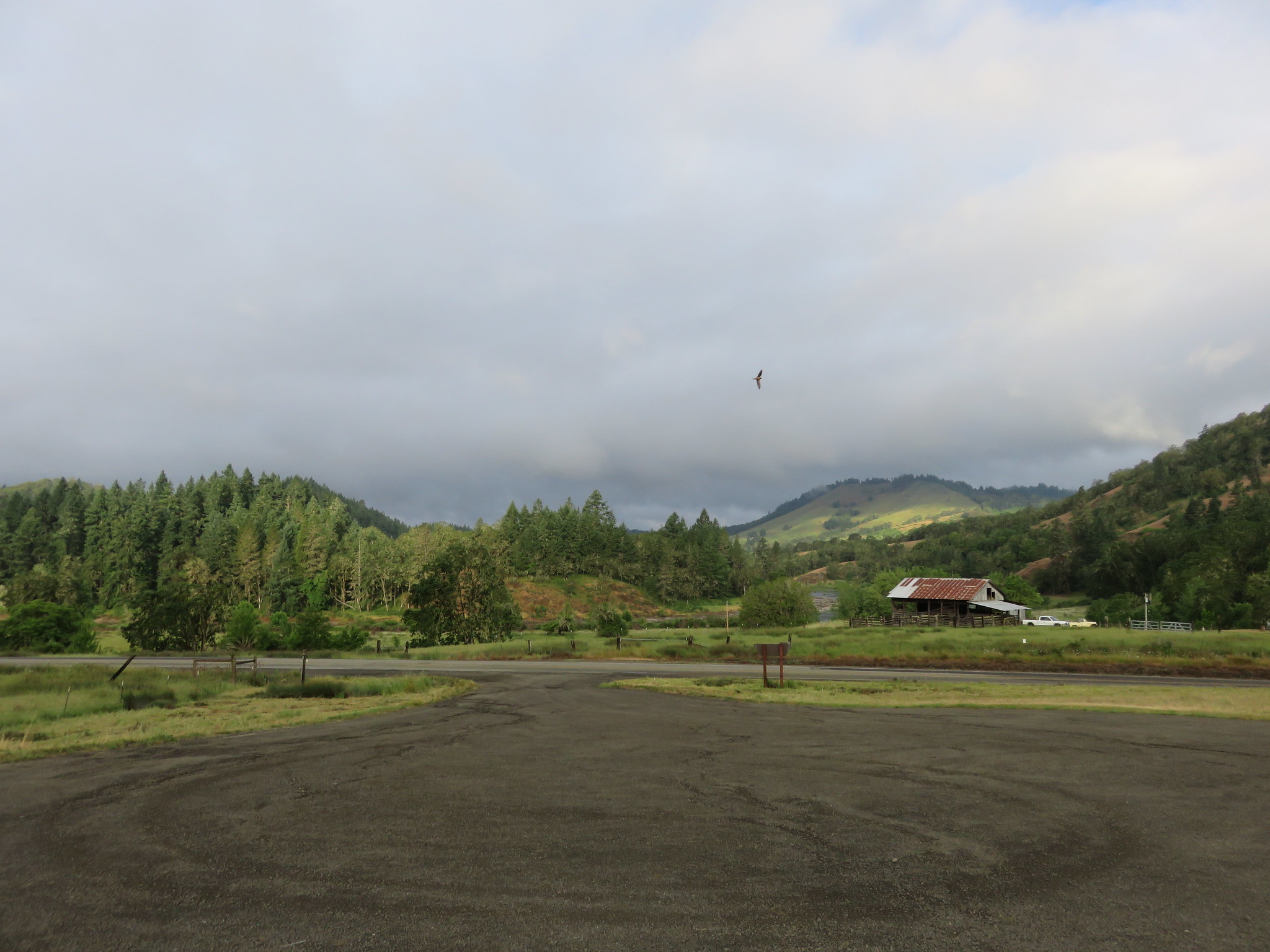
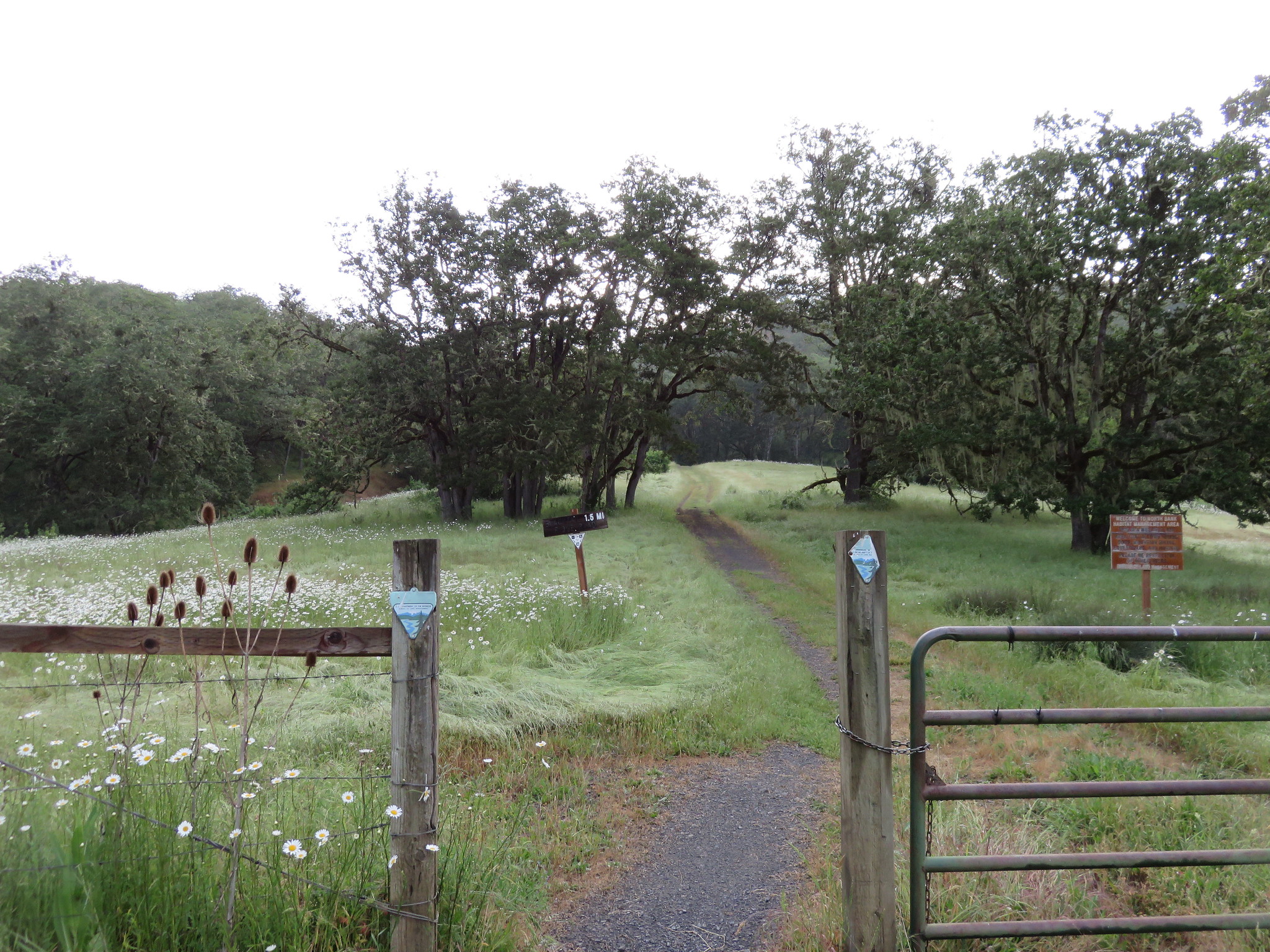
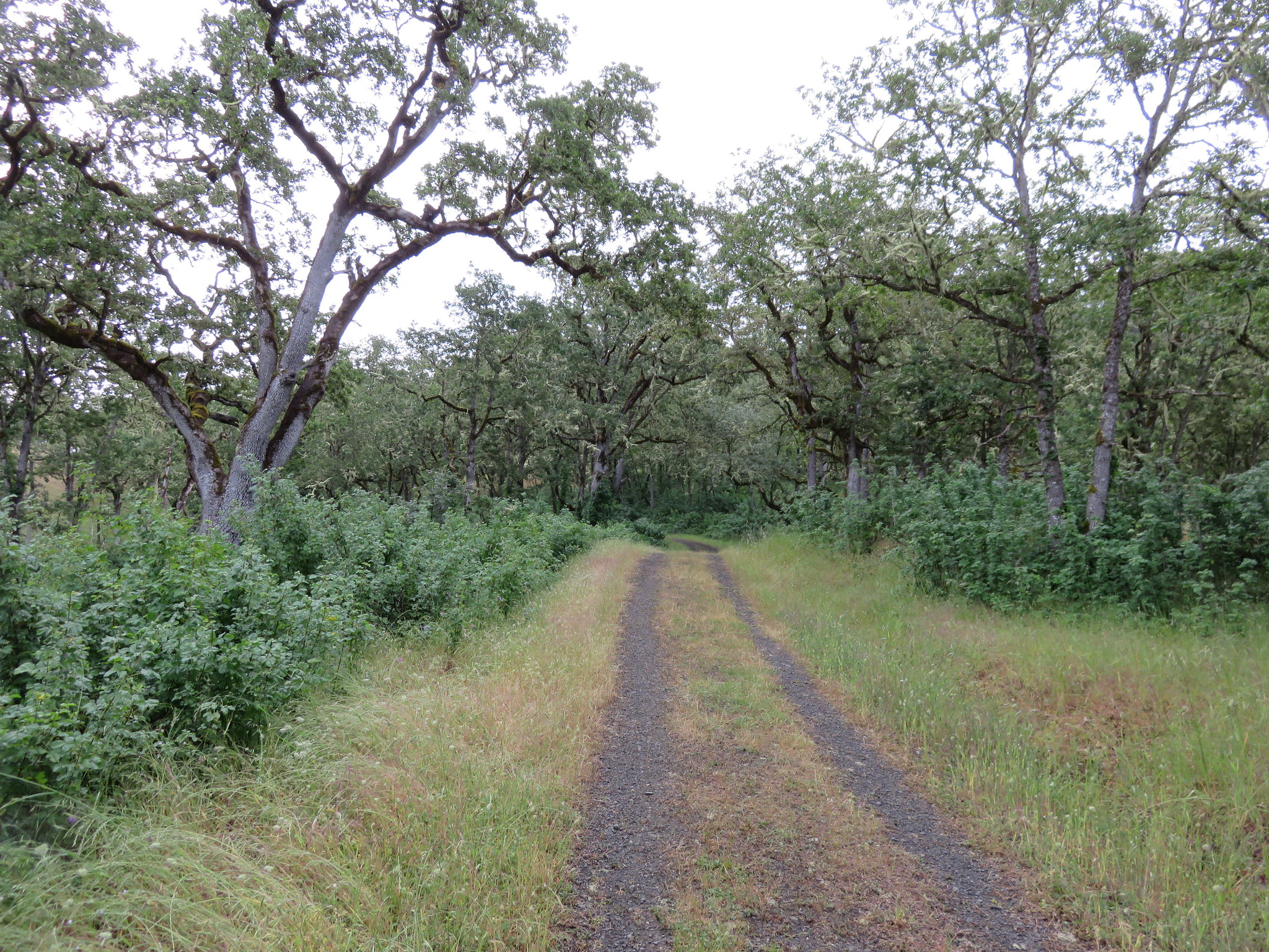
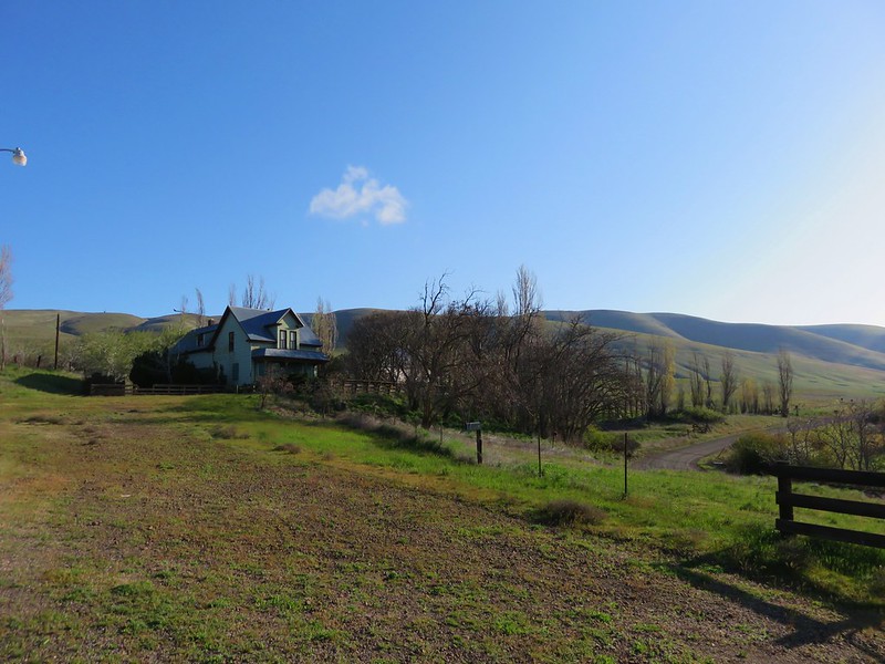
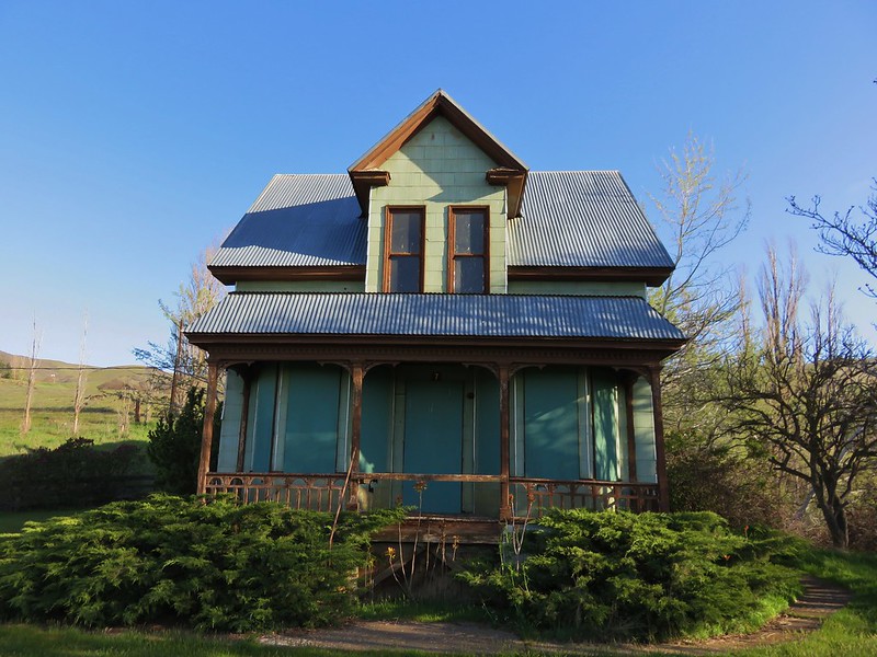
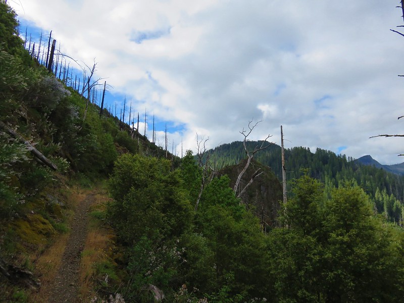
Our wildest hike came Friday. We had planned on a 17.2 mile hike along the Illinois River Trail going 8.6 miles to Silver Creek and back. The description in our guidebook said to look out for poison oak and to check for ticks at the end so we were prepared for a bit of an adventure. Our hike began at a trailhead near the end of Oak Flat Road. To get there we took Jerrys Flat Road from Gold Beach 27 miles then turned right on Oak Flat Road road for another 3.1 miles.
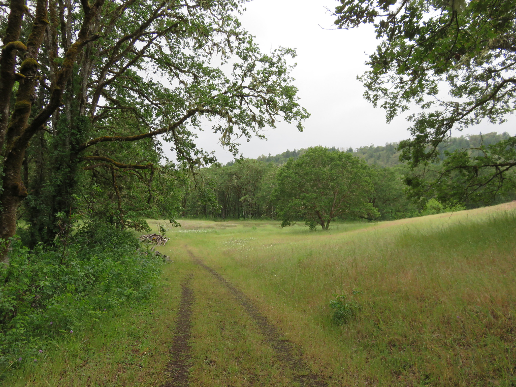
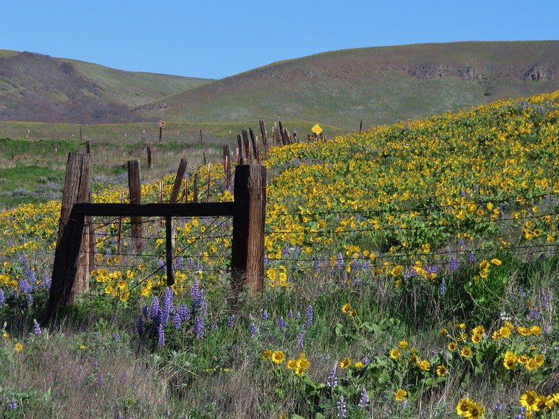
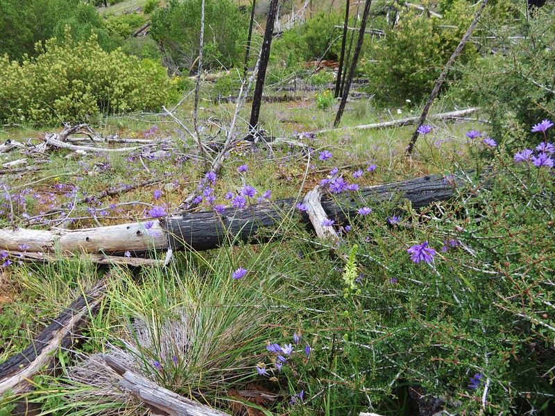
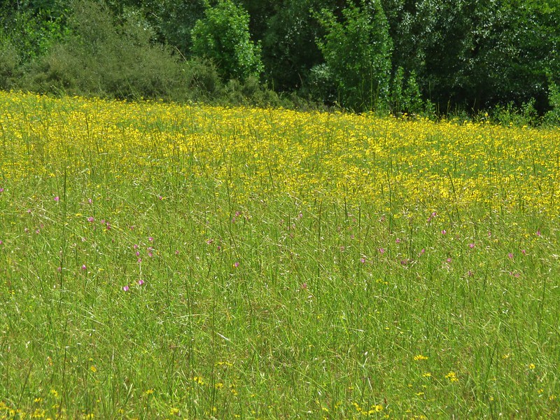
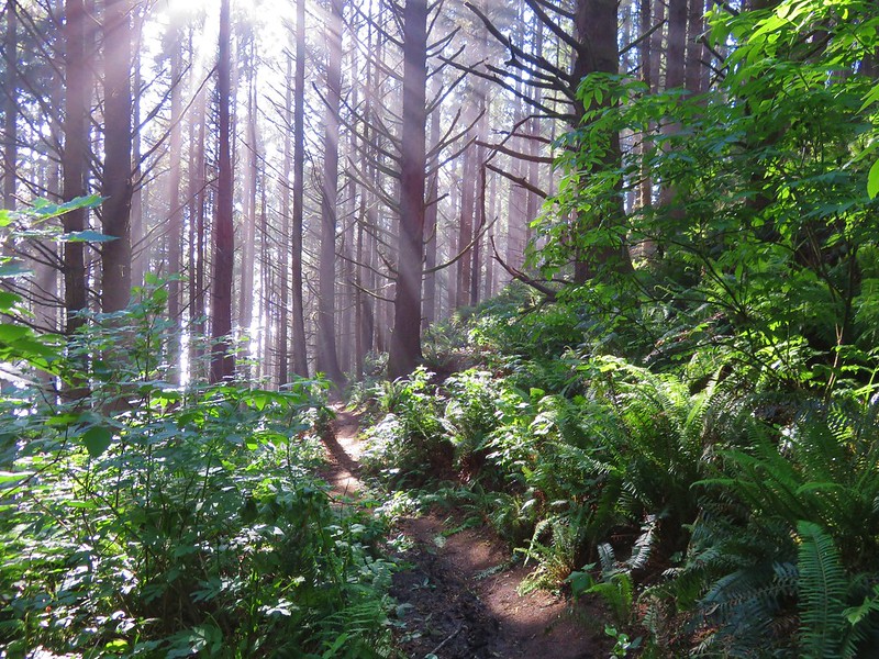
The trail set off through an open forest with lots of yellow and purple wildflowers and some poison oak.

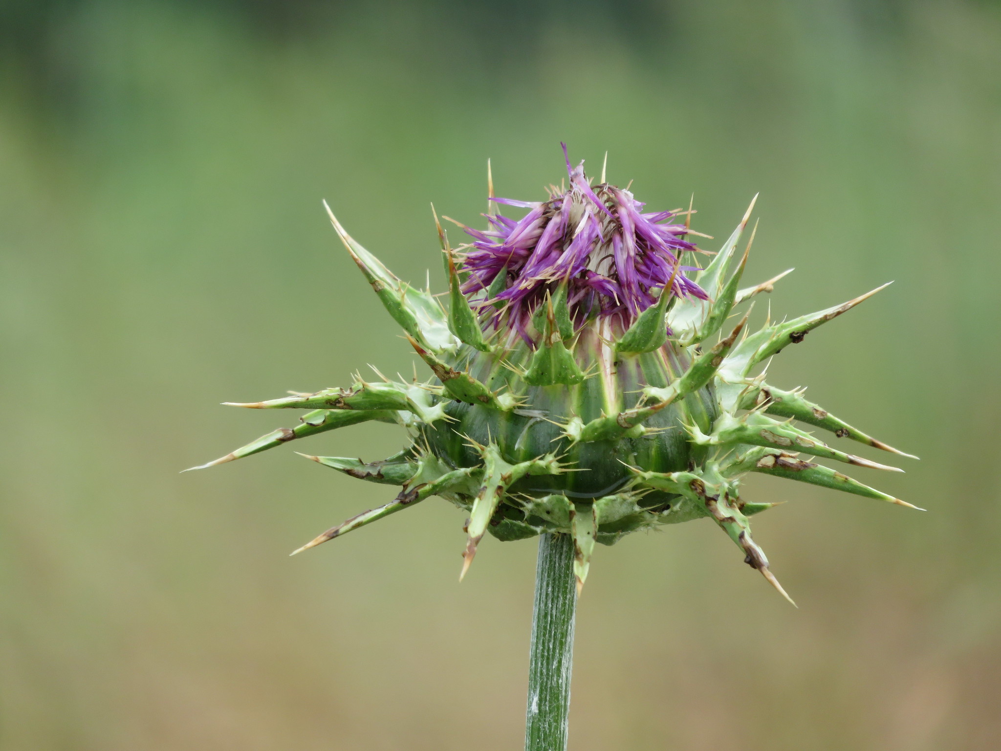
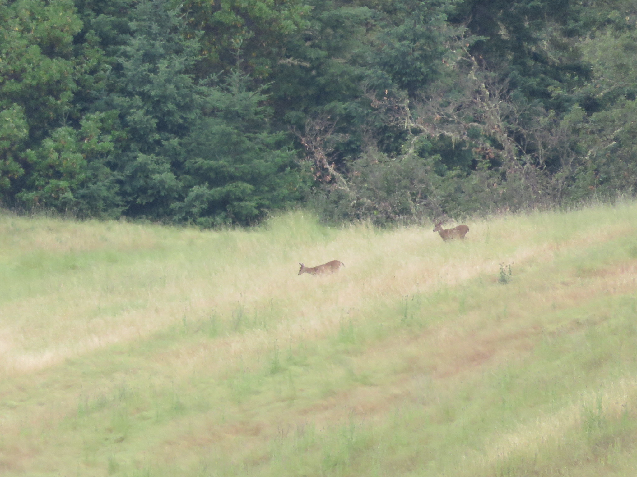
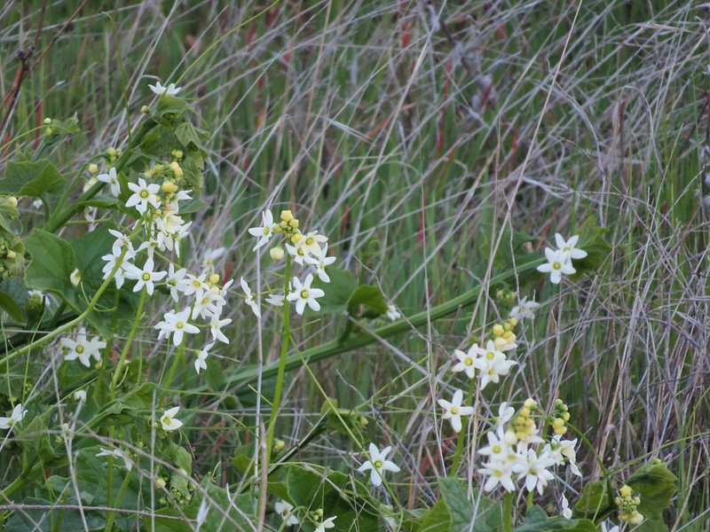
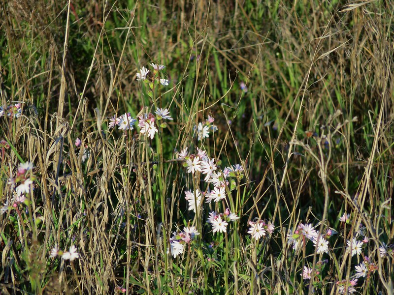
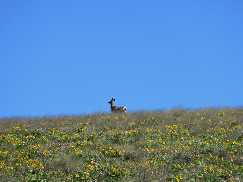
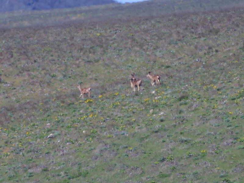
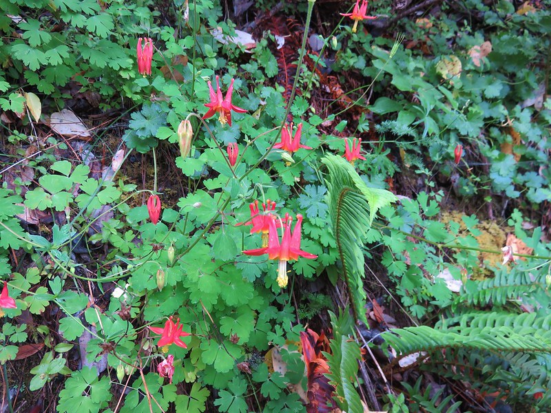
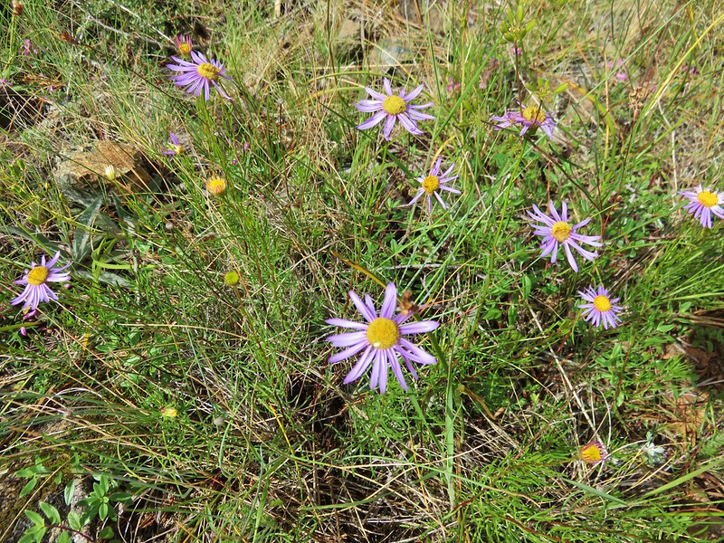
As we neared our first marker, Nancy Creek, we spotted a pair of deer that had already seen us and were heading back into the forest. Just beyond Nancy Creek we came upon a nice patch of columbine flowers. The only ones we would see during our vacation.
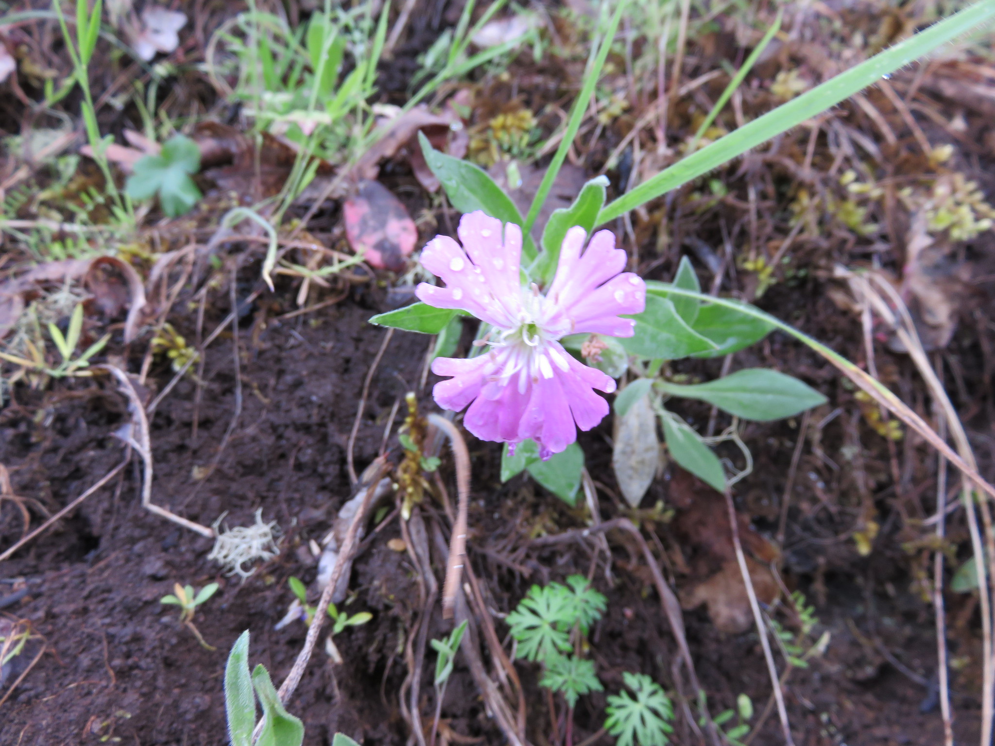
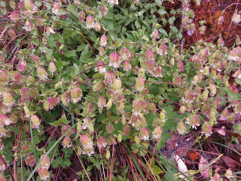
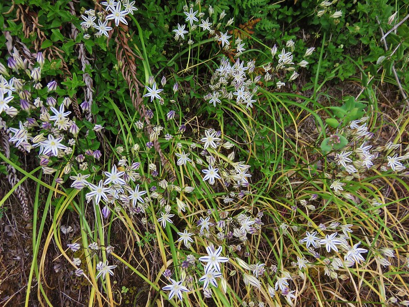
Other flowers here included catchfly and henderson’s stars.
The next creek up was Rattlesnake Creek. A short distance before reaching this small stream we spotted a black bear in the woods below the trail. It saw us at about the same time and promptly turned around. For some reason I failed to even reach for the camera as we watched it go back downhill through the trees.
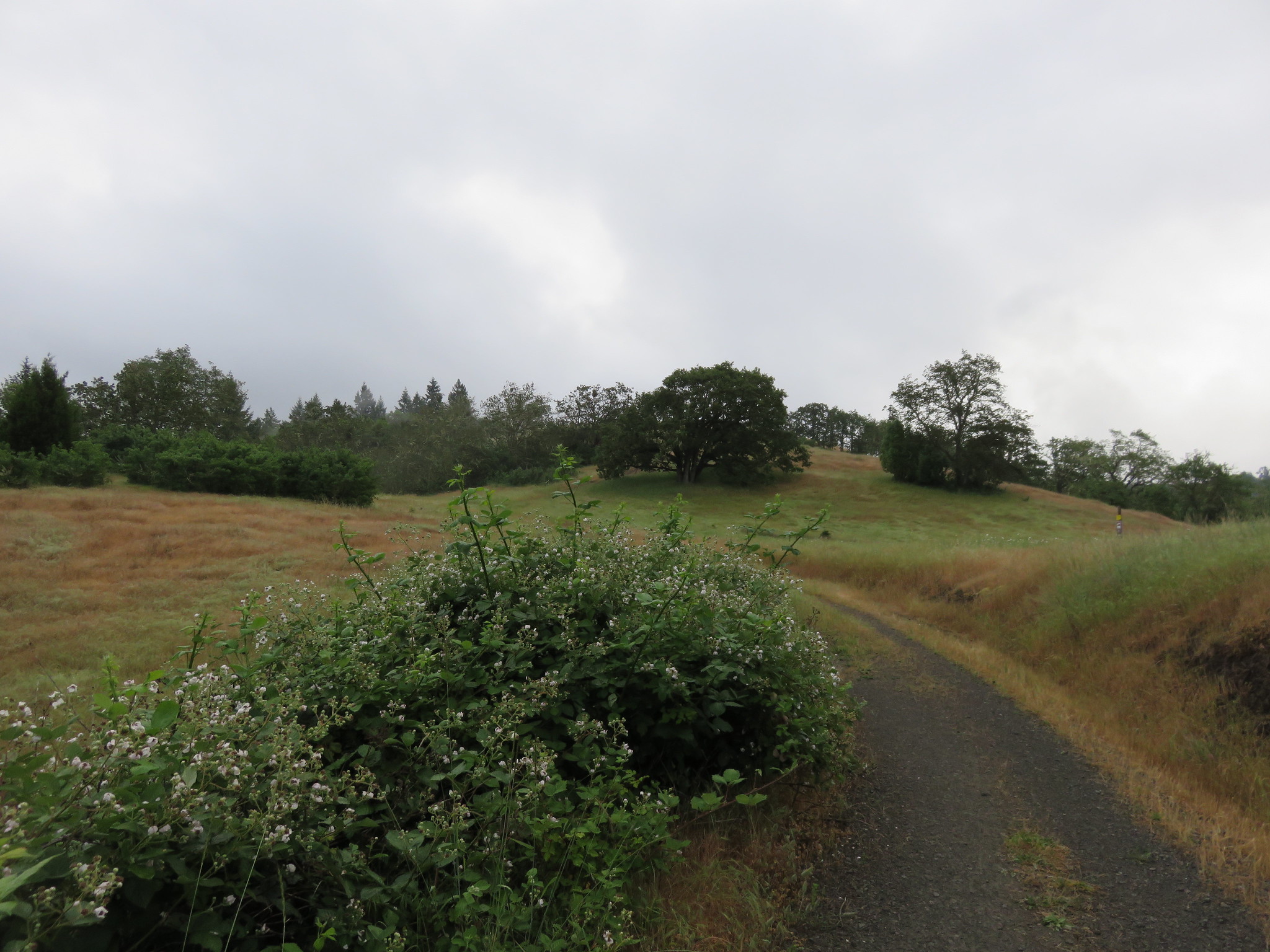
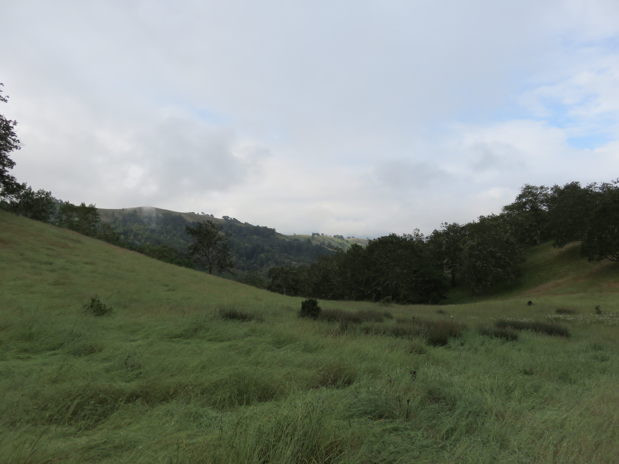
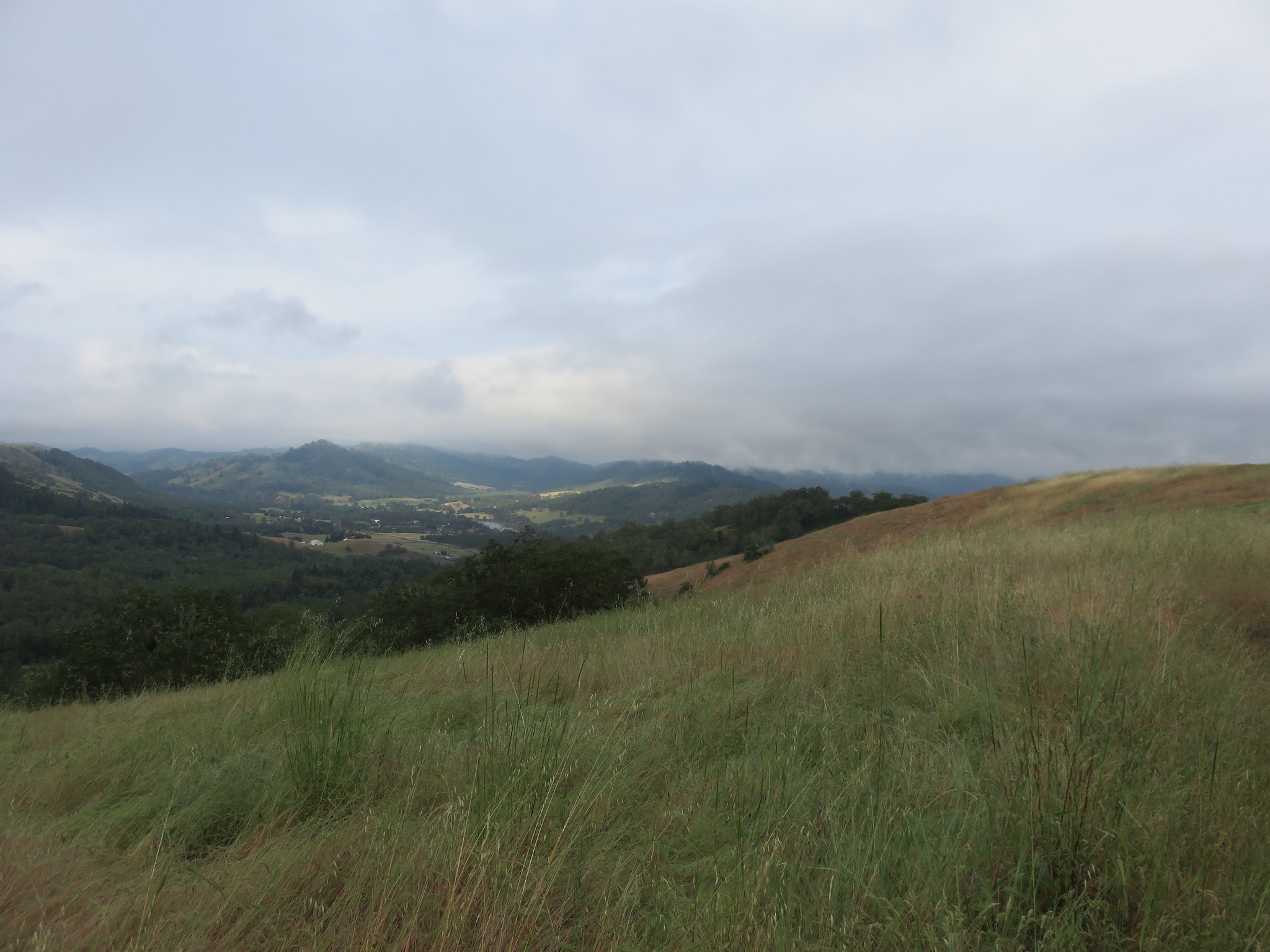
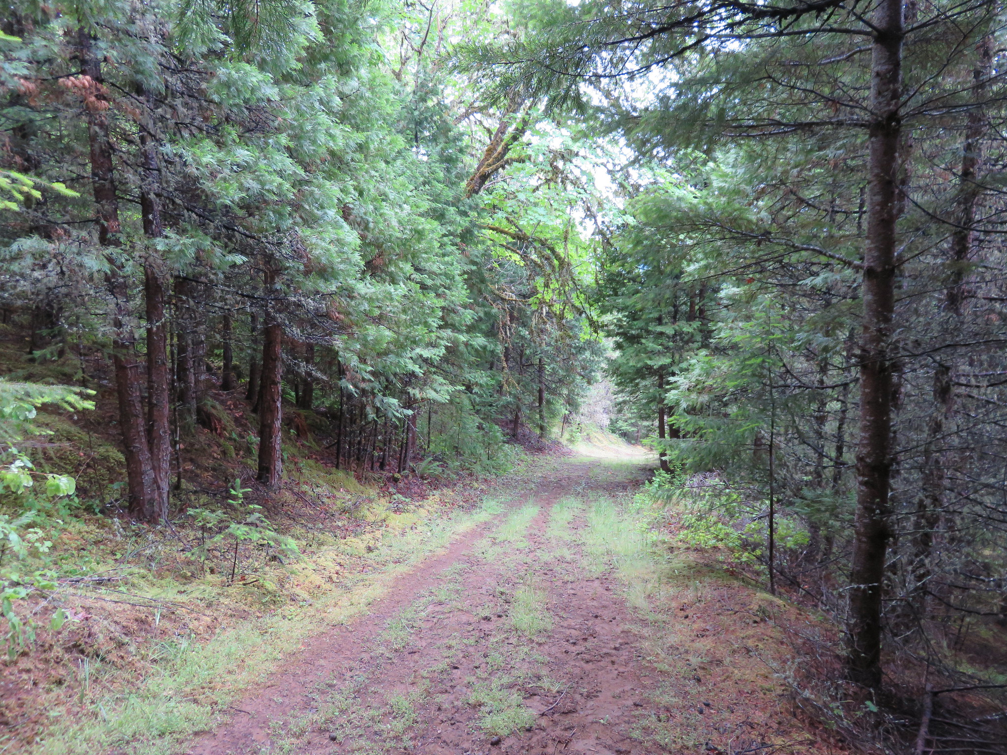
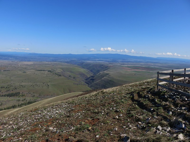
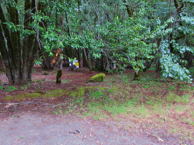
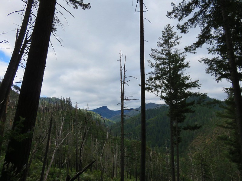
Beyond Rattlesnake Creek the trail entered an area where the trees had been lost to the 2002 Biscuit Fire.
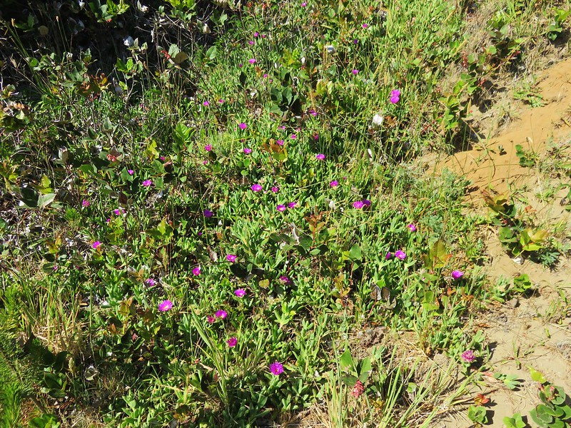
There continued to be a lot of flowers as well as the occasional patch of poison oak.
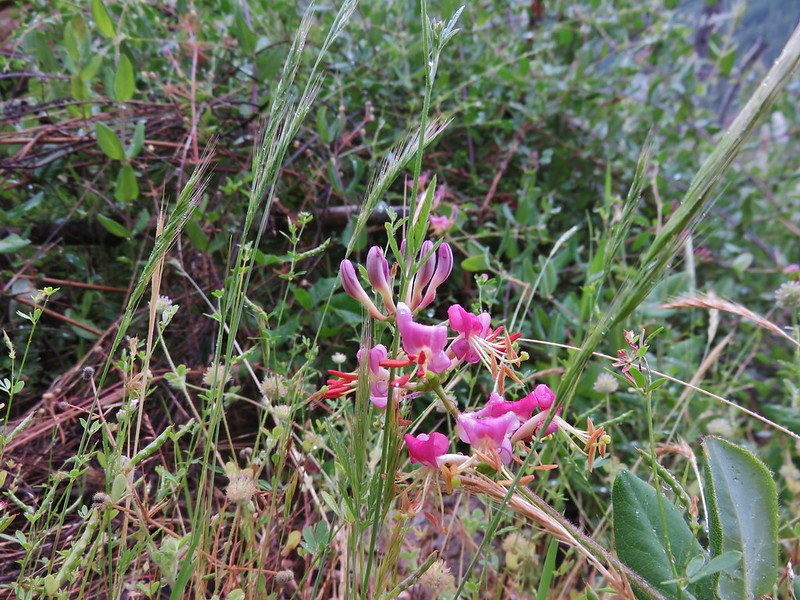
Pink honeysuckle
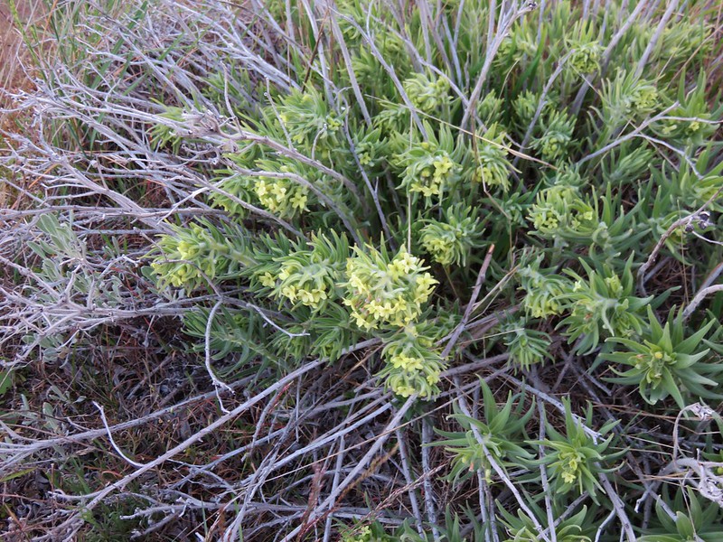
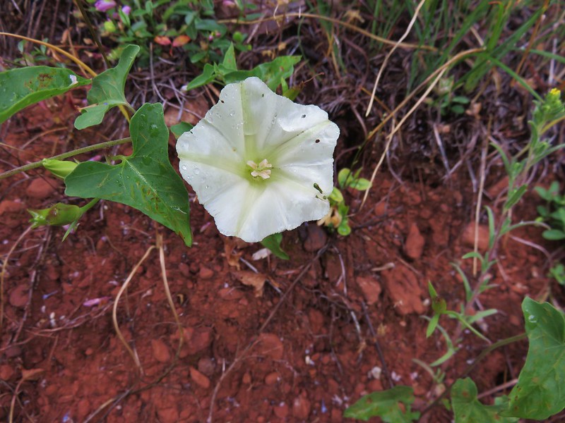
chaparral false bindweed
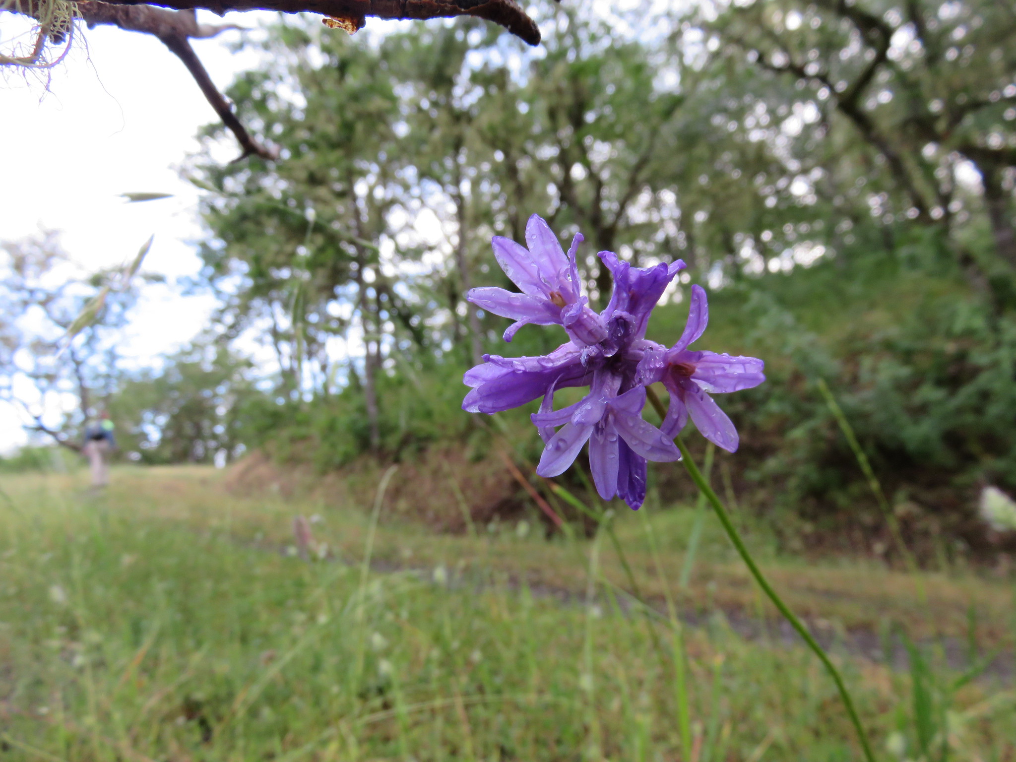
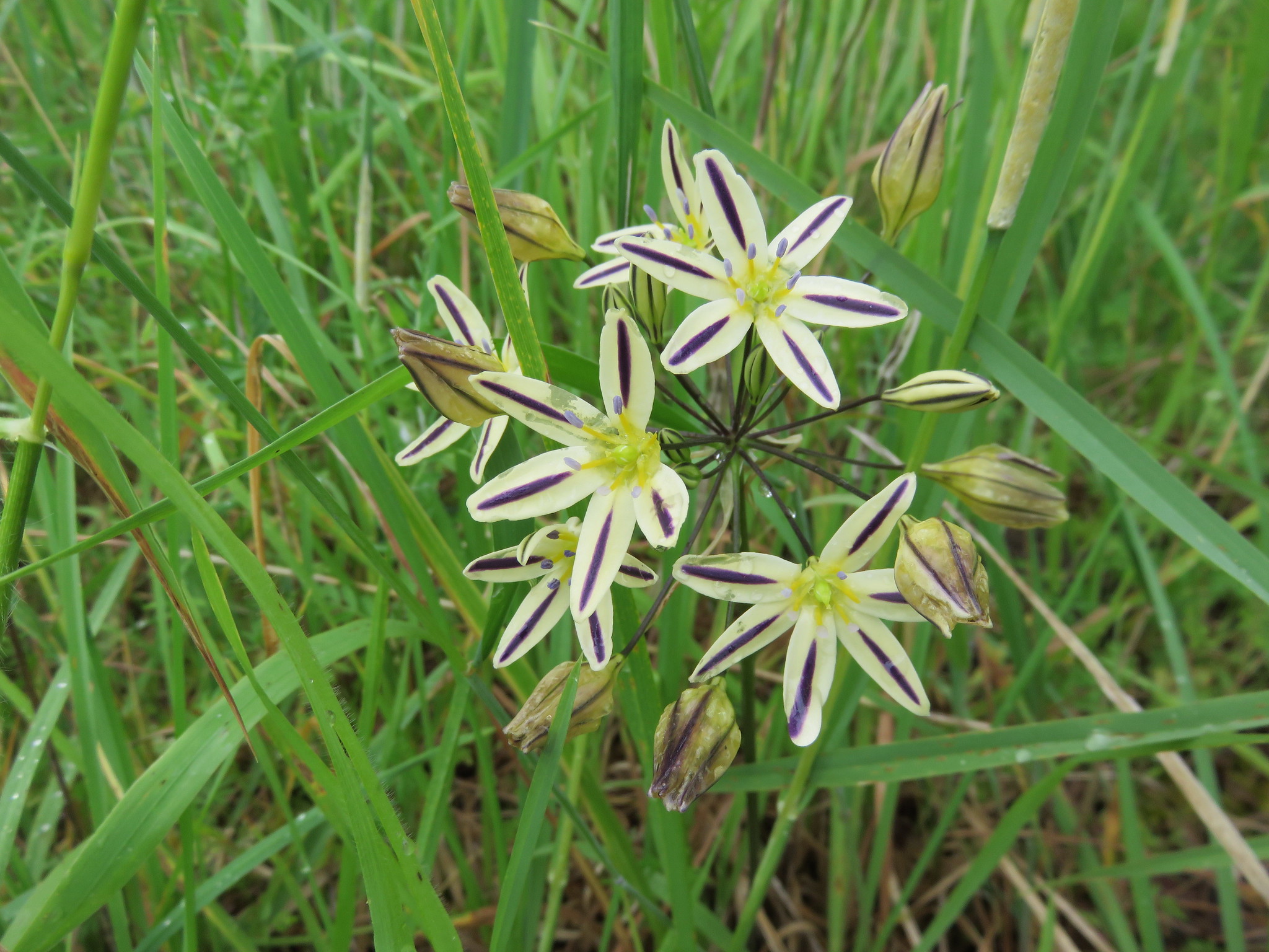
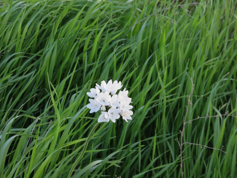
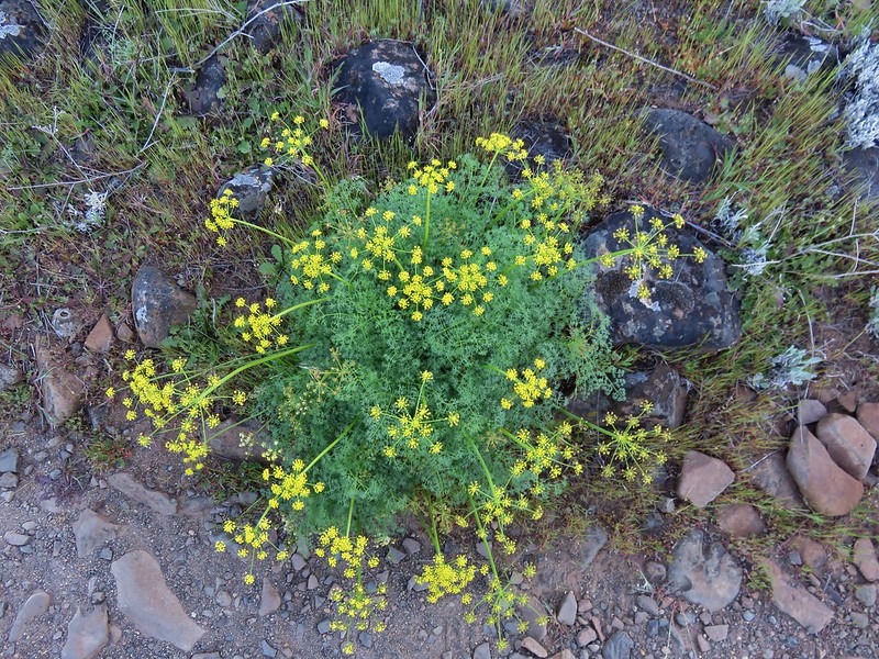
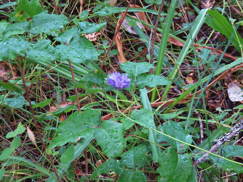
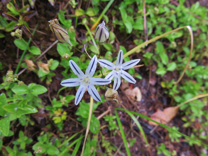
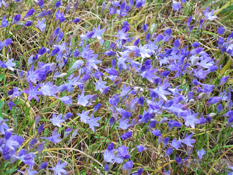
Bridges’ brodiaea
With the trees mostly burned this section of trail was crowded by brush.
The amount of poison oak increased in the area of Ethels Creek and we started picking up ticks. Heather was the first to notice. She made an alarmed sound behind me and I turned around to see several ticks climbing up her legs. Looking down at my own I immediately spotted three. We brushed them all off and started to hike again. We had not gone far at all before Heather exclaimed again. We both had multiple ticks on our legs again. This had gone on for about a mile when we reached the Buzzards Roost, a rocky outcrop, at the 2.5 mile mark of our hike.
A short scramble path went out onto the Buzzards Roost but we could see poison oak along that path and were too preoccupied with looking for and knocking off any additional ticks. We were discussing what to do as the number of ticks that we’d already brushed off was more than we could have imagined and it was giving us the willies. Things didn’t get any better when one of my trekking poles slid off the log I had propped it on. I had made the mistake of leaning it on the log without checking the area around the log. We watched it fall and bounce on some little poison oak plants. We used some wipes to pick it up (along with yet another tick) and then wiped it down as best as we could. I had also left my gloves in the car which would have come in handy since it was the grip that had made contact with the poison oak.
After a thorough cleaning we decided to at least try and go another 2 miles to Indian Flat and Indigo Creek and see if the tick and poison oak situation got any better.
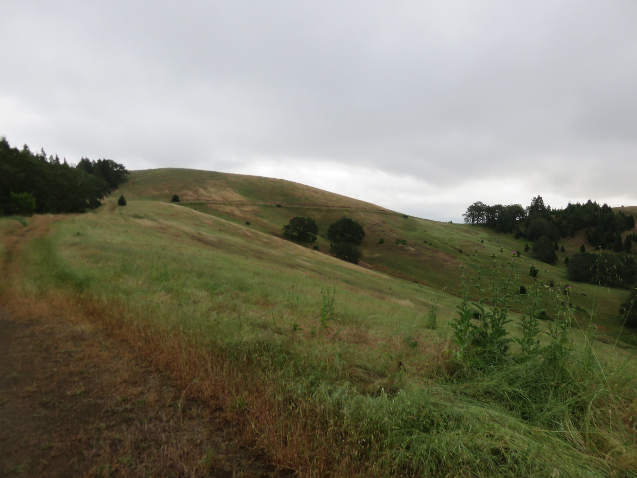
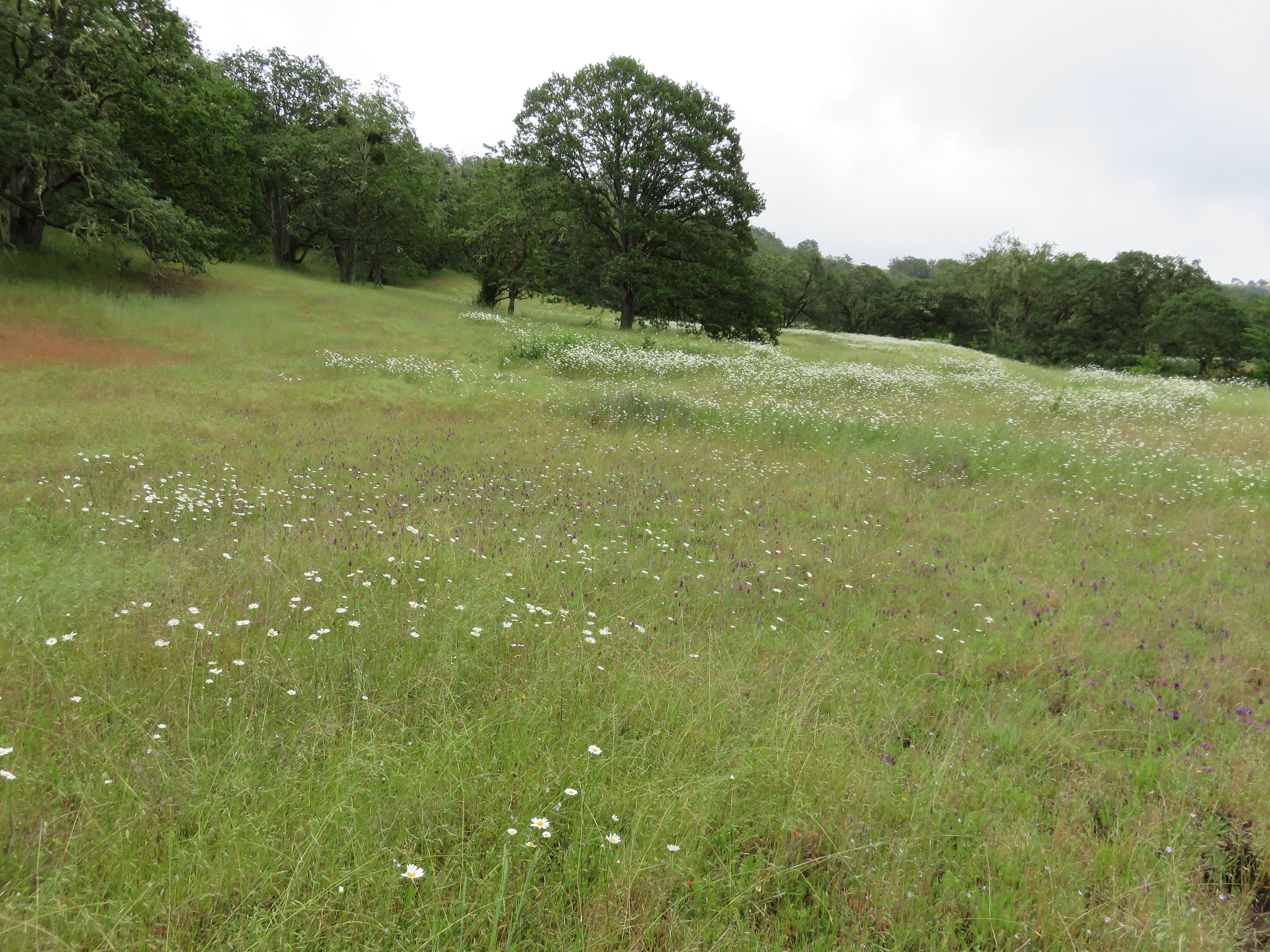
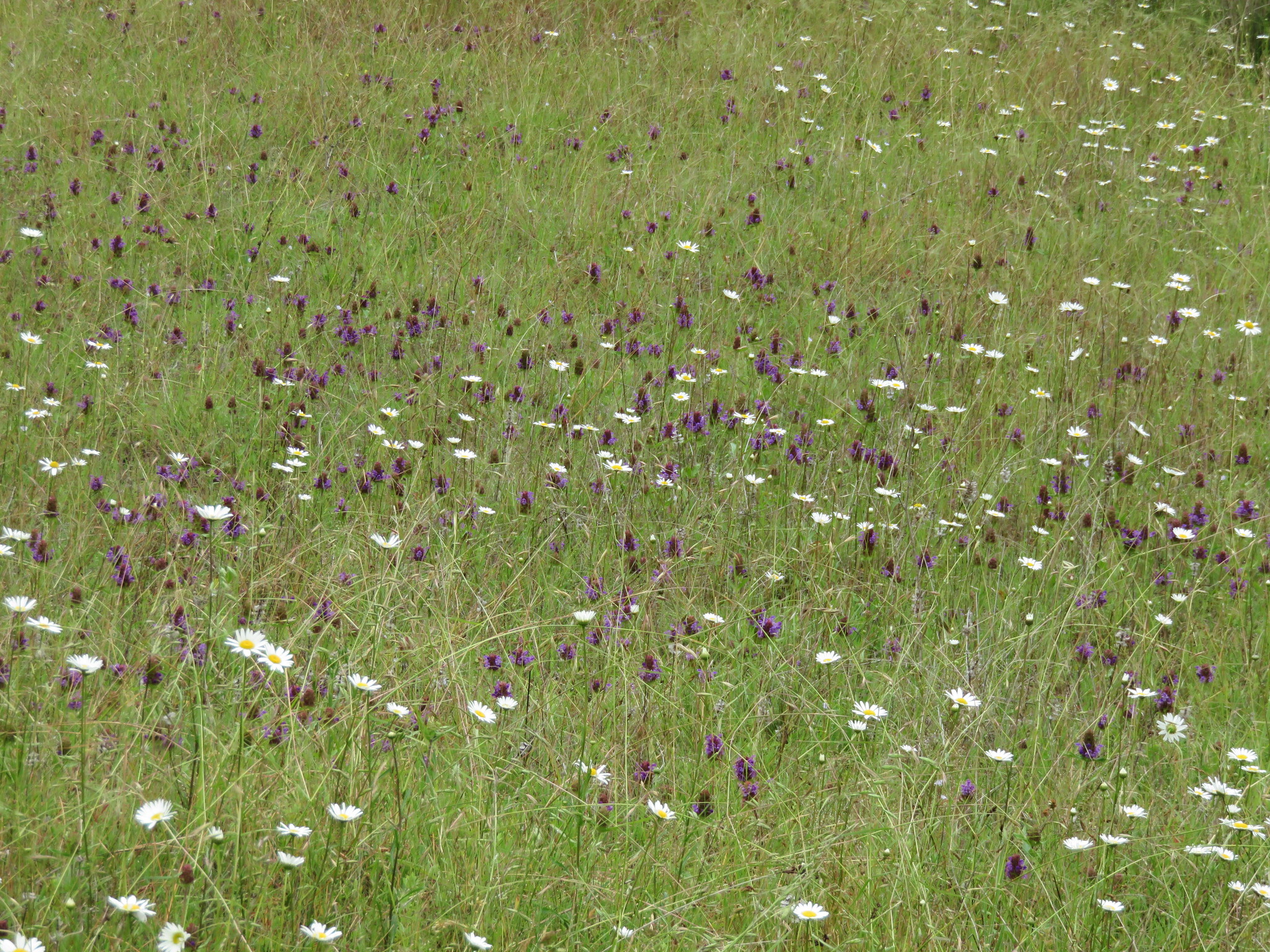
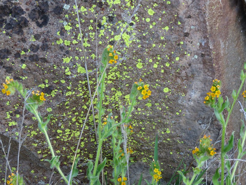
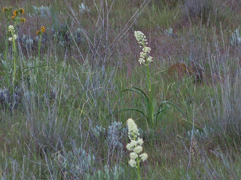
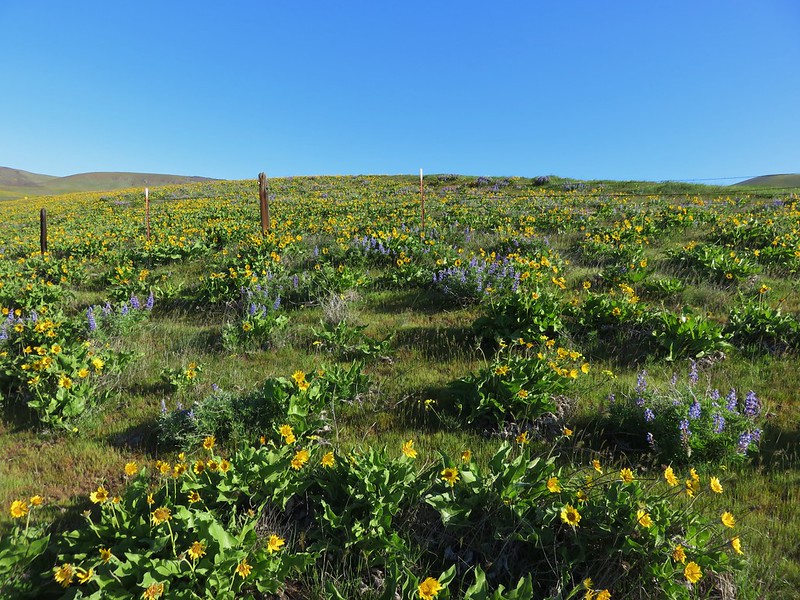
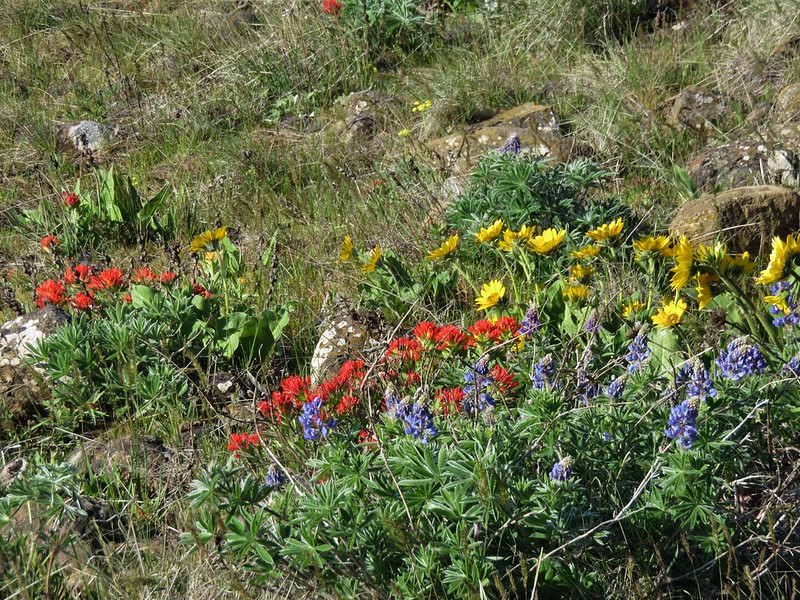
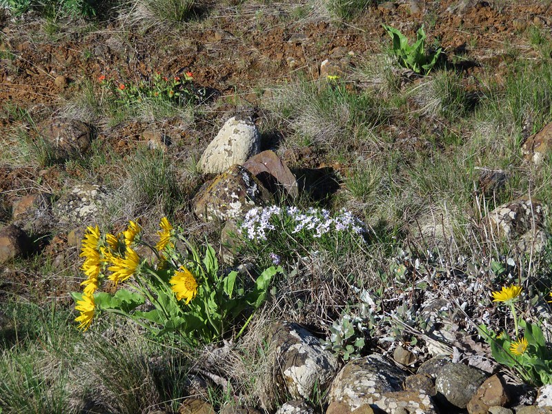
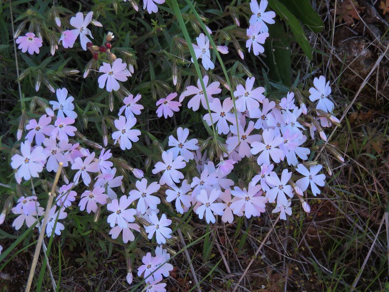
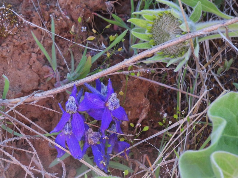
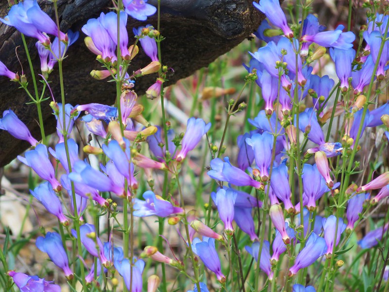
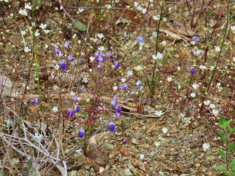
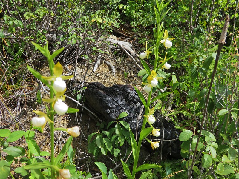
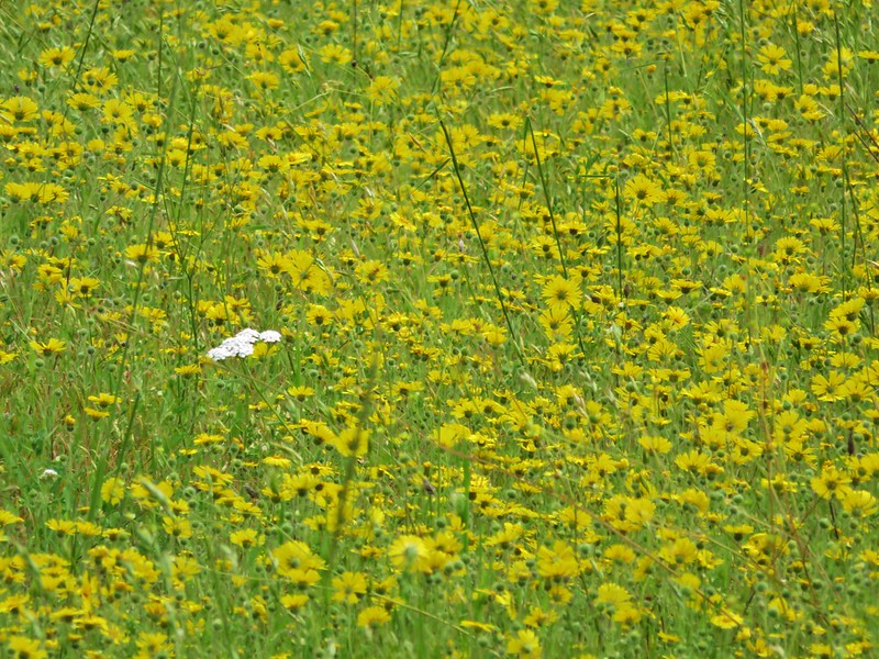
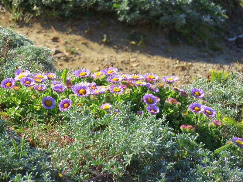
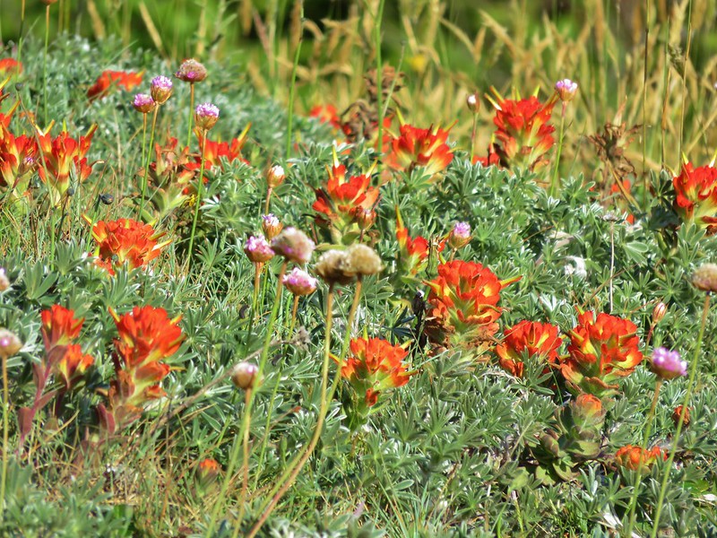
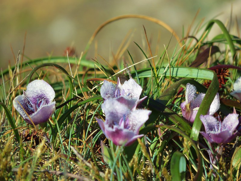
It did improve some beyond the Buzzards Roost where the trail had rounded the hillside and was now on the southern facing slope which was drier with less brush crowding the trail. The flower display along this section was impressive.
Henderson’s Stars
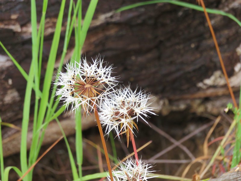
Silver puff
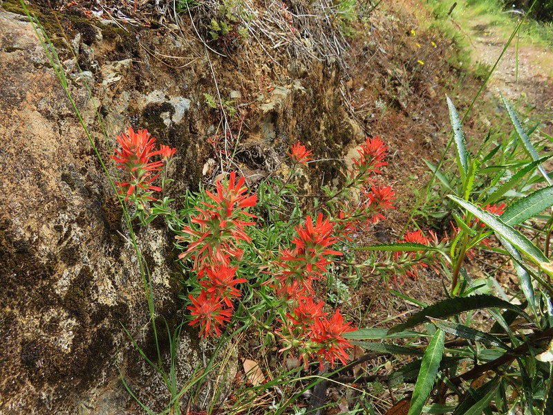
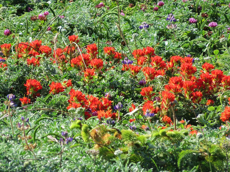
Paintbrush
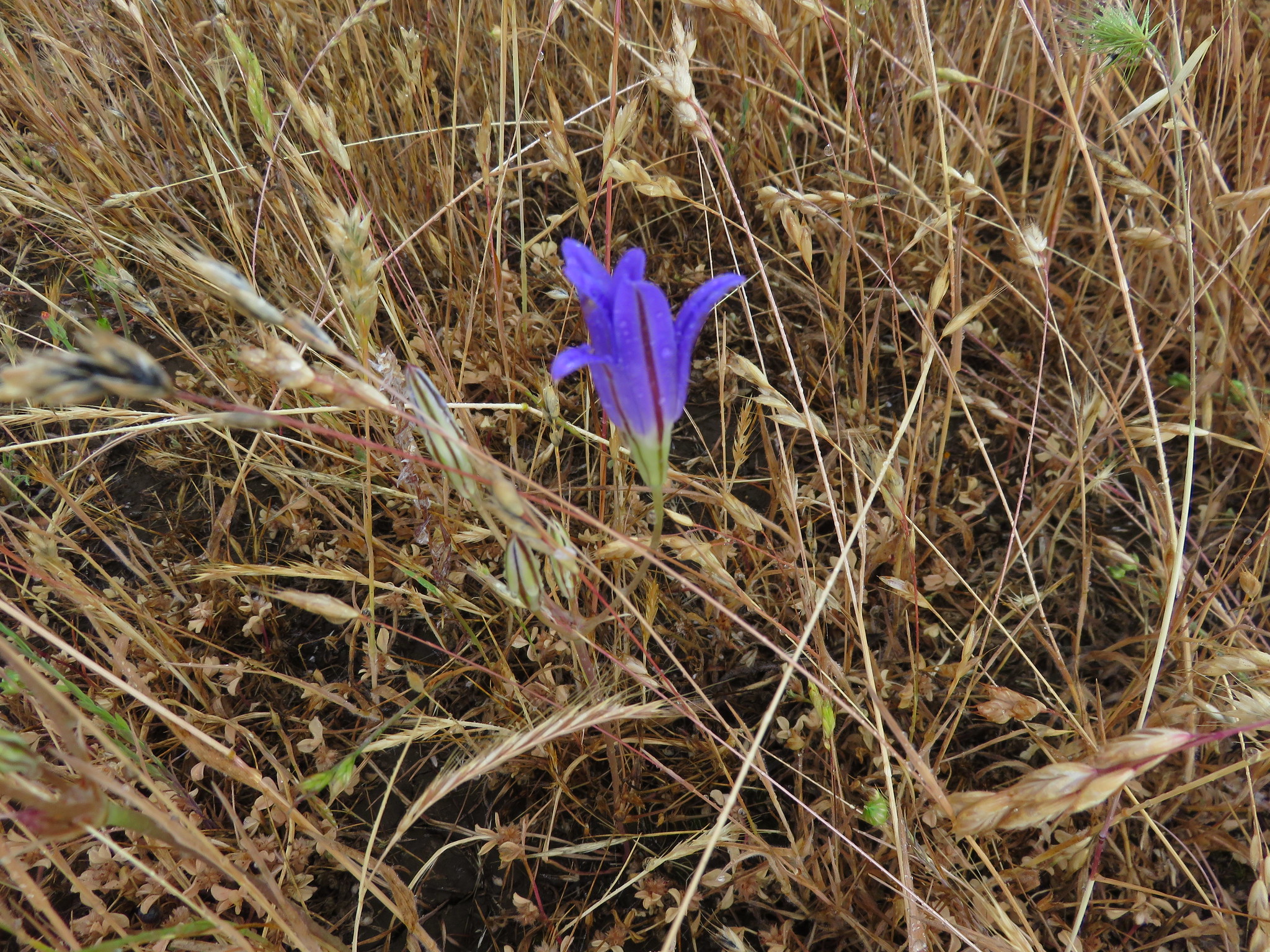
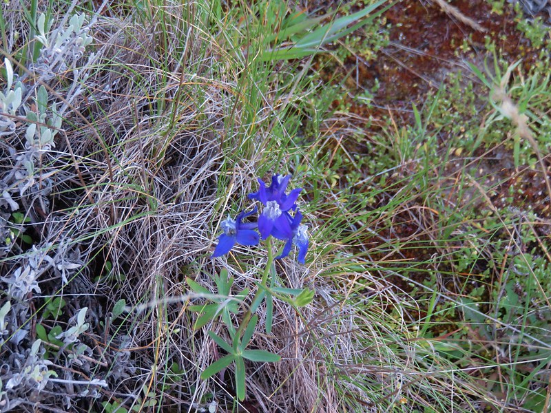
Blue gilia in the foreground
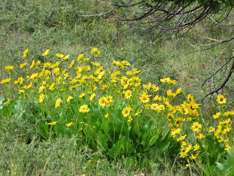
Balsamroot
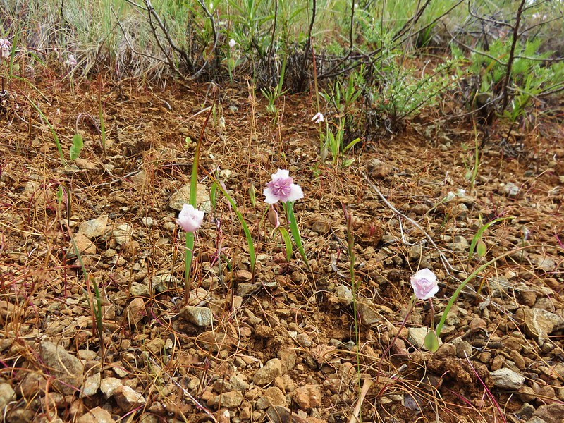
Mariposa lily
Fleabane
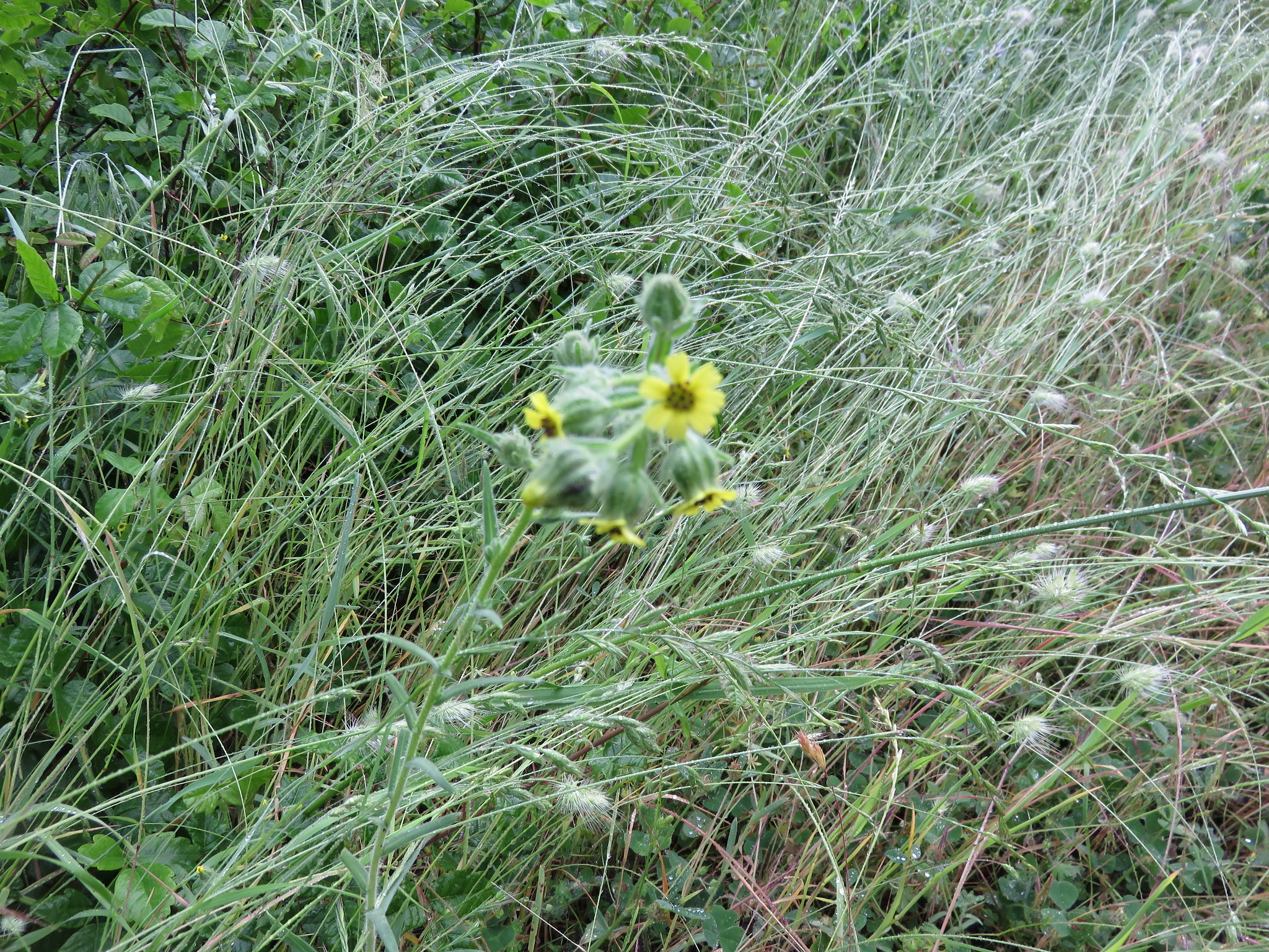
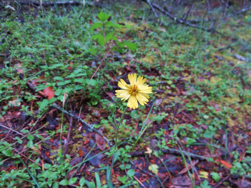
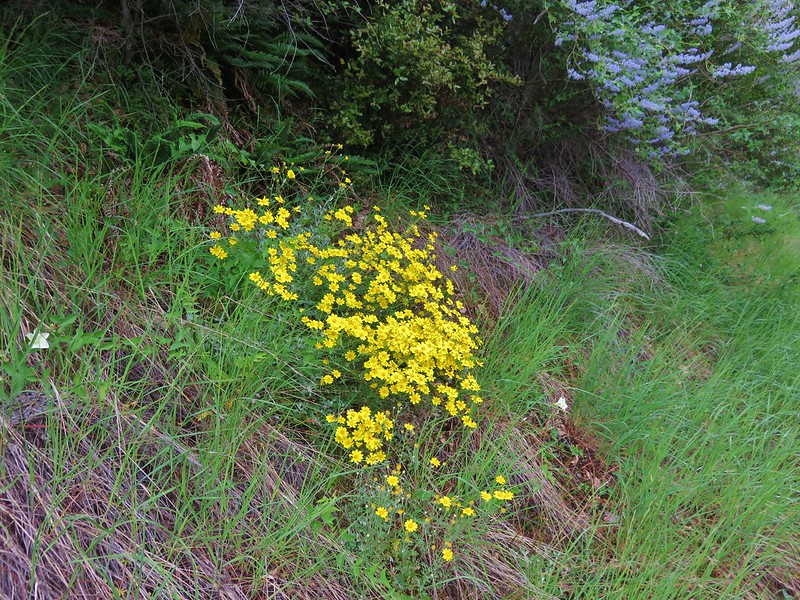
Madia

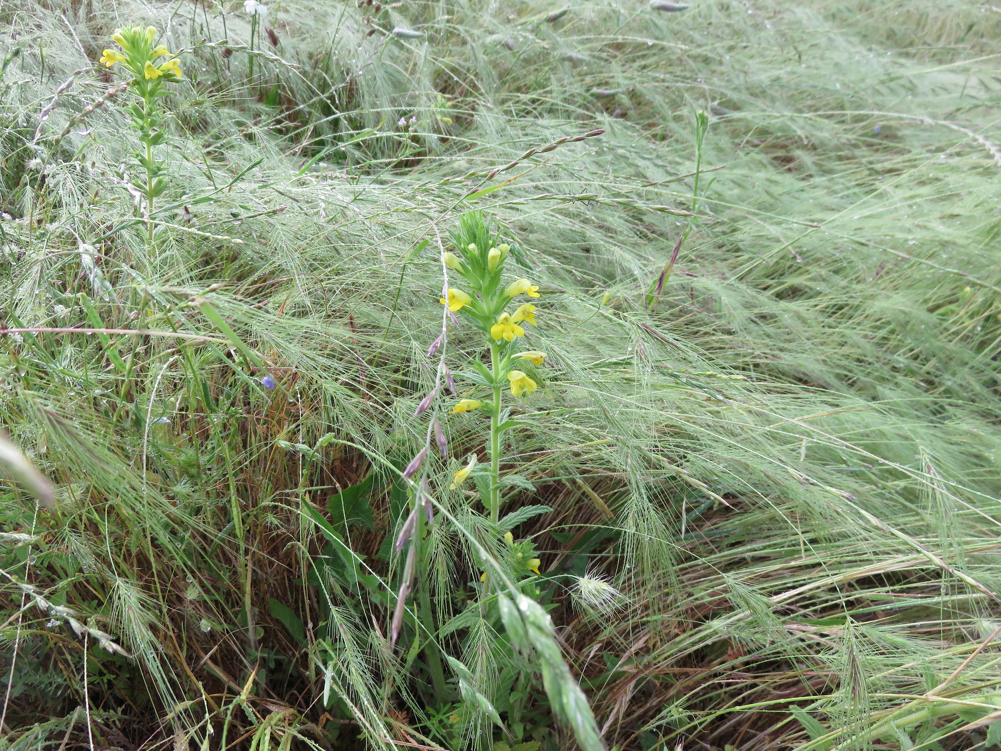
Penstemon
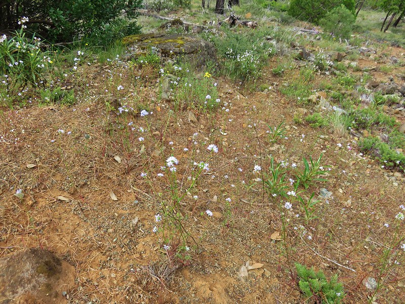
Narrowleaf blue eyed mary
California lady-slippers
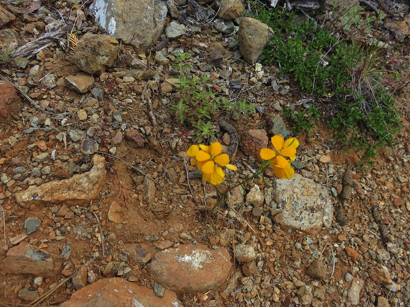
Western wallflower
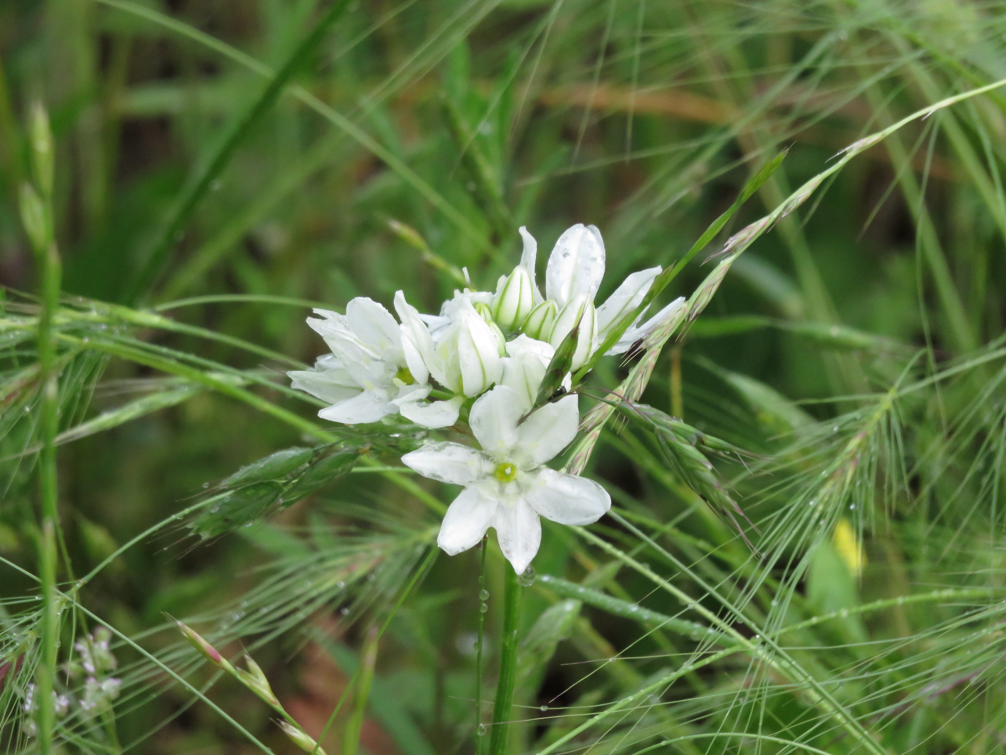
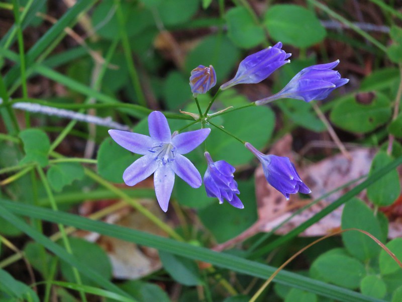
Ookow
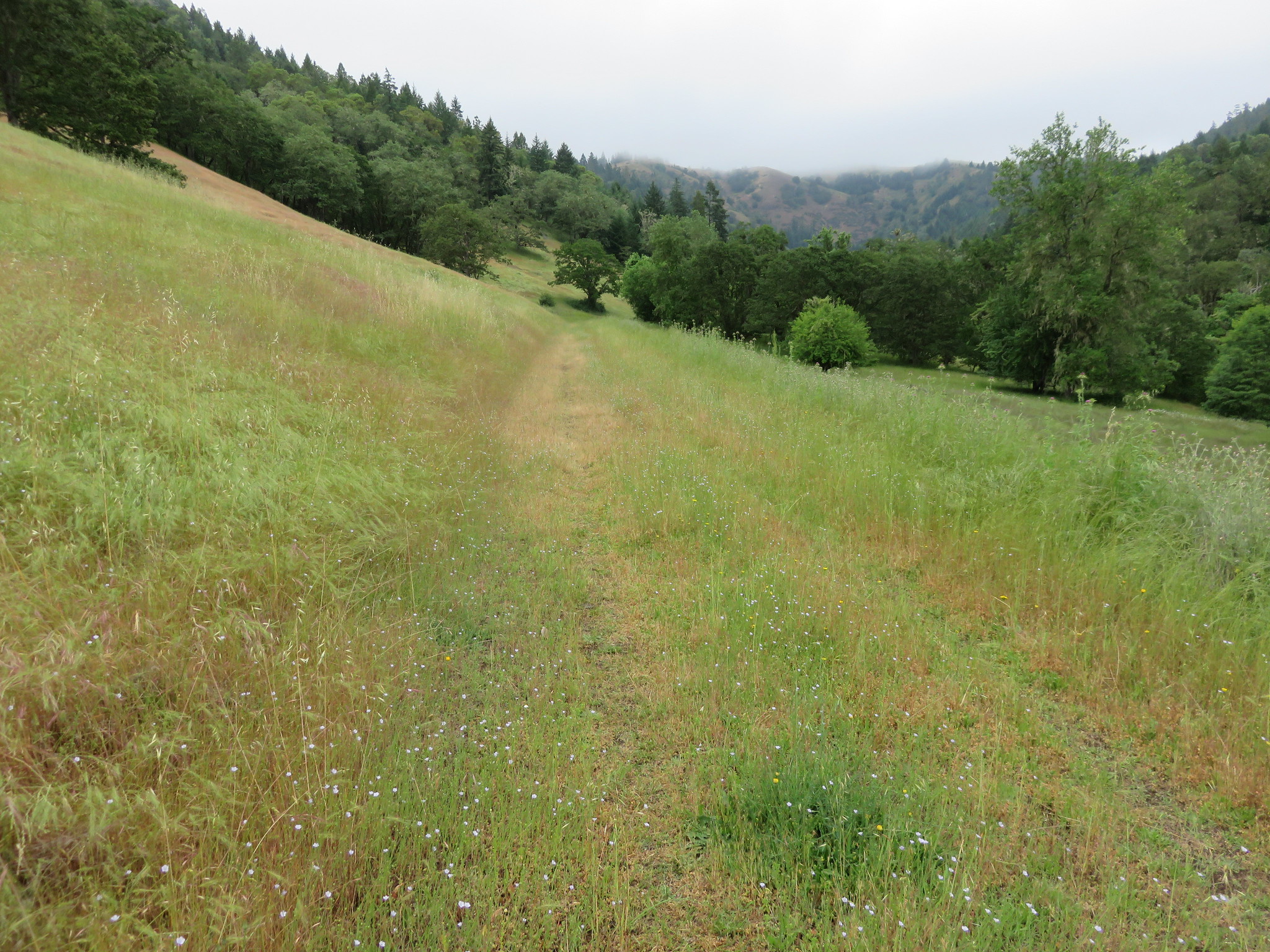
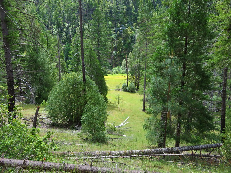
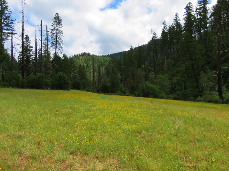
About 1.7 miles from the Buzzards Roost an old roadbed split off to the left. This led .2 miles to the meadow at Indian Flat.

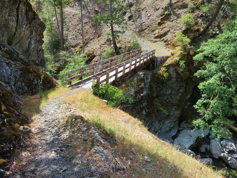
We continued on the Illinois River Trail and descended to the bridge across the lovely Indigo Creek.


On the far side of the creek we stopped to do a more intensive tick check. There were just a couple of stragglers to knock off and we decided to try and continue at least another .7 miles to Fantz Ranch. The trail began to climb uphill to reach a saddle above the ranch. As we climbed the switchbacks the amount of poison oak began to increase again. When it appeared that there was going to be no way past one patch without going through it we finally gave in and decided to call it. We’d made it a little over 5 miles and had seen a lot of neat stuff despite everything.
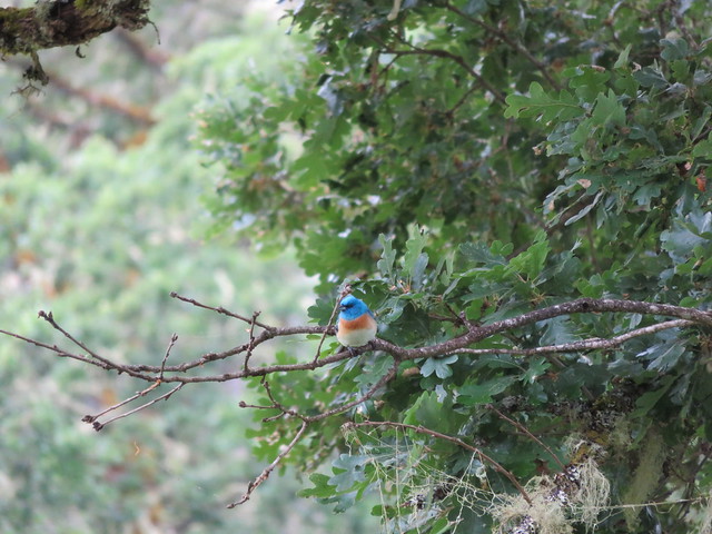
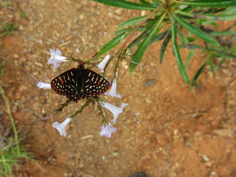
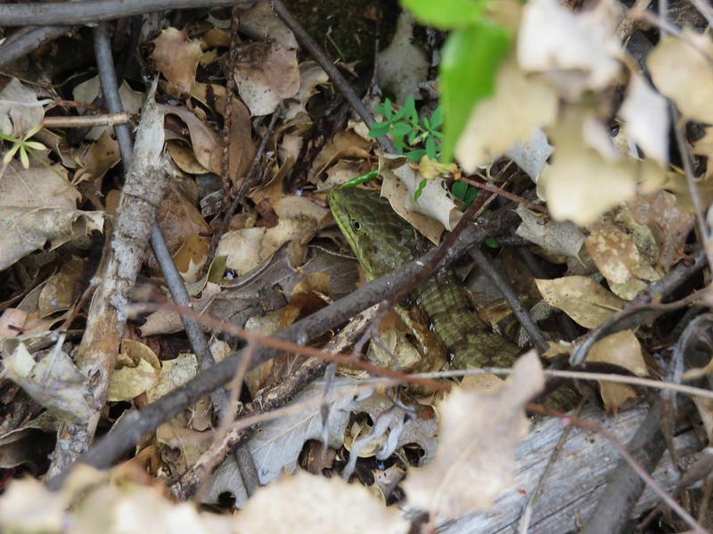
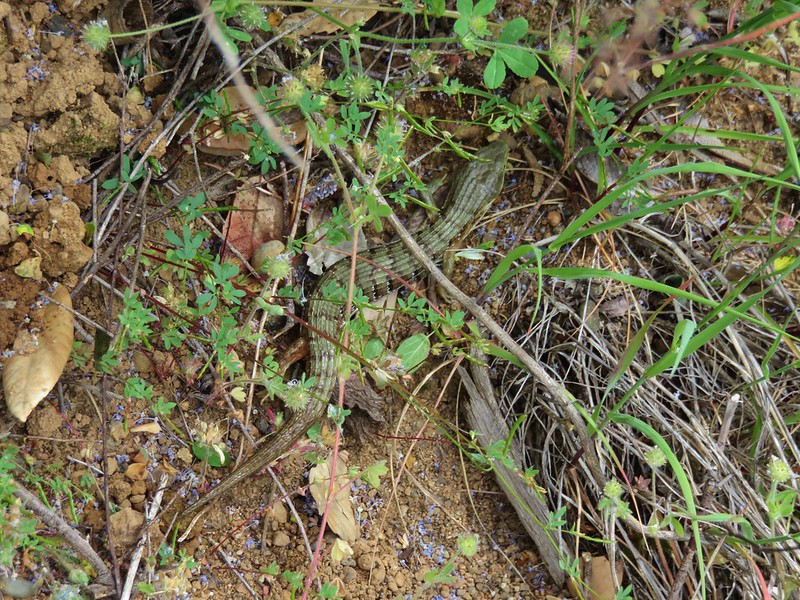
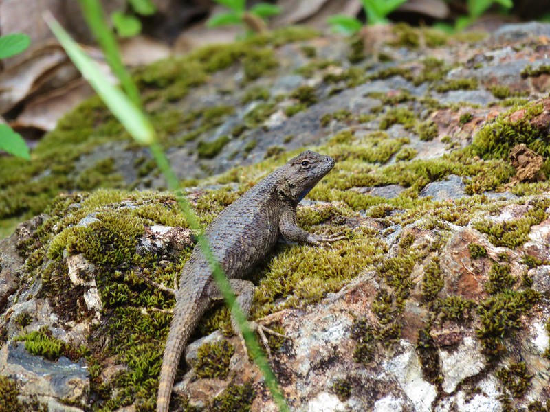
As we made our way back we stopped regularly to brush off the inevitable ticks. There were other more enjoyable critters out along the trail as well including a large number of alligator lizards. We hoped that they were filling up on the little blood suckers. 🙂

Back at the trailhead we wiped everything down in an attempt to remove an urushiol we might have picked up from contact with poison oak and did a final tick check before heading back to Gold Beach. We stopped by our room to shower and soak in the hot tub to try and relax.
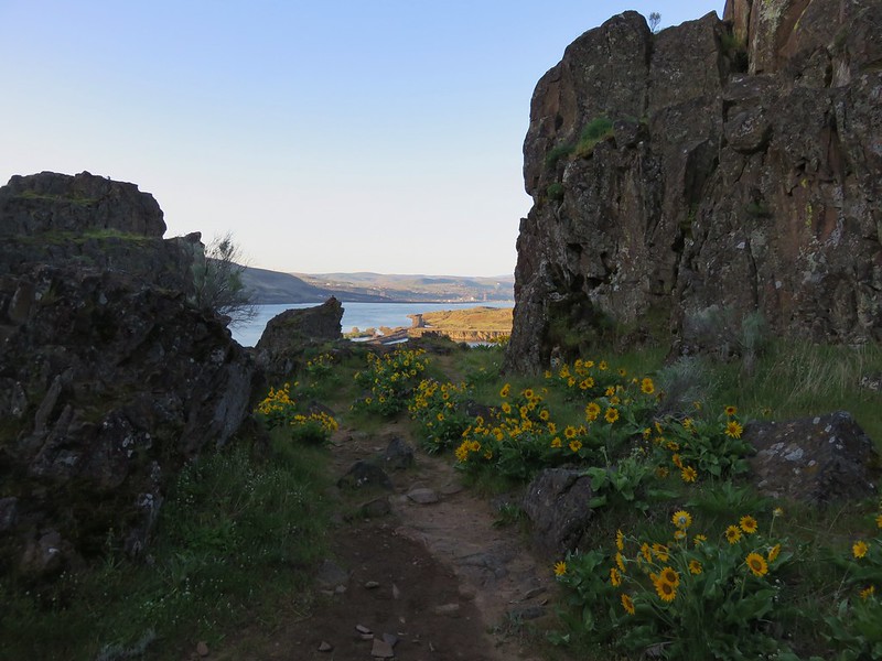
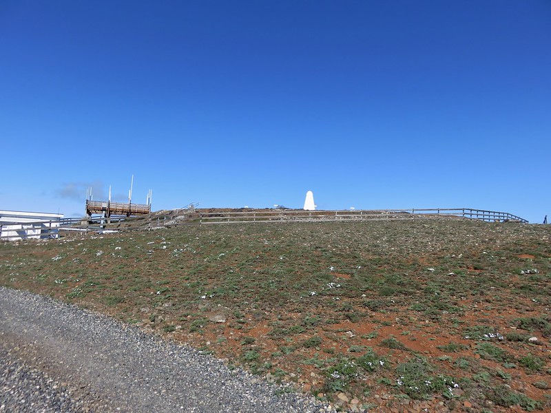
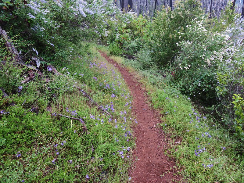
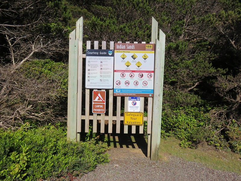
We decided that since we had cut our hike short we should go back out in the evening to check out Indian Sands in the Samuel H. Boardman State Scenic Corridor. We had not gone that far on Thursday when we were hiking in the southern portion of the park so we drove back down and parked at the Indian Sands pullout.
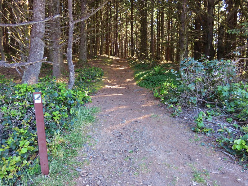
We set off on the wide Oregon Coast Trail.
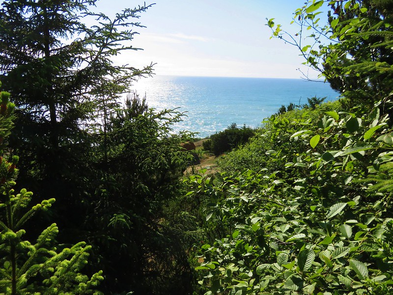
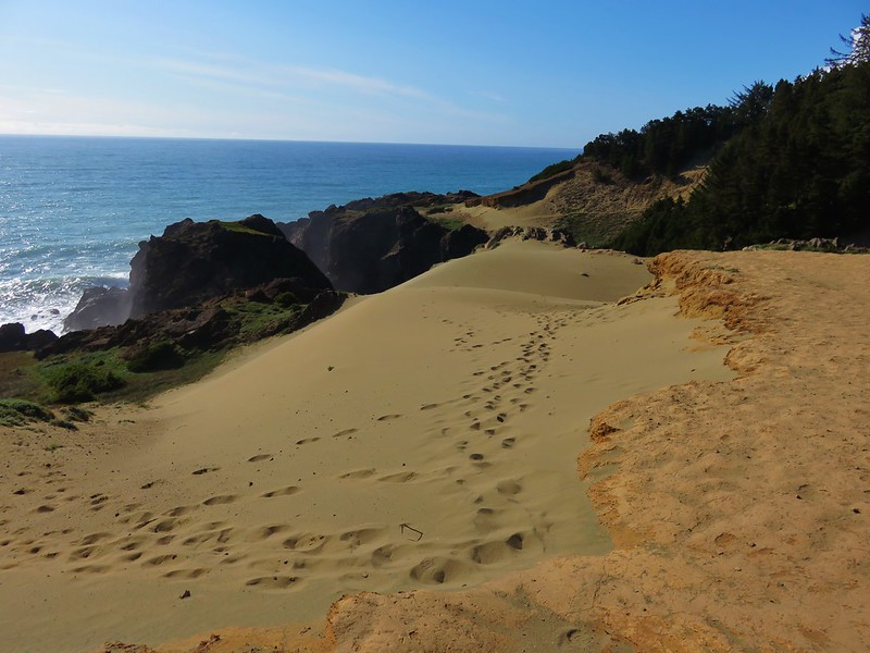
A confusion of paths led off toward the ocean and the dunes of Indian Sands from the trail. We weren’t sure which was the “correct” one but we just kept heading toward the Pacific until we could see sand and then headed for that.
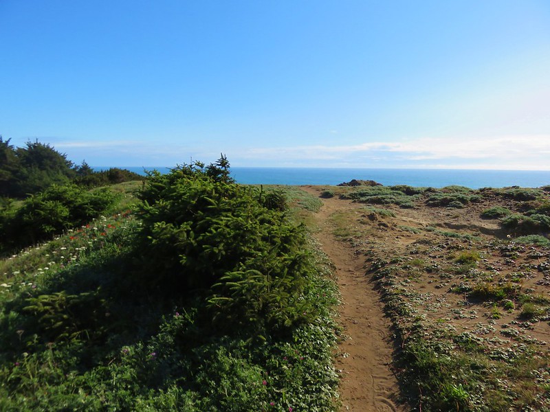
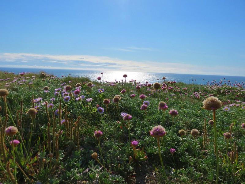
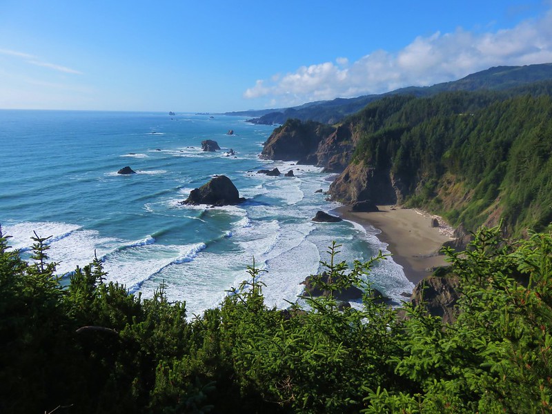
We followed a path out to a wildflower covered viewpoint of a rock arch.
Sea figs

Seaside daisy
Sea thrift and paintbrush
Mariposa lilies
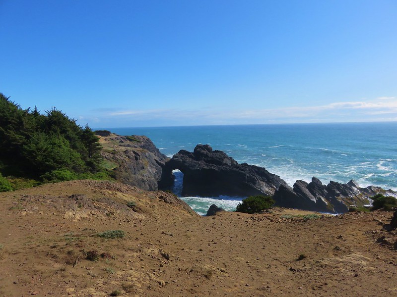
The sandstone cliffs here create the dunes making it an interesting area unlike anything else we’d seen in the park.
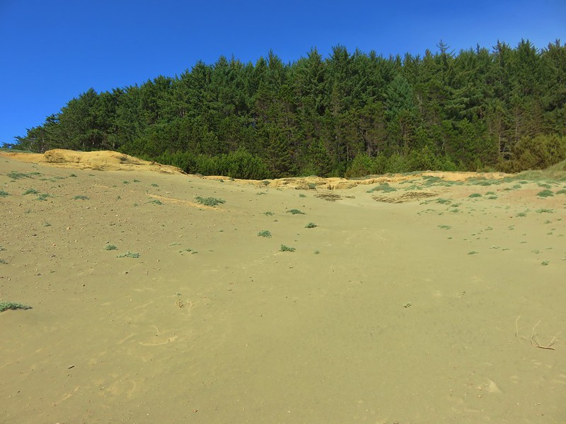

We made our way north following footprints in the sand.
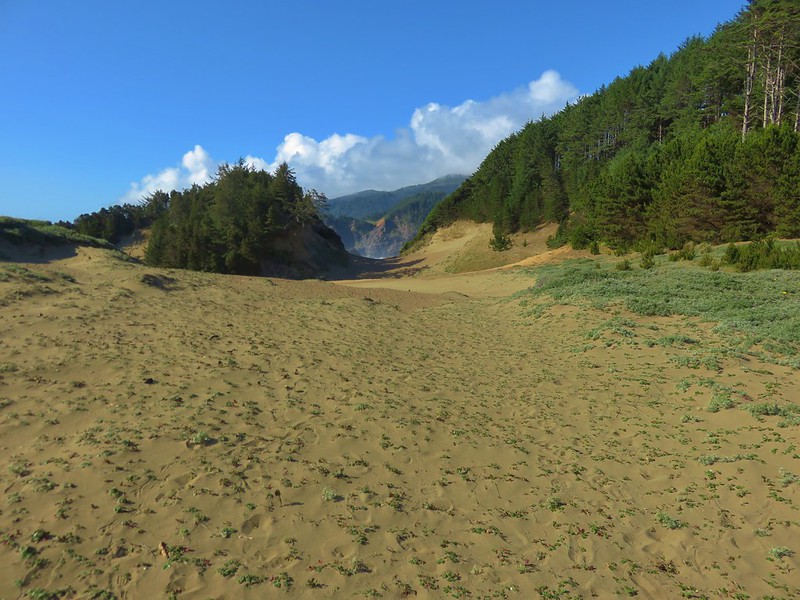


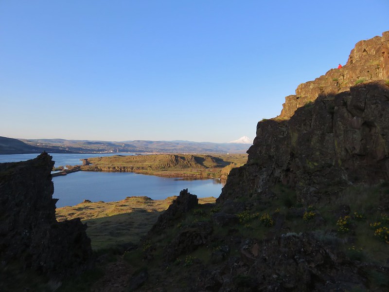
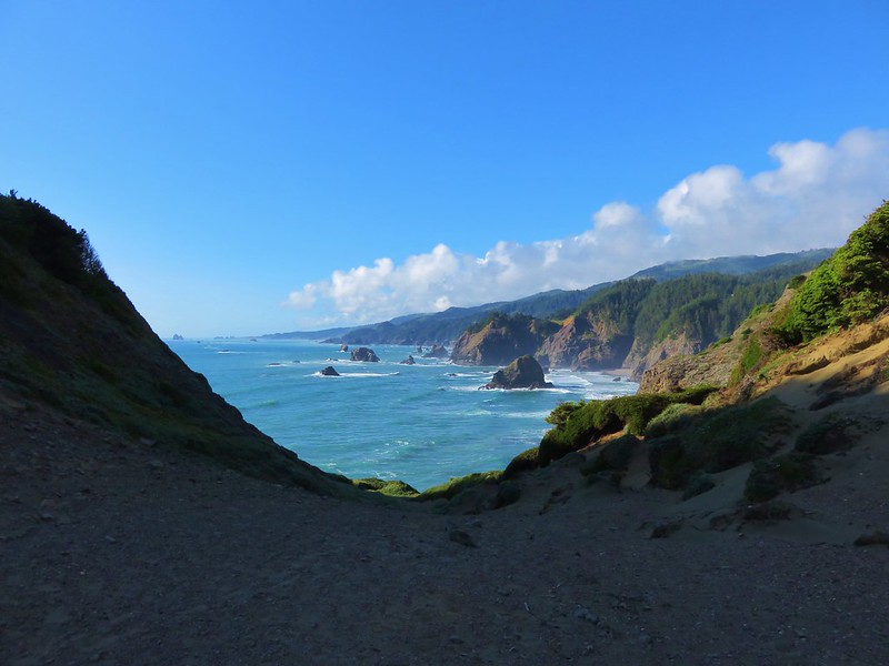
We came to a saddle with a great view where a trail to the right led up through a brush covered slope back into the forest and onto the Oregon Coast Trail.
Turning right on the Oregon Coast Trail would have taken us back to the car but we decided to turn left and check out the Thomas Bridge Viewpoint. We’d driven over the bridge multiple times already and read that it was the highest bridge in Oregon at 345′. We left the Oregon Coast Trail at a split in the trail where it headed uphill toward the parking area for the viewpoint. We headed downhill to the left to find the viewpoint. The first viewpoint we came to was partly blocked by trees.
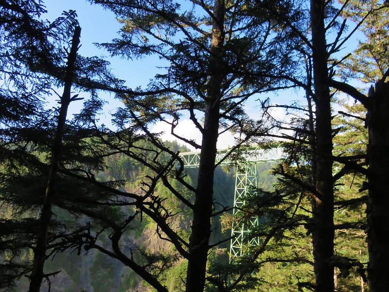
The trail continued out along a ridge so we followed it looking for a better view. We noticed another trail along the right that hopped over the ridge and headed steeply down into the trees. We ignored that and continued heading for the ocean. No view of the bridge had appeared as we rounded the end of the ridge but the trail kept going now heading downhill back inland. It did wind up leading to a better, but not great, viewpoint.
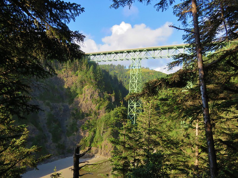
From this viewpoint we followed a path uphill that wound up being the same trail we had seen going over the ridge and down into the trees. When we crested the ridge we met another couple looking for the viewpoint. We pointed them in the right direction before heading back to Indian Sands.
In the end it worked out really well to have turned back on the Illinois River Trail in time for us to get the hike in at Indian Sands. It was definitely worth the visit. We appear to have escaped the poison oak without any ill effects (at least not yet) and haven’t had to brush off any ticks since leaving the Illinois River Trail. Happy Trails!
Flickr: https://www.flickr.com/photos/9319235@N02/sets/72157666245754163