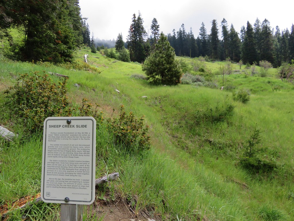
Much like our first day in the Ashland area (post) we spent our second day hiking on the PCT in the Siskiyou Mountains. Just as we had the day before we had planned to head both north and south from our trailhead which was supposed to be at Siskiyou Gap. The driving directions given by the Forest Service say to take FR 20 -Mt. Ashland Road, but we opted to take FR 22 – Wagner Creek Road per Sullivan’s driving directions. This road was in good shape but about halfway to the trailhead our “Low Tire Pressure” light came on. Those have become my most dreaded three words while on vacation as it seems to happen every 2 or 3 trips we make. FR 22 ends at FR 20 about three quarters of a mile from the trailhead so we turned right onto FR 20 which was filled with two large pools of water. The first hole wasn’t bad but the second was deceptively deep and the Outback had a momentary struggle getting through. Just beyond this puddle we passed through a 5-way junction staying on FR 20 which was full of potholes. With the tire light on I decided enough was enough and turned the car around. We drove back through the water filled hole and parked at the FR 22/20 junction.
 The deepest hole, it doesn’t look too bad here.
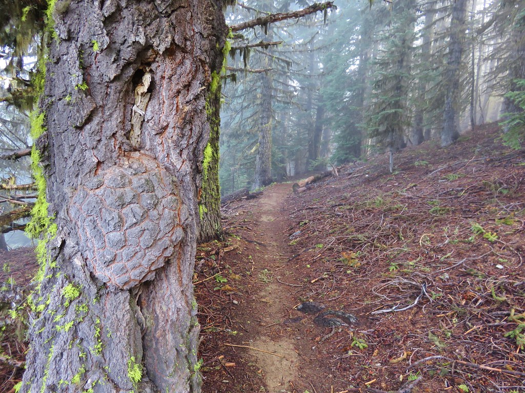
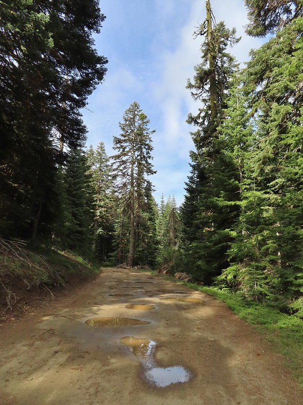 Potholes on FR 20. These turned out to be the worst of the stretch between the junction and Siskiyou Gap but we didn’t know that until we’d walked this road later in the day.
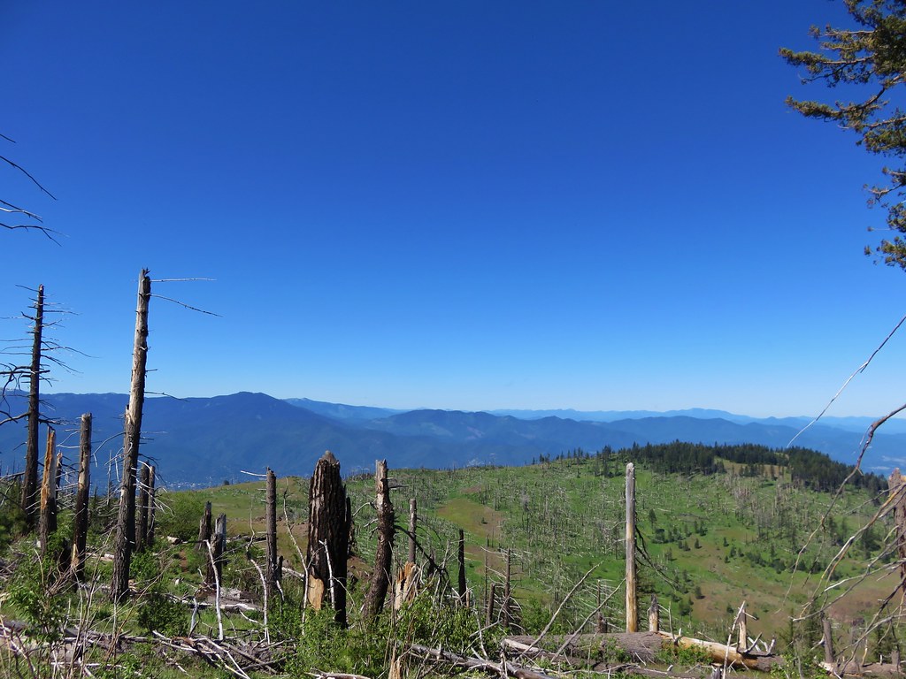
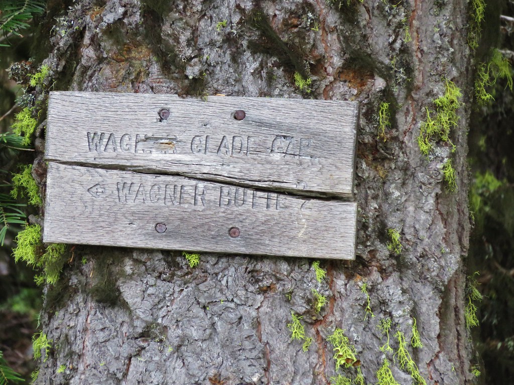
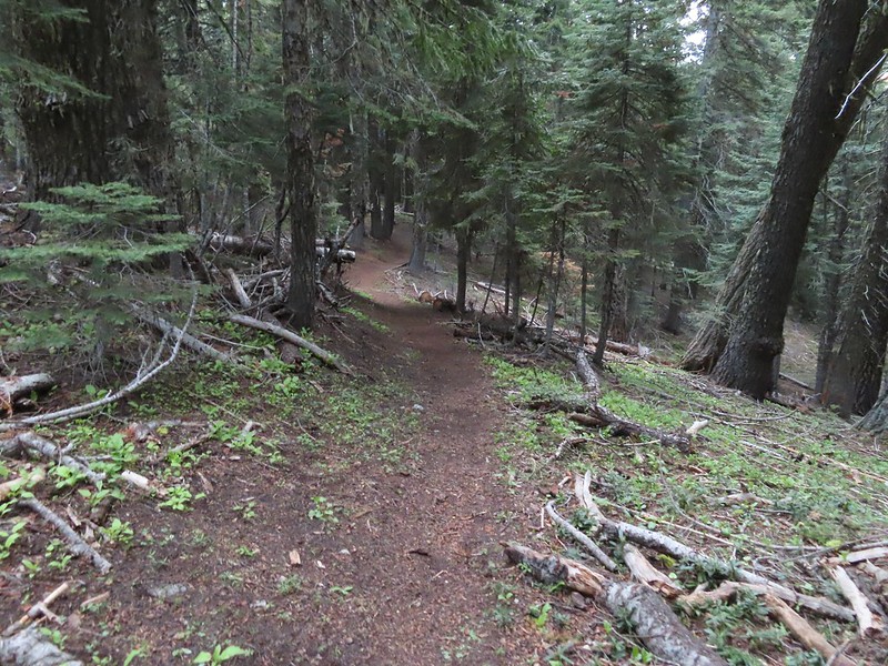
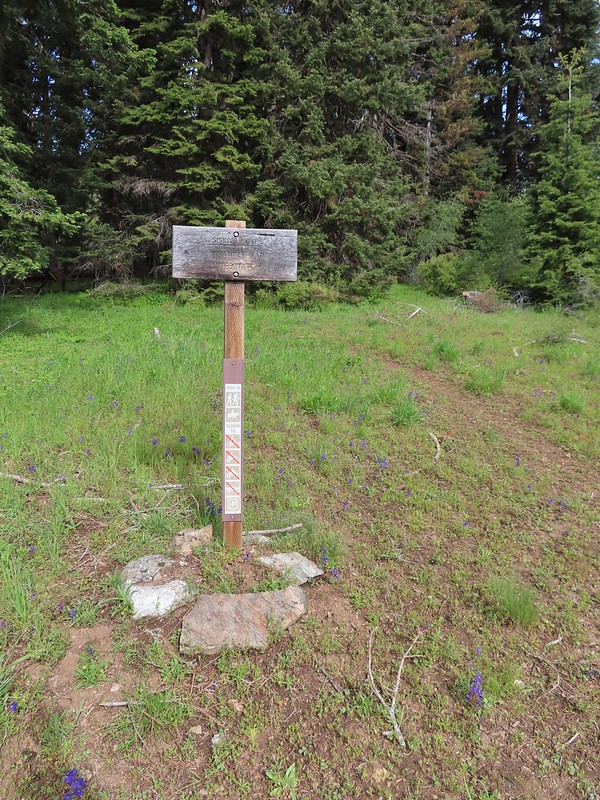
While not an official trailhead the PCT passes through the 5-way junction that we’d parked near so we easily hopped onto the trail.
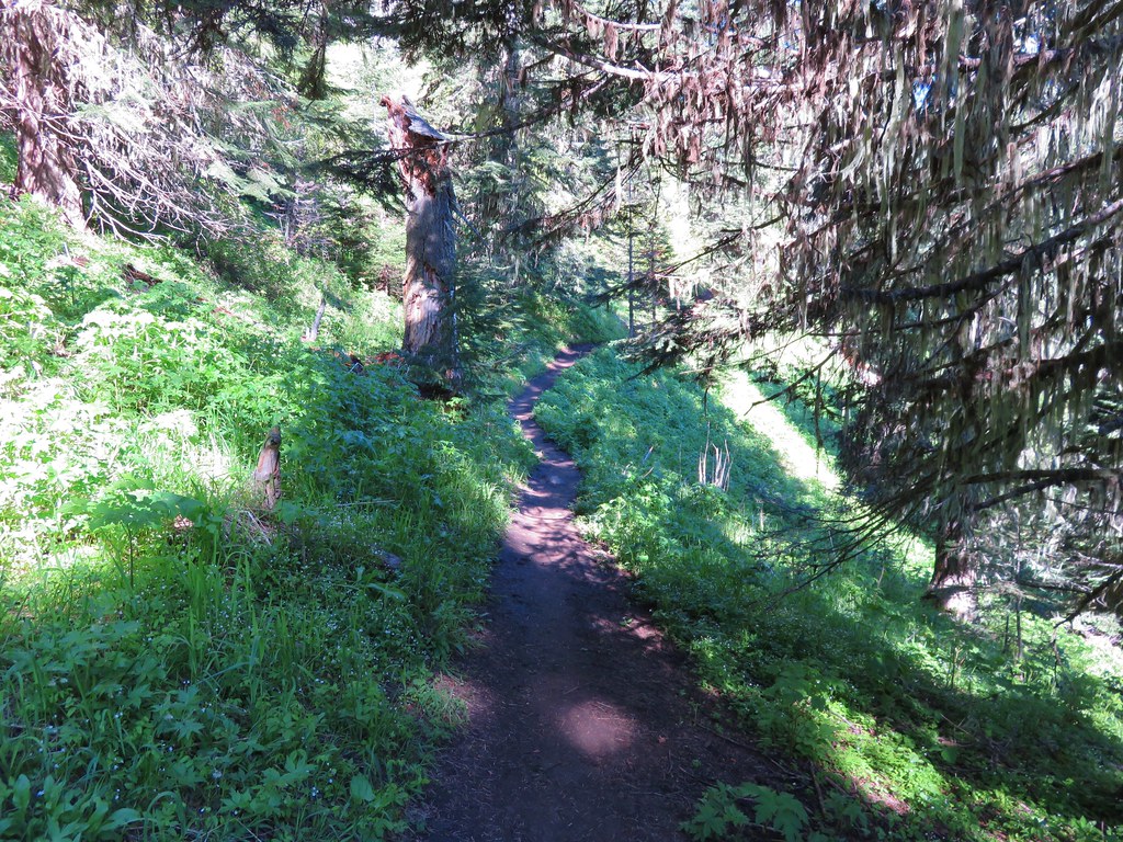
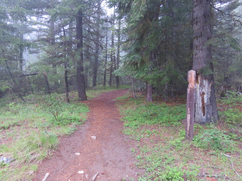
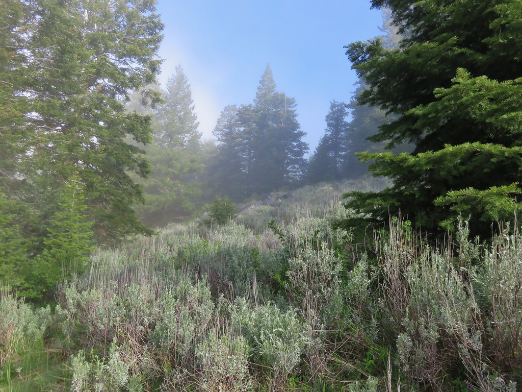
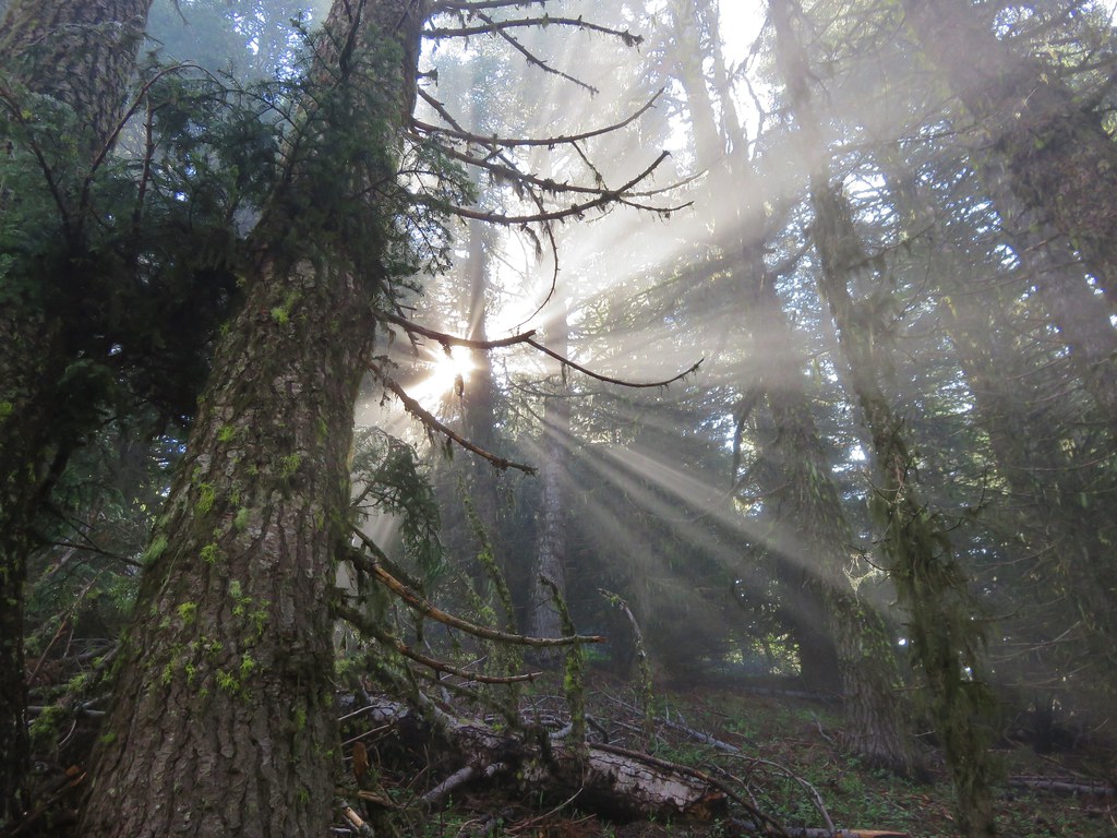
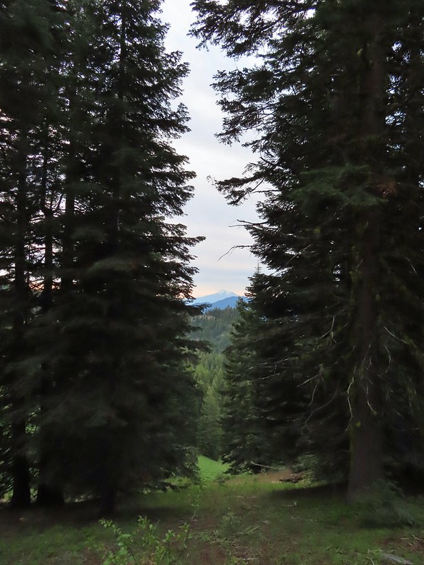
 The PCT was just a few yards into the forest from the FR 20/22 junction.
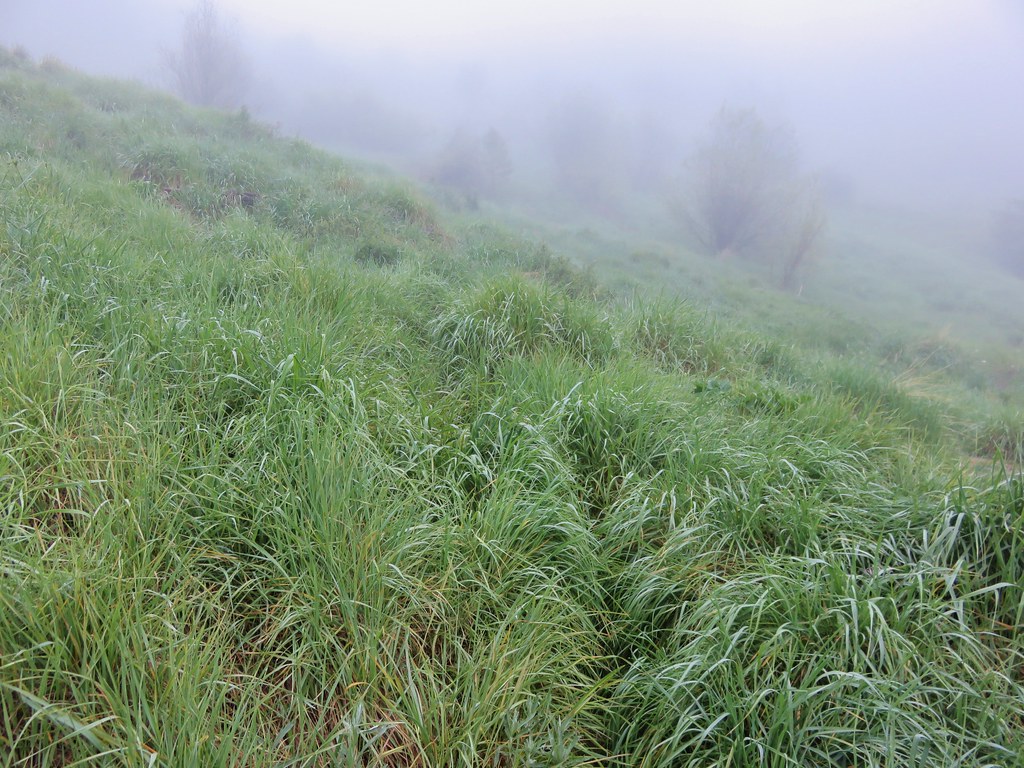
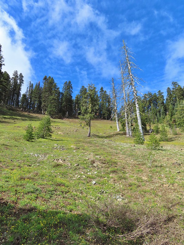
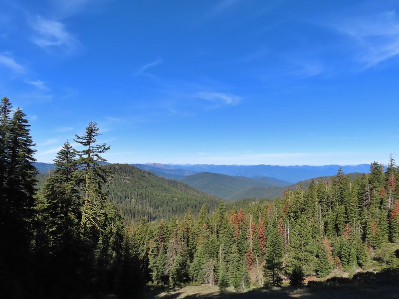
Today we headed north (left) on the PCT first hoping to reach the summit of Siskiyou Peak before clouds started moving in. Heading into vacation the forecast for the day had been for mostly sunny skies with rains showers moving in the next afternoon (Friday) but by Wednesday night things had shifted and now the showers were arriving Thursday with rain Friday and showers Saturday.
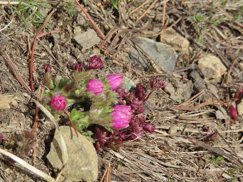
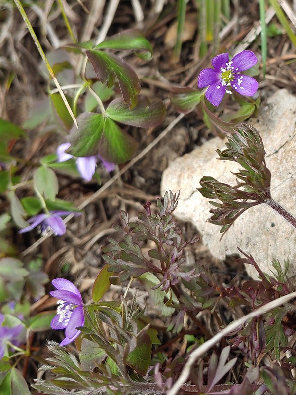
 Jessica sticktight?
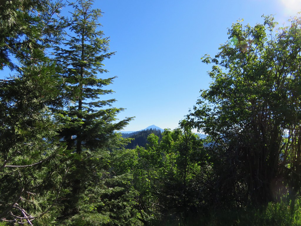
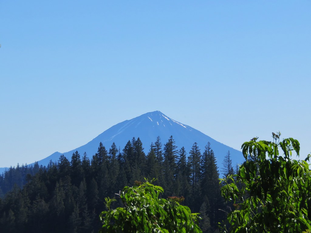
There were occasional glimpses of Mt. Shasta to the south along this stretch of trail.
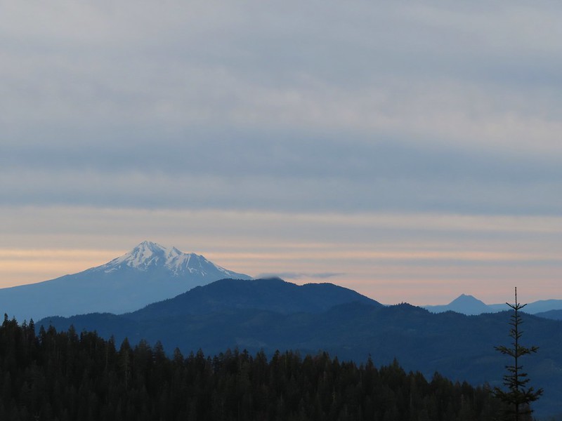 Mt. Shasta and Black Butte (post). The layer of smoke from the day before seemed to have blown out overnight.
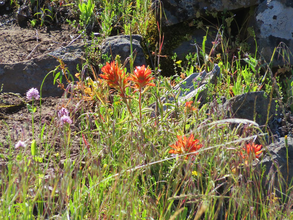
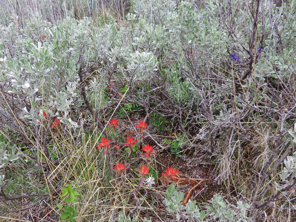
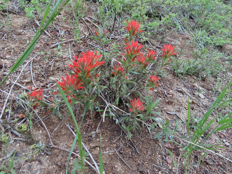 Paintbrush
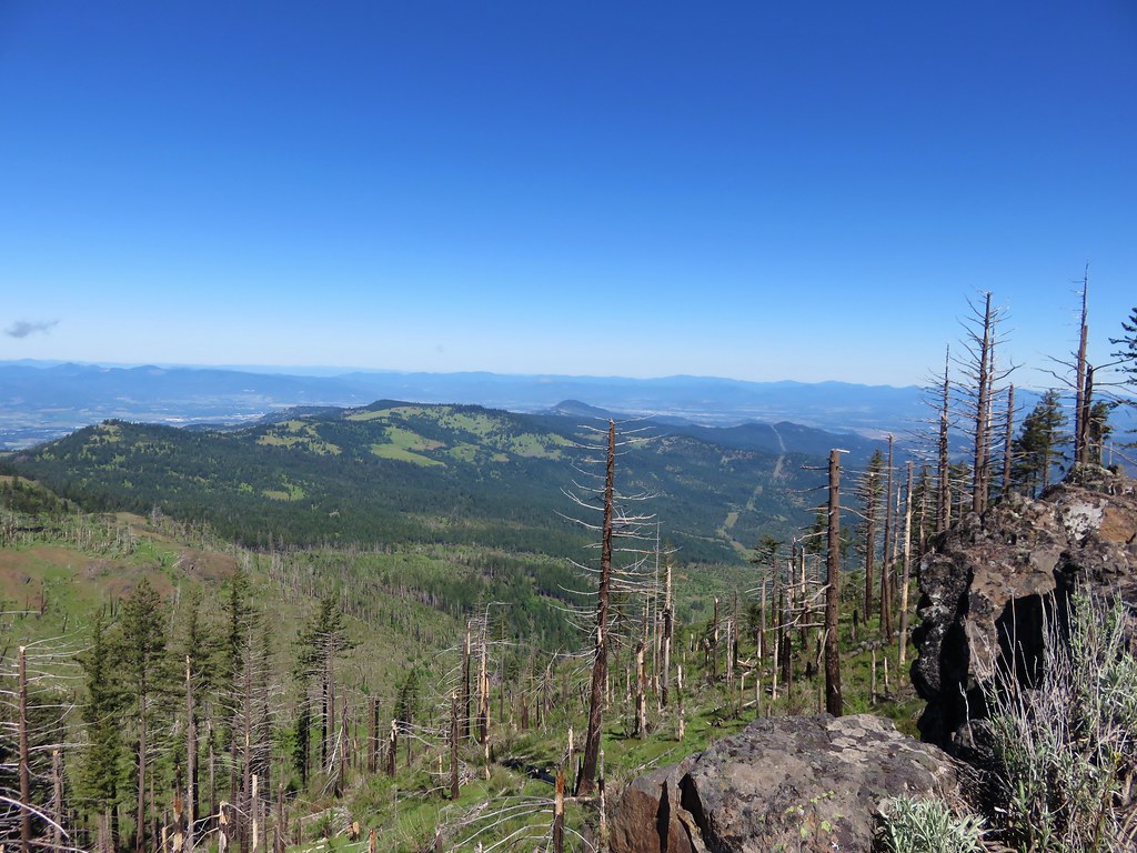
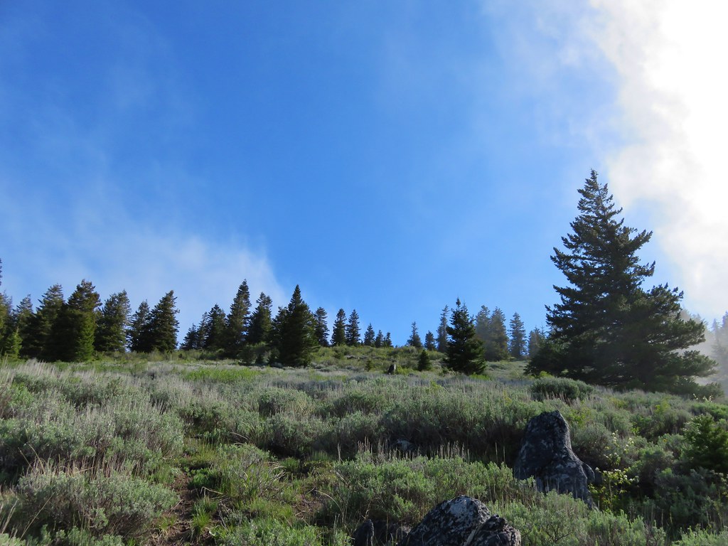
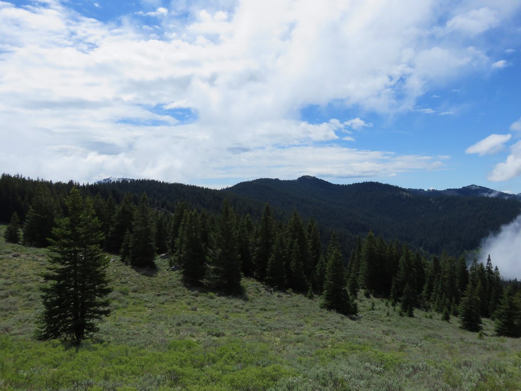
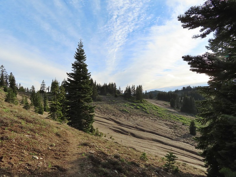
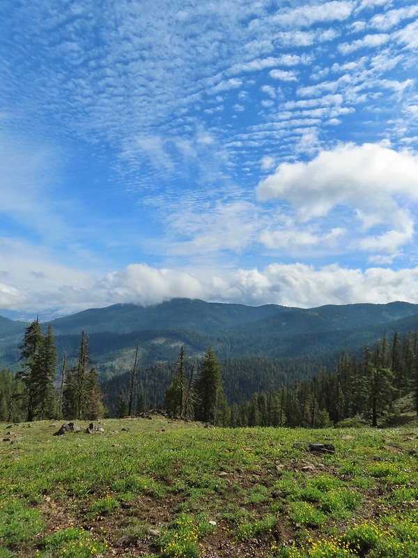
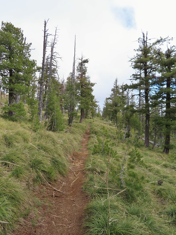
We followed the PCT north approximately two and a quarter miles to a ridge on the north side of Siskiyou Peak where a clear path led uphill towards the summit.
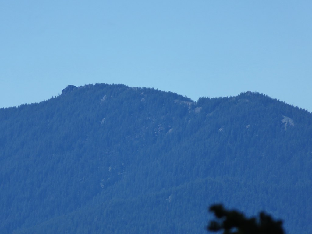
 Siskiyou Peak from the PCT.
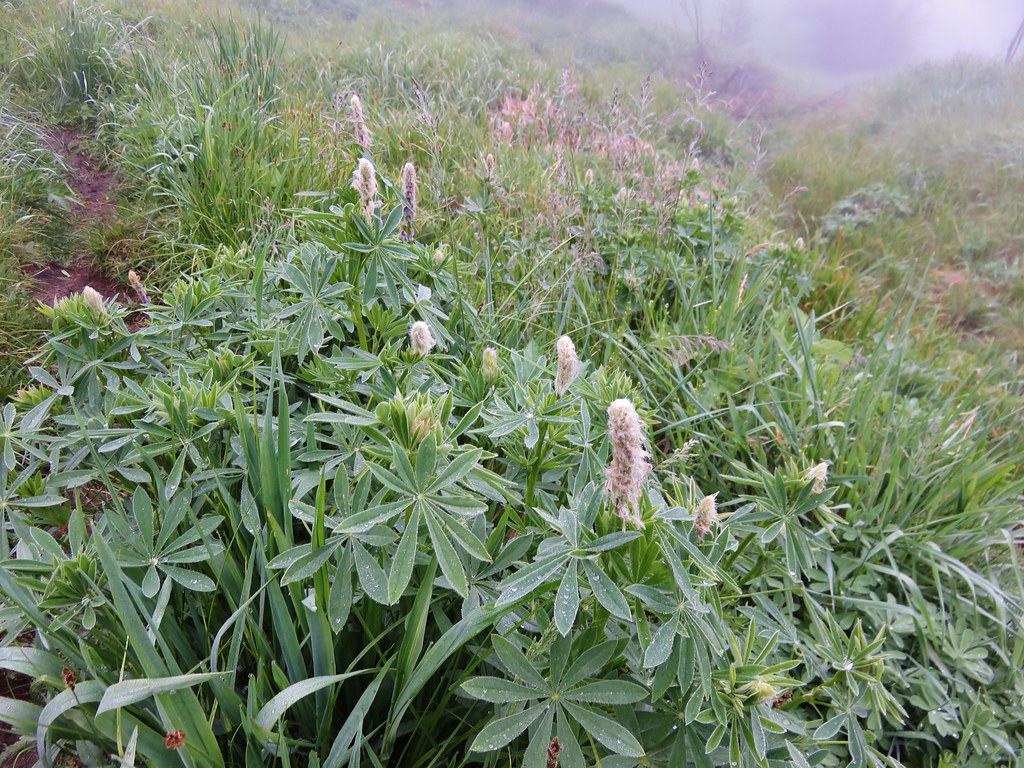
 Lupine and pussypaws
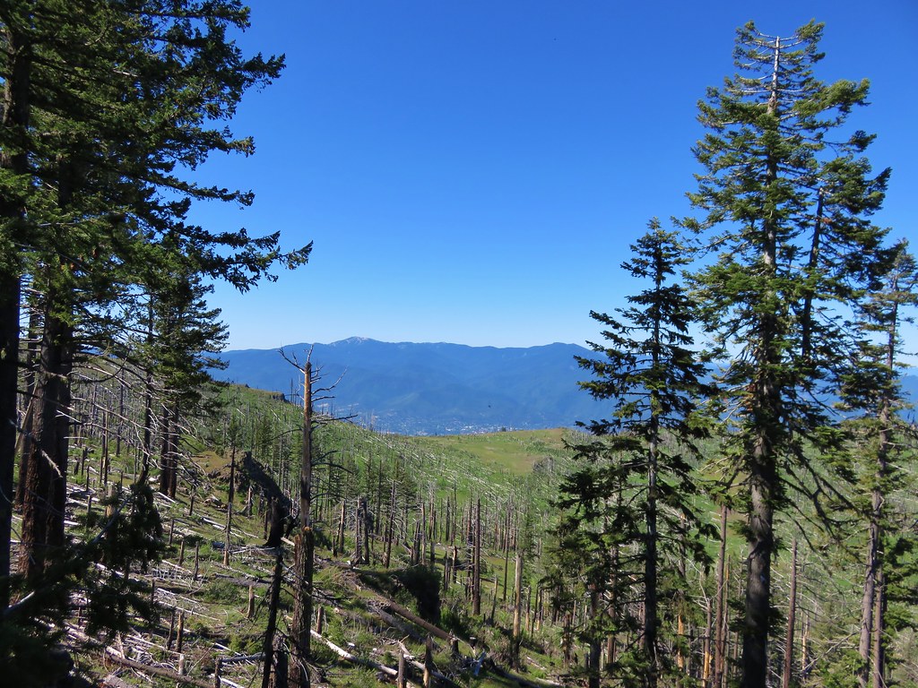
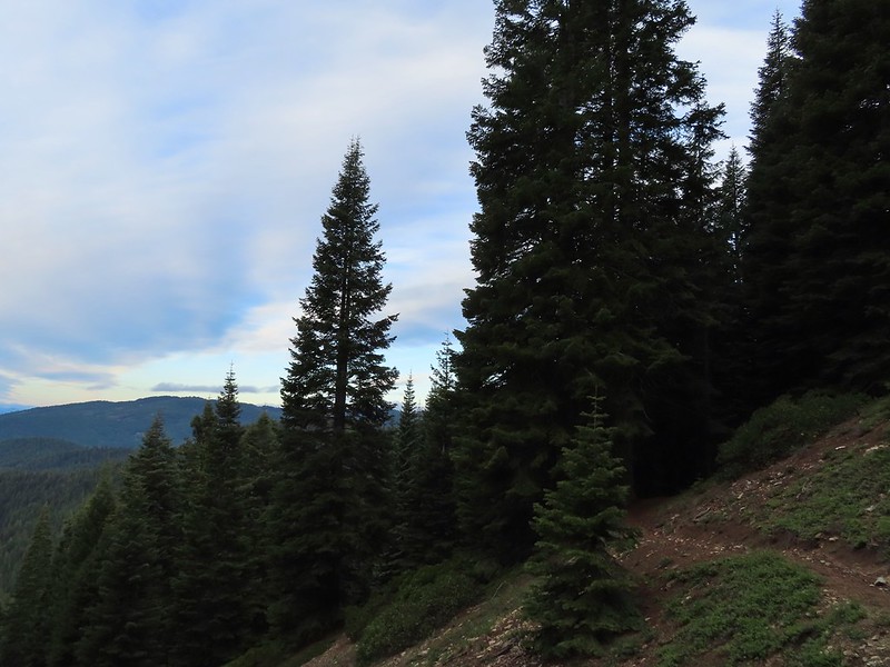
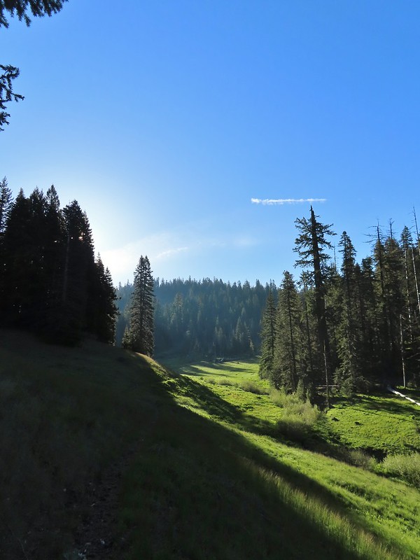
 The PCT heading toward Mt. Ashland from the ridge where we left it.
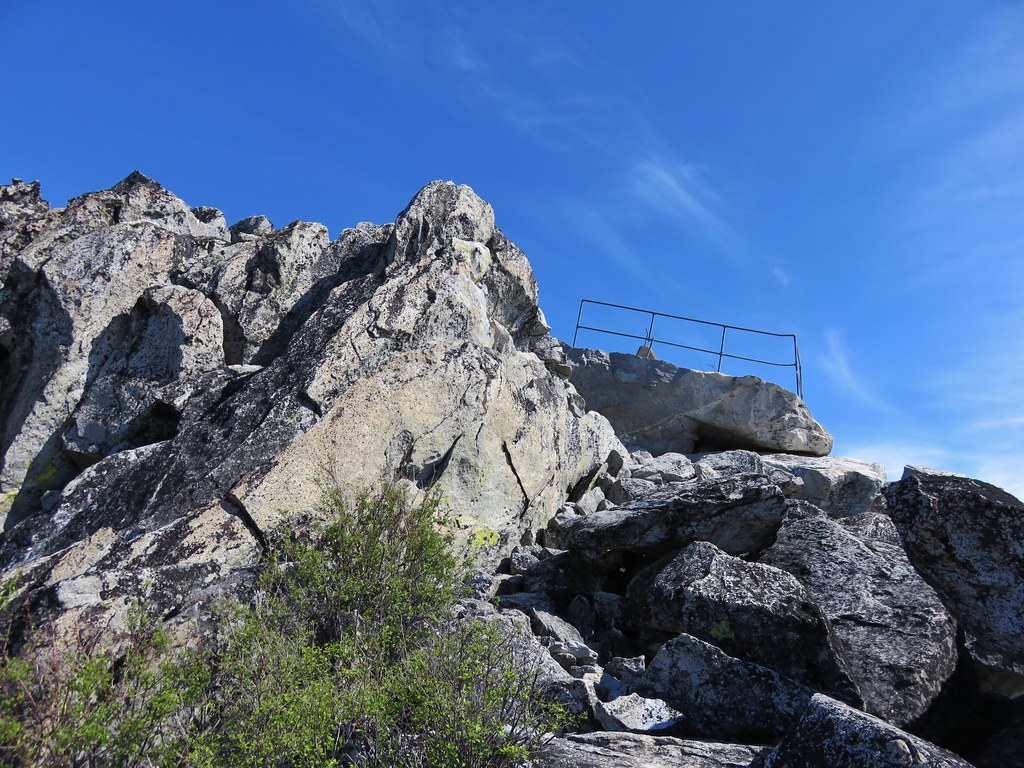
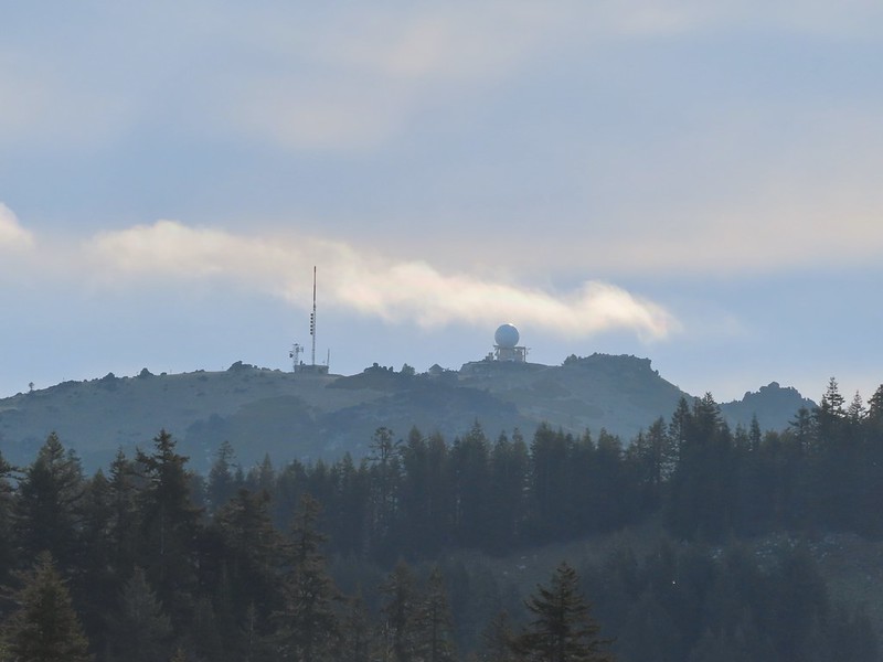 Towers on Mt. Ashland.
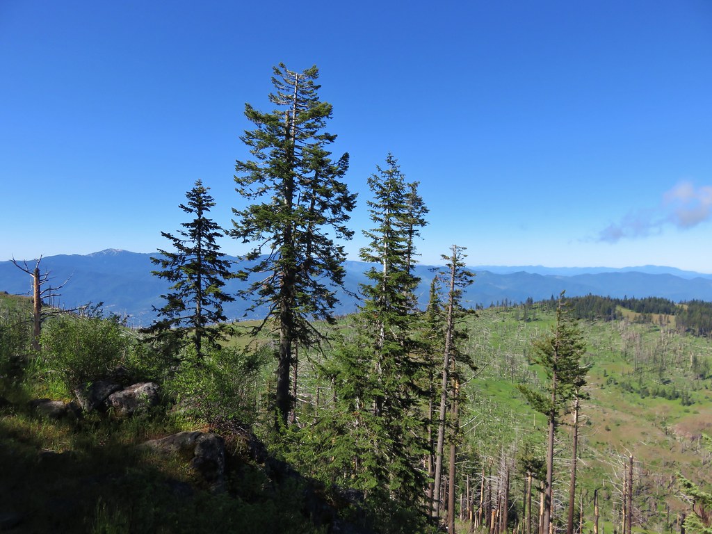
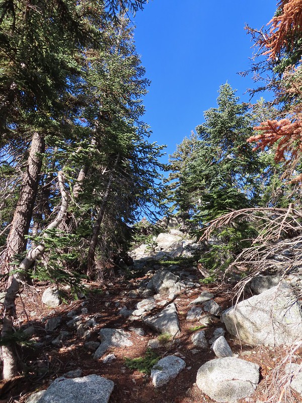
 The trail up Siskiyou Peak.
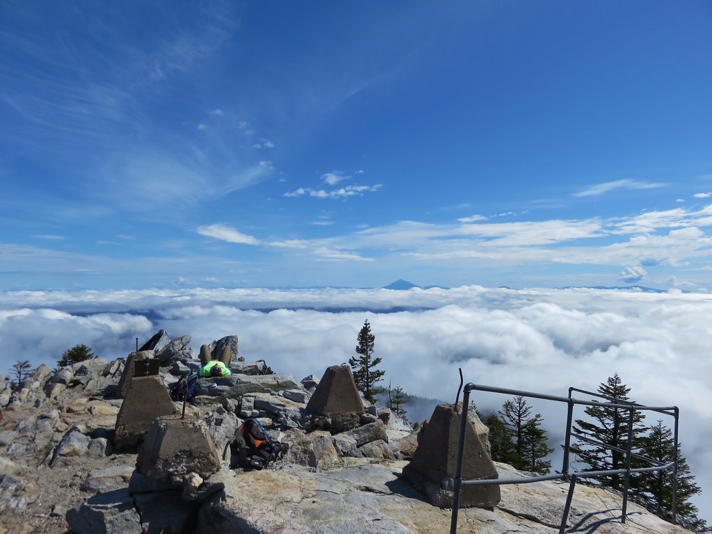
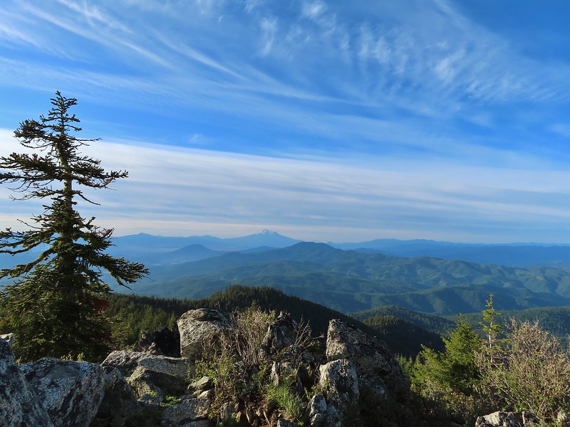
It was a little over a quarter mile to the summit.
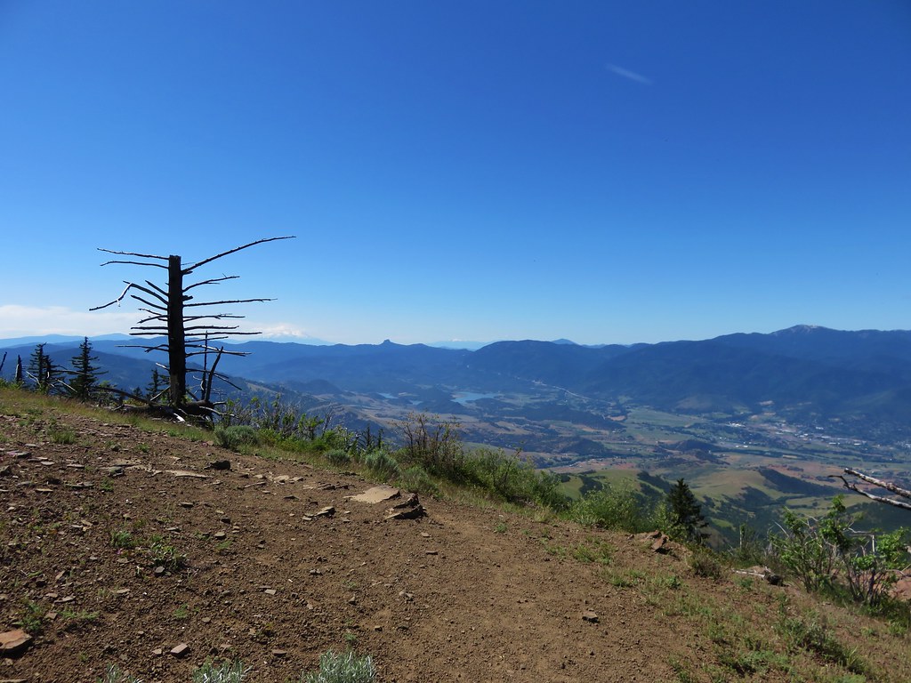
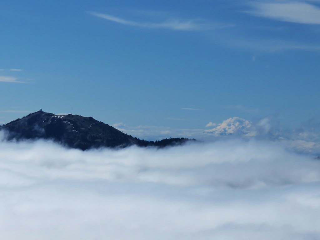
 Observation Peak to the left, where we had been the day before with Big Red Mountain on the right, where we were going later today.
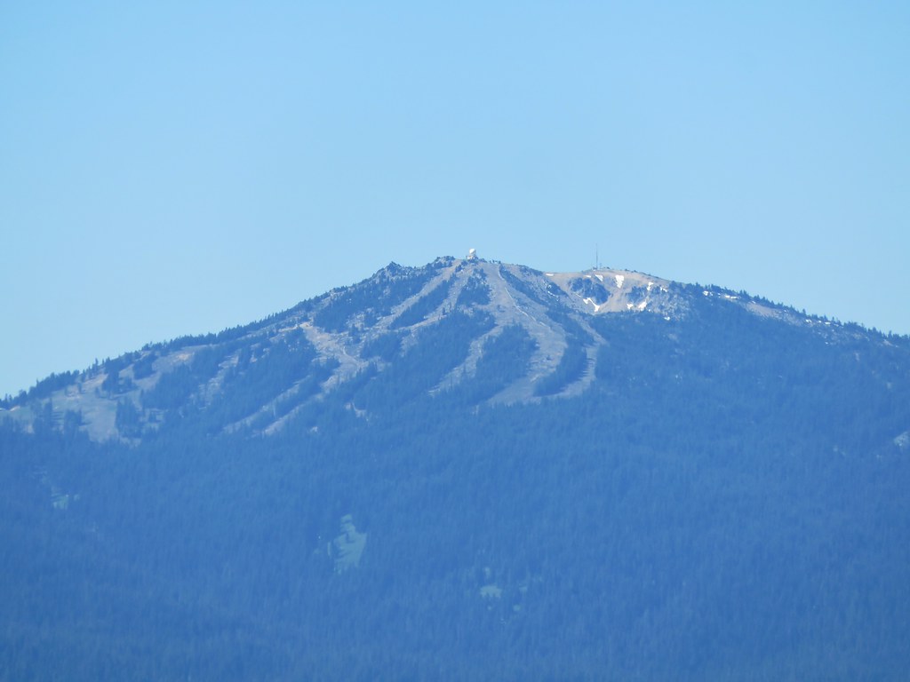
 Mt. Ashland to the right.
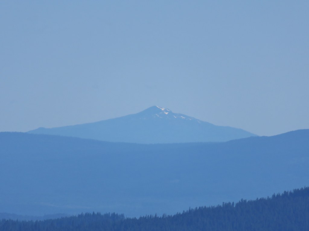
 Mt. McLoughlin (post) dealing with a few clouds.
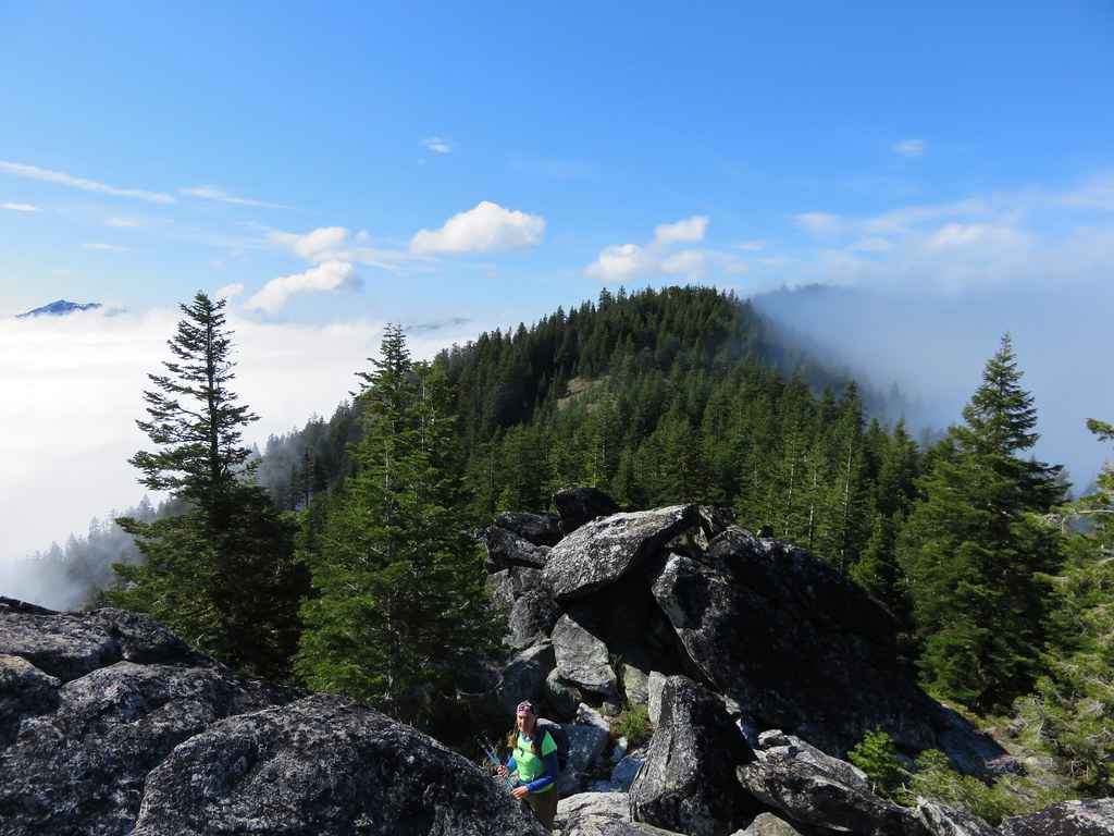
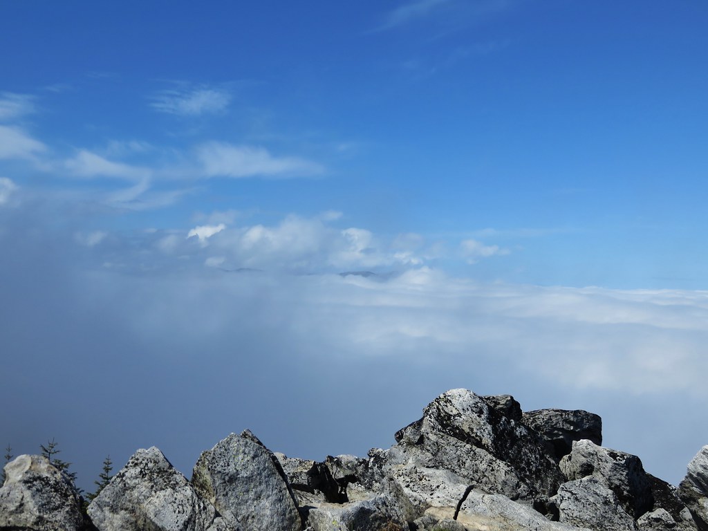
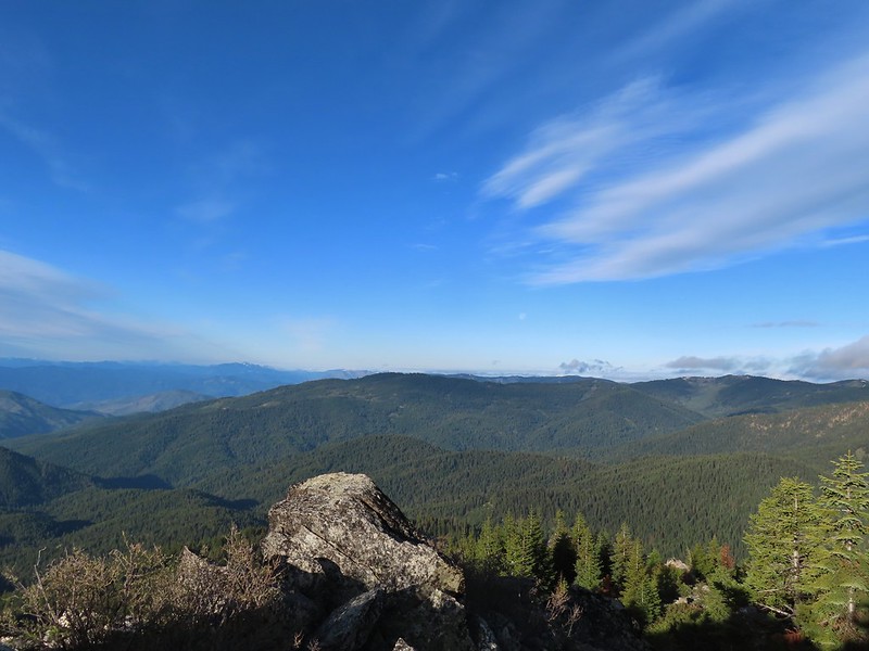
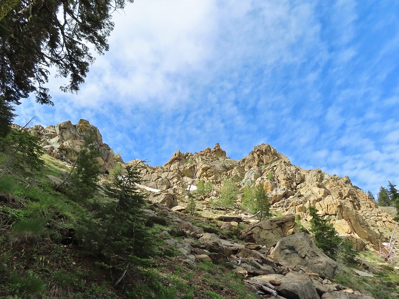
 The final rocky climb to the summit.
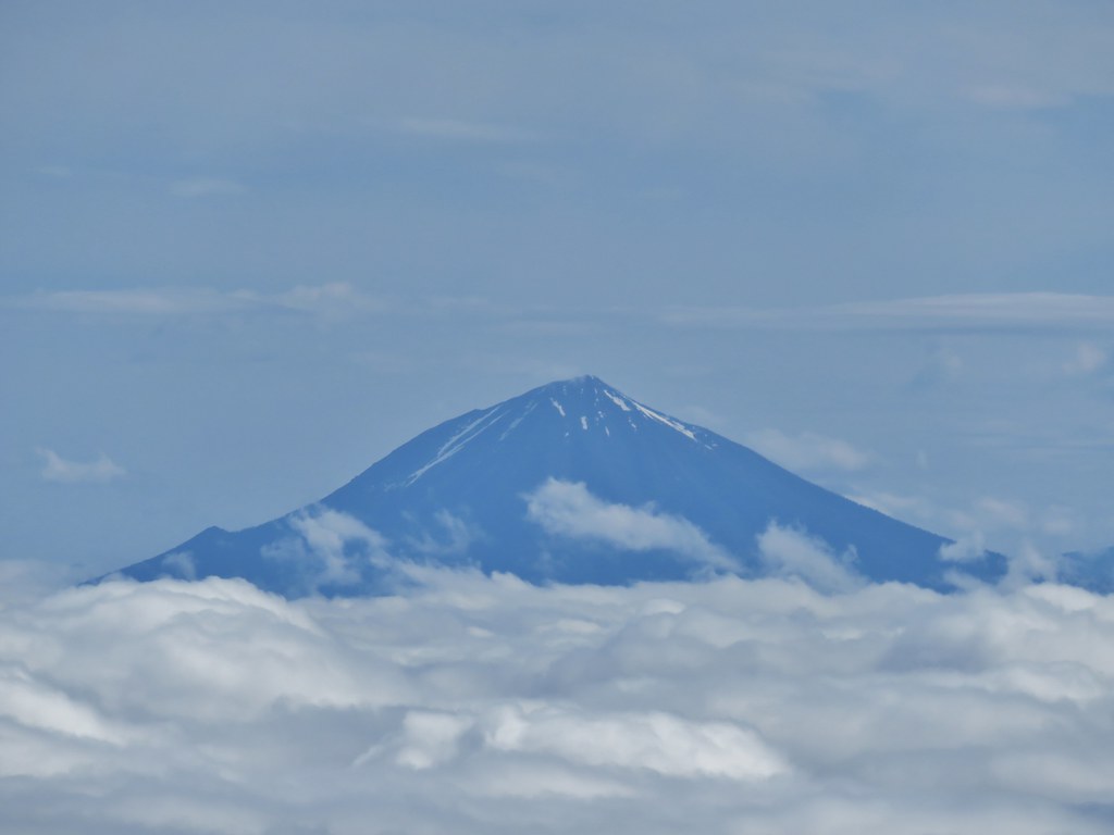
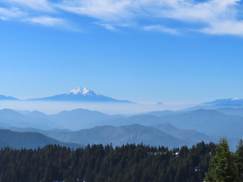
 Mt. Shasta from the summit.

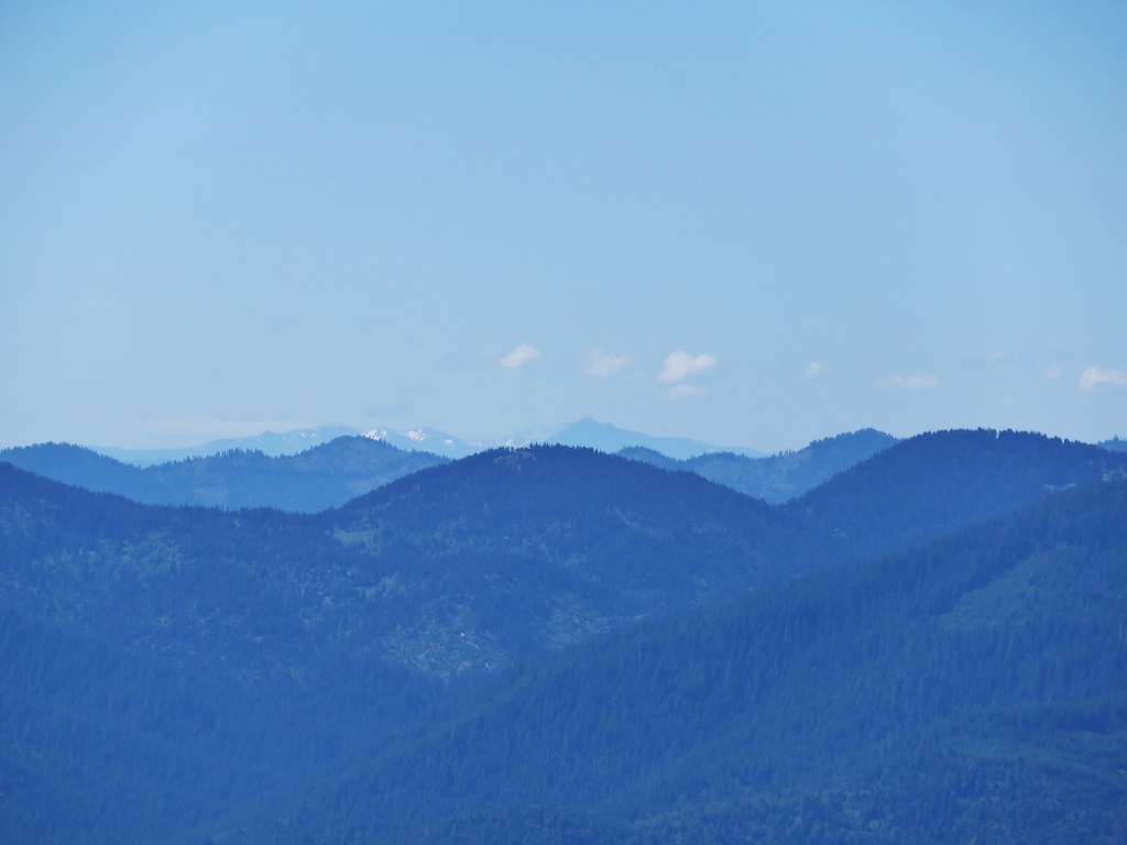
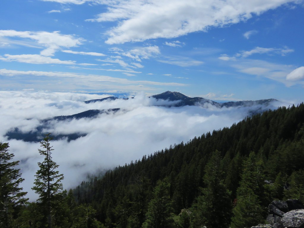
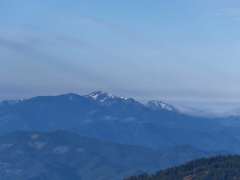
 The snowy Marble Mountains (post) with Observation Peak to the right.
 Some of the Marble Mountains.
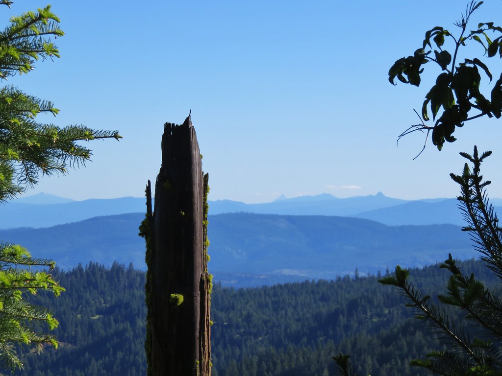
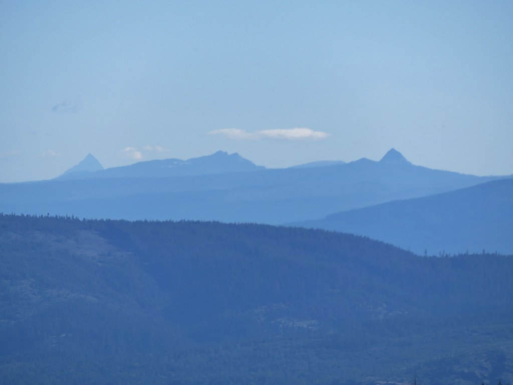
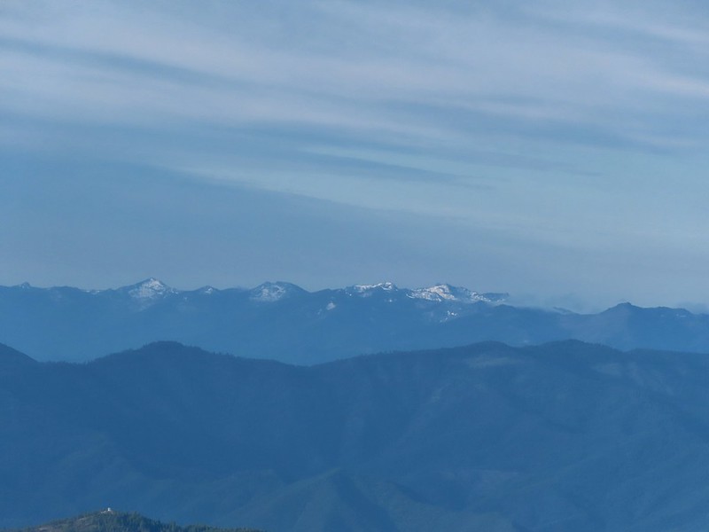 I believe these are peaks in the Russian Wilderness.
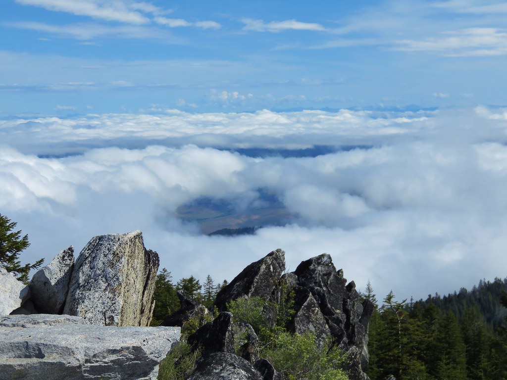
While this was a nice view, the view from Observation Peak had been just a bit better as from it you could see the Red Buttes which were now ironically hidden behind Observation Peak.
 Observation Peak and Big Red Mountain with Dutchman Peak in a cloud behind Big Red.
 Our shadows from the summit.
 Dutchman Peak emerged from the clouds to make an appearance over Big Red Mountain.
After a nice break at the summit we headed back to the PCT and returned to the 5-way junction.
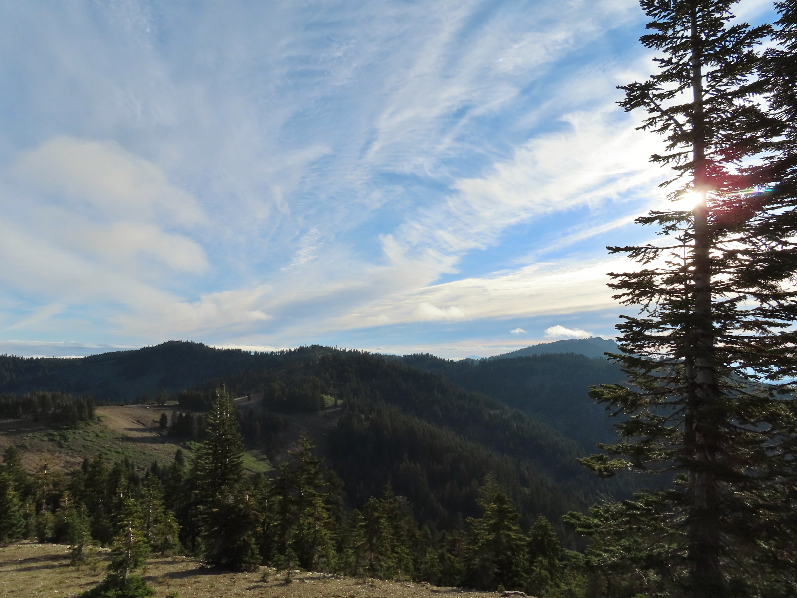
 Wagner Butte (post) on the left with the PCT on the hillside below FR 20. Mt. McLoughlin is behind the ridge middle right.
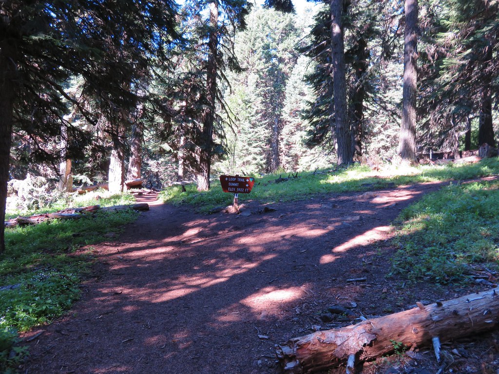
 Arriving at the junction.
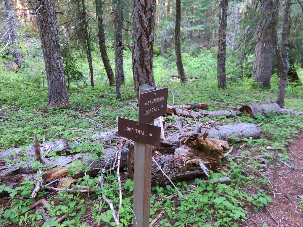
From the junction we had the option of following the PCT almost two miles to Siskiyou Gap or walking FR 20 for 0.7 miles. Sullivan didn’t show anything of particular interest along that stretch of PCT and when we saw that the section of trail began by heading uphill we both opted for FR 20.

 Trillium along FR 20.
 California Jacob’s ladder
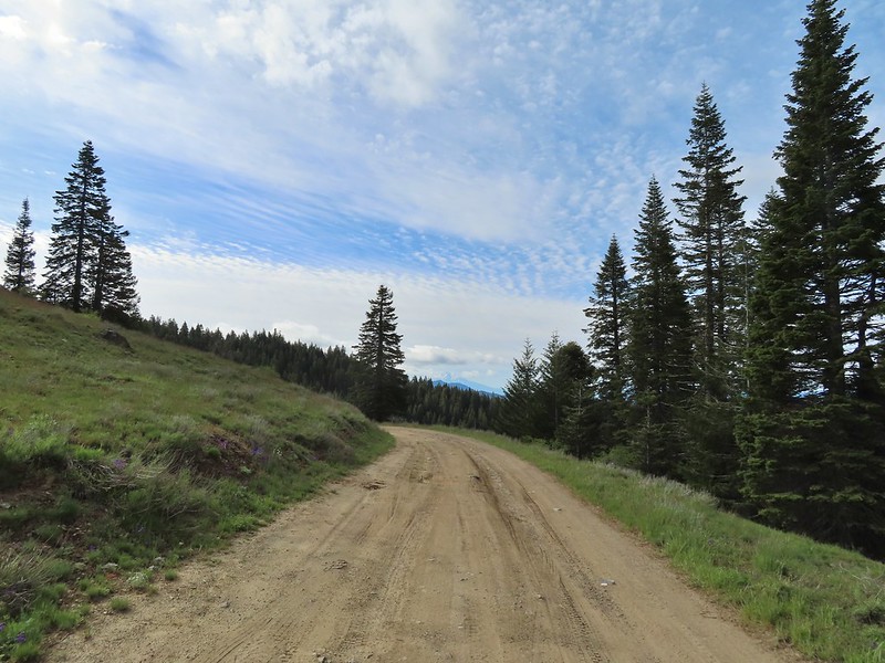
 FR 20 looking a little better here.
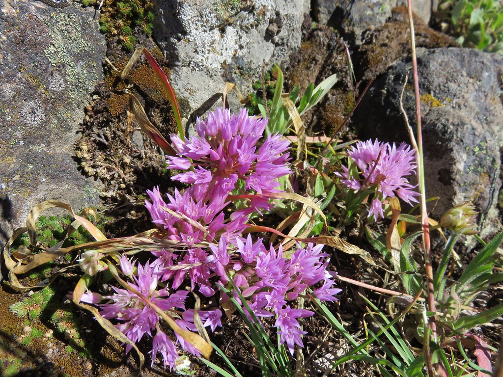
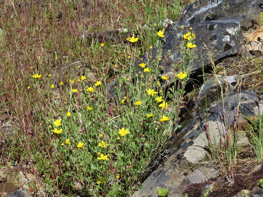
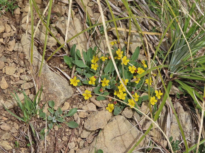
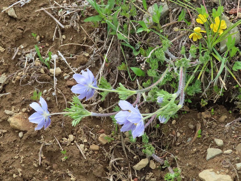
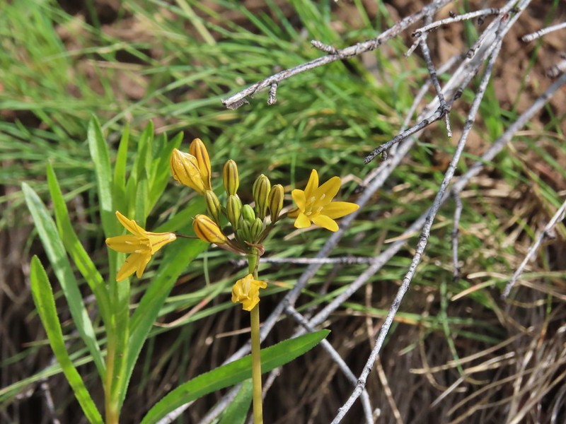 Pretty face
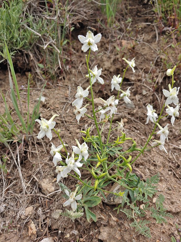 Larkspur
 Larkspur
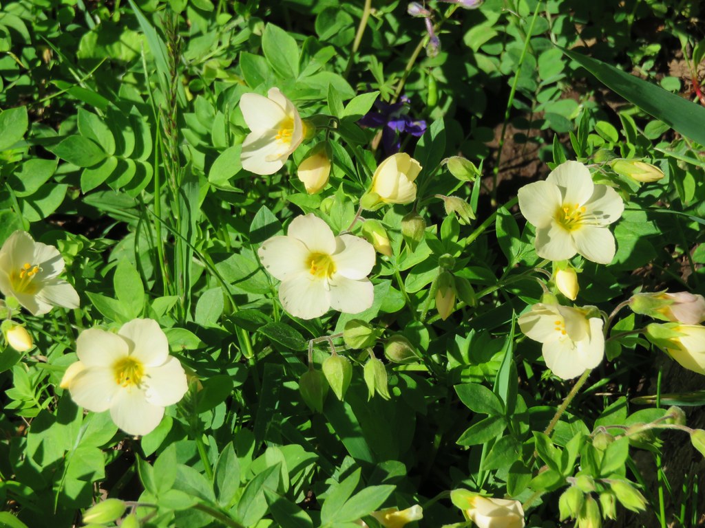
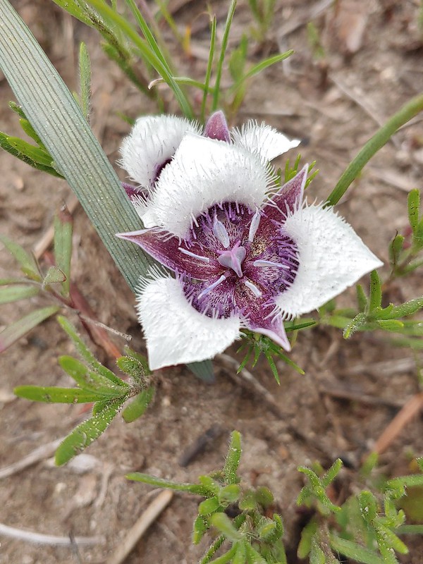 Mariposa lily
 FR 20 became a little rutted just before Siskiyou Gap.
 Mt. Shasta from the gap.
 Mt. Shasta
 Siskiyou Gap
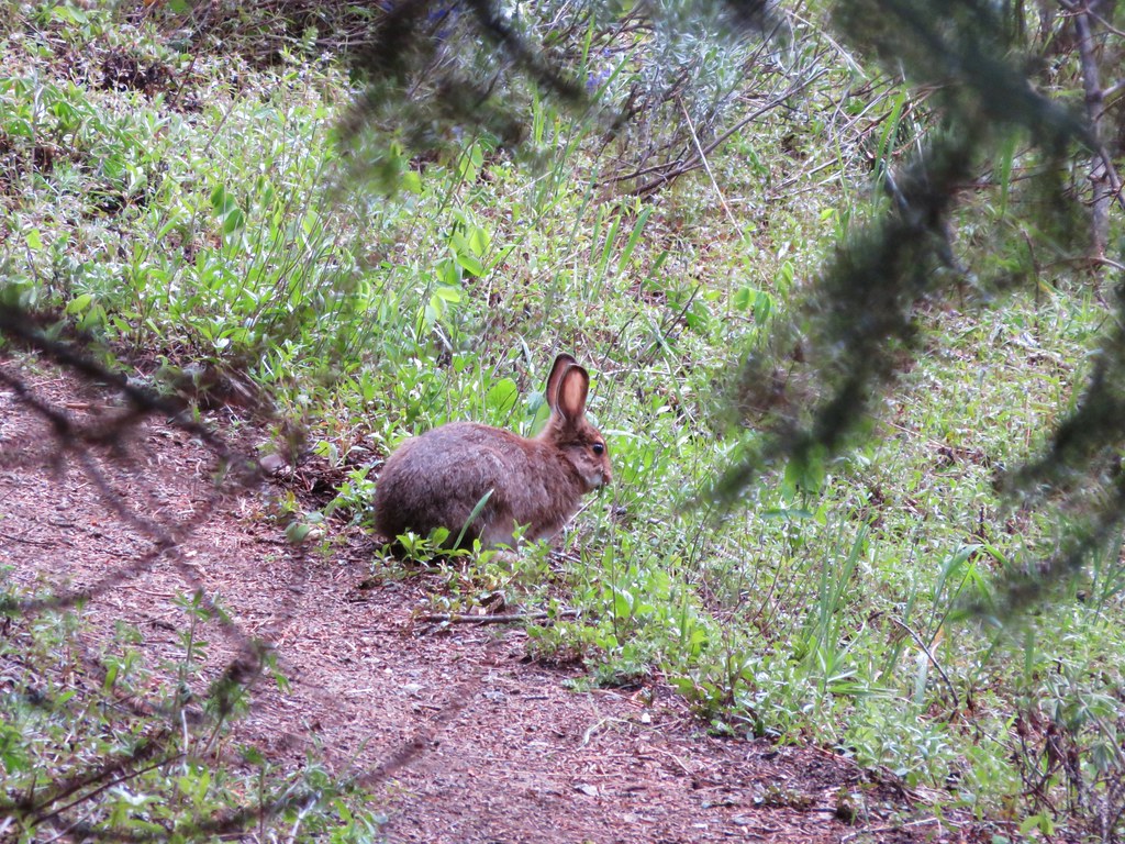
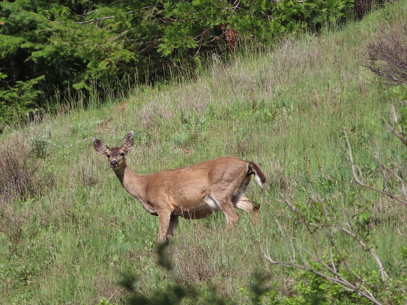
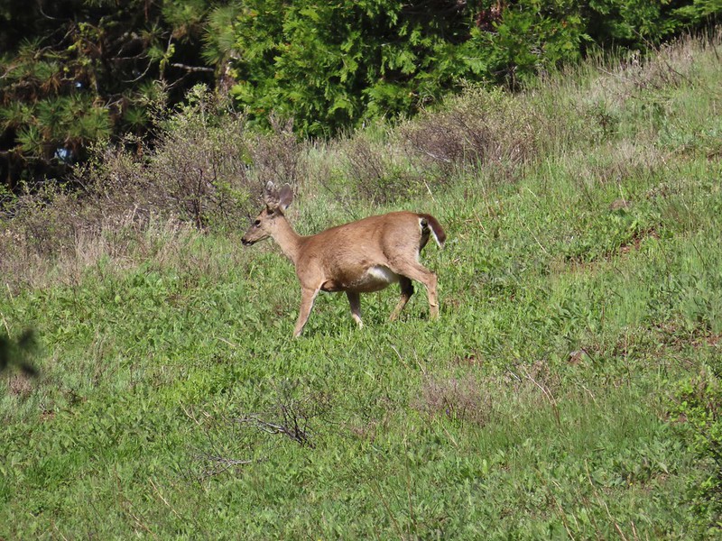
We headed uphill on the PCT from the gap and almost immediately spotted a doe who looked like she might be expecting.
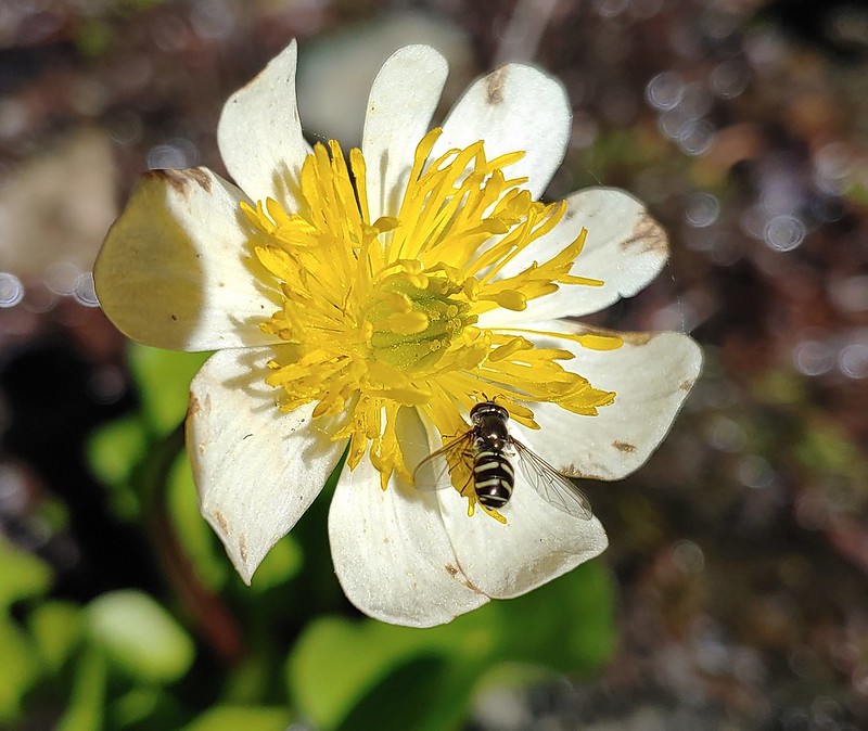
From the gap the PCT climbed steadily for a mile to a spring on a hillside filled with white Drummond’s anemone and yellow buttercups.

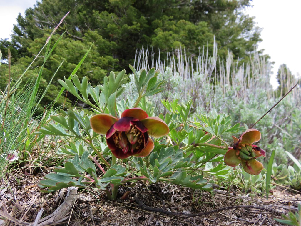
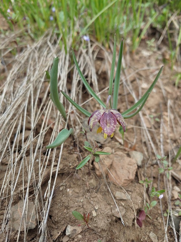 Chocolate lily
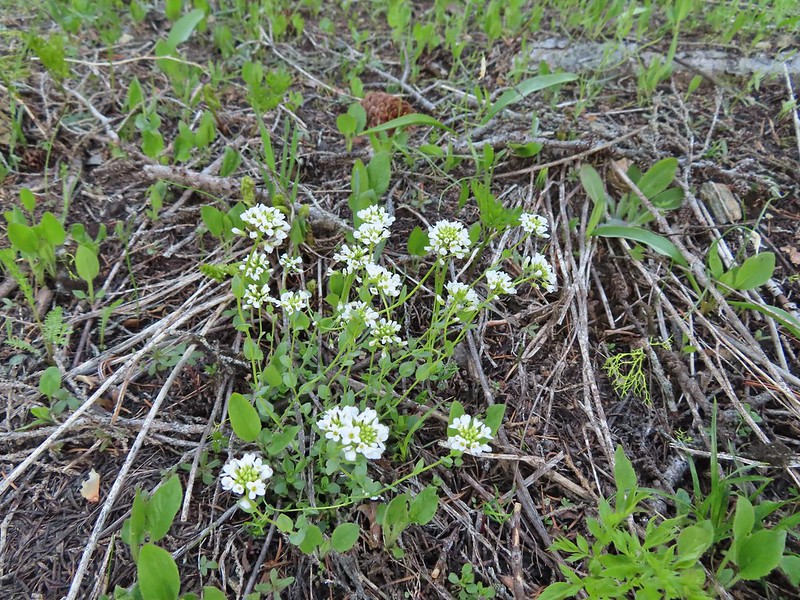
 Violets, larkspur and alpine pennycress.
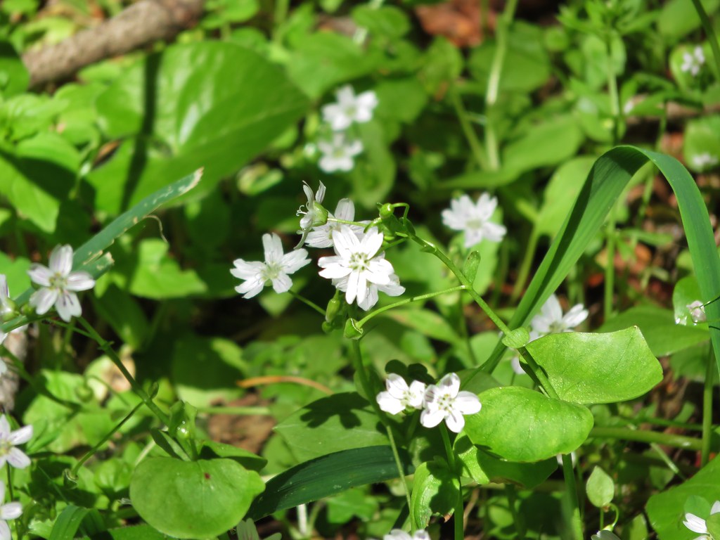
 Ballhead waterleaf
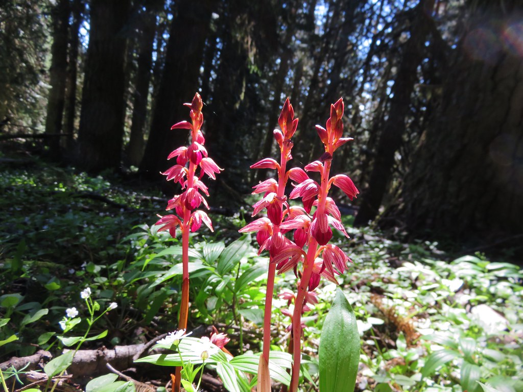
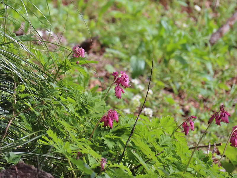 Bleeding heart

 A trickle of water flowing down over the rocks along the trail.


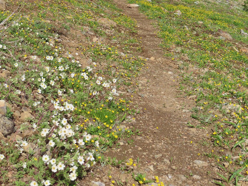 Anemones and buttercups
 It’s hard to tell just how many flowers there were from the photo but it was very impressive to the naked eye.
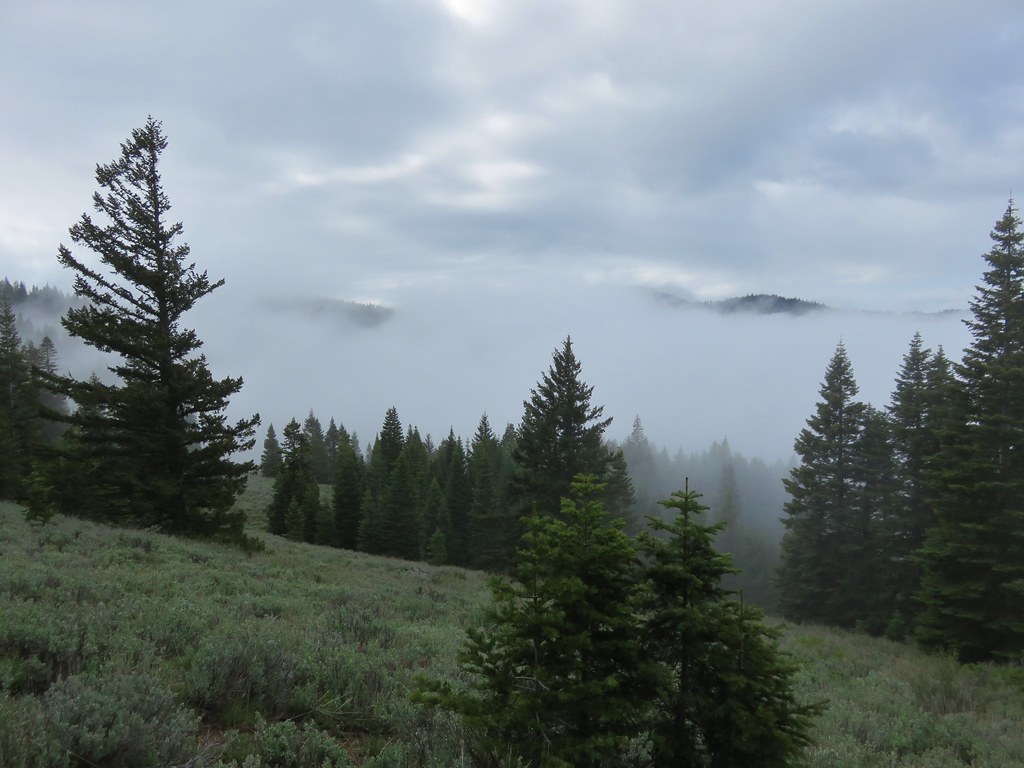
 A cloud over Wagner Butte which stayed this way the rest of the day.
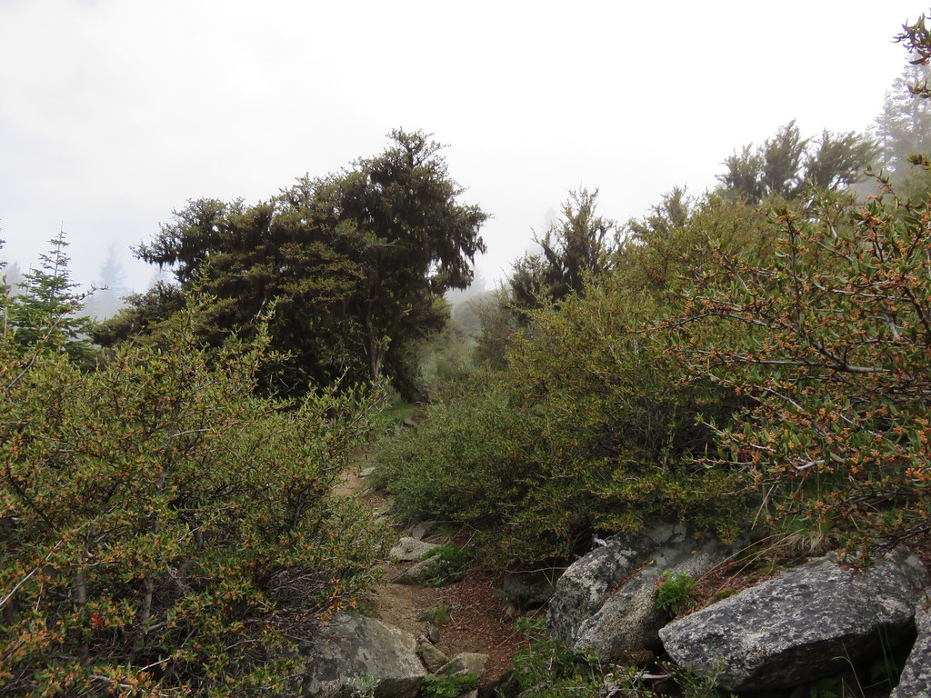
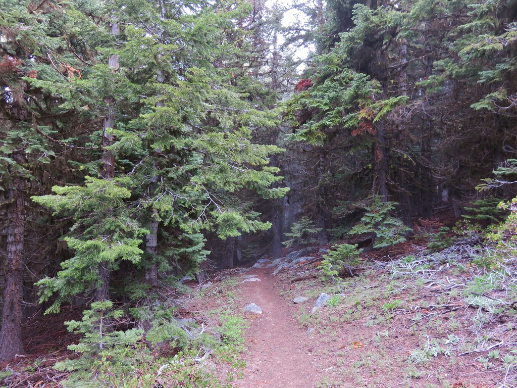
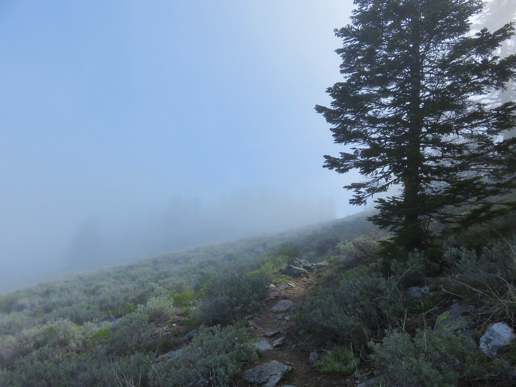
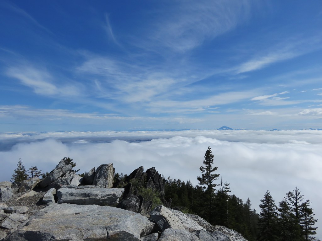
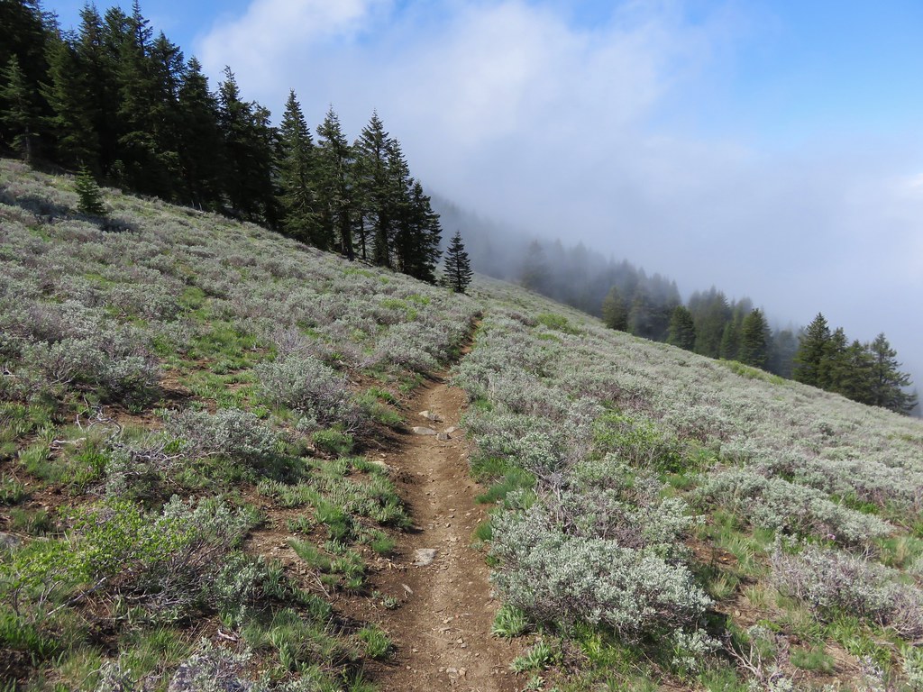
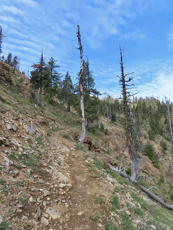
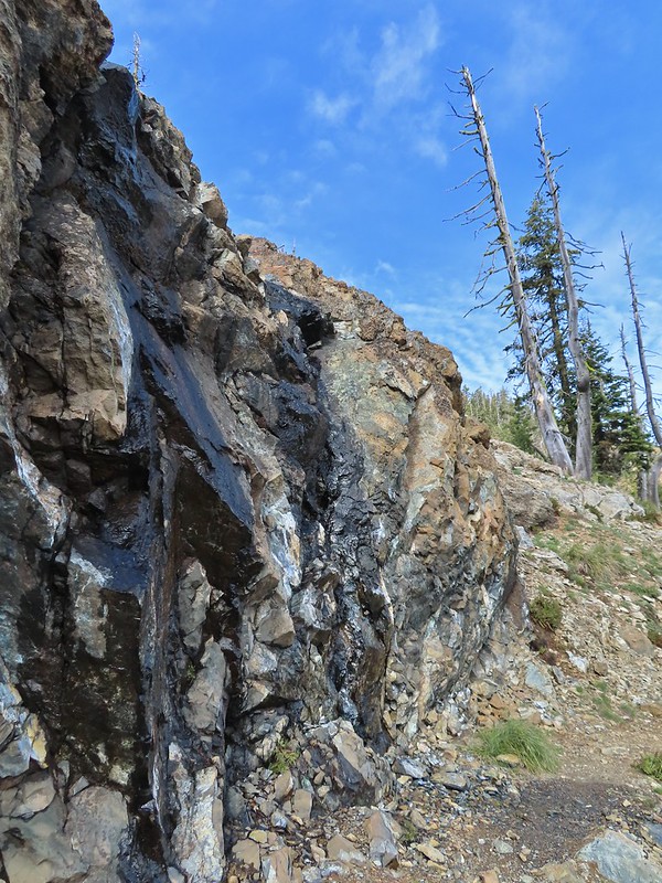
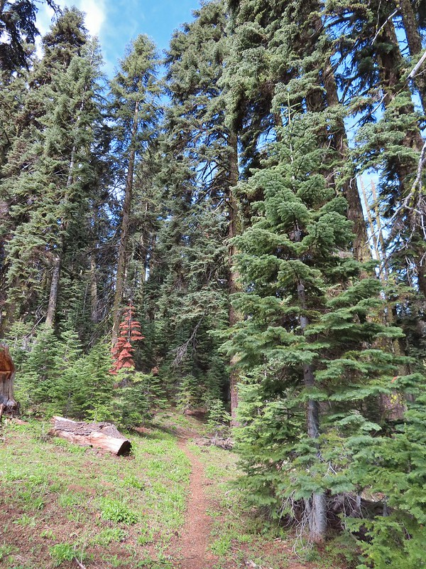
Beyond the spring the PCT reentered forest for a little over half a mile before trading the trees in for colorful rock cliffs.
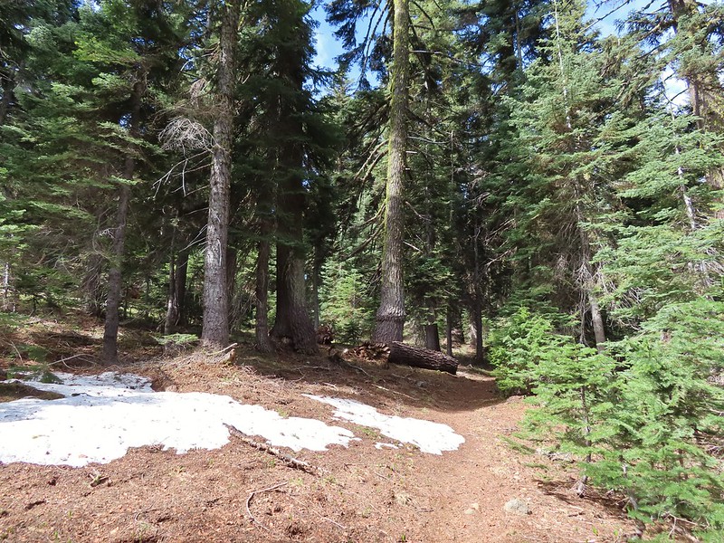 A few small patches of snow were all that was left along the PCT.
 Starting to leave the trees behind as the PCT passes below Big Red Mountain.
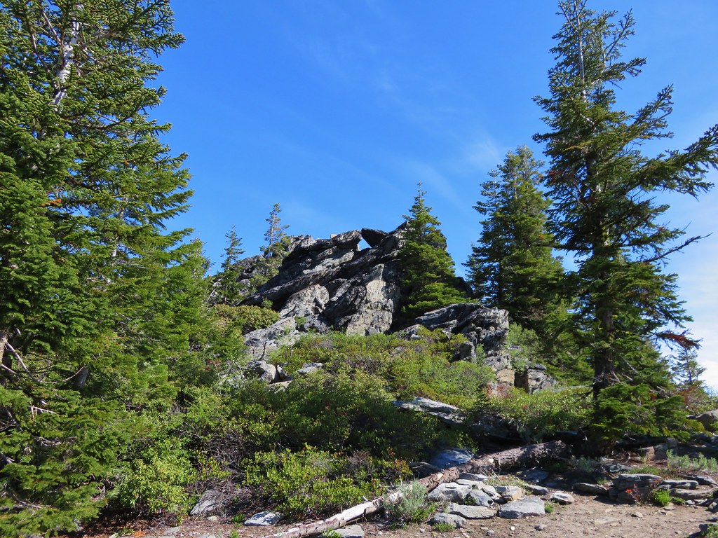
From the first set of big rocks which Sullivan refers to as “Crags” it was 1.3 miles to our turnaround point on a ridge above the Monogram Lakes.

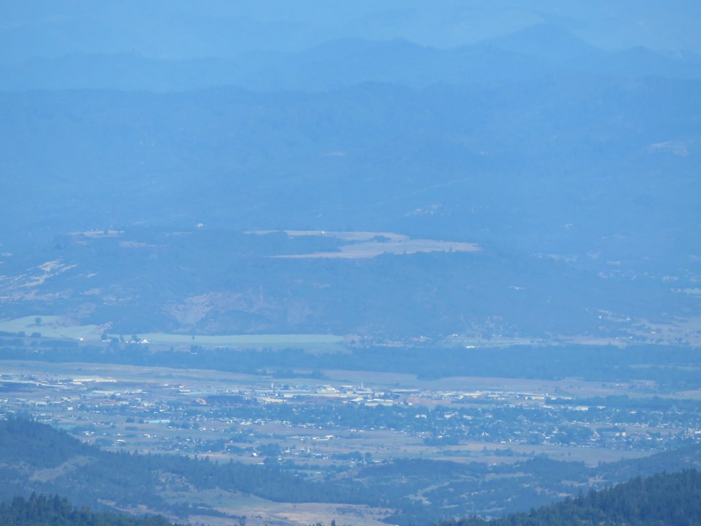
 Looking toward Medford to the NE.
 Upper Table Rock (post)
 You could see where this large chunk of rock used to be.
 Something budding out.
 Dummond’s anemone – the blueish/purplish hue on some was quite pretty.
 Violets
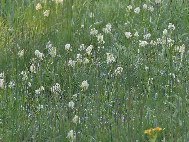
 There was a decent sized beargrass meadow along this section which appeared to have bloomed last year.
 Anemones
 A saxifrage
 Siskiyou Peak from the trail.
 Splithair Indian paintbrush and a lomatium.
 Phlox
Phlox
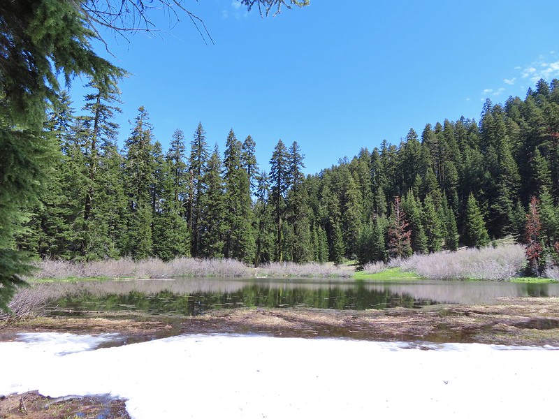
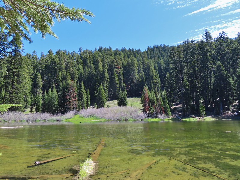
 A small green pond and two of the Monogram Lakes.
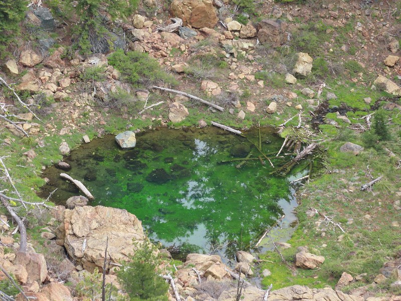 The green pond.
Sullivan mentioned an old mine cart located between the PCT and the lakes and described how to find it so I decided to give that a try while Heather took a break on the ridge. I followed the PCT downhill a tenth of a mile and set off cross country along the ridge to a snag with cable wrapped around the bottom (this was visible from the PCT but it took a while to spot).
 Looking down the ridge.

I continued down the ridge past the cable until I came to a pit where an old mining trail led back along the cliffs below the cable.
 Heather sitting up on the PCT while I made my way down the ridge.
 The pit with the mining trail on the far side.
 Old mining trail.
 The mining cart.
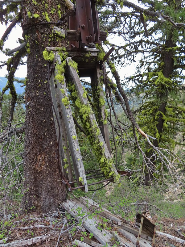
 Cable running up to the snag.
I climbed back up to Heather and we headed back stopping along the way to admire the many wildflowers.


 I spotted something moving down in the meadow here.
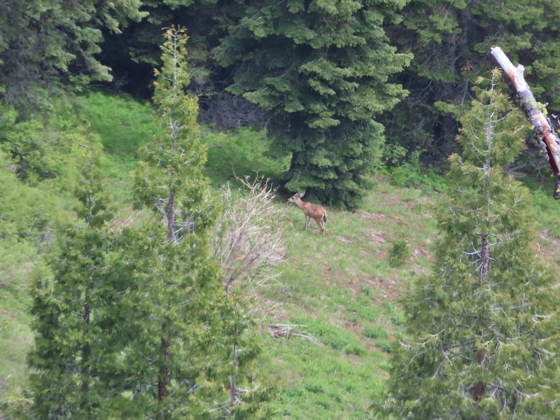 Had too use a lot of zoom to determine it was a deer.
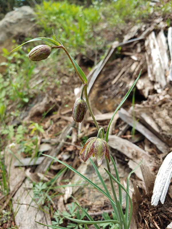 Chocolate lily
 Mt. Shasta and Black Butte from Siskiyou Gap on the way back.
 Our final view of Mt. Shasta this trip.
 Mt. Eddy (post)
We were happy to see that none of our tires were flat (or even appeared all that low). We drove back down to Ashland and stopped at the Les Schwab. They added some air to the tires which took care of the light by the time we’d gotten back to the motel. Since it hadn’t started raining yet we decided to walk back to Caldera Brewing to try some different beers, split an appetizer and get dessert. It had indeed clouded up but for the most part the clouds had been high enough not to adversely impact the views. As a bonus they kept the temperature down making for a comfortable 12.6 mile hike with approximately 2250′ of cumulative elevation gain.

Happy Trails!
Flickr: Siskiyou Peak & Gap

 The PCT heading south from the Stateline Trialhead
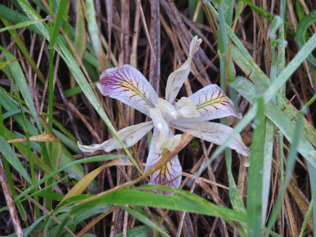
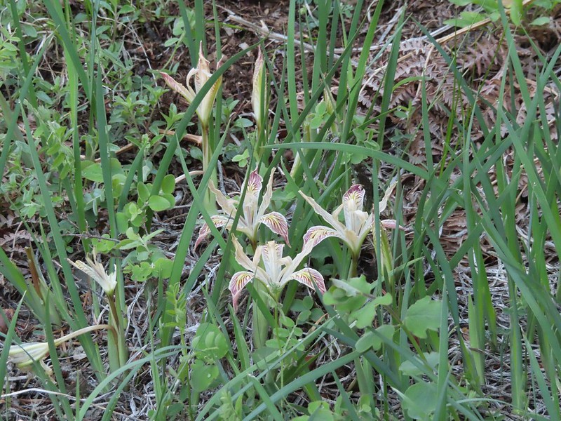 Iris
Iris
 A register is located 0.4 miles from the trailhead at the Oregon/California border.
 We were long overdue for a visit to California, our last hike in the state was way back in 2018 at the Lava Beds National Monument (
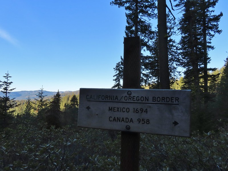 A good reminder of how much of the PCT is located in CA.
 Pussytoes
 First look at Donomore Meadows.
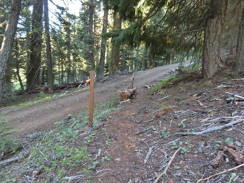 This road crossing is just over a mile from the trailhead. The Donomore Cabin is just up the road to the right.
 The cabin was built in 1935.
 The meadow below the cabin.

 Death camas in the meadow.


 Mariposa lily
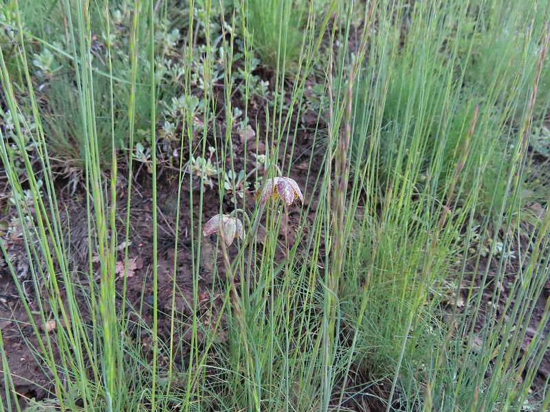 Chocolate lily
 Cinquefoil?
 Violets
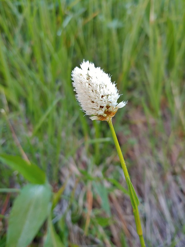 Bistort
 Heather passing through the meadow.
 There wasn’t much to the brushy creek but it made for a definitive turnaround point.
 California ground cone
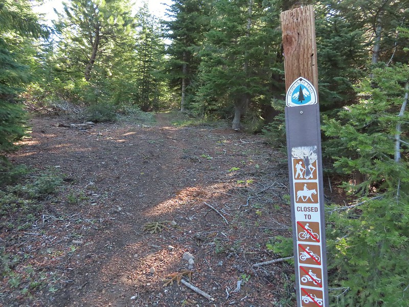 PCT heading north from the Stateline Trailhead.
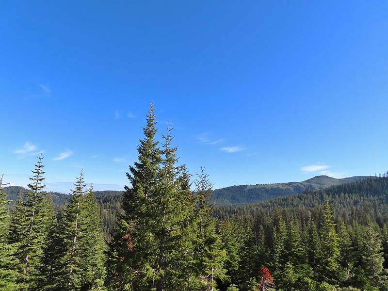
 Pasque flower
 Grayback Mountain in the distance with a small patch of snow.
 One of three springs the trail passes on the way to Observation Peak.
 Marsh marigolds
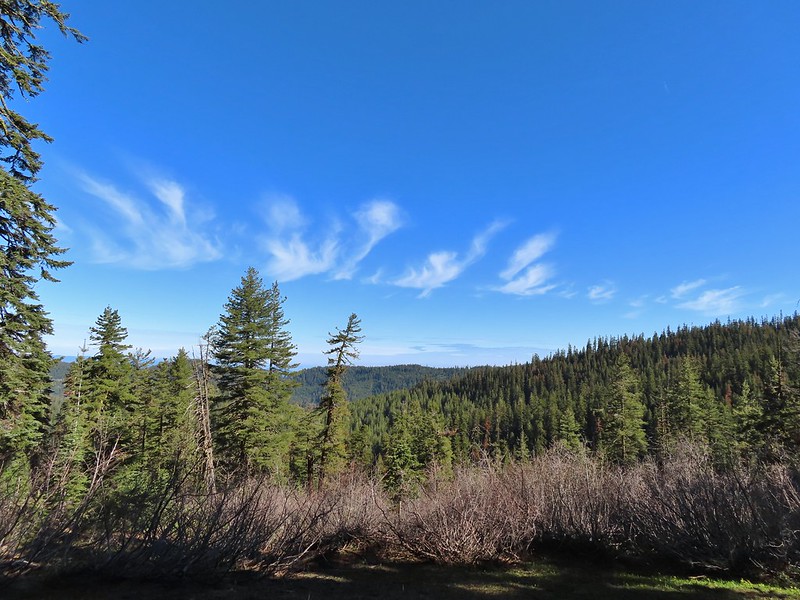
 Alpine pennycress
 Another spring with marsh marigolds and glacier lilies.
 Scraggy Mountain
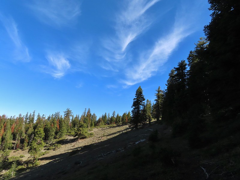
 Looking SE to the Red Buttes (
 Kangaroo Mountain and Red Butte with Preston Peak, Twin Peak and El Capitan behind in the Siskiyou Wilderness.
 View south.
 Part of the Marble Mountains (
 Kettle Lake through the trees.
 Heading up to the ridge.
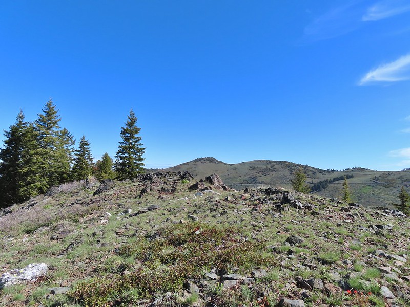 Dutchman Peak from the ridge.
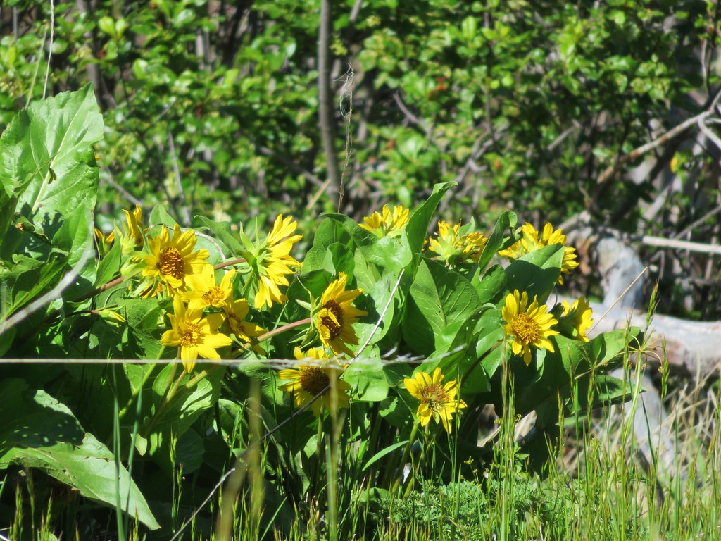
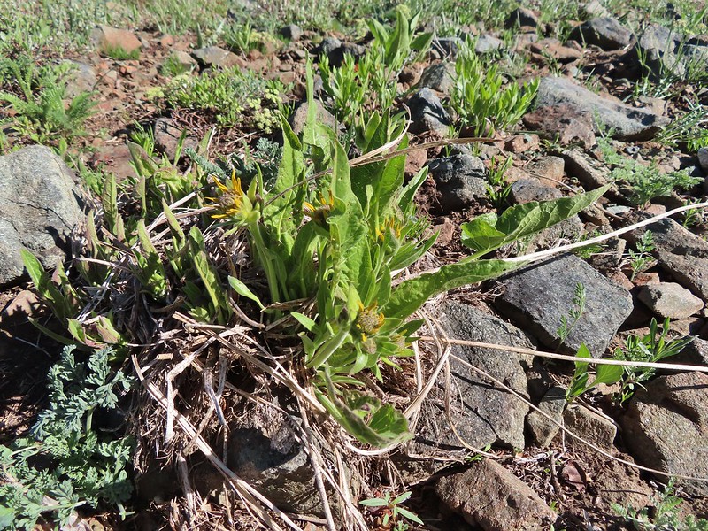 Not sure if these are mule’s ears or a balsamroot.
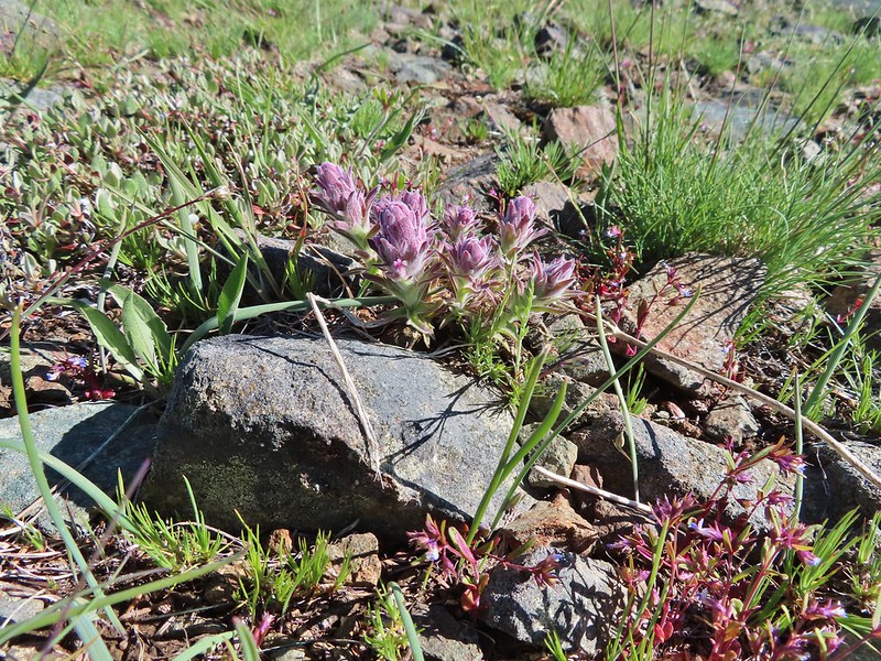 Splithair Indian Paintbrush (Castilleja schizotricha)
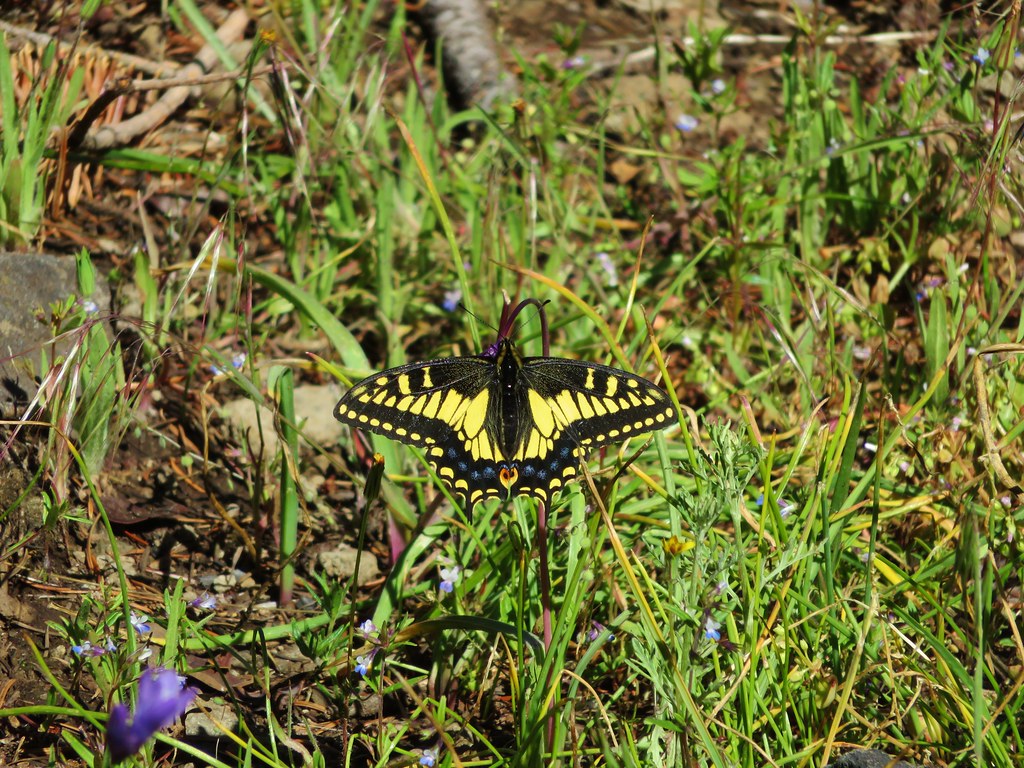
 Swallowtail on phlox.
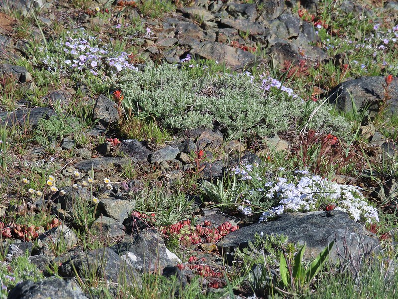 Wildflowers on the ridge.
 Cutleaf daisy?
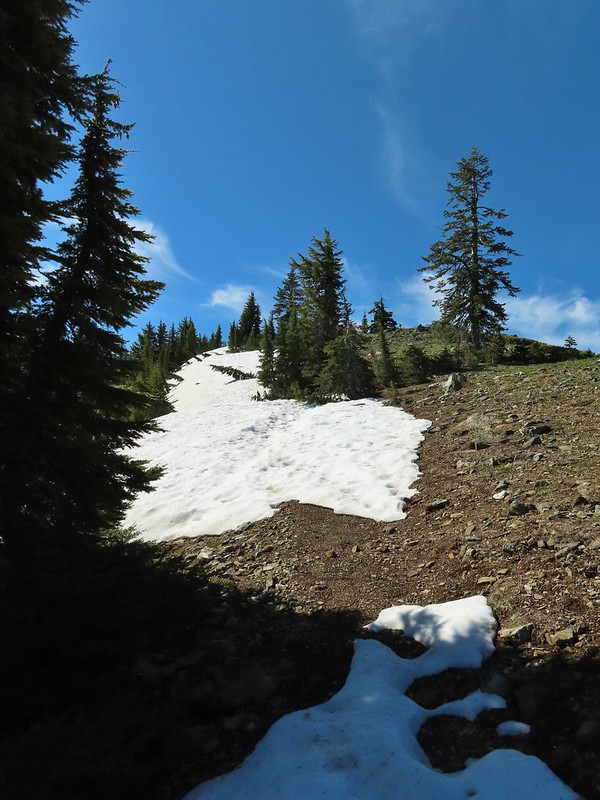 Snow drifts covering the PCT.
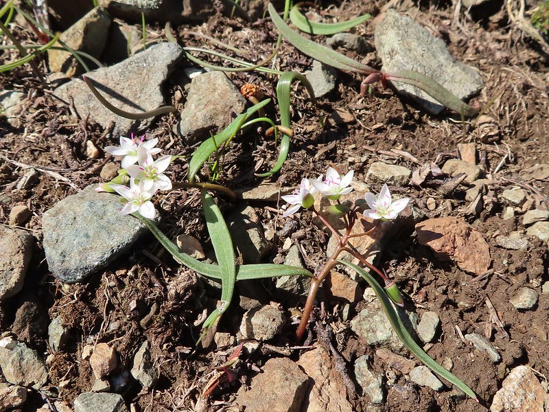 Lance-leaf Spring Beauty
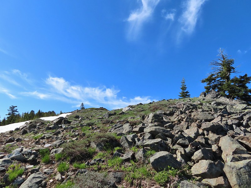 Heading for the summit.
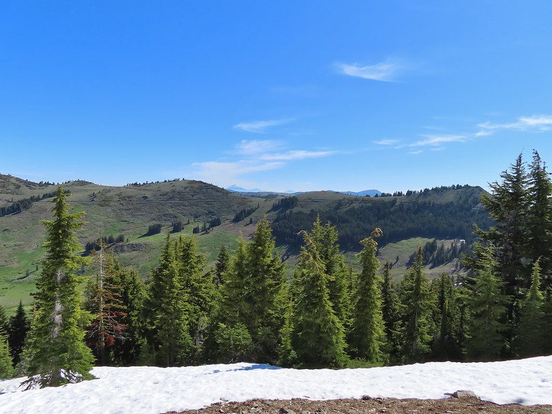

 Pilot Rock (
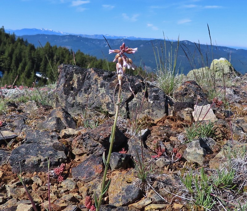 A rockcress
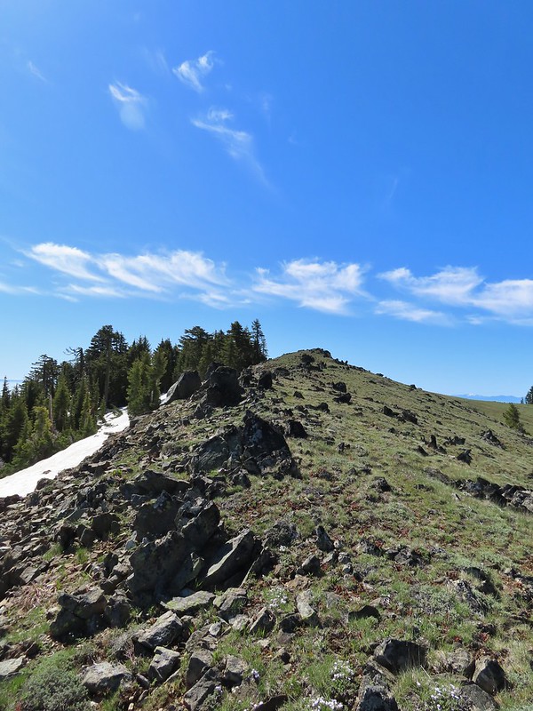

 Mt. Shasta above a layer of smoke that mostly hid Black Butte (
 I think these peaks are a mix of the Russian Wilderness in the forefront and Trinity Alps behind. Bruce correct me if I am wrong on that :).
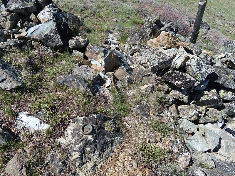 Rock pile at the summit.
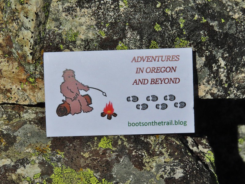 Our big find. I took a couple of pictures and put the card back for someone else to find (and added one of ours).
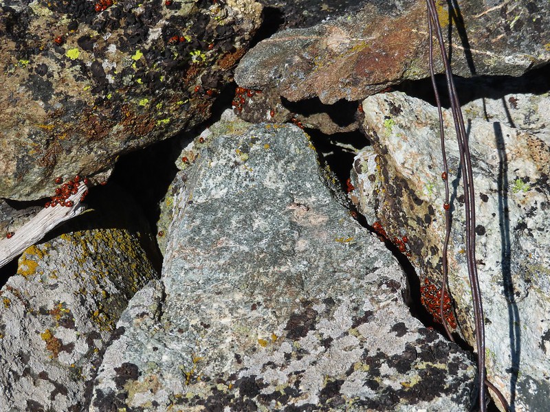 There were dozens of ladybugs in the rock pile.
 One of many photos of Mt. Shasta. We don’t get too many chances to see this Cascade Mountain.
 We could see Mt. Thielsen (
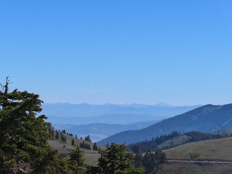 The peaks around the rim of Crater Lake.
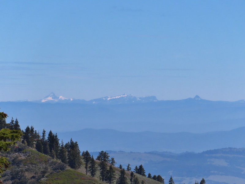 Mt. Thielsen to the left of Crater Lake.
 Mt. Bailey (
 The Red Buttes in front of Preston Peak.
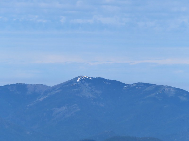 Grayback Mountain
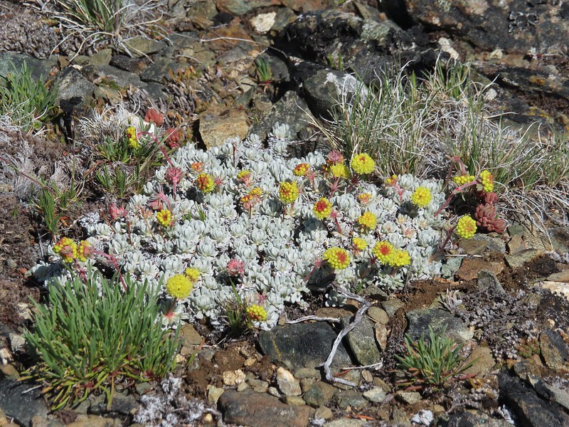 Buckwheat
 Alpine pennycress
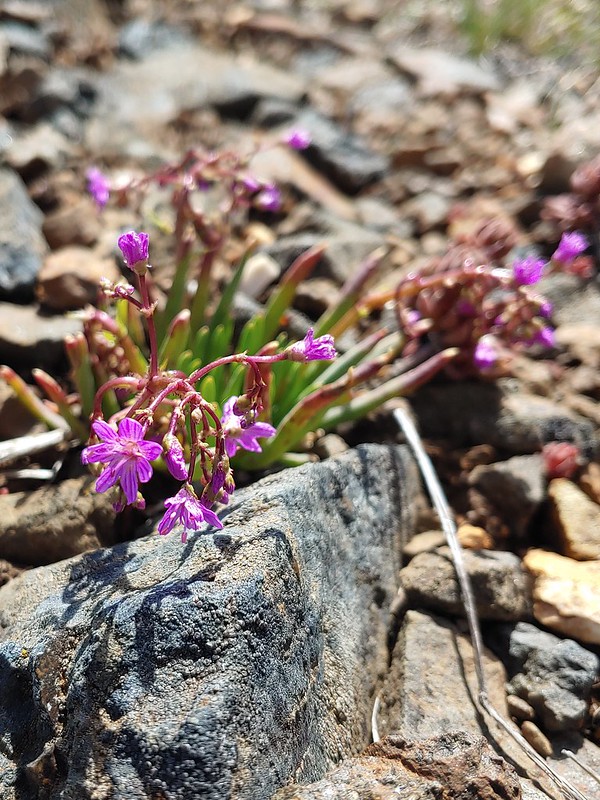 Quill-leaf Lewisia
 Larkspur
 Chipmunk having a snack.
 One of two hairstreaks we encountered on the PCT.
 The 2nd hairstreak.
 Where I left the PCT.
 Lots of this orange fungus in the forest.

 Bee on a marsh marigold.
 Glacier lily
 Trillium
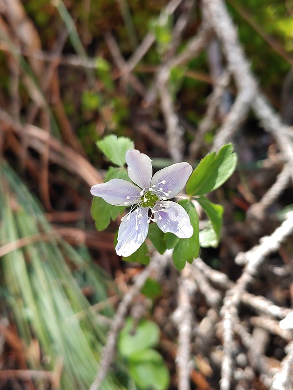 Anemone
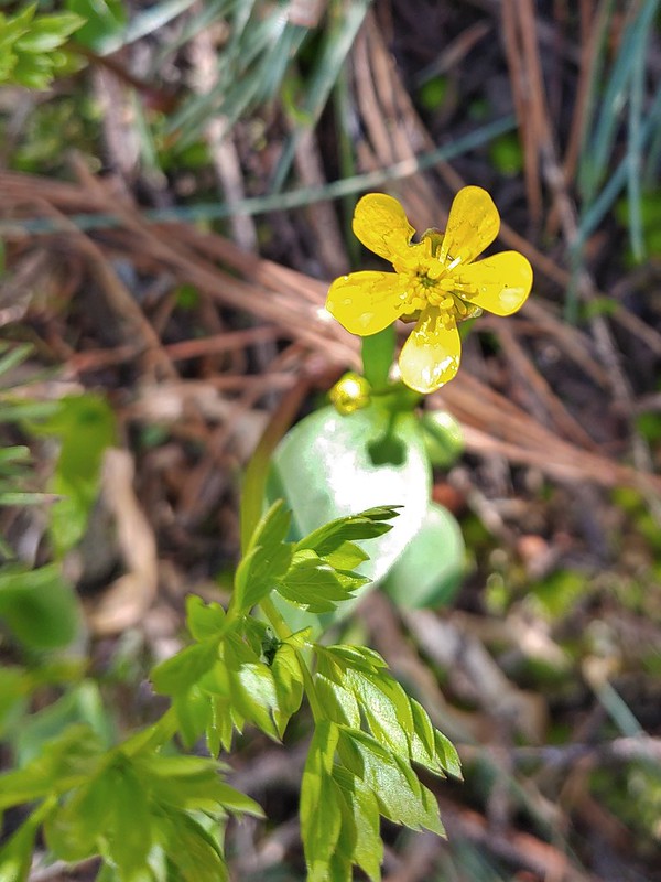 Buttercup?
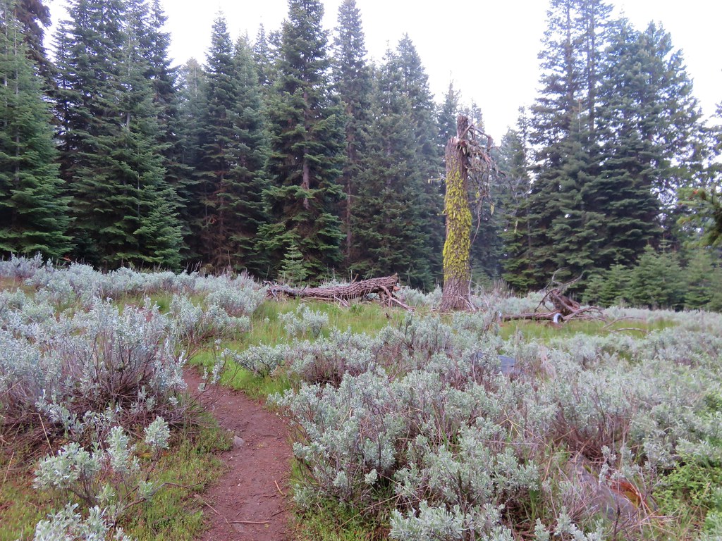
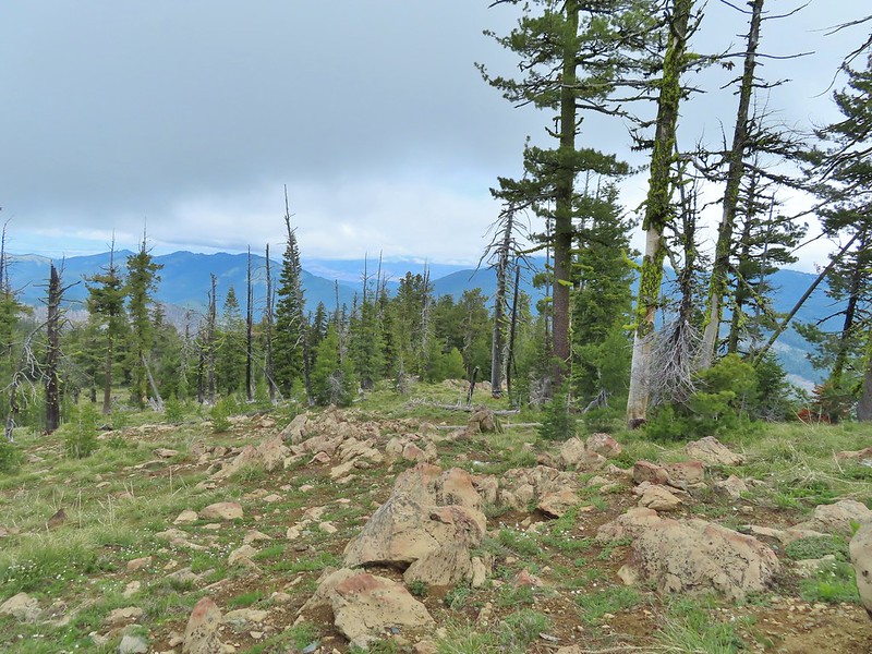
 Passing through the manzanita section.