Categories
Hiking Klamath/Siskiyou Mountains Oregon Trip report

Wagner Butte

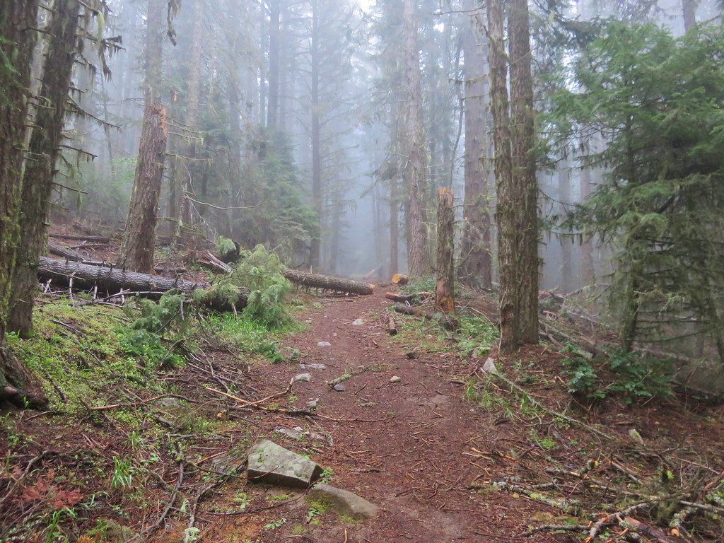
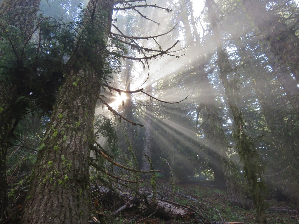
We continued our exploration of the trails around Ashland on the fourth day of our trip. Our destination this time was the former lookout site atop 7140′ Wagner Butte. This trail sometimes does not open until mid-June due to snow but this year that wasn’t an issue. What could have been an issue was a forecast that called for a slight chance of thunderstorms. We checked the forecast once more before leaving in the morning and the possibility of thunder storms had been removed although it still called for mostly cloudy skies. The drive to the trailhead was indeed through thick fog and once again we were setting of on a trail in the clouds.
IMG_3446

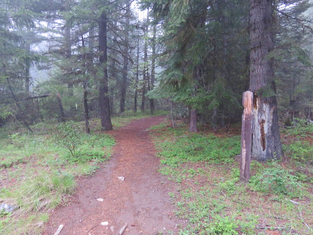
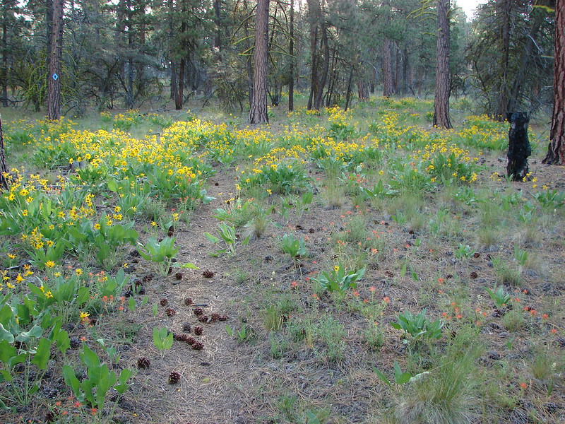
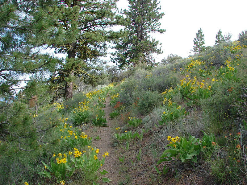
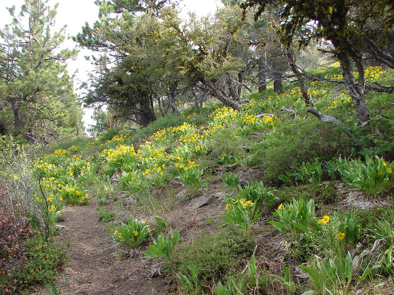
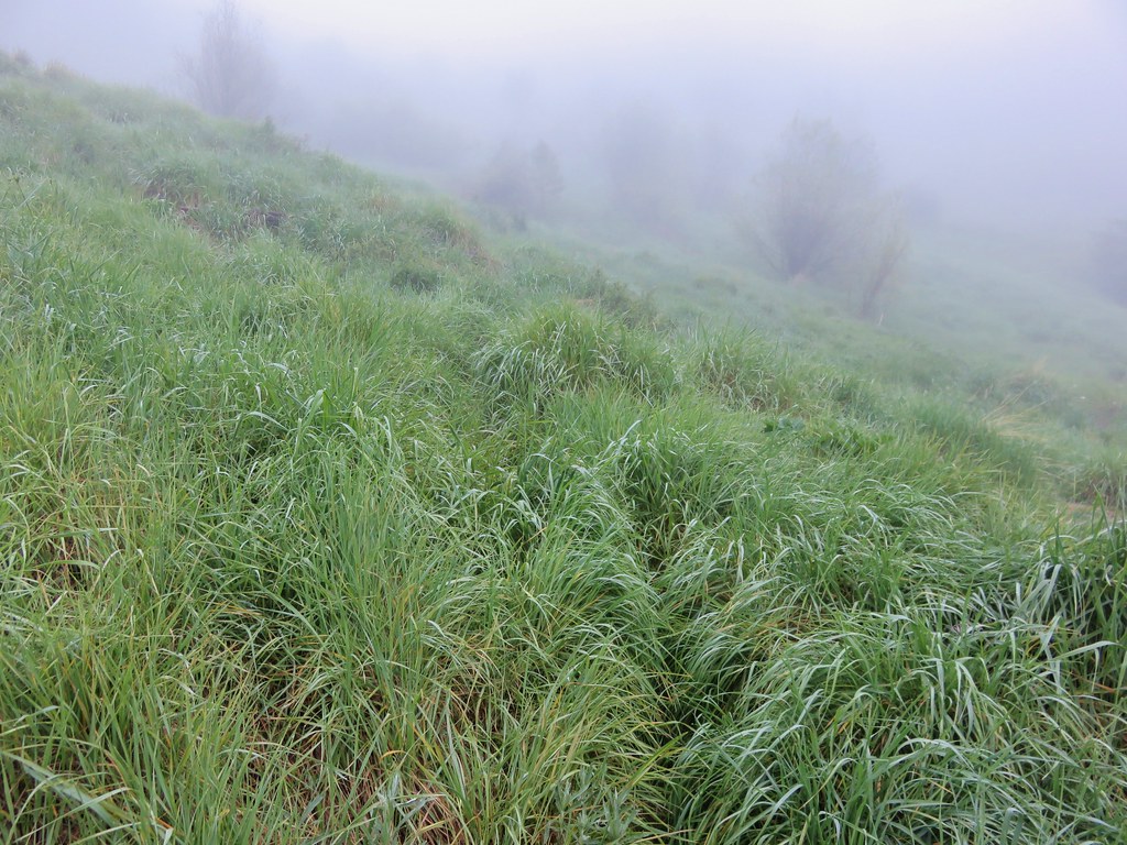
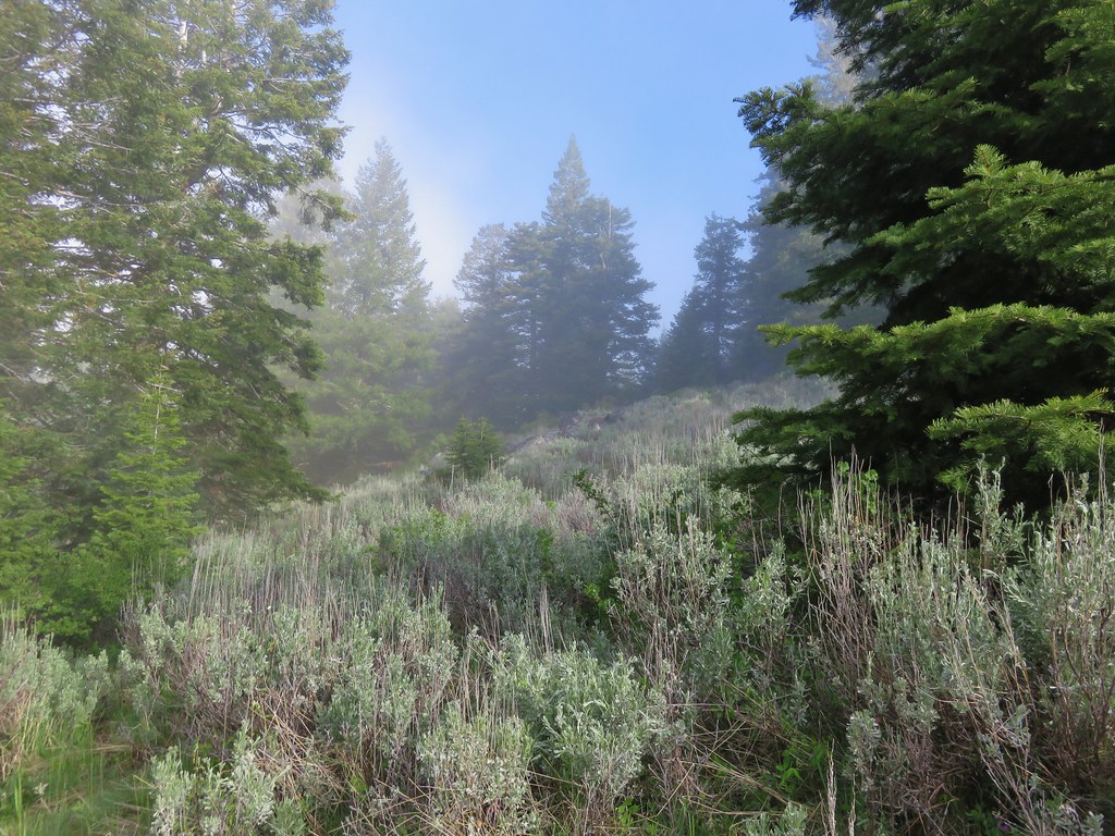
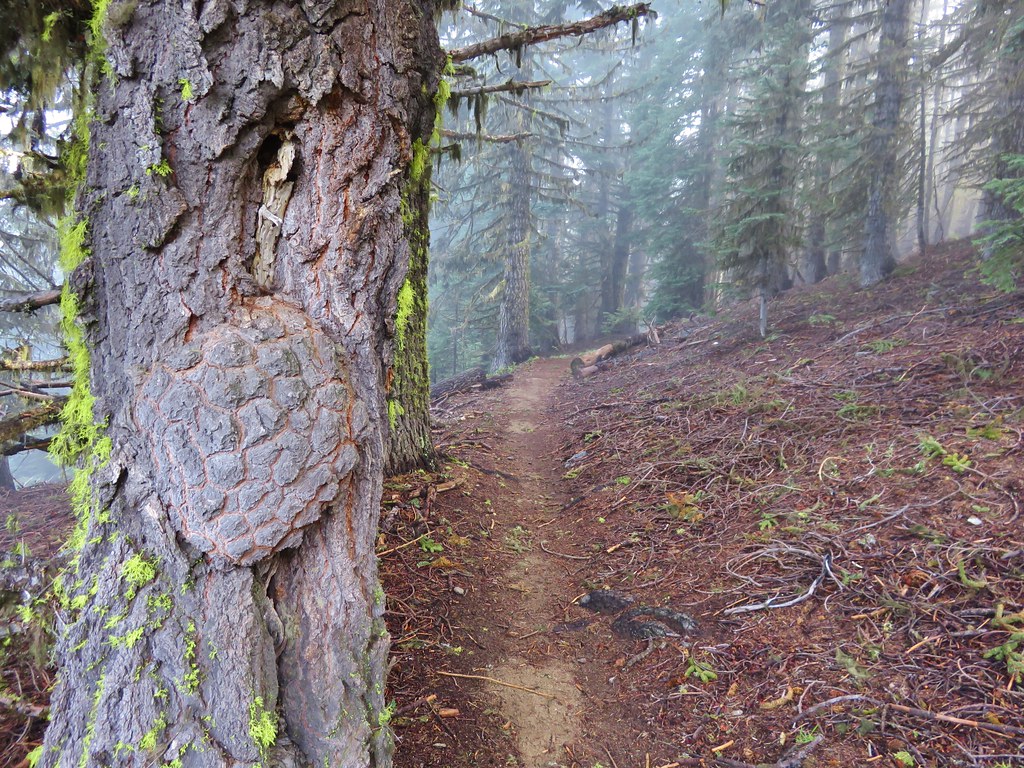
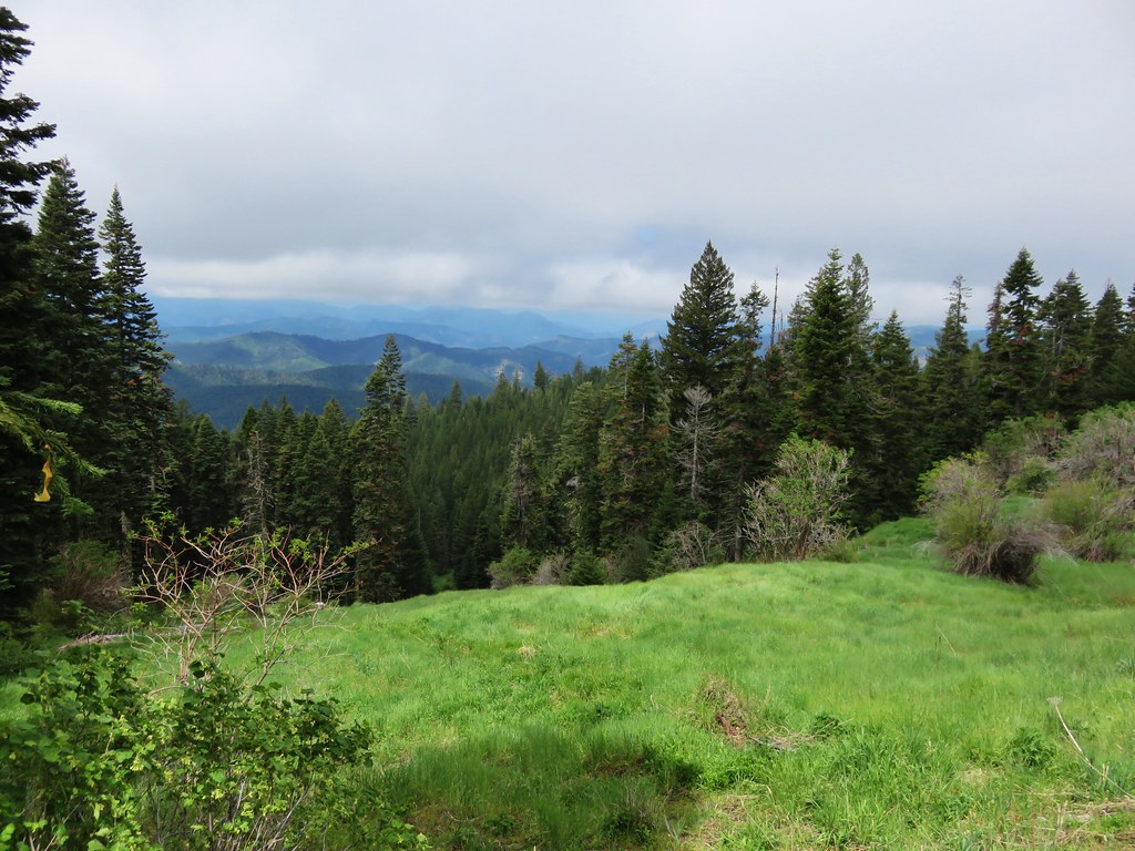
The trail climbed for almost a mile along an old road before leveling out through a series of meadows.
IMG_3470

IMG_3472

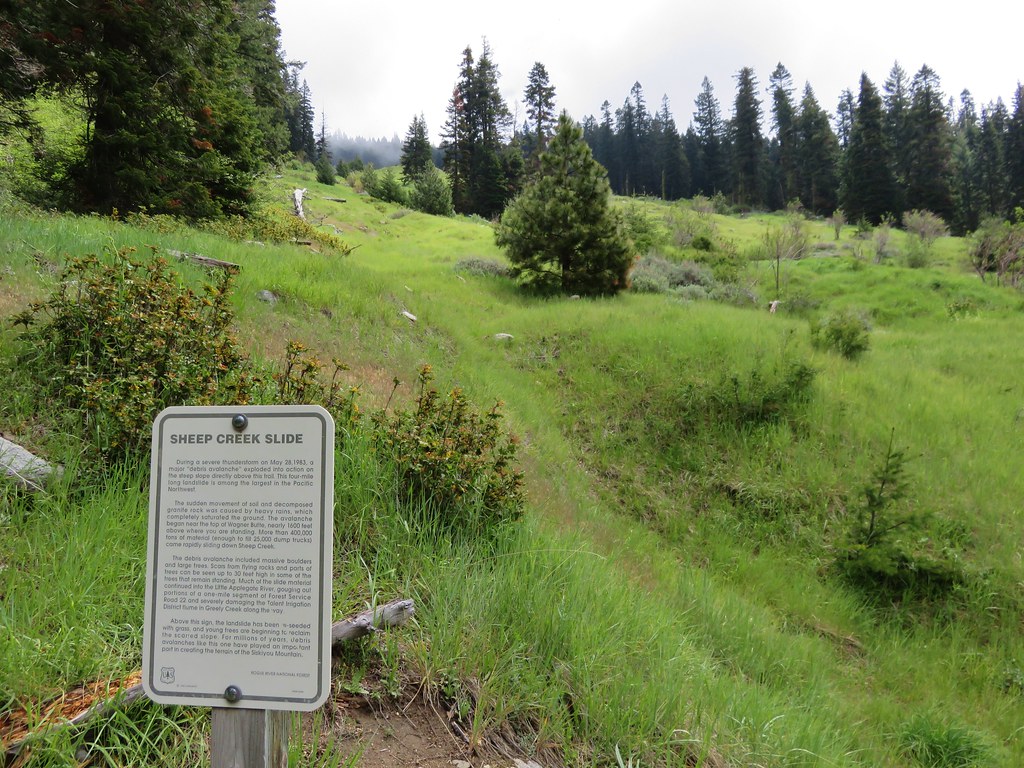
The largest meadow having been created in 1983 by the Sheep Creek Slide when 400,000 tons of debris slid down from high up on Wagner Butte.
IMG_3478

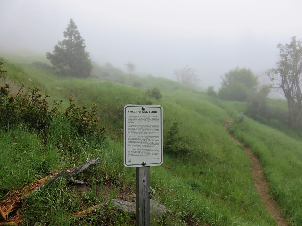
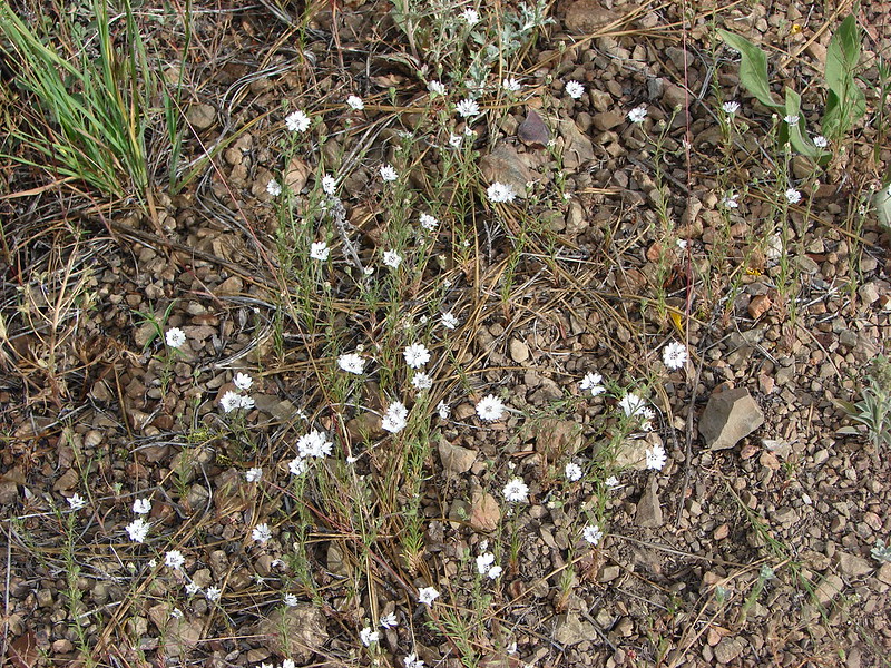
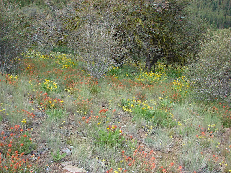
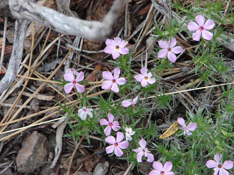
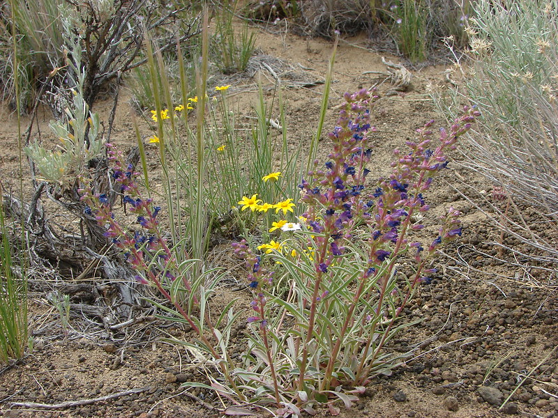
There weren’t many flowers yet in the meadow but we could easily see how it would be an impressive show once the bloom began.
IMG_3481

IMG_3480

IMG_3482

IMG_3489

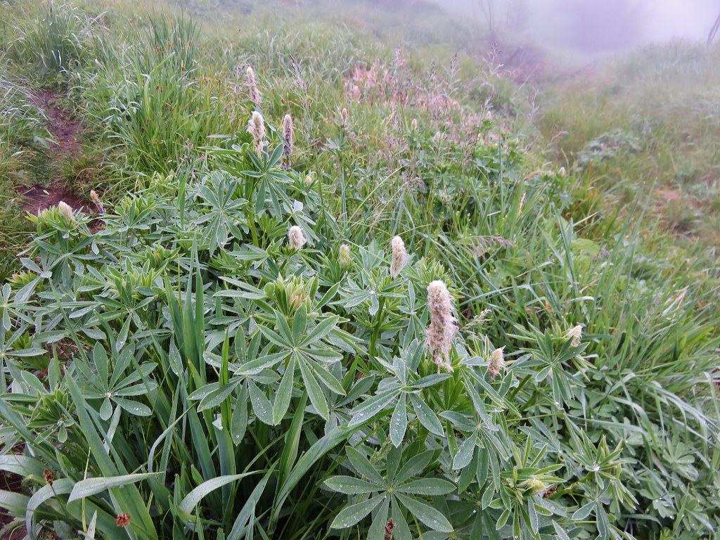
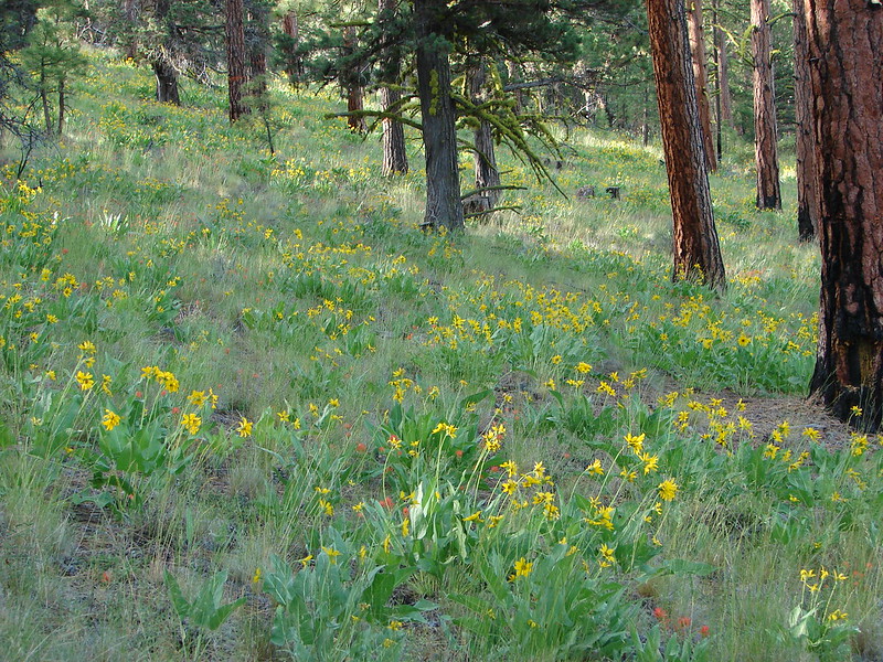
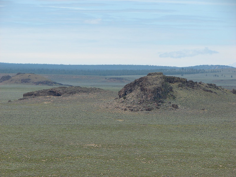
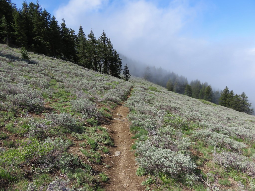
Beyond the Sheep Creek Slide the trail continued to pass through meadows where an increasing amount of sagebrush was present. We also began to get glimpses of blue sky above which we began to think might mean there was a chance that we would be above the clouds once we reached the summit.
IMG_3492

IMG_3501

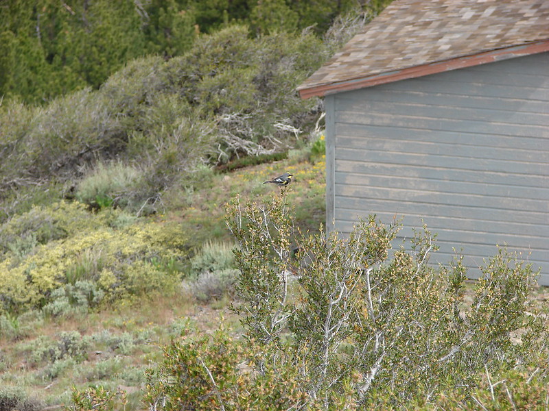
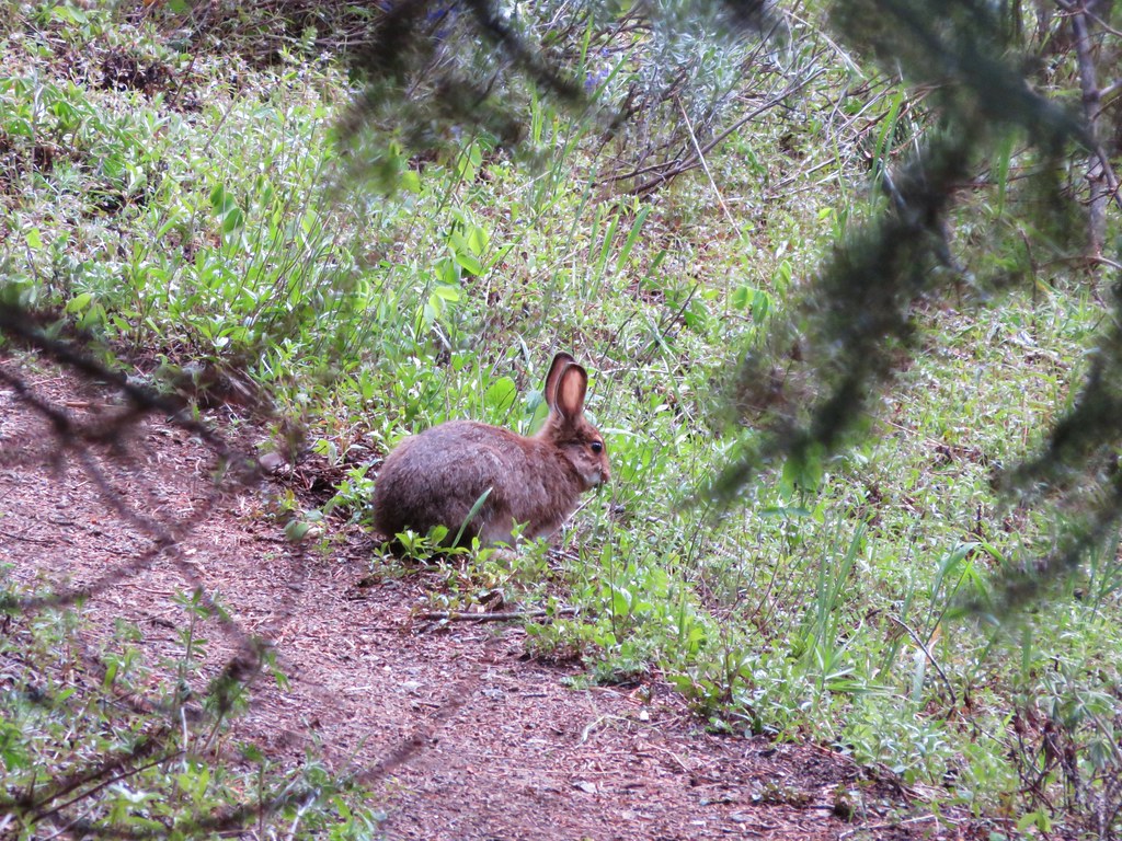
We had seen several rabbits on the drive in and one on the trail near the slid meadow. I had not been able to get a picture of that one but we wound up spotting another one that was too busy eating to worry about my picture taking.
IMG_3515

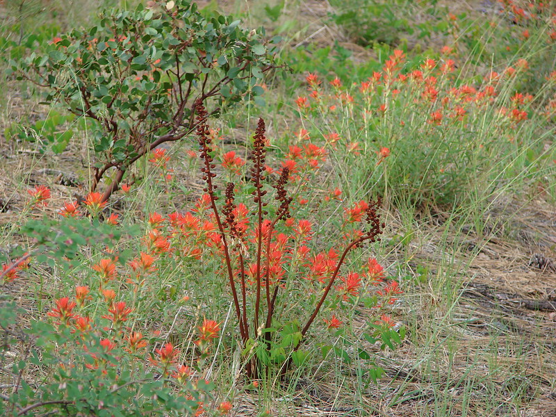
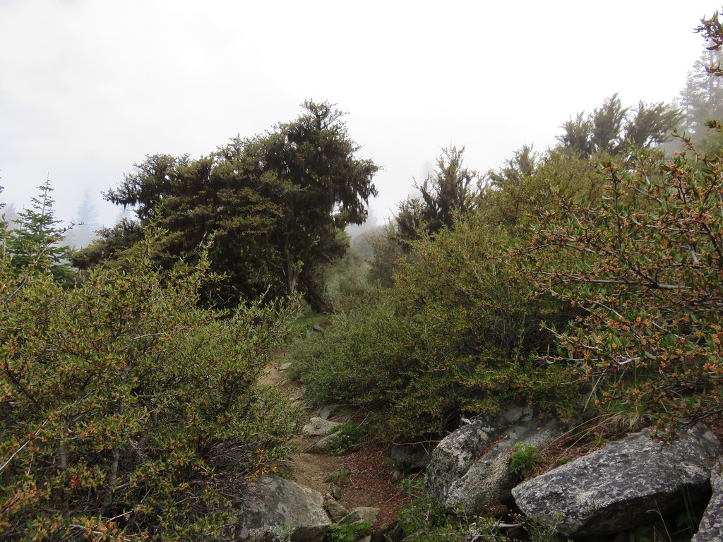
At the 2.4 mile mark the trail began to switchback up through sagebrush filled meadows where there was more evidence of the clouds breaking up.
IMG_3527

IMG_3525

IMG_3537

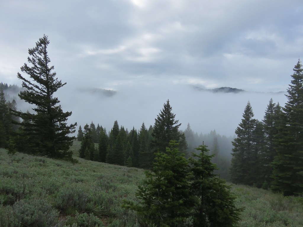
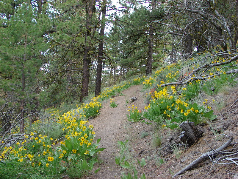
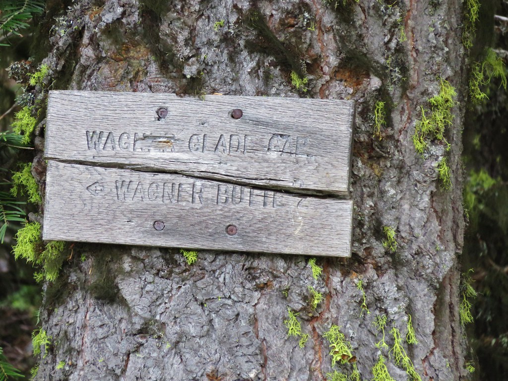
We climbed for almost a mile before reaching a sign announcing Wagner Glade Gap.
IMG_3539

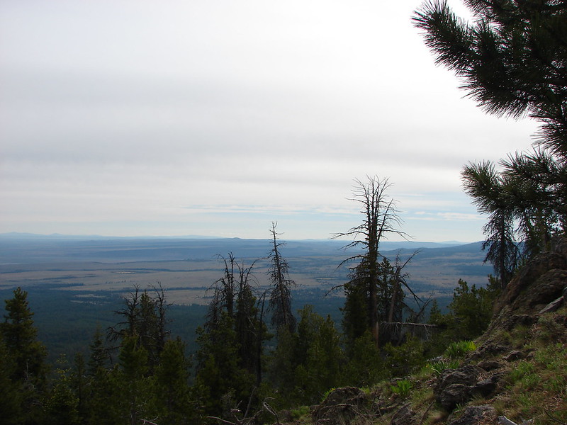
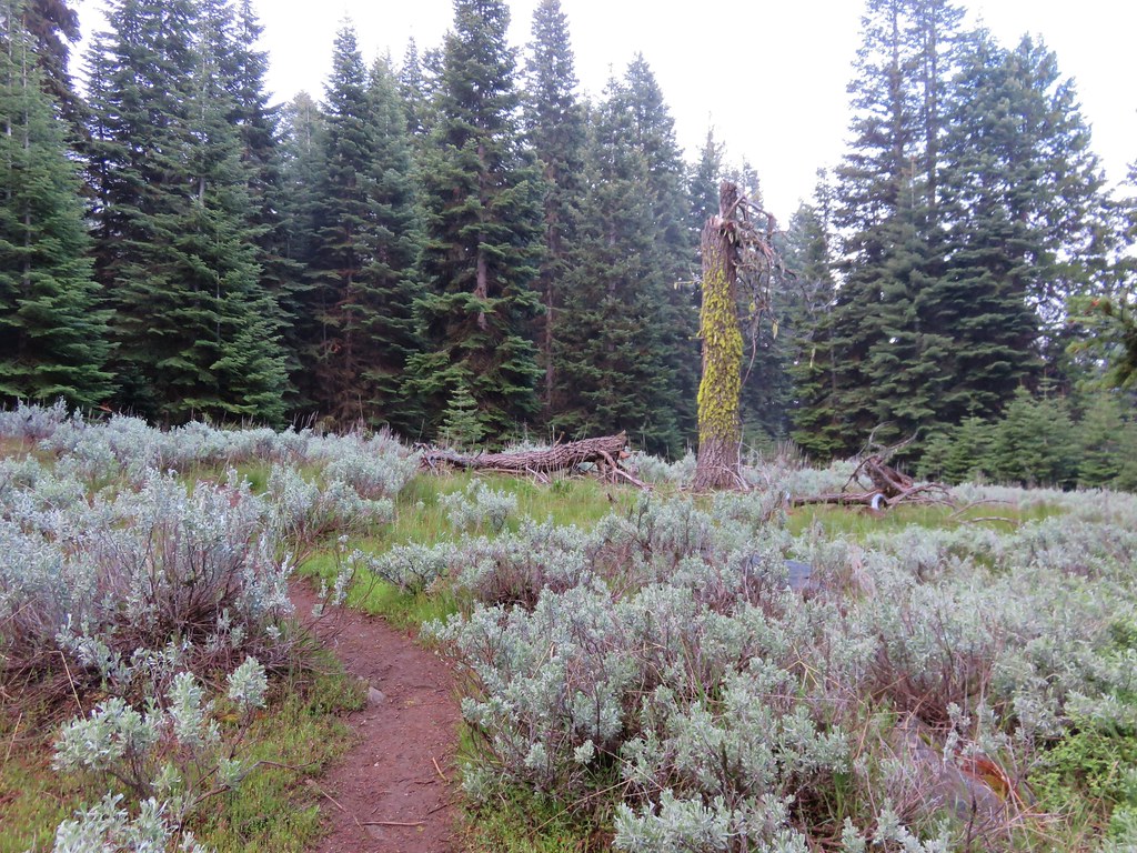
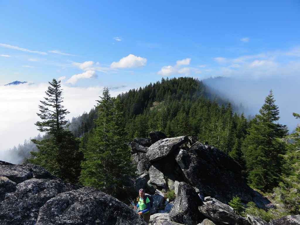
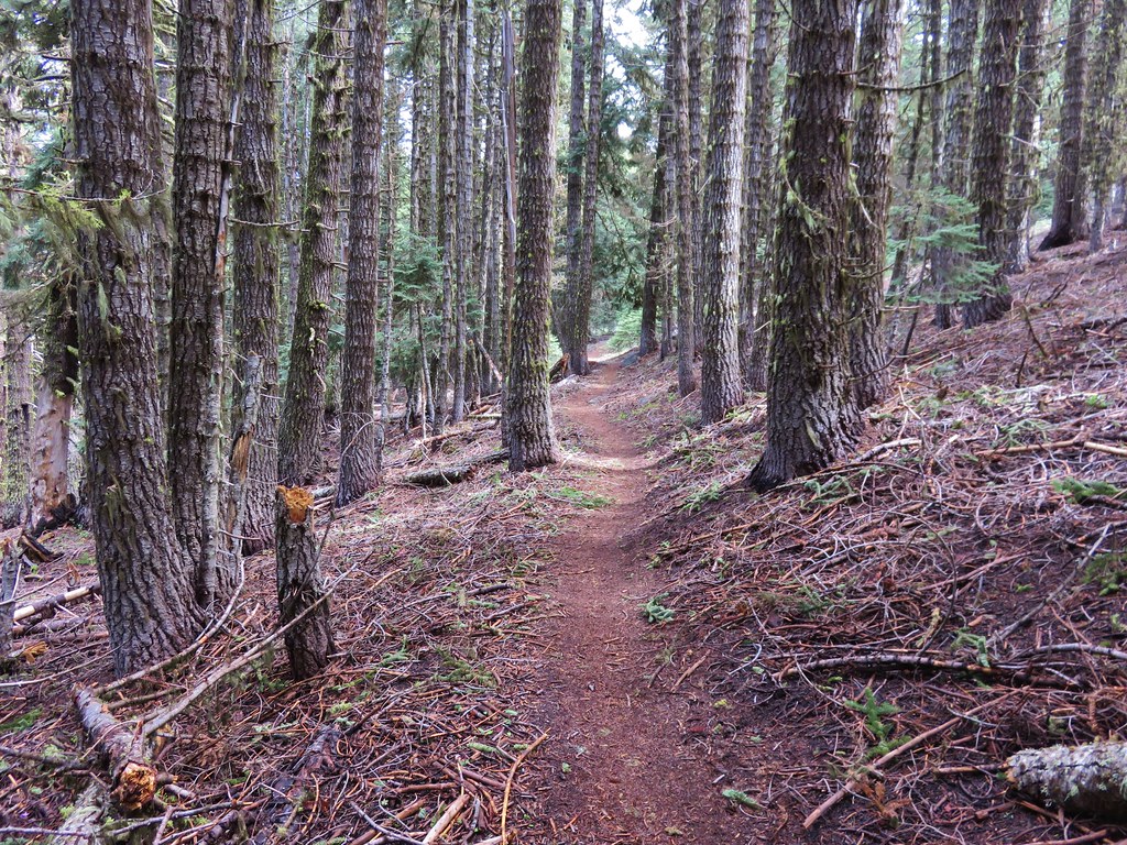
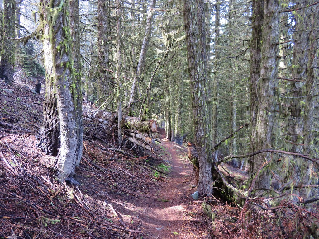
From the gap the trail turned left for the final 1.9 mile climb to the summit. We passed through trees and meadows, some in the fog and some in the sun.
IMG_3543

IMG_3547

IMG_3549

IMG_3552

IMG_3558

IMG_3560

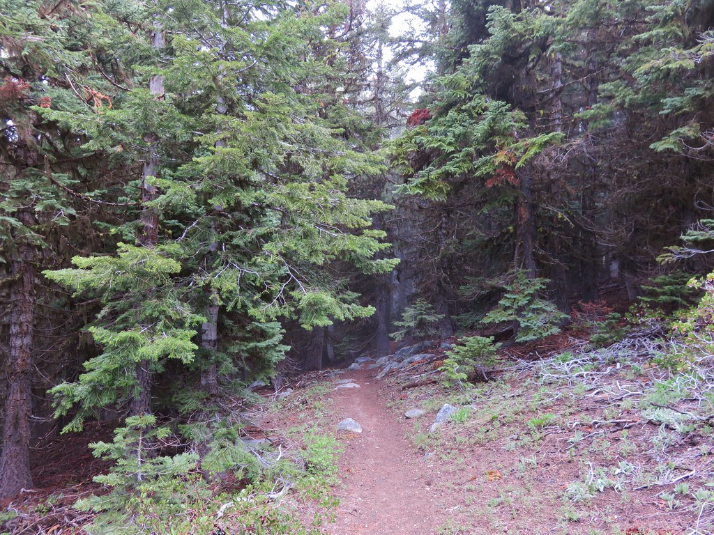
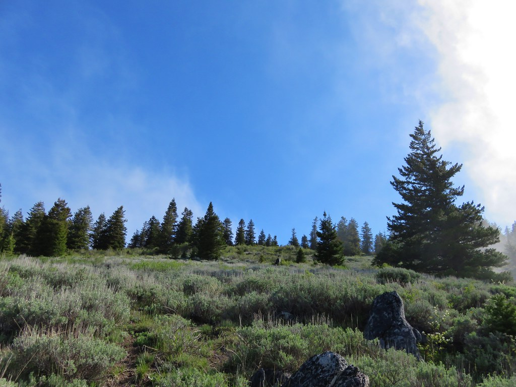
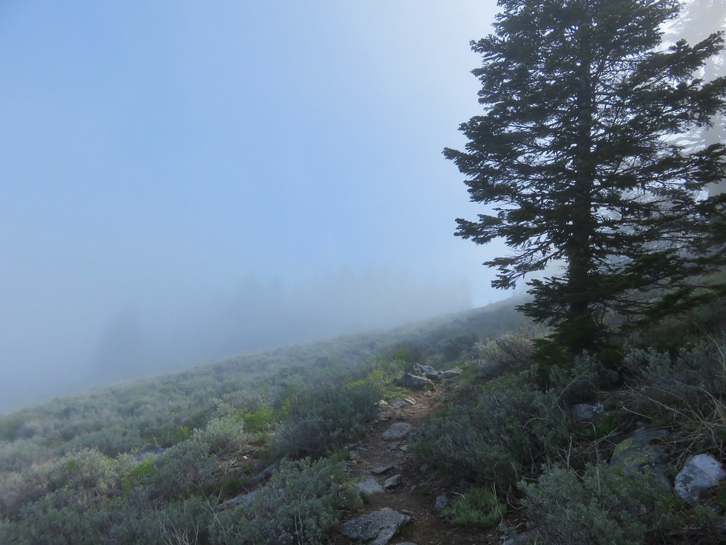
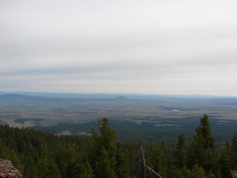
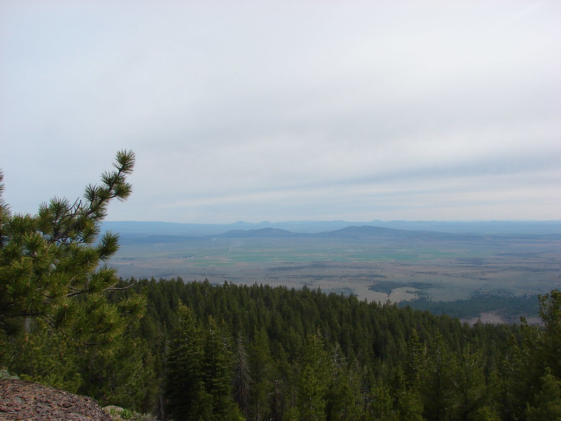
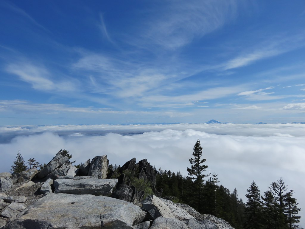
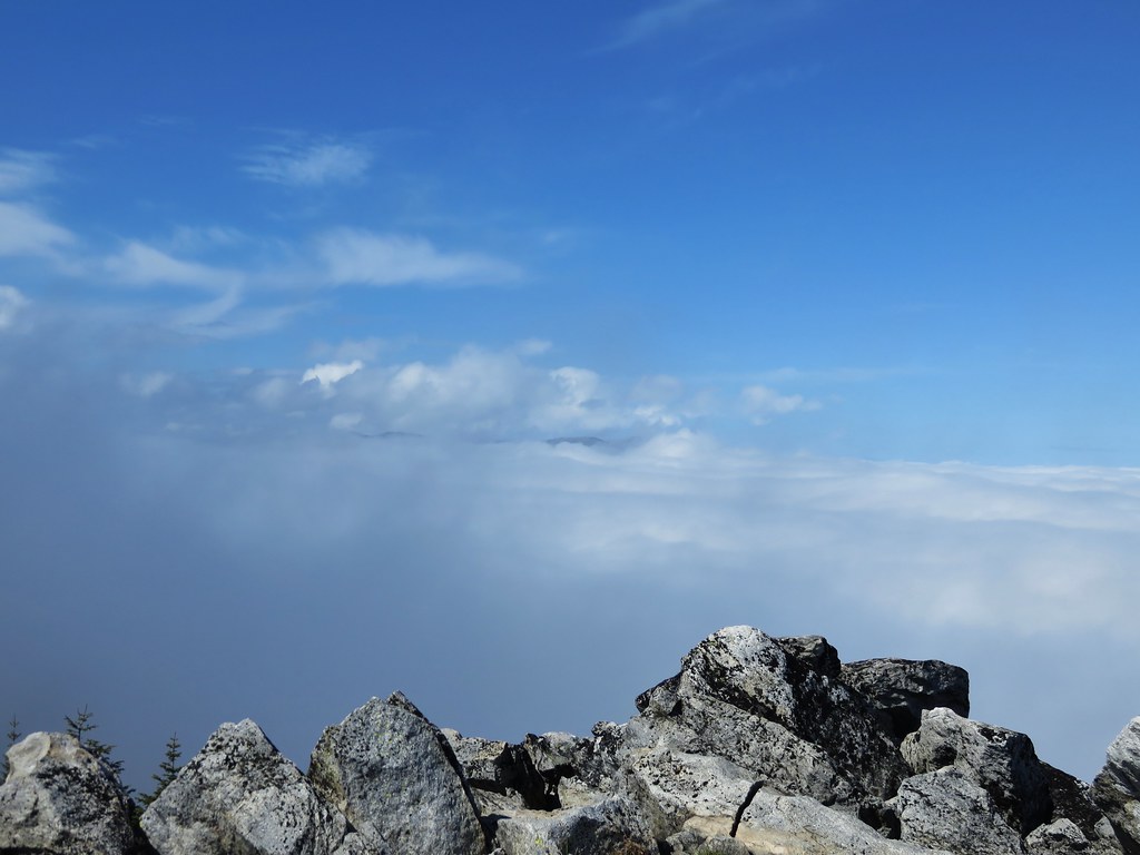
This portion of the climb was never very steep and when we arrived on the ridgecrest for the final scramble we were indeed greeted with blue skies.
IMG_3568

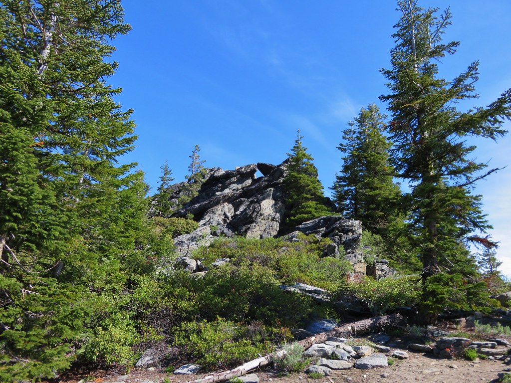
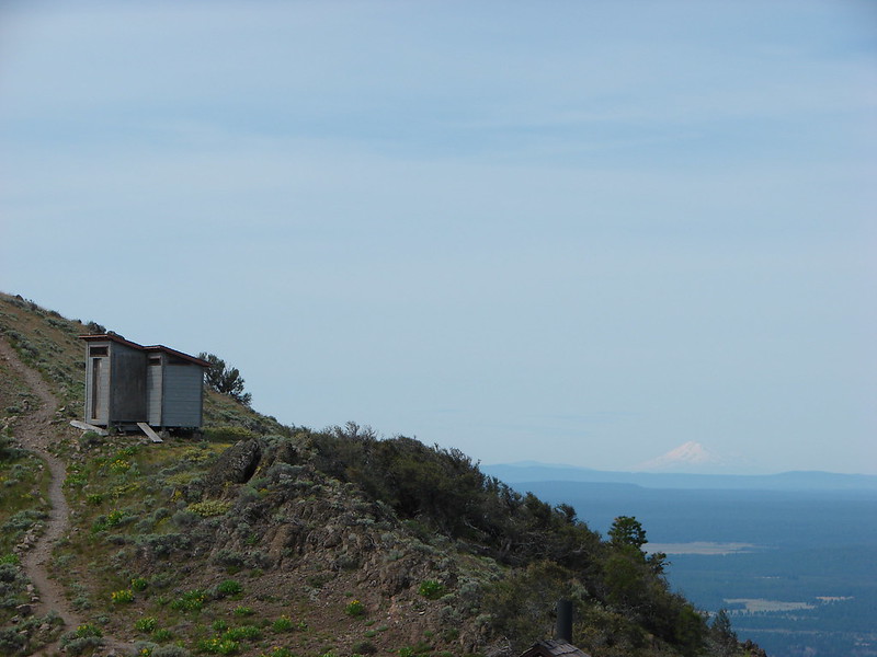
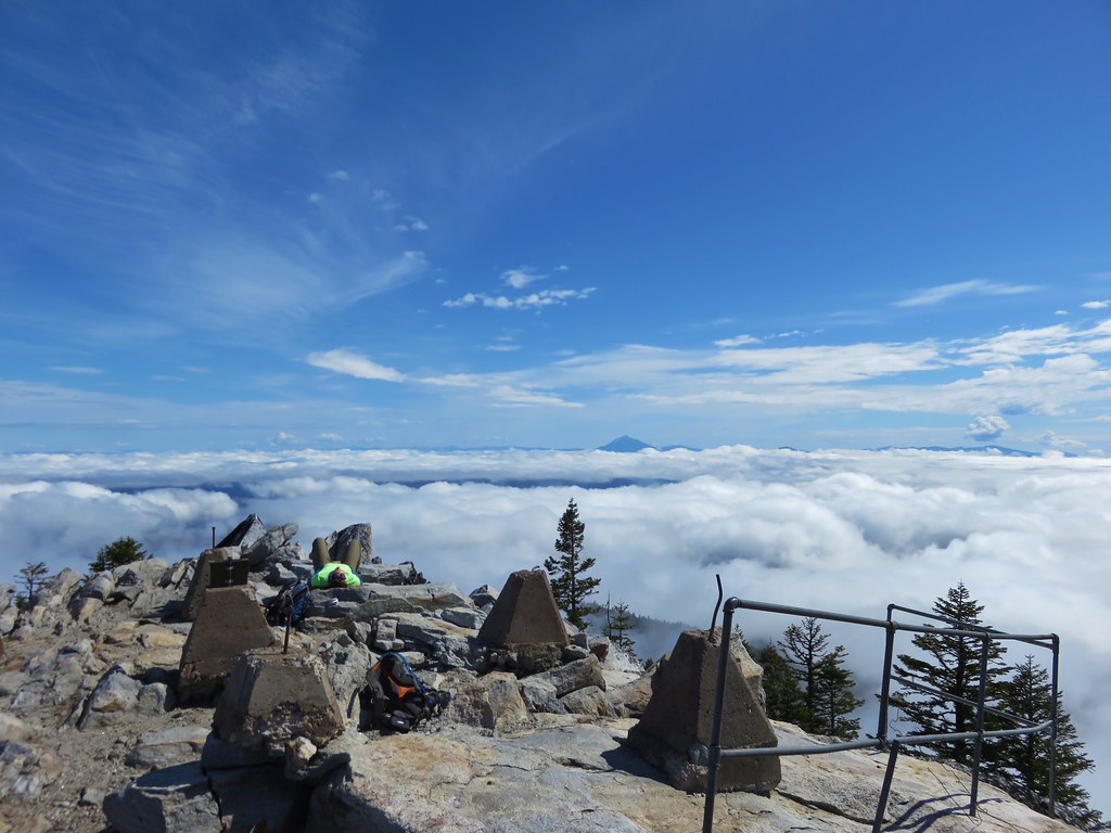
To reach the former lookout site requires a bit of rock scrambling. The trail seems to end at a pile of boulders below a railing where the lookout once stood.
IMG_3576

IMG_3577

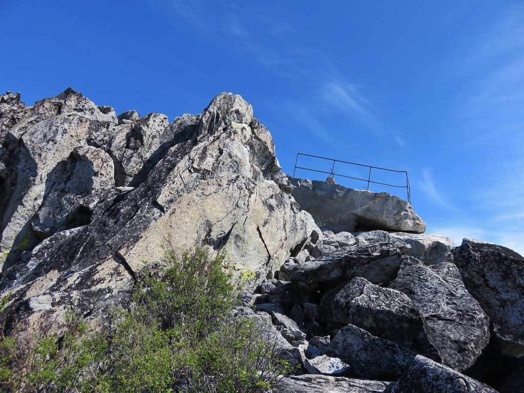
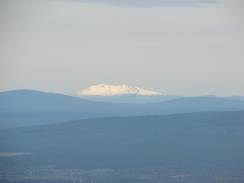
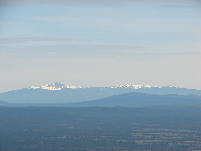
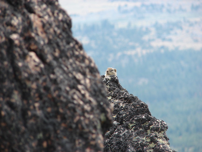
A faint path around to the right led to a fairly easy scramble up the rocks to the top of the rocks and spectacular views.

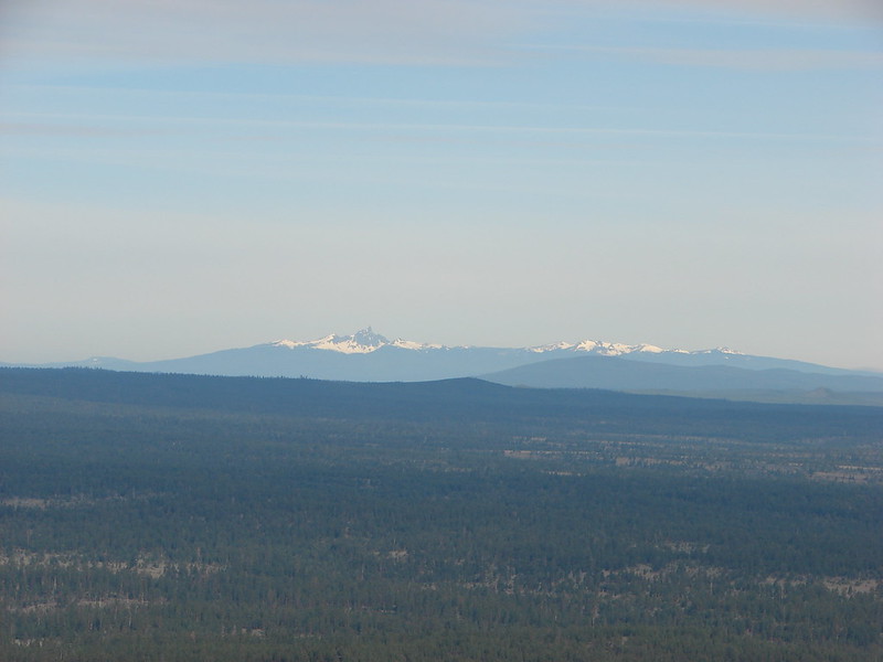
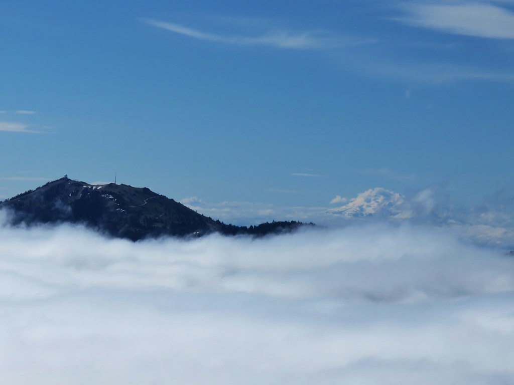
Mt. McLoughlin along with Brown Mt. to the right and Mt. Scott, Mt. Thielsen, and Mt. Baily to the left.
IMG_3587

Mt. McLoughlin
IMG_3582

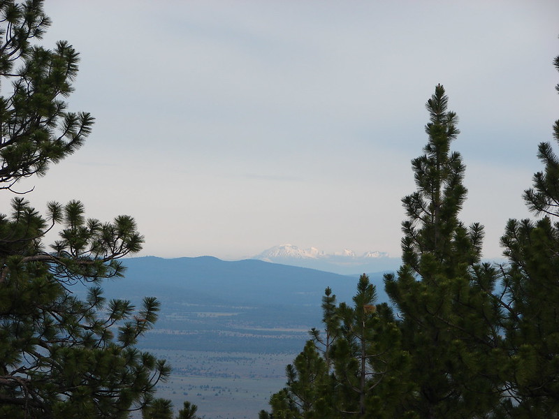
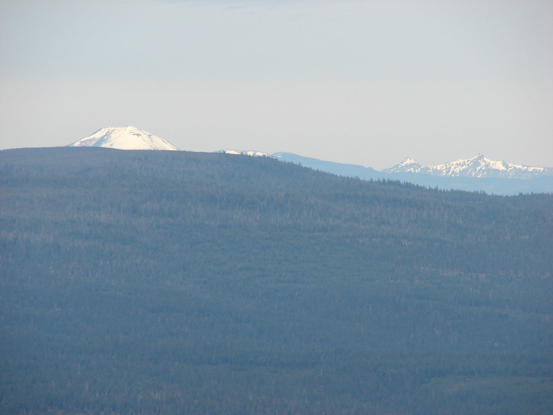
Mt. Ashland and Mt. Shasta to the south.
IMG_3590

IMG_3608

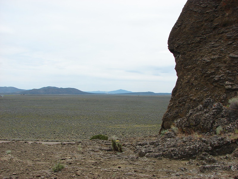
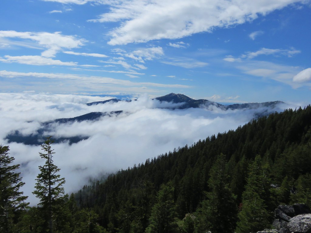
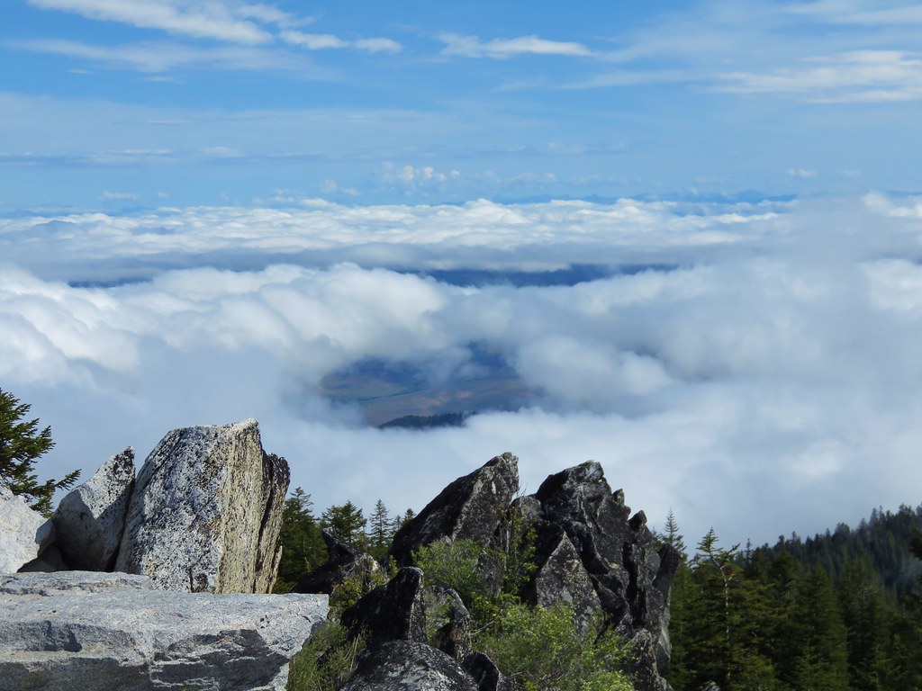
We couldn’t see much to the SW which was still mostly covered by a layer of clouds.
IMG_3614

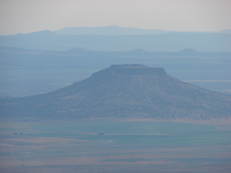
We stayed at the summit for awhile watching the clouds continue to break up.
IMG_3625

IMG_3630

IMG_3633

IMG_3642

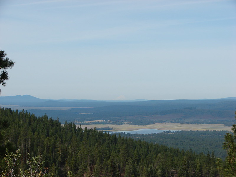
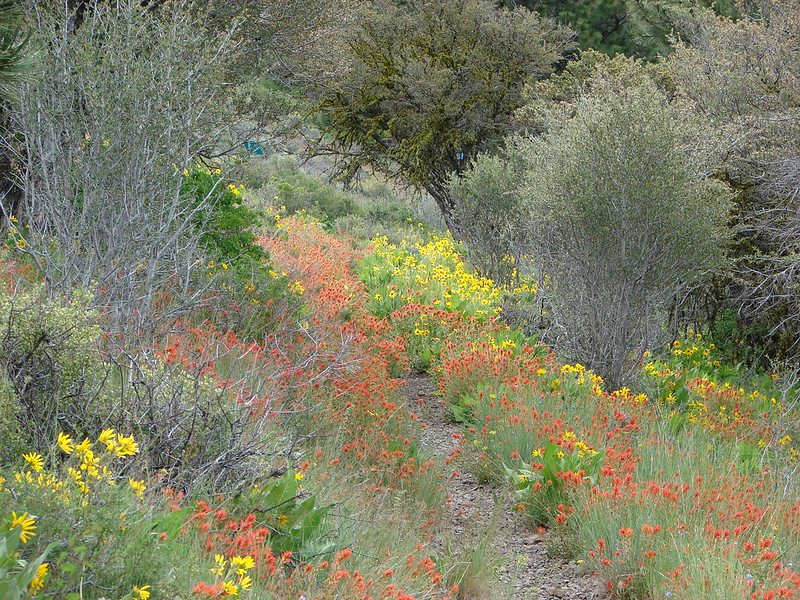
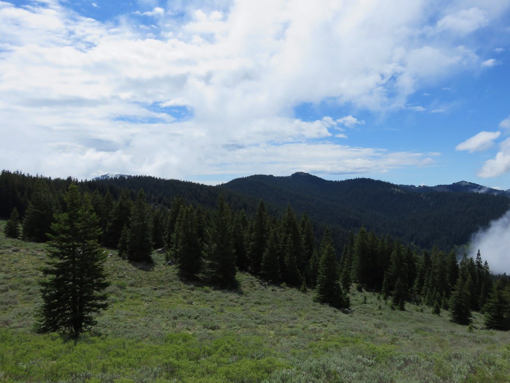
When we noticed another batch of clouds moving toward our position on the summit we decided to head back down. The meadows and forest was now mostly fog free allowing for better views.
IMG_3653

IMG_3663

IMG_3660

IMG_3670

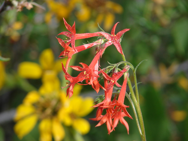
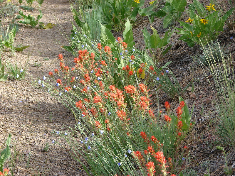
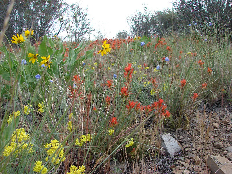
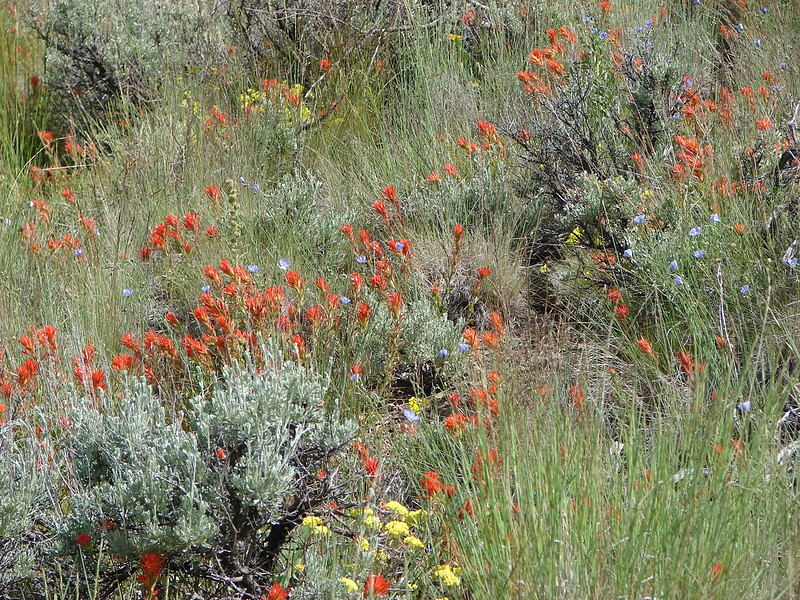
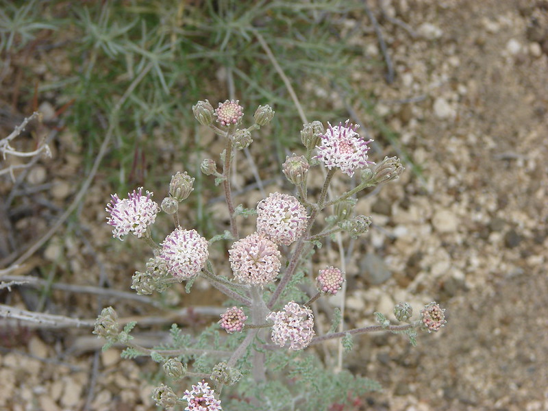
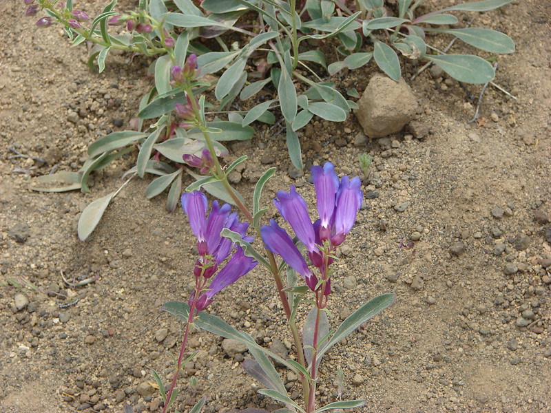
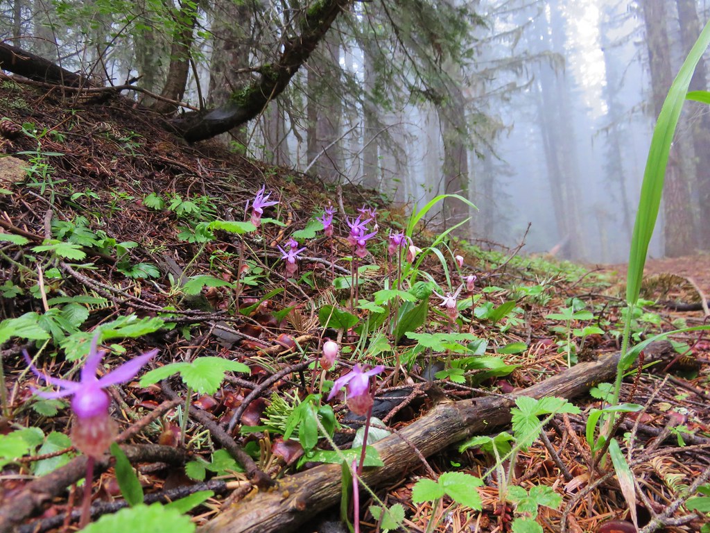
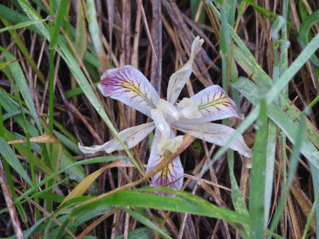
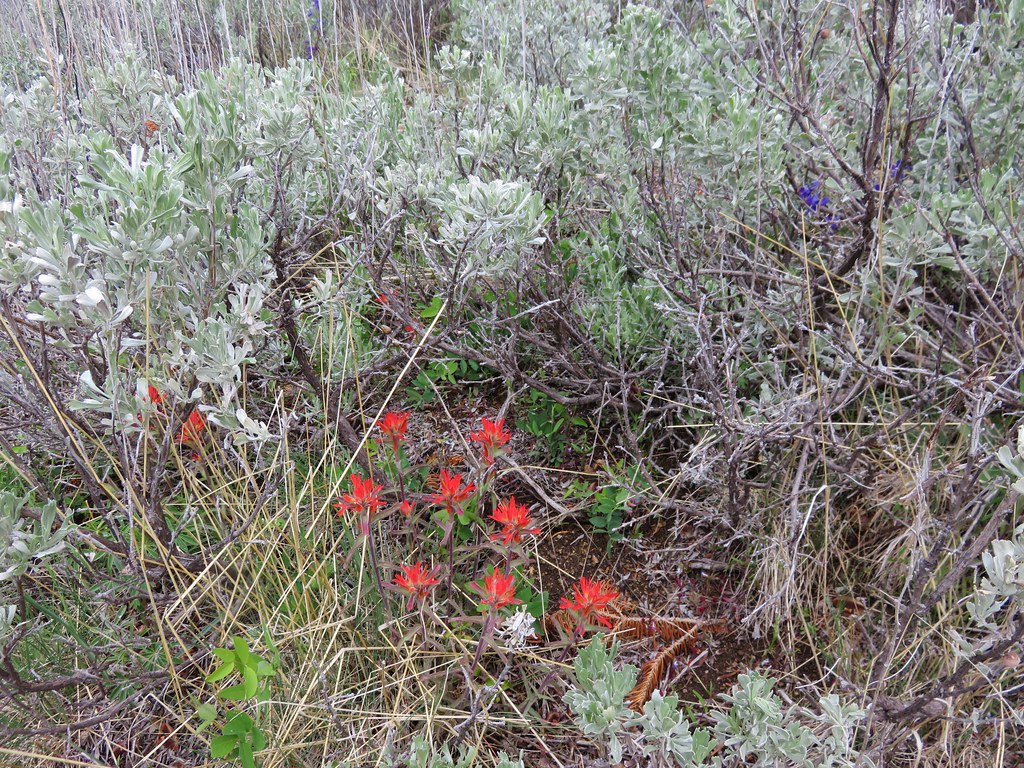
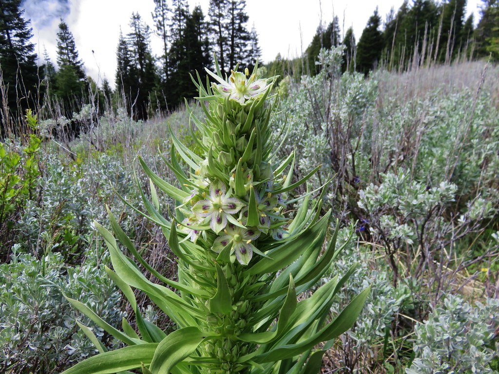
As we passed back through the meadows we noticed several types of flowers we had somehow missed on the way up including the very interesting elkweed or monument plant. A large stalk several feet tall full of pretty blossoms which we have no idea how we managed not to notice it earlier.
IMG_3676

IMG_3674

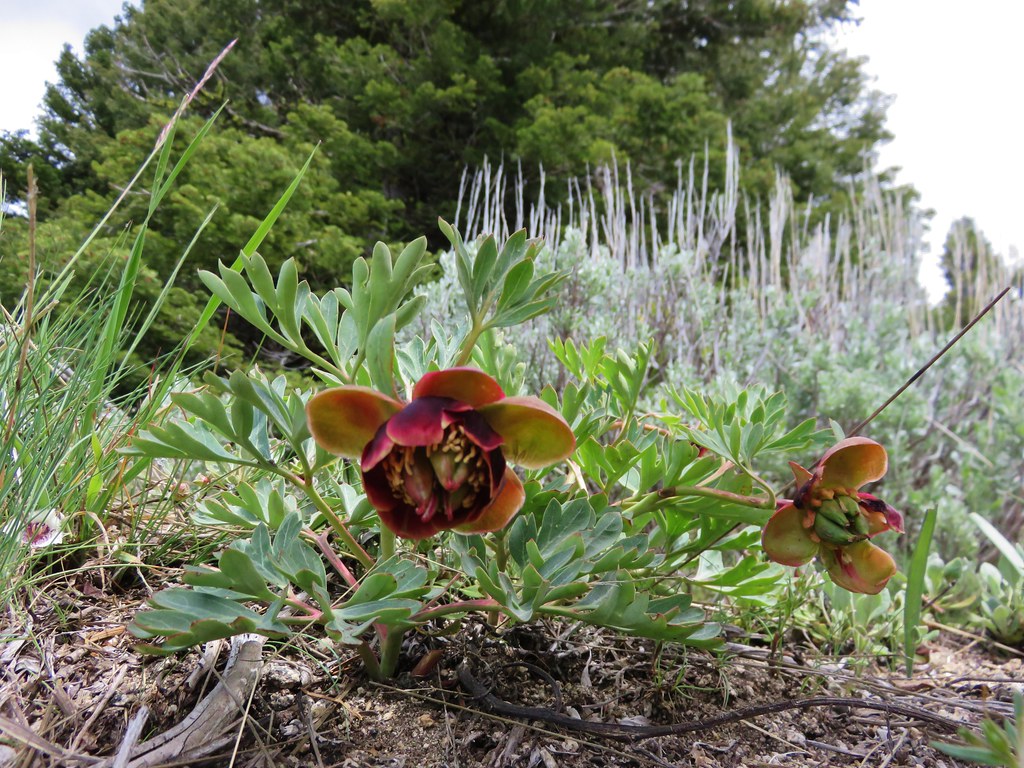
We also spotted some peony
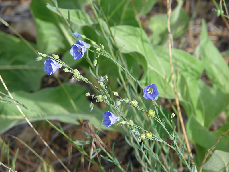
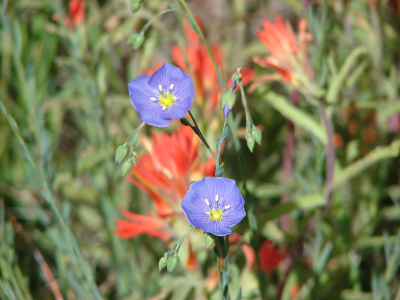
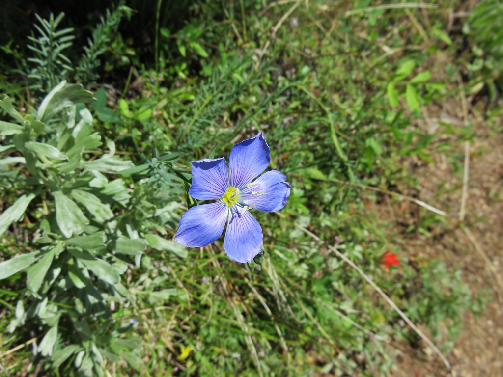
IMG_3667

Lewis flax
IMG_3688

and Fritillaria
IMG_3681

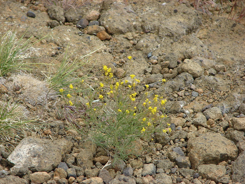
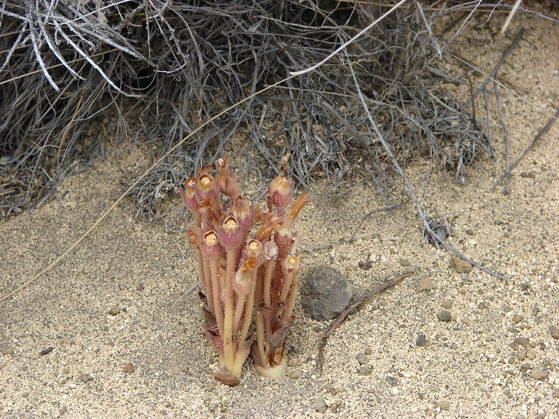
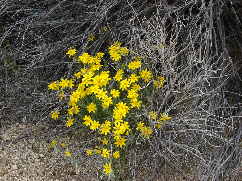
We eventually made it back down into the cloud bank, but the lower meadows were far less foggy revealing some additional flowers and views as well.
IMG_3701

IMG_3712

IMG_3716

For the fourth straight day we had somehow managed to sneak in some views despite the cloudy/foggy conditions. Southern Oregon was not disappointing with its hikes and we had one day left. Happy Trails!

flickr: https://www.flickr.com/photos/9319235@N02/sets/72157654117259261

Categories
Central Oregon Fort Rock Hiking Oregon Trip report

Hager Mountain Part Deux & Fort Rock

The third day of our Central Oregon visit had us returning to a hike we had done last July 31st – Hager Mountian. https://wanderingyuncks.wordpress.com/2013/07/31/hager-mountain/
Smoke from a wildfire had prevented us from having any views from the 7185′ summit that day but we had enjoyed the hike and seen signs of what seemed like it might be a decent amount of flowers if we had visited a bit earlier. We were hoping to get the views and to see some more flowers this time around and we also planned to stop at Fort Rock State Park on the way back to Bend, OR.

As we did on our previous visit we started at the lowest trail head located on road 28 just over 9 miles south of Silver Lake, OR. It wasn’t long before we began seeing wildflowers. Paint, lupine, death camas, and some balsamroot was scattered amid the ponderosa pines. We were thinking it was pretty good and then we looked ahead and saw a completely unexpected sight. The amount of paint and blasamroot that covered the forest floor was beyond anything we’d imagined. The flowers were spread out in every direction.
DSC08412
DSC08432
DSC08434

By the 1.5 mile mark the trail had left the ponderosa forest. The flowers had decreased here but there were still some to be found.
DSC08470
DSC08465

We passed Hager Spring which was as dry as it was on our last visit and began climbing to the lower meadow. We weren’t sure what to expect for flowers in the meadow. We had gotten a couple of glimpses of it from the lower trail and we thought we could see some yellow which we assumed was balsamroot. As we got closer to the meadow our suspicions were confirmed. The balsamroot was back with a vengeance along with paint and some additional flowers.
DSC08478
Scarlet Gilia
DSC08529
DSC08502
Lewis Flax
DSC08519
DSC08521
Prairie Star
DSC08538

Not only were the flowers amazing but we had a view as we passed through the meadow. For the first time on a hike we could see Mt. Shasta in California beyond Thompson Reservoir.
DSC08531
Along with Mt. Thielsen, Howlock Mt. & Tipsoo Peak
DSC08523
and Mt. Bachelor, The Three Sisters, & Broken Top
DSC08562

We made a switchback in the meadow and could see the summit as we continued up through the meadow. The flowers remained the star of the show.
DSC08581
DSC08585
DSC08589
DSC08598
DSC08600

We left the lower meadow and entered another section of forest. The flowers decreased in this section but there were some arnica starting to bloom and a lot of fireweed just starting to grow. The trail climbed stiffly through the trees making this the most difficult section of the trail before leveling out briefly and then launching up again into the upper meadow. Here we found some more balsamroot and some phlox.
DSC08616
DSC08620
It was in this section that we were looking for the rare green paintbrush that grows on Hager Mountain. We had seen some on our previous visit but it was drying out that day. Now we found some lush versions growing near the trail.
DSC08654

It was exciting to reach the summit to see what views we had missed on the previous hike. The day wasn’t entirely clear but it was a monumental improvement over the last time. We spent about 45 minutes studying the horizon and taking pictures. There are some very interesting geologic formation in that part of Oregon and we were intrigued by some of the odd features.
DSC08644
DSC08646
DSC08648

Warner Peak in the distance to the right:
DSC08649
Gearhart Mountain with a bit of snow:
Gearhart Mountain from Hager Mountain
Fort Rock in the center of the flat area with Paulina Peak, China Hat & East Butte behind from left to right.
DSC08701
From the northwest to the southwest the horizon was dotted with snowy Cascade peaks. It was too cloudy to see Mt. Hood and Mt. Jefferson appeared like a ghost in the clouds but we had good views starting with the Broken Top, Three Sisters and Mt. Bachelor:
DSC08699
Followed by Diamond Peak to their south:
DSC08698
Then Mt. Thielsen, Howlock Mt. & Tipsoo Peak:
DSC08695
Crater Lake had emerged from the previous days clouds as we could easily make out Mt. Scott, The Watchman, and Hillman Peak:
DSC08756
Mt. McGloughlin barely rose above the broad shoulder of Yamsay Mountain:
DSC08757
And finally Mt. Shasta looming large far to the south:
Mt. Shasta fro m Hager Mountain

We were joined on the summit by some of the local wildlife.
DSC08789
DSC08831
DSC08815
DSC08839

By the time we were on our way back down the flower display had actually gotten better. The lewis flax was opening to the sunlight.
DSC08855
DSC08875
DSC08866

We passed four other hikers on our way back to the car as well as a noisy nuthatch and a couple of sagebrush lizards.
DSC08938
DSC08956

Once we were back on the road we returned to Highway 31 and headed north to Fort Rock State Park. Neither of us had been there before but it had piqued our interest on the way past the year before. The rocks are said to be the remainder of an ancient volcanic crater that was worn down by an ice age lake. Whatever the origin the result was an interesting crescent formation full of textured rocks angled this way and that.
2014-06-14 13.45.55
DSC09004
DSC09014
DSC09012

Inside the crescent the ground appeared to be covered in sagebrush, but as we hiked along the loop inside the rocks we noticed a good number of wildflowers that had sprung up amongst the sage.
DSC08987
DSC09003
DSC09032
DSC09034
DSC09049
DSC09085
DSC09110
DSC09115

A short side path led to a notch in the rocks where you could see the Fort Rock Cave:
DSC09060
To the south we could see Hager Mountain where we had been just a couple hours earlier:
DSC09088

It had been a great day of hiking with some really interesting and beautiful scenery. One note of caution though. We both had to knock ticks off, Heather during the Hager Mountain hike and myself back at the car after being on the Fort Rock trails. Happy Trails!

flickr: https://www.flickr.com/photos/9319235@N02/sets/72157644765557647/
Facebook – Hager Mt.: https://www.facebook.com/media/set/?set=a.10204238532710679.1073741885.1448521051&type=1
Fprt Rock: https://www.facebook.com/media/set/?set=a.10204238985722004.1073741886.1448521051&type=1