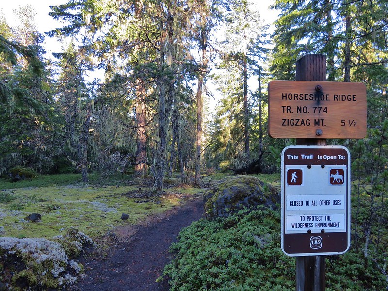
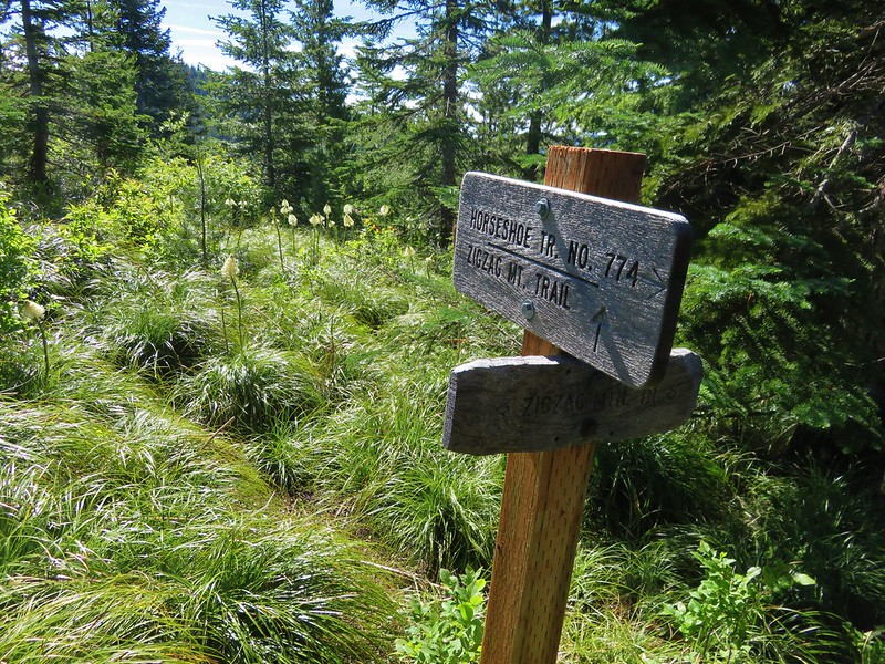
On Father’s Day we headed toward Mt. Hood for a loop hike on some lesser used trails. We planned on using the Horseshoe Ridge and Cast Creek Trails as well as a portion of the Zigzag Mountain Trail for a loop in the Mt. Hood Wilderness. Along the way we’d also visit Cast Lake and depending on visibility detour to the summit of East Zigzag Mountain.
We began our hike by parking along Forest Road 1825-380 at the bridge over Lost Creek near the Riley Horse Camp. The Horseshoe Ridge Trail began on the SW side of the road.
The trail paralleled Lost Creek for the first 3/4 mile but didn’t get very close to the water until the trail crossed the creek. I had checked the Mt. Hood Forest Service for trail conditions before we left so we knew the bridge was “unusable”.
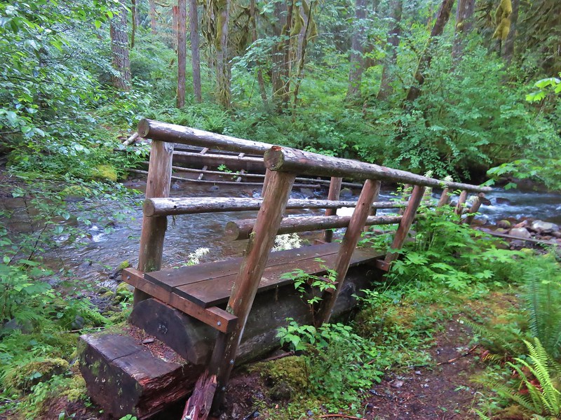
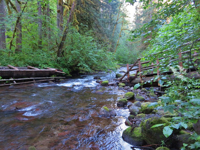
We looked around a bit and noticed a downed tree a little downstream that we could use to cross but it was wet and slick and not wide enough to comfortably walk across in those conditions. We faced the choice of scooting across or fording the creek. Considering the temperature was only in the upper 30’s we decided we’d rather scoot than get soaked.
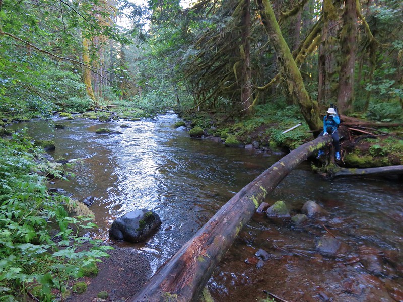
Halfway across we discovered that we weren’t the only ones using the log and had to creatively maneuver past a snail and small slug.
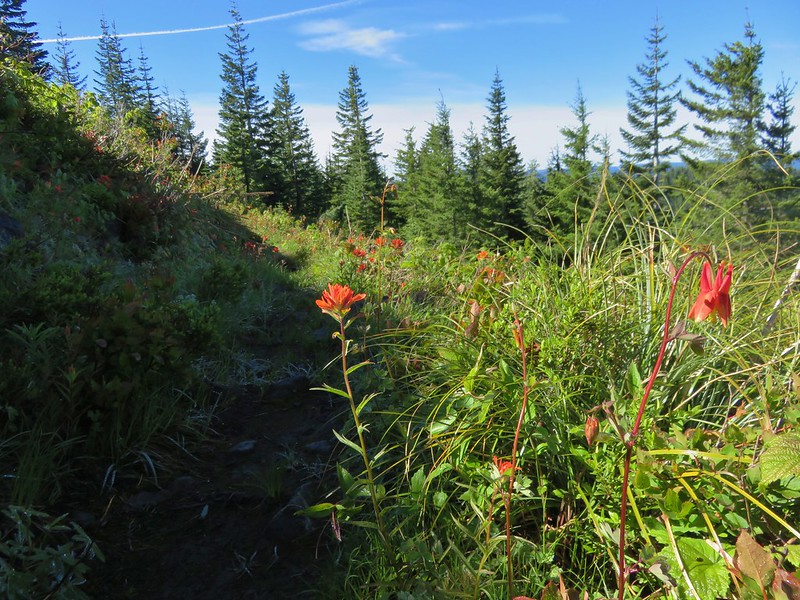
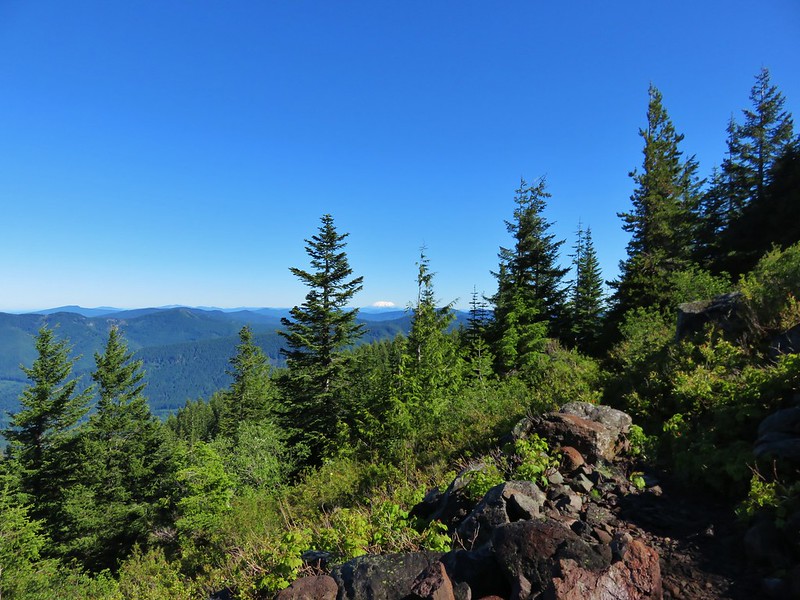
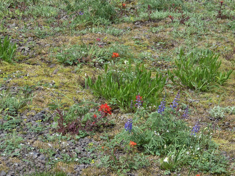
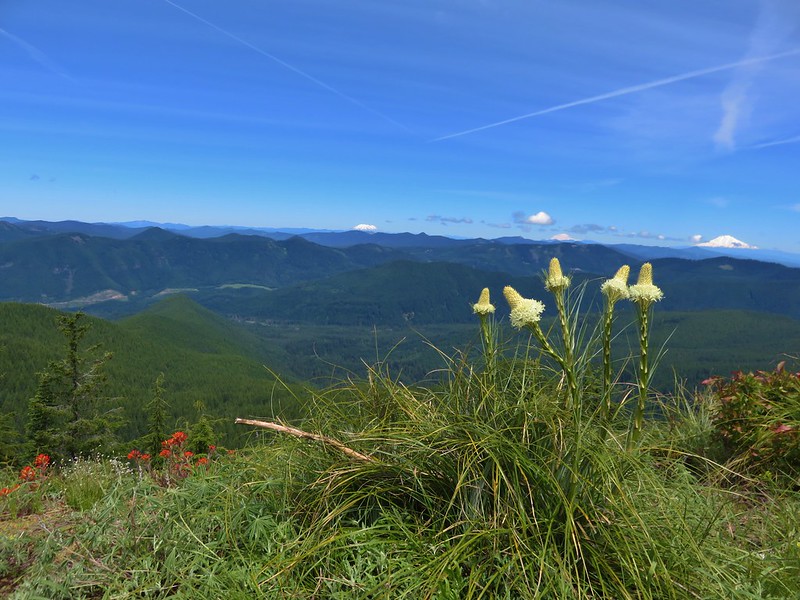
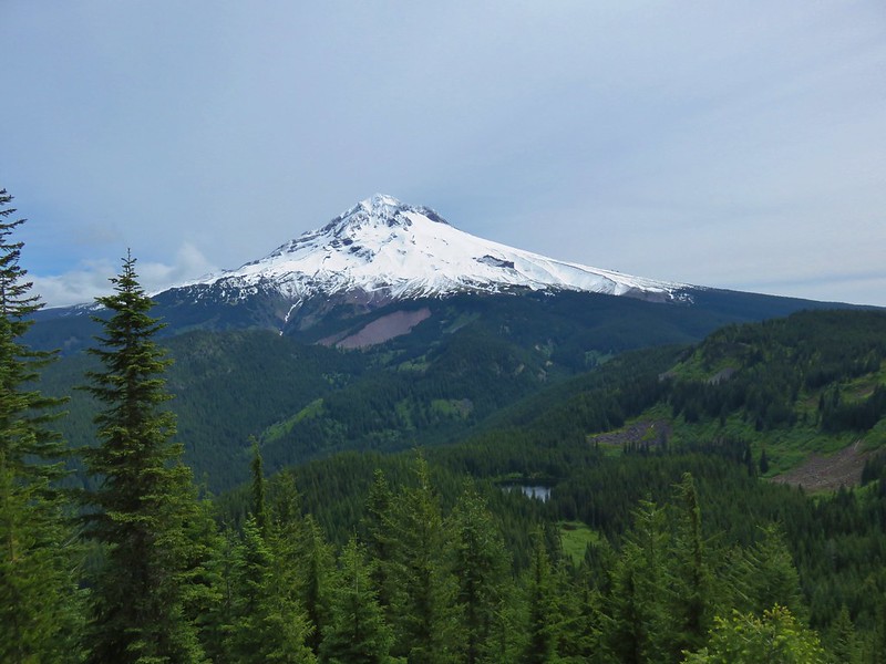
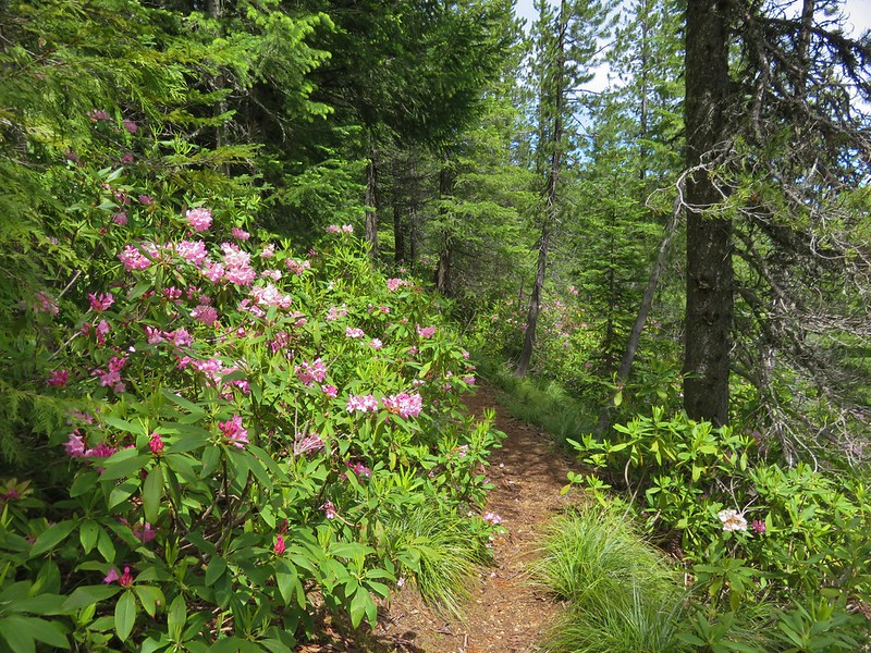
Beyond Lost Creek the trail climbed through the forest for nearly 4 miles to the Zigzag Mountain Trail. The climb was never too steep and near the end the trail entered a meadow with wildflowers and views of Mt. St. Helens.

Columbine and paintbrush
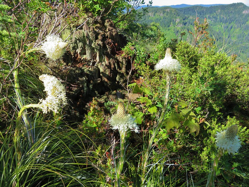
Beargrass
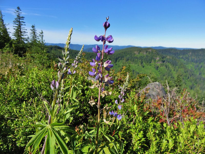
Lupine
Paintbrush

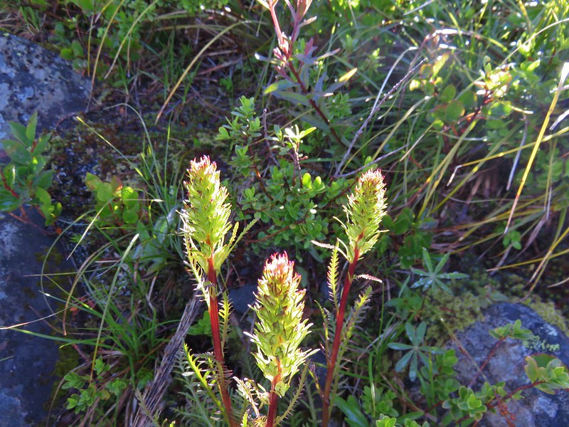
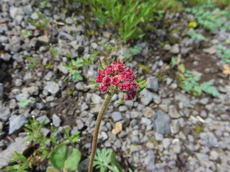
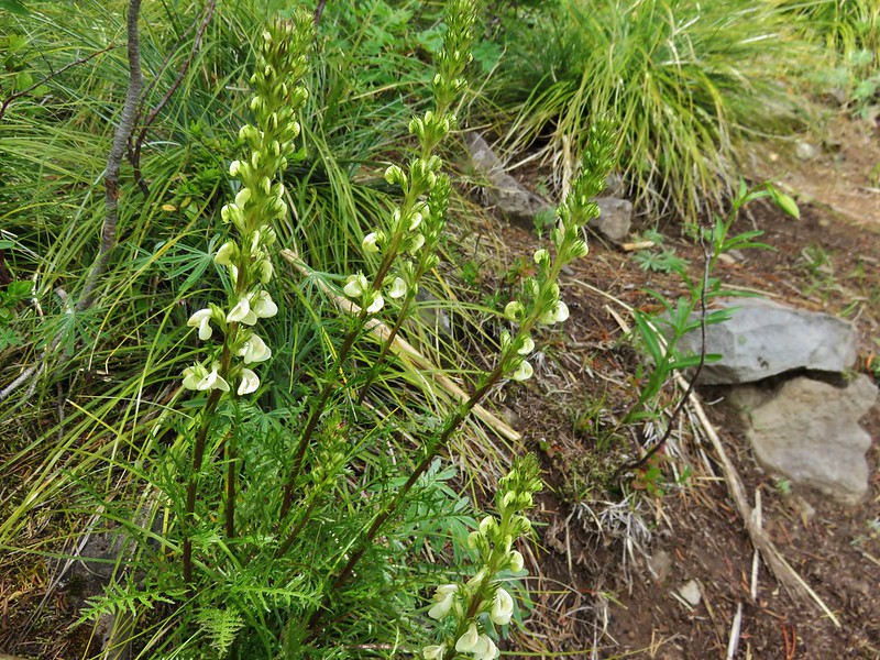
Lousewort before blooming
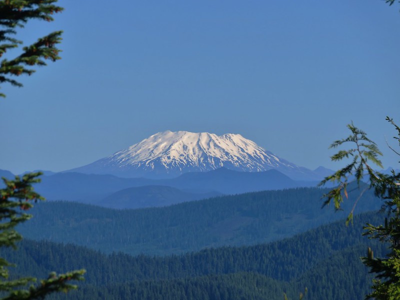
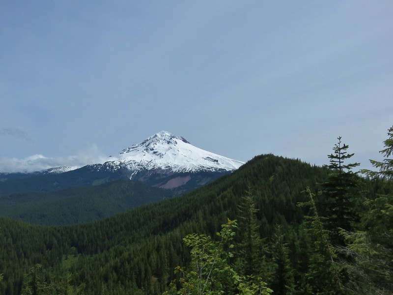
We turned left on the Zigzag Mountain Trail passing through more beargrass meadows and gaining views of Mt. Hood and Mt. Jefferson.
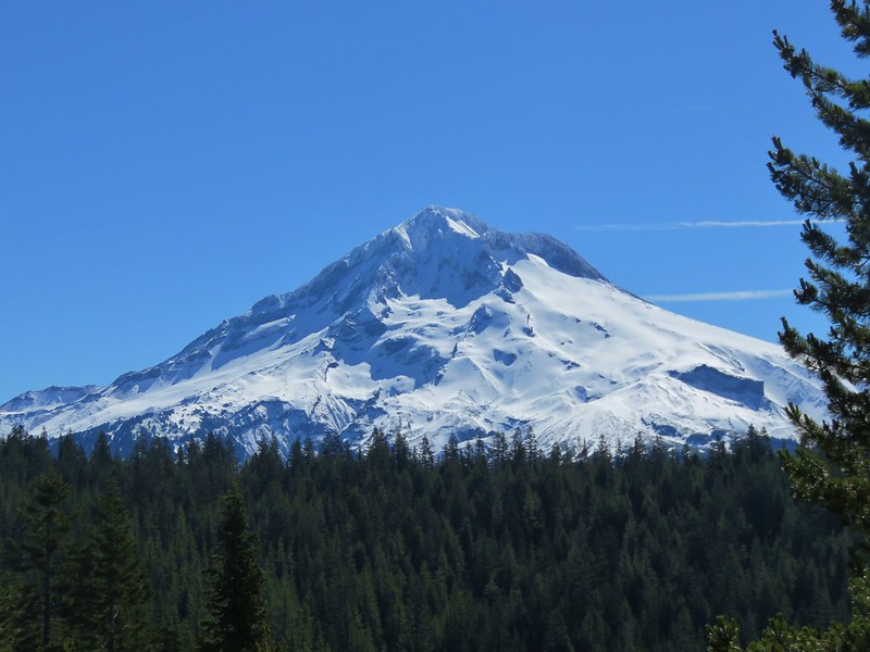
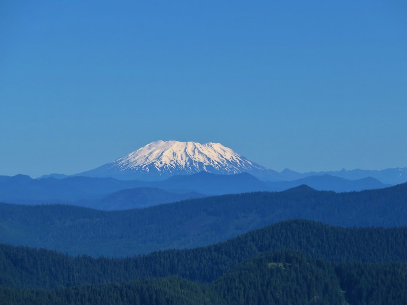
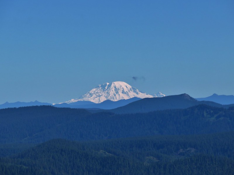
We followed the trail up to a ridge top where a rocky viewpoint added three Washington volcanoes to the view.
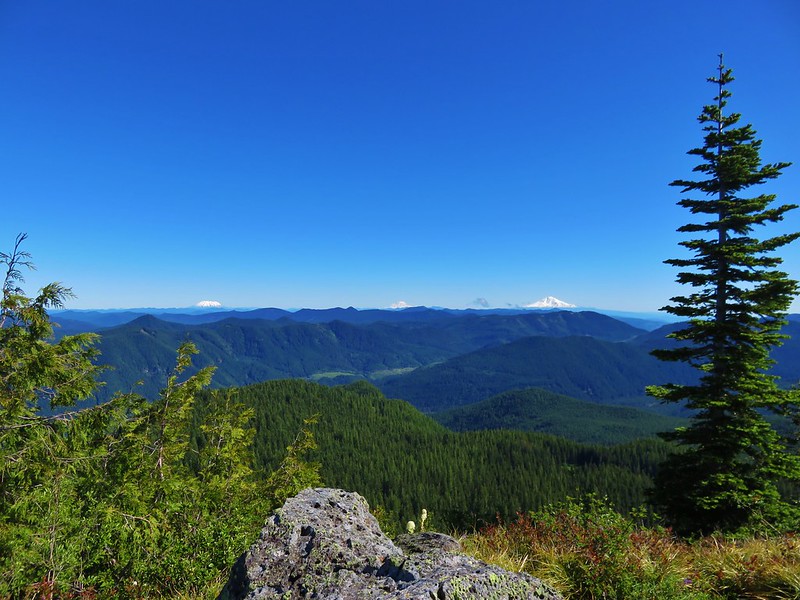
Mt. St. Helens
Mt. Rainier
Mt. Adams

The trail then crossed over the ridge and began descending along the north side of Zigzag Mountain. We had been on this section of trail in 2012 during a July 9th loop starting from the Burnt Lake South Trailhead. During that hike this portion of trail was still partly covered in snow. This time around there were only a couple of small patches remaining in the brush along the trail.

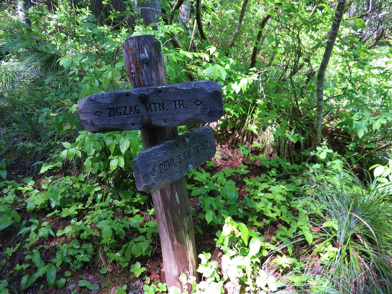
We passed above Cast Lake passing a junction with the Devil’s Tie Trail to the Cast Lake Trail.
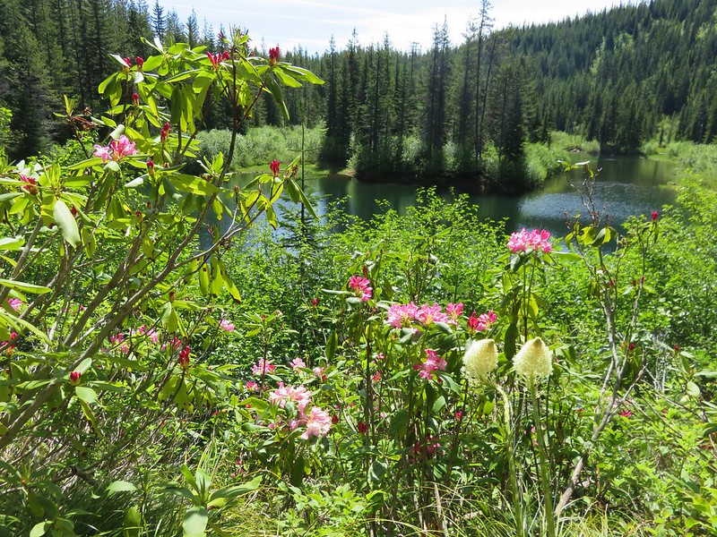
A half mile hike along this trail brought us to Cast Lake.
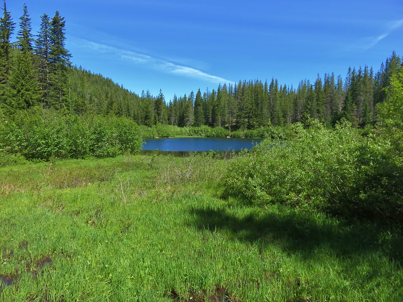
Snow melt and recent precipitation had left standing water on some of the trail and mud along portions of the shore on the SW side of the lake. We followed a path around the north side of the lake past several nice campsites. We turned around shortly after crossing Cast Creek flowing out of the lake. The one thing that the lake lacks is a good view of Mt. Hood, but rhododendron and beargrass were blooming along the shore making for a pretty scene.
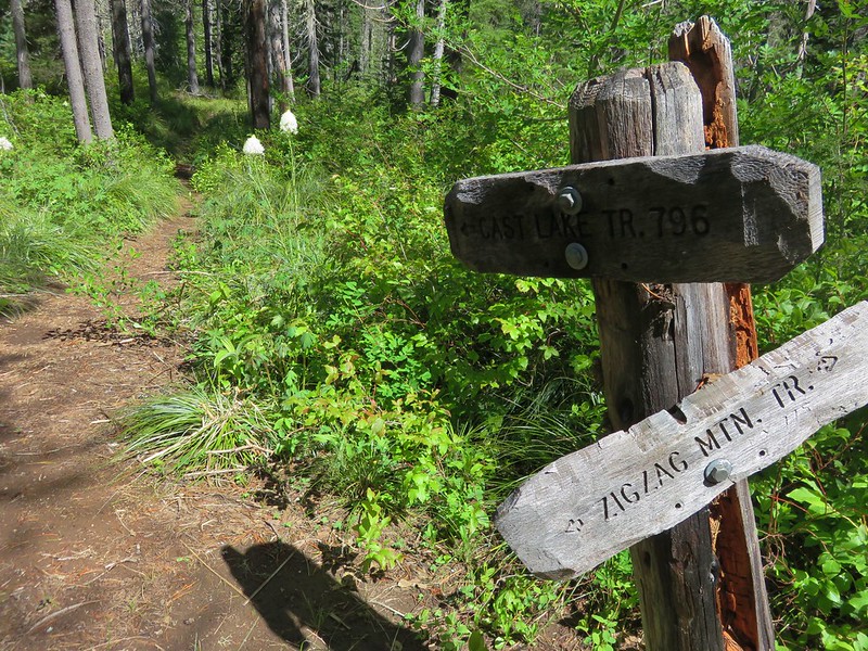
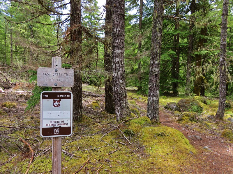
We left Cast Lake and continued our loop on the Zigzag Mountain Trail and quickly arrived at the Cast Creek Trail junction.
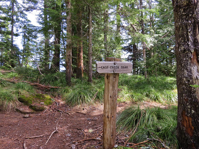
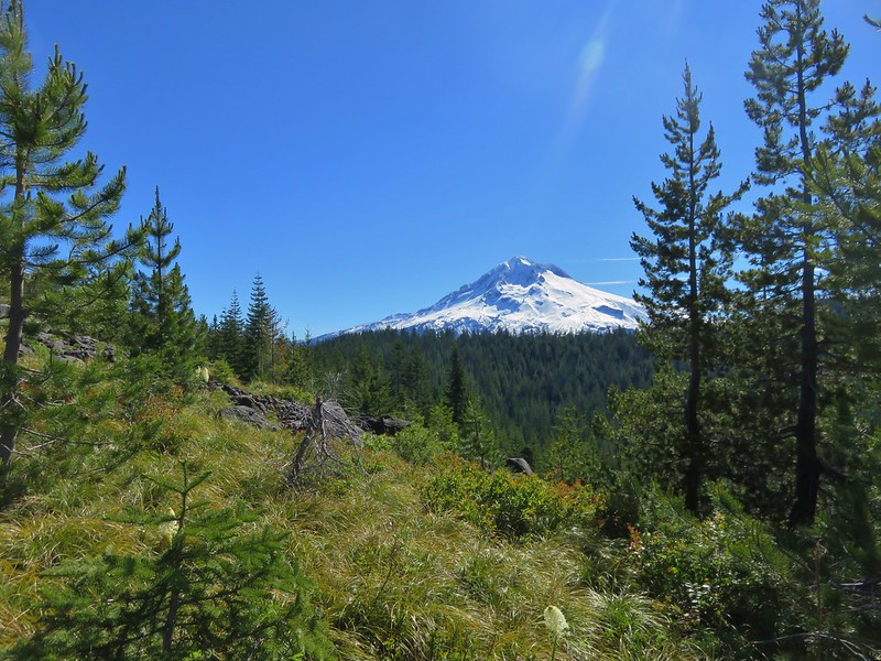
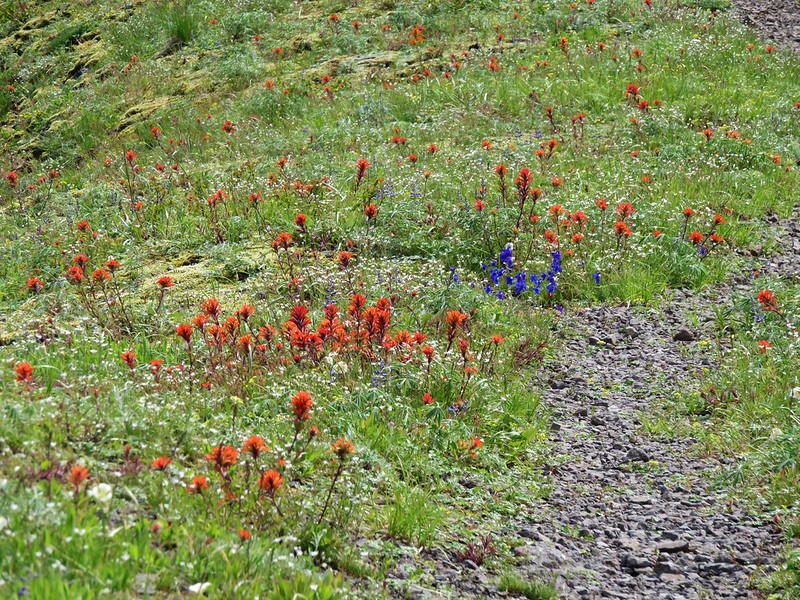
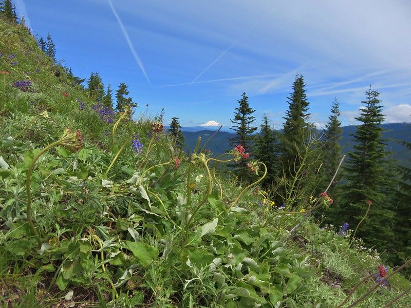
We faced a choice here. We could turn left on the Cast Creek Trail and complete the loop or take another side trip by continuing on the Zigzag Mountain Trail to East Zigzag Mountain. With the weather being as nice as it was and knowing that there would be some flowers in the meadow below the summit we decided on one more side trip. After a short but decent climb we emerged from the trees in the meadow.
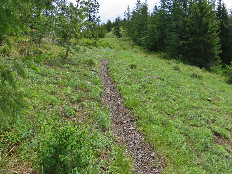
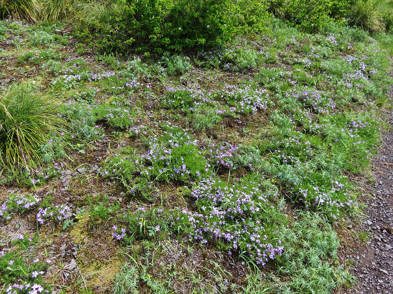
The lower portion of the meadow was full of Phlox and yet to bloom lupine.
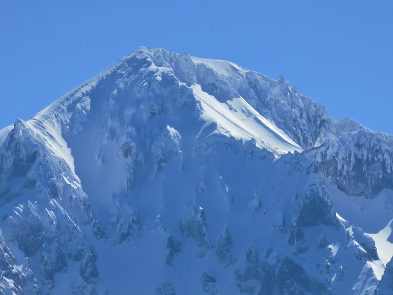
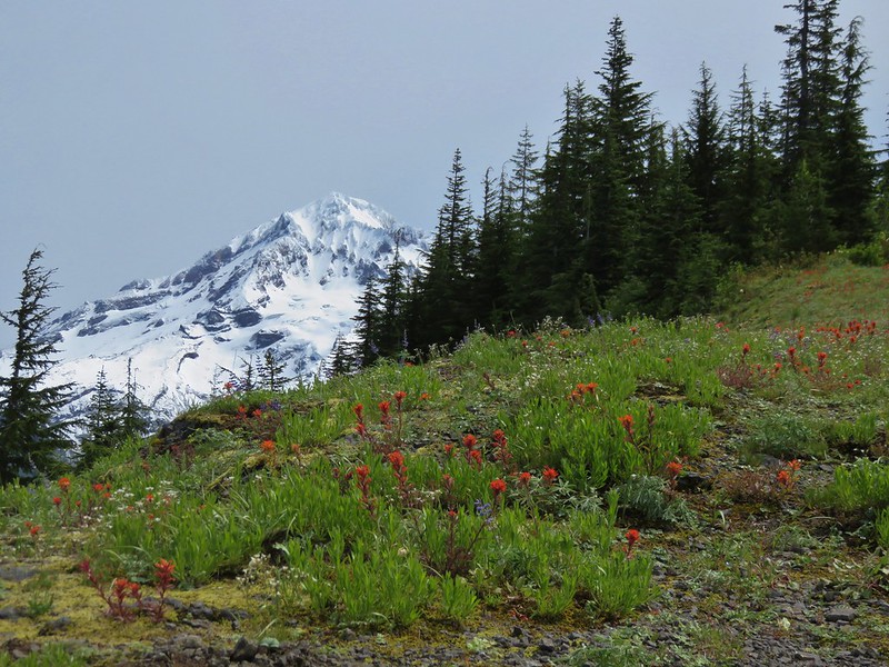
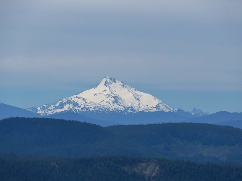
As we climbed higher Mt. Hood came into view and the variety of flowers increased.
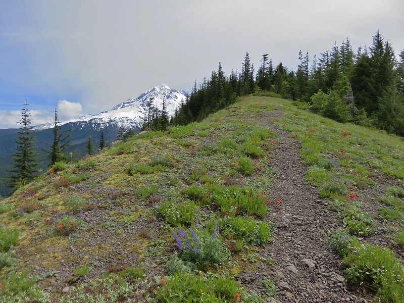

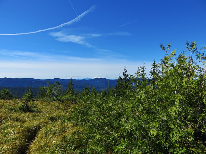
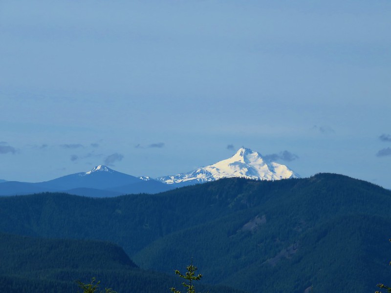
Several other Cascade peaks were visible from the ridge.
Mt. St. Helens, Mt. Rainier, and Mt. Adams to the north.
Mt. Jefferson and Three Fingered Jack to the south.
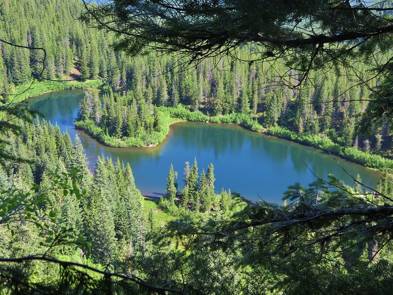
I left Heather at the summit and headed down into the meadow on the opposite side of the summit. The flowers seemed to be a little behind so I turned around after getting a few pictures including the obligatory Burnt Lake shot.
Burnt Lake below Mt. Hood
I returned to the summit and we headed back to the Cast Creek Trail. We had accidentally taken this trail in 2012 mistaking it for the Cast Lake Trail (we obviously didn’t read the sign well). The Cast Creek Trail begins with a little climb past some decent viewpoints before beginning its decent into the forest.
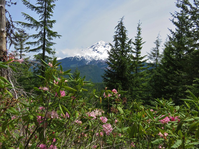
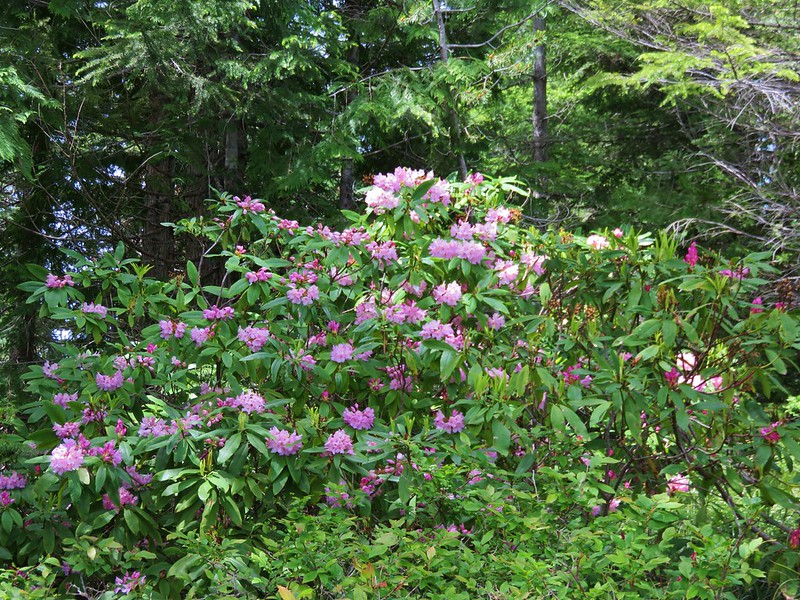
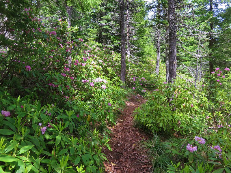
The rhododendron bloom along the upper portion of the trail was one of the best we’ve witnessed.
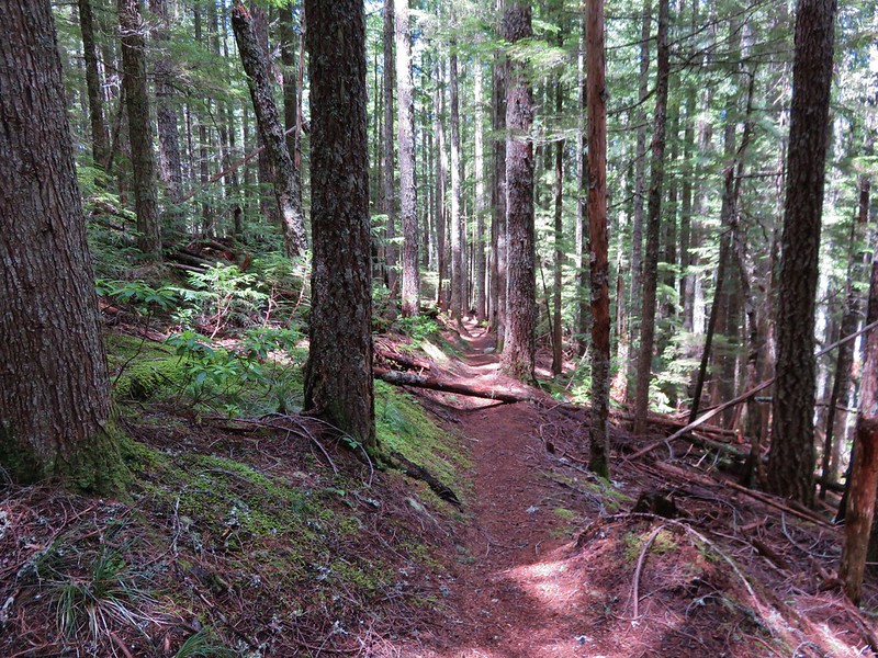
The forest along the Cast Creek Trail was quite different from what we had encountered coming up on the Horseshoe Ridge Trail. There was much less underbrush leaving the forest with a more open feeling.
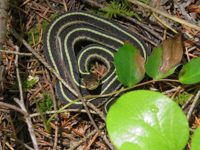
We kept expecting to see a deer or other larger animal below us through the trees but we never did. What we did see was a garter snake enjoying a patch of sunshine along the trail.
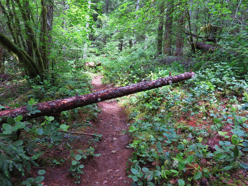
According the the Forest Service website neither the Cast Creek nor the Horseshoe Ridge Trail had been maintained since 2014 but they were both in pretty good shape. There were a few downed trees but nothing difficult to maneuver around. We did see one sign of more recent maintenance on the lower portion of the Cast Creek Trail which left us scratching our heads. A small tree had come down across the trail. The top end of the tree had been sawed off, but not the portion that was across the trail. There was a saw mark along the trunk where someone had started a second cut to remove the portion of tree hanging over the trail, but they hadn’t finished it for some reason.
The Cast Creek Trail ended at a day use area at the far end of Riley Horse Camp.
We had intended to park here, but failed to find it due to a lack of signage and having turned out of the horse camp before going all the way to the end.
We walked through the horse camp to the road then continued a tenth of a mile back to our car. Both of our GPS devices had the hike at a little over 16 miles which made it pretty long for a day hike, but spending the night at Cast Lake would make it a nice overnight trip. Happy Trails!
Flickr: https://www.flickr.com/photos/9319235@N02/albums/72157669434295252

2 replies on “Horseshoe Ridge and Cast Creek Trail Loop”
I have to say, in all my hiking in Oregon, I have noticed that the National Forests there have the best bridges! Also, I got your message regarding the Marbles, but I may have deleted it accidently, hence a reply here. The Marbles should be pretty clear of snow by now. There may be patches around Kings Castle, but I reckon its not bad, if the mountains around my house (taller) are any indication. Are you aware that that area was burned over pretty bad a couple years ago? The Paradise Lake Basin is OK, but everything around it got toasted. If that is a put-off, consider the Trinity Alps or Mount Eddy. The latter is easily accessible, has gorgeous lakes, and the summit view is the best in norcal. Plus a hike on Mount Shasta is just a few minutes away!
Thanks for the reply. We did know about the burn, seems like that is becoming more and more of an issue all over our area 😦 We are planning on heading down again next year in the early Summer for Mt. Eddy and hikes at Mt. Shasta, Castle Crags, and something in the Trinity-Alps Wilderness. Will your new book be out by then do you think? If so we’ll have to pick a copy up before heading down. Either way we’ll be your site for hammering out the details.