**Note the 2017 Rebel Fire burned a portion of this hike.**
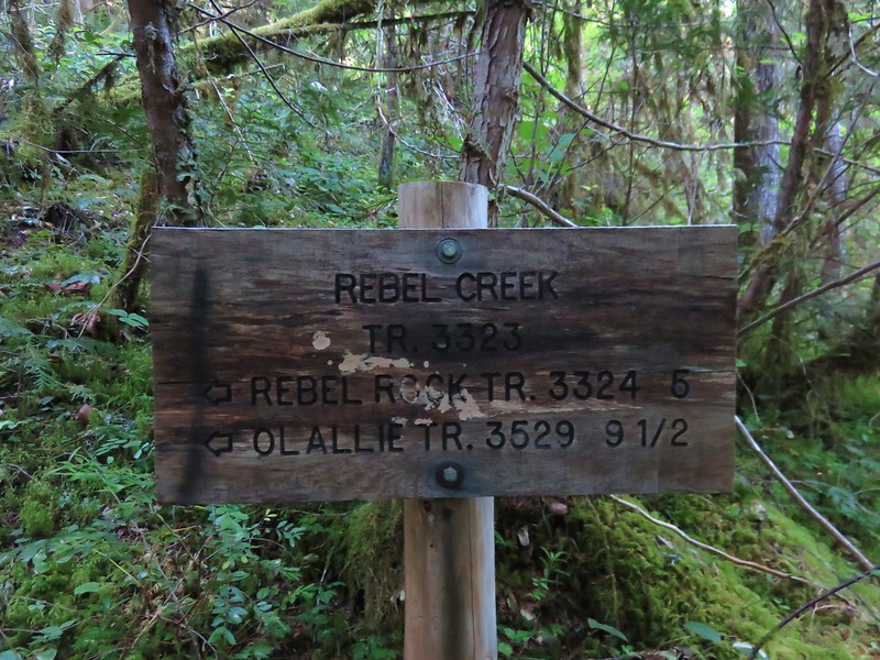
The Three Sisters Wilderness hosts approximately 260 miles of trails. Some of them such as Green Lakes and Obsidian are overused while others see little if any use. The 12.3 mile loop starting at the Rebel Trailhead on the Rebel Creek and Rebel Rock Trails is on the lesser used end of the scale. The trailhead is 14.5 miles from Highway 126 along paved Aufderheide Road 19.

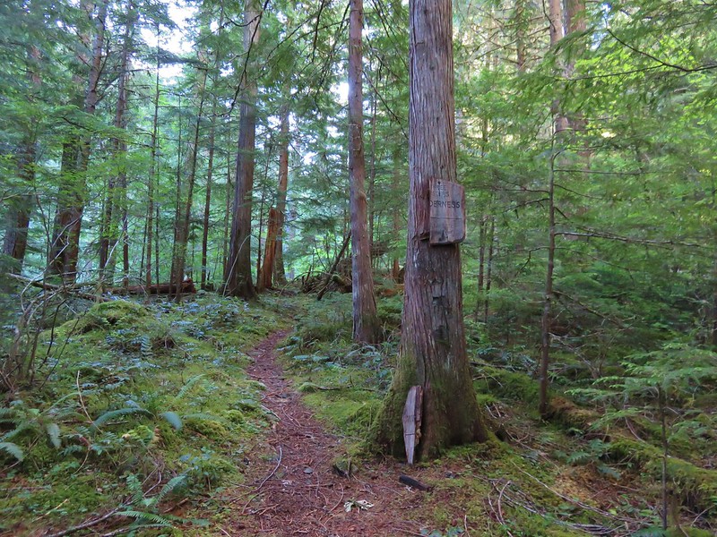
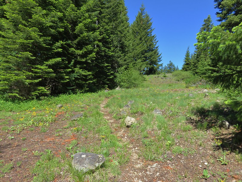
The loop starts on the Rebel Creek Trail and quickly comes to a fork where the Rebel Rock Trail splits to the right. We stayed on the Rebel Creek Trail and would meet back up with the upper end of the Rebel Rock Trail in 5 miles.
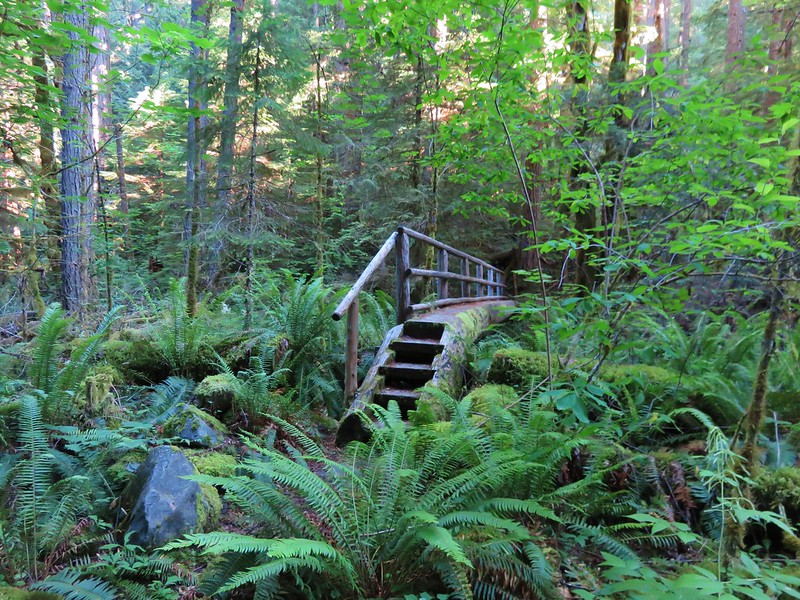
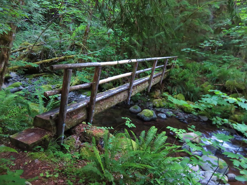
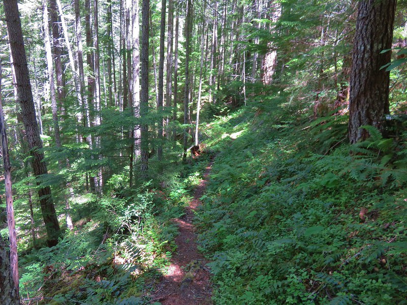
The forested trail led along Rebel Creek, crossing twice on footbridges, while it gradually climbed up the valley.
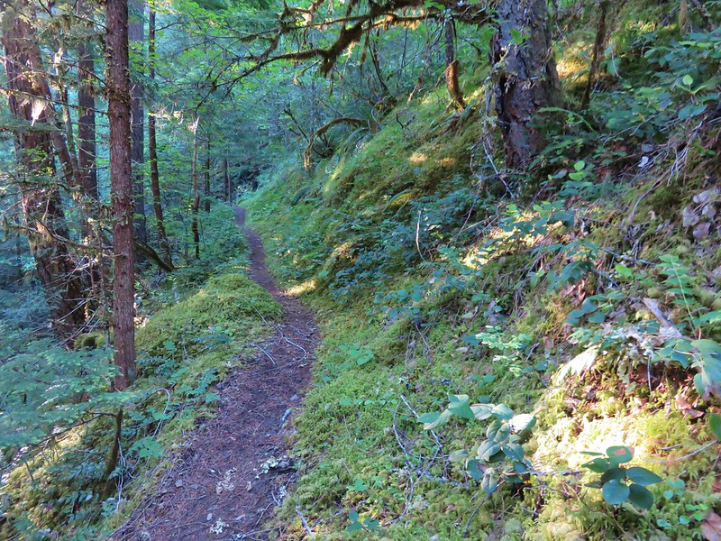
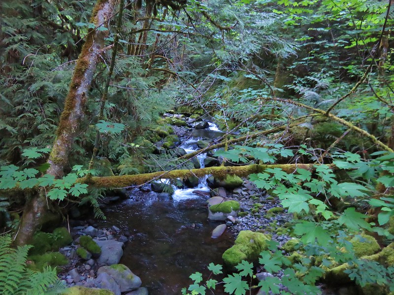
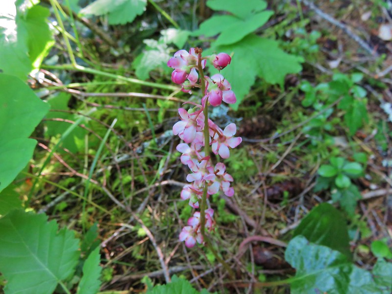
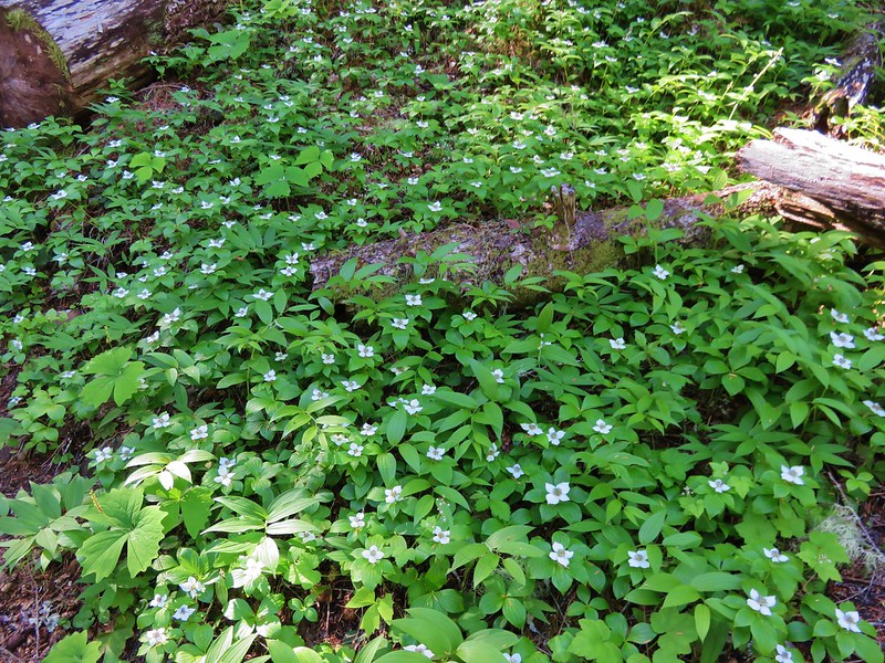
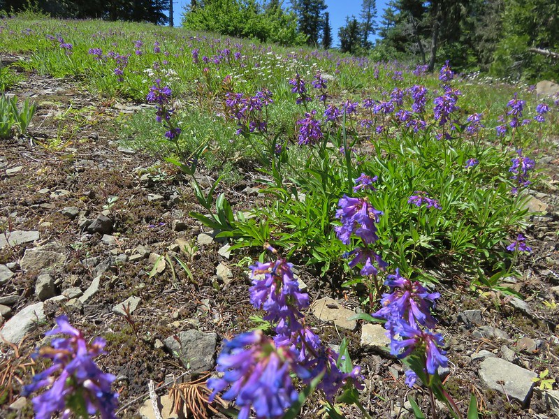
The hike through the forest was peaceful with the sound of the creek below and birds singing in the trees. We didn’t see many of the birds we were hearing, but we did spot a nice variety of flowers along the way.
Prince’s Pine
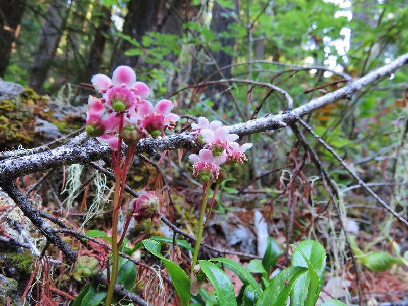
Pink pyrola
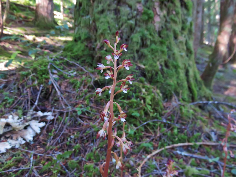
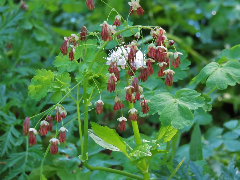
Spotted coralroot
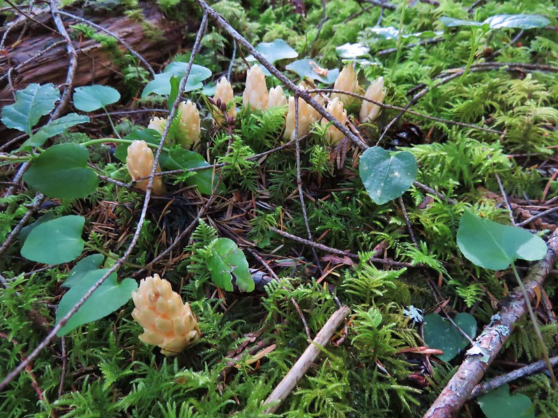
Fringed pinesap
Rhododendron

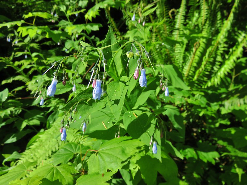
Tall bluebells
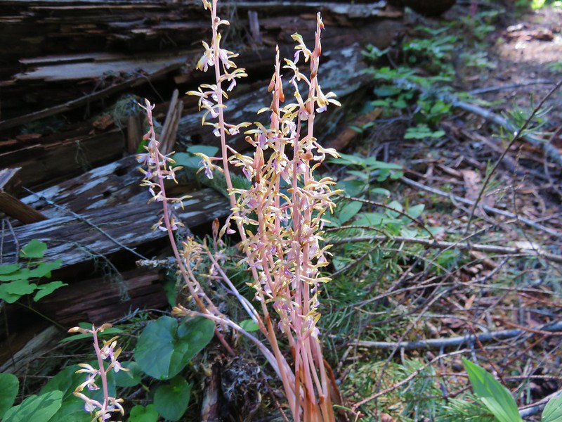
Yellow coralroot
Bunchberry
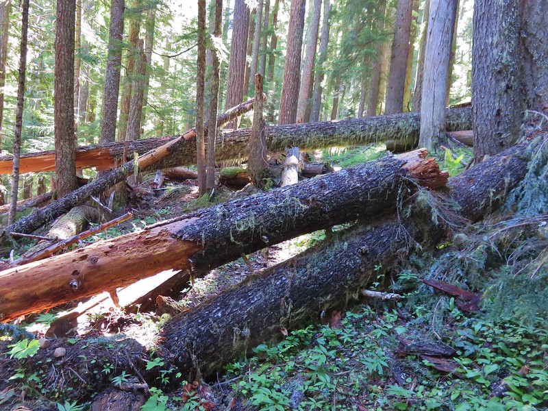
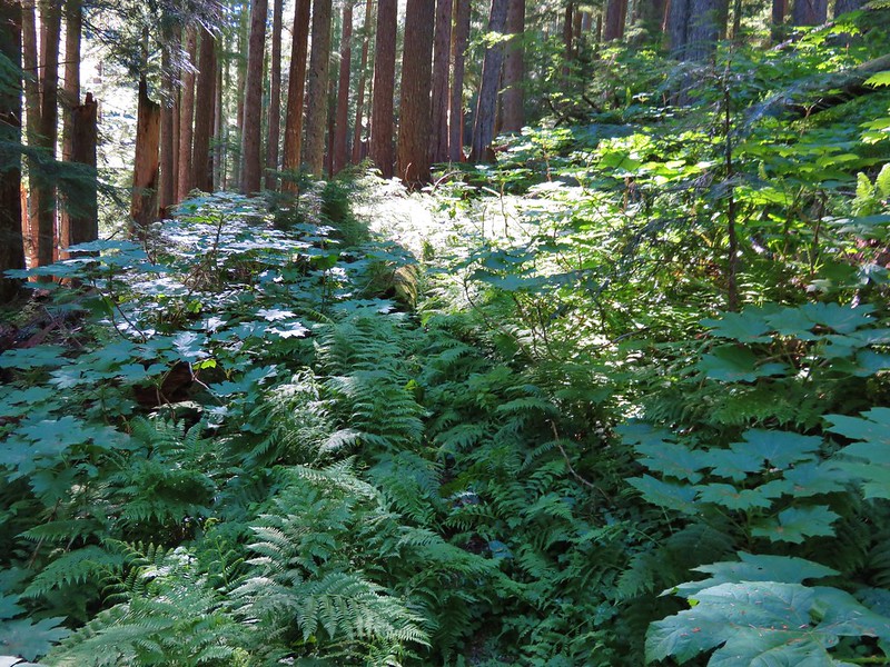
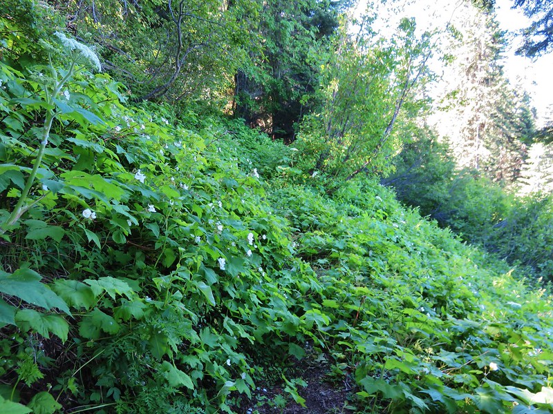
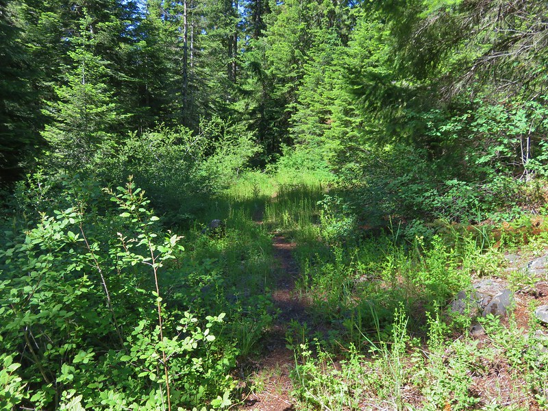
The trail was in pretty good shape despite it’s light usage. There were a few downed trees and near the upper end it became a little brushy in spots.
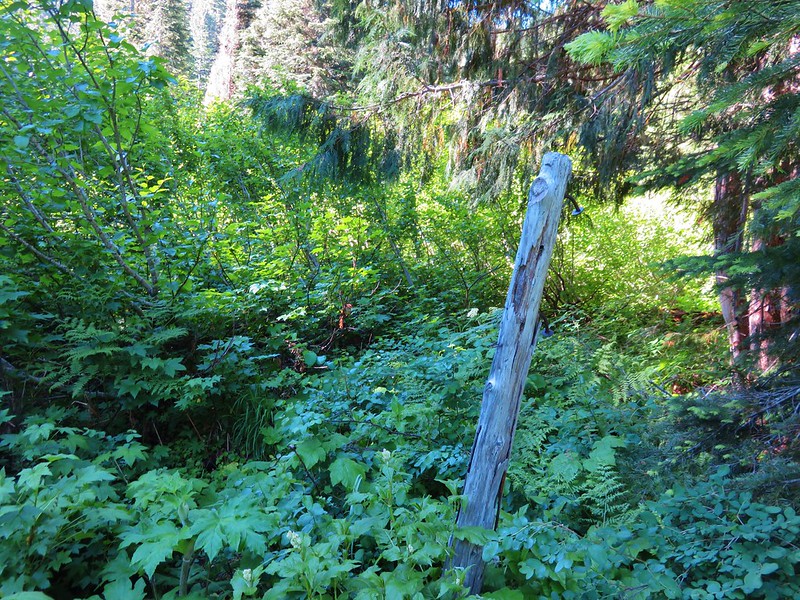
We met back up with the Rebel Rock Trail at the edge of thimbleberry meadow where a post with no signs left marked the junction.
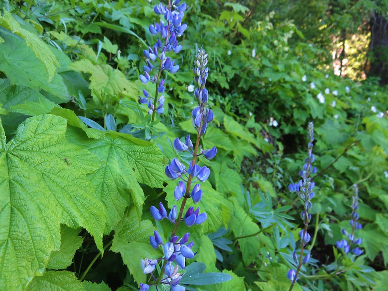
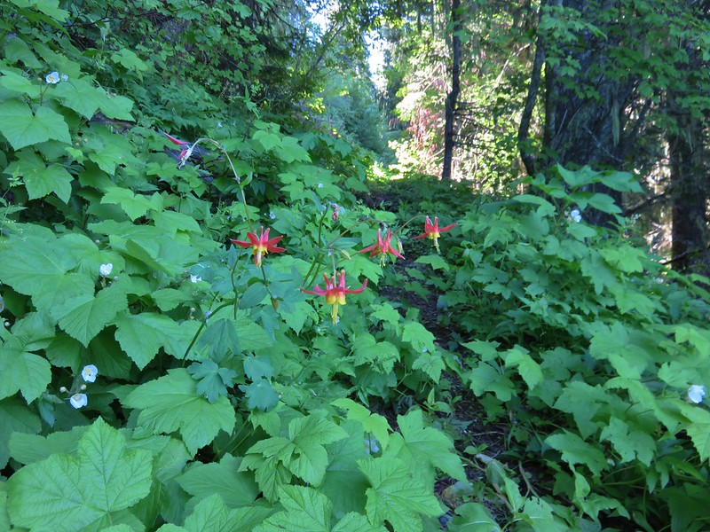
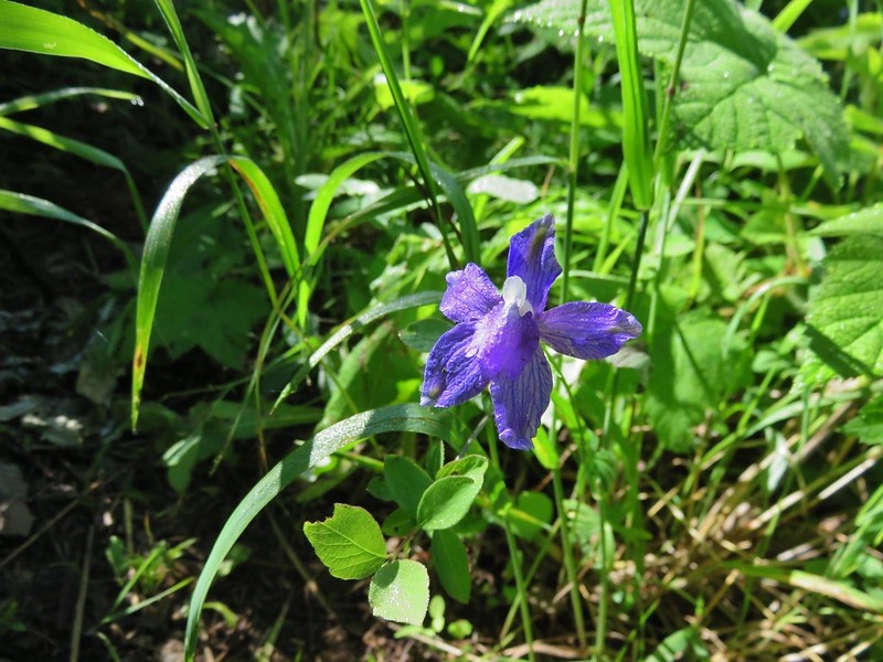
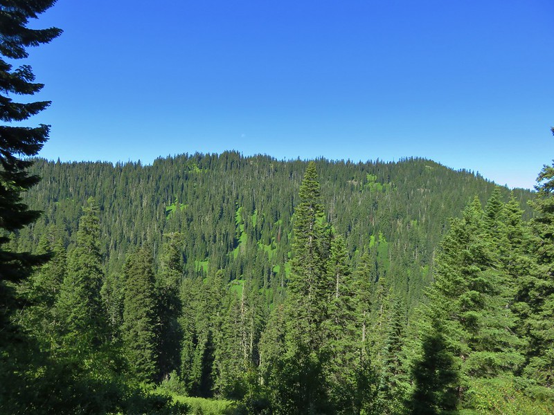
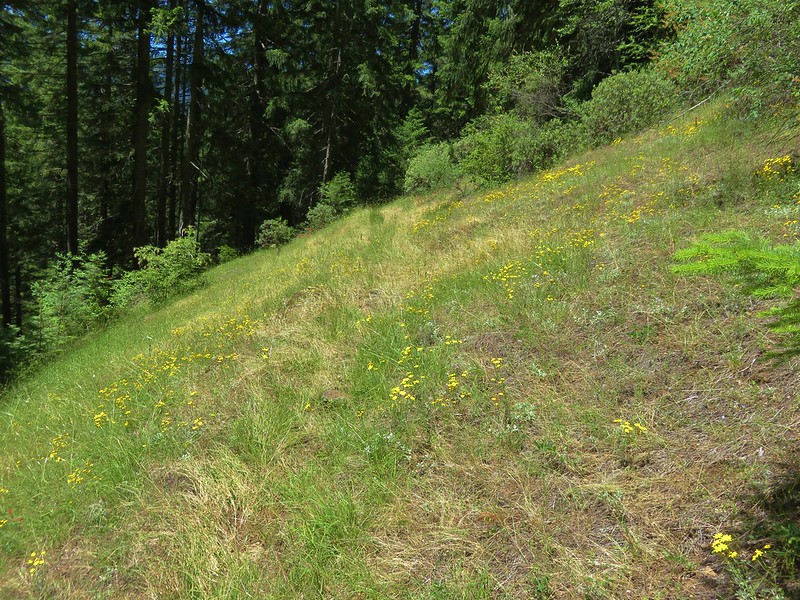
The Rebel Creek Trail technically continued to the left to the Olallie Trail but that section is, according to the Forest Service, faint due to lack of use/maintenance. After a short break we turned right onto the Rebel Creek Trail skirting the meadow and climbing up and over a ridge near the hidden Rebel Rock. More thimbleberry filled meadows awaited us as we traversed along what was now a west facing hillside. The meadows contained a few flowers beside the white thimbleberry blossom and also allowed for views across the valley to the opposite hillside.
Lupine
Columbine
Larkspur
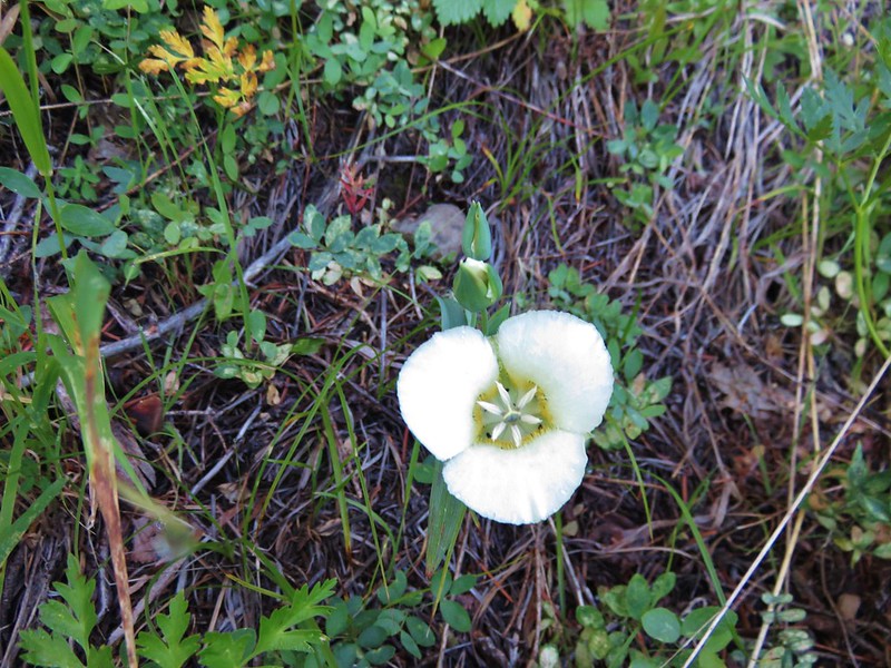
Cat’s ear lily
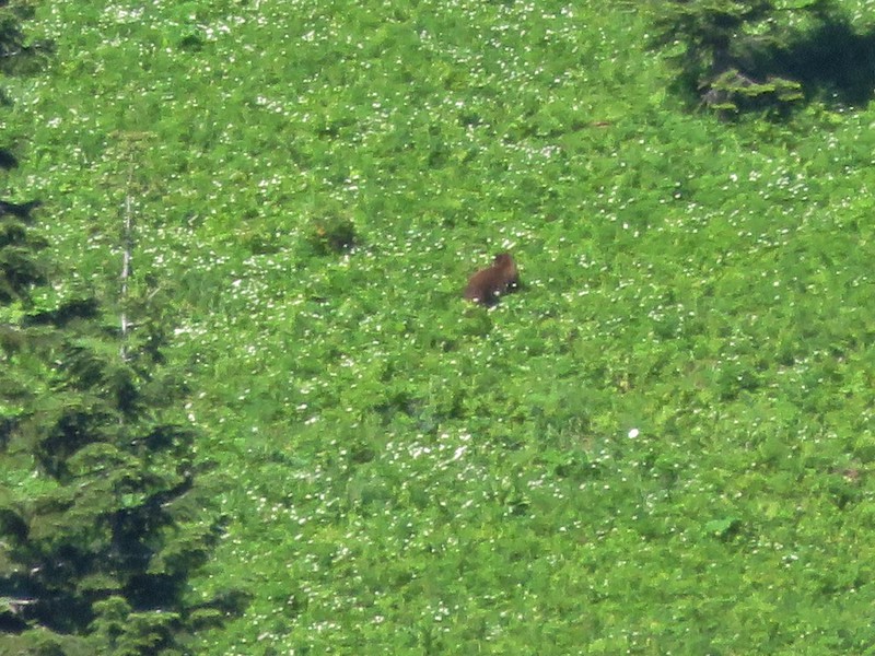
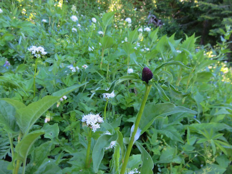
Whenever we have views of distant meadows we try and scan them for wildlife. It always seems like we should see deer, elk or even a bear and on a couple of occasions we have managed to spot deer or elk. More often than not though we get our hopes up only to discover we are staring at a rock or downed tree. This time though I was sure I’d seen a dark object, I had my eyes on, move so I used the 120x digital zoom on the camera to take a closer look. It turned out to be a bear wandering around in a meadow full of white valerian flowers. Given the distance the pictures didn’t turn out great but we watched it for a while before it disappeared into the trees.
With 30x optical zoom.

120x digital zoom

The trail continued to pass through similar meadows until finally reentering the forest where we startled a grouse.

Meadowrue
Coneflower
Blurry grouse photo

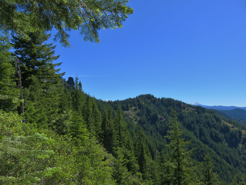
A short distance later it crested a ridge where we entered a drier environment as we moved to the south facing side of the ridge.
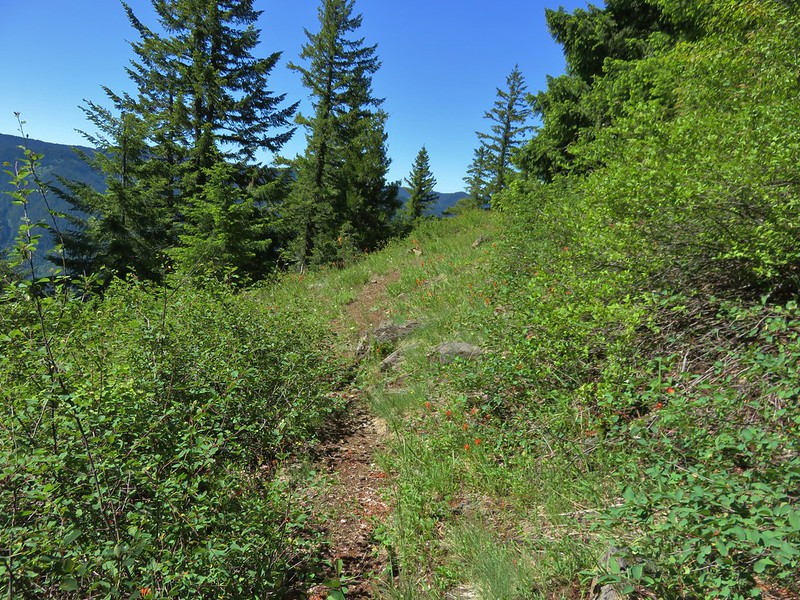
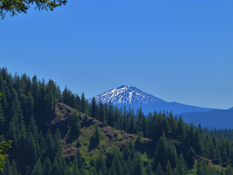
The first snowy peak of the day came into view to the south, Maiden Peak near Waldo Lake.

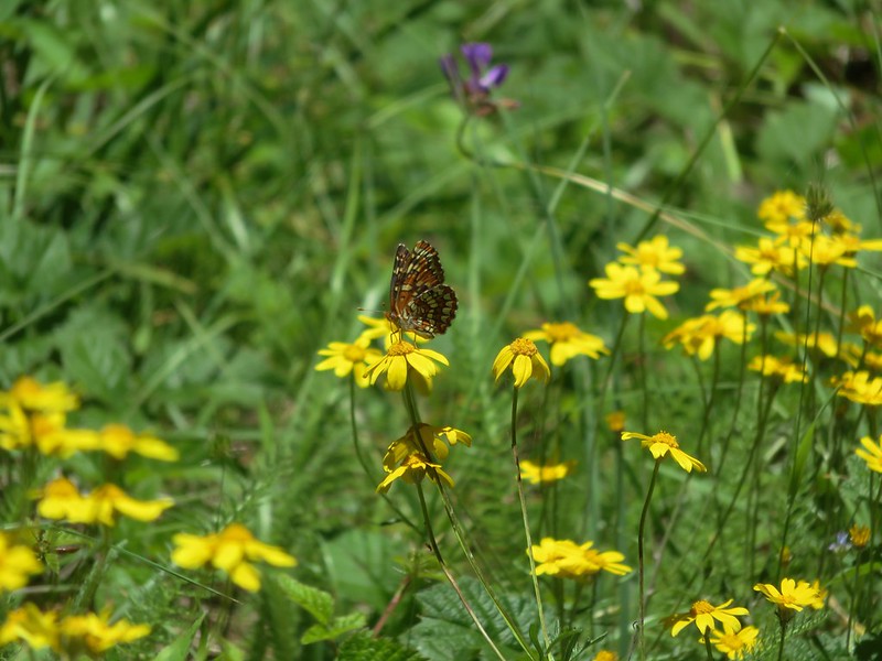
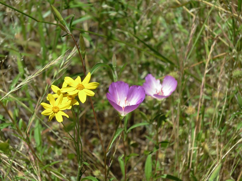
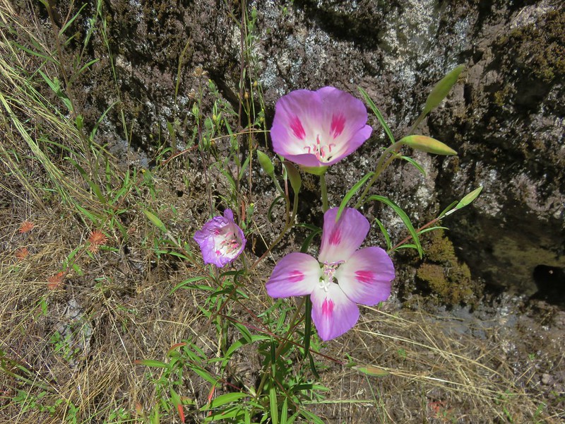
The trail had entered a wildflower meadow filled with bright red scarlet gilia.

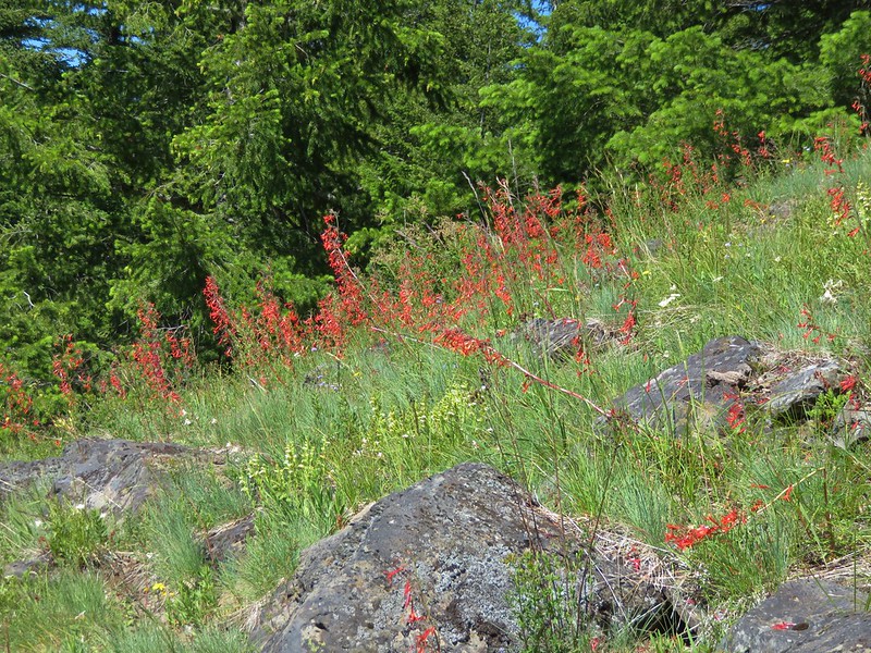
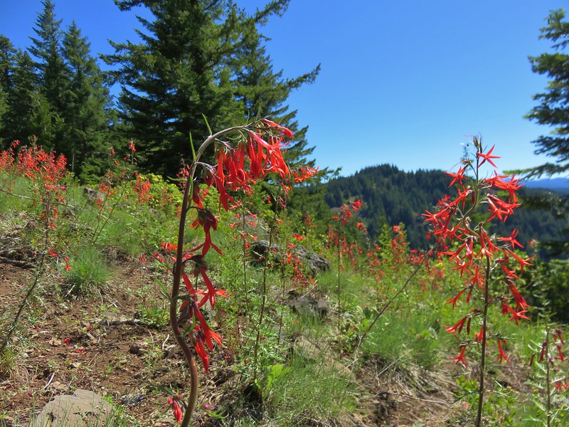
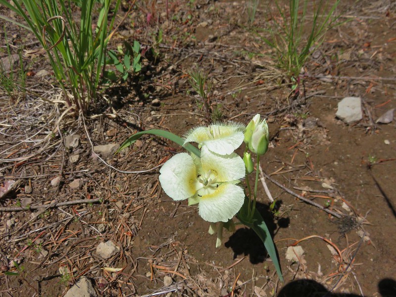
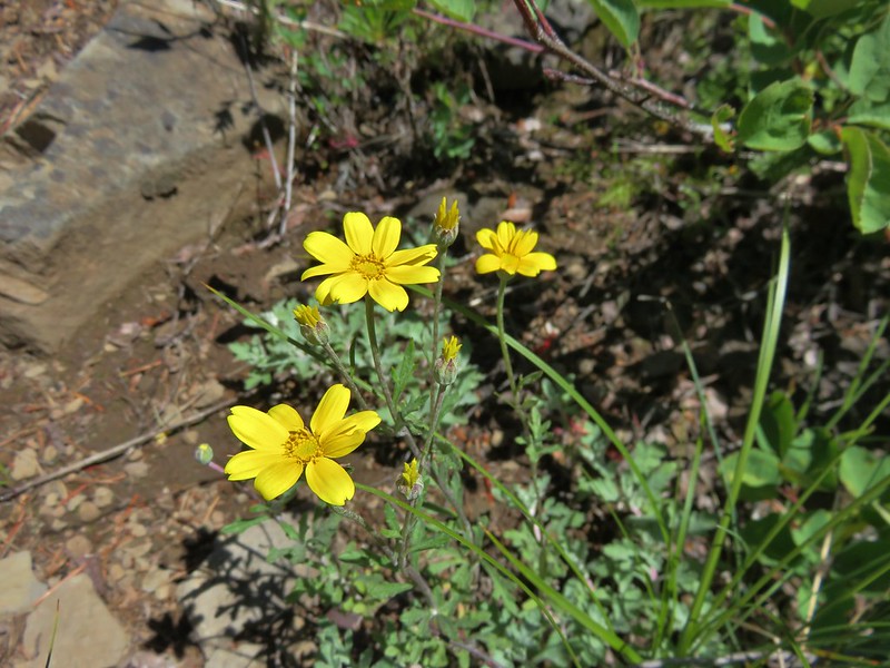
There were several other types of flowers mixed in as well.
Cat’s ear lily
Oregon sunshine
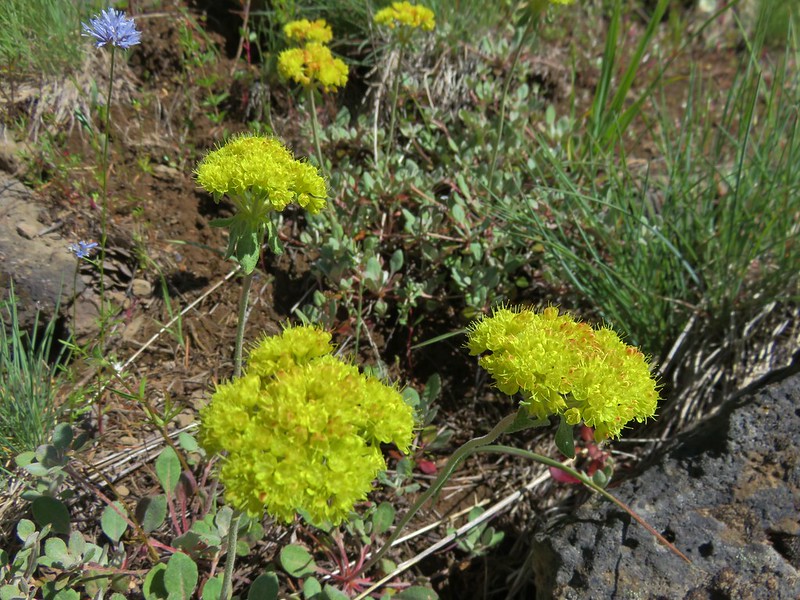
Blue gilia and buckwheat
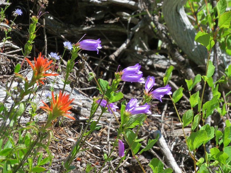
Paintbrush and penstemon
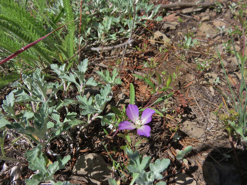
Clarkia
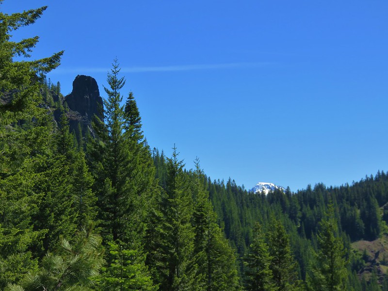
As we worked our way through the meadow the view behind us to the east opened up revealing the only view of Rebel Rock’s spire, the top of South Sister and Mt. Bachelor.
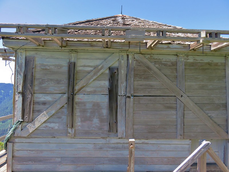
The trail passed into another section of trees where we noticed what appeared to be a faint trail to the left leading to a possible viewpoint. We followed it out to an open rocky ledge which allowed us to see the old Rebel Rock Lookout further to the west.
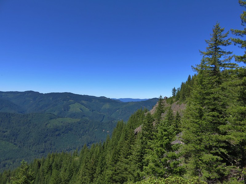
We returned to the trail and continued west watching for the side trail to the old lookout building. A rock cairn along an open area marked the path.
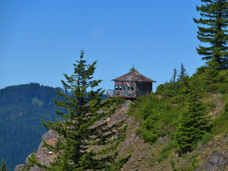
The lookout itself was not visible until we’d gone a couple hundred feet on the side path. The windows were mostly broken out and several boards were missing from the deck but the view was nice.

After a break at the lookout we returned to the trail in the rocky meadow. The flower display was pretty nice here too with a few different flowers that we hadn’t seen yet during the hike.
Bastard toadflax

Catchfly and a yellow composite
Owl’s clover and blue gilia

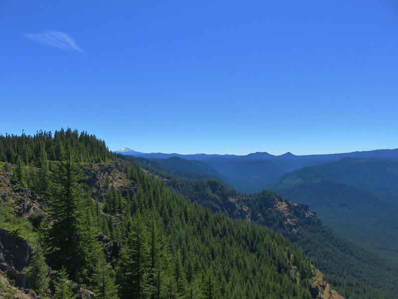
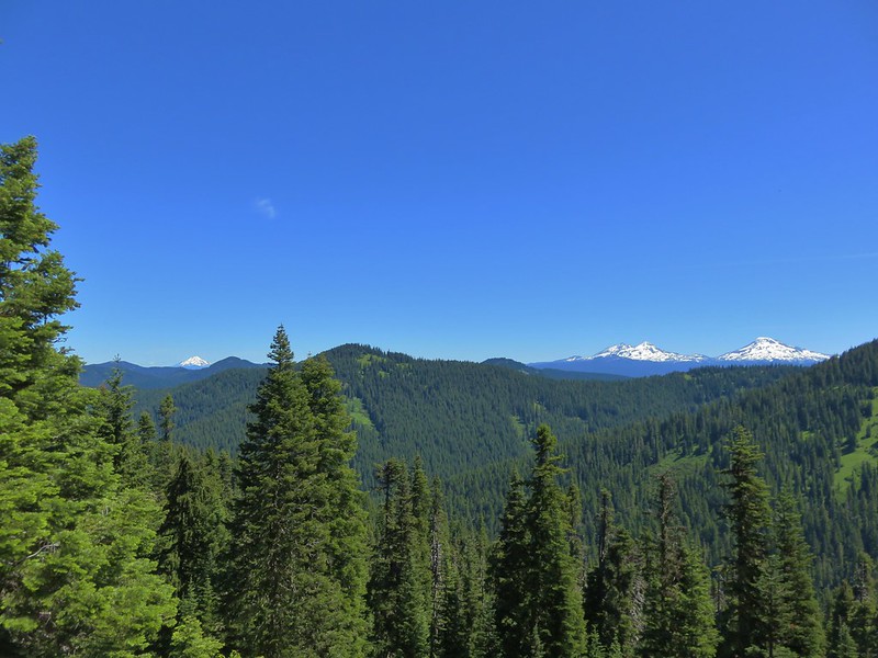
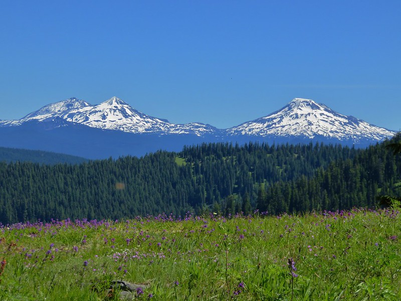
A half mile from the side path the the lookout was yet another meadow and the best viewpoint of the day.
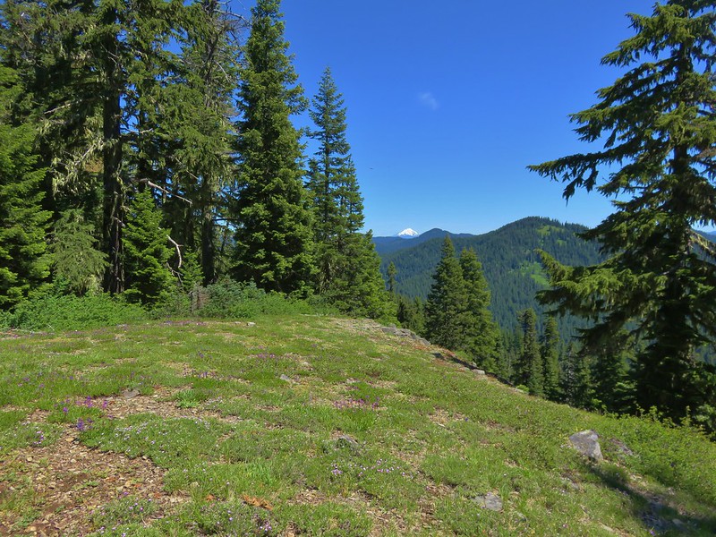
From this meadow Mt. Jefferson, the Three Sisters, and Mt. Bachelor were all clearly visible.
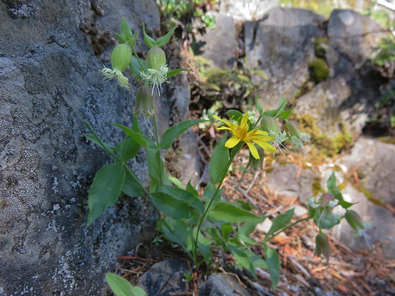
The meadow sported another nice collection of wildflowers.
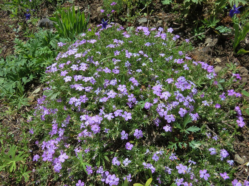
Phlox
Penstemon
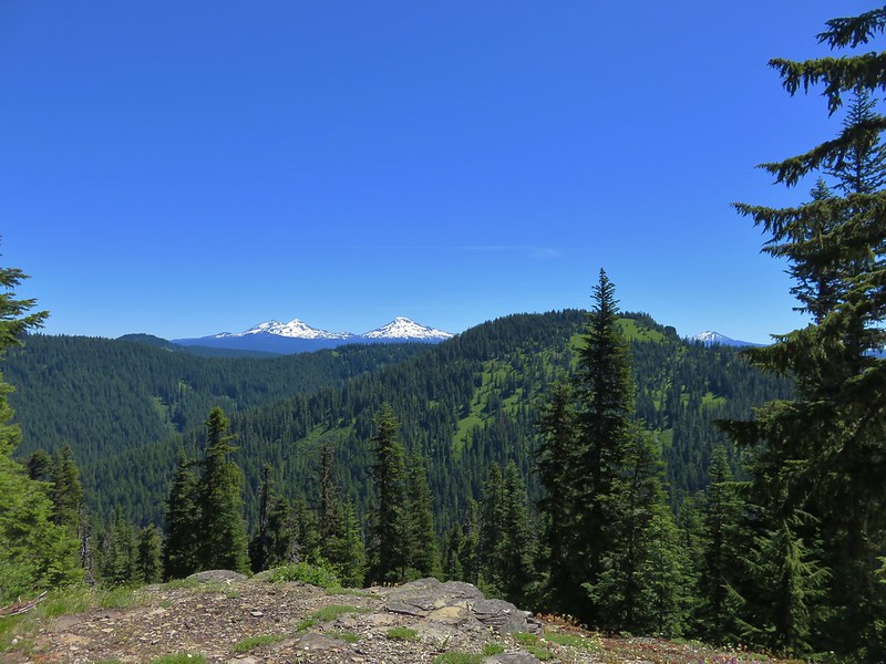
The Three Sisters
The trail began to descend beyond the viewpoint through another series of thimblerry meadows. The tread here was often hidden by the thick vegetation.
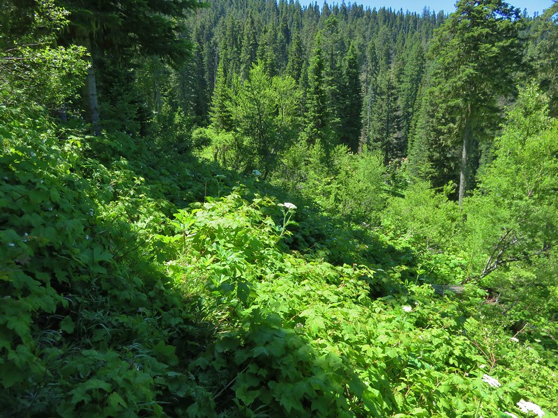
The trail switched back just before reaching Trail Creek and reentered the forest.
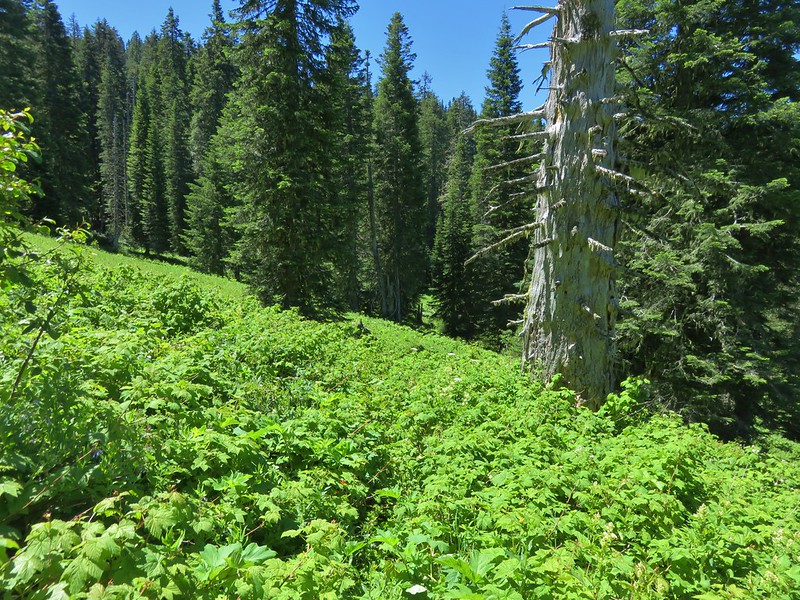
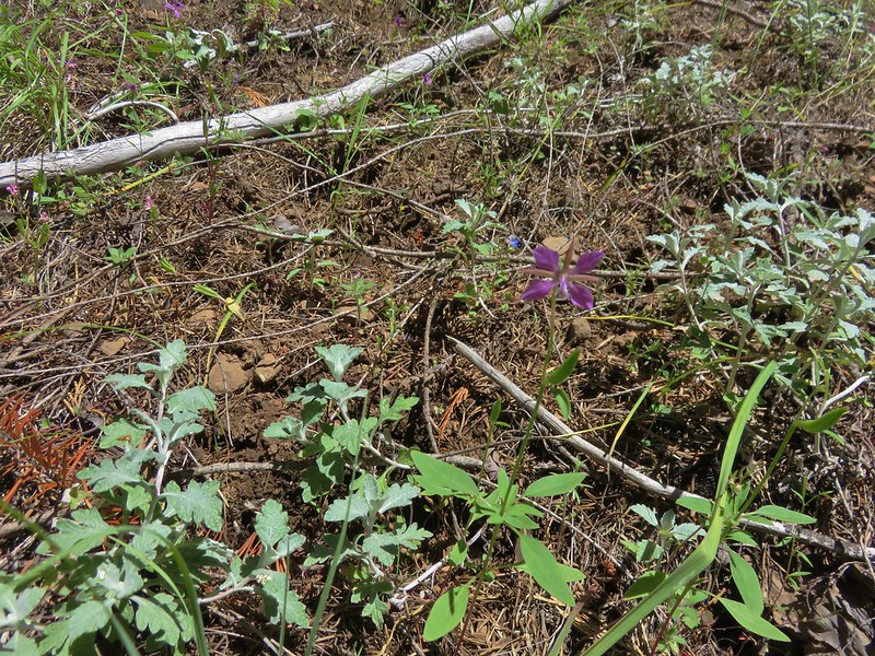
This section of trail gradually descended through the forest. Along the way were a couple of additional meadows where there were again some different flowers.
Oregon sunshine and clarkias
Farewell-to-Spring
Diamond clarkia
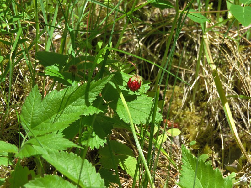
There was also a nice supply of ripe, warm, strawberries to munch on.
Although a few cars had joined ours at the trailhead we completed the loop without seeing any other people along the trails. Any time the number of bears you see is more than other people it’s a good day on the trail. After doing this loop we were left wondering why it isn’t a little more popular. Although there are a couple of longer stretches without view there were some nice ones and the amount and variety of flowers had surprised us. There is a cumulative elevation gain of 3300′ but the trail was never particularly steep and it was spread over such a distance that it didn’t feel like we’d done that much climbing. The fact that the trailhead is an easy drive on good paved roads is an added bonus. It is definitely a hike we’d recommend. Happy Trails!
Flickr: https://www.flickr.com/photos/9319235@N02/albums/72157670151874216
