For the final hike of our trip we’d chosen Aneroid Lake. This would be our 99th featured hike out of the 100 in William L. Sullivan’s “100 Hikes Eastern Oregon” 1st edition (2022) and our 499th out of the 500 featured hikes that we’ve been working on for a number of years now (post). Sullivan gives two options for this hike, a moderate hike gaining 1150′ of elevation in just under 4-miles (round trip) to a waterfall on the East Fork Wallowa River, or the difficult hike to Aneroid Lake gaining nearly 3000′ of elevation in what he lists as a 12-mile round trip. Other reports put the hike to Aneroid Lake at just over 13-miles RT but agree on the elevation gain. Our plan for the day was to once again split up and go our own paces with Heather’s goal being the waterfall and mine being the lake. Heather would return to the trailhead and then head to the Trailhead Coffee stand and do a little shopping in the Wallowa Lake community while she waited for me to get back. We figured that the hike to Aneroid Lake would take me anywhere from 6 to 8 hours depending on how long the hike really was and how well my legs were working after four days of serious hiking.
We began at the Wallow Lake Trailhead which we’d started two other previous hikes from, a five-day backpacking trip (post) and a short hike to B.C. Creek Falls (post). For both of those hikes we’d taken the West Fork Wallowa Trail. Today we would be using the East Fork Wallowa Trail.

 Map at the trailhead signboard and wilderness permit station.
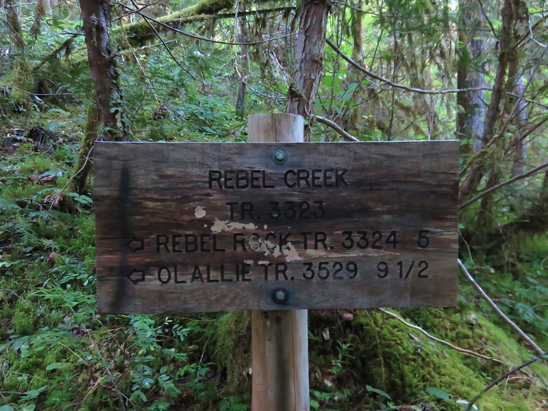
 Trail sign at the split of the East and West Fork trails.
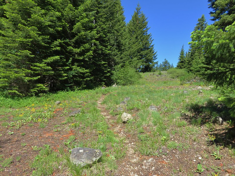
The trail began by following a rocky roadbed uphill.


 Trail sign for the East Fork Wallowa Trail at a junction with a gravel road.
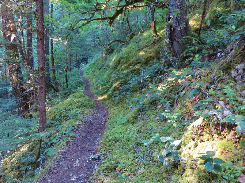
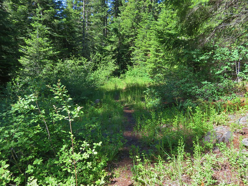
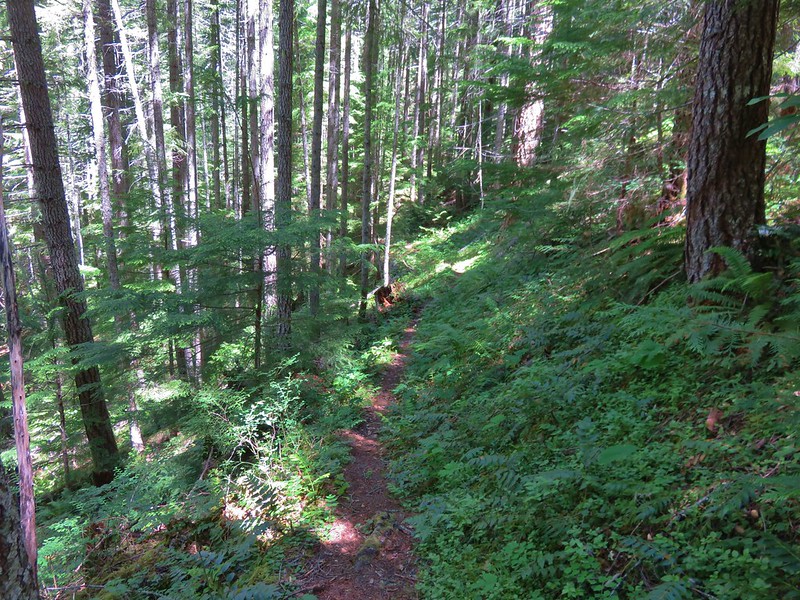
The roadbed soon became a proper trail as it continued uphill.

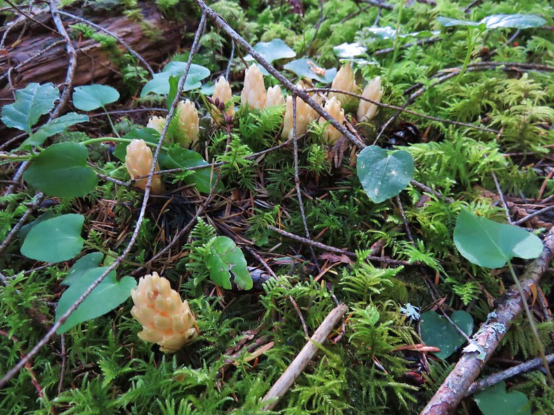
 Ghost pipe
 Entering into the Wallowa-Whitman National Forest.
A little over three quarters of a mile from the trailhead I came to a junction with a connector trail to the West Fork Wallowa Trail used as a loop for horse tours.

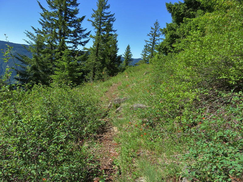
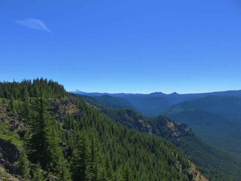
Beyond the junction the trail passed through some rocky hillsides with views across Wallowa Lake.

 Chief Joseph Mountain and Wallowa Lake
 I never saw any but I heard a number of pikas in the rock fields.
 Switchback
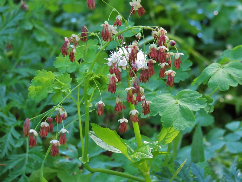
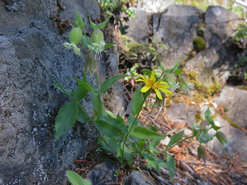
 Rock clematis seed heads.
When Heather came through the rock fields she did spot a pika.

 Bridge at the upper end of the access road that I had passed earlier.
 The lower section of the waterfall from the bridge.
After checking out the lower portion of the falls from access road bridge I returned to the trail and continued up to a switchback with a view of the upper section of the falls.


 The access road bridge from the switchback.
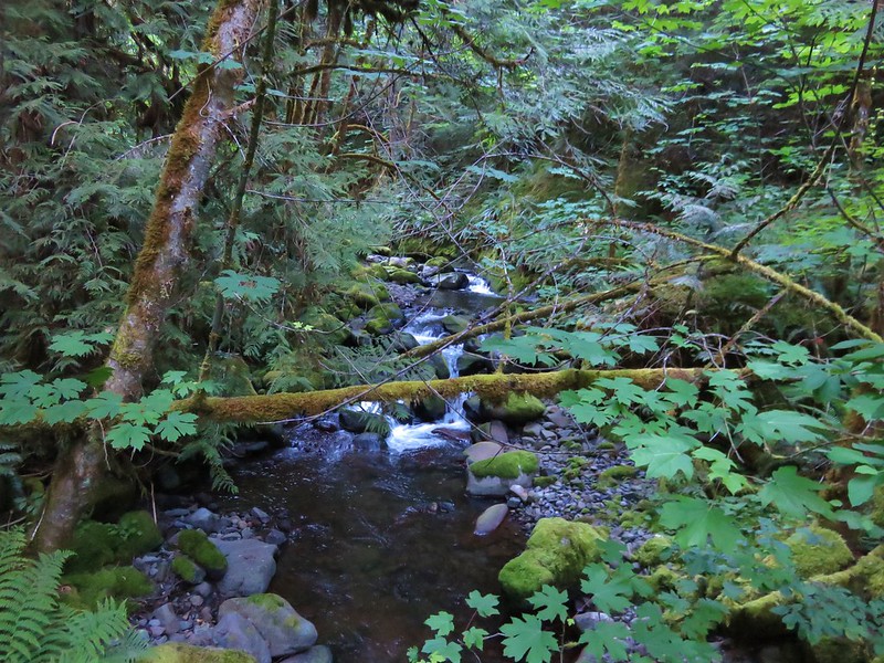
From the switchback the trail continued its steady climb arriving at a damaged bridge after a little over 2 miles.

 East Fork Wallowa River Forebay
 Interpretive sign at the forebay.
 Aster
Aster
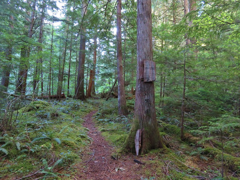
 The trail entering the Eagle Cap Wilderness.

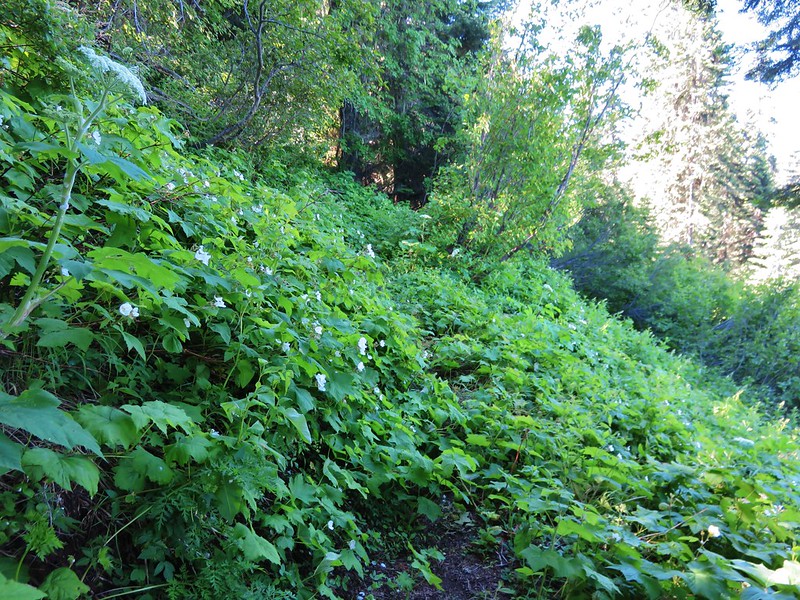
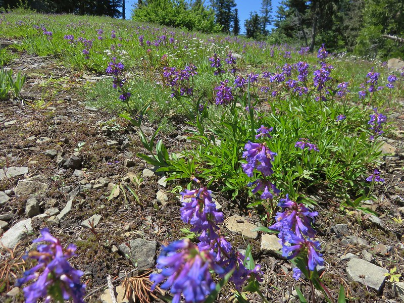
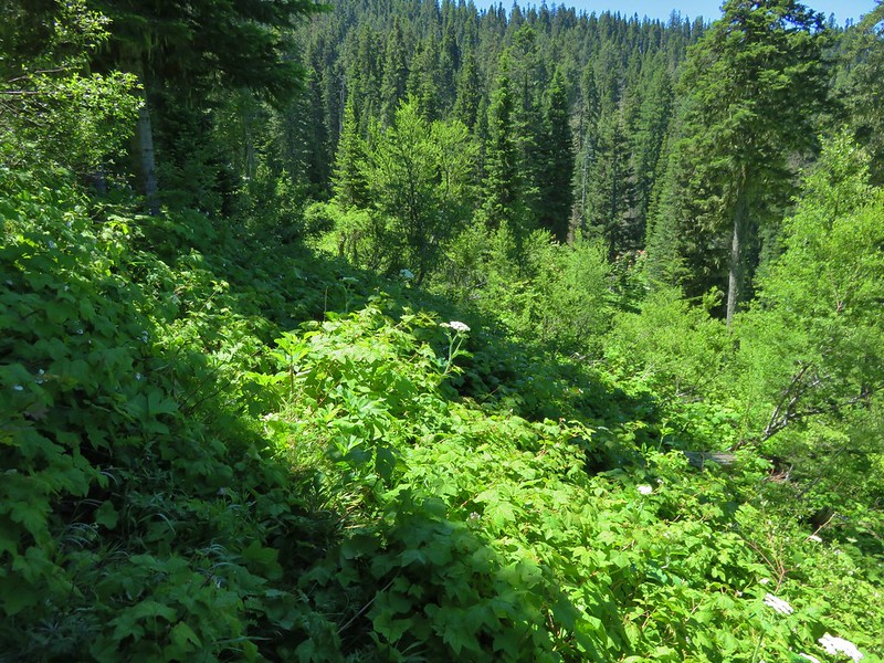
Shortly after entering the wilderness the trail passed through some small meadows with fireweed and various berries.

 Elderberry and baneberry
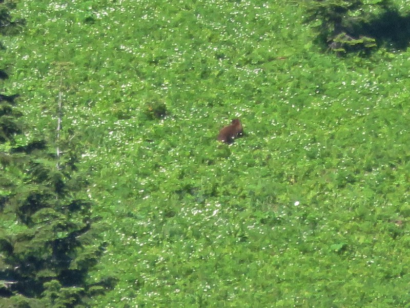
As I was pondering which animals if any might eat the different berries I spotted something brown in the fireweed below the trail. It took a moment to register what I was seeing. I had my camera out and was zooming in to try and identify it, but as soon as it lifted its head I realized it was a bear.
 Zoomed in photo.
It didn’t seem to notice me so I quietly and quickly continued on trying to put some distance between myself and it. I wasn’t too thrilled when the trail suddenly made a switchback and I was headed back toward where the bear was, albeit I was now higher up the hillside. I continued with a bit of a quicker pace until I felt that I’d gotten a decent distance away then slowed a bit to avoid missing the scenery. I passed a couple of hikers on their way down who I mentioned the bear to just in case it was still there.

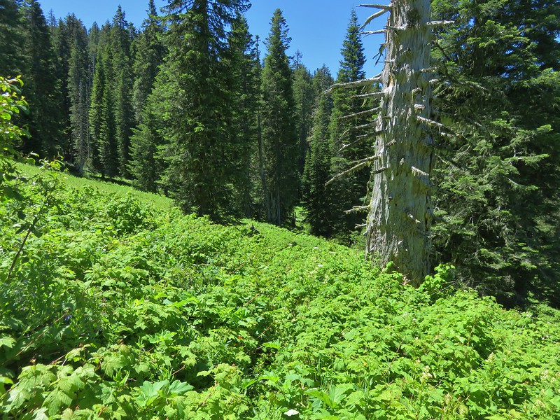
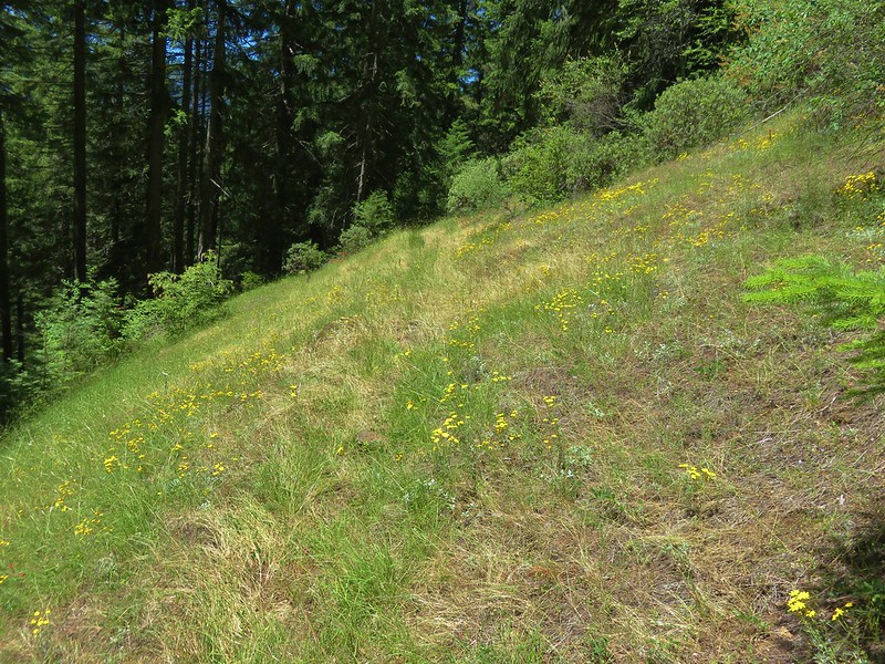
 Small meadow along the trail.
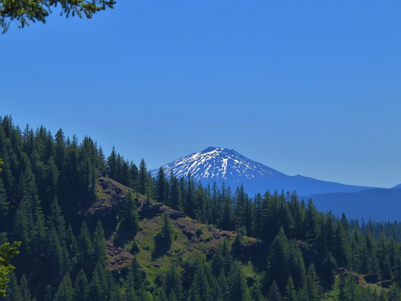
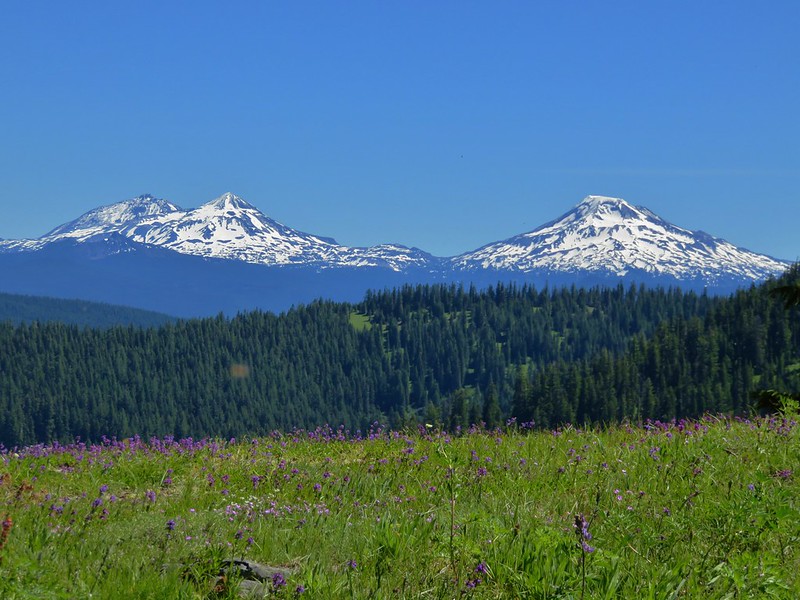
 Aneroid Mountain in the distance.
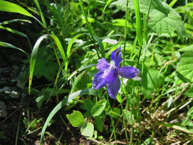
 Mountain larkspur
 Pika underneath some raspberries.
 Pika
Pika
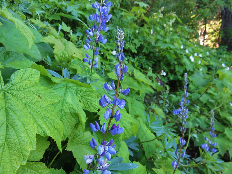
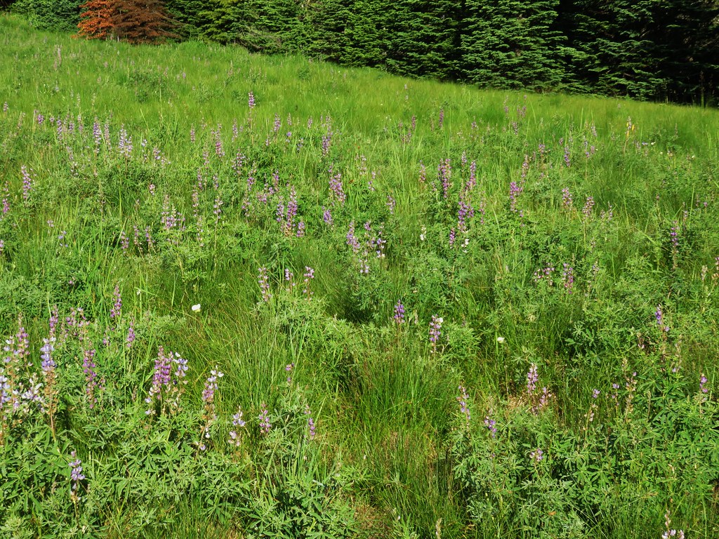
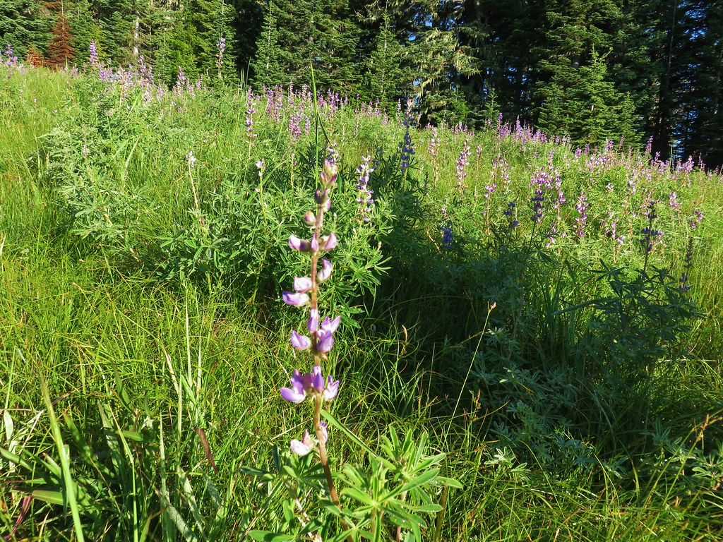
 A few lupine were still blooming along the trail.
 Doe in a small meadow along the trail.

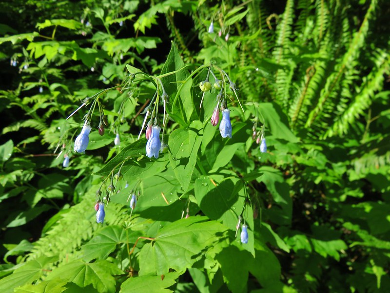
 Tall mountain bluebells
 The damaged footbridge.
While the climb had not been steep beyond the footbridge the climb became even more gradual. Just under a quarter mile from the bridge the trail split with inbound traffic staying right.


The inbound trail traversed an exposed hillside with views down to the East Fork Wallowa River.


 East Fork Wallowa River
 The inbound and outbound forks rejoining.

 East Fork Wallowa River flowing through a meadow along the trail.
 Goldenrod
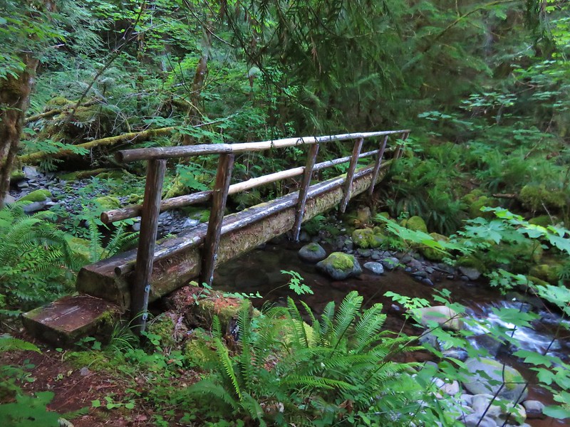
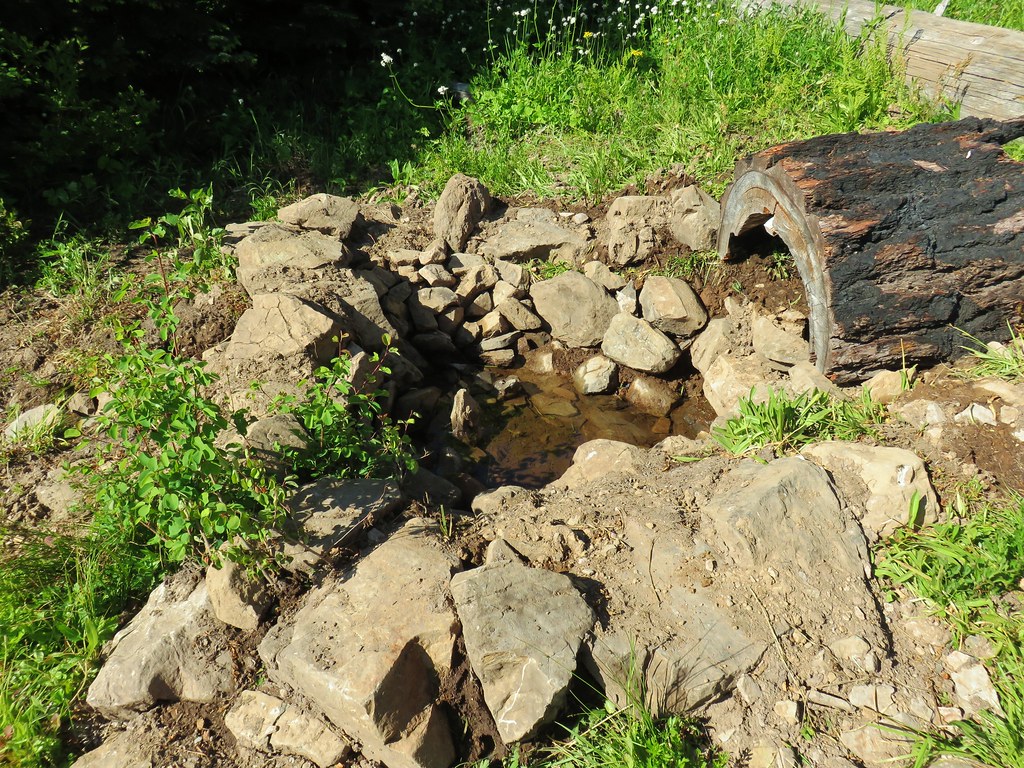
 Unnamed creek crossing.
 American sawort
 Another doe in a meadow.

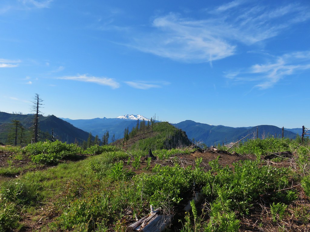
 A hazy view of Aneroid Mountain.
 Pearly everlasting along the trail.
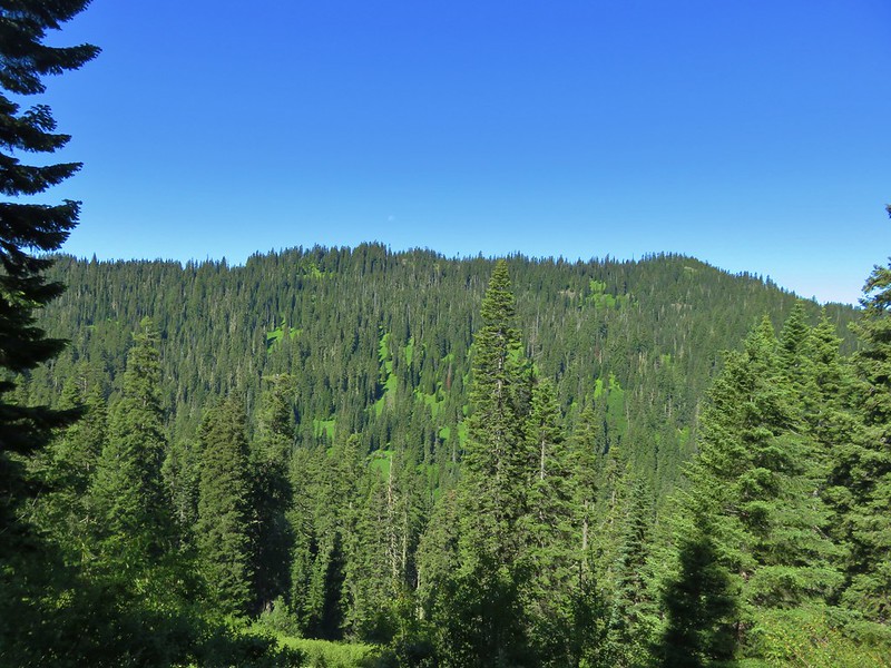
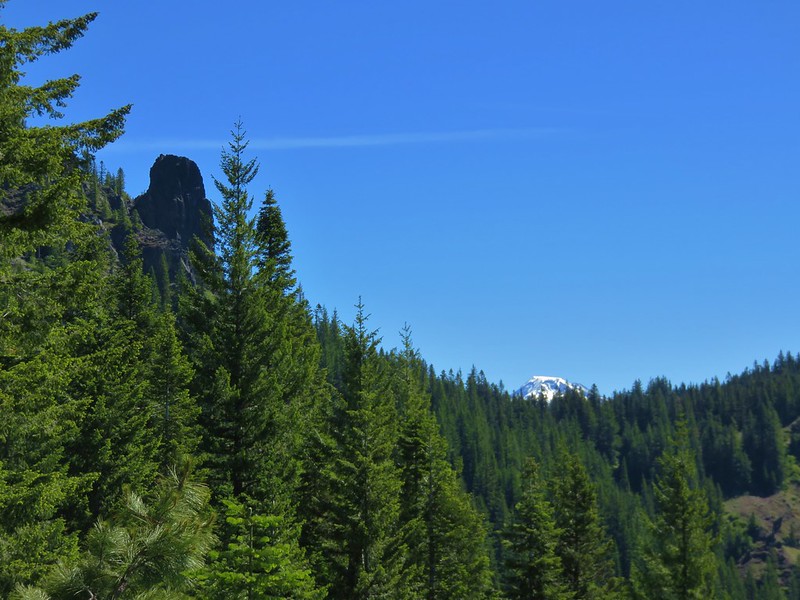
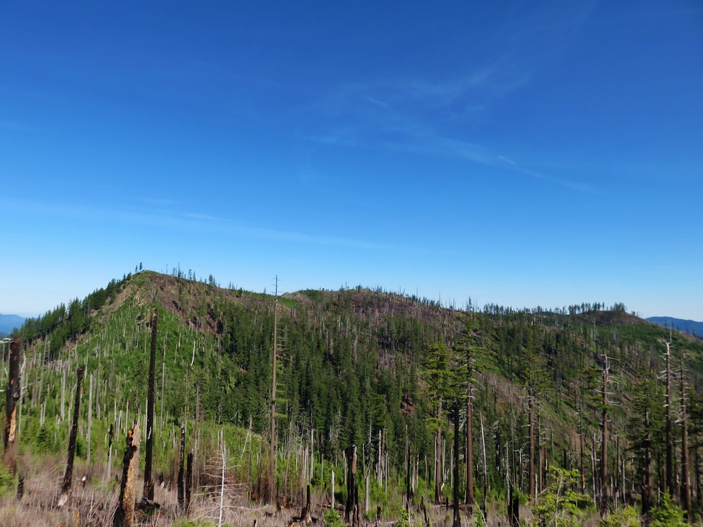
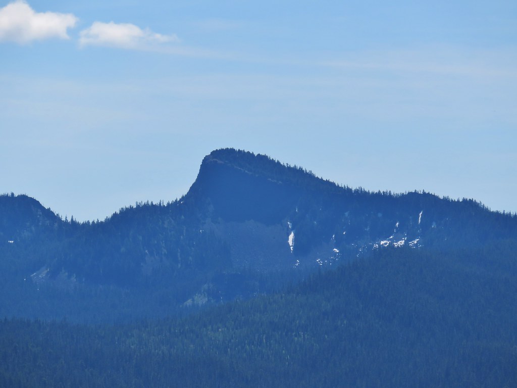
 East Peak (post)
 A closer look at East Peak.
I arrived at Roger Lake at what my GPS said was the 6-mile mark.

It was another half mile of climbing to reach Aneroid Lake.


Sullivan’s description said to ignore a use trail on the right leading to a campsite and to continue on to another fork that led to the private cabins at Camp Halton. I passed what I believed to be the right-hand fork Sullivan mentioned just before reaching a pair of wooden benches along the trail.
 The benches.
Beyond the benches I came to a second fork which I mistook for the trail to the cabins. Sullivan mentioned that despite the cabins being on a small parcel of private land the caretakers accepted respectful visitors.

There were no signs posted at all at this fork, so I proceeded steeply downhill and wound up in a campsite.
I still wasn’t sure if this was the trail to the cabins or the one Sullivan had said to ignore so I continued to follow the trail to the lakeshore.
 Groundsel along the trail.

 A boat docked on the lakeshore in the distance.

I decided to follow the trail along the lake shore and eventually wound up at the boat dock. At that point I realized that I for sure had taken the wrong fork and backtracked.
 An inlet creek to the lake near the boat dock.
 East Peak from Aneroid Lake.
I followed a different use path that climbed up from the lake a bit more gradually and wound up on the path down to the private cabins.


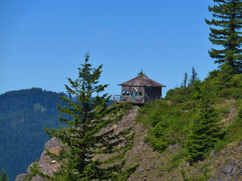
I started down the trail but when I got into view of the cabins I decided not to bother anyone and took some zoomed in photos and headed back uphill.


 Signs for Camp Halton at the actual junction with the East Fork Wallowa Trail.
I headed back on the East Fork Trail and detoured down the first righthand fork to visit the lakeshore one last time before heading back to the trailhead.


I kept a pretty quick pace on the way back down stopping for a few photos and to let a handful of uphill hikers pass.
 Hammond’s flycatcher
 East Peak

 Lewis monkeyflower
 Aneroid Mountain
 Pollinator on a flower.
 The split trail.
 The outbound trail dropped quite steeply before meeting back up with the inbound trail.
 The damaged bridge from the other side.
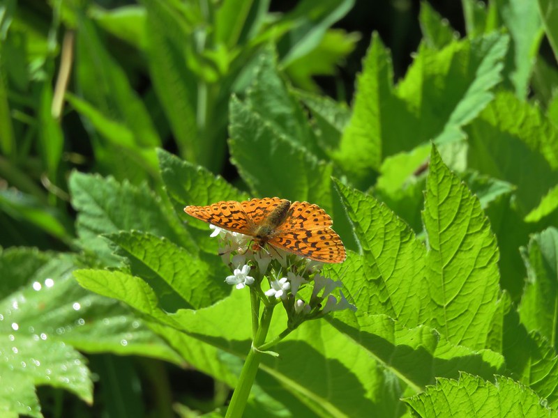
 Fritillary butterfly
 A comma butterfly

 Golden-mantled ground squirrel
 Mount Howard
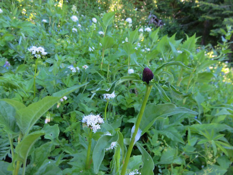
 Coneflower

 Wallowa Lake
 Quaking aspen
 Arriving back at the trailhead.
According to the GPS my hike was 14-miles which lines up better with the reported 13.1-mile roundtrip vs Sullivan’s 12. The extra milage is mostly due to my taking the wrong righthand fork and then backtracking before heading down toward the cabins.

I finished in just over 6 hours and located Heather at the Little Alps Day Use Area near where we’d parked. After taking a break at the picnic table she was sitting at I changed my shoes and socks and we drove down to the Khao Neaow Food Cart to get some tasty Thai food to take back to our room.
This was yet another great hike in the Eagle Cap Wilderness which is easily our favorite wilderness area in Oregon. We’re excited that the final hike in our quest for the 500 featured hikes will be in this wilderness, hopefully a little later this year. Of course there are many other hikes in the Wallowas that we’ve yet to do so that won’t be the last time we visit. Happy Trails!
Flickr: Aneroid Lake

 Ants dropping sawdust from a log along the Catherine Creek Trail. We sat and watched these busy ants for quite a while. They had created a good-sized pile on the ground below.
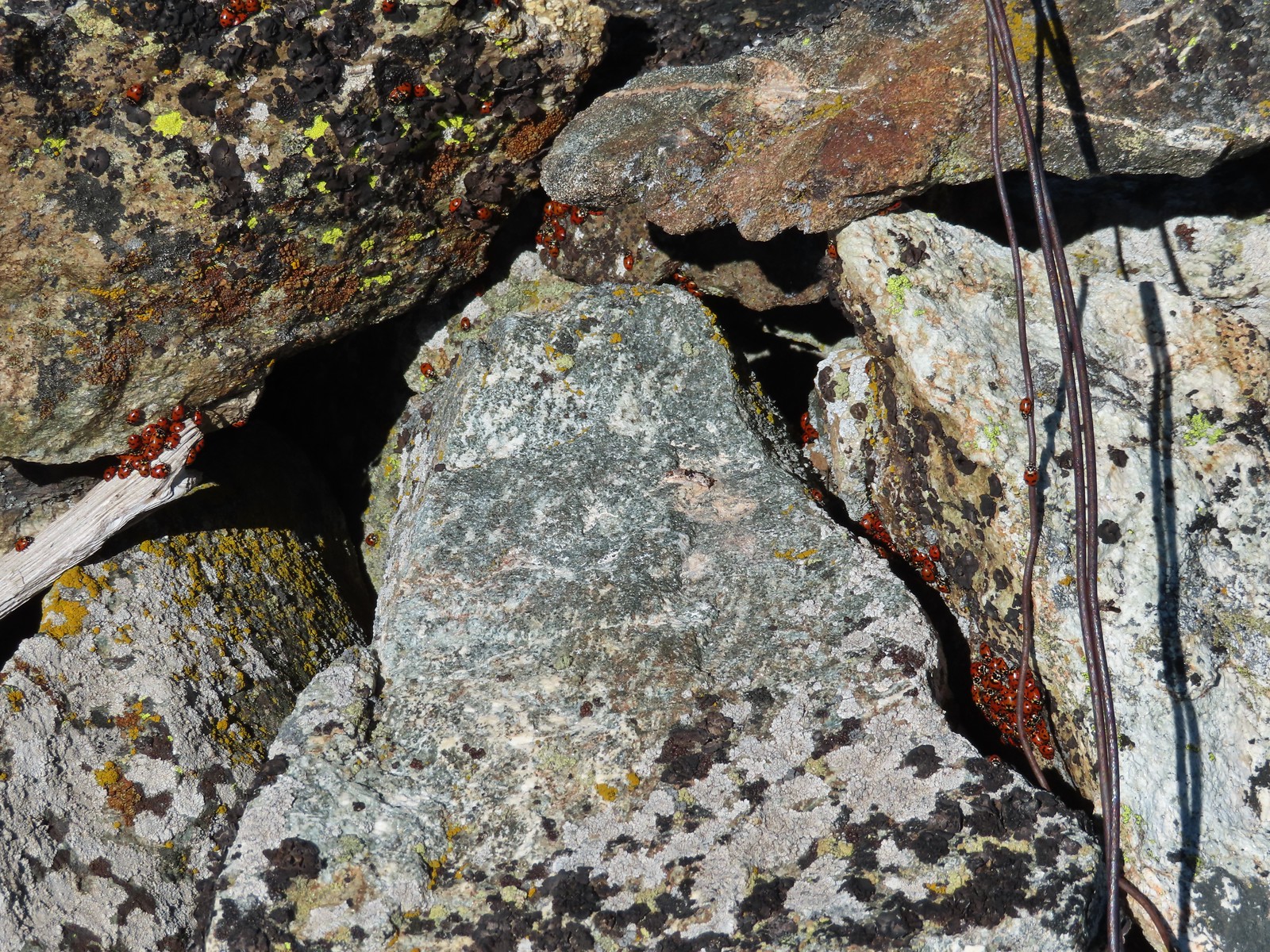 We see a lot of beetles but usually not all at once like these lady bugs on Observation Peak.
 Lady bug – Upper Table Rock
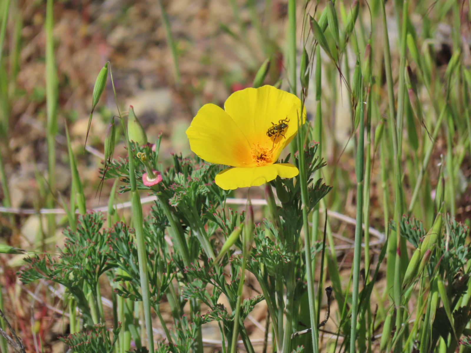 Yellow & black beetle – Mule Mountain
 Redish brown beetle – Siskiyou Wilderness
 Green beetle – Siskiyou Wilderness
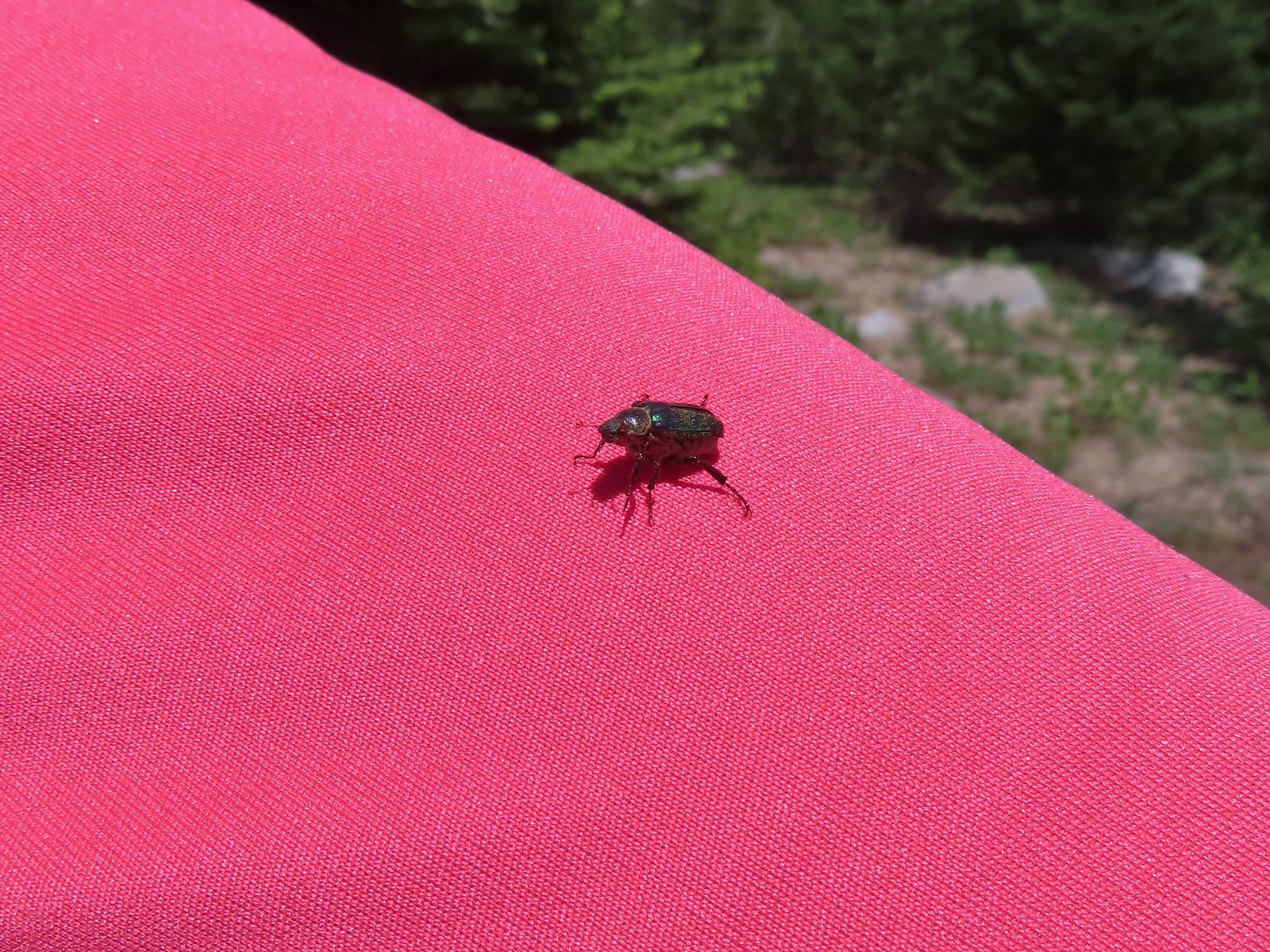 Hitchhiker – Mt. Ireland
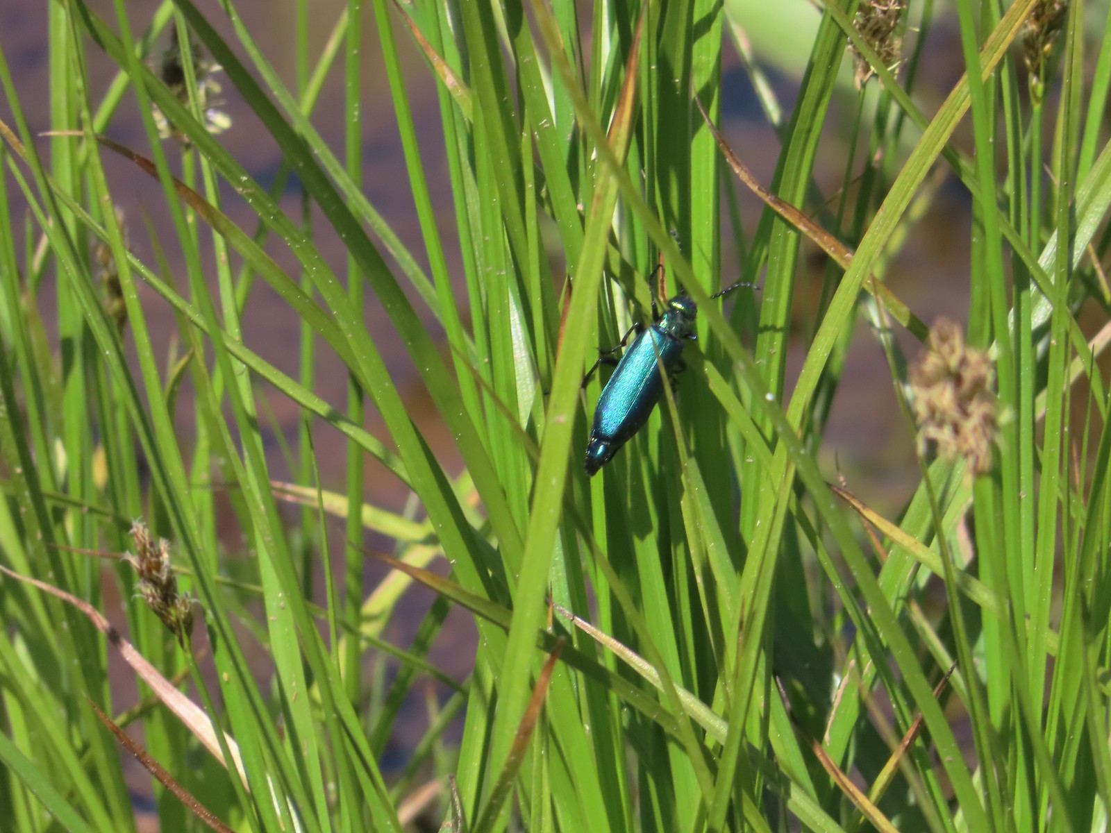 Blueish green beetle – Catherine Creek Meadows
 Small beetle – Catherine Creek Meadows
 Green beetle on a geranium – Eagle Cap Wilderness
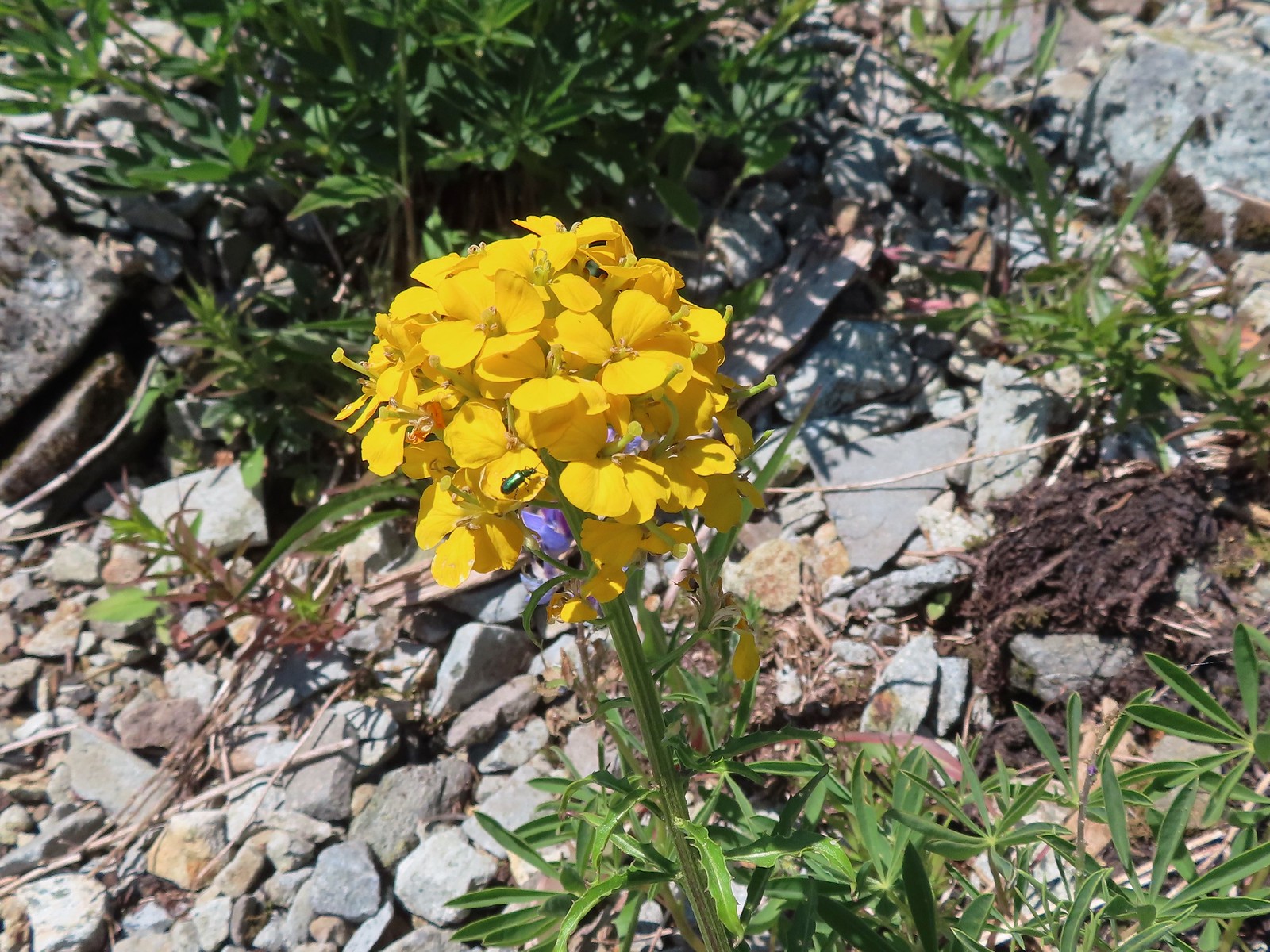 Green beetle on a wallflower – Silver Star Mountain
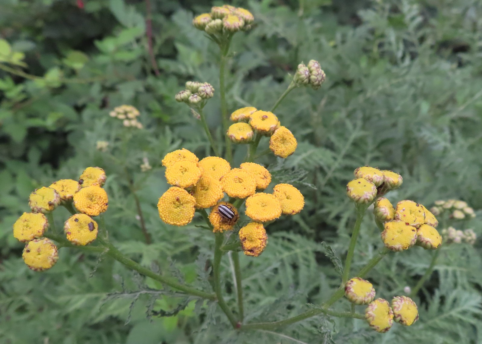 Stripped beetle – Spring Valley Greenway
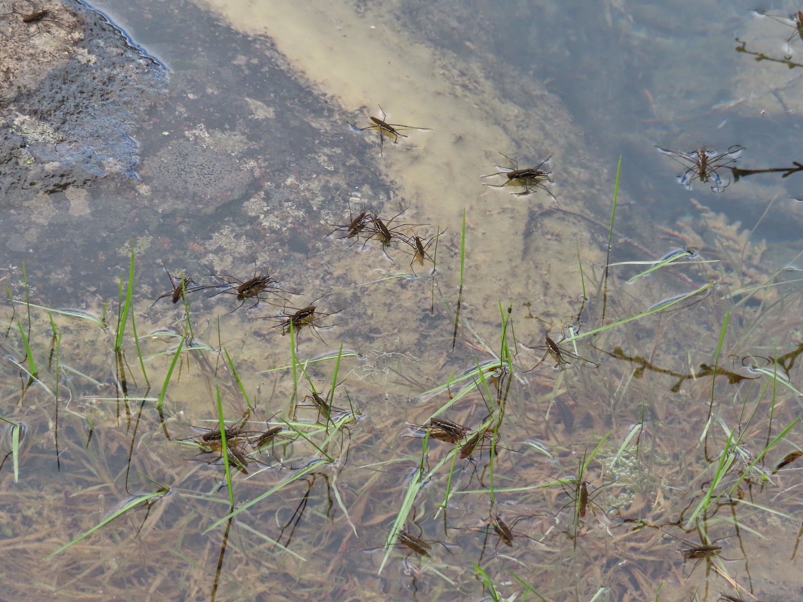 Water skippers – Big Twin Lake
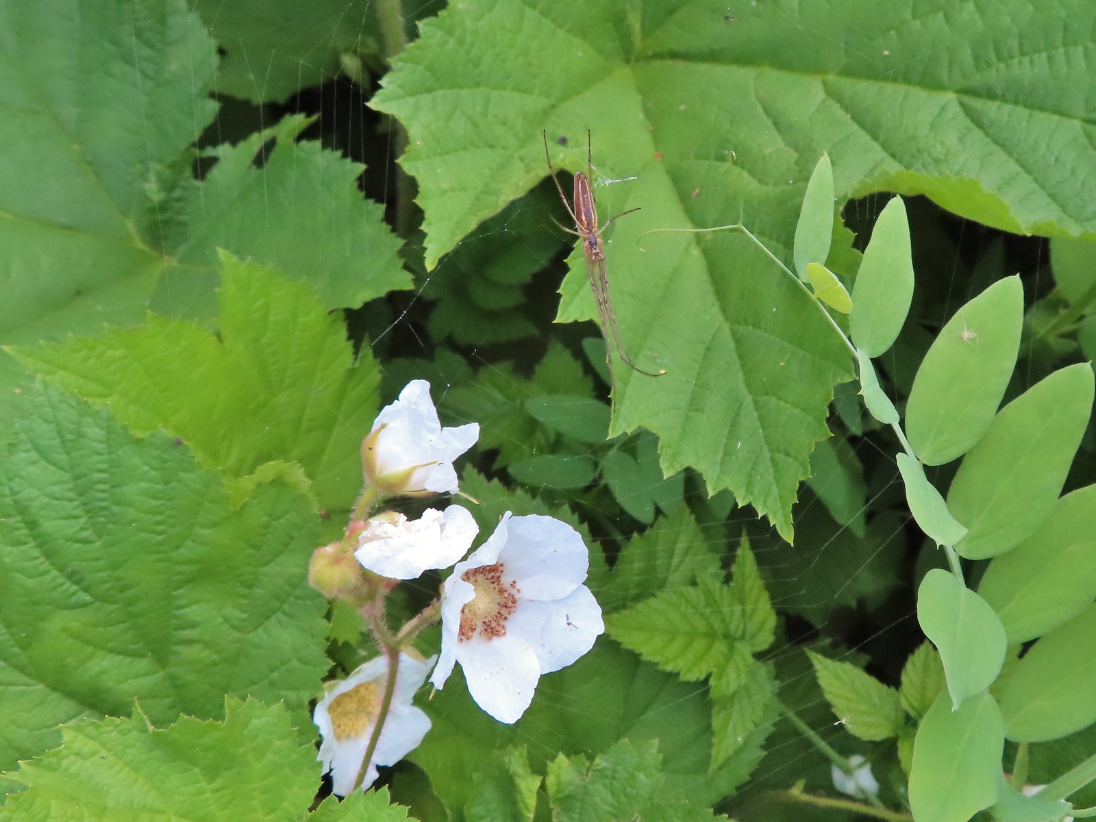 Spider on thimbleberry – Siskiyou Wilderness
 Crab spider – Eagle Cap Wilderness
 Another crab spider – Eagle Cap Wilderness
 Cricket – Pacific Crest Trail
 We are often literally struck by grasshoppers as we hike. Sometimes they stick when they hit us such as this one along the PCT.
 Bee on phacelia – Mule Mountain
 Wet bee on lupine – Julia Butler Hanson Wildlife Refuge
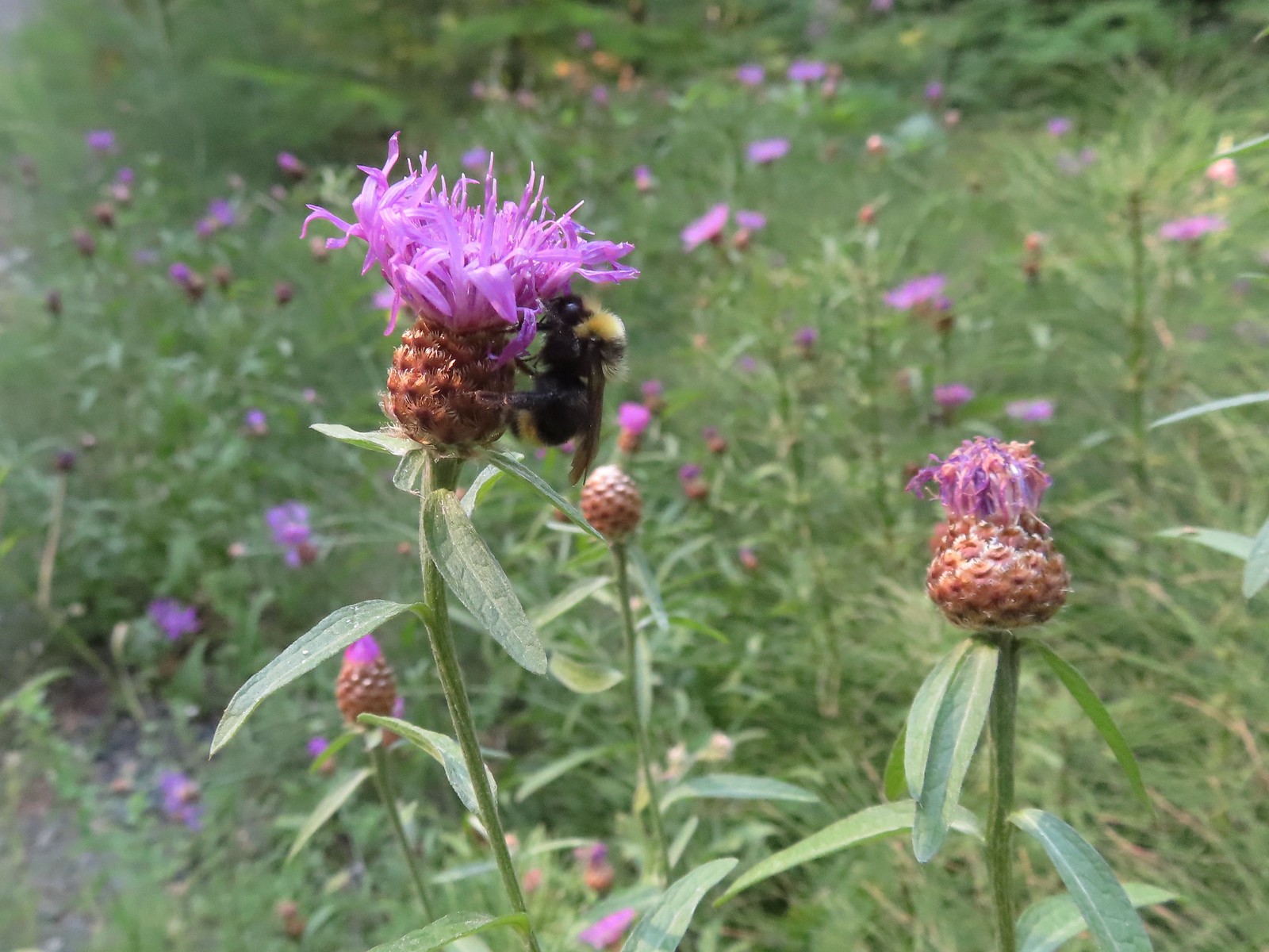 Bumble bee – Hemlock Creek Trail
 Lots of pollen – Mt. Adams Wilderness
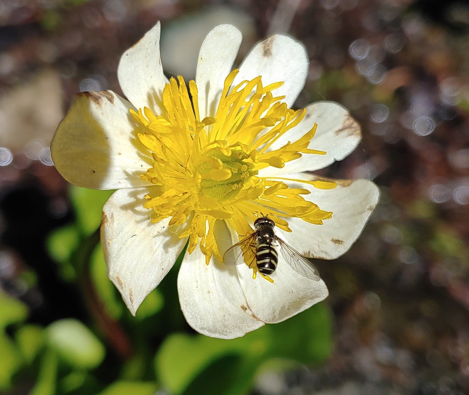 Bee landing on a marsh marigold along the PCT
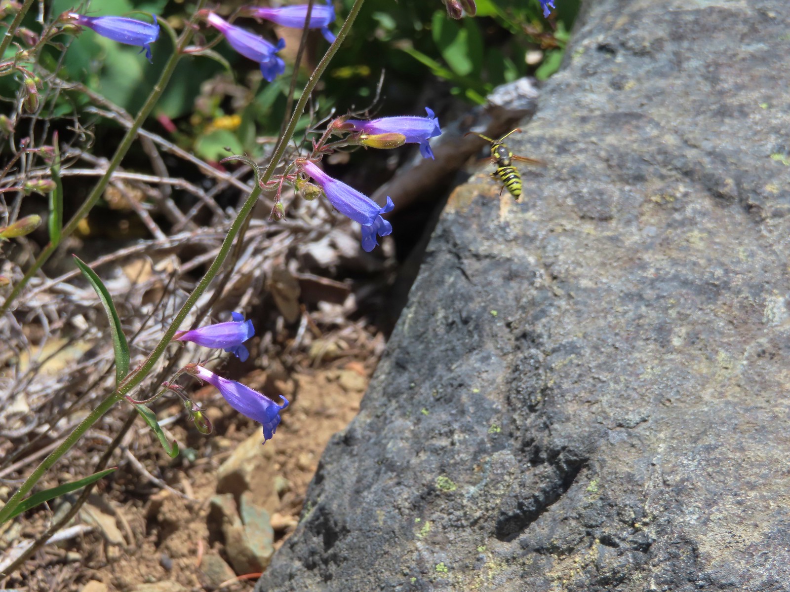 Bee approaching penstemon – Siskiyou Wilderness
 Bee and a tiny ant in a bindweed – Siskiyou Wilderness
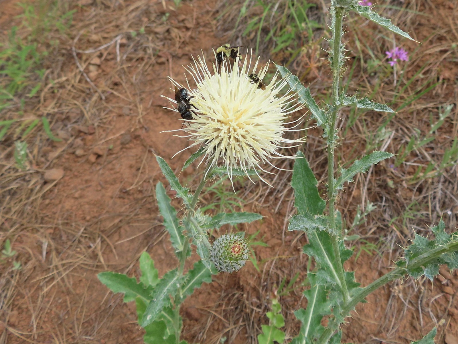 Insects on thistle – Eagle Cap Wilderness
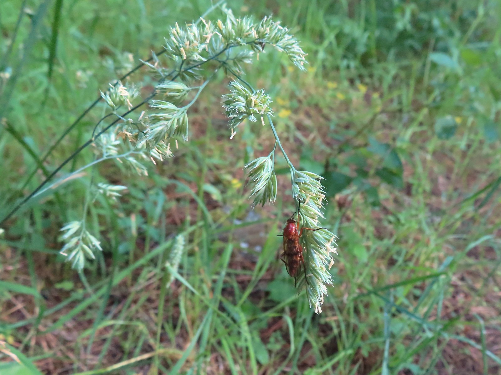 Wasp? – Eagle Cap Wilderness
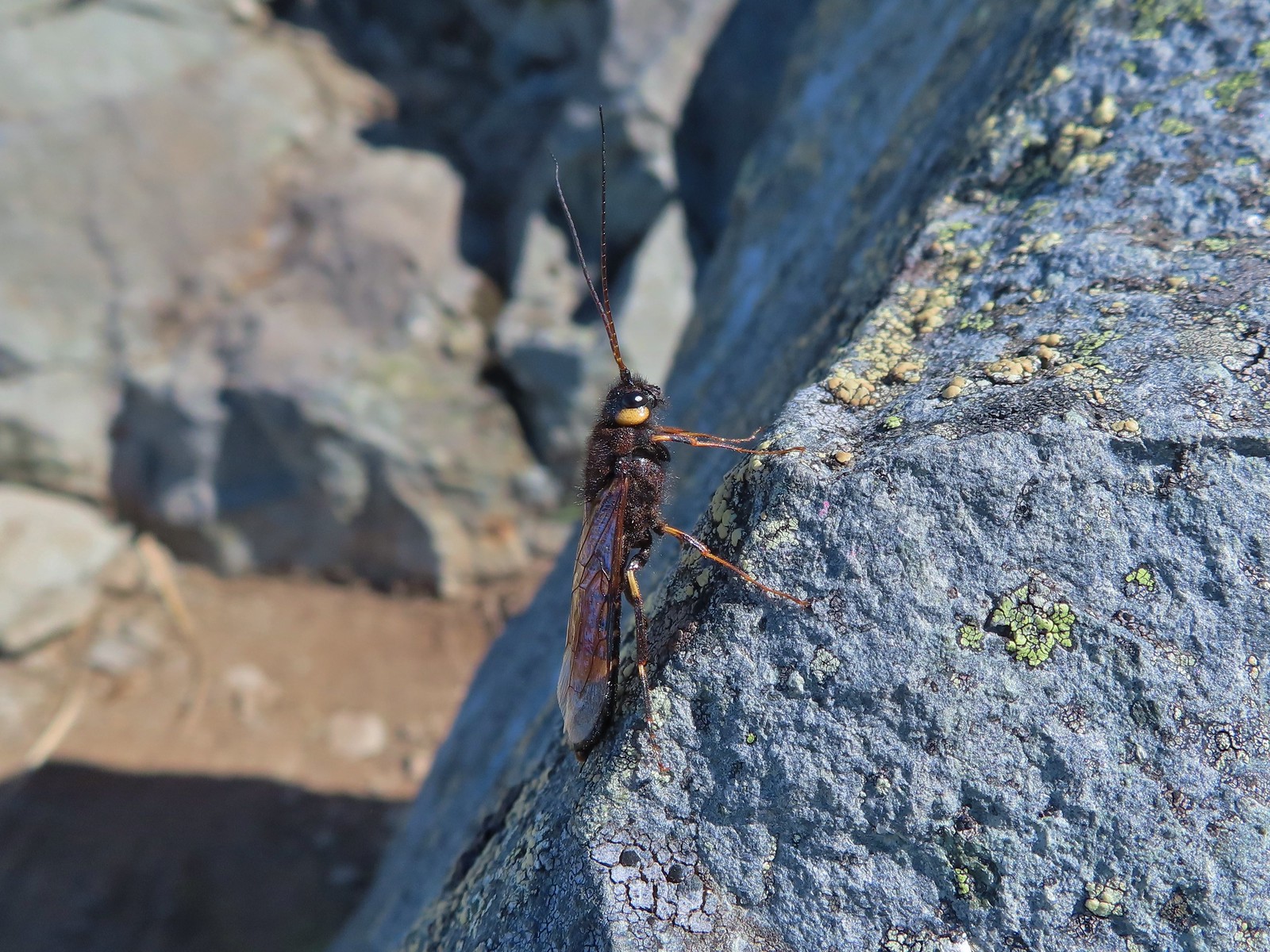 Some sort of wasp – Silver Star Mountain
 Insect along Bear Creek – Eagle Cap Wilderness
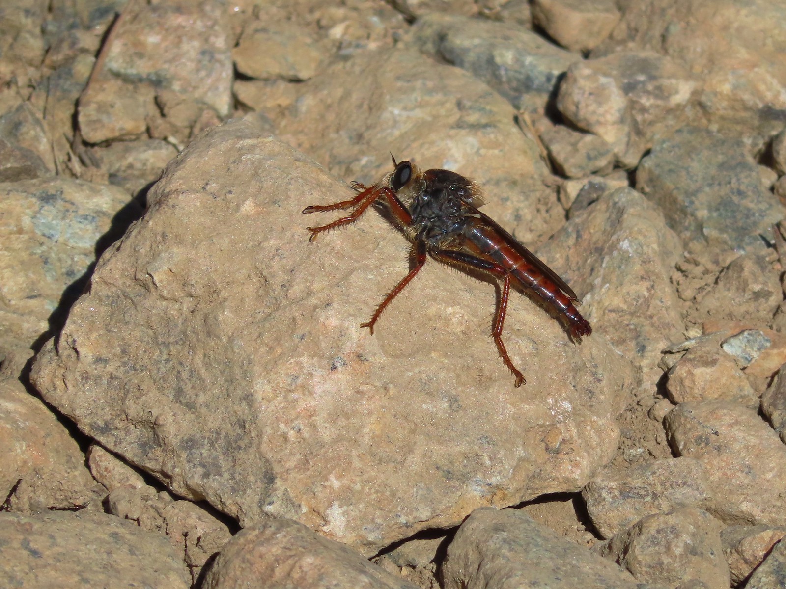 My brother and I used to call these “weird things”; I have no idea what it actually is – Trinity Alps Wilderness
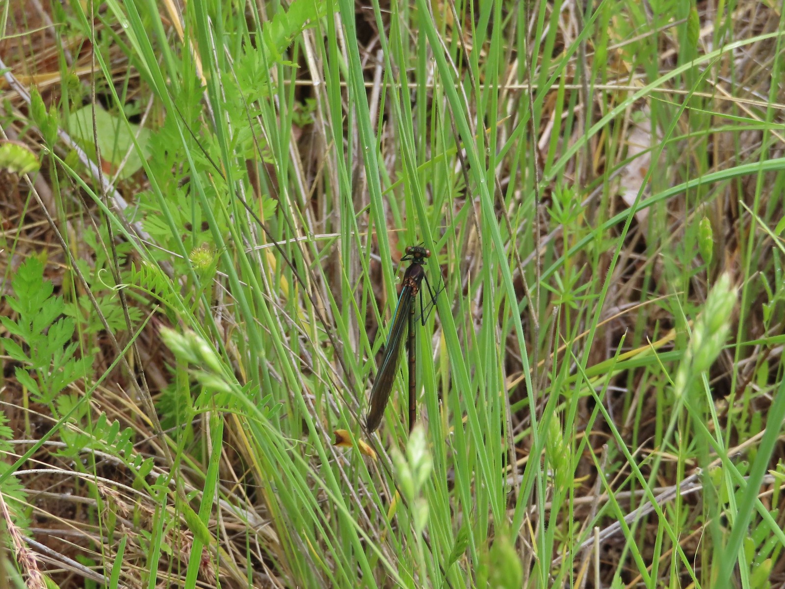 Damsel fly – Denman Wildlife Area
 Damsel fly – Hemlock Lake
 Dragon fly – Goat Marsh Lake
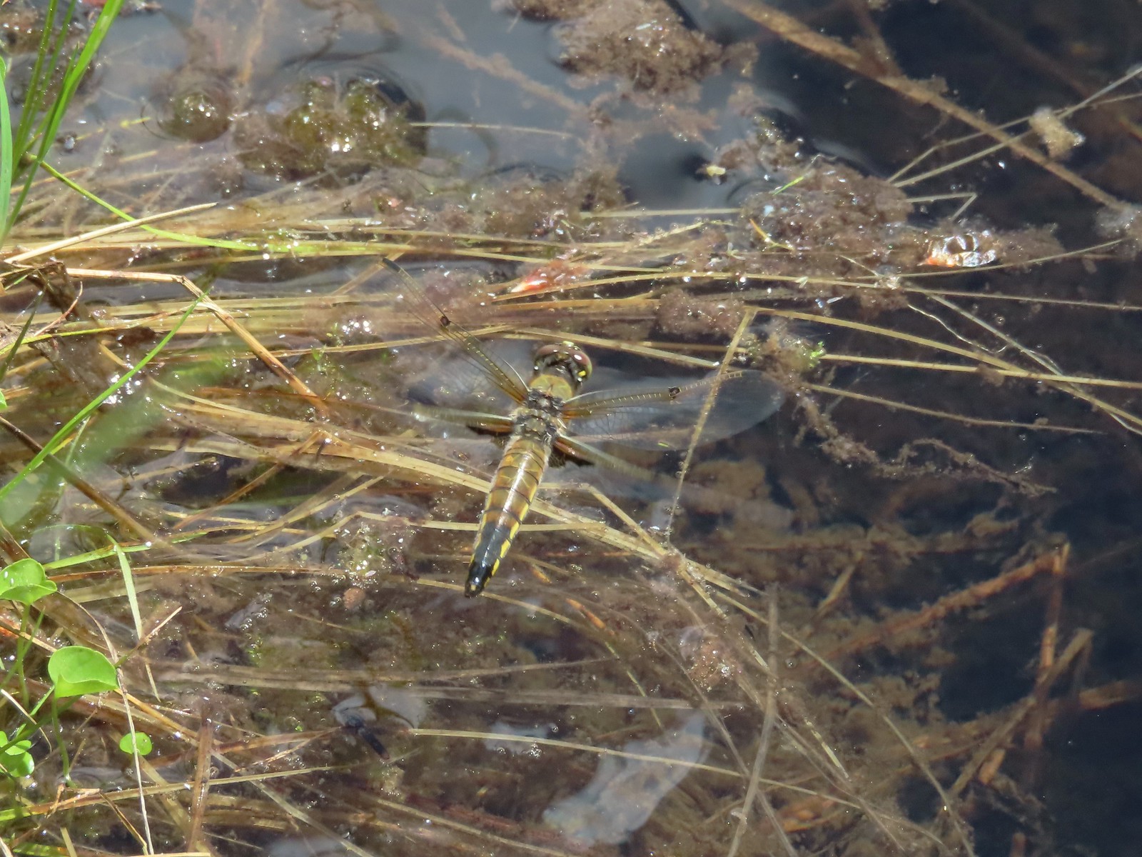 Dragon fly – Siskiyou Wilderness
 Dragon fly – Siskiyou Wilderness
 Dragon fly – Eagle Cap Wilderness
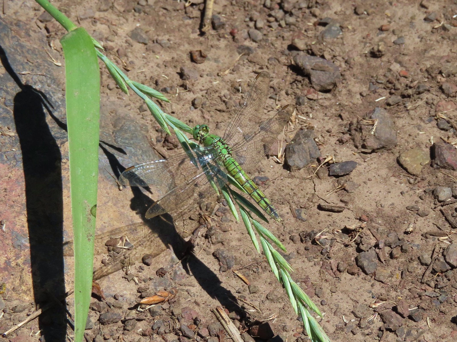 Dragon fly along the Wallowa River – Wallowa Homeland
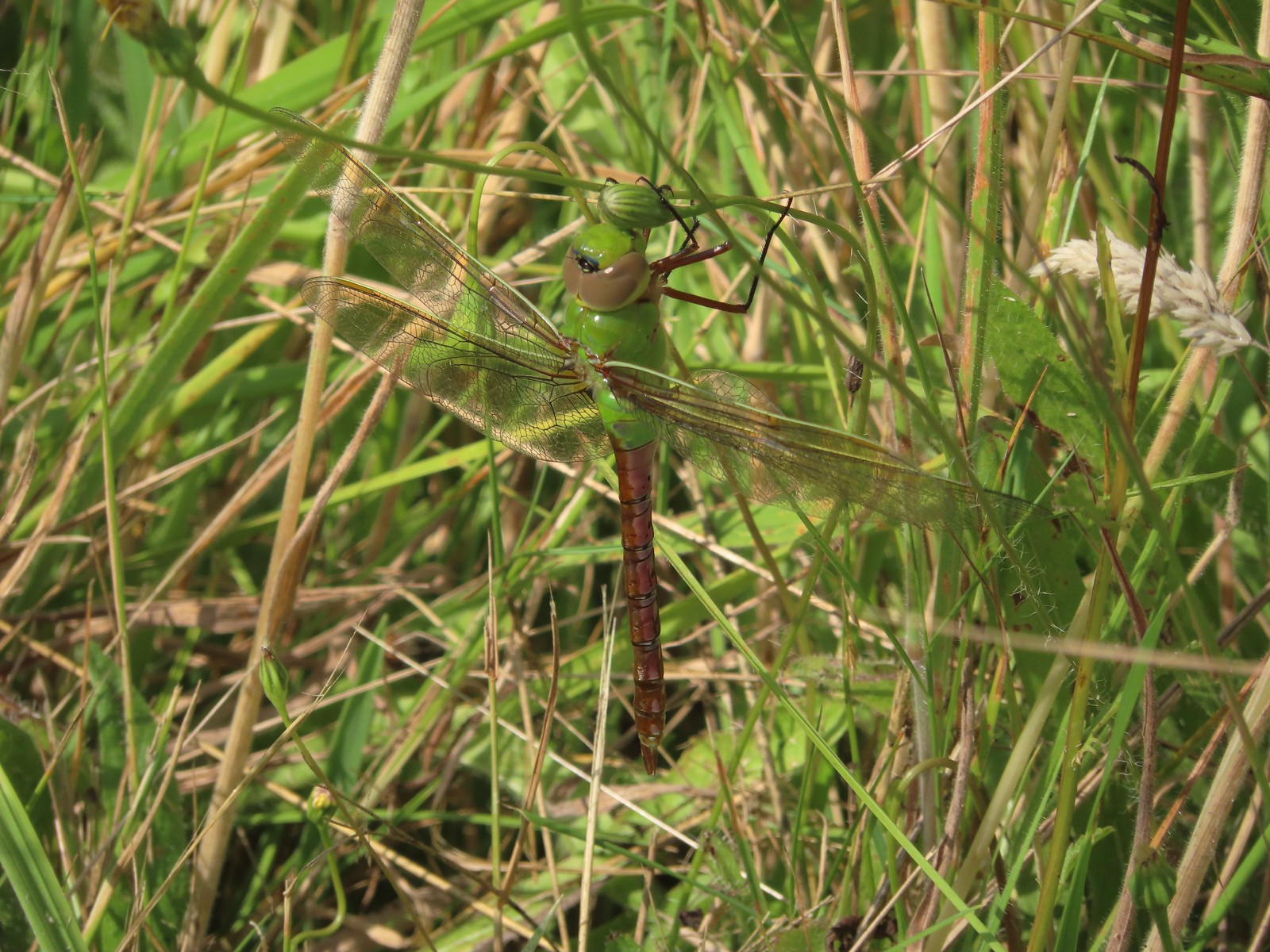 Dragon fly – E.E. Wilson Wildlife Area
 Dragon fly – Hemlock Lake
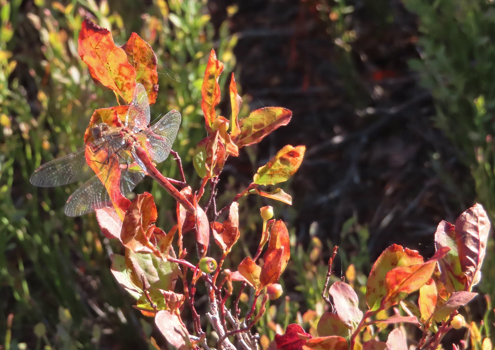 Dragon fly – Sky Lakes Wilderness
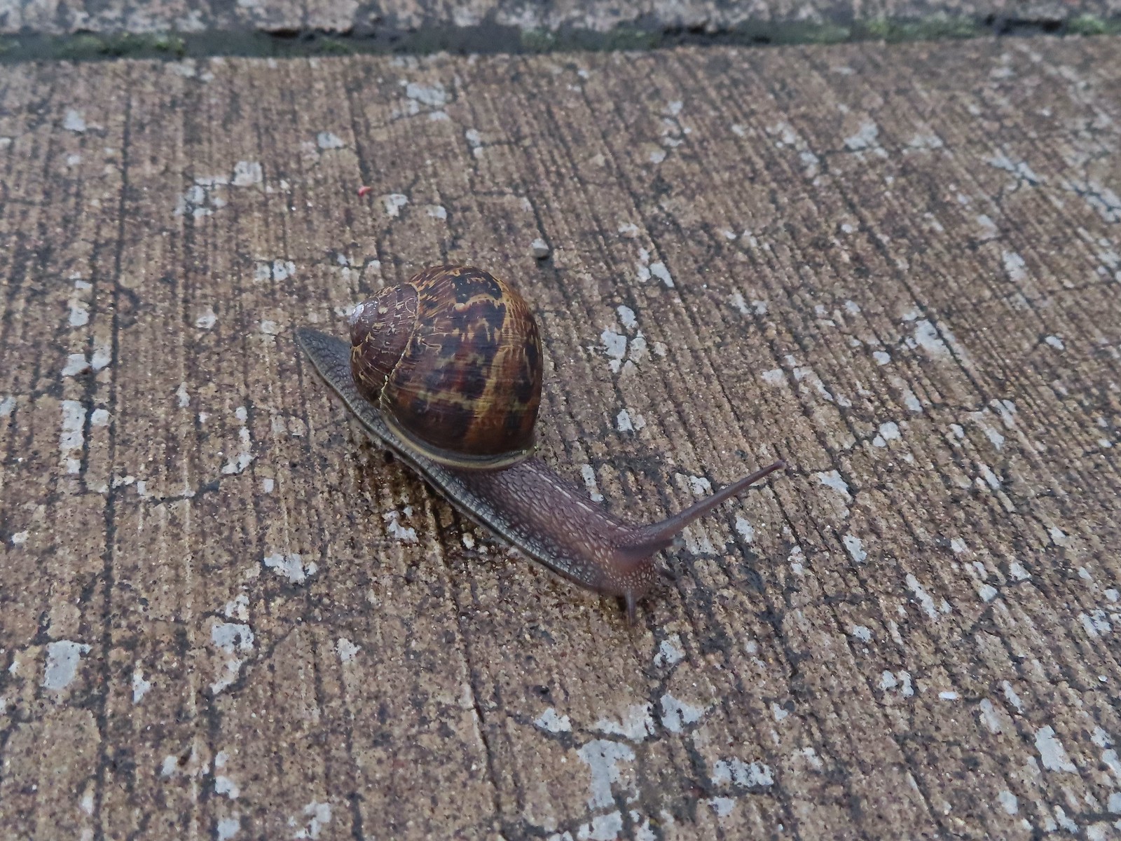 Snail – Rock Creek Trail
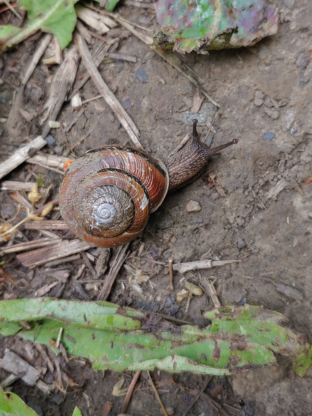 Snail – Applegate Lake
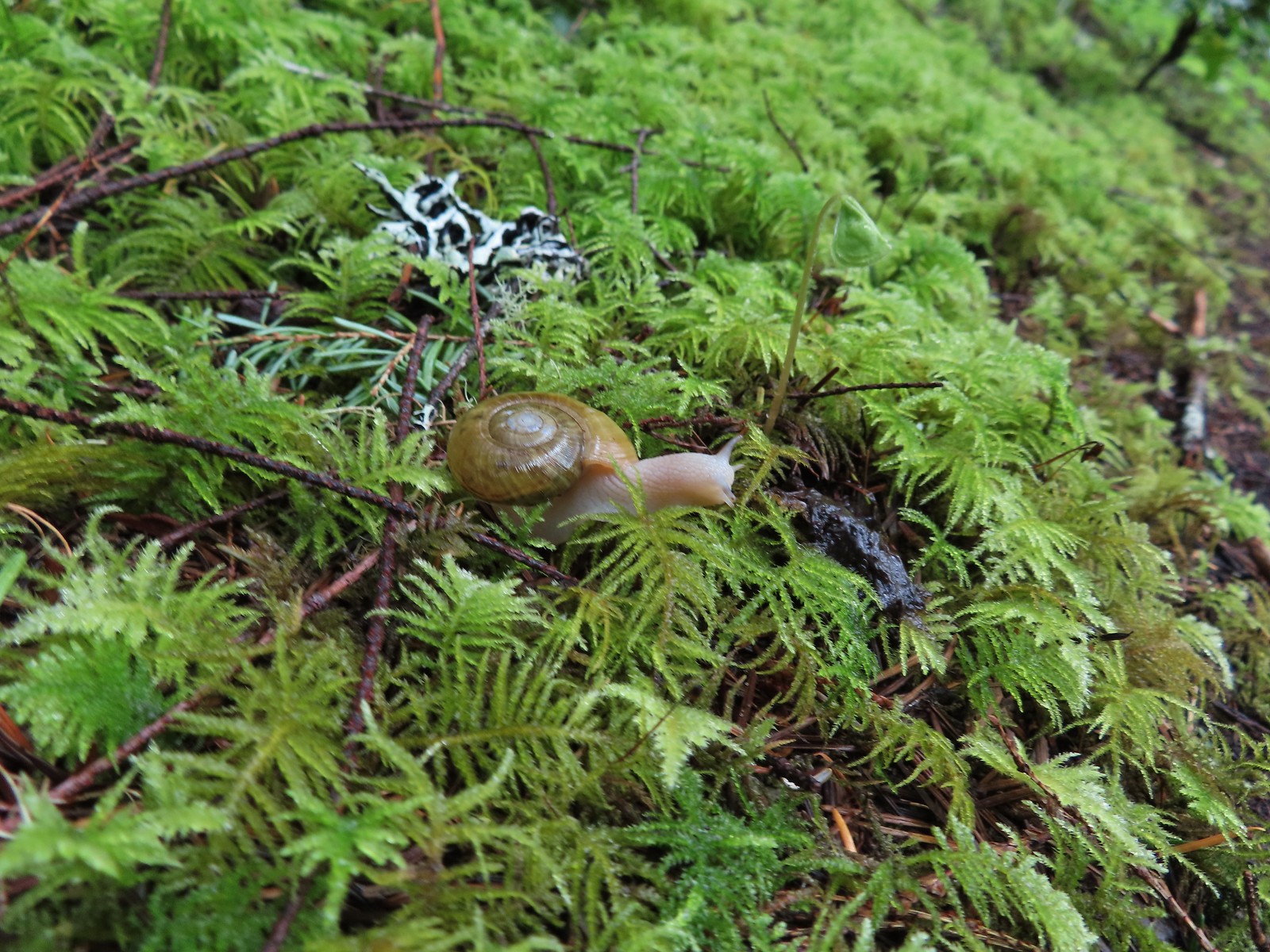 Snail – North Siouxon Trail
 Snail – Julia Hansen Butler Wildlife Refuge
 Snail – Siskiyou Wilderness
 Snail – Cascade Head
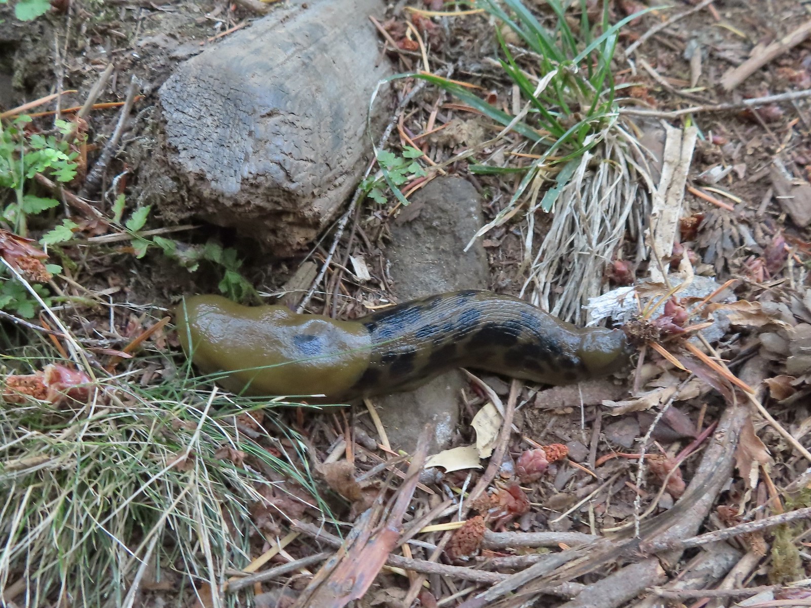 Slug – Larch Mountain Trail
 Slug (and a fly) – Susan Creek Trail
 Slug – Fish Lake
 Slug on lupine – Julia Butler Hansen Wildlife Refuge
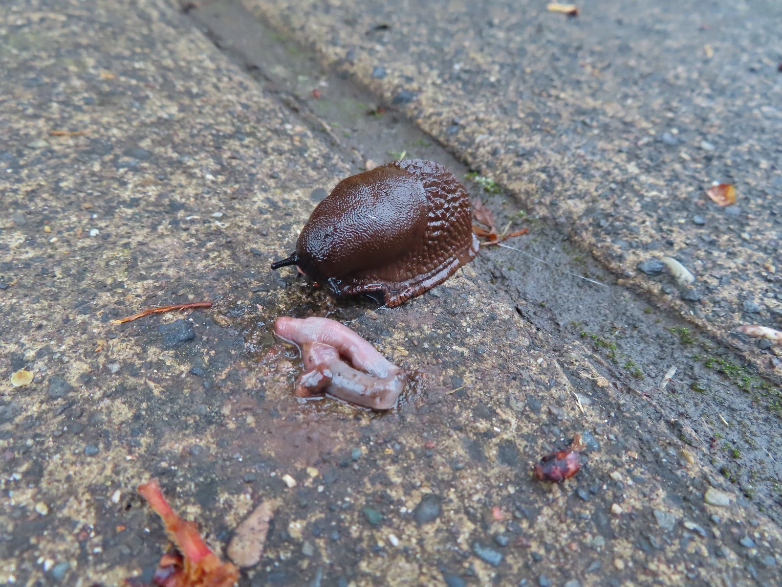 Slug and an unfortunate earth worm – Rock Creek Trail
 Worms – Chehalem Ridge Nature Park
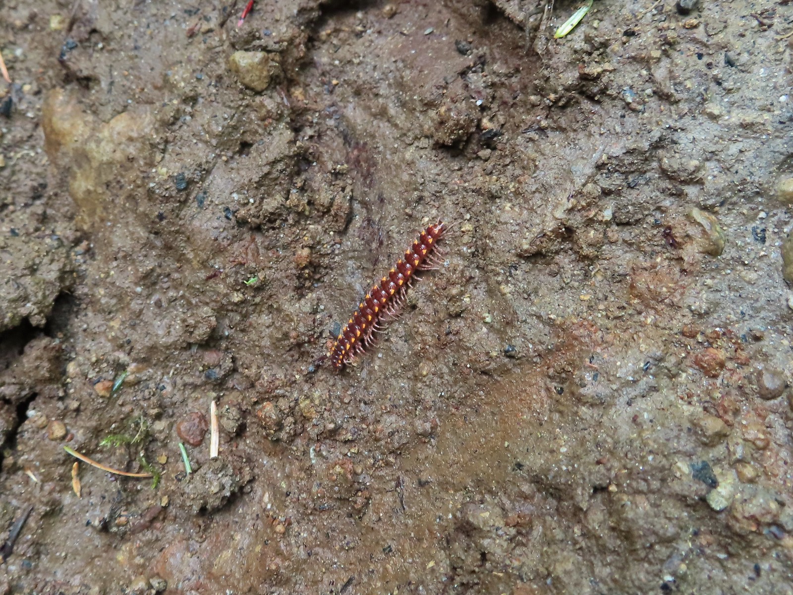 Millipede – North Siouxon Trail
 Millipede – Rock Creek Trail
 Millipede – Illahee Rock
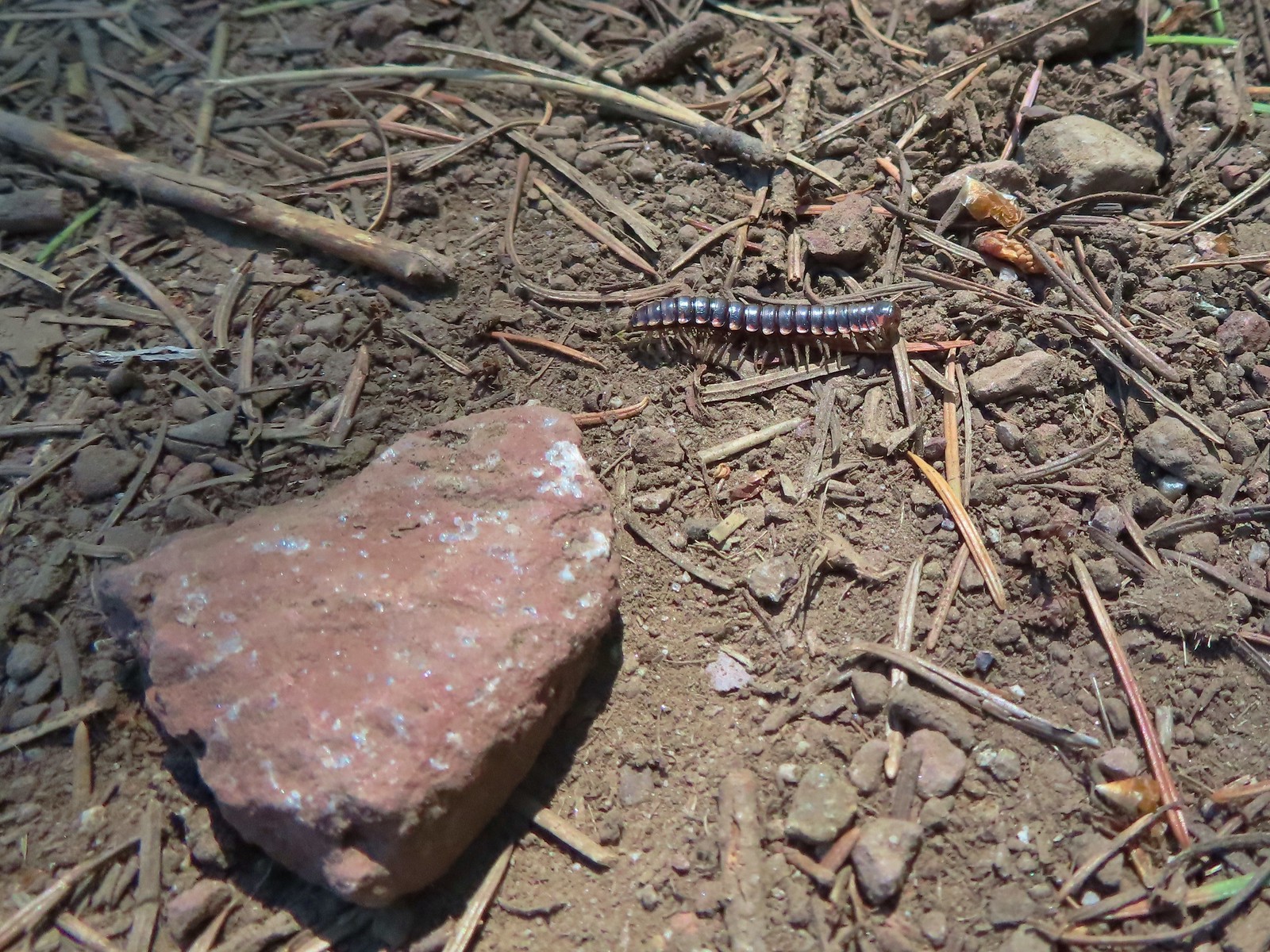 Millipede – Eagle Cap Wilderness
 Wet caterpillar – Yakona Nature Preserve
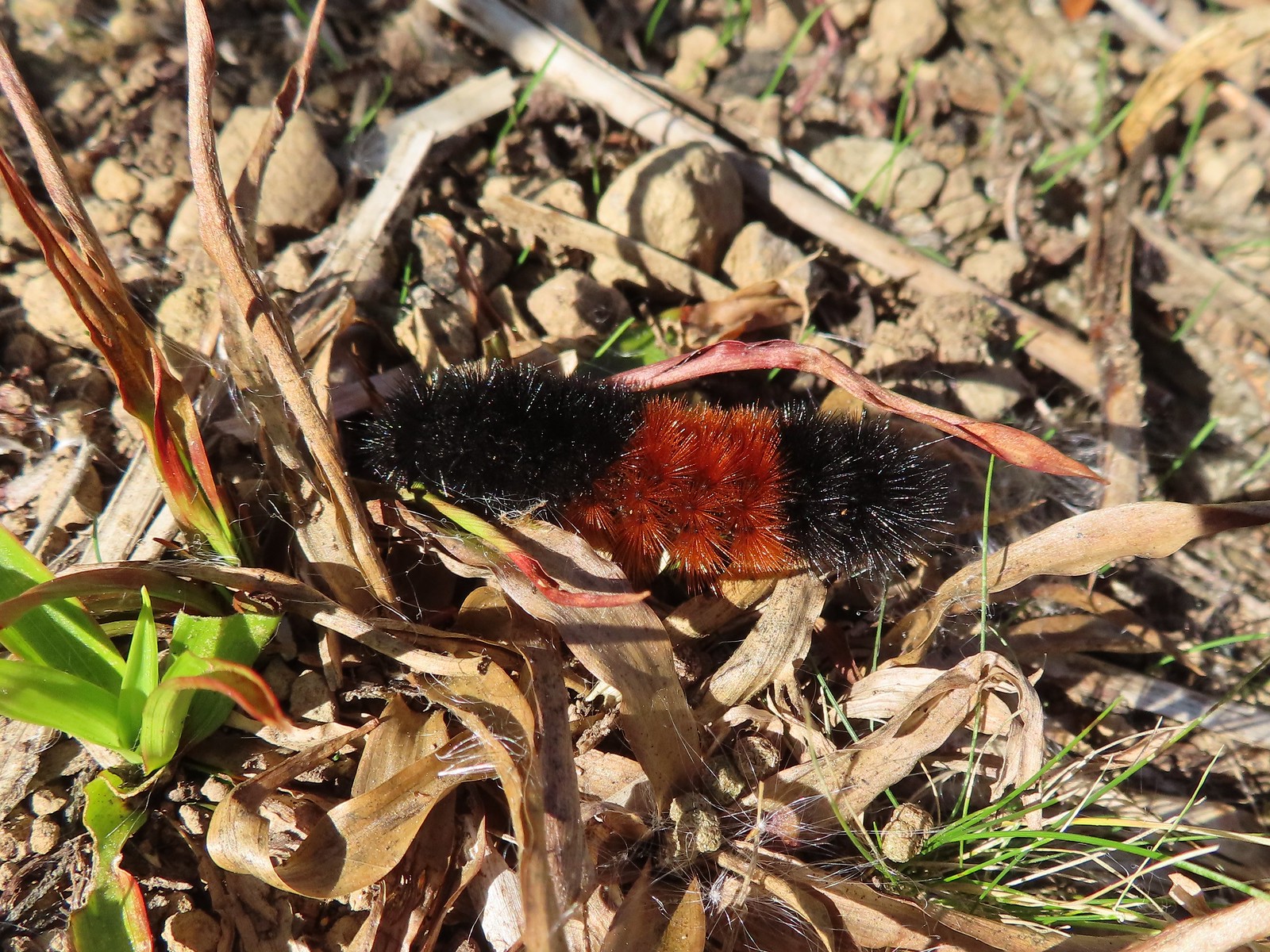 Dry version – Larch Mountain Trail
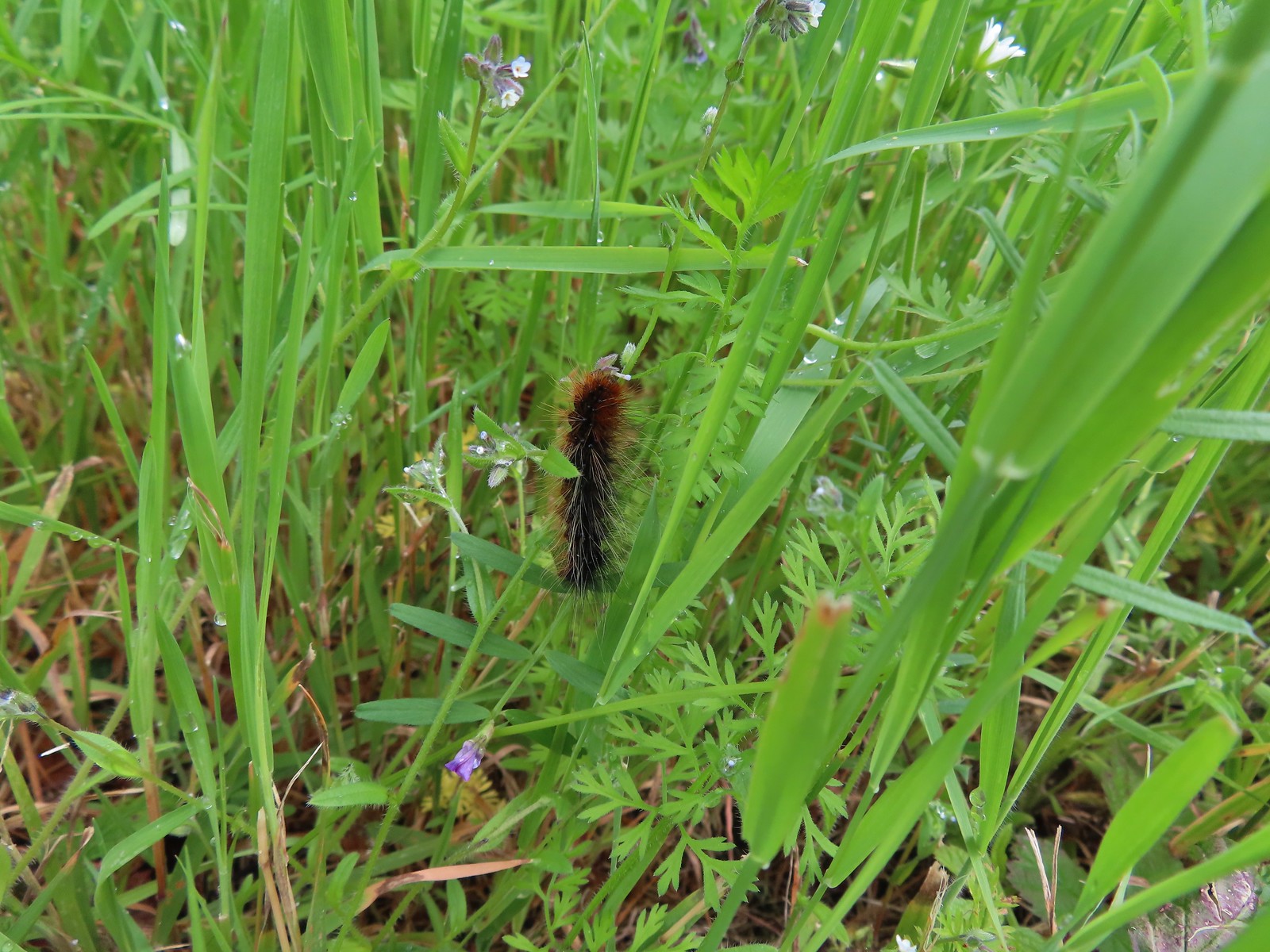 Caterpillar – Julia Butler Hansen Wildlife Refuge
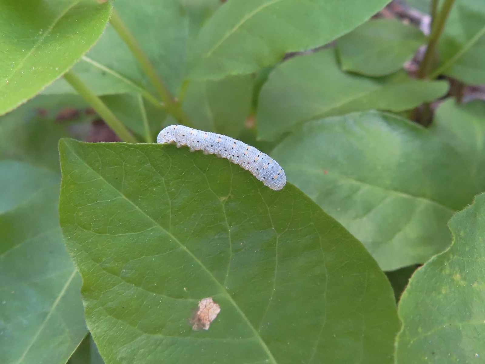 Caterpillar – Siskiyou Wilderness
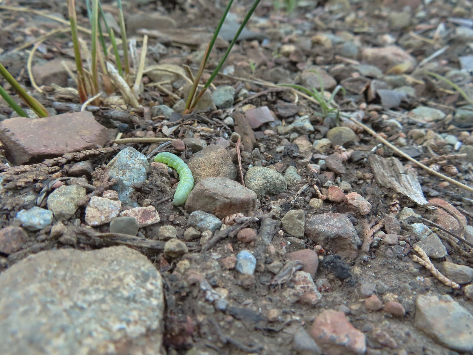 Caterpillar – Siskiyou Wilderness
 Caterpillar – Larch Mountain Trail
 Caterpillar – Larch Mountain Trail
 Caterpillar – Larch Mountain Trail
 Moth – Klickitat Trail
 Moth -Eagle Cap Wilderness
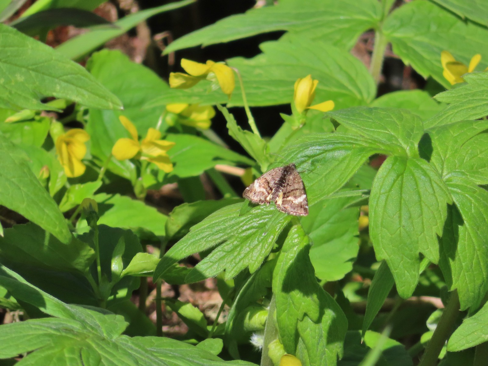 Moth – Twin Lakes
 Moth – Eagle Cap Wilderness
 Moth – Eagle Cap Wilderness
 Moth – Eagle Cap Wilderness
 Moth – Wolf Creek Falls Trail
 Moth – Cascade Head
 Propertius duskywing (Erynnis propertius) – Klickitat Trail
 Duskywing – Siskiyou Wilderness
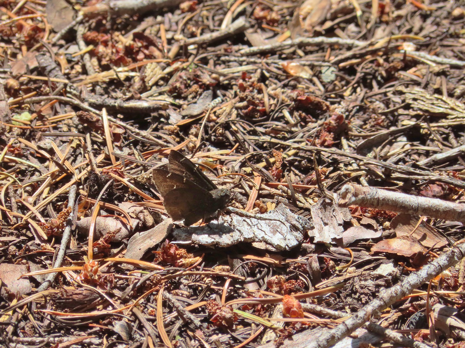 Northern Cloudywing? – Siskiyou Wilderness
 Silver-spotted skipper – Siskiyou Wilderness
 Skipper – Grizzly Peak
 Skipper – Rogue-Umpqua Divide Wilderness
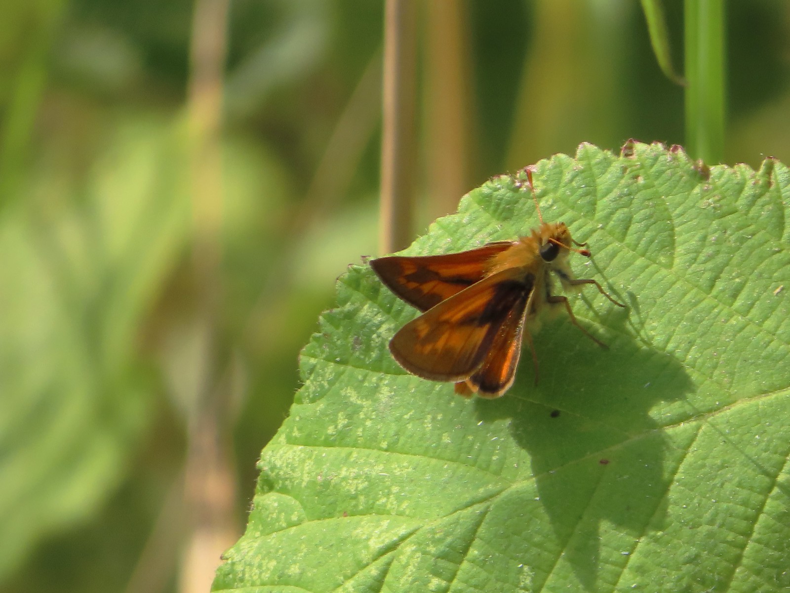 Skipper – E. E. Wilson Wildlife Area
 Hairstreak (bramble?) – Siskiyou Mountains
 Cedar hairstreak – Siskiyou Wilderness
 Hairstreak (possibly thicket) – Eagle Cap Wilderness
 Ochre ringlet – Jack Ash Trail
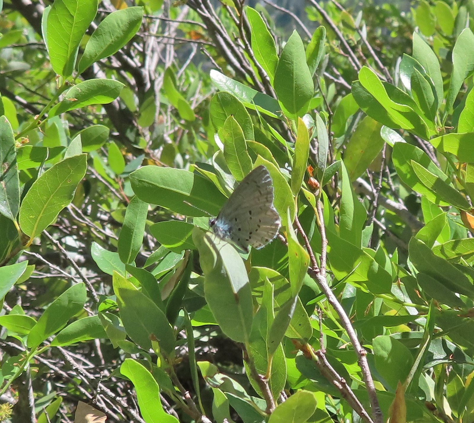 Butterfly – Siskiyou Wilderness
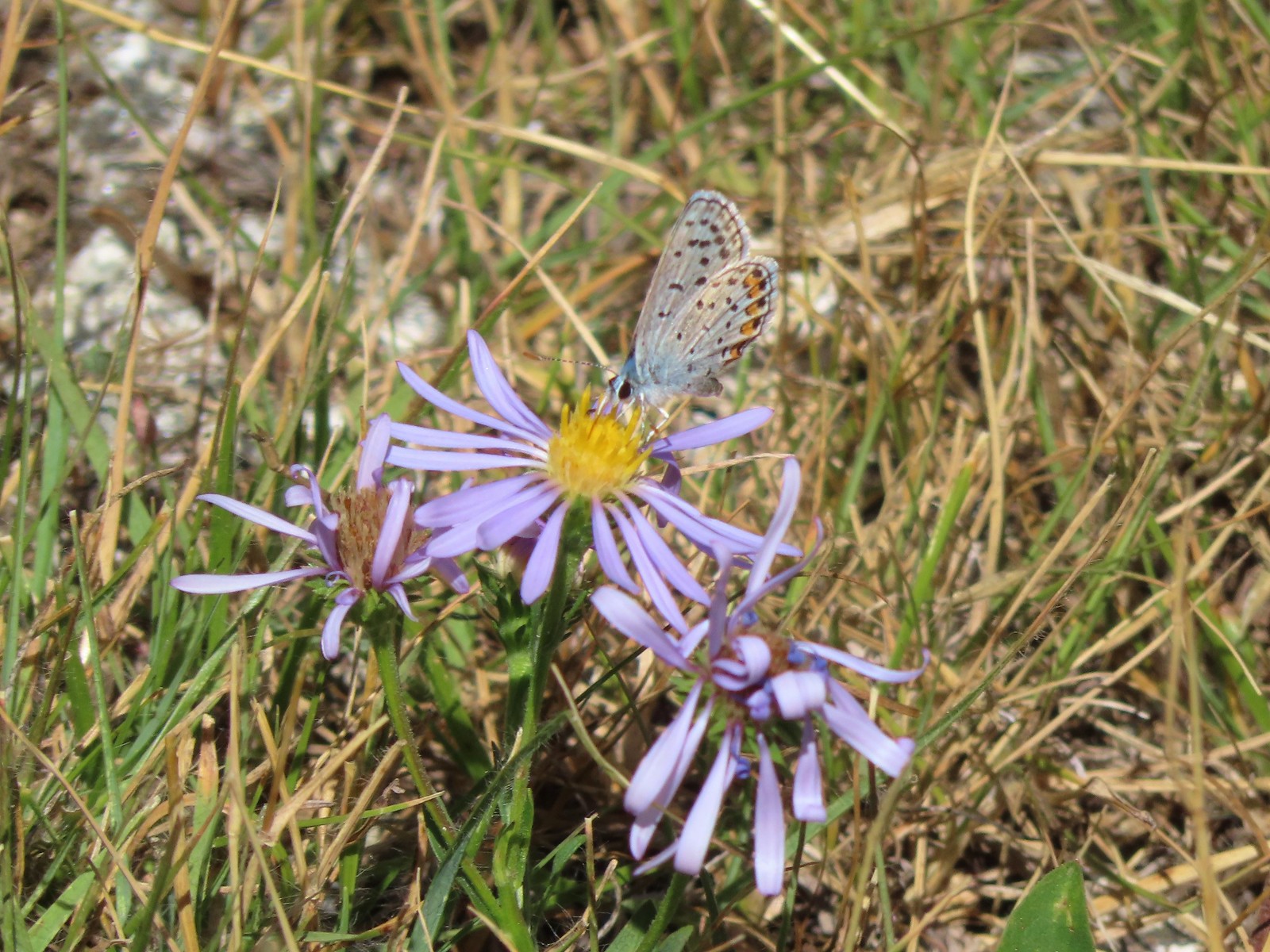 Butterfly – Trinity Alps Wilderness
 Butterfly – Trinity Alps Wilderness
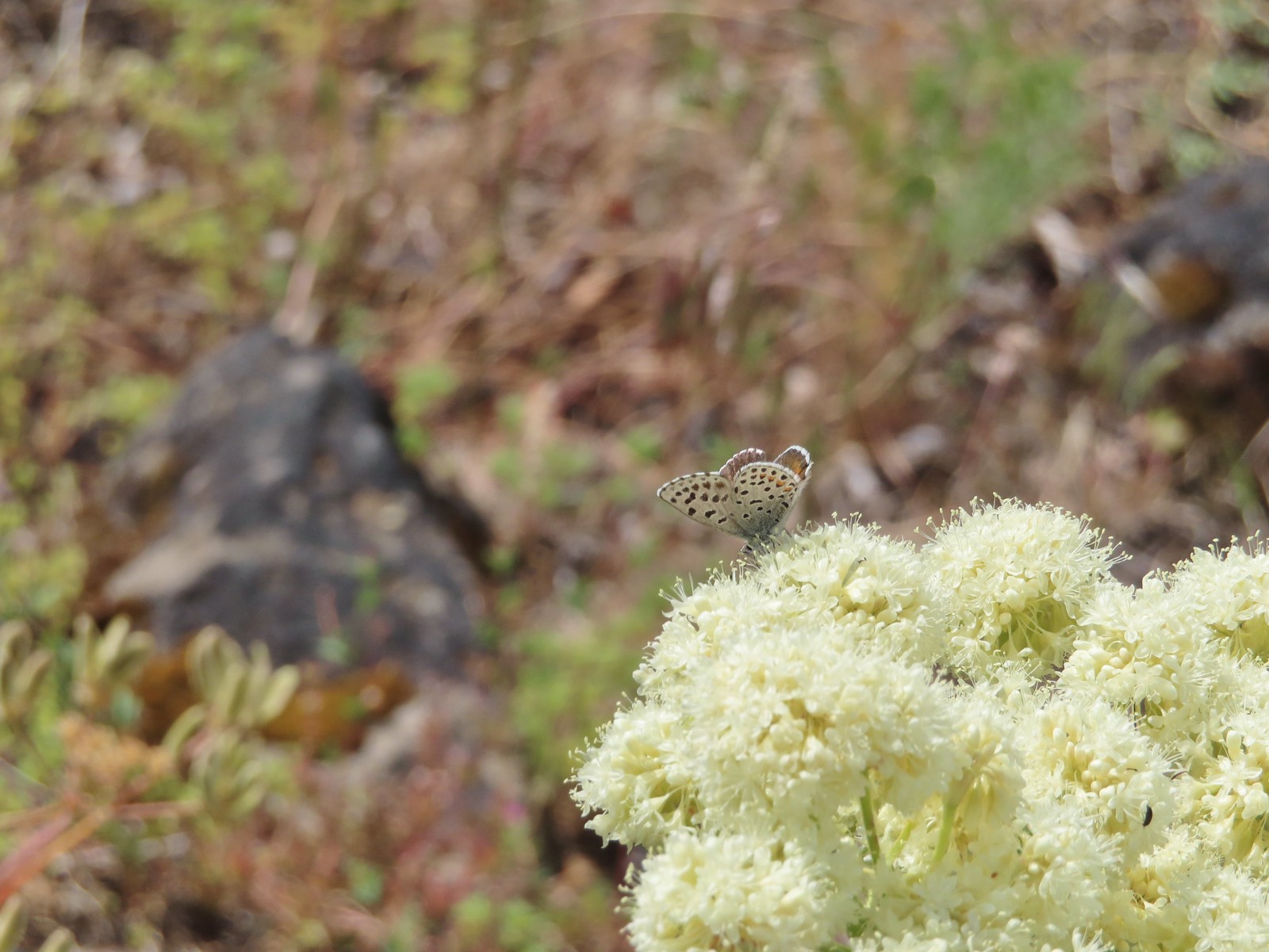 Butterfly – Upper Table Rock
 Butterfly – Mule Mountain
 Butterfly – Eagle Cap Wilderness
 Butterfly – Eagle Cap Wilderness
 Butterfly – Mt. Adams Wilderness
 Butterfly – Mt. Adams Wilderness
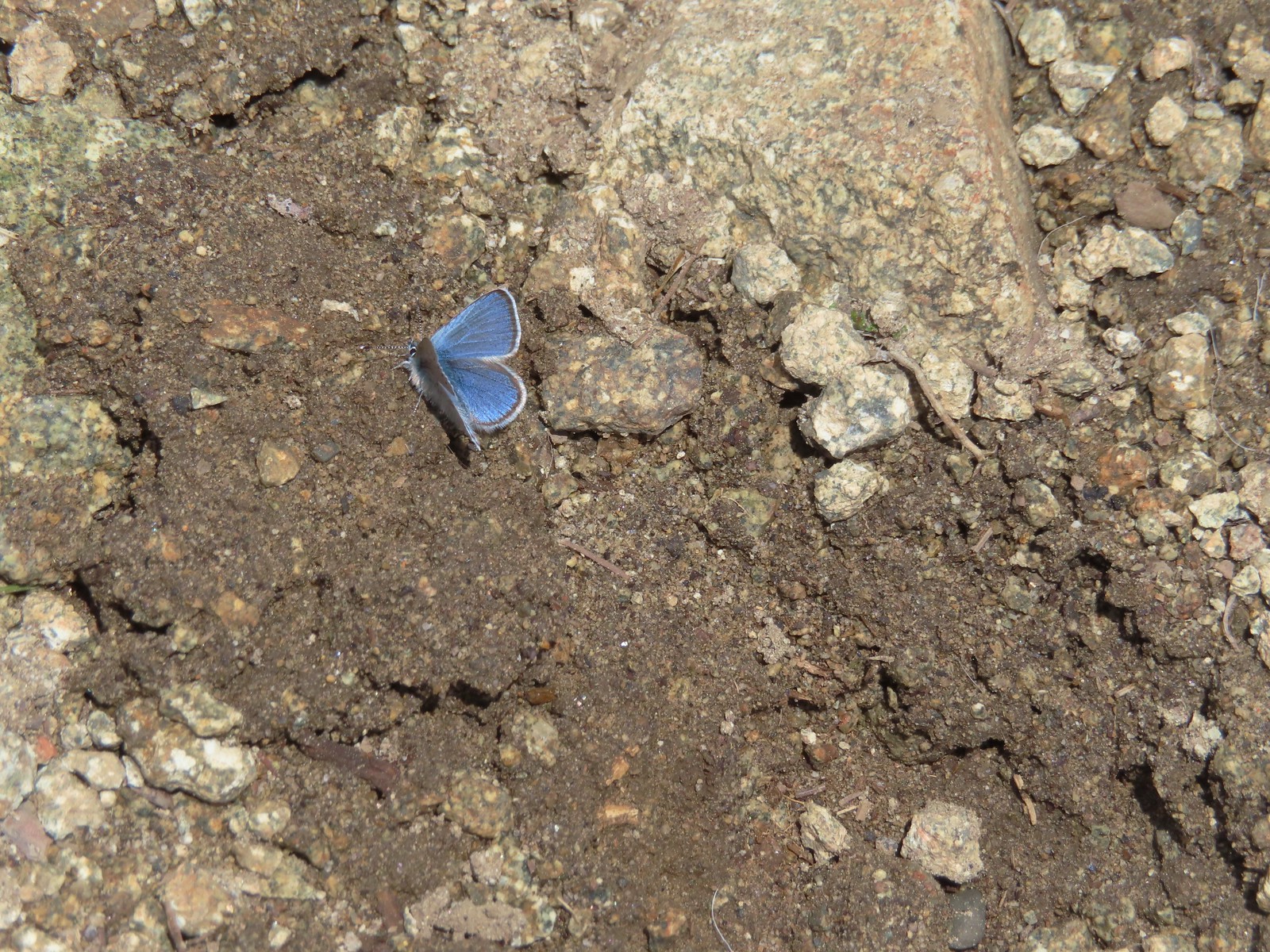 Butterfly – Mt. Ireland
 Butterfly – Trinity Alps Wilderness
 Butterfly – Silver Star Mountain
 Butterfly – Russian Wilderness
 Butterfly – Trinity Alps Wilderness
 Sara’s orangetip – Klickitat Trail
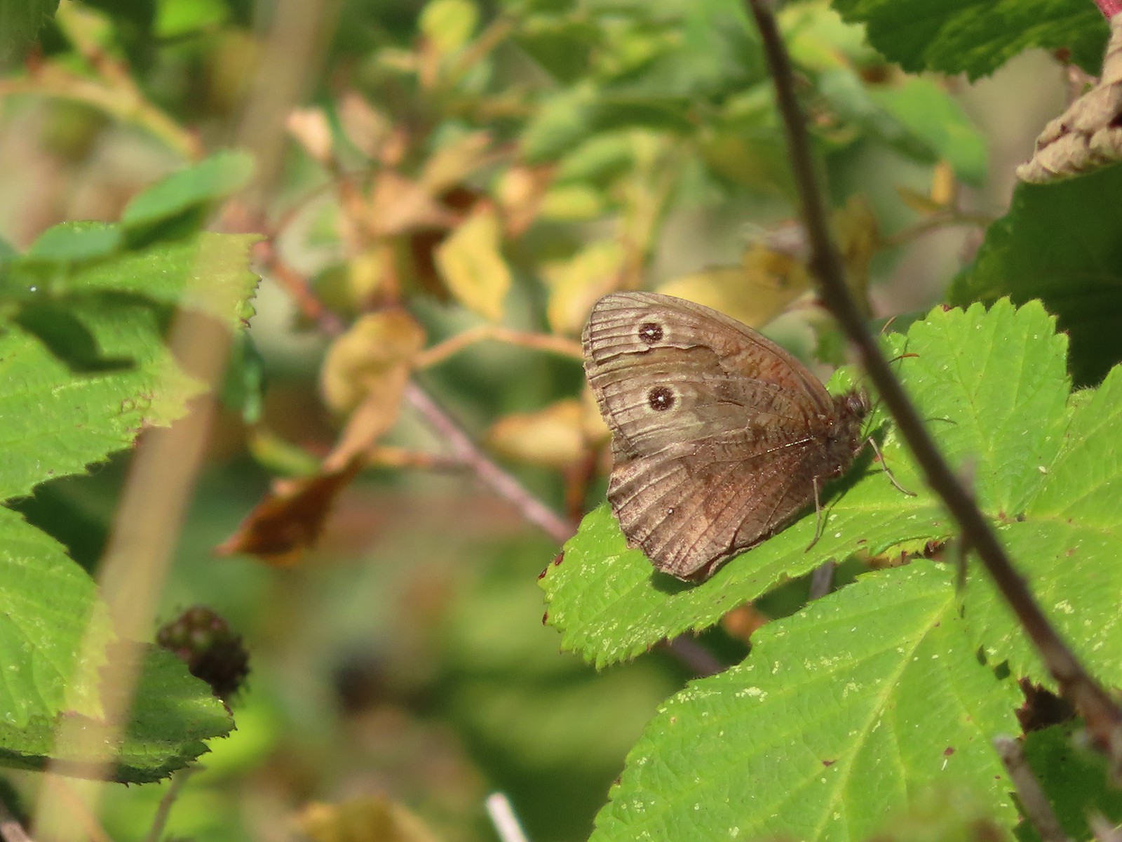 Common woodnymph – E. E. Wilson Wildlife Area
 Another woodnymph – Rogue-Umpqua Divide Wilderness
 Orange sulphur – Siskiyou Wilderness
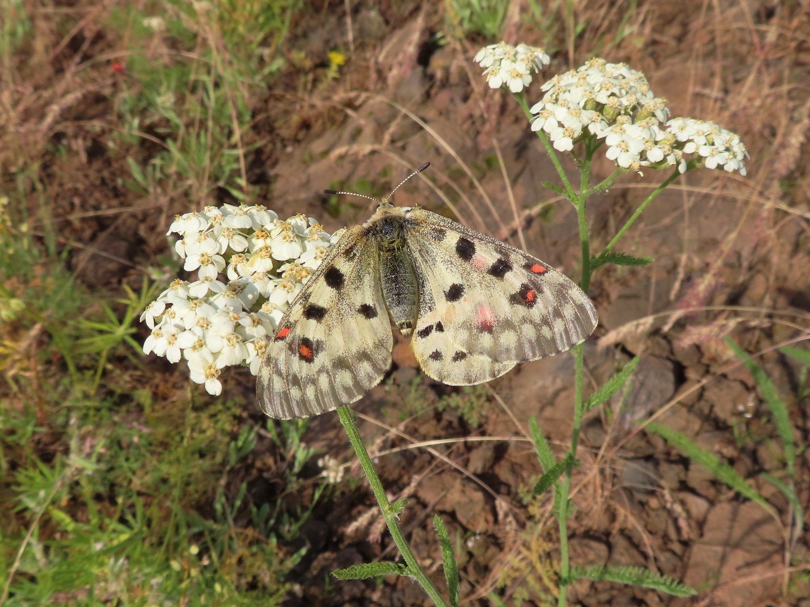 Mountain parnassian – Eagle Cap Wilderness
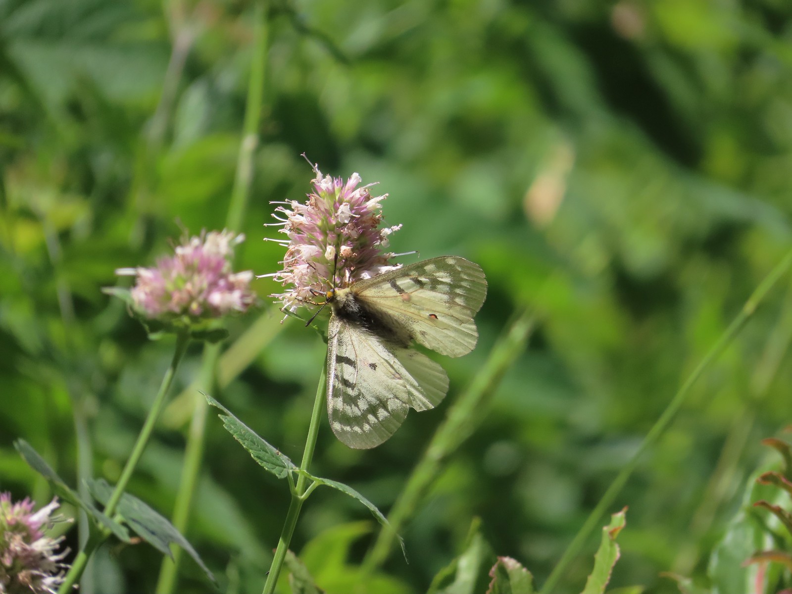 Clodius parnassian – Hemlock Lake
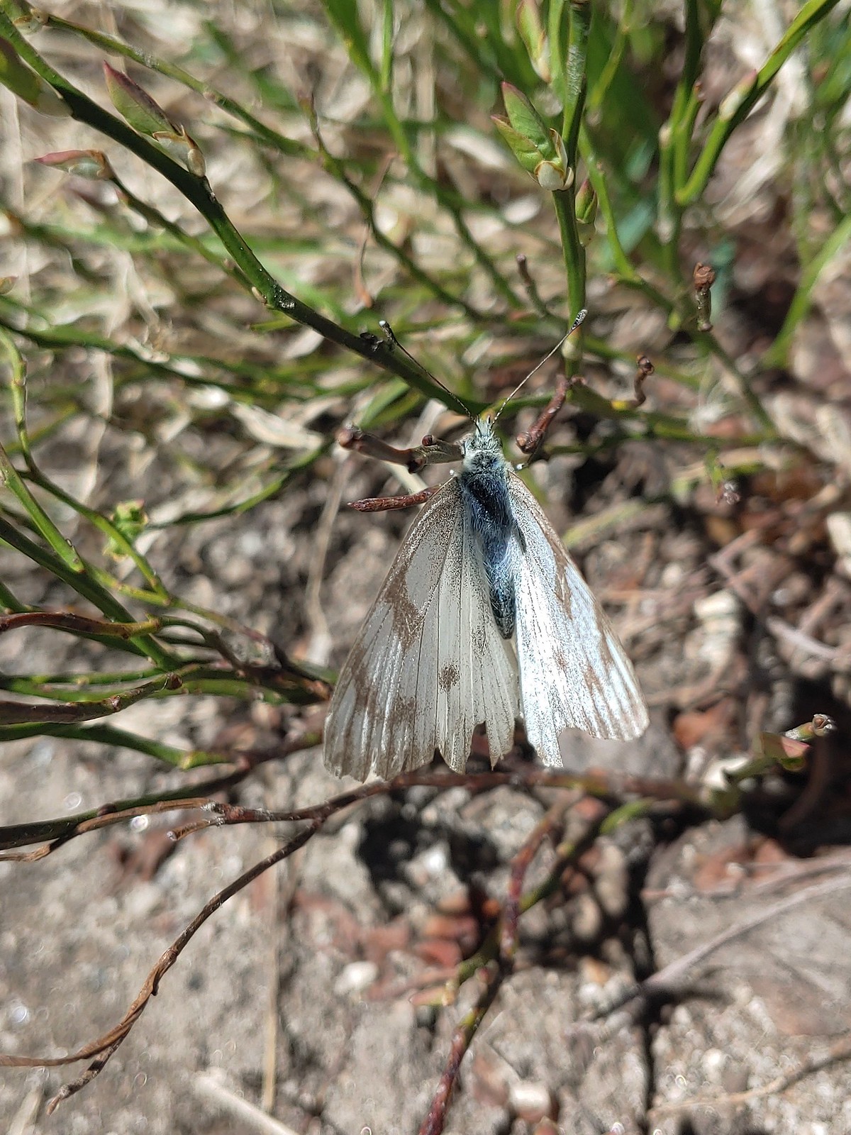 Western white? – Eagle Cap Wilderness
 Western white – Trinty Alps Wilderness
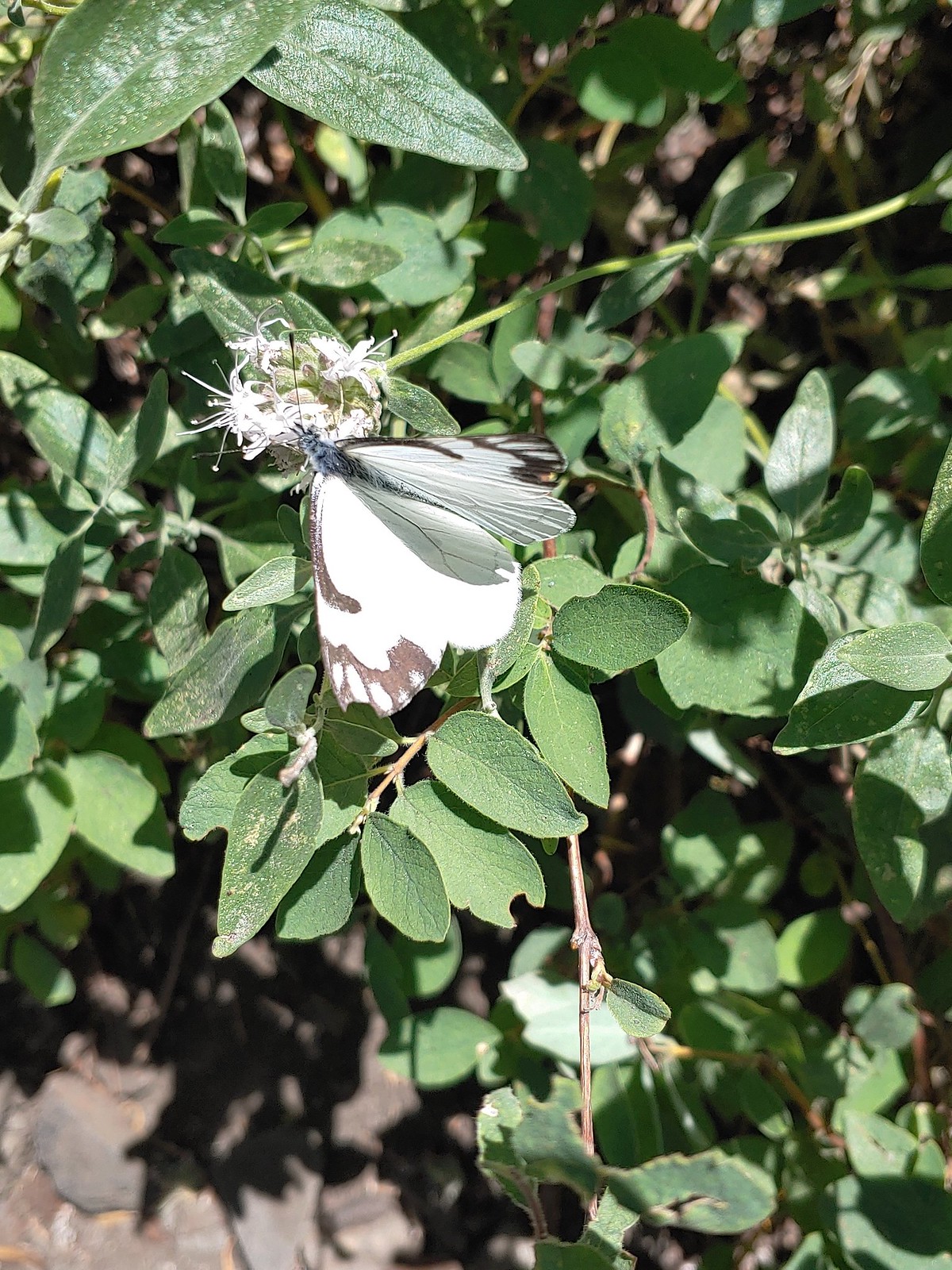 Pine white – Russian Wilderness
 Butterfly – Eagle Cap Wilderness
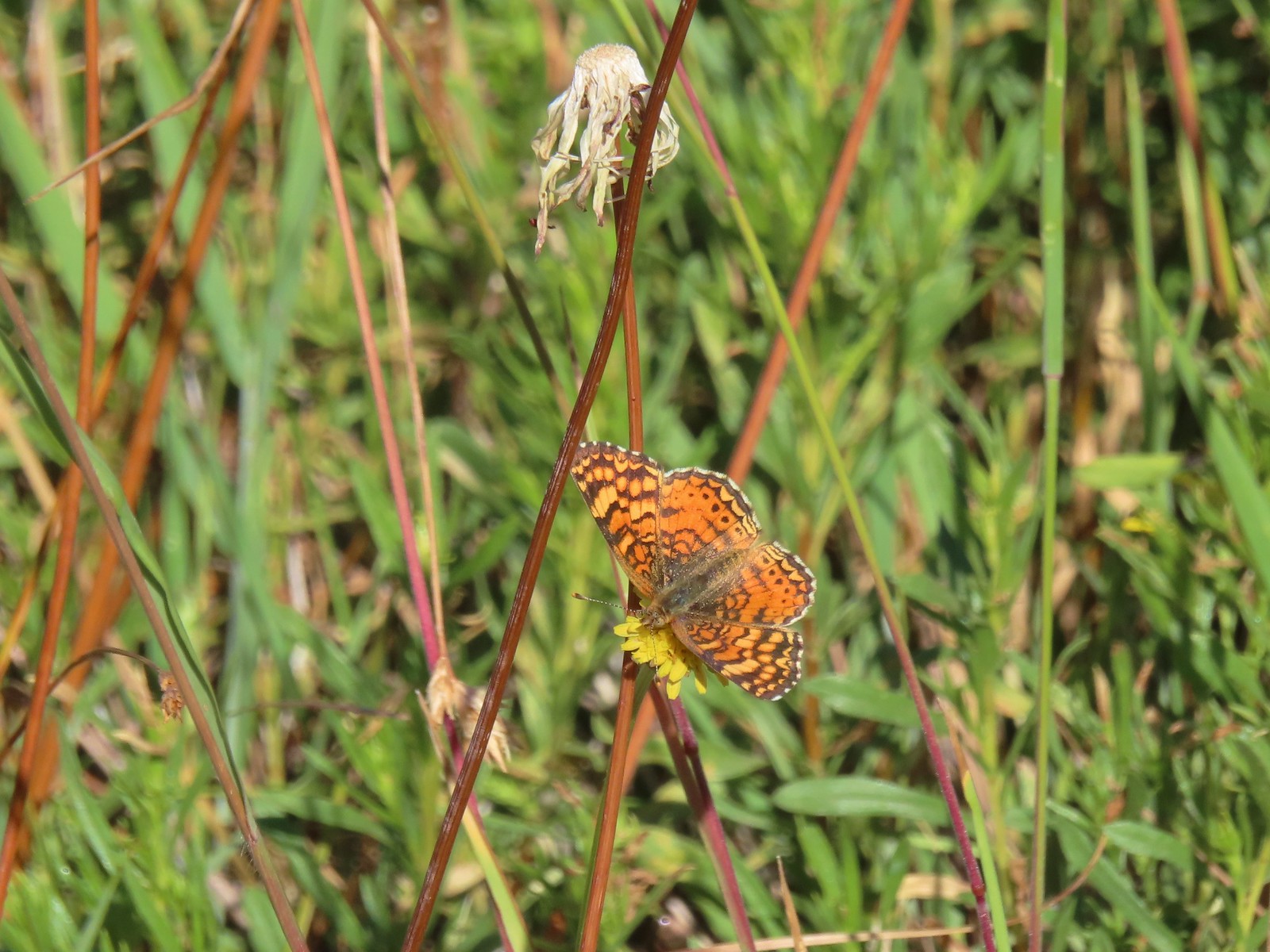 Butterfly – Russian Wilderness
 Butterfly – Mt. Adams Wilderness
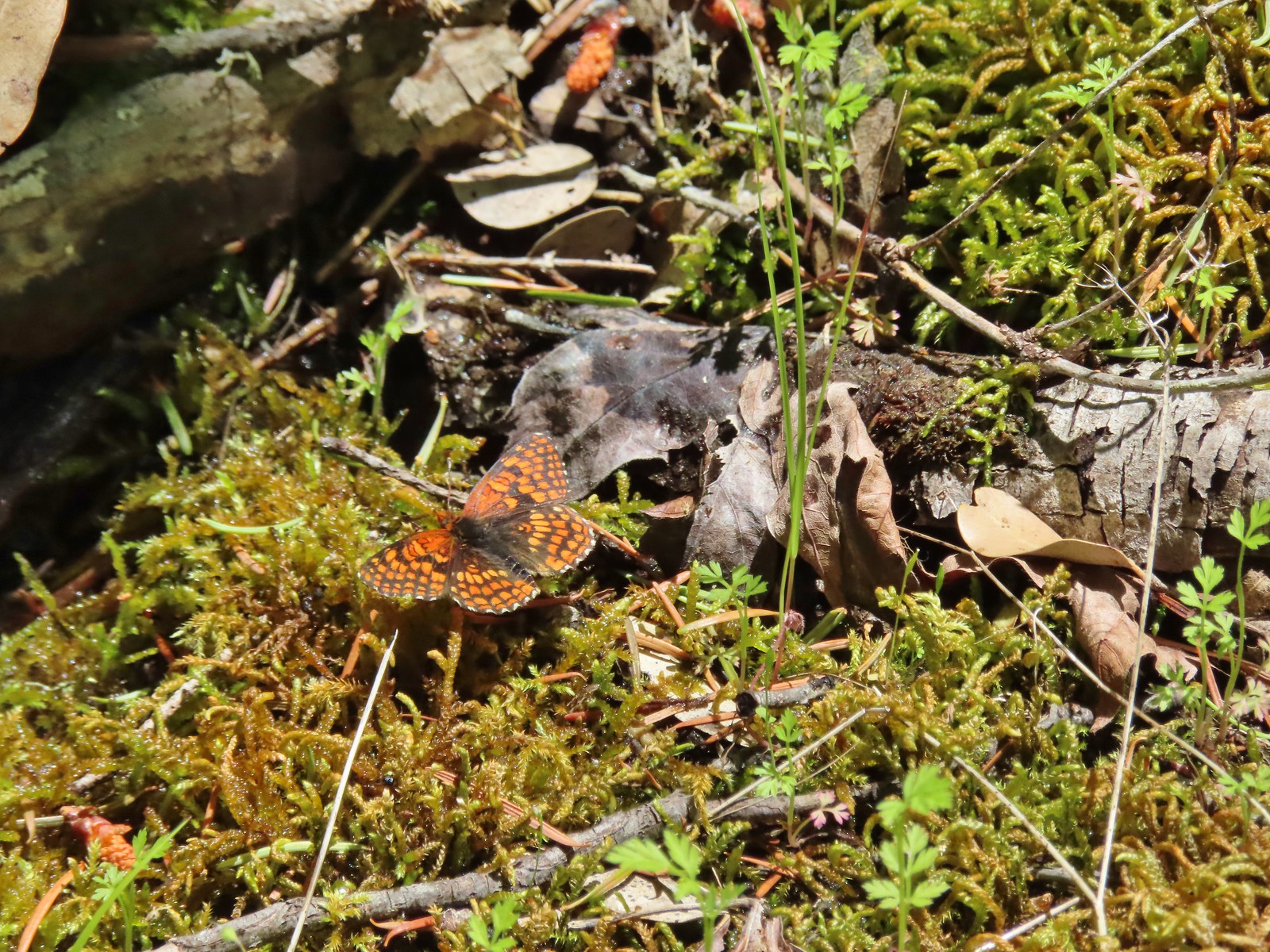 Butterfly – Mule Mountain
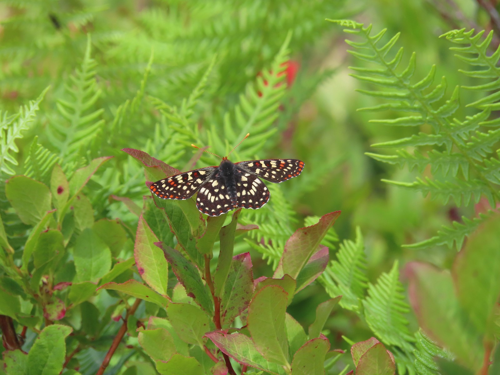 Butterfly – Silver Star Mountain
 Butterfly – Silver Star Mountain
 Butterfly – Silver Star Mountain
 Western meadow fritillary? – Silver Star Mountain
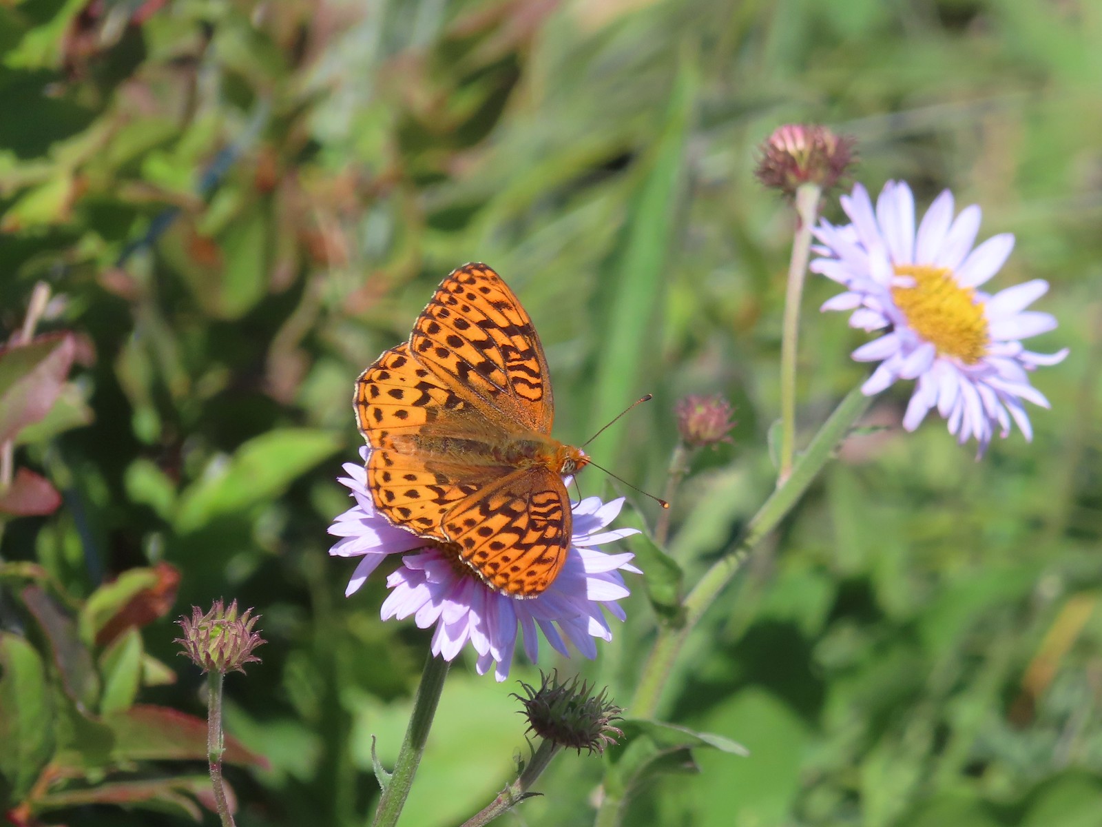 A fritillary – Silver Star Mountain
 A fritillary – Trinity Alps Wilderness
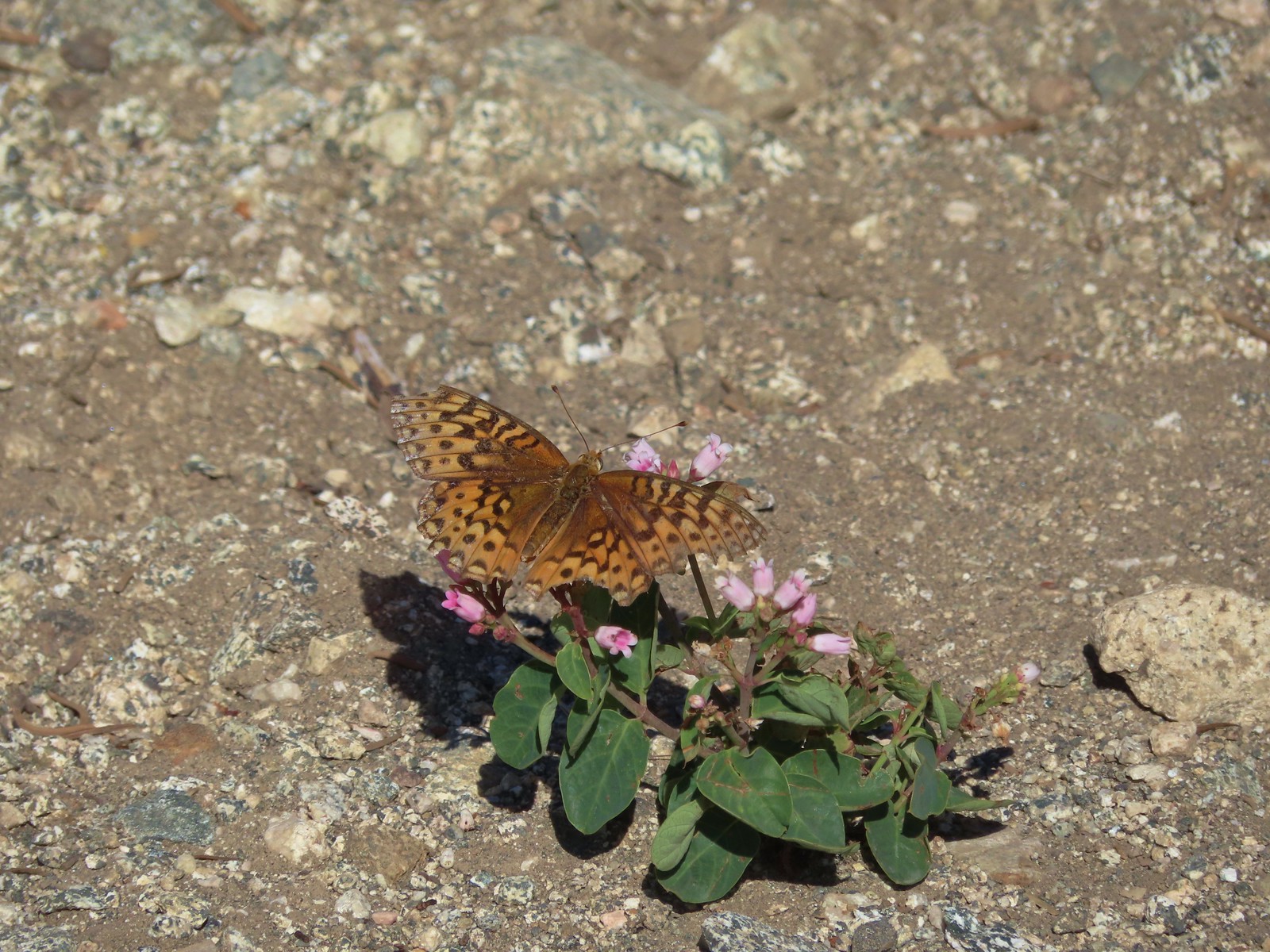 A fritillary -Russian Wilderness
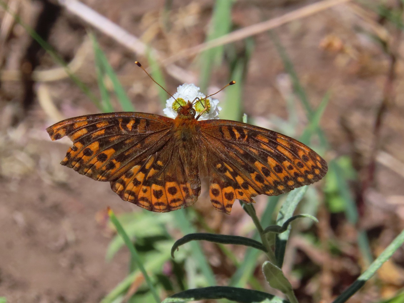 A fritillary – Rogue-Umpqua Divide Wilderness
 Mourning cloak – Klickitat Trail
 California tortoiseshell – Siskiyou Wilderness
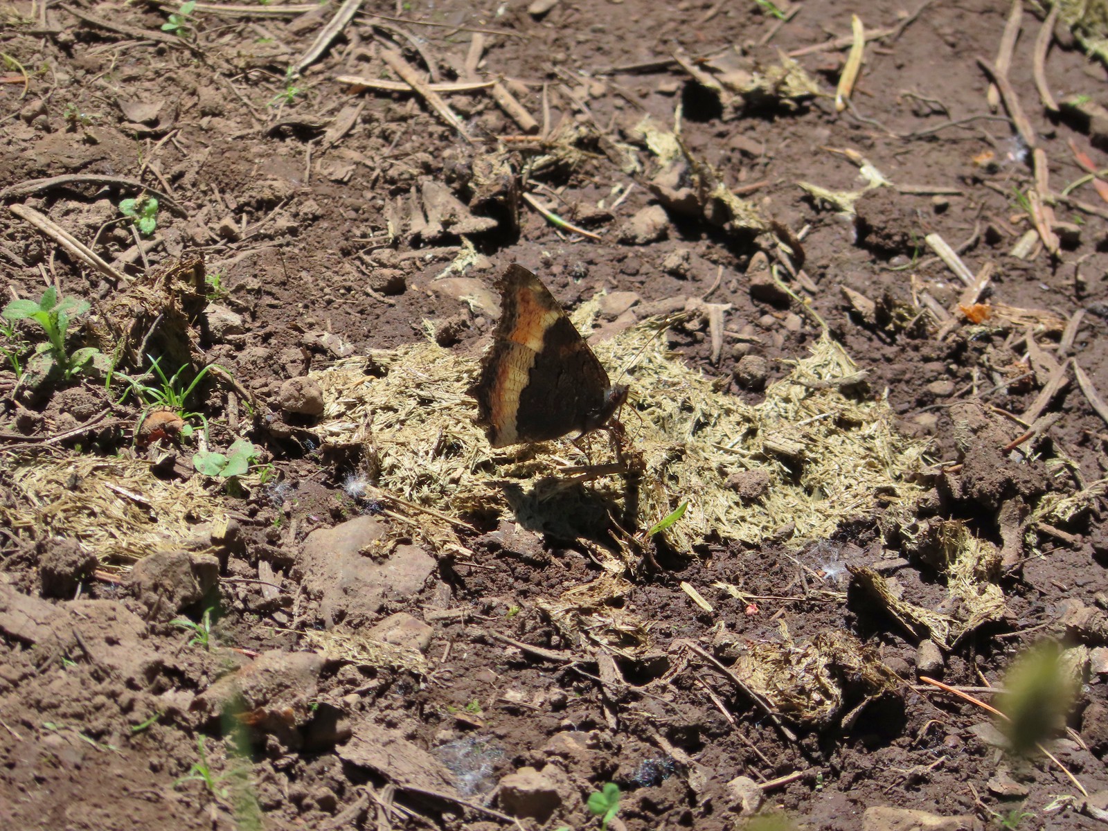 Milbert’s tortoiseshell – Eagle Cap Wilderness
 Lorquin’s admiral – Eagle Cap Wilderness
 Common buckeye – Mt. Shasta Wilderness
 Hoary comma – Sky Lakes Wilderness
 Green comma? – Eagle Cap Wilderness
 Klickitat Trail
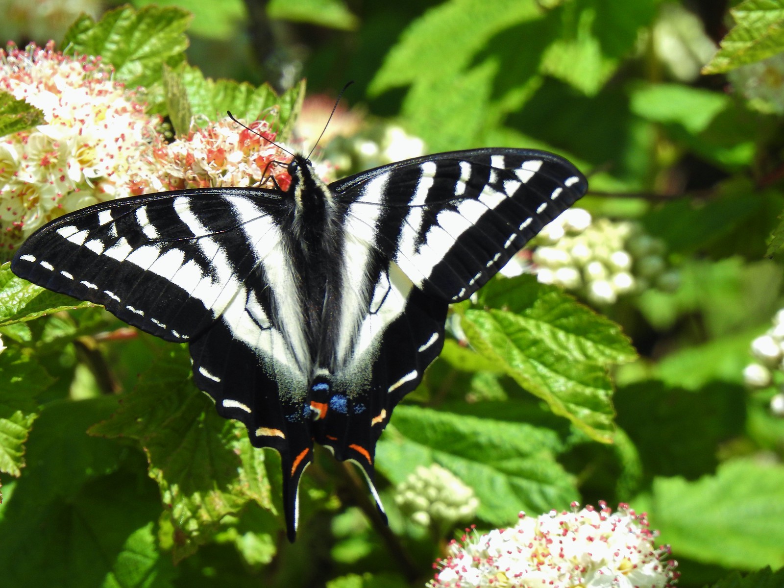 Julia Butler Hanson Wildlife Refuge
 Eagle Cap Wilderness
 Tadpoles – Russian Wilderness
 Tadpole transforming – Mt. Adams Wilderness
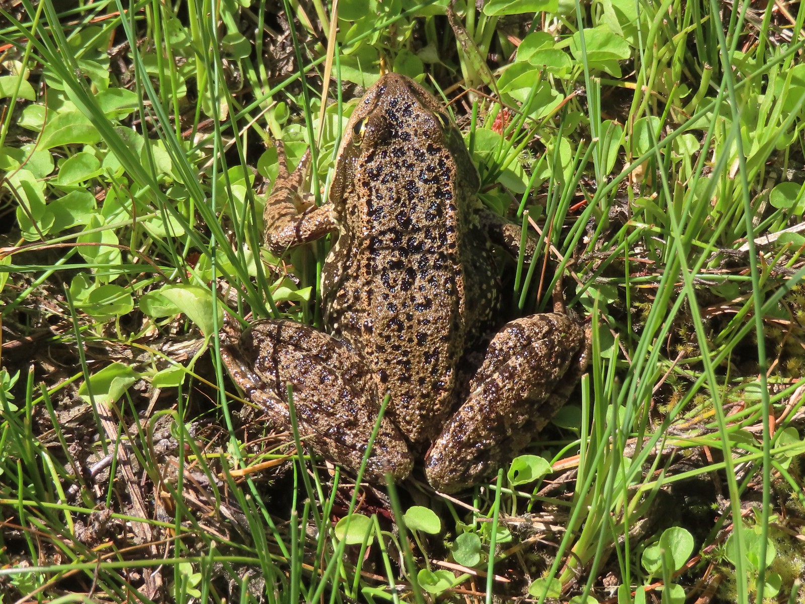 Frog – Russian Wilderness
 Frog – Goat Marsh Lake
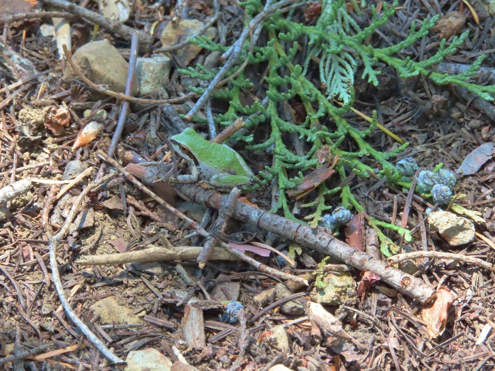 Tree frog – Siskiyou Wilderness
 Frog – Trinity Alps Wilderness
 Toad – Trinity Alps Wilderness
 Toad – Mt. Jefferson Wilderness
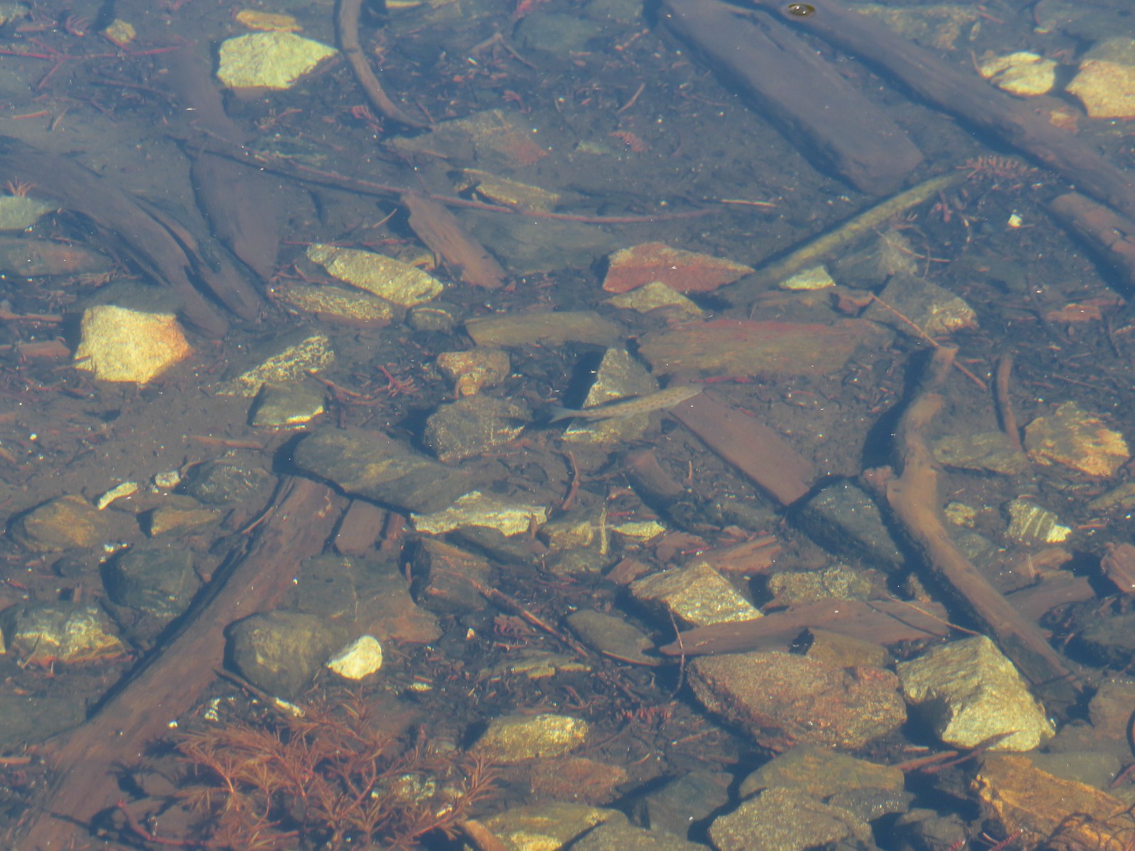 Fish – Siphon Lake
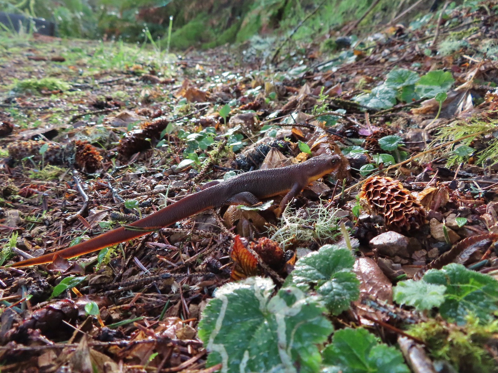 Rough skinned newt – Yakona Nature Preserve
 Western painted turtle – Julia Hansen Butler Wildlife Refuge
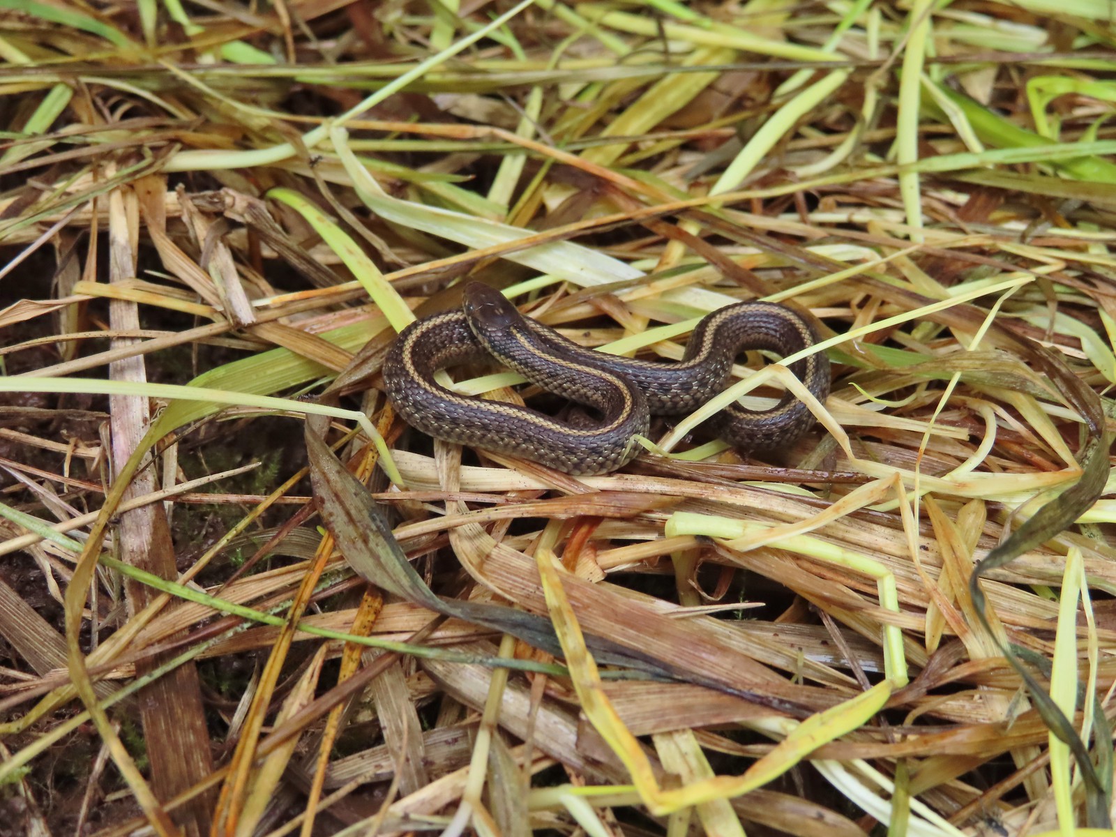 Baby snake – Miller Woods
 Garter snake – Julia Hansen Butler Wildlife Refuge
 Lizard – Mule Mountain
 Lizard – Upper Table Rock
 Lizard – Russian Wilderness
 Lizard – Siskiyou Wilderness
 Lizard – Klickitat Trail
 Lizard – Upper Table Rock
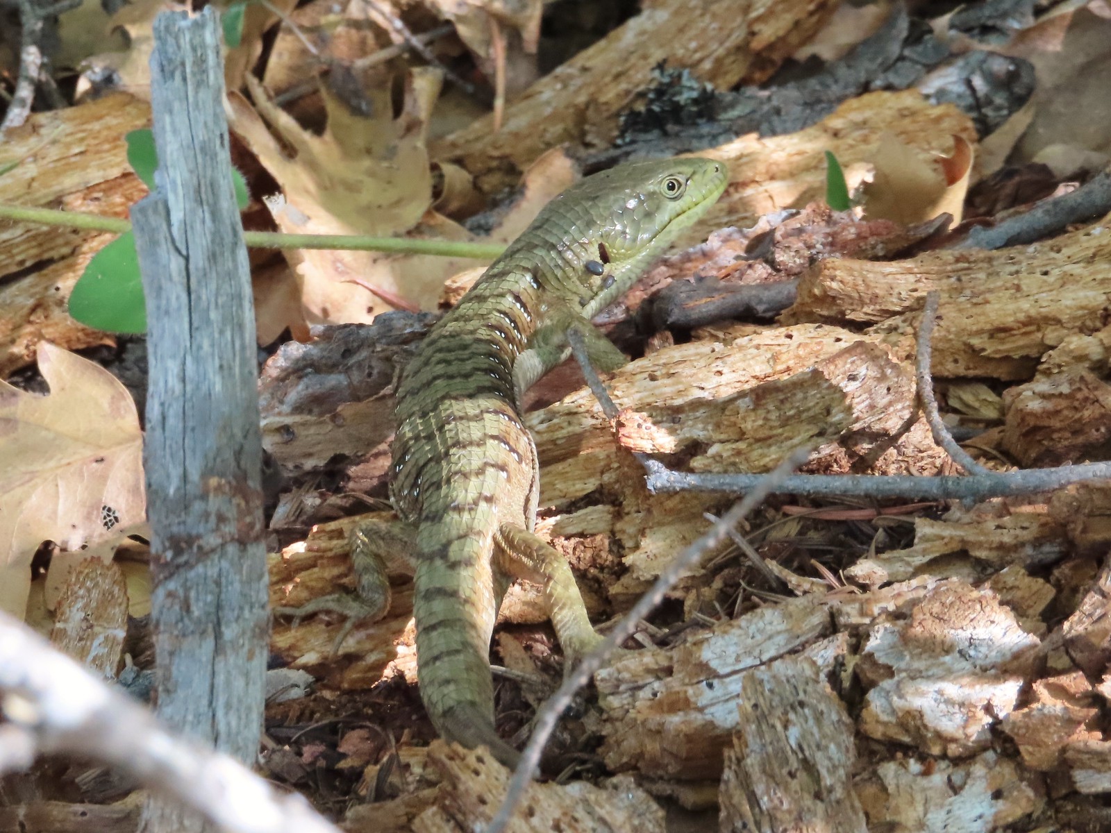 Alligator lizard – Mule Mountain
 Chipmunk – Observation Peak
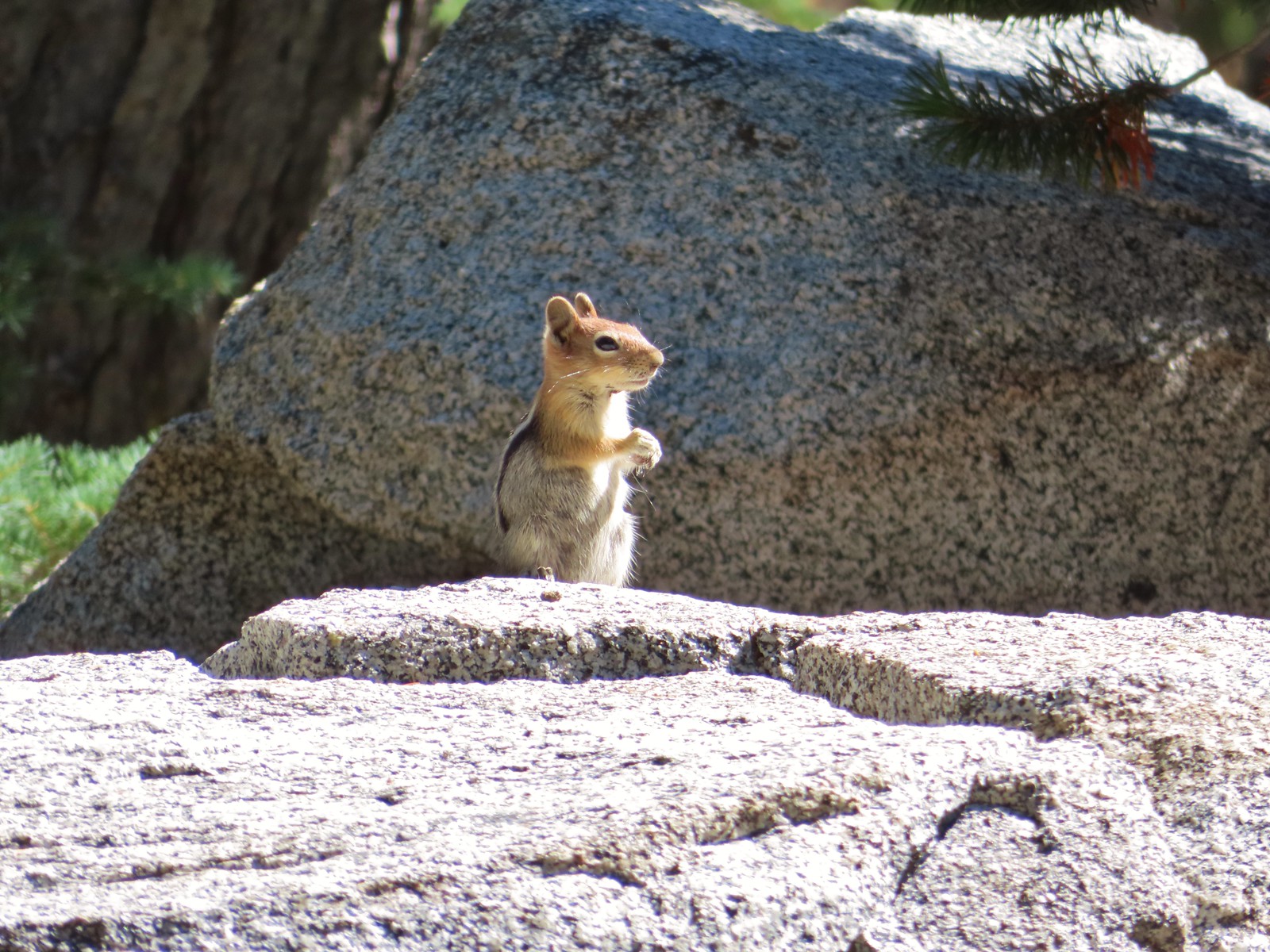 Ground squirrel – Russian Wilderness
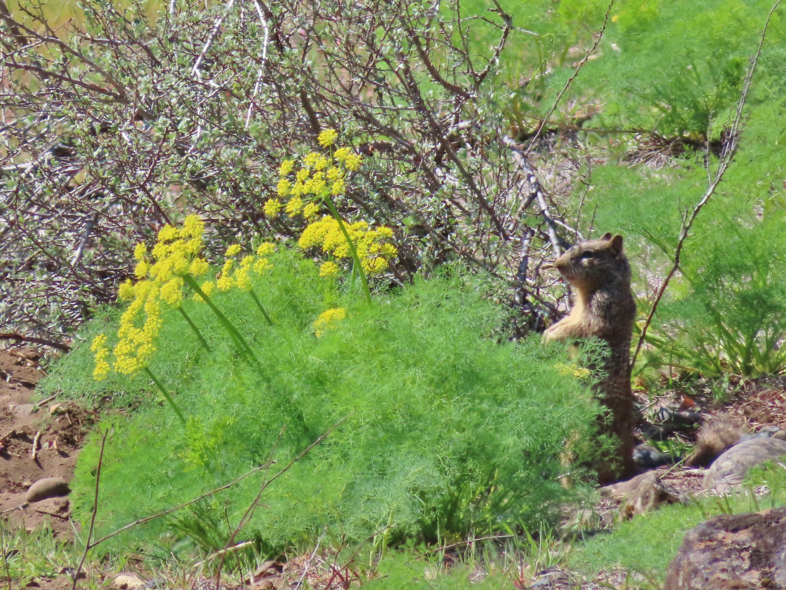 Ground squirrel – Klickitat Trail
 Ground squirrel – Eagle Cap Wilderness
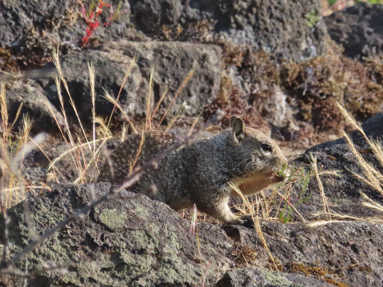 Ground squirrel – Upper Table Rock
 Squirrel – Rock Creek Trail
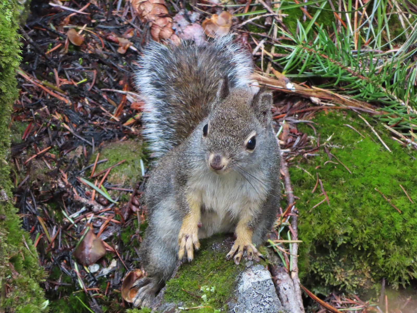 Squirrel – Twin Lakes
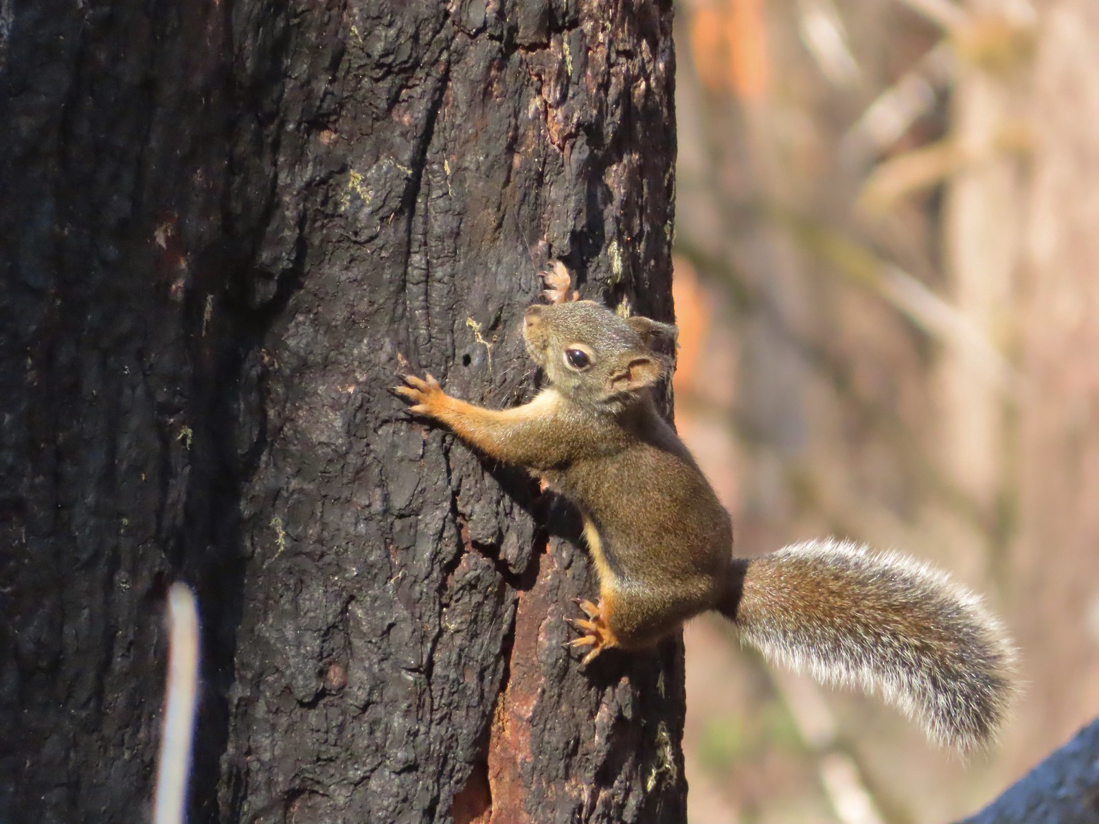 Squirrel – Larch Mountain Trail
 Marmot – Wallowa Homeland
 Jack rabbit – Denman Wildlife Area
 Rabbit – E. E. Wilson Wildlife Area
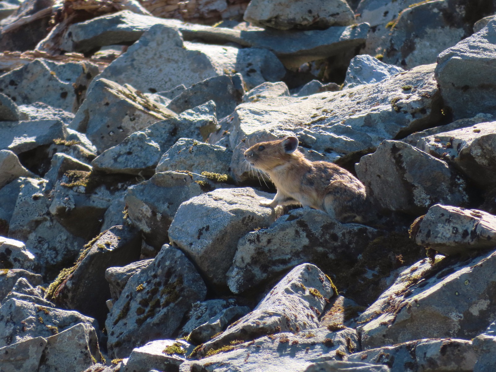 Pika – Silver Star Mountain
 Muskrat – Julia Butler Hansen – Wildlife Refuge
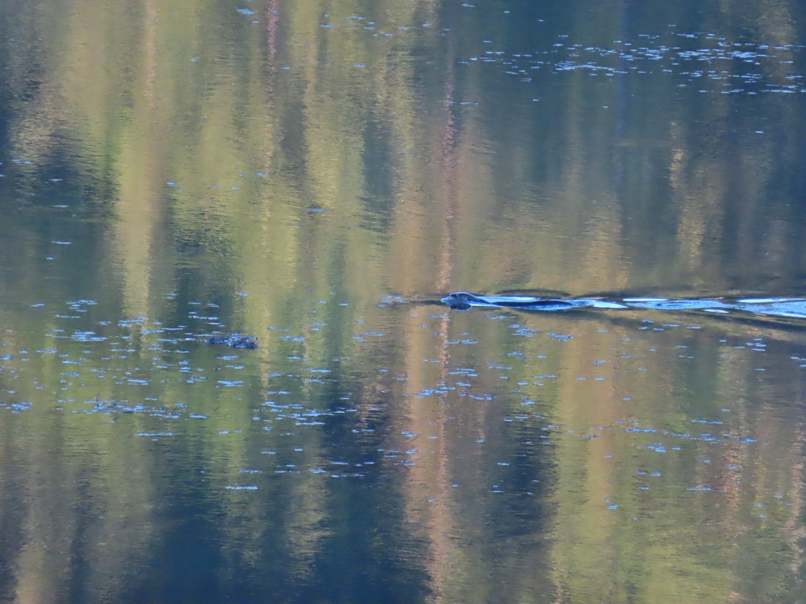 Otter – Killin Wetlands
 Sea lion – Hart’s Cove
 Deer – Memaloose Hills
 Doe – Miller Woods
 Mamma – Roxy Ann Peak
 Fawn – Roxy Ann Peak
 Columbian white-tailed buck – Julia Butler Hansen Wildlife Refuge
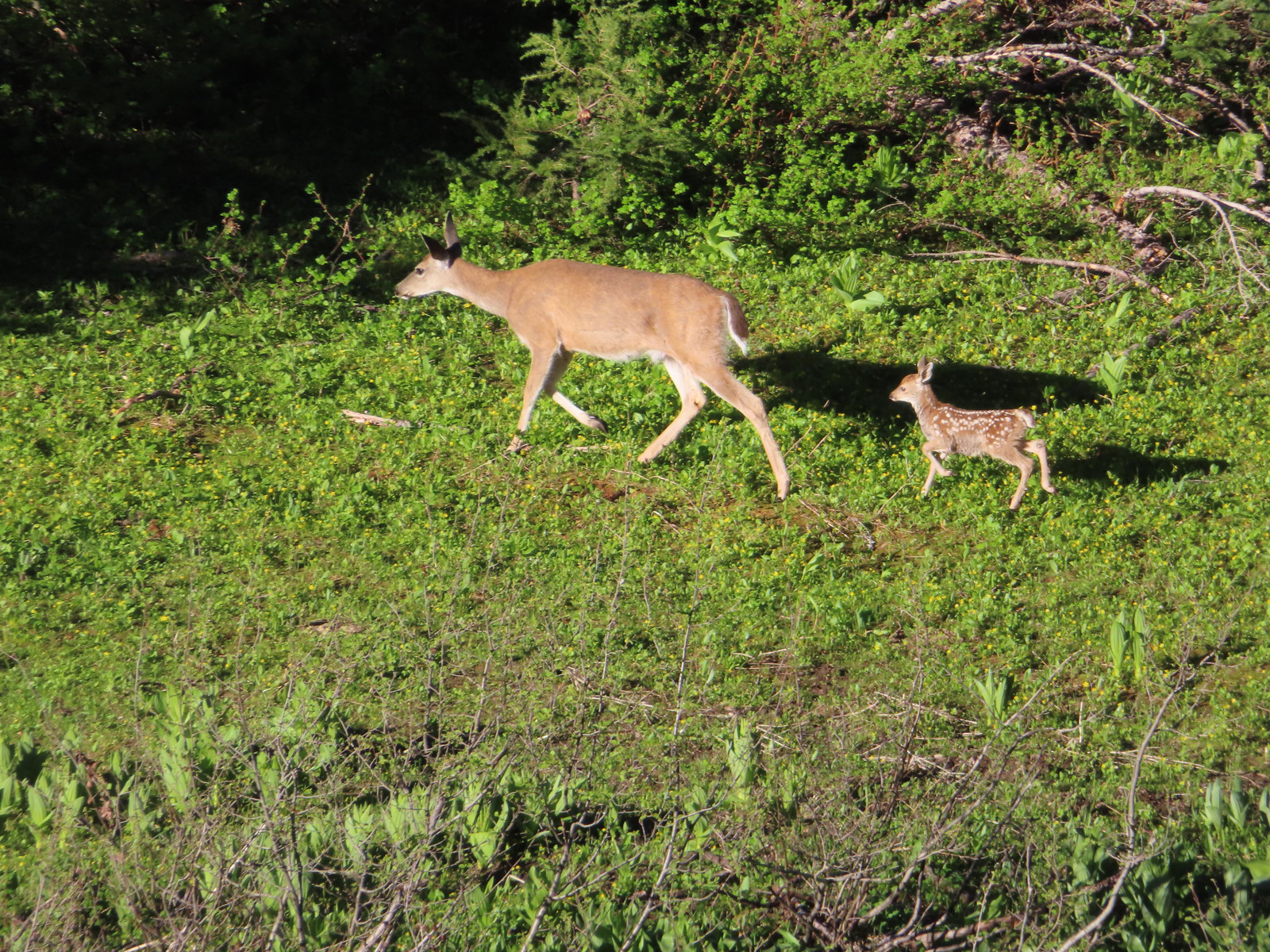 Doe & fawn – Donomore Meadows
 Three bucks – Siskiyou Wilderness
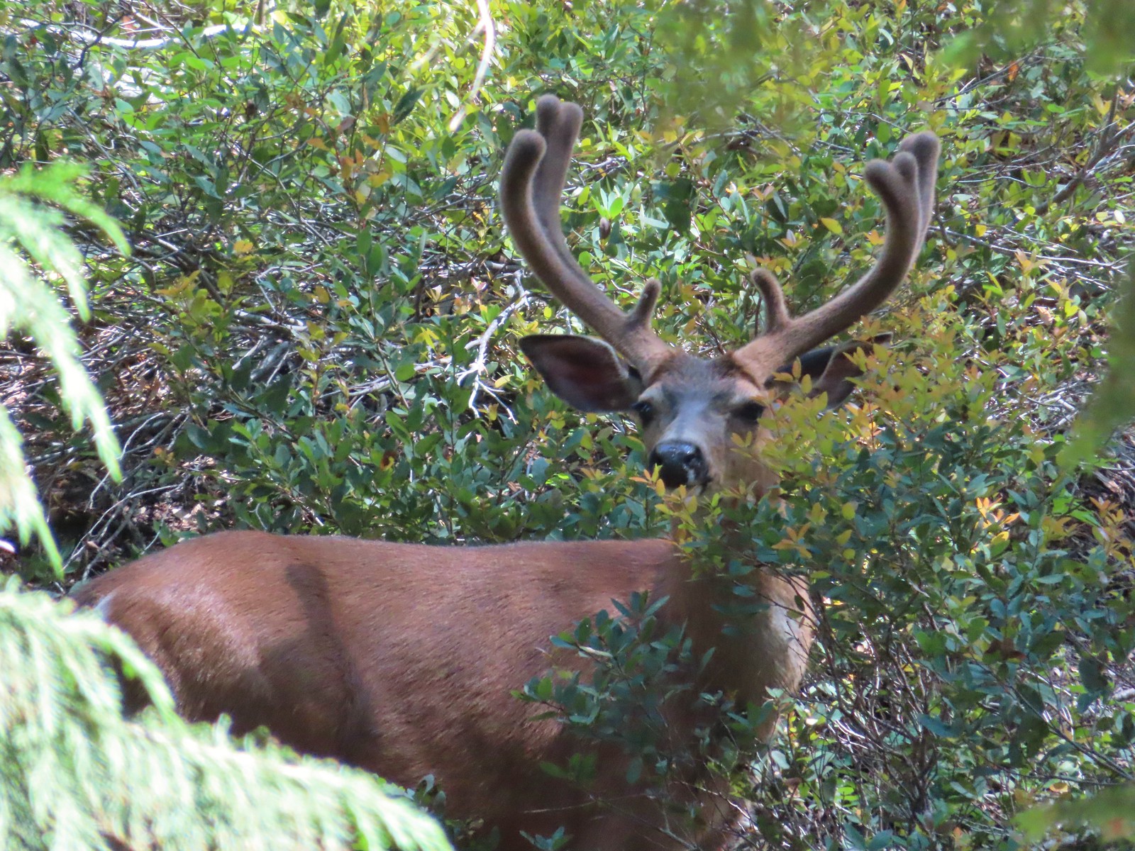 Buck – Siskiyou Wilderness
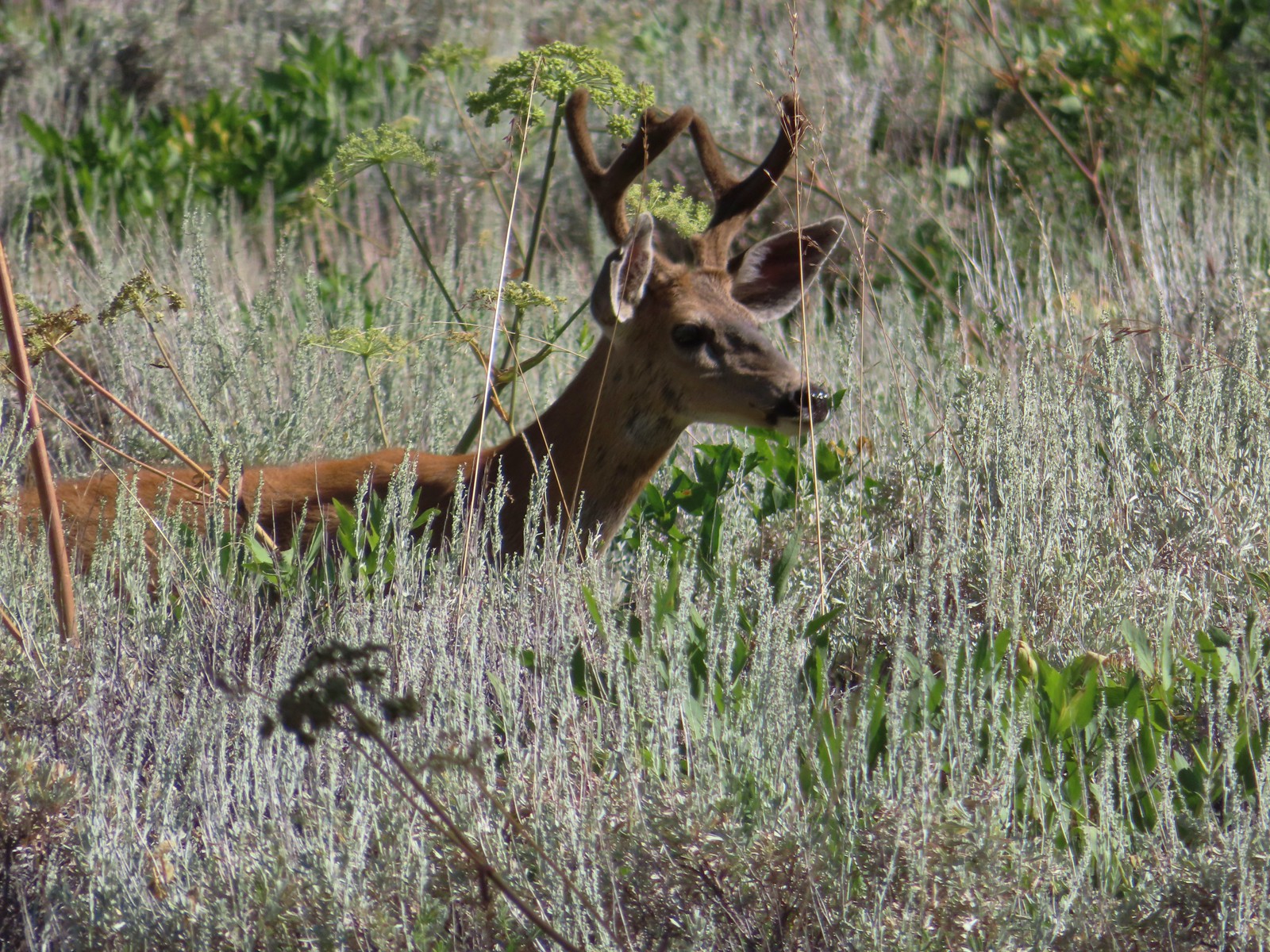 Buck – Trinity Alps Wilderness
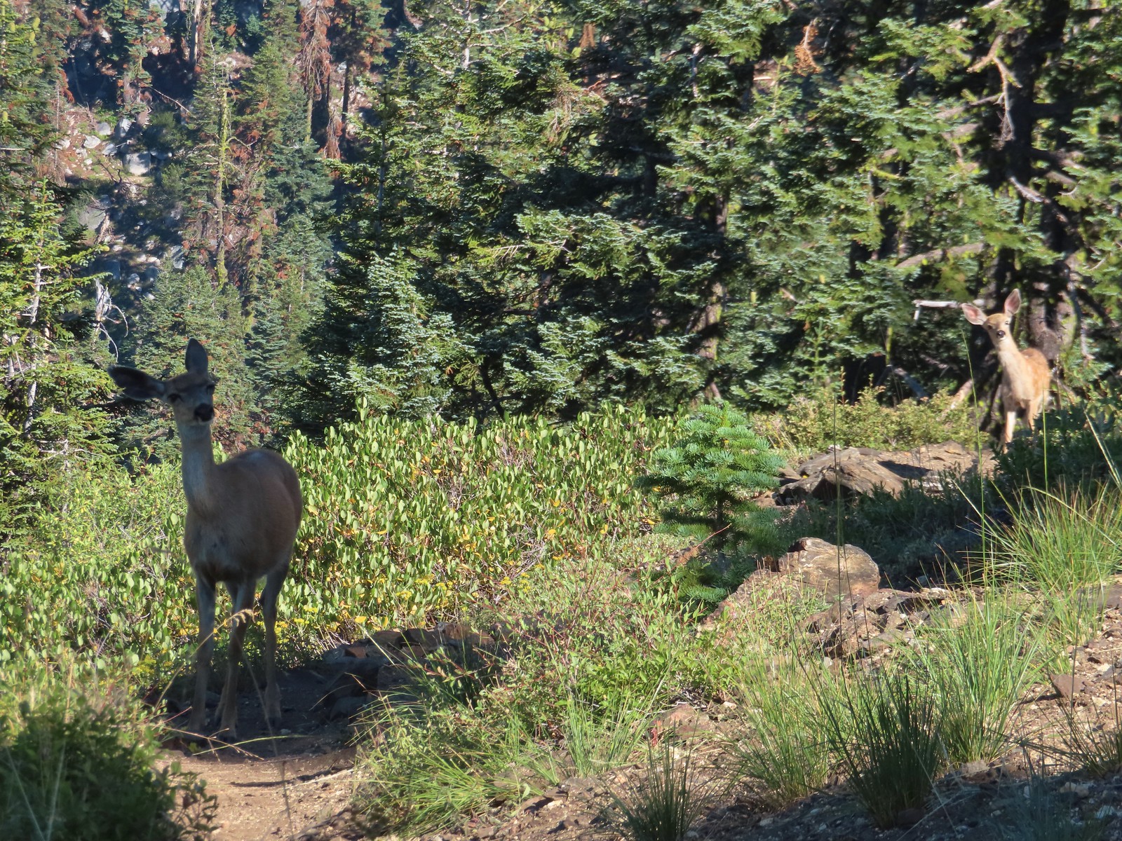 Doe & fawn – Russian Wilderness
 Buck and does – Russian Wilderness
 Two bucks – Crater Lake National Park
 Elk – Yakona Nature Preserve
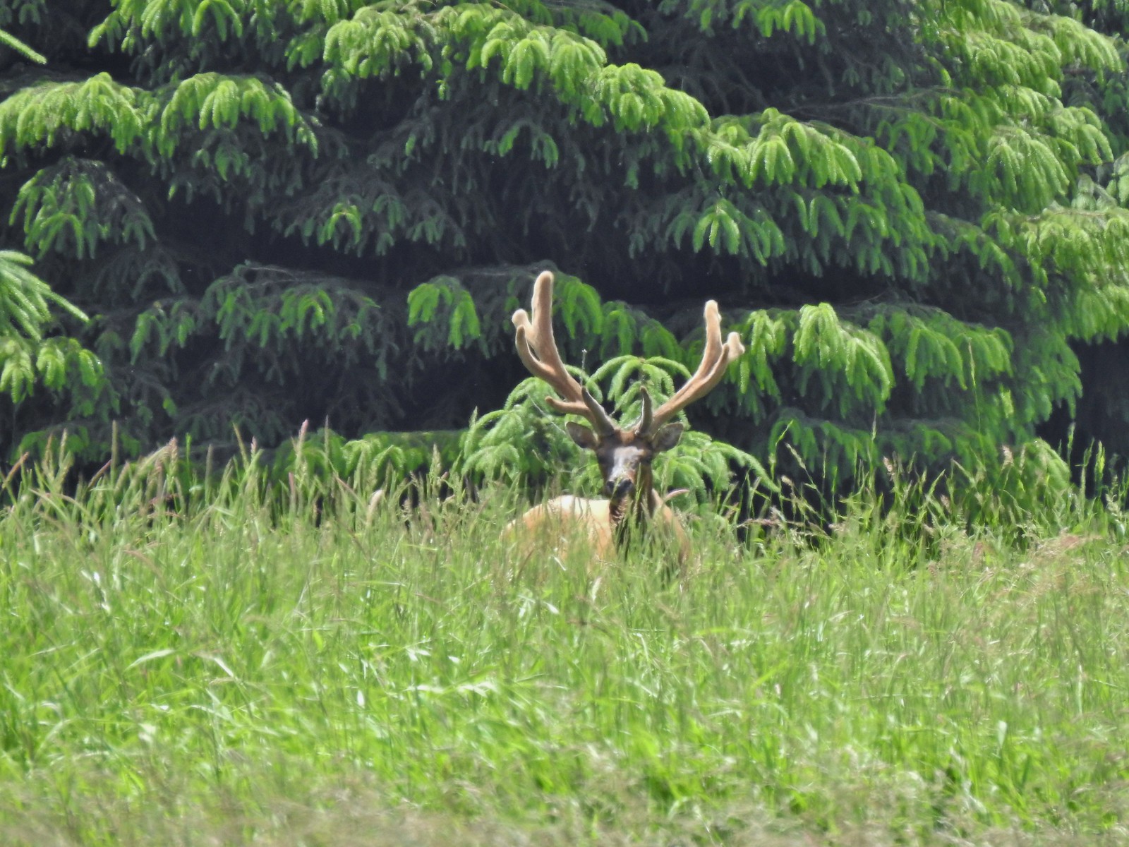 Bull elk – Julia Butler Hansen Wildlife Refuge
 Mountain goat below the Mt. Ireland Lookout – Mt. Ireland
 Domestic goat – Near the Julia Butler Hansen Wildlife Refuge
 Black bear – Siskiyou Wilderness
 The same black bear making eye contact the day before.


 The only tiger lily that seemed to be open yet.
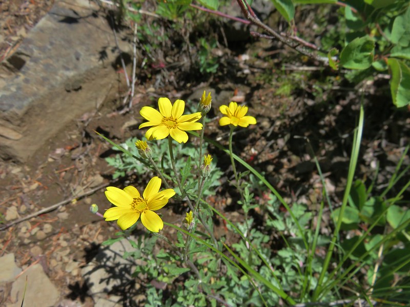
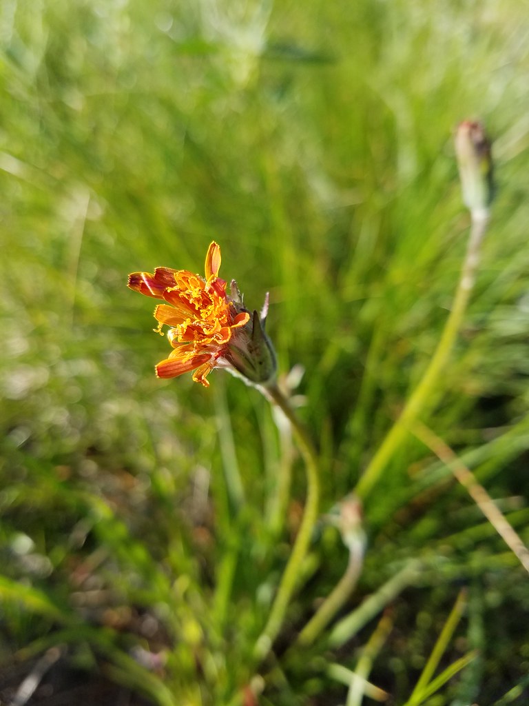 orange agoseris beginning to open.
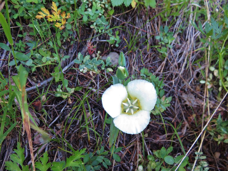
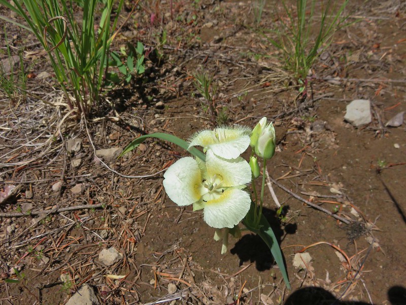
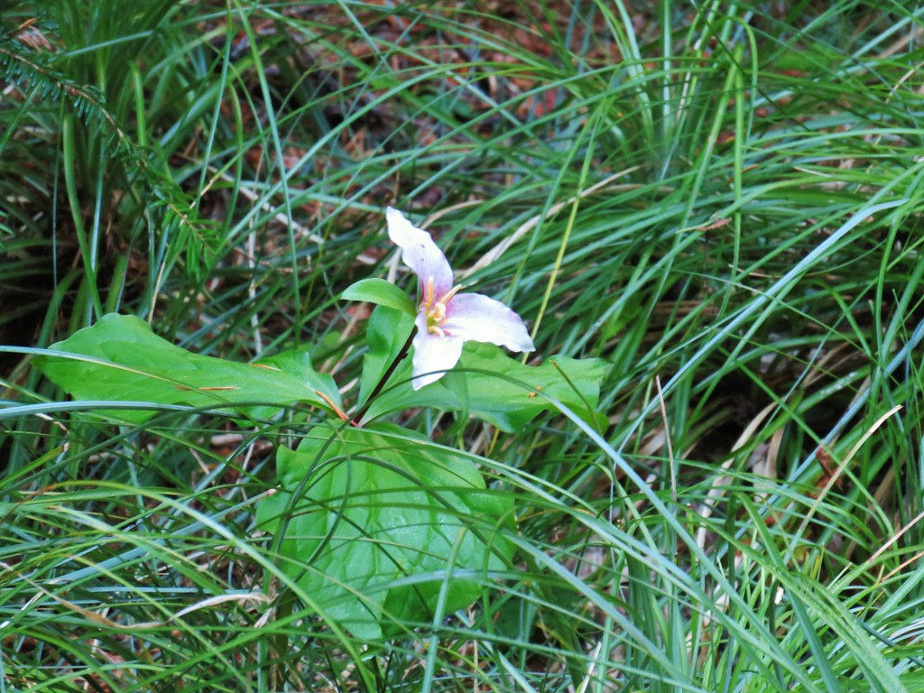
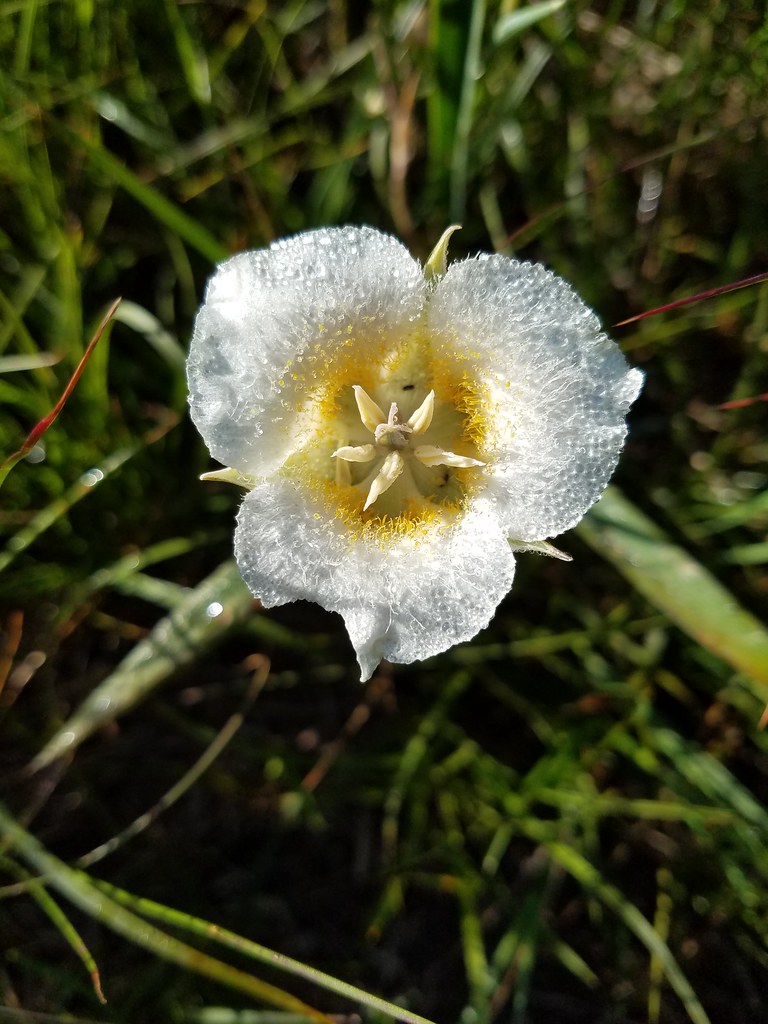 Cat’s ear lily
 Pussytoes
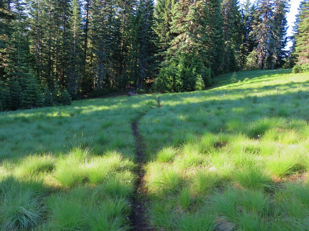


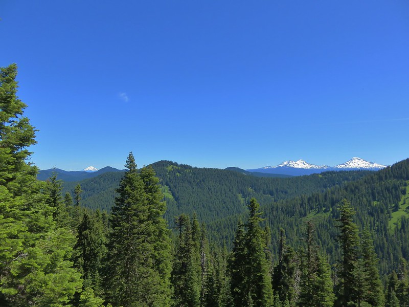
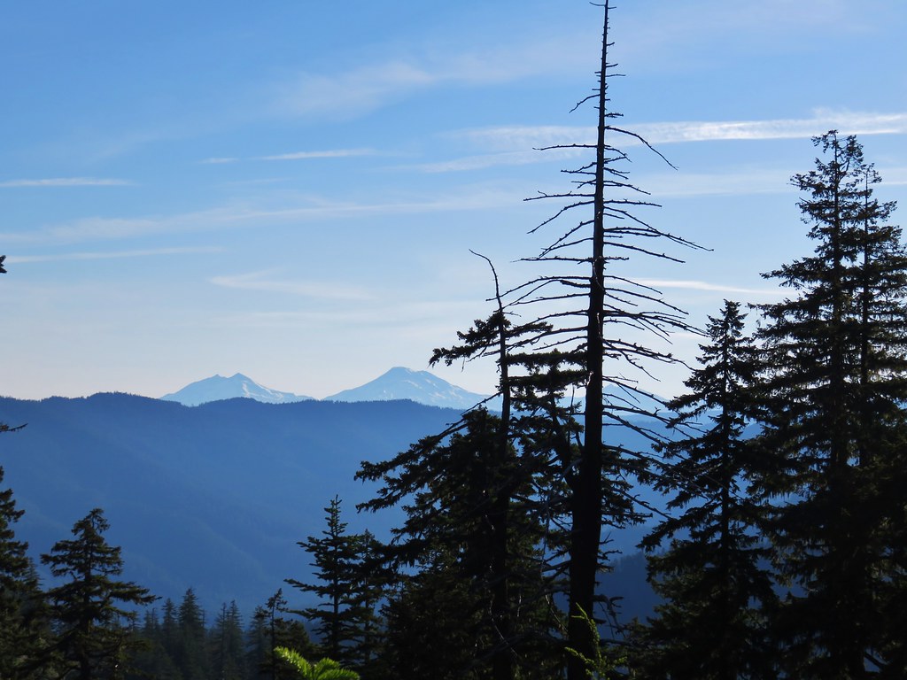 The Three Sisters and Broken Top
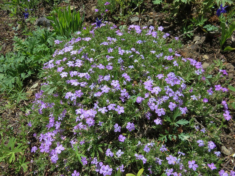
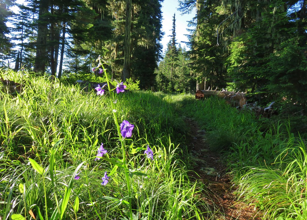 Larkspur along the trail.
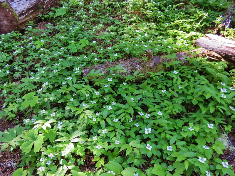
 Bunchberry
 Anemone
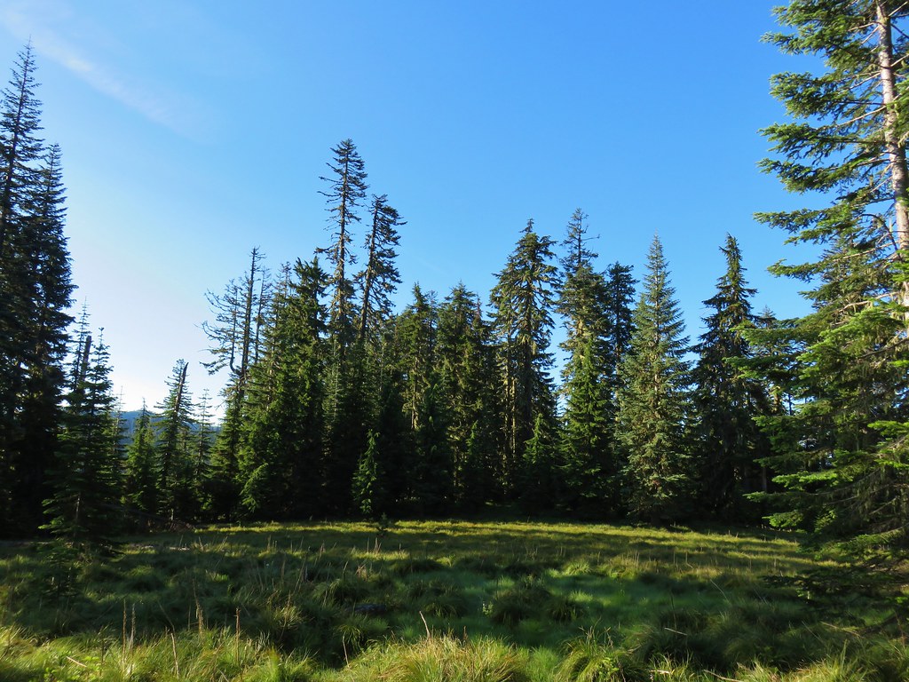 Another meadow
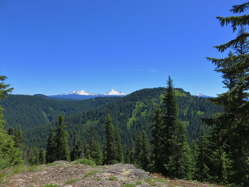
 The Three Sisters and Broken Top
 Queen’s cup
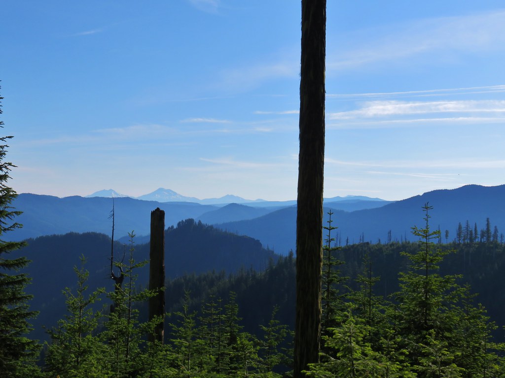 The Three Sisters, Broken Top, and a bit of Mt. Bachelor
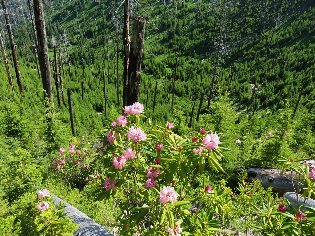
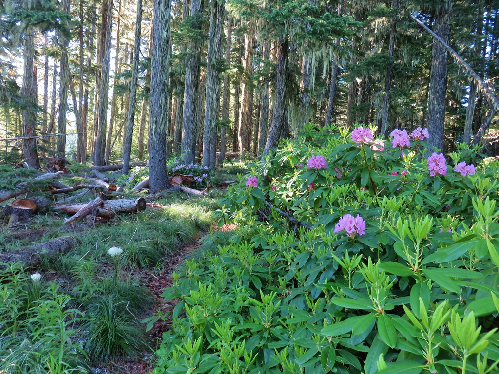 Rhododendron
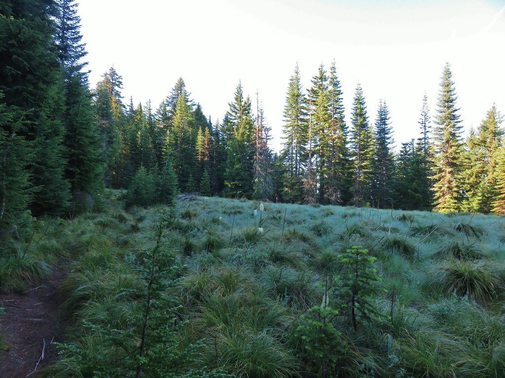
 Another meadow full of not-in-bloom beargrass.
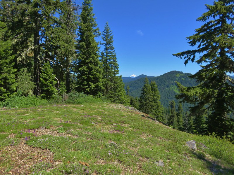
 View from the SW facing hillside.
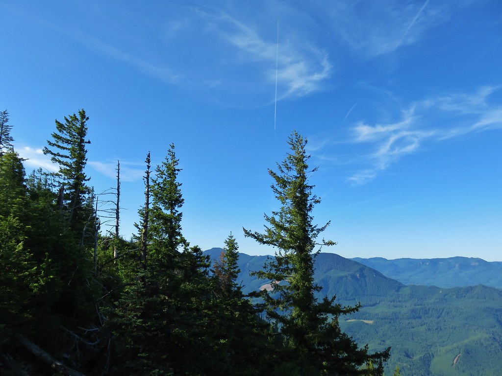 Looking SE

 Diamond Peak through the trees.
 Valerian in the saddle.


 Mt. Yoran, Diamond Peak, and Mt. Bailey
 Mt. Yoran and Diamond Peak
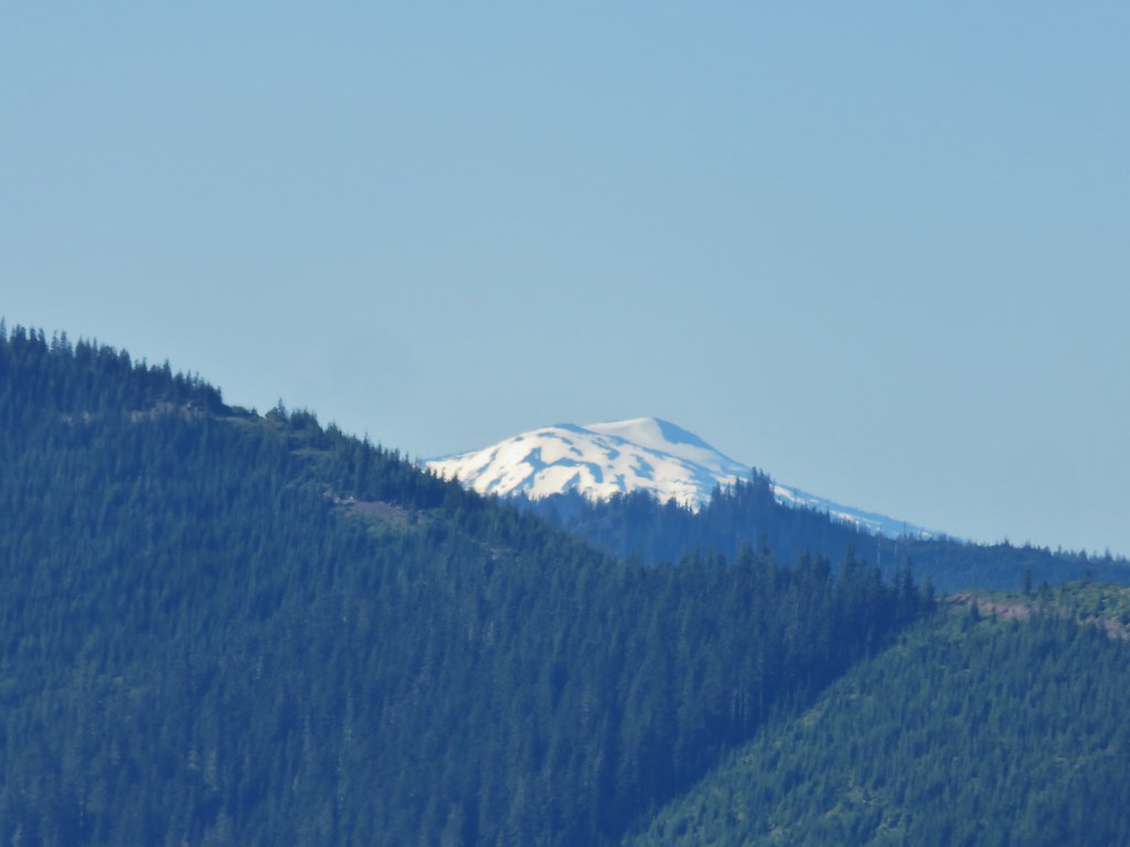 Mt. Bailey
 View to the NE (from the afternoon on the way back)
 The Husband, Three Sisters, Broken Top, and Ball Butte(from the afternoon on the way back)
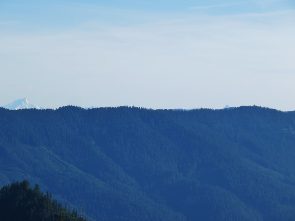 Mt. Jefferson and the tips of Three Fingered Jack and Mt. Washington


 Giant blue-eyed Mary
 Giant blue-eyed Mary
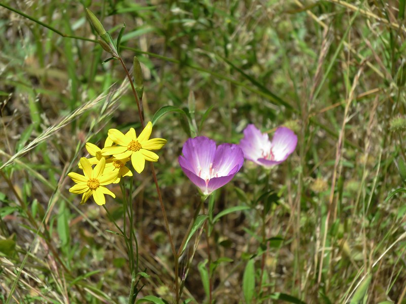
 Giant blue-eyed Mary and blue-head gilia
 Cat’s ear lily and blue-head gilia
 Coneflower
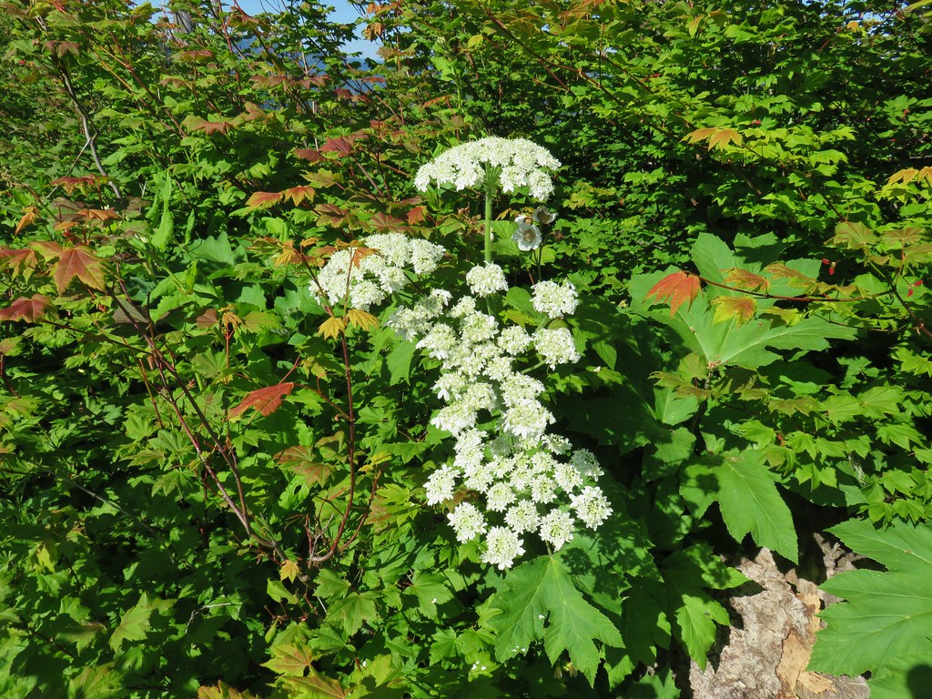 Cow parsnip
 Tall mountain bluebell
 More of the blue flowers
 Larkspur
 Jacob’s ladder
 An aster or fleabane
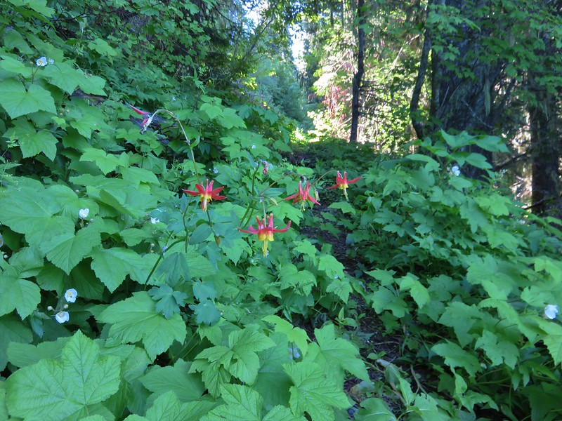
 Columbine and valerian
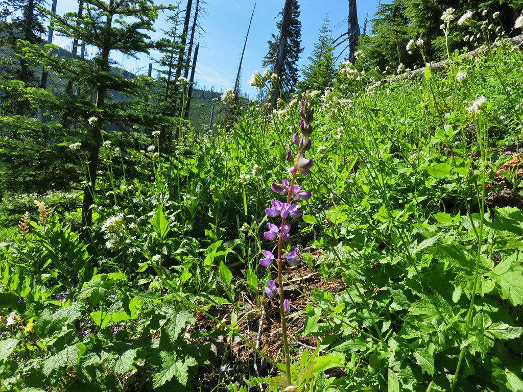 Lupine
 Not sure what type of flower this one is.
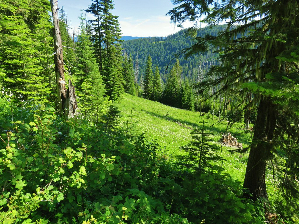 Valerian filled meadow below the trail.
 White yarrow, giant blue-eyed Mary, and tall mountain bluebells
 Looking back at our route so far.
 The trail coming around Kelsey Creek is visible on the hillside behind us.

 Fuji Mountain (left), flat topped Mt. David Douglass, Mt. Yoran (shorter thumb to the left of Diamond Peak), and Diamond Peak.
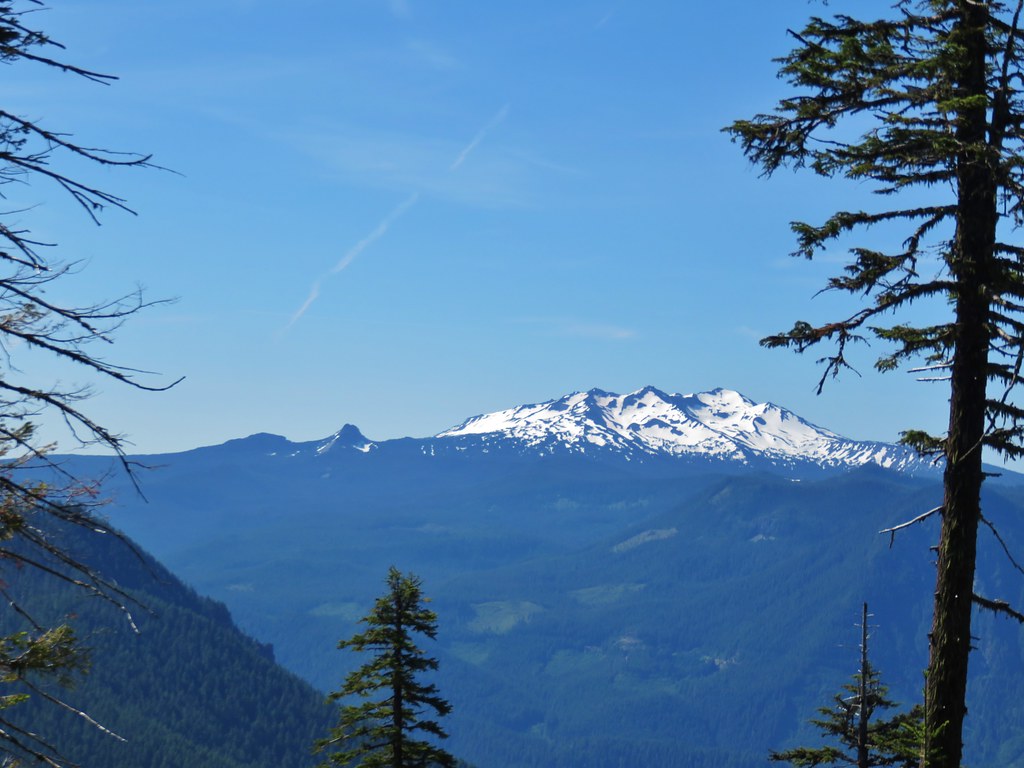 Mt. Yoran and Diamond Peak
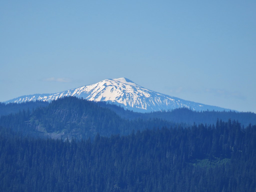 Mt. Bailey

 A few orange agoseris were scattered about.
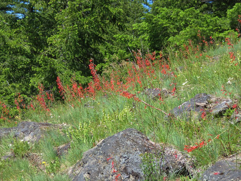
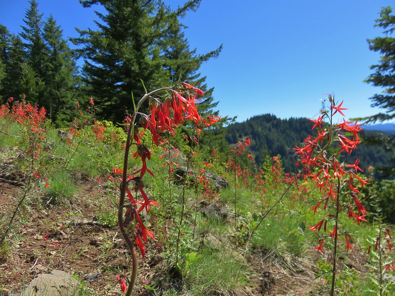
 Scarlet gilia
 More scarlet gilia
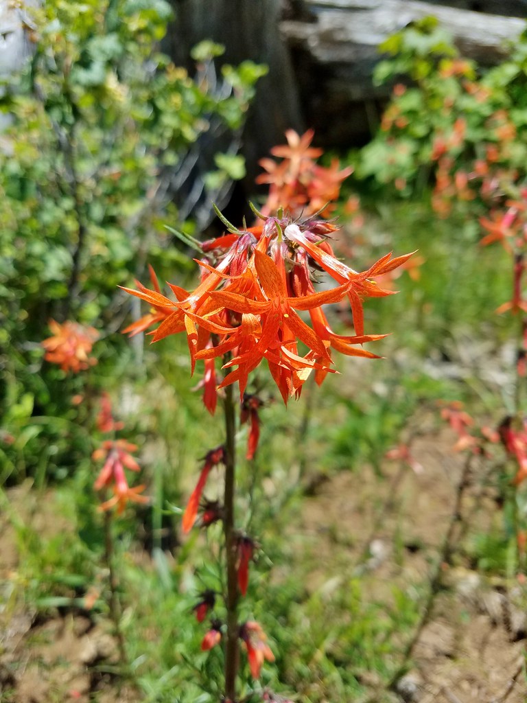 Skyrocket
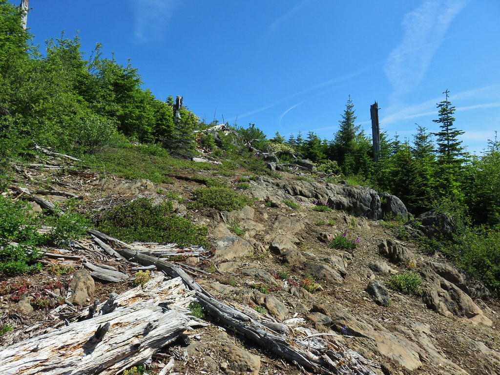

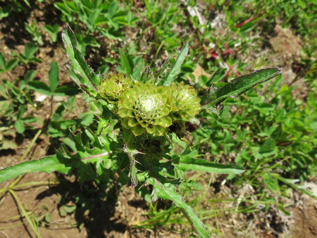 A thistle that was getting ready to bloom.
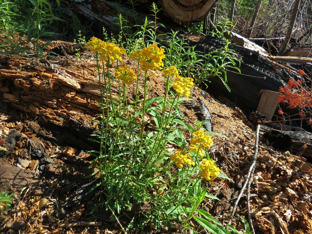
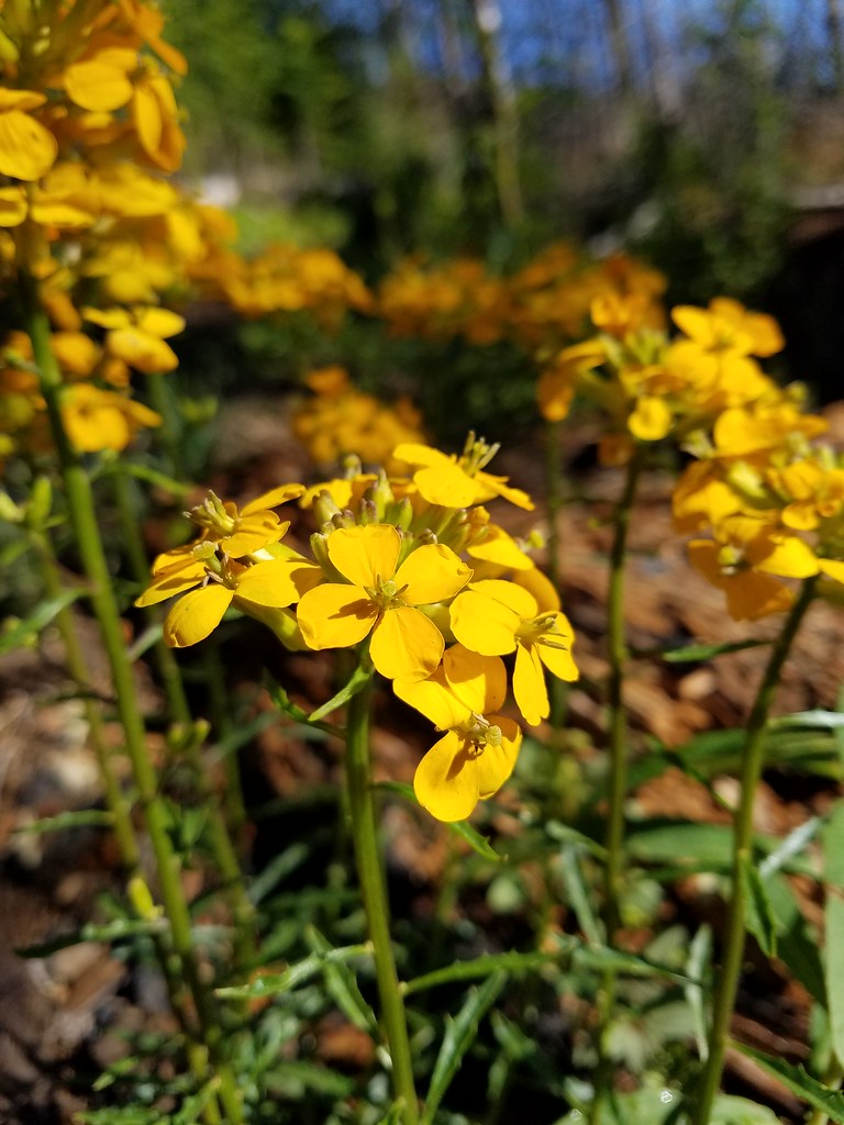
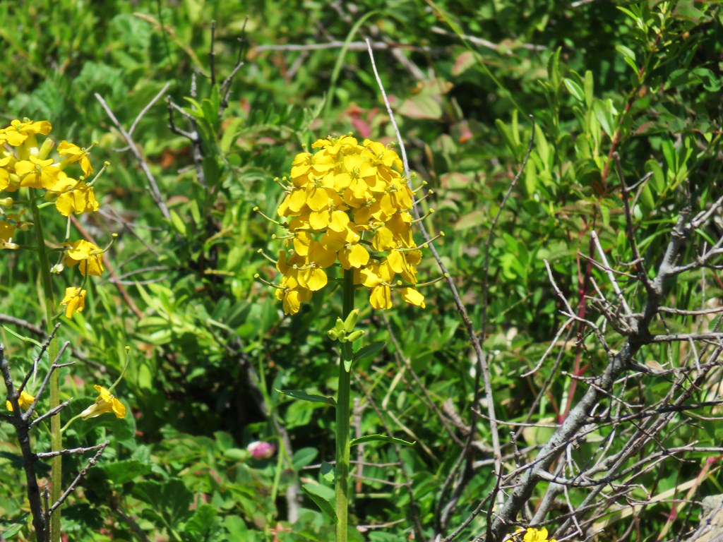 Wallflower


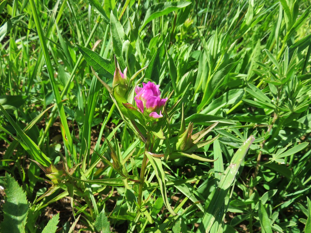 Owl’s head clover
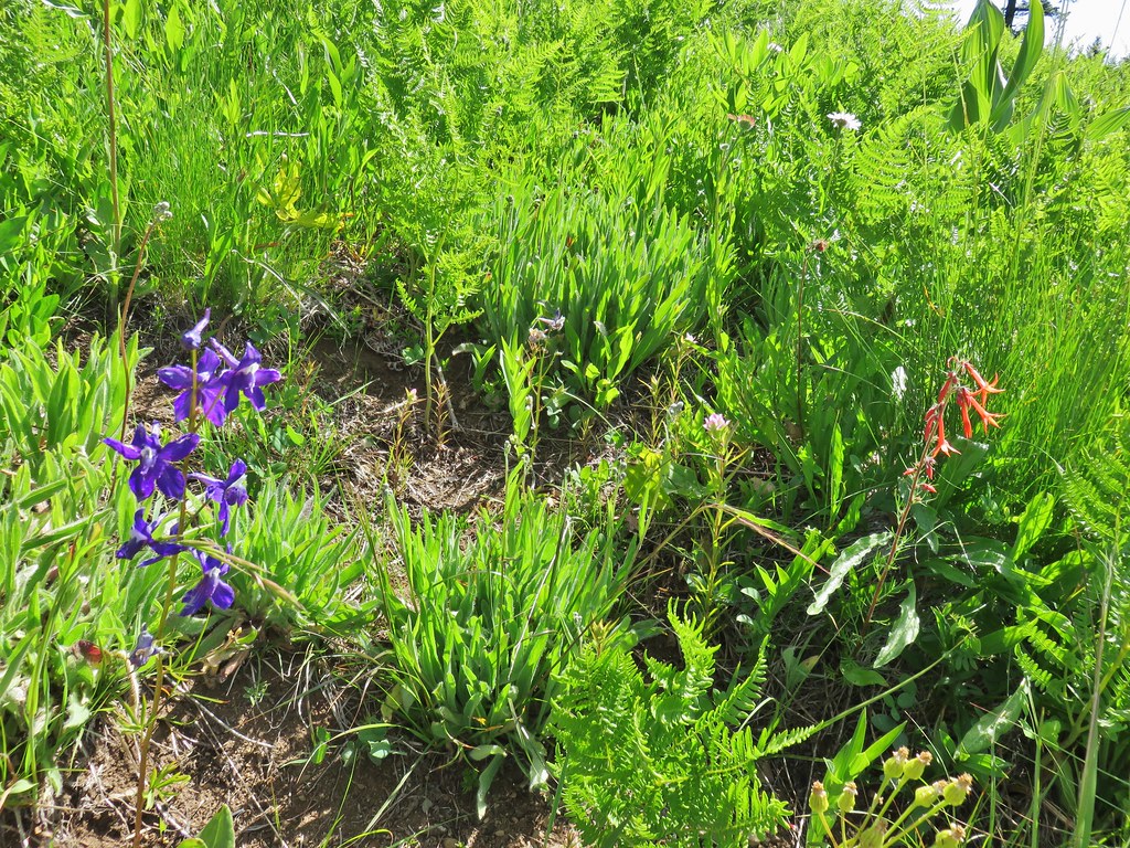 Larkspur, an owl’s head clover, and scarlet gilia
 Aster or fleabane and an orange agoseris
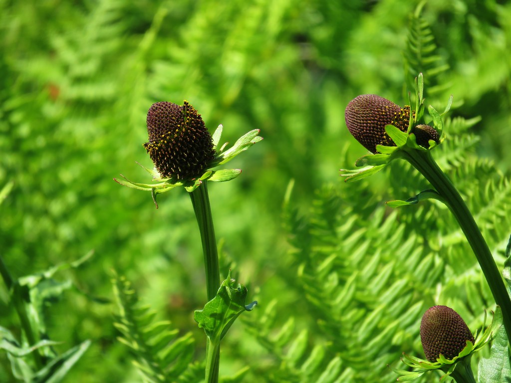 Coneflower
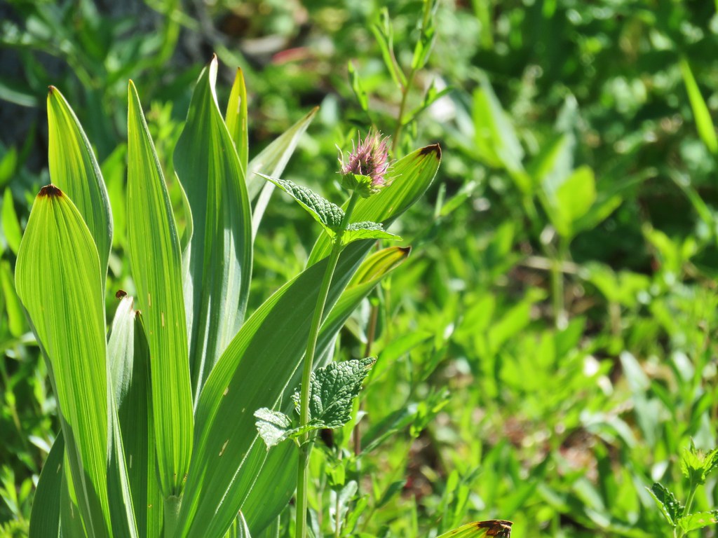 Hyssop
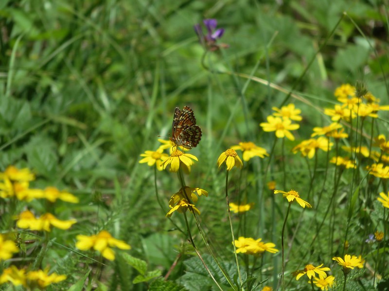
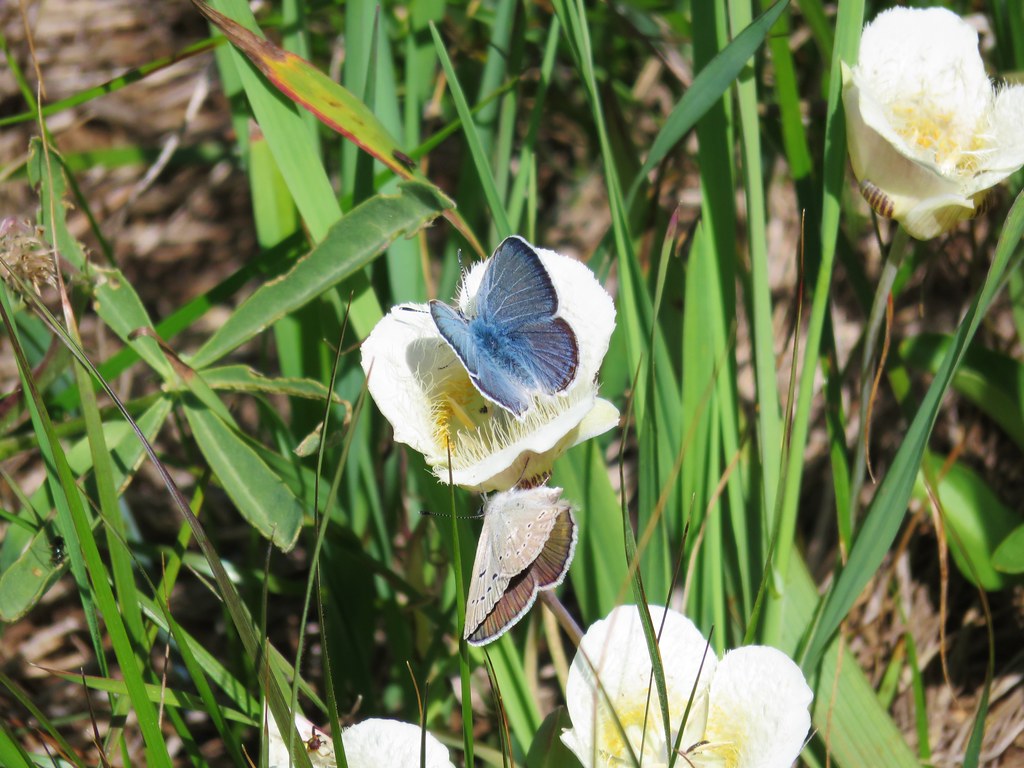 Butterflies on a cat’s ear lily

 Wait that’s not a butterfly.
 Fuji Mountain
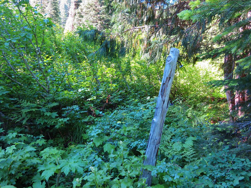
 The post, with an orange top, is up and to the right in front of a tree.
 Heather at the rock outcrop.
 Big Bunchgrass Meadow and Fuji Mountain
 Diamond Peak

 Crab spider (probably waiting for that Washington lily to open)
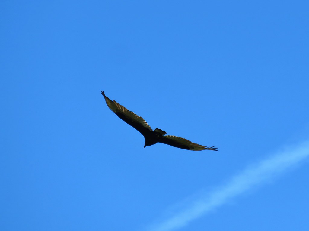 Turkey vulture
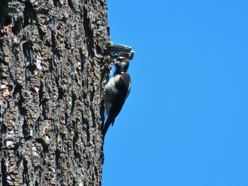
 Back in the valerian meadows
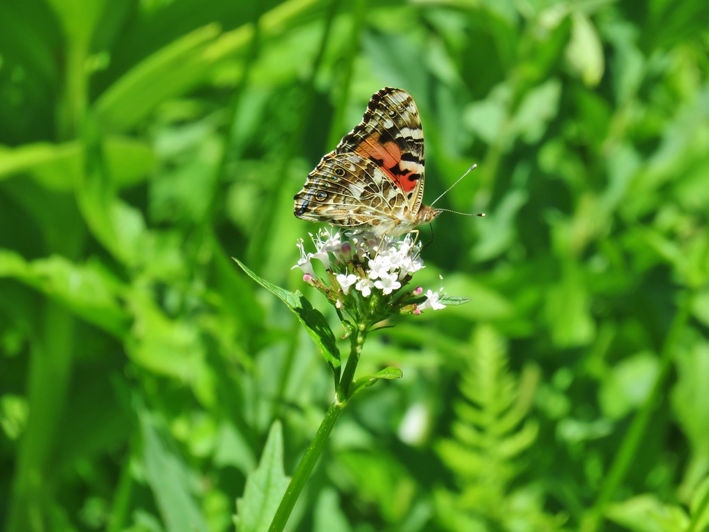


 Not sure what this is going to be either.